
After flying from IAD to MUC on United, we took the OBB train to Innsbruck, dropped off our bags at the AC Hotel, and traveled to the Nordkette via funicular and aerial tram. After spending some time at the top, we had dinner and walked around the city a bit before returning the hotel.
IAD to MUC
We drove over to Dulles (IAD) around noon and parked in the economy lot, arriving at around 1pm. We didn’t have any bags to check so headed through security after printing out boarding passes from a kiosk on the way. Paper always works and never runs out of batteries! We went right to United‘s Polaris Lounge after security to get a late lunch.
Forrest Gump‘s mama always said, “life was like a box of chocolates, you never know what you’re gonna get.” The Polaris Lounge is kind of like that too. You just never know how the food’s gonna be!
Prosciuttio, Cipollini, Tomato Confit, Taleggio Cheese, Lemon Herb Oil, Micro Basil”
This tiny little piece of focaccia was actually pretty decent. And so remarkably small!
Fried Leeks, Crème Fraîche”
The soup was much better than it looked.
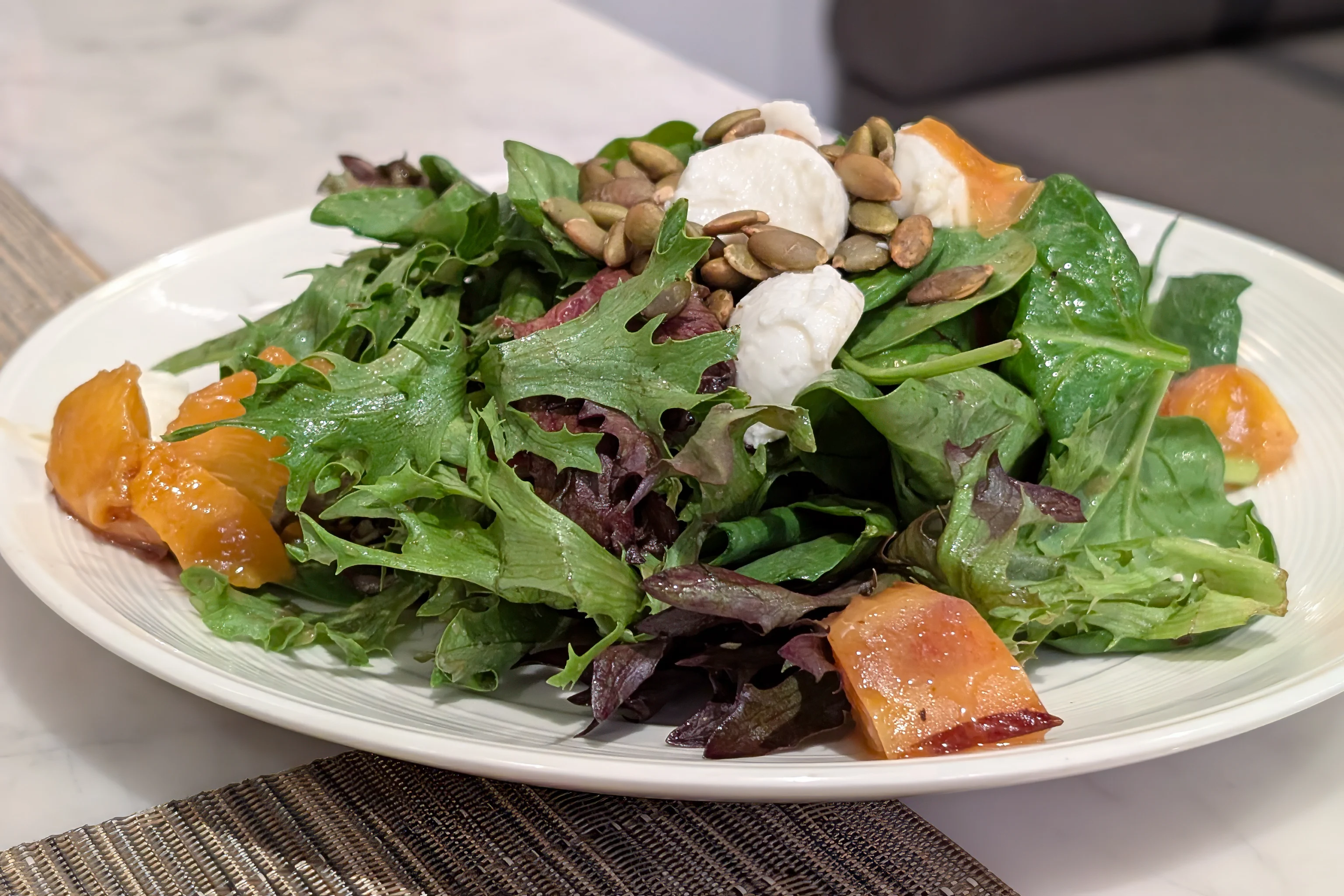
Baby Greens, Pepitas, Honey Balsamic Vinaigrette”
The salad was interesting and the seared peaches were surprisingly good.
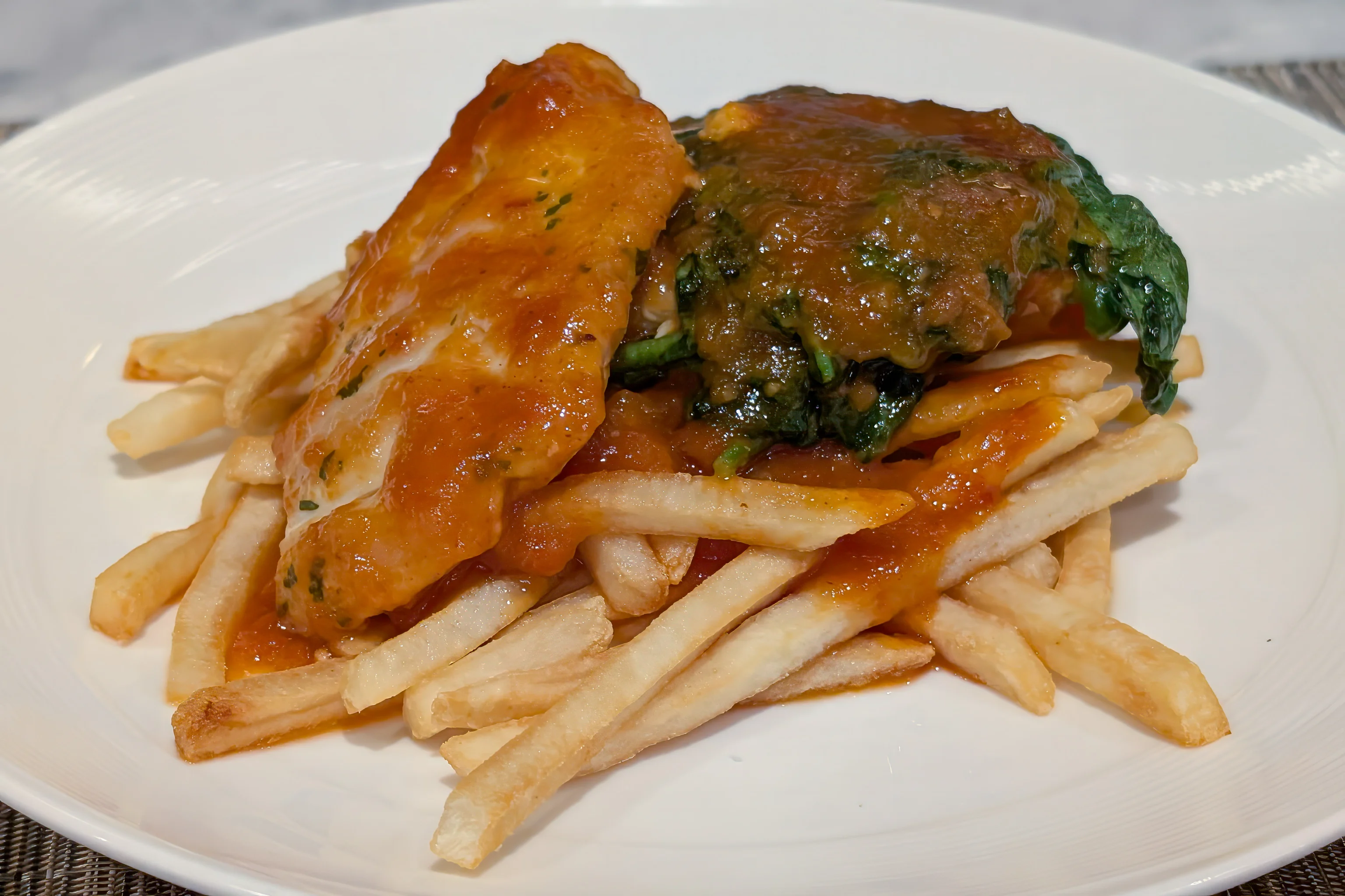
Peach BBQ Sauce, Spinach, Crispy
Shoestring Fries”
While the flavors here were good, the chicken itself was dry and terrible.
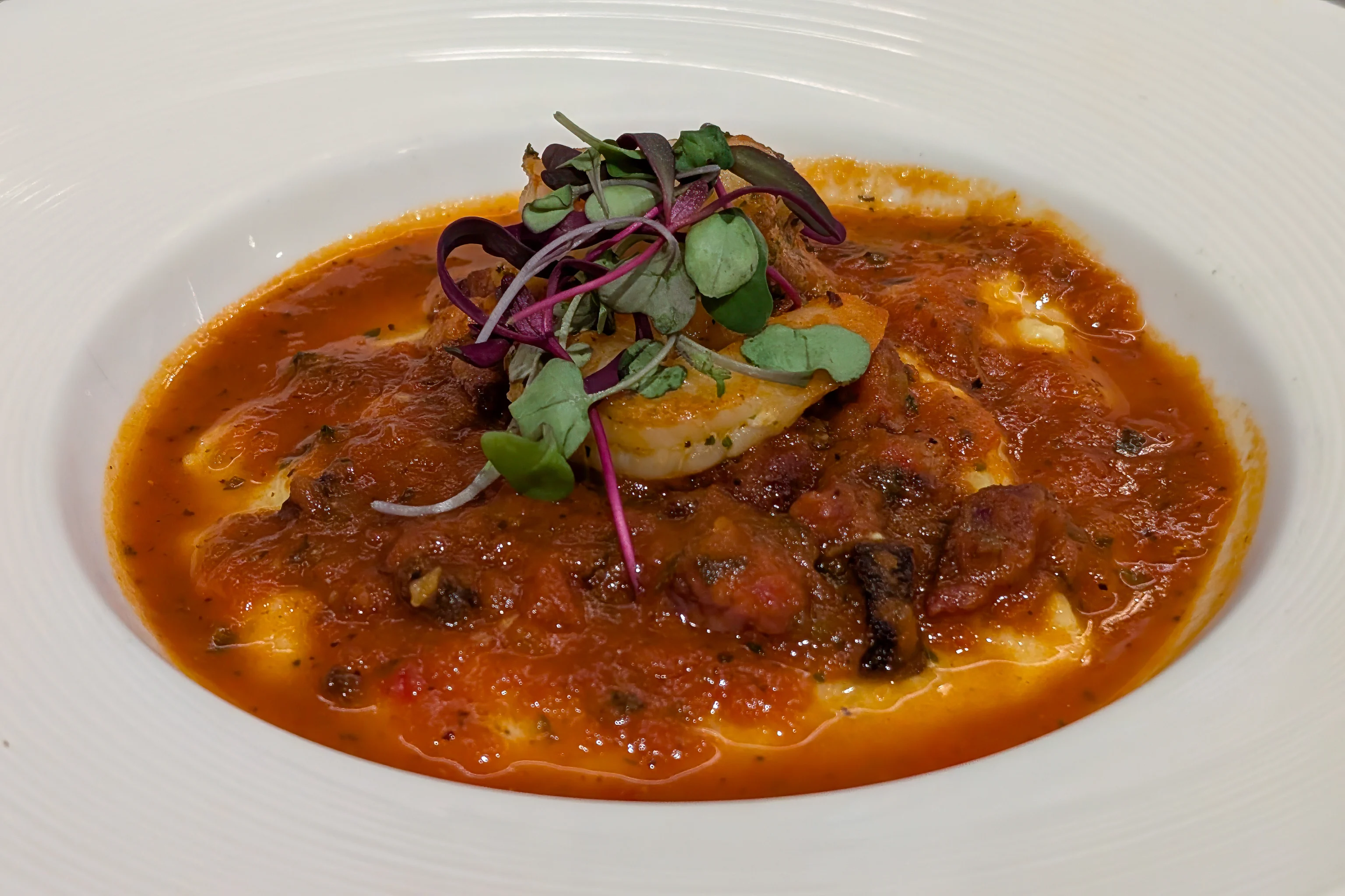
Tasso Ham, Roasted Poblano, Tomato Jus”
Likewise, the shrimp dish had good flavor but the shrimp were terrible, about as good as cheap frozen shrimp from the local supermarket.
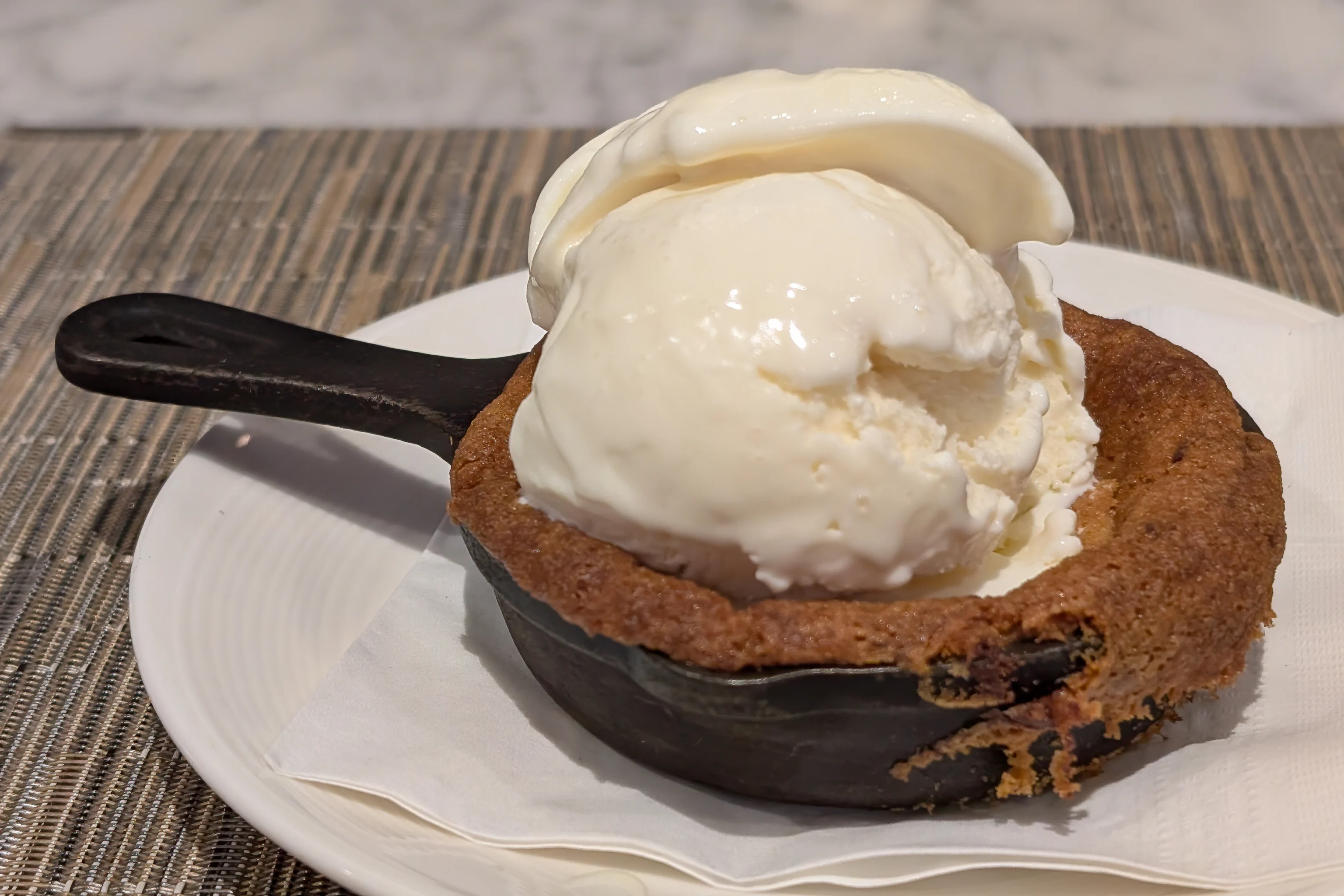
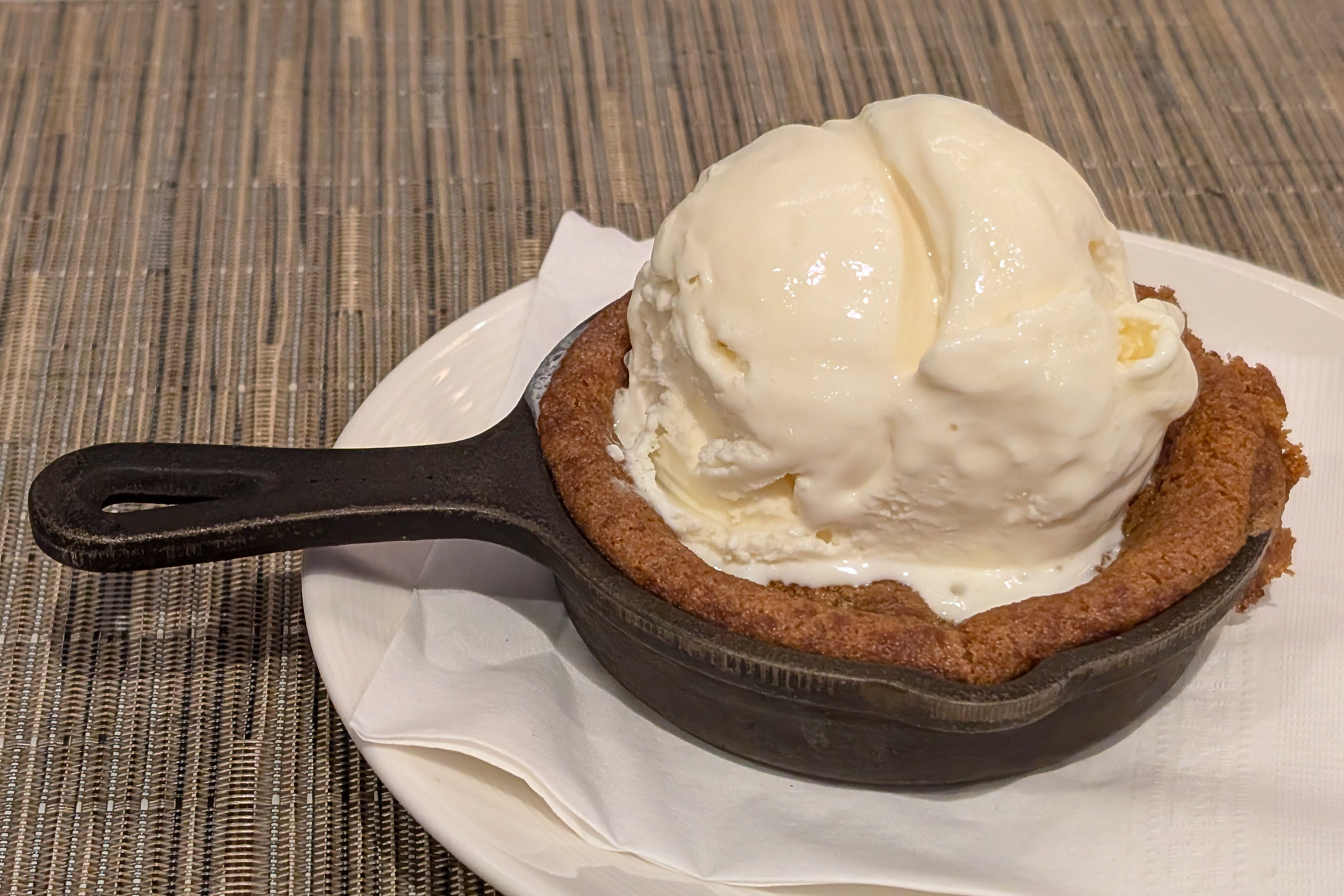
Vanilla Ice Cream”
At least the chocolate chip cookies and ice creams were well prepared this time. Not like the premade ones they were serving at San Francisco when we were there in June!

We also grazed a bit at the buffet later on in the afternoon.
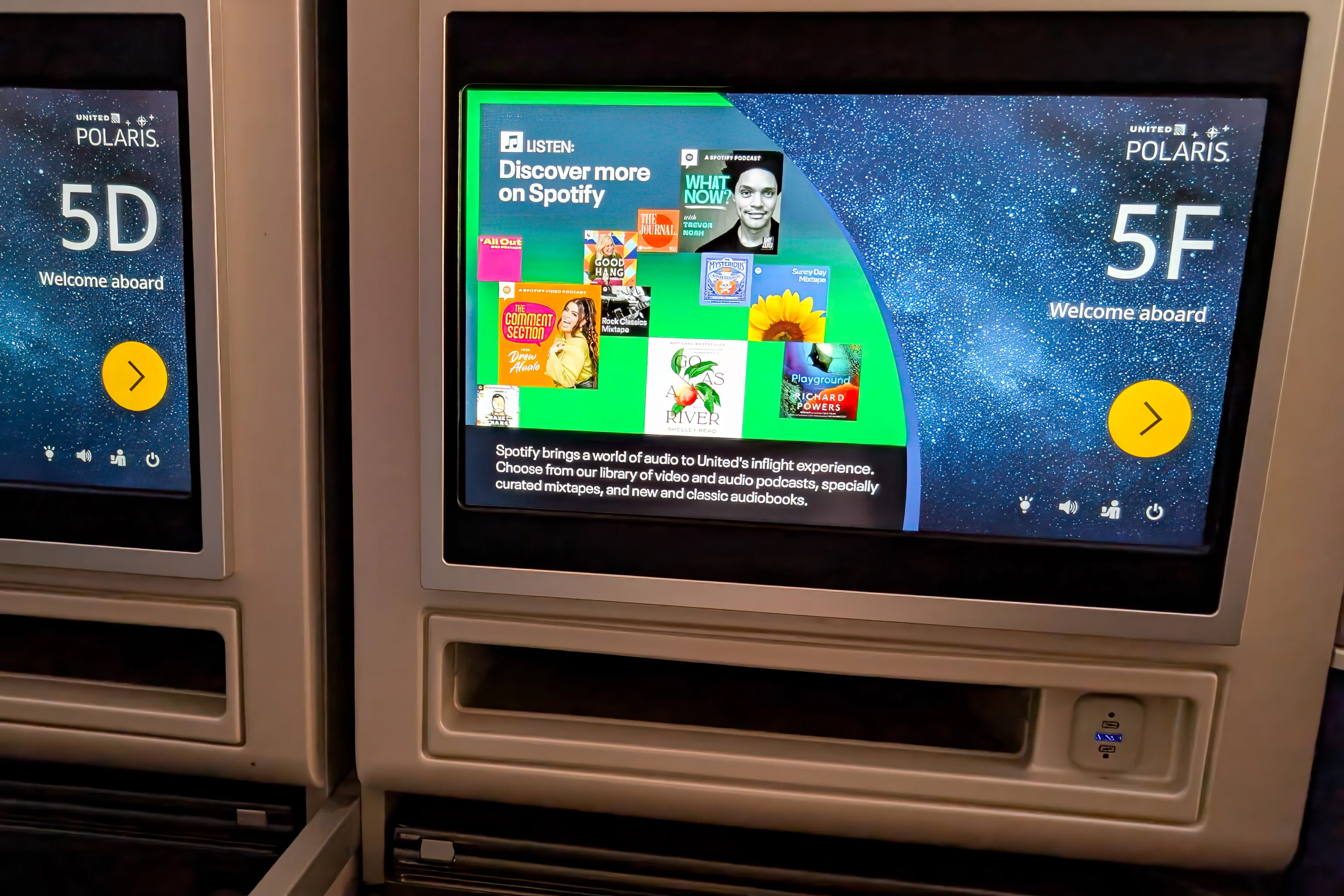
Soon, we walked over to the gate to board our aircraft, a Boeing 787-8 Dreamliner. This was not just any Dreamliner though, it was N20904, United’s first. I flew on it 13 years ago when it was just a week or two old after United’s customer service made a complimentary adjustment to my itinerary for me so I could do so. It was a pretty fancy plane at the time, so much carbon fiber! And those electrically dimming windows seemed so neat at the time. They’re actually terrible compared to plain old shades though.
As usual for overnight flights to Europe from the east coast, we declined dinner service and slept as soon as we took off.
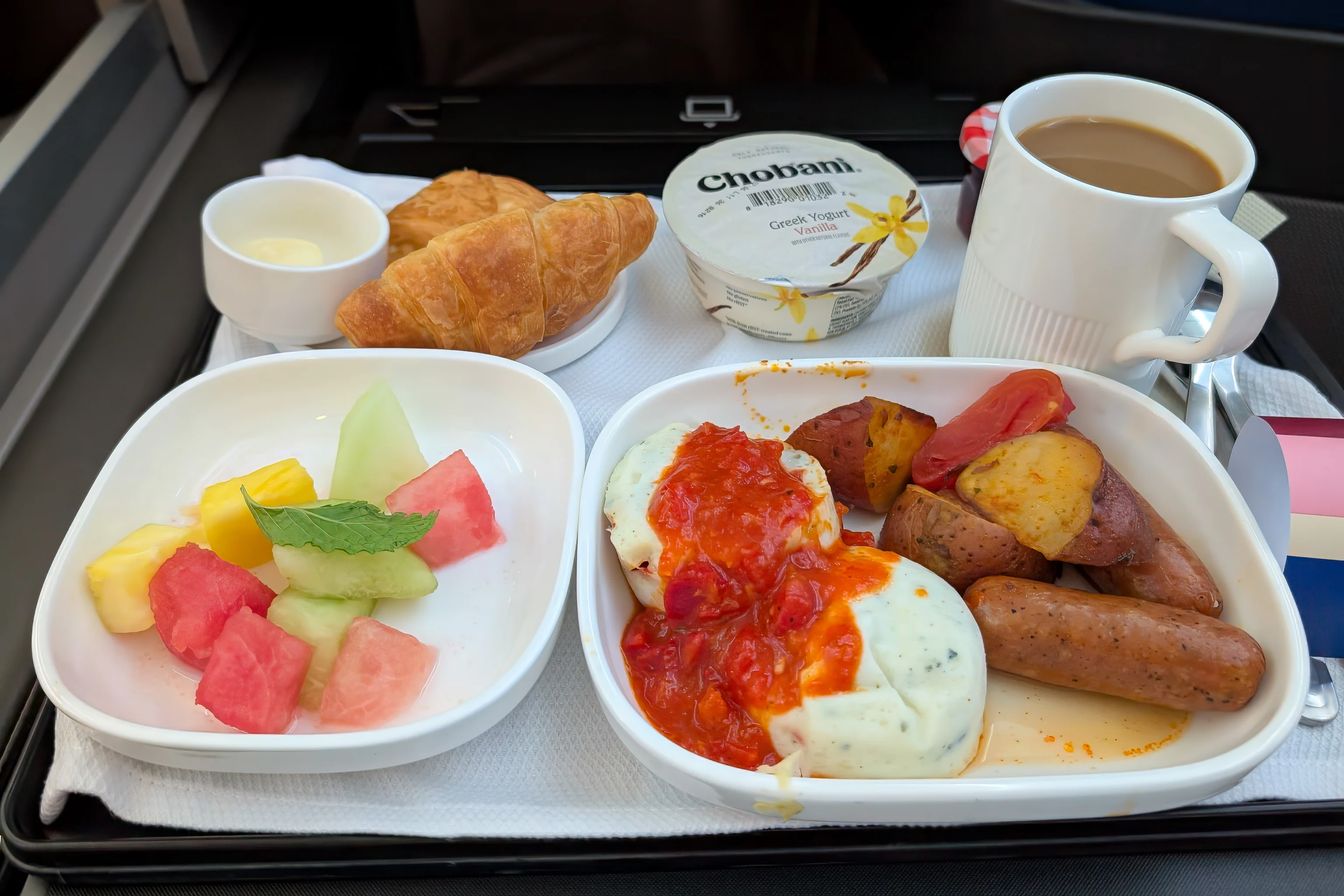
We woke up for breakfast at around 12:30am, US Eastern time. It was a mix of mediocre and bad, other than the Chobani, which is never bad!
After landing at Munich Airport (MUC), we joined an extremely long queue to enter Germany. While waiting in line, we looked at the travel options to Innsbruck. During this time, there was basically one fast train every two hours from the Munich Hauptbahnhof to Innsbruck, with a few other slower options. There was one that we hoped to catch, assuming the queue we were in kept going steadily. And it did, slowly, but steadily.
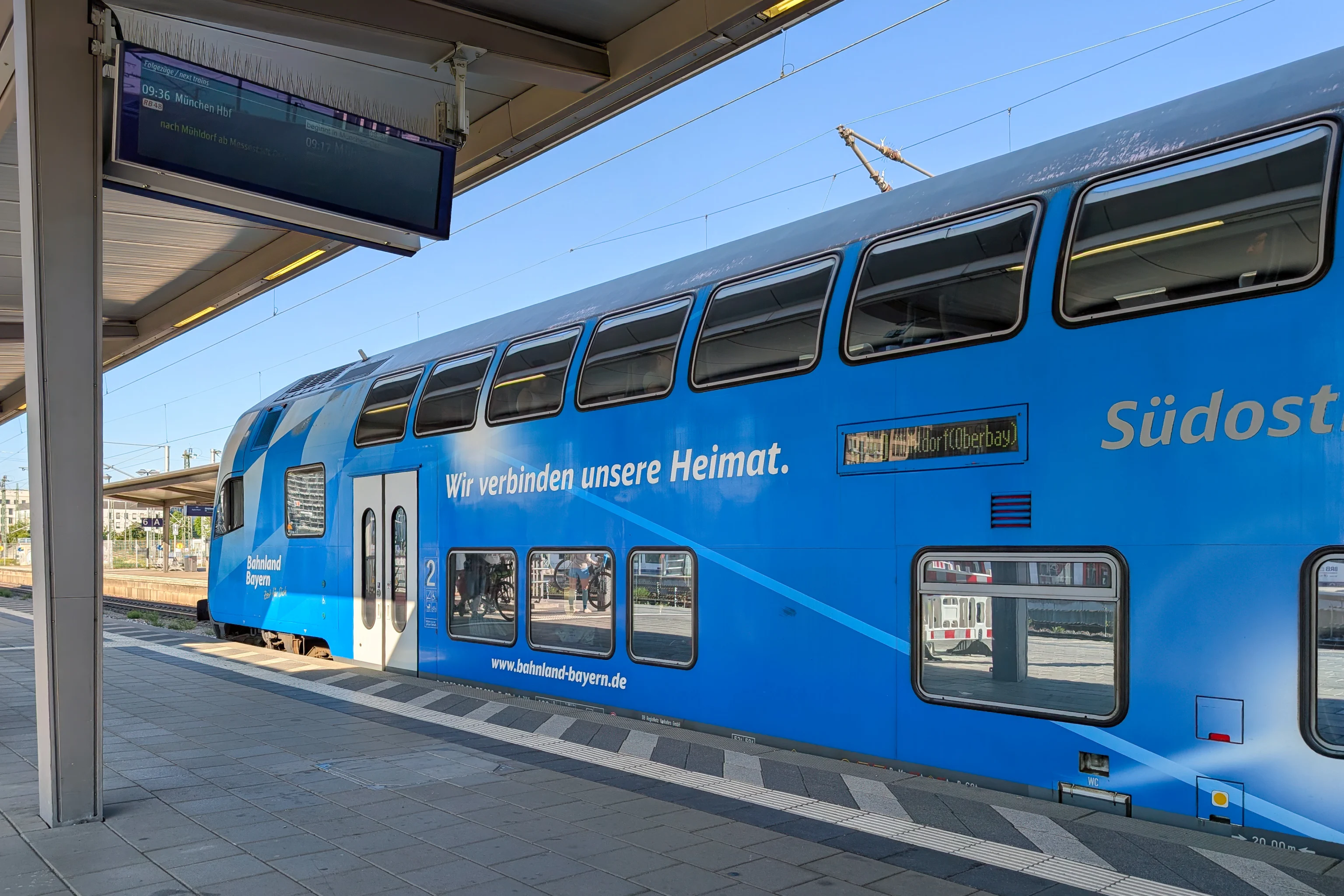
During this wait, we realized that the upcoming departure was already pretty full. Deutsche Bahn was no longer selling second class tickets on this train. However, OBB, the Austrian Federal Railways, was still selling second class tickets and seat reservations. We snagged a pair of seats in a pretty full carriage. Our ticket did allow last minute changes so if we missed it, it would be no big deal.
We also realized that there was rail construction going on around the border between Austria and Germany in multiple places and that there would be no direct train services when we were set to return to Munich from Innsbruck. Instead, we would need to take a train replacement bus. This would add at least an hour, possibly more, to our trip back. But that’s something to worry about later on in our trip as there’s no point in buying tickets early.
Once we reached the immigration counter, we quickly entered Germany and were on our way! We saw a very familiar scene as we walked over to the airport’s train station. We then entered the airport’s train station took the next S8 to the Munch Ostbahnhof.
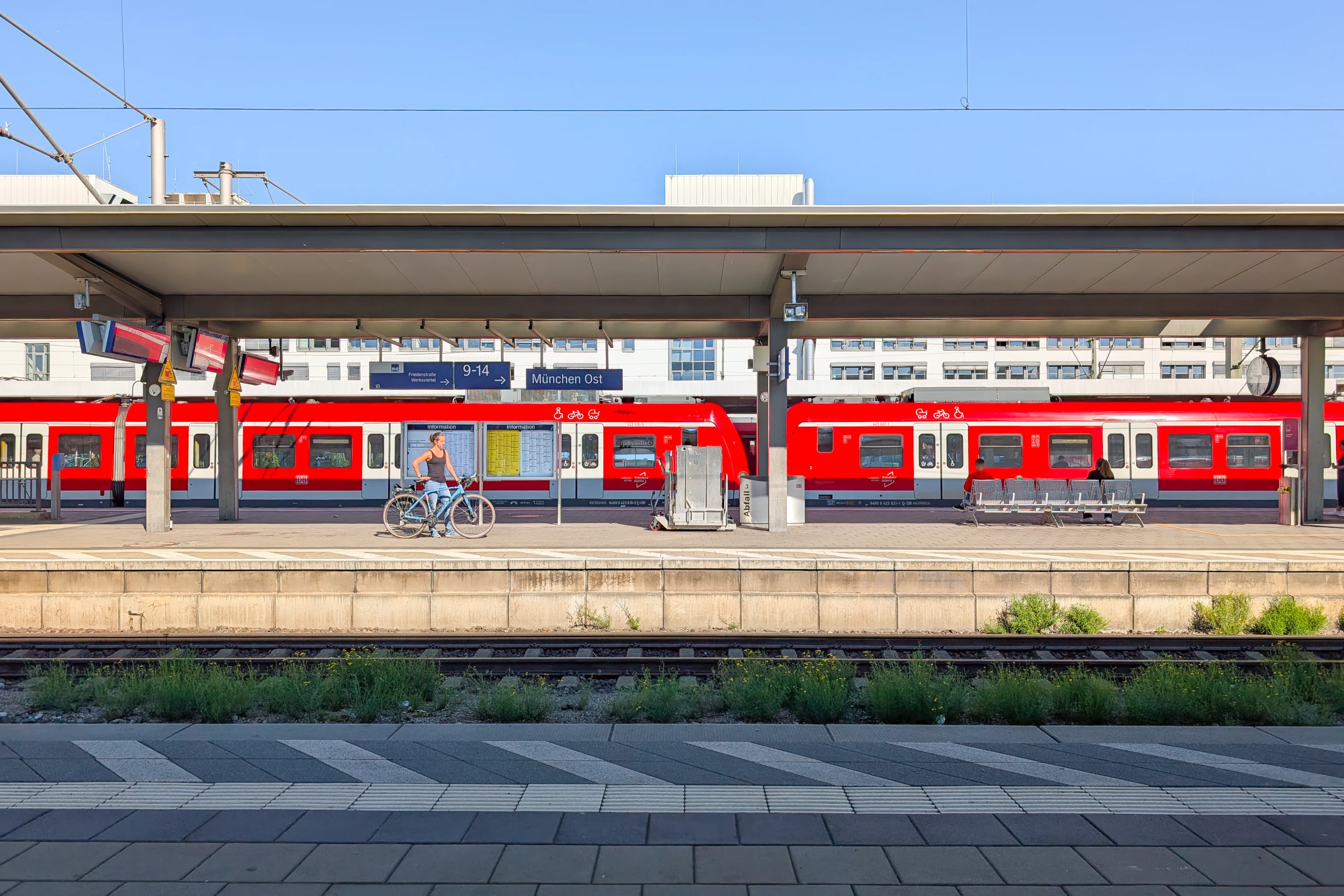
Although we’ve been to Munich, we’ve never been to the east station before. We ended up having to wait for awhile for our train to arrive.
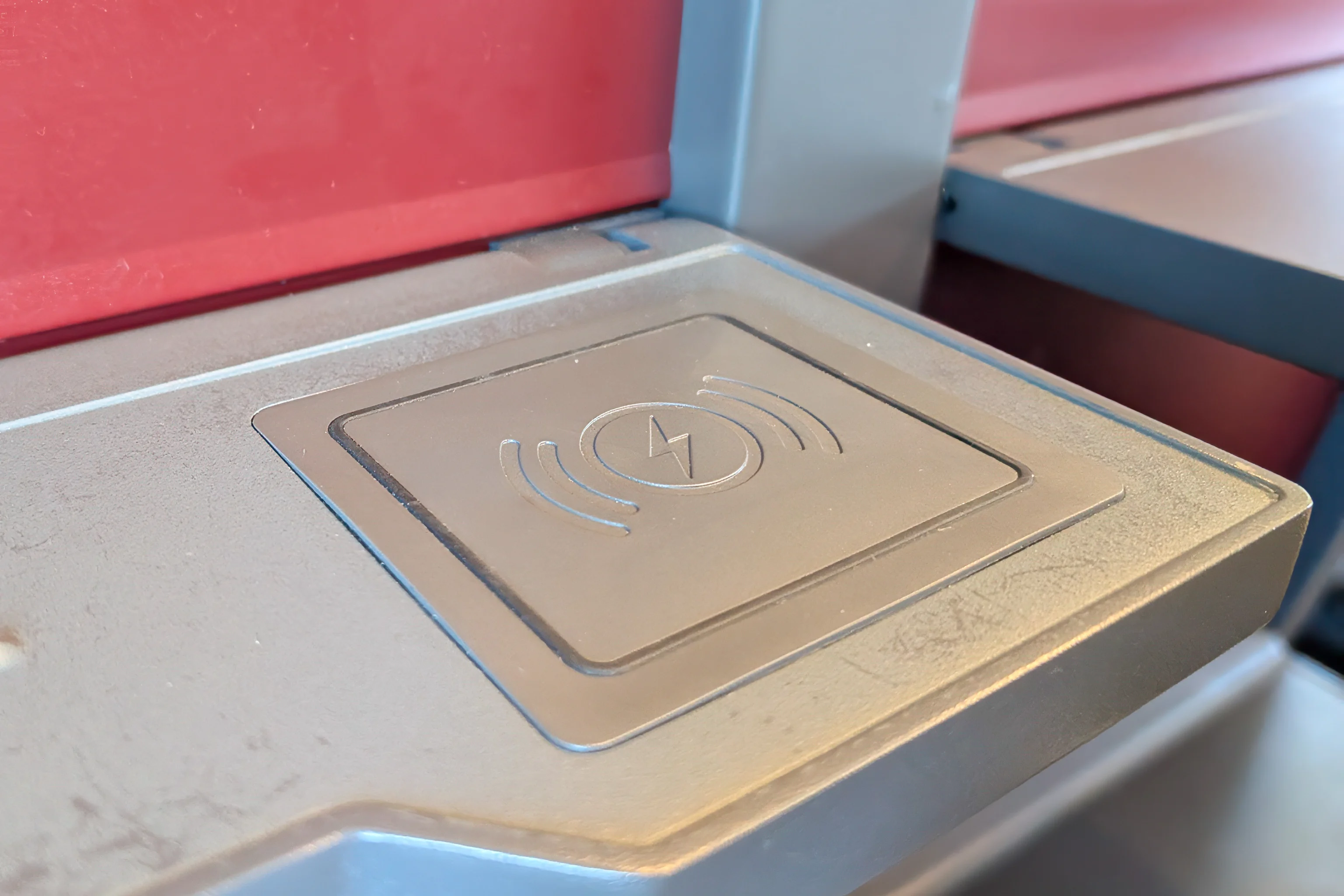
While we have been to Austria before via Munich, this was our first time taking an OBB train. We were impressed that the carriages had wireless chargers at each seat!
Innsbruck
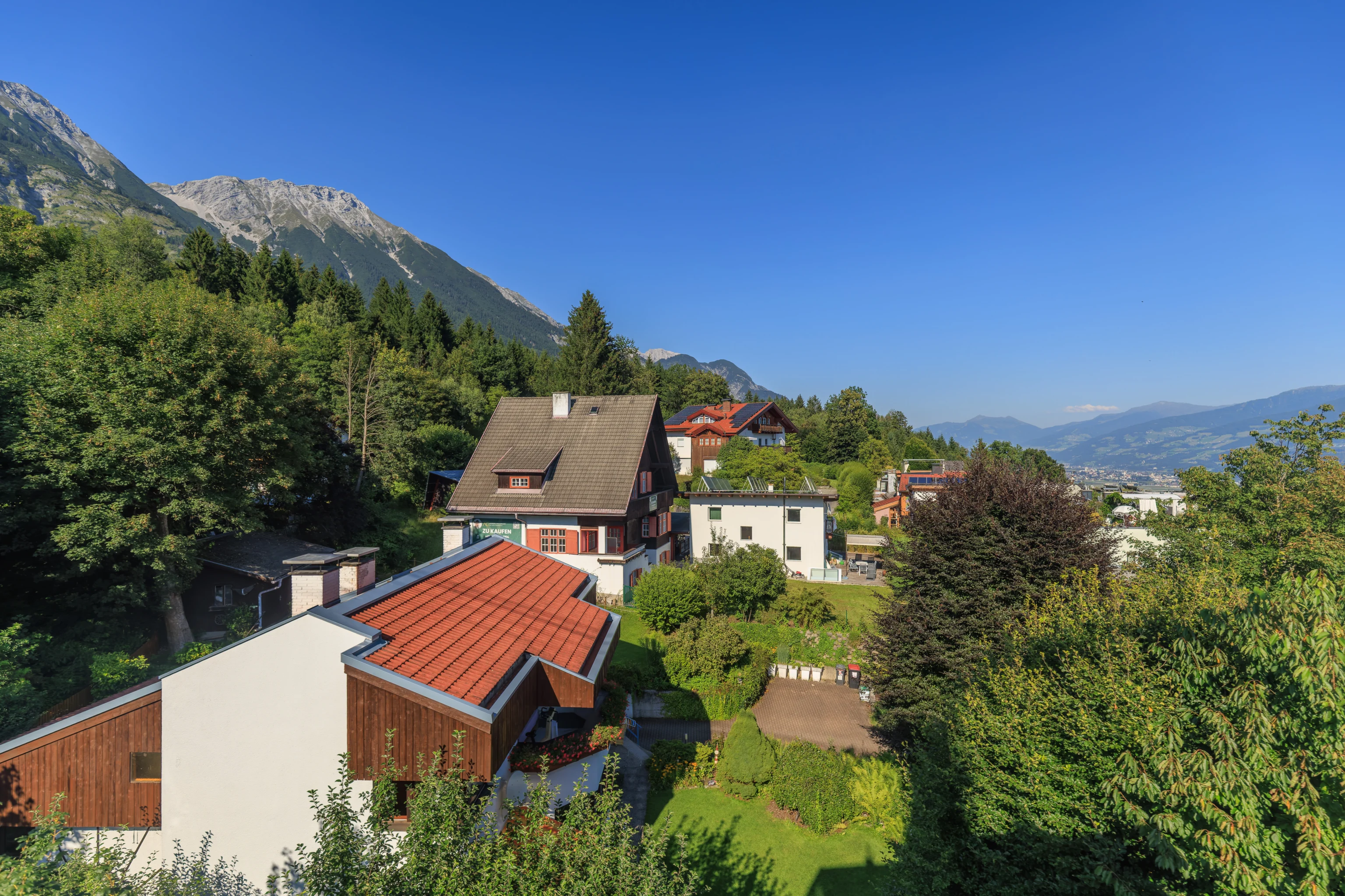
After arriving at Innsbruck, we walked about two blocks over to the AC Hotel, which is part of Marriott. Our room was not ready yet so we left our bags at the hotel. We plan for this when packing to minimize the time needed to get going again.
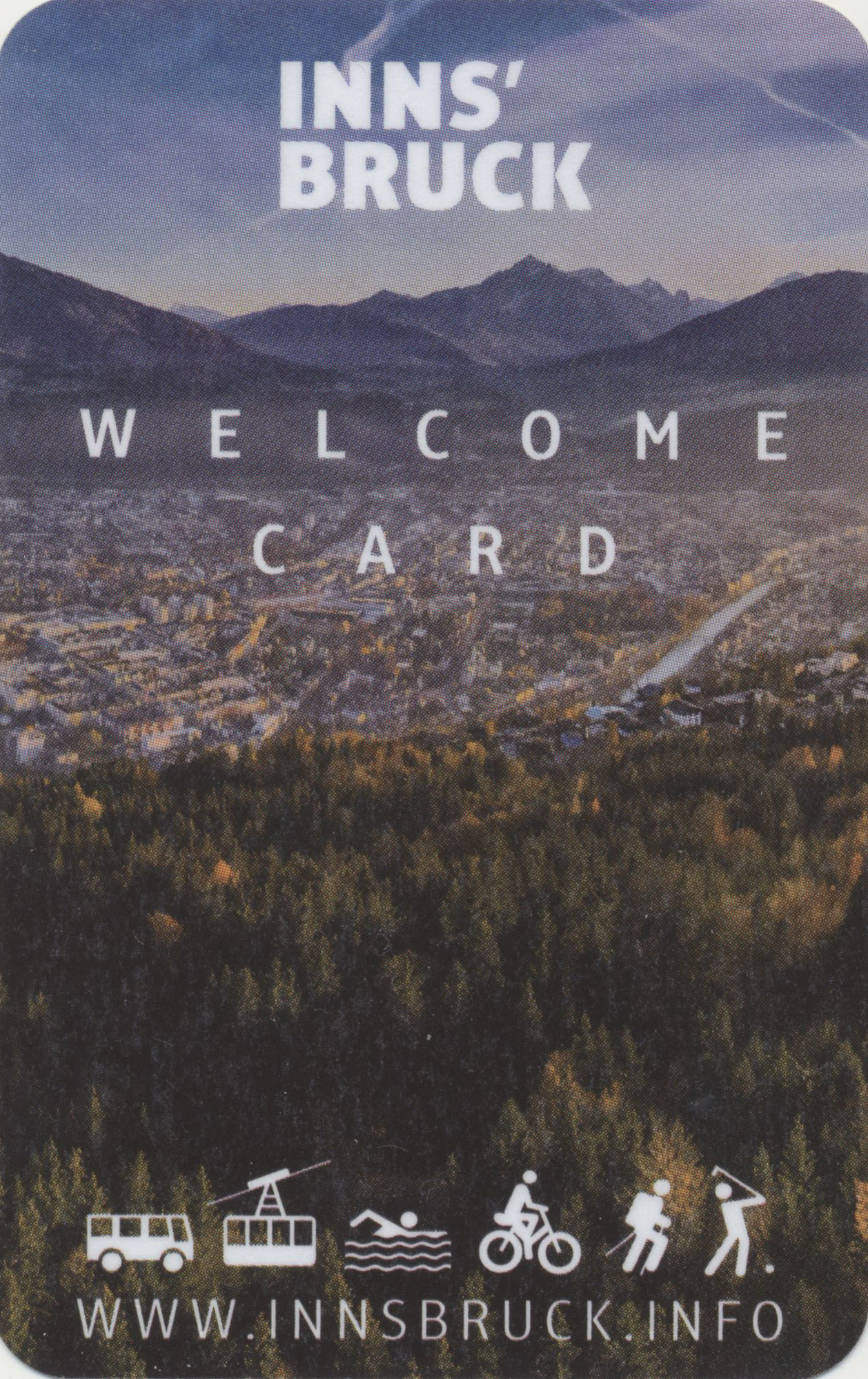
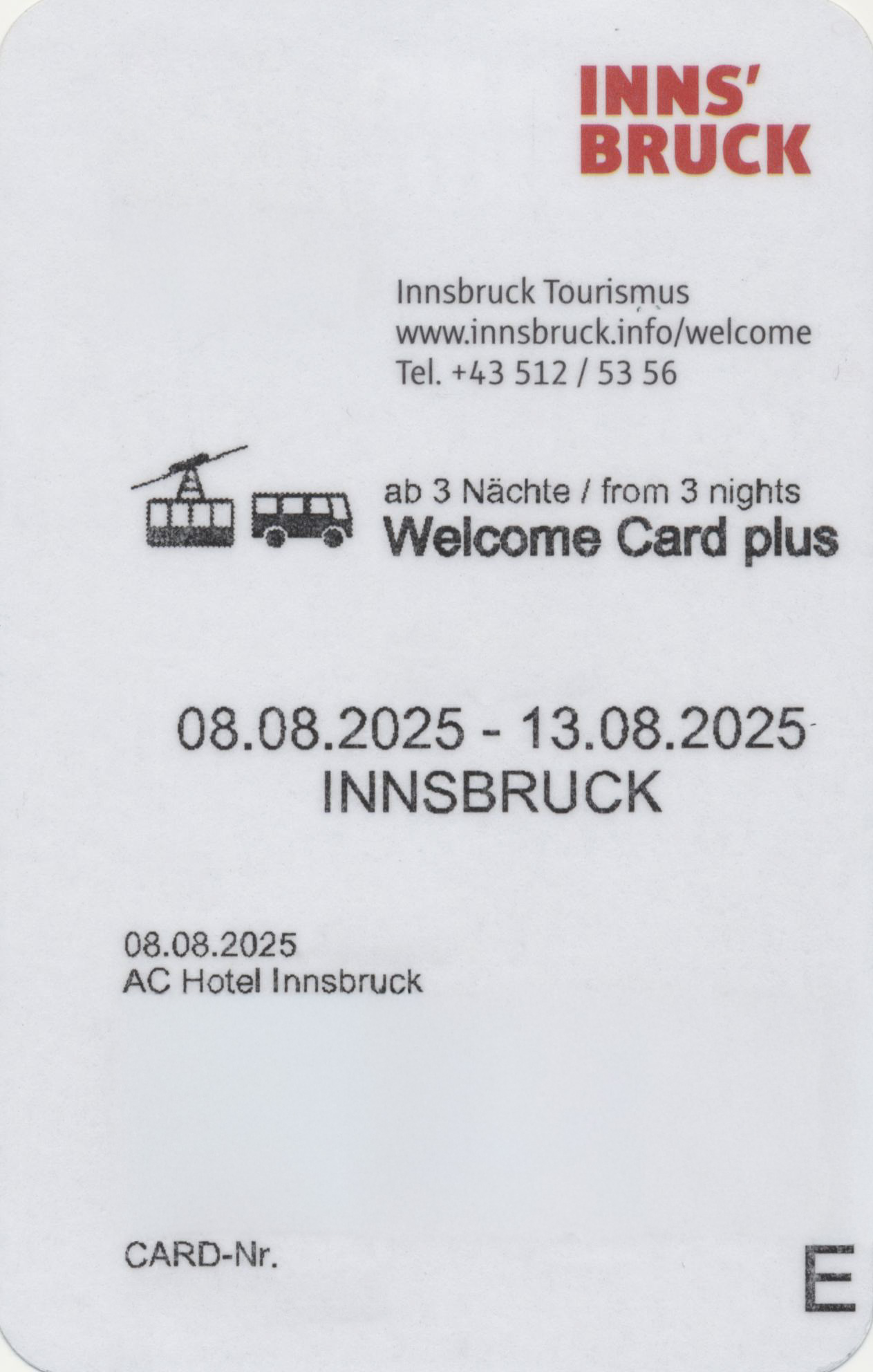
While there, we also picked up our Innsbruck Welcome Cards. These are provided to overnight guests at participating properties, which seems to be most hotels in Innsbruck. Guests staying three nights or more are provided the Welcome Card Plus, which has some additional inclusions and discounts.
The Welcome Card includes local transit in the Innsbruck area, through it does require careful reading of a table to figure out exactly which busses, trams, and trains are included and how far out as it varies by line.
There is also an Innsbruck Card which has more inclusions but is not free. We looked at what was included, the cost of the card, and the duration of validity, and decided that it would be a stretch for it to be worthwhile, particularly as the Innsbruck Welcome Card already includes local city transit and some useful discounts.
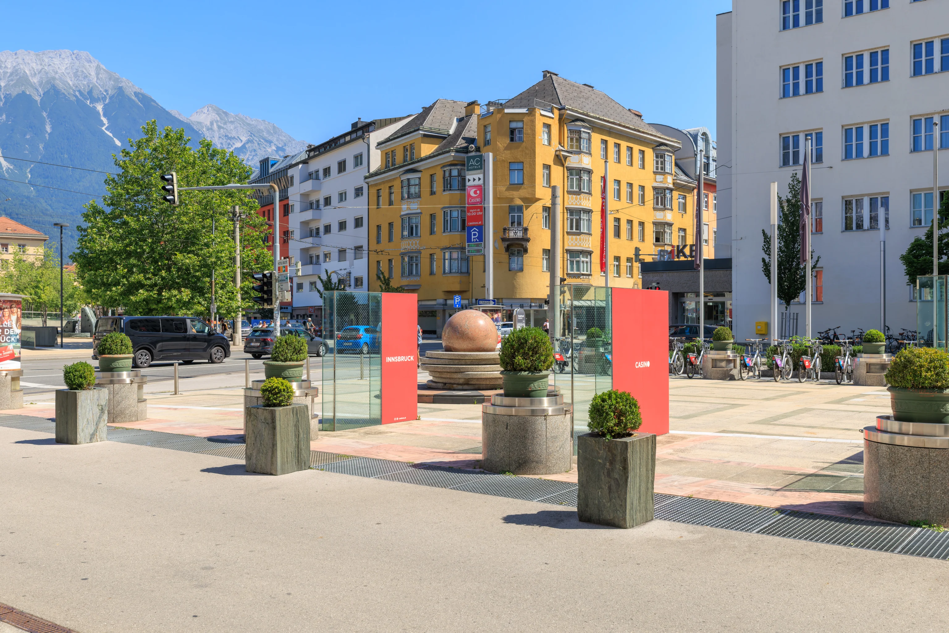
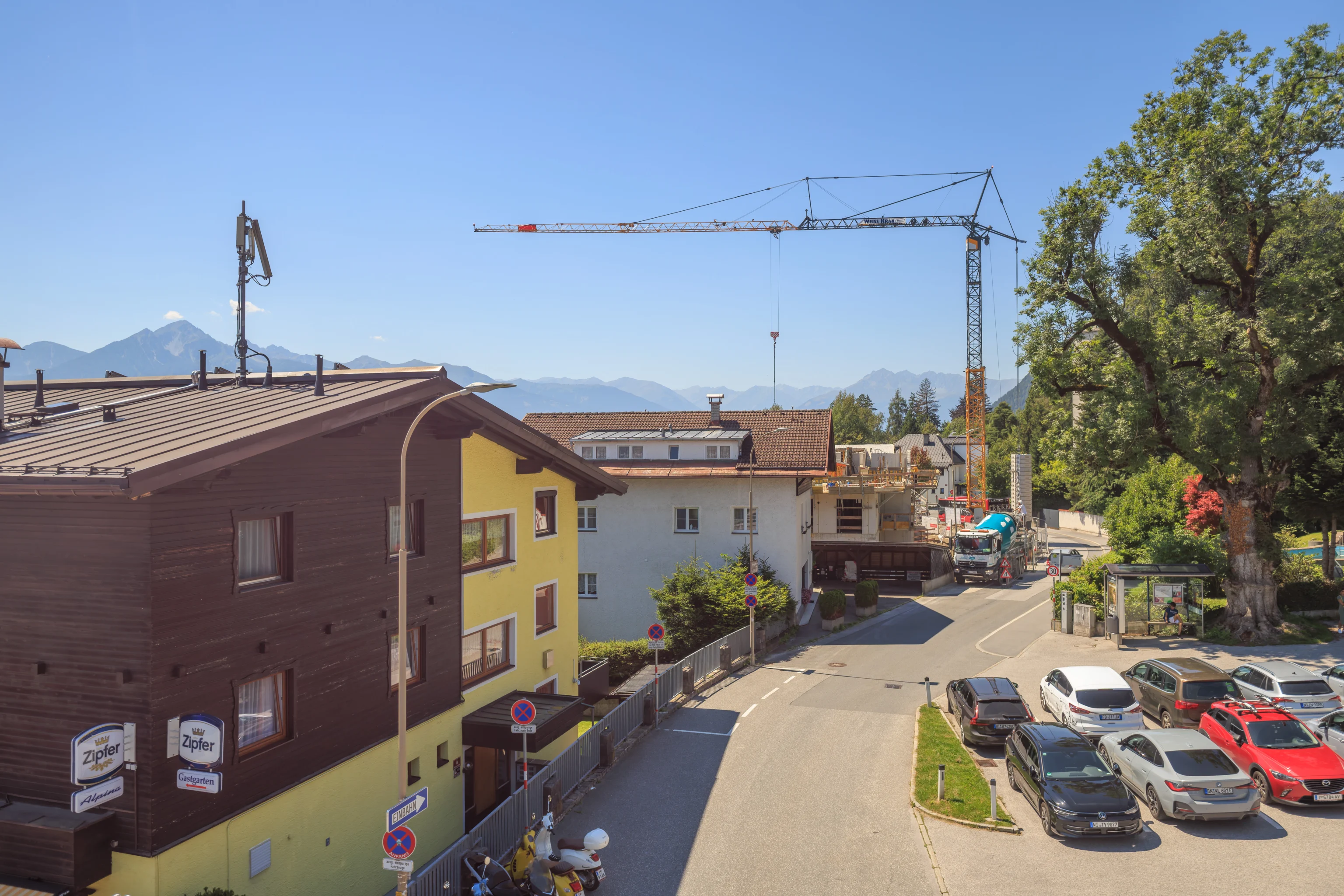
The AC Hotel is right next to a casino. The casino building isn’t visible here, its off to the left, but the big marble ball and other things in front of us are the casino’s.
We noticed a rainbow bus as we started to walk north to the base station of the Hungerburgbahn, a funicular that goes up to the Hungerburg area of Innsbruck.
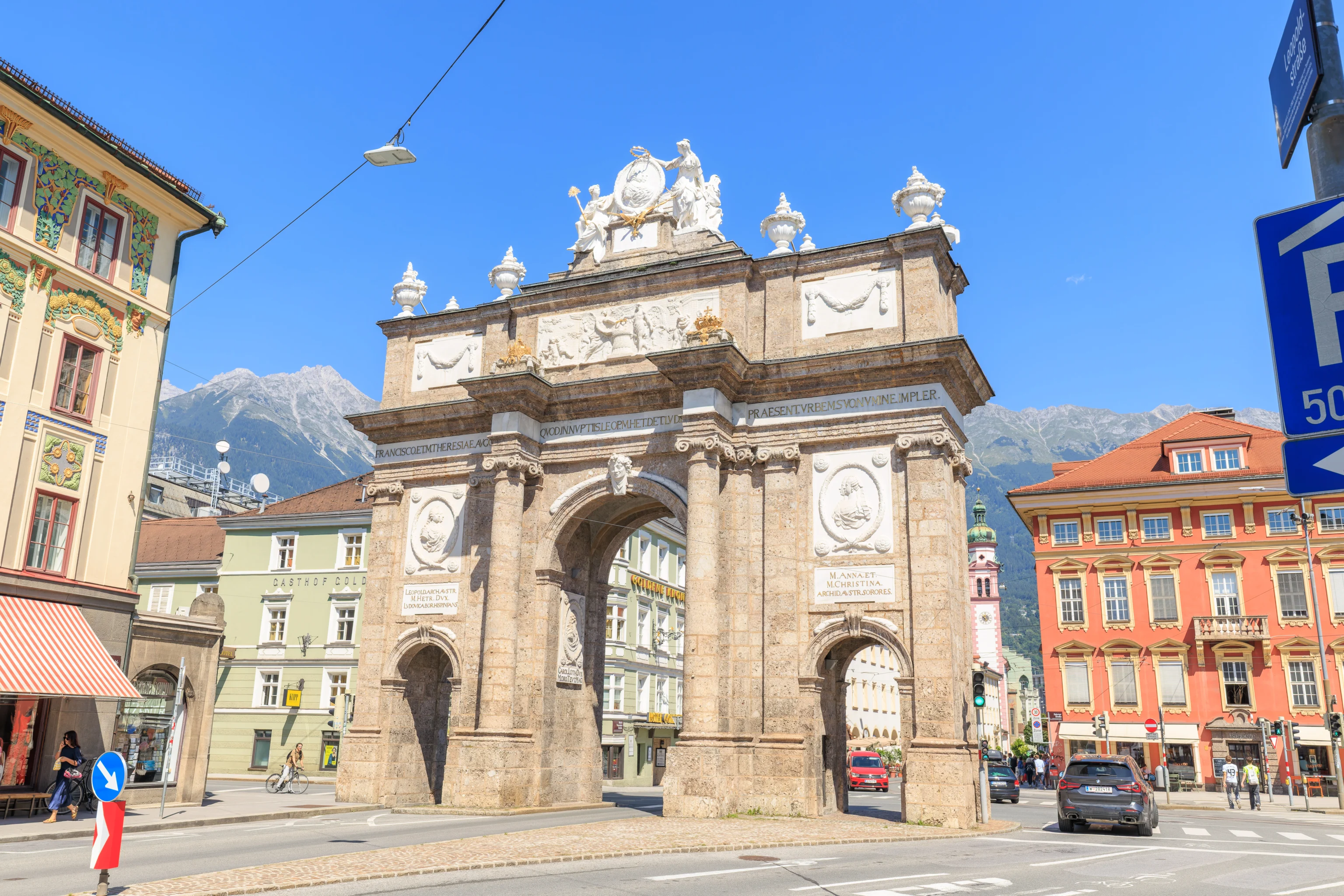
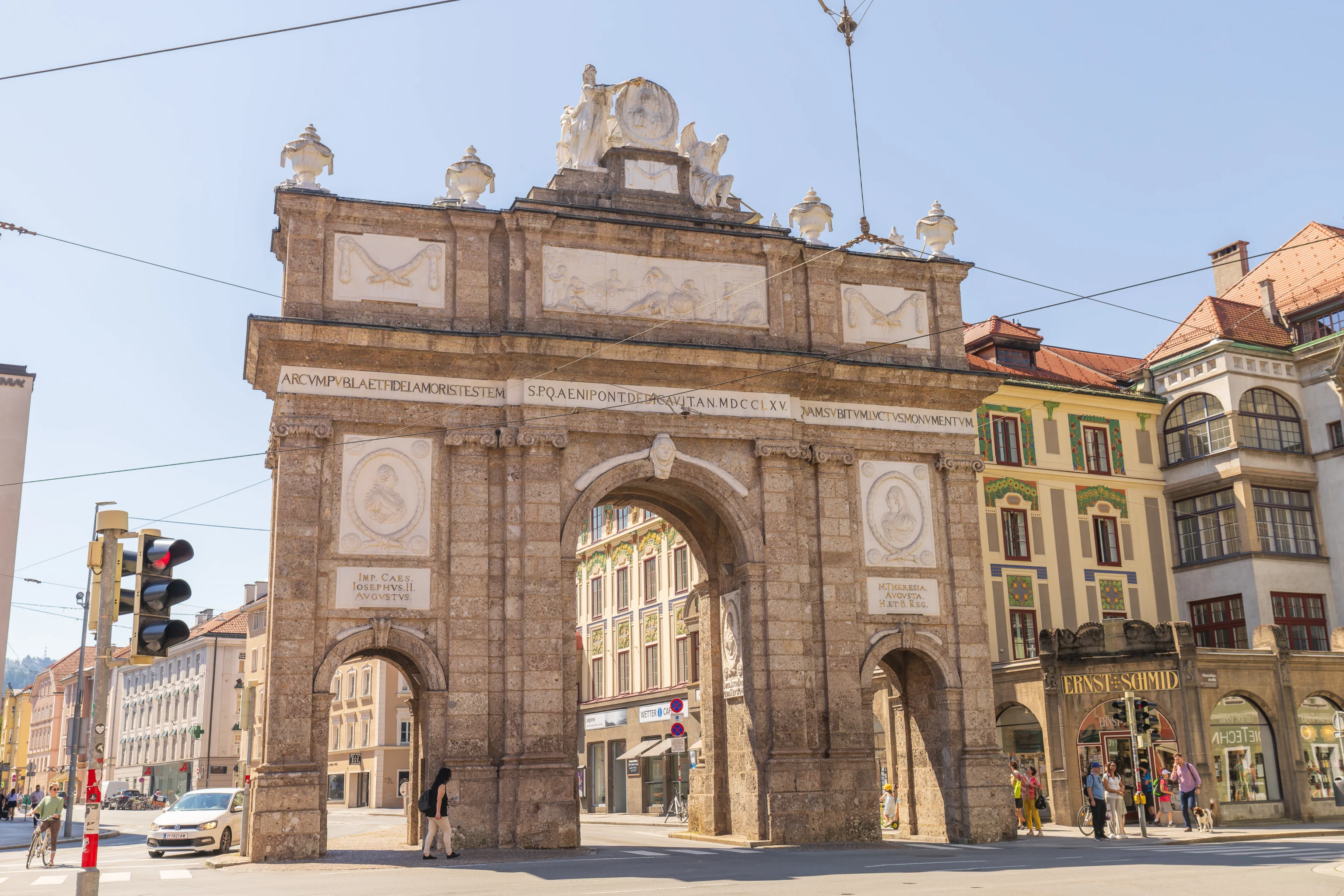
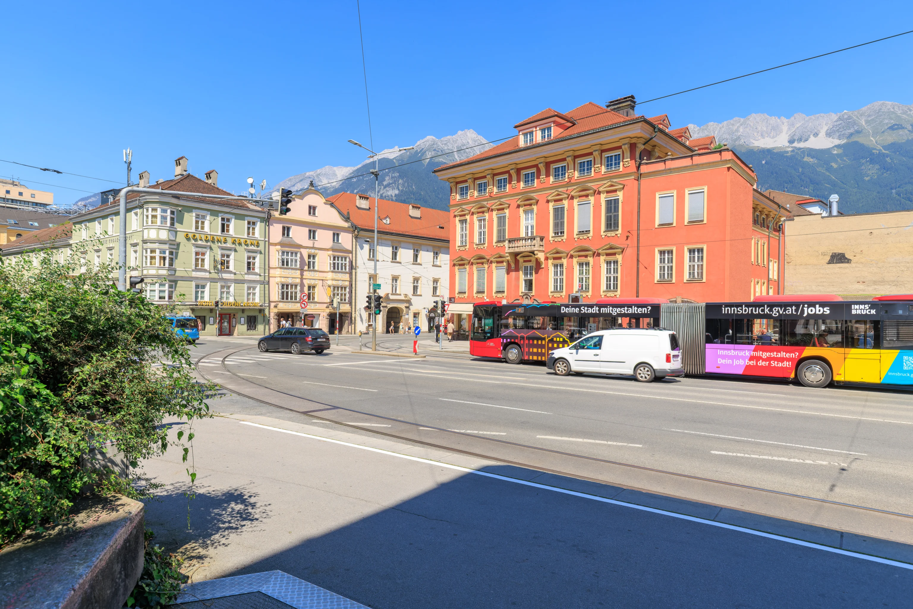
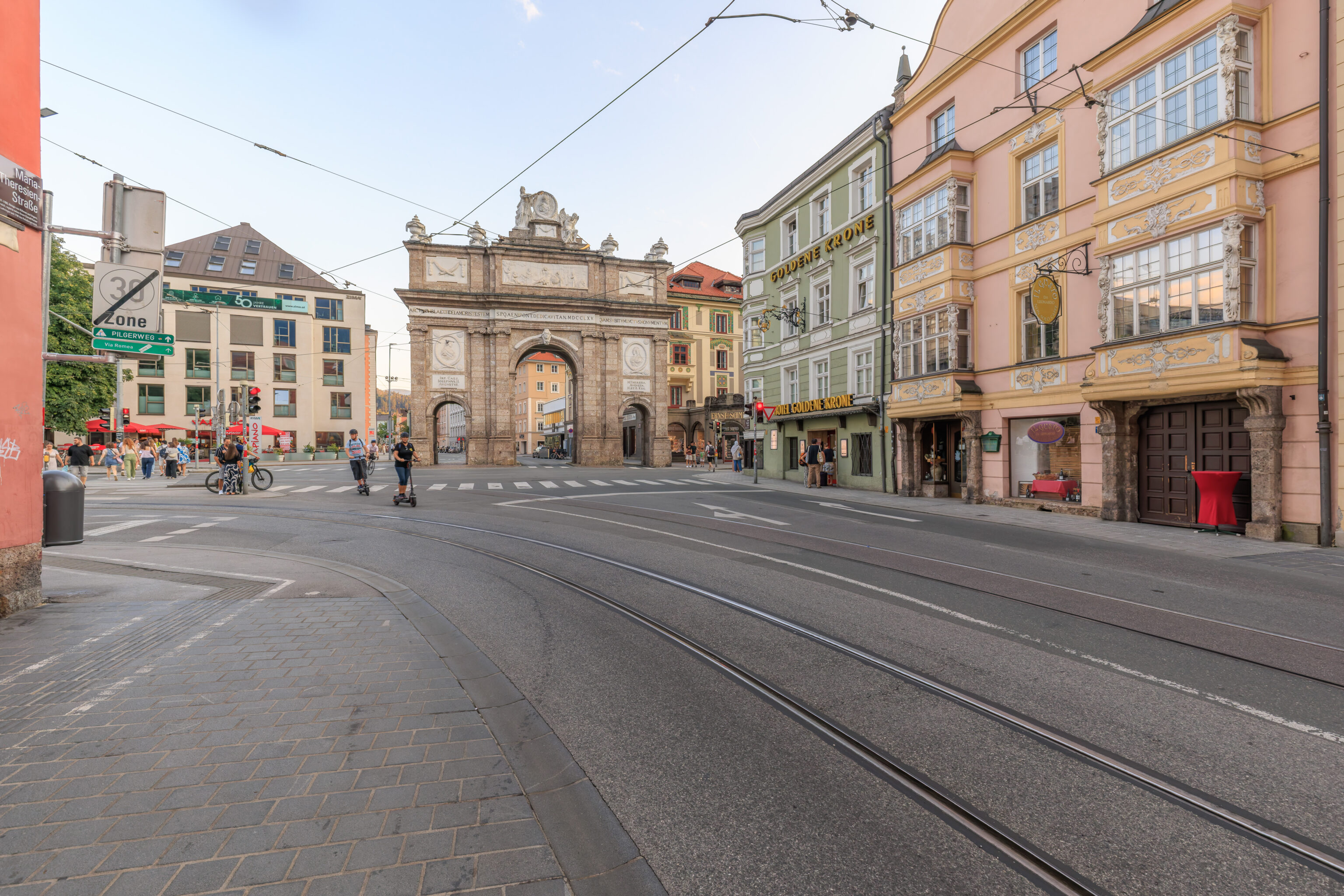
The Triumphpforte, or Triumphal Arch, is at the northwestern corner of block containing the AC Hotel. It was intended to honor the wedding of Empress Maria Theresa and Emperor Francis Stephen‘s son. However, the emperor died not long after the wedding so half of the arch became a memorial.
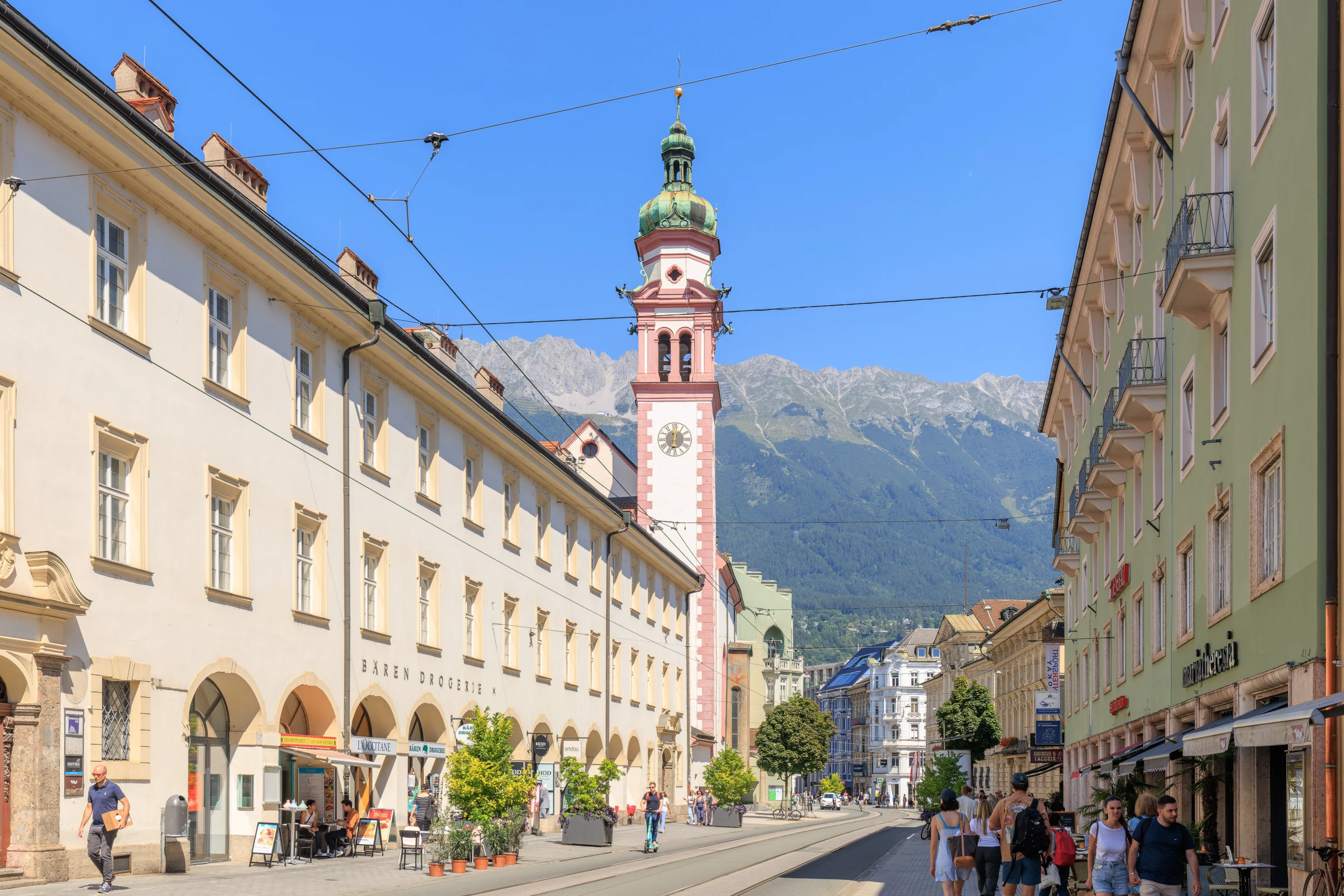
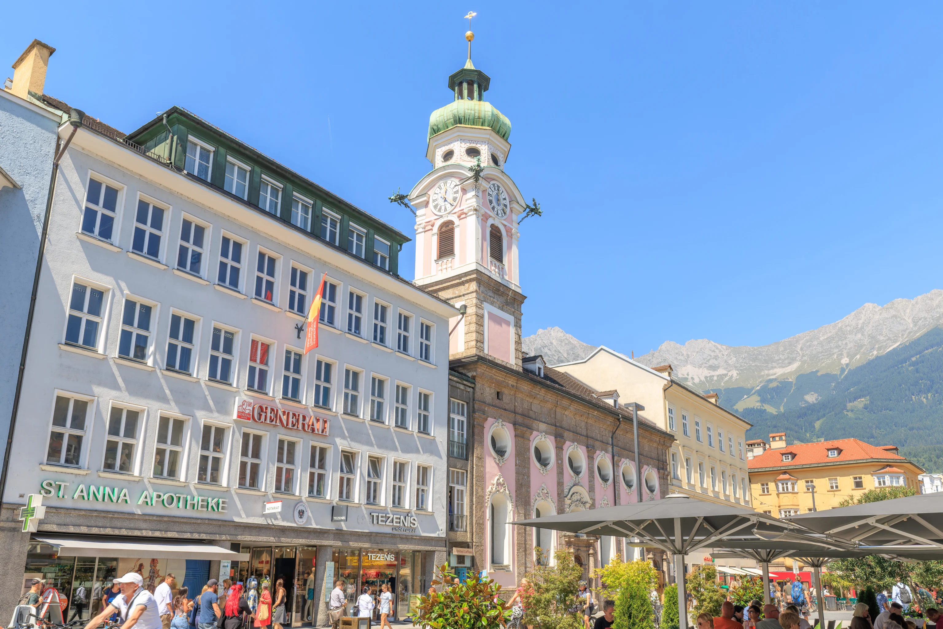
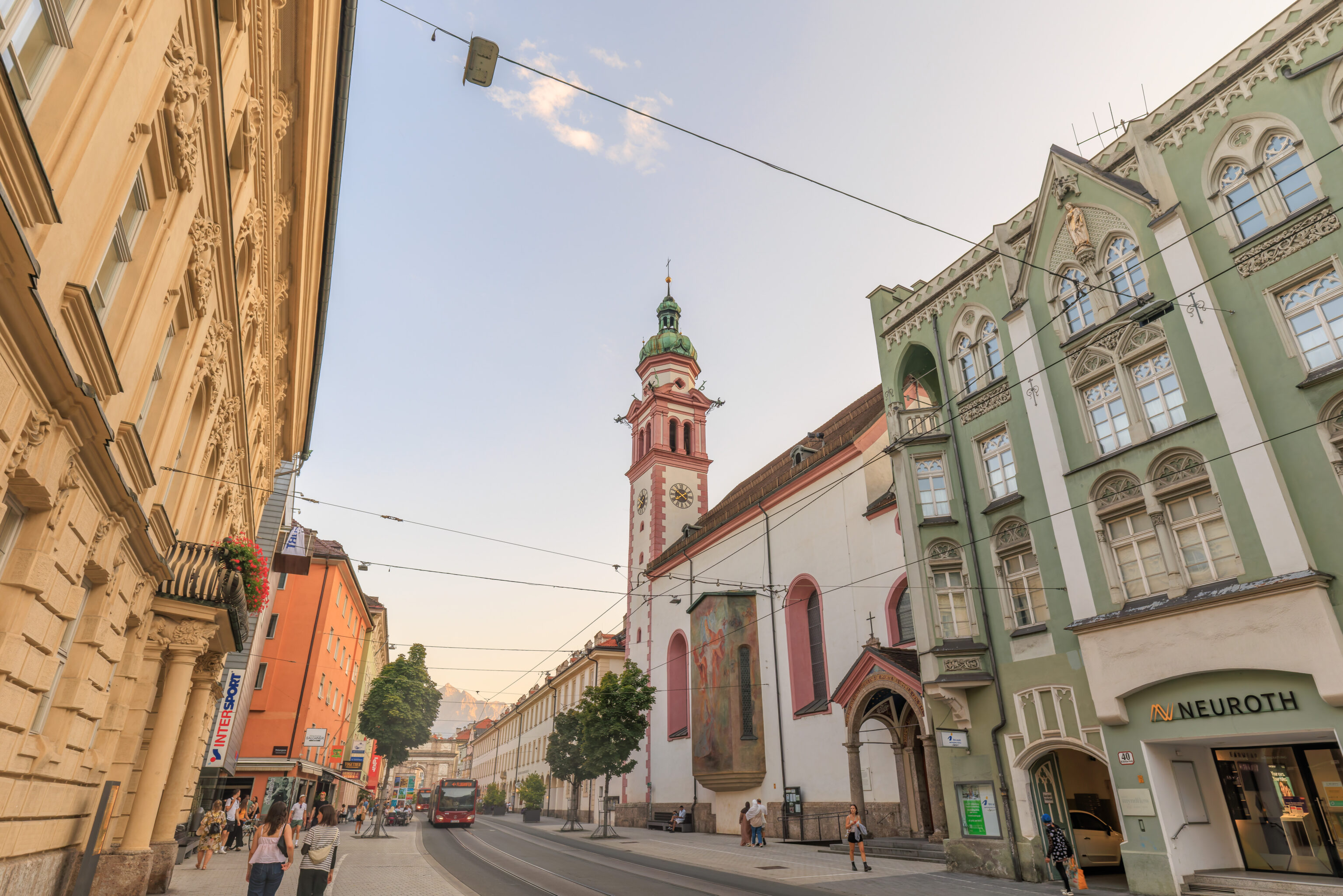
As we walked to the north from the arch, we noticed a pink church tower ahead.
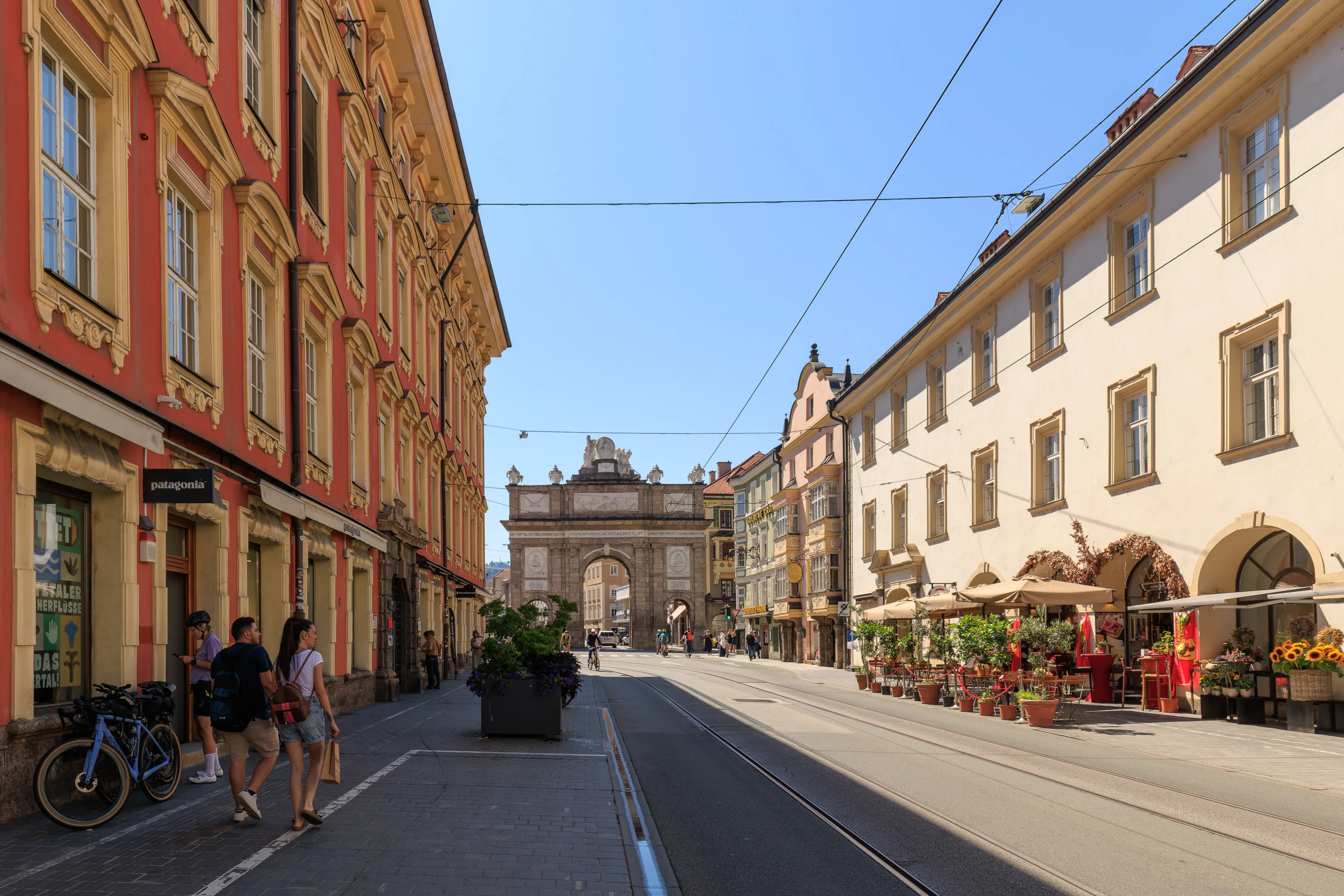
The view looking back at the arch. There was a Patagonia store here, which we visited. They actually had some pretty good discounted items, though there wasn’t anything that we needed.
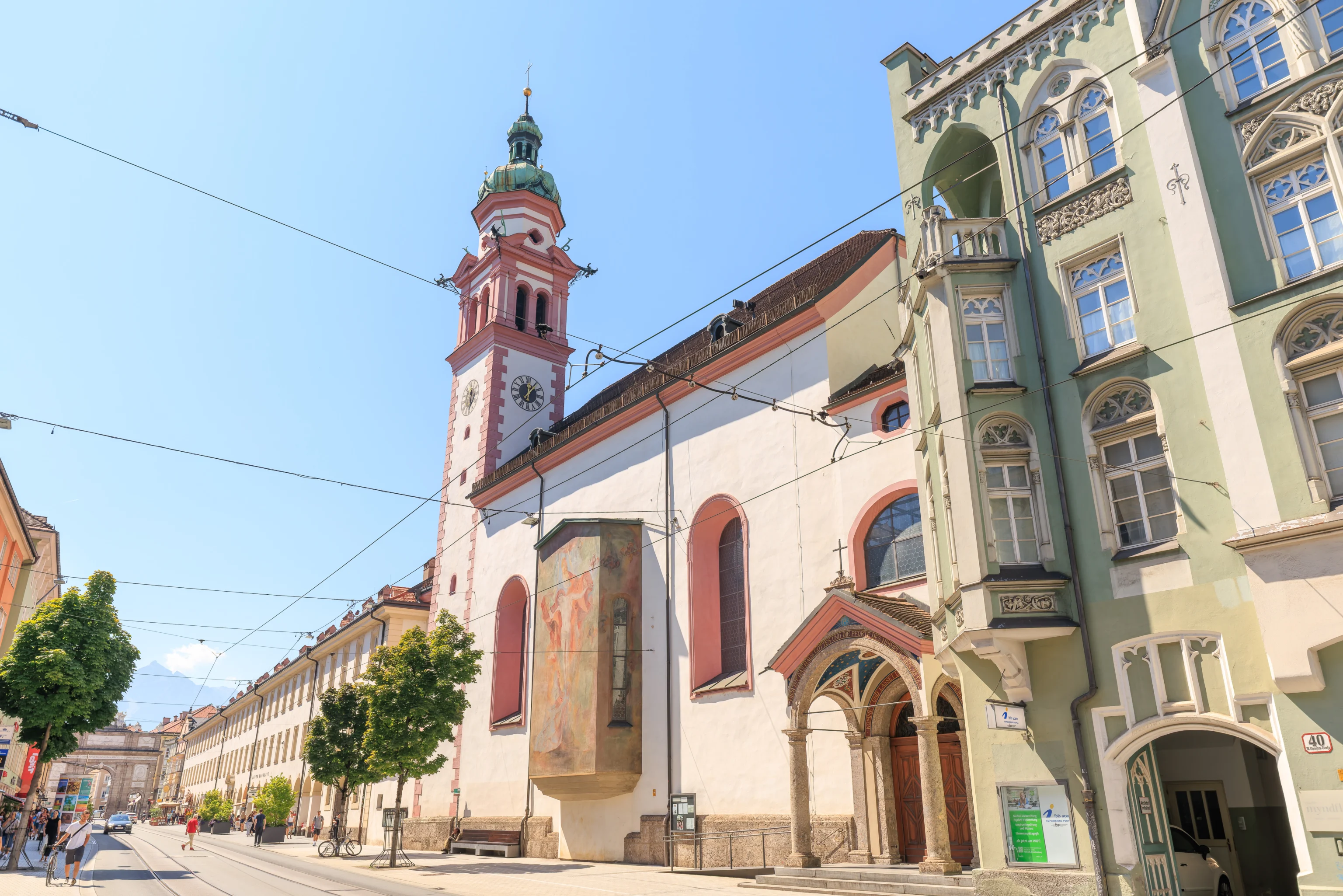
The pink church here is the Servitenkirche, or Servite Church of St. Joseph. We may visit if we have time later.
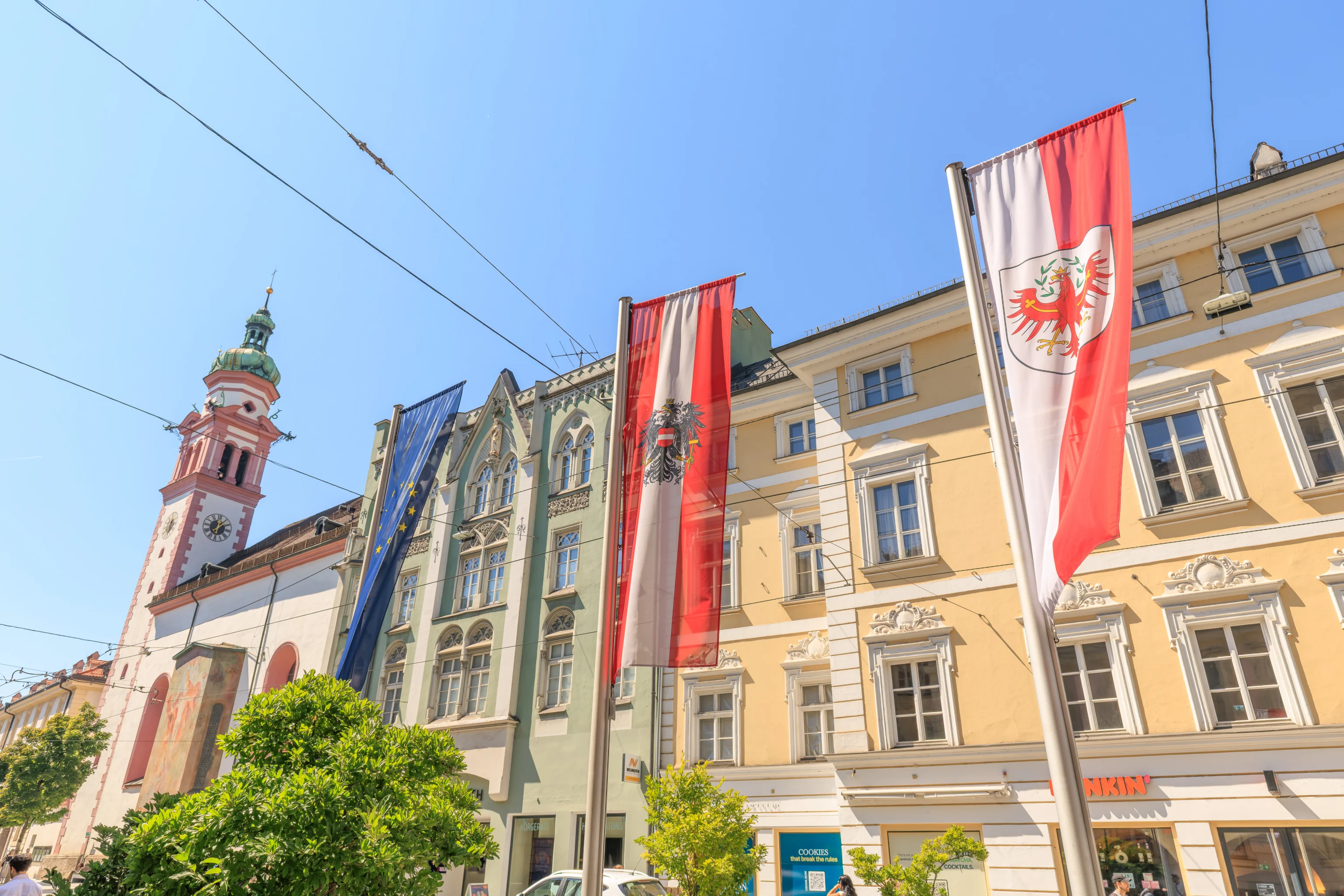
A trio of flags representing the EU, Austria, and Tyrol, the state that Innsbruck is a part of.
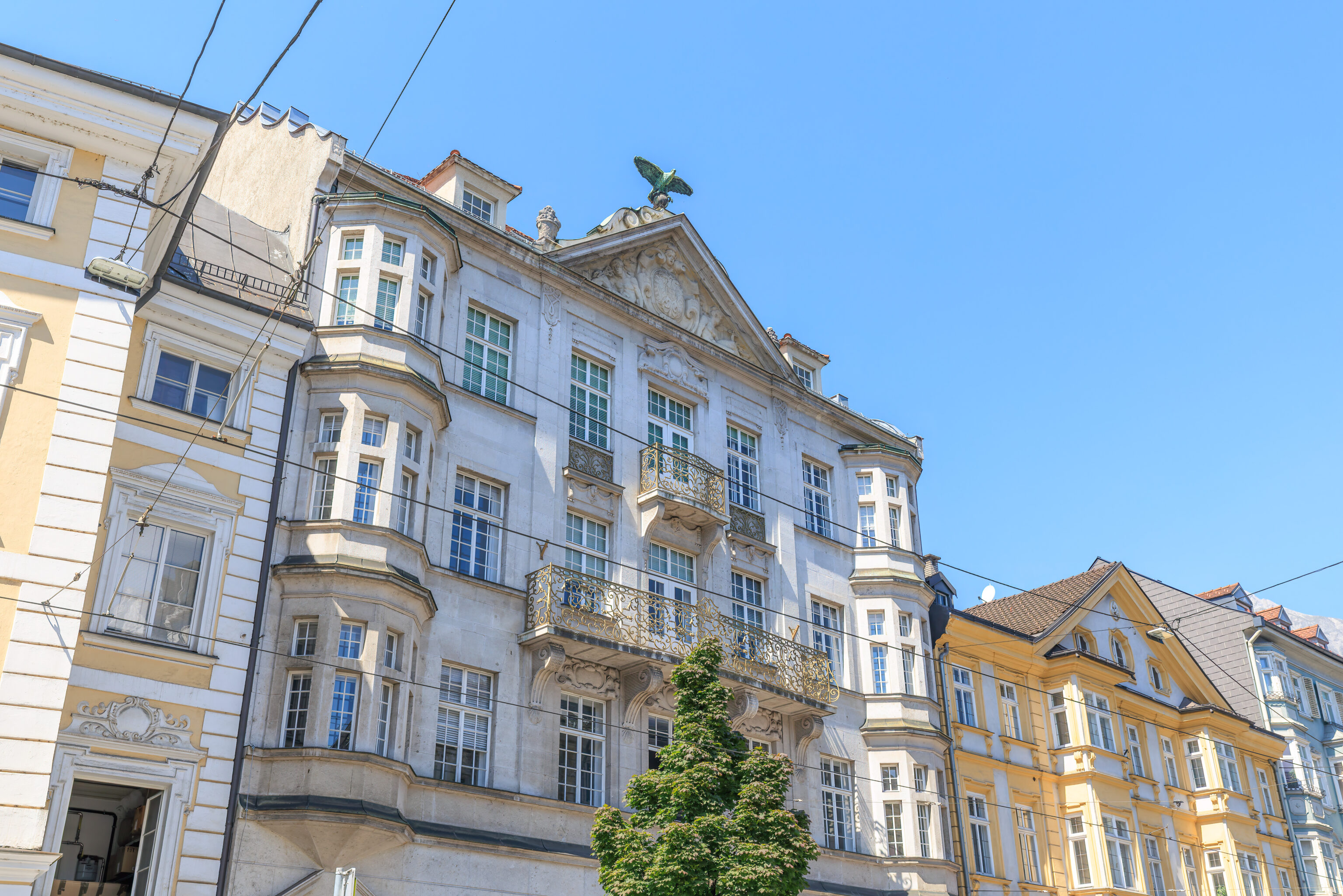
This building had an eagle, or maybe a hawk, on top.
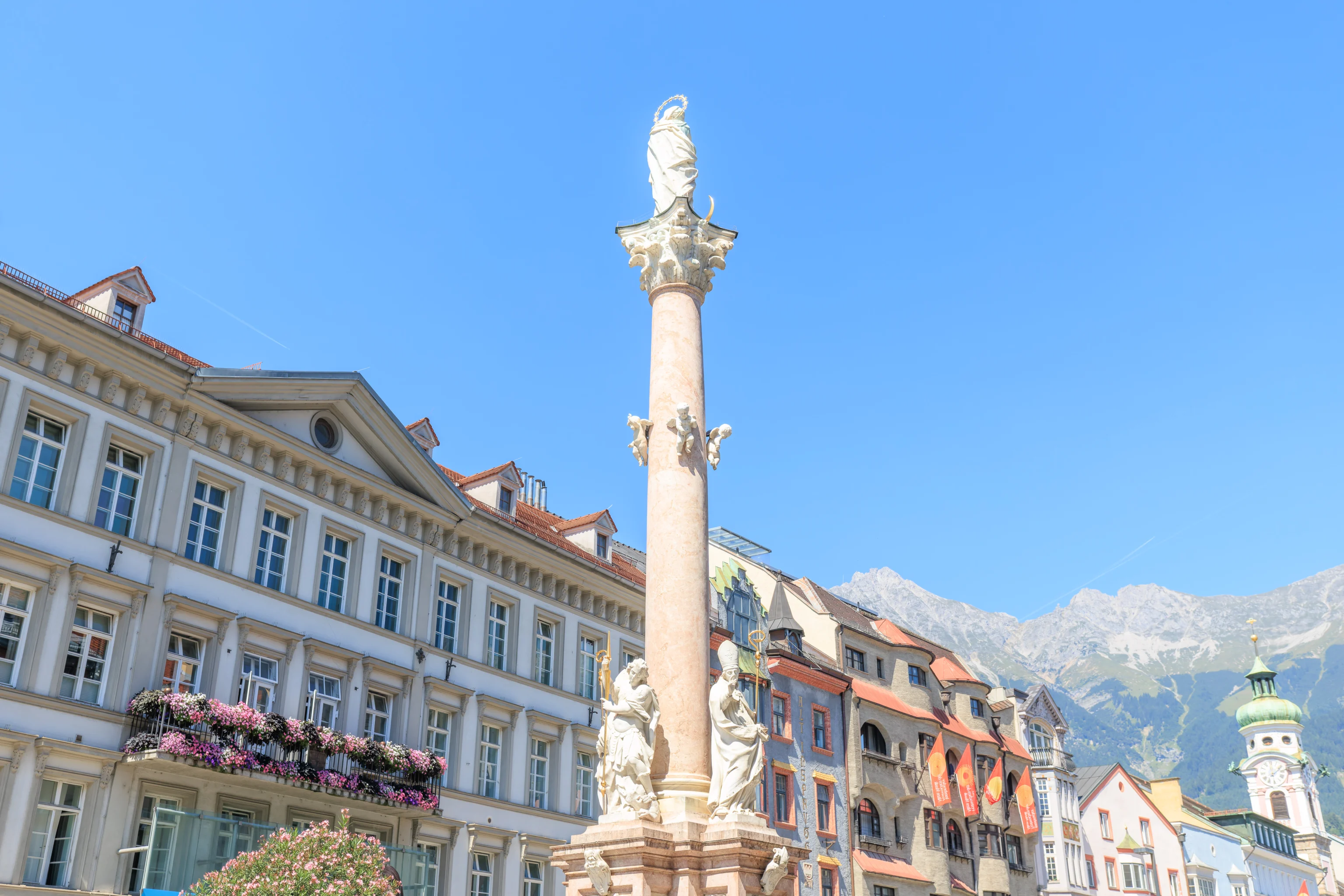
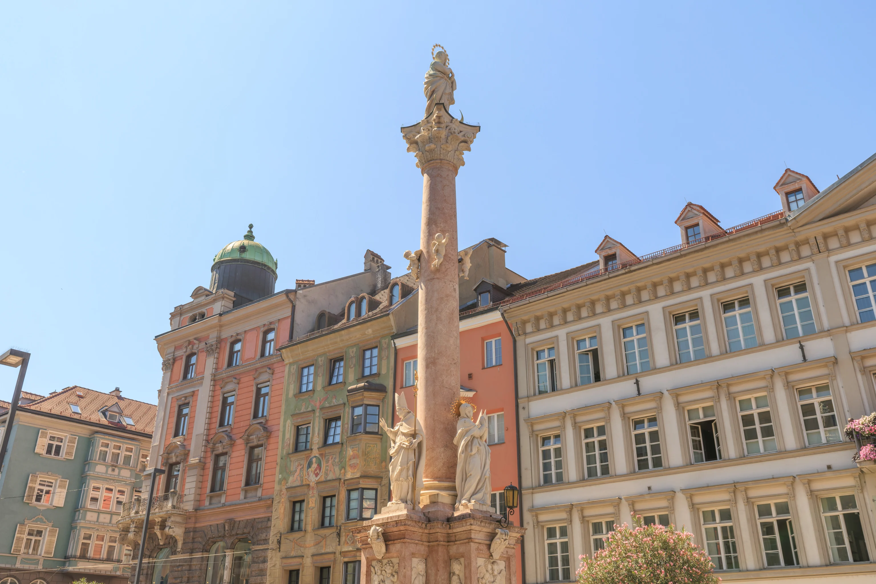
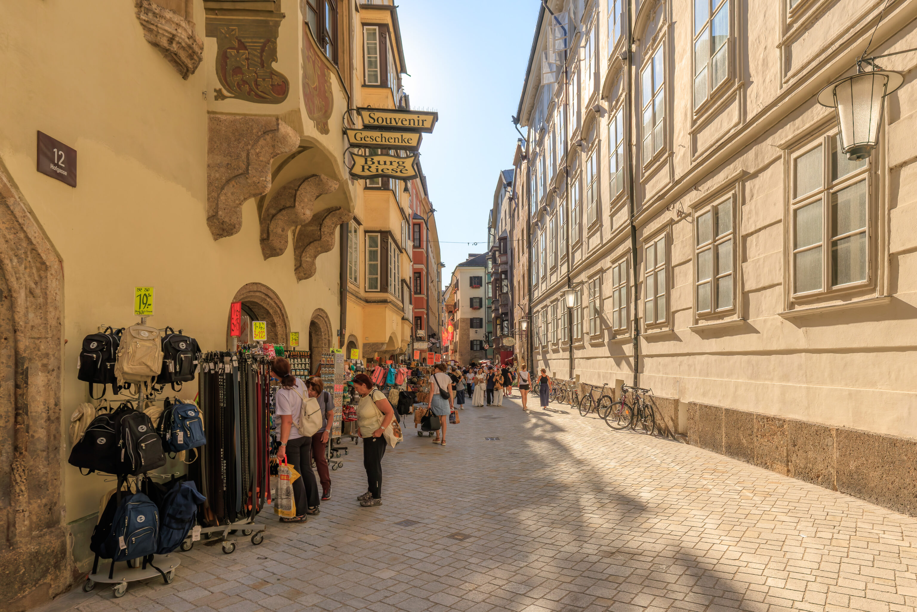
We came across a column as the street we were walking on, Maria-Theresien-Straße, transitioned to a pedestrian street. This column is the Annasäule (Saint Anne’s Column) and features the Virgin Mary at the top. Saint Anne was the mother of Mary. It was built to commemorate the defeat of Bavarian troops in Tyrol on Saint Anne’s Day. This event was part of the War of the Spanish Succession, which sounds like a rather complicated conflict.
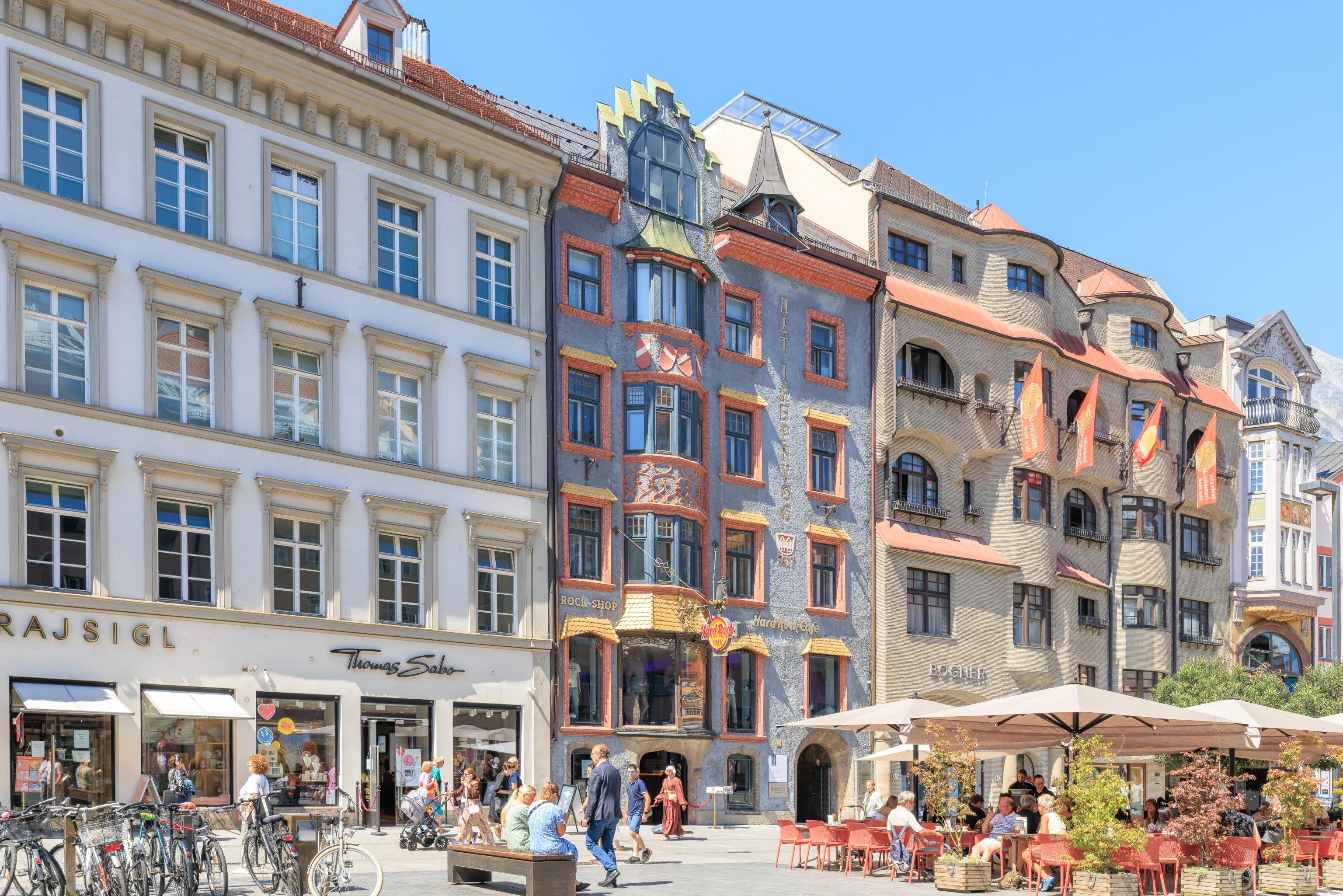
We walked by a Hard Rock Cafe, located in a nicely decorated building.
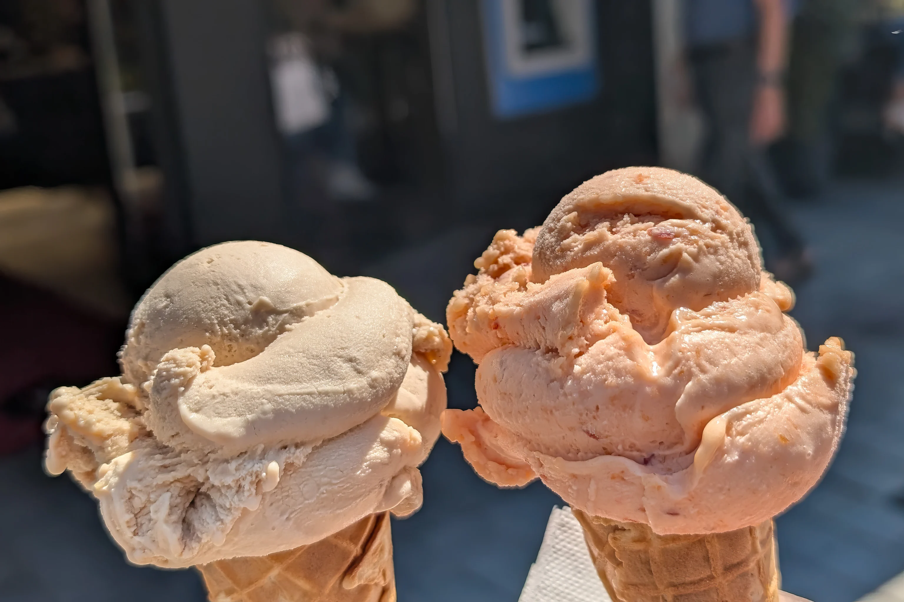
We also noticed the Tomaselli Gelateria across the street from the Hard Rock. It had a good rating on Google Maps so we decided to give it a try. We decided to get peach and hazelnut gelato cones. The price was effectively by the scoop so we opted for two separate cones rather than one cone with two scoops. The peach flavor, which is a bit uncommon, was particularly good!
We came upon another pink church! This one is the Spitalskirche (Hospital Church). We learned in December when visiting Zurich that spital is used there instead of krankenhaus for hospital. It seems that this is also true in Austria.
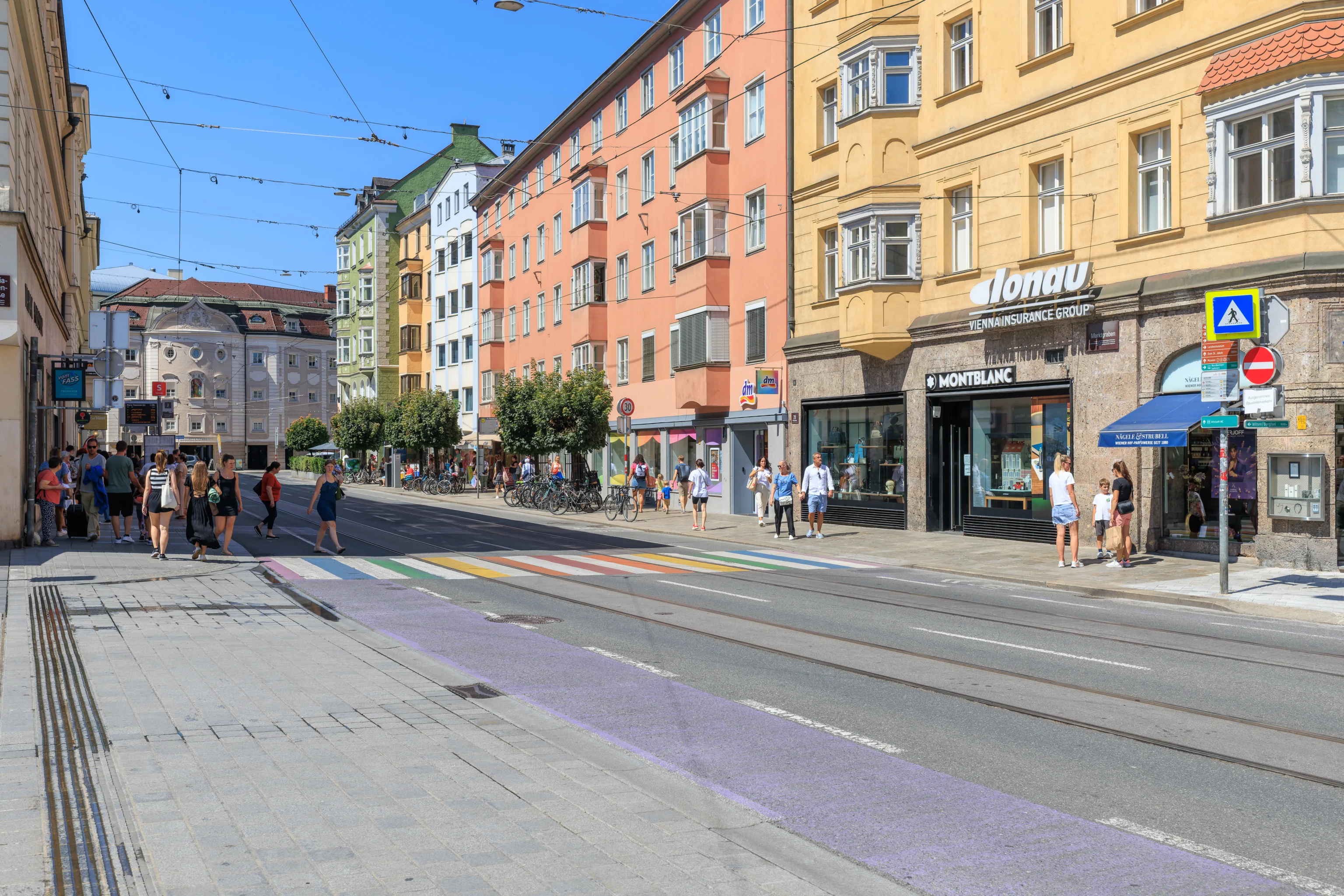
There was a rainbow crosswalk at the next intersection.
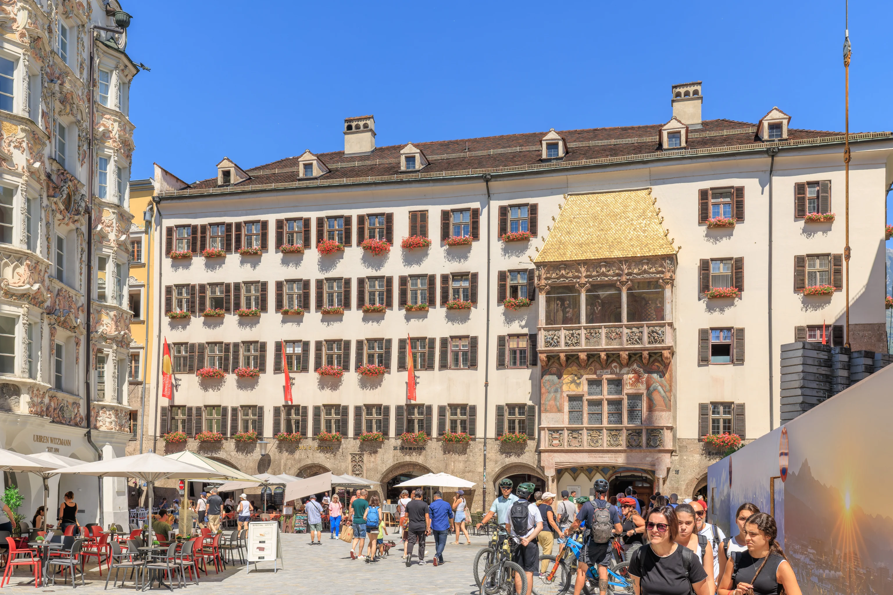
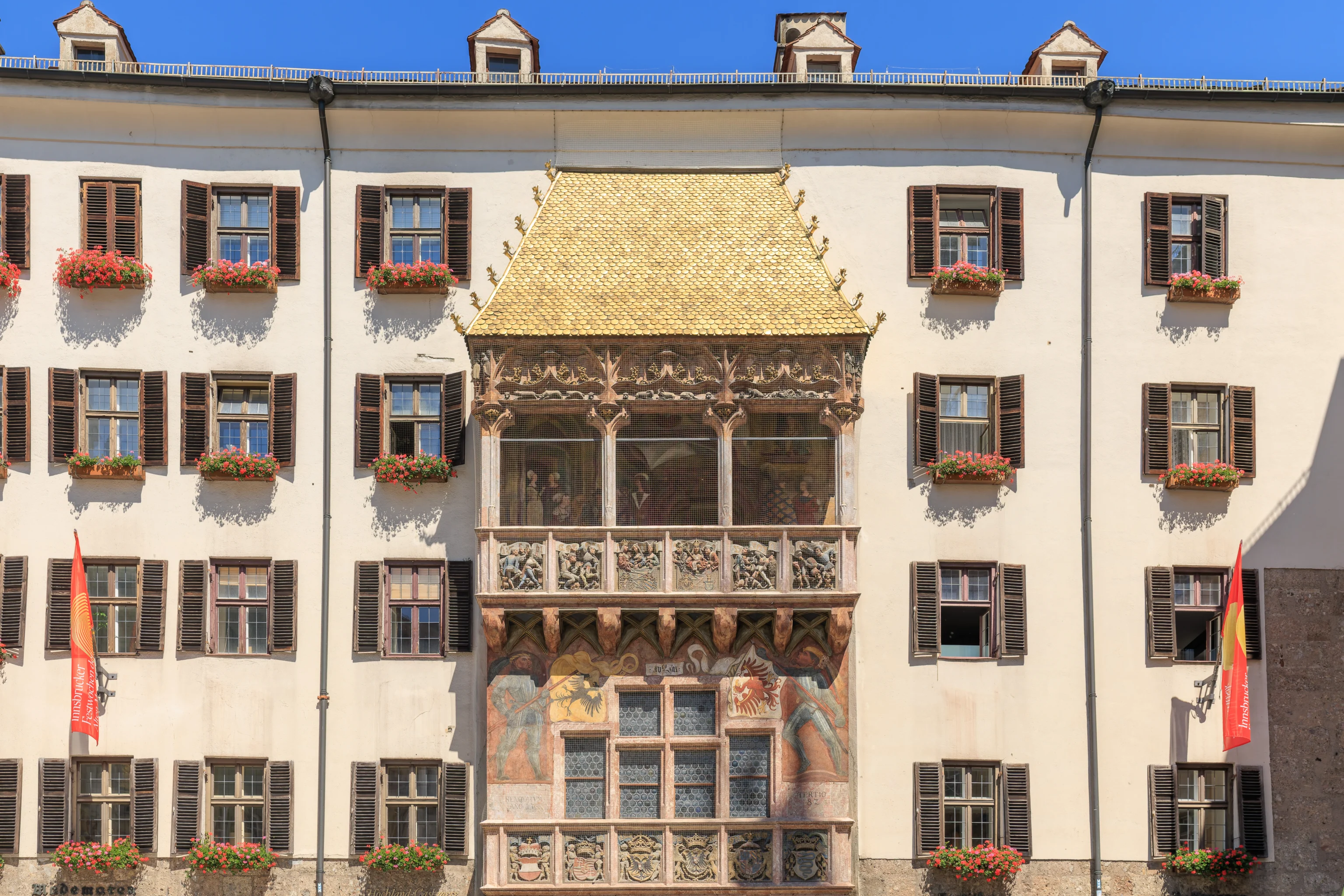
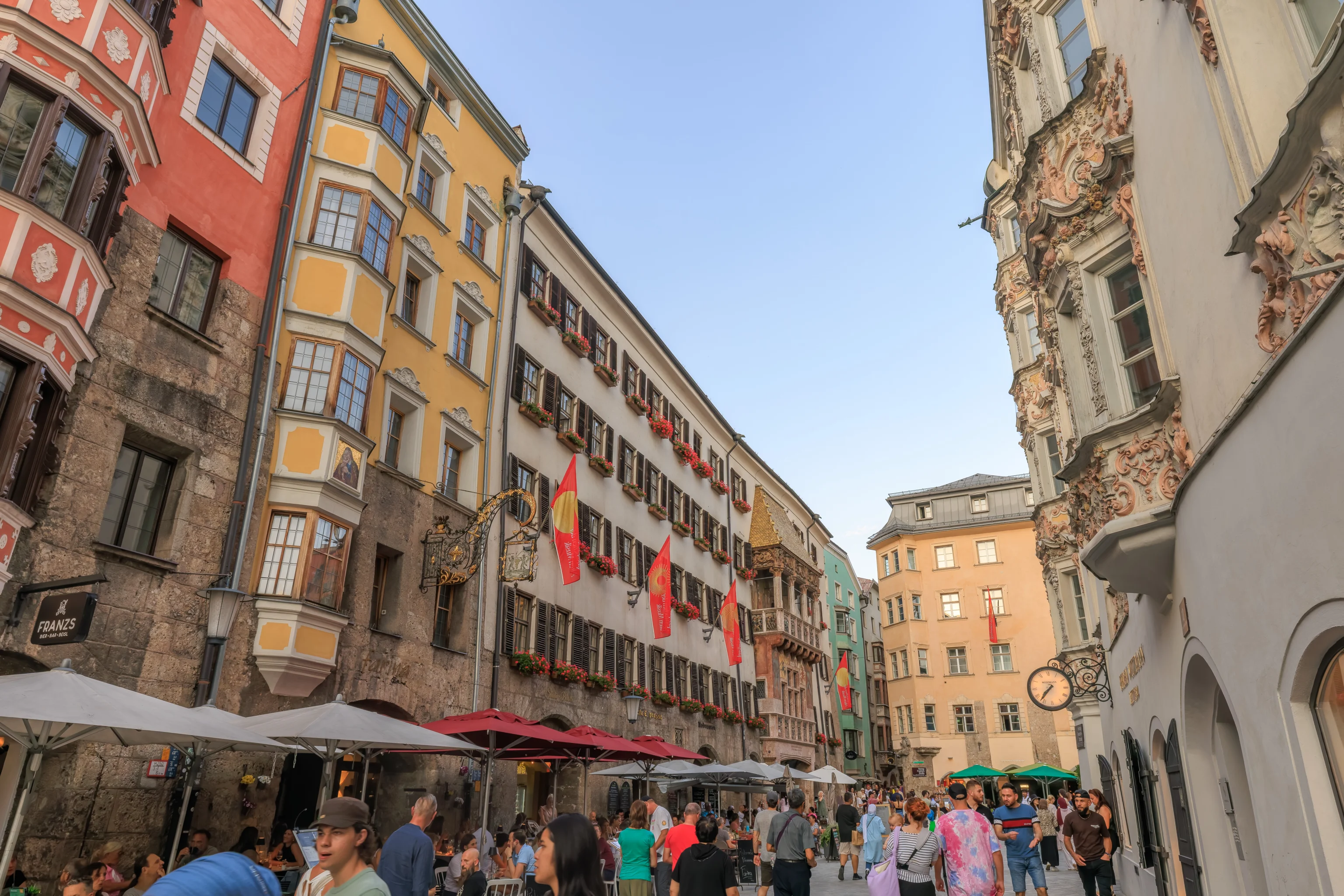
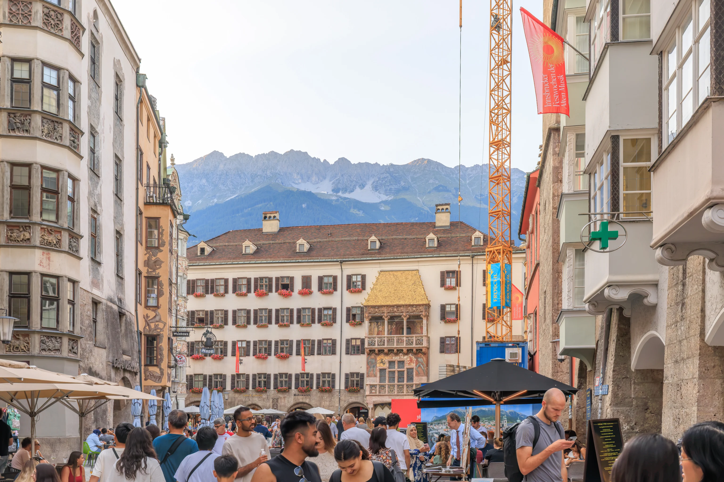
The street ended here at a pedestrian T intersection in front of the Goldenes Dachl (Golden Roof). This building dates back to 1500 with the golden roof being made of gilded copper. It was commissioned by Emperor Maximilian I. It was somewhat impressive, particularly as it was glowing brightly from the noon Sun. But it wasn’t as impressive as Kyoto’s Kinkaku-ji or the surprisingly golden but not as famous Golden Hall at Ueno Toshogu in Tokyo.
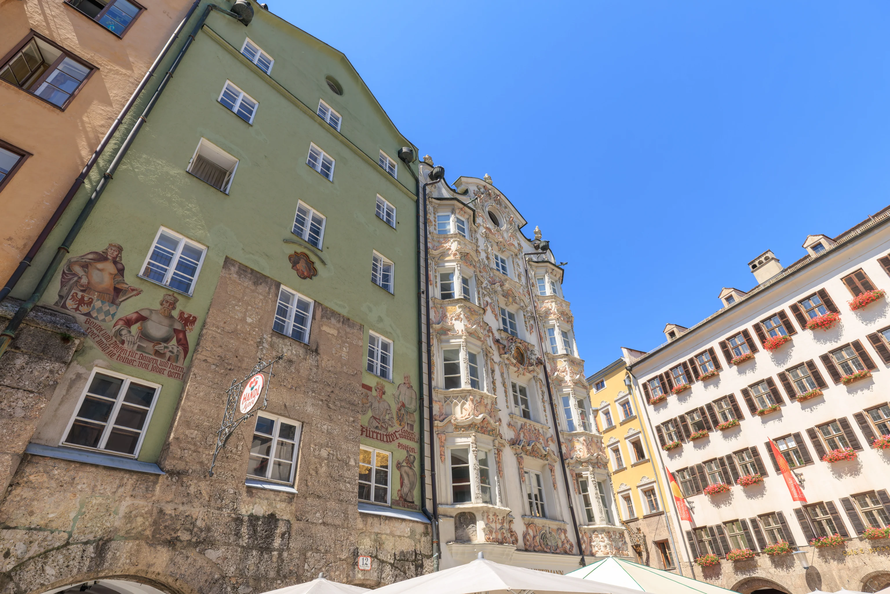
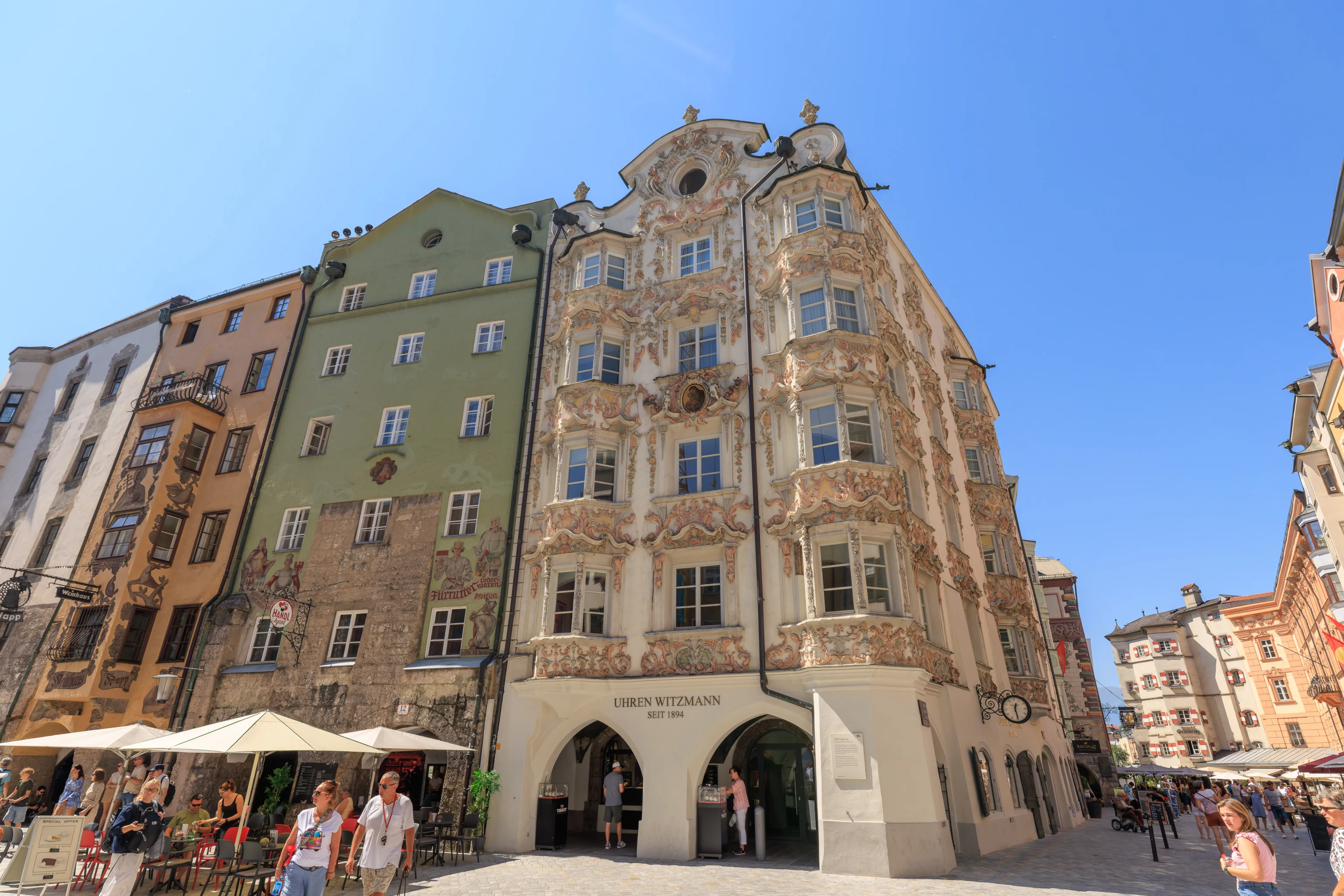
This building at the southwest corner of the intersection was pretty elaborately decorated.
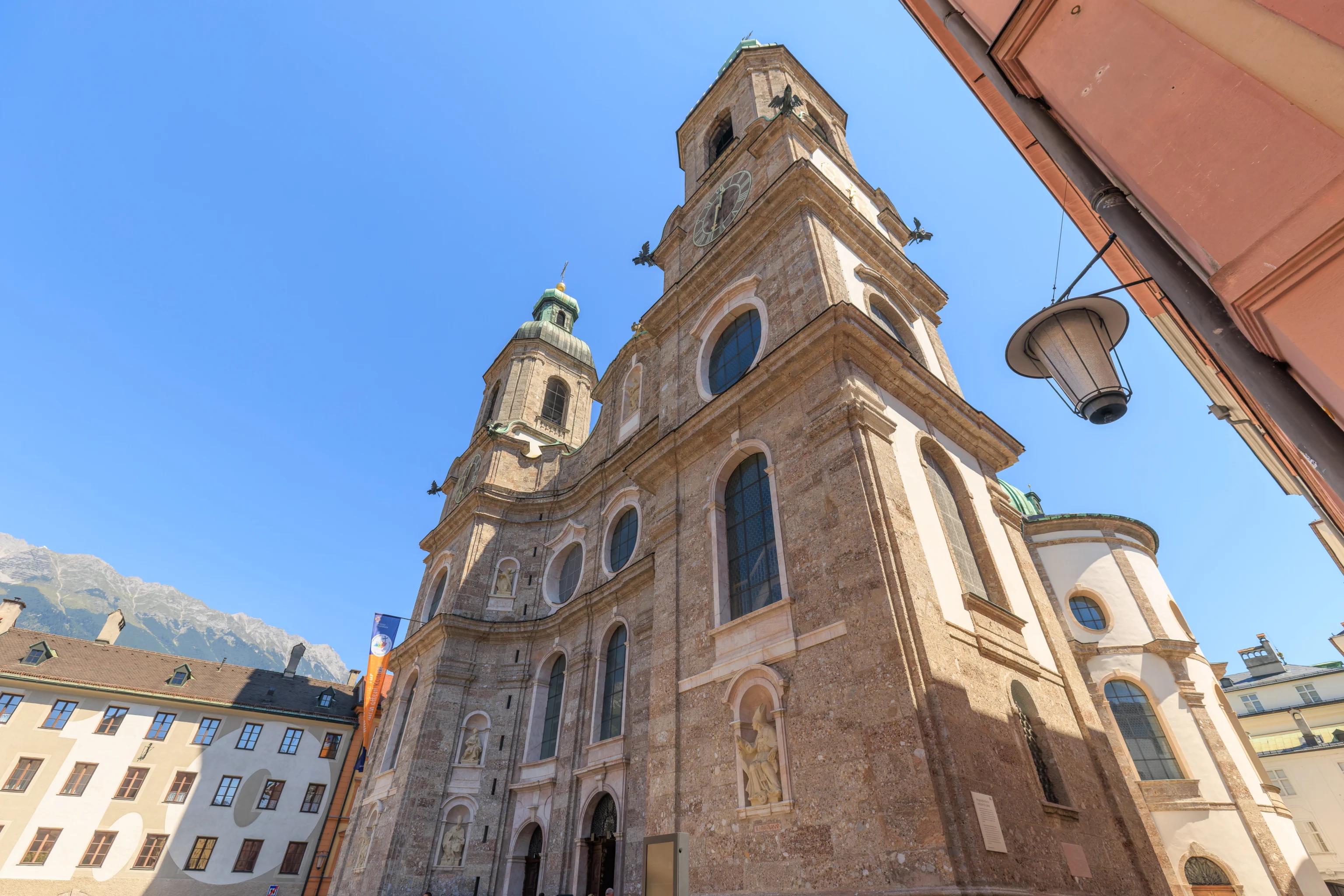
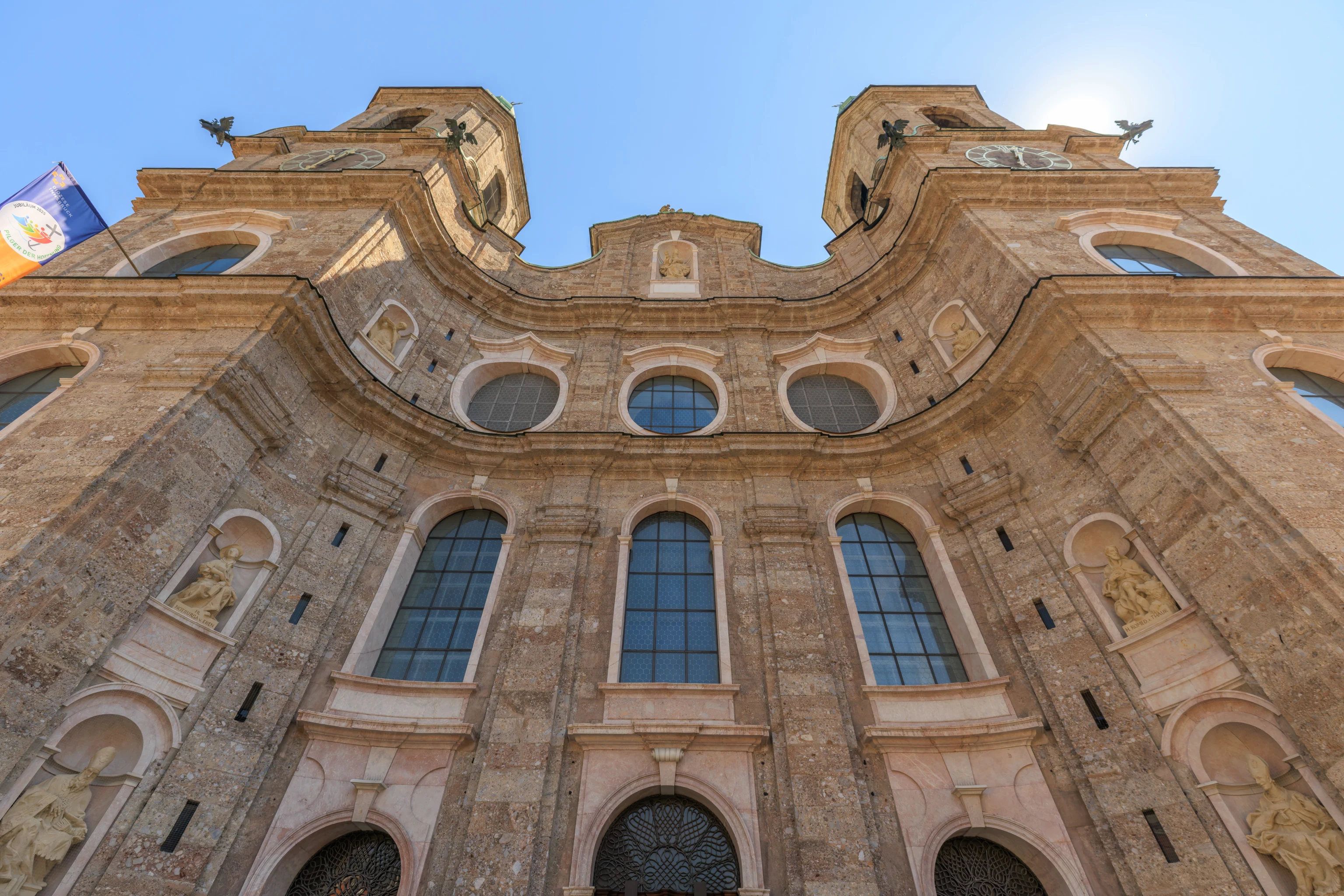
We continued to the north via a smaller path on the east side of the Goldenes Dachl and came upon the Dom zu St. Jakob (Cathedral of St. James), also known as the Innsbruck Cathedral. We plan on checking out the interior if we have time on this trip but not now.
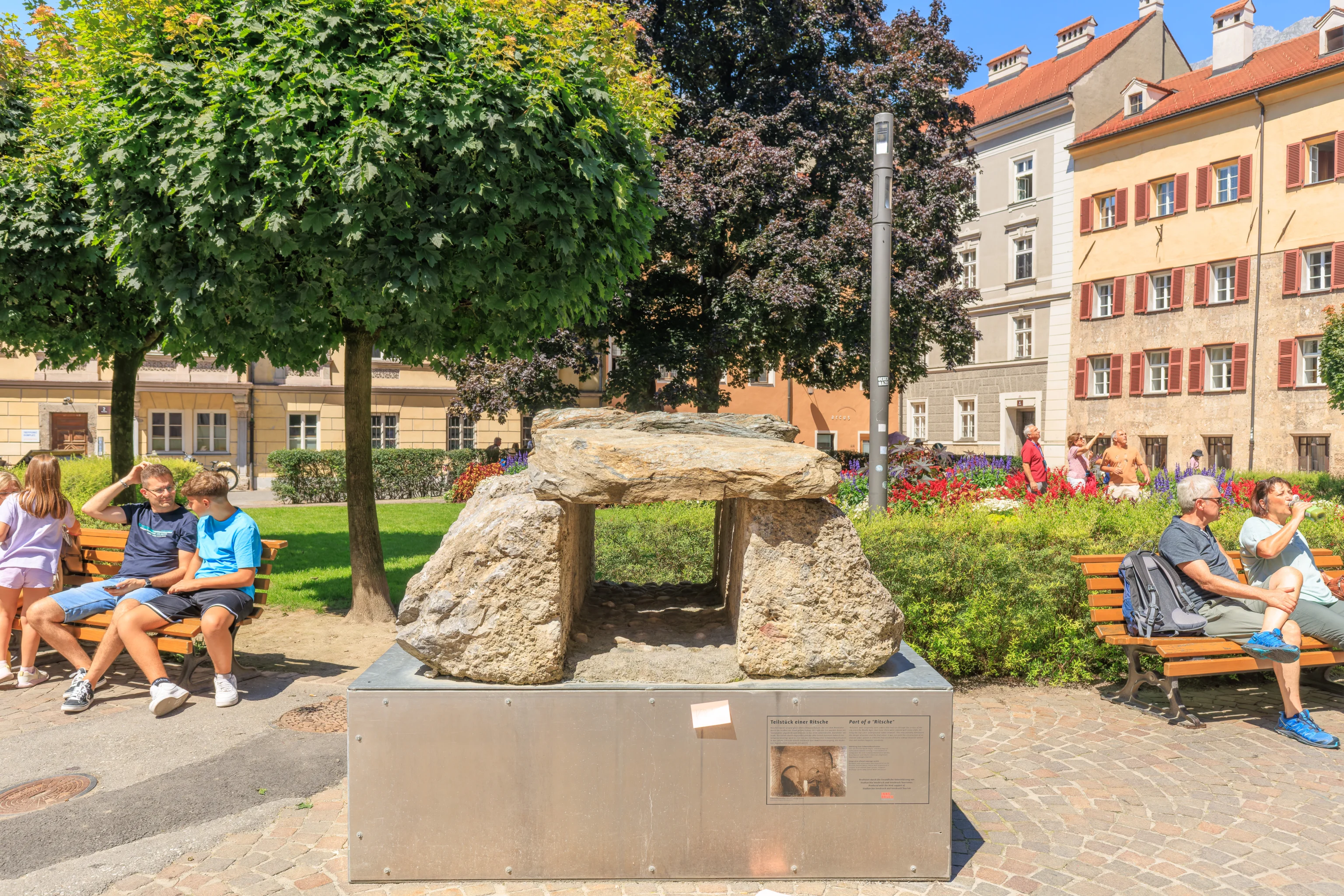
We noticed these stones by the little park on the west side of the plaza in front of the cathedral. What is it? Some sort of ancient stove? Nope, it was part of the open sewers of Innsbruck!
Sign: Part of a “Ritsche”
"Ritschen" were originally open sewers that had run through the streets of the city since the Middle Ages. Over time, these were covered with stone slabs, forming the city's first underground "sewer network". This only partially eliminated the danger of vermin and the foul odour. It was not until the construction of an alluvial sewer system in 1903/06 that Innsbruck had a sewage disposal system that met modern hygienic standards.
Nordkette
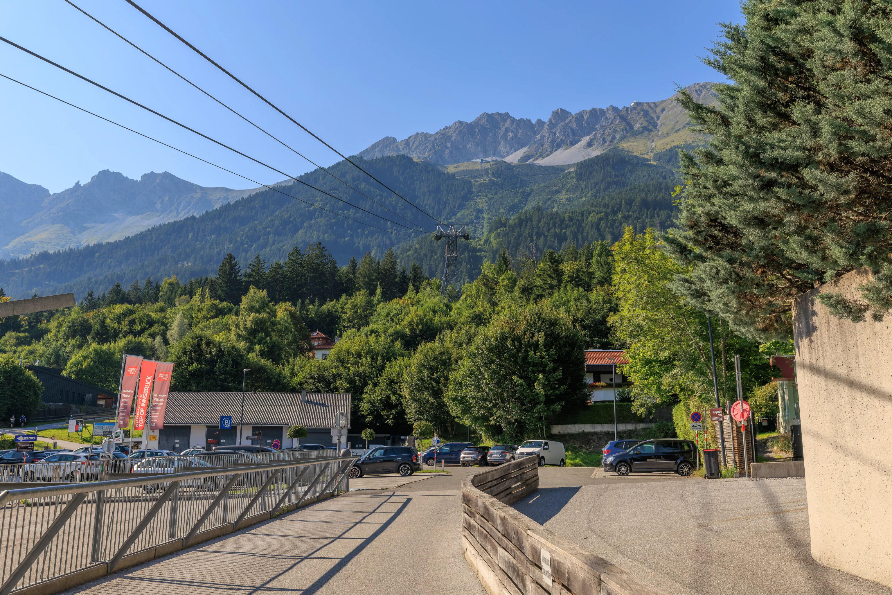
We continued to the north until we reached the lower station of the Hungerburgbahn. It was at the northeastern corner of the Congress Innsbruck, the city’s convention center.
The Nordkette Visitors Guide contains a map which shows the three cable transit routes that lead to Hafelekar, a peak that is part of the Nordkette, which is the mountain range on the north side of Innsbruck.
While the Nordkette is not included with the Innsbruck Welcome Card, there was a discount for tickets, which we purchased at the ticket booth here at this station.
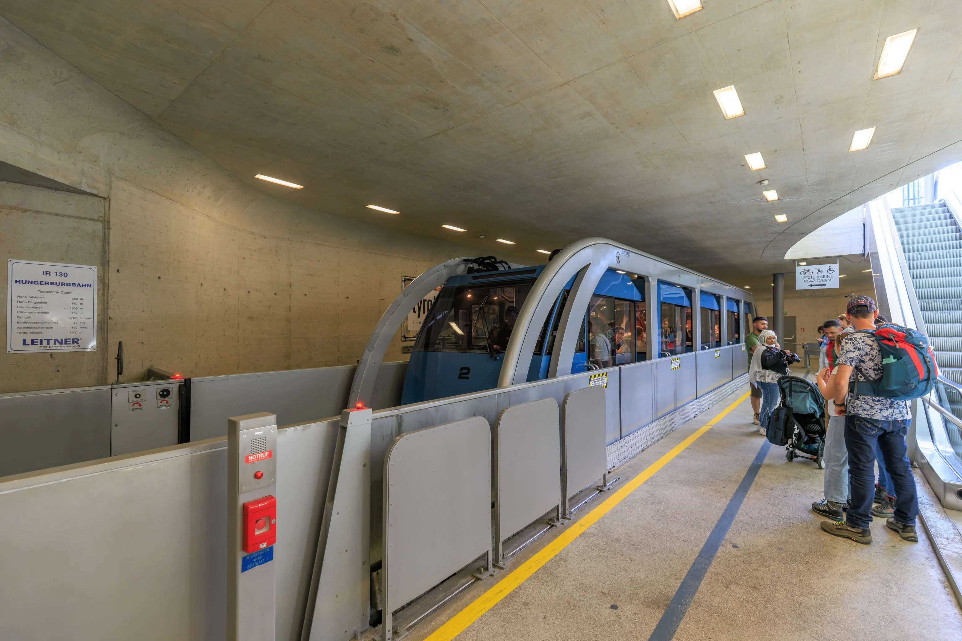
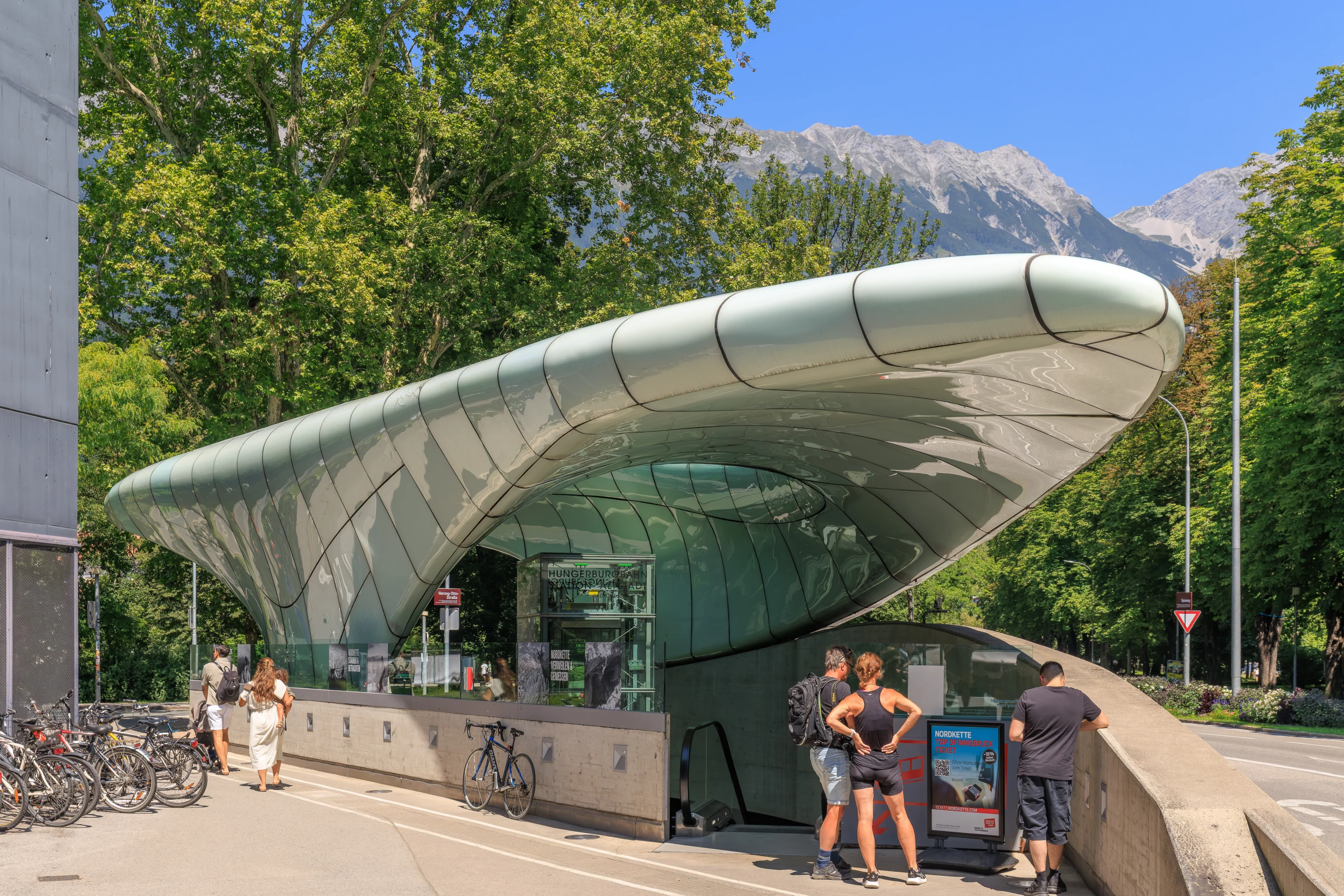
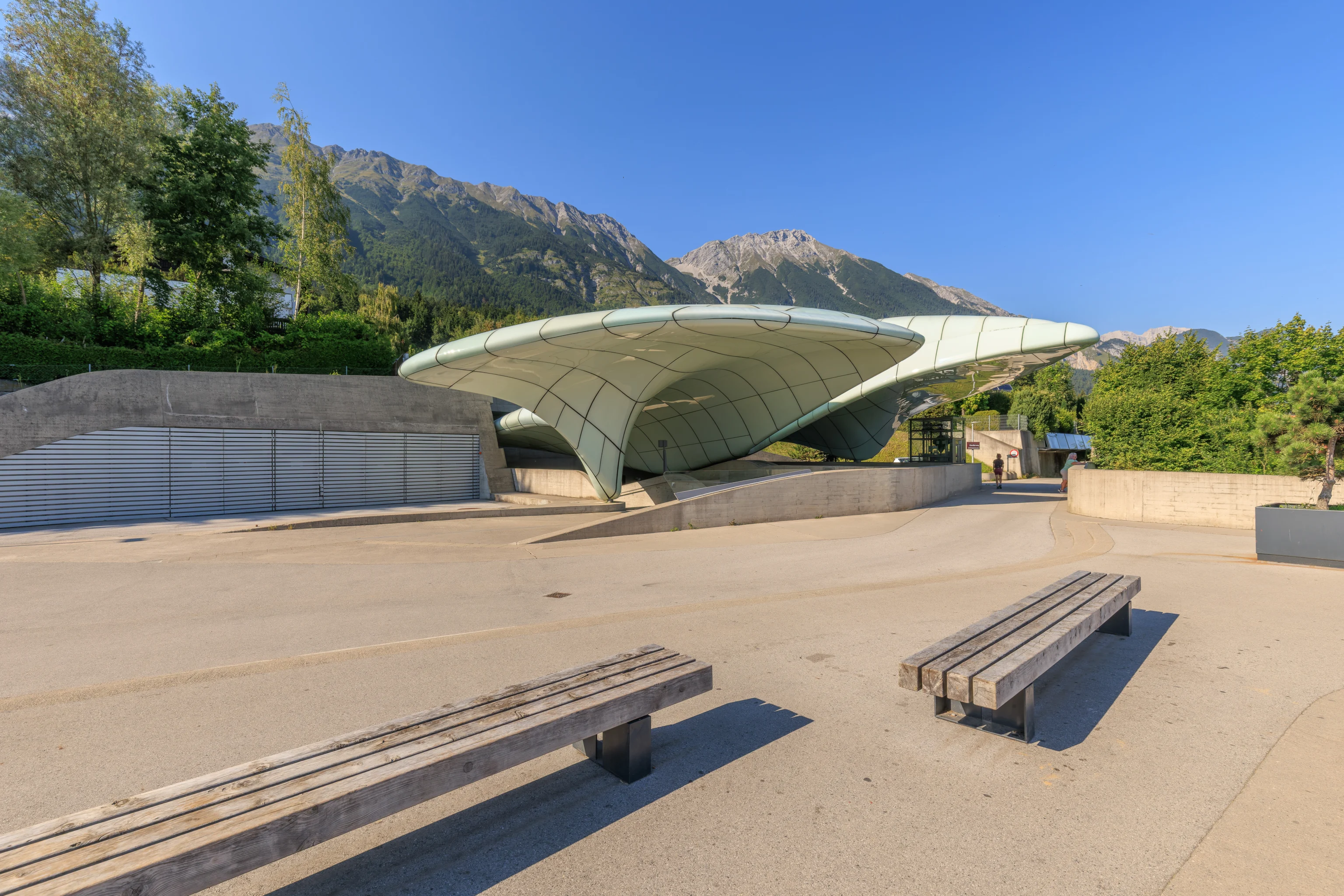
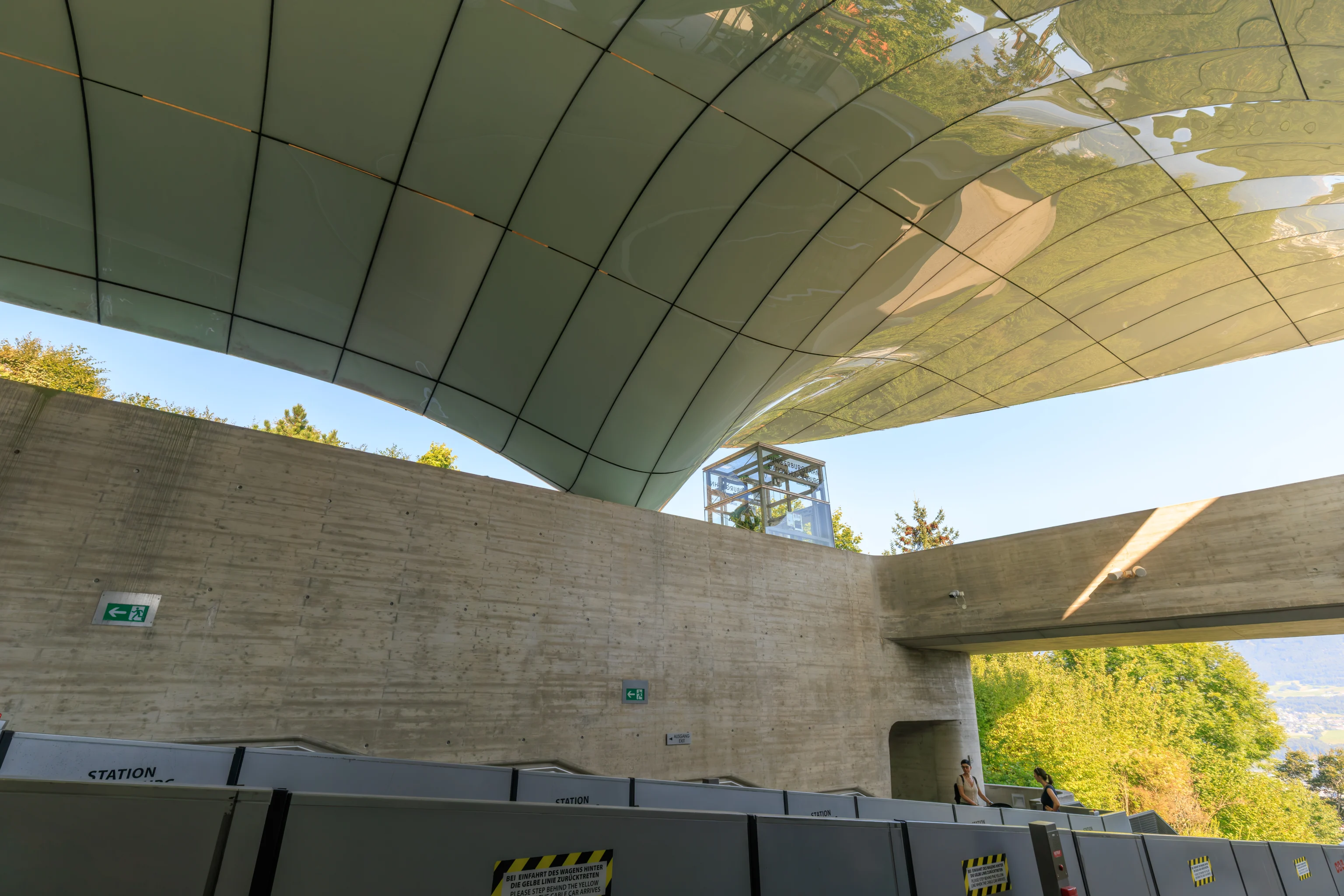
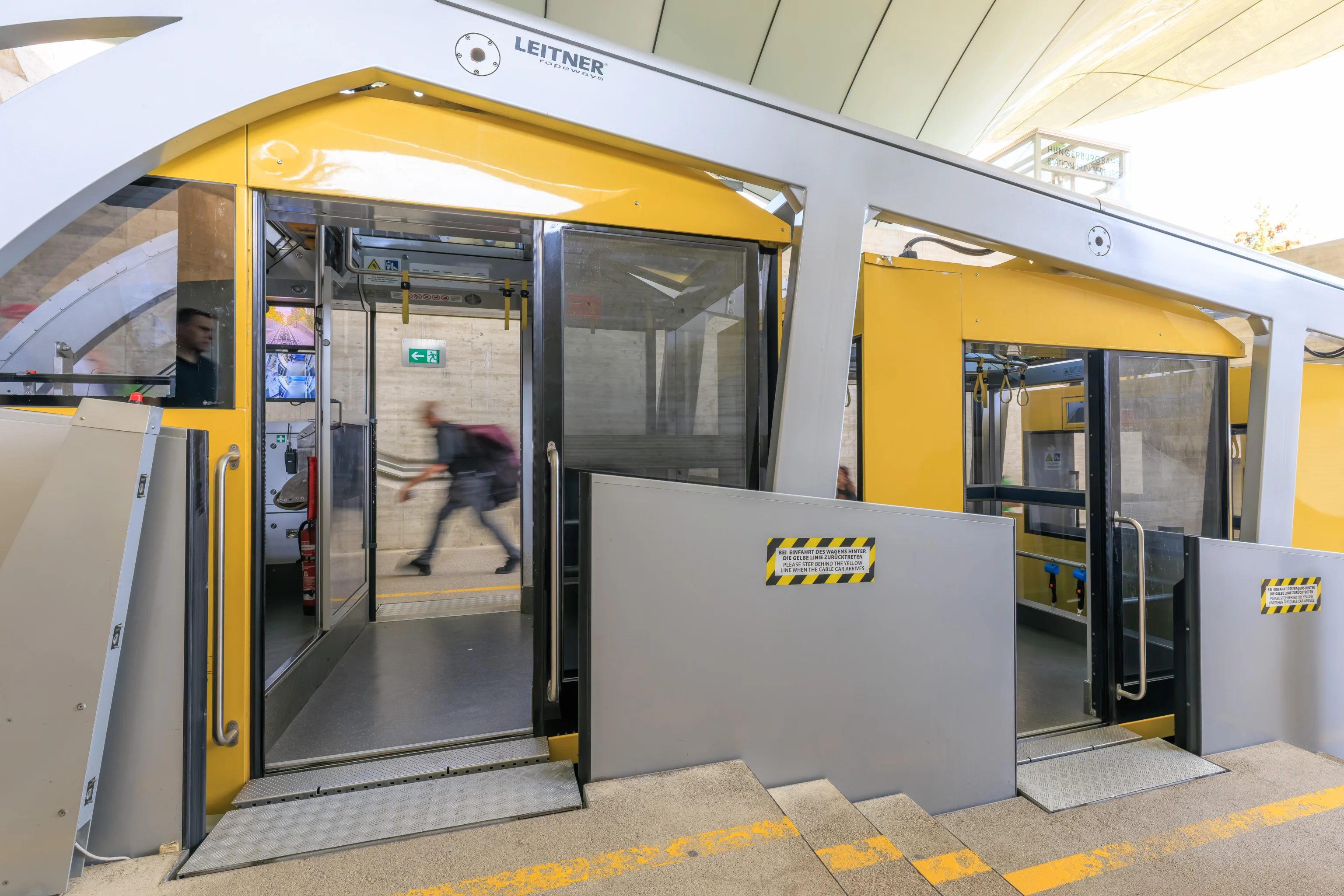
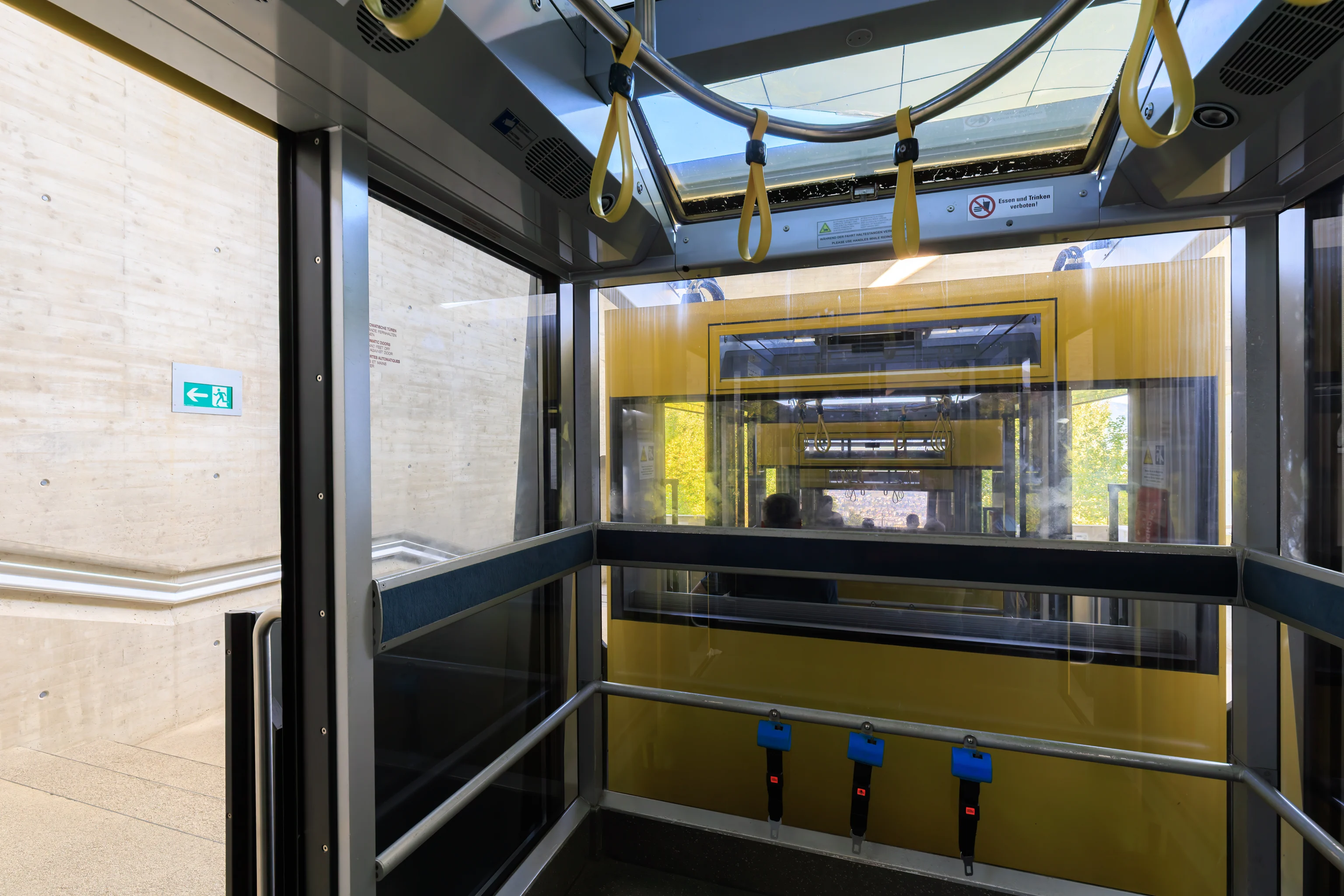
We arrived just as the funicular which was currently in the station was leaving. This funicular, built by Leitner, has a unique design. Most funiculars are intended to operate on an incline and have interiors designed for that incline. This funicular has rotating cabins, something like the cabins in a Ferris wheel. It is also a bit like the “inclinators” at the Gateway Arch in St. Louis, Missouri.
Also, normally, a funicular consists of two vehicles at either end of a cable. Thus, at the lower station, when the vehicle is not present, there are no cables visible between the tracks. That was not the case here. The driving mechanism seems different from the typical one.
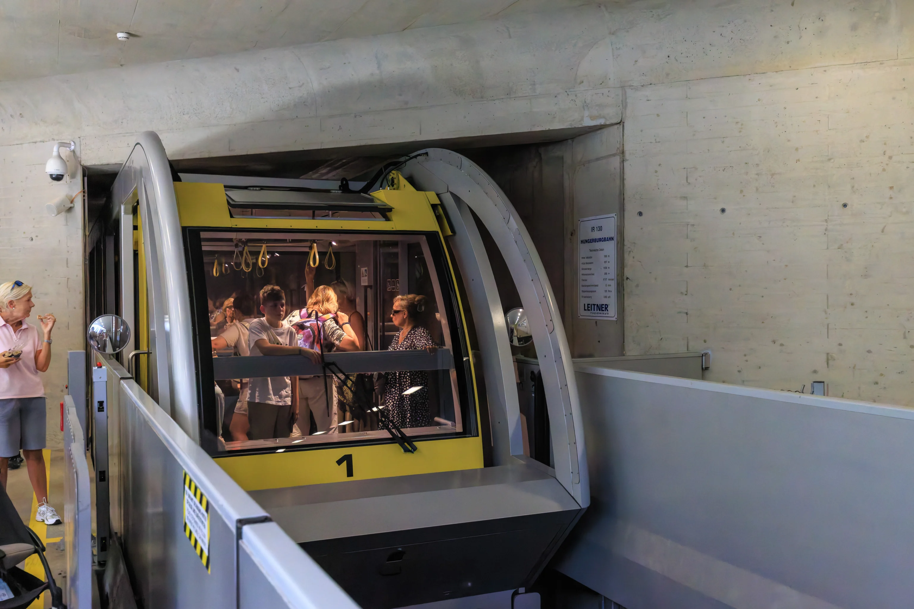
The other vehicle arrived after about seven minutes.
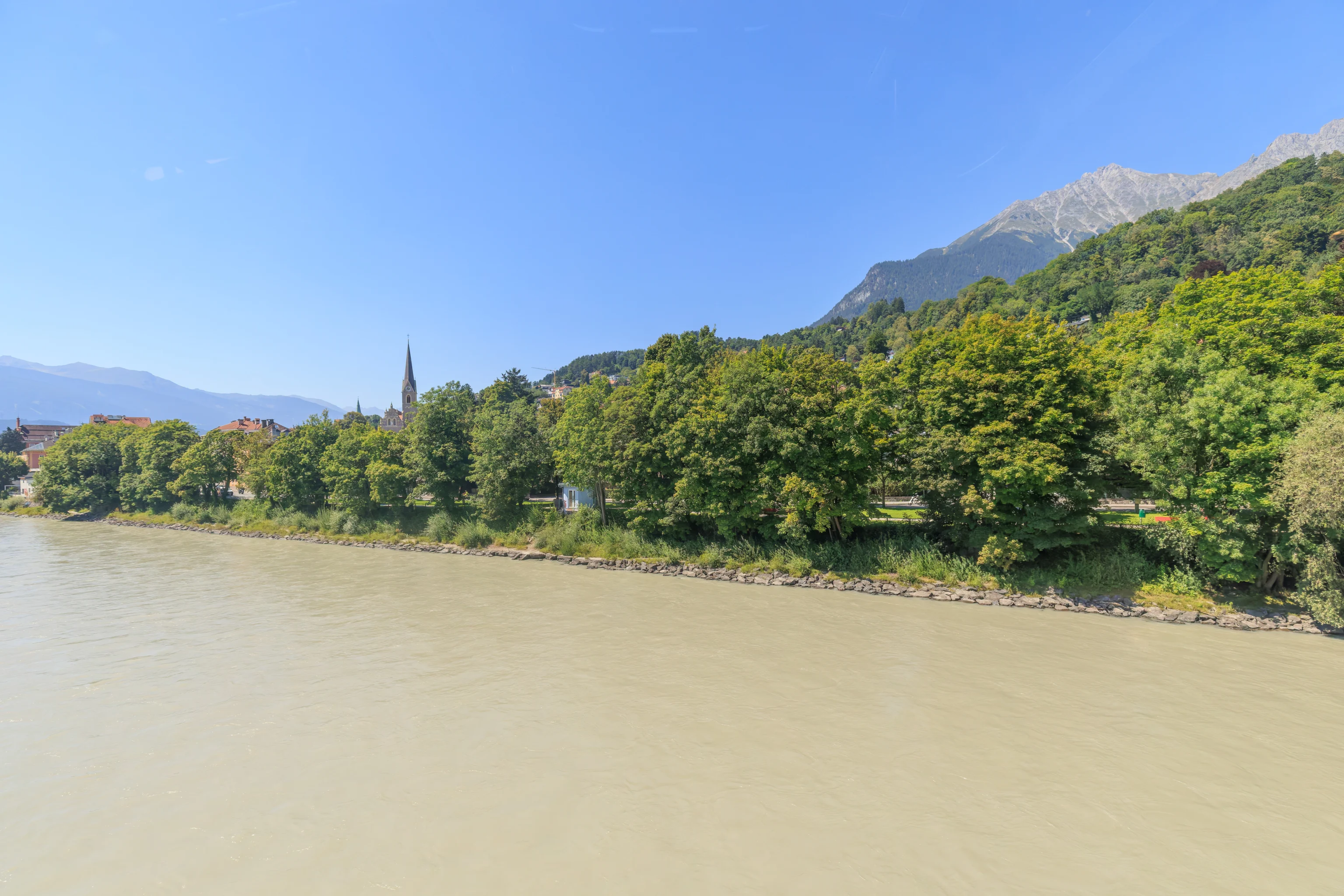
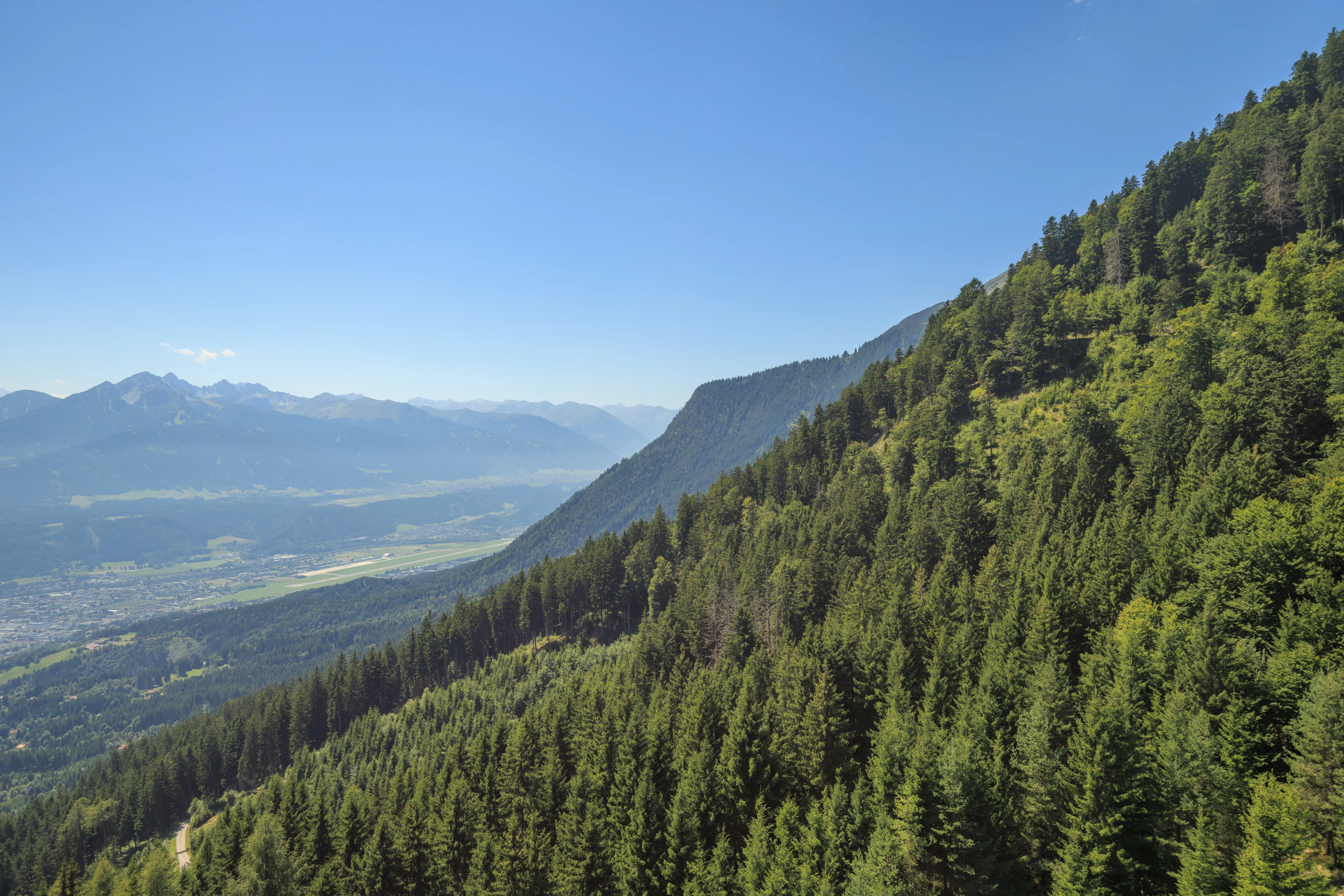
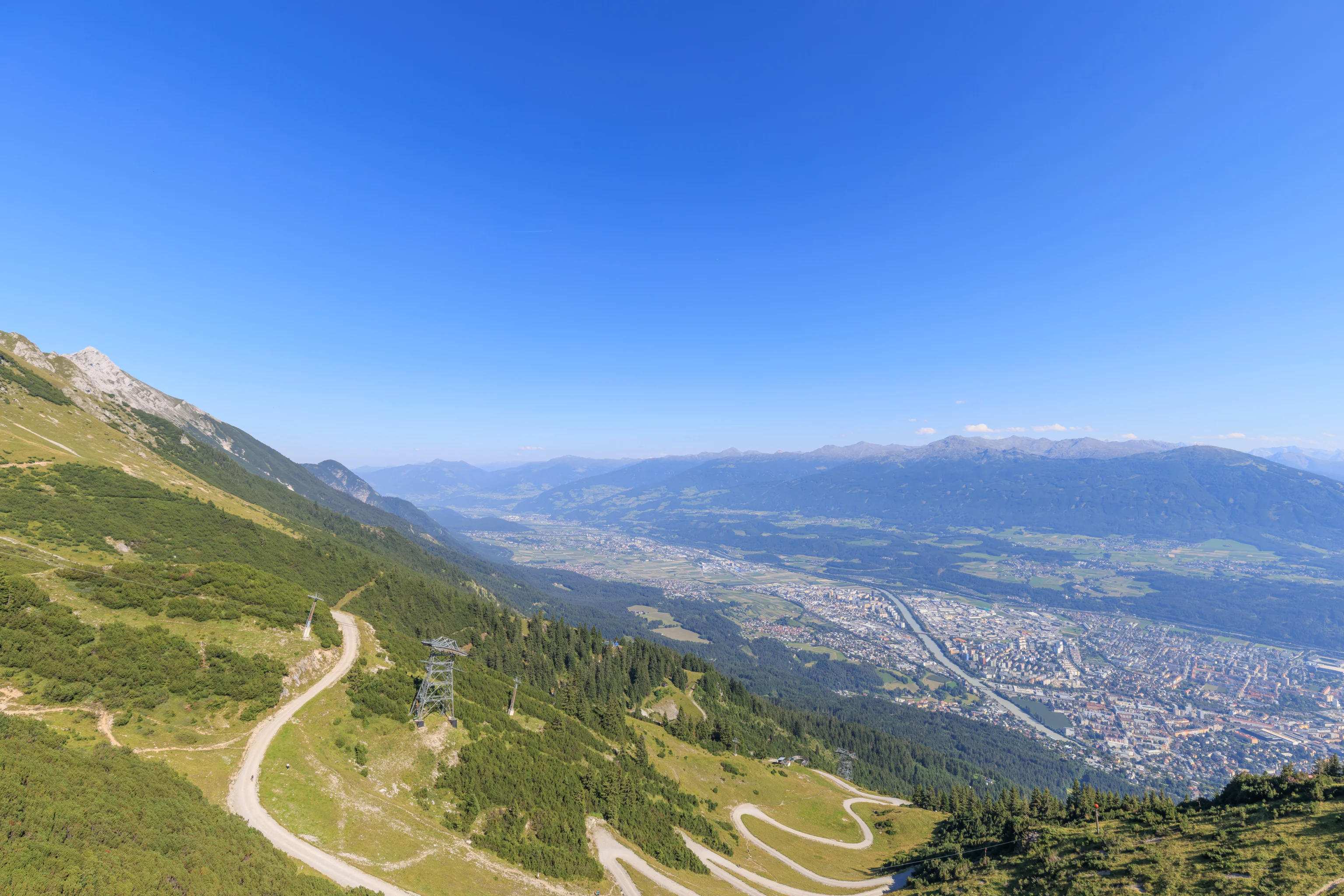
The initial part of the route is mostly flat as the railway heads to the north. It ascends from the underground and crosses the river Inn via a bridge. Innsbruck is named after this river. The name is German for Inn Bridge. Historically, there was a single bridge here over the river. It is supposed to have been near the modern-day Innbrücke, which is by the historic area of the city near the Goldenes Dachl.
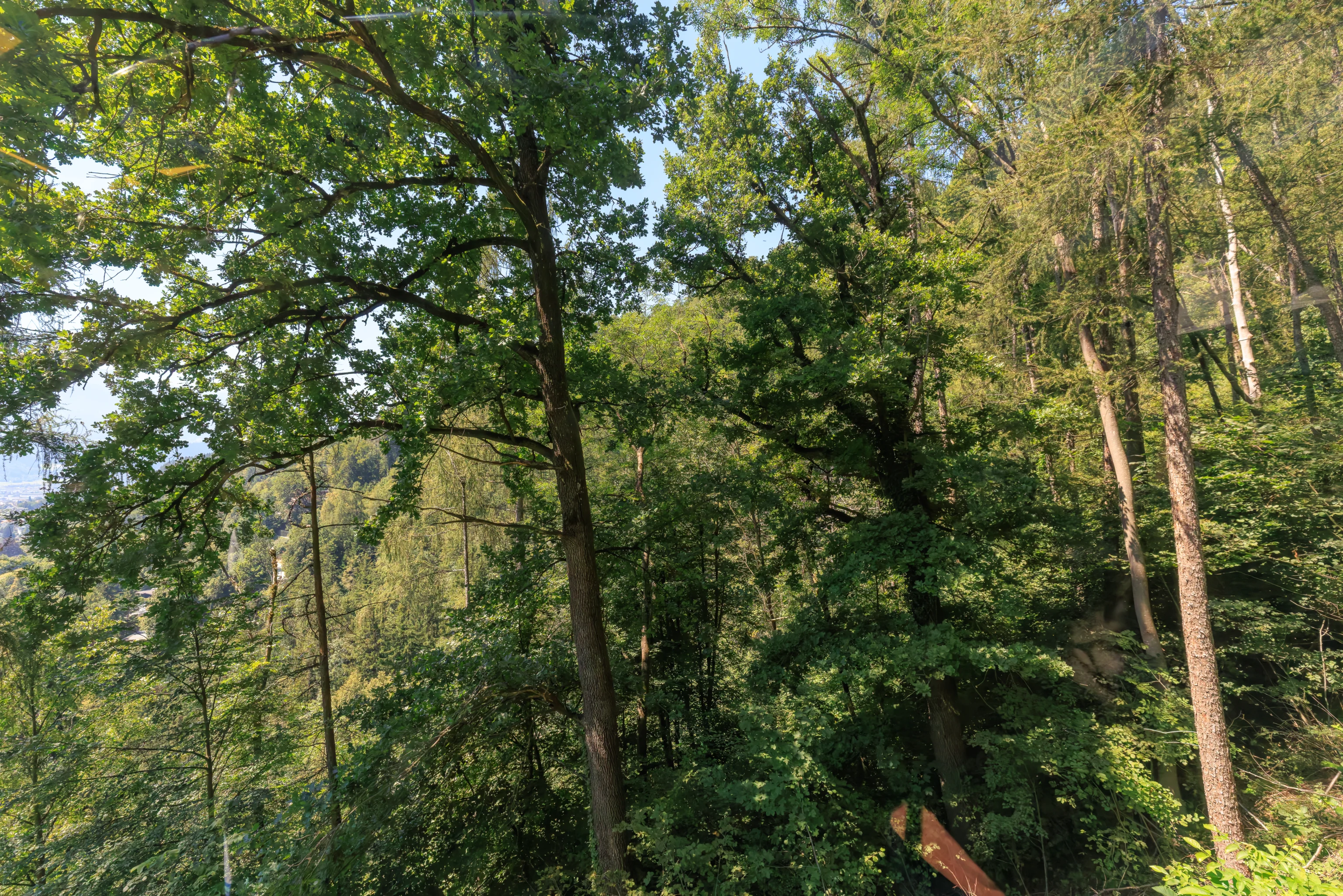
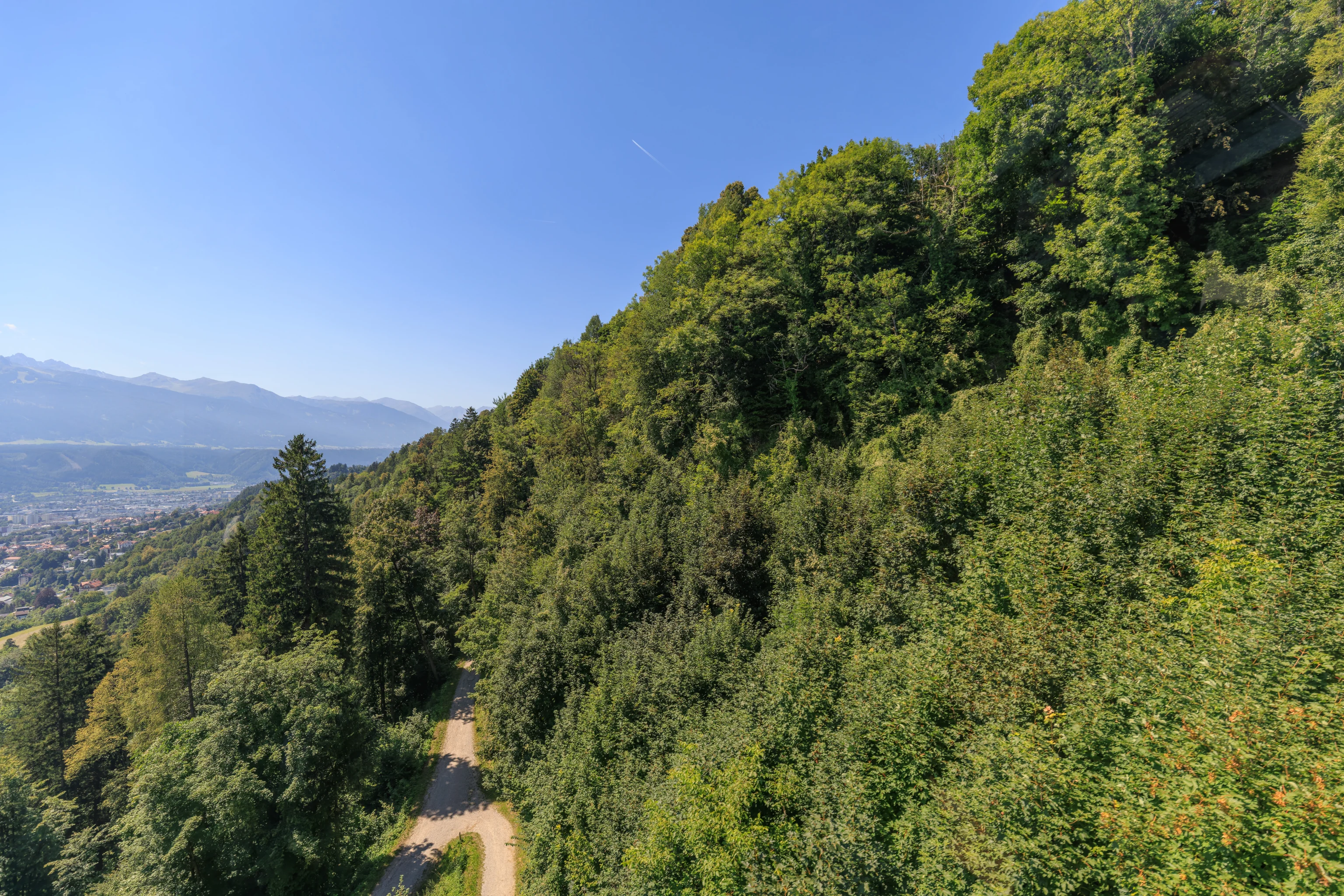
After crossing the Inn, the funicular ascends to reach the Hungerburg neighborhood of Innsbruck. Probably about half of this route is underground.
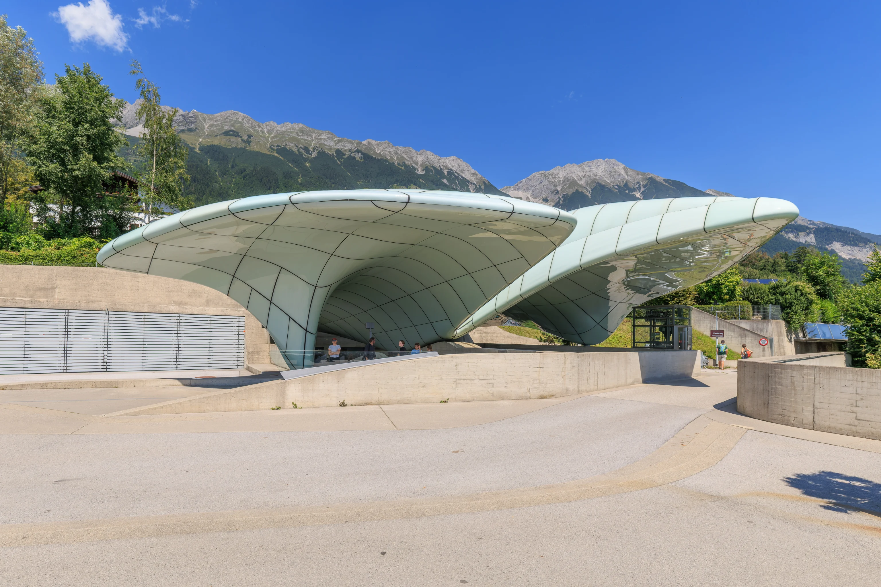
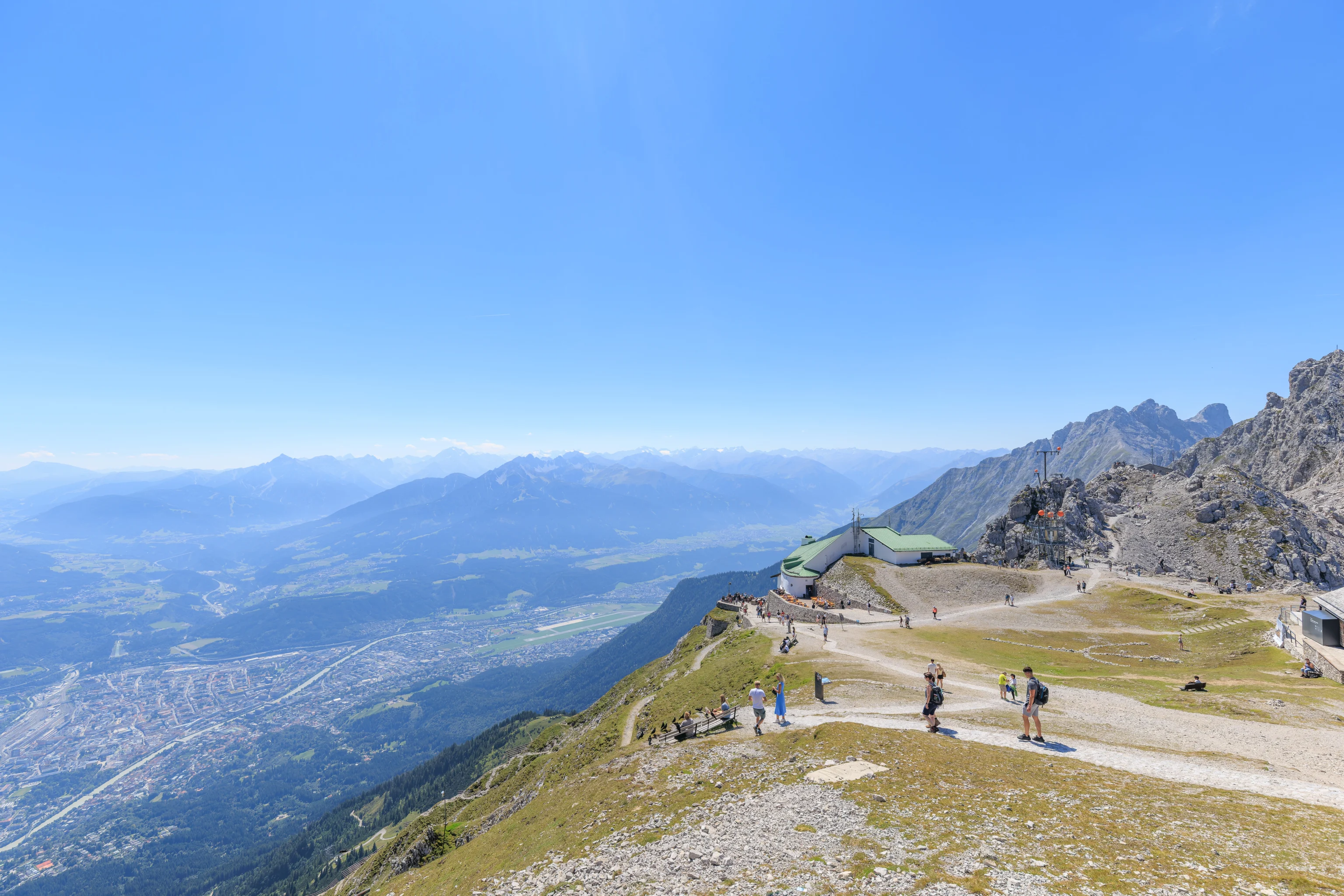
This upper terminal, as well as the lower one, was designed by famed architect Zaha Hadid. The last Zaha Hadid structure that we saw as probably the Dongdaemun Design Plaza in Seoul.
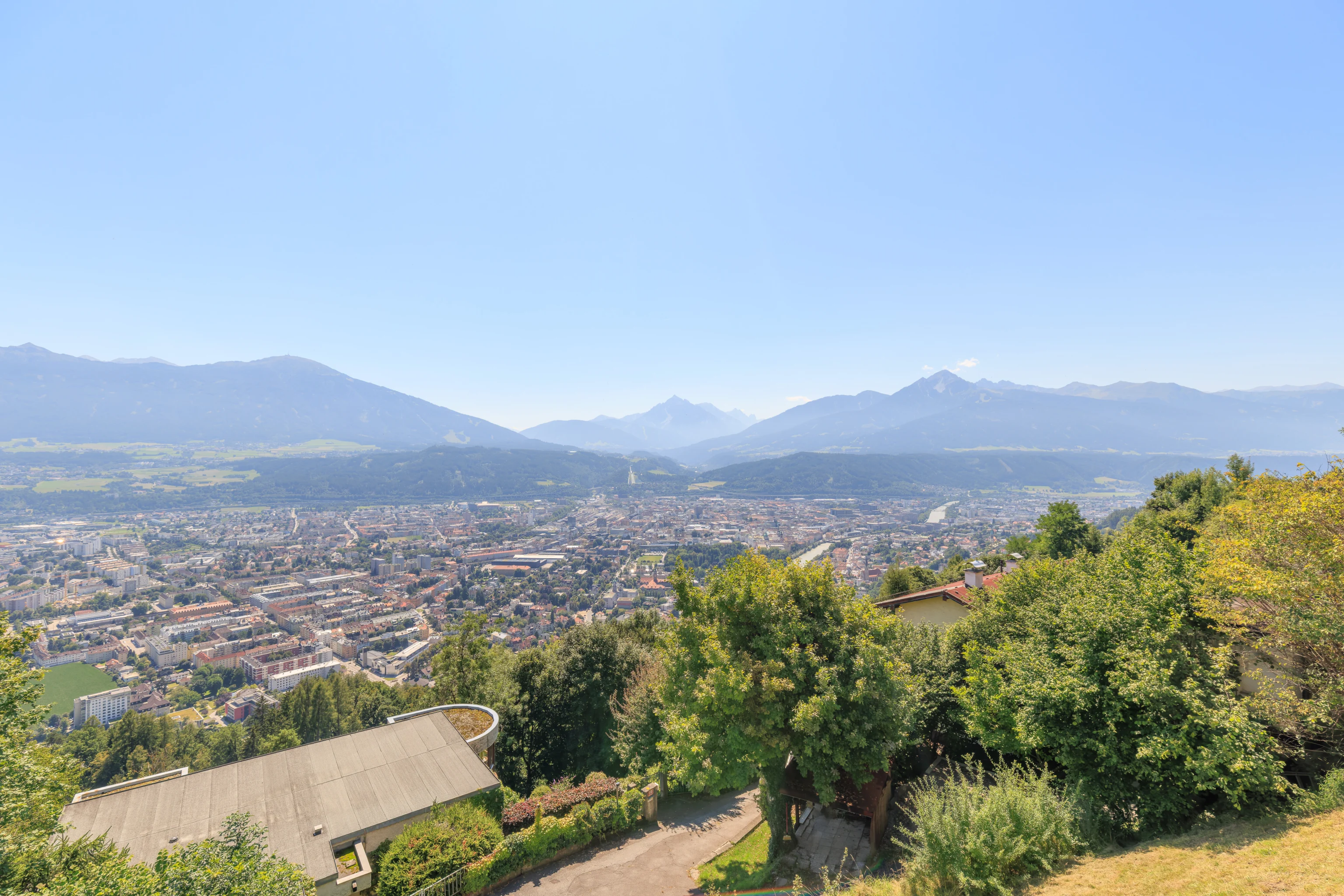
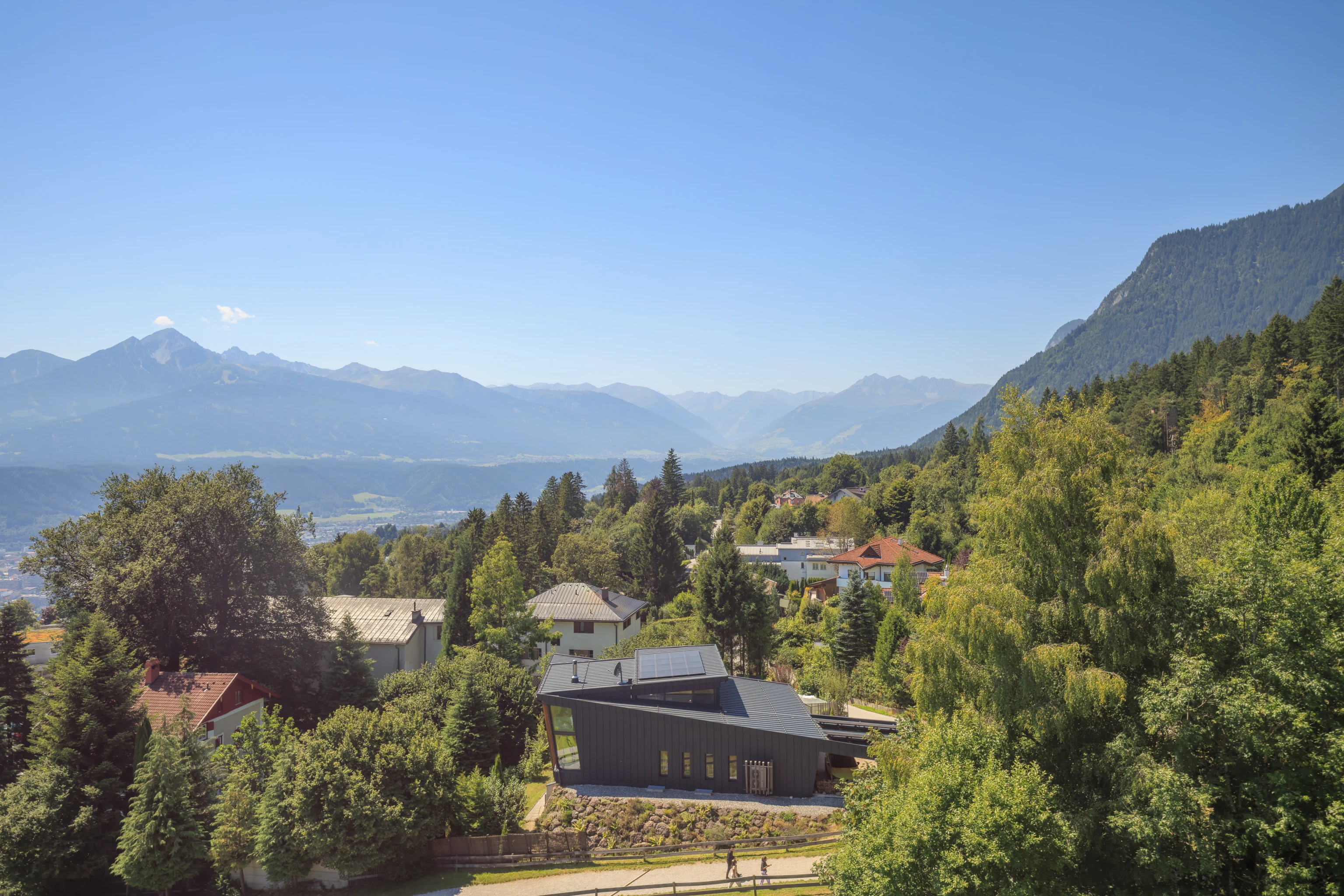
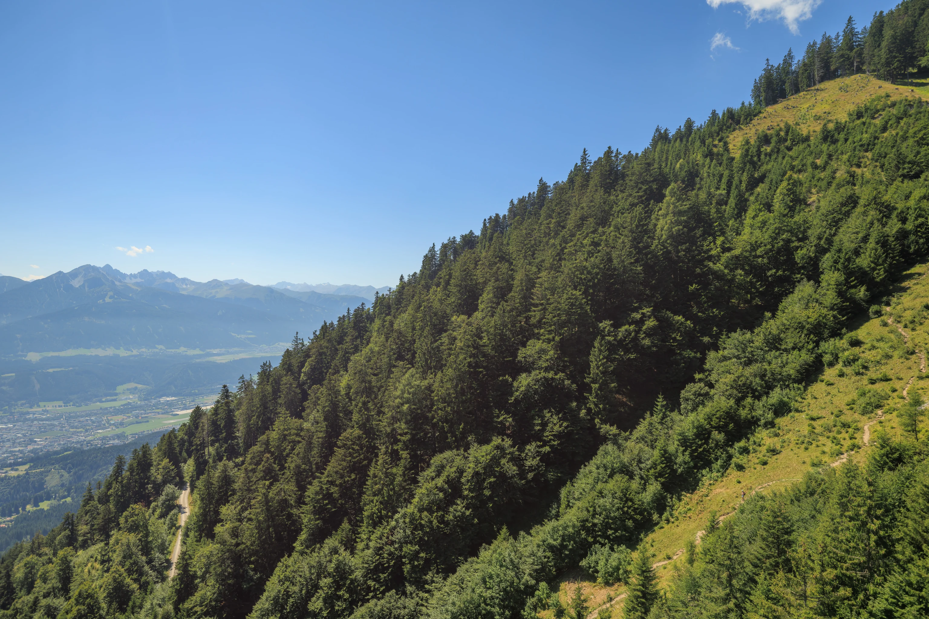
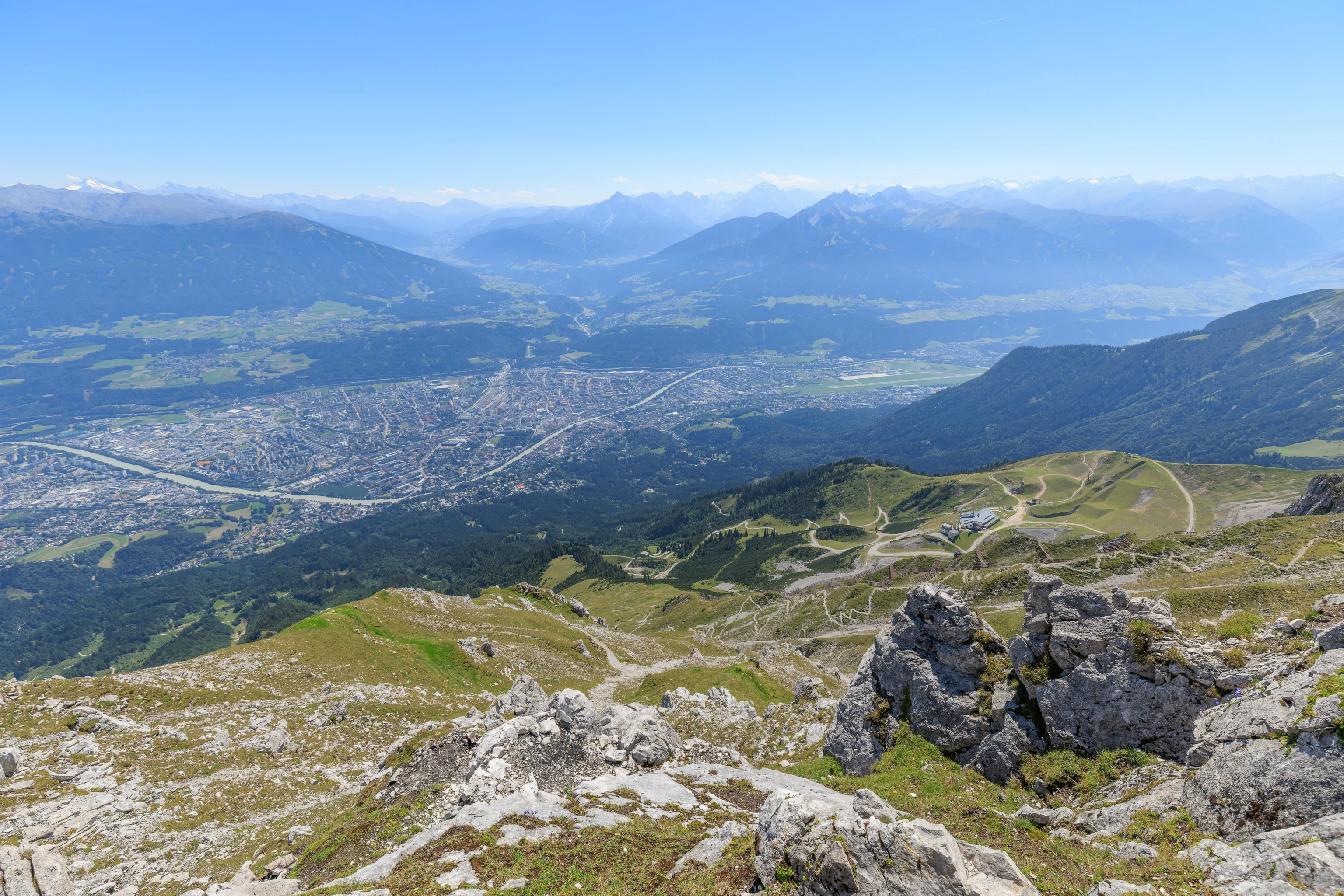
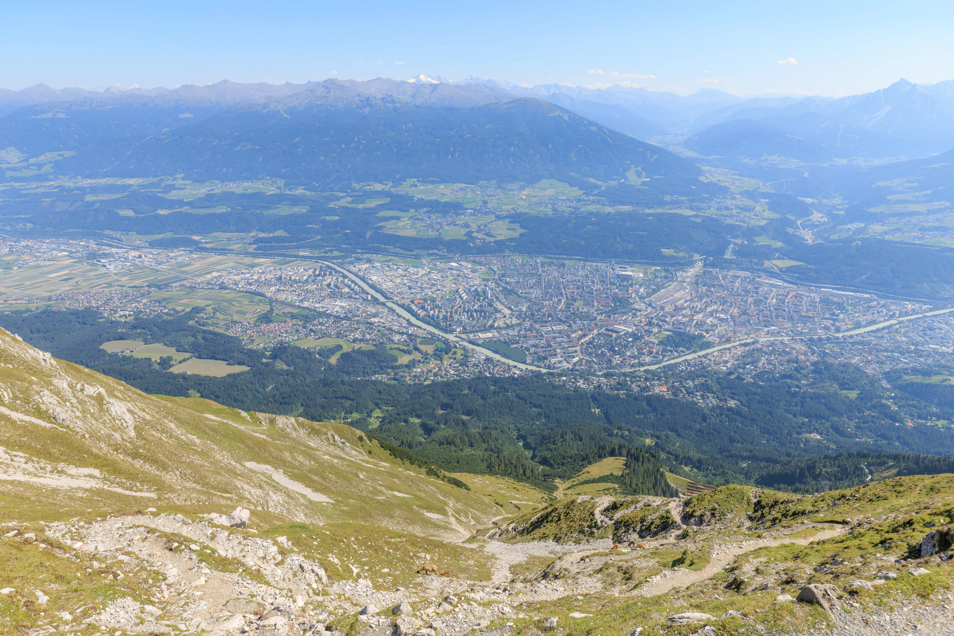
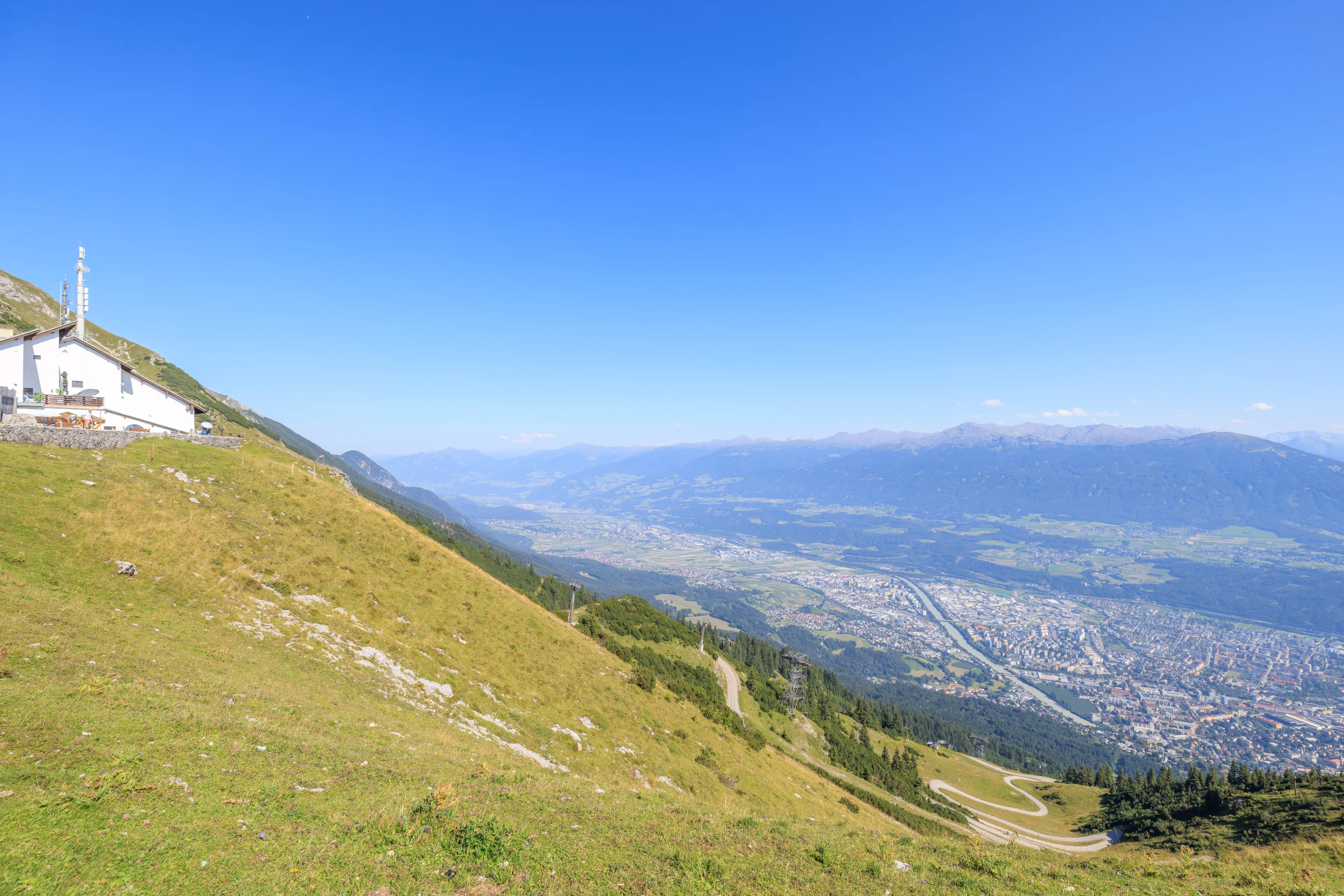
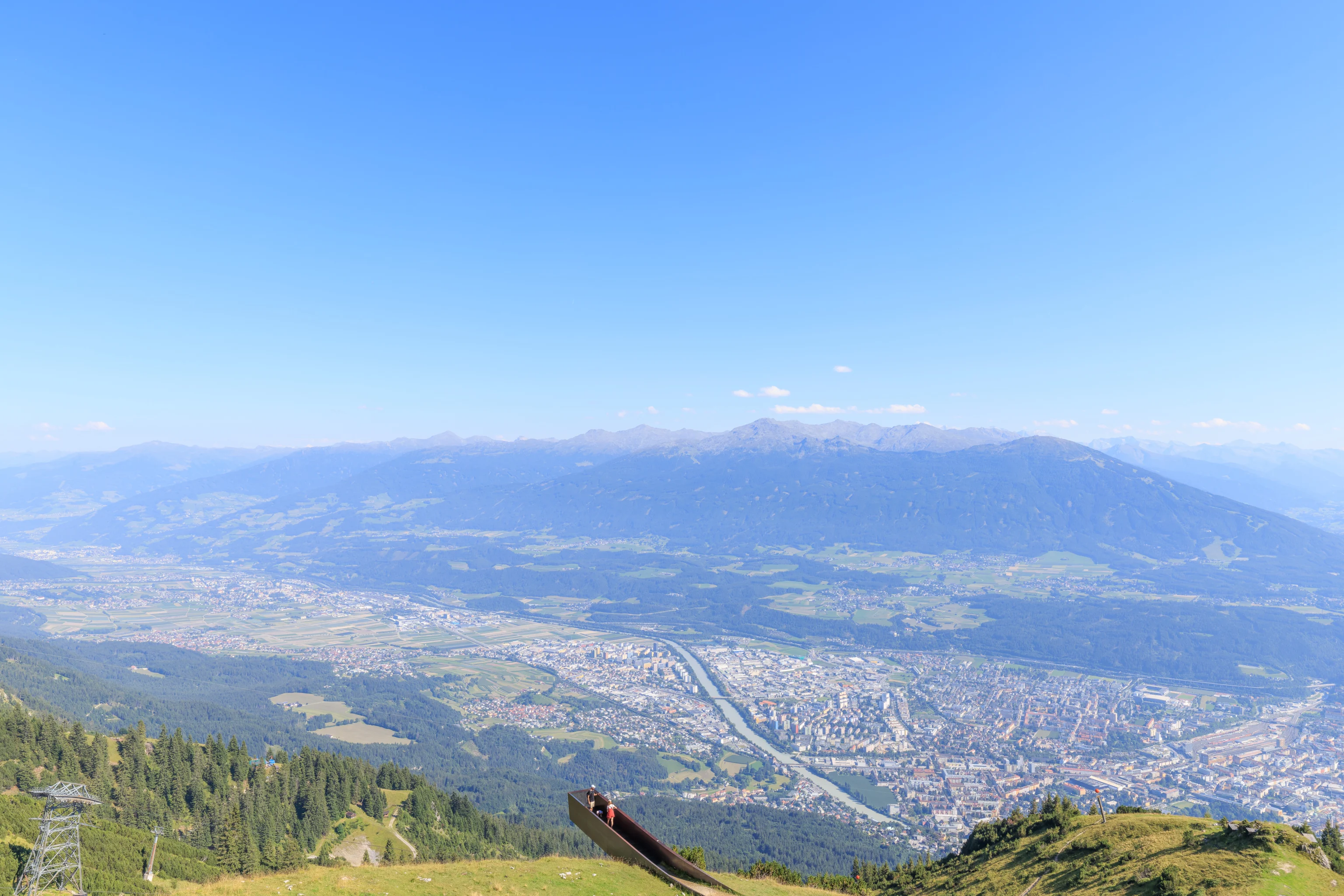
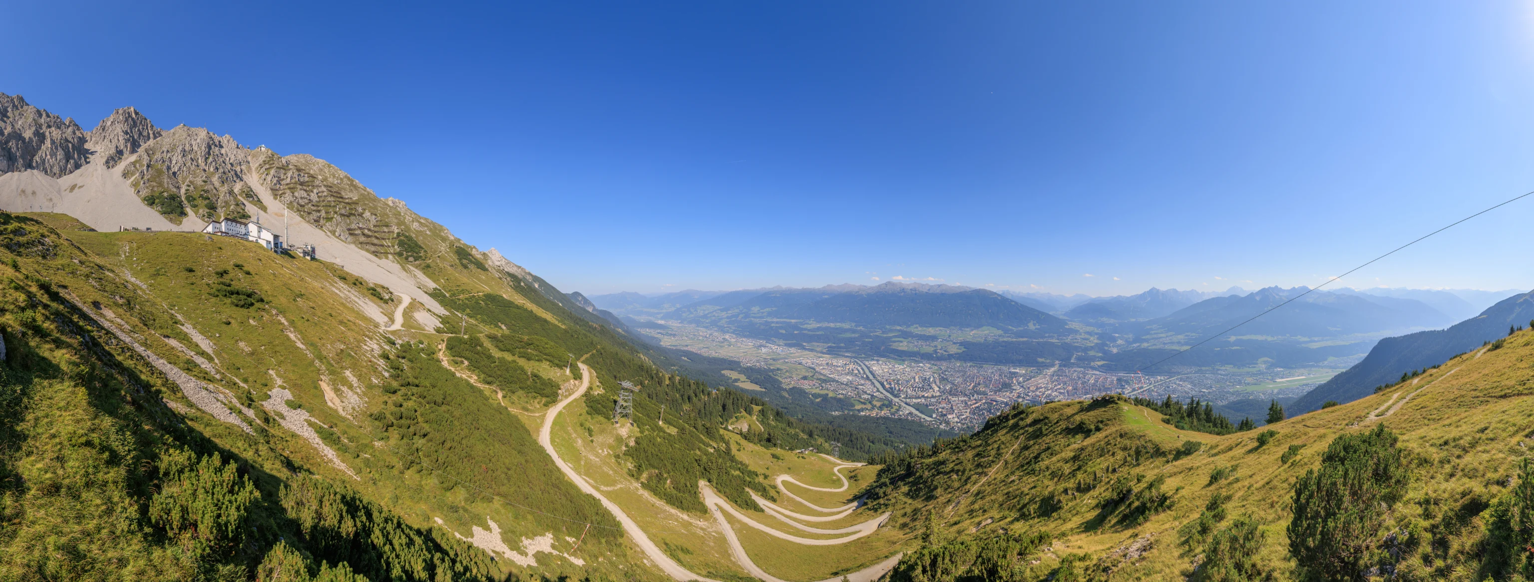
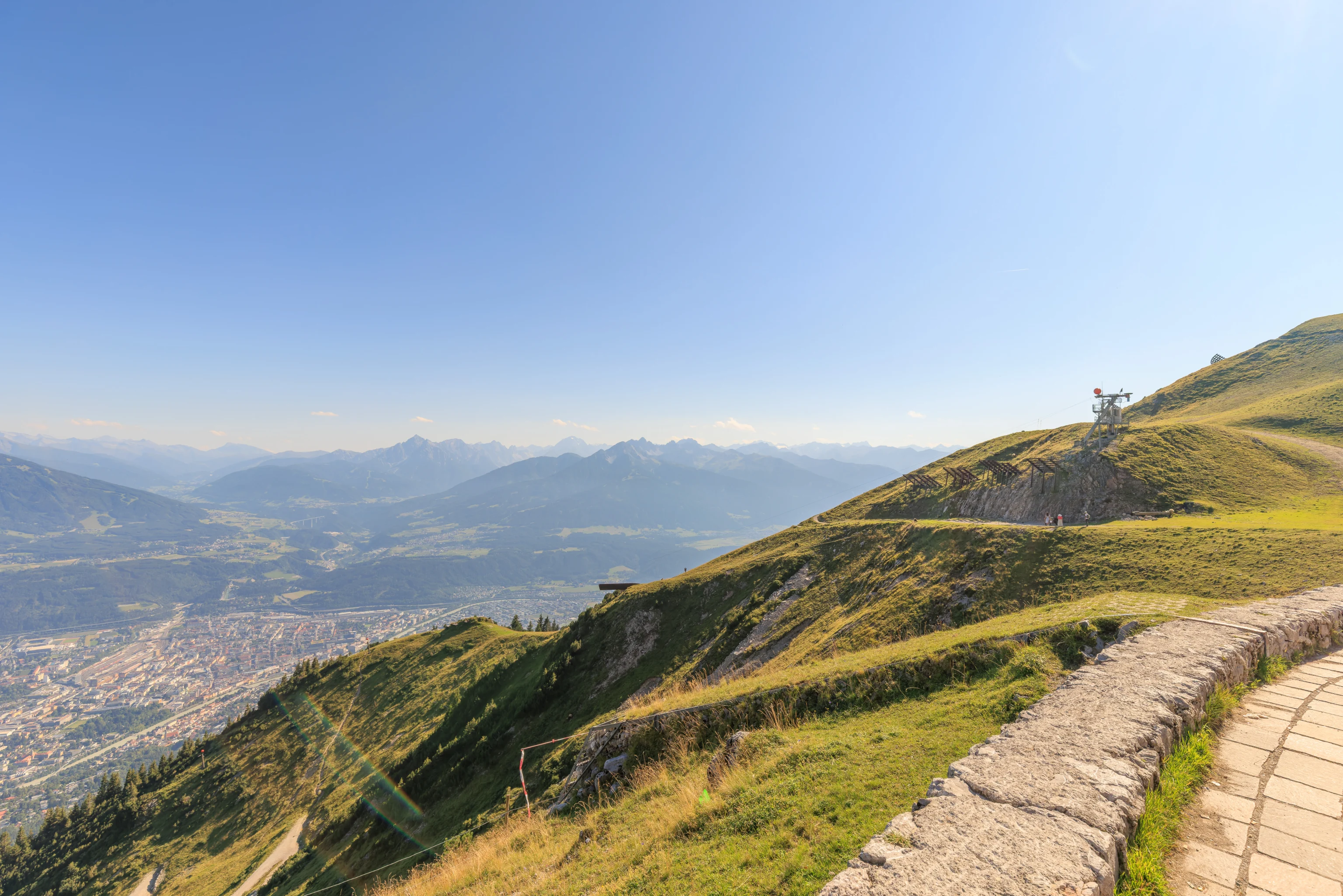
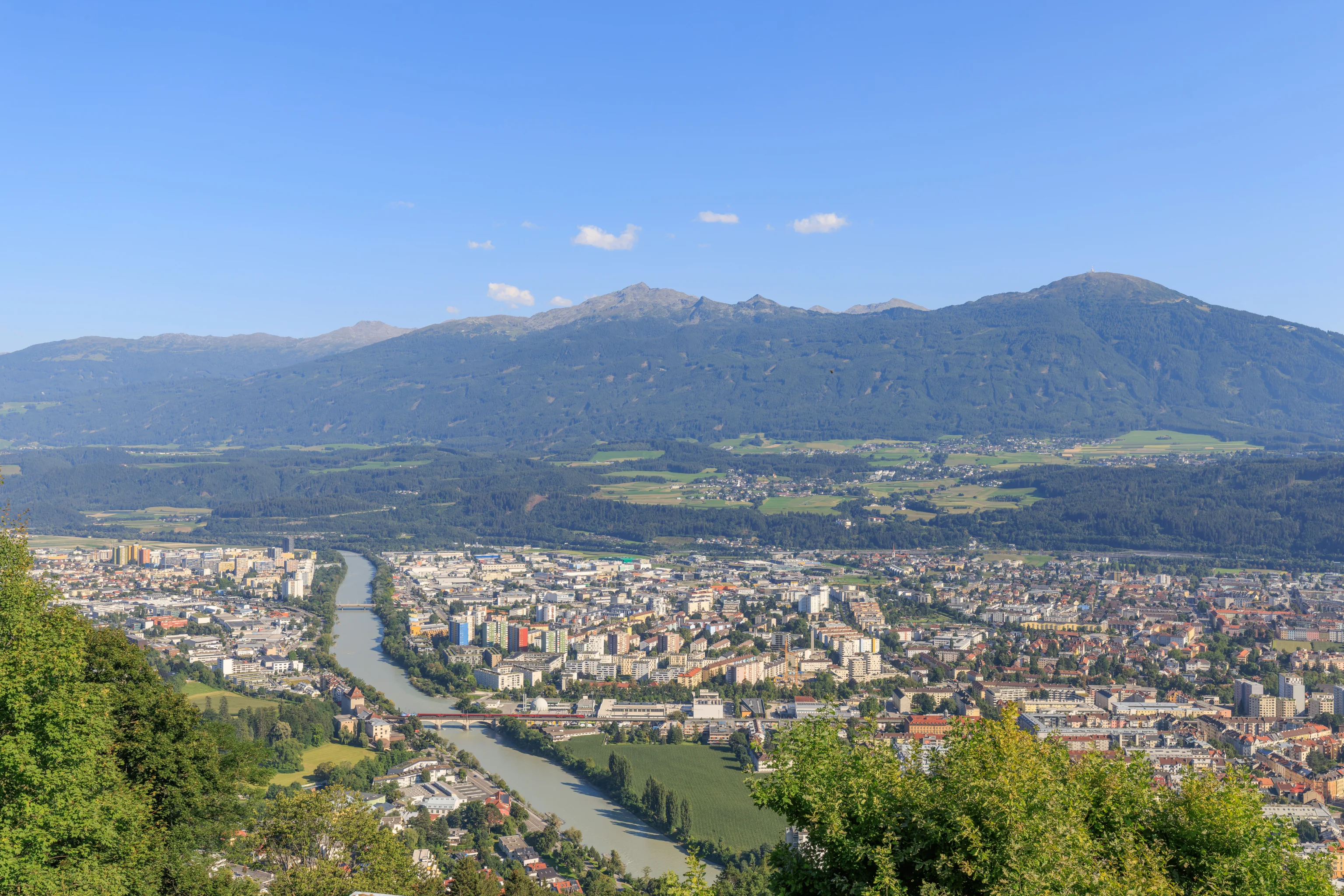
There is a beautiful overlook on the south side of the station. From here, we could see all of Innsbruck below as well as the mountains on the southern side of the valley. The Bergisel Ski Jump is also visible at the center of the frame.
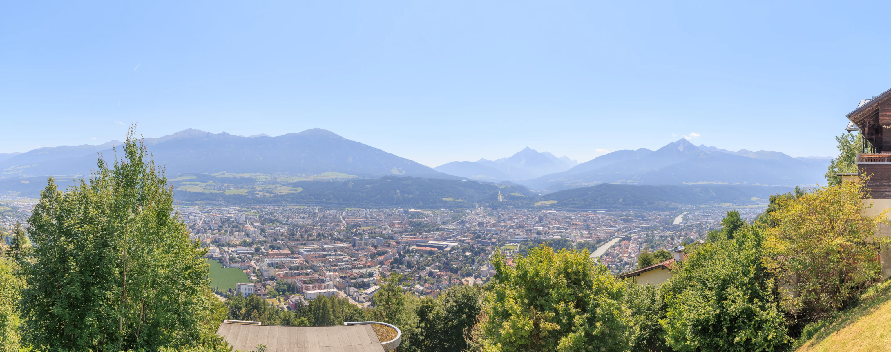
A panoramic view from the overlook.
We walked just a little bit to the west to find the lower terminal of the Seegrubenbahn, the aerial tram that ascends up to Seegrube. We spotted this tree with red leaves from the windows of the station while waiting for the next departure.
As is often the case, photographing through the windows of the aerial tram resulted in a bit of a color cast that I wasn’t able to fully compensate for.
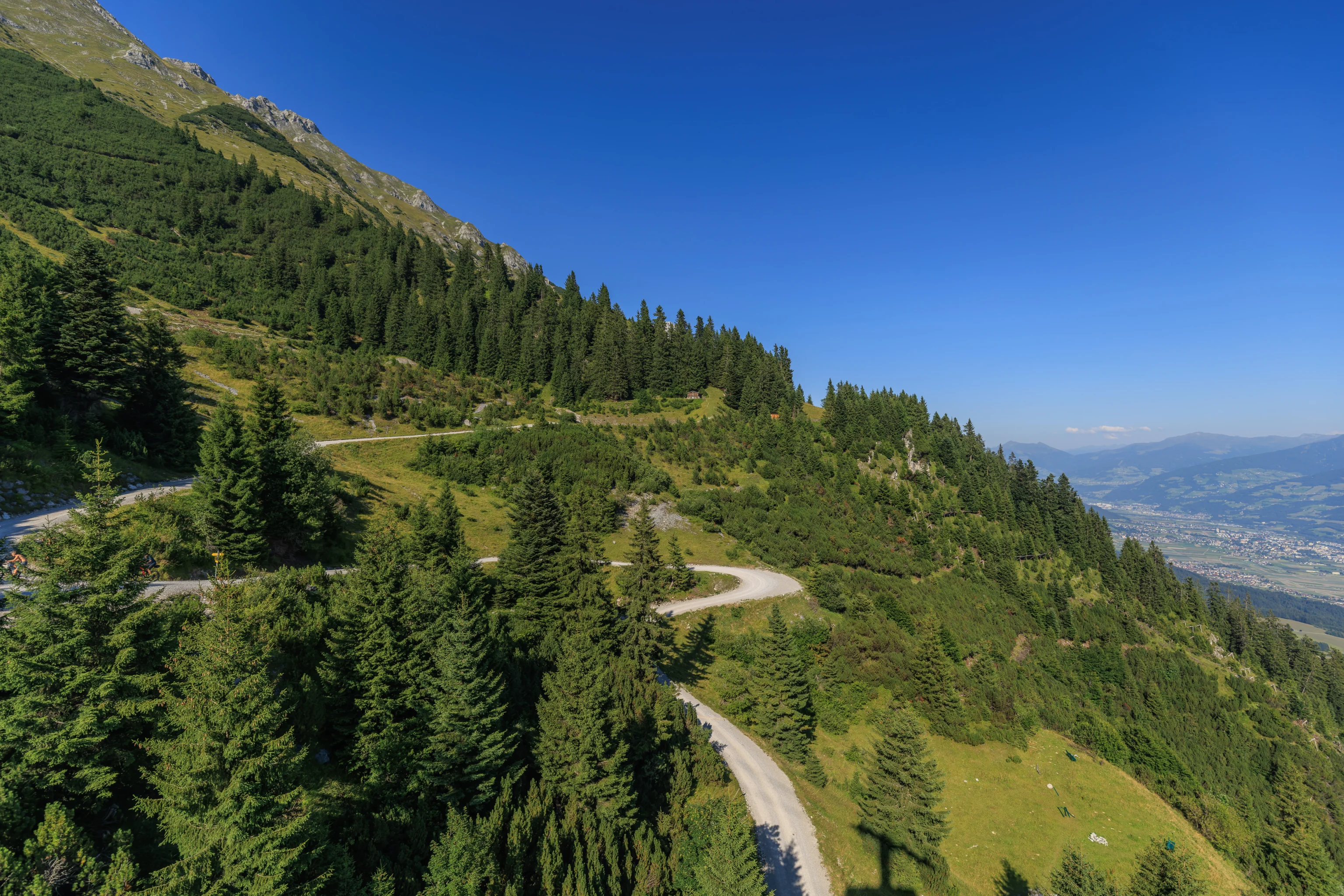
The trip to the upper terminal at Seegrube once again took about seven minutes. We noticed a few things as we ascended. There was a very steep trail below the cableway, which included a long set of steep stairs. And, we noticed a viewing platform jutting out from the side of the mountain. These sorts of platforms seem to be pretty popular these days. This one didn’t seem like it was in too perilous of a position though.
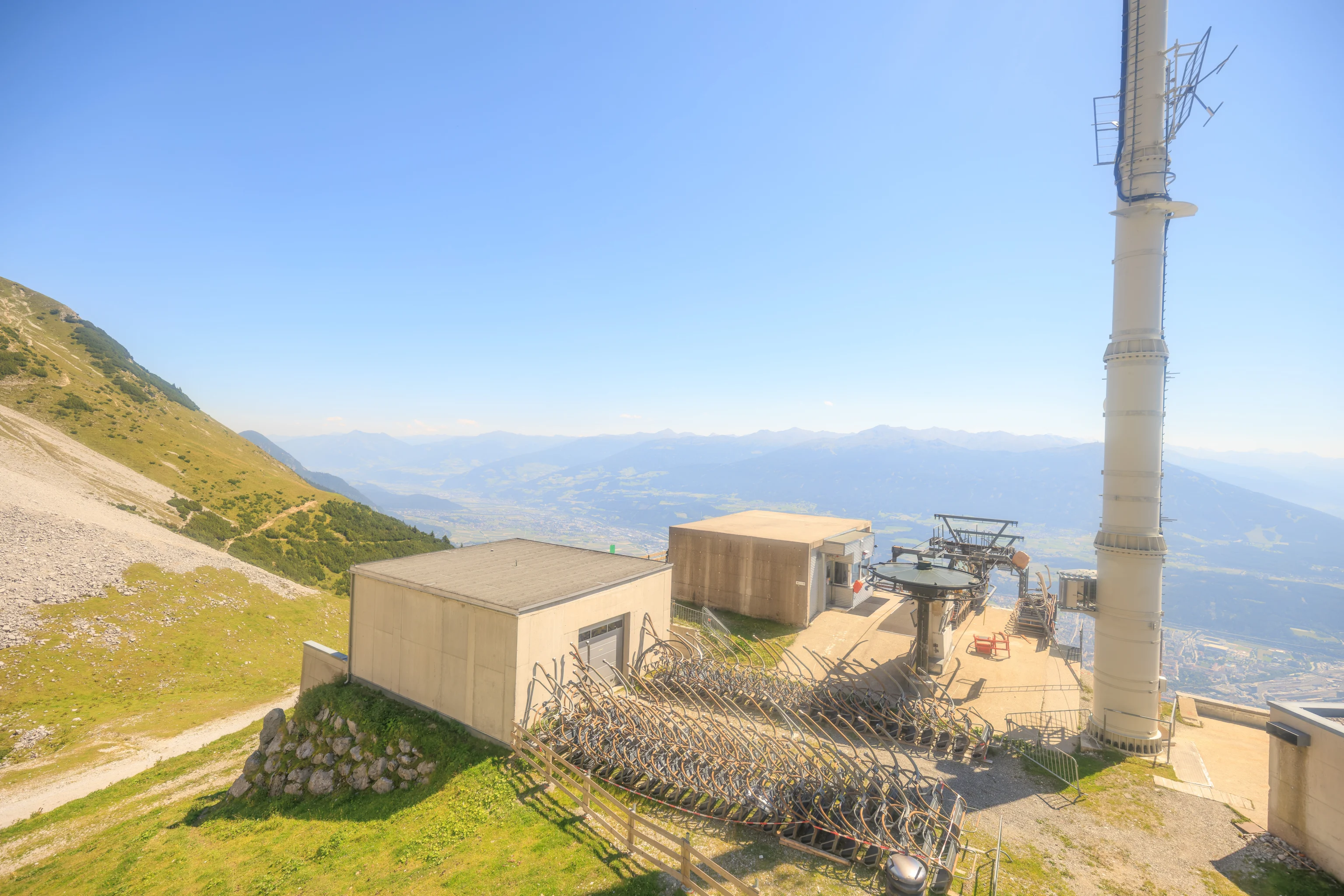
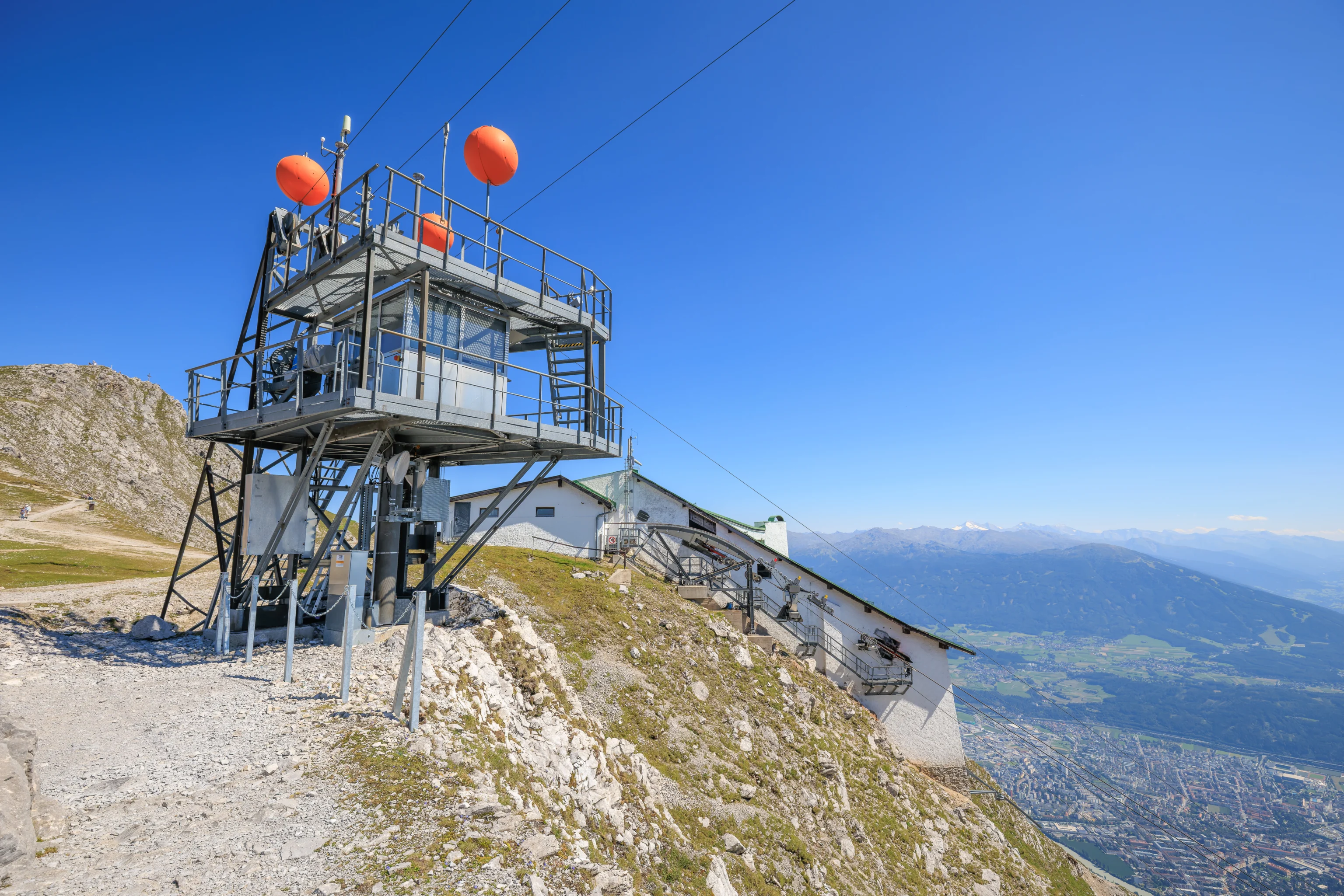
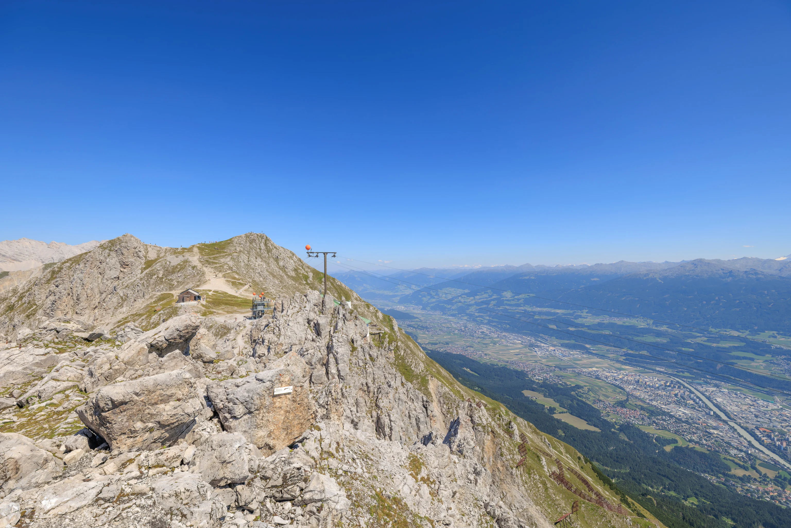
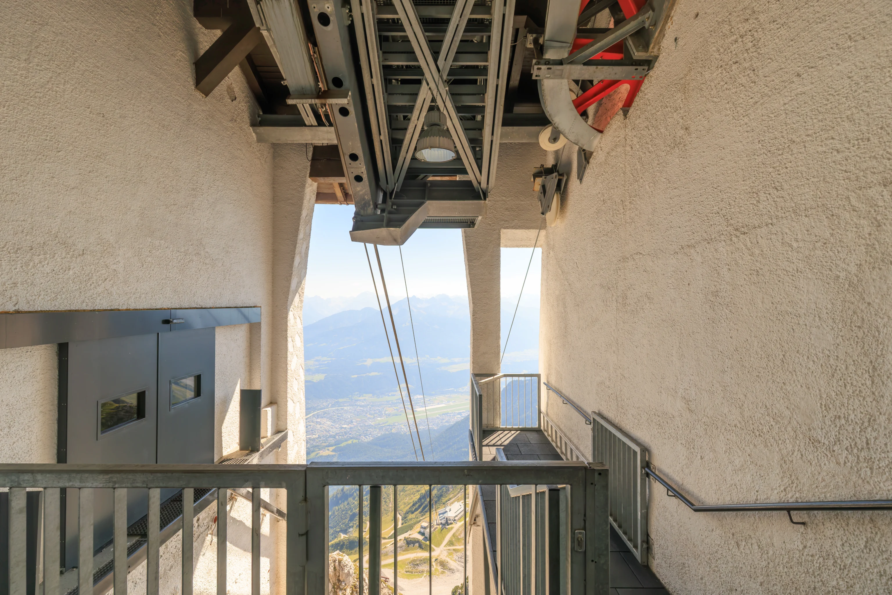
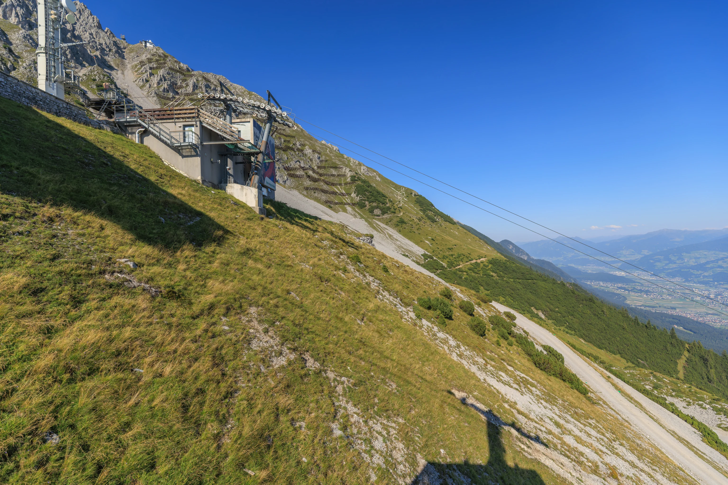
We quickly headed to the next aerial tram, the Hafelekarbahn, which goes up to Hafelekar. Not quite to the very top though, but almost. This next section was shorter and much more steep.
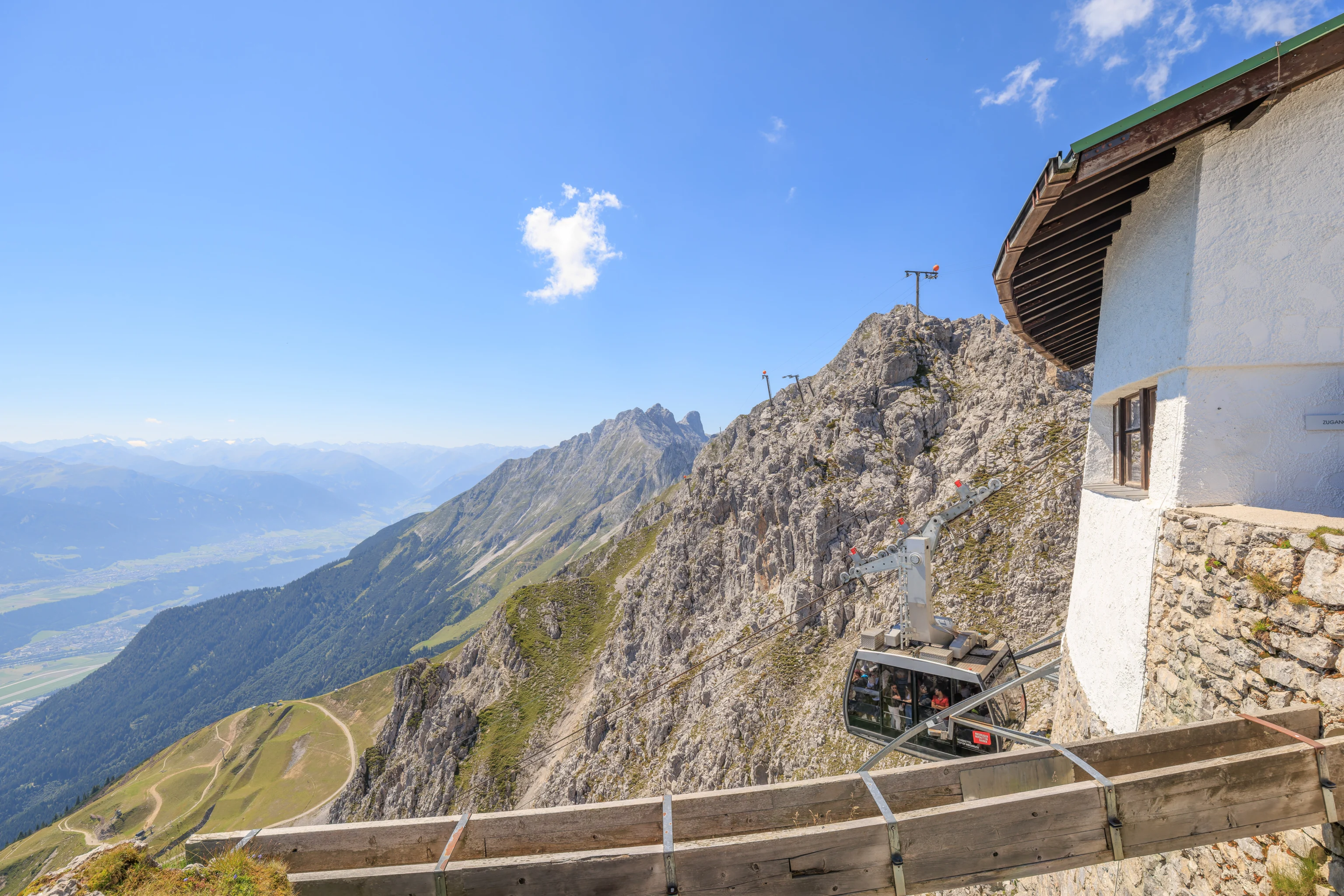
We watched the aerial tram descend after we walked out of the upper terminal building.
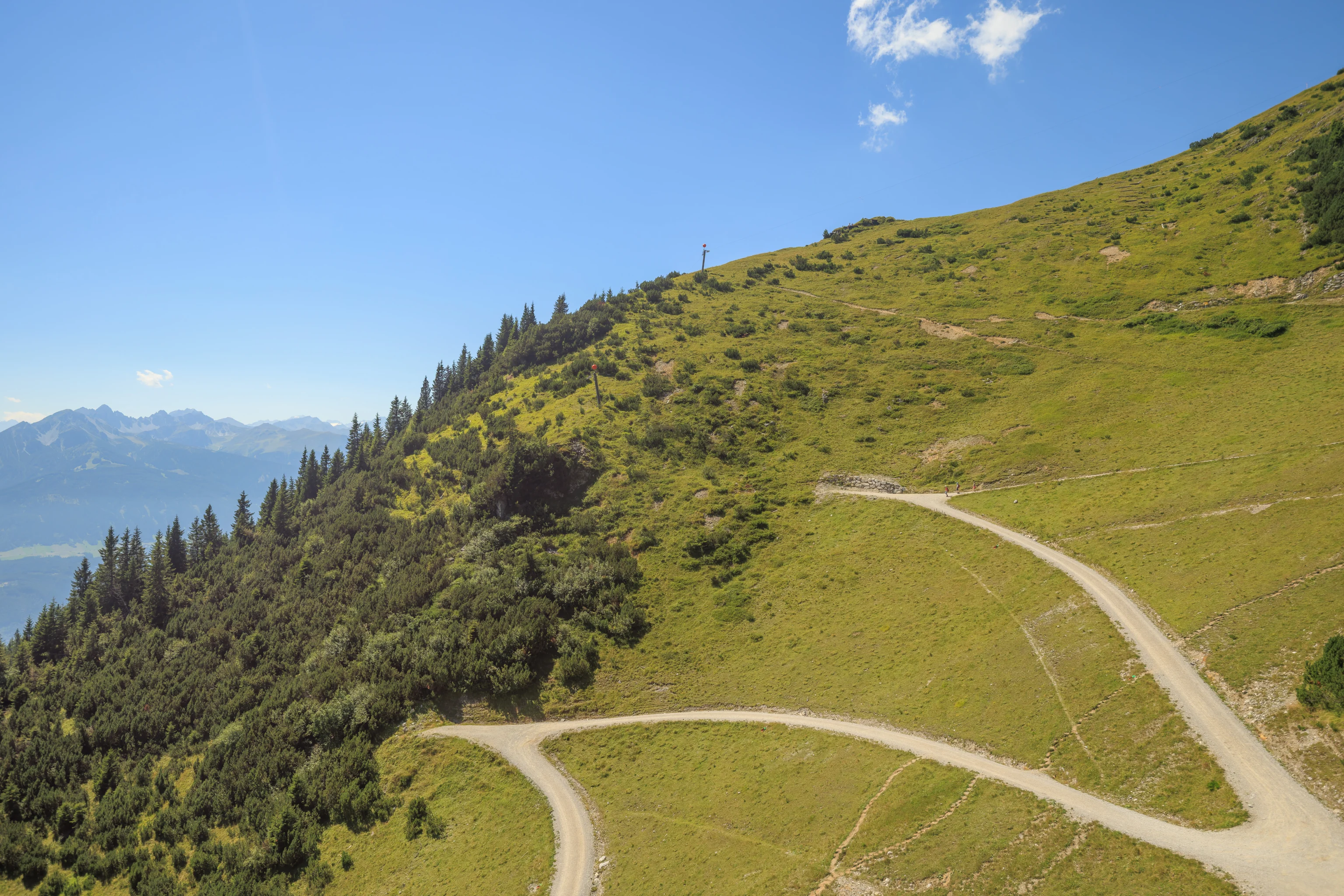
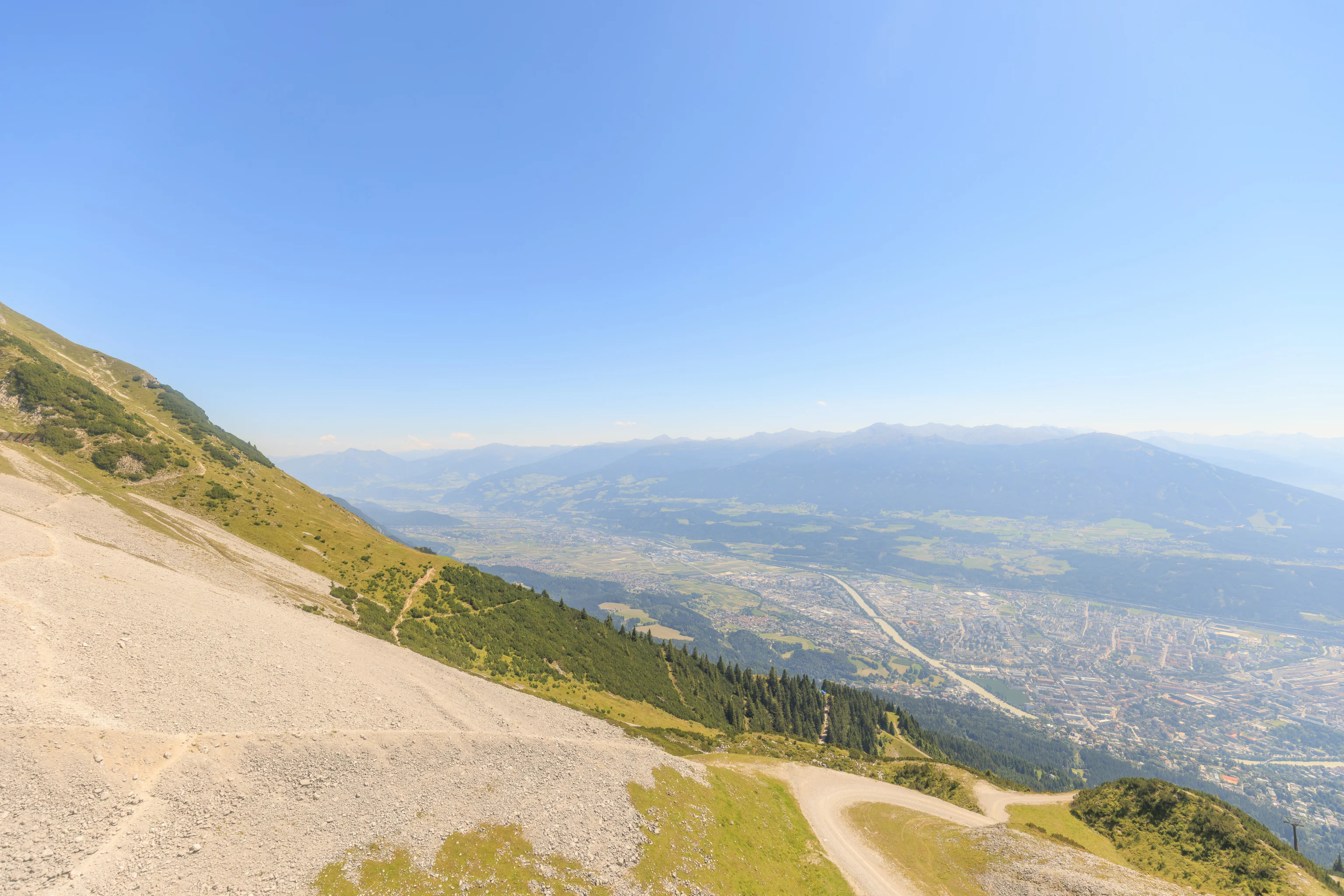
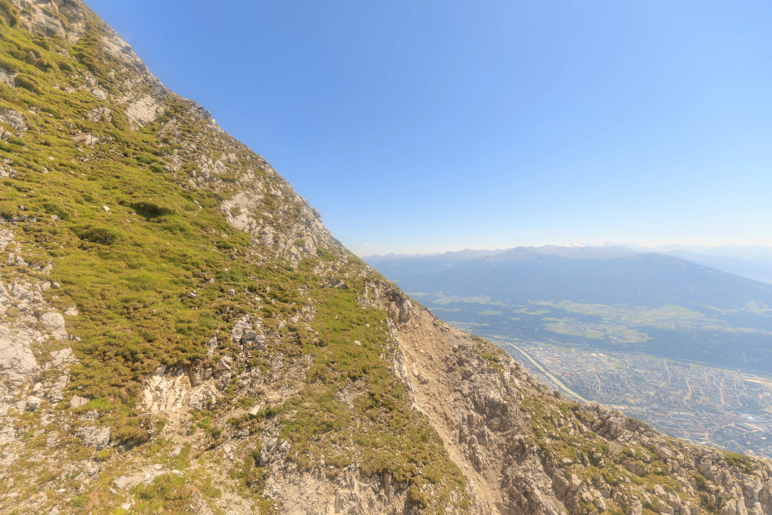
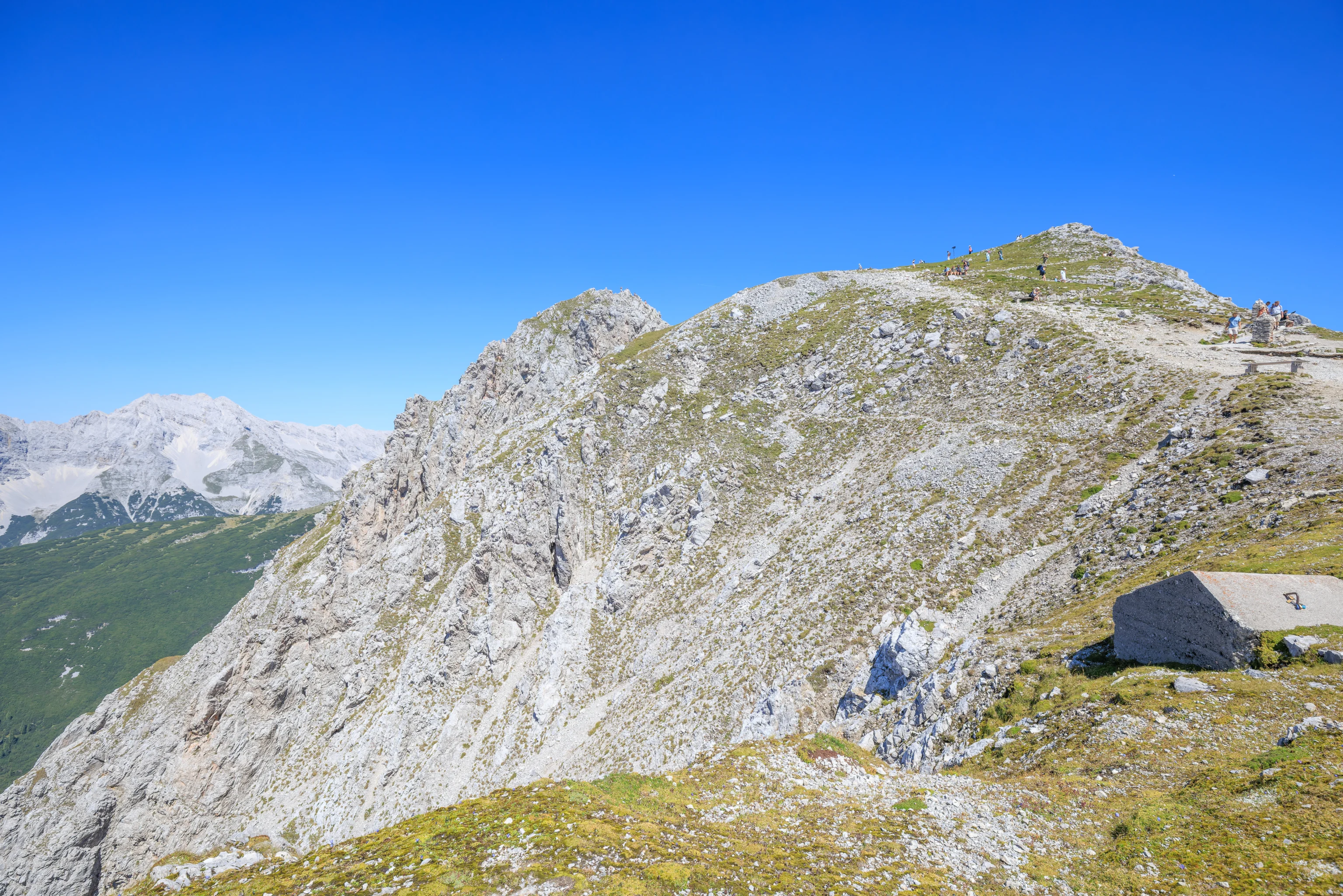
Looking to the east, the terrain was extremely steep!
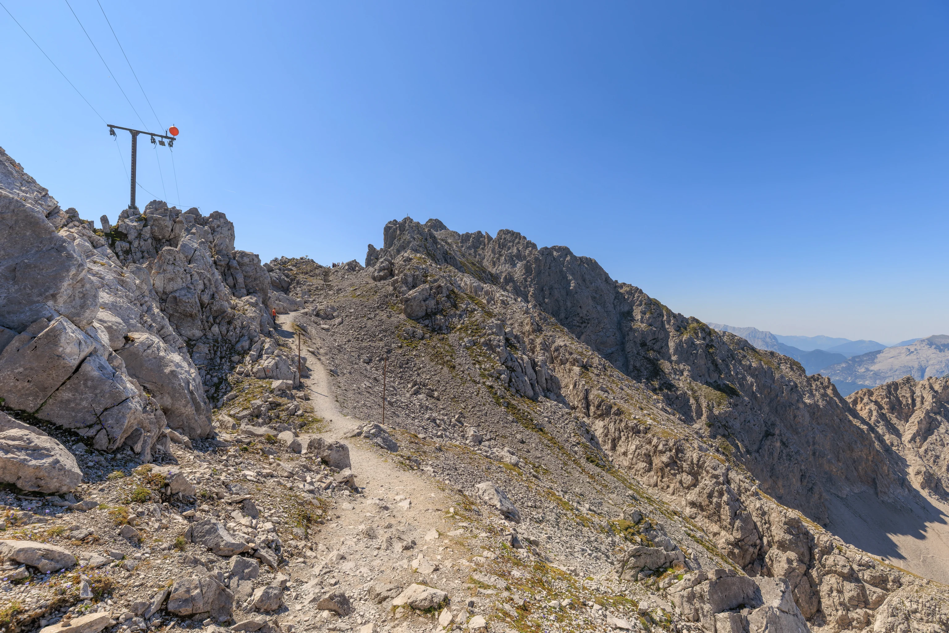
Looking to the northeast, we could see our next destination, the peak of Hafelekar. There is a short trail which leads to the top. We could also see another trail which was on the side of the mountain and led to the east, bypassing the peak.
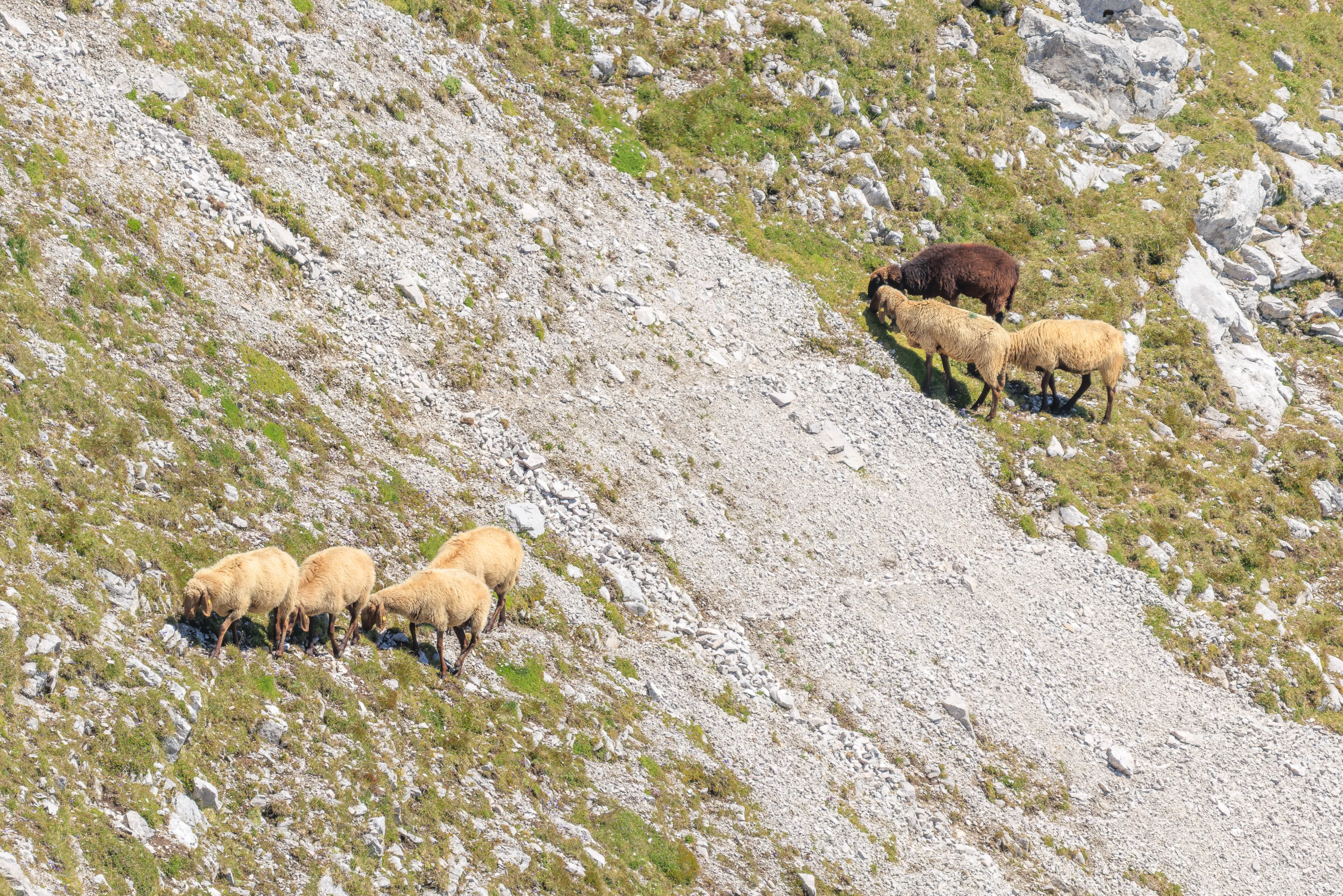
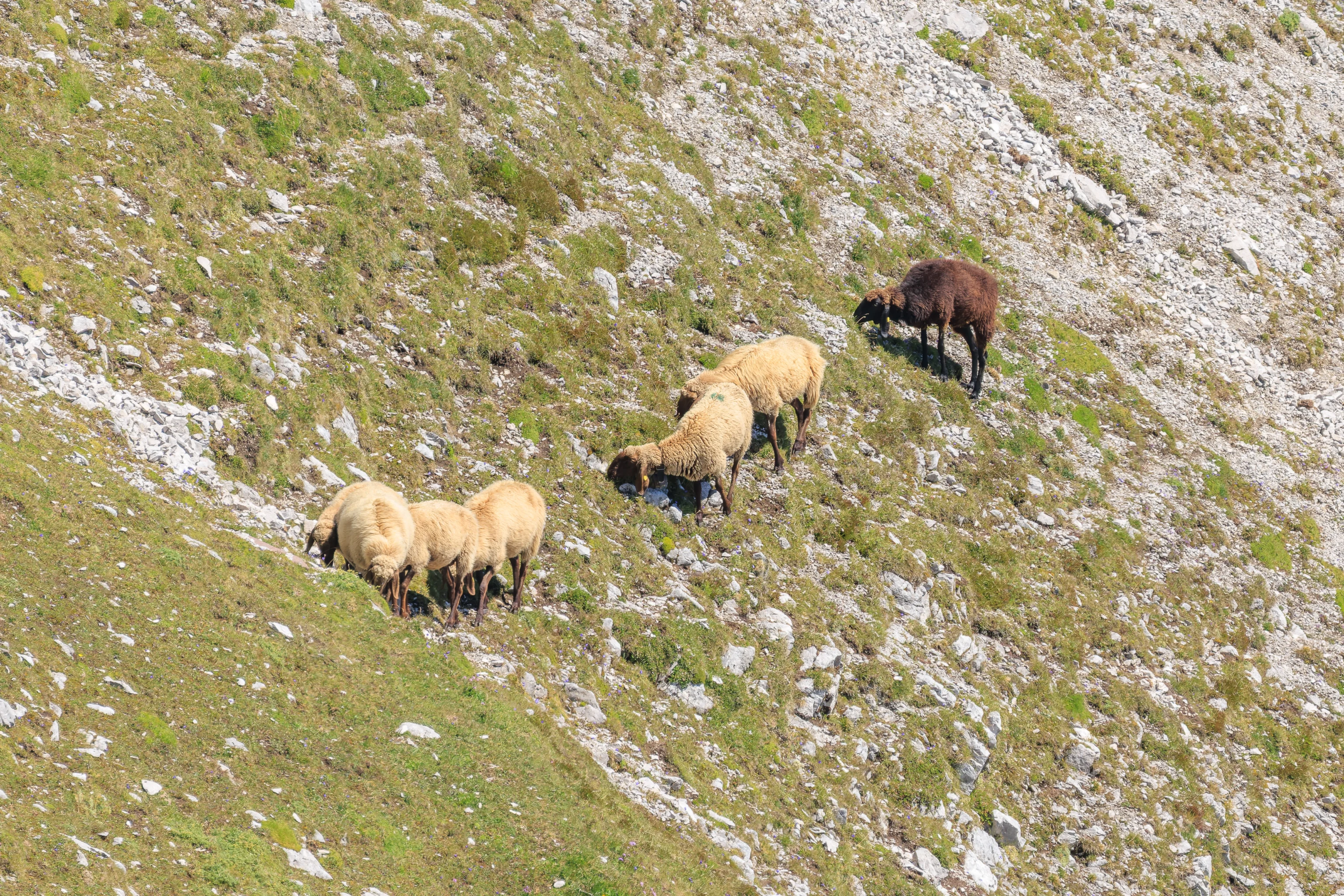
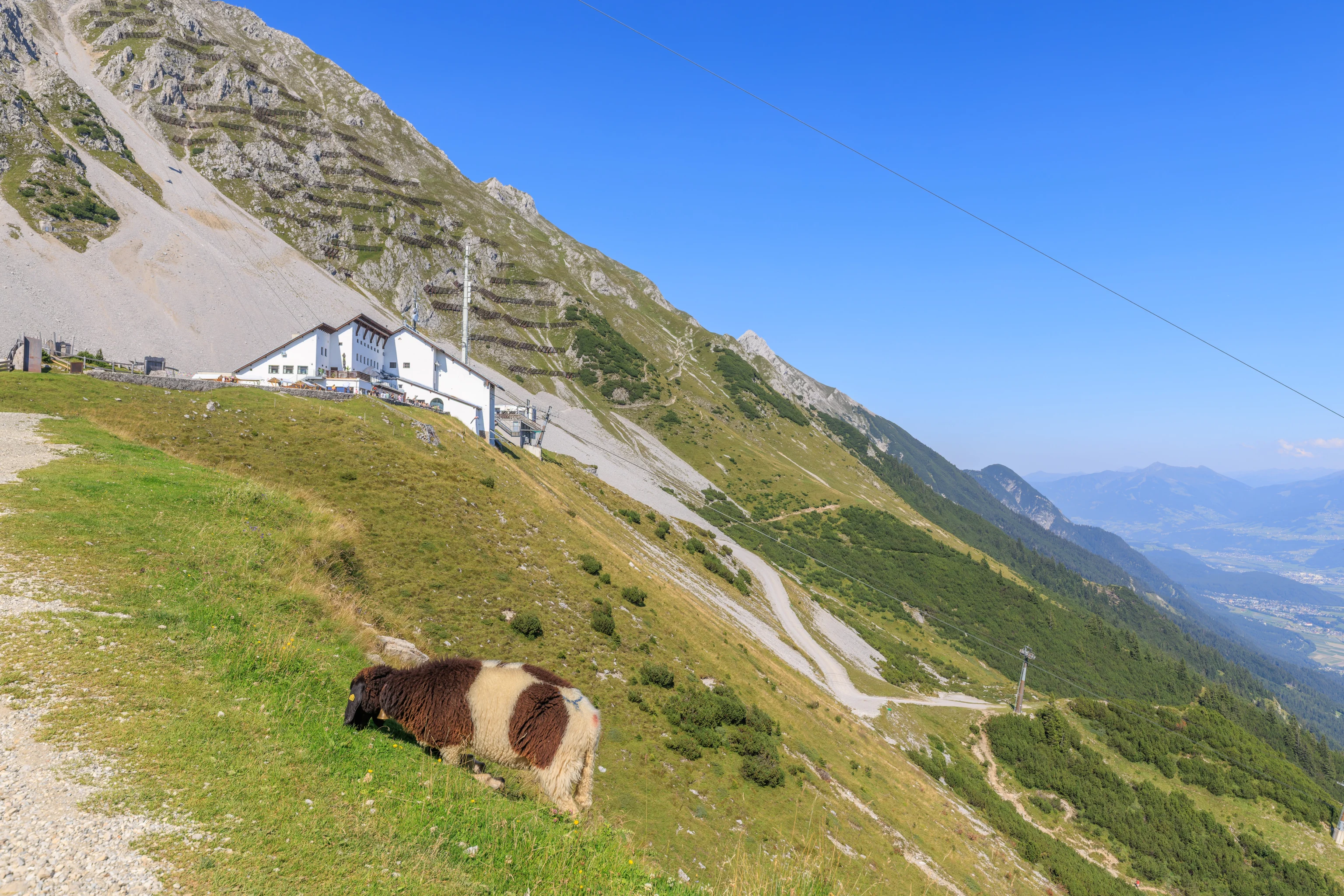
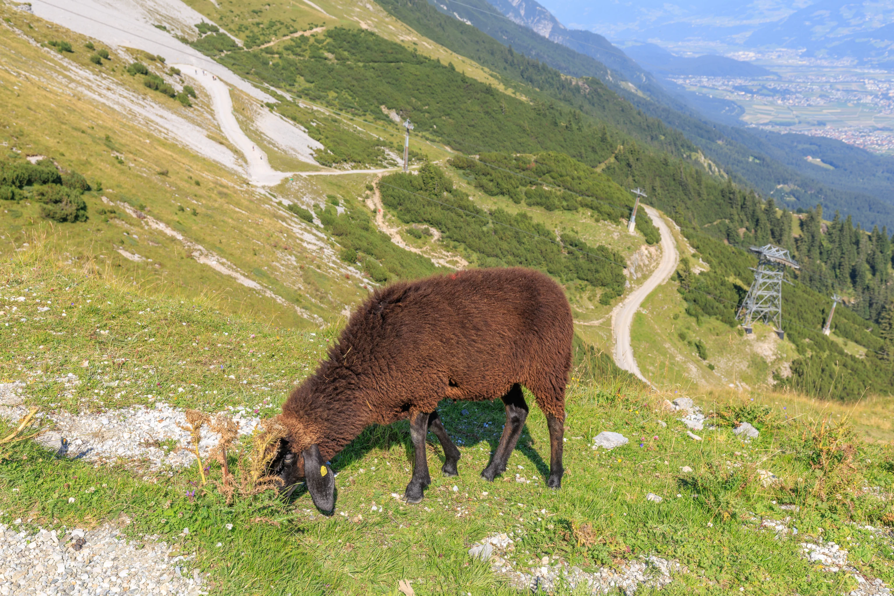
We also spotted sheep! We watched as they slowly grazed and walked on the side of the mountain. A group of them seemed to be heading towards us.
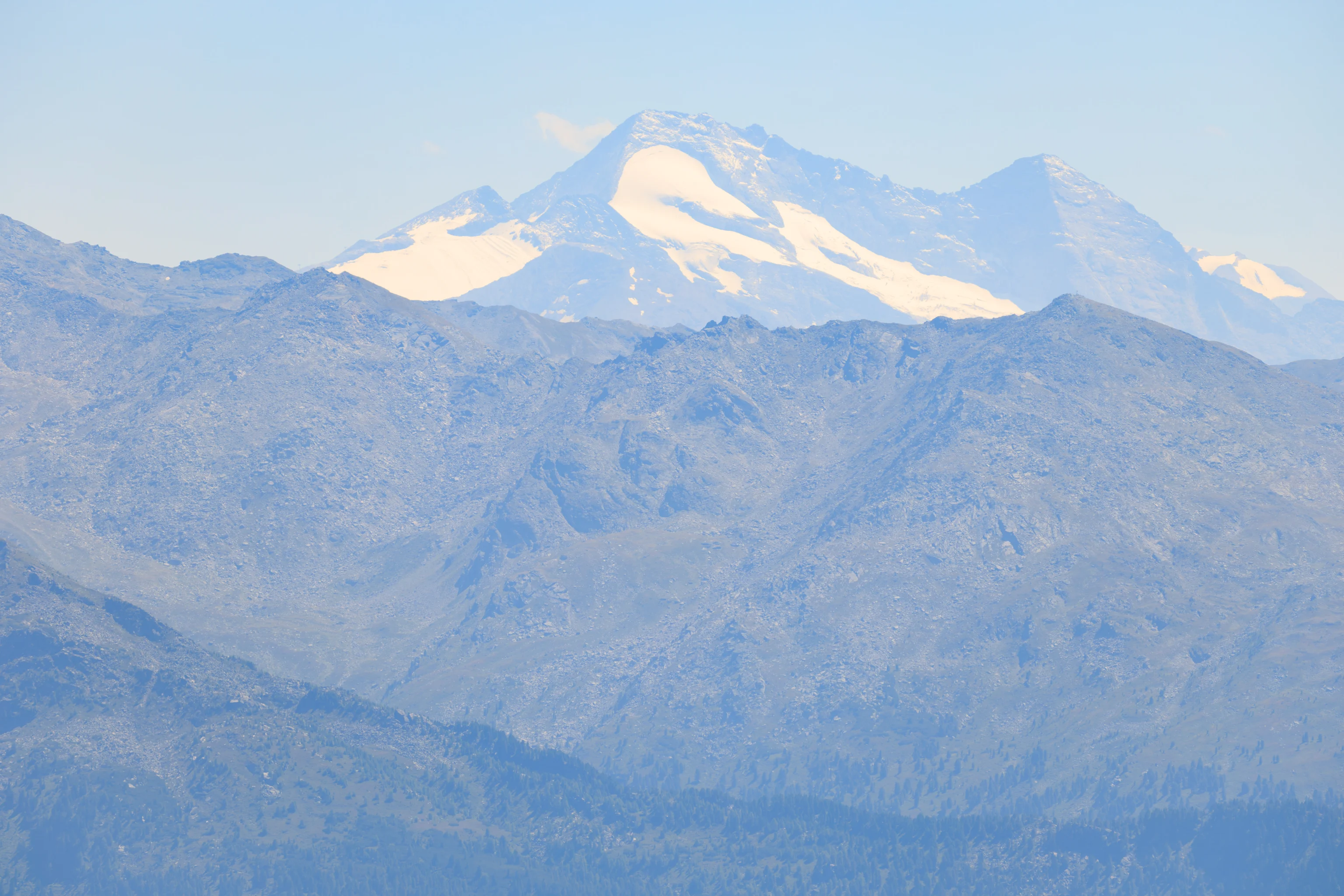
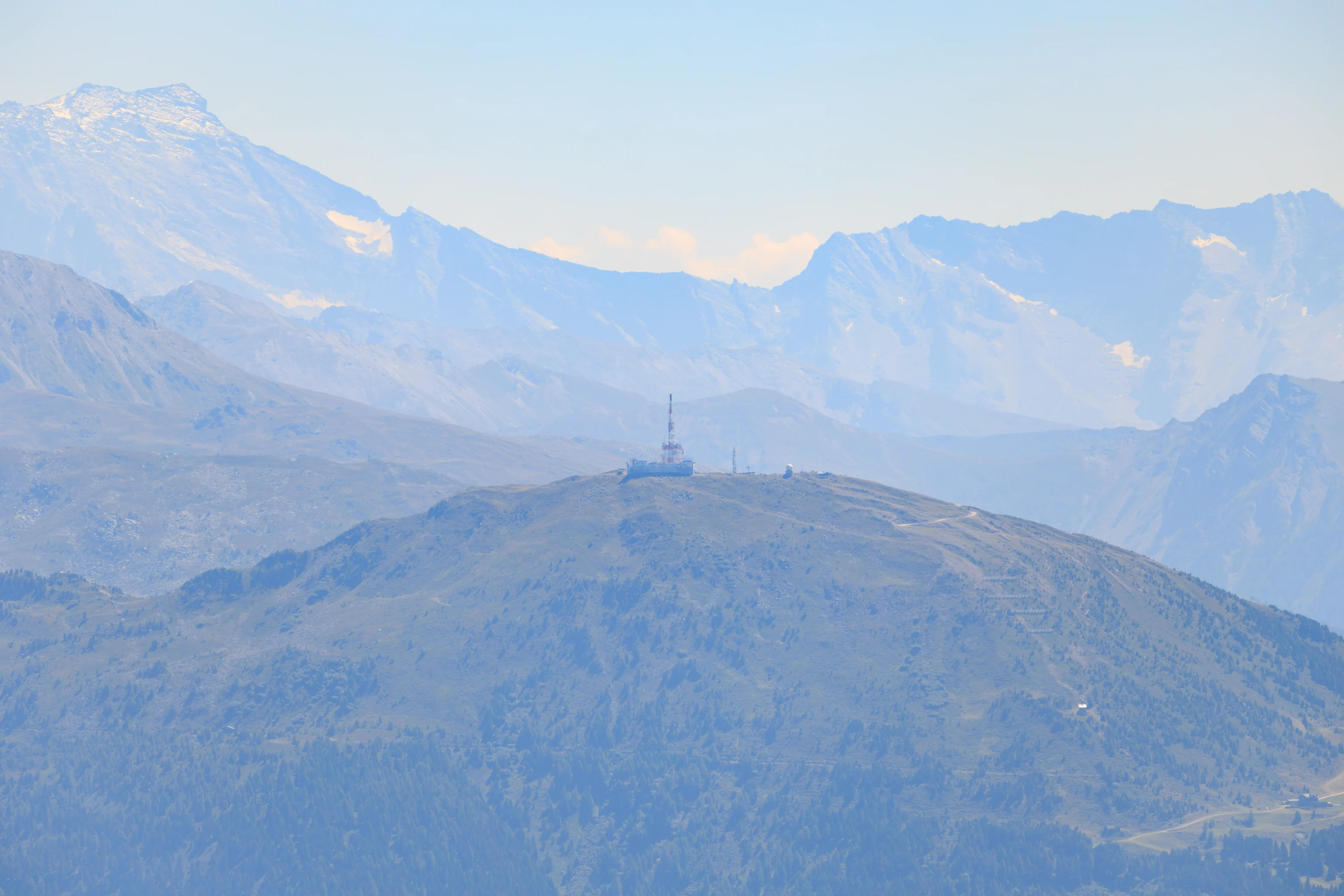
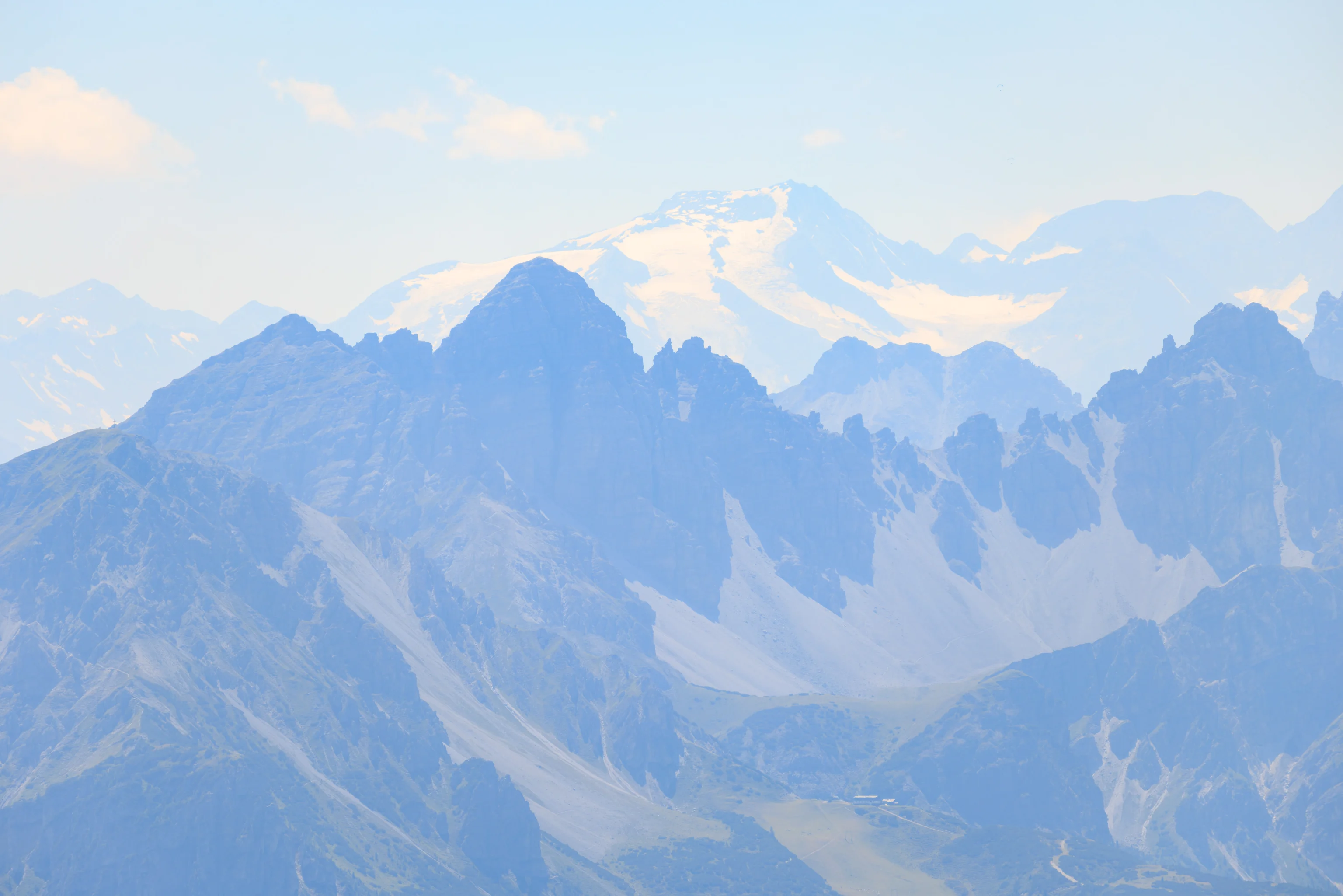

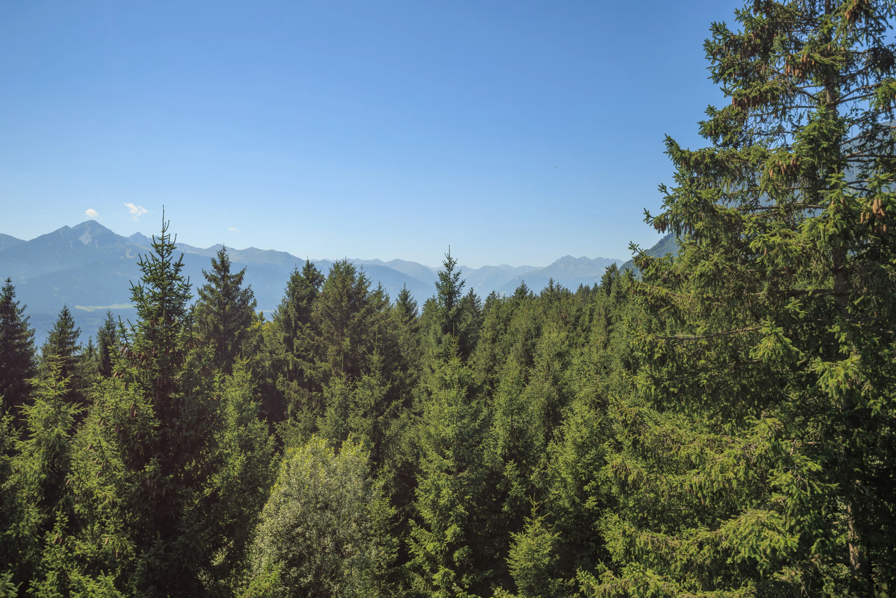
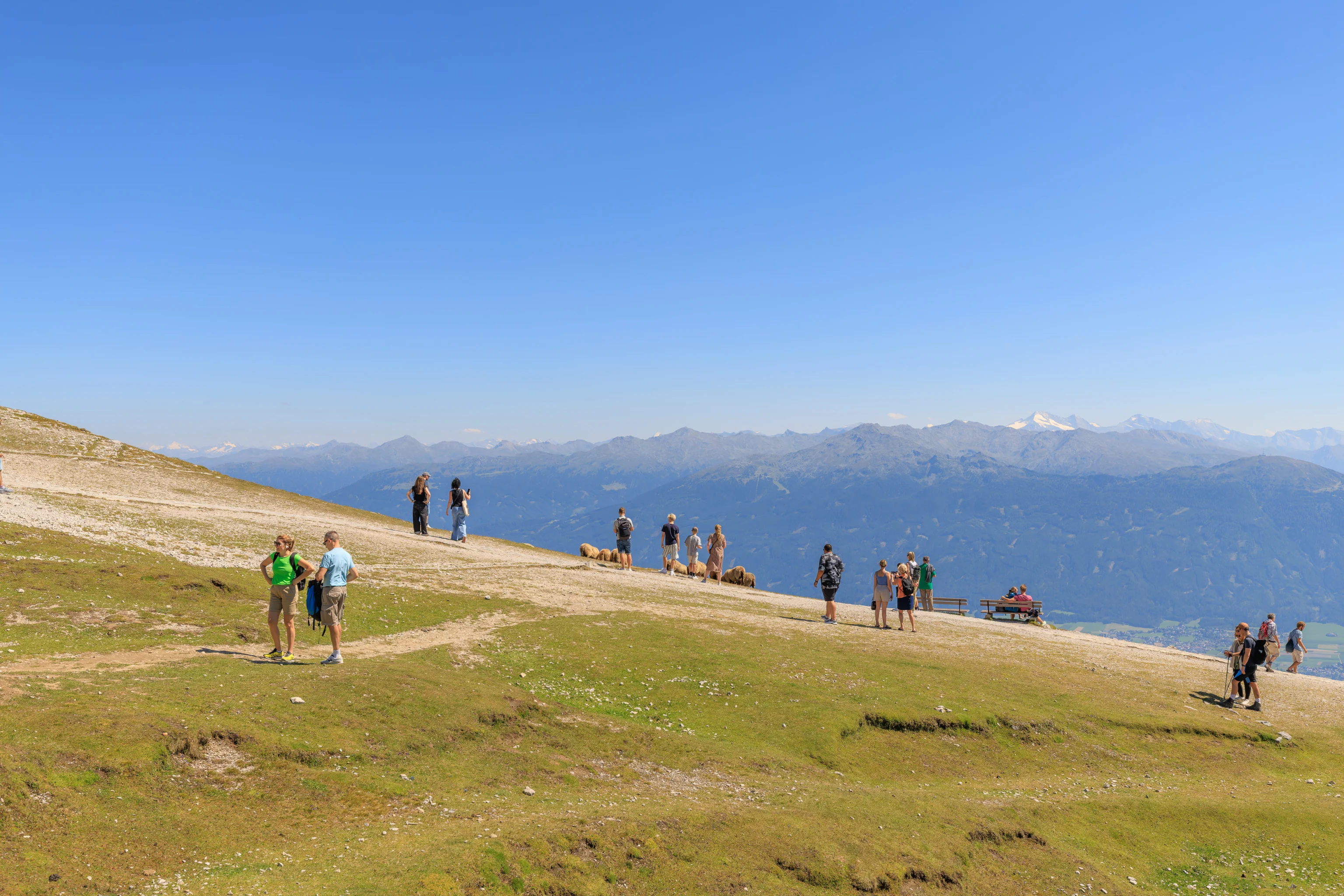
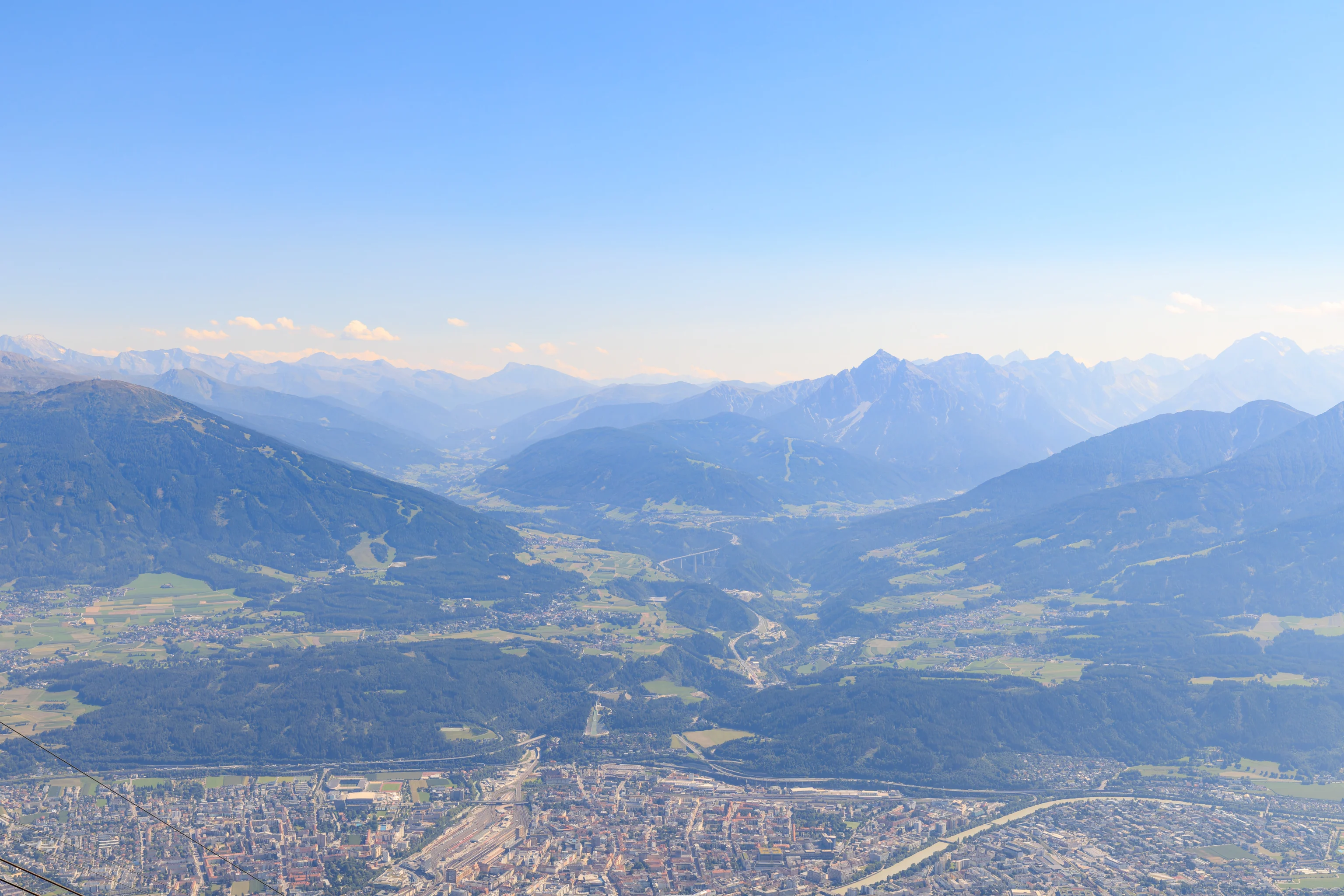
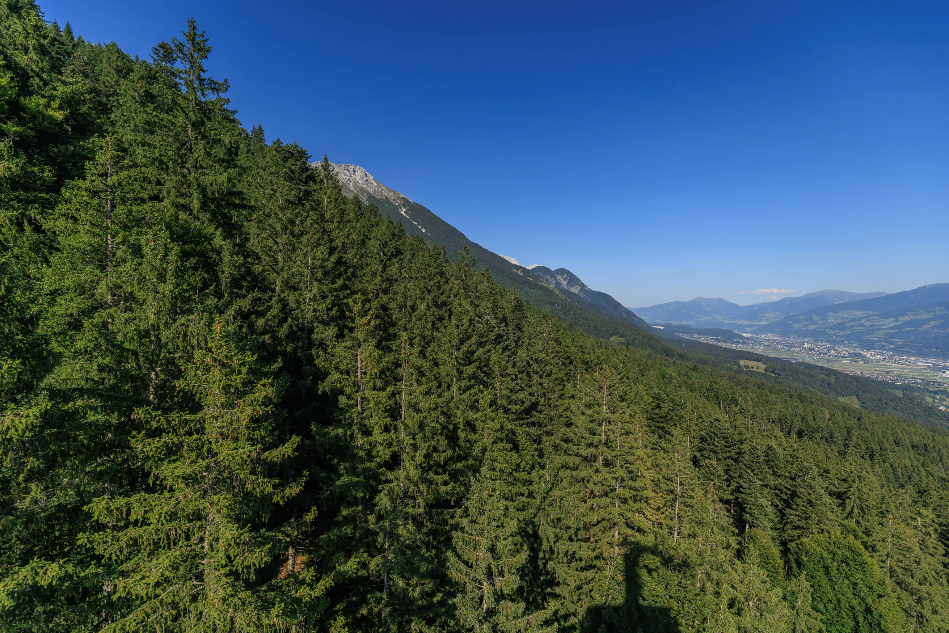
We switched to the telephoto lens to look at some of the mountains in the area. It was unfortunately rather hazy, which limited visibility. While we could still see quite far away, nothing was clear.
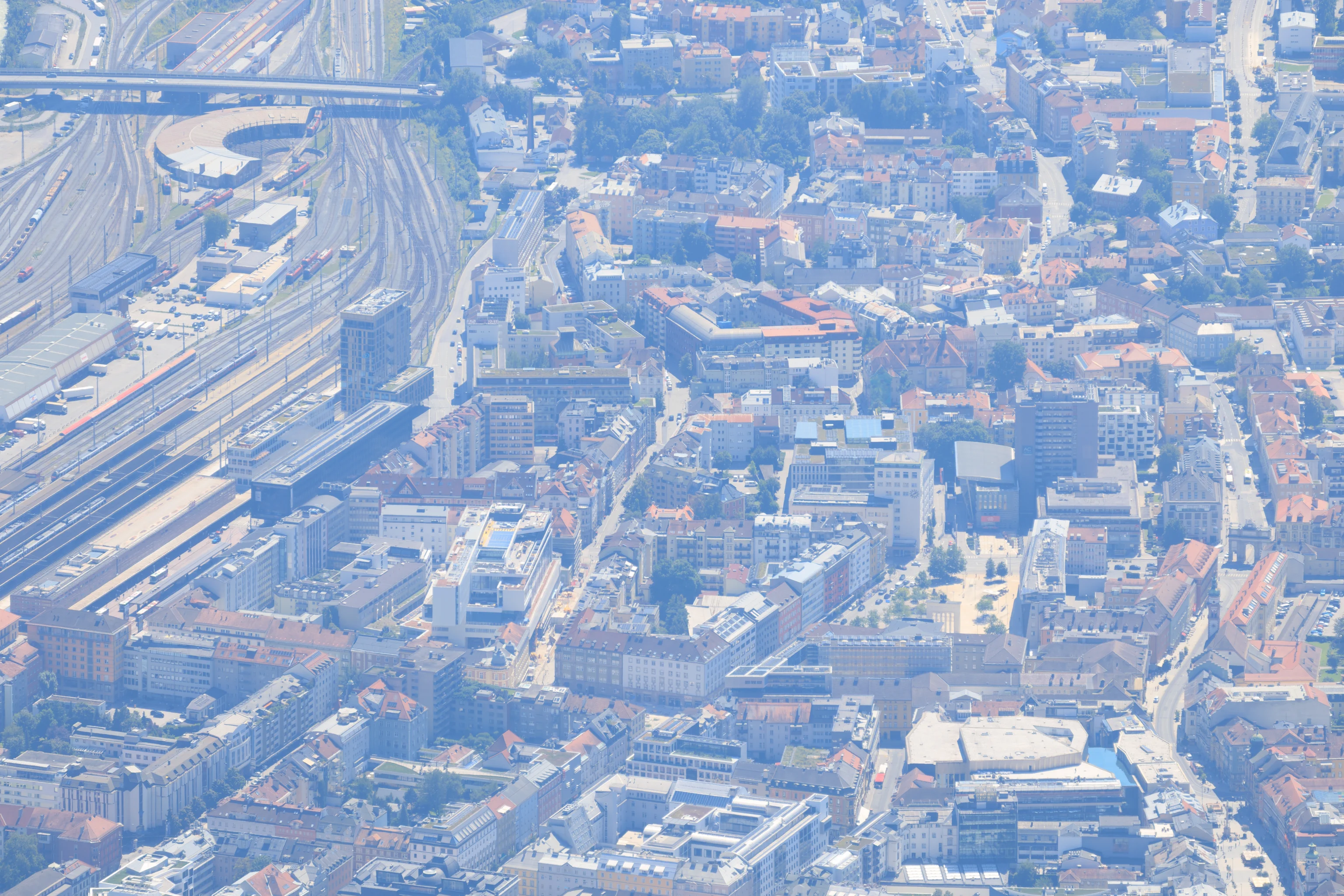
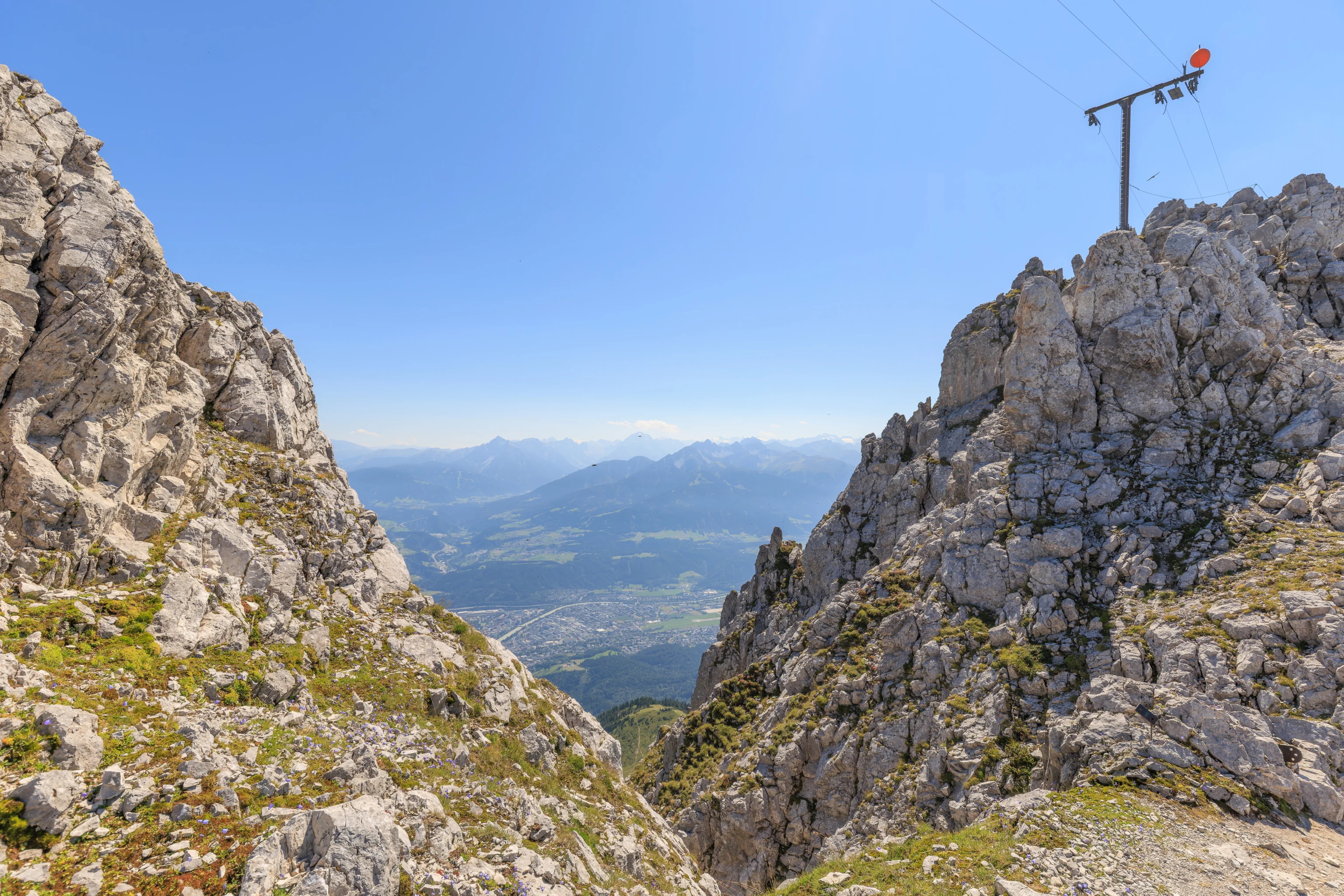
We also looked down at Innsbruck, specifically, the area near the train station, which is on the left . Over on the right, we could see the Triumphpforte. The AC Hotel is also visible. It is the tallest building near the Triumphpforte.
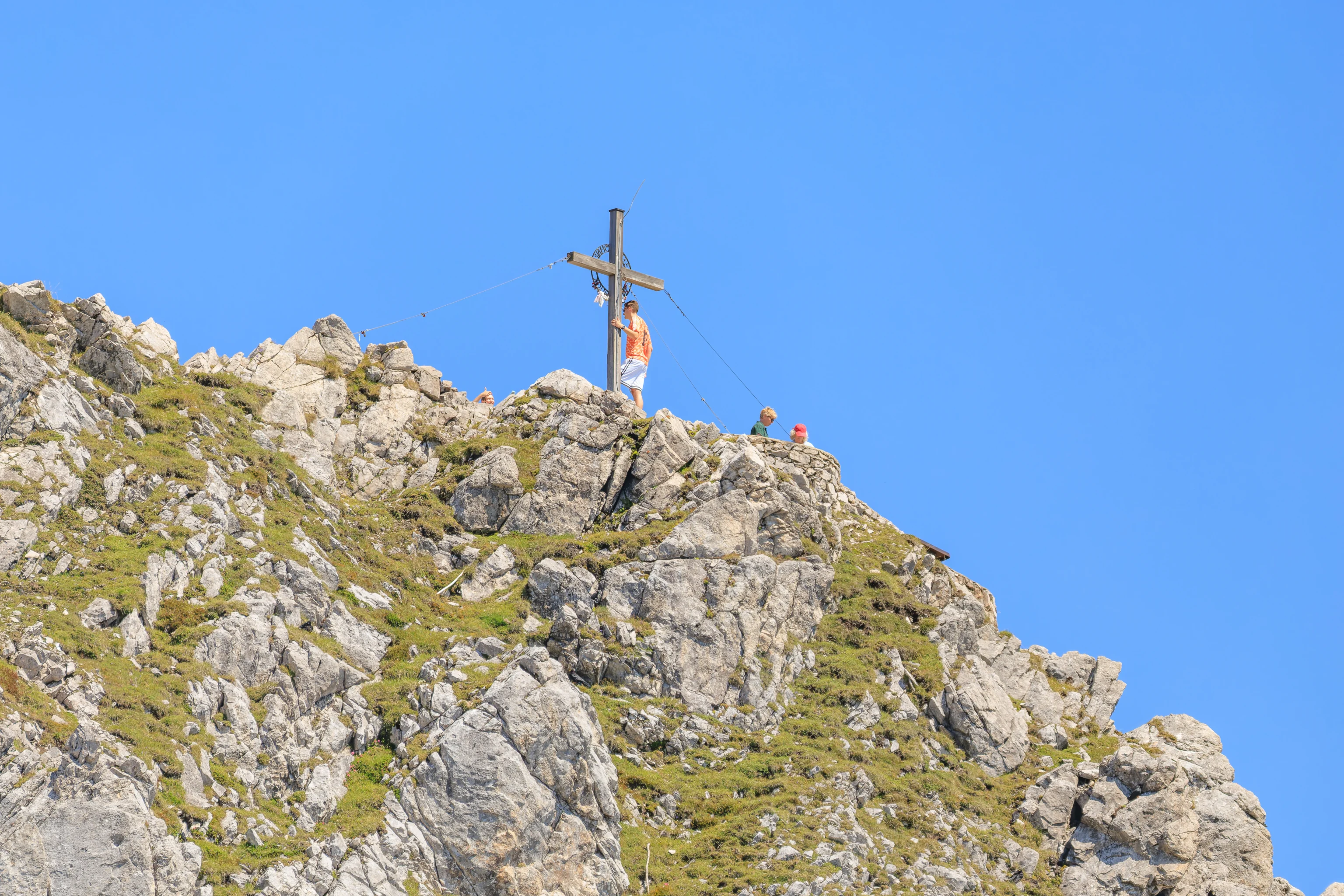
We saw people posing for photographs with the cross at the top of Hafelekar.
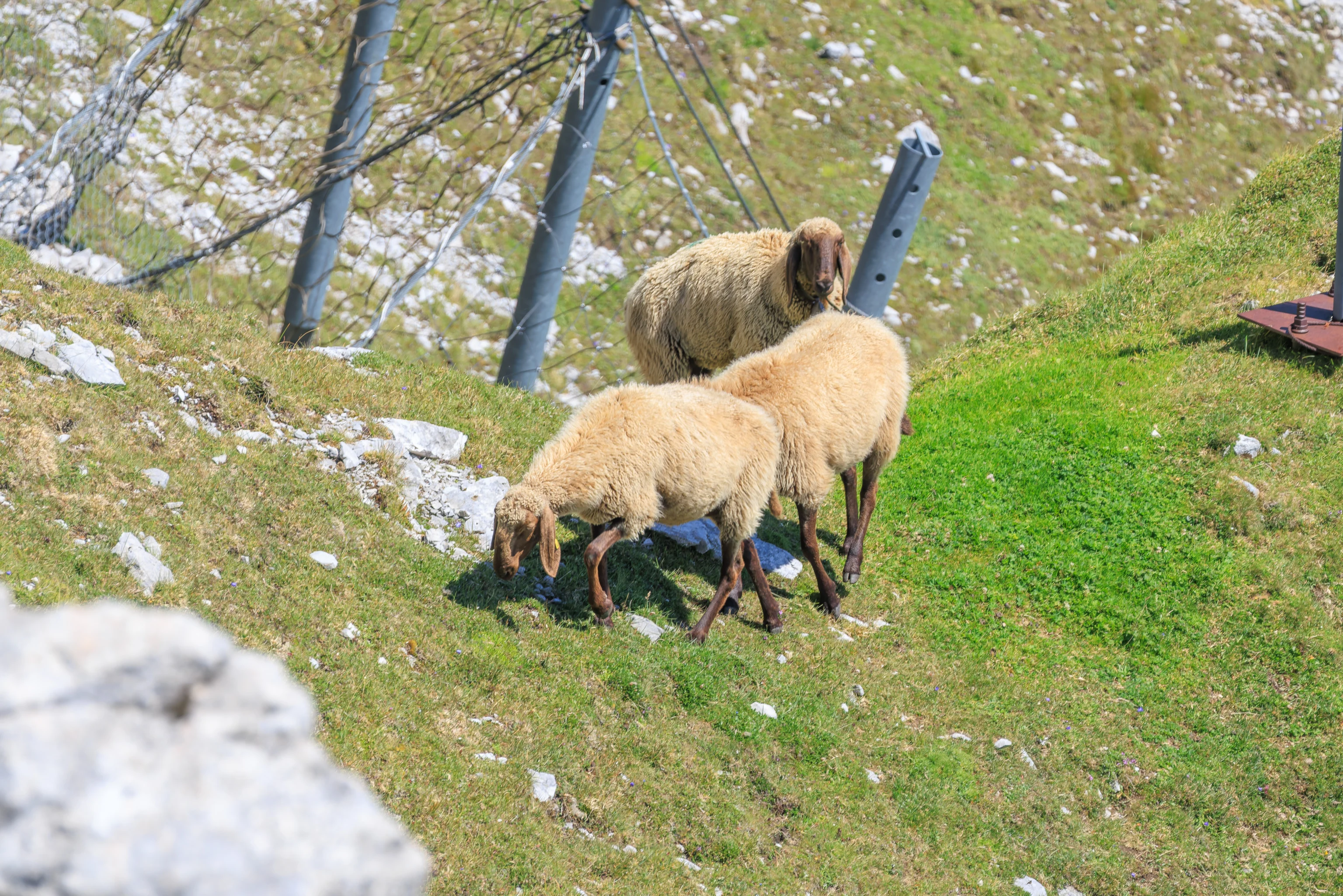
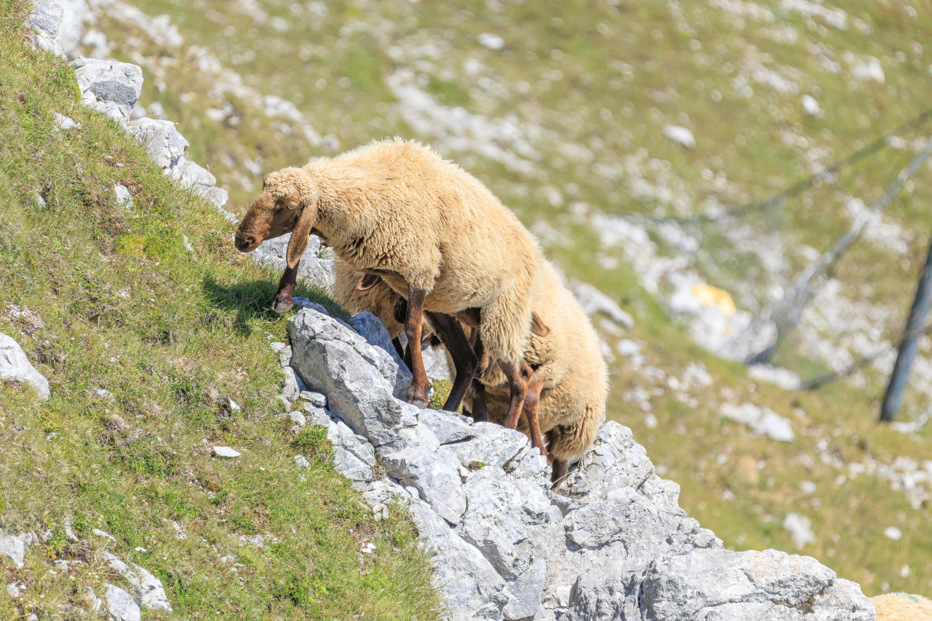
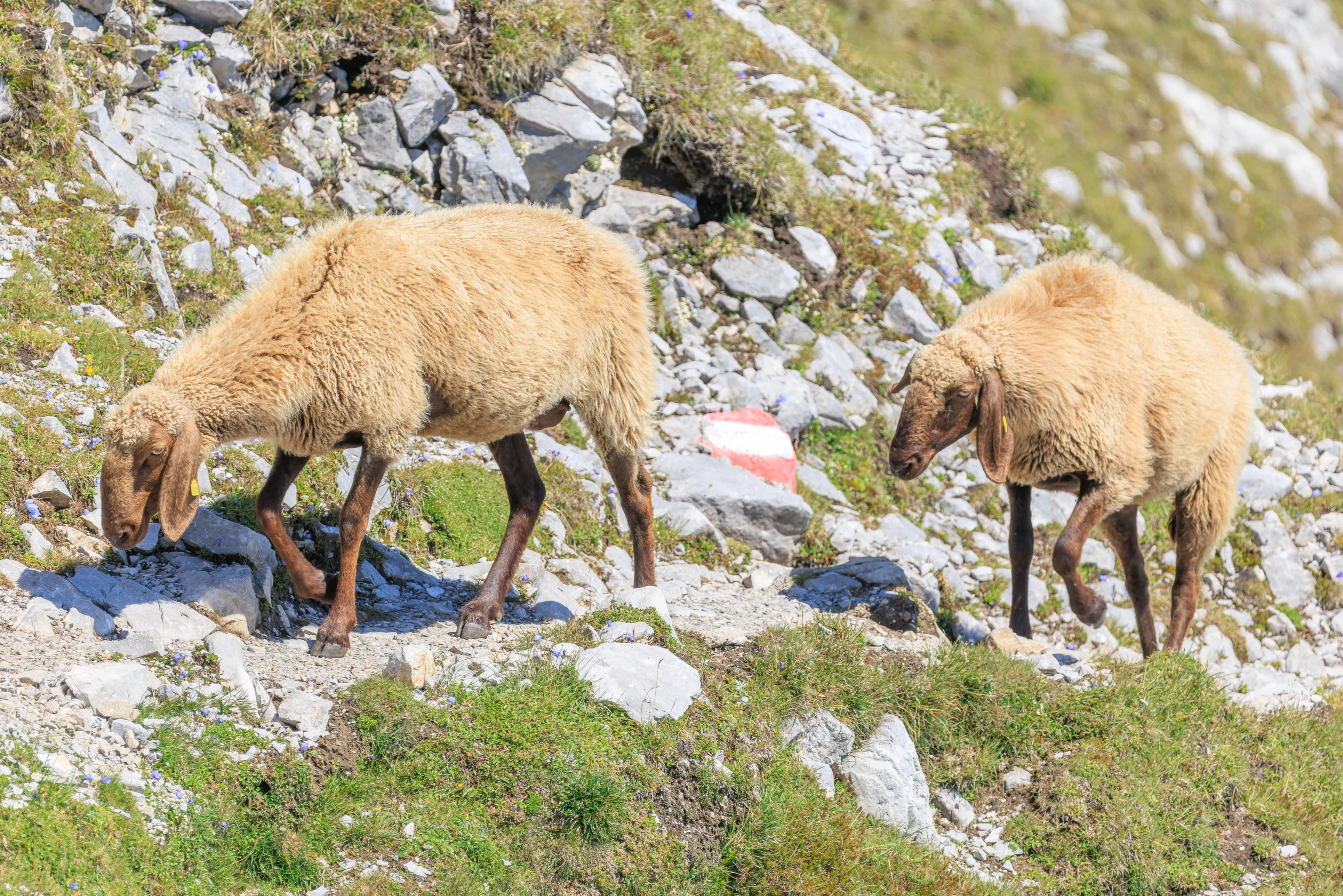
We then followed the sheep as they got closer and closer. They eventually crossed thee path that leads up the mountain. They seemed to be very accustomed to humans and were not afraid.
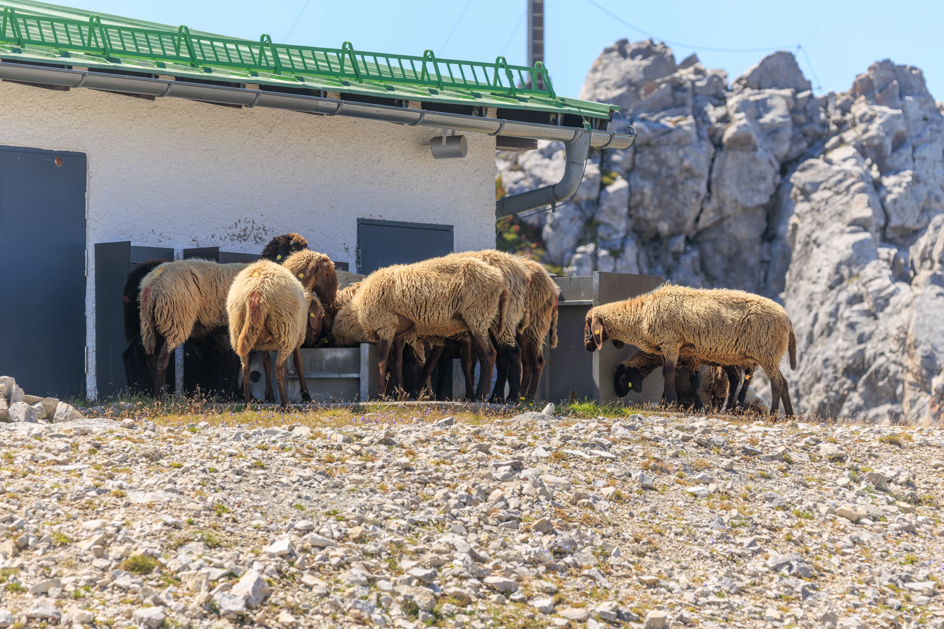
We saw that there is place for them to get water on the north side of the station building!
Time to head up to the top!
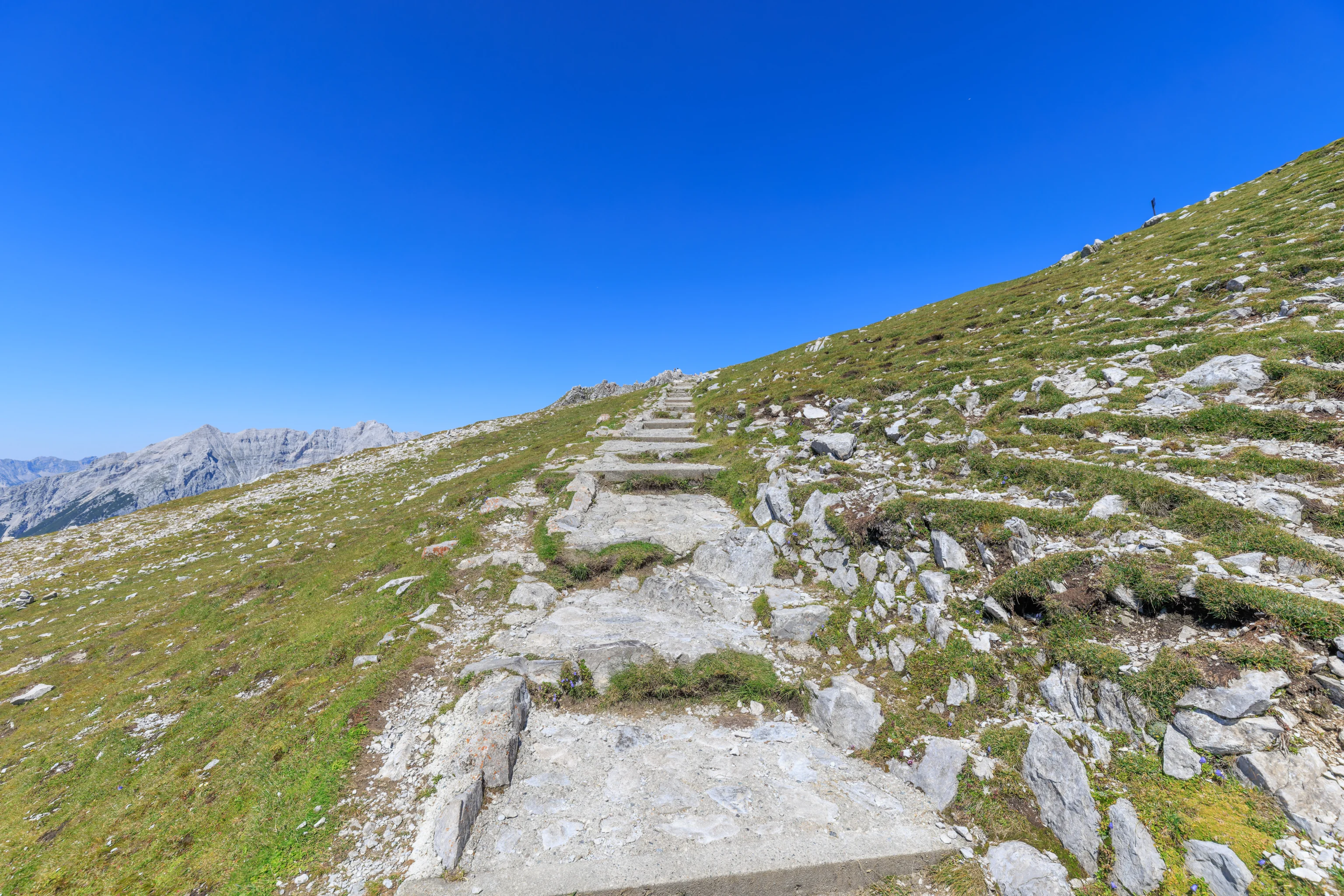
The trail was pretty steep in places, though its hard to tell from this wide angle photograph.
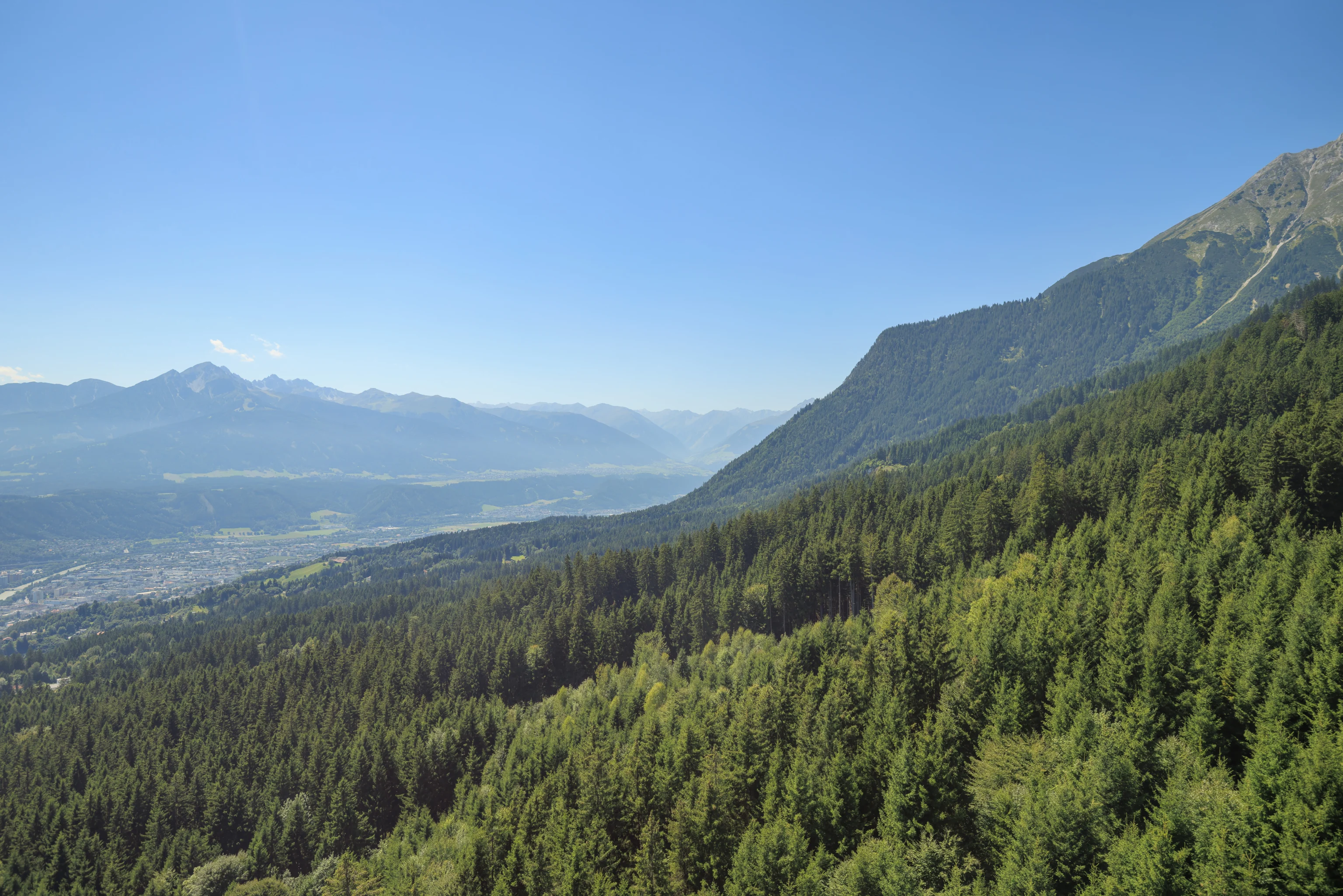
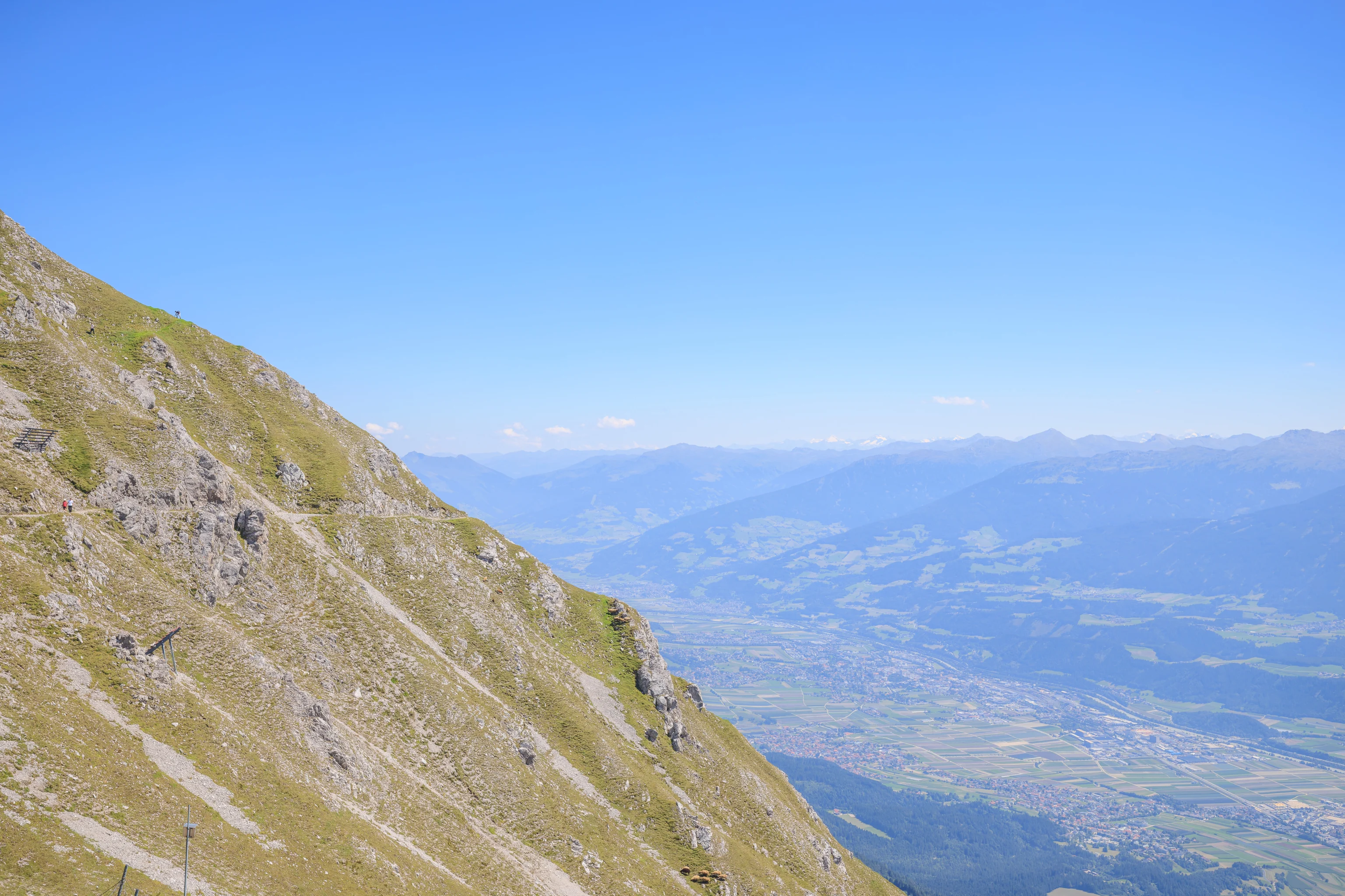
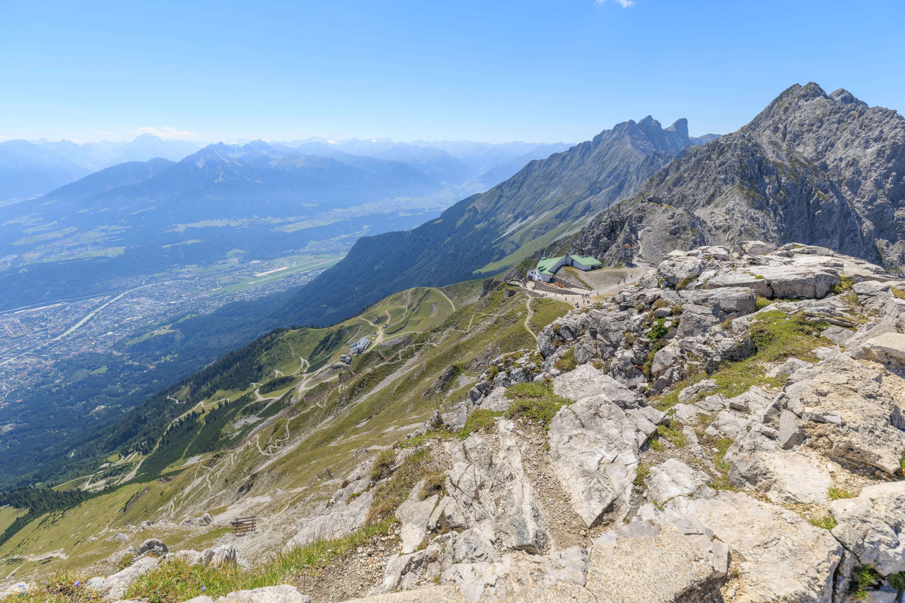
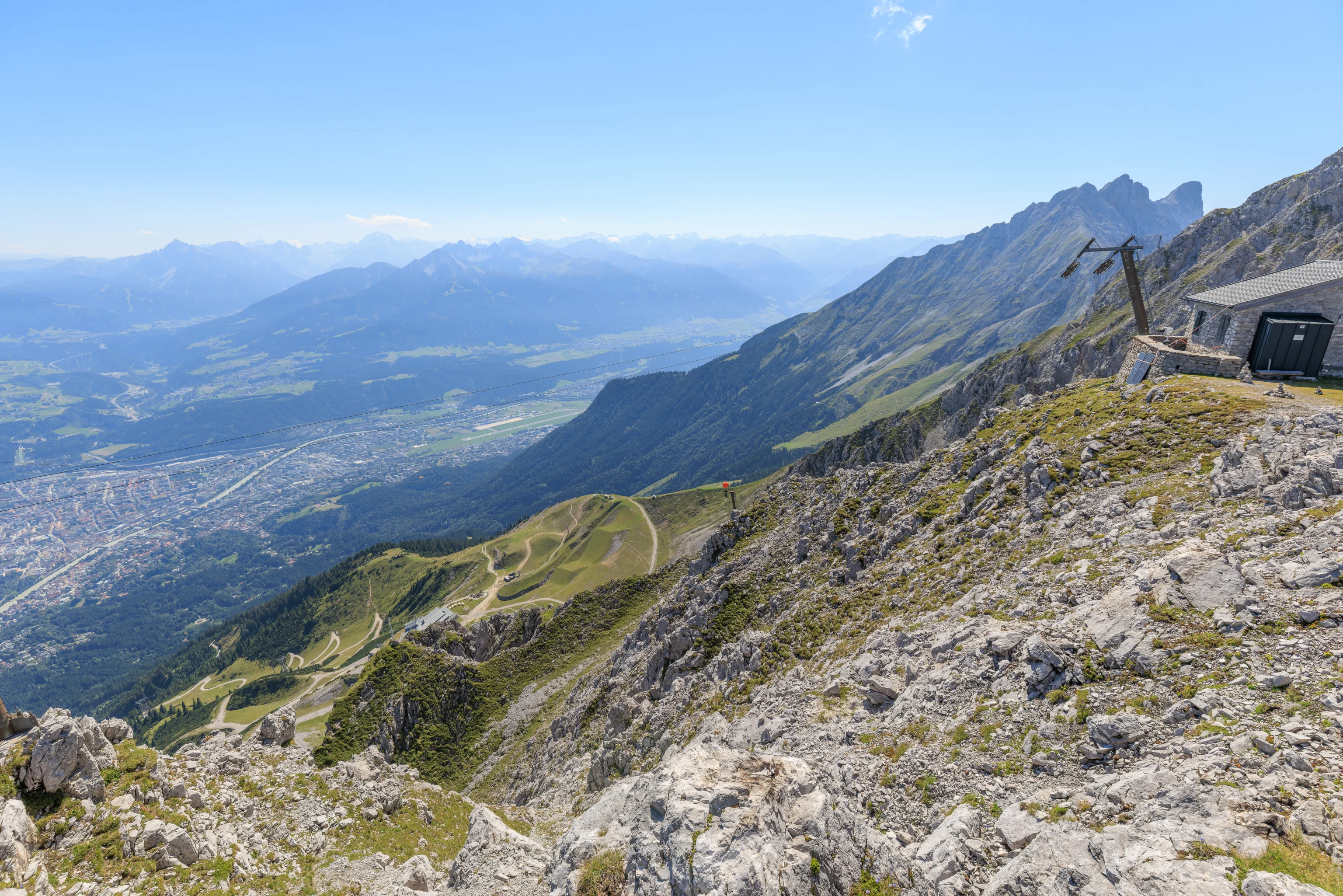
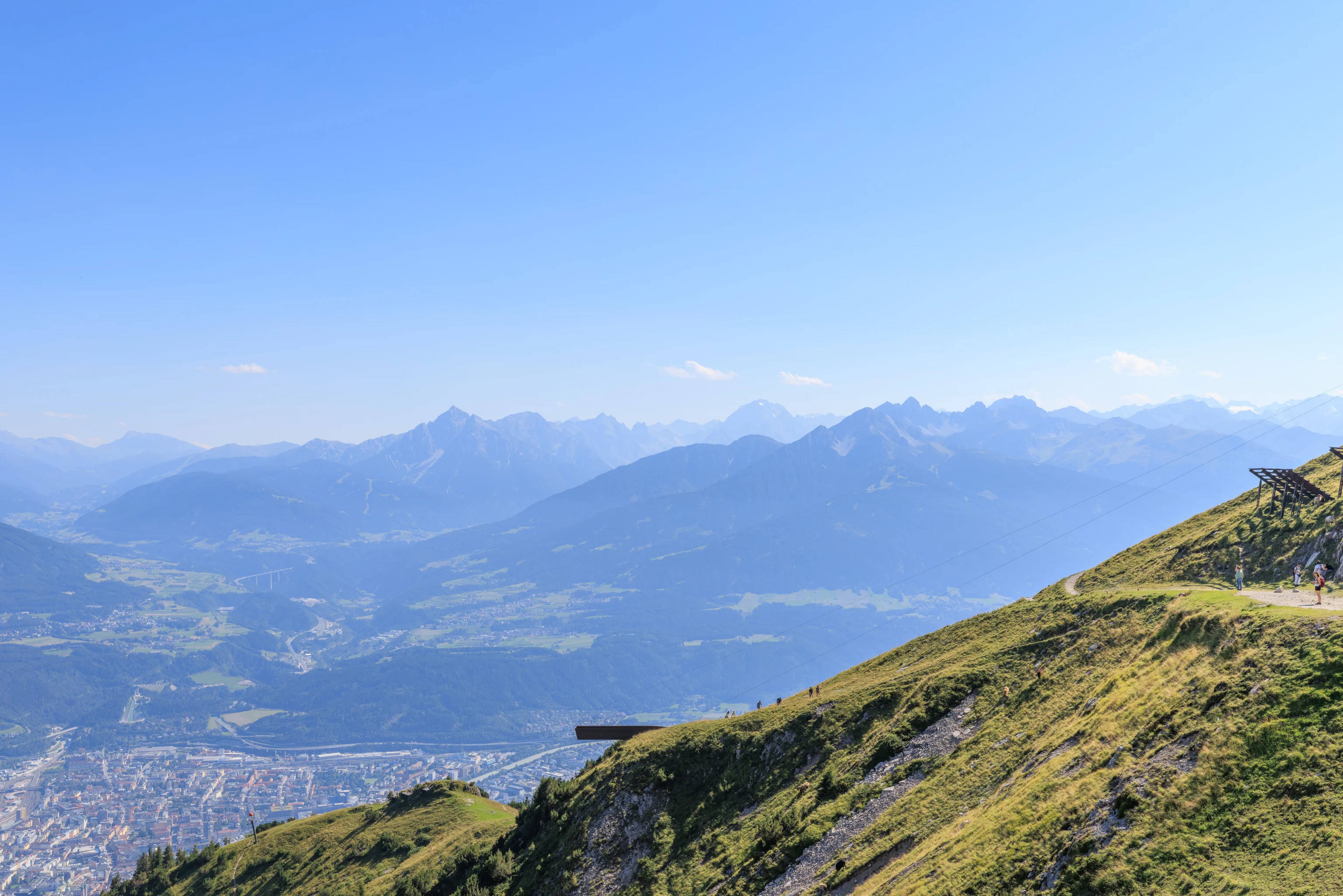
Looking below, we could see the entire city of Innsbruck below. The view was much like the one we had earlier when we were down at Hungerburg, just from a higher perspective.
We continued to ascend.
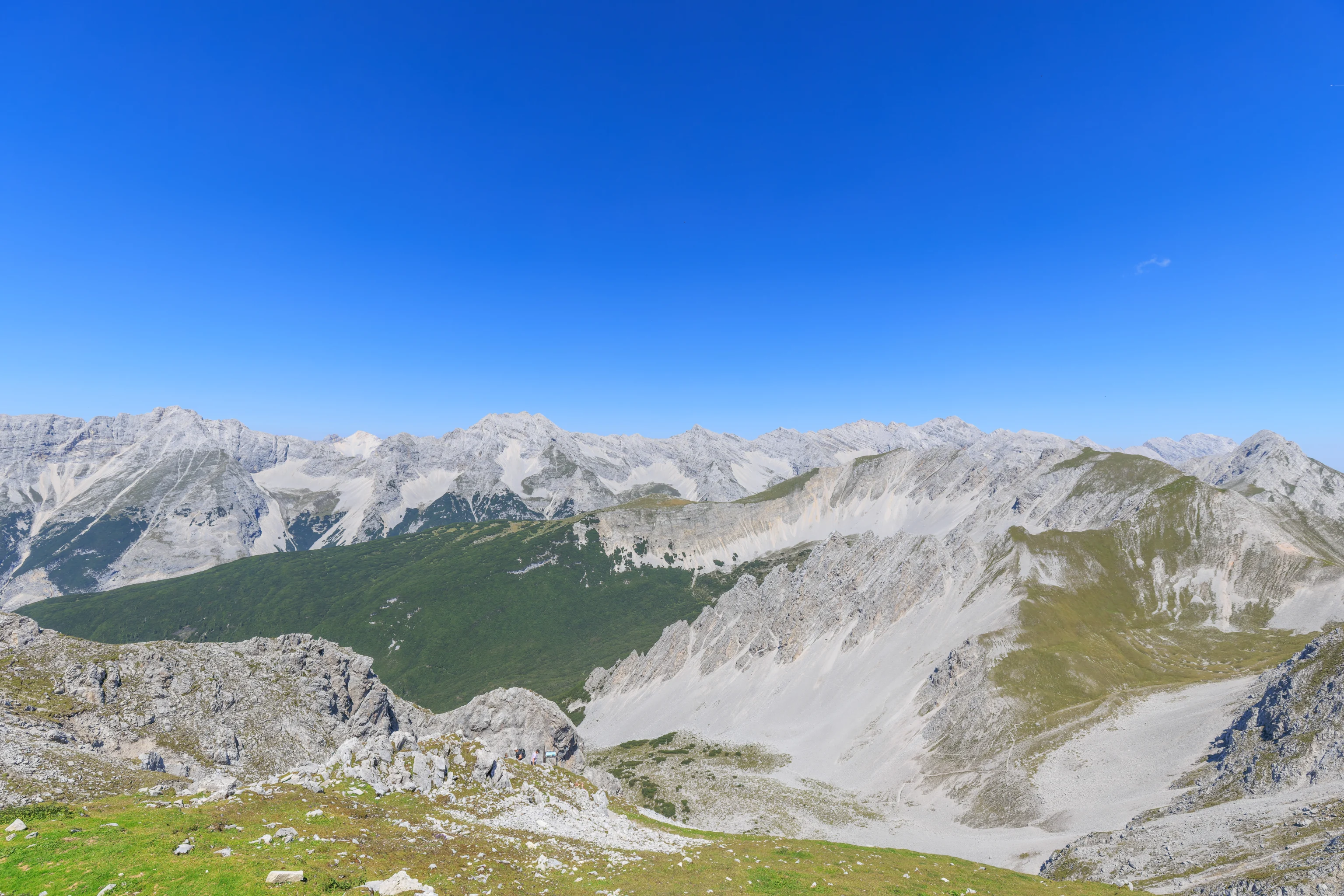
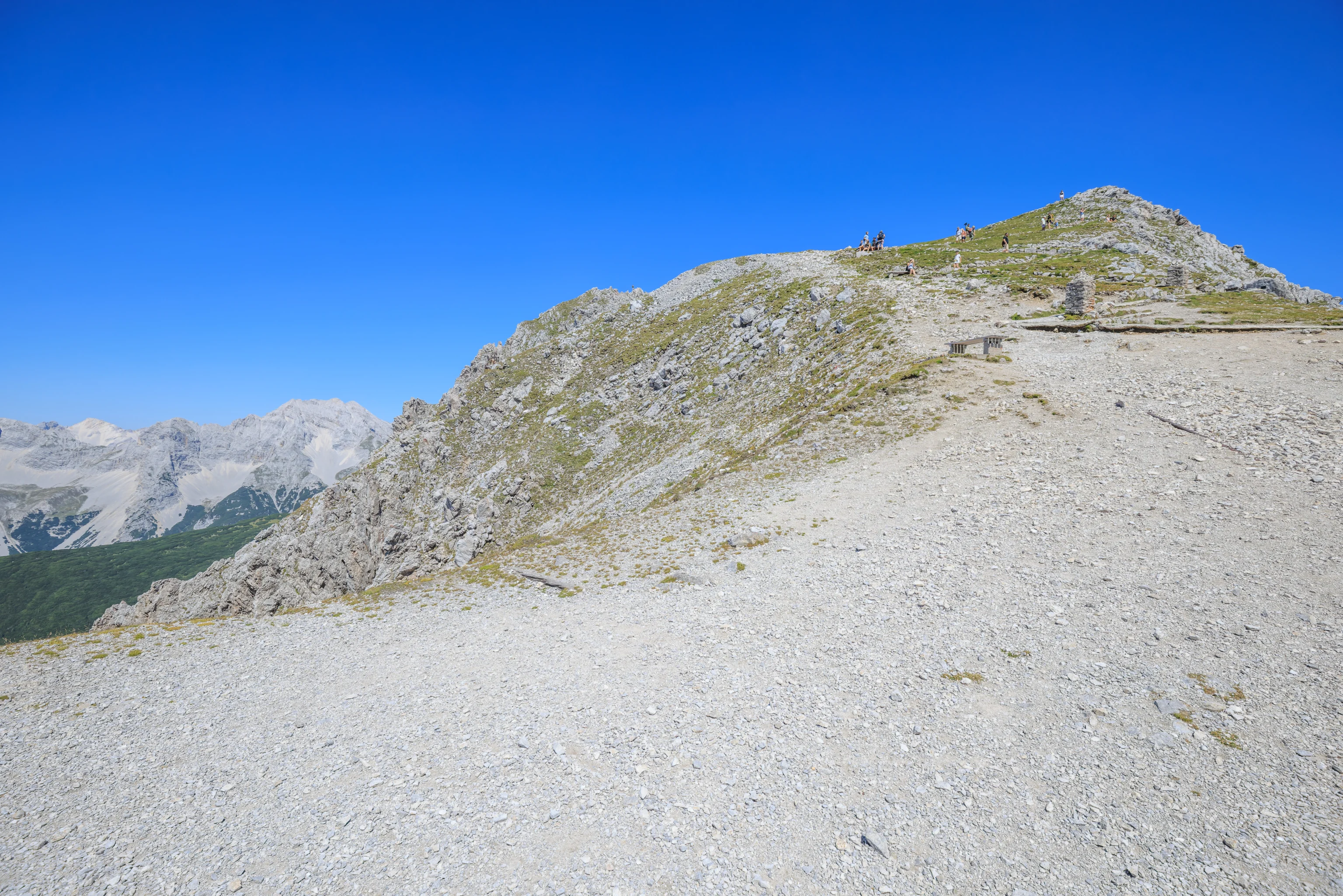
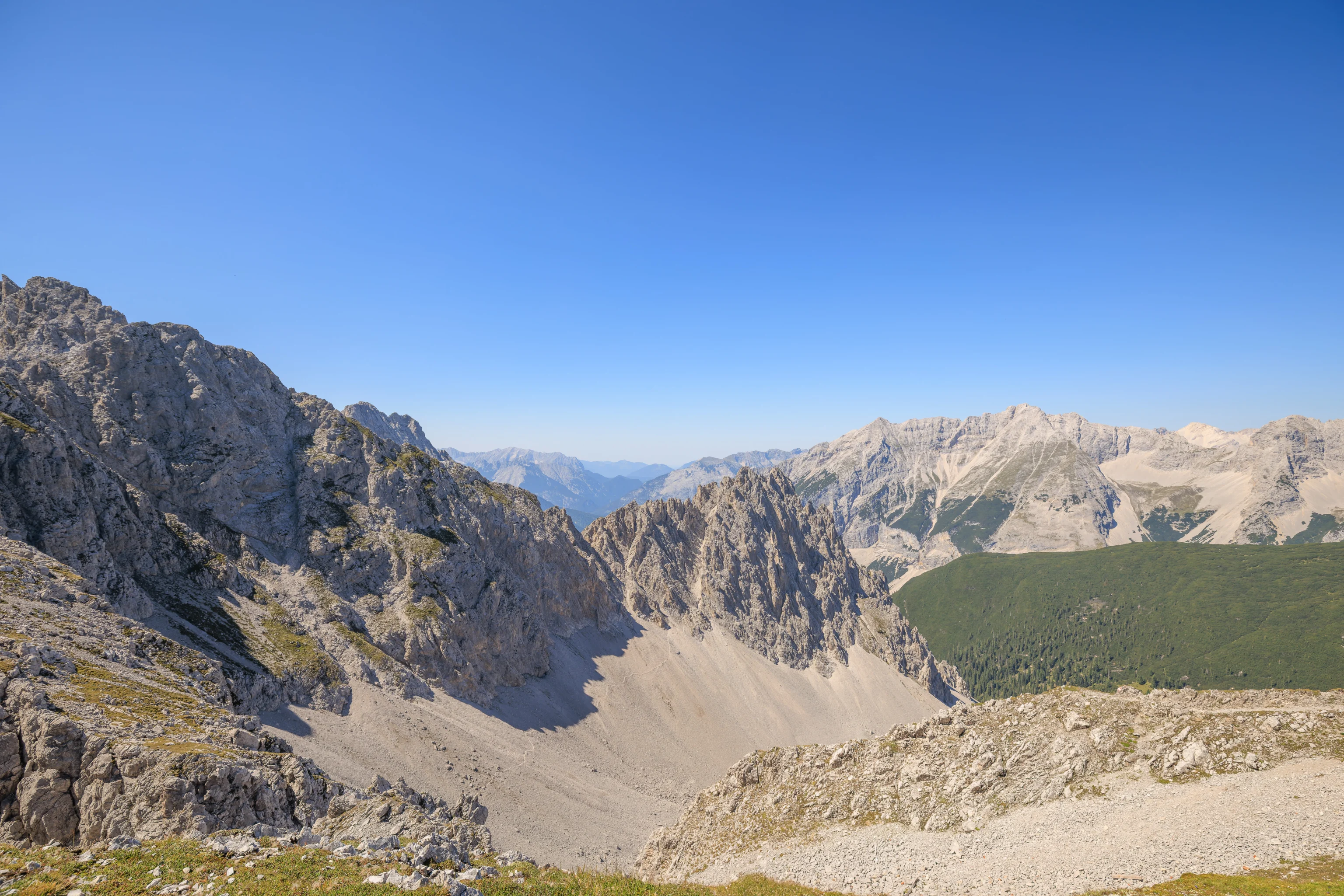
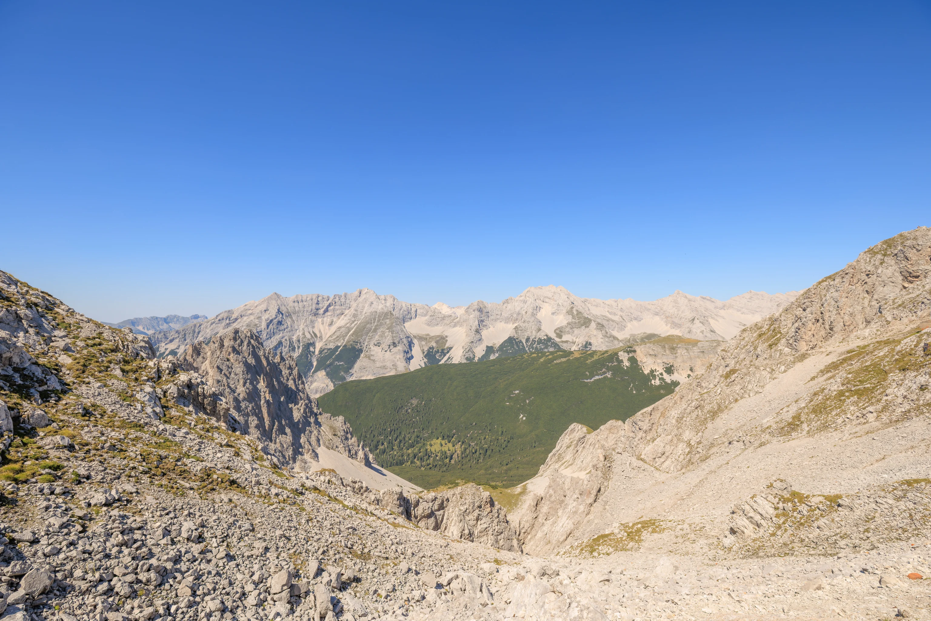
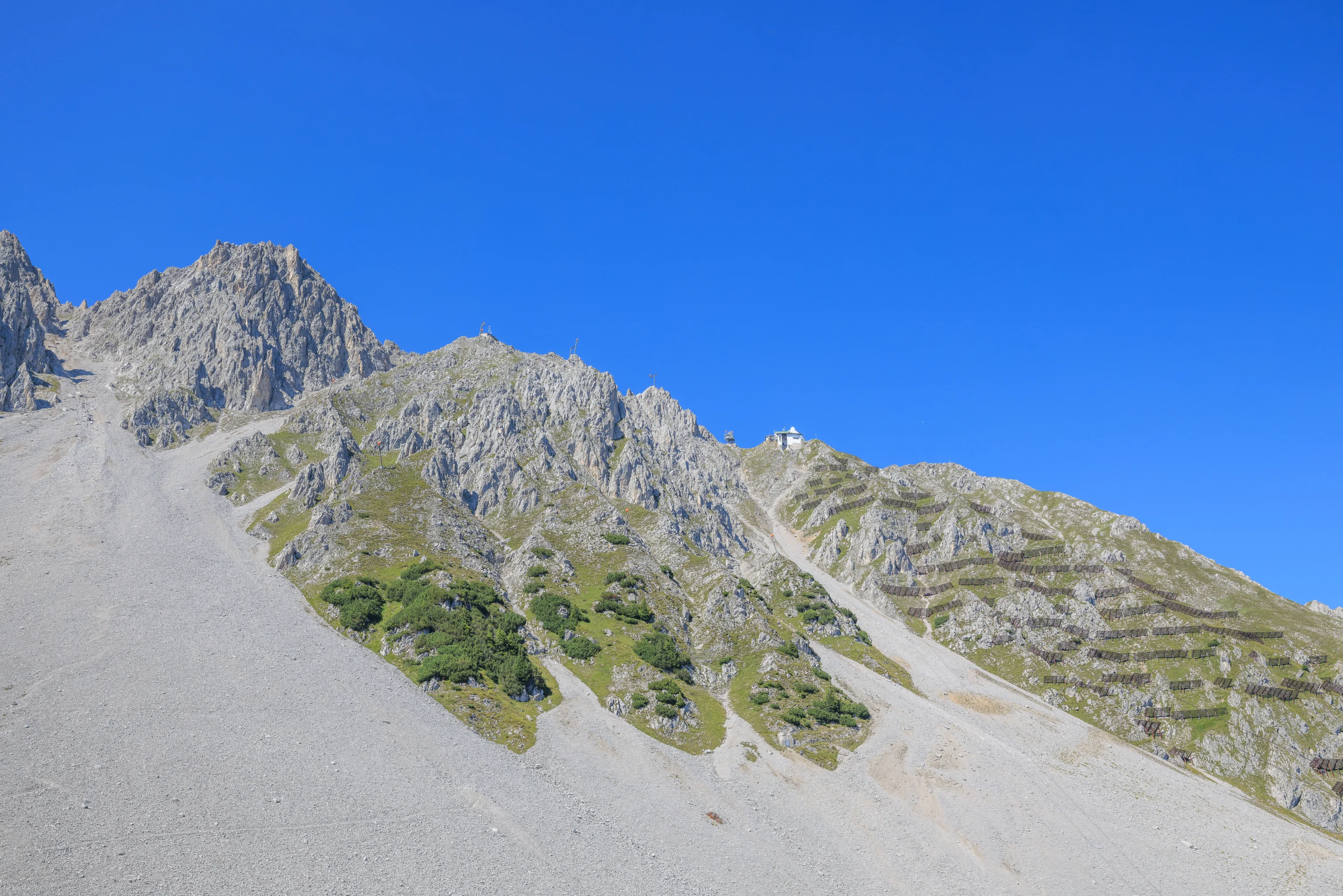
Looking to the north as we got closer to the peak, we could see additional mountains to the north as well the head of a valley below. The path here is pretty mild.
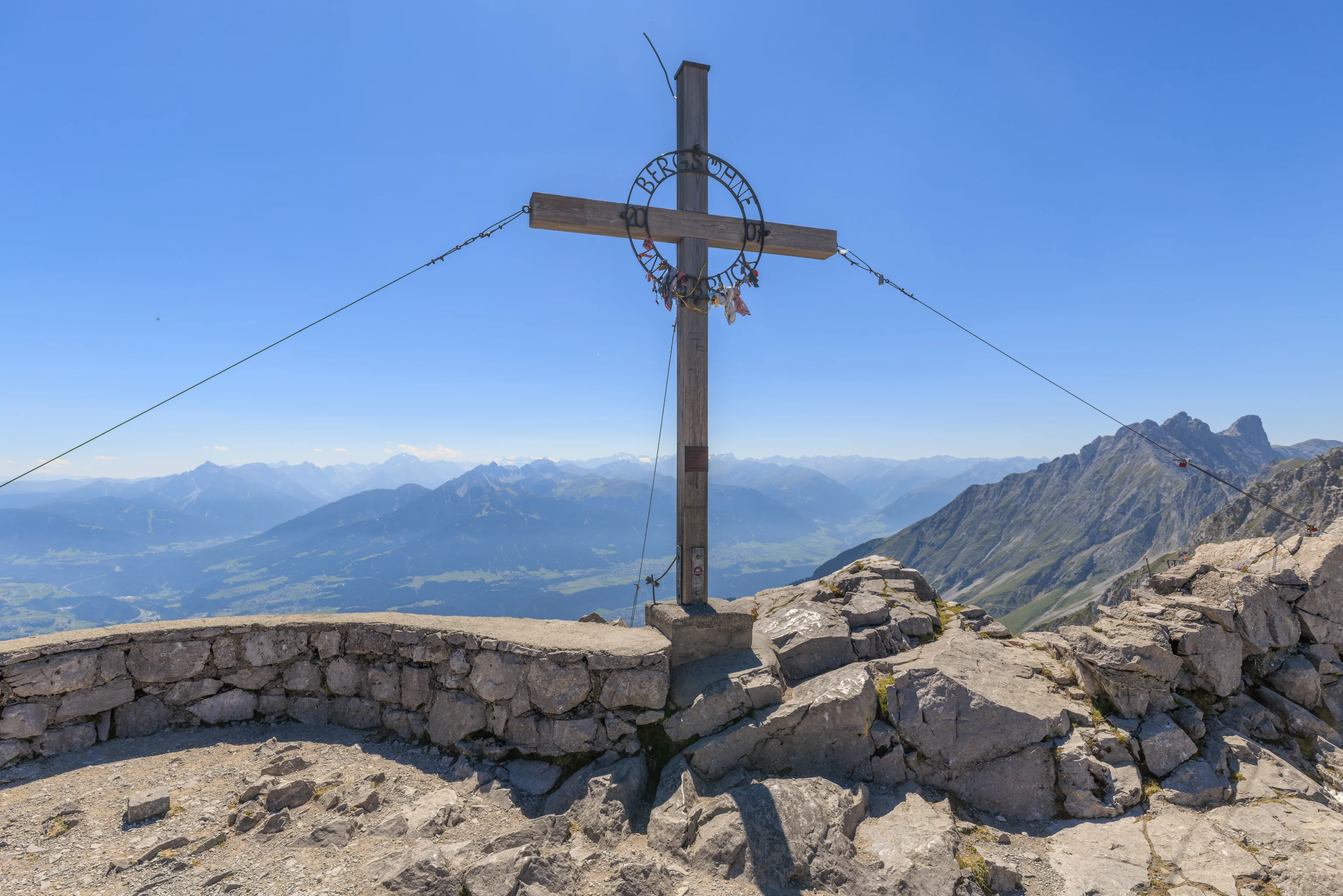
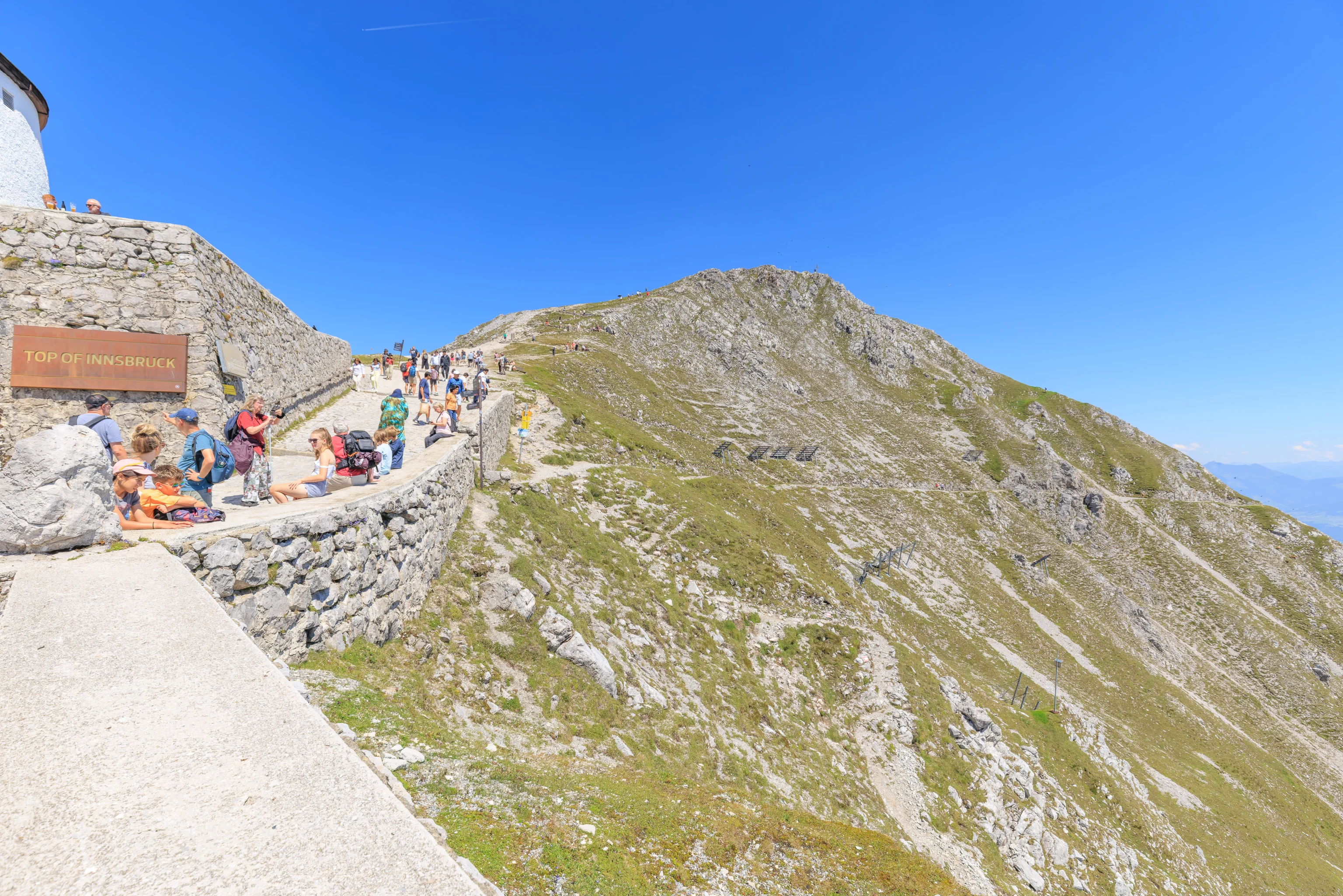
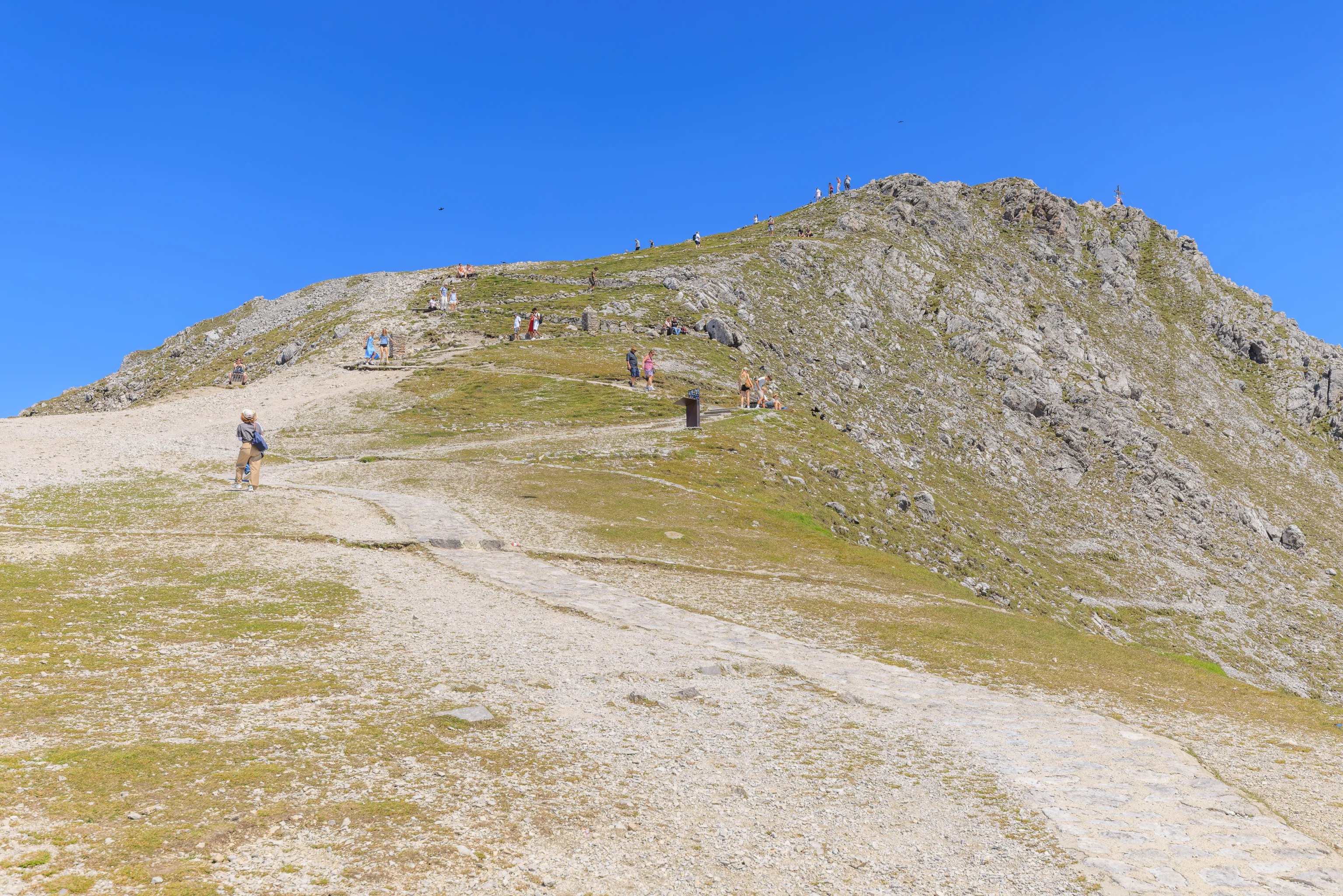
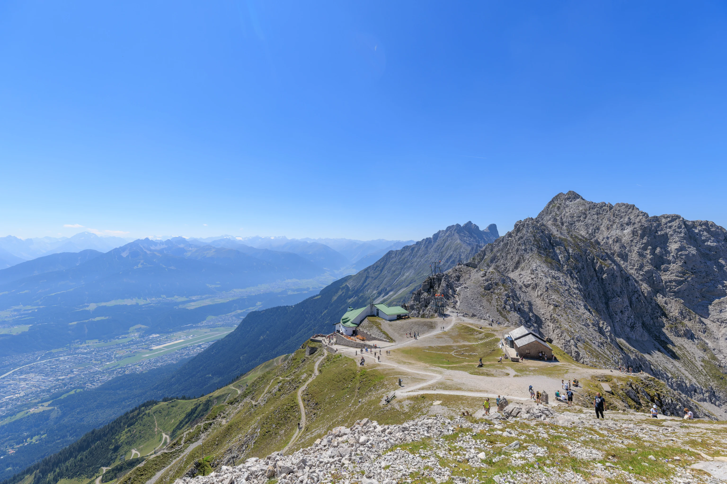
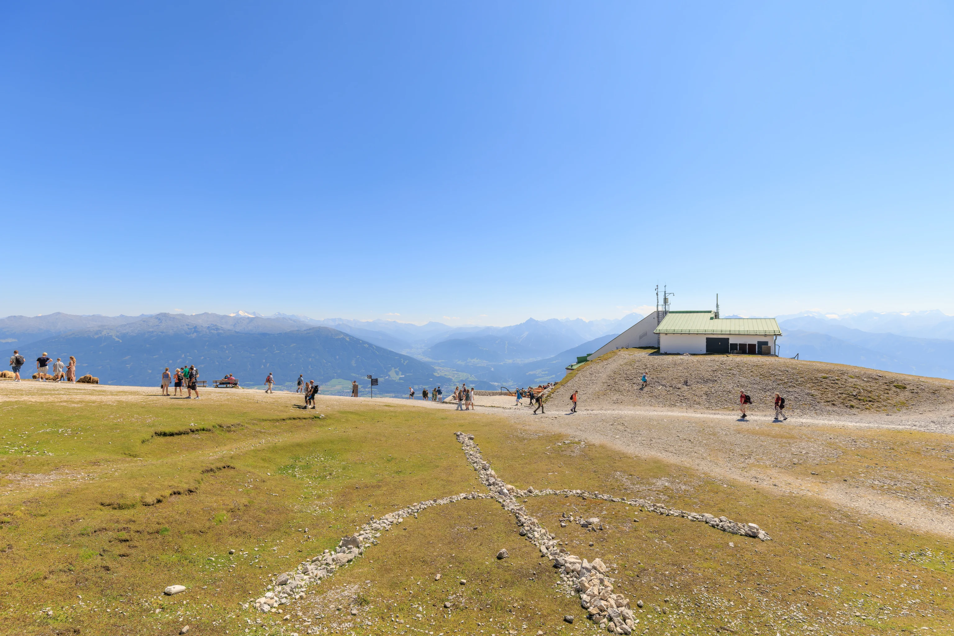
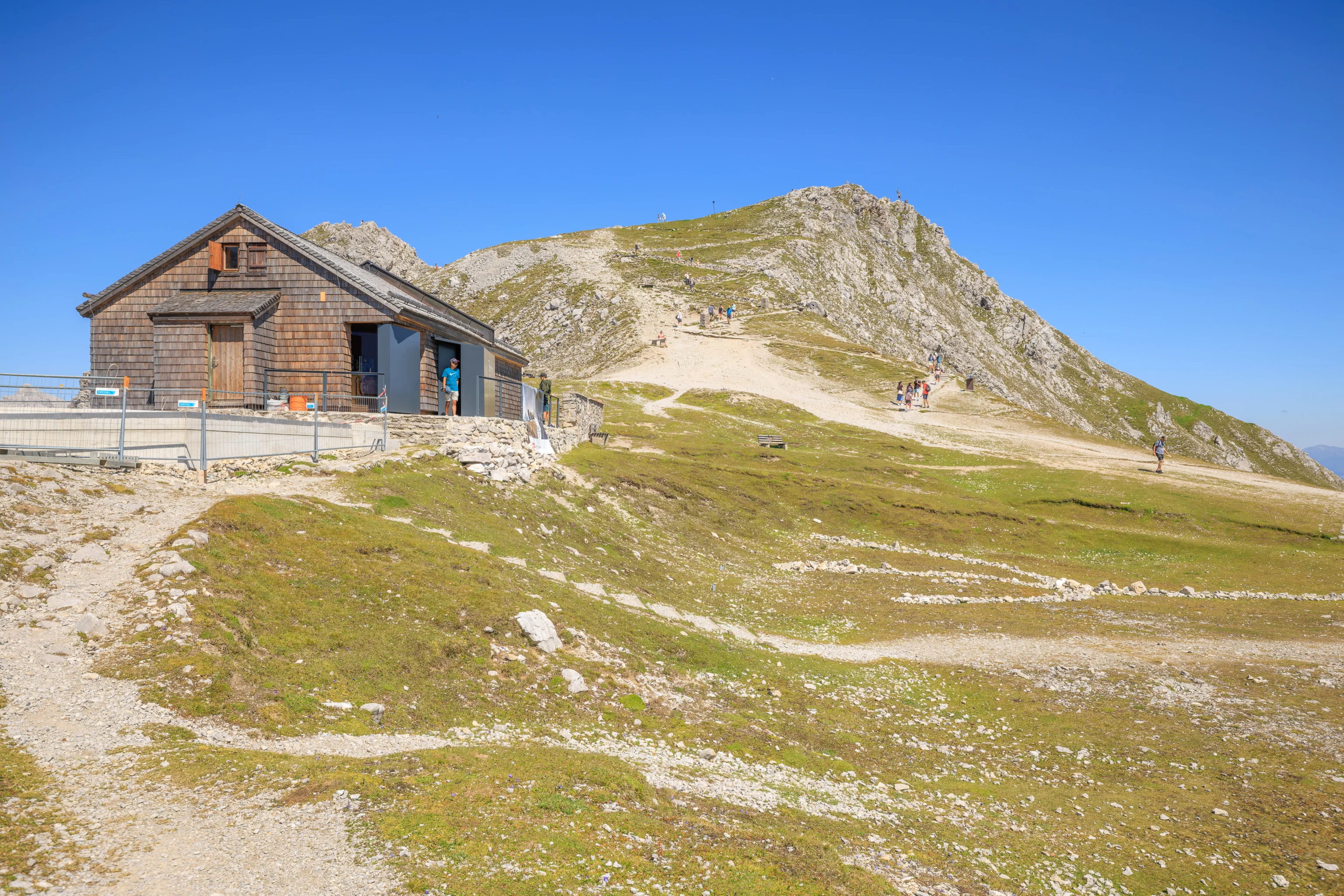
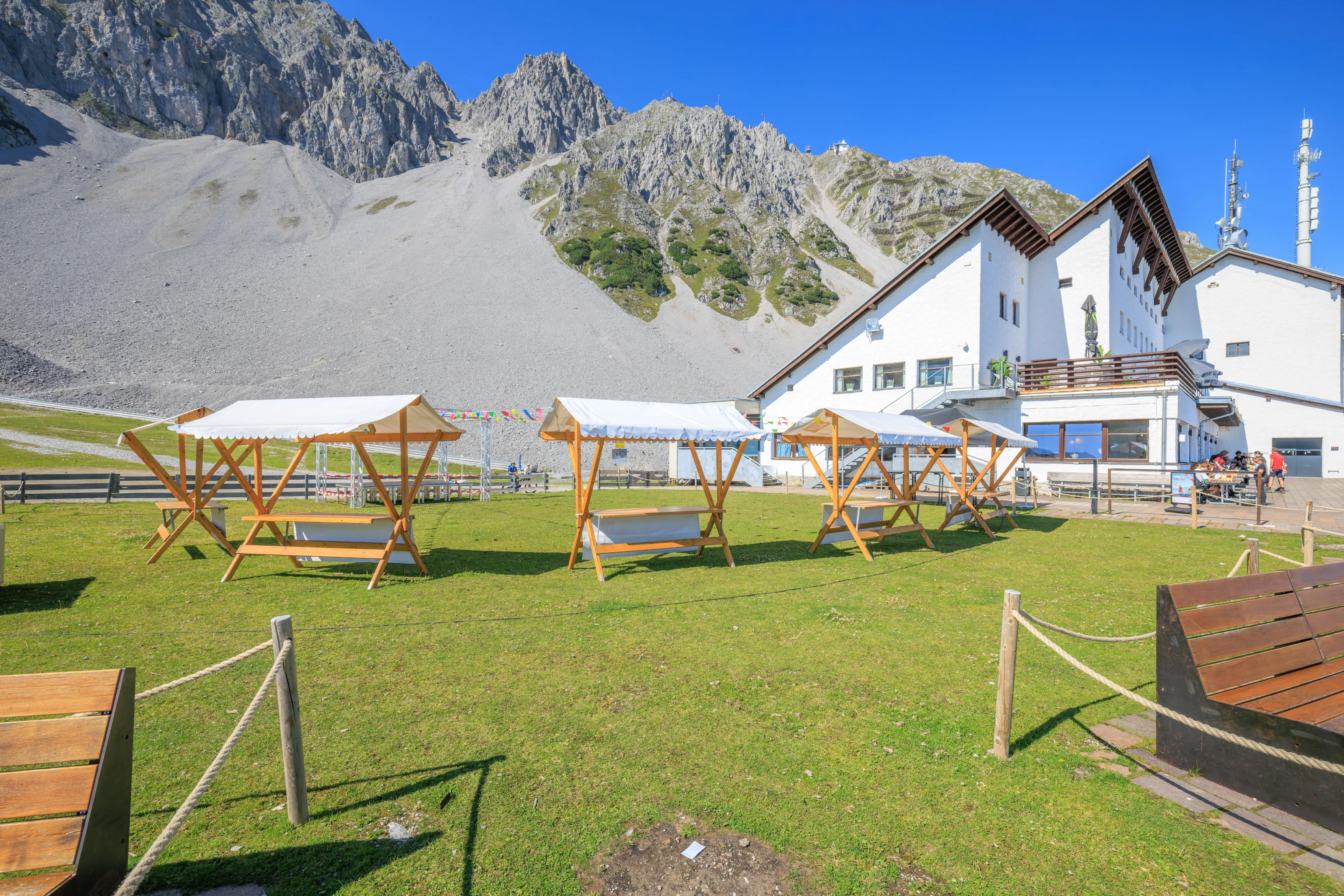
We reached the peak at around 2pm.
We enjoyed the view for awhile from the summit area. It was pretty spacious and developed.
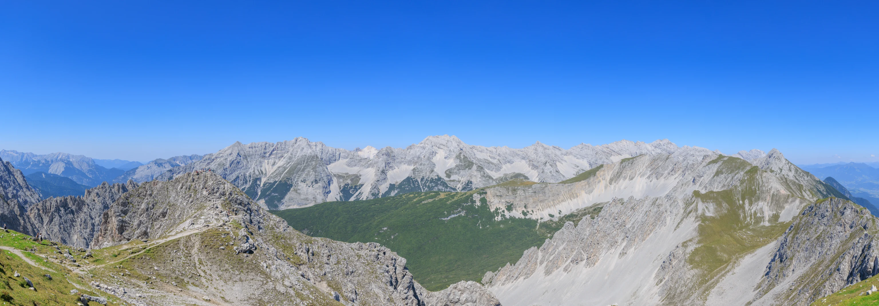
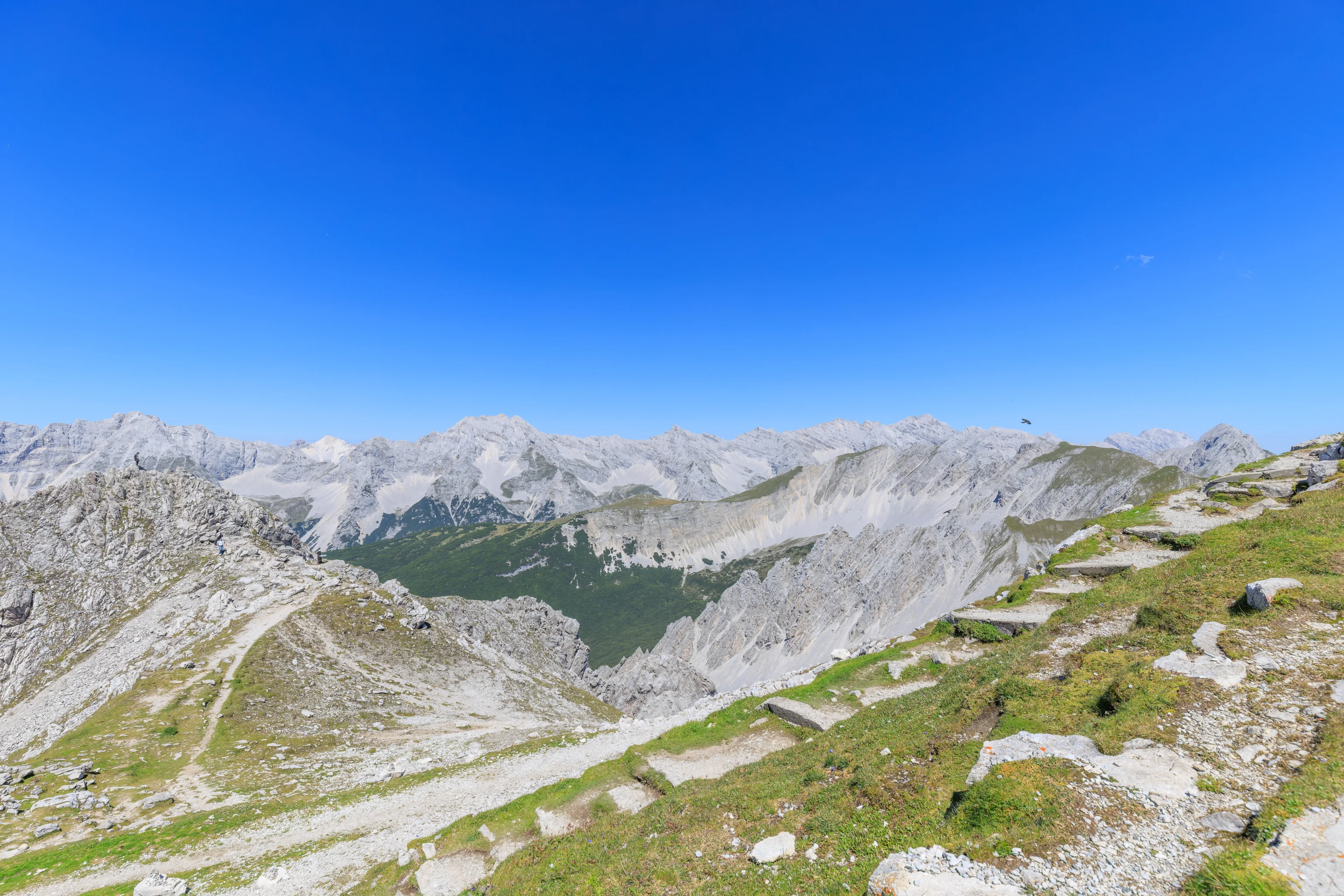
We created a panorama of the view to the north. We neglected to do so in the opposite direction.
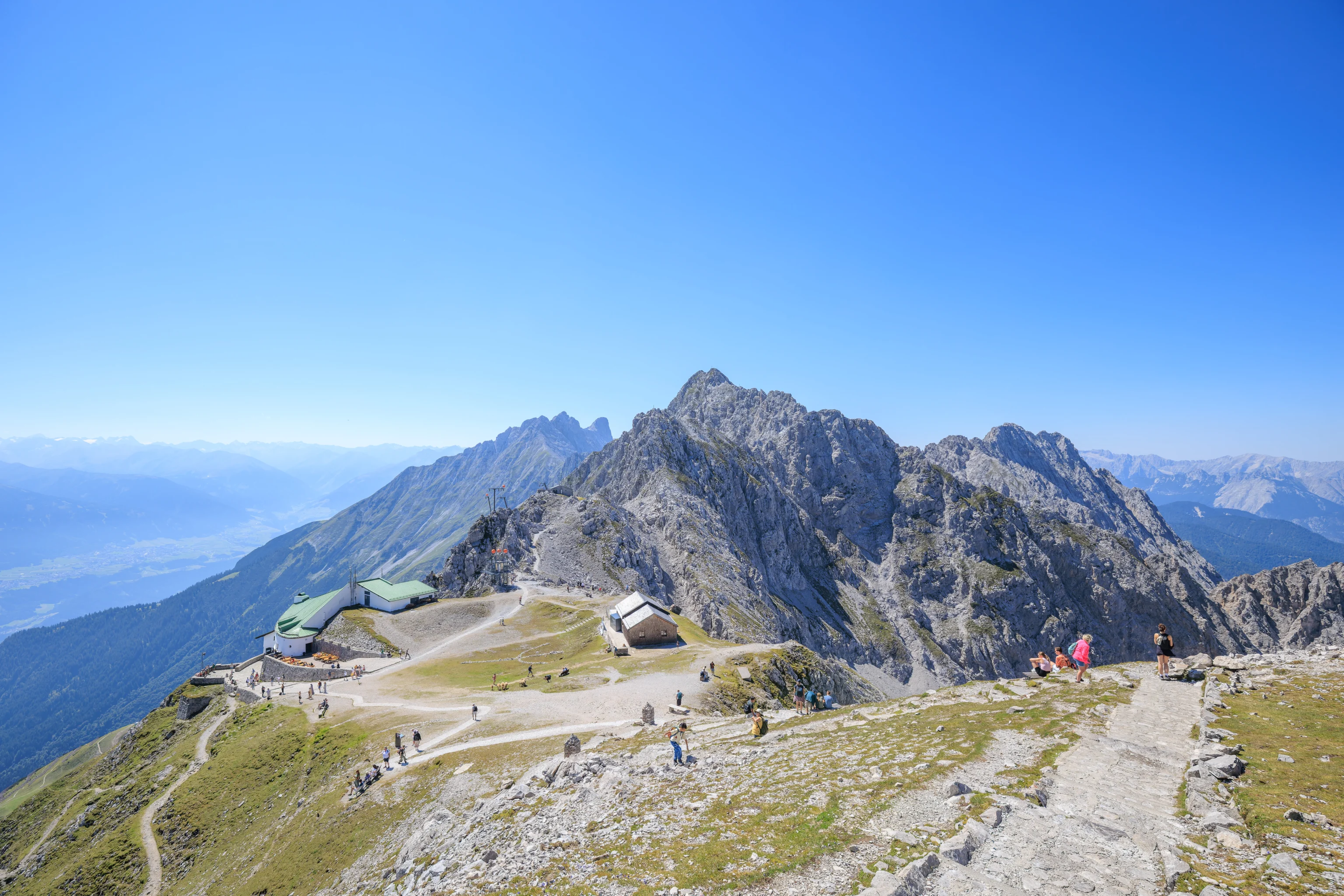
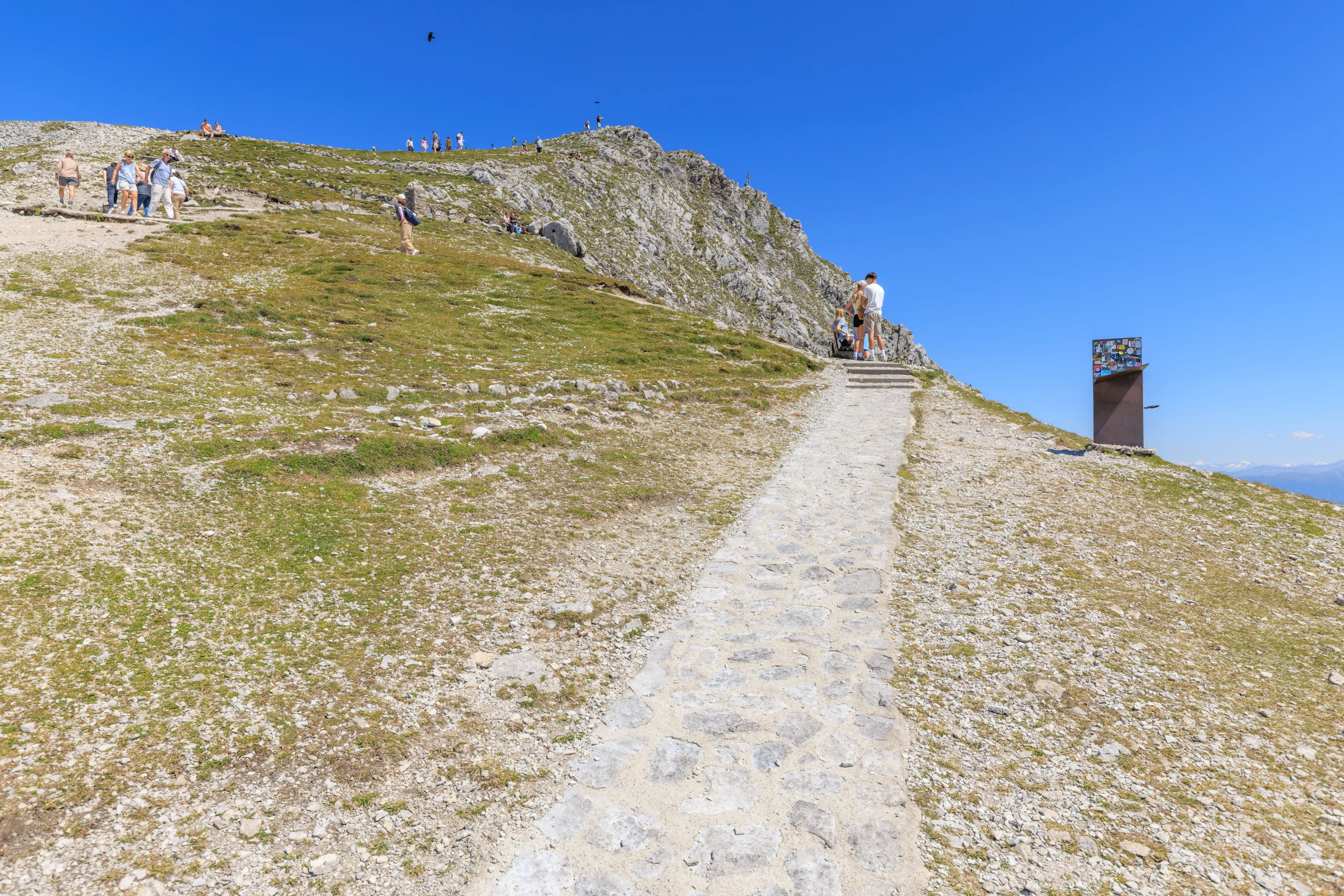
We didn’t spend too much time at the top before heading back down.
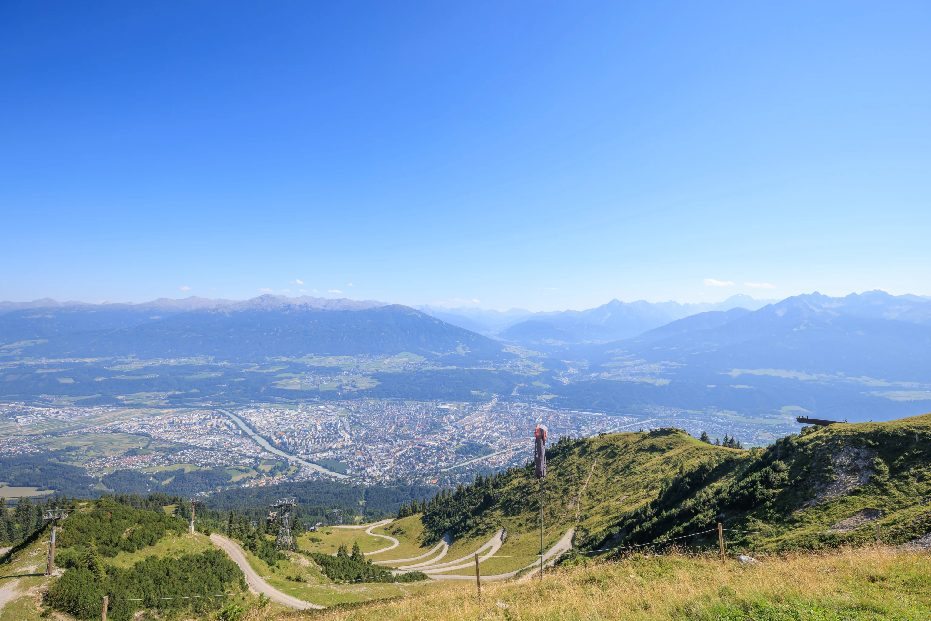
After descending from the summit and returning to the relatively flat area near the aerial tram terminal, we decided to walk around the area a bit before heading back down. We turned to the right and started walking to the west on the north side of the station.
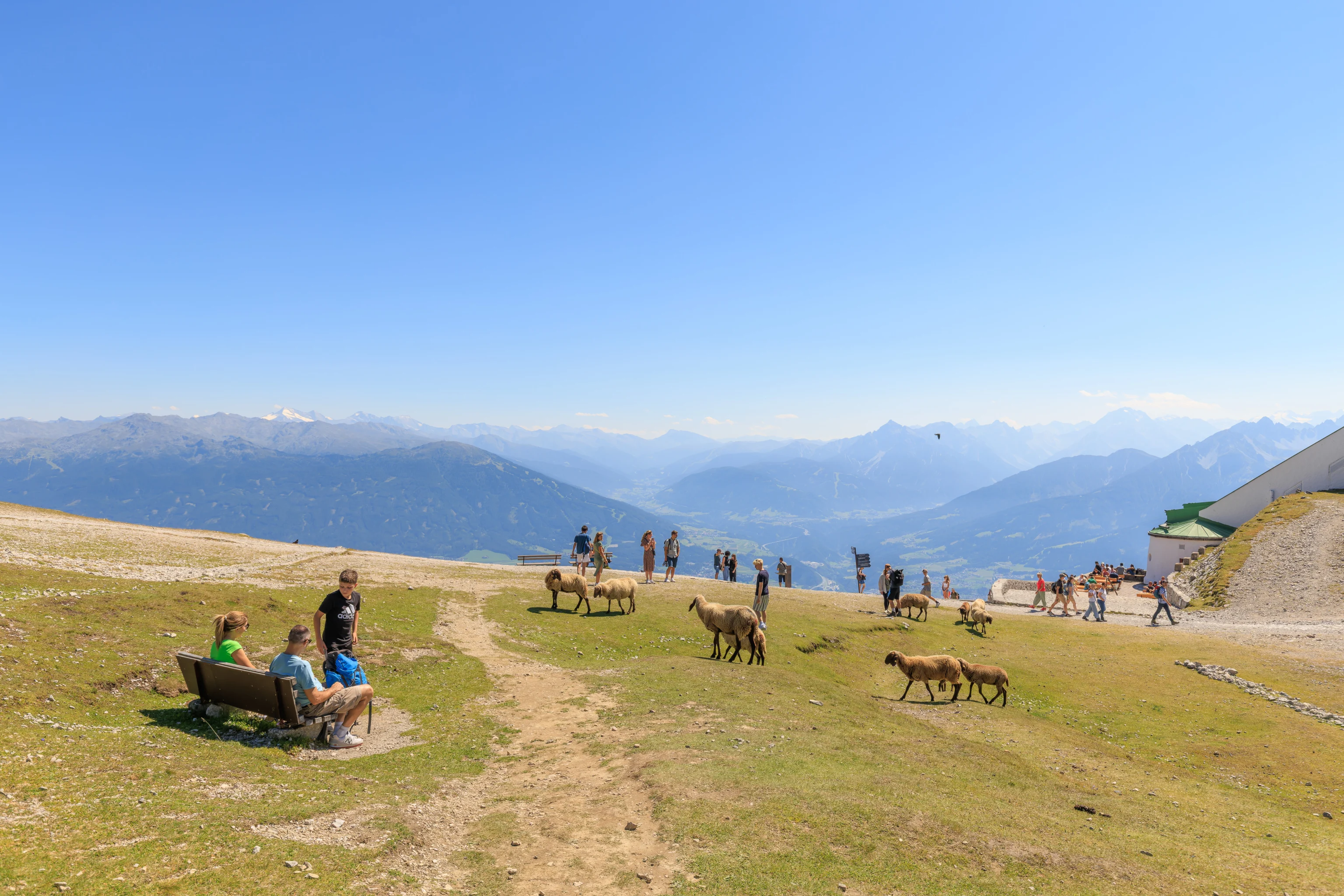
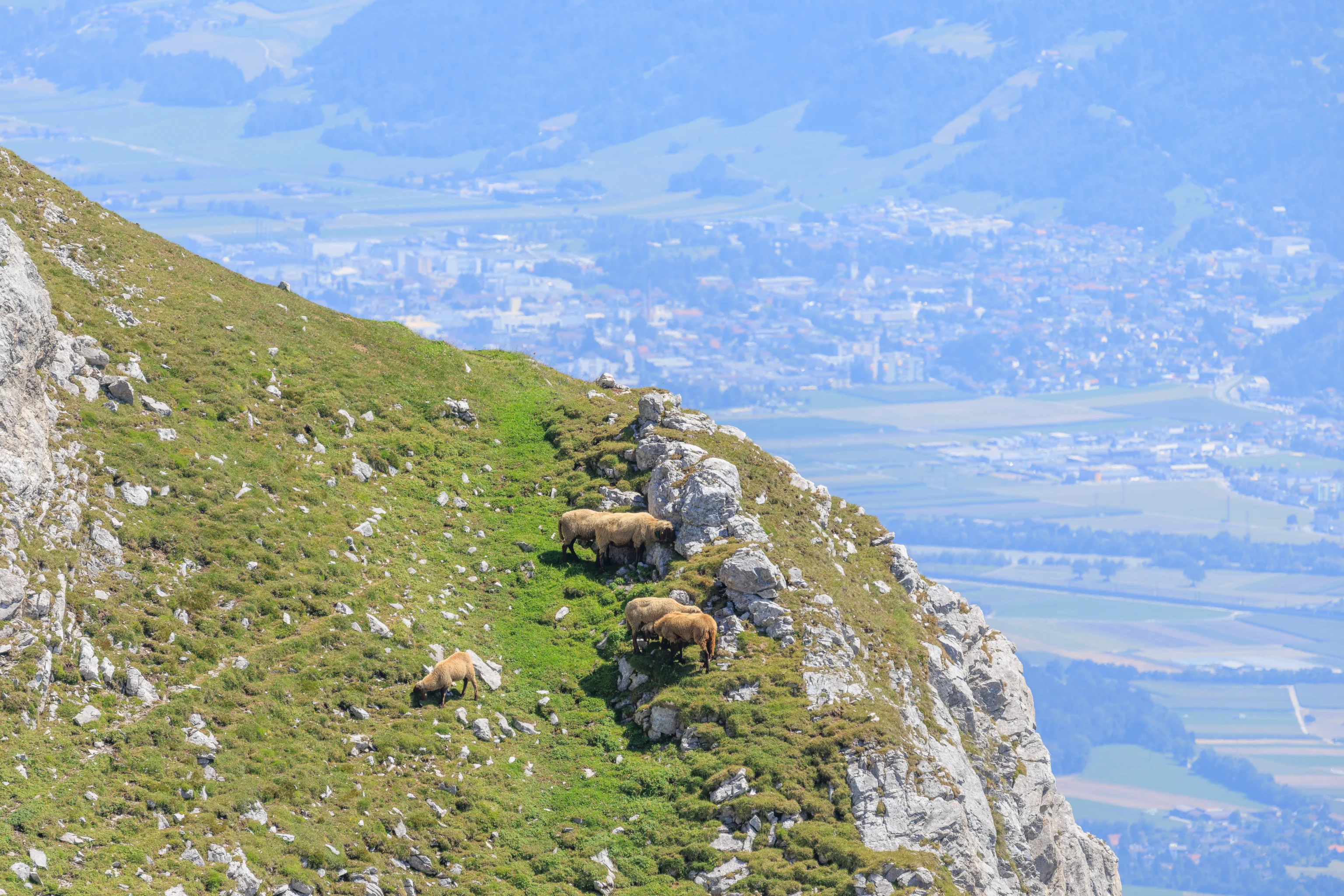
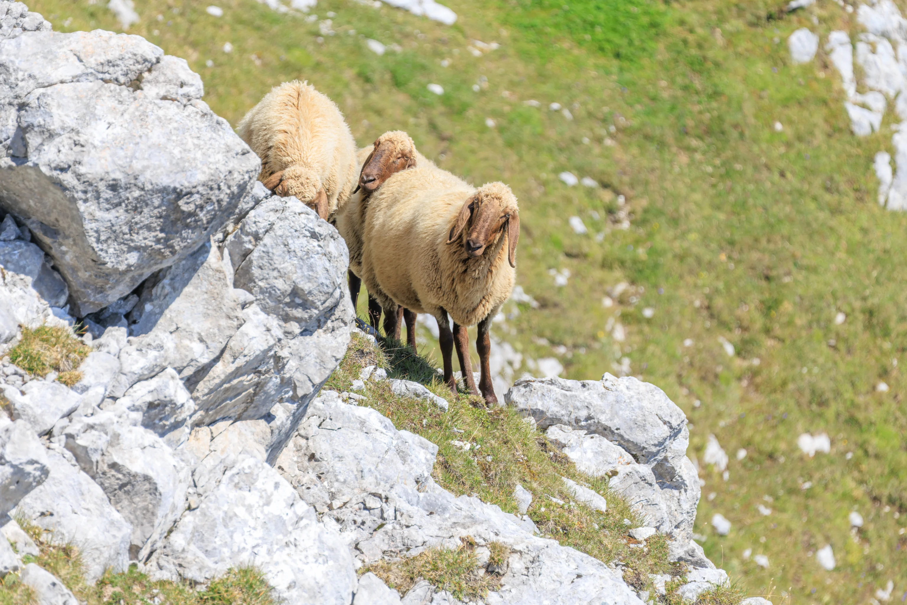
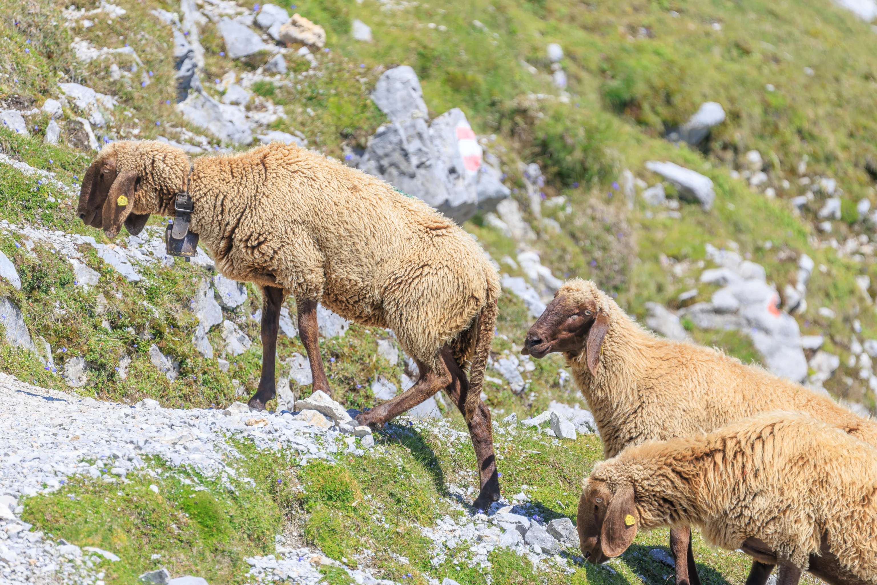
Looking to the south, we could see the sheep walking across the field in front of us.
There seemed to be a symbol on the ground here?
We watched as the sheep walked away. There is a building here, which we decided to check out.
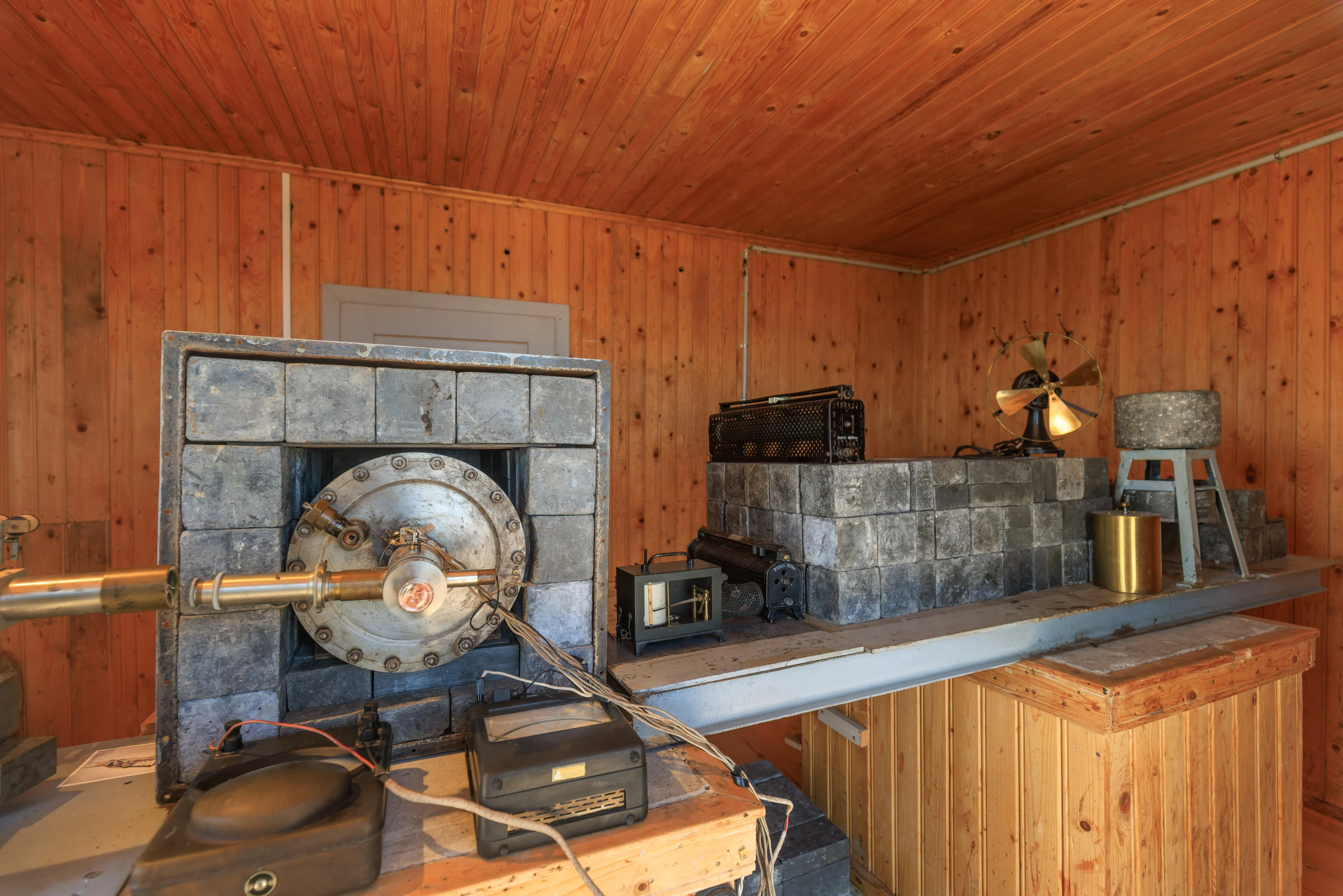
The building was a former research lab for Victor Franz Hess. He won the Nobel Prize in 1936 along with fellow physicist Carl David Anderson for the discovery of cosmic rays.
The timing of this discovery meant that the Nazis were about to take over. He fled to the US along with his Jewish wife, leaving this lab behind.
The device here is a measuring device, described as the Steinke apparatus for measuring cosmic ray intensity.
Sign: European Physical Society – Historic Site
Scientific history was written in this hut: In 1931, Professor Victor Franz Hess (1883-1964) founded the world's first high-altitude cosmic ray research laboratory here. With its university and the Nordkettenbahn, Innsbruck was the ideal place.

In 1912, in a series of daring ascents in a balloon, Hess had already discovered cosmic rays. He then spent a long time searching for a high-mountain location that was suitable for continuously recording the high-energy rays. The construction site hut built for the Nordkettenbahn on Hafelekar was just what he was looking for.

In the 1930s, the hut was a hive of activity. After Hess received the Nobel Prize for Physics in 1936, the world's foremost scientists of the time visited the observatory.

In 1938 - Hess meanwhile held a chair at the University of Graz - the  National Socialist regimé dismissed him without notice. Together with his wife Bertha, who was of Jewish origin, he had to flee to the USA. He continued his research work there and died an American citizen in 1964. Victor Franz Hess paid a last visit to his former place of work on Hafelekar in 1958.

Following renovations carried out under rector Tilmann Märk in 2022, the observatory is now recognised as an European Physical Society Historic Site.
As for the symbol on the ground, it was the Greek letter Ψ (psi). It seems to be used in the study of cosmic rays.
Psi is the symbol used to represent a wave function, which can be used to determine the probability density of a particle being in a specific place in quantum physics. It isn’t clear if this is the same usage as in the study of cosmic rays.
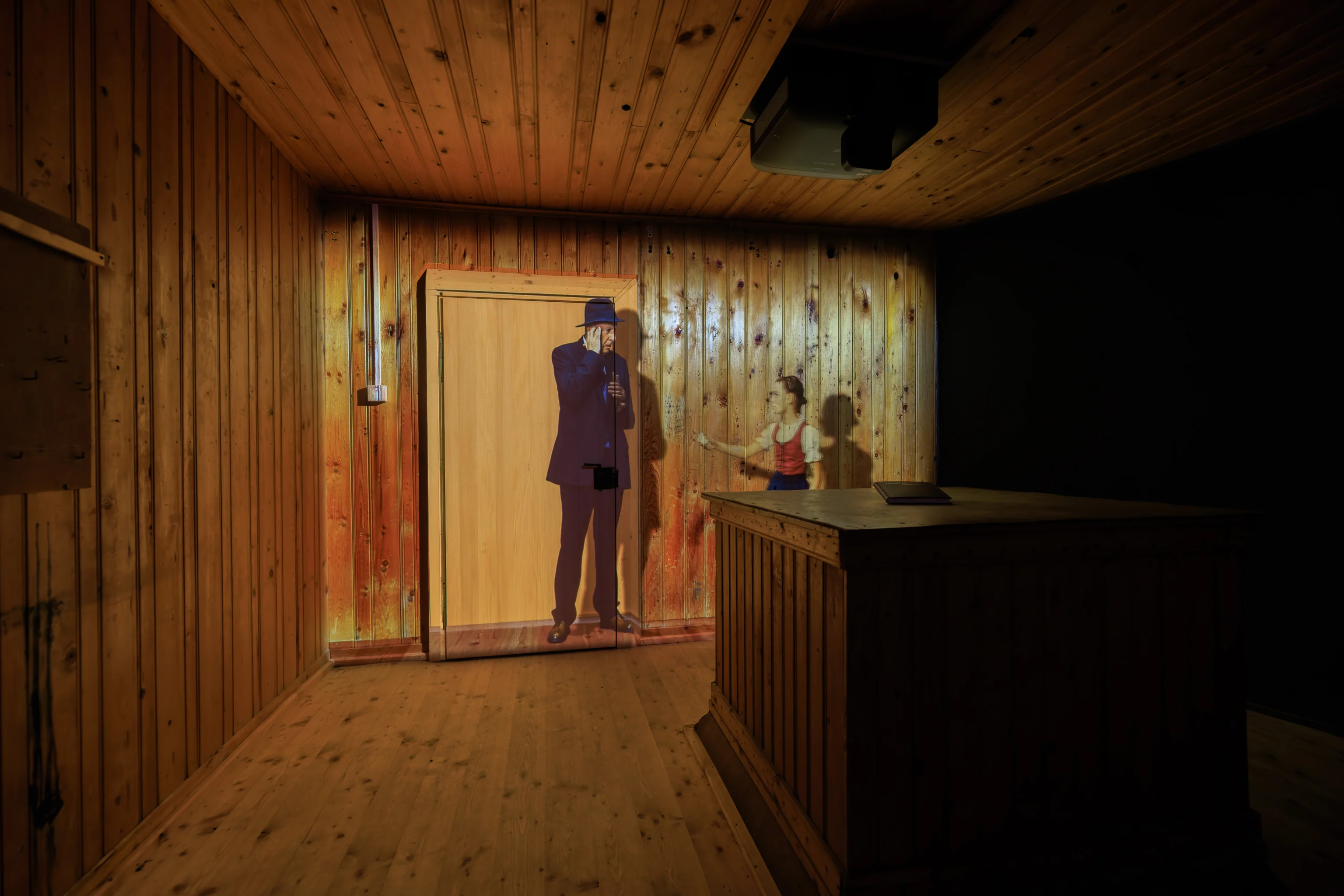
There was a audio and visual exhibit depicting Hess’ return to this lab for one final visit in 1958. He talks to a girl who was walking around the remains of the lab. The audio for this exhibit was ridiculously loud!
The view from the lab is quite nice.
Looking back at the lab and the peak of Hafelekar beyond.
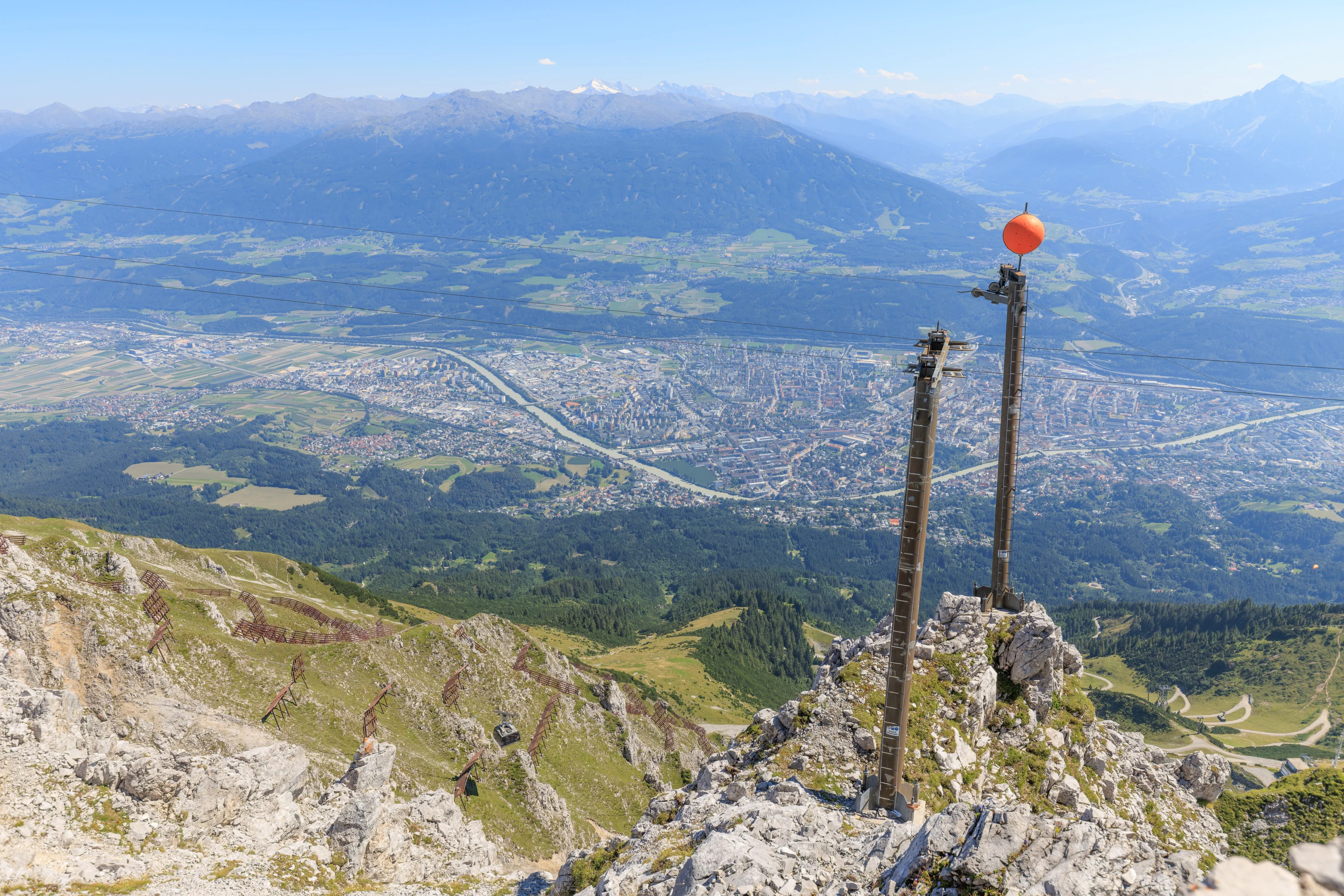
In additional to the aerial tram, we saw some additional infrastructure of unknown purposes up on the mountain. This looks like some sort of small cableway.
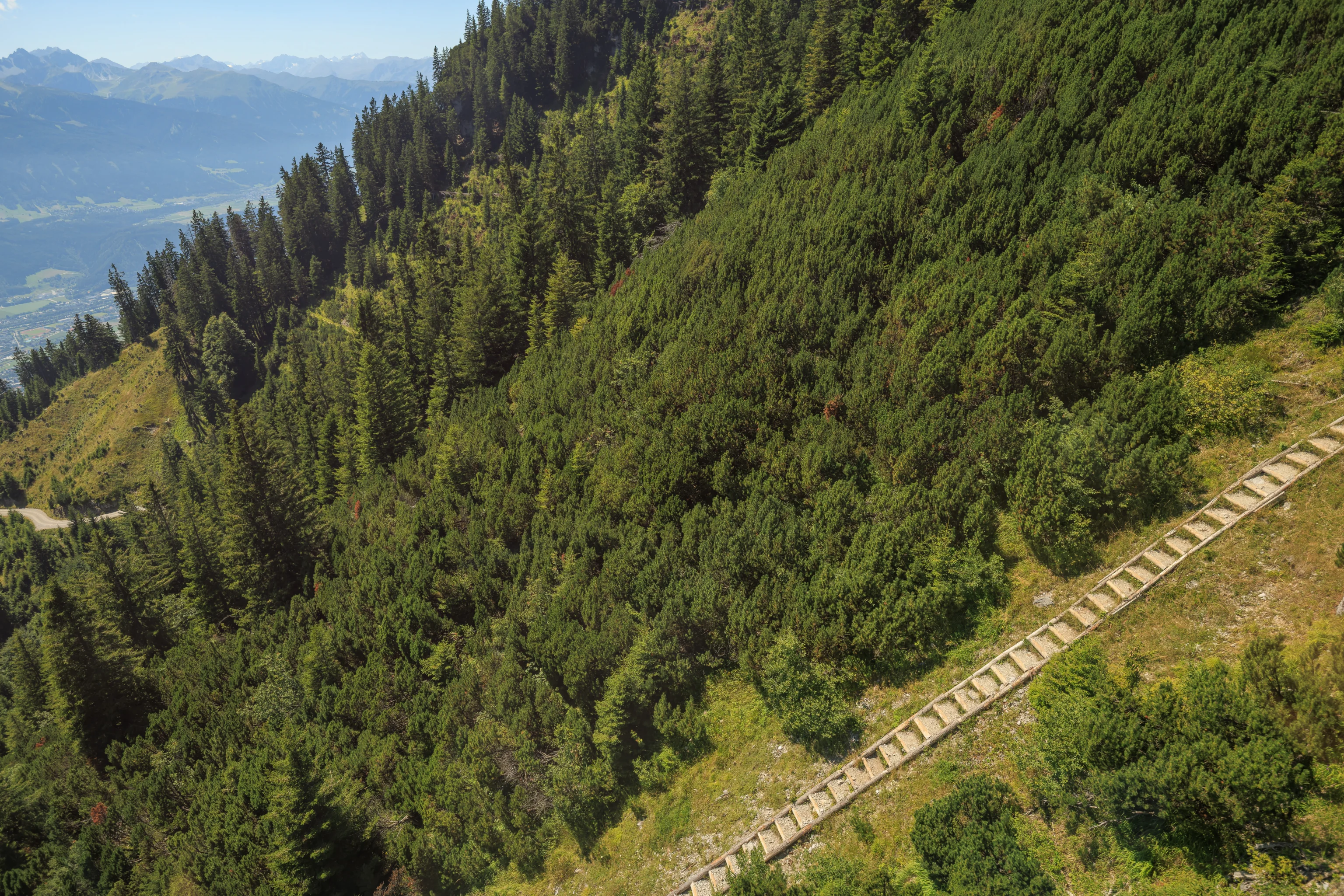
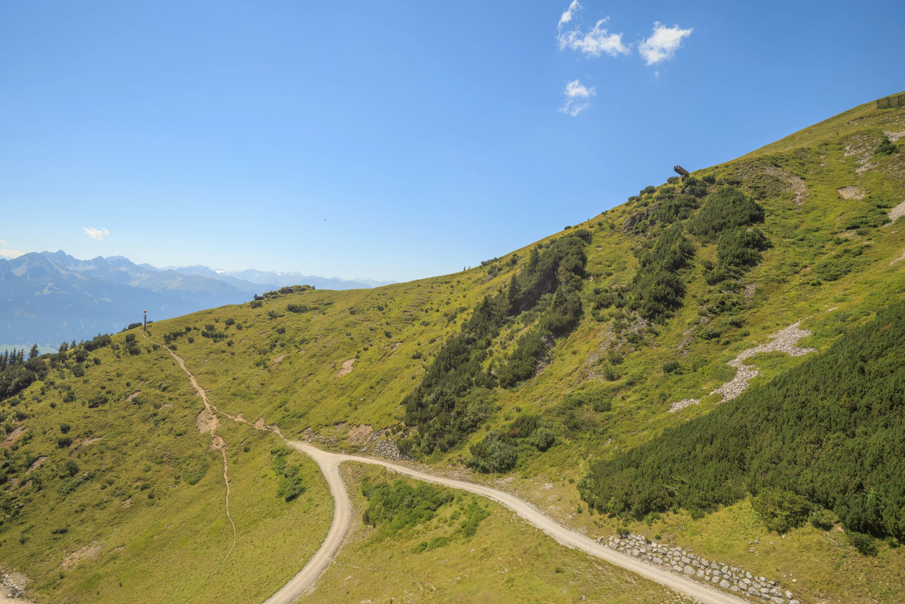
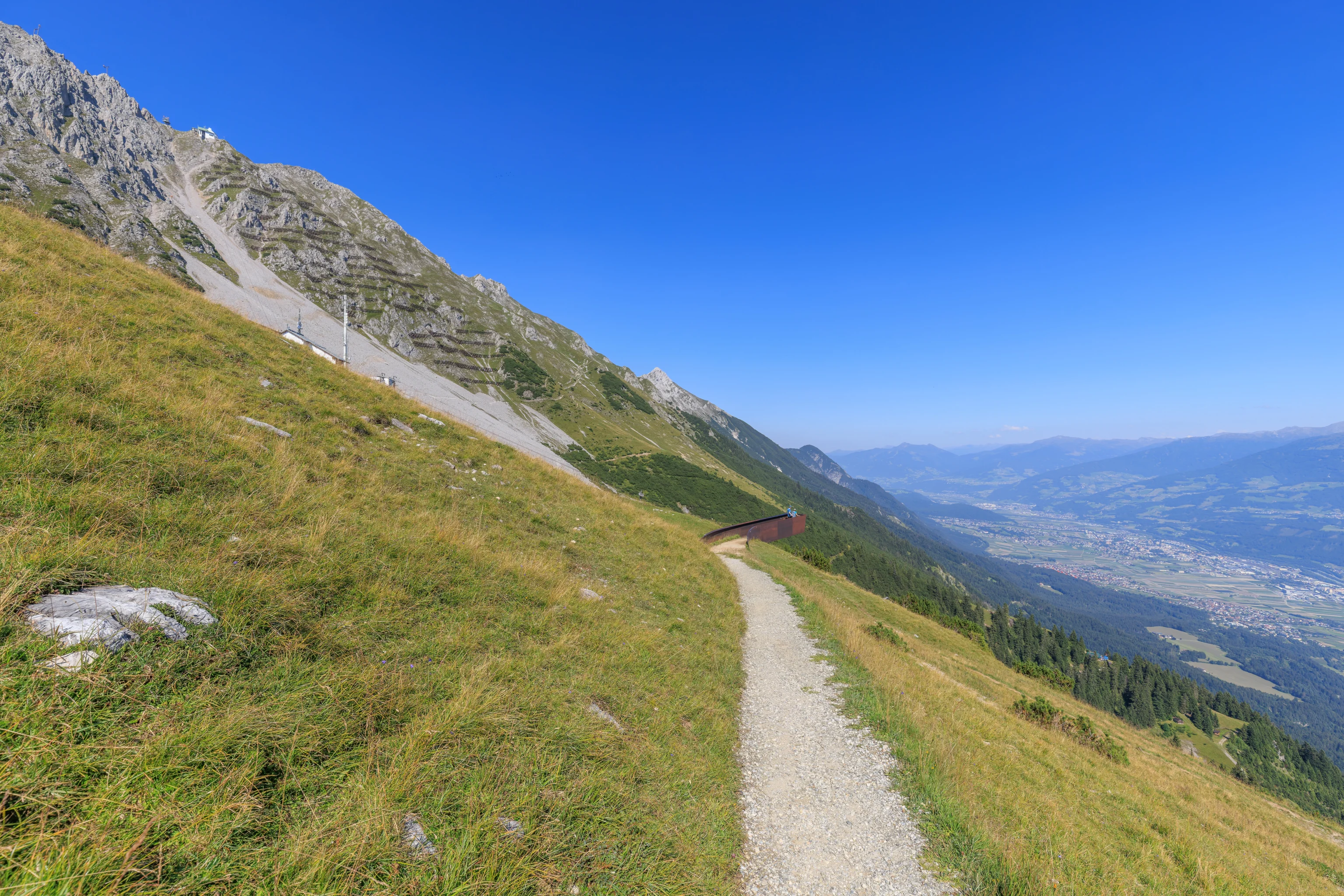
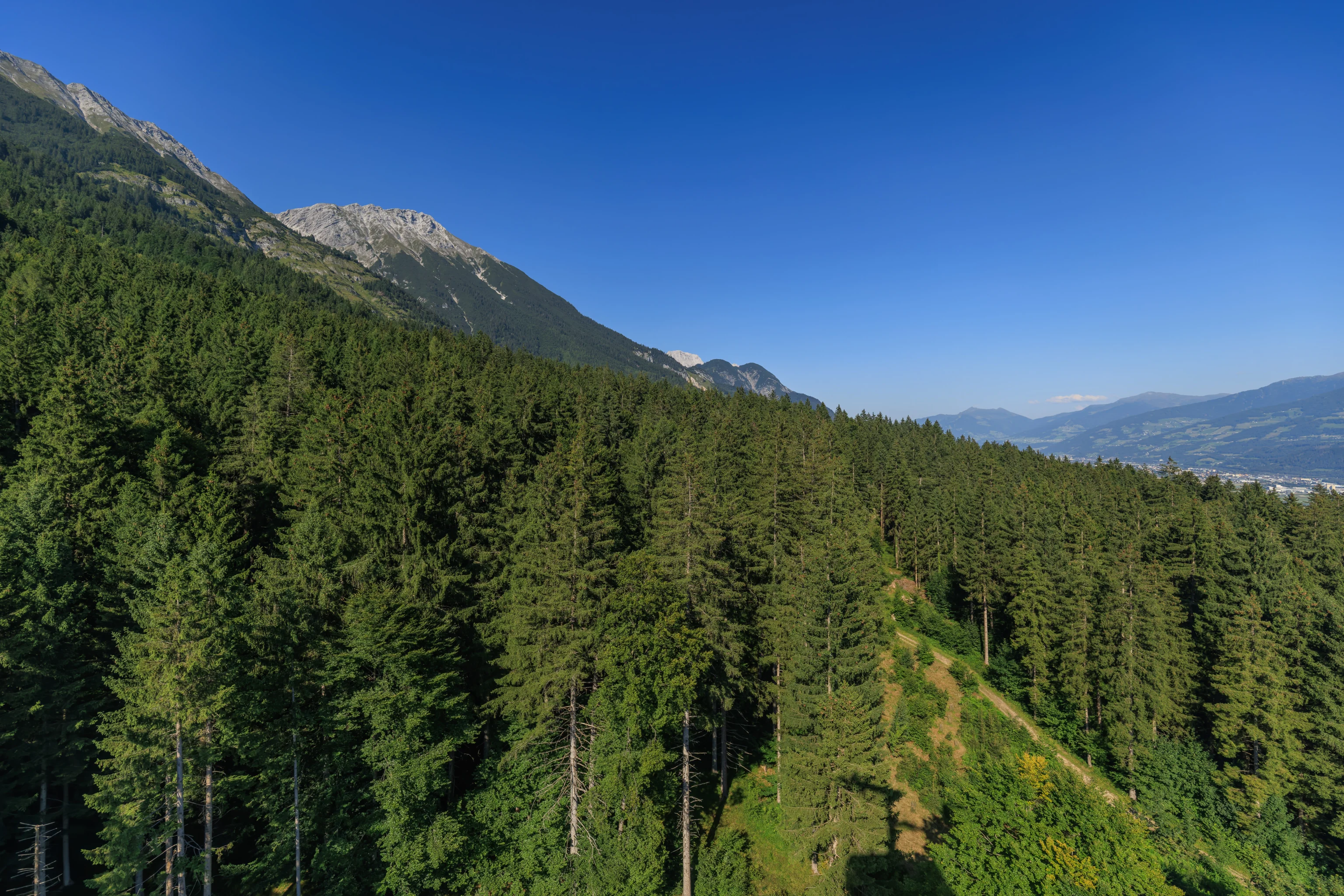
We decided to walk down this trail to the west. It looked pretty steep when we were further away but it didn’t look so bad from here.
It was mostly pretty easy, though there is a small ridge area where there are steep drops off to either side.
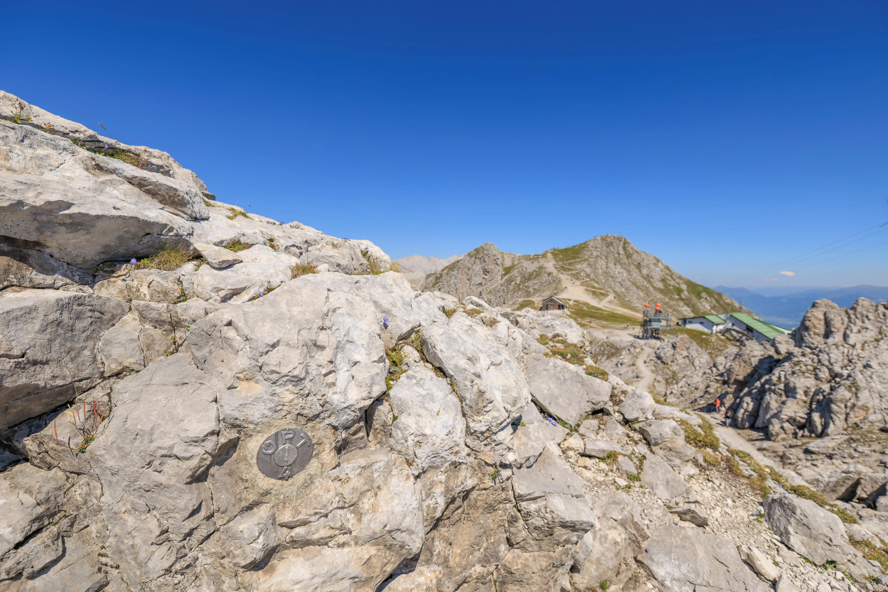
We reached a sort of local maximum elevation point along the trail here. On more vast scales, this would probably be considered to be a mountain pass. It was just a few feet higher than the trail ahead and behind though, We noticed that there was a little marker here of unknown purpose labelled ÖPT 4.
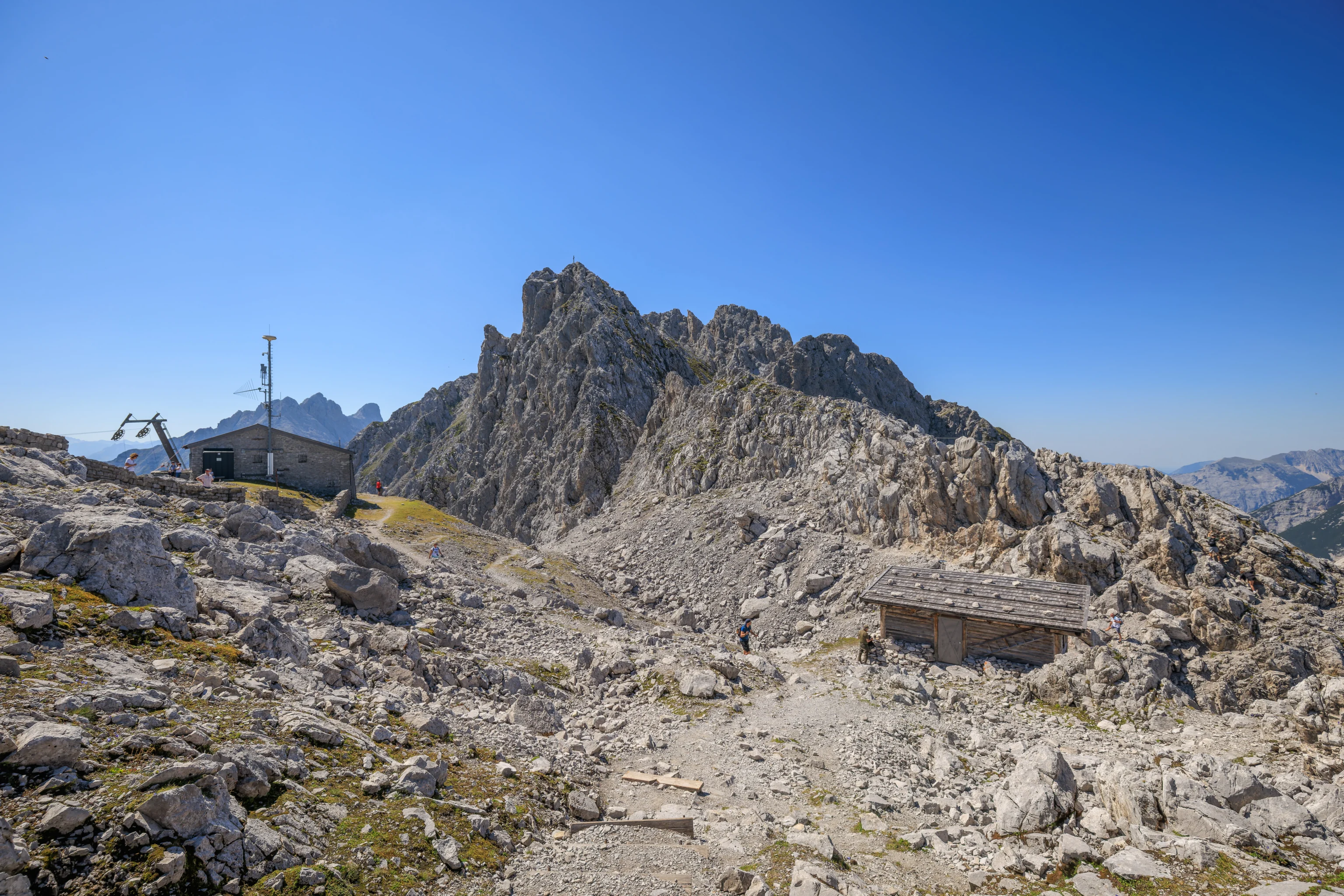
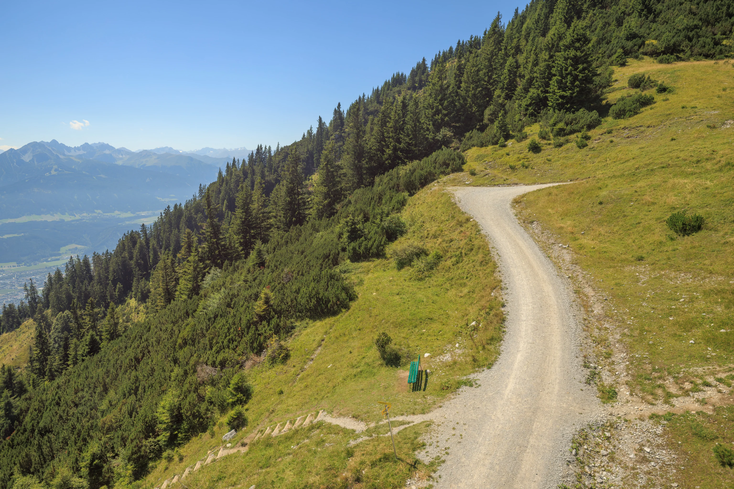
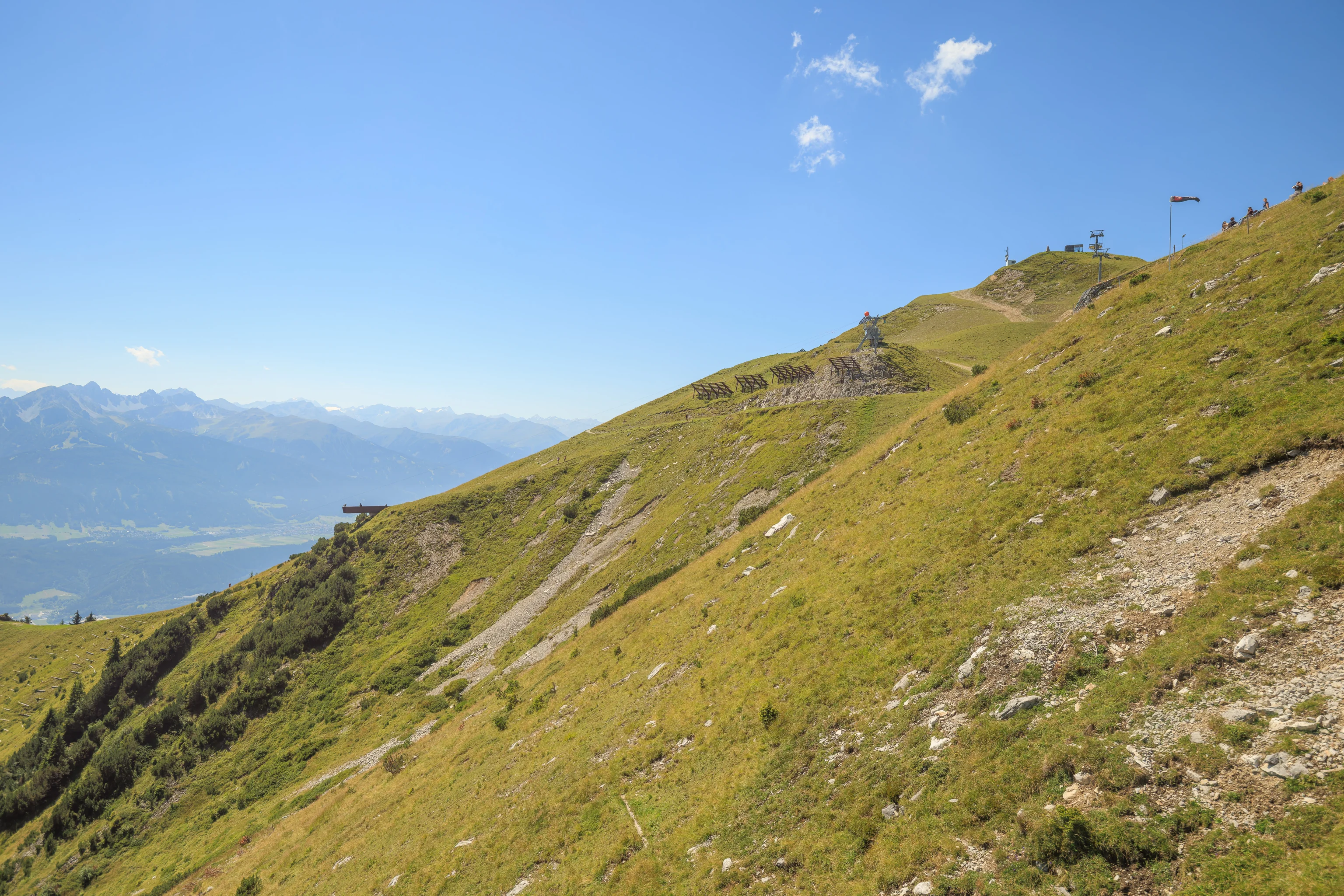
Further to the west, we could see two structures. We headed towards the one on the left, particularly as there seemed to be viewpoint on the way.
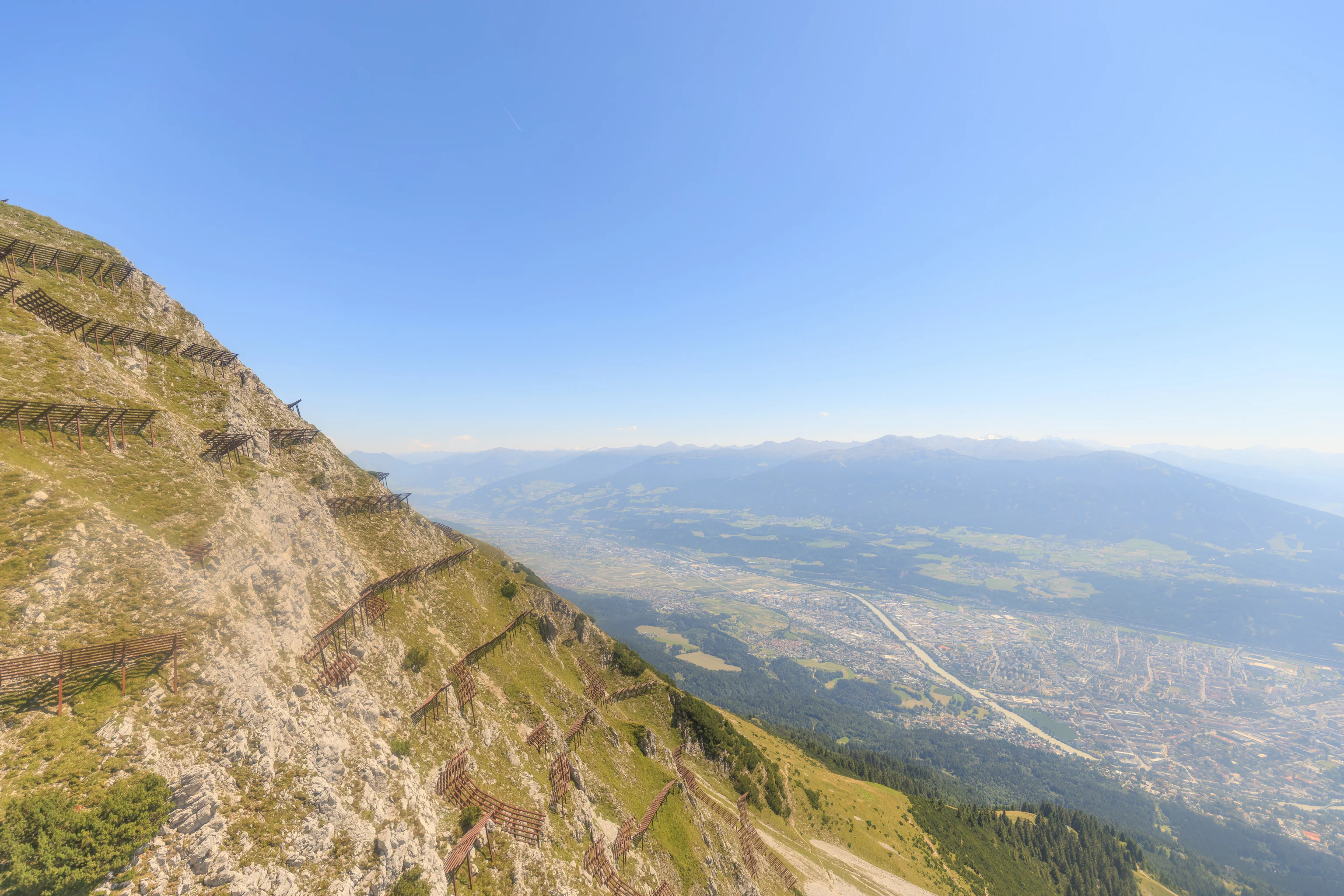
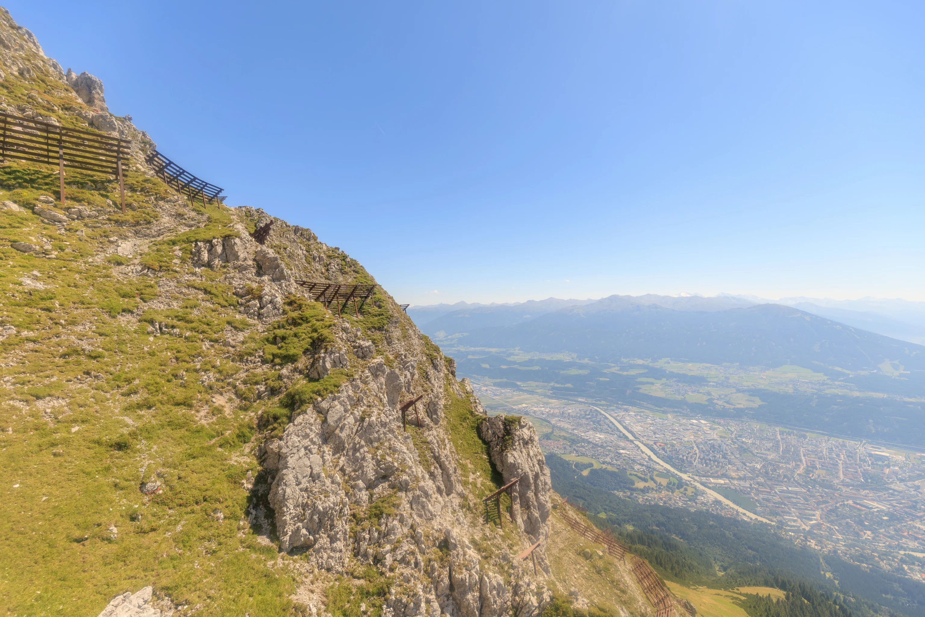
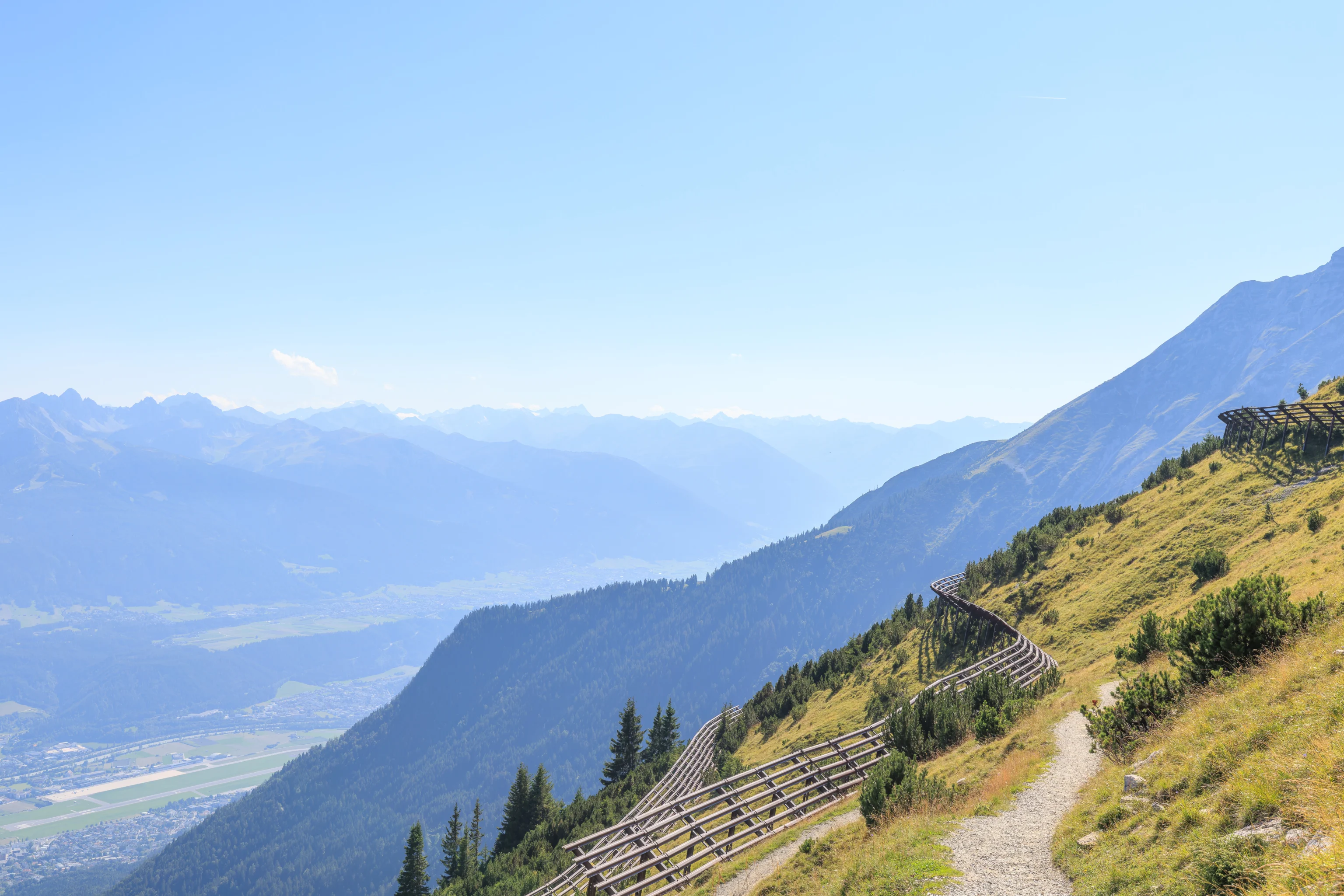
There was an overlook, which we visited. There was a sign here which explained some of the infrastructure that we’ve been seeing on the mountain. It is a cableway intended for avalanche control. Rather than firing artillery like they often do in the US, they detonate explosions from this cableway!
Sign: Avalanche Control
Avalanche triggering

Due to the snow masses that usually fall during the winter months and the steep slopes and draws the avalanche risk is not to be underestimated.

In order to guarantee safety and to minimise unexpected descents of avalanches, not only barriers have been erected, but avalanches are also intentionally triggered by employing explosive techniques.

Blasting ropeway

An explosive charge can be precisely positioned over a certain location at which an avalanche is to be triggered. The ropeway stops and the charge is detonated above the snow surface. The explosion (usually) triggers an avalanche after which the next explosion point can be approached.

A combination of propane gas and oxygen is detonated in a permanently installed exploder via radio signal. The top of this pipe is placed approx. three metres (10 ft.) above the snow surface. The explosion results in a shock wave that consequently triggers an avalanche.
There was another sign which described the klettersteig, literally iron path, which is installed here. A klettersteig is basically a fixed rope route, generally with steel cables and ladders as needed. In the US, these routes are commonly referred to using the Italian term via ferrata.
Sign: Hafelekarrinne & Innsbrucker Klettersteig
Steep, steeper, Hafelekarrinne

The Hafelekarrinne is among the steepest ski slopes in all of Europe. With its slope inclination of 70 % this ski run is for experts only and especially popular among locals and considered essential to a skiing day at the Nordkette. A ski slope for those into extremes. For experienced skiers and snowboarders only! In these high alpine surroundings, appropriate gear is absolutely necessary!

Fixed rope climbing route

Not far from the entrance to the Hafelekarrinne, home to adventurous skiers and snowboarders in winter, to the right, there is the entrance to the Innsbrucker Klettersteig that was established in 1986. Much older than this via ferrata is the climbing route itself as these rocks have already been conquered by legends such as Hermann Buhl and Hannes Gasser (for whom this route is named). Complete climbing gear, good stamina, surefootedness, a head for heights and experience are absolutely essential for this five-hour long tour.
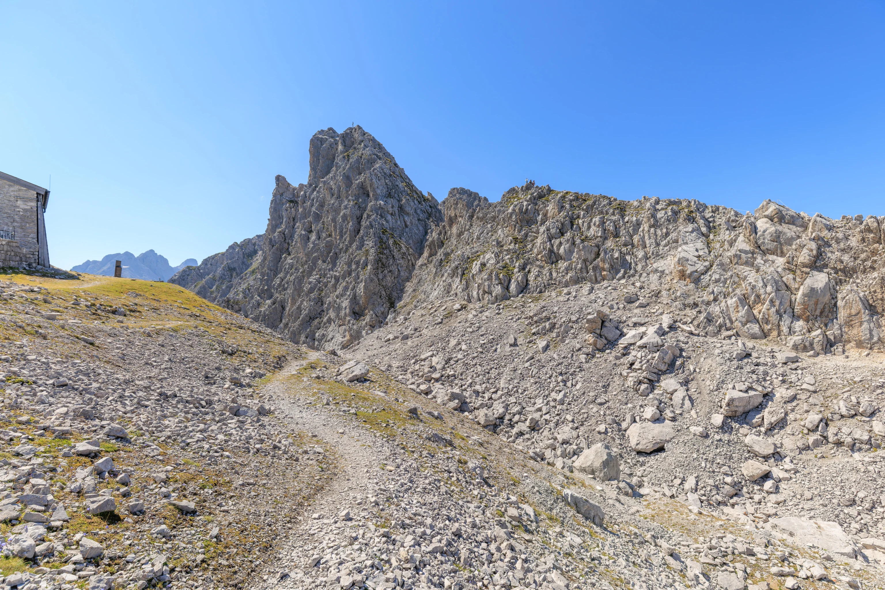
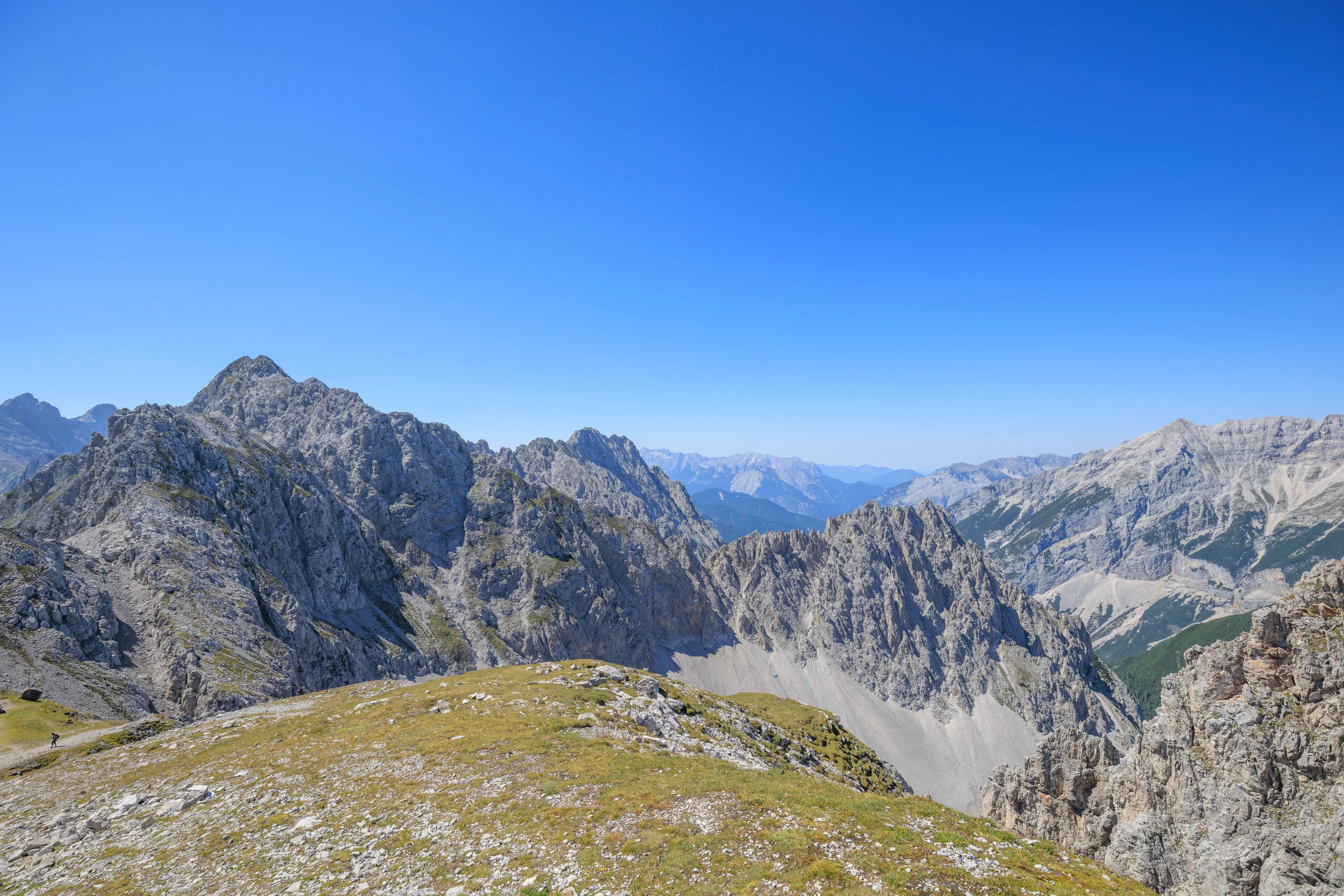
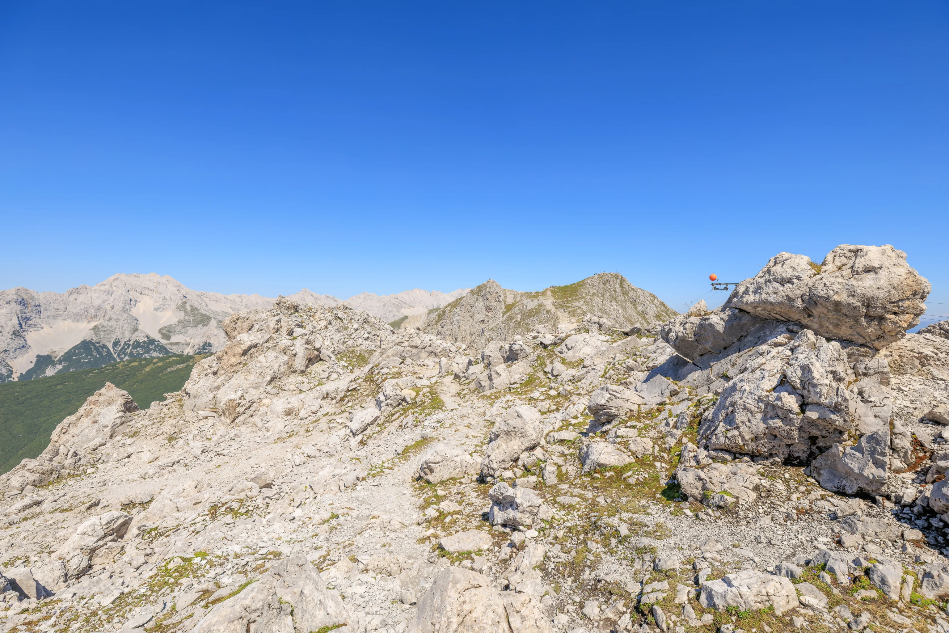
We did walk a bit further to the west. We did see two people climbing the closest part of the klettersteig here on the right. They can be seen at the lowest summit visible on the right by a small cross at the peak.
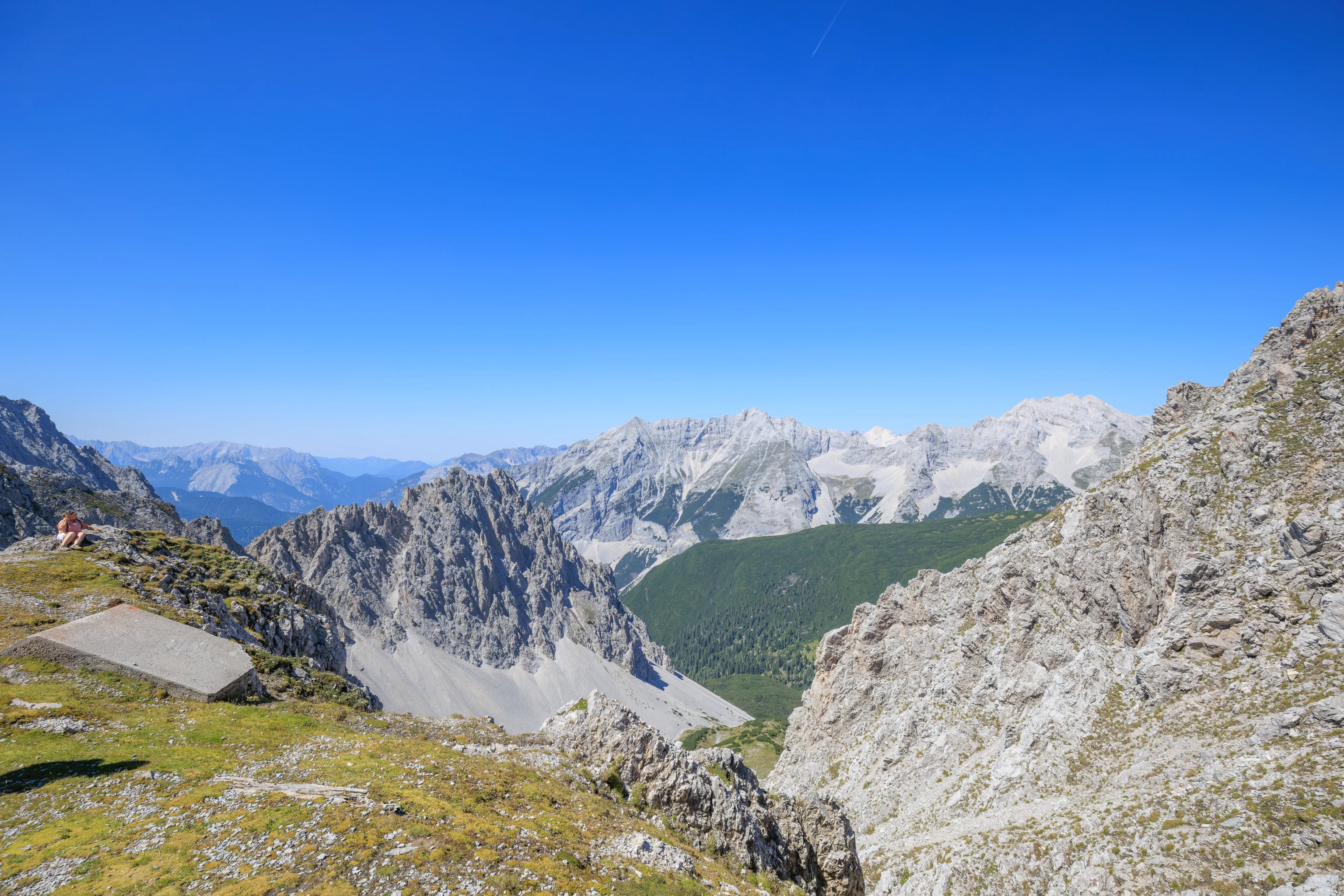
The view across the valley to the south as we headed back to the aerial tram. One feature visible here is the Europabrücke (Europe Bridge). This bridge spans a valley and was formerly the highest bridge in Europe. This highway connects Germany with Italy through the narrow region of Austria around Innsbruck.
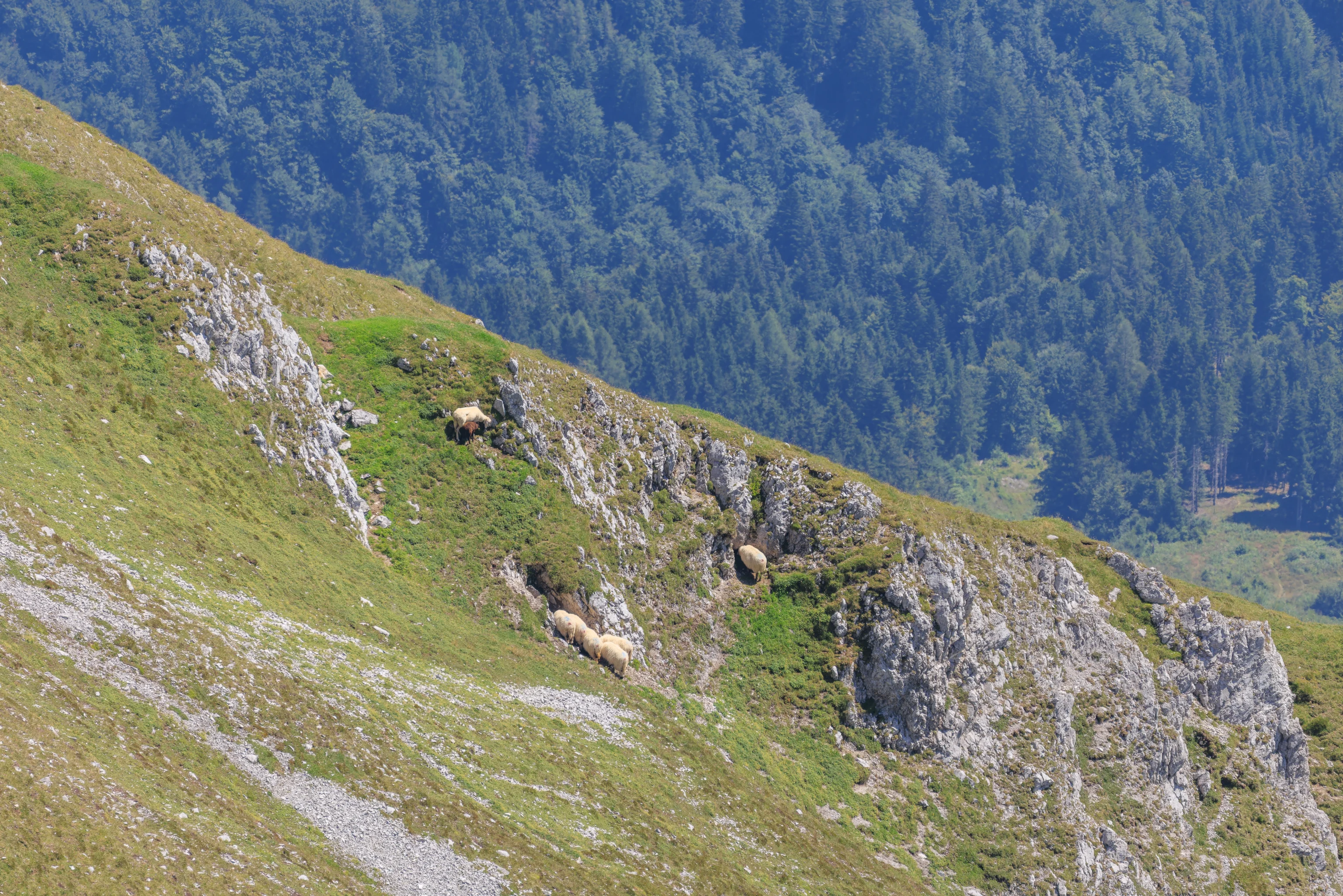
Looking down from by the aerial tram station, we could see people using the trail below us, along with some sheep. It seems a bit steep!
We had to wait for the next tram to arrive. Unfortunately, the tram’s windows were pretty rough and resulted in rather smudgy photographs.
Inside the lower terminal at Seegrube, there was a sign that described Hermann Buhl, a local mountain climber from Innsbruck. He made a number of first ascents, though struggled to earn income at the time. He even worked at Sporthaus Schuster in Munich! This store still exists. We saw it while in Munich on our previous trip to the city, though we did not enter.
Sign: Hermann Buhl
In 1953 Hermann Buhl became the first person to conquer the Nanga Parbat Mountain, and four years later he was among the first to climb the Broad Peak. The Austrians Hermann Buhl and Kurt Diemberger are therefore the only mountaineers in the world who were the first to climb 2 eight-thousanders.

Buhl was responsible for the discovery of new alpine routes and repeated a multitude of these difficult routes in the Alps. Before his appearance in Karakorum, Mongolia, Buhl, due to outstanding achievements in the Alpine region, had become the focus of much attention in mountaineering circles, for example in 1952, as he became the first solo mountaineer to conquer the north-east face of the Piz Badile mountain, or in 1953 as he also conquered the east face of the Watzmann, solo, at night and in winter.

In 1953, Hermann Buhl was chosen as Austrian sportsman of the year. He is still regarded amongst experts today as one of the most significant rock climbers and mountaineers of all time, due to his sensation causing first ascents in the Alps and in the Karakorum Mountain range. Buhl was a member of the Innsbruck branch of the Austrian Alpine Association and the Alpine society "Karwendler".

As his way of pursuing extreme Alpinism was a break from the national mountaineer ideals of previous decades and because he chose to carry light equipment without artificial oxygen, he is viewed as a groundbreaker for later mountaineers, most notably Reinhold Messner.

First ascent Nanga Parbat
The most famous summit conquered by Buhl was the first solo ascent of the Nanga Parbat (8125 m) on 3 July 1953 within the scope of the Willy-Merkl-Gedächtnis-Expedition, which was led by the Munich doctor Dr. Karl Herrligkoffer. As evidence of his ascent, Hermann Buhl left his ice pick and the Pakistan flag behind on the summit (the Tyrolean flag was only fixed into the ground for a photo). Buhl lost two toes on the Nanga Parbat due to frostbite. In 1999 the pick was found by a Japanese expedition and was given back to Herman Buhl's widow.

With this victory, the Tyrolean had achieved what no other before him had been able to in the history of mountaineering up to that time. He was the first person to single-handedly conquer the final ascent of an eight-thousander, without making use of artificial oxygen. Buhl spent a full 41 hours alone on the Naga Parbat.

First ascent of the Broad Peak
Four years later on 9 June 1957 together with Fritz Wintersteller, Kurt Diemberger and Marcus Schmuck, he climbed the Broad Peak (8051 m) in Karakorum. With Kurt Diemberger, Hermann Buhl is therefore the only mountaineer, who was the first to climb two eight-thousanders.

Disappearance on the Chogolisa
During an expedition a short while later in June 1957, Hermann Buhl fell with a cornice as he attempted to climb the Chogolisa (7654 m) which is situated near to the Broad Peak and he has been missing ever since.
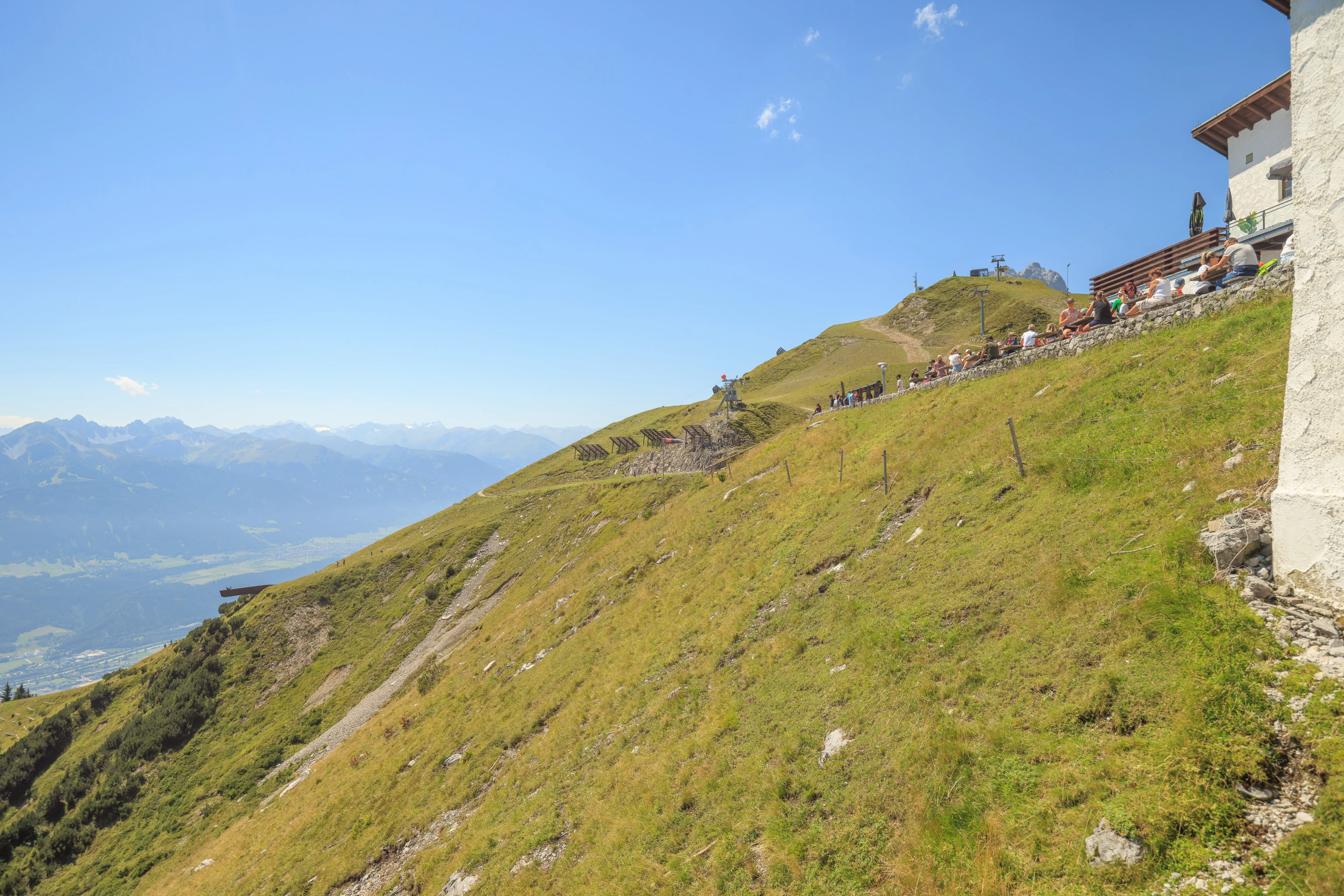
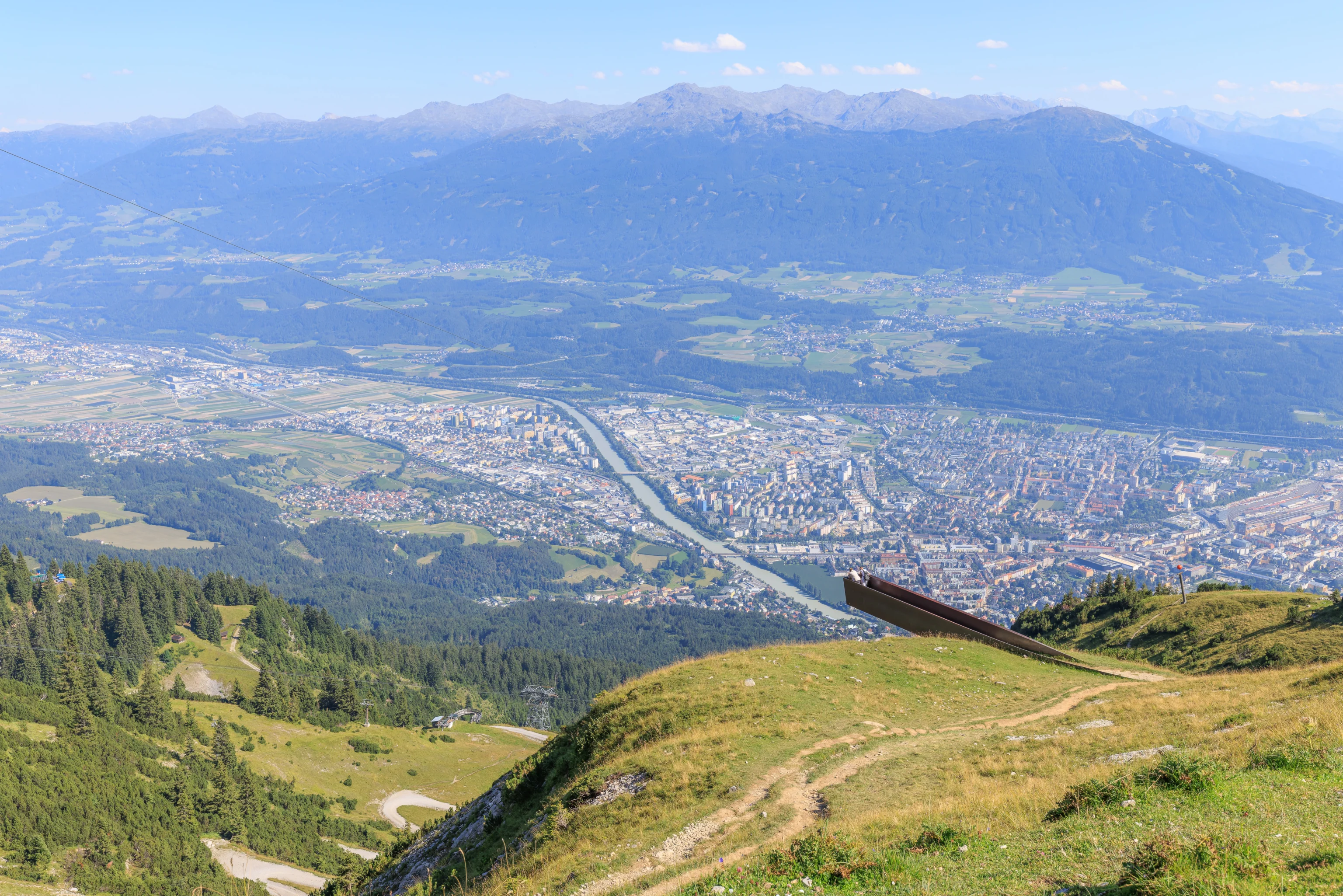
We decided to check out the viewing platform which juts out from the mountainside, visible here on the right.
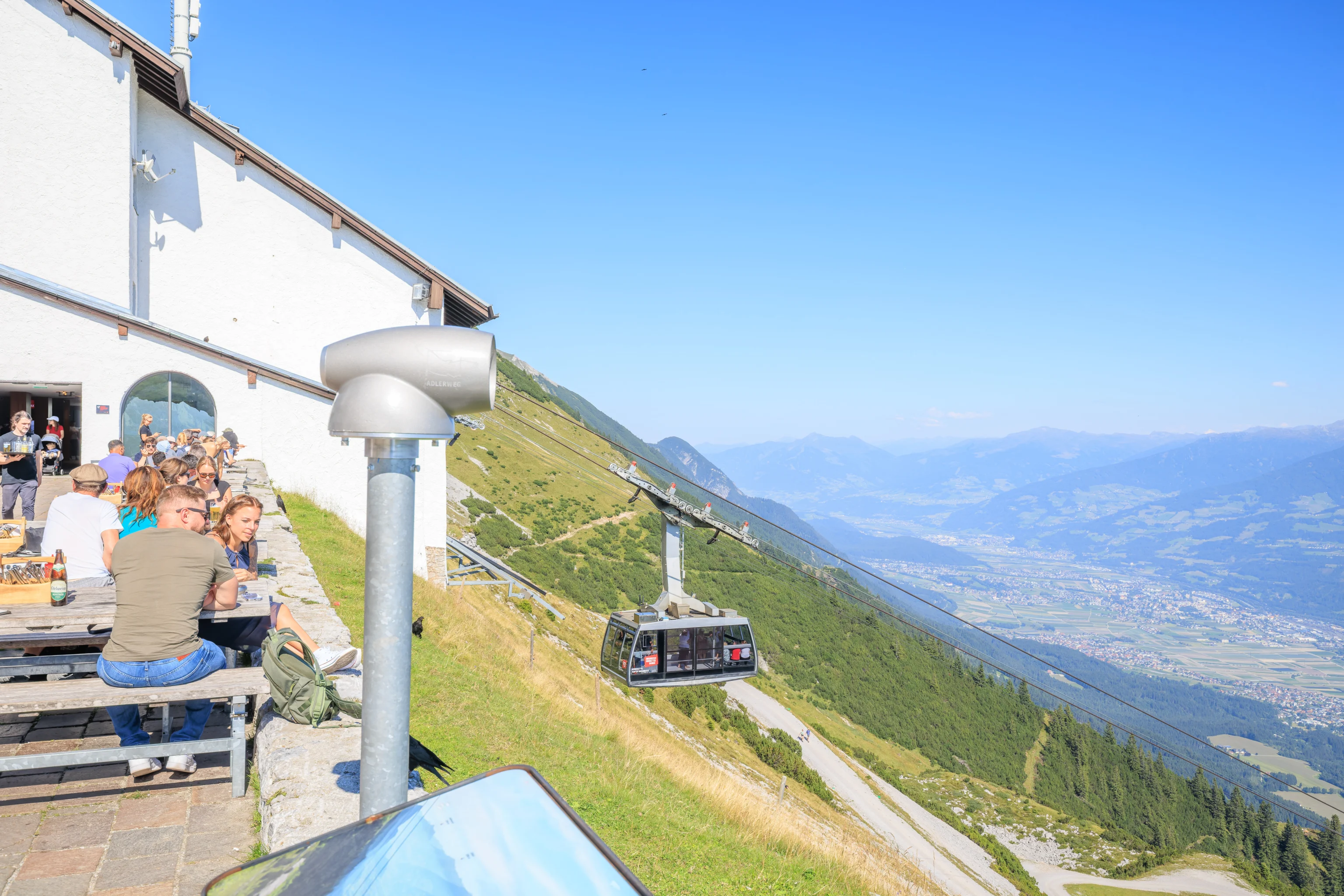
We walked to the west past the Restaurant Seegrube, which shares the aerial tram building here at Seegrube.
This seems like a biergarten.
We followed the trail that leads to the viewing platform. This trail is called the Perspektivenweg (Perspective Path). The actual platform at the end of the path doesn’t seem to have a name. Some sources online refer to it as the panoramic platform, we’ll do the same.
Looking back up, we could see how steep the terrain is above us.
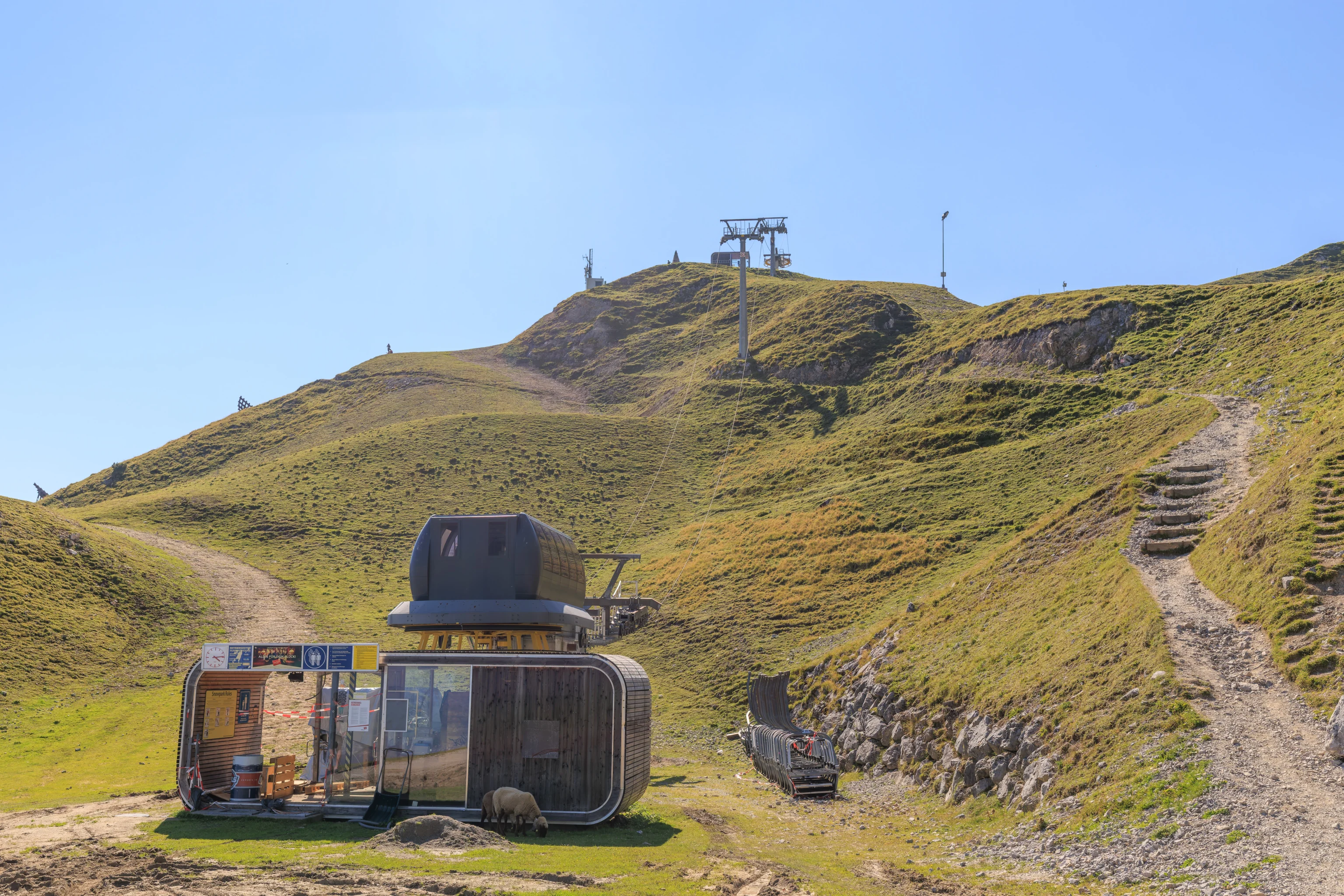
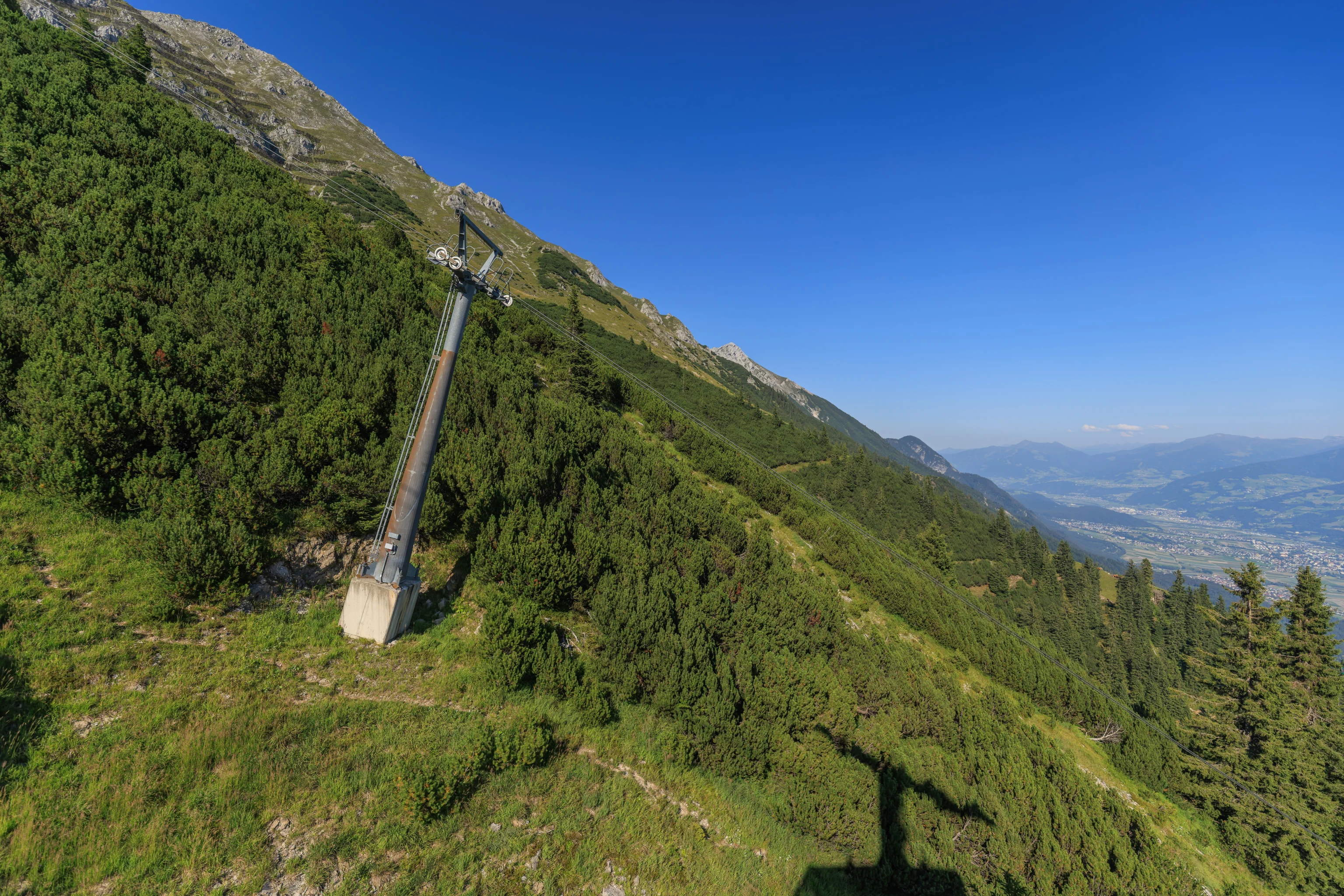
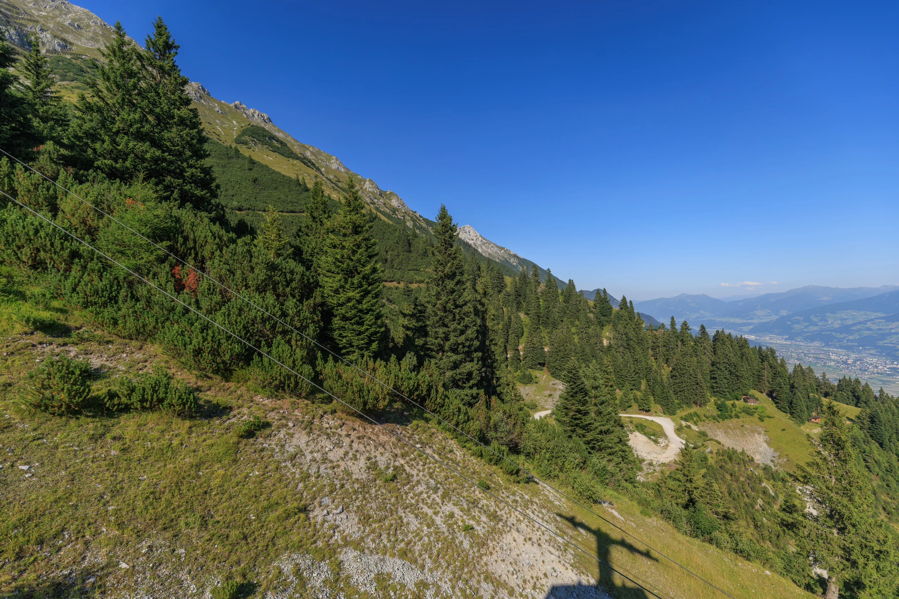
Other than the aerial trams and avalanche control cableways, there are also ski lifts on the mountain for the winter months.
The view looking down and to the east into the valley below. This is the direction that we arrived from by train earlier today.
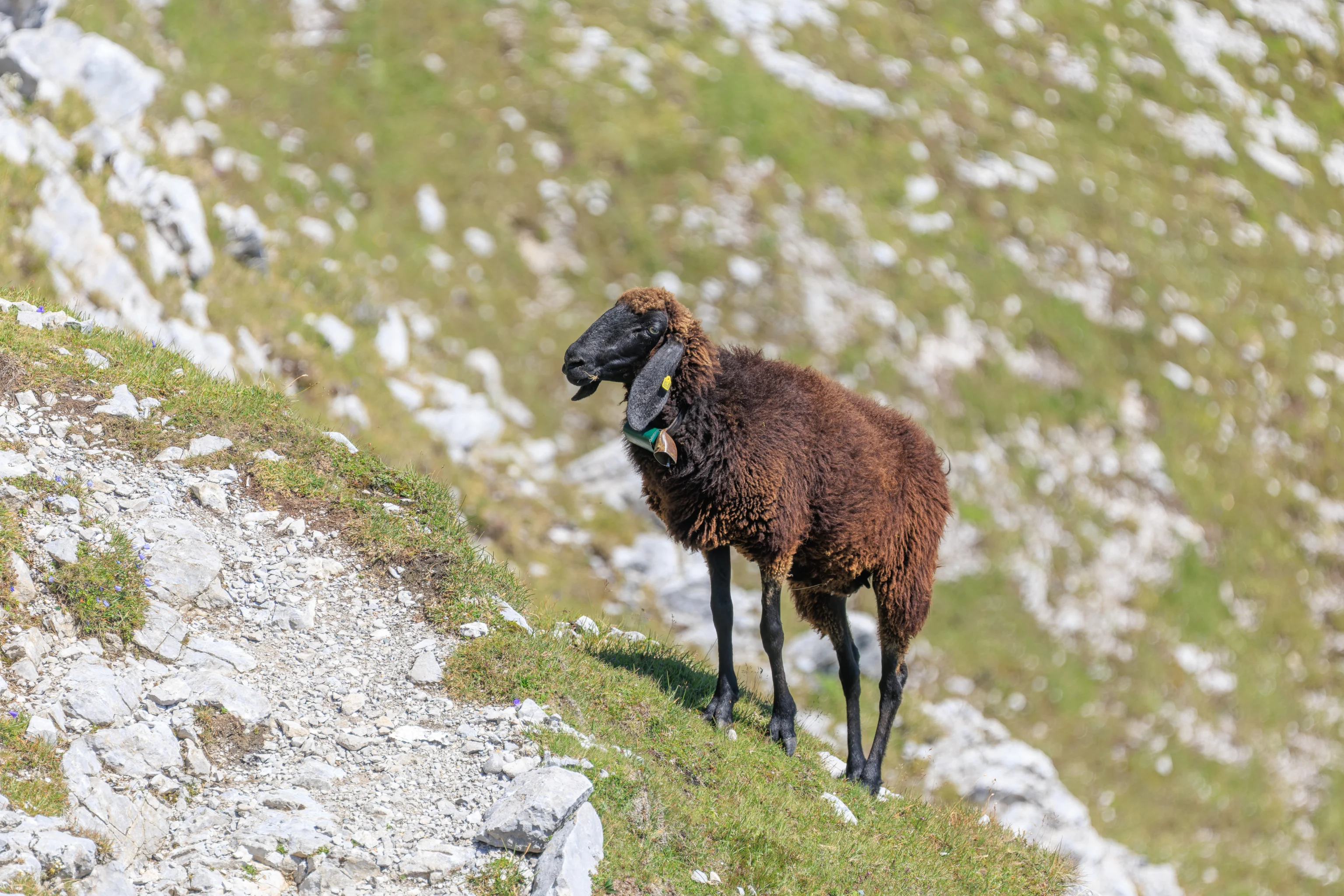
There were a few sheep grazing along the trail.
We recorded video of the sheep that we saw so far today, starting from the first ones we saw earlier when just arriving.
As we continued on, the trail continued to the west above the panoramic platform. There did seem like an unofficial trail that led down, though it seemed steep and unsafe.
The trail led away from the platform before turning back around, basically a single long switchback.
The panoramic platform was now directly in front of us.
Although the view from the platform is quite nice, there isn’t really much difference being out on the platform compared to being on the ground.
We did create a panorama from the panoramic platform. How appropriate!
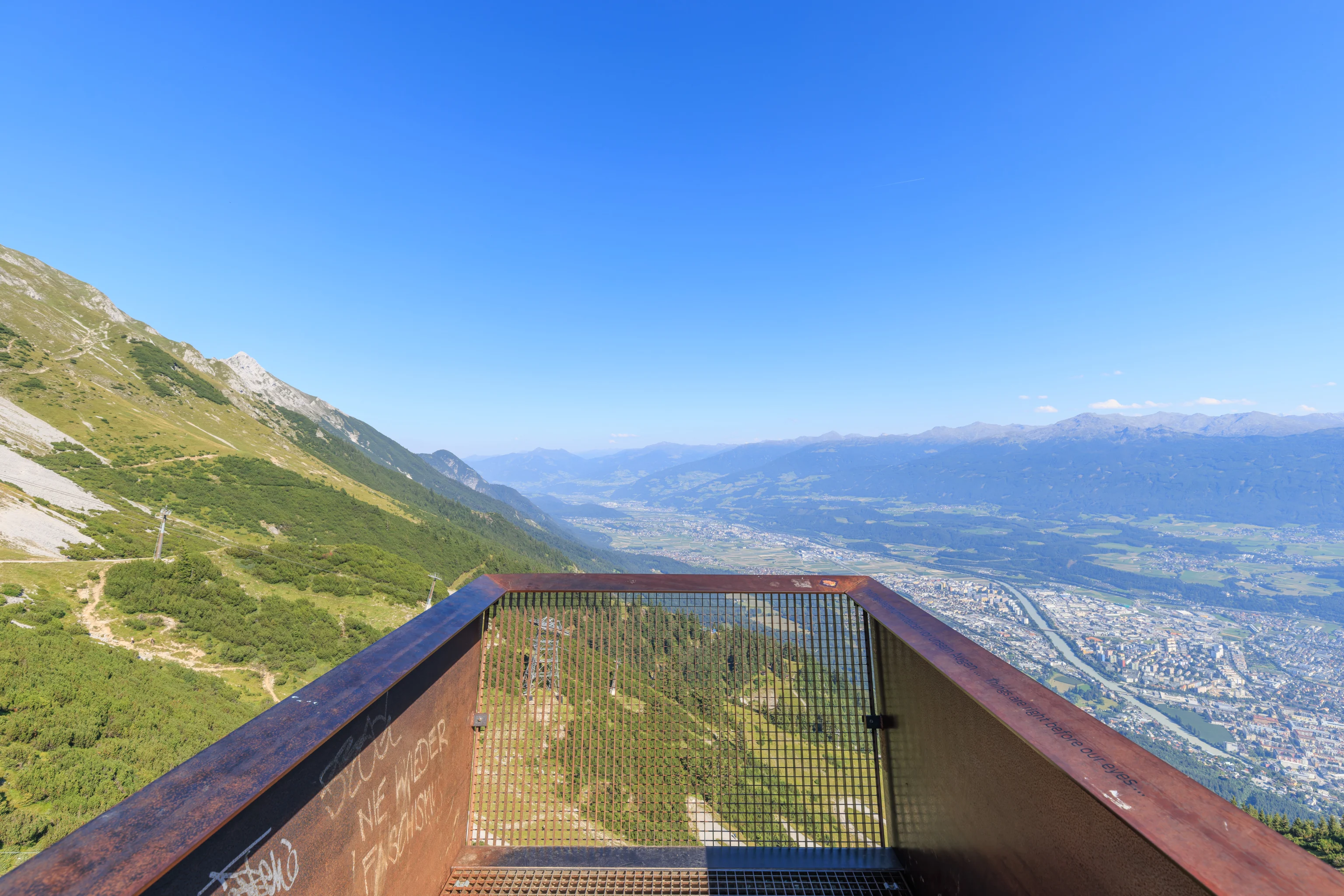
The Nordkette website mentions that this platform is made out of Corten steel. This type of steel is supposed to change appearance as it weathers and form a protective layer of essentially rust. However, this weathering apparently requires pollution to accelerate the effect. Without the pollution, it just looks like rusty metal. That seems to be the case here.
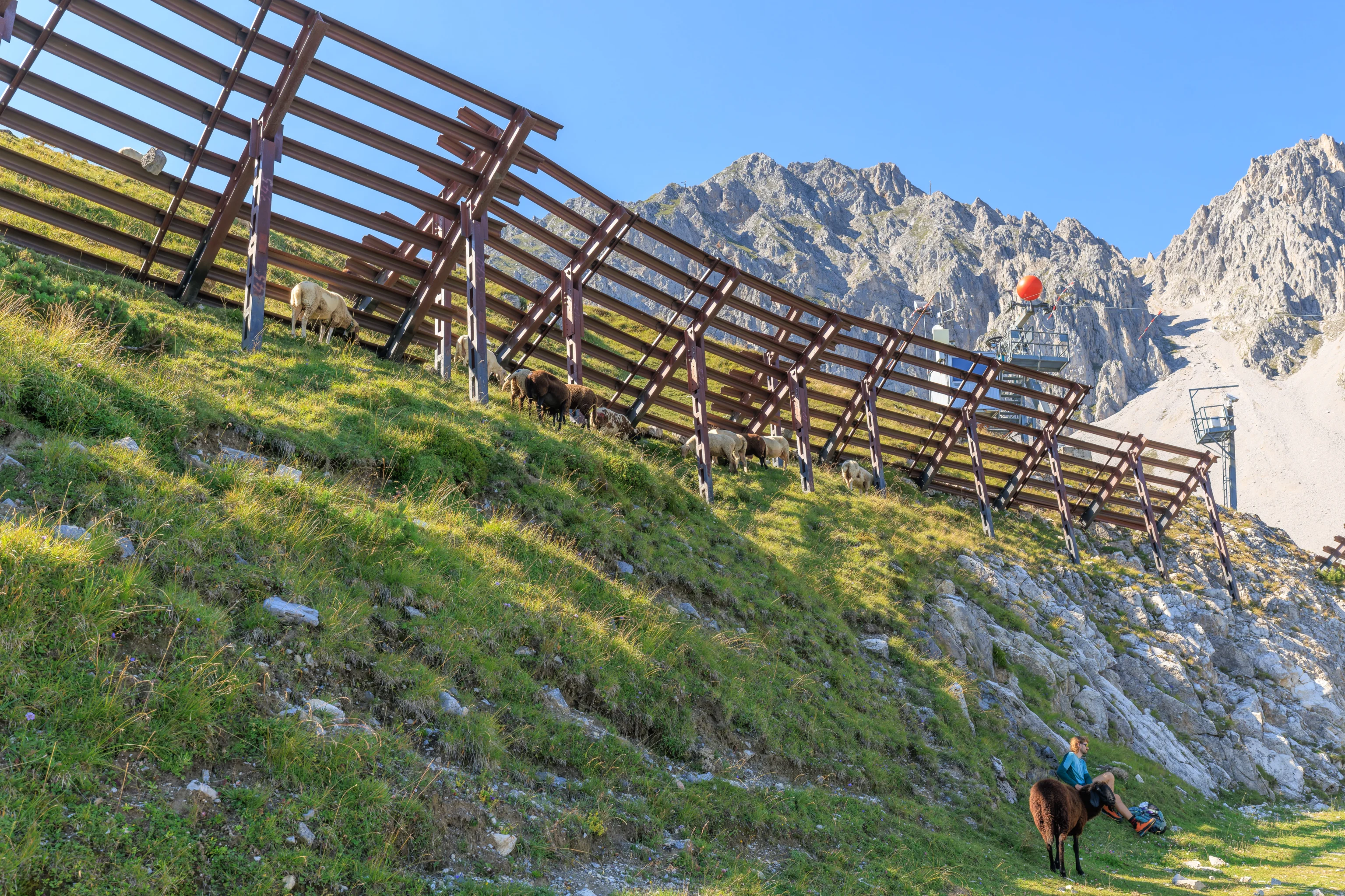
After enjoying the view, we started walking back to the aerial tram station. On the way, we noticed that there were many sheep above the trail along the avalanche fence! We didn’t notice them earlier. Or maybe they weren’t there yet.
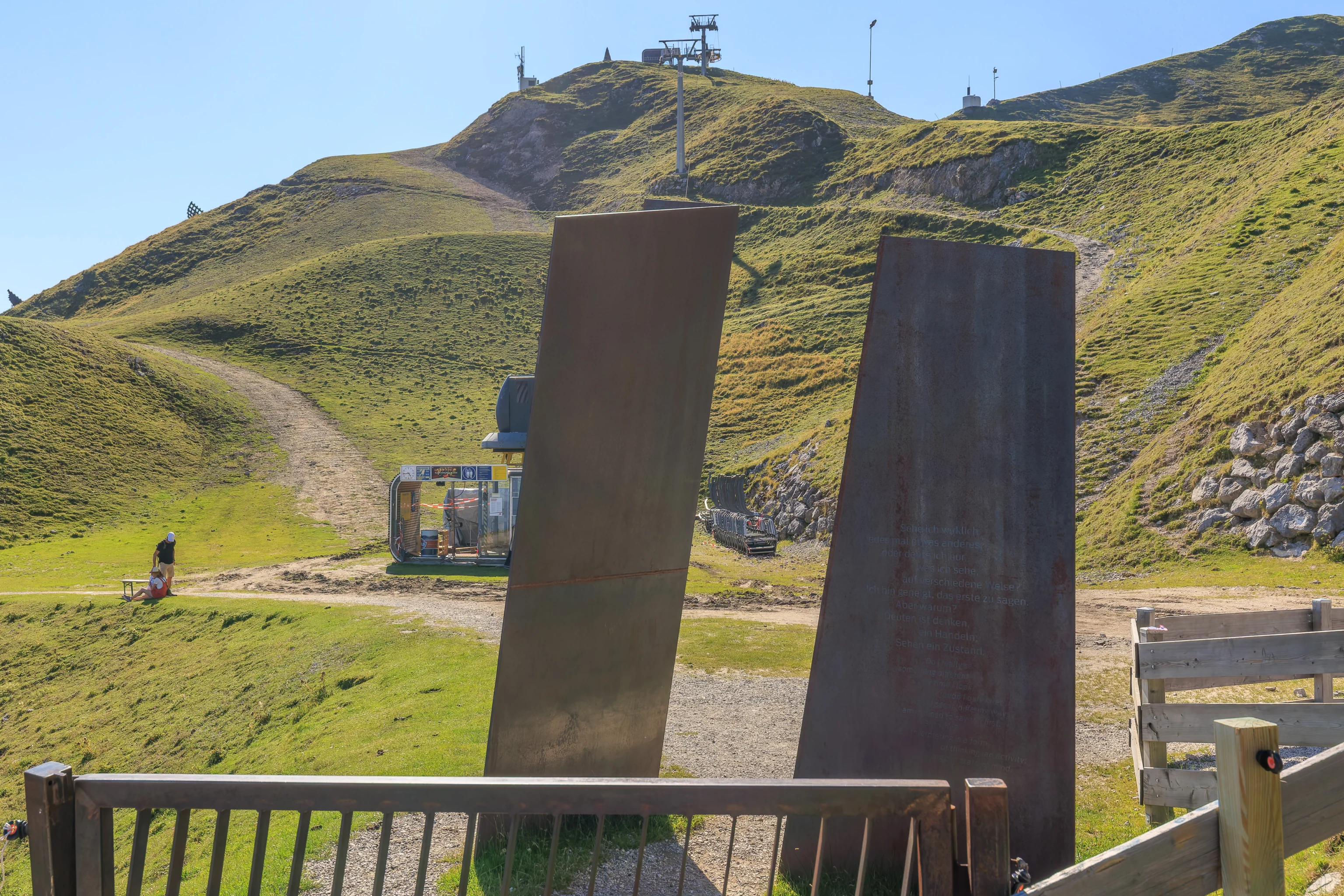
According to a page at designboom.com, which oddly seems to refuse to use anything but lowercase characters, there are ten installations along the trail which utilize Corten steel. According to a map on the page, some of these installations are further beyond the panoramic platform while others are above it on a portion of the trail that we did not visit.
These two Corten steel places are described as the Portal. That name does make sense as they are at the head of the trail. There is hard to read text, by Austrian philosopher Ludwig Wittgenstein, inscribed upon the plate on the right in both German and English. The English text reads:
Do I really see something different each time, or do I only interpret what I see in different ways? I am inclined to say the first. But why? Interpreting is a form of thinking an activity. Seeing is a state of mind.
We continued past the portal to return to the aerial tram station, taking a look back at where we walked over from.
We rode the tram back down to Hungerburg.
The view from the lower terminal of the Seegrubenbahn.
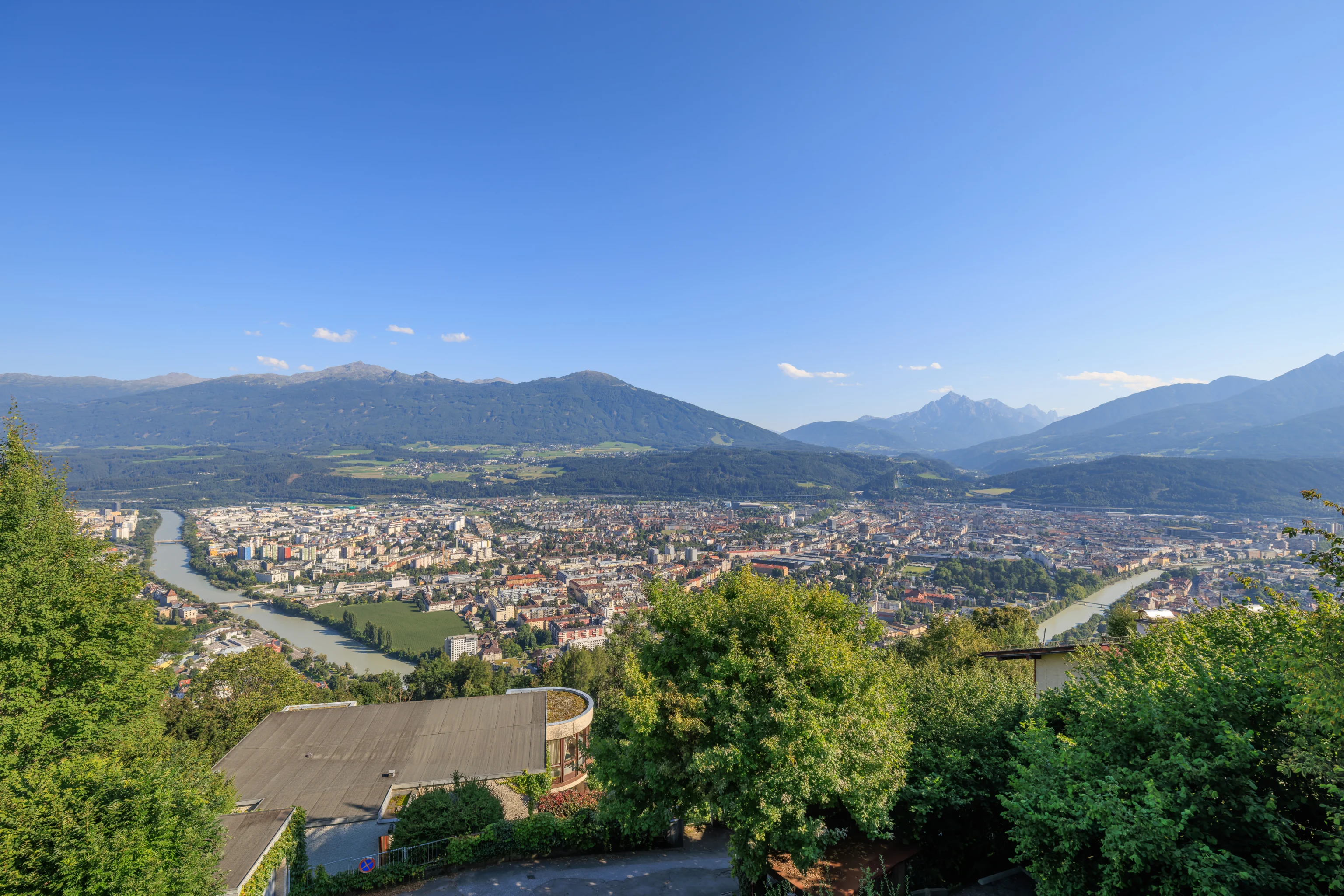
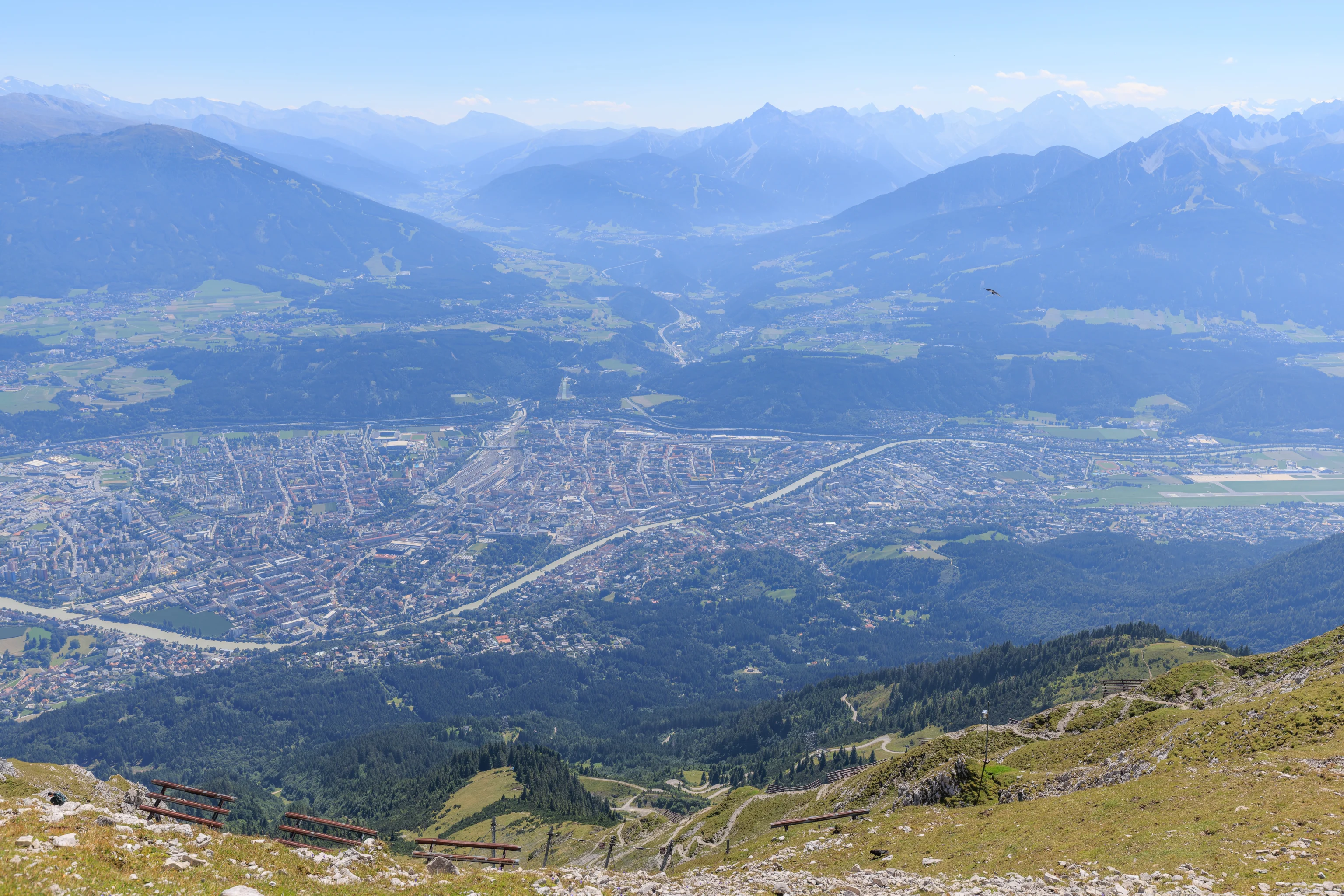
We returned to the overlook at the top of the Hungerburgbahn to take a look at Innsbruck below us. The light was better now at around 5:20pm as the Sun was off to the side compared to earlier in the day.
The funicular was not present when we returned to the station.
There were only a few people waiting to board when it arrived.
Evening
After returning to the funicular station in Innsbruck, it was time for dinner.
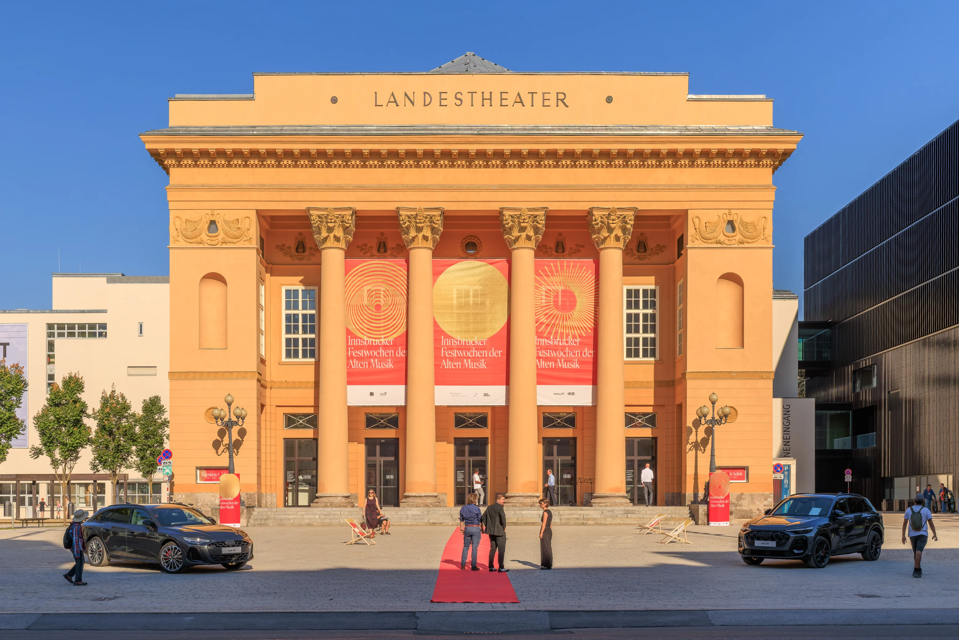
After walking a block to the south, we noticed a literal red carpet being rolled out in front of the Tiroler Landestheater (State Theatre) along with two staged Audis. The banners indicate that the Innsbrucker Festwochen der Alten Musik (Innsbruck Festival of Early Music) is currently going on. Looking at the festival events, the Ifigenia in Aulide opera will be taking place at 7pm.
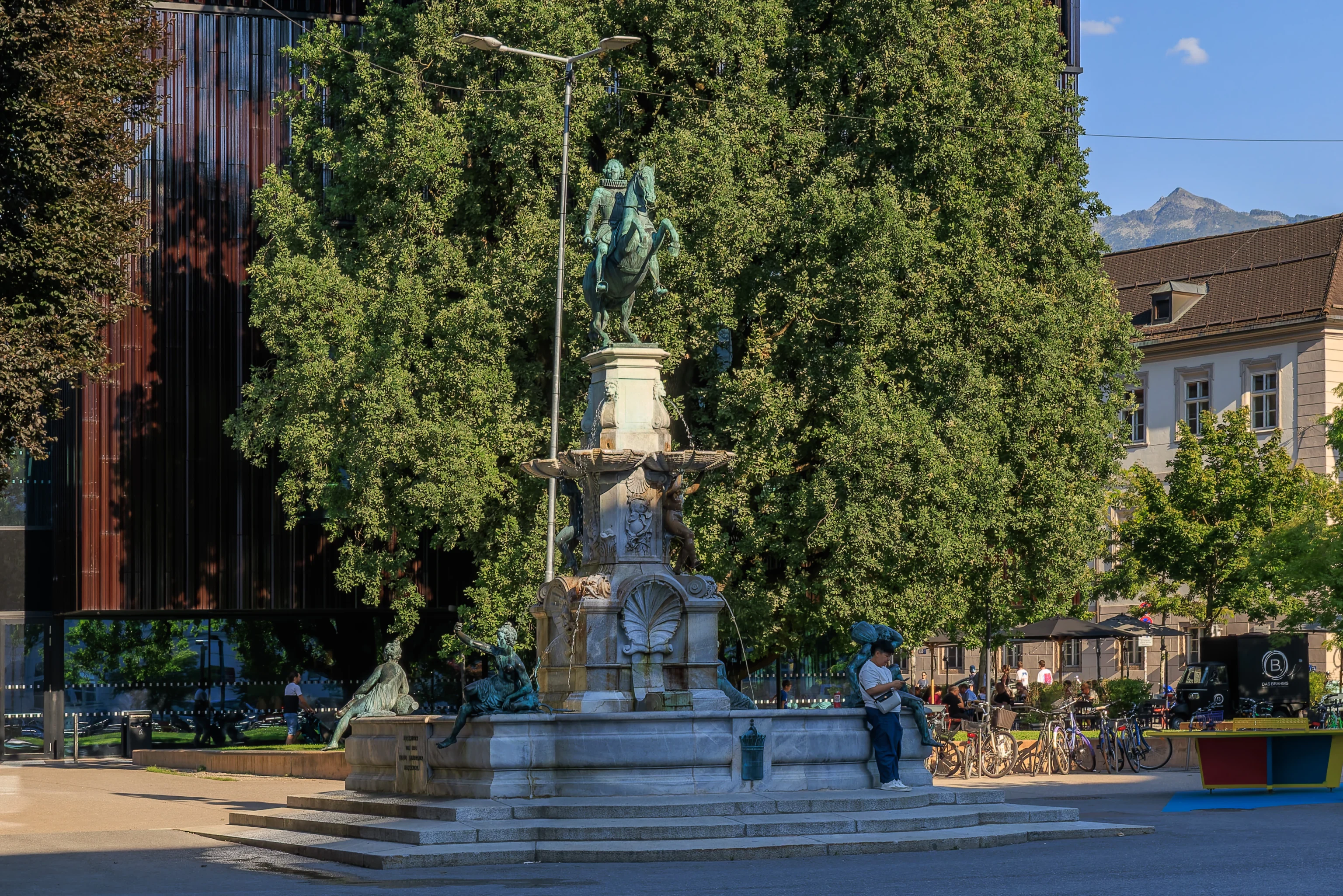
There was a fountain to the southeast of the theatre.
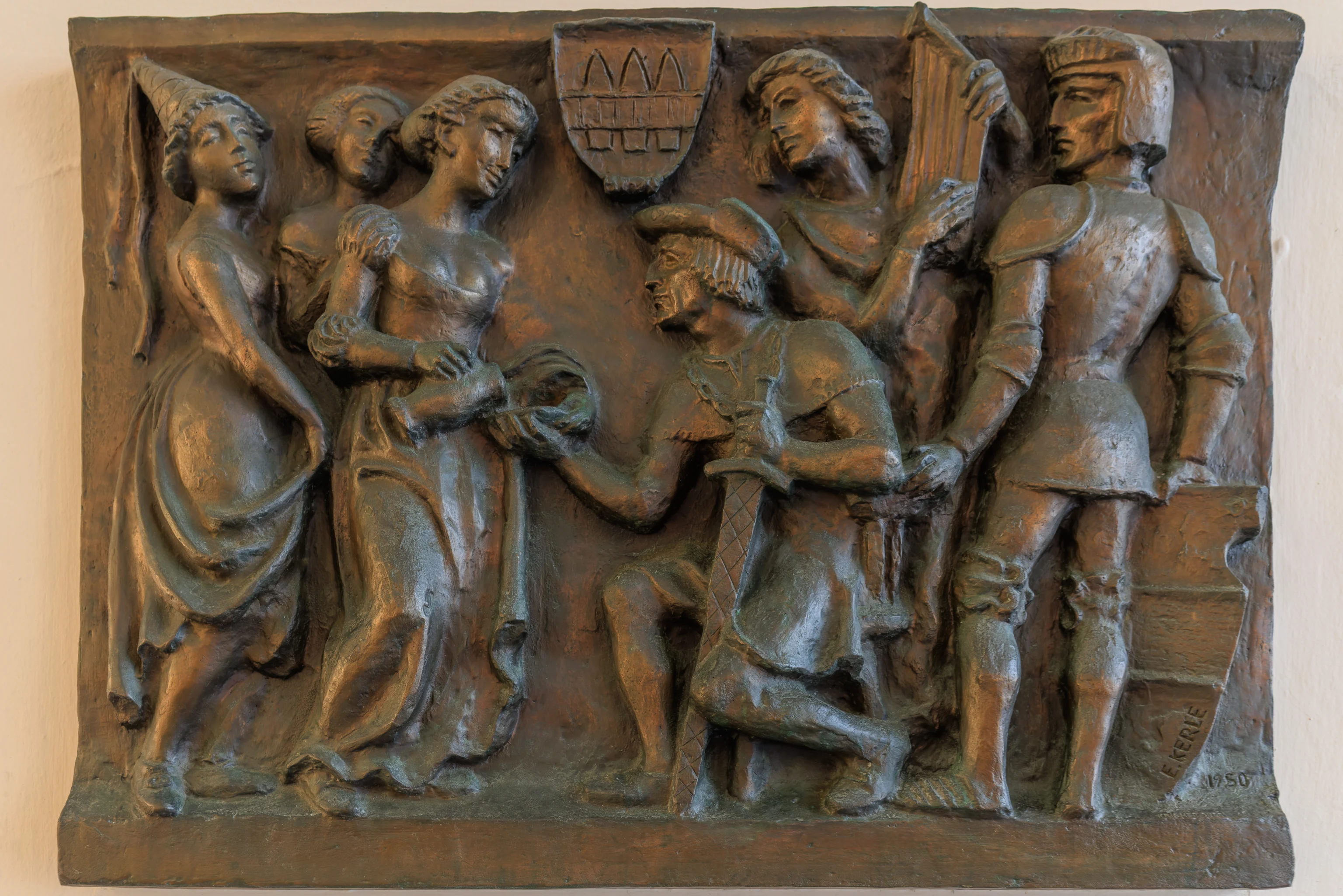
We turned to the west to try and get to the Innsbruck Cathedral. We ended up walking through a passageway where we saw this decoration titled “Drei Innsbrucker Mädchen kredenzen Kaiser Maximilian I eine Schale Wein” (Three Innsbruck Girls Serve Emperor Maximilian I a Bowl of Wine). It is made from bronze by Emmerich Kerle and dedicated by the Tiroler Sparkasse Bank AG.
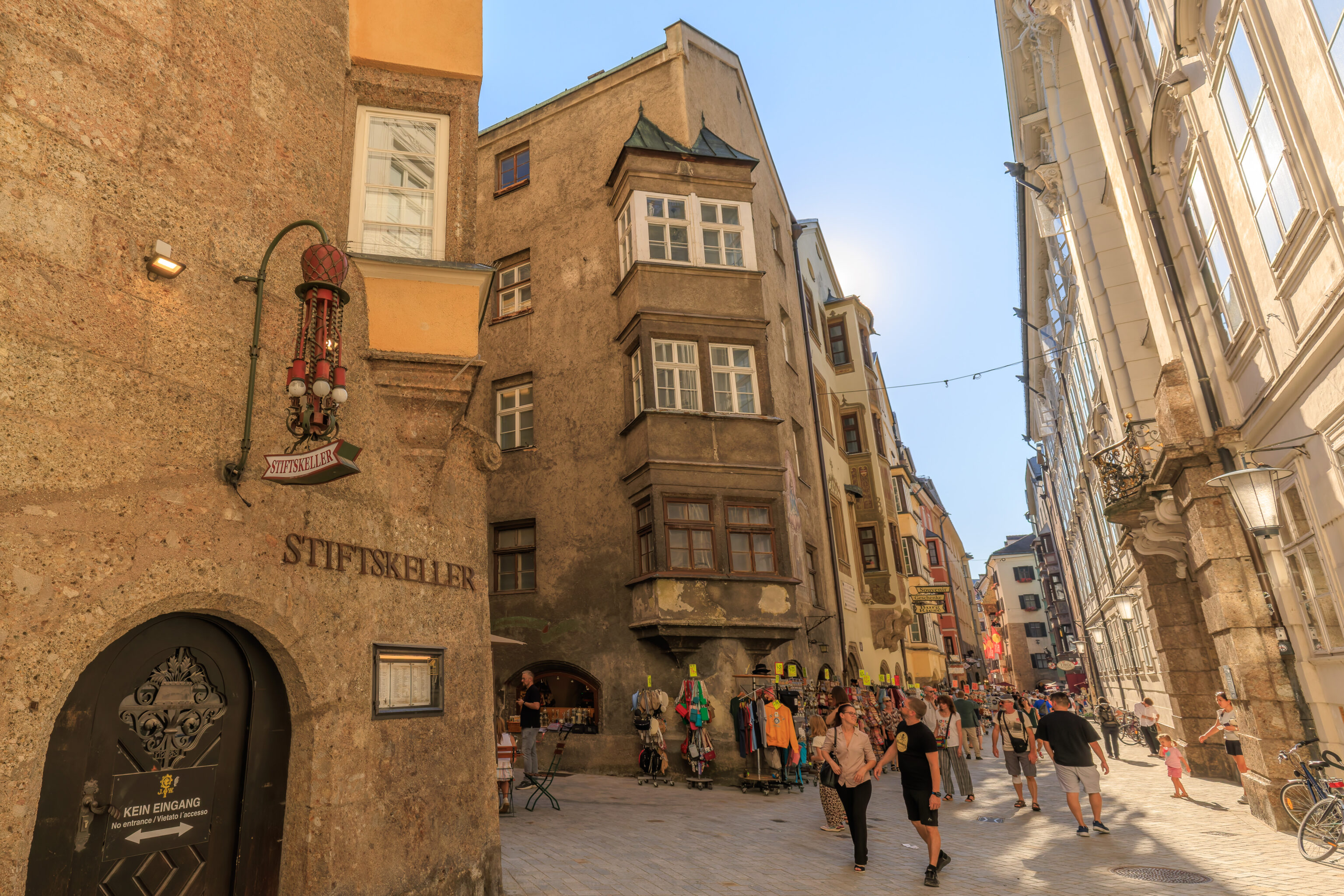
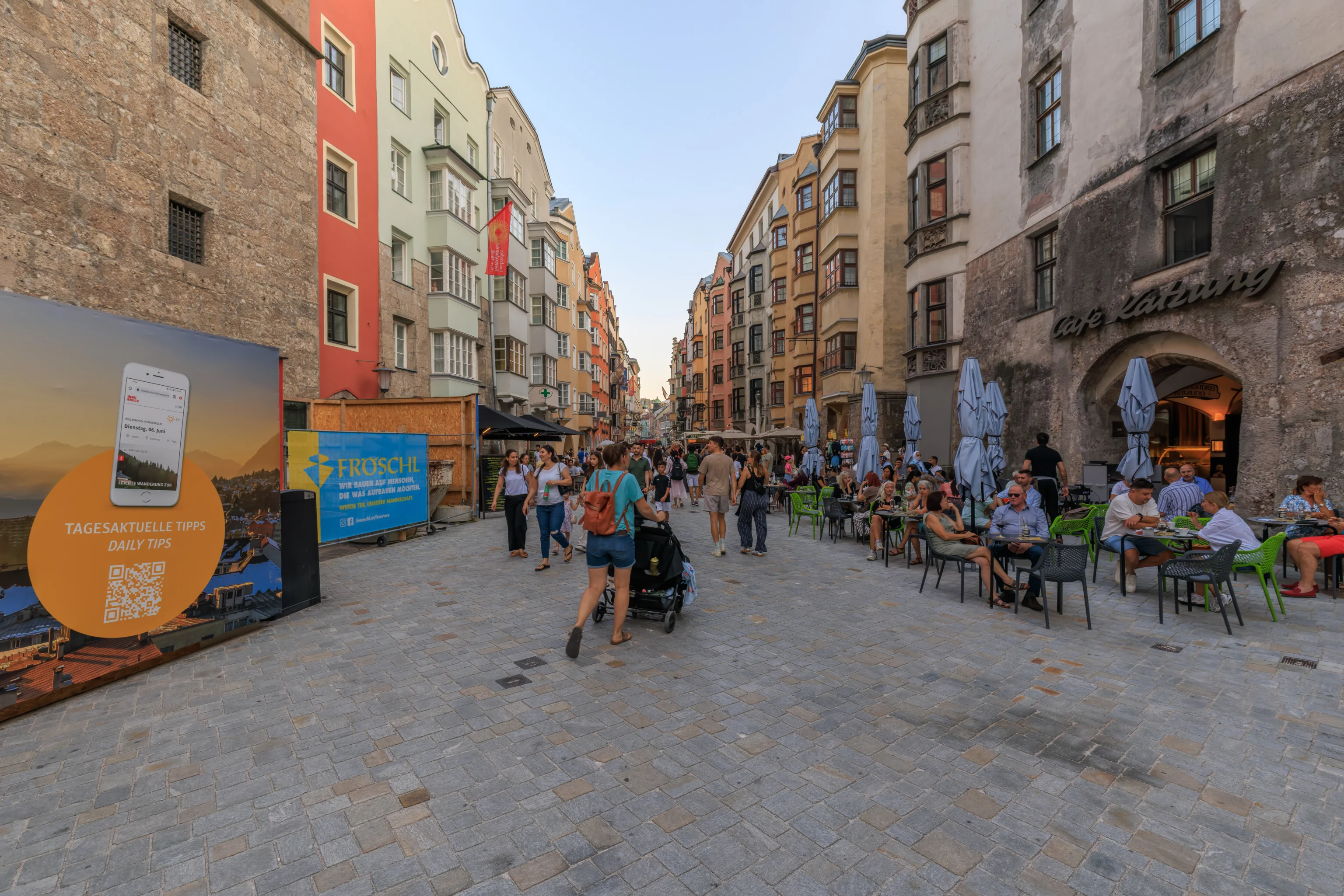
We ended up in a lively pedestrian street to the east of the Goldenes Dachl.
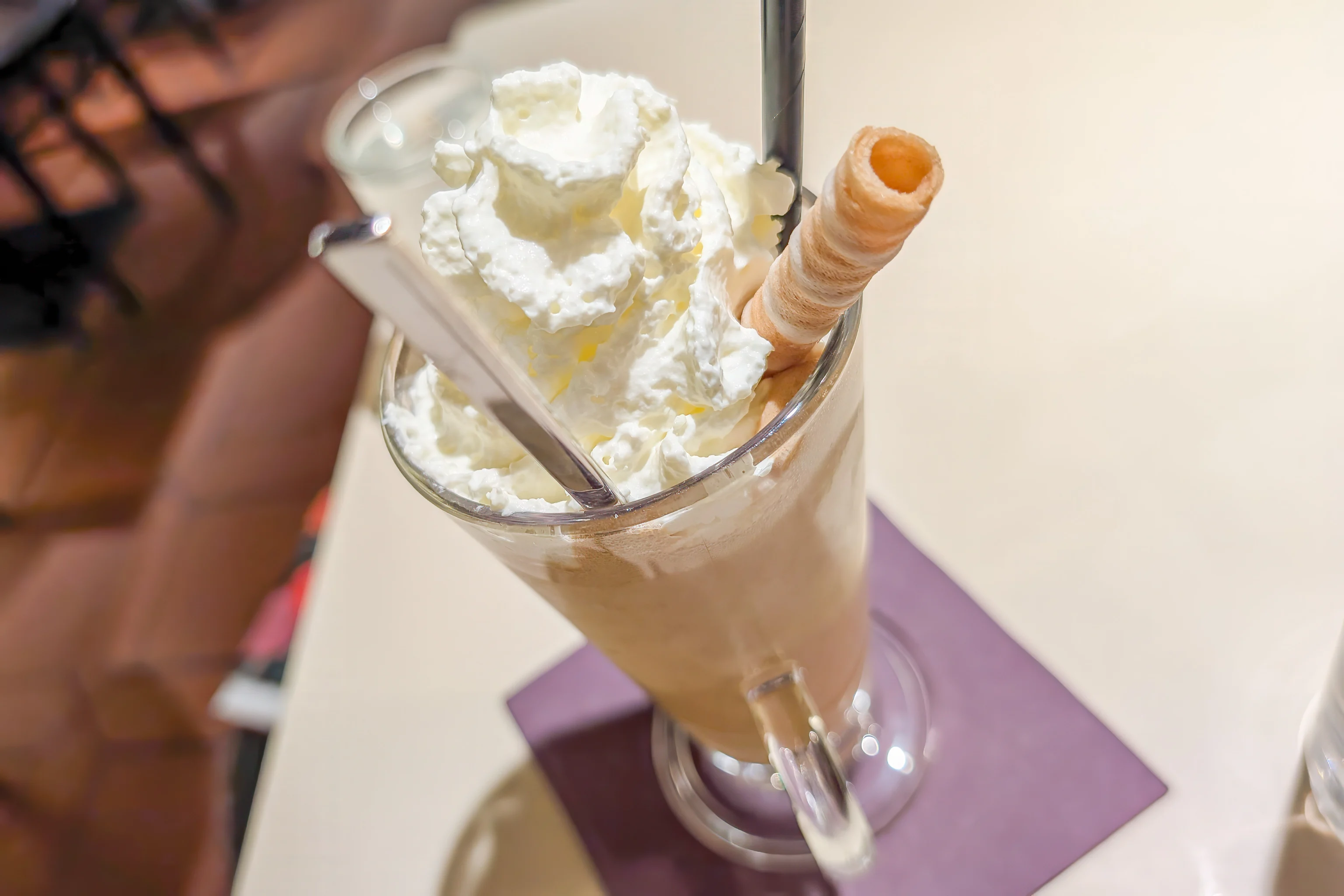
We decided to stop and get some snacks at the Strudel Cafe Kroll. We ordered an eiskaffee, which was nice after a long hot day.
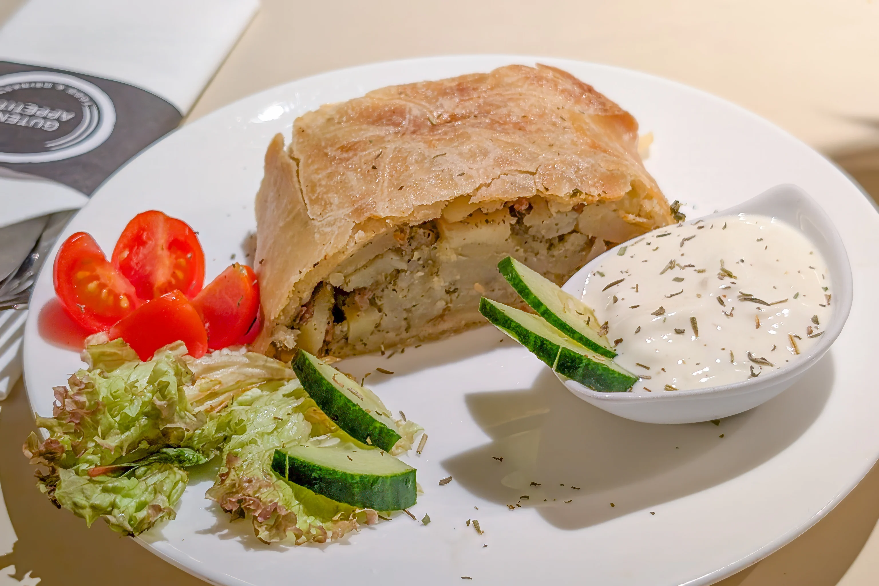
We also ordered a potato and meat strudel. It was pretty good and something we’ve never had before.
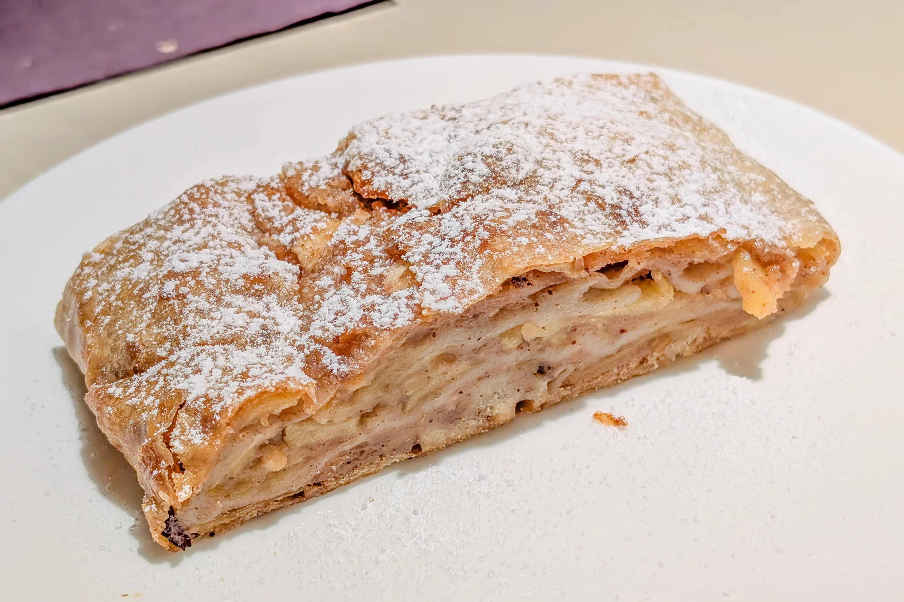
We also ordered an apple strudel. It was different from what we’ve had in Germany and might have been the Vienna style but we’re not sure about that.
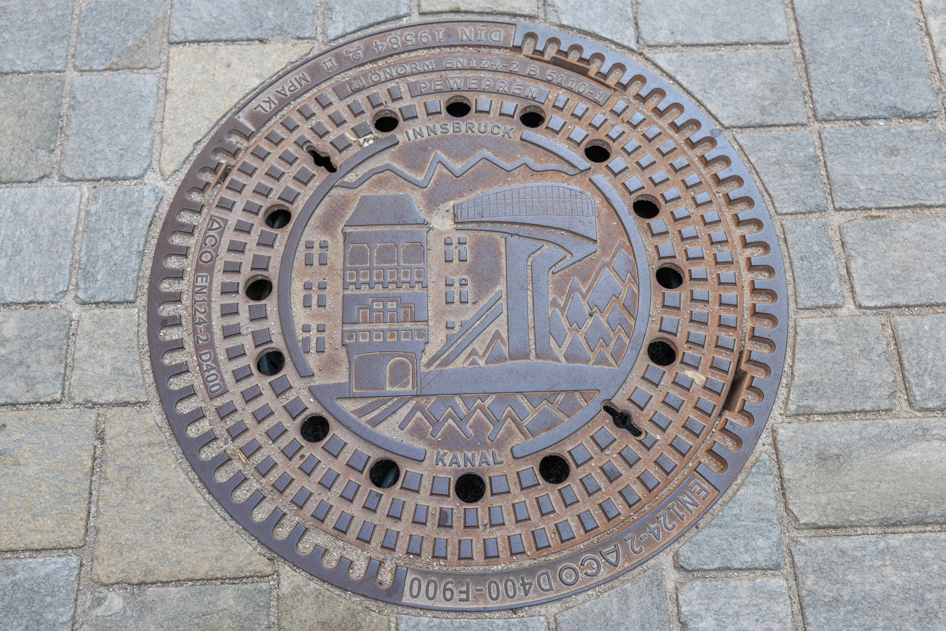
Continuing on, we spotted a manhole cover with art depicting the Goldenes Dachl and the Bergisel Ski Jump as well as mountains and trees.
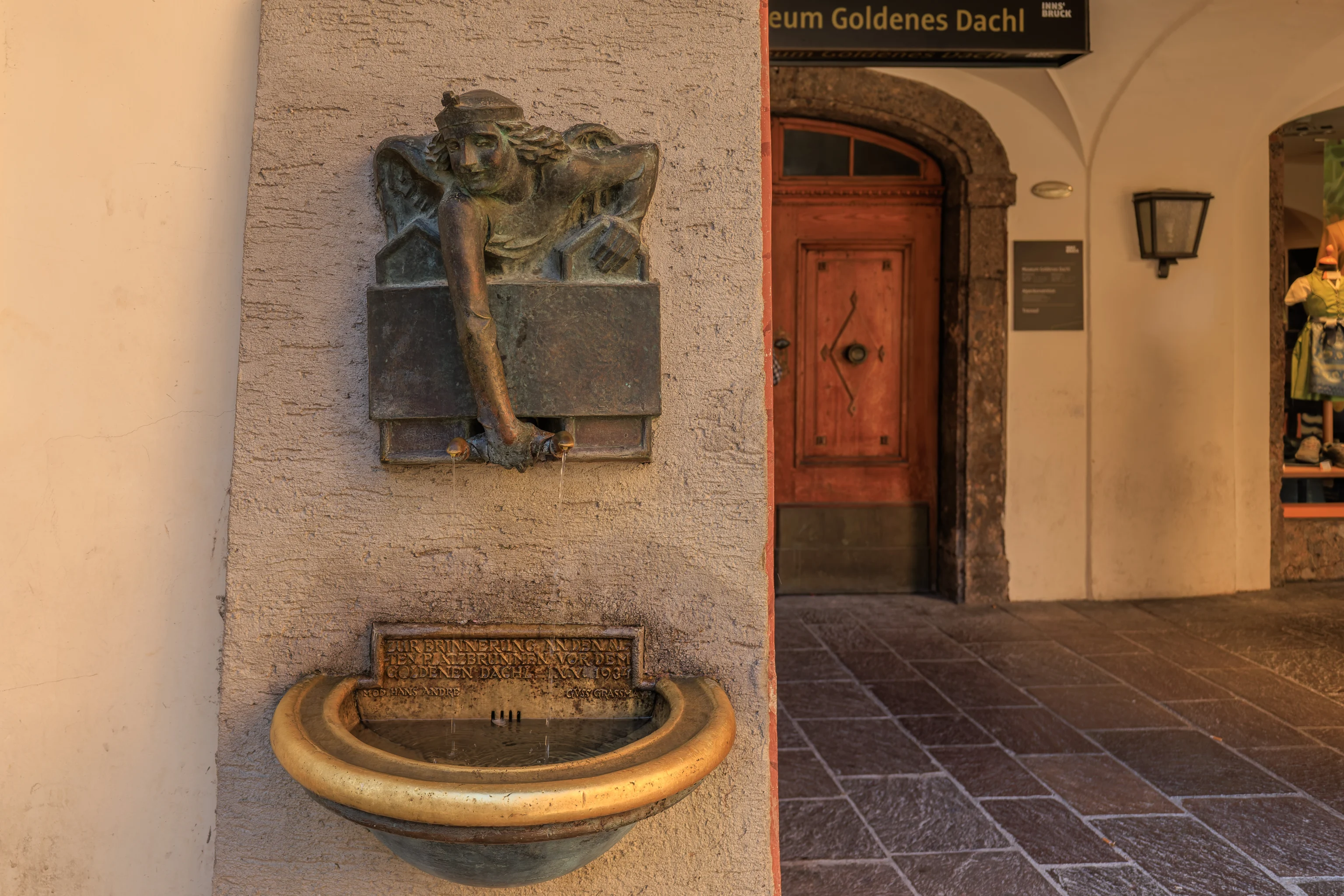
We walked by a fountain.
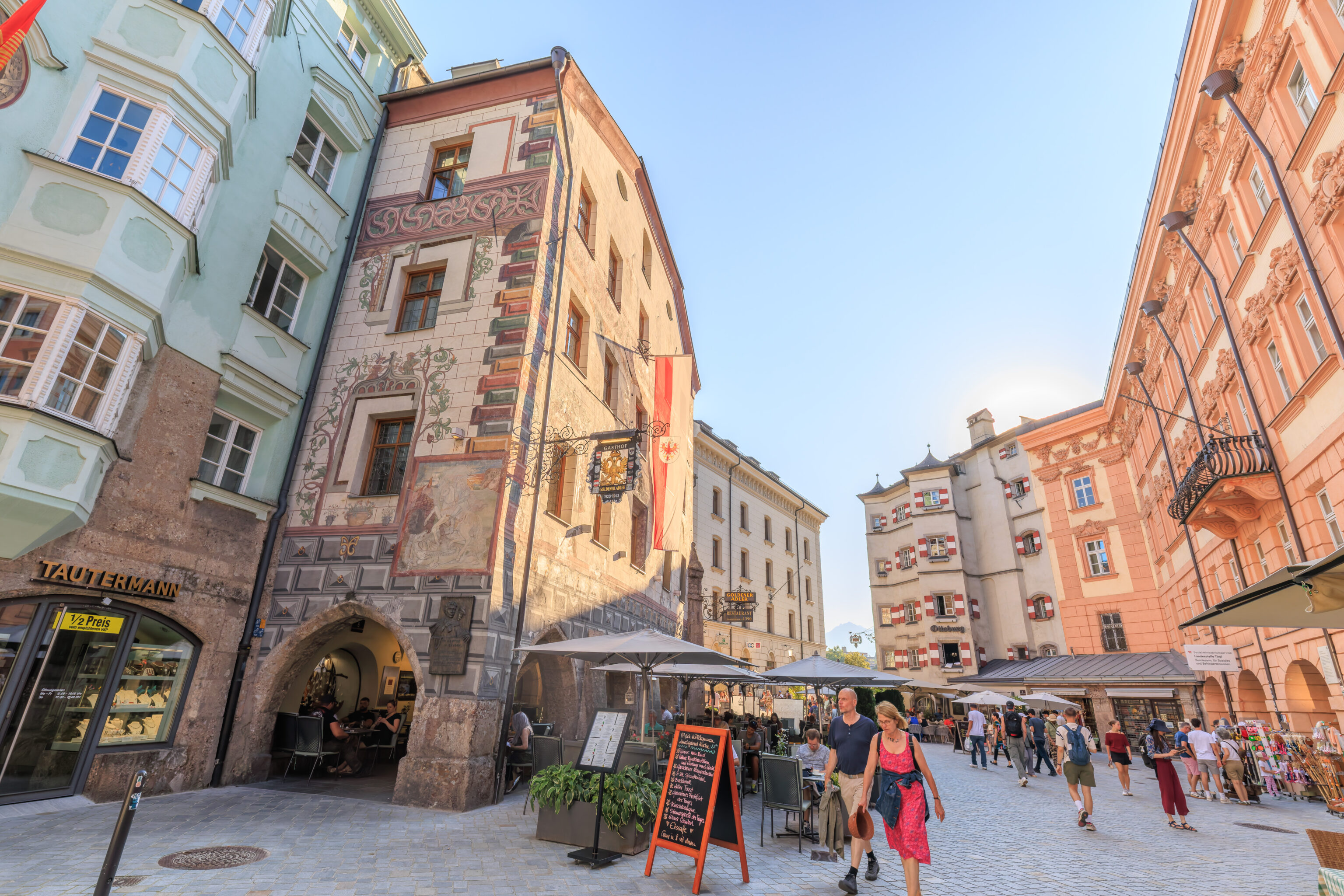
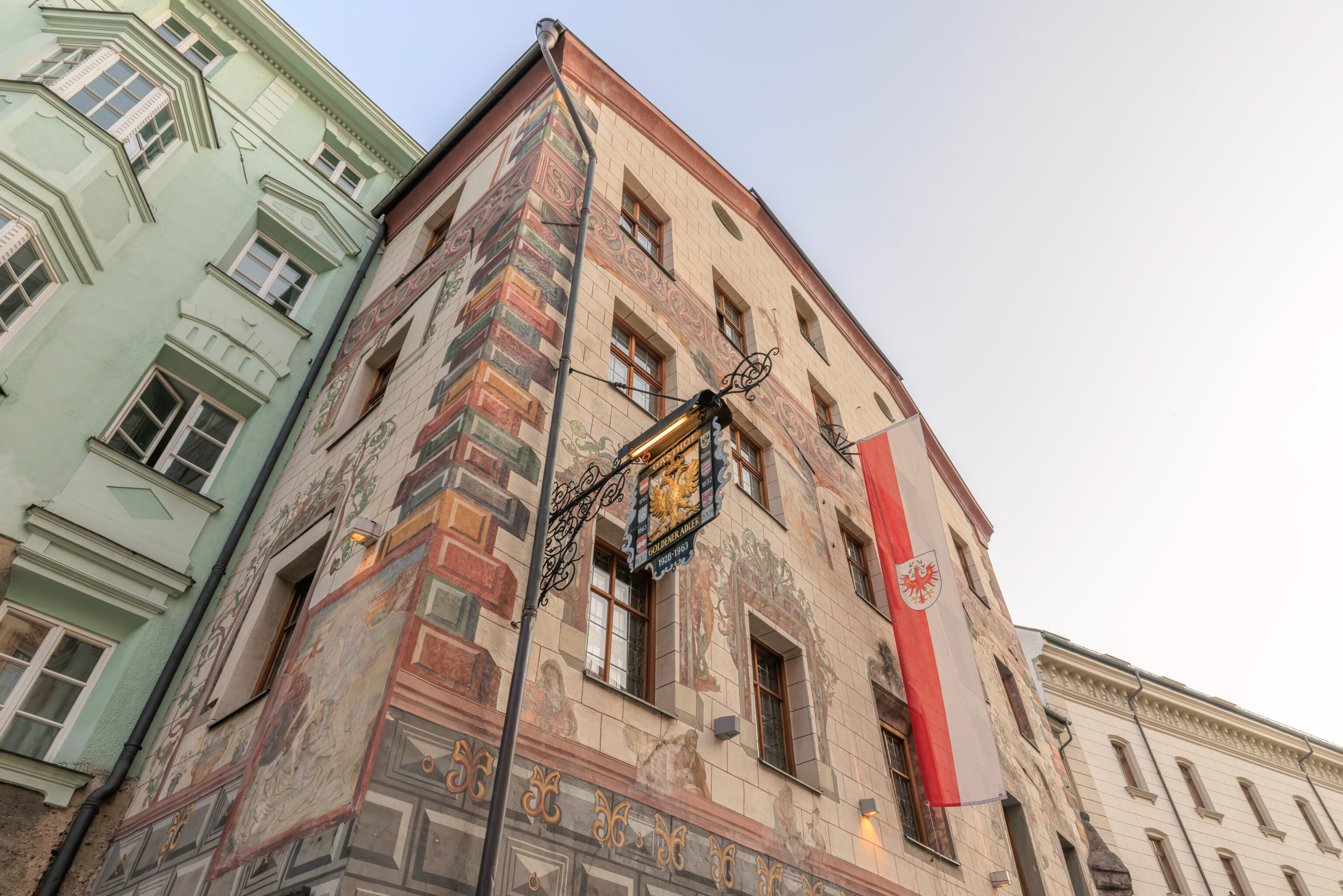
We decided to get dinner here at the Goldener Adler (Golden Eagle), just to the west of the Goldenes Dachl.
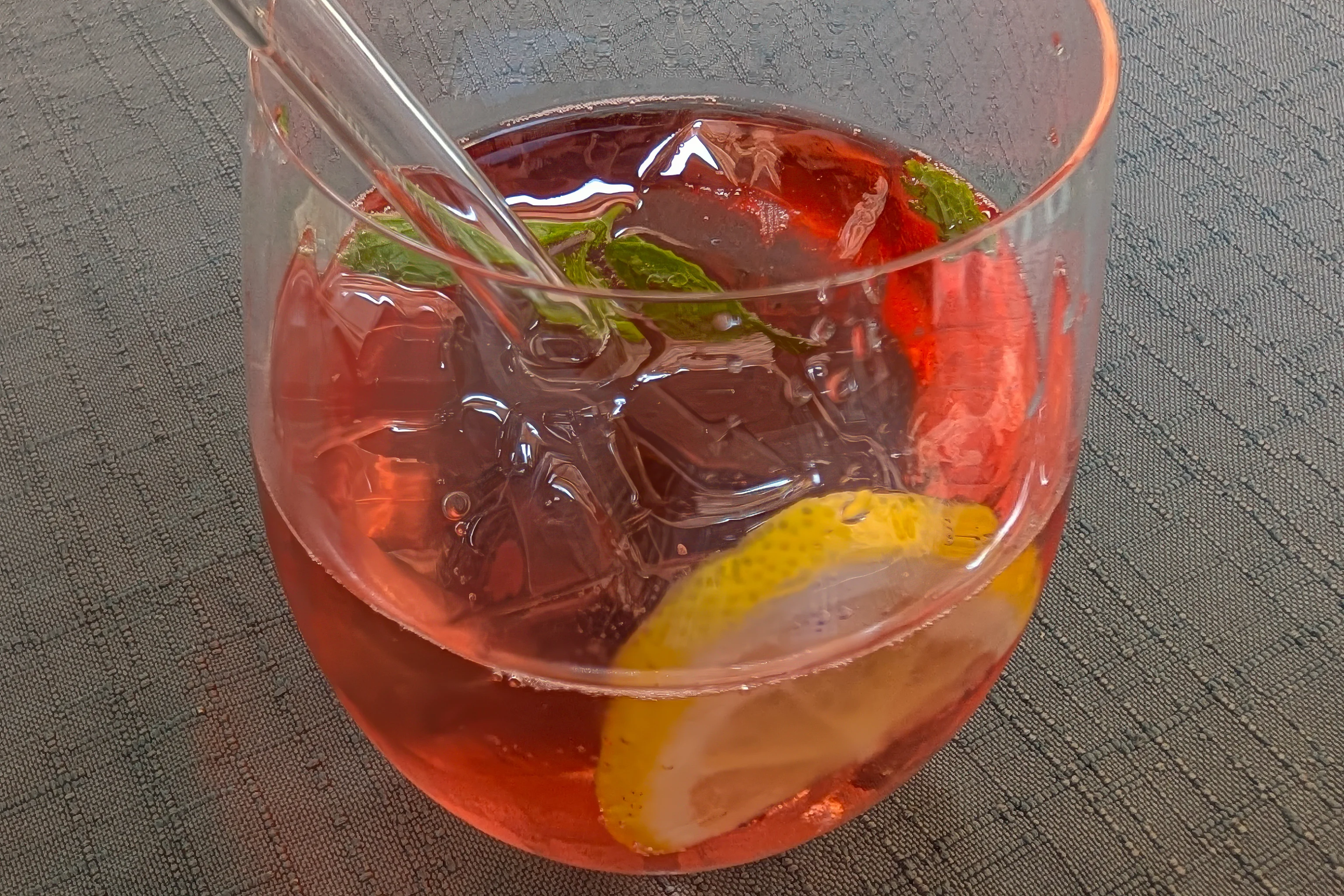
Schilerol Frizzante Sparkling Wine | Soda Water | Mint | Lemon”
We ordered a Schilerol, a variation of Aperol from Styria, a large state in southern Austria.
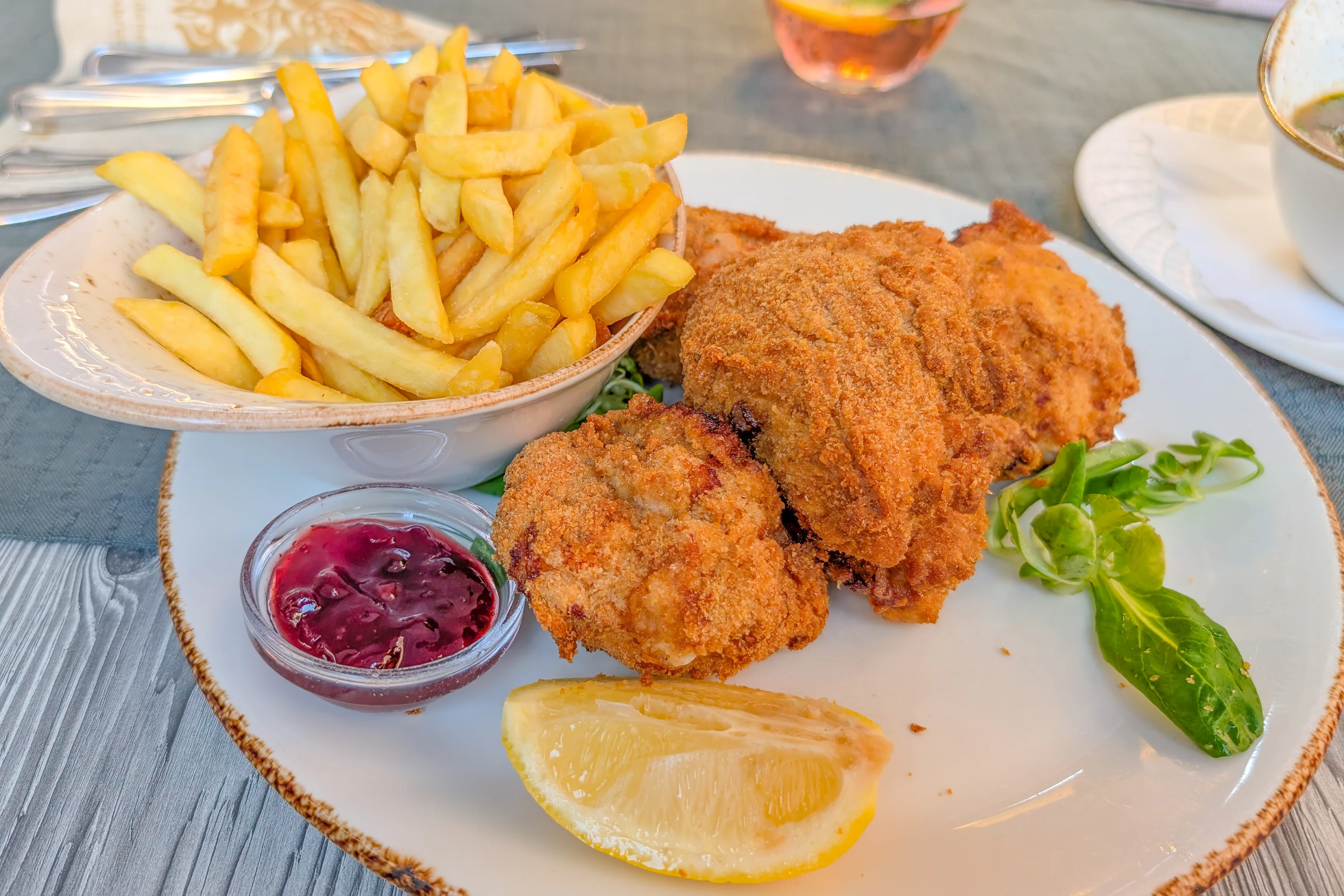
Seventh Heaven! Happy Hens from Austria with homemade Potato Salad and the best Styrian Pumpkin Seed Oil! A true Pleasure can’t be any better!”
Continuing on with the Styria theme, we ordered the fried chicken. We’ve never had European fried chicken before. While it was well fried, the meat inside was very dry. A bit similar to schnitzel. Although the fries were quite good, perhaps the salad would have been more interesting and local.
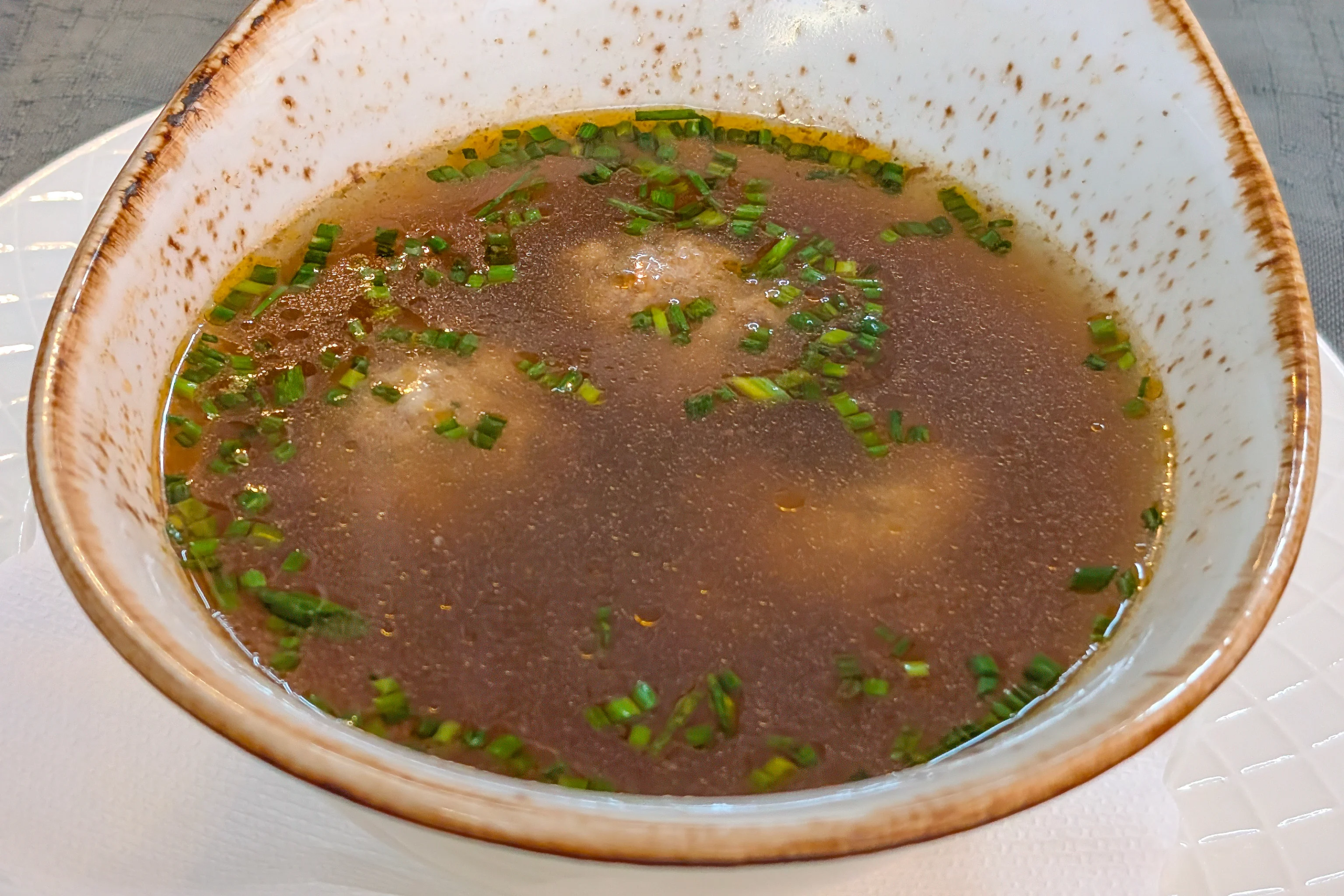
liver dumpling
A round thing in a beef soup from Grandma’s times”
The liver dumpling with soup had good soup but the dumpling, really more of a meatball, was different from the only other time we’ve had this, which was on our previous trip to Munich.
Overall a good meal, though our waiter did “helpfully” mention that tip was not included. No, really?
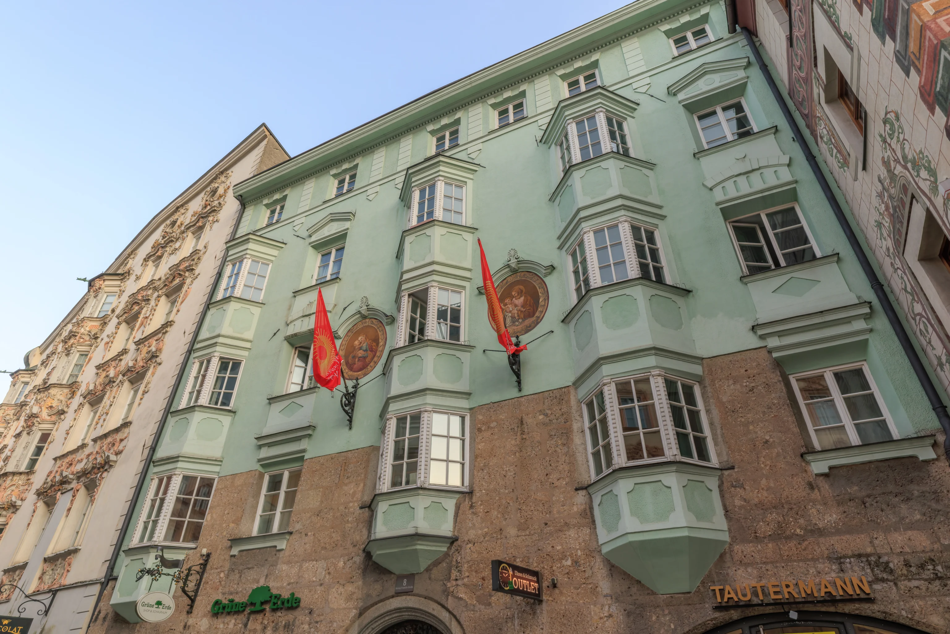
The building next door was pretty green. Overall, the architecture here and exterior decor is pretty nice with quite a bit of variety.
We walked back towards the Goldenes Dachl. Unlike when we were here earlier, the Sun was now low and the Goldenes Dachl didn’t have that nice golden appearance as before.
We turned to the right to begin walking south back to the AC Hotel.
The view looking back to the north at the Goldenes Dachl. The Nordkette is in the background along with Seegrube and Hafelekar above it.
Just a nice looking sign hanging from aceiling.
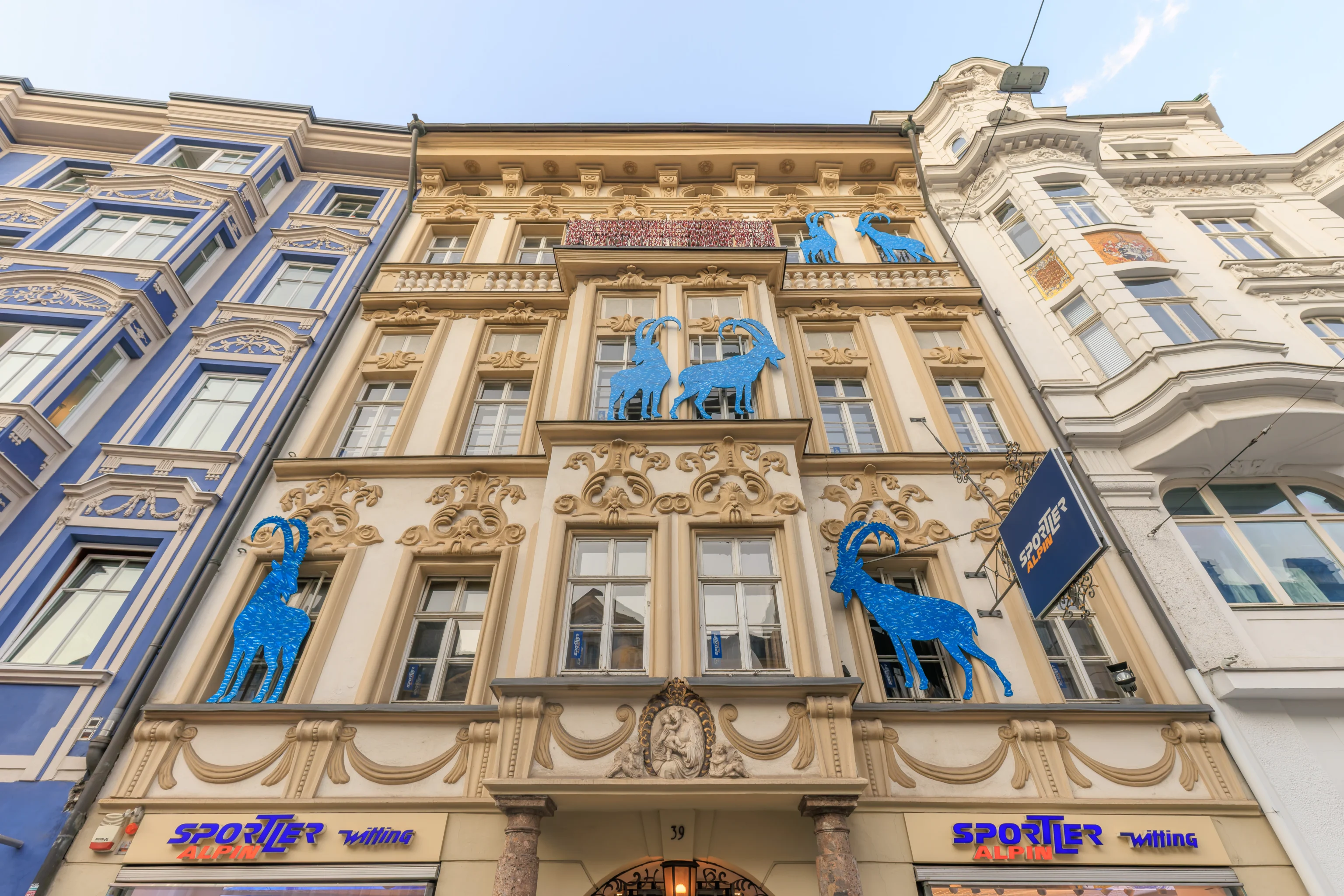
This building had some blue steinbock, also known as the alpine ibex.
We continued walking to the south.
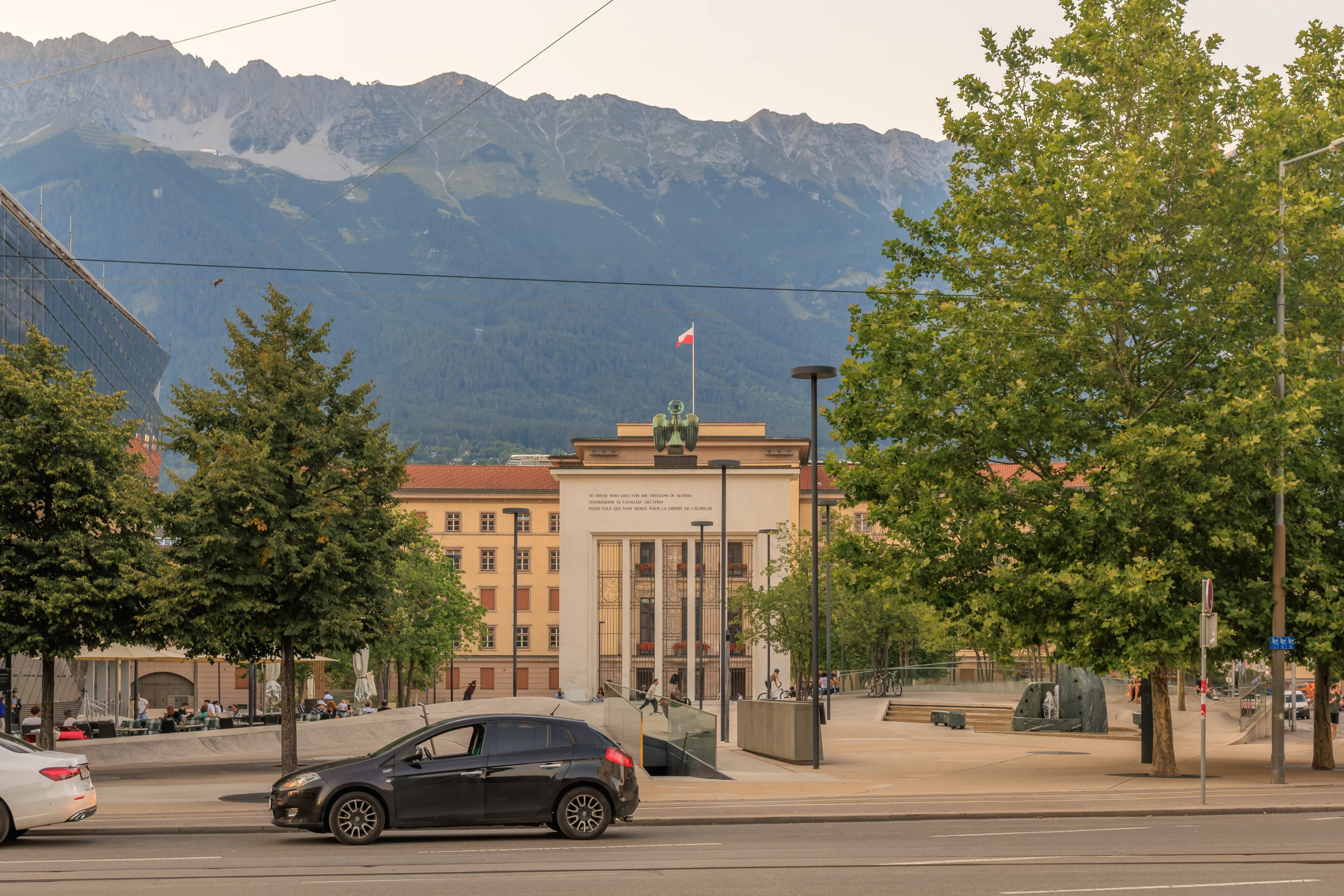
This monumental gate displays the text, “to those who died for the freedom of Austria”, in English, Russian, and French. This inscription upon the Liberation Monument refers to the end of Nazi-annexed Austria at the end of World War II.
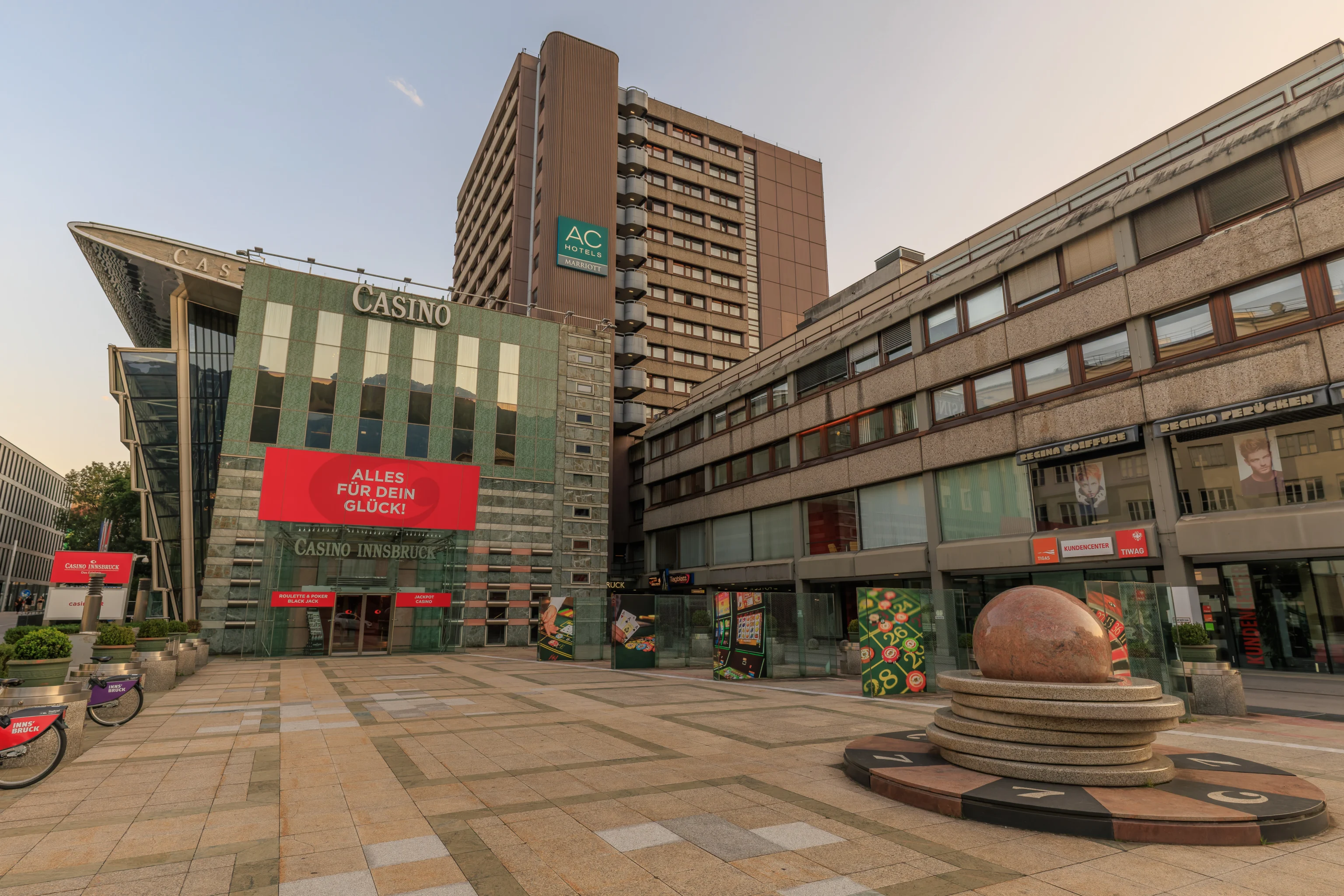
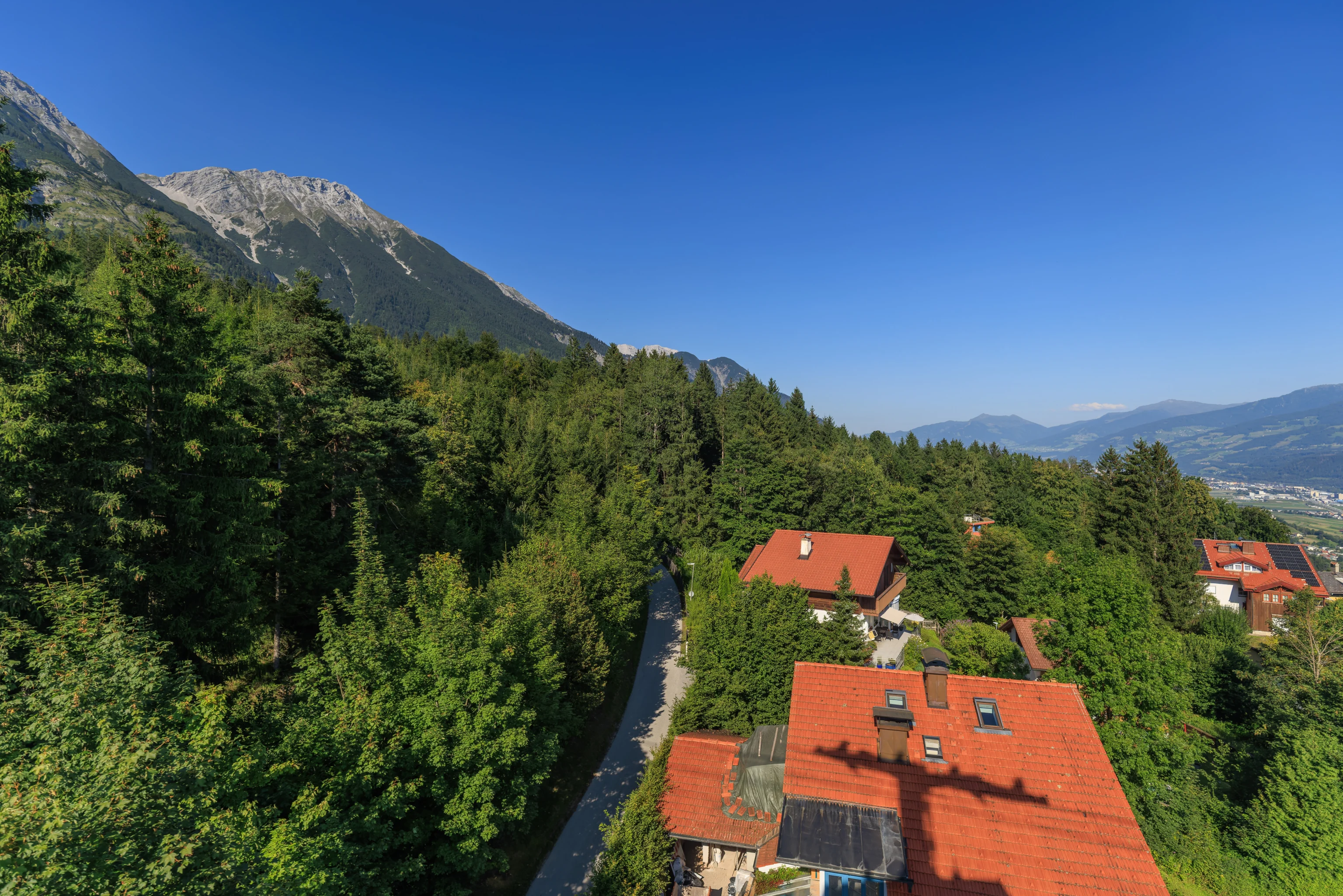
The AC Hotel is across the street from the Liberation Memorial. The building is quite ugly compared to the historic architecture in the altstadt! The formerly Spanish AC Hotel brand is now part of Marriott and is supposed to be something in between Marriott’s many limited service brands and the Marriott brand. This particular hotel was formerly a Hilton before it was renovated in 2018. After that, it became an AC Hotel, though the timing is not entirely clear as some sources have a 2020 opening date but there are other references to guests staying at the AC Hotel well before then.

We finished checking in and went to our room on the 13th floor of the 14 floor building.
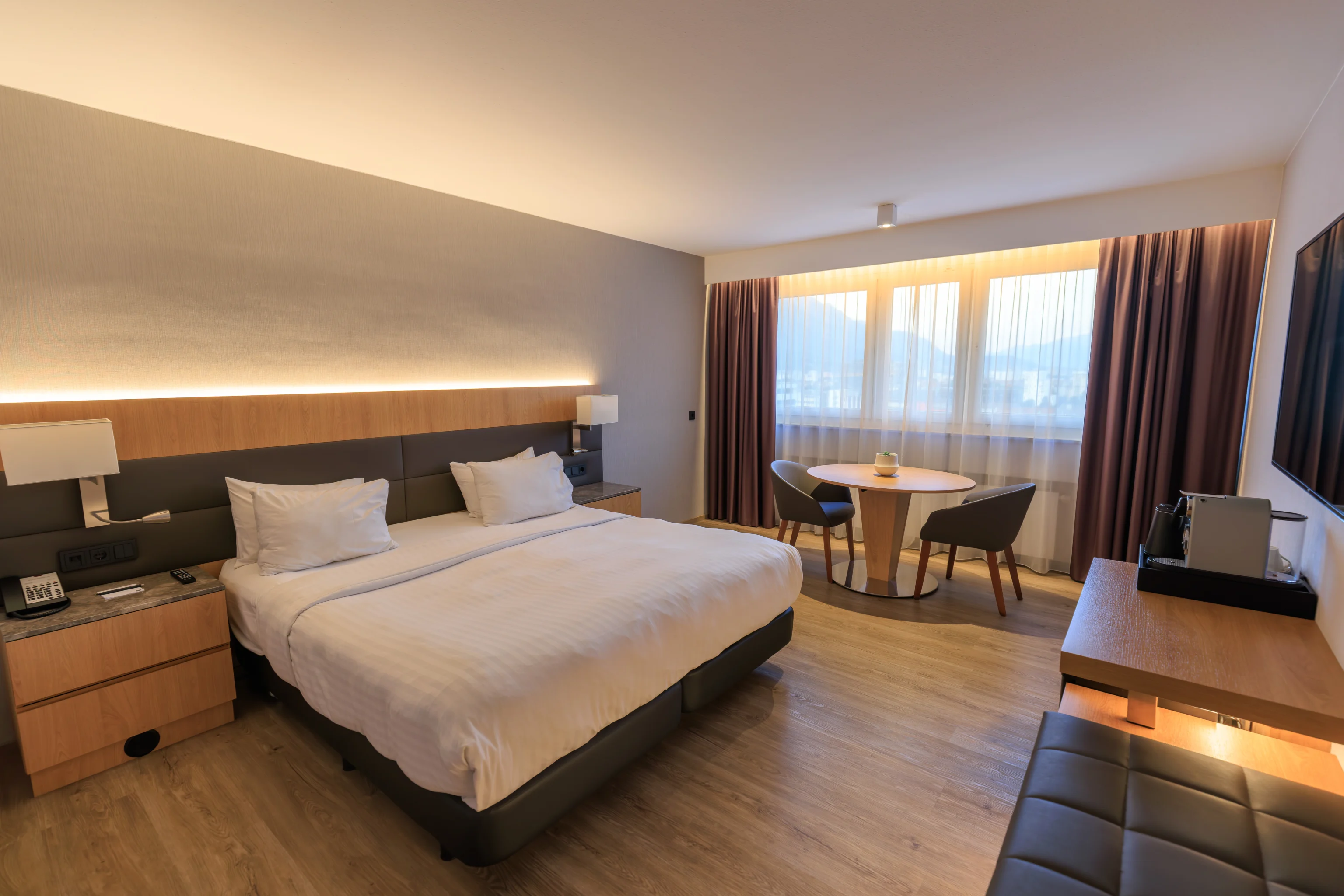
The room was simply furnished with a modern appearance.
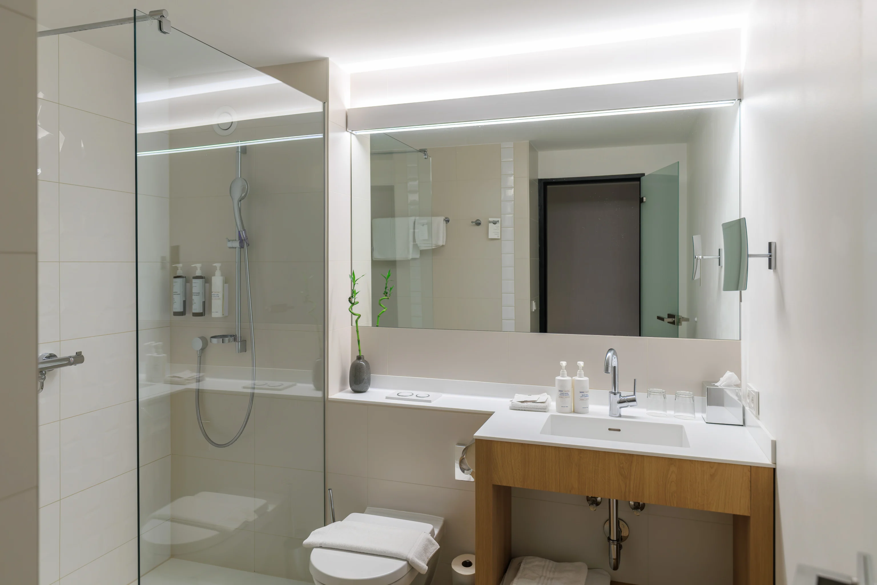
The bathroom was also modern in appearance. Unfortunately, it did not have a tub.
Generally, the room was clean and in good condition, though in places it was showing signs of wear.
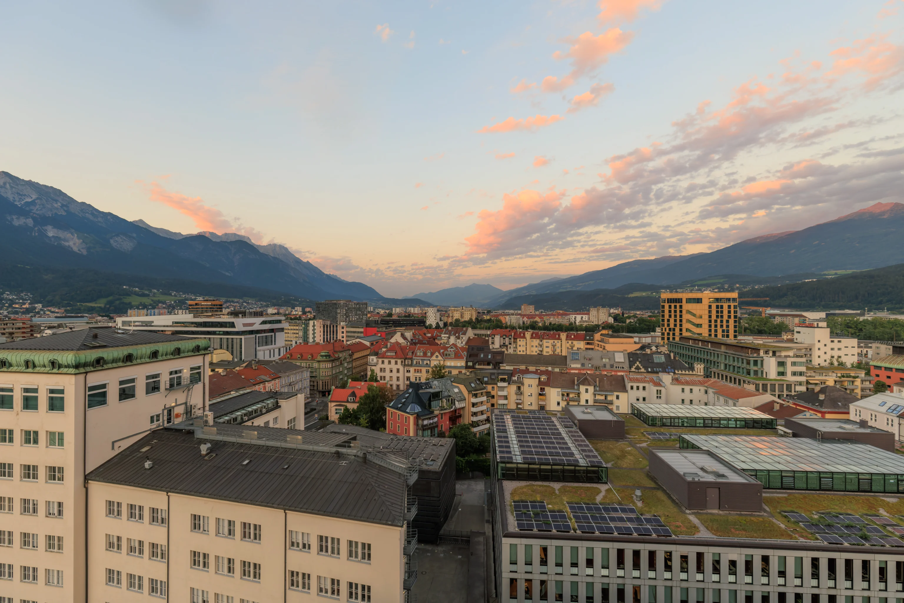
Our room had a fantastic east view. And as this is Europe, the windows do open.
A panoramic view from the room later in the evening just after sunset.
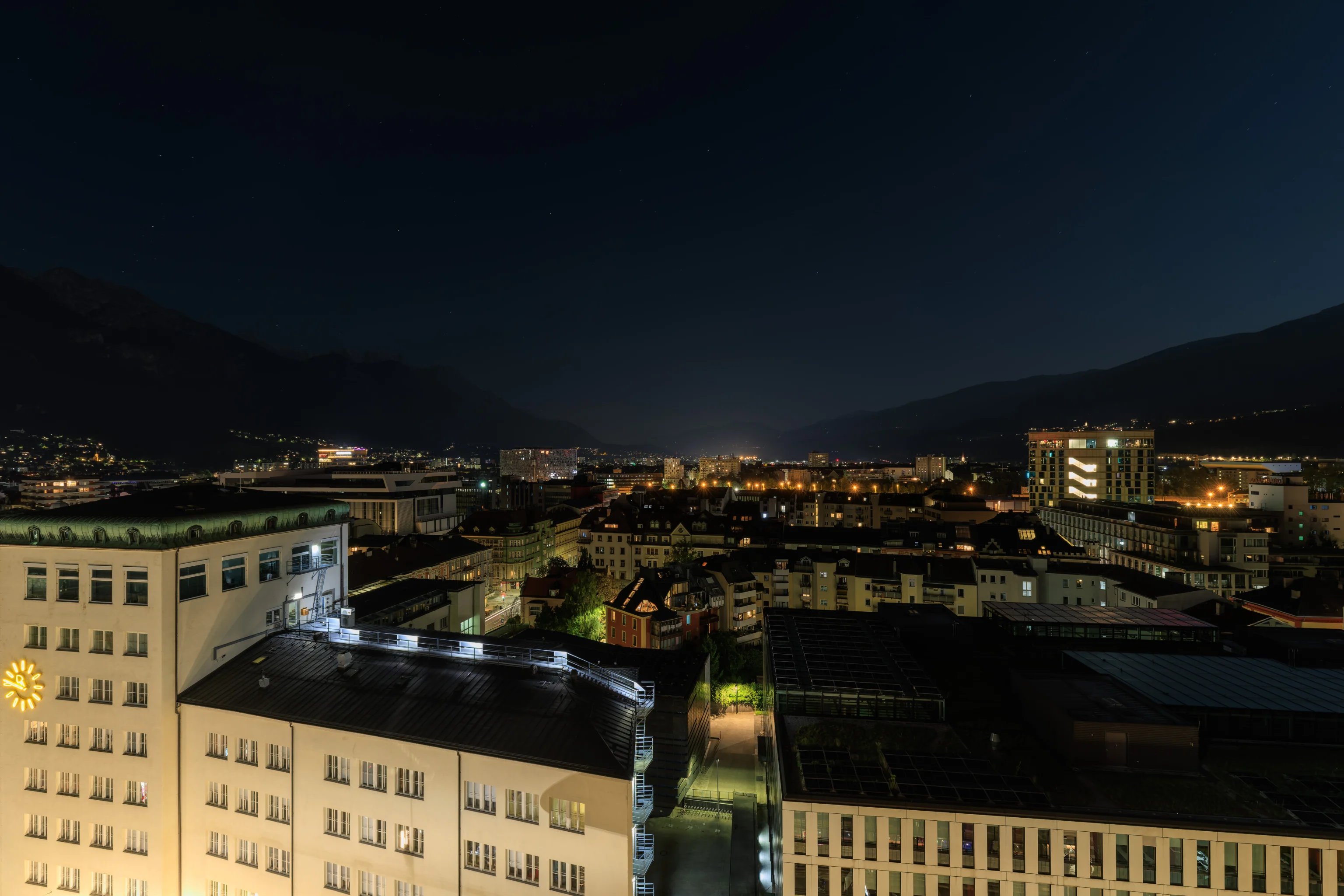
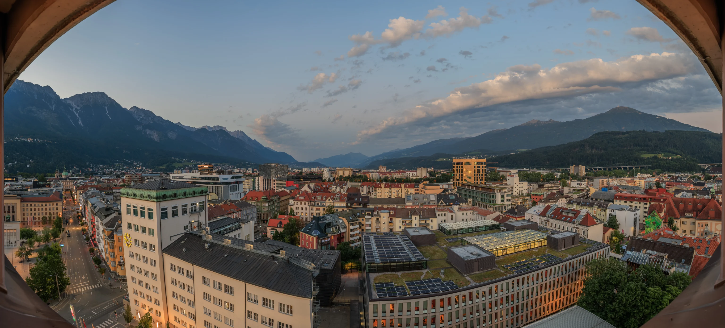
And a nighttime view as well.