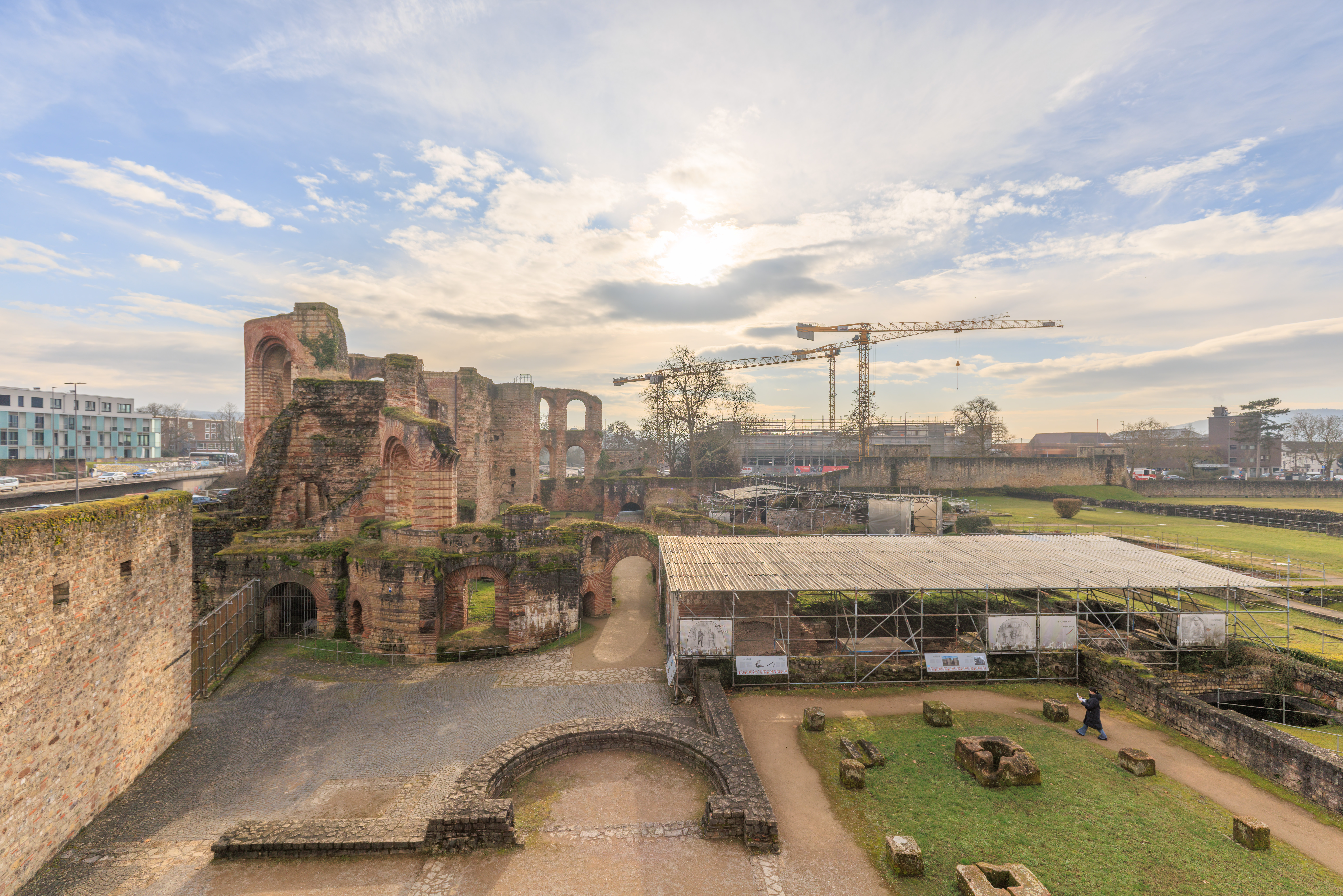
After a nice breakfast at the Luxembourg Marriott Hotel Alfa, we took the train over to Trier, the oldest city in Germany. Starting at the ancient Porta Nigra, we saw the Kirche St. Gangolf, Trierer Dom, and Konstantin Basilika churches. After lunch, we toured the ancient Roman Kaiserthermen, Amphitheater, Barbarathermen, and Thermen am Viehmarkt. We ended the visit with döner before returning to Luxembourg in the evening.
Morning
We woke up before 7am at the Luxembourg Marriott Hotel Alfa and headed downstairs for breakfast.
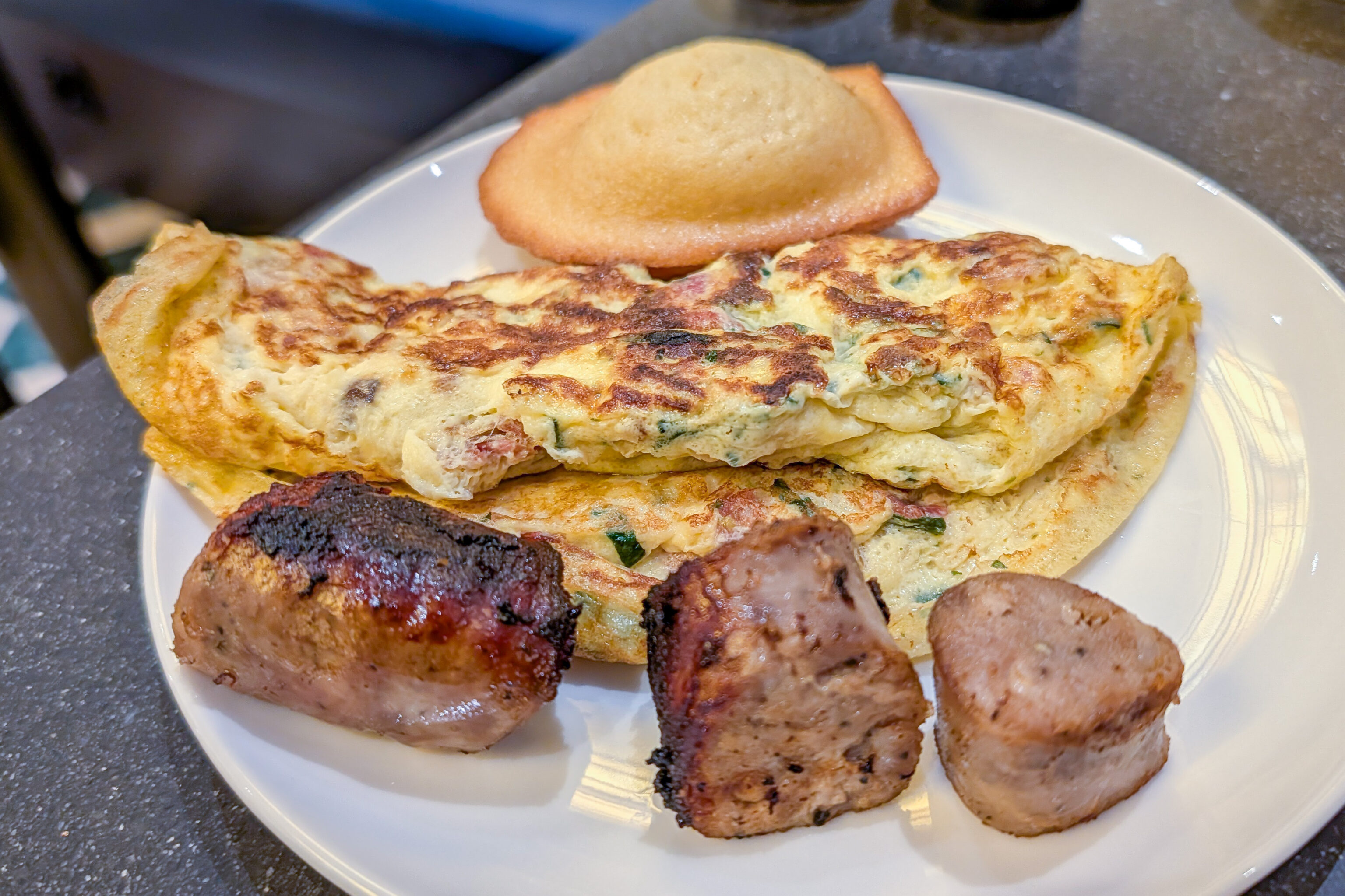
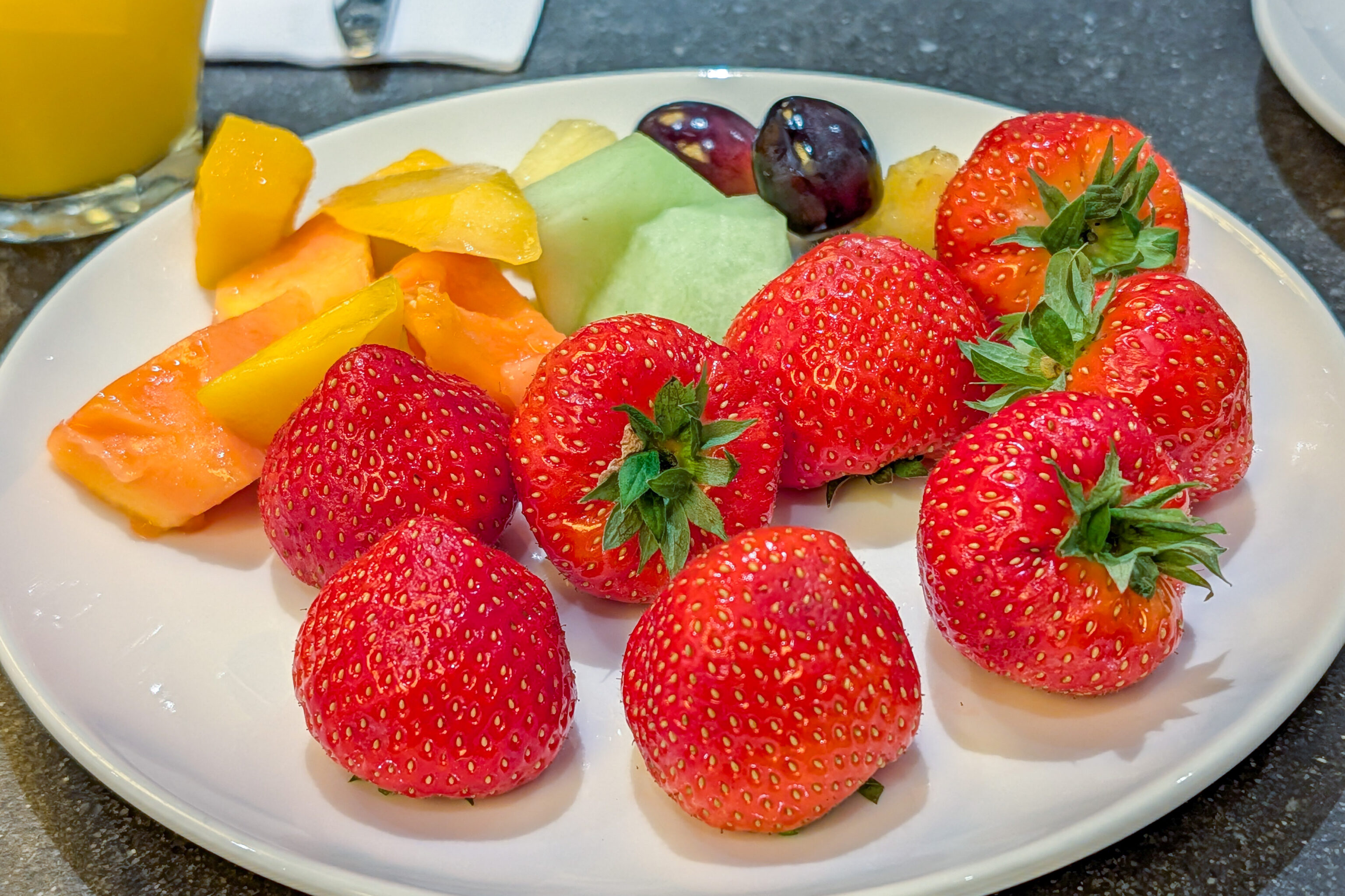
Breakfast was pretty similar this morning. We didn’t eat too much as we weren’t that hungry.
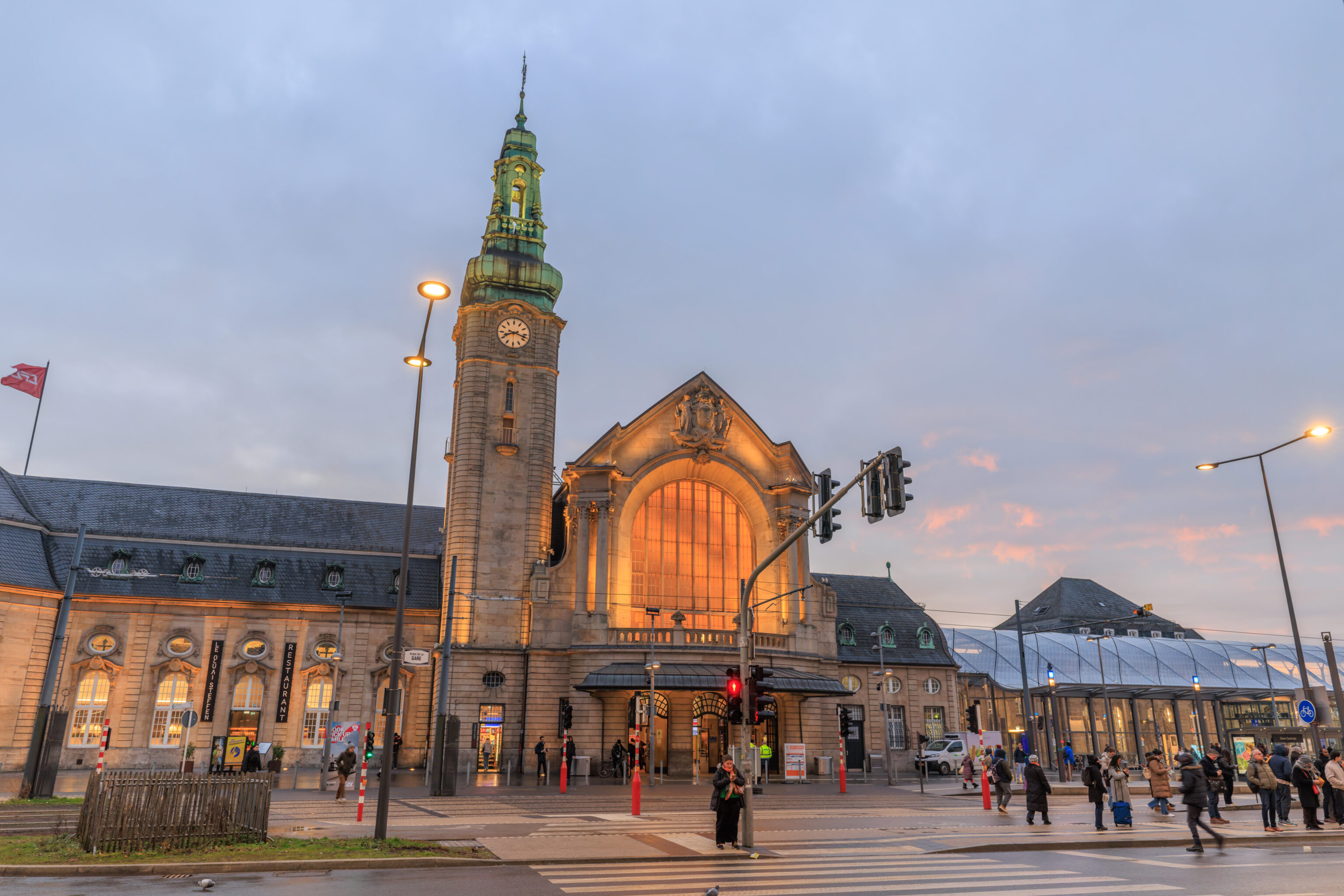
We headed out a bit after 8am to take the train to Trier in Germany. There was a little bit of color in the cloudy sky when we walked out of the Marriott and crossed the street to arrive at the train station.
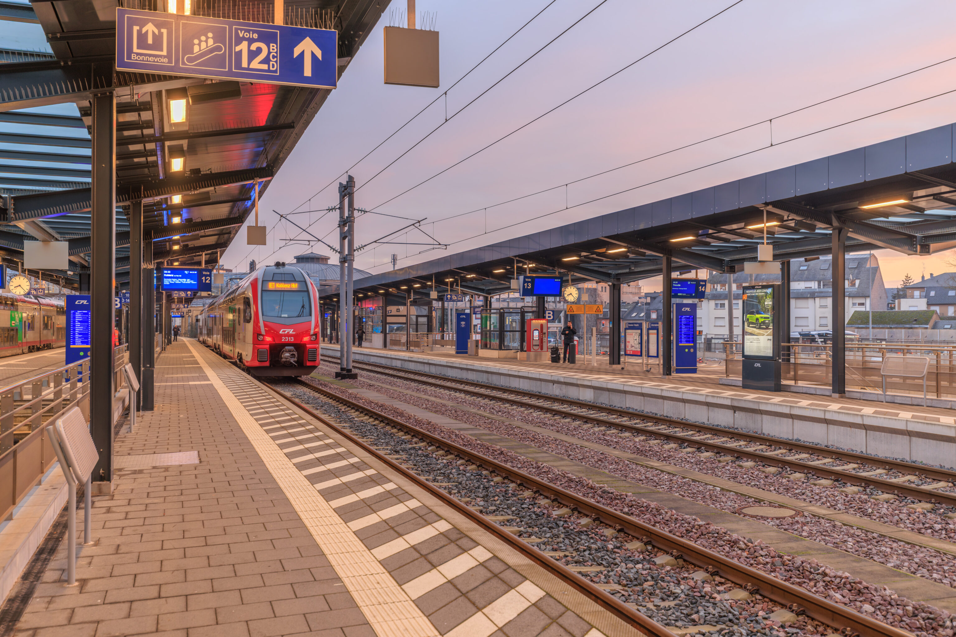
Our train was a Luxembourgian train departing at 8:33am bound of Koblenz in Germany. Koblenz is a city on the Rhine that is a bit closer to Frankfurt than Luxembourg. Our destination, Trier, is much closer to Luxembourg than Koblenz.
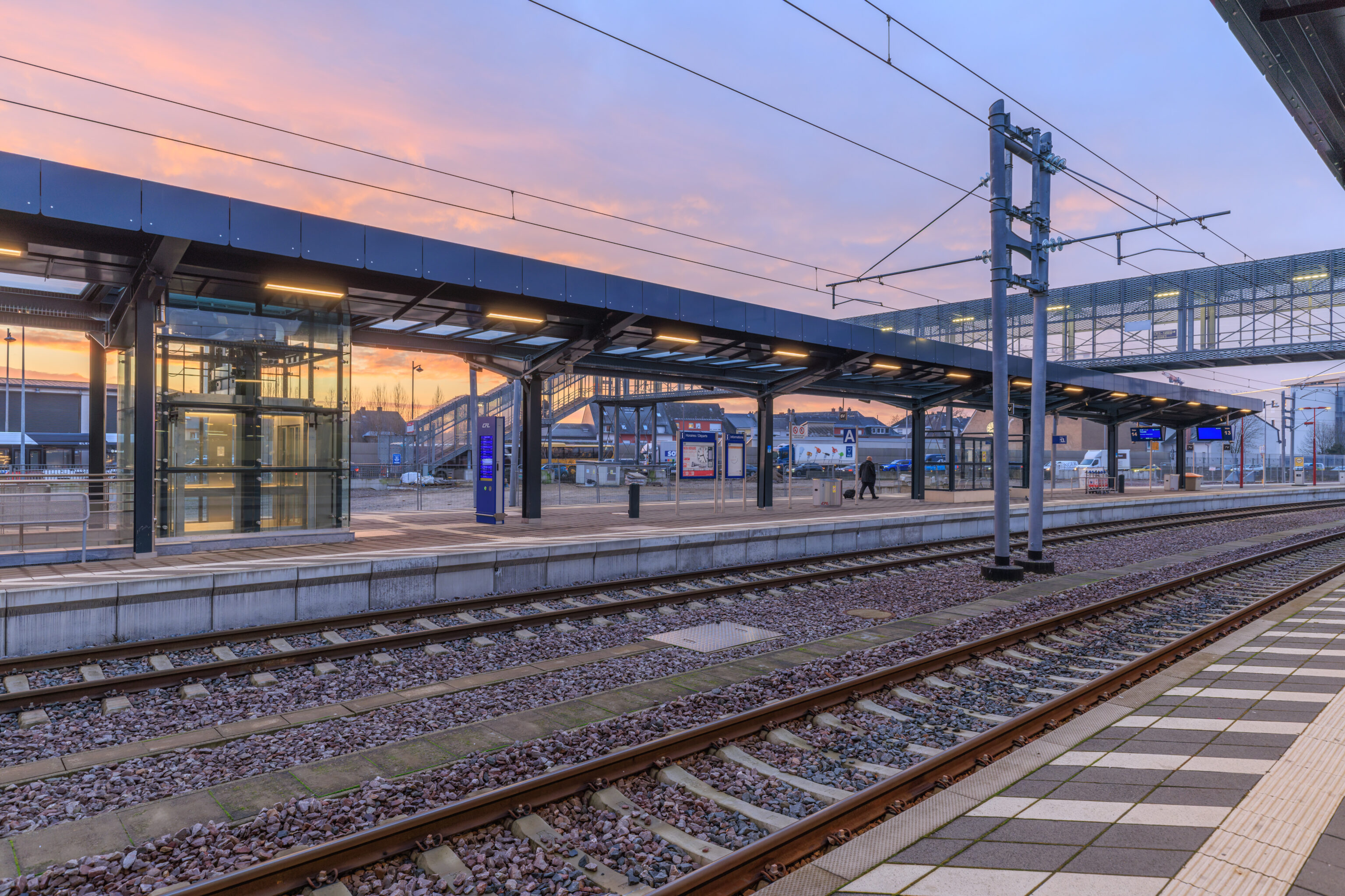
The view in the opposite direction.
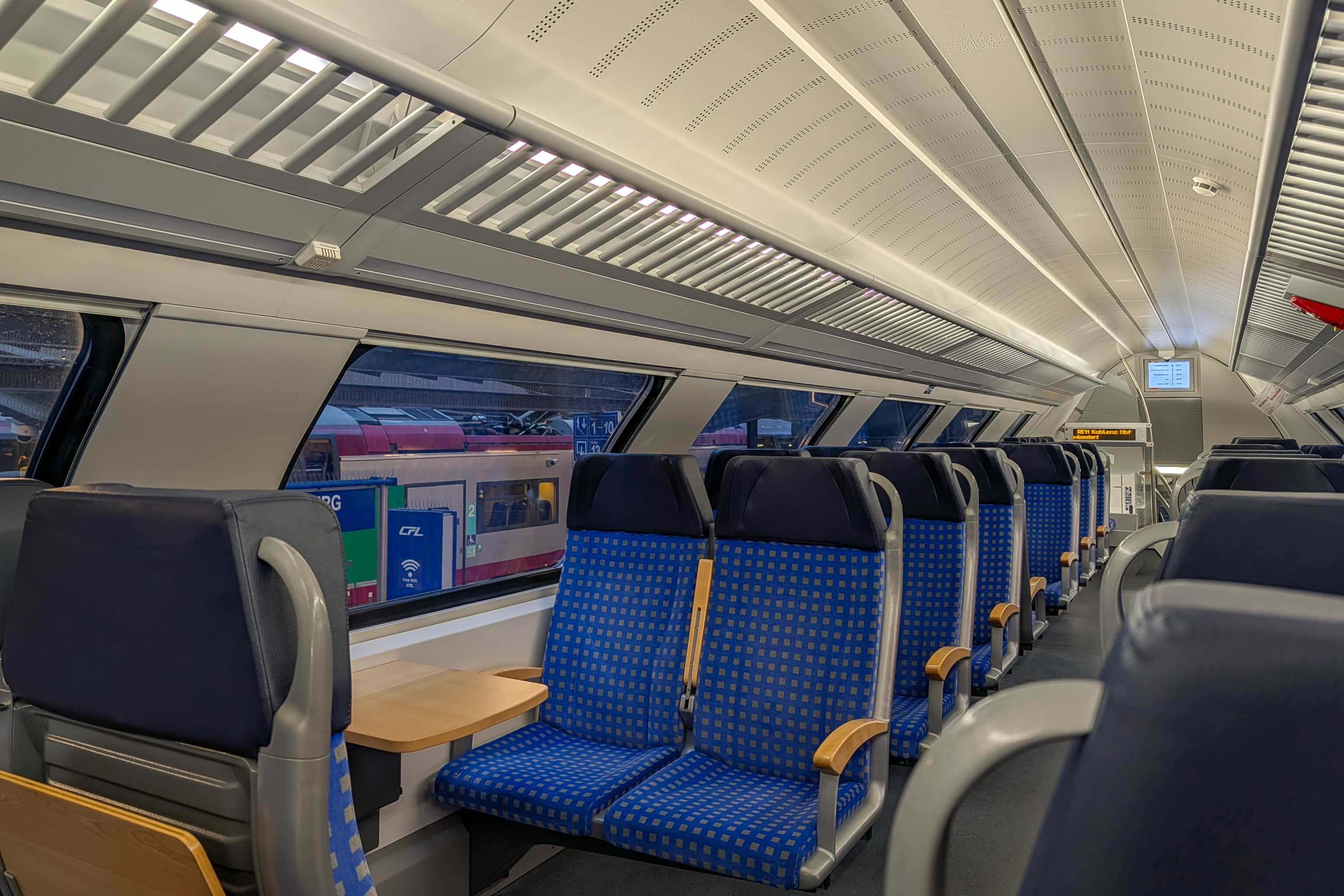
We sat on the upper level of the CFL train.
While public transportation is free in Luxembourg, it is not free once you leave the country, even if you are on a Luxembourgian train. We bought tickets for this trip from Deutsche Bahn as we already had their app as well as an account.
The tickets for this trip required specifying a specific train for the outbound and return journeys, however, the actual ticket is valid for a single round trip any time of the day as long as we stick to the routing specified on the ticket.
Trier
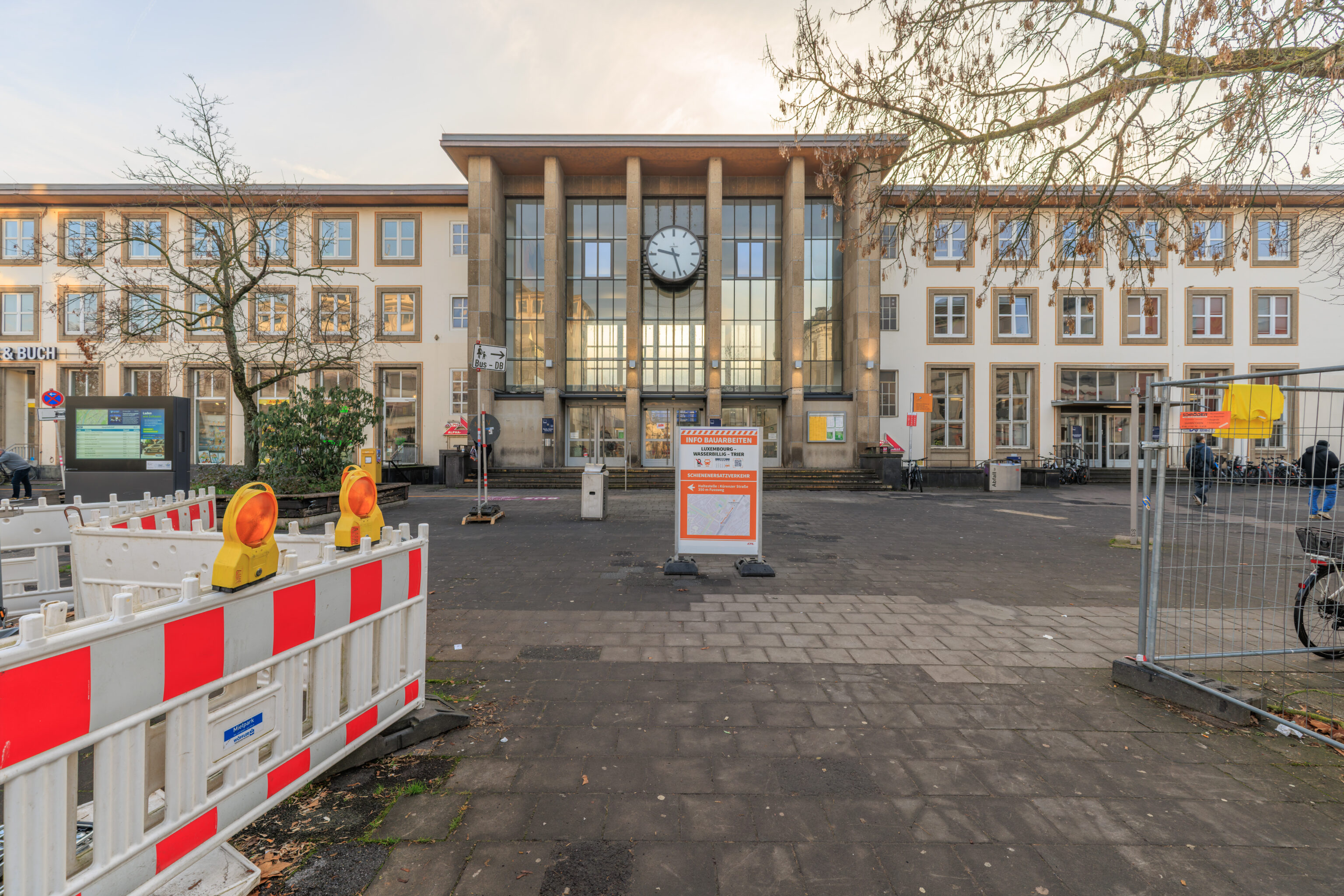
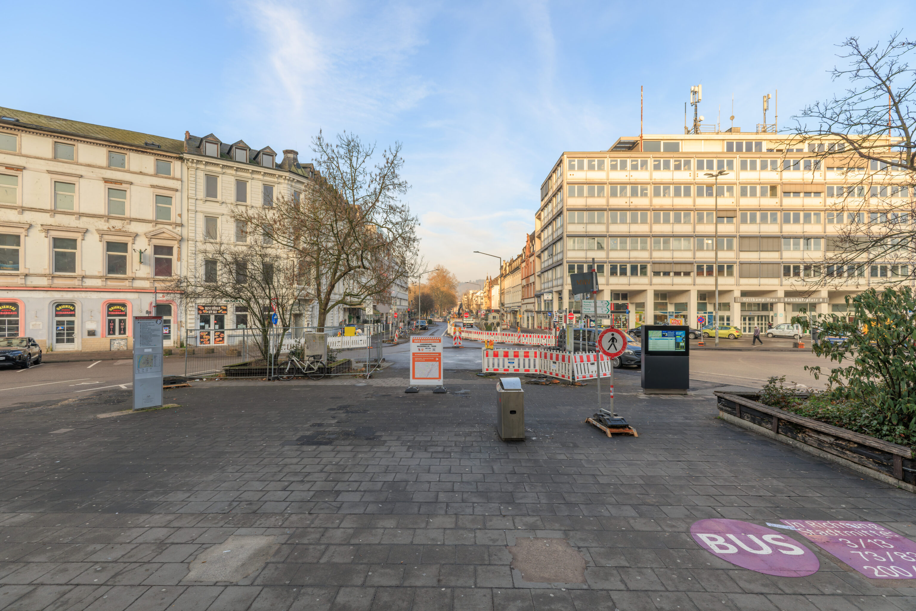
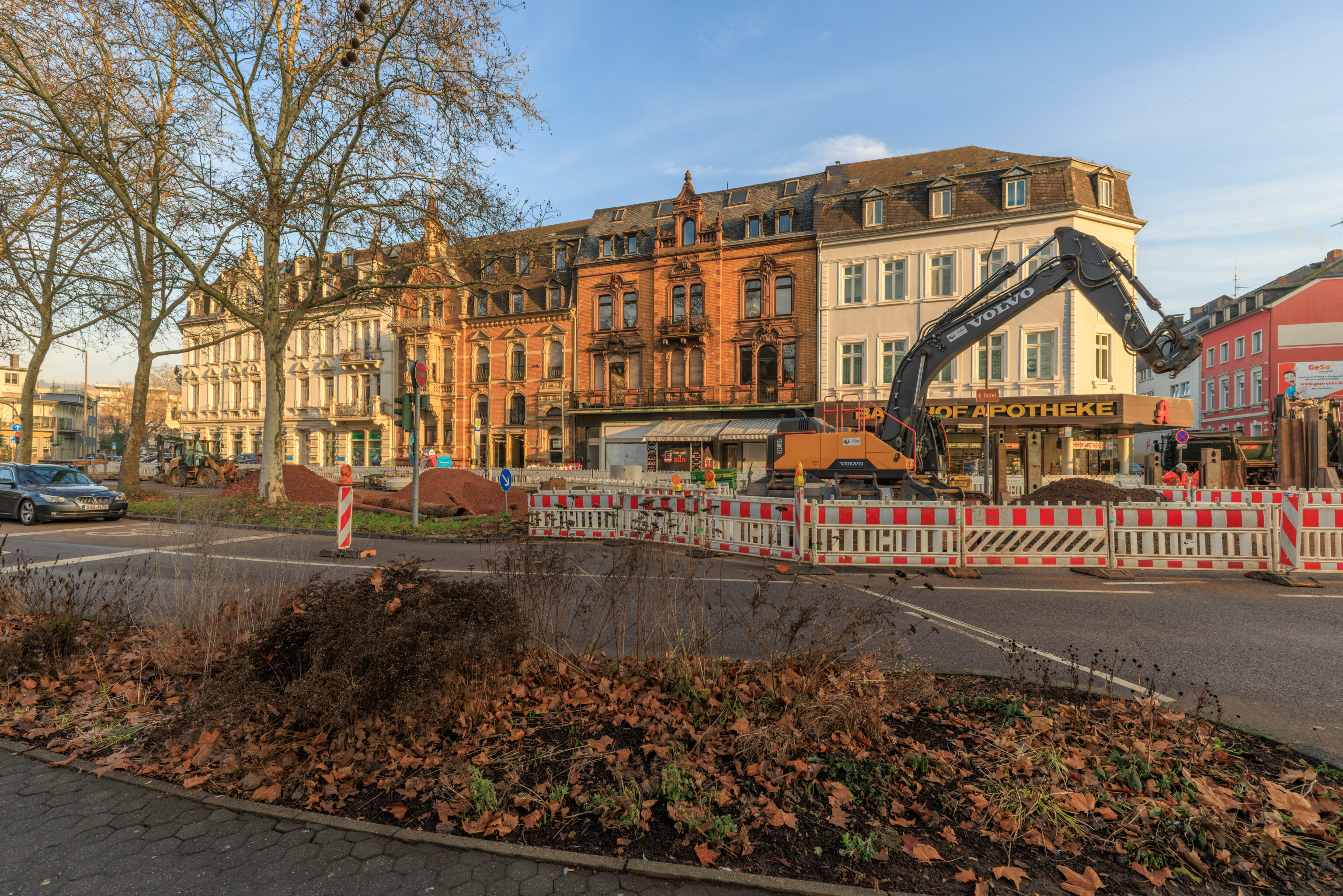
There was a little bit of construction outside of the Trier Hauptbahnhof. After leaving the station, we started walking to the northwest.
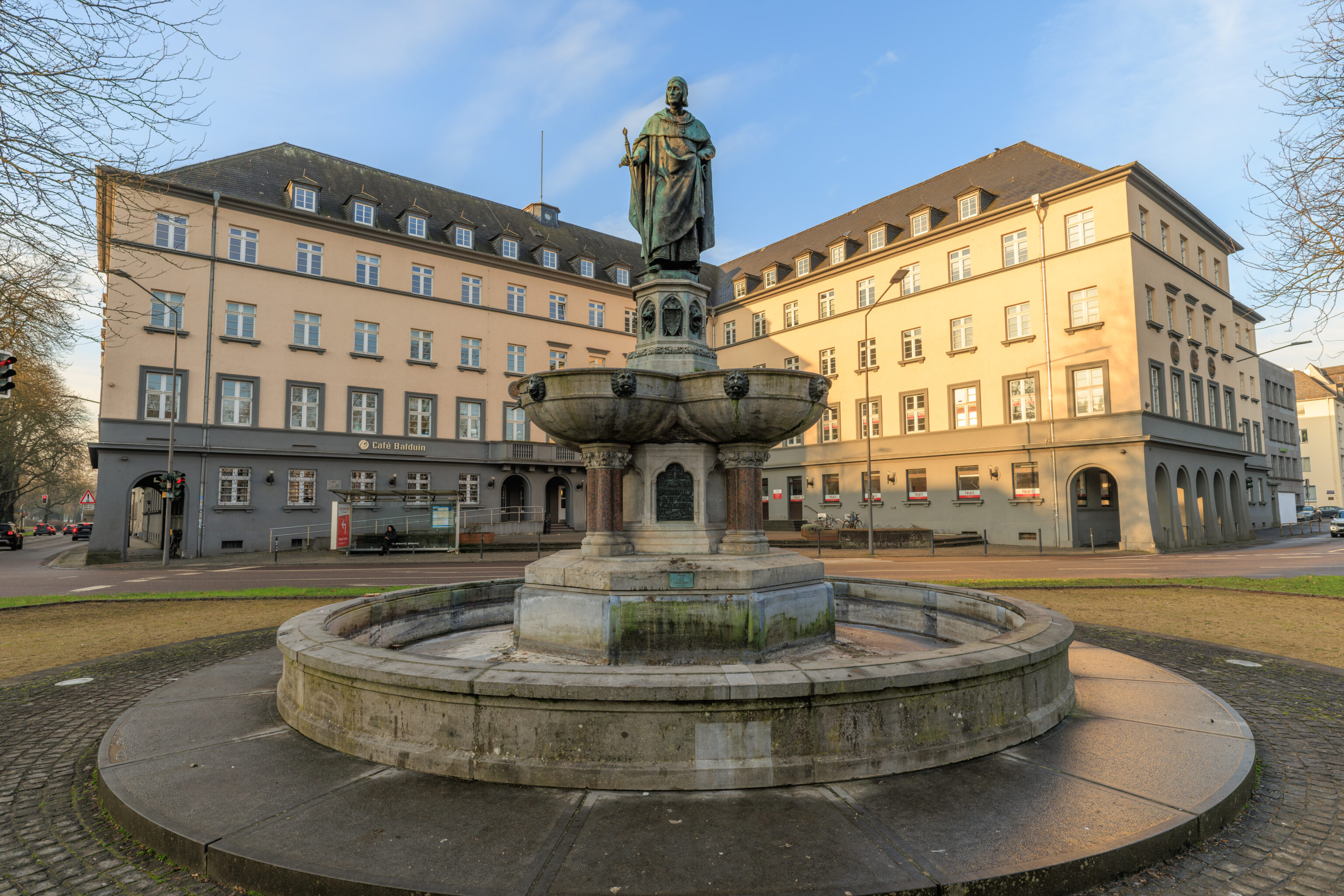
This fountain is the Balduinsbrunnen (Baldwin’s Fountain). It depicts Balduin von Luxemburg, the Archbishop and Elector of Trier in the 14th century, which at the time was part of the Holy Roman Empire. He was the son of Luxembourg’s Count Henry VI. So, he was kind of an important guy back in the day here.
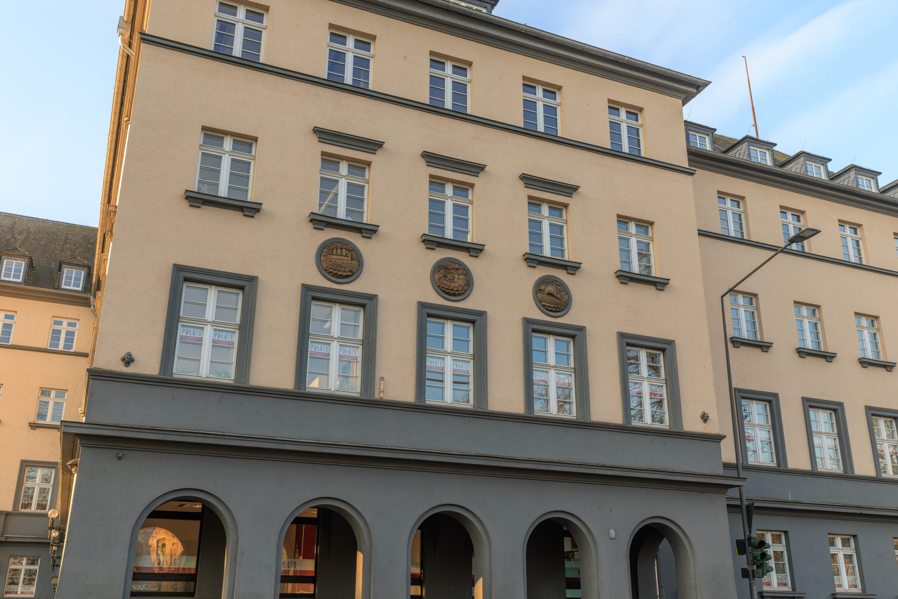
This building to the west of the fountain had these three emblems related to the sea. There is a steamship, sailing vessel, and what looks like a mermaid. Although Trier is on the Moselle, a tributary of the Rhine, it is nowhere near any large body of water.
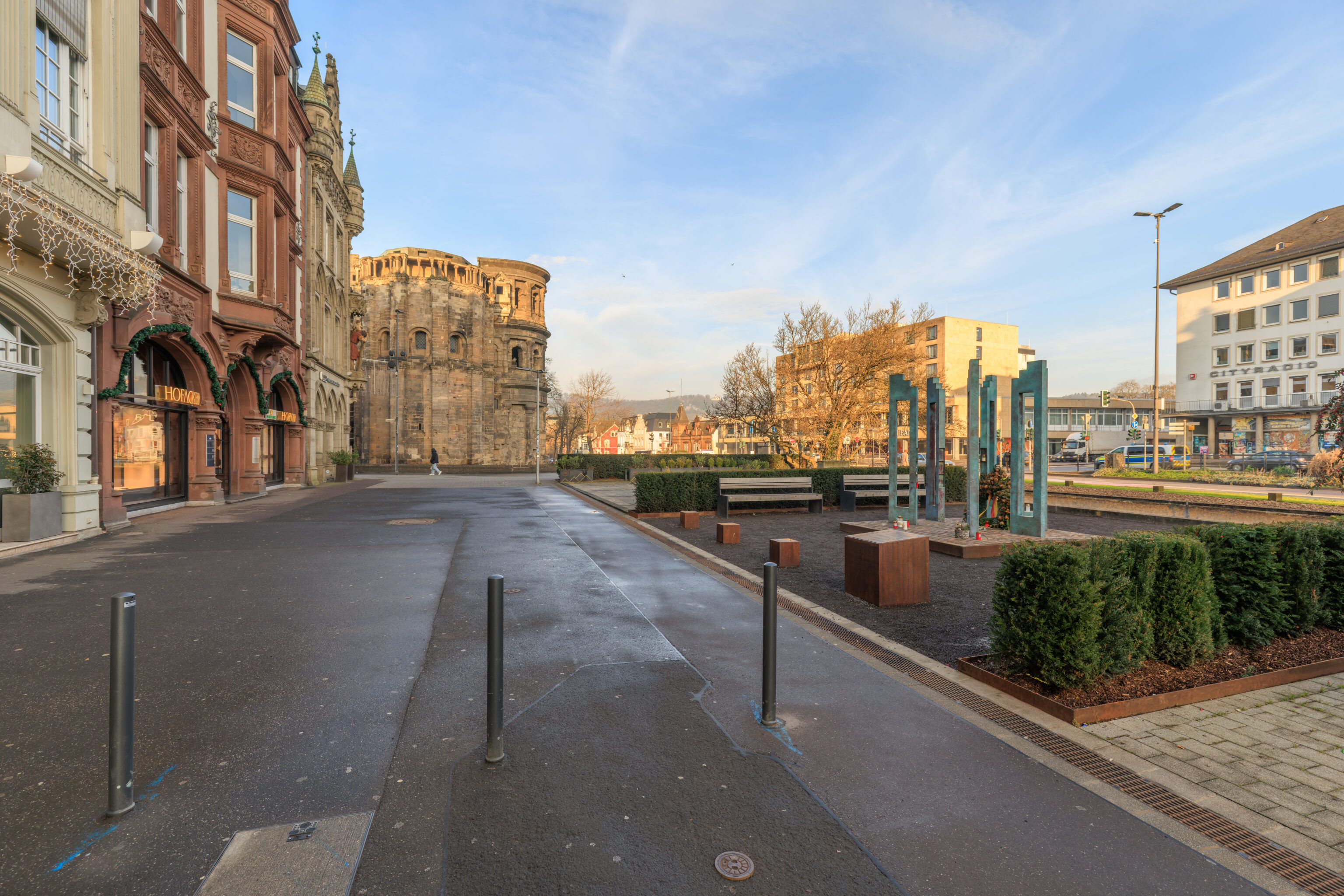
After walking a few blocks, we saw the Porta Nigra just a few buildings in front of us. This large date is part of the Roman Monuments, Cathedral of St Peter and Church of Our Lady in Trier UNESCO World Heritage Site and dates back to the 2nd century.
We also noticed some sort of sculpture or monument to the right. We walked over to take a look.
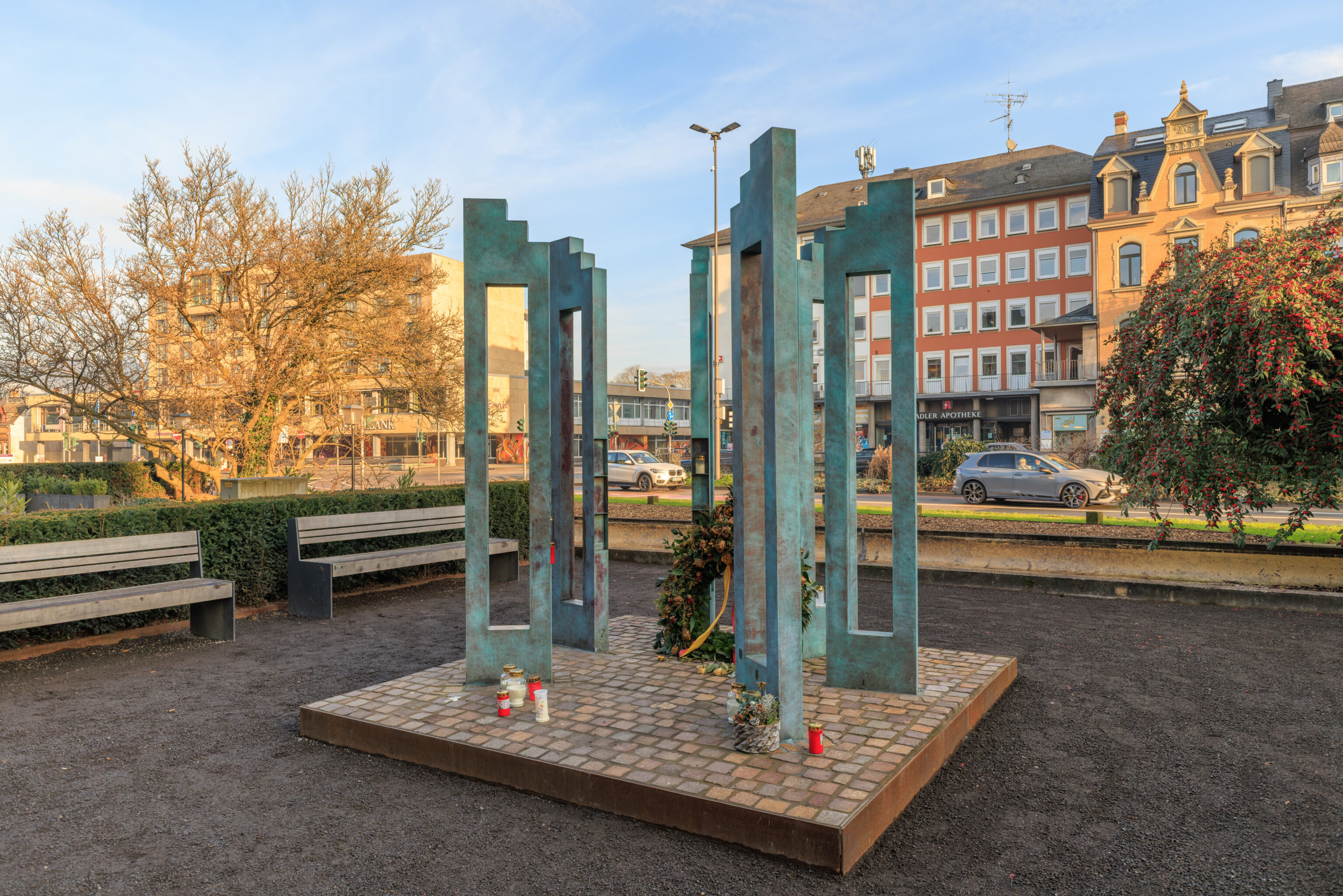
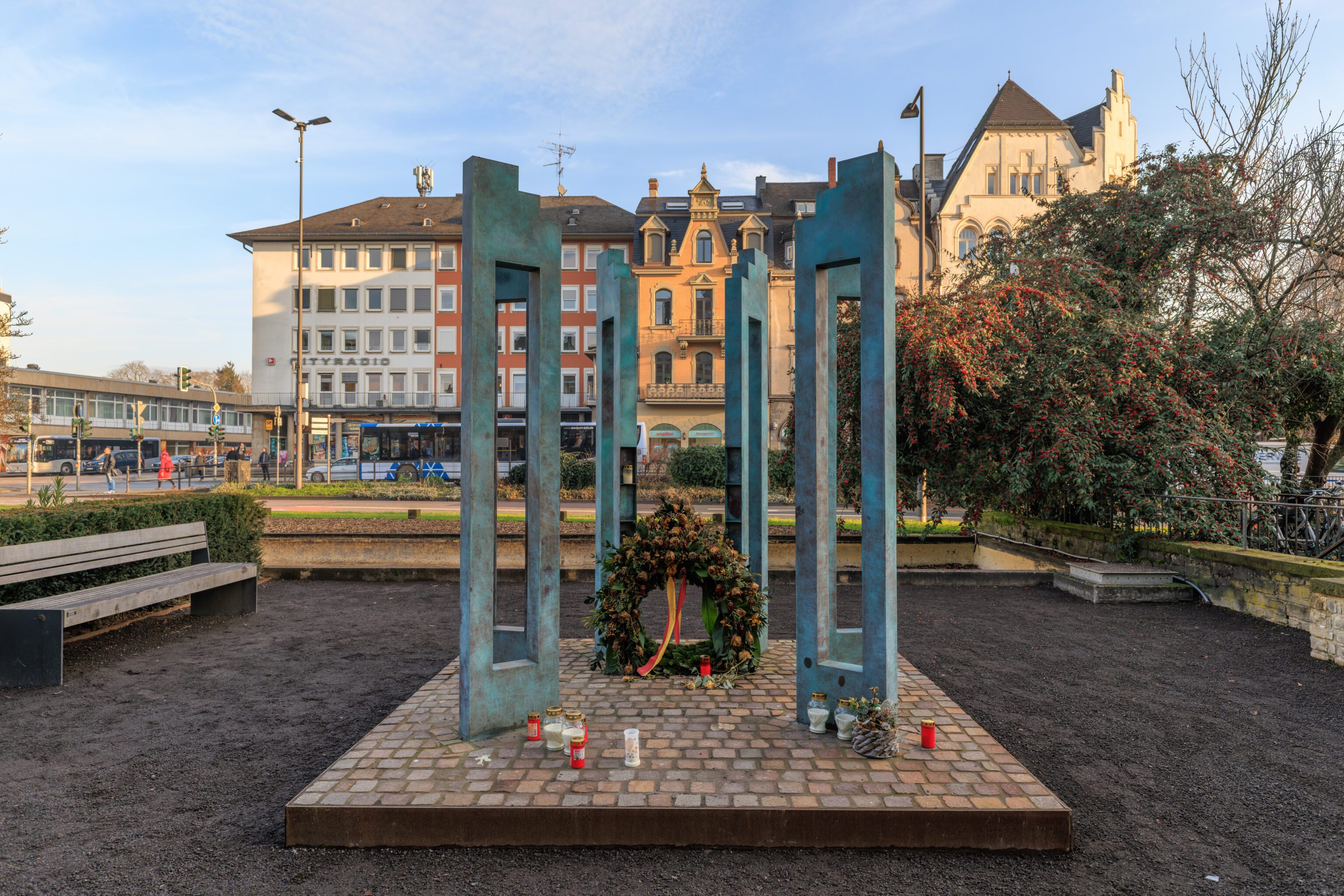
It turns out that this is a memorial for a vehicular attack that took place in the pedestrian zone behind the Porta Nigra in 2020 which resulted in seven deaths
MEMORIAL AT THE PORTA NIGRA
This memorial commemorates the rampage that took place in the city of Trier on December 1, 2020.

On that day, a driver drove his car at high speed in a zigzag pattern through the pedestrian zone, deliberately targeting pedestrians. Five people died at the scene, including a baby just a few months old. Two other people died subsequently—one man only a few months later and another in 2024—as a result of their severe injuries. Numerous people were injured and traumatized.

This memorial and the decentralized memorial sites in the pedestrian zone are places for shared sorrow and reflection. They are dedicated to sympathy, coping with grief, finding comfort, and reconciliation.

The steles made of green-patinated bronze, arranged in a circle, represent all those who are grieving. Upon entering the memorial, one becomes part of the circle and, by extension, part of a community defined by empathy and solidarity.

The central memorial and the decentralized memorial sites were created at the initiative of the City of Trier. They were realized with the involvement of the victims' families.

Artists:
Clas Steinmann, Trier (central memorial)
Guy Charlier, Trier (decentralized memorial sites)

Trier 2024
– Text from a sign, translated from German using Google Translate.
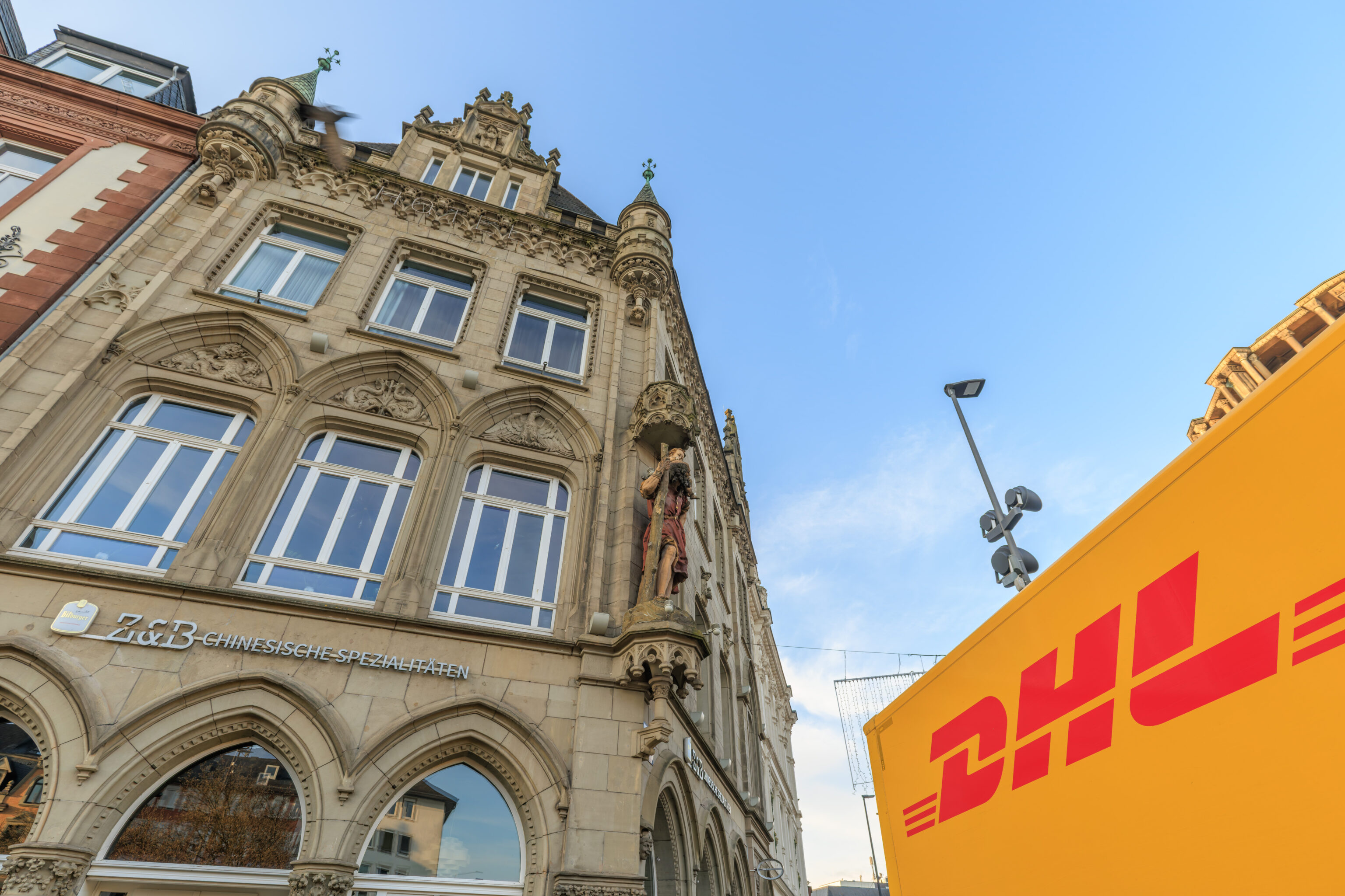
This statue at a building corner across the street from the Porta Nigra is nicely integrated into the building’s exterior.
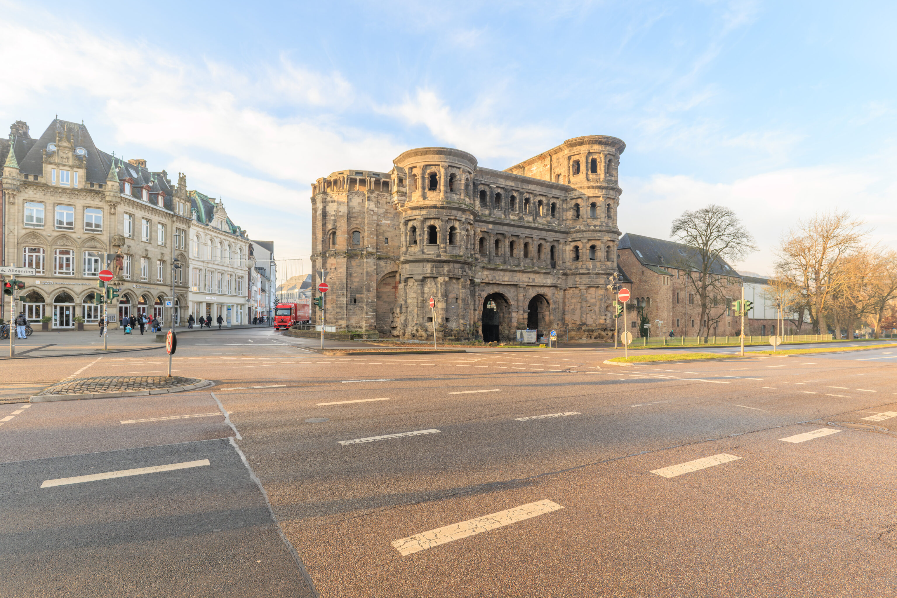
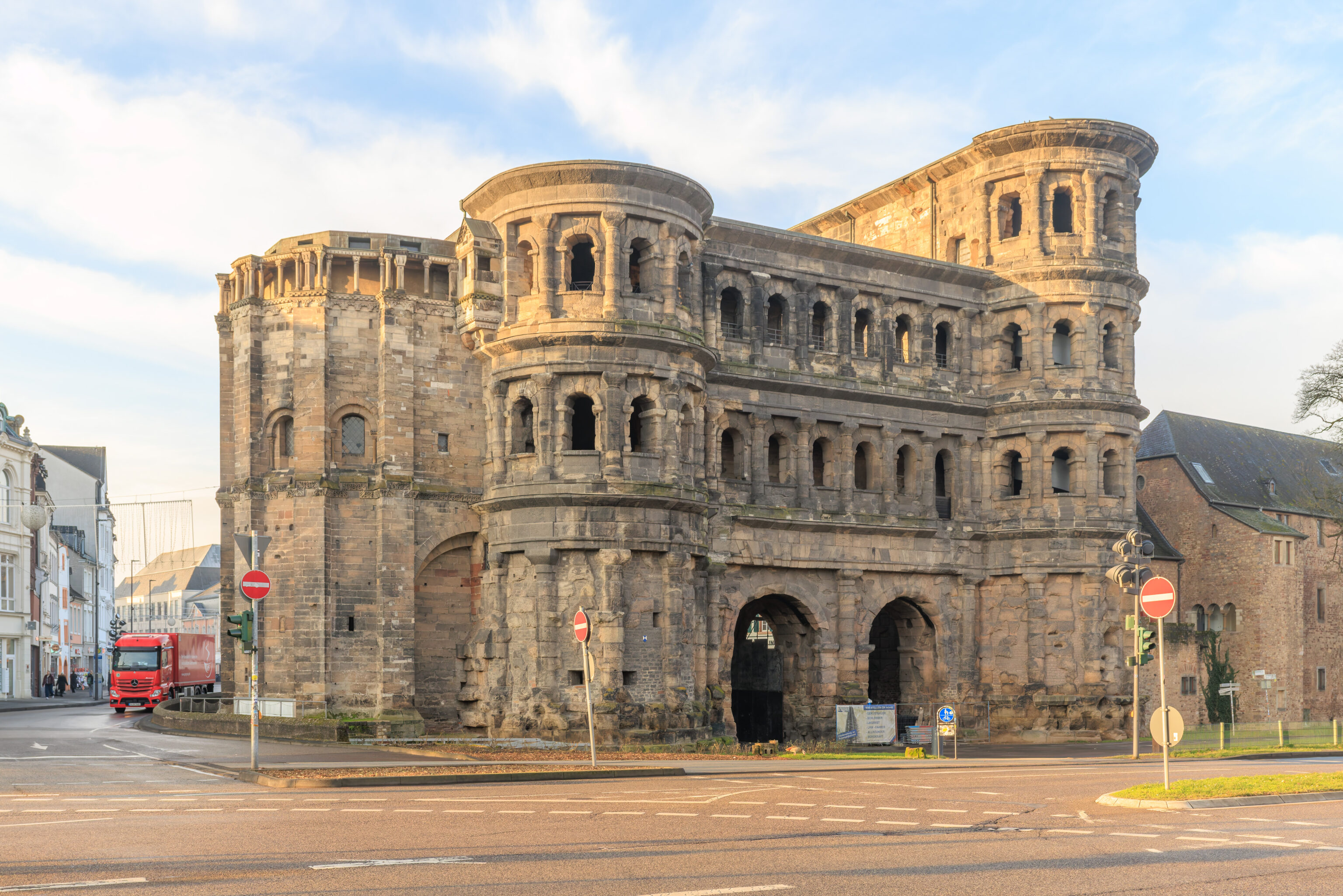
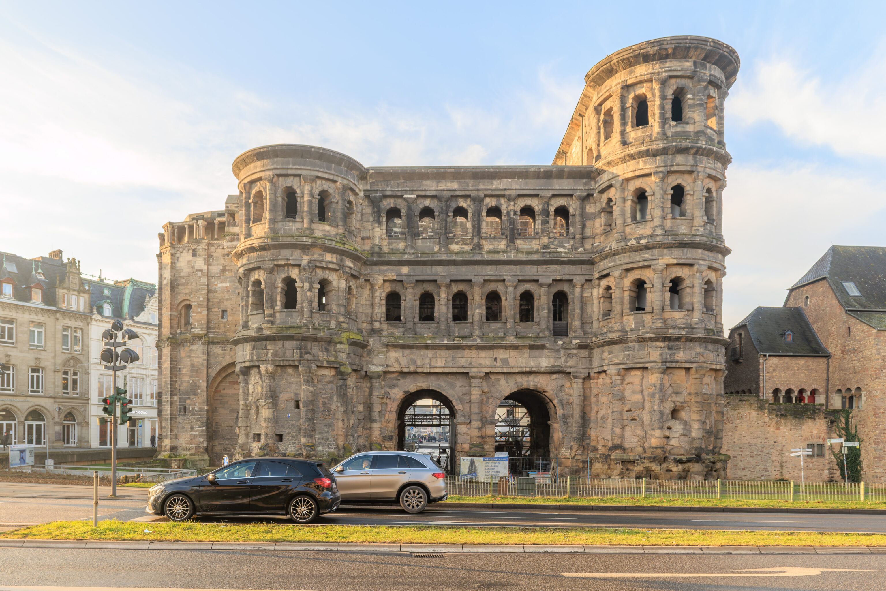
We walked across the street to get a better view of the huge Porta Nigra. The actual two entrances are just a small part of the overall structure.
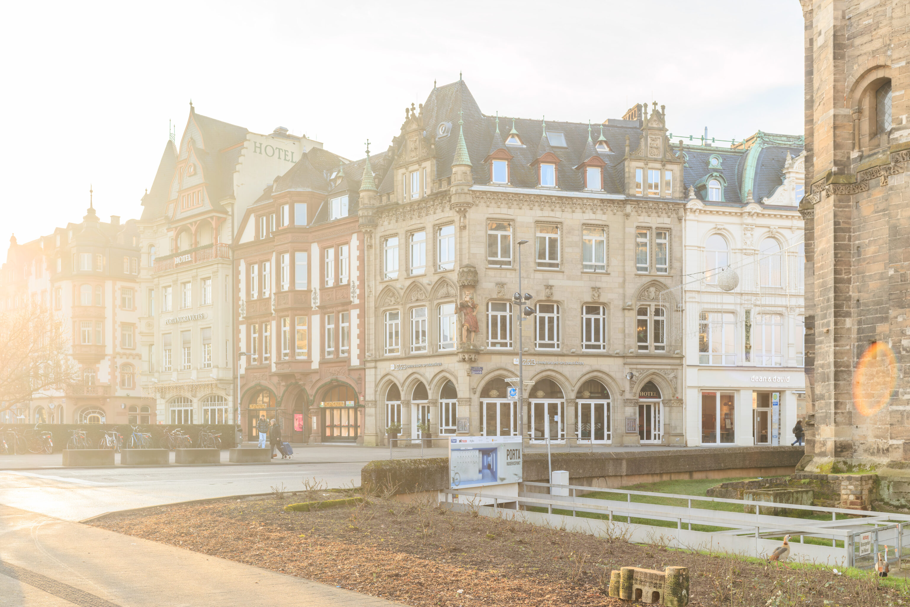
The statue on the building corner is an interesting one.
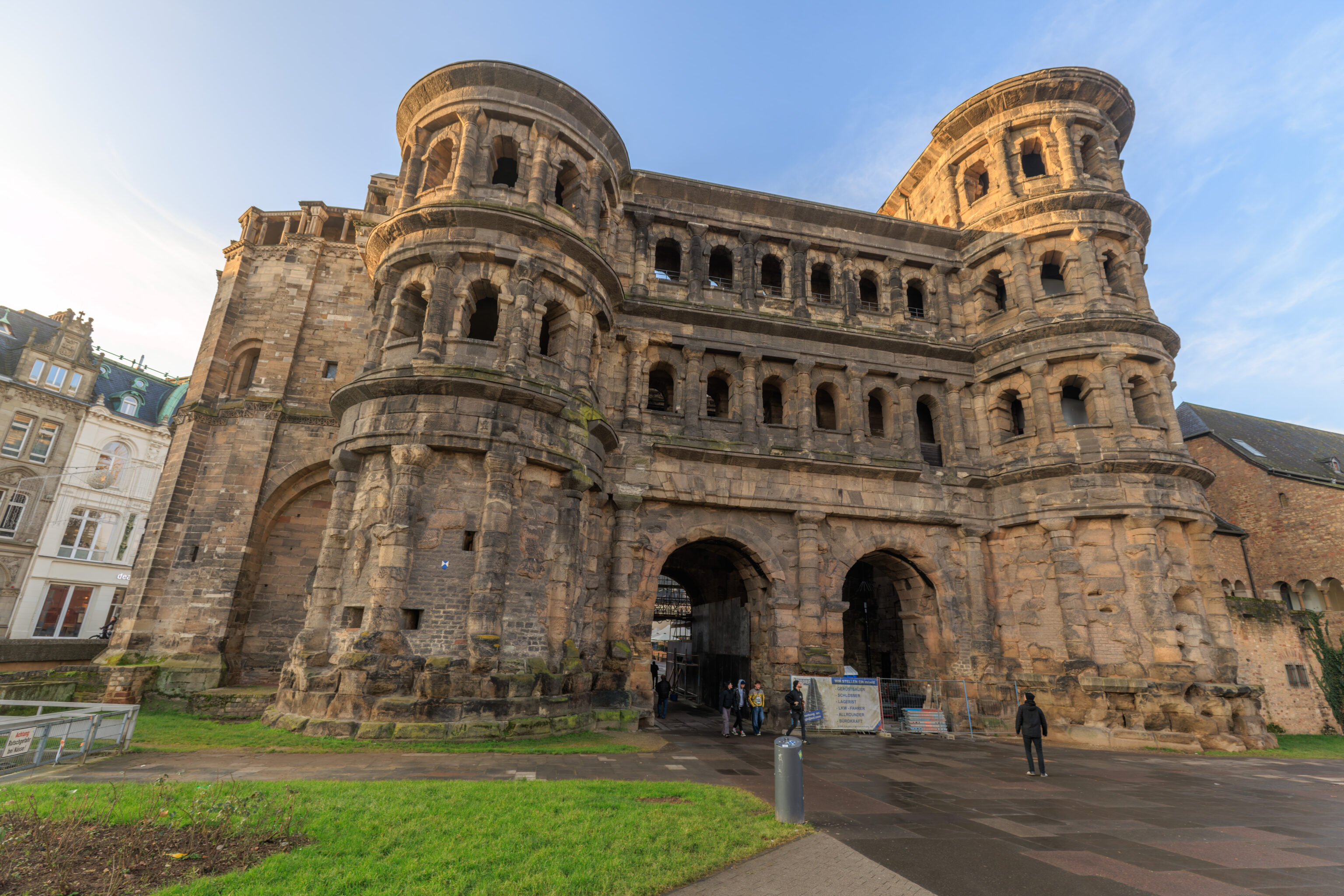
We crossed the street again to walk through the gate.
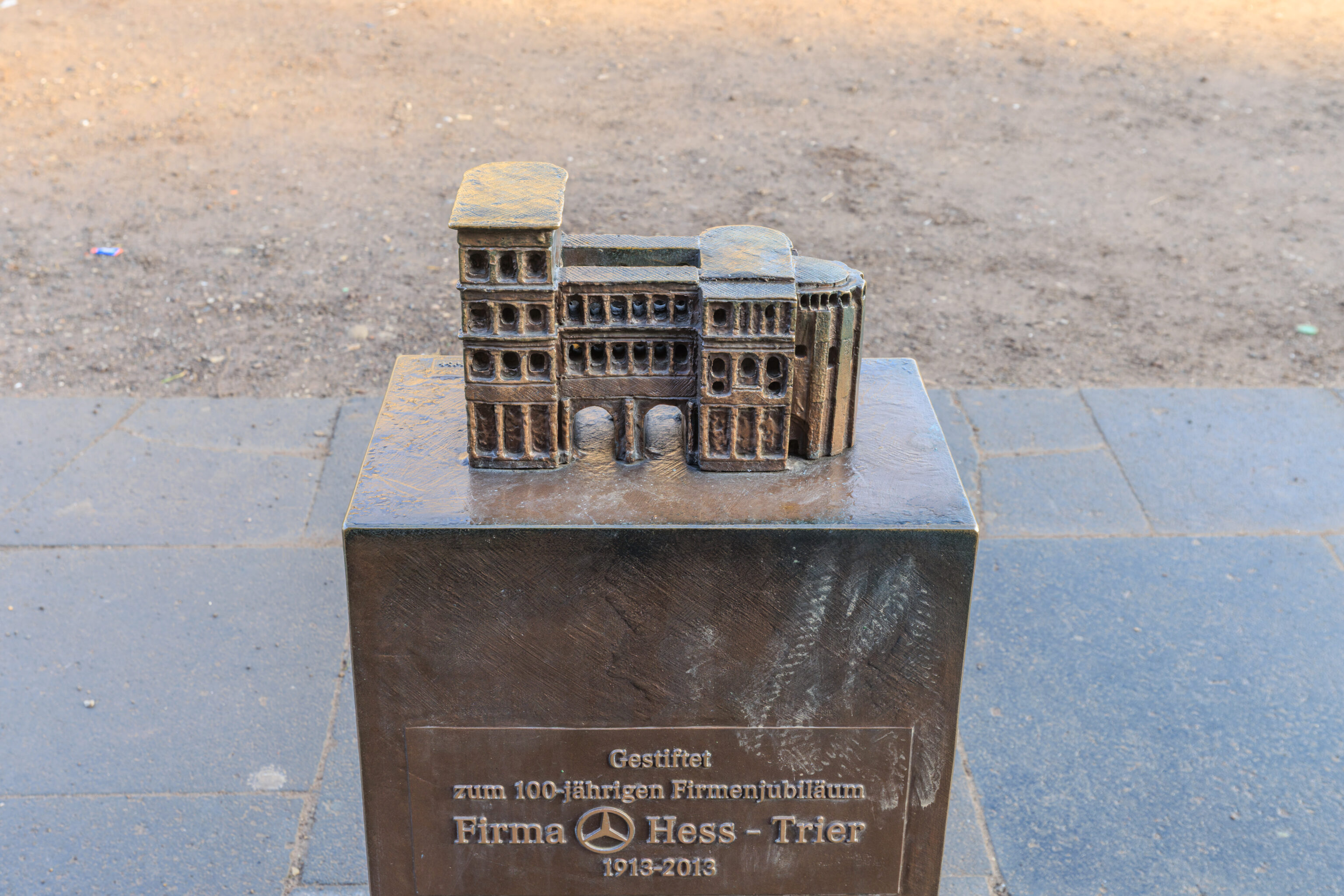
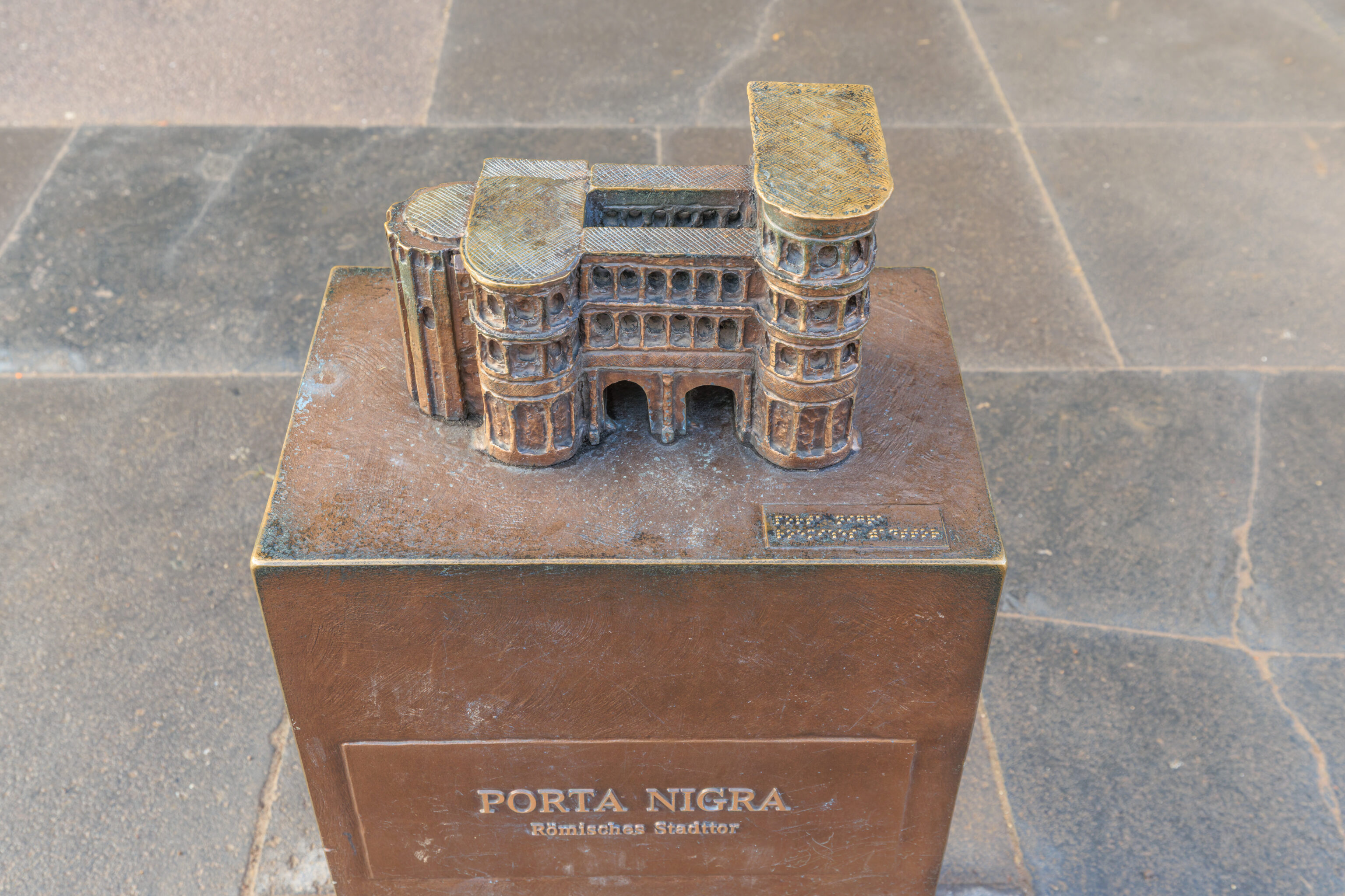
There was a small model of the gate in front of the gate.
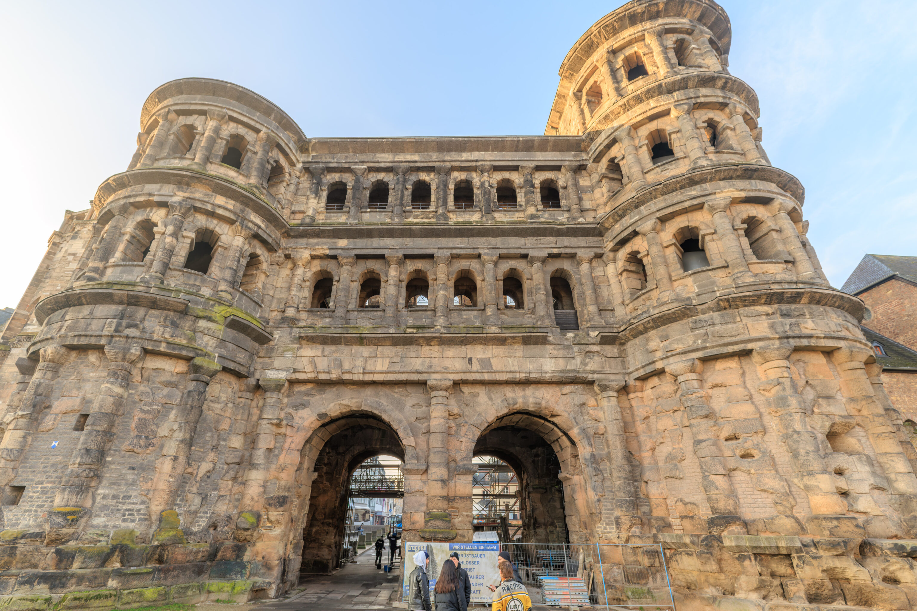
One of the entrances was blocked due to restoration activities taking place.
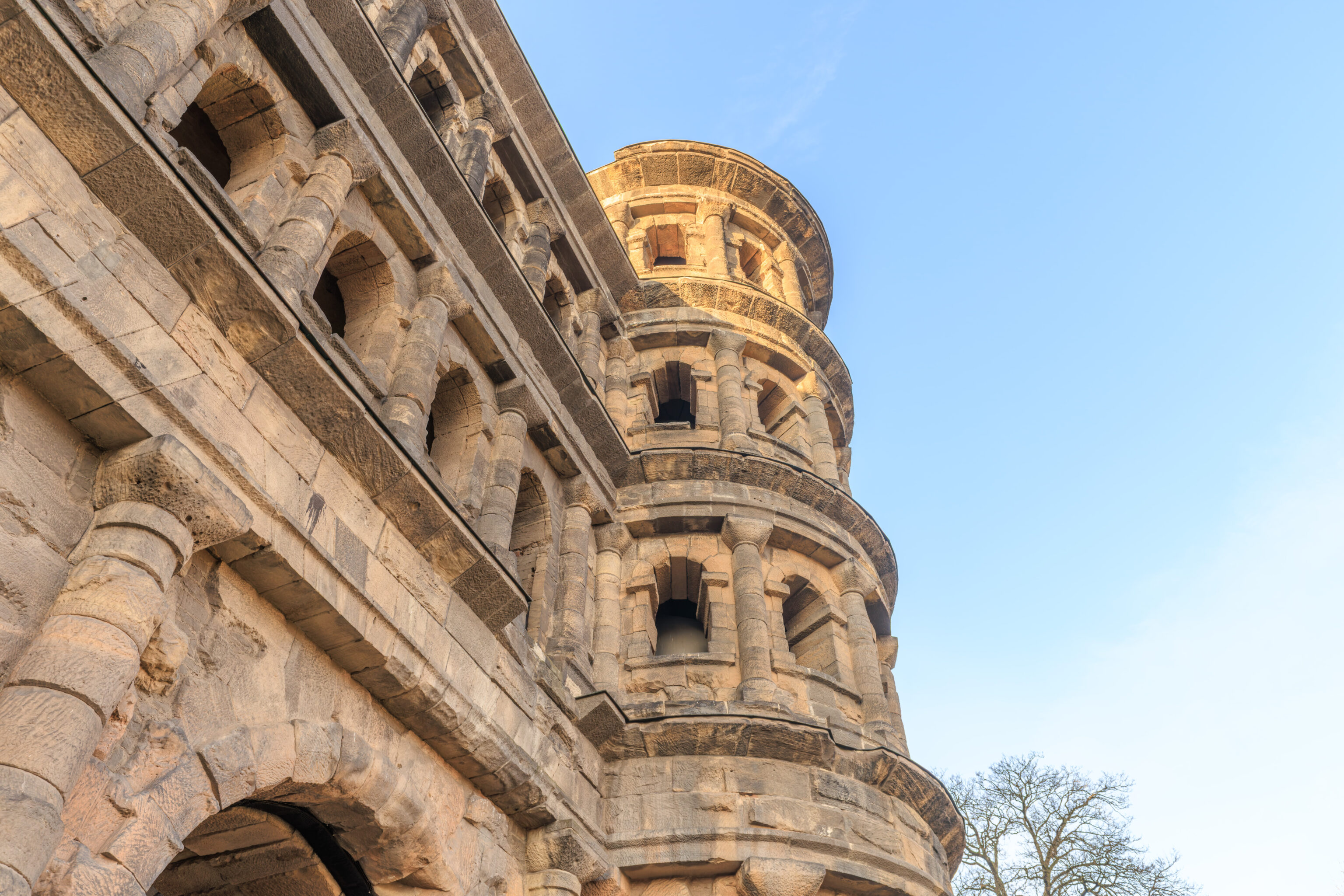
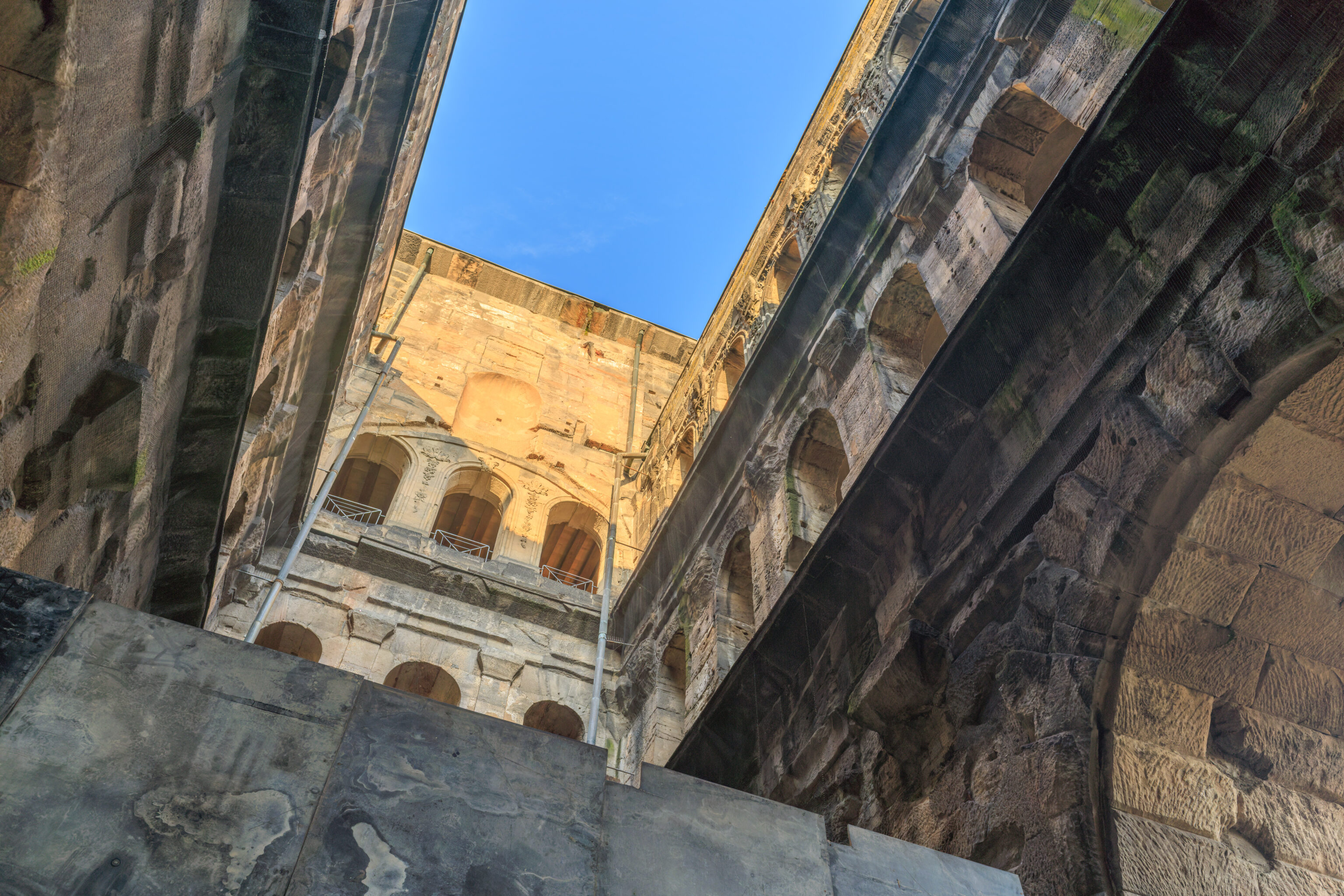
It is really quite a massive structure!
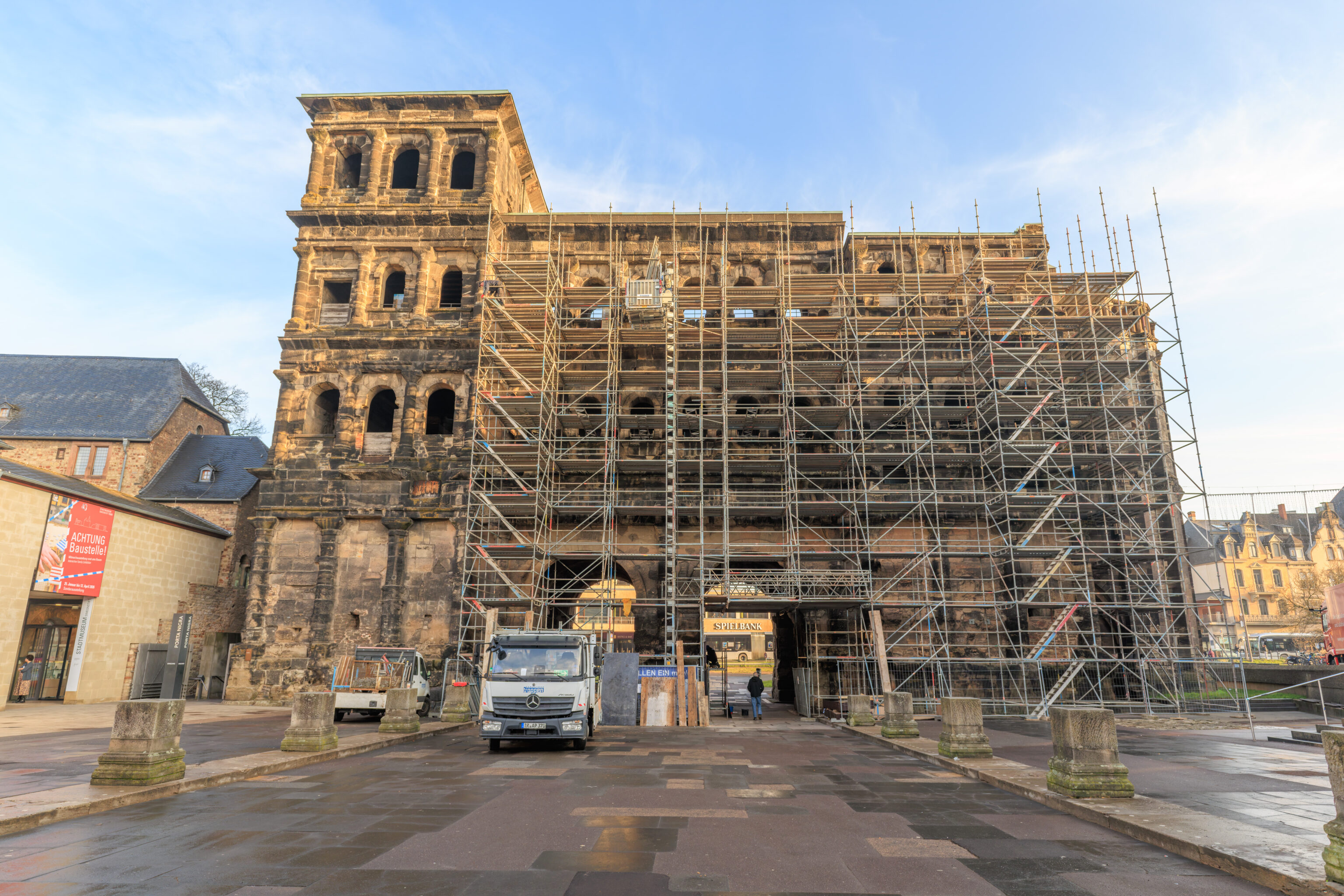
The gate was unfortunately mostly covered by scaffolding on its southern side.
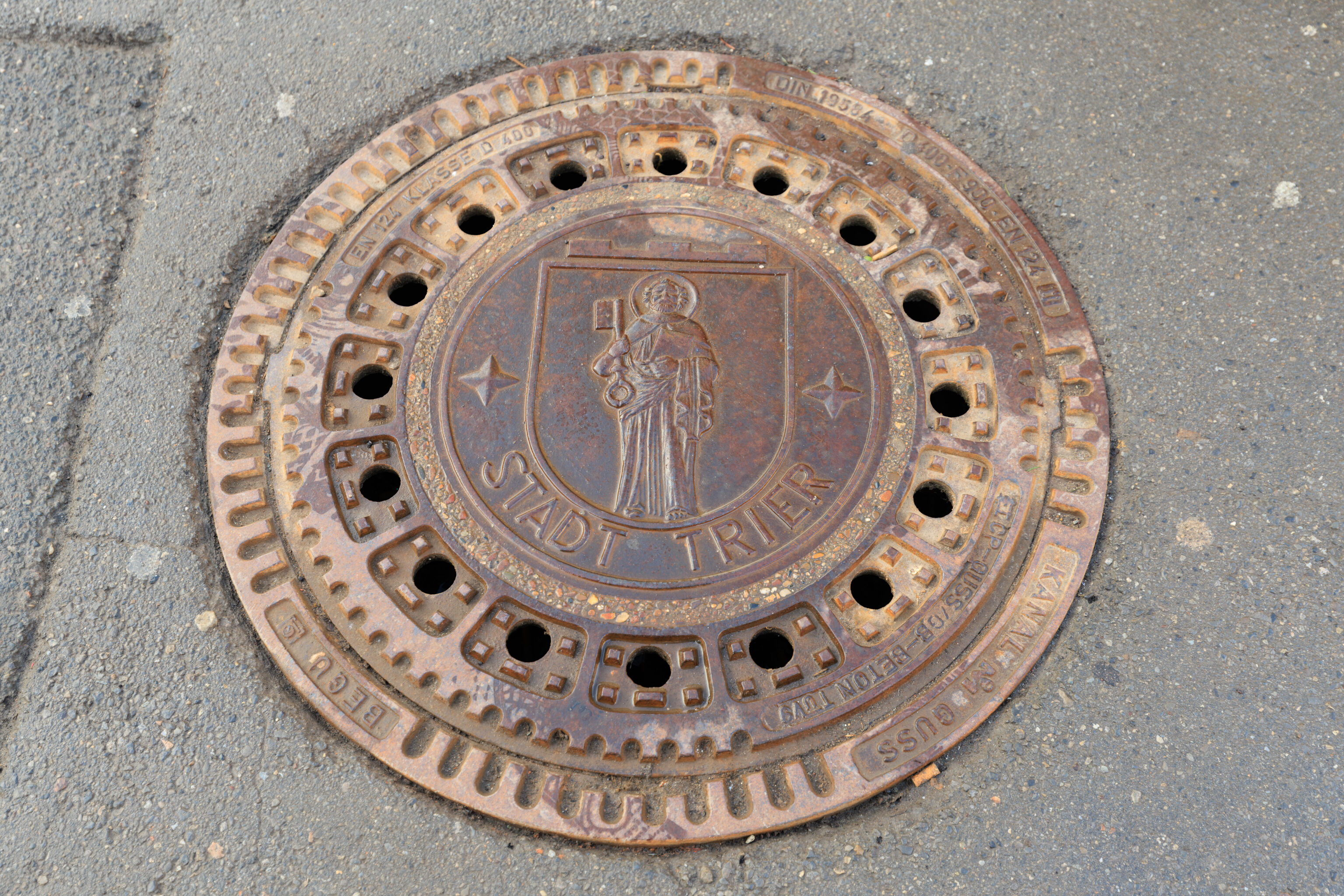
We noticed this utility cover on the ground.
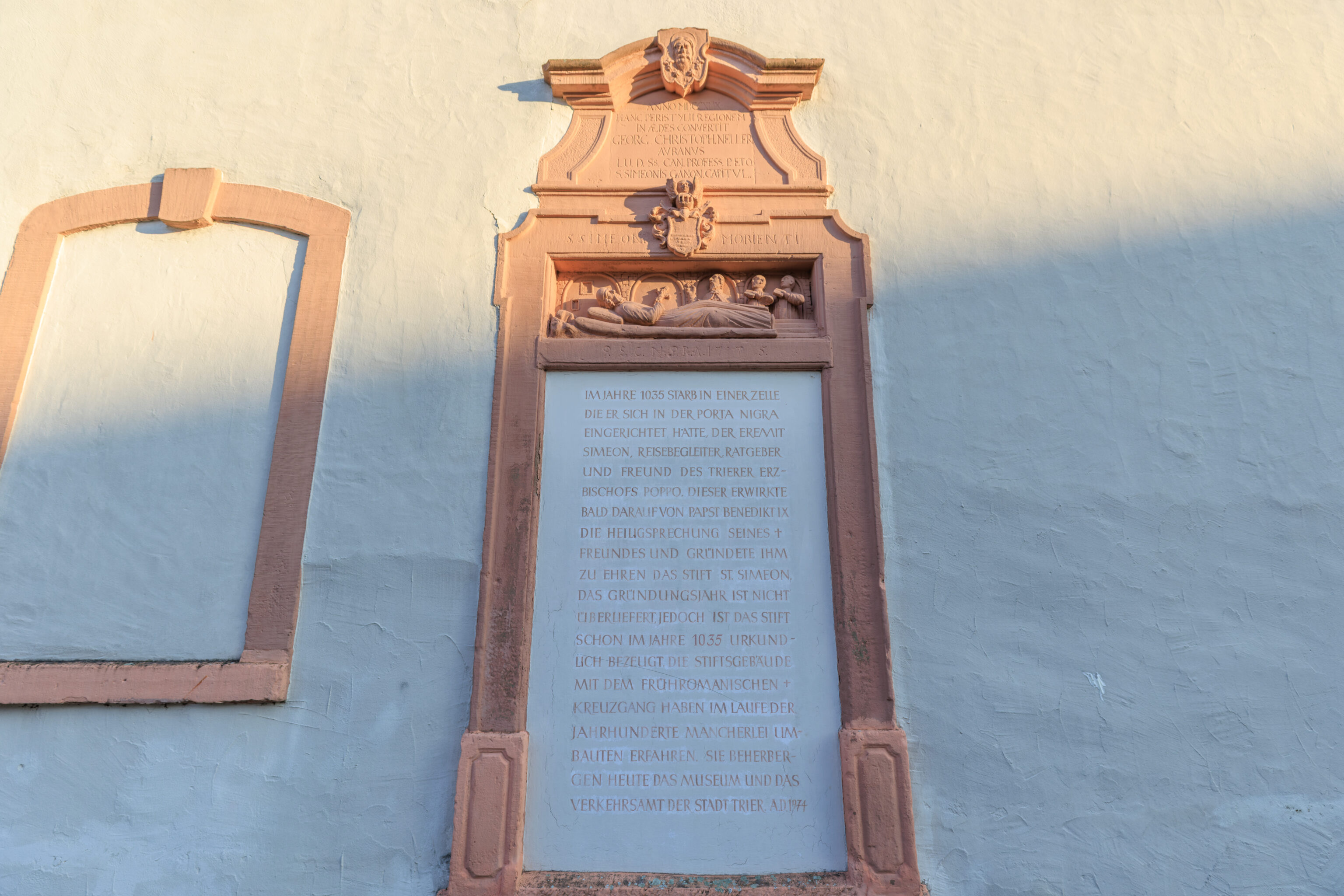
We noticed this text on a building next to the gate:
In the year 1760, Georg Christoph Neller of Nassau, Doctor of Both Laws [Civil and Canon Law], Public and Ordinary Professor of Sacred Canons, Canon of the Chapter of St. Simeon, converted this section of the peristyle into dwellings.

In the year 1035, the hermit Simeon—travel companion, advisor, and friend of Archbishop Poppo of Trier—died in a cell he had built for himself in the Porta Nigra. Shortly thereafter, Poppo obtained the canonization of his late friend from Pope Benedict IX and founded the St. Simeon Monastery in his honor. The exact founding year is not handed down, but the monastery is already documented in 1035. Over the centuries, the monastery buildings with their early Romanesque cloister underwent various alterations. Today, they house the museum and the tourist information office of the city of Trier. A.D. 1974
– Text from the photograph above, transcribed and translated from German using Google Gemini.
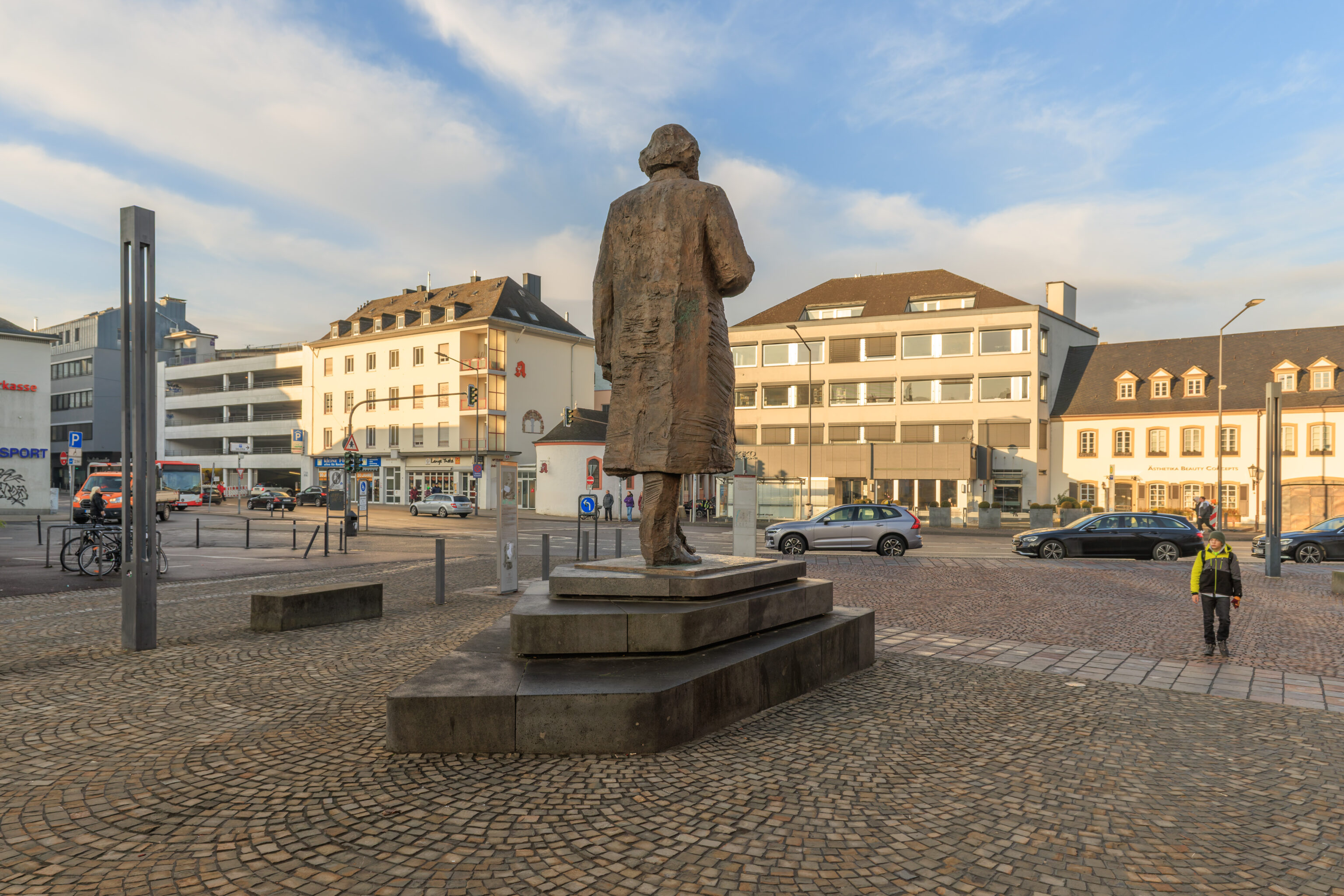
We walked to the west around the building and saw the back of a statue.
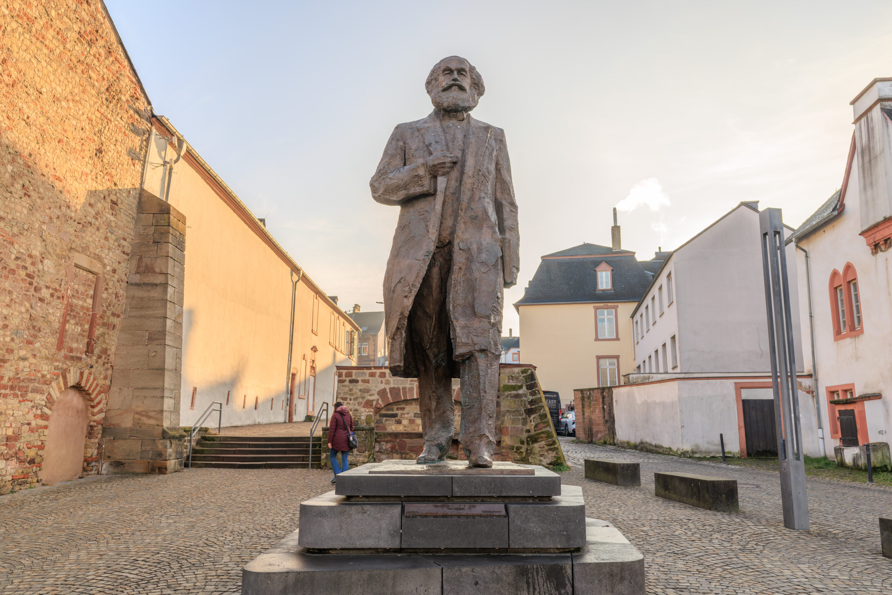
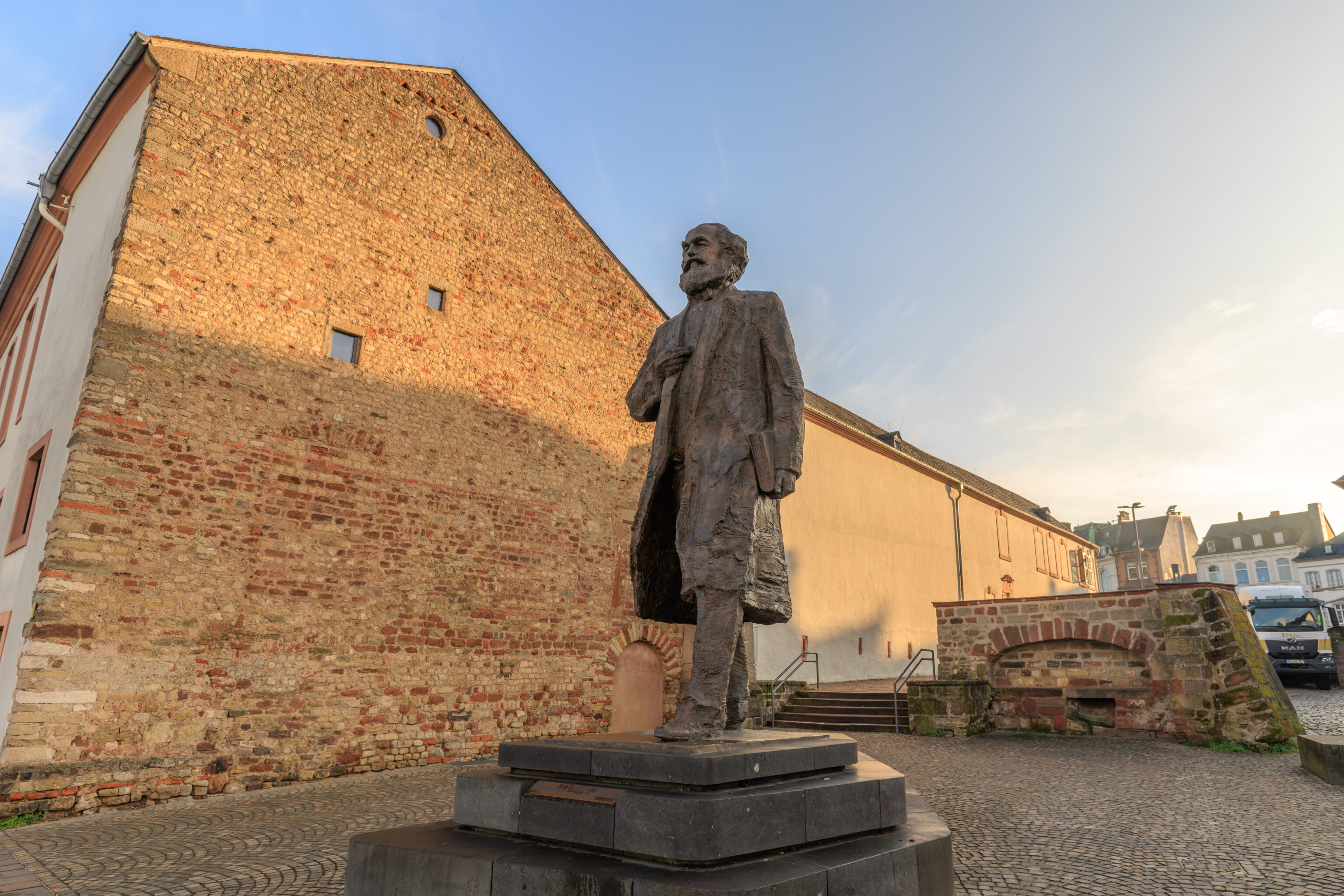
This is Karl Marx! Apparently, Karl Marx was from Trier!
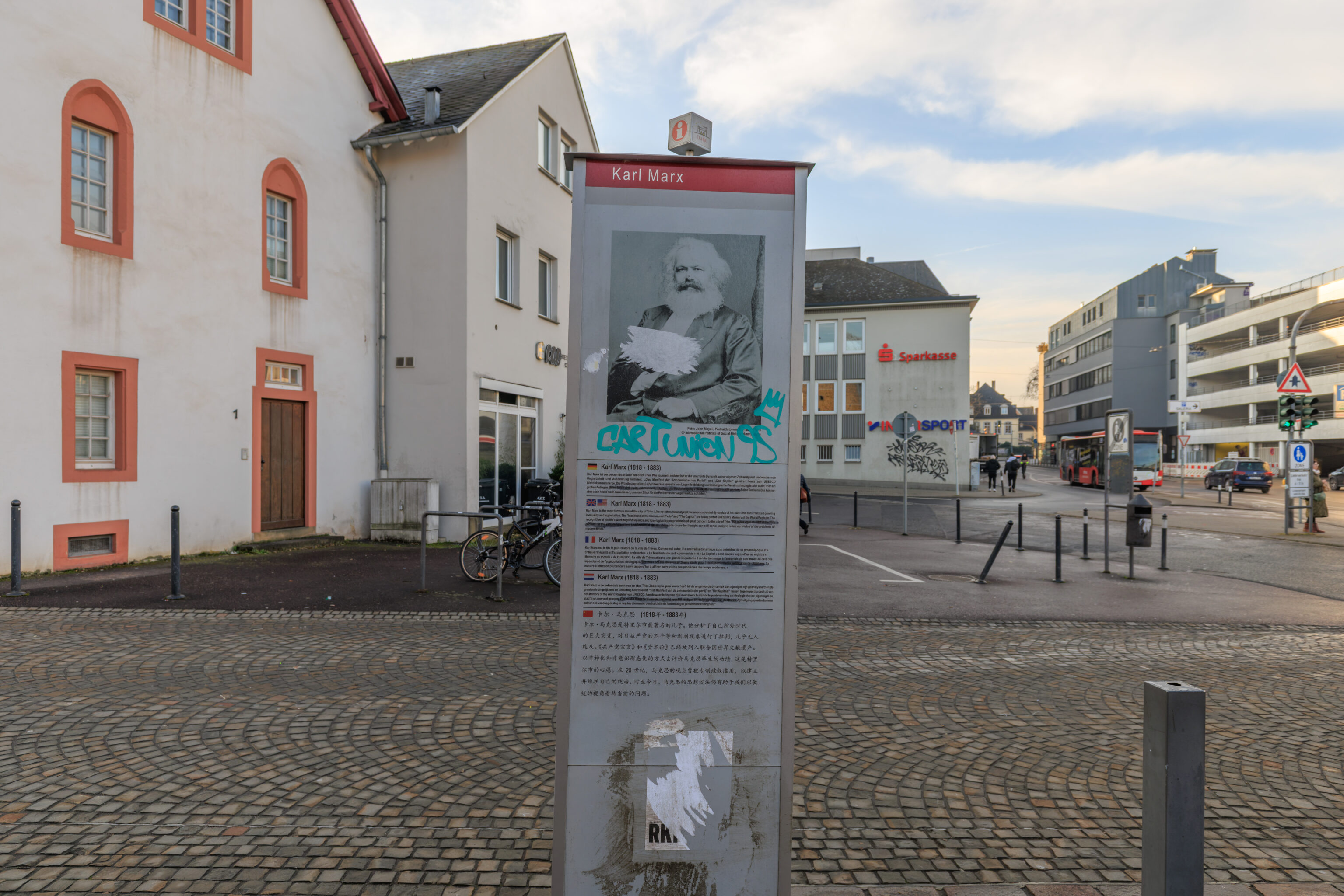
There was a sign nearby that briefly explains who Karl Marx was.
Karl Marx (1818 - 1883)
Karl Marx is the most famous son of the city of Trier. Like no other, he analyzed the unprecedented dynamics of his own time and criticized growing inequality and exploitation. The "Manifesto of the Communist Party" and "The Capital" are today part of UNESCO's Memory of the World Register. The recognition of his life's work beyond legends and ideological appropriation is of great concern to the city of Trier. His ideas were abused in the 20th century for the establishment and justification of dictatorships. His cause for thought can still serve today to refine our vision of the problems of modern times.
– English text from the sign above.
The text in a lighter color was crossed out by someone on the sign, however, the ink has faded causing the text to be legible.
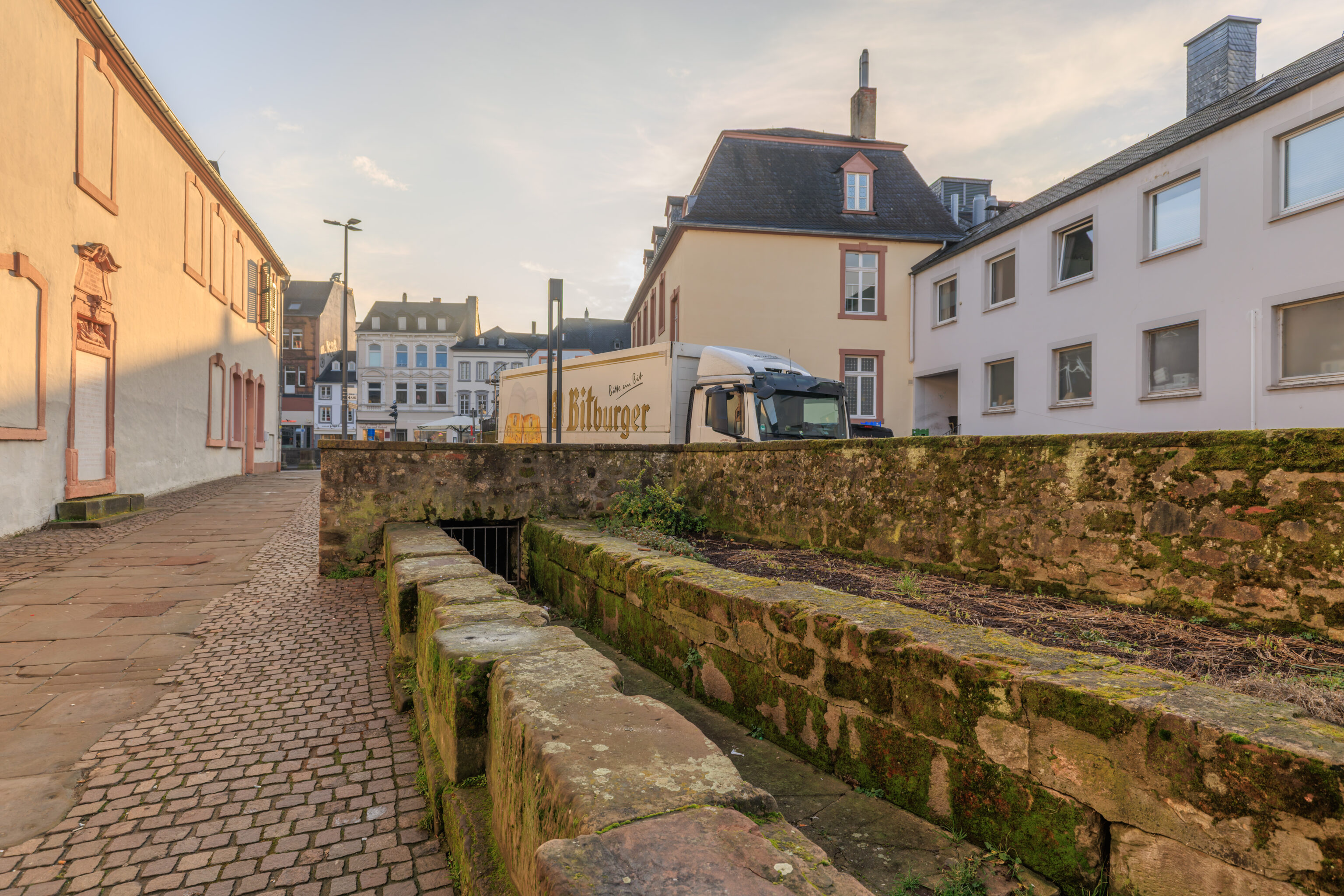
This dry channel is marked as the Trierer Stadtbach (Trier City Stream) on Google Maps. Doing a search on Google reveals a few links that mention the Stadtbach, although there aren’t really any details other than that there was a stream here.
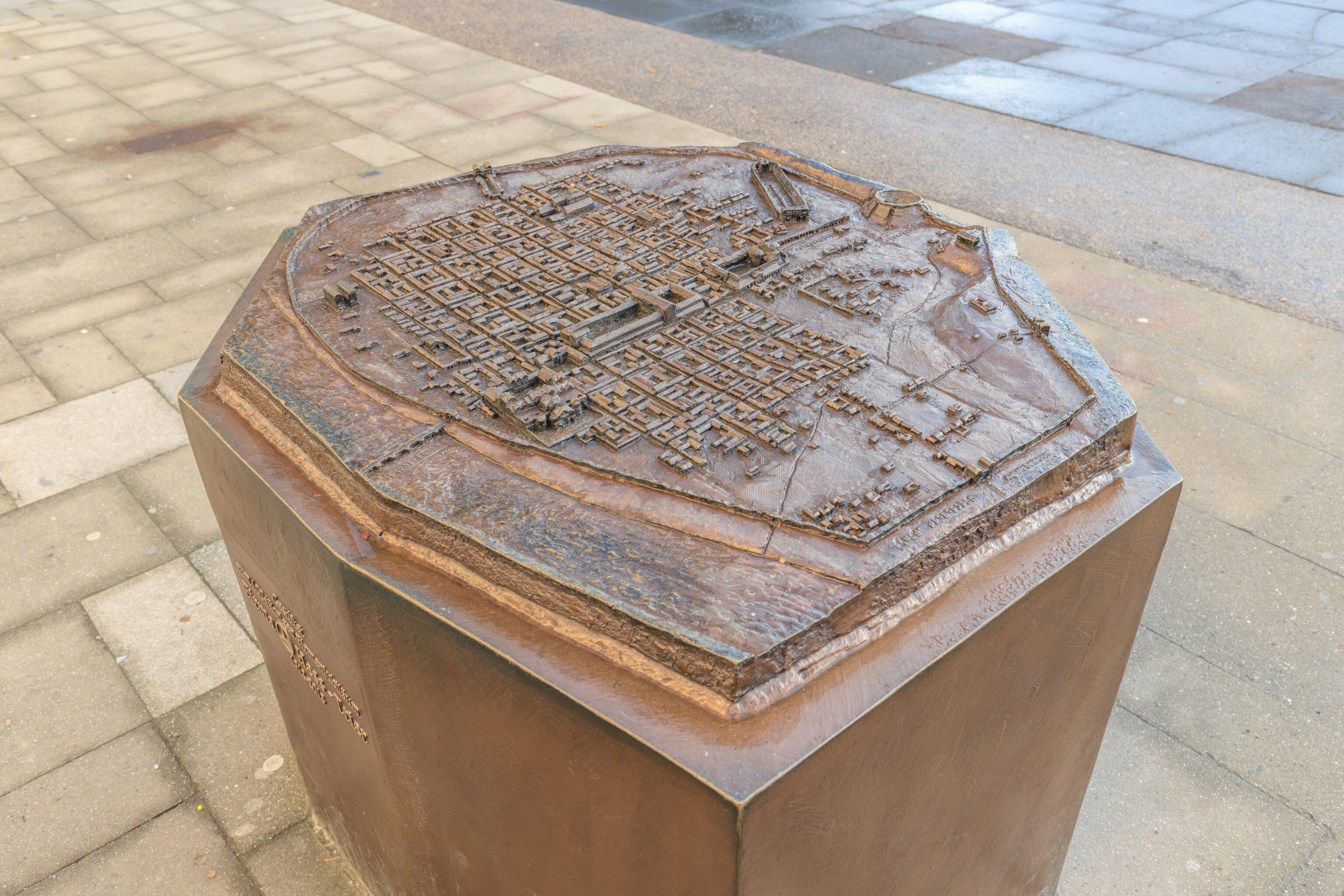
There was a nearby model of the city’s historical appearance when it was still surrounded by a city wall.
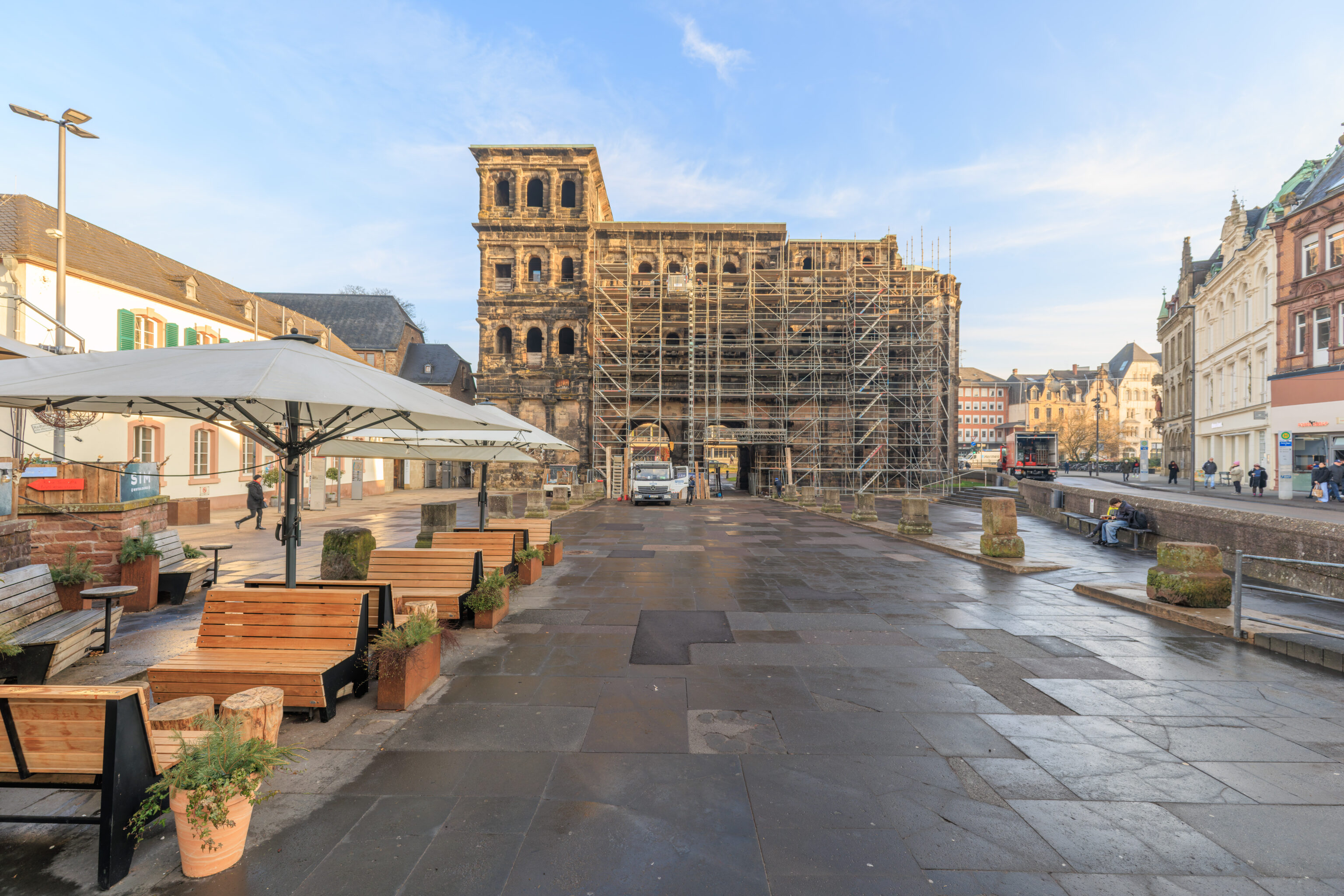
We returned to the pedestrian street in front of the Porta Nigra.
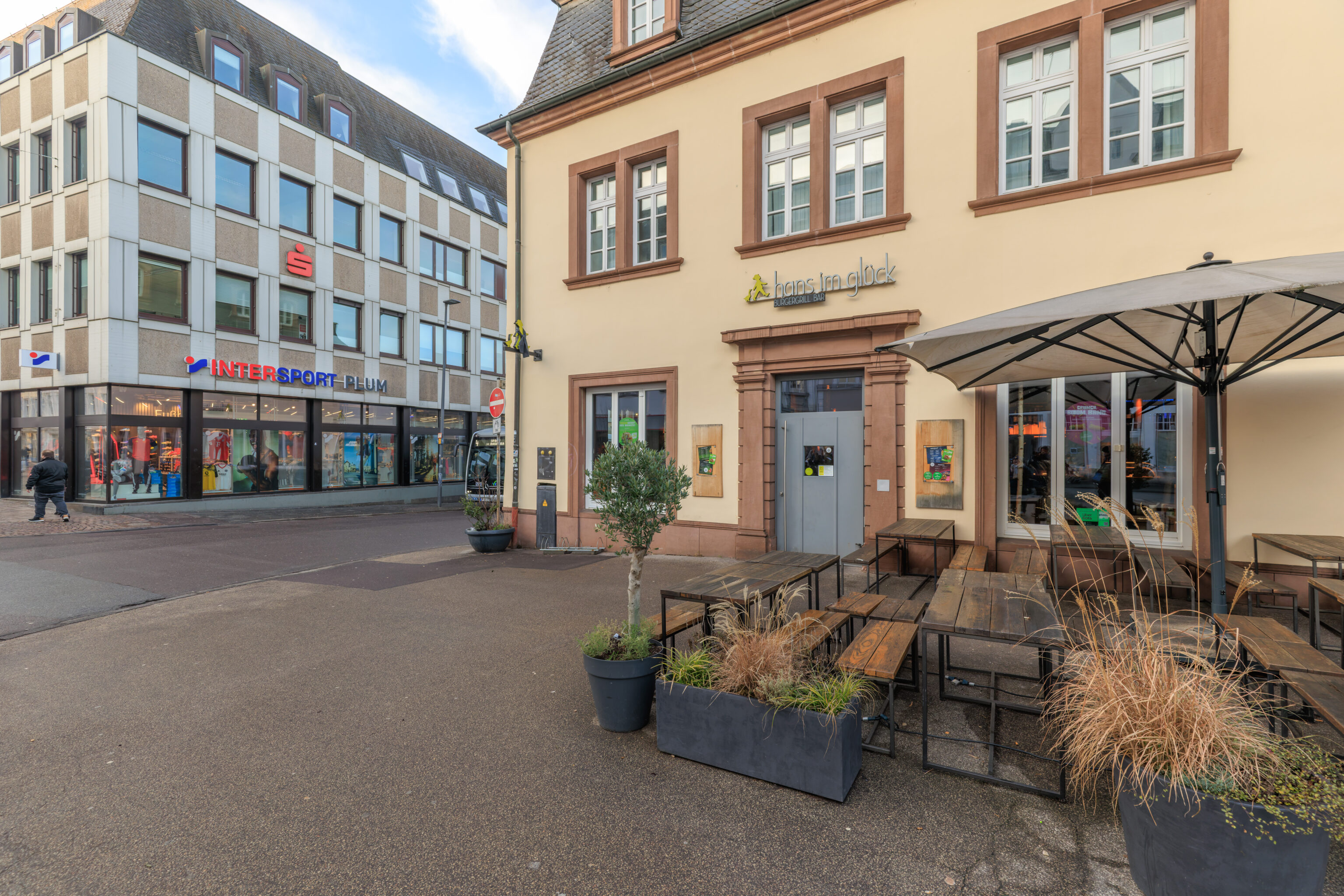
Hans im Glück! We’ve seen this chain in various cities but have never eaten at it. Maybe one day, but not today!
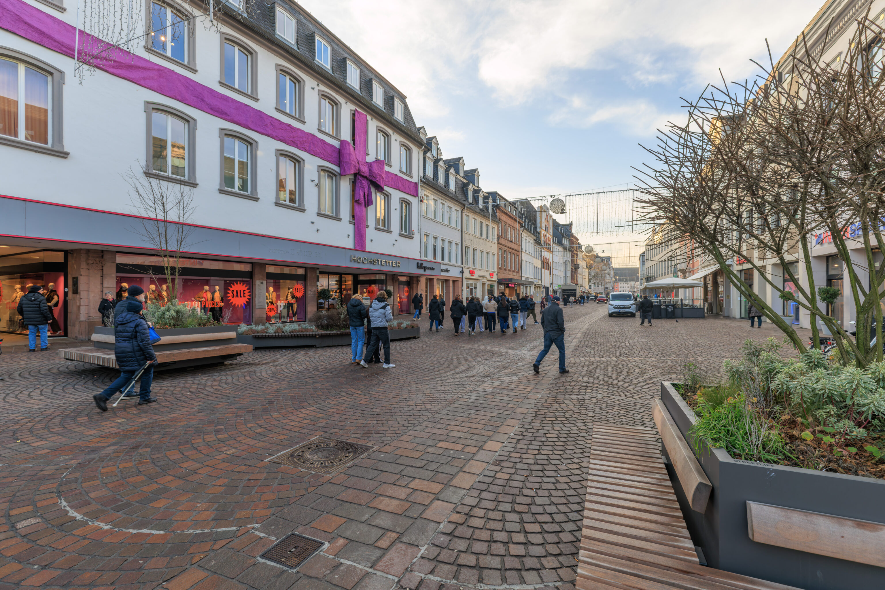
As we walked to the southwest, we noticed a building wrapped with a huge purple bow!
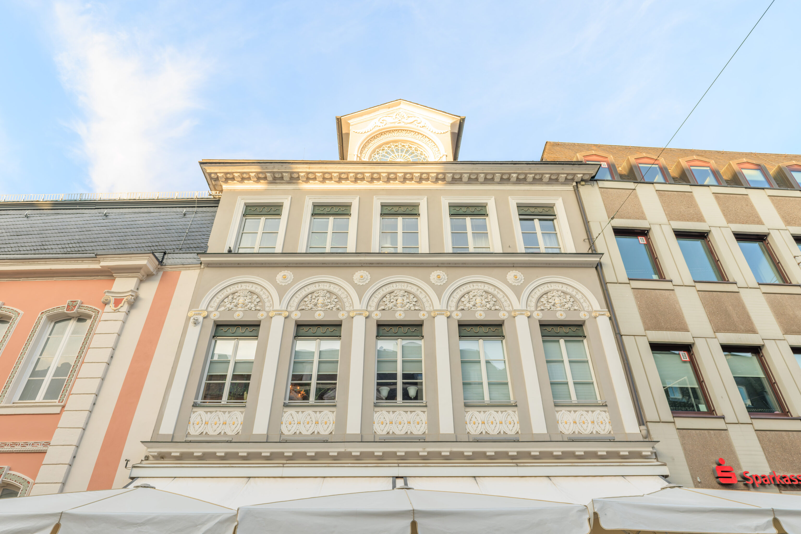
The facade of this building had some decorative elements.
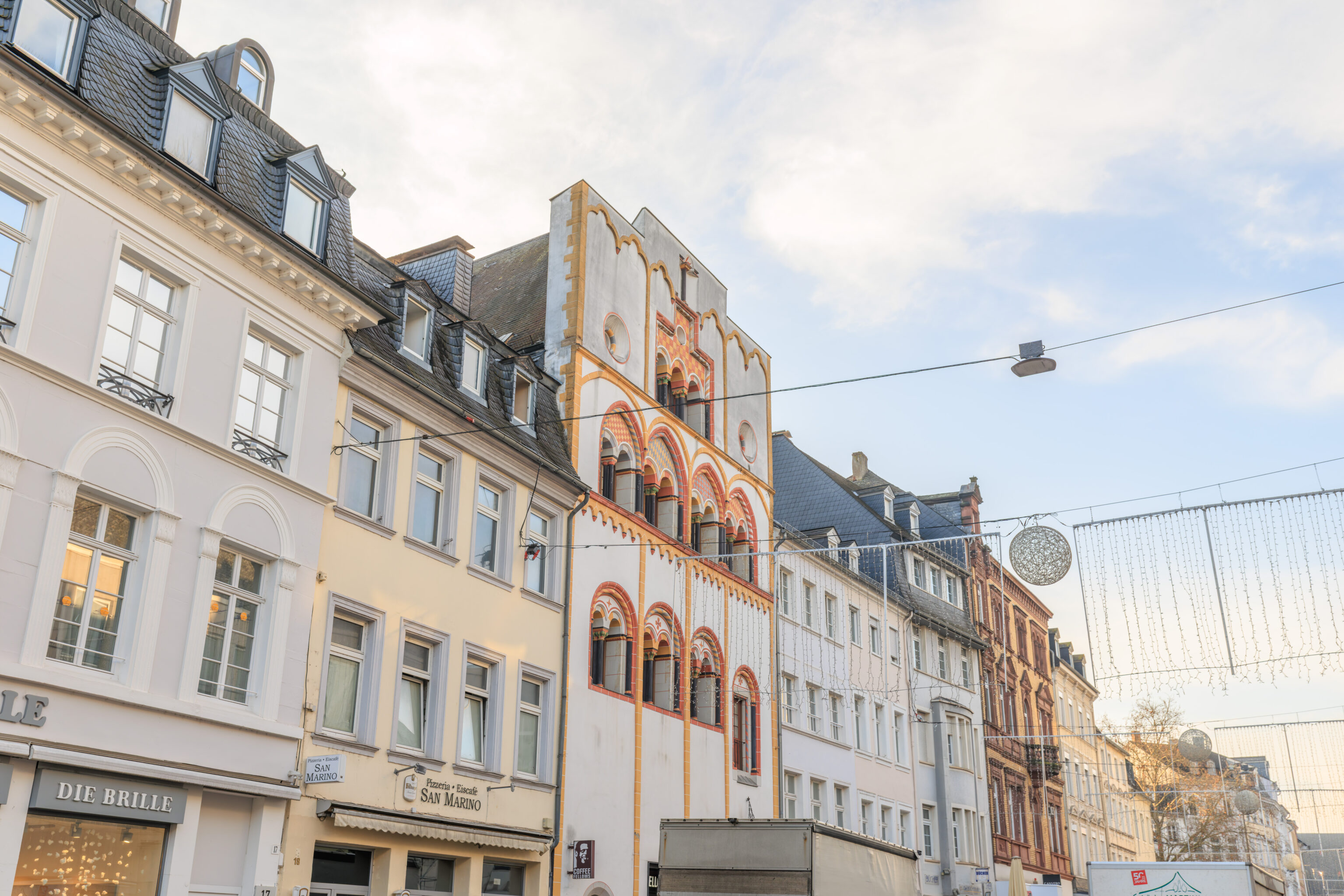
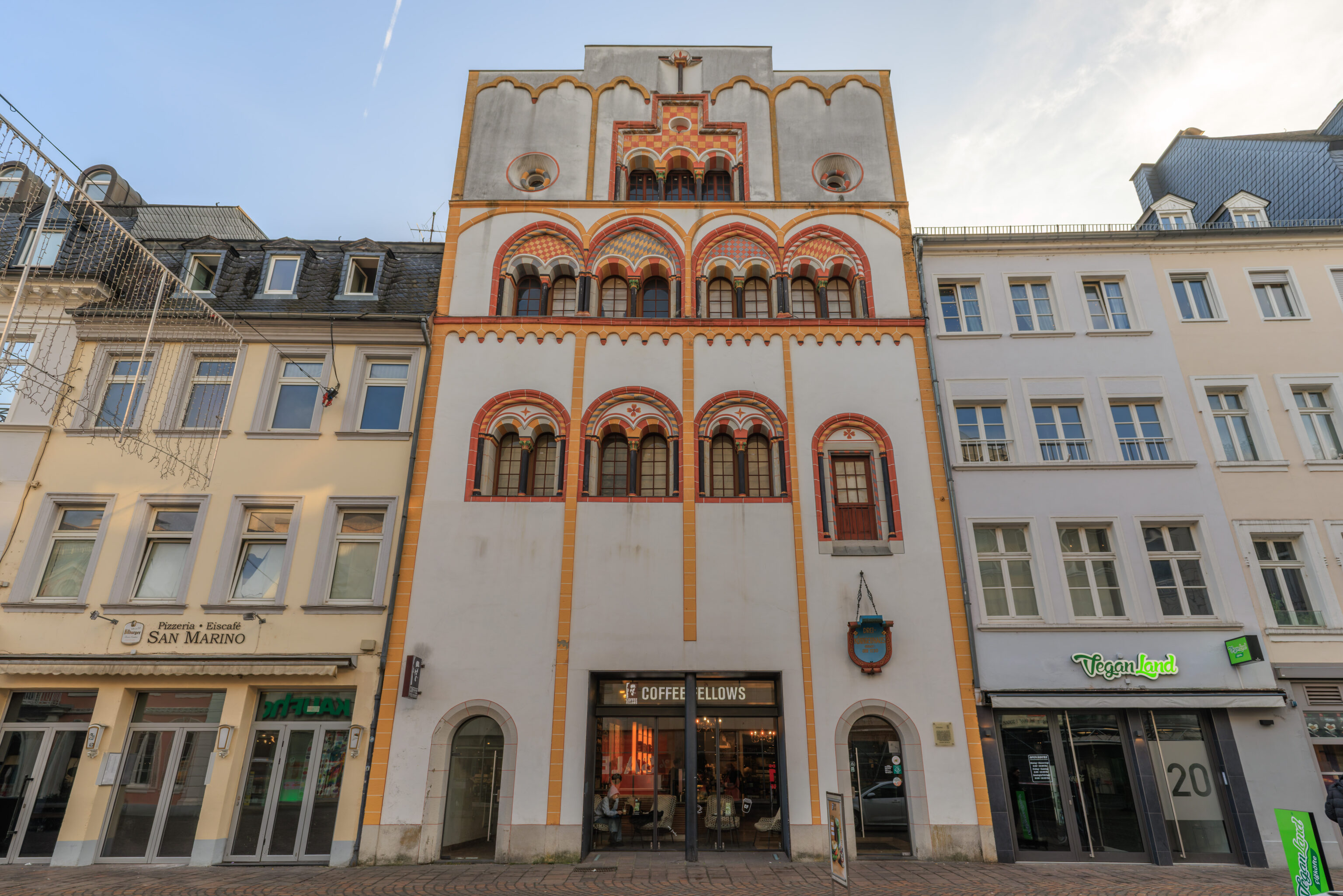
This building seems a bit out of place. It is the Dreikönigenhaus, which is literally the Three Kings’ House, referring to the Three Magi. The name of the building has nothing to do with its appearance though. It was decorated this way after the conquest of Constantinople in the 13th century by the Fourth Crusade. At this time, Constantinople was still the capital of the Eastern Roman Empire, known in modern times as the Byzantine Empire.
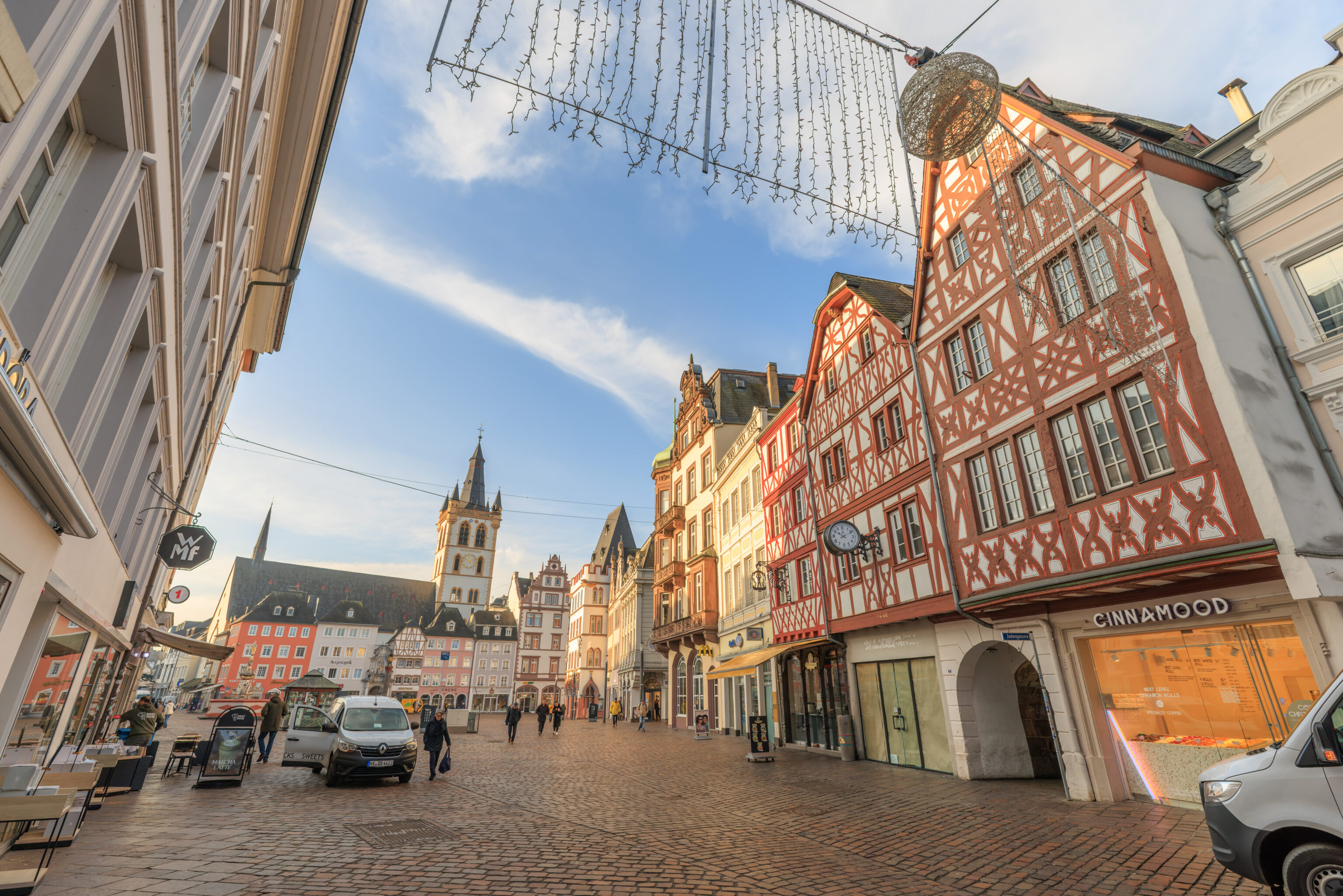
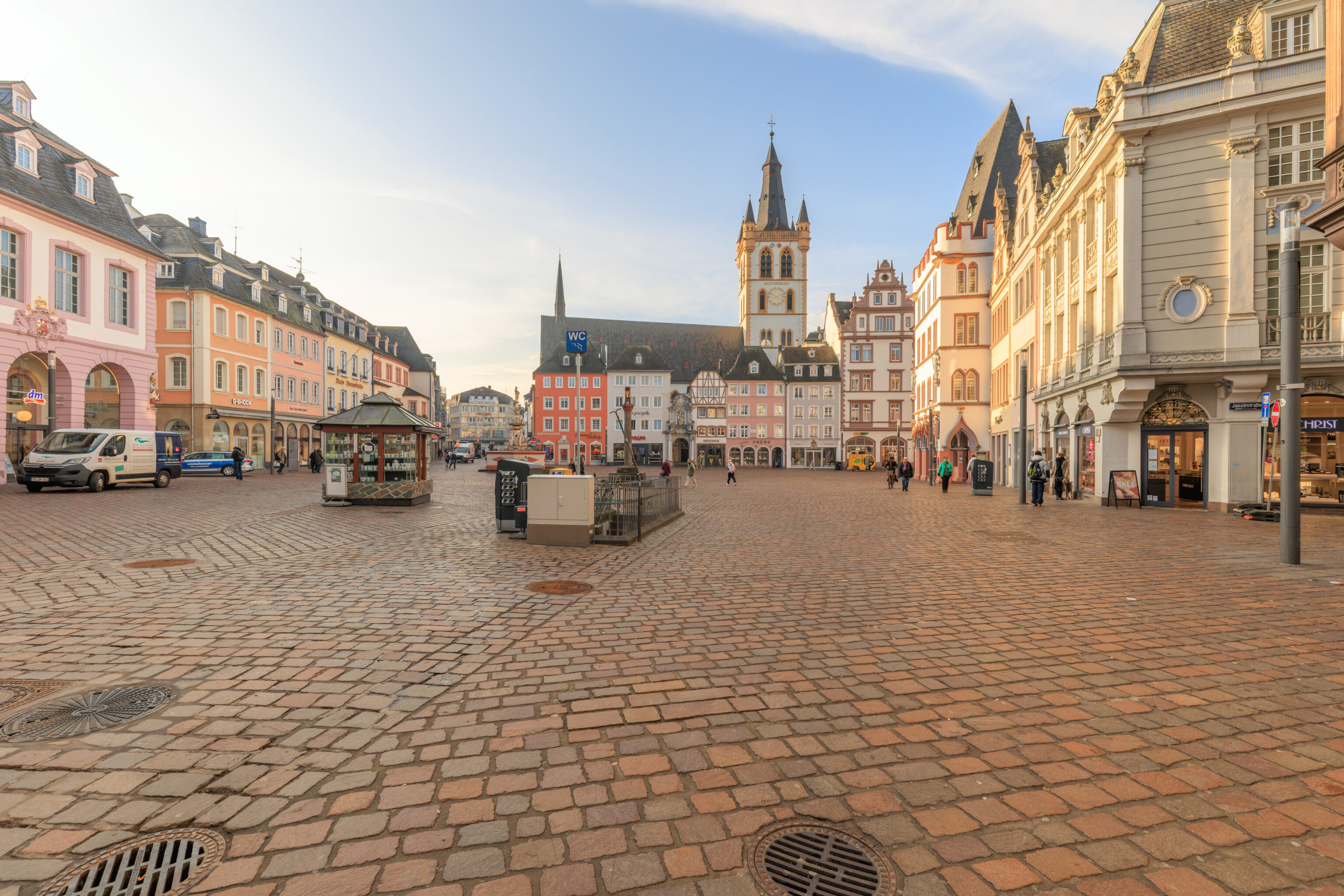
We continued on until we reached the Hauptmarkt (Main Market). This large square was pretty quiet with just a few people walking around and delivery vehicles making deliveries.
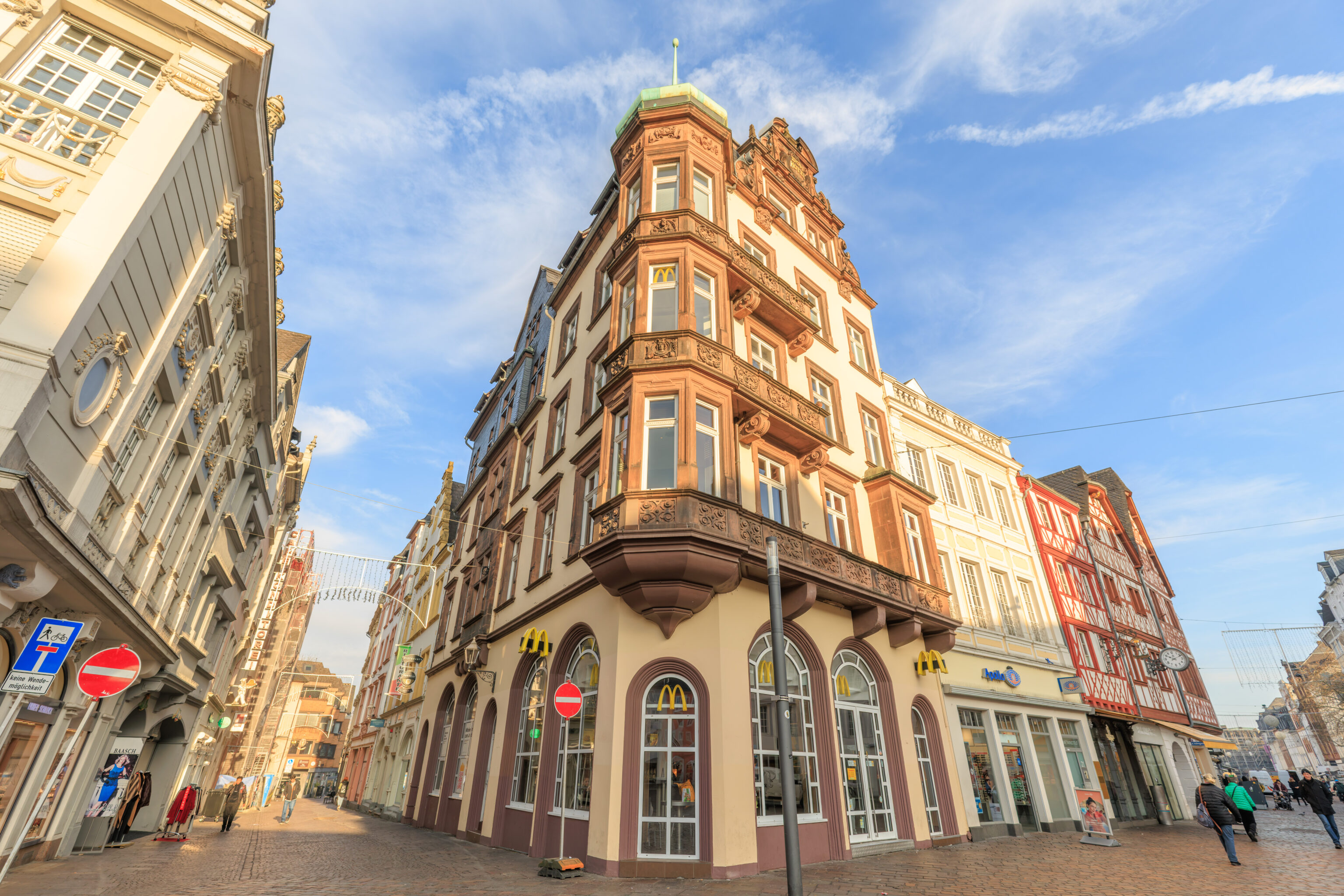
This building contains a McDonalds! This is kind of like going to Japan!
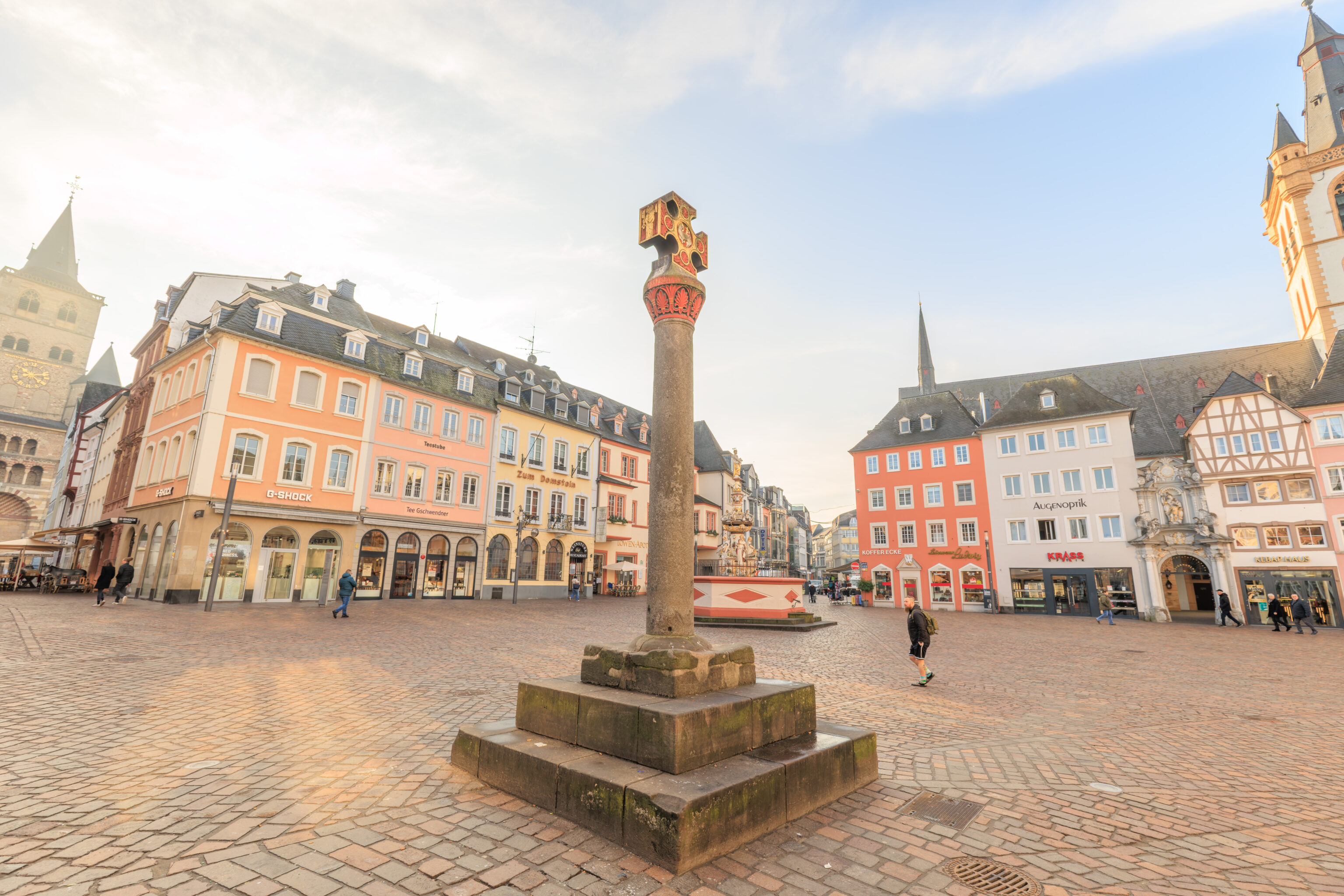
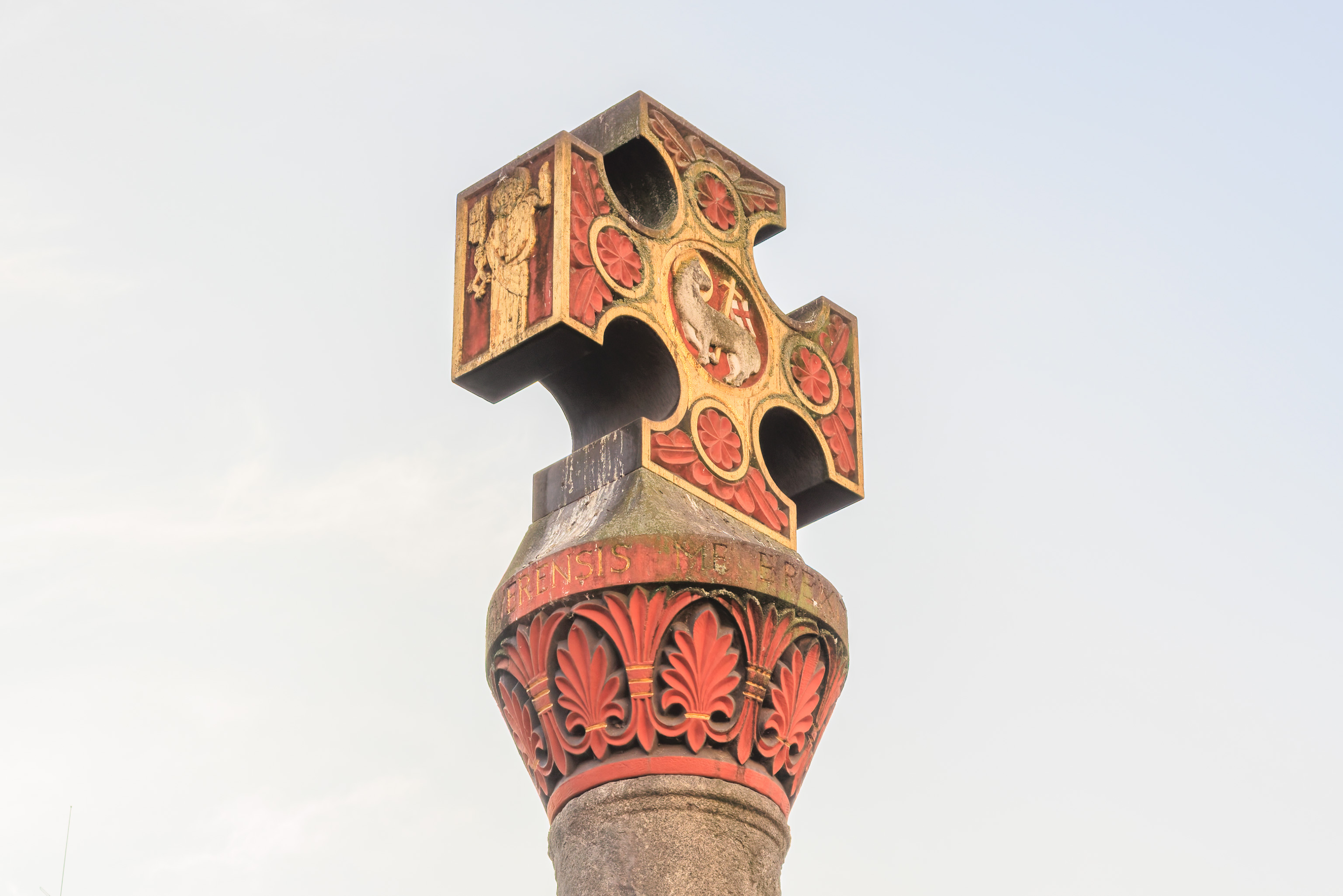
This is the Marktkreuz (Market Cross). It was created in the 10th century and is the oldest market cross in Germany. Parts, or possibly all, of this market cross may be a replica with the original in a museum.
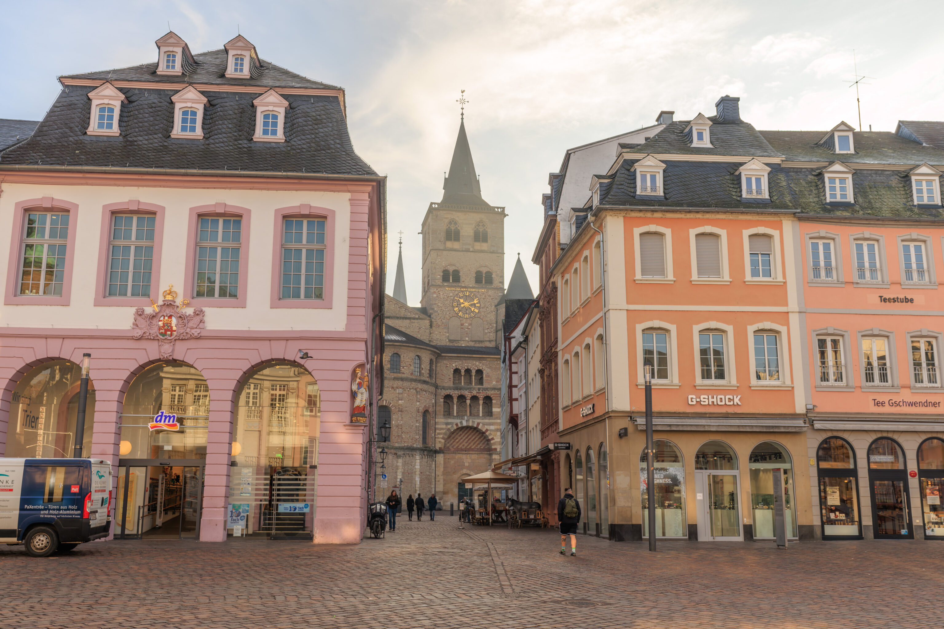
Looking to the east, we saw the front of the Trierer Dom, the oldest cathedral in Germany. We will visit it later.
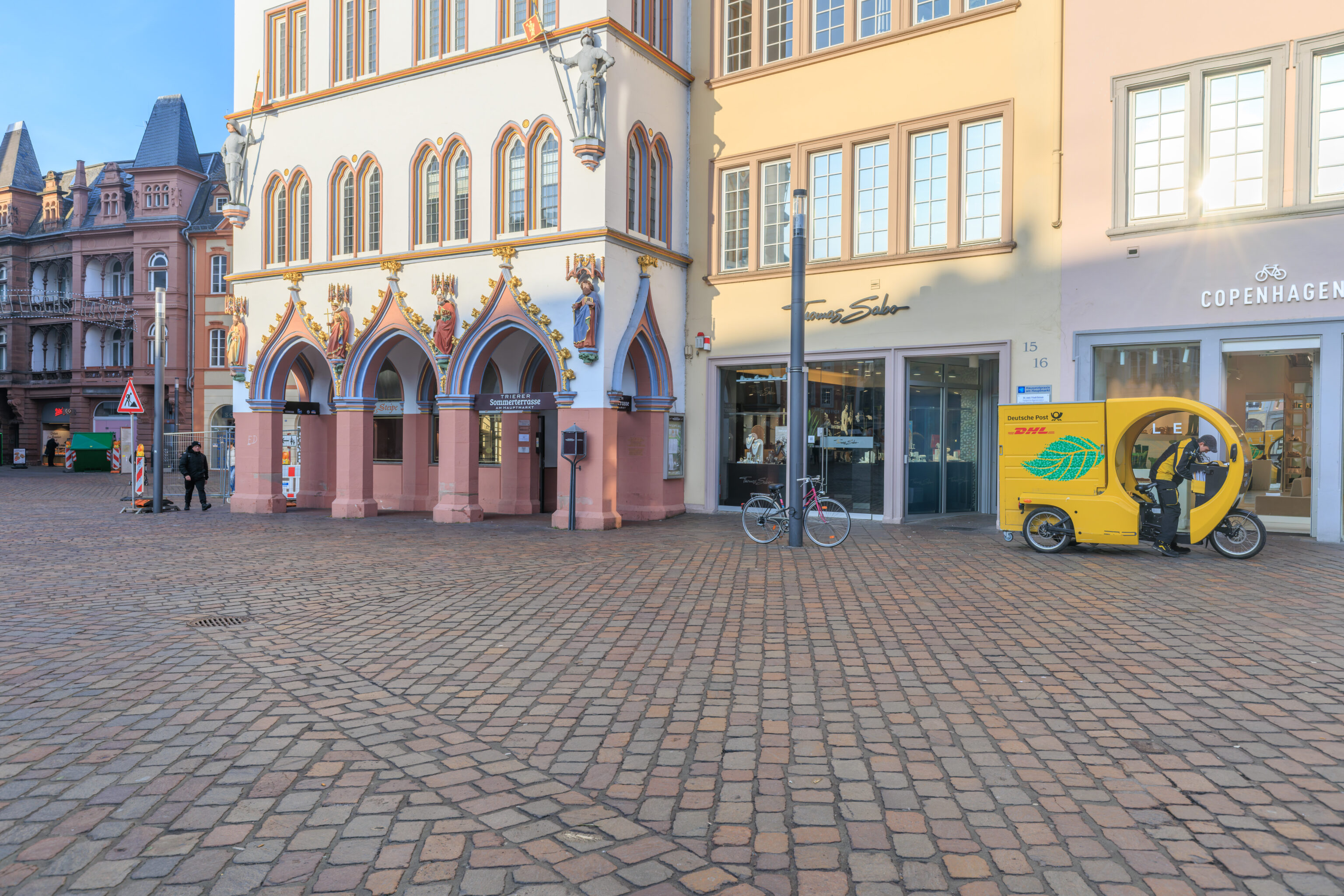
This electrically assisted DHL delivery tricycle reminded us of the delivery vehicles like this that we saw in Amsterdam!
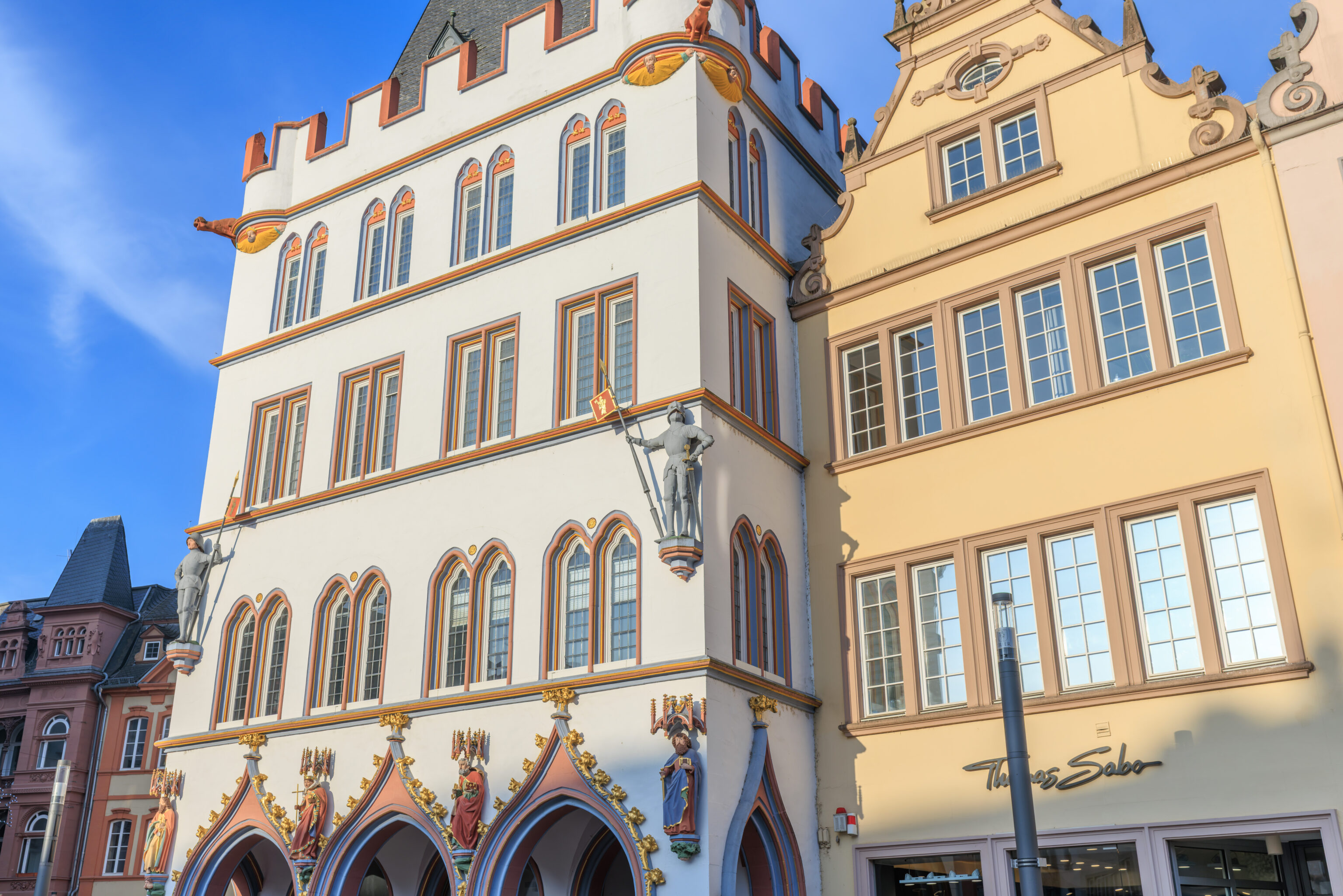
This building is the Steipe. It was mostly destroyed during World War II and was reconstructed in 1965. Trying to understand the German Wikipedia article for this building, it seems it was built in the 14th century and served as a town hall, or possibly a branch of the town hall, until 1807.
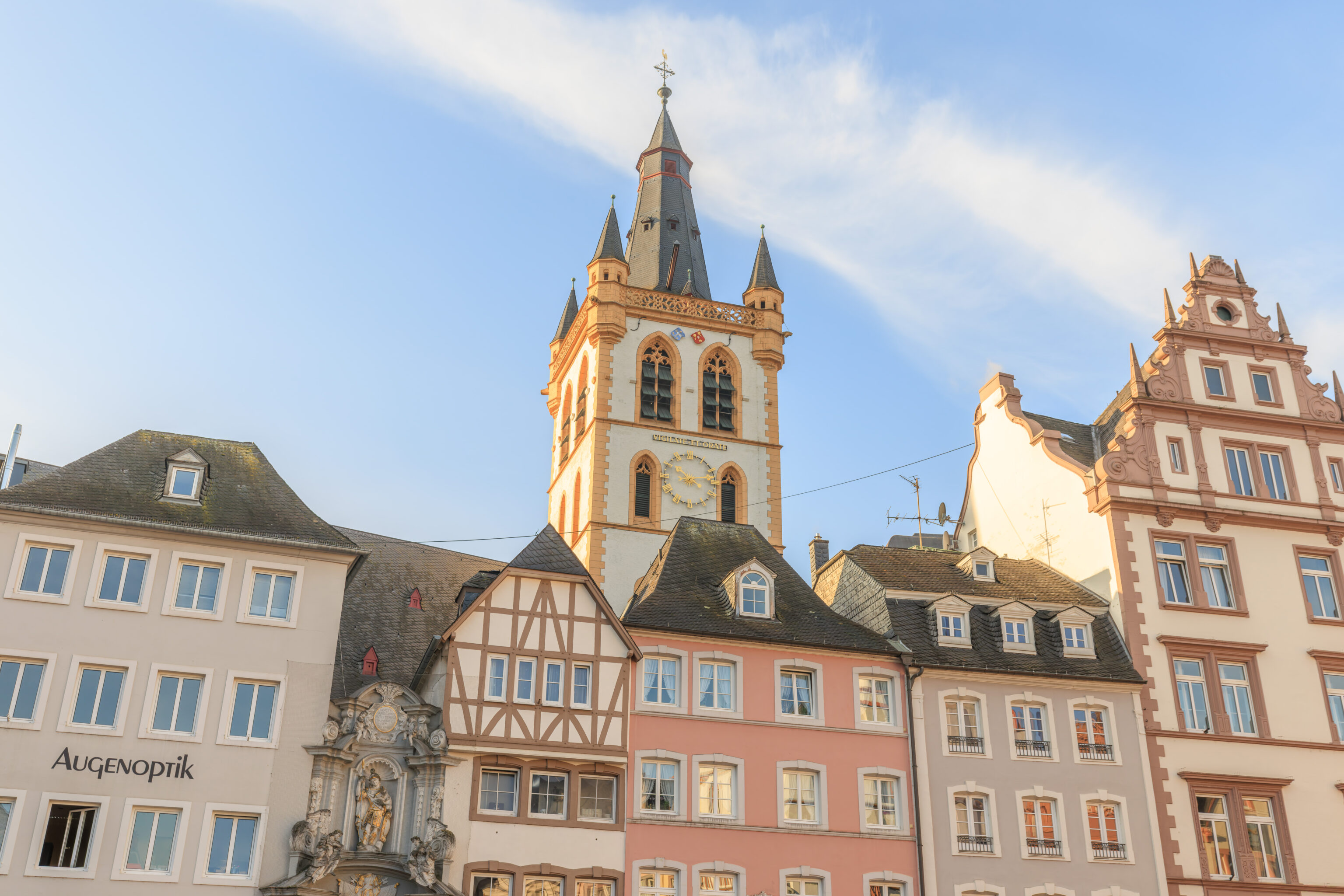
The tall square tower behind the buildings at the market square is the Kirche St. Gangolf.
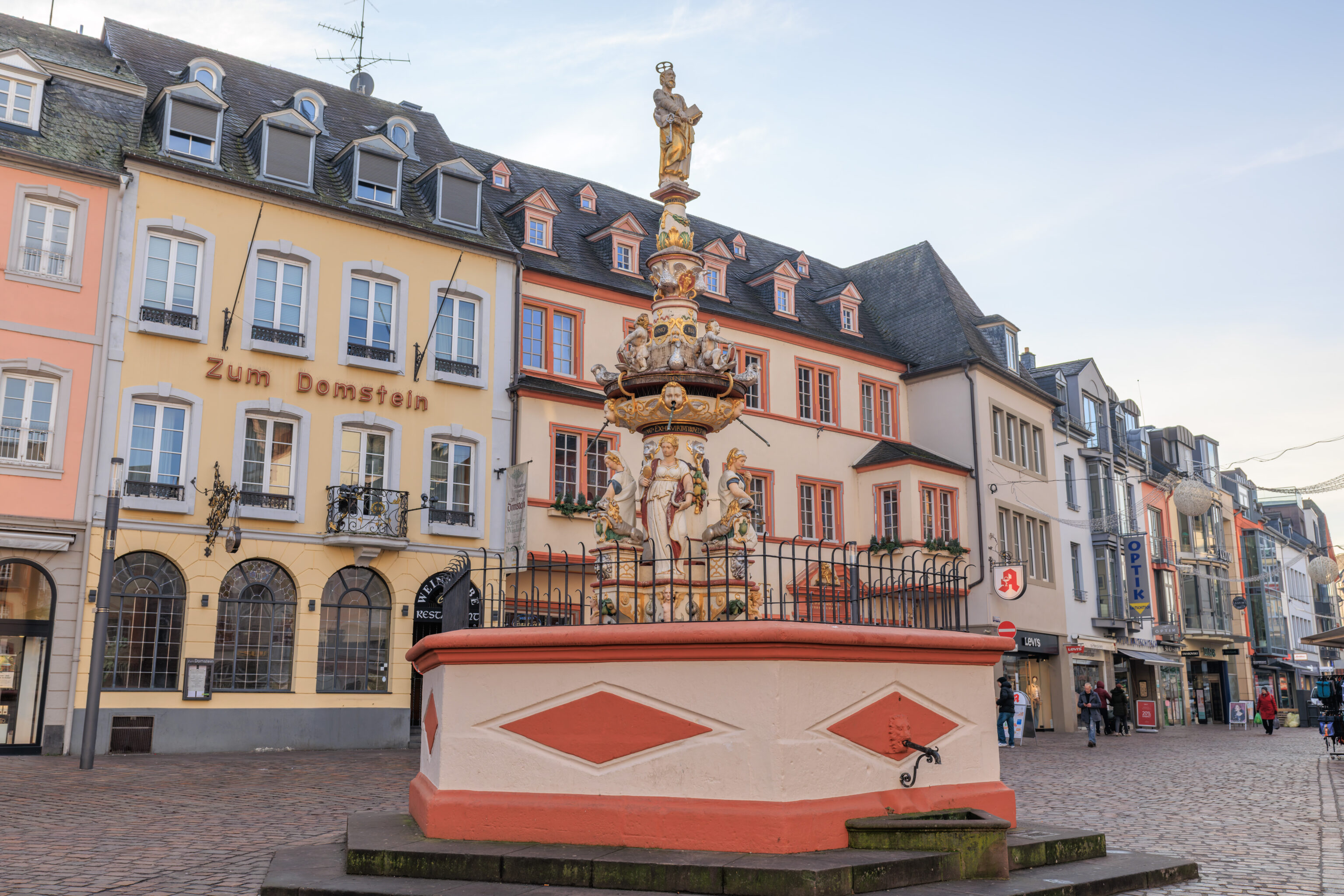
This elaborate fountain is the Petrusbrunnen (St. Peter’s Fountain).
Kirche St. Gangolf
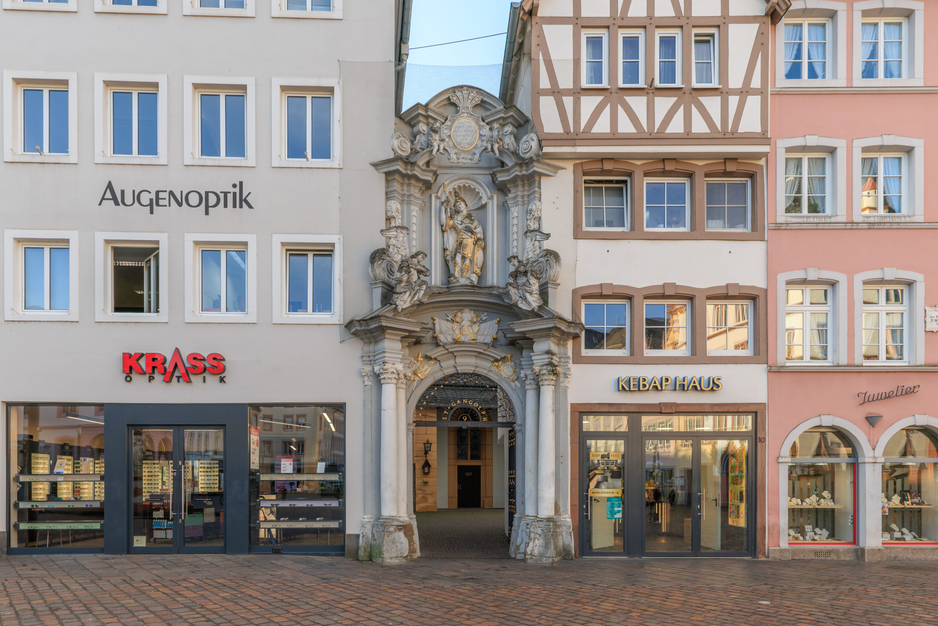
We decided to visit the Kirche St. Gangolf first. We weren’t sure if this was actually the entrance but we went through it to see.
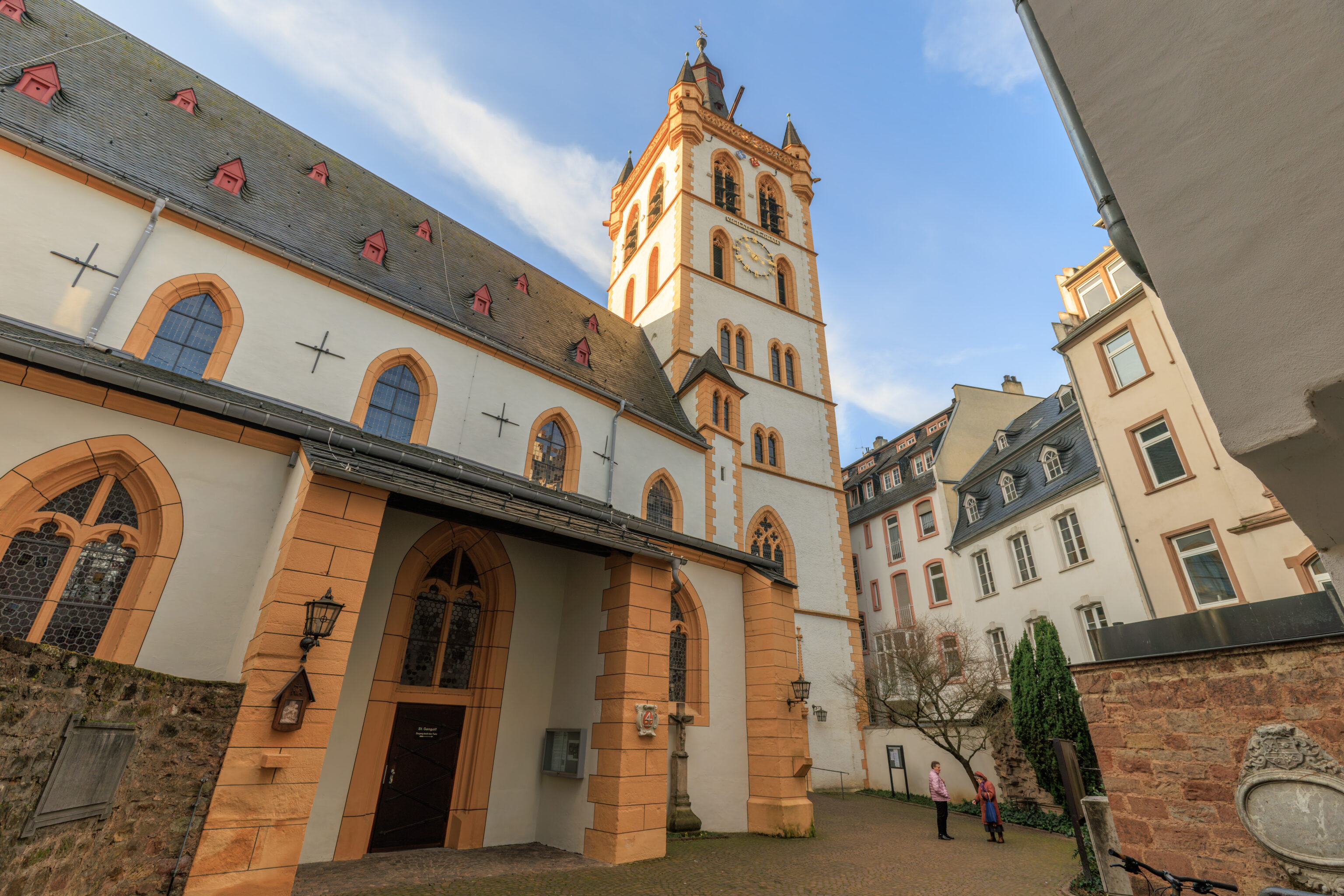
It was! We ended up in what was basically a courtyard on the north side of the church.
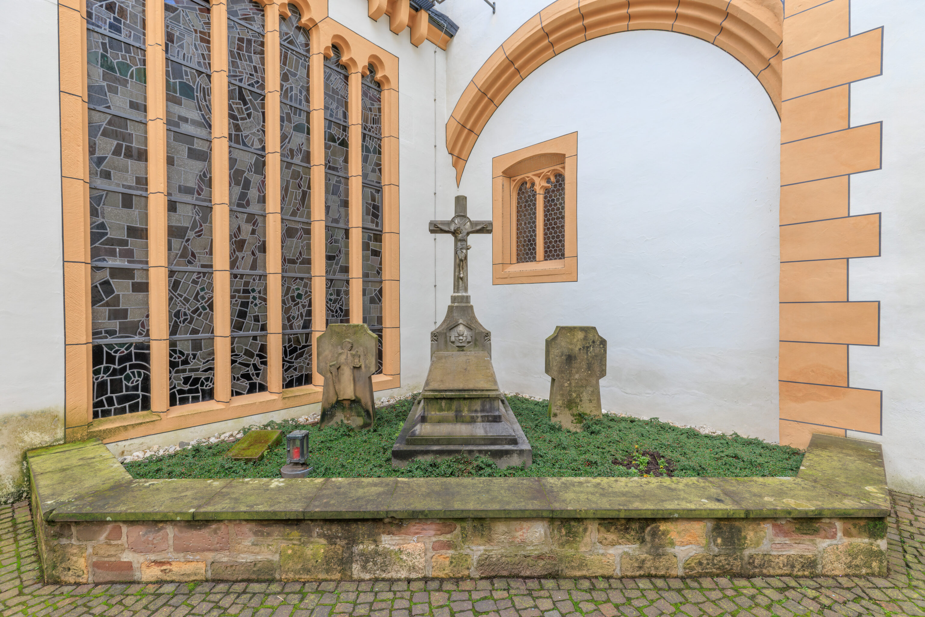
We noticed these three gravestones at a corner of the church’s exterior.
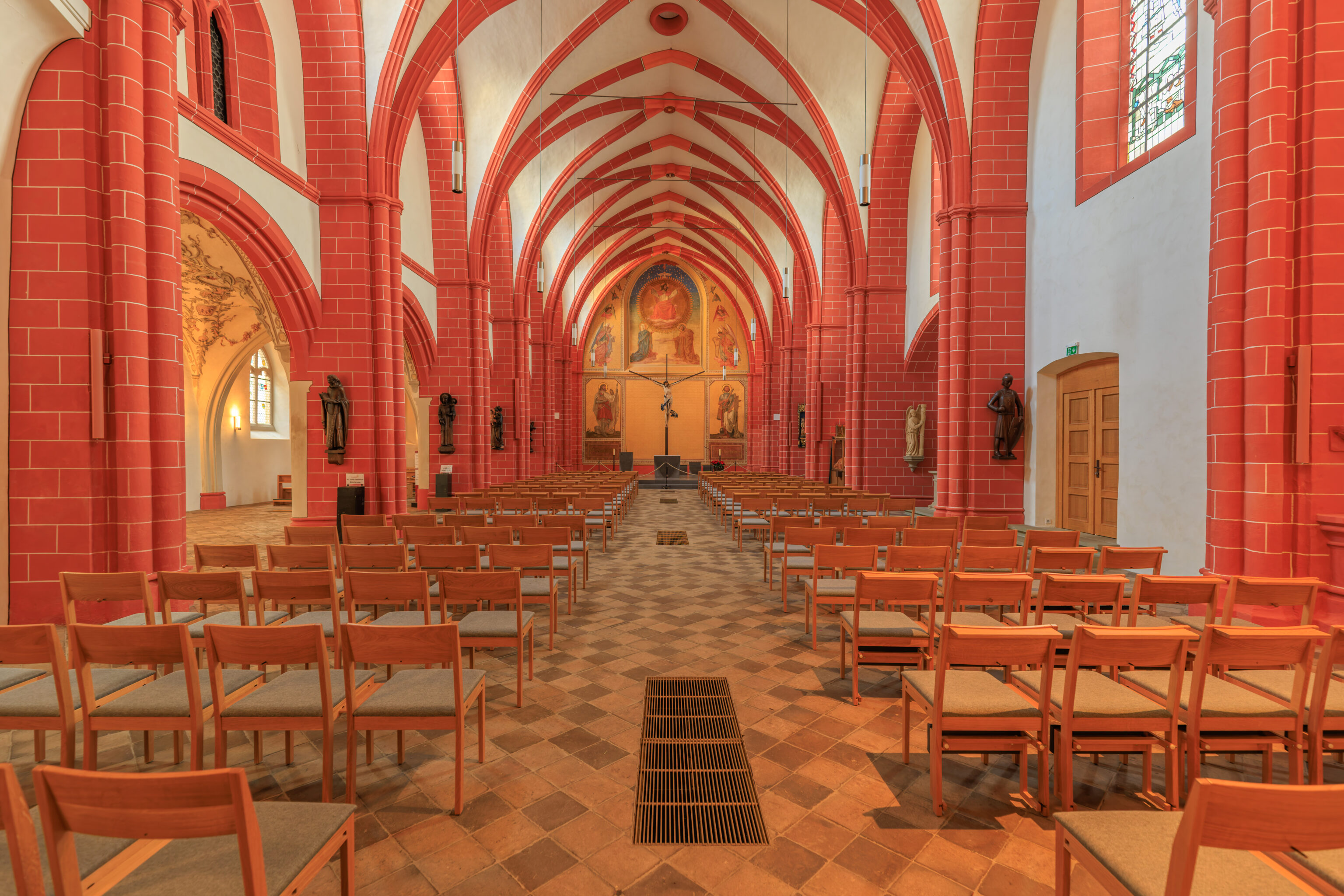
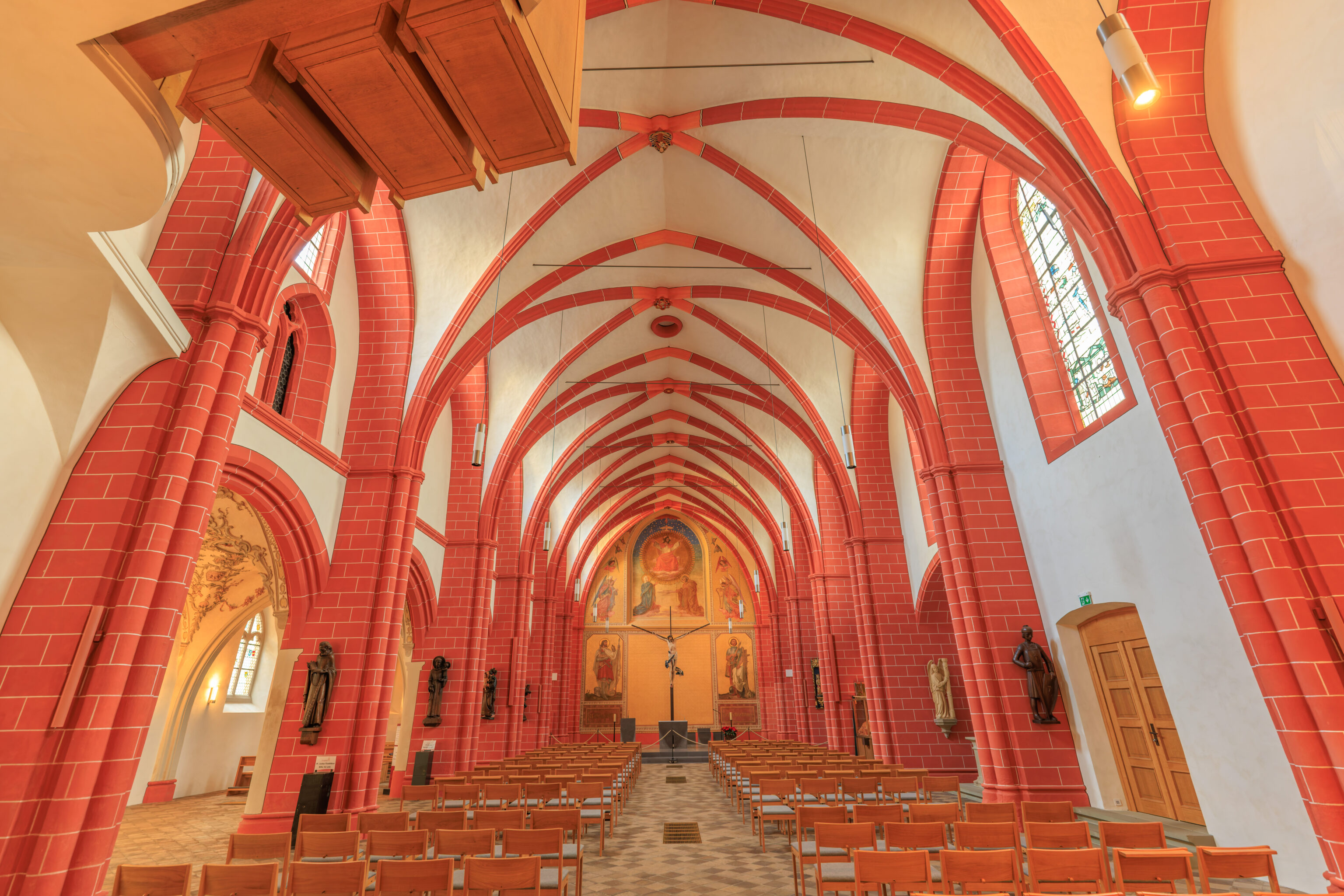
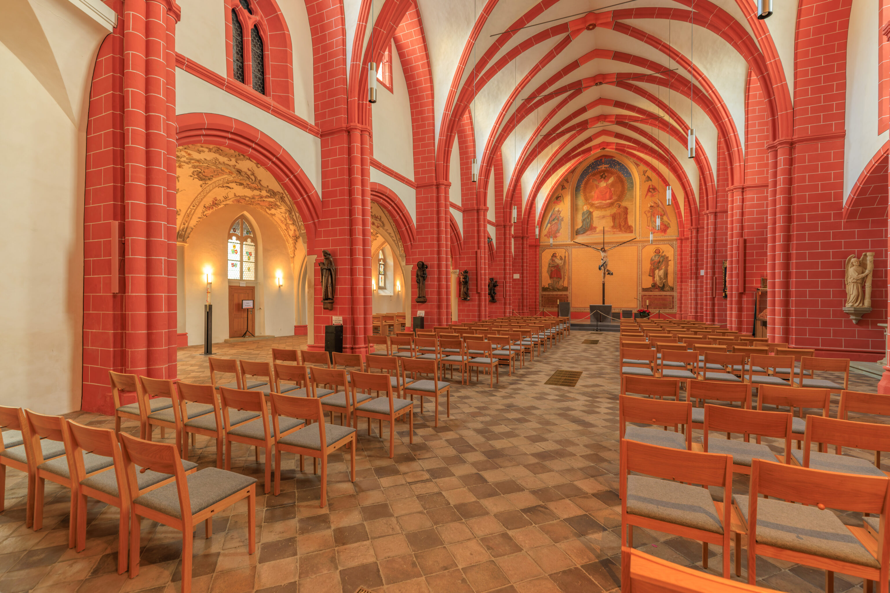
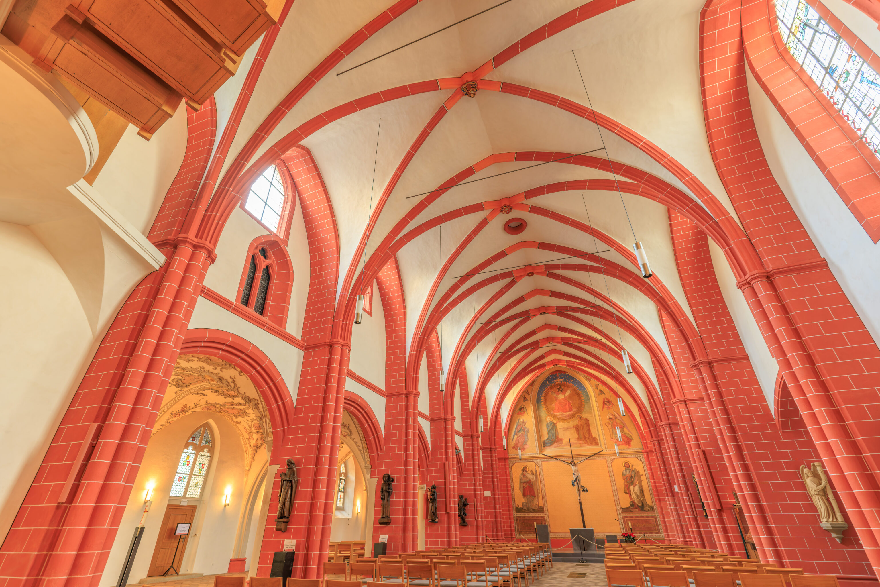
The interior of the church was very different from most churches that we’ve been to! It had a sort of red brick appearance and was pretty simply decorated as far as Christian churches go.
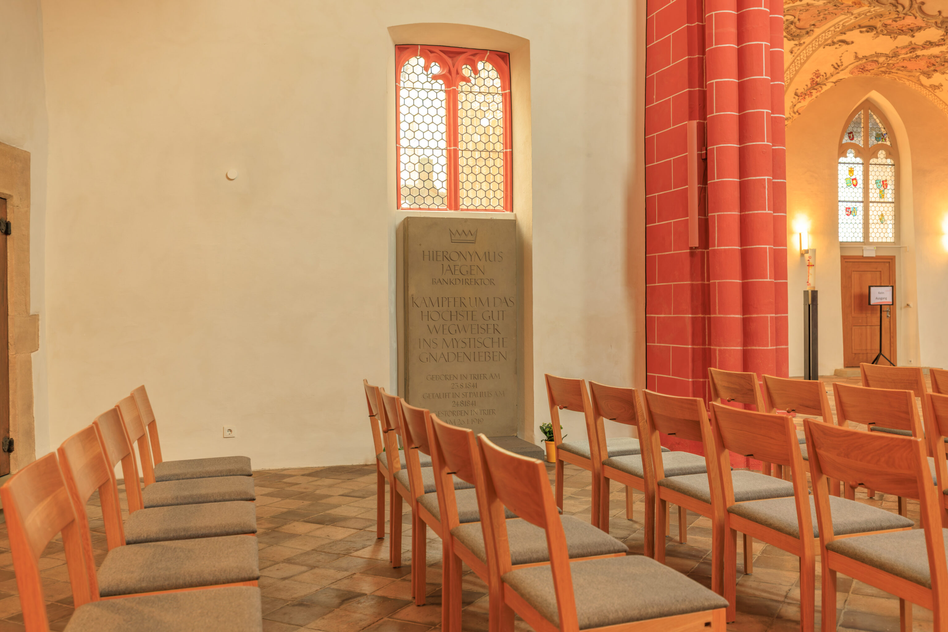
We noticed this grave marker as the only other Hieronymus we recall encountering was the Dutch Hieronymus Bosch.
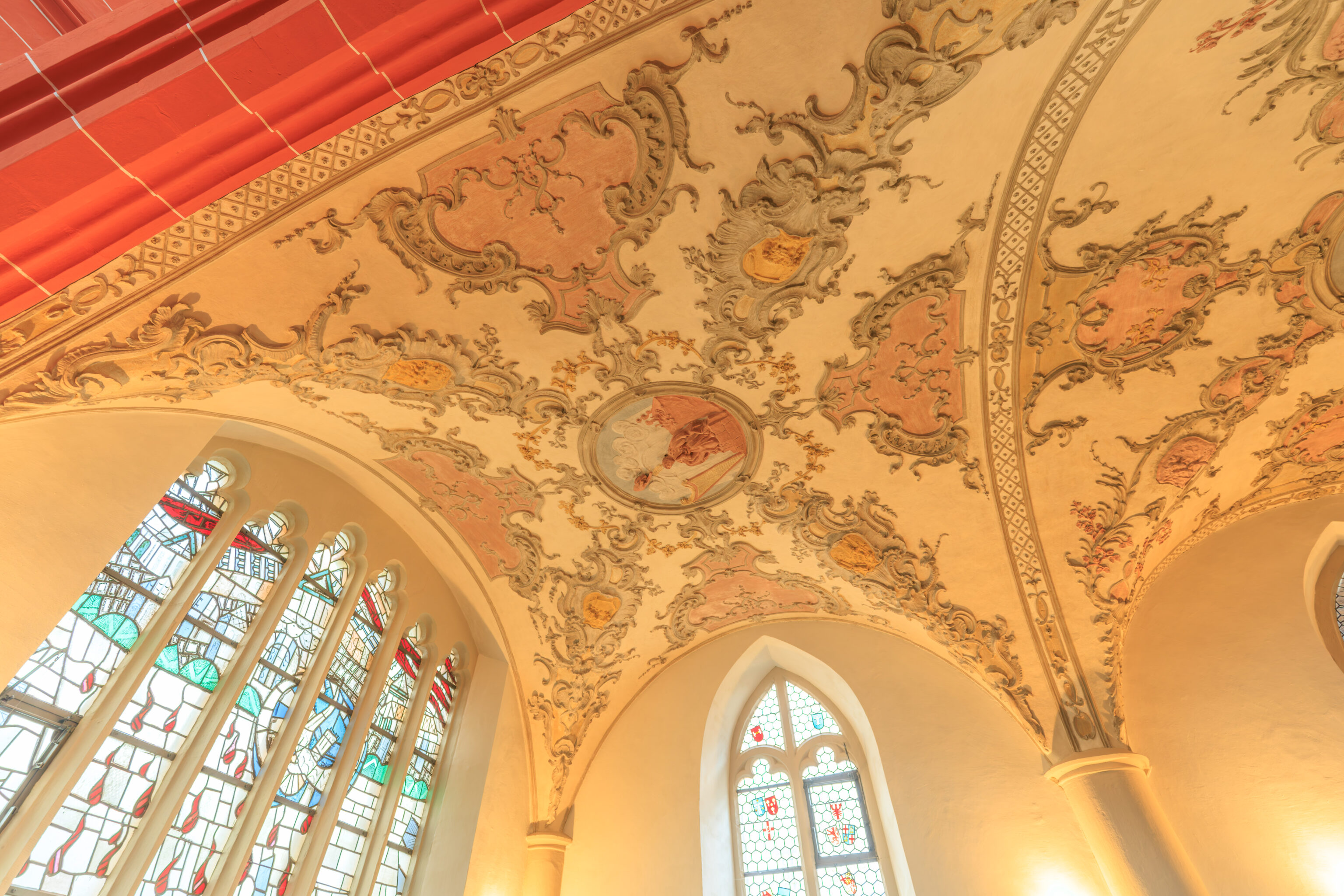
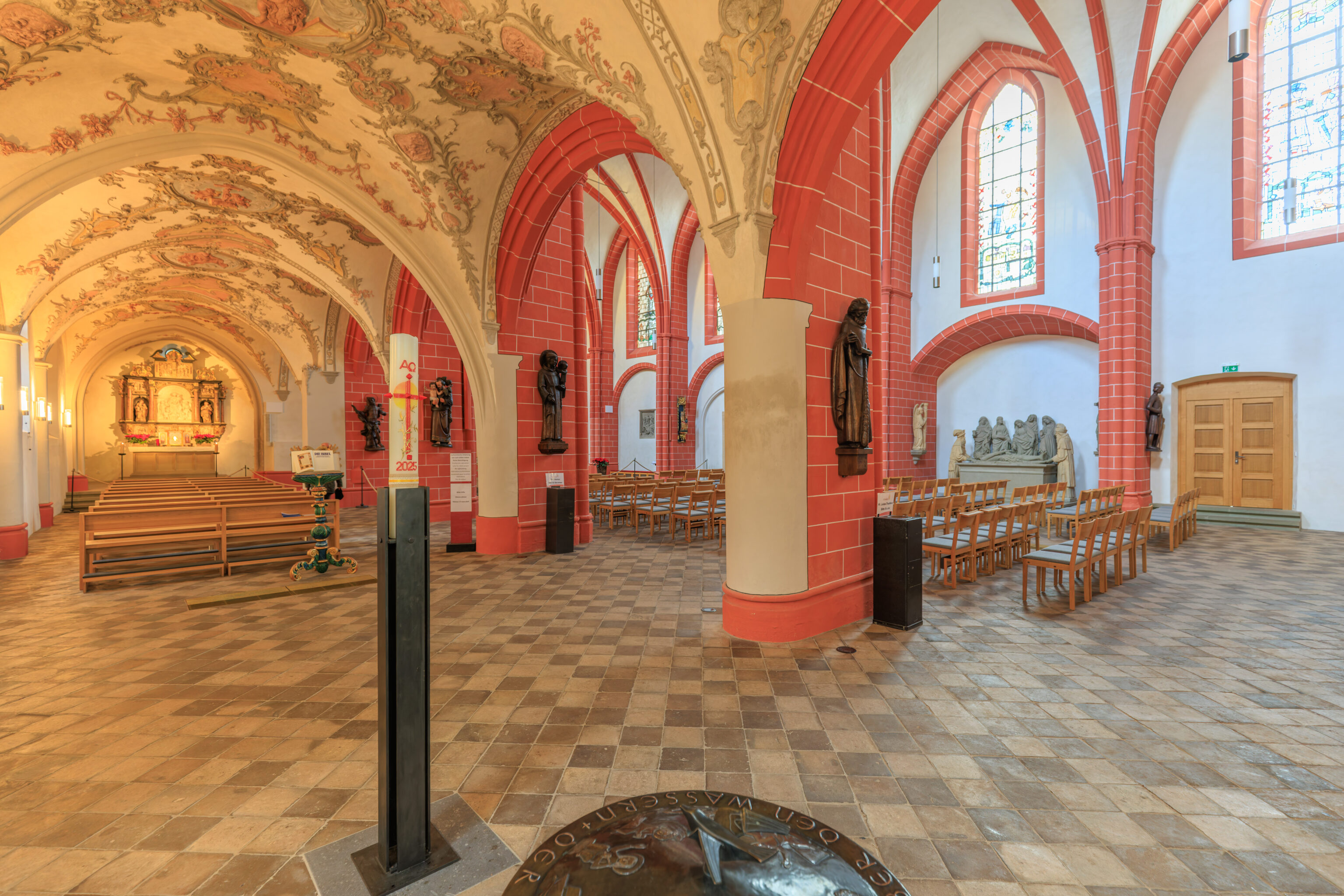
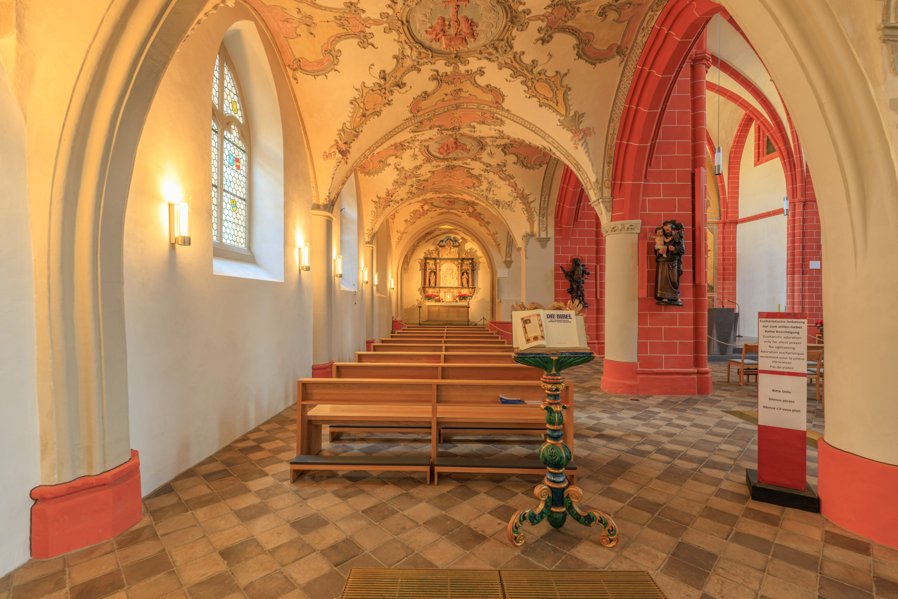
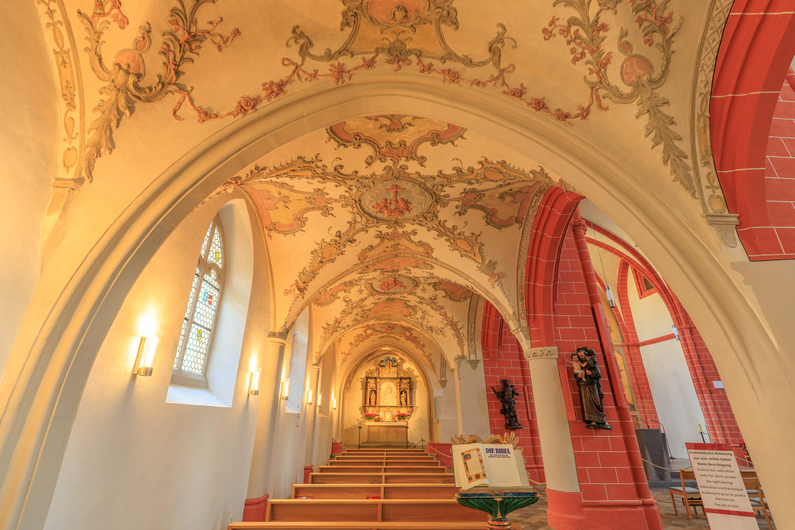
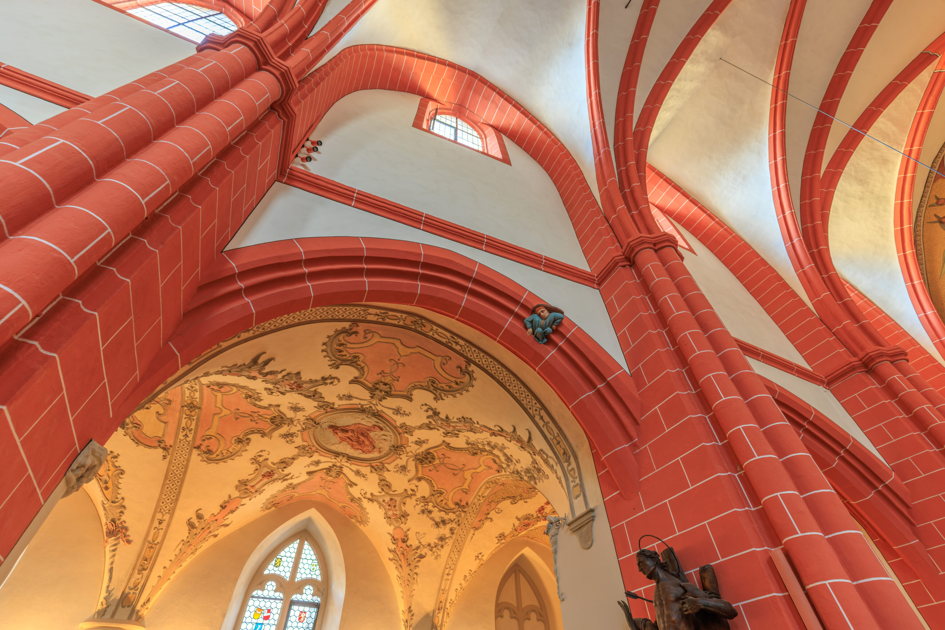
The ceilings in some parts of the church had colored decorations.
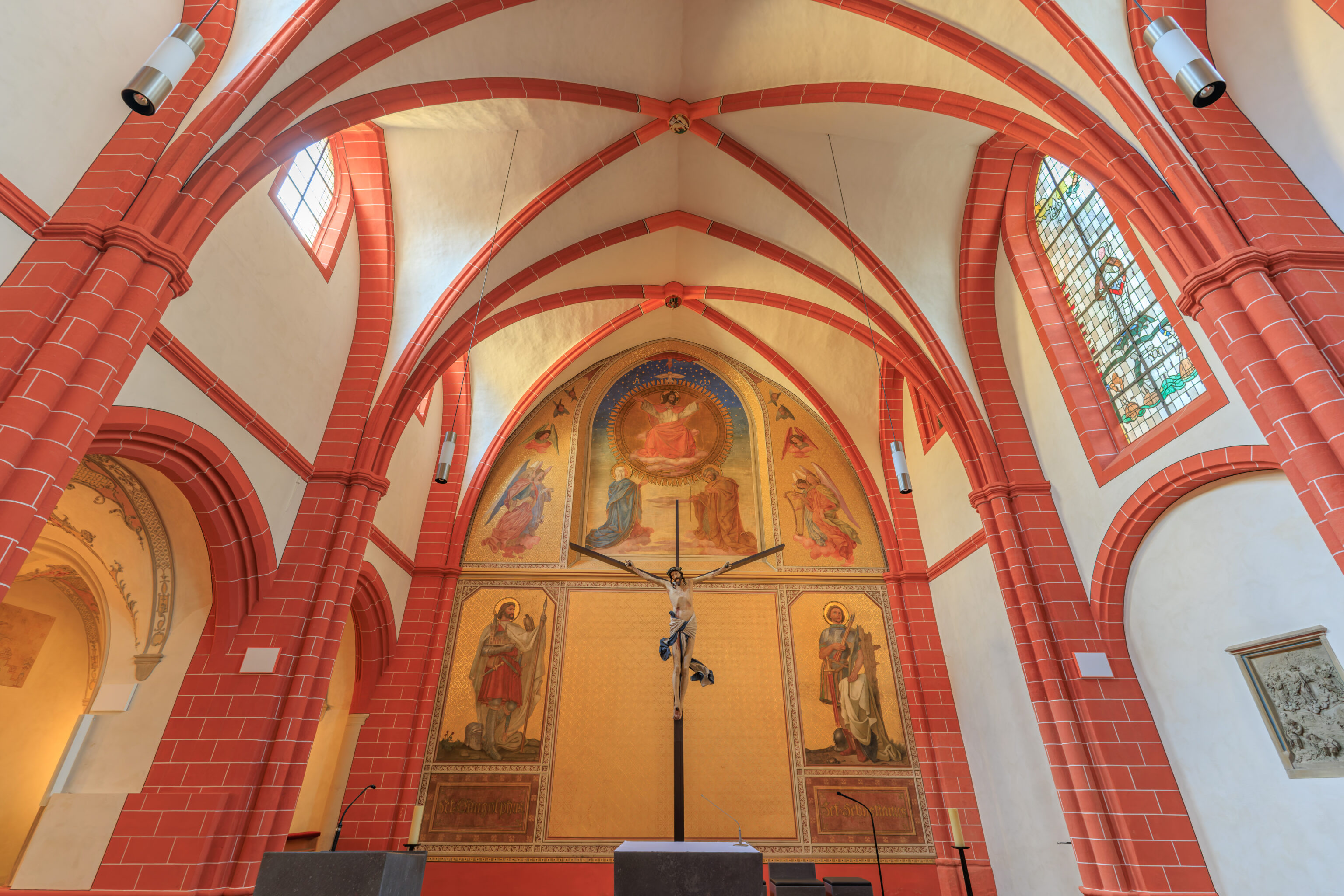
The wall behind the altar was painted with gold elements.
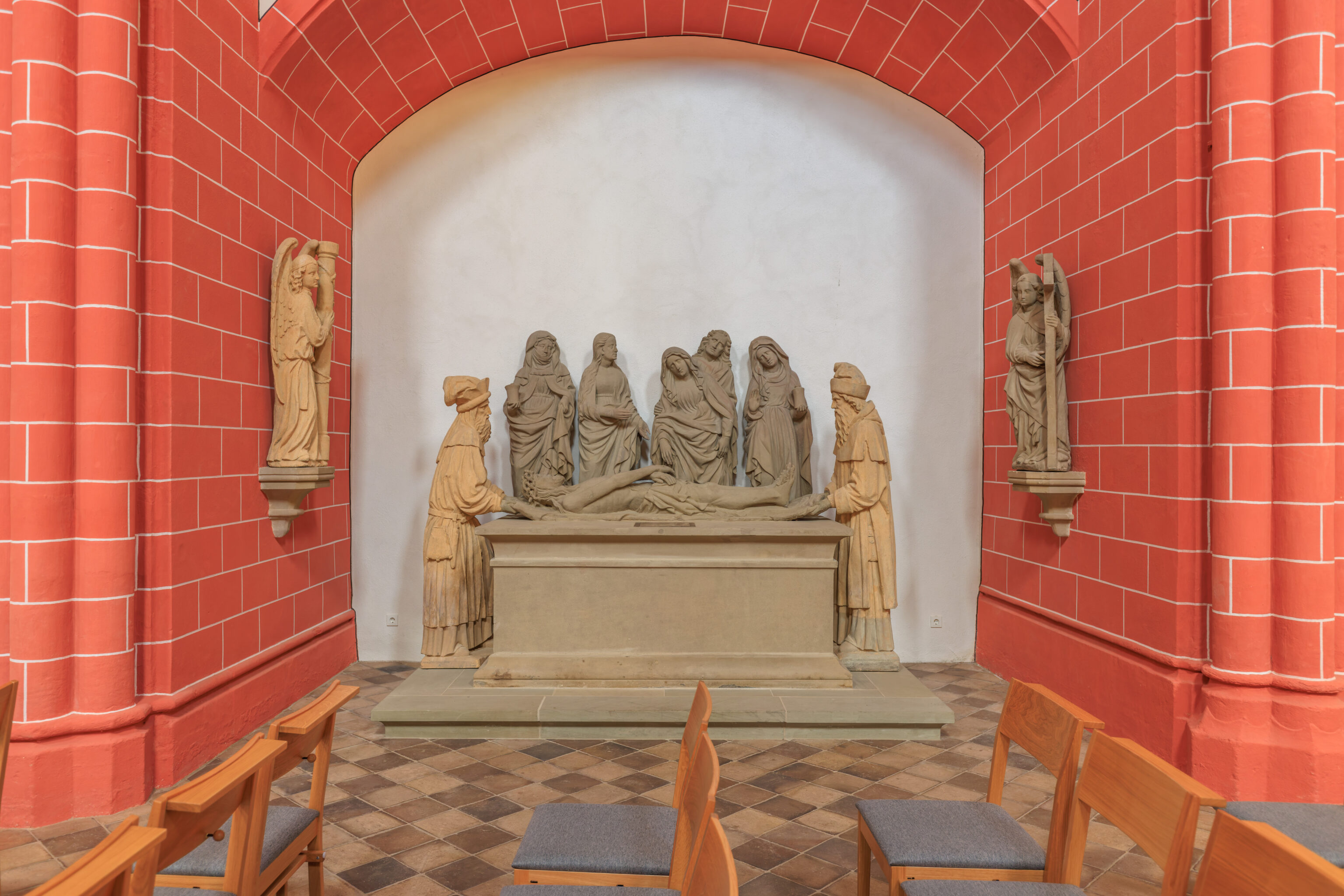
This appears to be a depiction of the Lamentation of Christ.
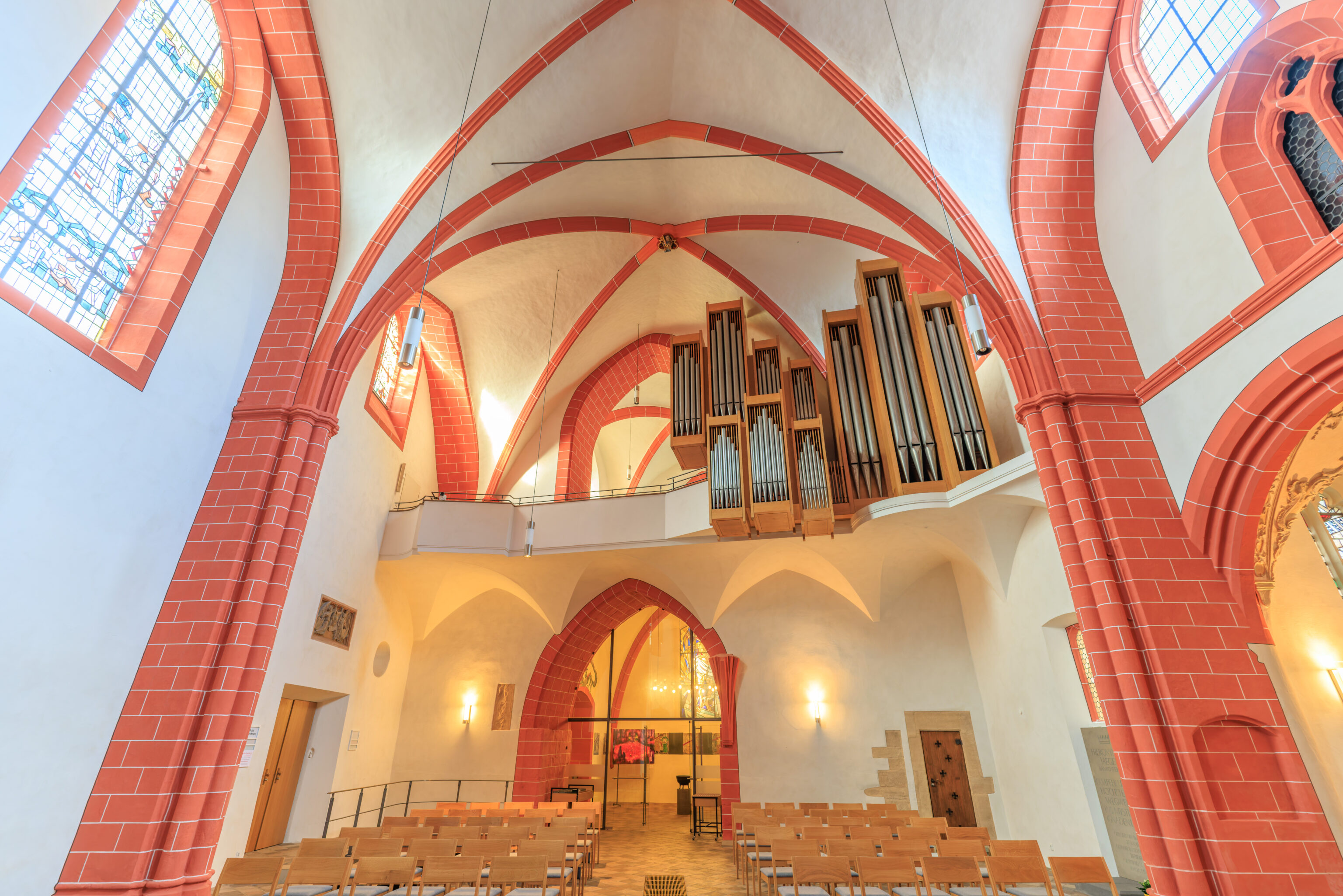
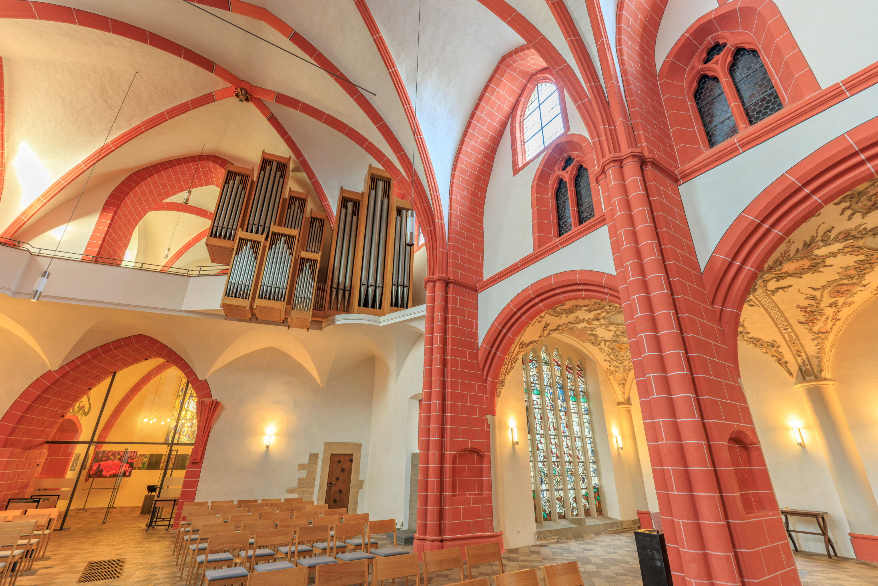
The church’s organ was off to one side of the asymmetrical building interior.
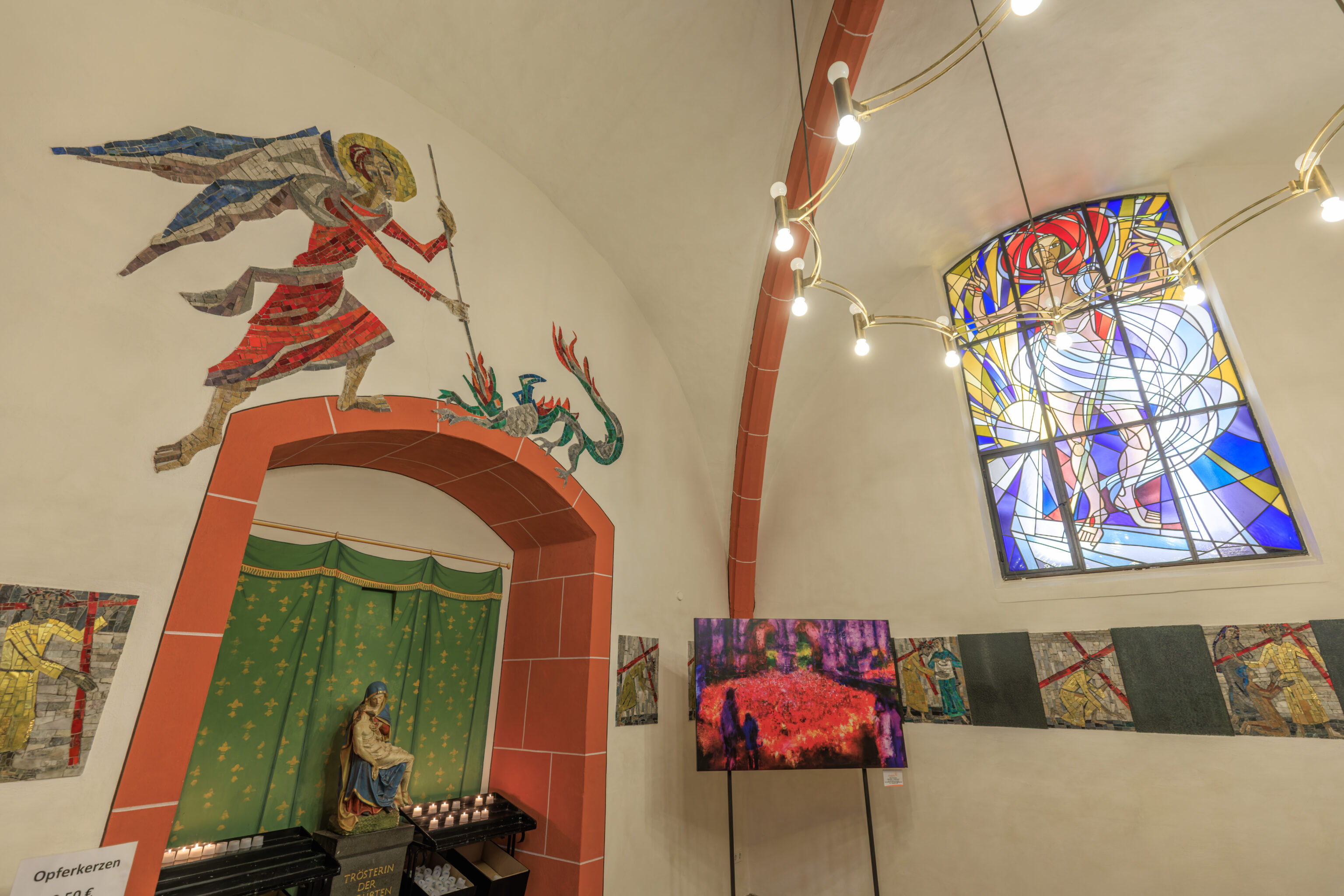
This chapel had various works of art as well as what seems like a depiction of Saint George and the Dragon.
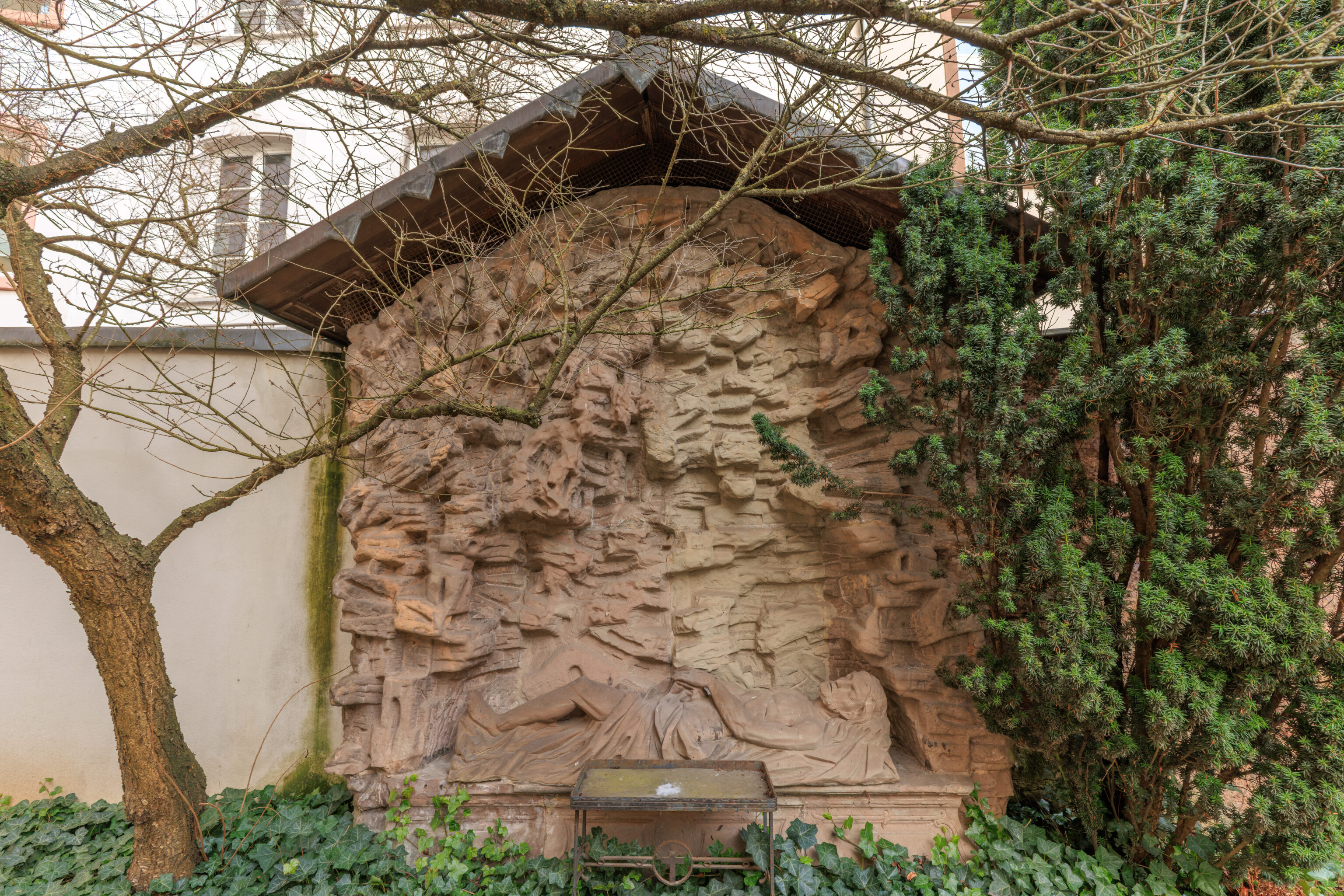
This is a depiction of Jesus laid to rest?
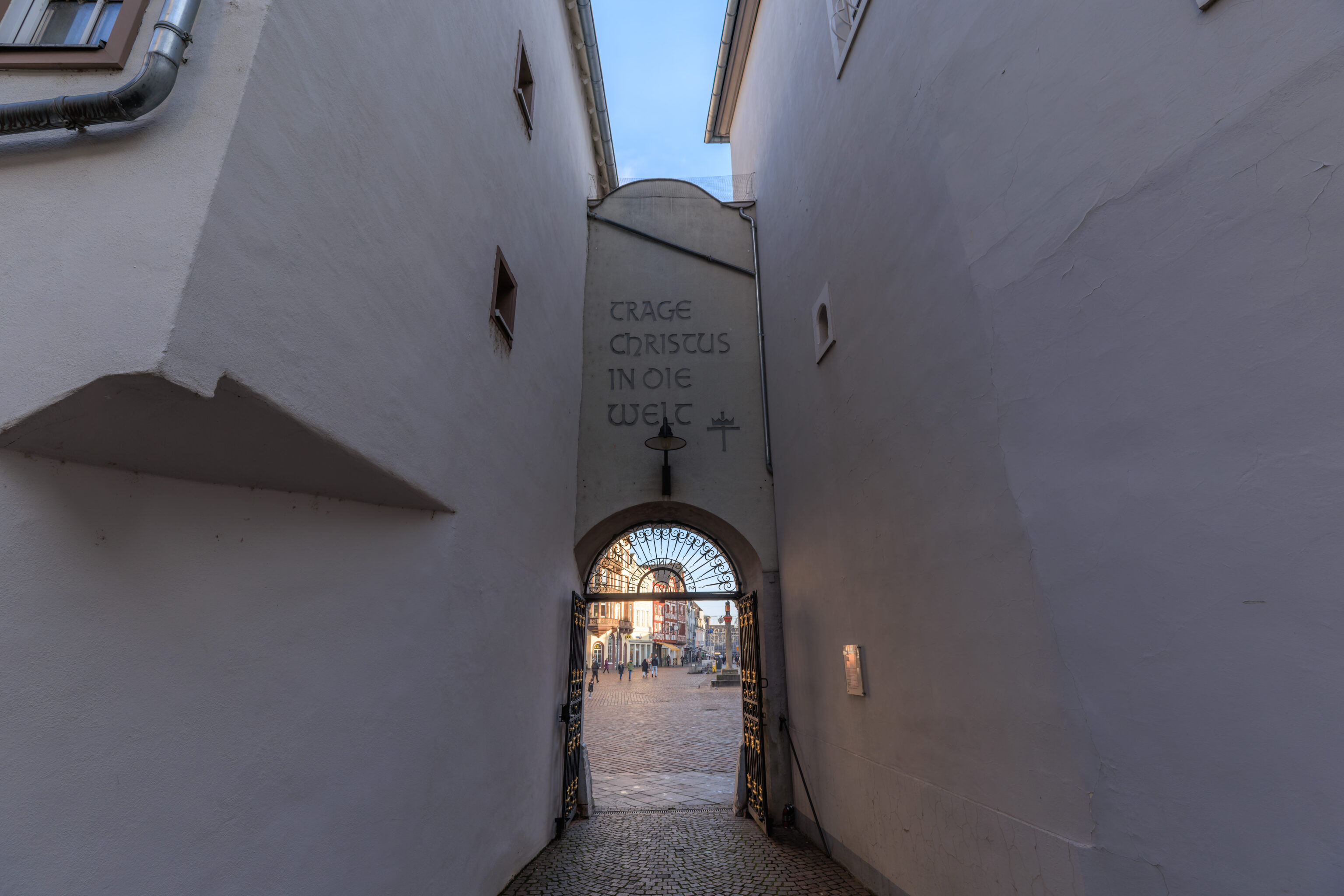
We exited the church the same way we came in.
Trierer Dom
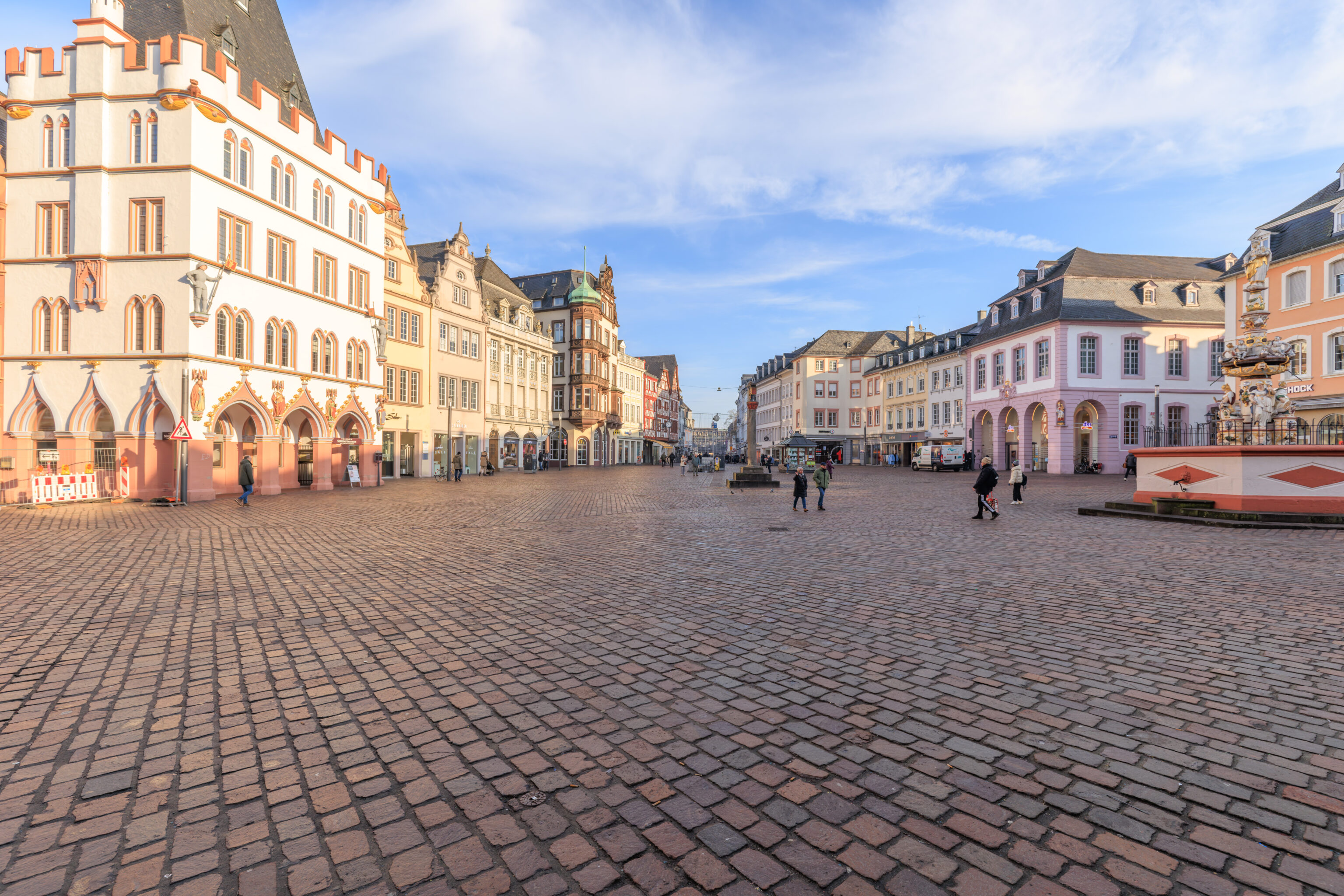
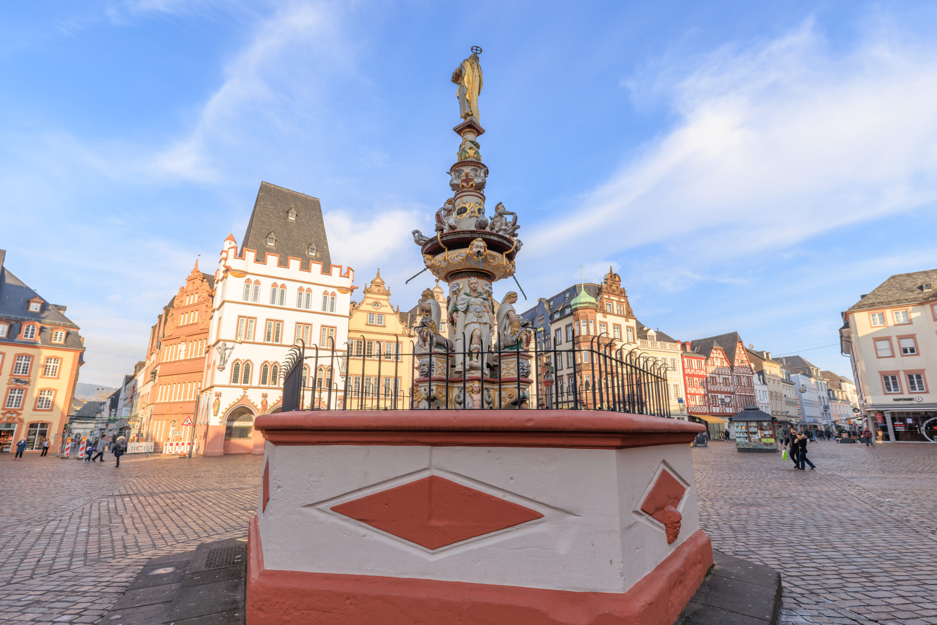
We started to walk over to Trierer Dom (Trier Cathedral).
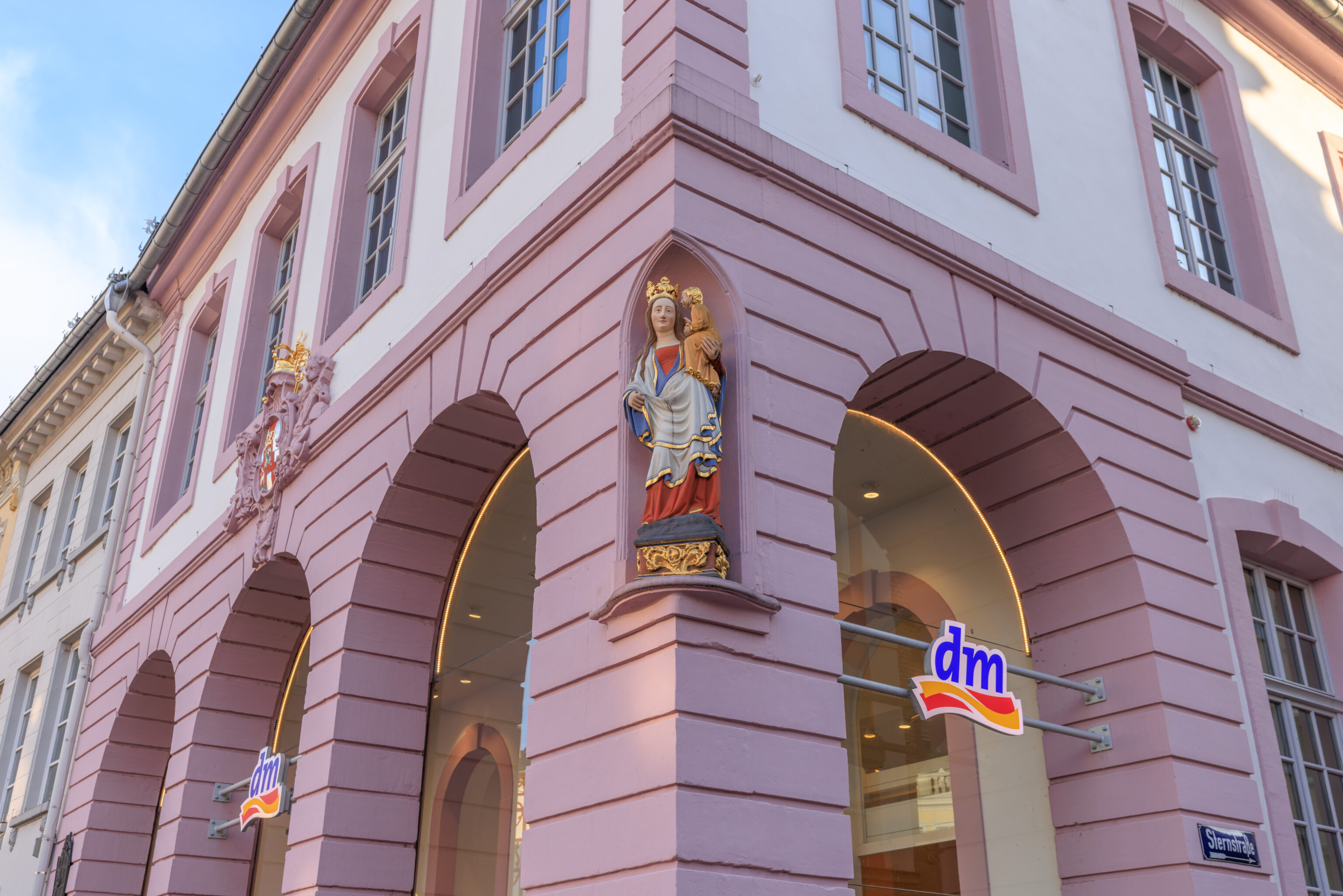
A colorful statue on the corner of a building on the east side of the market square. We walked to the right of this building to head to the cathedral.
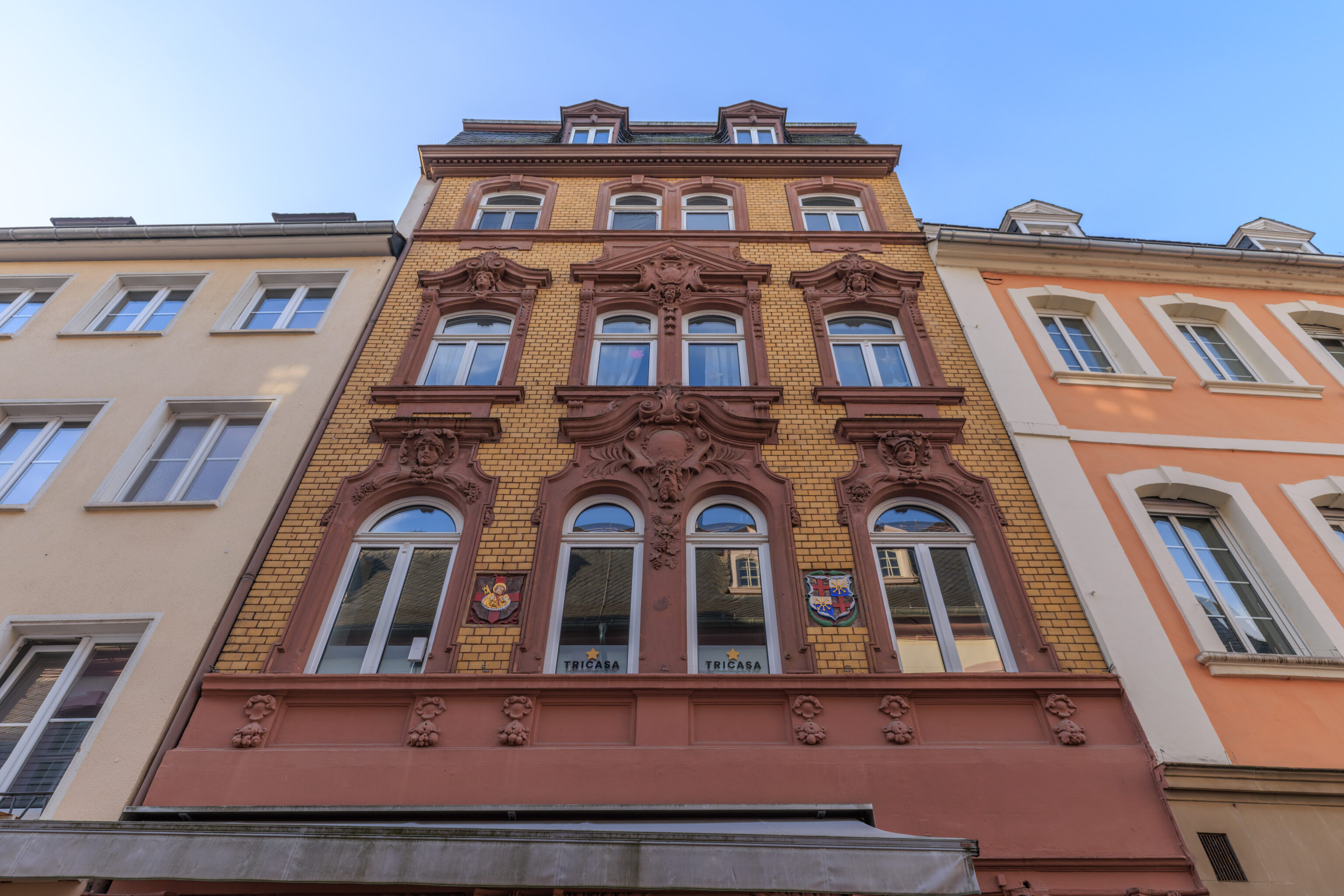
One of the buildings on the short path to the cathedral. We don’t know if its significant in any way.
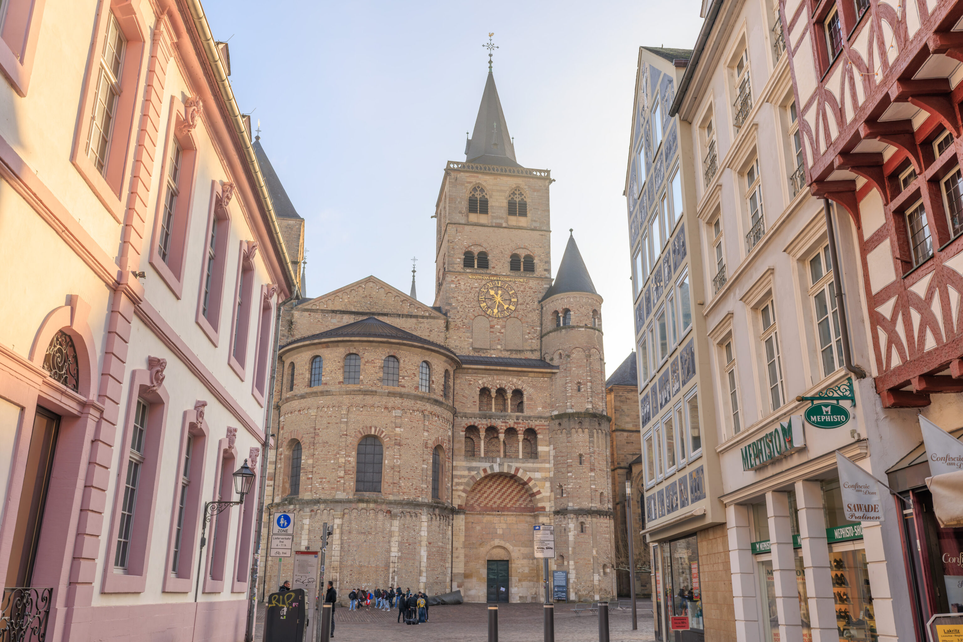
The cathedral, which is part of the World Heritage Site, was ahead.
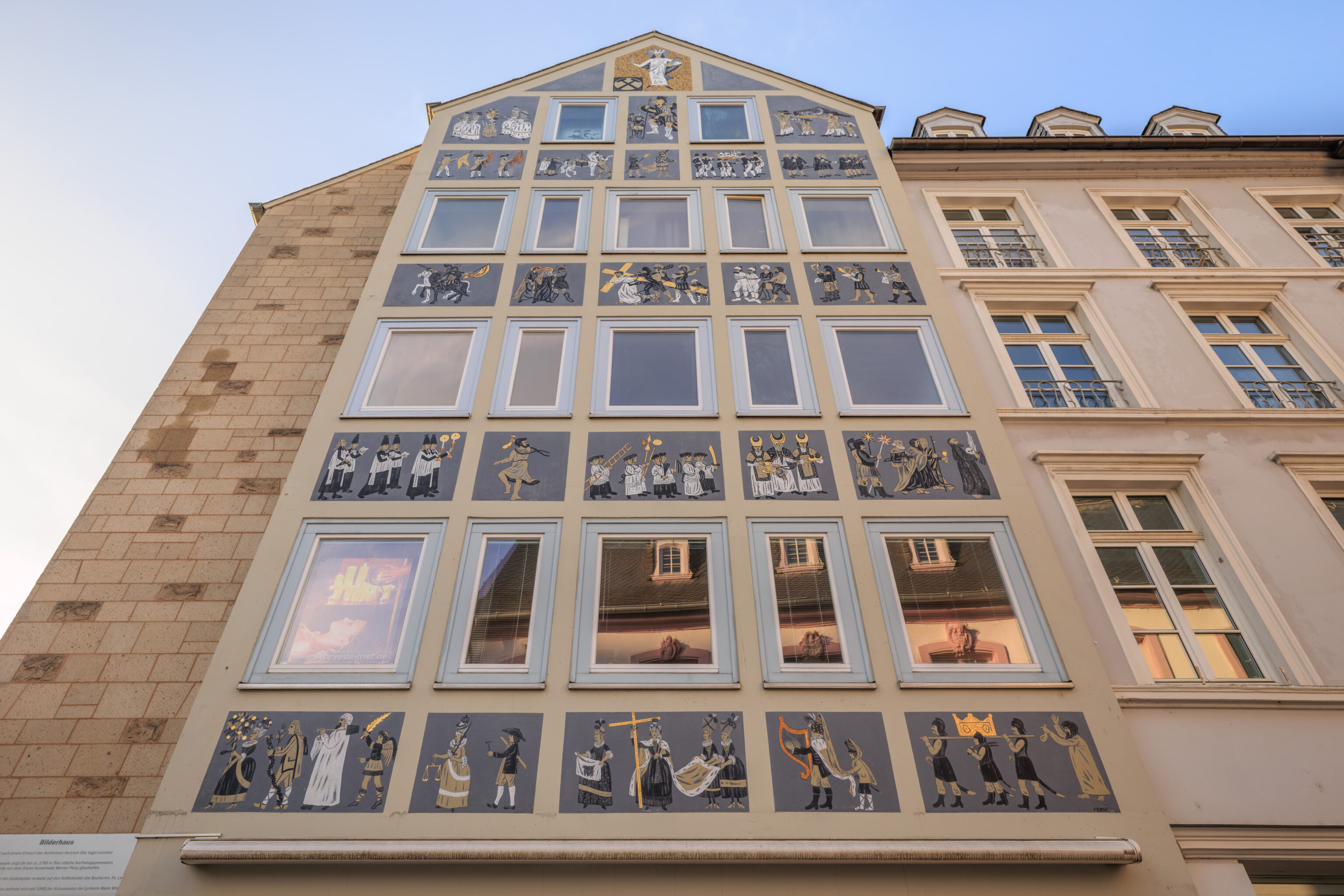
This last building on the right had various panels of art on its facade.
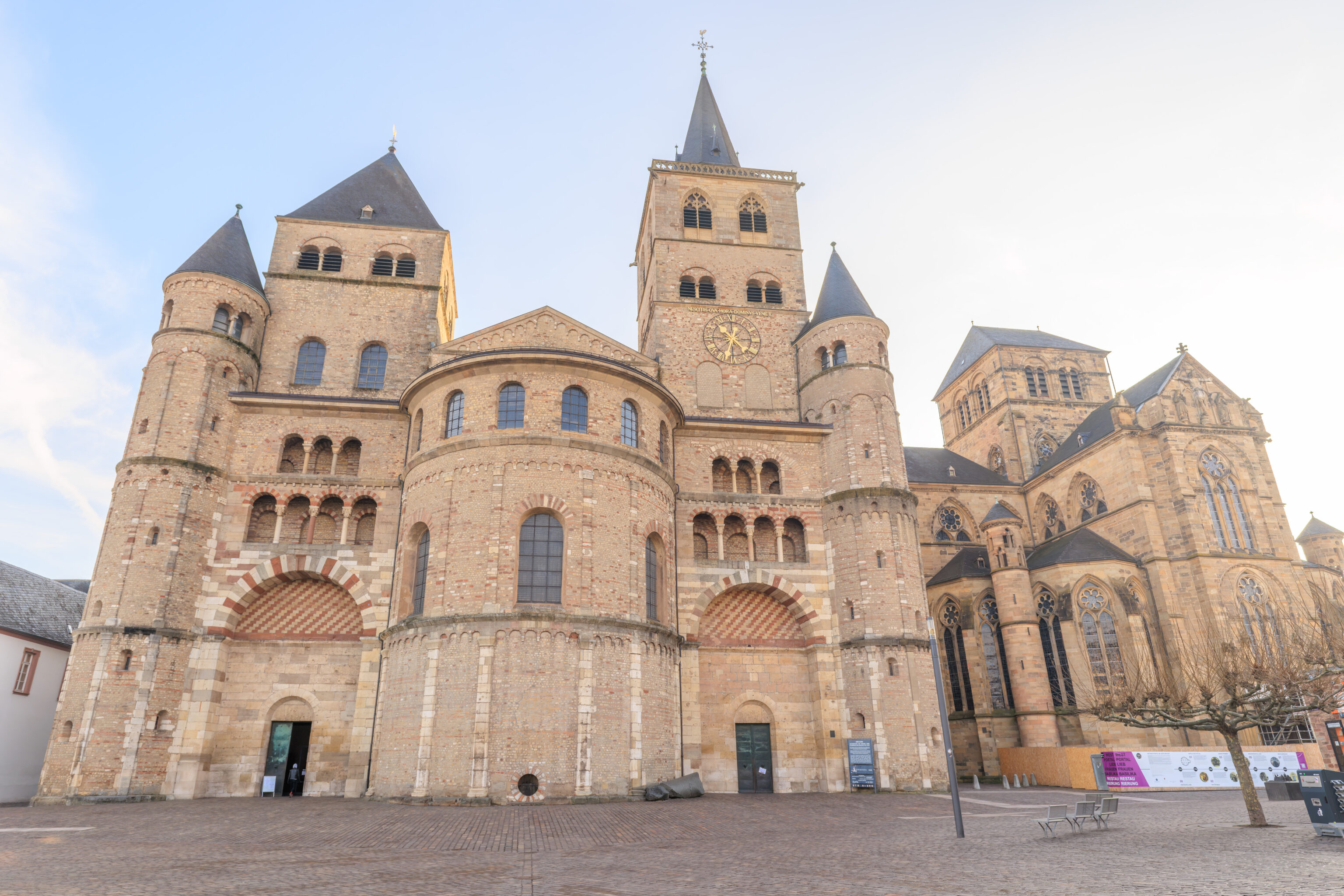
The Trier Dom was huge! Earlier, we only saw the taller tower on the right. The building directly to the right of it is the Liebfrauenkirche (Church of Our Lady), also part of the World Heritage Site.
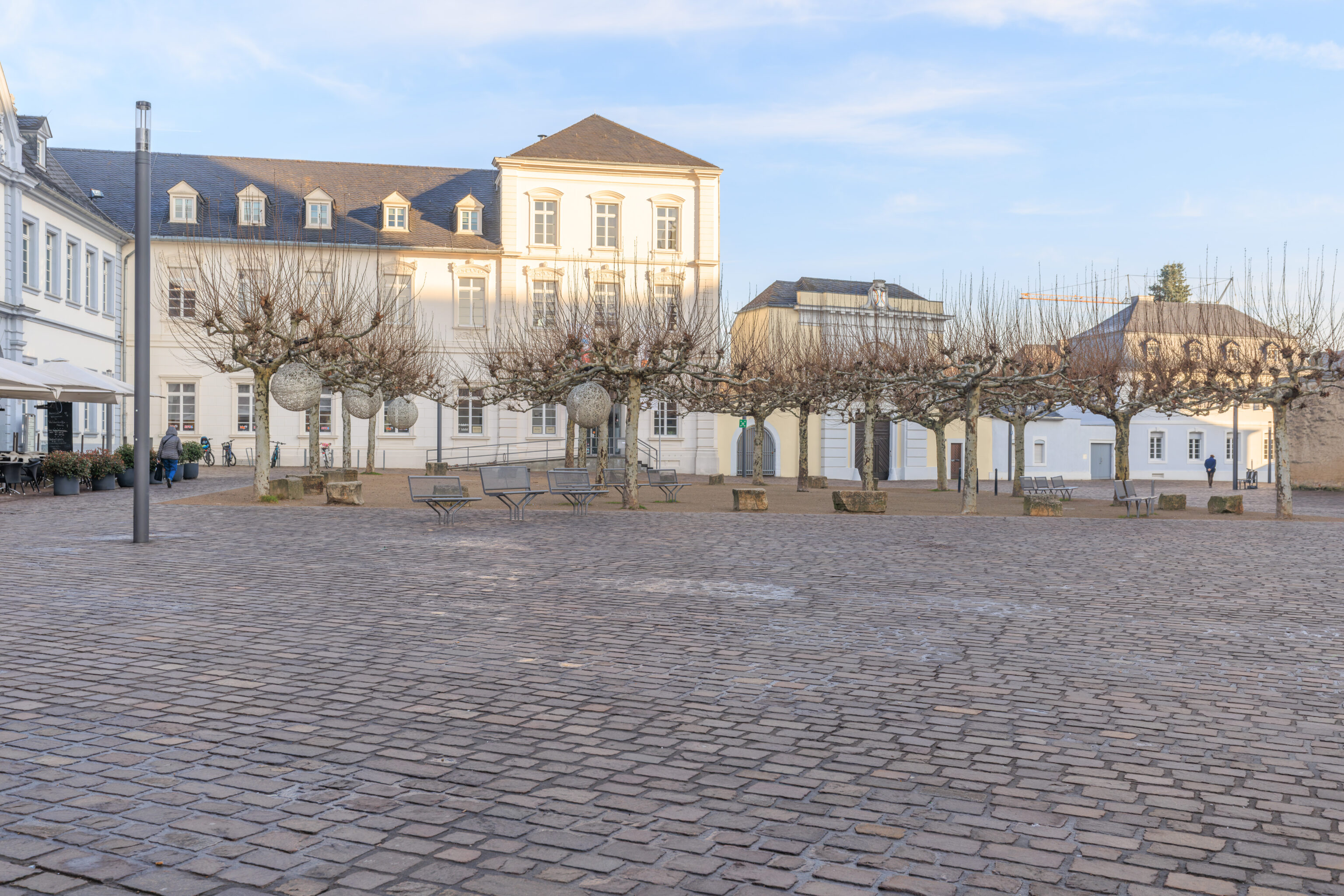
There were many benches beneath some trees on the north side of the large square in front of the cathedral.
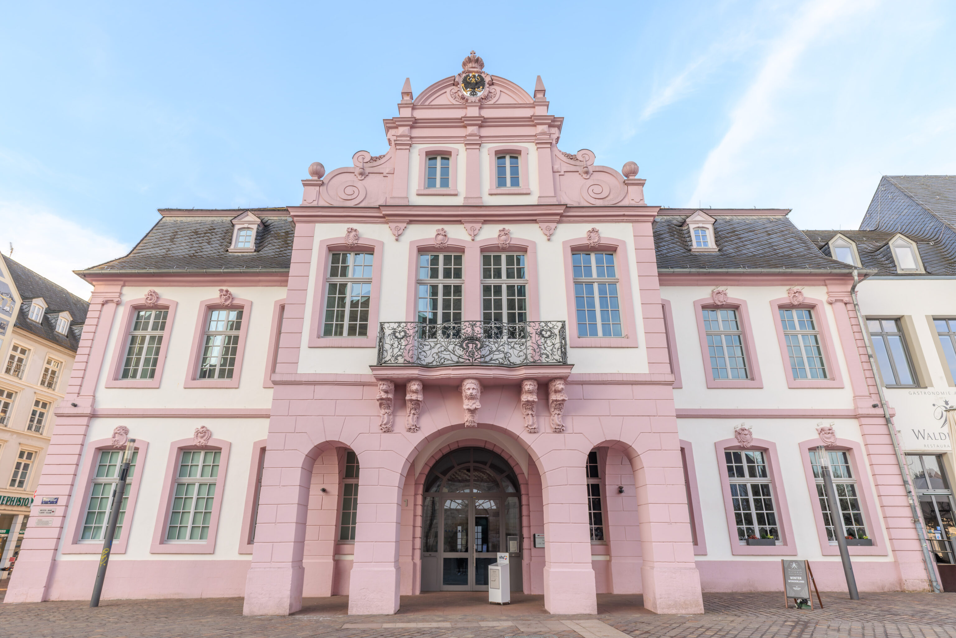
This lavender pink building had lions holding up the small balcony above the front entrance.
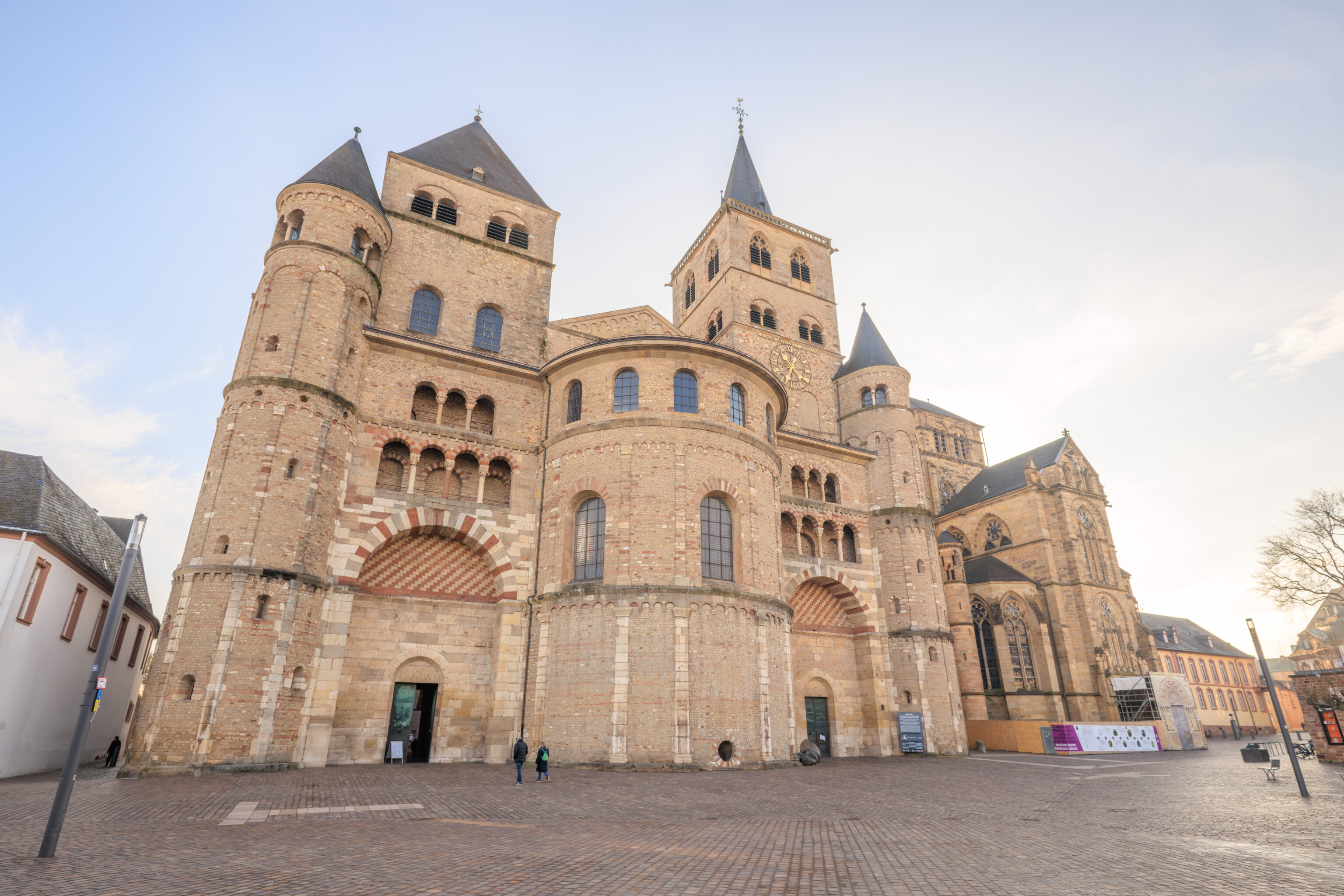
We headed into the cathedral via the small open door on the left.
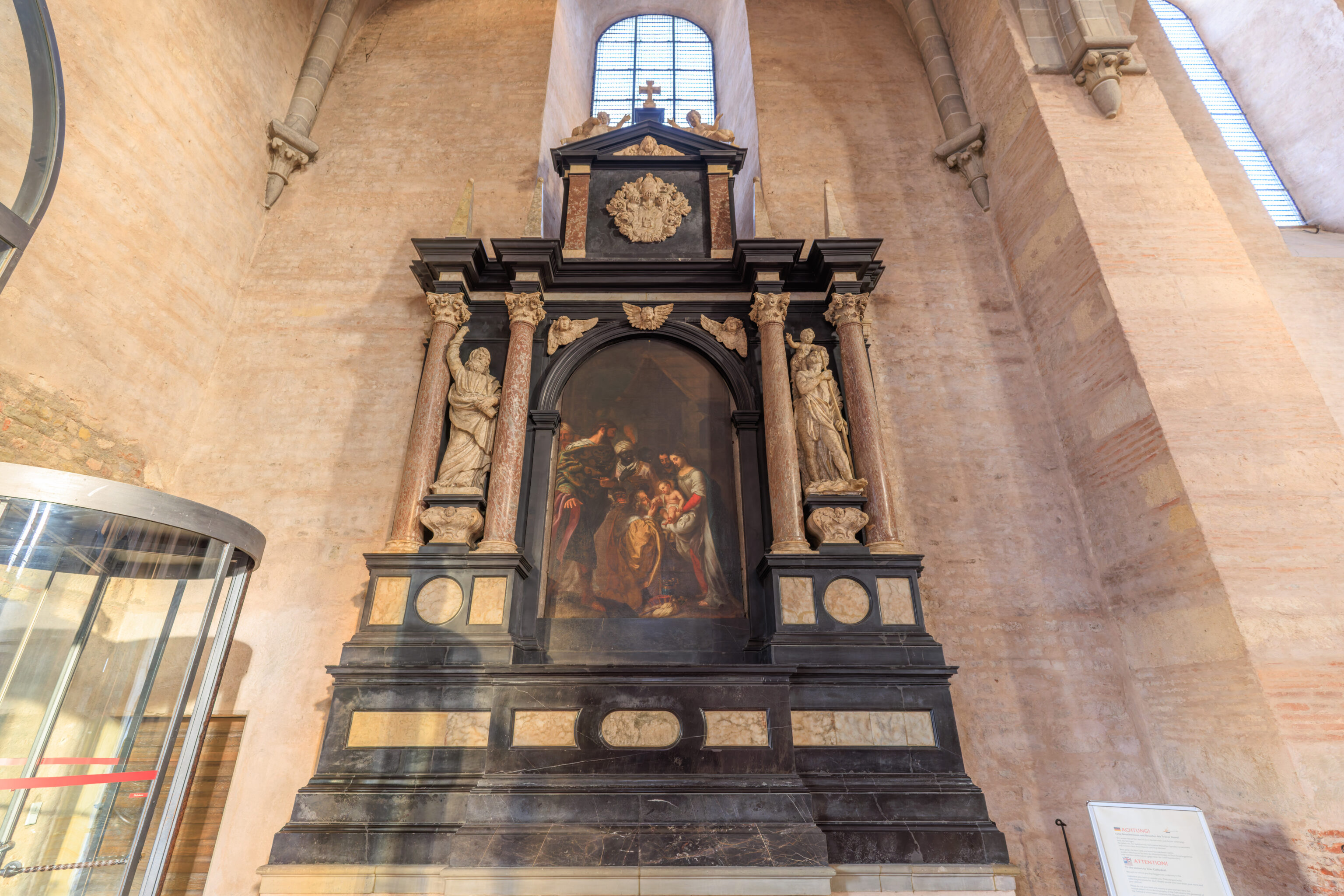
When we entered, we saw this depiction of the Adoration of the Magi.
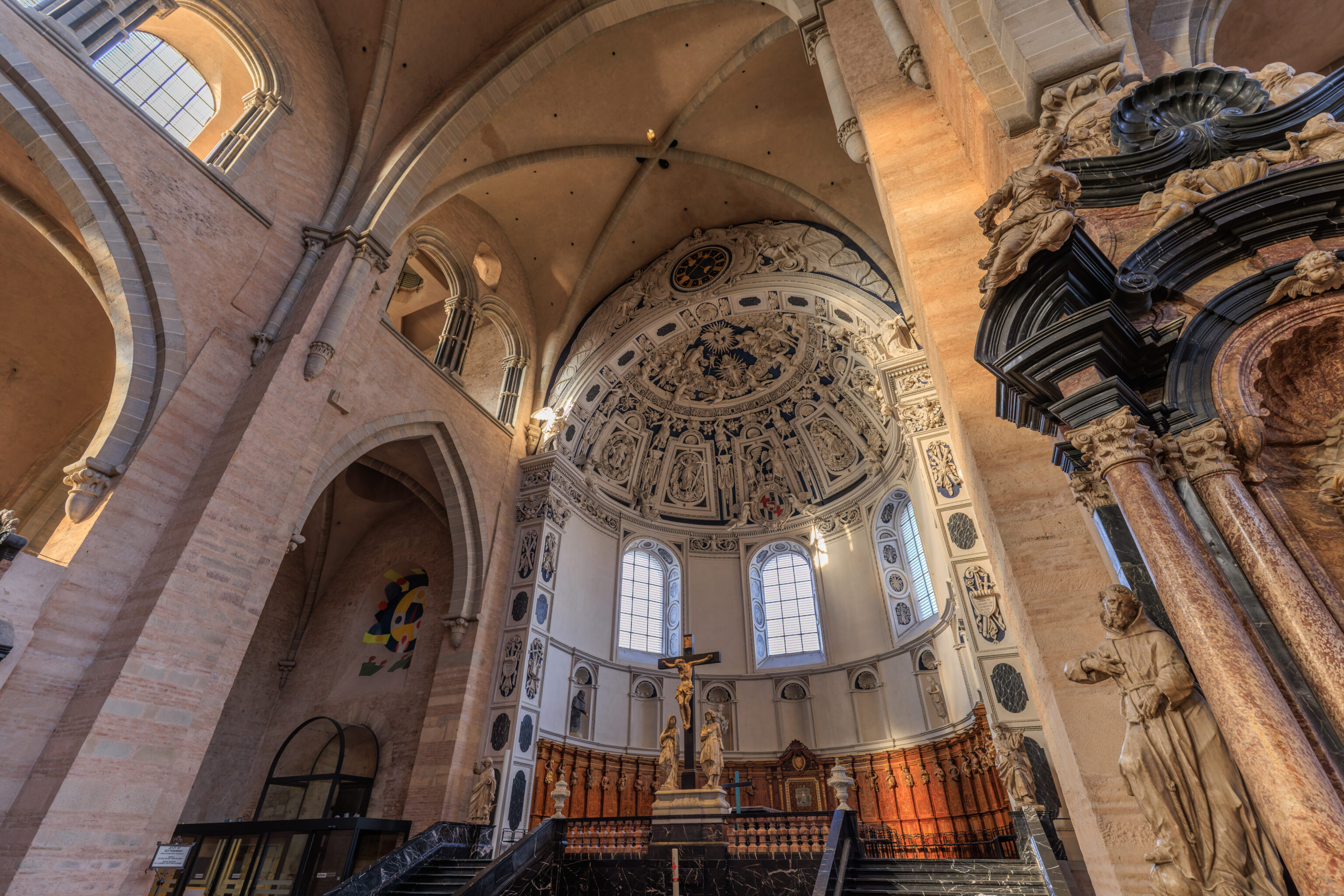
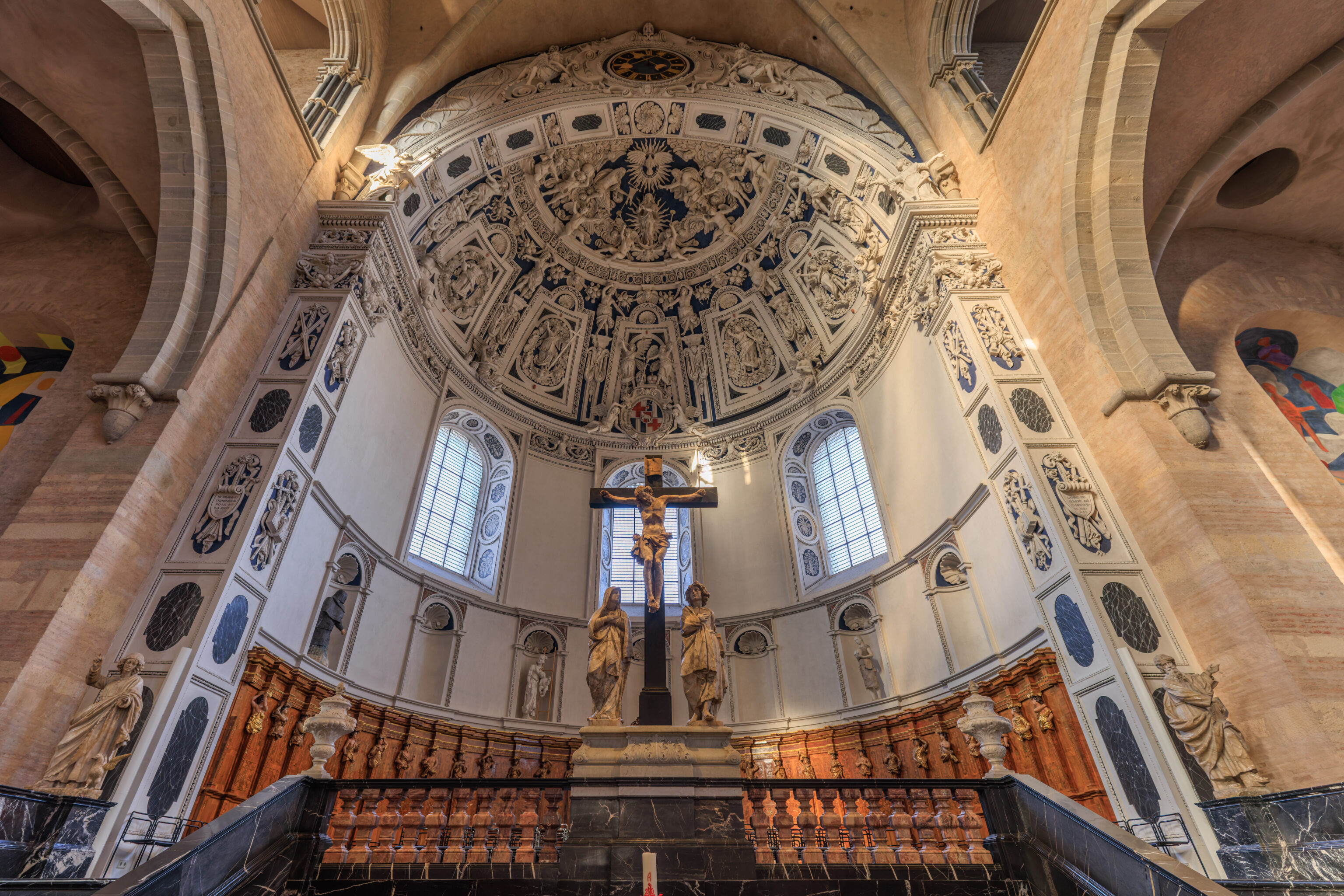
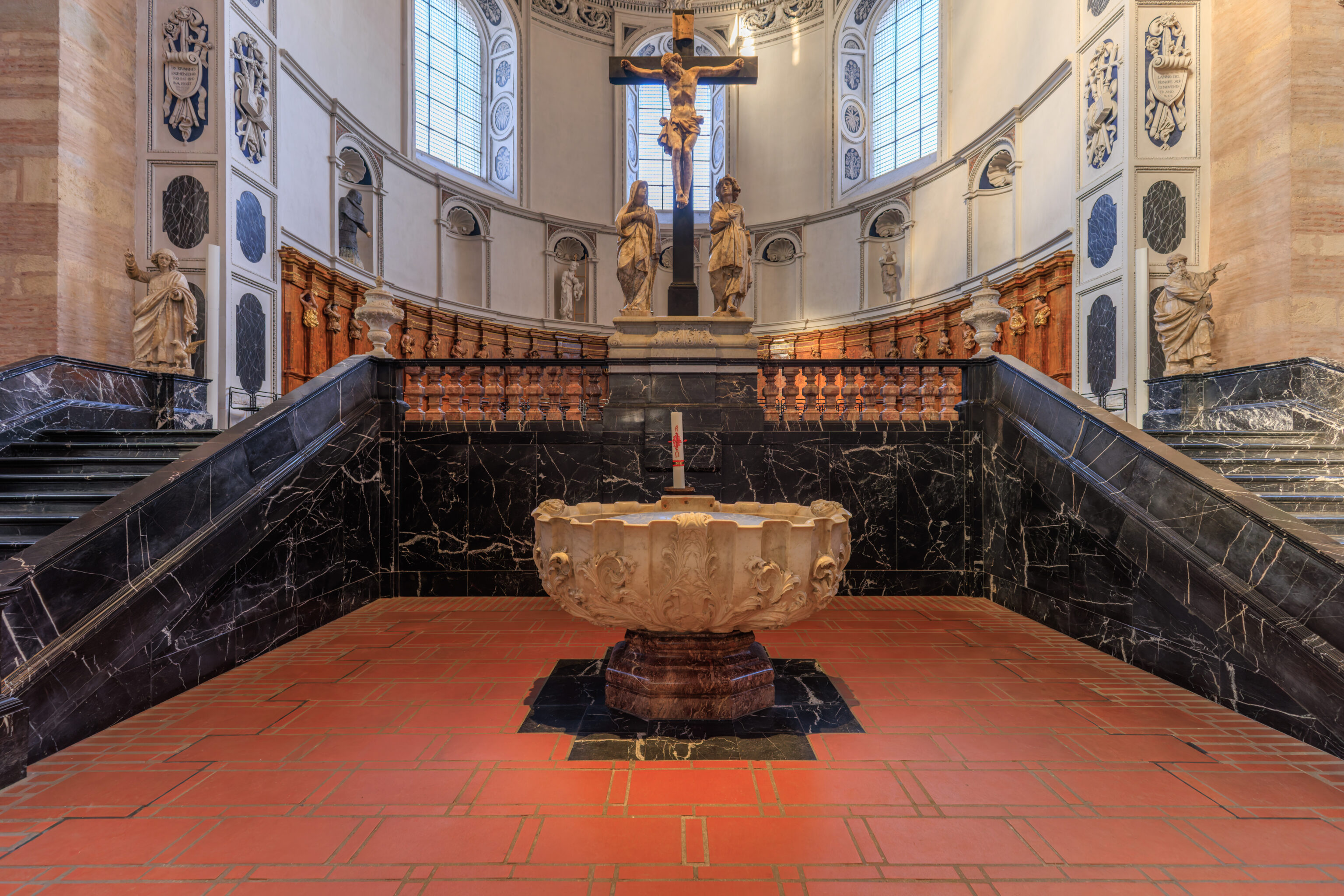
The cathedral seemed a bit like a double ended church in that it had an extra apse in front between the two entrances and towers.
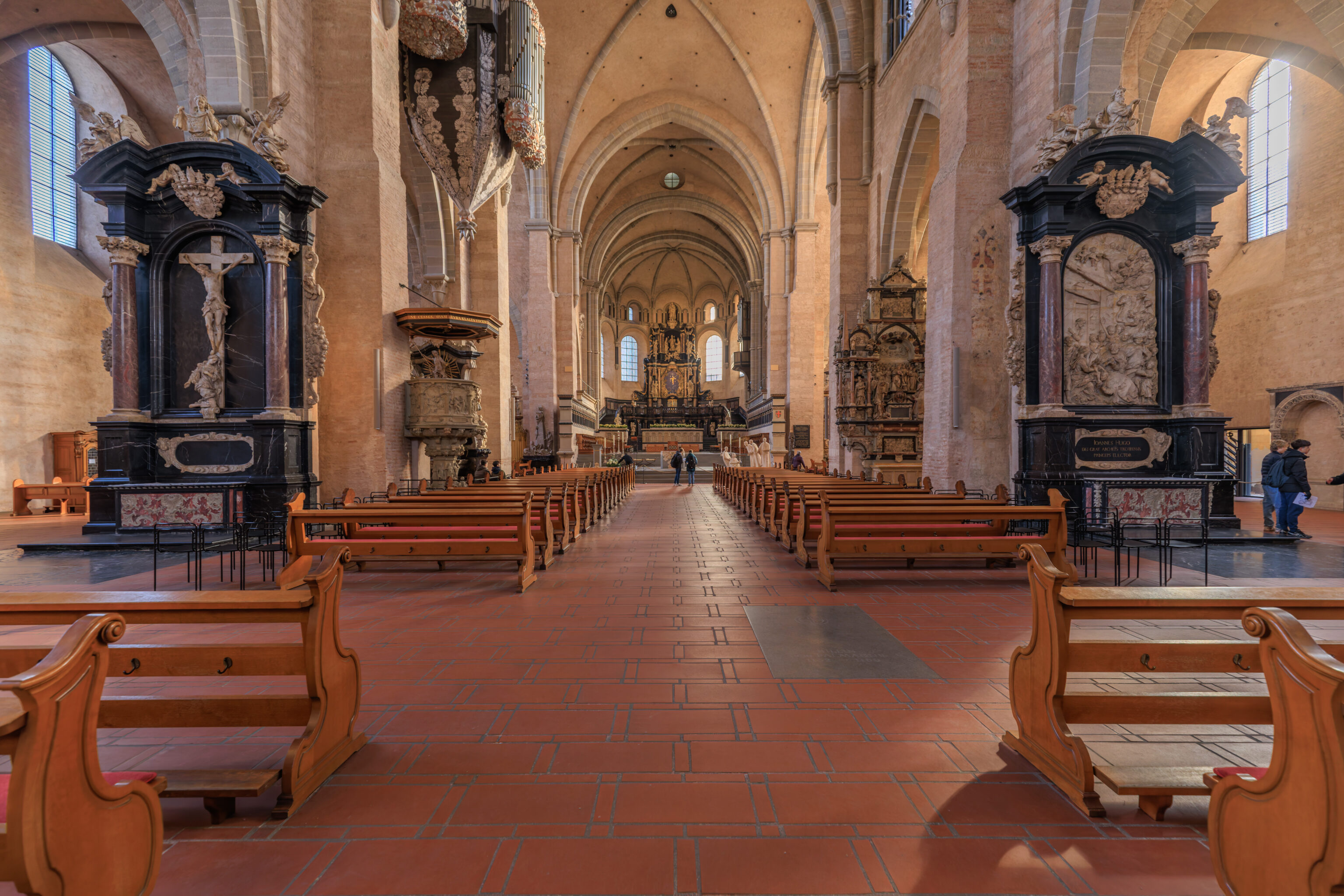
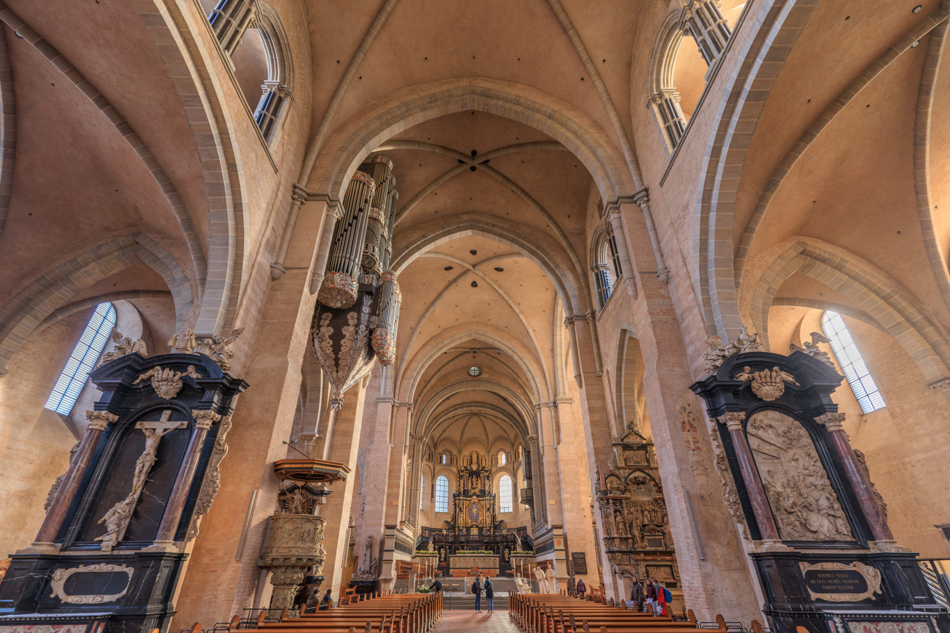
We could see that the cathedral was huge. The interior decoration was again relatively simple, although there were some vestiges of former art on the walls.
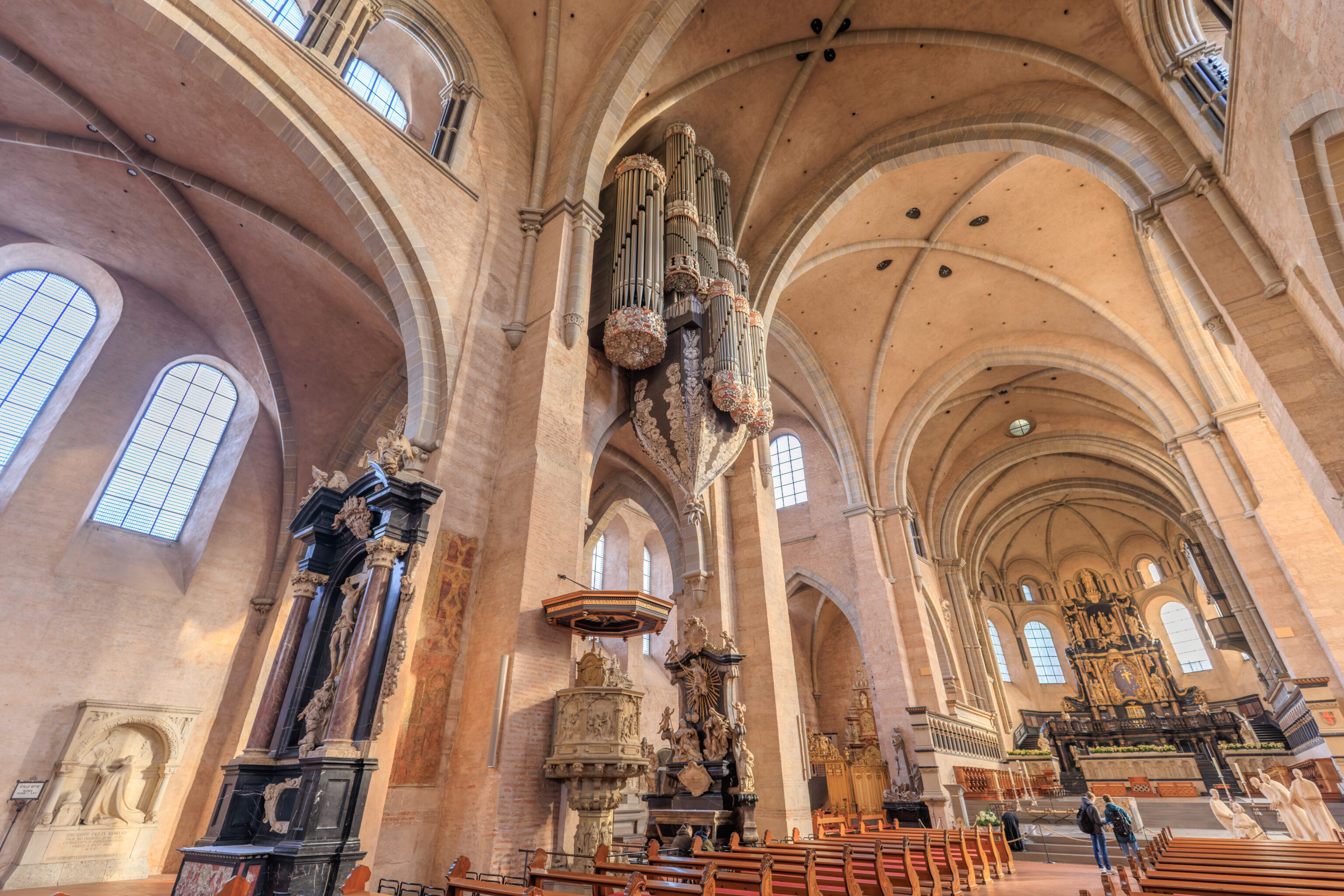
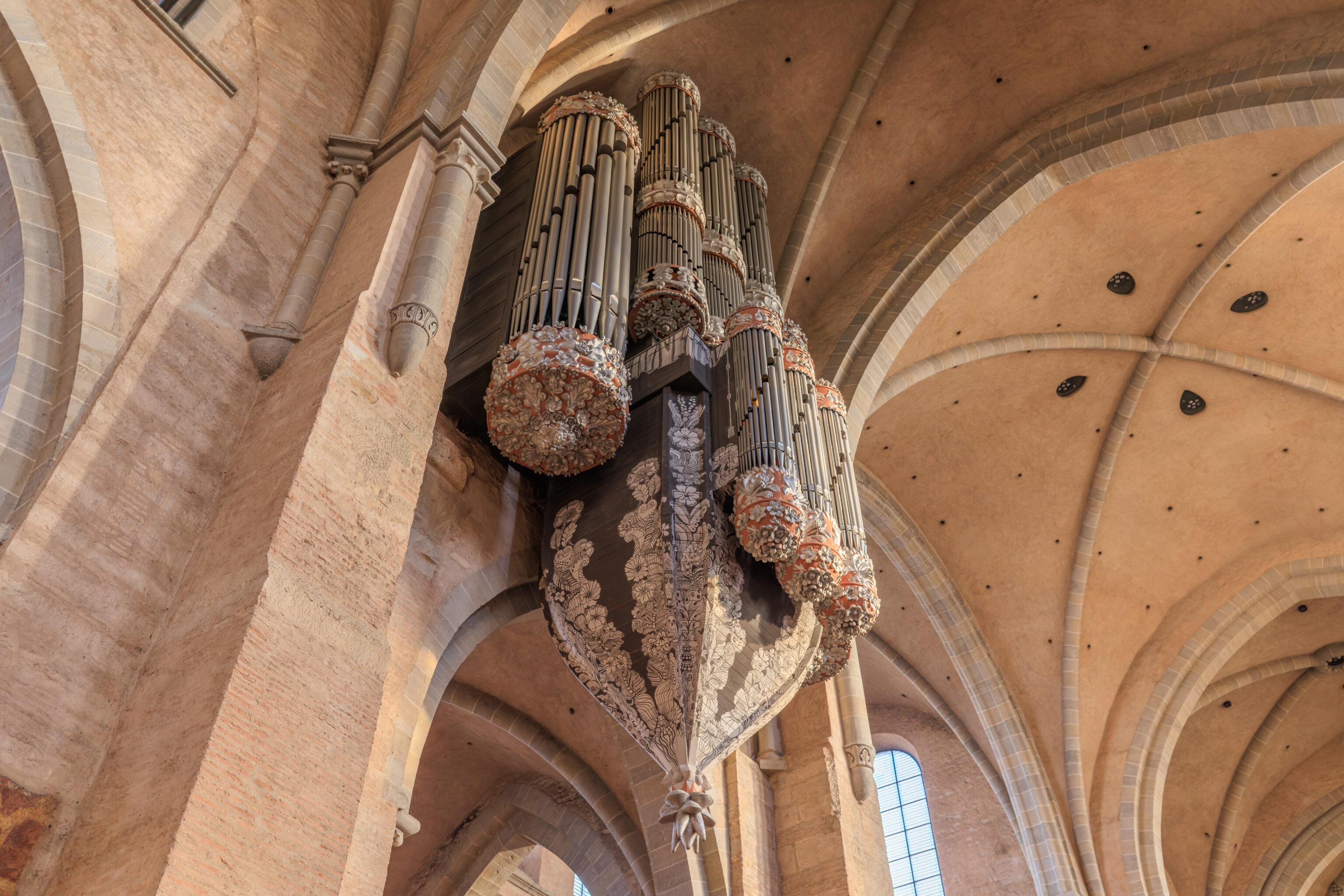
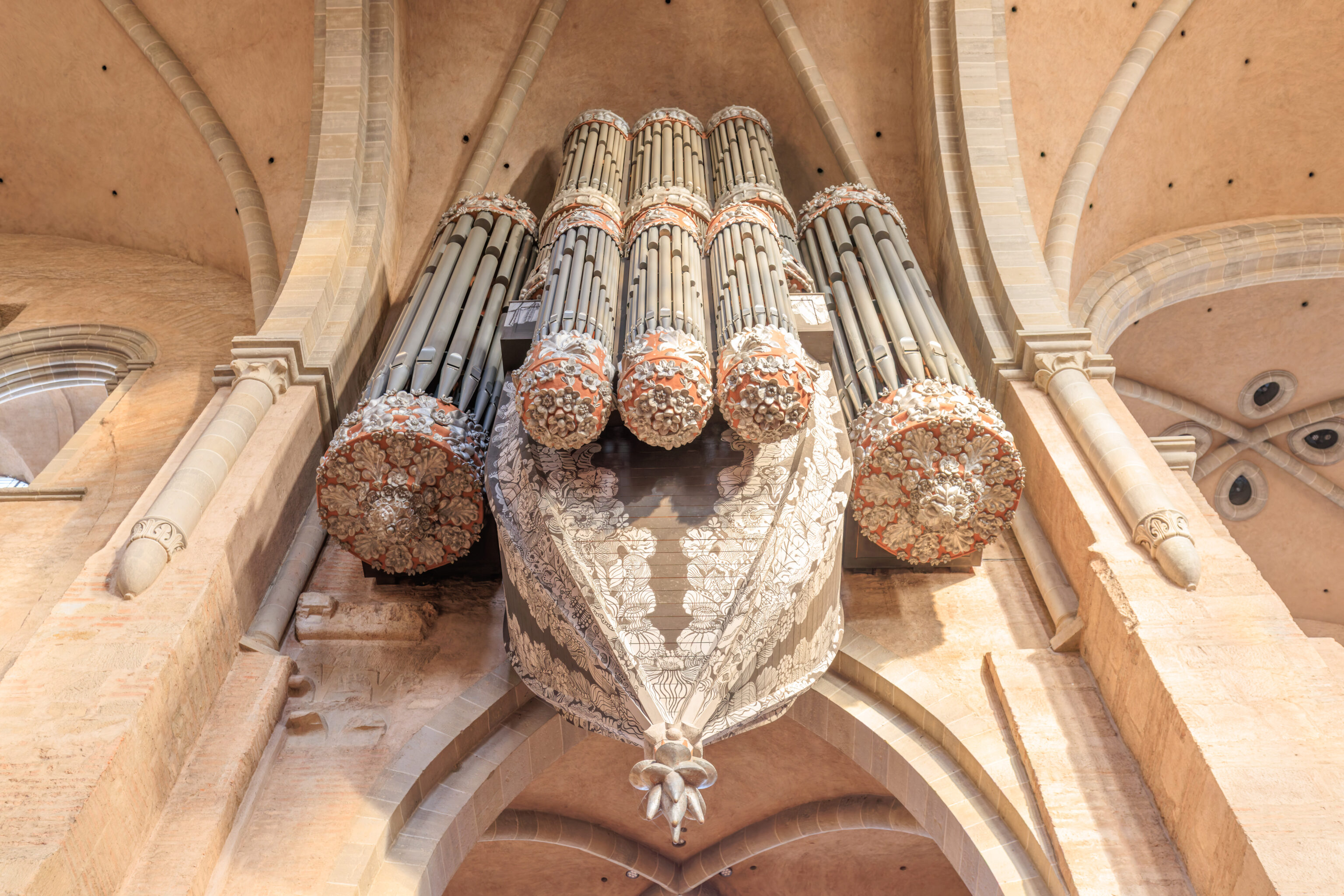
There was an intricately painted and decorated organ on the left side of the cathedral.
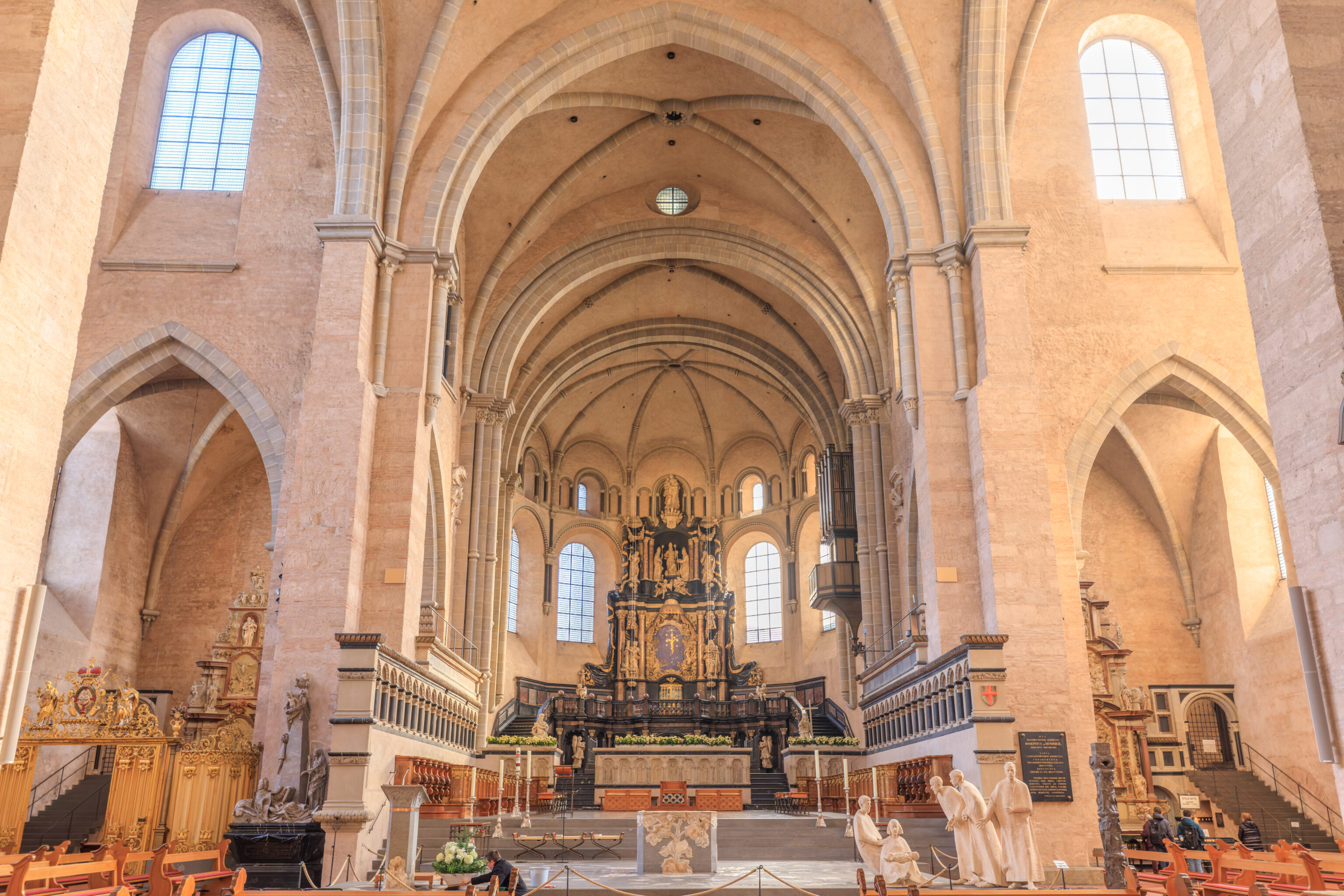
We walked forward towards the altar.
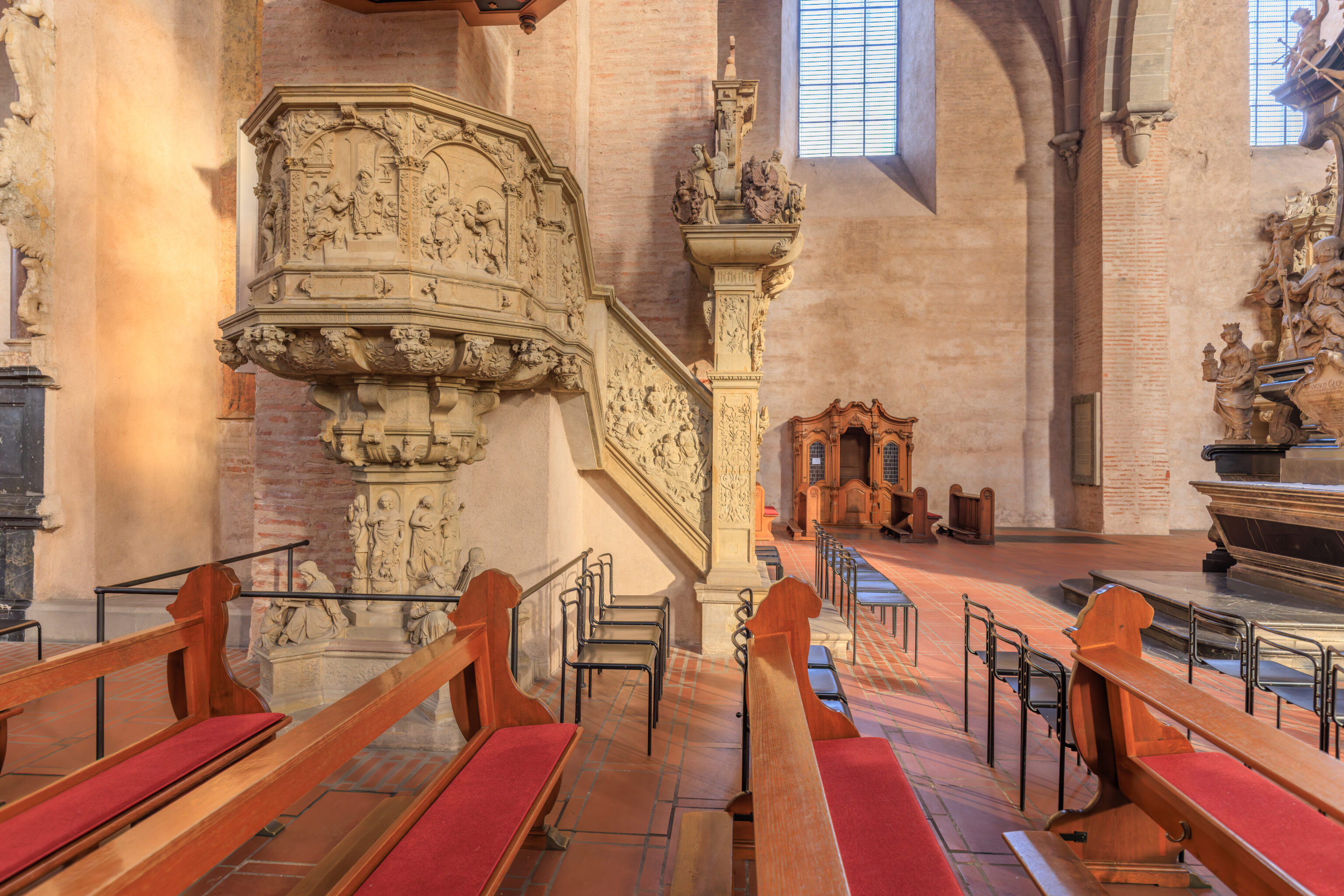
The pulpit was entirely made of stone and had very detailed carvings on its sides.
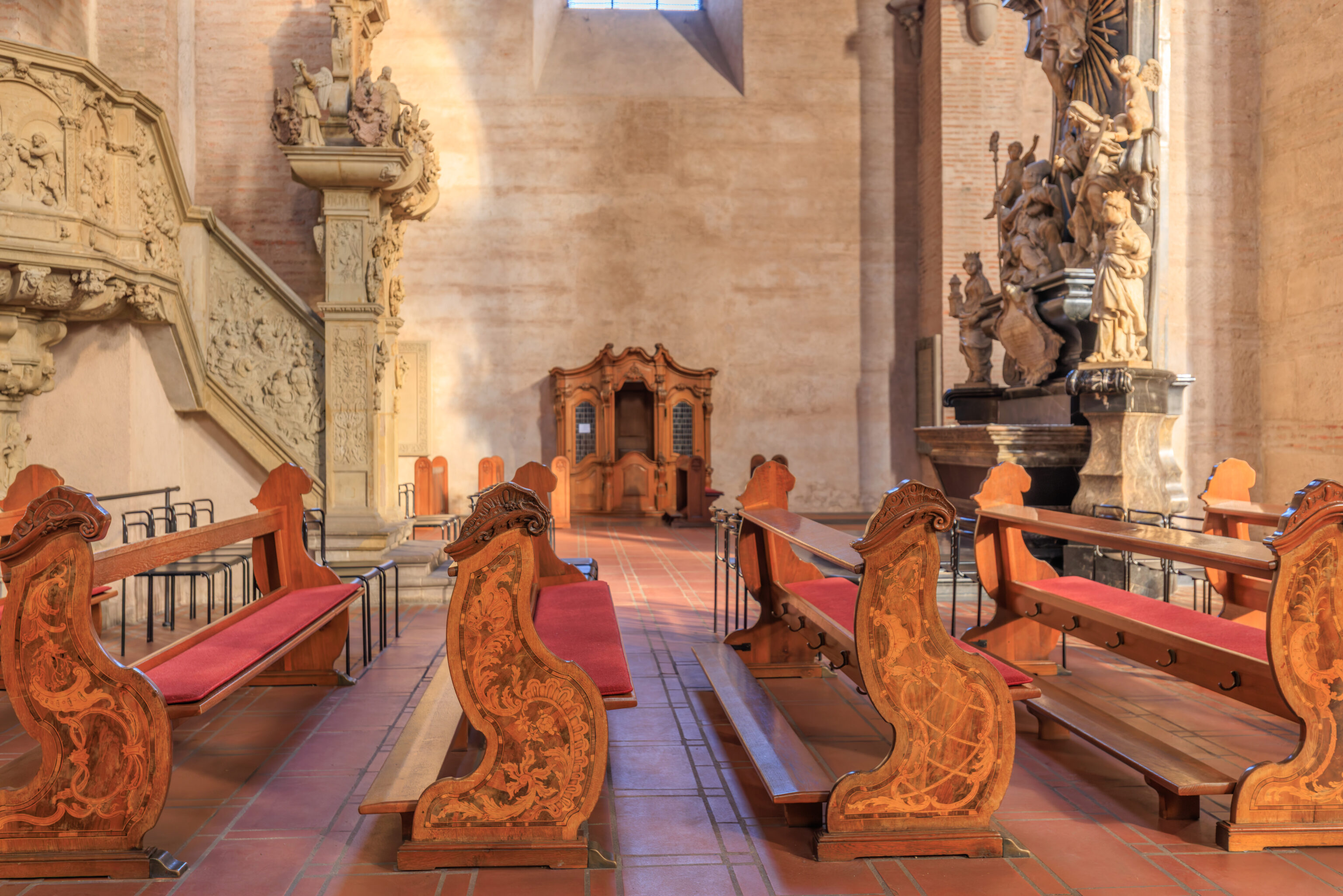
The sides of the wooden pews were also decorated.
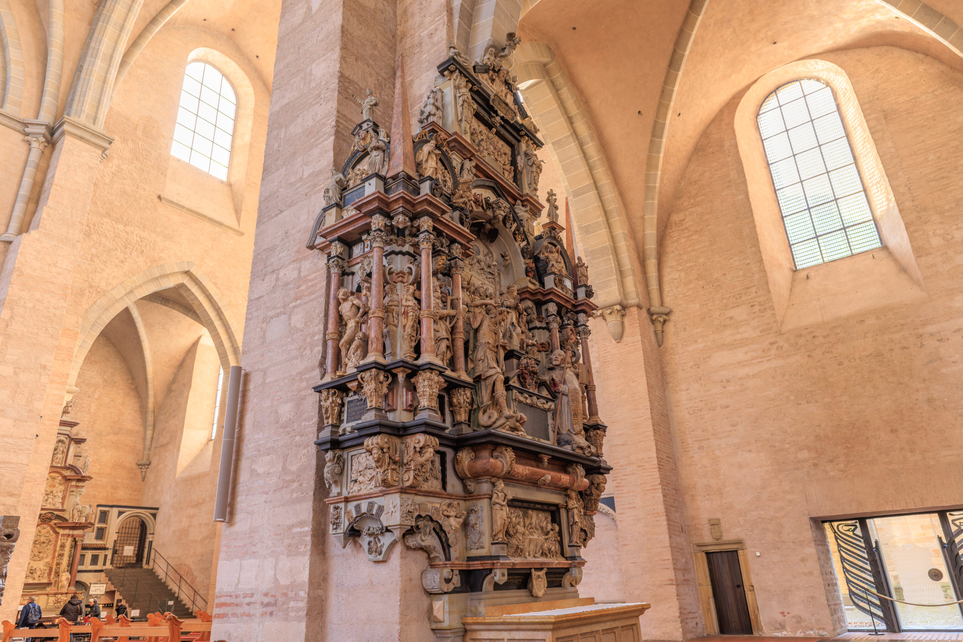
We don’t know what the term for this is. It is made of marble and extremely detailed.
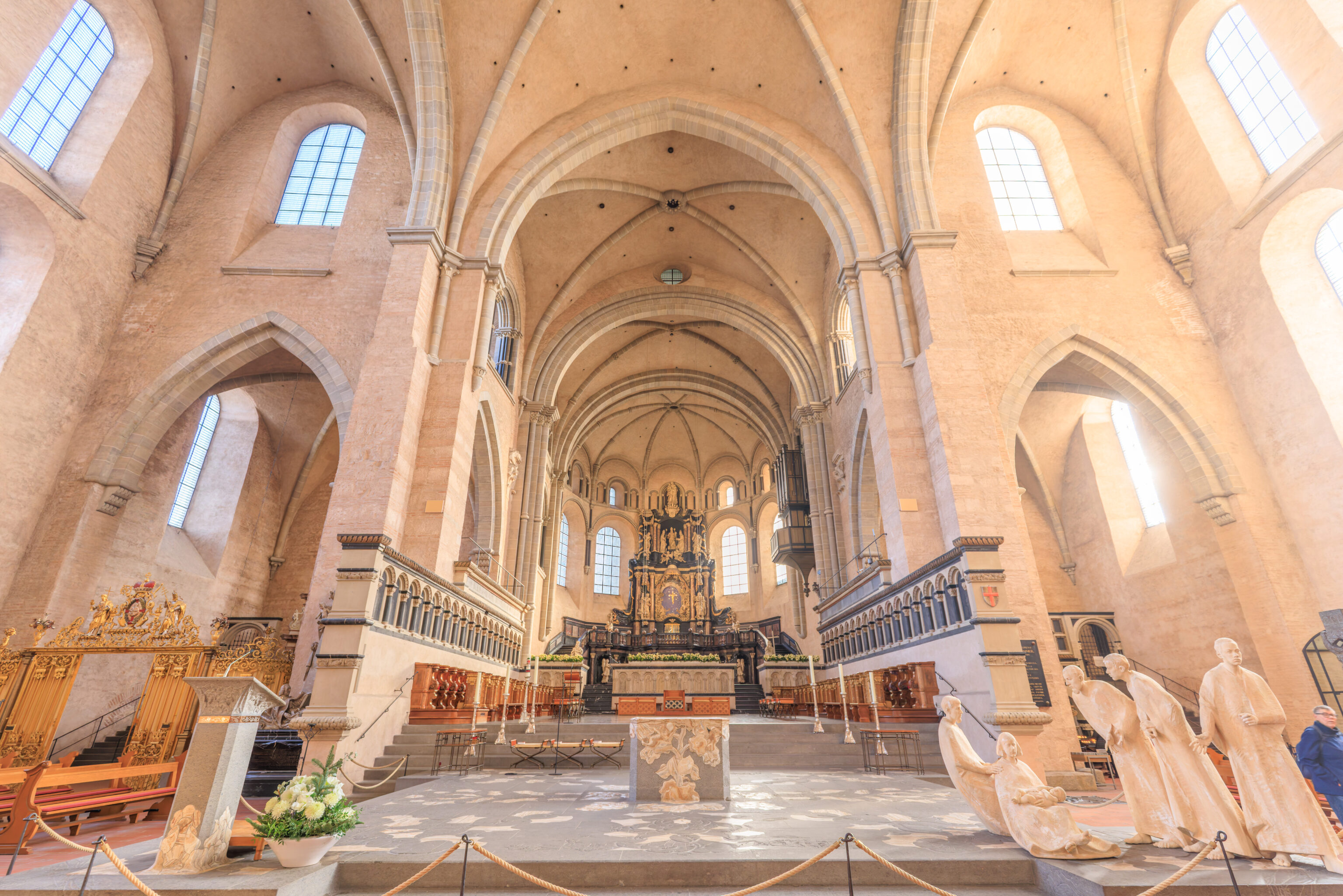
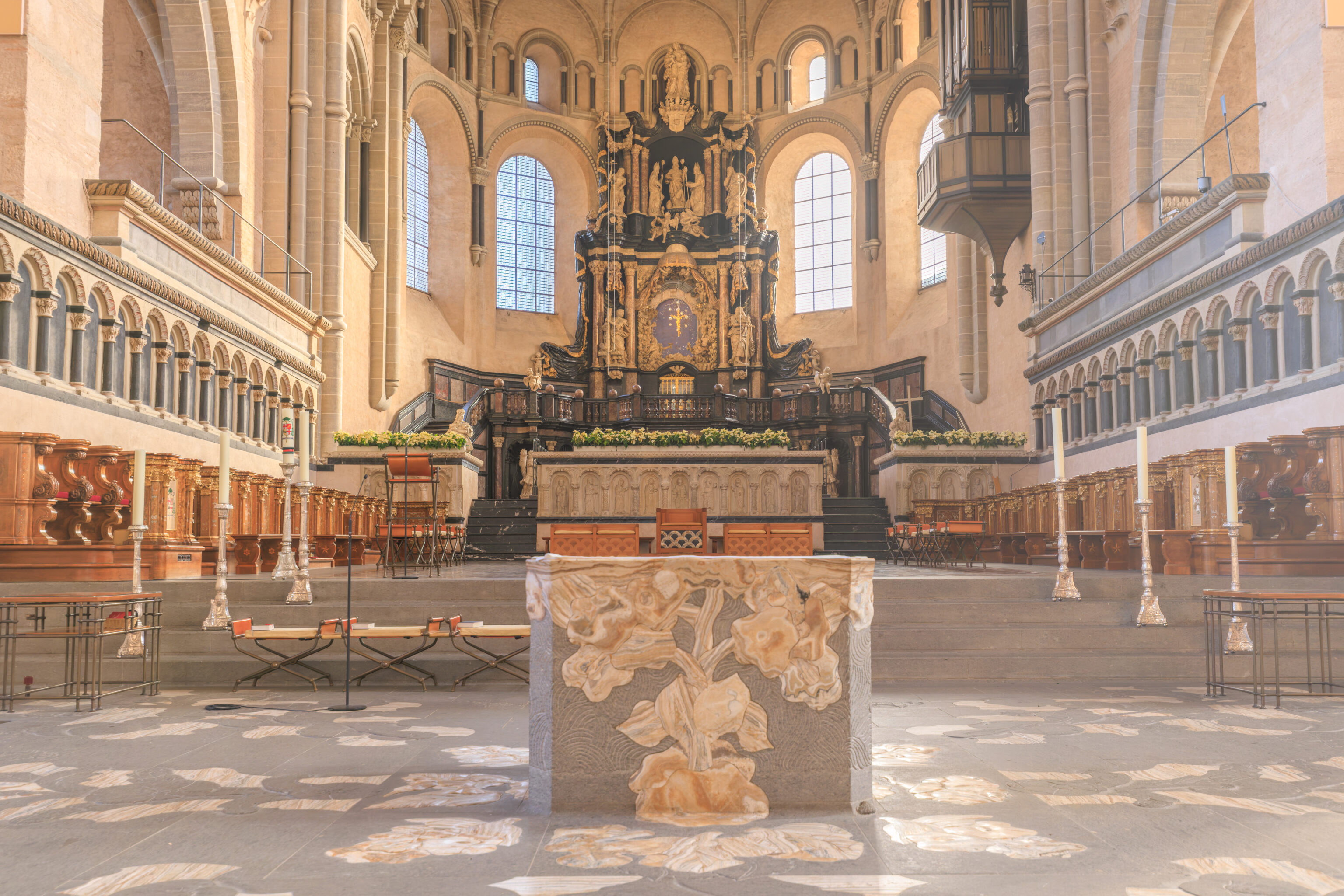
We walked up as close to the altar as we were able to go.
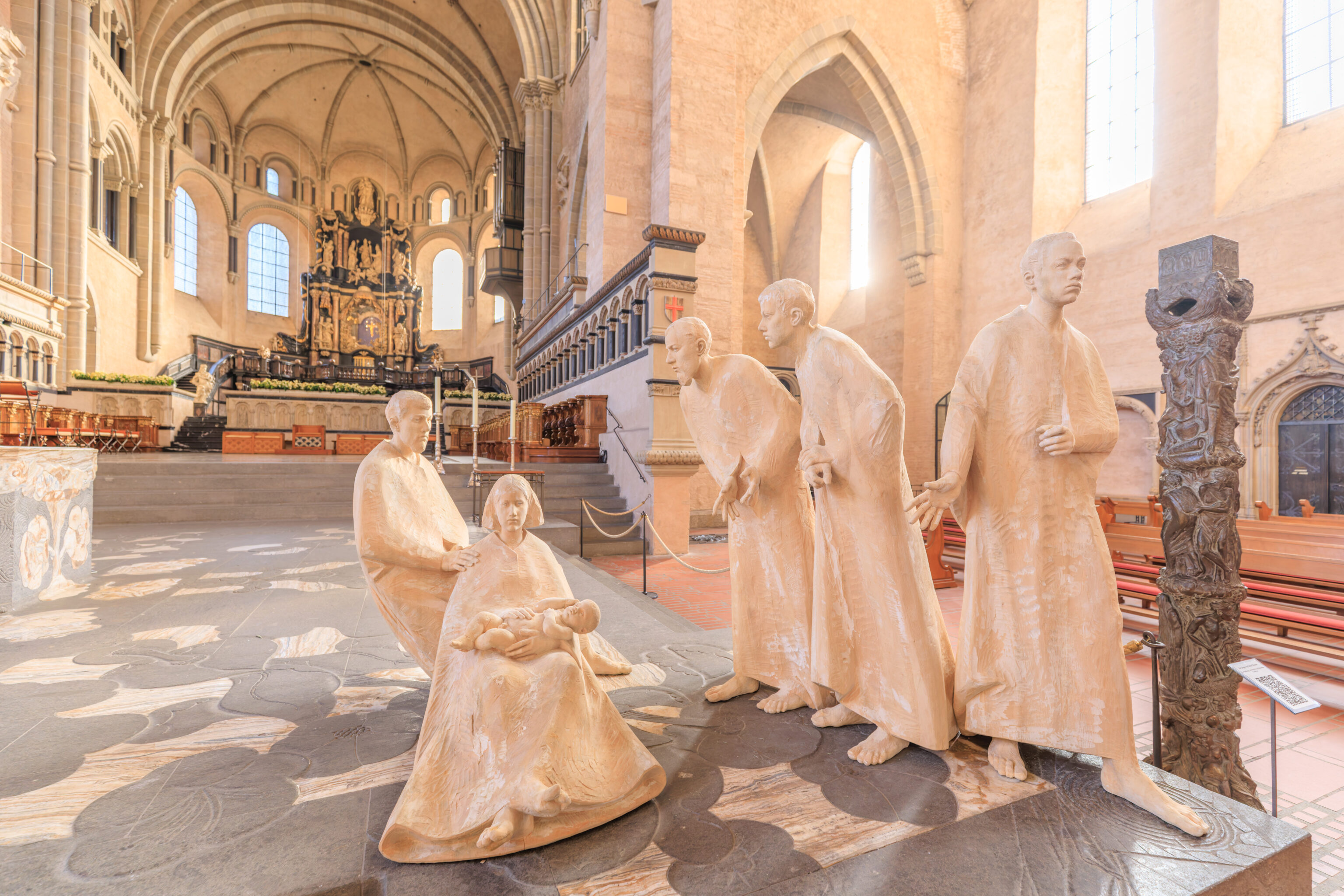
A closer look at the simple Nativity scene off to the side of the altar area.
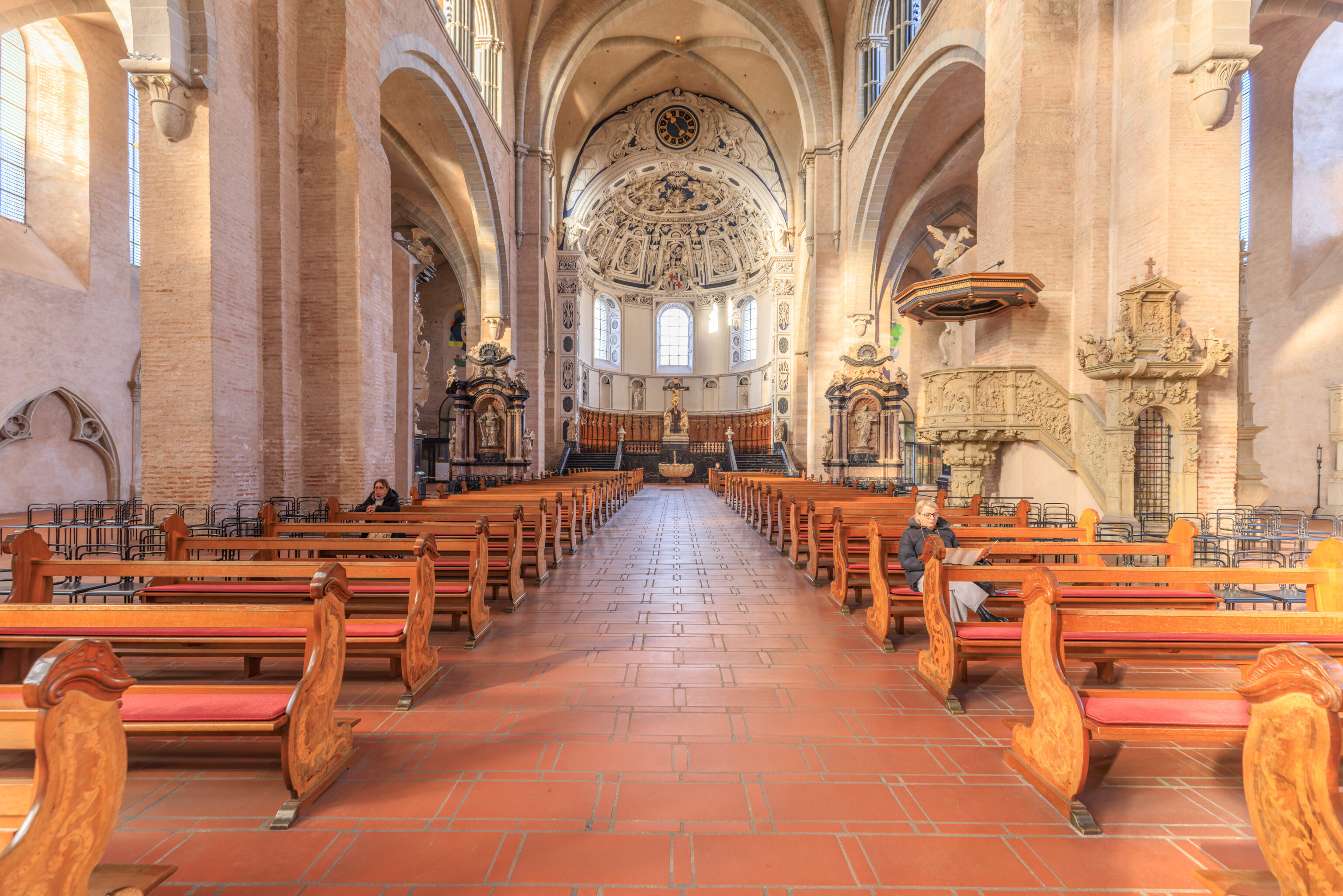
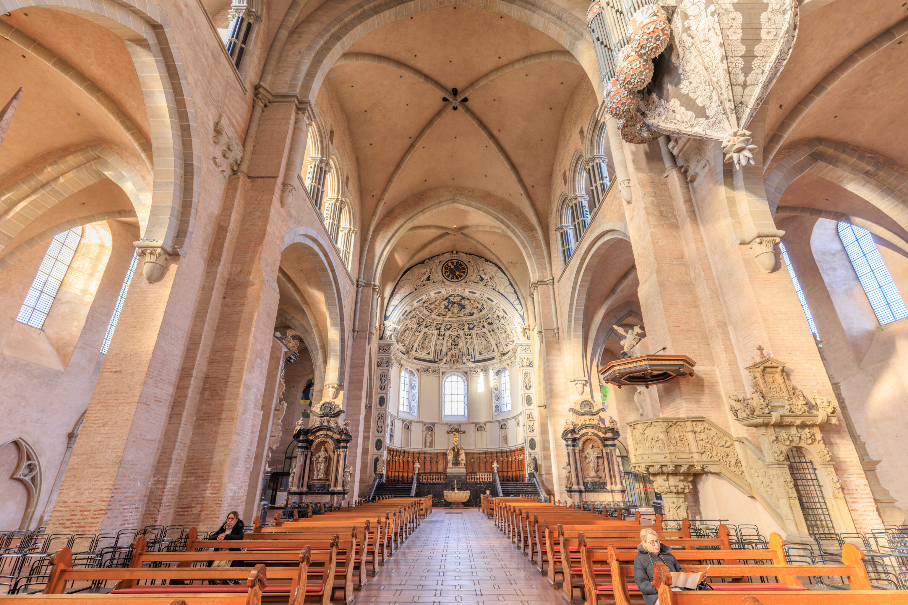
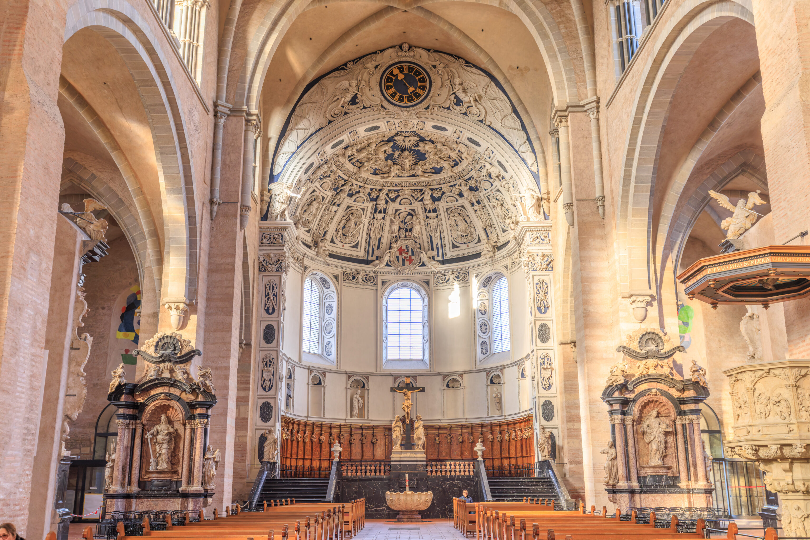
The view looking back towards the front of the cathedral.
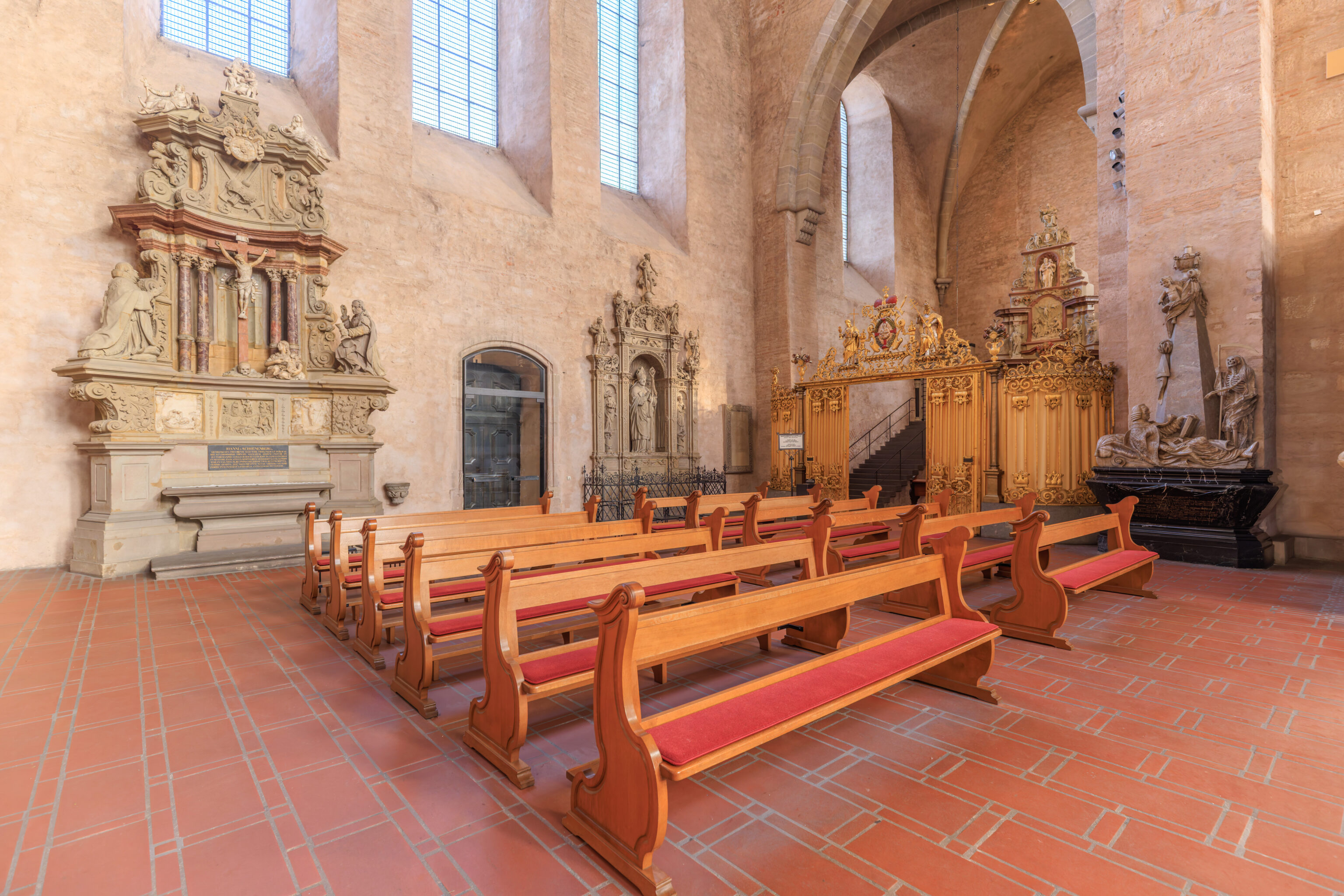
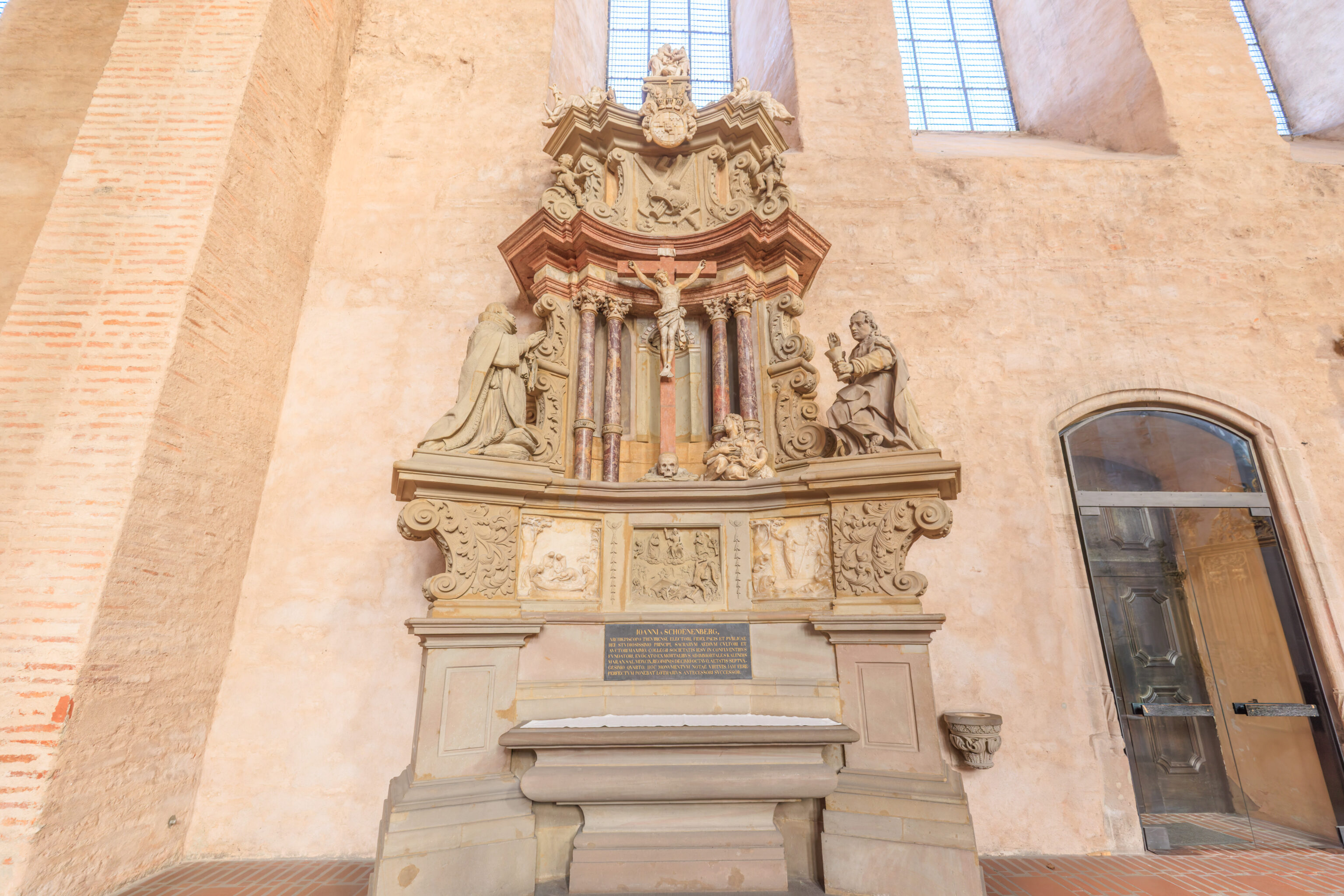
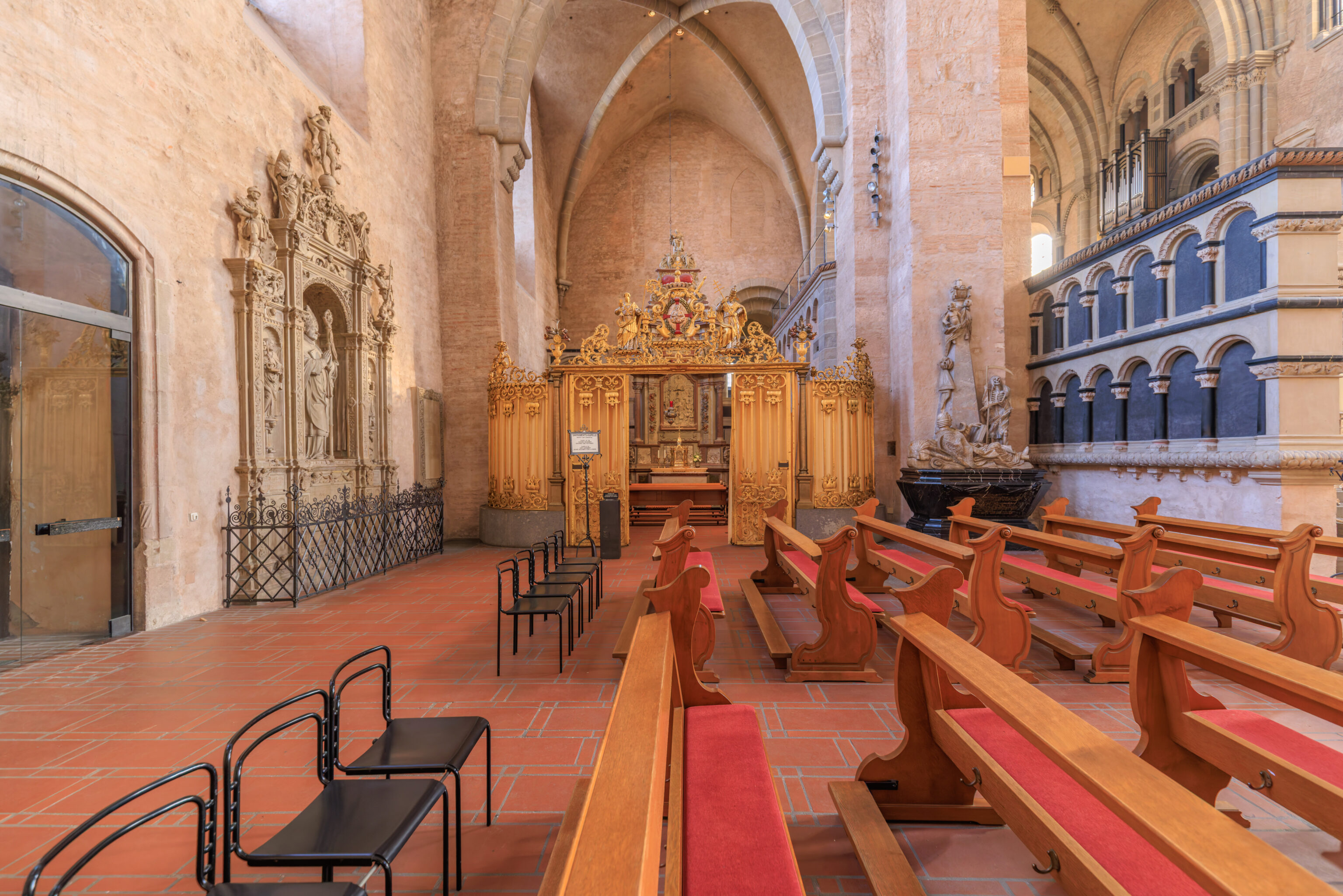
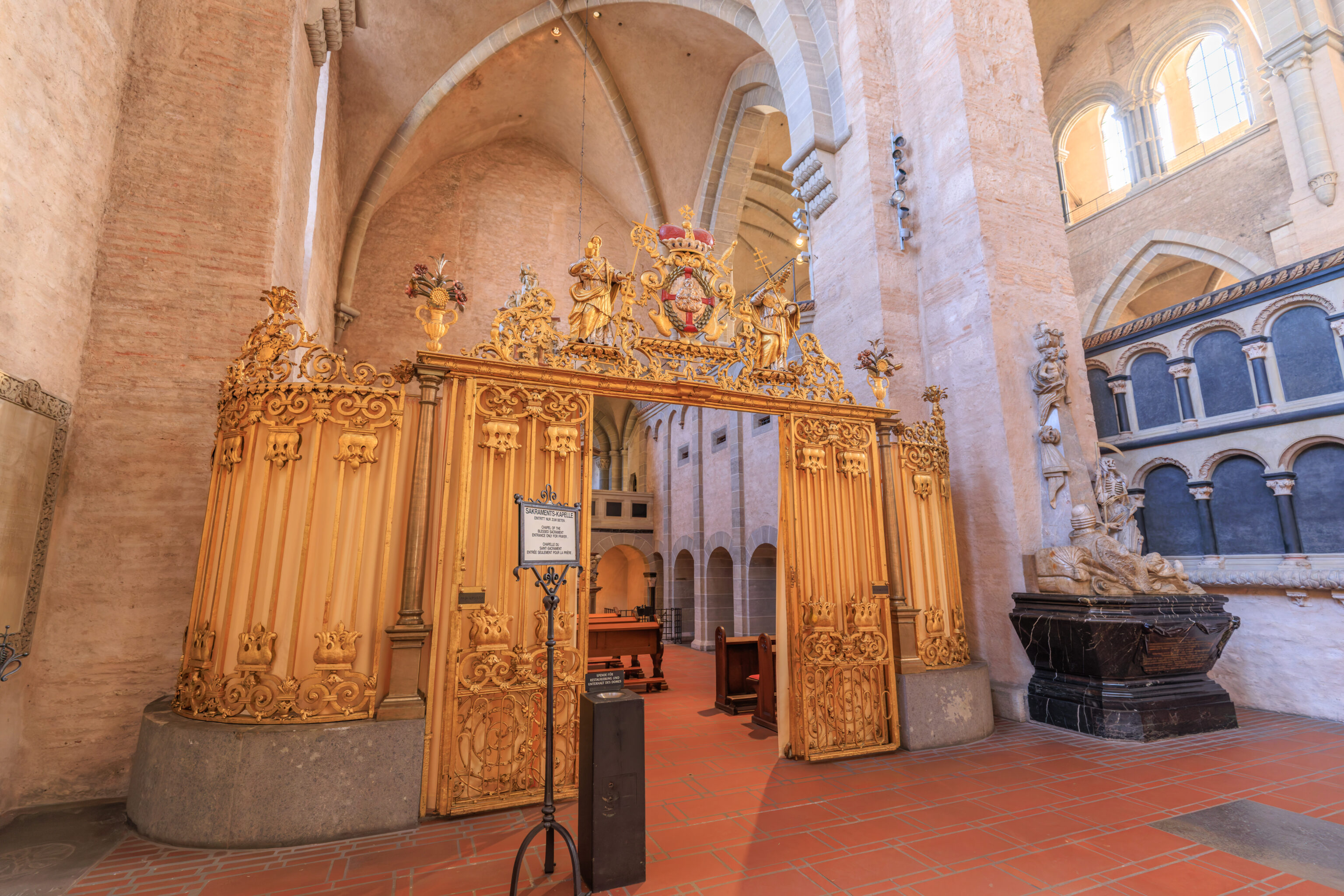
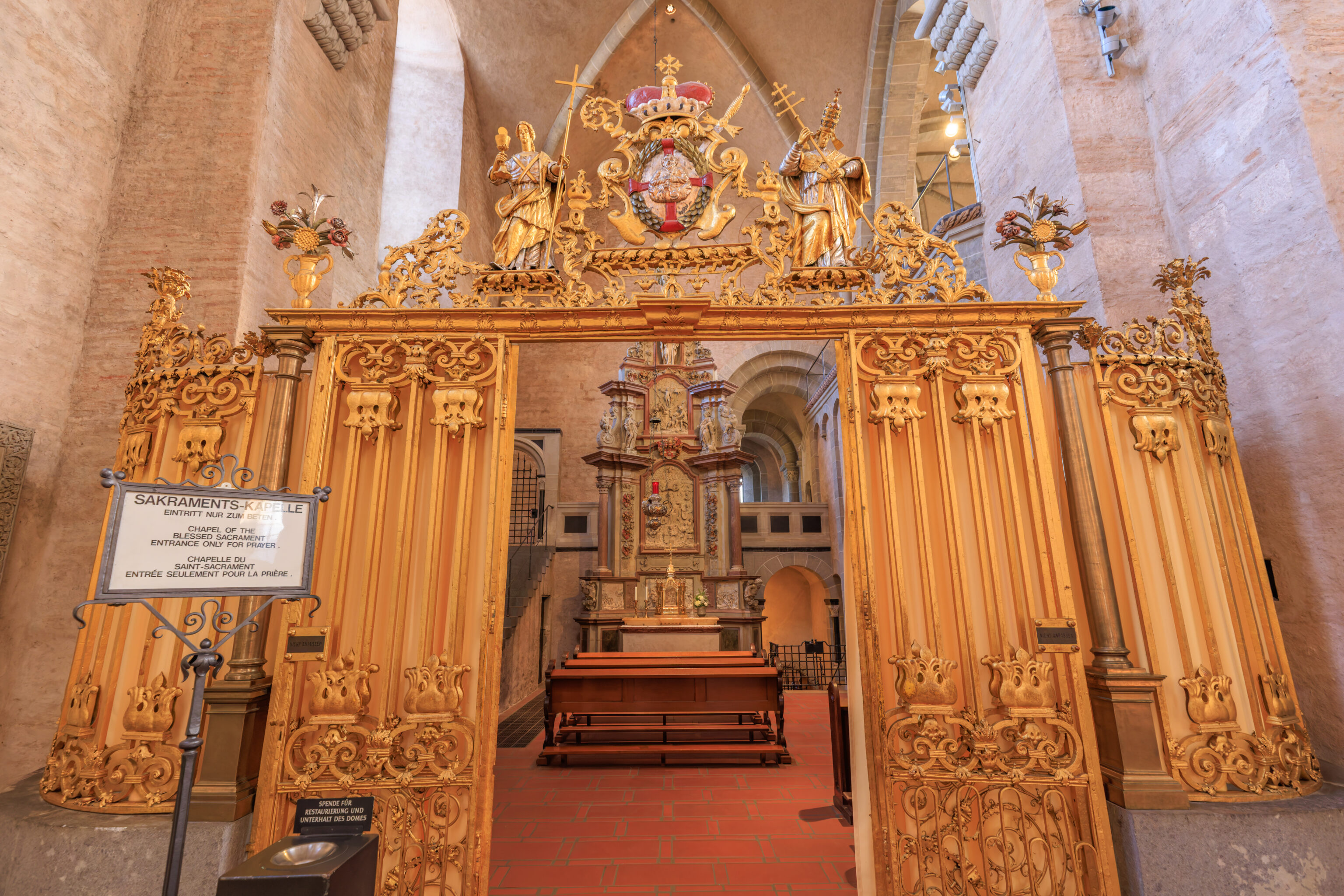
The left wing of the transept.
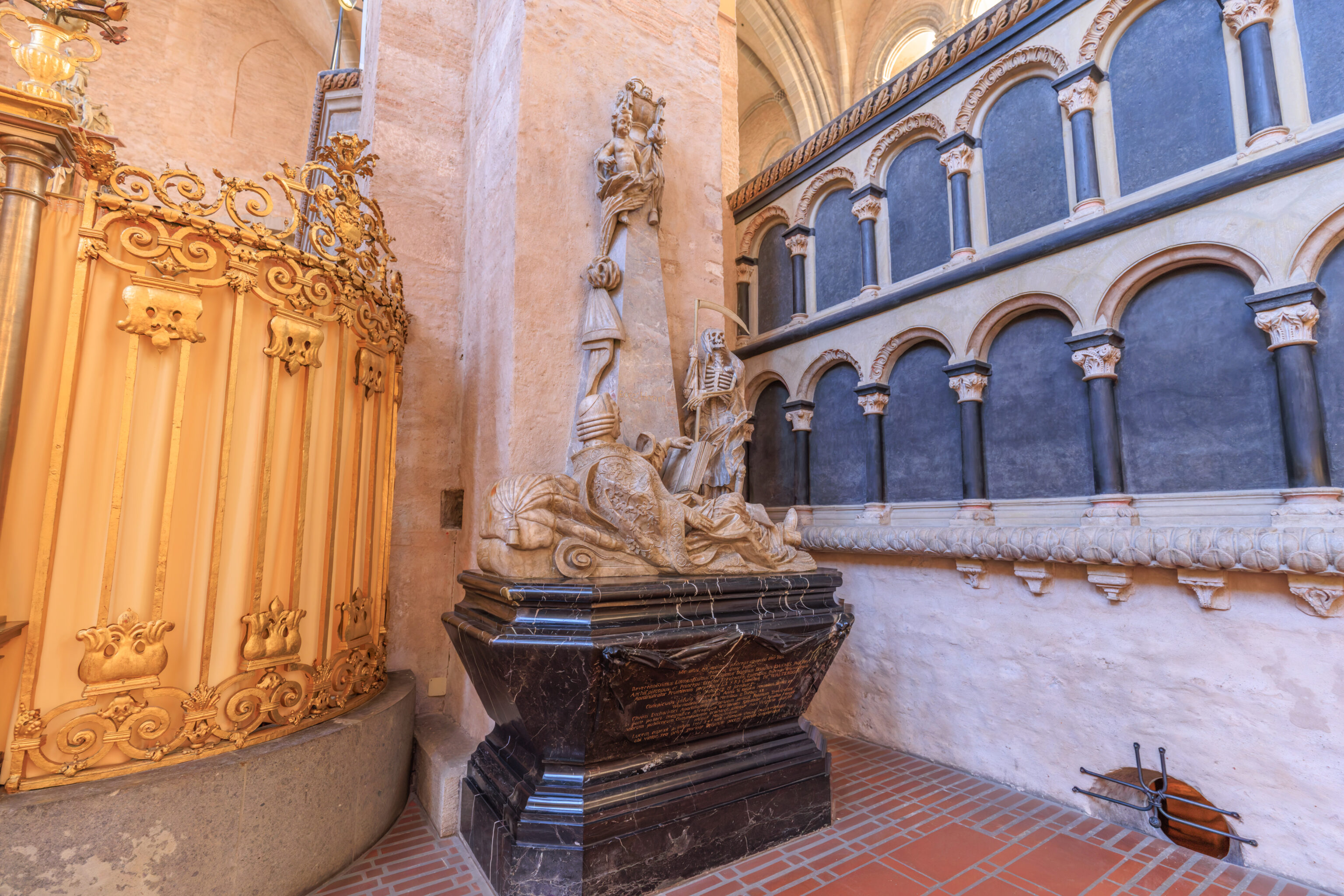
This is the tomb of Archbishop and Elector of Trier Johann IX Philipp von Walderdorff.
Here lies the best prince, in clemency another Titus, father and love of the Fatherland:

The Most Reverend, Most Eminent, Most Serene Lord, Lord Johann Philipp, Archbishop and Prince-Elector of Trier, Bishop and Prince of Worms, Perpetual Administrator of Prüm, of the Counts of the Holy Roman Empire of Walderdorff in Molsberg and Isenburg.

Renowned with the mitre of Trier for 11 years, as many [11] months, and 29 days; with that of Worms for 4 years, 5 months, and 23 days.

He established the perpetual adoration of Christ in the Eucharist; magnificently constructed the main part of the Electoral Palace of Trier, as well as splendidly and completely building Schloss Philippsfreude in Wittlich from the ground up; organized the system and convenience of public roads, and left behind him other extraordinary monuments.

He saw his first light on May 24, 1701; closed his last on January 12, 1768. Go, traveler, but first pray for eternal peace for the gloriously deceased.
– Text from a the tomb, transcribed and translated from Latin using Google Gemini.
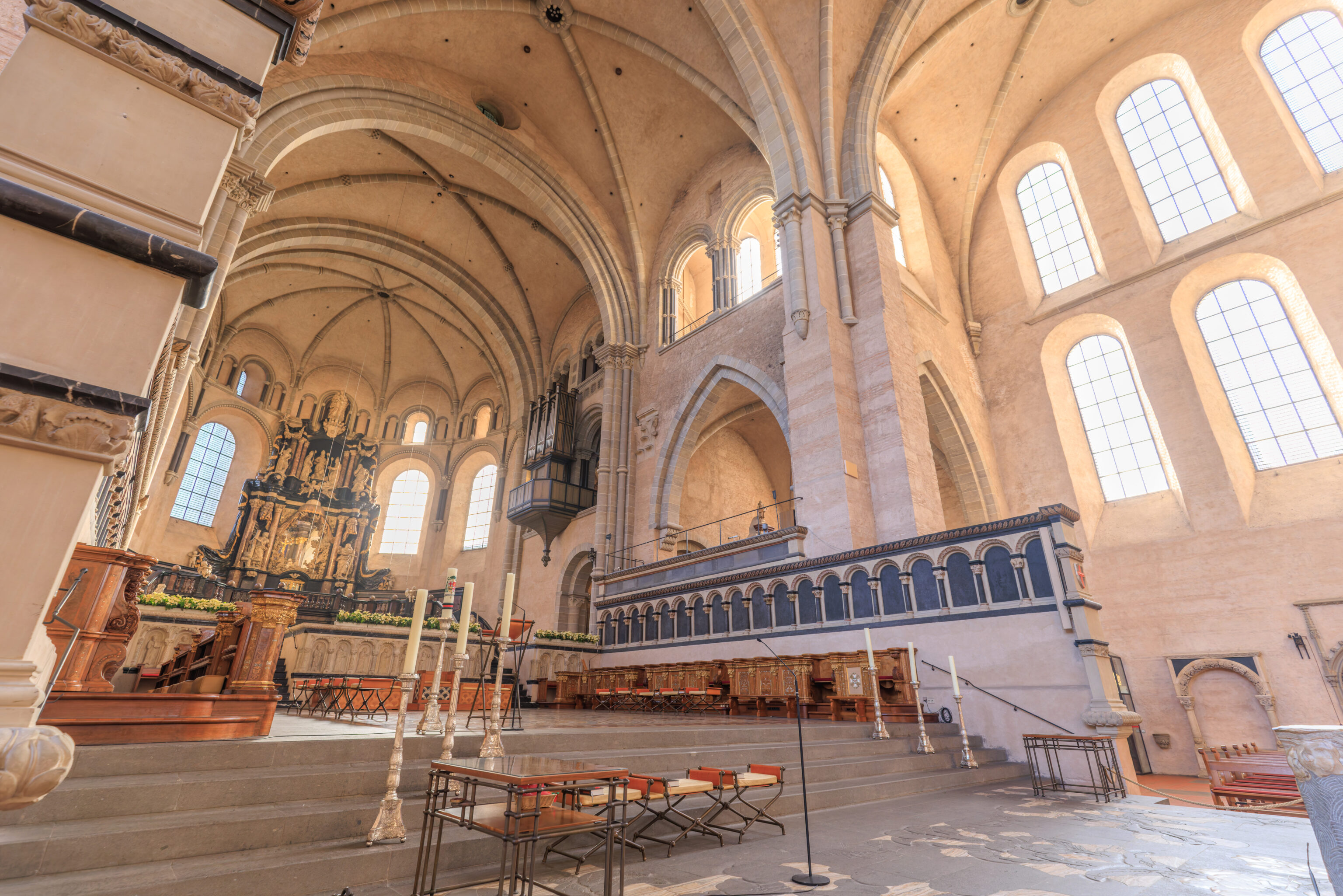
The view to the left of the altar.
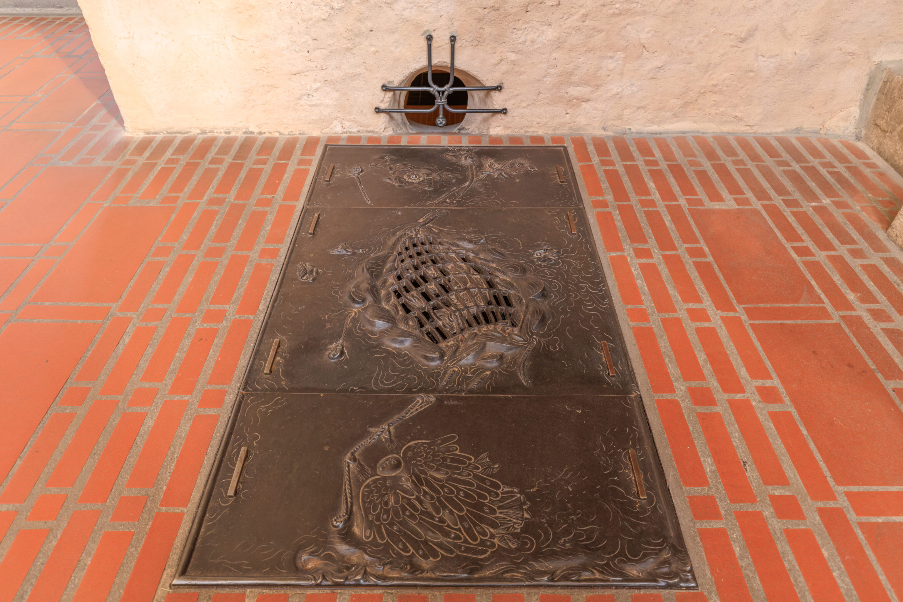
This seems to be a vent? What exactly does the art depict?
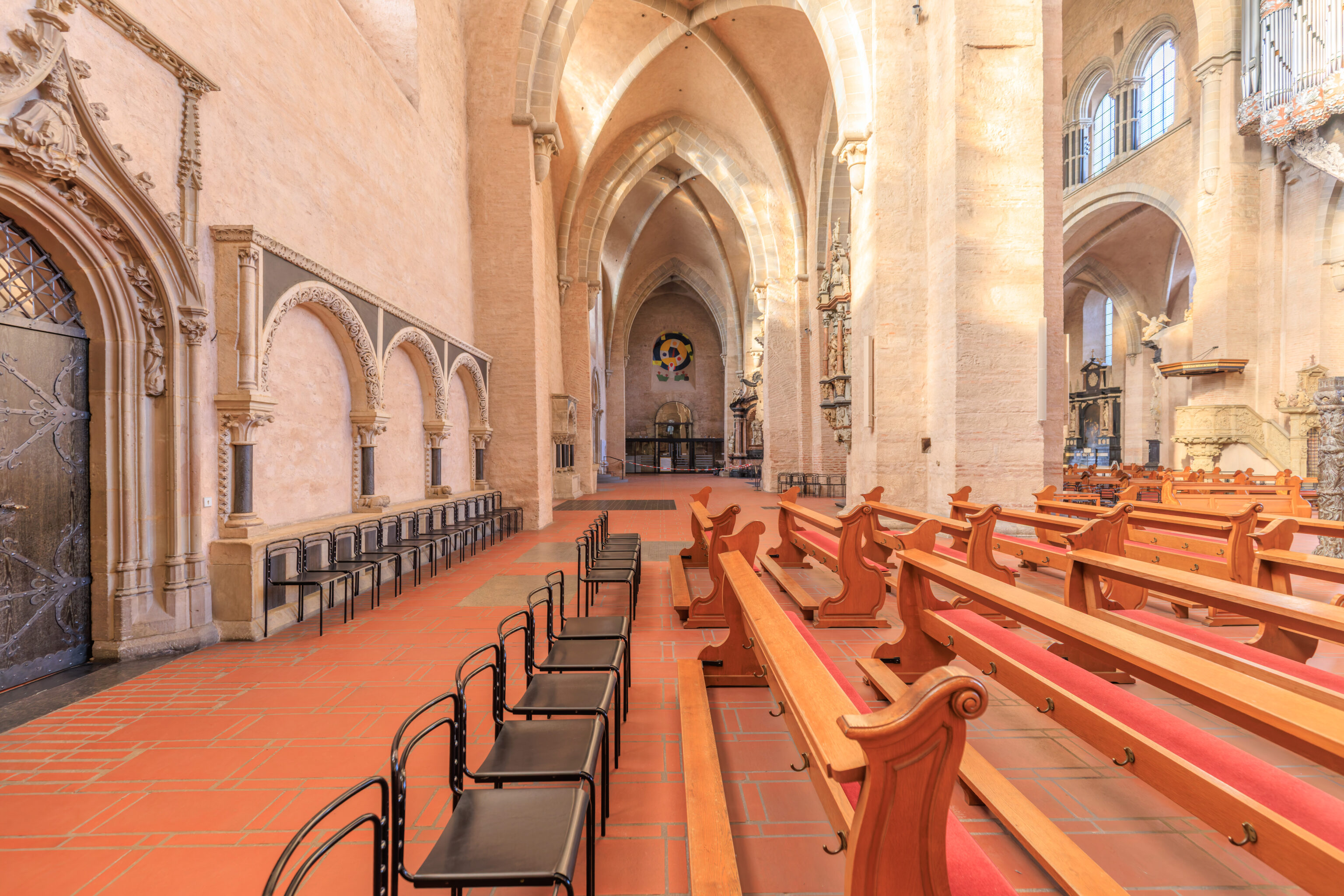

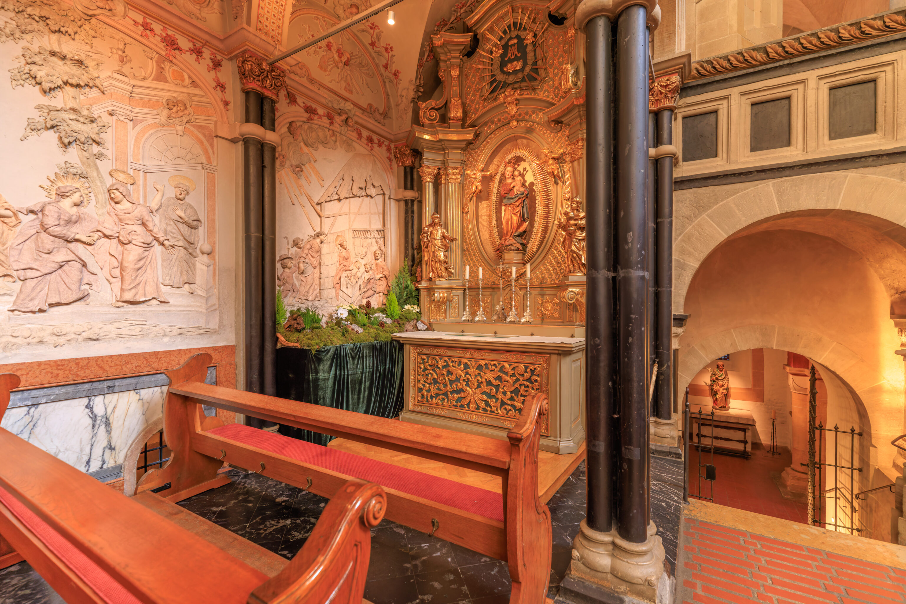
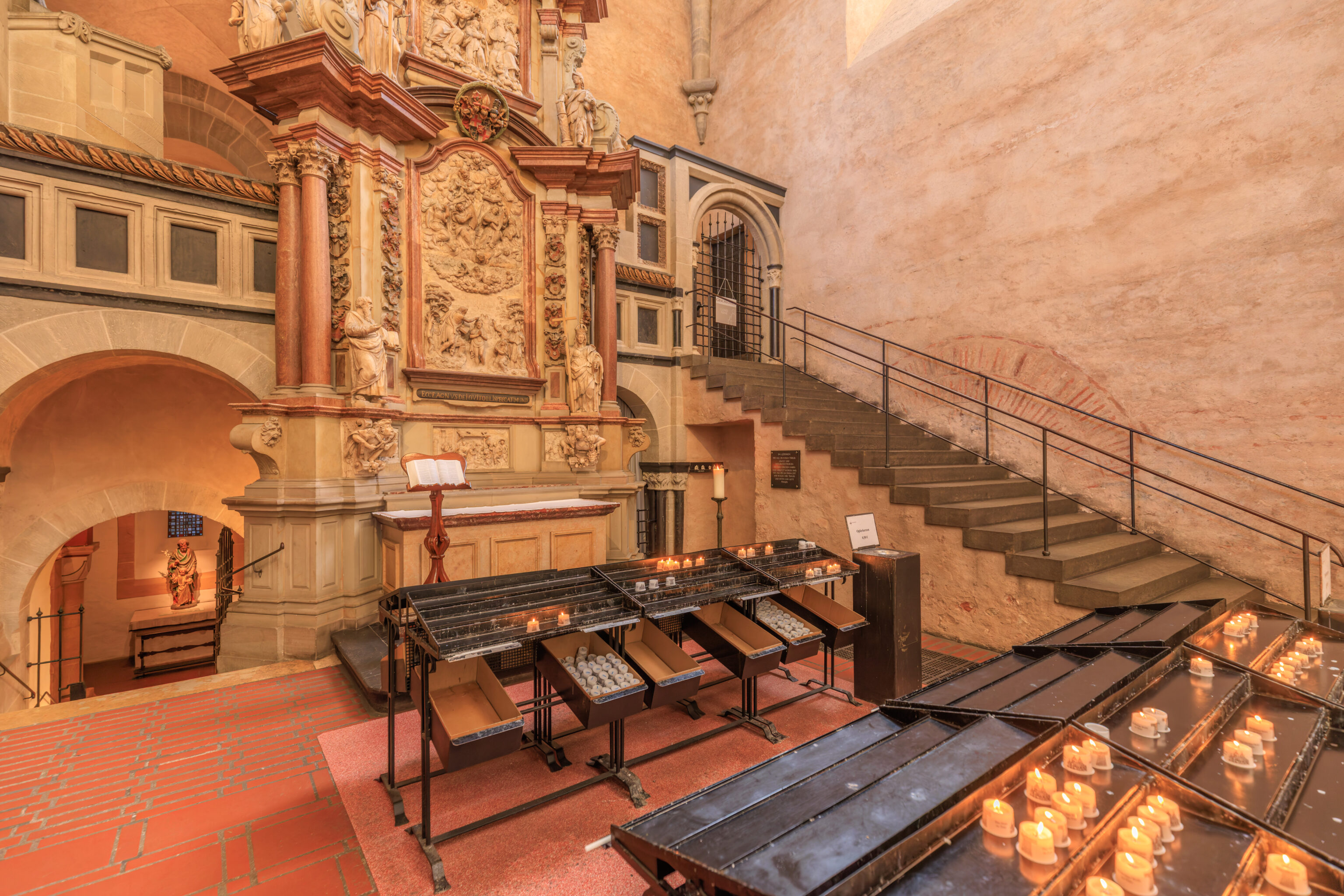
We walked over to the right side of the transept to take a look and ended up going down the stairs.
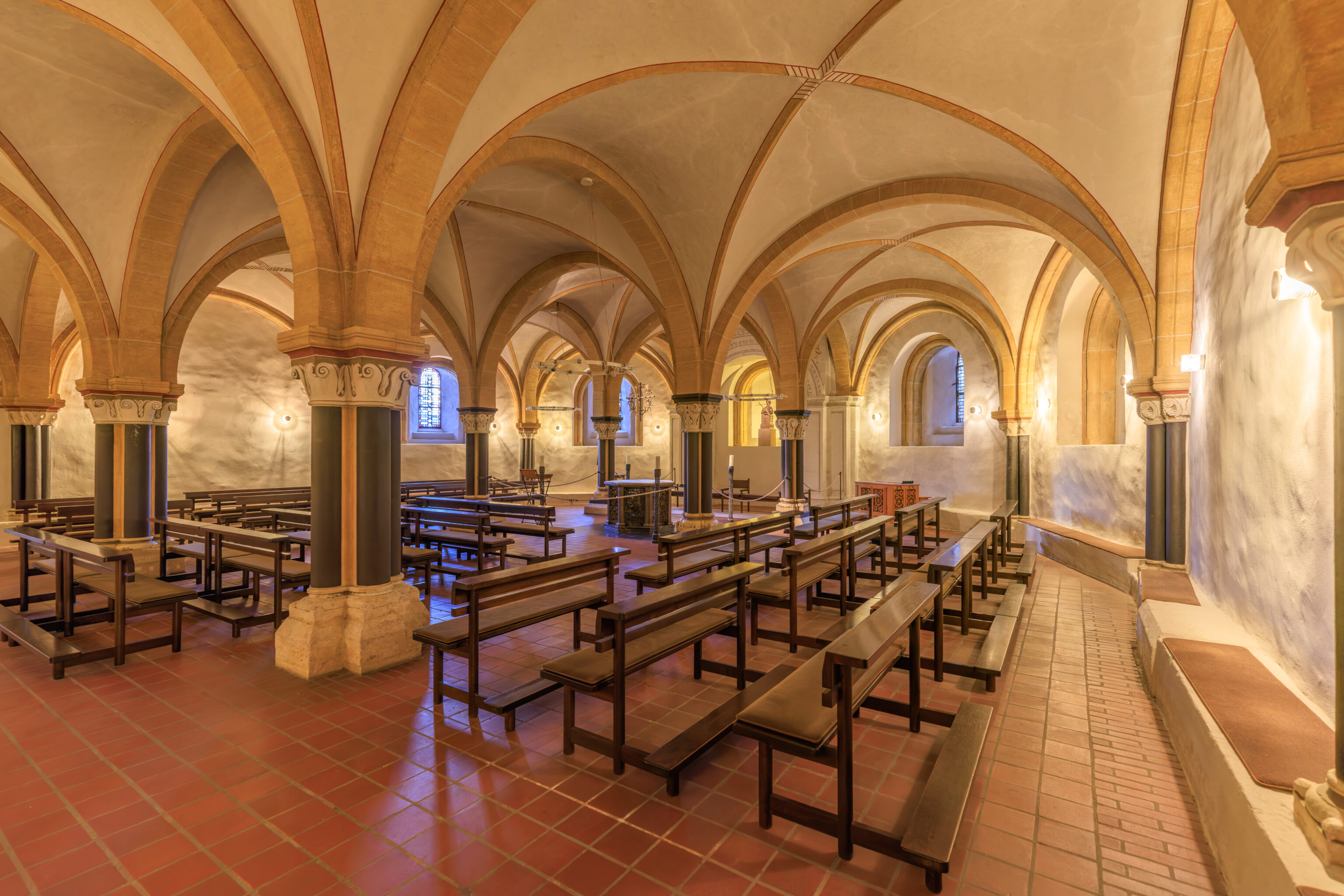
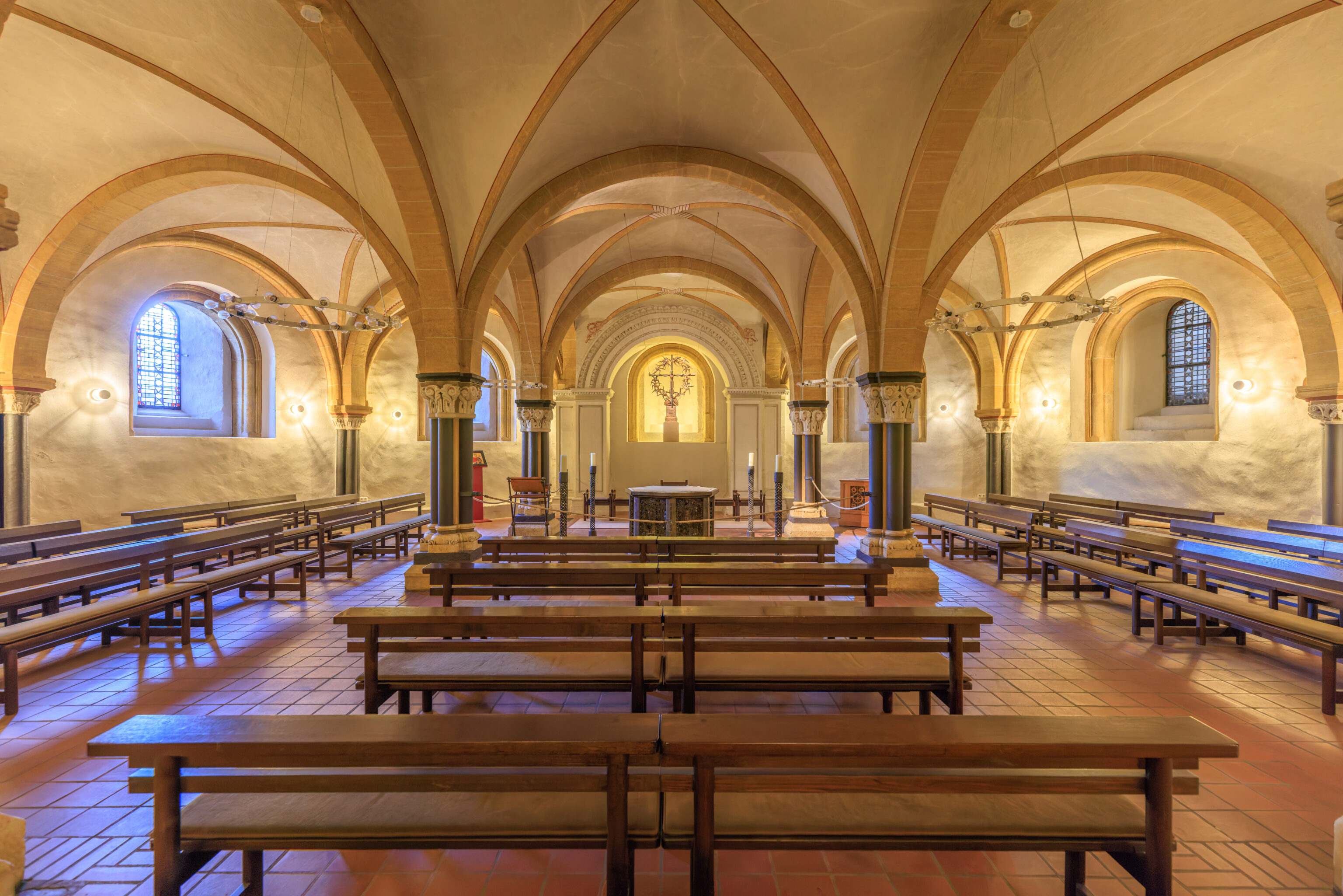
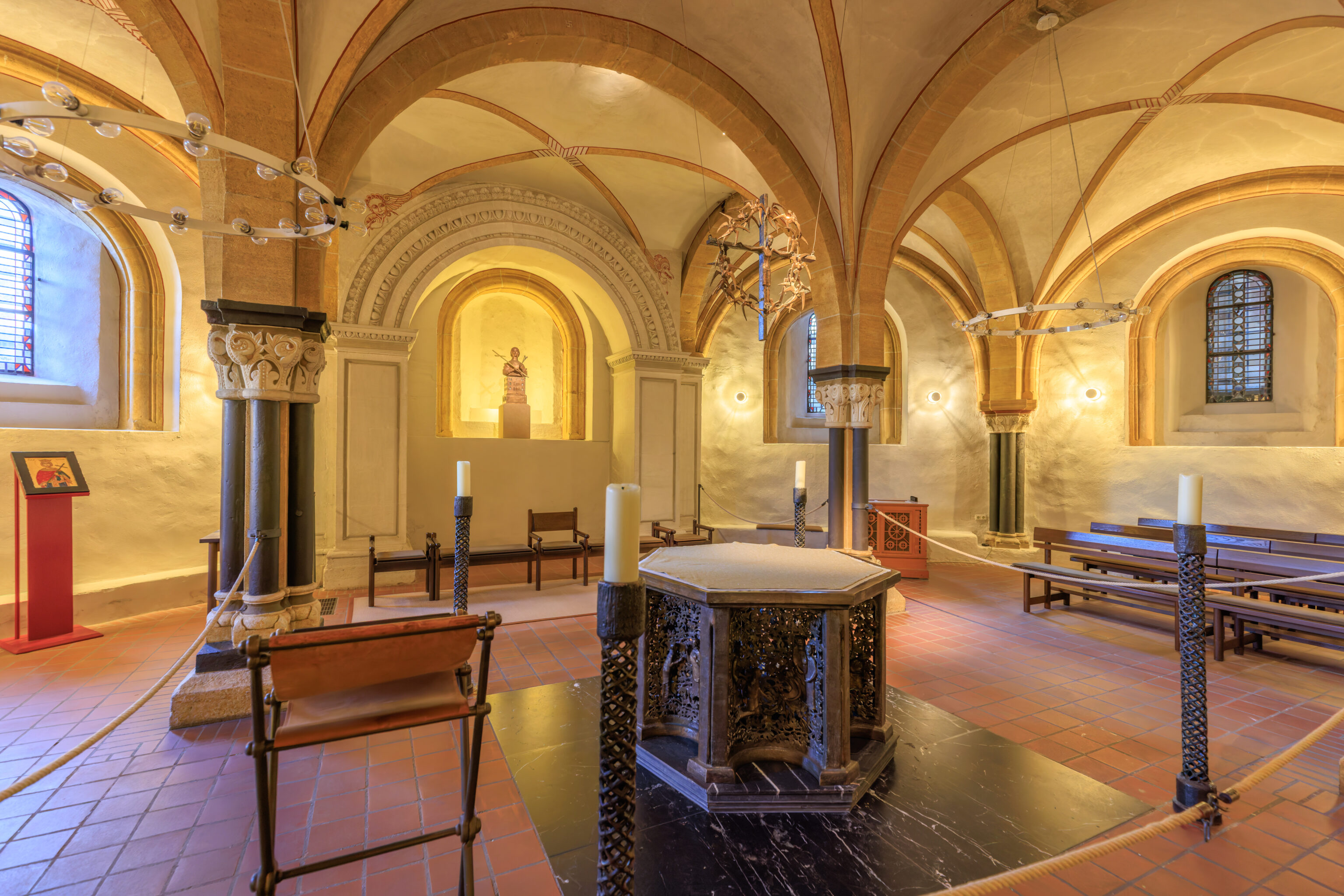
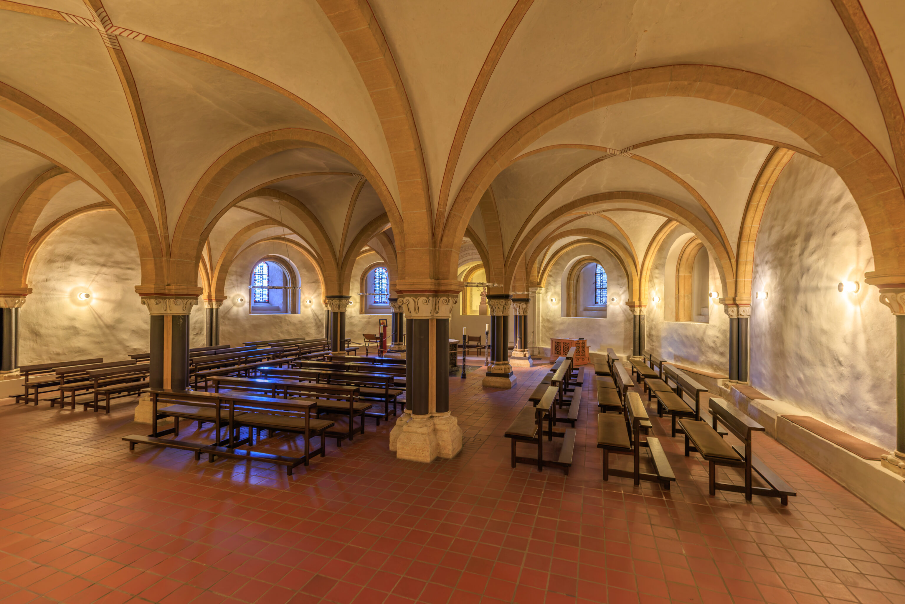
This led us to this underground chapel. Perhaps not actually underground given that it seems that there is light coming in from the outside, simply partially below the main floor above.
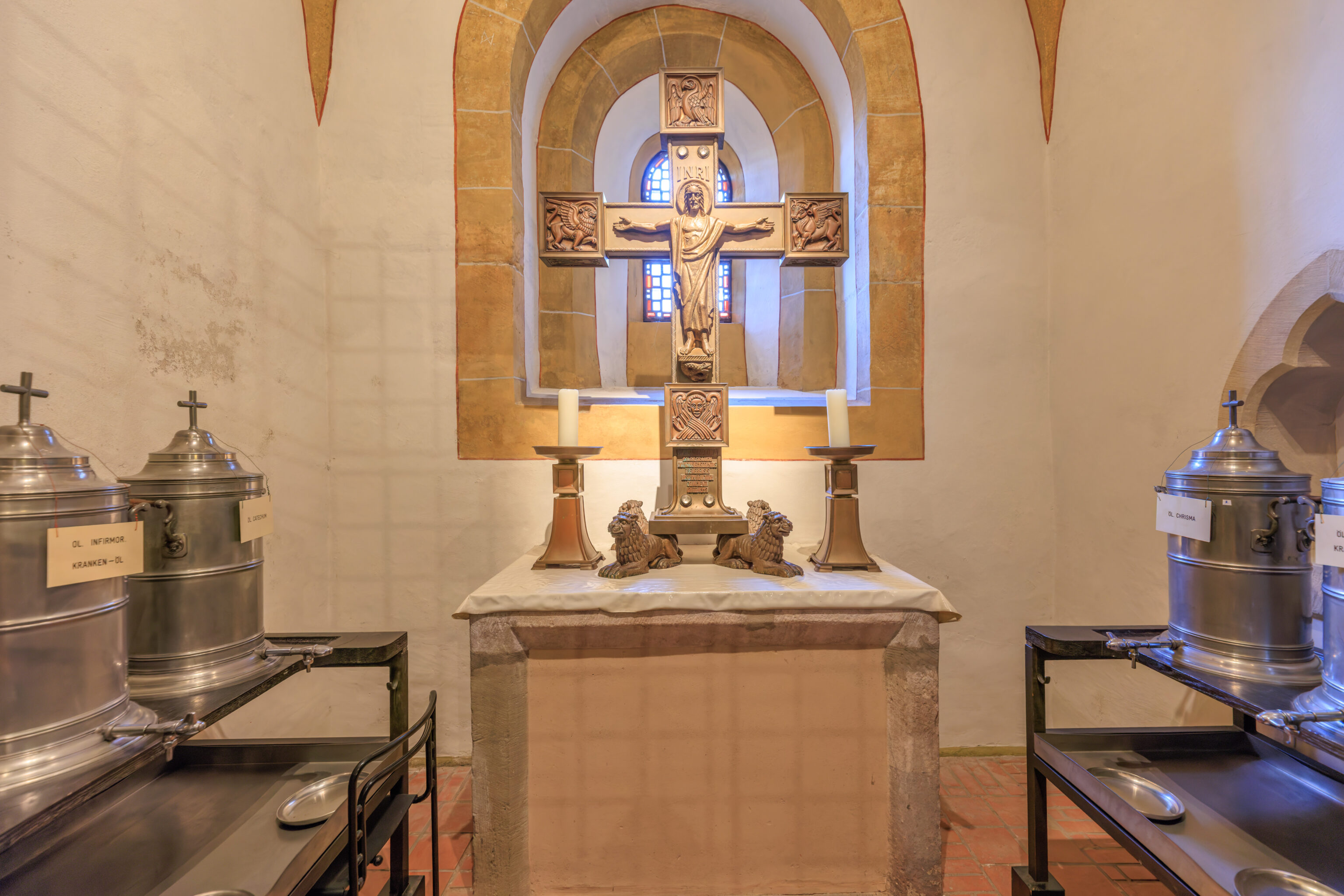
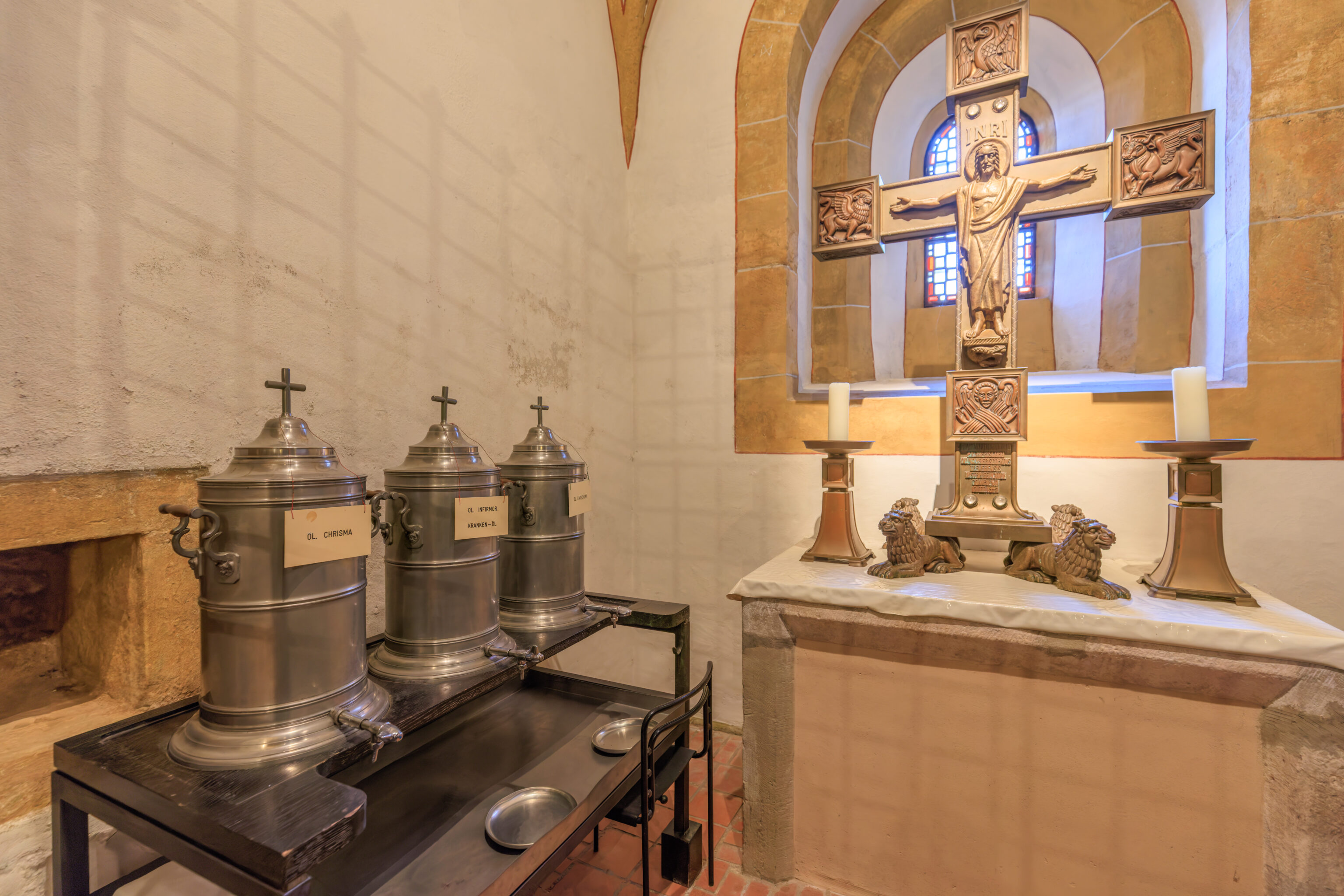
The contains in this room seem to contain consecrated oils used for religious purposes. Based on the labels in German, they contain the Catholic holy oils – oil of catechumens, chrism oil, and oil of the sick.
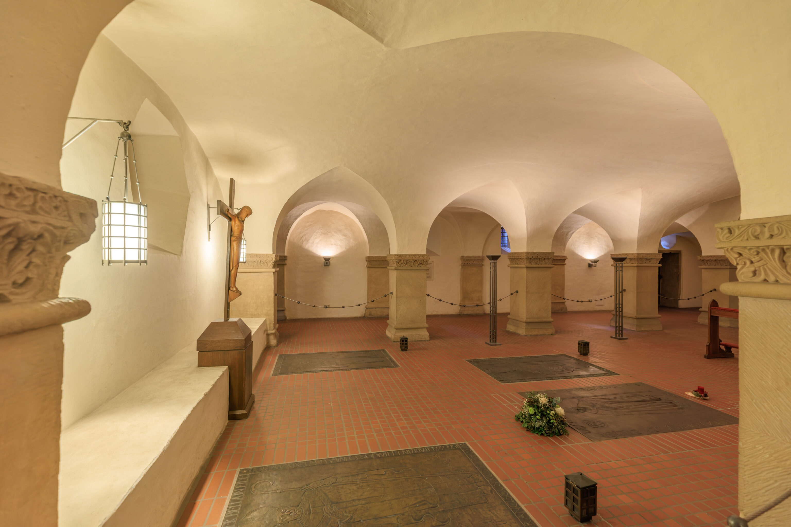
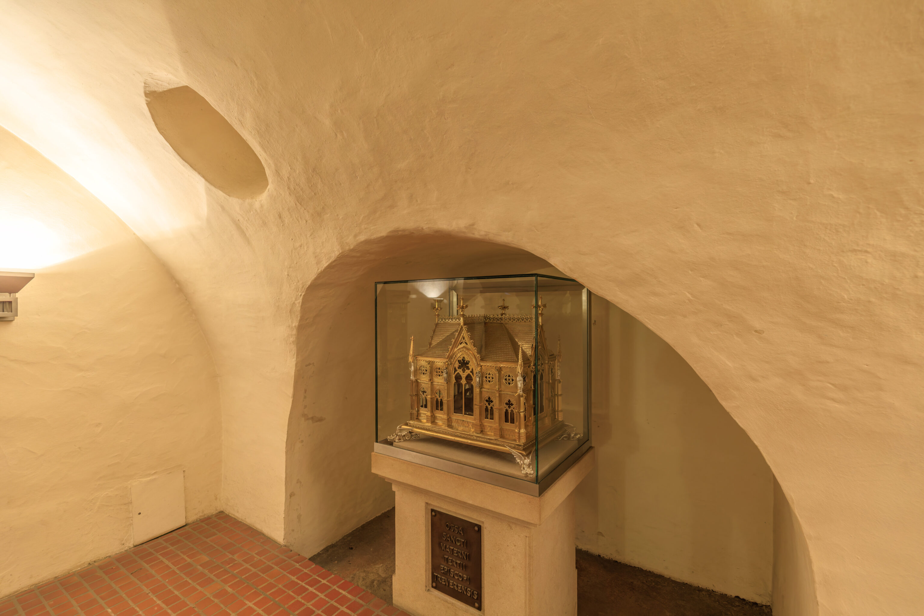
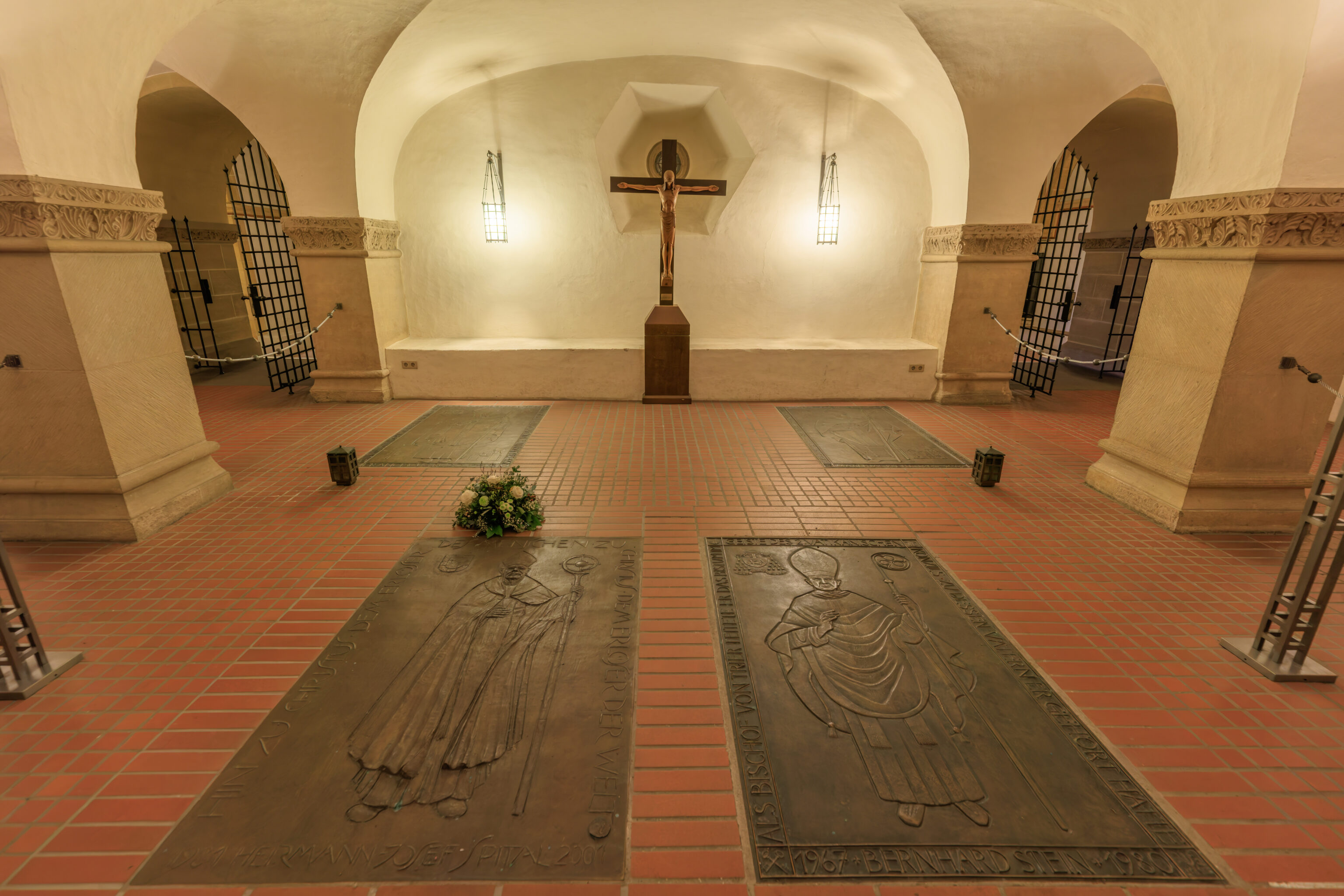
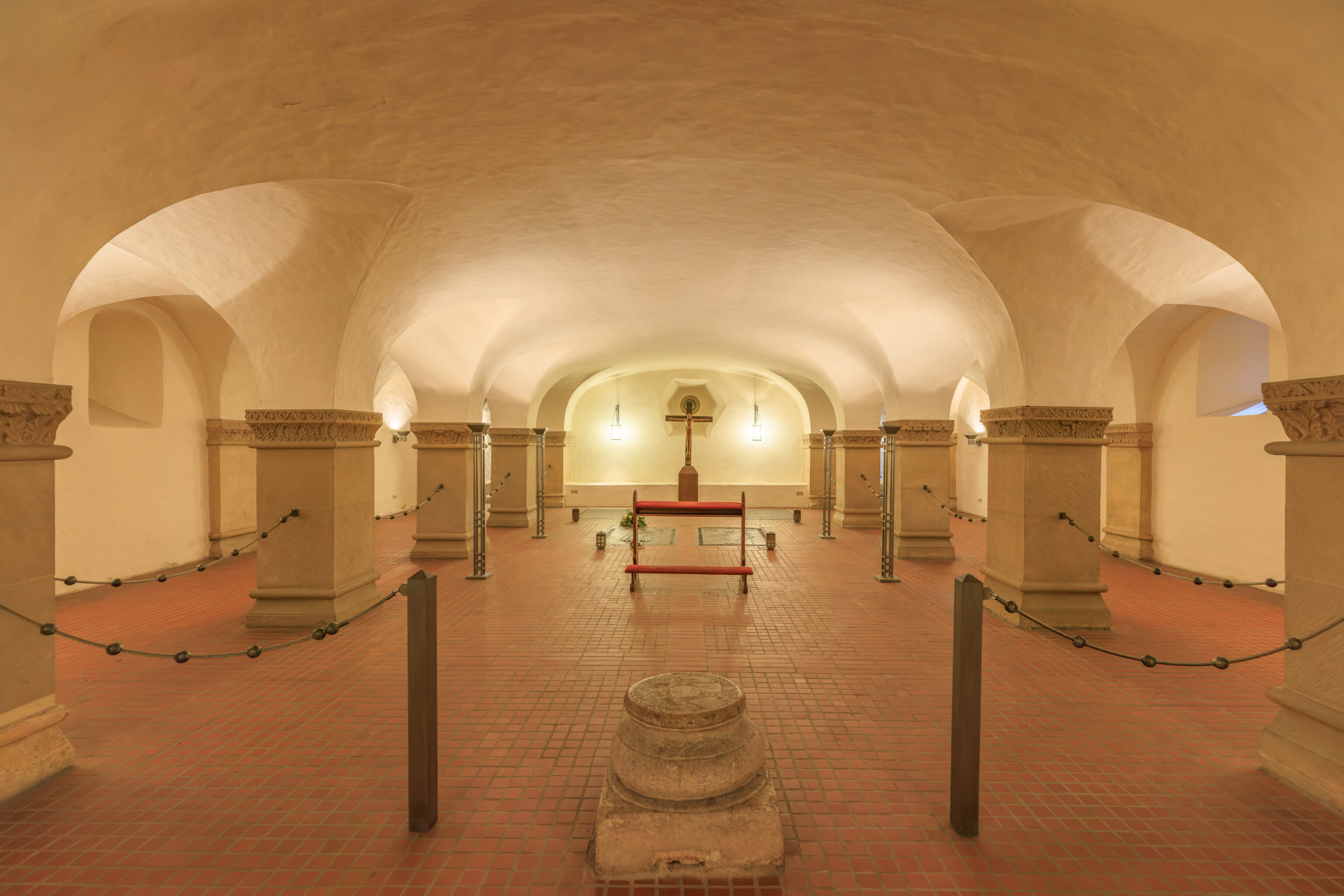
There was also a crypt with just a few tombs containing modern bishops:
BURIAL PLACE OF THE BISHOPS OF TRIER
FROM THE YEAR 1922

FRANZ RUDOLF BORNEWASSER
1922–1951

MATTHIAS WEHR
1951–1967

BERNHARD STEIN
1967–1980

HERMANN-JOSEF SPITAL
1981–2001
– Text from a sign, translated from German using Google Translate.
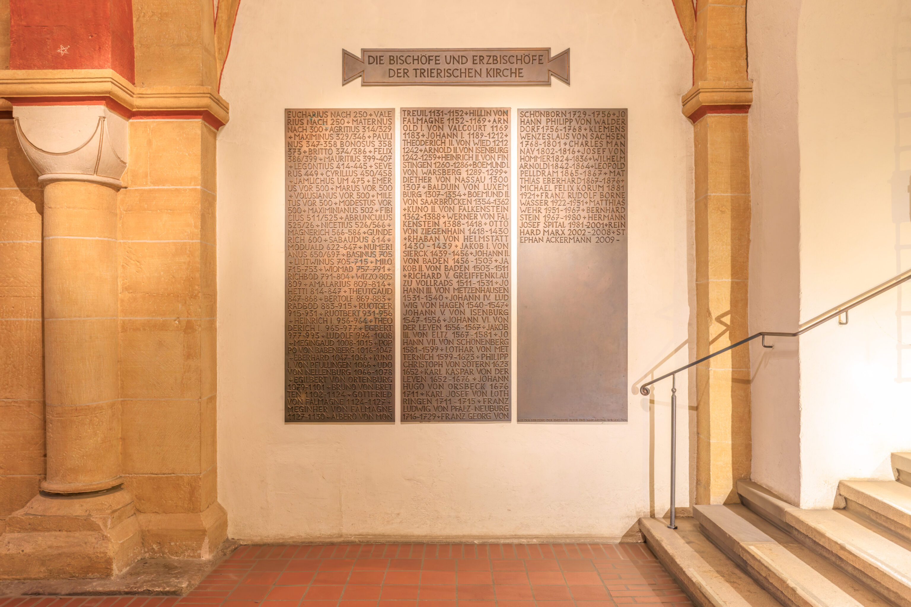
These three plaques list all of the Bishops and Archbishops of the Church of Trier, going back to 250 AD, which was before the Roman Empire was converted to Christianity by Emperor Constantine.
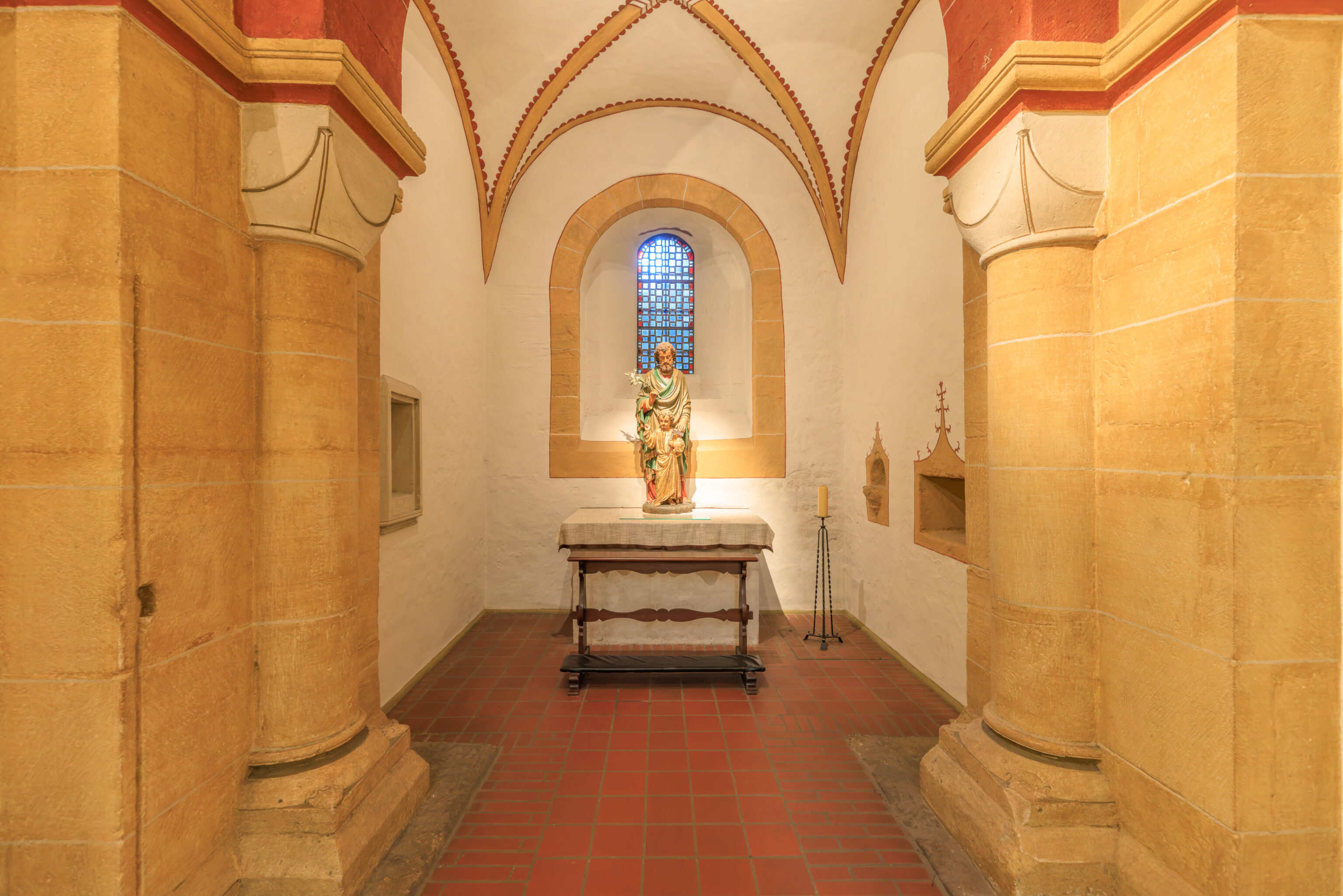
We peeked into this small room before continuing on.
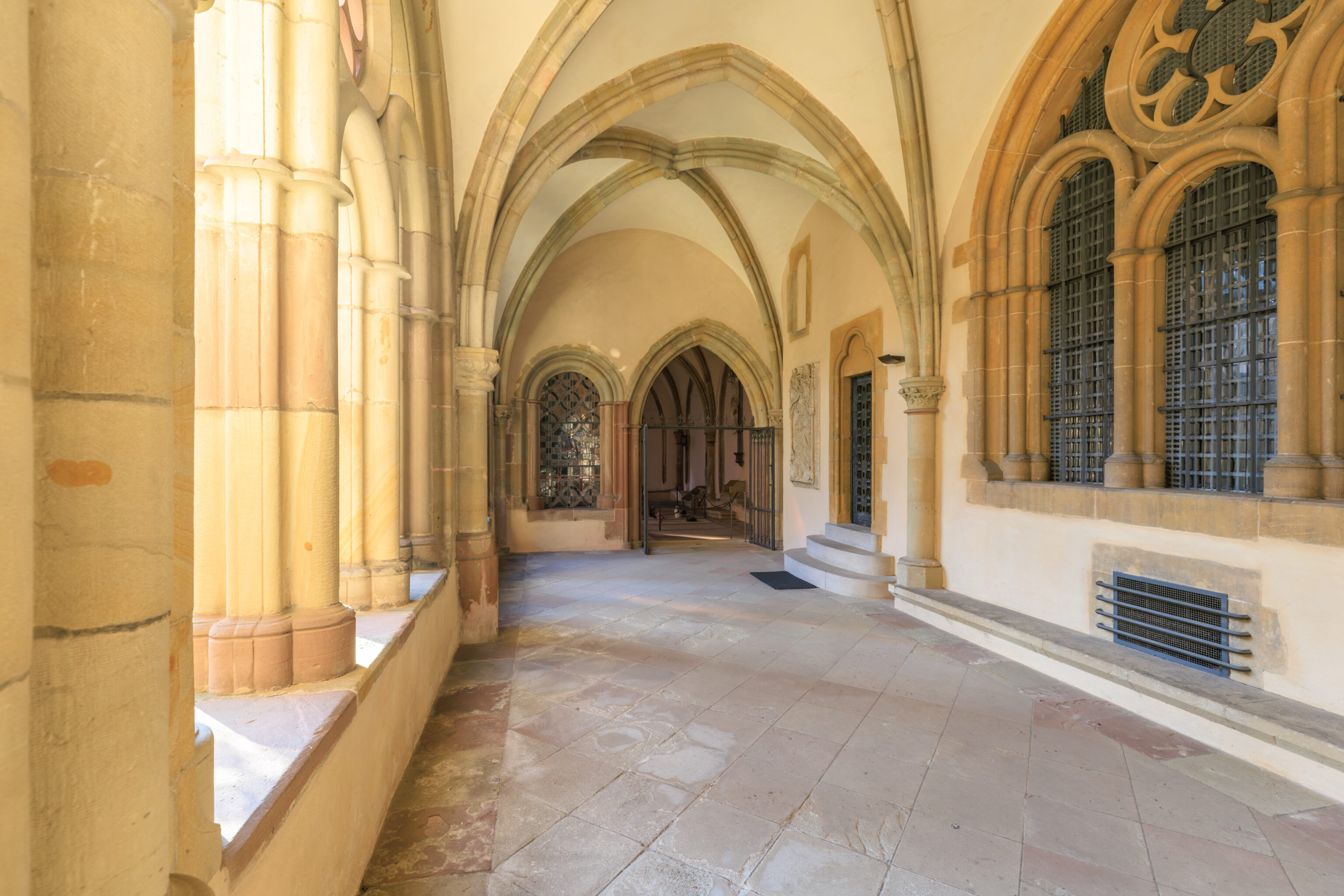
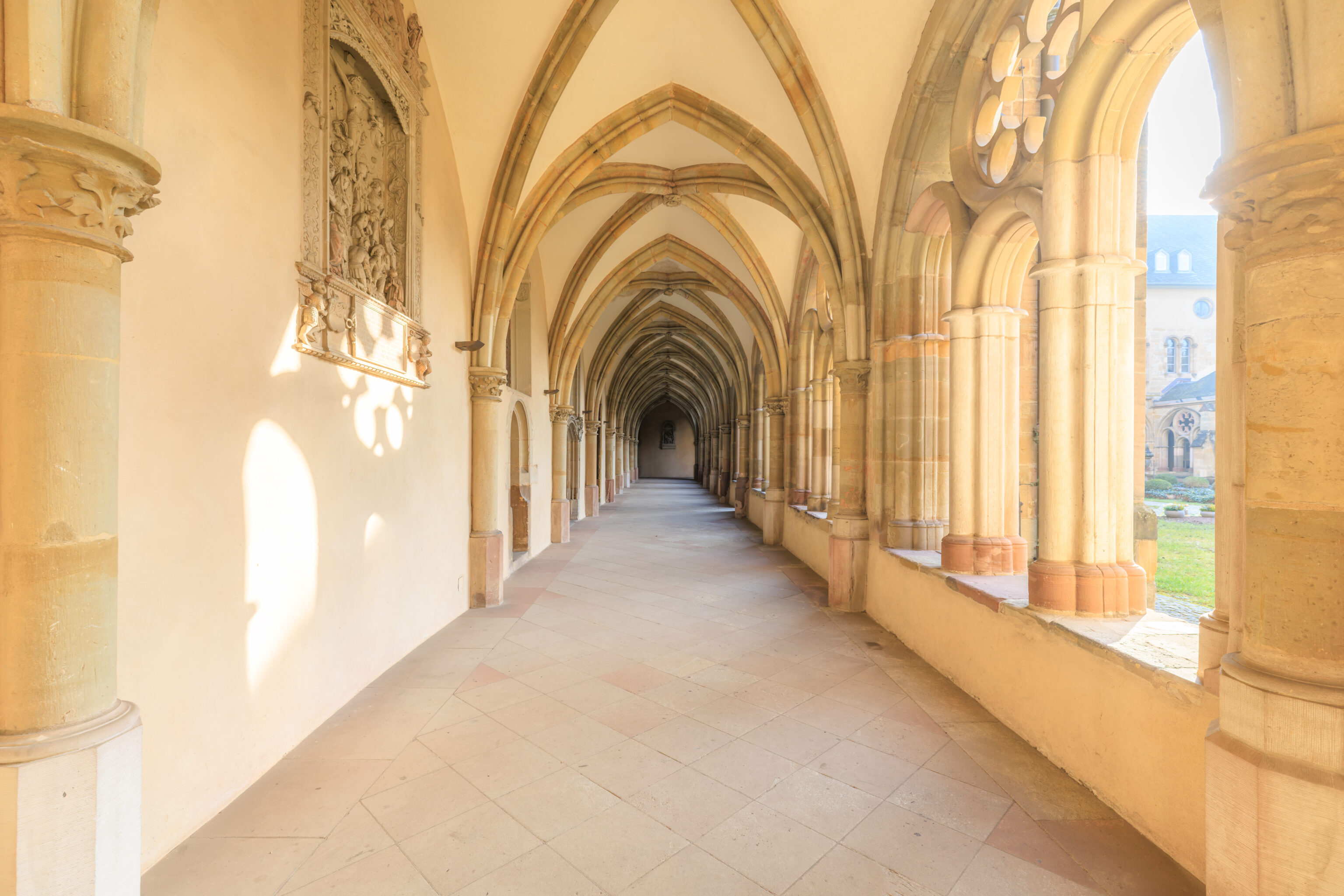
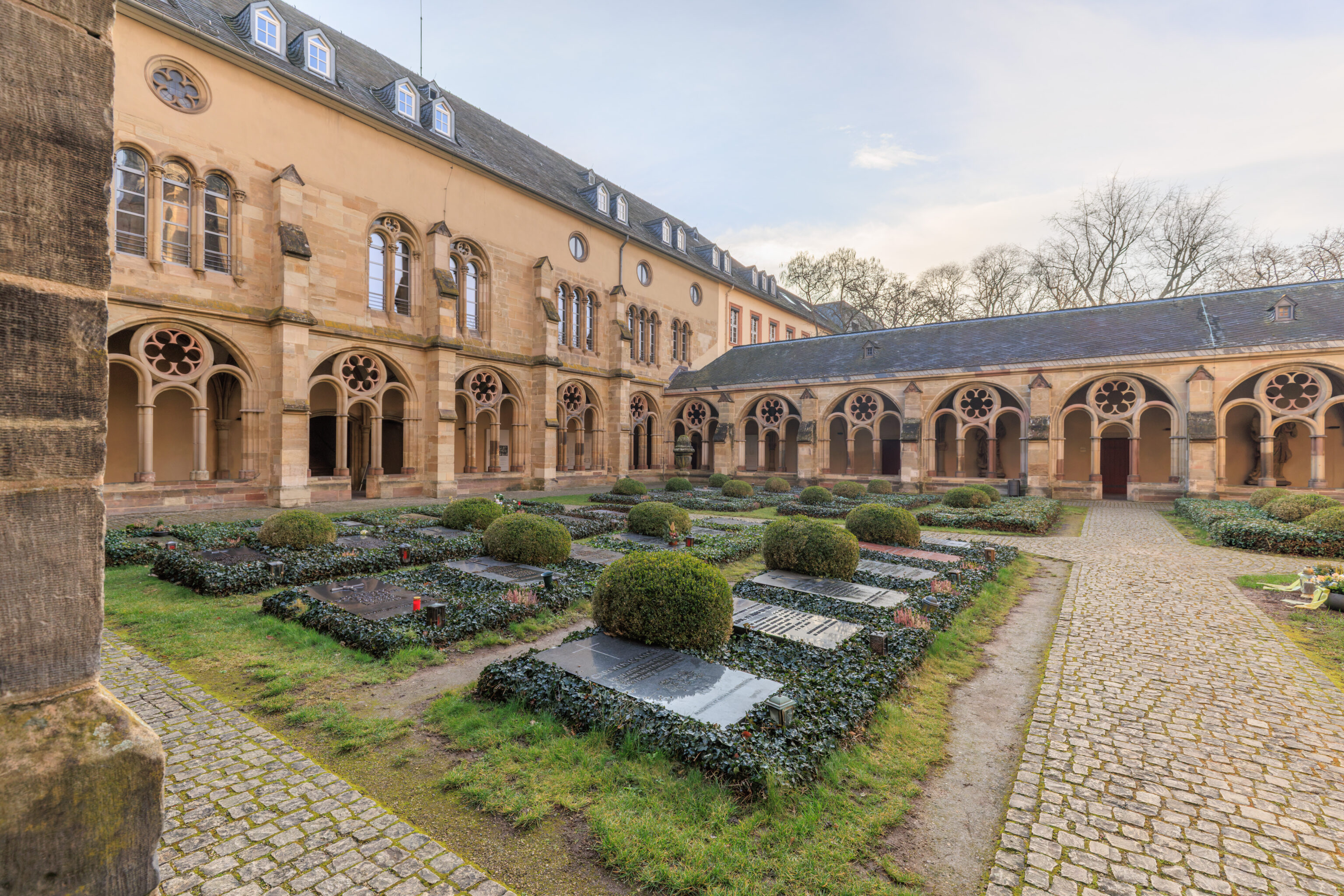
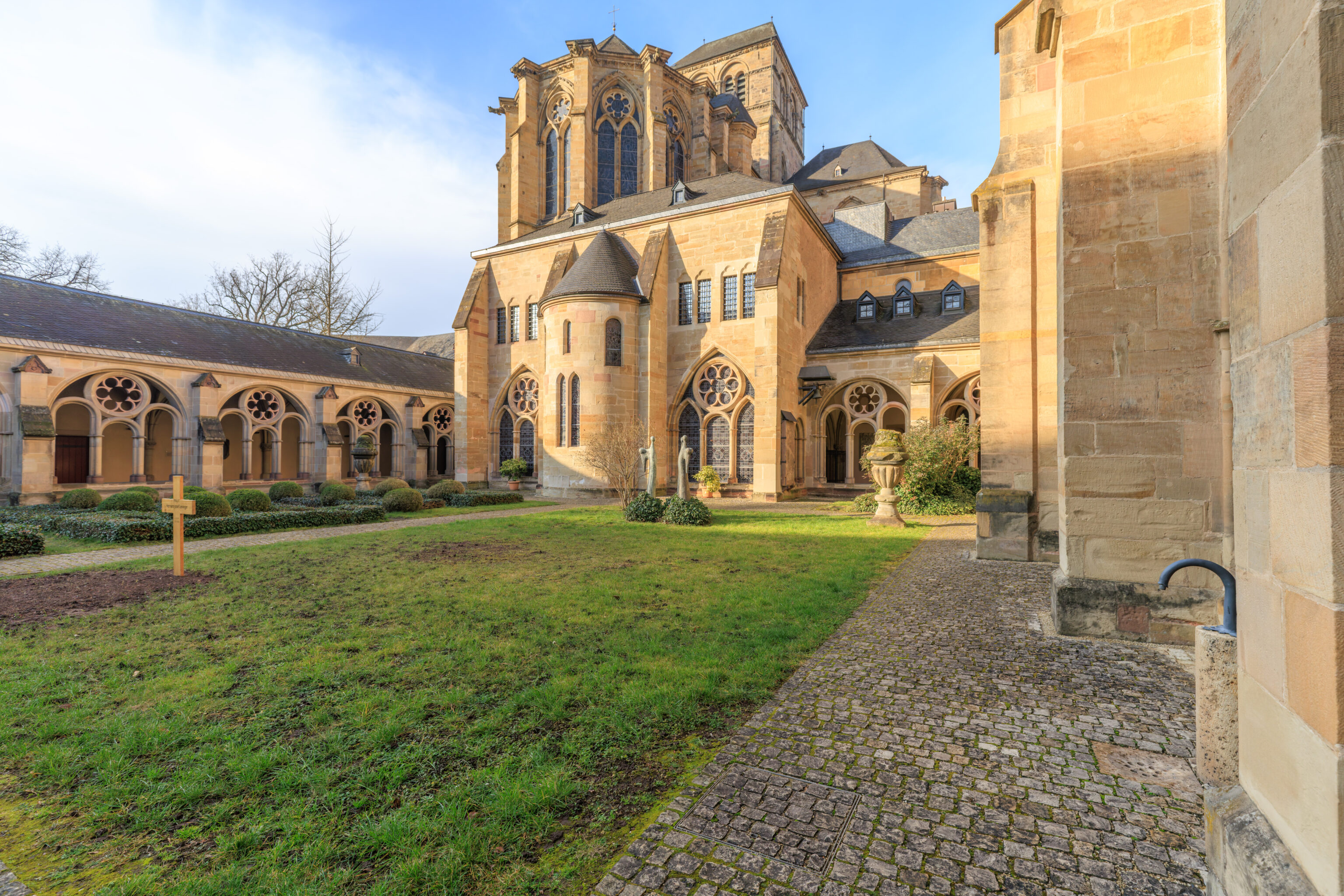
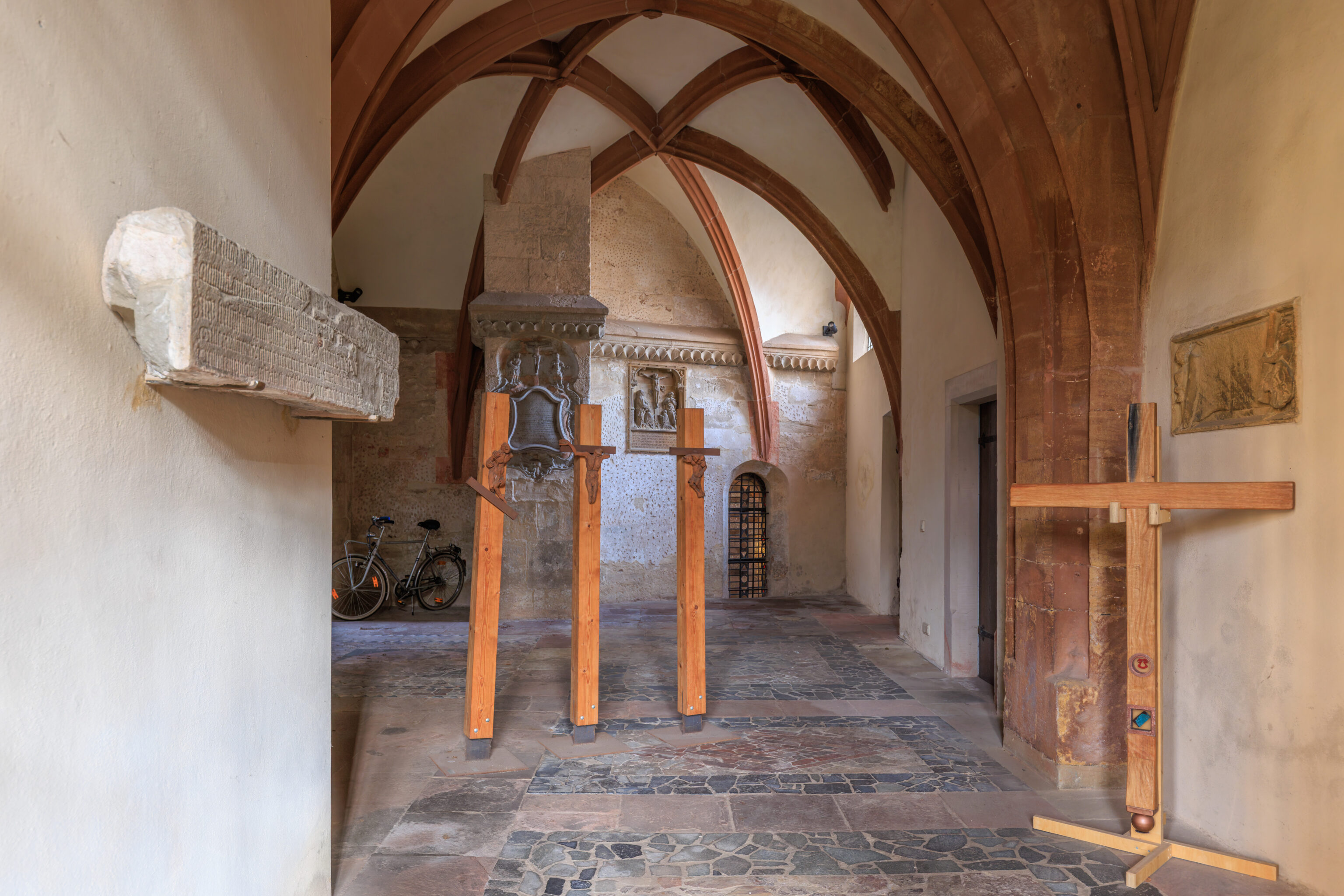
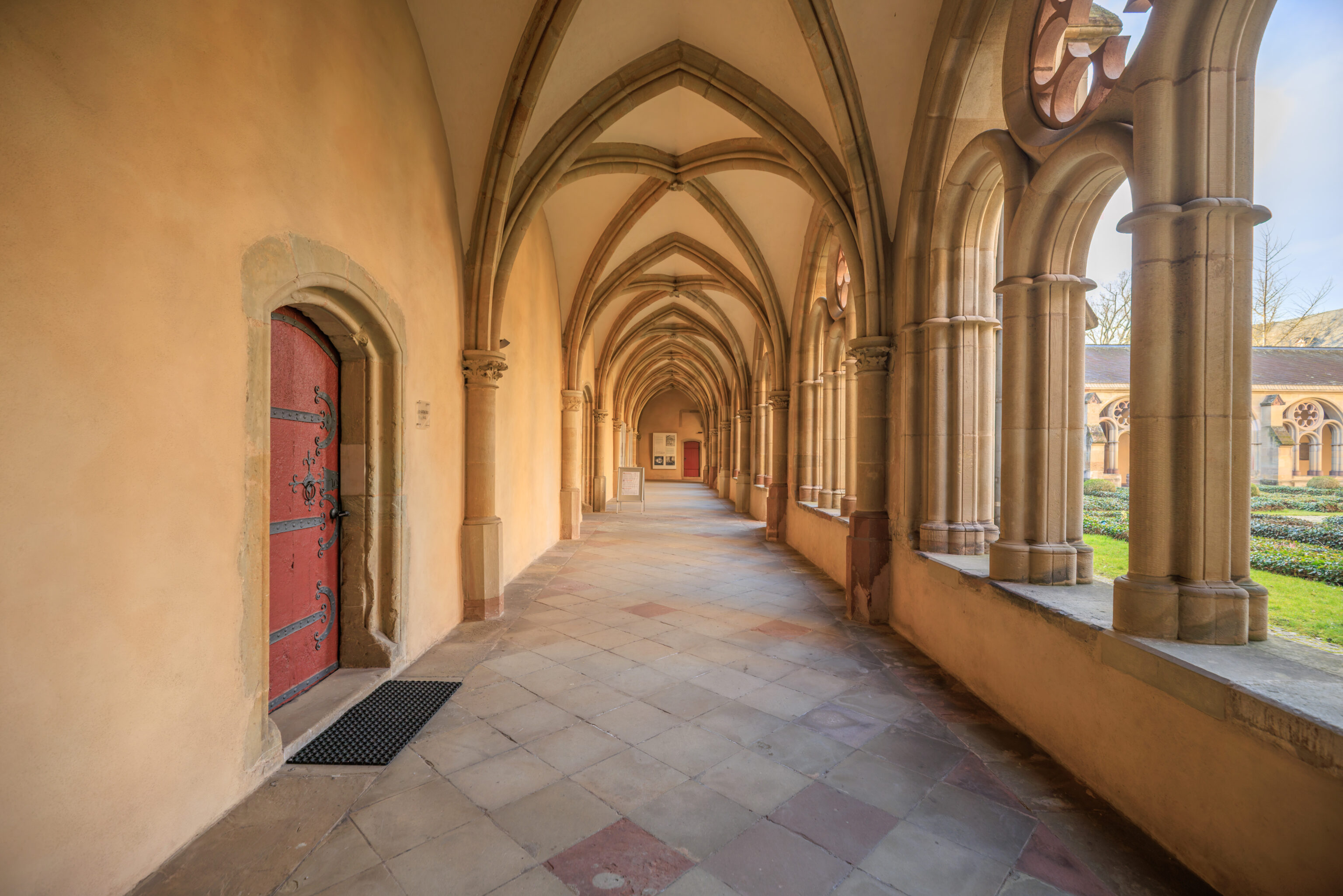
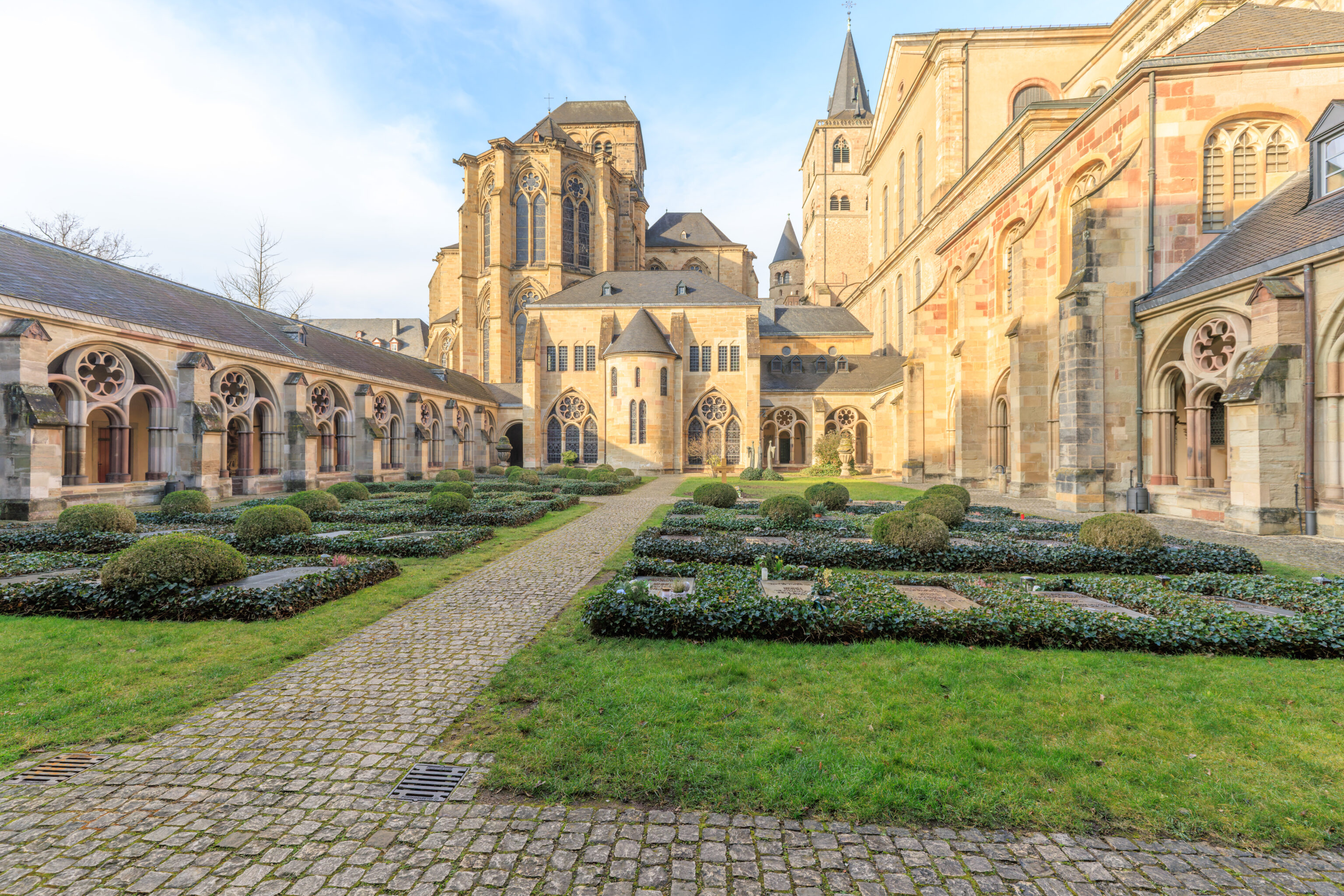
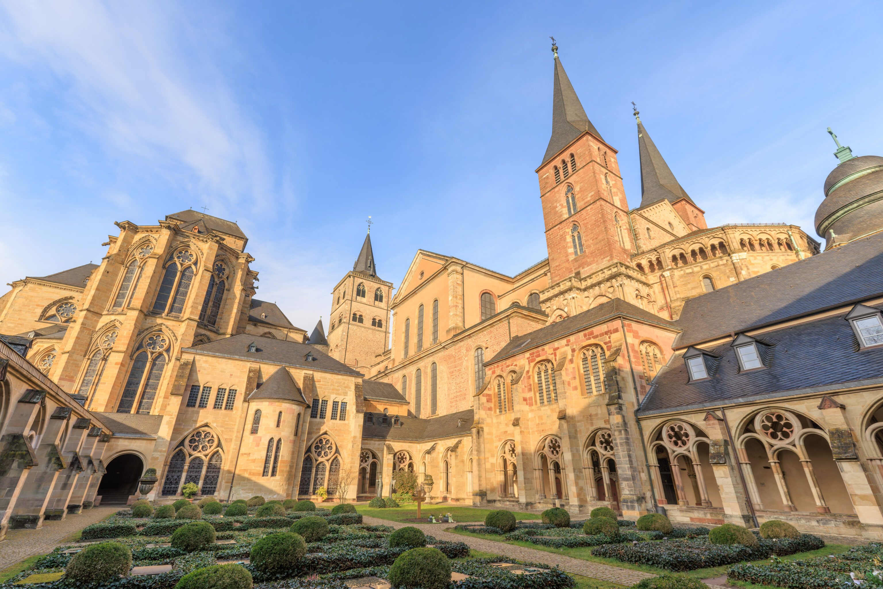
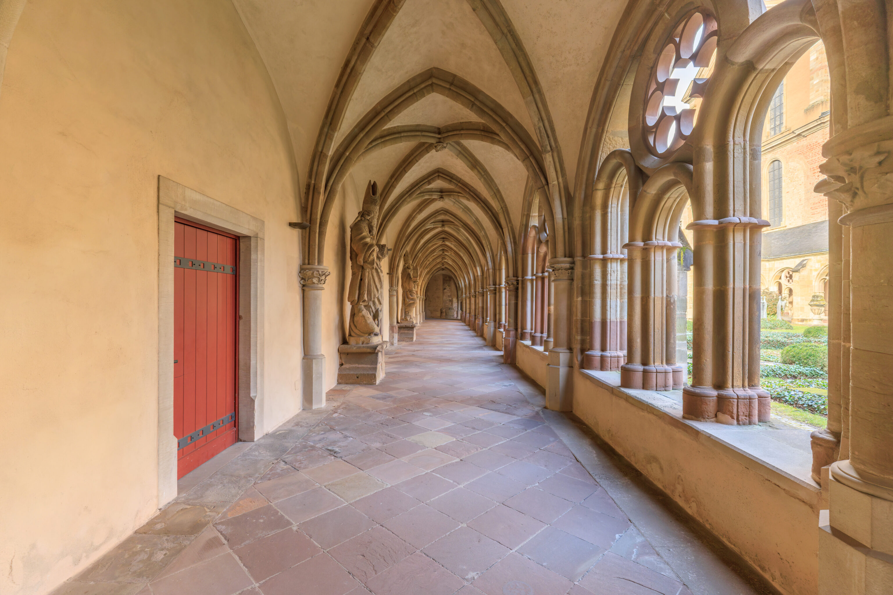
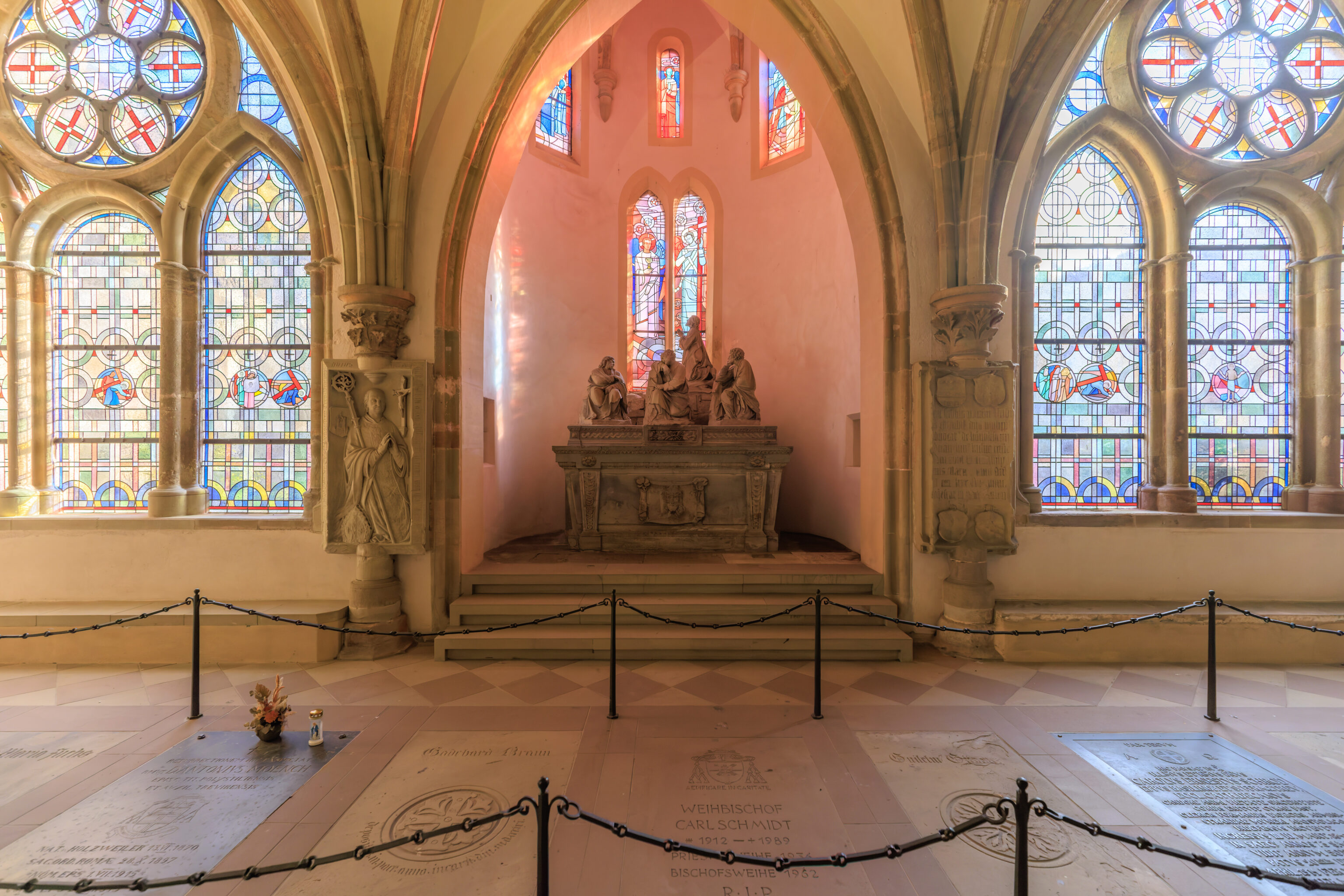
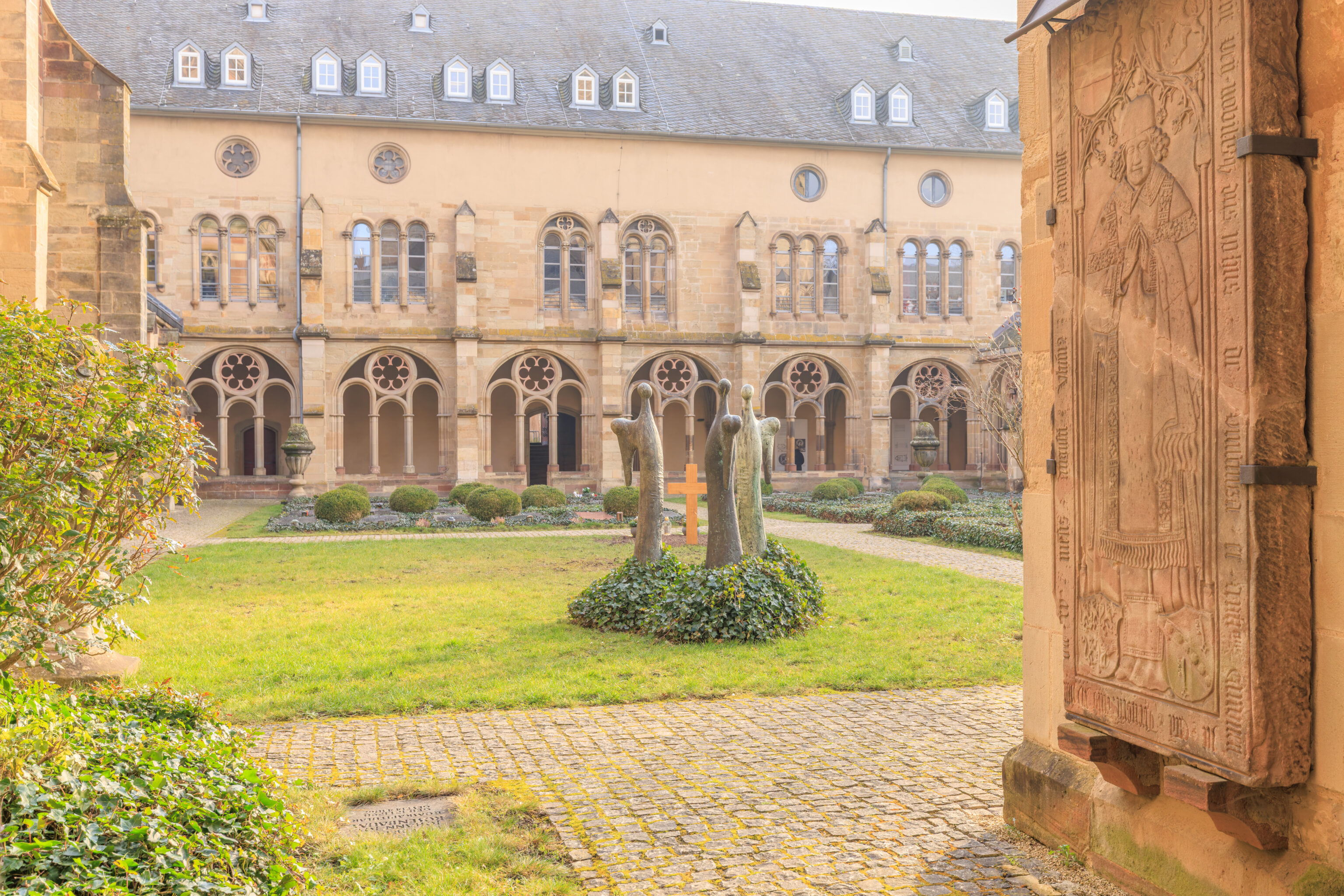
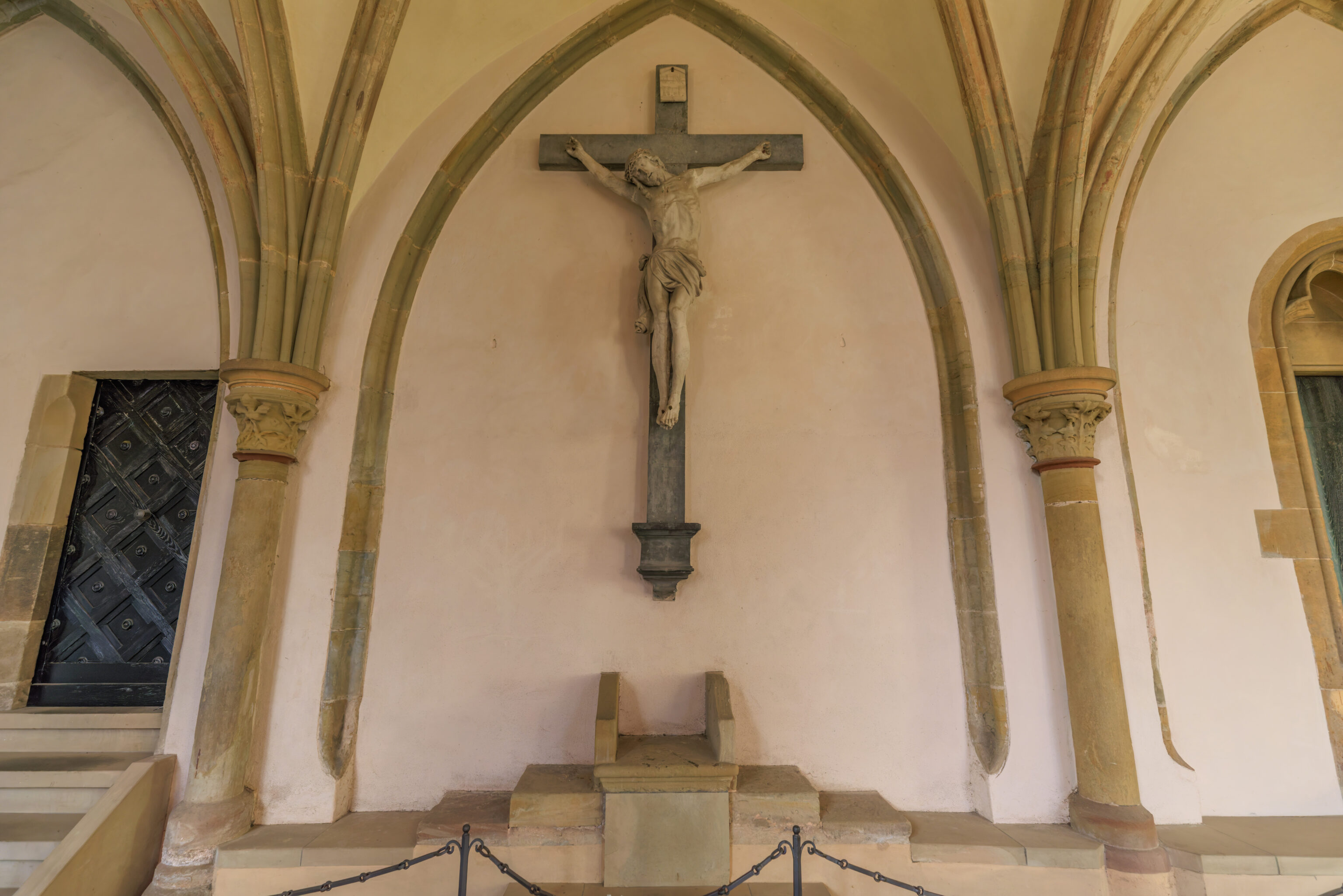
We continued on into the cloister on the southeastern side of the cathedral. The west end of the cloister is connected to both the cathedral and adjacent Liebfrauenkirche. We thought there should be some way to enter the Liebfrauenkirche, however, we did not see any obvious entrance.
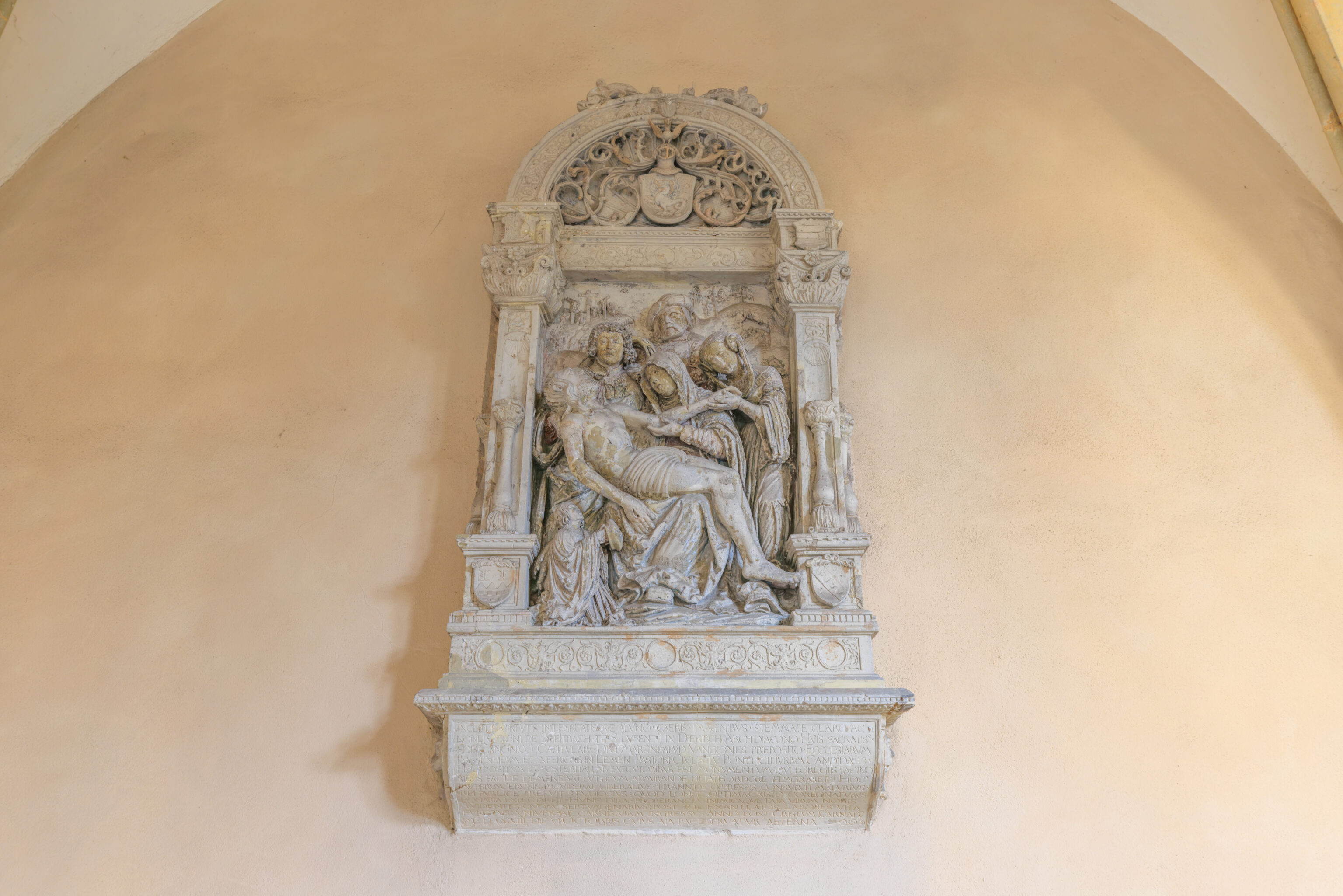
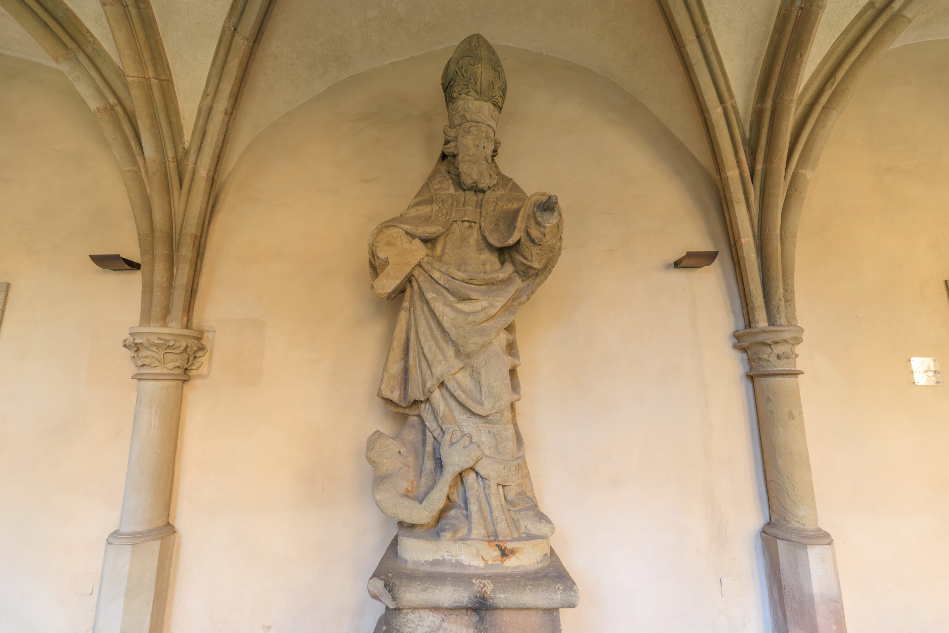
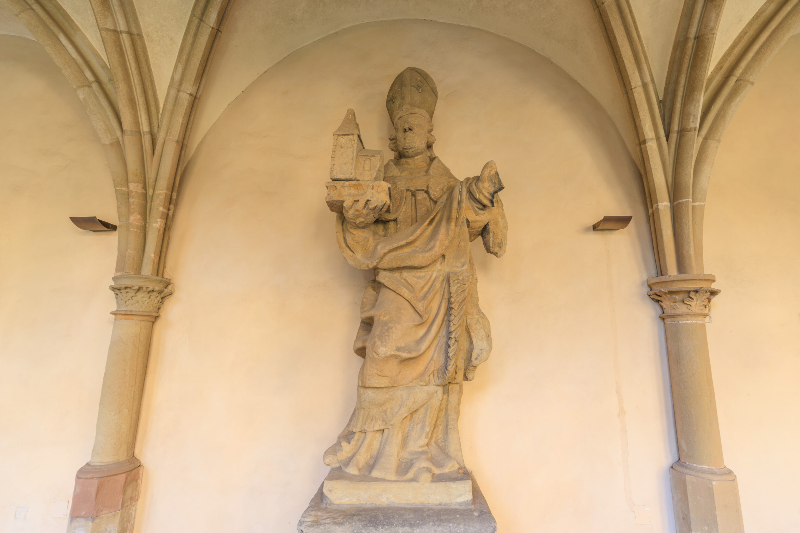
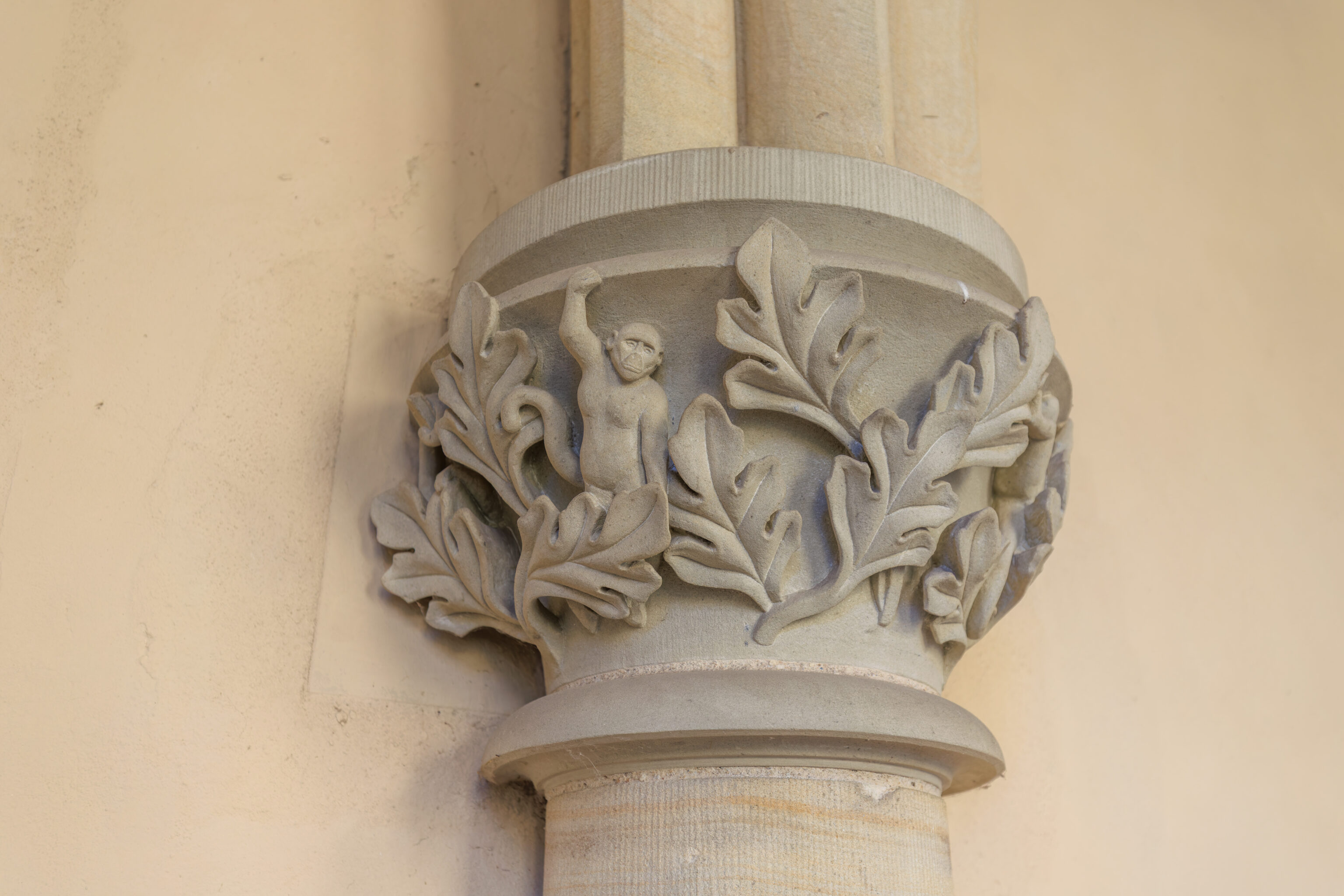
There were statues and other items on display.
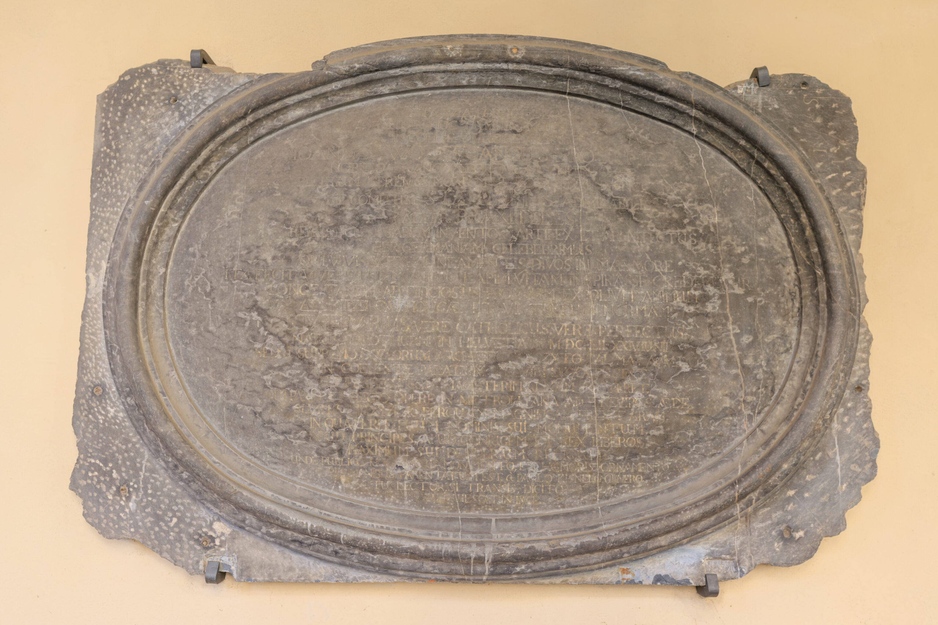
The below sign, which was in German, is a translation of the Latin text above from what seems to be a piece of the tomb of Johann Wolfgang Frölicher.
Tomb of Johann Wolfgang Frölicher Builder of the Holy Tunic Chapel
(Translated from the Latin by Nicole Beyer)

“Pause, wayfarer, and read. He who rests in this grave as one dead, yet lives in heaven, is Johann Wolfgang Frölicher, a distinguished citizen of Frankfurt am Main, a sculptor admired by several illustrious Electors and Counts—a second Praxiteles, an inventor of wondrous things, the most renowned artist and creative genius in Germany. He rendered the holy figures in marble so lifelike, imbuing them with such vivid vitality, that one might believe he had breathed life into the dead stone. Yet, with even greater artistry, he cultivated his own spirit in the teachings of the Catholic faith and the virtues—a truly Catholic, truly accomplished sculptor. He was born in Solothurn, Switzerland, on June 24, 1652; however, on the sixth day before the Kalends of May in the year 1700, the Supreme Creator of Heaven called him to the celestial palace in Trier, that he might receive the victor’s prize of the consummate master. With a royal work of Parian marble, he erected an altar in the Archbishop’s Cathedral of Trier—a structure as vast as it is magnificent—thereby leaving behind an eternal monument to his name.

He left behind a profound sense of longing among princes, his wife, and his six children. Therefore, his son-in-law, Paul Kisner, has offered this tribute to his pious soul through this public monument of love and this fitting mark of honor. Reader, as you pass by, say: May he rest in peace.”
– Text from a sign, translated from German using Google Translate.
The cathedral contains the Holy Tunic, which is the clothing worn by Jesus prior to his crucifixion. There seems to be multiple conflicting claims to this artifact. Various sources indicate that it is kept somewhere in the cathedral behind the high altar and cannot usually be seen.
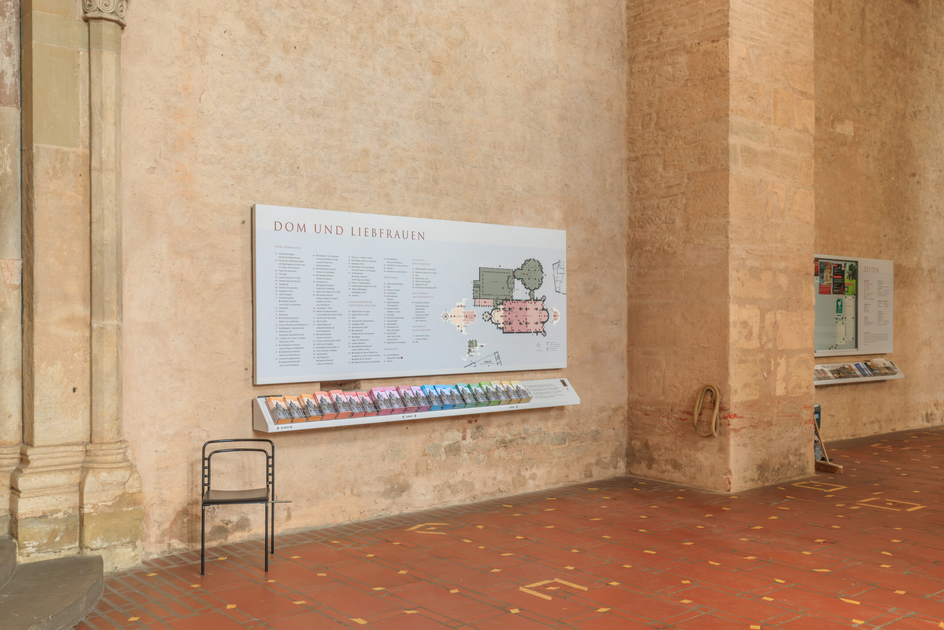
Informational pamphlets were available for €0.50. We didn’t buy one.
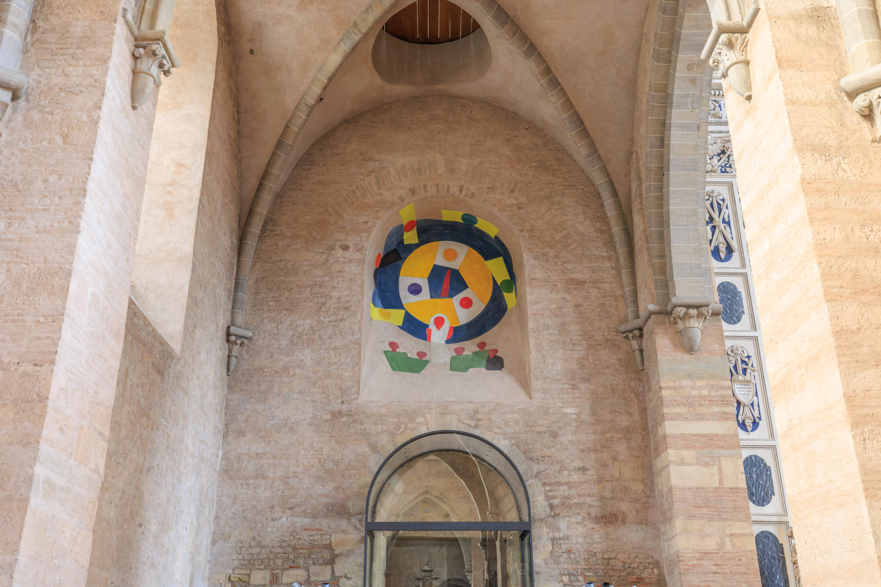
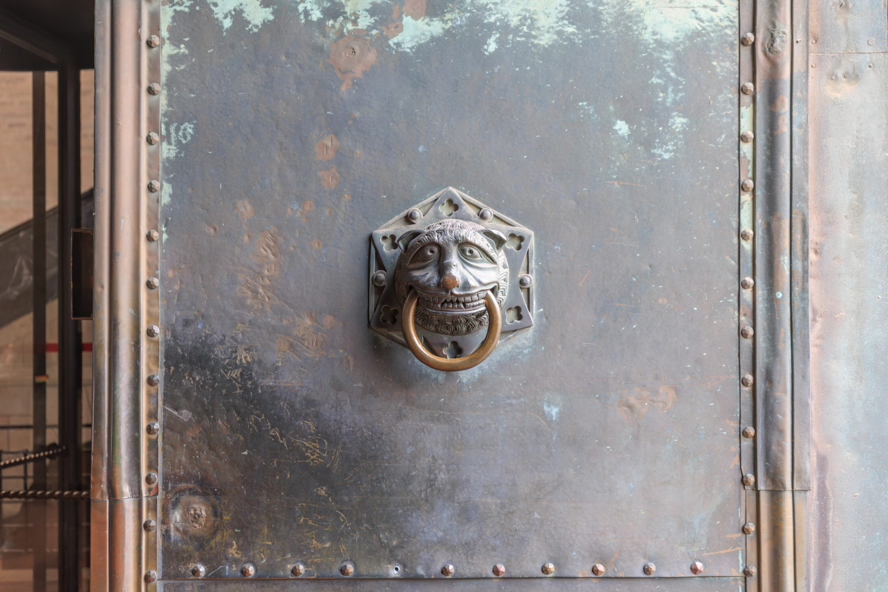
Perhaps the most unique work of art within the cathedral!
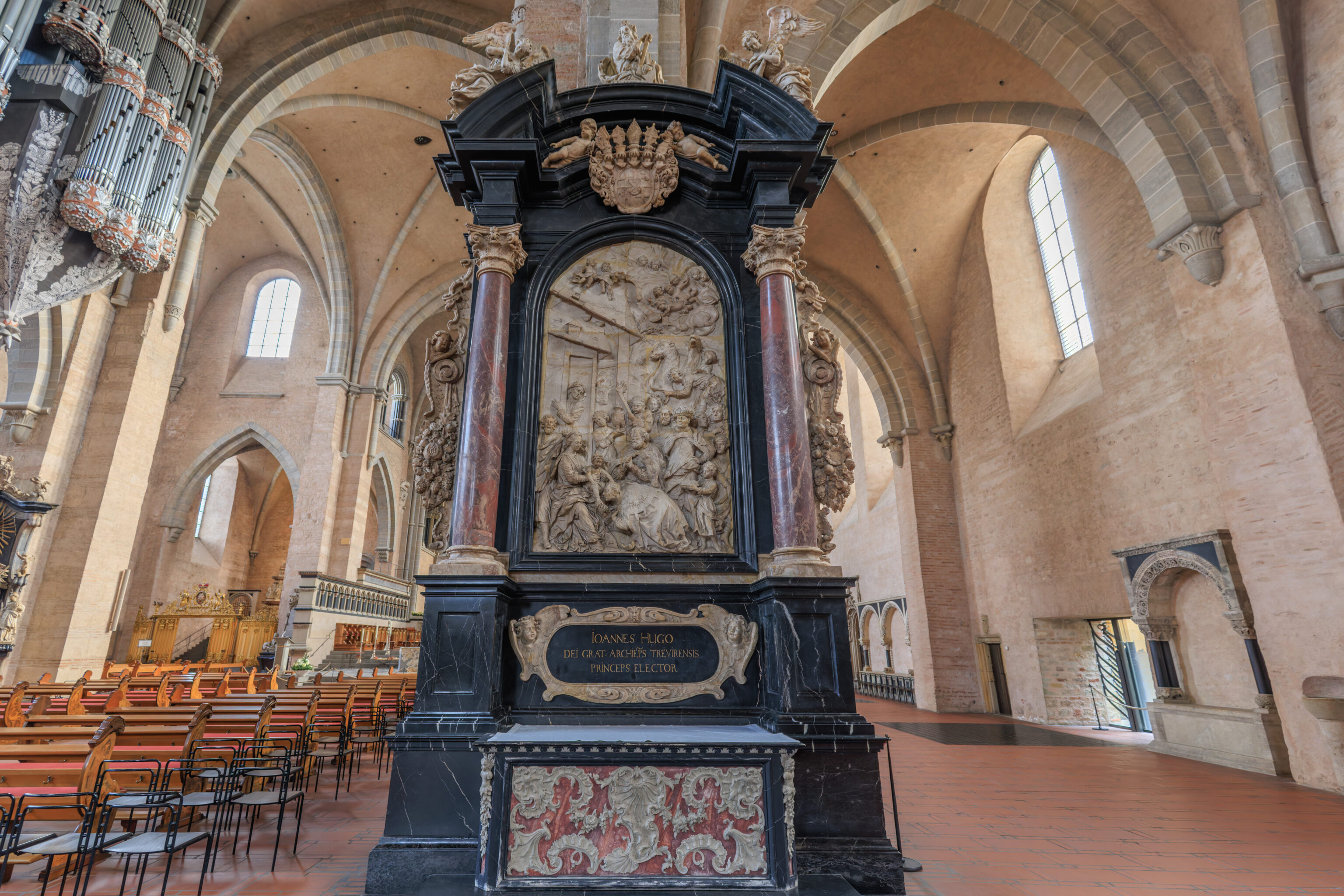
A monument Johann Hugo von Orsbeck, Archbishop and Elector of Trier.
We headed outside to head over to the adjacent Liebfrauenkirche.
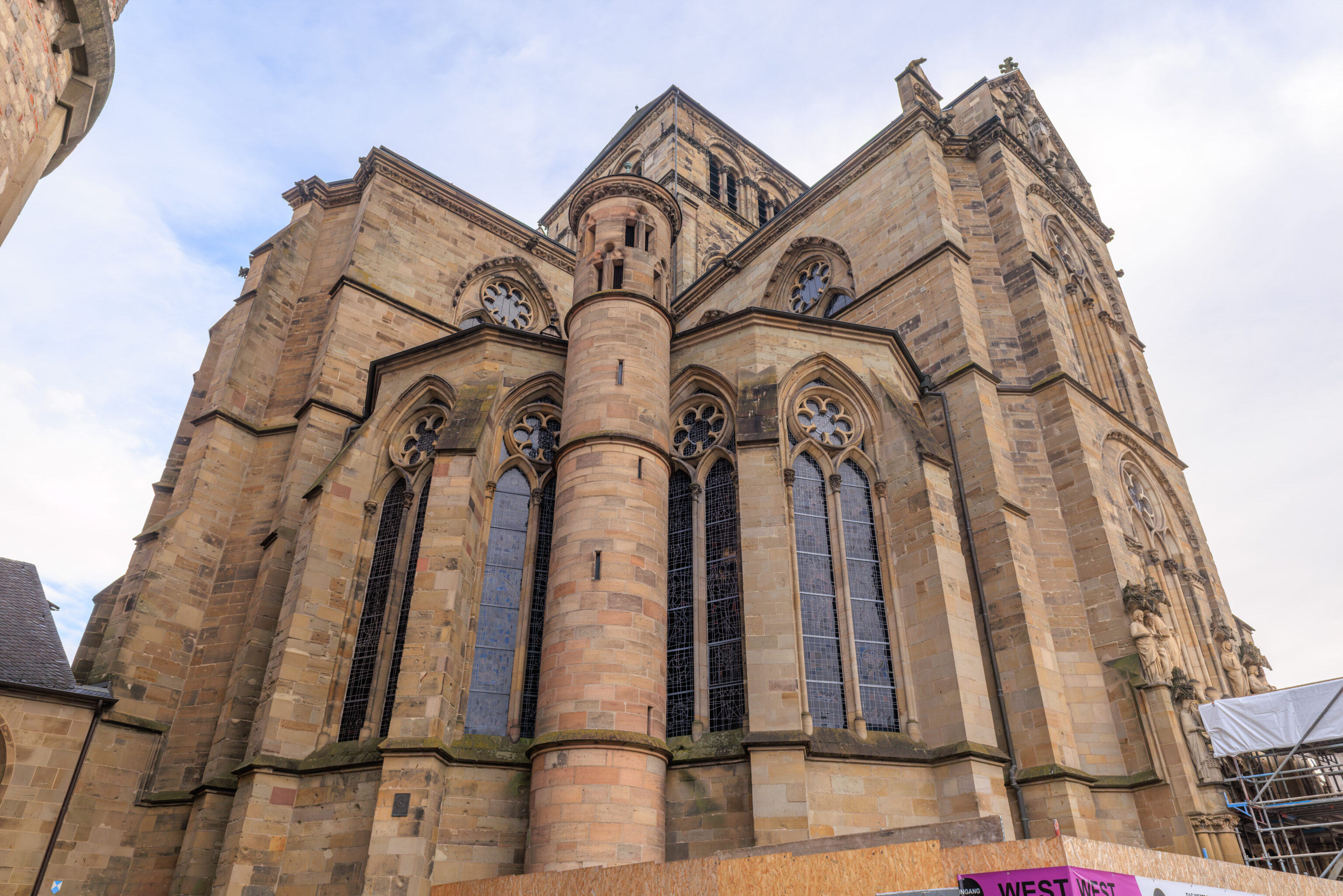
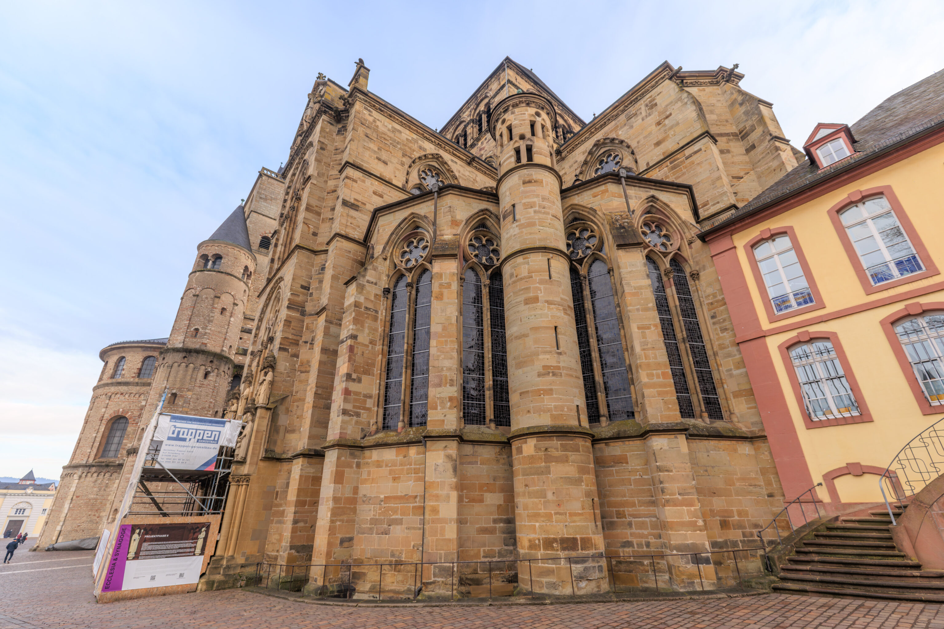
It turns out that the Liebfrauenkirche was closed!
Konstantin Basilika
We continued on to the south to visit the nearby Konstantin Basilika (Basilica of Constantine).
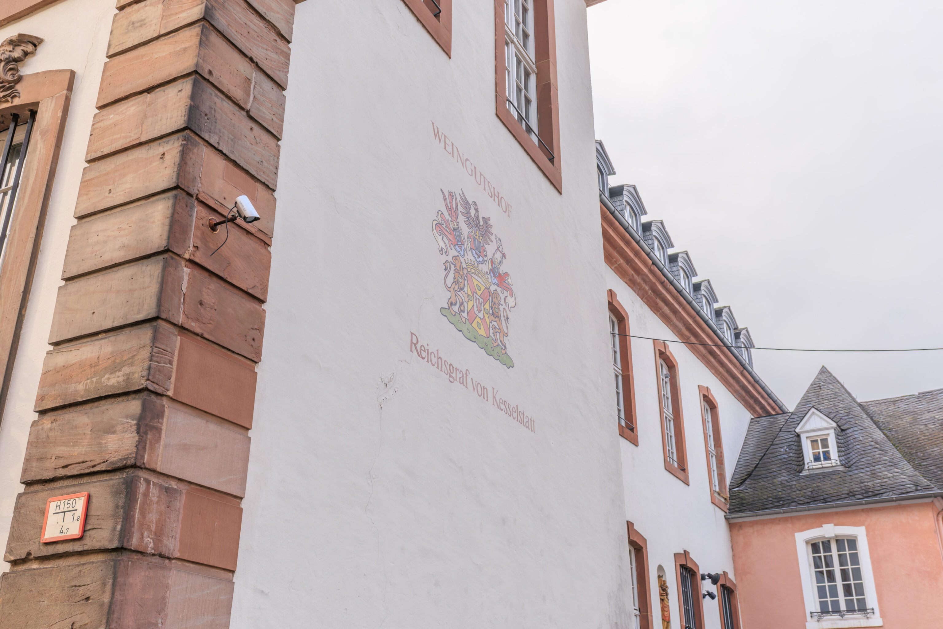
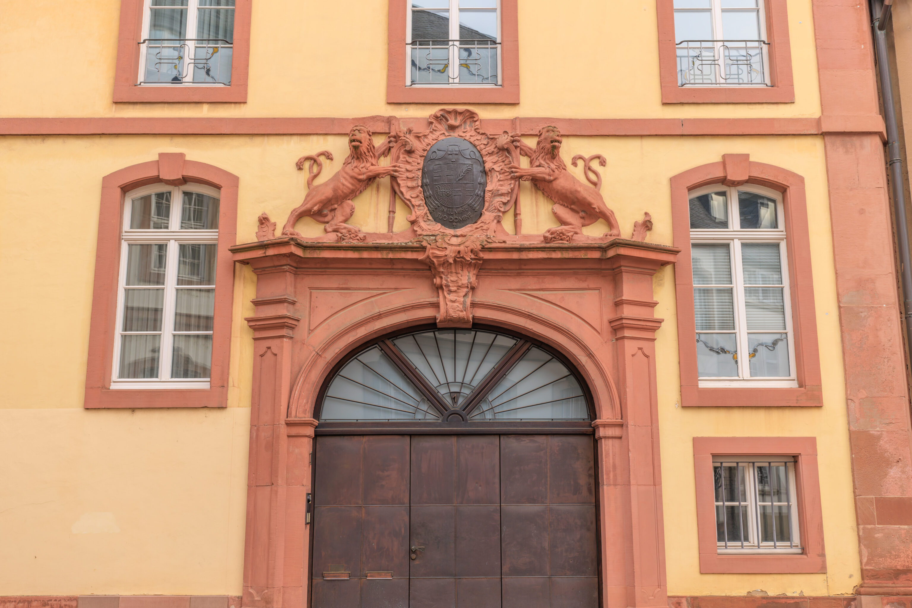
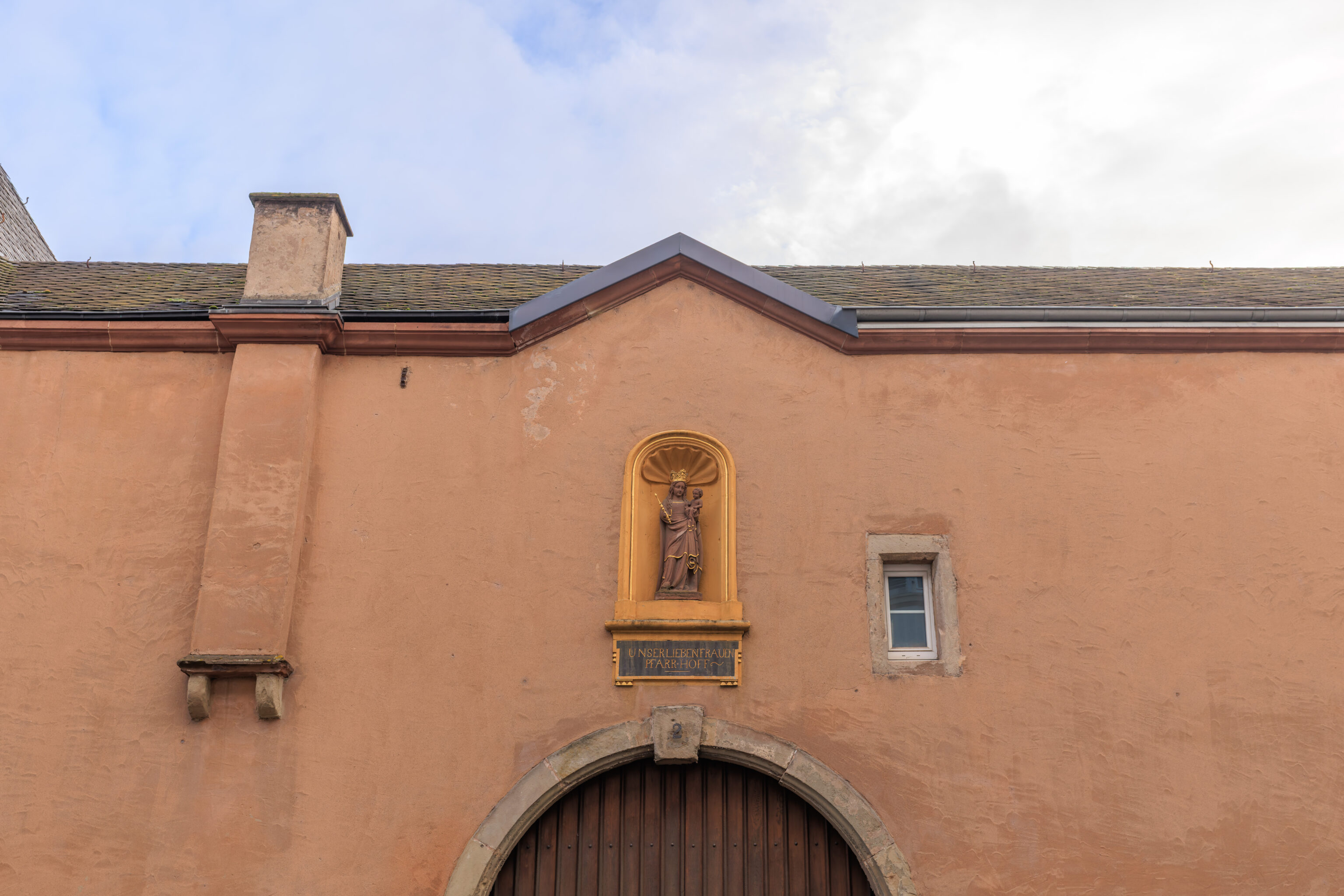
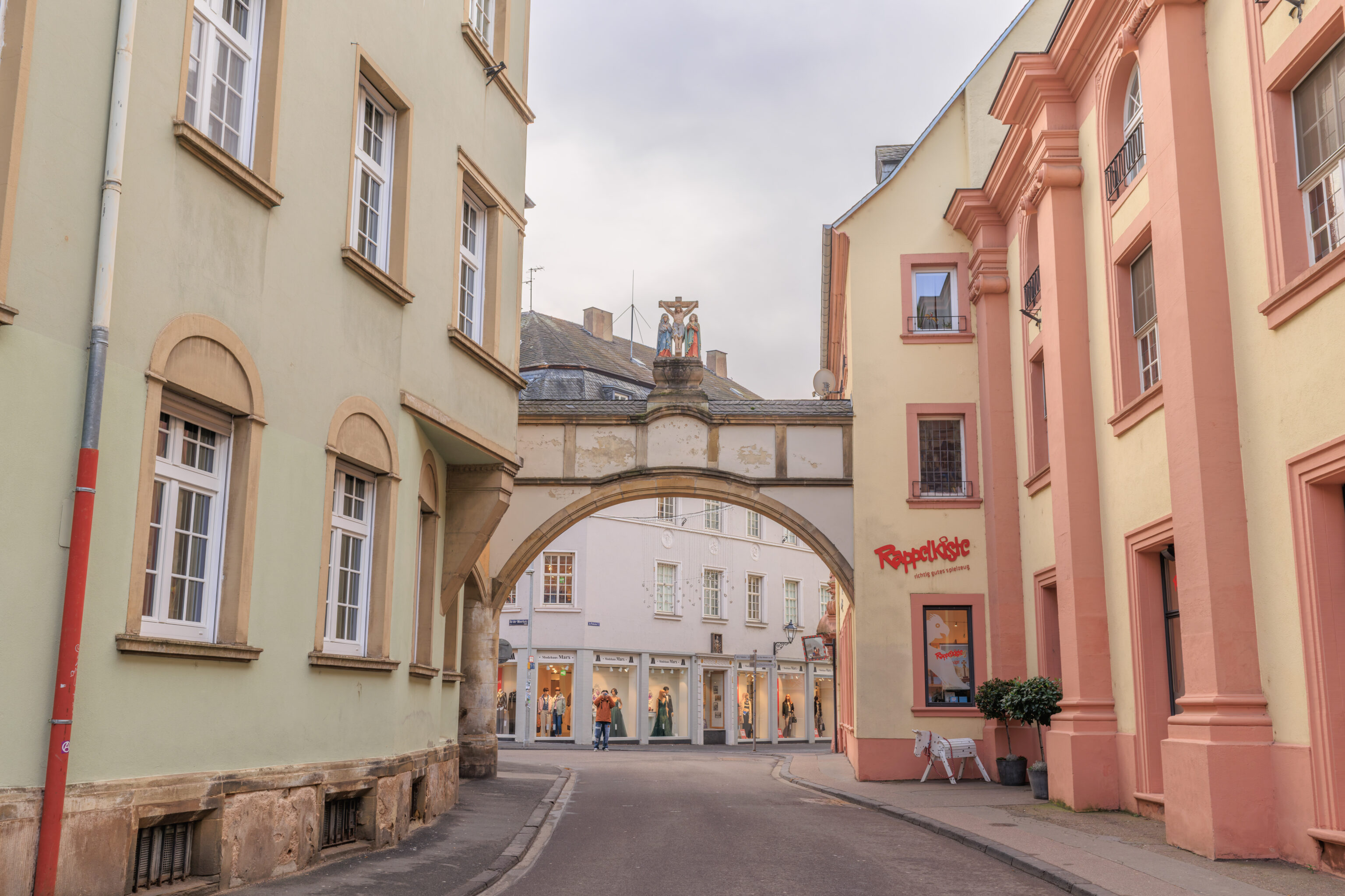
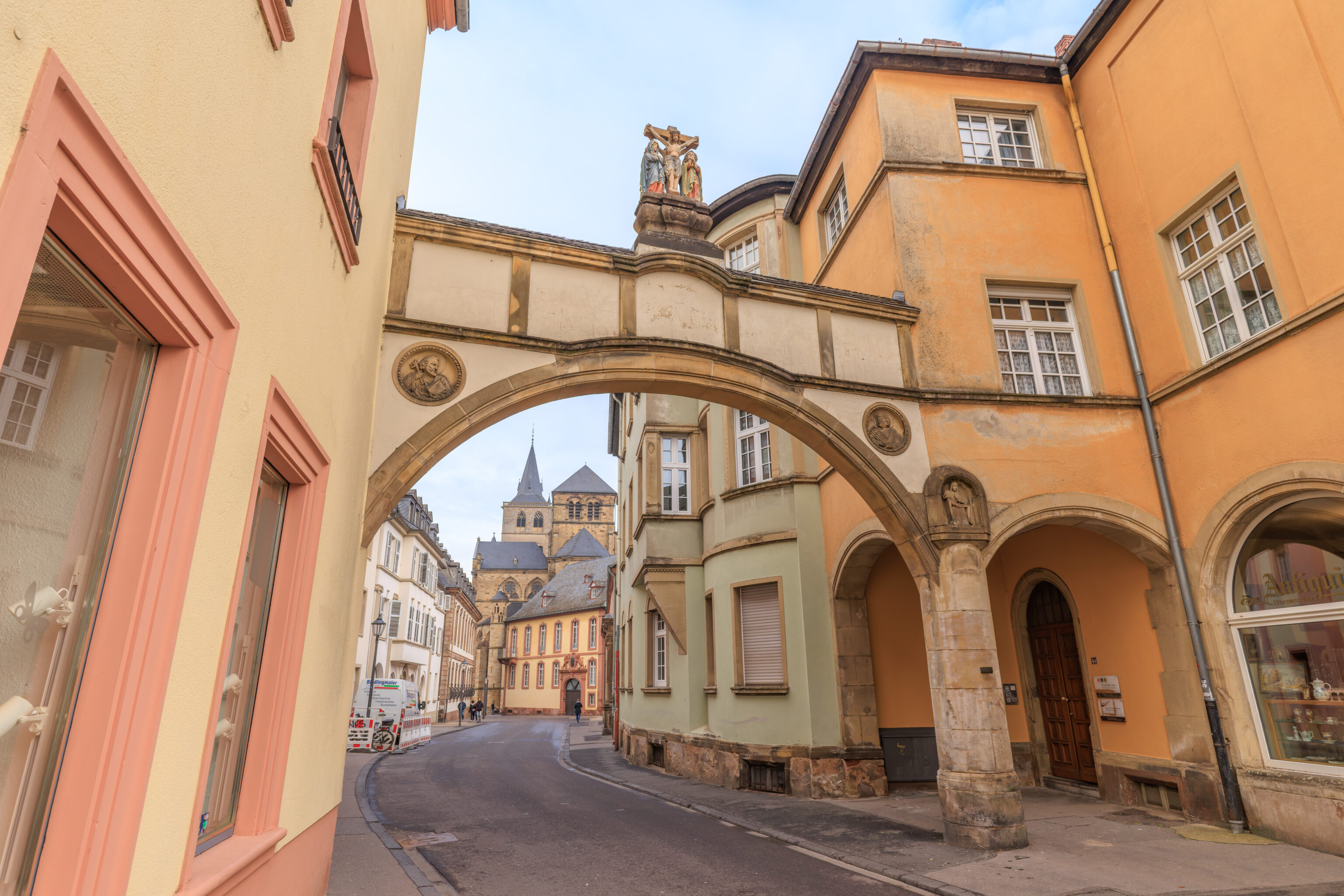
We walked to the south down the street until we passed through an arch between the buildings on either side.
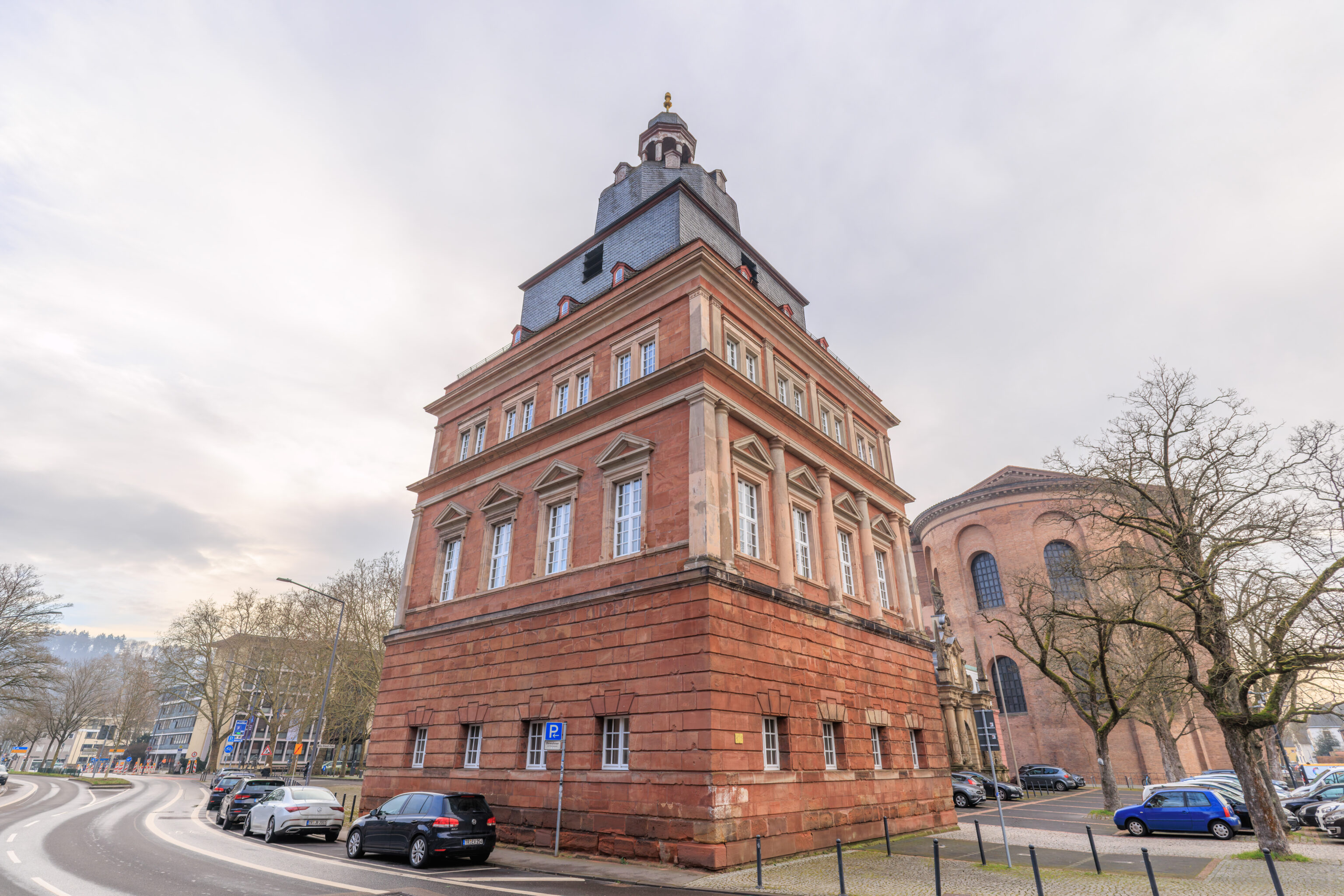
We then walked and turned to the left, going east. This building is the Roter Turm (Red Tower). It was built in 1647 and has served as the Konstantin Basilika’s bell tower since 1968.
We were hoping to cross the street nearby and get a closer look but it turns out there were no pedestrian crossings in sight. We ended up backtracking a little bit and crossing on he west side of the tower.
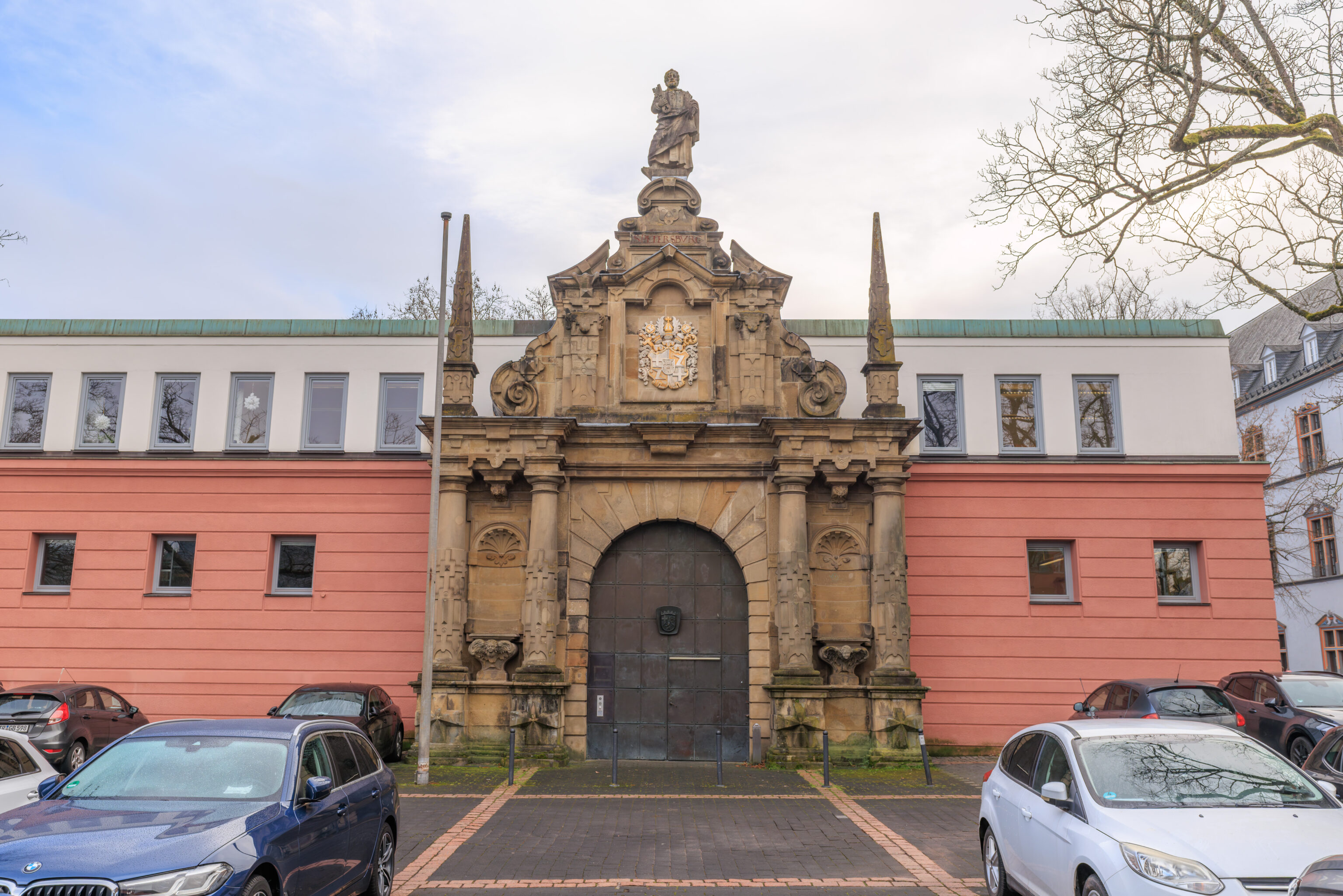
This gate is the Petersburg Portal, built in 1620. This gate and the nearby Red Tower are all that remain of the Niederschloss (Lower Castle), part of the much larger Electoral Palace which was once here.
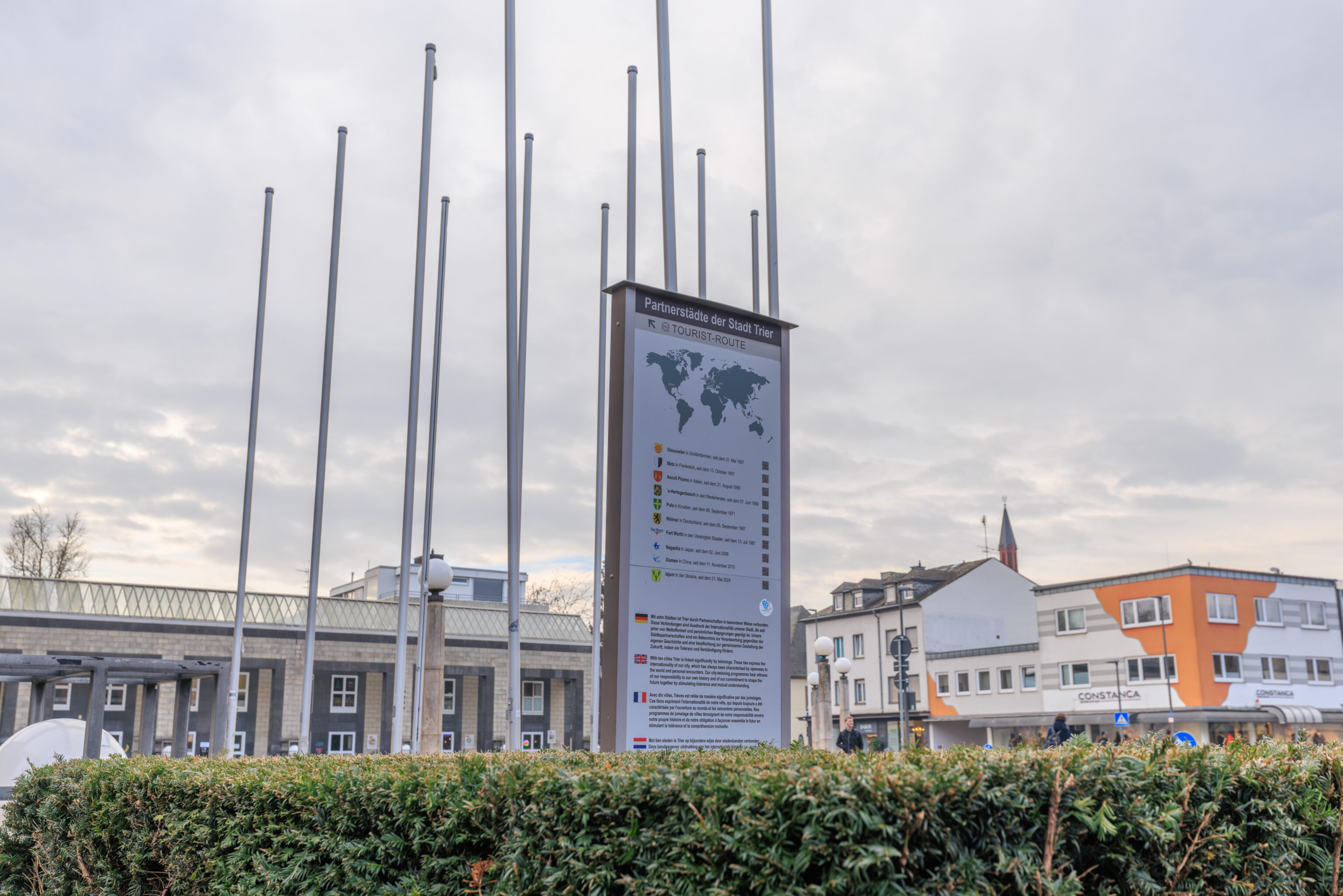
This is list a partner cities, which we probably usually refer to in English as twin or sister cities. We’ve been to exactly one, ‘s-Hertogenbosch, or Den Bosch, in the Netherlands!
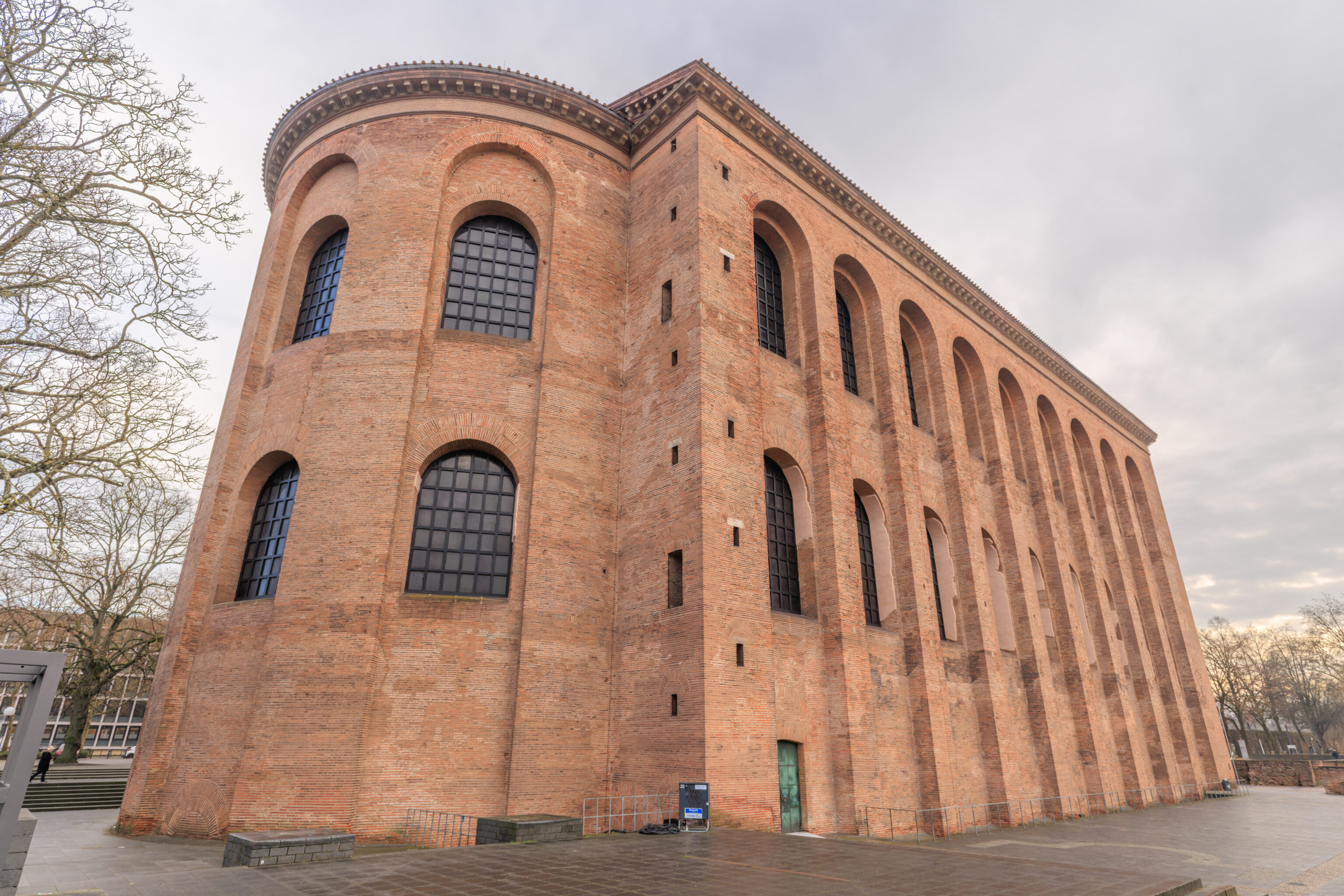
Just to the south was the rear of the Konstantin Basilika.
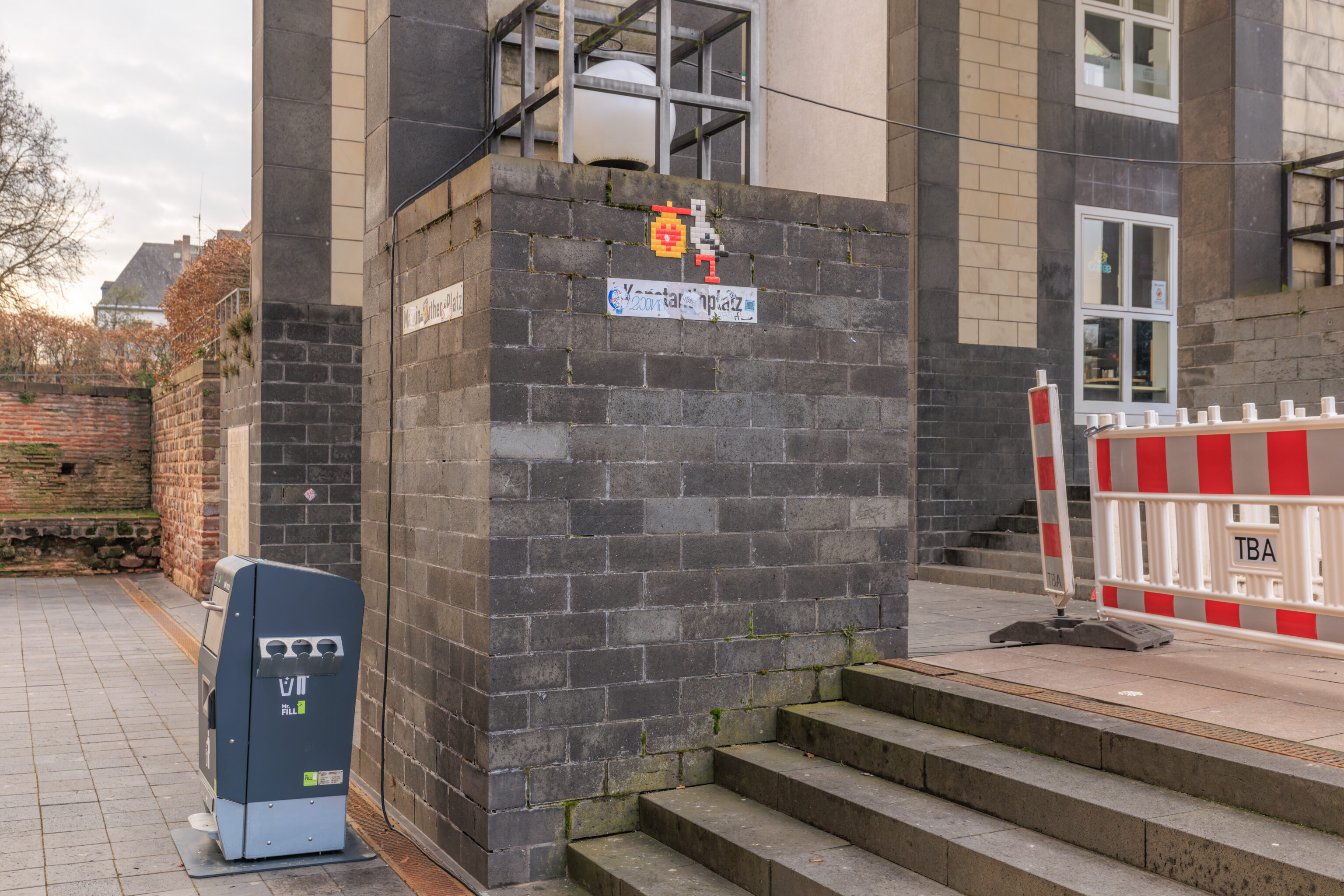
The pixel art sticker above the sign is reminiscent of the new baby signs that we’ve seen in Switzerland.
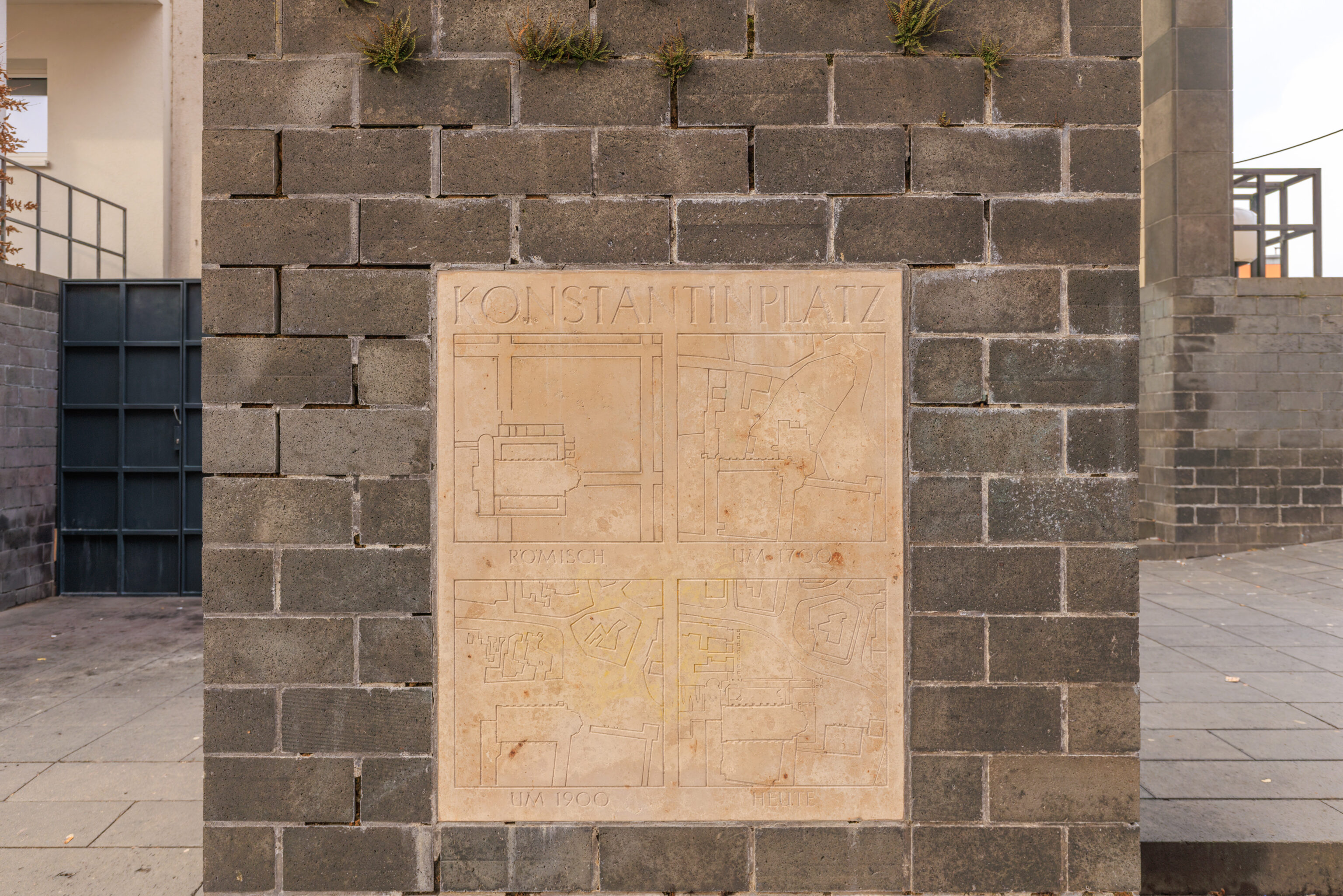
This is the Konstantinplatz (Constantine Square). This marble square shows how the area looked during Roman times, 1700, 1900, and now.
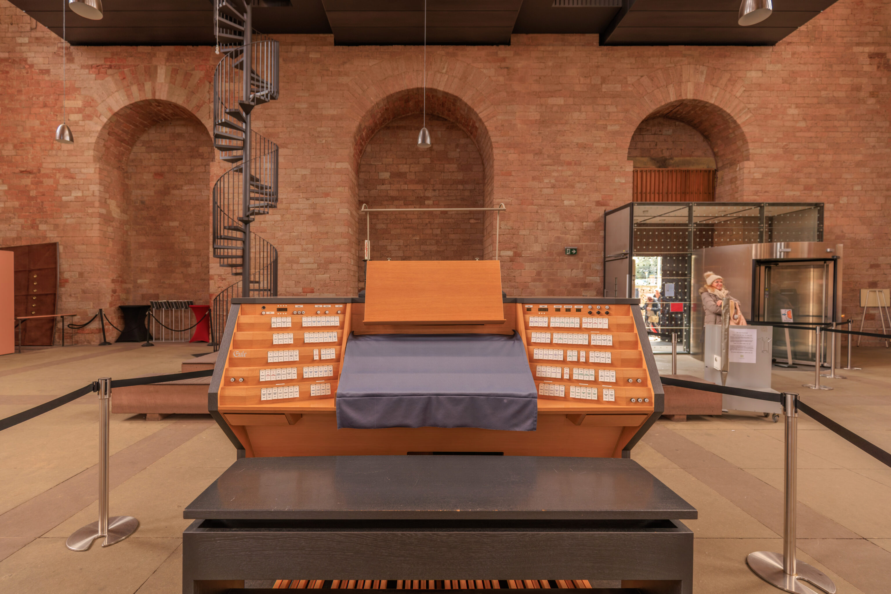
We walked into the Konstantin Basilika. Near the entrance, which is at back right in the photograph above, we noticed the keyboard or the organ.
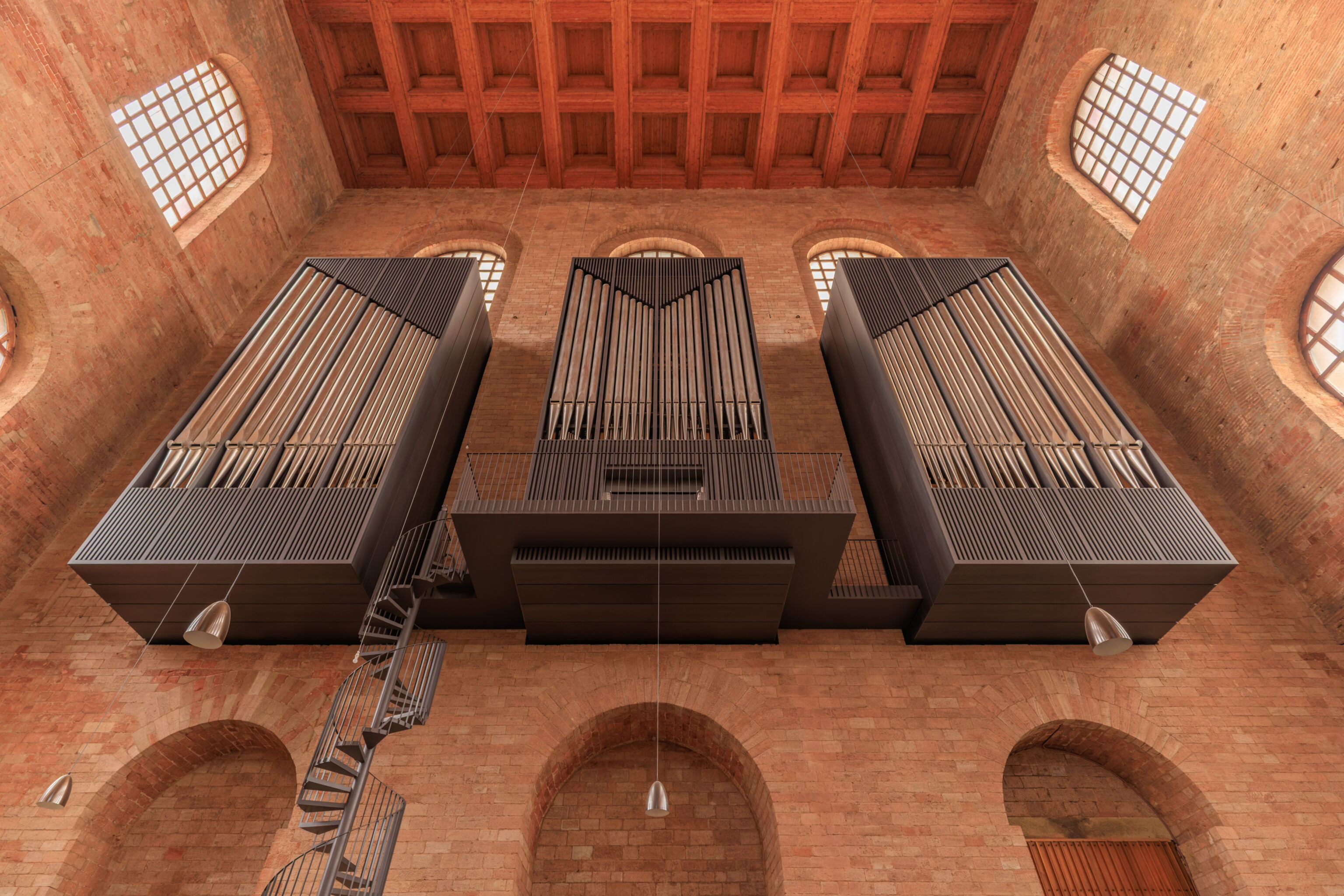
The organ was above.
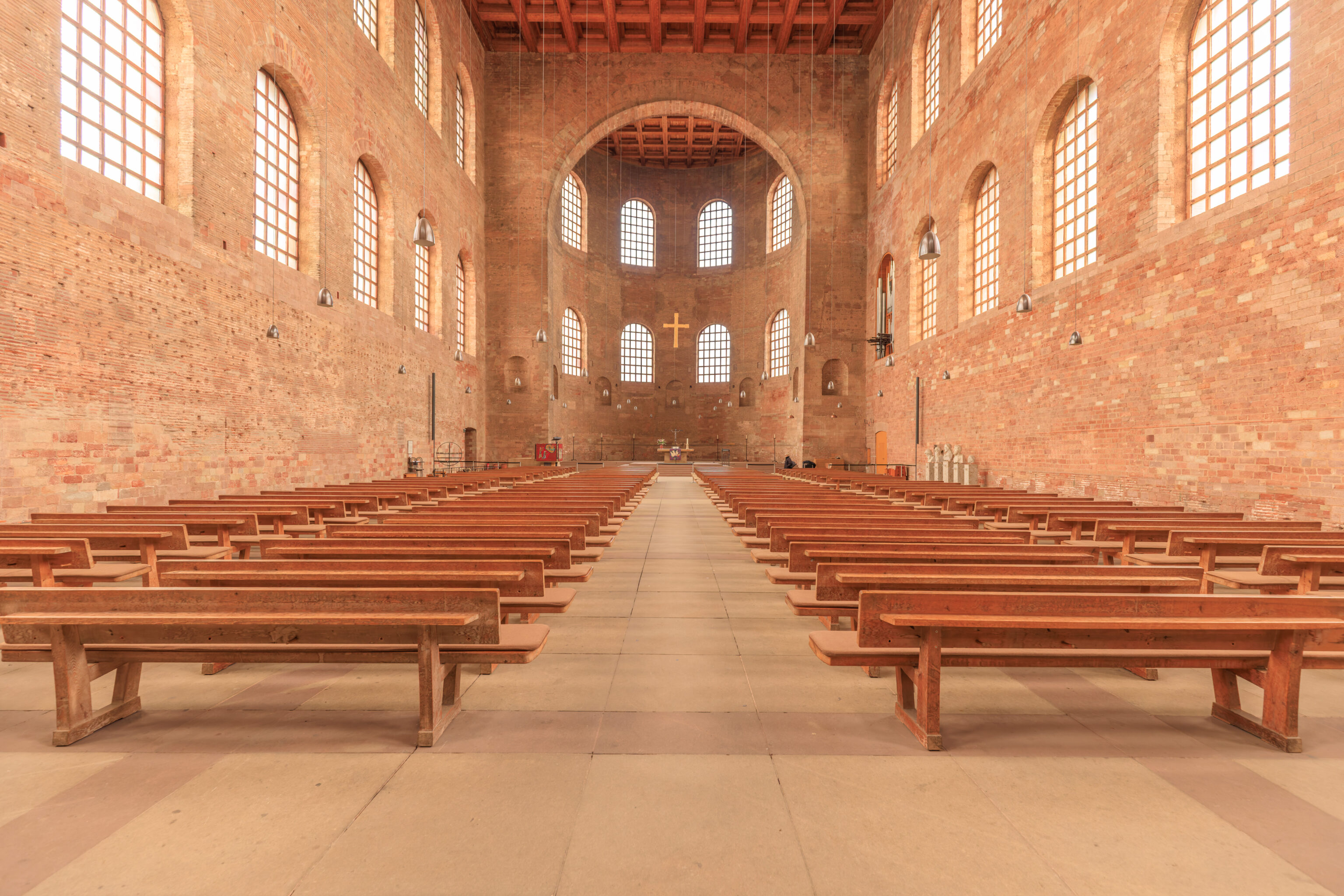
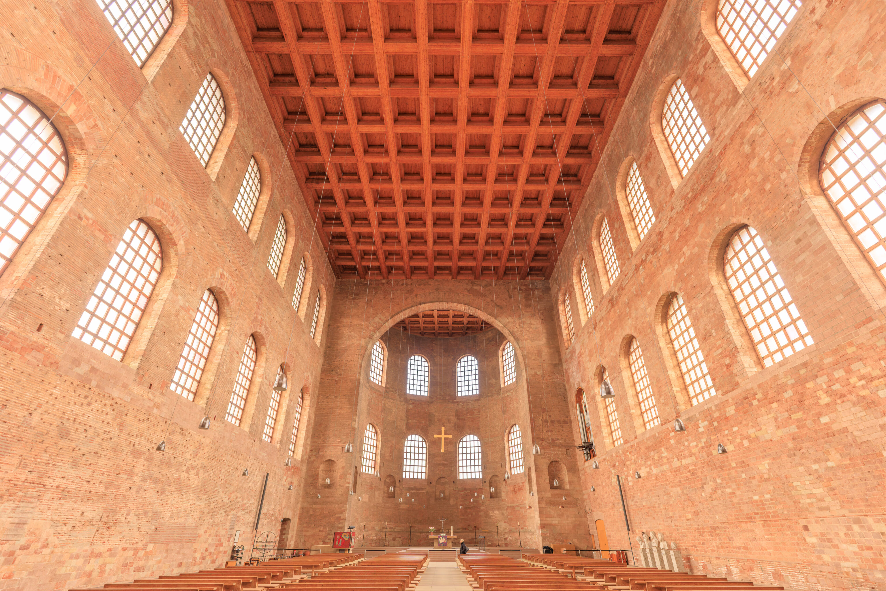
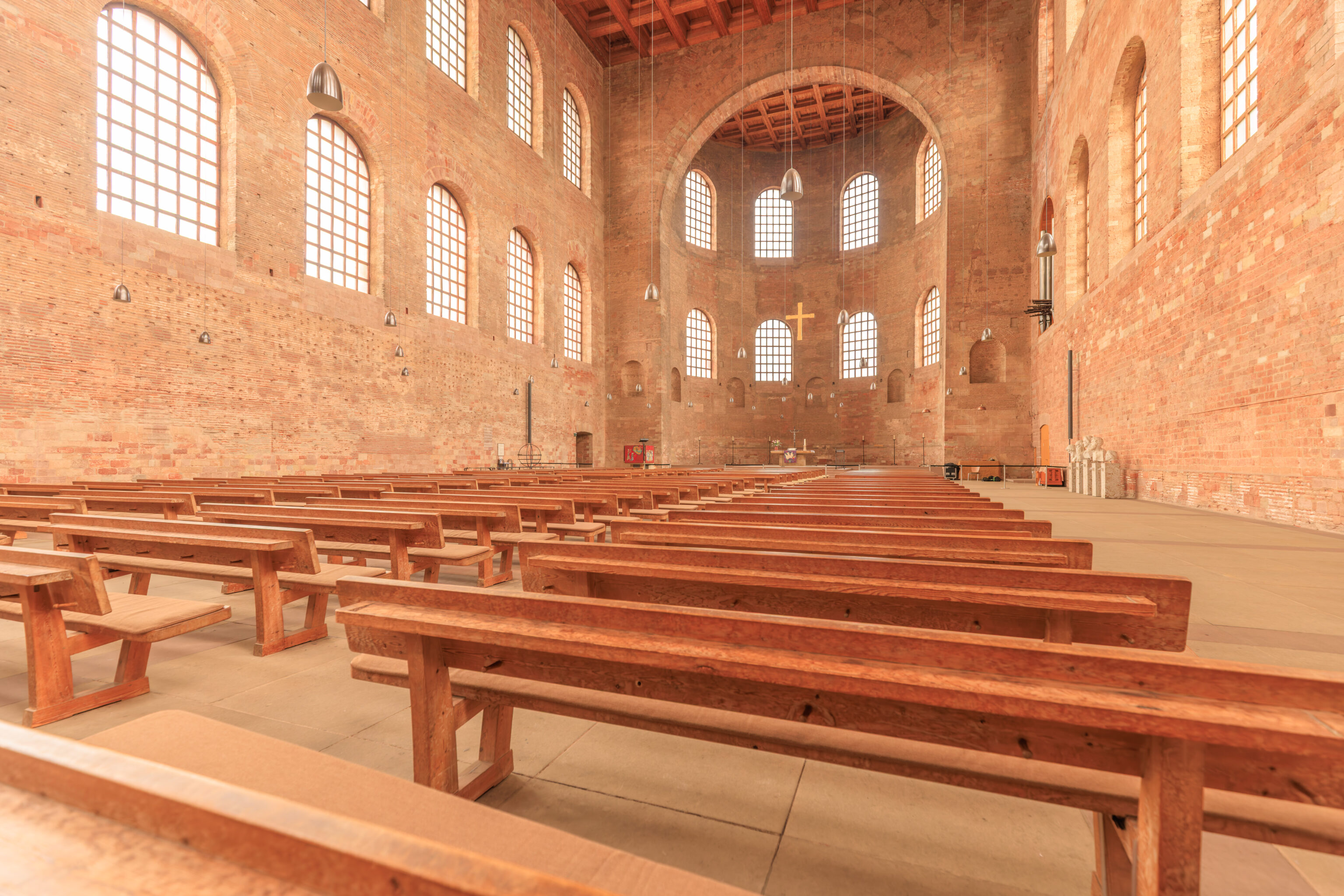
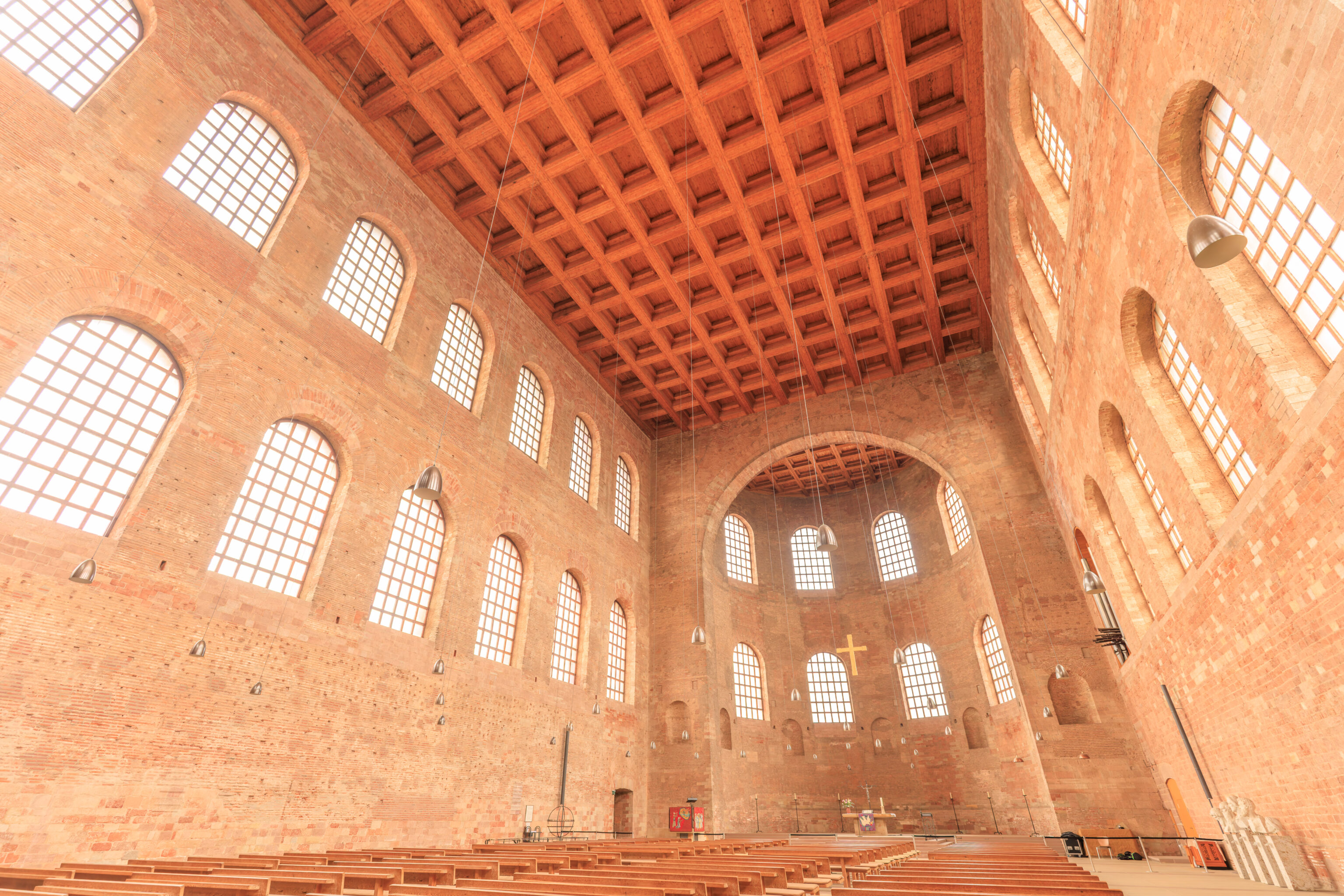
The interior of the basilica was basically one huge brick building with wooden ceiling and mostly without any decoration. This is probably the least decorated church that we’ve been in.
The history of this place as that it was originally the Aula Palatina, an ancient Roman basilica. It became part of the Electoral Palace, which was built around it in the 16th and 17th centuries, and served as the Elector’s throne room. It became a Protestant church in the 19th century. After being nearly destroyed during World War II, it was reconstructed without any decoration. Today, it is an active church and also part of Trier’s UNESCO World Heritage Site.
Five signs within the building go into detail about its history, presented below in chronological order:
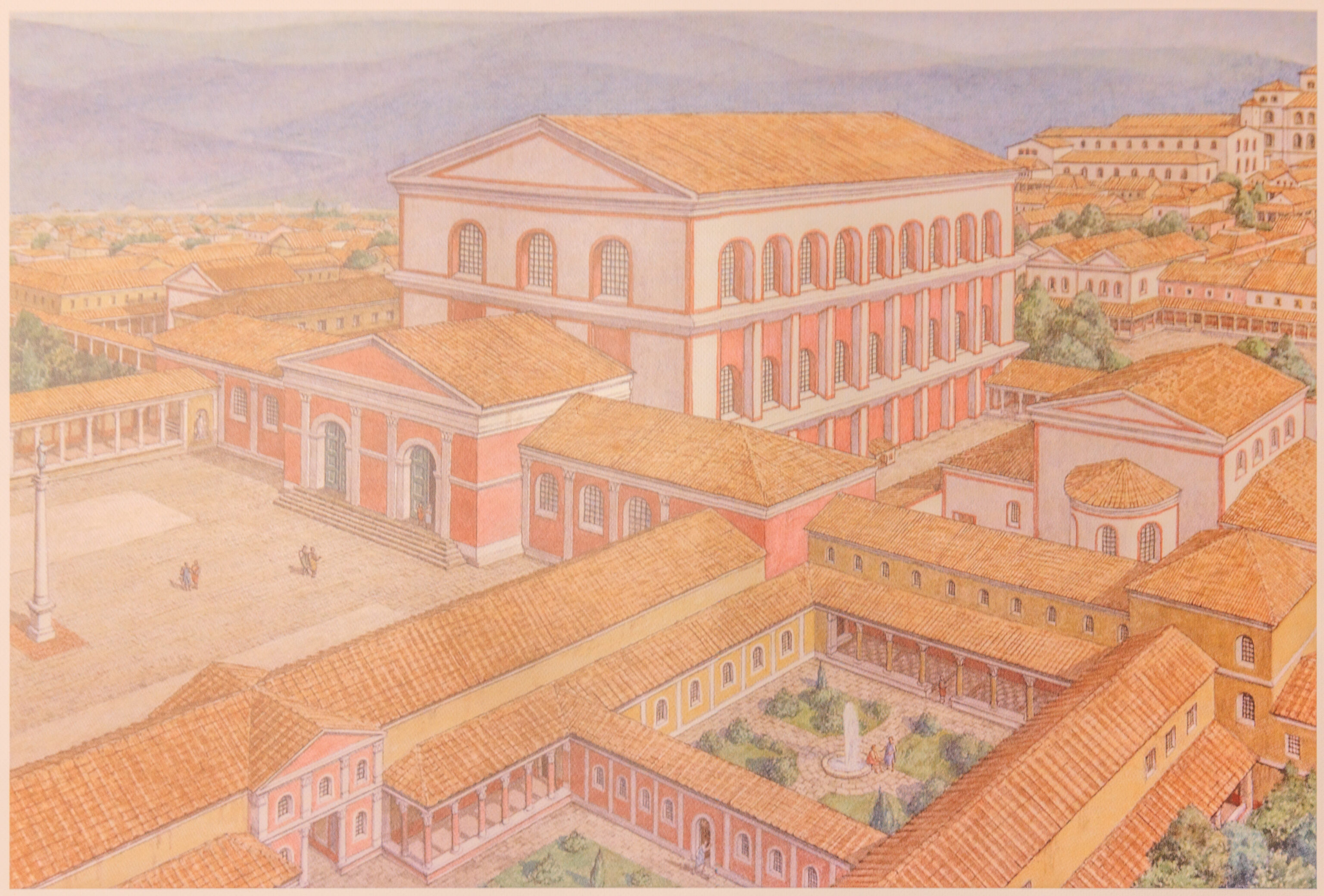
The Roman Throne Room - PALACE COMPLEX
After being raised to the status of imperial residence in AD 286, ancient Trier was completely altered. A palace precinct, over 2,900 ft/700 m long, was created, in the centre of which rose the momentous palace audience hall, the present-day Basilika. It may be considered as part of an architectural ensemble with the circus and the Imperial Baths. It is assumed that Emperor Constantine the Great (306-337) had the Basilika built as an imperial assembly and ceremonial hall intended to demonstrate the power and imperial size of the Roman Empire and its Emperor. Both the stamp of a brickworks and a coin found in the masonry of the entrance hall tend to confirm the dating as well as Constantine as the builder.

The structure is rectangular with a half-circular apse and a flat ceiling. With its length of 220 ft/67 m, a width of 92 ft/28 m and a height of 98 ft/ 30 m, the building constitutes the largest undivided room worldwide preserved from Antiquity. The palace audience hall as a classical brick structure has foundations of cast mortar thirteen feet/four metres wide and up to 20 feet/6 metres deep. The brick masonry is 9 ft/2.7 m thick; around 1.5 million Roman bricks were used in the construction. The exterior was originally plastered with a white-grey plaster to which crushed brick was added, giving the exterior a red shimmer.

The apse as the place of the imperial throne has a diameter of 59 ft/18 m. A mighty triumphal arch, probably inlaid with porphyry, underlined the god-like grandeur of the emperor. The arch separates the hall from the apse, raised by 2 steps. The throne, however, was probably raised again by several steps and placed under a canopy, a further symbol of sovereignty. To serve the function of splendour in the audience hall, it was laid out in the interior with marble on the floor and for the most part on the walls up to under the lower row of windows.

A single square of the coffered ceiling measures 10 x 10 ft/3 x 3 m and is thus about the size of a small room in a modern structure. This wooden ceiling surely impressed any visitor to an audience with its colourful ornamental painting and partial covering of even gold leaf. The middle windows and niches of the apse are designed smaller than those on either side of the apse, creating an optical illusion strengthening the impression of length, thus enlarging the grandiose size of the structure.

The heating system also deserves attention: This largest preserved hall from Antiquity could be heated with a hollow floor warm air heating system (hypocaust); the floor was supported by columns of bricks, about 4 ft/ 1.3 m high, placed close together. The hot gasses circulated under the floor and behind the marble wall covering and were conducted to the outside by means of hollow bricks (tubuli) fixed with iron clamps behind the precious marble inlay on the walls - the "dowel holes" are still visible on the west wall.

Constantine, however, did not complete the structure. In 330, the residence was moved to Constantinopolis, present-day Istanbul. Trier's era as a centre of political power had come to an end. At this time the palace audience hall was not yet completed; it was likely not finished before 379, with construction under the Emperor Gratian.
– Text from a sign.
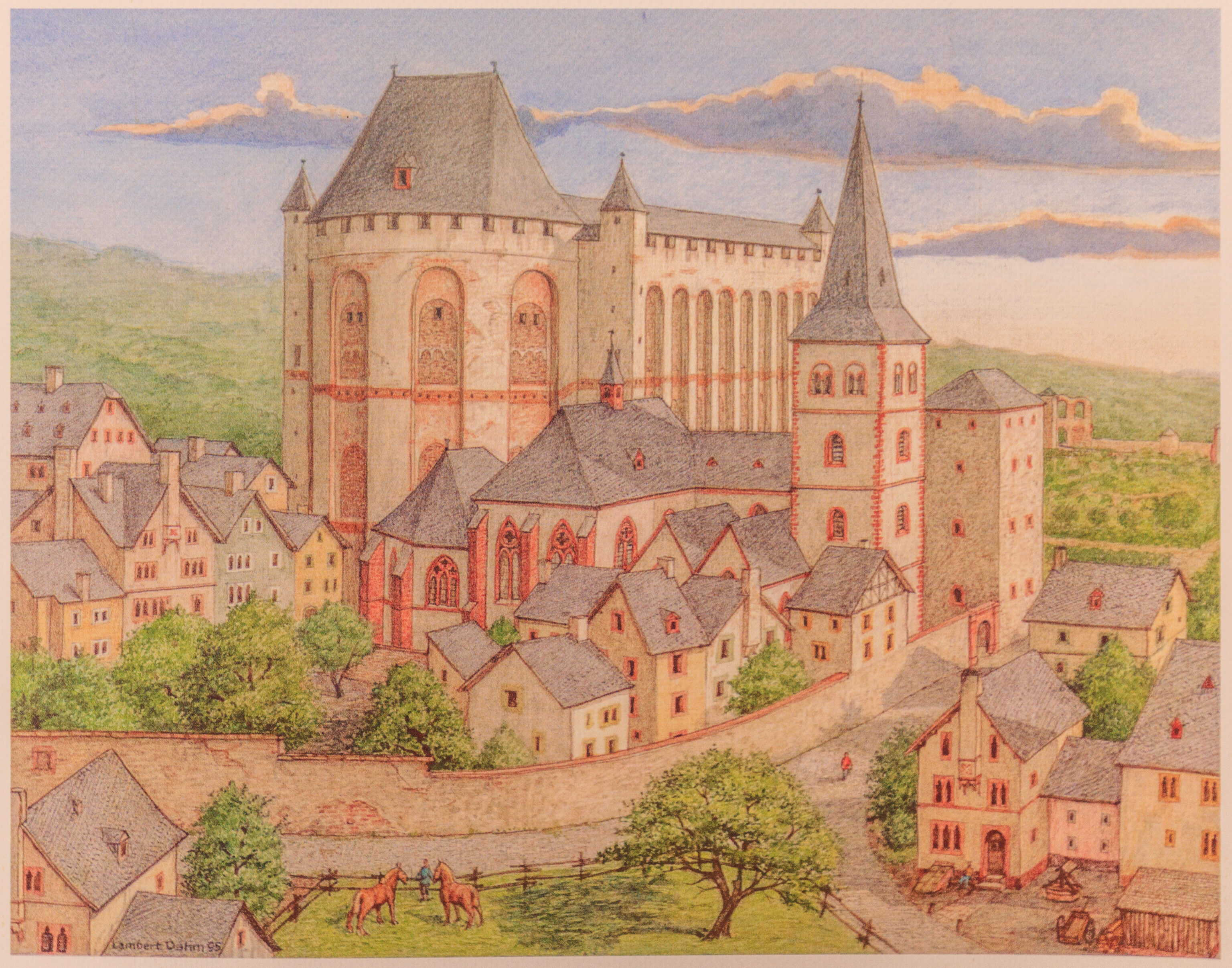
The Medieval Castle Complex
Like a large part of the other massive Roman structures, the throne room was left to decay after the collapse of the state-controlled order in the Roman Empire. With Trier's transfer into the sphere of power of the Frankish kings in 407, the former throne room fell into the hands of the Franks. The king installed a district count (Gaugraf) to administer the royal properties; perhaps his seat was located in the former throne room, the so-called "palatium".

Only the walls of the original structure stood. Several buildings were constructed in the resulting courtyard; evidence of these buildings is the various column pedestals below the broken-through marble flooring. The apse was converted into a tower, which then served the archbishop as a dwelling from the time of the High Middle Ages. The tops of the walls were built up with battlements accessible via the corner stair towers. Behind these battlements were the sentry walks.

In the course of the 10th century, the Trier archbishops gained more and more secular political powers and property: the power of the mint, customs, and shares of the market duties as well as the "palatium". As the episcopal "administrative seat" and protective castle and then the archbishop's residence in the 13th century, the structure received a new function.
– Text from a sign.
The Electoral Palace
Large-scale demolition began in 1614. Not only the east wall and the greater segment of the south wall but also all of the medieval interior structures and annexes of the Electoral court were torn down as a result of the new building of the palace.

In 1615, Lothar von Metternich wanted a princely functionally appointed residential palace in the form on a spacious facility with four wings, with a central courtyard that now also took up two-thirds of the former interior of the Roman throne room. The new west wing had a Renaissance facade toward the courtyard and the original Roman exterior wall facing the city.

Elector Philipp von Sötern completed the Renaissance structure and had an archives and chancellery building constructed in 1649 on the northwest corner of the palace complex, called the "Red Tower". This structure was to become the bell tower for the Protestant church almost 300 years later.

Under Johann Phillip von Walderdorff, the Roman apse was threatened with destruction. The Elector, immediately after he assumed power, commissioned the court architect Johannes Seiz, the favourite of the famous architect Balthasar Neumann, with remodelling and new construction. After several drafts, Seiz drew plans that were executed in their essential form from 1757 to 1761. The architect planned a grandiose round room in the Roman apse. Seiz had made another suggestion on the same plans and indicated them with delicate watercolours. To give the palace a greater "regularity", he wanted to tear down the apse. But, since the Elector had only the south wing, toward the garden, built anew, the other Renaissance wings remained unchanged. Thus the still preserved sections of the Roman throne room escaped being completely demolished. If that had happened, the Romantics of the 19th century would have had no interest in, indeed hardly the opportunity of reconstructing the Roman structure to be used as the Protestant church.
– Text from a sign.
The Second Reconstruction of the Basilika
After the destruction in the war, a work committee of the Trier Protestant congregation was established in February 1946 to build a church again, at least in the ruins. A plan for an interim church was drawn up and approved by the Rhineland-Palatinate Ministry of Culture and Ministry of Reconstruction in 1949/50.

However, the beginning of the work became an initial spark for a counter movement. As a result, Rhineland-Palatinate, as legal heir to Prussia, recognised its duties of patronage and declared its preparedness to rebuild the Basilika. In only four fiscal years, funds for the reconstruction costs in the Ministry of Culture's budget were mobilized. A state Basilika commission, with representatives from both Church and State, coordinated the reconstruction. The main objective was to make the grand structural form of the former Roman throne room once again perceptible.

All traces of the first church were strictly purged from the structure. The destruction of the statues created by Gustav Kaupert demonstrates most clearly the disdain for the reconstruction achievement of the 19th century. Recreating the condition of the structural shell was considered to be the spatial ideal. The eventful history of the structure was to be read in the very stones themselves. The windows were returned to their Roman format; in the 19th century they had been enlarged to favour neo-classical proportions. The ceiling form also harked back to models from Antiquity. The floor level in the apse and hall were lowered to the original Roman level.

However, the idea of recreating the ancient floor was abandoned, despite clear archaeological finds. The niches were reduced to their size from Antiquity.

The congregation was able to celebrate the topping out ceremony on December 21, 1954. Two years later, the work was completed. With President Theodor Heuss, from whom the decisive initiative for reconstruction issued, attending the ceremony, the Protestant Church of the Redeemer was dedicated a second time, on December 9, 1956. The configuration of the interior with the pulpit and the Schuke organ in a window opening in the east wall followed in succeeding years. In 1966, the Basilika obtained a proper bell tower for the first time: It was integrated into the roof storey of the adjacent Red Tower.
– Text from a sign.
The Congregation
In its austere grandeur, the reconstructed basilica draws the necessary theological conclusions from the experiences of the National Socialist era. When the altar of the Protestant church stands where the throne of Roman emperors once stood, the building’s entire form must make one thing visible: the sovereignty that emanates from Jesus Christ differs fundamentally from all worldly claims to power.

As the Protestant Church of the Redeemer, the ancient Roman palace hall is now, in a sense, stripped of adornment. It eschews pomp and splendor; marble and costly treasures have no place within it. That which began with Jesus Christ is not founded on the power of wealth and money. It is founded on the love with which God turns toward every single human being—a love made concrete in Jesus Christ. This fundamental theological conviction is made especially visible in the altar cross.

The figure created by Albert Schilling embodies Christ’s solidarity with all who suffer. Through his depiction of Christ, the Basel-based artist also makes it clear that Jesus’s sharing in the suffering of humanity in this world transcends even the ultimate consequence of death. The power of a love that appears powerless is stronger than the power of death. Thus, the crucified Christ becomes the Risen One who bestows blessings. This is precisely what the altar cross reveals when viewed from the side: Schilling’s figure of Christ does not hang upon the cross but stands before it, hands raised in blessing.

In this way, the cross becomes the central symbol of Christian hope: death does not have the final word. God’s love leads us through death; the resurrection of Christ is the sign of this. The Risen One guides and accompanies his congregation with his blessing. This hope is lived out in the worship services held in the basilica—a practice resumed in 1956. The Evangelical Church of the Redeemer serves not only as a local parish church but also as a gathering place for Christians from near and far, and as a magnet for people of diverse backgrounds and faiths. Around 1.5 million people visit the basilica each year to discover the building’s eventful history or to join the community of Jesus Christ’s followers at this site.

Today, the congregation numbers more than 11,000 members and is served by four full-time pastors. More than 300 volunteers participate in 100 different events, choirs, groups, and circles, bringing the congregation’s motto to life: "You belong to God’s people and have been welcomed into God’s household!" (Ephesians 2:19b)

Through regular brief devotional services and exhibitions, the Protestant congregation invites visitors to engage with the Good News of Jesus Christ. Organ concerts and performances of major choral works complement the proclamation of the Gospel.

For decades, the Constantine Basilica has been a center of organ culture in Rhineland-Palatinate. It houses two outstanding instruments: the choir organ (30 stops across two manuals and pedal), built in 1962 by the Karl Schuke firm (Berlin) and located in the front window of the east wall; and the main organ (Hermann Eule Orgelbau Bautzen), built in 2014 and situated on the south wall. While the Schuke organ is ideally suited for performing music from the 16th to the 18th centuries, the Eule organ—designed in the symphonic style and featuring 87 stops (distributed across four manuals and the pedal within a total of six divisions, three of which are enclosed)—enables the authentic performance of organ music ranging from the 19th century to the present day.
– Text from a sign, translated from German using Google Translate.
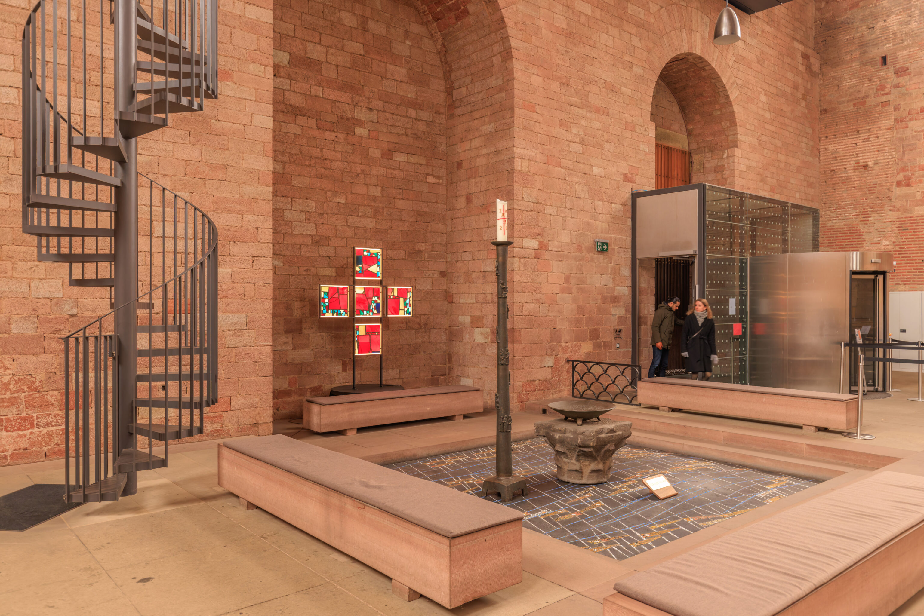
After a brief visit, we headed back out.
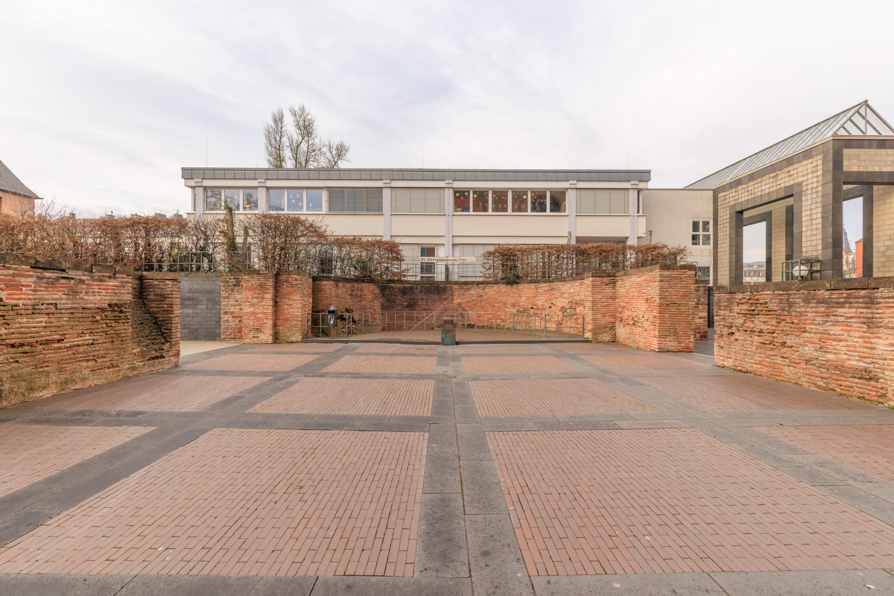
We continued to the south, where there was what seemed like the reconstructed outline of one of the former Electoral Palace buildings.
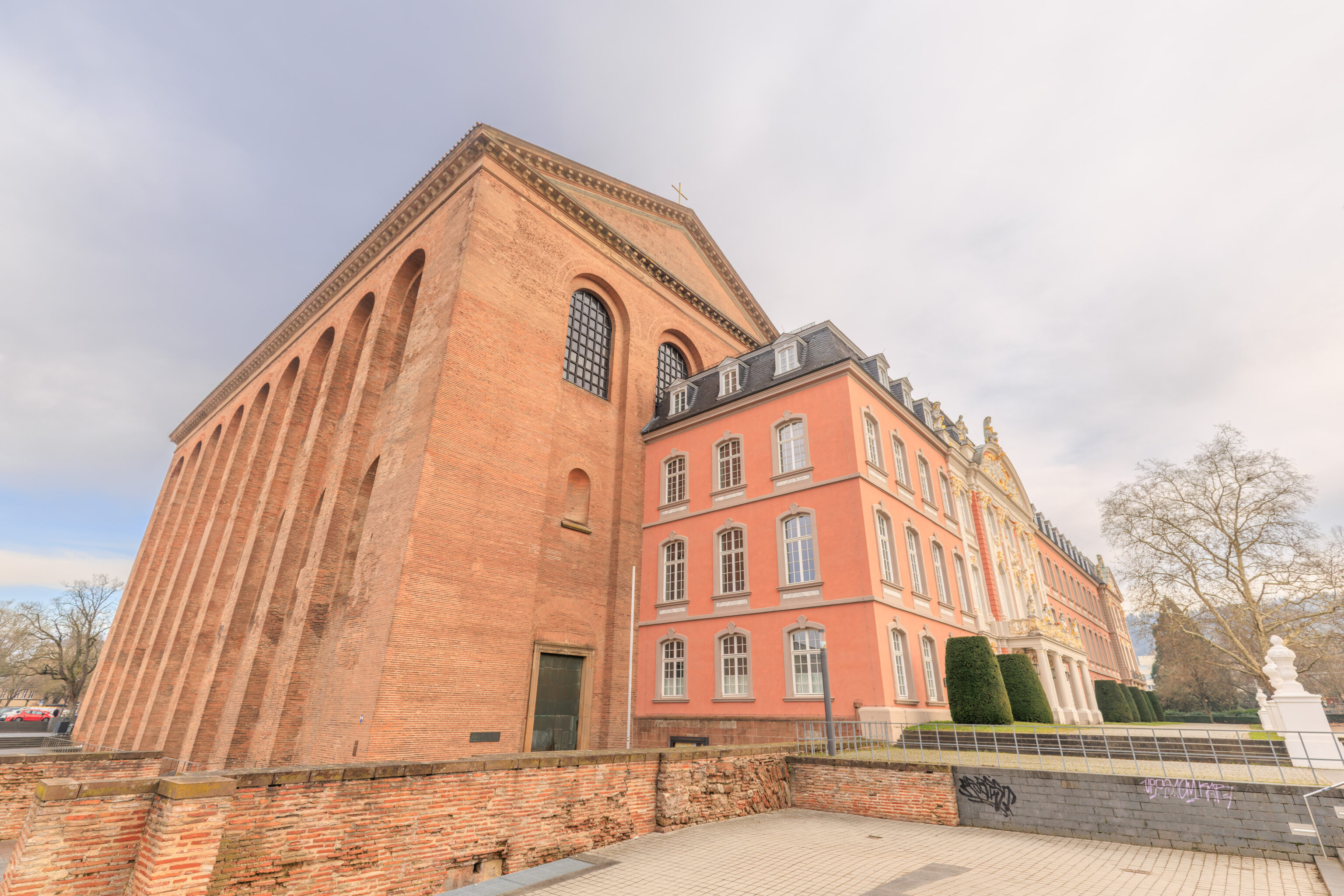
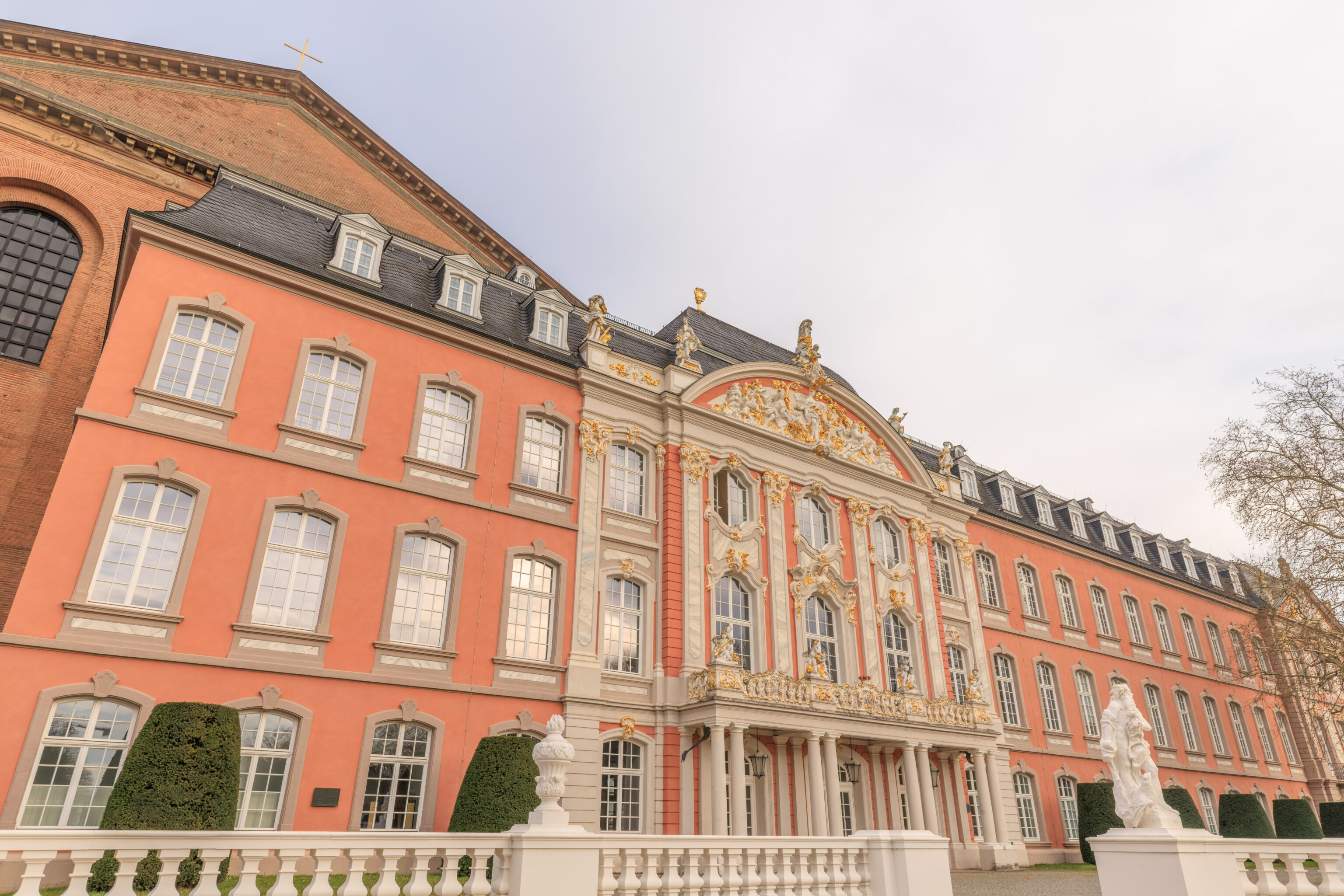
This large building attached to the front of the Konstantin Basilika is the former central portion of the Hochschloss (Upper Palace).
A sign here briefly describes this building and the large garden to the south.
Electoral Palace / Palace Garden
The garden wing of the ELECTORAL PALACE (built 1757-1761) represents an delightful example of the rococo. Elector Johan Philipp von Walderdorff had his court architect Johannes Seiz construct the wing.

The adjacent PALACE GARDEN remained unfinished in the 18th century and served as a military drill field from the beginning of the 19th century.

In 1945-1947, the garden was laid out anew and was ornamented with copies of the baroque sculptures from the studio of Ferdinand Tietz. The Palace Garden is bordered on the east side by the medieval wall with a city gate (Kastilport).
– Text from a sign.
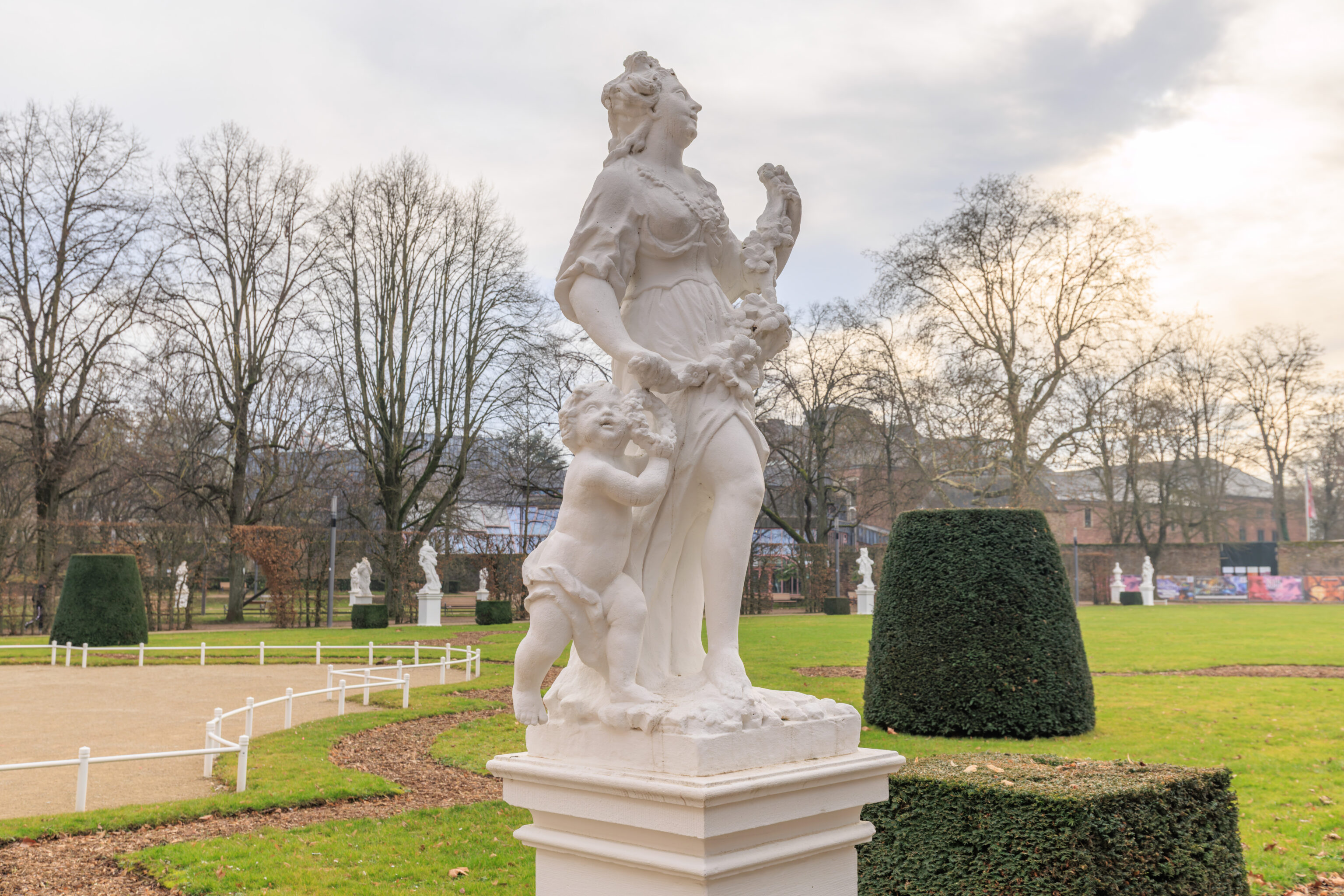
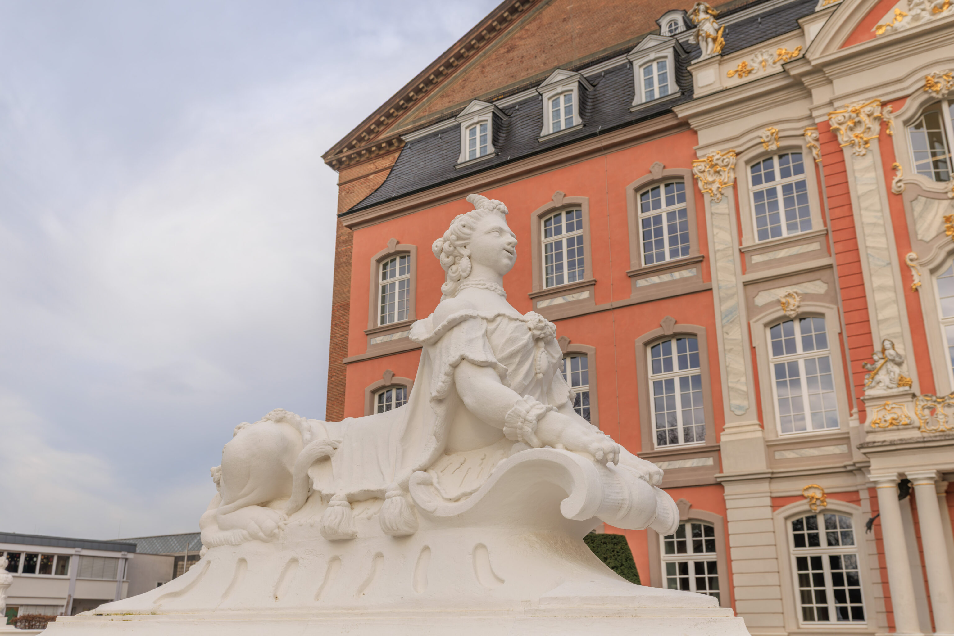
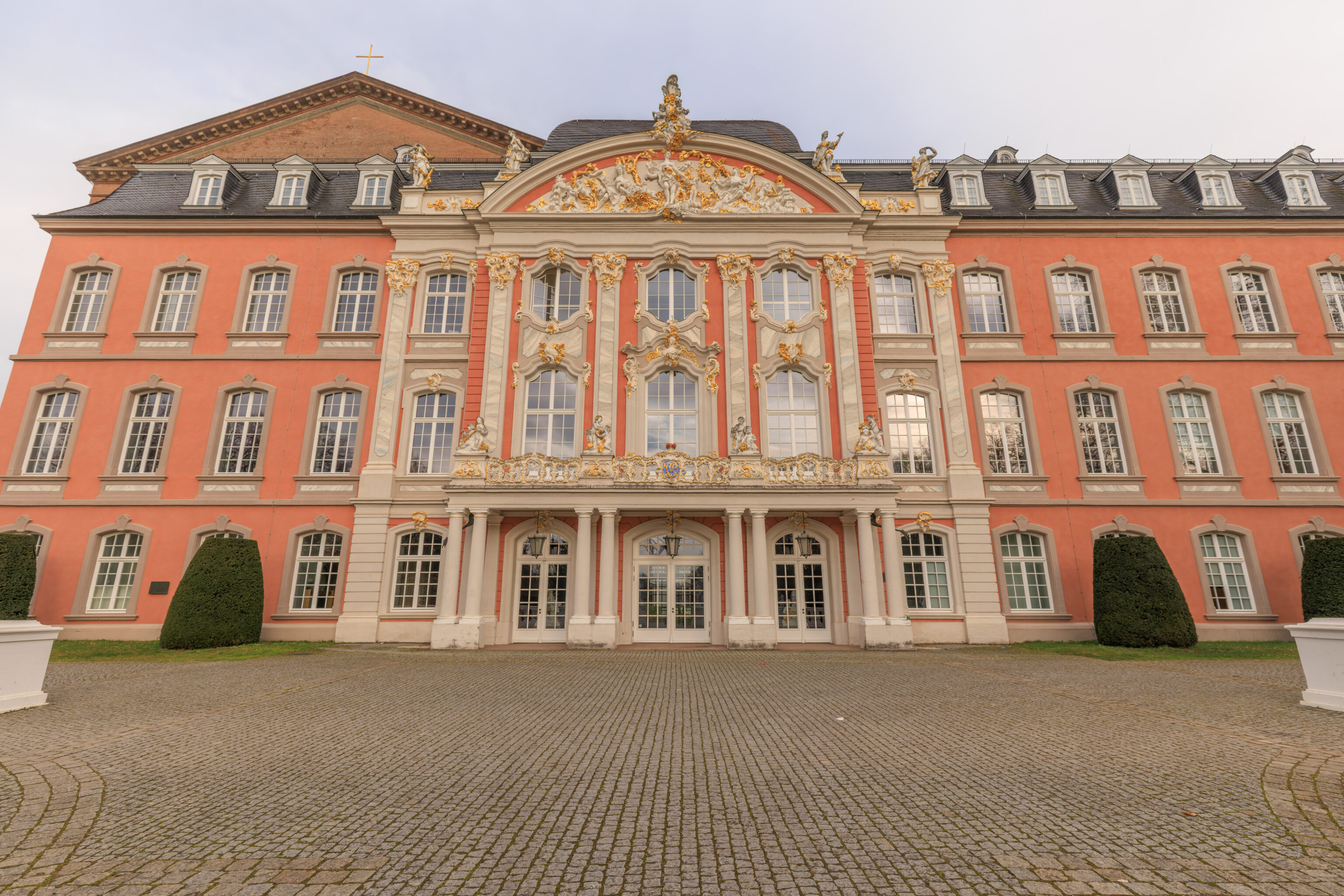
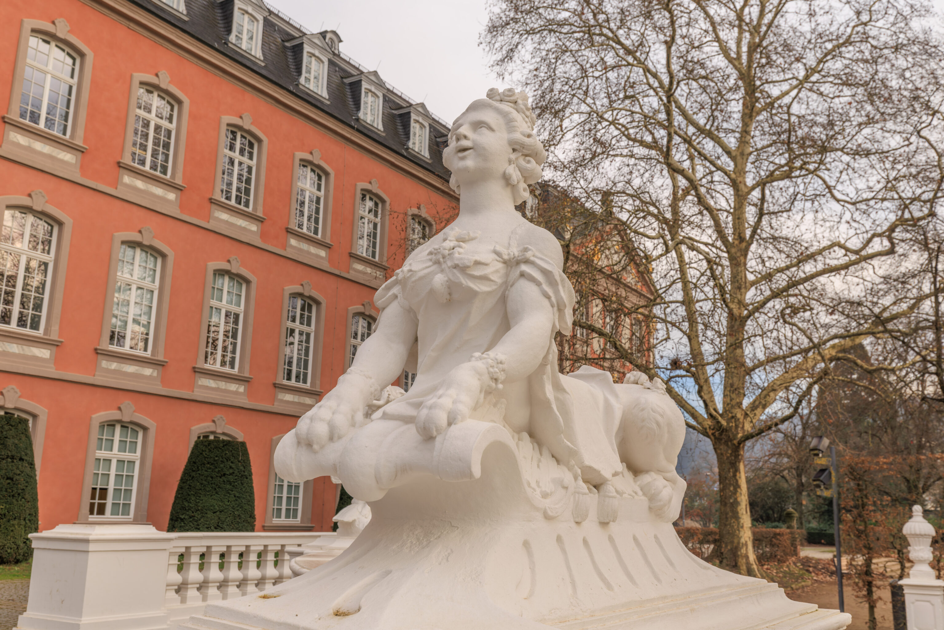
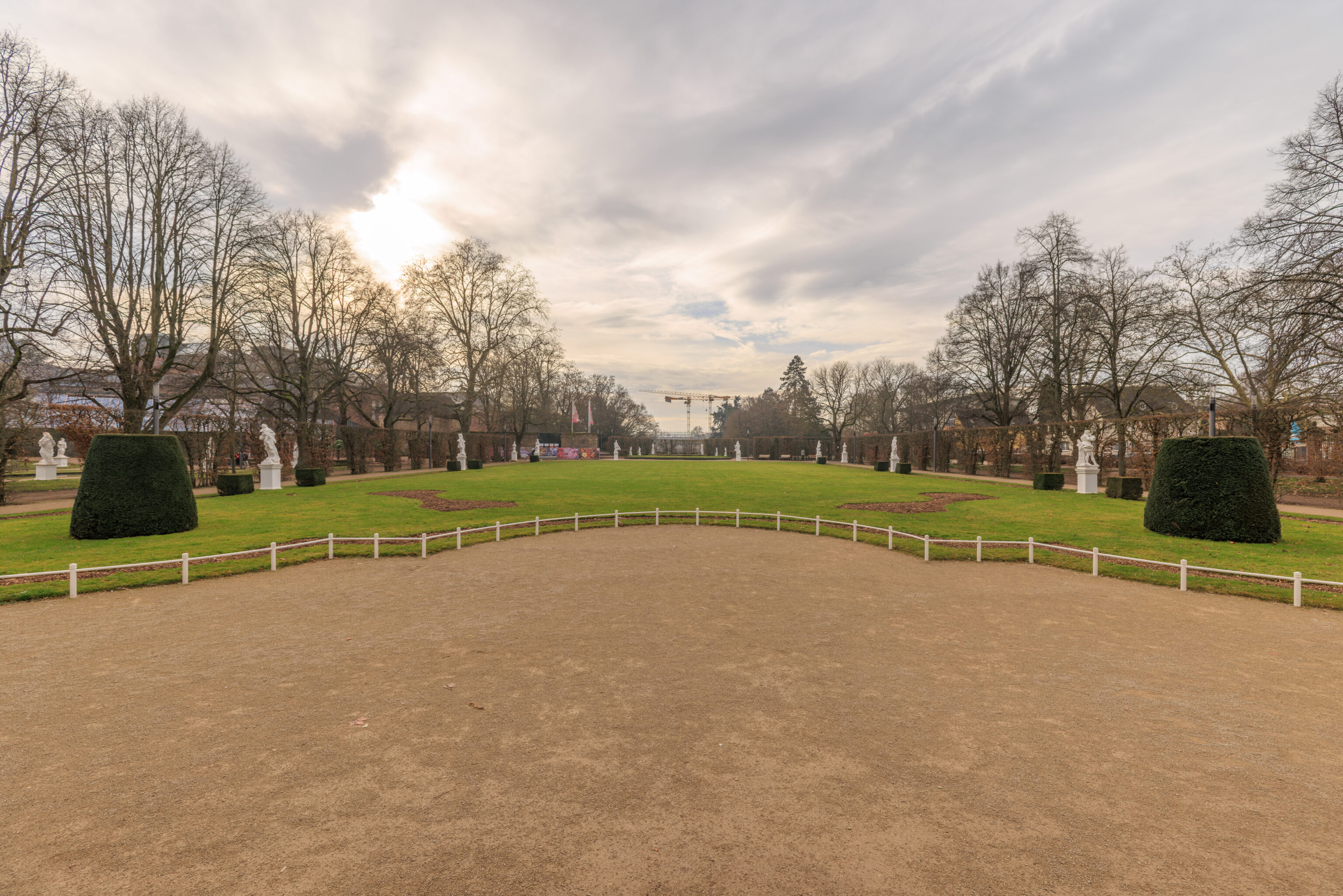
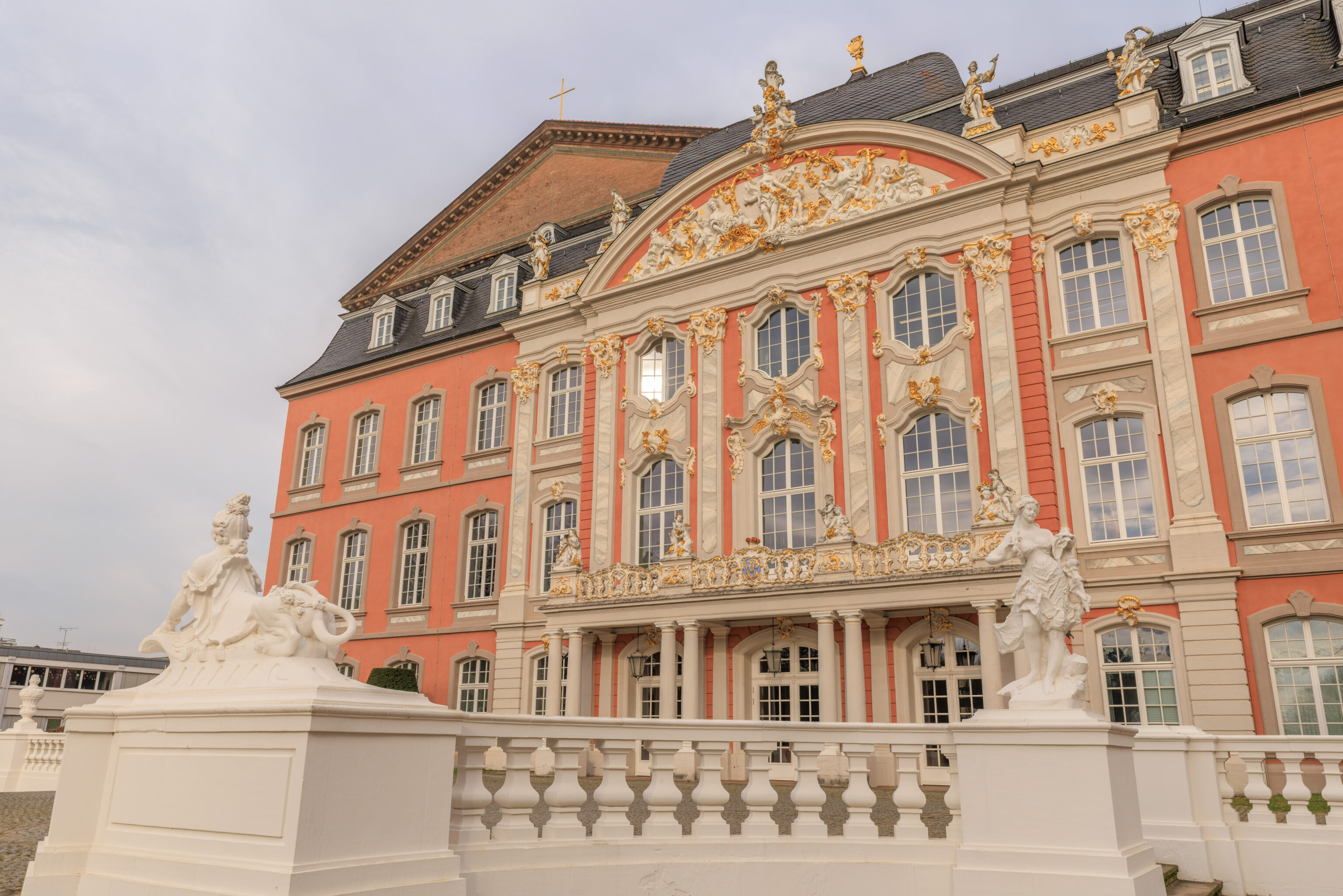
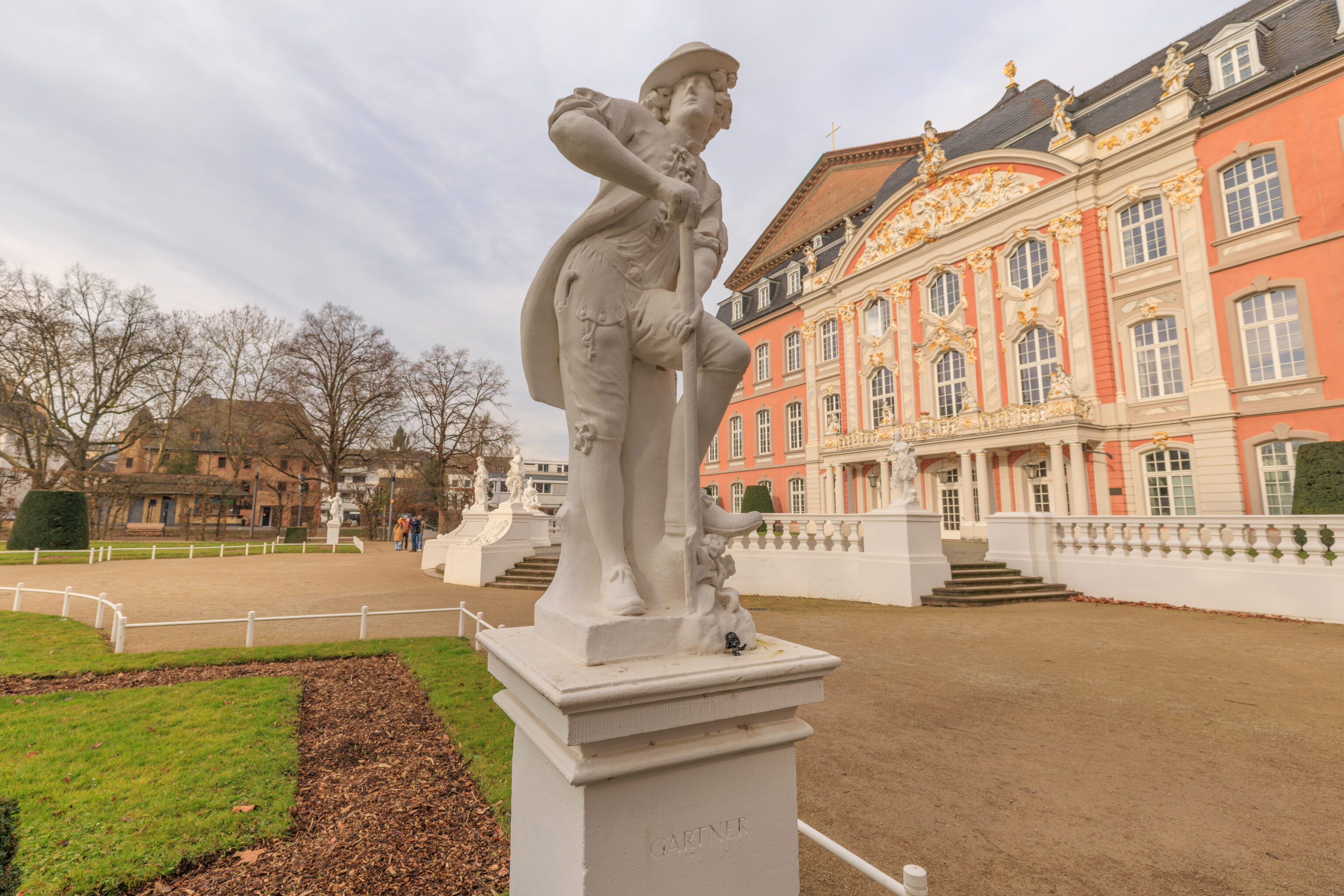
We briefly walked to the front of the building and looked at the view of the garden as well as the statues.
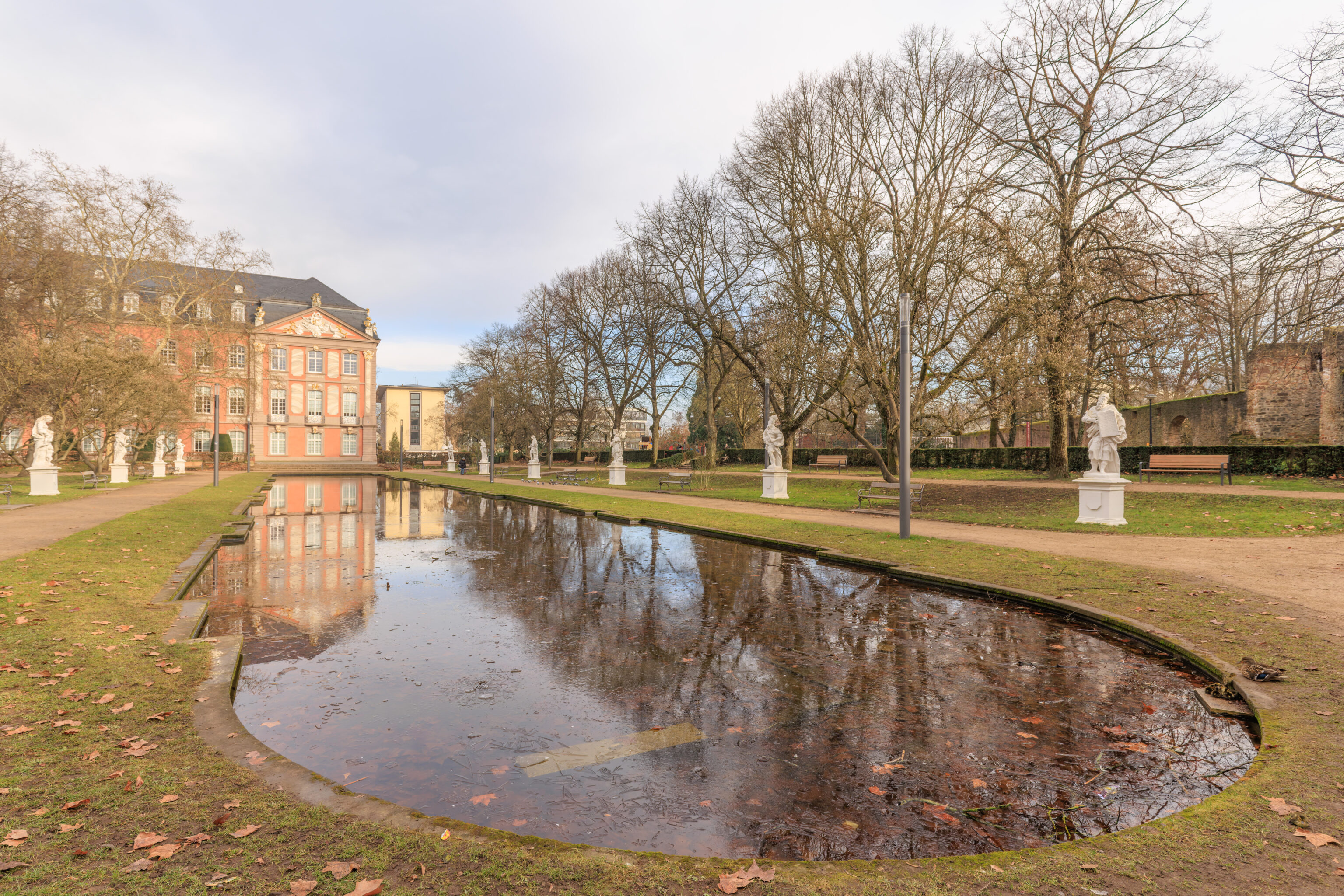
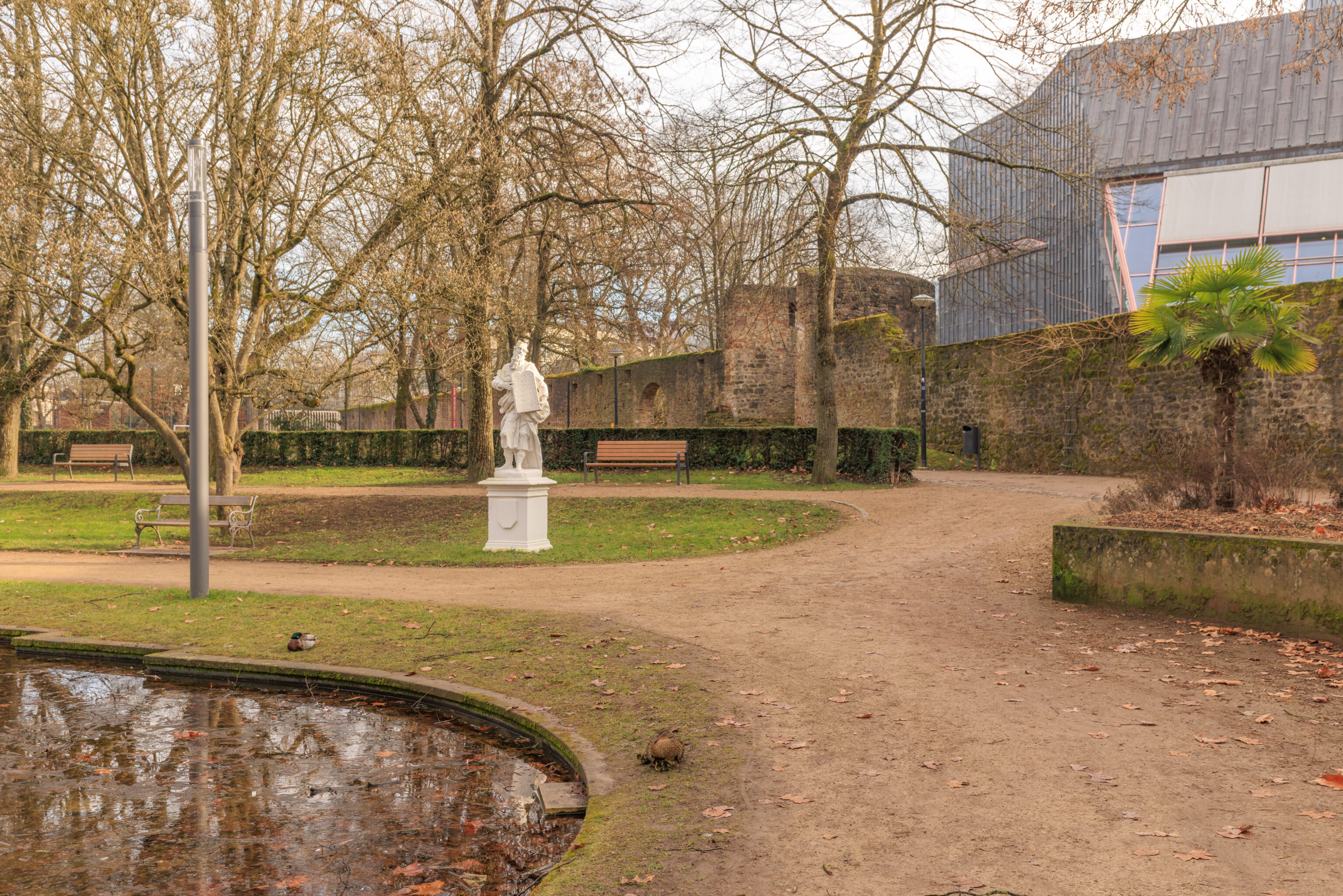
We started to walk to the south on the eastern side of the garden along a shallow pool of water lined with statues.
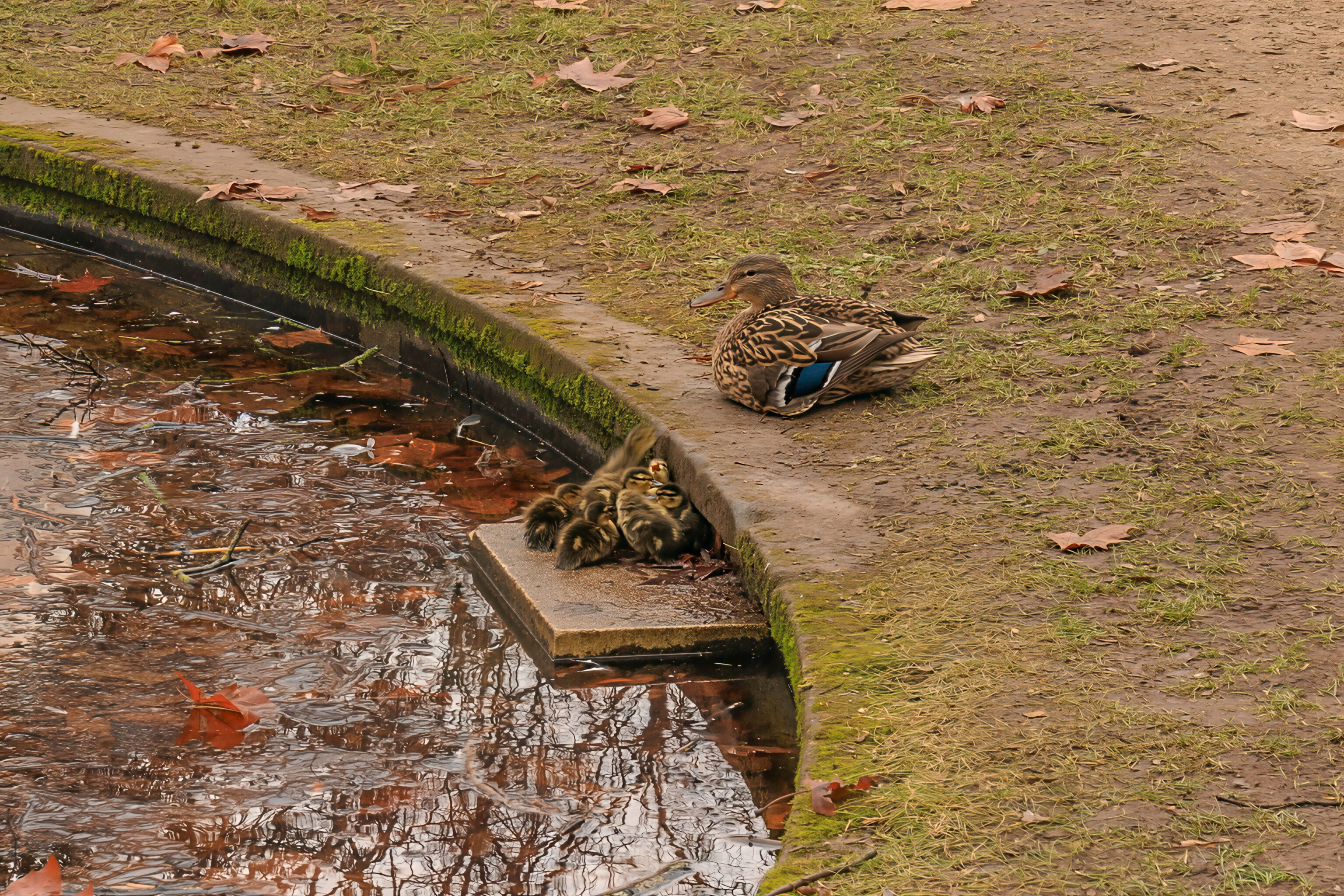
We came across a female Mallard and her ducklings.
It turns out that one of them had an injury! There was a woman nearby who came to help the injured duckling. She took it away to bring to what we guess would be a wildlife rehabilitator.
The mother duck spent a long time trying to get her ducklings to jump out of the pool! The little platform helped but they still had trouble getting up.
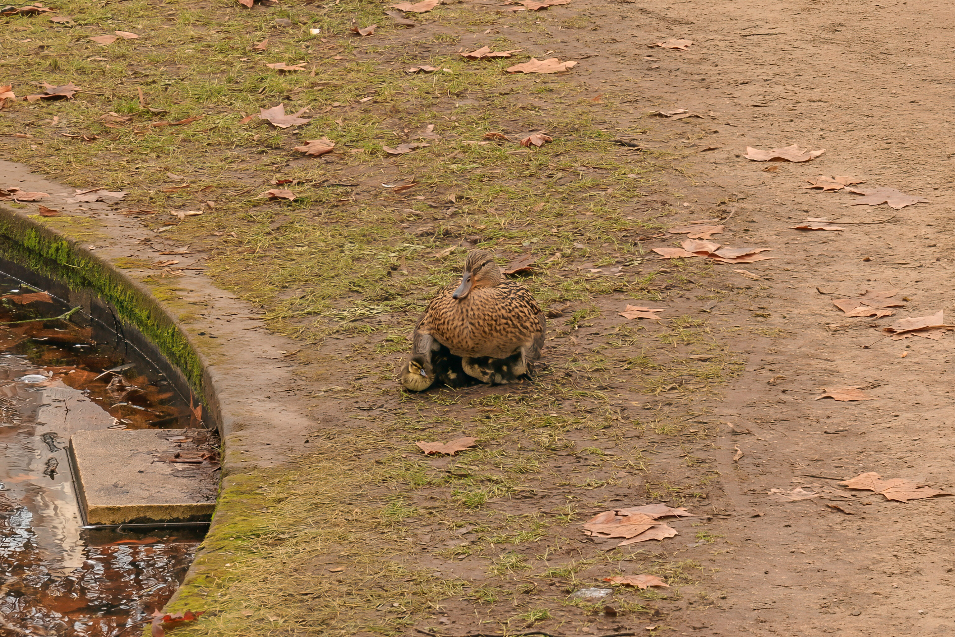
The little ducklings hid under their mother, perhaps for warmth?
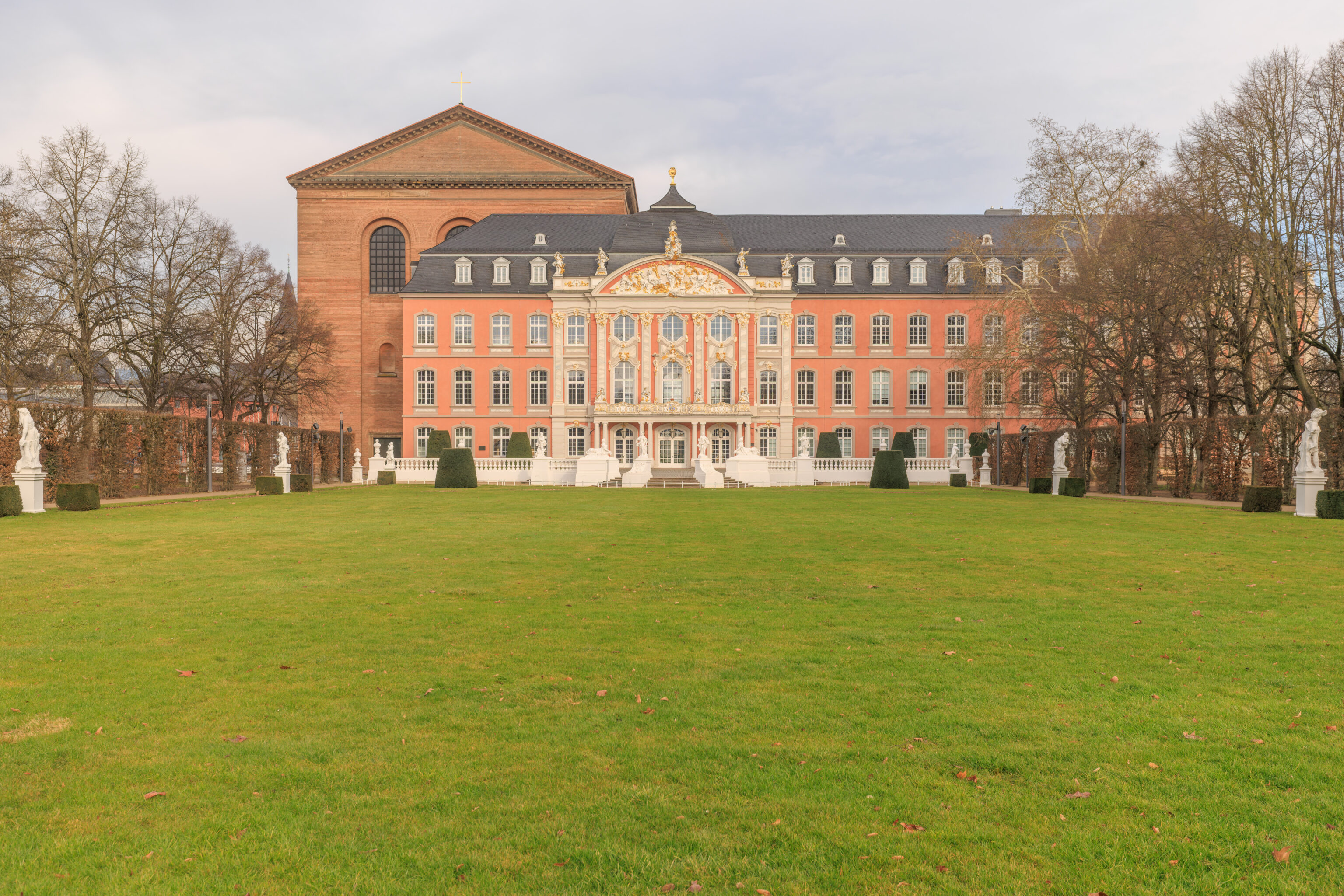
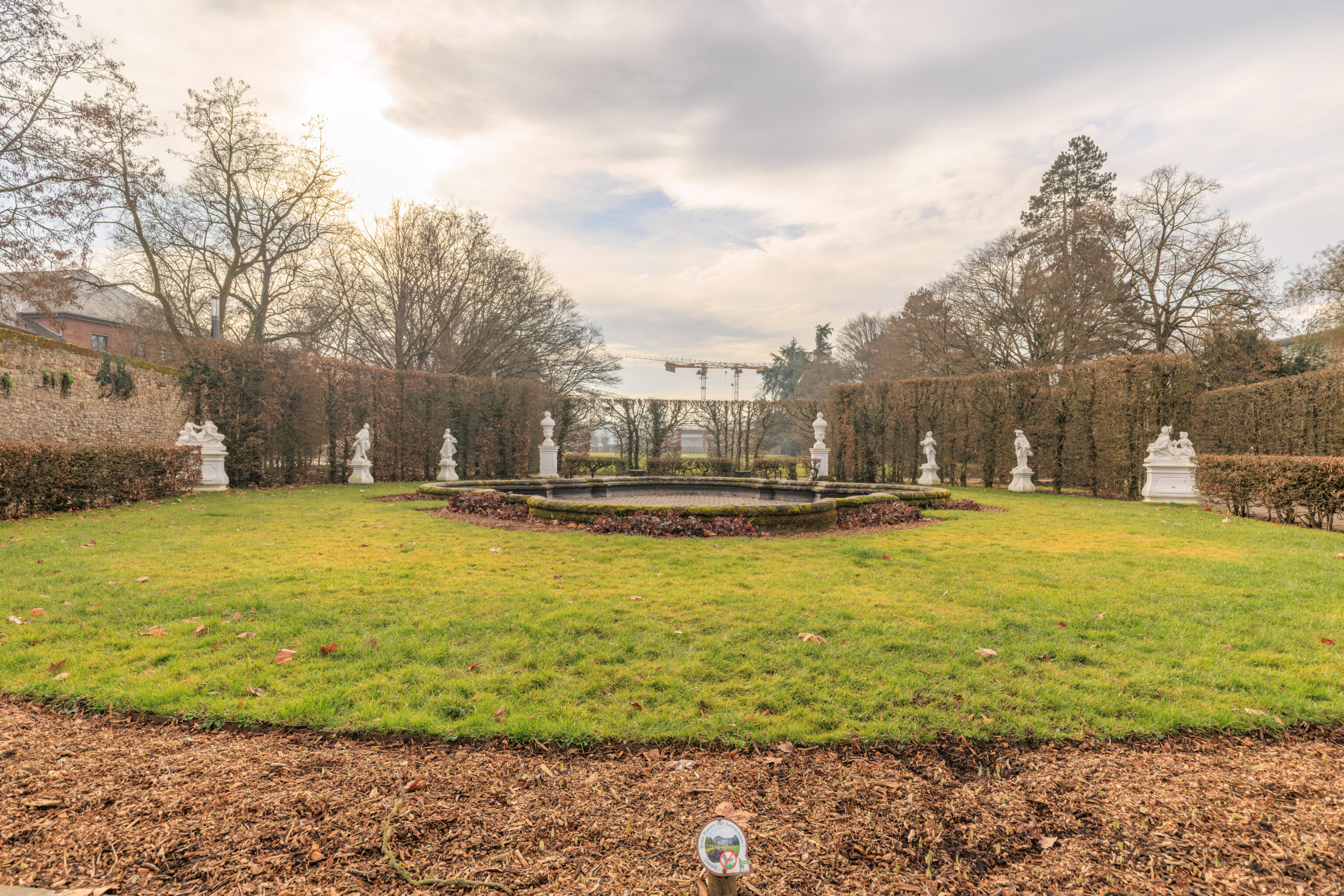
We walked west to the middle of the garden.
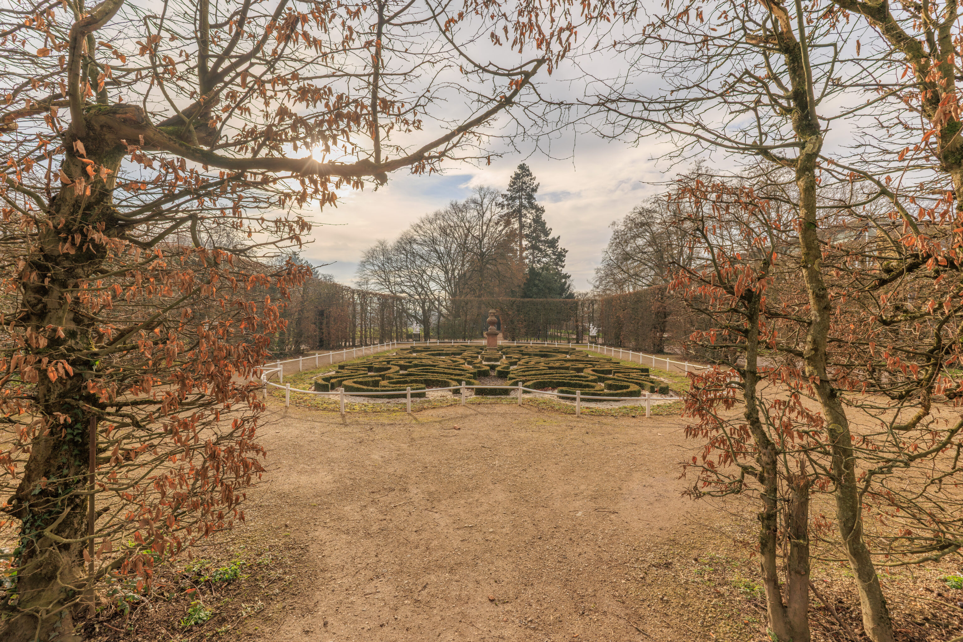
This small garden on the west side of the larger garden is labelled as the Herrengärtchen (Gentlemen’s Little Garden) on Google Maps. It has a decorative pattern formed by low hedges.
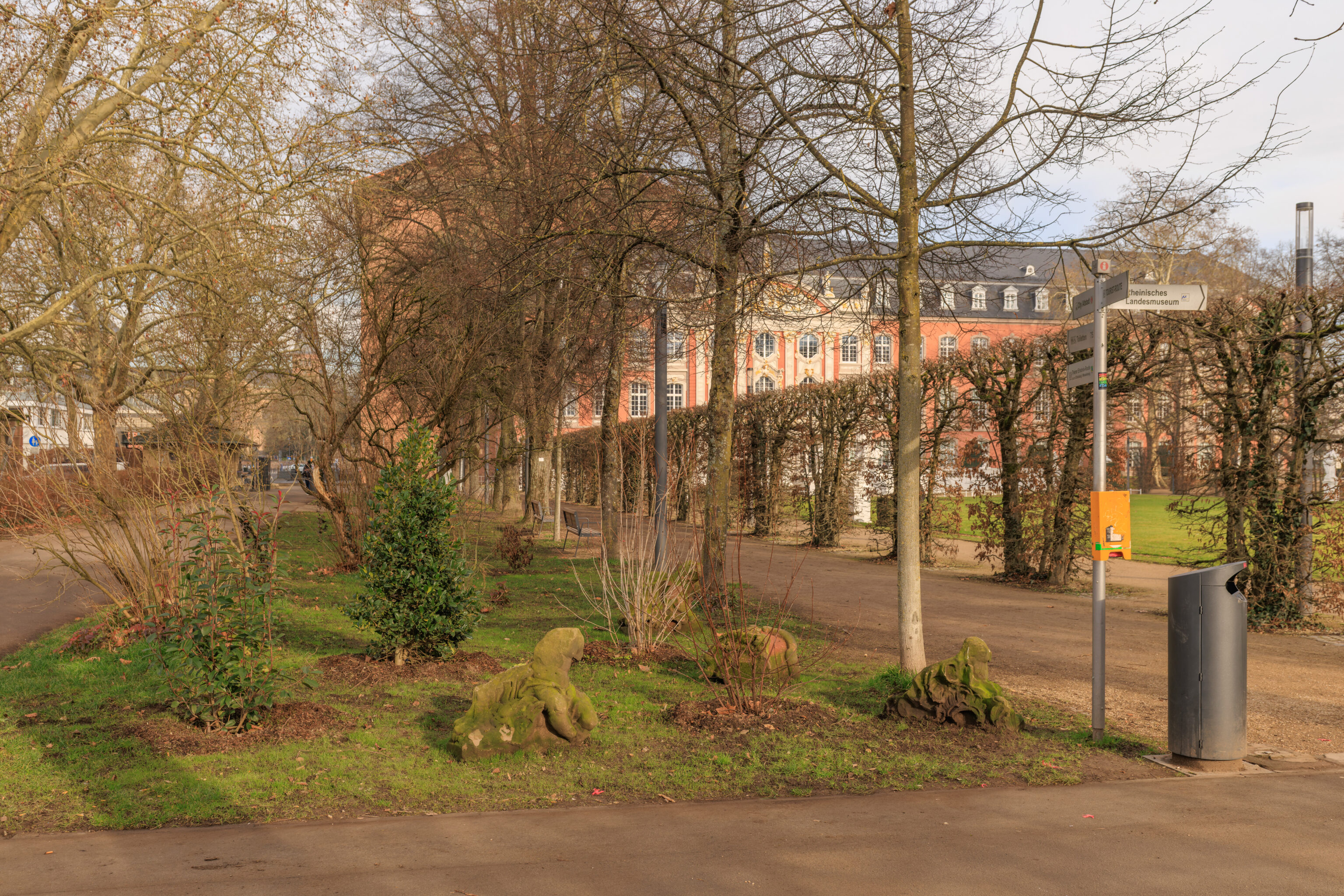
This was the obscured view back towards the Hochschloss. There are what seems to be various pieces of ruined stone sculptures on the ground.
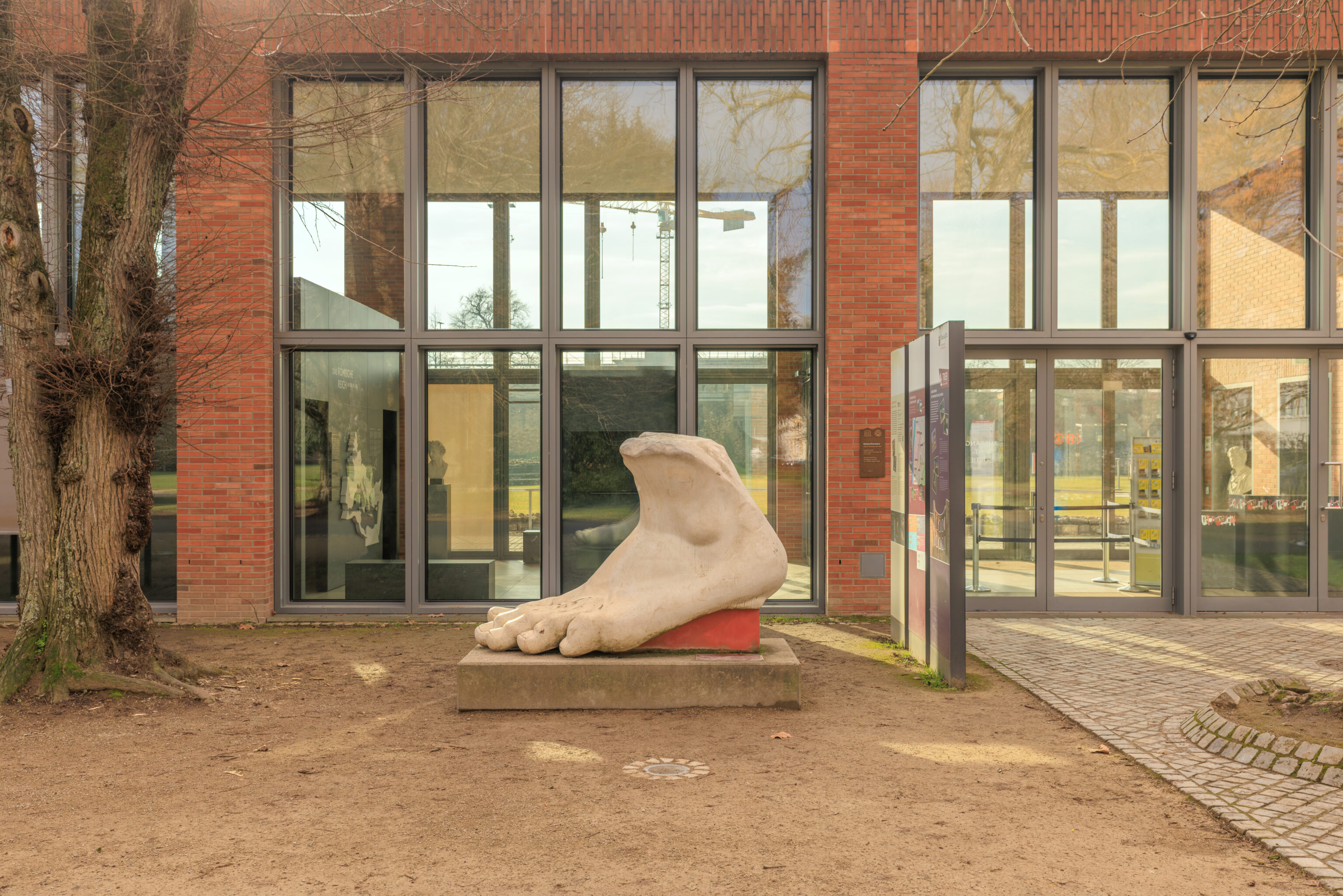
We continued to the west until we reached the museum and entrance to the Kaiserthermen. But first, lunch!
Lunch
We decided to have lunch at a nearby restaurant, Textorium. It is located within the Tuchfabrik Trier, which seems to be some sort of cultural center, exhibition space, and museum.
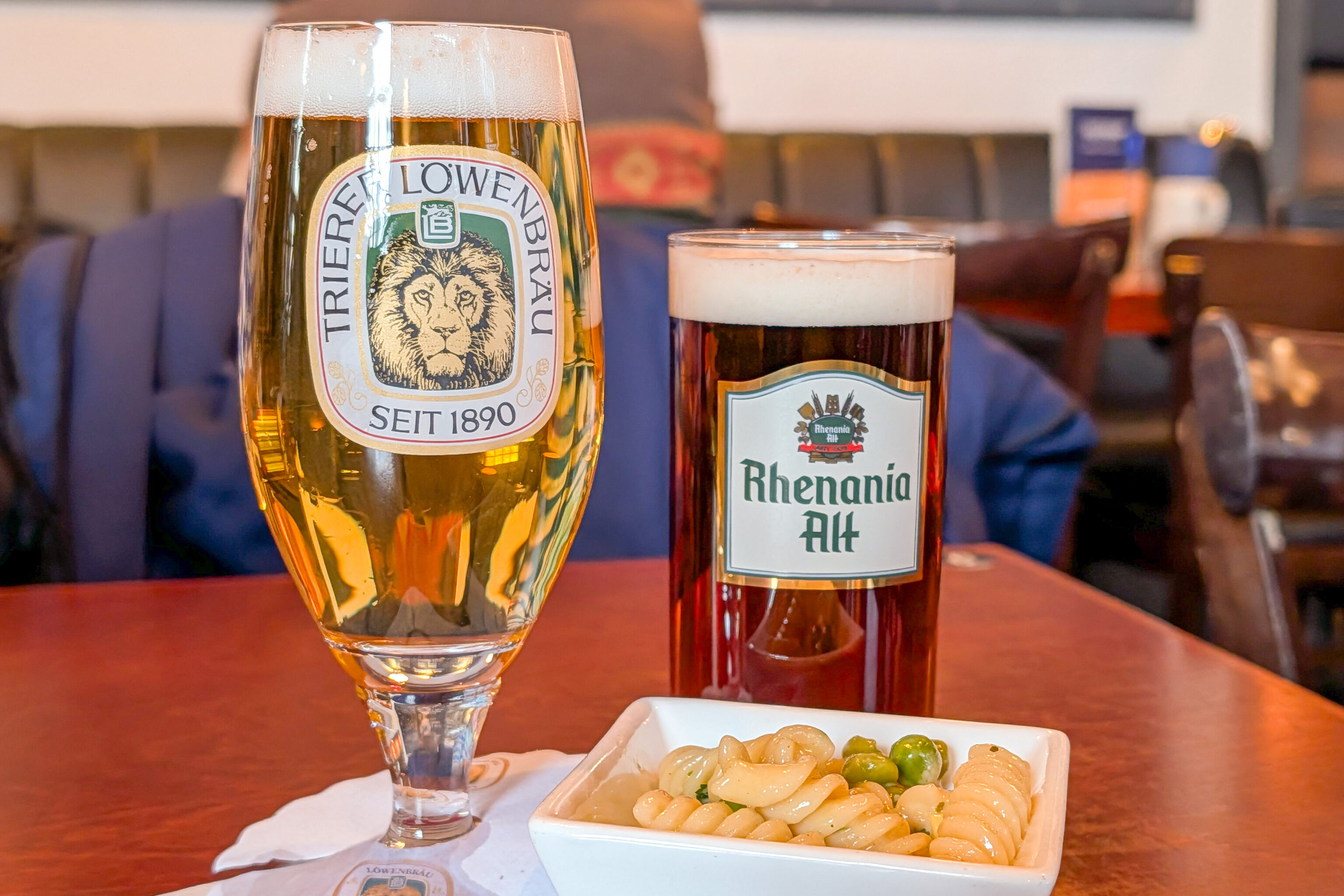
We started out with a bit of German beer. Trierer Löwenbrau was formerly brewed in Trier but it seems this is no longer the case.
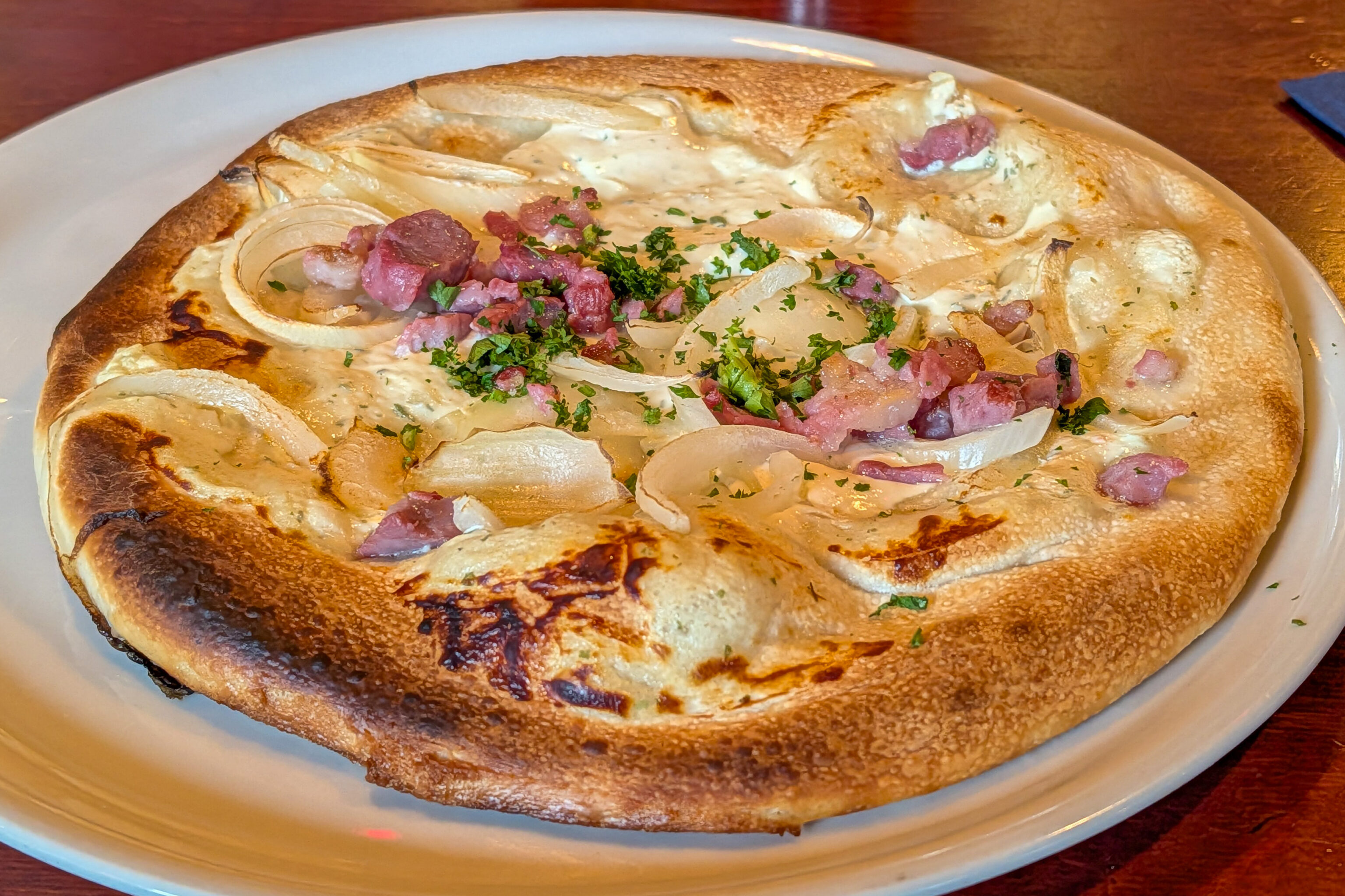
Fladenbrot Elsässer Art mit Kräuterquark, Speck und Zwiebeln
FRESH FROM THE OVEN
Alsatian-style flatbread with herbed quark, bacon, and onions
Textorium seems to specialize in oven baked dishes. So, we tried to stick up that. This flatbread was basically like pizza. It was perhaps slightly odd but still good.
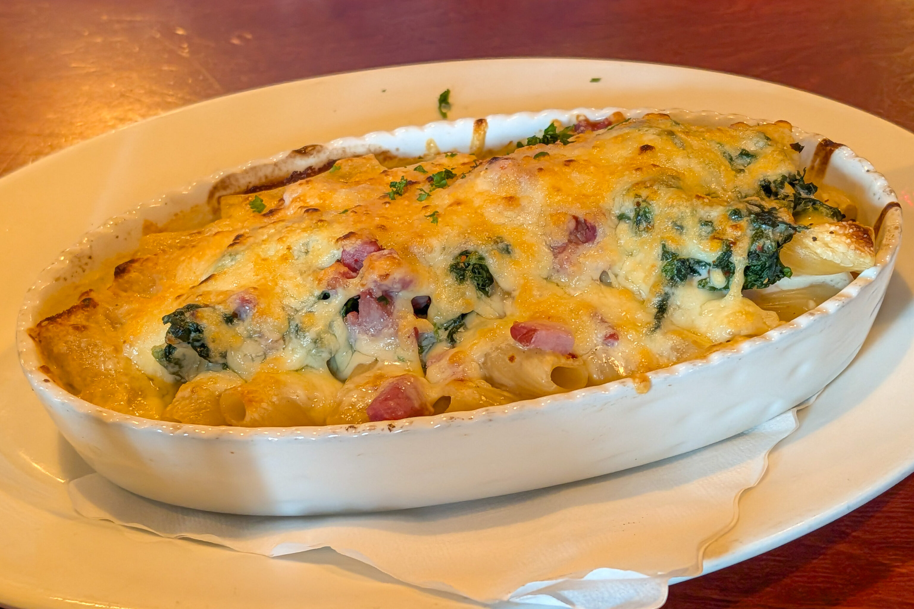
Rigatoni- oder Kartoffelauflauf mit Sauce und Käse nach Wahl
BUILD-YOUR-OWN HOMEMADE CASSEROLES
Rigatoni or potato casserole with your choice of sauce and cheese
They also had casseroles. Basically, you pick the specific ingredients and they bake it in the oven. The choices generally lean towards either more German or more Italian. We ended up doing rigatoni with Gouda cheese, spinach, and speck. It was pretty good, although maybe we should have gotten potato instead of rigatoni.
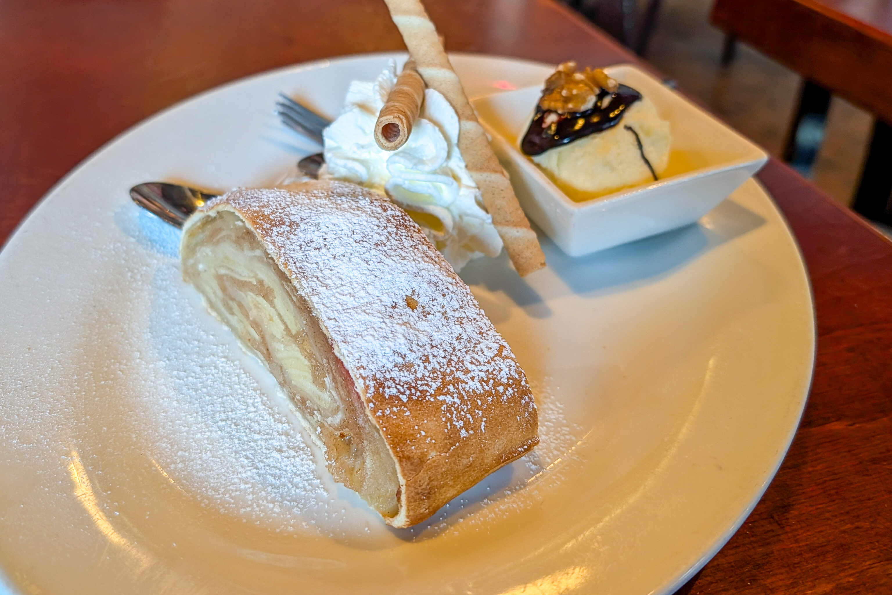
This is Germany so we got apple strudel for dessert. It was good!
Kaiserthermen
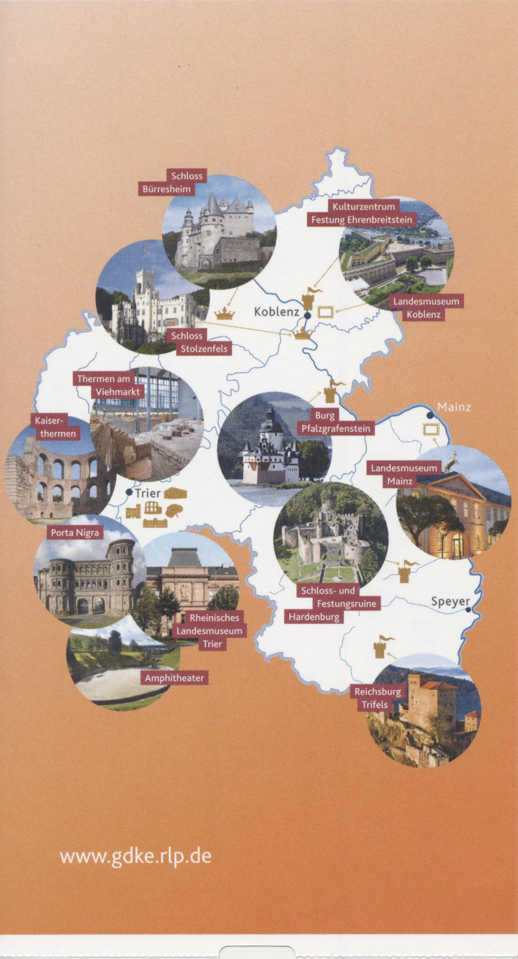
After lunch, we returned to the Kaiserthermen, which is part of Trier’s UNESCO World Heritage Site.
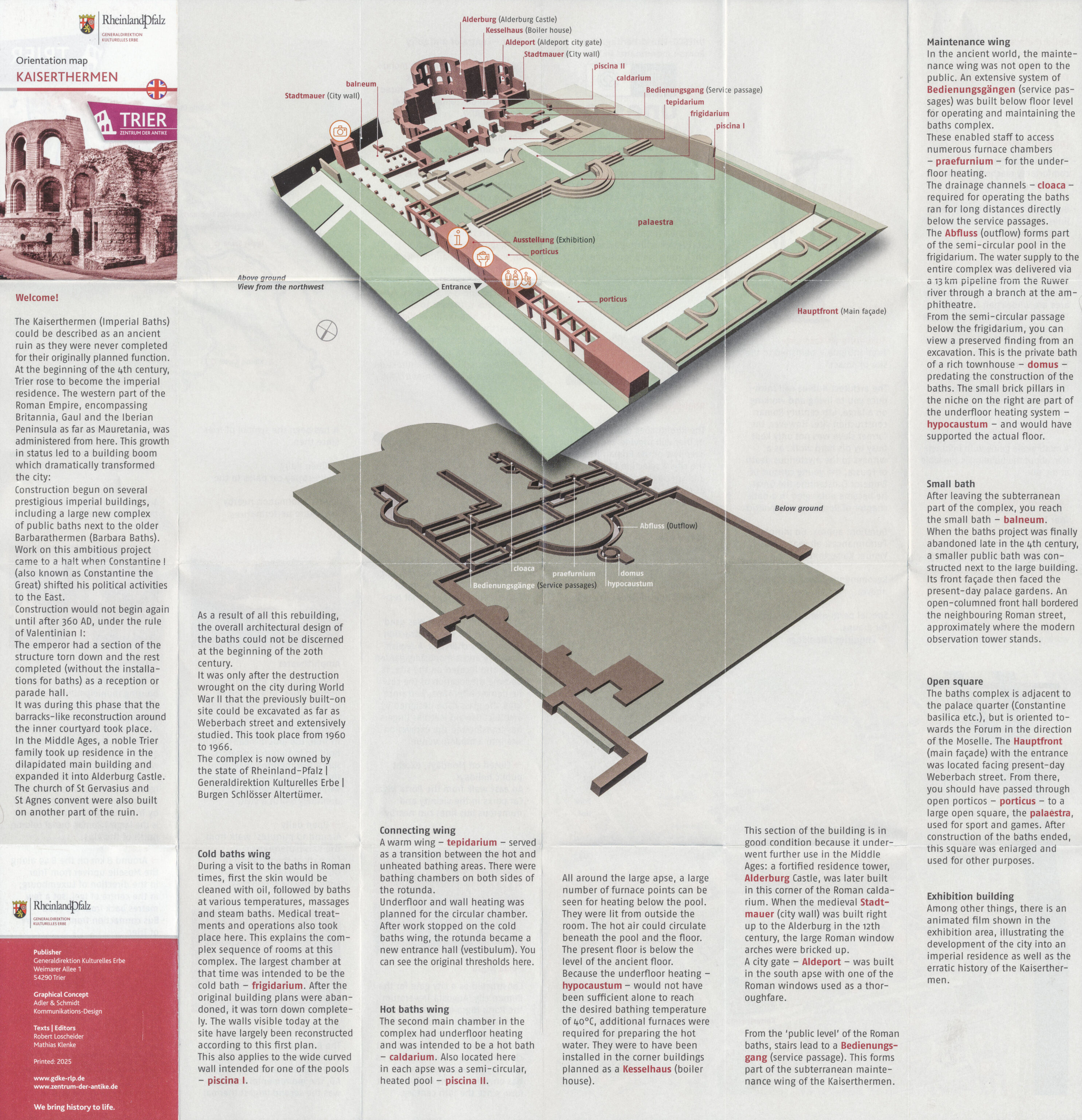
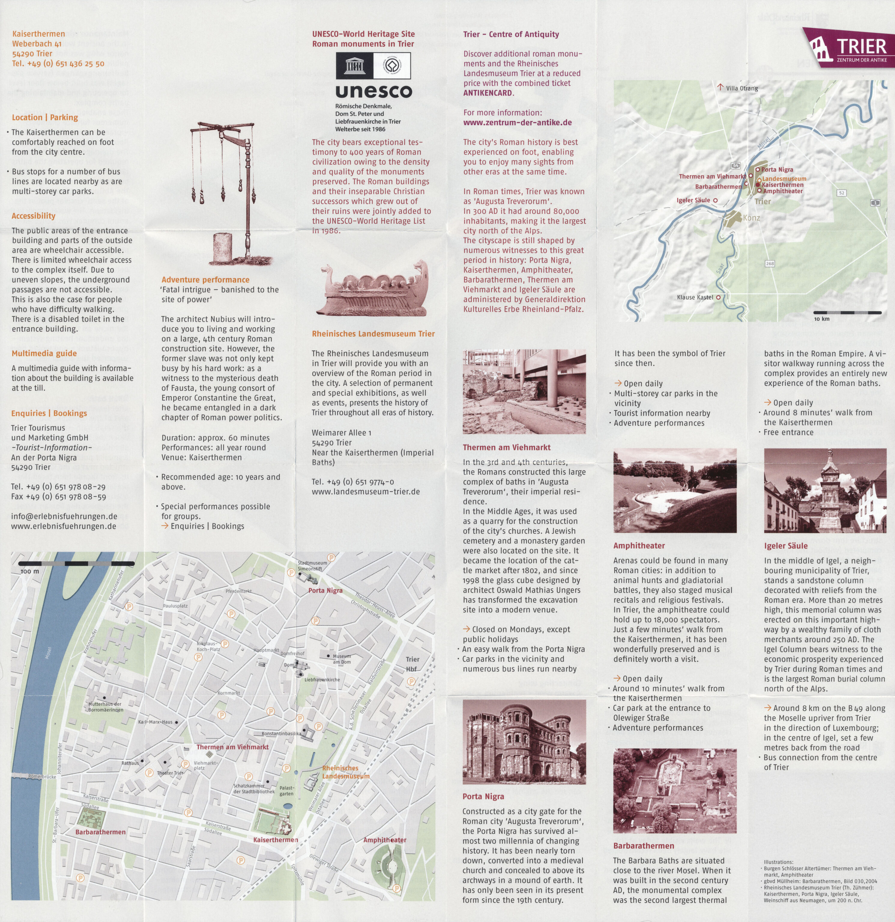
We bought tickets and also received a map.
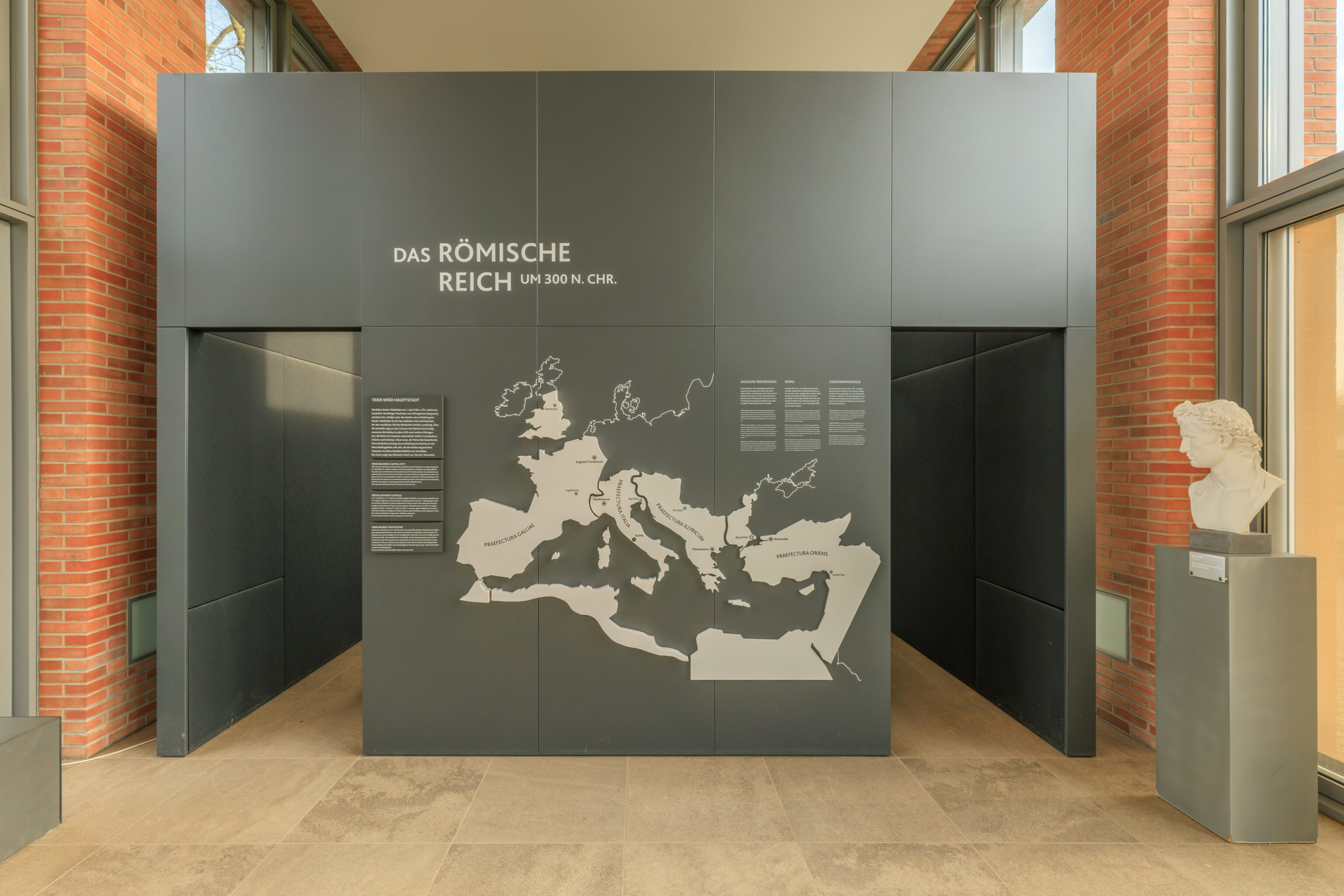
The map on the wall here shows the extent of the Roman Empire when it became a tetrarchy. There were four rulers, a pair for the eastern and western halves of the empire. Each half had a master and apprentice, no wait, that was the Sith… The senior leader was the Augustus and the junior leader the Caesar. The Caesar would become Augustus once the Augustus retired… So, actually, that’s basically the Sith. Trier was the capital of Constantius I who was the Caesar of the western half of the empire.
TRIER BECOMES CAPITAL CITY
After emperor Diocletian had elevated his potential successor Maximian to coregent (Augustus) on 1 April 286 AD, a division of power occurred among the two: Diocletian was responsible for the eastern part and Maximian for the western part of the Roman Empire. Worried about the unstable situation at the frontiers of the Empire, in the year 293 the two appointed two other coregents, who were to be subordinate to them as Caesares: Constantius I Chlorus and Galerius. This new form of rule referred to as a tetrarchy entailed a partition of the Empire into four dominions, which the two Augusti or Caesares governed from their residential cities. The map shows the Roman Empire at the time of the tetrarchy.
– Text on the left side of the wall in the photograph above.
AUGUSTA TREVERORUM
TRIER Starting in 286 AD, Trier is the capital city and administrative centre for the entire West of the Roman Empire, from Britannia via France and Spain to Morocco. Its previous role as the seat of provincial administration and its easily accessible, but safe location in the hinterland of the frontier on the Rhine are indicative of Trier as a residential city.

ROMA
ROME At the end of the 3rd century AD, Rome remains the undisputed capital city of the Roman Empire. Although it is no longer a permanent imperial residence, it nevertheless serves as a role model for the residential cities of the tetrarchs. The Senate continues to hold sessions in Rome, and the "Tetrarch Monument" at the Roman Forum there is reminiscent of the 20-year jubilee of both Augusti.

CONSTANTINOPOLIS
CONSTANTINOPLE Constantinople was founded in 324 AD by Emperor Constantine the Great in place of the older city Byzantium. Conceived as the new capital city, Constantinople - characterised by Christianity - obtains a residence extending over an area of roughly 6 km2, which Constantine ceremoniously inaugurated in 330.
– Text on the right side of the wall in the photograph above.
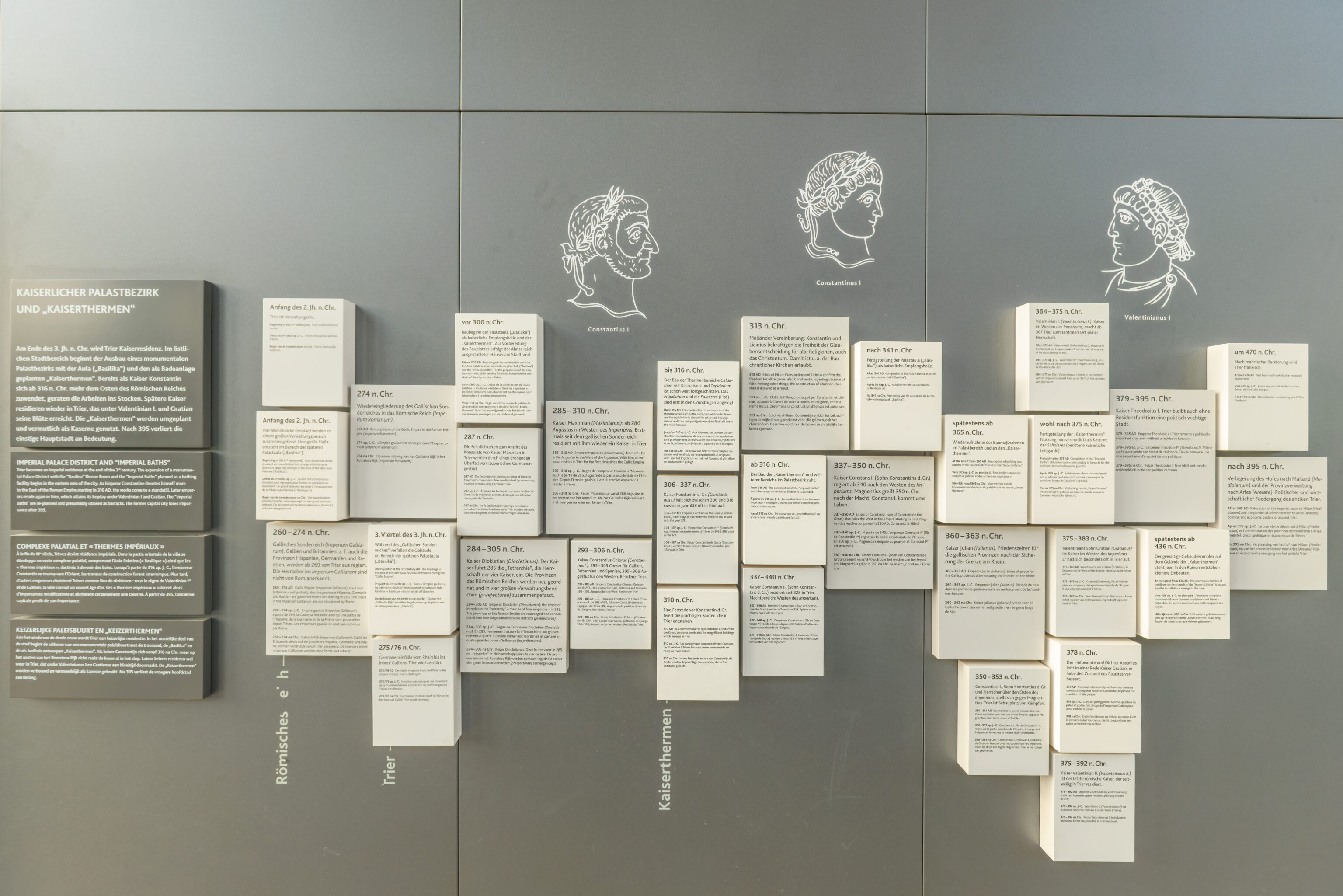
More relevant to this particular archaeological site, the Kaiserthermen were the baths that were part of the place complex that was built here.
IMPERIAL PALACE DISTRICT AND "IMPERIAL BATHS"
Trier becomes an imperial residence at the end of the 3rd century. The expansion of a monumental Palace District with the "Basilica" Throne Room and the "Imperial Baths" planned as a bathing facility begjns in the eastern area of the city. As Emperor Constantine devotes himself more to the East of the Roman Empire starting in 316 AD, the works come to a standstill. Later emperors reside again in Trier, which attains its heyday under Valentinian I and Gratian. The "Imperial Baths" are re-planned and presumably utilised as barracks. The former capital city loses importance after 395.
– Text from the left side of the wall above.
The wall above contained many panels that detail the history of Trier during the Roman Empire.
Beginning of the 2nd century AD
Trier is administrative centre.

Beginning of the 2nd century AD
Four residential blocks (insulae) are consolidated into a large administrative district. A large hall emerges in the area of the later Aula Palatina ("Basilica").

260-274 AD
Gallic Empire (Imperium Galliarum): Gaul and Britannia - and partially also the provinces Hispania, Germania and Raetia - are governed from Trier starting in 269. The rulers in the Imperium Galliarum are not recognised by Rome.

274 AD
Reintegration of the Gallic Empire in the Roman Empire (Imperium Romanum).

Third quarter of the 3rd century AD
The buildings in the area of the later Aula Palatina deteriorate during the "Gallic Empire".

275/76 AD
Germanic invasions from the Rhine to the interior of Gaul: Trier is destroyed.

Before 300 AD
Beginning of the construction work on the Aula Palatina as an imperial reception hall ("Basilica") and the "Imperial Baths". For the preparation of the construction site, older lavishly furnished houses on the outskirts of the city are demolished.

287 AD
The festivities for the inauguration of Emperor Maximian's consulate in Trier are disturbed by a menacing invasion by marauding Germanic tribes.

284-305 AD
Emperor Diocletian (Diocletianus): the emperor introduces the "tetrarchy" - the rule of four emperors - in 285. The provinces of the Roman Empire are rearranged and consolidated into four large administrative districts (praefecturae).

285-310 AD
Emperor Maximian (Maximianus): from 286 he is the Augustus in the West of the Imperium. With him an emperor resides in Trier for the first time since the Gallic Empire.

293-306 AD
Emperor Constantius Chlorus (Constantius I.): 293-305, Caesar for Gaul, Britannia and Hispania; 305-306, Augustus for the West. Residence: Trier.

Until 316 AD
The construction of some parts of the thermae areas such as the caldarium with boiler house and the tepidarium is already far advanced. The frigidarium and the courtyard (palaestra) are first laid out in the main features.

306-337 AD
Emperor Constantine the Great (Constantinus I.) often stays in Trier between 306 and 316 as well as in the year 328.

310 AD
In a commemorative speech before Constantine the Great, an orator celebrates the magnificent buildings which emerge in Trier.

313 AD
Edict of Milan: Constantine and Licinius confirm the freedom for all religions, also Christianity, regarding decision of faith. Among other things, the construction of Christian churches is allowed as a result.

From 316
AD The construction of the "Imperial Baths" and other areas in the Palace District is suspended.

337-340 AD
Emperor Constantine II (son of Constantine the Great) resides in Trier since 328. Sphere of authority: West of the Empire.

After 341 AD
Completion of the Aula Palatina as an imperial reception hall ("Basilica").

337-350 AD
Emperor Constans I (son of Constantine the Great) also rules the West of the Empire starting in 340. Magnentius reaches for power in 350 AD, Constans I is killed.

At the latest from 365 AD
Resumption of building operations in the Palace District and on the "Imperial Baths".

350-353 AD
Constantius II, son of Constantine the Great and ruler over the East of the Empire, opposes Magnentius. Trier is the scene of battles.

360-363 AD
Emperor Julian (Iulianus): times of peace for the Gallic provinces after securing the frontier on the Rhine.

364-375 AD
Valentinian I (Valentinianus I), Emperor in the West of the Empire, makes Trier the central location of his rule starting in 367.

Probably after 375 AD
Completion of the "Imperial Baths": utilisation is now presumably as barracks for the scholares (mounted imperial guards).

375-383 AD
Valentinian's son Gratian (Gratianus) is Emperor in the West of the Empire. He stays quite often in Trier.

378 AD
The court official and poet Ausonius makes a speech praising that Emperor Gratian has improved the condition of the palace.

375-392 AD
Emperor Valentinian II (Valentinianus II) is the last Roman emperor who occasionally resides in Trier.

379-395 AD
Emperor Theodosius I: Trier remains a politically important city, even without a residence function.

After 395 AD
Relocation of the imperial court to Milan (Mediolanum) and the provincial administration to Arles (Arelate): political and economic decline of ancient Trier.

At the latest from 436 AD
The enormous complex of buildings on the grounds of the "Imperial Baths" is vacant. Smaller installations emerge in the ruins.

Around 470 AD
Trier becomes Frankish after repeated destruction.
– Text from the small panels on the wall above.
There was more to the musuem, however, we decided to take a look outside first.
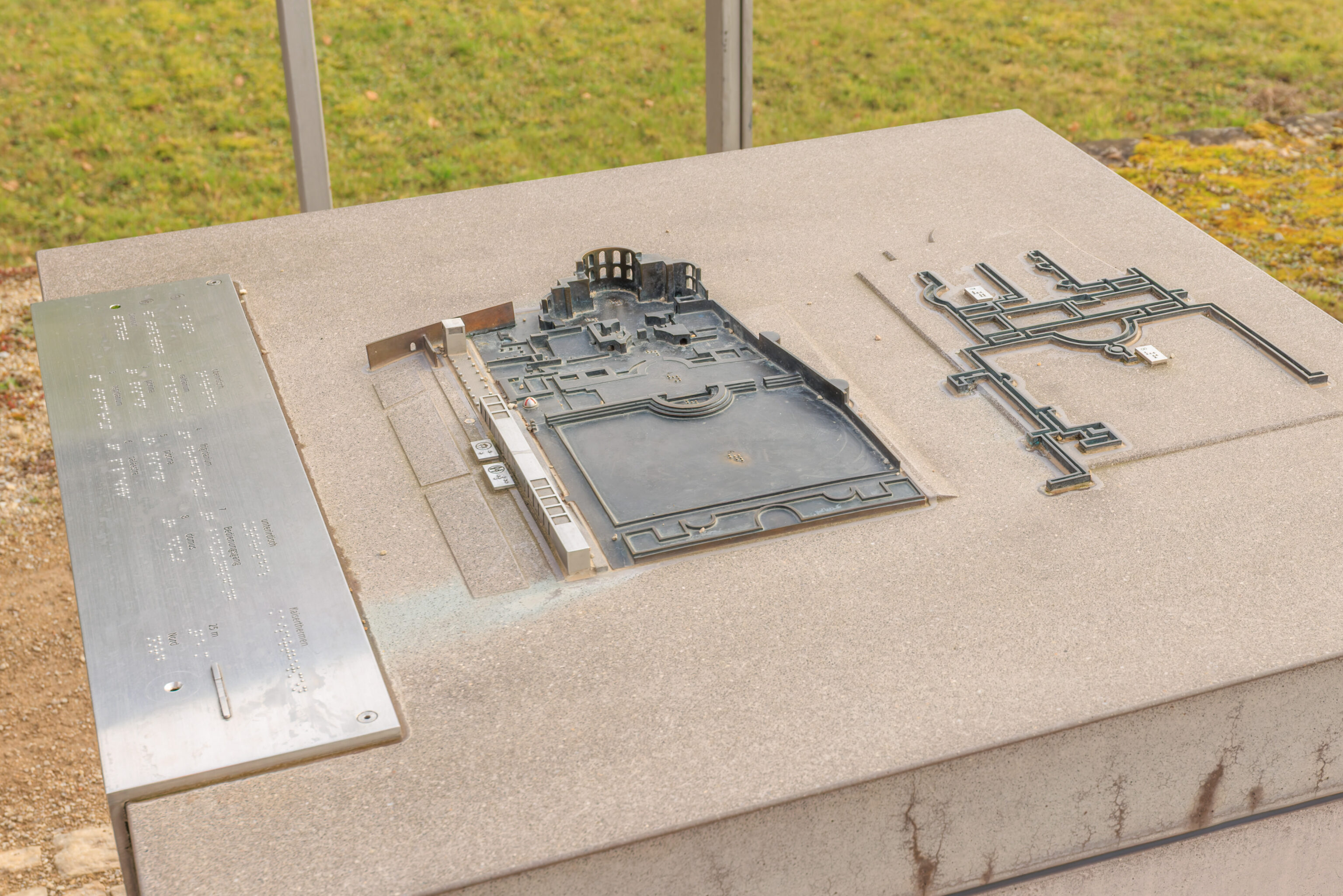
This model shows the ruins that are present here today.
At the time of their construction around 300 AD, the Kaiserthermen (Imperial Baths) were intended to become a huge complex of baths at the intersection of the forum and the palace district of Trier in the Late Antiquity period.

However, before they could be completed, they were redesigned as a parade and reception hall. The complex also underwent many changes in later centuries.
– Text inscribed upon the base of the pedestal in the photograph above.
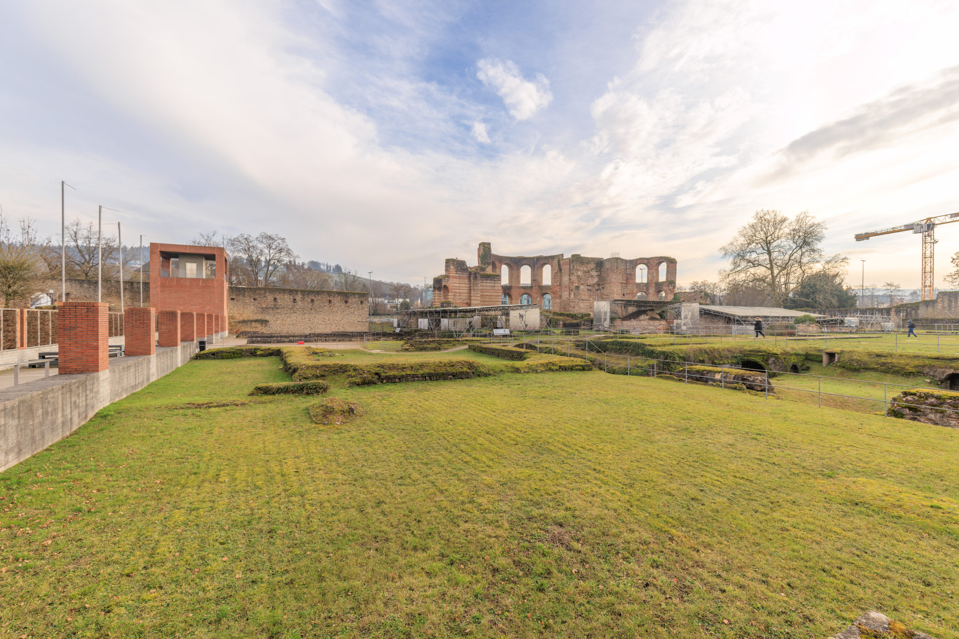
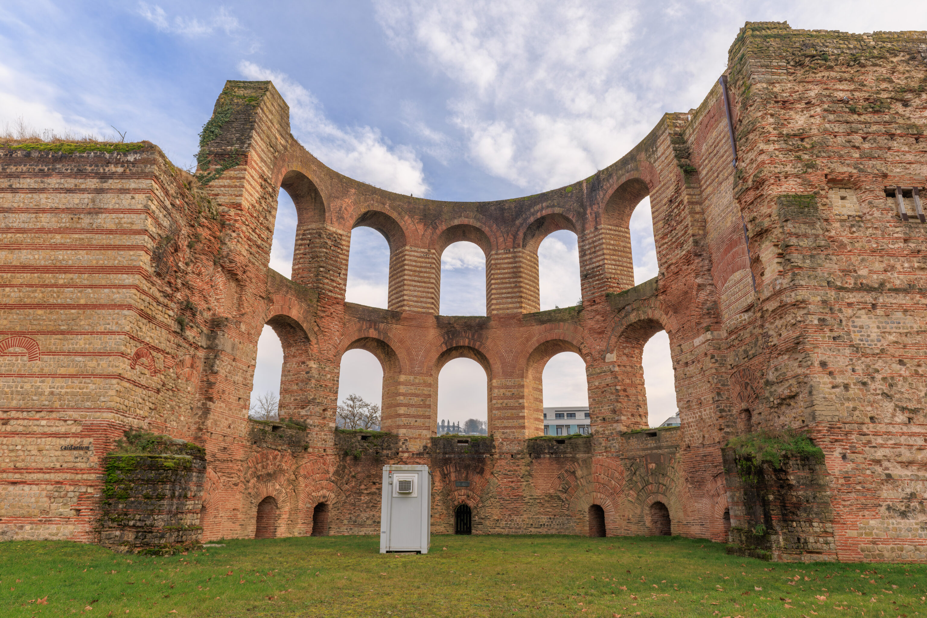
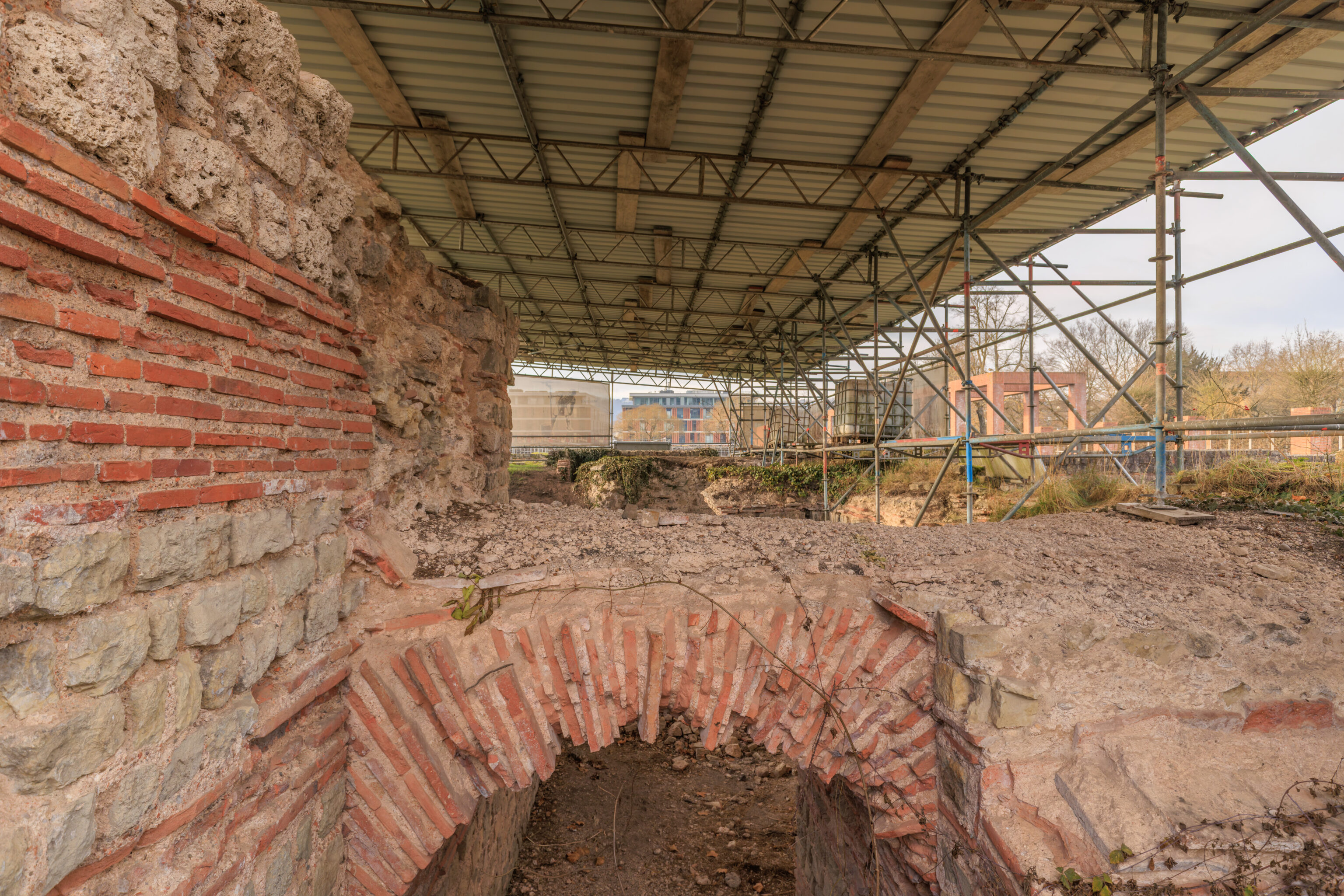
The most visible section of ruins here is the two story wall to the east in the background.
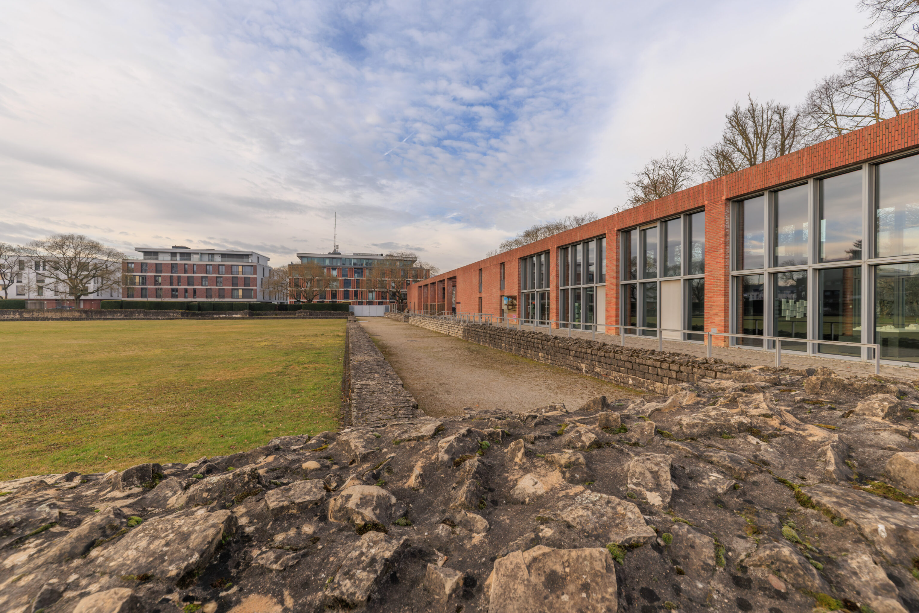
The looking in the opposite direction, the building on the right is the ticket office and museum.
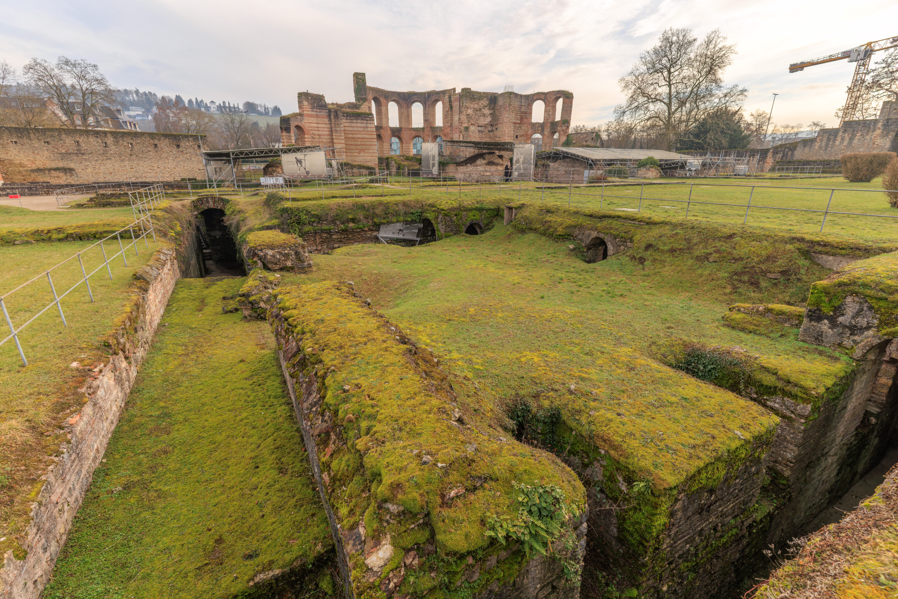
We started to walk over to the east.
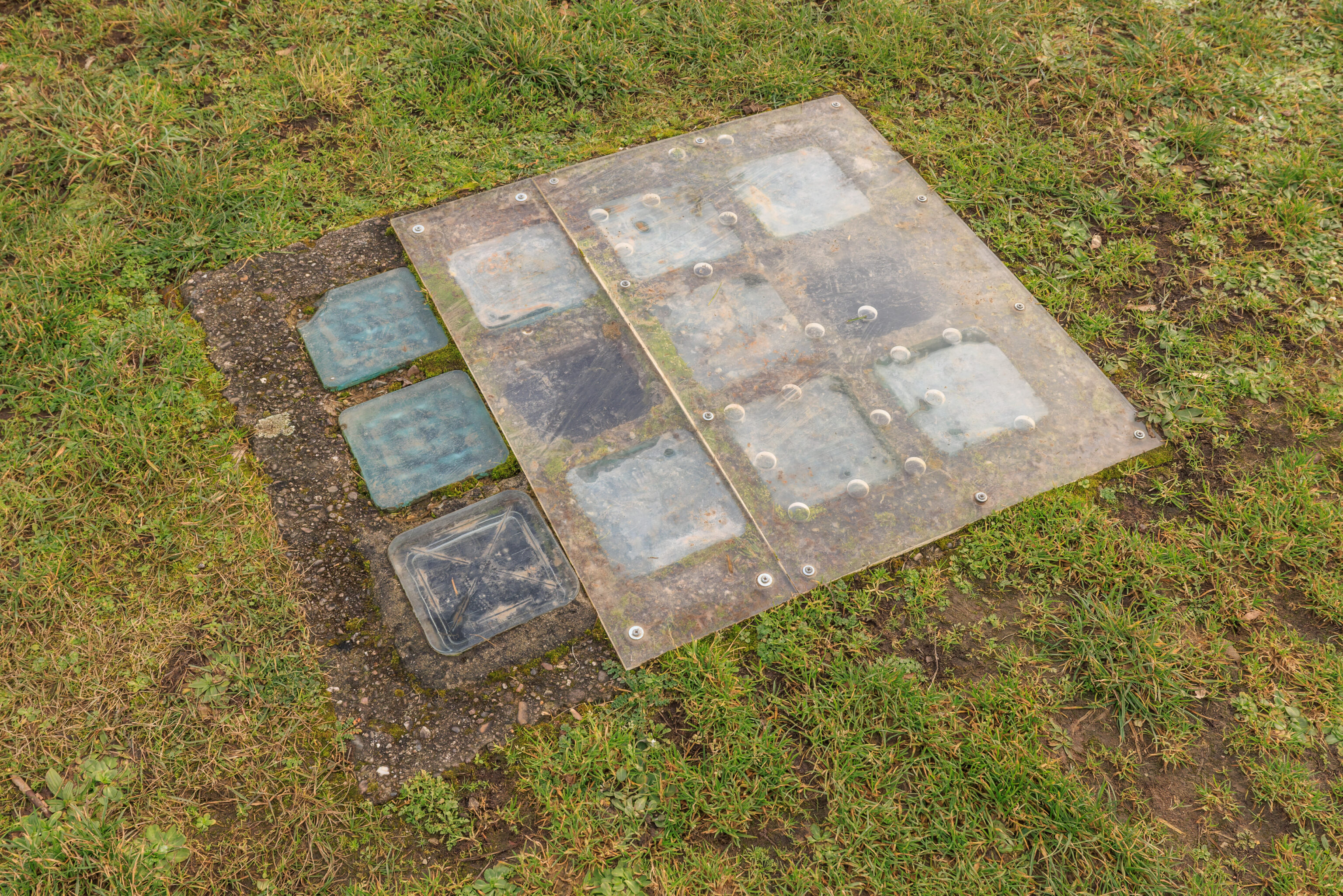
It looks like there is something underground here?
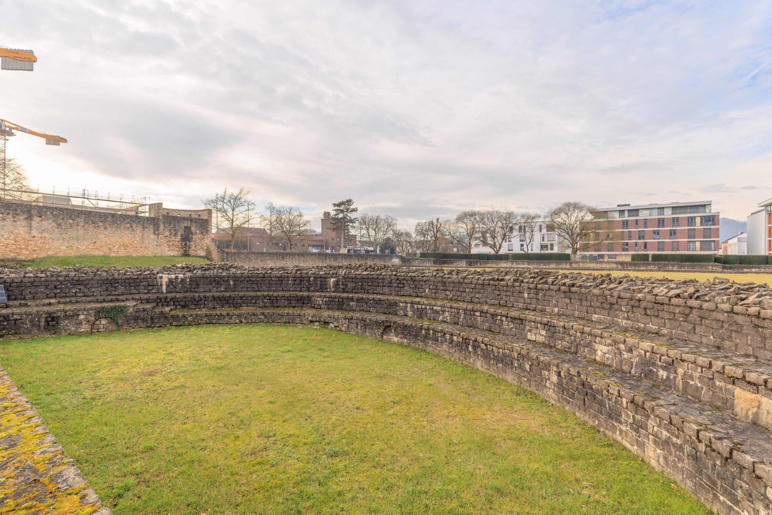
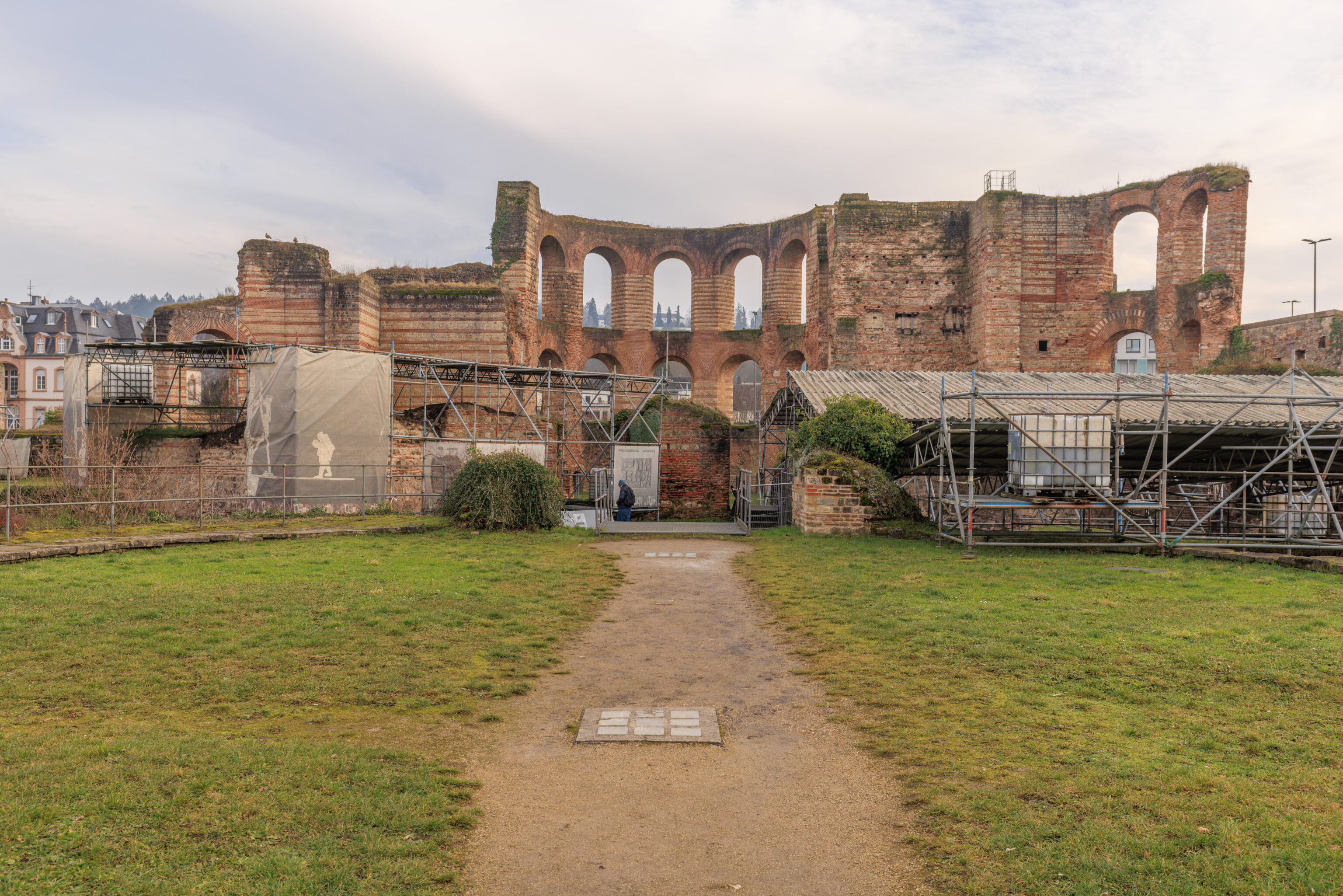
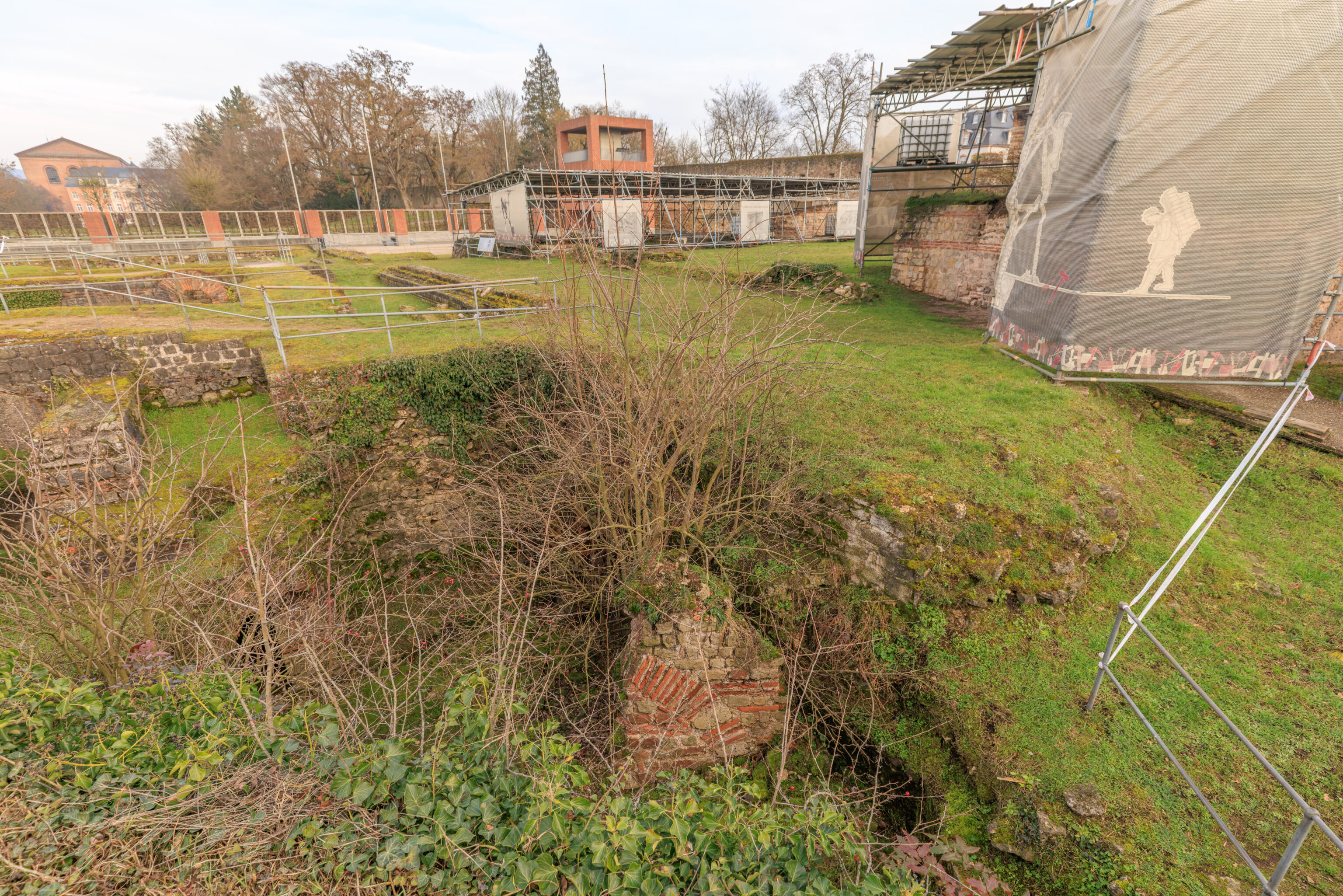
We continued walking until we were near the ruined wall.
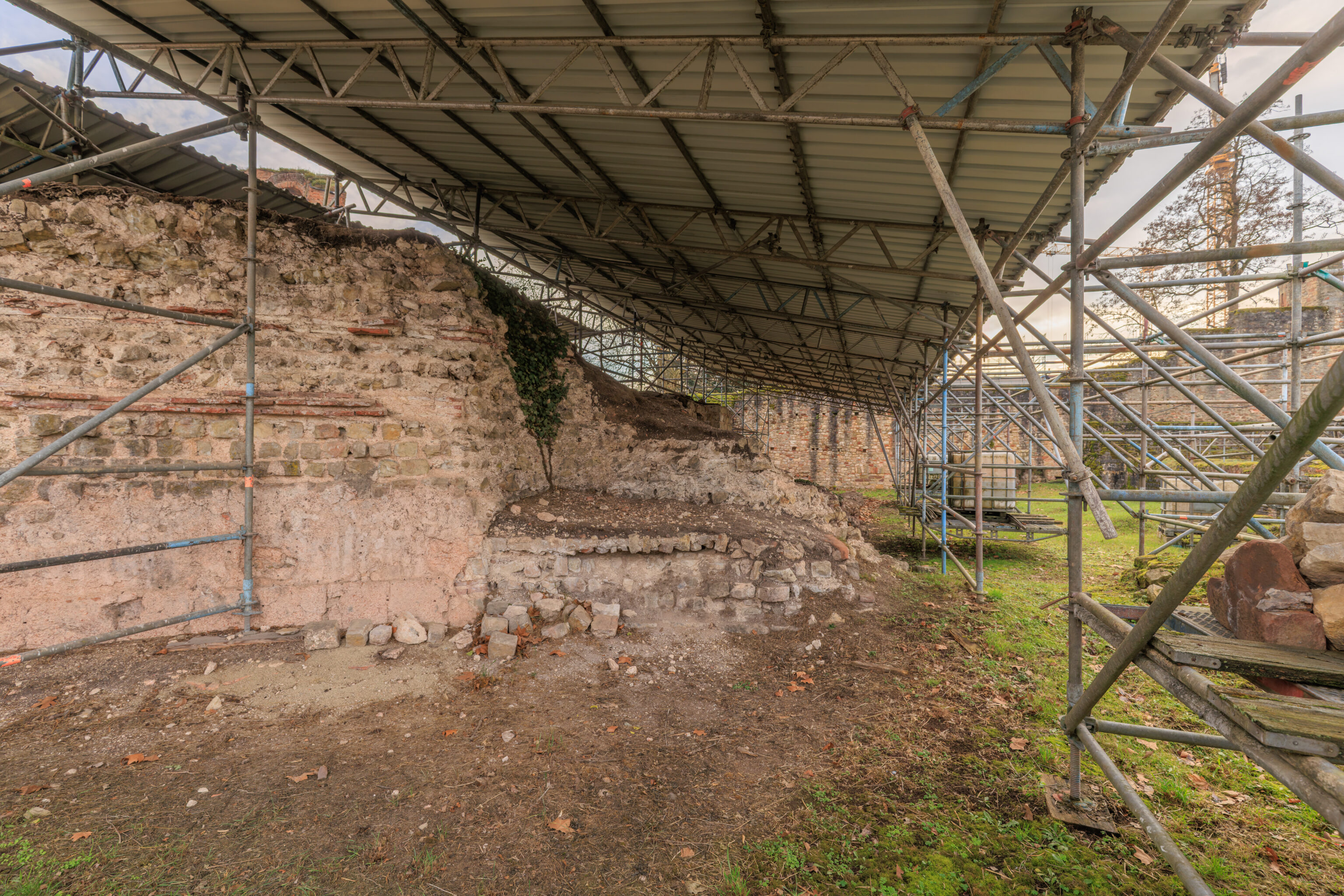
Bomb Damage

Antiquity
With the elevation of Trier as a capital city, the 'Kaiserthermen', built in the 3rd century, were only used as a public bath for a few decades. Around the middle of the 4th century, the facility was converted into a military barracks. To do so, the troops partly used the existing materials and demolished or converted the rooms. When this building, too, was no longer in use in the 5th century, it sat there deserted and served as a quarry for new construction projects in the city. In the Early Middle Ages, the first inhabitants settled on the site itself. The 'De Castello' family had the main building converted into a castle. The city wall, newly built during the High Middle Ages, integrated the outer walls of the former thermal bath hall. The window in the southern niche henceforth served as a city gate.

The post-classical conversions were removed during Napoleon's reign to restore the supposed original state. In more recent history, large parts were destroyed in World War II bombing raids. The reconstruction resulted in the complete elimination of medieval installations.

Today
Due to the varied post-classical use of the great Roman monuments in Trier, numerous tall structural elements have disappeared. Still others only came to light through the excavation in the 20th century. Tall structural elements in the adjoining medieval city walls were almost completely destroyed when hit by a bomb in 1944.

The aim is to give visitors an idea again of the size and level of use of the former rooms and of the various changes they underwent throughout history. To this end, sensitive areas will be filled in again and made visible on the surface with modern materials.
– Text from a sign.
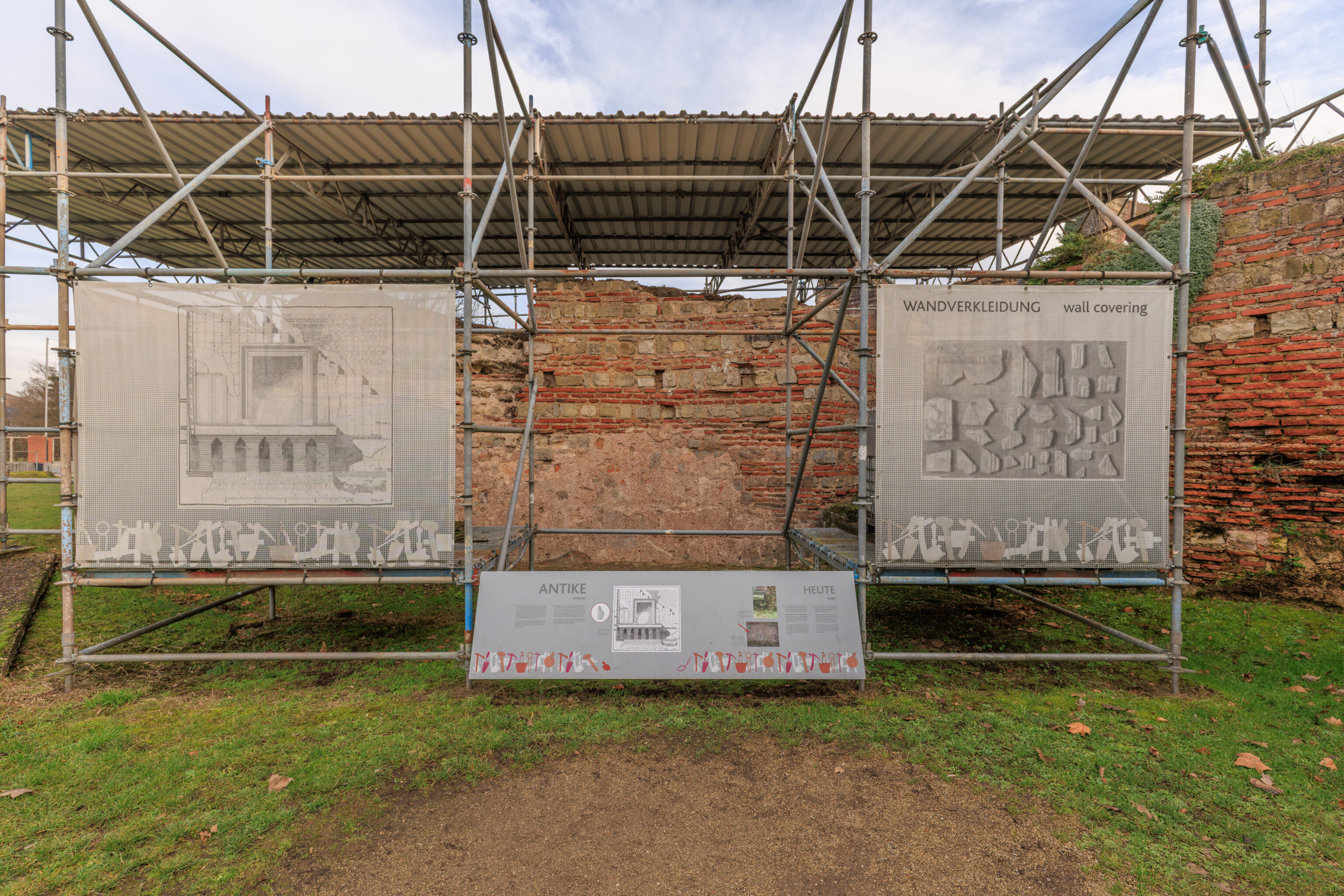
The signs here discuss wall coverings. Its hard to visualize how it applies to the section of wall behind the scaffolding.
Wall Covering

Antiquity
The large main rooms of Roman thermal baths were elaborately furnished with brightly painted sculptures, pillars, marble slabs and mosaics. Thus, granite and sandstone column shafts as well as capitals with floral and figural reliefs were found in the 'Kaiserthermen'. The finds from the 'Barbarathermen' are a vivid example of the luxurious interiors of large Roman buildings in Trier.

Thin marble panels fastened with lime mortar and iron brackets adorned the walls of the rooms. The pools were also lined with stone slabs or mosaics.

Today
The traces of former wall covering and interior decoration represent one of the biggest challenges of sustainable restoration and preservation.

Here, the aim is to preserve the discernible imprints so that they are permanently visible by hardening the porous wall material while reinforcing their attachment to the masonry at the same time.

Near ground-level, long-term damage due to strong moisture penetration can also be documented. Here, backfilling isc urrently the most effective conservation measure.
– Text from the sign in the photogrpah above.
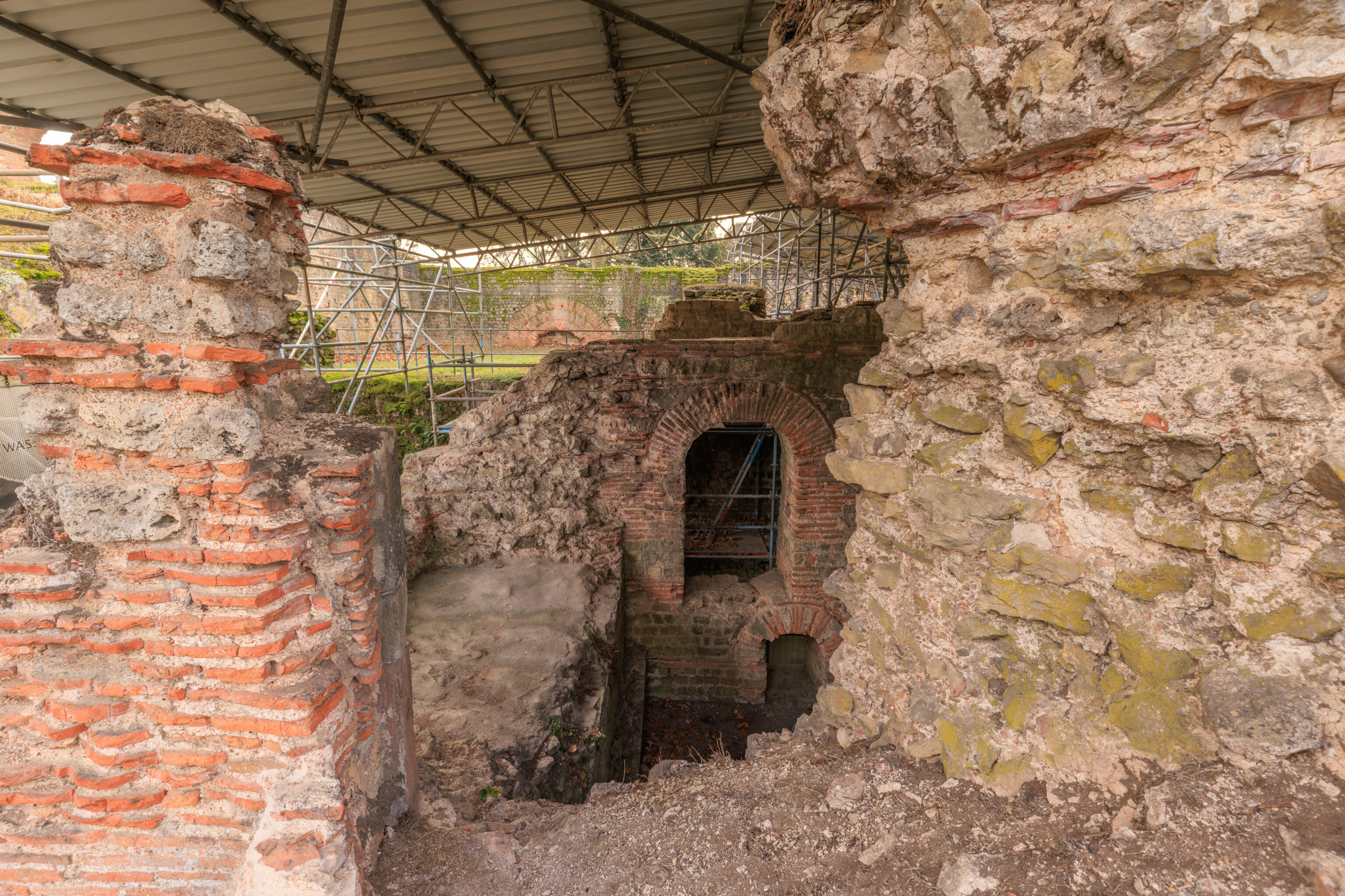
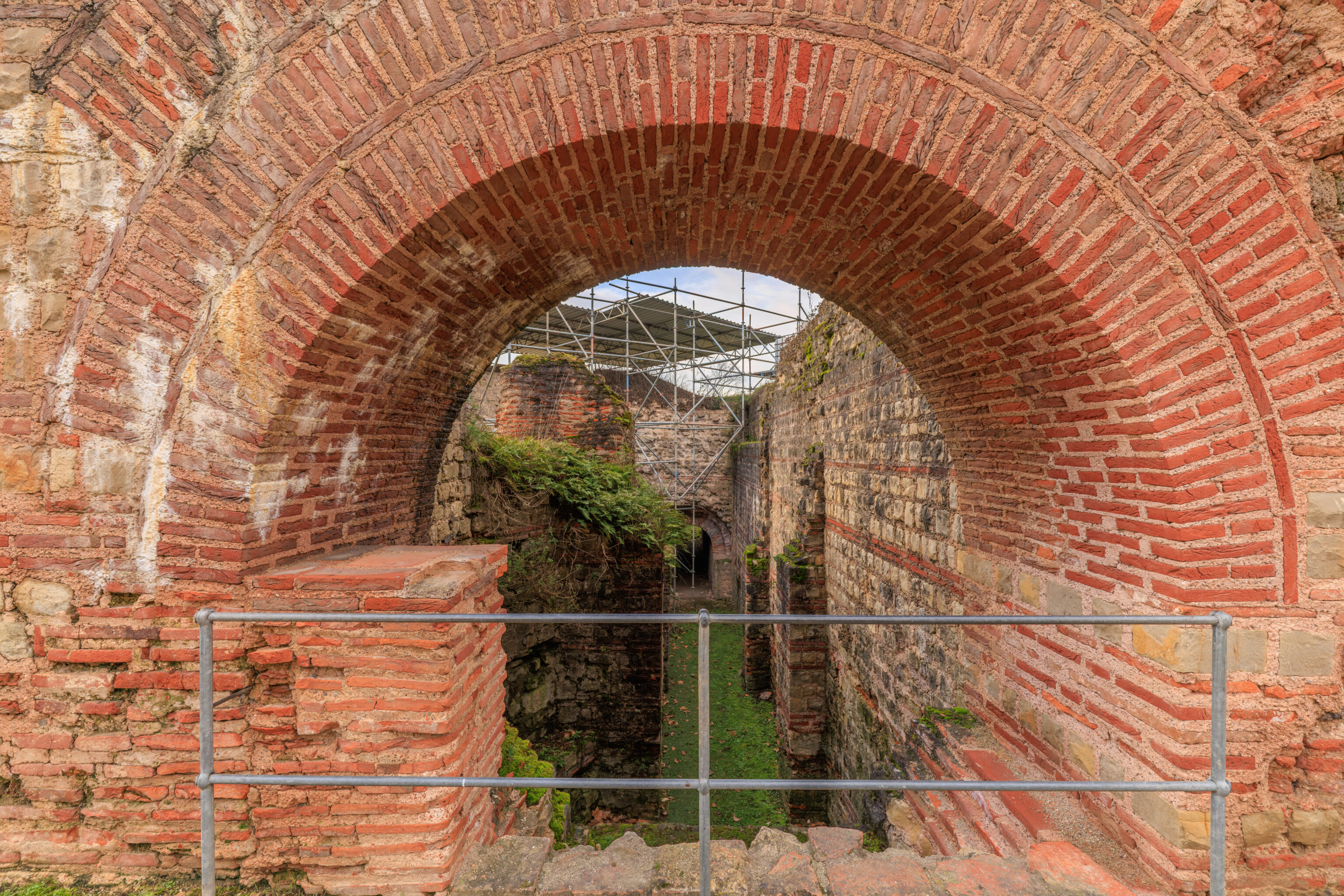
Looking through here, we could see portions of the building that are underground today.
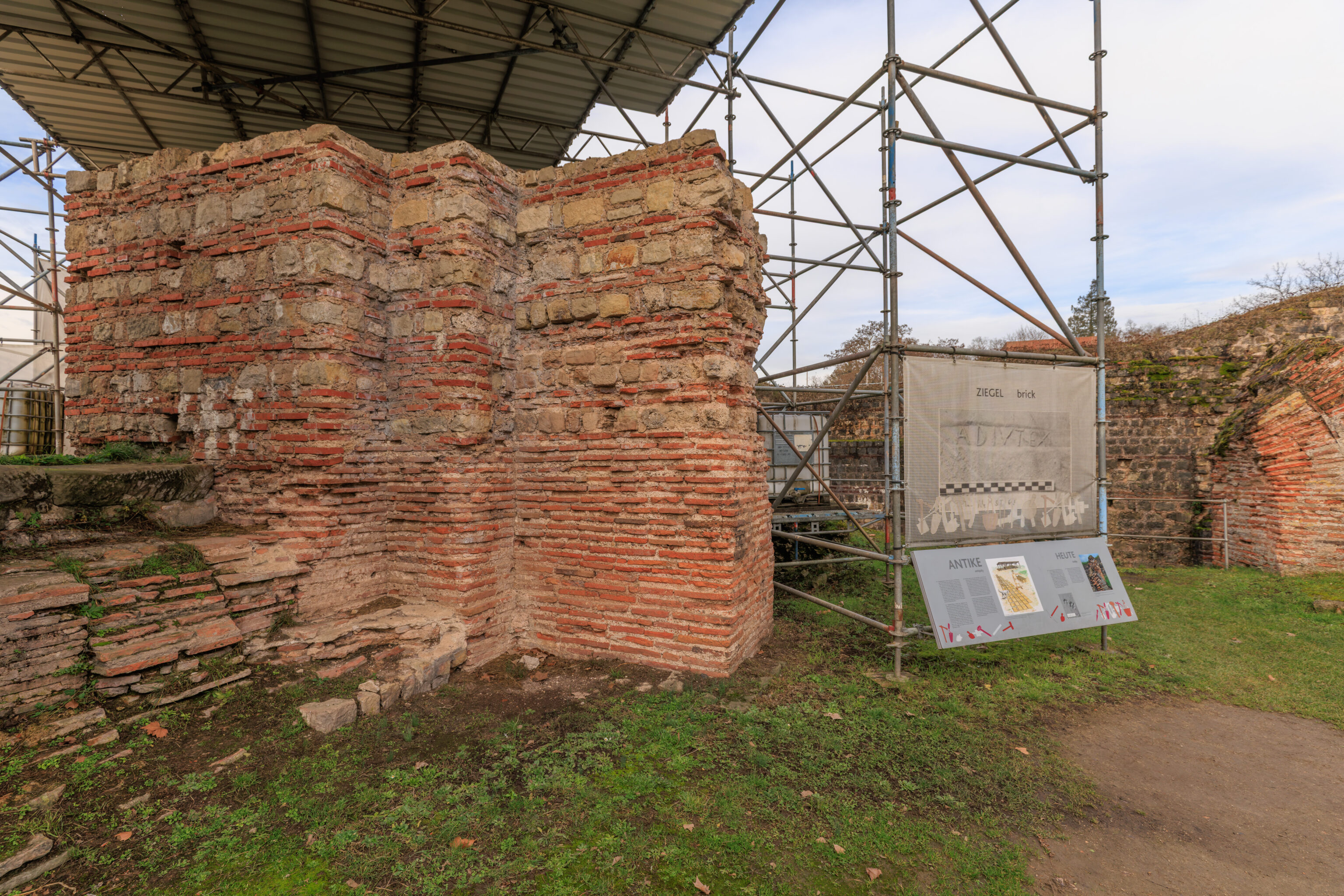
The sign in the photograph above discusses the use of clay brick as a building masterial.
Brick

Antiquity
Besides wood, stone and plant fibres, clay bricks are among the oldest building materials. Since clay, as the basic material, can be found in large quantities in most regions and is easily mined and processed, it is a particularly suitable raw material. In addition, fired bricks are easily transported and stored. In Trier, the presence of clay deposits along the Moselle River favoured the establishment of brickyards and thus easy transport by ship. Stamps on the bricks tell us that they were manufactured by the military or private entrepreneurs. The ADIVTEX stamp commonly found on the bricks in the Kaiserthermen probably belongs to a private operator.

To make bricks, the excavated clay first had to be soaked for several weeks and cleaned of solid or organic impurities to obtain a homogeneous mass. Then the clay was pressed into a mould frame to bring it into the desired shape. The brickyards manufactured rectangular or square bricks, roof tiles, clay water pipes or hollow tiles for wall and floor heating. The surface of the wall bricks was artificially roughened to facilitate adherence of the mortar in later construction. The bricks were then dried for several weeks in the open air, as made evident by many imprints of animal paws. Finally, the bricks were put into a wood-fired kiln.

Today
Large areas of the 'Kaiserthermen' were built with bricks. Remnants of the former wall covering and wall heating can still be seen in many areas. With the loss of these interior wall elements, the exposed brick walls are today largely at the mercy of the elements. Moisture, temperature fluctuations and vegetation make deep inroads into the substance. Reinforcement and the replacement of destroyed bricks ensure a lasting preservation.
– Text from the sign in the photogrpah above.
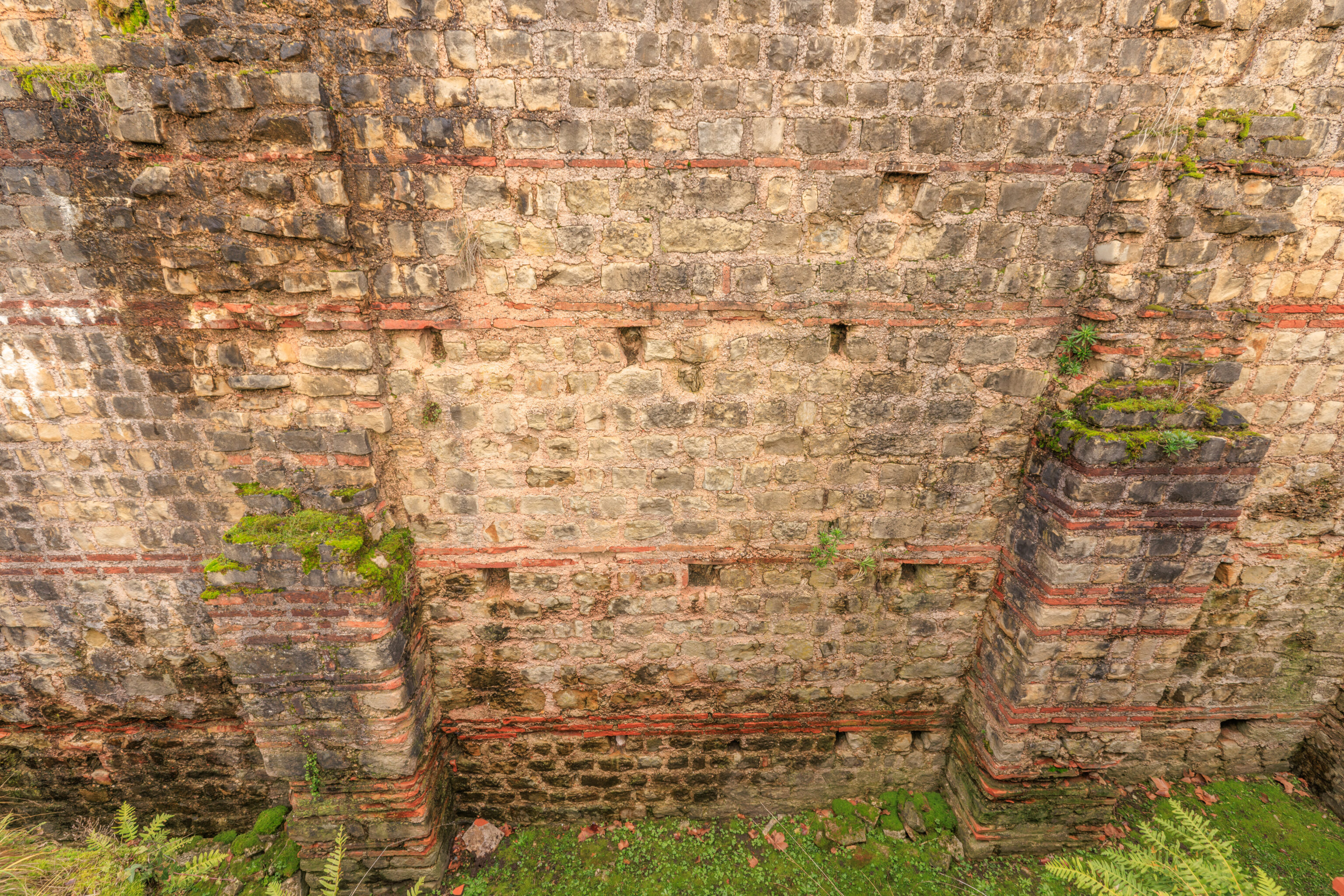
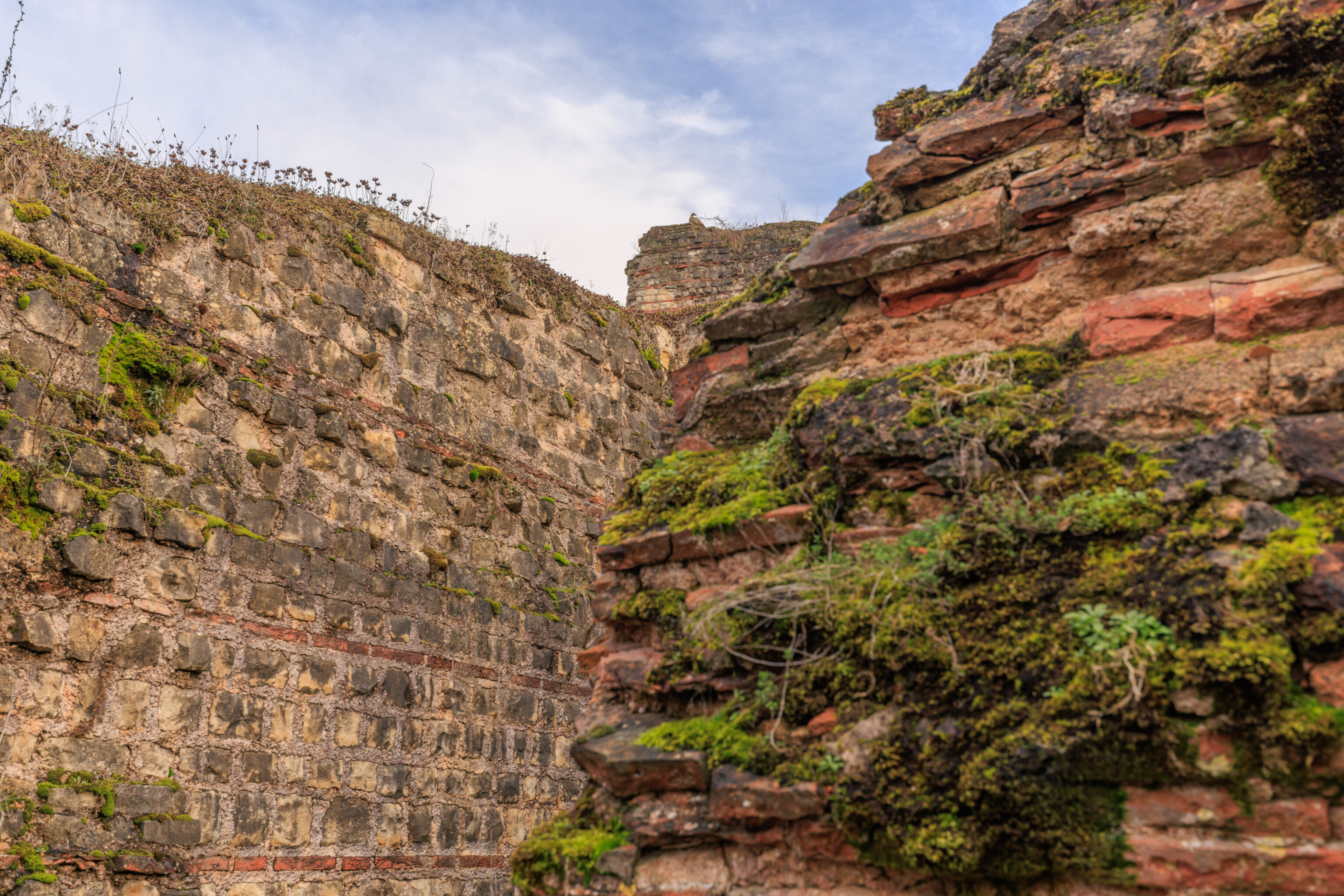
The two photographs above may or may not correlate to any of the signs that we photographed…
Antiquity
Thermal baths obtained their water from cisterns or water pipes. Aqueducts transported spring water into the cities over many kilometres. In the 'Kaiserthermen', the water was collected in large storage tanks, so-called water castles, and led through pipes into the pools where it flowed from figure-shaped faucets and spouts. The pools and pipes themselves were coated with a waterproof plaster. The plaster owes its red colour to the addi- tion of ground bricks.

The water was drained through a drainpipe in the bottom of the pool, which could be closed with a lid. From there it flowed through underground pipes into the sewers.

Today
In antiquity, pipes, pools, gullies and heating systems were lined with a mortar that contained a lot of brick and so protected the brickwork from water penetration and temperature fluctuations.

To seal off the tops of the walls, today they are systematically seeded with vegetation to keep the water at the surface. In addition, putting up minor walls - so-called wearing courses - can seal the core masonry.

The different floor levels of the excavation also require a regulated water flow to keep intruding rain water and water bound in the layers away from the original substance.
– Text from a sign.
Antiquity
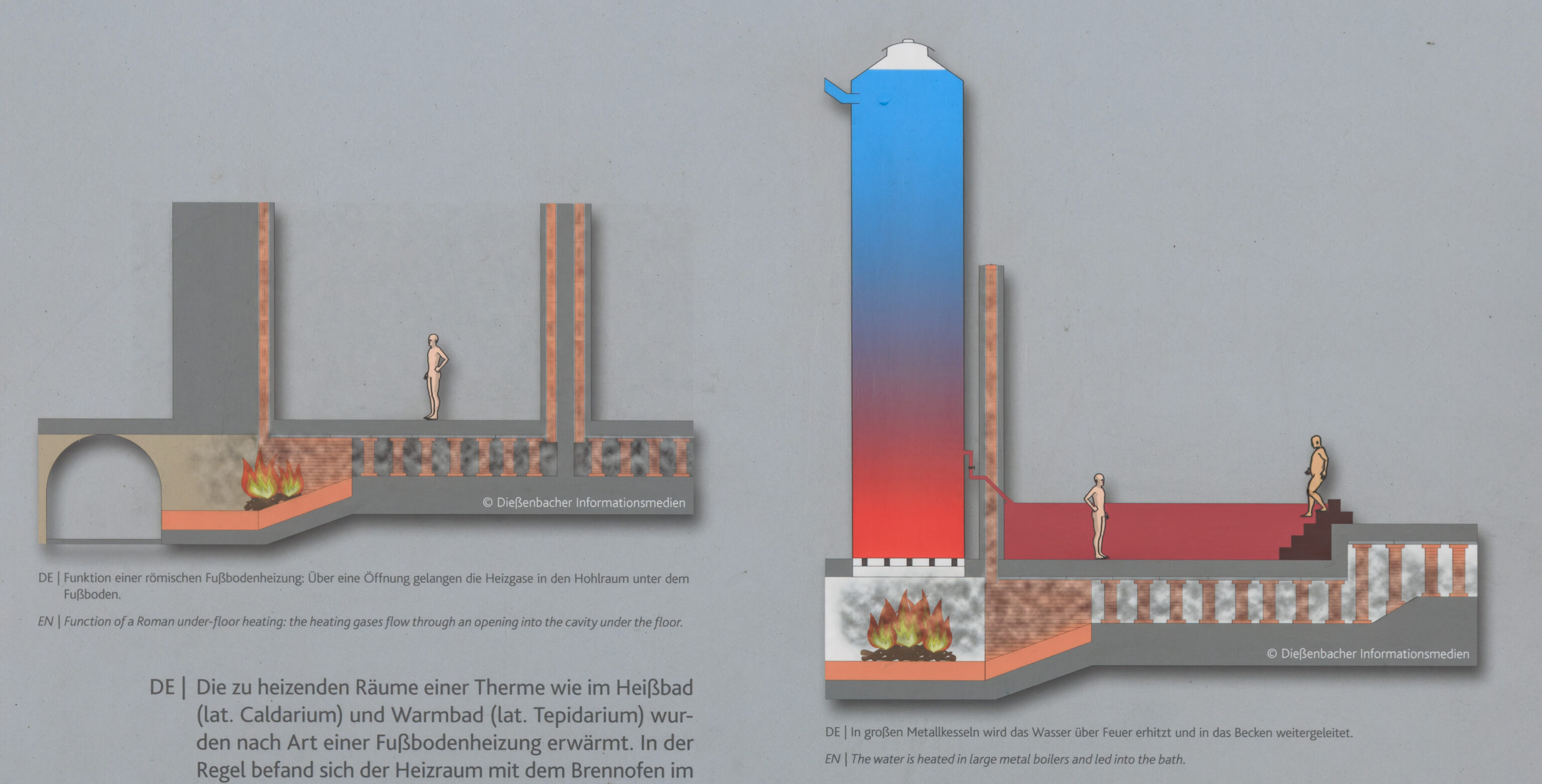
The rooms to be heated in thermal baths, as found in a hot bath (lat. caldarium) and warm bath (lat. tepidarium), were heated in the manner of a floor heating system. The boiler room with the boiler was usually in the cellar or on the ground floor next to the room to be heated. The boiler rooms were only accessible for the staff from the outside.

The resulting hot gases flowed through channels in the cavity under the floors. The cavity consisted of many small brick pillars that were placed at regular intervals.

The hot gases continued to flow up along the walls through hollow bricks, heating them in the process, and were vented to the open air through chimneys.

In the hot and warm baths, the warm water flowed from taps and fountains, having been heated before in a metal boiler on top of a furnace which drained into the pool.

Today
Today's walking levels in the 'Kaiserthermen' do not always correspond to the floors of the ancient spa visitors. In the area of the caldarium, today's visitors are around 2.5 metres below the former Roman floor level.

The goal of historic preservation planning is having the knowledge of former usage levels flow into the considerations regarding conservation measures. This is how raising the paths for visitors can protect sensitive finds in the wall area, make former usages more apparent and make the monument wheelchair-accessible.
– Text from a sign, translated using Google.
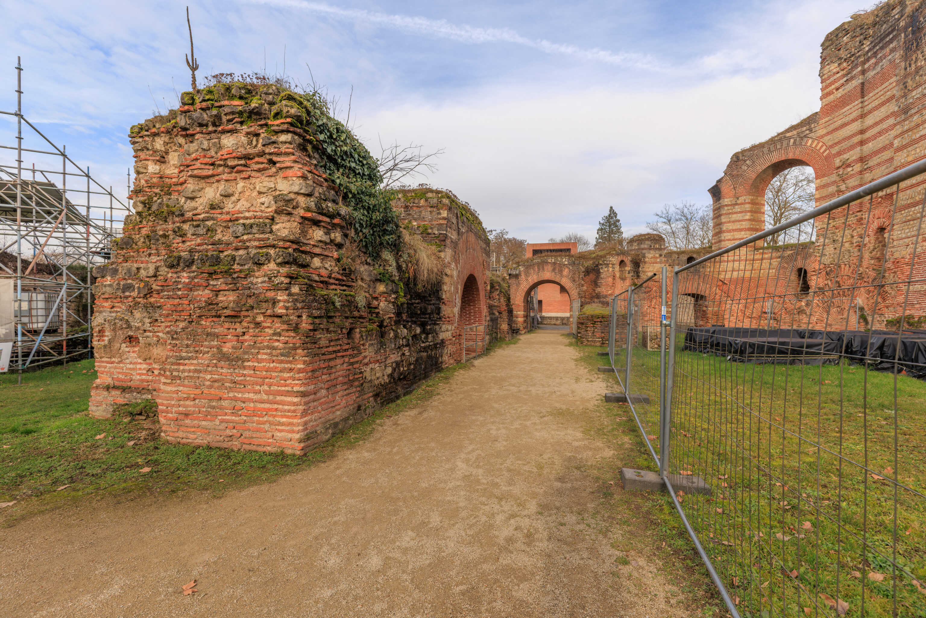
Overall, its hard to really visualize anything here other than that there was a big building here.
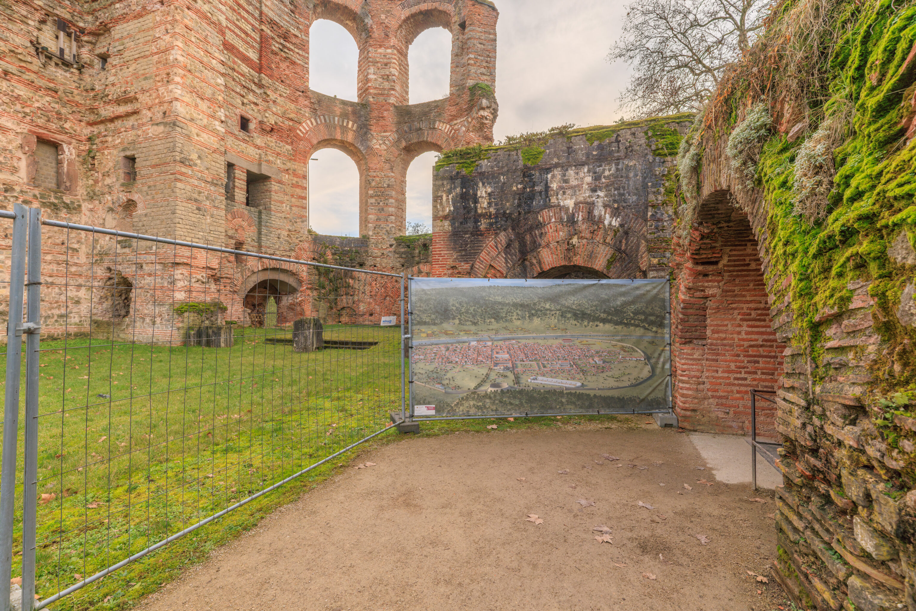
We followed this path…
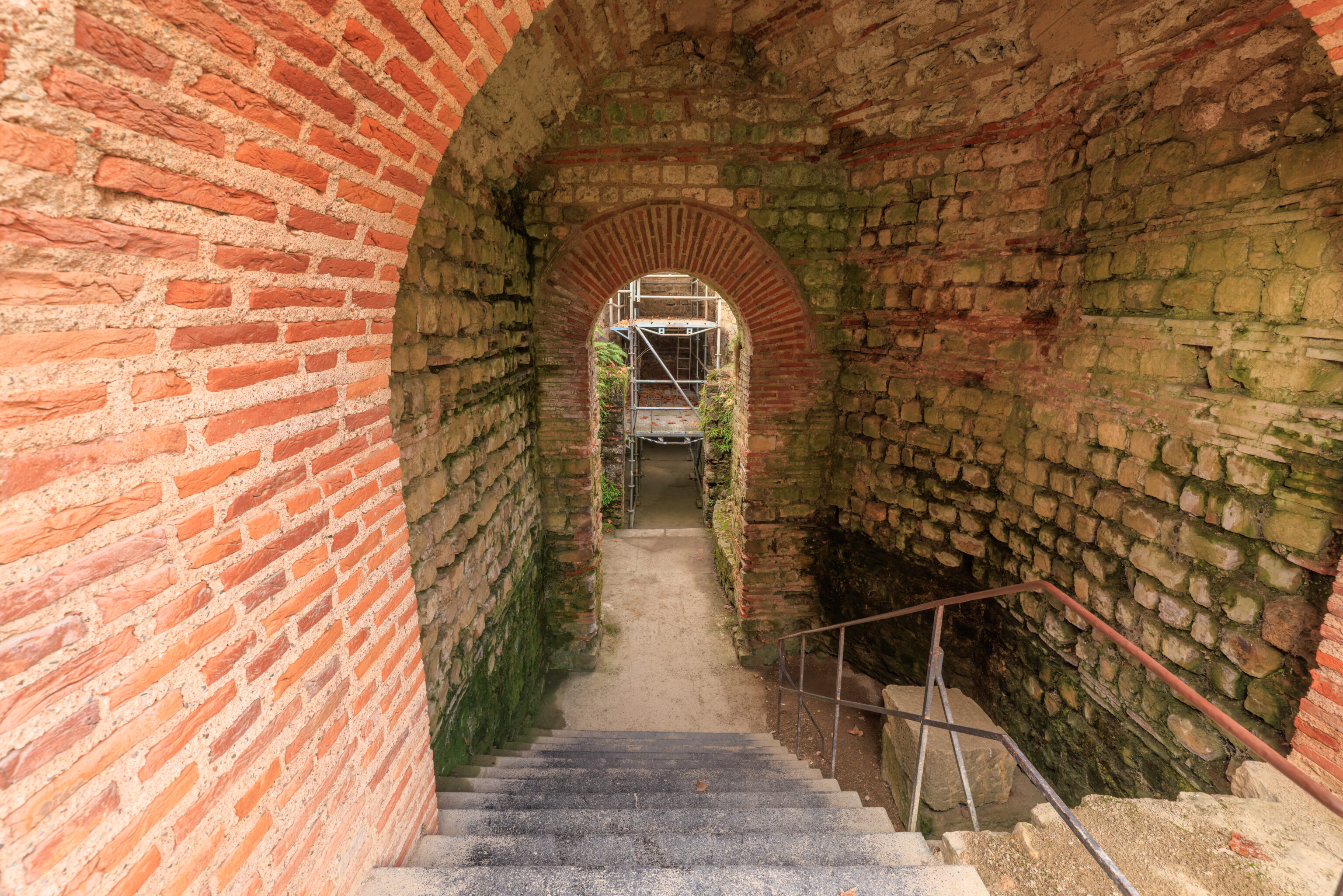
Which led to stairs…
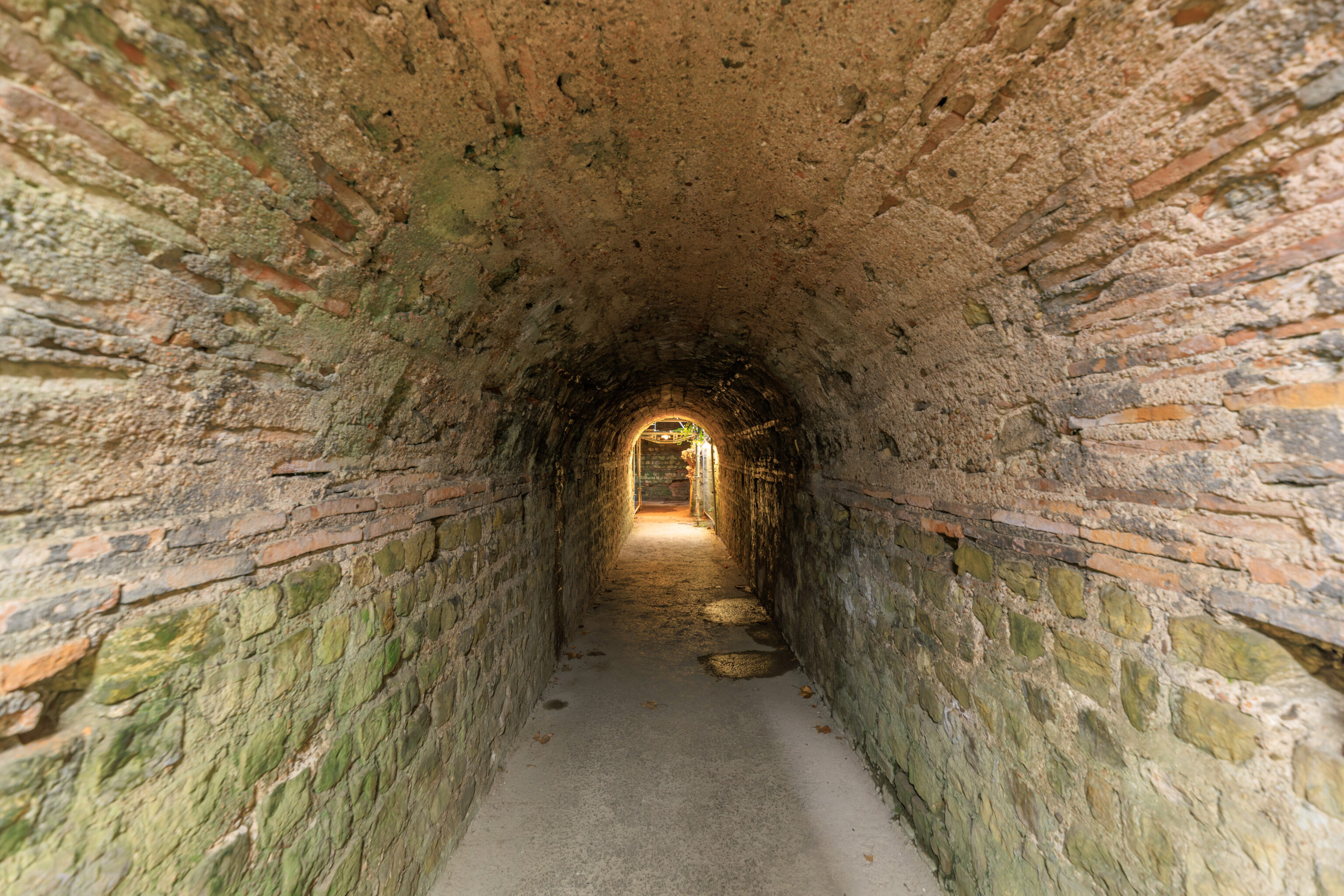
Which led to a series of tunnels.
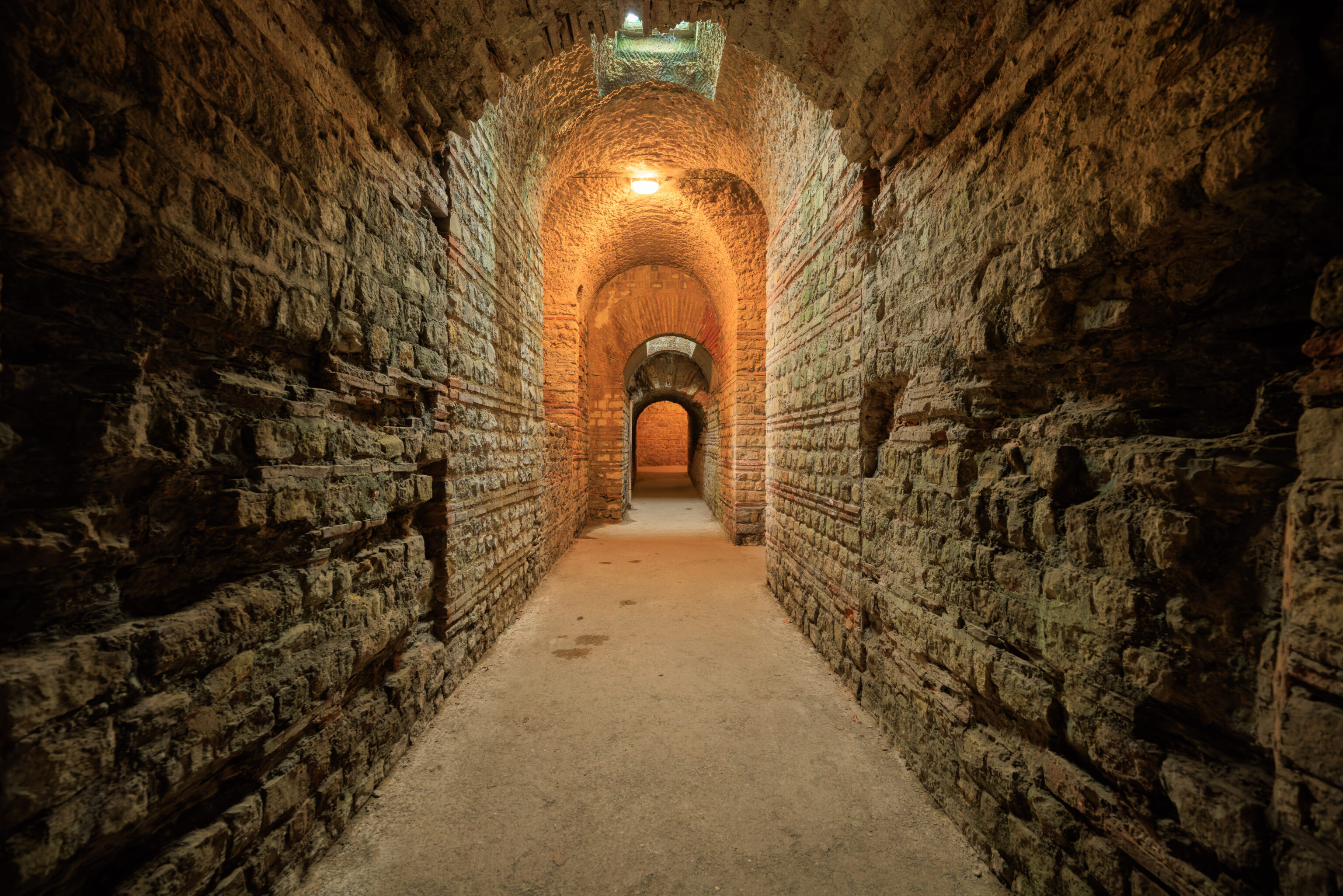
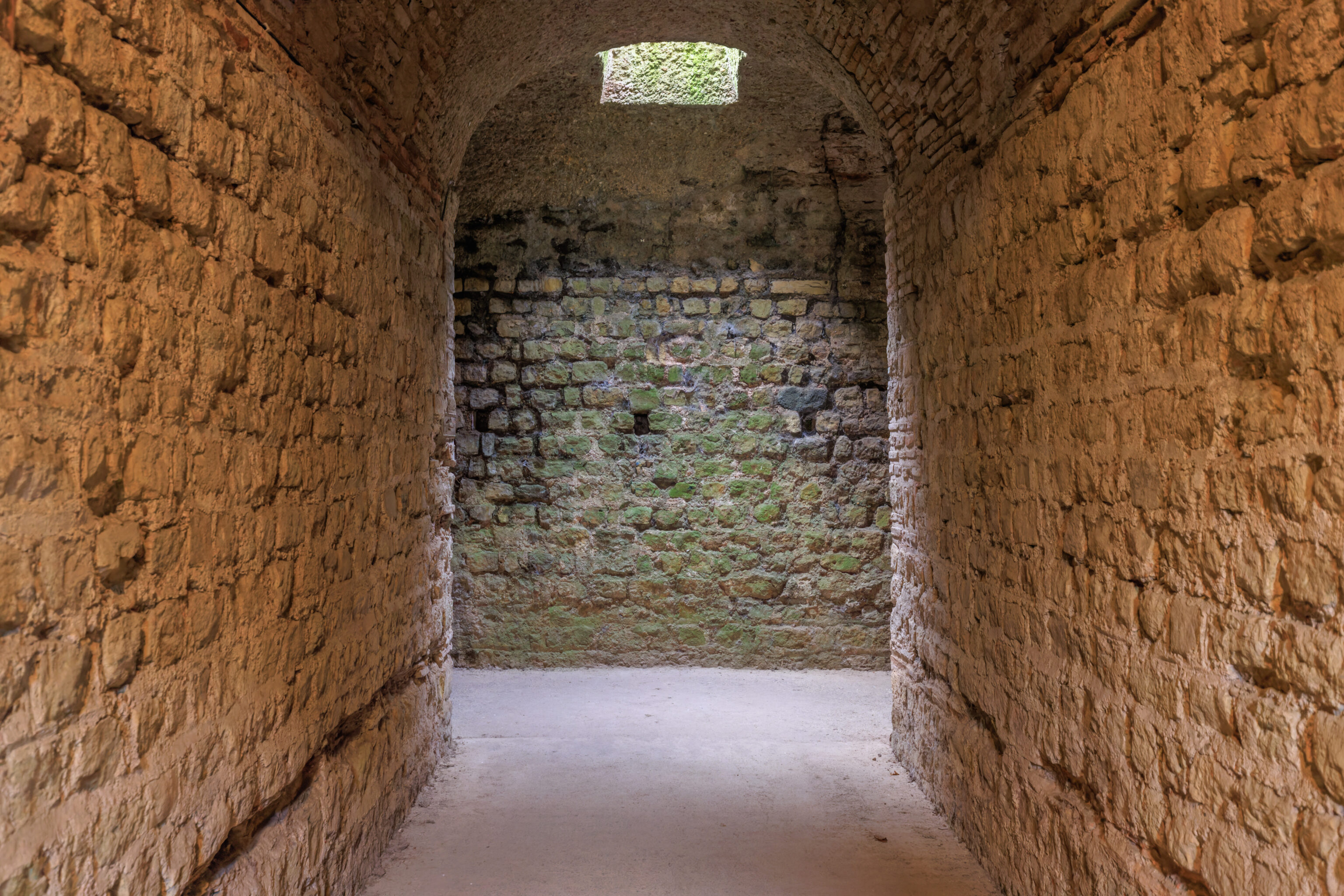
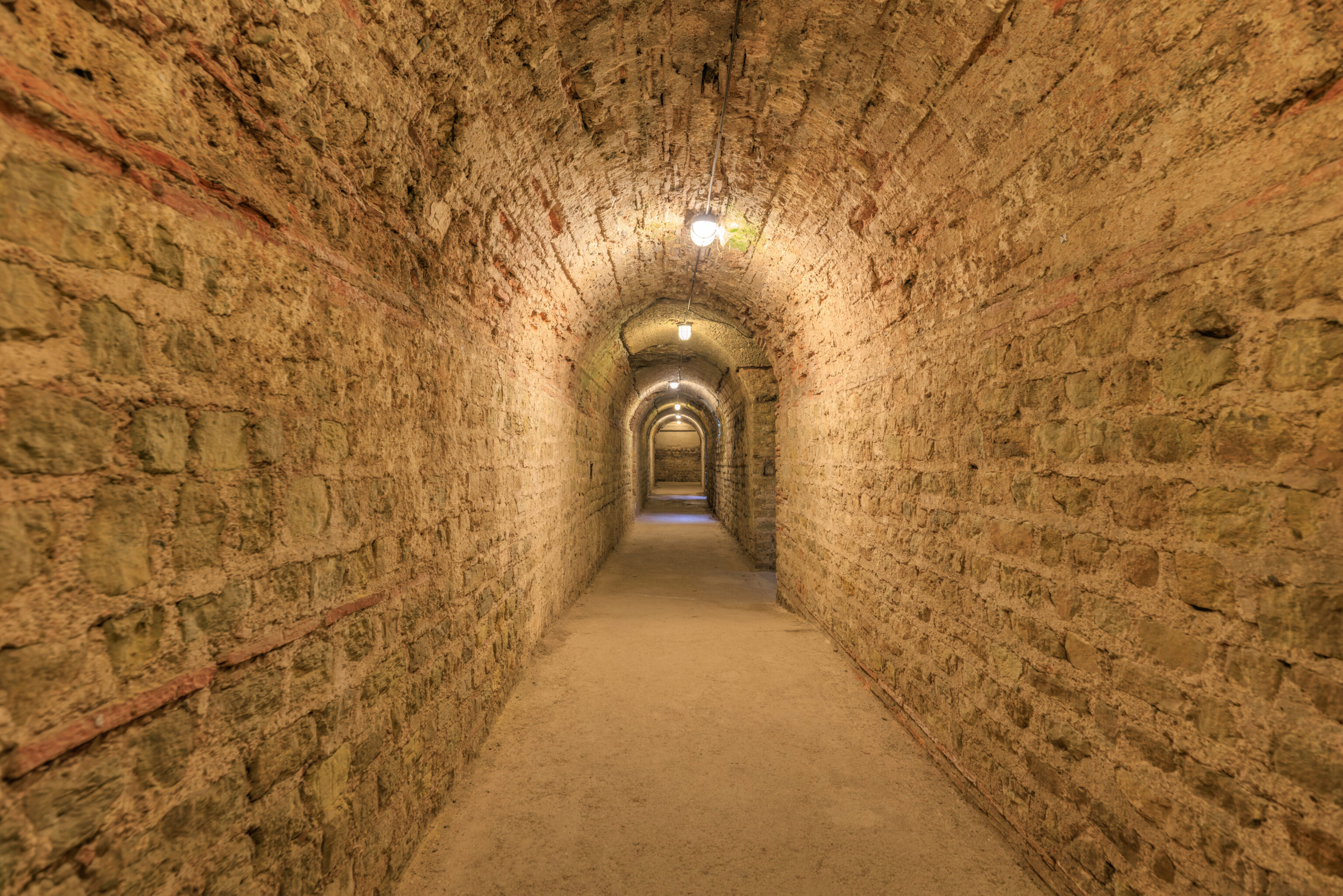
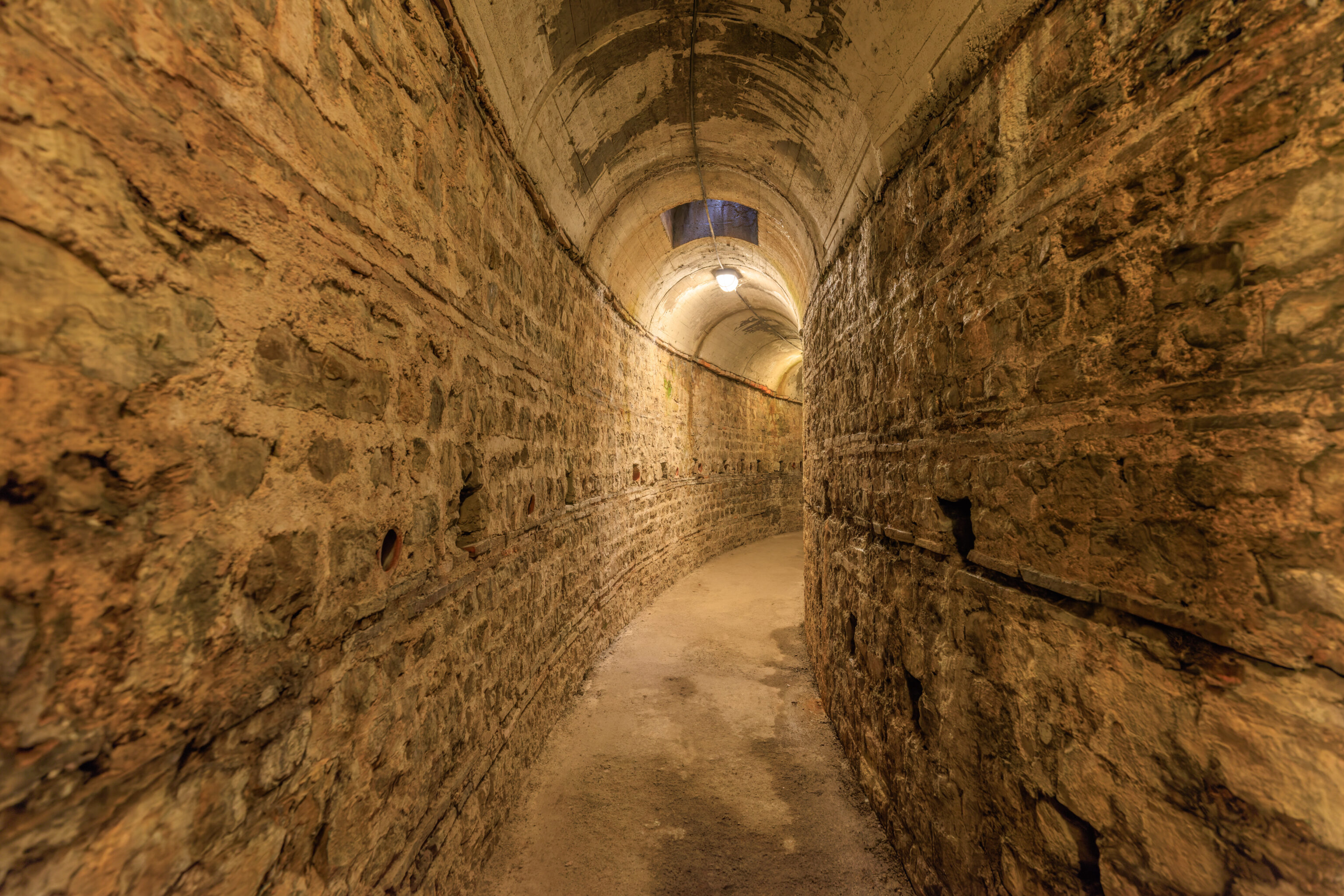
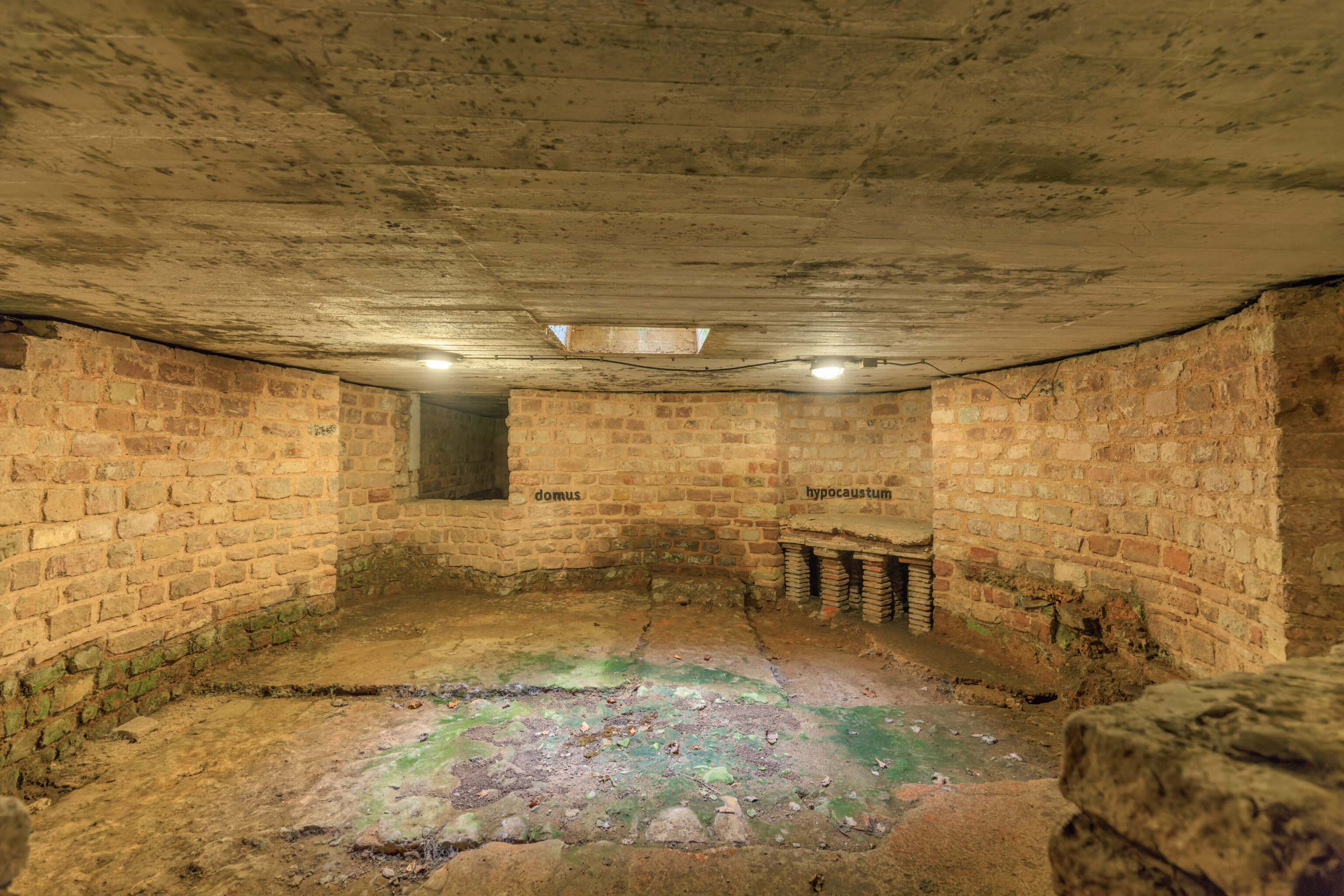
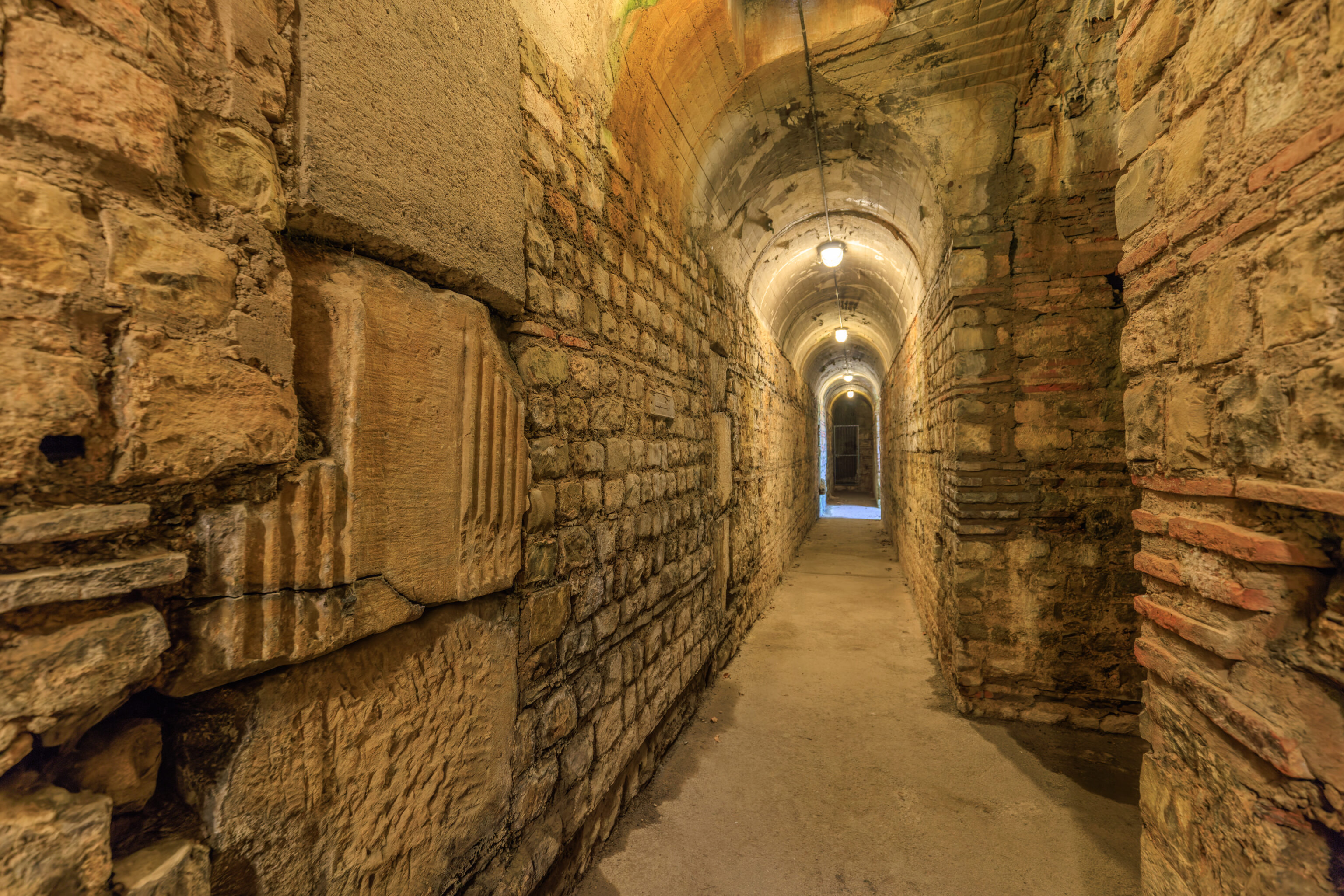
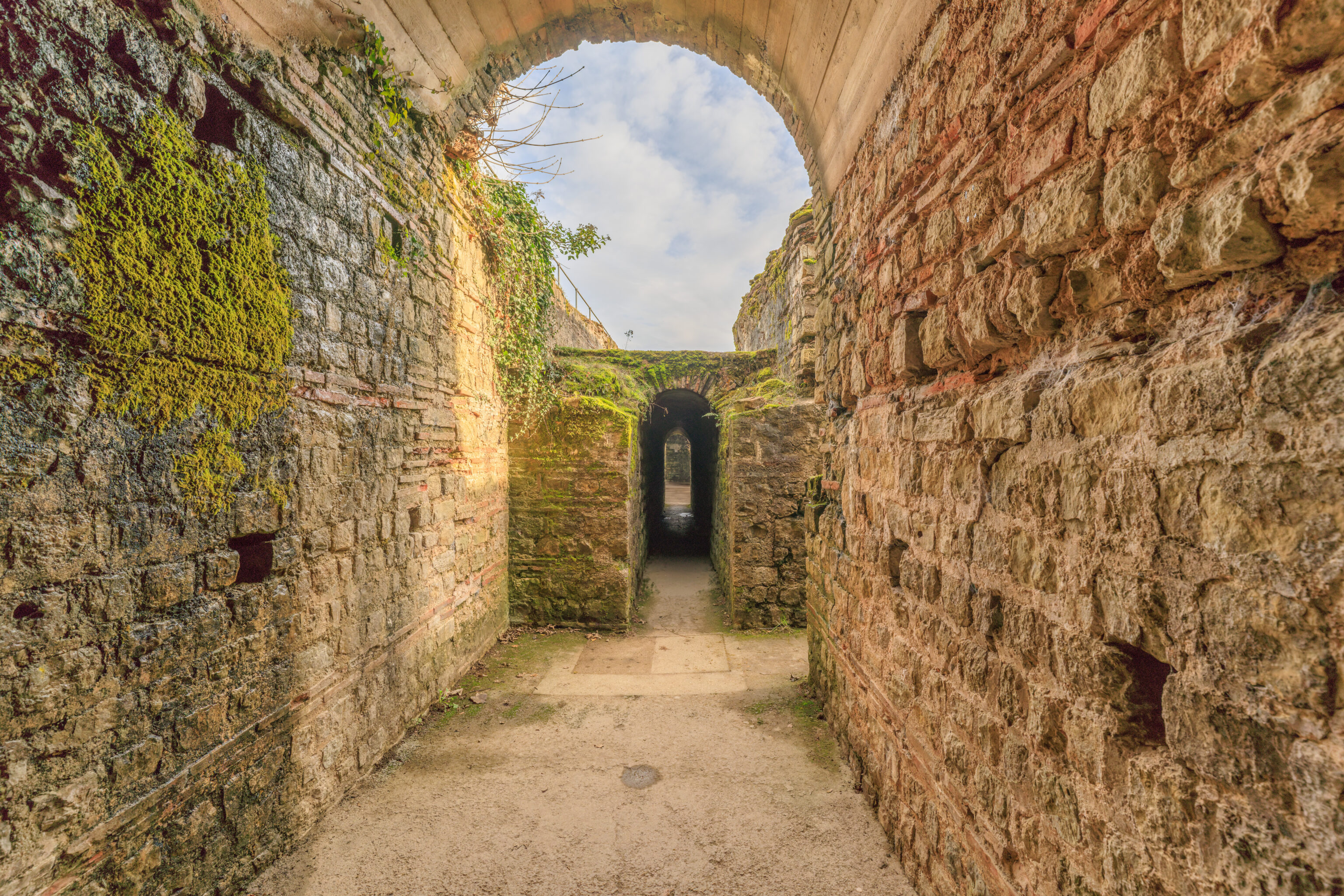
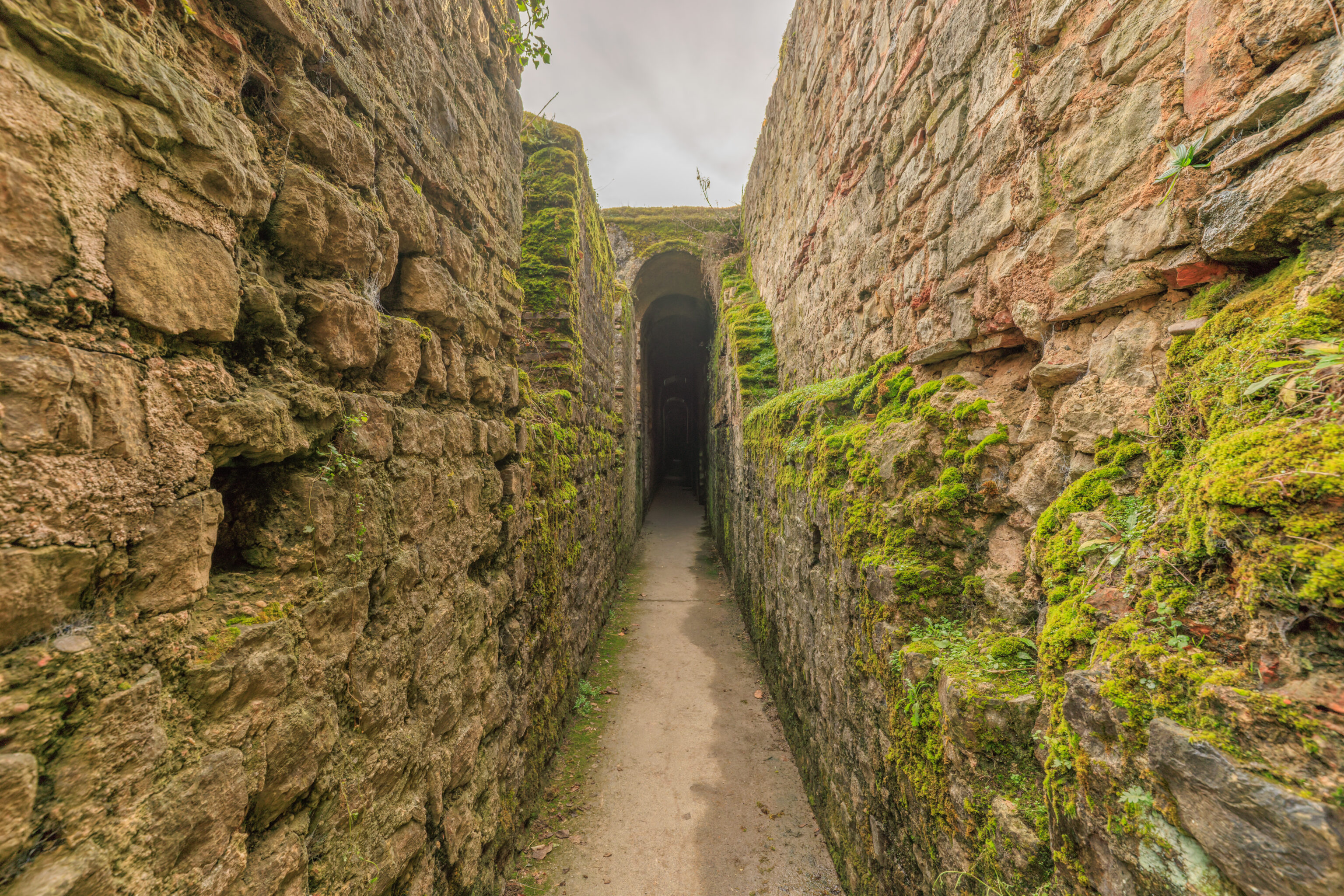
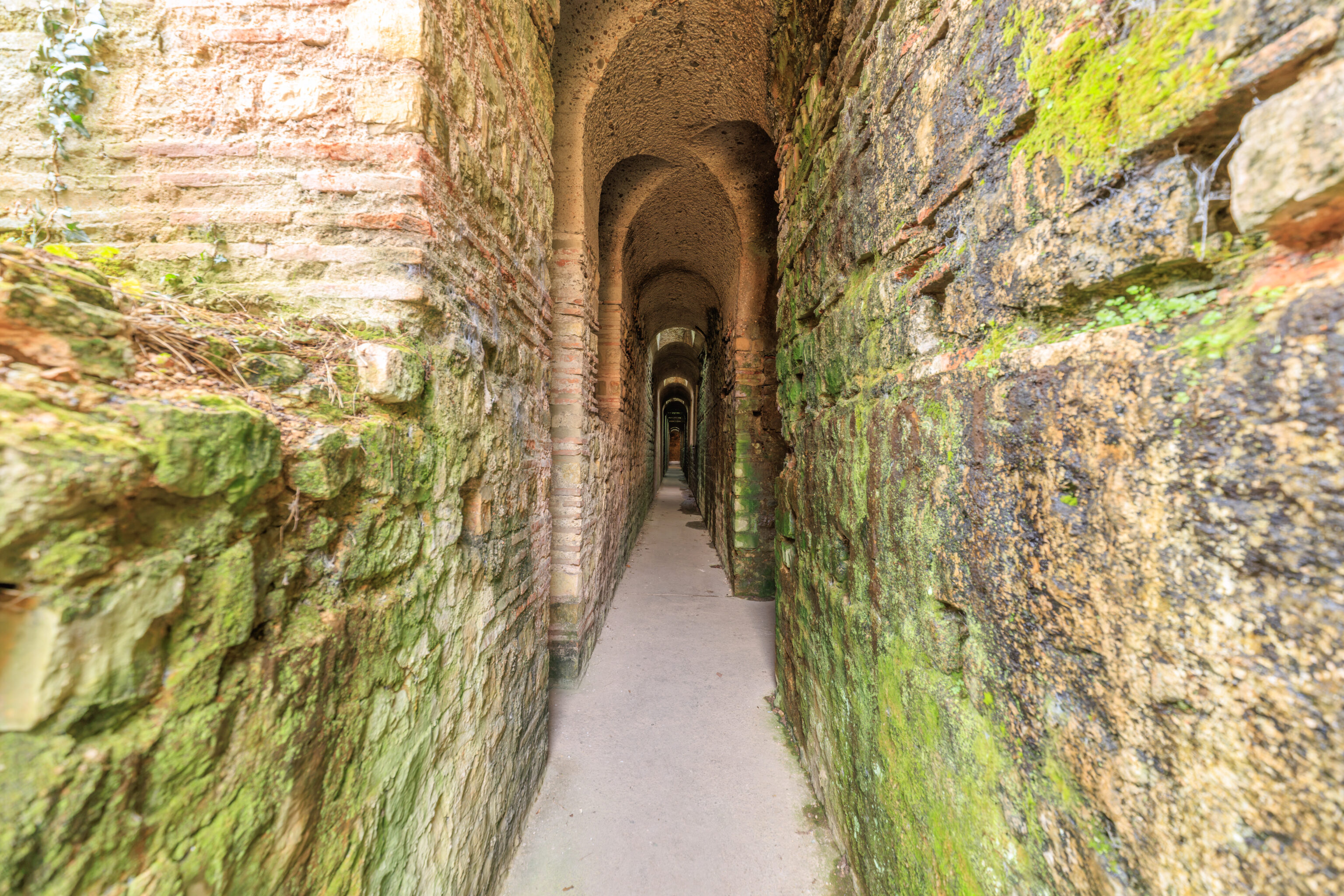
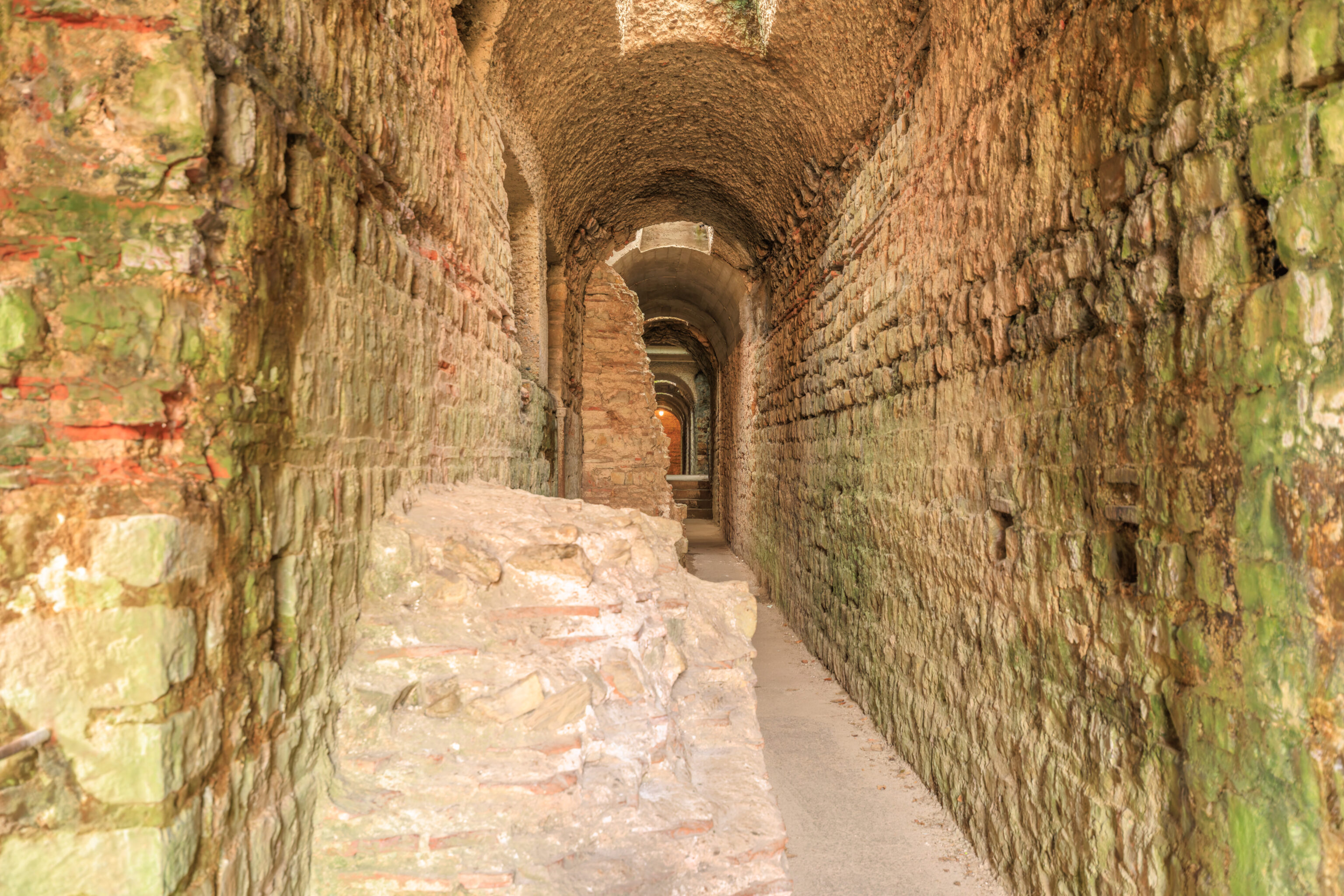
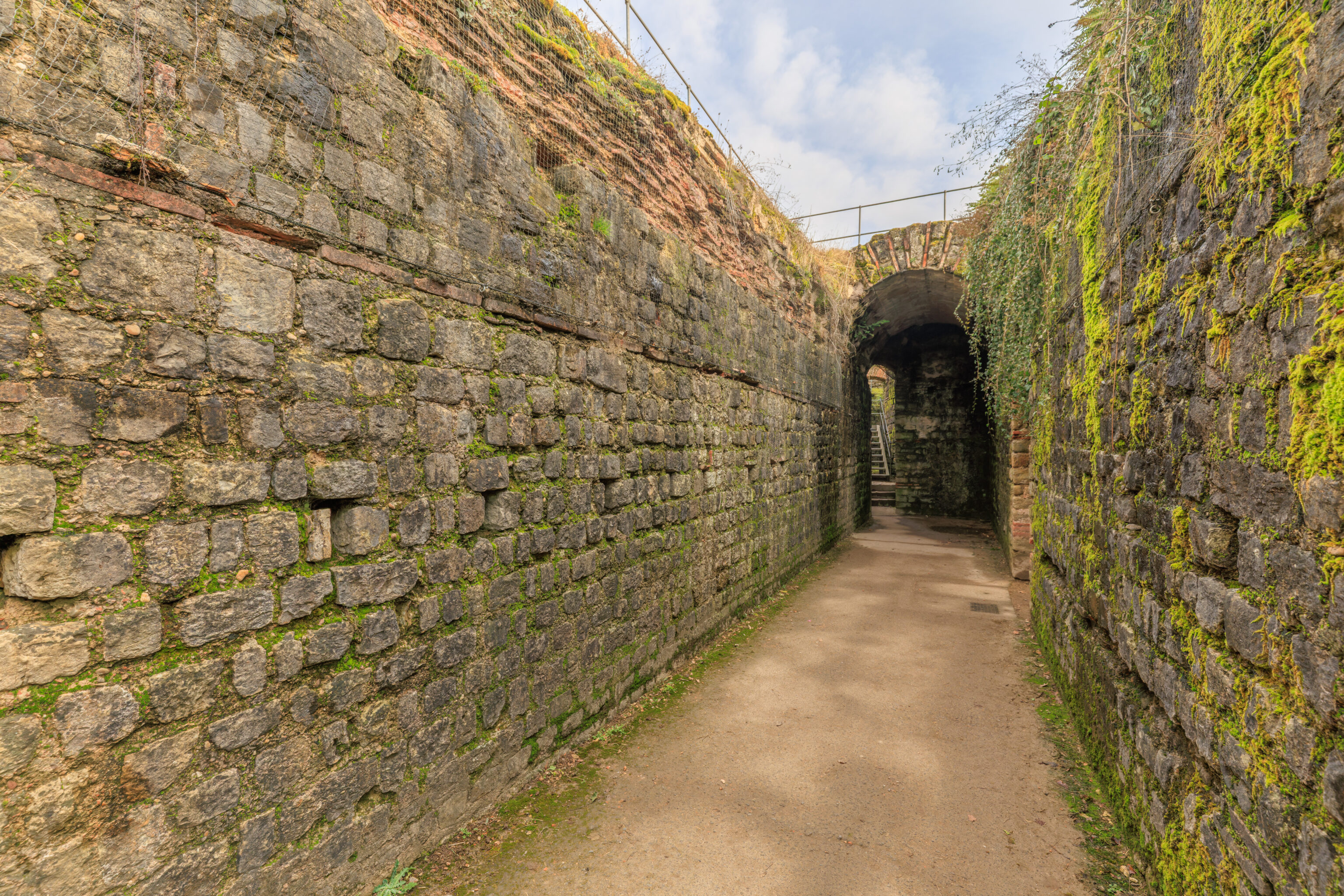
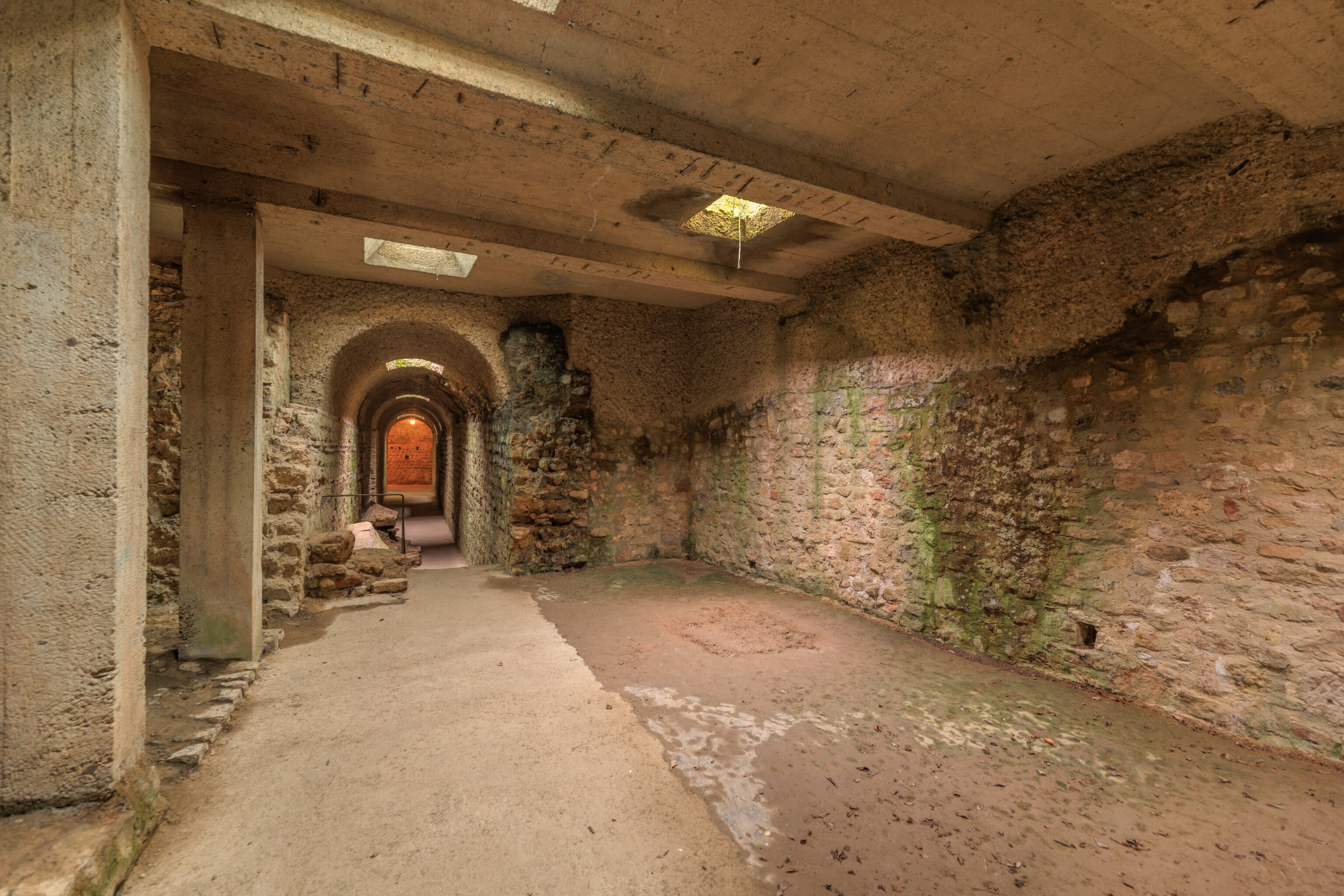
This area was kind of like a big maze. We walked around and tried to visit most of the paths that we saw before returnning to the surface.
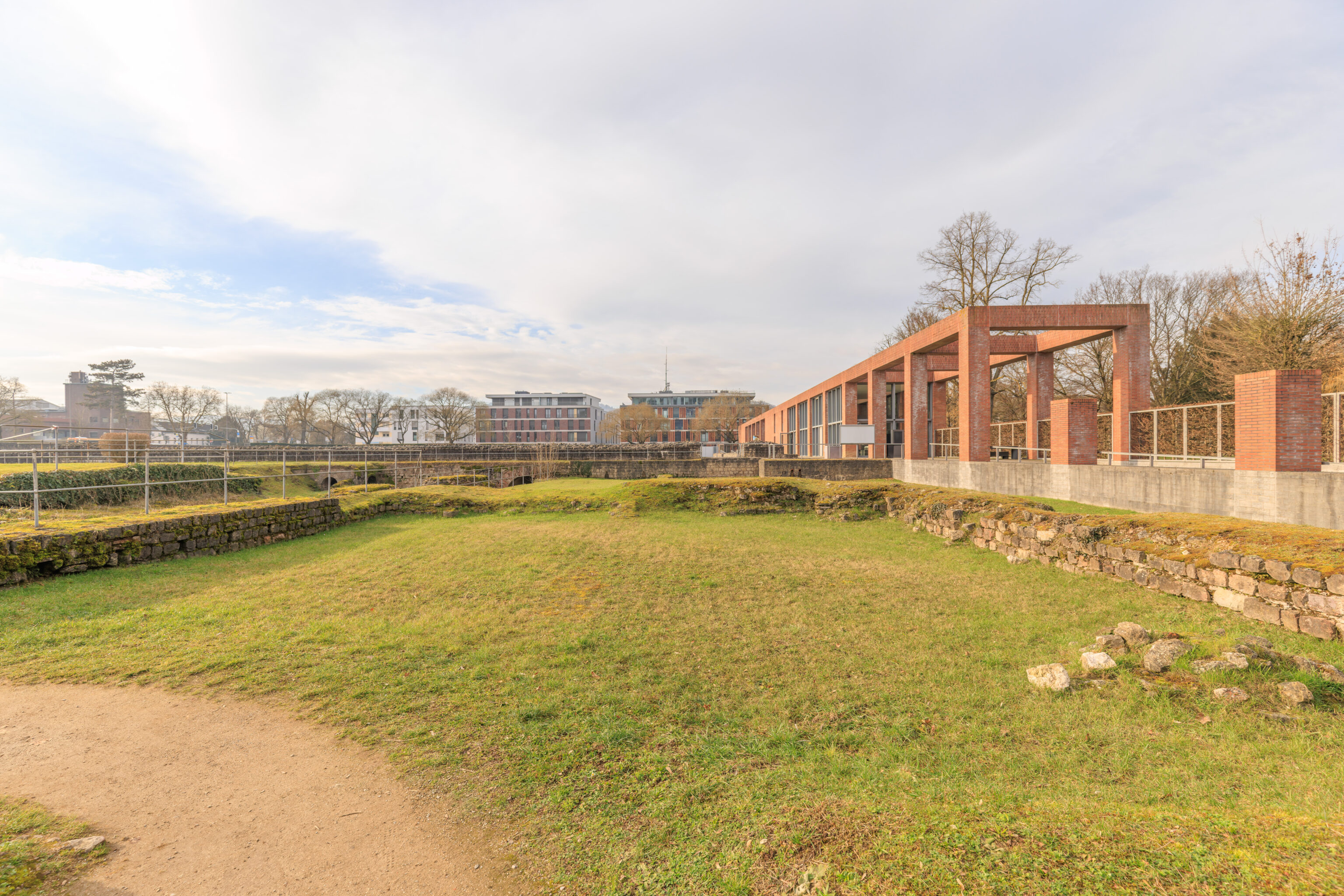
We exited the underground area via stairs that came out at the north side of the ruins. Looking to the west, we could see the ticket office and museum on the right.
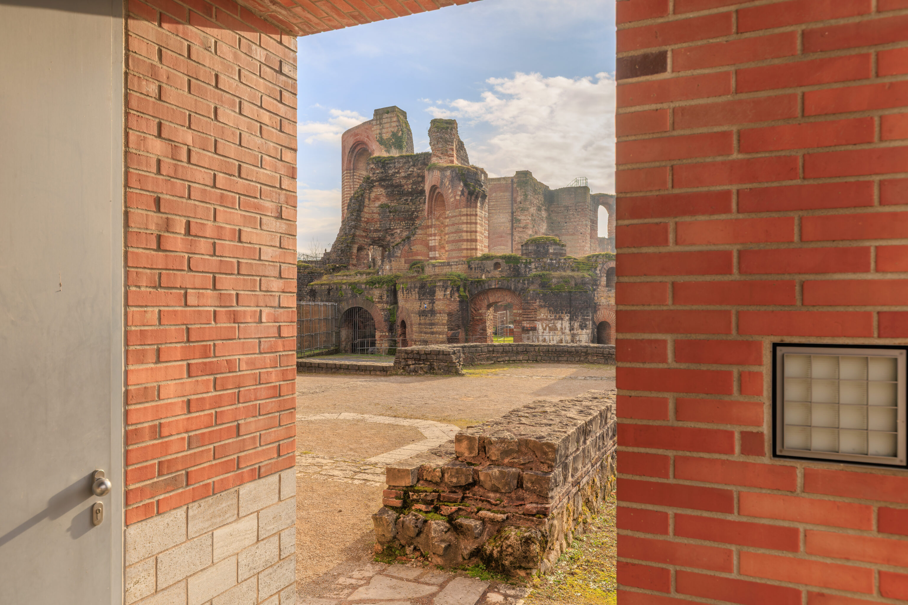
We walked a short distance to the northweast where there was a modern structure.
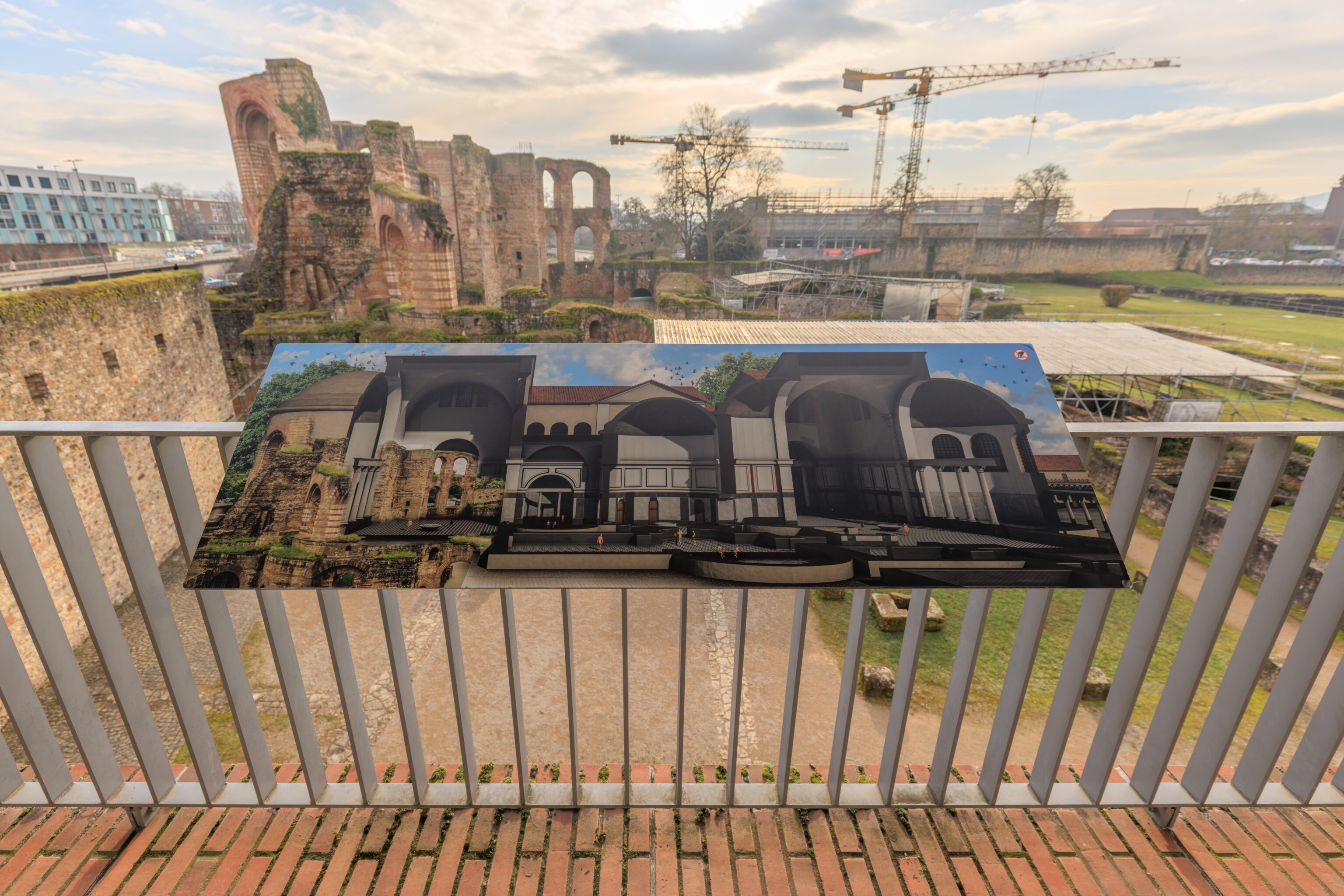
This building had an elevator that went up to the 2nd floor which held an observation deck. This sign here shows what the building would have looked like. It was huge compared to what is left here today!
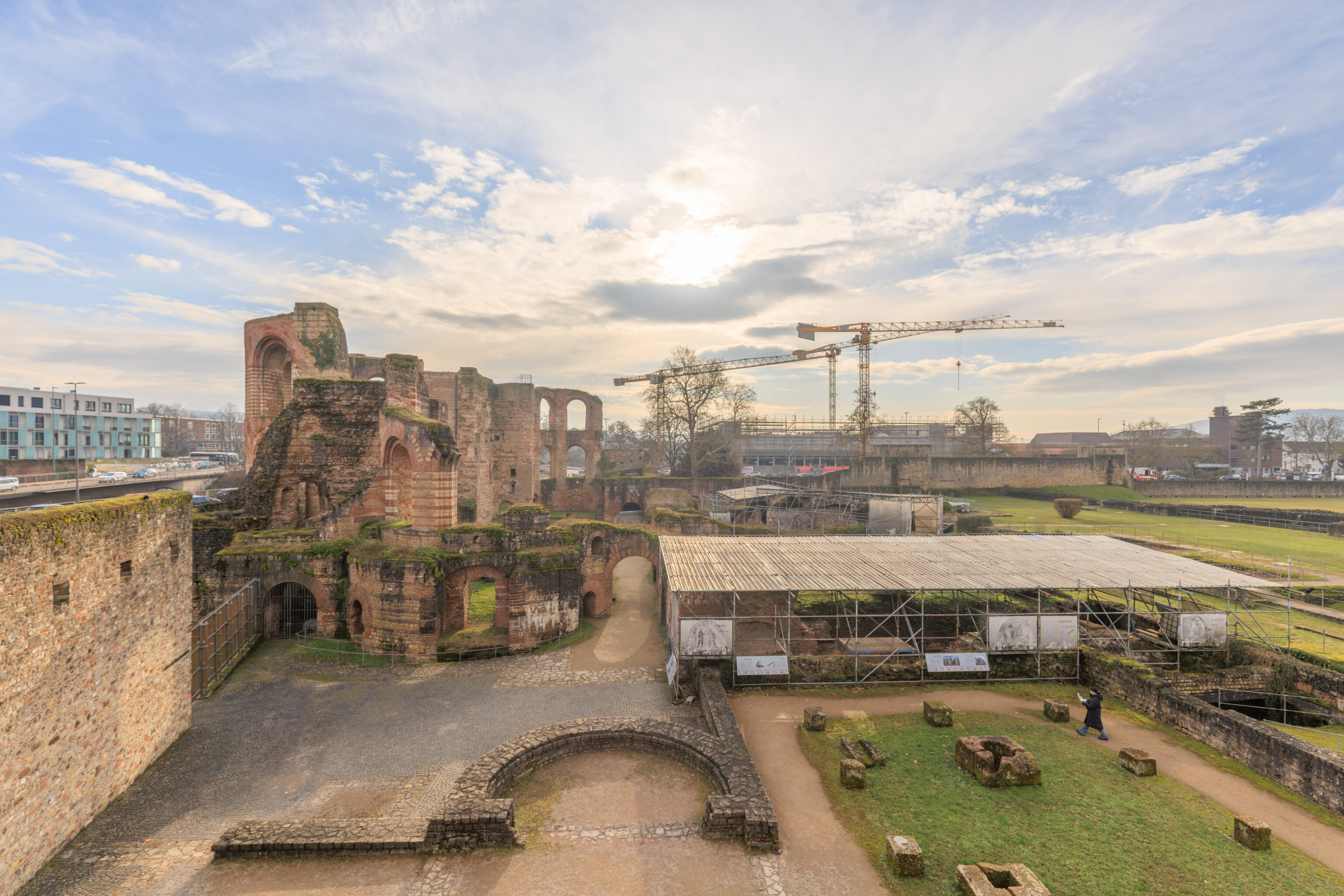
The same view without the sign in the way.
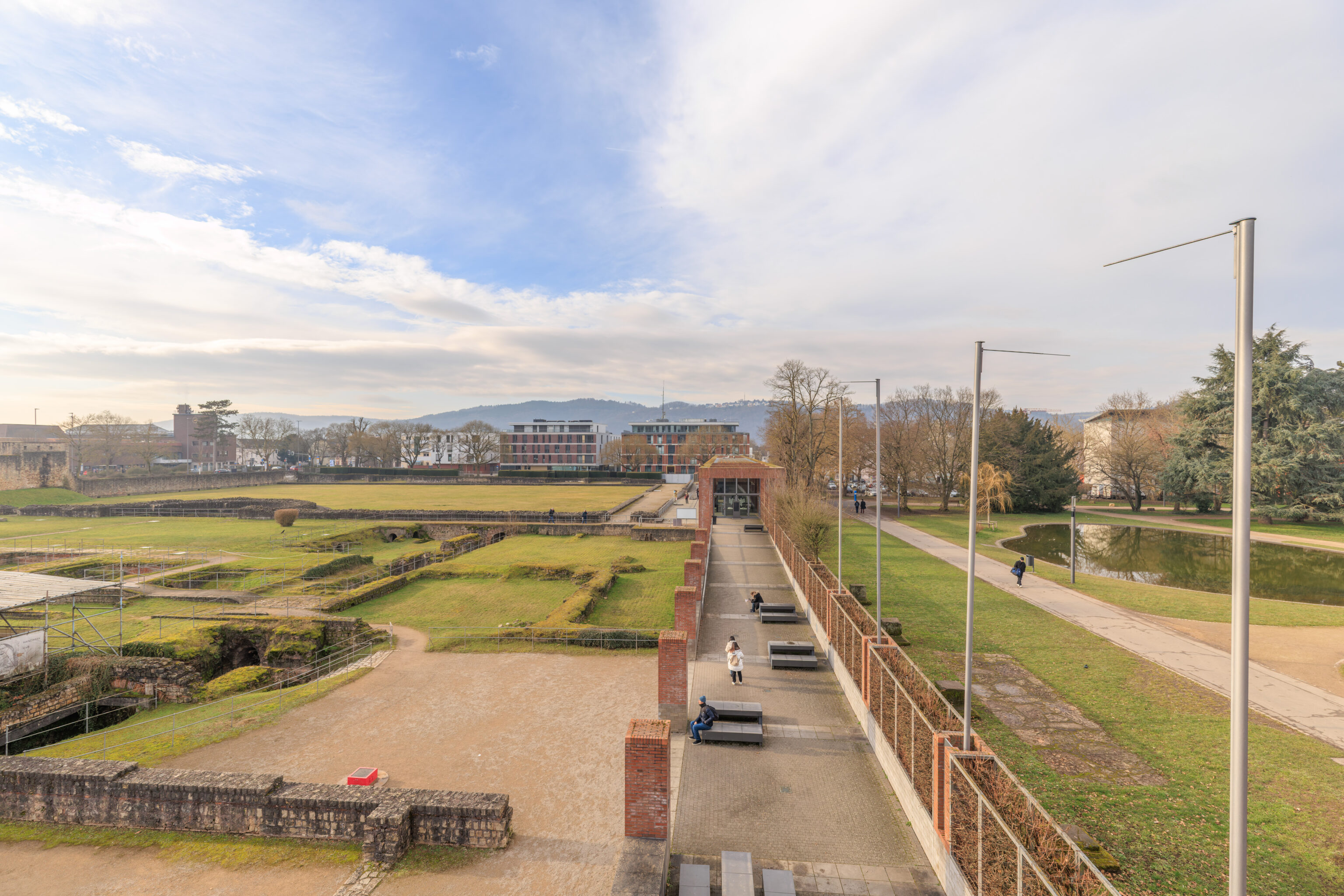
The view to the west.
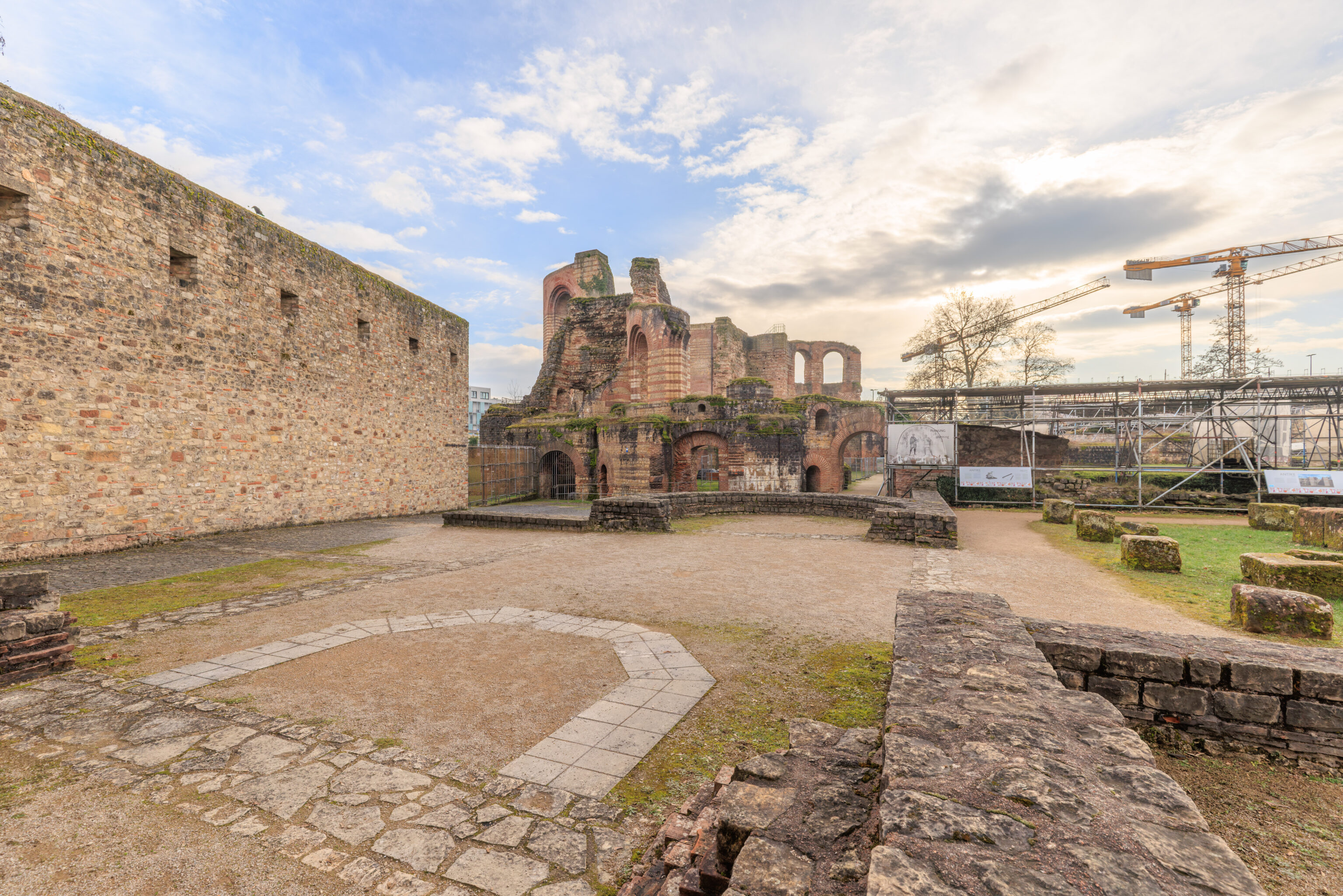
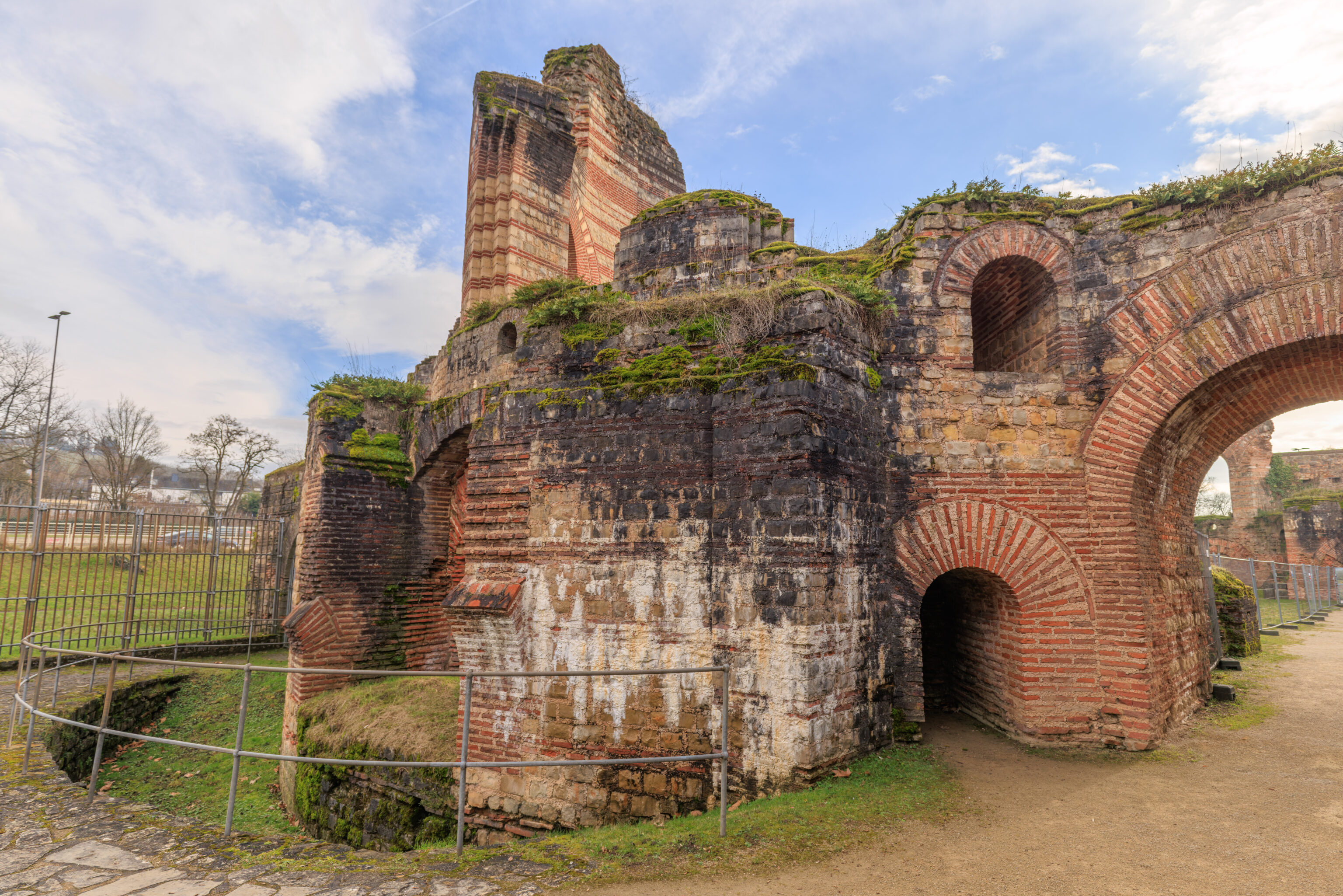
We headed back down to ground level and walked around a bit more.
Planning

Antiquity
Already in Roman times, construction projects were planned by architects and executed by master builders.

Using ruler and compass, the architect created a floor plan, elevation and a perspective view of the planned building. The standard measurement was the "Roman foot" (30 cm). Even models were used in ancient times when planning a building.

After selecting a suitable location, a surveyor measured the terrain and marked the outline of the walls on the ground. He used a 'groma' for distance measurement. This instrument consisted of a rectangular and rotatable cross bar which was mounted on a vertical staff. The plumb lines at the ends of the cross allowed the engineer to survey straight lines and right angles in the terrain.

Today
The preservation of the 'Kaiserthermen' (Imperial Baths) UNESCO World Heritage Site is one of the biggest challenges of monument preservation. The permanent preservation of the monumental Roman building and its post-classical alterations requires extensive planning procedures.

At the same time, the monument must be kept accessible to visitors and open to the variety of uses today. These measures are coordinated on behalf of the 'General-direktion Kulturelles Erbe Rheinland-Pfalz' and 'Landesbetrieb Liegenschafts- und Baubetreuung'. The client is the State of Rhineland-Palatinate, represented by the Ministry of Finance.
– Text from a sign to the right of the view in the photograph above.
Antiquity
Once the site had been examined for its load-bearing capacity and the planning regarding size and appearance had been completed, the construction contract was put out to tender. The architect who was awarded the contract now had to create detailed plans as well as cost calculations and material cost estimates and conclude building contracts. The construction of a thermal bath required a large number of specialists. In addition to bricklayers and stonemasons, the job also required mosaic setters for floor and wall decorations, engineers for water technology and glassmakers for the windows. As several construction crews were working on different sections at the same time, good coordination between the artisans was essential.

Today
All plans for restoration and safety measures are based on a comprehensive inventory. This requires a digital survey of the entire structure and the documentation of all current damage and recognizable architectural changes throughout history. These observations form the basis for future preservation and restoration measures. The work involves archaeologists, architects, architectural historians, engineers, stonemasons and restorers and other specialists in the conservation of ancient buildings.
– Text from a sign far to the right of the view in the photograph above.
Antiquity
The ancient lime mortar, as the 'cast concrete of antiquity', allowed the construction of high and vaulted ceilings. Formwork made of wooden boards and beams over the supporting walls defined the shape of the desired arches and vaults. The sand-lime-water mixture (cast mortar) was then poured into the wooden mould. After the mortar had hardened, the wooden framework was removed and used elsewhere again. The imprints of the boards can still be seen in some places in the cellar corridors.

Today
The elaborate arch and ceiling structures are among the most outstanding inventions of Roman architecture. When it comes to their preservation, not only issues of restoration, but also those of ensuring structural integrity are brought to bear.

Based on the example of the arch, different preservation methods such as hardening and stone replacement were tested. These measures are important to gain experience in identifying the time and costs involved in further restoration projects.
– Text from another sign somewhere…
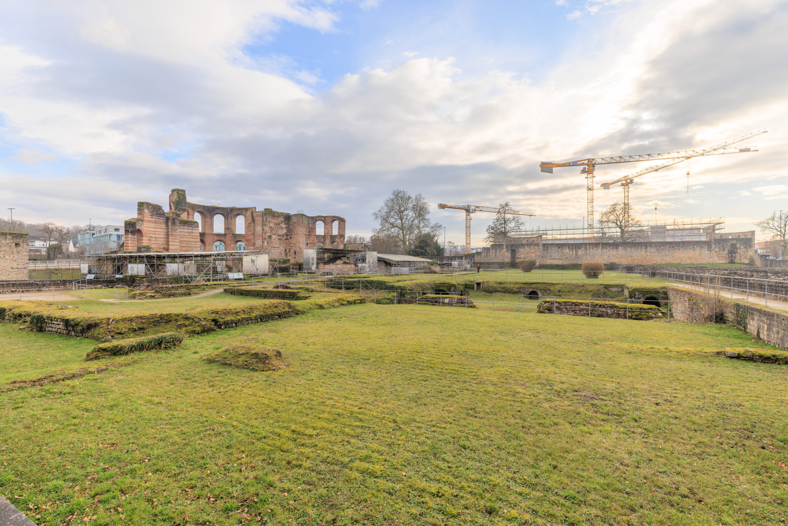
After walking around for awhile, we returned to the entrance to exit.
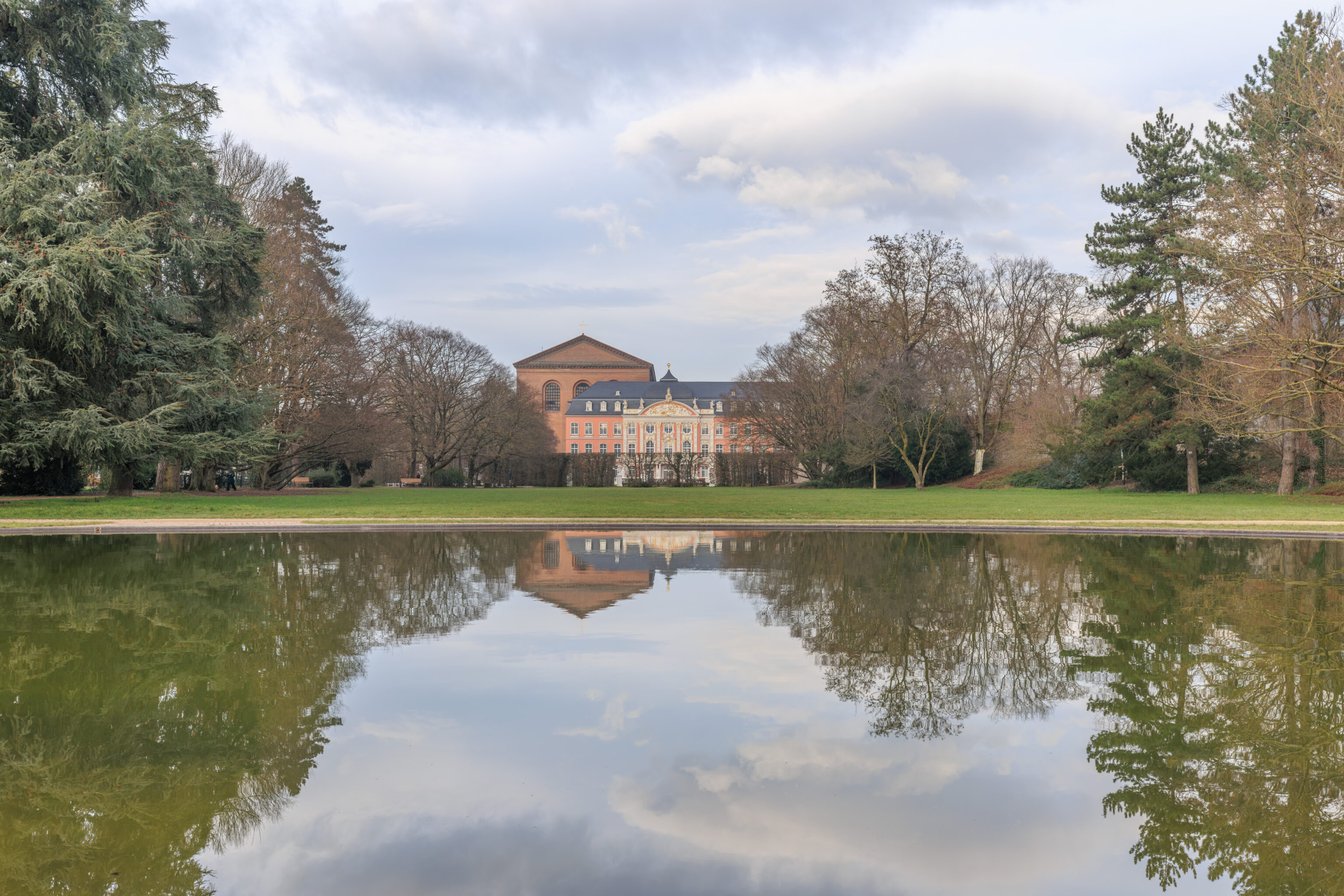
The view from the far side of a pool of water near the Kaiserthermen looking back at the Electoral Palace’s Hochschloss.
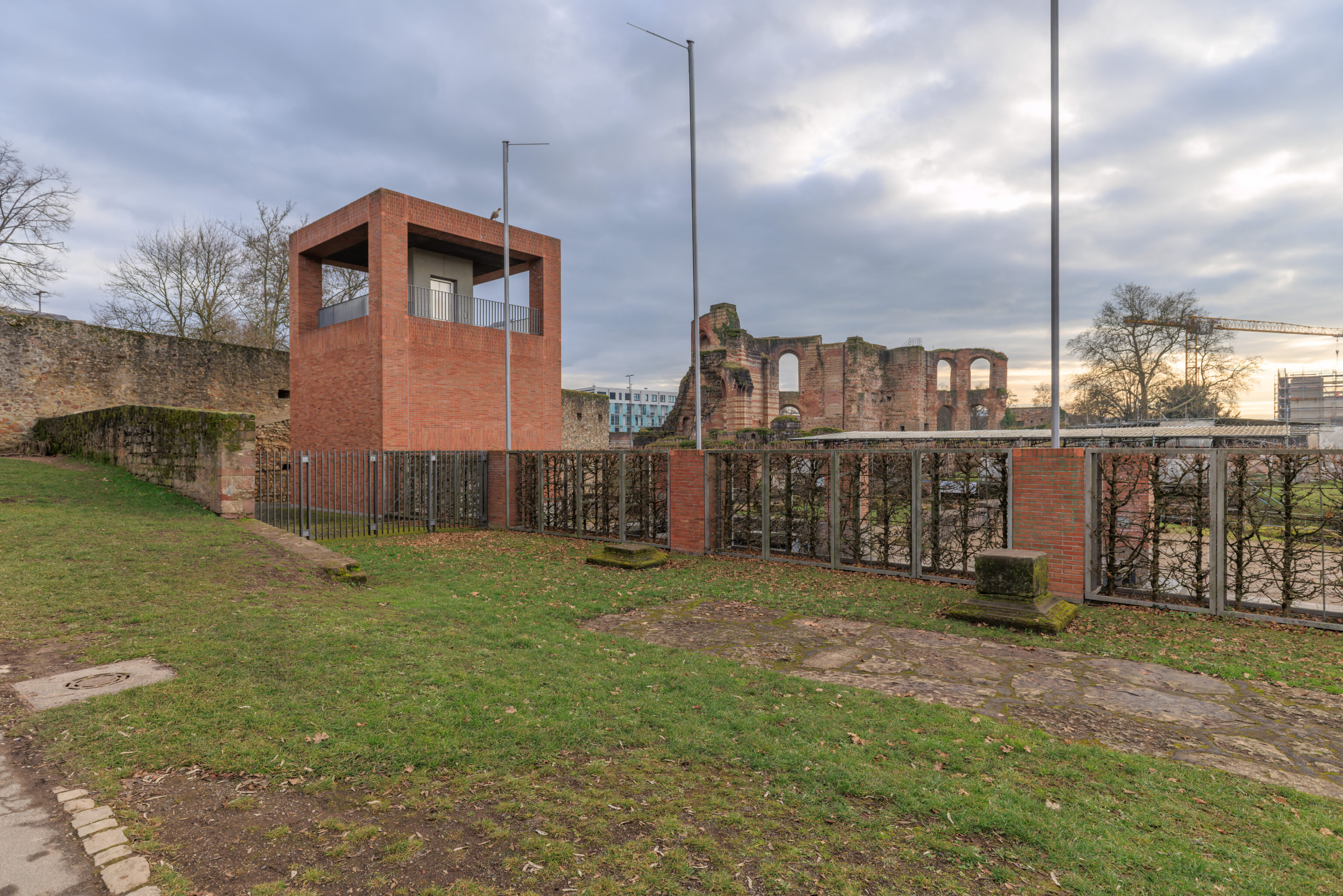
This view from outside the Kaiserthermen’s fence shows the two story observation building on the left and the ruins to the right.
Amphitheater
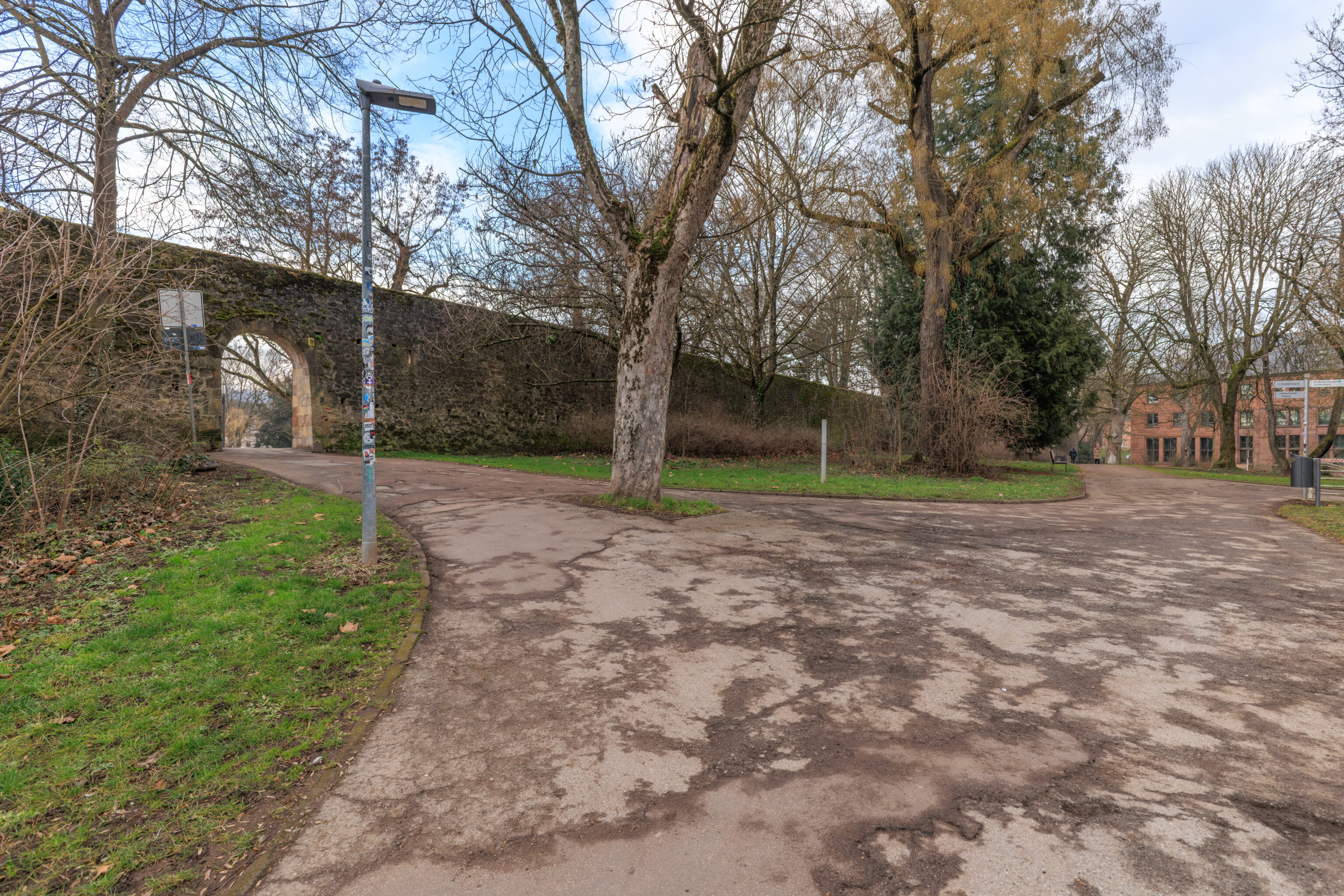
We continued walking to the east to head towards the Amphitheater.
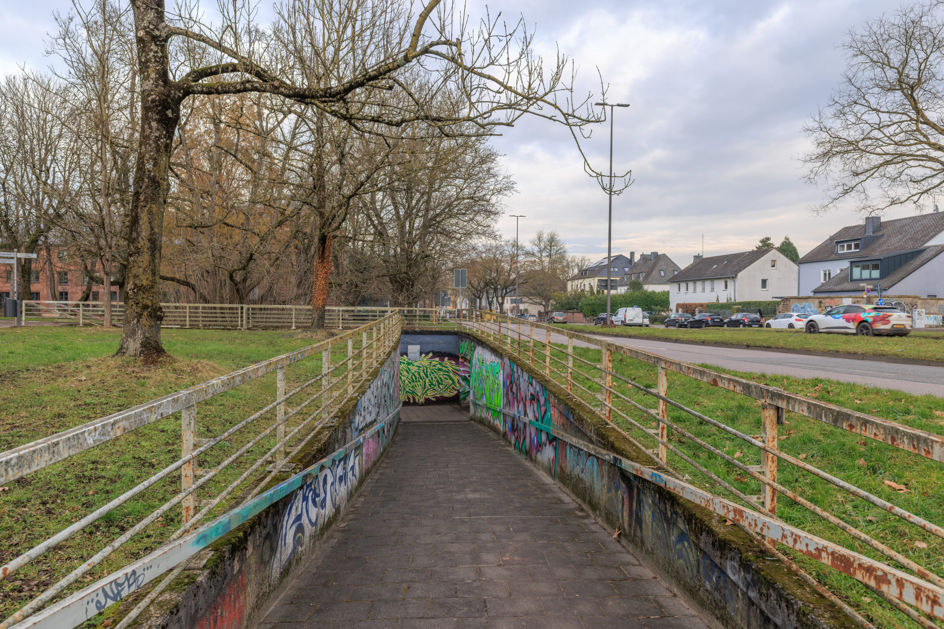
Getting there via the most direct route required first walking through an underpass to cross three separate roadways with four lanes total.
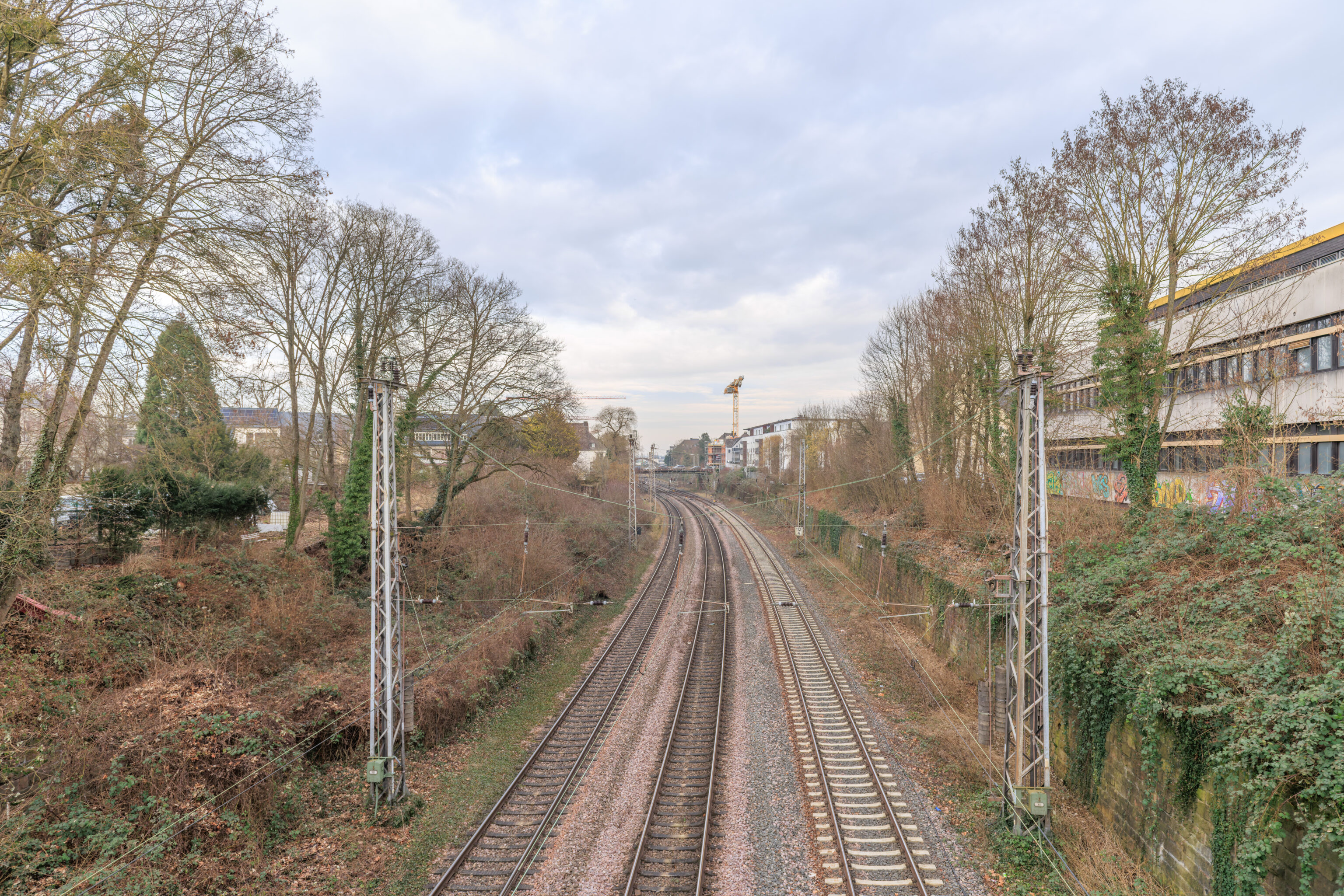
Then, we crossed over three railroad tracks via a pedestrian bridge.
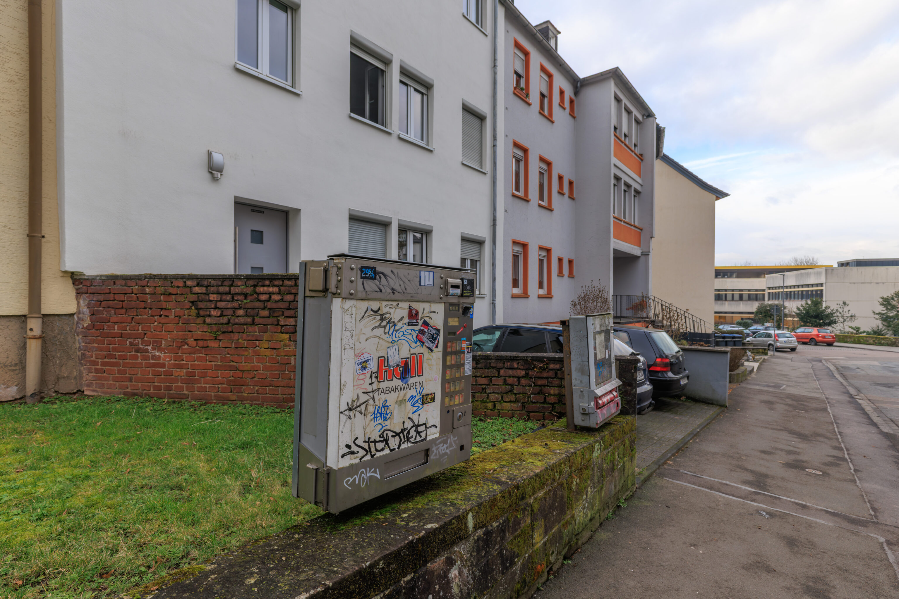
Then, we continued tot he east through a residential community, following the road as it curved to the south. There was a cigarette vending machine in this residential neighborhood because Europeans love to smoke….
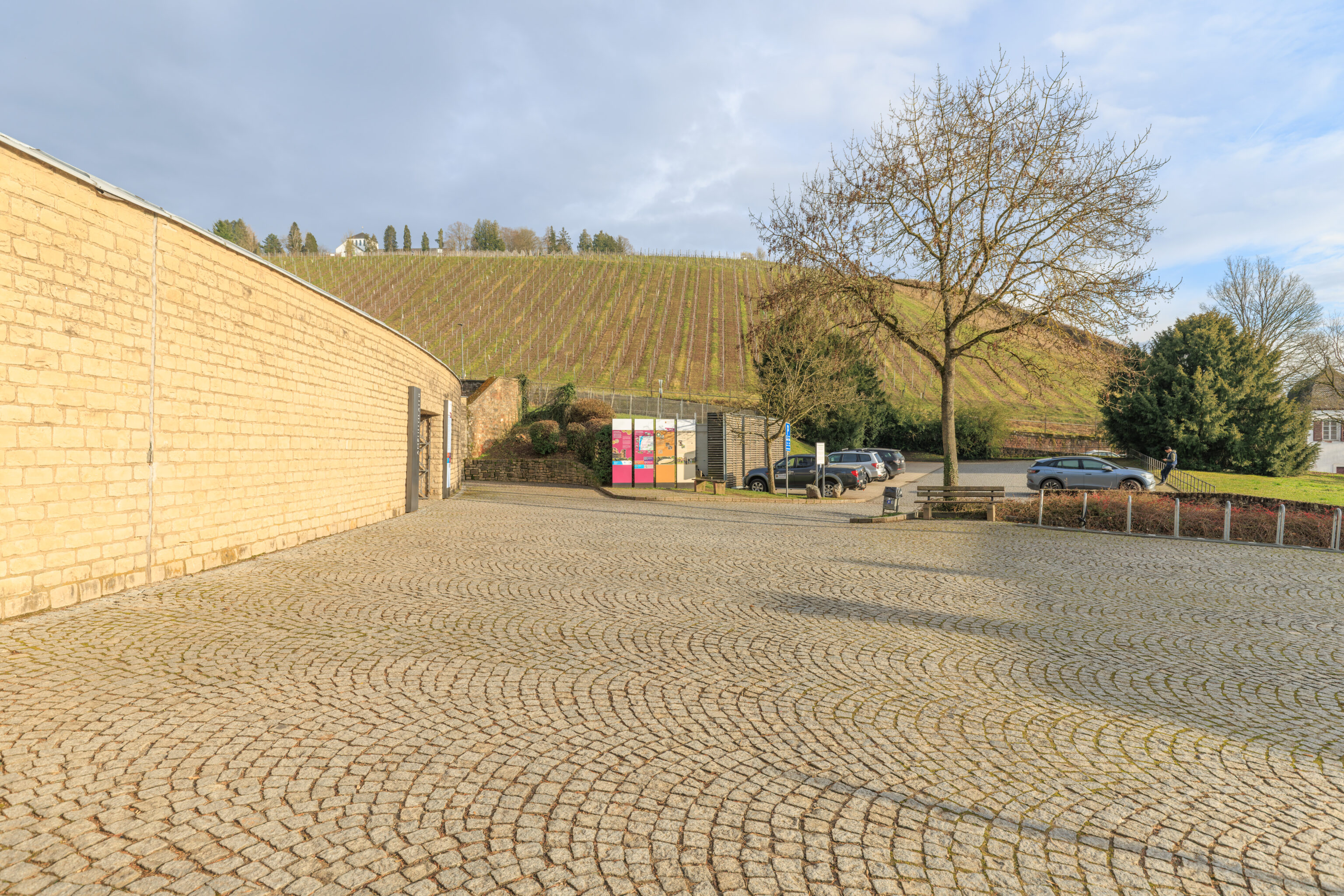
We turned left upon reaching a larger road and started walking to the east again. We arrived at the entrance to the Amphitheater after about twenty minutes.
We bought tickets from the ticket office and entered the site.
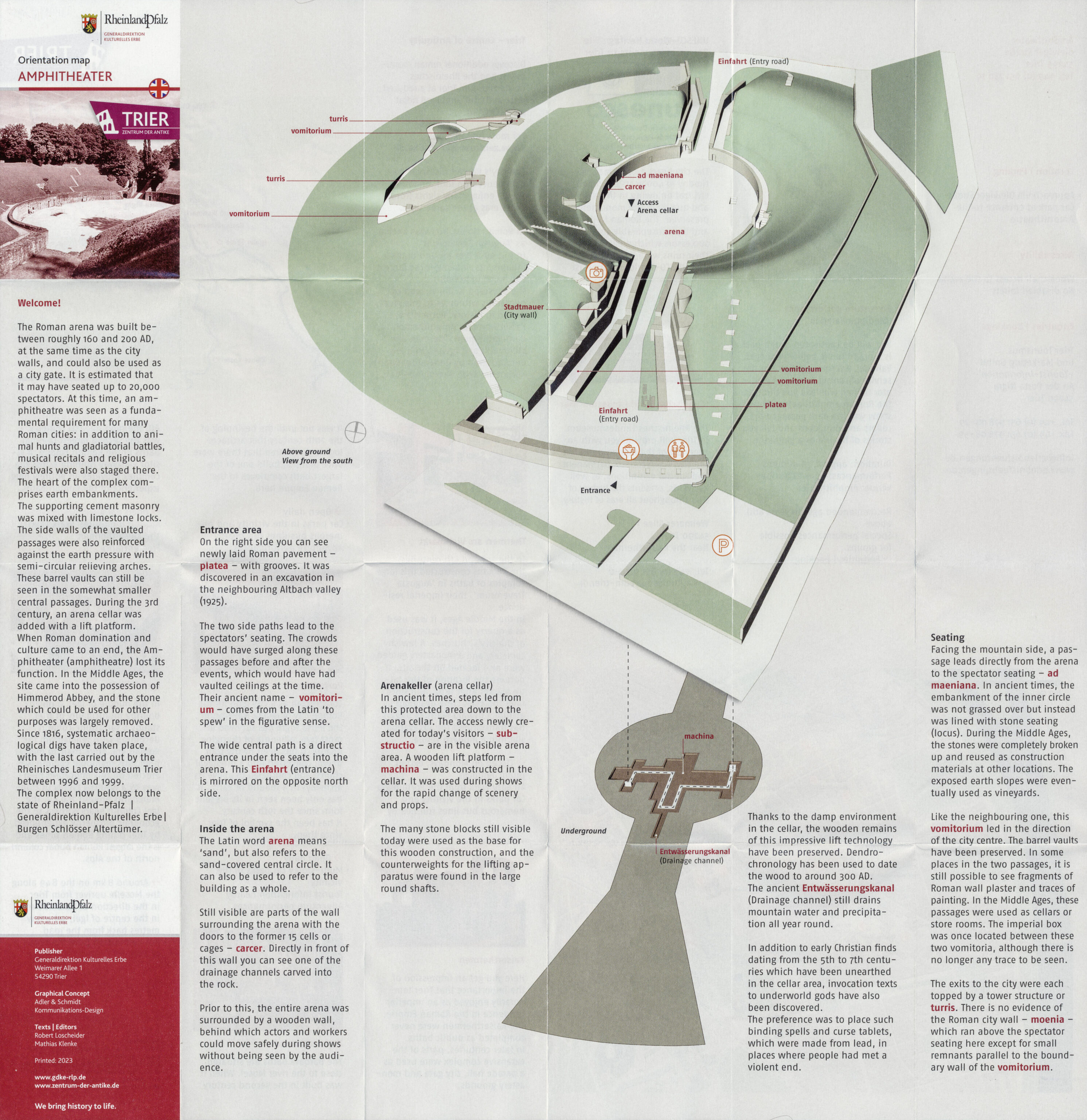
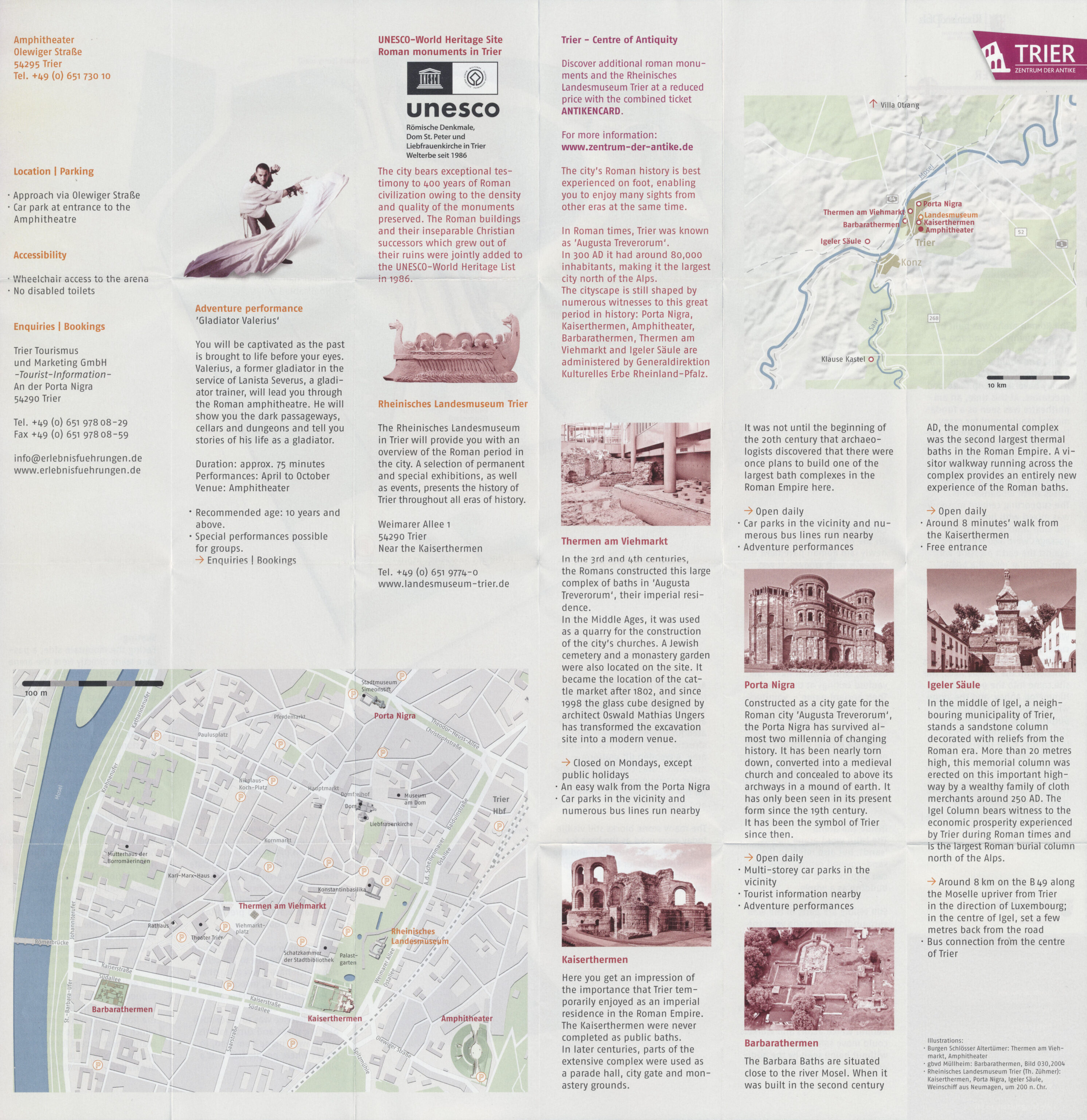
A pamphlet with map was provided which also included a listing of other historical sites here in Trier.
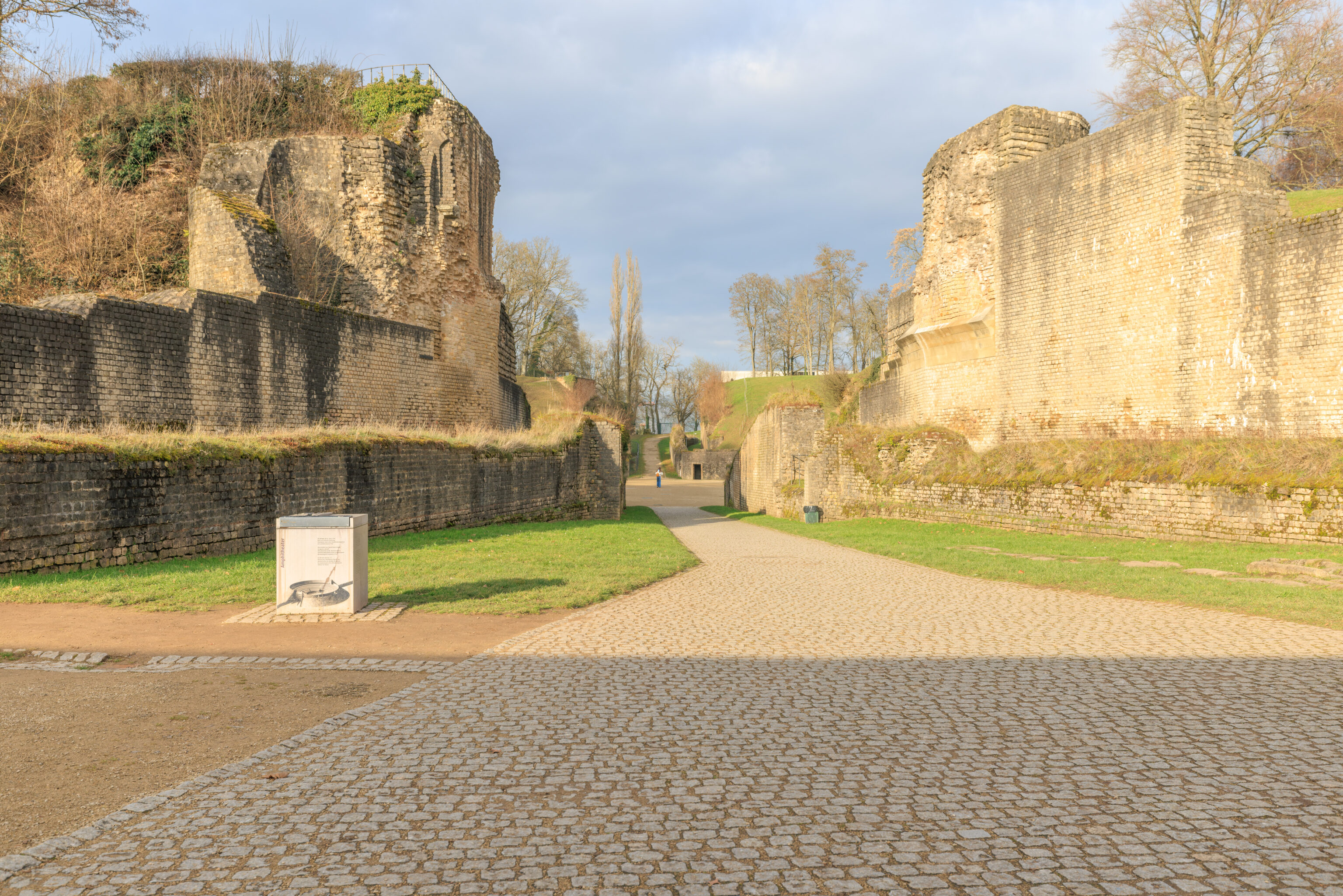
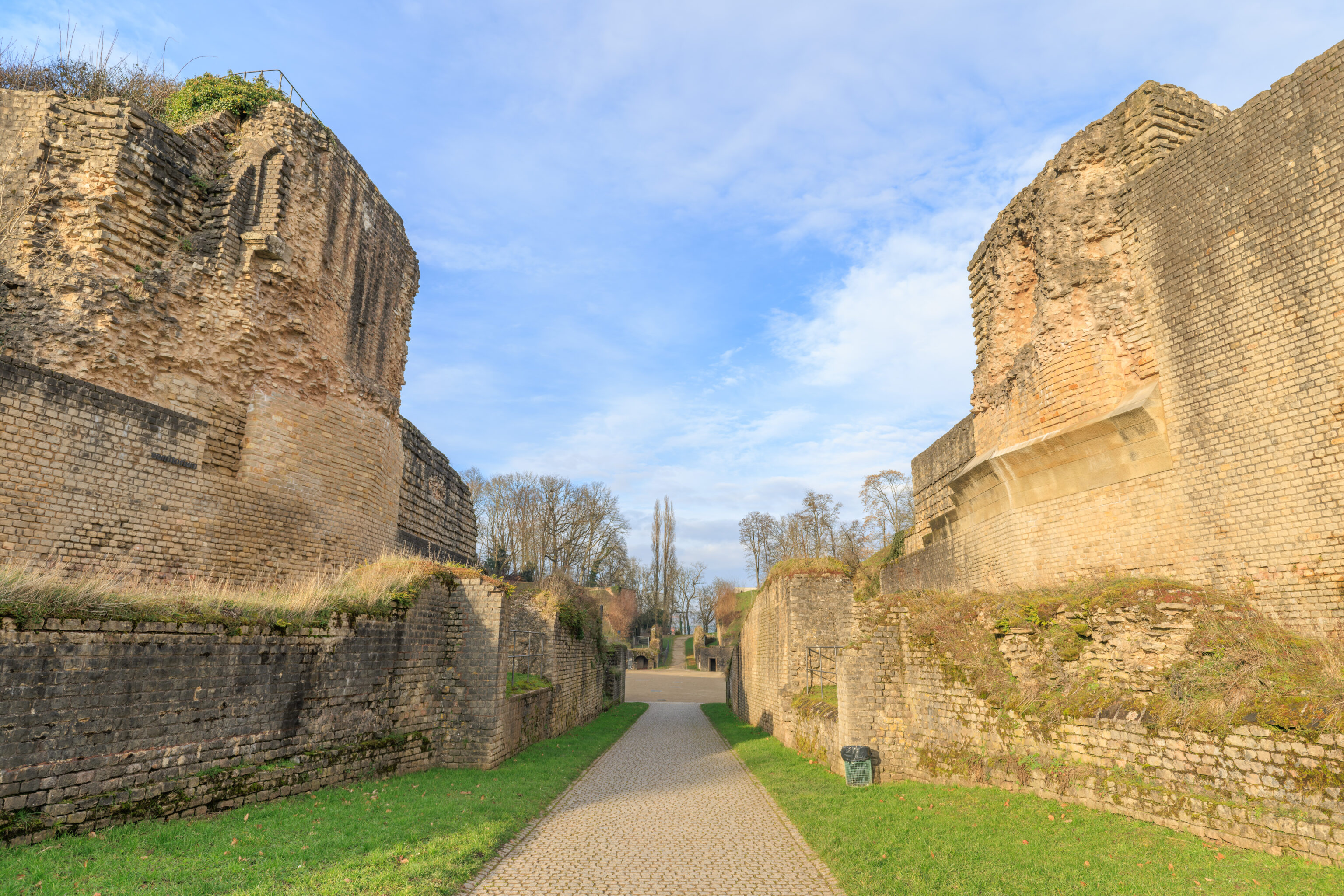
Like many of the other places we’ve visited so far today, the Amphitheater is part of the city’s UNESCO World Heritage Site.
Ampitheatre and City
The amphitheatre, an open and round theatre, was built around 160-200 AD, embedded into the slope of the Petrisberg. With up to 18,000 seats, it was one of the large sporting locations in the Roman Empire.

Events were held there such as animal hurting, gladiatorial battles and public executions, but also musical presentations and religious festivals. They were important parts of Roman town life.

The amphitheatreʼs incorporation into the town wall is unusual. It ran over the spectators' gallery on the town side.

The amphitheatre is on the eastern edge of the Roman town. It formed the end of a monumental boulevard which began at the Roman Bridge and ran along the Barbara Baths, the Forum and the Imperial Baths.
– Text from a sign, translated using Google.
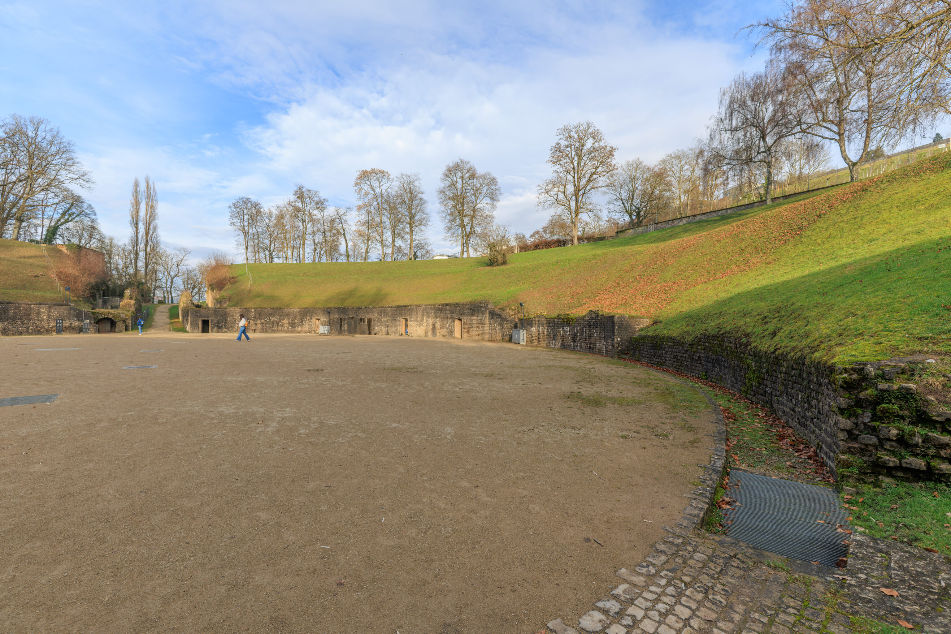
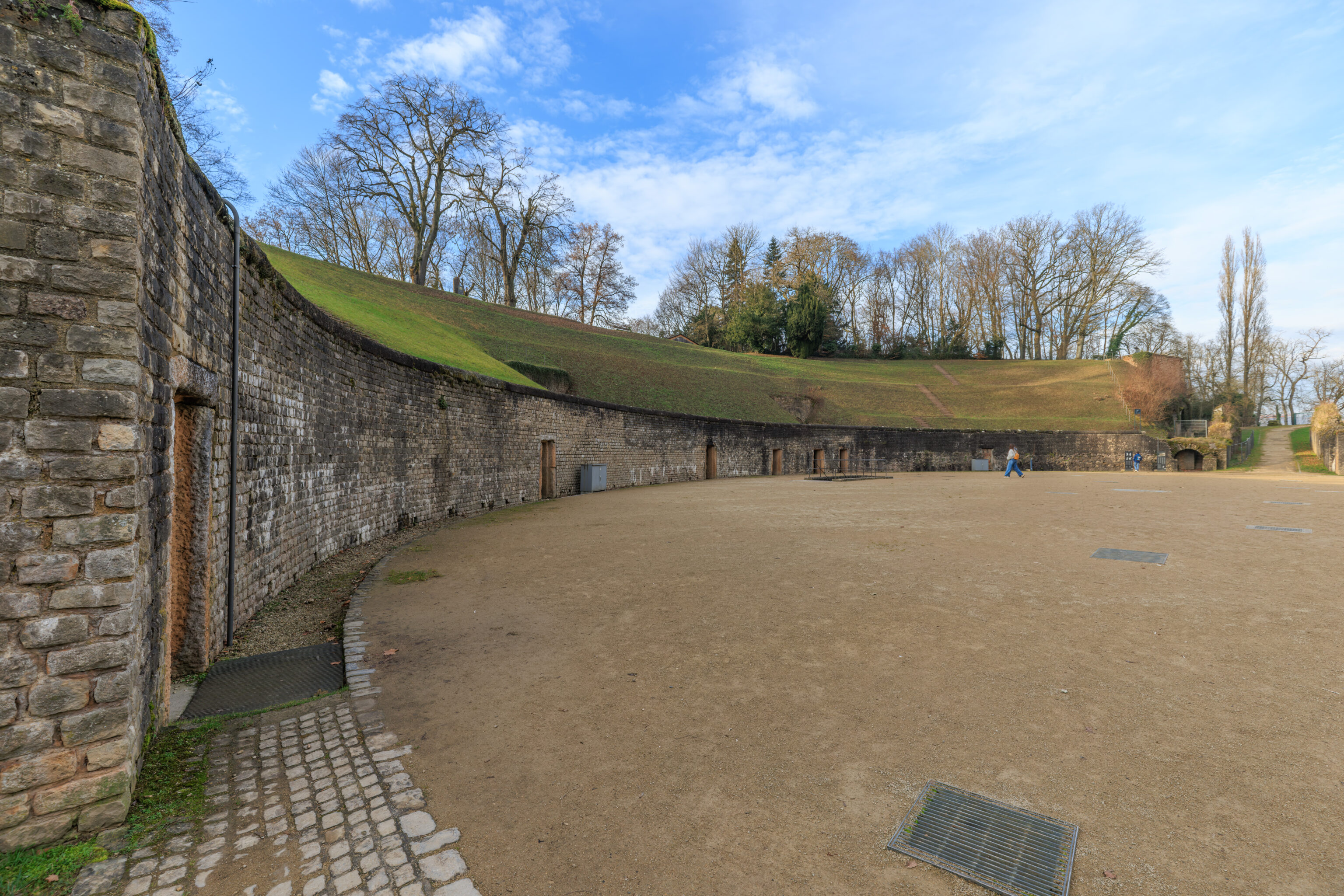
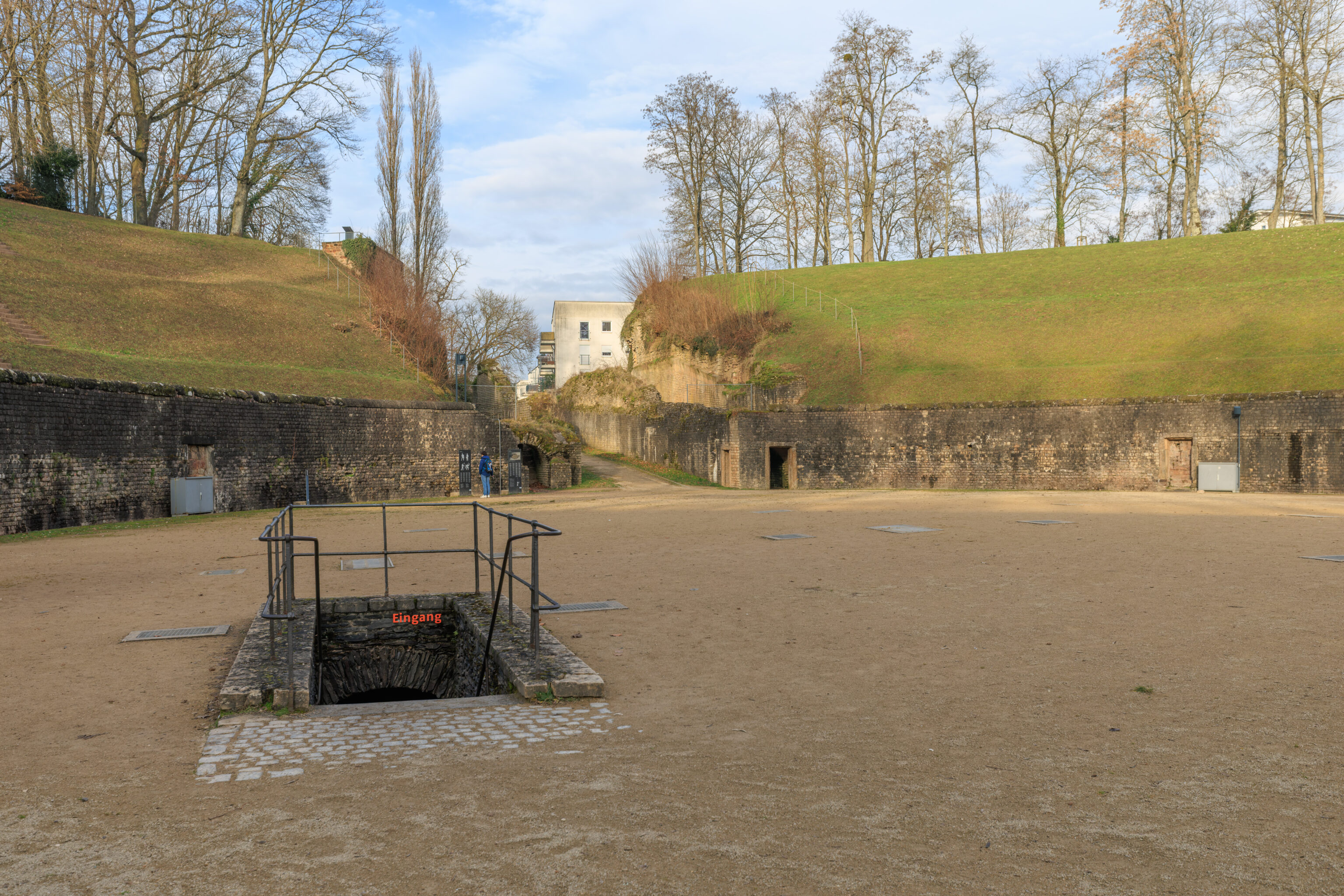
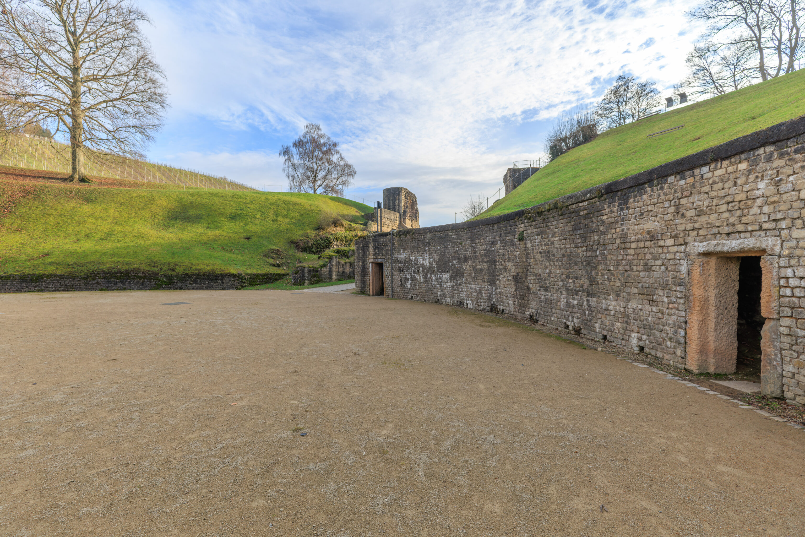
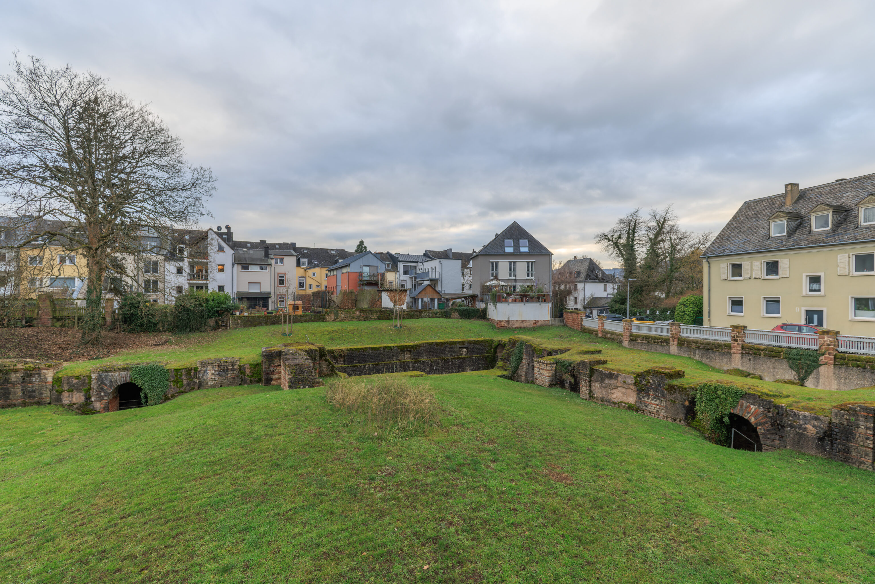
The Ampitheatre is in a partially ruined state. The seats are all gone with the seating areas covered in grass. The oval structure still remains and there are still rooms present as well below the seating areas.
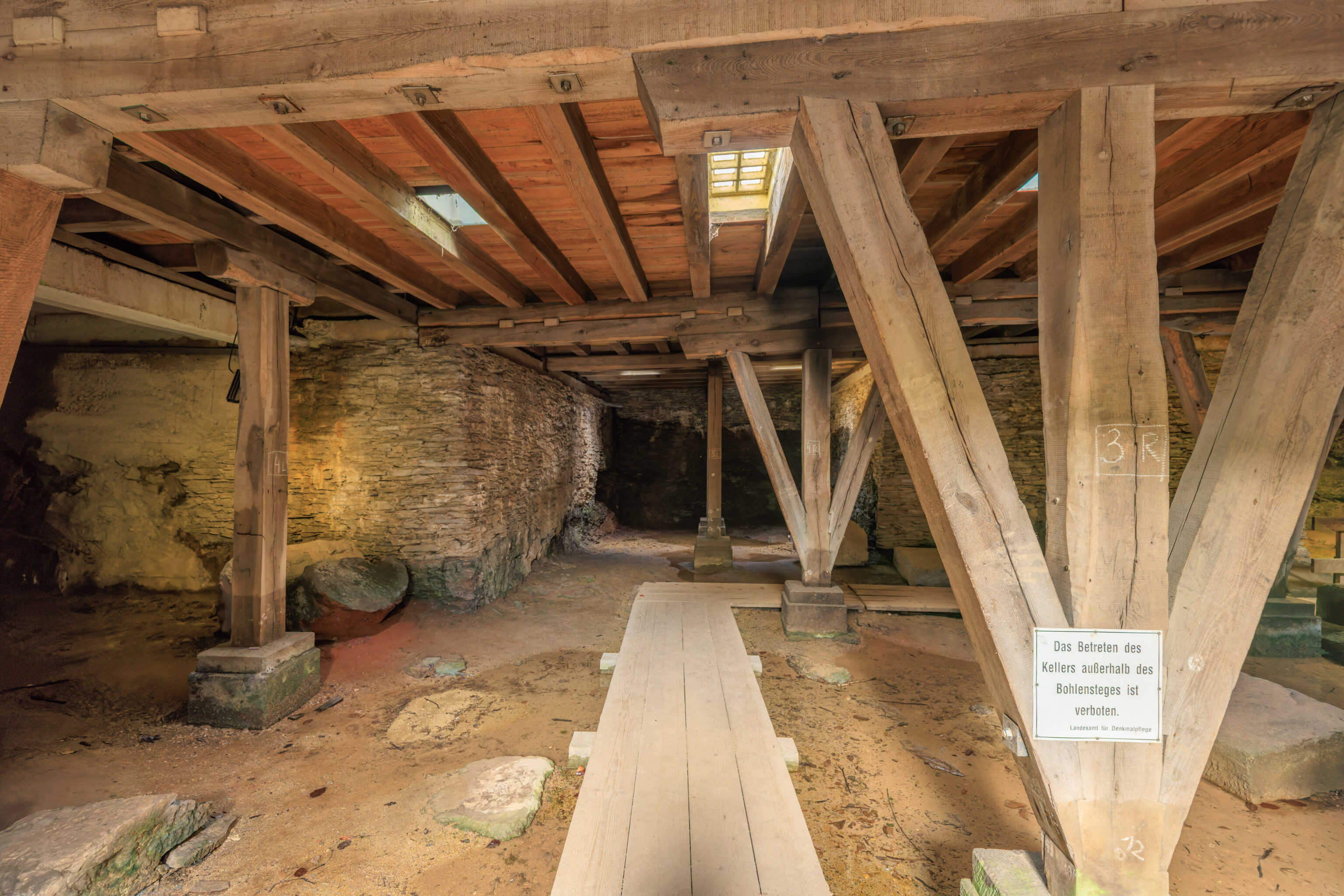
We walked down the stairs to check out the underground area of the Ampitheatre.
Arena Basement
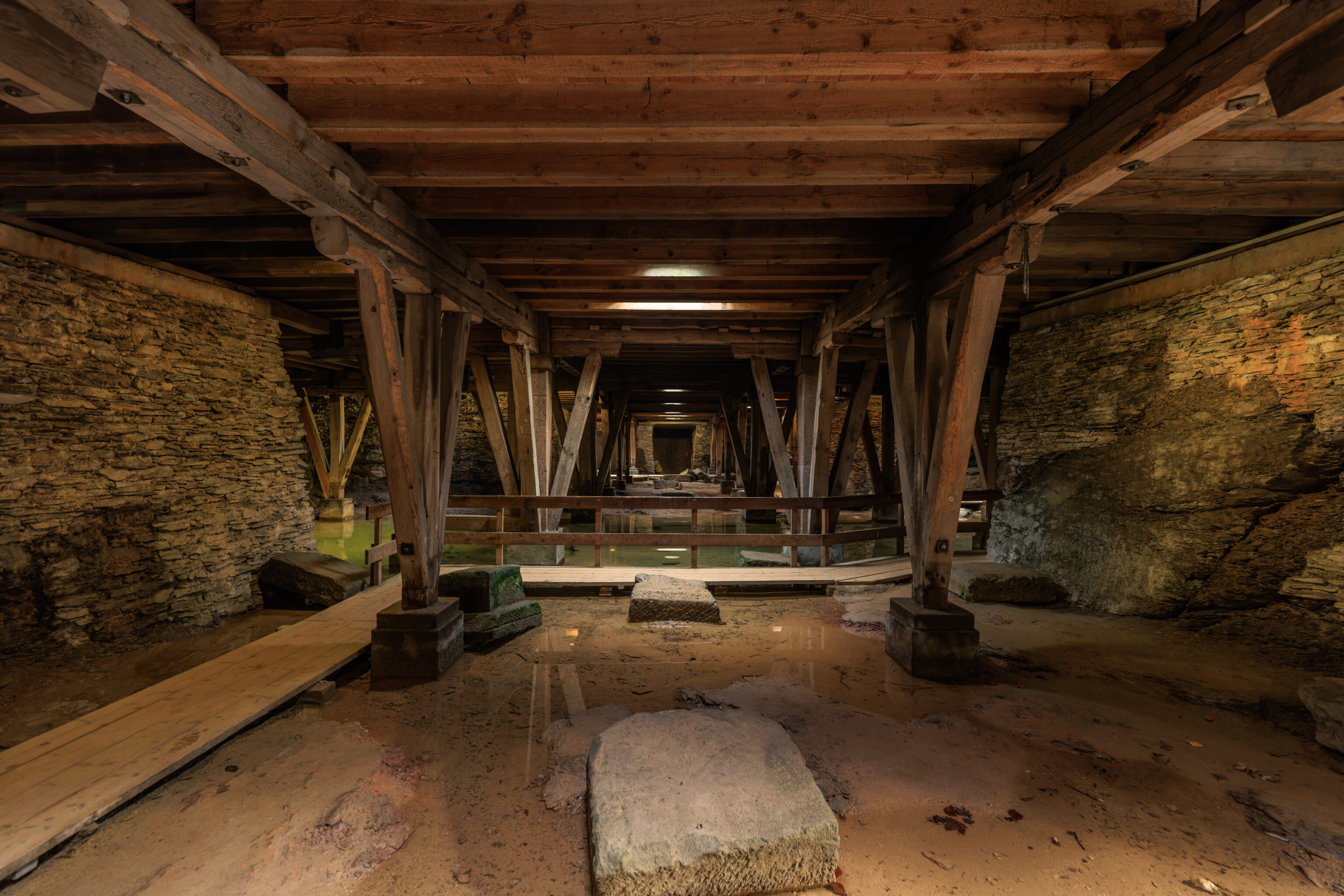
Underneath the arena, a cruciform cellar extended about 30 metres in length and 50 metres in width, sunk 3 metres deep into the rock. In the south, the longitudinal arm led to a sewage canal (1), which even today drains water from the arena into the nearby valley.

The ancient wooden cellar ceiling no longer exists.

The original entrances (2) to the east and west were immediately behind the palisade of the arena.

Stage Machinery
Numerous pits and wooden beams were found in the excavations that are thought to have belonged to different lifting systems, which once carried participants, wild animals and scenery into the arena.
– Text from a sign, translated using Google.
The description of the Ampitheatre is reminiscent of the Colosseum in Rome. Its just quite a bit smaller!
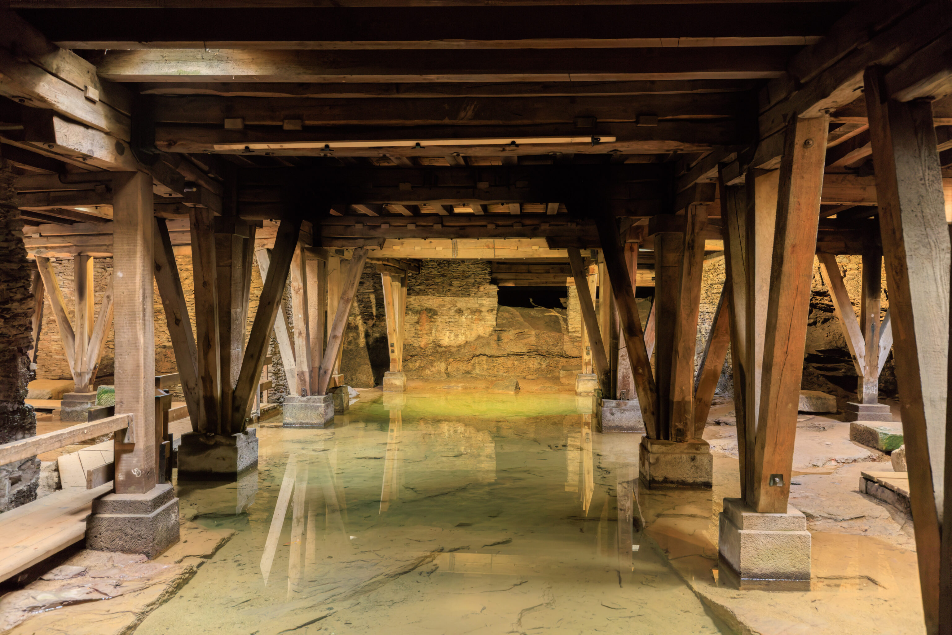
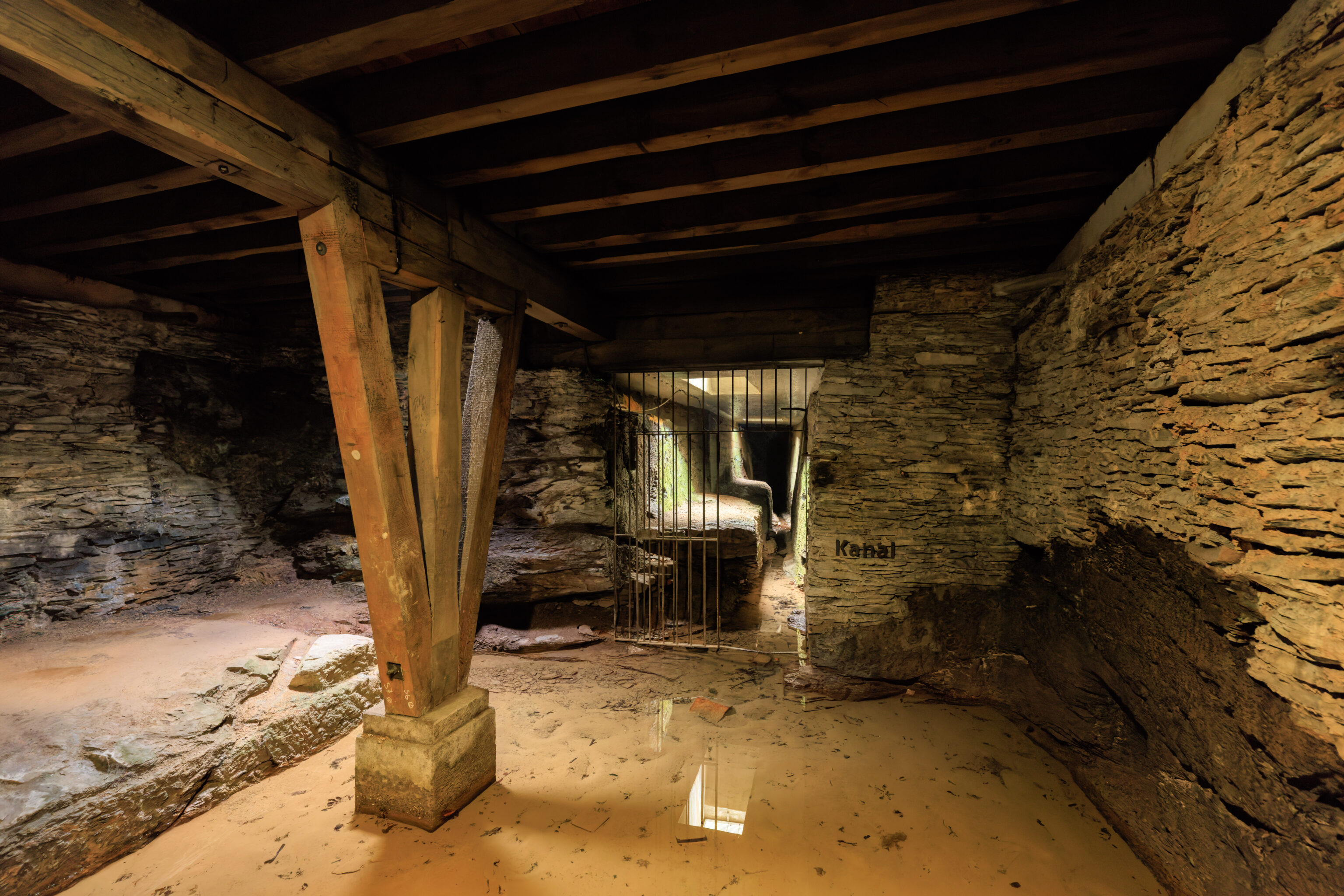
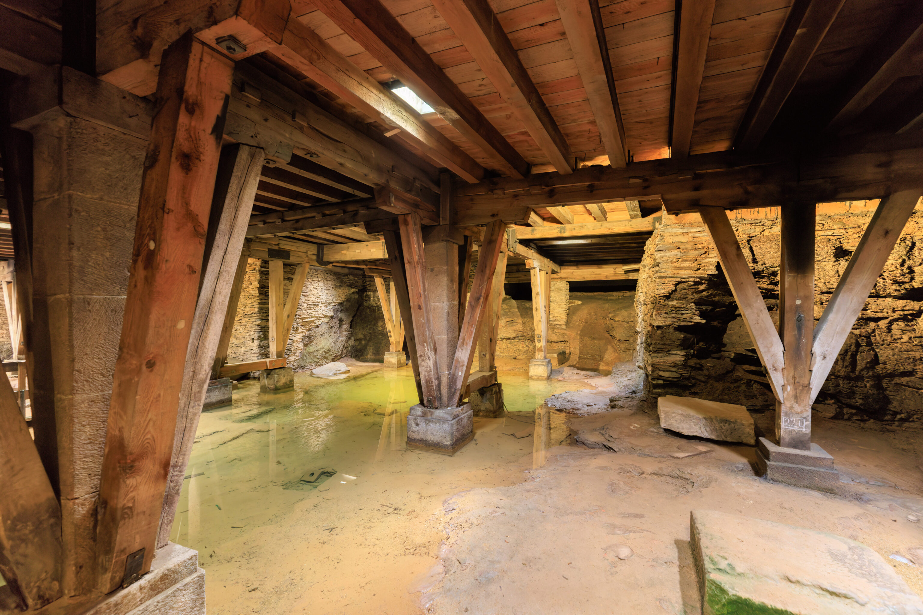
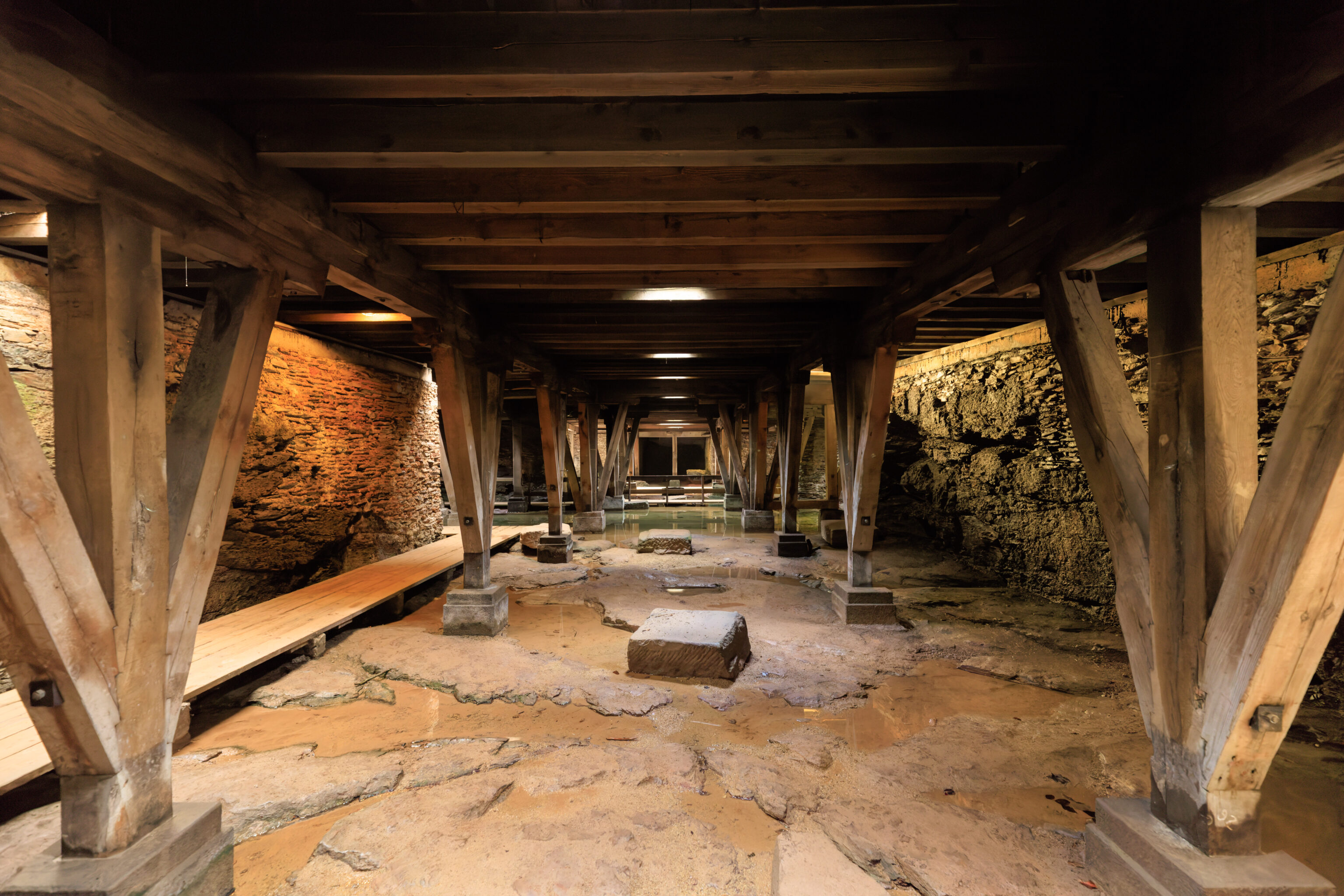
We walked on the paths through the basement. Nearly everything was covered by a shallow layer of water.
A large collection of small lead sheets originates from the cellar rooms under the arena of the amphitheatre. Texts meant to bring harm to other people were engraved on these sheets.

The soft sheets were rolled up and fixed with a nail at the chosen place to curse the opponent. Lead as a material was regarded as ominous, which is why curses were written on such tablets.

It was popular to deposit these magic or curse tablets (defixionum tabellae) in amphitheatres. For, according to superstition, the violent death of numerous people enhanced the effectiveness of demonic activities.

The translation of the inscription engraved on the plate reads: '(I call on) Diana and Mars, the helping deities, that you may redeem me from the firebrand. Eusebius torture and captivate, but me may you free.
– Text from a sign, translated using Google.
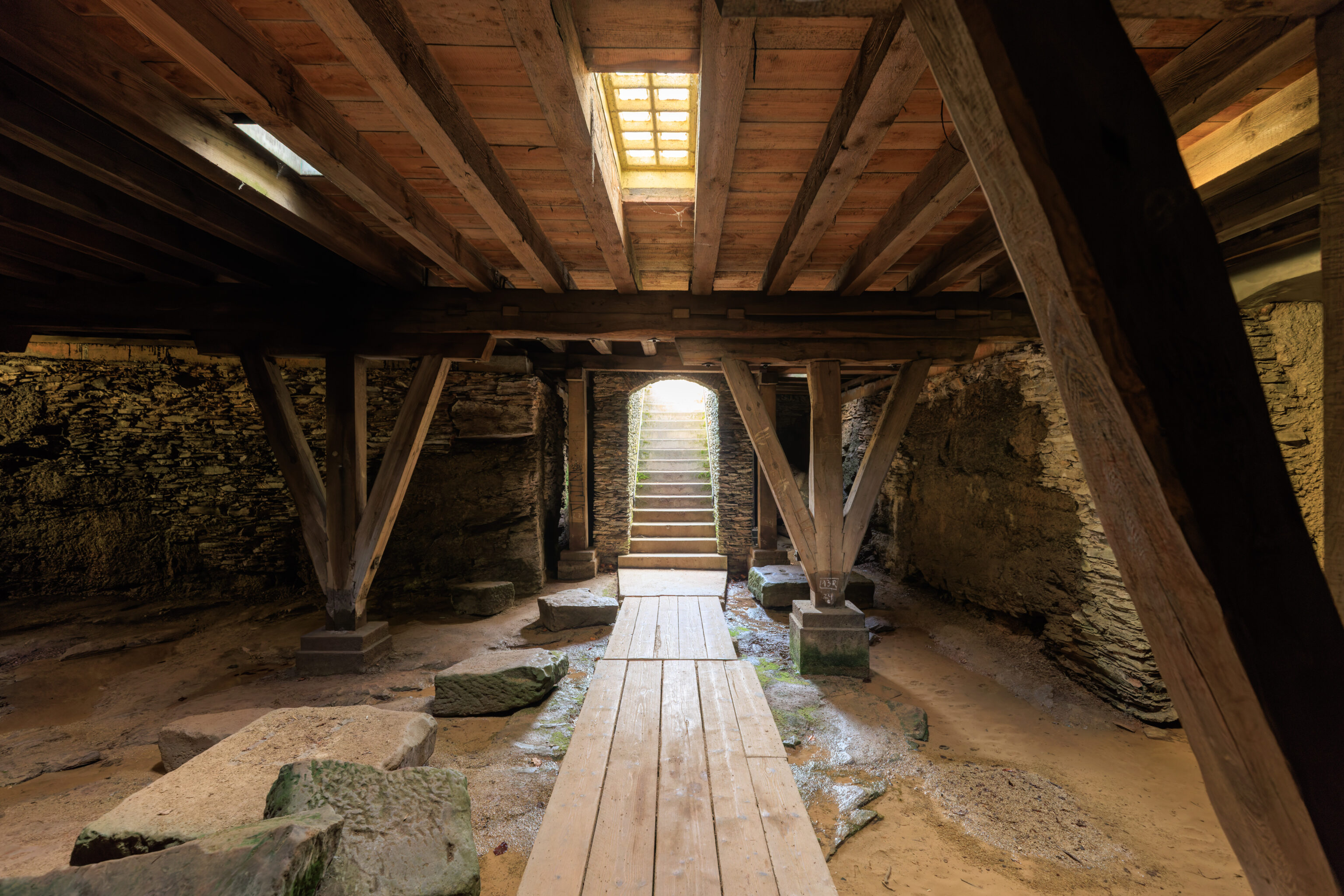
We continued on until we reached the exit.
The view in the opposite direction from the stairs that led back up to ground level.
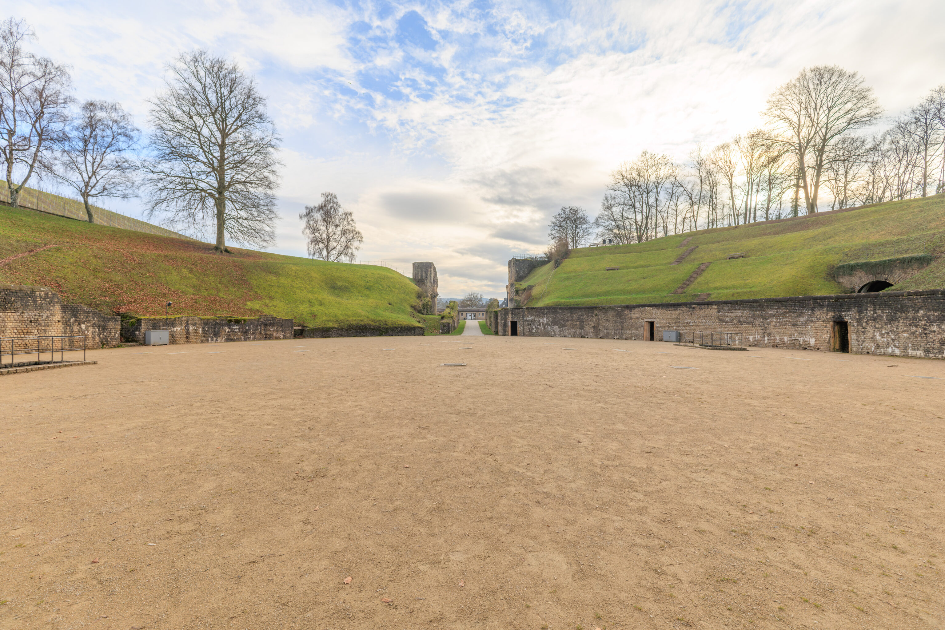
After walking up the stairs…
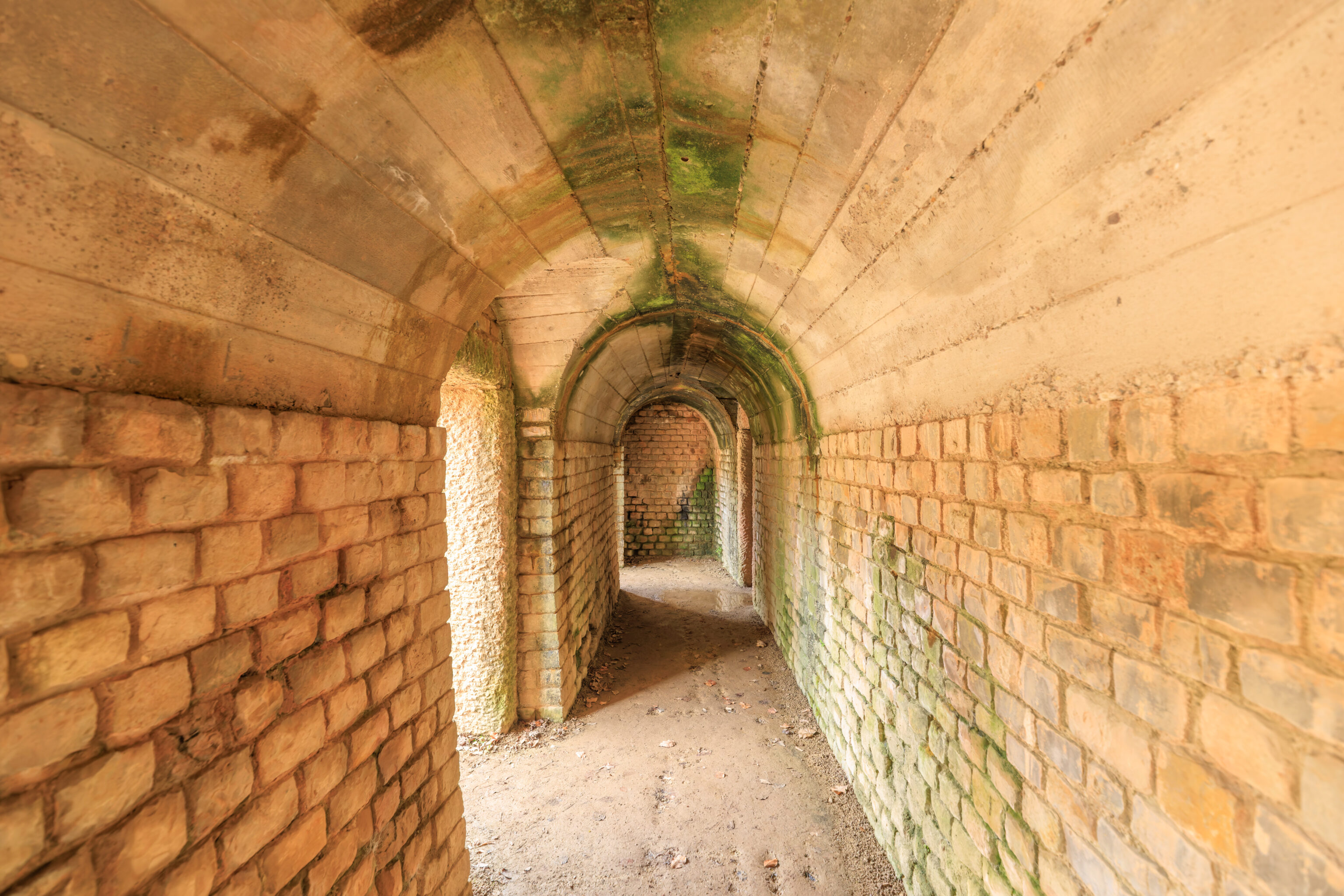
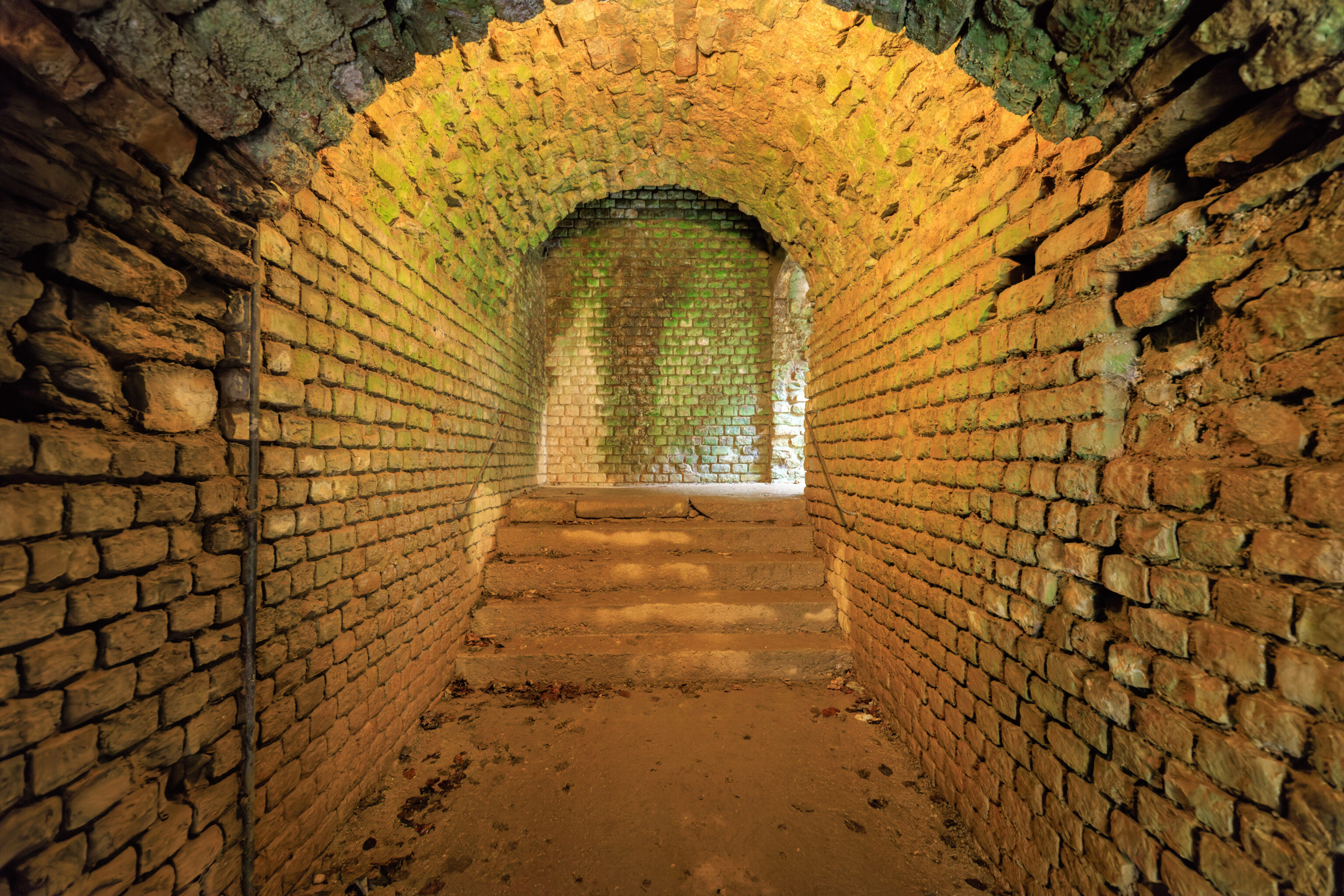
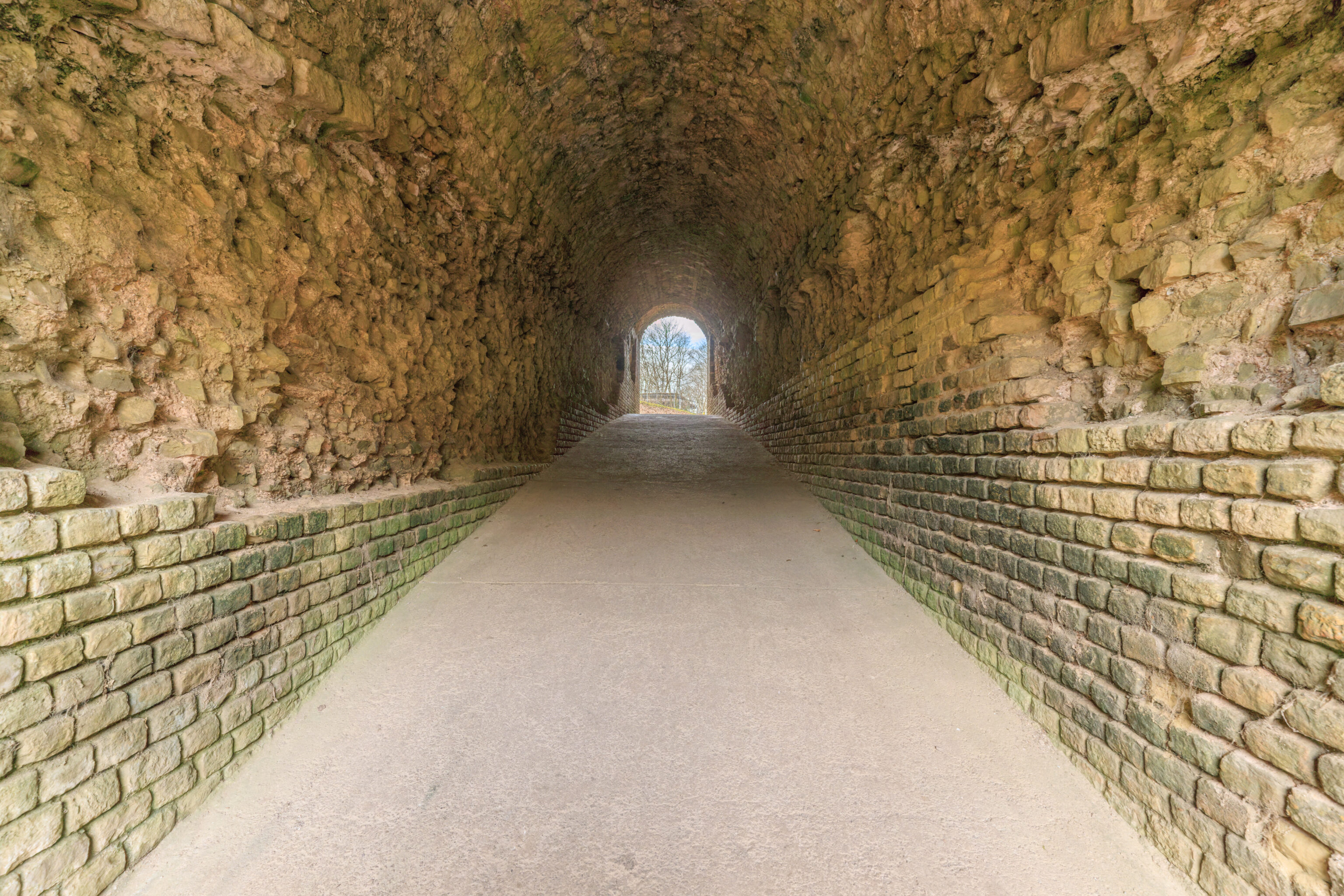
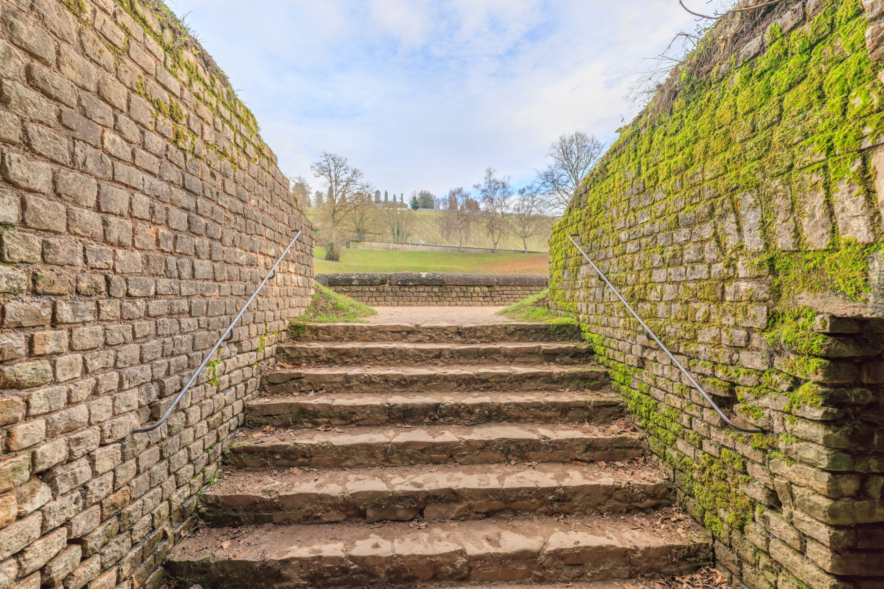
We went inside some of the passageways under the seating areas.
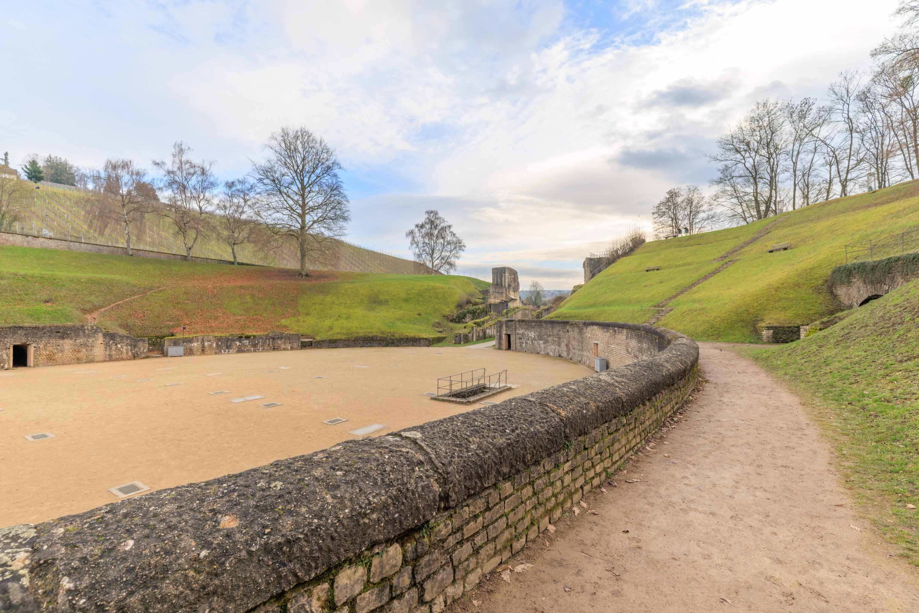
We ended up at this slightly elevated path around the circumference of the Amphitheater’s stage.
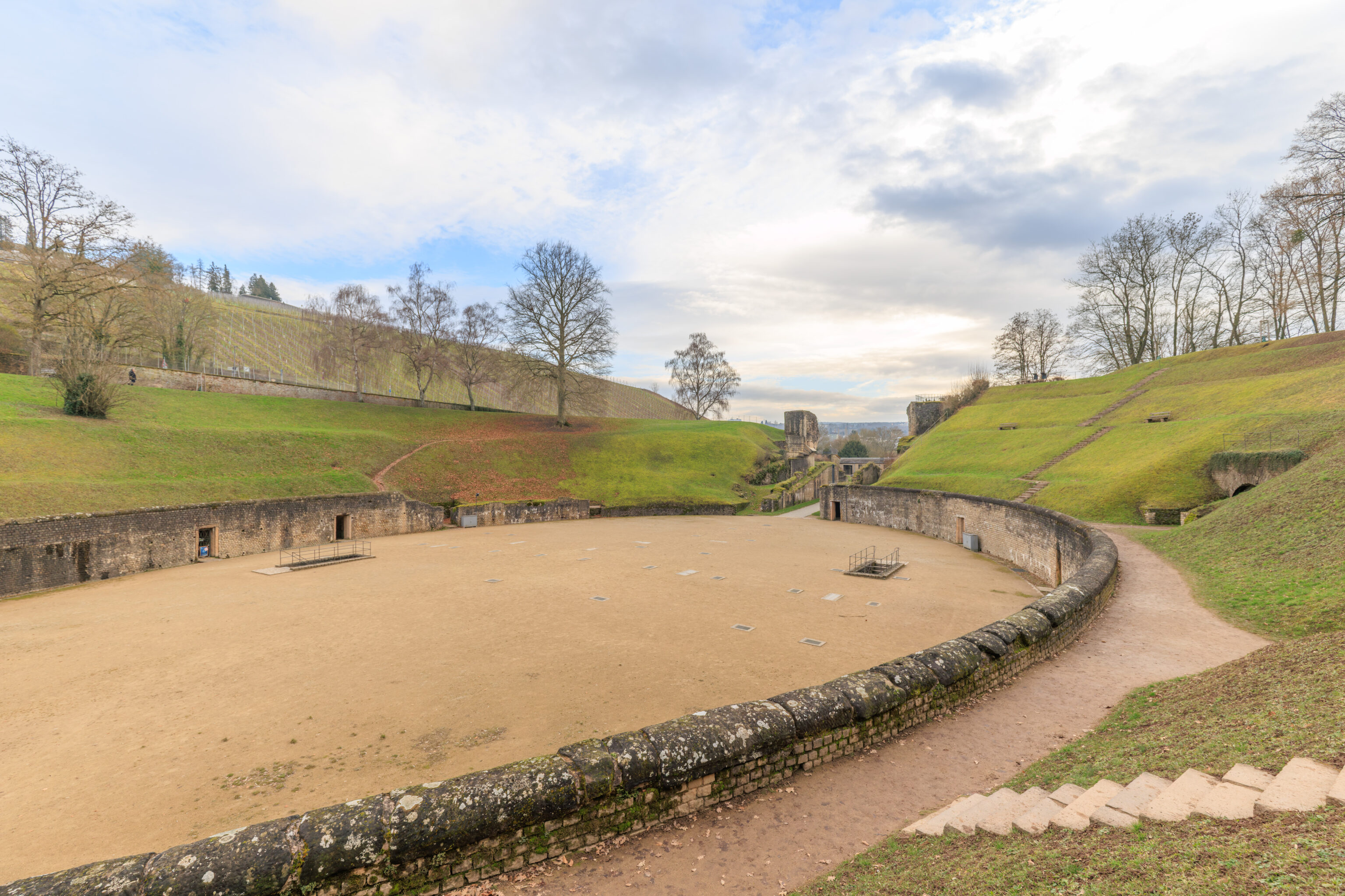
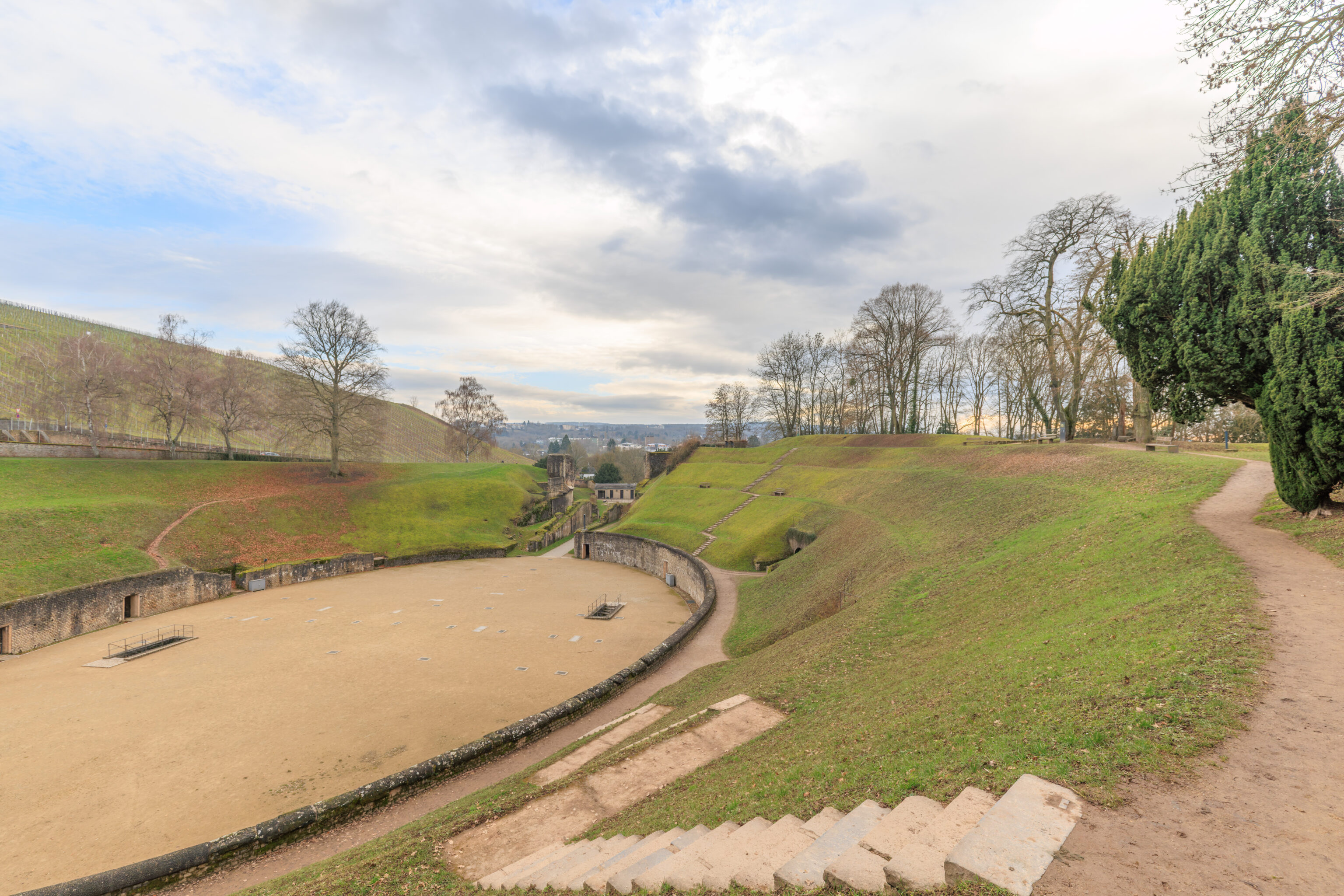
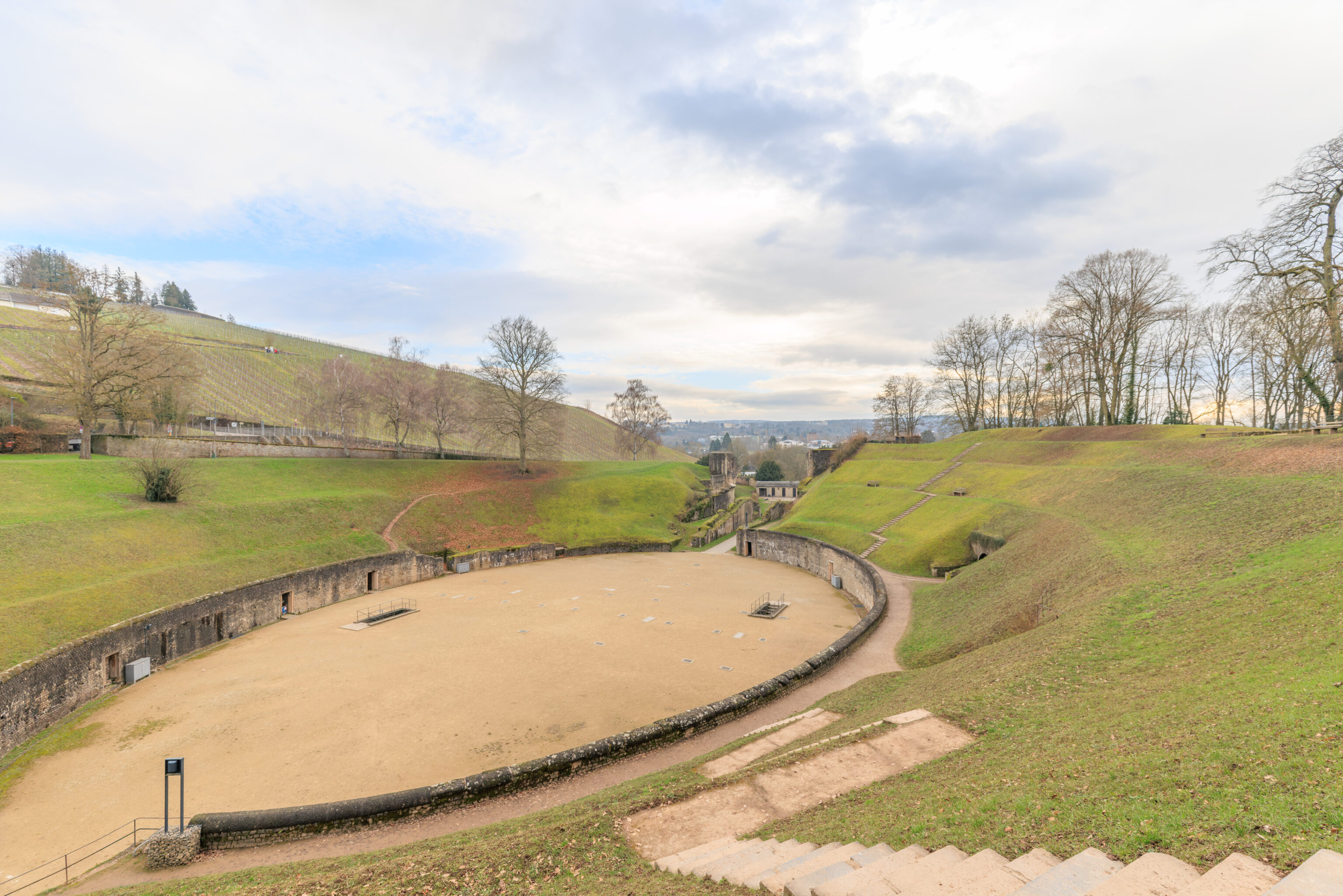
We walked up some stairs that were to the northwest.
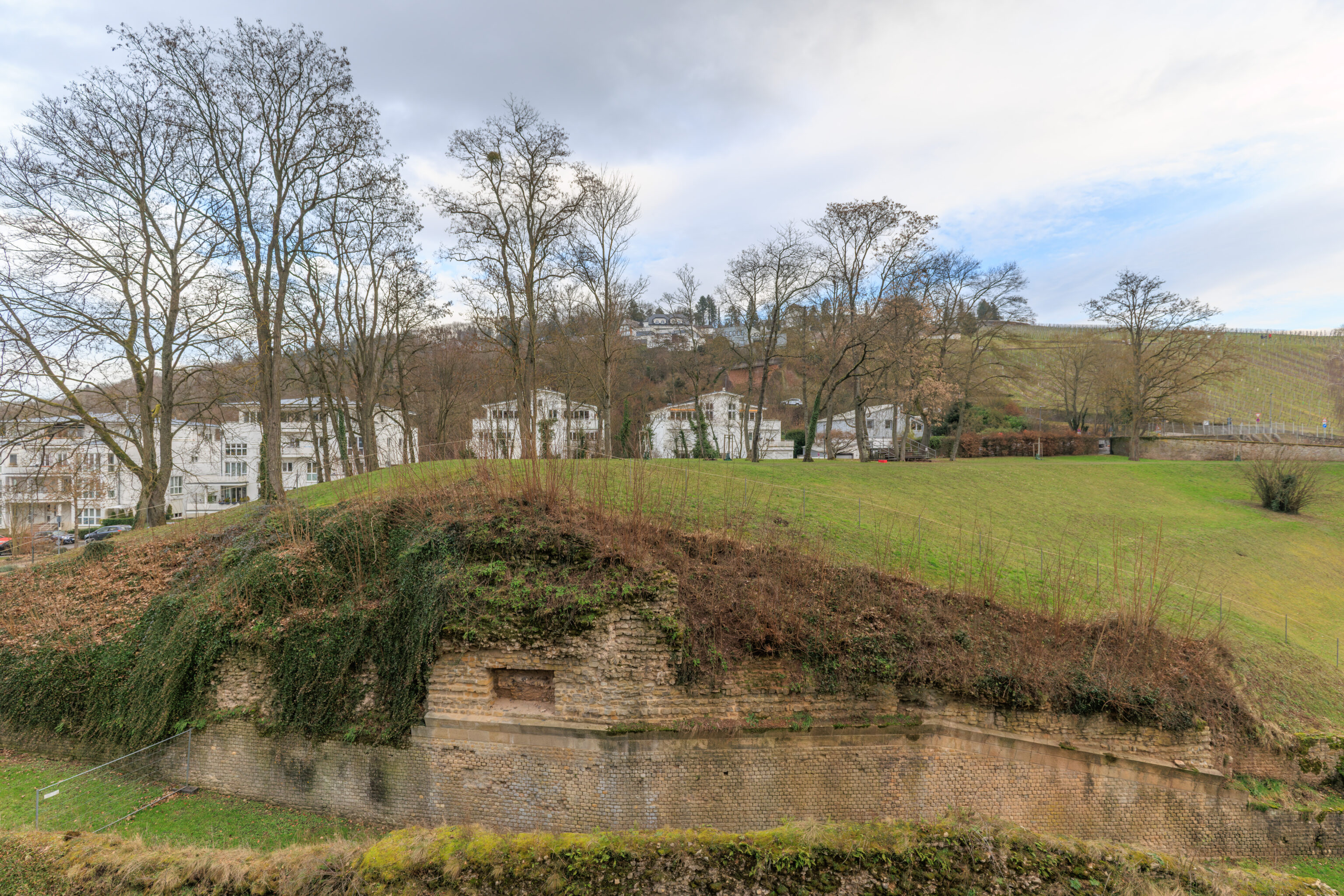
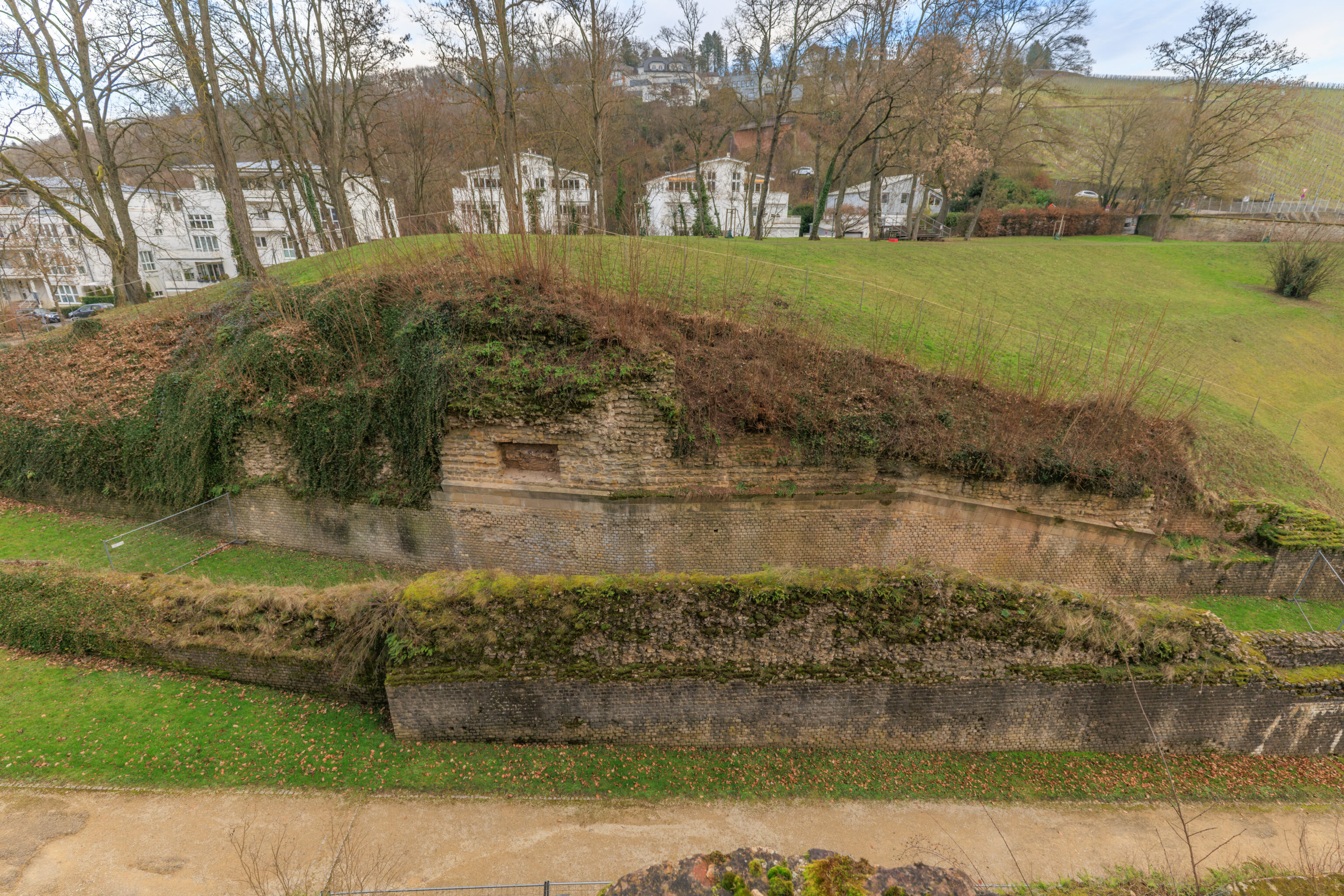
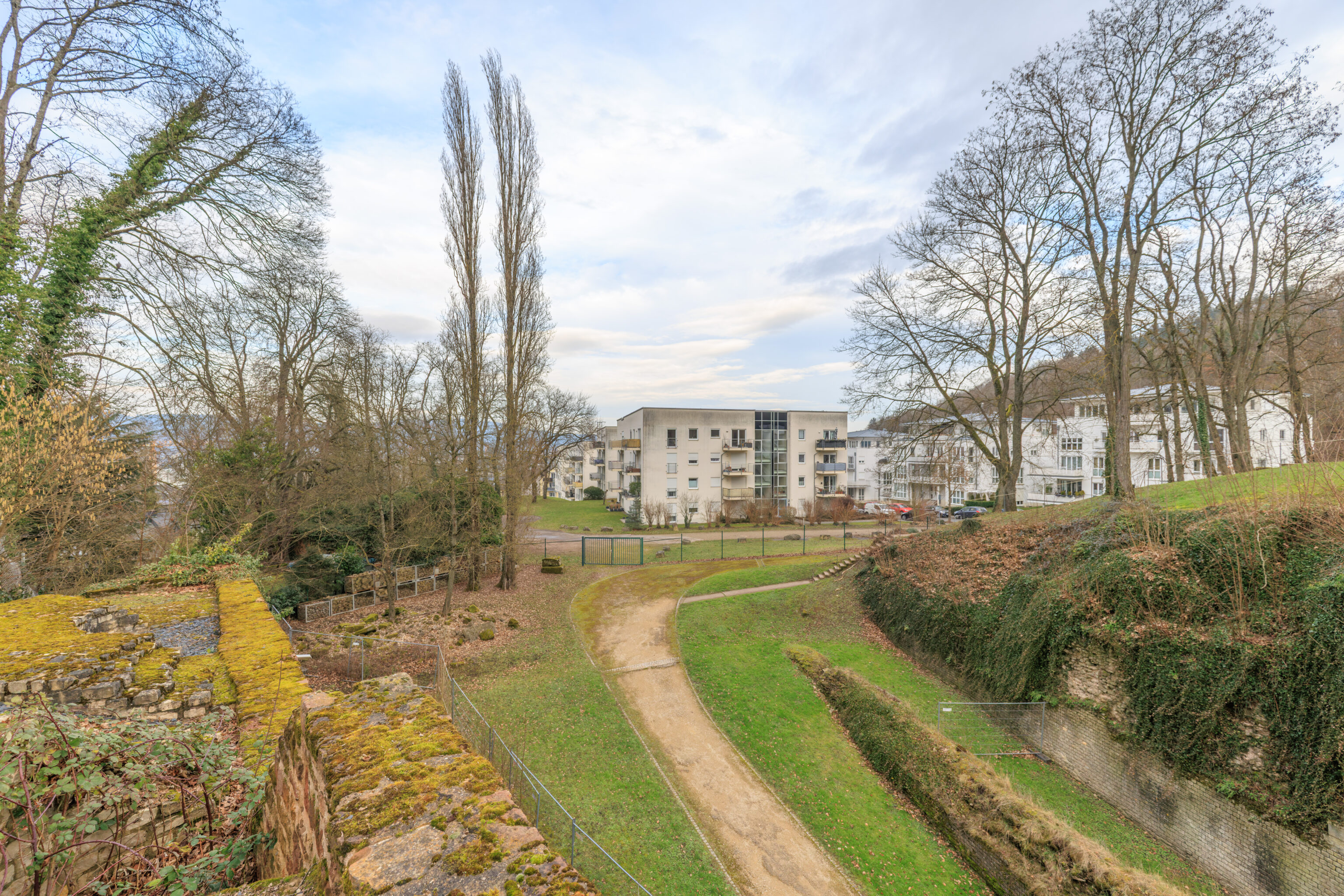
There was a path leading from the far end of the Ampitheater to the top of its eastern half.
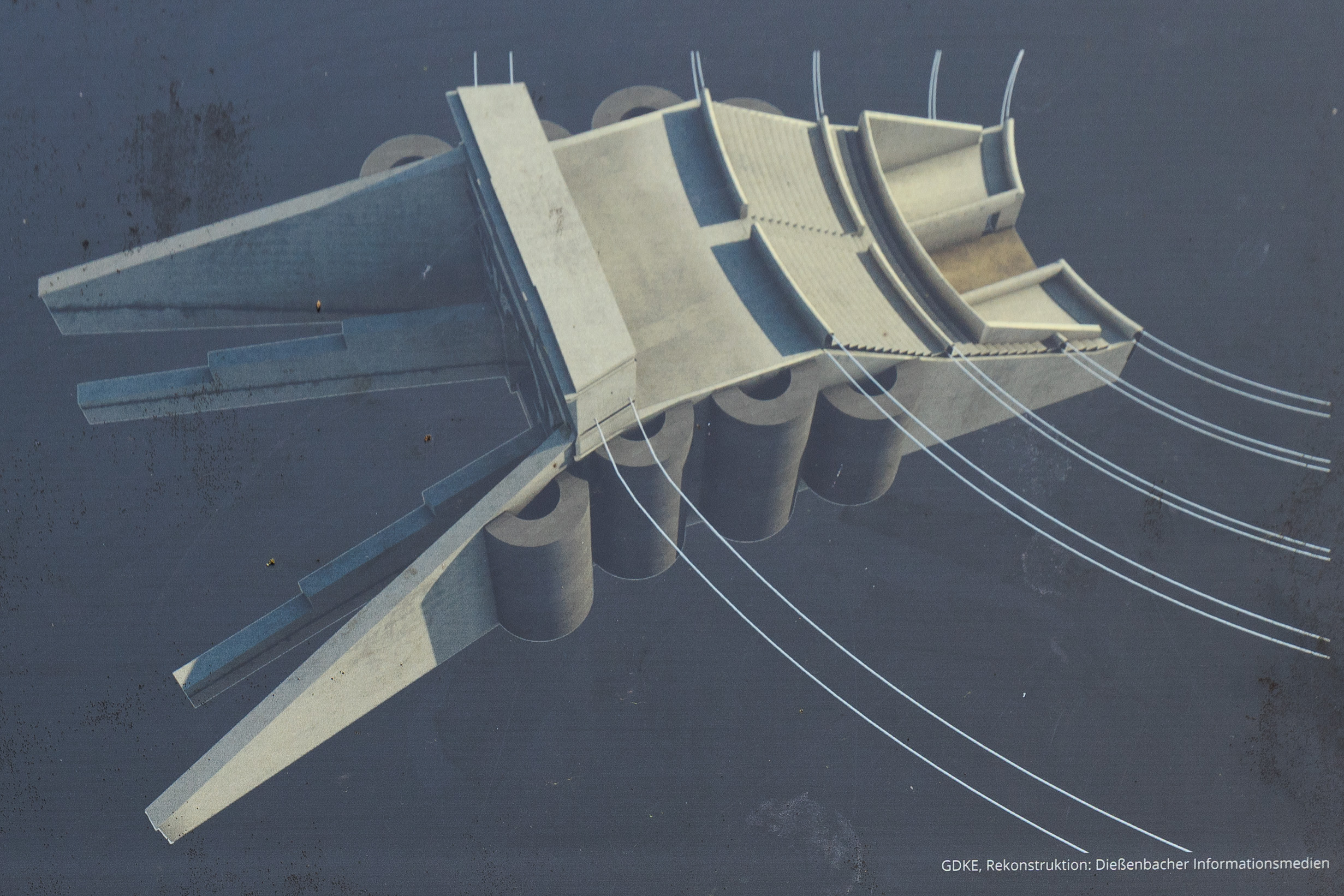
Retaining Wall
The entrances were vaulted with massive stone blocks. Retaining walls and semicircular buttresses were necessary to absorb the soil pressure of the spectators' gallery (cavea) built above.
– Text from a sign.
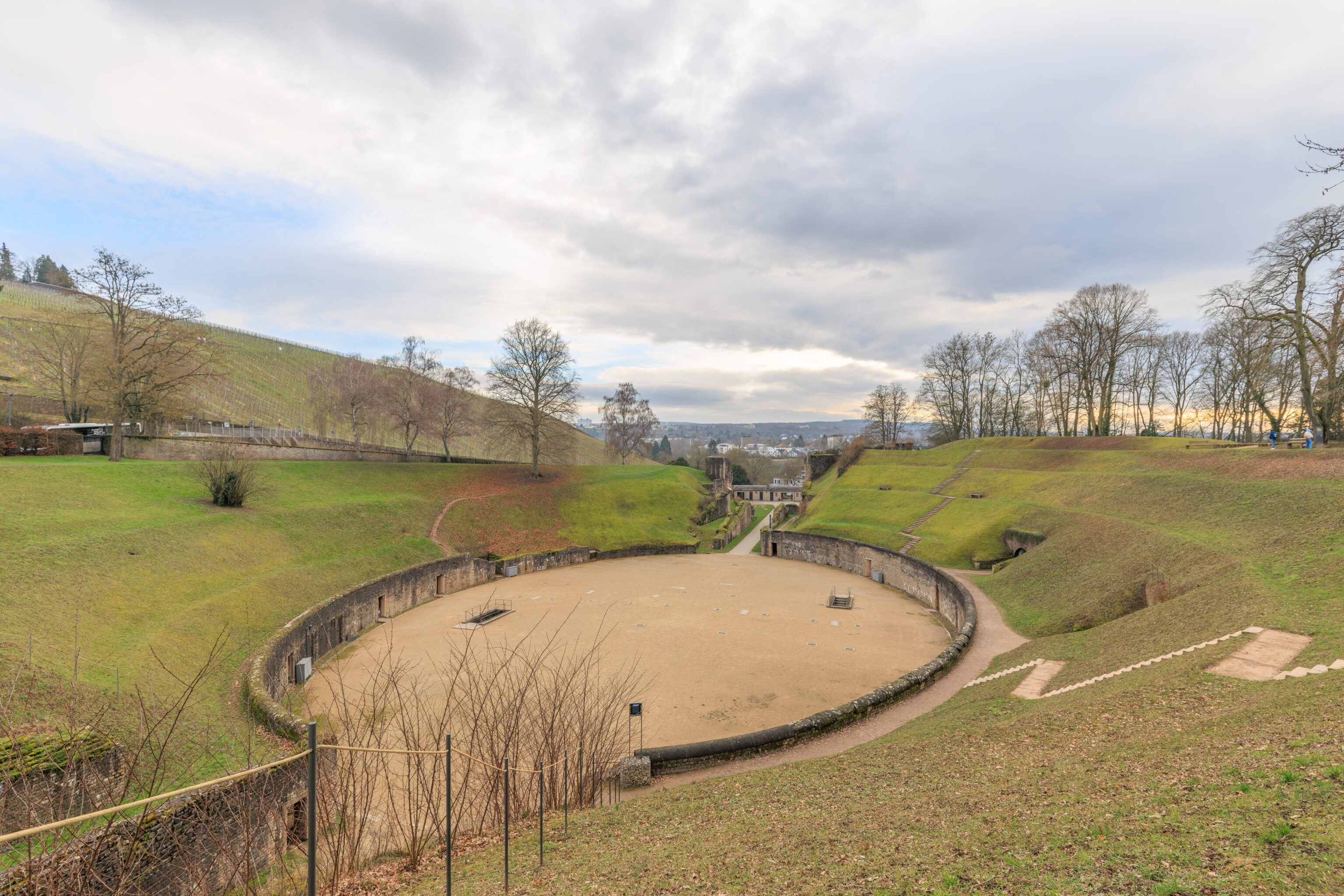
Decay and Preservation
With the end of Roman rule, the amphitheatre lost its function. As a result, the stones were removed and used for new buildings in the area. The now bare slopes were subsequently used as vineyards.

Initial research on the amphitheatre in the early 19th century was accompanied by the measures to preserve the structure.

The effects of weather and vegetation penetrating deep into the masonry still require extensive maintenance work.
– Text from a sign.
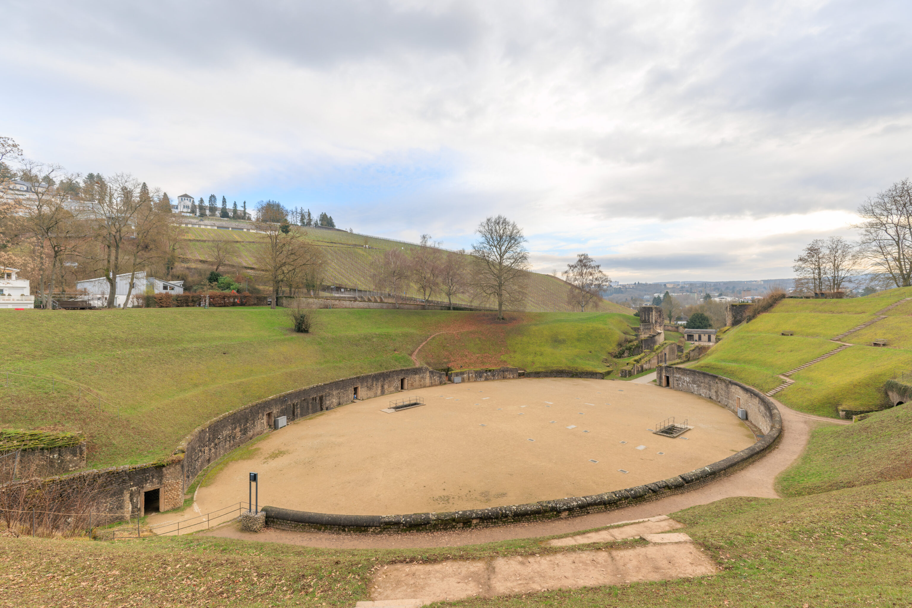
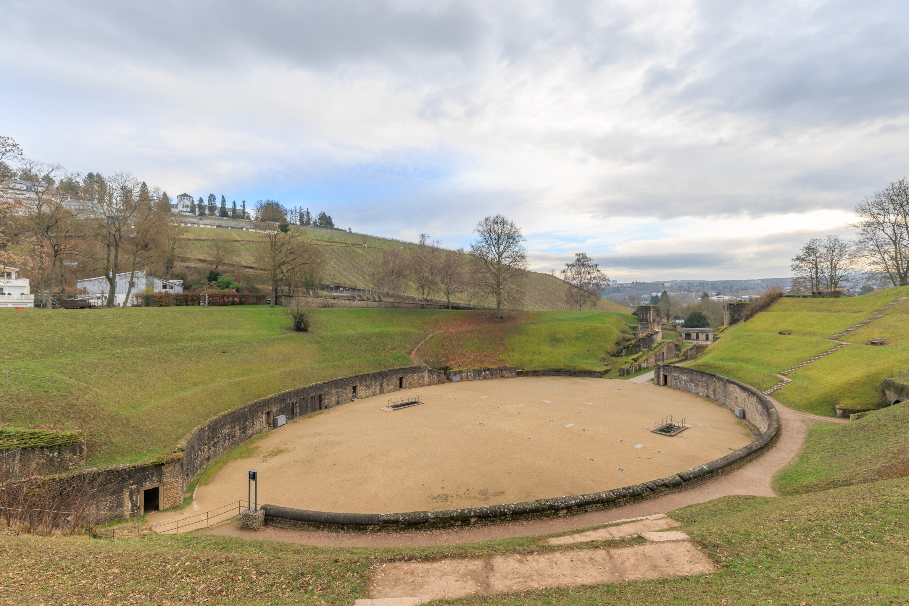
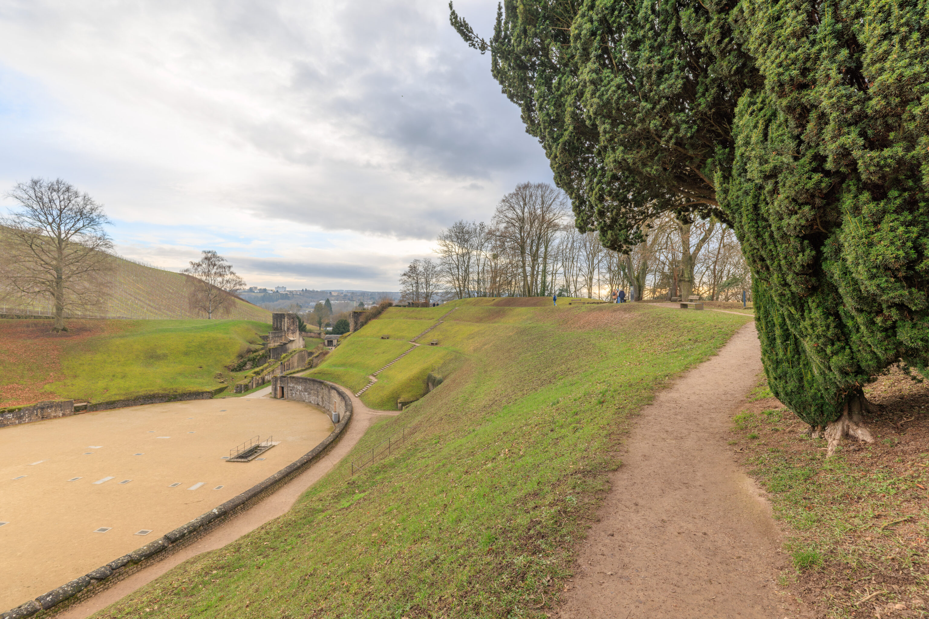
Upon reaching the top, we started to walk counter-clockwise along a path.
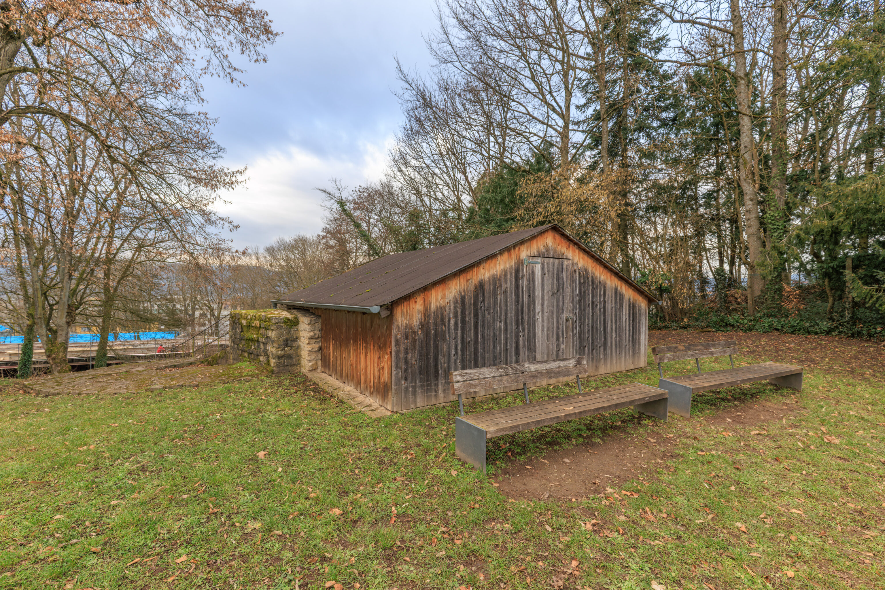
There seems to be a path down behind this modern-day wooden structure.
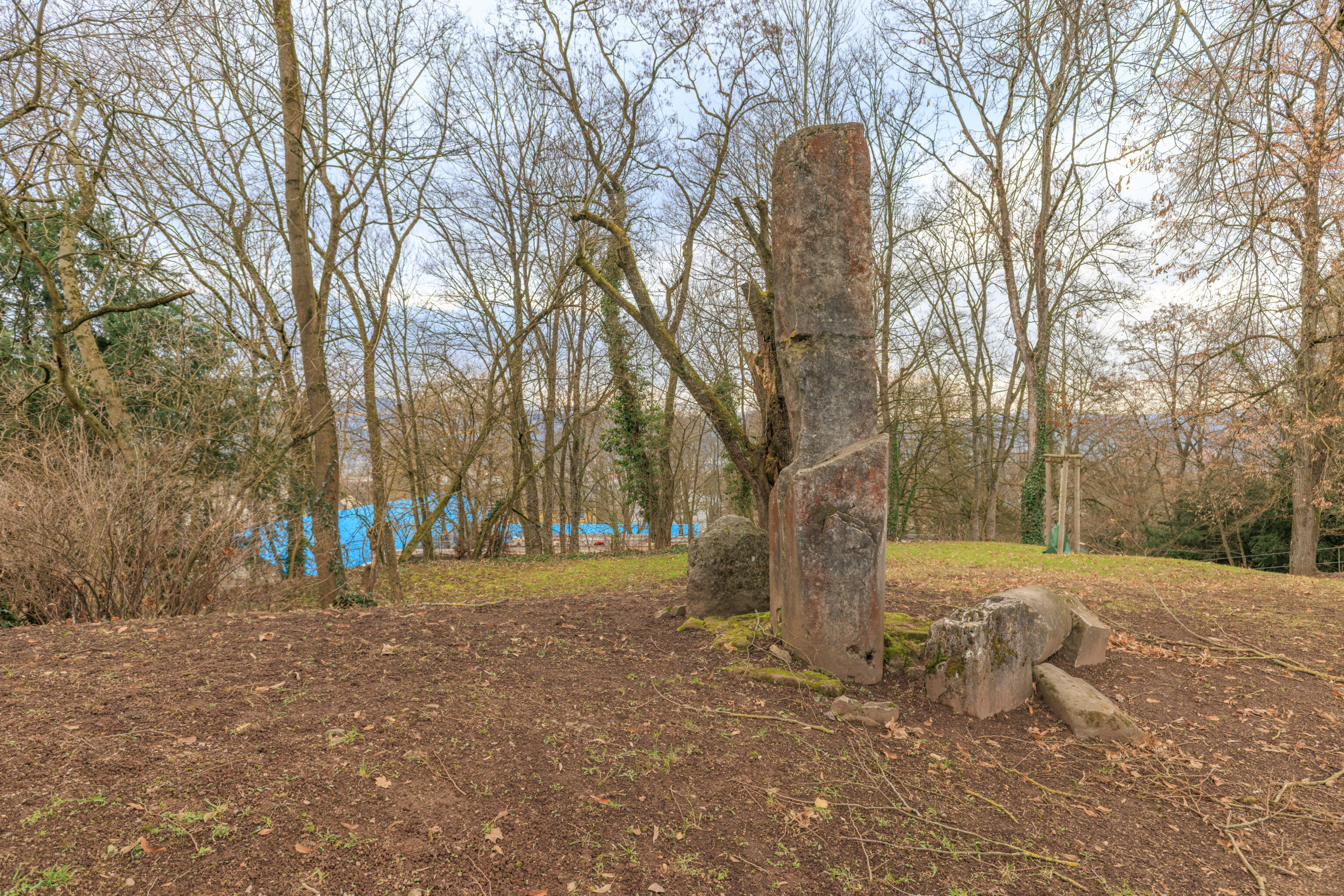
Historically, there would have been entrances below where we are, more or less, as explained by a sign:
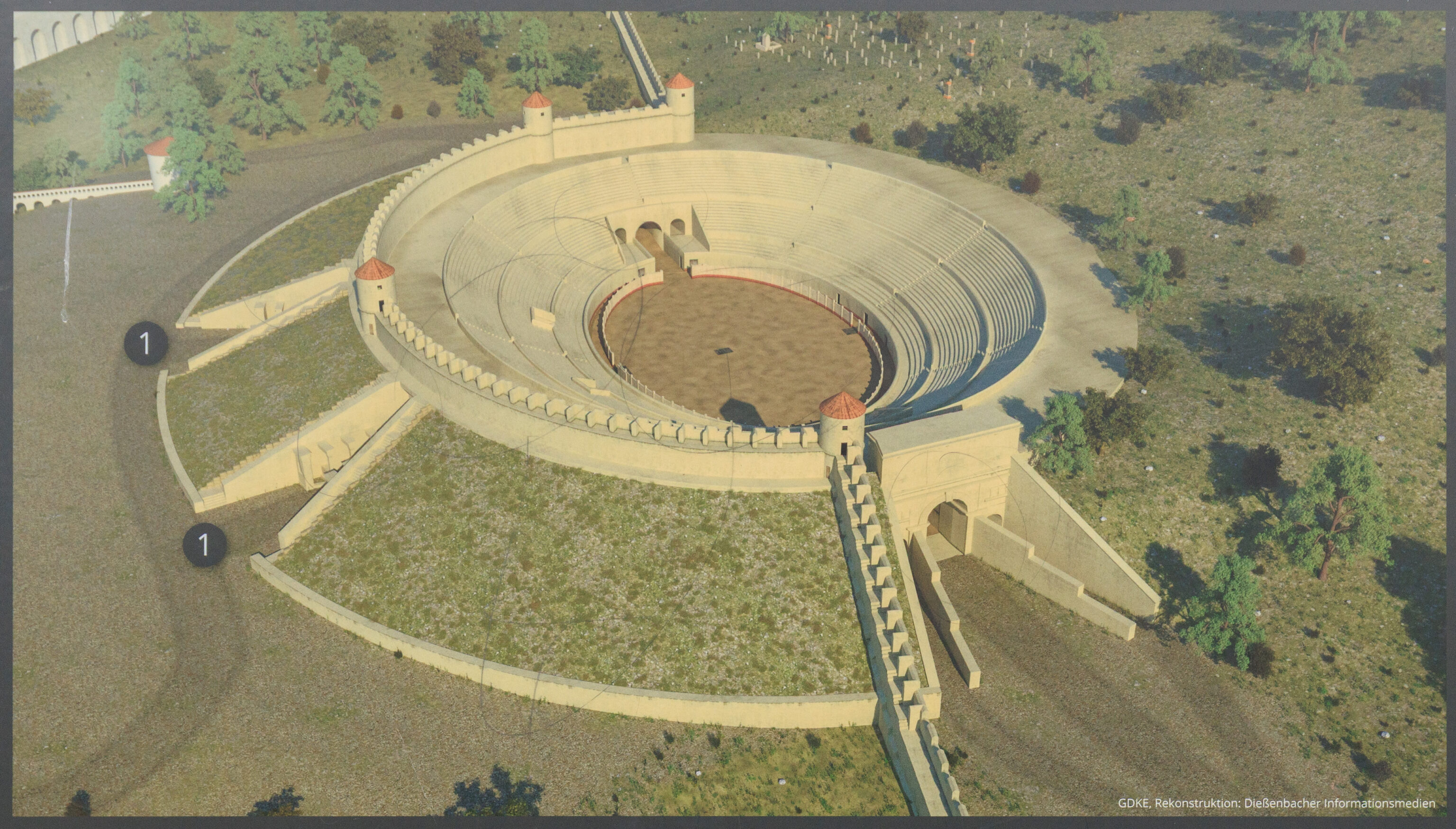
Entrance From the City
Approaching from the city, visitors set foot in the spectators' gallery through monumental entrances (1). The Rom- ans referred to these as the vomitorium (from Latin vomere = to spew forth). The entrances led to the seats through multi-storey tunnels.

The dignitaries of the city were seated in the front rows, while the common people were placed higher up.
– Text from a sign, translated using Google.
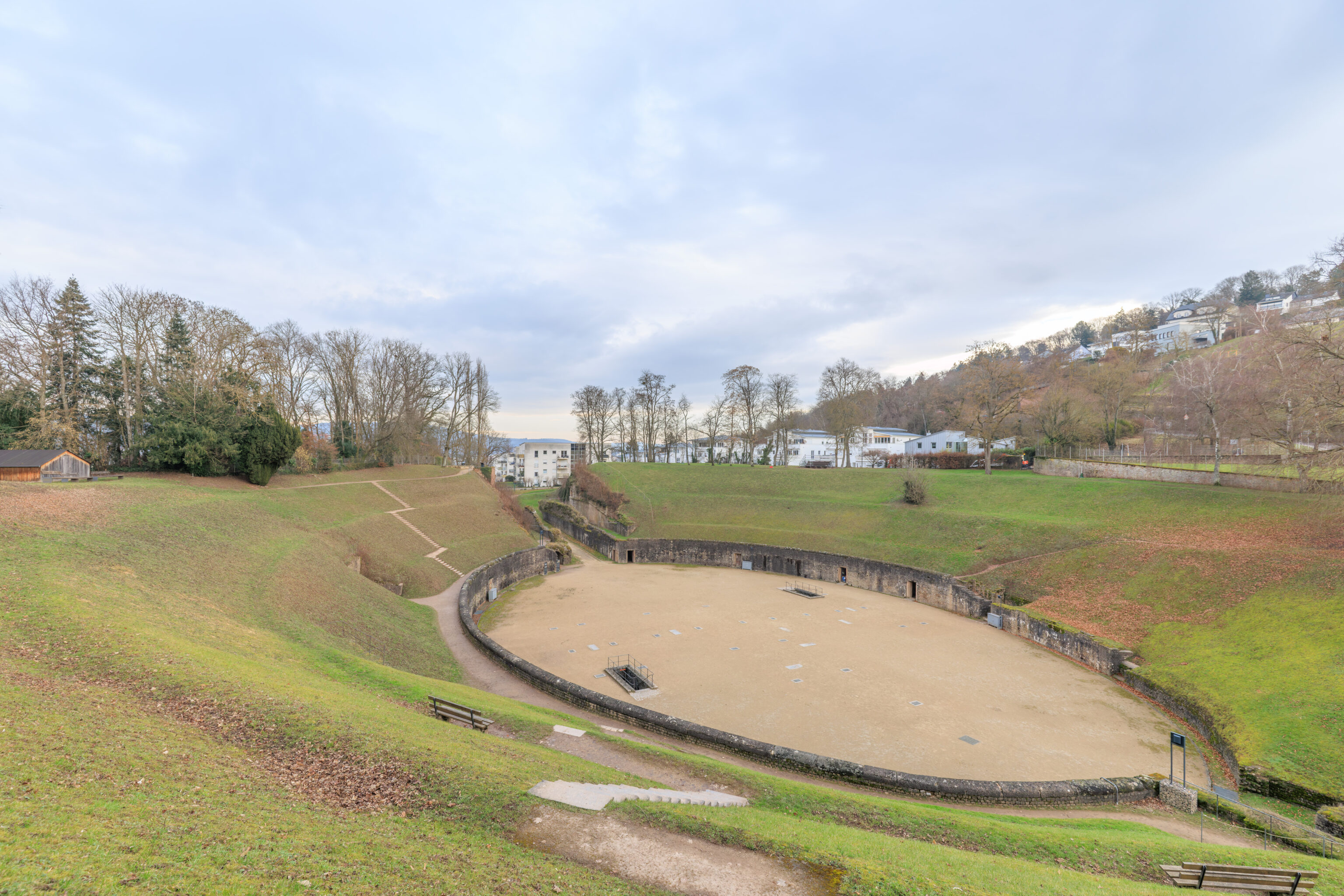
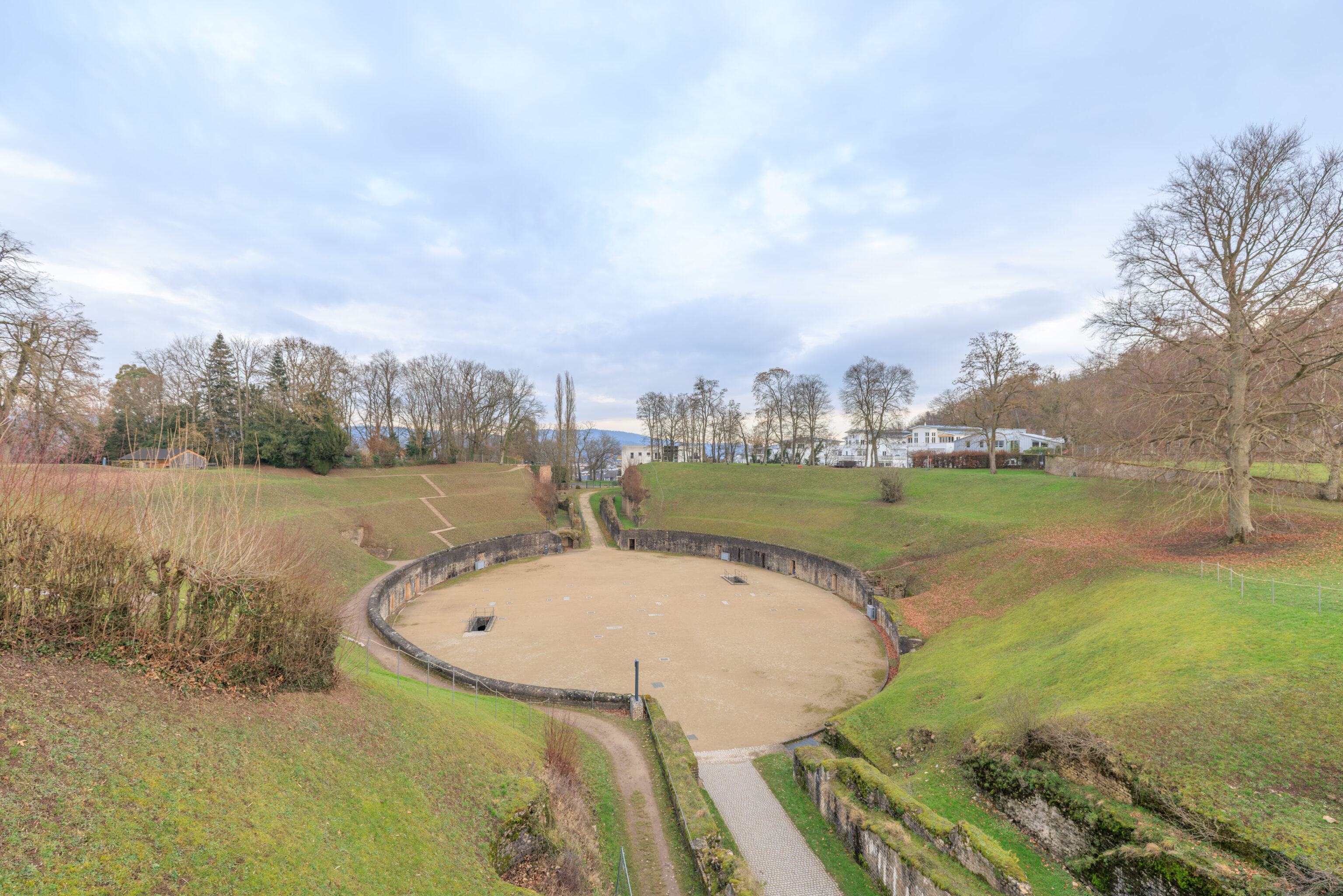
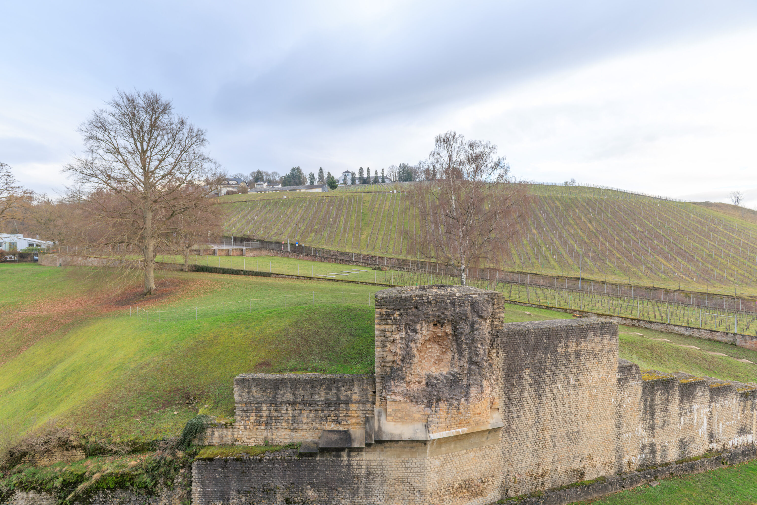
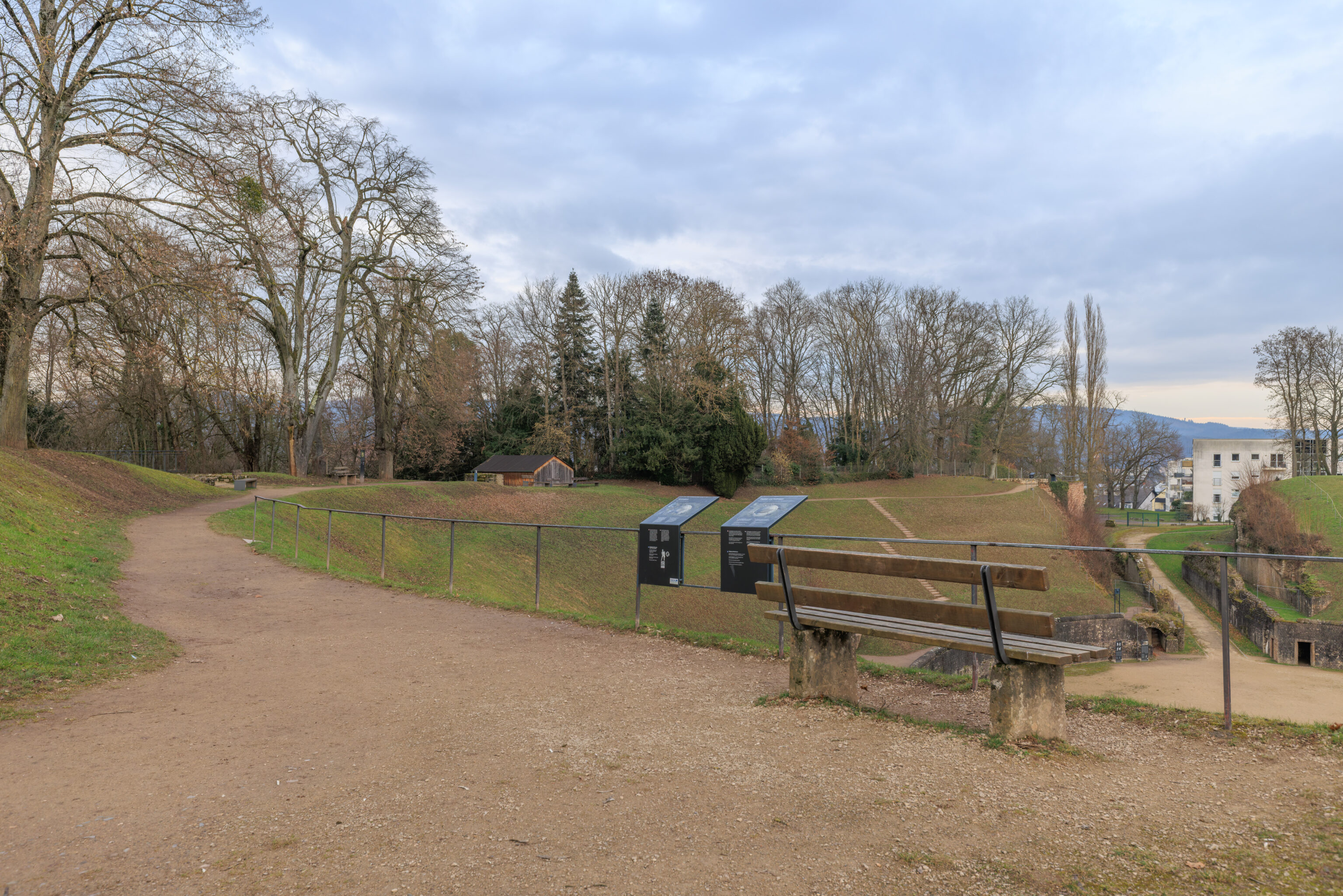
We continued walking along the path until we reached the southern end of the Amphitheater.
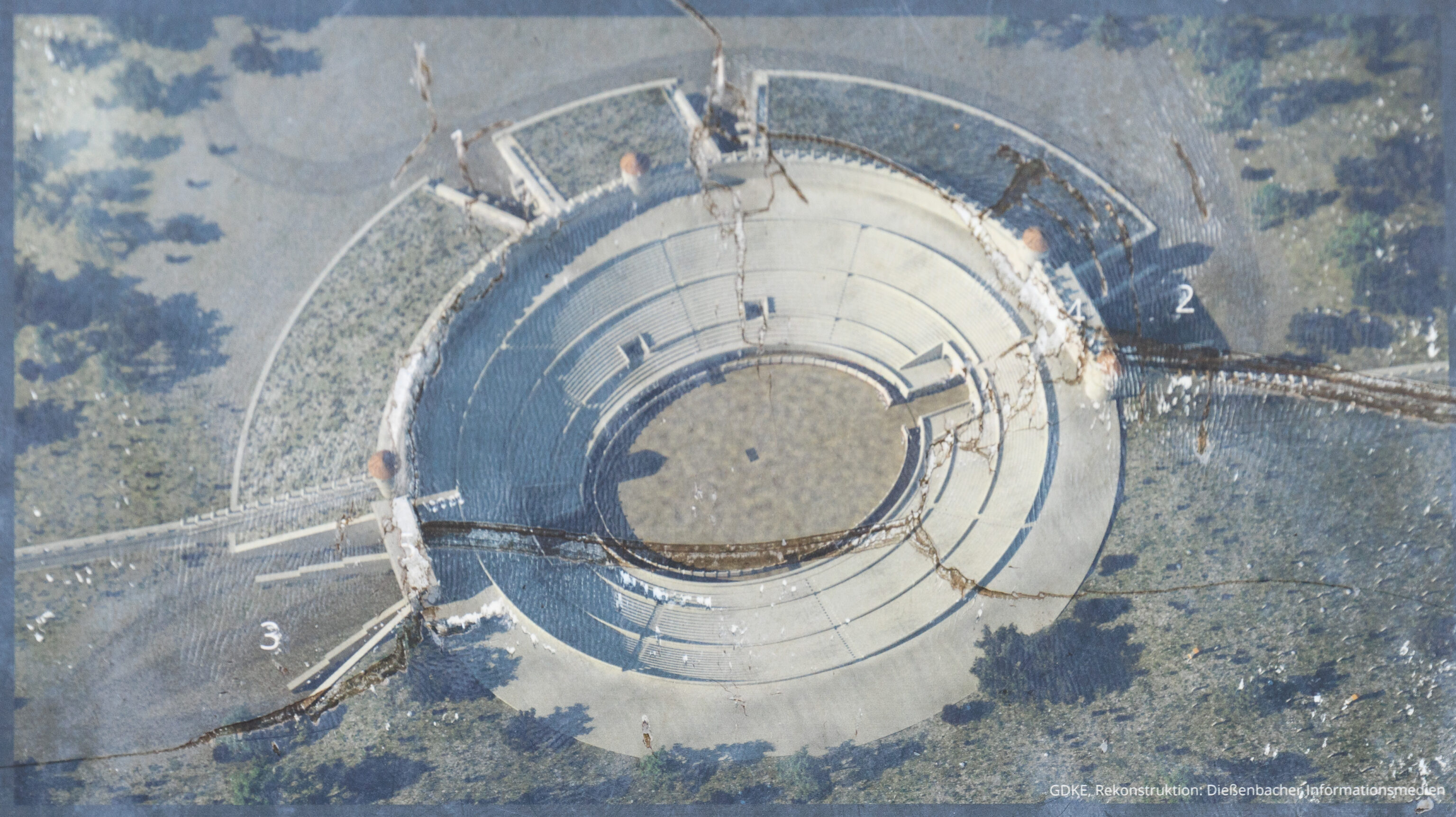
Construction
To erect the 120 metre long and 140 metre wide oval structure, the Roman builders dug into the slate rock. The material extracted was used to fill the slope on the town side, which later on formed the spectators' gallery with its seating steps.

Entrances and City Walls
Spectators made their way into the amphitheatre through entrances to the west (1), north (2) and south (3). The two large gates (2+3) led directly into the arena.

It included a spacious cellar for the stage equipment and the accommodation of the animals.

The town wall ran along the gallery on the town side.
– Text from two adjacent signs visible in the last photograph above.
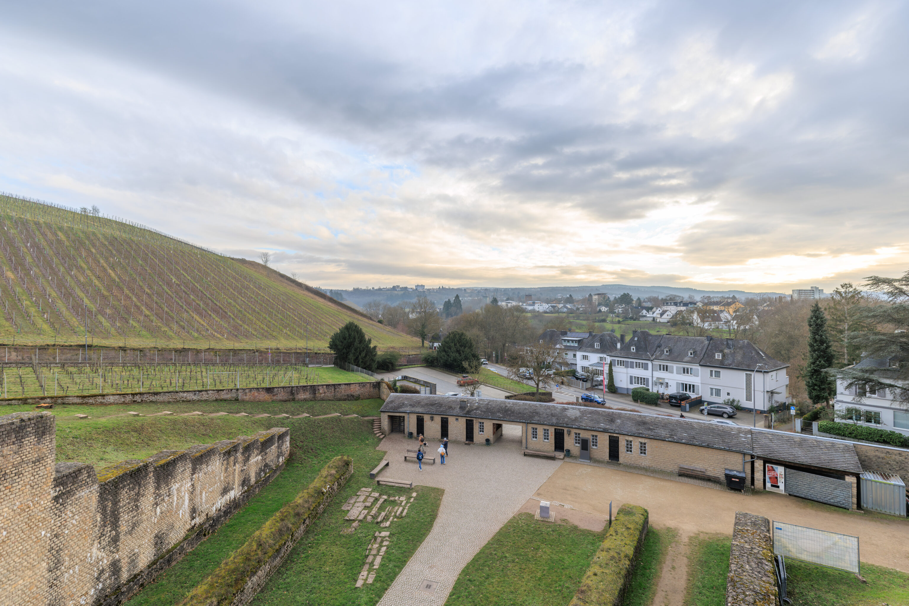
The view to the south from here mainly shows the building at the entrance which contains the ticket office.
We headed back down to end our visit. We decided to take a bus to head to our next destination, the Barbarathermen.
Barbarathermen
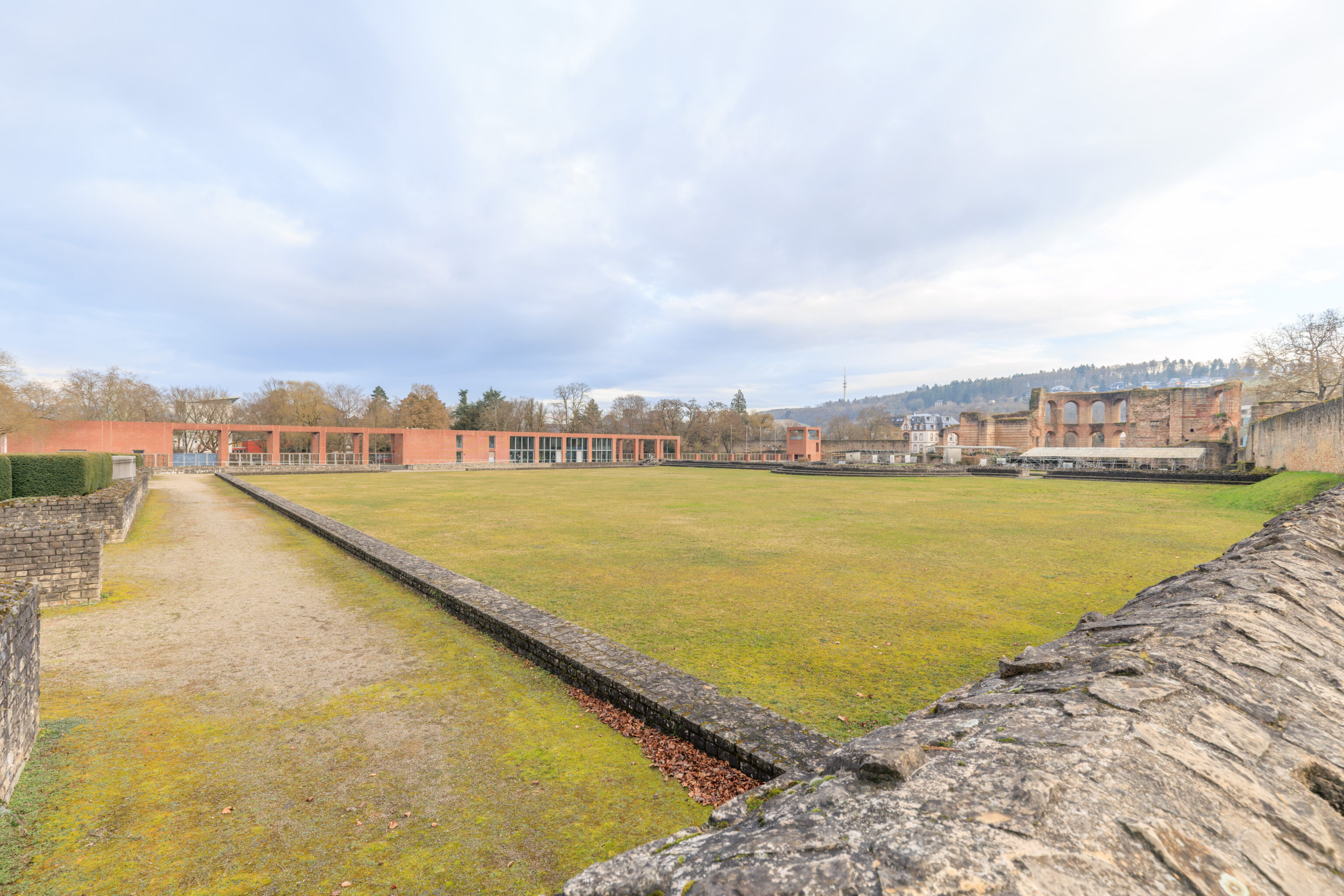
We ended up first taking a bus back to the southwest corner of the Kaiserthermen.
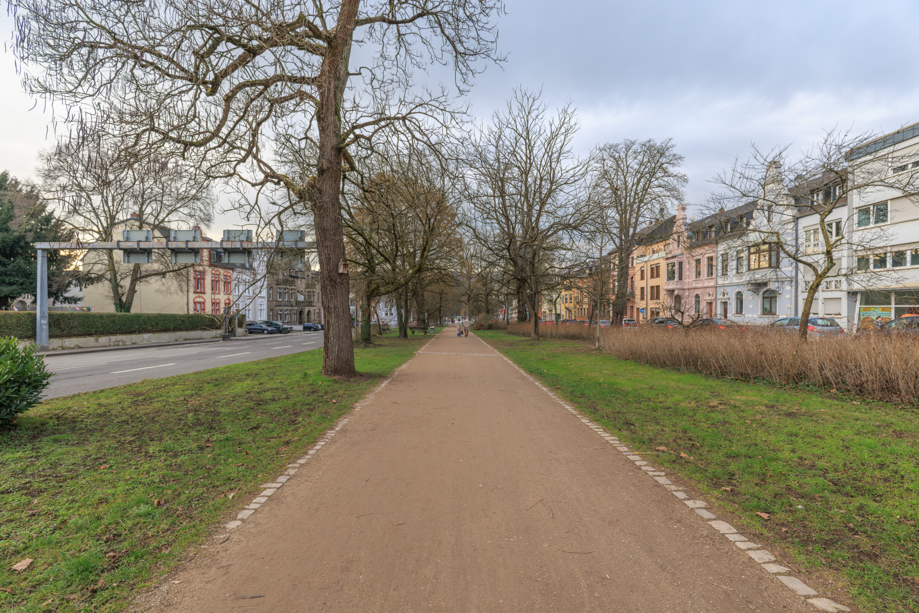
Rather than wait for the next bus that would take us closer to the Barbarathermen, we decided to just walk to the west. There was a pedestrian path in between the street which was divided into two roadways.
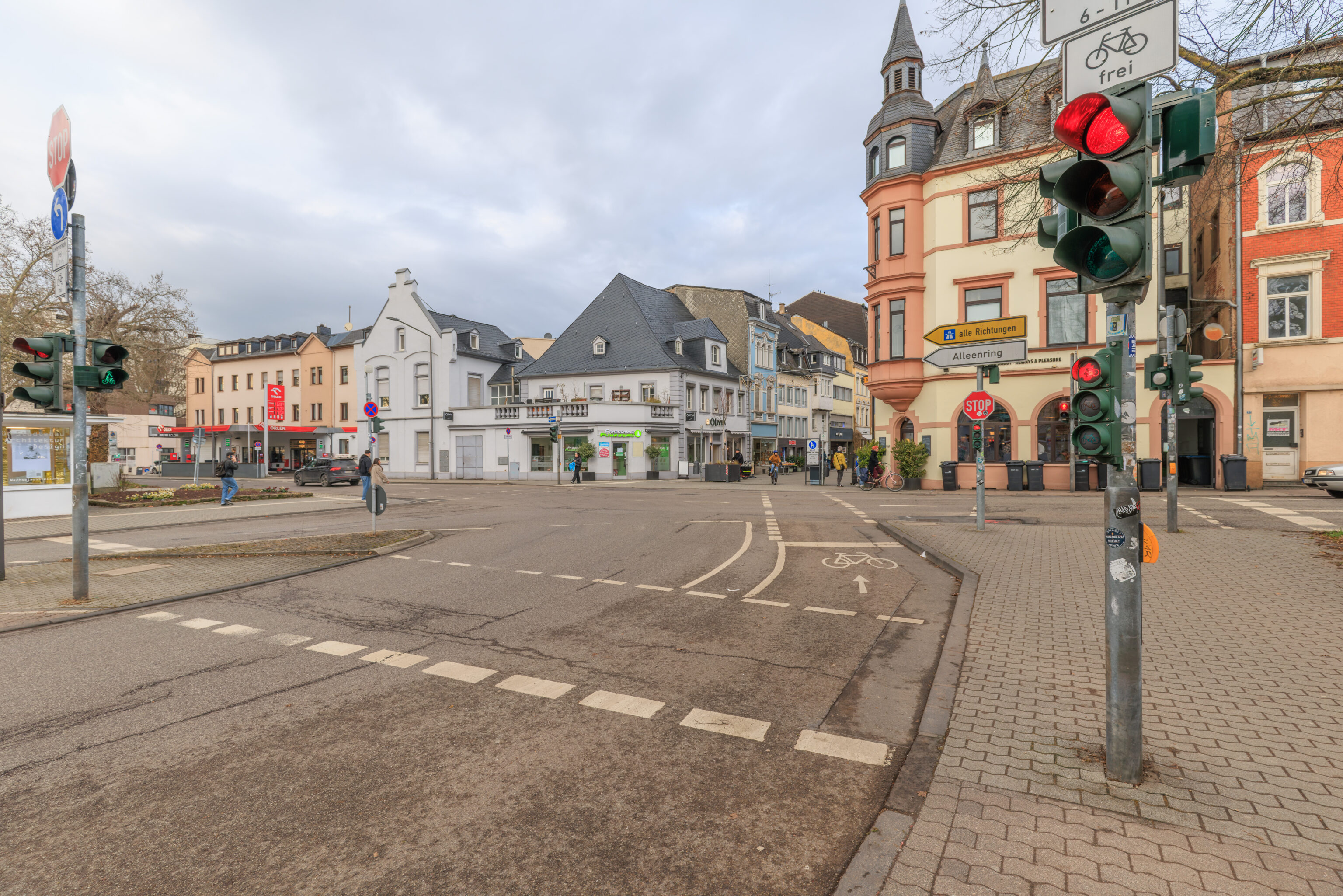
The view at the end of the first block.
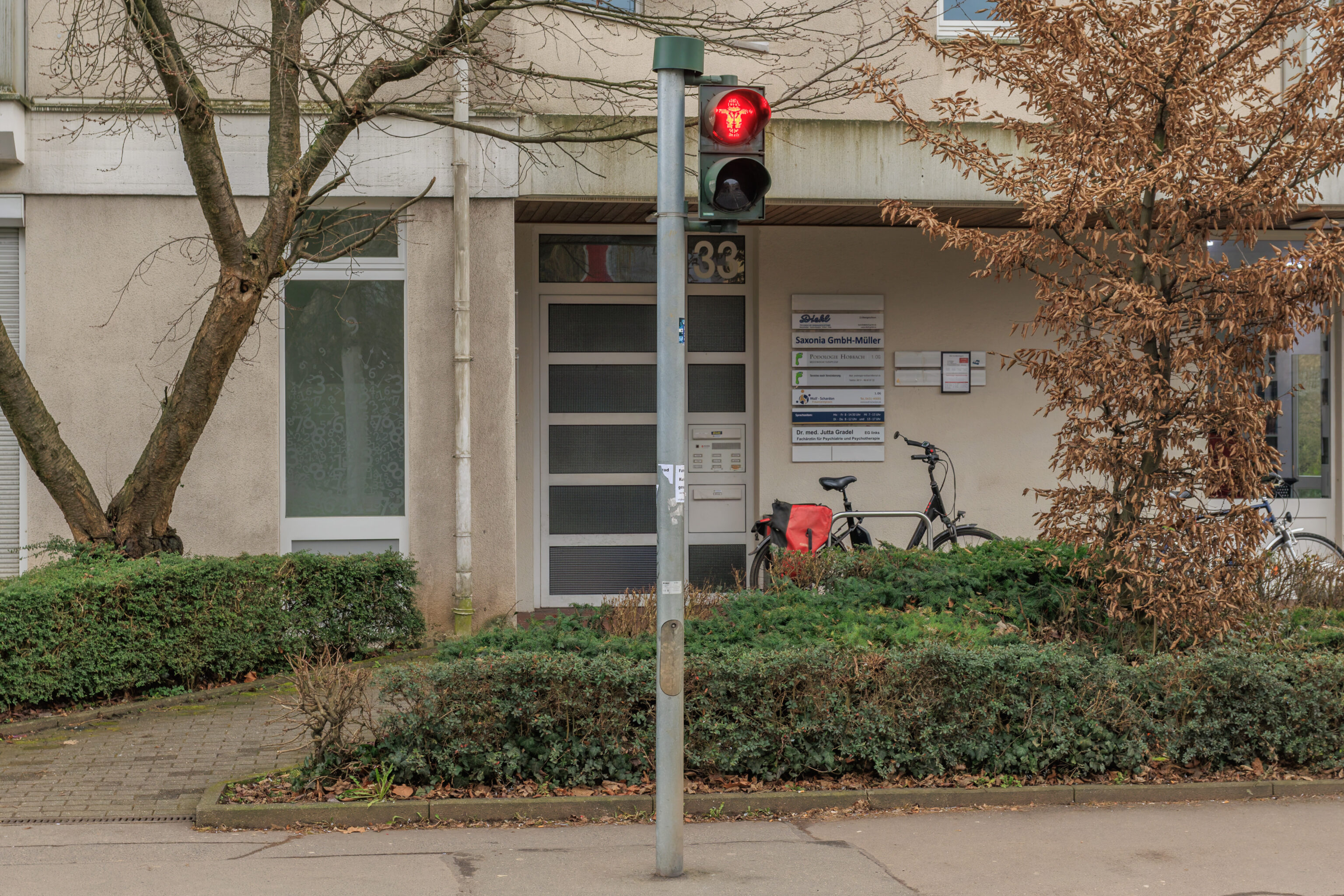
We had to cross the street at the next block as the pedestrian path did not continue straight ahead. We noticed that there was a special pedestrian stop light here!
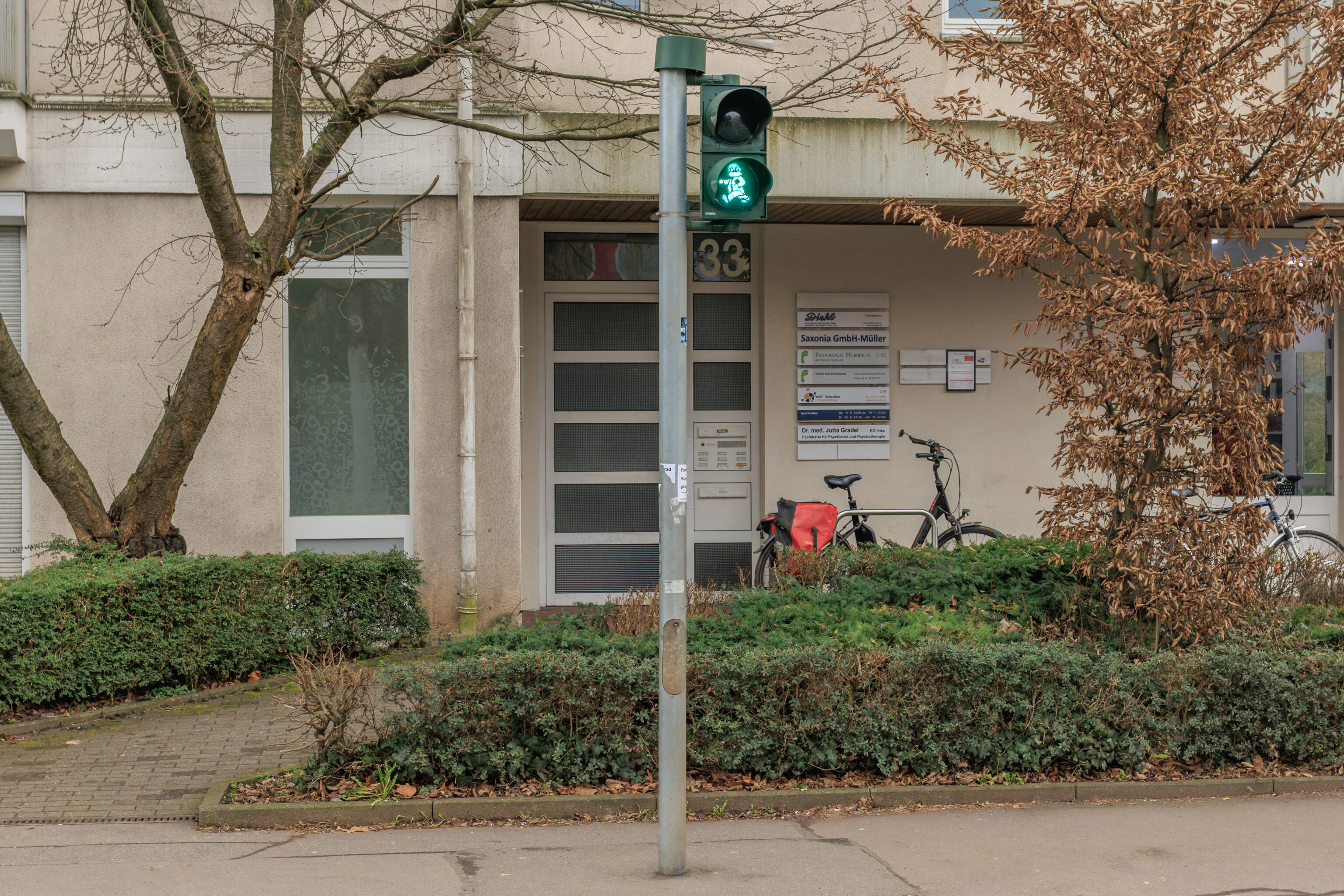
The green light also had a unique image! These apparently depict Karl Marx according to the BBC and other sources.
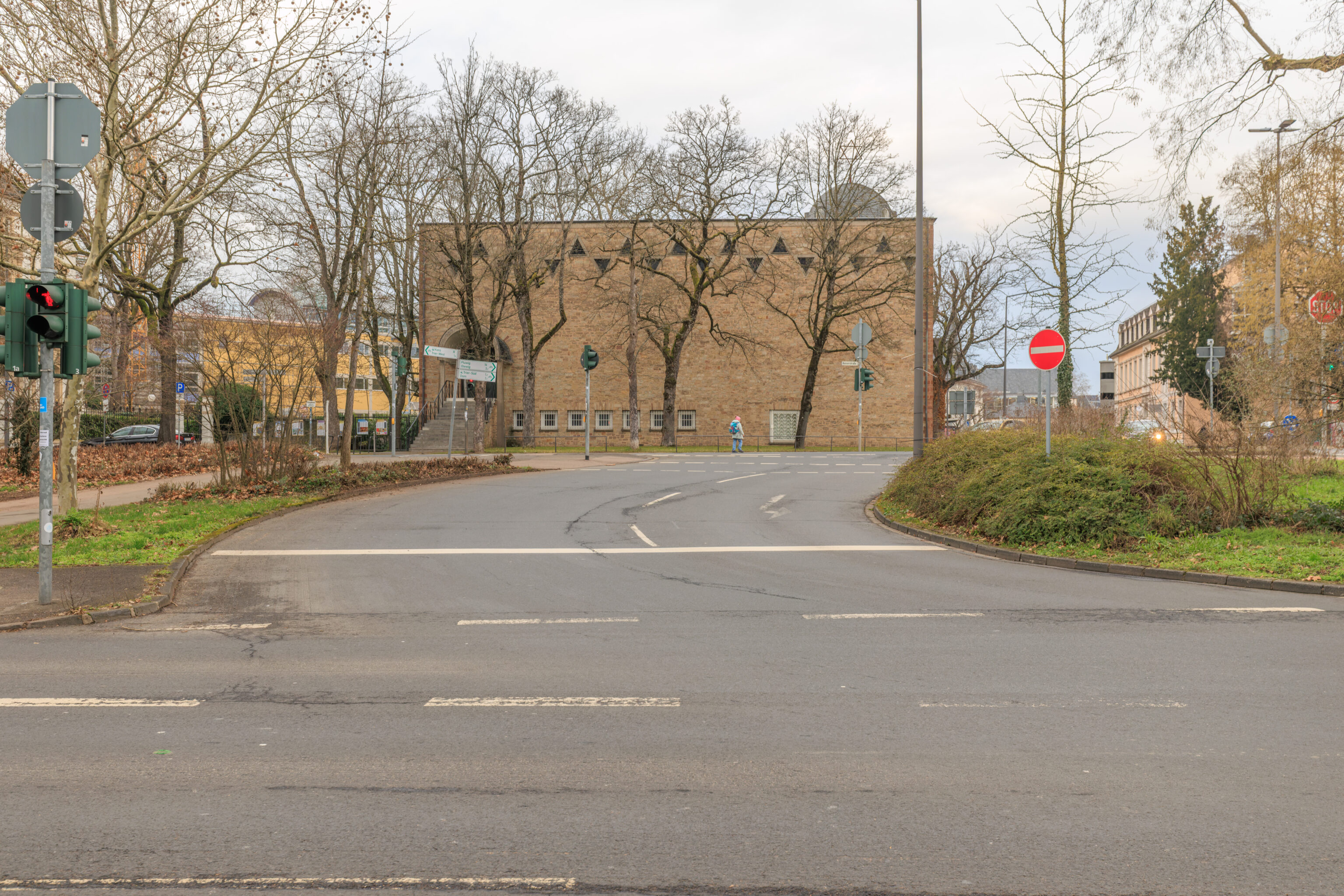
This building with triangular windows is a synagogue.
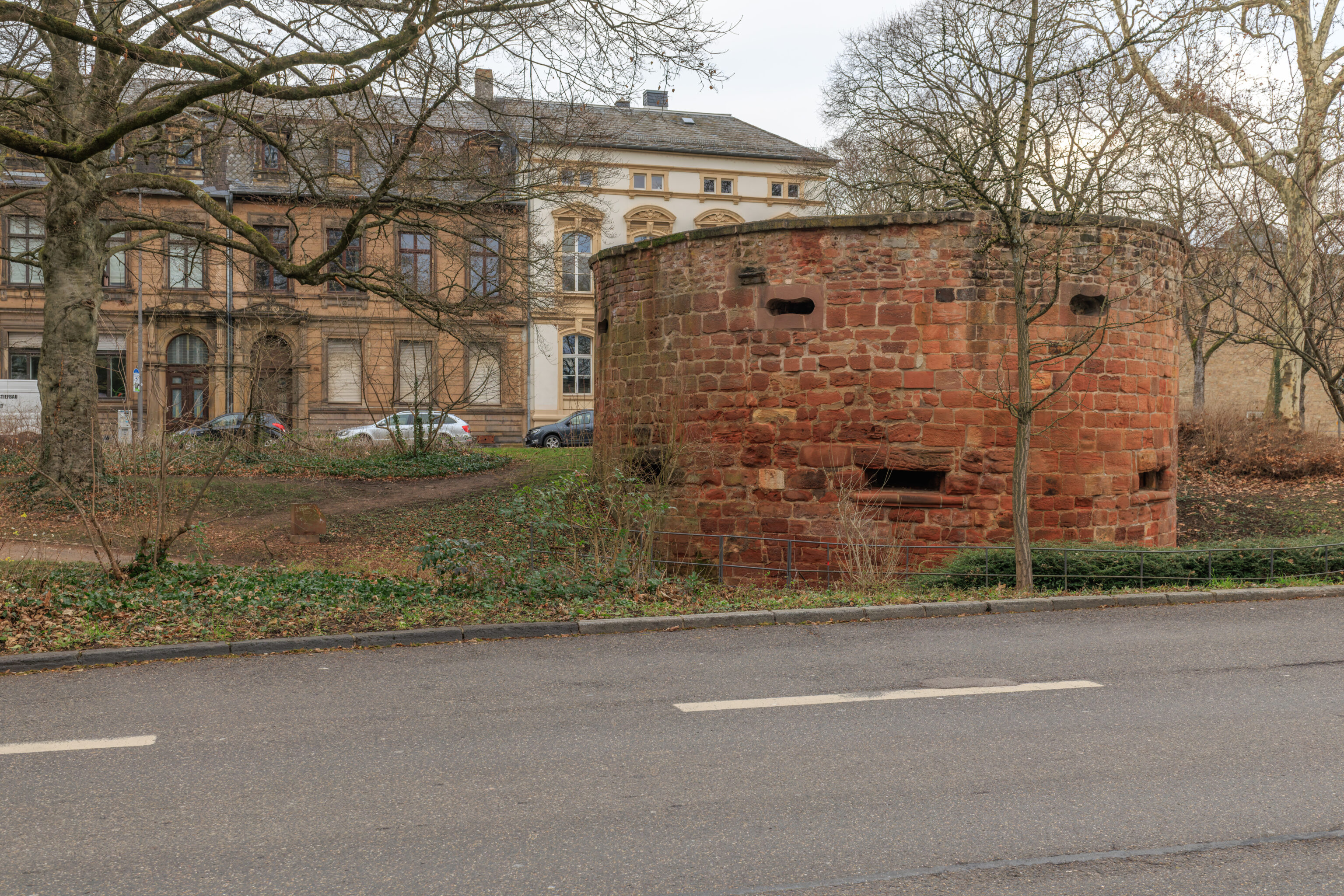
This remnant of a tower was near the same intersection. It is Trier’s other Roter Turm (Red Tower).
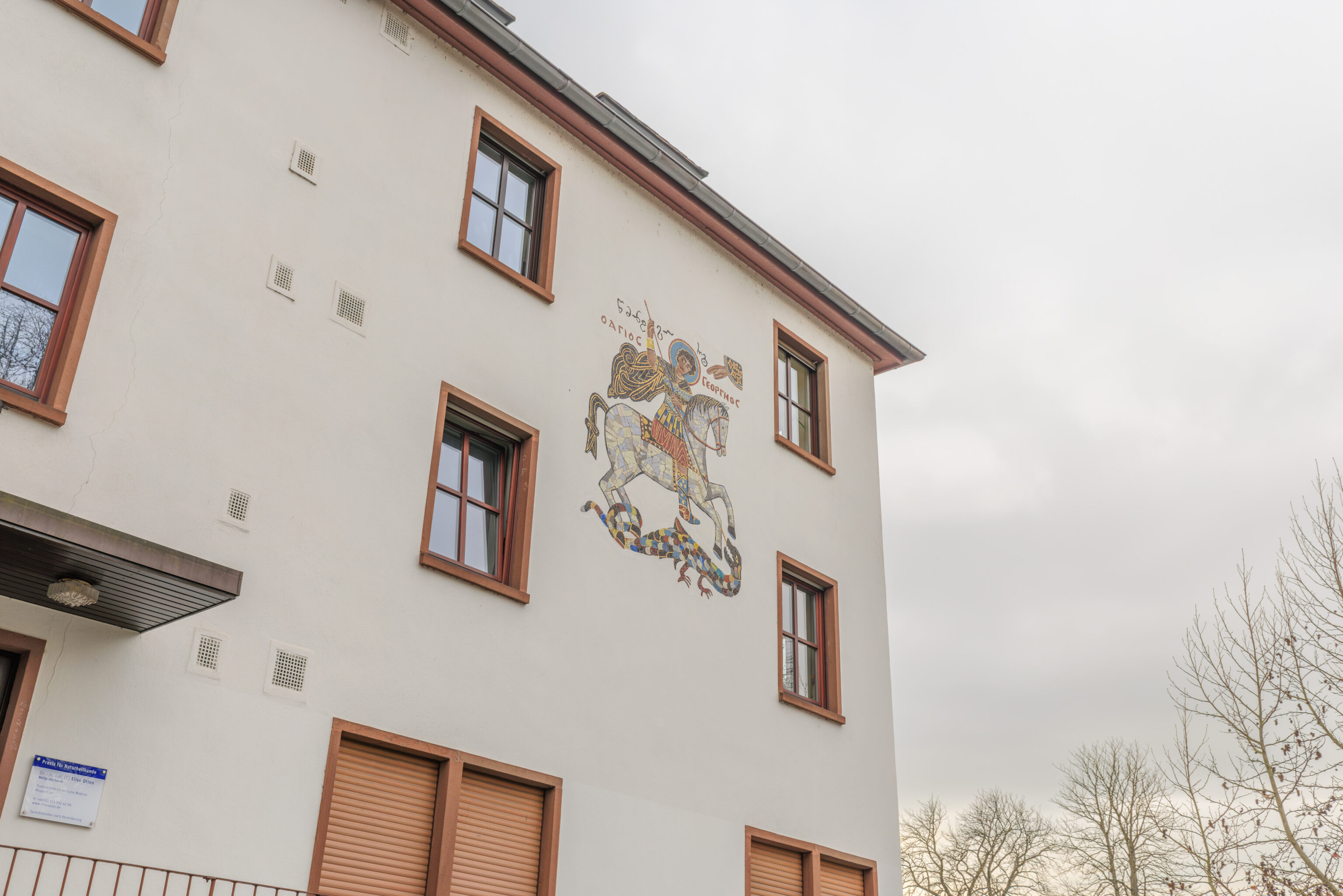
At the next corner, we saw this mosaic-like artwork on the side of a building. The text in Greek reads Agios Georgios, meaning Saint George.
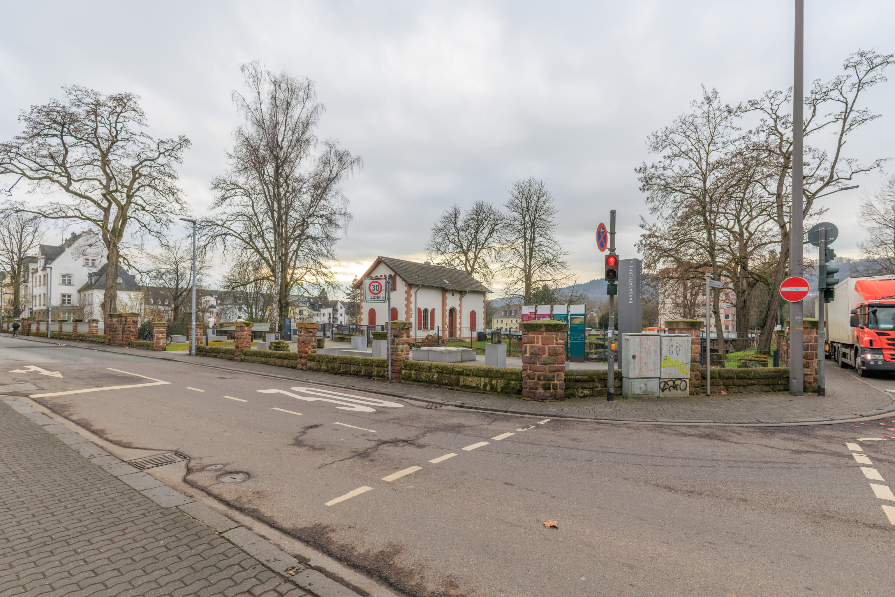
Around the same corner, we saw the northeast corner of the Barbarathermen.
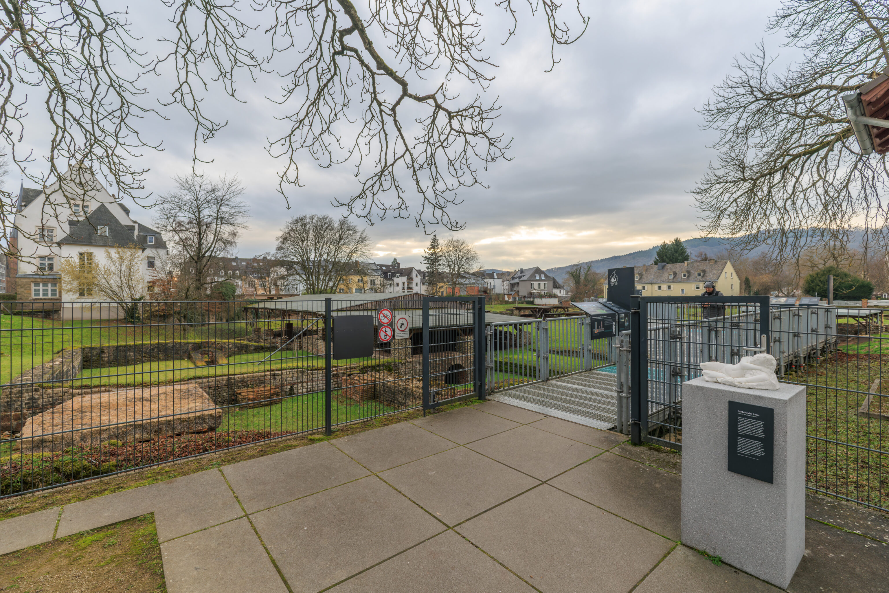
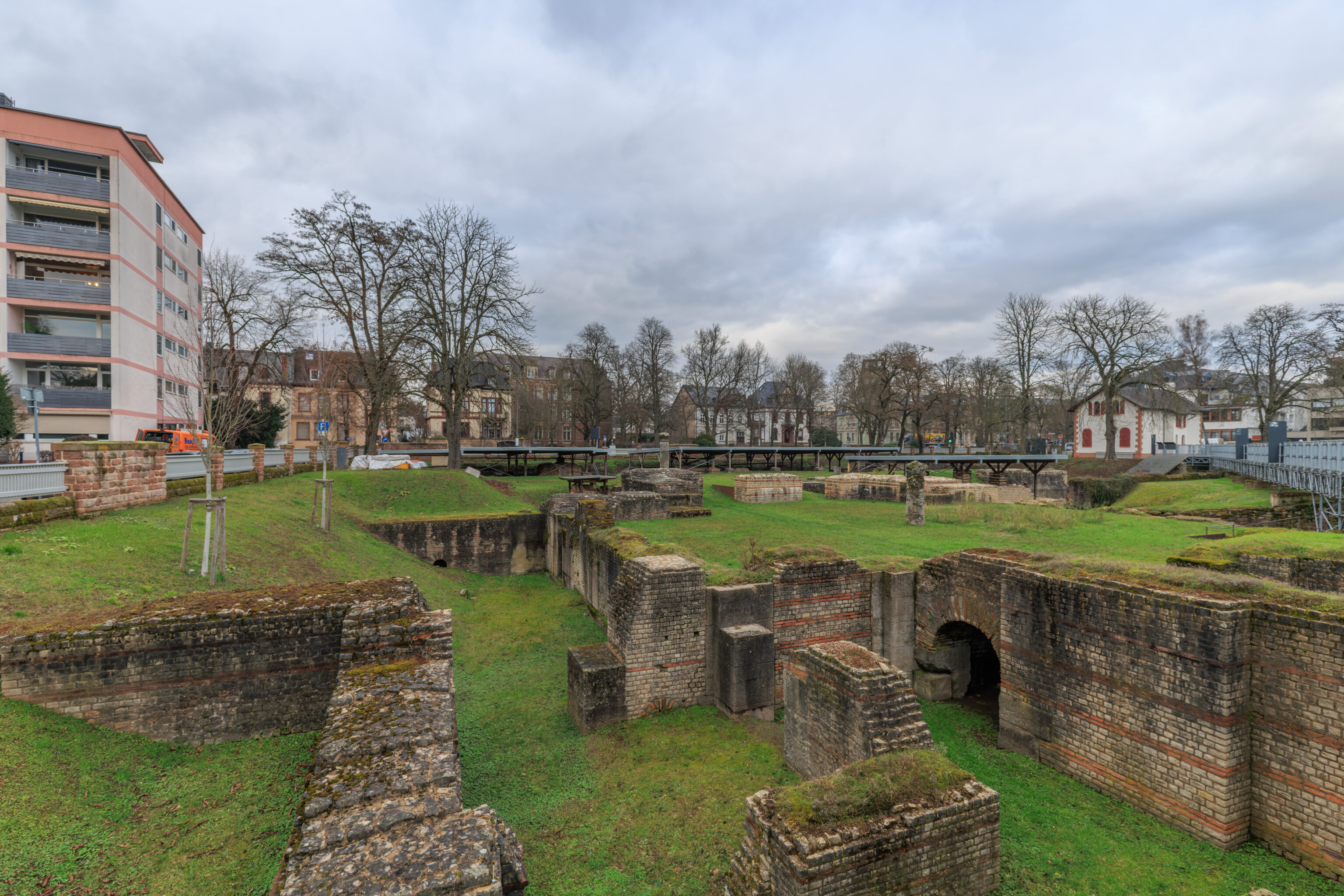
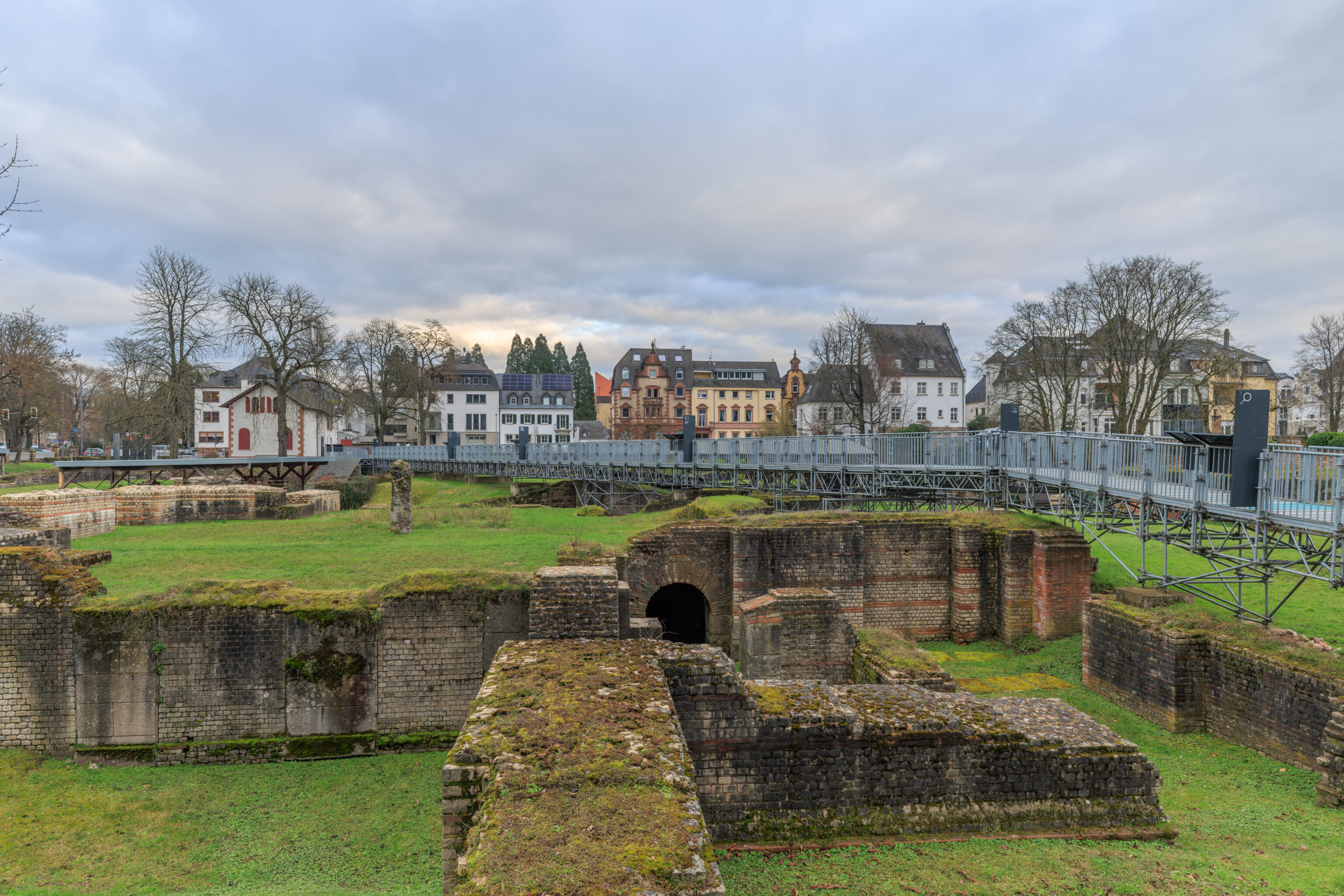
The Barbarathermen is free to enter, however, you are limited to walking through what is basically a metal boardwalk.
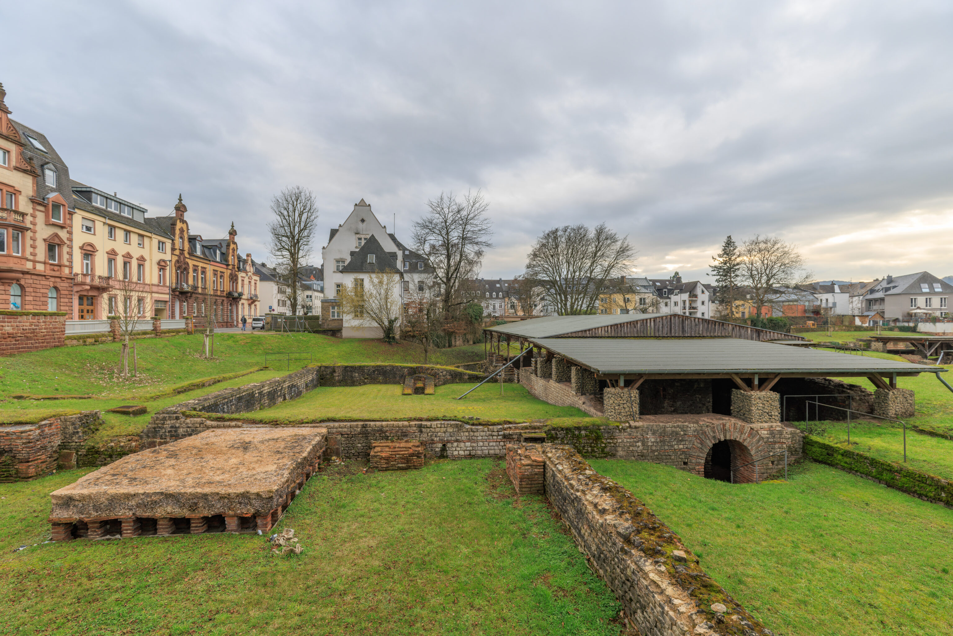
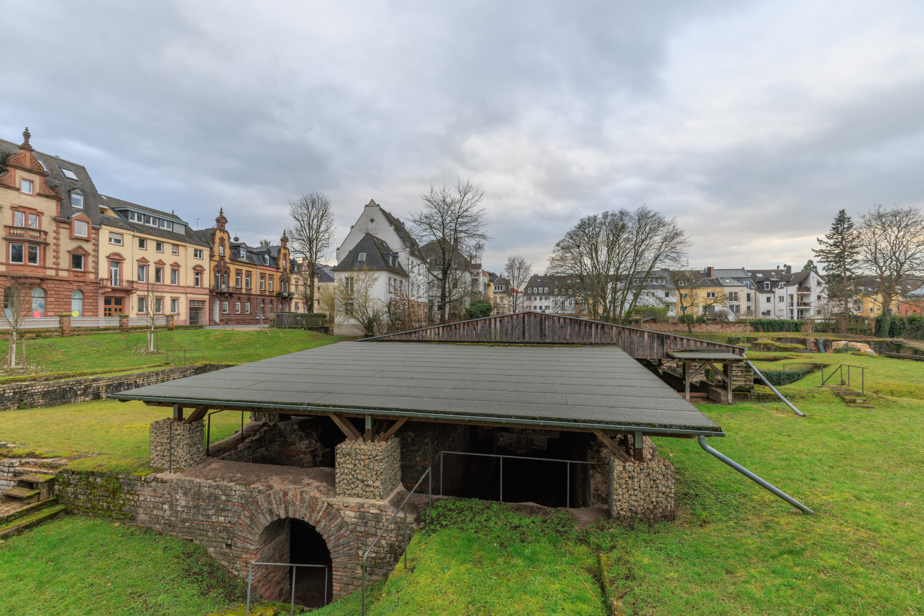
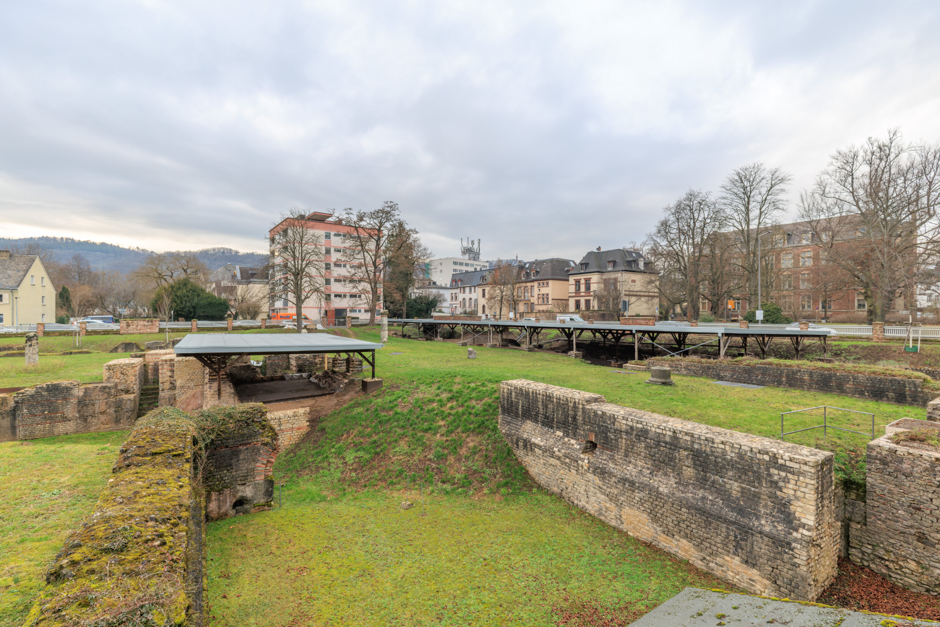
When the Barbara Baths were built in the 2nd half of the 2nd century AD, they became the second largest public baths in the Roman Empire. Only the Baths of Trajan, inaugurated in Rome at the start of the century, exceeded their total area of 172 m x 240 m. The bathing rooms at the Barbara Baths included the frigidarium or cold water bath. Its foundations and the remains of its facilities still survive today. It was once an imposing room with sumptuous marble cladding on its walls. Four strong columns with magnificent capitals supported its arch.

You can see the remains of the walls and a huge open area from here. This is where the frigidarium stood in Roman times. It was a particularly large room in the public baths complex. It had huge columns and it was decorated ornately with bright stone slabs.

Many rooms in the Barbara Baths had a sophisticated heating system. The floor (suspensura) rested on small tile pillars and it was very thick so that heat could be stored. The air was heated in the oven (praefurnium) with a fire and spread evenly over the hollow area (hypocaustum) under the floor. Hollow box tiles (tubuli) were placed in the walls in which the hot air rose up at the same time. This guaranteed constant heat in the rooms. A praefurnium and reconstructed parts of a hypocaustum can still be seen in this area of the baths.
– Text from two signs.
…
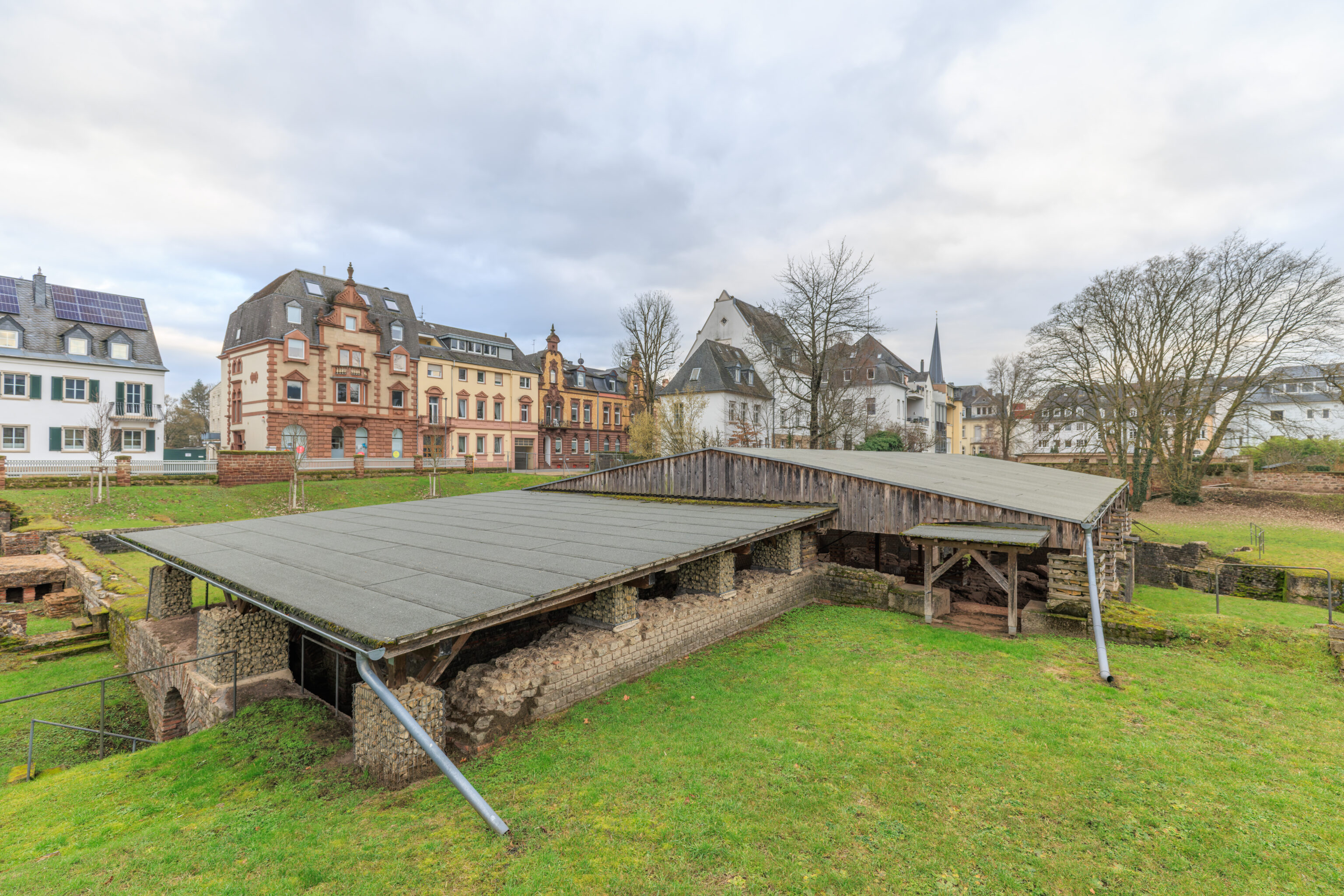
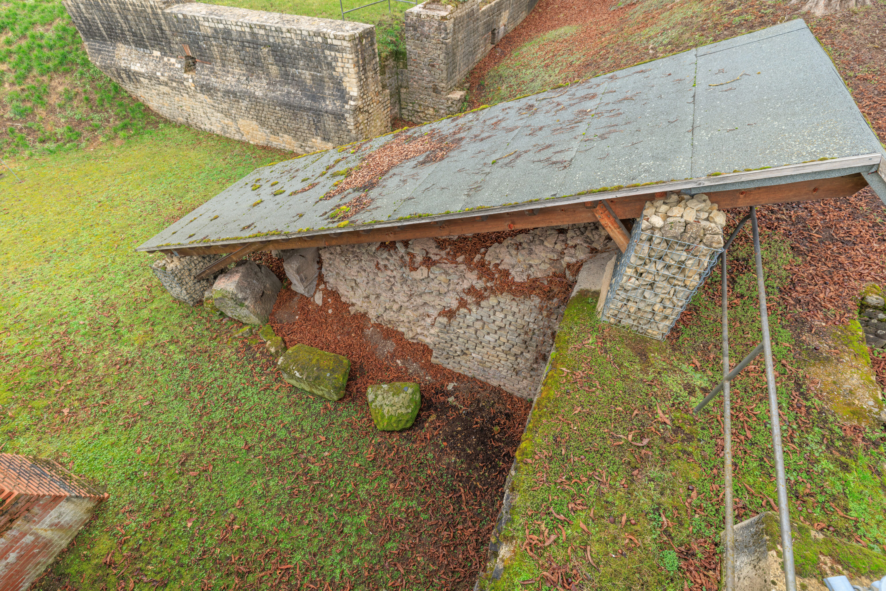
A total of around 1250 m3 of water was required every day to supply all the pools at the Barbara Baths. The water was pre-heated in massive boilers around 12 m in height and it flowed into the caldarium through lead pipes. The waste water was directed into the Moselle via ducts. The two rooms with a swimming pool (piscina) protruding from the alignment of the southern façade and framing the caldarium are an unusual architectural feature of the Barbara Baths. Only the eastern room is present in the visible part of the baths today. The pool measured around 11 m x 20 m and it was approximately 1.30 m deep.

The Barbara Baths had a very special feature, perhaps because it wasn't quite as warm as the Mediterranean: two large swimming pools with warm water. In Roman baths the pools which were large enough for swimming were normally unheated and outdoors.
– Text from a sign.
After the Barbara Baths were laid waste by the Germanic invasions in the 5th century, their strong walls, which provided excellent protection, saw the construction of an early medieval Church of our Saviour as well as residential buildings. In the 11th century, Trier's aristocratic de Ponte family made the baths into fortifications. In the 17th century, the remains still standing were destroyed, with the medieval "Richard's tower" suffering the same fate. It can be seen in the background of a picture passed on to us by A. Wiltheim, which shows a magnificent façade of the Roman thermae adorned with columns.

After the Roman period, the Barbara Baths fell into disrepair and were used as a quarry. Bits of walls remained. Pictures and stories tell us that there was a large tower here in the Middle Ages as the ruins were used like a castle for defensive purposes. Churches were also built on the plot.
– Text from a sign.
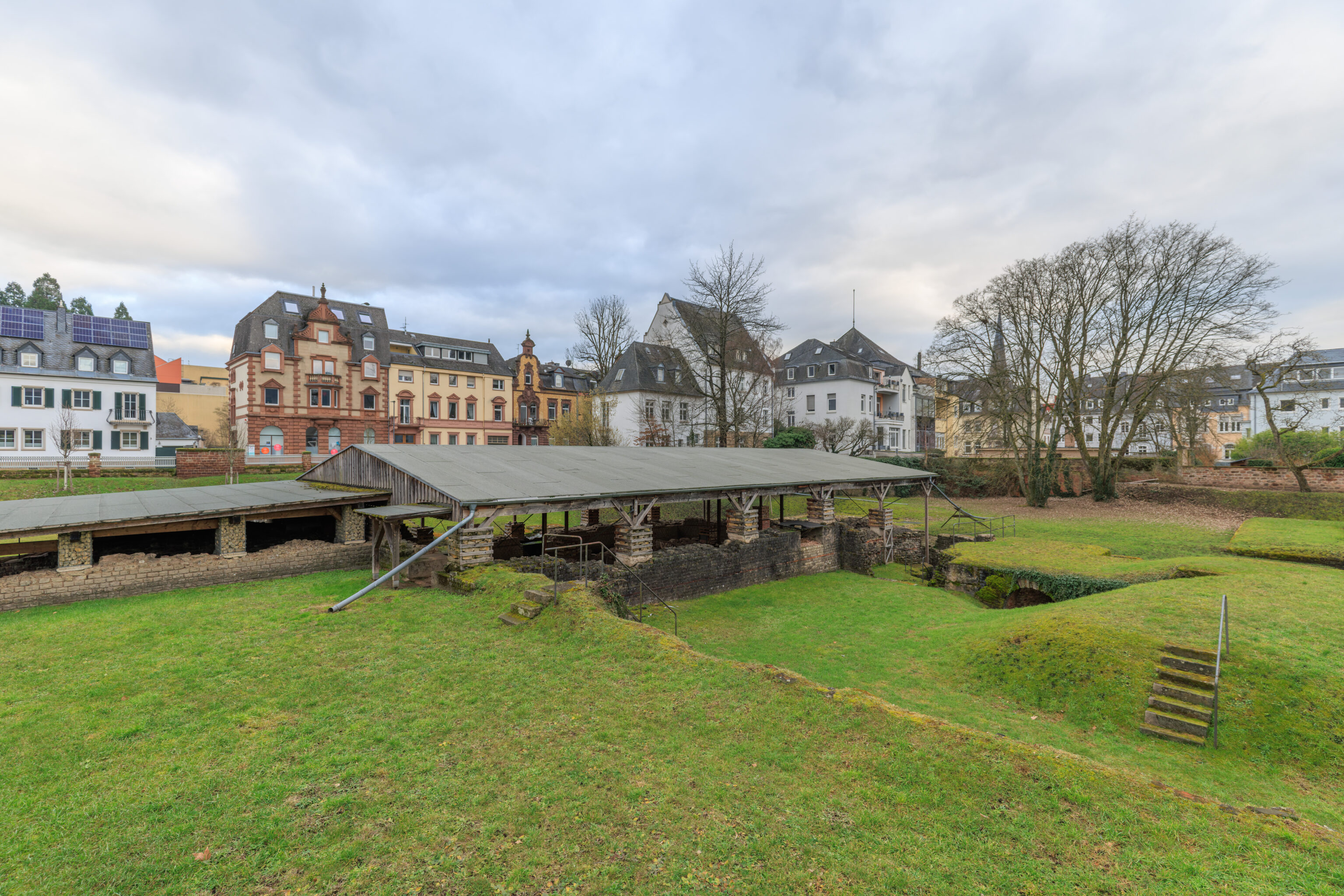
…
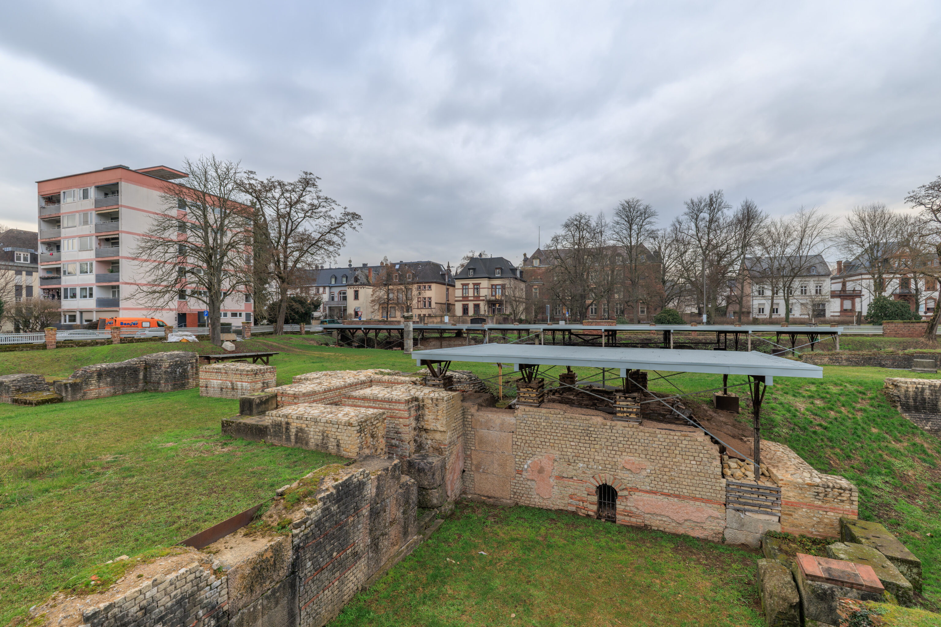
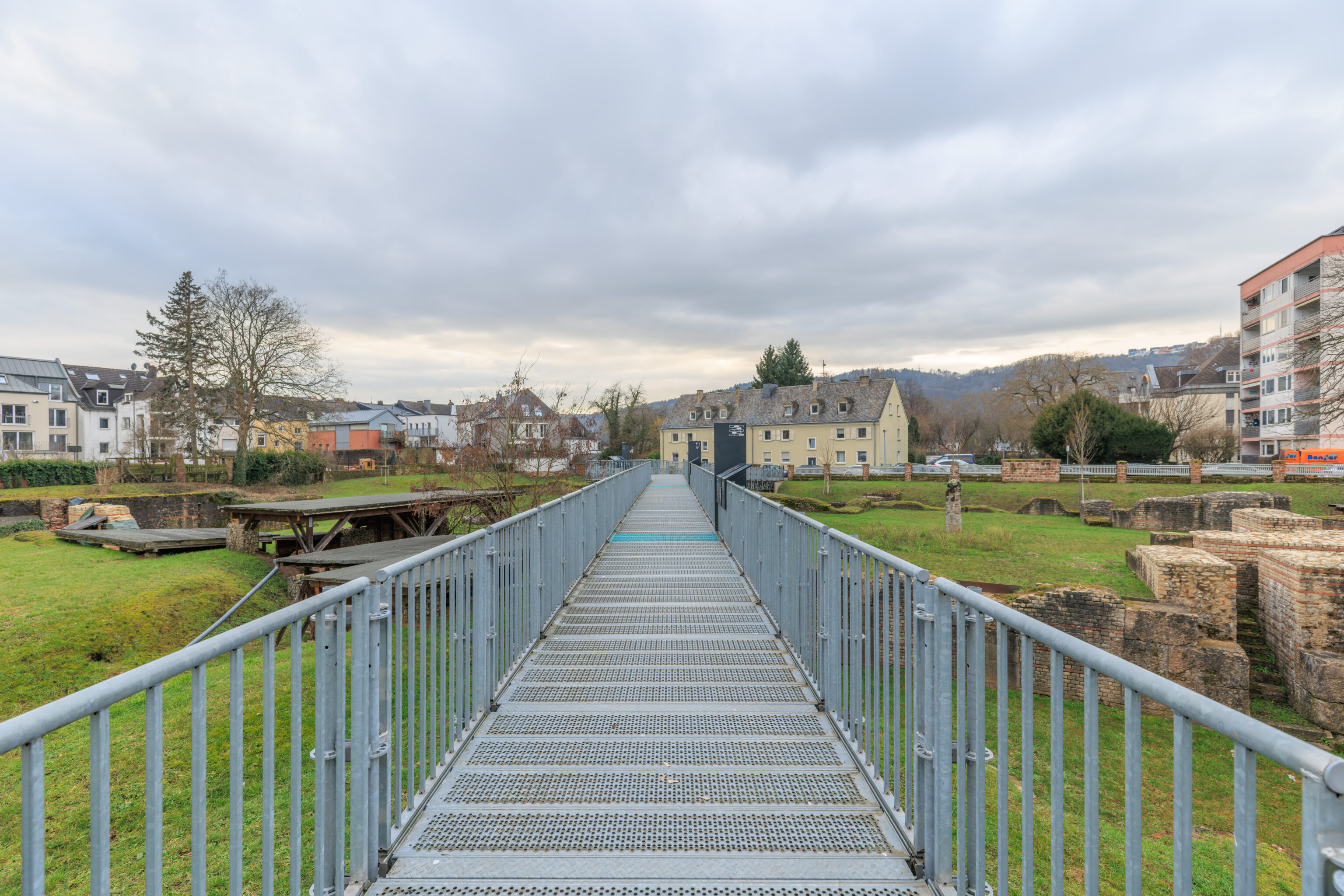
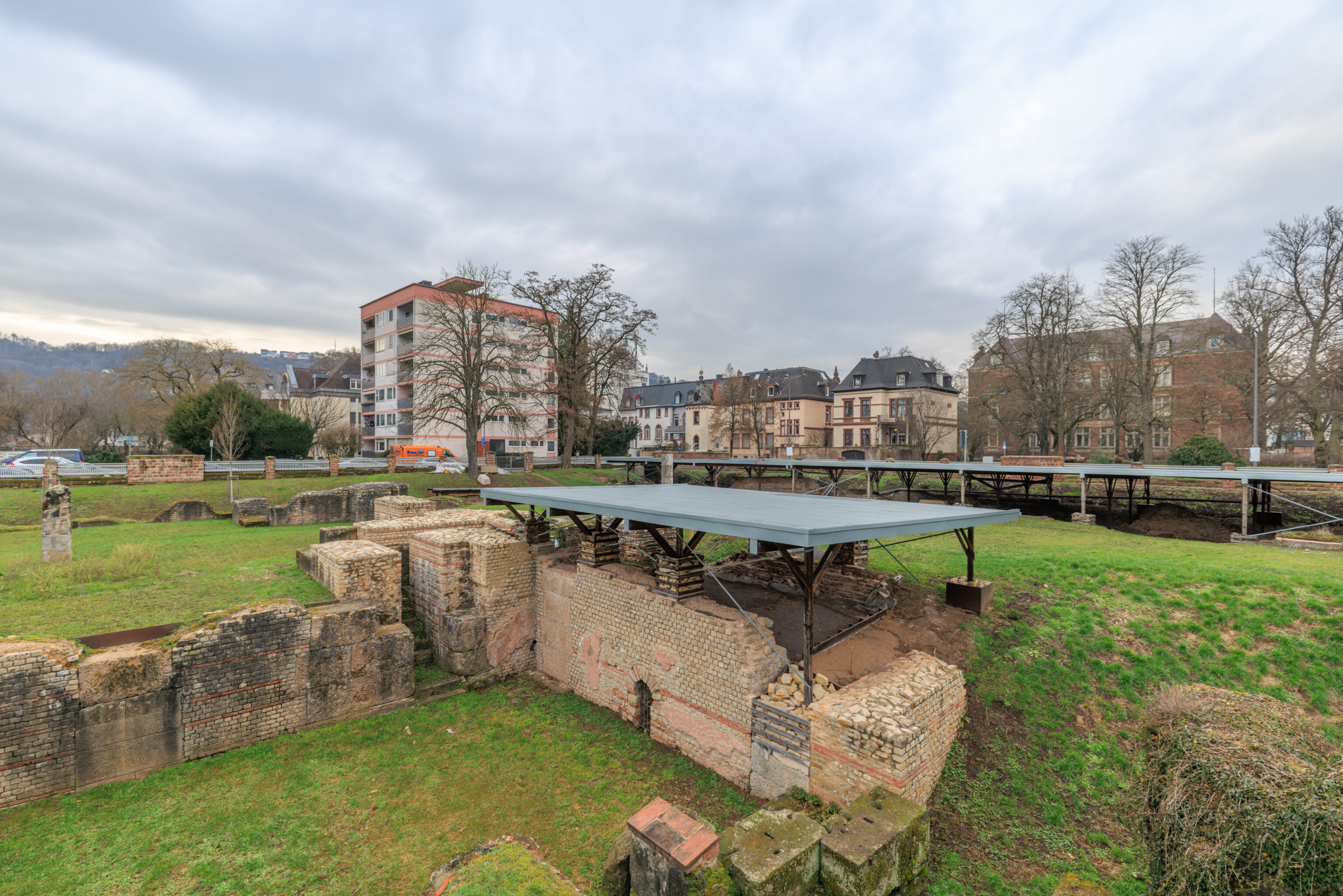
The atrium, laid out with sandstone slabs, is at the same level as the service aisles and therefore considerably lower than the main rooms surrounding it. This level was not accessible to bathers and was only accessed by the attendants via stairs. The high rooms of the Barbara Baths are presented in double-skin masonry. A concrete type casting compound was poured between the limestone block skins. Points subject to a particularly strong static load were reinforced with large sandstone blocks. Some of the original Roman plaster remains on the outer wall.

If you look carefully, you can find signs all over the walls which show how the Roman craftsmen constructed their buildings. At the Barbara Baths they used large blocks of stone for the corners, which required special stability. Similar blocks of stone were used on the Porta Nigra city gate. Most walls are however built from smaller stones, bricks and a form of concrete.
– Text from a sign.
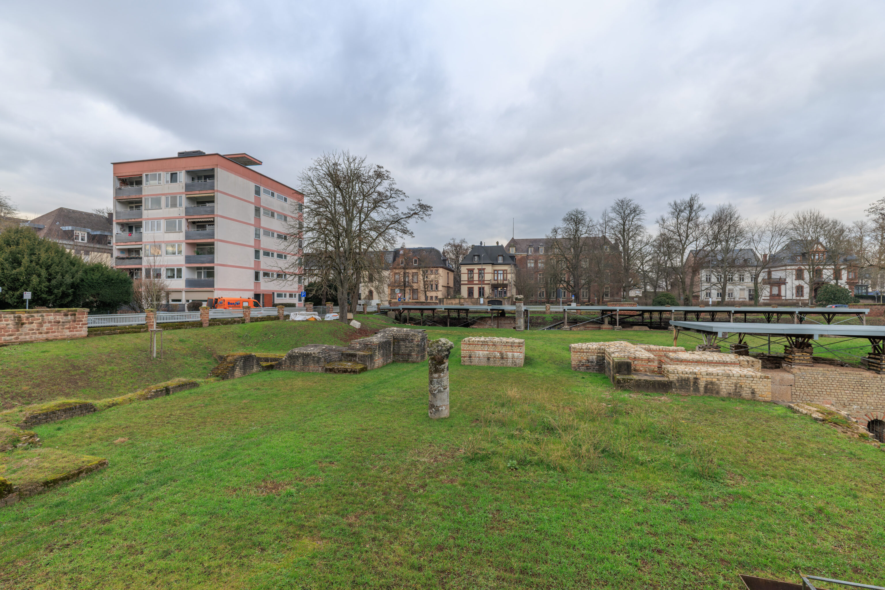
The customary—though not rigidly fixed—bathing sequence led from the warm *caldarium* through the lukewarm *tepidarium* (which also served as a thermal buffer zone) into the unheated *frigidarium*, where guests could refresh themselves in cold water. These three largest rooms formed the central axis of the thermal baths and were richly appointed with marble paneling and sculptures. The north side of the *frigidarium* was designed as a magnificent façade facing the *palaestra*. The courtyard not only provided space for athletic activities but, like the entire complex, served as a hub of social life.

After the warm bath, one could pass through the tepid intermediate room into the large *frigidarium*. This name derives from the Latin word *frigidus*, meaning "cold." Here, the air was refreshingly cool, and there were pools of cold water.
– German text from a sign, translated using Google Translate because there was bird poop covering part of the English text.
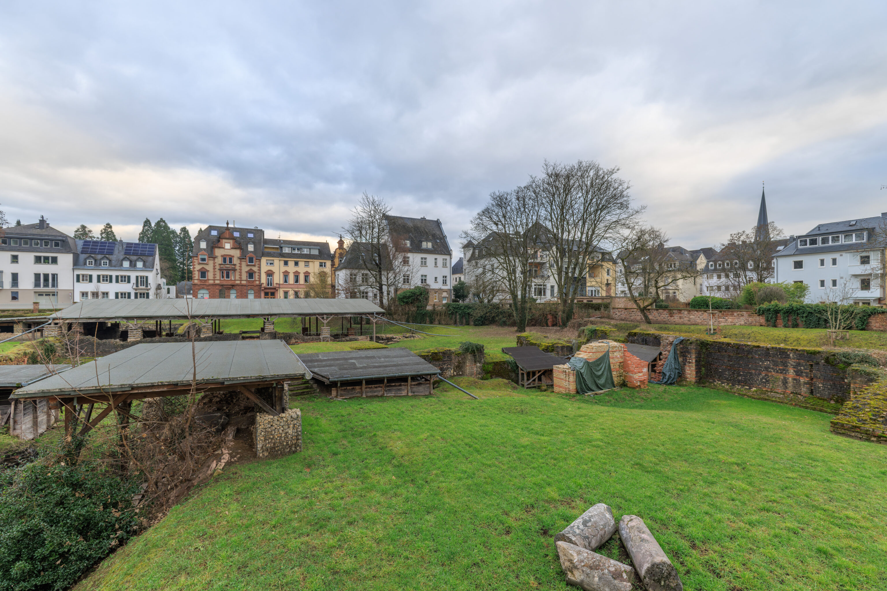
Here you are in the central axis of the Roman bathing facility, which extended much further to the south. The caldarium, the hot water bath, was magnificently decorated and covered with a large barrel vault. Large windows lit up the room and also trapped heat along with the floor and wall heating. This is why Roman thermae were normally south facing. The caldarium was linked to adjoining rooms on both sides, which were also heated. The pools full of warm water invited guests to relax prior to cooling off in the tepidarium and frigidarium.

Here you are in the middle of the huge Roman public baths. It was nice and hot in the room in front of you and the pools to the sides were filled with warm water. This is why this room was called the caldarium. In Latin calidus means warm.
– Text from a sign.
…
Although people showed interest in the Roman ruins as far back as the 17th century, no archaeological excavations were carried out until 1822. Sensational discoveries were made in 1845, and there were several planned excavations and restorations from 1877 onwards. Less than half of the thermae complex is exposed today. Restoration work is being carried out on the sensitive structure as masonry and original decorative remains are threatened by decay. This work is supervised by the Rhineland-Palatinate region's Federal Building Agency Landesbetrieb Liegenschafts- und Baubetreuung (LBB).

Archaeologists have been making exciting discoveries here for over 100-years and they are researching how the Romans bathed. Now that the walls are no longer covered and protected by earth, the restorers are considering the best way to preserve this bath so that many people can still visit it in the future. An excavation site like this one is quite easily damaged!
– Text from a sign,
The plot of the Barbara Baths was located outside the city from the Middle Ages until the 19th century. Its current name can be traced back to the suburb named after St. Barbara's Church and Abbey, which was characterised by its proximity to the Moselle. As late as the 17th century, remains of the Roman walls still soared high between this suburb and the city, as old images of the city testify. However they were also used as quarries, just like the other Roman buildings. The city grew in the early 20th century and the medieval fields, where the pathways followed the course of the Roman roads, became densely populated residential areas.

Have you noticed that the ruins are a little distance away from the current city centre? This suburb and the thermae take their name from the old abbey and St. Barbara's Church, which were situated close by.
– Text from a sign.
The text on the signs was probably best read if we had walked through in the opposite direction!
After our quick walk through the Barbarathermen, we continued on to the northeast to visit the Thermen am Viehmarkt. Given the time, about 4:15pm, we only had a little time before it closed at 5pm.
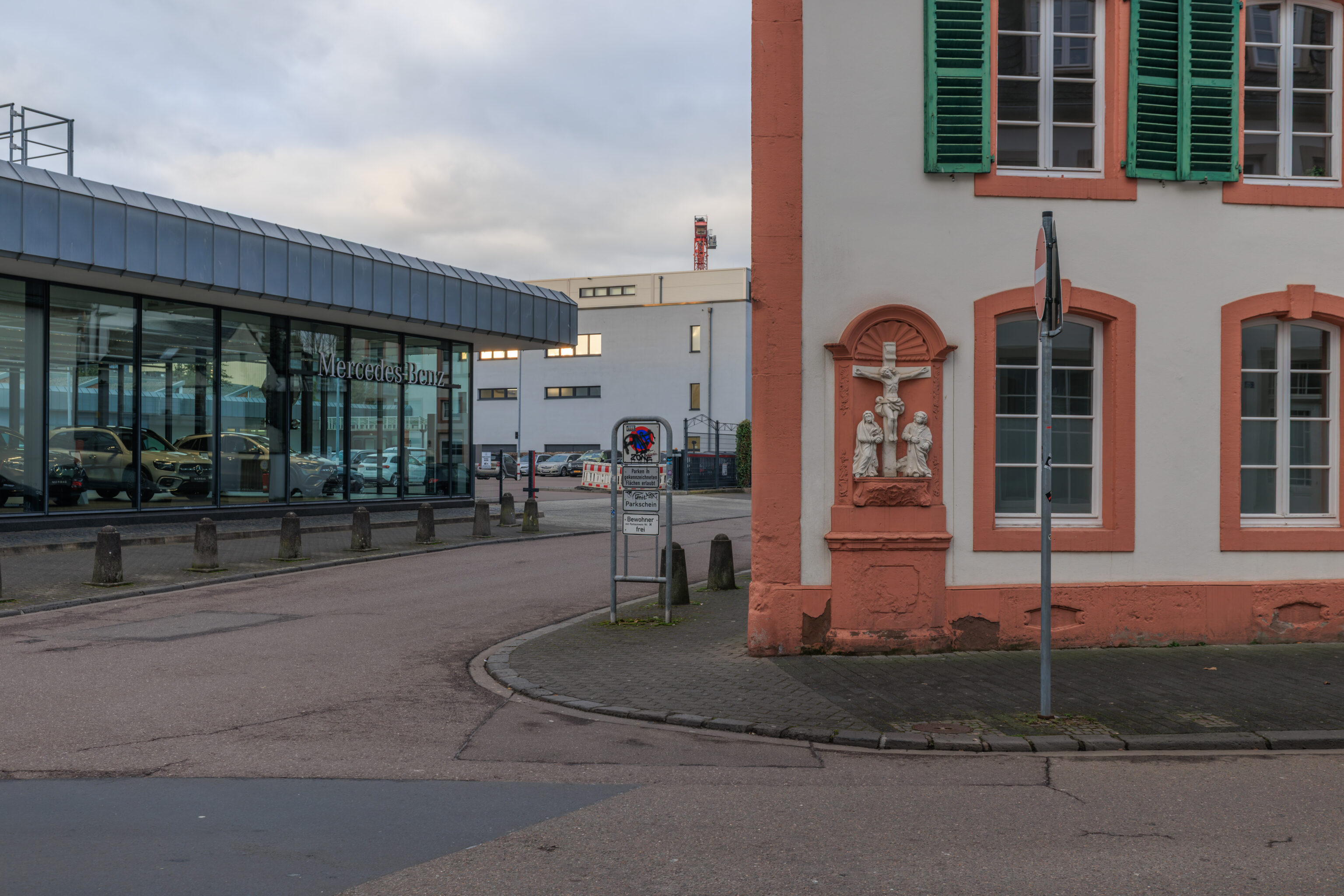
This photo is just a random street corner on the way that had a carved sculpture on the wall.
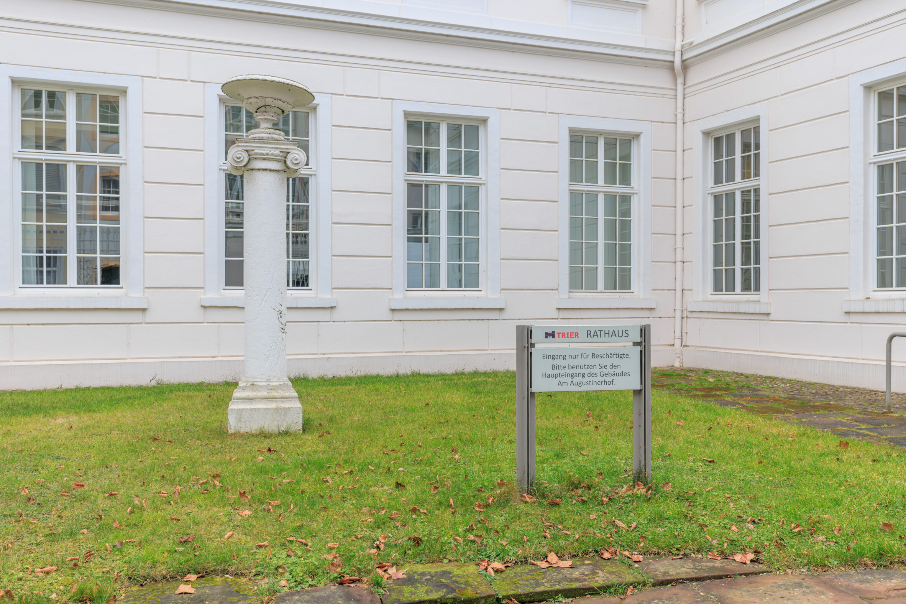
We passed by the rear of the Rathaus (City Hall). We don’t know if there’s any significance to this column.
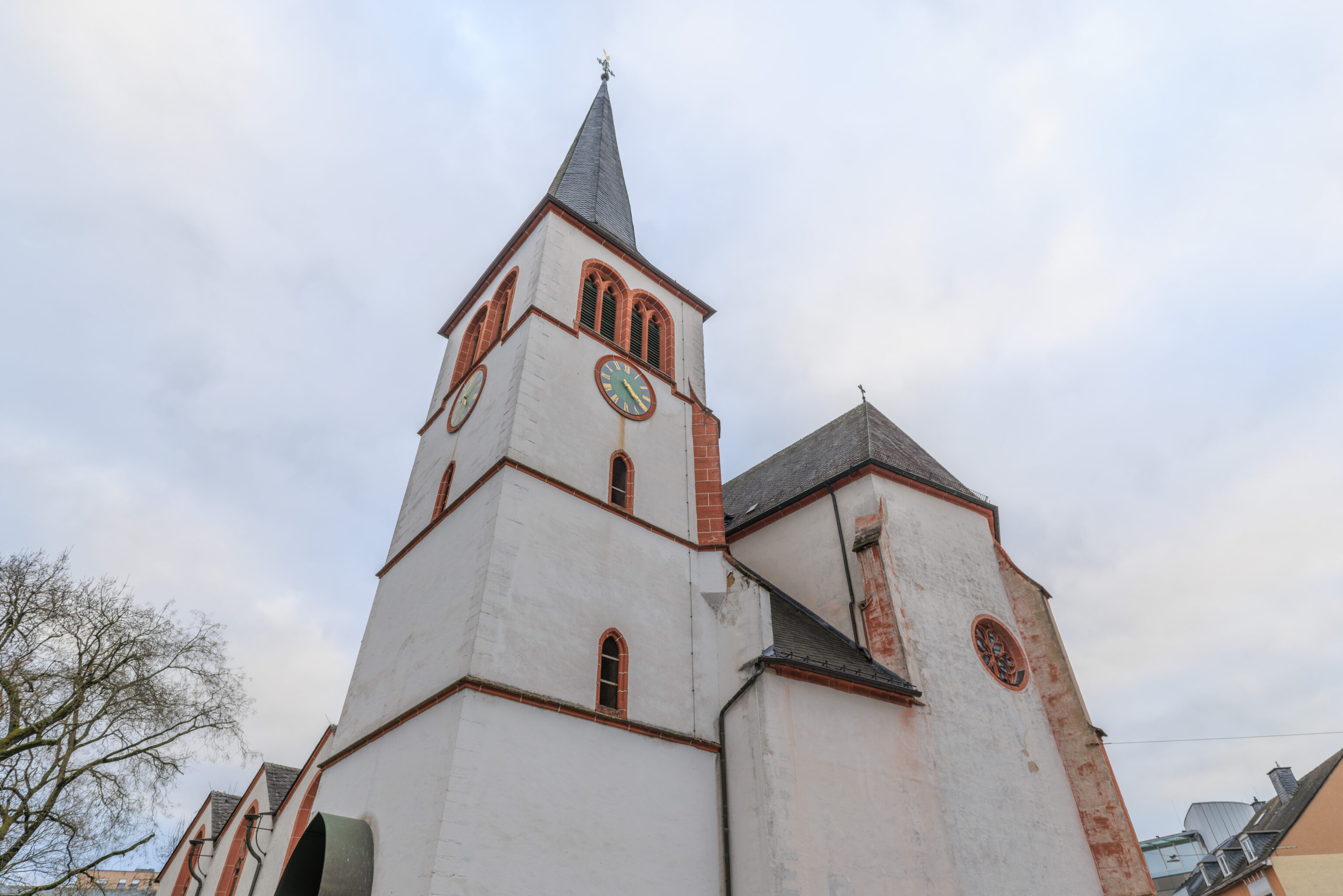
This church, Sankt Antonius (St. Anthony), was near our destination. No time to consider visiting though!
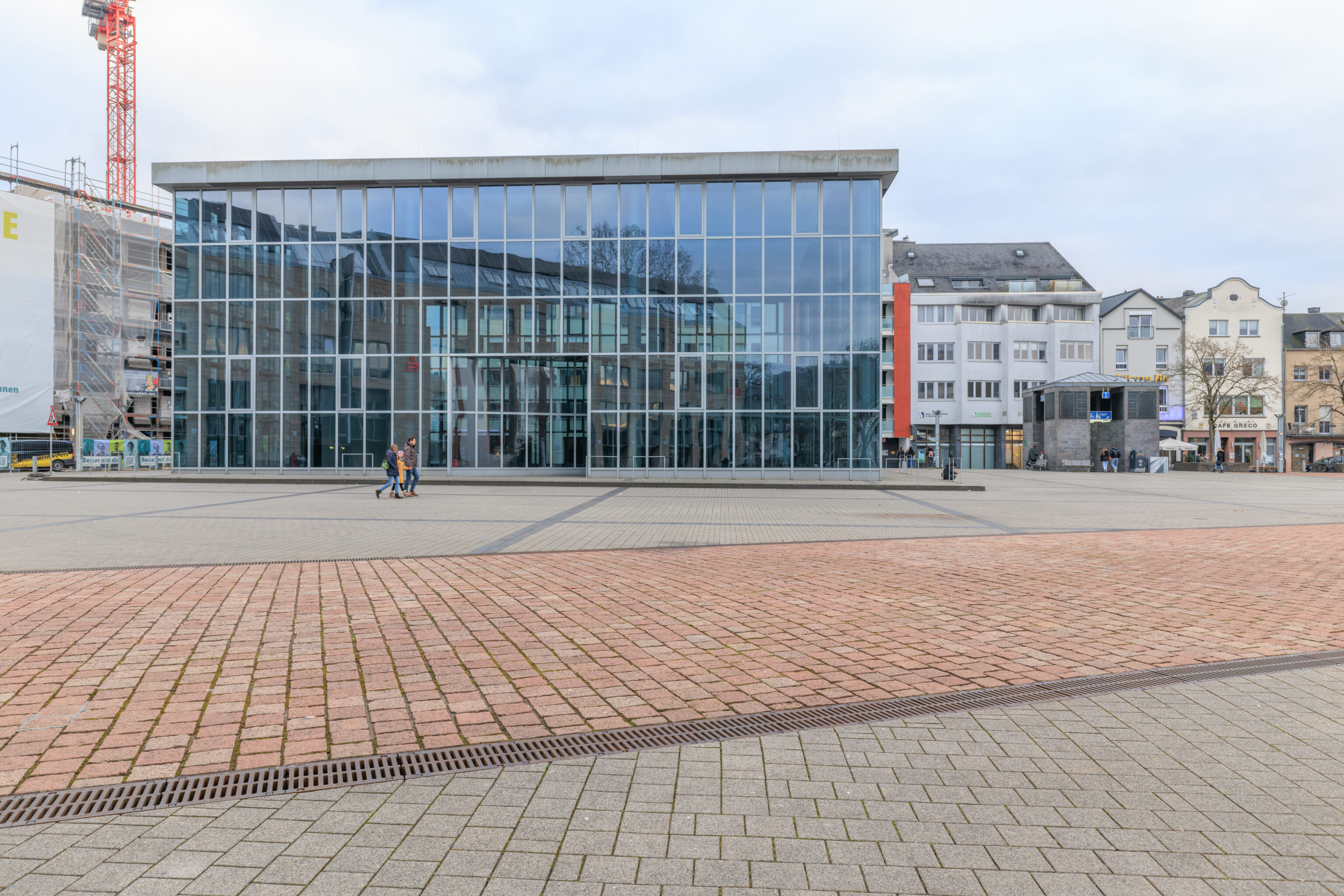
We arrived at our destination at 4:25pm, although the entrance was on the opposite side of the building.
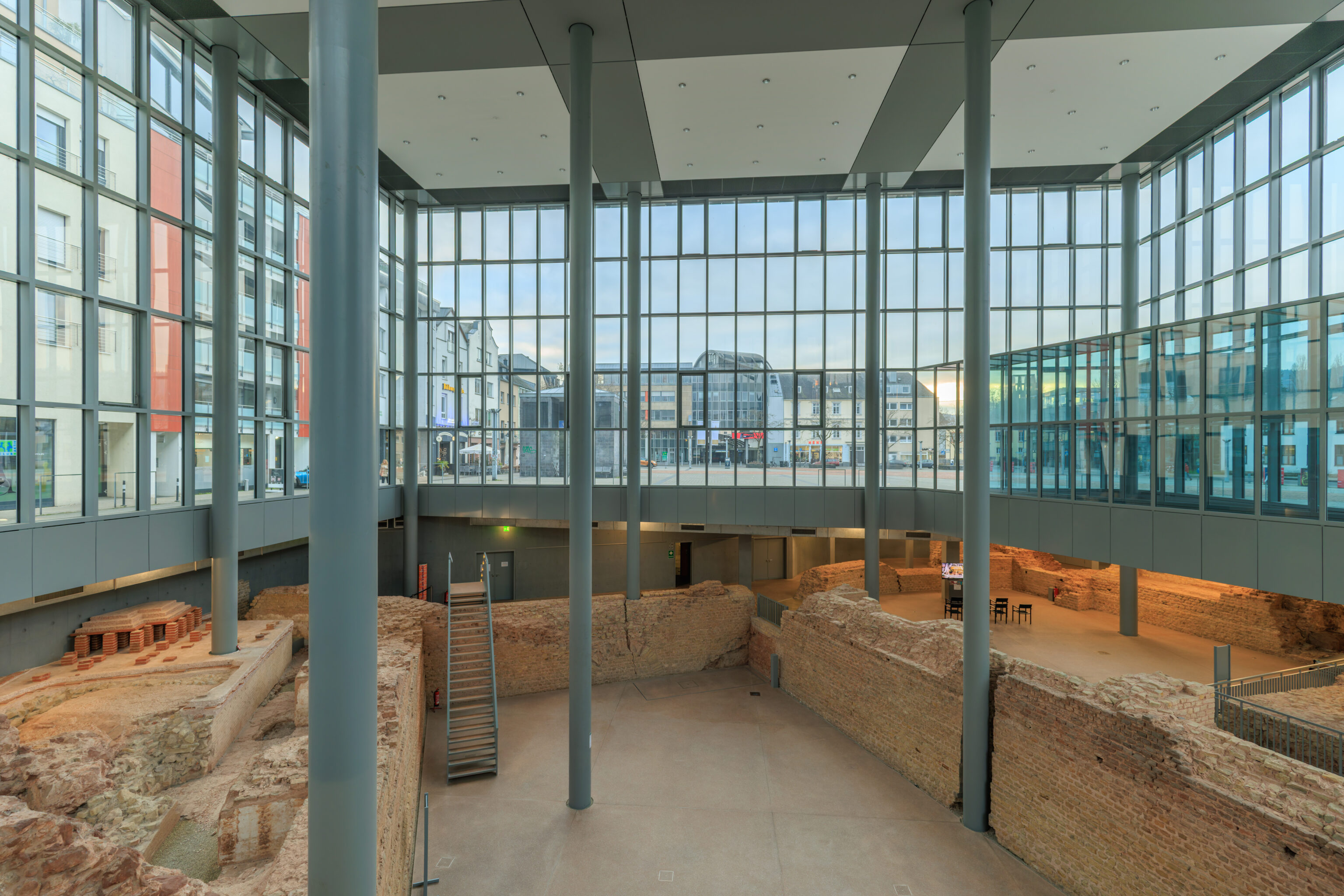
Unlike the previous Roman ruins that we visited today, this one is fully encased within a protective structure. Its modern name comes from its location, at the Viehmarkt (Cattle Market). Of course, no one is selling livestock here these days!
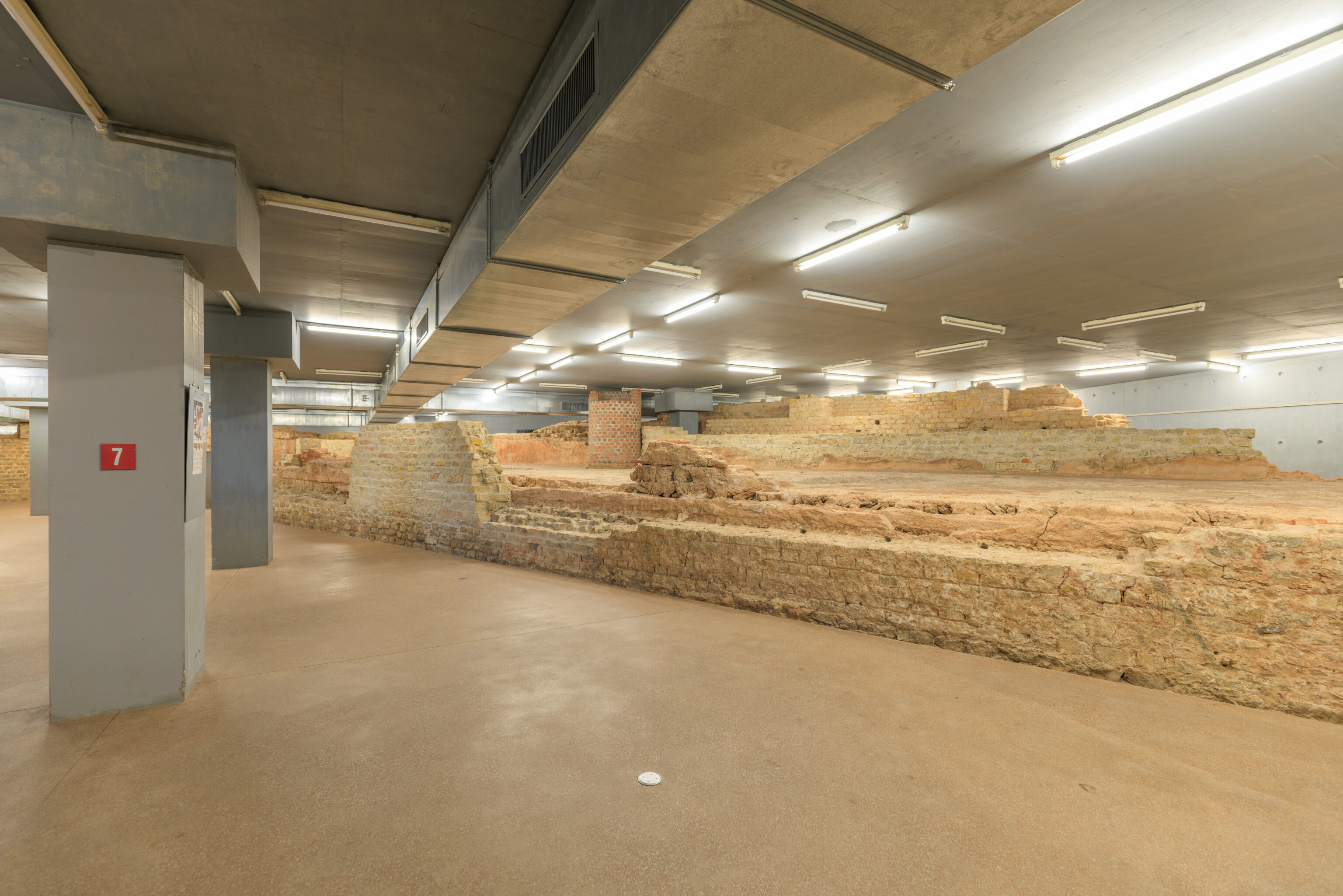
We headed downstairs via elevator to begin walking through the ruins.
The Roman Baths at the Cattle Market - a window on the history of the City of Trier. The Roman Baths at the Cattle Market have been open to visitors since June 1998. Beneath the surface of the Viehmarktplatz (Cattle Market Square) you can take a look at the history of the City of Trier: To be seen are the massive foundations of a Roman baths complex, medieval rubbish pits and the cellars of a baroque Capuchin monastery.

The history of Cattle Market Square began at a time when it did not even exist. A Roman residential district of the 1st century A.D. was followed by a large building in which the inhabitants of the Imperial Residence City of Augusta Treverorum of the 3rd and 4th centuries enjoyed the comforts of Roman bath culture.

Having been used by the Chapter of Trier Cathedral as a "quarry" in the 13th century, the ruins of the baths lost in structural substance on the Middle Ages. Only the latrine shafts bear witness to the residential properties of that time. Single grave stones remain from the Jewish community from which the Jüdemerstrasse "inherited" its name.

In the 17th and 18th centuries, the garden of a Capuchin monastery became the predecessor of Cattle Market Square. Only below ground do the monastery walls come into contact with the Roman foundations. With the abolition of the monastery in 1802, Cattle Market Square was created and used initially for markets then finally for parking.

After having been disturbed in the meantime by construction measures, the "deep sleep" of the old walls only ended in 1987 with the begin of construction works for an underground car park. By 1994, the entire site had been excavated by the Rheinisches Landesmuseum Trier. Then the architecture of the protective structure and the layout of the square with the projection of the erstwhile Roman streets by Oswald M. Ungers open a "Window on the history of the City".

On a tour through the impressive remains from the history of Cattle Market Square, explanatory signs provide a deeper insight. An area of lasting intensity is thus brought to life for visitors.
– Text from a sign.
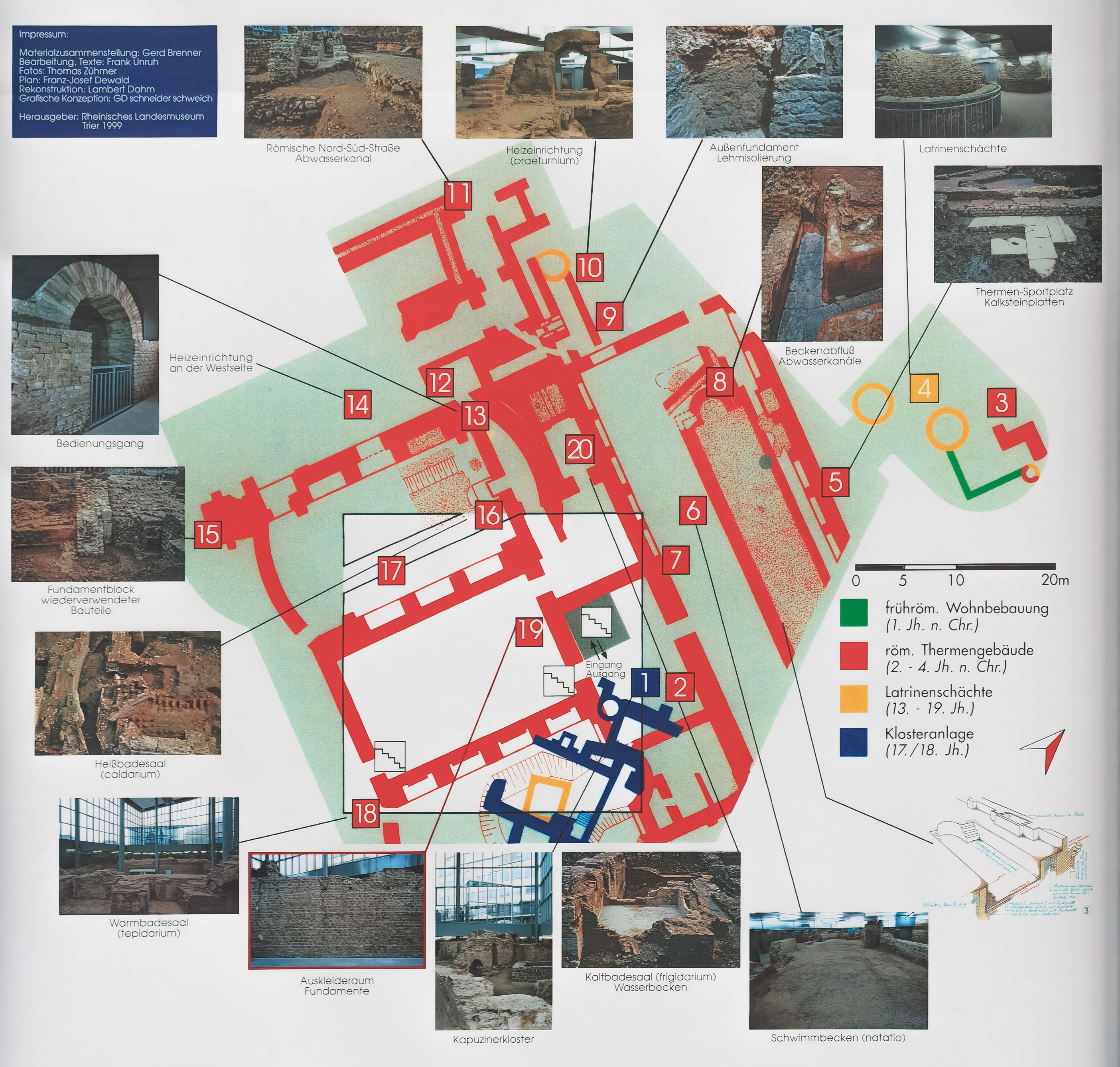
There were twenty labelled points of interest within the ruins. Each one had a sign with associated narrative.
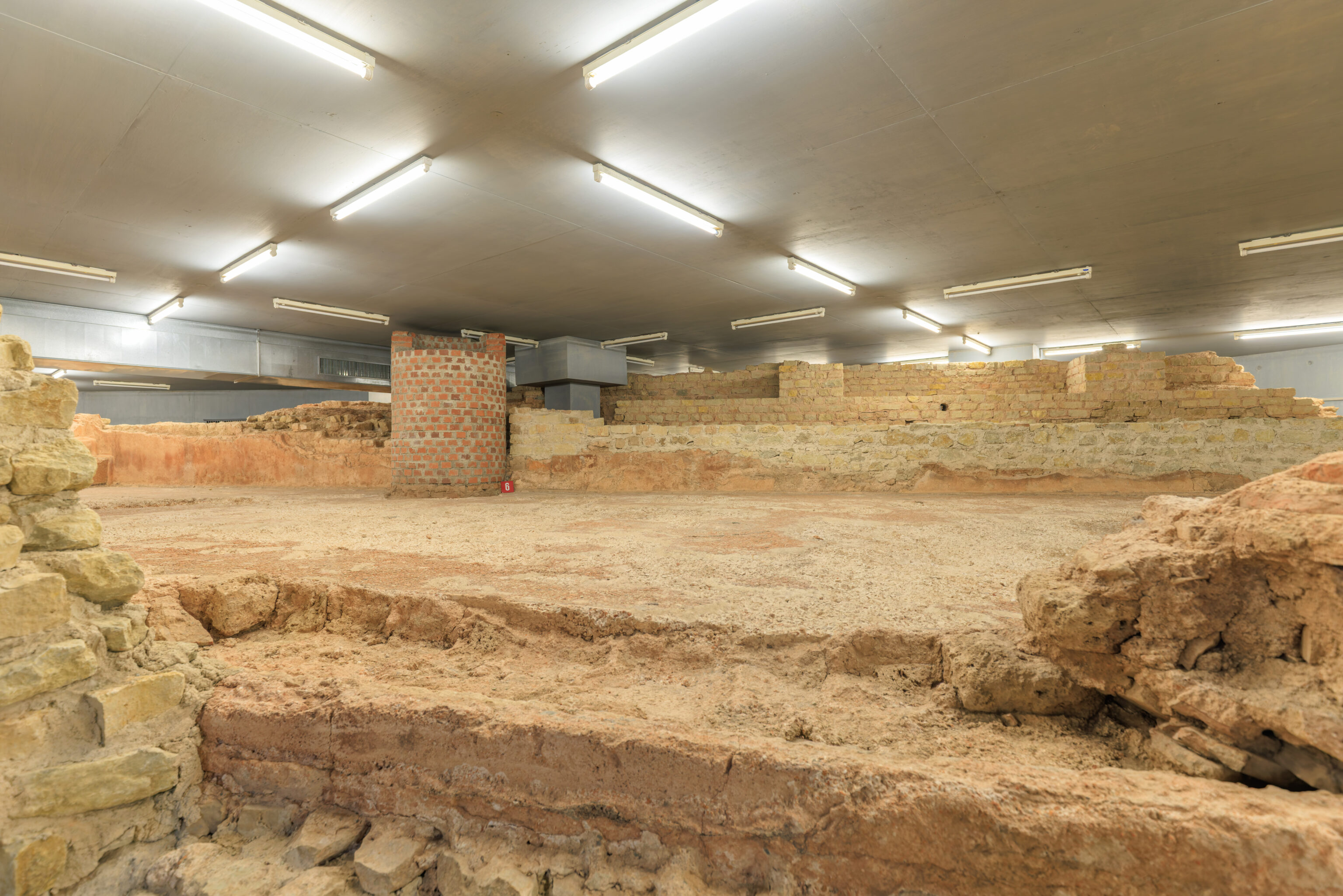
[6] [7]

Swimming bath with pool (natatio) in the cold bath section

Roman baths did not only serve for bathing. They were part of social life. The long hall had a floor paved with black and white marble slabs. In addition to relaxation in the water, it offered sufficient space to tarry for a chat, for seeing and being seen.

The long pool with a semicircular niche on each of the narrow sides, served for relaxation after bathing or games and sports in the courtyard.

Originally just an ornamental pond, the pool was turned into a swimming pool (natatio) by raising the floor, terracing the front wall of the pool and constructing steps on both sides of the round niches. It was possible to cleanse oneself of sweat and dust beforehand in a small cold water bath.

On the rear wall and the floor of the Roman pool stands a round sewer shaft from the years 1902 to 1906. Sewage pipes were driven out from it through the Roman foundations in an east-west direction.
– Text from a sign.
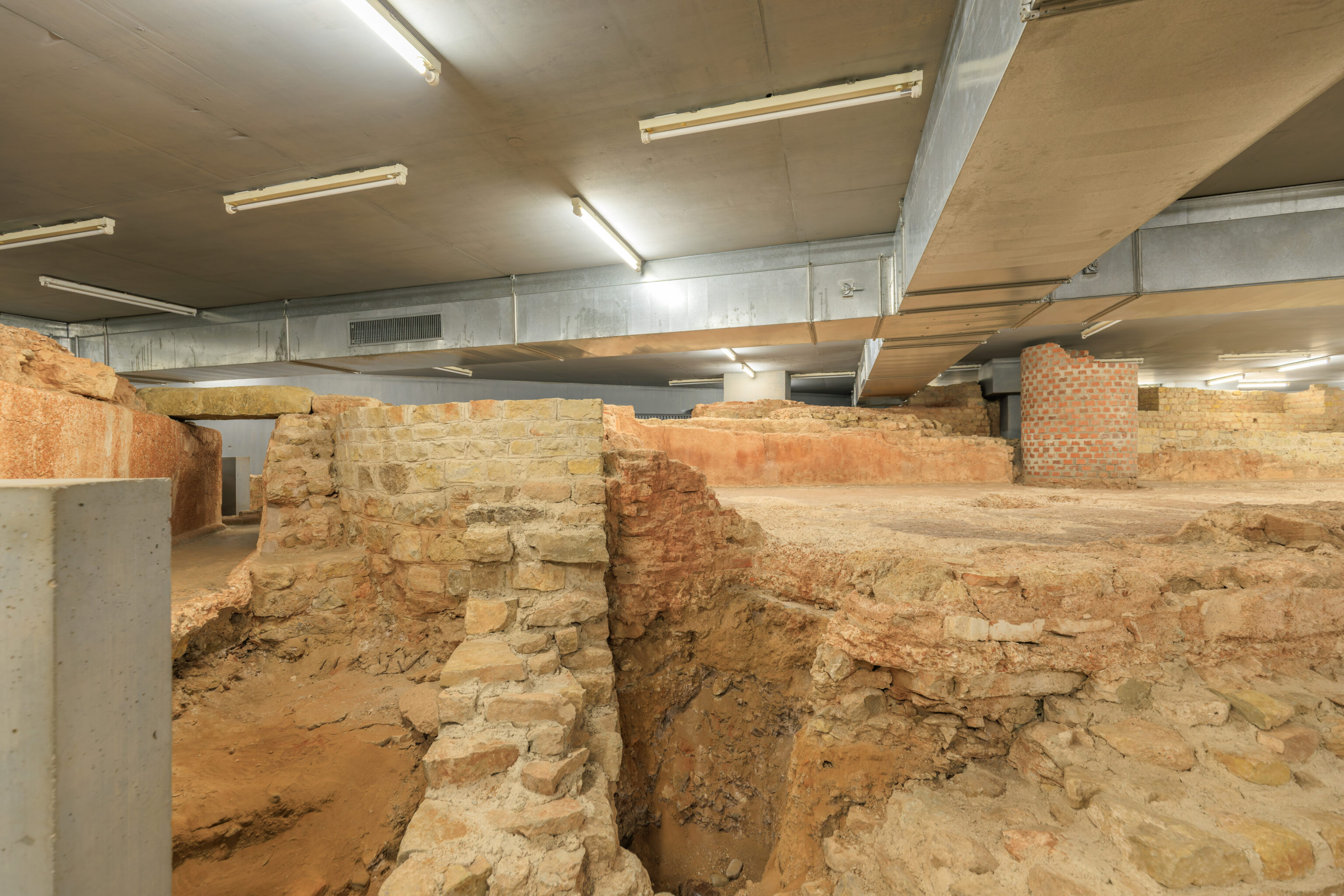
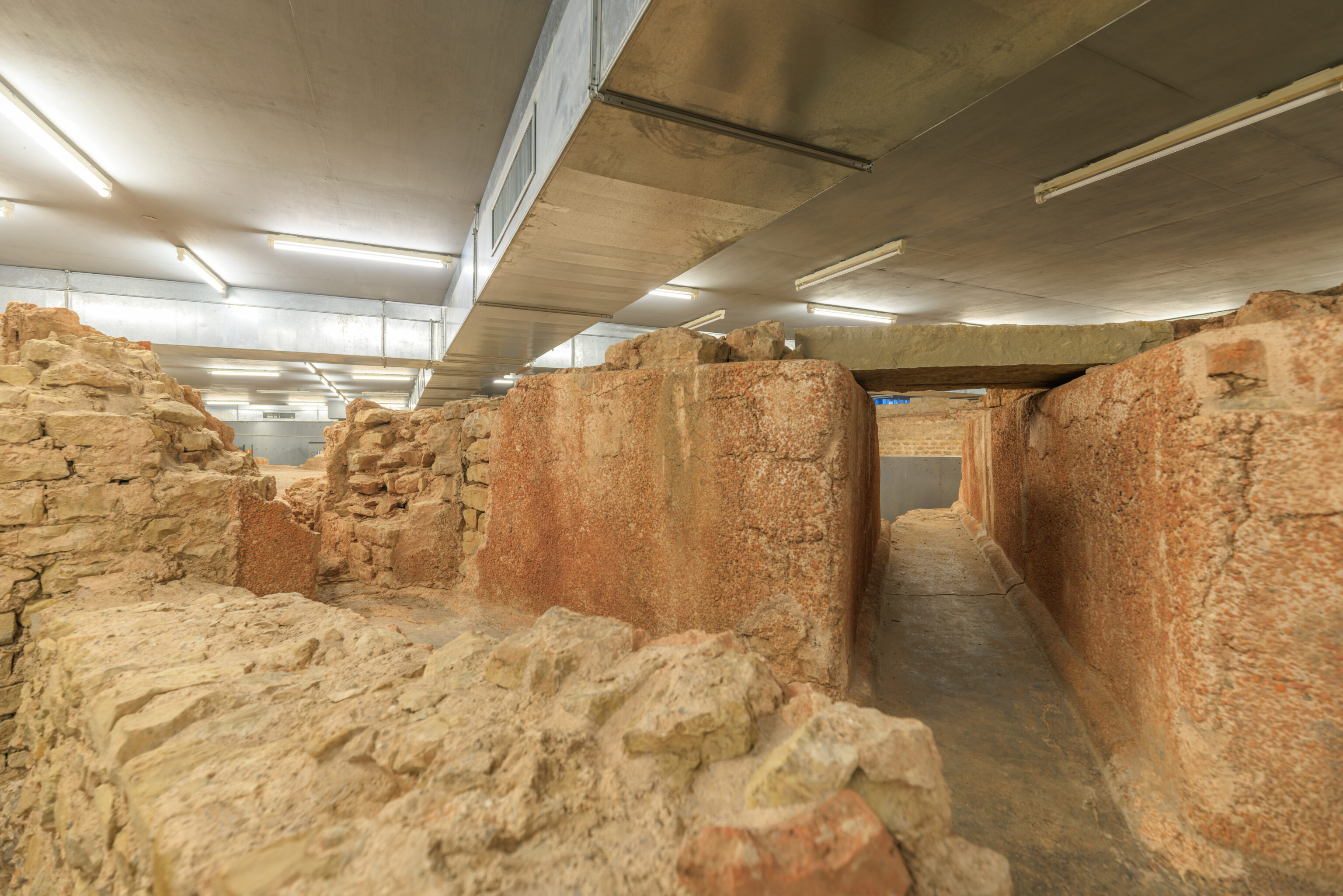
The feature described by [9] is somewhere near the two photographs above.
[8]

Pool outlet and drainage culverts

The swimming pool was drained by means of an outlet in one of the steps. The outlet plug device made of metal once fitted has broken off.

From the outlet, a culvert leads towards the north-south street (cardo). A second culvert feeds into the first one. Both are lined with waterproof mortar and were covered with limestone blocks.
– Text from a sign.
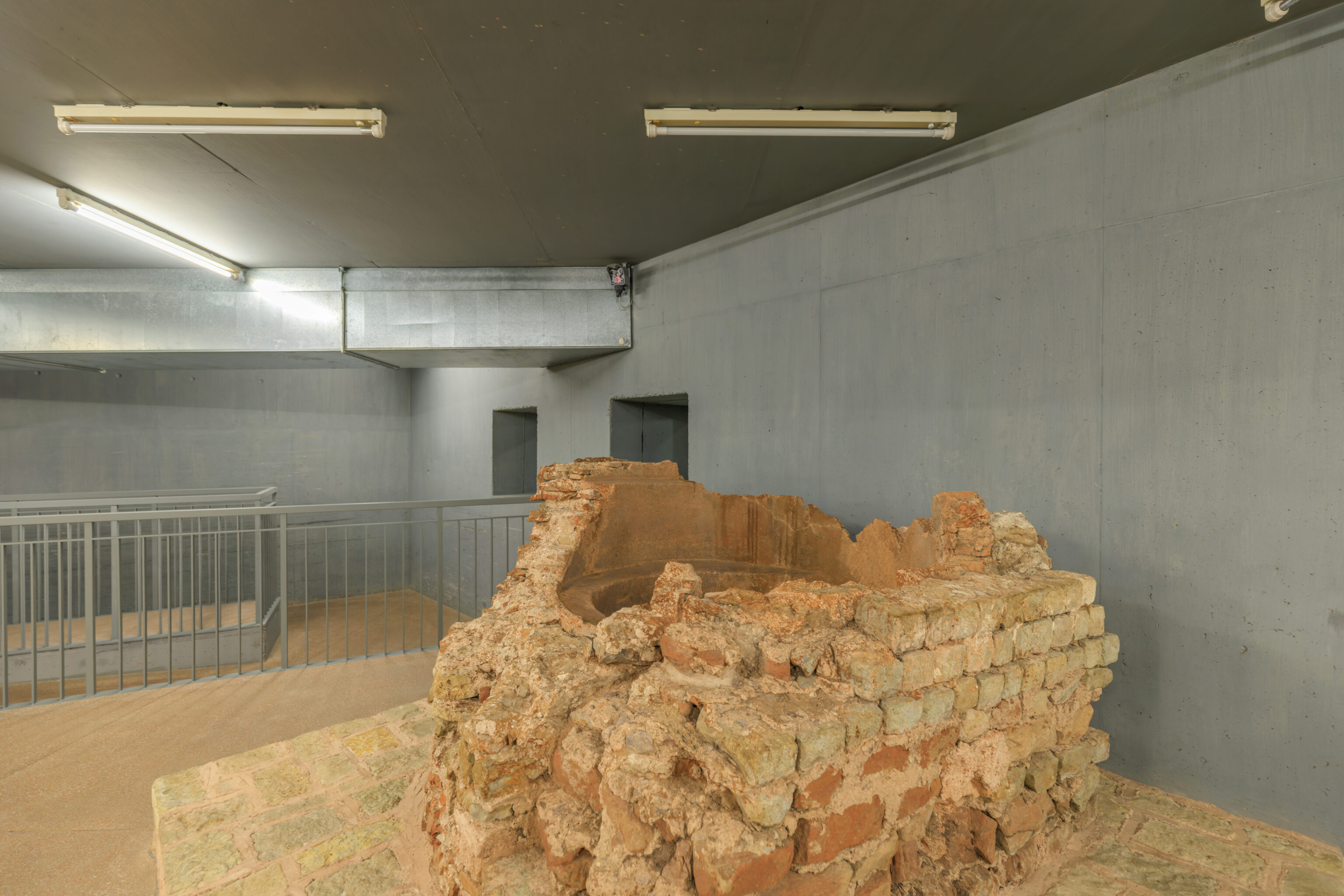
…
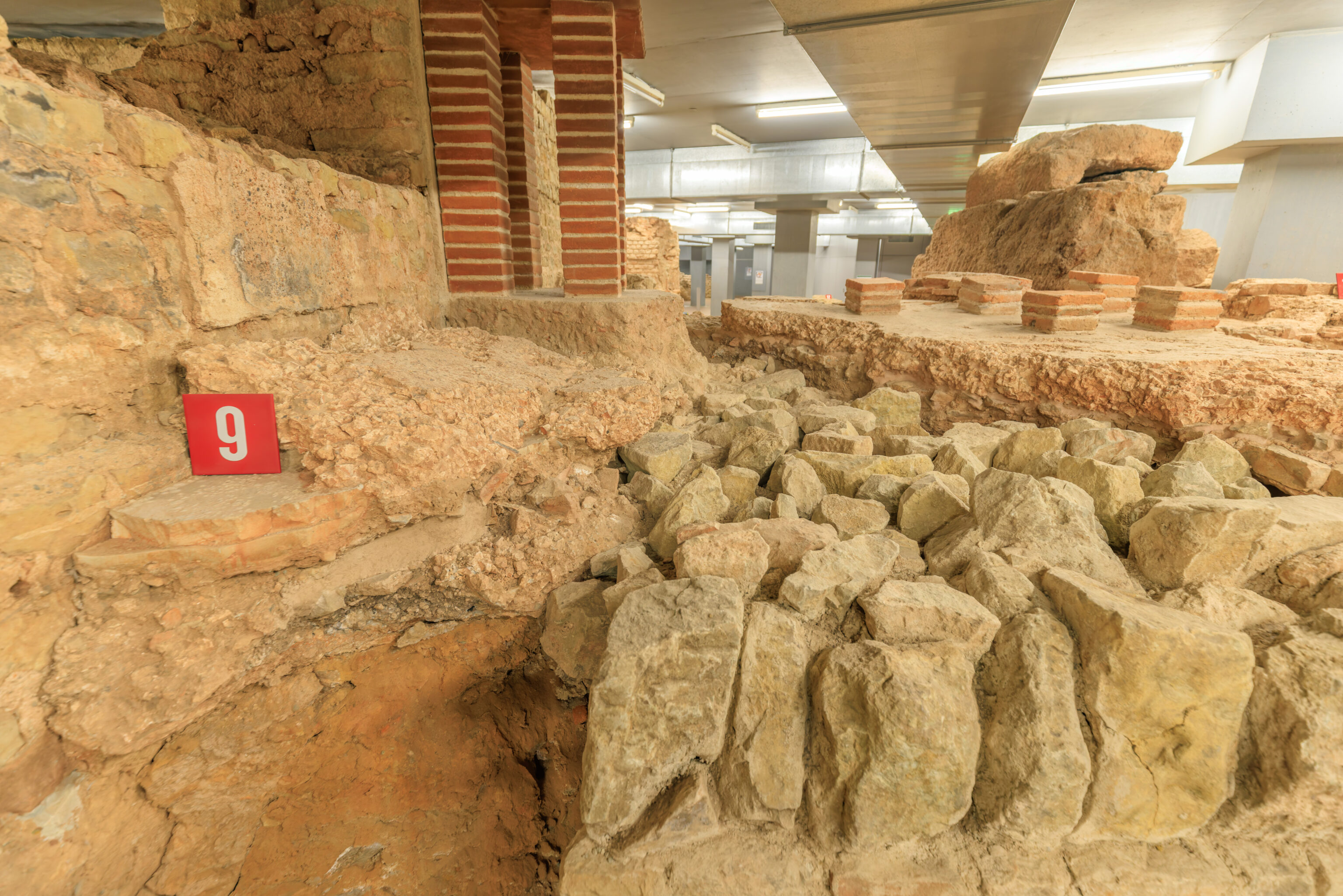
[9]

Clay insulation on the outside foundations

An approx. 60 cm thick clay layer extended along the entire length of the outside foundations of the original central building of the baths. It extended from the start of the walls above ground down to the lower edge of the foundations.

By means of the clay mantle, the rooms within the walls were to be kept free from rising ground moisture and waterlogging after heavy rainfall.

During reconstruction as a baths building in the 3rd/4th century a.D., the clay packing was reduced or completely removed at the places affected. On the outside wall of the swimming pool, it is still to be recognised under the floor of the heated annex.
– Text from a sign.
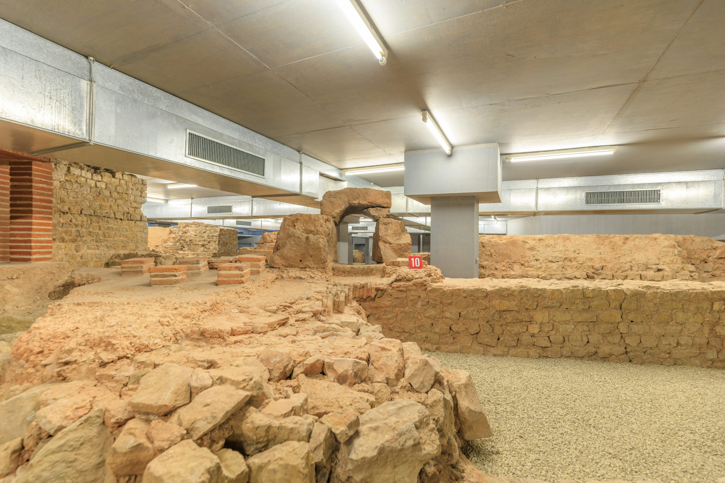
[10]

Room with heating installation (praefurnium)

A room was added adjoining the swimming pool of the Roman baths towards the north-south street (cardo). As the surviving heating installation (praefurnium) shows, it had underfloor heating (hypocaustum). The drain culvert from the swimming pool led through it. Perhaps the baths latrine was located here, flushed with waste water.

Roman latrines were not purely "waste-disposal installations". People would meet there for a talk and spent some time together.

One part of the praefurnium made of basalt blocks and the underfloor of the hypocaust lie on the remains of walls belonging to even earlier structures. A waste pit from the Middle Ages adjoins these walls.
– Text from a sign.
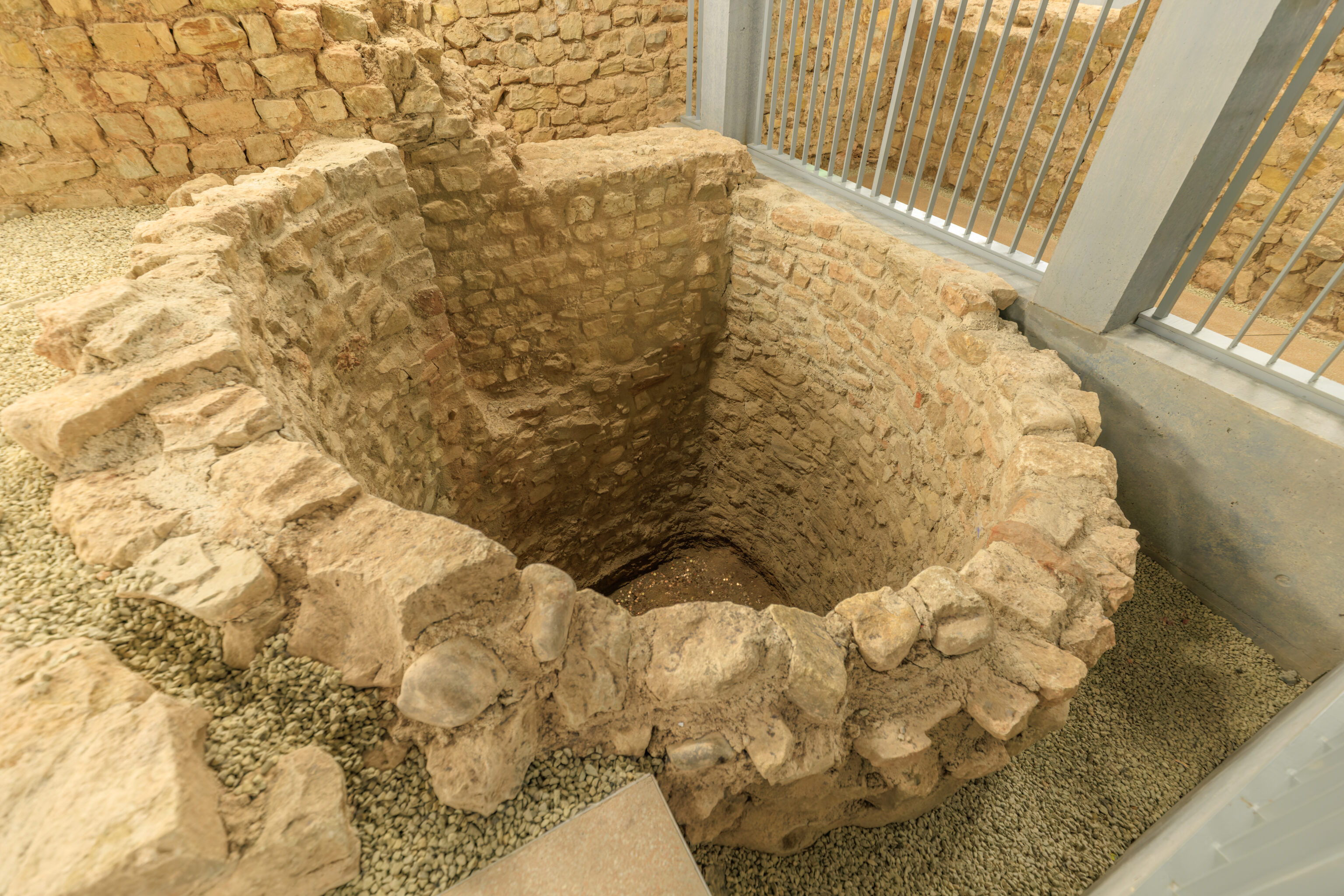
…
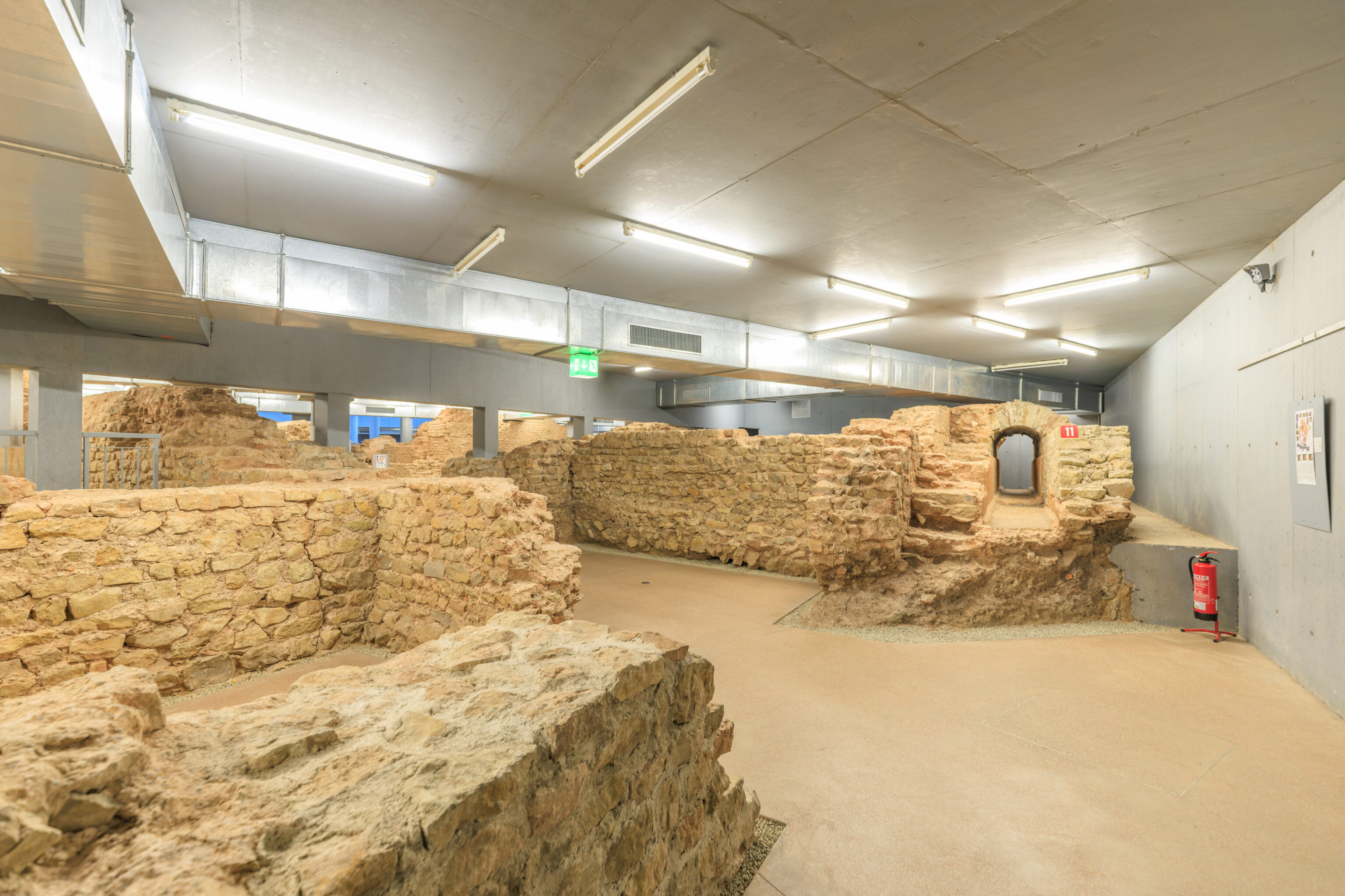
[11]

Roman north-south street (cardo) and sewer with "feeder"

The Roman street bounding the block of houses (insula) of the baths has grown in eleven layers lying on top of one another. The two oldest layers are those of the streets of the 1st century a.D. They were about 11 metres wide. The more recent street layers belong to the period of the bath buildings from the 2nd to the 4th centuries a.D. Roofed colonnades offered passers-by protection. The street width was reduced as a result to about 7 m. The two oldest streets were made of a mortar-bonded sand and gravel mixture on a substratum made of sandstone or limestone. Water was drained off on both sides through simple ditches (gutters) with wooden conduits. The later streets were paved with limestone blocks.

The culverts from the bath buildings feed into the sewer under the north-south street. It has a gradient dropping to the south where it probably joined a further sewer which finally drained into the Moselle. Above the vault of the sewer lay the surface of the street last constructed in the 4th century a.D.
– Text from a sign, translated using Google.
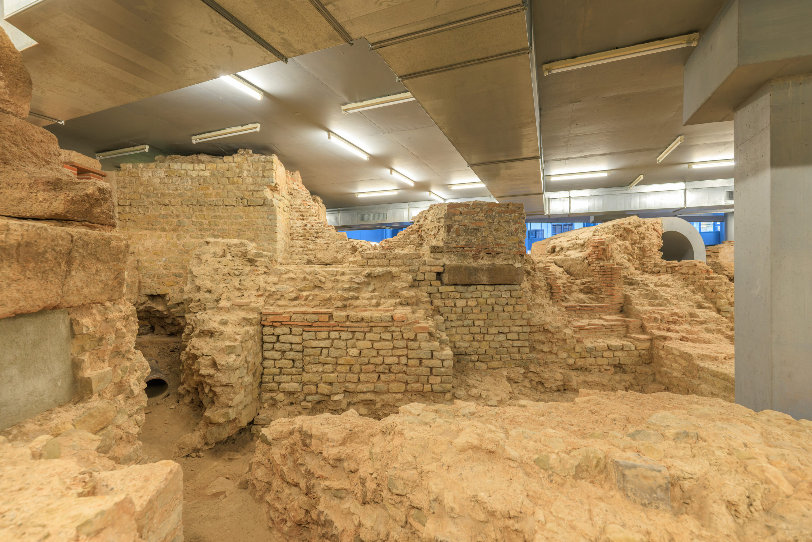
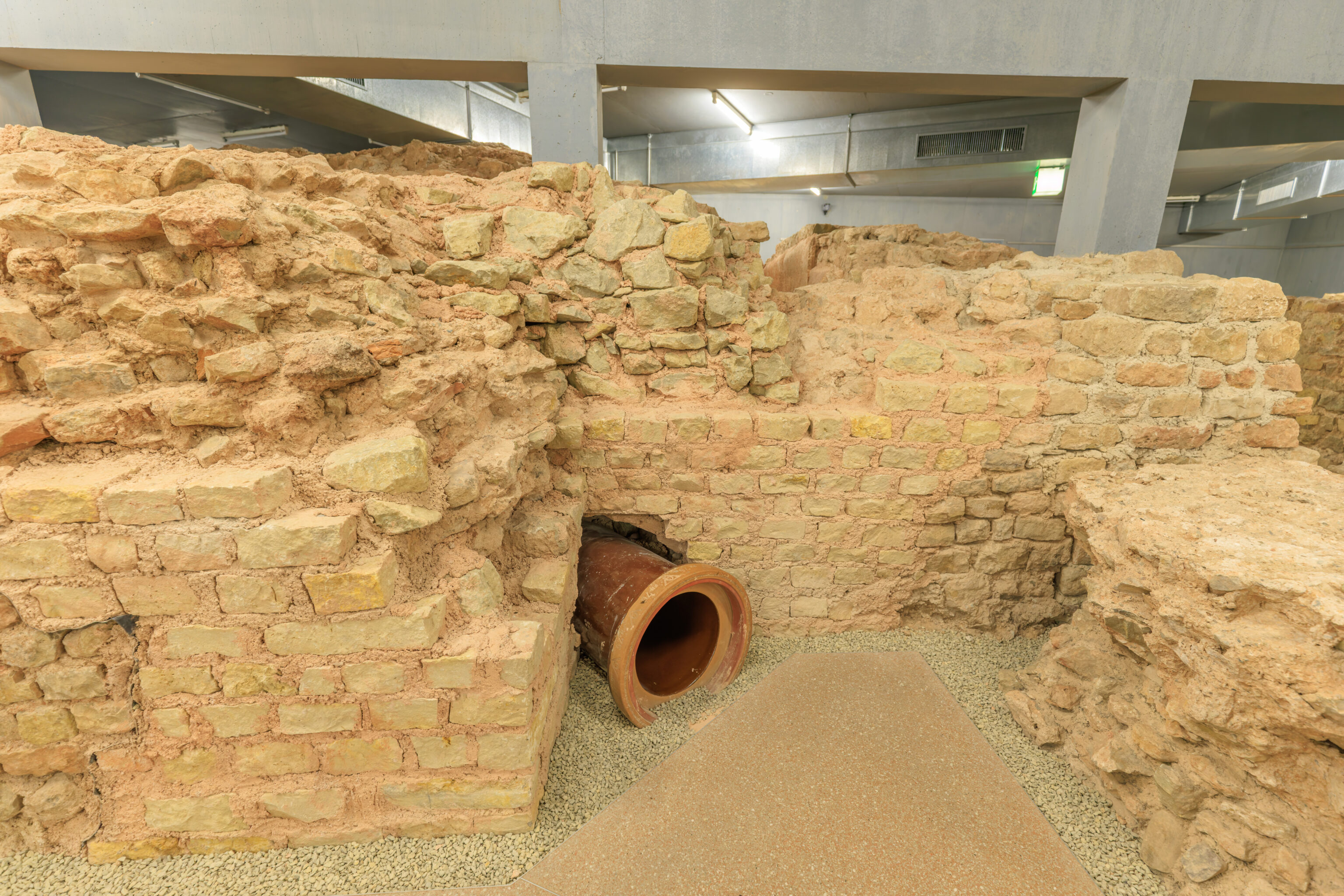
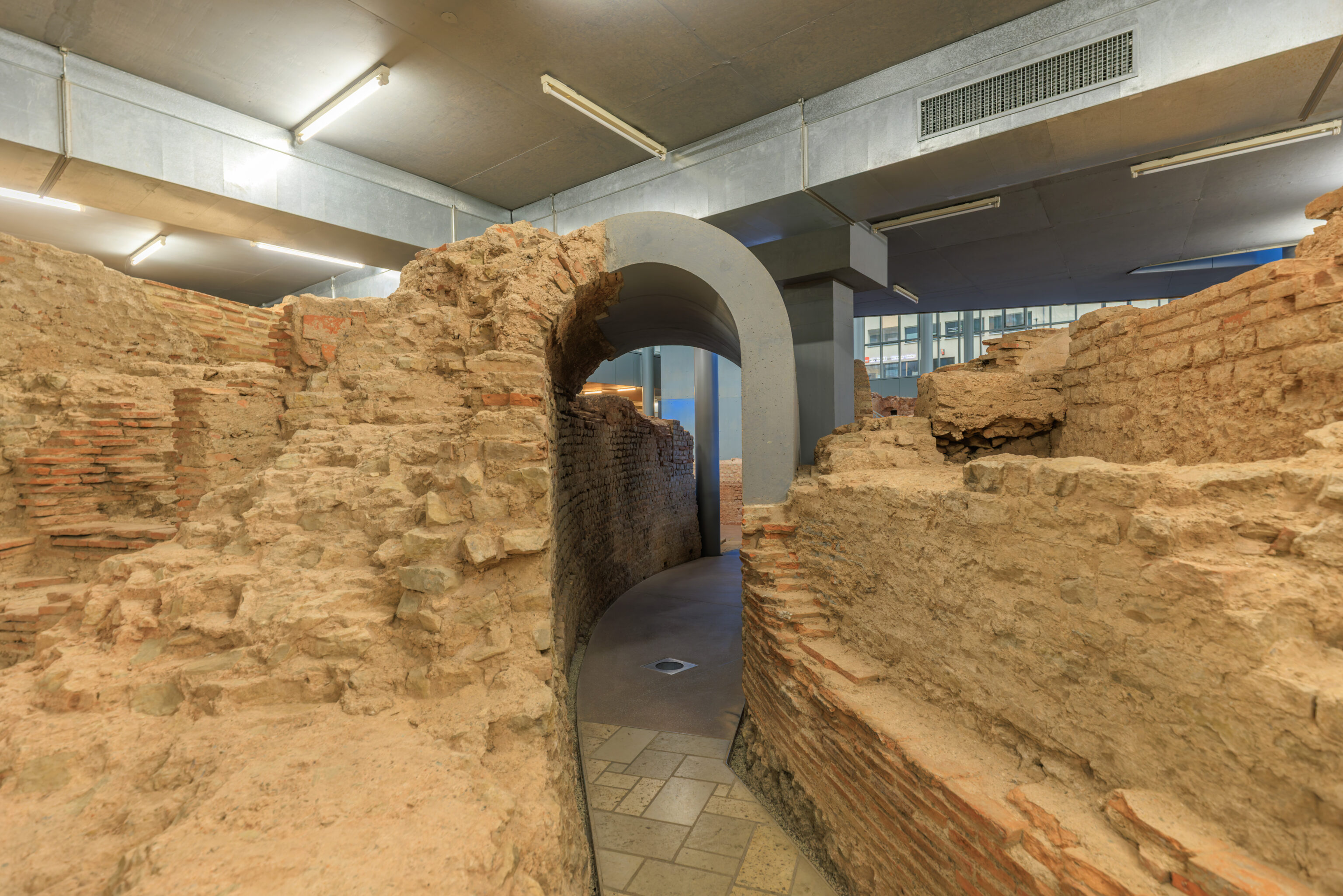
…

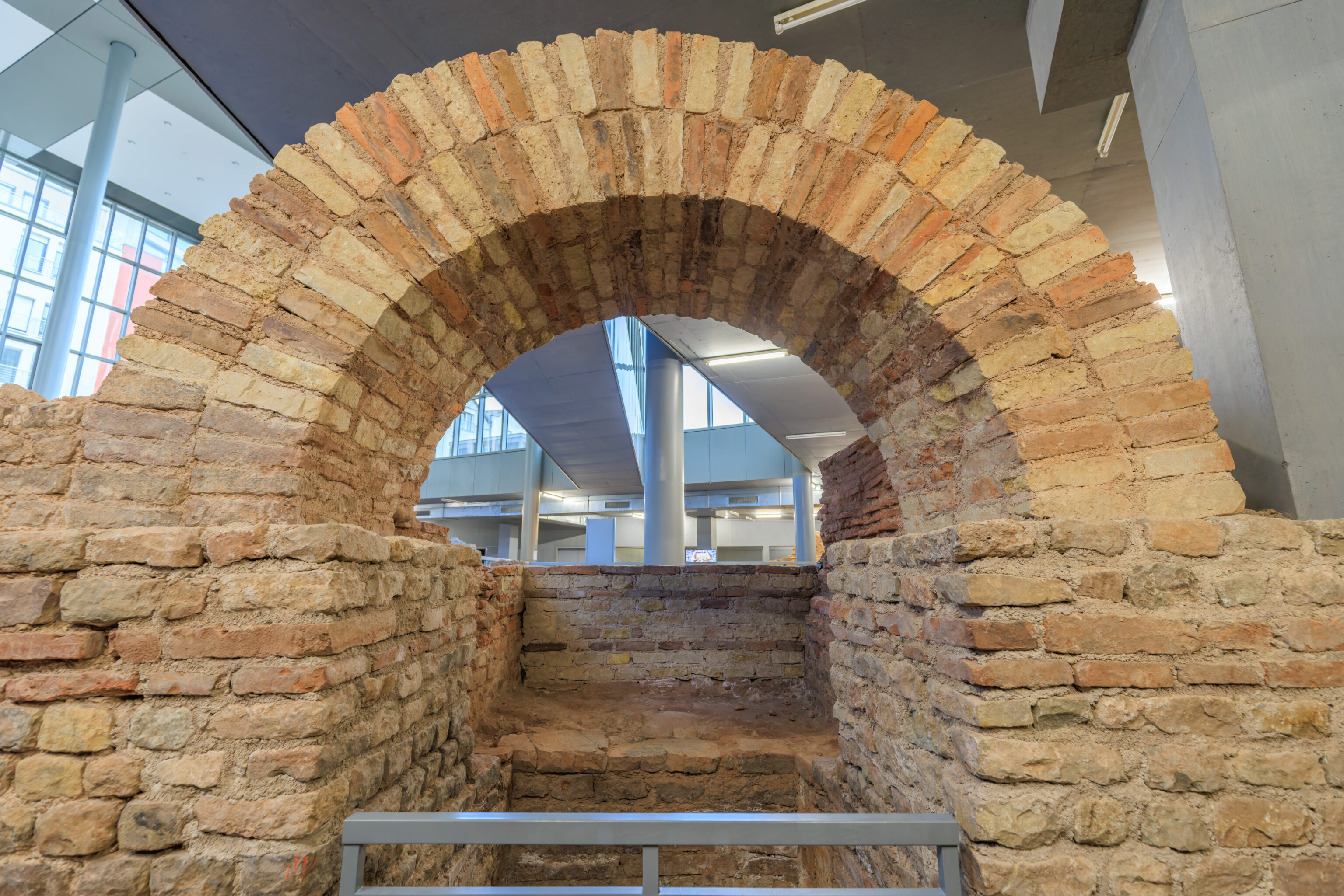
[13]

Two stair towers on the western side and service entrance for a heating installation

It was possible to proceed from the bath halls to rooms in the upper floors up two stair towers on the western side of the bath building.

An opening was made in the wall of the northern stair tower for access to the service corridor for the heating installation of the hot bath hall. Brick curtain masonry levelled out the walls of the new entrance.

The stoking and operation of the heating installations took place out of the public eye. The firing installations could be reached along corridors through which the wood for heating was transported.

The underground service corridor had a brick vault (now partially reconstructed in concrete).

In the corridor, the archaeologists found a compact filling made up of the debris left by a fire some 2 m thick. Perhaps a fire and collapse of the corridor were the reason for the installation of the second praefurnium in the western wall.
– Text from a sign, translated using Google.
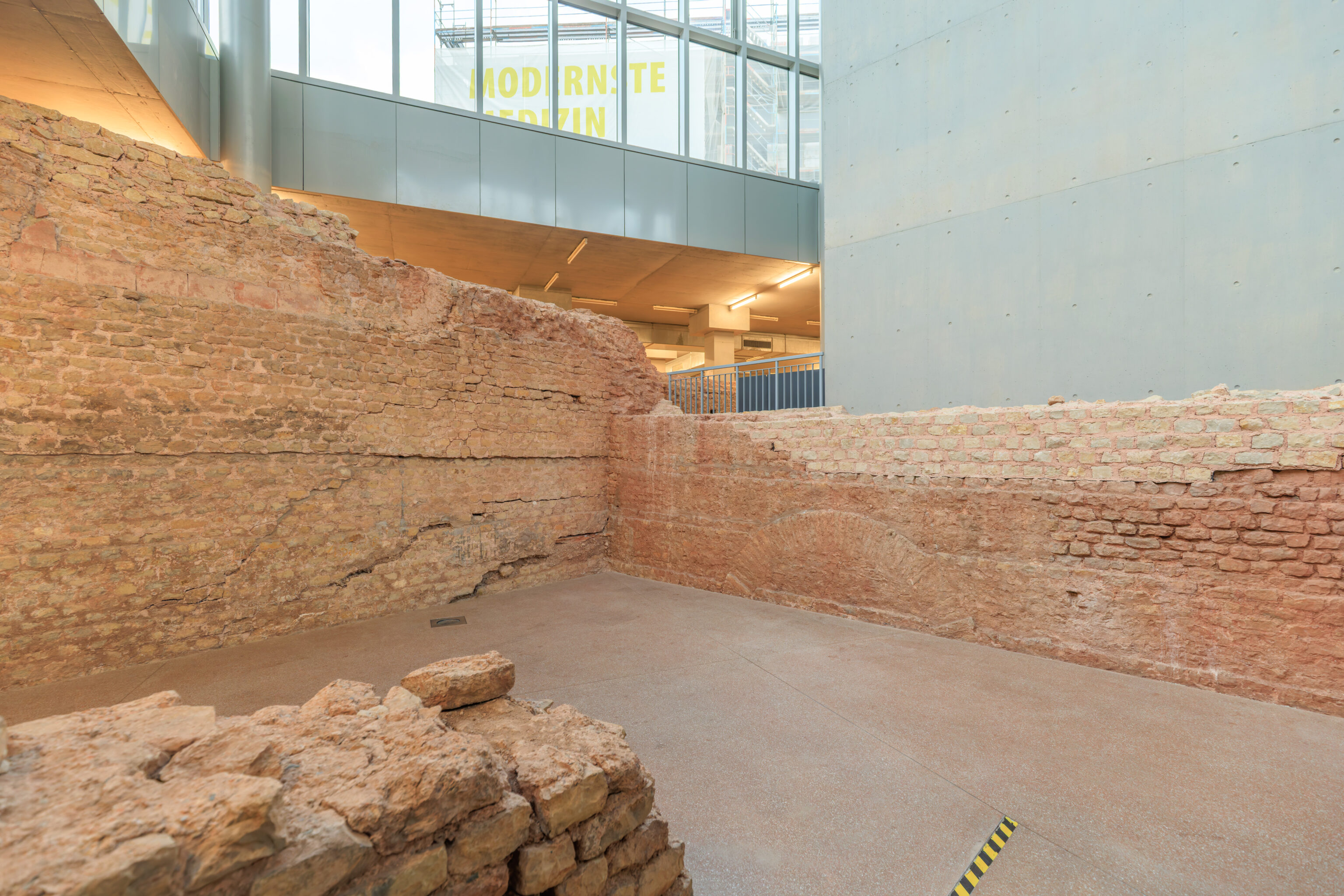
Features [2] and [20] were somewhere near the photograph above.
[2] [20]

Water pool in the cold bath hall (frigidarium)

The cold water pool in the cold bath hall (frigidarium) served for cooling down (frigida lavatio) after hot washings (calidae lavationes) or a steam bath in the sudatorium. Hardier souls also went straight to the frigidarium without any "diversion'.

There were several pools along the northern wall of the frigidarium. Only a few remains of them are still visible.

The pool, now supported from beneath by steel girders (20) was found by the archaeologists in an already undermined state. The hollowing out from below dates back to the removal of construction material in the Middle Ages. The other pools collapsed for the same reason.
– Text from a sign.
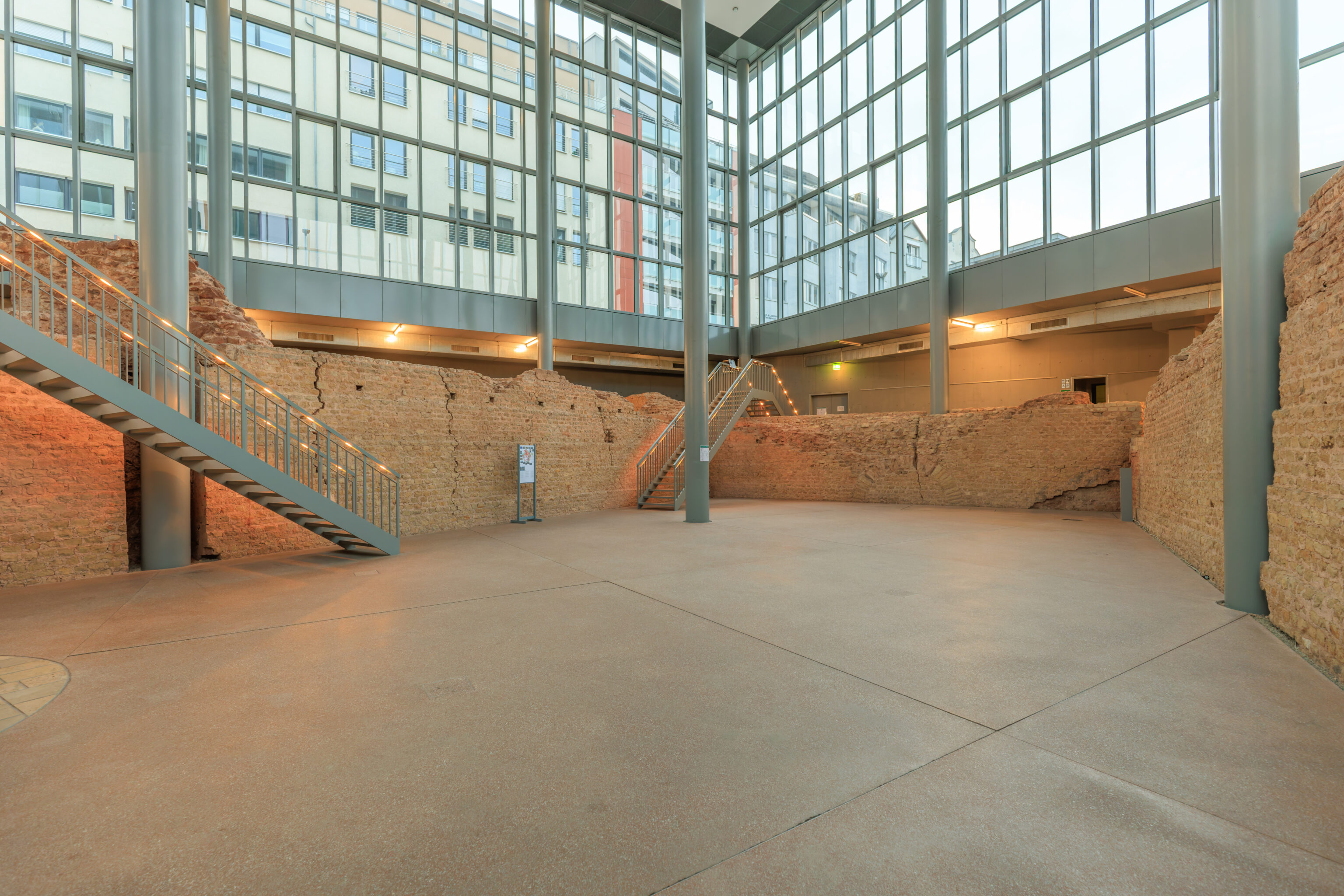
…
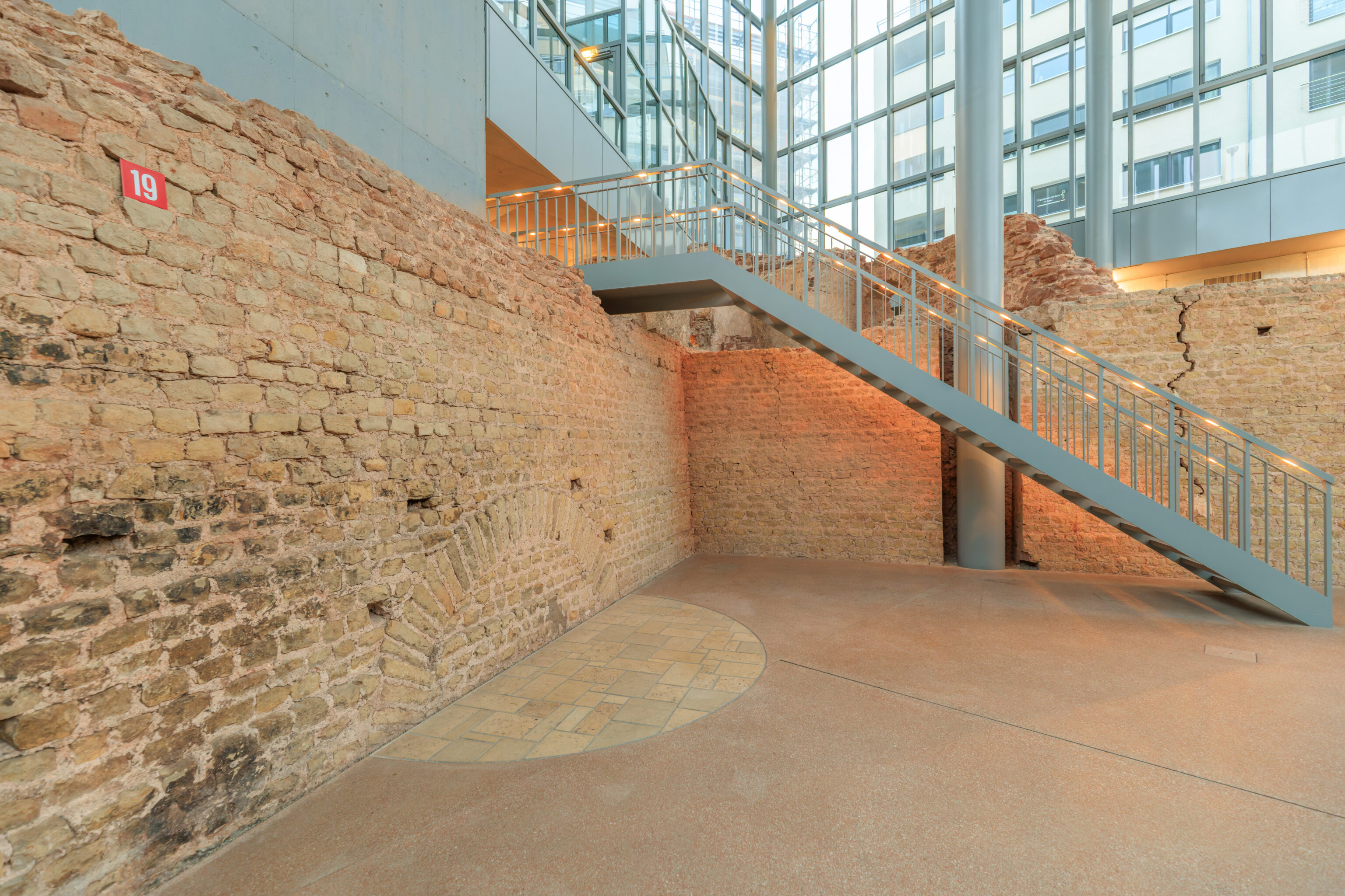
[19]

Undressing room (apodyterium) and foundations

The way through the bath started from the undressing room (apodyterium). Clothing was taken off here and put on again after the bath. The Romans bathed as the gods had created them.

Nothing remains of the room furbishing. Just traces of mosaics were found which had been laid on the cement flooring. The undressing room may also have served as a place for social life (basilica thermarum) or for ball games (sphaeristerium).

The up to 3.20 m thick building foundations rise in  up to six steps to the beginning of the walls above ground level. Square holes at regular intervals show where the scaffolding was affixed which grew up with the walls.

At three places in the building there are arches in the foundation. They bond only one to two stones deep into the masonry and thus did not serve as openings. They also seem little suited as 'relieving arches' to stabilise the walls.
– Text from a sign.
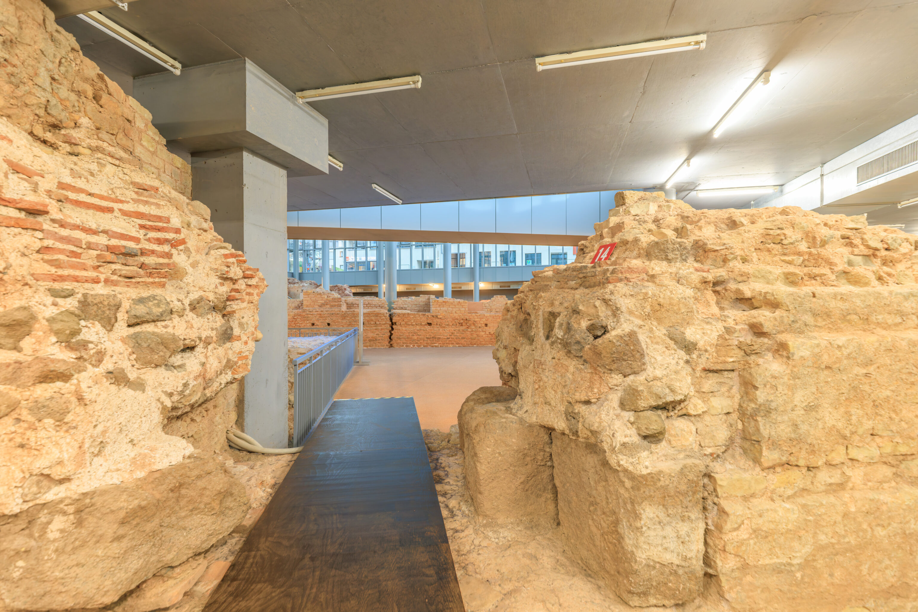
[14]

Heating installation (praefurnium) on the western side

After the abandonment of the firing installation on the northern side of the hot water bath, an opening was made in the latter's northern wall for a new praefurnium. In order not to have to cut through the almost 3 m thick foundations, the middle wall niche in the hall was chosen. Its wall thickness is about 1.2 m.

The heating flue was constructed from basalt blocks. Above it was a barrel vault in brick masonry work.
– Text from a sign.
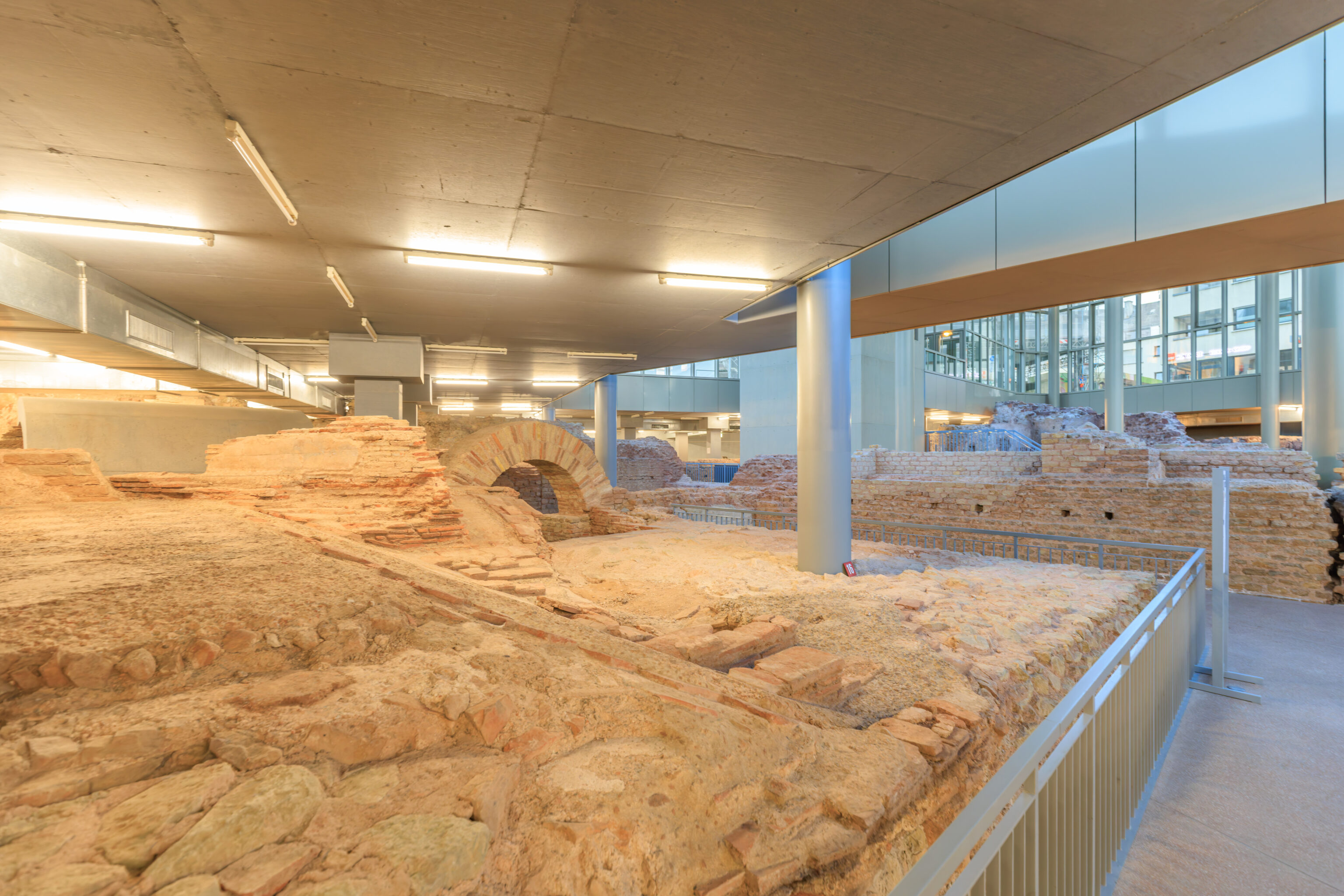
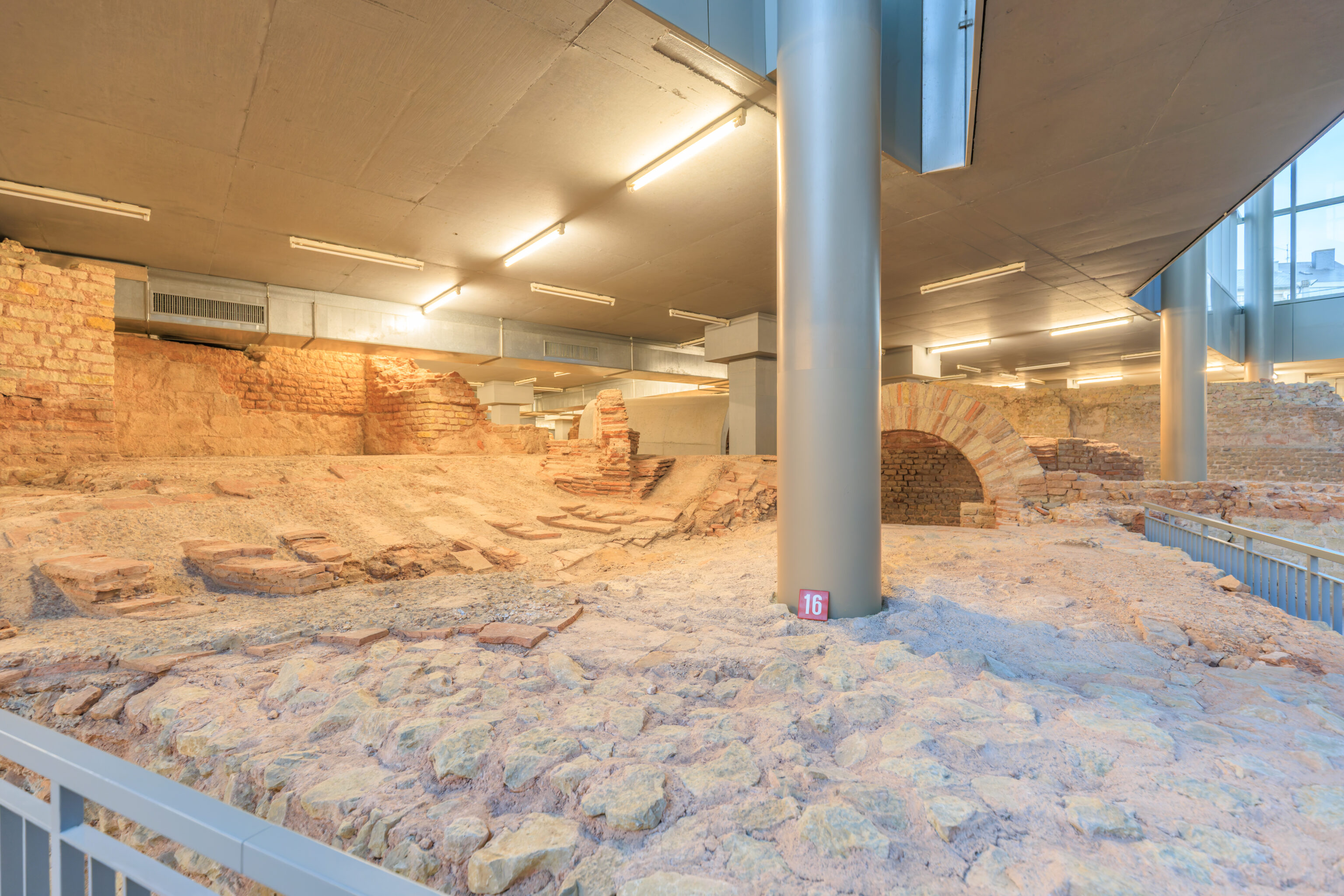
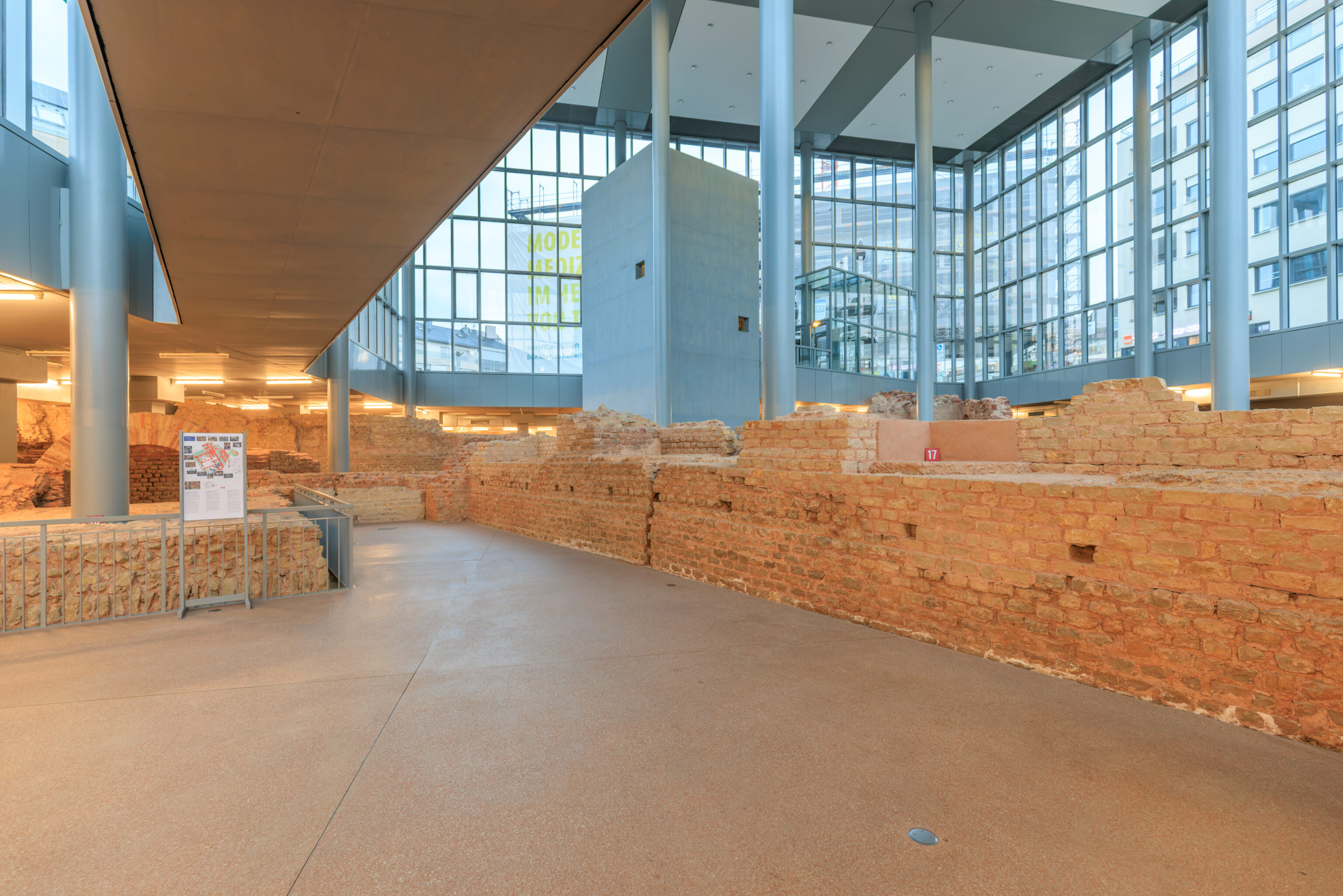
[16] [17]

Hot bath hall (caldarium) with heating chamber (praefurnium) and underfloor heating (hypocaustum)

The hot bath hall (caldarium) is the real heart of Roman baths. In the usual sequence of baths, one proceeded from warming to cooling: from warming in the warm bath hall (tepidarium) through heating up in the hot bath hall to cooling in the cold bath (frigidarium). The sequence could be varied as one wished and in accordance with one's state of health.

Through the loss of the structures above ground, there are no longer any direct indications available of the location of the hot water pools, the path of the supply lines and the installations for preparing the water.

The vaulted arch of the heating chamber (praefurnium has been newly supplemented). The combustion chamber extends as a masonry-built rectangular pit with two steps into the room under the floor of the hot bath room. Low brick walls probably carried the hot water pool which was heated by the praefurnium. Brick pillars (pilae) on the underfloor of the hall and wall niches formed the support for the upper cement flooring (suspensura). Beneath it the heat from the praefurnium radiated into the area between the brick pillars thus warming the floor. The heated air rose up through hollow bricks (tubuli) or behind blocks held by spacers (tegulae mammatae) behind the plasterwork on the walls. It was led outside through wall openings. Between the pilae runs a waste water culvert made of bricks. It probably drained the hot bath pool
– Text from a sign.
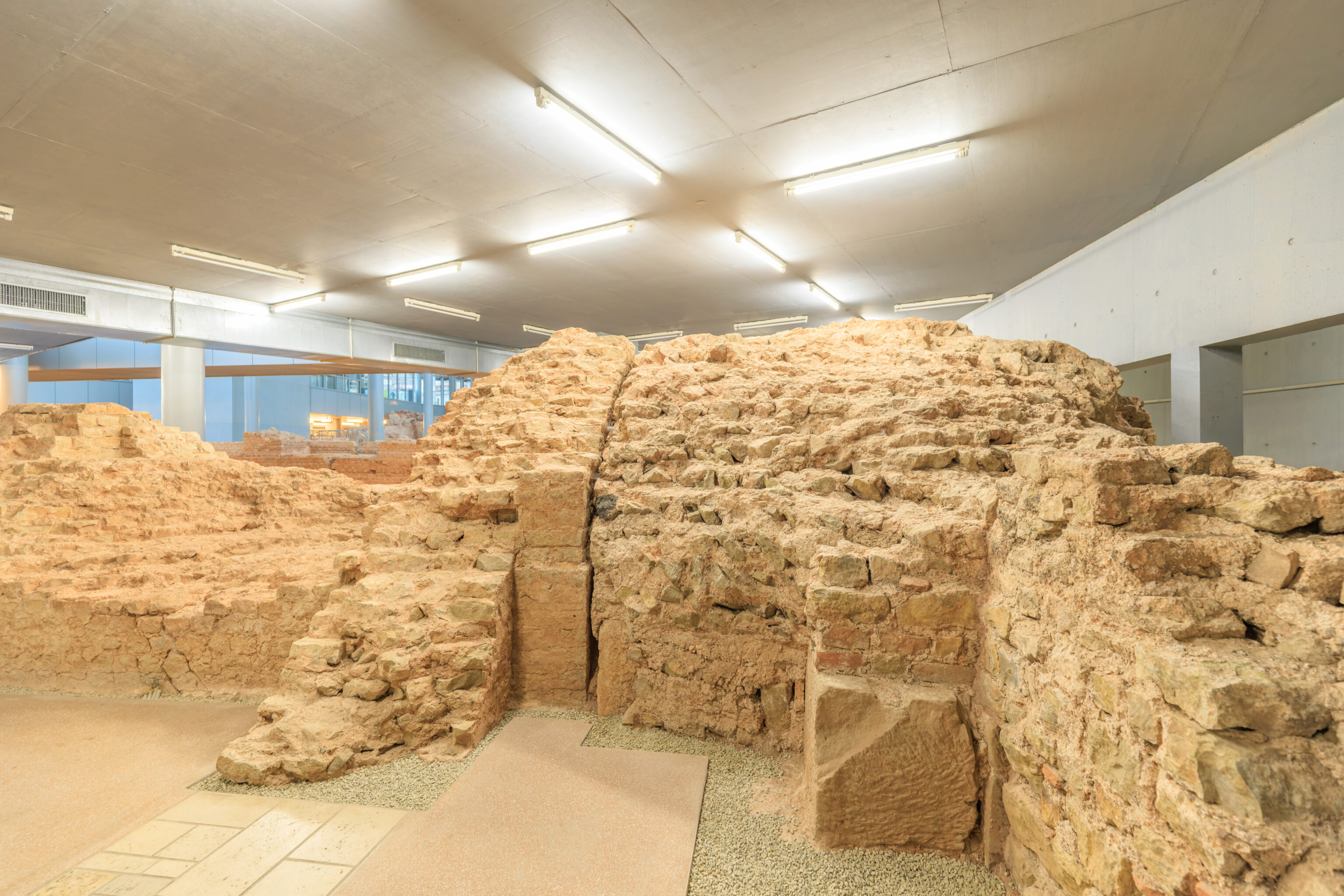
…
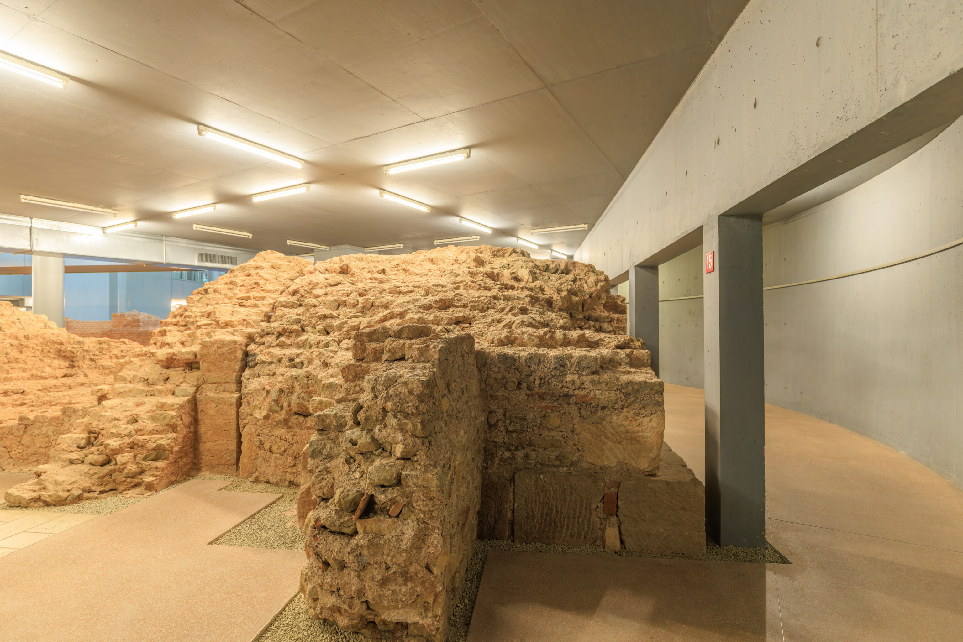
[15]

Foundation block with reused structural components

At the south-western corner of the bath building, a large foundation block was added later, It is made of limestone masonry resting on a base made of large sandstone blocks.

The blocks were used originally in other buildings. Various traces of stone working are to be seen. The wall clamps made of iron used for the first building were broken out. Lifting tackle or levers could be inserted into smaller holes when shifting.

The block might have supported a water tank or have served to stabilise the building.
– Text from a sign.
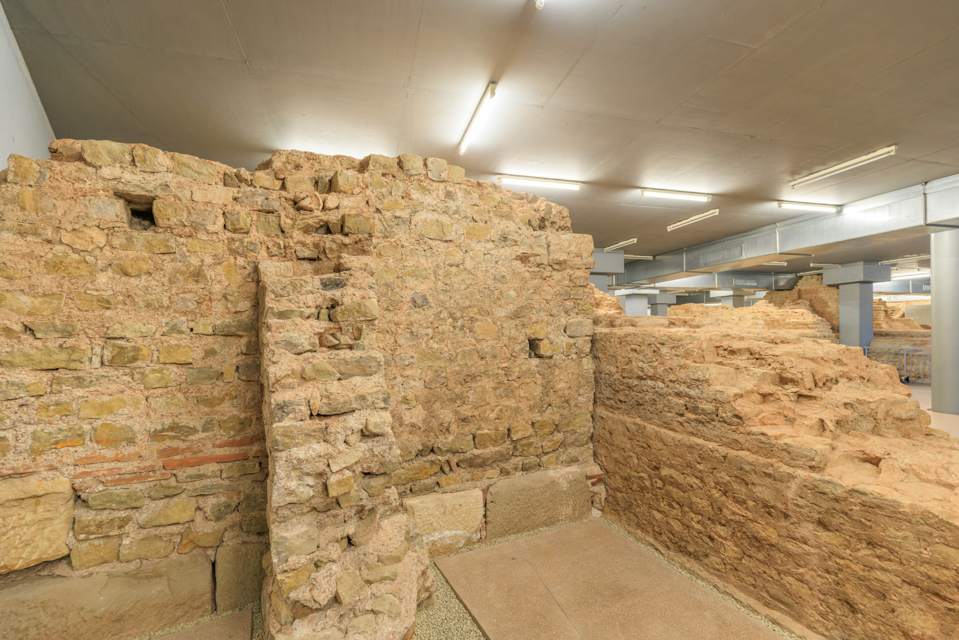
…
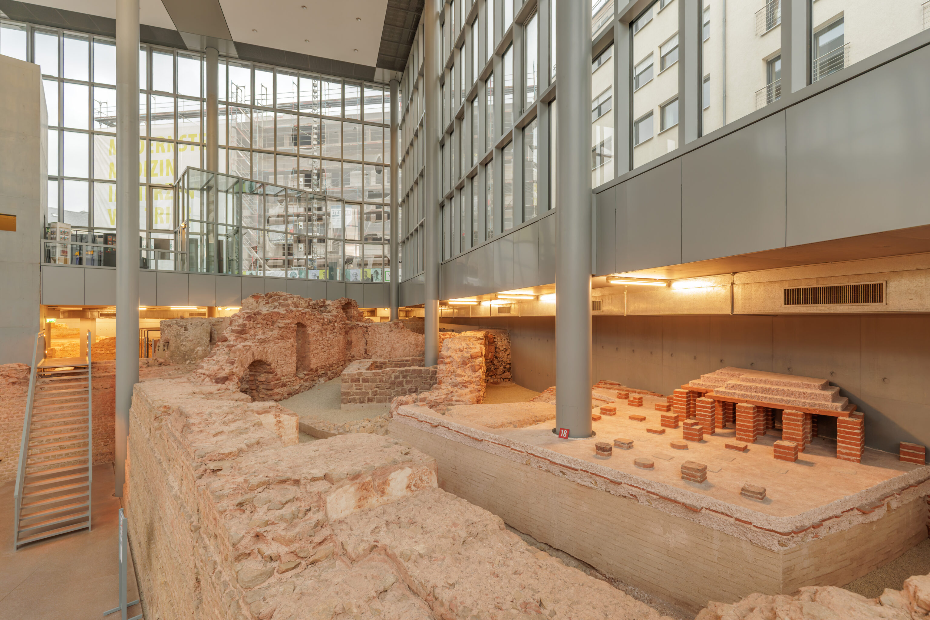
[18]

Warm bath hall (tepidarium)

The warm bath hall (tepidarium) in Roman baths was also heated. Here the bathers were able to warm themselves before entering the hot bath room or let themselves be rubbed down with oil and ointments. In winter the tepidarium could take on the functions of the undressing room (apodyterium).

For the use as a warn bath hall, brick pillars (pilae) were erected in the hall and niches for the underfloor heating (hypocaustum). The promenade floor (suspensura) which was heated rested on them. The heating chamber (praefurnium) was located on the northern side of the hall (later the monastery walls were built on top of it).

During a reconstruction, the niches were walled up with limestone blocks and layers of bricks. At the centre of the hall, wall blocks also rested on the former cement flooring. The new hypocaustum now ran through them.
– Text from a sign.
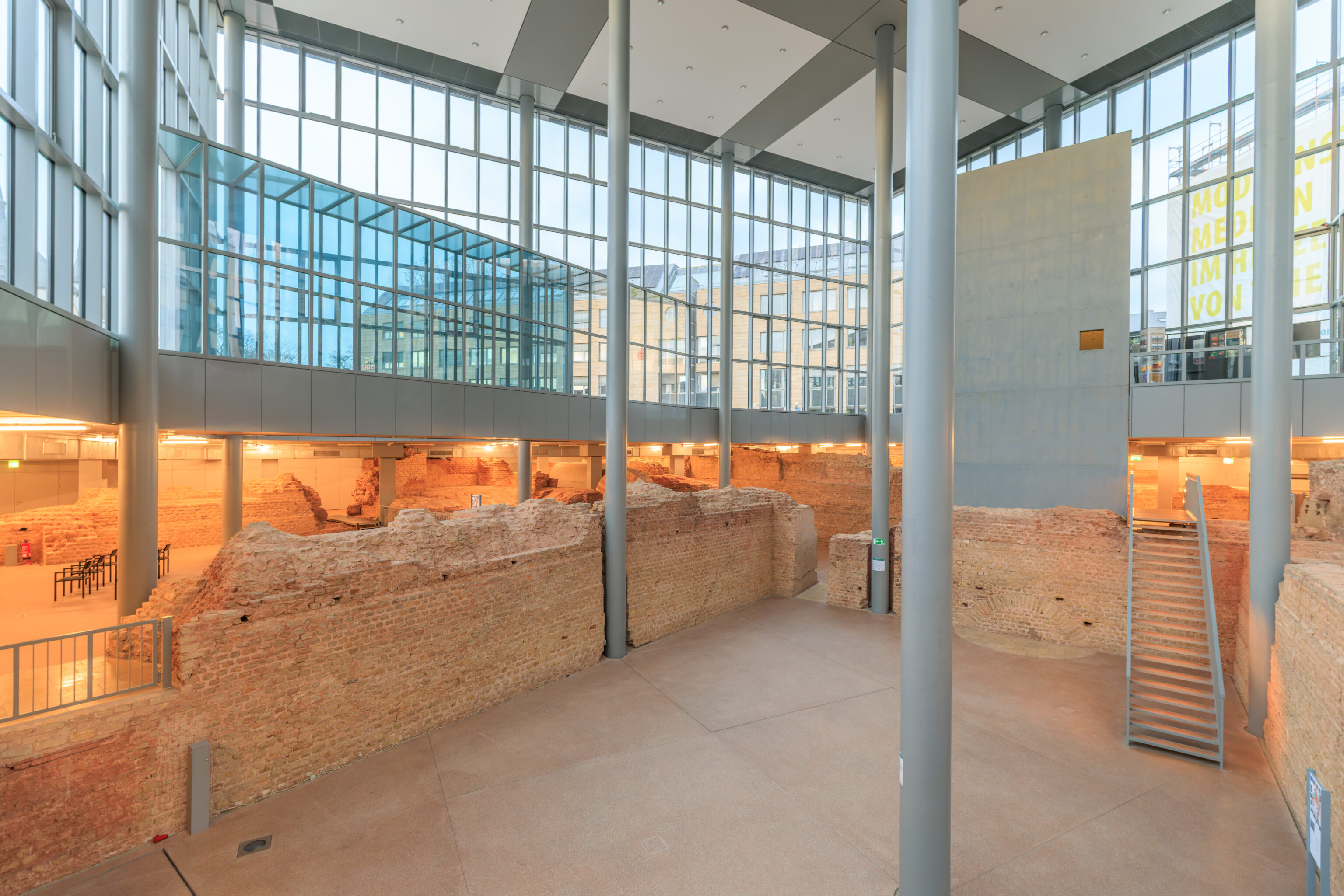
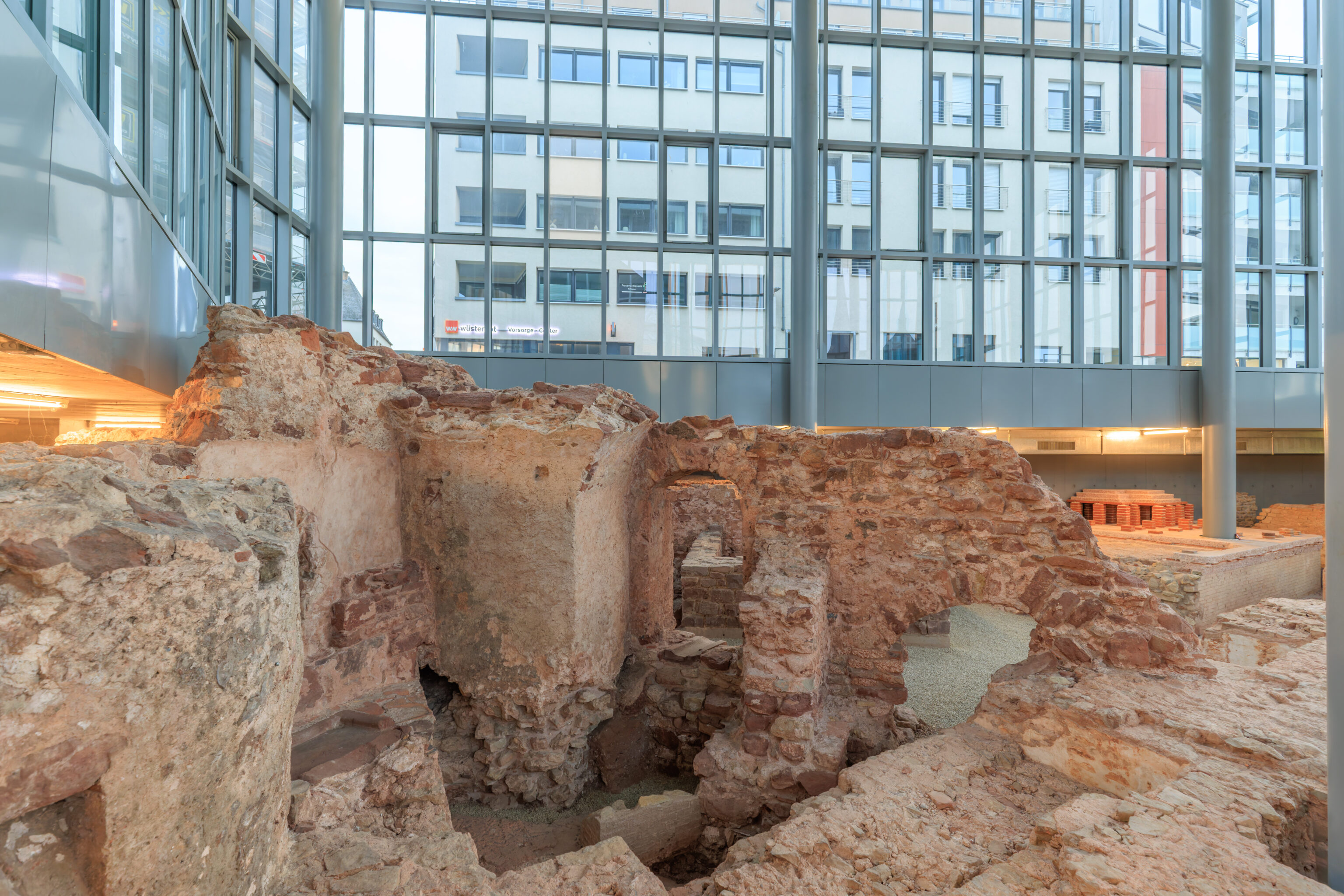
…
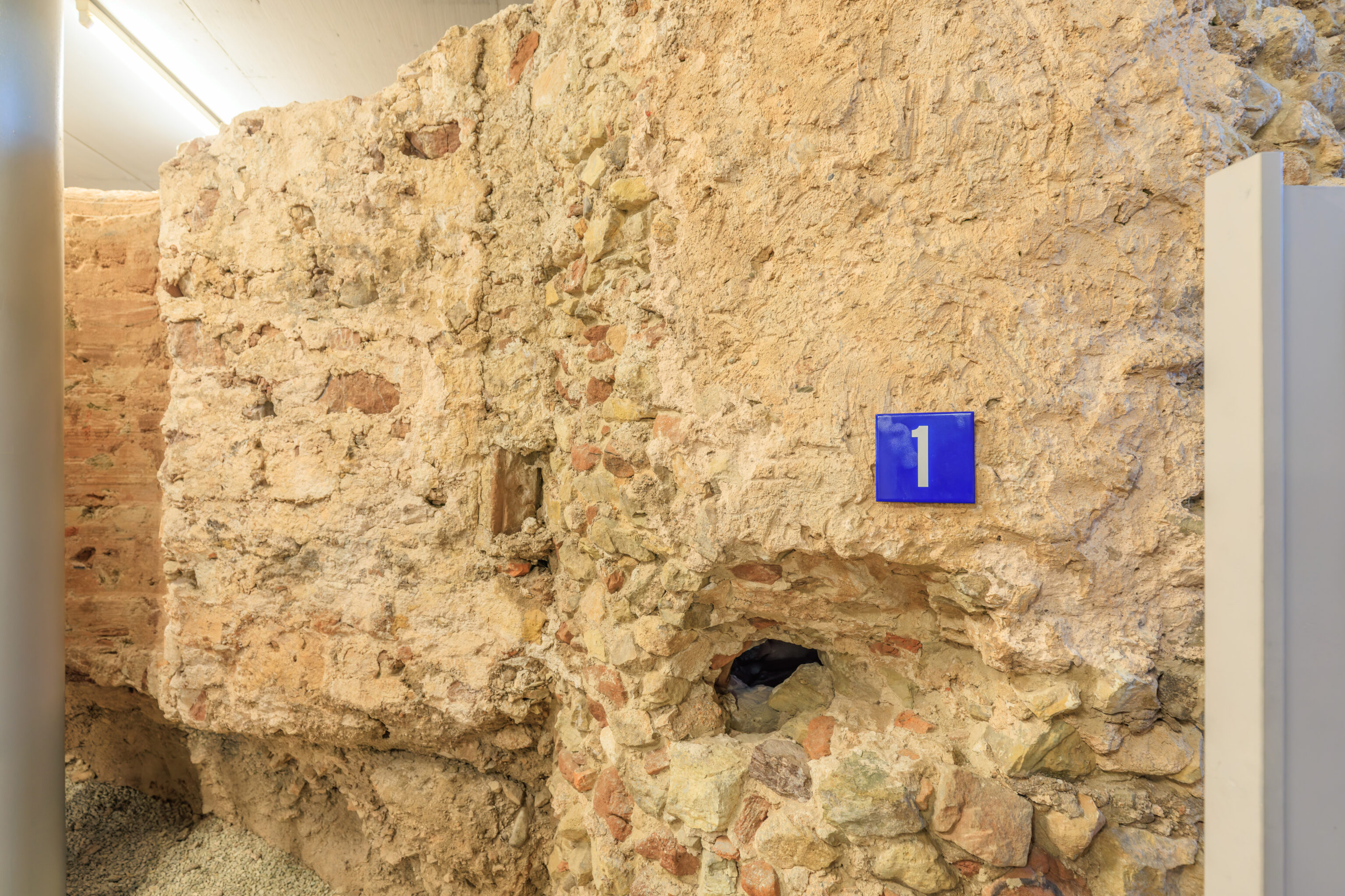
[1]

Cellar walls, well and latrine of the Capuchin monastery (17th/18th centuries)

In 1617, the foundation stone was laid for a monastery of the Order of Capuchin Monks. The cellar walls are constructed in part directly on the foundations of the buildings of the Roman baths. Large parts of the monastery were constructed on the rubble of buildings and debris from fires from the Roman period. The building only remained stable where it rested on Roman walls.

The north and south wings, as well as the inner courtyard and the monastery church were located on the eastern side of Cattle Market Square. The latter's "predecessor" was for the most part the monastery garden.

Some cellar walls with passageways, the entrance staircase and a latrine in the south-western corner of the monastery complex have survived. The rectangular latrine pit constructed from red sandstone blocks served for the disposal of the waste from the "earth closet" on the ground floor above it.
– Text from a sign.
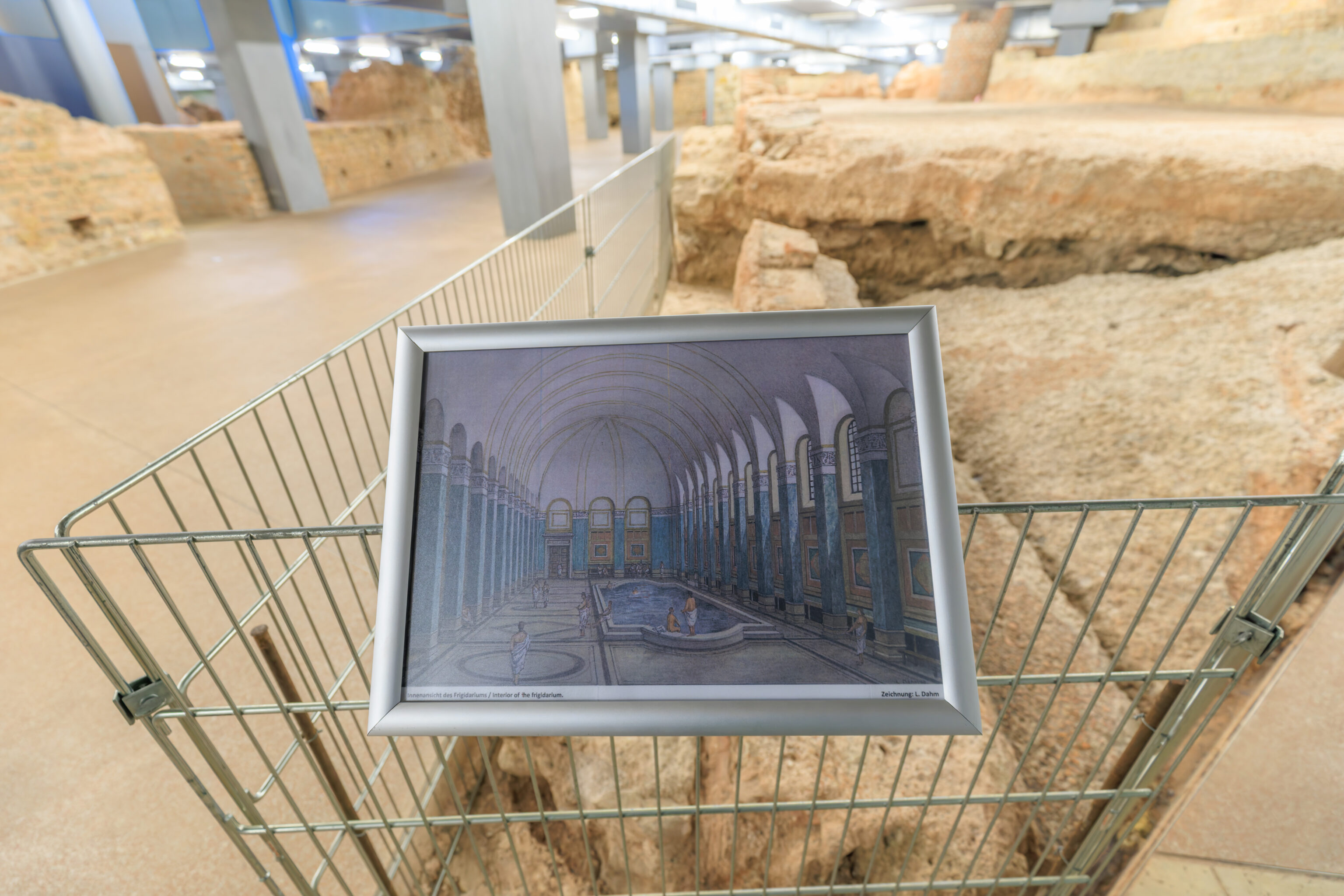
Zeichnung: L. Dahm
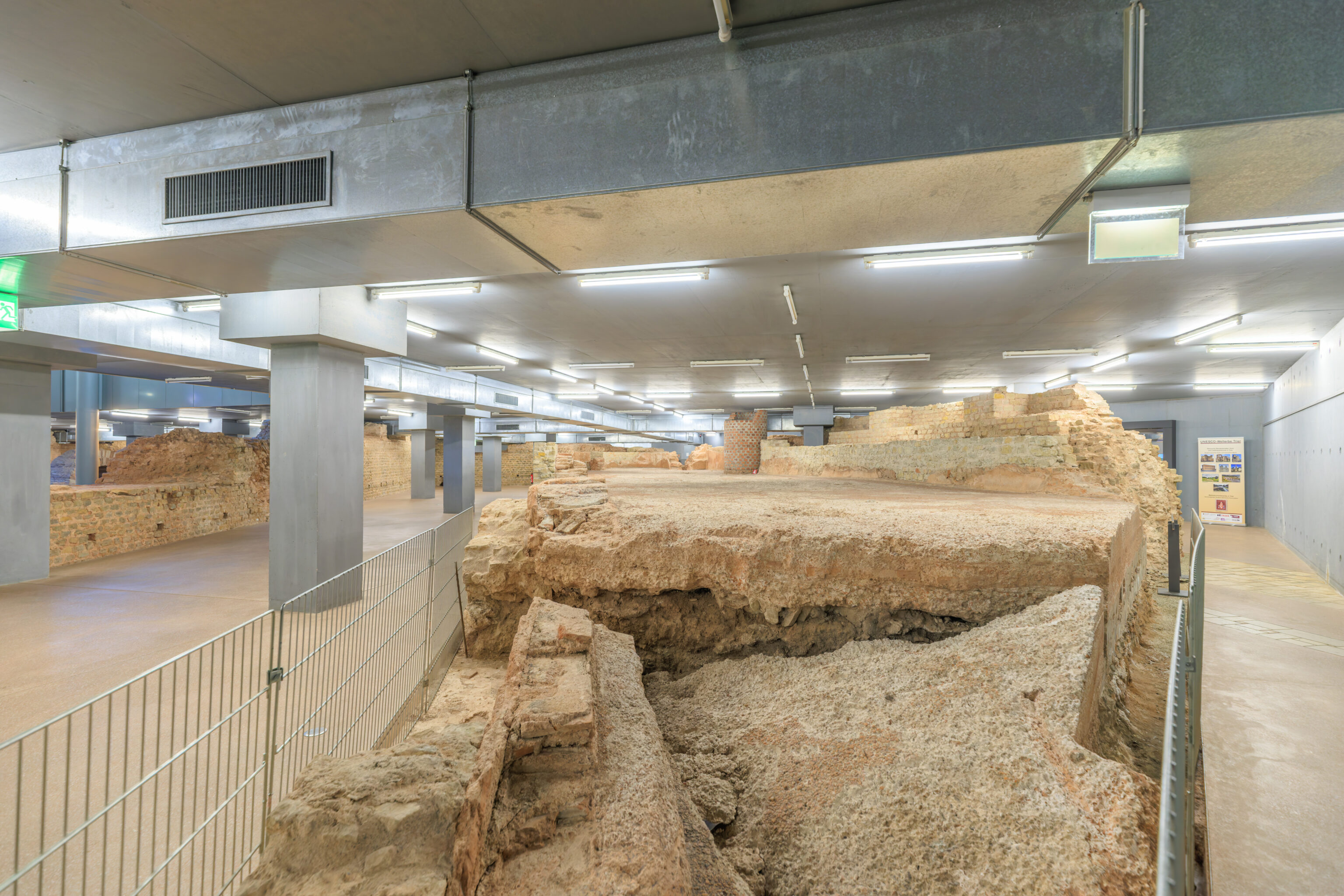
…
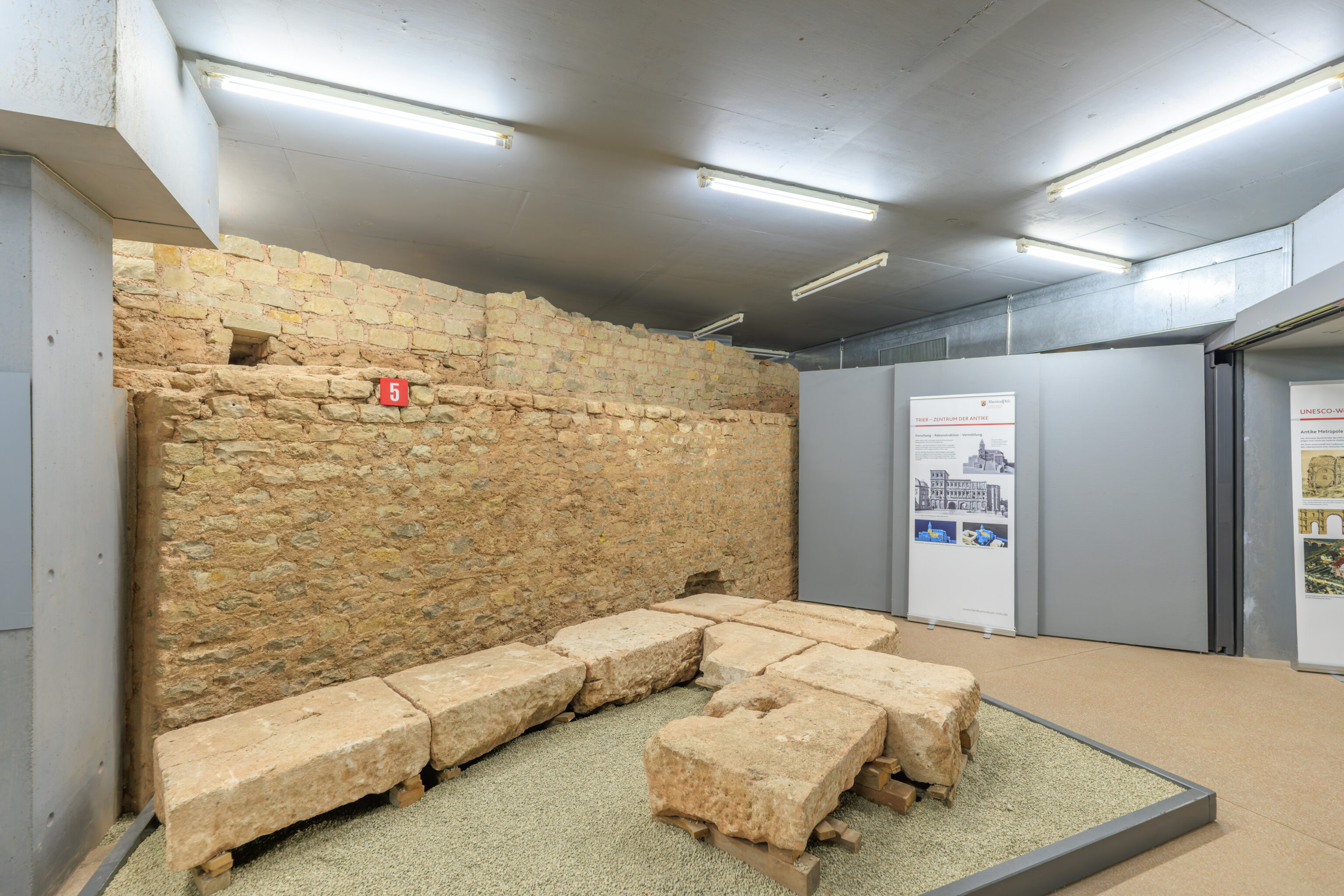
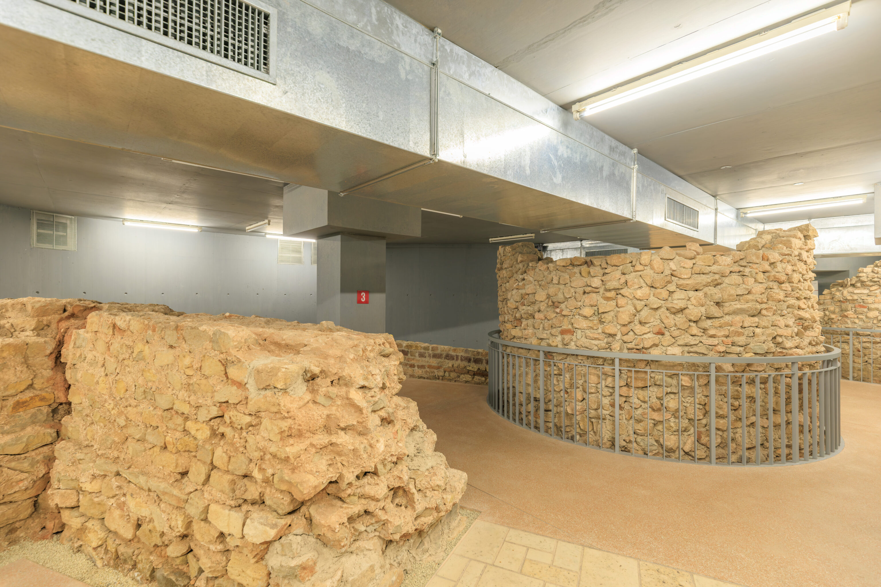
[3] [5]

Baths exercise area (palaestra) and limestone blocks of the paving

In the courtyard (palaestra) of the baths complex the Roman bath visitors were able to perform their sporting exercises. Beneath their feet were still the remains of the walls of the dwelling houses from the 1st century ad. The latter had to make way for the construction of the new baths at the beginning of the 2nd century and were demolished. The top surface thus "rose" by about 1 m in height.

The corner of a narrow, early Roman wall constructed in alternating layers of red sandstone and yellow limestone is to be seen. In addition, a protruding section of the wide palaestra wall on the east-west street (decumanus) is preserved. A Roman well shaft by the on the street side of the palaestra still served as a rubbish pit in the Middle Ages.

At the time of the excavations, blocks of jura limestone lay at the original height of use of the palaestra. The name SEX(tius?) is carved into one block. Perhaps this designates the name of the owner of the quarry from which the blocks were excavated.
– Text from a sign.
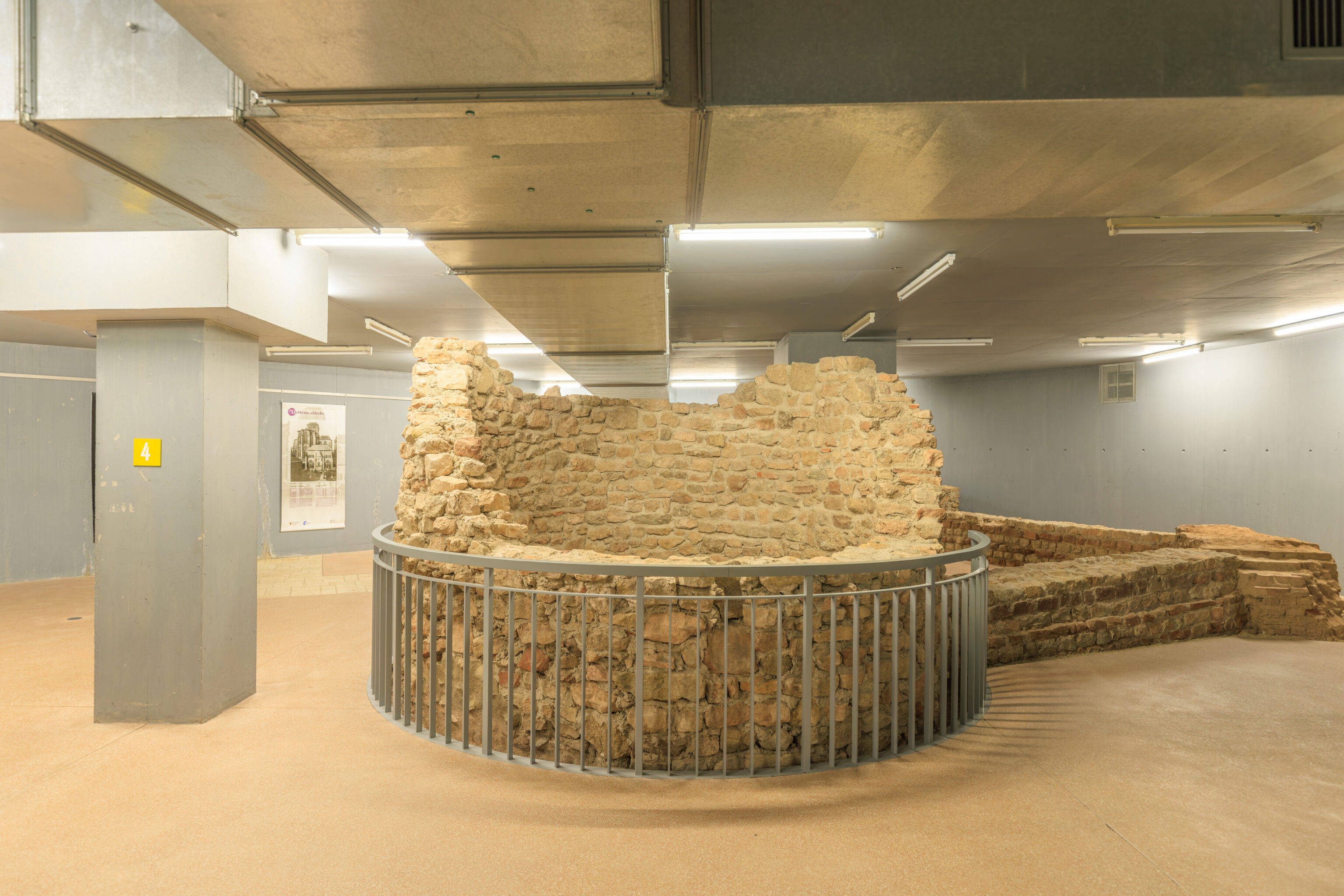
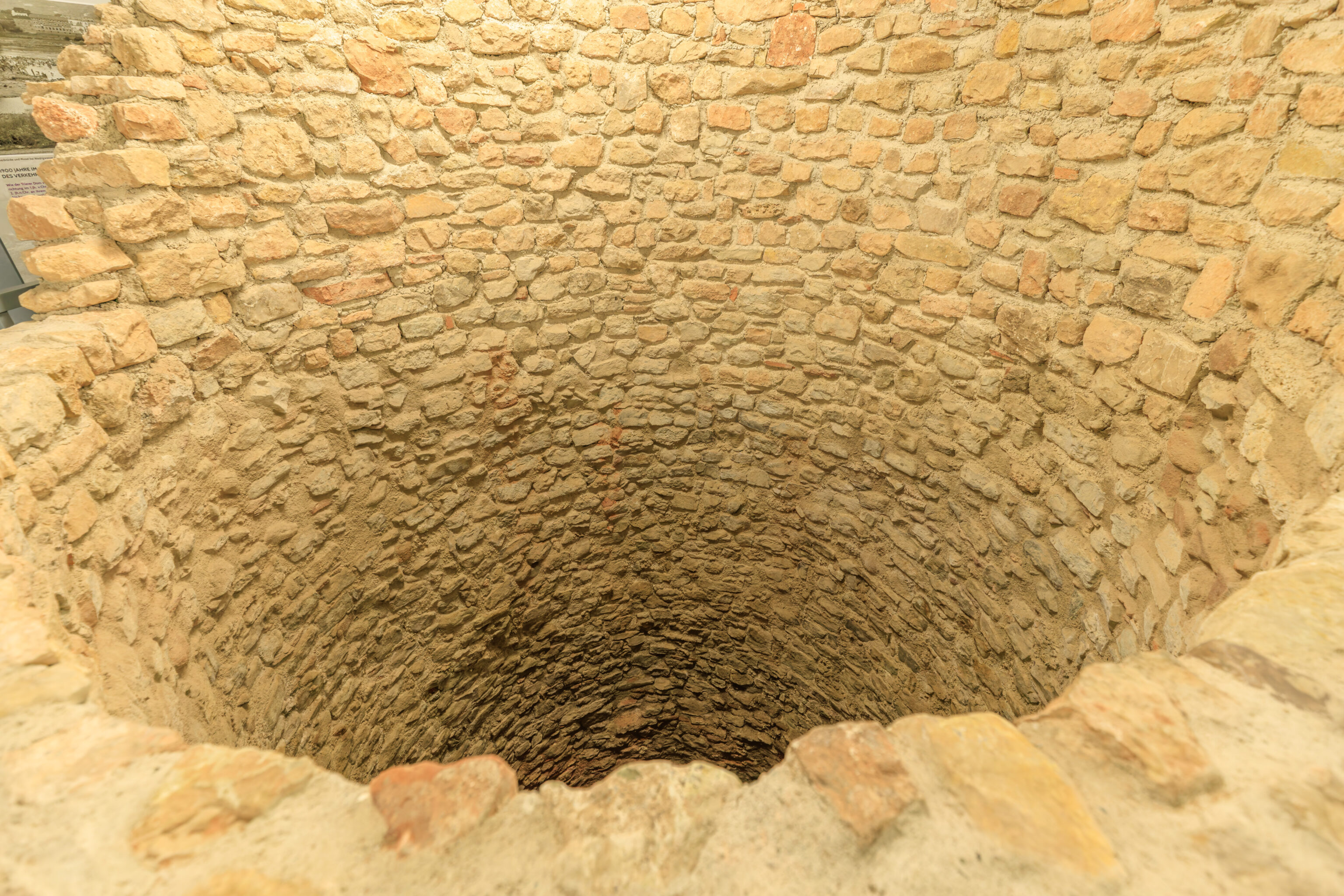
We exited the Thermen am Viehmarkt just a few minutes before the site closed at 5pm. We saw almost no one else during our visit.
Evening
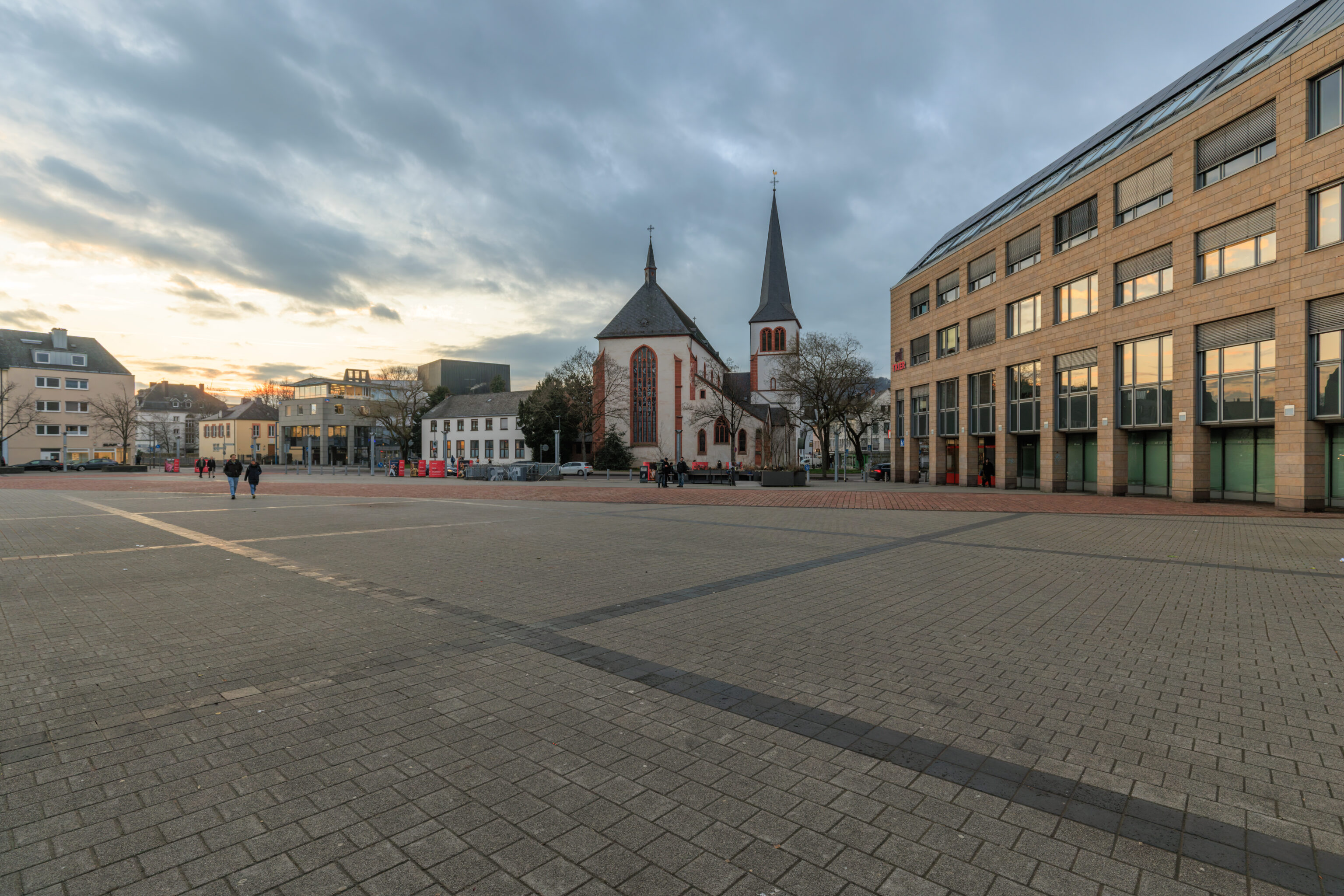
There was about fifteen mintues left before sunset as we started to head back to the Trier Hauptbahnhof. The church in the background here is St. Anthony, the one we walked past on our way here.
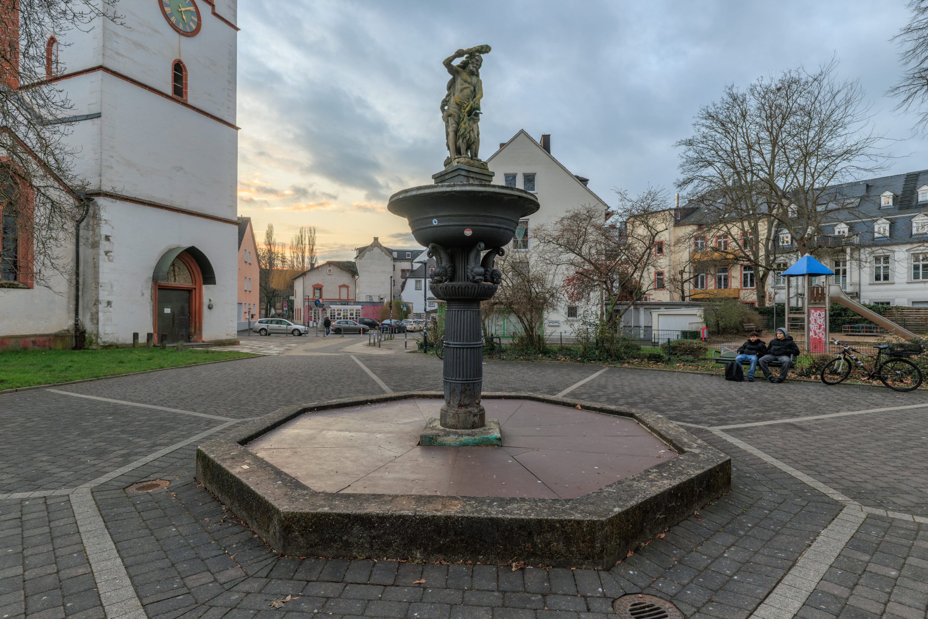
This fountain on the north side of the church is the Herkulesbrunnen (Hercules Fountain).
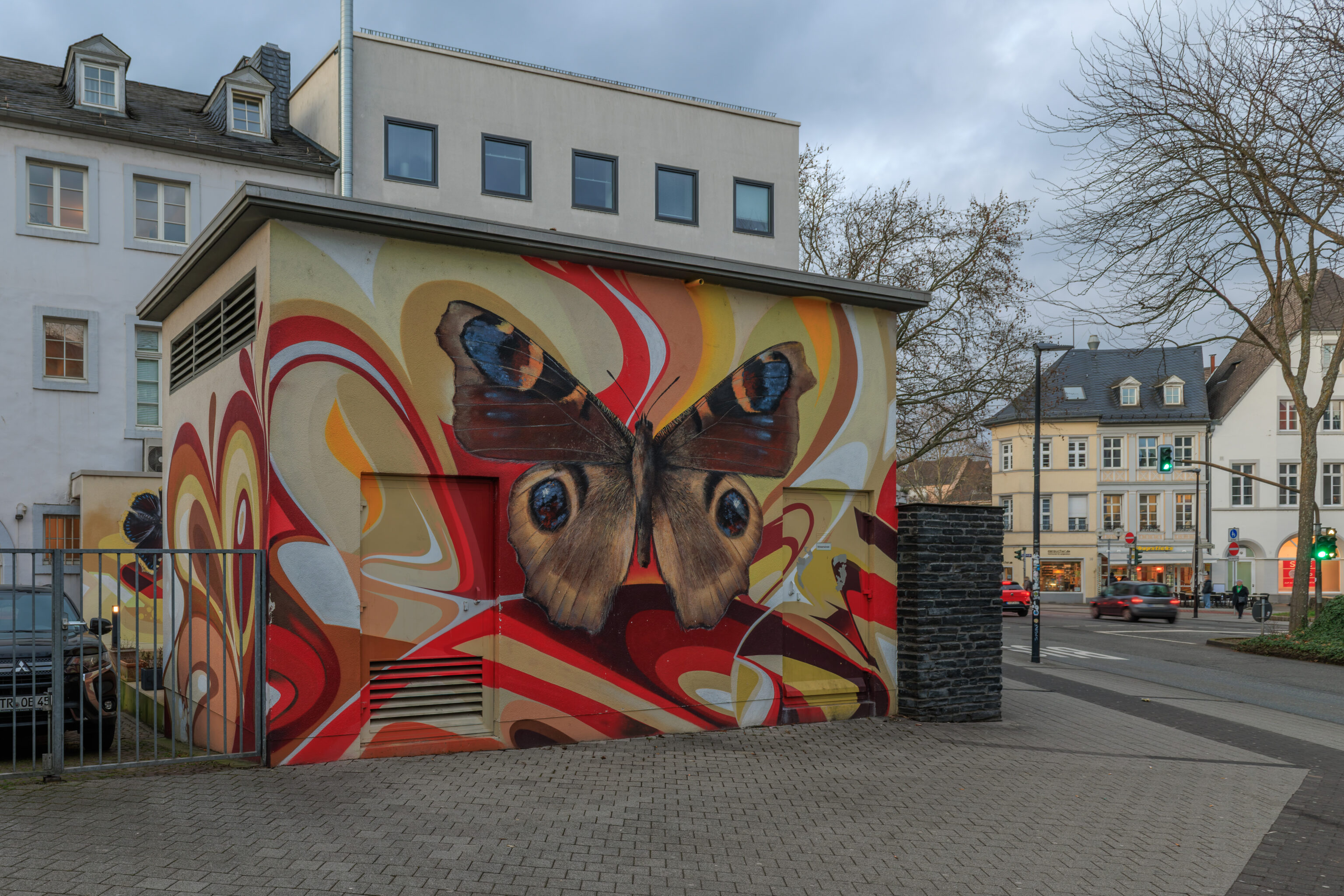
We walked past this scene just a little bit to the north.
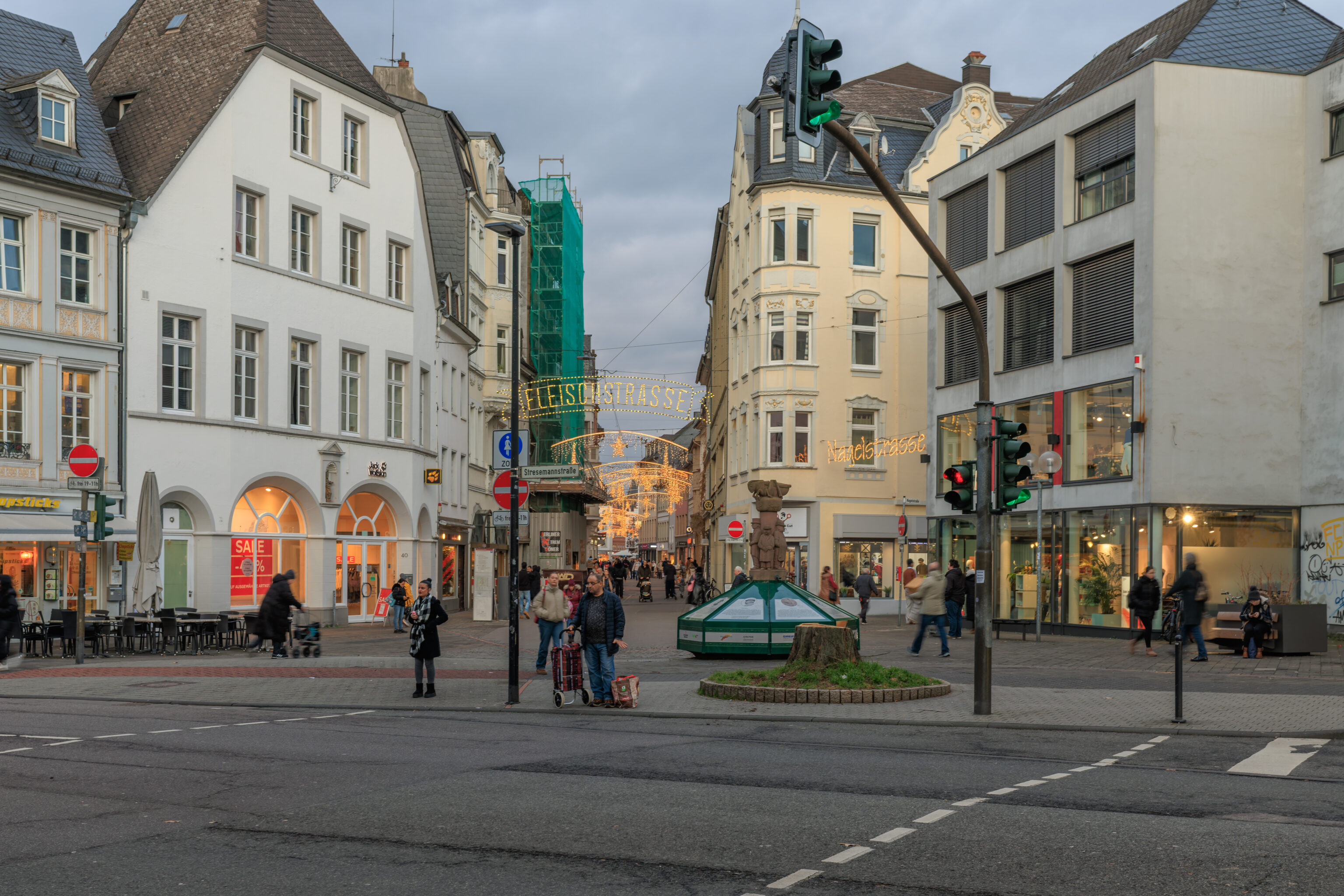
This six way intersection includes four roads and two pedestrian paths.
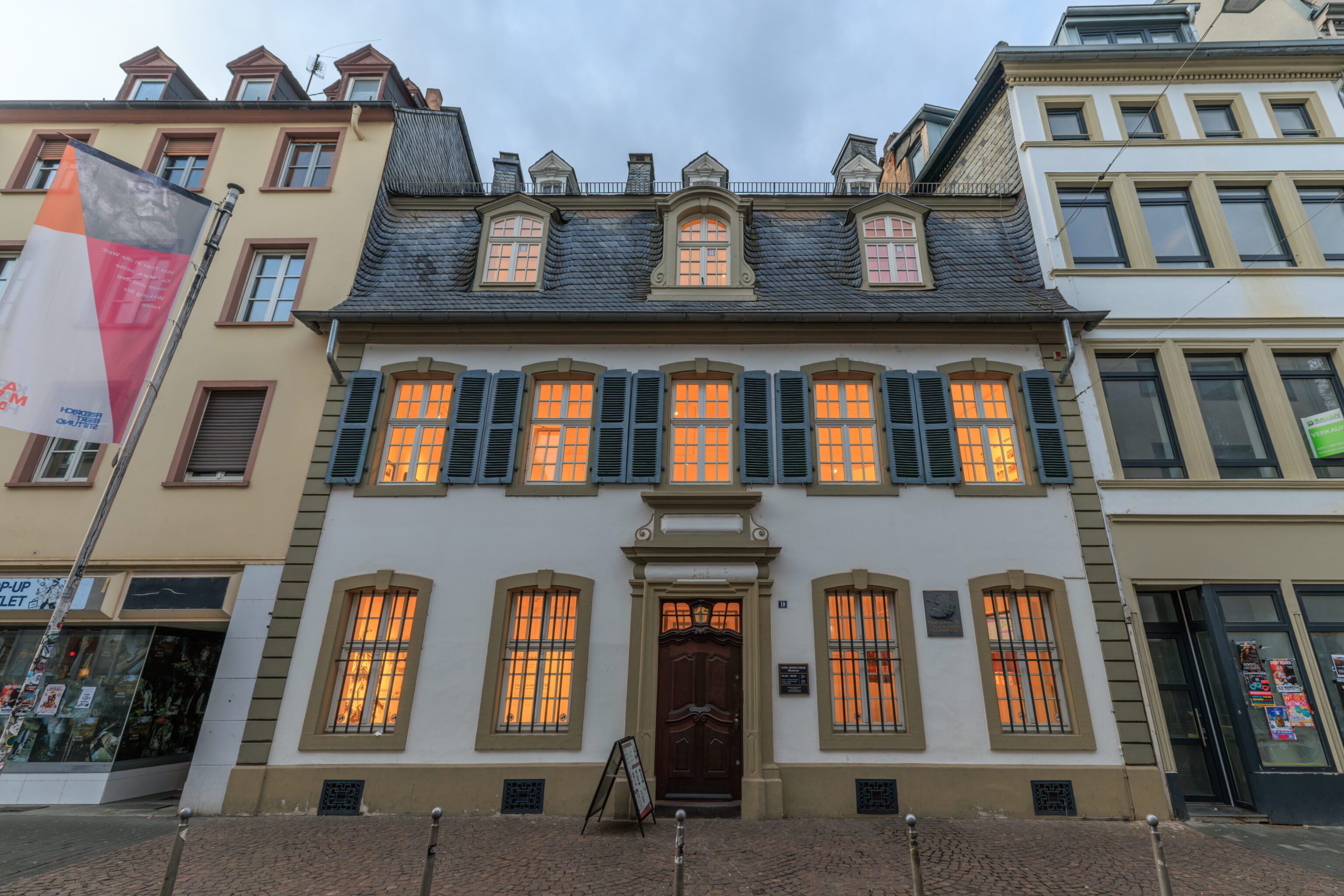
This building, almost right at the intersection, is the Karl Marx Haus. It was built in the 18th century and is where he wa born.
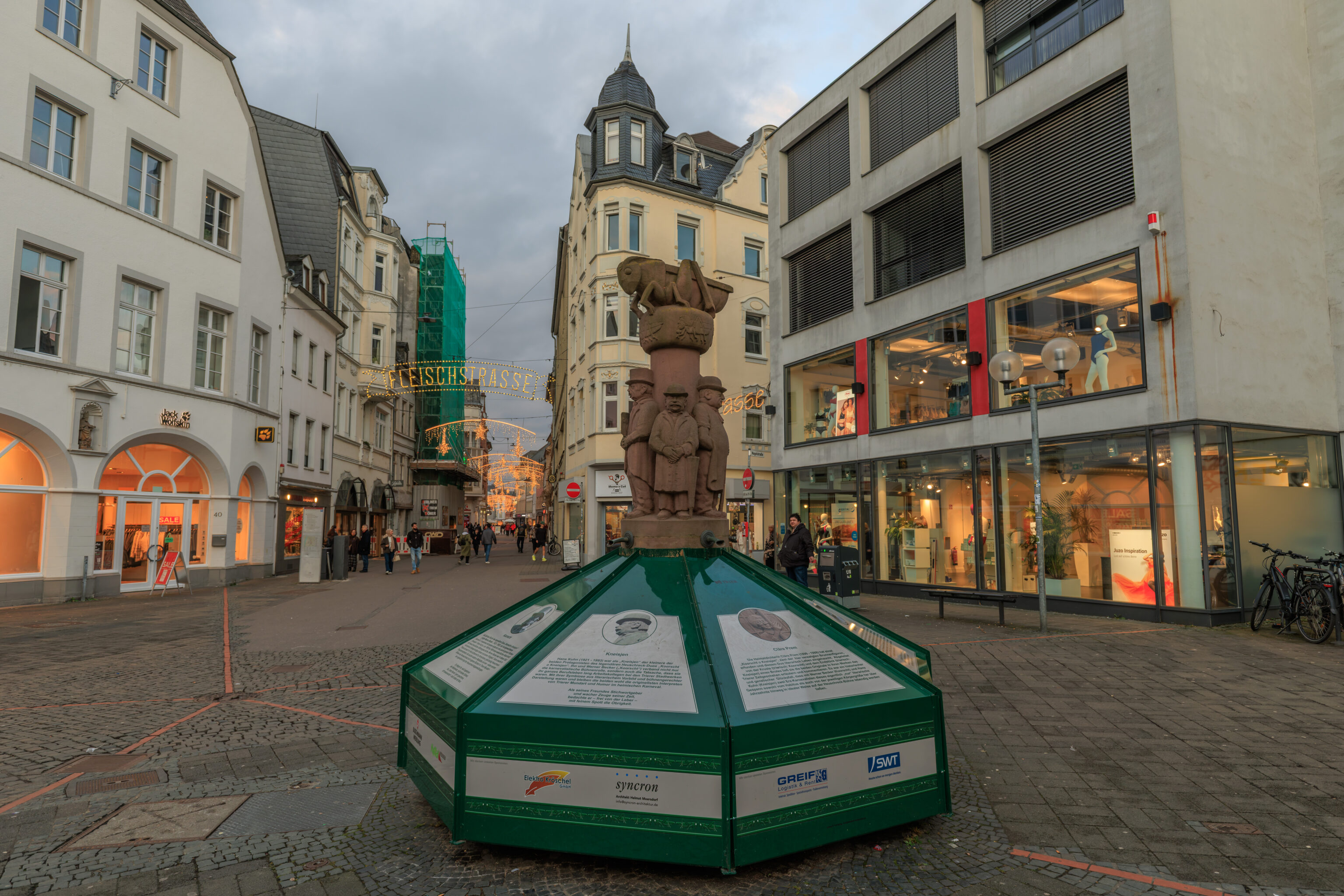
We returned to the intersection and crossed the street to begin walking to the northeast along the Fleischstraße (Meat Street), seen on the left here. This interestingly designed fountain in the foreground is the Heuschreckbrunnen (Grasshopper Fountain). Local people from Trier are depicted on the fountain including its sculptor, Willi Hahn. The green metal shell with informational panels seems to be put in place only during the winter to protect the fountain’s water basin from the elements.
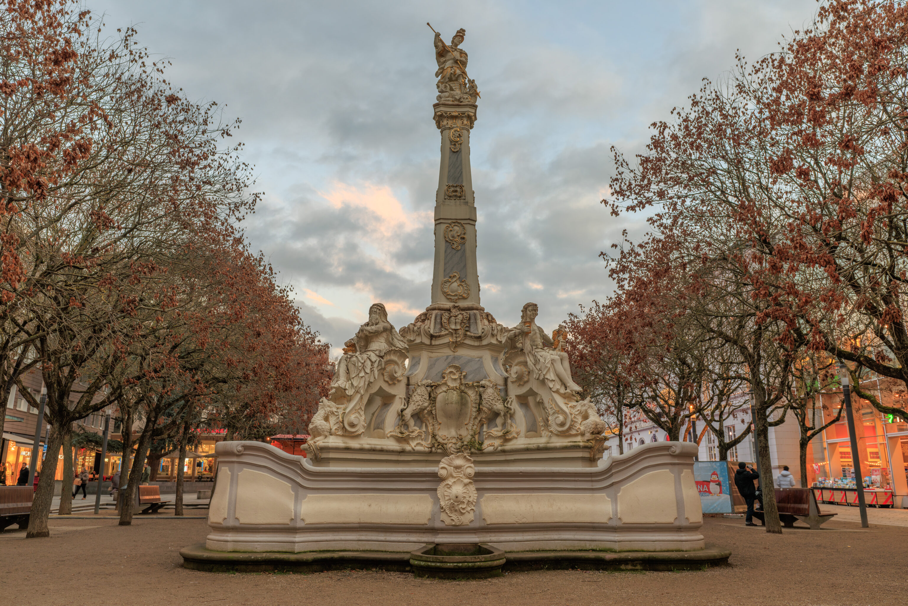
After walking a little bit to the north along the Fleischstraße, we arrived at the Kornmarkt (Corn Market). This fountain, the Georgsbrunnen (George’s Fountain), was on the western side of the square. It was built to honor Franz Georg von Schönborn, Archbishop and Elector of Trier, and among other things depicts St. George.
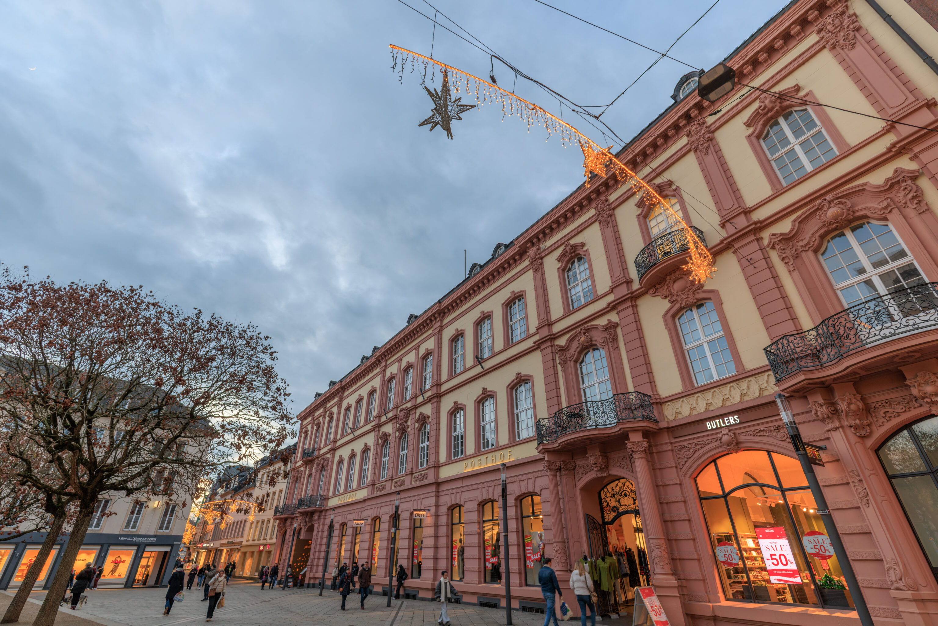
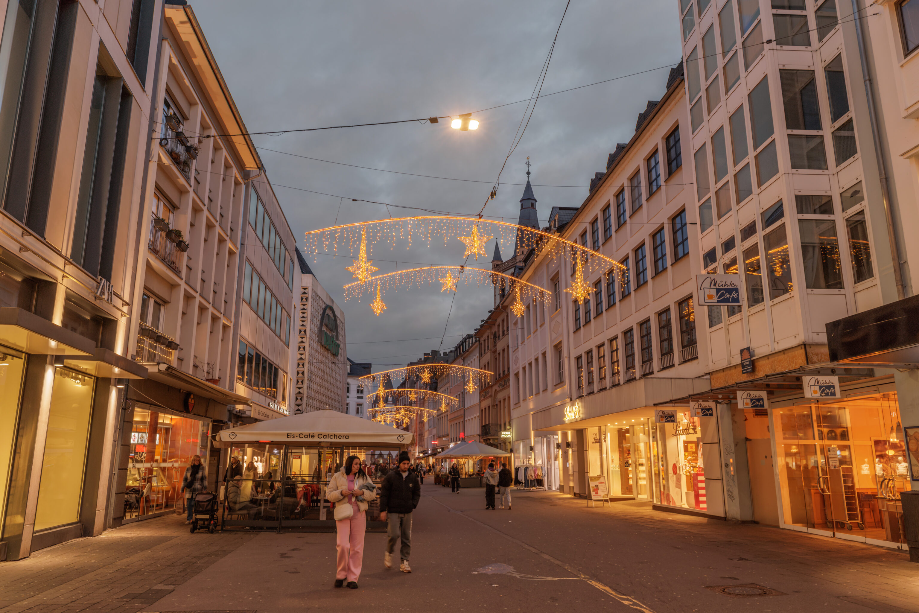
We continued on to the north.
We went in to take a look at the Lindt chocolate shop.
They had Karl Marx boxed chocolates!

We bought some chocolate as we saw they had dark chocolate Dubai style chocolates and they were on sale. The dark chocolate ones are better than the regular chocolate ones we’ve had before, although the pistachio flavor is still pretty weak. We also got orange spritz to try. Both kinds were made in Germany.
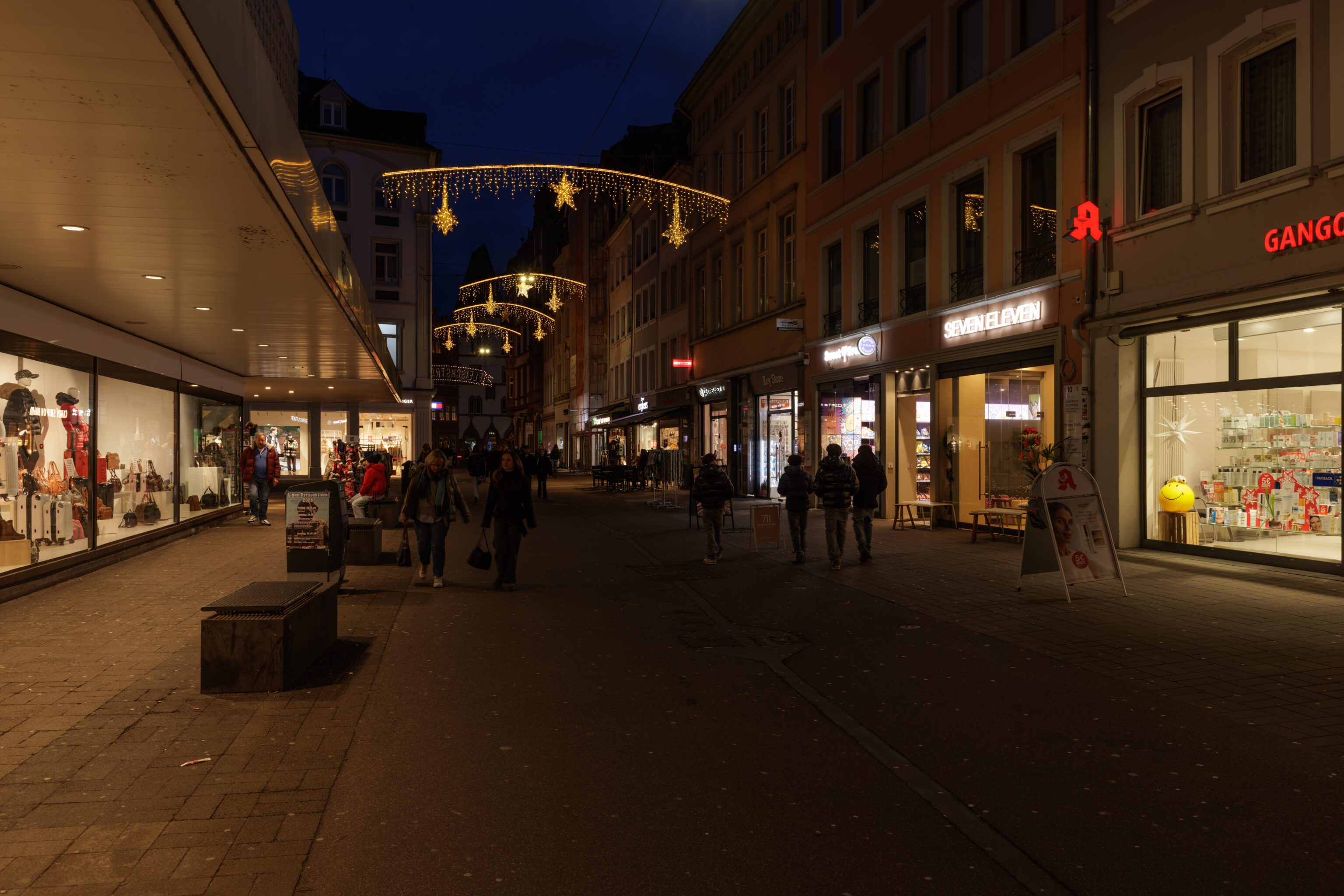
It was dark out when we left the Lindt store. We continued walking north.
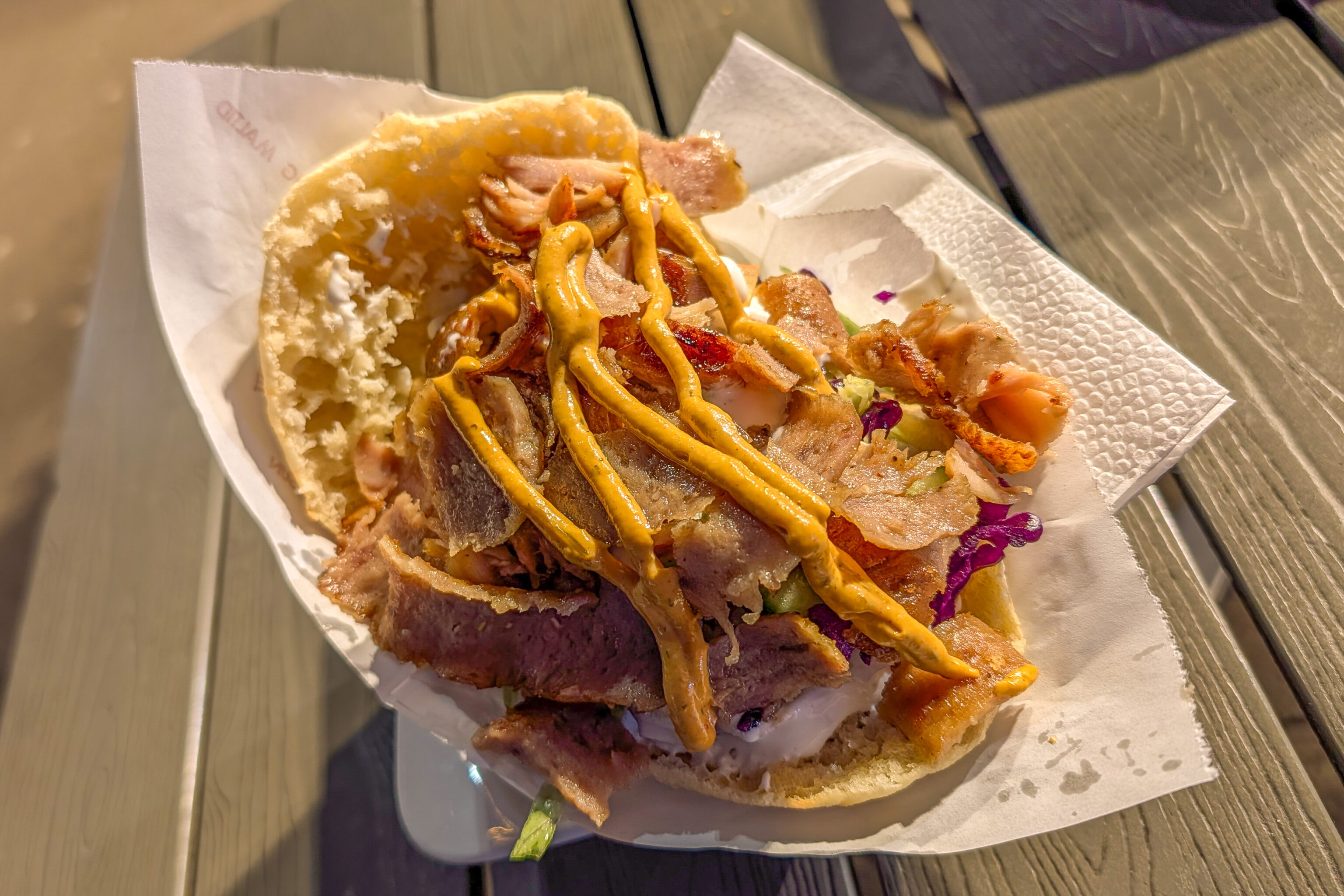
We decided to get döner from City Döner before leaving Trier. Döner is pretty much always good!
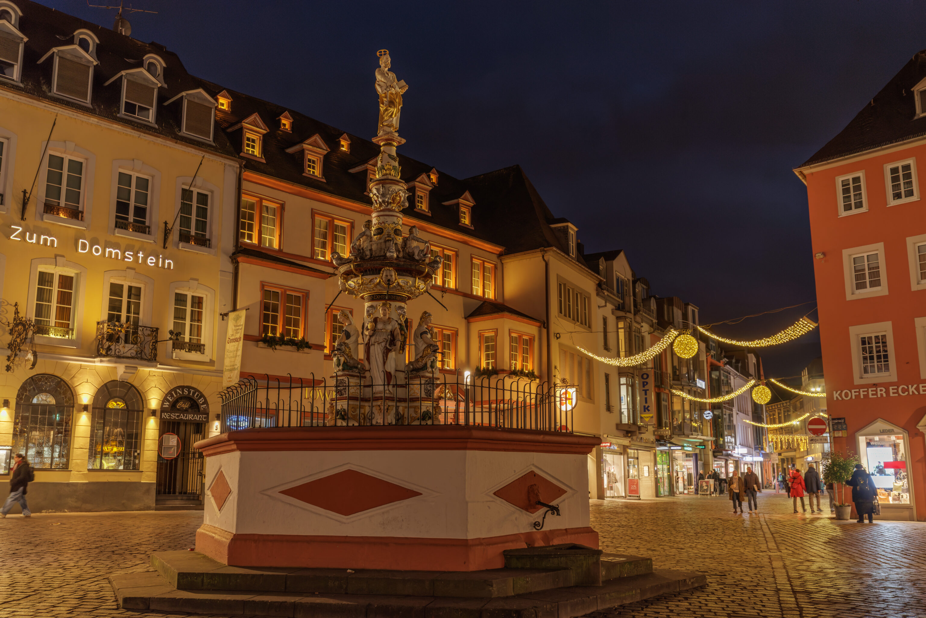
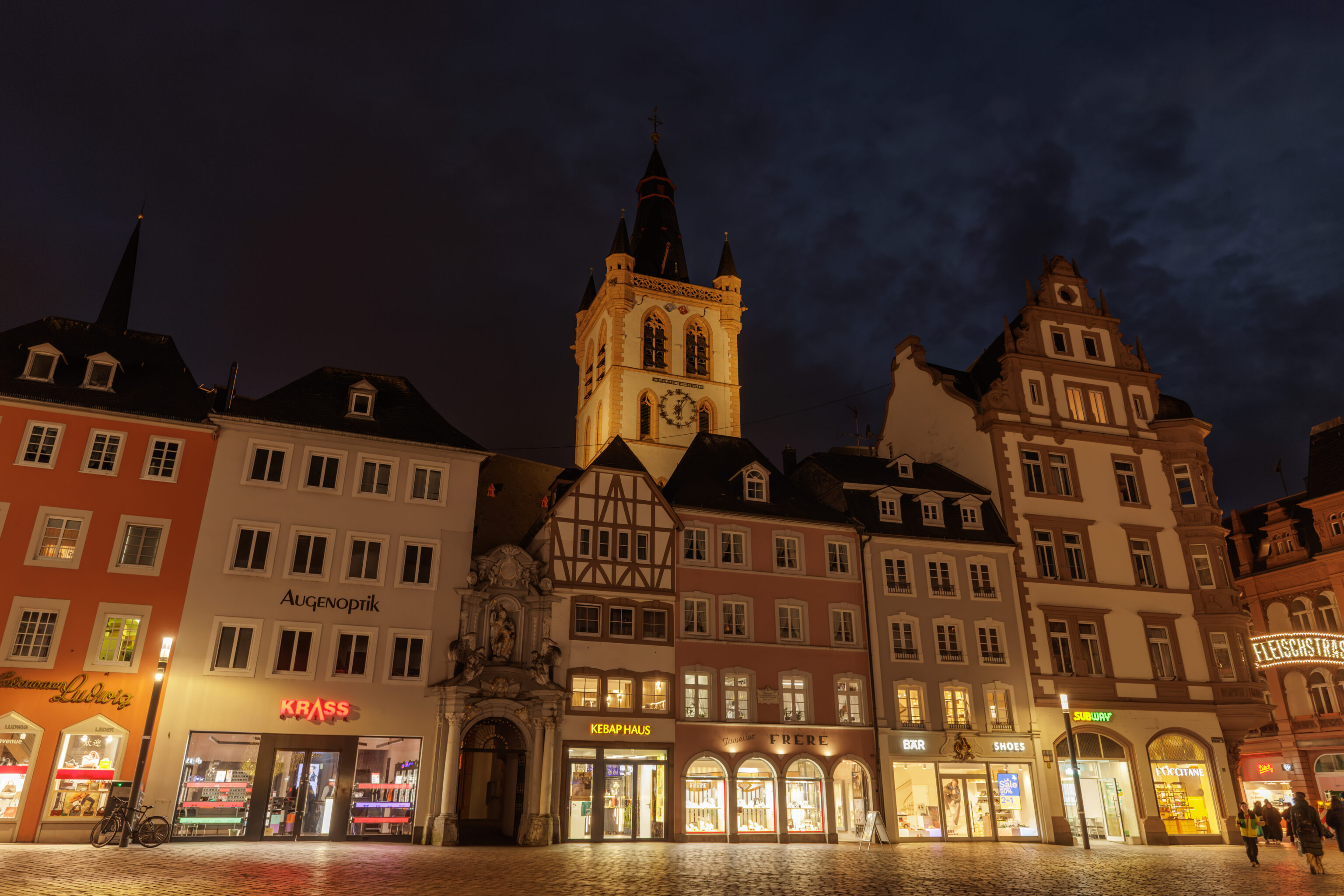
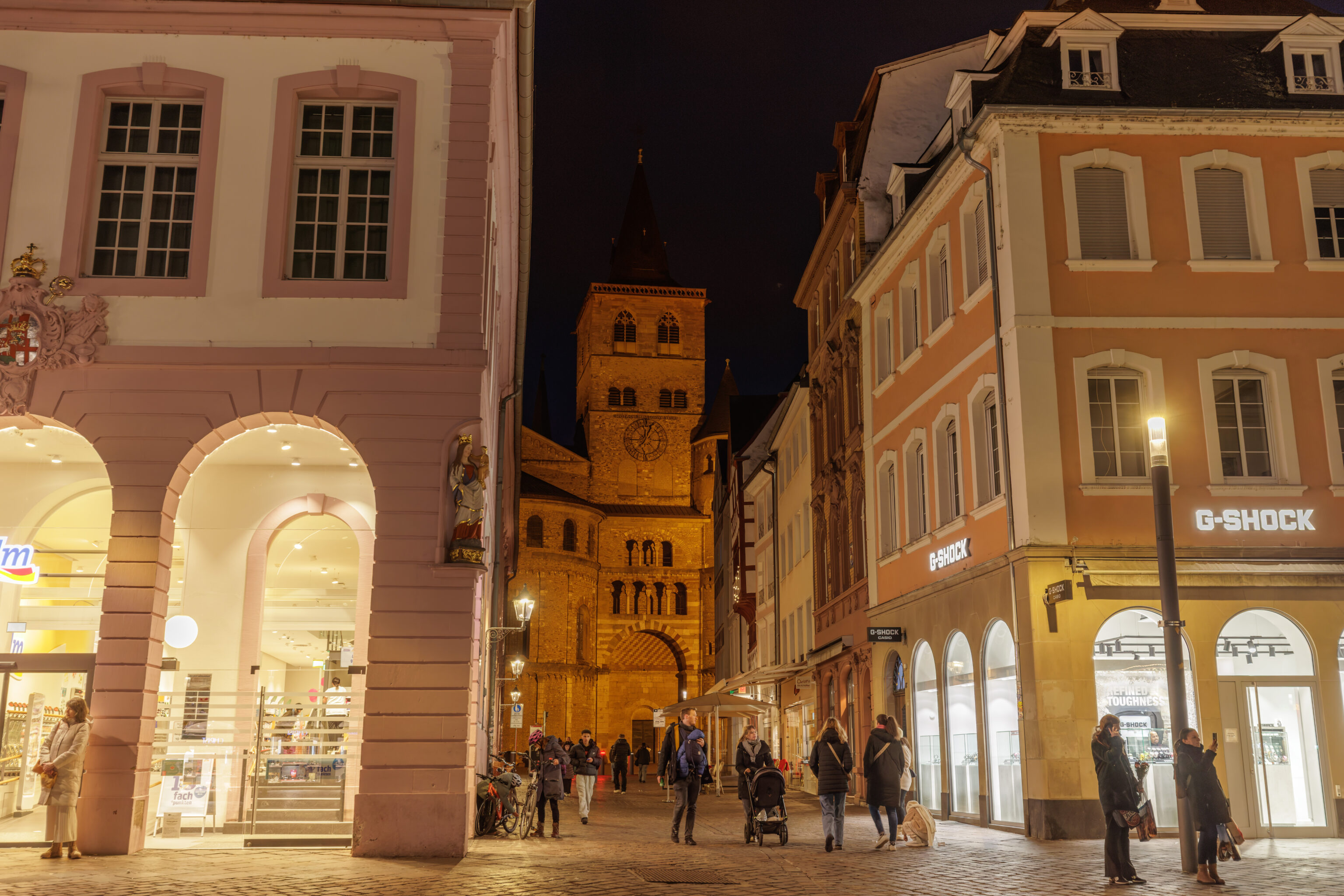
Continuing on, we returned to the Hauptmarkt.
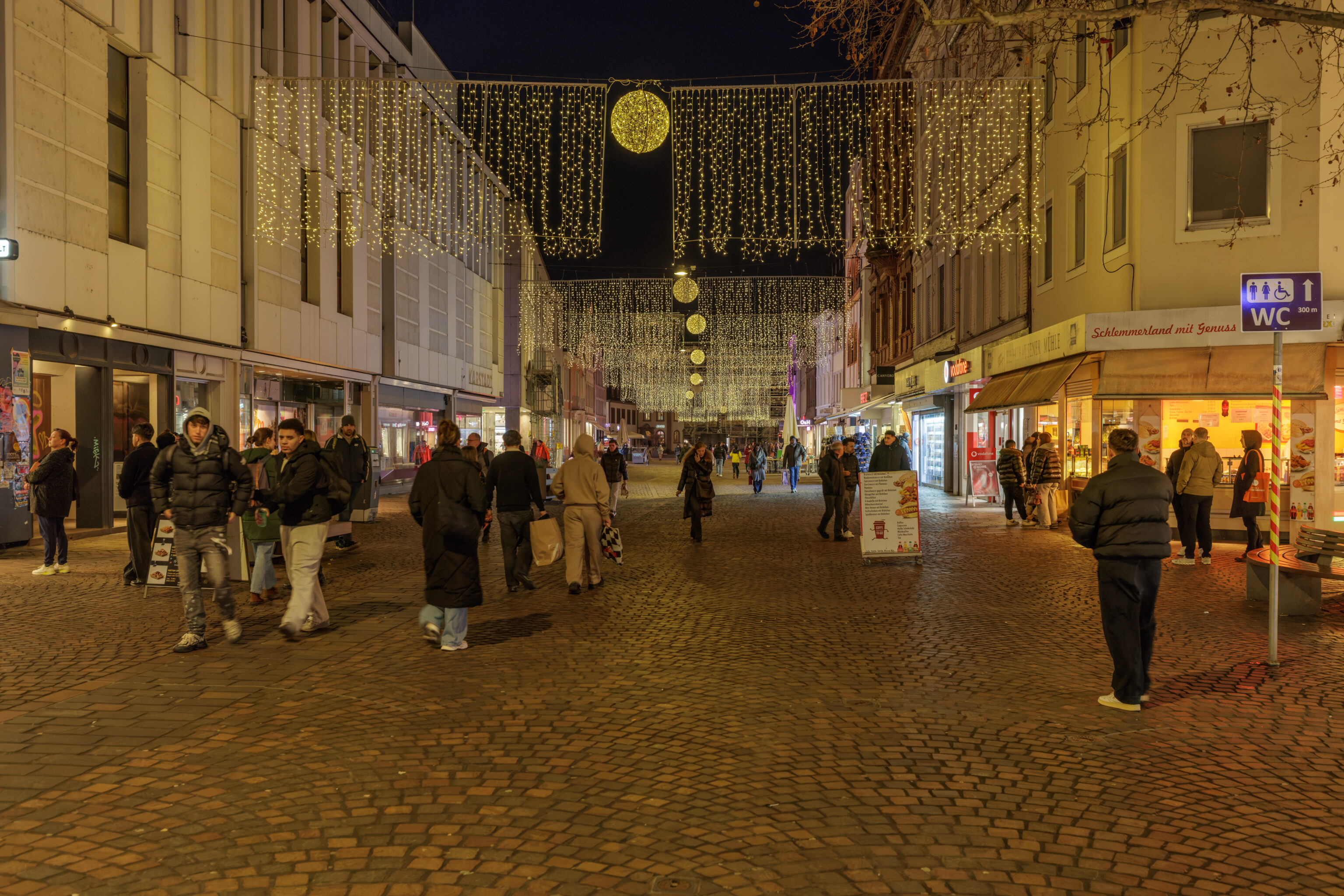
The area was much busier now compared to when we were here in the morning.
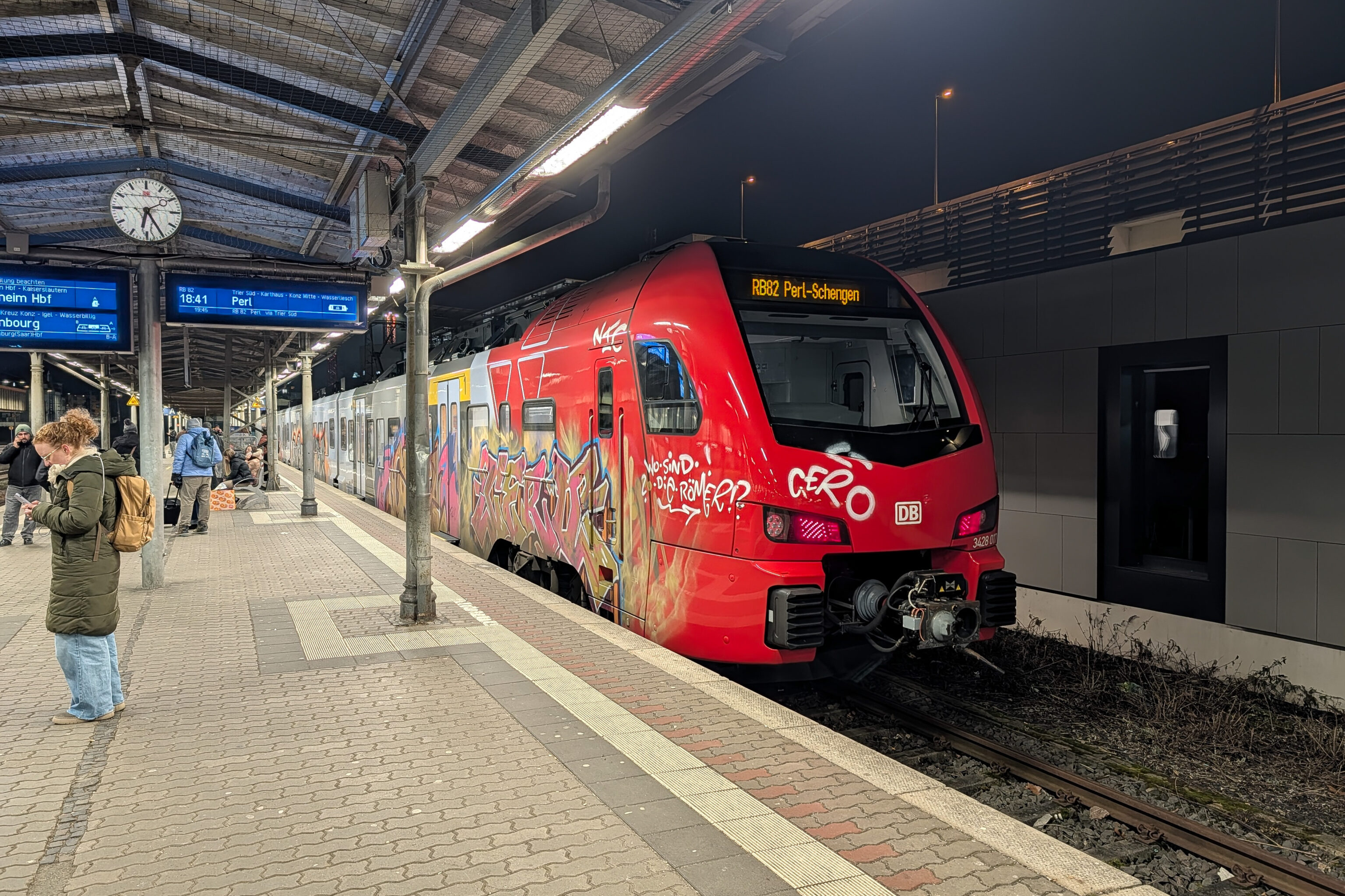
We ended up taking a side street to return to the train station rather than go through the Porta Nigra again. While waiting for our train back to Luxembourg, we noticed this train on the right wihch is going to Perl-Schengen.
Schengen is a small town in Luxembourg where the Schengen Agreement was signed in 1985 which formed the Schengen Area. Schengen is why we are able to easily move around Western Europe without needing to worry about border control.
Perl is a town in Germany across the Moselle from Schengen. Unfortunately, there is no relation to the Perl programming language.
The border by Schengen and Perl is actually shared with France as well. Poor Apach, France, is not listed as a destination on this train!
Luxembourg
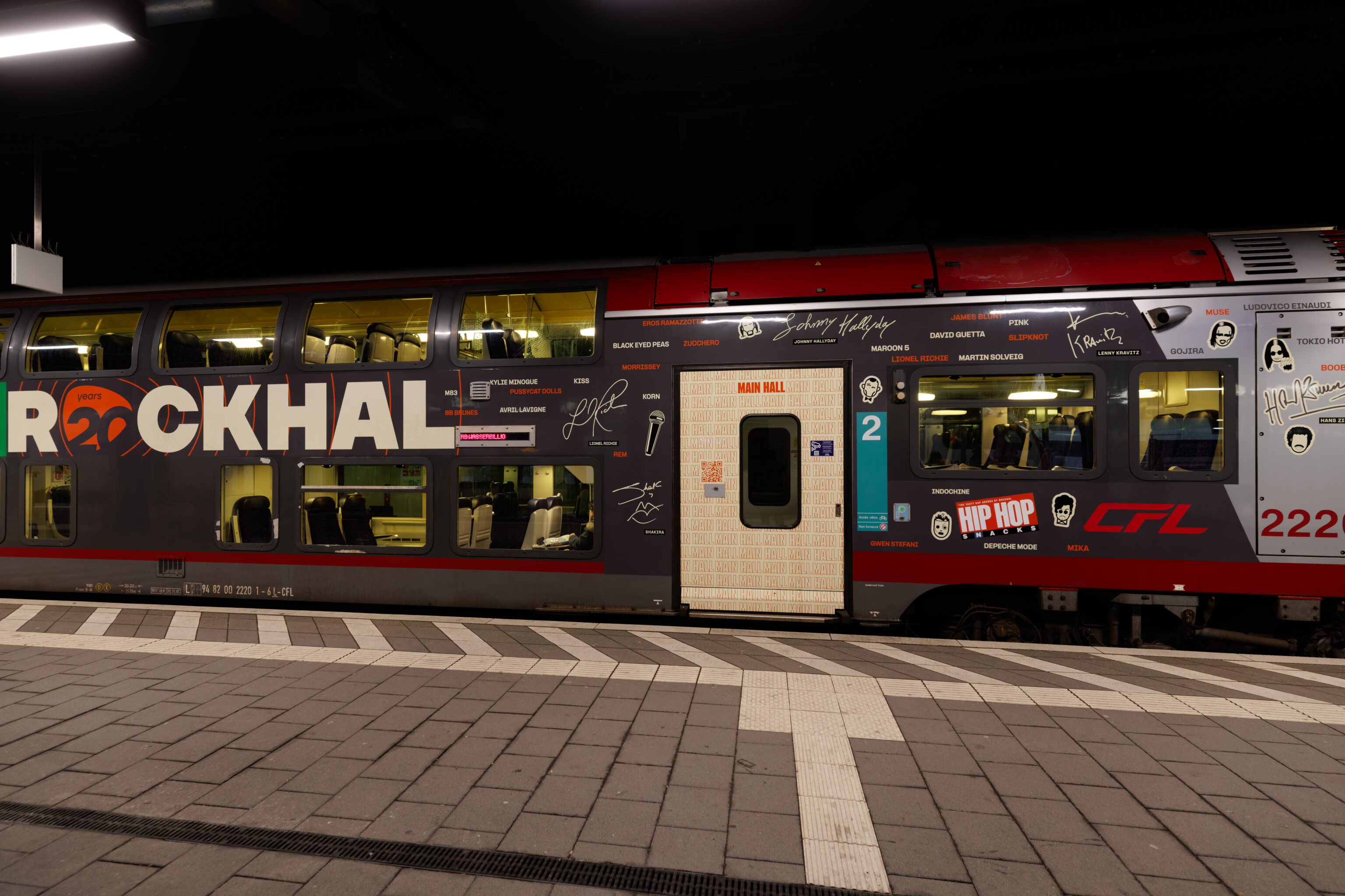
We noticed this train had a special livery. Rockhal is a concert hall that opened in 2005 in Esch-sur-Alzette, Luxembourg next to the border with France.
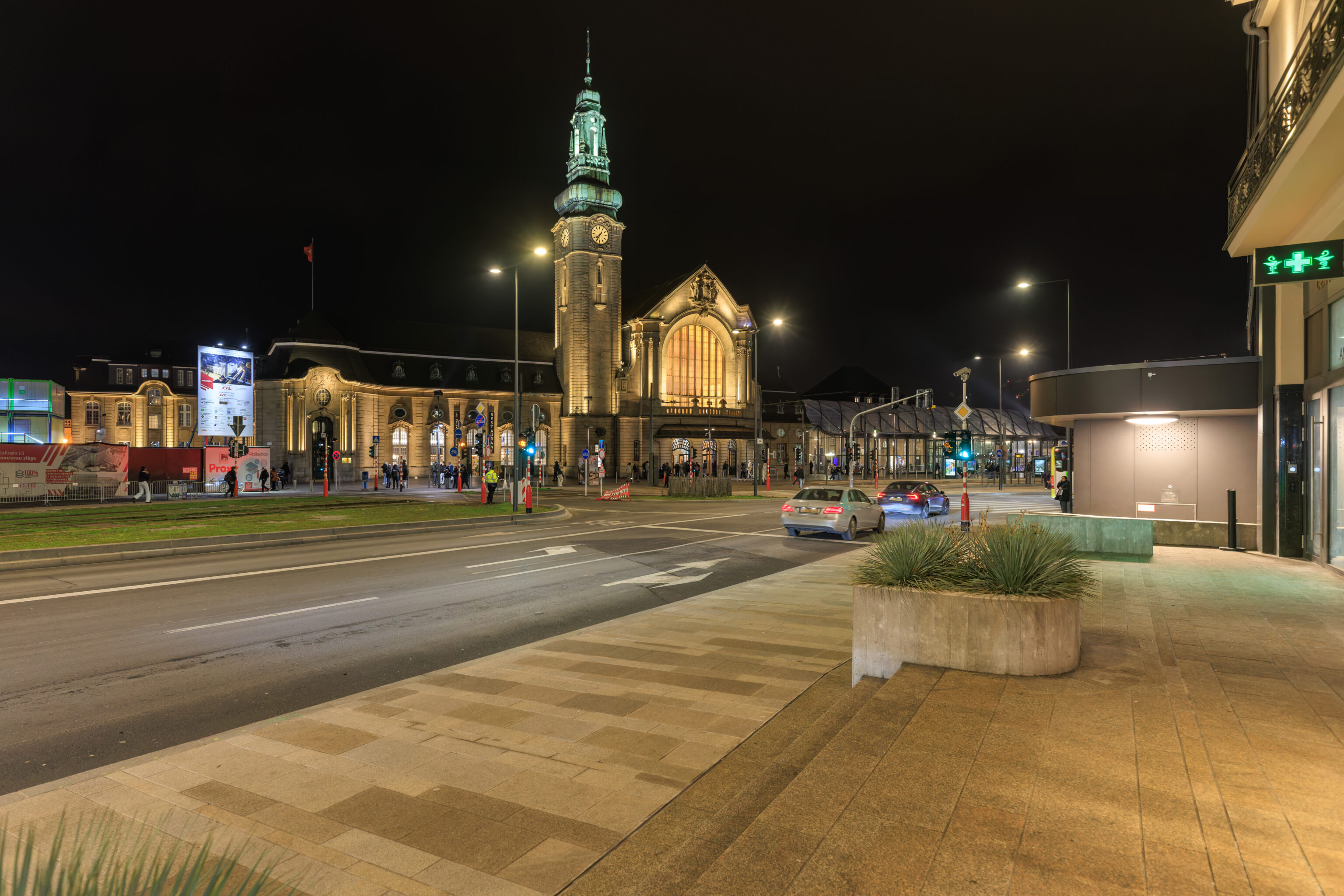
Luxembourg’s train station as seen from the Marriott.