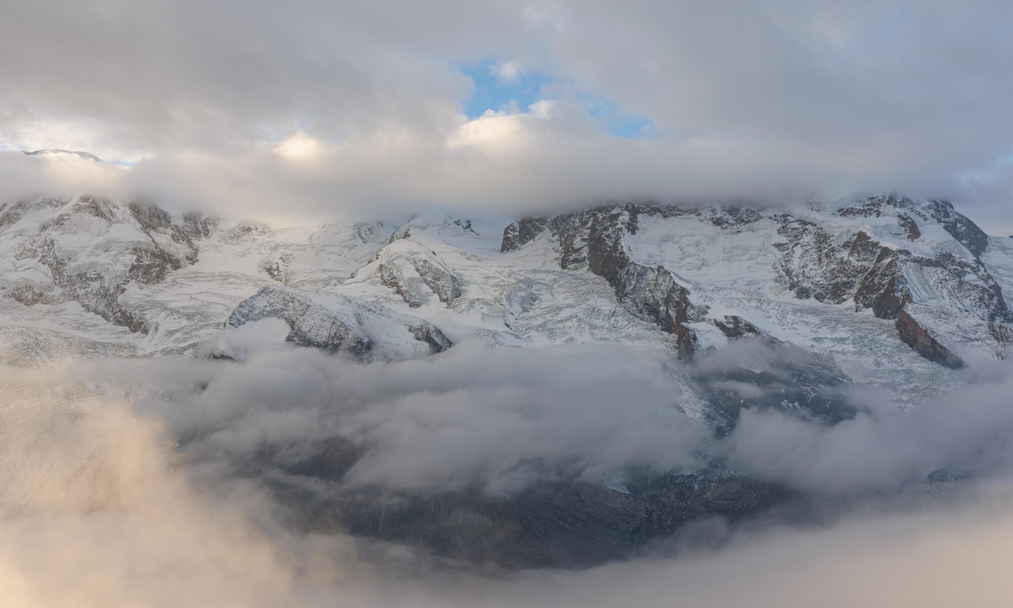

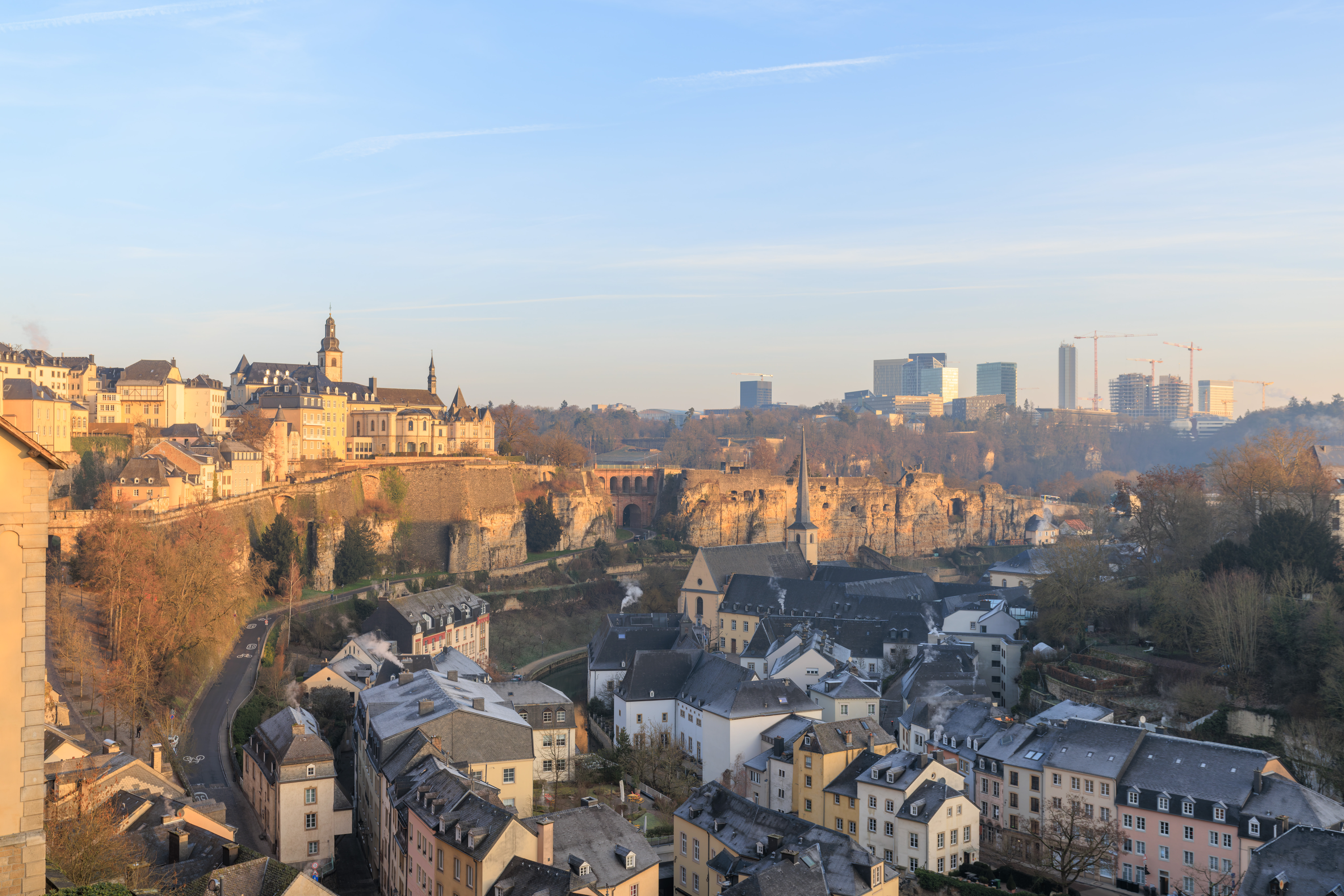
After breakfast at the Luxembourg Marriott Hotel Alfa, we walked to the north across the Passerelle to the Ville Haute. We enjoyed the view of the remnants of the Fortress of Luxembourg, briefly descended to the Grund via elevator, and visited the Notre-Dame Cathedral before walking through the Bock Casemates. After, we had lunch in front of the Grand Ducal Palace before visiting the Pétrusse Casemates. We walked back up through the Pétrusse Valley, spending more time in the Ville Haute before returning to the Marriott via an interesting walkway suspended below the Adolphe Bridge.
Morning
After waking up at the Luxembourg Marriott Hotel Alfa, we headed downstairs for breakfast in the hotel’s restaurant, Brasserie Alfa.
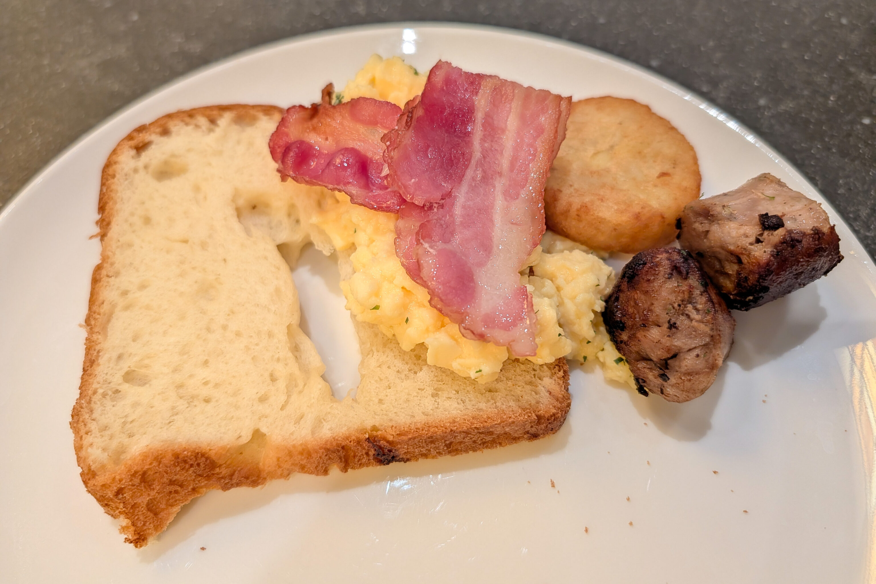
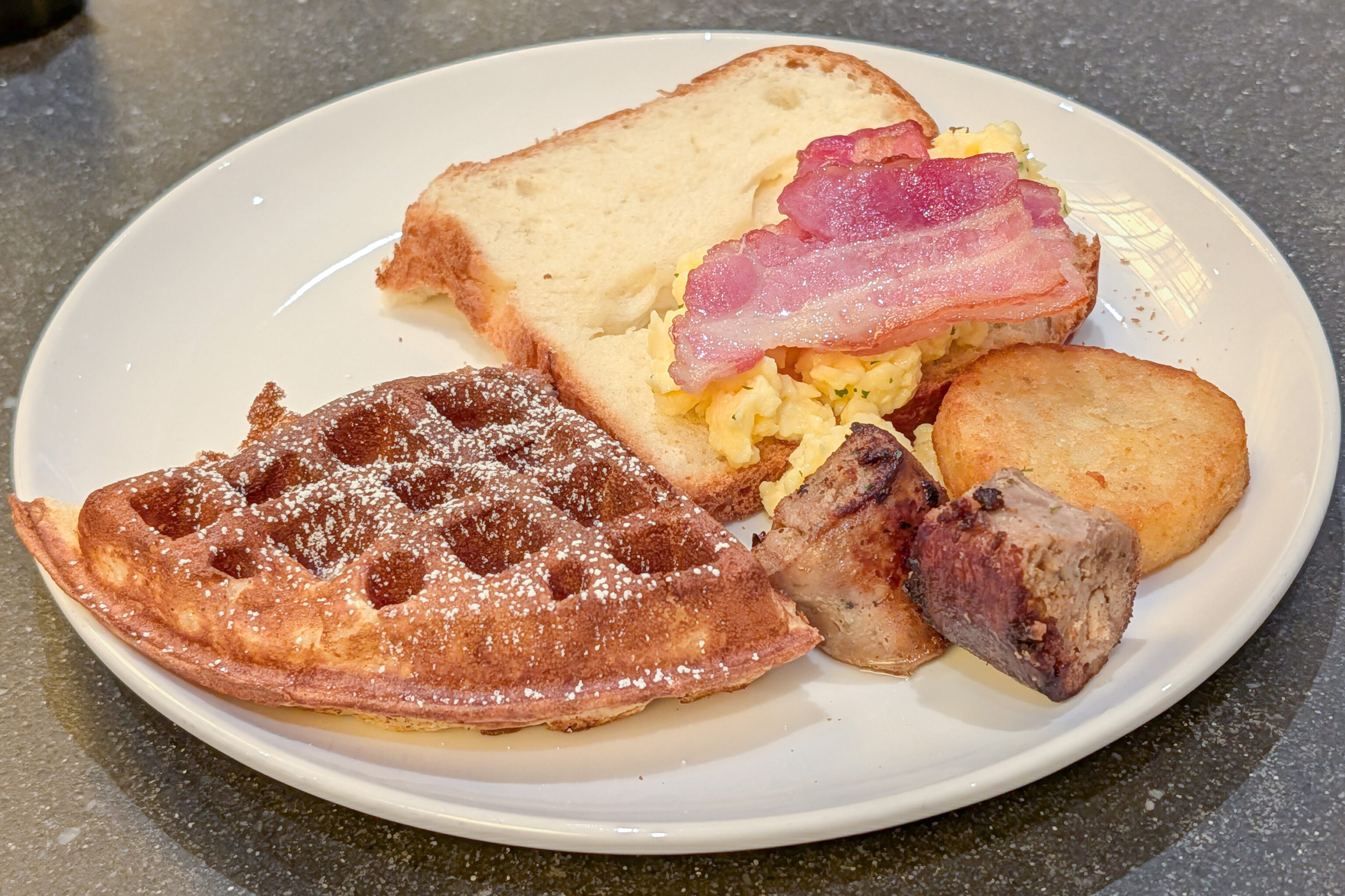
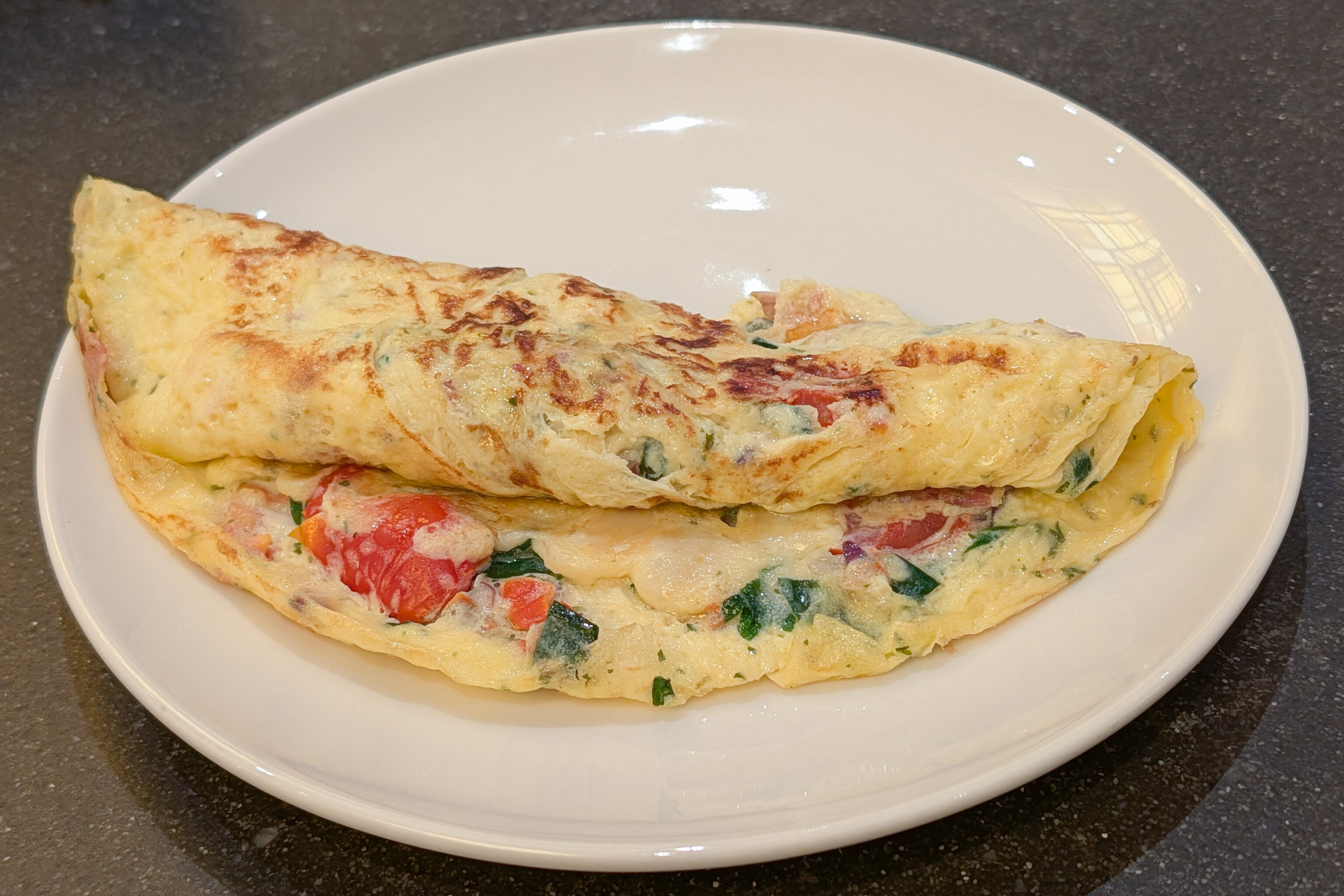
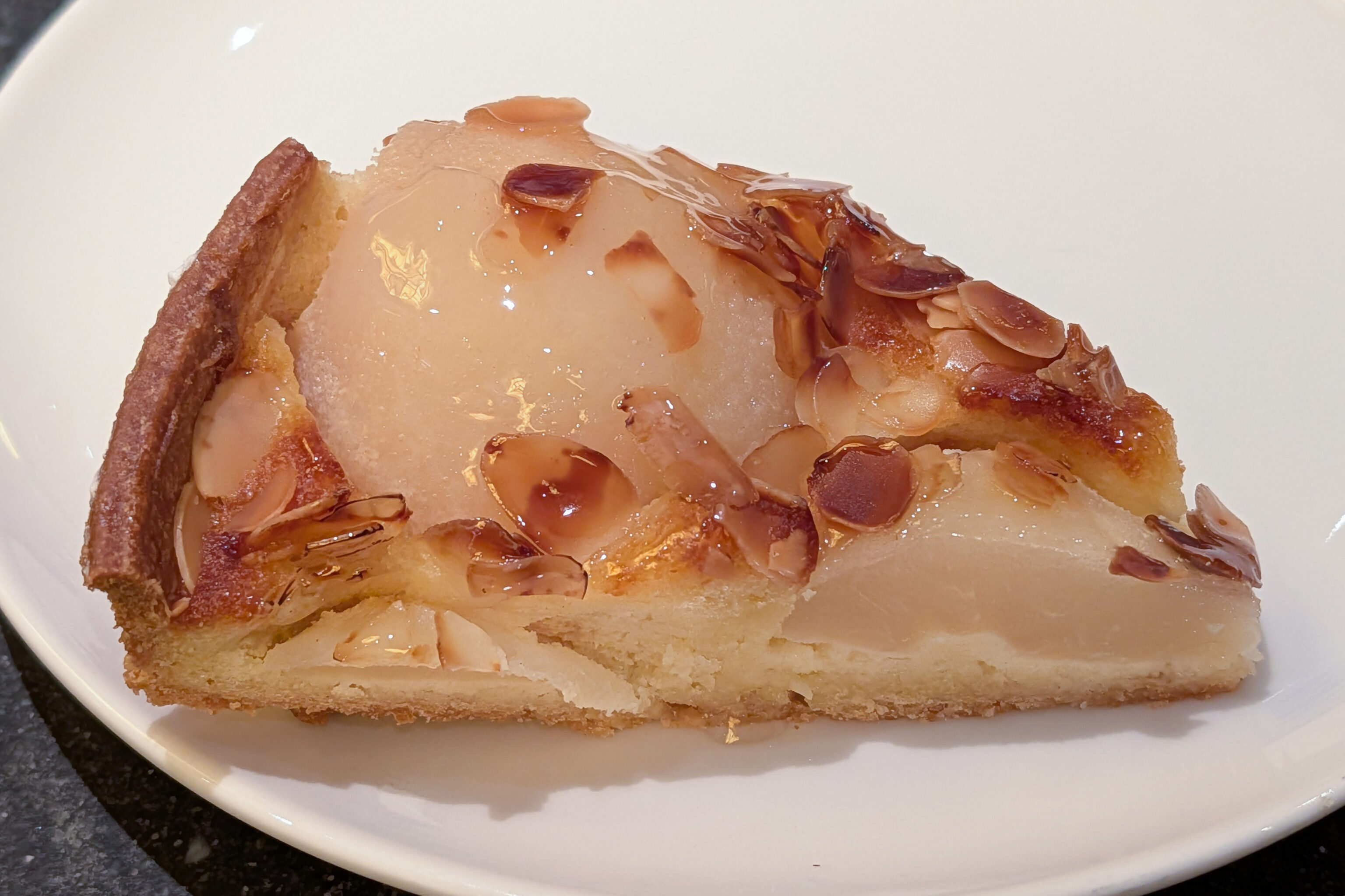
The buffet wasn’t huge but still had a decent selection. The circular hash browns were unfortunately pretty bad and there was unfortunately no American bacon. But most of the other things available were good.
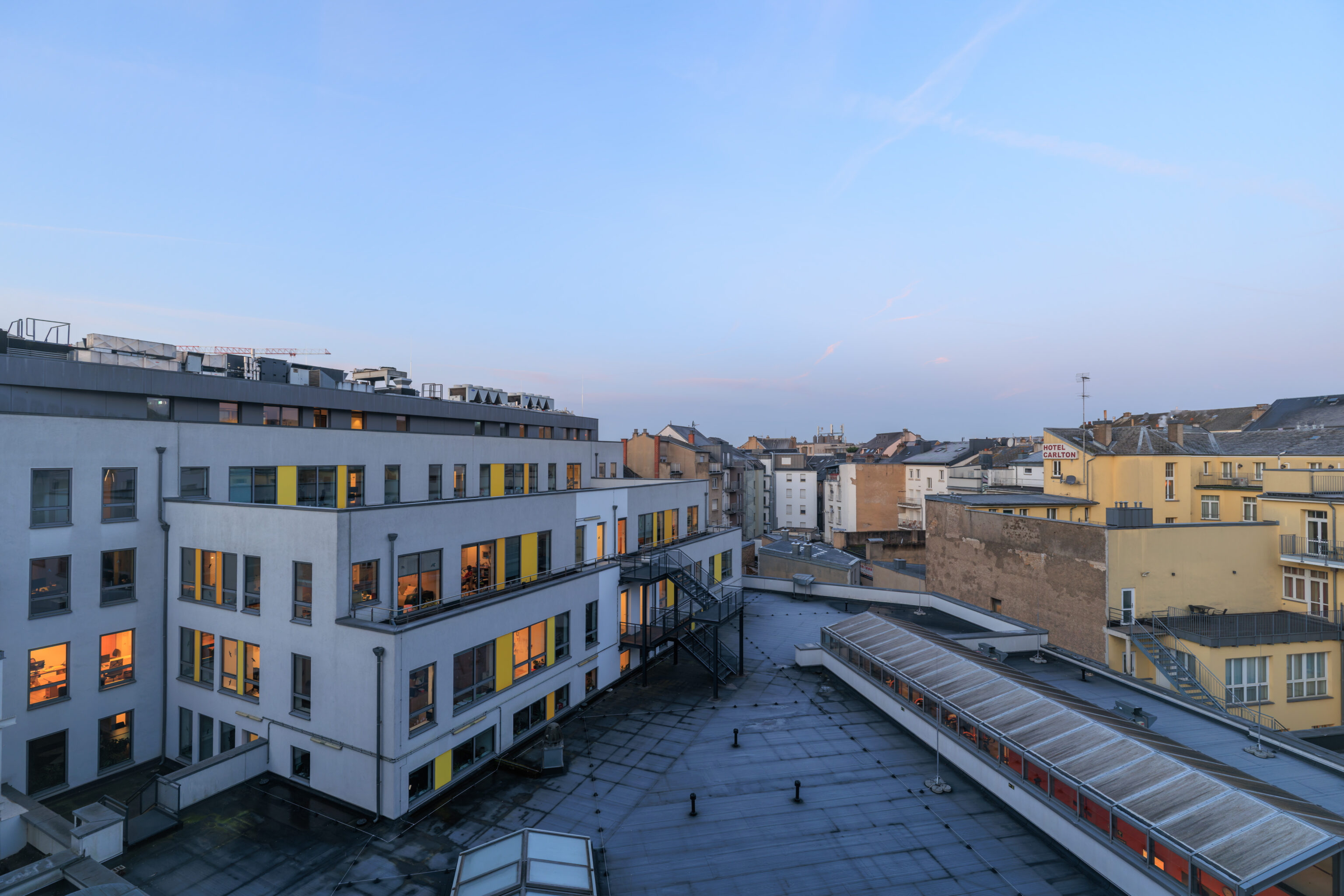
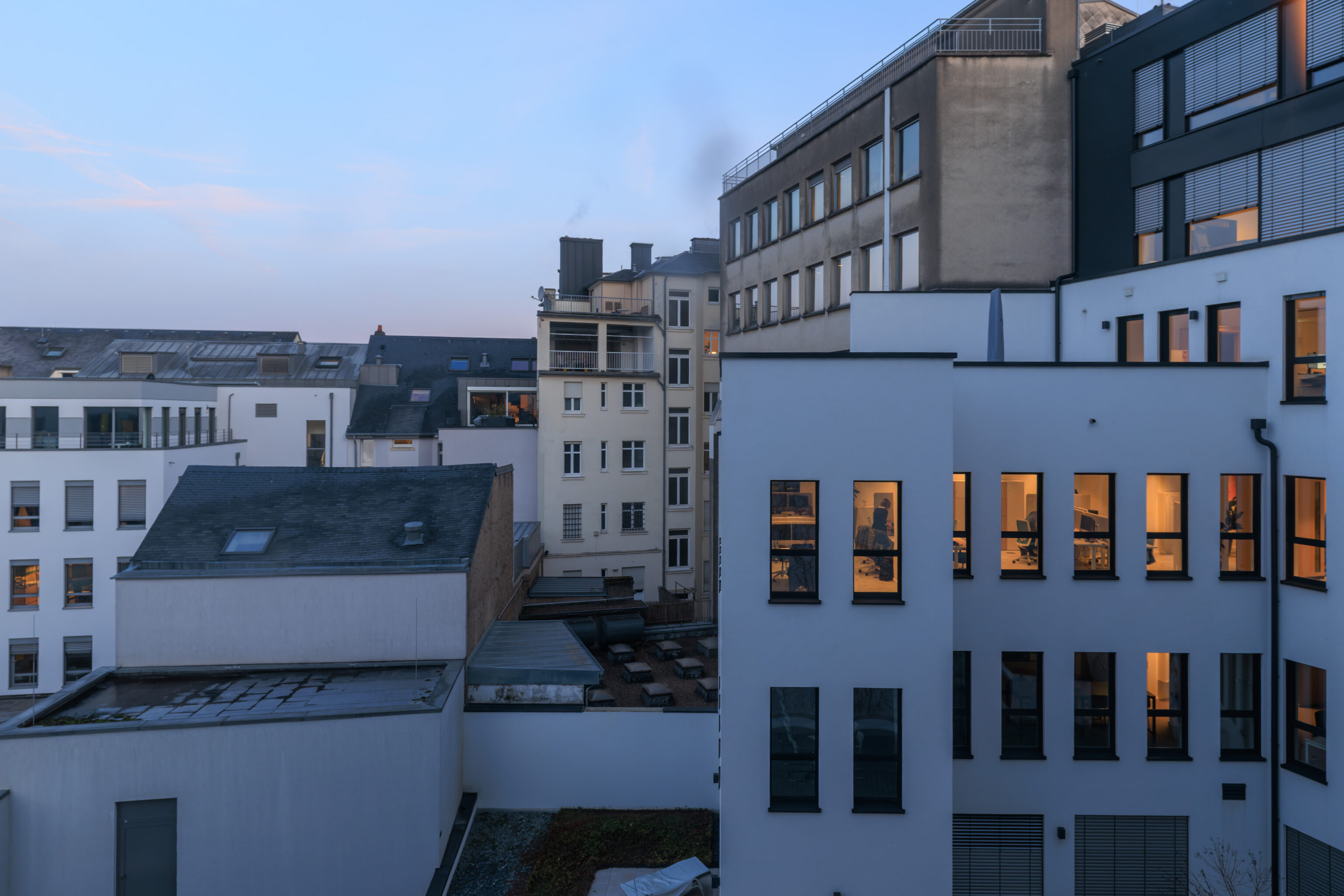
The morning view from our room about seven minutes before sunrise.
Ville Haute
We headed out to visit the Ville Haute (High City), the historic city center of Luxembourg. The name comes from its location, above two intersecting valleys carved by the Petrusse and Alzette rivers.
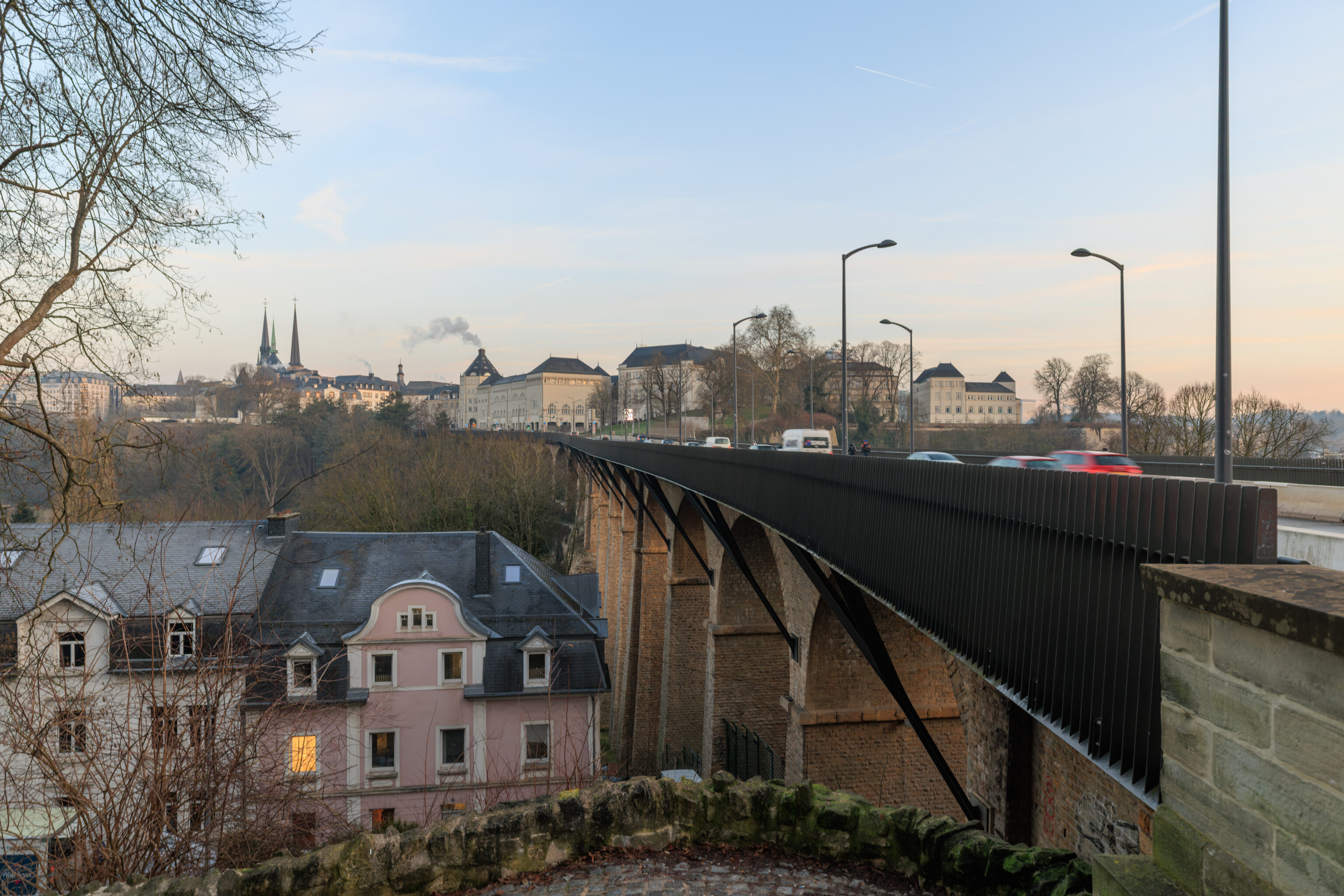
Rather than take Luxembourg’s free public transit system, we decided to walk. From the hotel, we walked north two large blocks to reach the Passerelle (Foot Bridge), also known by its official name, the Viaduct. You can sort of tell from this photograph that the bridge is in fact a viaduct, being supported by a series of adjacent arches. The Ville Haute is on the other side of this bridge.
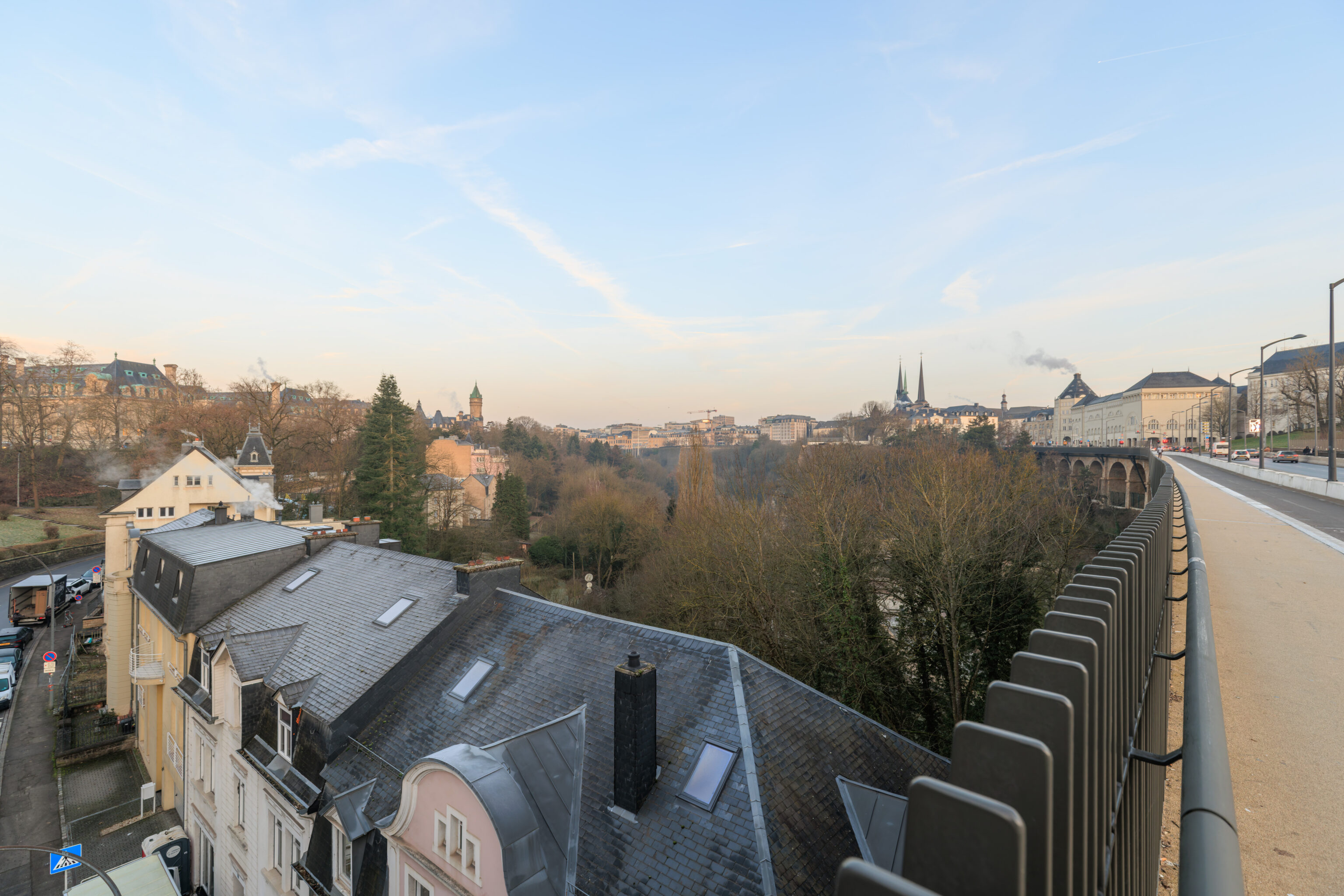
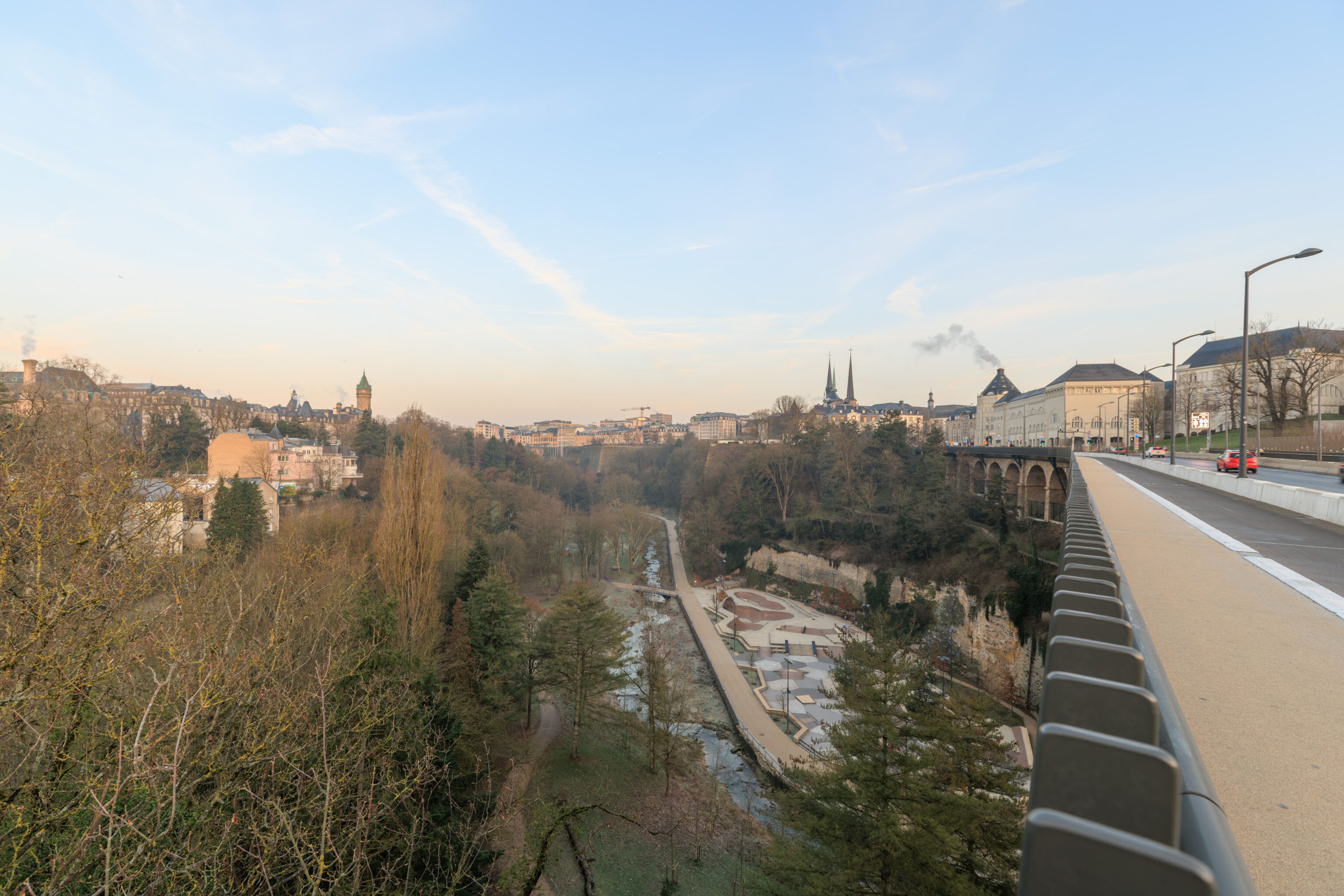
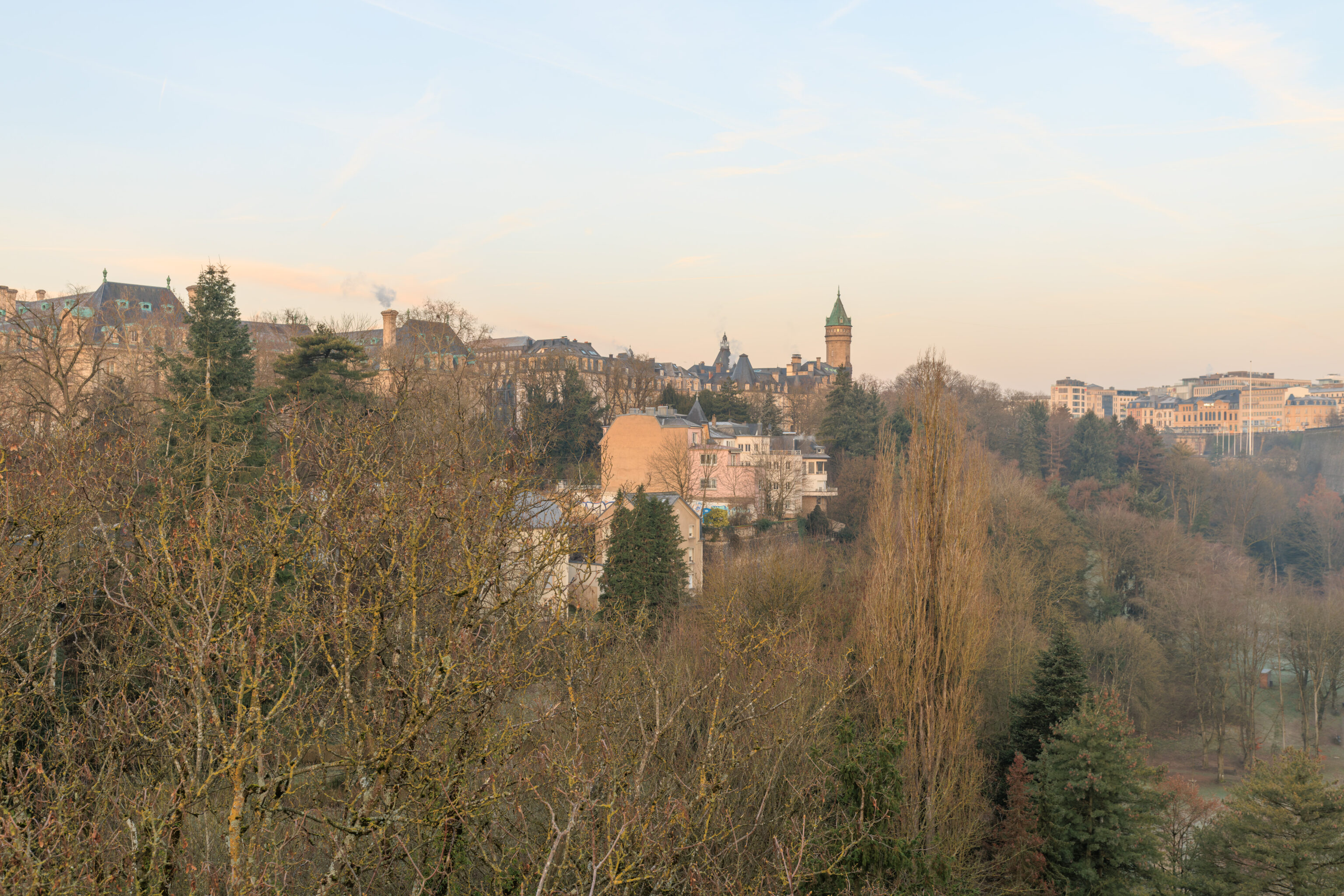
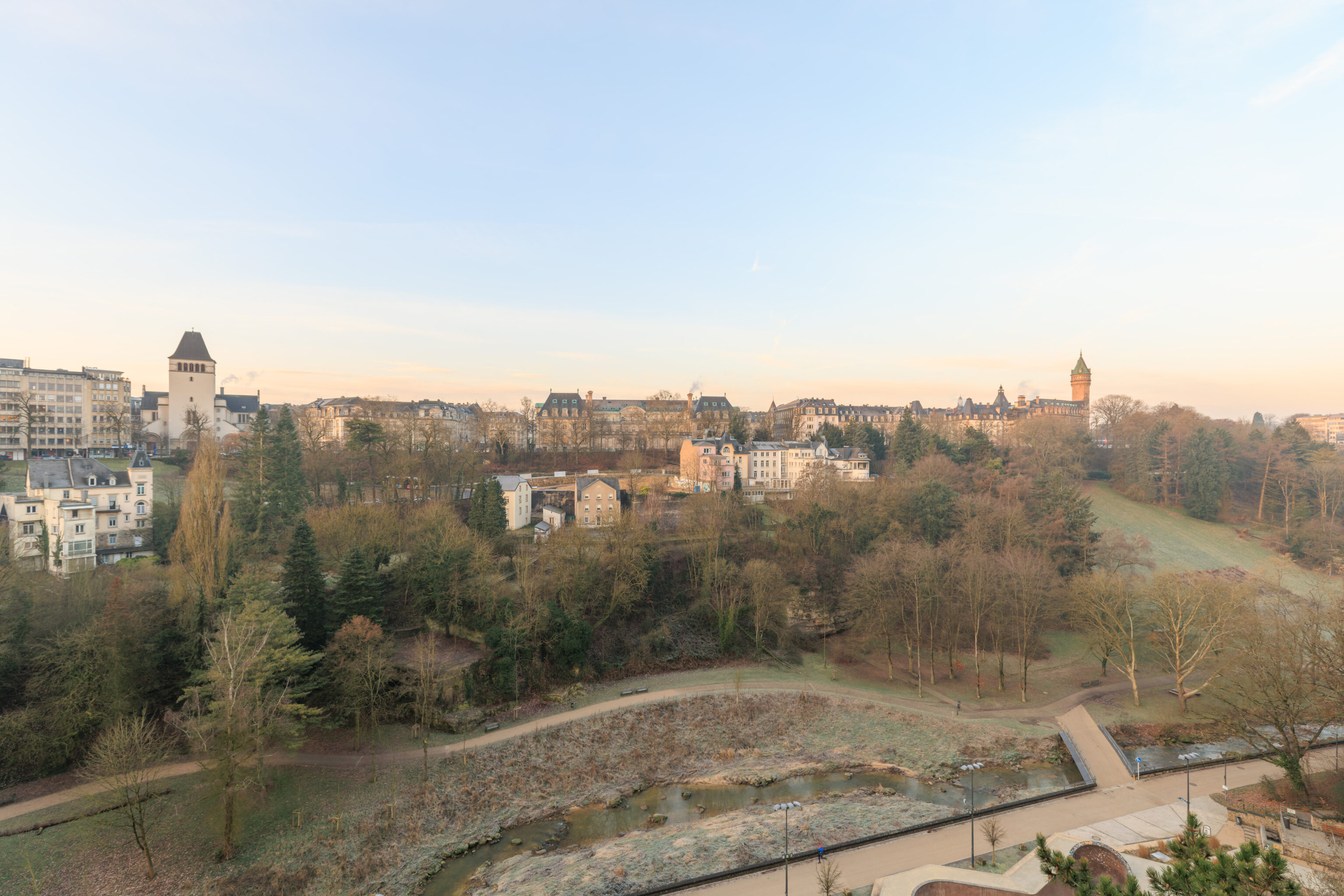
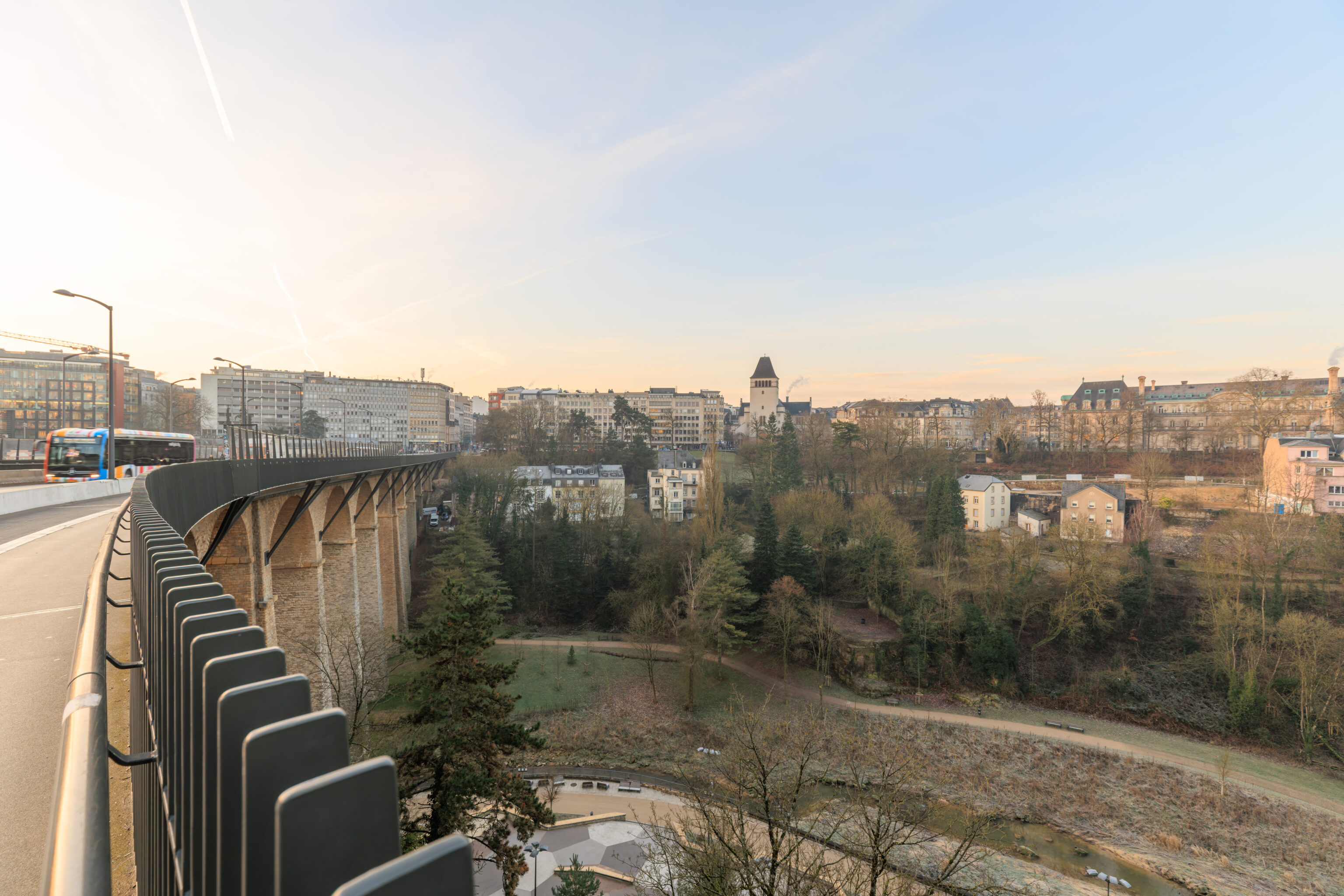
We walked north across the western side of the bridge, enjoying the view above the valley below, which was created by the Petrusse. The area below in this direction is all parkland.
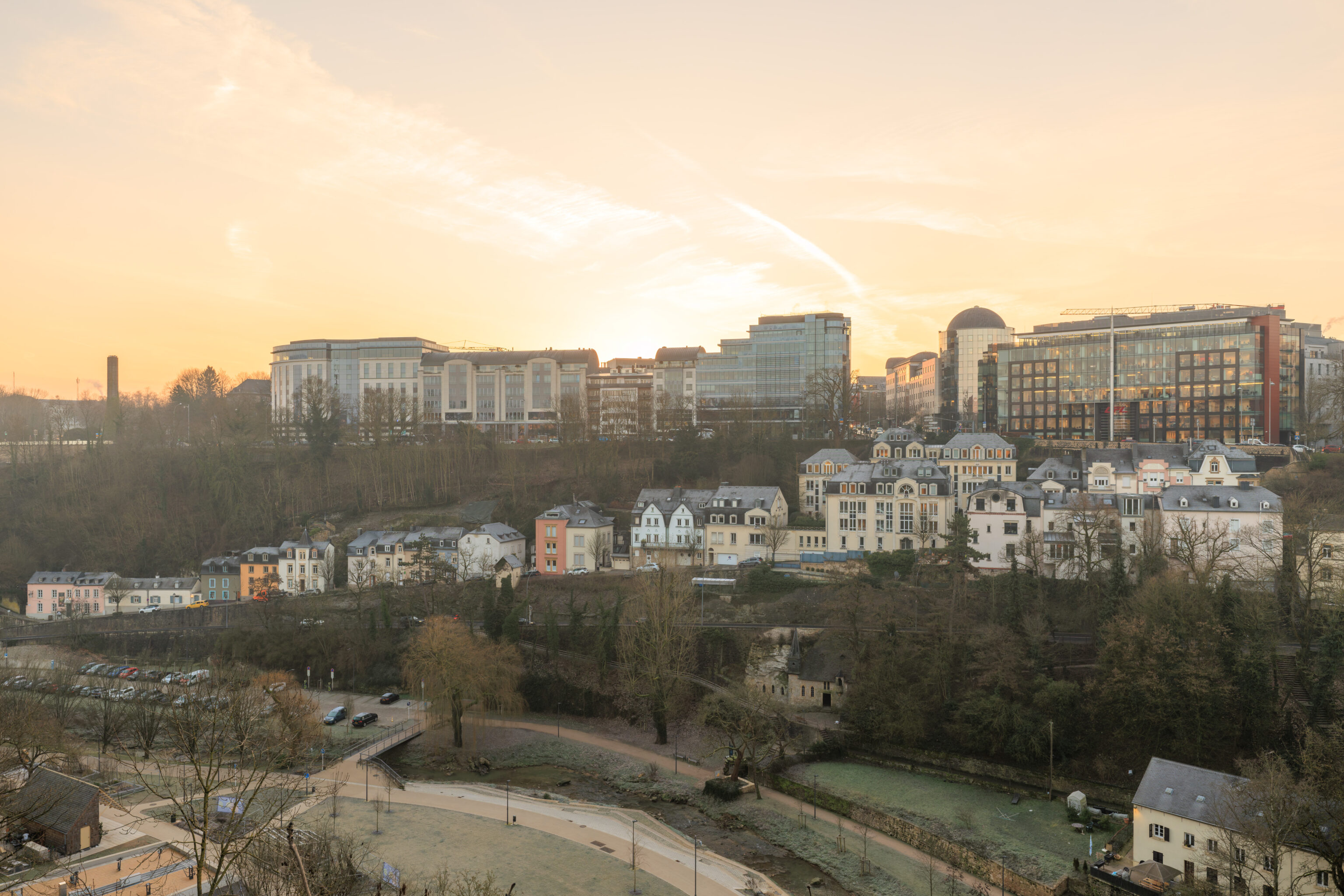
Having walked across the bridge, we returned to the south and crossed the street to the east side of the bridge to walk across it again! Now, looking to the east, we saw the Sun rising behind some of the taller buildings in the city.
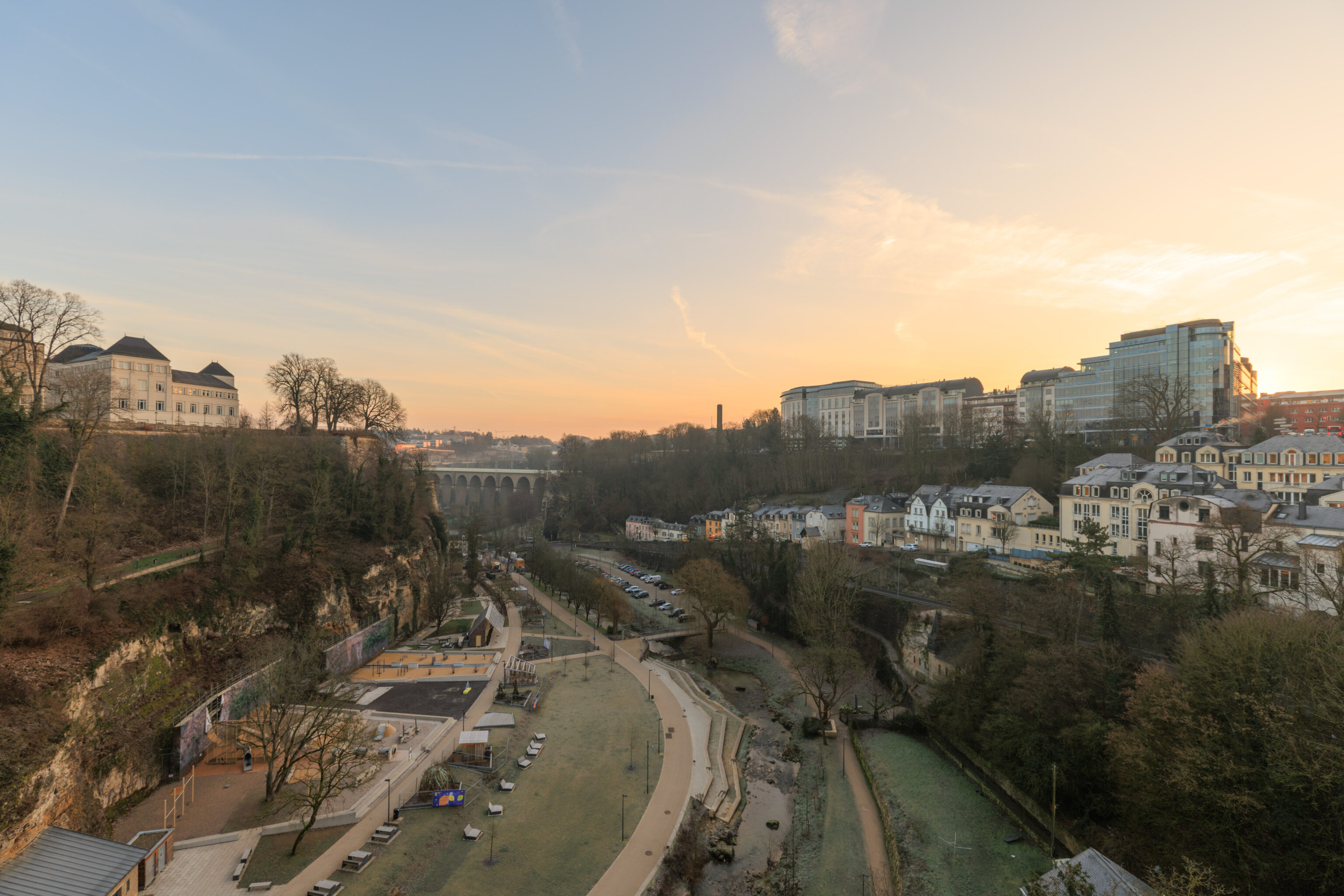
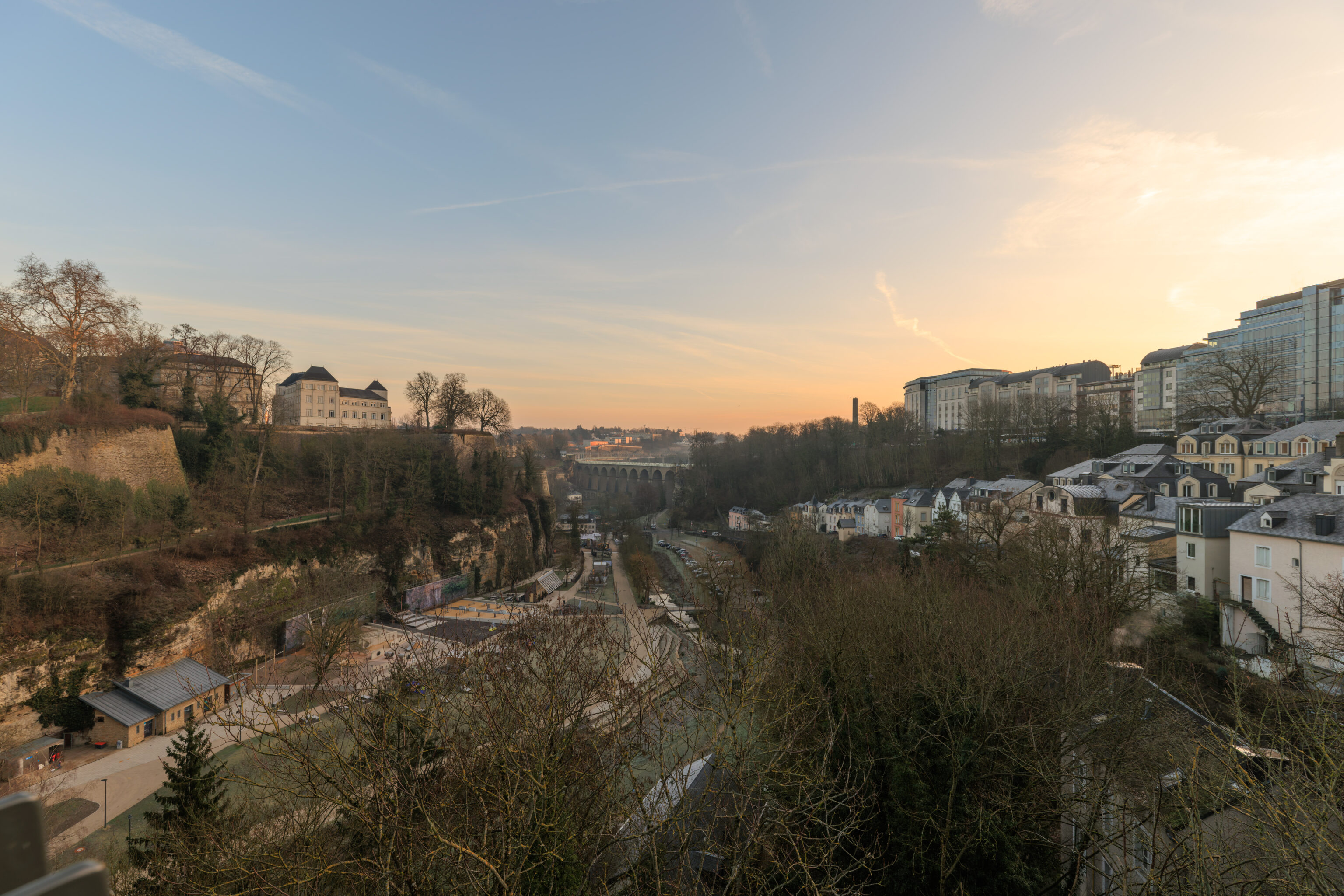
The area below and to the west is also parkland, but it ends roughly half a kilometer from here where the Petrusse flows into the Alzette. The viaduct visible in the background is a railroad bridge.
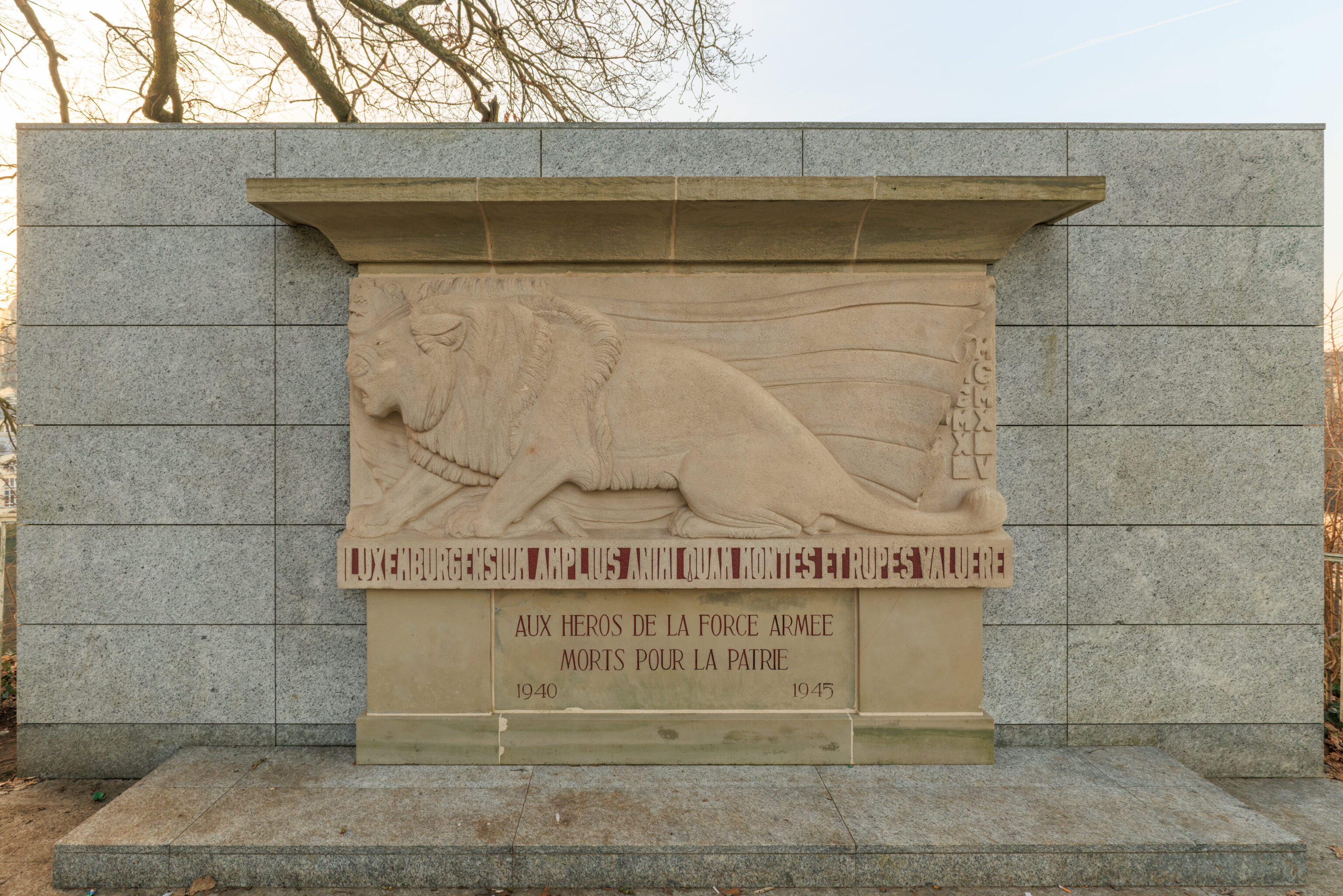
This World War II memorial contains both Latin and French text:
THE COURAGE OF THE LUXEMBOURGERS WAS GREATER THAN THEIR MOUNTAINS AND ROCKS

TO THE HEROES OF THE ARMED FORCES WHO DIED FOR THE HOMELAND
1940 – 1945
– Text from the photograph above, transcribed and translated using Google Gemini.
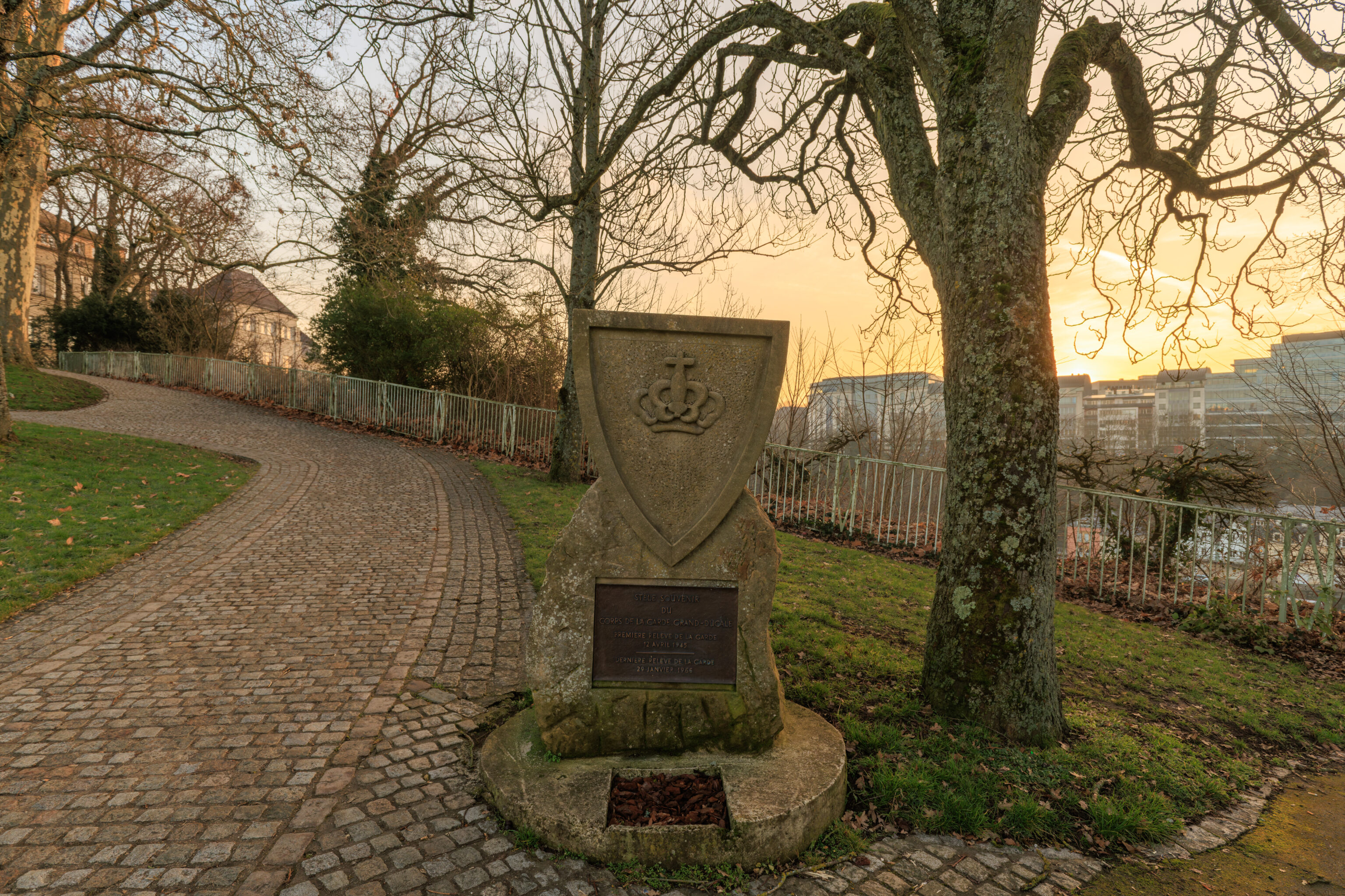
This is a memorial to the Grand Ducal Guard, which was formed after Luxembourg was liberated from the Nazis to guard the Grand Ducal Palace. The unit was disbanded in 1966 with guard duties undertaken by the Army, the only military force in Luxembourg.
MEMORIAL STELE
OF THE
GRAND DUCAL GUARD CORPS

FIRST CHANGING OF THE GUARD
12 APRIL 1945

LAST CHANGING OF THE GUARD
29 JANUARY 1966
– Text from the photograph above, transcribed and translated using Google Gemini.
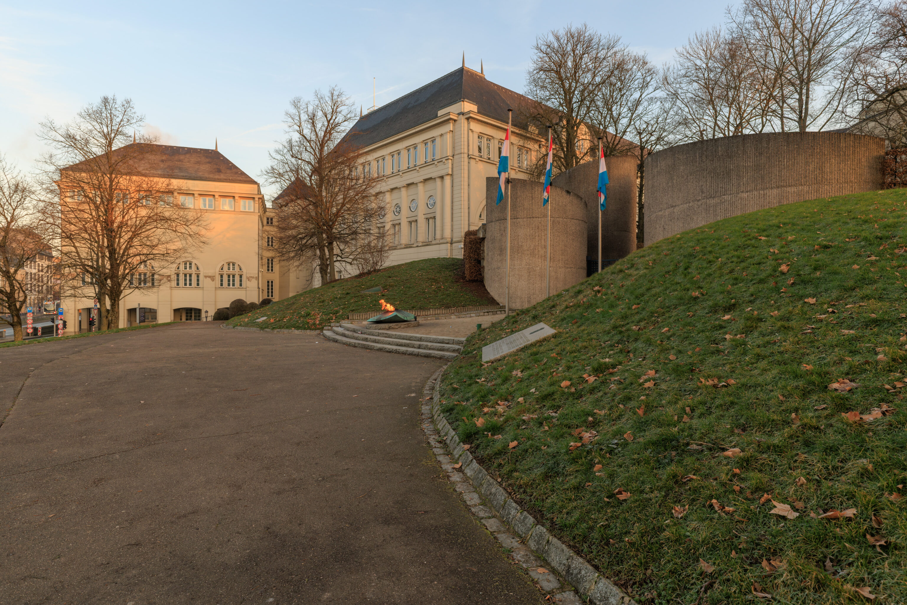
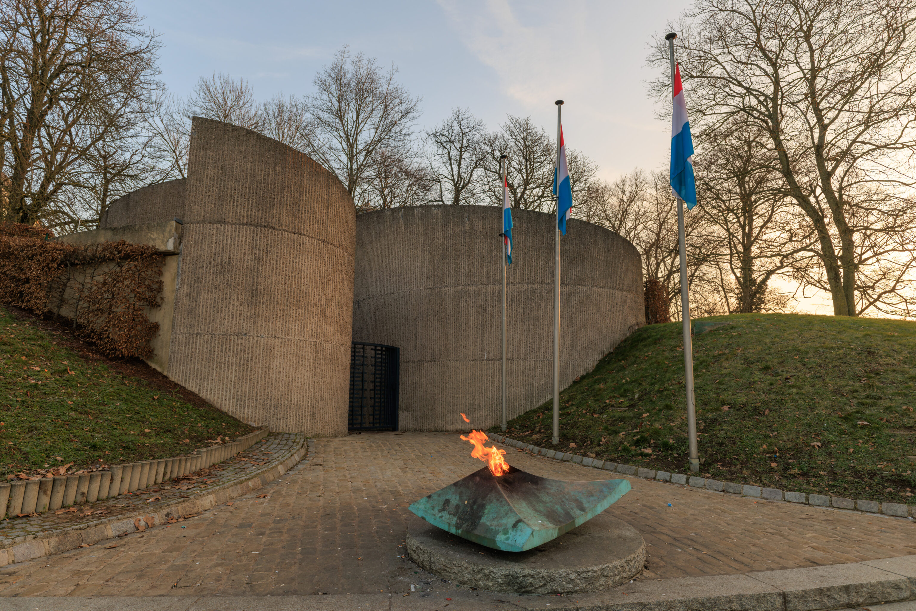
This larger monument with flame is the National Monument of the Solidarity:
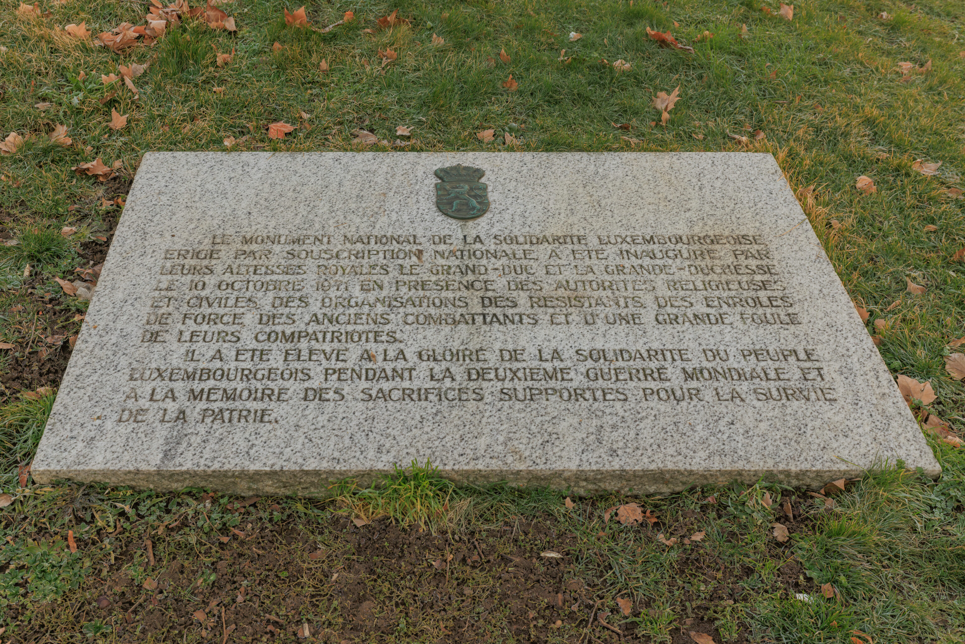
The National Monument of Luxembourg Solidarity, erected by national subscription, was inaugurated by Their Royal Highnesses the Grand Duke and the Grand Duchess on October 10, 1971, in the presence of religious and civil authorities, resistance organizations, forced conscripts, veterans, and a large crowd of their compatriots.

It was raised to the glory of the solidarity of the Luxembourg people during the Second World War and in memory of the sacrifices borne for the survival of the homeland.
– Text from the photograph above, transcribed and translated using Google Gemini.
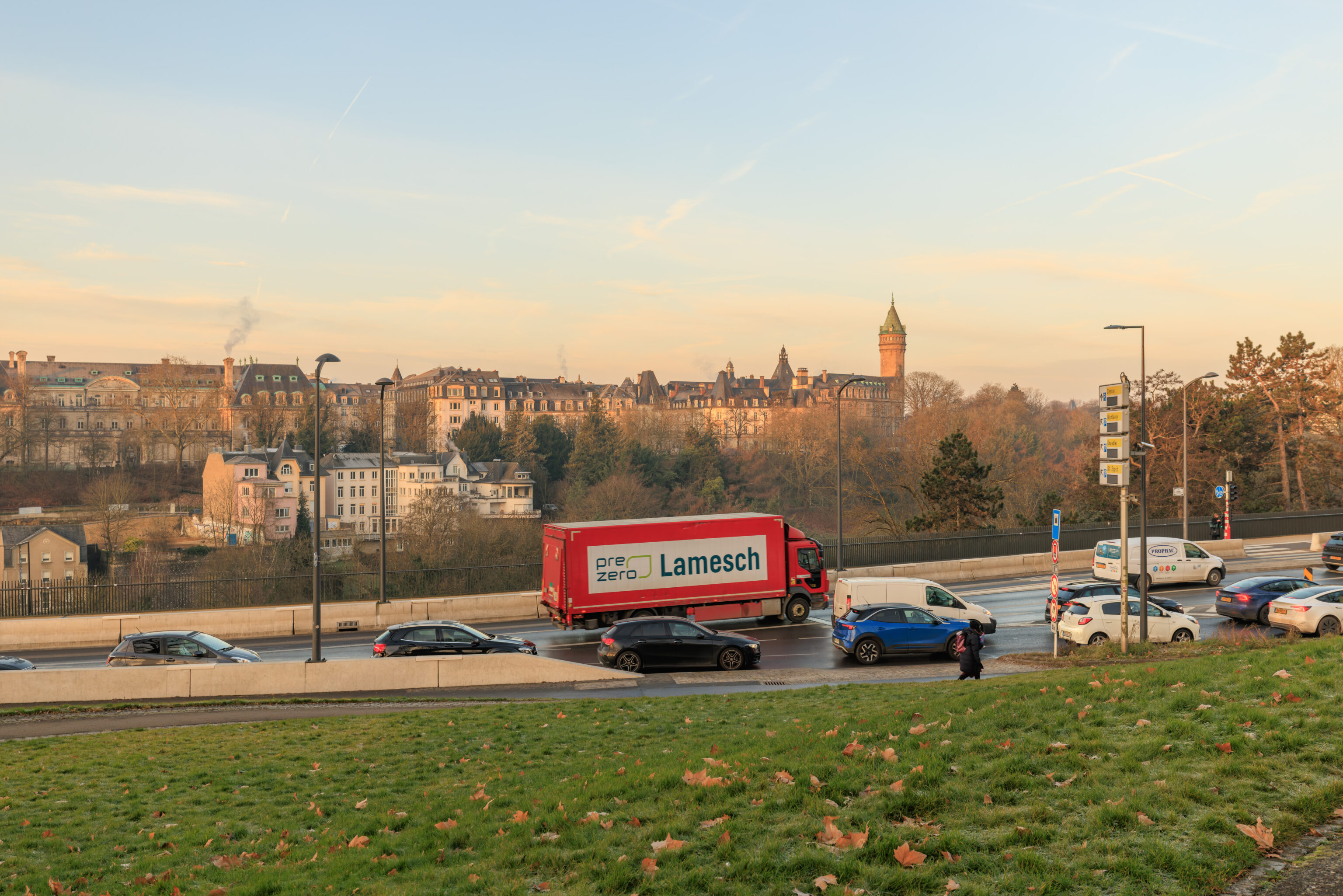
We walked up a slight hill to the south oft he monument.
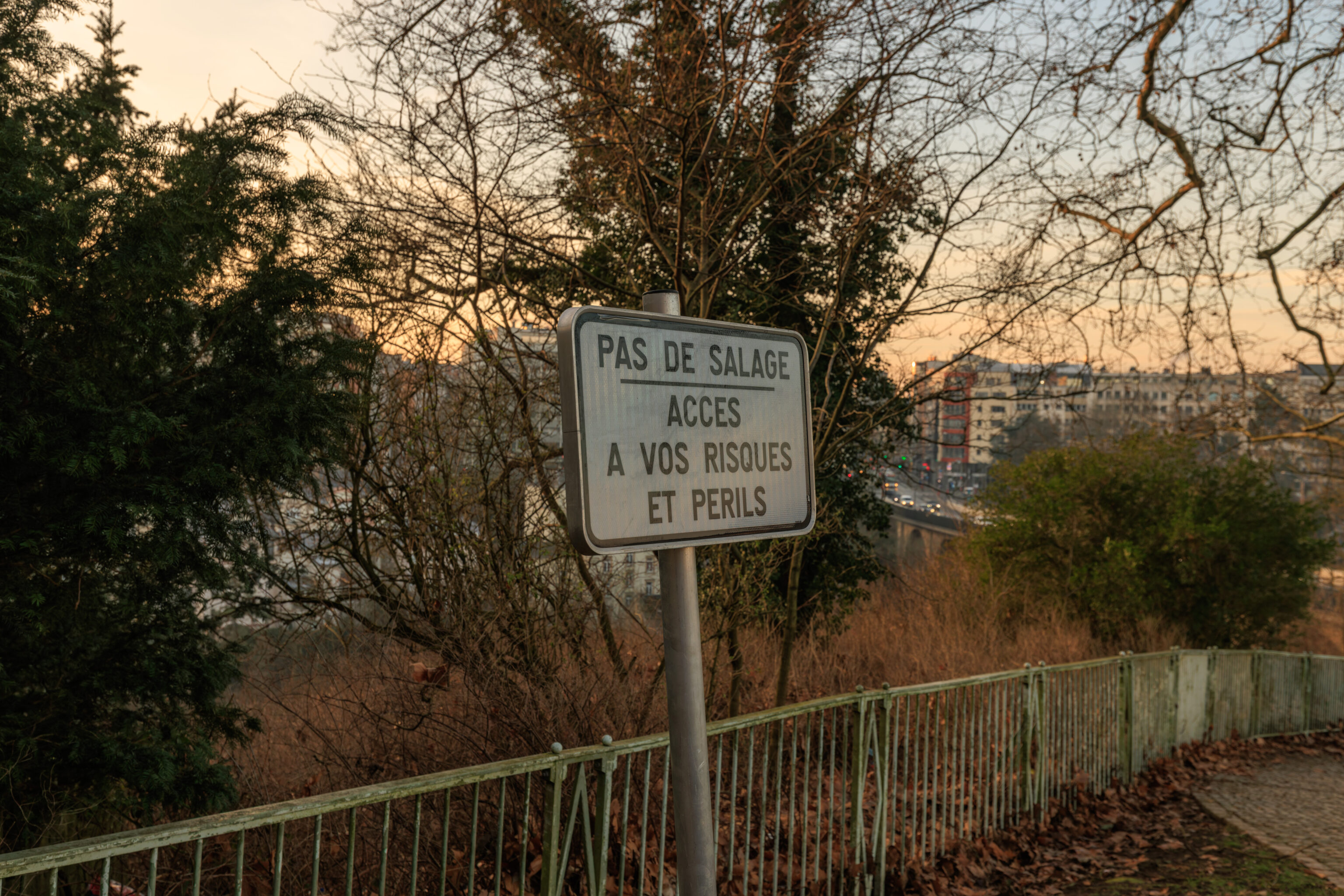
This sign says this path is not salted, so use at your own risk. We’ll be fine today!
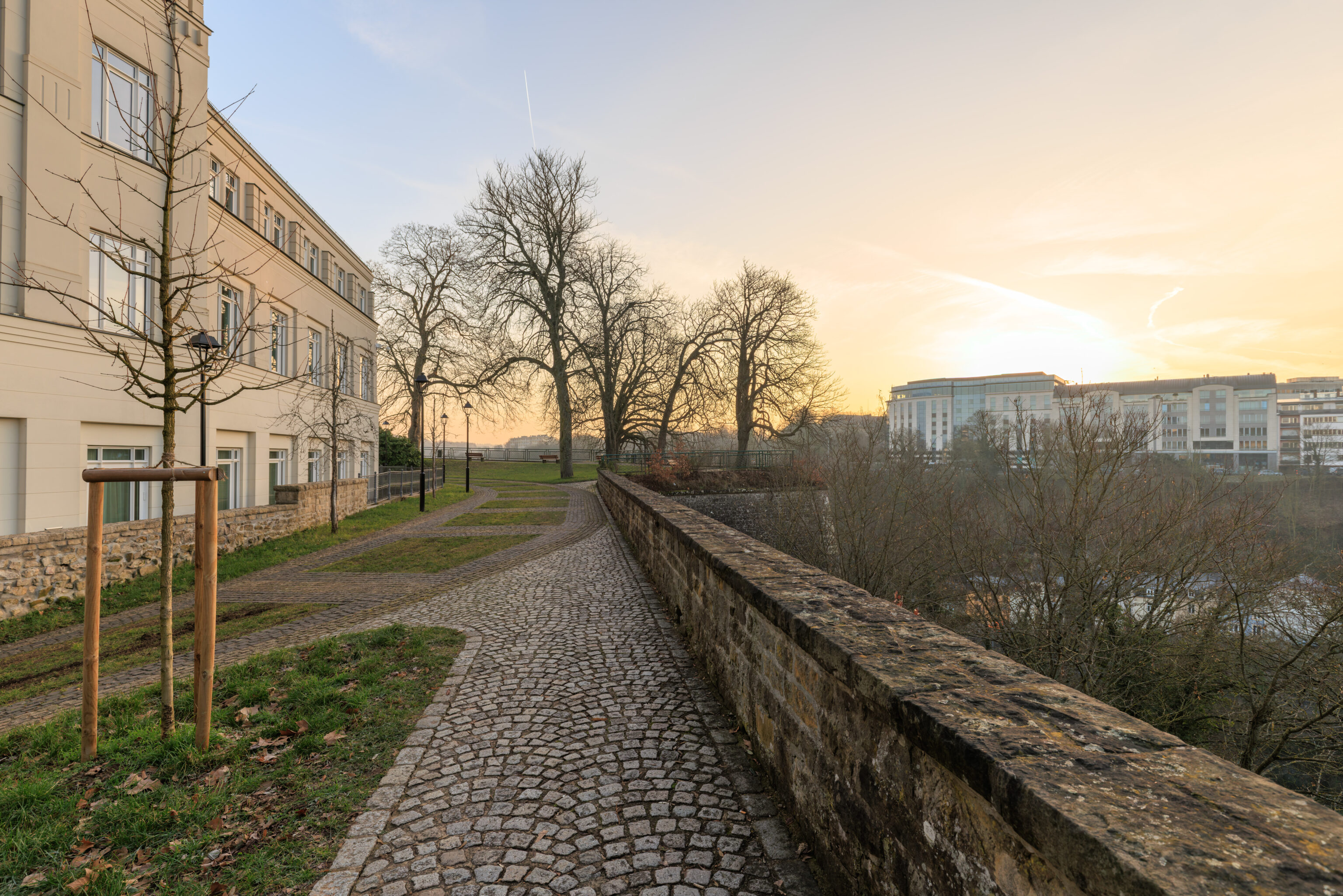
We followed a paved stone path to the east along the northern edge of the valley.
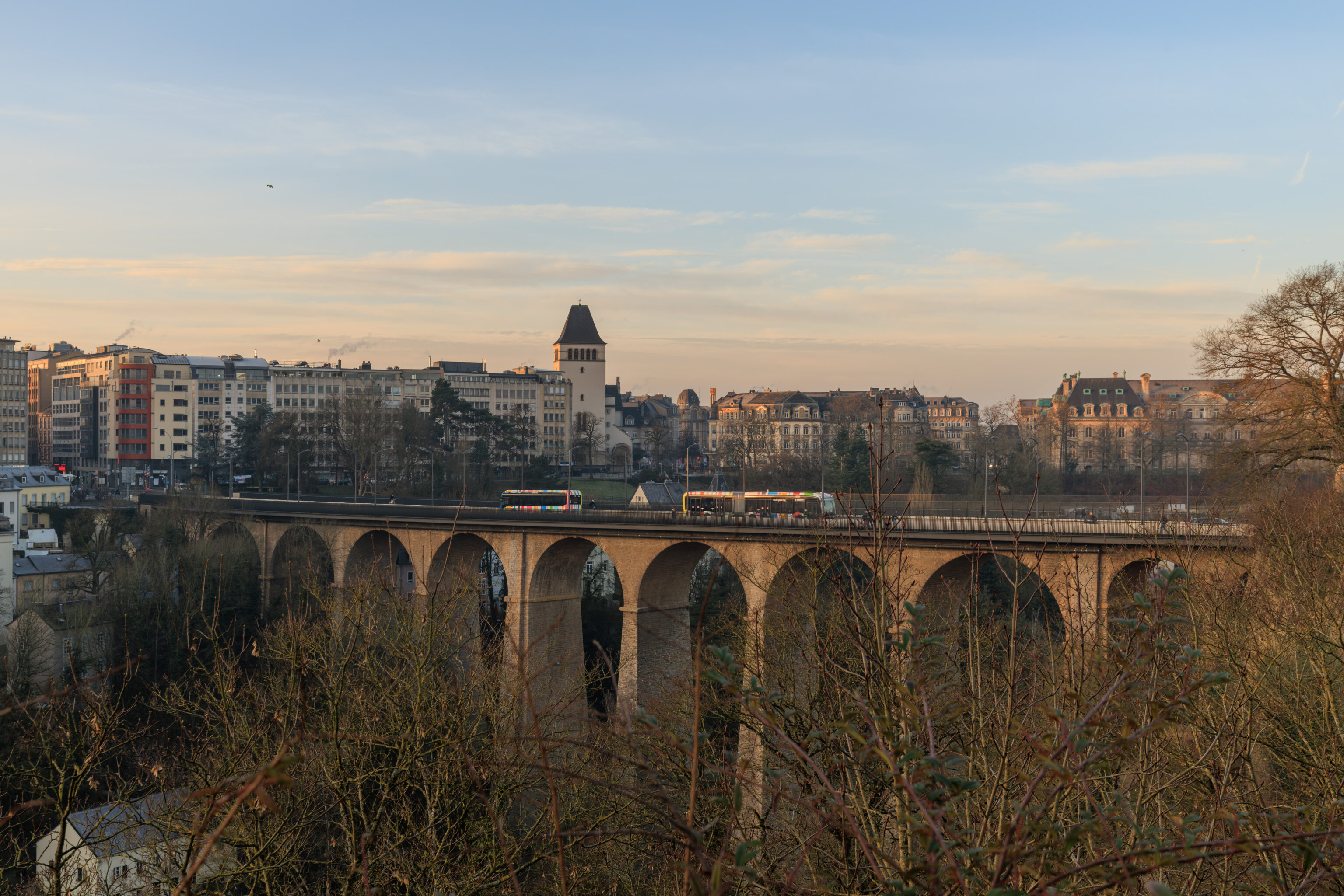
Looking to the northeast, we got a good look at the viaduct that we just crossed.
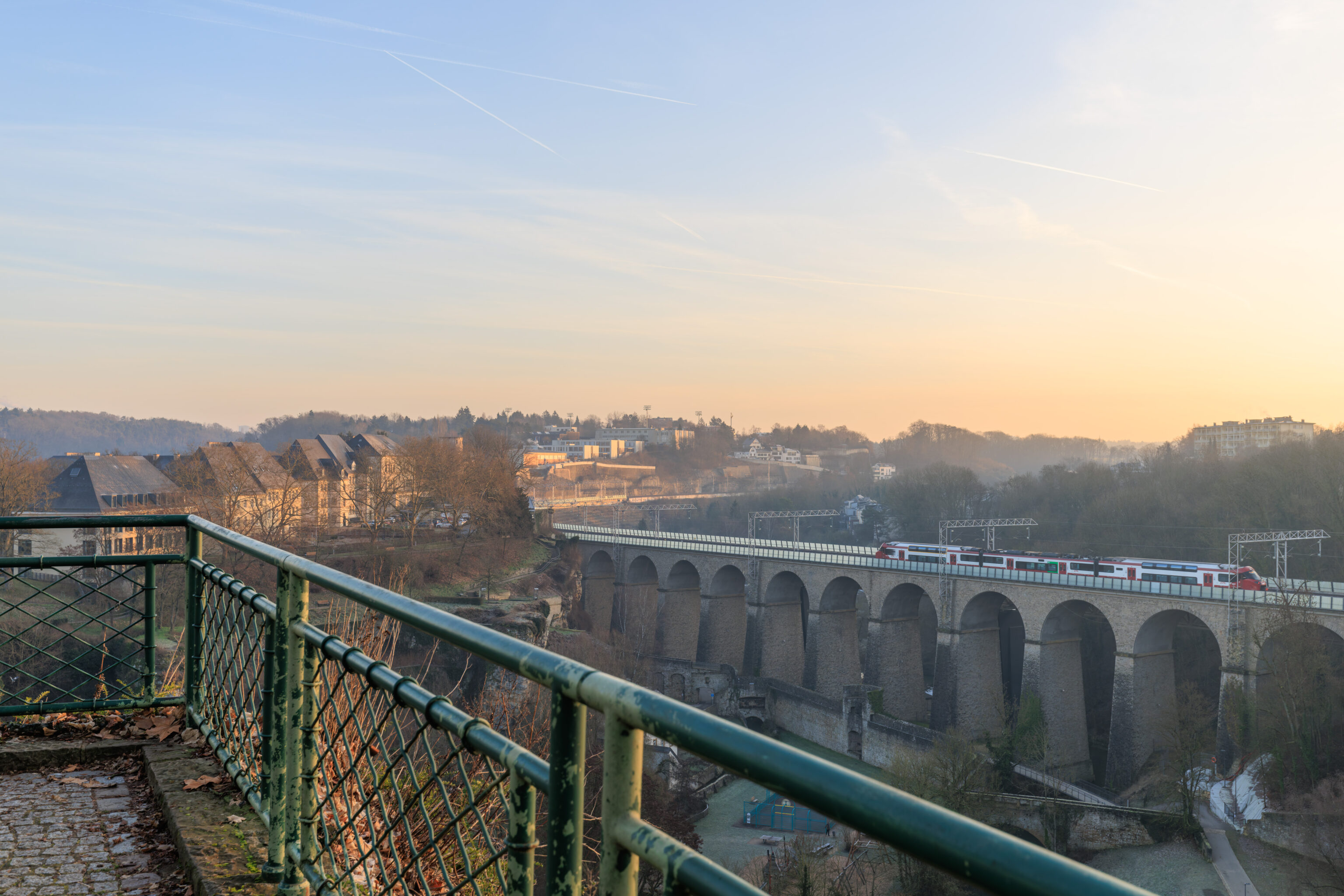
Continuing on, we came to an overlook. To the east, we saw a train operated by the Société Nationale des Chemins de Fer Luxembourgeois (CFL), Luxembourg’s national railway company.
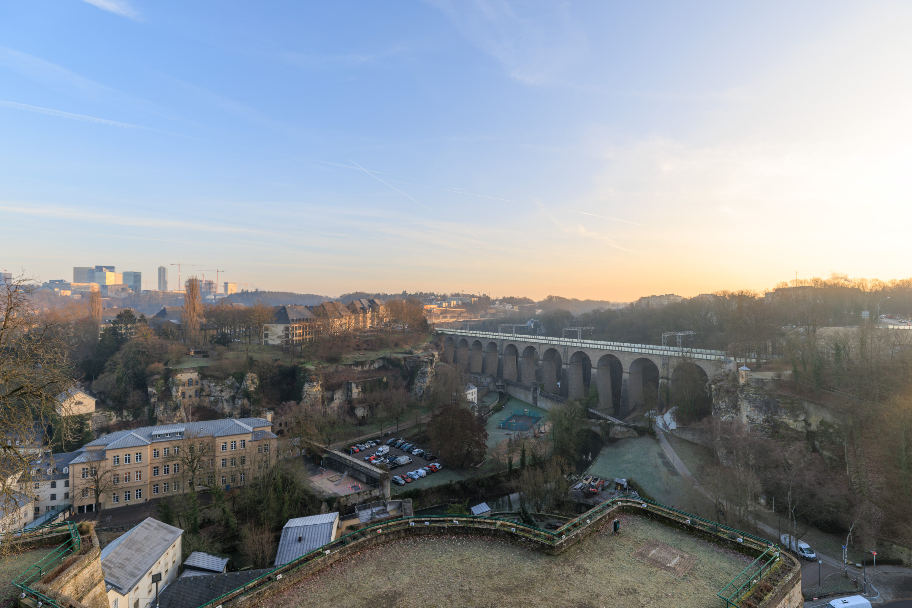
A side angle view from here shows fortifications below and on the other side of the valley.
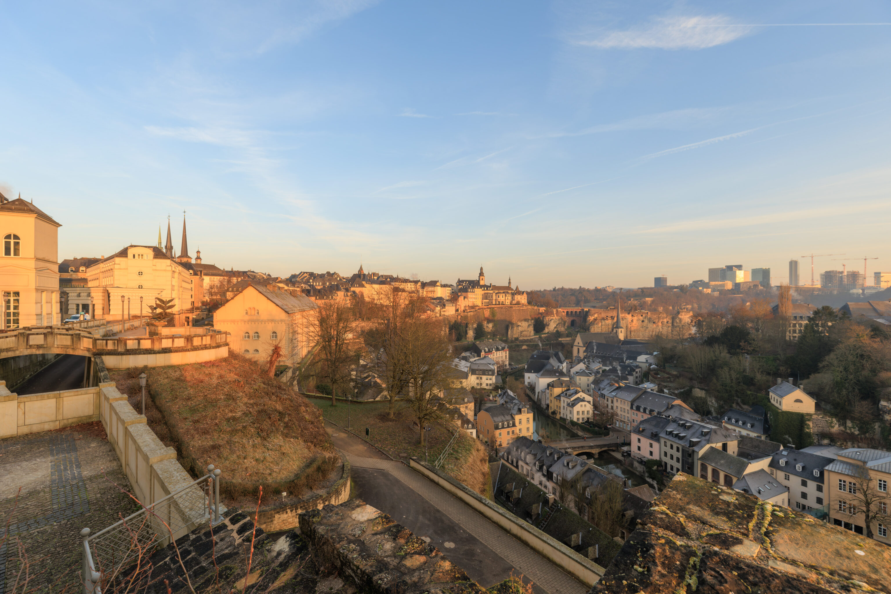
Looking to the north, we could see some taller buildings to the northeast in the Kirchberg district of the city. Everything on the left, illuminated by the morning Sun, is part of the Ville Haute.
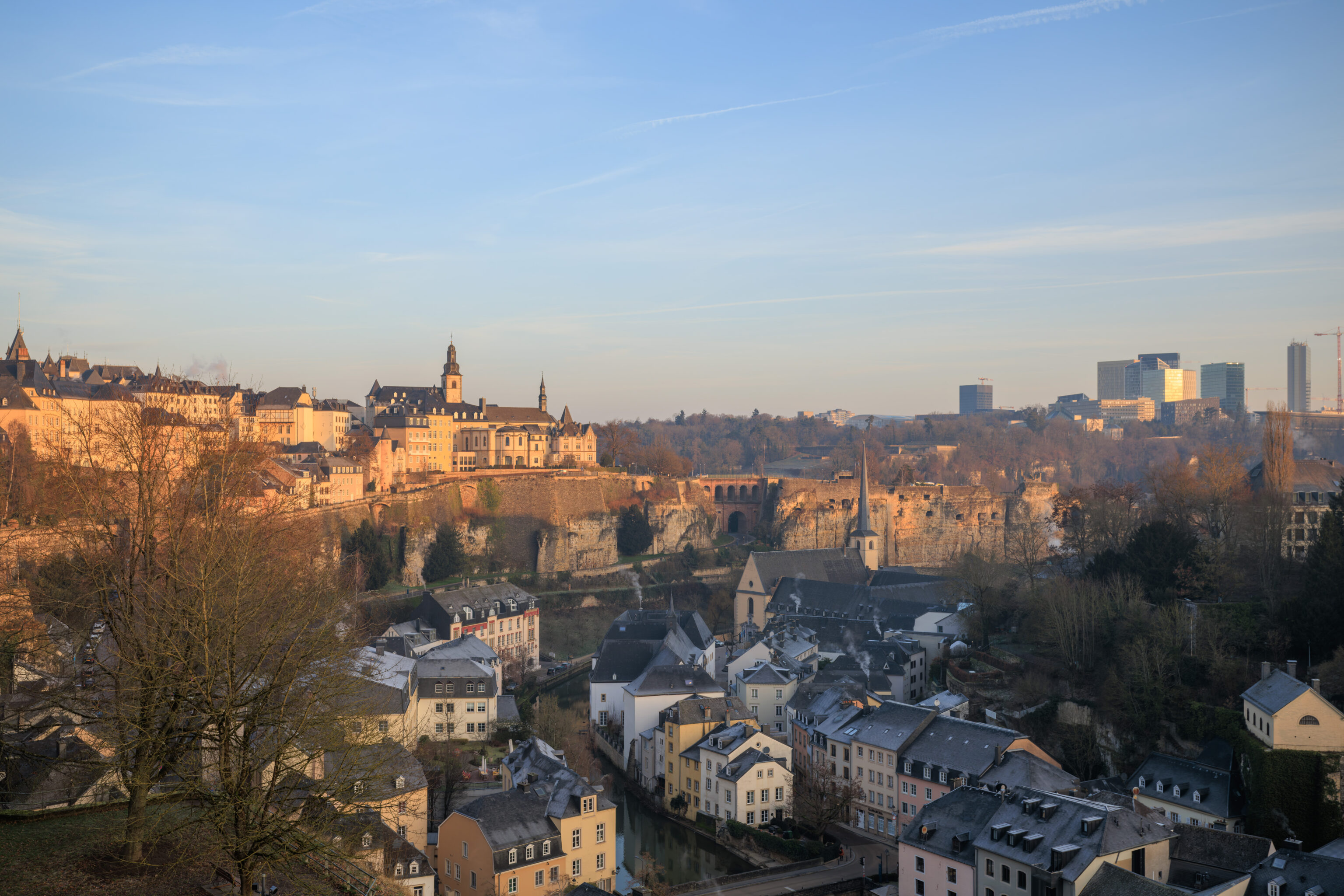
Directly ahead, there is point of land, a promontory, that juts out from the rest of the Ville Haute due to a bend in the river below, which is the Alzette. That promontory is the Bock, or Bockfiels in Luxembourgish. As part of the Luxembourg Fortress, the Bock contains casemates, basically fortified gun emplacements, within underground tunnels. We have timed entry tickets to visit the Bock Casemates at 10:45am today.
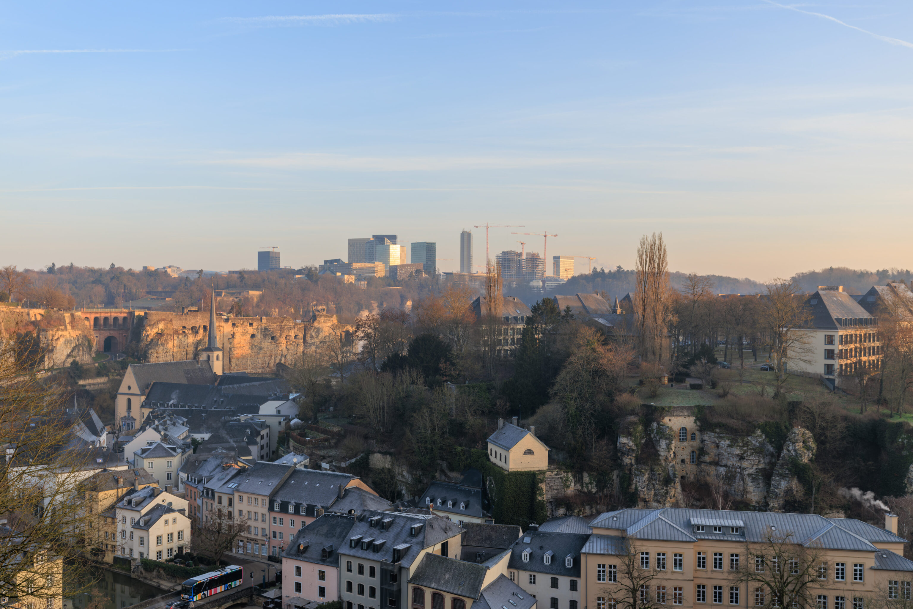
These tall buildings in Kirchberg are the tallest in Luxembourg.
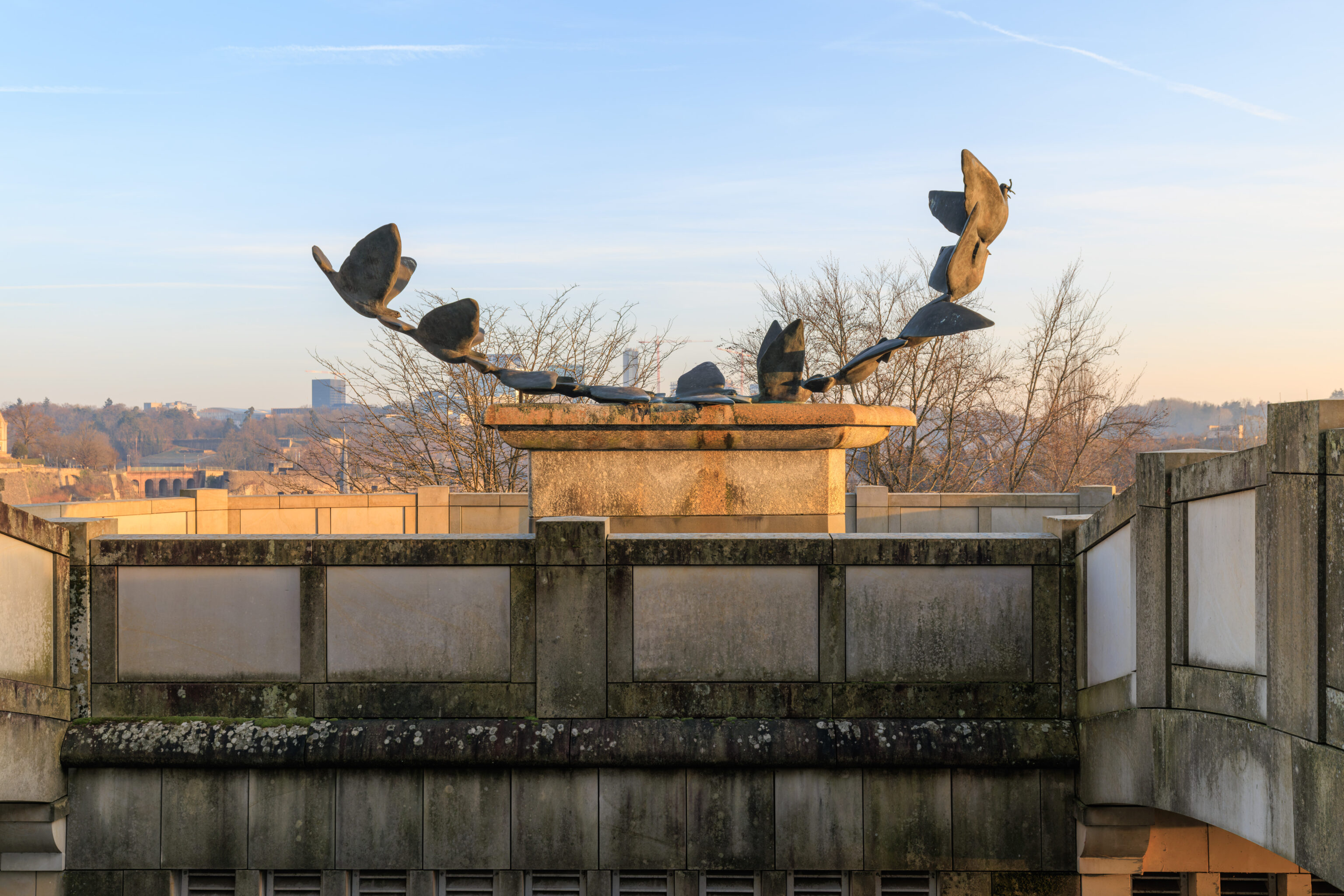
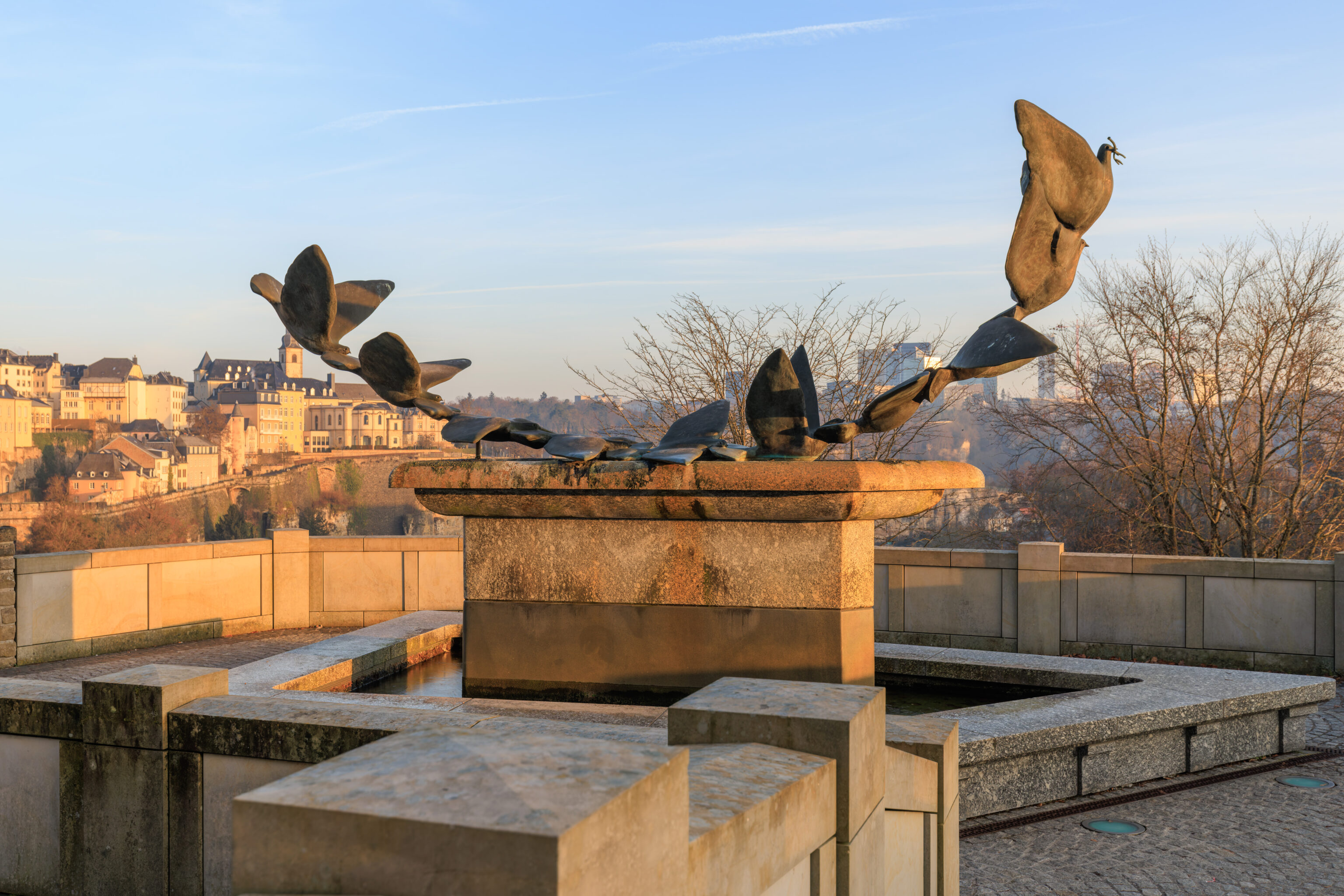
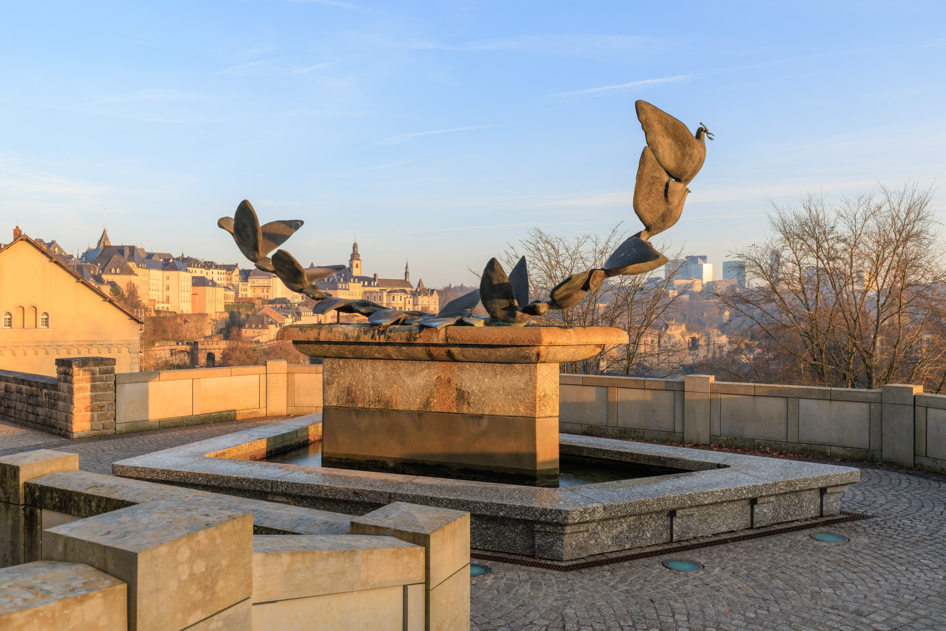
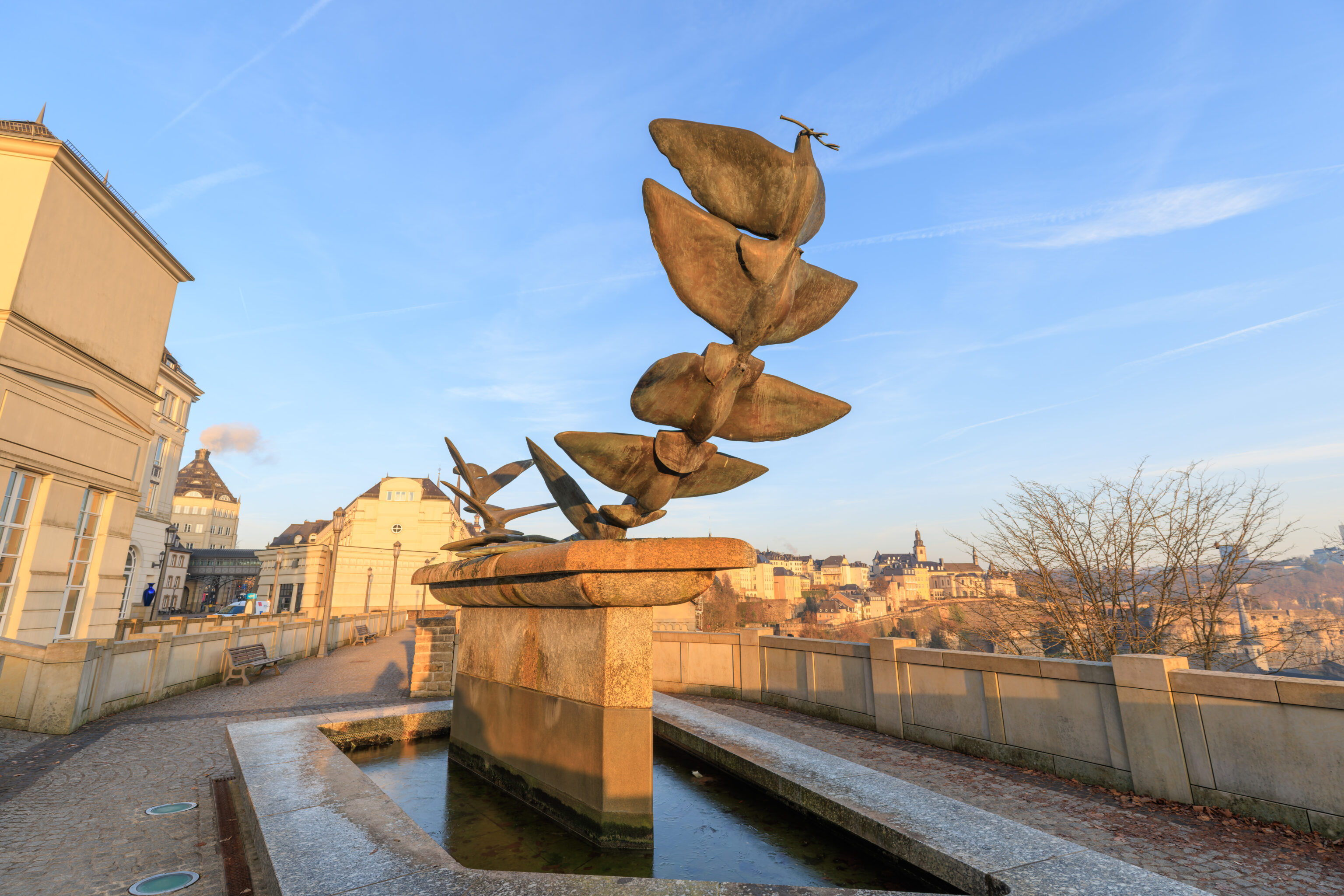
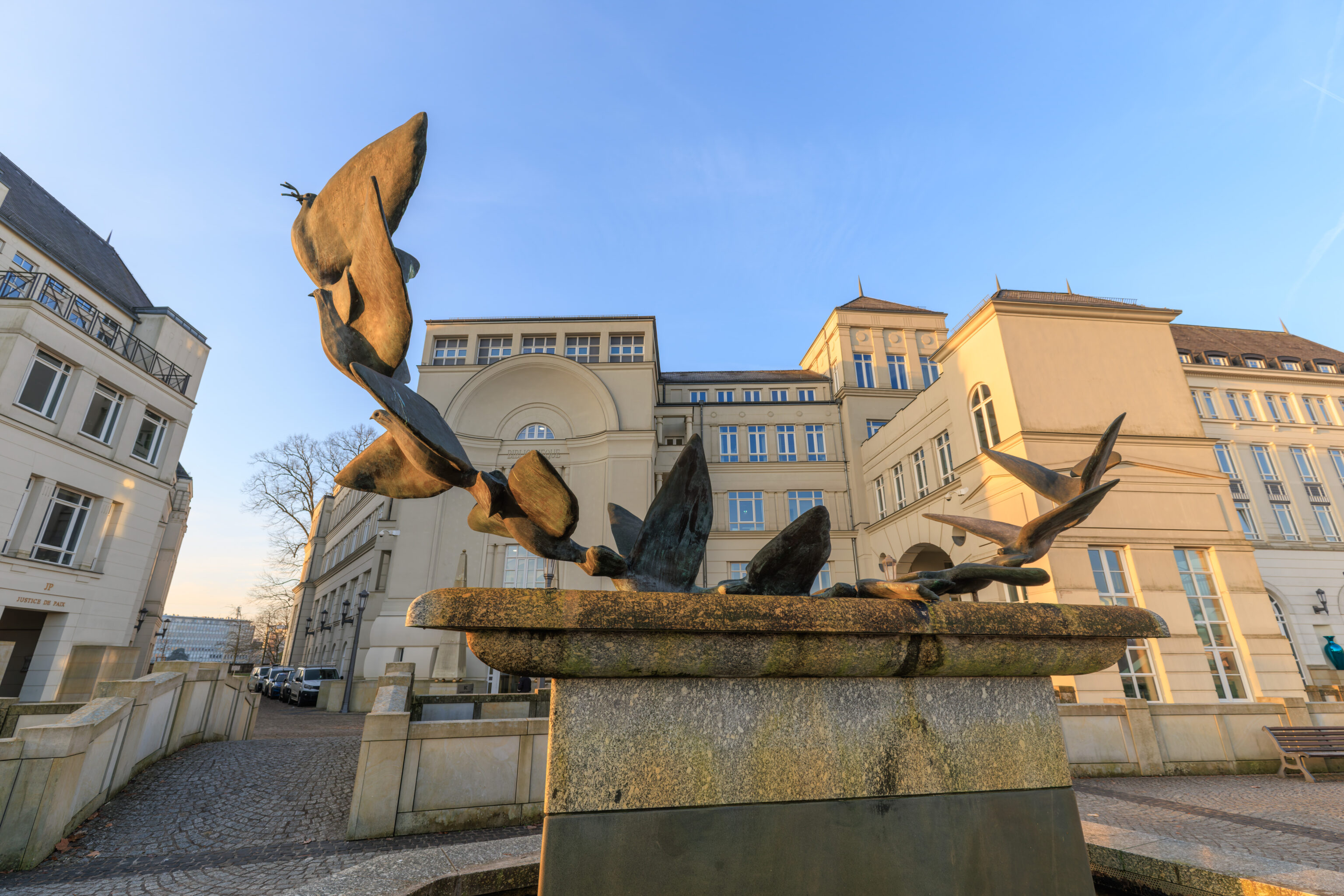
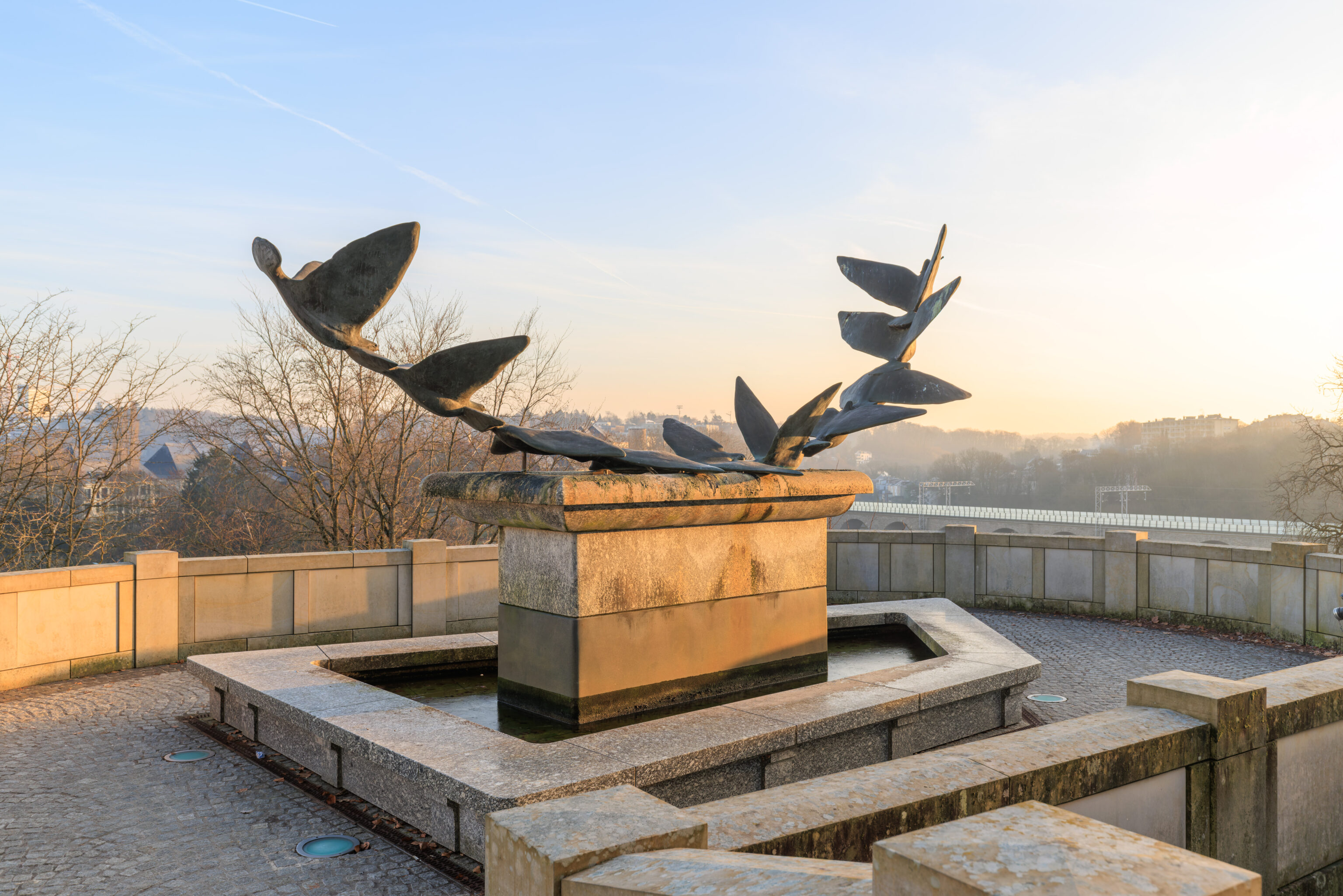
Continuing on, we came upon the Fontaine aux Colombes (Fountain of Doves).
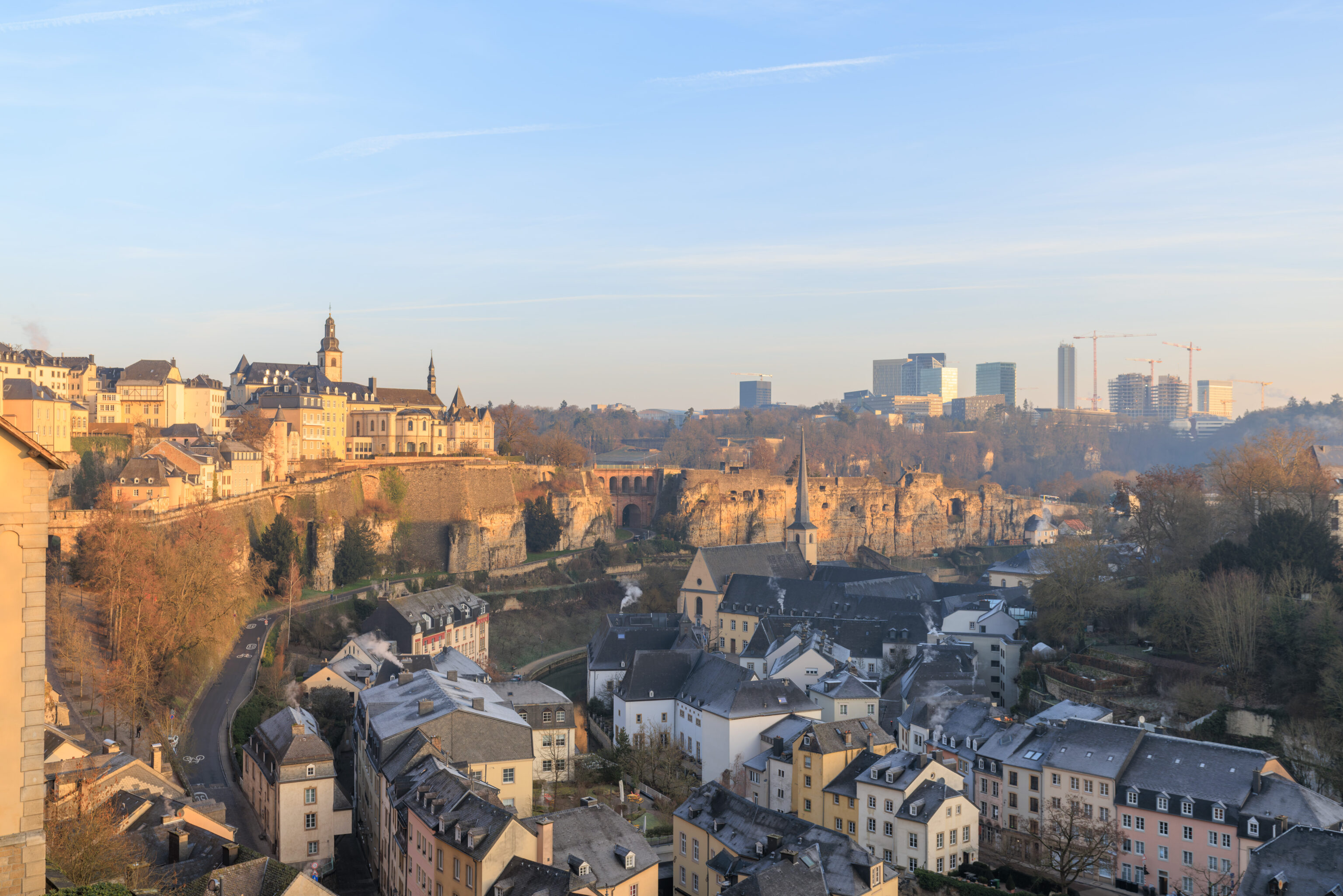
We had a really good view of the Bock from around the doves.
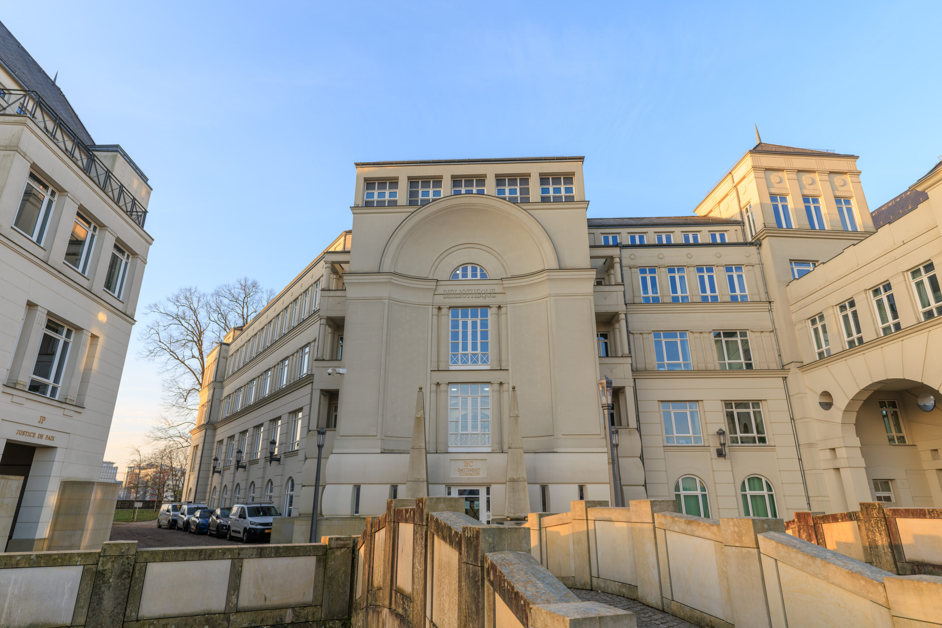
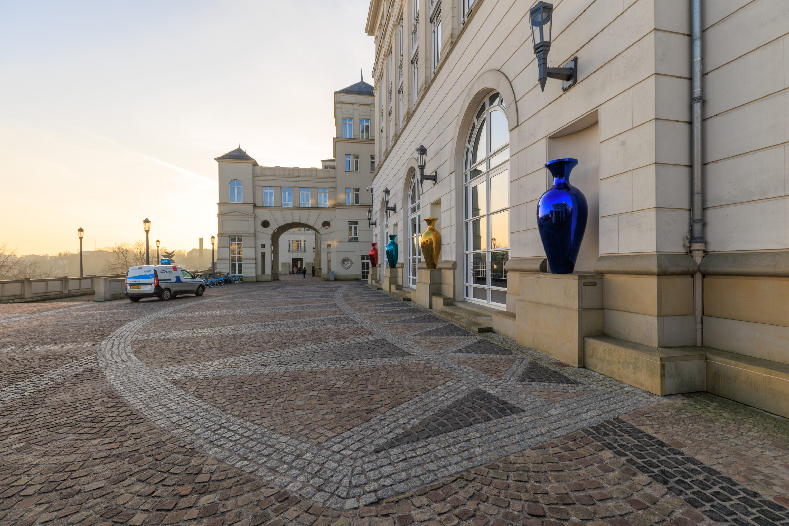
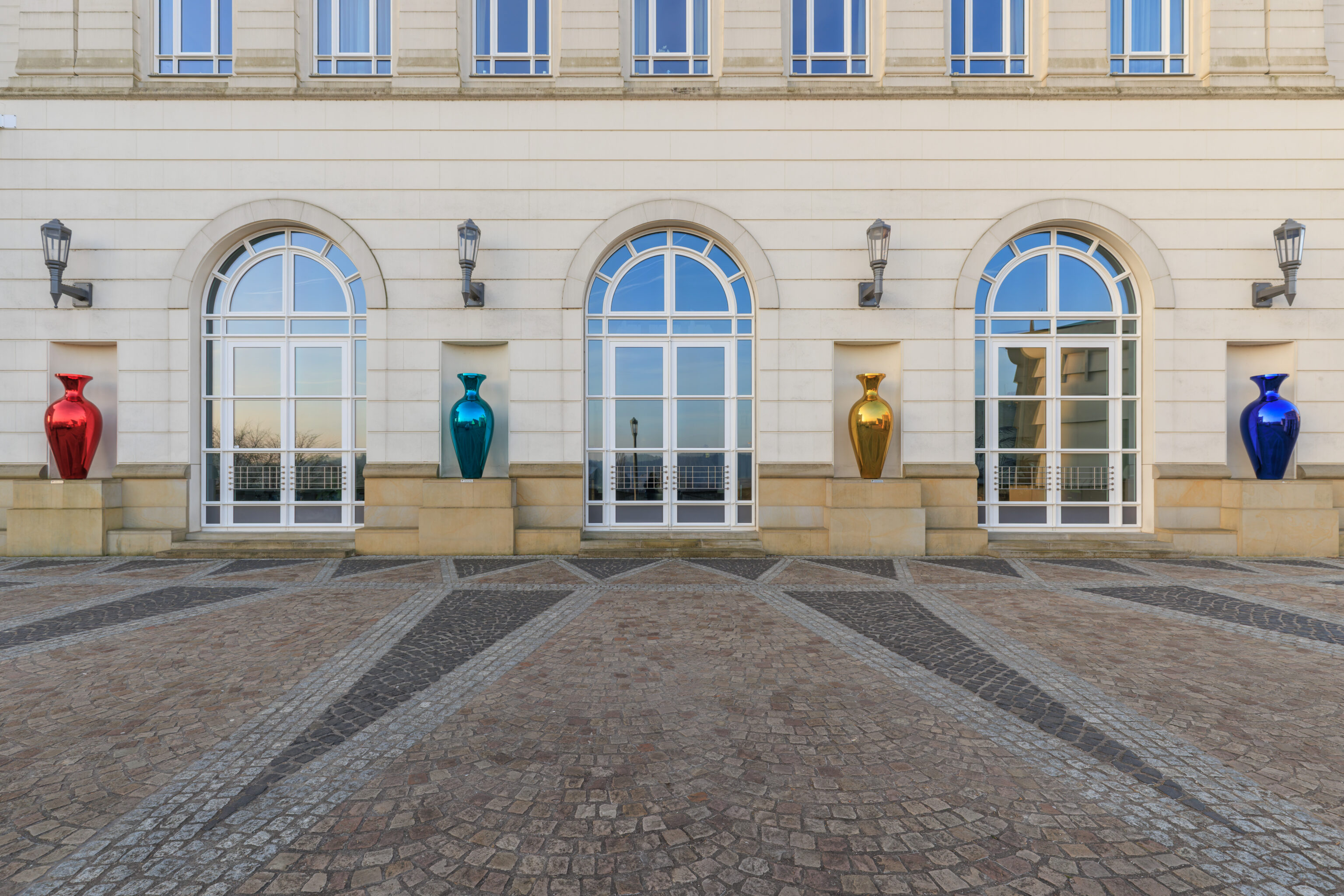
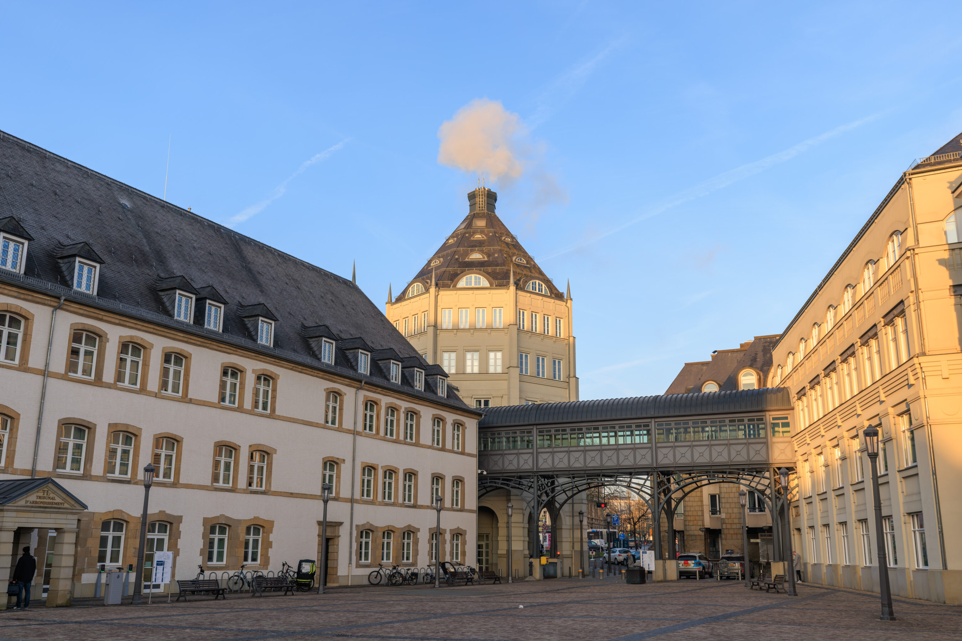
This area at the southern tip of the Ville Haute contains Luxembourg’s judicial buildings.
The Grund
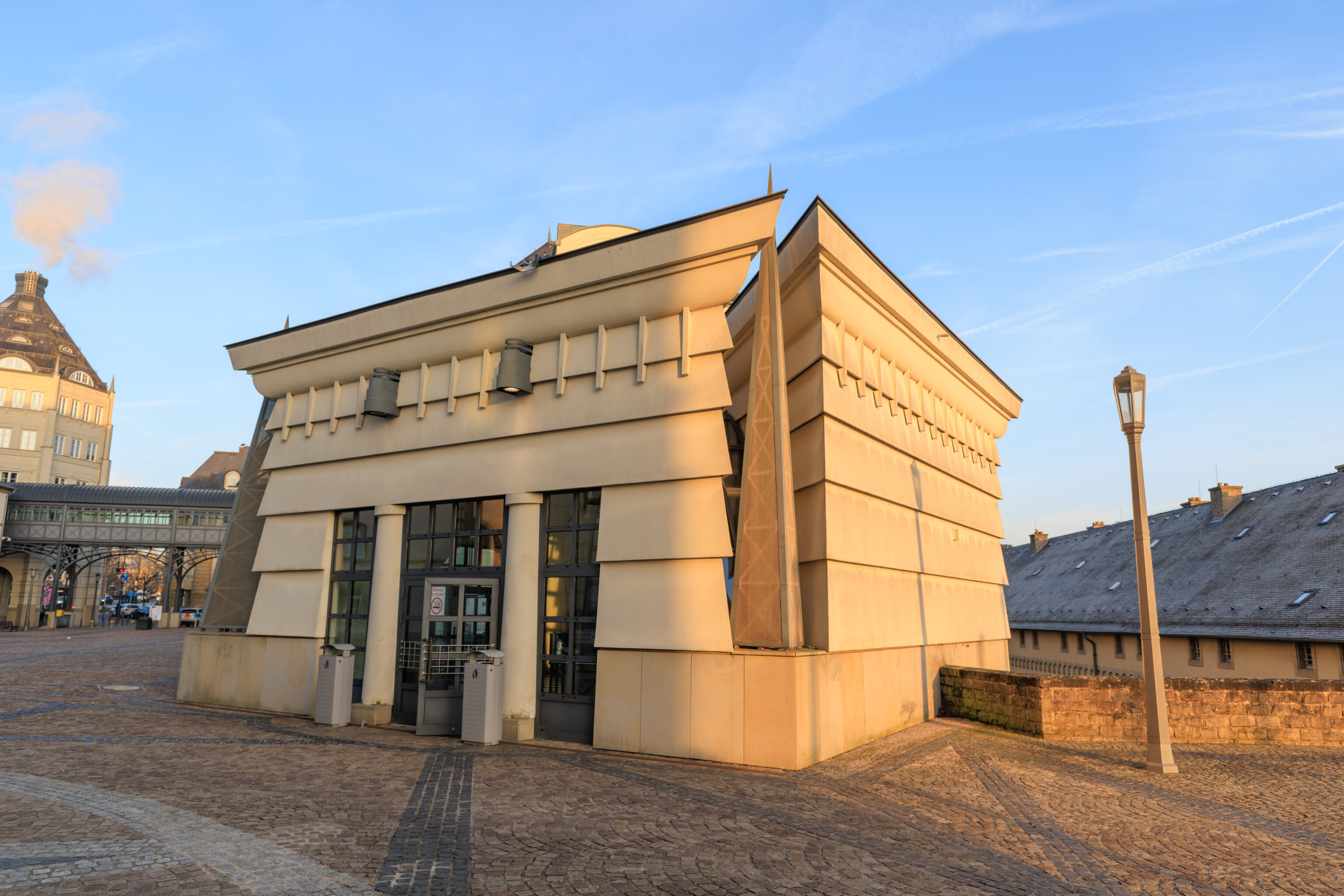
There is an elevator in this area that goes down to the Grund, the area down in the valley. It turns out that it is in this odd little building!
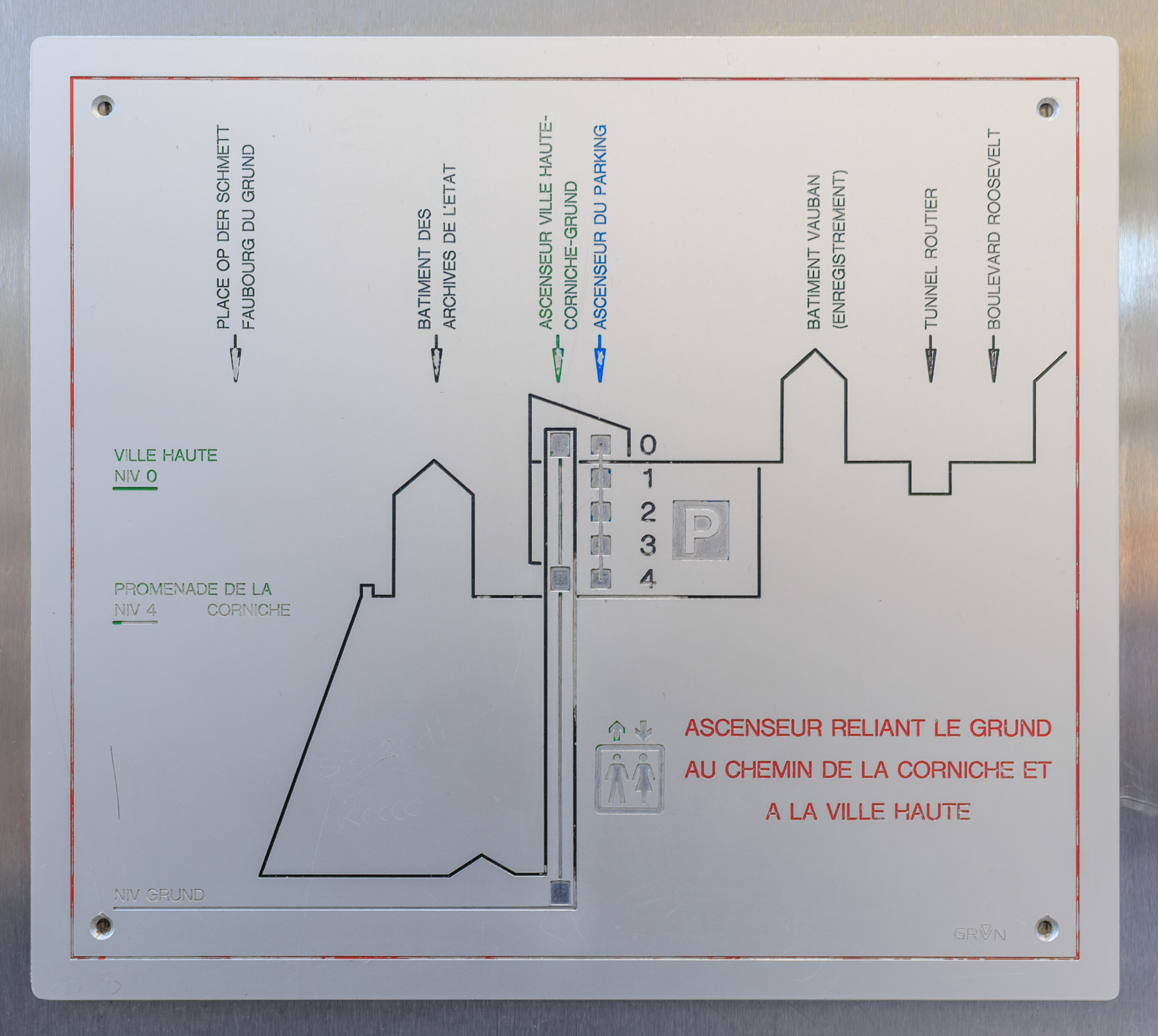
This diagram depicts where the elevator goes. There are four floors of parking below and then it continues down to the Grund.
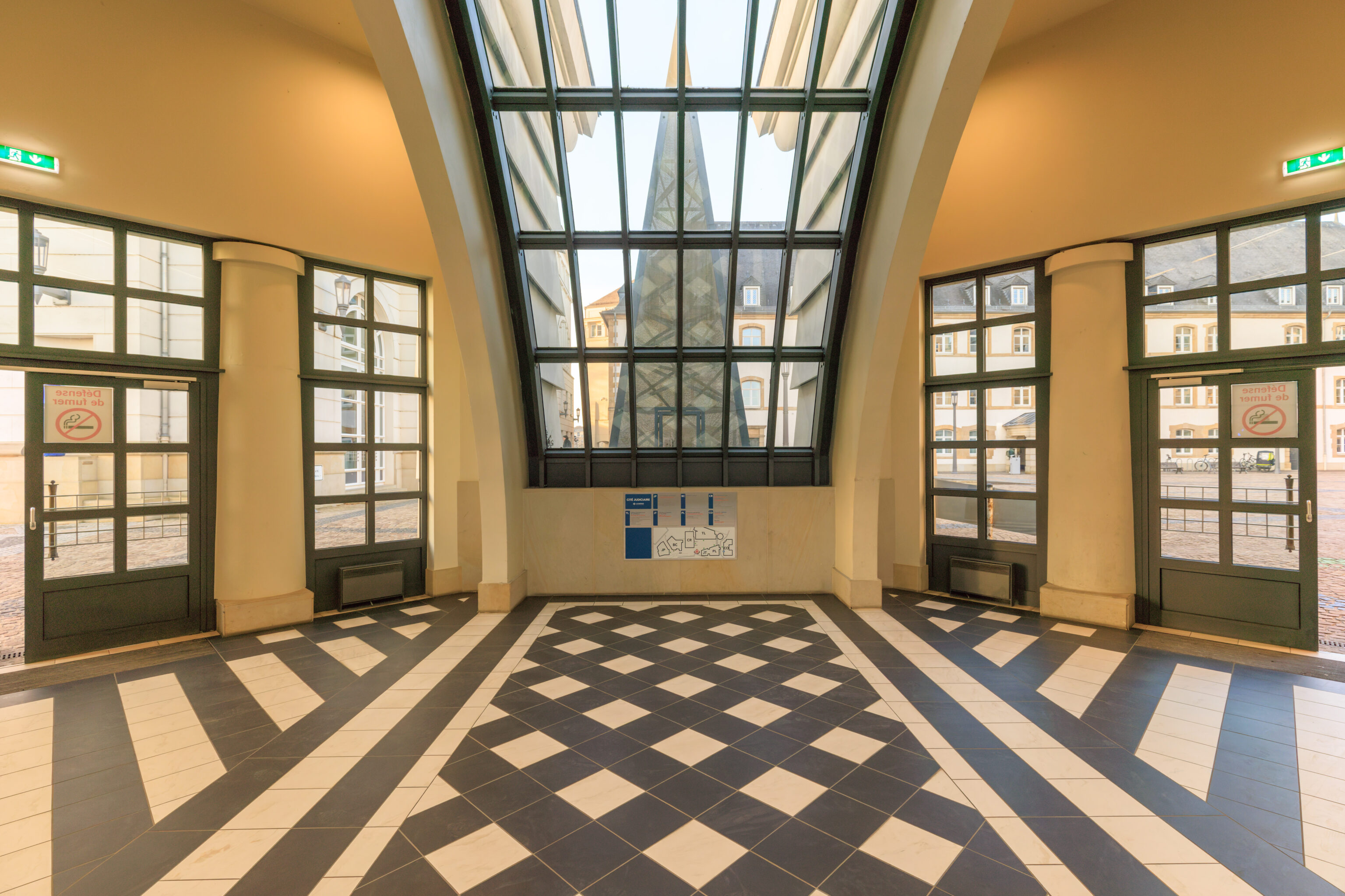
The view from within the elevator building.
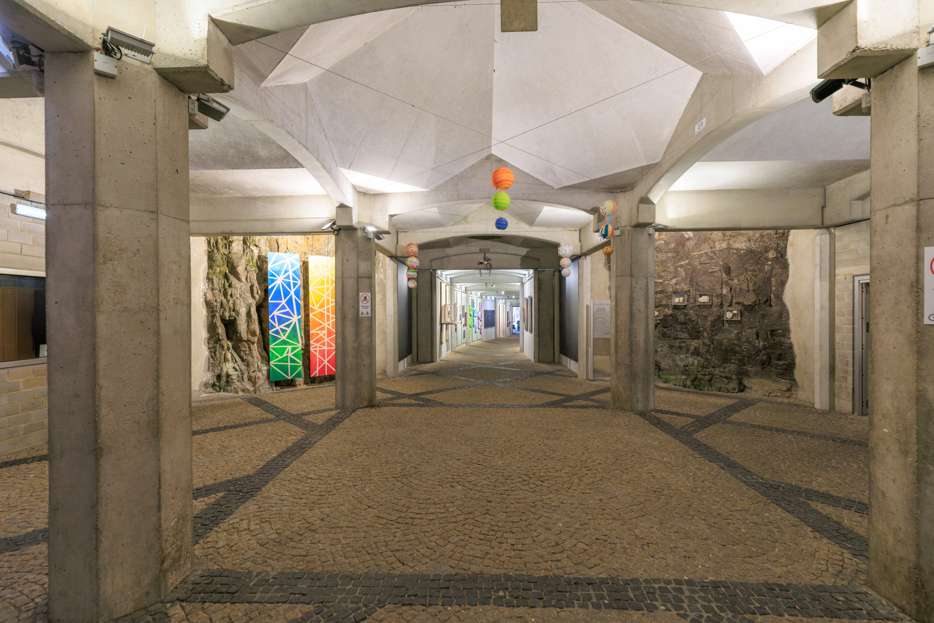
The elevator leads to an underground room with a tunnel heading to the east.
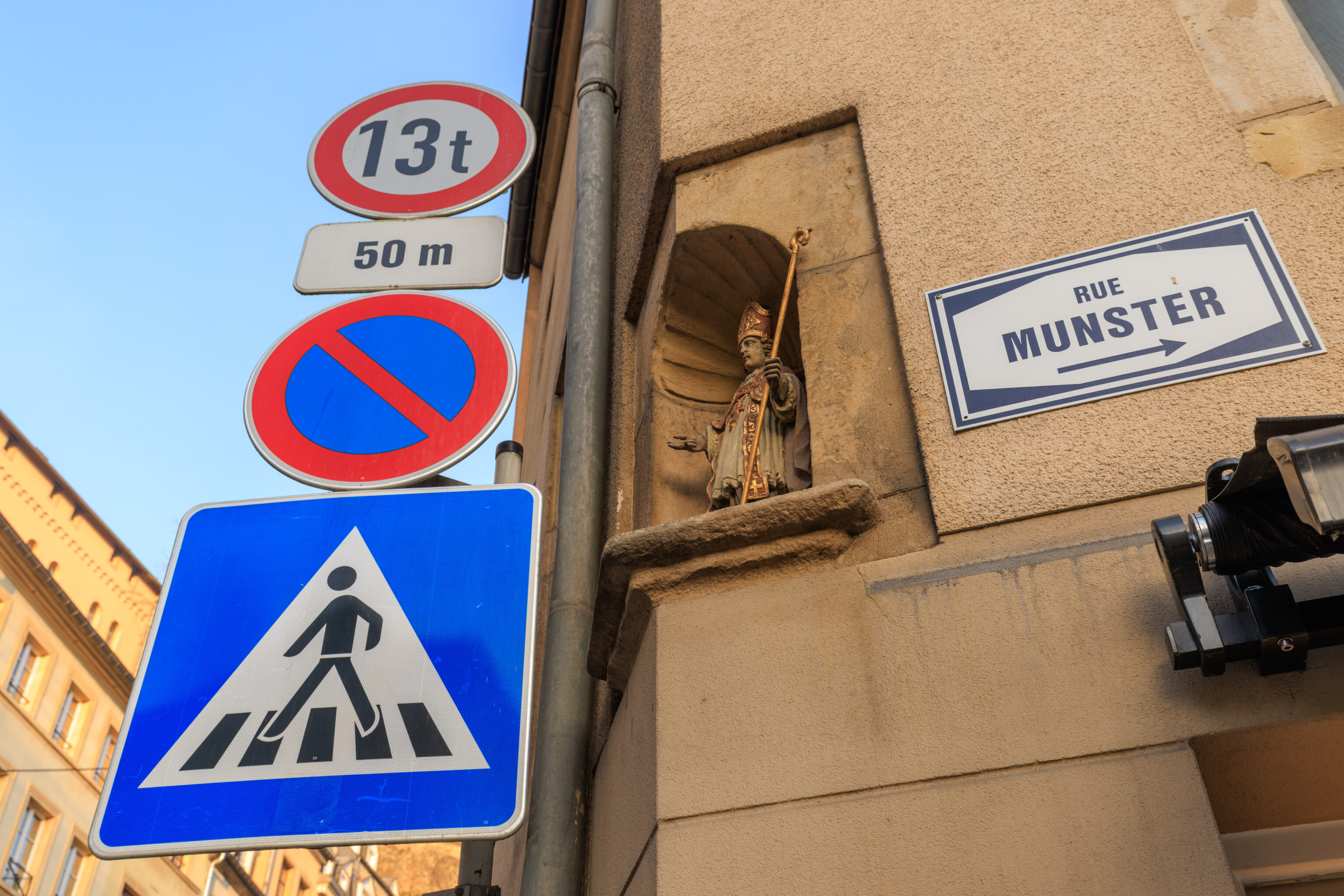
The tunnel leads outside into the Grund. We noticed this little statue at the corner of one of the buildings across the street.
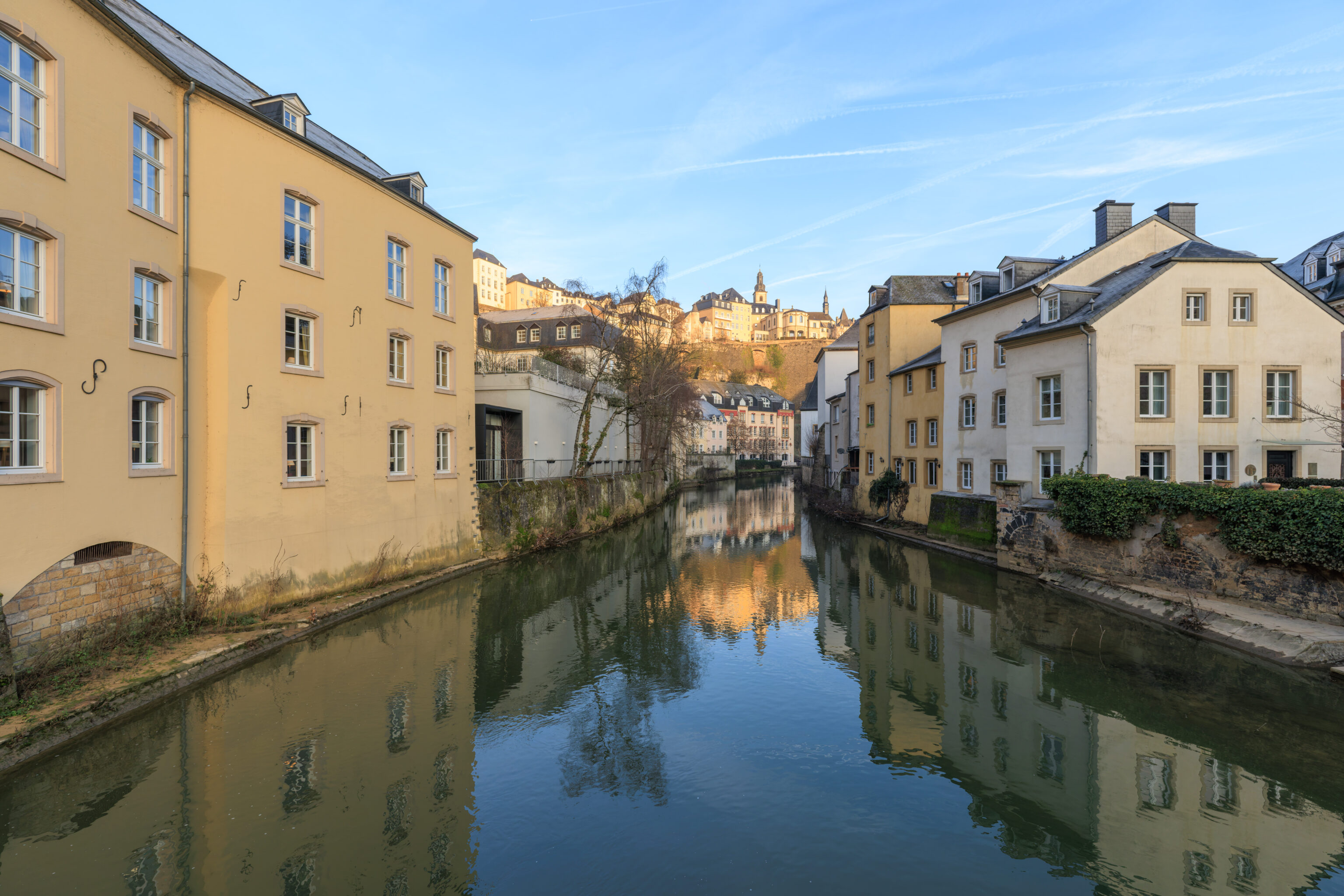
This rather calm river is the Alzette. The view here is to the north.
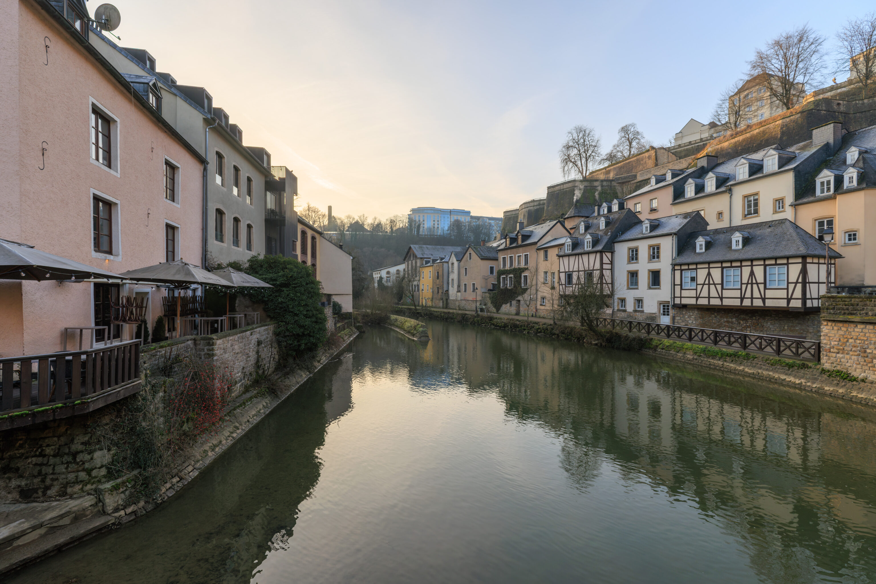
This was the view in the opposite direction, to the south.
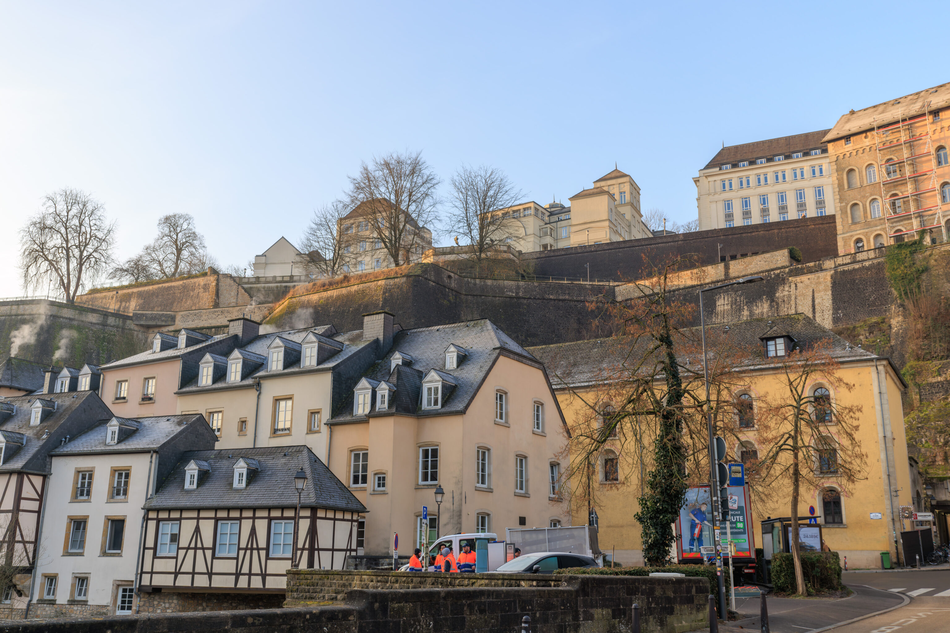
The view looking back up to where we just were. The upper birds of the Fountain of Doves is visible near the center.
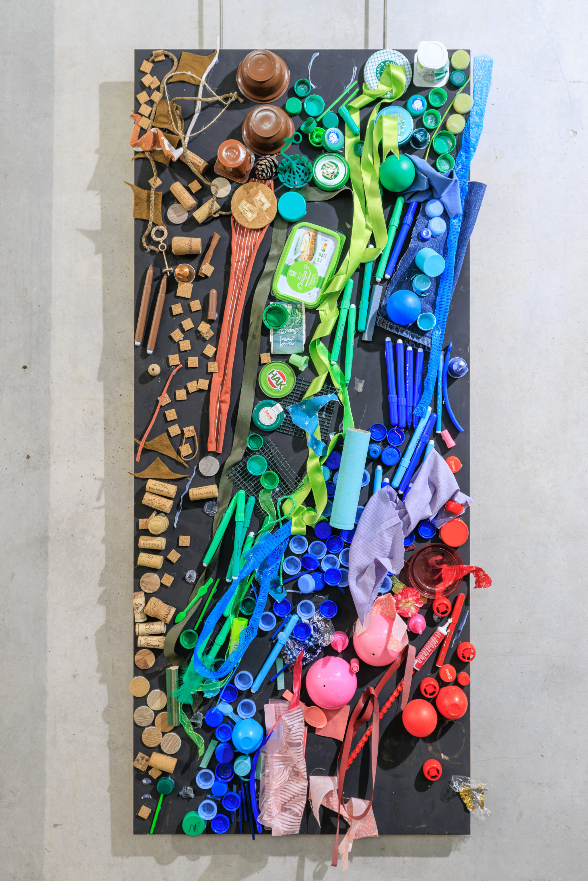
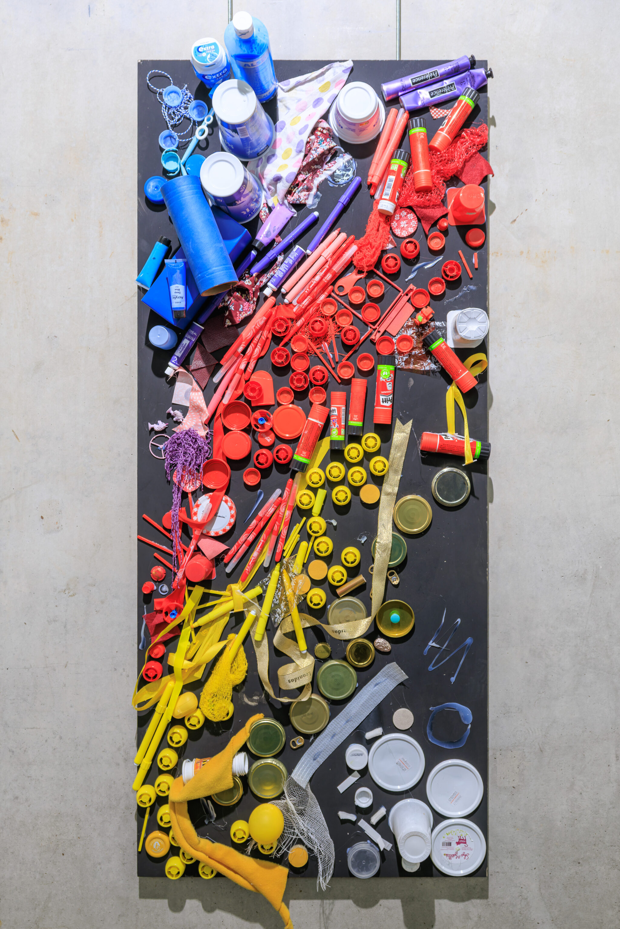
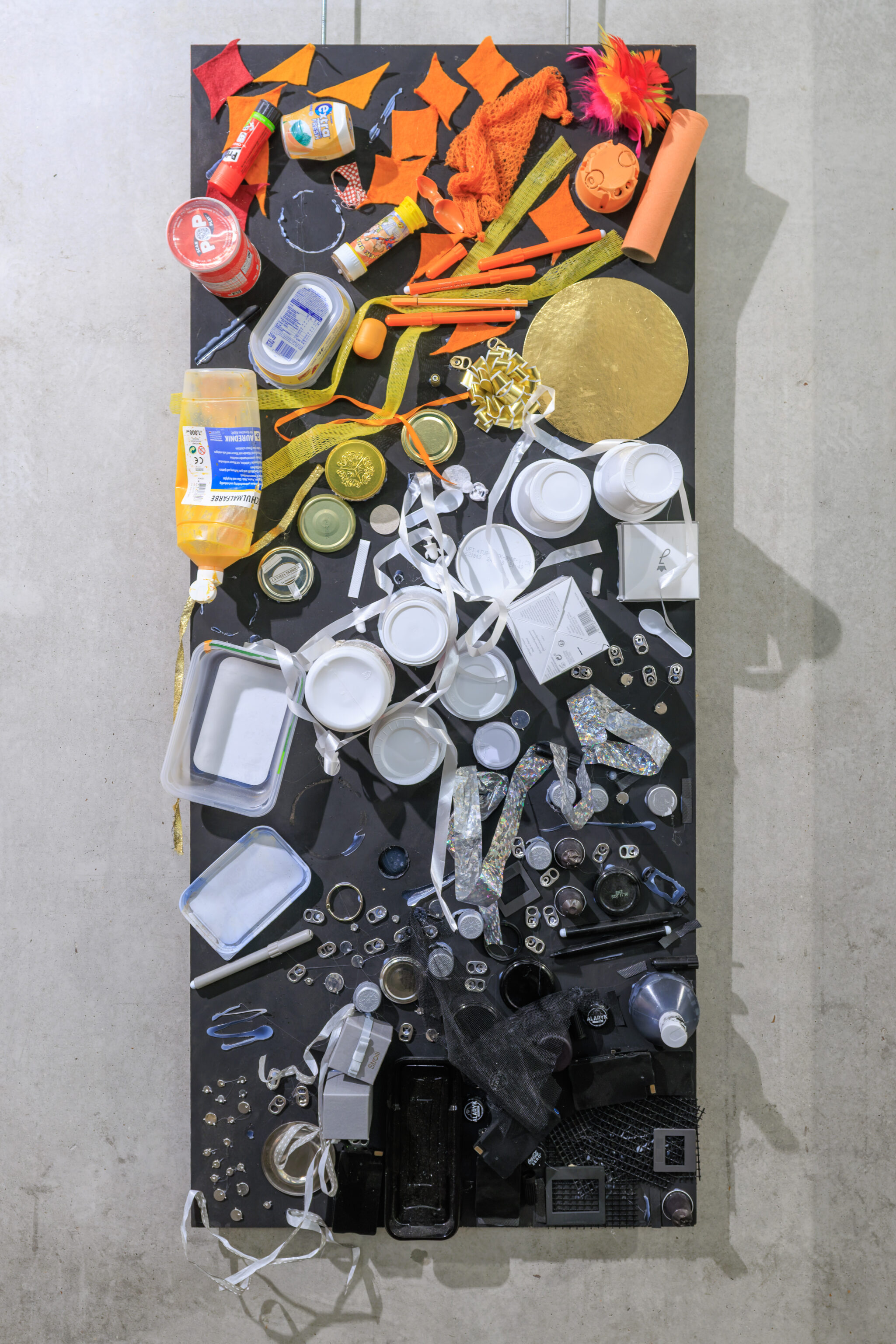
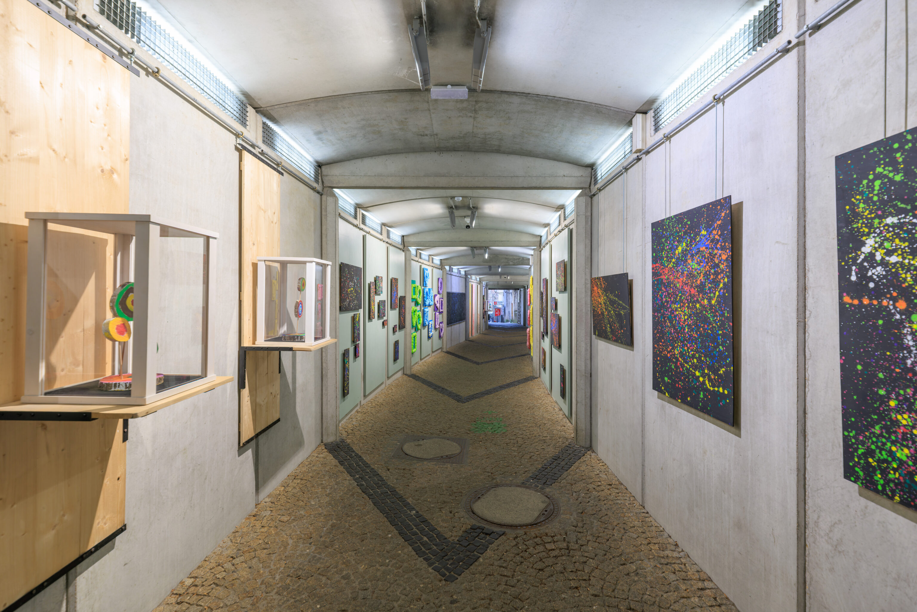
After a brief look around, we headed back to the elevator to return to the Ville Haute. We did take a look at some of the art within the tunnel leading to the elevator.
"COLORS AND SHAPES"
from October 2025 to March 2026

"COLORS AND SHAPES"
by the children of the early learning and mixed-age classes at the "Tramsschapp" Primary School in Limpertsberg

Welcome, everyone.

We are delighted to welcome you today to discover the fruits of a wonderful artistic journey undertaken throughout the year with the children from the early learning and mixed-age classes at the "Tramsschapp" Primary School in Limpertsberg. In collaboration with Capel (School-based Childcare Service – Educational and Leisure Activity Center), this exhibition, titled "Colors and Shapes," is far more than just a collection of drawings or collages: it reflects months of exploration, discovery, laughter... and boundless creativity.

From the very first weeks of school, the children were invited to observe, touch, handle, compare... and, above all, play with shapes and colors. Squares, circles, triangles, spirals, splashes, lines... Brilliant red, deep blue, luminous yellow, soft green... Each element became a gateway to the imagination.

Through painting, collage, printmaking, construction, and even playing with light, we observed how art can awaken the senses and nourish children's natural curiosity. Artistic awakening plays a fundamental role in a child's overall development. It helps forge
links between the concrete and the imaginary, between the individual and the collective. It is a playful, joyful, and enriching way to discover the world, to learn one's place in it, and to dream within it, too.

We hope this exhibition conveys a little of that magic. Every piece presented here is unique, born of a curious hand and a gaze filled with wonder. We invite you to view them through a child's eyes: eyes that see beyond the frame and still know how to marvel at the world.

Enjoy the visit, everyone, and well done to the young artists!

School-Based Care Services
Educational and Recreational Activities Centre (CAPEL)

4-12 rue de l'Ecole, L-1454 Luxembourg
Contact: Tel. 4796-2966
E-mail: [email protected]
capel.vdl.lu
– Text from a sign, translated using Google Translate.
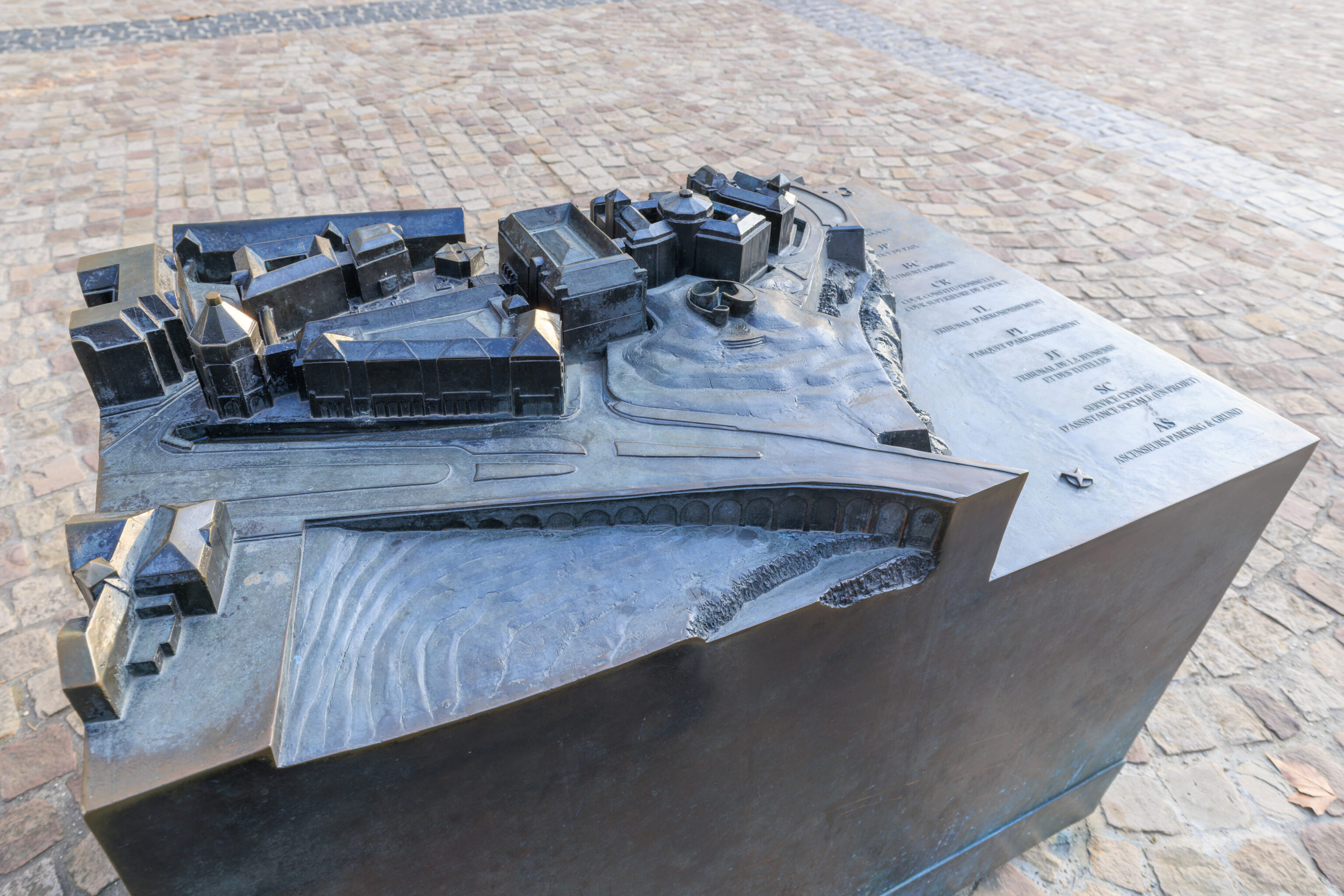
After returning to the Ville Haute, we noticed this model of the judicial complex. We started at the bottom right corner, walked to the upper right, and the elevator was at the top. We are now on the left by the tower.
Notre-Dame Cathedral
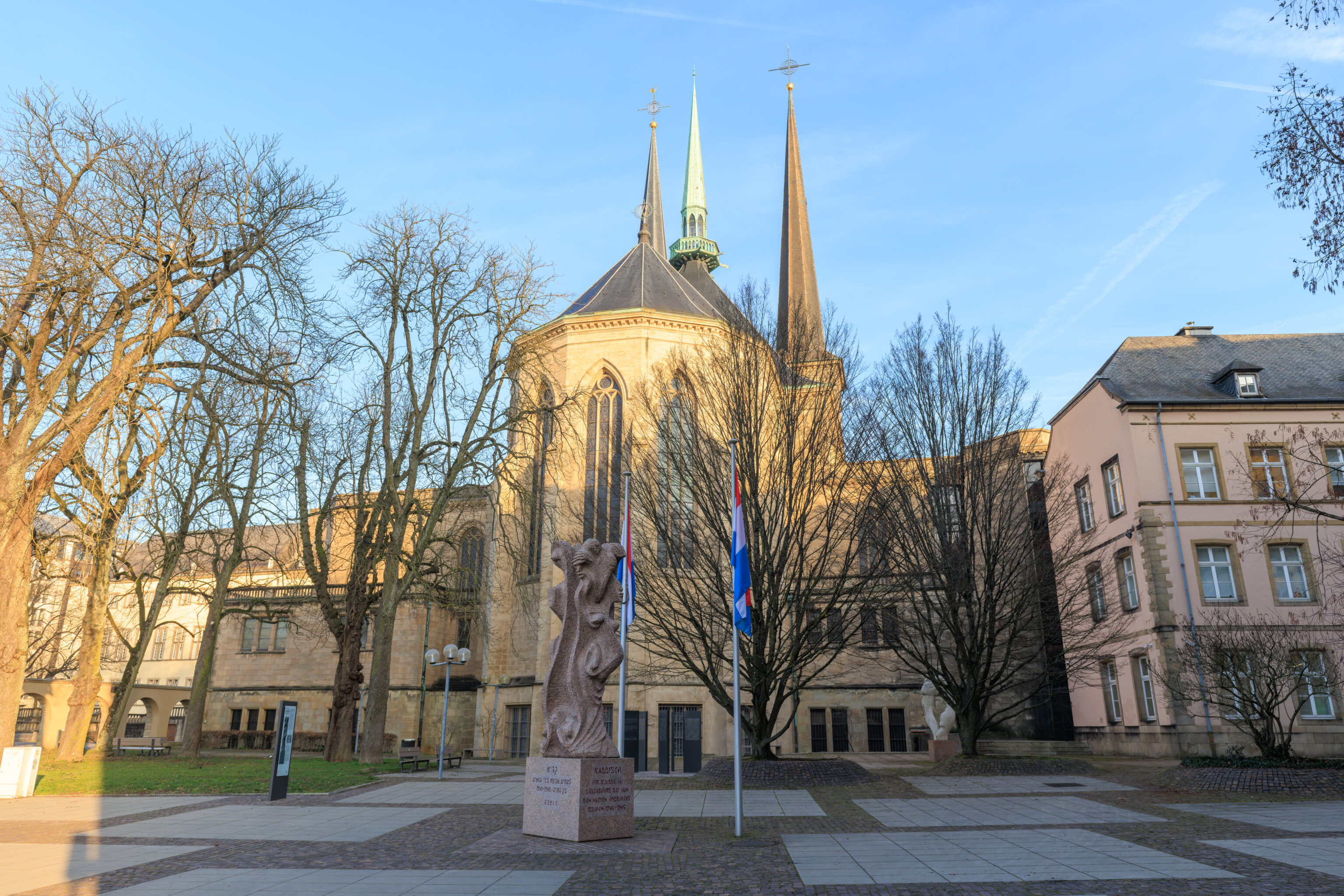
We walked to the west to visit the Notre-Dame Cathedral. We ended up at the rear of the building.
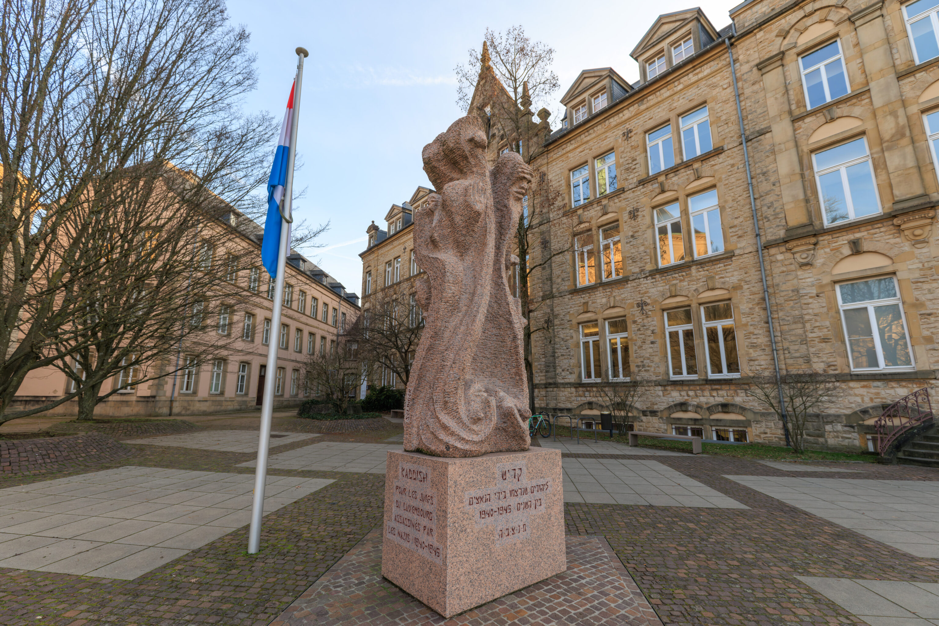
This is a monument created by Shelomo Selinger for the Jews from Luxembourg that were killed by the Nazis. It is part of the Shoah Memorial, Shoah being the Hebrew term used to refer to the Holocaust.
Kaddish for the Jews of Luxembourg murdered by the Nazis 1940–1945.
– Text inscribed on the base of the sculpture, transcribed and translated using Google Gemini.
A nearby sign provides some information provided by the artist as well as a biography:
Shelomo Selinger's Kaddish Monument
The National Monument in Memory of the Victims of the Shoah in Luxembourg (1940-1945) was erected on the initiative of the Jewish community of Luxembourg, the government of the Grand Duchy of Luxembourg, and the City of Luxembourg. The monument was inaugurated on 17 June 2018. It is named after the Kaddish, one of the most famous Jewish prayers recited as part of mourning rituals in Judaism.

Given below are an interpretation of the monument and a biography as suggested by the artist.

[1] Facing the monument, the onlooker discovers two upturned heads at the bottom, whose hair turns into devouring flames, flames of memory which, as they rise, surround a large hollow narrowing before transforming into a channel of light. The upturned heads symbolize death. The flames on the right rise towards the man who is covering his eyes with his hand in order to recite the Shema, the prayer said by Jews in the face of death, a gesture symbolical for the world turning away its gaze so as not to witness the enormous crime being perpetrated.

To the left, a flame rises towards the shape of a head with a large eye, the eye of the world that sees everything. The hand below symbolizes the indifference and inaction of the world.

From the flames moving to the left [2] emerges a hand holding a child and the Hebrew letter "lamed" which winds from the bottom to the top.

[3] At the back of the sculpture, at the bottom, the onlooker discovers the head of a martyred man. His beard transforms into flames that rise towards a woman's upturned head, turning into a vortex of fire.

To the left of the channel of light, which rises in the center, appears the Hebrew letter "vav". [4] Under the "vav" looms the head of a woman with a swaying body and another tilted head, as well as a hand holding a baby, trying to save it as flames erupt from all sides.

In Hebrew, the two letters "lamed" and "vav" which emerge from the flames have the numerical value 30 for the "lamed" and 6 for the "vav", thus equaling a total of 36.

According to cabalistic tradition, the constant existence on Earth of 36 hidden righteous people is a guarantee for the survival of our world.

Artist's Biography
Shelomo Selinger, the artist who sculpted the Kaddish Monument, is born on 31 May 1928 in Szczakowa, a small Polish town near Jaworzno, not far from Auschwitz.

After the invasion of the country by the Nazis on 1 September 1939, a regime of terror is established in Poland.

In 1942, Shelomo, aged 14, is deported to Germany with his father who is murdered three months later. After having experienced nine successive camps and two death marches, he is in Theresienstadt. In 1945, when the camp is liberated, a Soviet officer, and Jewish military doctor, notices a body still moving on a pile of corpses. It's Shelomo, whom this officer saves by having him admitted to a military hospital.

However, the trauma is so great that Shelomo completely loses his memory.

In 1946, he reaches Palestine with 700 other survivors and joins the kibbutz of Beit ha Arava, near the Dead Sea. This kibbutz is destroyed during Israel's War of Independence and Shelomo helps establish the kibbutz Kabri in Galilee.

After seven years of amnesia, his memory returns to him at the same time as his artistic creation manifests itself following his meeting with Ruth Shapirovsky, a music student, whom he marries in 1954. At the end of 1955, he leaves Israel with his wife and moves to Paris. Thanks to a scholarship that he received as the winner of a contest, he enrolls at the École des Beaux-Arts and becomes the pupil of sculptor Marcel Gimond. An extraordinary career as a sculptor follows. His works of art win multiple international awards. Notably, Shelomo Selinger created the memorial monument of the Drancy camp in France.
– Text from a sign, translated using Google Translate.
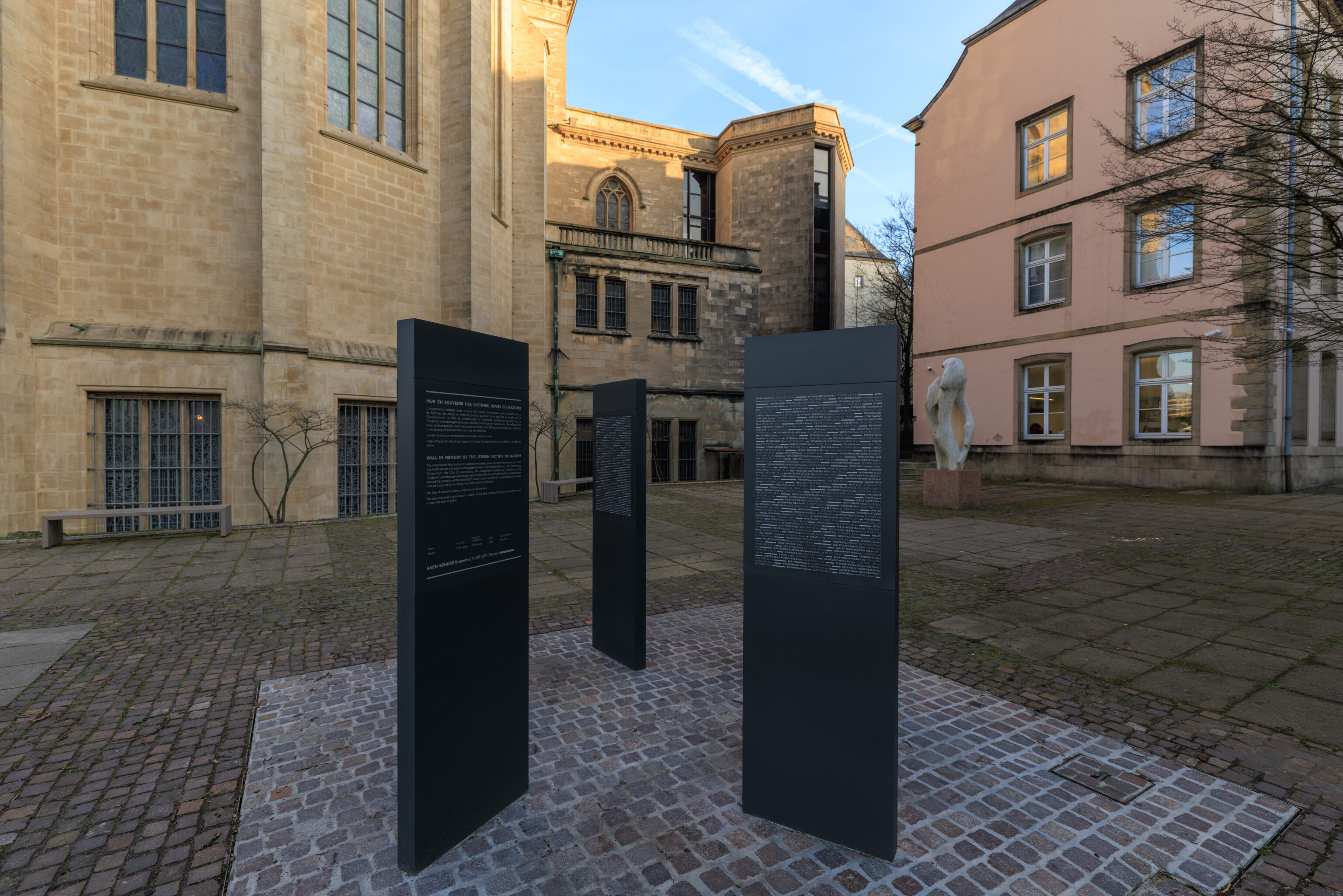
These tablets list the names of the 1,225 Jews from Luxembourg who were killed by the Nazis.
WALL IN MEMORY OF THE JEWISH VICTIMS OF NAZISM
The unspeakable Nazi barbarism wanted the bodies, souls and even the memory of what the Jewish people had been to disappear forever in suffering and flames. The Luxembourg Government, the City of Luxembourg, the Consistoire israelite du Luxembourg, the Fondation luxembourgeoise pour la mémoire de la Shoah and the MemoShoah association wanted the memory and traces of 1,225 Jewish victims who lived in Luxembourg to emerge from nothingness by inscribing their name on this Memorial.

The fate of several hundred people remains unknown.

The age indicated is calculated in relation to the date of deportation or, where this is not known, the date of death.
– Text from a sign.
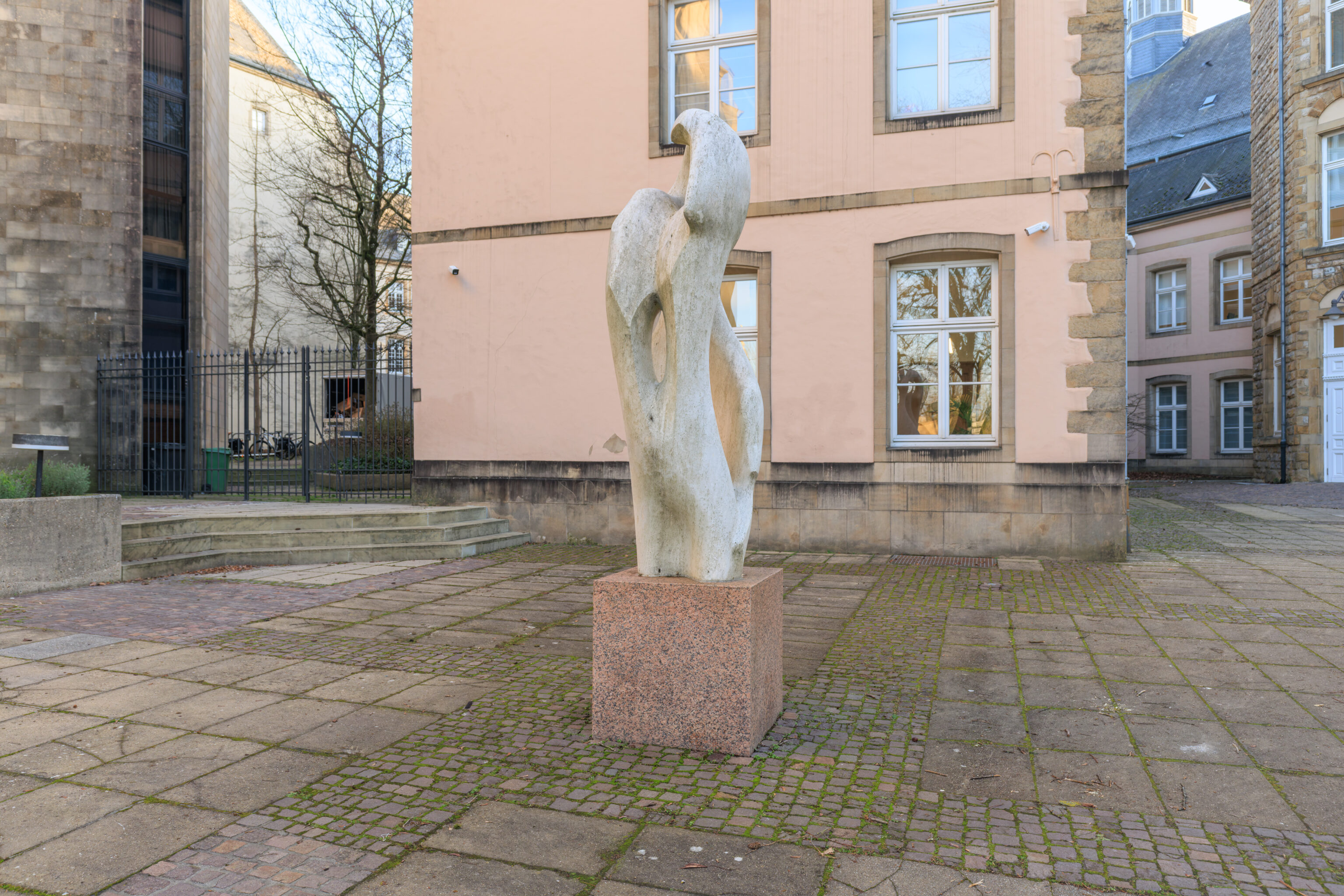
This sculpture is also probably part of the memorial.
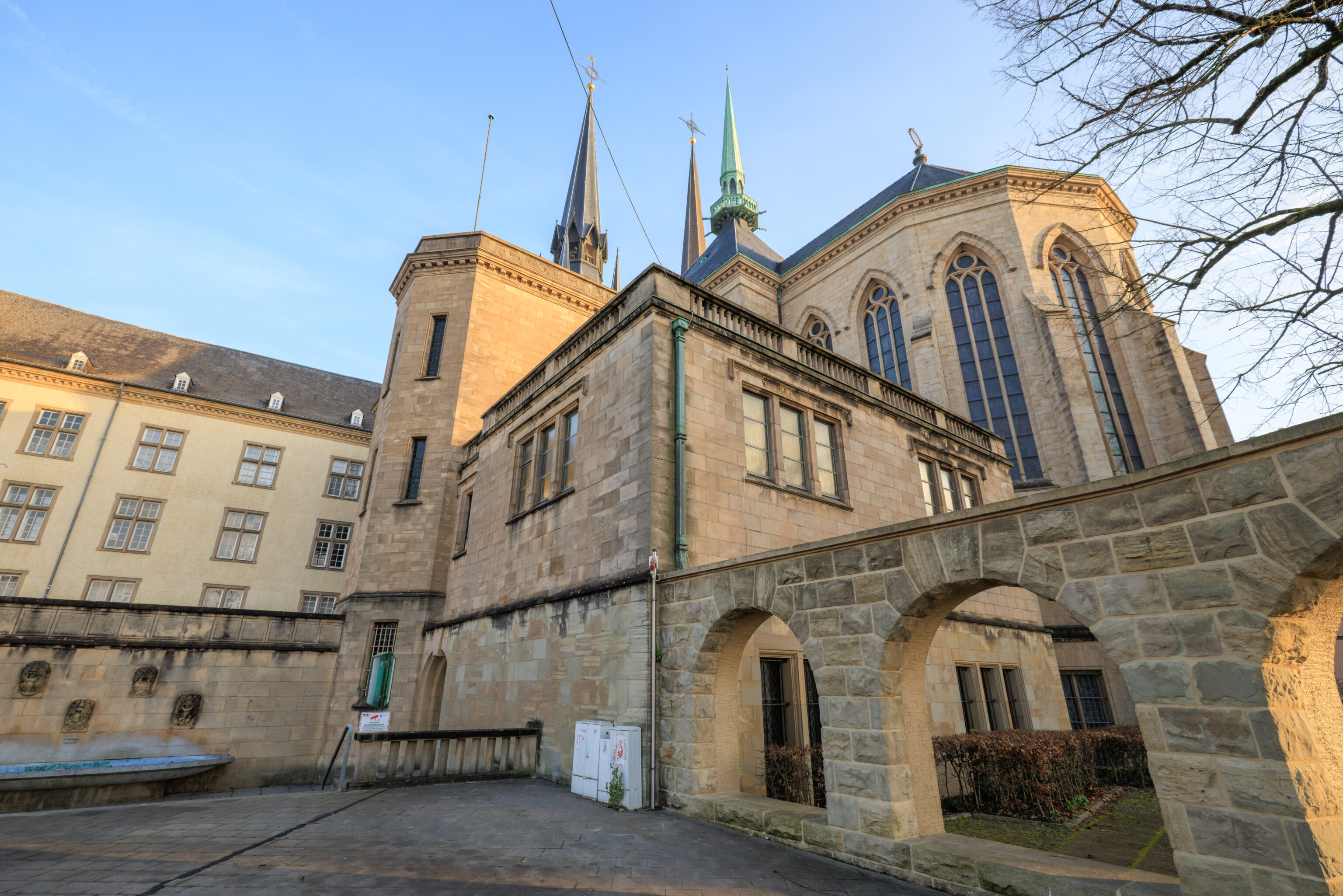
We walked over to the west to find an entrance to the cathedral.
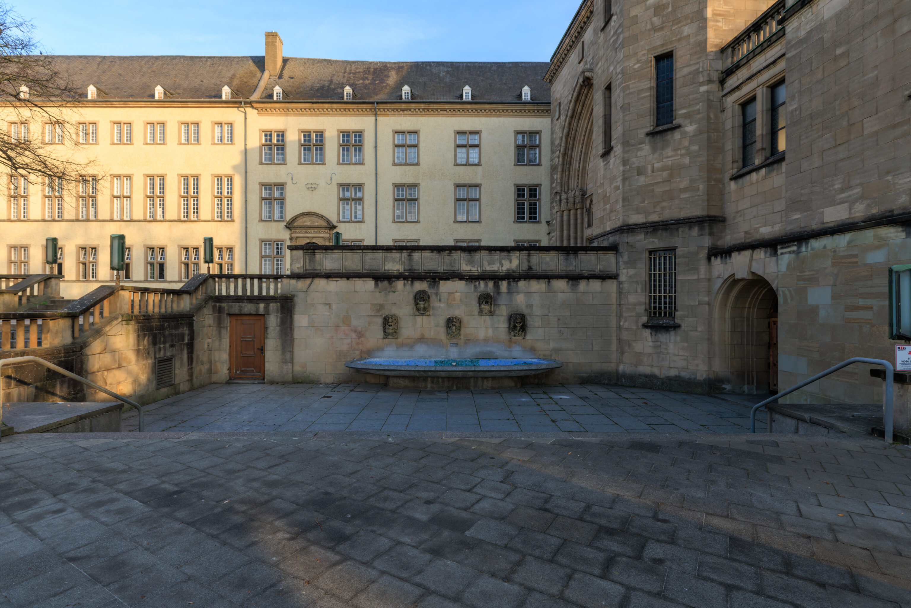
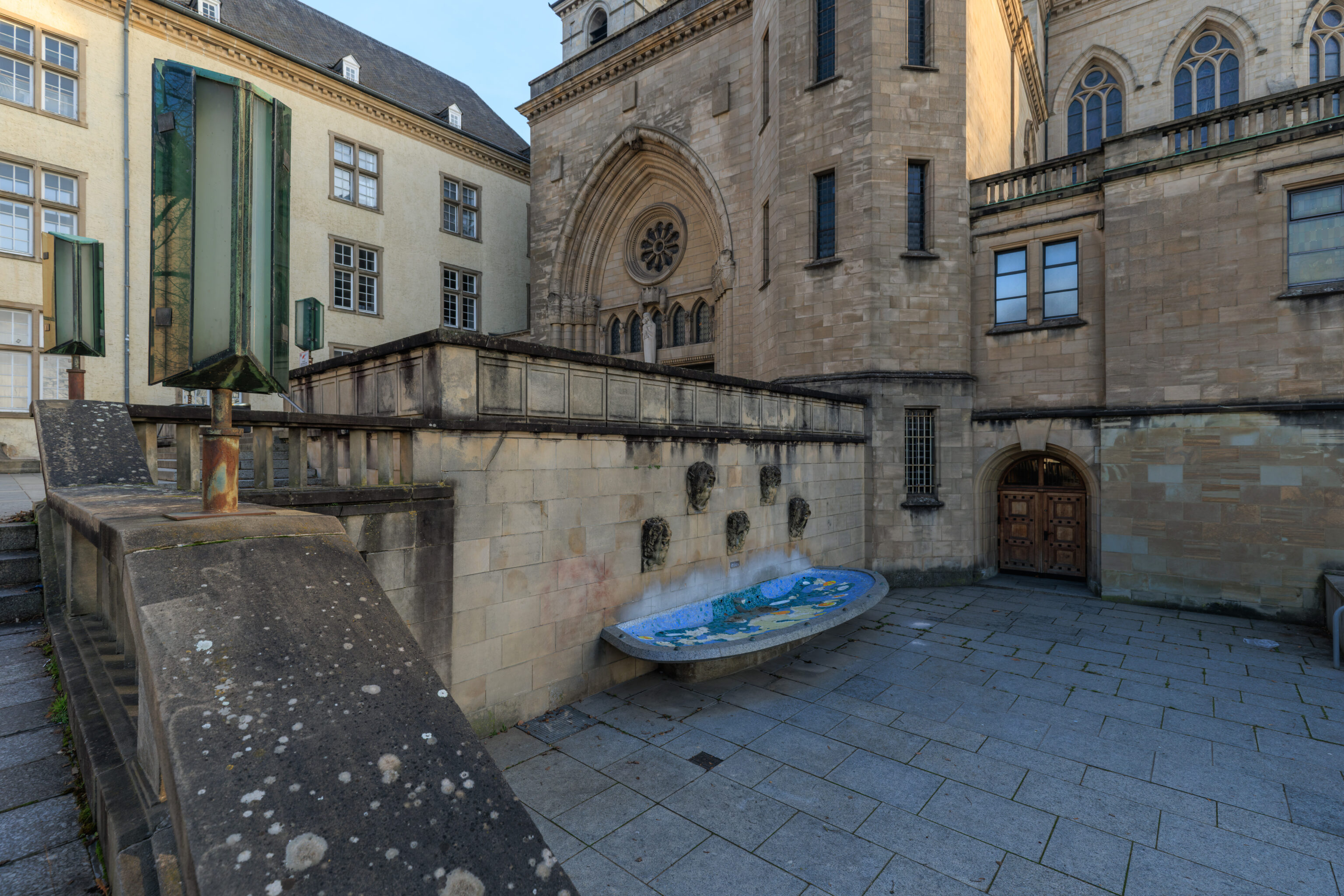
There seems to be a door up and behind the colorful but empty fountain?
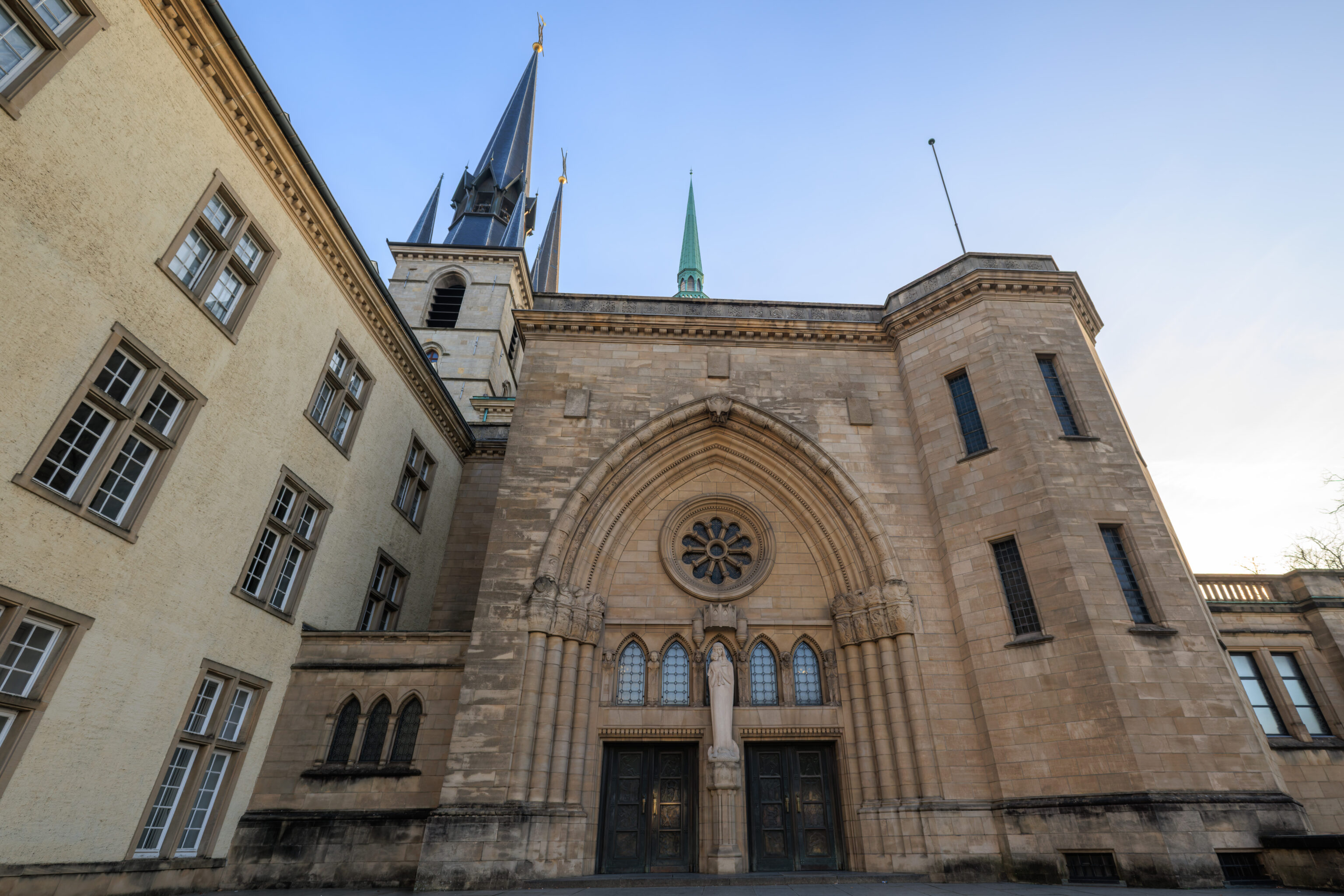
This could be an entrance!
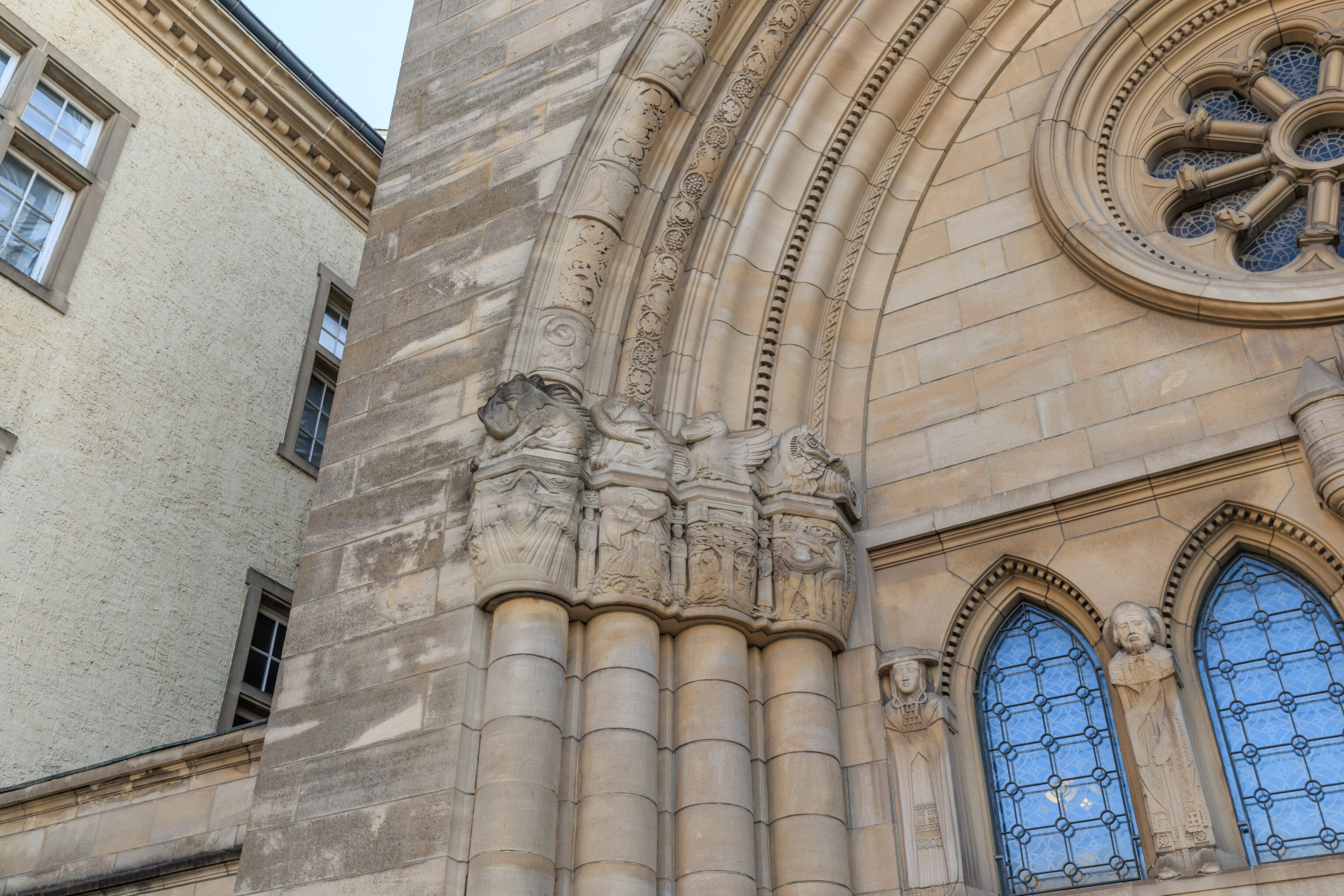
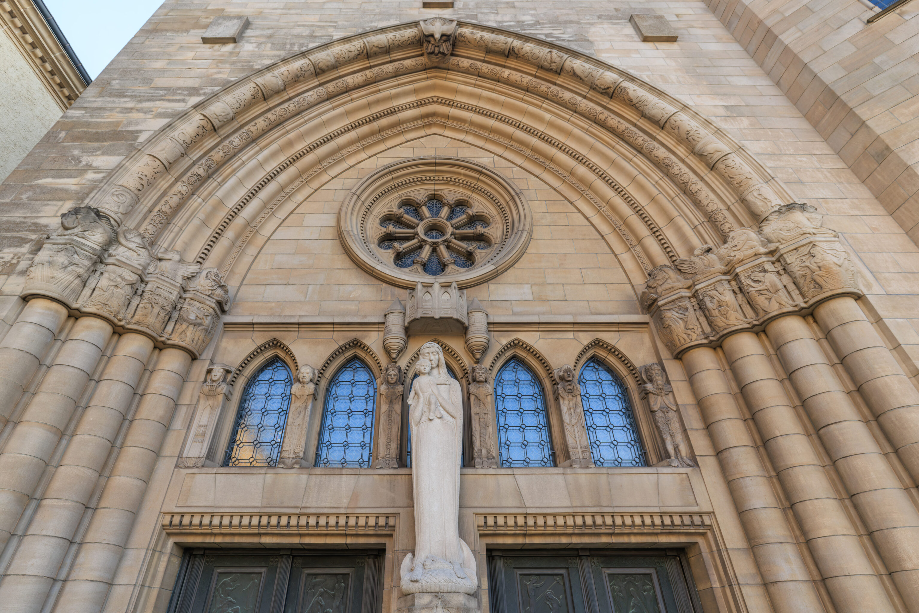
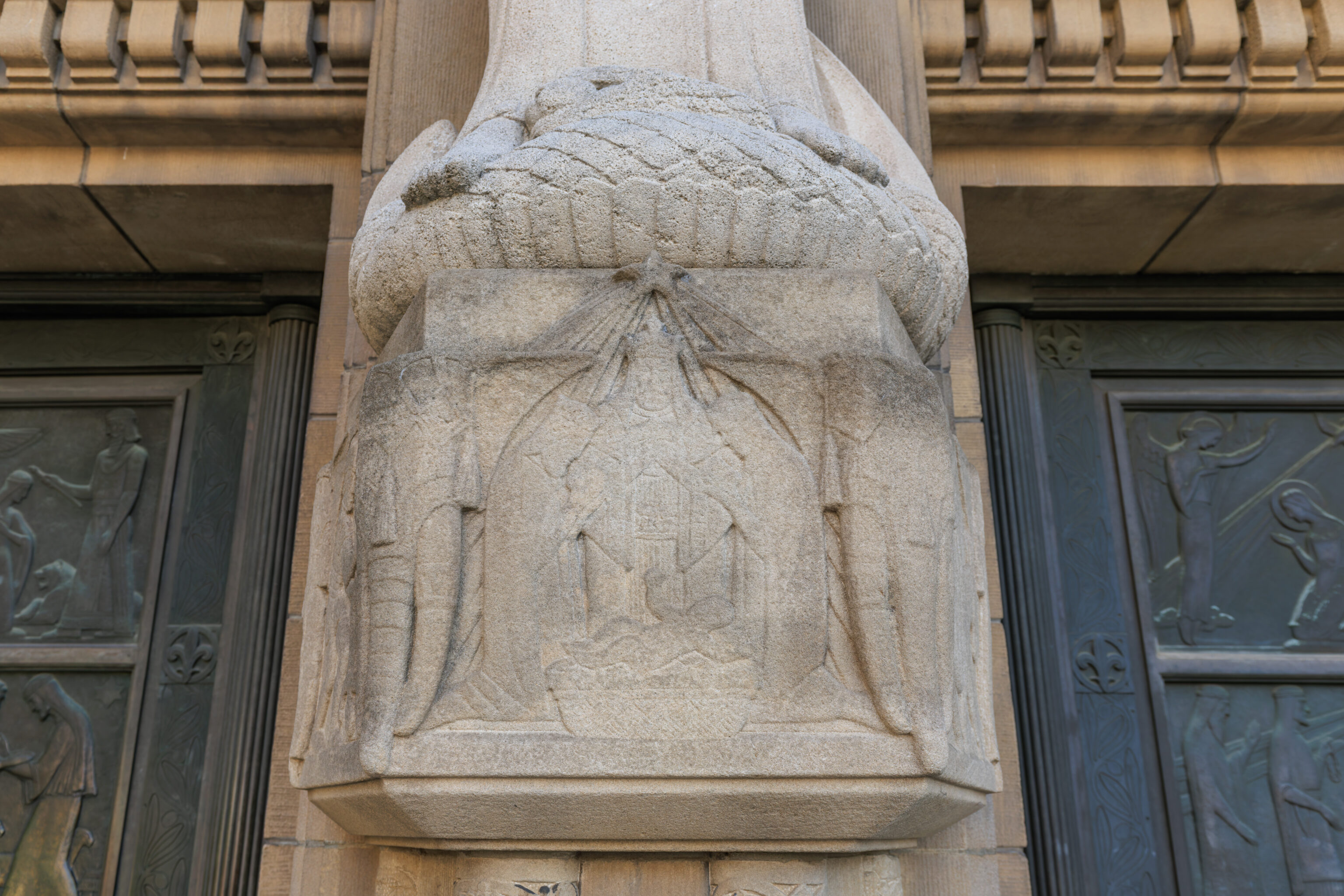
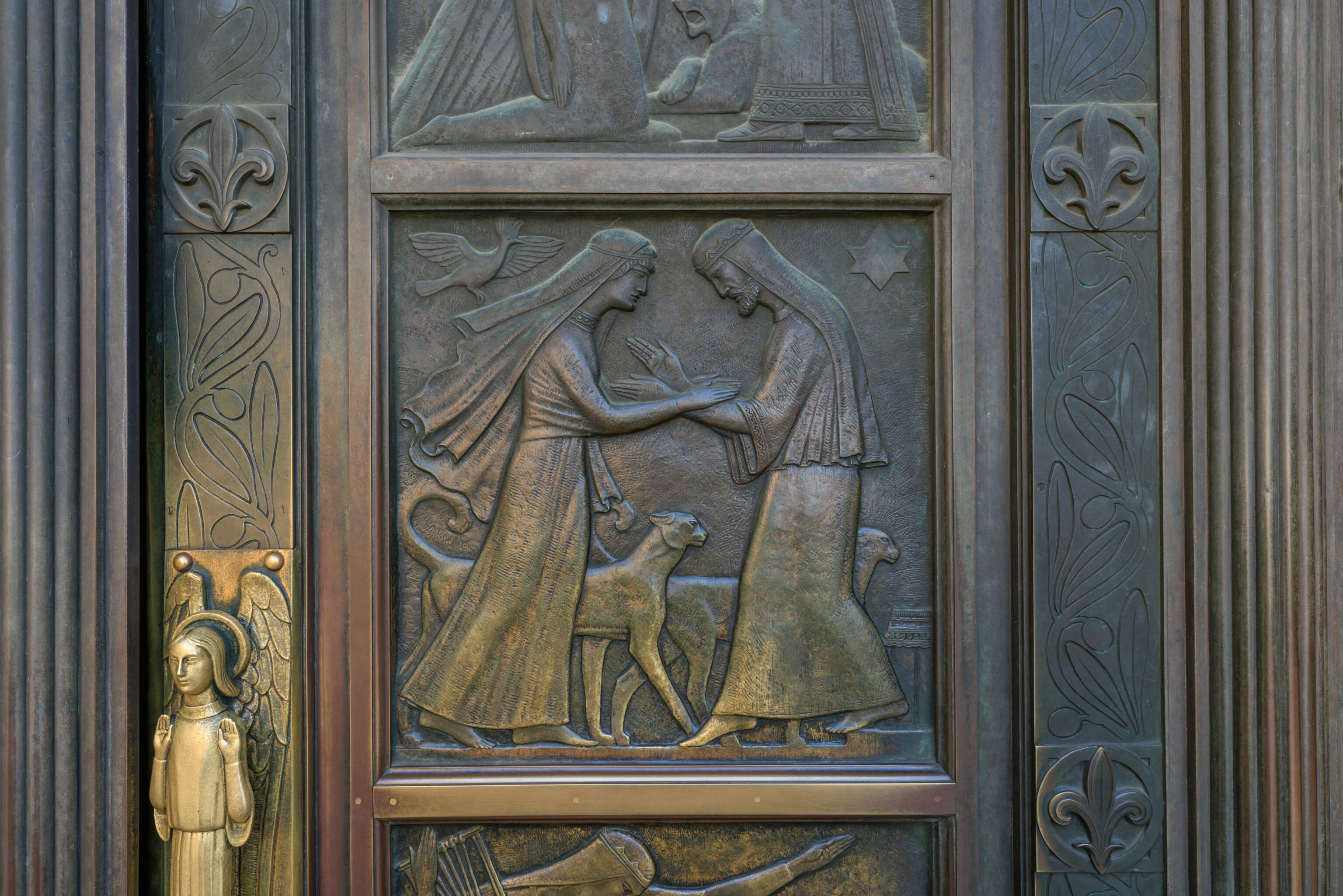
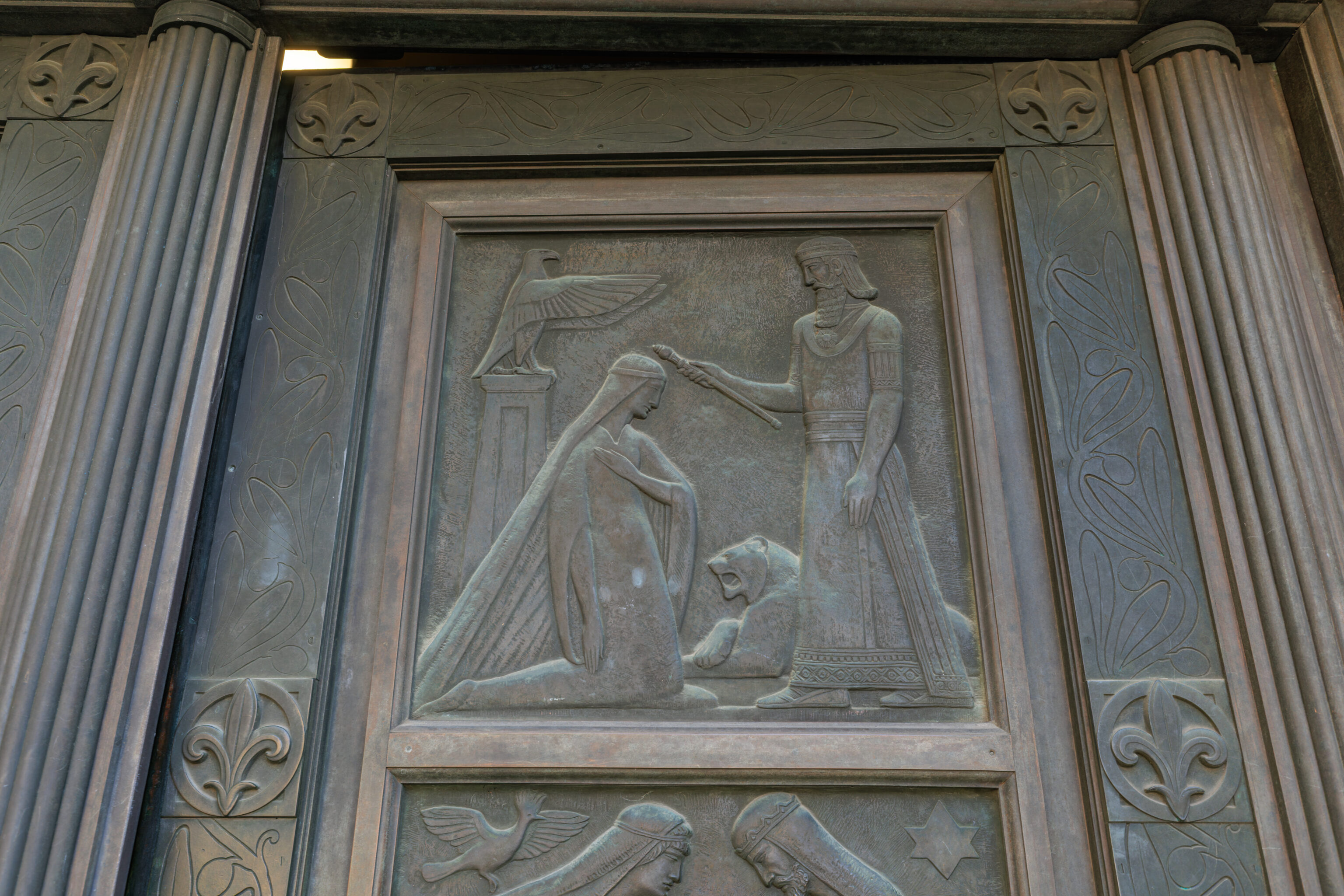
We took a look at the various decorative elements on and by the doors. Some of the art seems Egyptian.
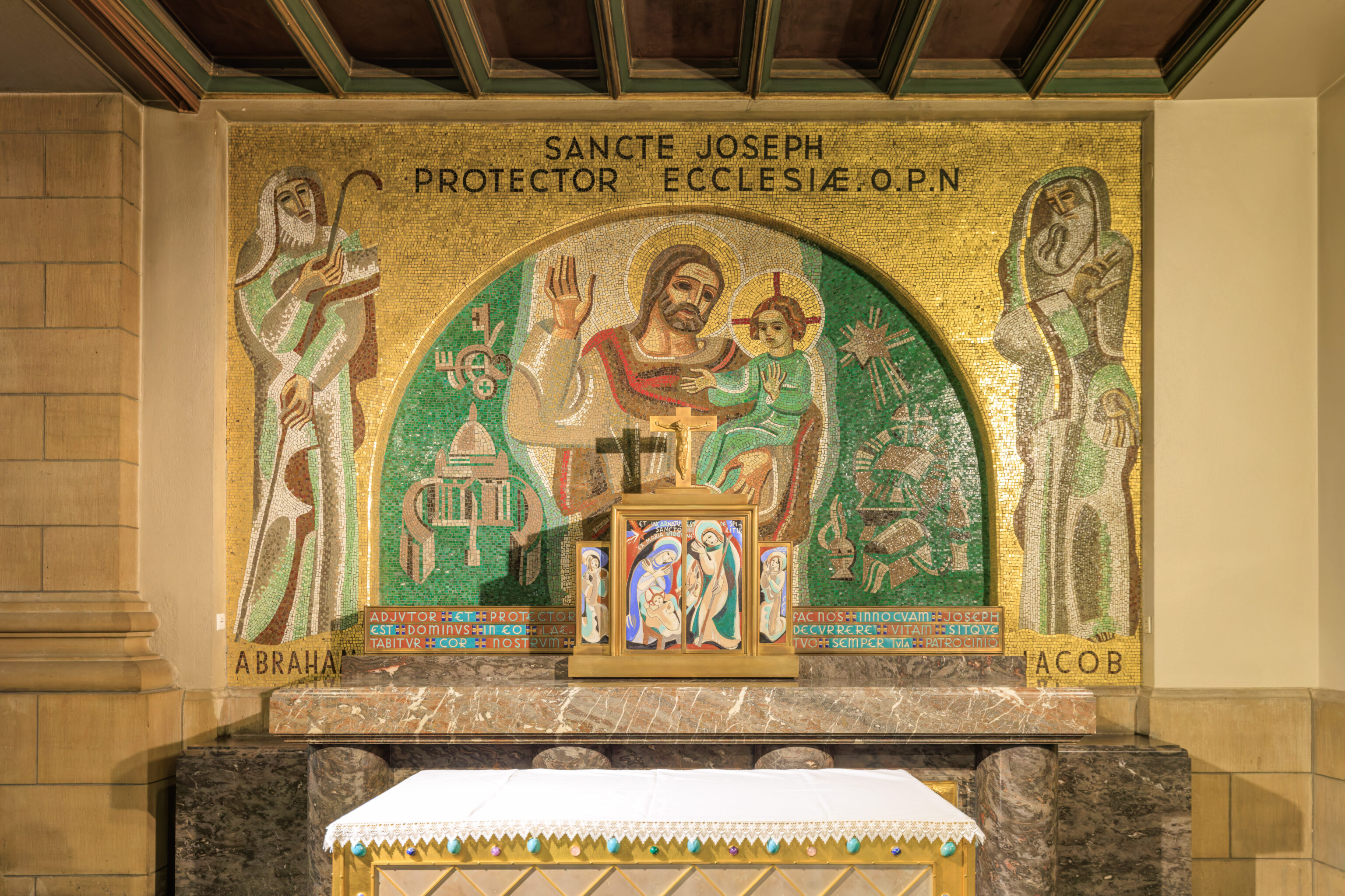
We opened one of the doors and walked inside. This mosaic contained many small gold colored tiles. It was a bit reminiscent of the Eastern Orthodox churches we saw in Athens as well as the Basilica di San Marco in Venice.
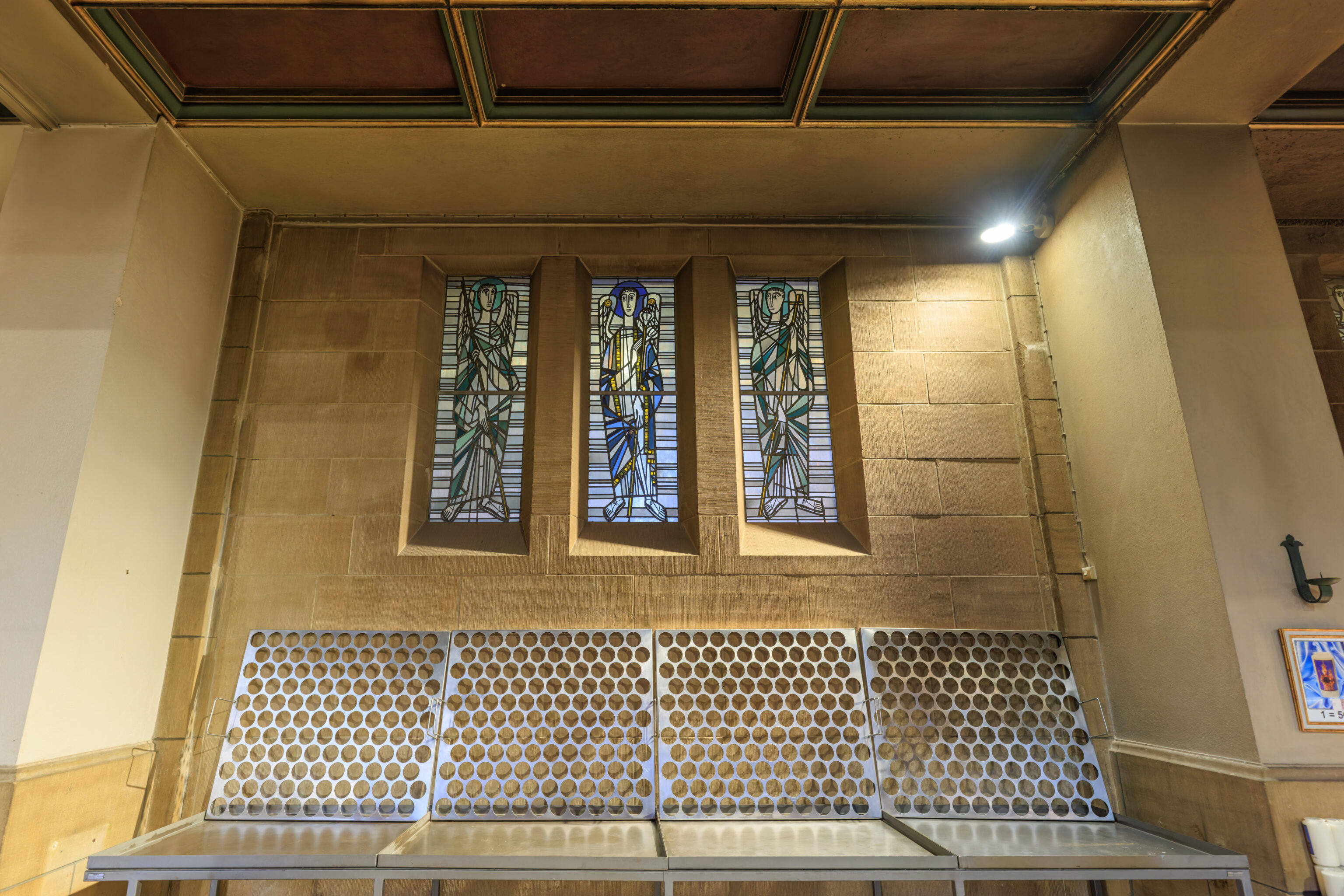
Some modern yet ancient looking stained glass behind four open metal frames that are for holding votive candles in place.
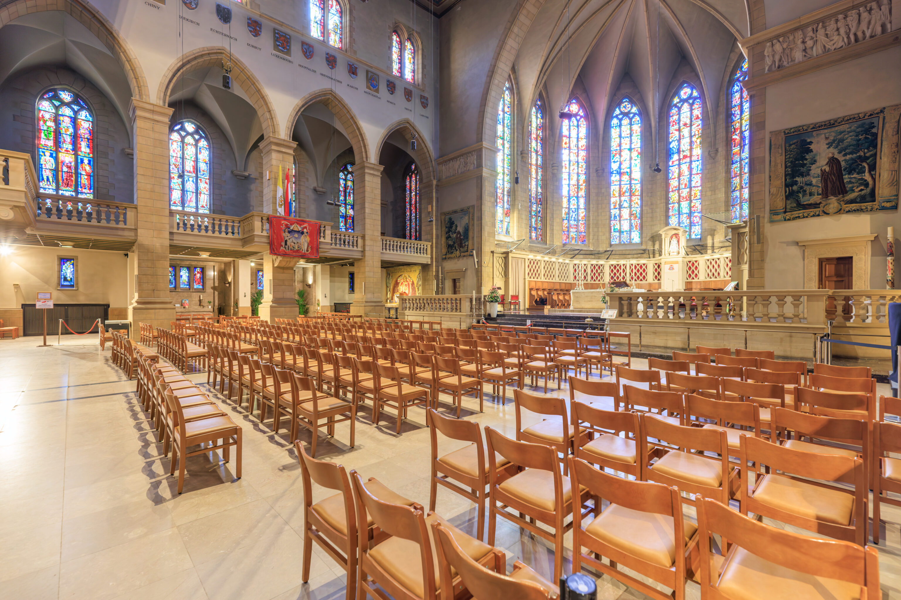
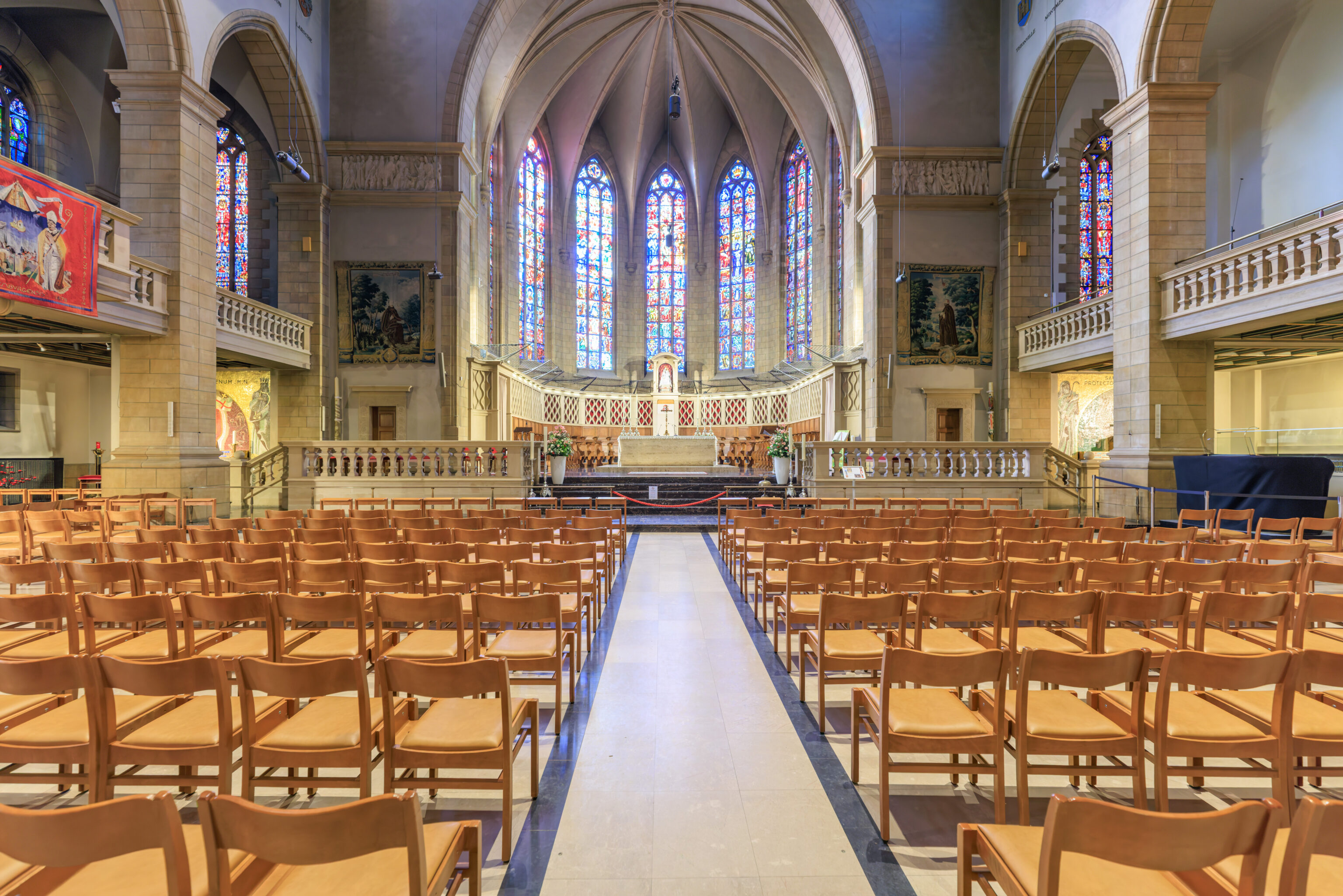
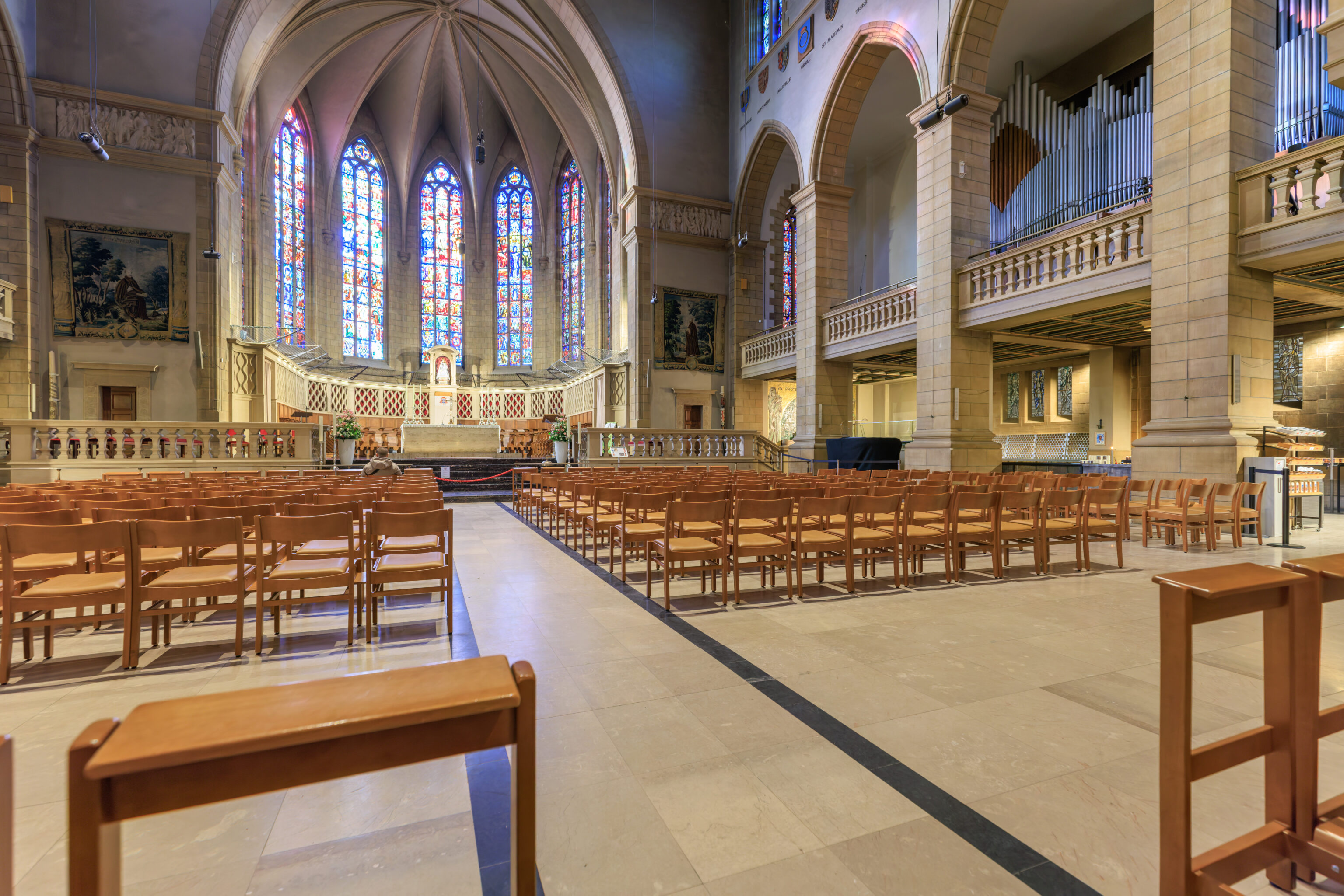
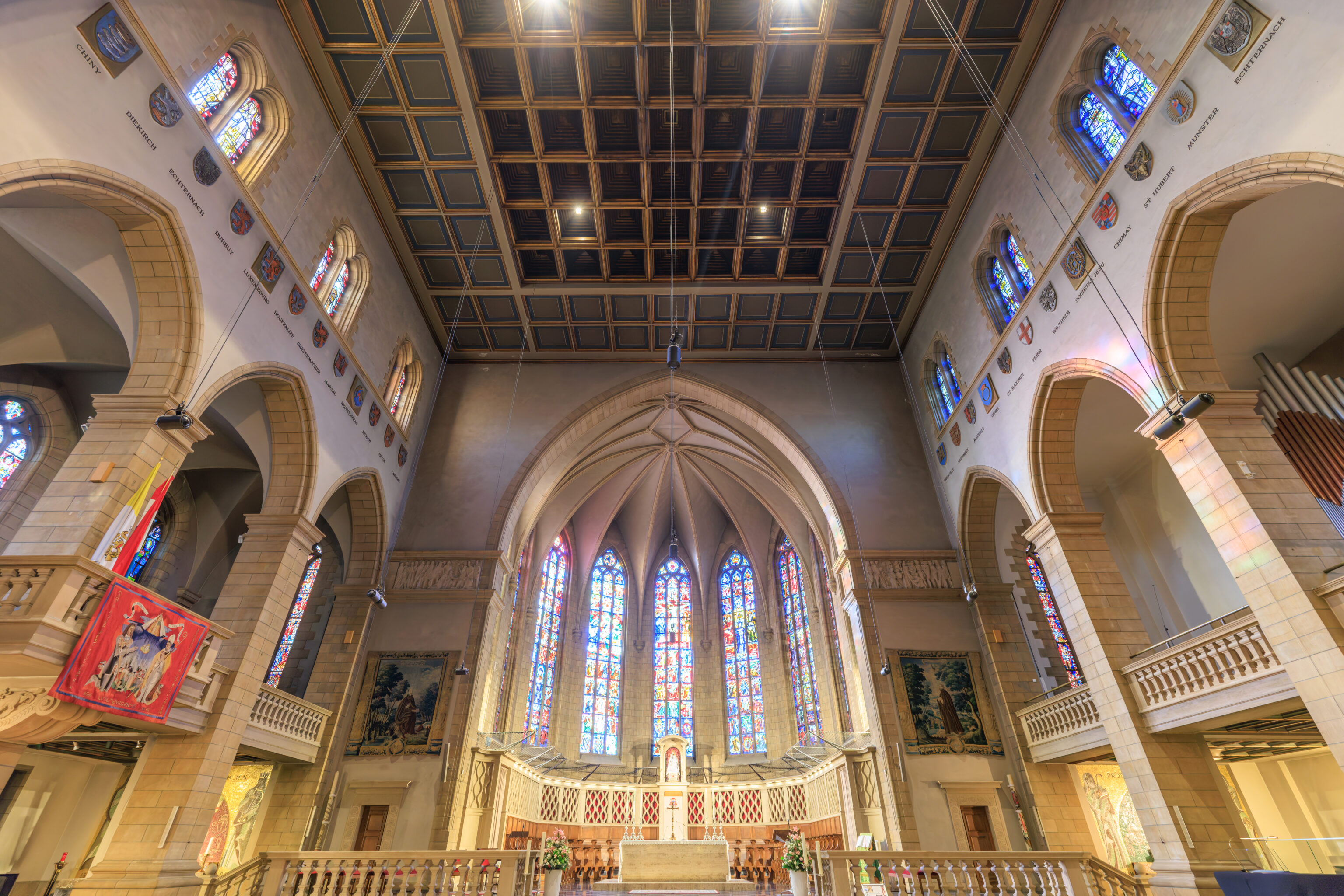
We walked into the wide open central section of the cathedral.
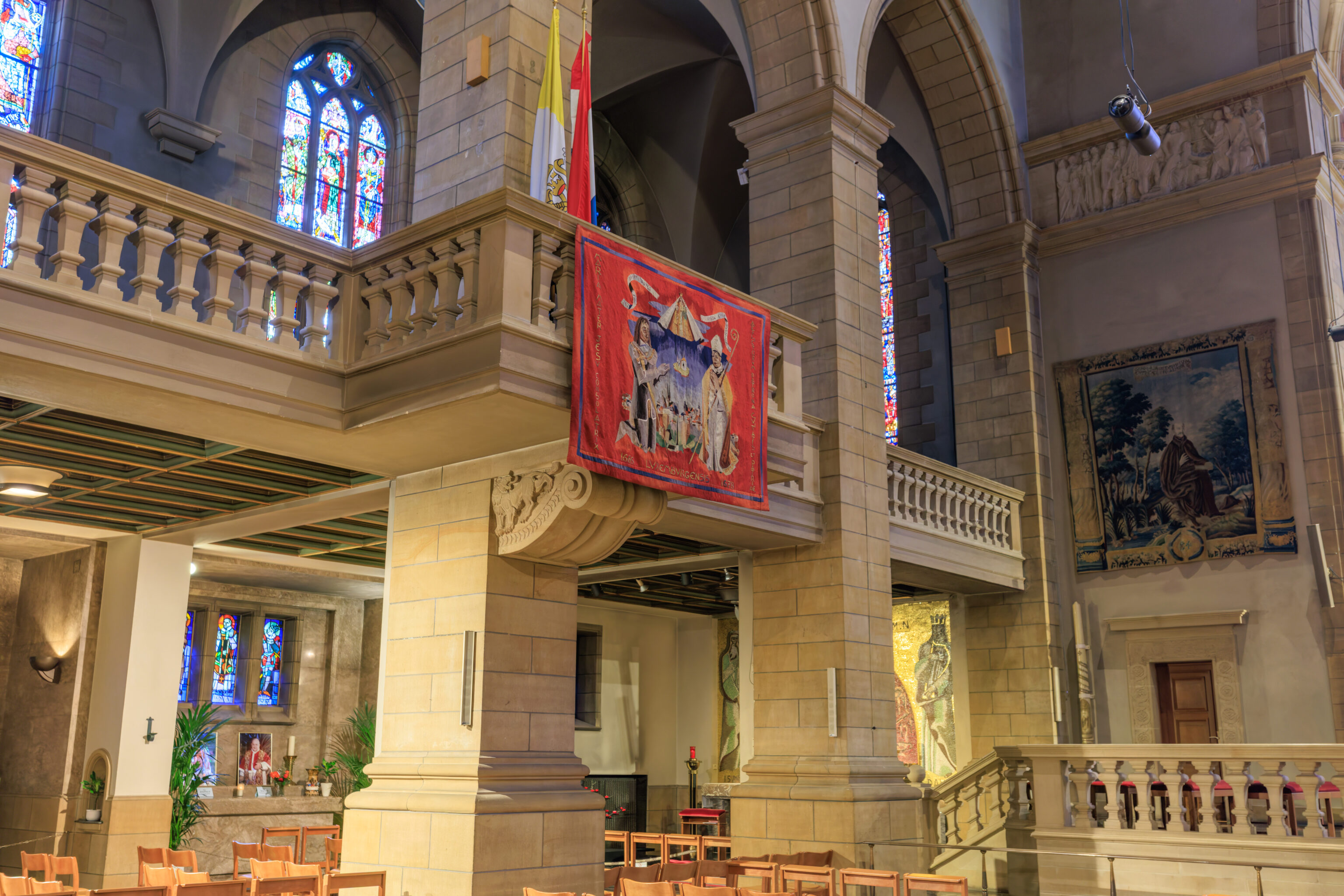
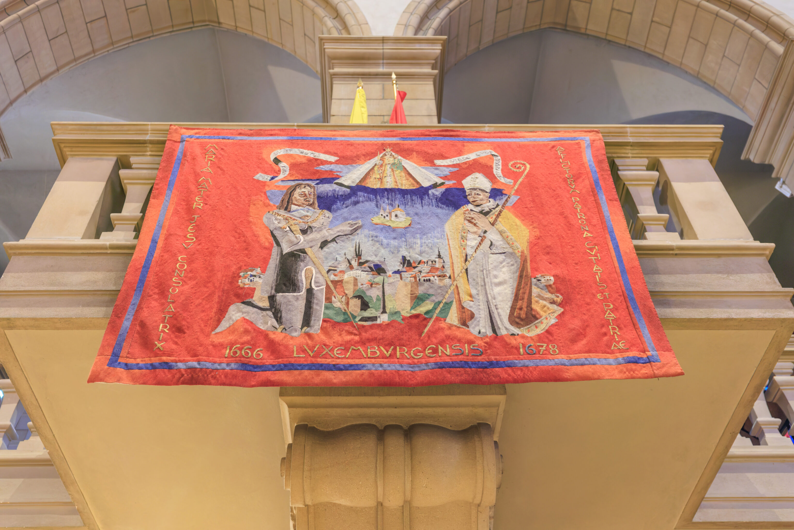
We noticed this banner hanging from the level above.
Mary, Mother of Jesus, Consoler of the Afflicted, Patroness of the City and Homeland of Luxembourg.
1666 — 1678
– Text from the banner, transcribed and translated using Google Gemini.
1666 was the year that Mary, Consoler of the Afflicted was declared the patron saint of the city of Luxembourg, and 1678 for the Duchy of Luxembourg.
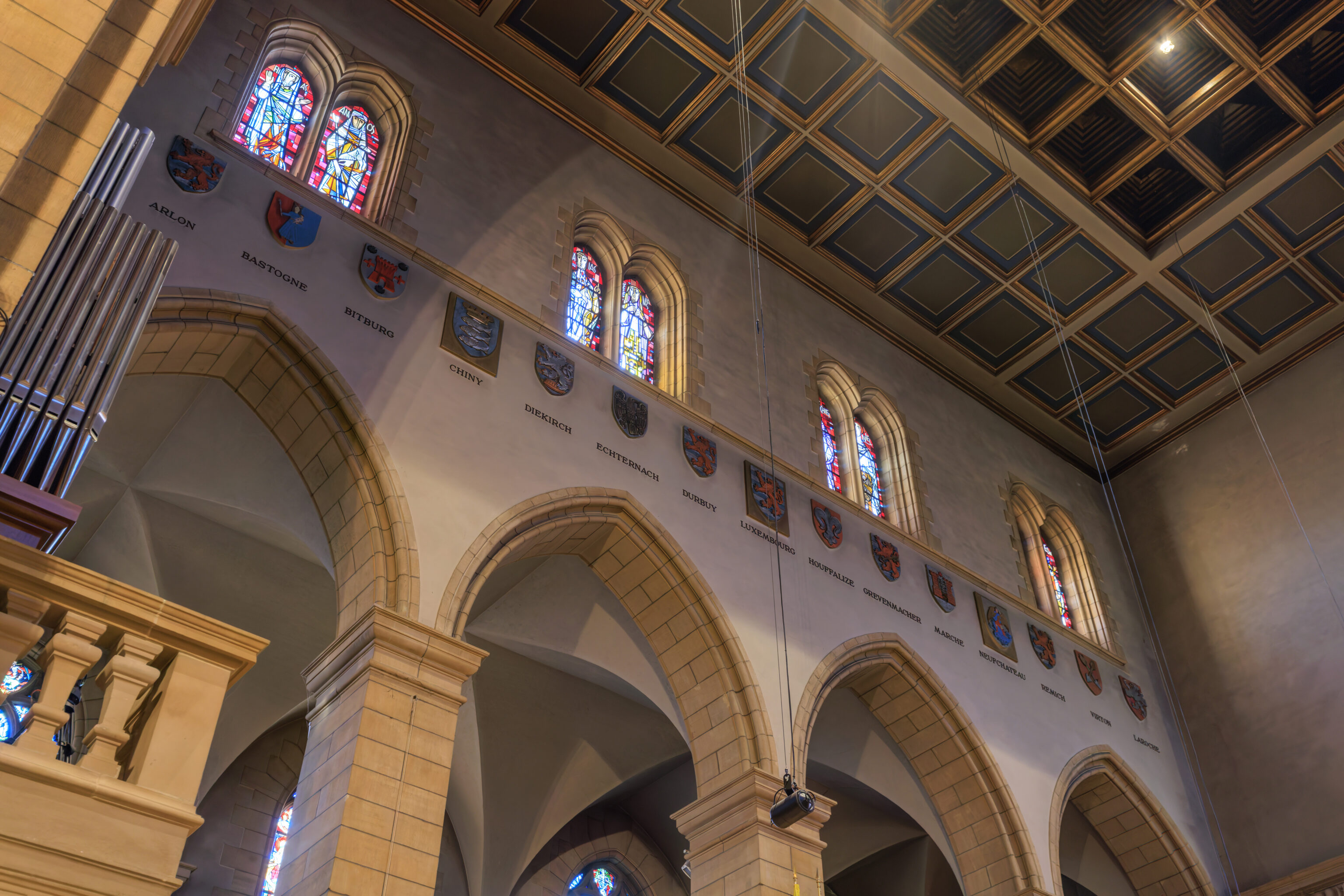
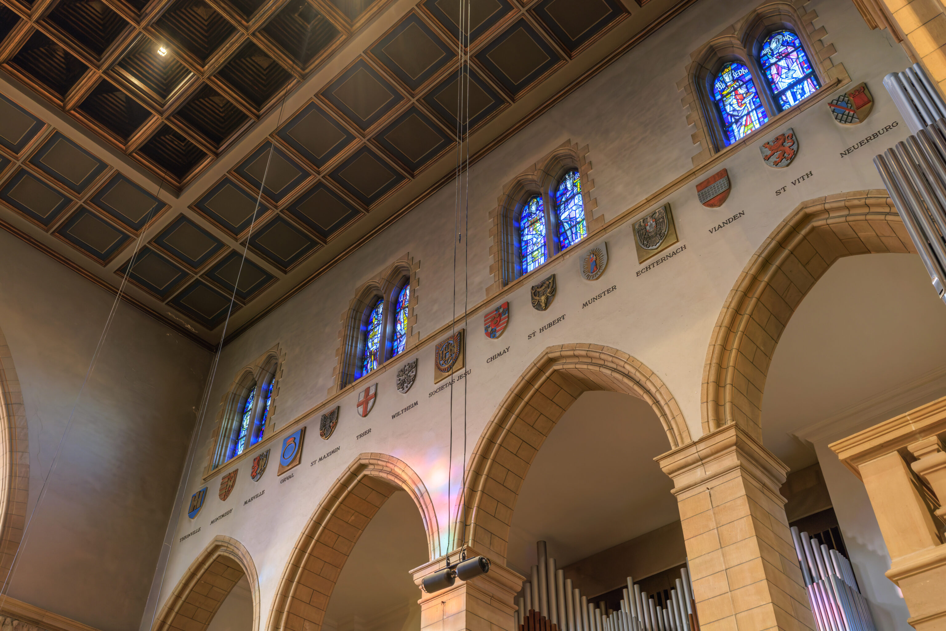
We noticed these coats of arms for the various cities that are or were part of Luxembourg. Trier never was part of Luxembourg though, meaning its not clear what the criteria is for these coats of arms to be here.
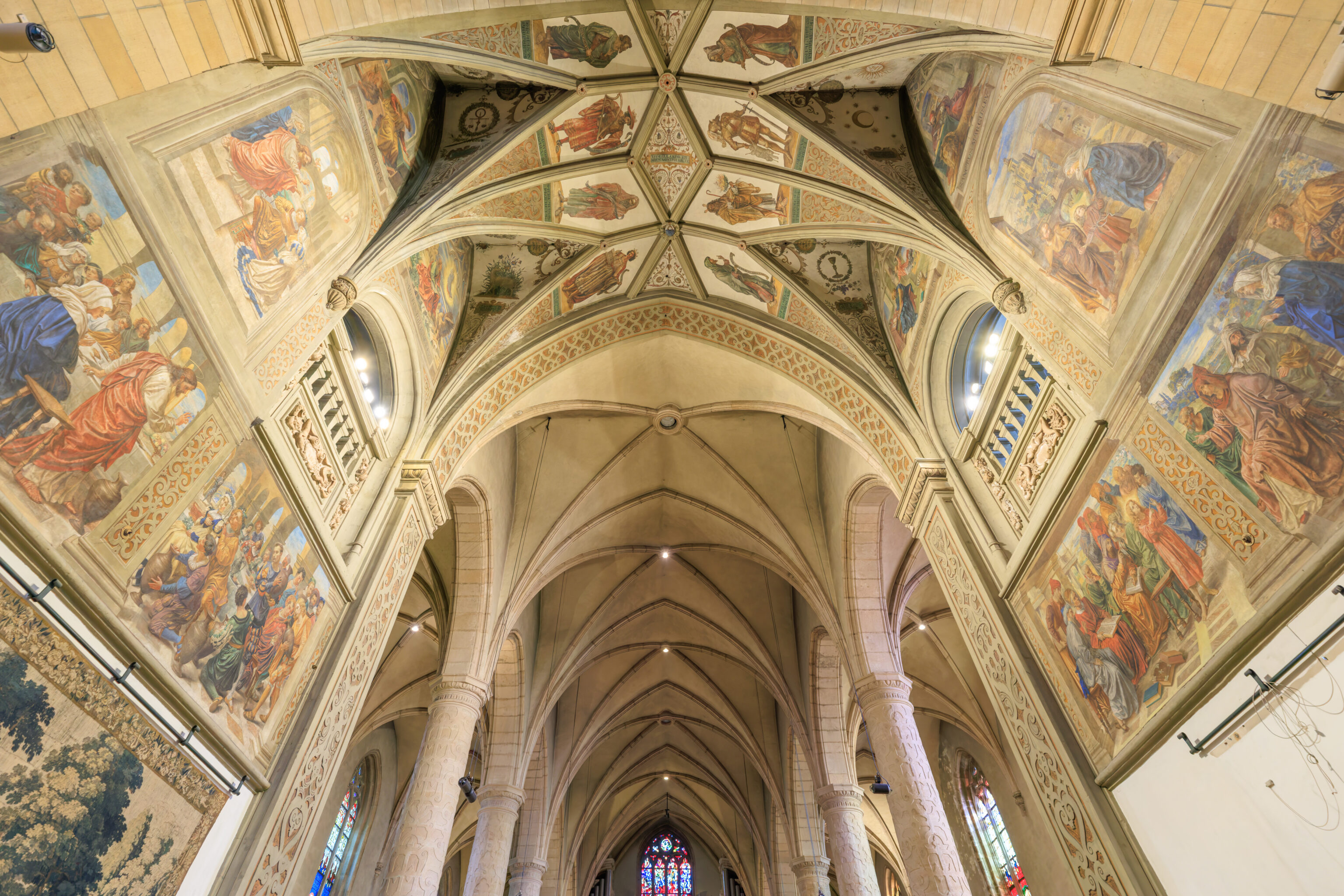
This part of the cathedral had many murals painted above.
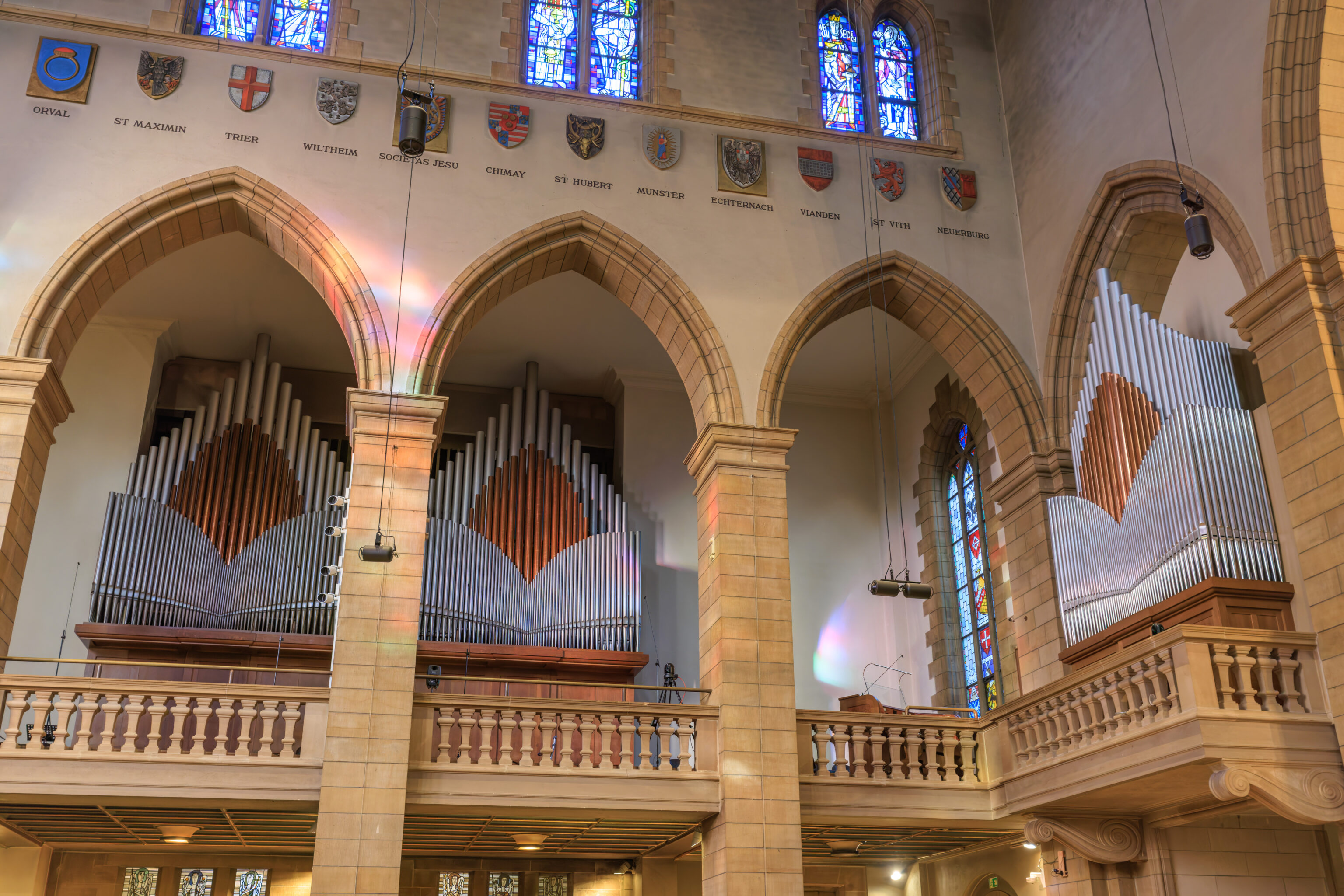
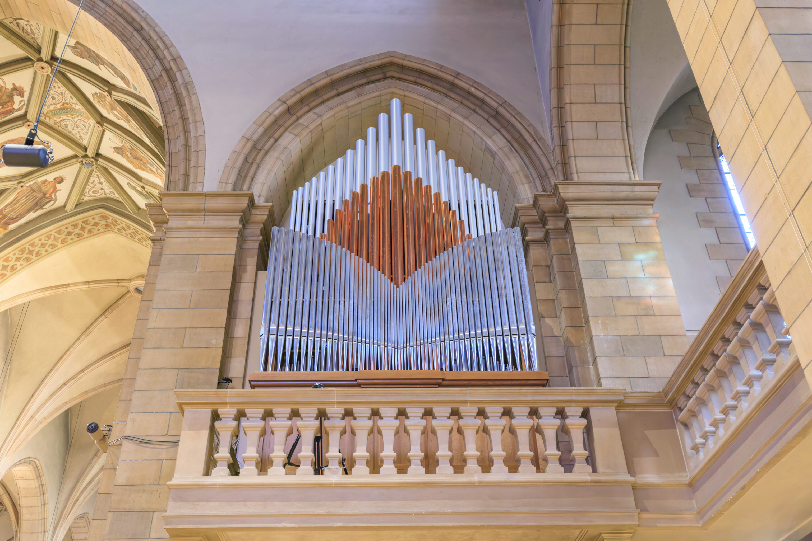
We also noticed various organs.
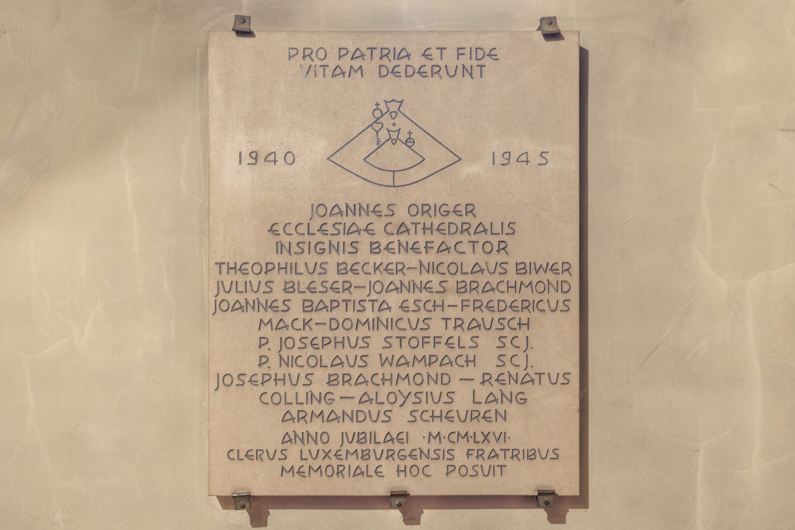
This stone tablet seems to be for people affiliated with the cathedral, possibly clergy?, who died during World War II.
They gave their lives for country and faith
1940 – 1945

JOANNES ORIGER – Distinguished Benefactor of the Cathedral Church
THEOPHILUS BECKER
NICOLAUS BIWER
JULIUS BLESER
JOANNES BRACHMOND
JOANNES BAPTISTA ESCH
FREDERICUS MACK
DOMINICUS TRAUSCH
P. JOSEPHUS STOFFELS SCJ.
P. NICOLAUS WAMPACH SCJ.
JOSEPHUS BRACHMOND
RENATUS COLLING
ALOYSIUS LANG
ARMANDUS SCHEUREN

In the Jubilee Year 1966
The Luxembourgish clergy erected this memorial for their brothers
– Text from the stone tablet above, transcribed and translated using Google Gemini.
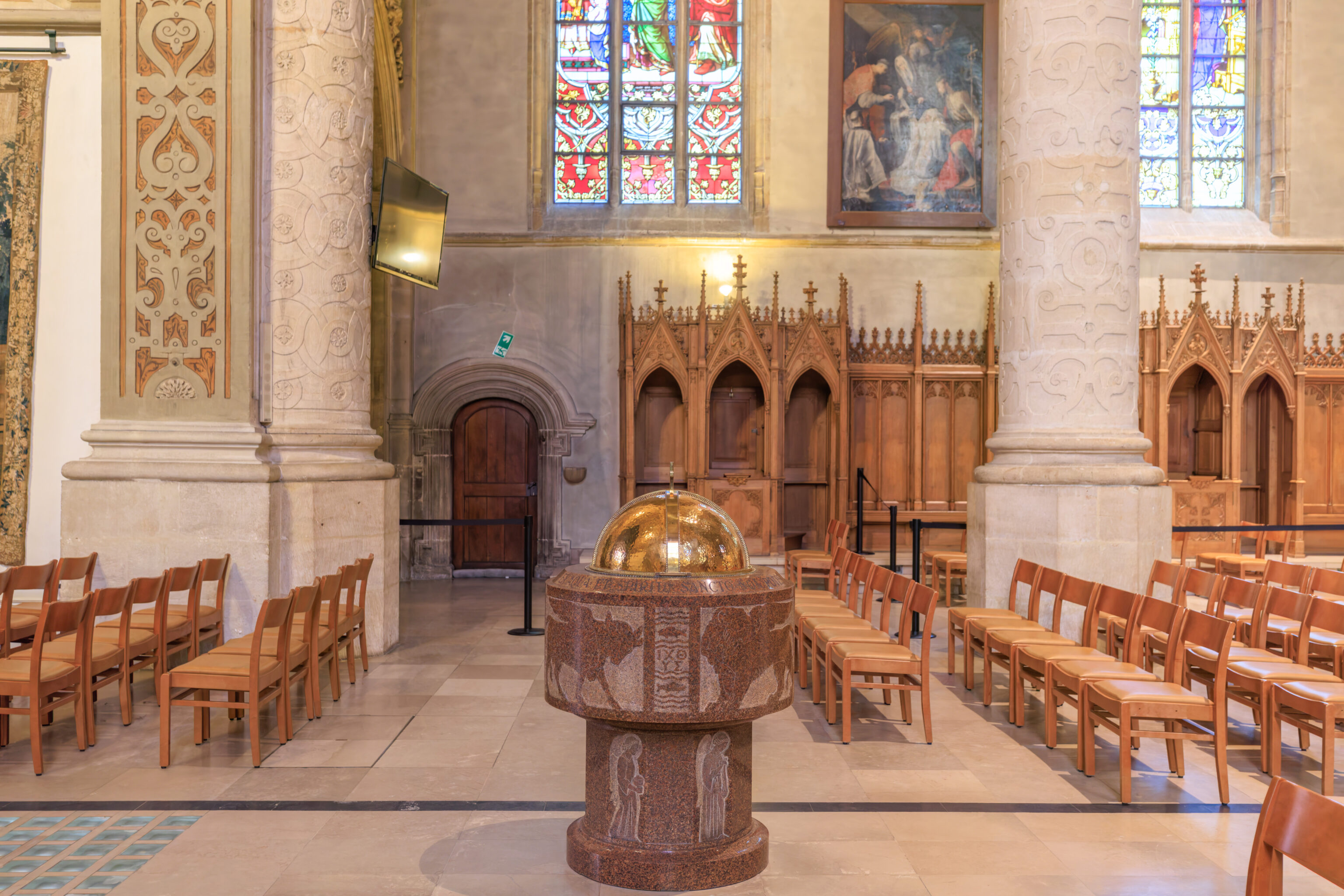
What is this?
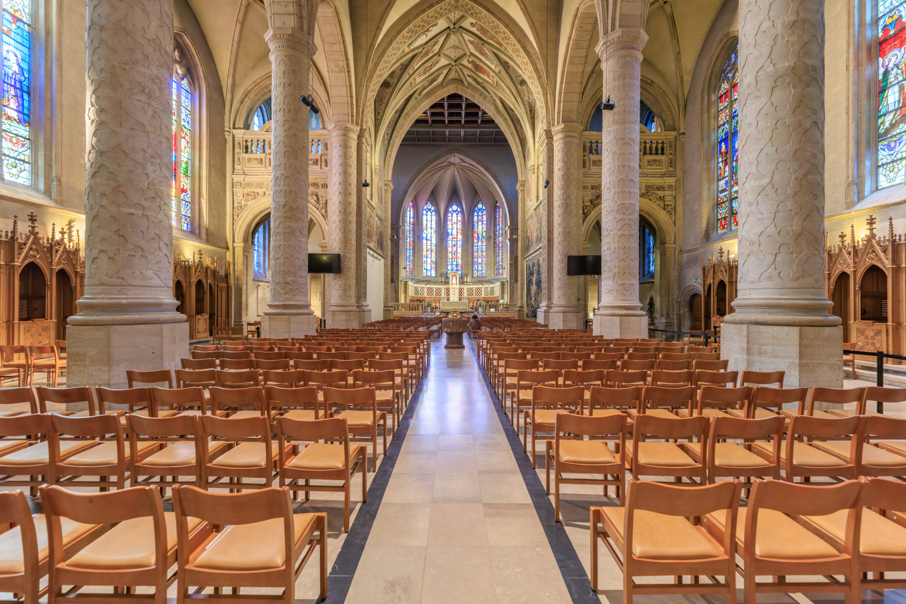
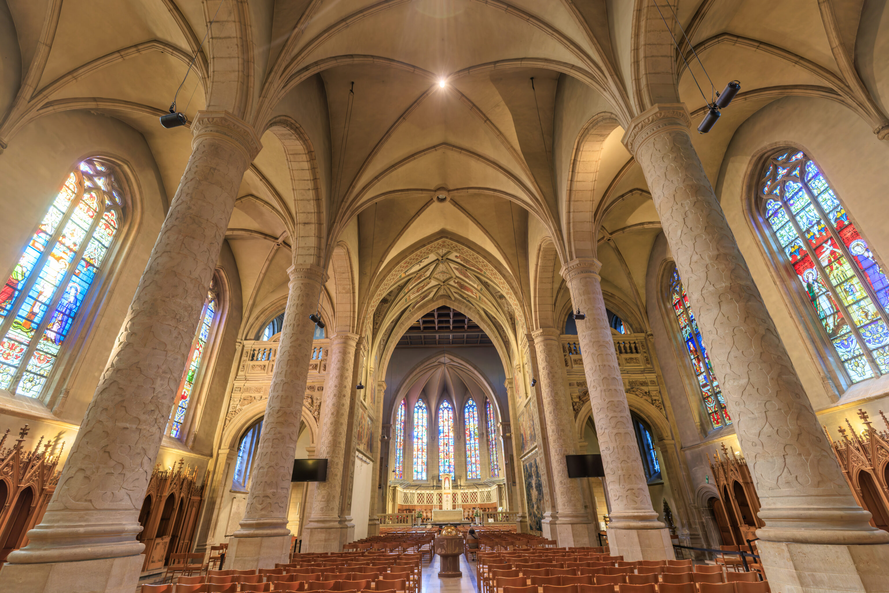
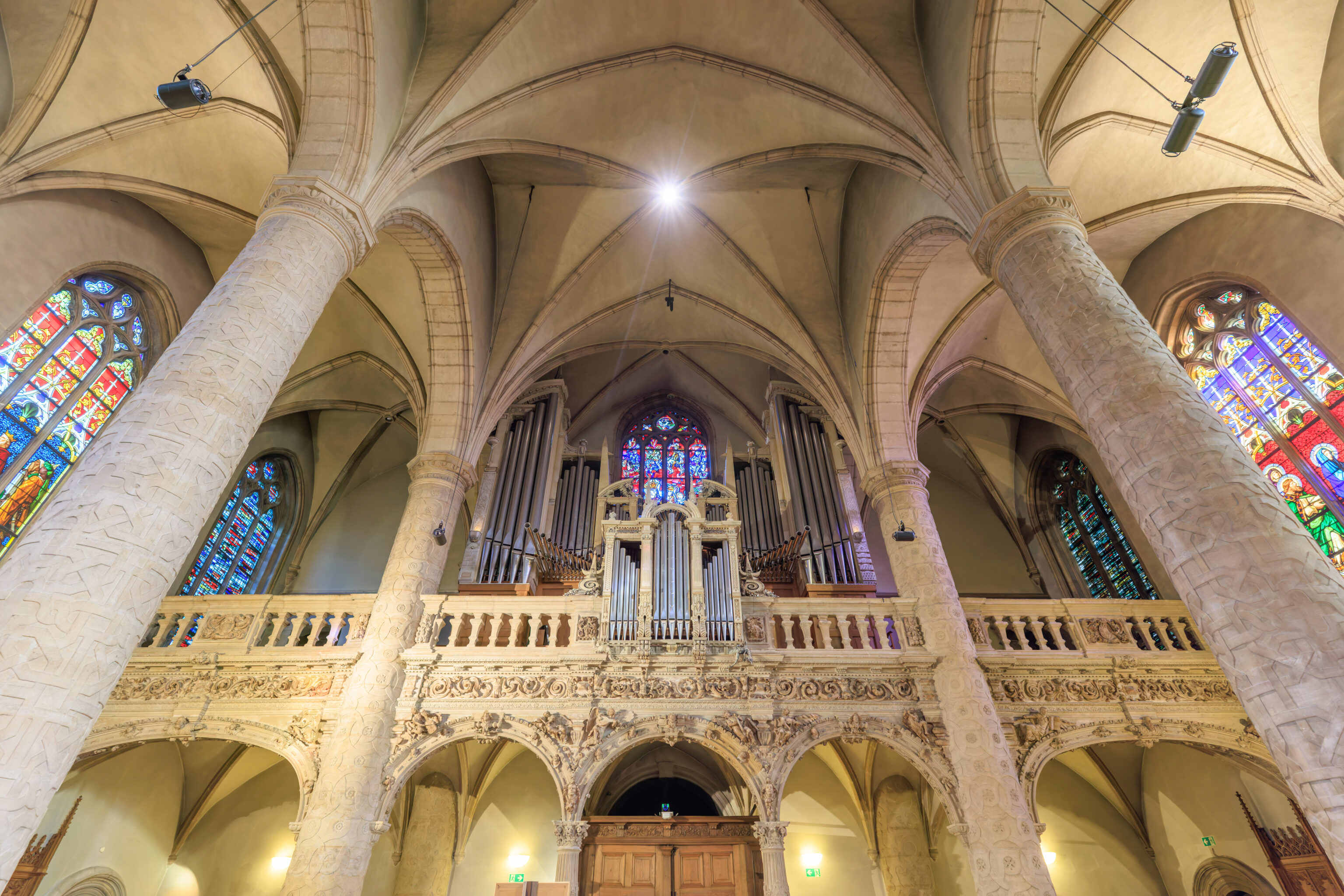
We continued on to the front of the cathedral to exit.
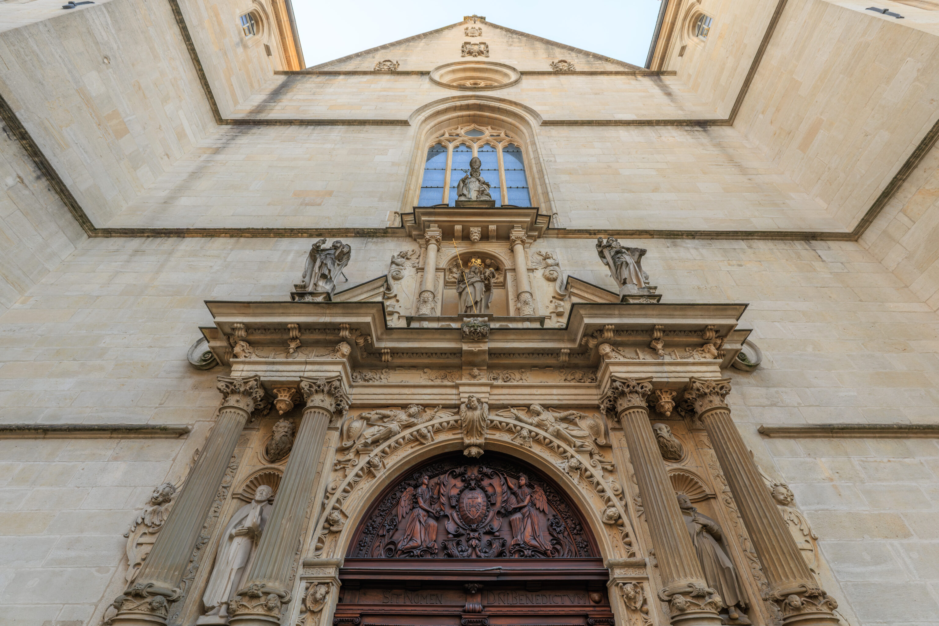
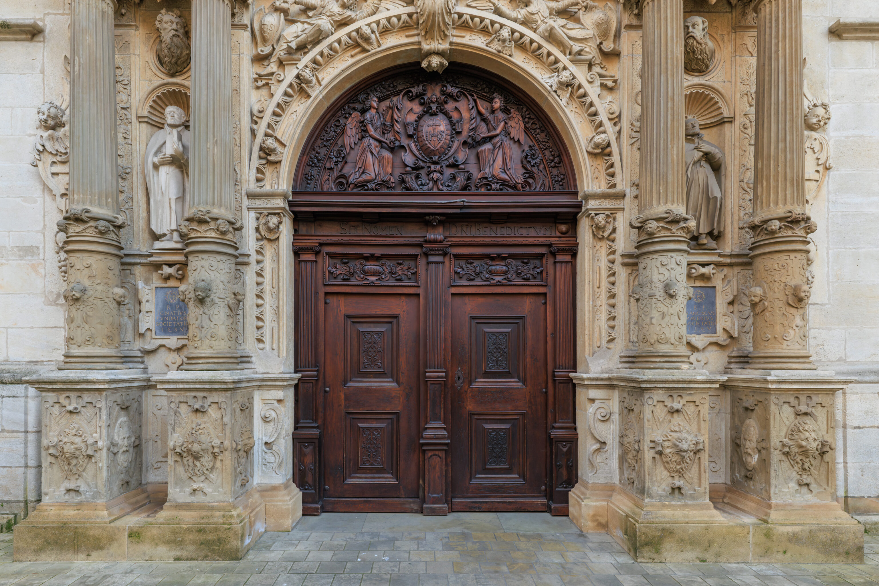
We exited the cathedral from its front door, which faces north.
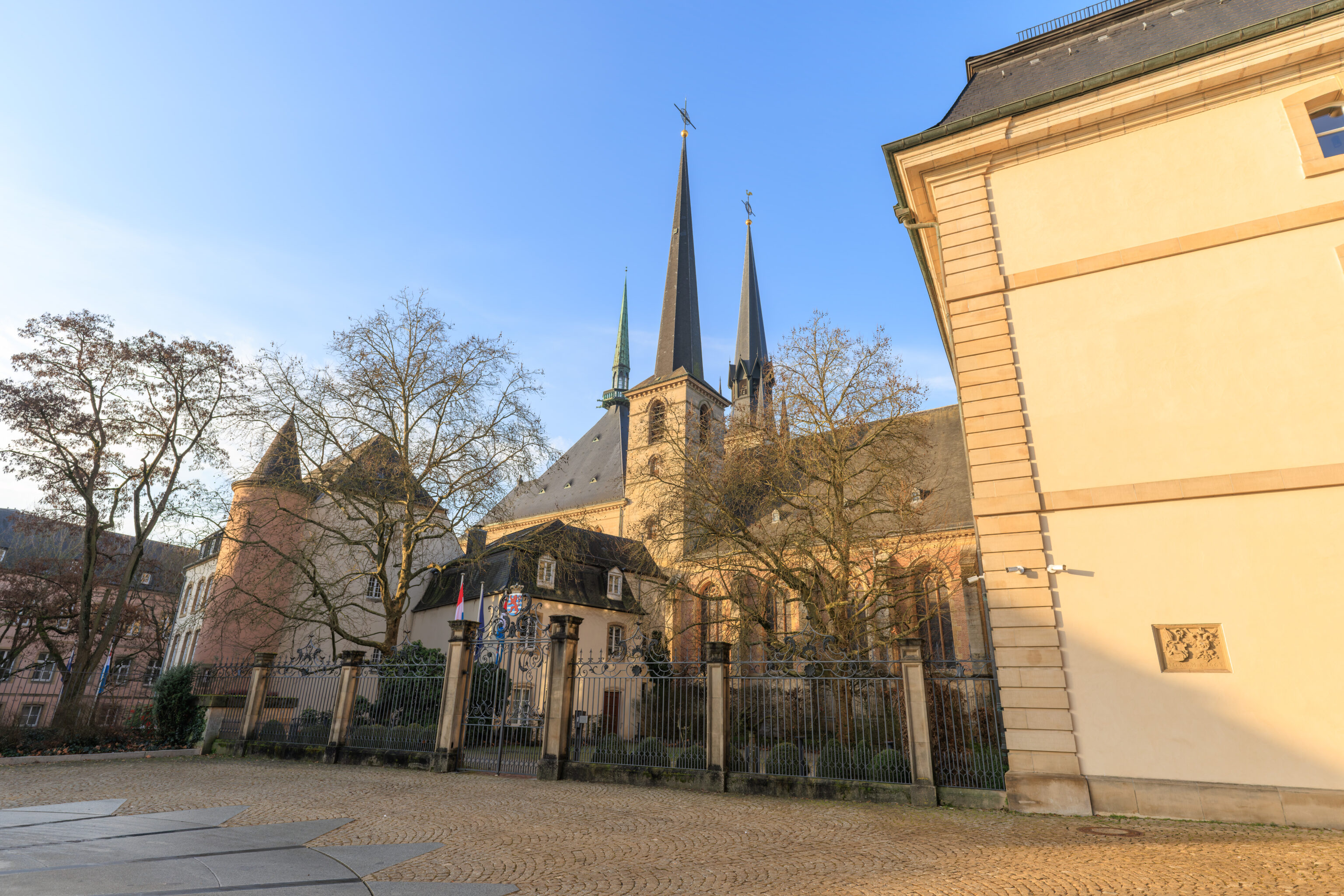
We started to walk to the northeast to go to the Bock. This is the cathedral as seen from a plaza to the east.
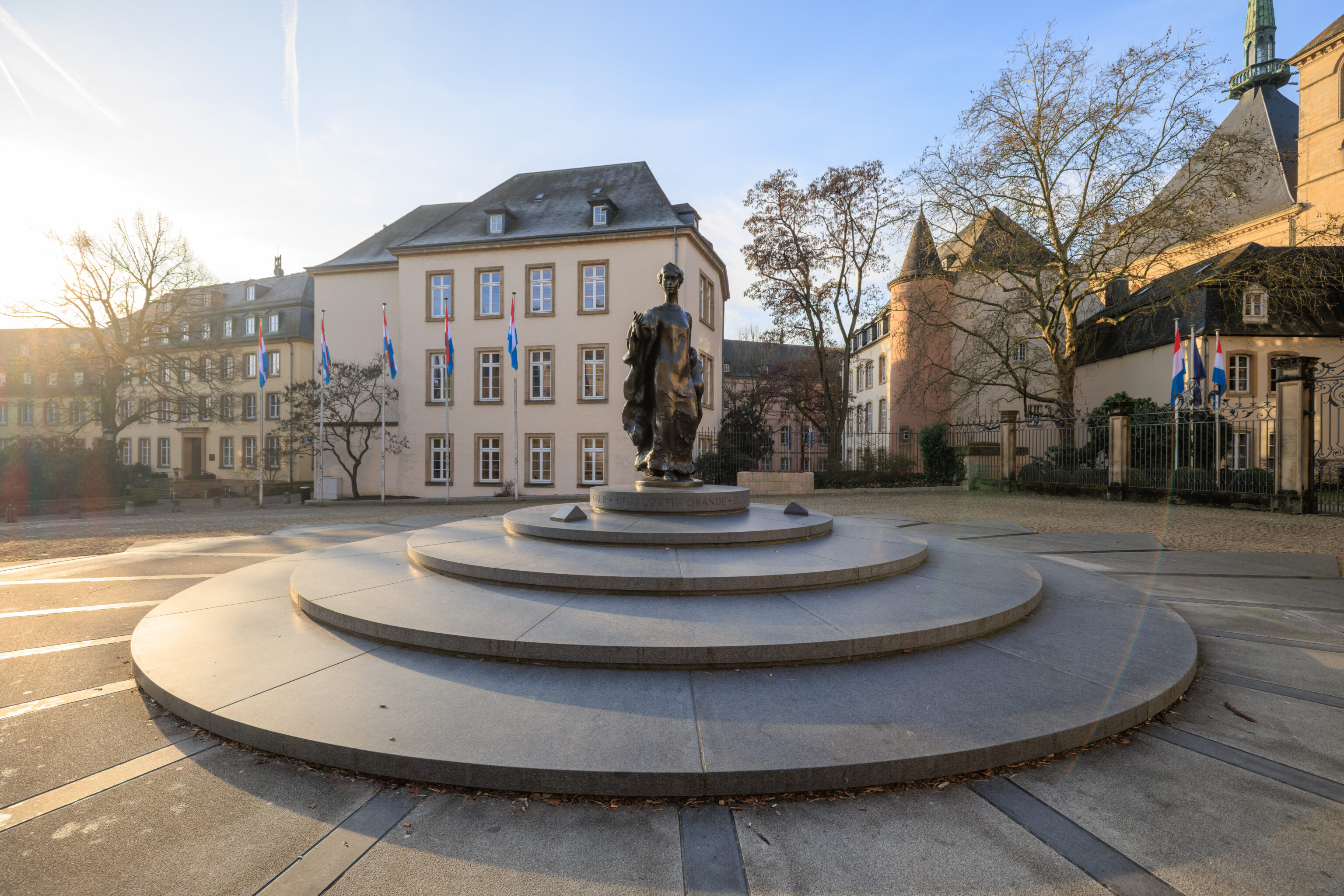
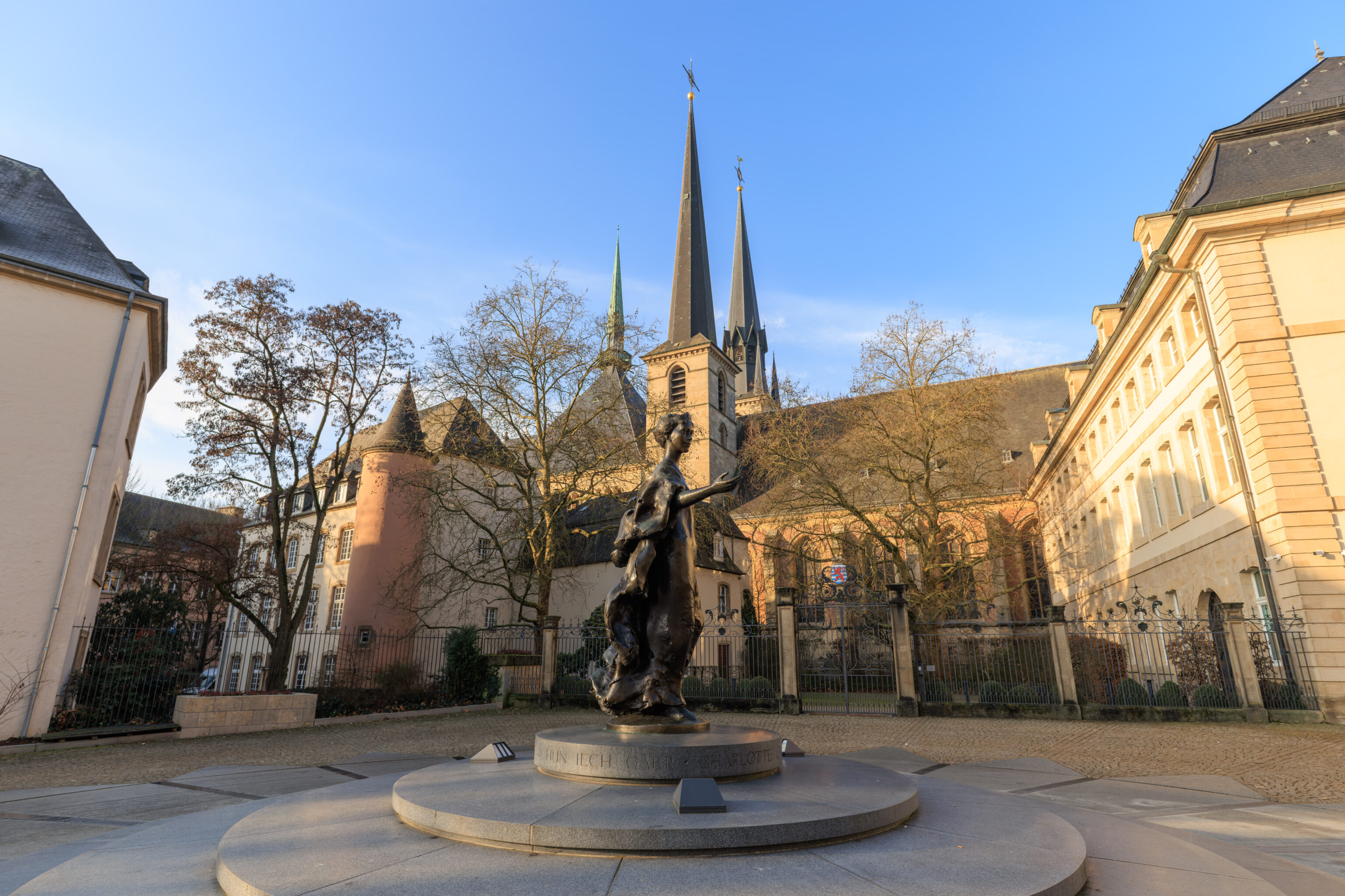
This statue in the middle of the plaza depicts Grand Duchess Charlotte. She was the Grand Duchess of Luxembourg from 1919 until 1964. There have been three Grand Dukes since then with the most recent, Guillaume V, becoming Grand Duke a little more than three months ago.
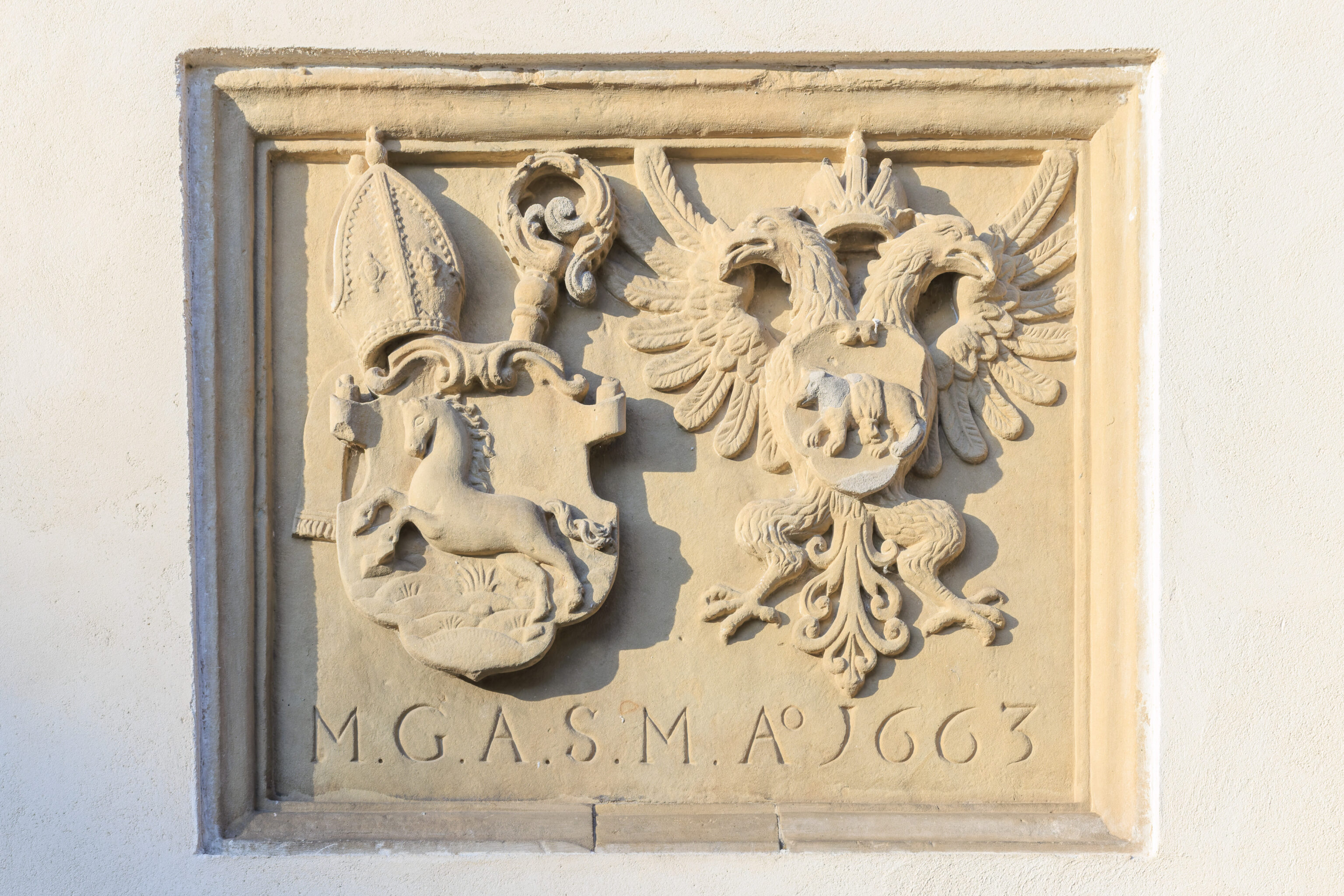
A building directly next to the cathedral had this carved stone plaque on the side. What does it mean? The building it is on is the Refuge Sankt Maximin, or Refugium St. Maximin in German. The Luxembourgish and German language Wikipedia pages both have the answer!
The inscription, “M . G. A. S. M. A. 1663”, is short for “Maximinus Gülich Abbas Sancti Maximini Anno 1663”. It just means that Maximinus Gülich was the Abbot of Saint Maximin in 1663. It is from an older building that was here as the current building was built in 1751. The original building was a branch of Saint Maximin’s Abbey in Trier, a city in Germany near the border.
Today, this building is the office of the Prime Minister of Luxembourg.
To the Bock
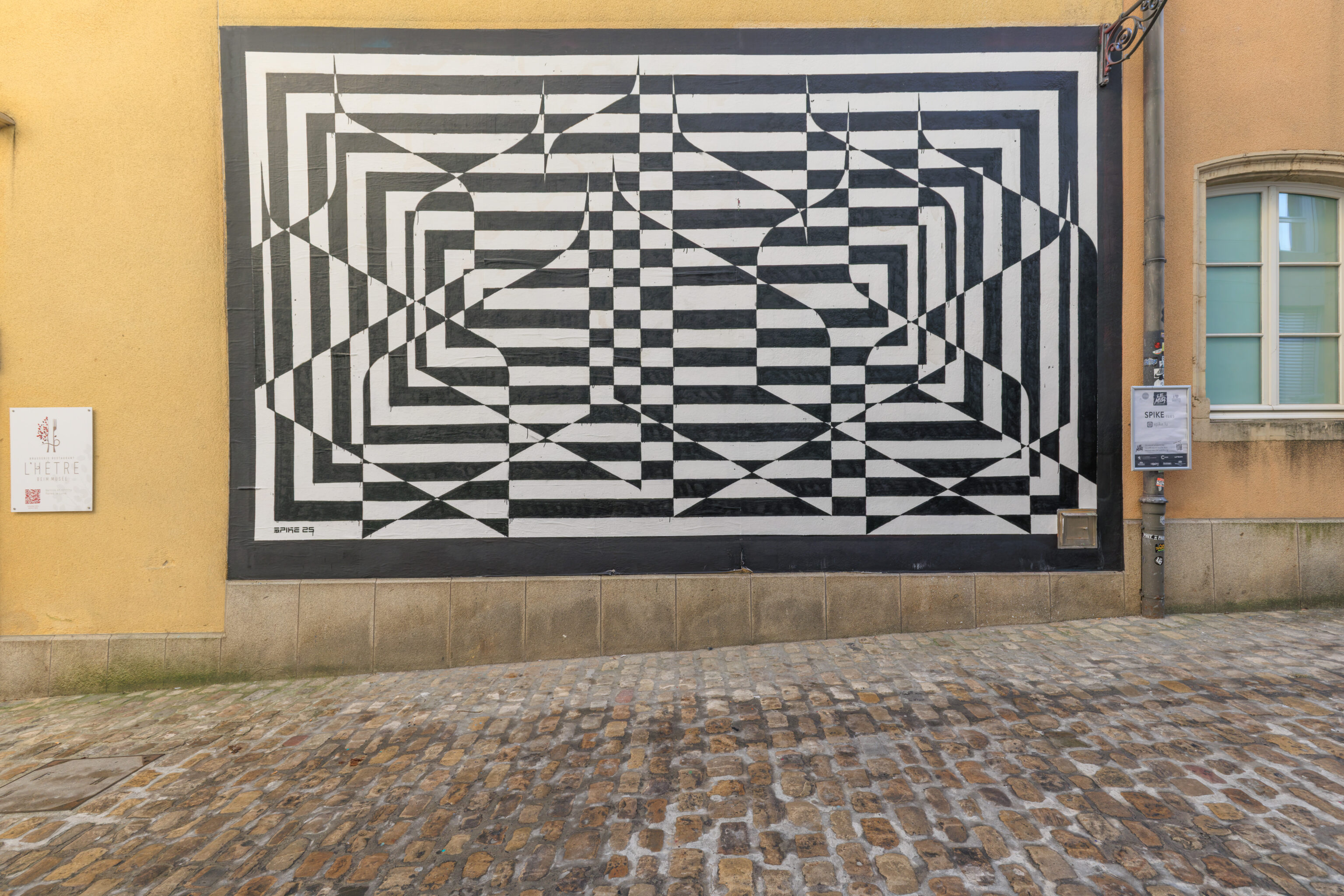
A block or two to the northeast, we saw this work by an urban artist who calls themselves Spike.
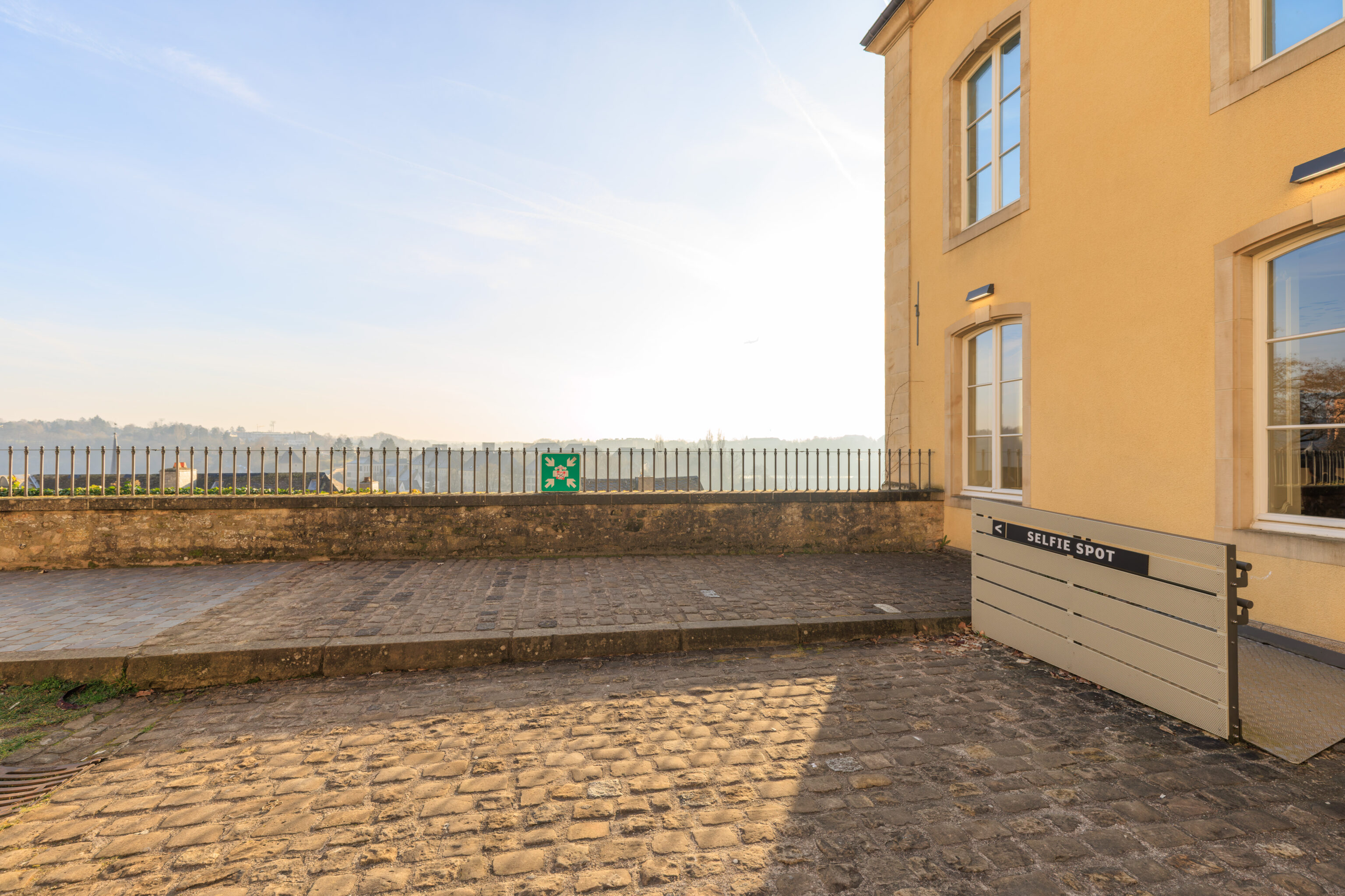
We found this overlook nearby. It even has a designated selfie spot!
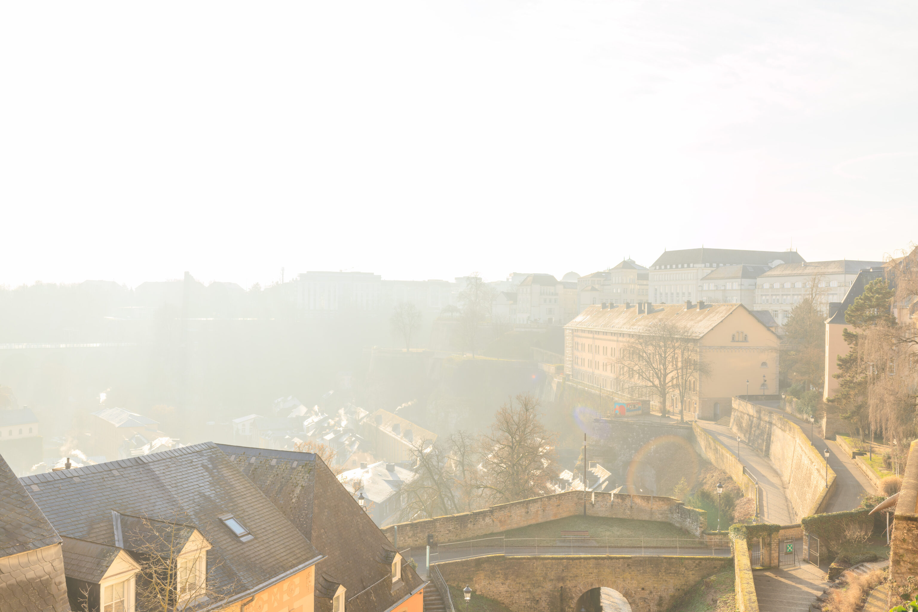
It was surprisingly a tad foggy! Or maybe misty would be a better description? The view here is to the southeast. The Fountain of Doves is visible a little bit right of center.
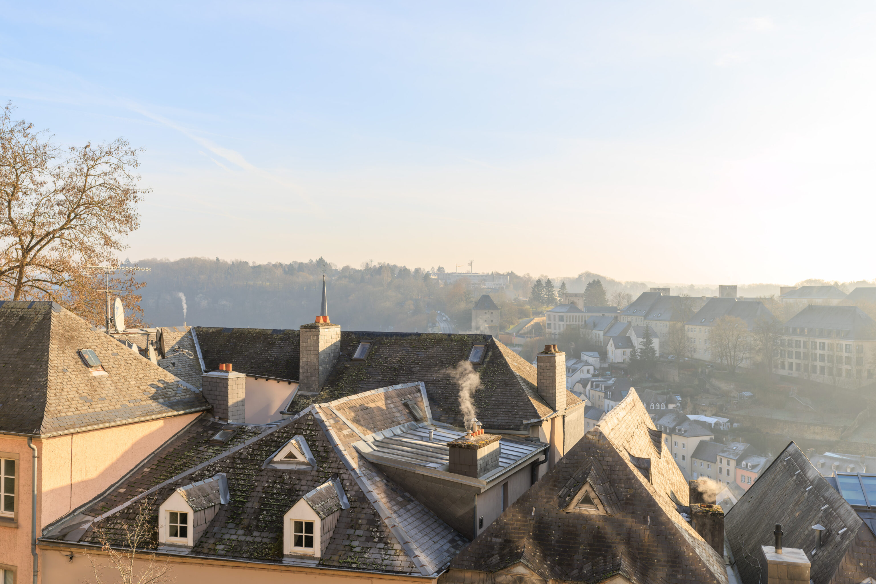
The view to the east is partially blocked by some buildings slightly below us. Visibility is better in these conditions when not looking into he Sun.
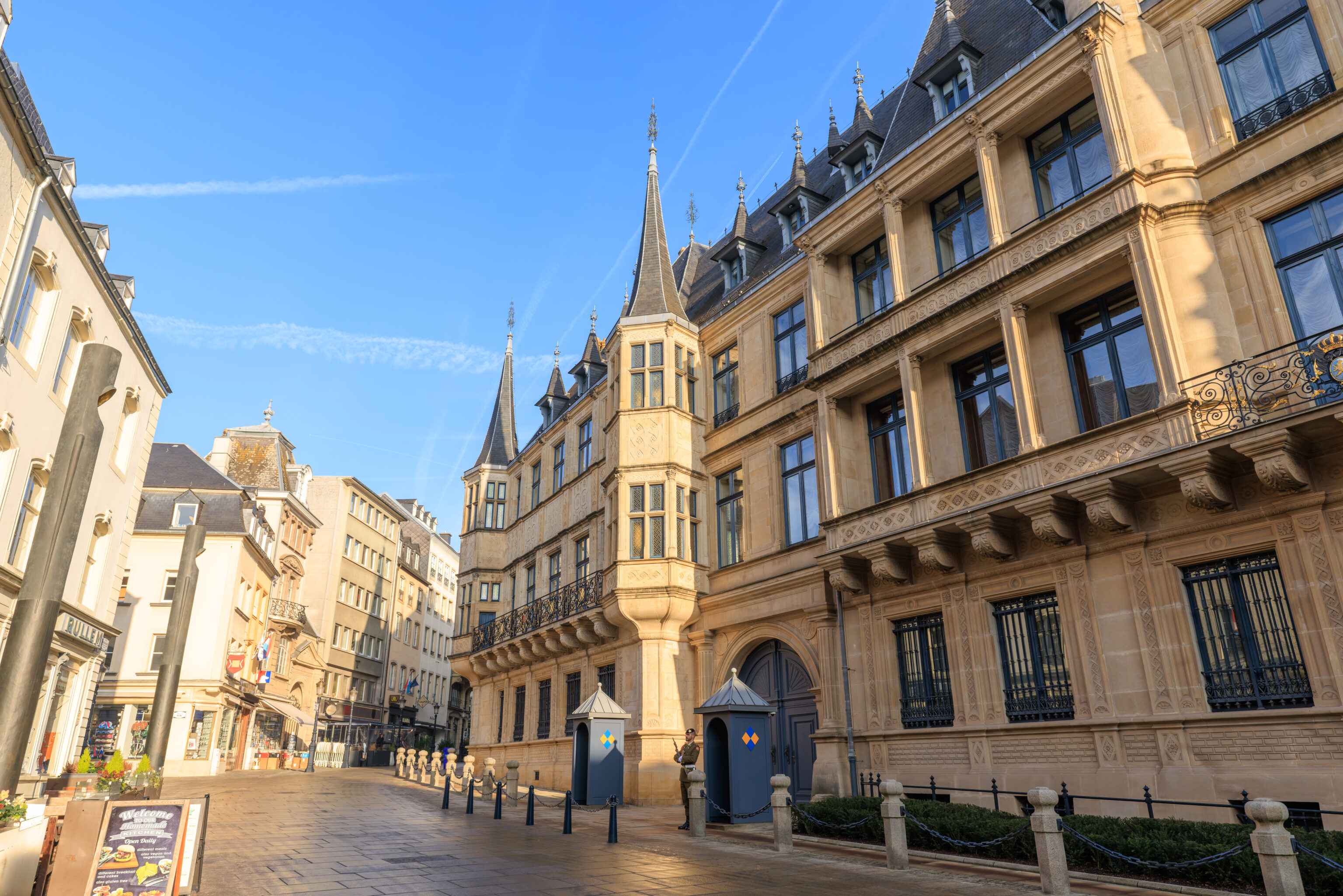
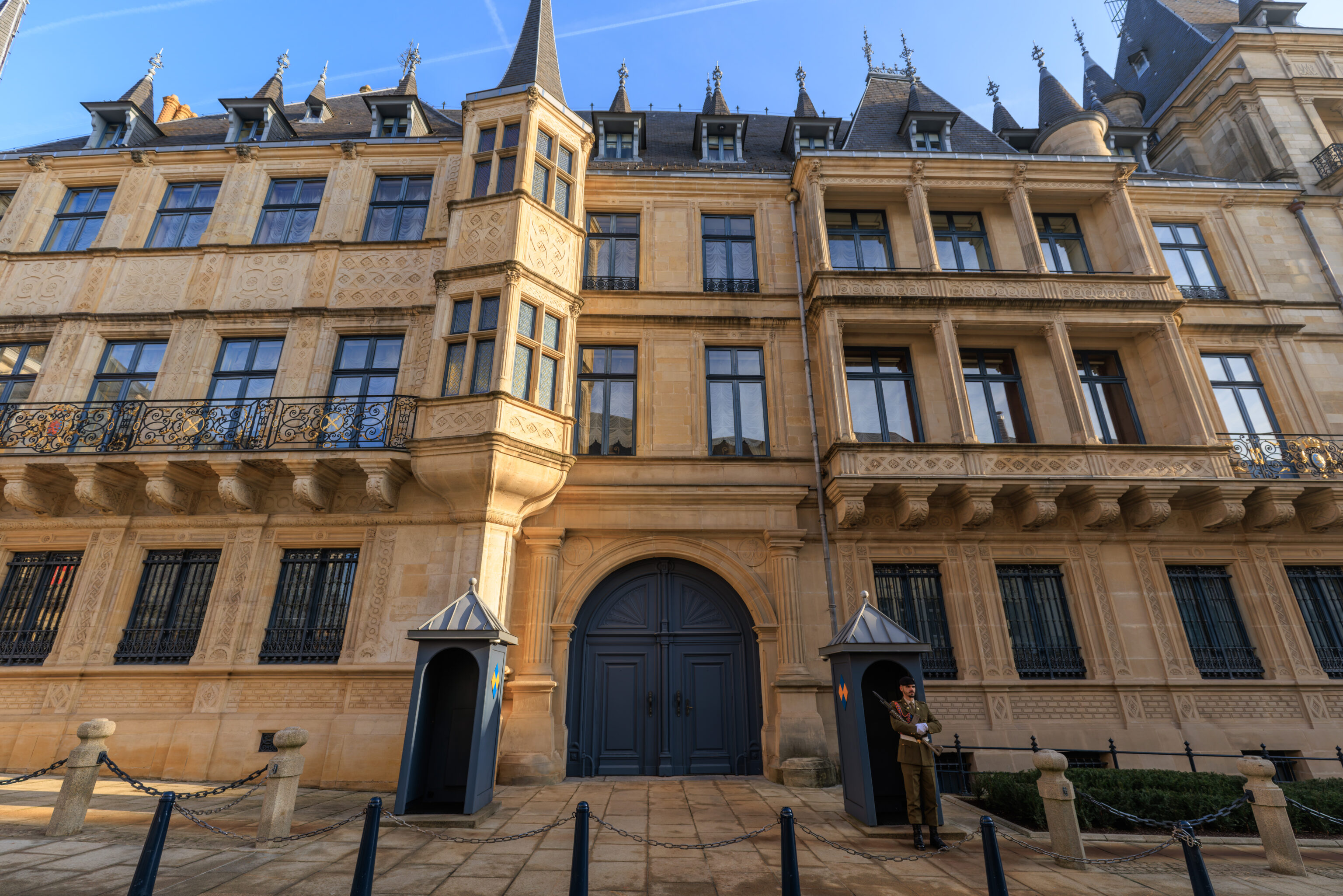
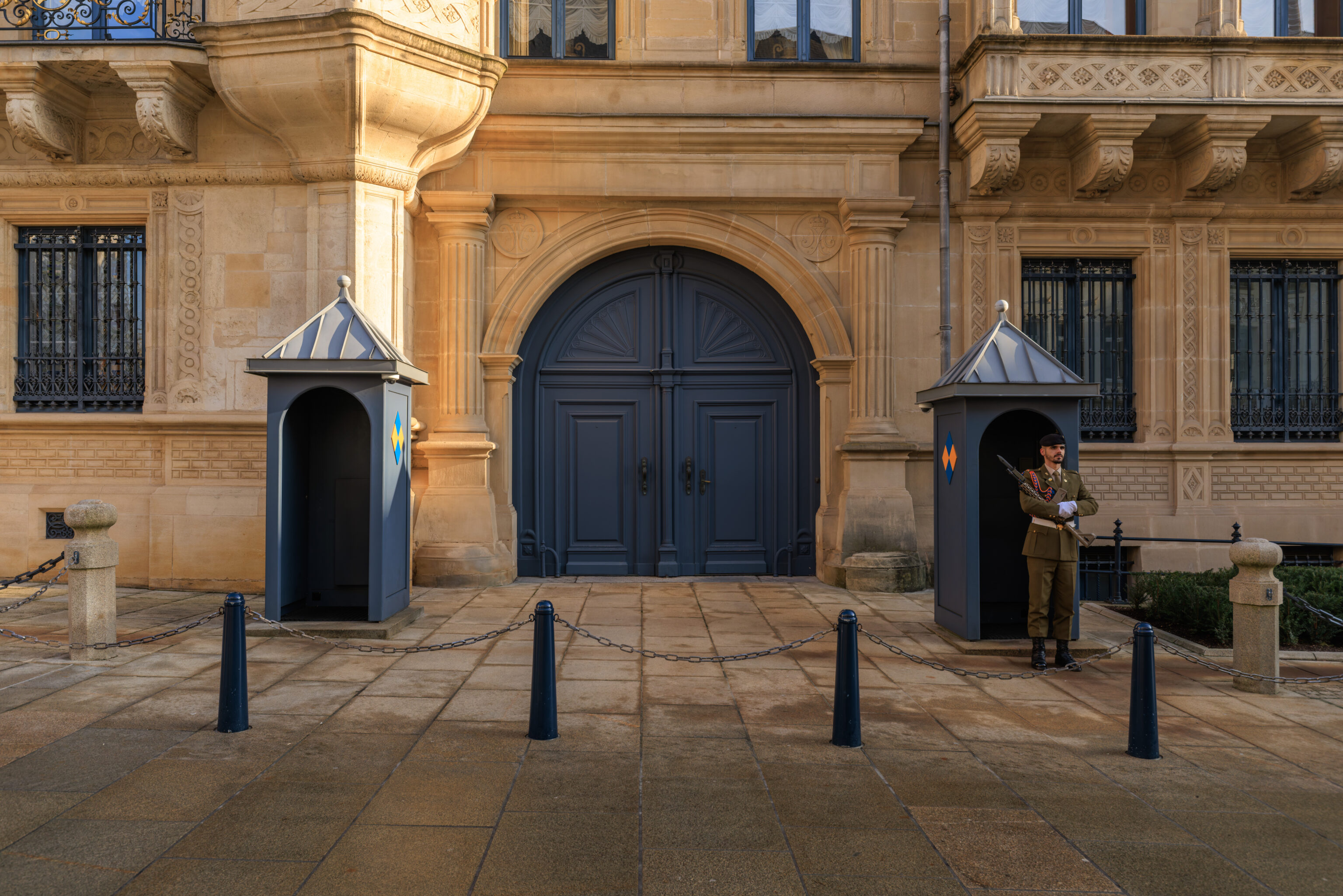
We walked to the west to see the front of the Grand Ducal Palace. There was just one guard present. The palace does apparently open for guided tours, although it is not open right now during our visit.
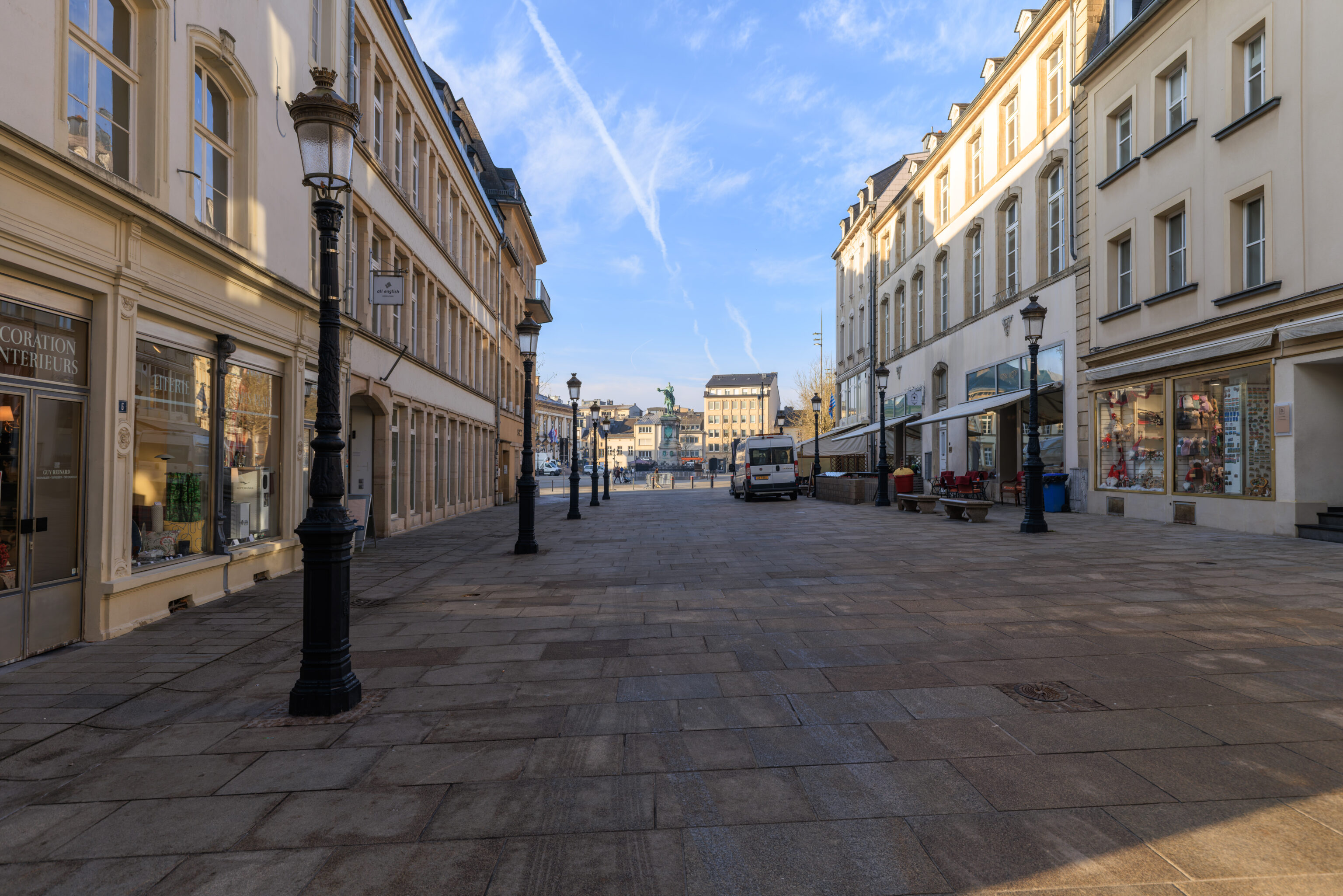
Looking to the west from the northwest corner of the palace building, we could see an equestrian statue about a block or two away.
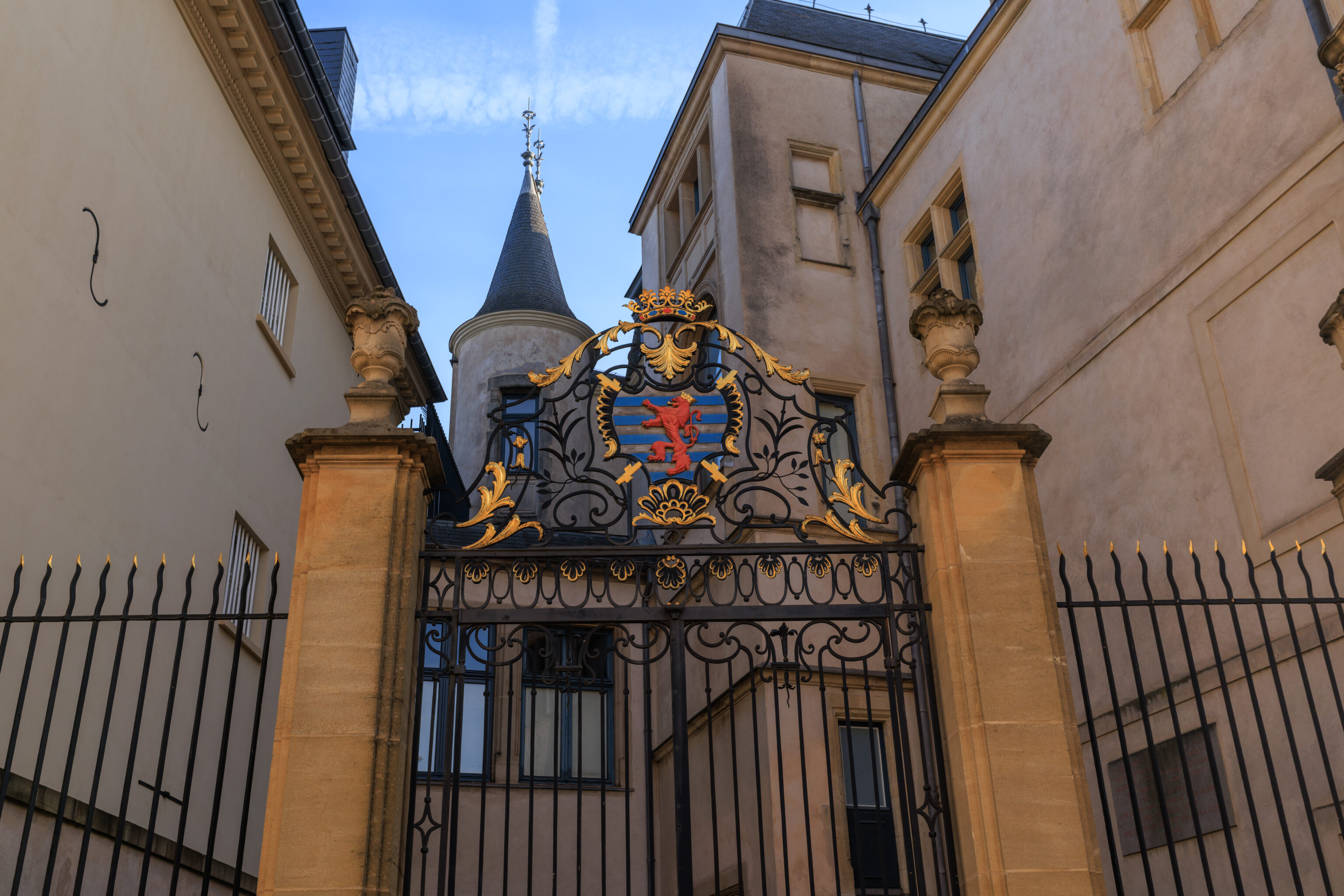
This fence was between the palace and the adjacent building to the north. The emblem on the coat of arms is the Roude Léiw (Red Lion).
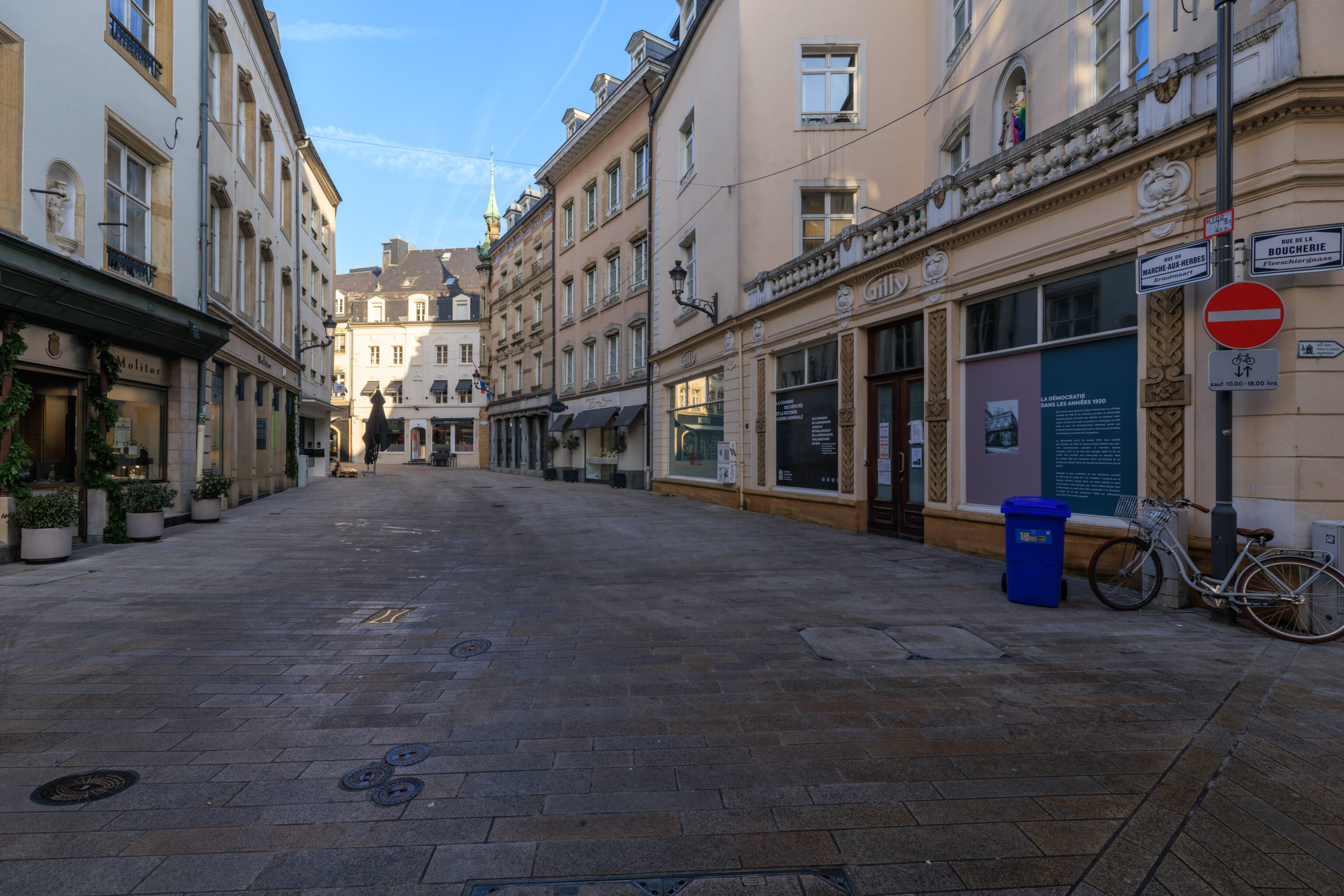
We walked north to the next block…
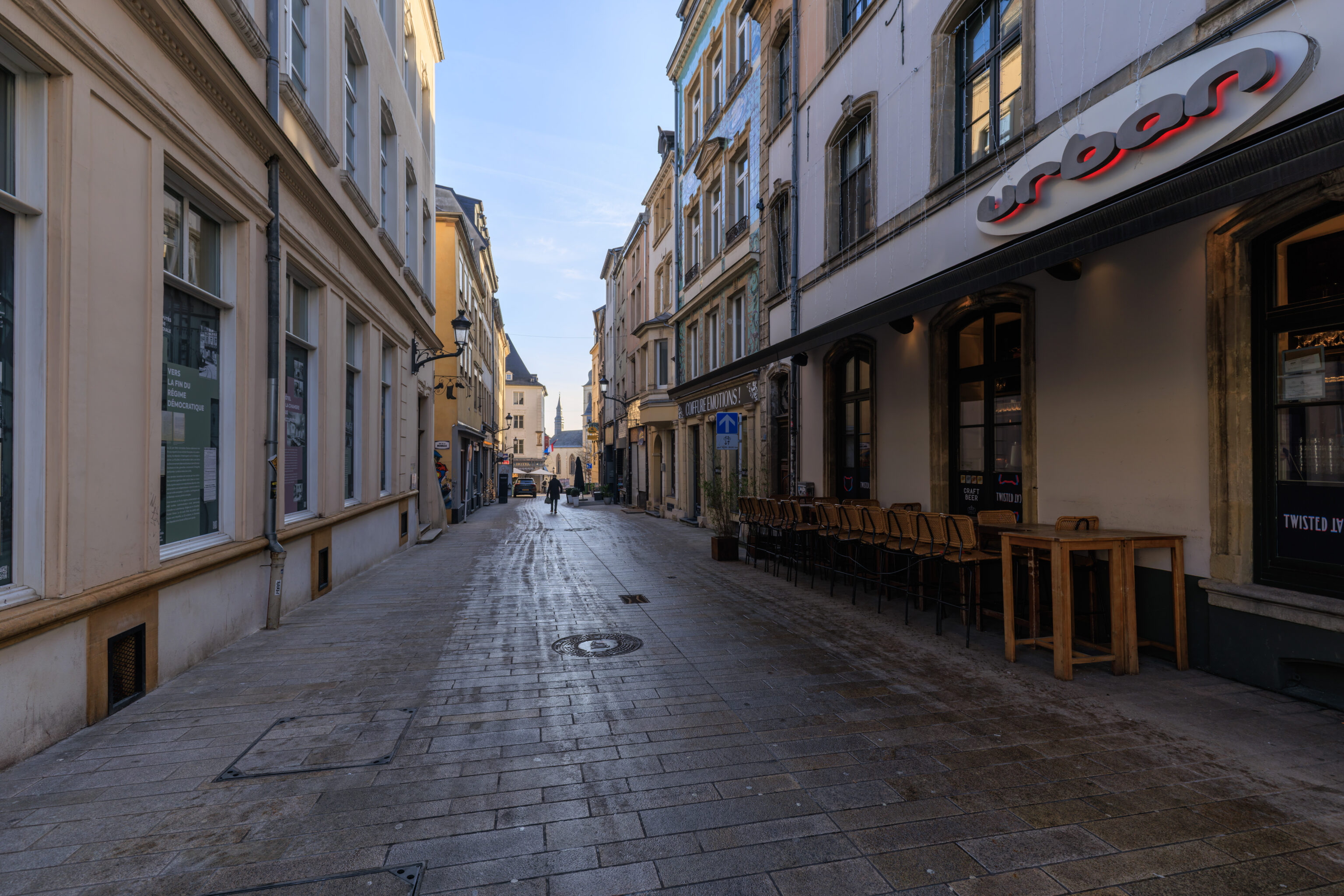
And turned to the right to go east.
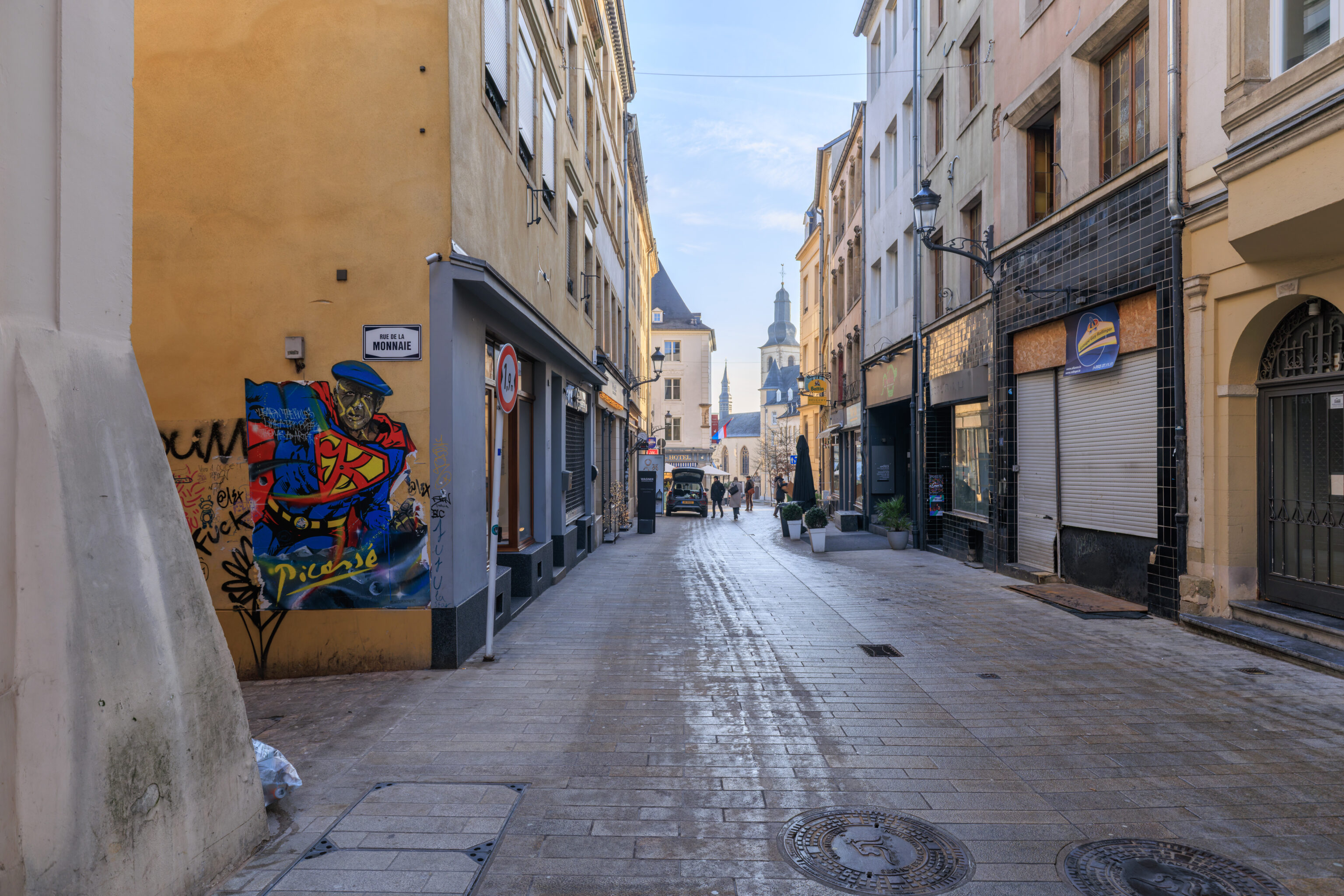
Its not Super Man.
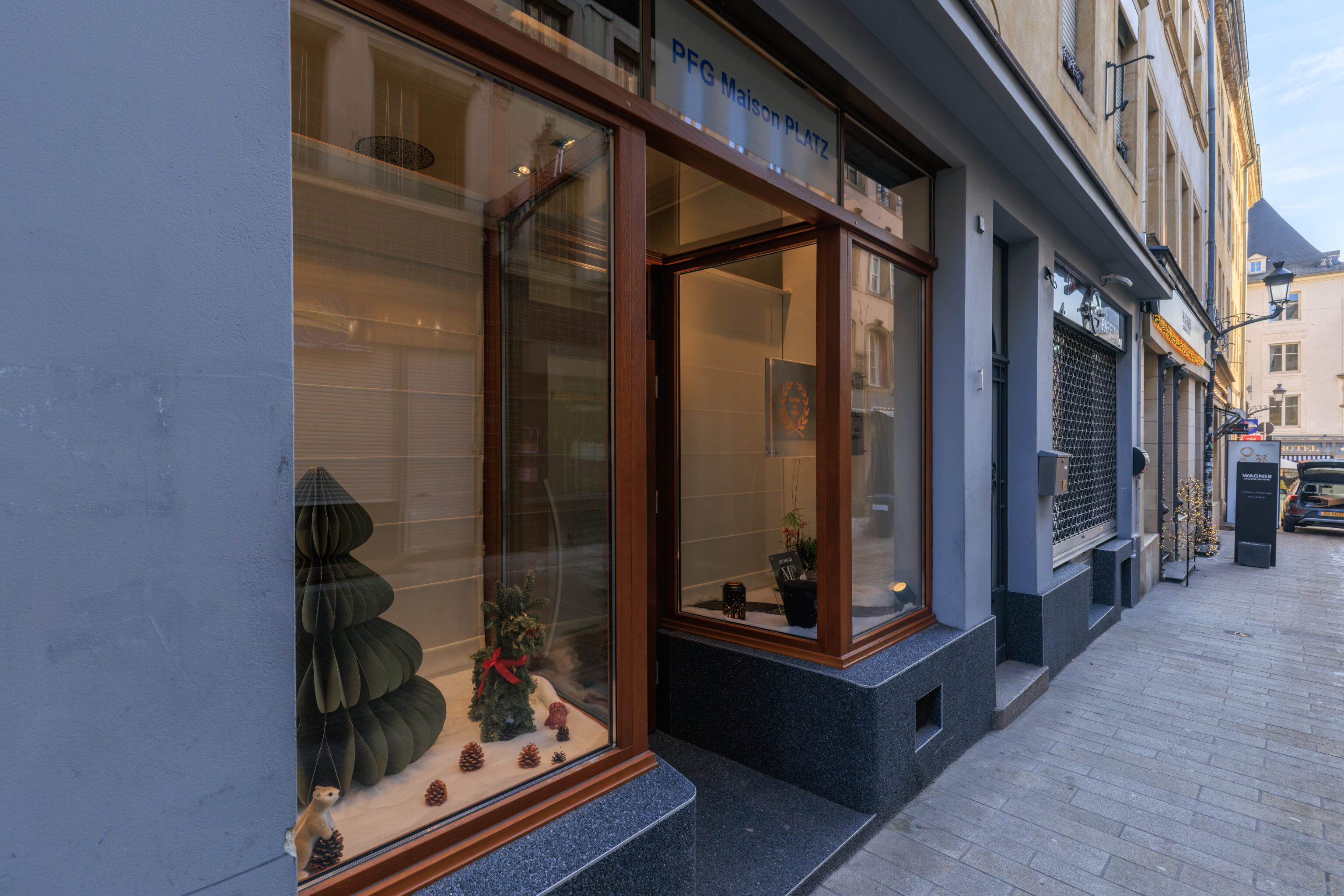
This entrance to the left here is an office for a funeral director. There is a cute little dog made out of fir tree branches in the window closest to us! Or it could be a reindeer?
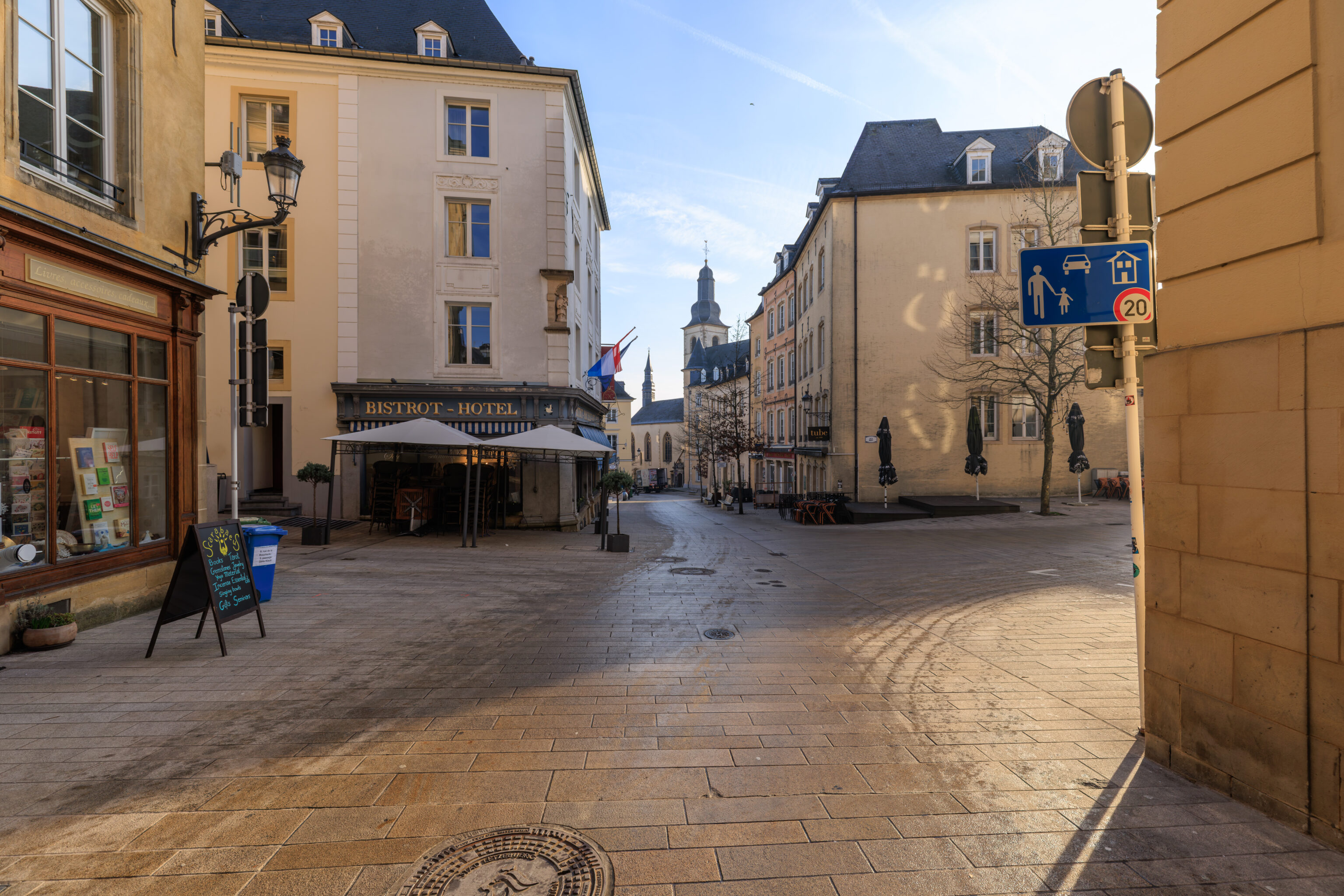
We continued walking to the east. We’re almost at the Bock. Up ahead, we could see the tower of Saint Michael’s Church, which is supposed to be worth visiting.
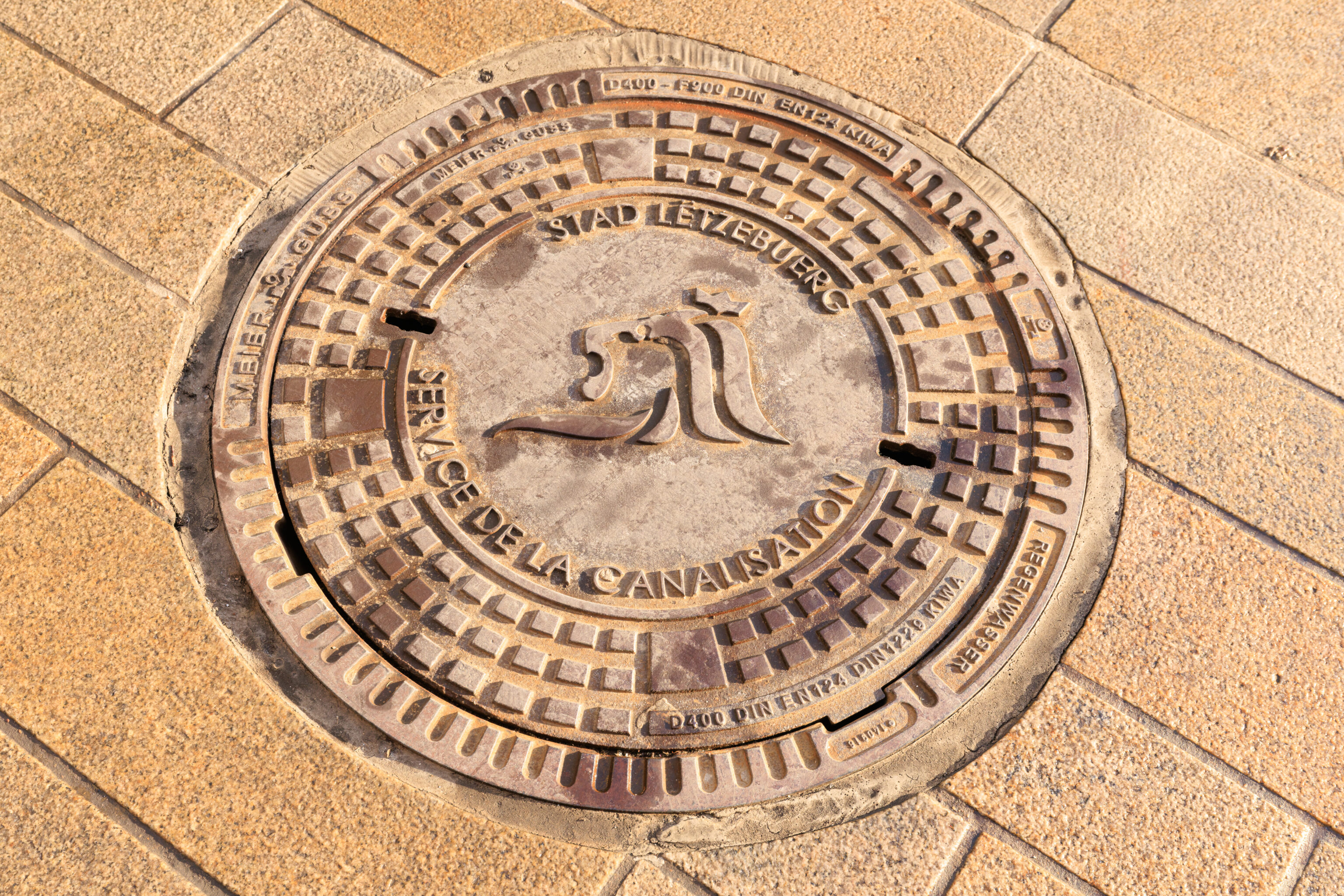
This Luxembourg City utility cover depicts a lion.
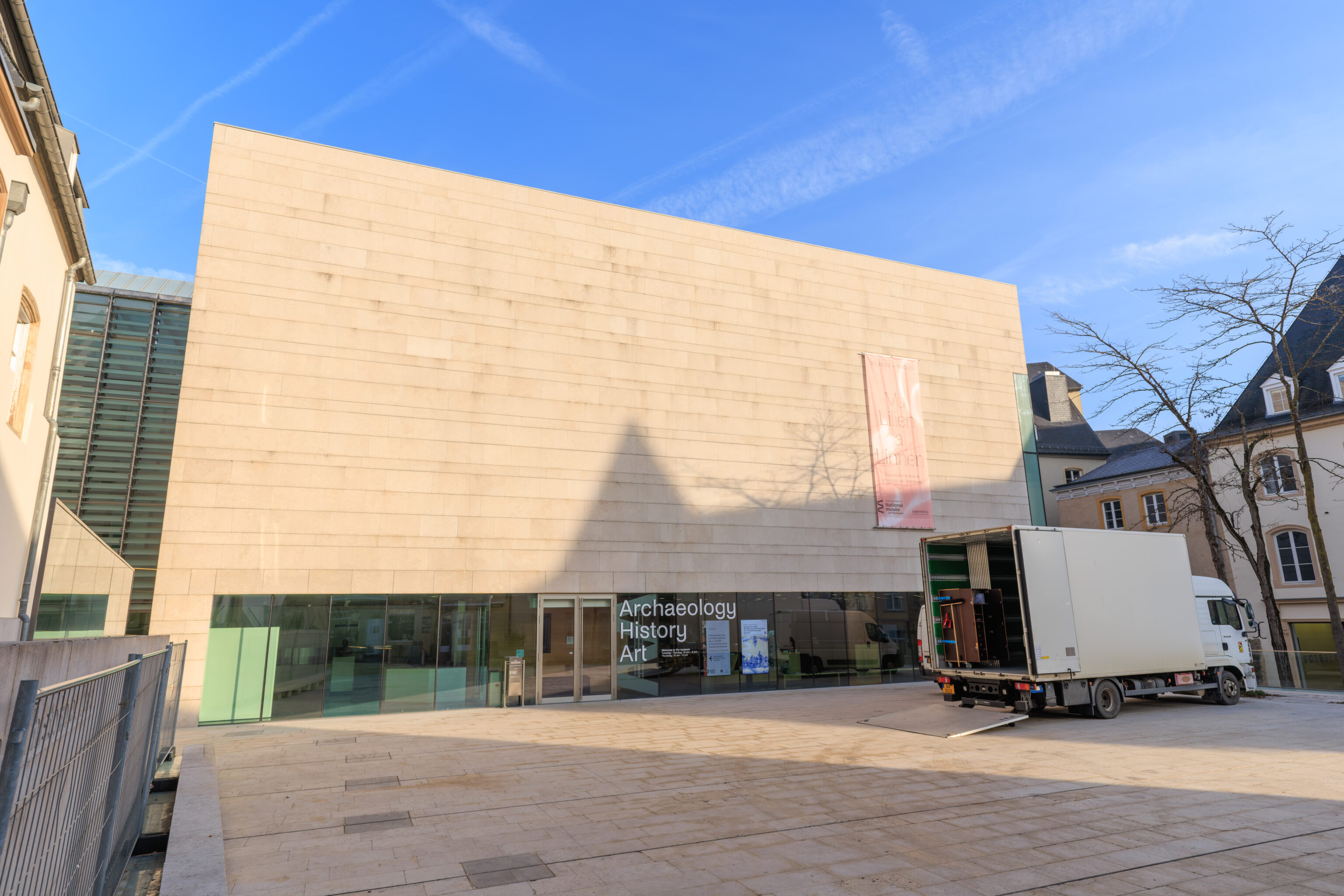
We walked past the National Museum.
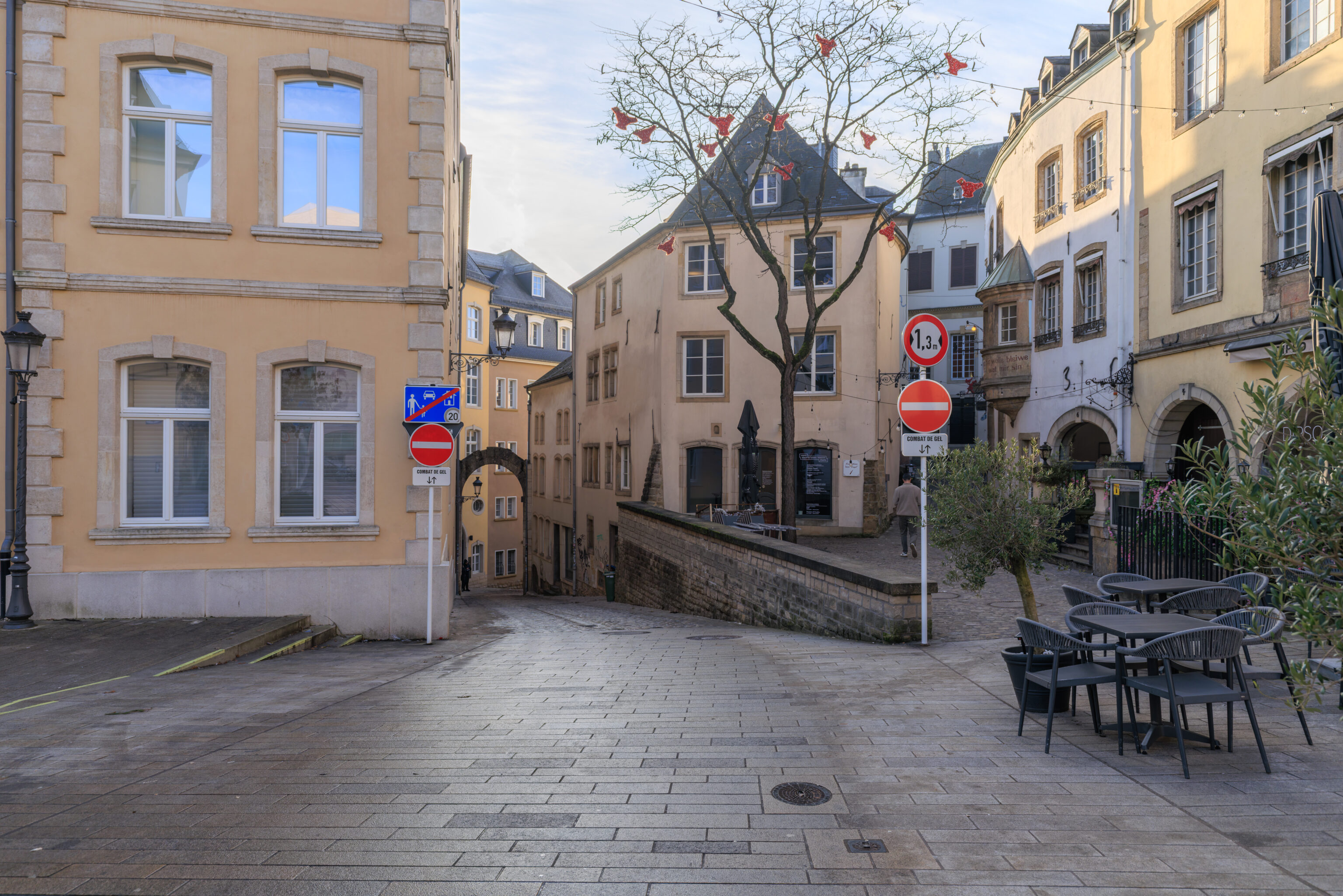
This road to our right went downhill.
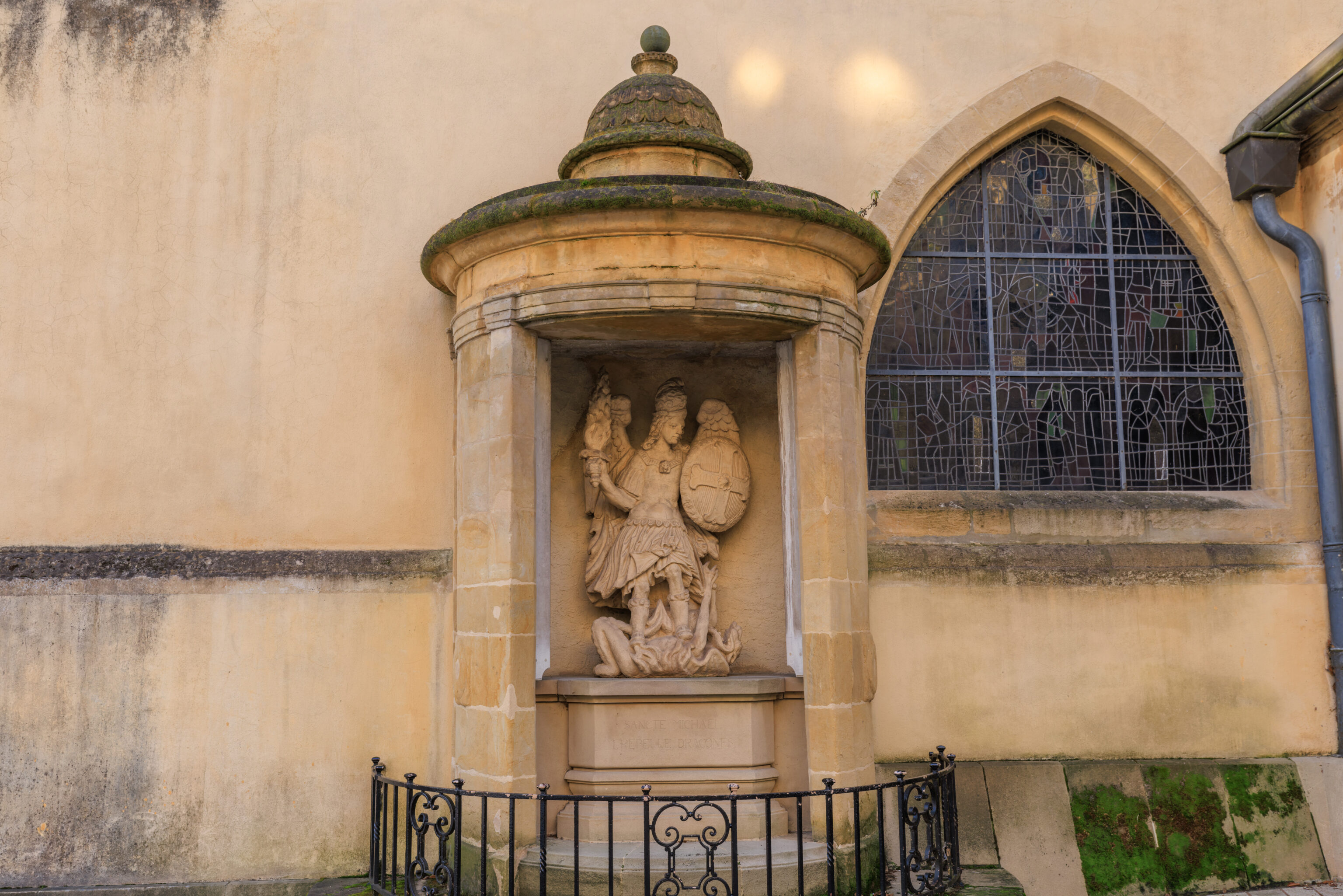
We continued walking straight ahead. We passed by this sculpture on the side of Saint Michael’s Church, which depicts St. Michael and the dragon. It seemed to be closed, or maybe there was some other entrance.
Bock Casemates
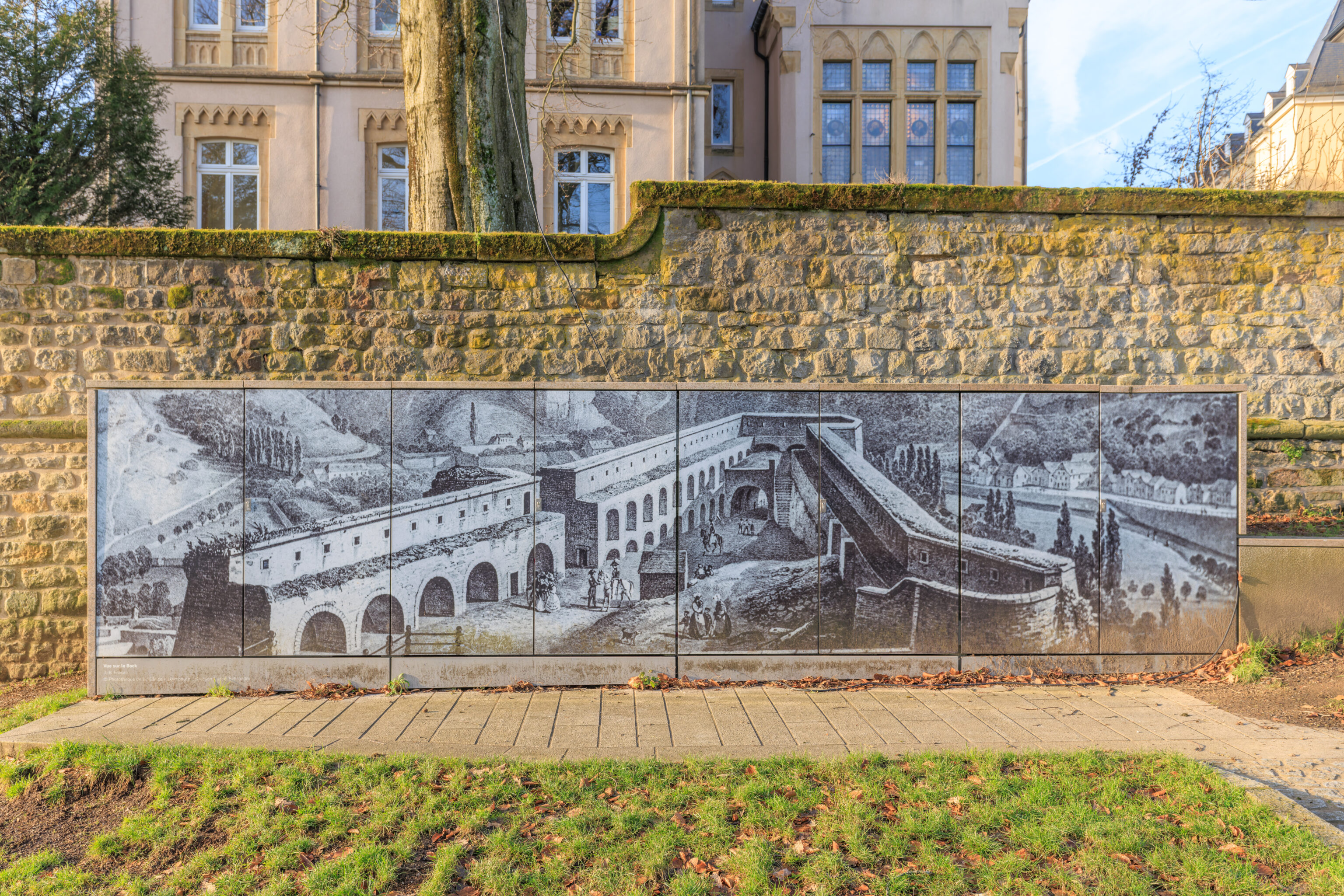
Continuing on, we’ve reached the western end of the Bock. This seems to depict what it looked like when all of the fortifications were still in place. Today, there is basically just a road on a ridge that descends down to the Grund.
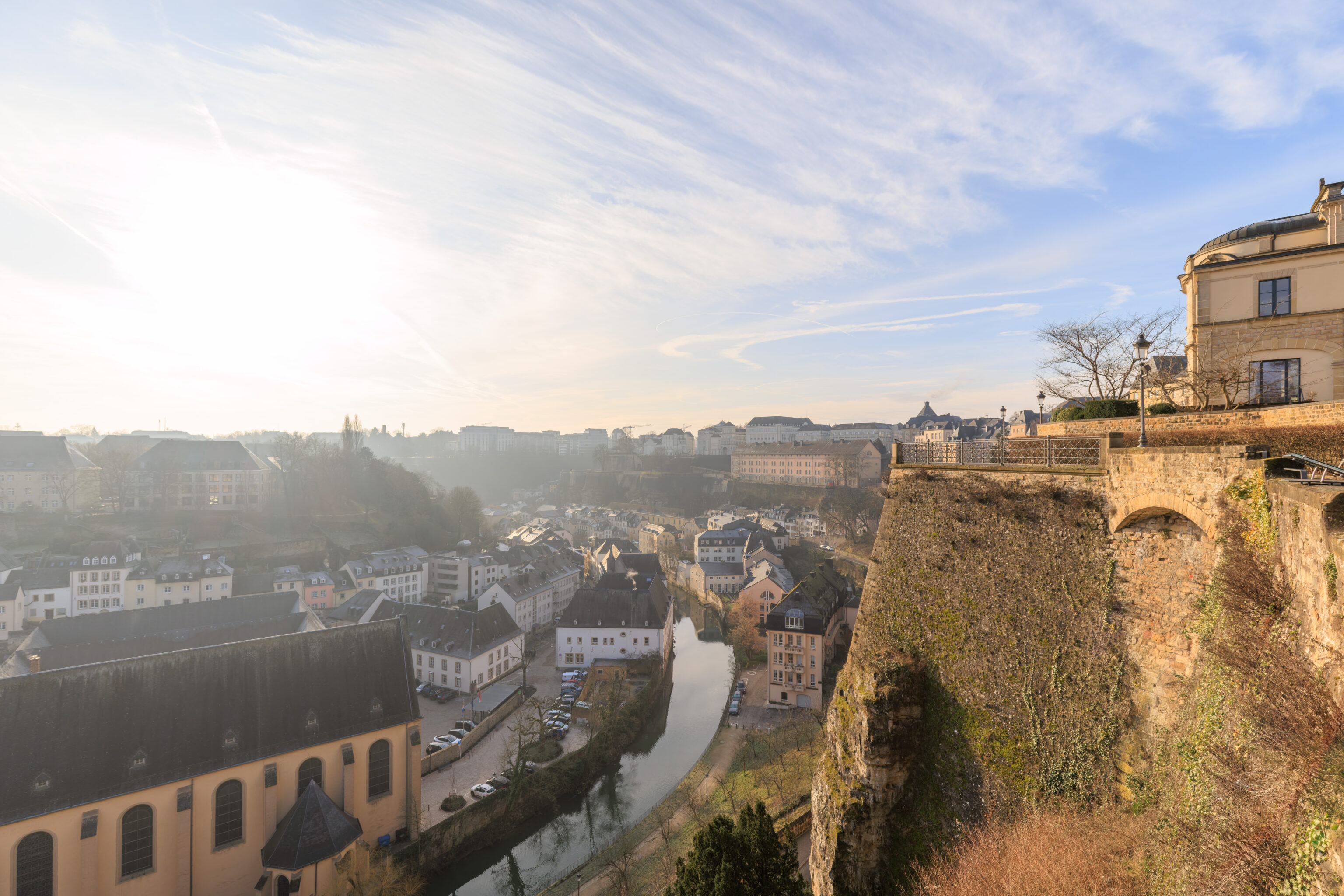
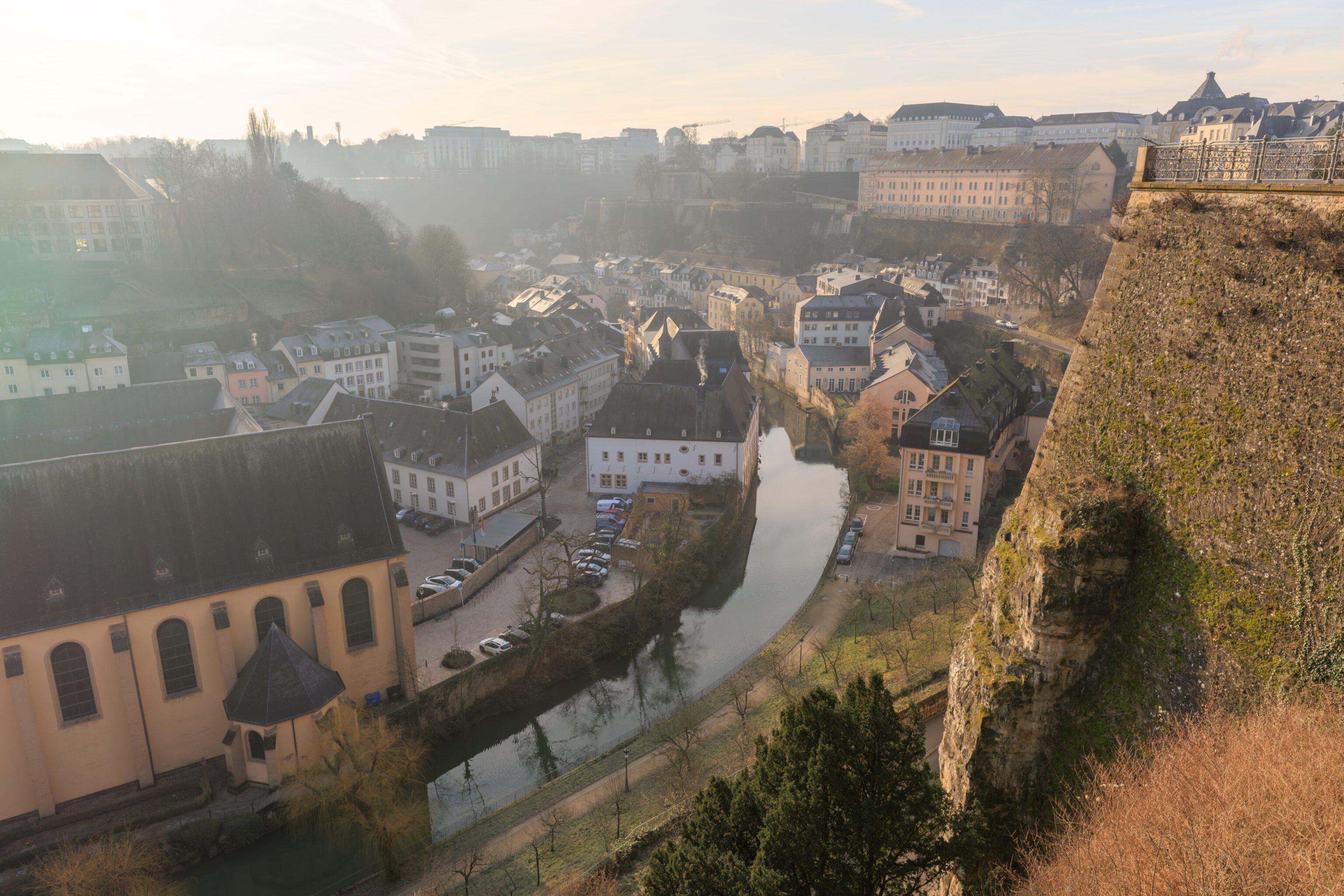
We started to walk east along the south side of the road. Its hard to tell but the Fountain of Doves is at center in the 1st photograph above.
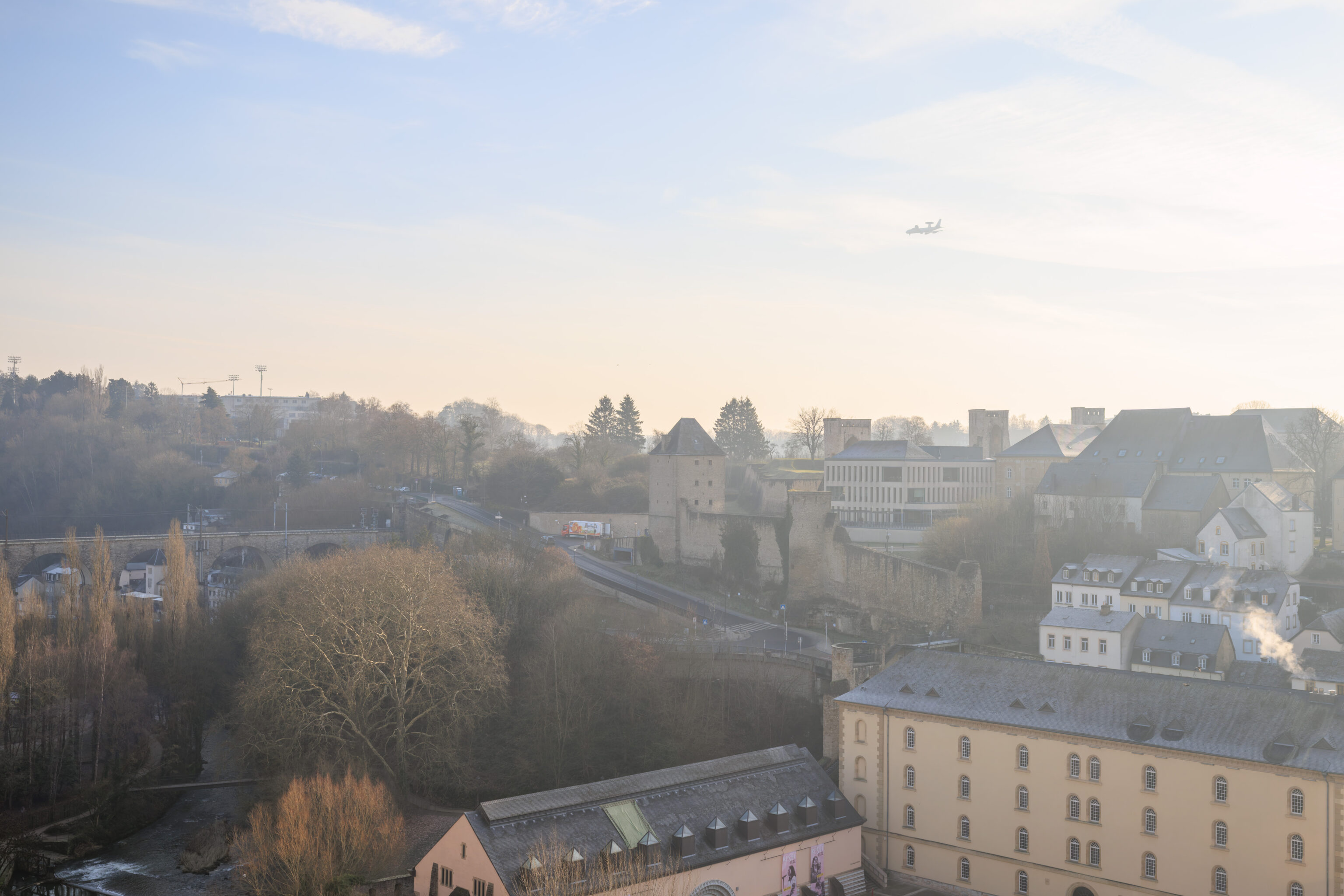
We noticed an E-3 Sentry, also known as AWACS, on approach to Luxembourg’s airport.
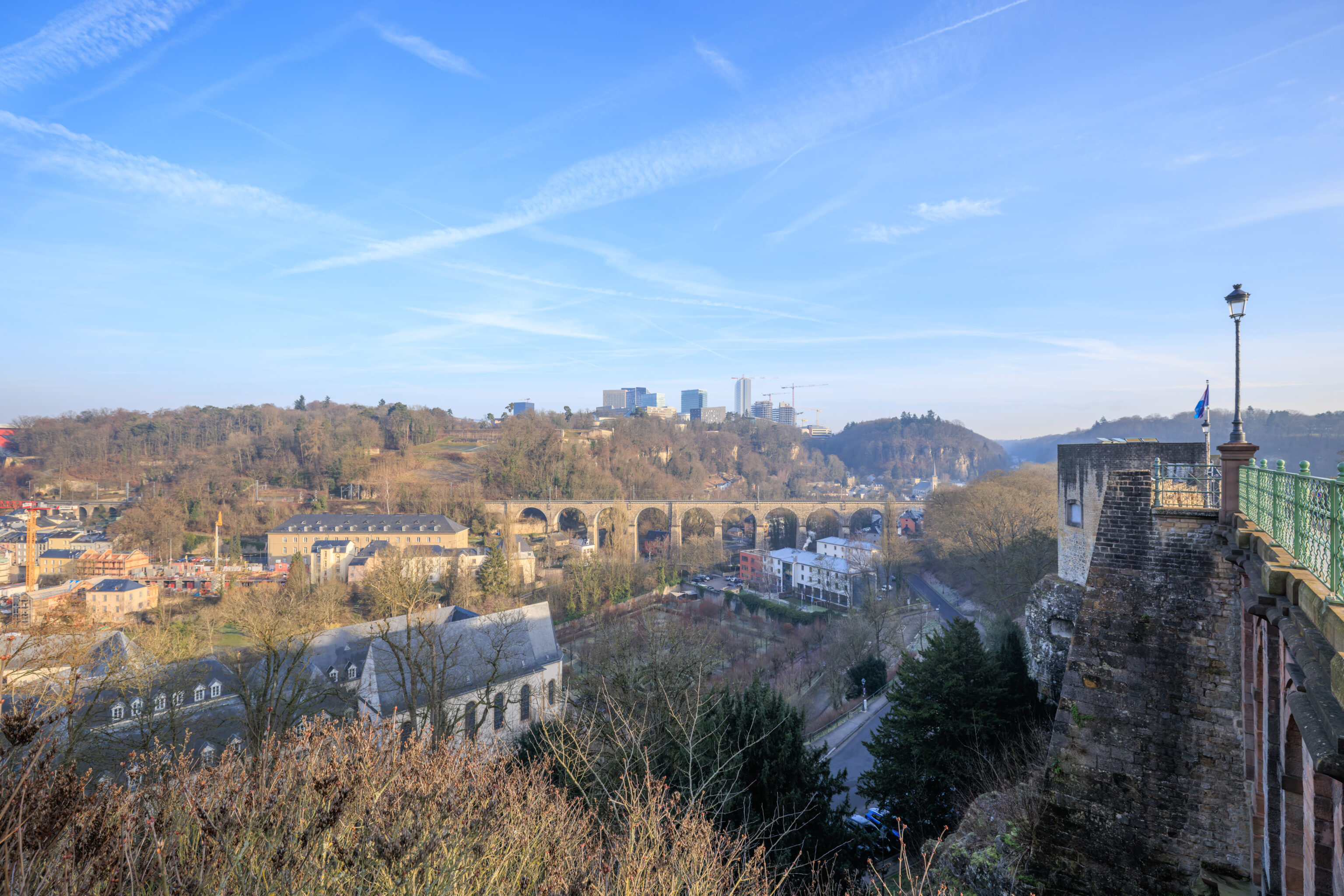
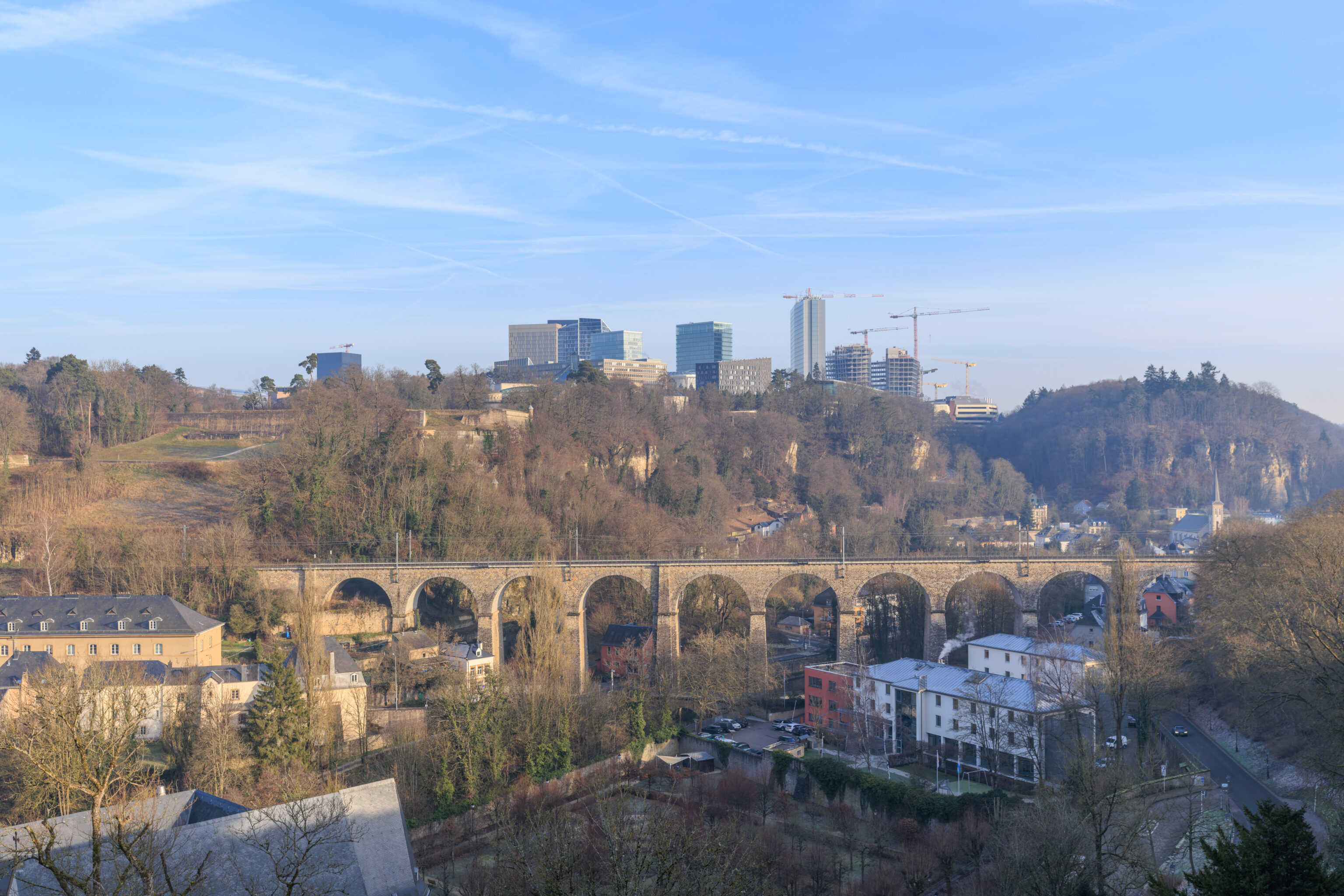
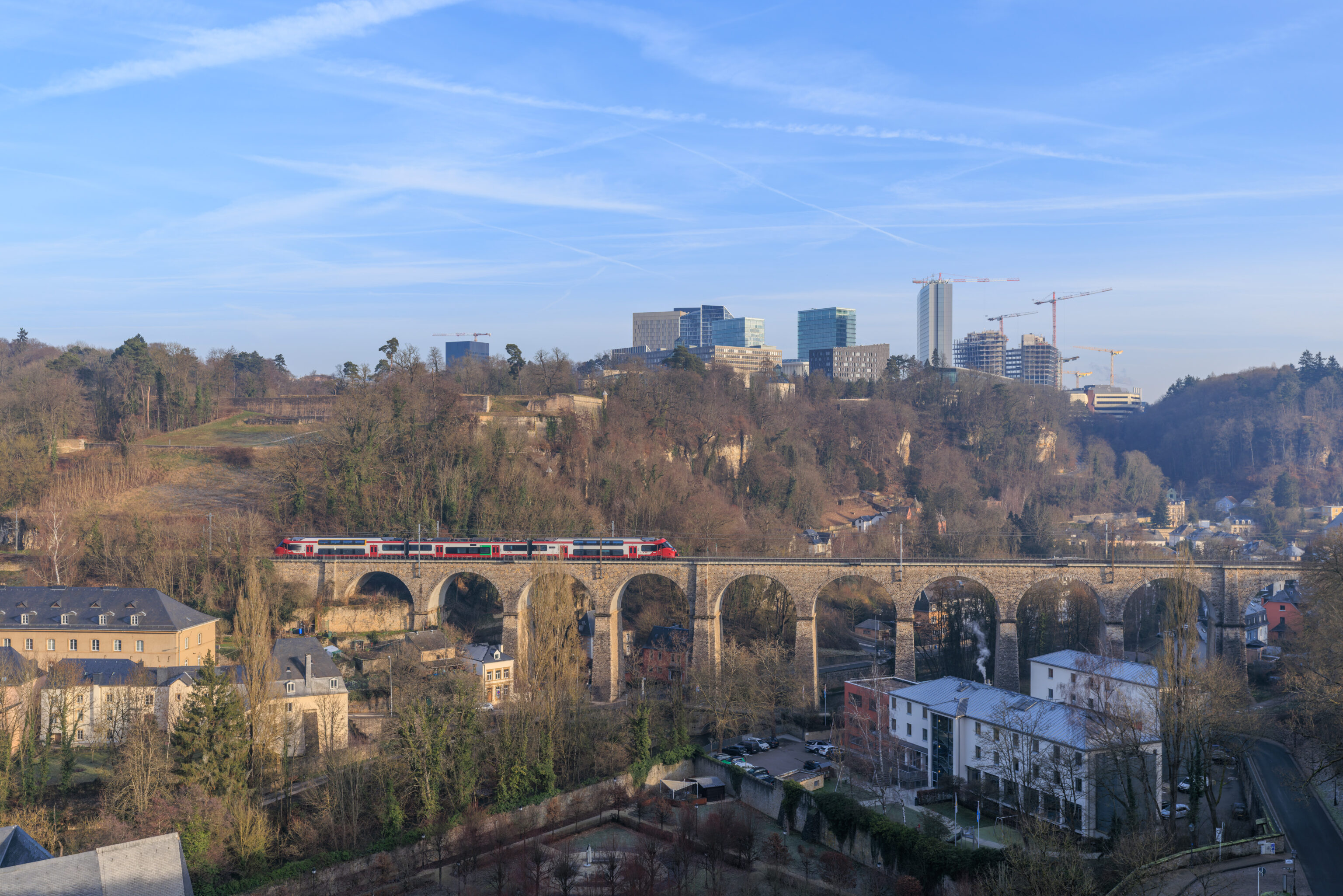
We crossed over to the north side of the road. From here, we had a good view of the railway viaduct, which is actually pretty long, as well as Kirchberg behind it.
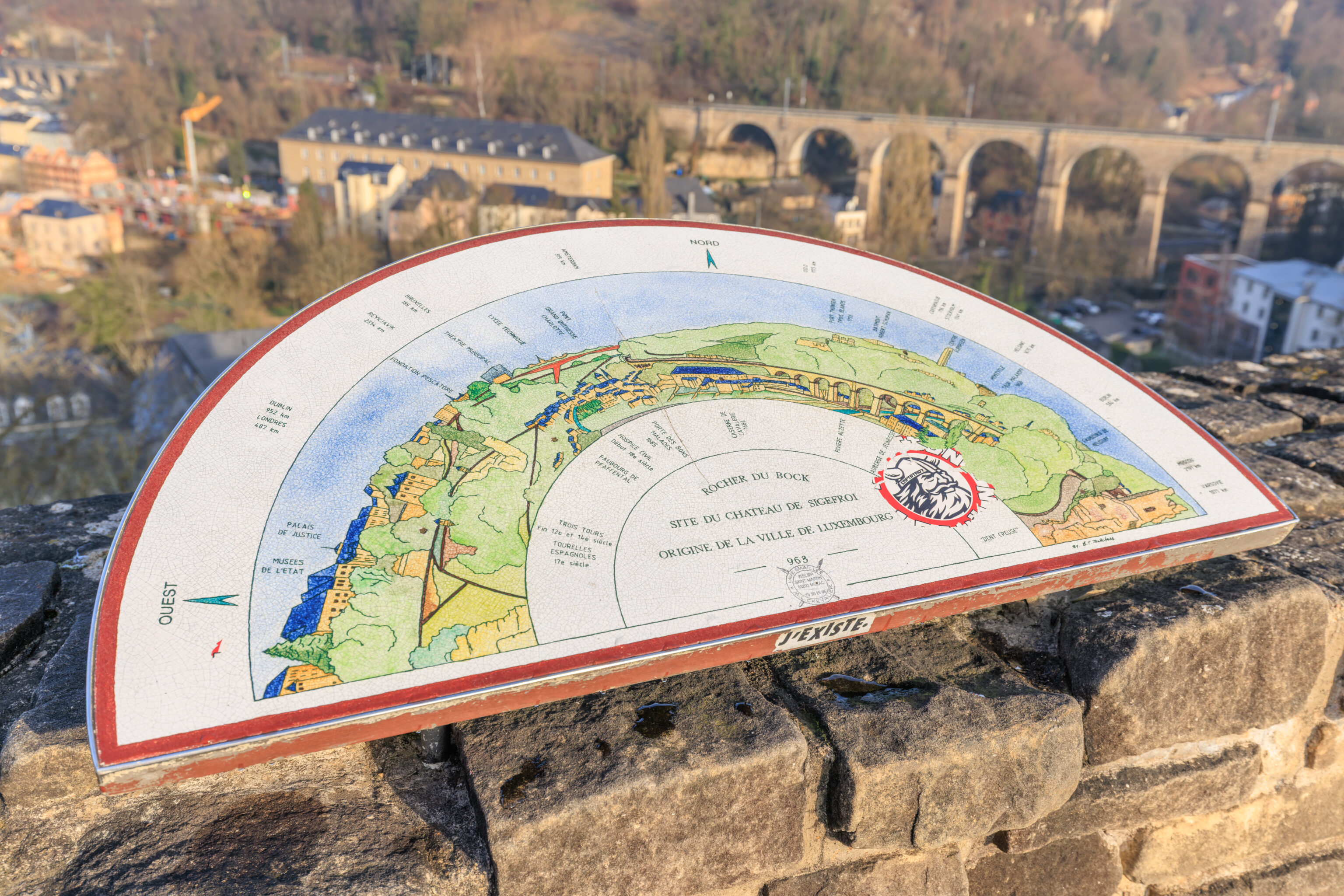
This map shows various points of interest that can be seen from the north side of the Bock.
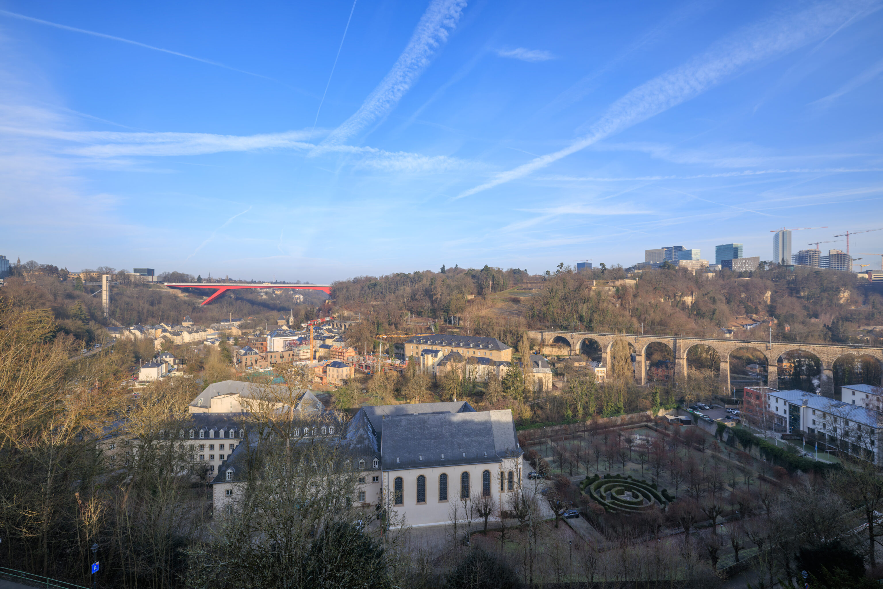
A wide angle view to the north.
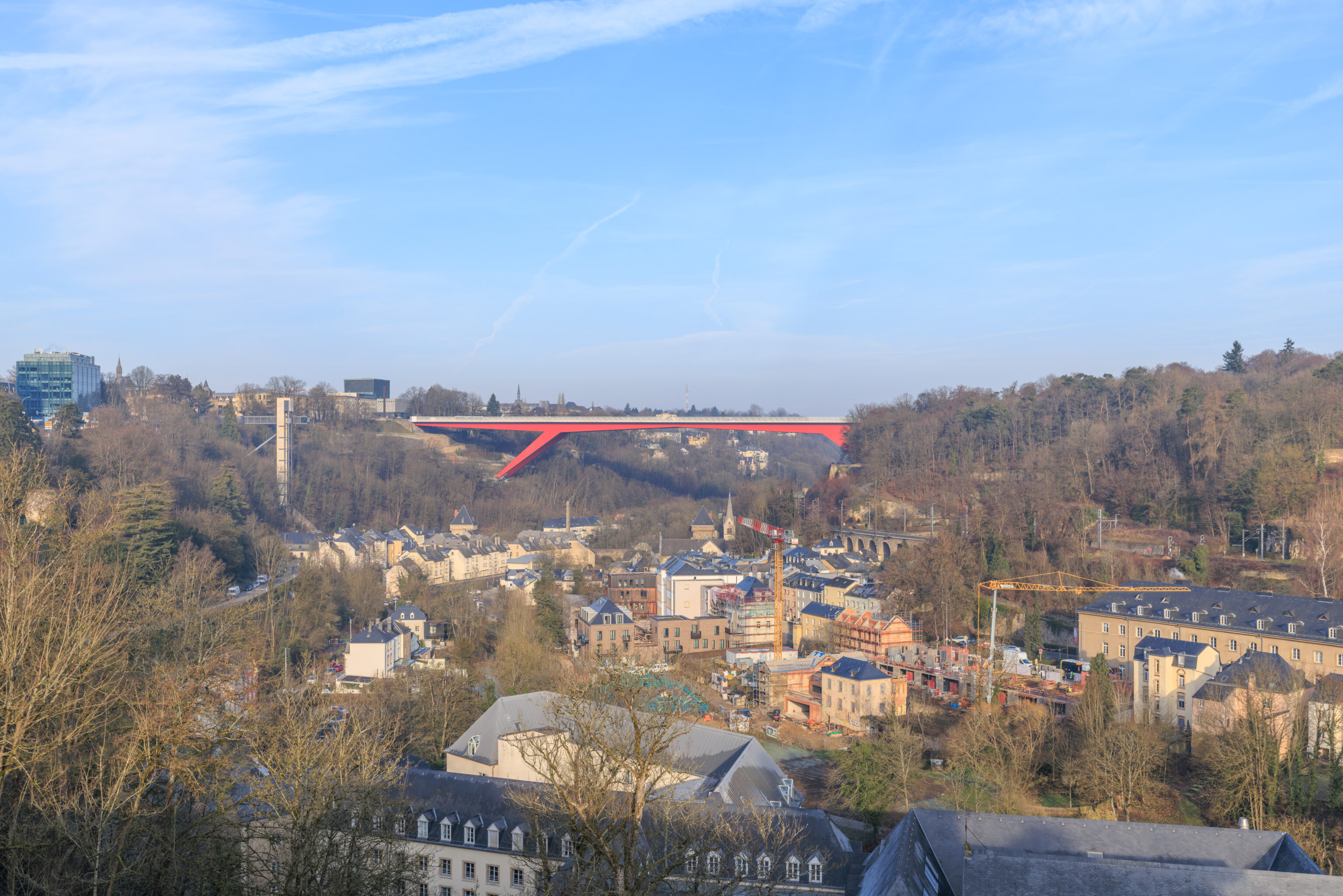
The red bridge here is the Grand Duchess Charlotte Bridge. It crosses over the valley and the Alzette below.
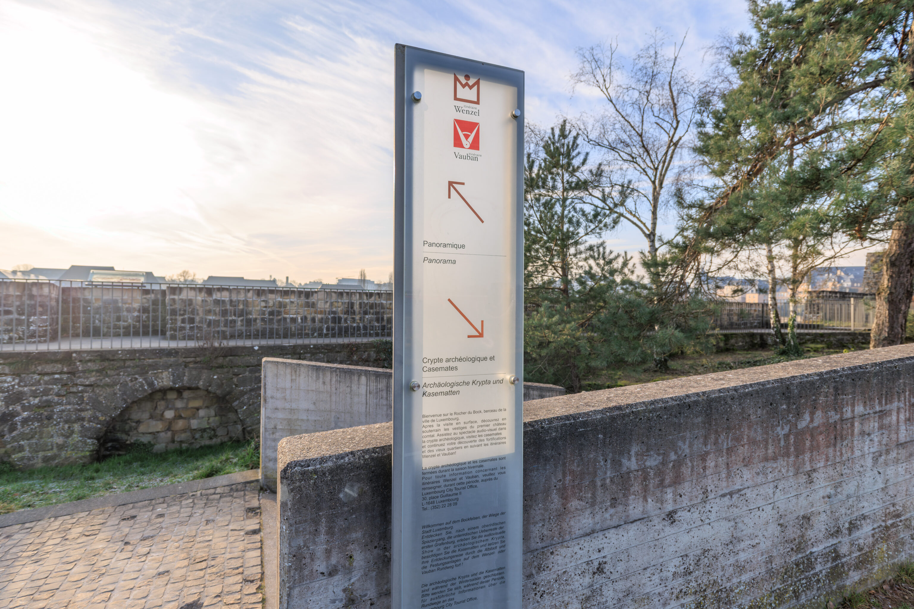
We weren’t sure exactly where the entrance to the Bock Casemates was. So, we went to find it. It was on the south side of the road.
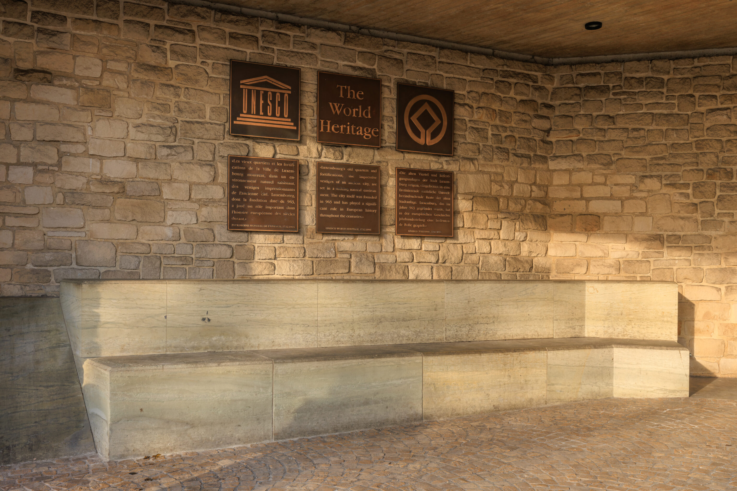
It was still about ten minutes until our scheduled entry time, which was actually the first time slot of the day. We went down to take a look.
Parts of the city are designated as the City of Luxembourg: its Old Quarters and Fortifications World Heritage Site.
«Luxembourg’s old quarters and fortifications, the impressive vestiges of an ancient city, are set in a striking natural environment. The city itself was founded in 963 and has played a significant role in European history throughout the centuries.»

UNESCO WORLD HERITAGE, 17.12.1994
– Text from the bottom middle plaque.
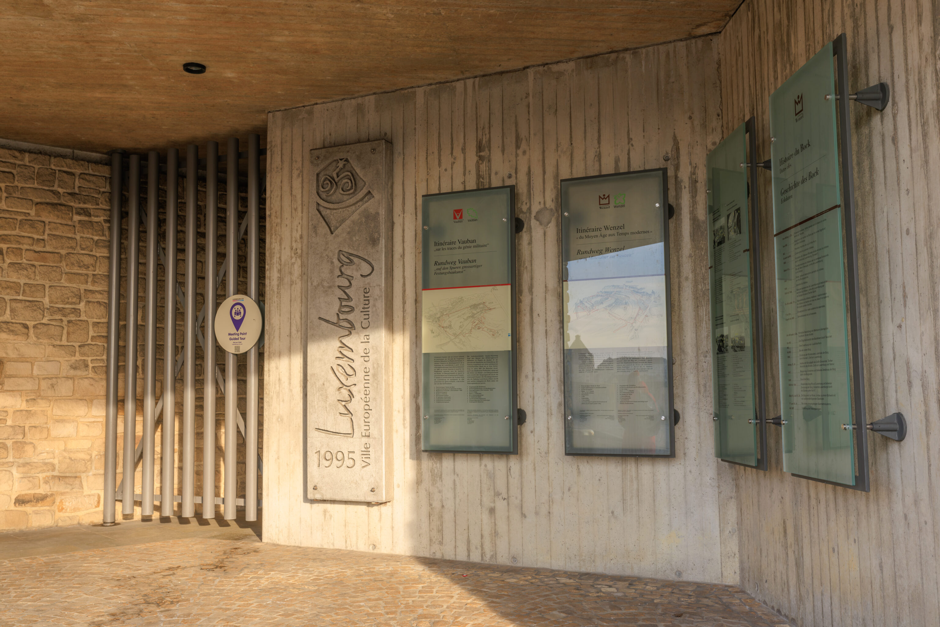
The entrance was still closed.
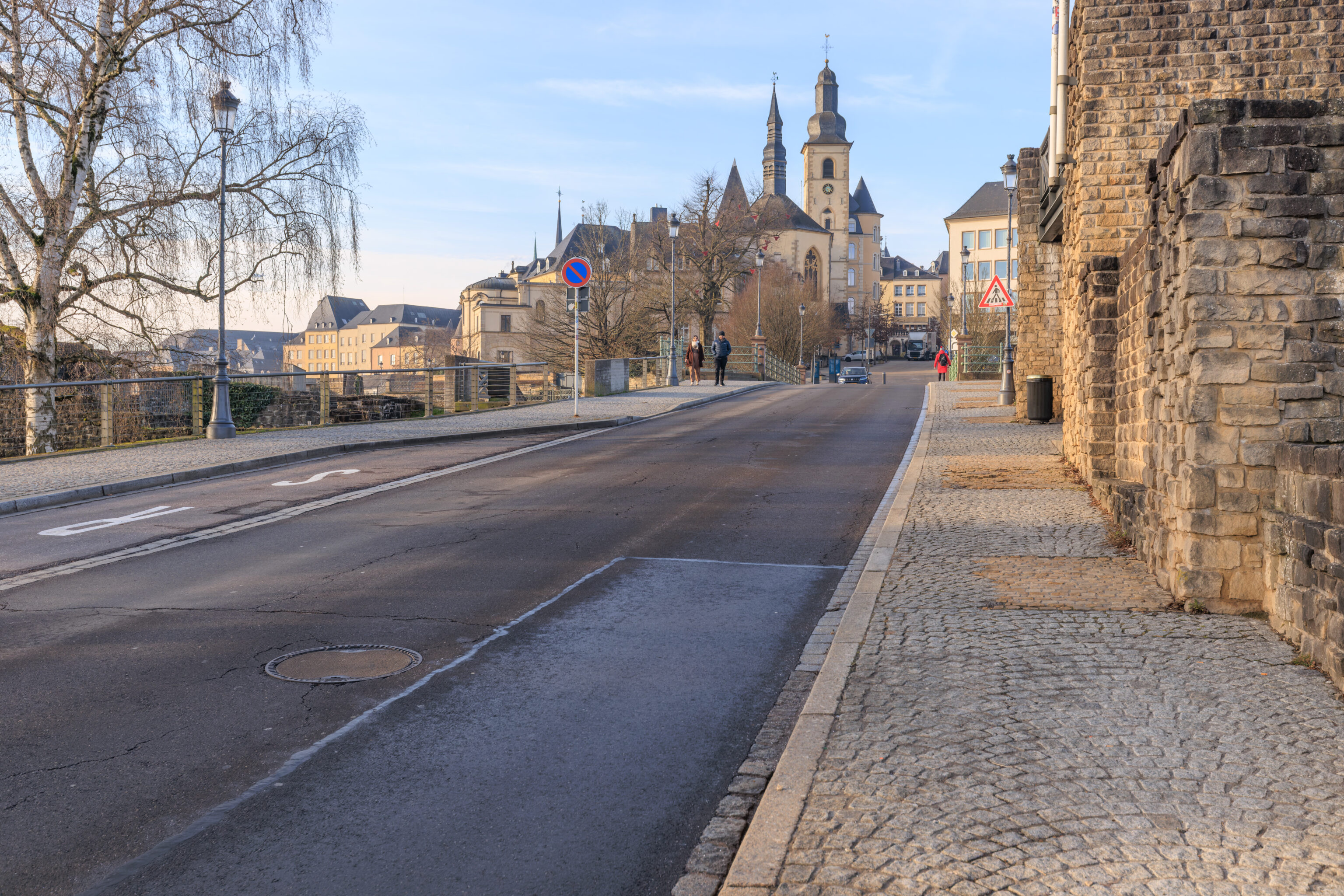
We briefly went back up to street level to take a quick look around again before returning to the entrance.
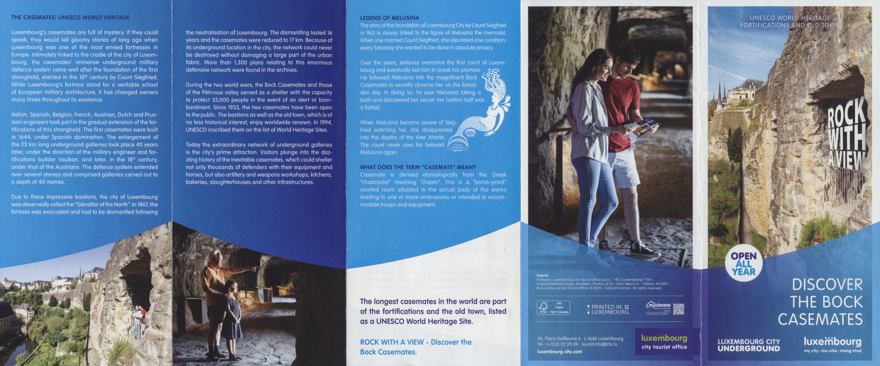
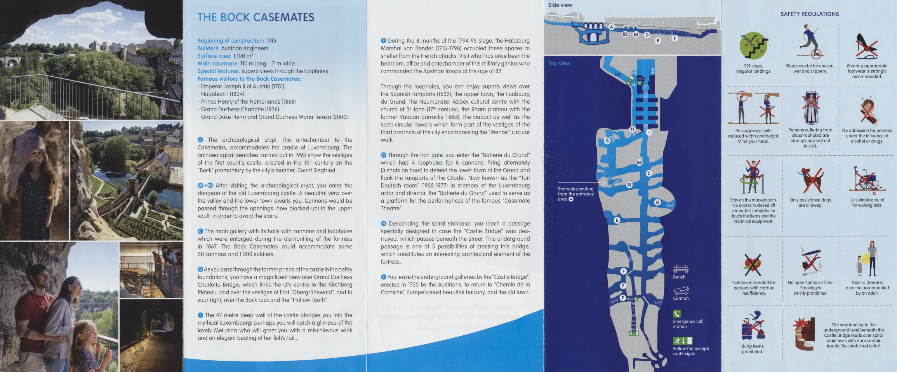
We picked up an English language pamphlet upon entering.
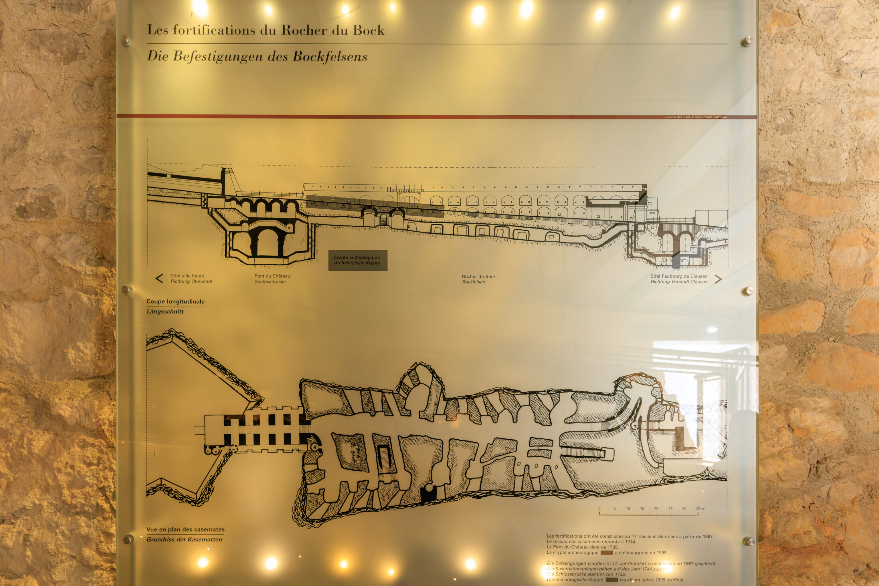
There was a sign that showed both an overhead as well as profile map of the Bock. It depicts the above ground fortifications which are no longer present.
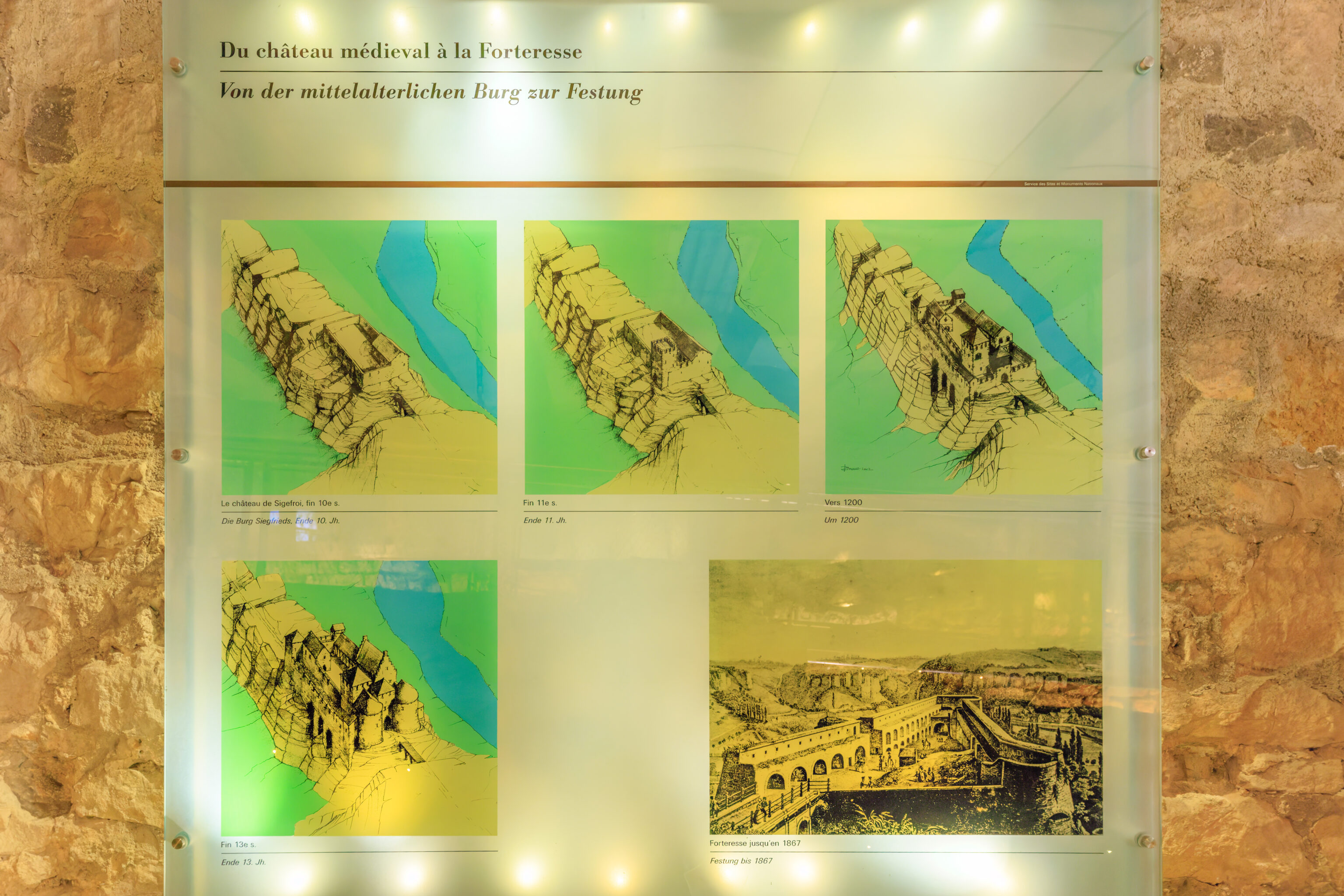
This sign shows how the fortifications evolved since the 10th century.
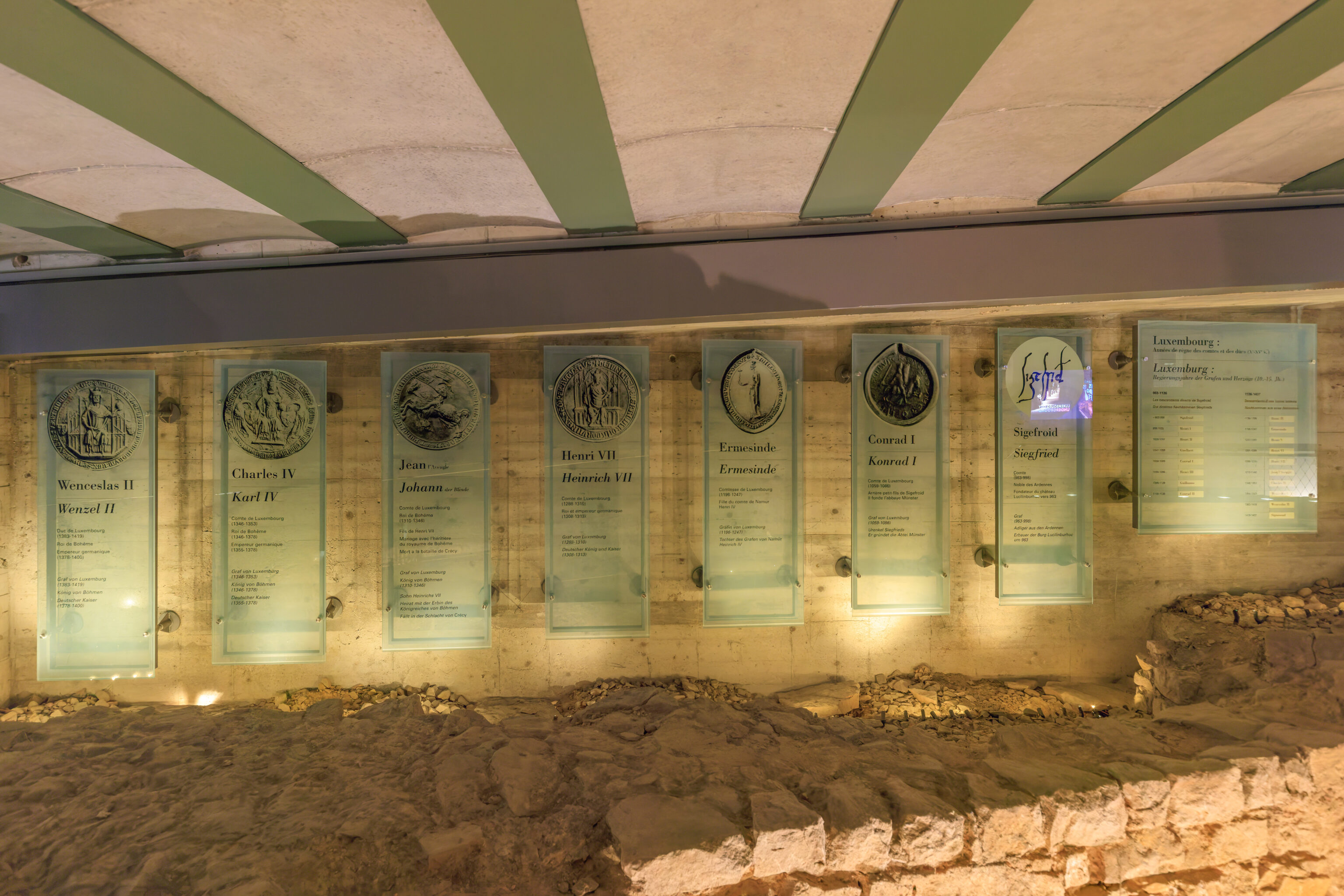
The panel on the right depicts Siegfried, the first Count of Luxembourg, upon the founding of Luxembourg and the creation of a castle, which ended up as the fortress that was built here.
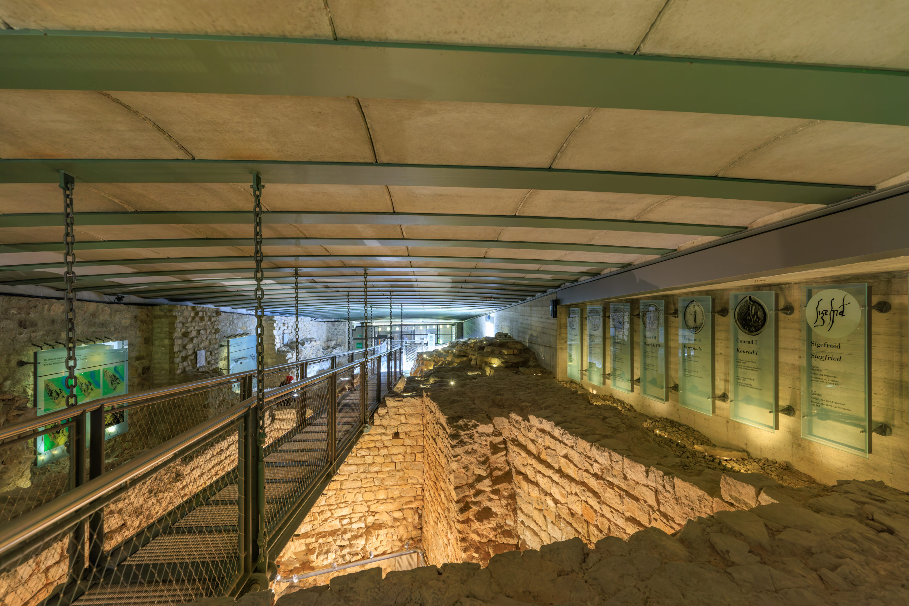
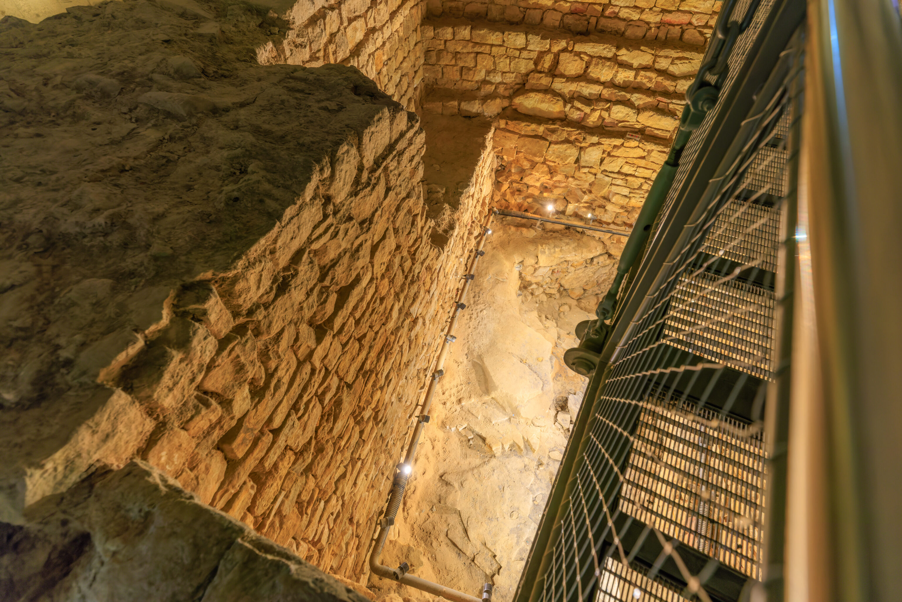
This section right by the entrance mainly consisted of an elevated path with ruins below and the signs photographed. This area is believed to be the ruins of Siegfried’s castle.
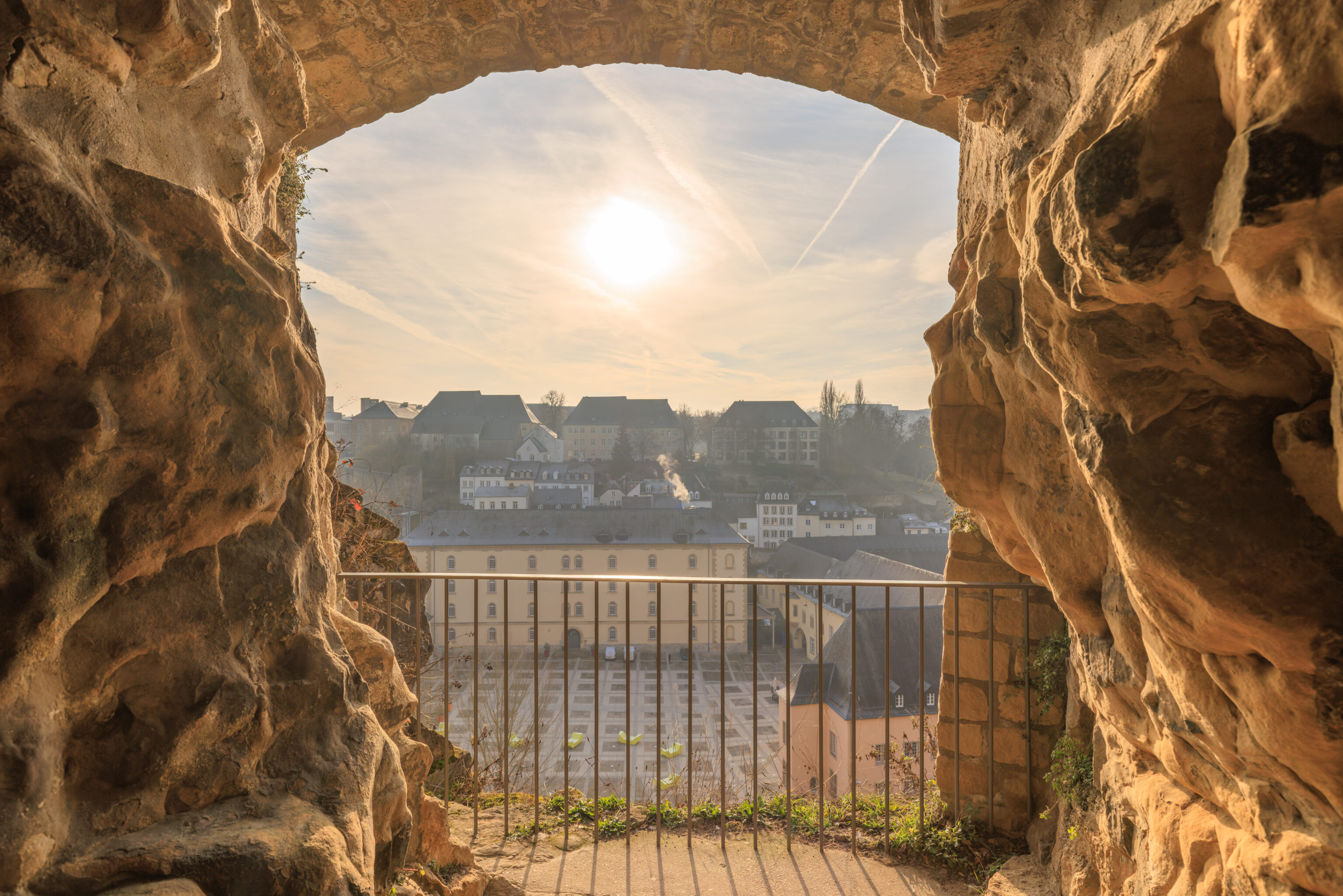
We walked down stairs to access the tunnels below the Bock. Here, we are at a casemate, a protected gun emplacement. The fortification here is the ground, which is reinforced by a stone brick exterior, basically walls of a fortress.
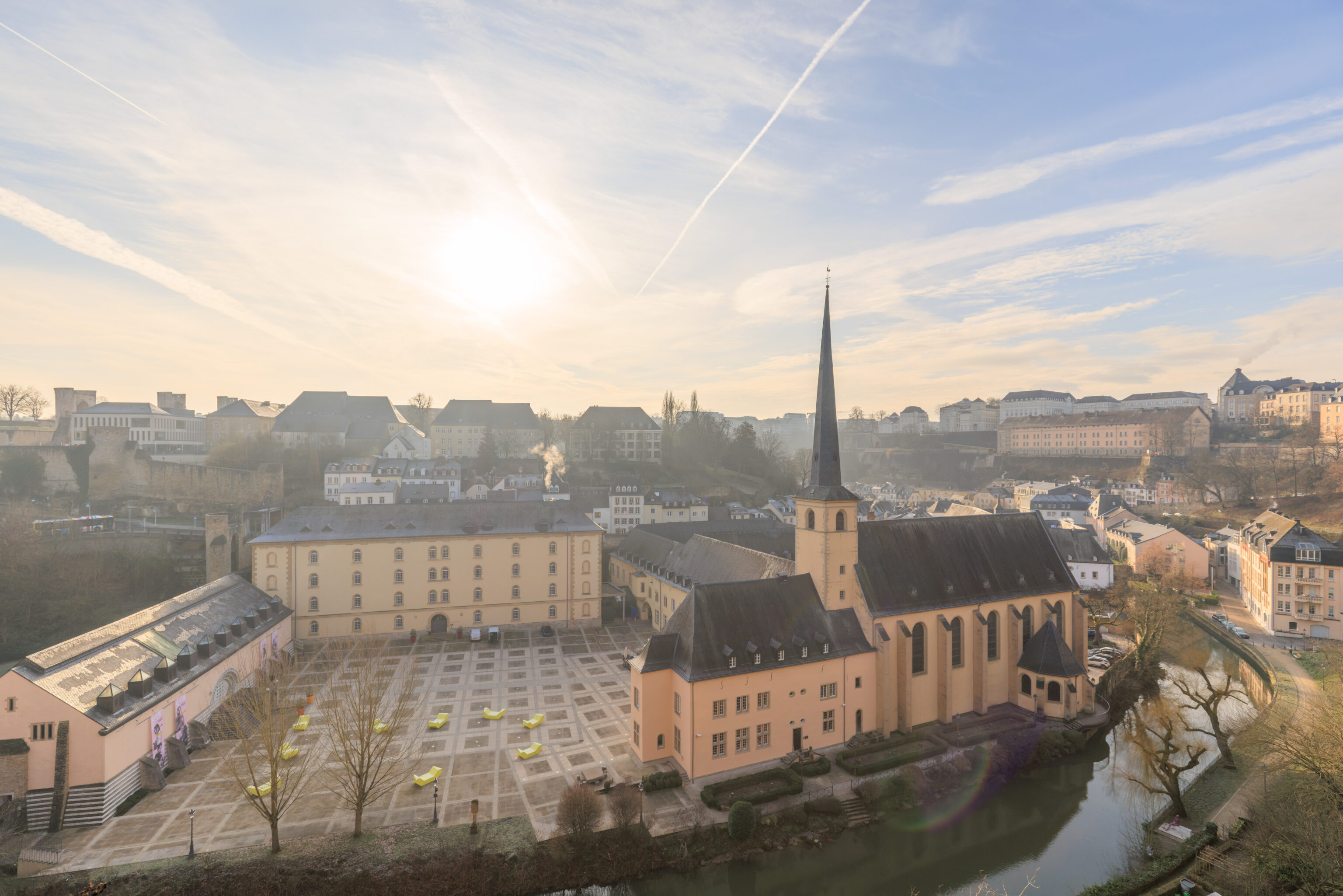
This view looks to the south across the Alzette.
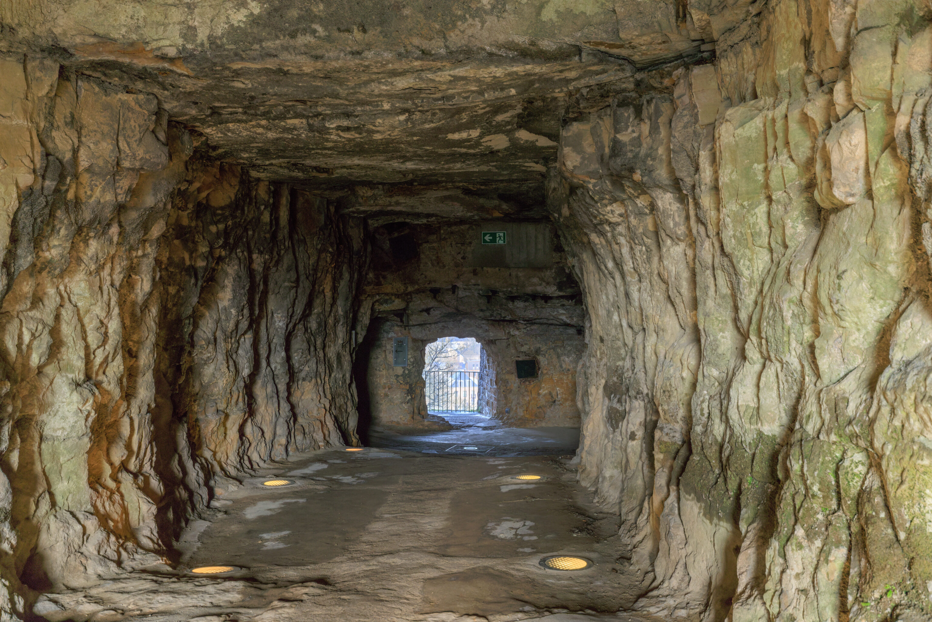
Another casemate on the opposite side of the Bock.
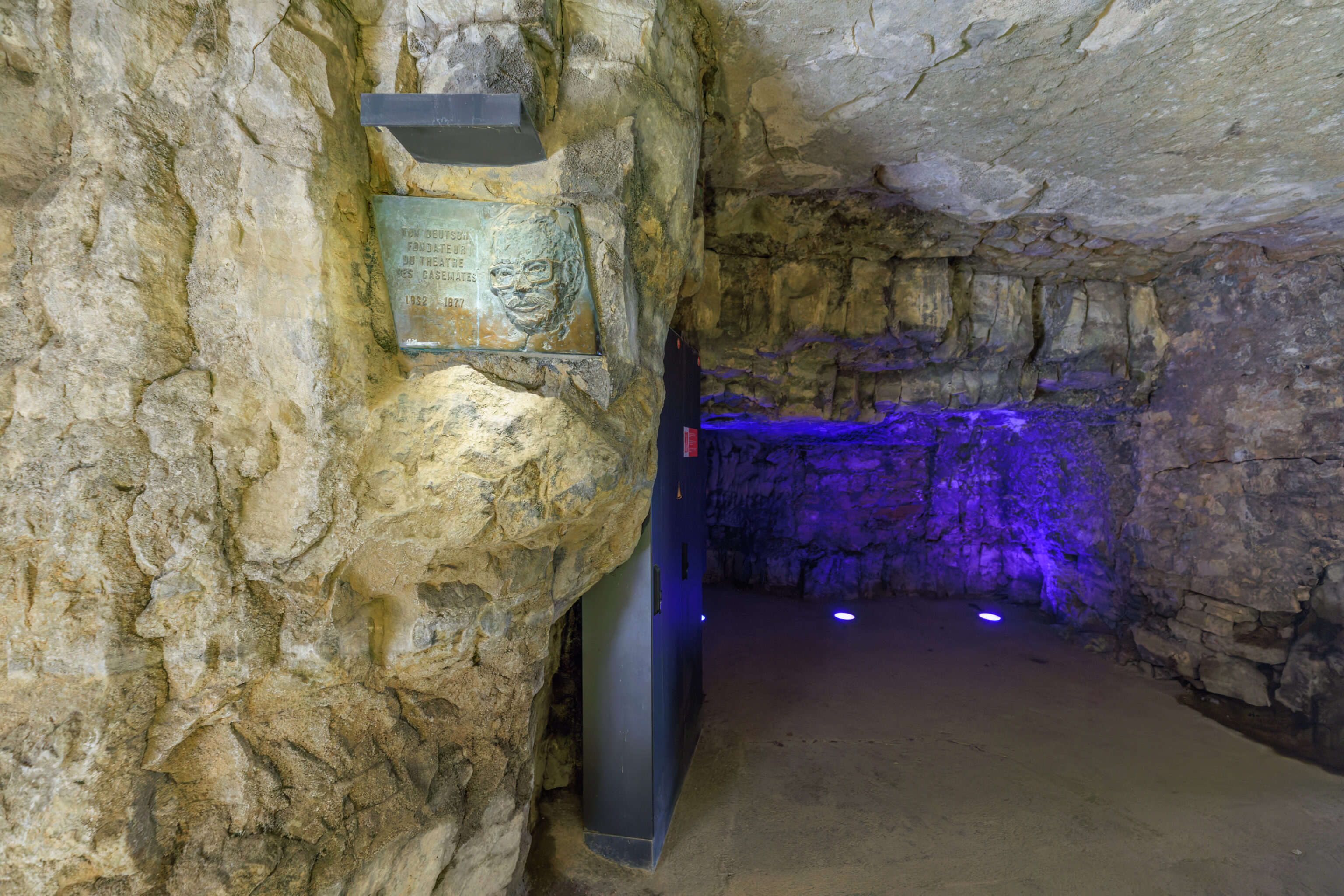
This plaque on the wall is dedicated to Tun Deutsch, the founder of the Theatre des Casemates. Performances originally took place here in the Bock Casemates!
There is a video that plays in the casemates, presumably, in multiple languages. We happened to be here when it was in English. We recorded a little bit of it, in particular, the part where the narrators explain what casemates are.
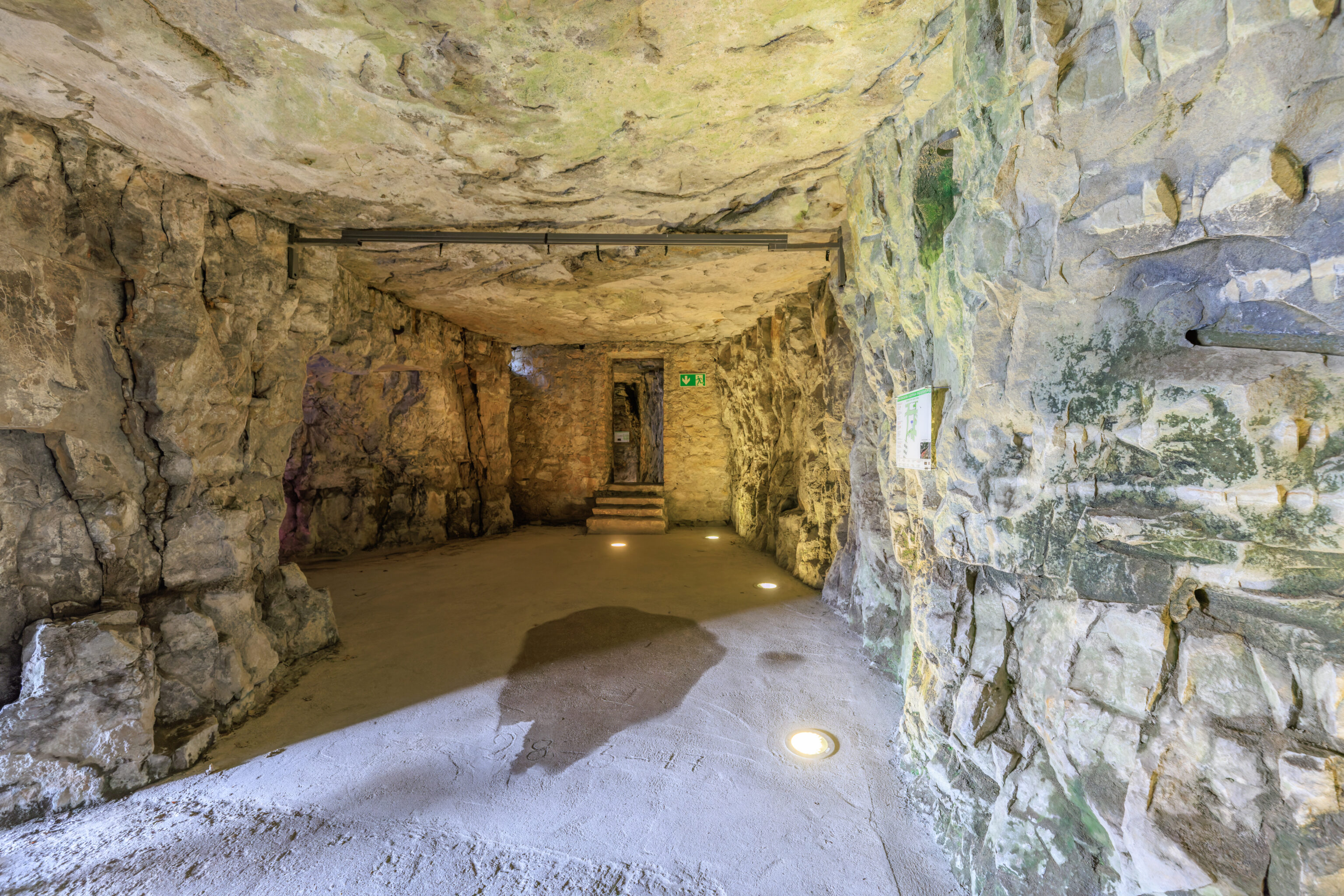
We noticed numbers carved into the paved floor here.
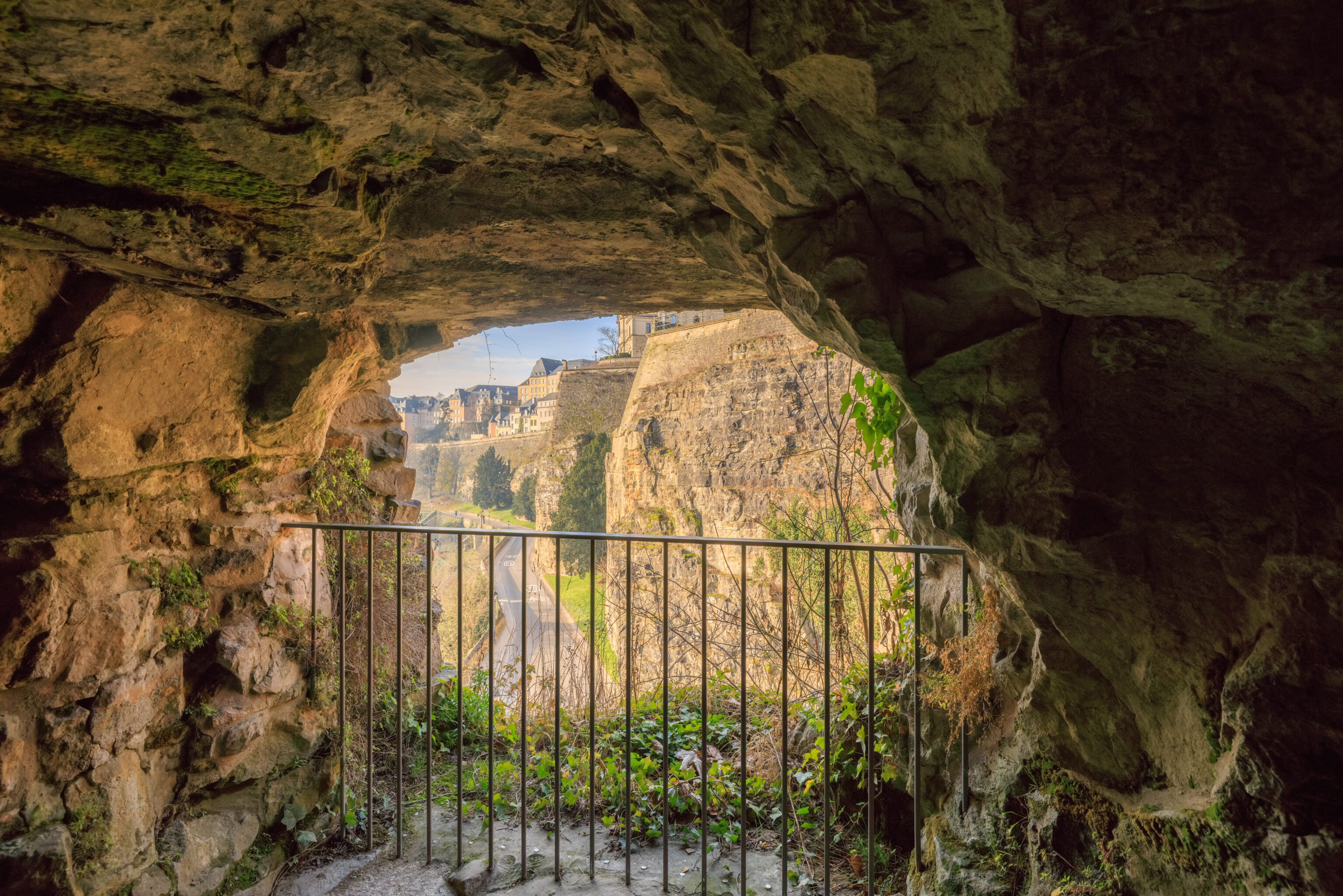
The view here is to the southwest.
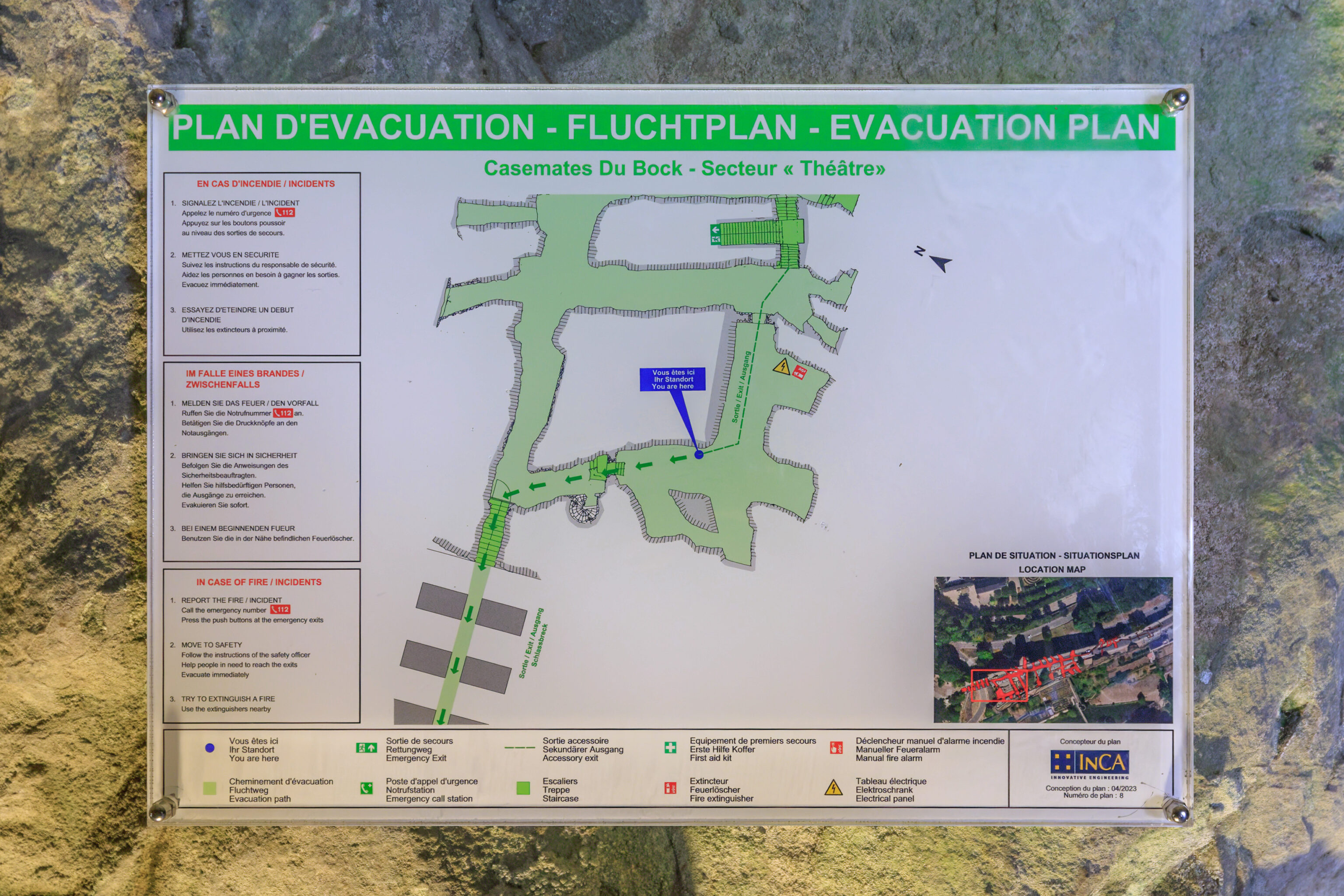
These evacuation plan maps were useful in trying to understand where we were!
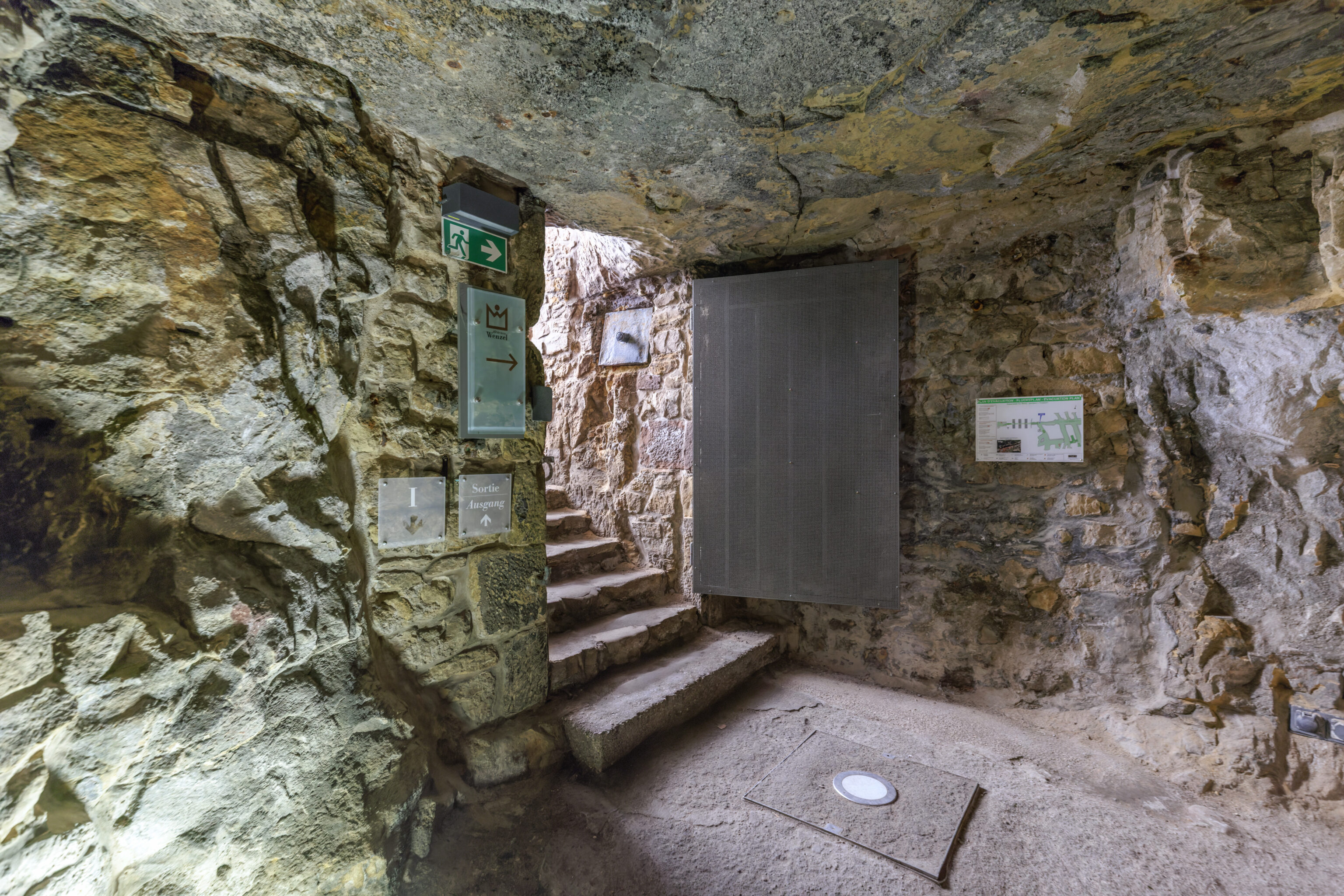
We walked past an exit. Definitely not the way we want to go!
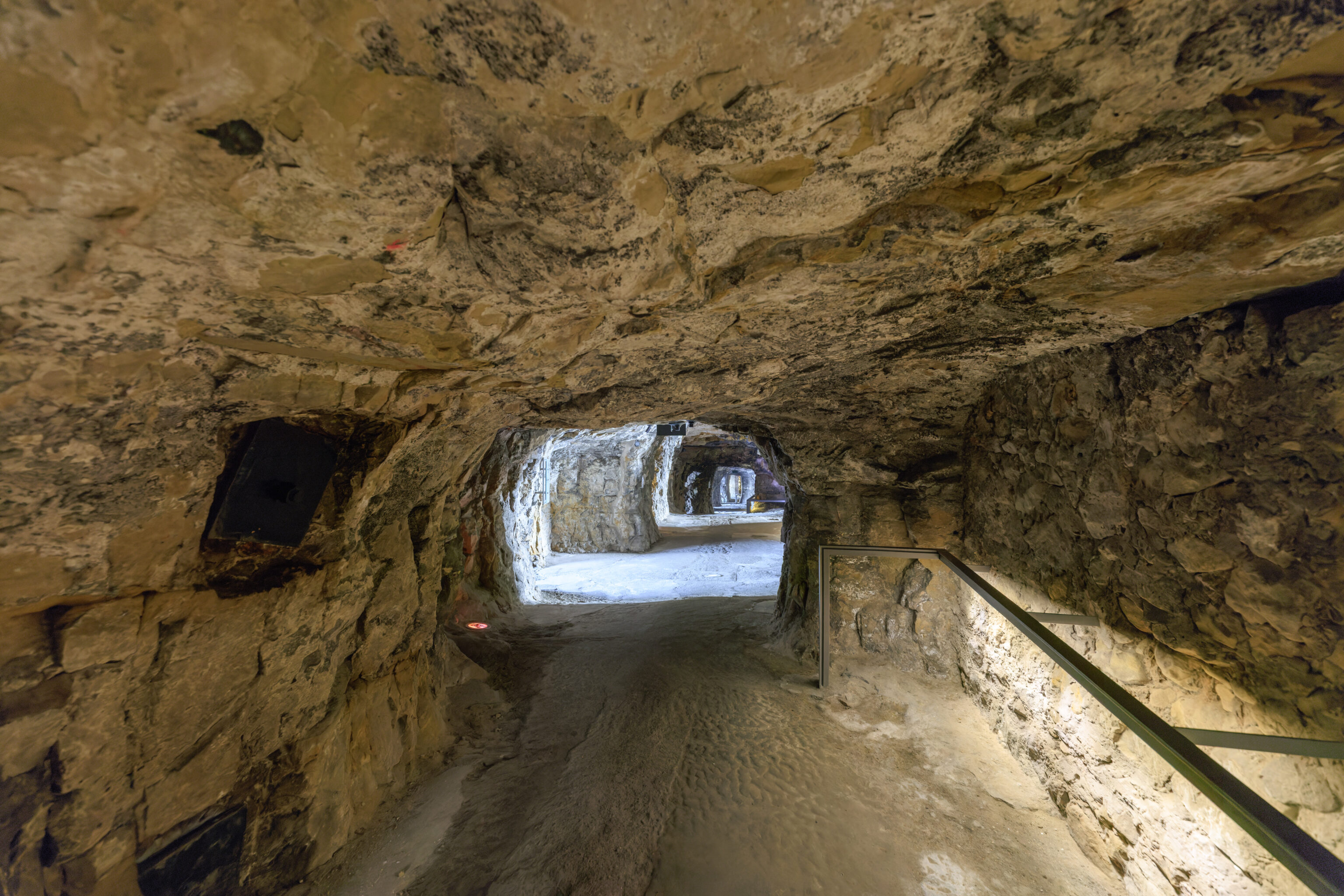
This is the main tunnel that all the other tunnels branch off from.
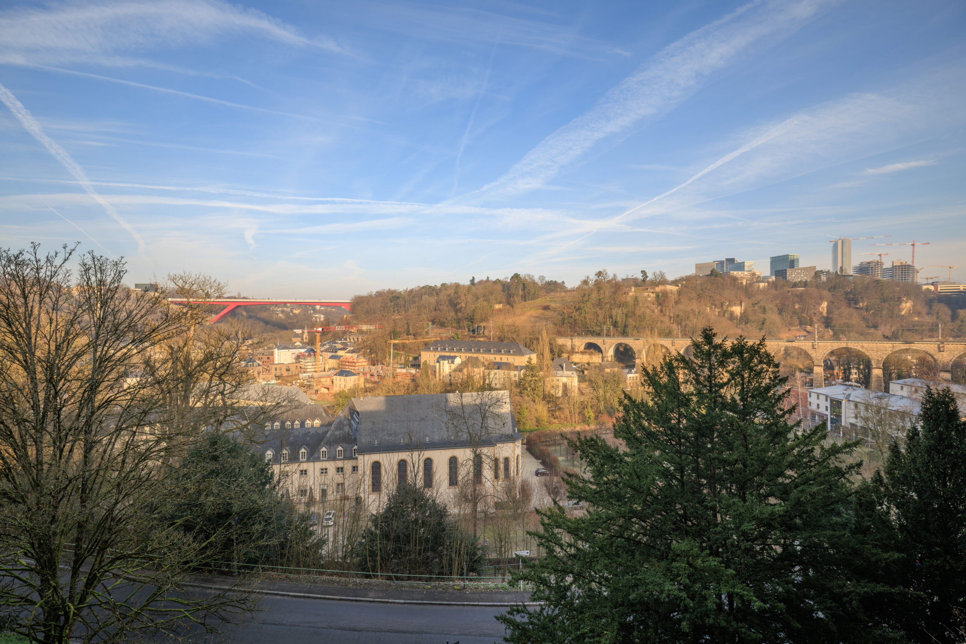
The view to the north.
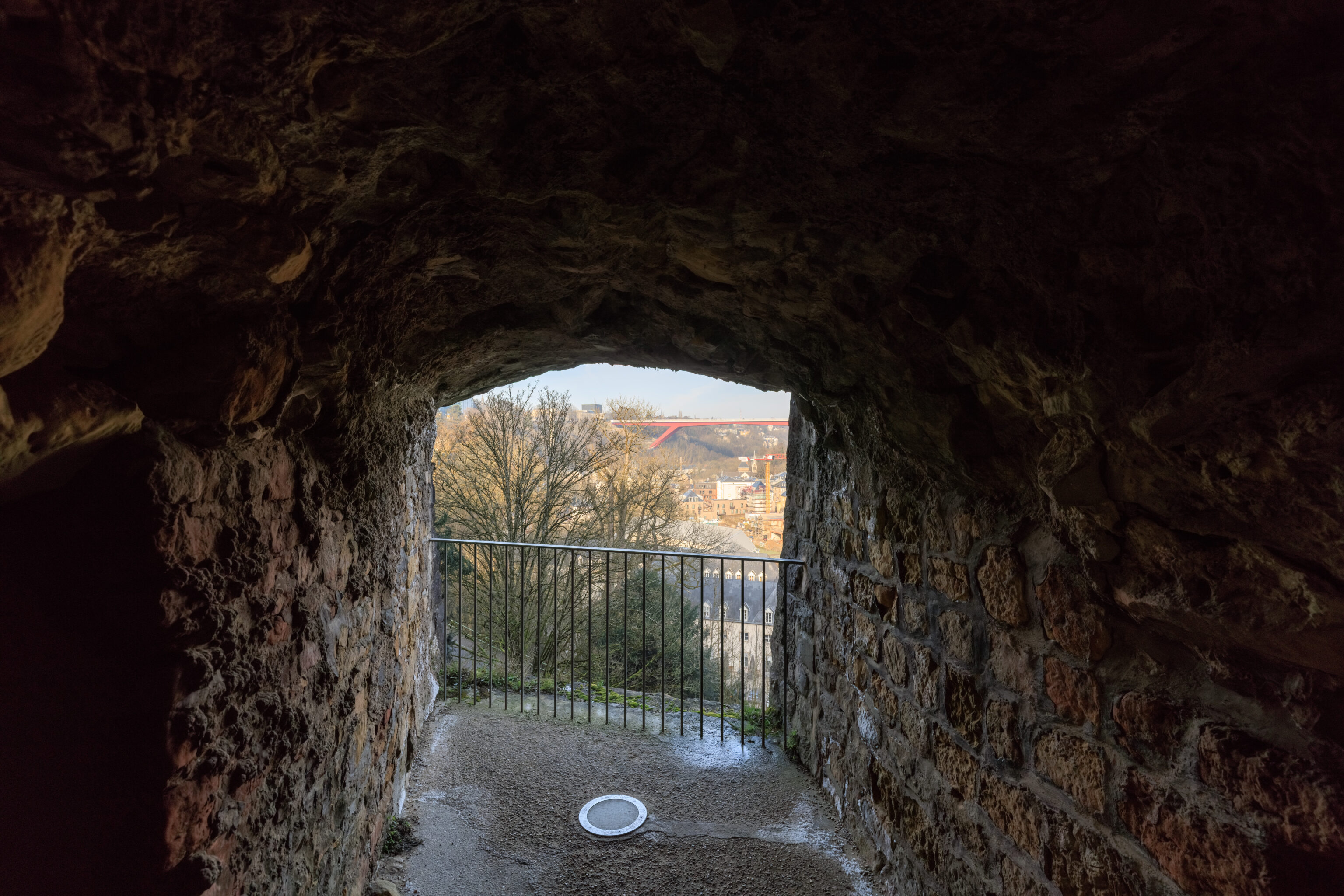
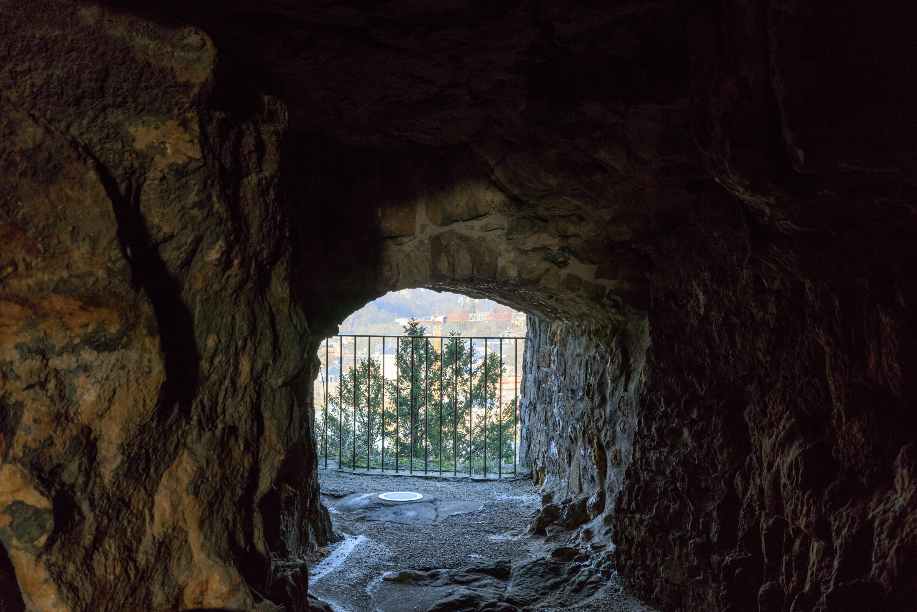
The view from some of the casemates on the north side were blocked by trees.
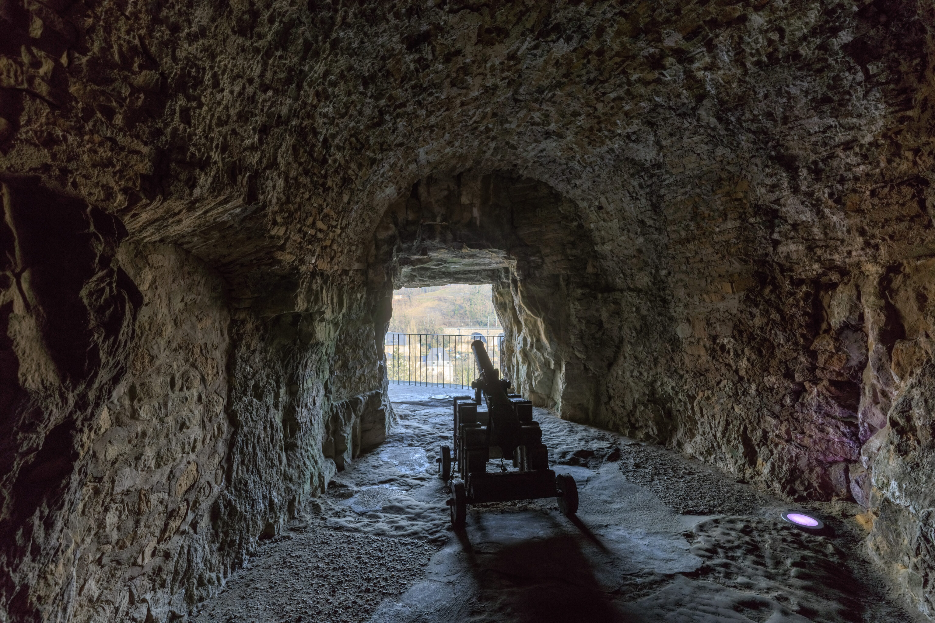
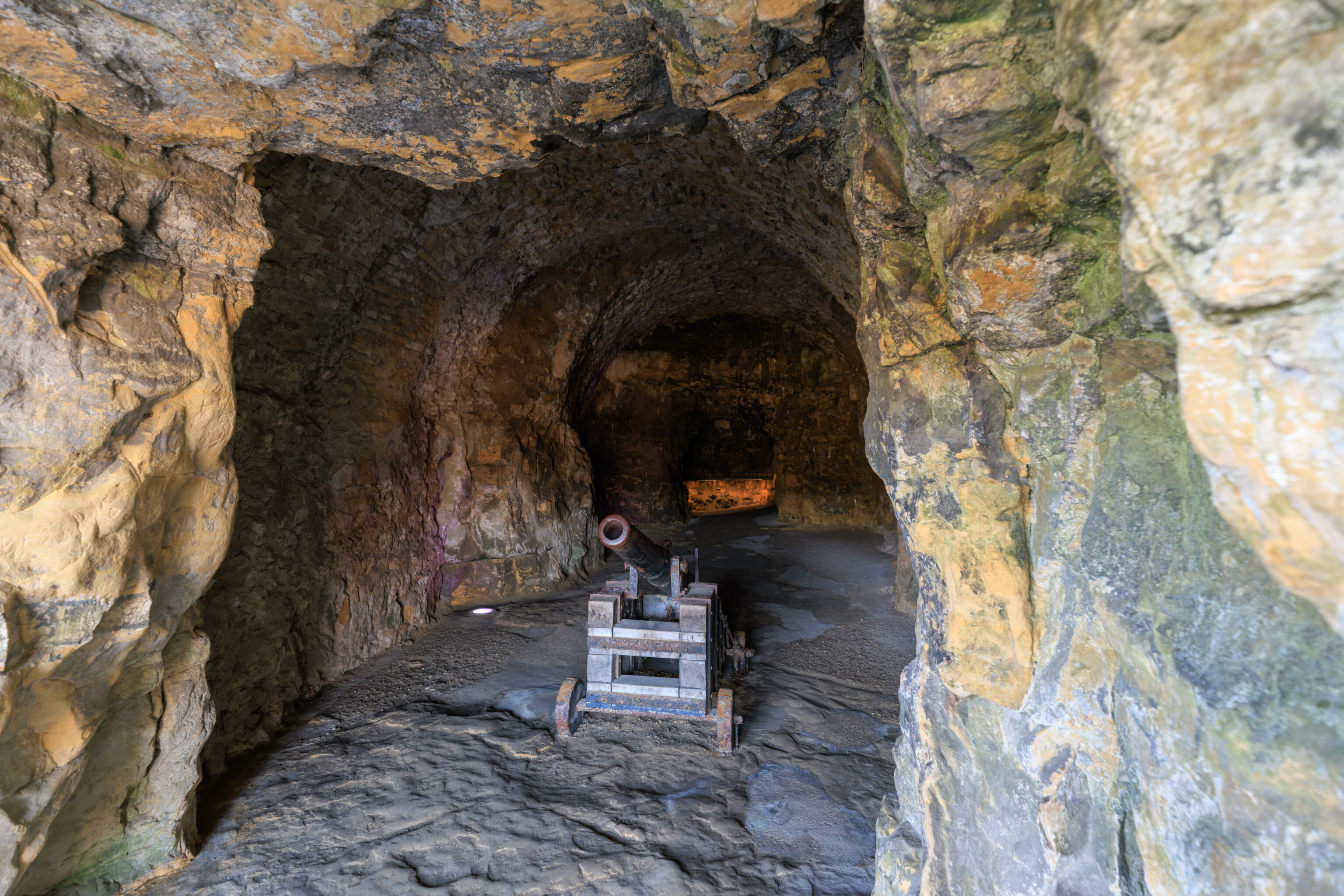
This casemate had a small cannon.
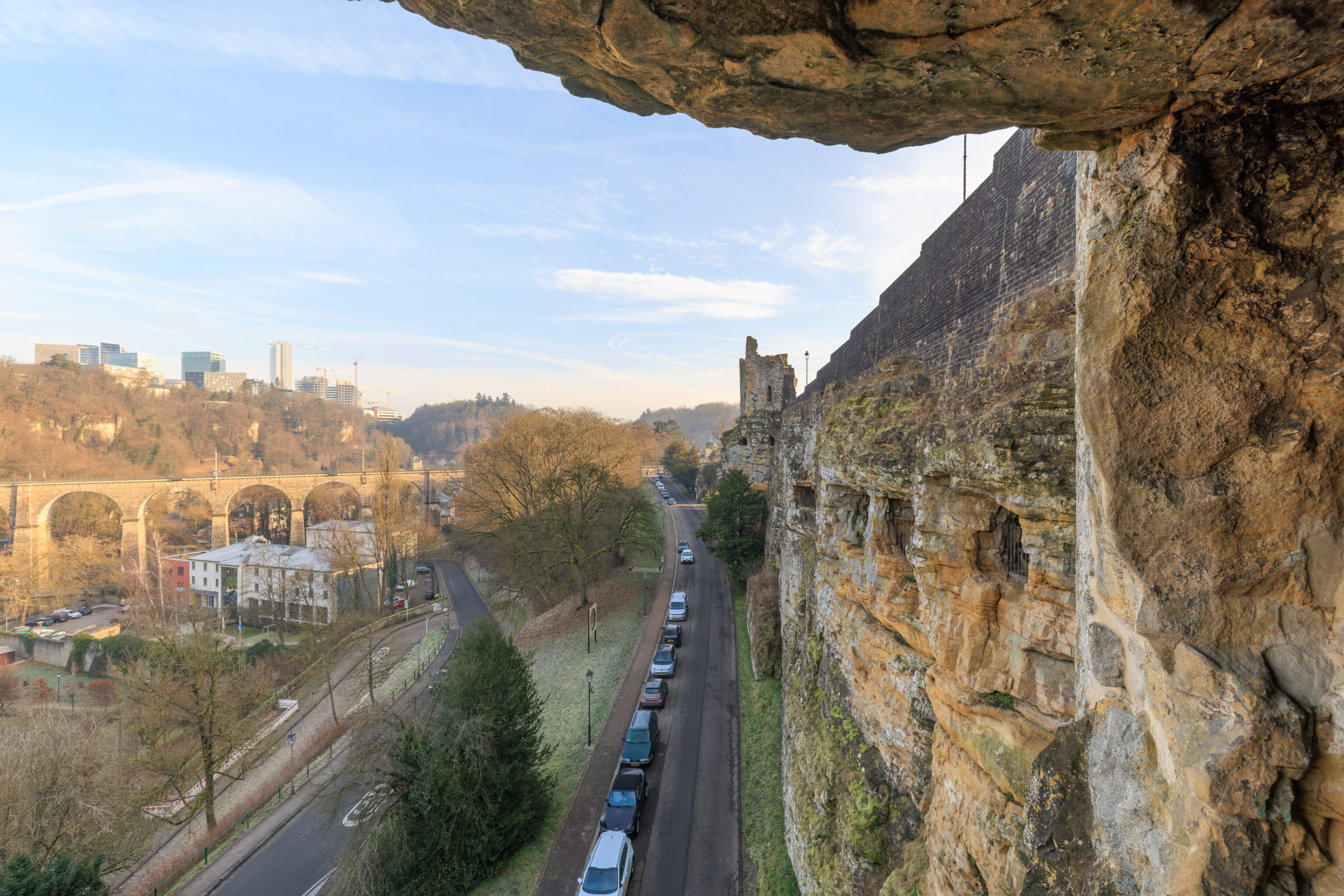
It also had a view to the east looking down the length of the Bock.
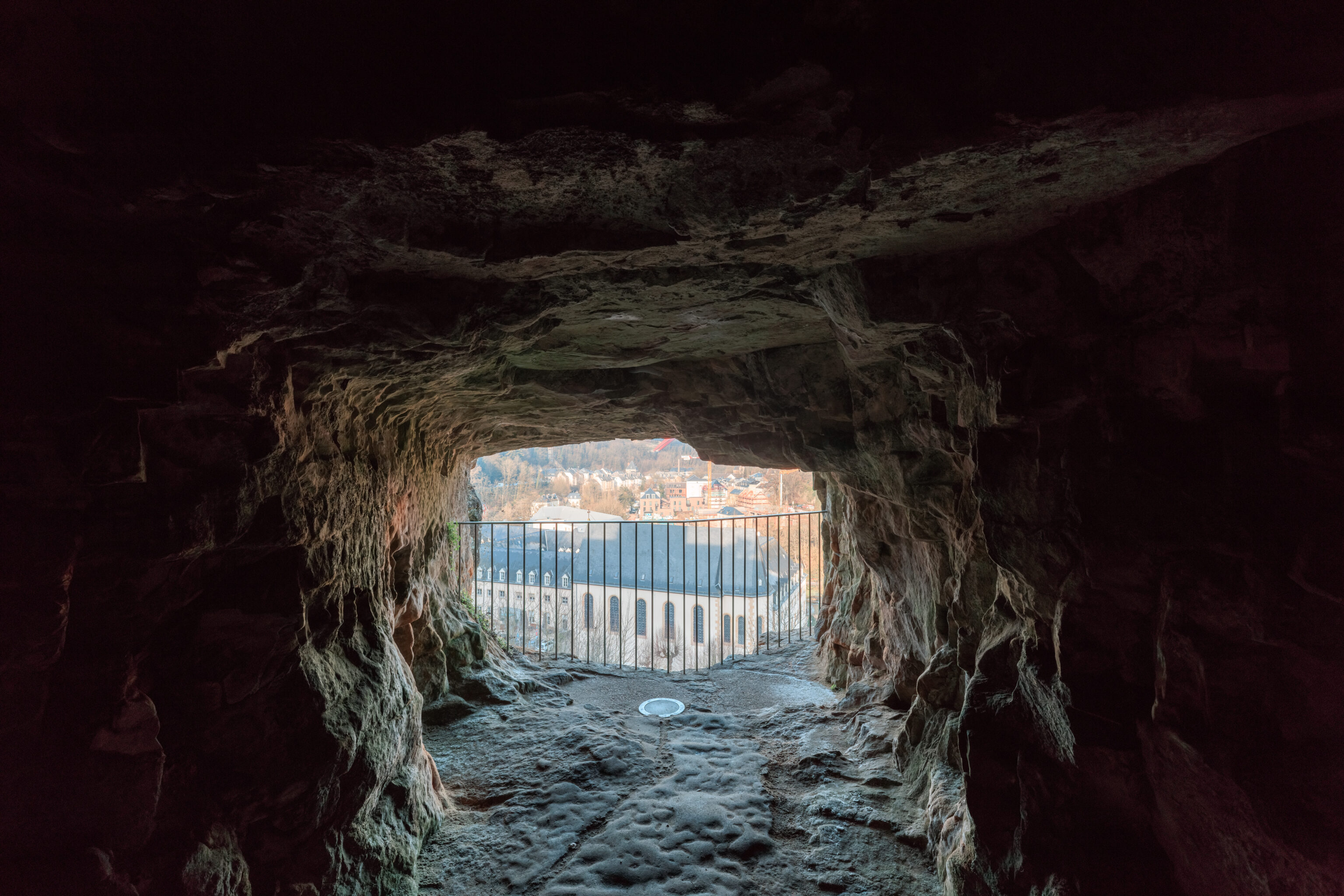
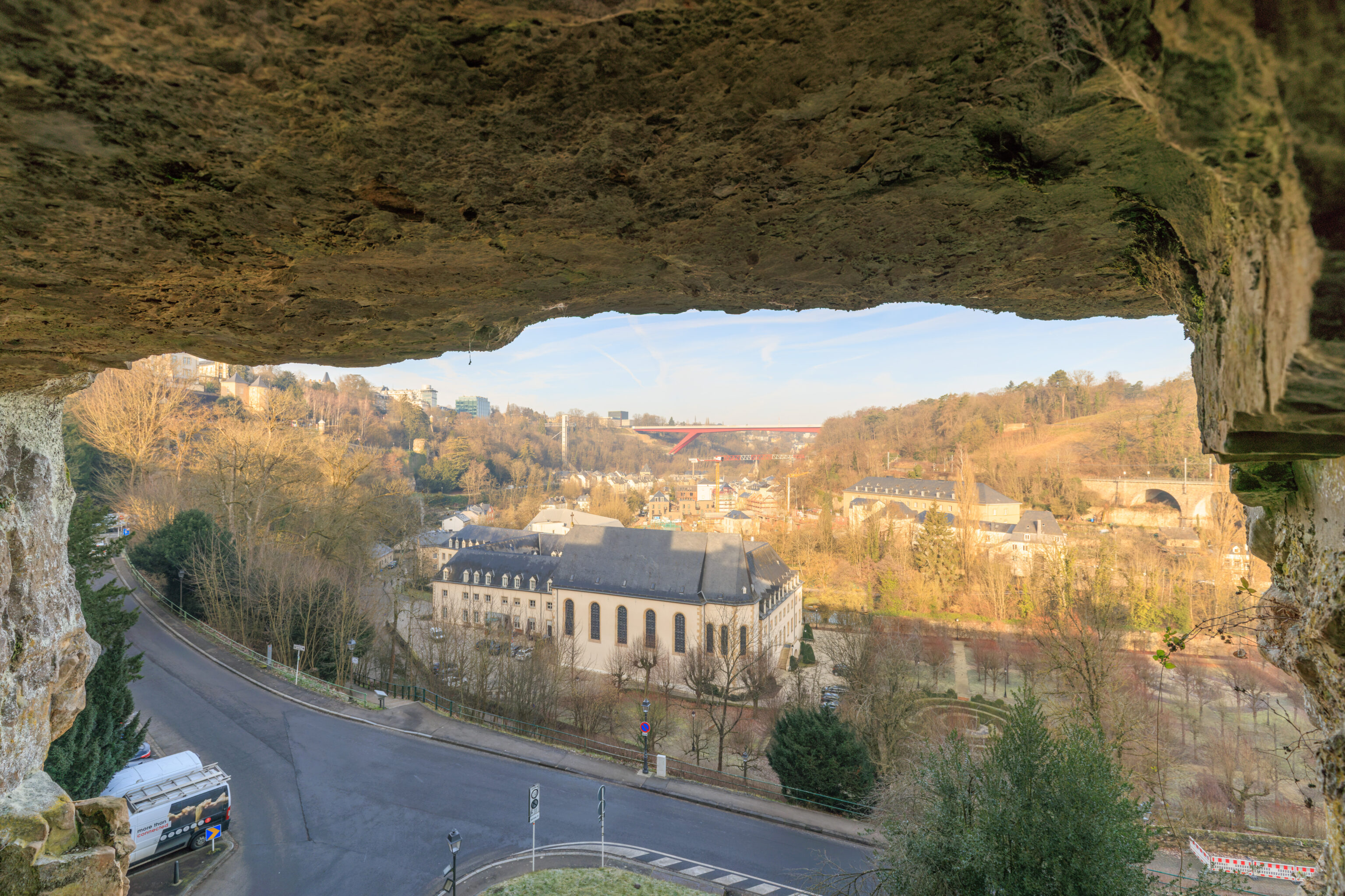
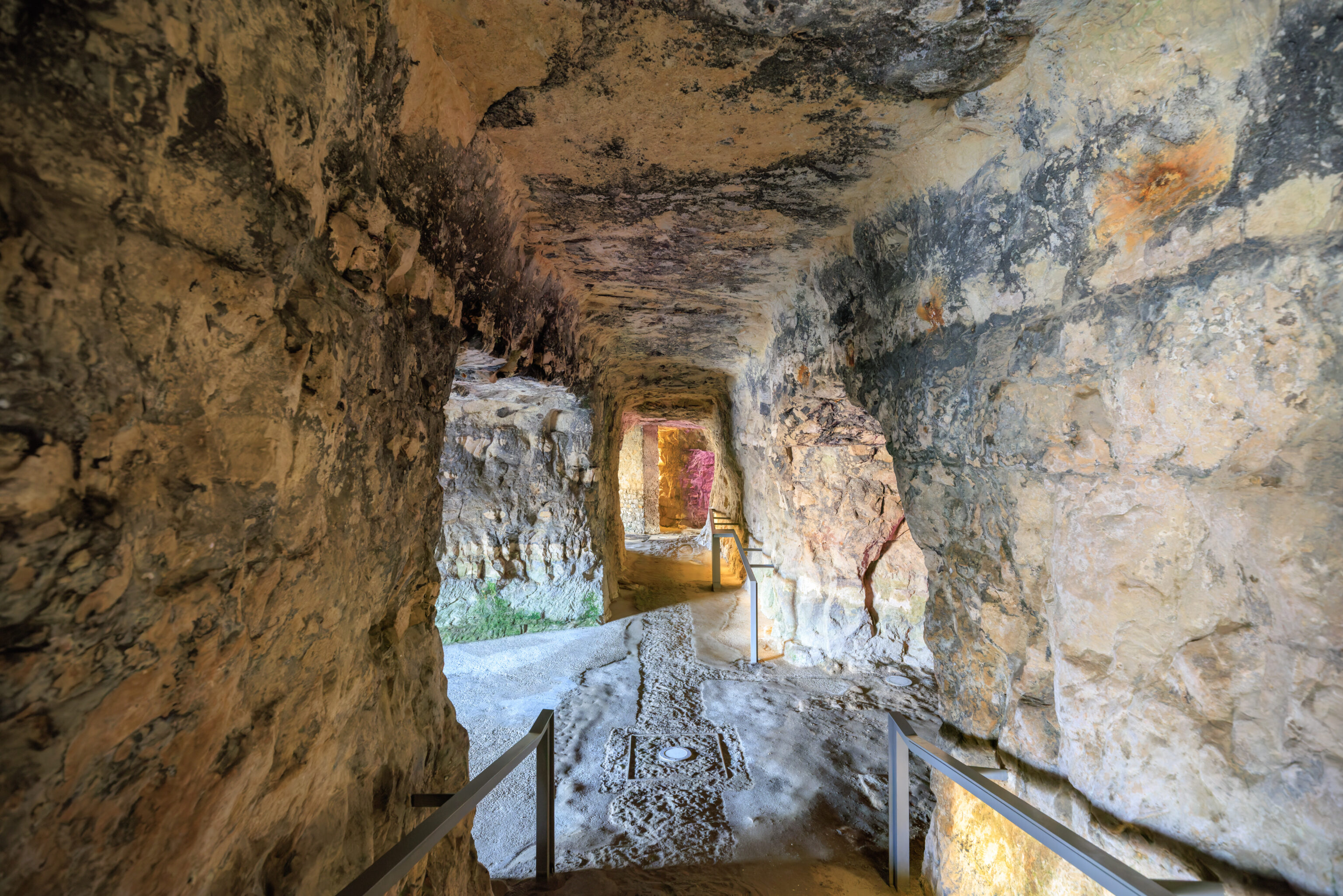
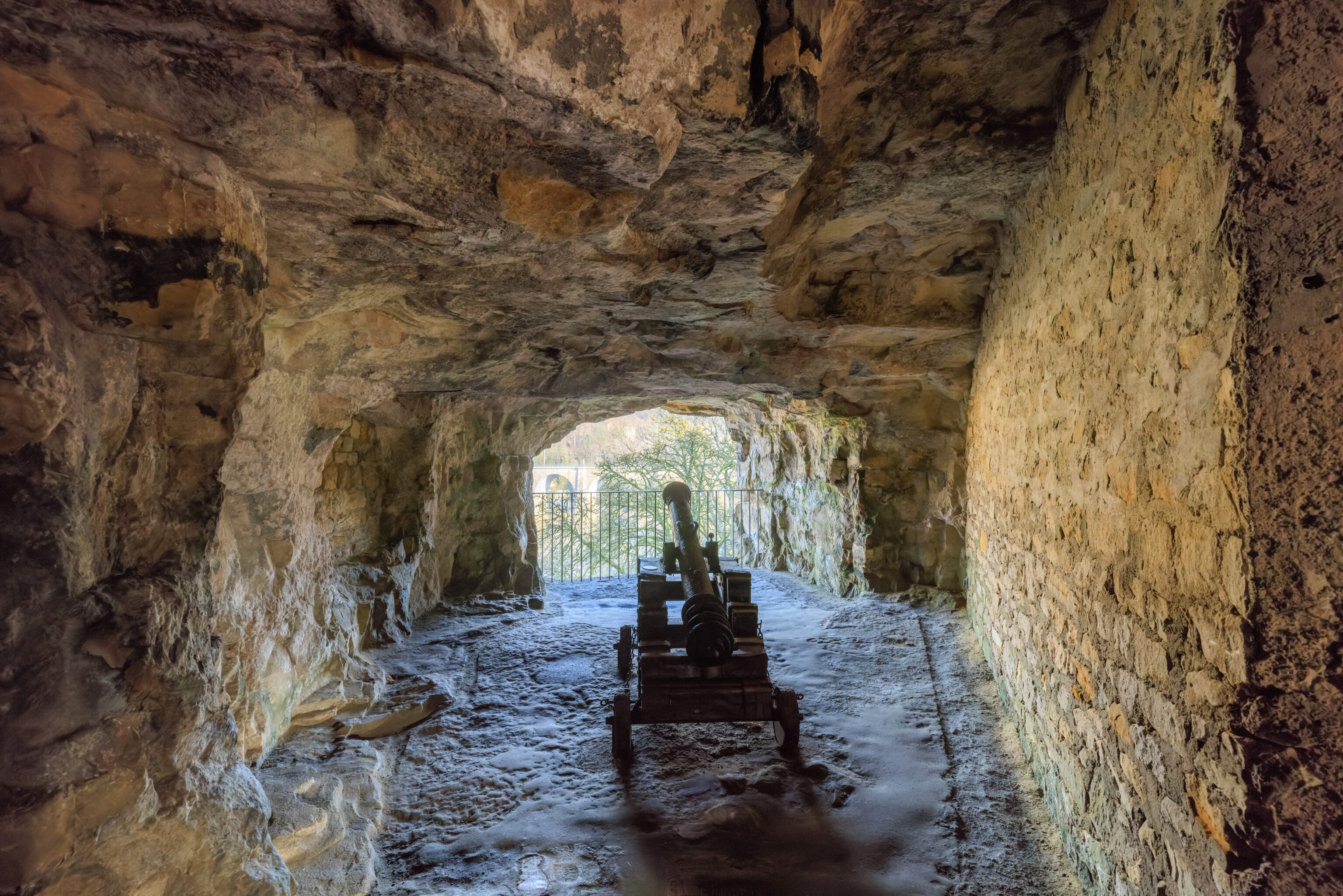
We continued walking through the tunnel, looking at each of the casemates on the north side.
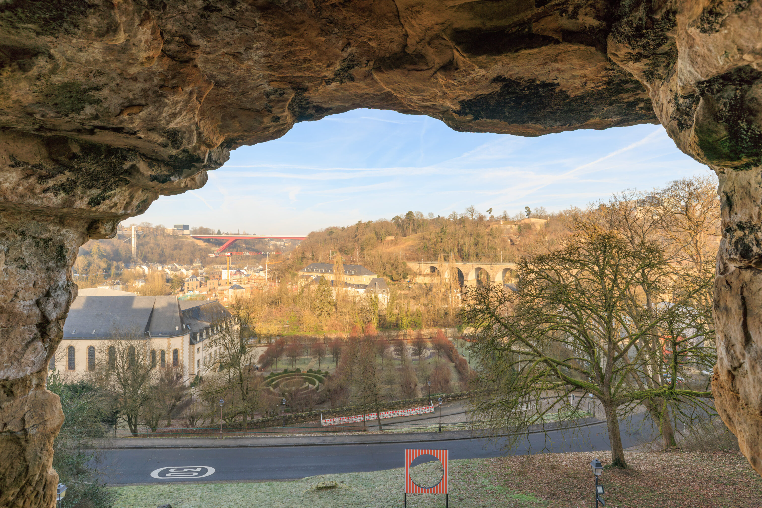
There was an odd framed circle below here! An art installation?
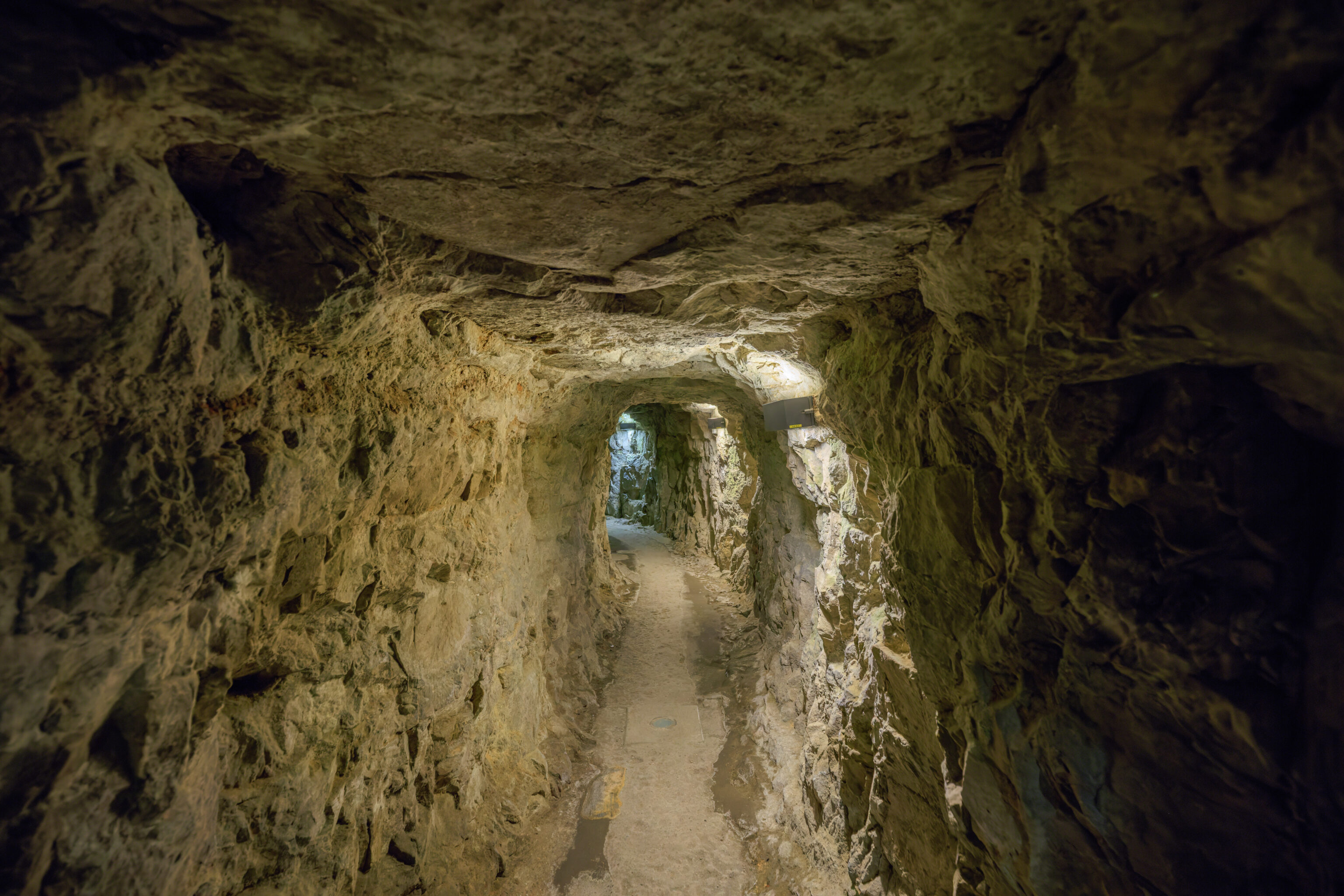
The tunnel became very narrow.
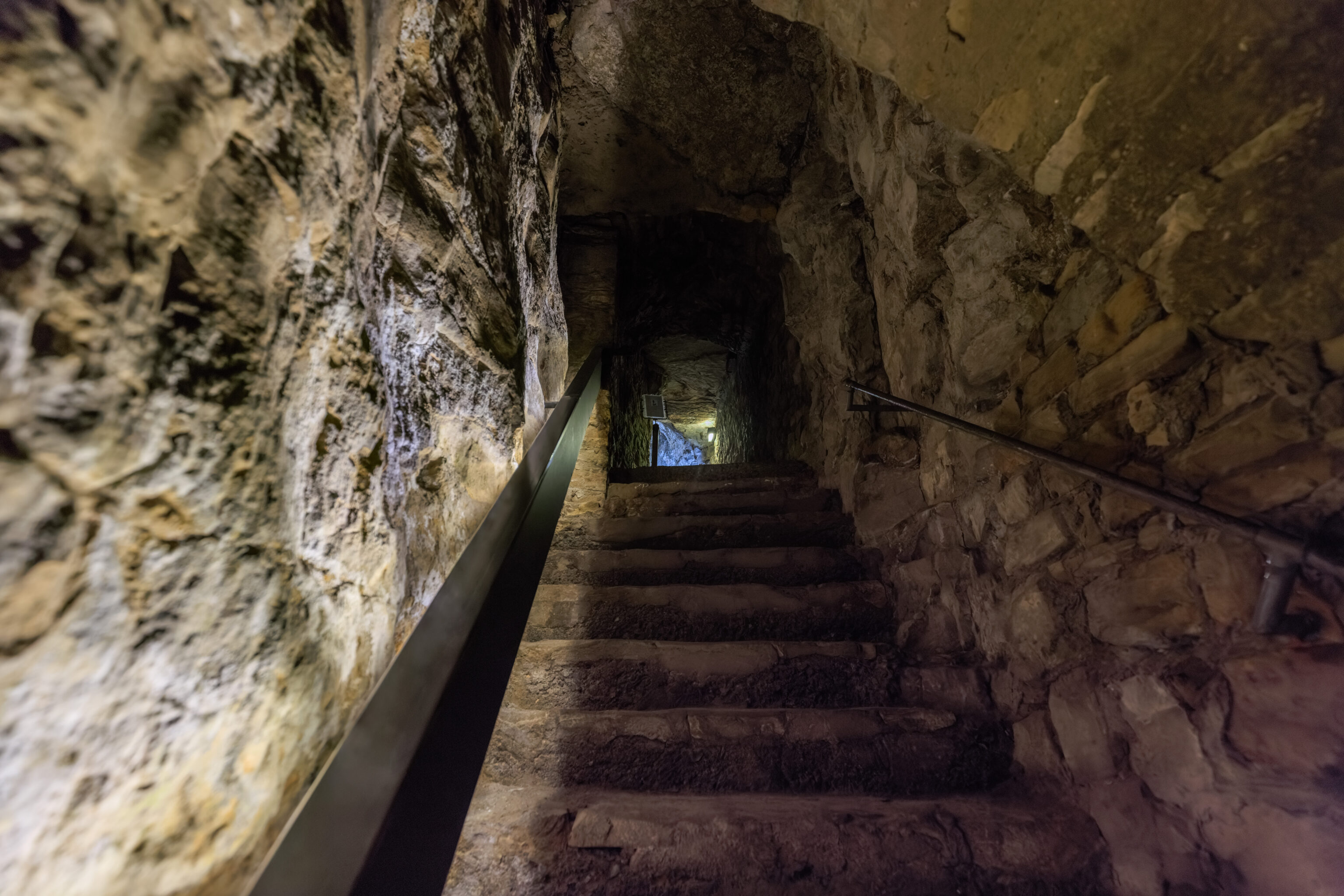
And we walked up some stairs.
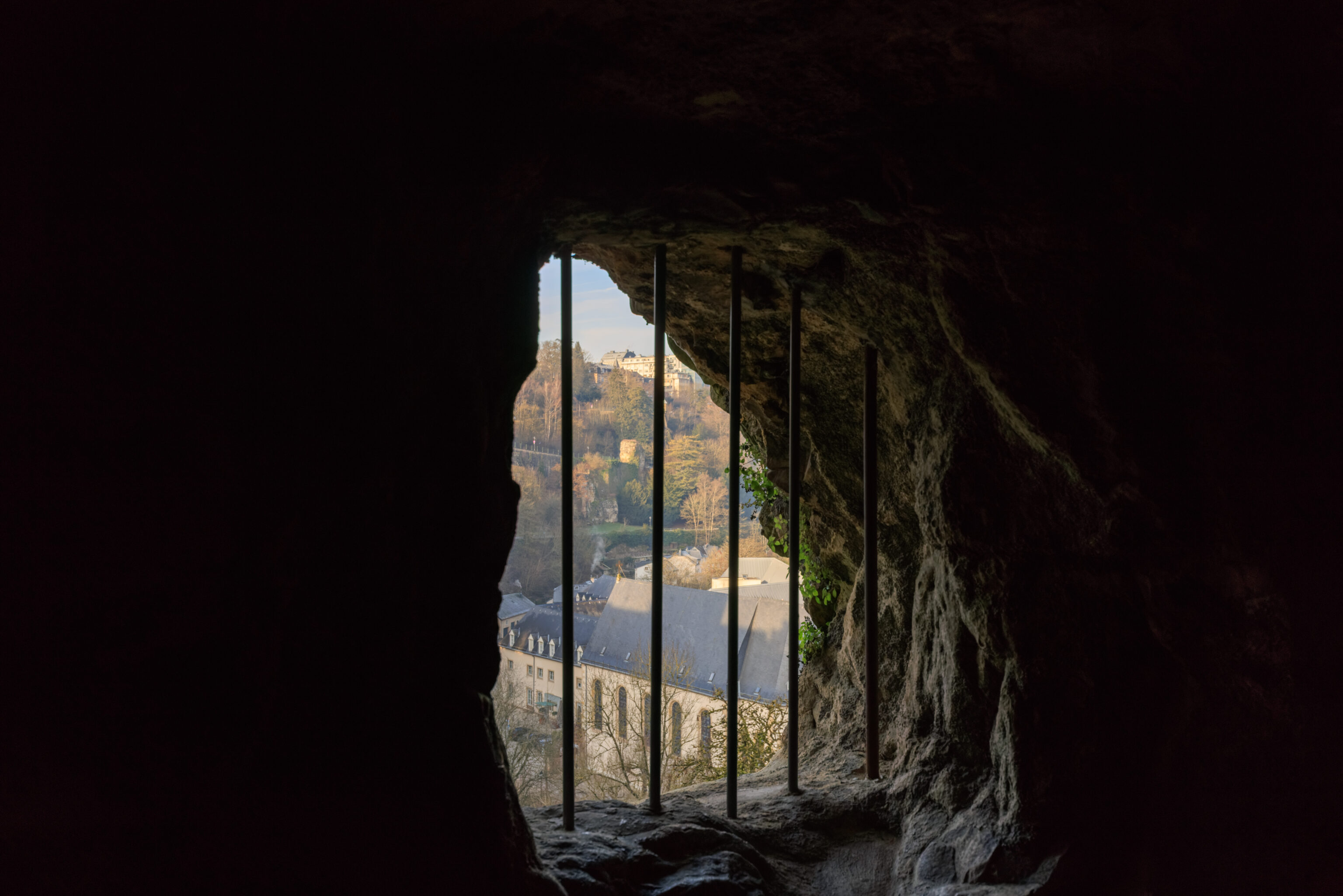
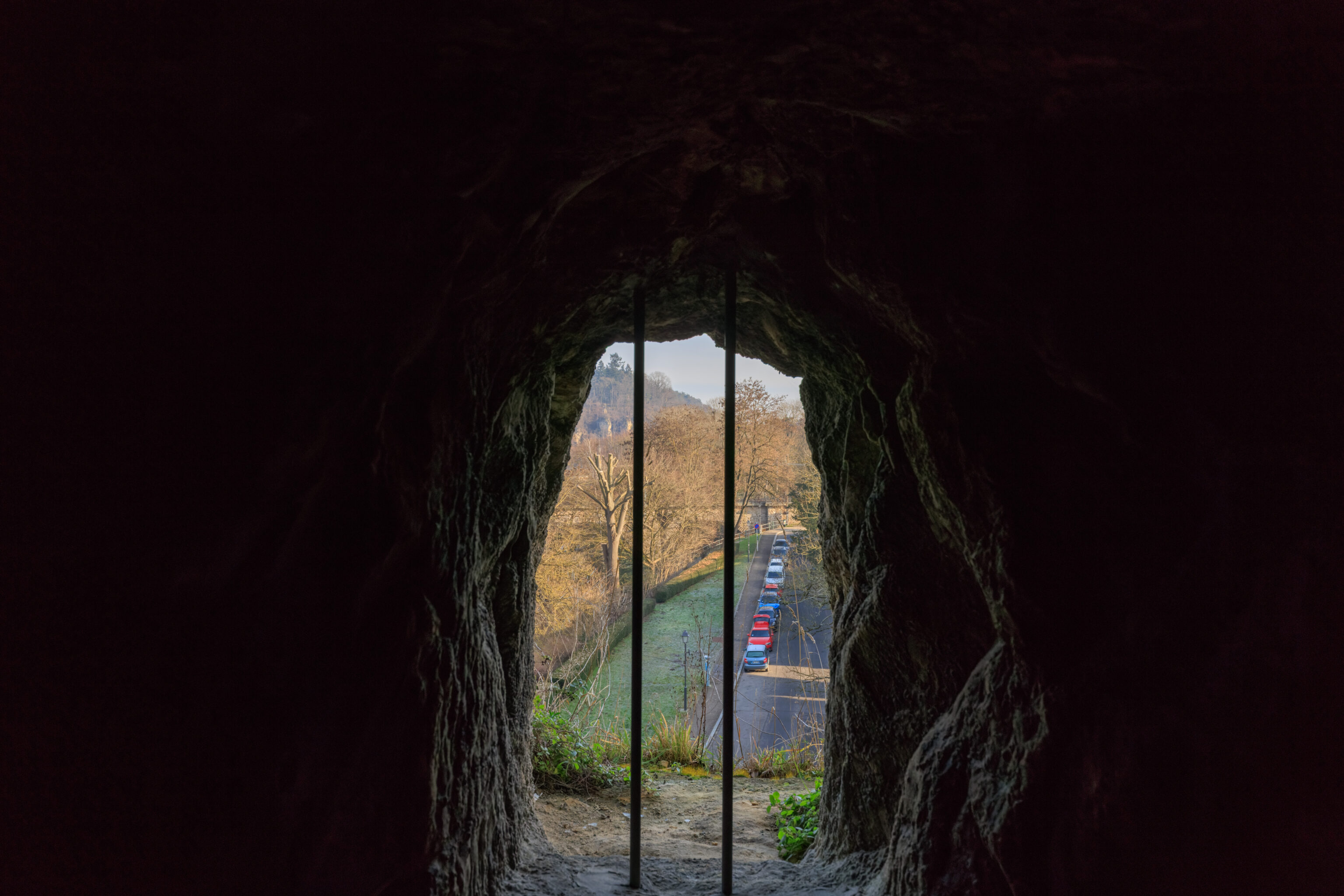
We were in the easternmost part of the tunnels.
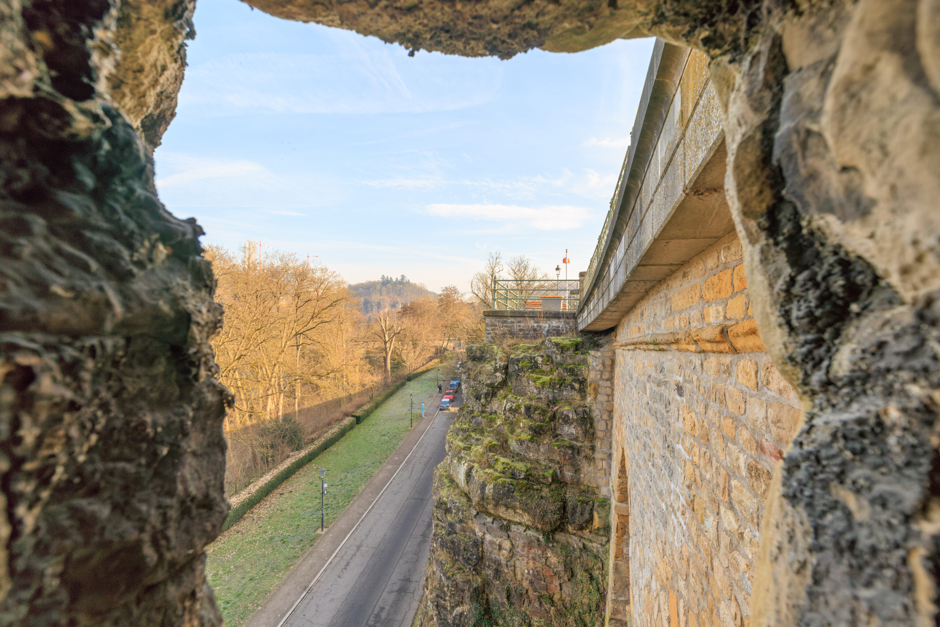
We again had a view to the east. From here, we could see that the modern day road was basically right above us.
This was as far as we could go.
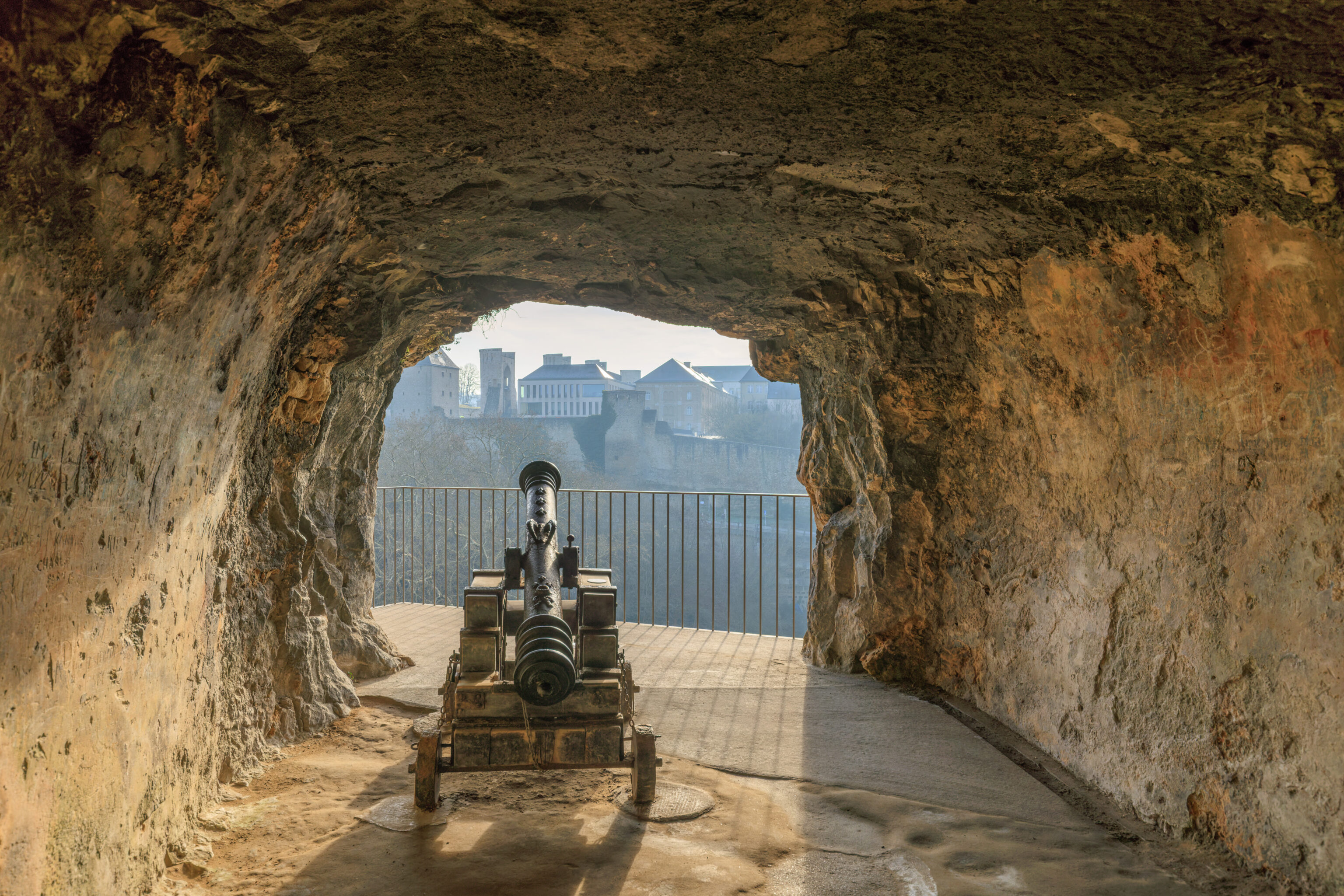
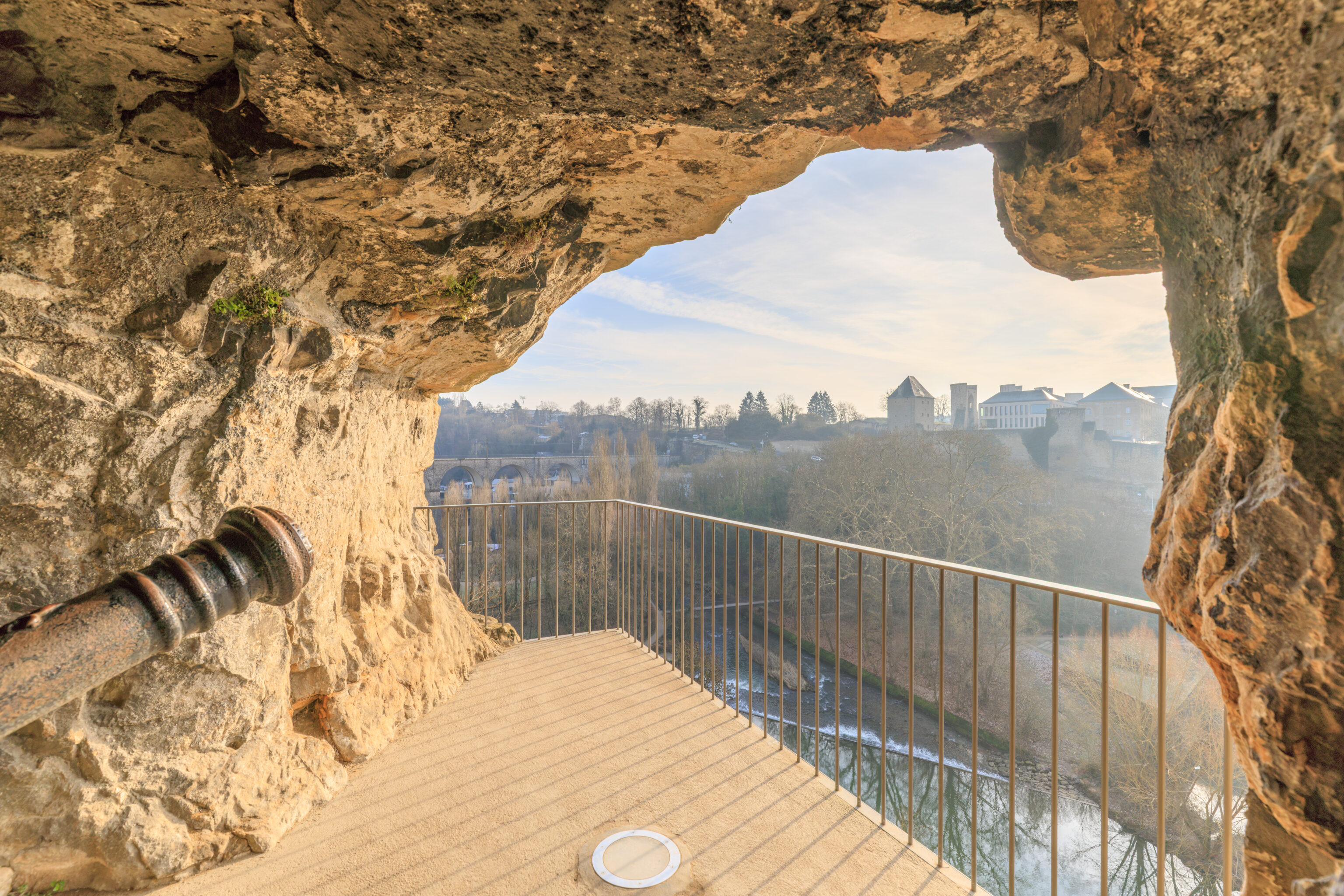
Now, we tried to stay on the south side of the Bock. There are still many fortifications on the land to the other side of the Alzette here.
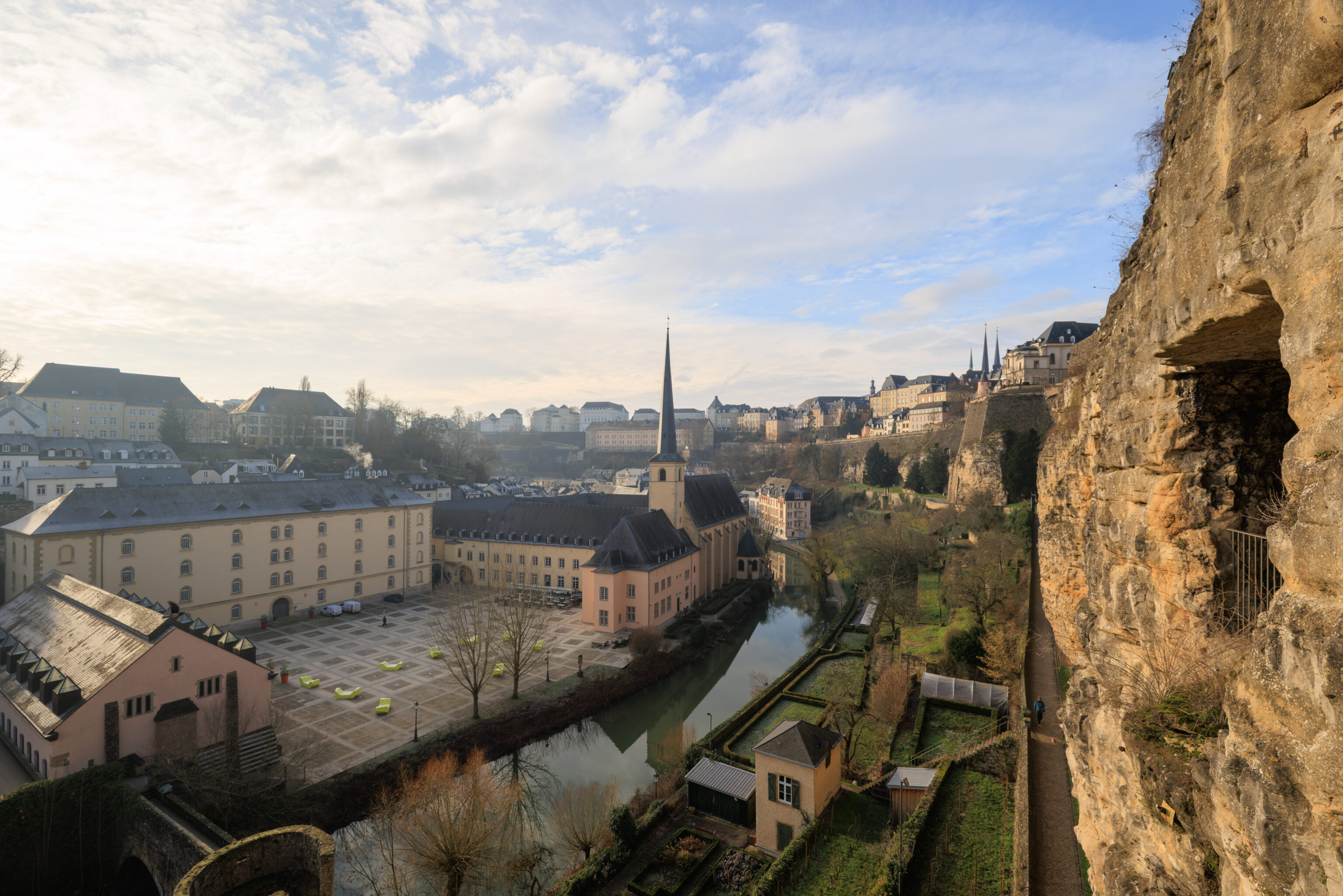
This view to the southwest shows many of the fortifications on this side of the river. The Fountain of Doves is actually visible here, although its pretty small and far away. It is left of center.
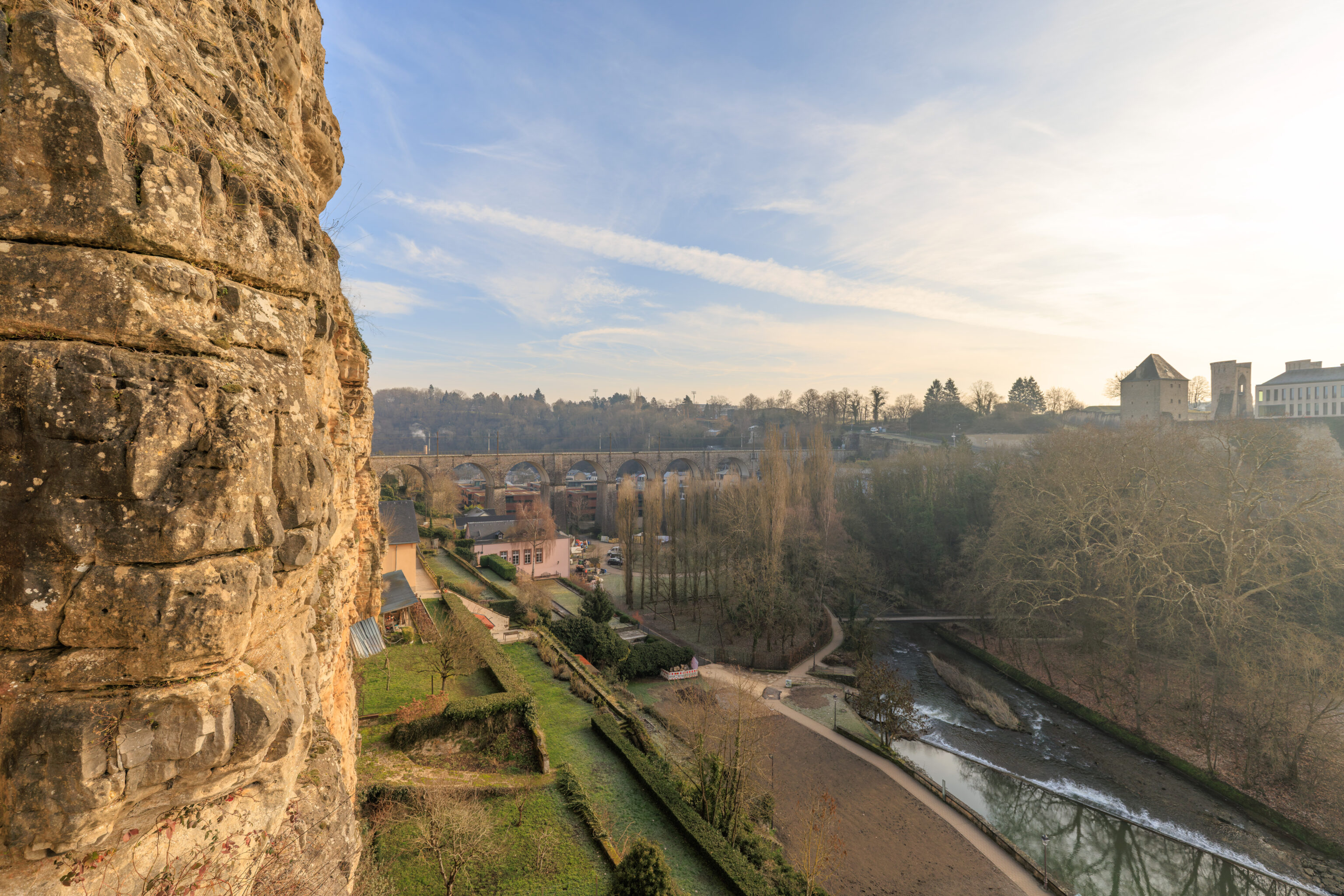
This view is to the east. The area below seems like it could be a nice place to walk by the river.
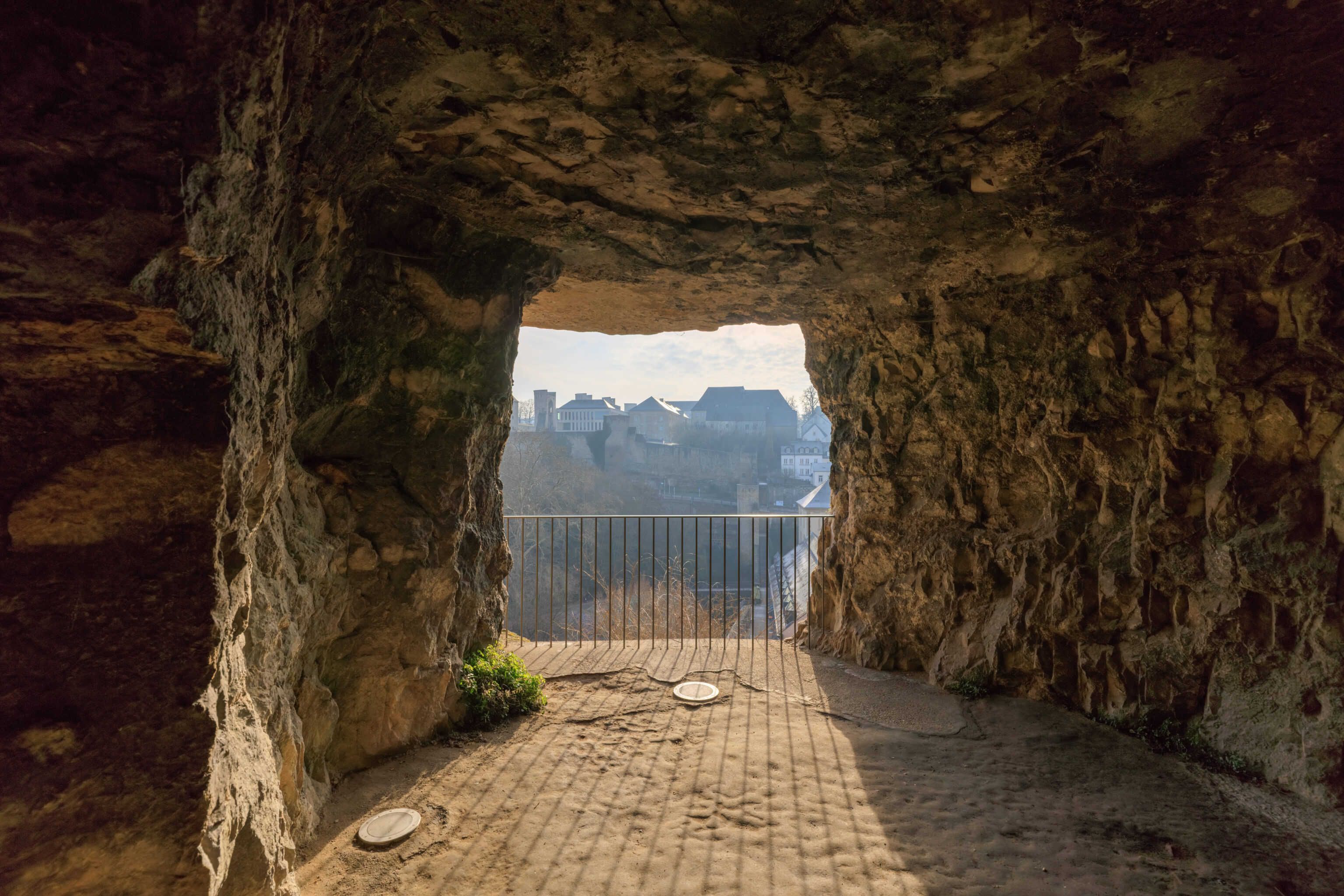
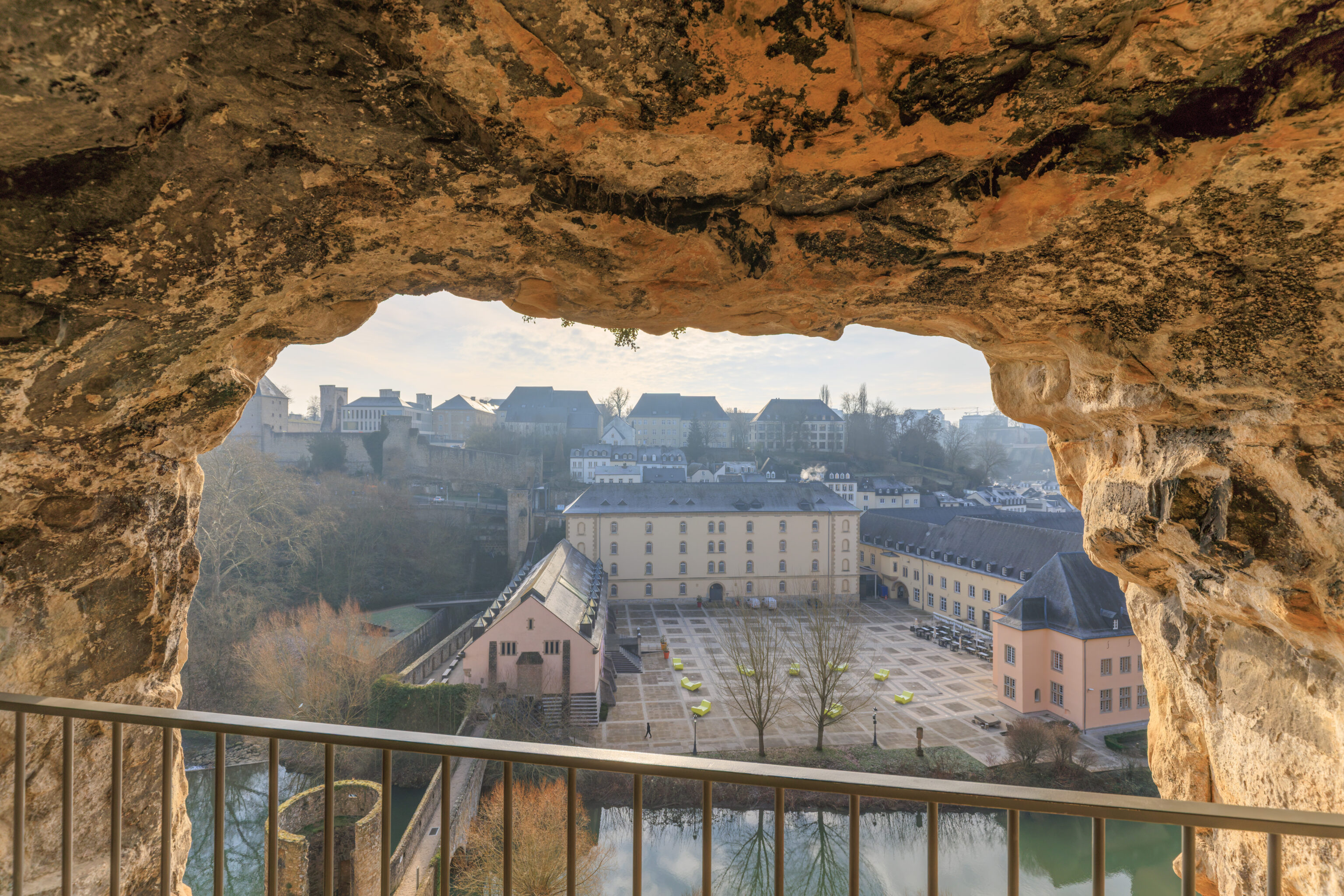
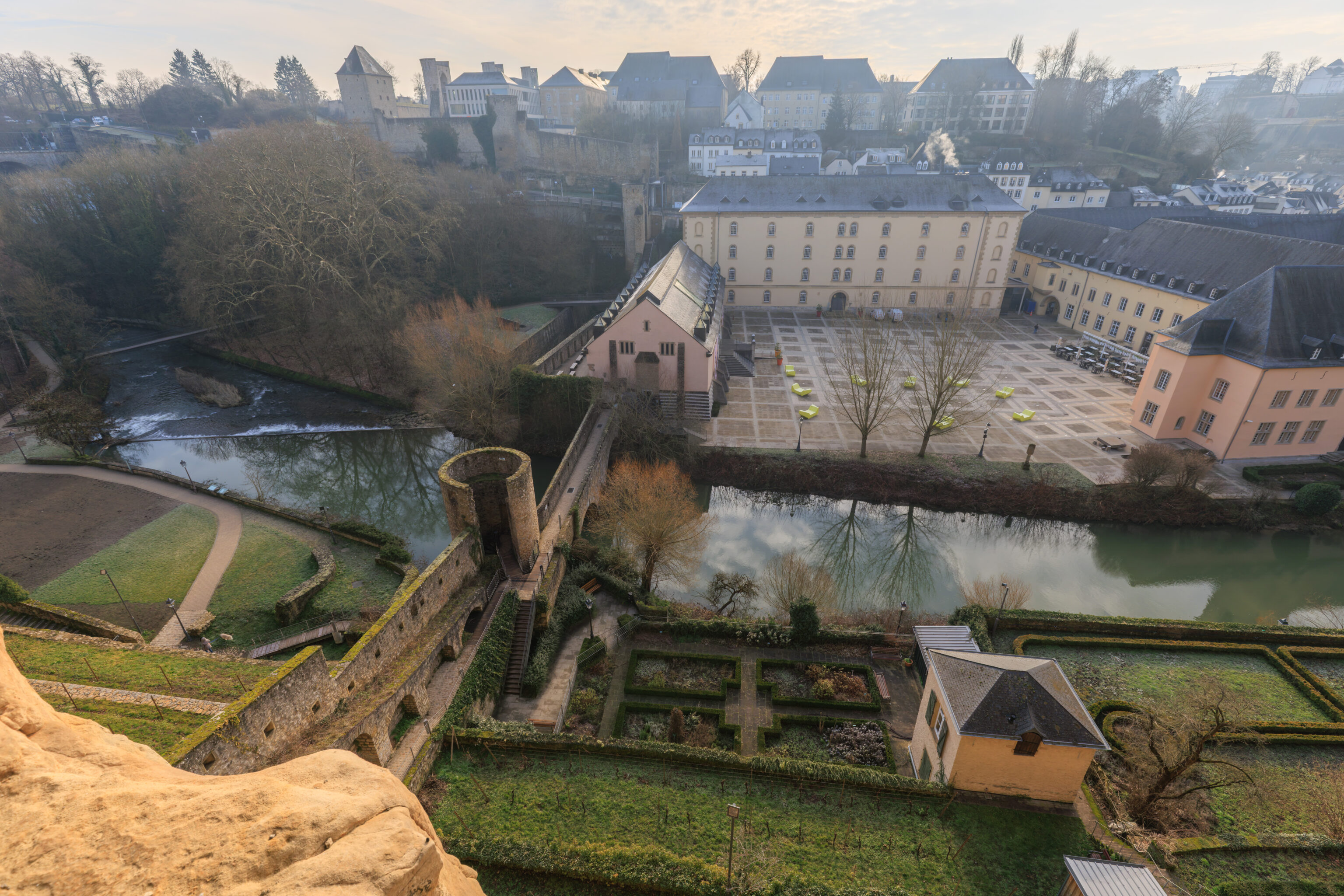
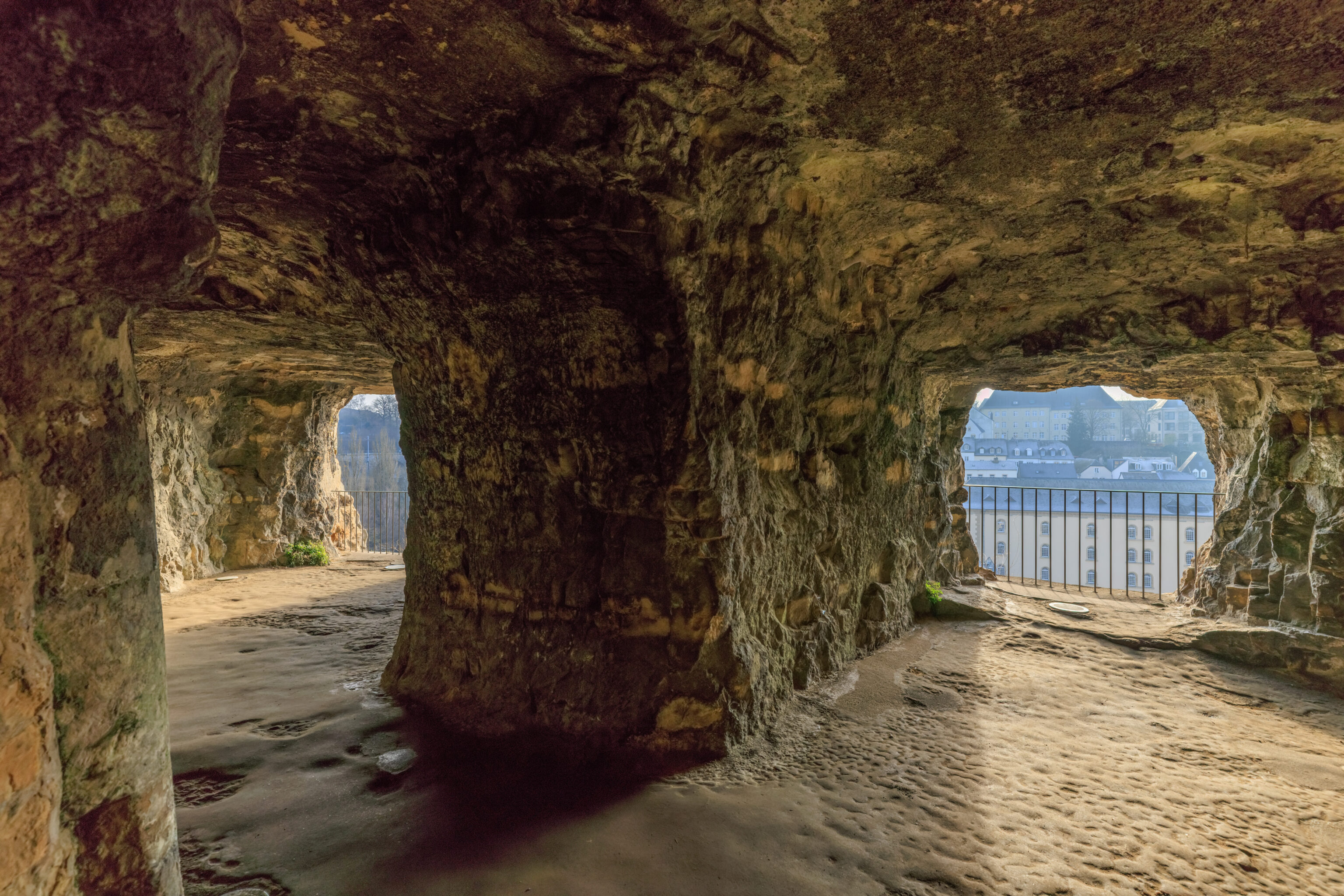
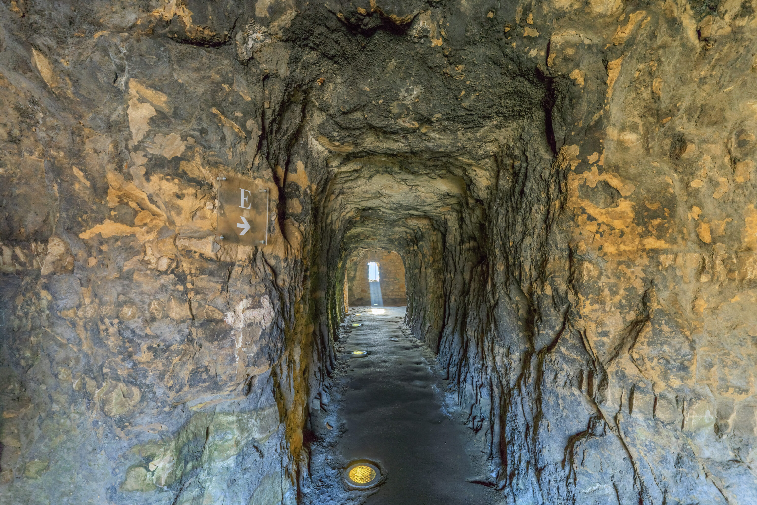
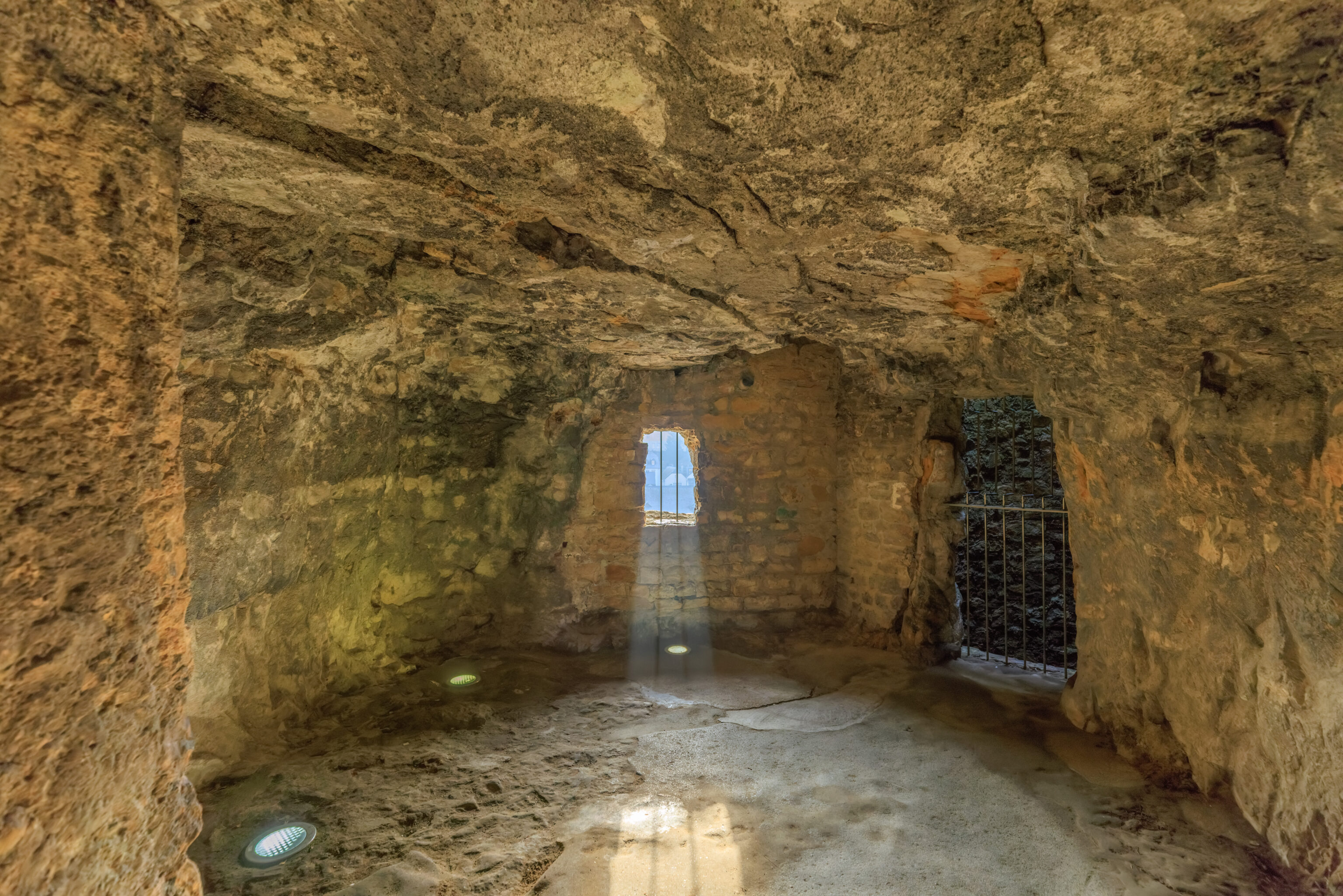
We continued walking back to the west.
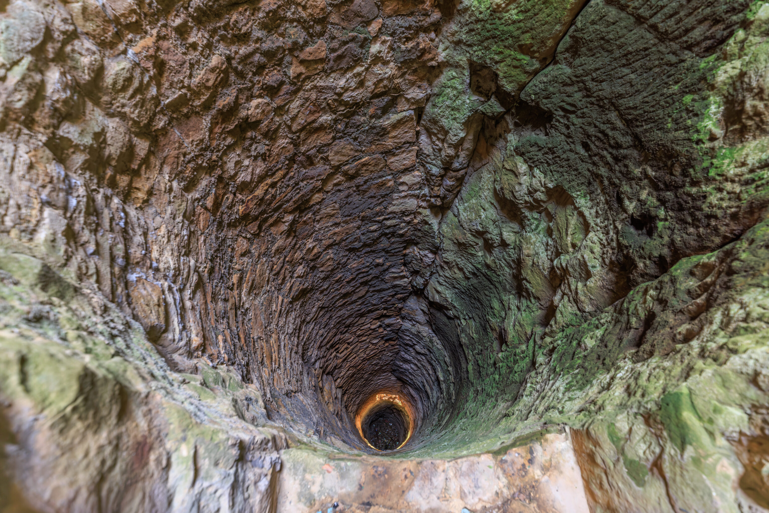
We came across what seems like it may have been a well. The area just above the visible bottom is above ground as we can see sunlight coming in.
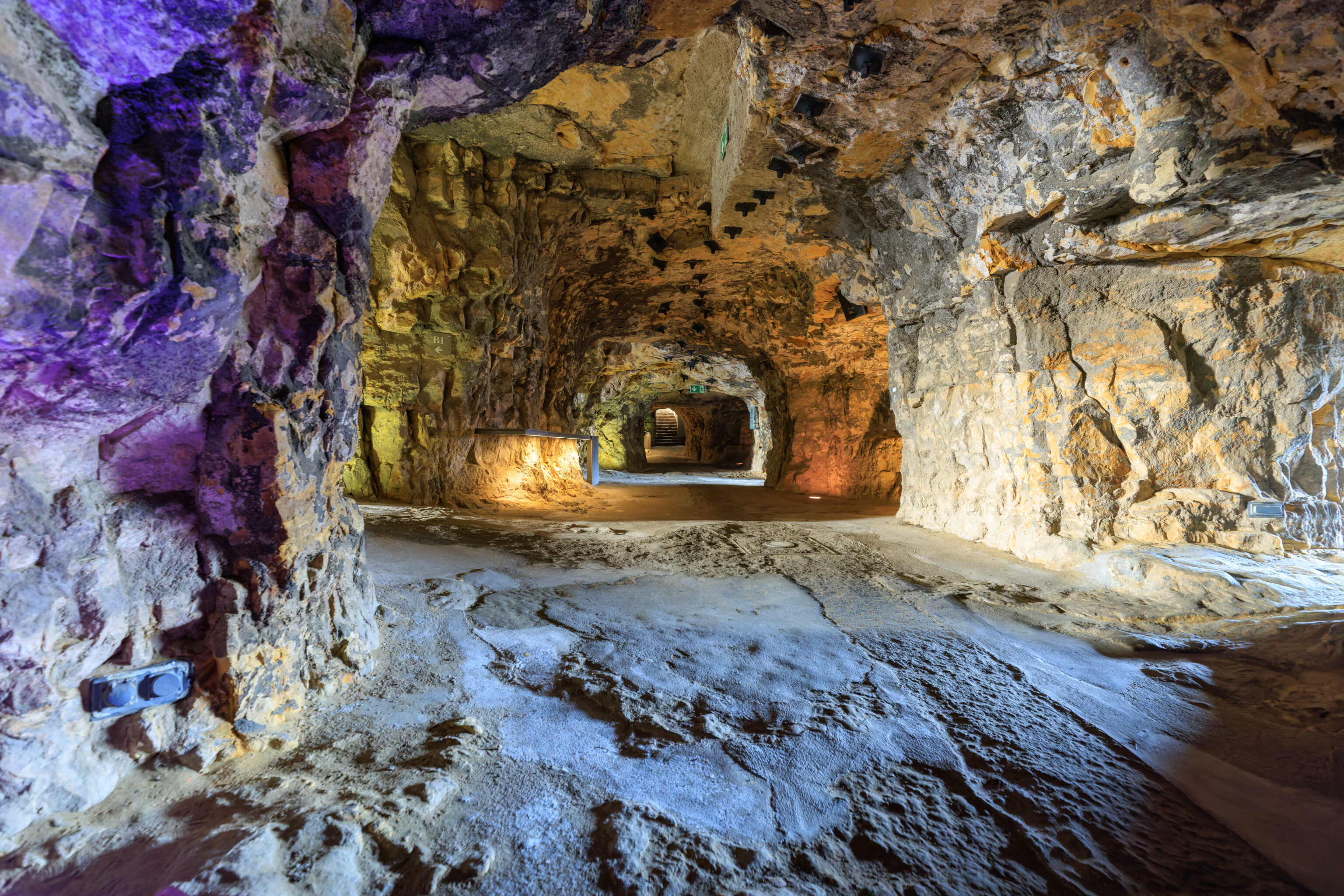
There were some different colored lights within parts of the tunnels.
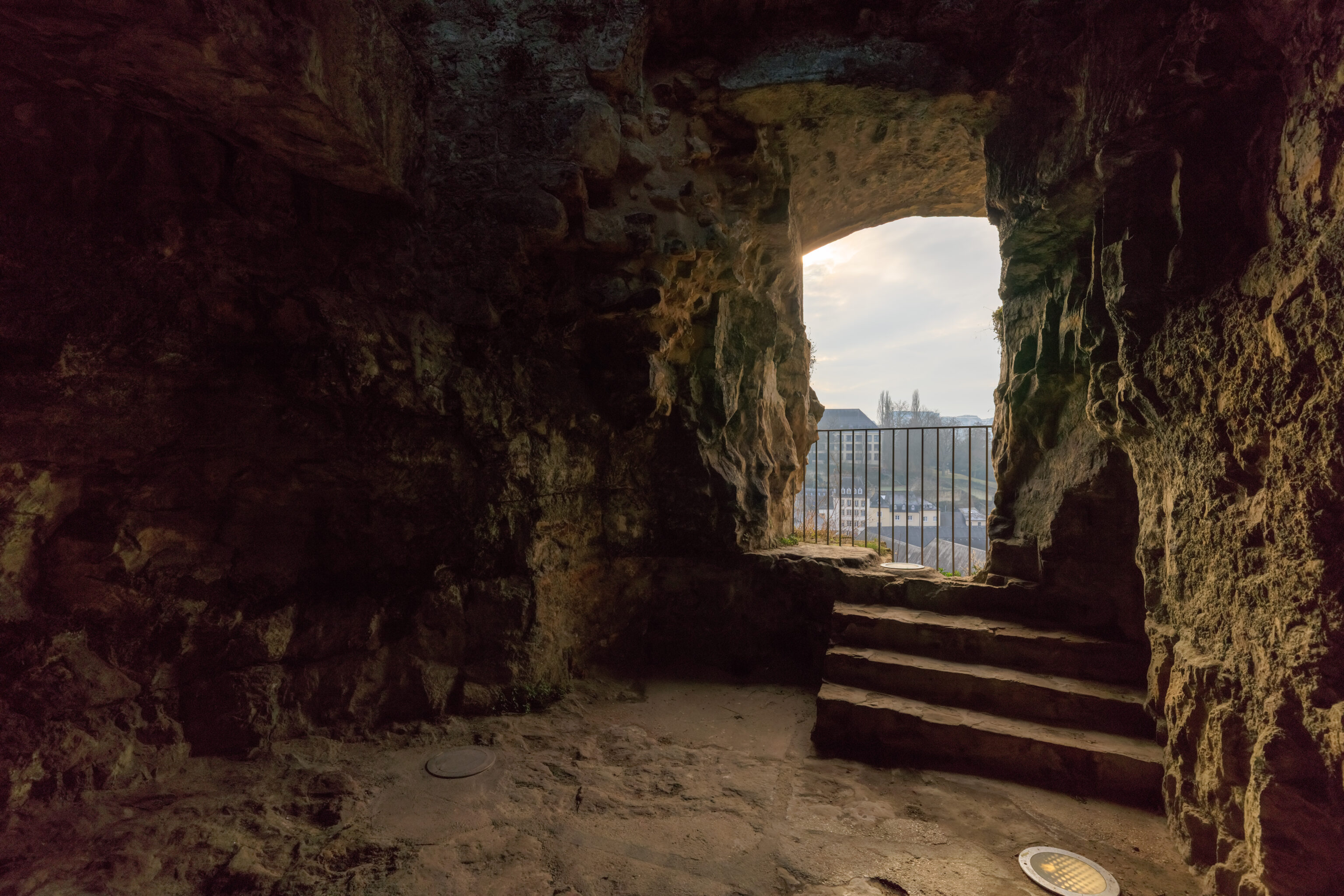
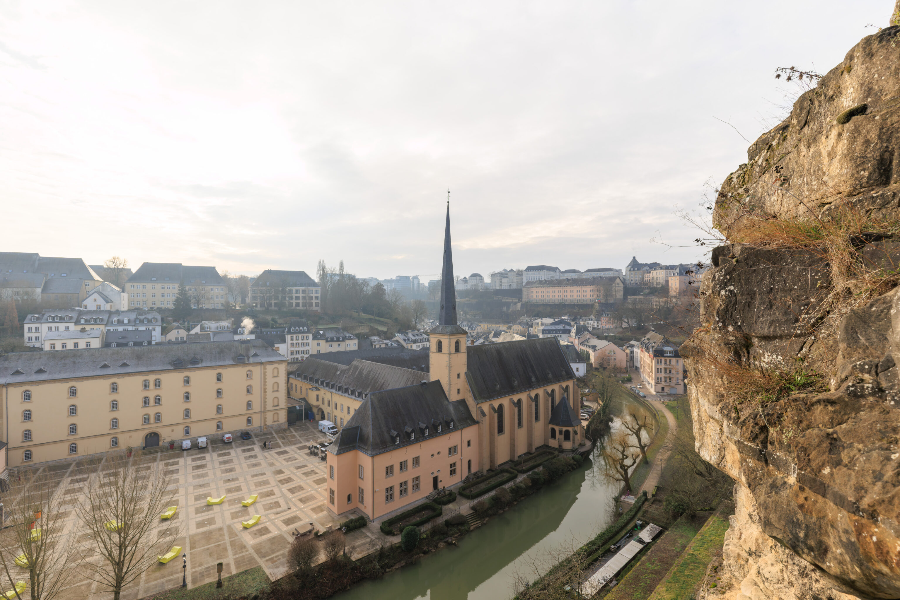
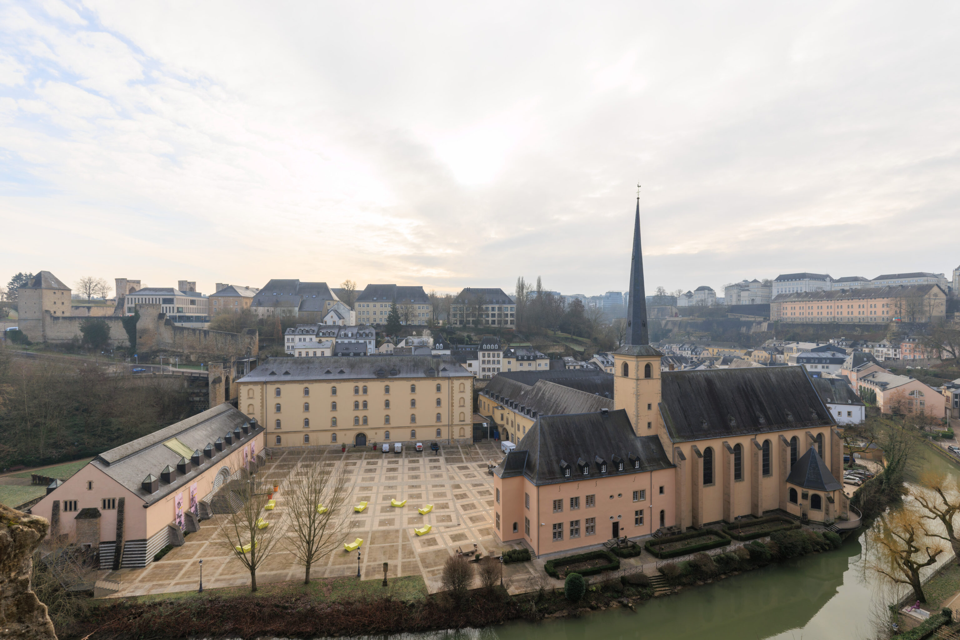
We continued walking through and making sure we visited every casemate! There was a section that seemed to be blocked off. There is supposed to be a series of rooms where Field Marshal von Bender lived when defending the fortress, then under the control of the Holy Roman Empire, against the French.
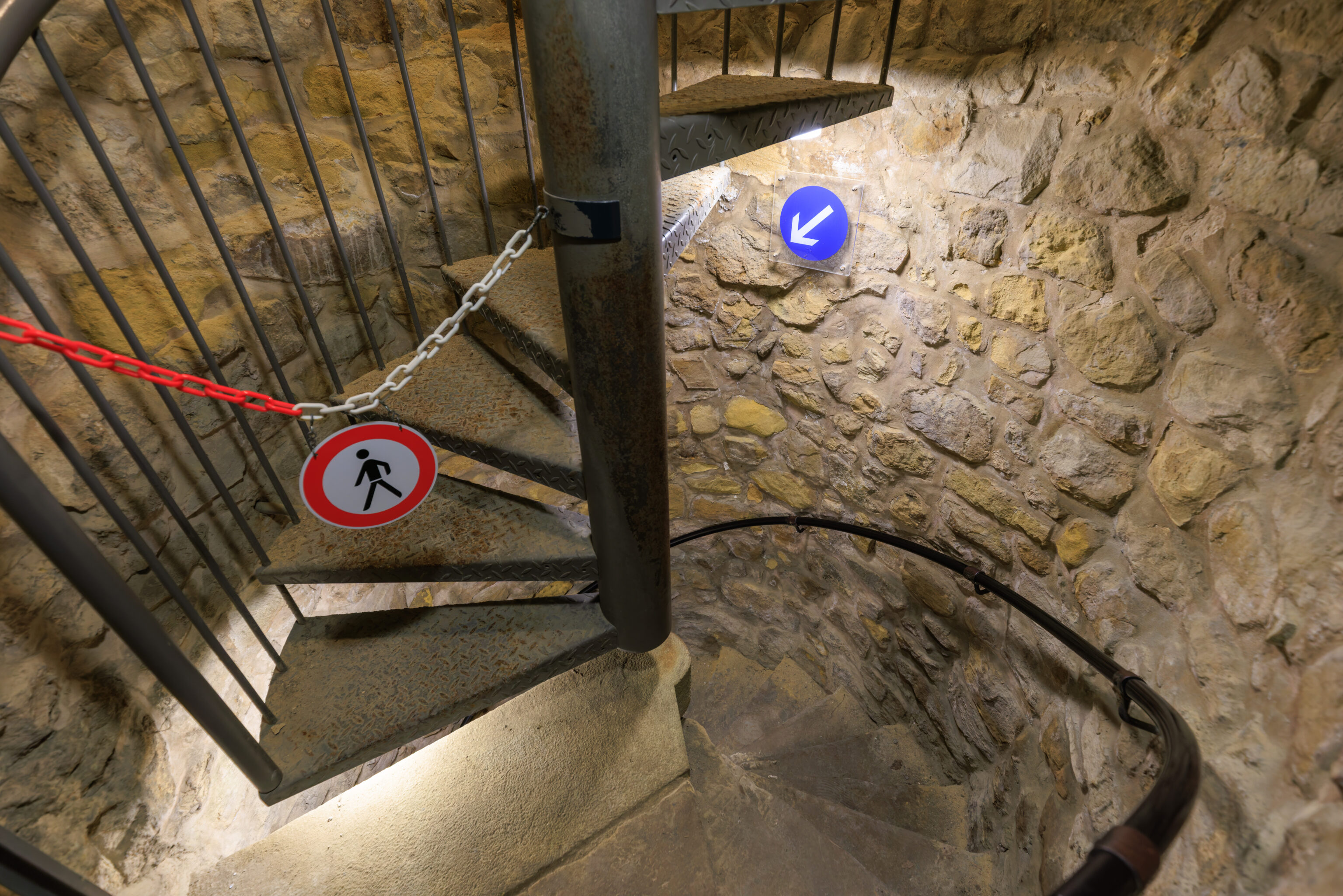
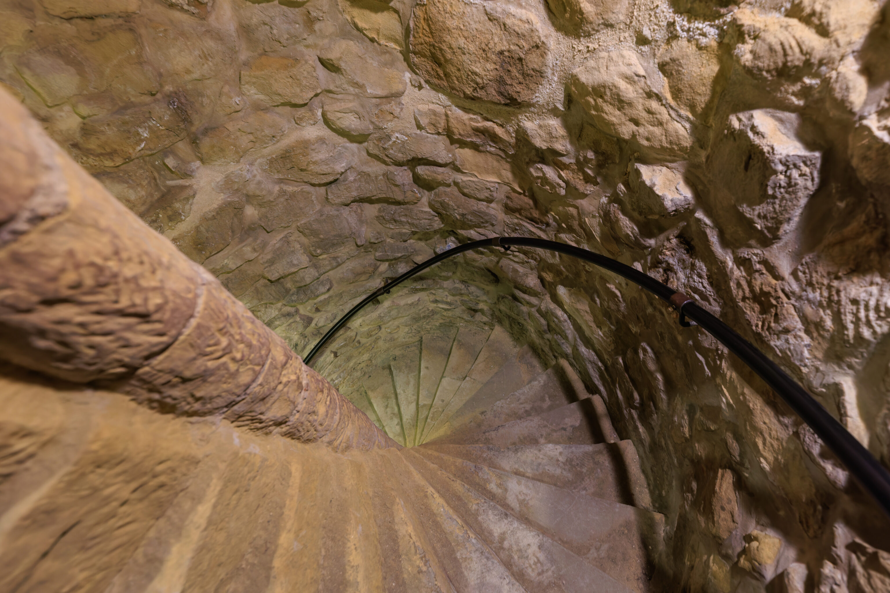
After we’re sure we saw everything, we headed down these narrow stairs, which seemed to descend for a long time.
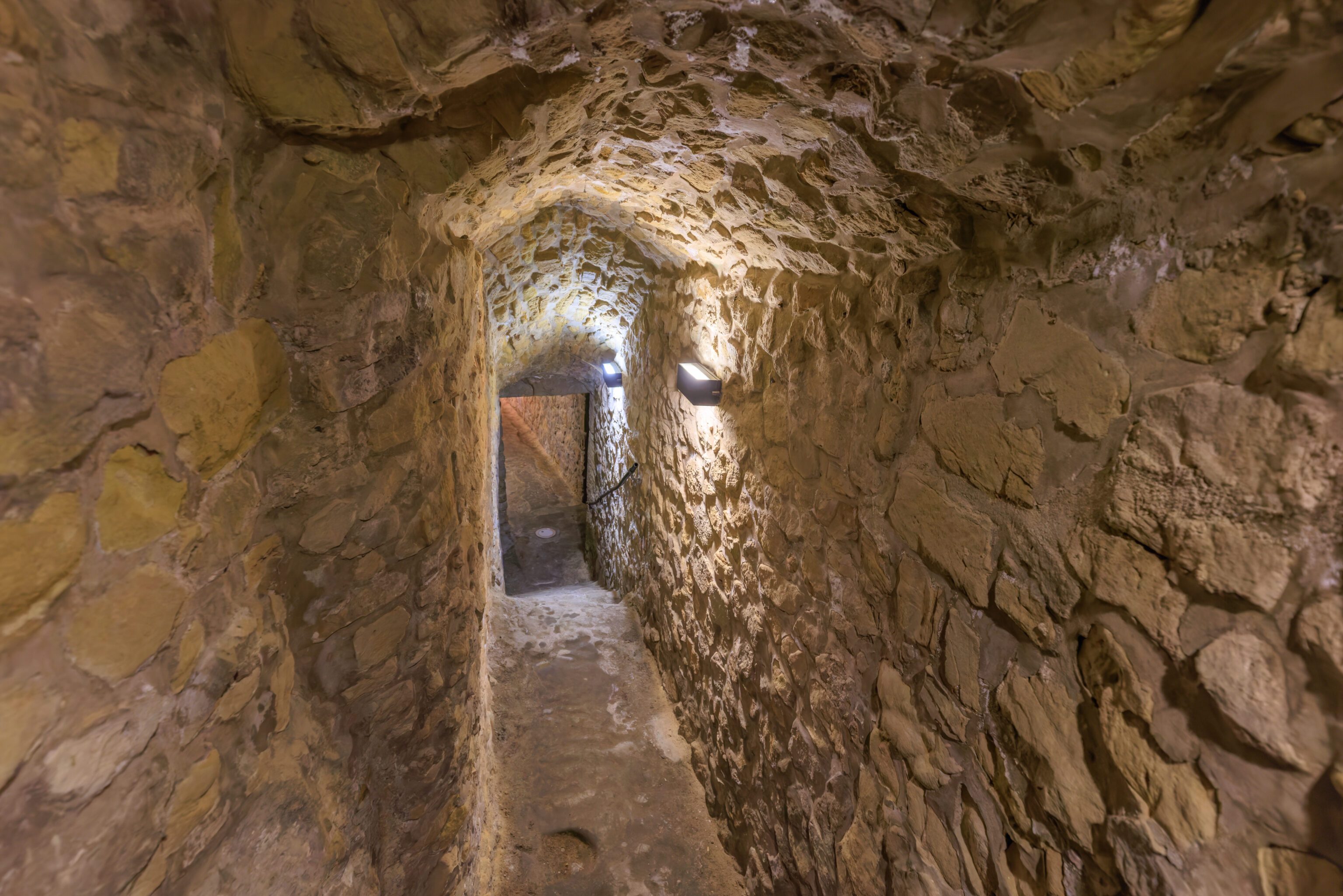
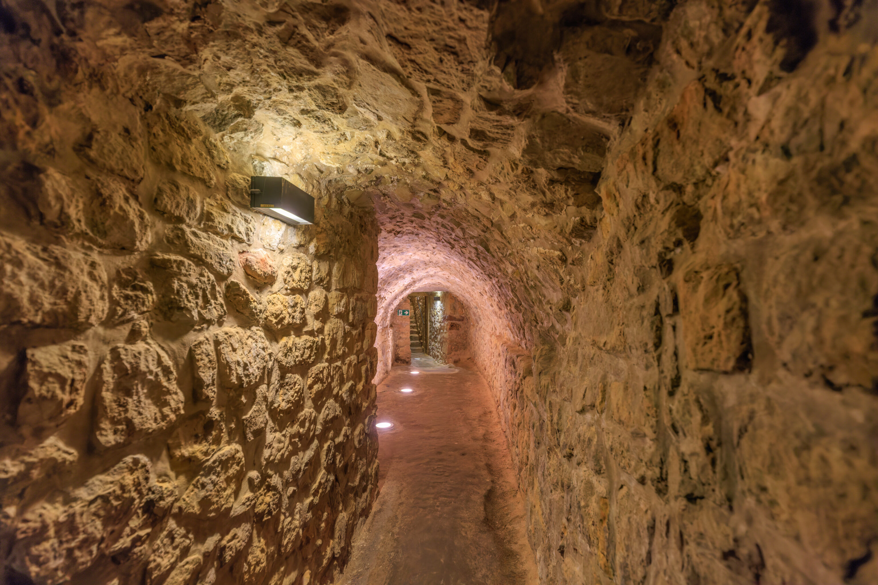
They led to a narrow passageway.
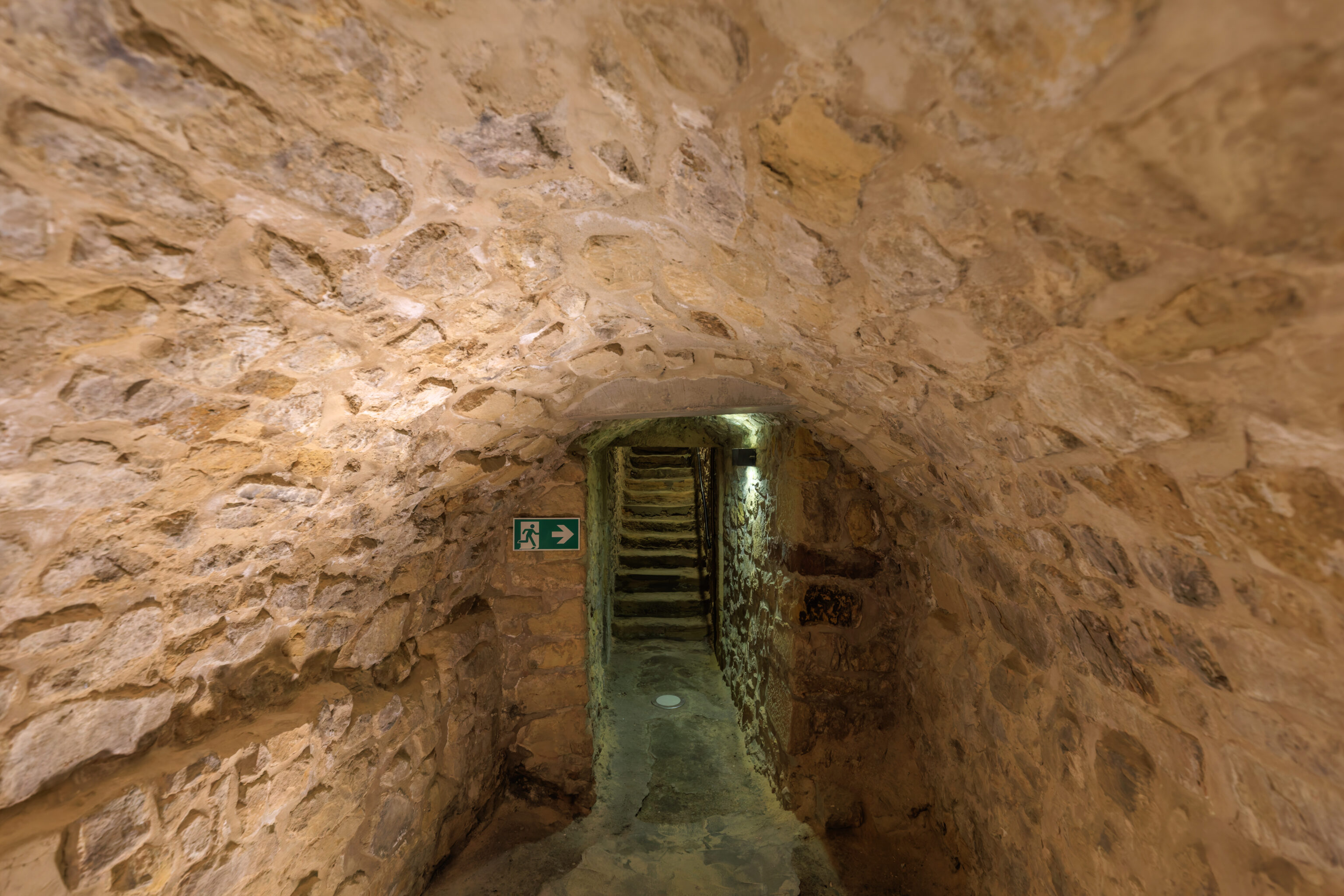
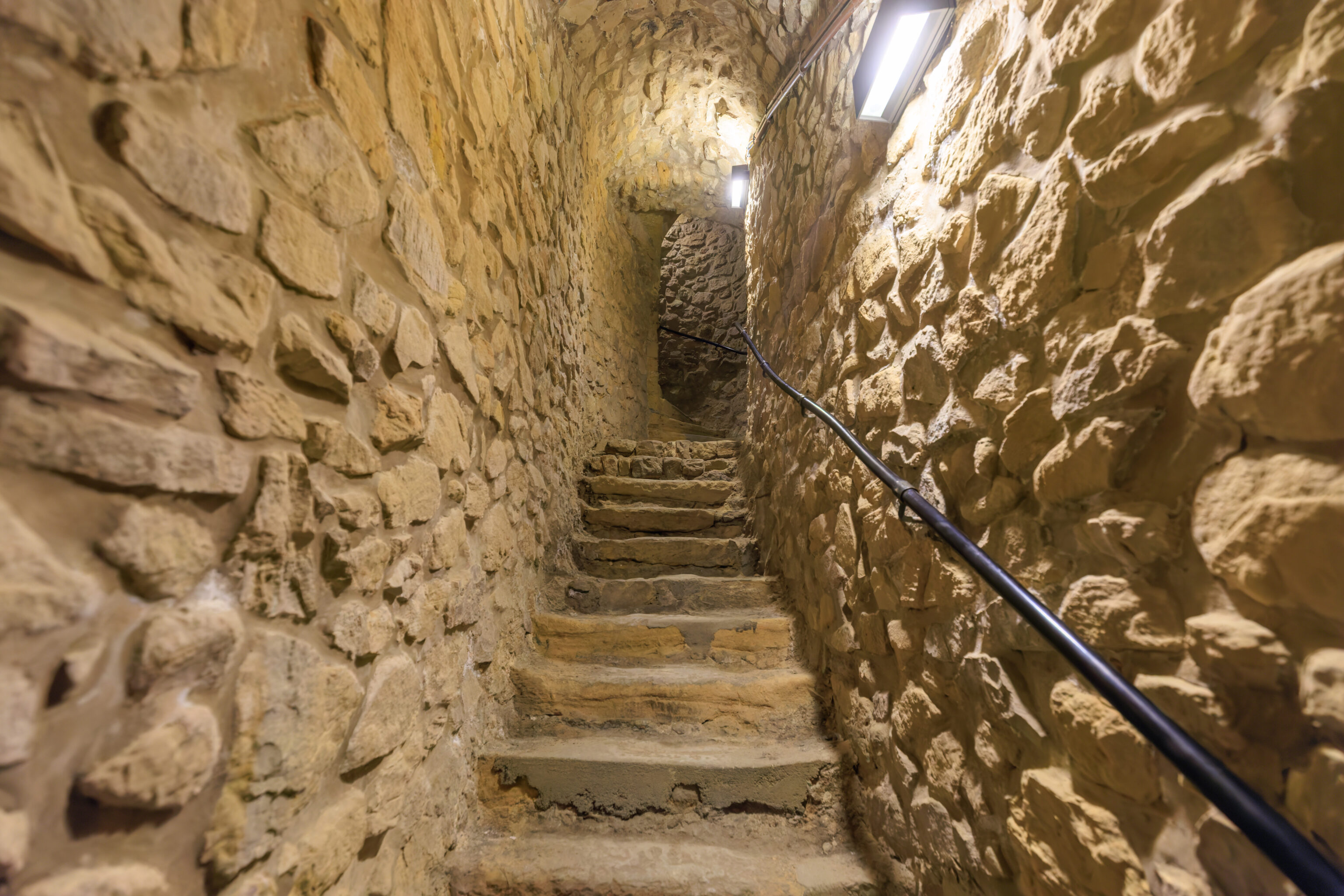
And then there were stairs that went up. This lowest section of the tunnels goes below a road at the base of the Bock that goes under the Castle Bridge, a bridge that links the Bock with the rest of the Ville Haute. We walked over this bridge earlier, although there’s nothing up there that really indicates you’re on top of a bridge instead of land.
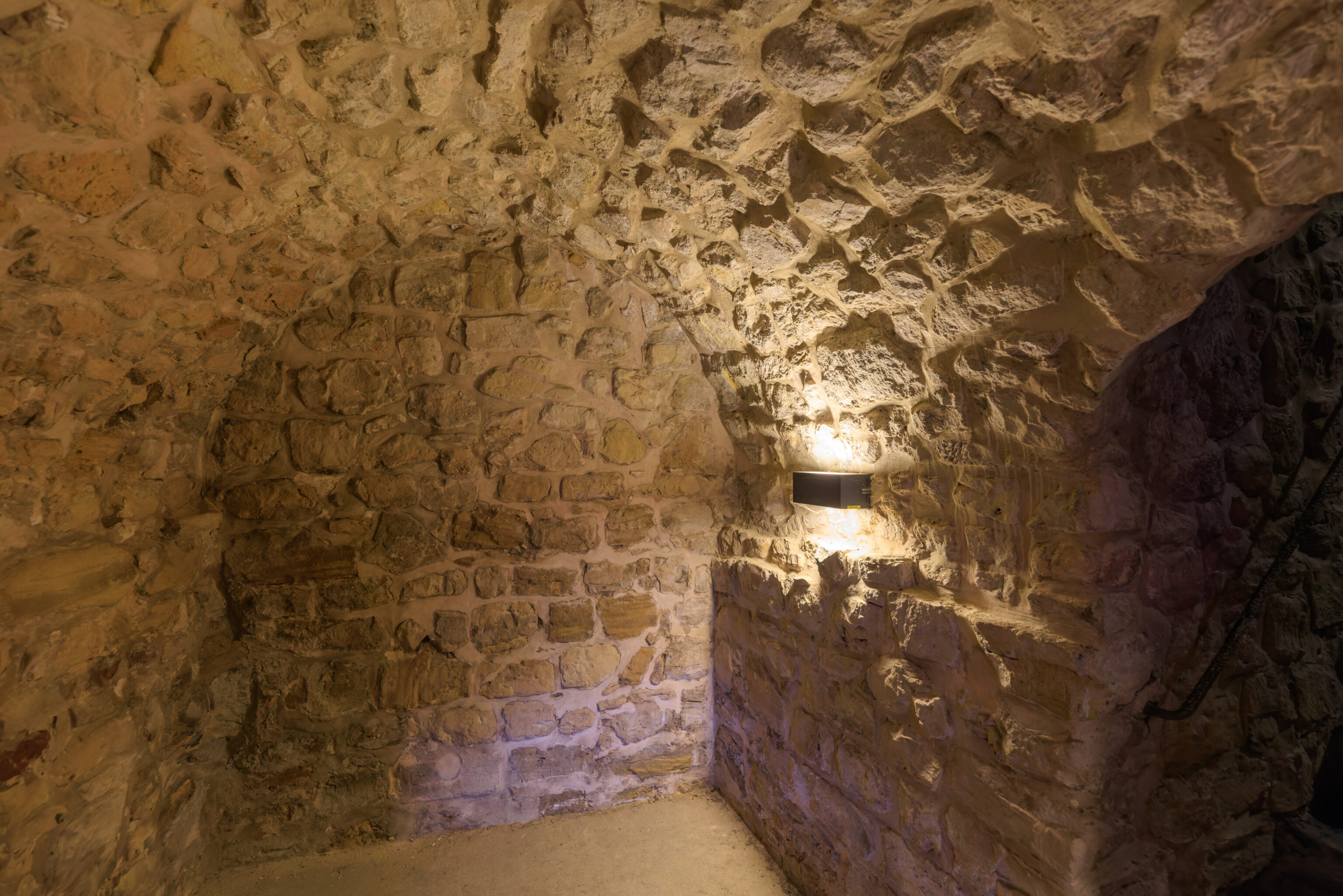
There was a path that went nowhere.
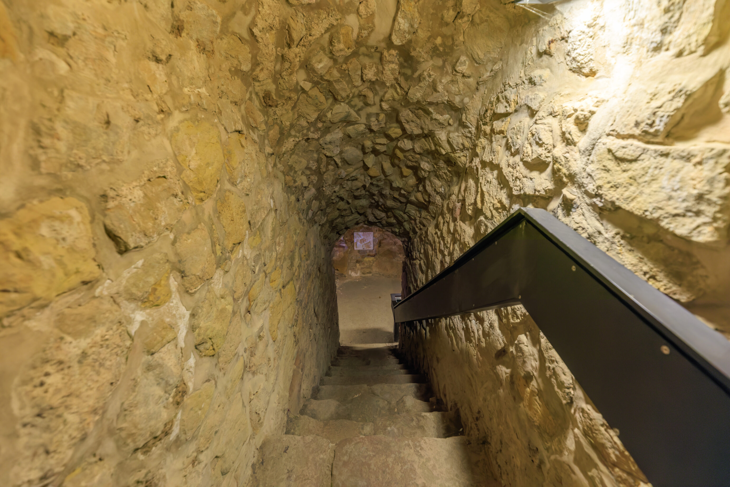
This path went back to the main tunnel that runs through most of the Bock.
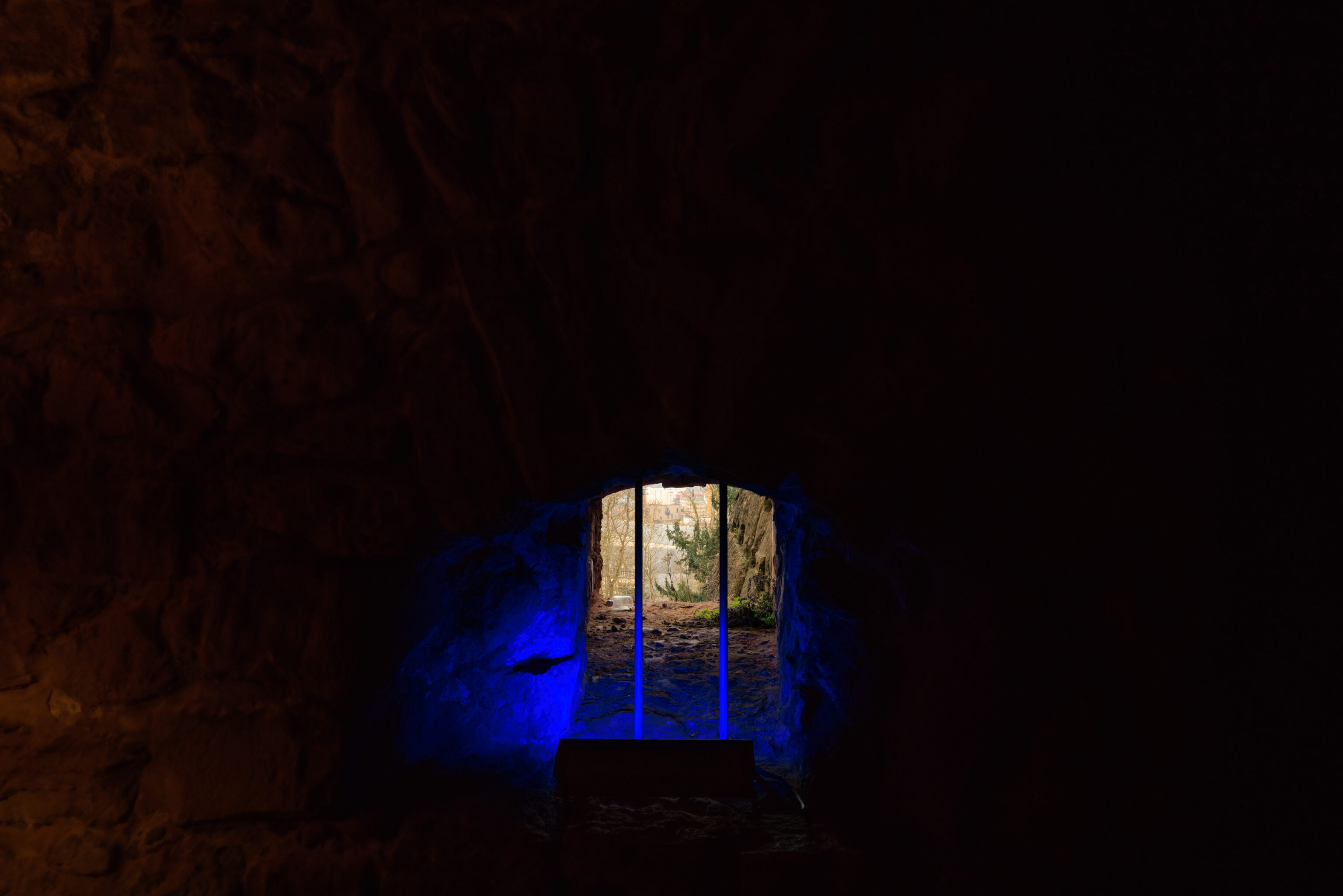
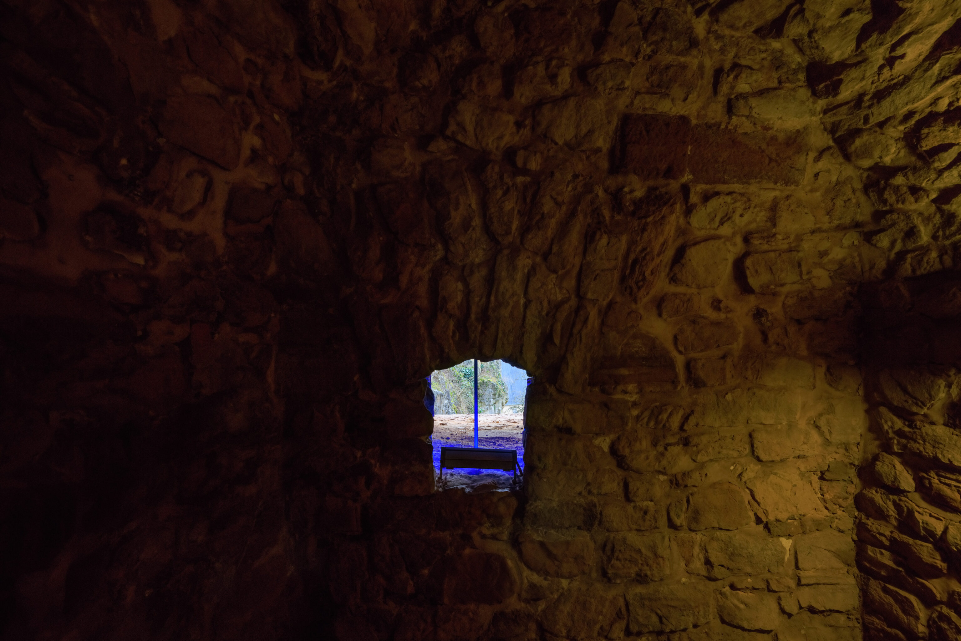
These openings were pretty small. And for whatever reason illuminated with blue light.
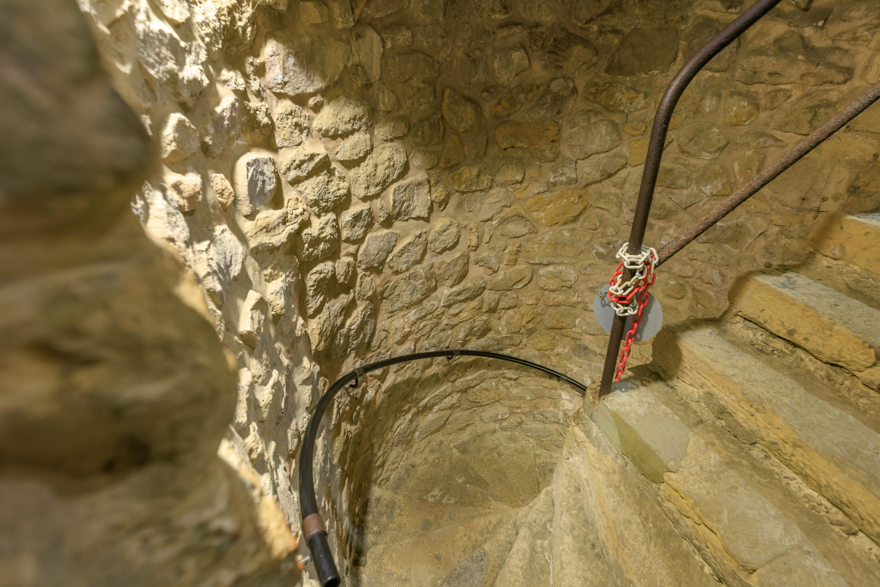
We ended up going down again via a different set of stairs.
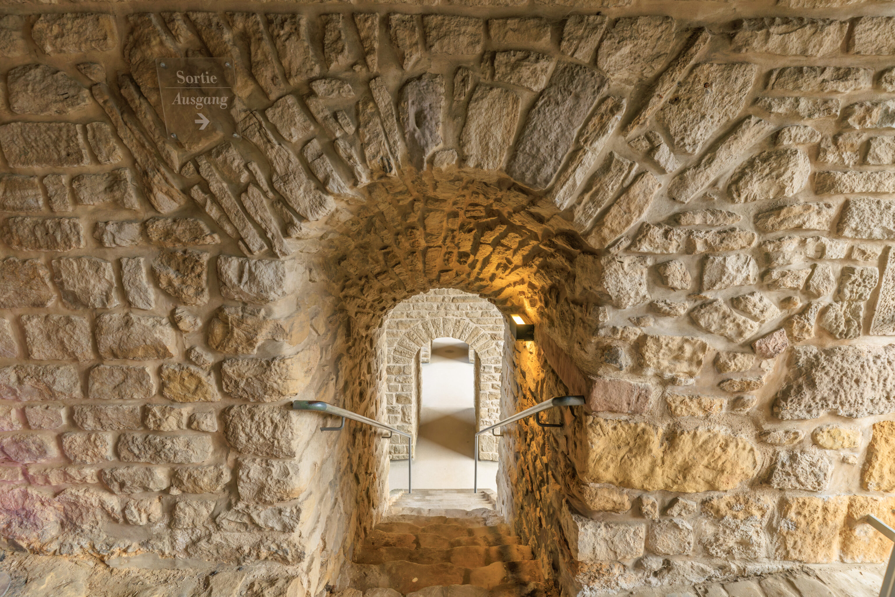
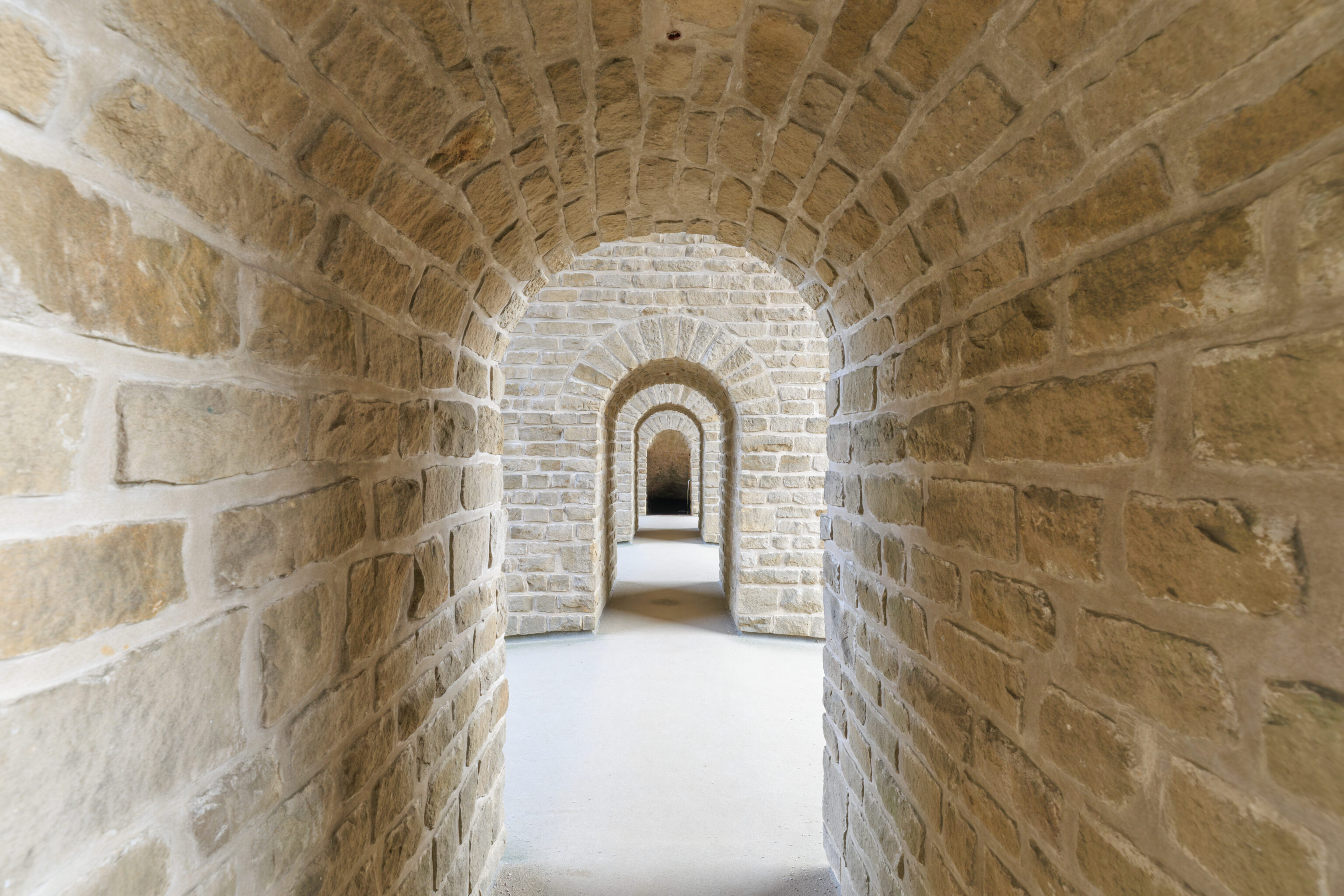
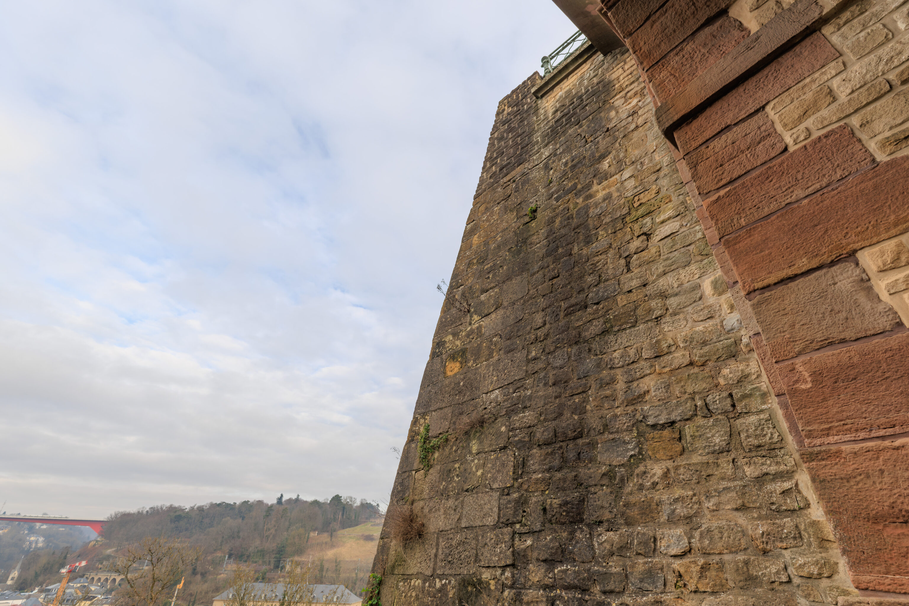
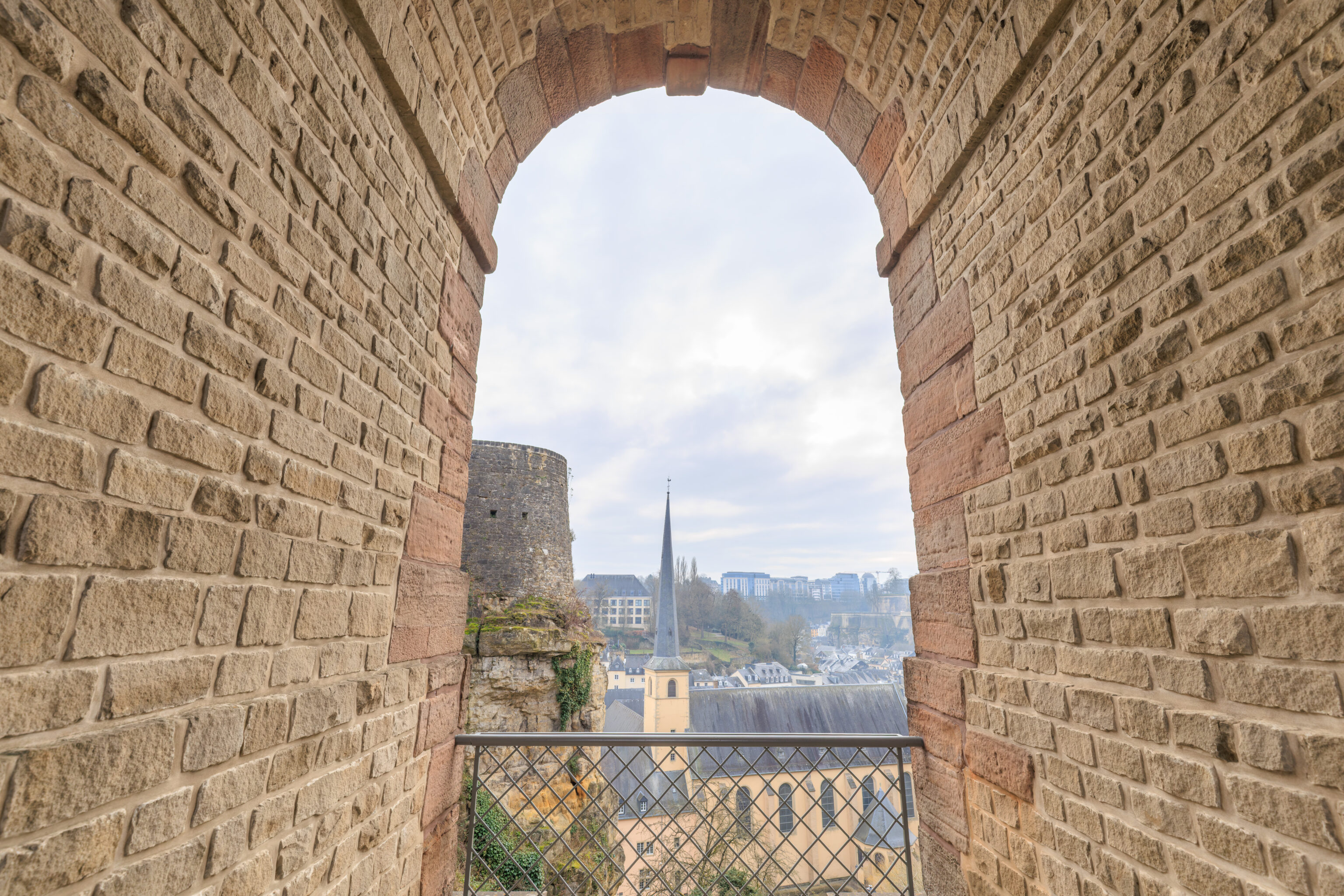
This led to a really bright space that looked more modern than the tunnels we’ve been in so far. It turns out that this section is the Castle Bridge. The road that runs the length of the Bock is above us and the narrow tunnel that we walked through is below the road below us!
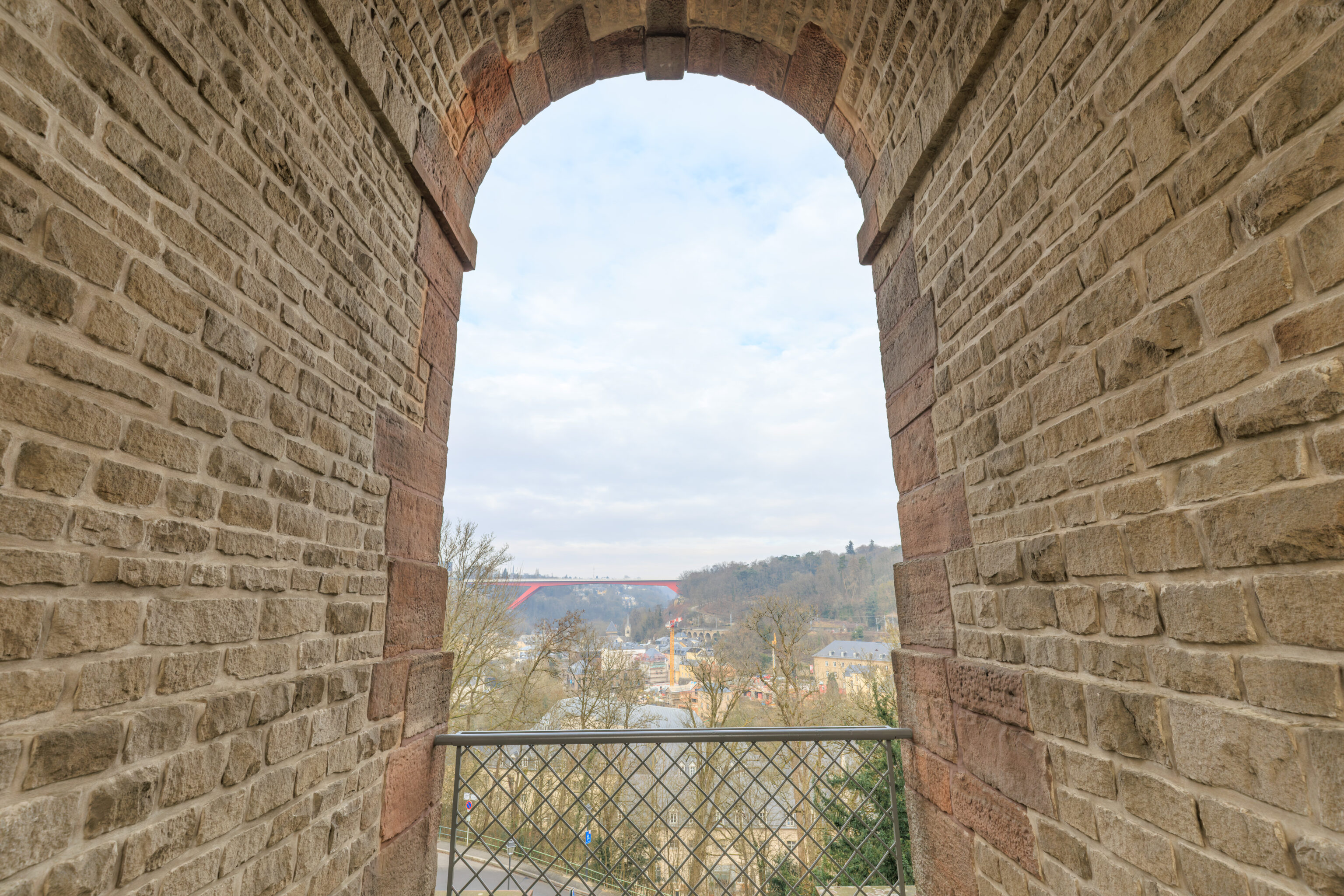
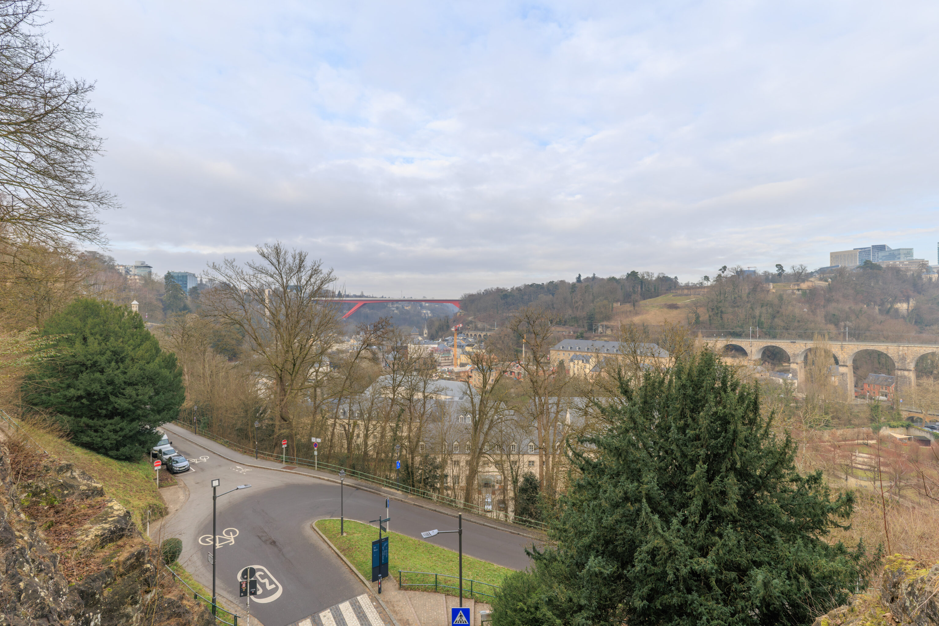
This was the view looking north.
And this was the view to the south.
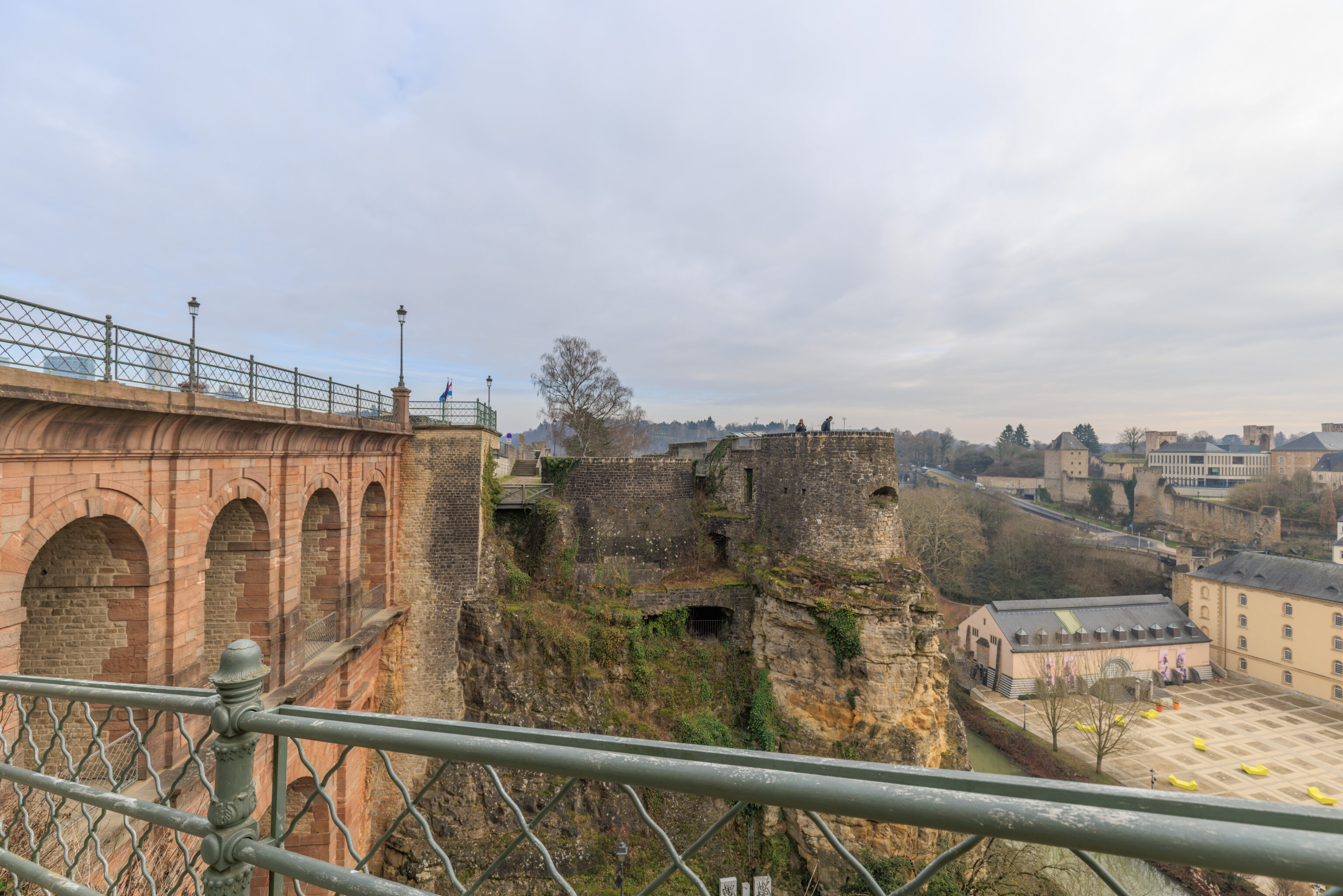
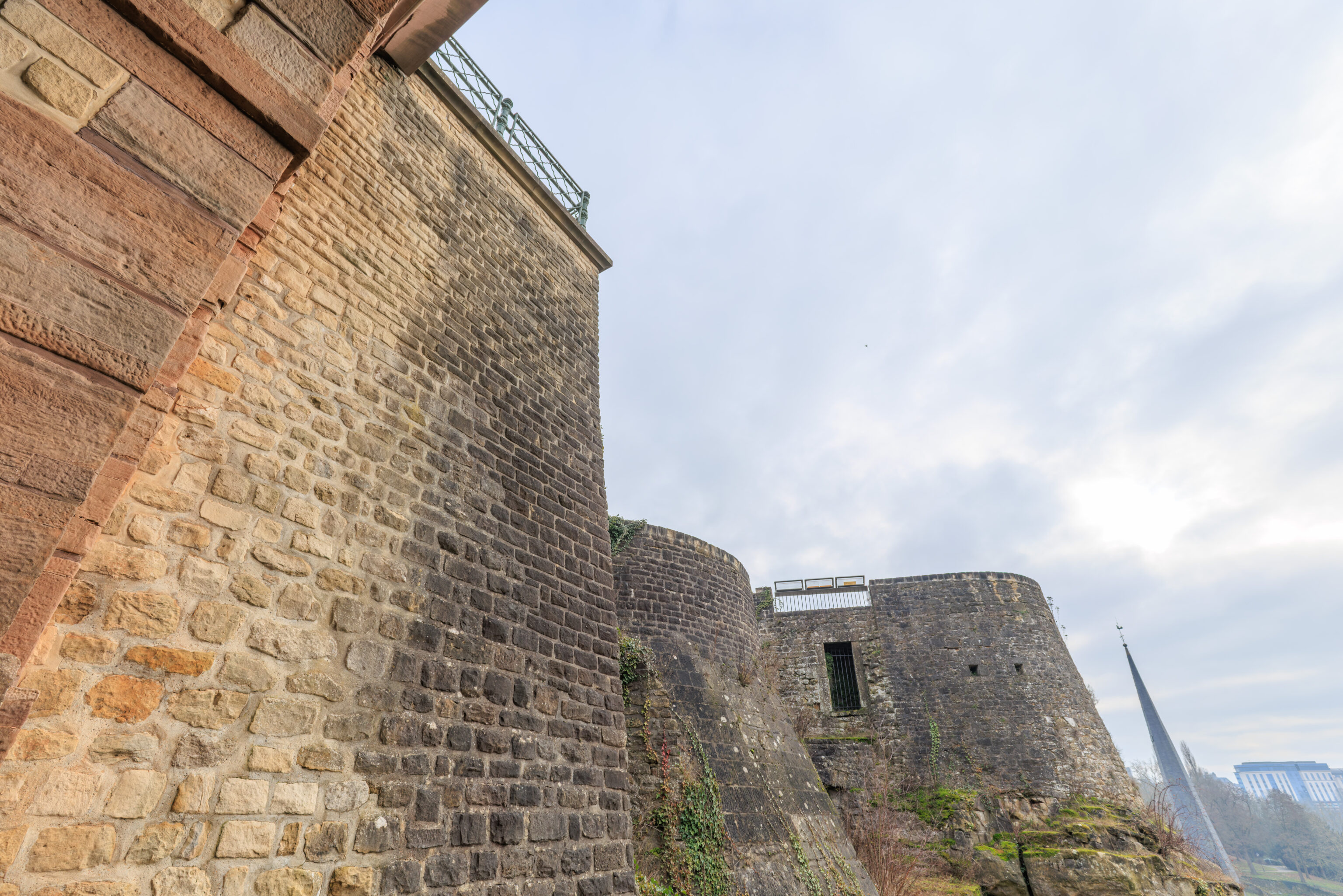
The exit was nearby. The path led up some stairs on the south side of the road that is on the Bock. The brick structure at the left side of this photograph is the Castle Bridge. Its basically a viaduct atop a single arch bridge.
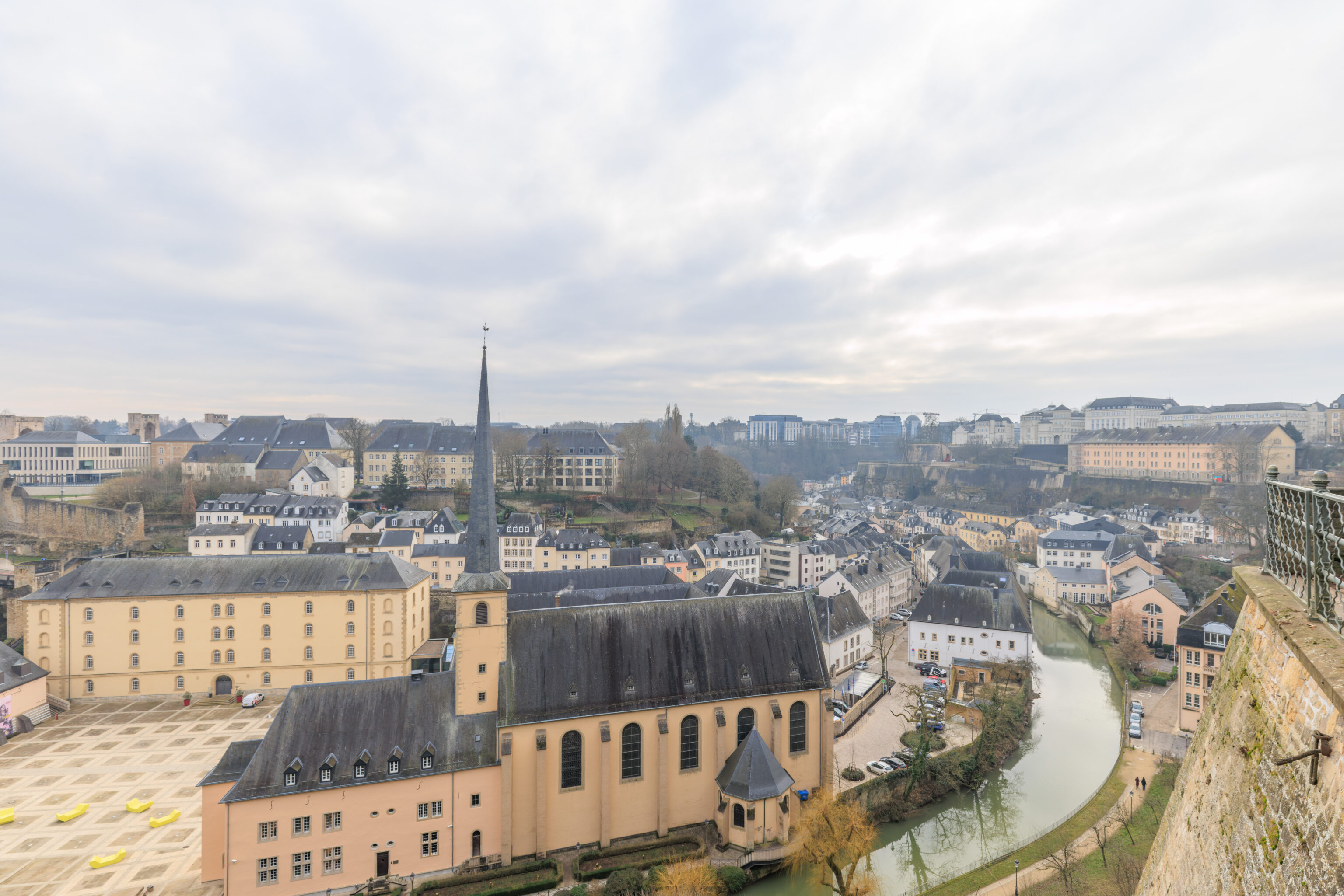
The view to the south was nice, although we’ve seen it quite a bit now!
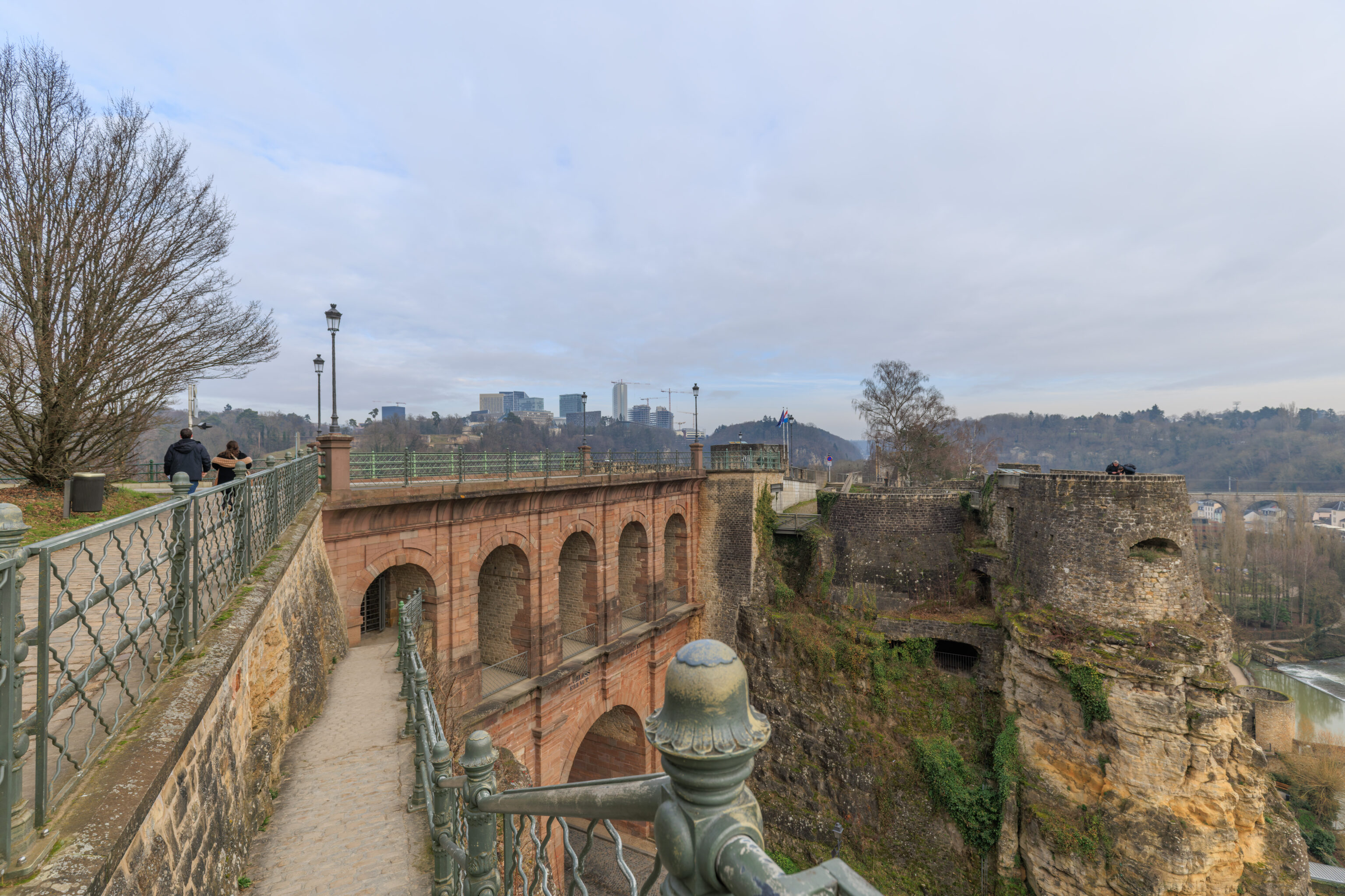
We continued walking up the stairs, returning to the Ville Haute near the drawing of the fortifications on the Bock that we saw when we just arrived here.
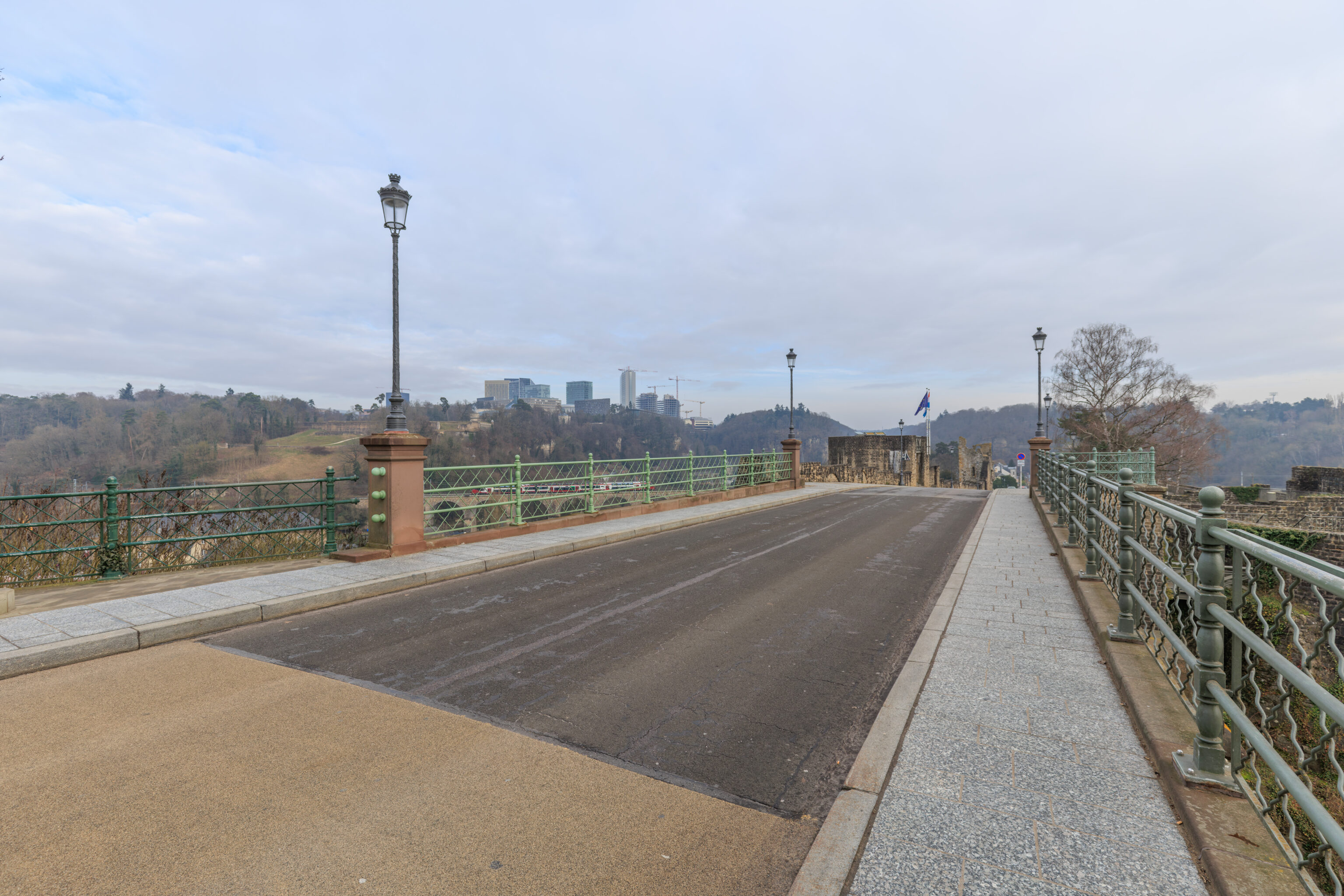
This is the road that runs across the Castle Bridge and then down the length of the Bock.
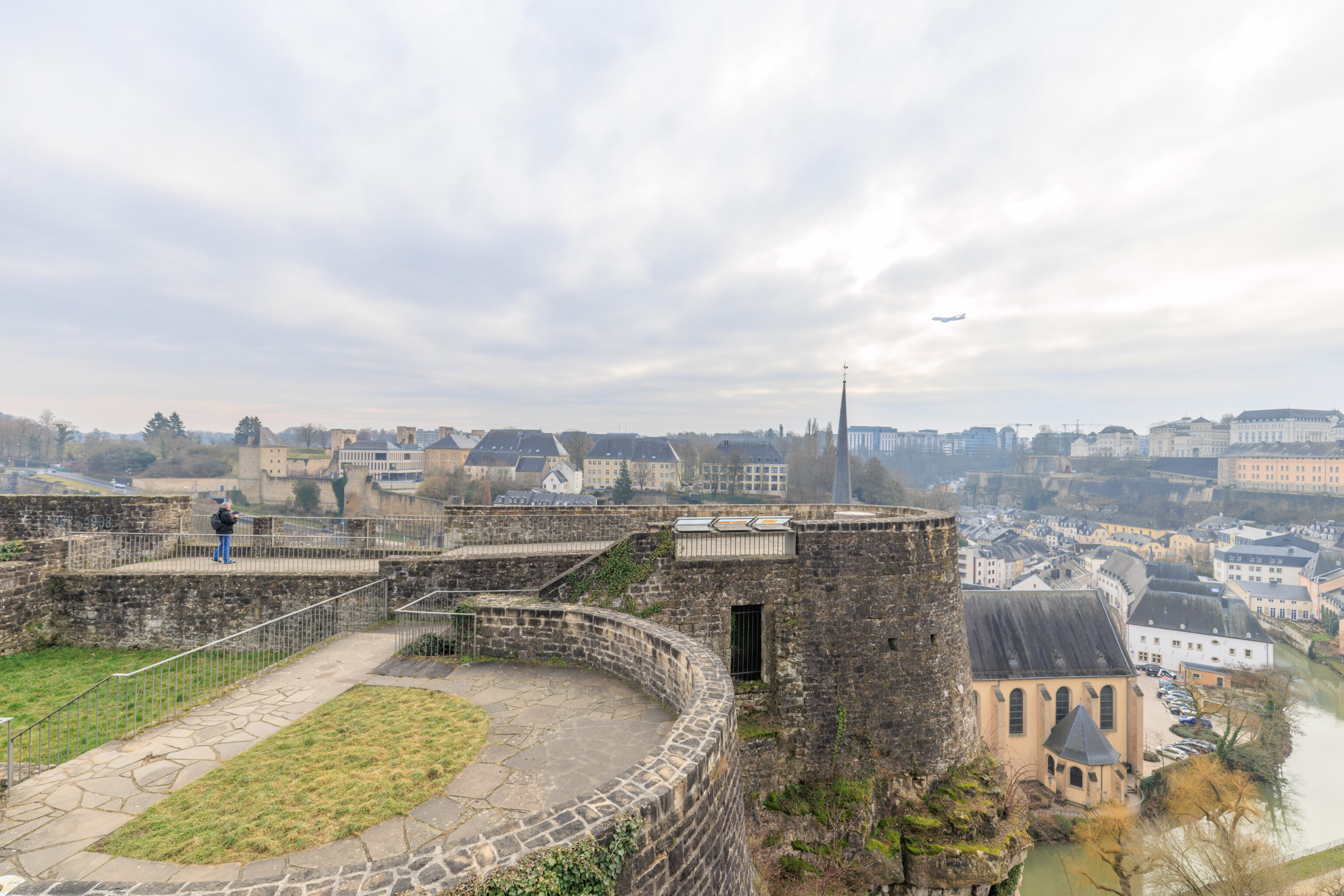
Although most of the above ground fortifications are gone now, there are still various section that remain.
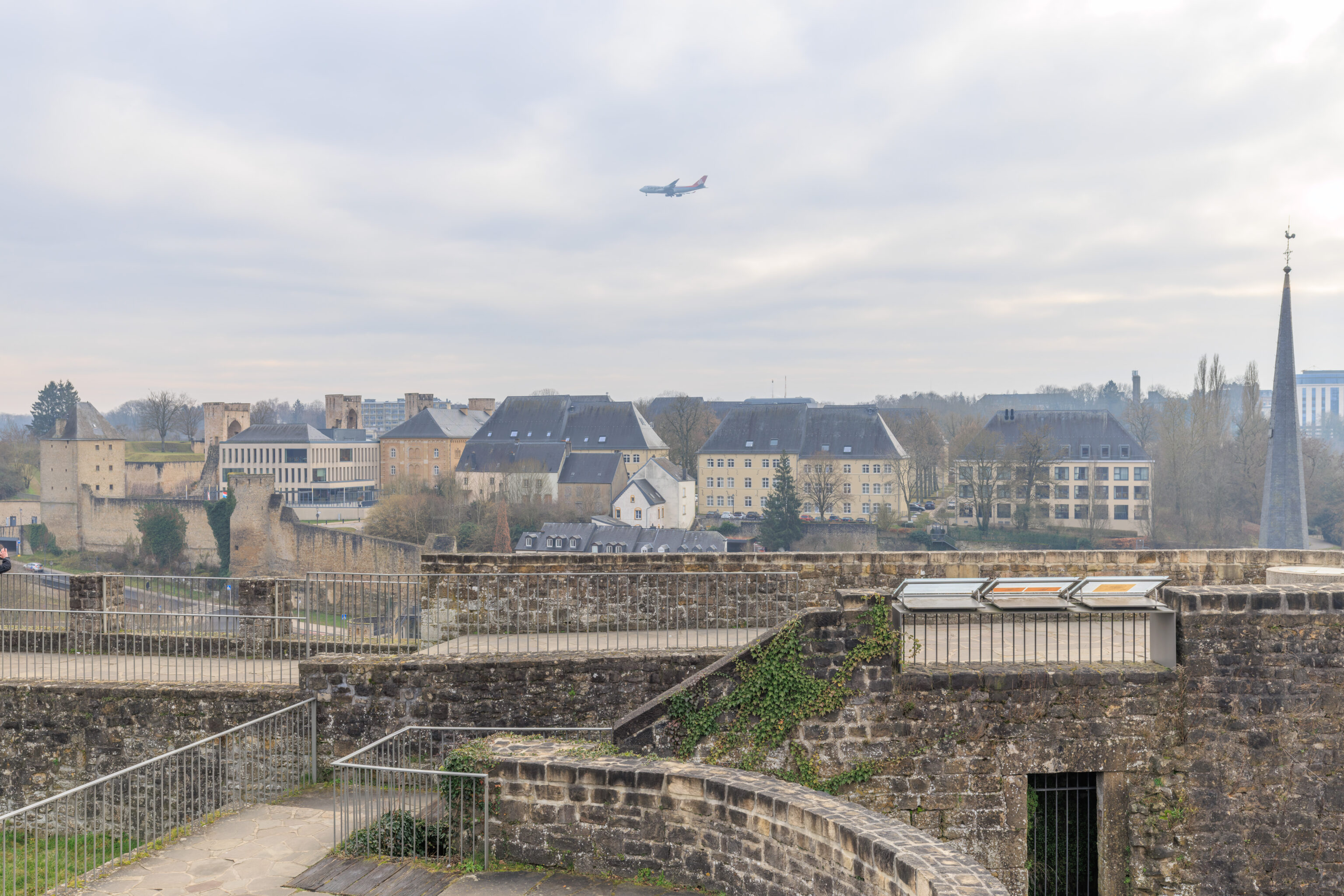
Just as we were taking the previous photograph, a Cargolux 747 flew by on its way to the airport.
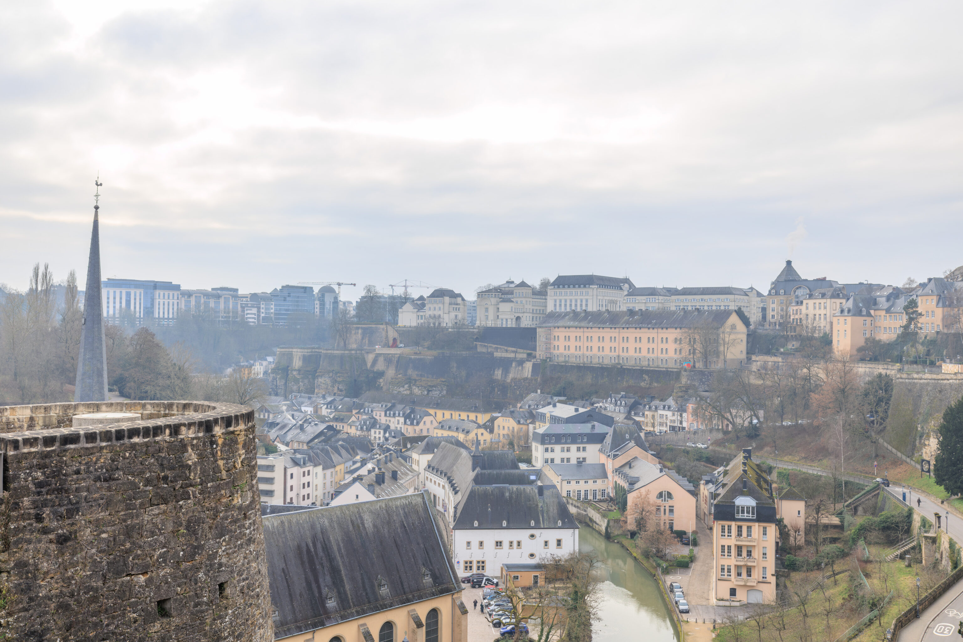
The view looking directly towards the Fountain of Doves.
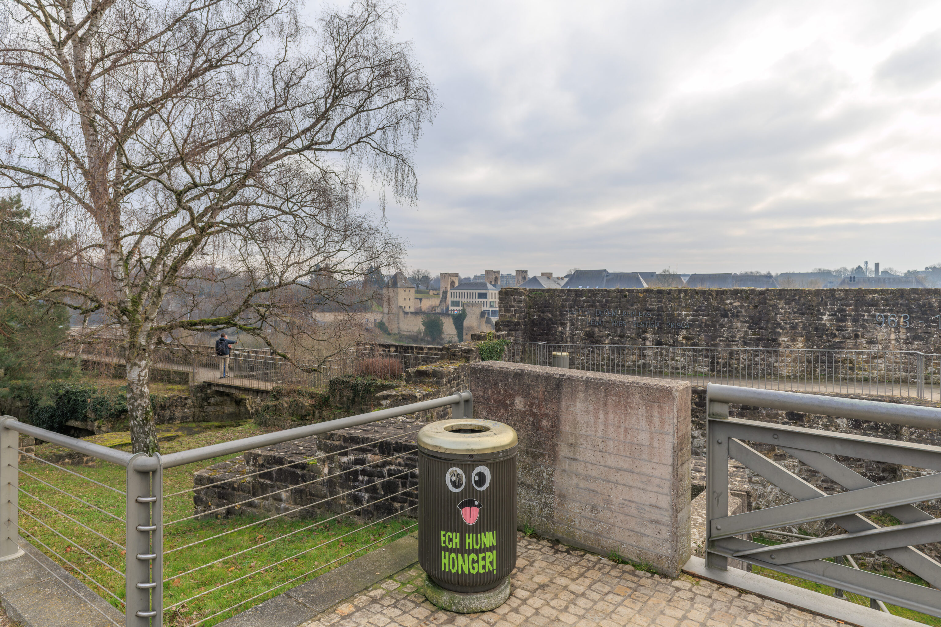
Luxembourgish for “I am hungry!”
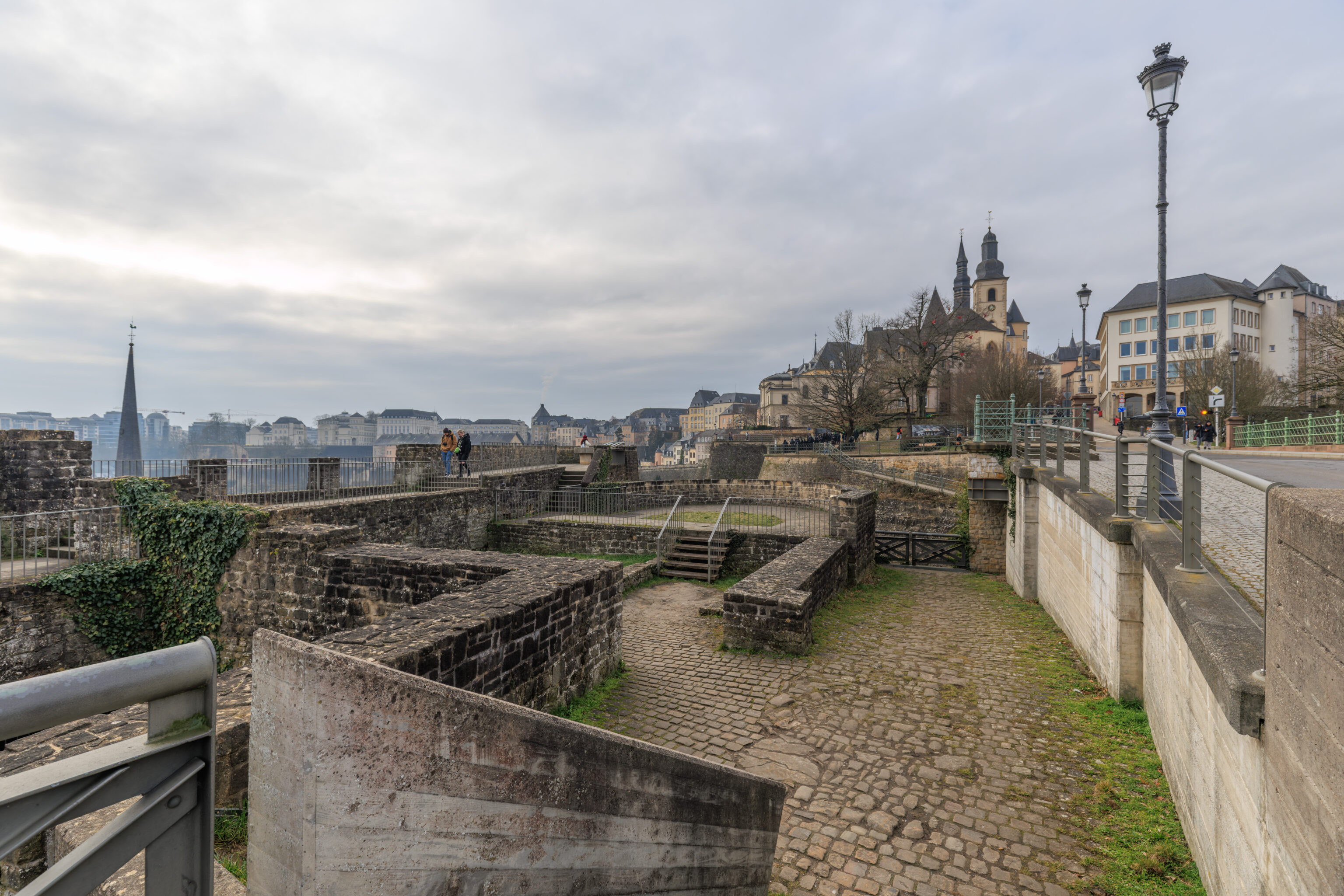
This view, looking to the west, is more or less above the entrance to the Bock Casemates. In the background, there is a ramp leading up from the right. That is the exit we took from the casemates.
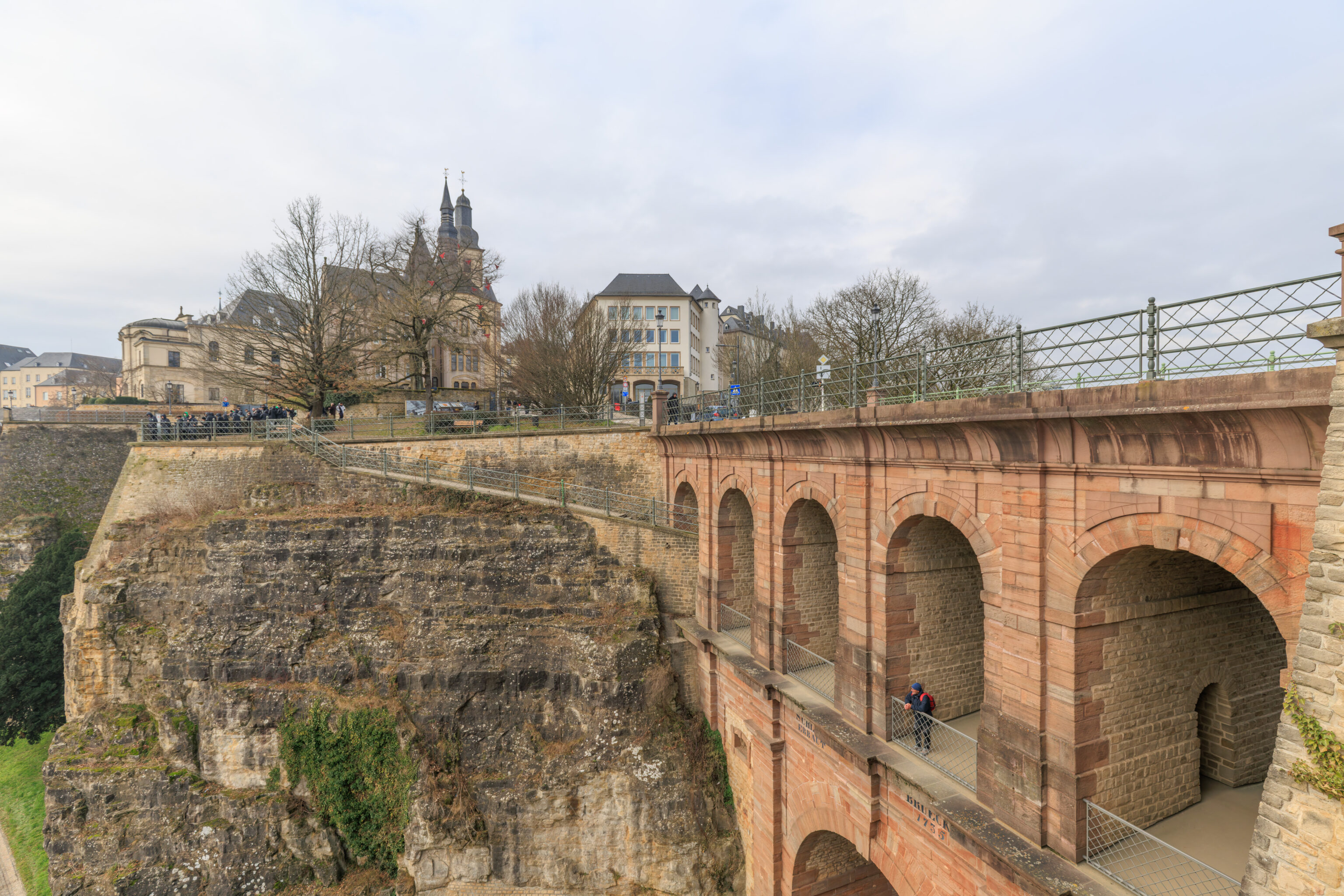
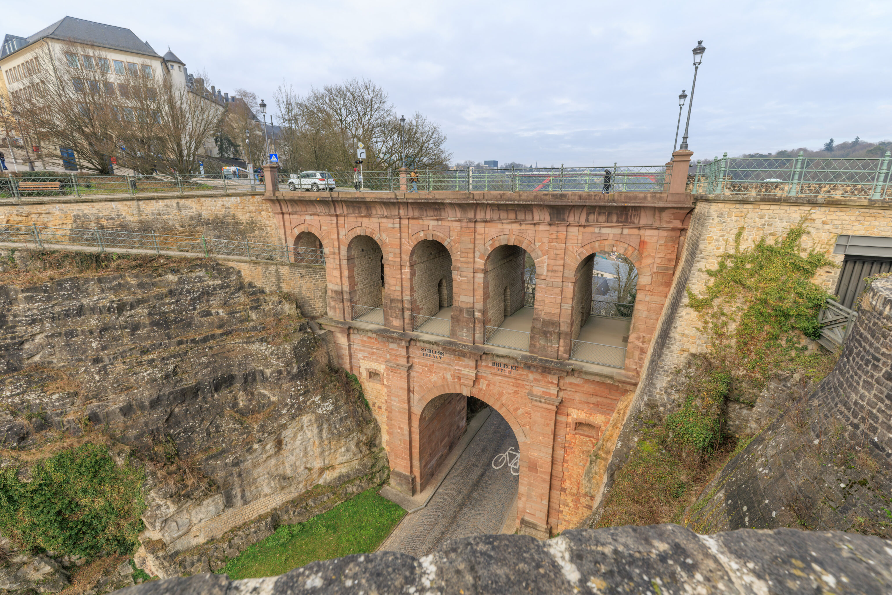
The design of the Castle Bridge is much more obvious from this perspective!
There were various signs in this general area. One described the early rulers of Luxembourg, starting at the beginning with Sigfried. It is more detailed than the signs we saw just past the entrance of the casemates.
The Counts and Dukes of Luxembourg
National Sites and Monuments Service

Siegfried's great-grandson, Conrad, finally settled in Luxembourg and was the first to bear the title Count.

The first Luxembourg comital dynasty:
Siegfried (*916/9 †~998)
    |
Henry I (*~964 †1026)
    |
Henry II (*990 †1047) / Giselbert (*995/7 †1059)
        |
Conrad I, the first to bear the title Count (*1040 †1086)
        |
Henry III (*~ 1070 †1096) / William (*1070 †1129) / Ermesinde I (†1141)
        |
Conrad II (*1106 †1136) Henry the Blind, Count of Namur (*1113 †1196)

The direct line of descent of Siegfried died with the death of Conrad II. Before his death, he transferred the county to Conrad I's grandson, Count Henry of Namur, who became Count of Luxembourg under the name Henry IV.

The House of Luxembourg-Limburg
Henry IV the Blind (*1113 †1196)
    |
Ermesinde (*1186 †1247) ⚭2. : Walram III of Limburg (*1214 †1226)
    |
Henry V the Fair (*~1221 †1281)
        |
Henry VI (*>1252 †1288)
        |
Henry VII, first emperor from the House of Luxembourg (*~1278 †1313)
        |
John the Blind, King of Bohemia (*1296 †1346)

Countess Ermesinde is considered the "second founder" of Luxembourg. In 1244, after Echternach and Thionville, she granted the city of Luxembourg freedoms of trade and commerce in a so-called charter of liberties, thus consolidating the new foundations of comital power.

Kings and Emperors: The Luxembourgs in Bohemia
John the Blind, King of Bohemia (*1296 †1346)
    |
Charles IV, Emperor (*1316 †1378) / John Henry (*1322 †1375)
    |                                 |
    |         Jost of Moravia, first Pledge Lord (*1351 †1411)
    |
Wenceslaus II (*1361 †1419) / Sigismund (*1368 †1437)
– German text from a sign, translated using Google Translate.
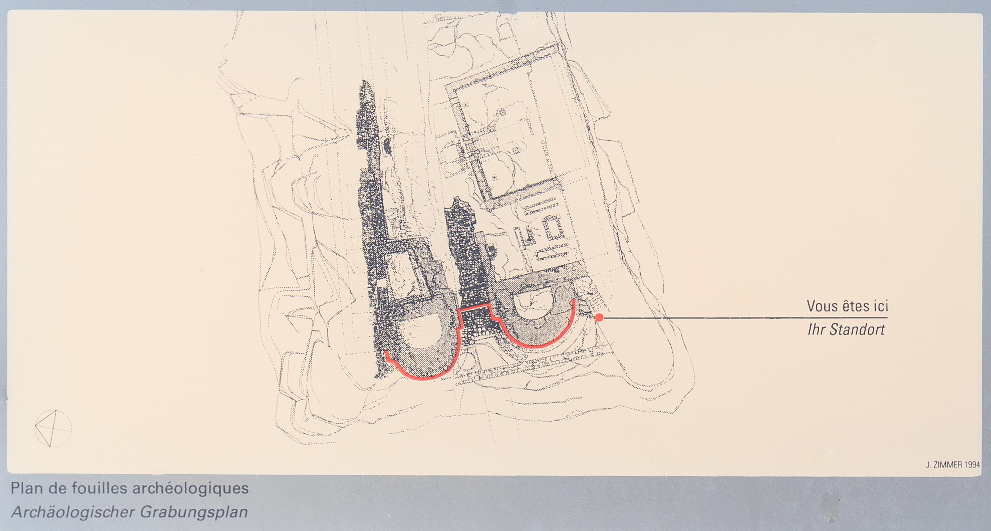
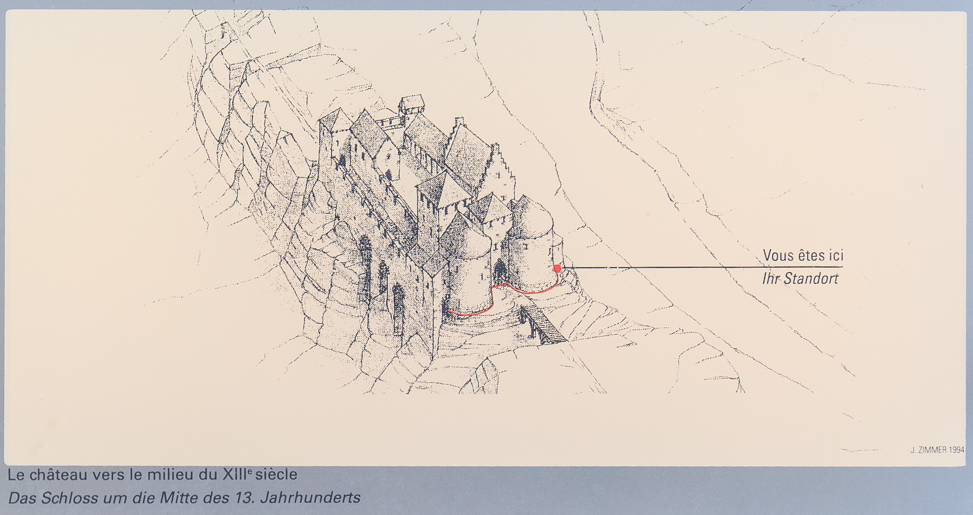
Another sign describes the castle that was here on the Bock:
The Count's Castle
National Sites and Monuments Service

In the 10th century, the castle on the Bock Promontory consisted merely of a fortified wooden tower with a palisade and a well. Later, a chapel, a flanking tower, and a wooden bridge were added. The latter connected the stronghold to the new residential, commercial, and artisan buildings that had developed west of the castle since the 10th century. A path linked the castle to the Alzette Valley.

By the 13th century, the castle featured an imposing gate and several residential wings.

From the end of the 14th century onwards, the castle ceased to serve as a residence for the counts. It was partially destroyed by the Burgundians in the 15th century.

The town owes its development to the castle. The consecration of a church in 987 bears witness to the town's growth outside the castle walls. An initial perimeter wall was built starting in the late 10th century.

During the 12th century, the "New Market" (later Krautmarkt) emerged and developed, originating from the pre-urban core of the "Old Market" (later Fischmarkt).

A second perimeter wall was erected between 1170 and 1190, followed by a third in the 14th century. This perimeter wall created a clear separation between town and countryside.
– German text from a sign, translated using Google Translate.
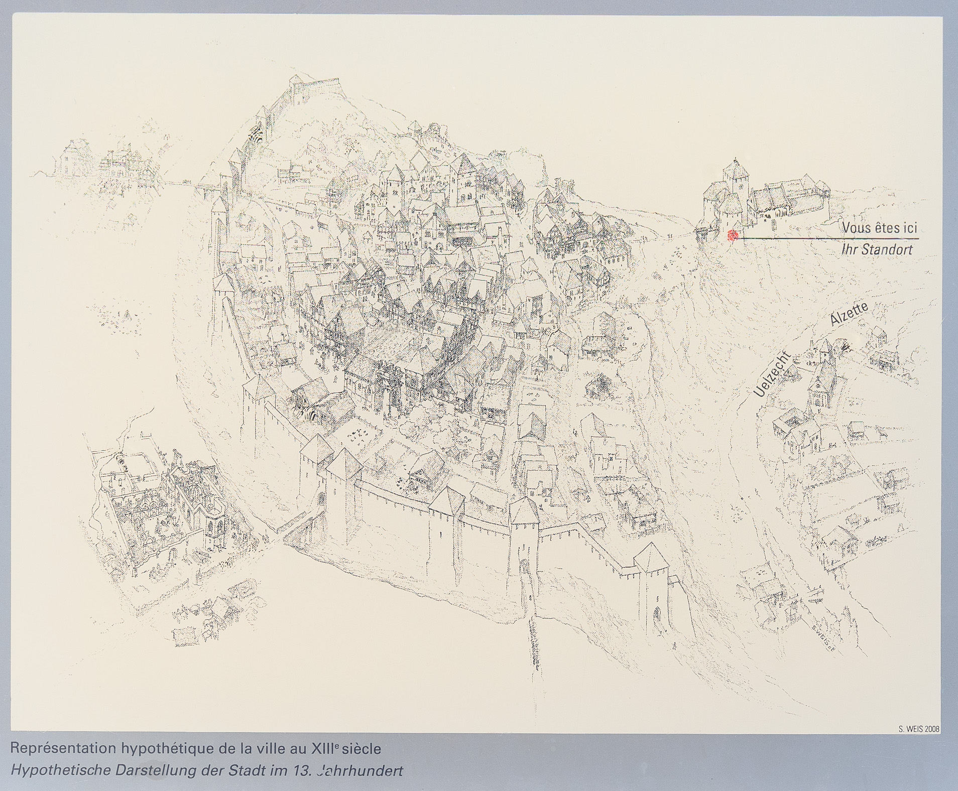
Finally, another sign had a brief description of human settlement in this area:
The "Bock" in the Middle Ages
National Sites and Monuments Service

Since its inception, the city has been situated at the junction of important transport routes. Evidence exists of a settlement dating back to Roman and Merovingian times in the Alzette Valley, north of Luxembourg City. The Weimerskirch area developed into an economic and religious hub at a very early stage.

In 963, Count Siegfried acquired the strategically well-situated Bock promontory through an exchange agreement with the Abbey of Saint- Maximin in Trier.

In 1244, Countess Ermesinde granted the city freedoms regarding trade and commerce in a so-called charter of liberties.

Towards the end of the Middle Ages, around 5,000 people lived along the Alzette at the foot of the rock and in the Upper City: the Count’s retainers, farmers, gardeners, artisans, merchants, and innkeepers. From the 12th century onwards, a new ruling class emerged: the *Schöffen* (aldermen, who were followers of the Count), the *cives* (citizens—free men skilled in trade and business), and the artisans.
– German text from a sign, translated using Google Translate.
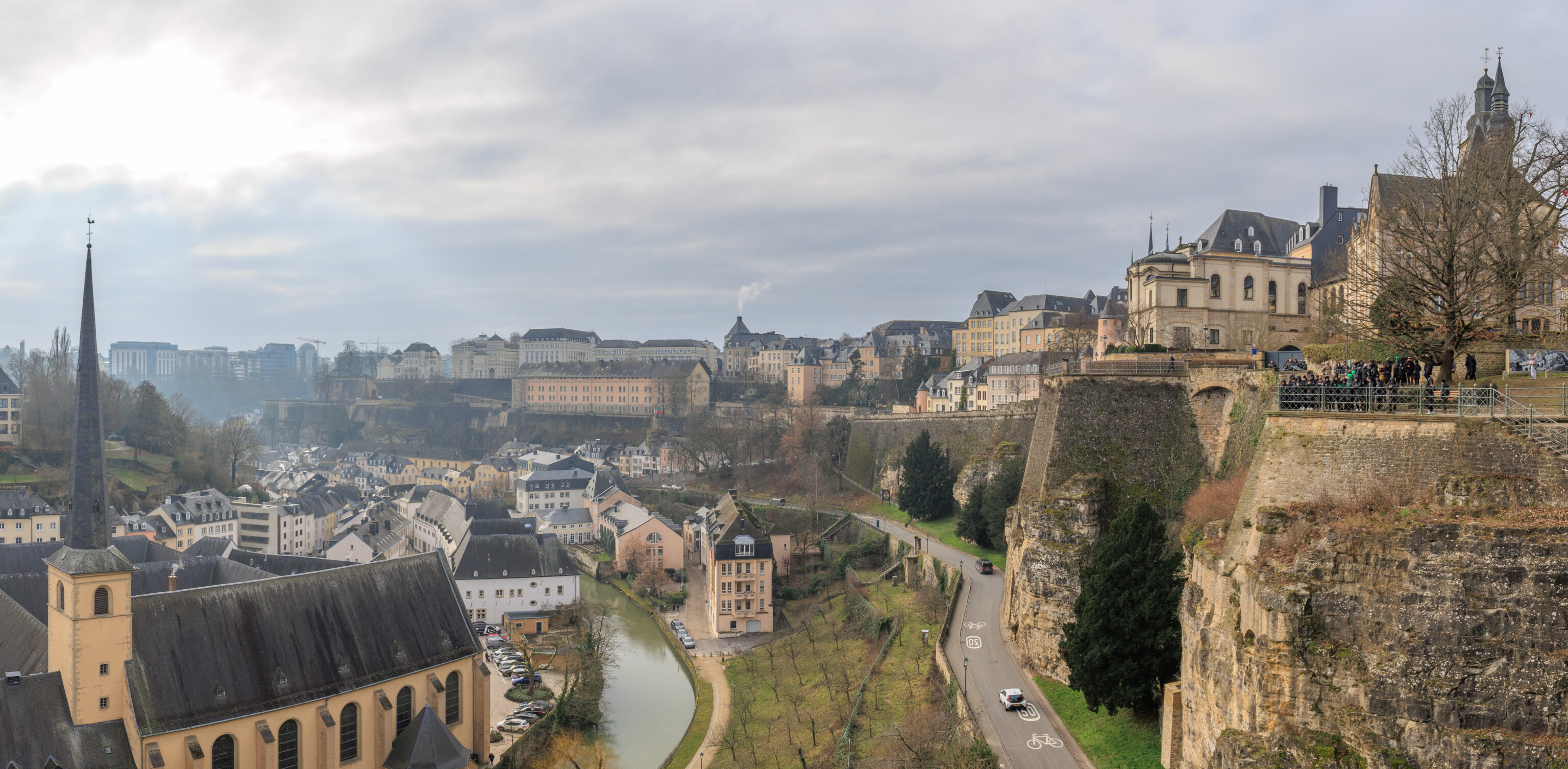
A panorama of the view to the south.
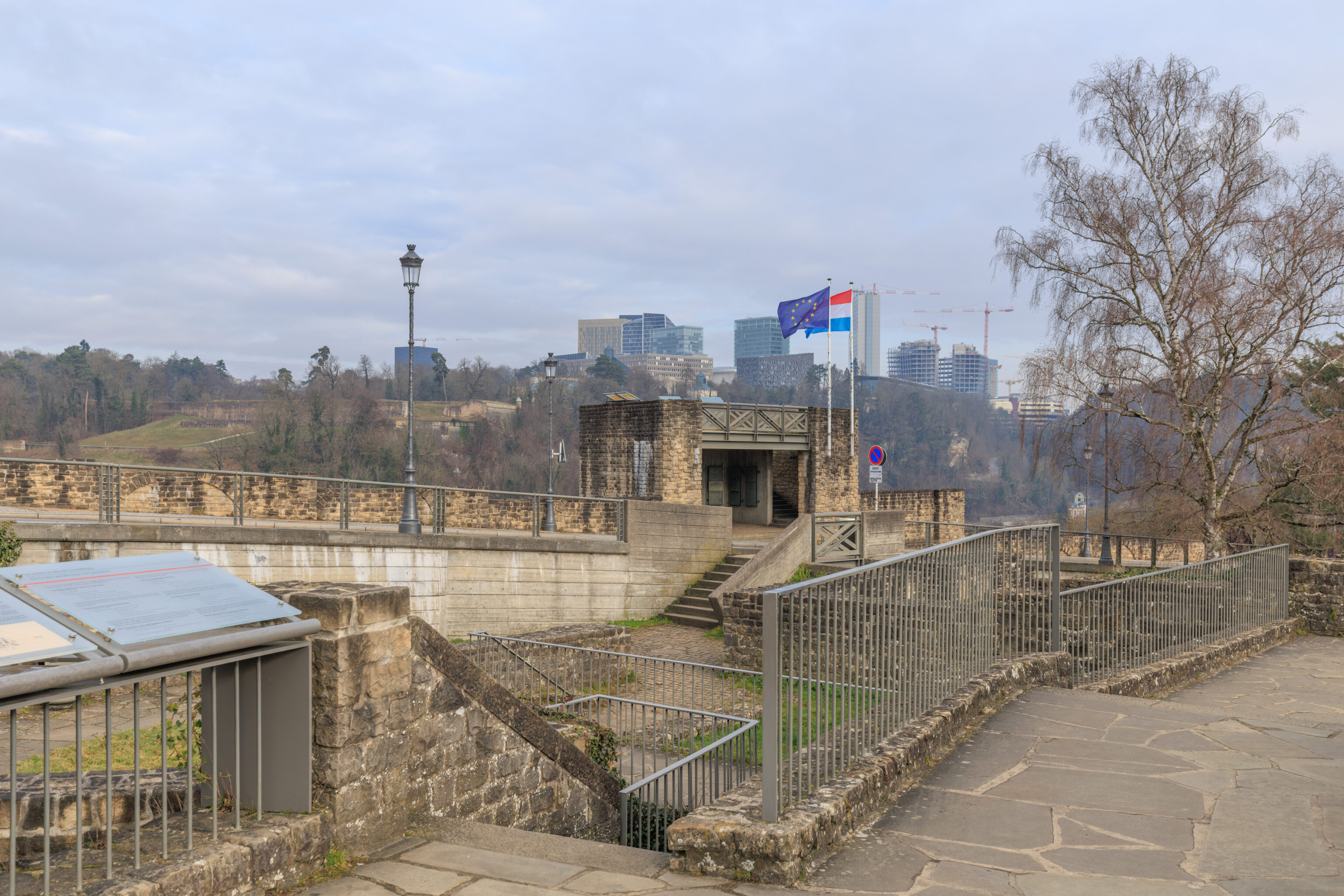
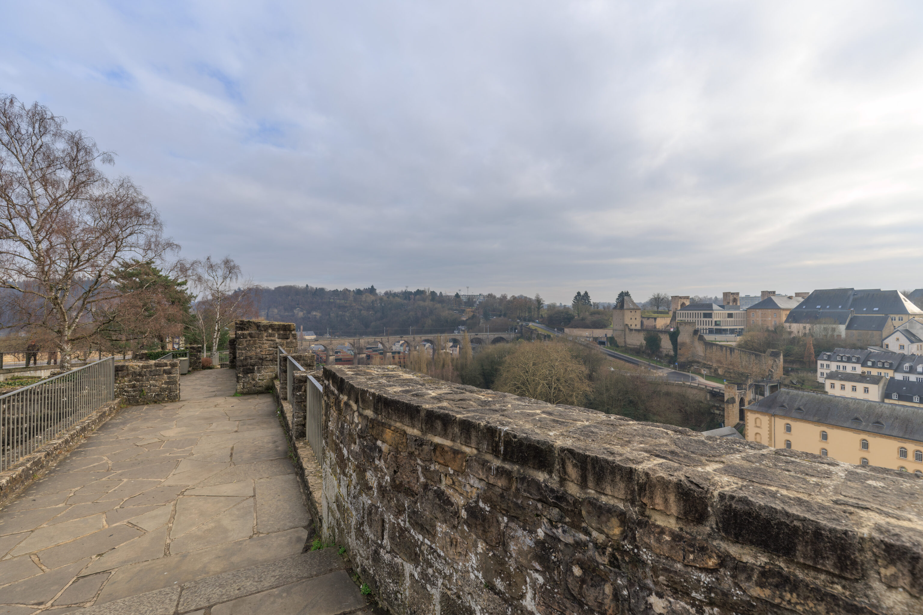
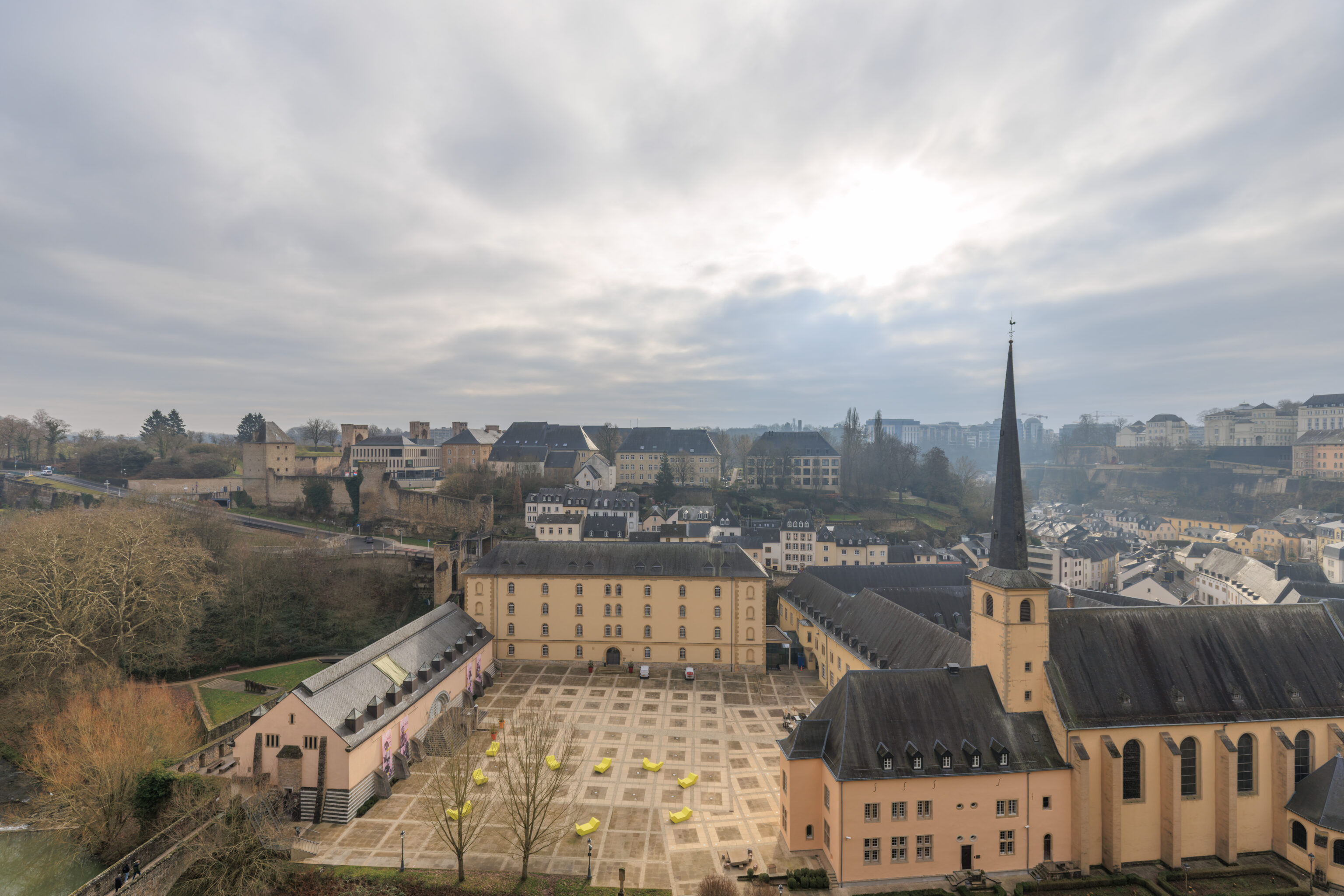
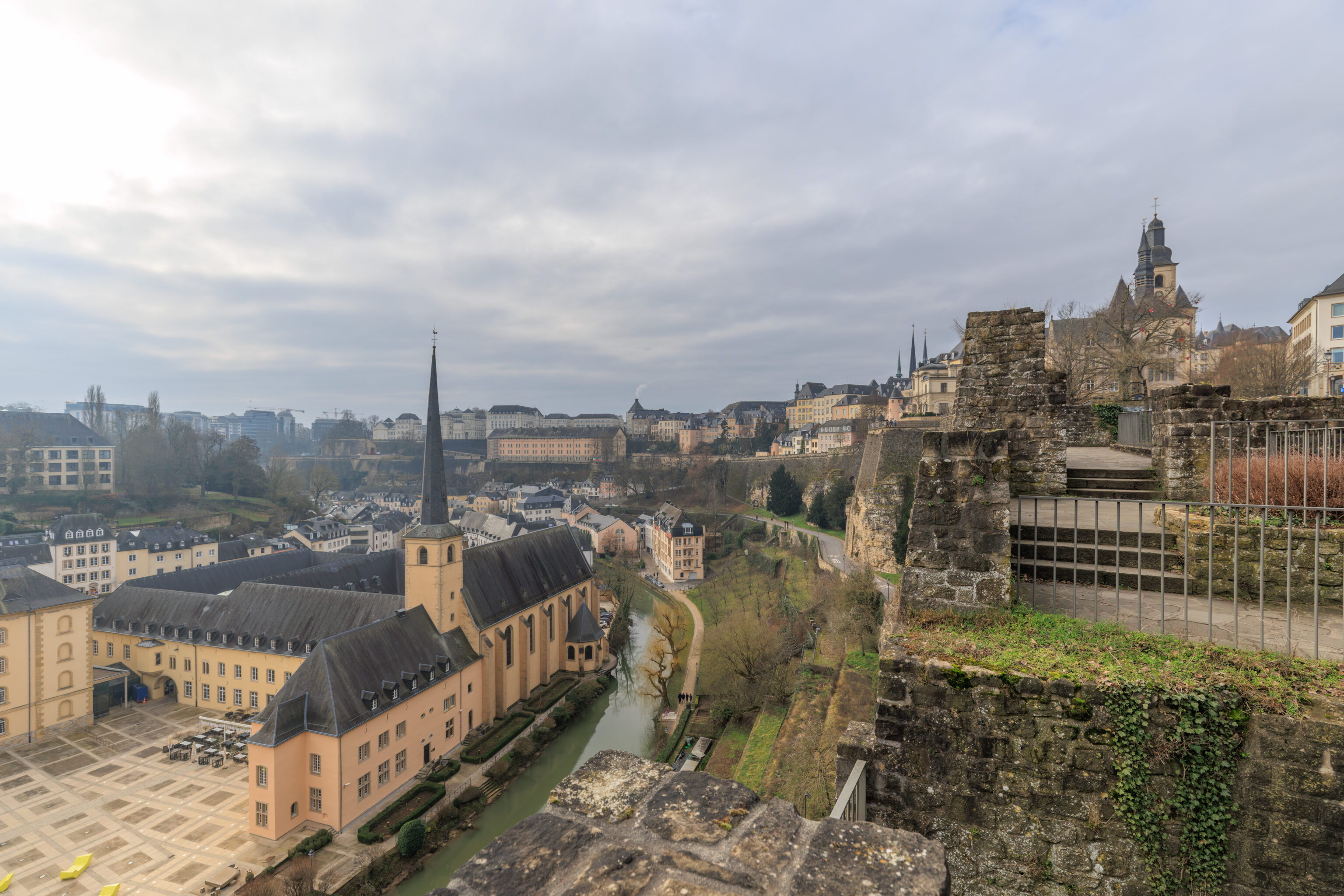
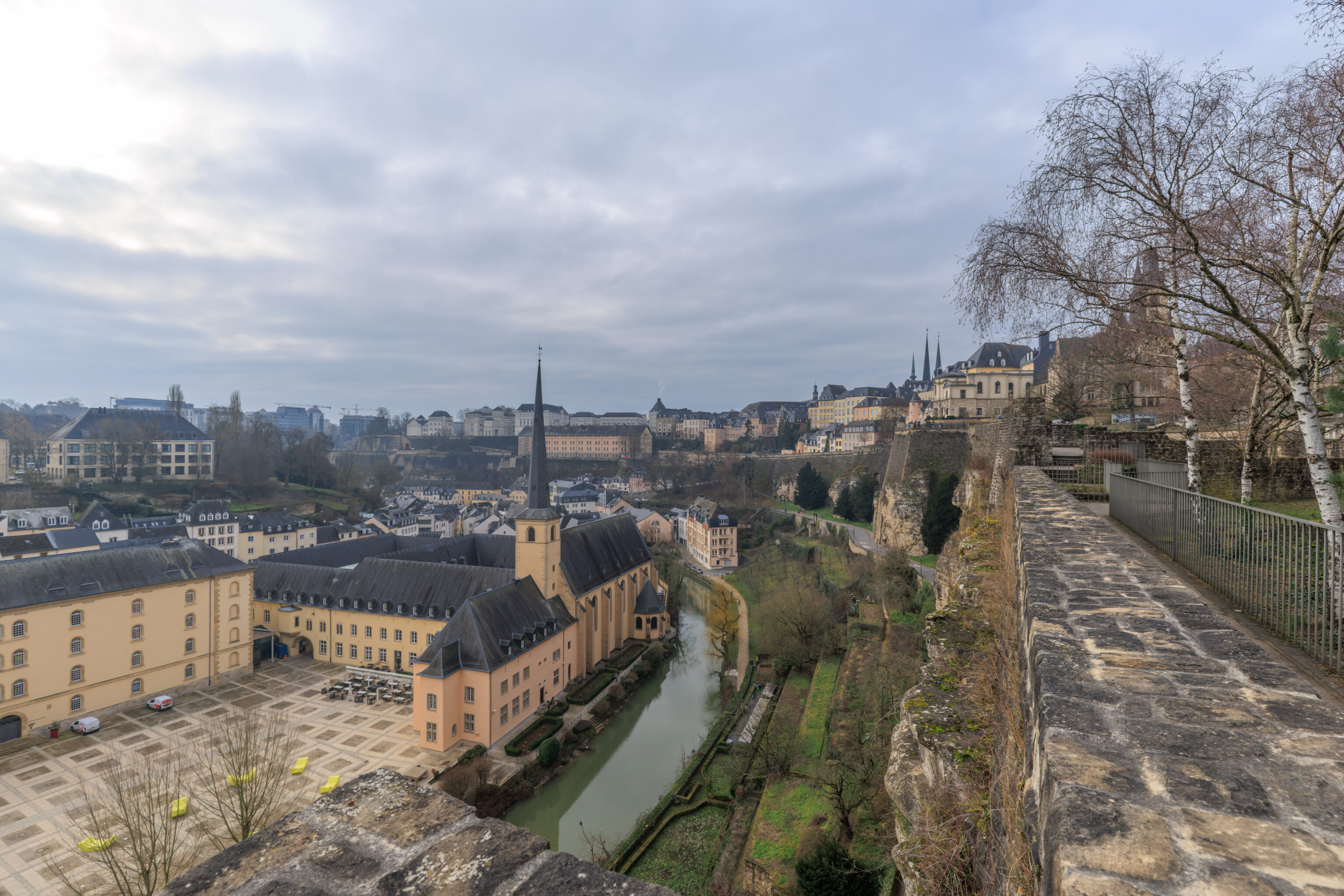
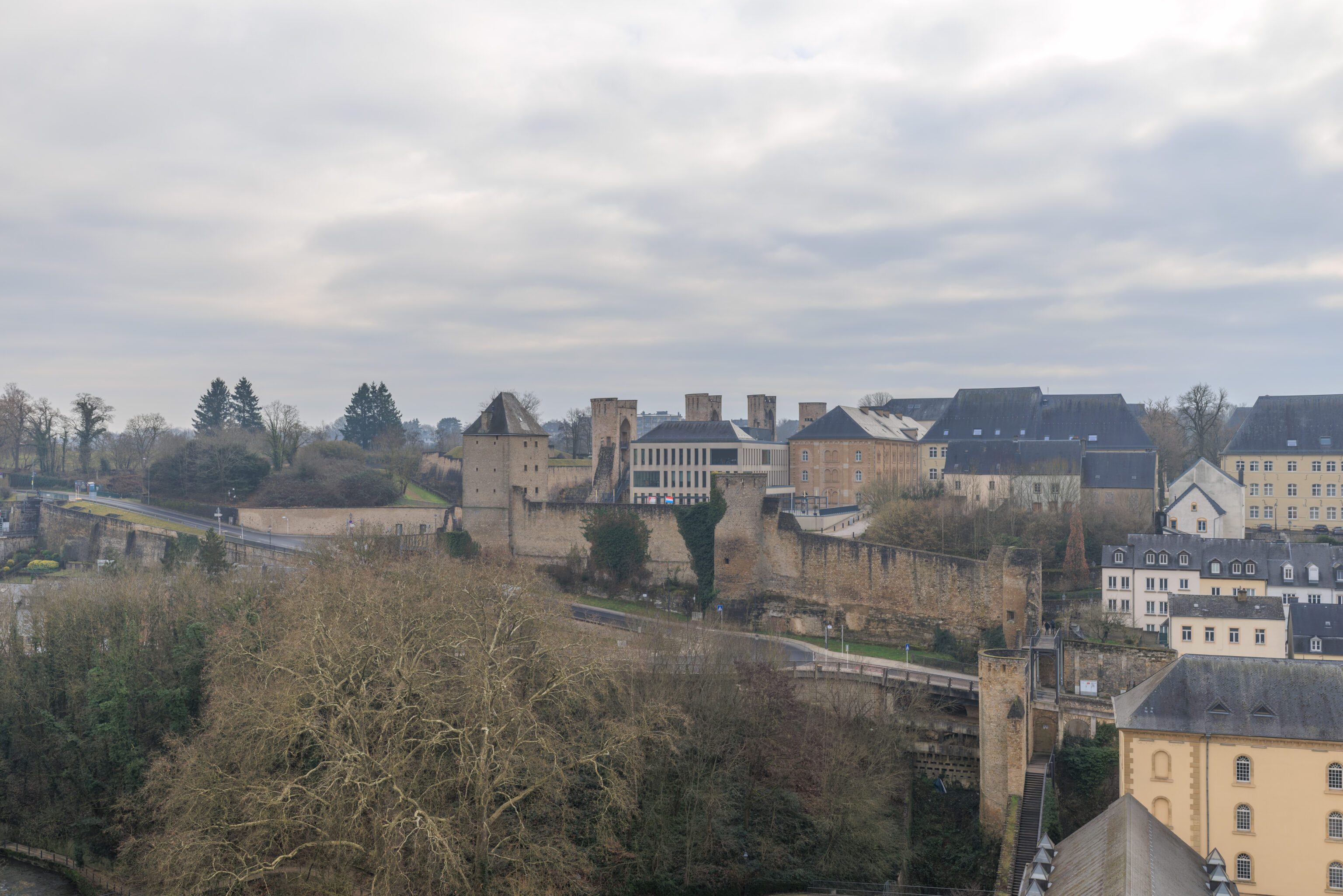
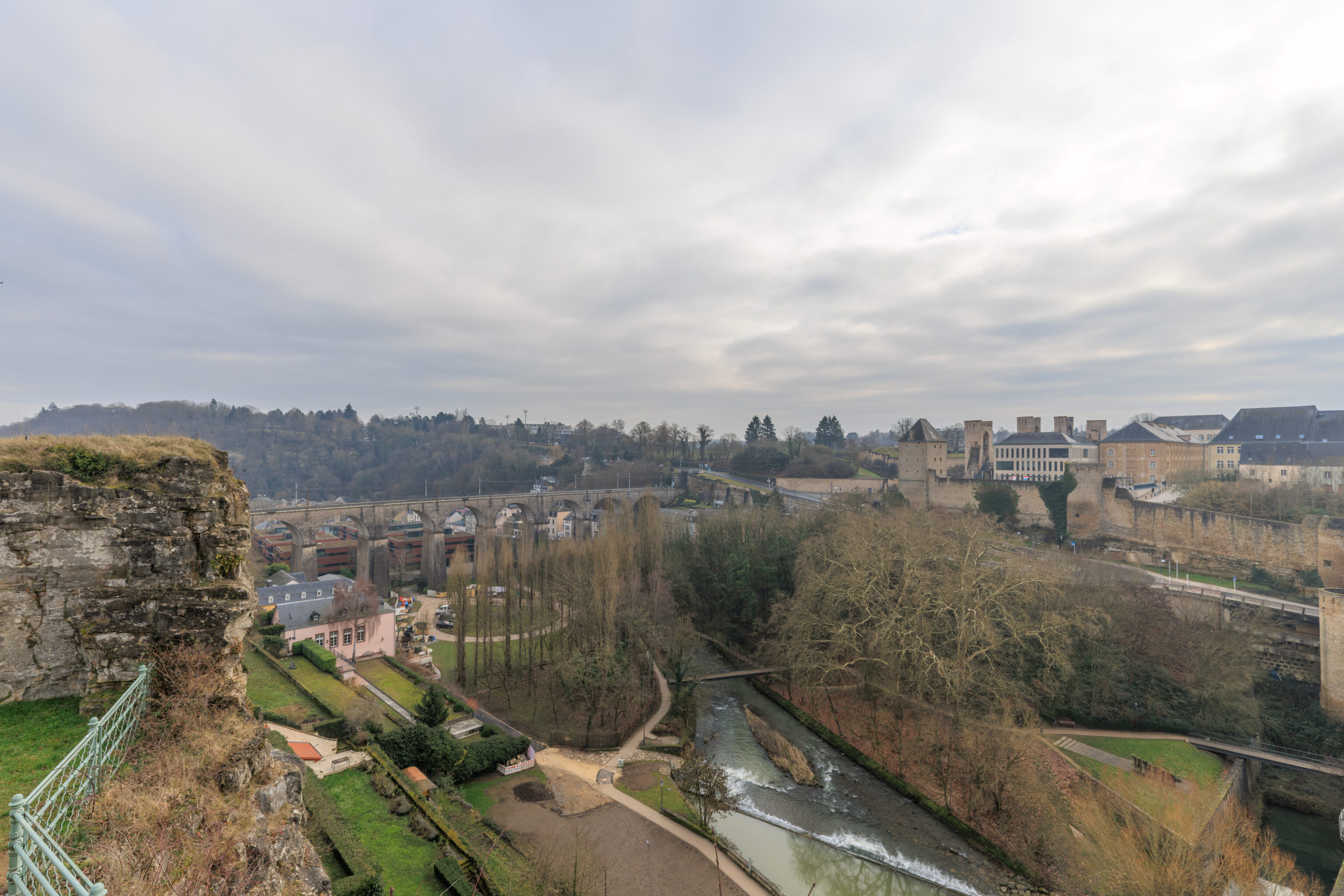
We continued walking around the Bock.
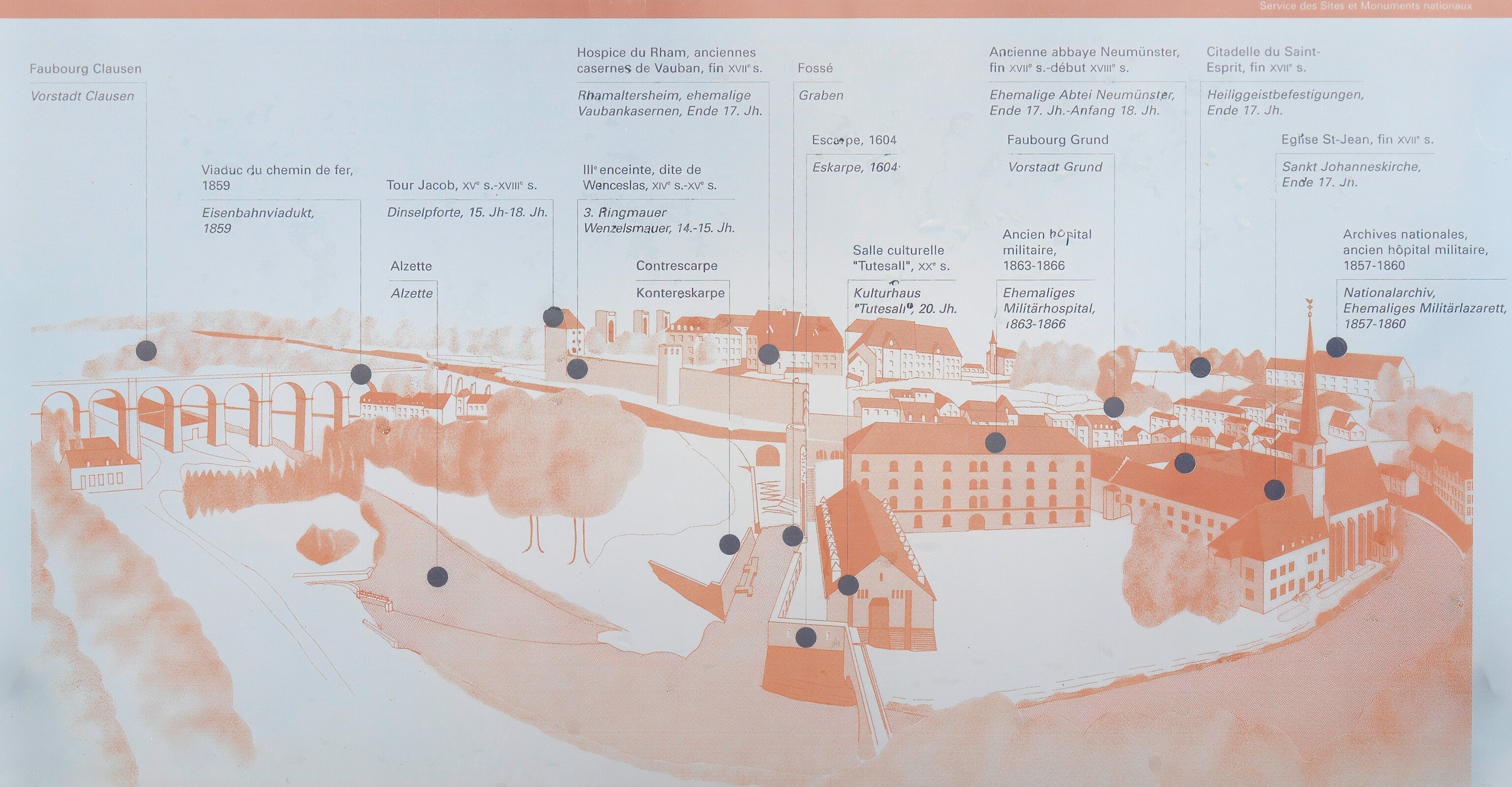
This sign depicts the view to the south and identifies all the points of interest down in the Grund.
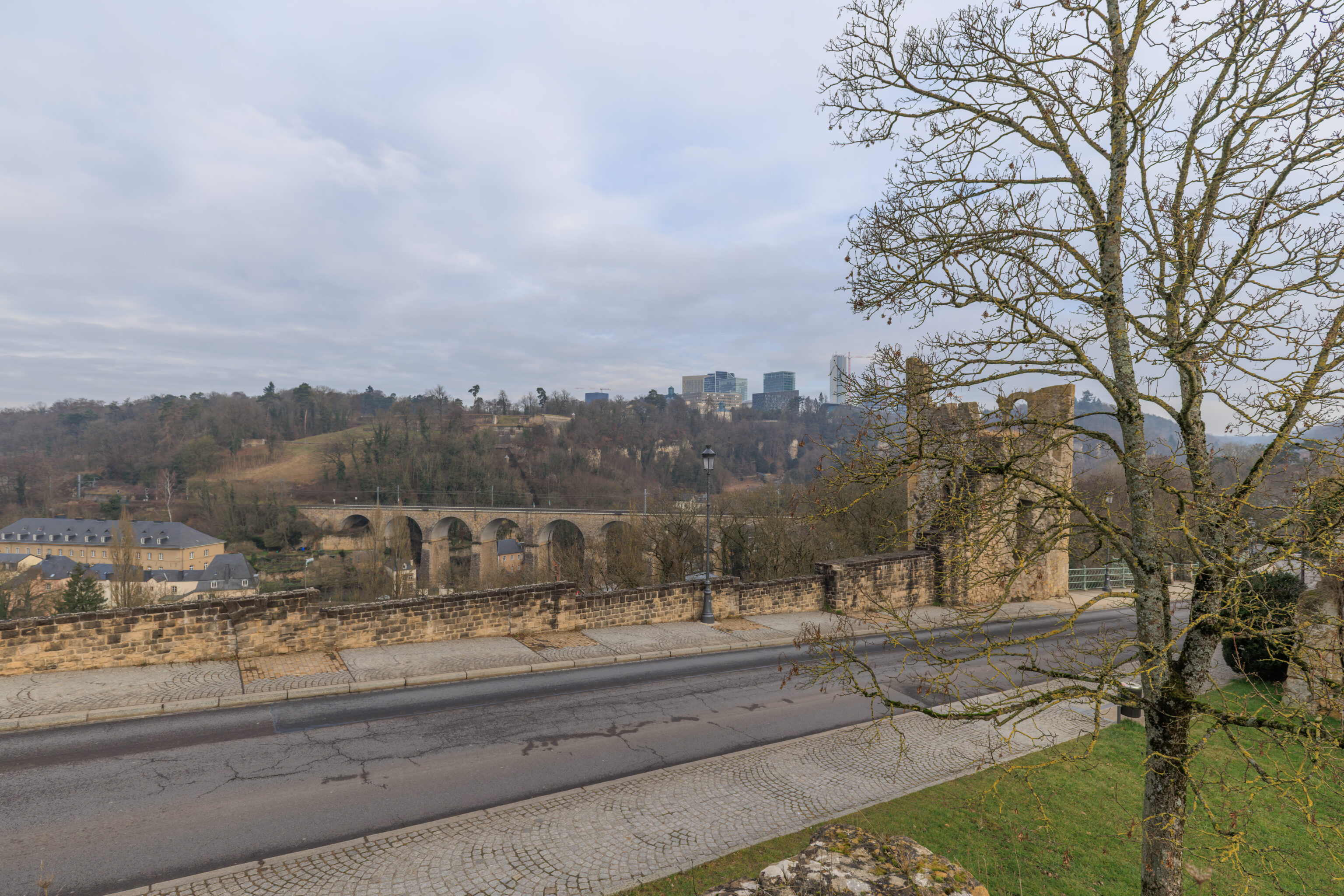
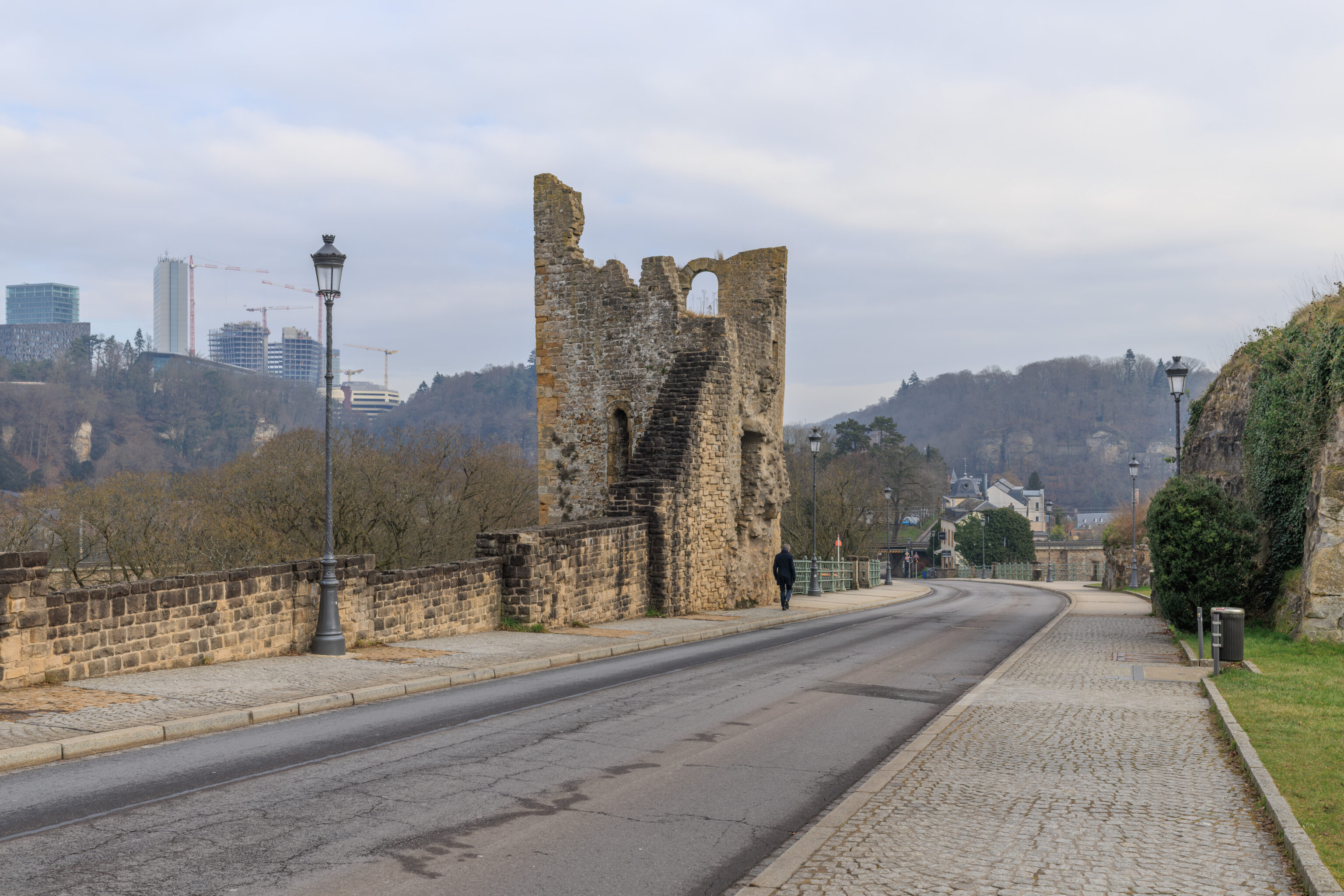
A sign described how reconstruction of portions of the fortress took place here after it was dismantled. The tower seen here is the Hollow Tooth. It is the only above ground remnant of the fortress that remains.
Construction Work Following the Dismantling of the Fortifications
National Sites and Monuments Service

The Fortress of Luxembourg (180 hectares) was dismantled between 1867 and 1883 in accordance with the Treaty of London. Of the fortifications on the Bock promontory, nothing remains — apart from the underground structures — except for a single tower from a former gateway. This ruin, known as the "Hollow Tooth" (*Hohler Zahn*), acquired its current appearance in 1875.

Following the discovery of further historical remains on the Bock promontory, the road was raised to create space for an archaeological crypt. The roadway, which also serves as the roof of the crypt, required the construction of appropriate supporting structures. This necessitated raising the existing walls on the north side and erecting a new wall on the south side.

The reconstructed walls were built using natural stone, though their structure differs from the original masonry. The original wall thickness is indicated in the paving. The arches outlined in the wall along the sidewalk mark the positions of the former firing recesses.

Where new functions or elements were introduced, they were executed using contemporary materials such as steel, concrete, or glass.
– Text from a sign, translated using Google.
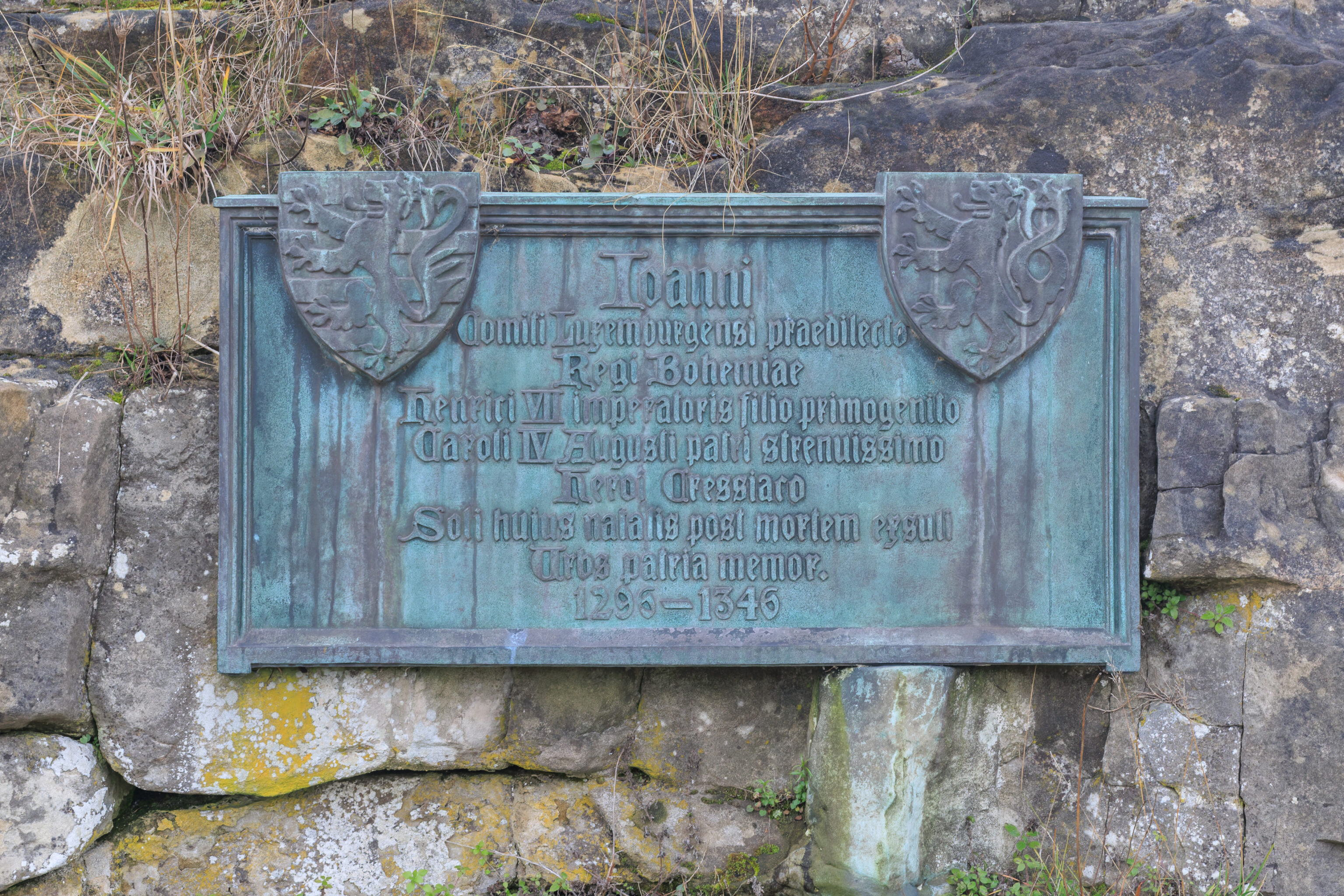
This plaque, date unknown, refers to John the Blind.
John
Beloved Count of Luxembourg,
King of Bohemia,
First-born son of Emperor Henry VII,
Most energetic father of Emperor Charles IV,
Hero of Crécy,
Exile after death from his native soil,
His mindful native city [dedicates this].
1296 – 1346
– Latin text from the plaque above, transcribed and translated using Google Gemini.
Back to the Ville Haute
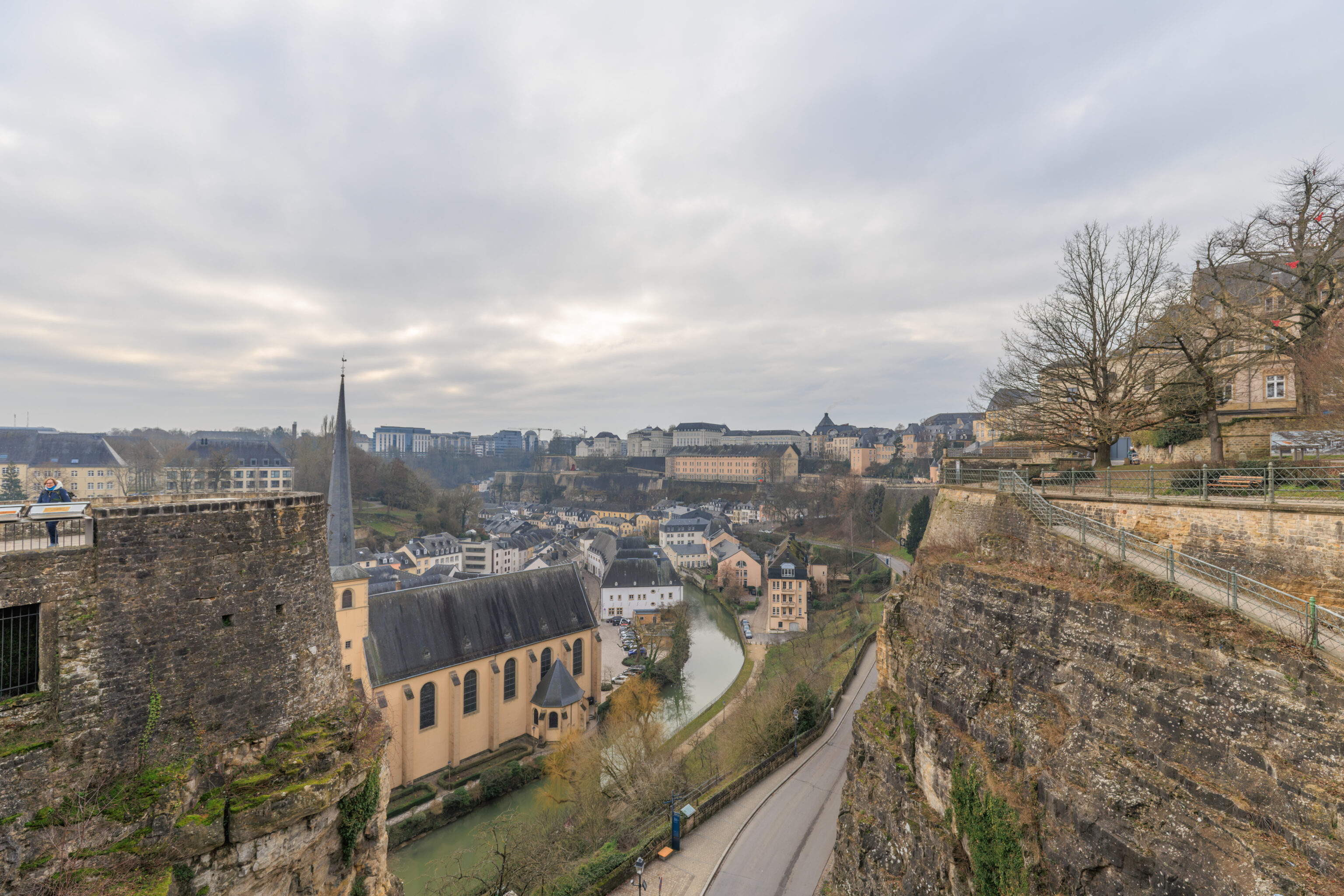
We started to walk back to the Ville Haute.
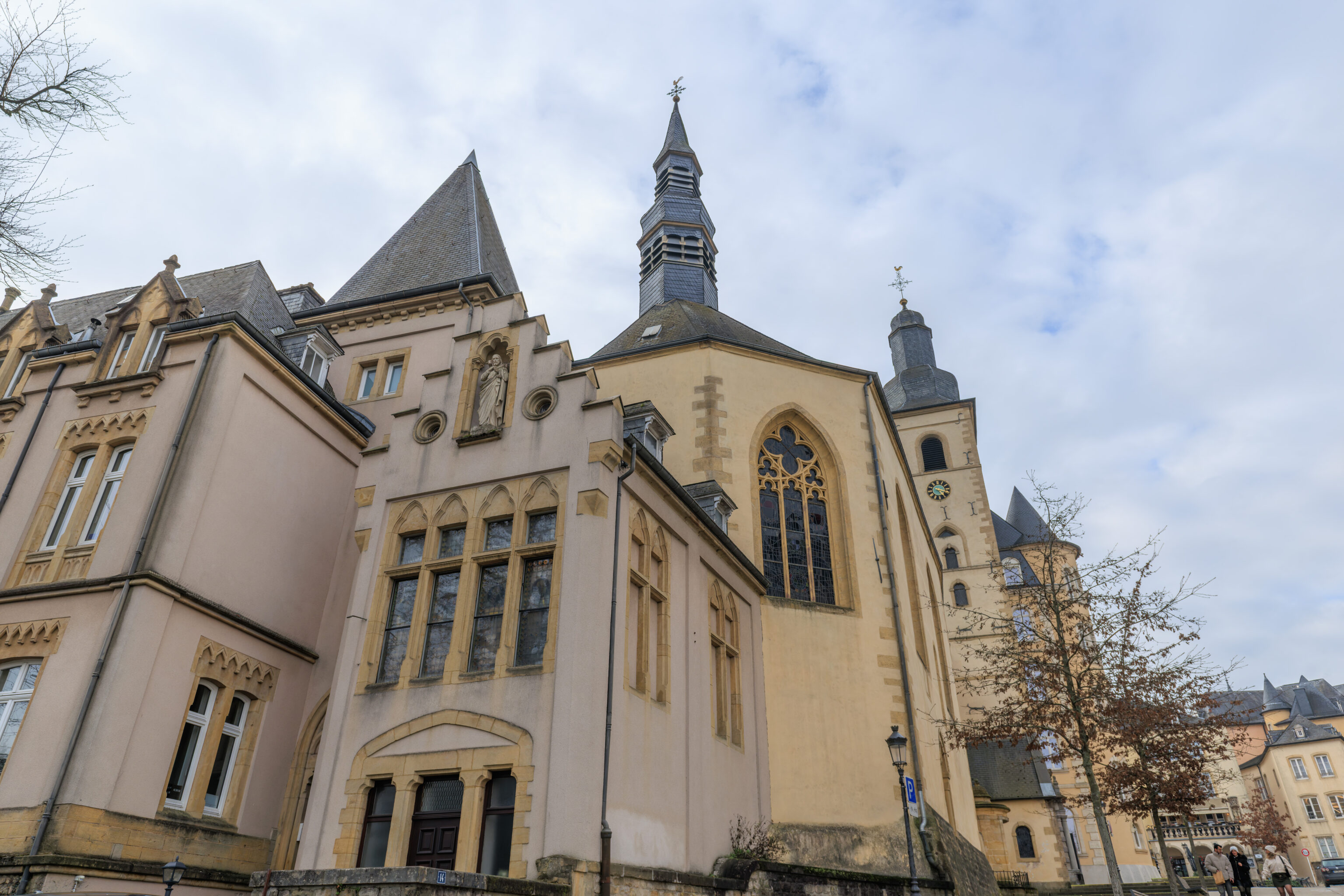
We walked back to St. Michael’s Church. It still seemed to be closed.
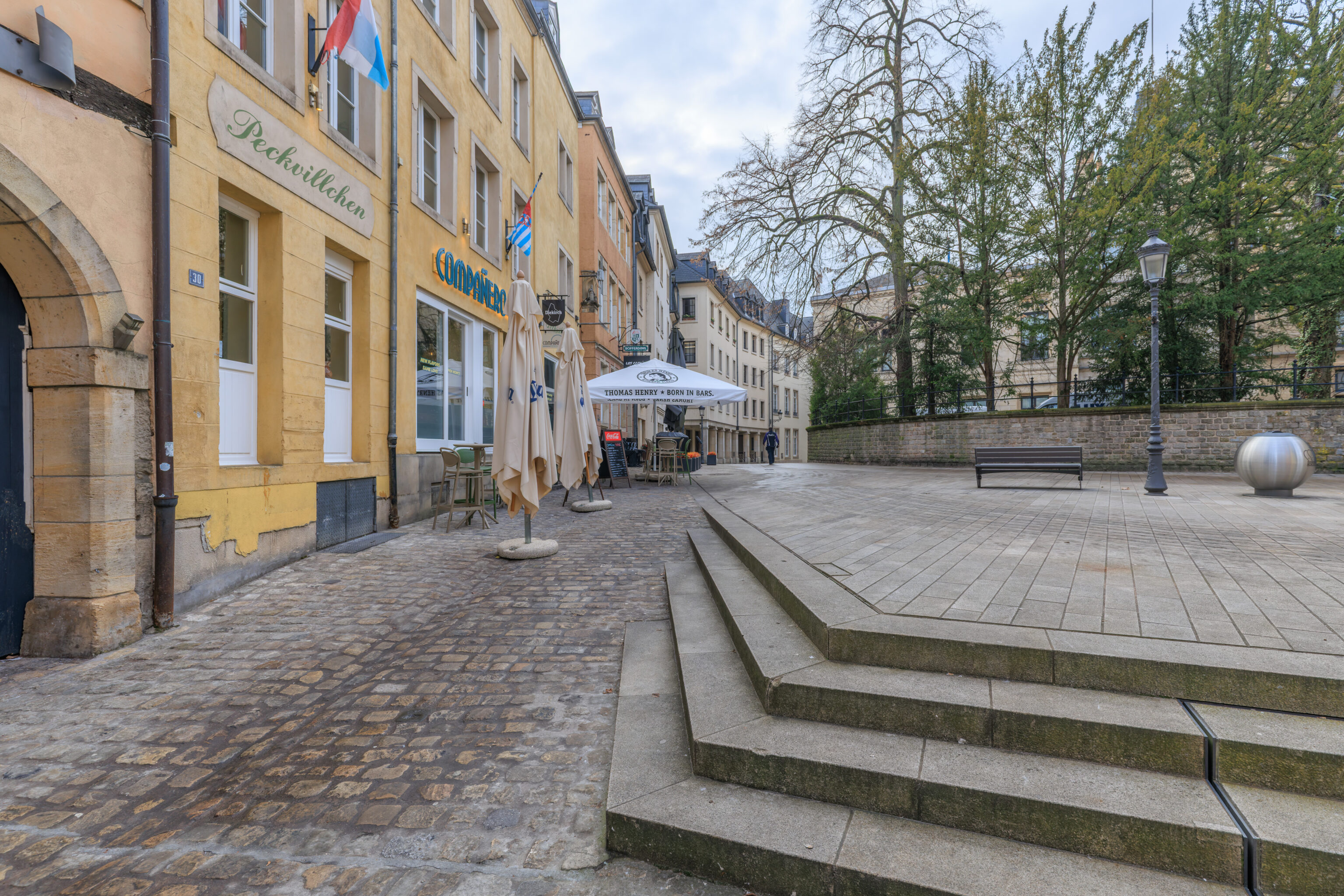
It was 12:30pm now and we were hungry. We decided to get lunch, perhaps at one of the restaurants we saw earlier near the Grand Ducal Palace. We took a slightly different route to the west. This little square was o the back side of the palace.
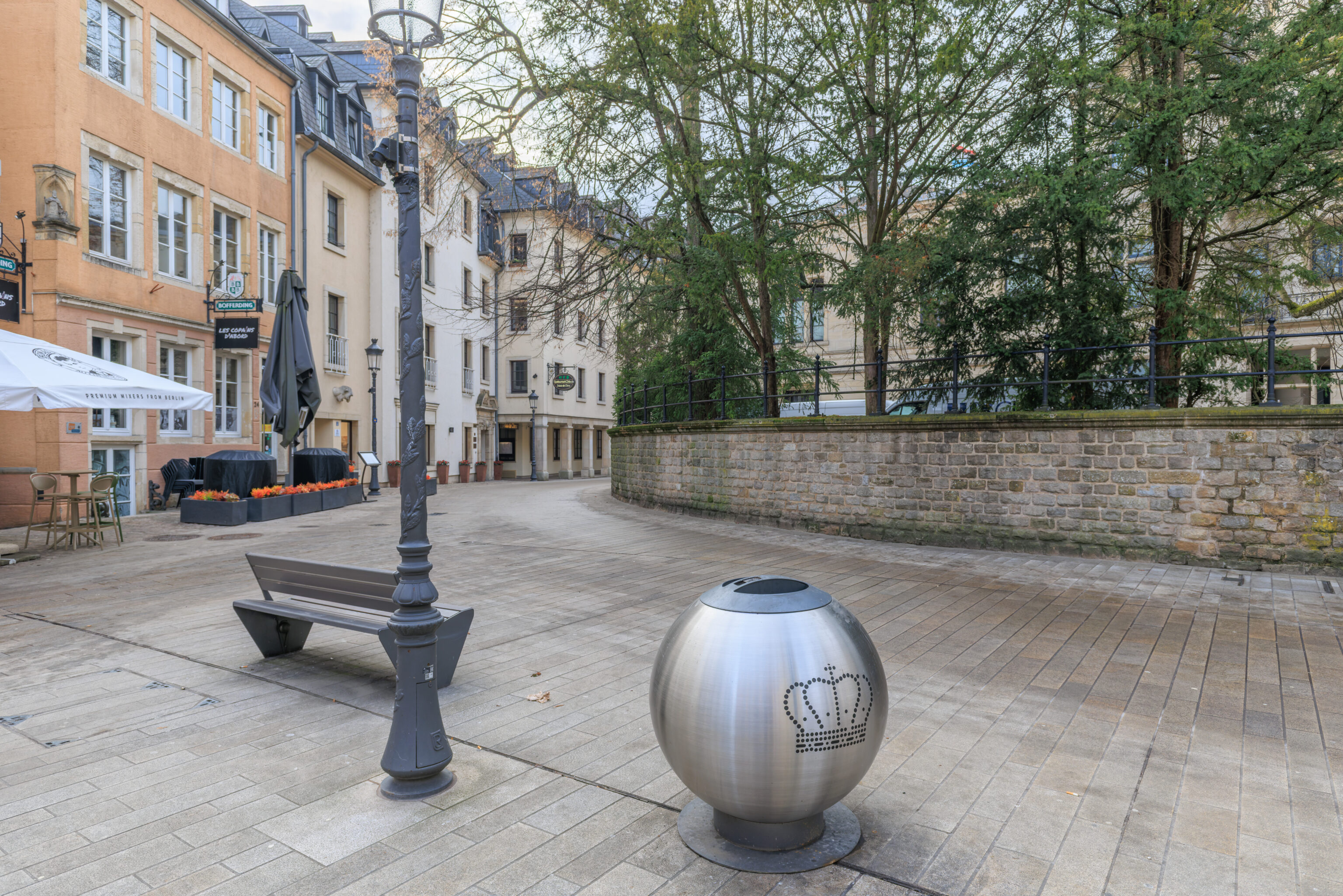
We noticed this spherical garbage can with crown!
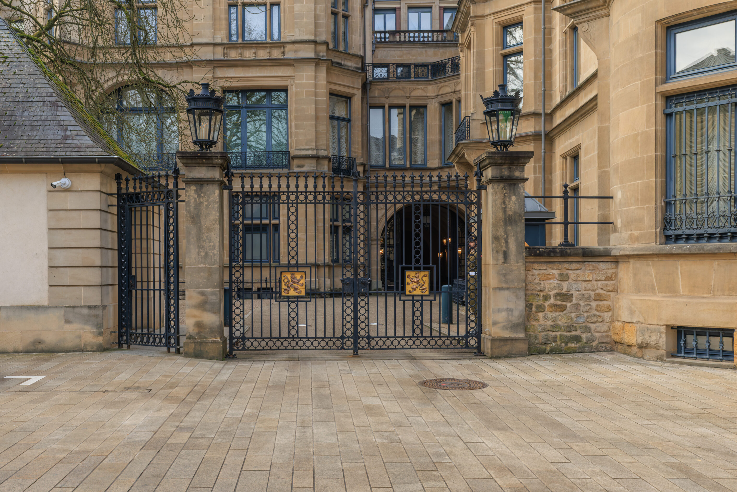
A rear entrance to the palace.
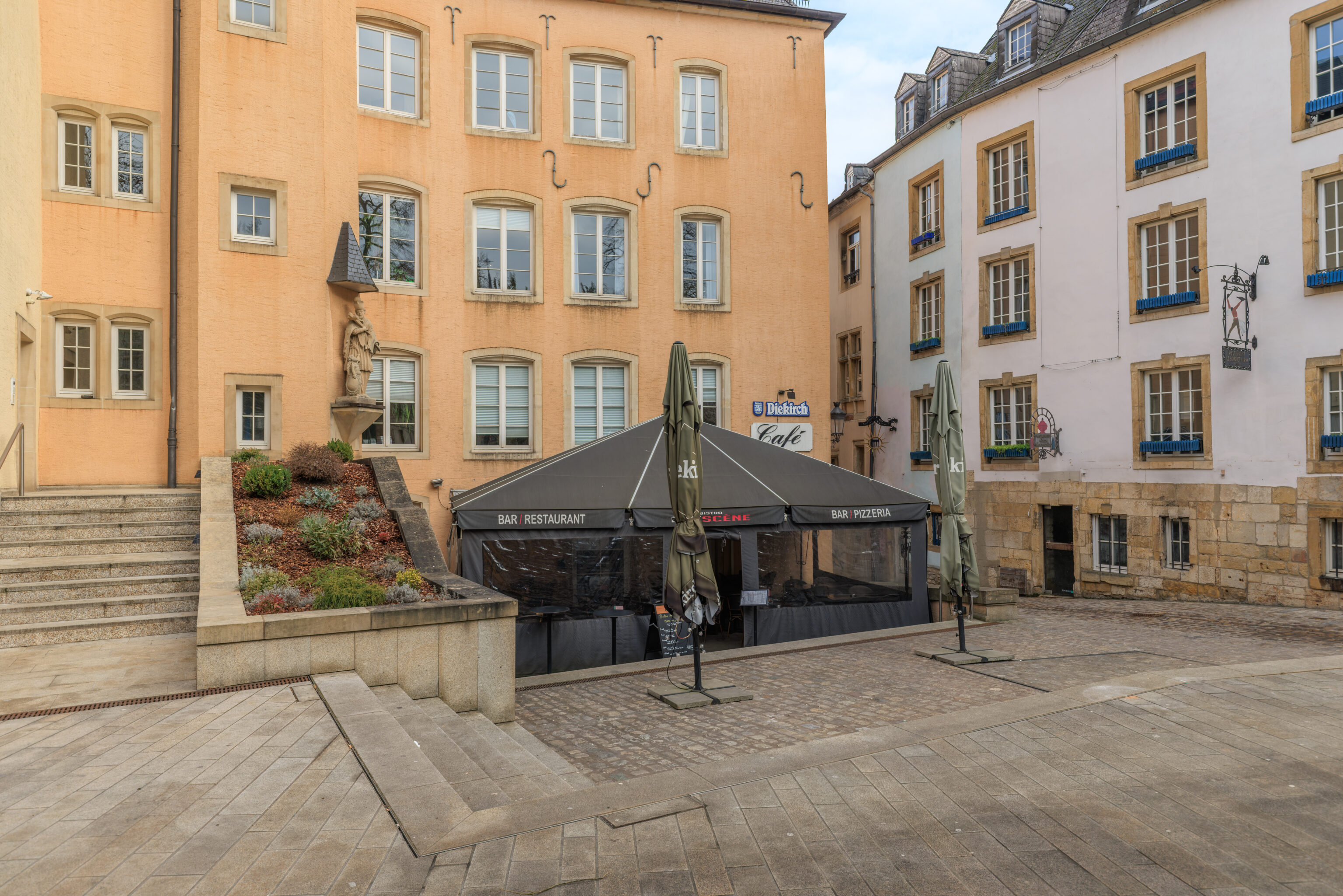
The northeast corner of the square. We arrived from the narrow passageway on the right. The building on the left has a statue on the wall. These things aren’t uncommon in Europe. There is probably some architectural term for them?
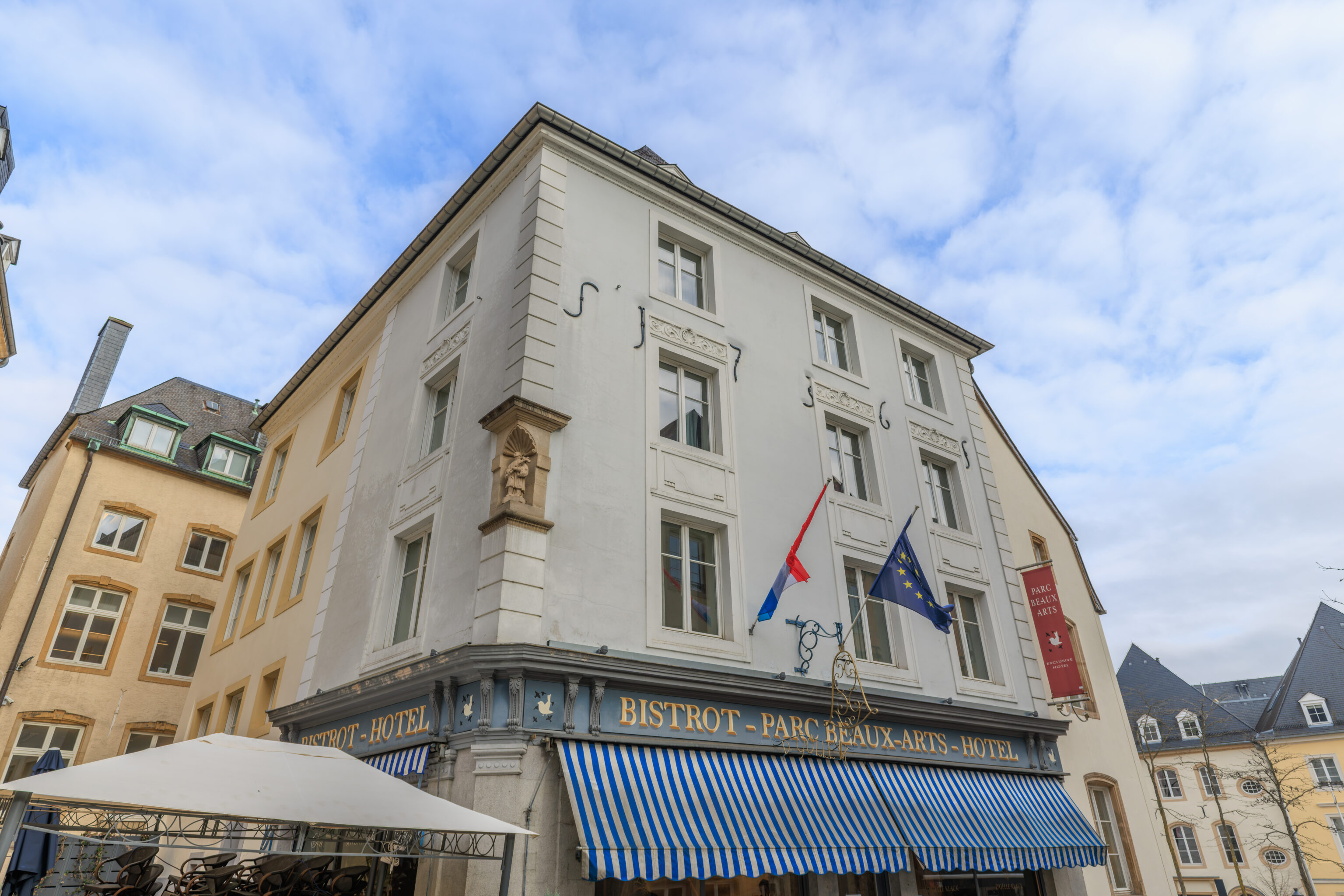
Another statue, this time embedded in the corner of a building.
The facade of this building was decoratively tiled.
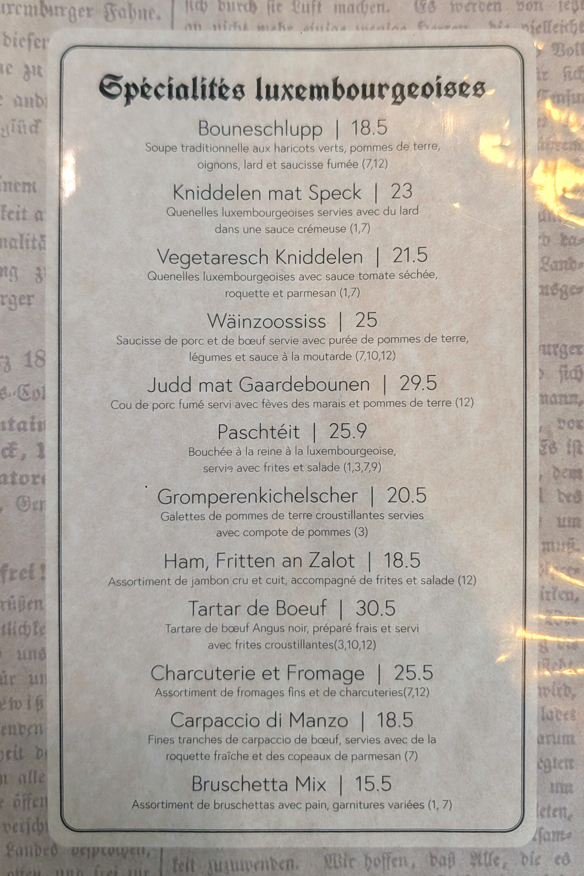
We had lunch at Bistrot de la Presse, directly across from the Grand Ducal Palace. Their menu included Luxembourgish dishes, which we wanted to try.
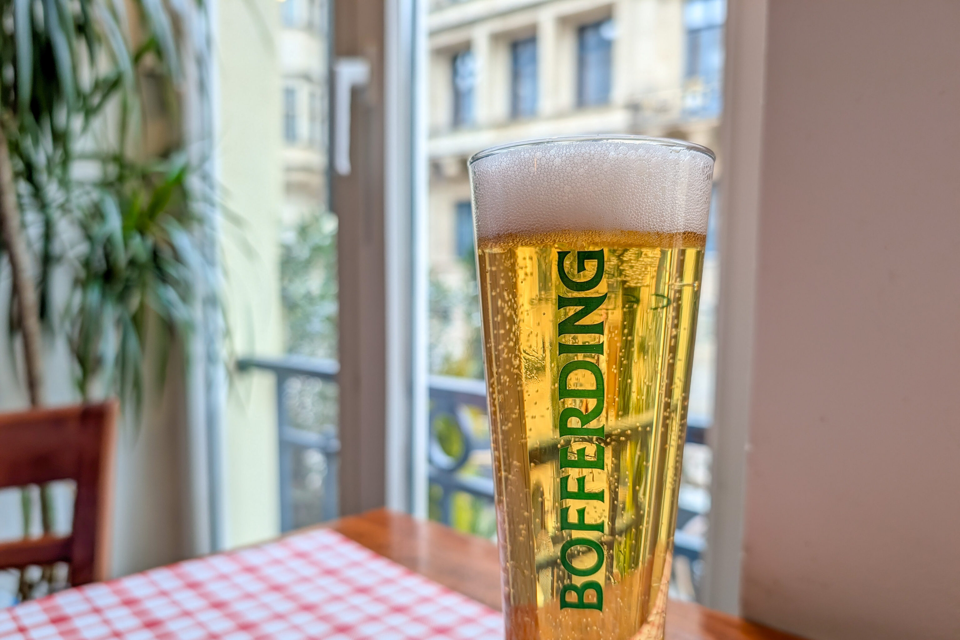
We started the meal with Bofferding, a local beer.
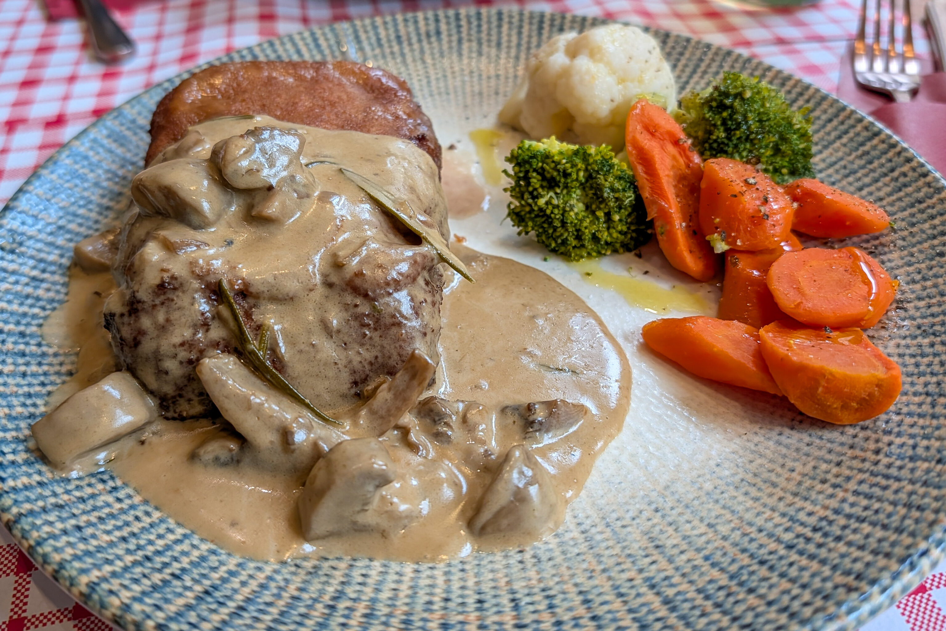
Escalope de veau avec sauce champignon, jambon et de fromage. légumes, frites
The veal cordon bleu was pretty different from the cordon bleu that we’ve had before with a sort of different outer shell around the veal. Overall, it was a good dish with good flavor.
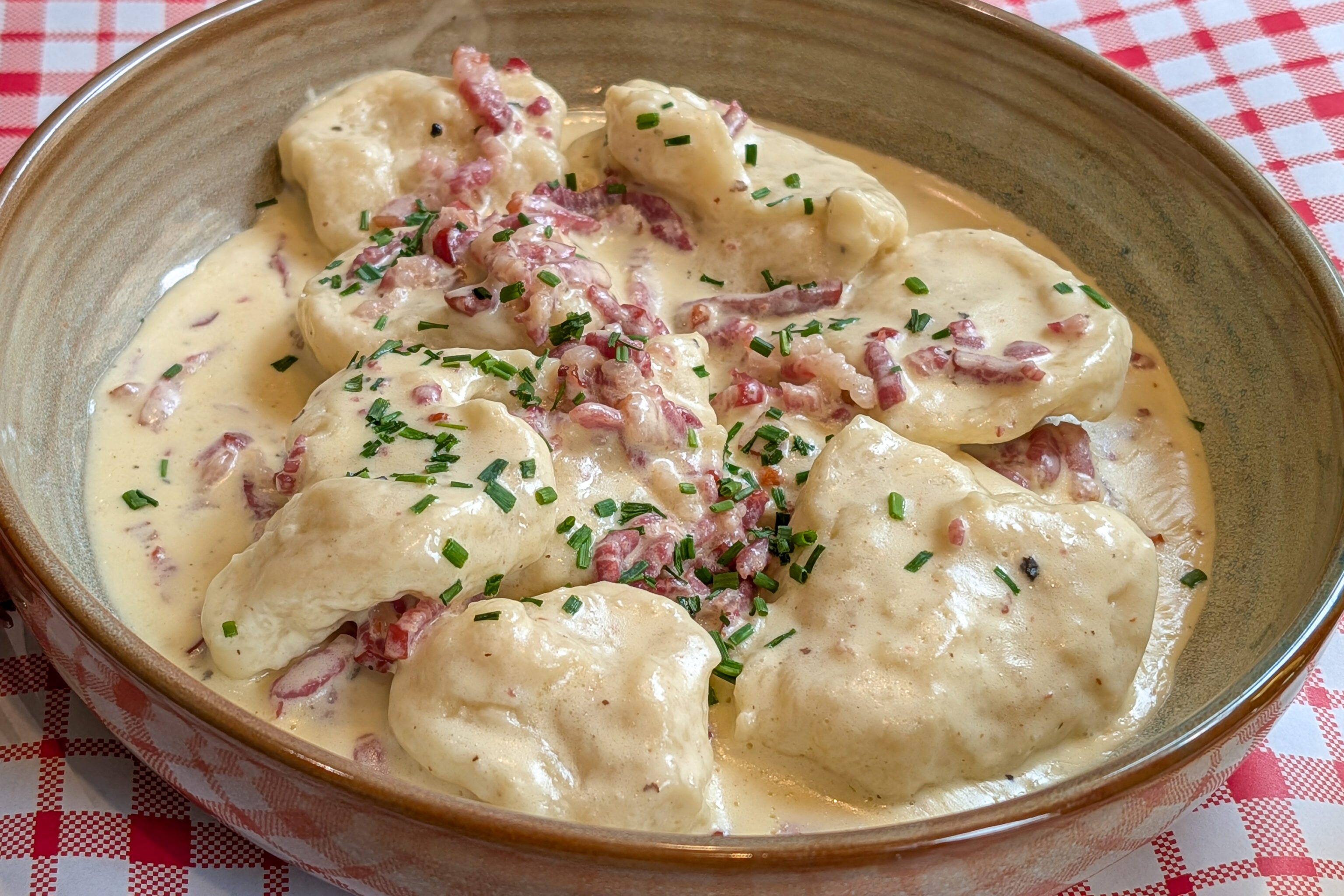
Quenelles luxembourgeoises servies avec du lard dans une sauce crémeuse
We got this dish as it had Luxembourgish quenelle. We had quenelle in Lyon and it was excellent. This ended up being pretty different. It probably would be best described in English as a sort of dumpling. The sauce had good flavor.
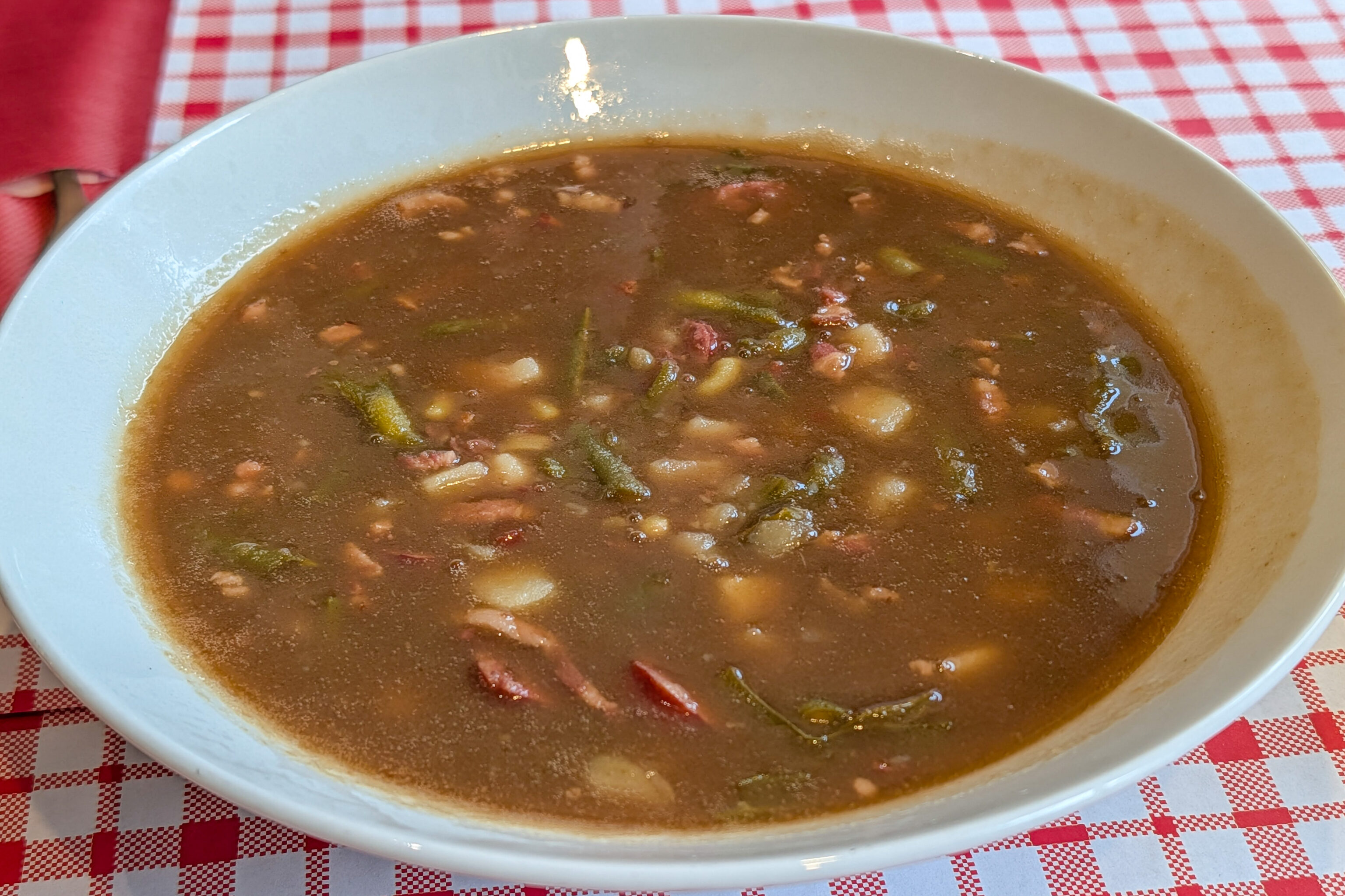
Soupe traditionnelle aux haricots verts, pommes de terre, oignons, lard et saucisse fumée
We ordered both of our dishes as menu of the day. The Kniddelen mat Speck came with a soup. It was excellent!

The fries, which came with the cordon bleu, were also excellent.
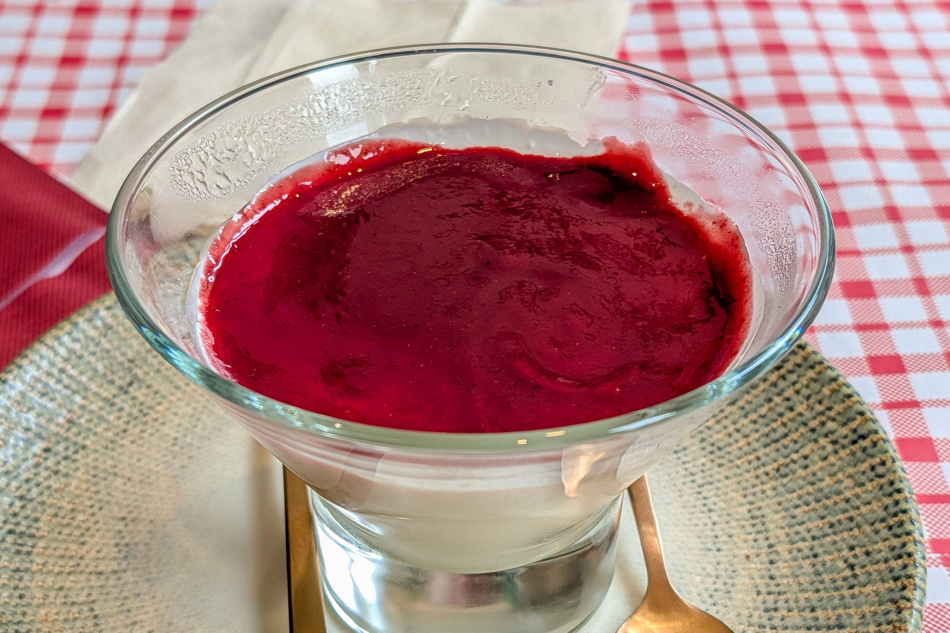
We had panna cotta for the dessert that came with the cordon bleu. It had a raspberry compote (maybe) topping. It was pretty good, although we don’t know if the other option, creme brulee, would have been better.
The guard at the Grand Ducal Palace started to march while we were in the restaurant.
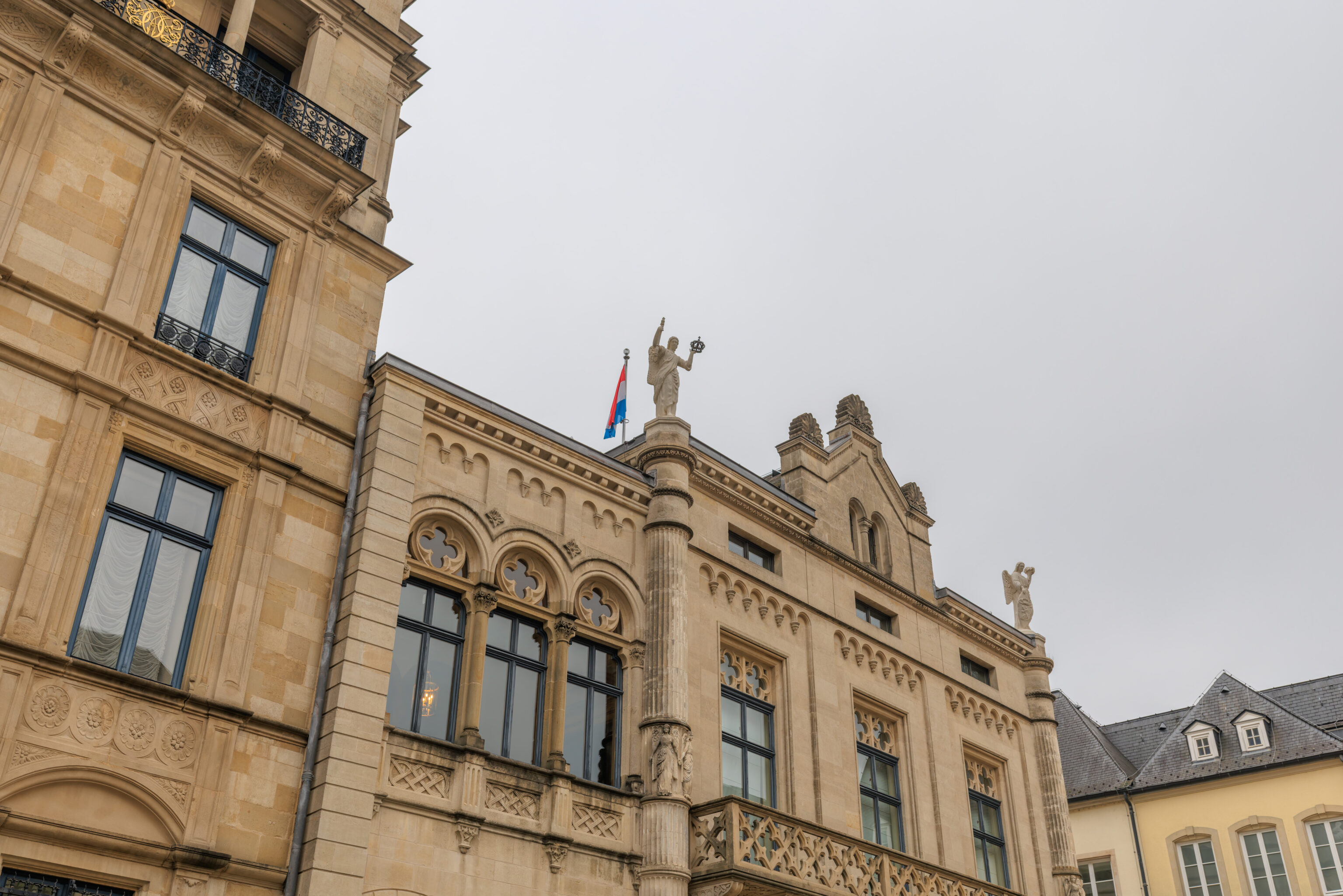
The building on the right is the Chamber of Deputies, the legislative branch of the government. The building on the left is the Grand Ducal Palace.
After lunch, we decided to head over to the Pétrusse Casemates. The entrance is to the southwest of here.
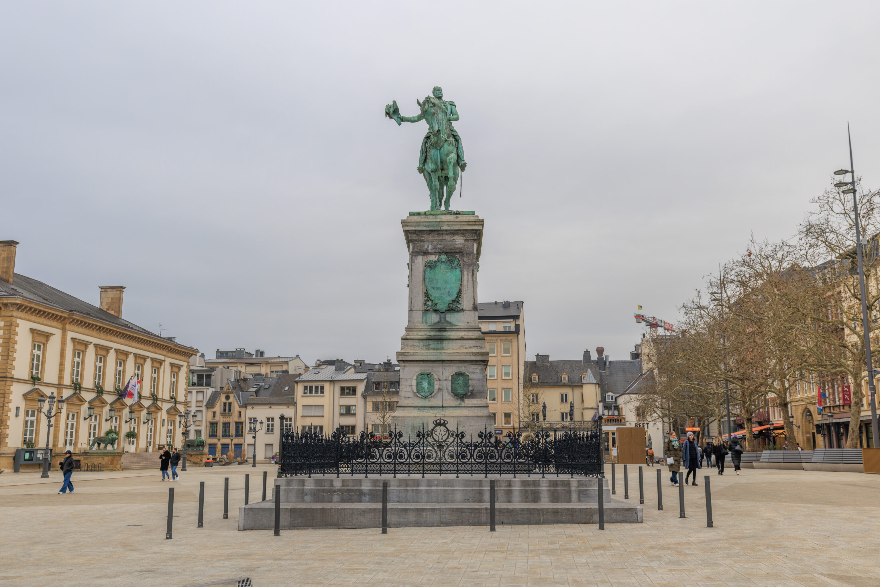
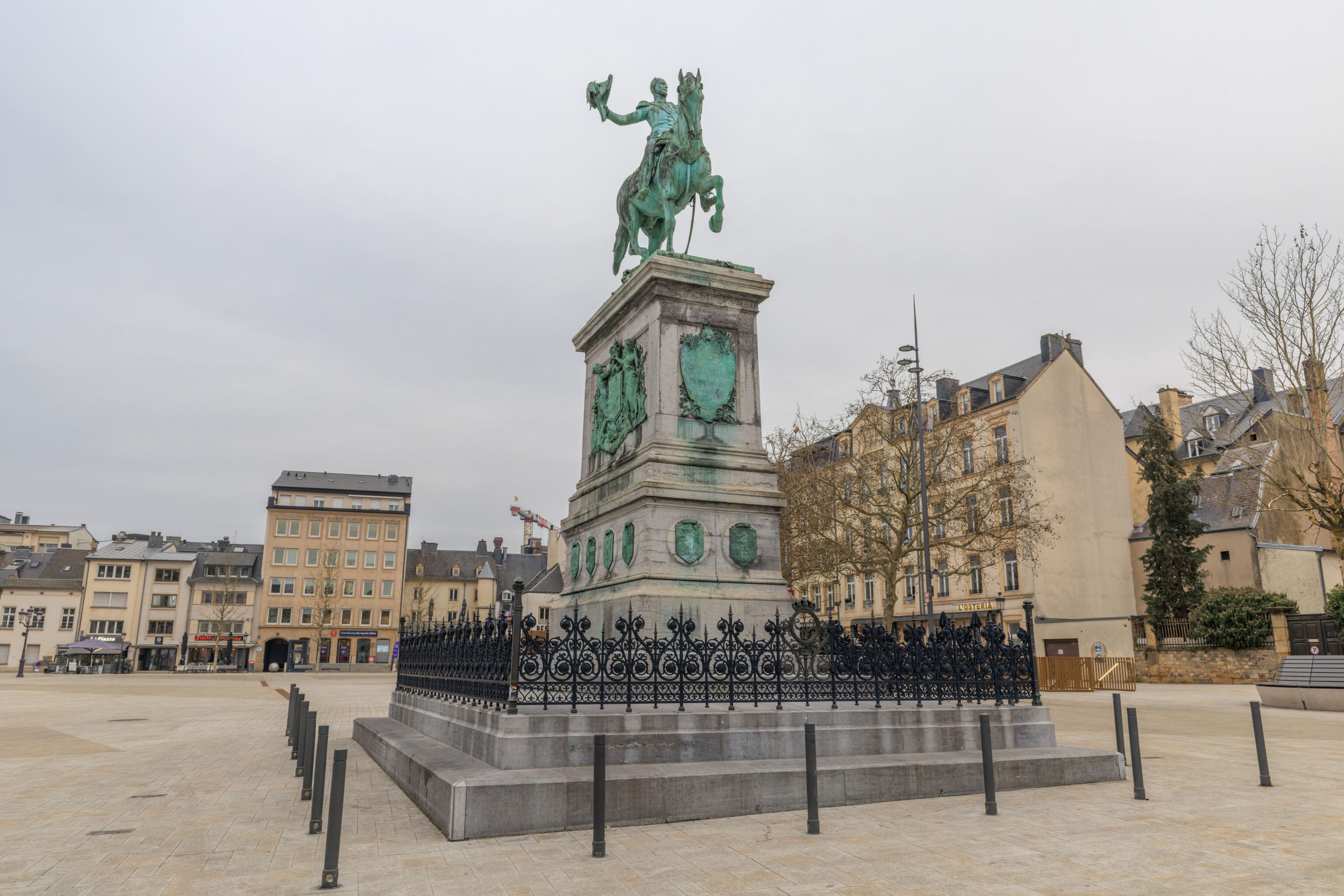
This is the equestrian statue that we saw from two blocks away earlier today. It is in a square, Place Guillaume II, and depicts Guillaume II on horseback. In addition to being the Grand Duke of Luxembourg, he was also King of the Netherlands.
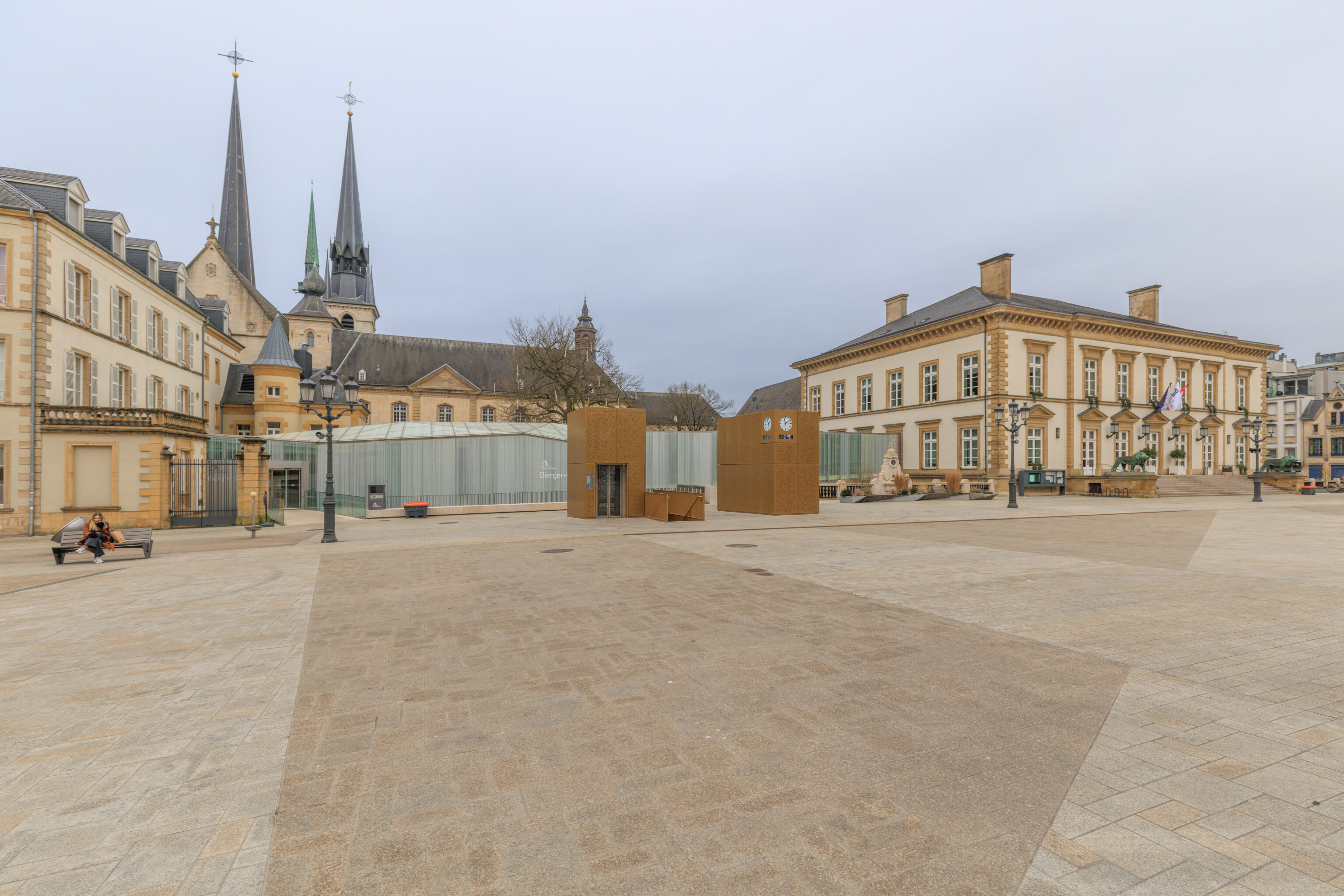
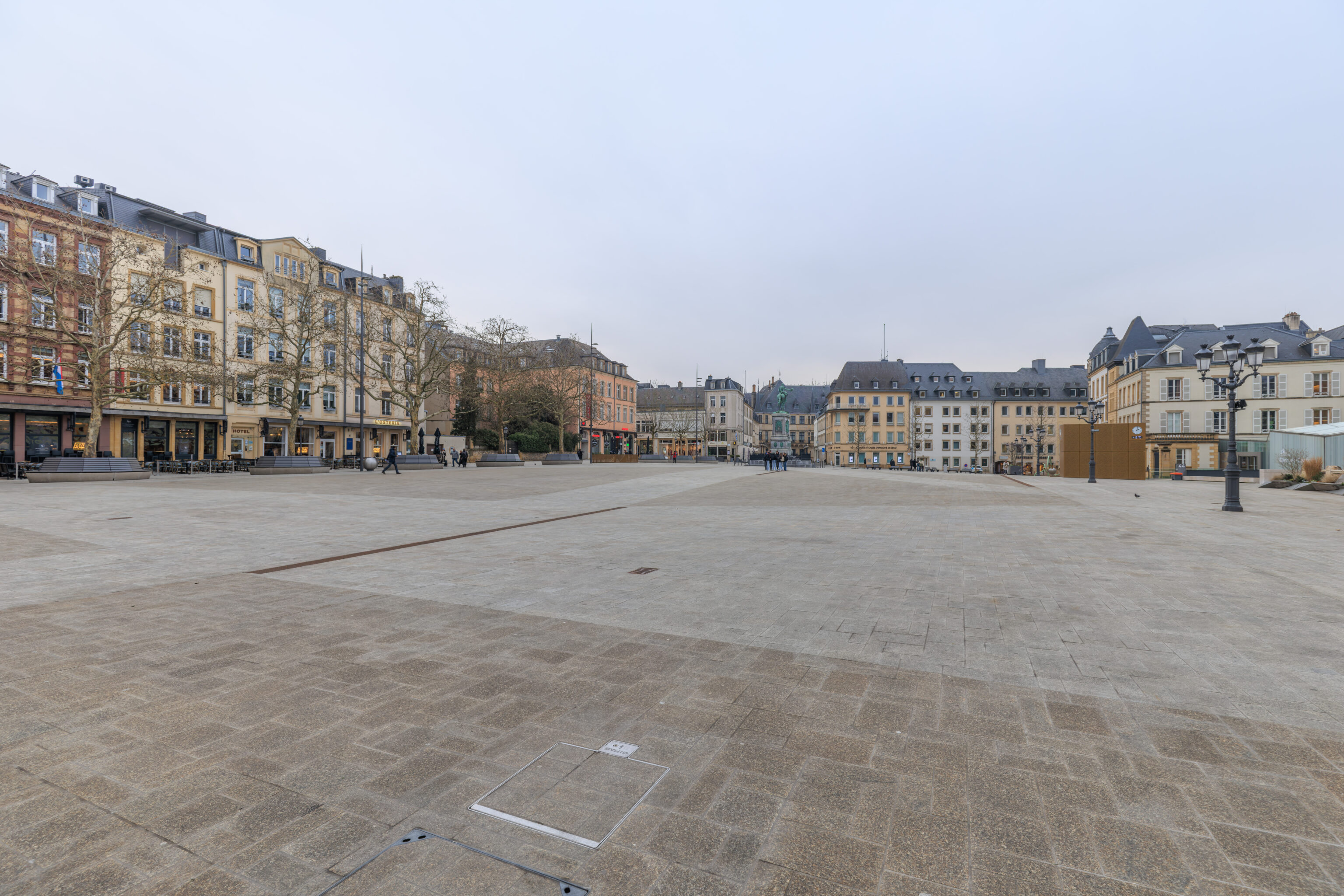
It was pretty quiet in the square…
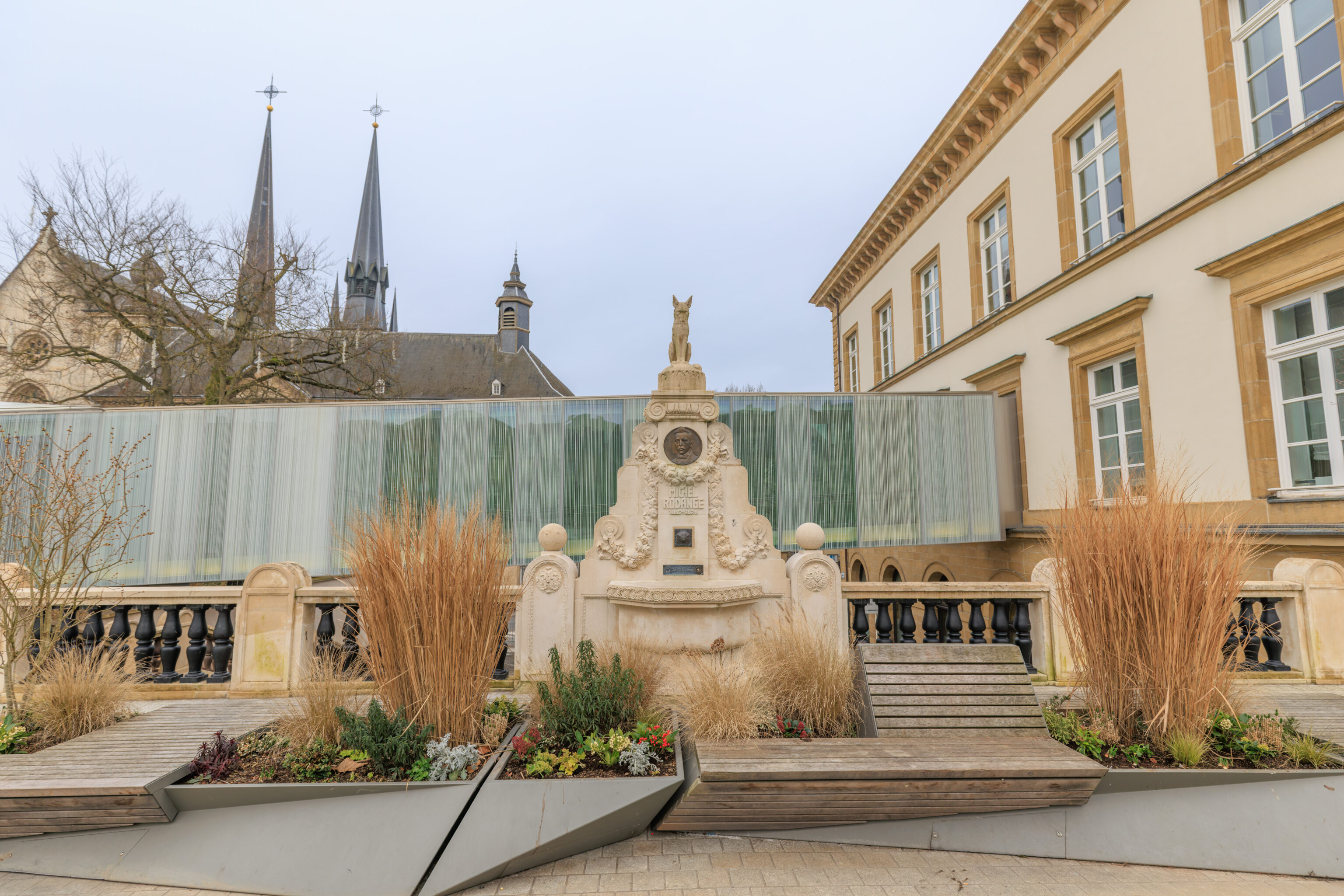
We walked over to check out this monument. It was dedicated to Michel Rodange, a writer and poet. He wrote what is described as Luxembourg’s national epic, “Reenert oder de Fuuss am Frack an a Maansgréisst“. According to Wikipedia:
Reenert is an animal fable based on Johann Wolfgang von Goethe's Reineke Fuchs. Primarily, it is about the story of the fox Reinert, who devours the other animals (even killing them), and is brought to trial several times for this, but in the end is knighted by the king, who also lets himself be fooled by the fox. But the story is just the "pretext" for satirically describing or parodying the social and political conditions: how Luxembourg, in the context of the Luxembourg crisis, was almost swallowed by one of its neighbors and the industrialists (who were almost all politicians at the same time), fought over where they hoped to get the most out of it, depending on where they hoped to get the most out of it; the hypocrisy of the then still all-powerful Catholic Church, e.g. B. in the case of the priest of Marnech, a well-covered pedophilia scandal, and how the simple people (represented by small animals - mice, birds, even old sheep) were always the stupid ones.
– Luxembourgish text from the Reenert oder de Fuuss am Frack an a Maansgréisst Wikipedia page, translated using Google Translate.
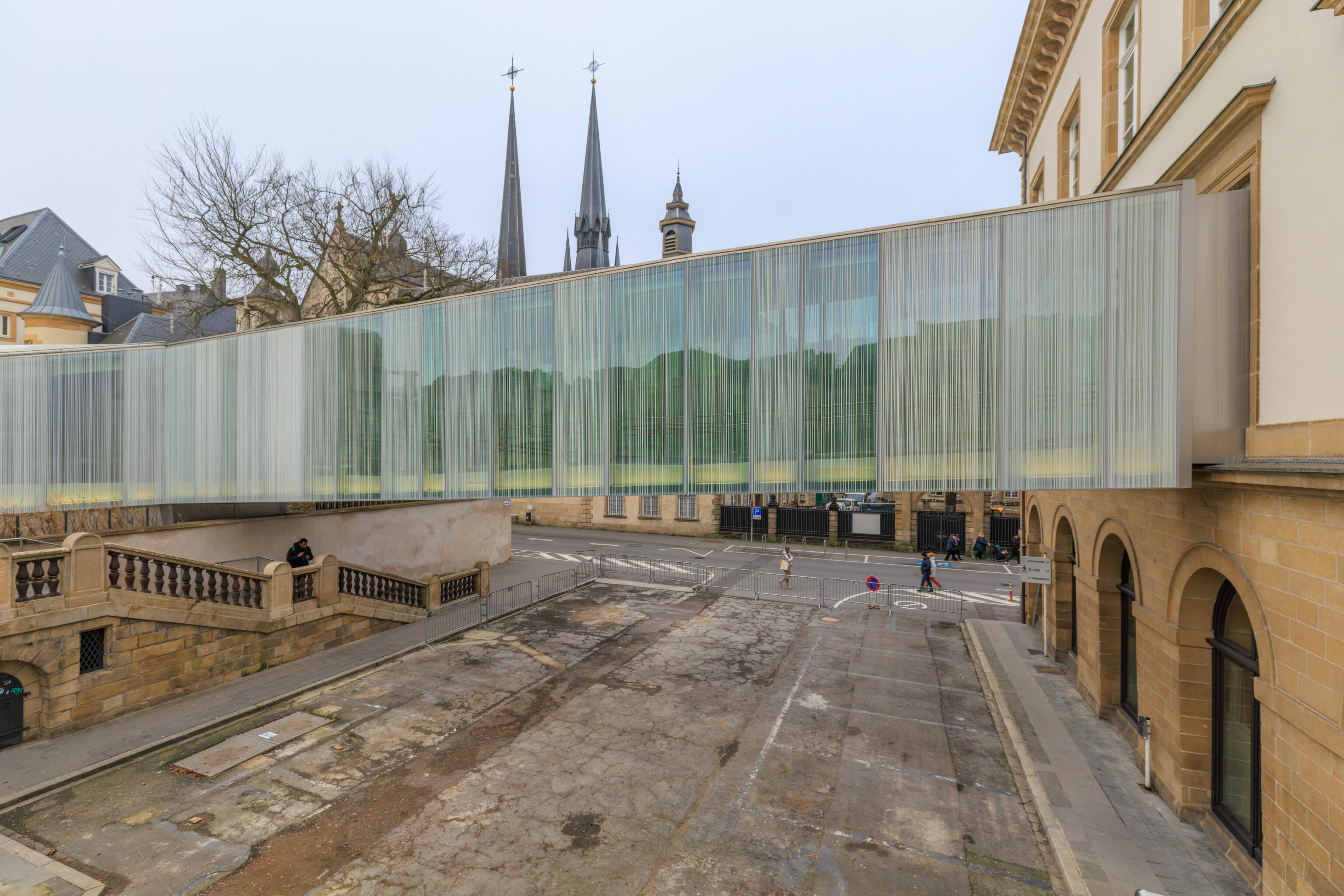
This modern looking glass structure seems to be a passageway between buildings.
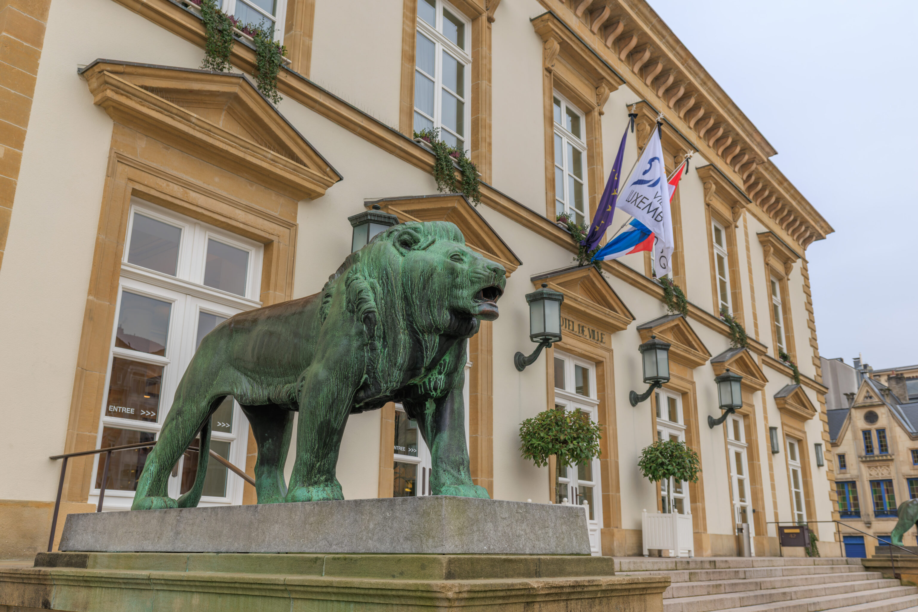
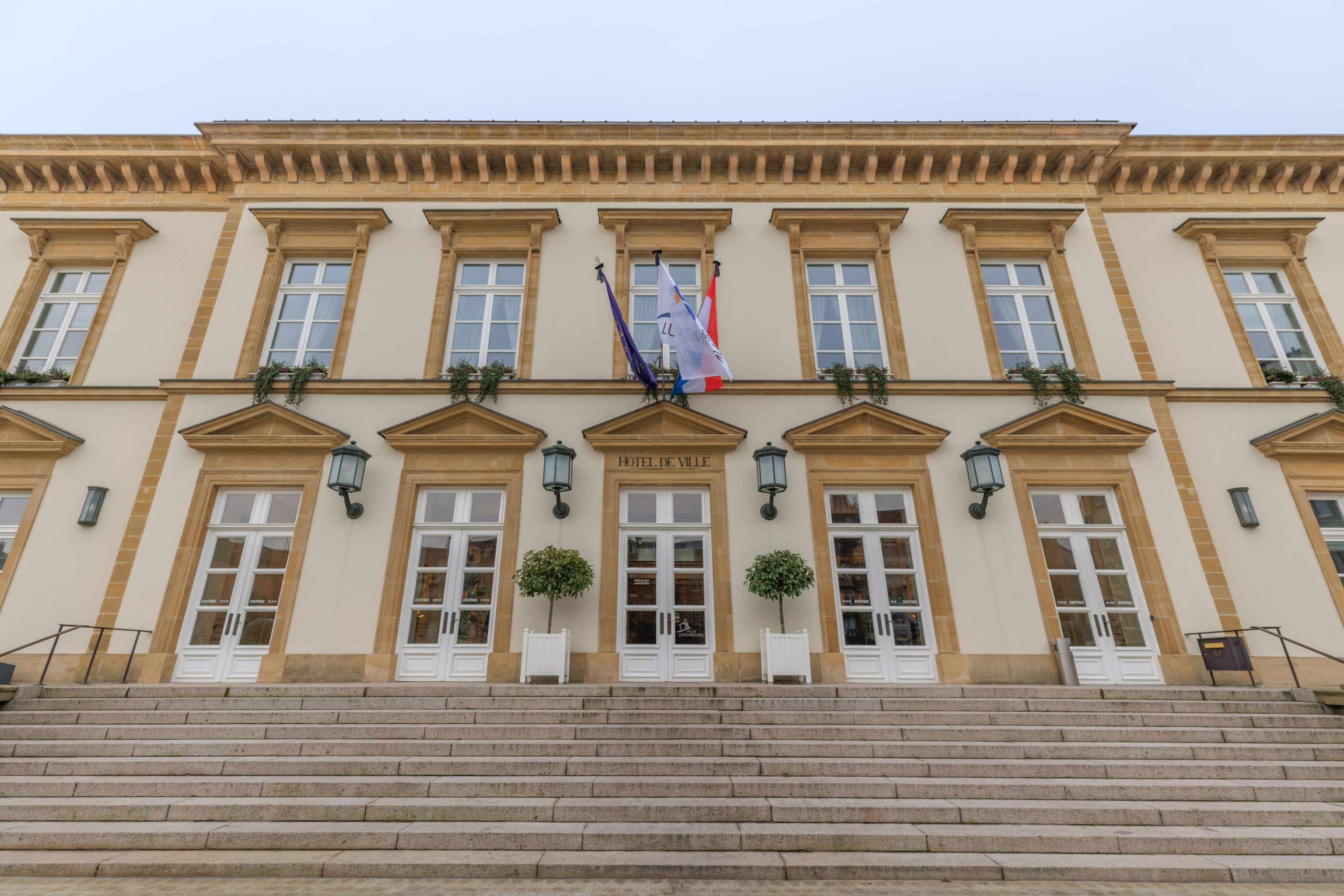
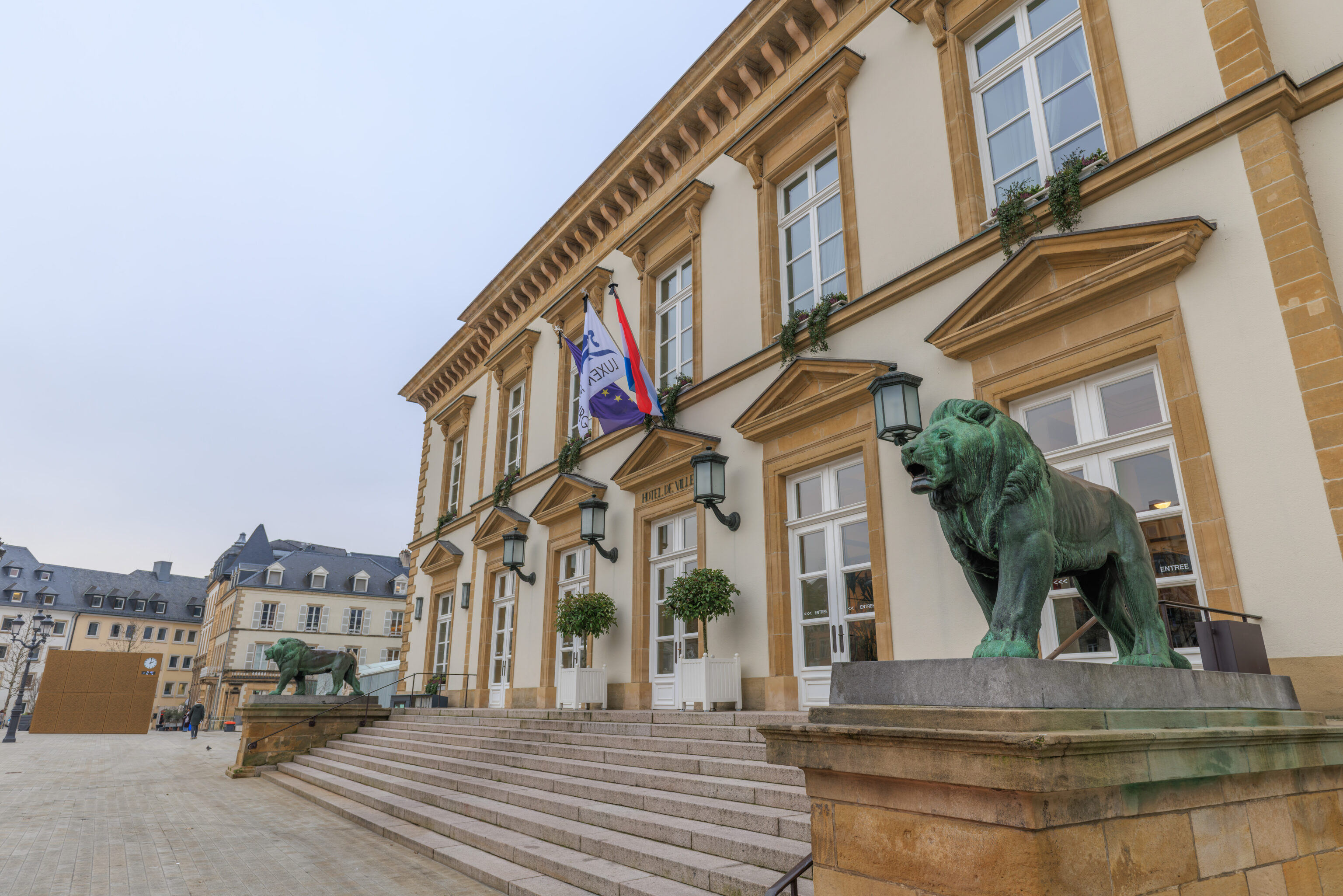
A pair of lions flanked the entrance to the Hôtel de Ville (City Hall).
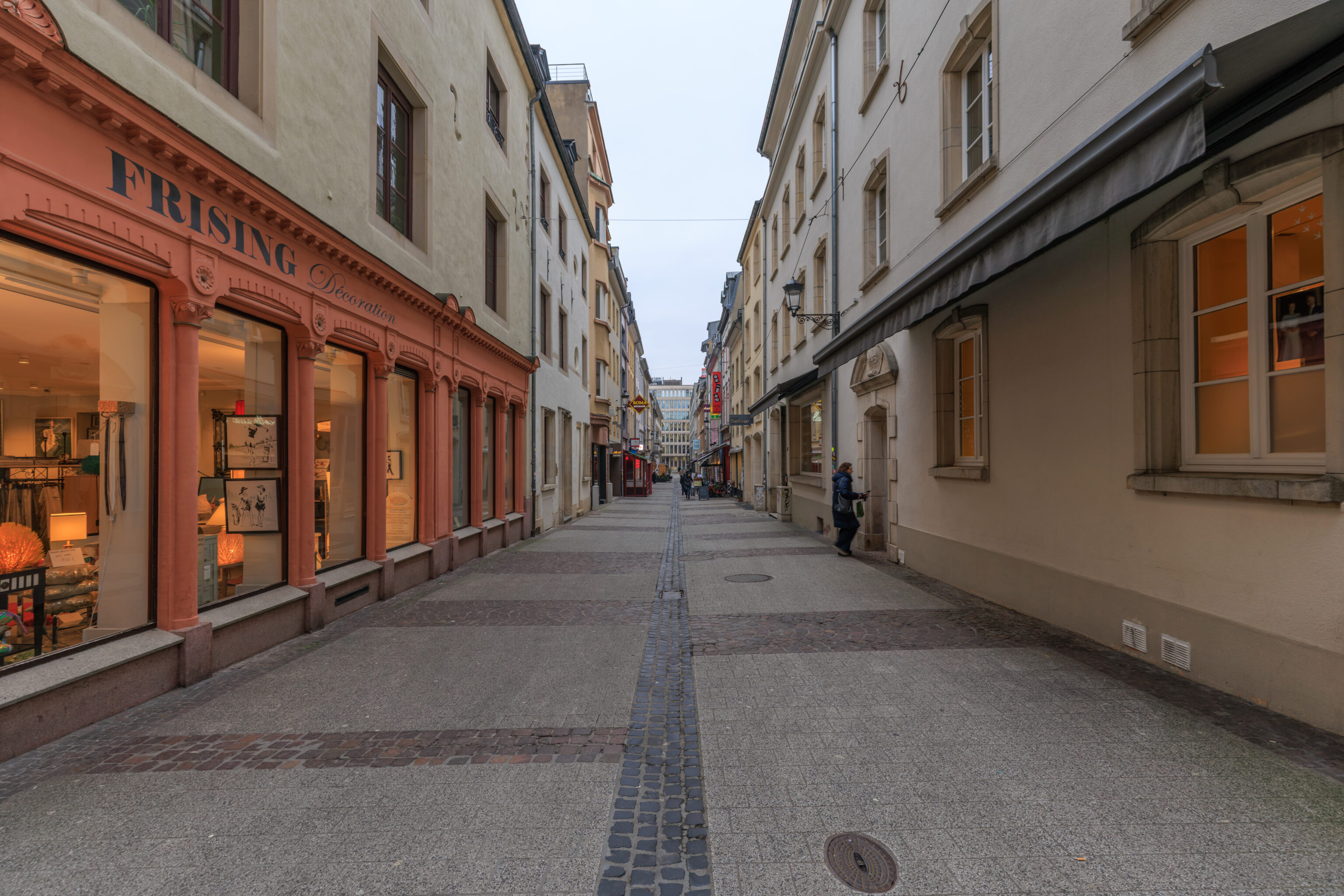
We exited the square via its west end and turned left to walk south.
Pétrusse Casemates
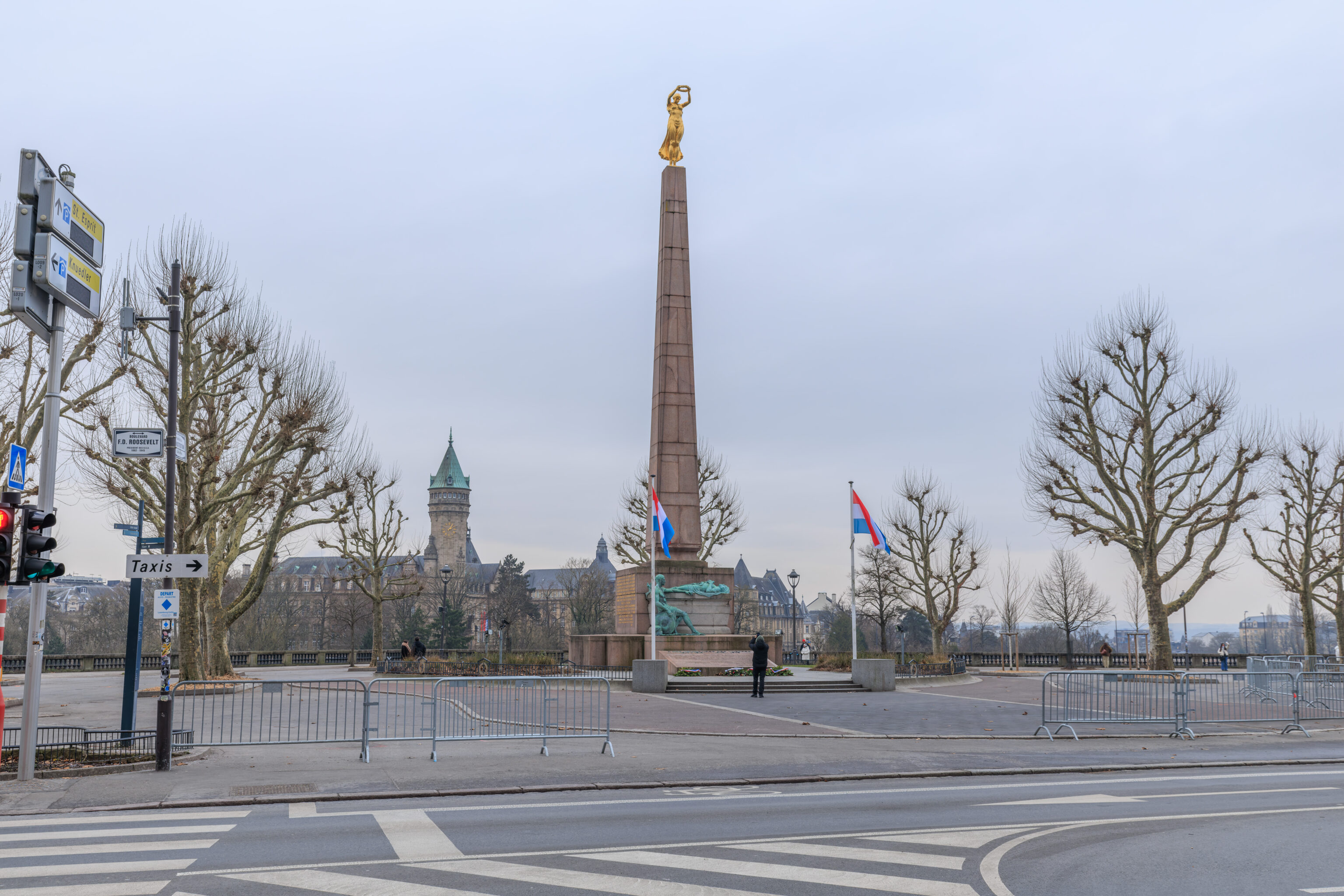
At the end of the street, we saw an obelisk with statue in front of us. The entrance to the Pétrusse Casemates was to the left. The casemates aren’t open too late so we decided to go there first rather than look around.
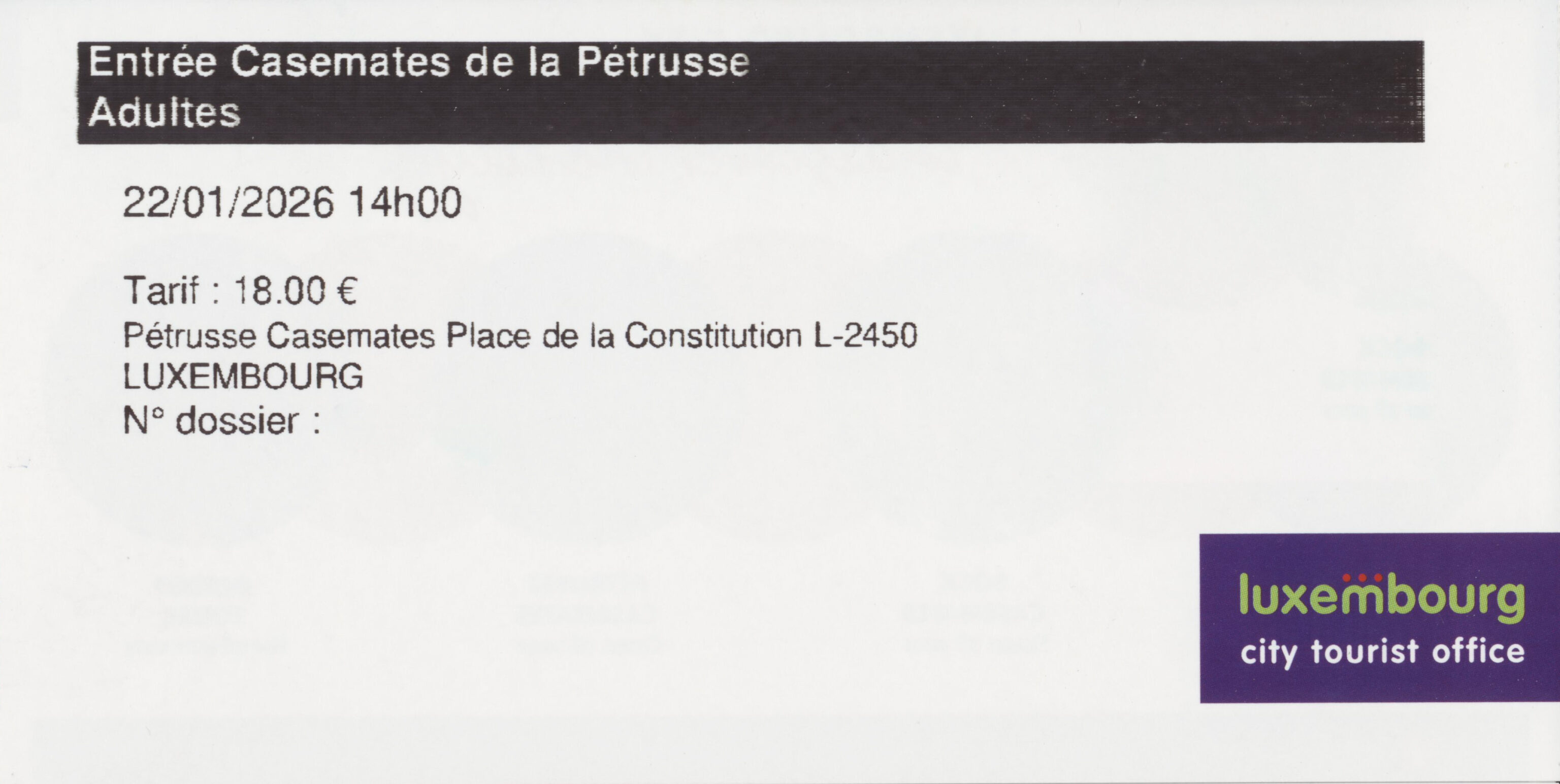
We bought tickets from a small ticket office next to the entrance to the casemates.
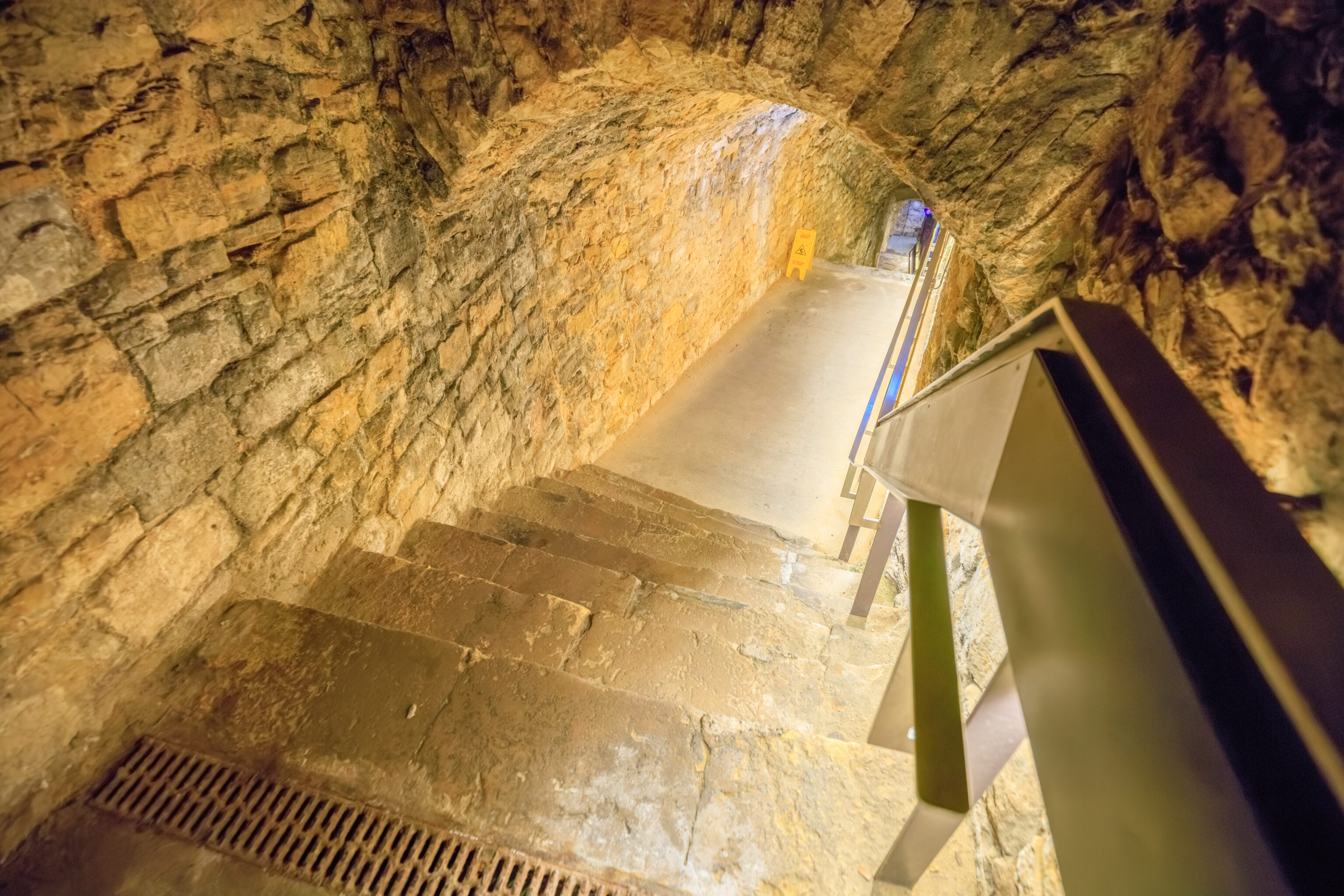
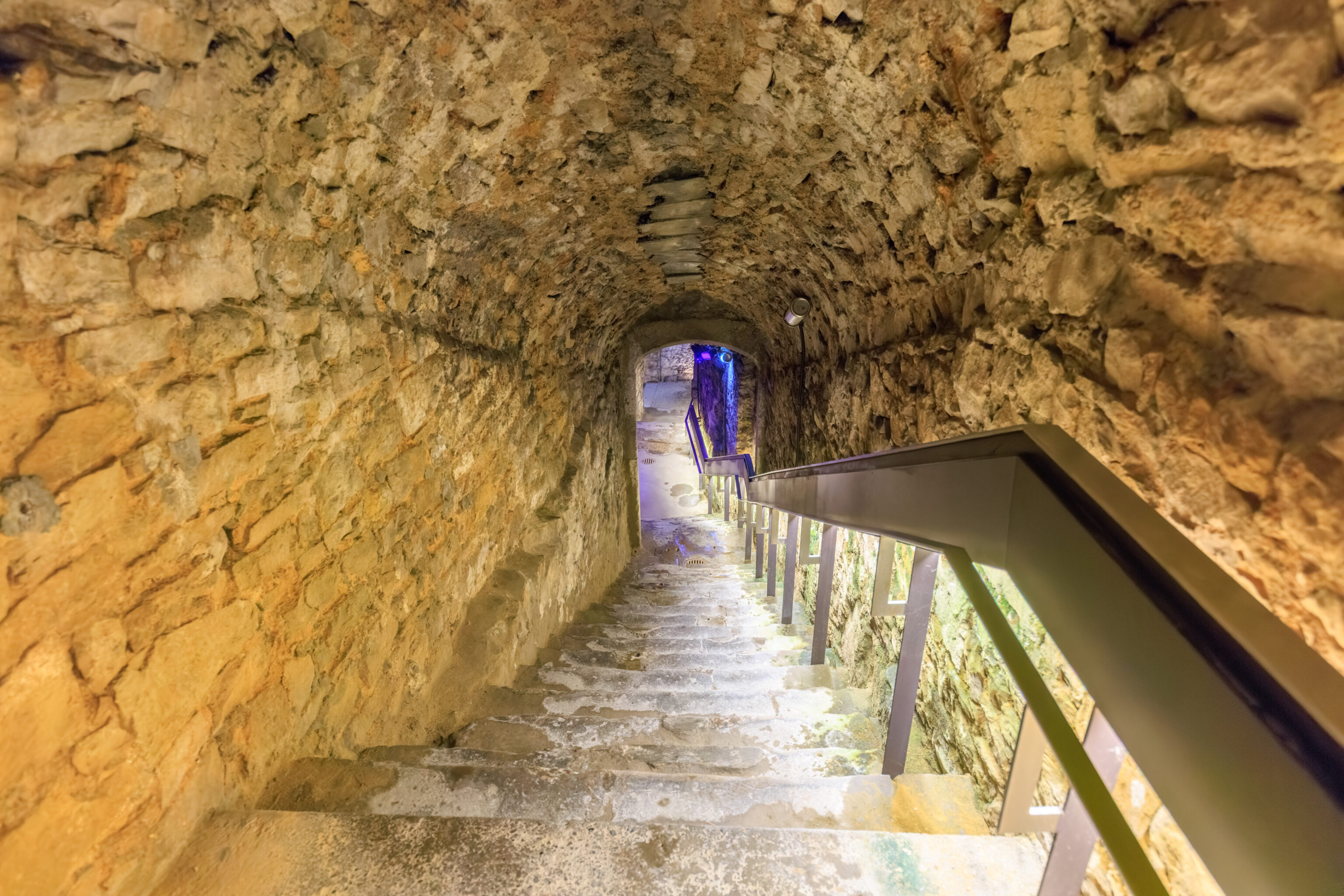
We then headed down these stairs to enter.
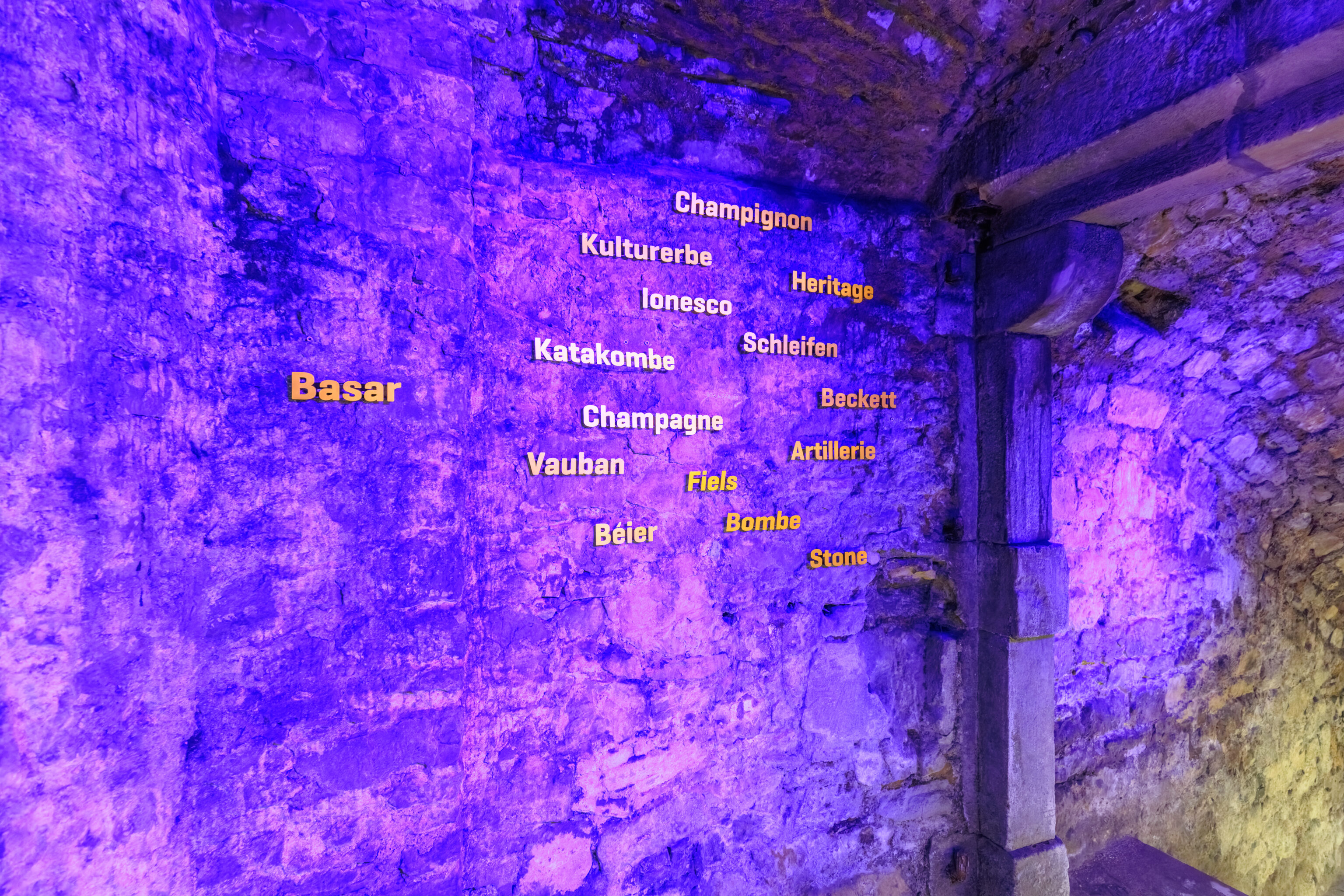
The text here appears to be people and terms related to the casemates.
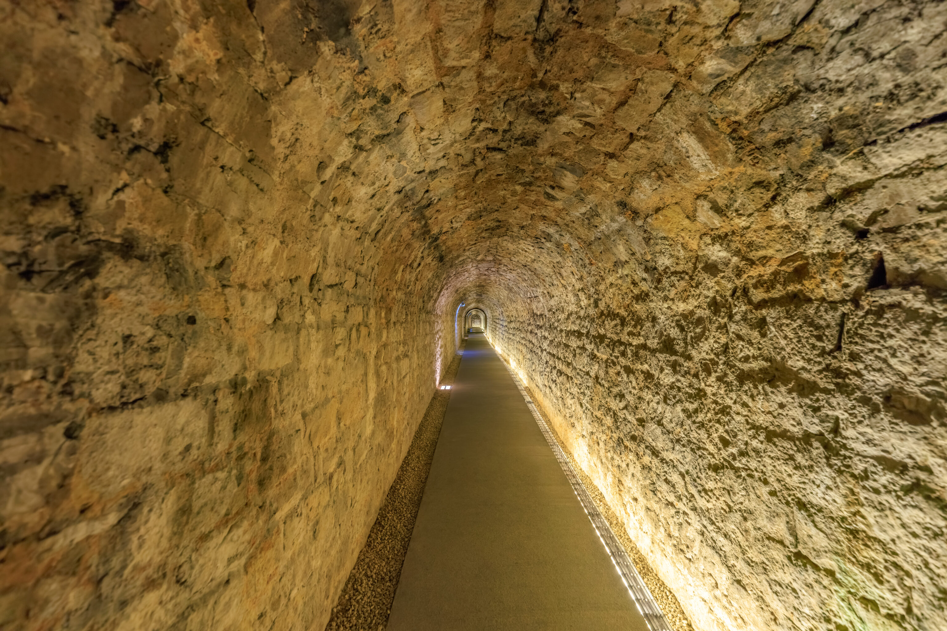
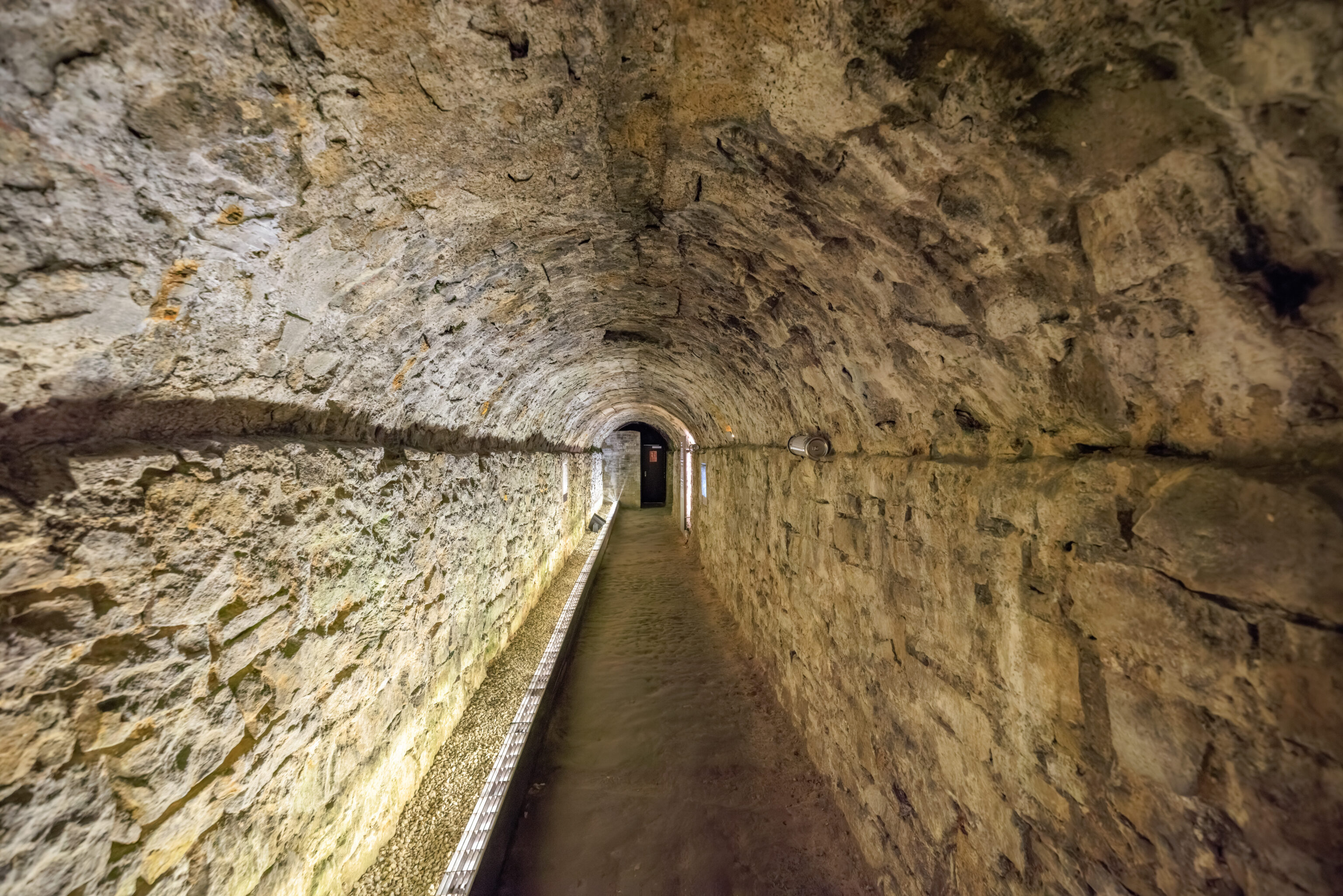
This long tunnel is described architecturally as a gallery:
GALLERY OF THE BASTION BECK
A connecting gallery 86 metres in length runs right through the middle of this fortress, the Bastion Beck, from one side to the other. It has a vaulted ceiling in rough stone and was constructed from 1644 onwards inside the old medieval town moat. At each end of the gallery there is an exit (postern) to the defences out front.
– Text from a sign.
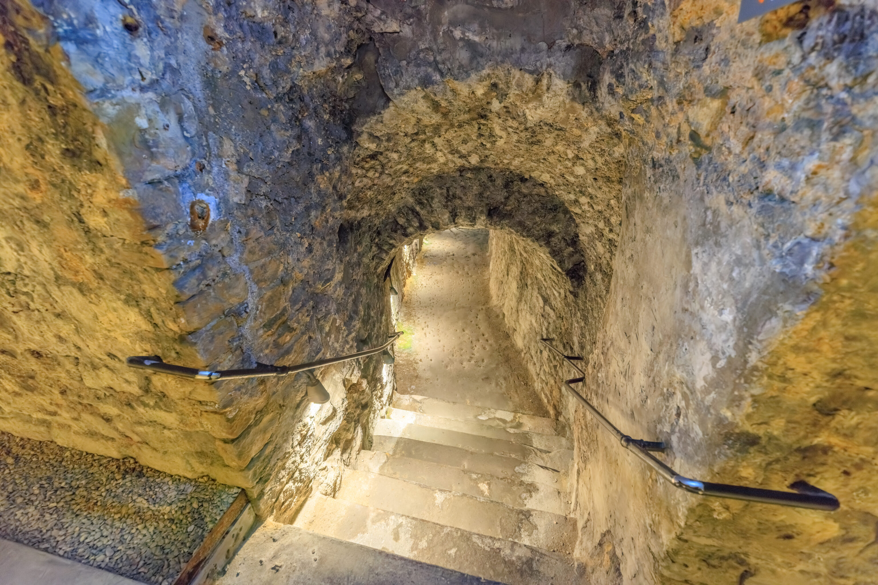
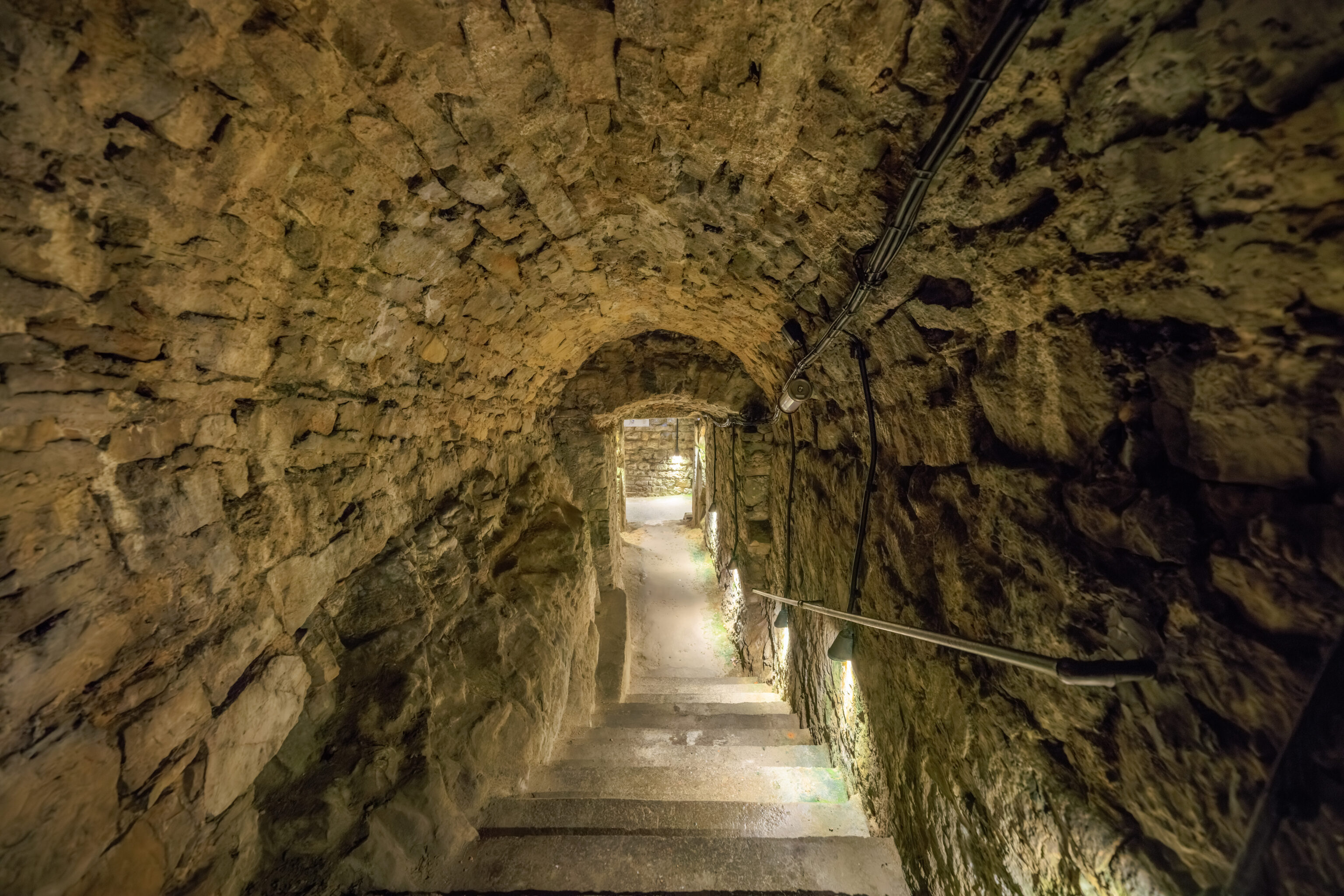
We continued down these stairs.
ILLUMINATION
Four kinds of illumination were deployed in the underground fortifications, just as they were in the mines up until the 19th century: candles, pinewood spills, oil lamps, and tallow dips with animal fats. Inventories show that in the Luxembourg fortress it was mainly oil lamps and candles that were used for illumination in the casemates.
– Text from a sign.
There is a defensive element ahead, referred to as a chicane:
CHICANE
To make it easier to defend, the long crossway is interrupted by a deflector, a so-called chicane. If an assailant gained entry to the underground fortifications, the passage could be closed off by means of a barricade. The defenders took up position behind the chicane and offered resistance with gunfire through an embrasure.
– Text from a sign.
We continued down these stairs.
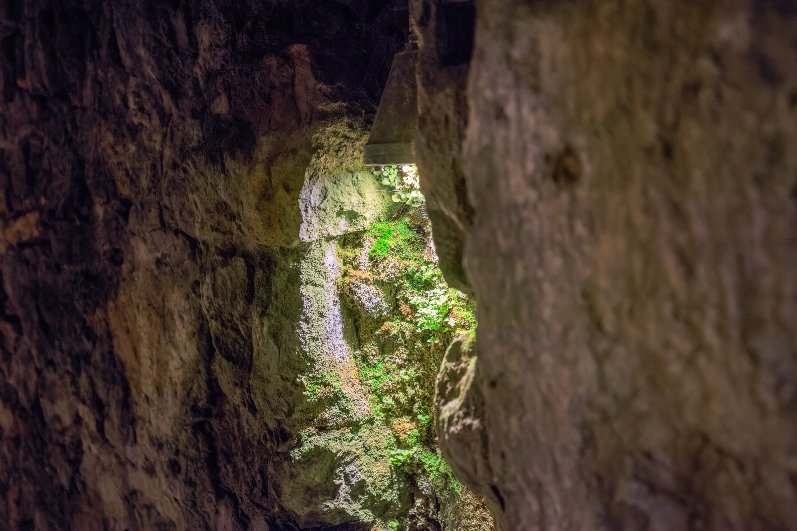
We noticed that there were plants growing in areas illuminated by artificial lighting!
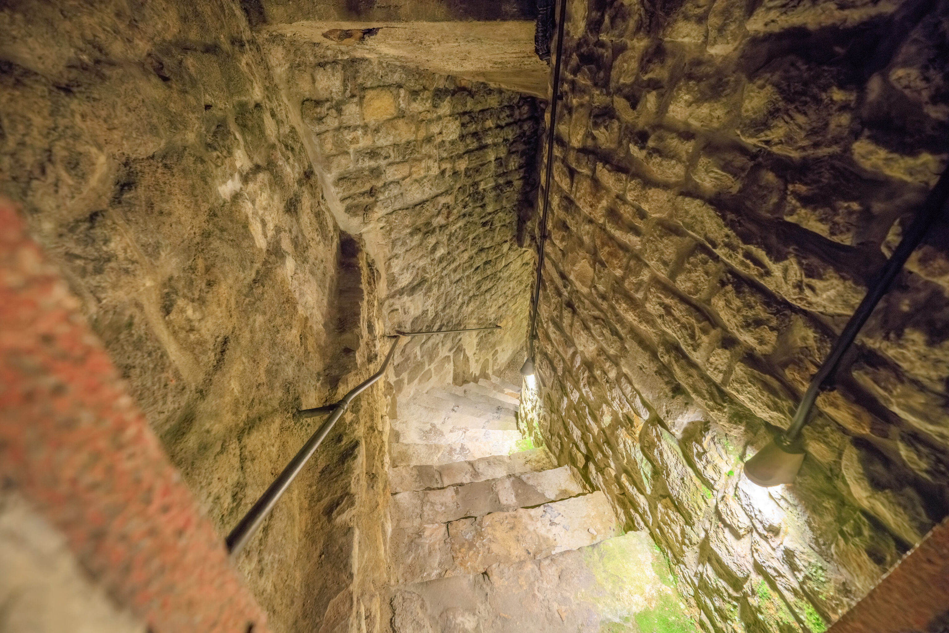
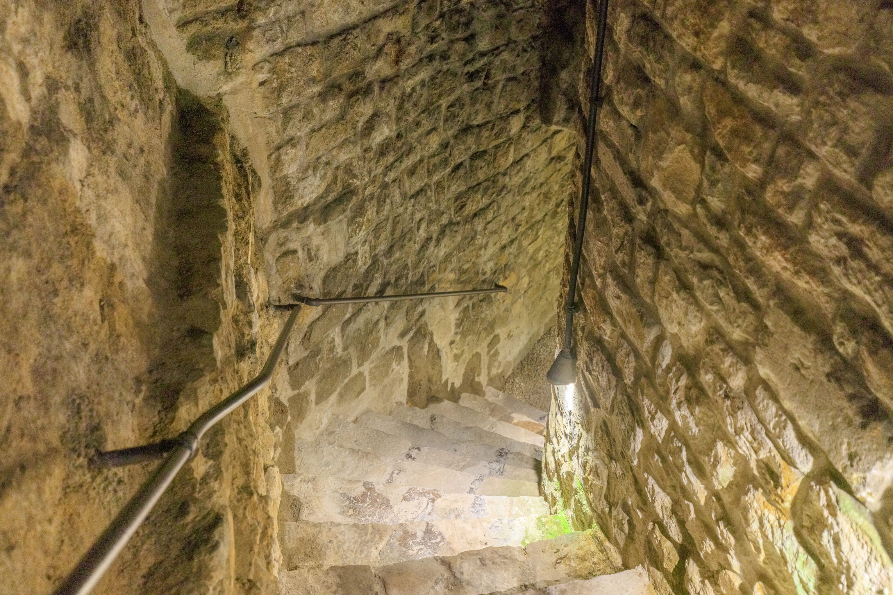
More stairs…
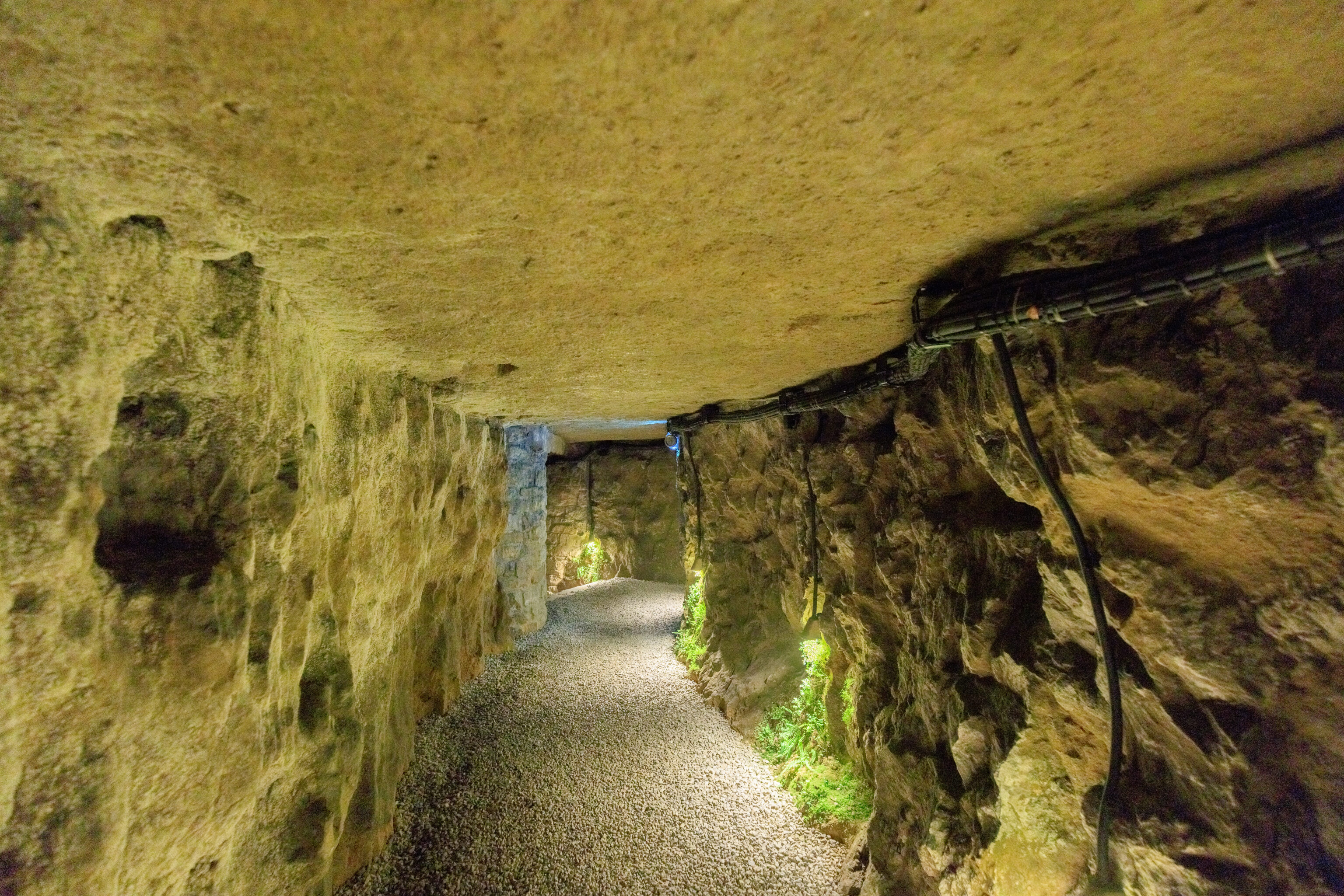
This tunnel had rough stone walls.
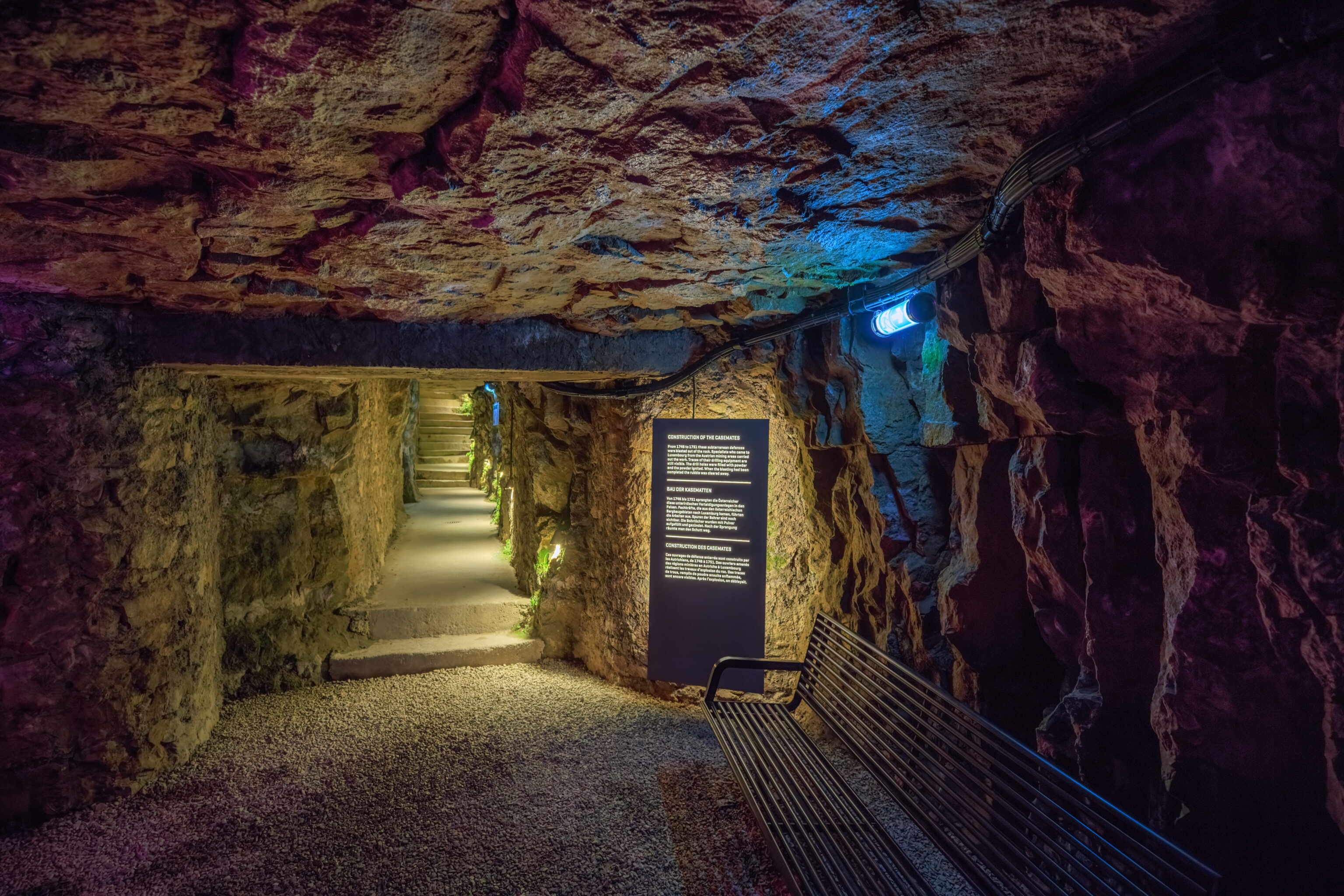
We came to a room that had a bench!
CONSTRUCTION OF THE CASEMATES
From 1746 to 1751 these subterranean defences were blasted out of the rock. Specialists who came to Luxembourg from the Austrian mining areas carried out the work. Traces of their drilling equipment are still visible. The drill holes were filled with powder and the powder ignited. When the blasting had been completed the rubble was cleared away.
– Text from the sign in the photograph above.
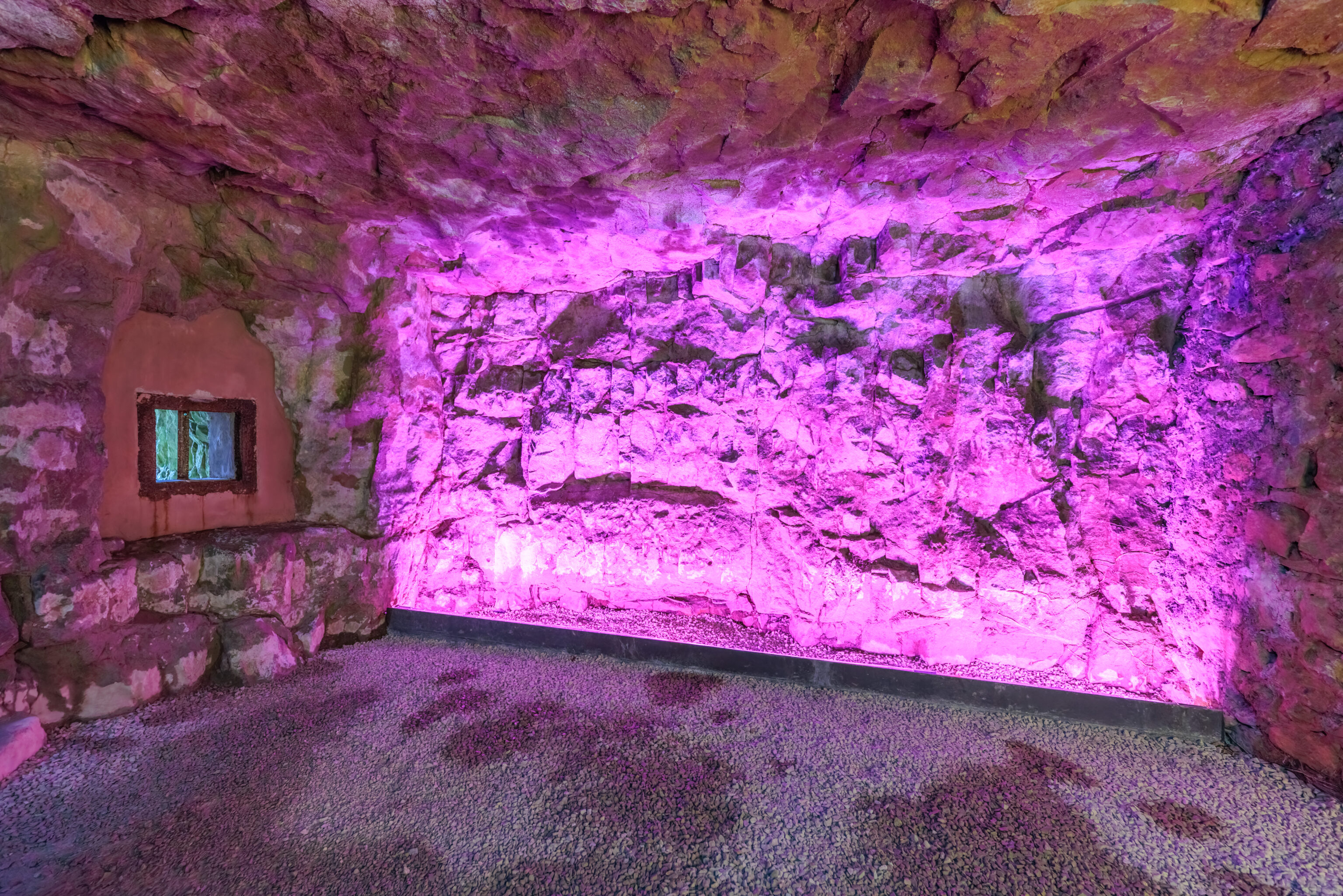
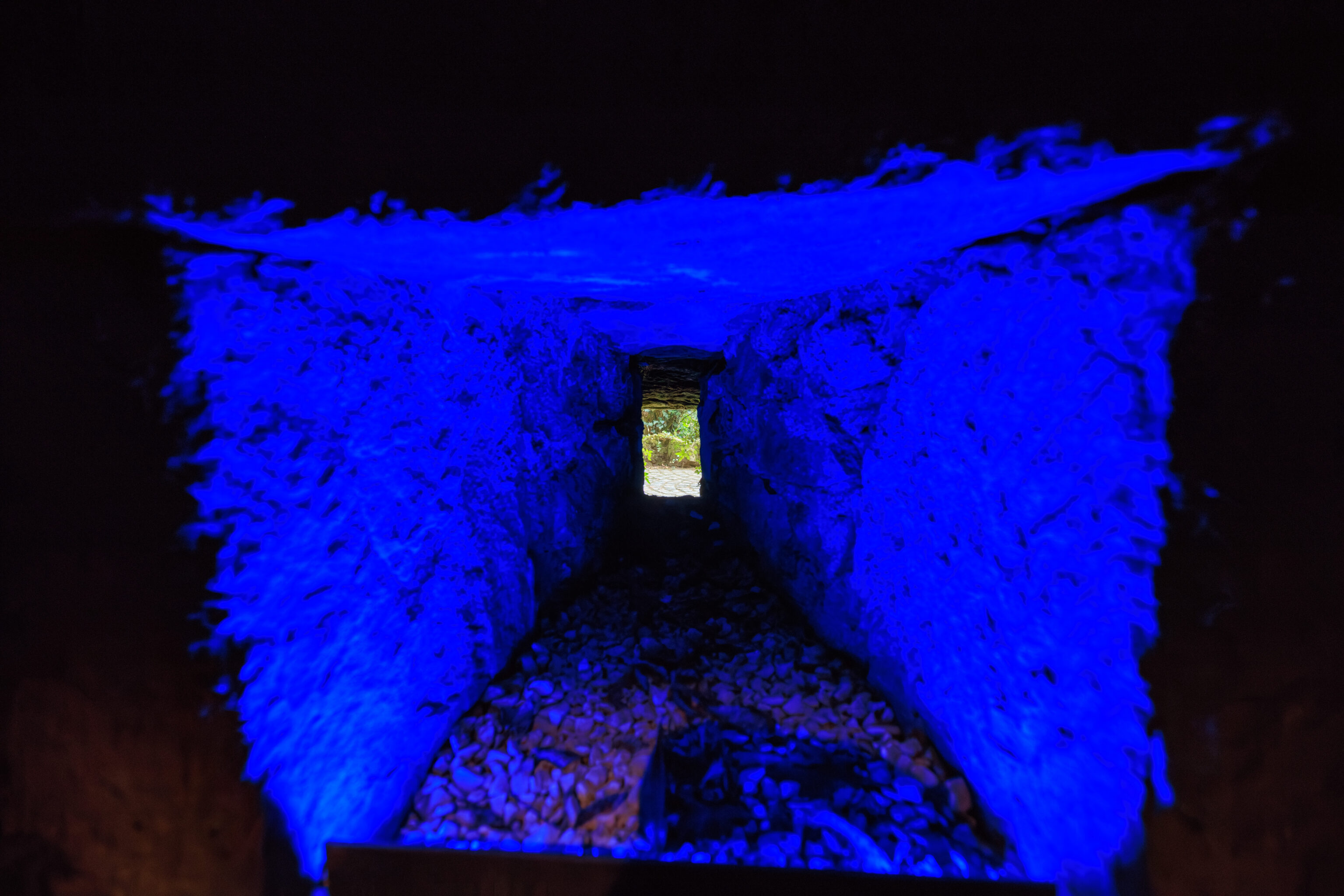
There was a window here to the outside. And some unnecessary usage of purple colored lighting!
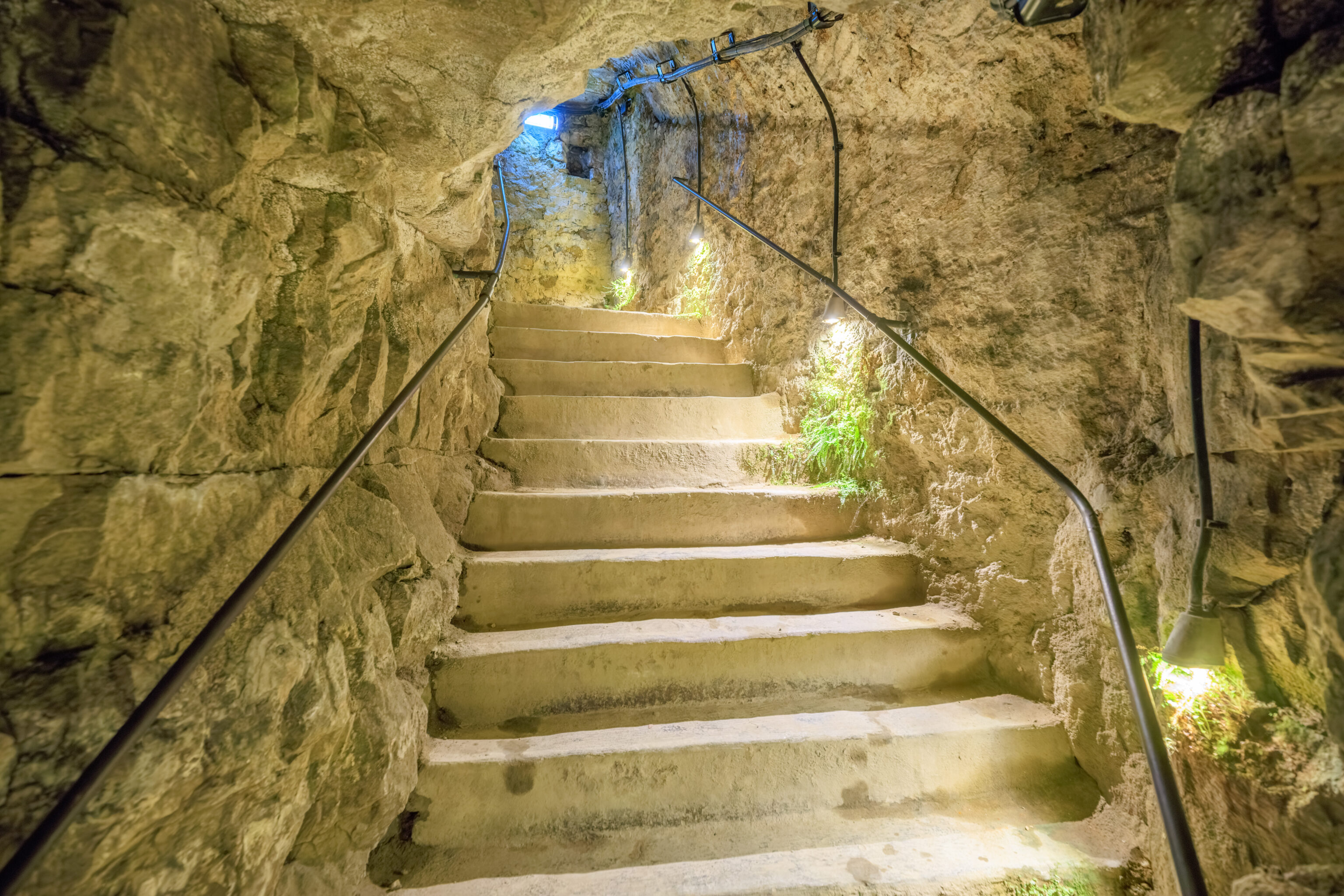
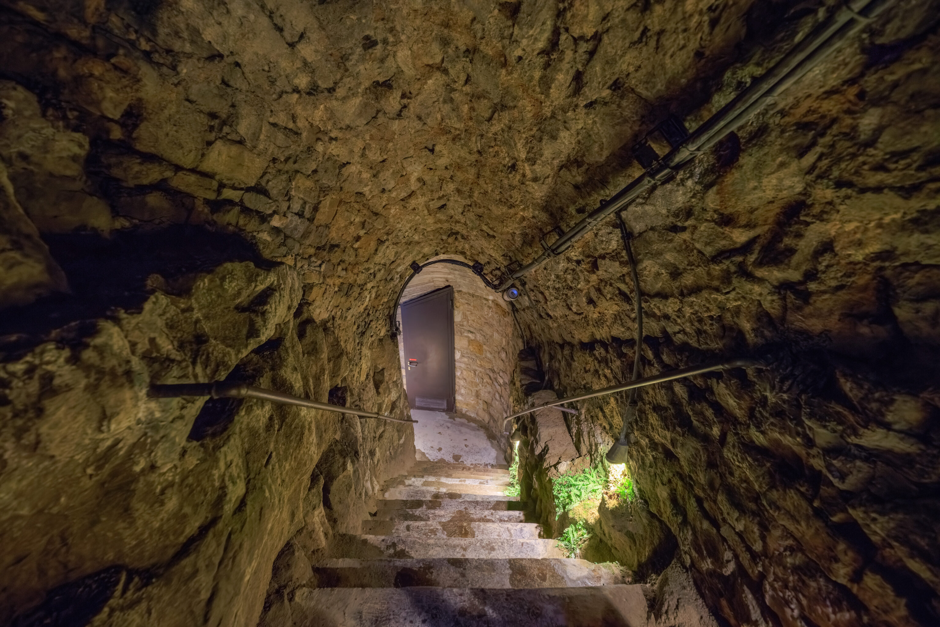
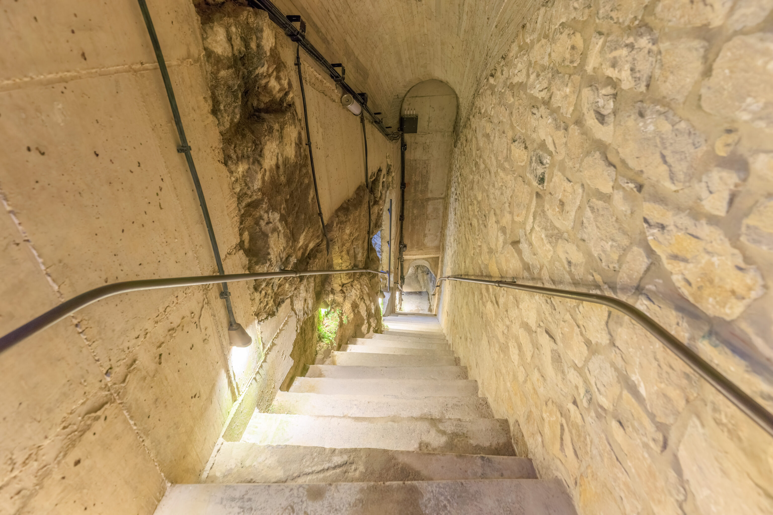
And some more stairs… At this point, this is basically like a maze as we have no idea where we are in relation to where we started, other than being at a lower elevation.
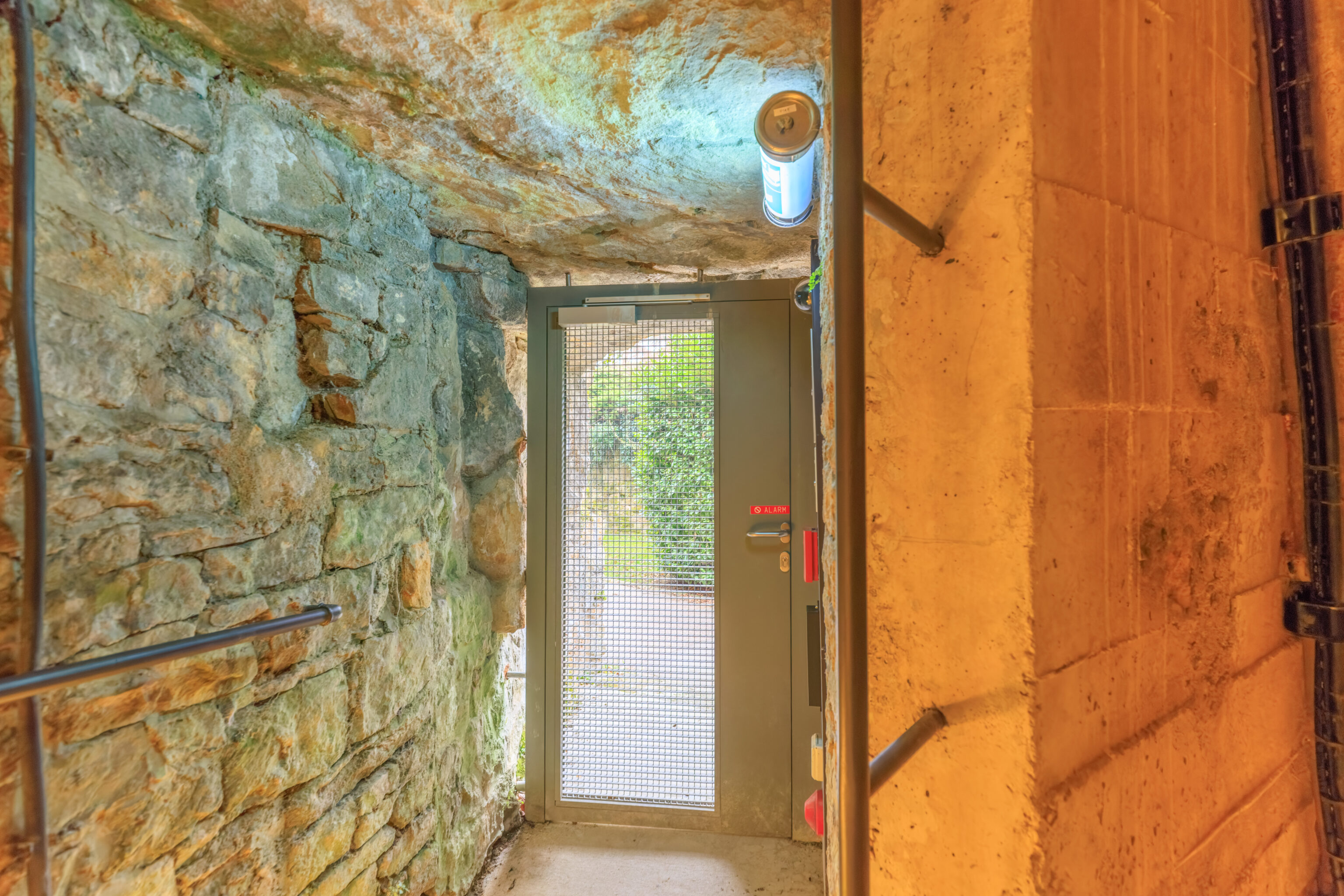
We walked past an emergency exit!
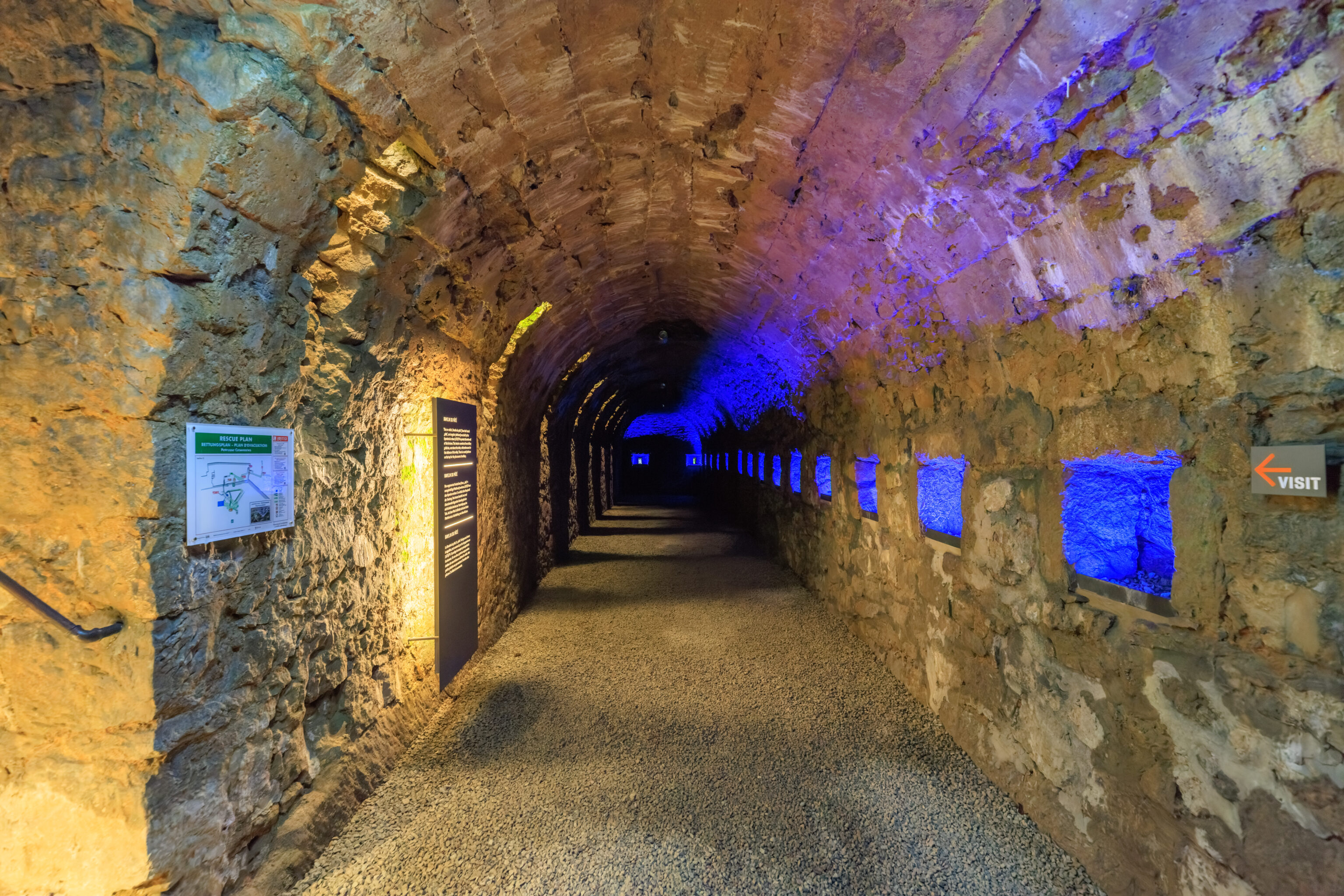
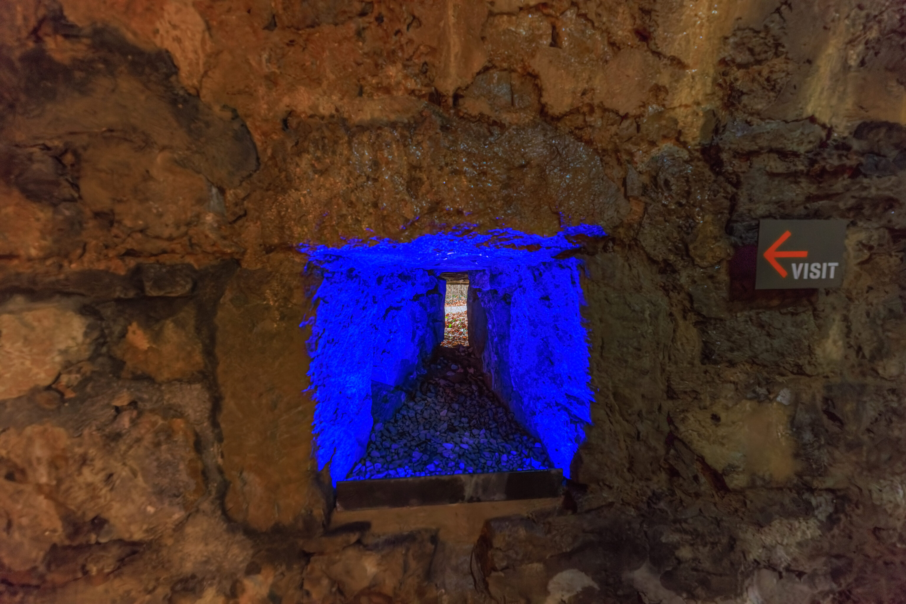
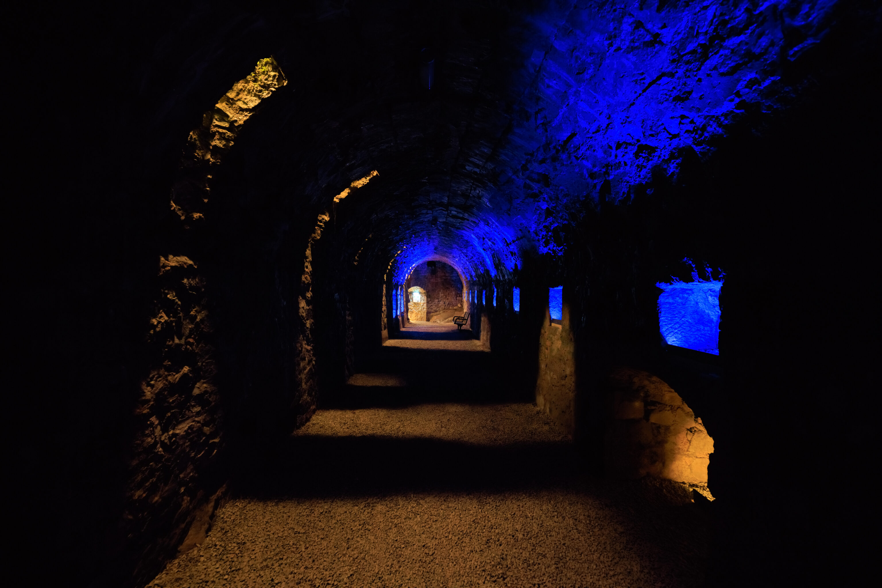
RAVELIN DU PÂTÉ
The so-called ,Ravelin du pate' (from the French ,pâté', an irregular platform was built by the Spaniards in about 1673/74 to protect the main wall of the fortress. The interior consists of two artillery galleries, one above the other, with embrasures for the defence of the valley. There is a small platform on the top for the placement of artillery.
– Text from the sign on the left side of the first photograph above..
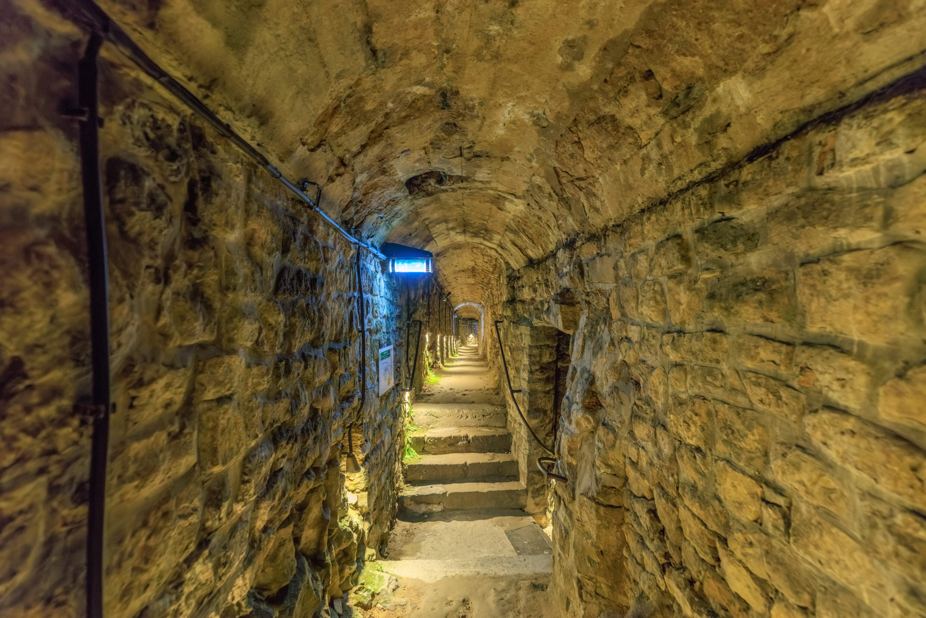
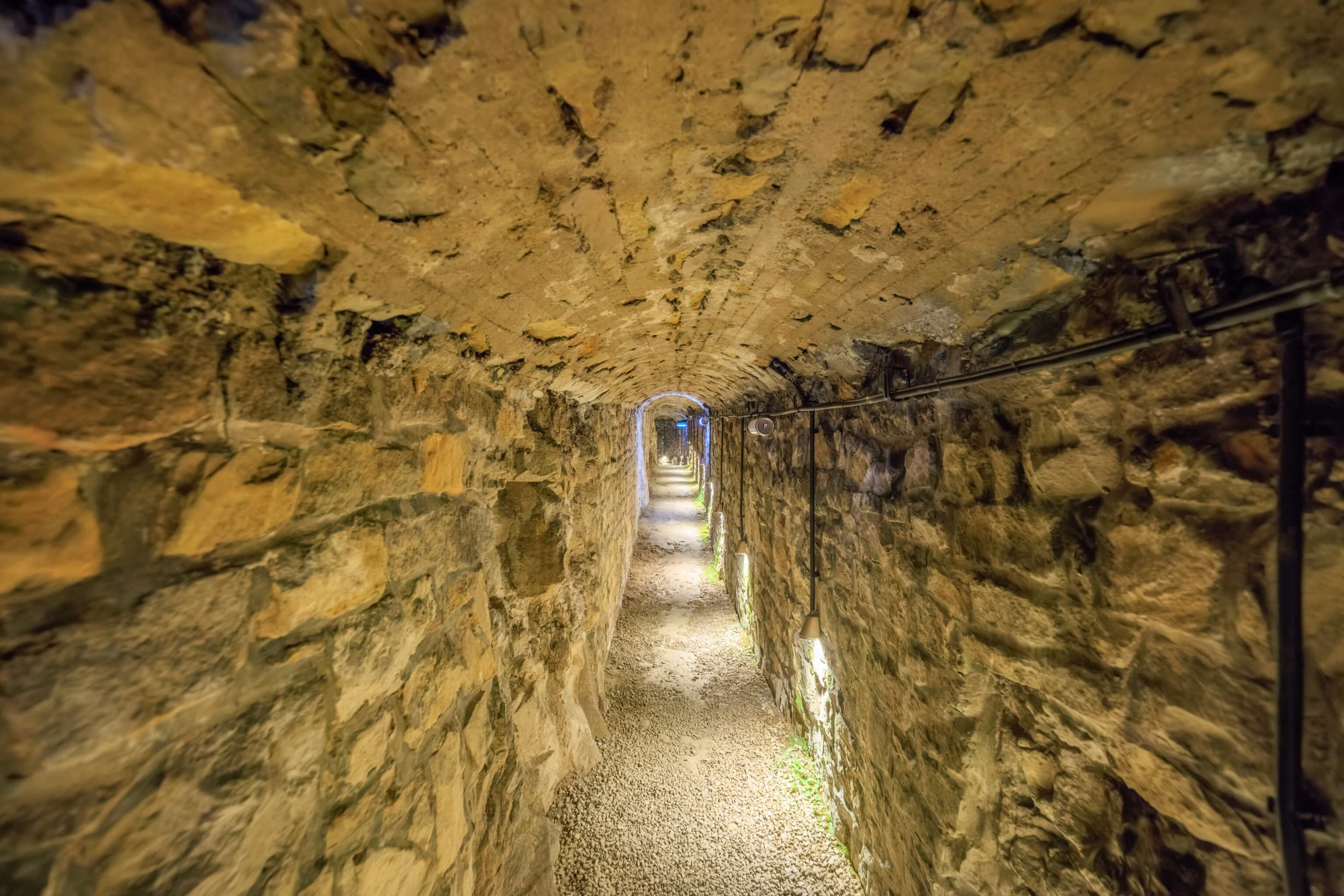
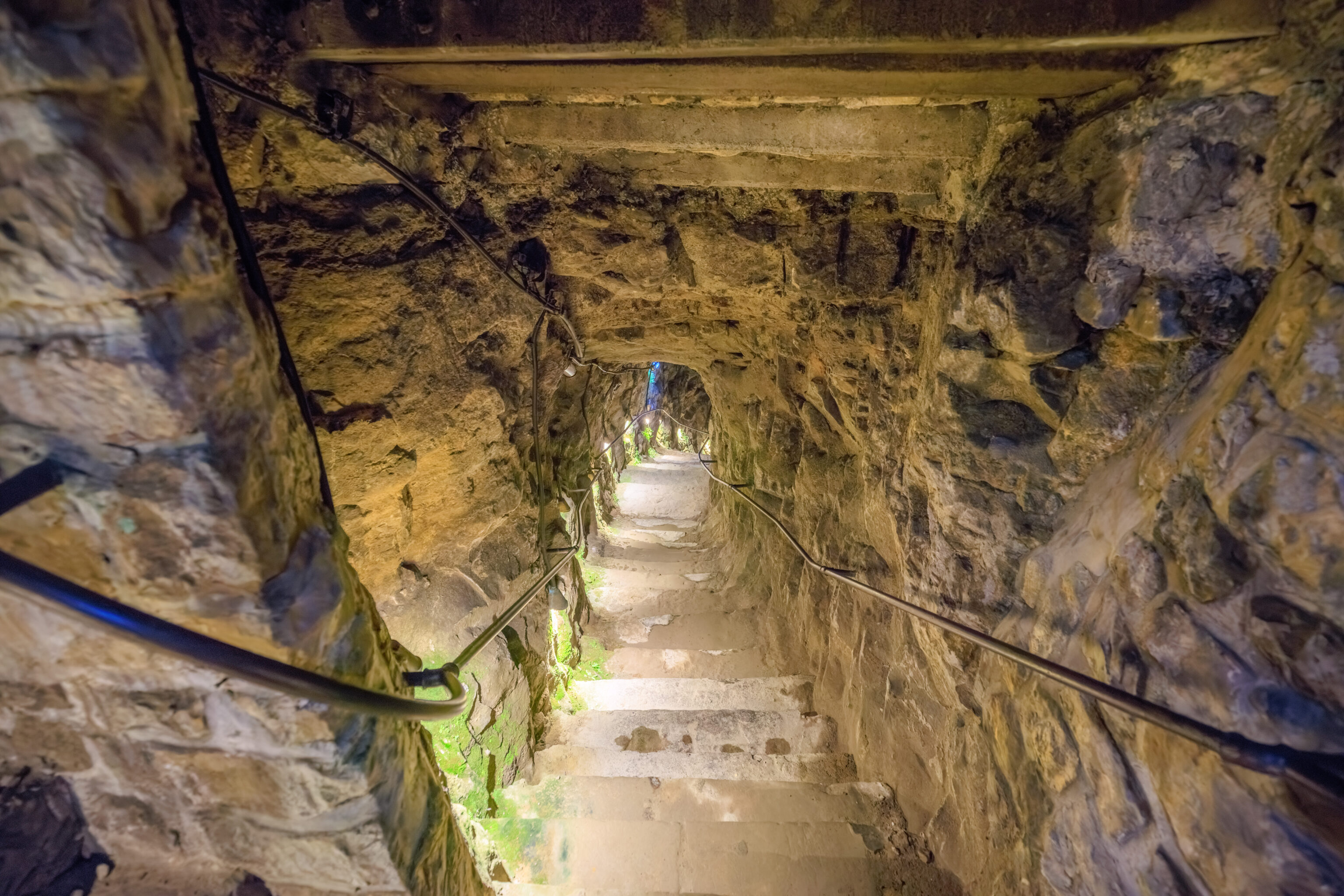
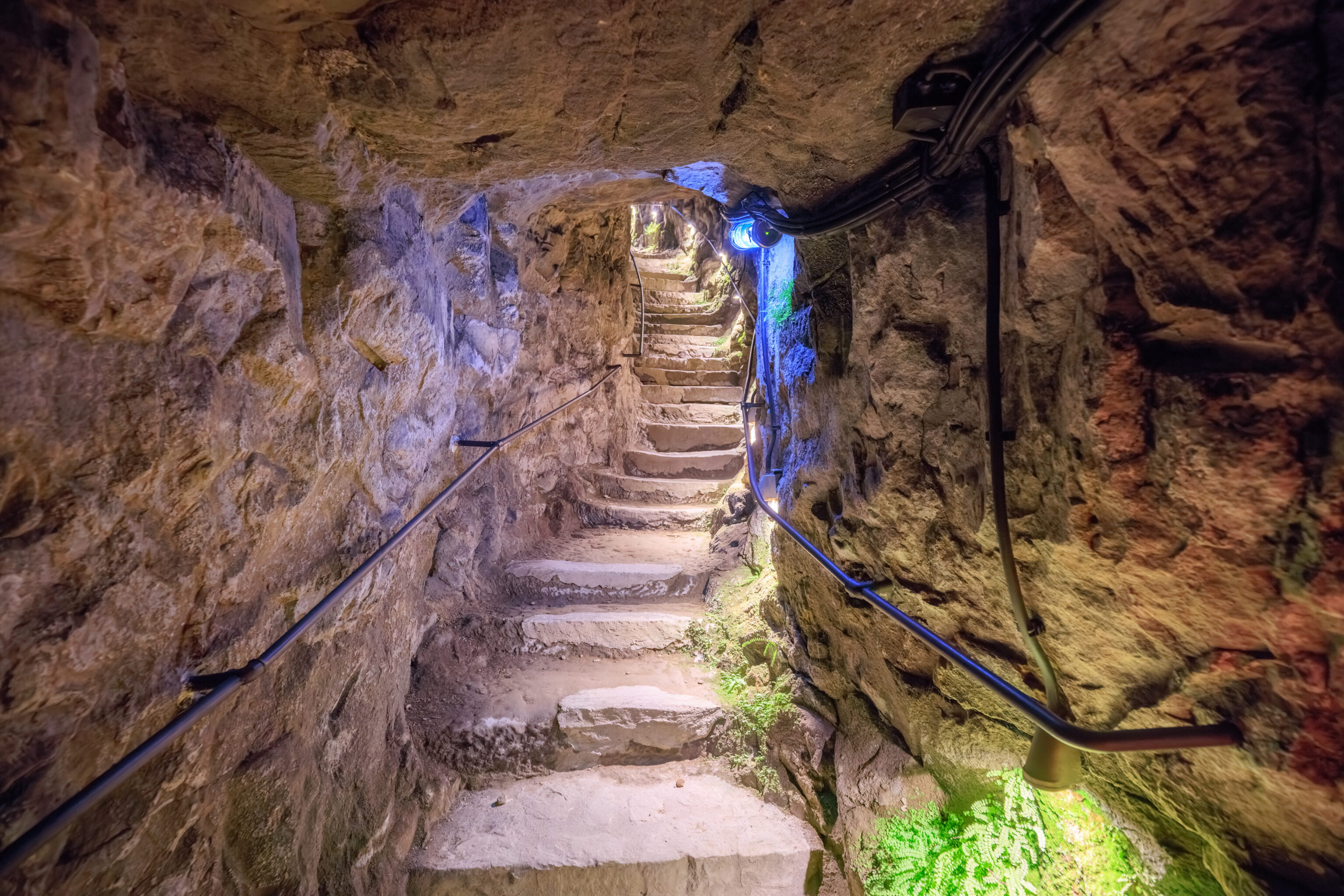
We continued on until we reached more stairs.
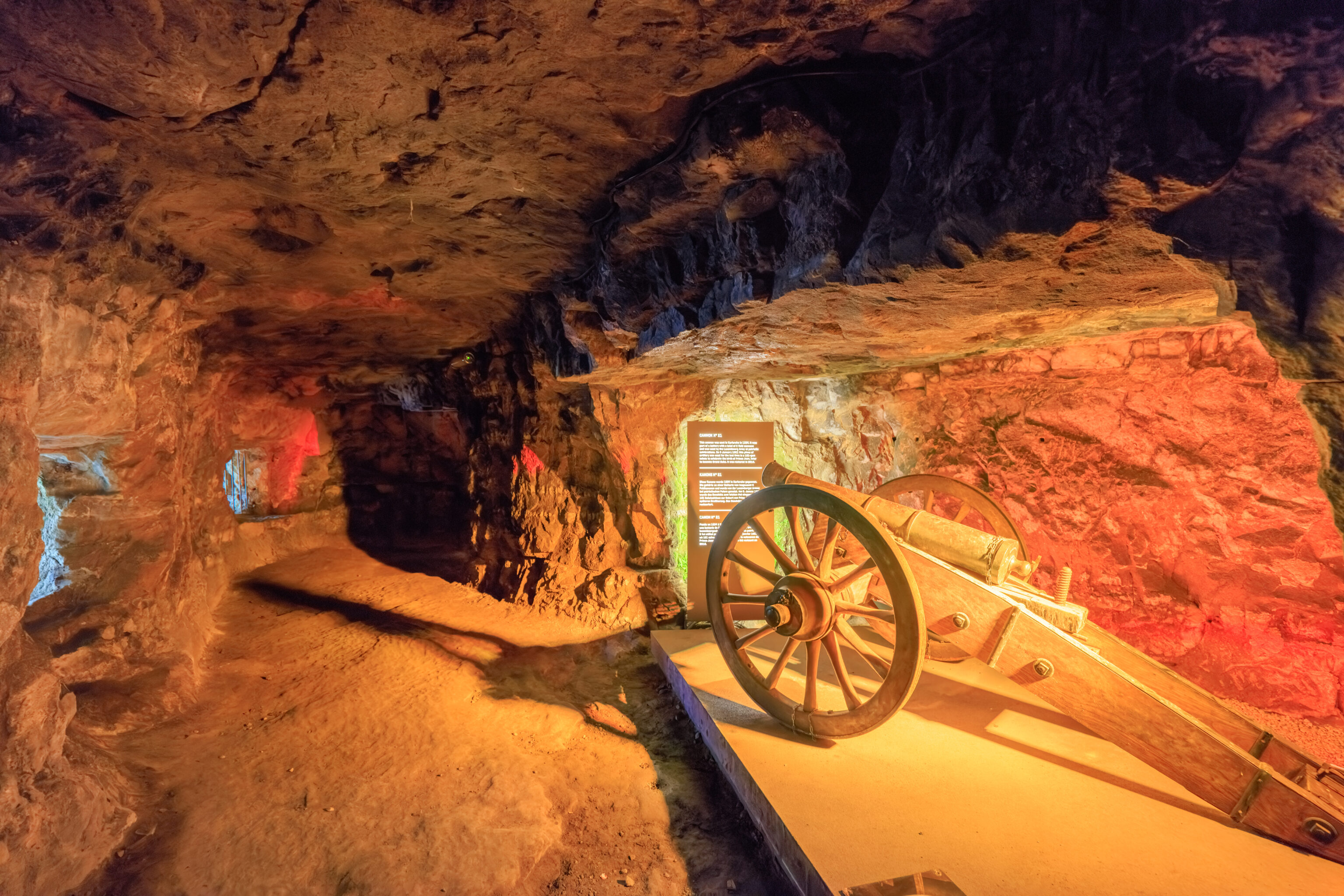
We entered a casemate that contained a cannon on display.
ARTILLERY CASEMATE
Between 1746 and 1751 the fortifications were augmented with several artillery casemates. These bombproof chambers hewn into the rock lie mainly below the ,Ravelin du pate'. In the case of an impending siege, cannons could be placed here to cover the valley.
– Text from the sign in the photograph above.
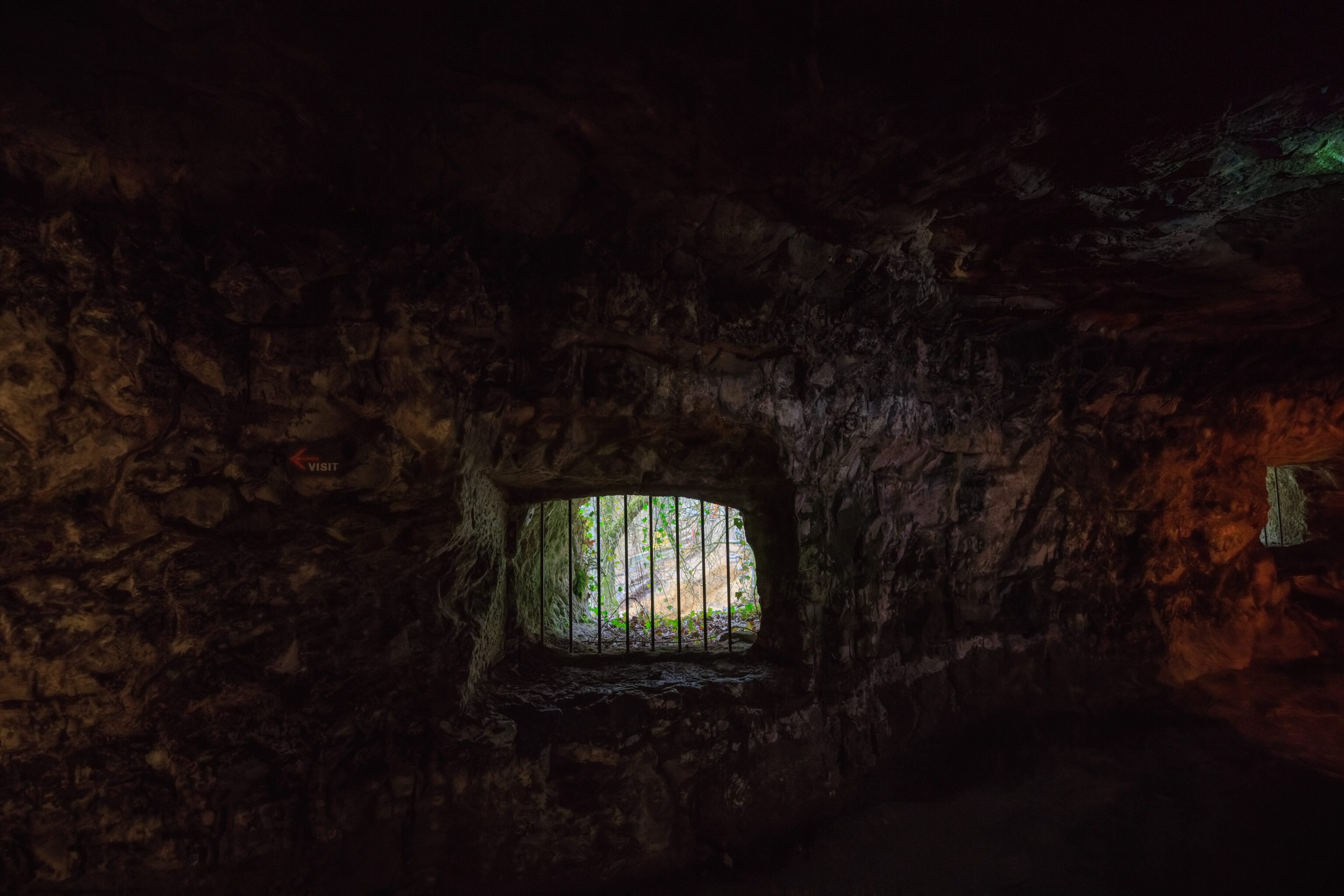
The casemate’s embrasures were pretty small.
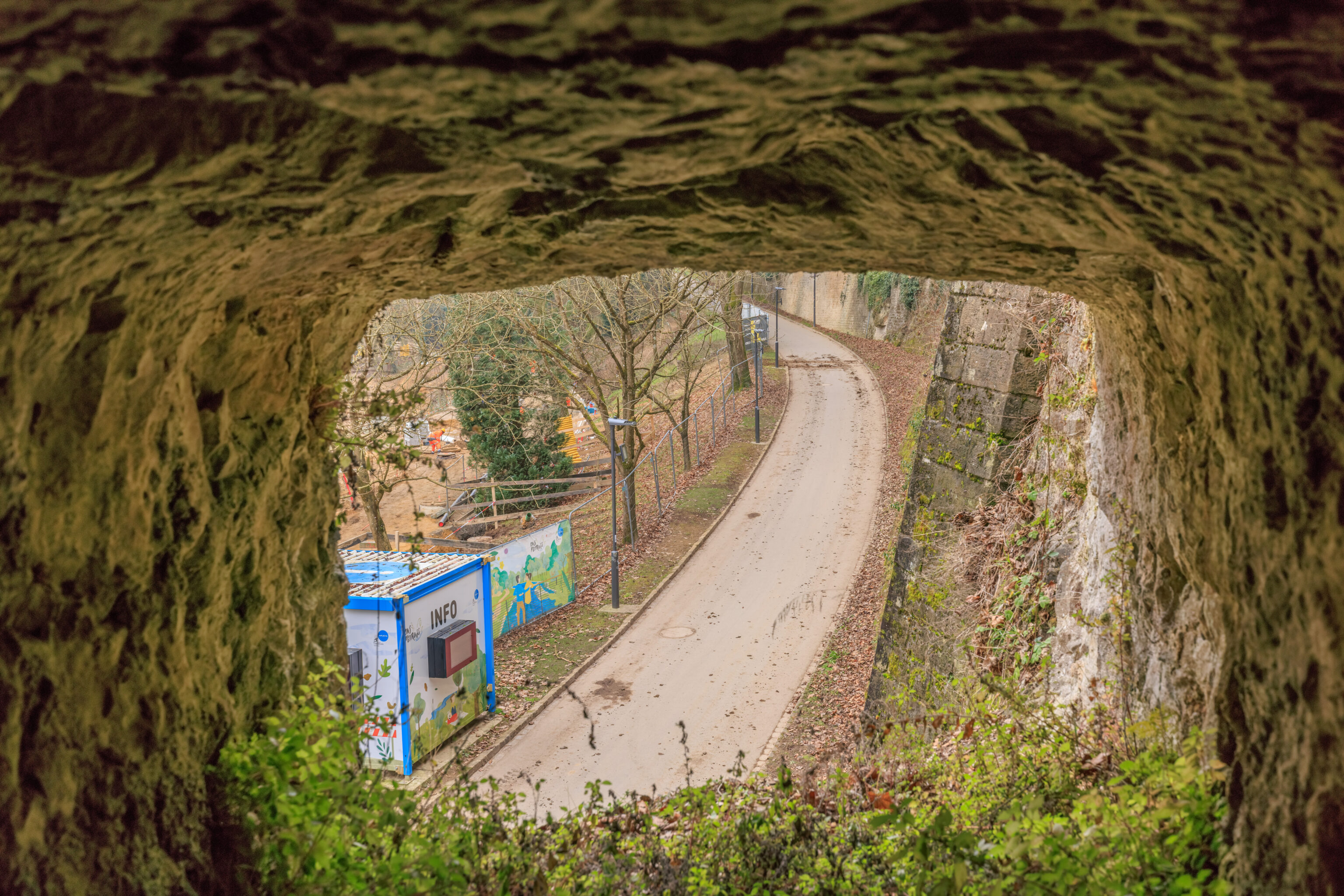
We thought we heard something. It turned out to be a construction site outside!
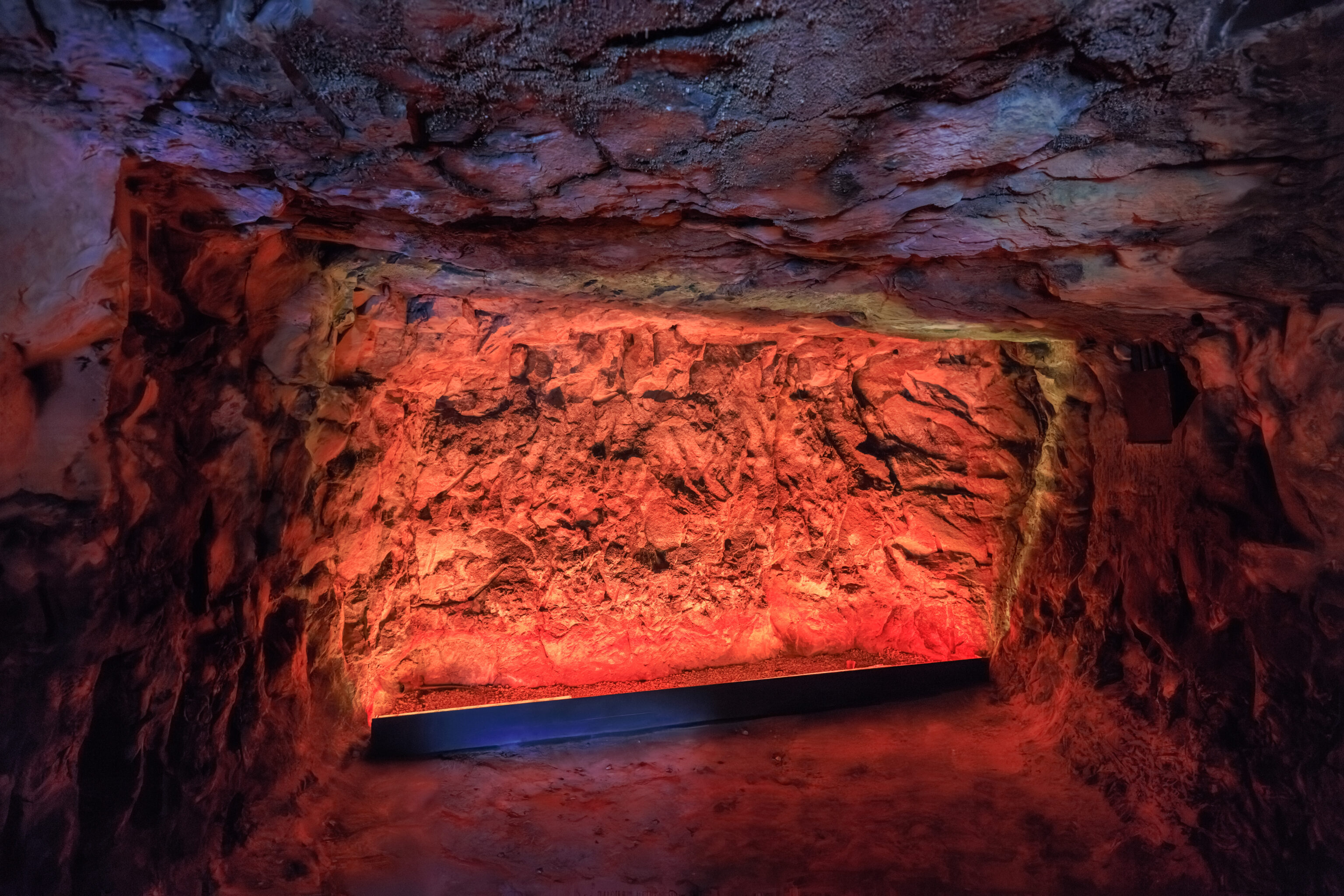
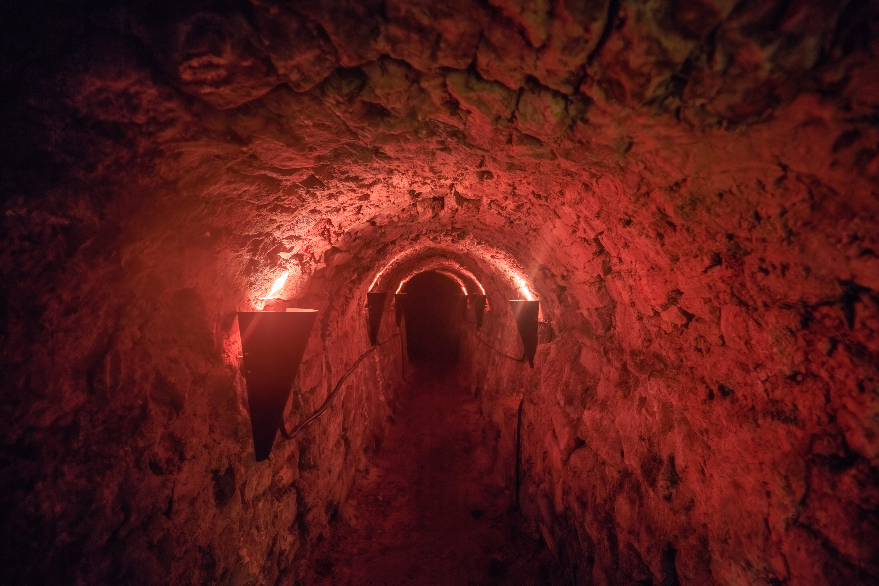
Not sure why this is illuminated red!
Pétrusse Valley
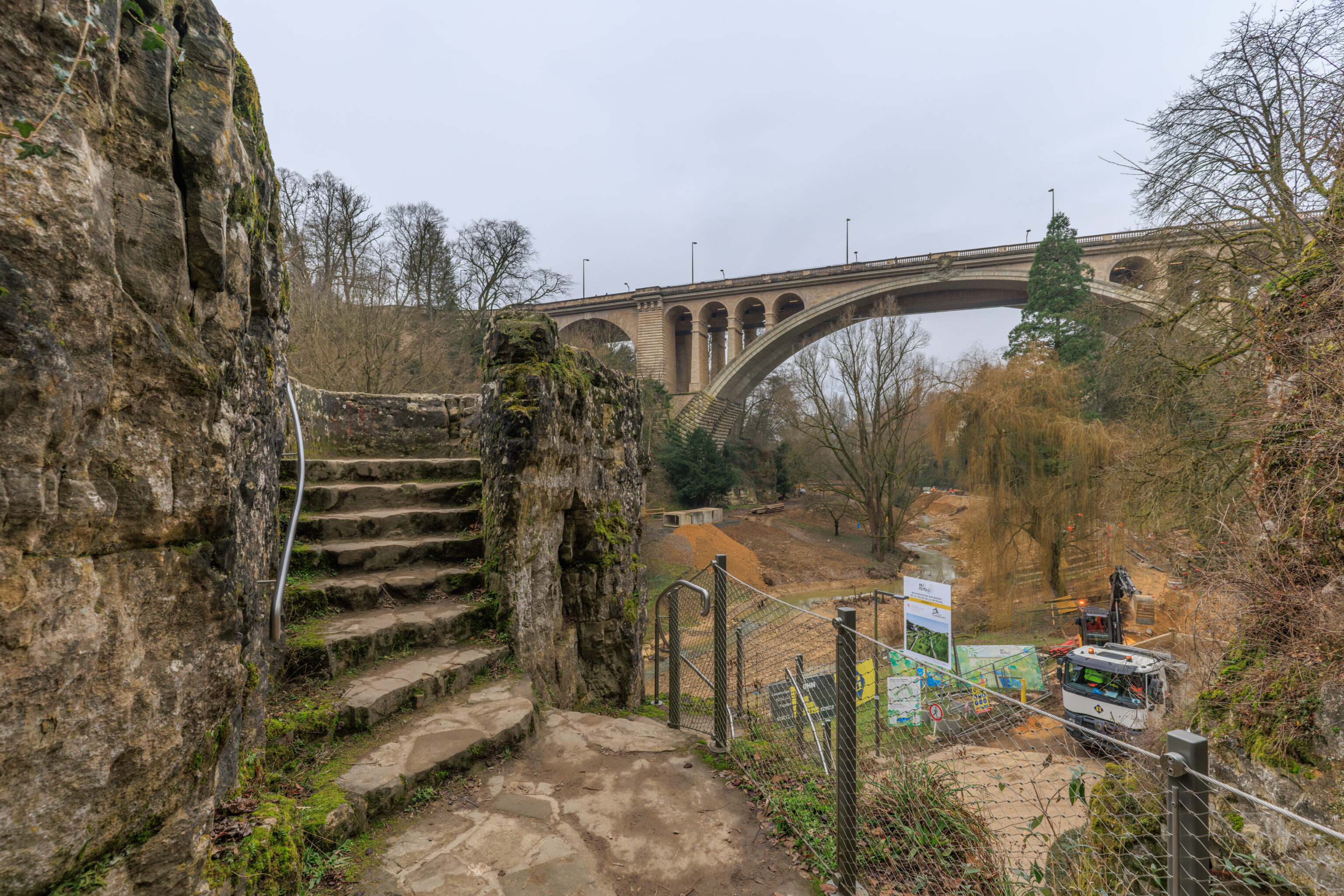
The exit to the Pétrusse Casemates was slightly above ground level down in the Pétrusse Valley.
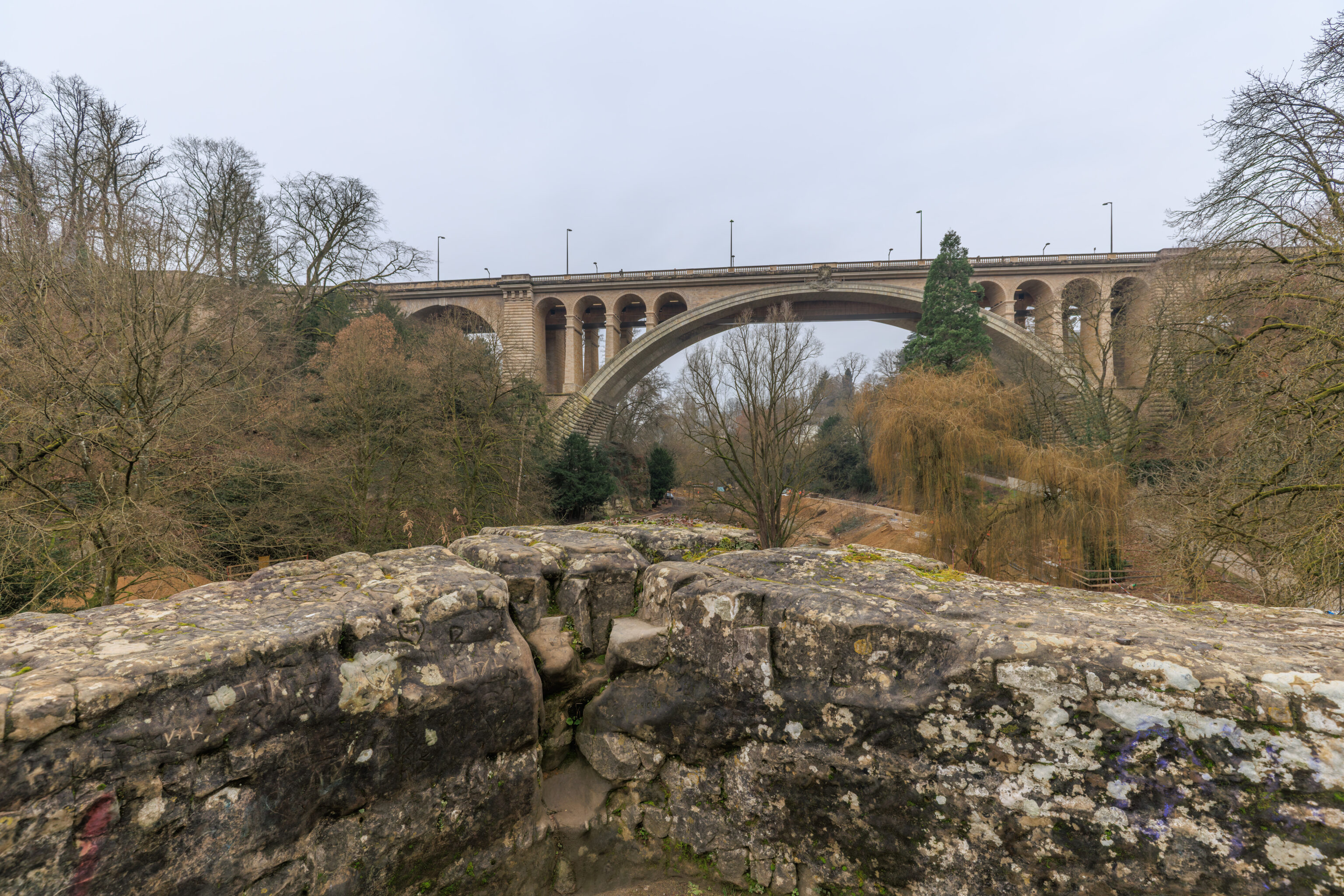
This bridge to the west is the Adolphe Bridge. It spans the Pétrusse Valley and links the west side of the Ville Haute with the southern part of city and is about ten blocks away from the Marriott and train station.
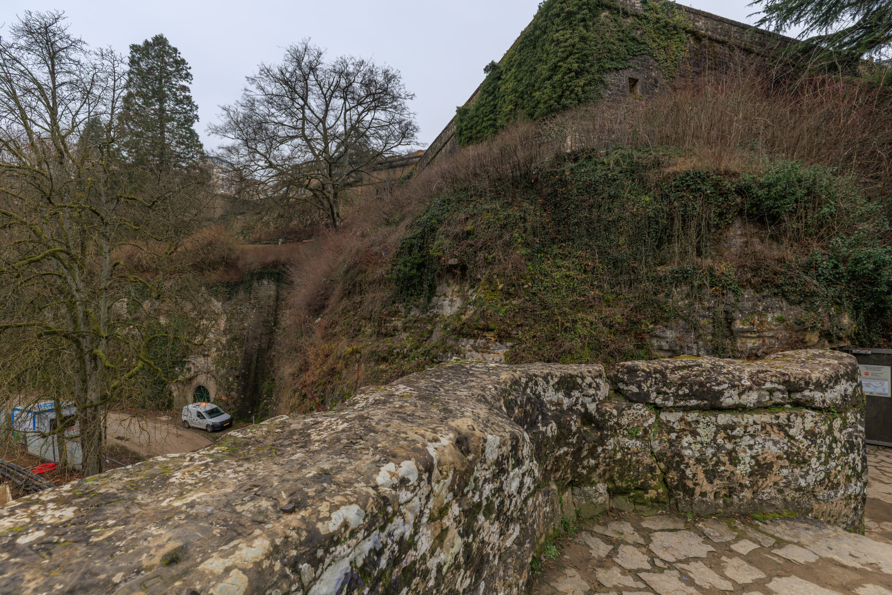
The area around the exit seems to be a mix of fortification walls and natural stone.
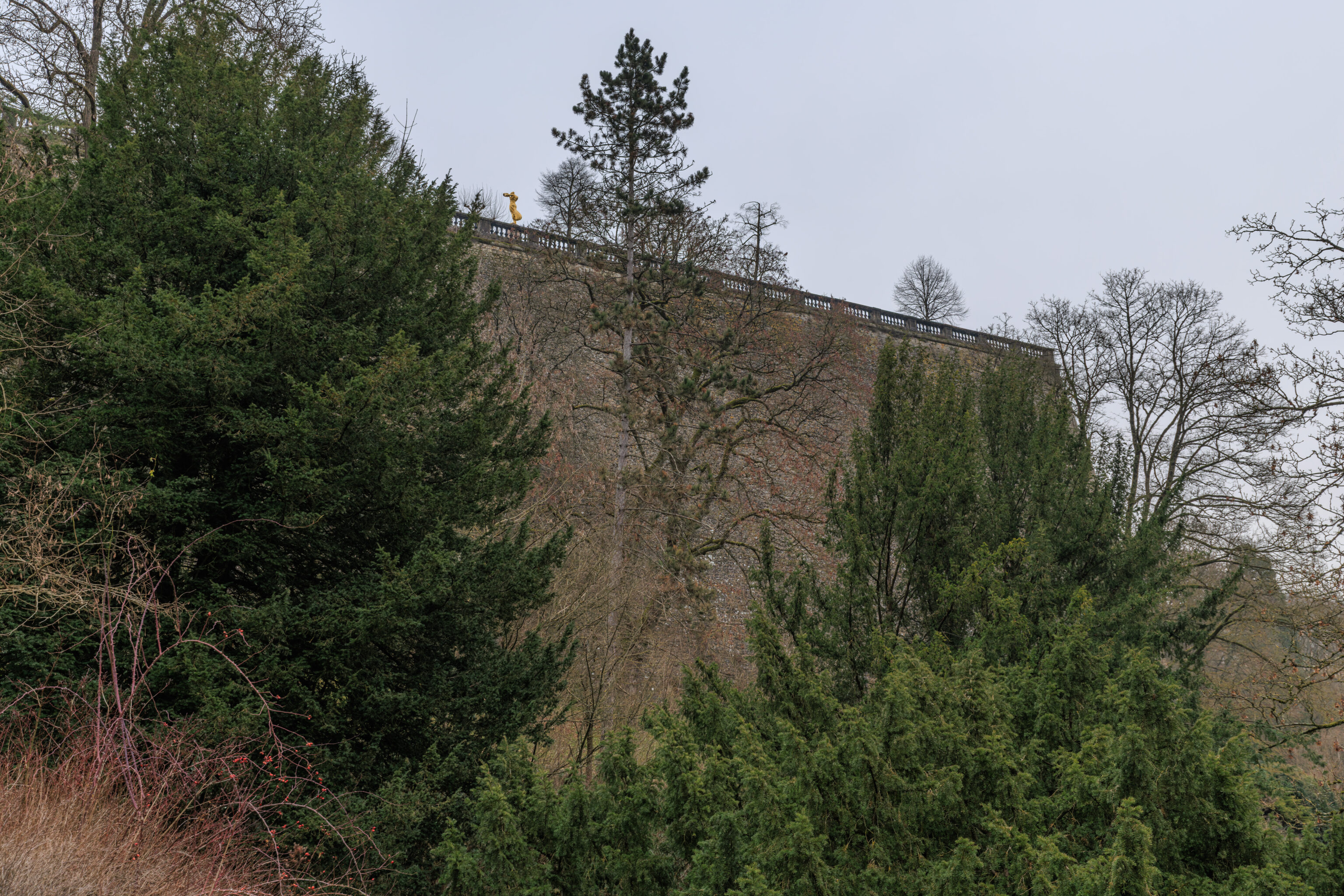
Looking up, we could see the statue atop the obelisk where we started our journey down.
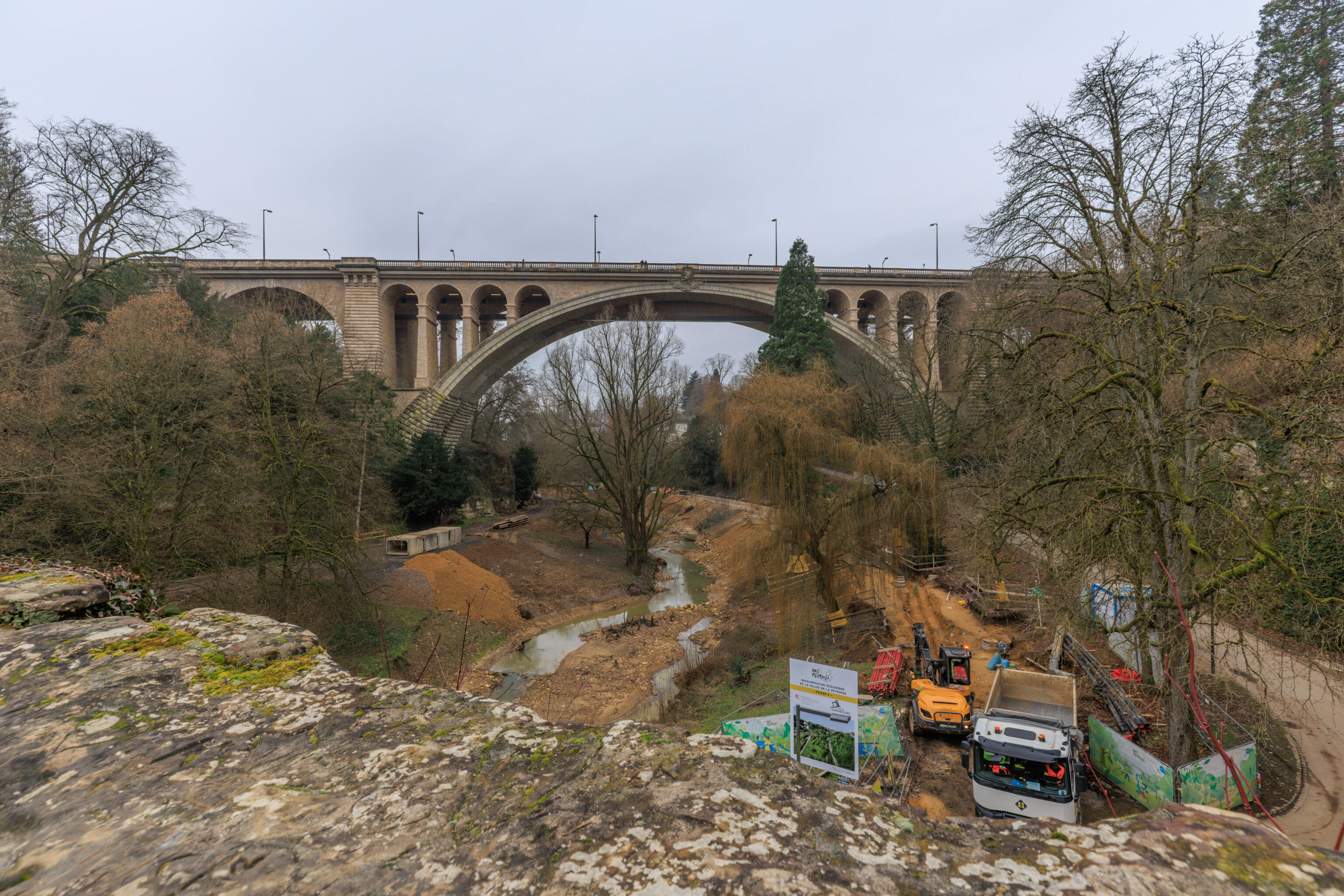
There is quite a bit of construction going on to the west of here.
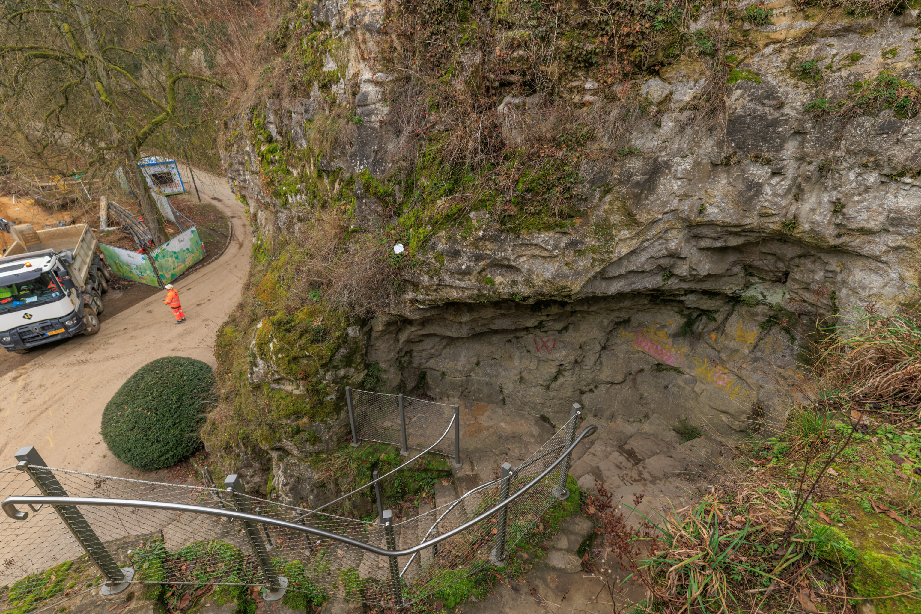
We walked down to ground level via these stairs.
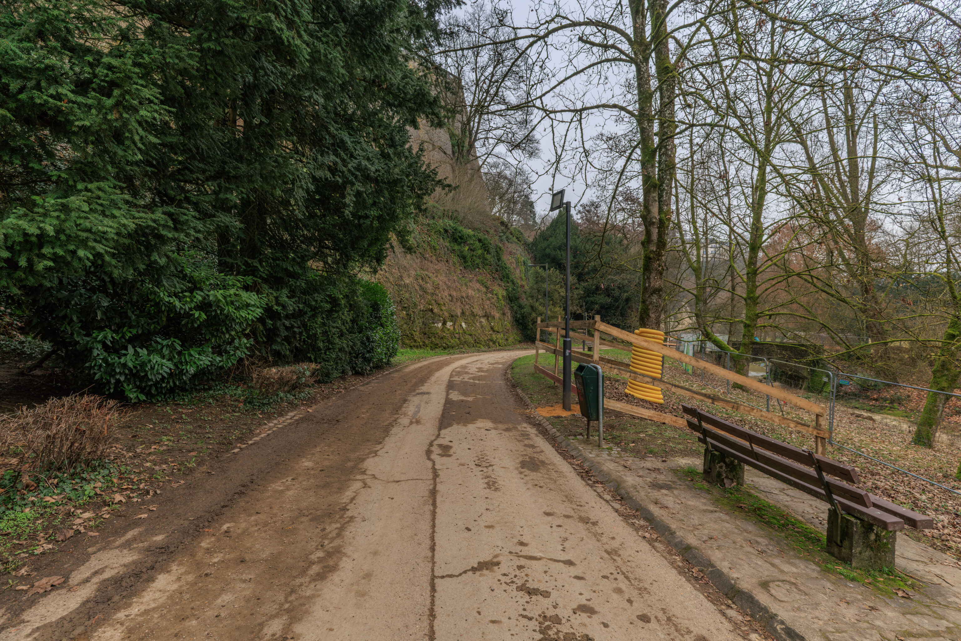
We followed a path to the east.
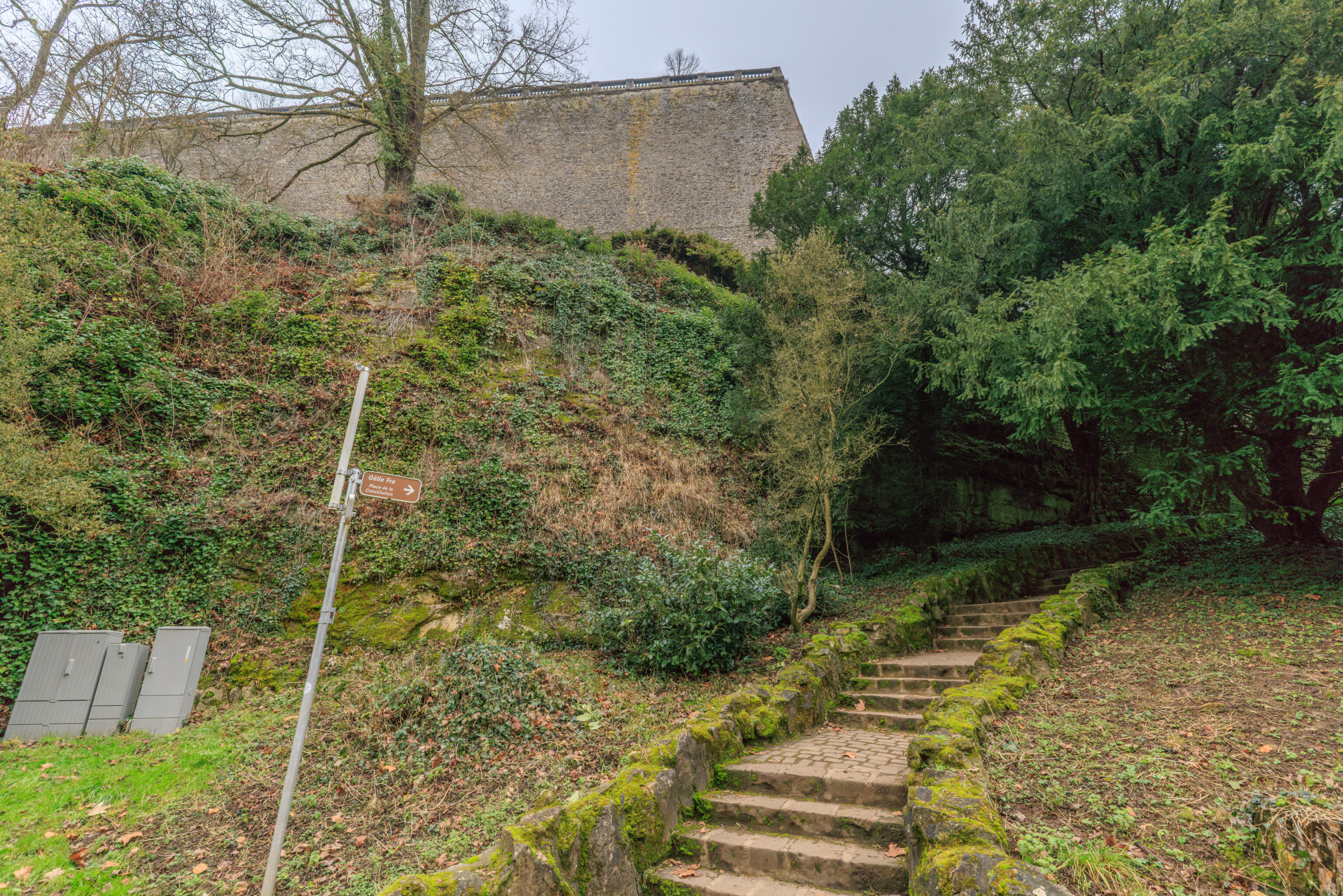
These stairs apparently go up to the Ville Haute.
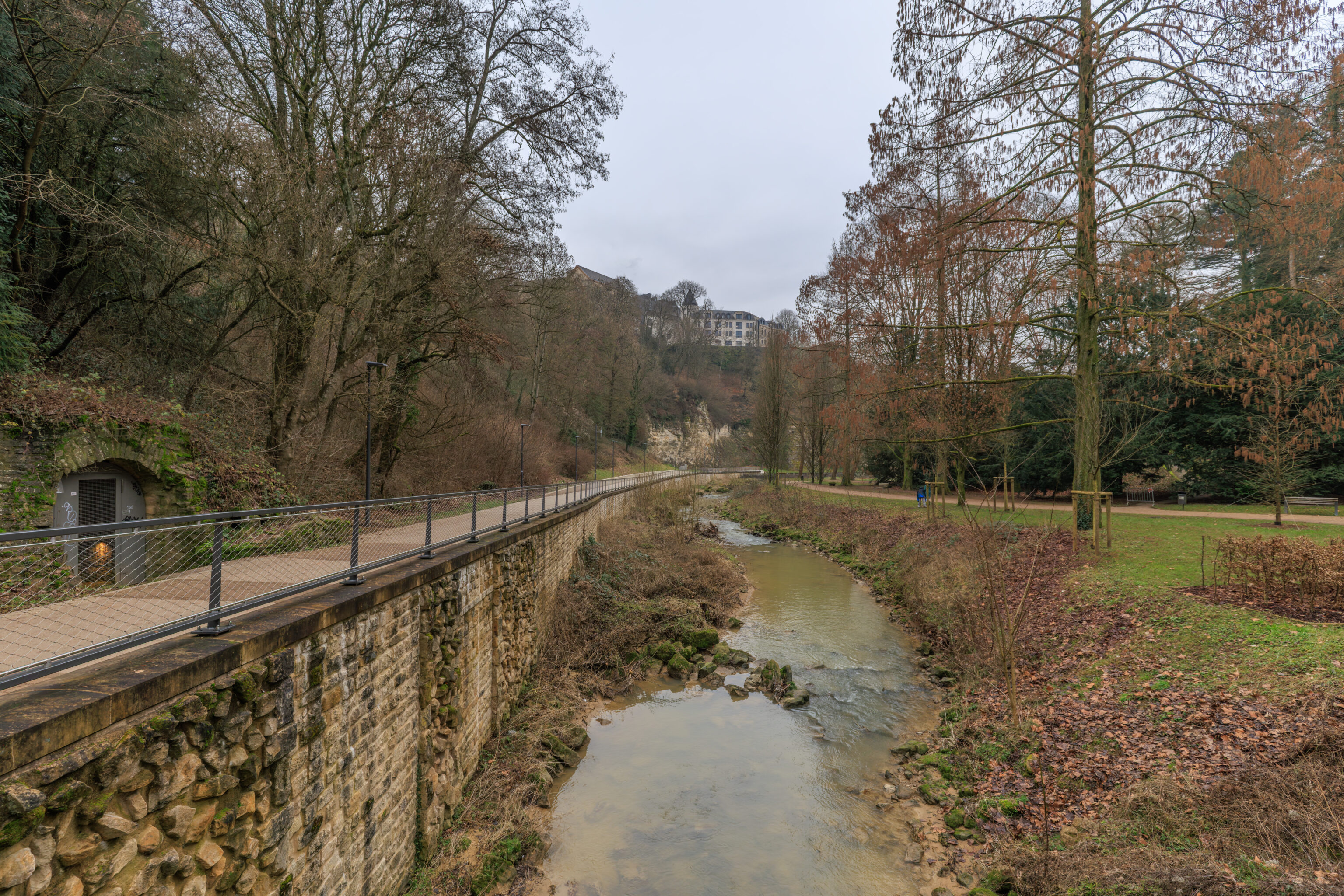
We decided to continue walking in the valley. That door on the left might be the emergency exit we saw earlier while in the casemates!
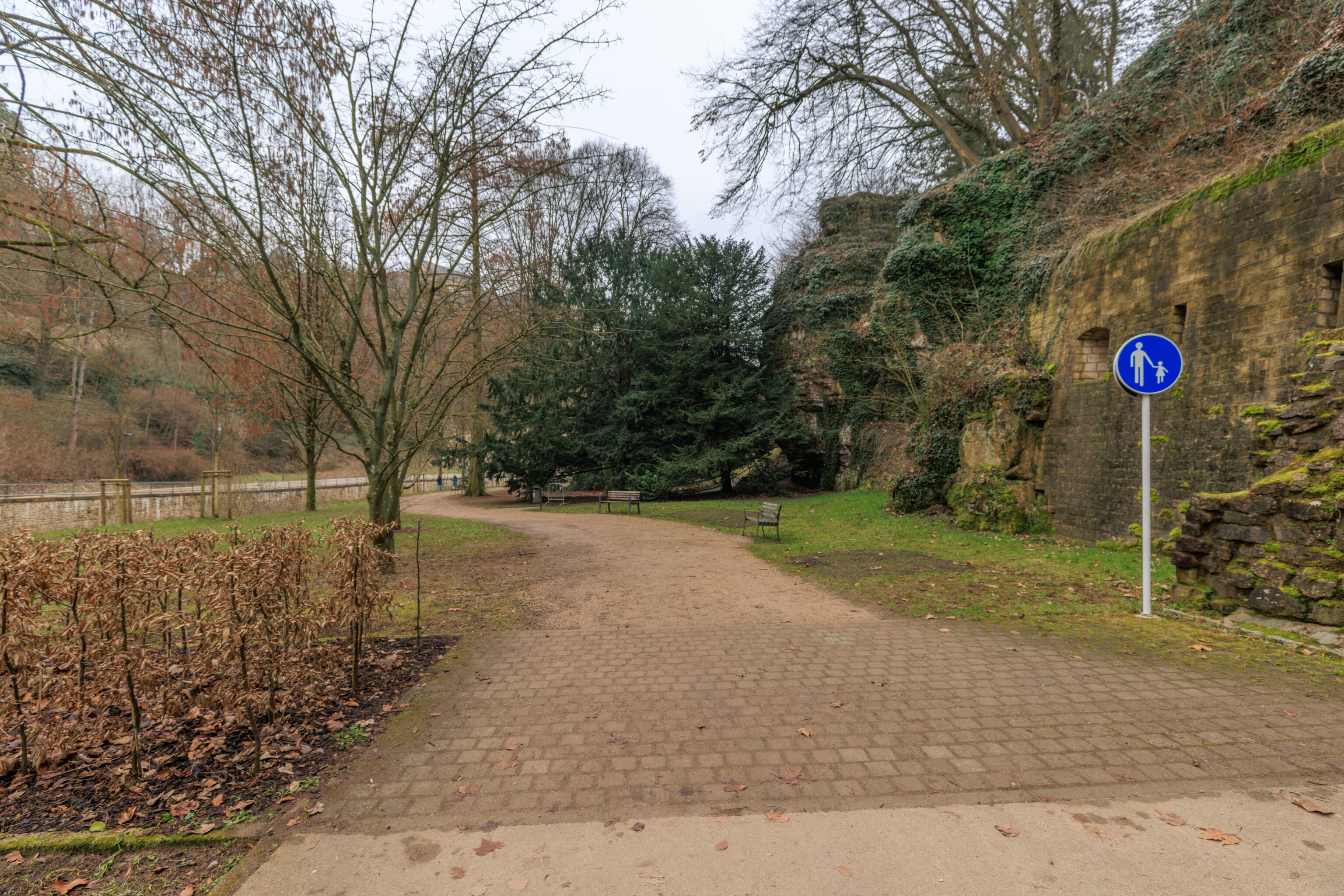
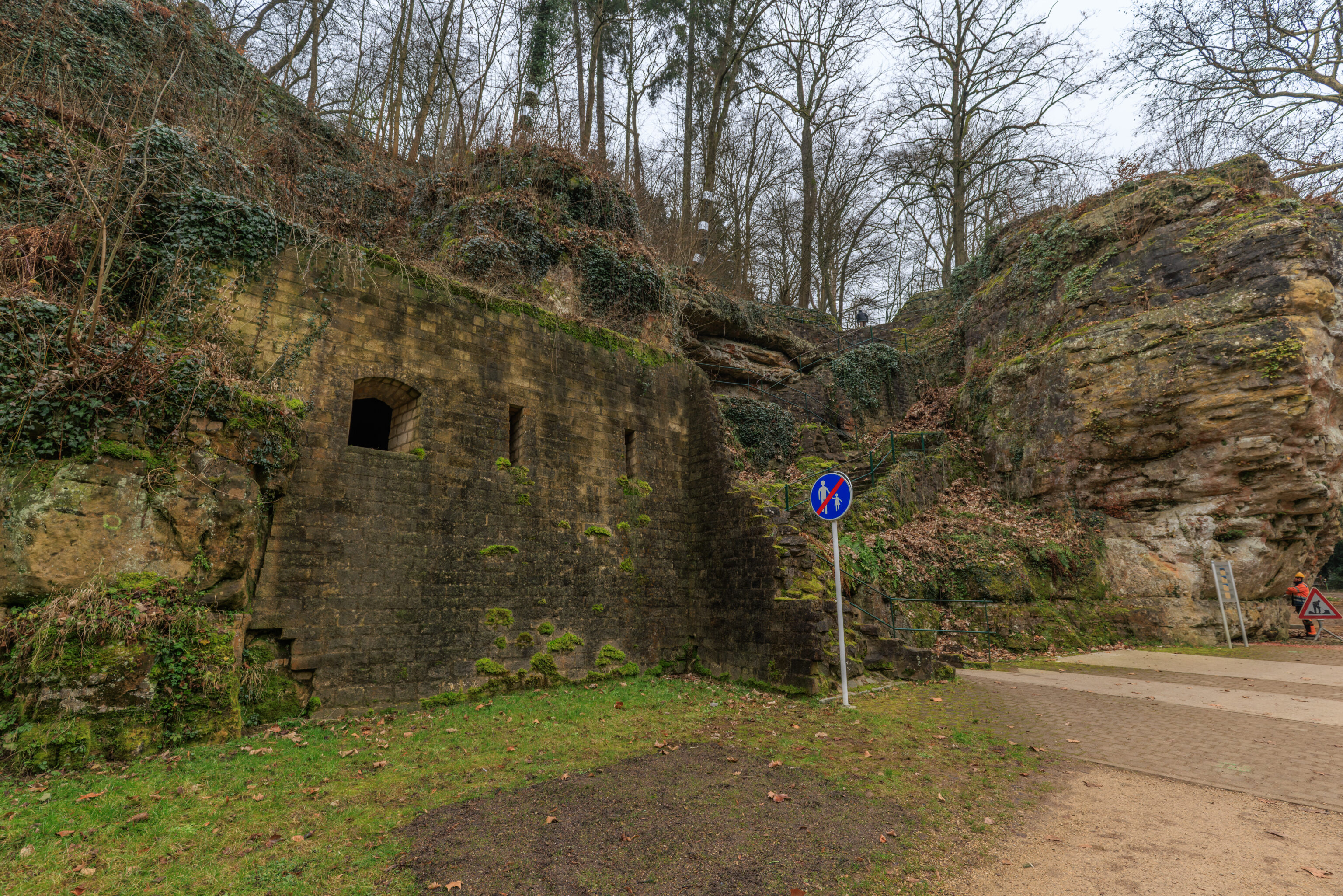
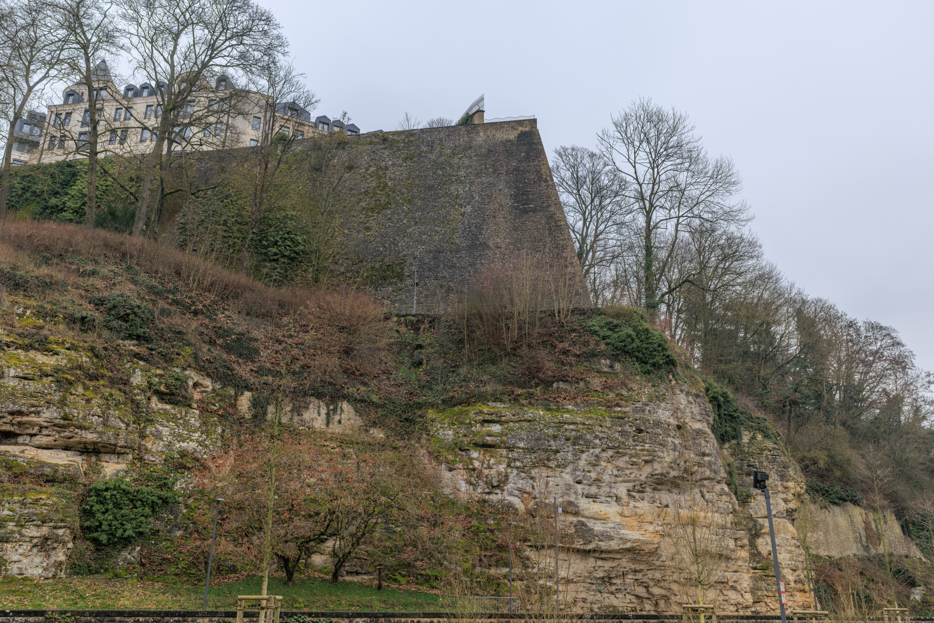
This fortification was on the southern side of the valley, opposite of the casemates that we just exited from.
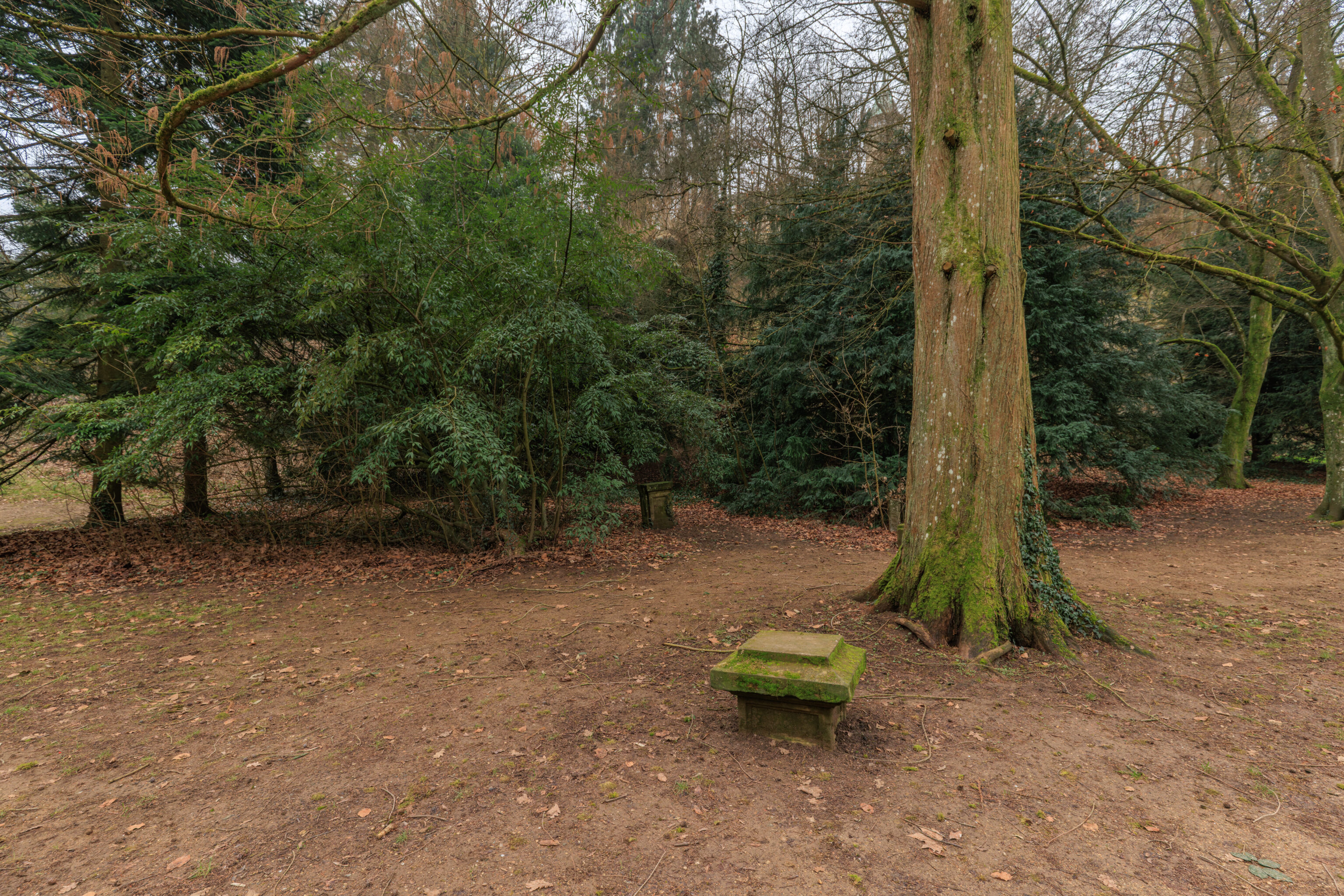
This almost seems like a chimney? Or is it just a column that has been buried over the years?
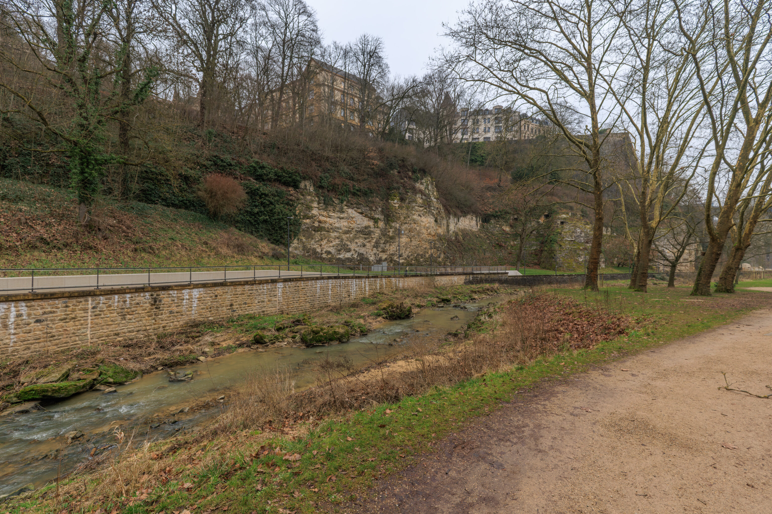
The parkland in the valley was a tad unpleasant due to everything being rather wet!
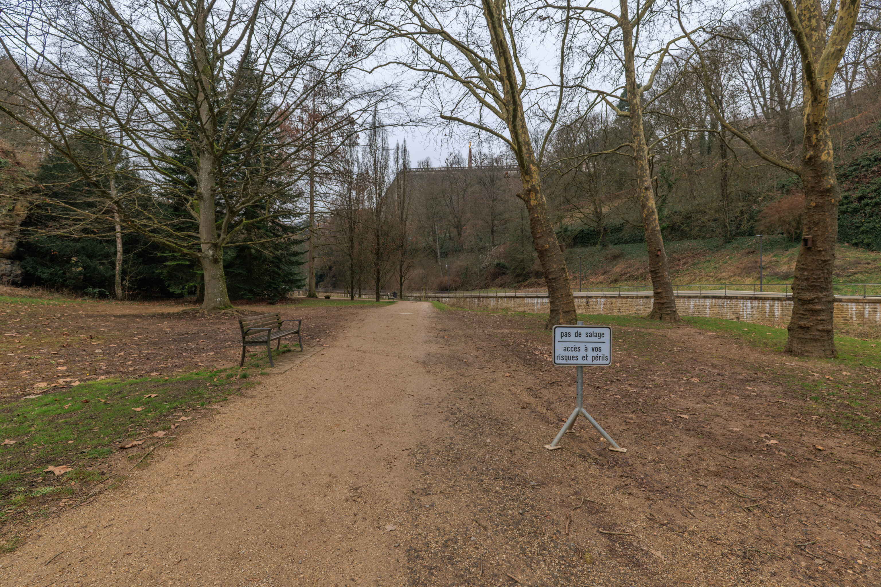
A warning sign like the one we saw early this morning indicating that this path is not salted.
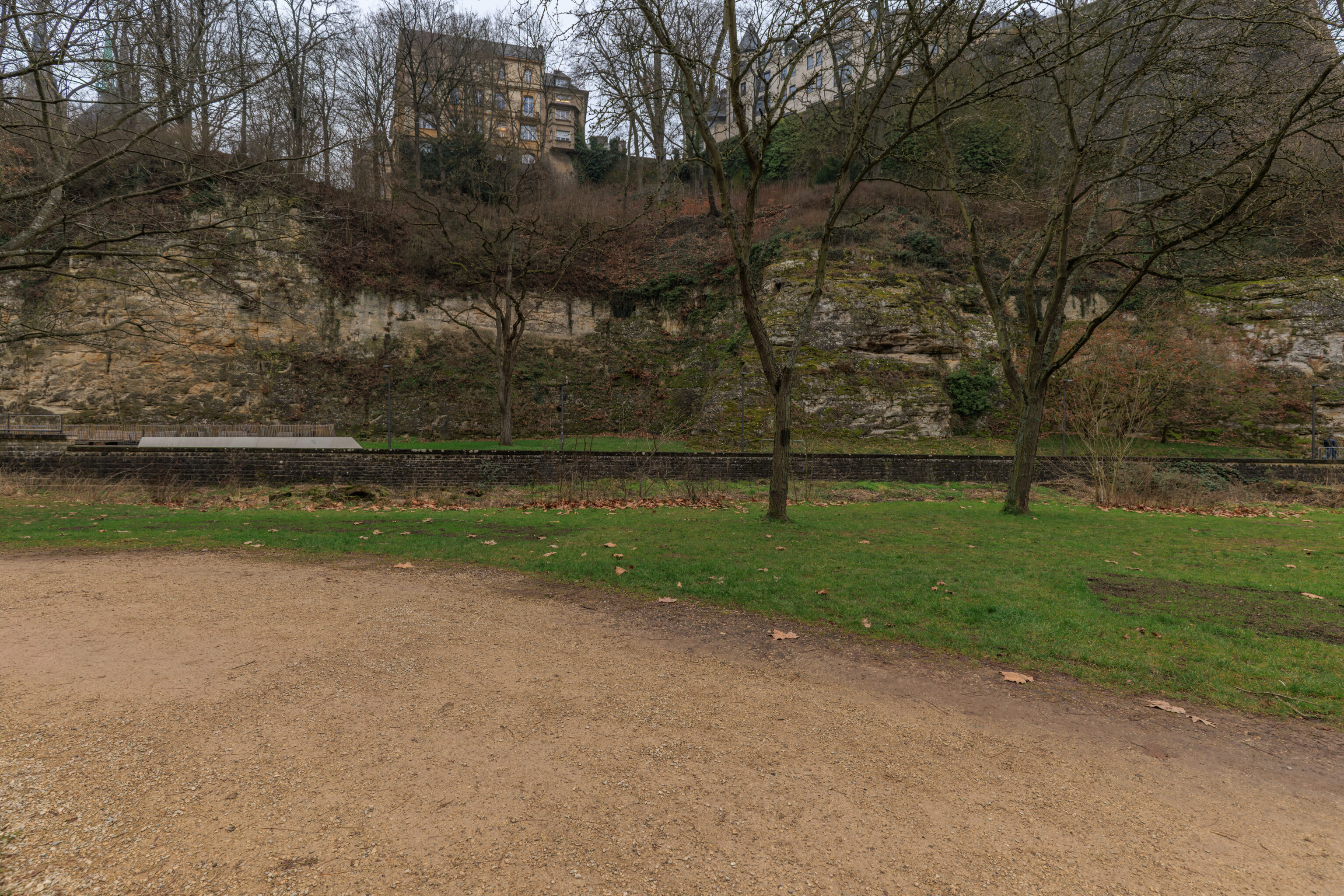
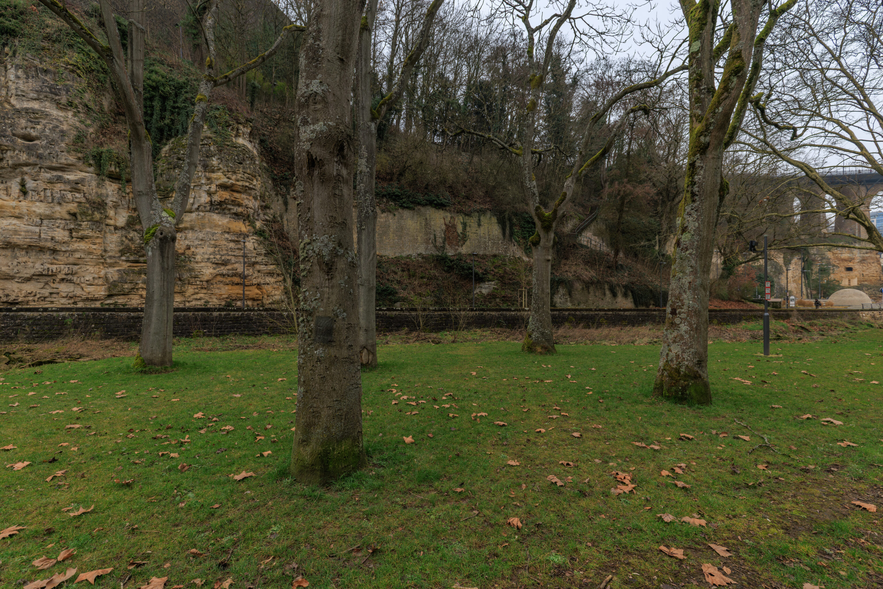
We continued following the path as it curved to the southeast.
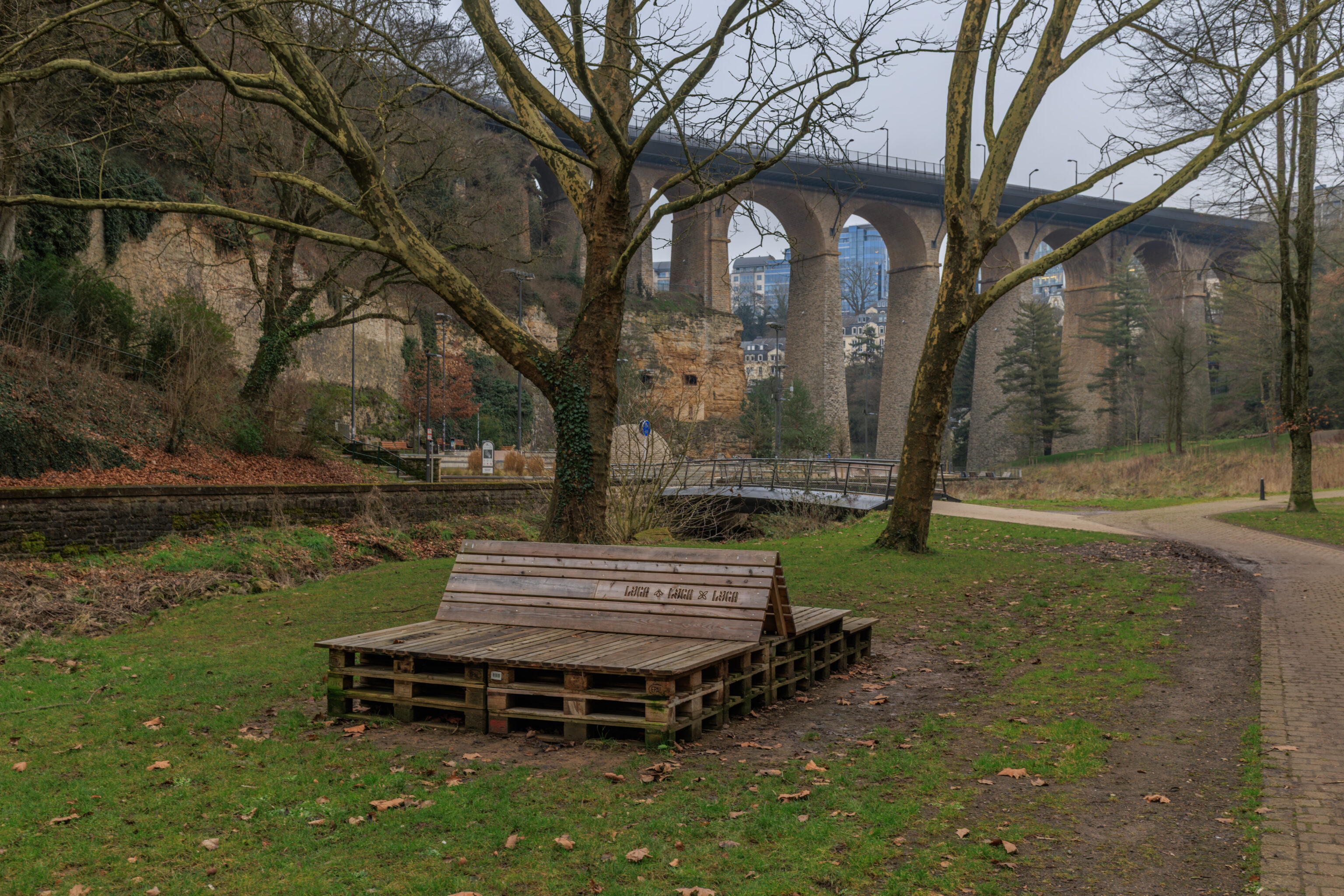
Probably a nice place to relax in the other seasons!
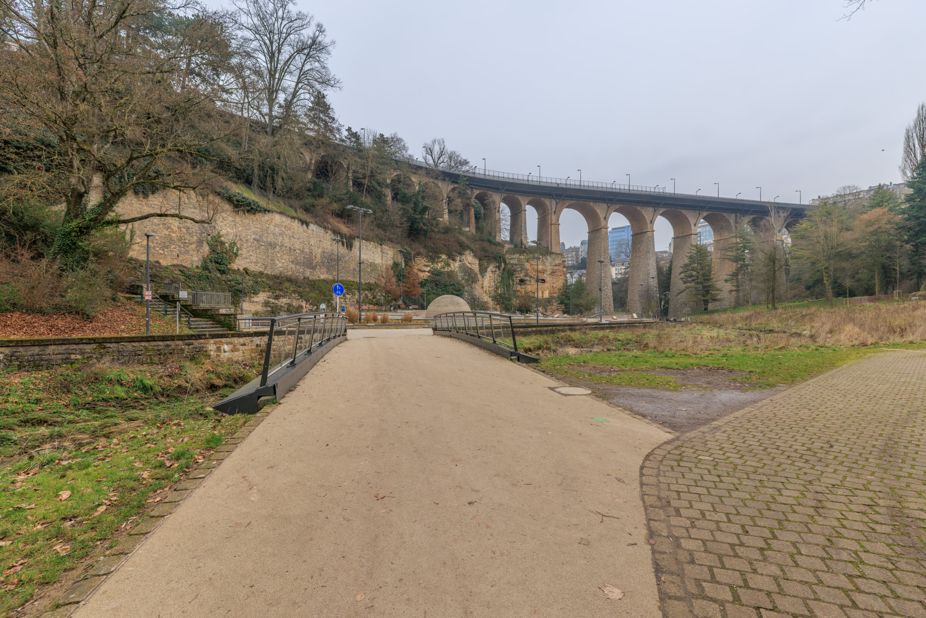
After mostly slowly walking for about twenty minutes, we clearly saw the Passerelle directly ahead.
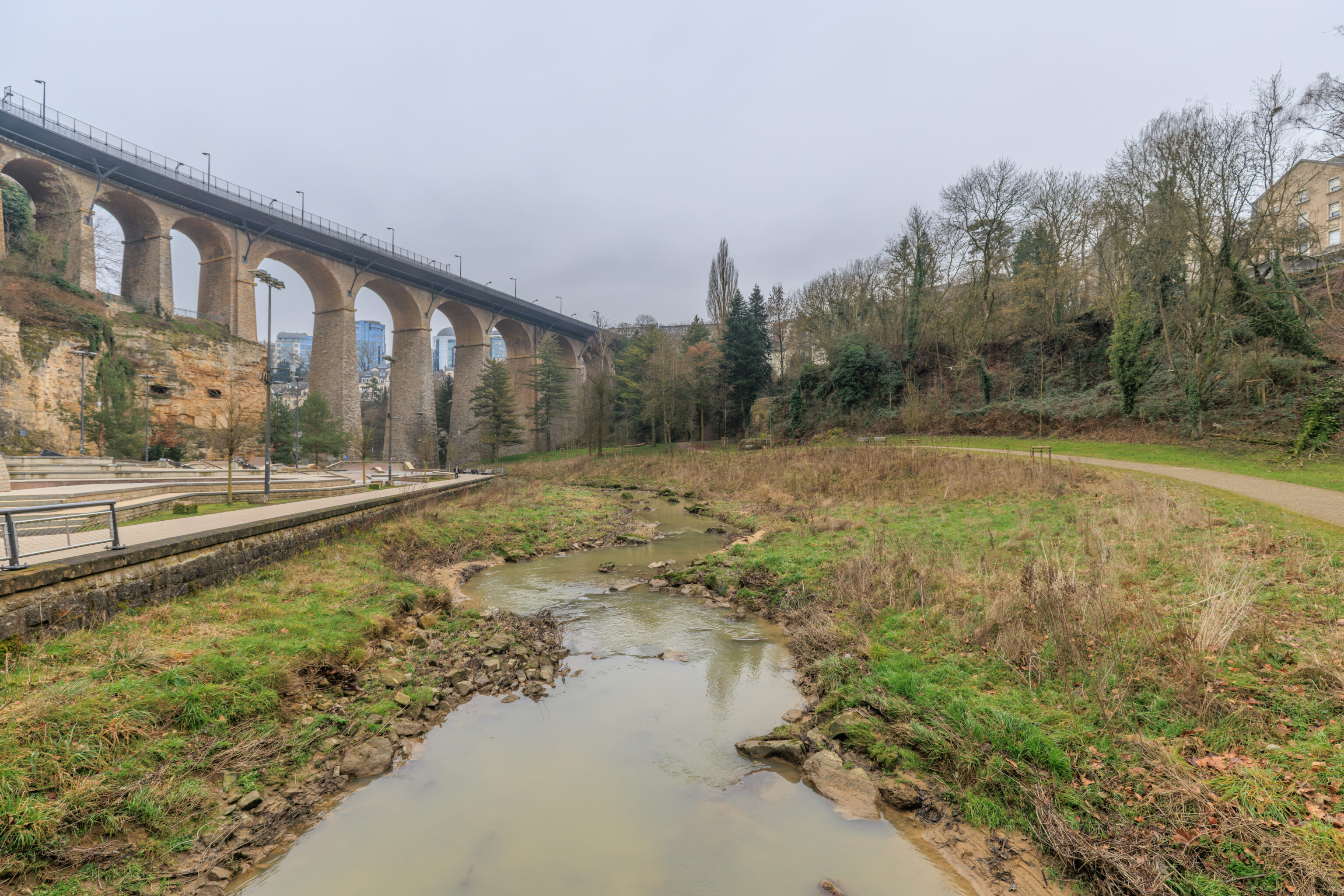
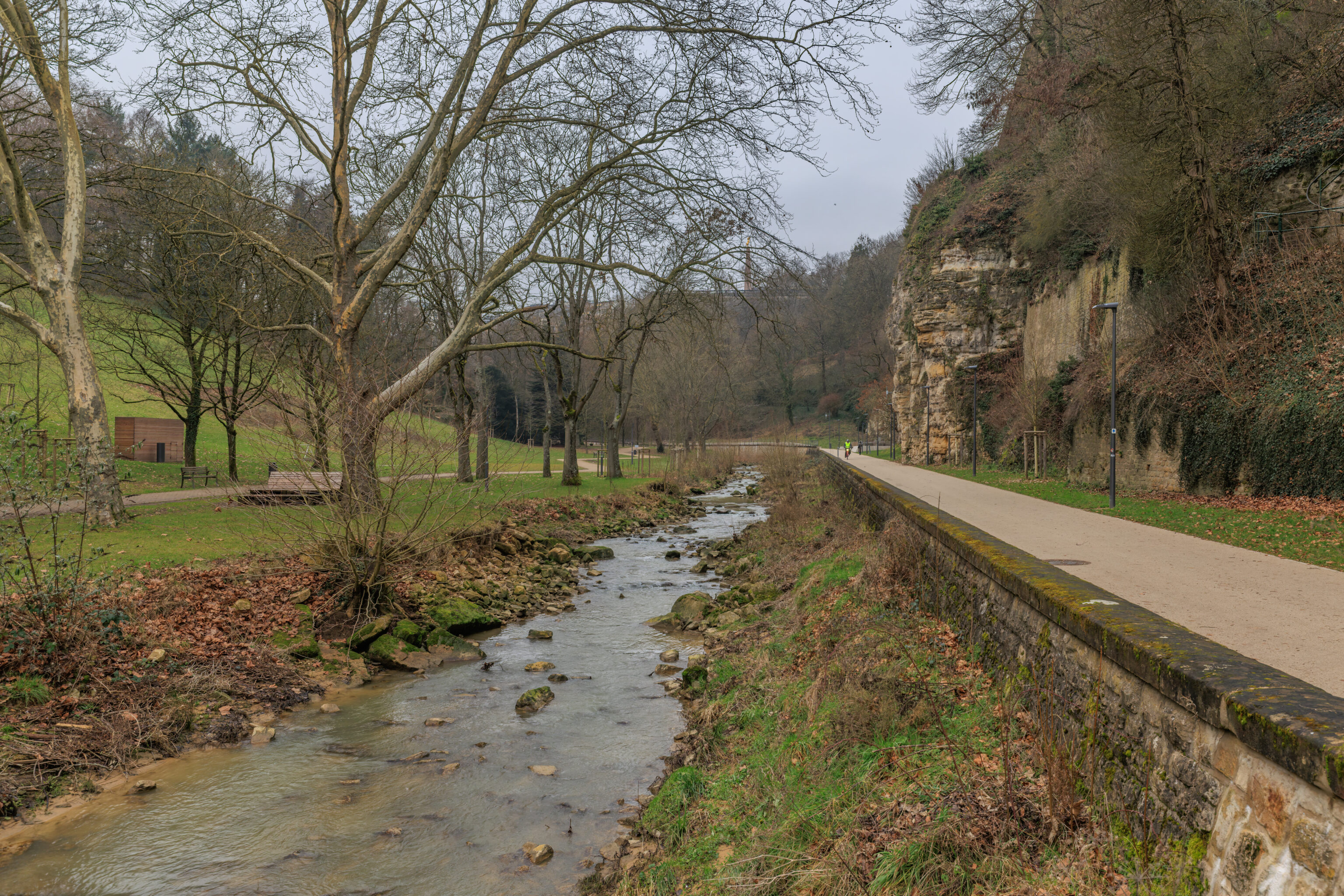
We crossed over the Pétrusse, which was really kind of a muddy stream.
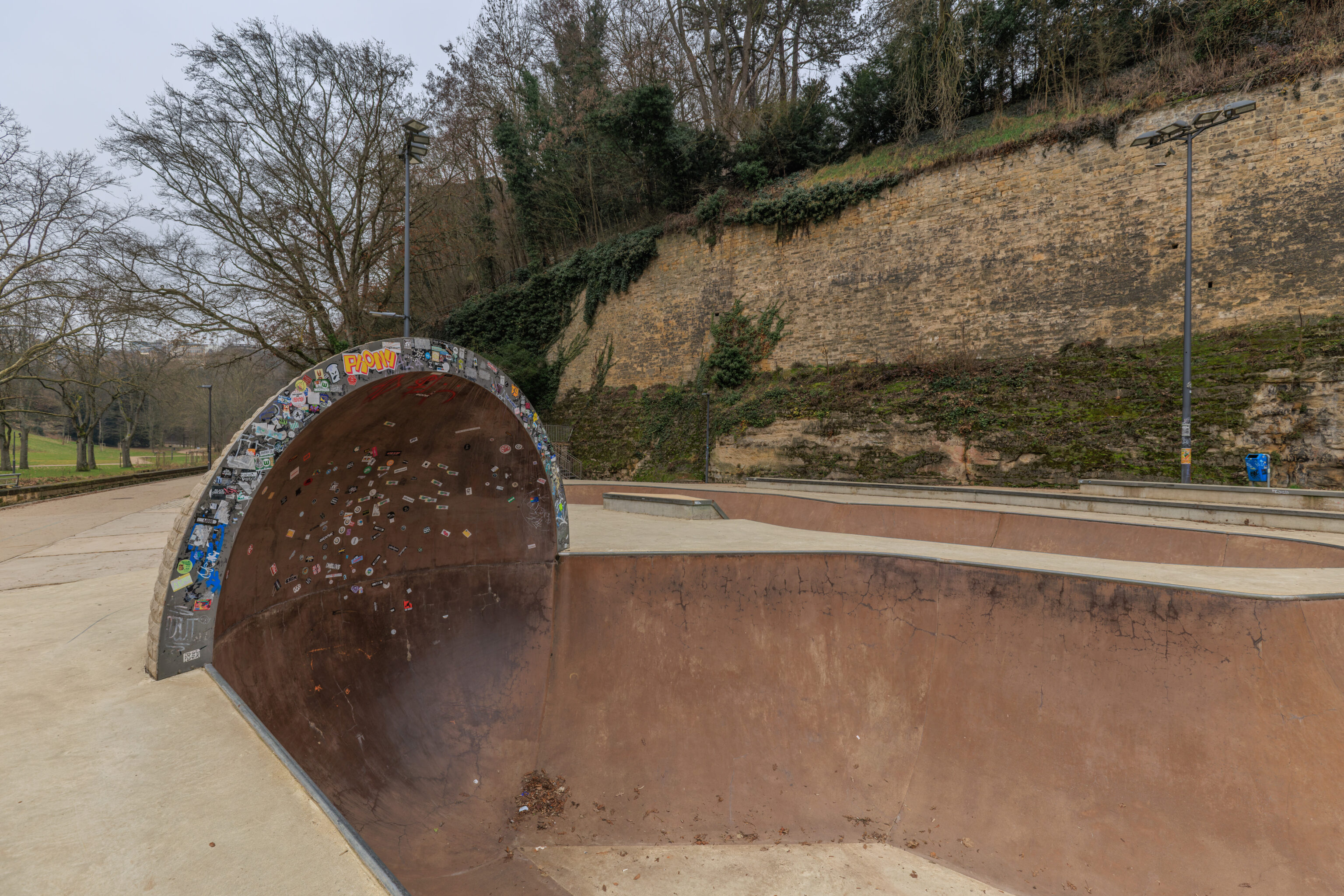
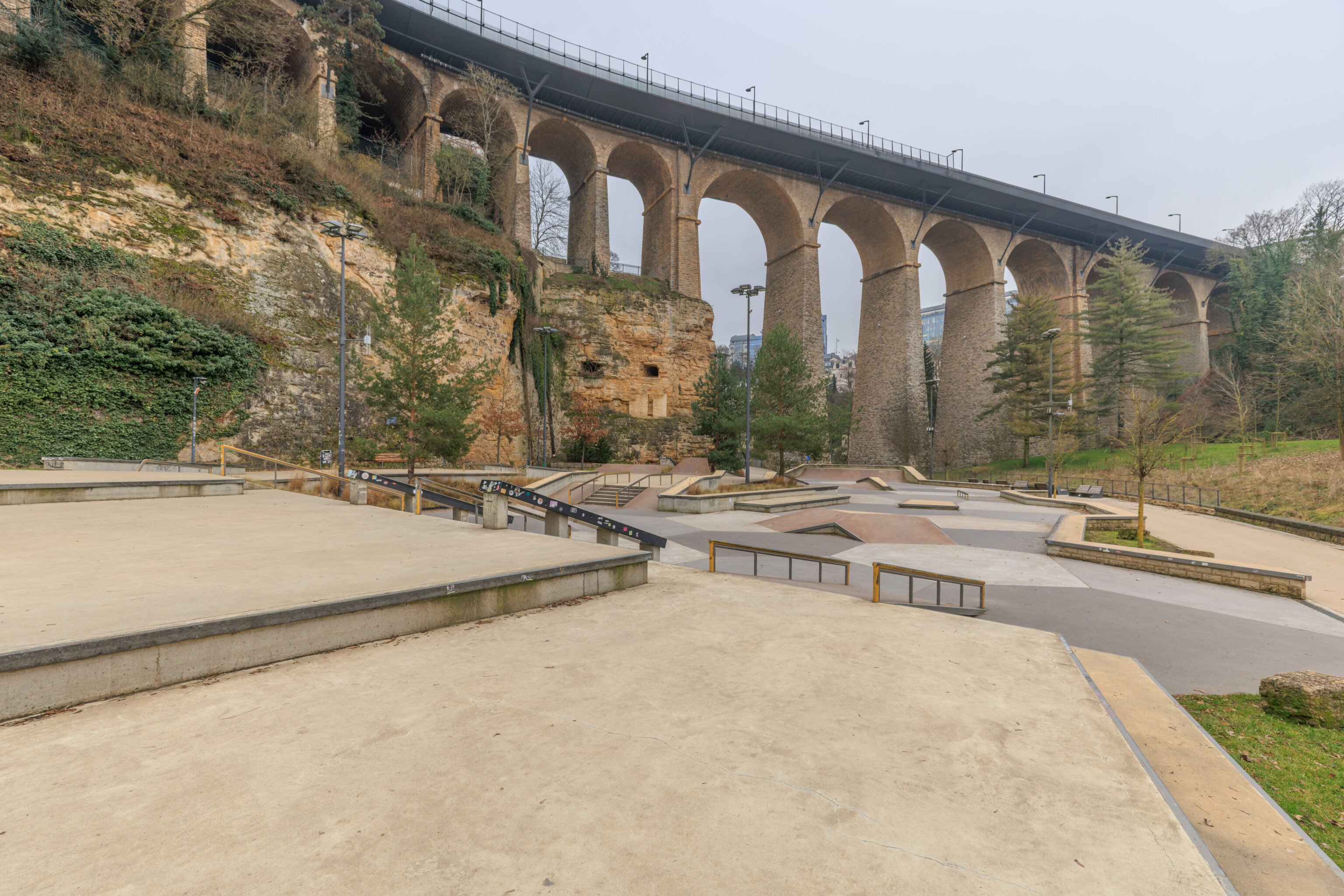
There was a skate park on the west side of the Passerelle.
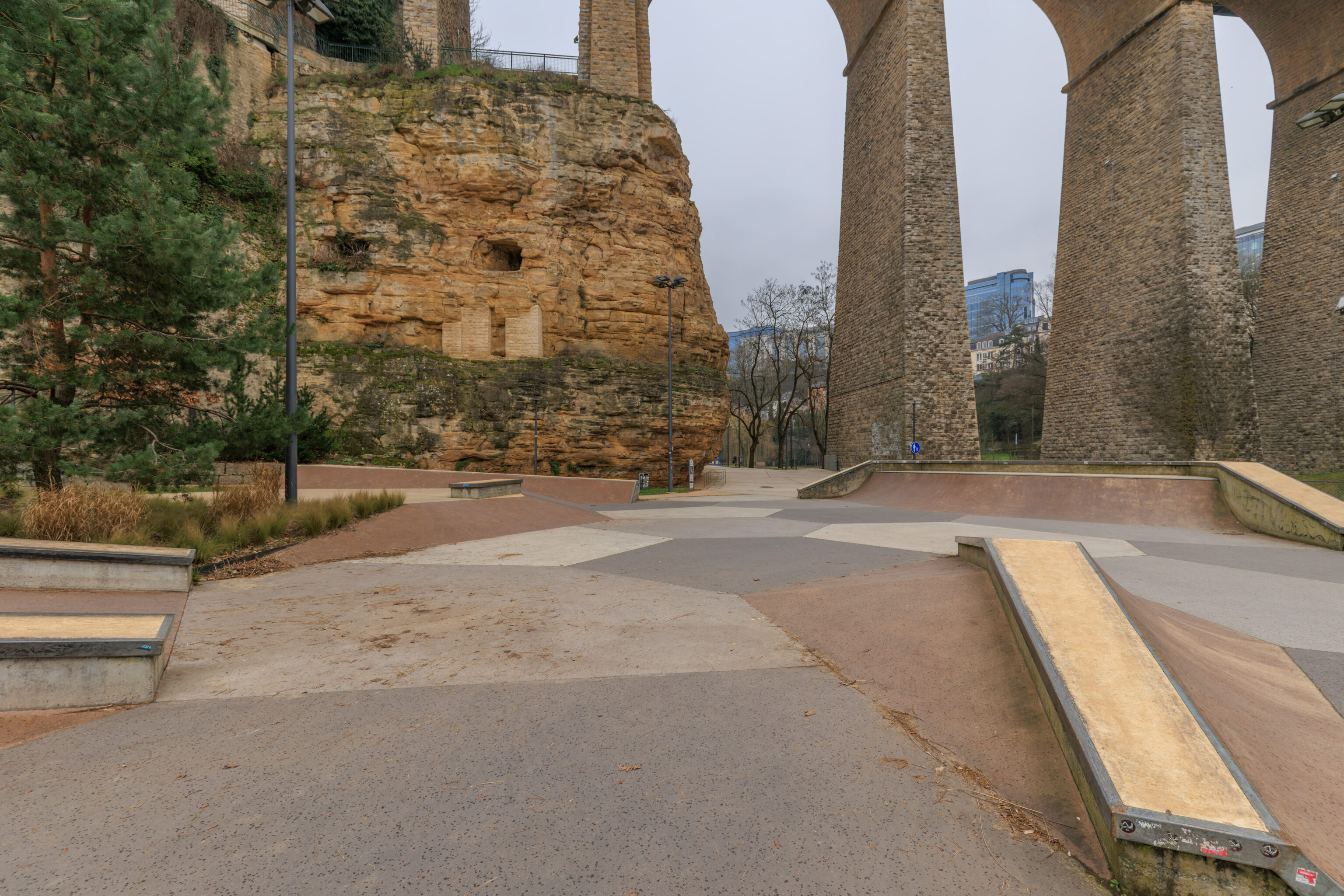
It had started to rain not too long ago and it was starting to rain harder as we walked towards the Passerelle.
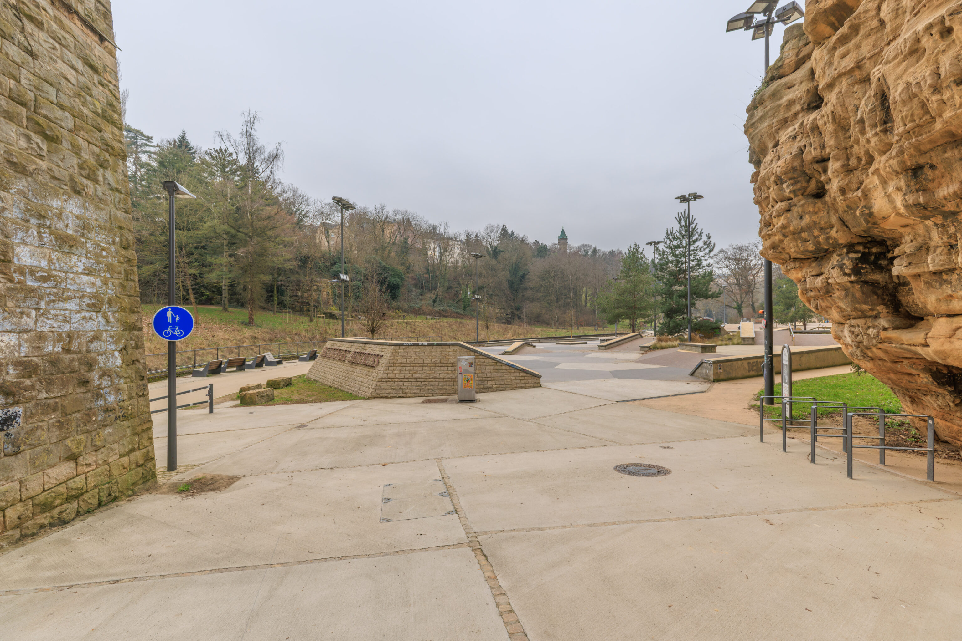
The area underneath was a good place to put on rain gear!
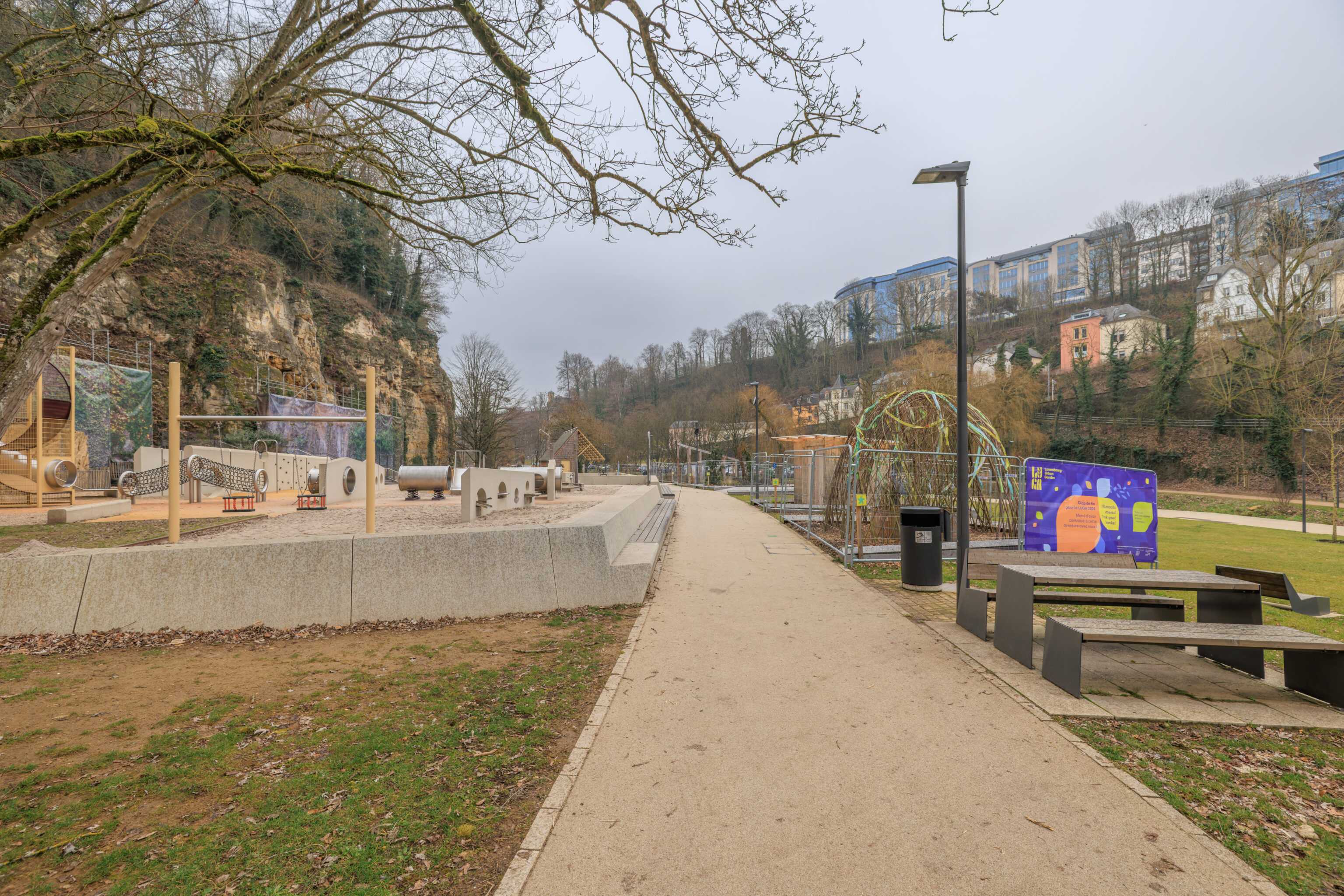
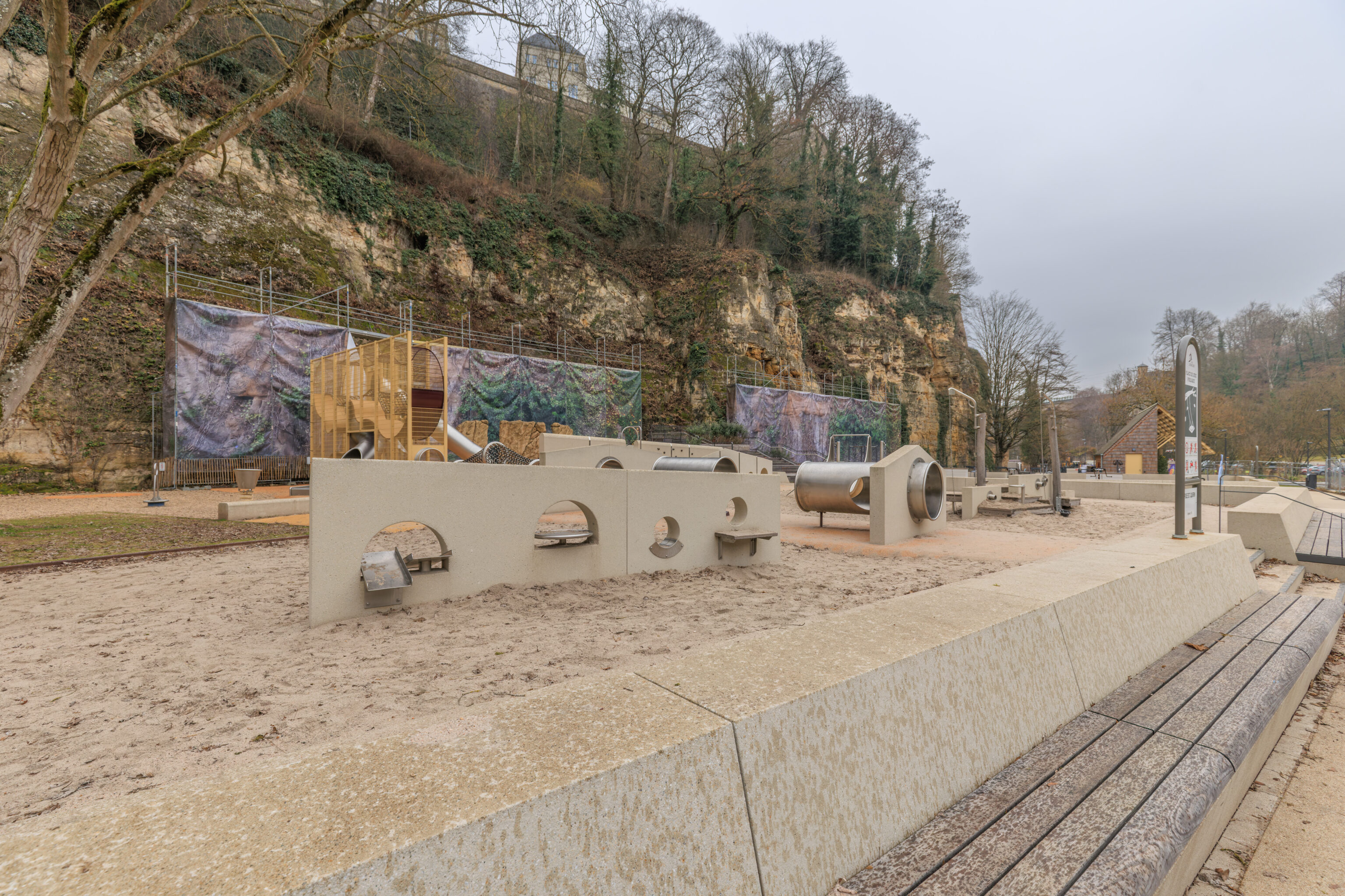
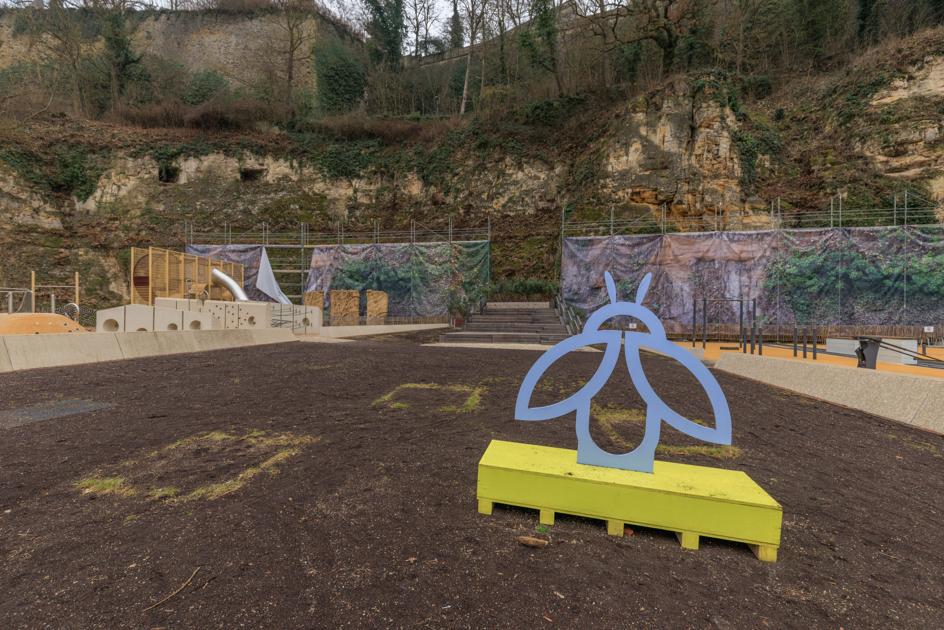
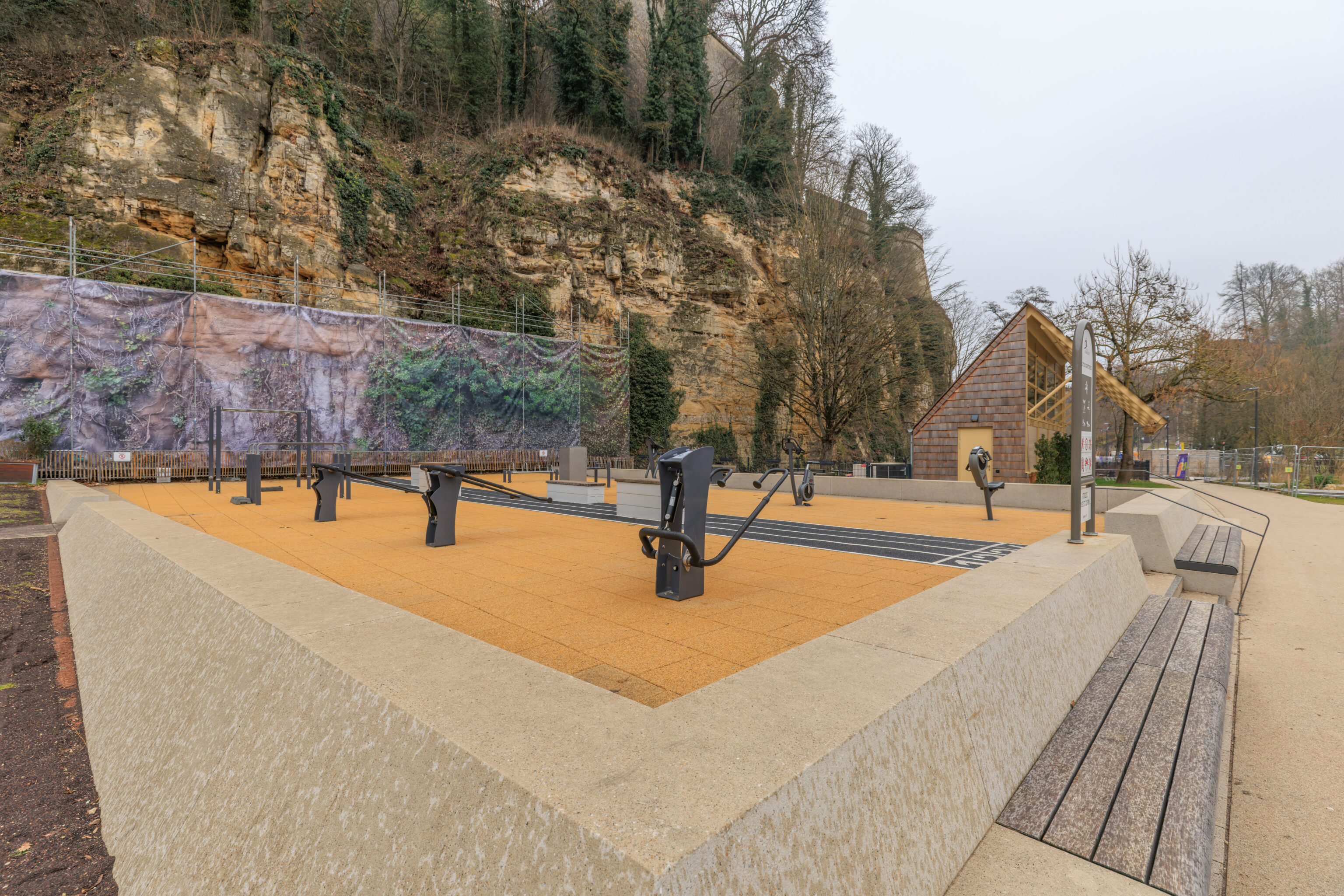
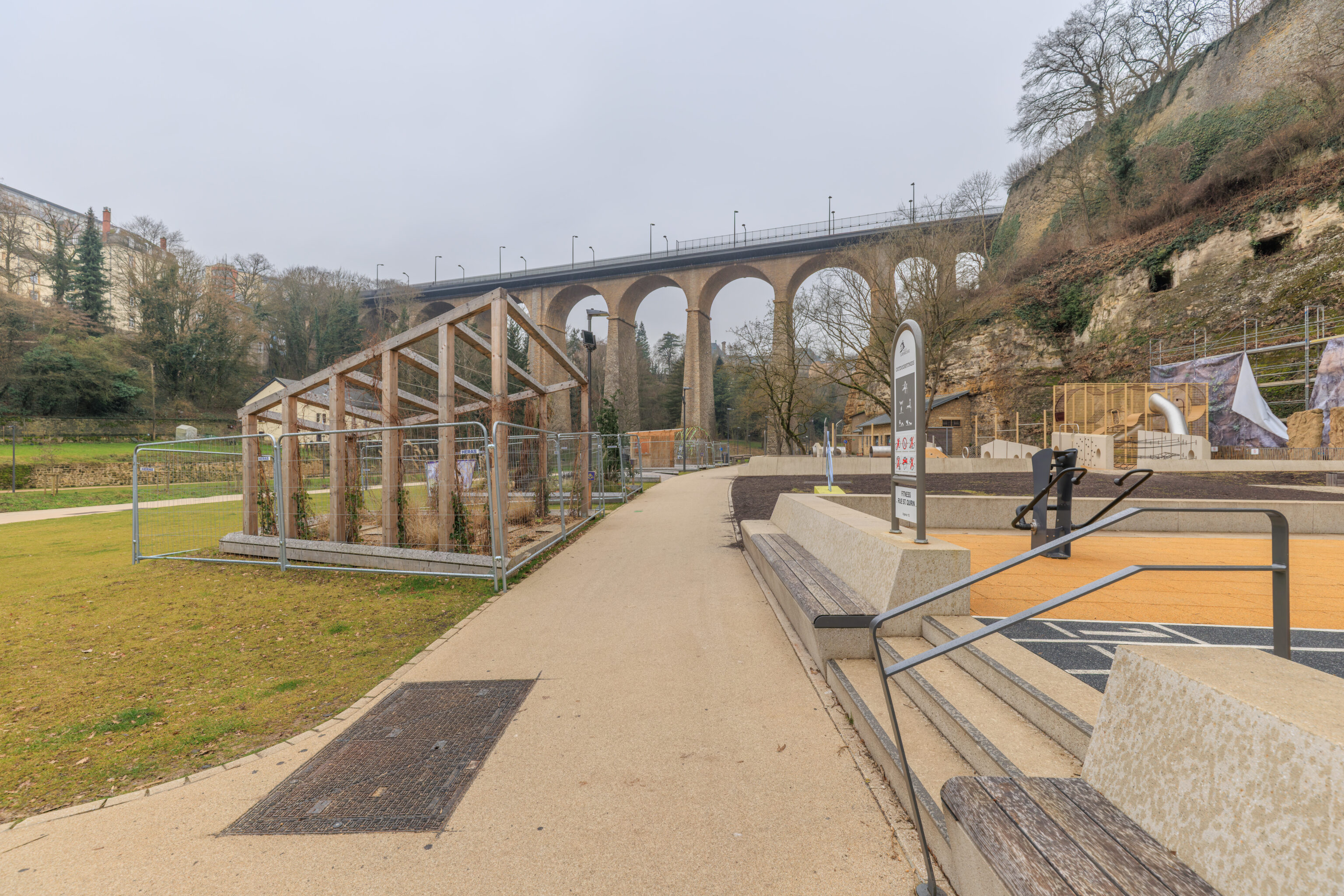
We continued past the Passerelle, now heading to the east. We passed by a playground and some outdoor exercise equipment. There seemed to be some construction going on at the base of the cliff on the north side valley. We walked above here early this morning.
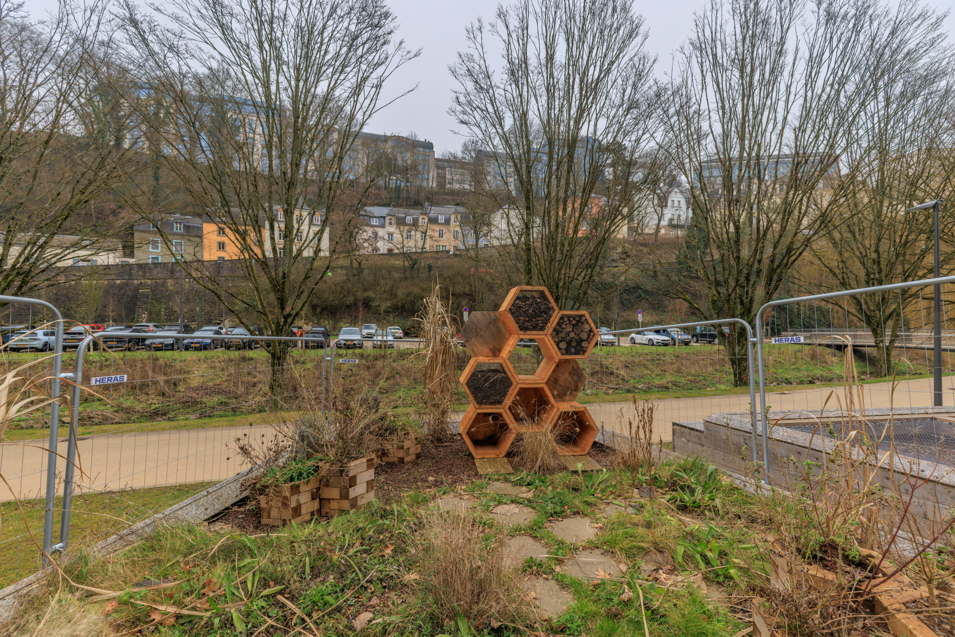
This looked like an incomplete insect house.
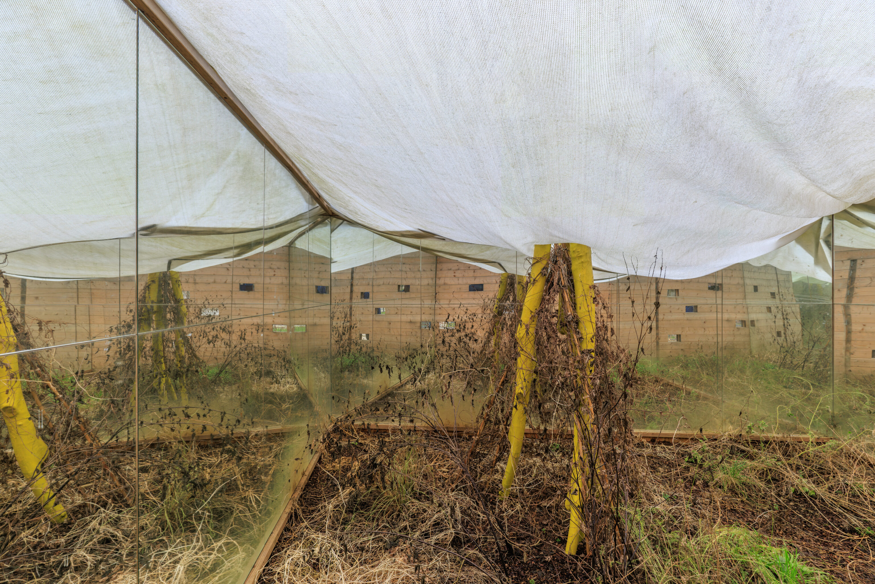
This was some sort of mirrored space. We could look into it via holes in the wall. That wall is reflected on the mirrors in front of us.
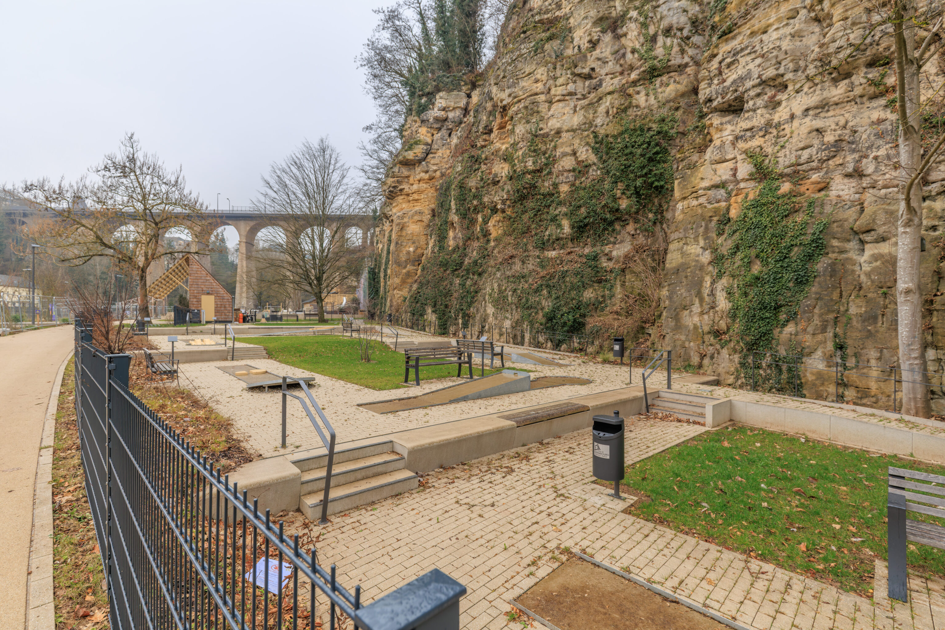
We walked past a mini golf course.
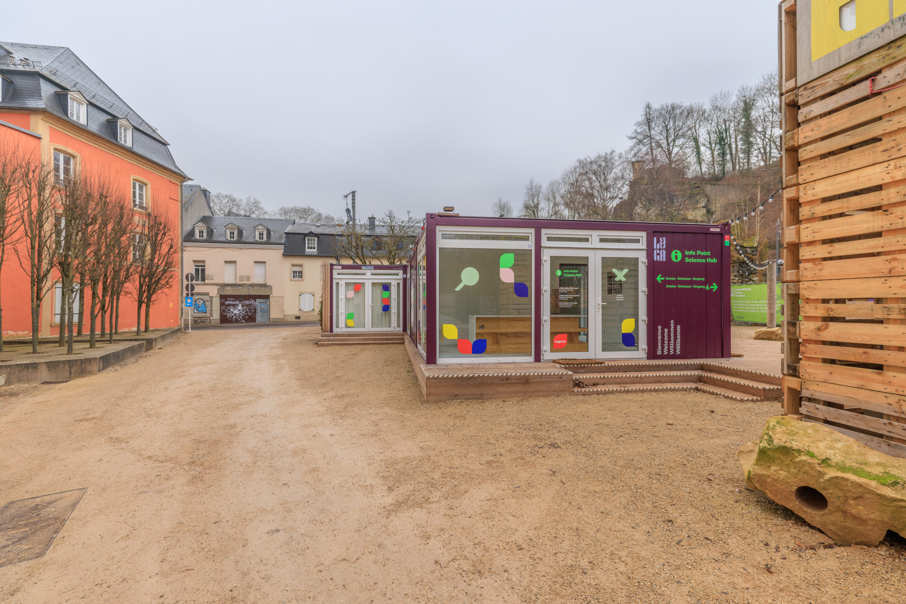
Finally, at the east end of the park within the valley, we saw some shipping containers acting as information centers and what is described as a “Science Hub”.
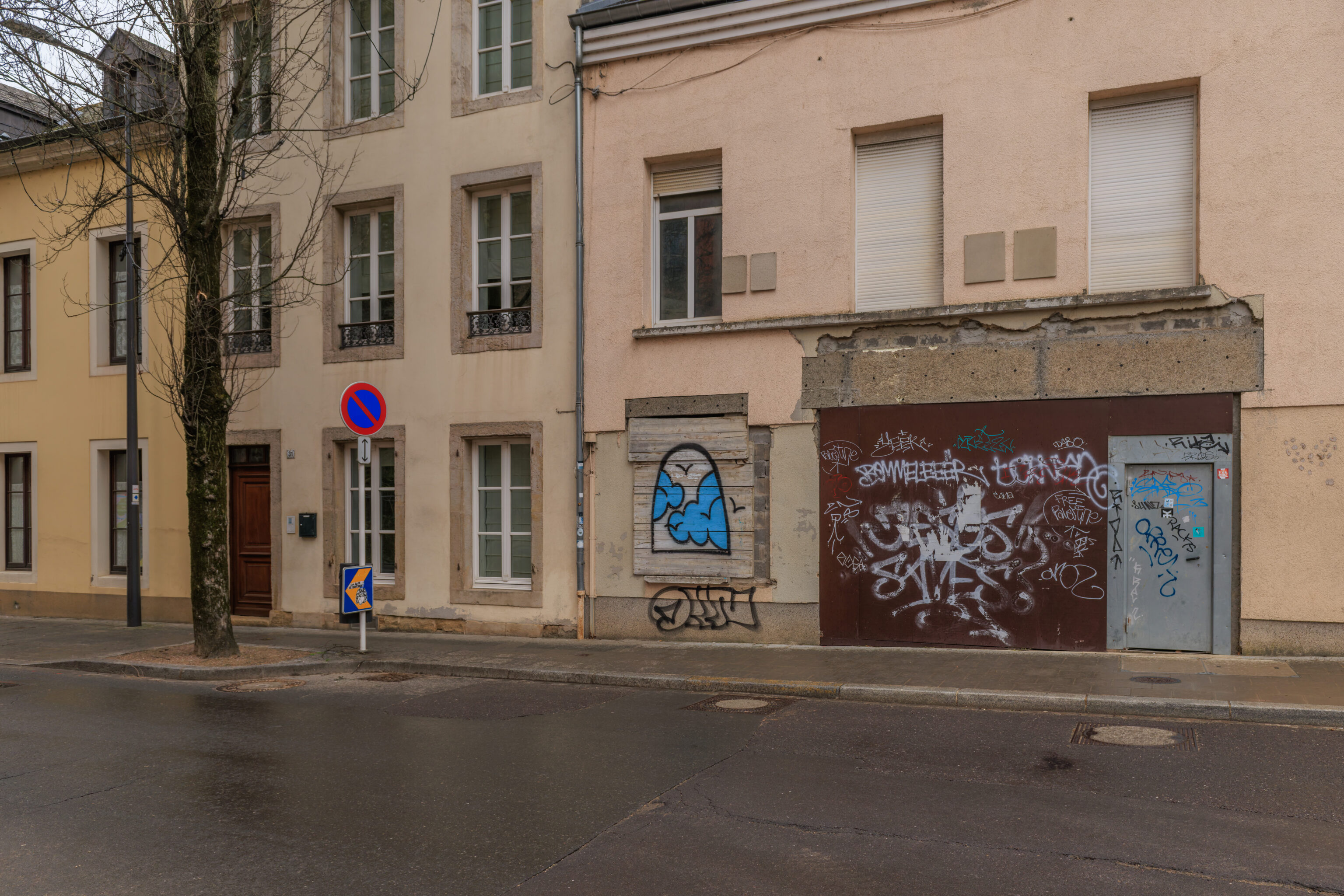
We turned left to follow a road that runs through the Grund, which is where we are now. We noticed this graffiti depicting some clouds and birds. The colors of the clouds and sky are inverted from what one would normally expect. The Pétrusse flows into the Alzette near the rear of these buildings.
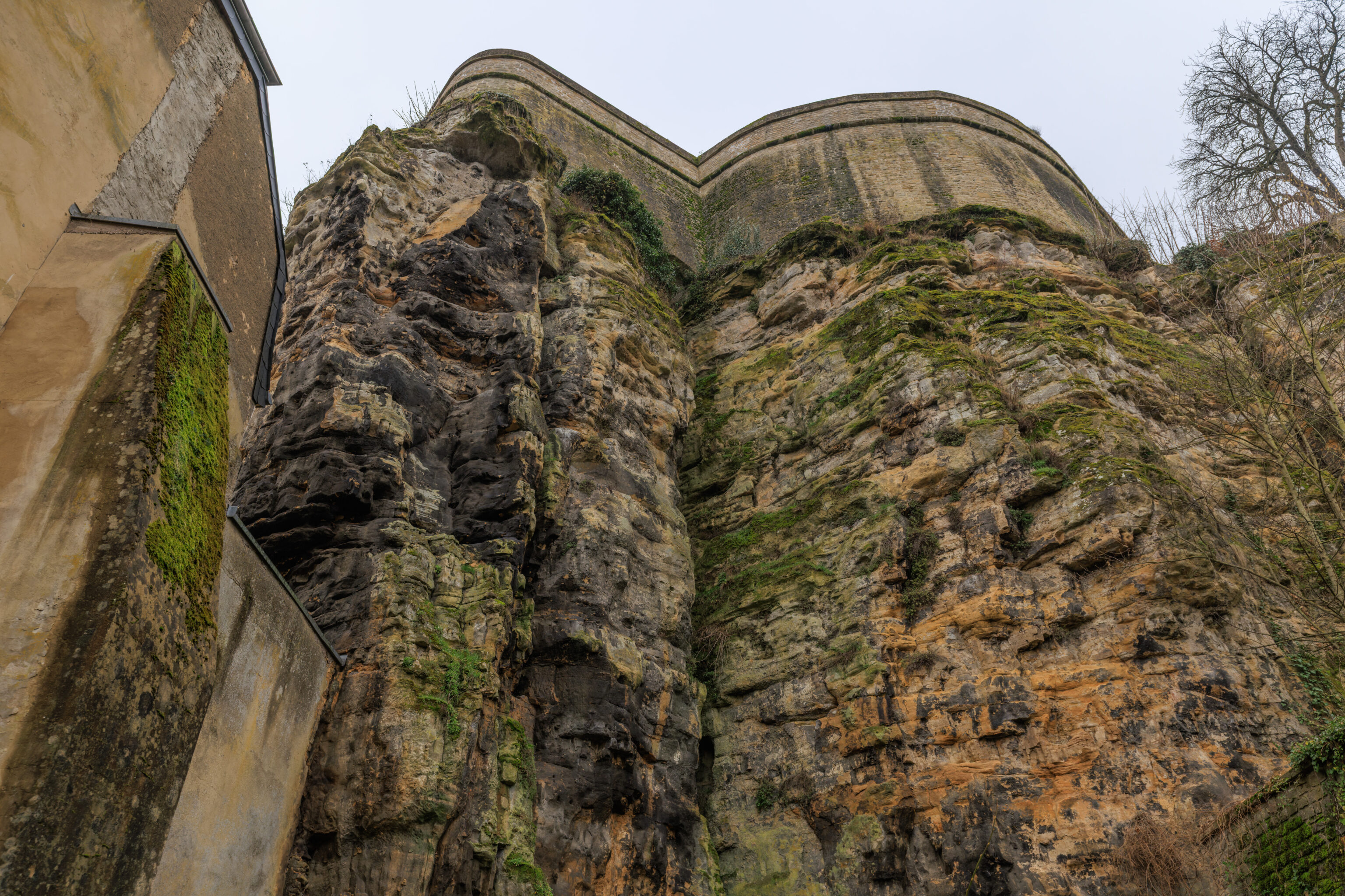
Looking up, we could see a section of fortified wall.
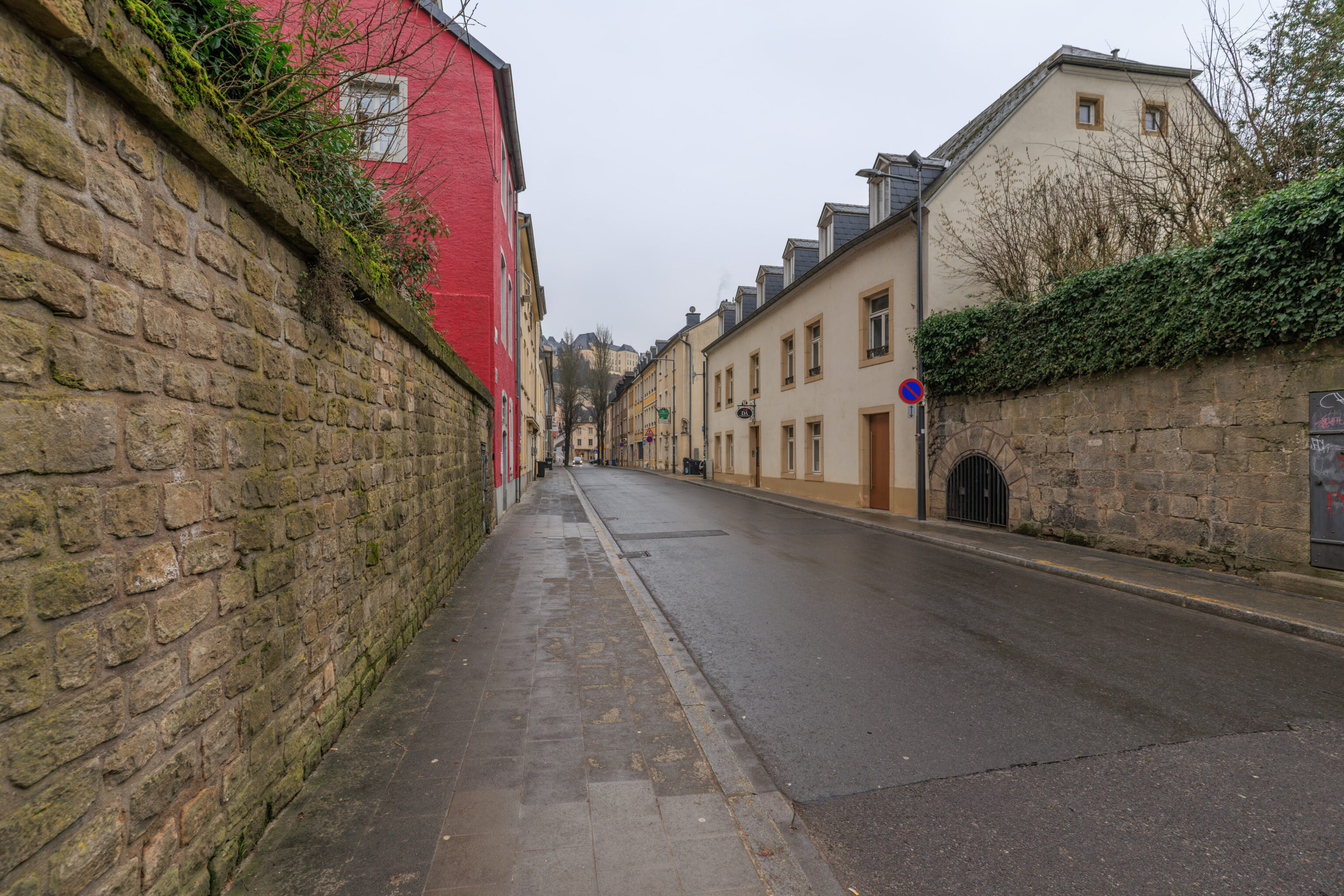
We walked to the north along a long section of straight road. The Alzette is on the other side of the buildings to the right.
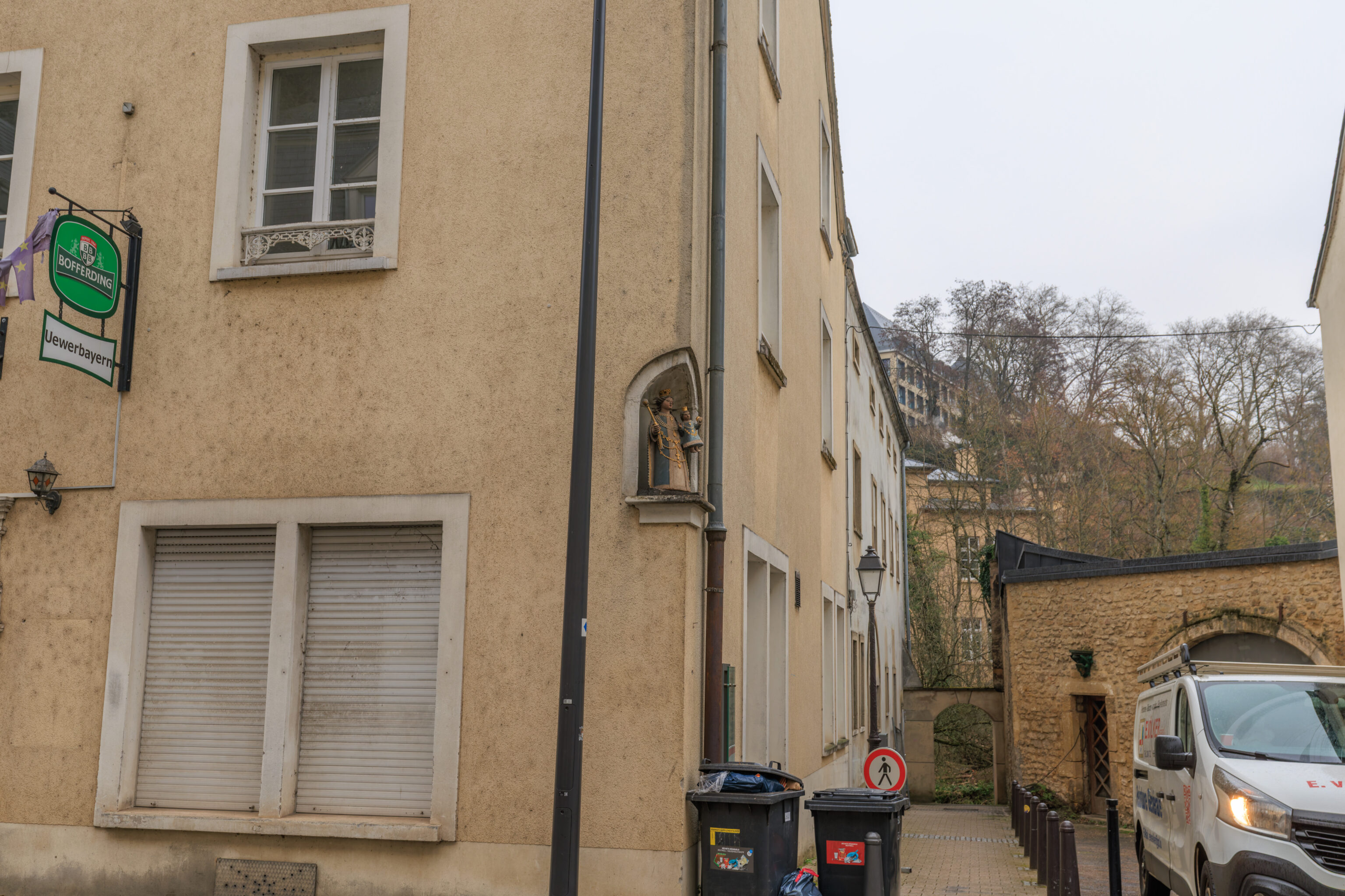
A pair of statues embedded in a corner of a building.
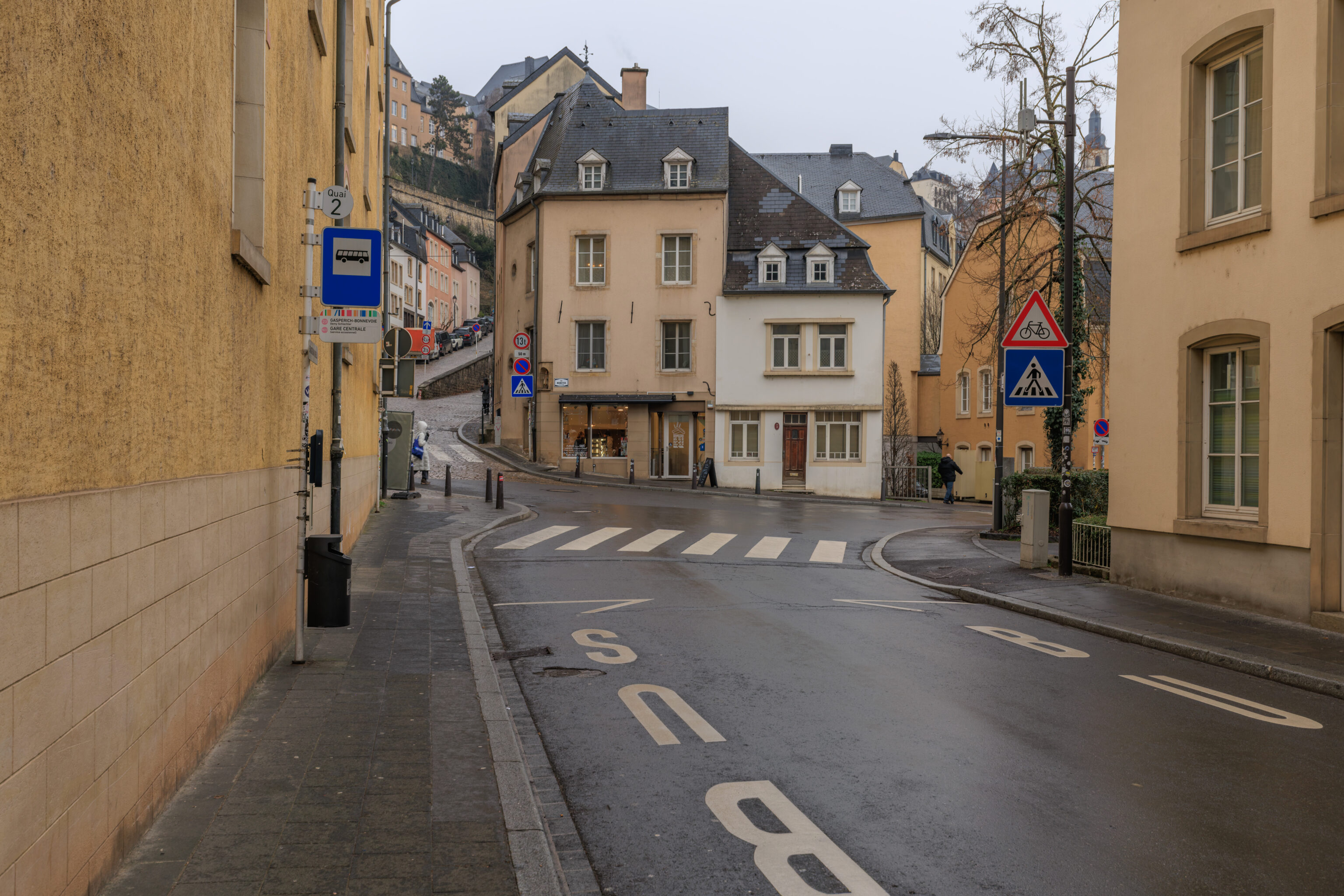
Soon, we reached a familiar place. The elevator between the Grund and Ville Haute is to the left of this intersection ahead!
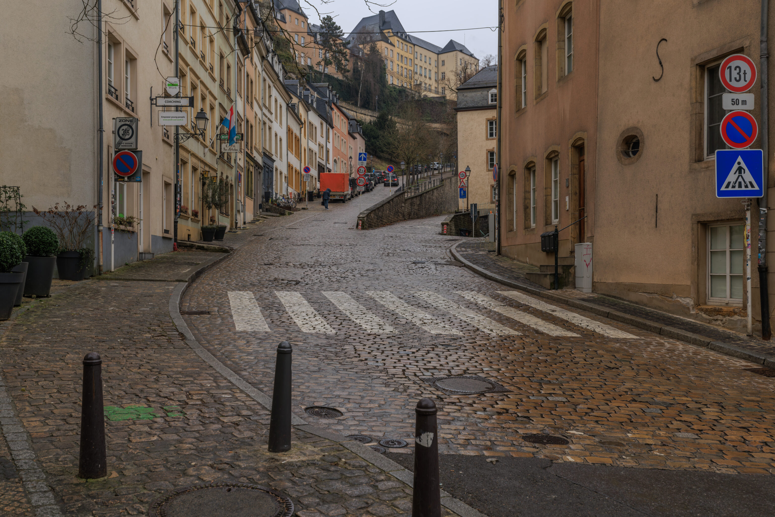
If we were to keep going, the fork to the left seems to go up to the Ville Haute while the fork to the right goes under the Castle Bridge.
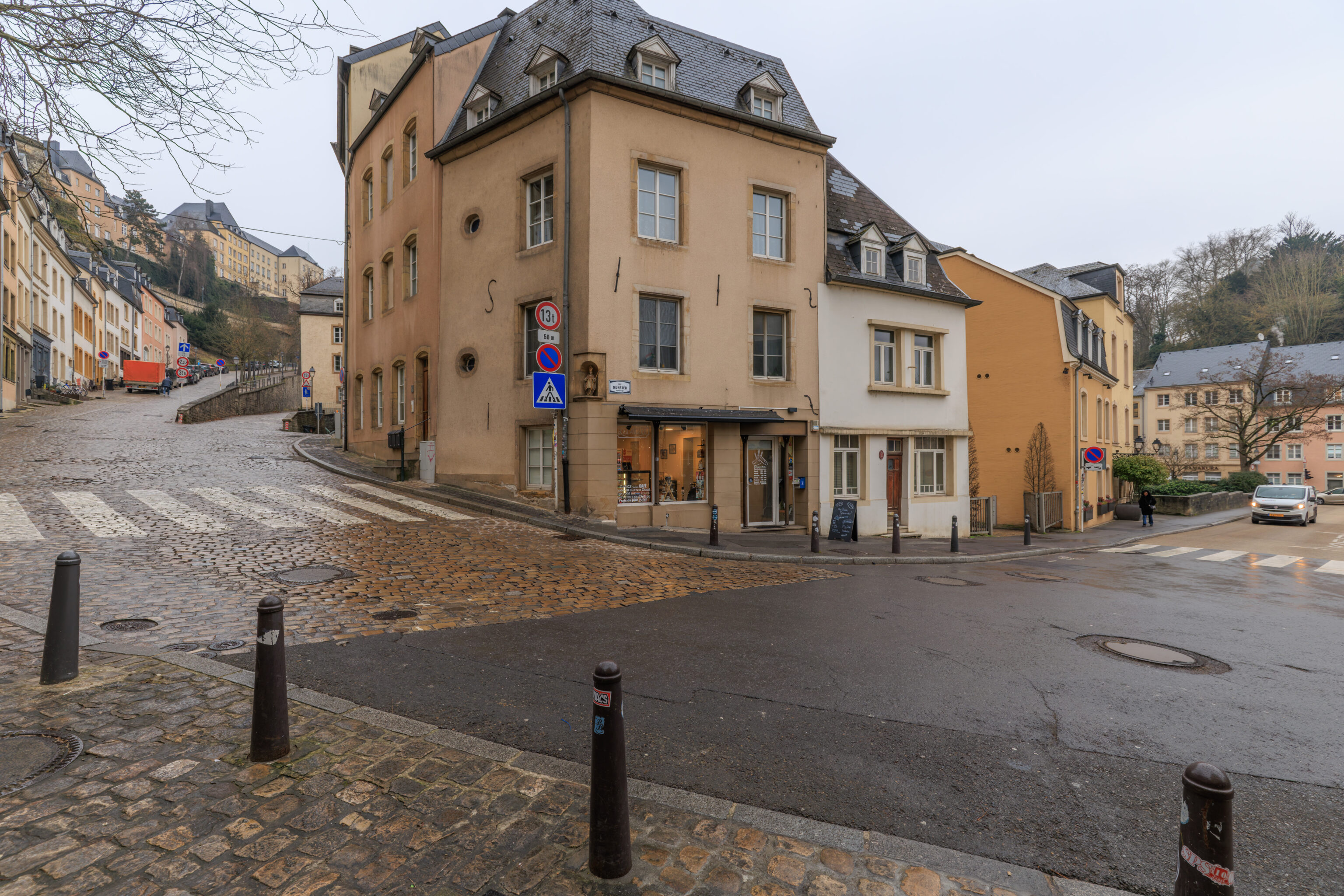
The bridge across the Alzette is on the right here.
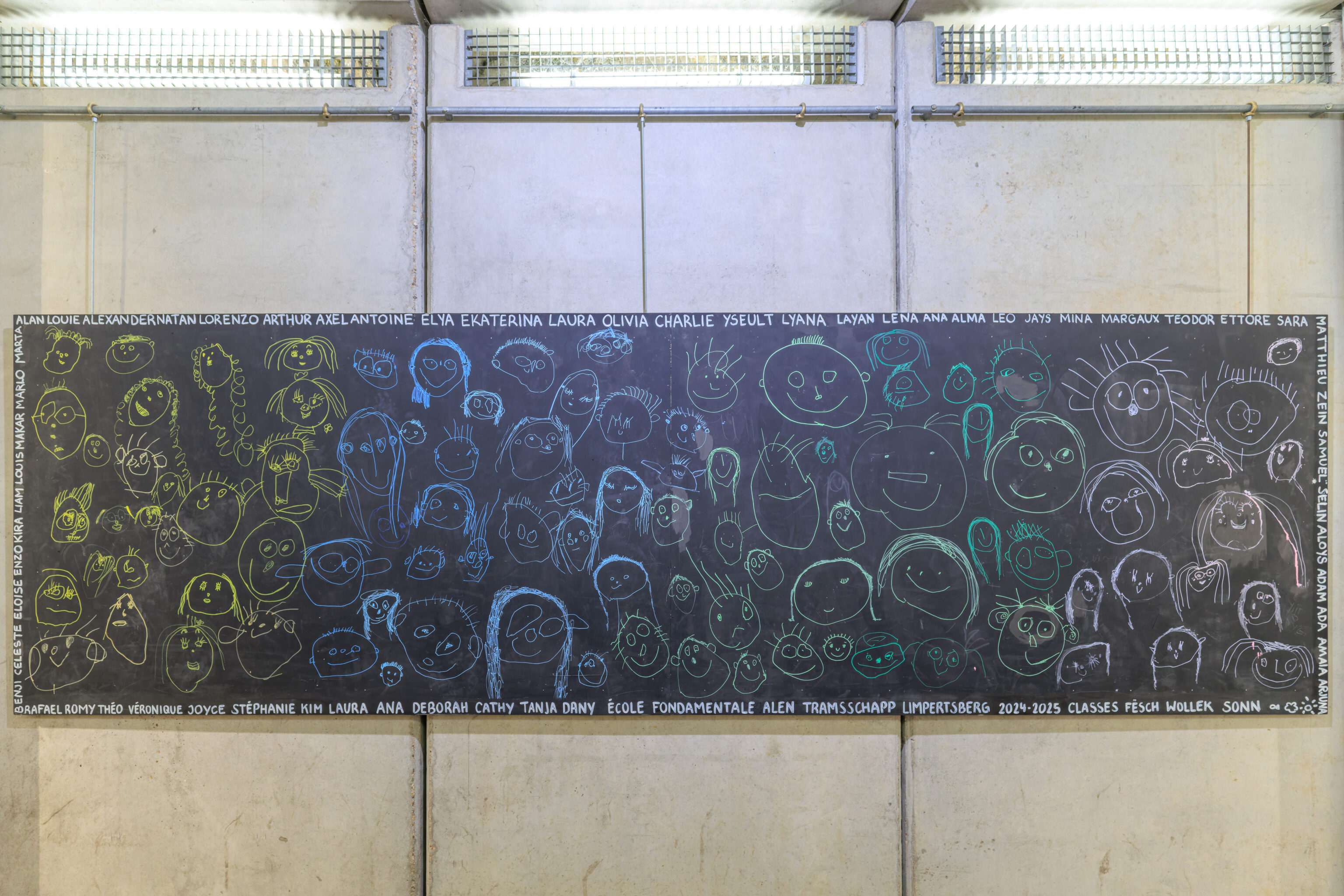
We took the elevator back up to the Ville Haute. We didn’t photograph this earlier. It seems to be the children that created the Colors and Shapes exhibition here.
Back to the Ville Haute
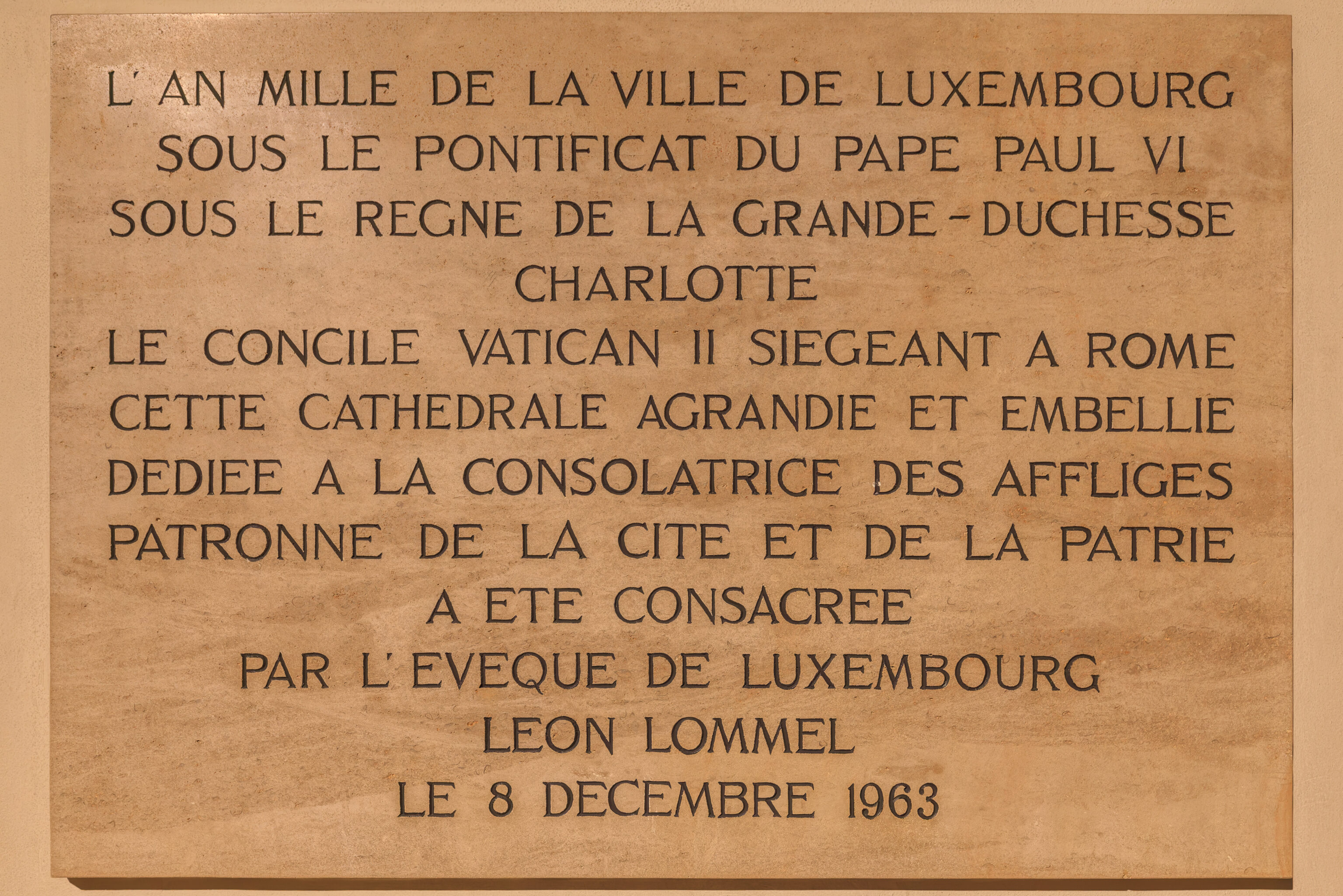
After returning to the Ville Haute, we decided to head over to the cathedral to dry off and rest for a bit!
THE MILLENNIUM OF THE CITY OF LUXEMBOURG
UNDER THE PONTIFICATE OF POPE PAUL VI
UNDER THE REIGN OF GRAND DUCHESS
CHARLOTTE
WHILE THE SECOND VATICAN COUNCIL WAS IN SESSION IN ROME
THIS CATHEDRAL, ENLARGED AND EMBELLISHED
AND DEDICATED TO THE CONSOLER OF THE AFFLICTED
PATRONESS OF THE CITY AND THE NATION
WAS CONSECRATED
BY THE BISHOP OF LUXEMBOURG
LÉON LOMMEL
ON DECEMBER 8, 1963
– Text from the photograph above, translated using Google Translate.
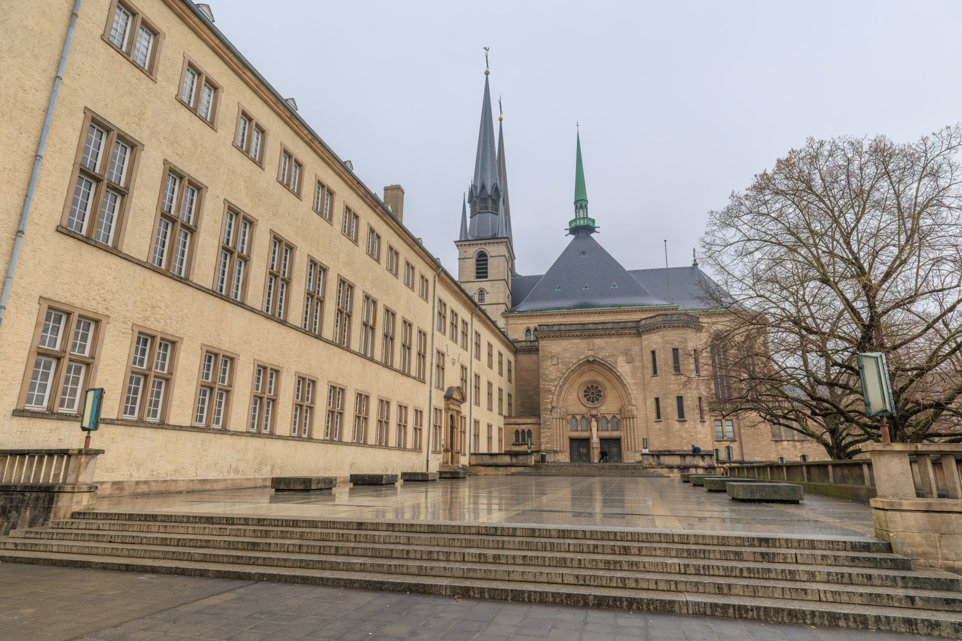
We headed back out at around 4:20pm via the door on the southwest side of the cathedral.
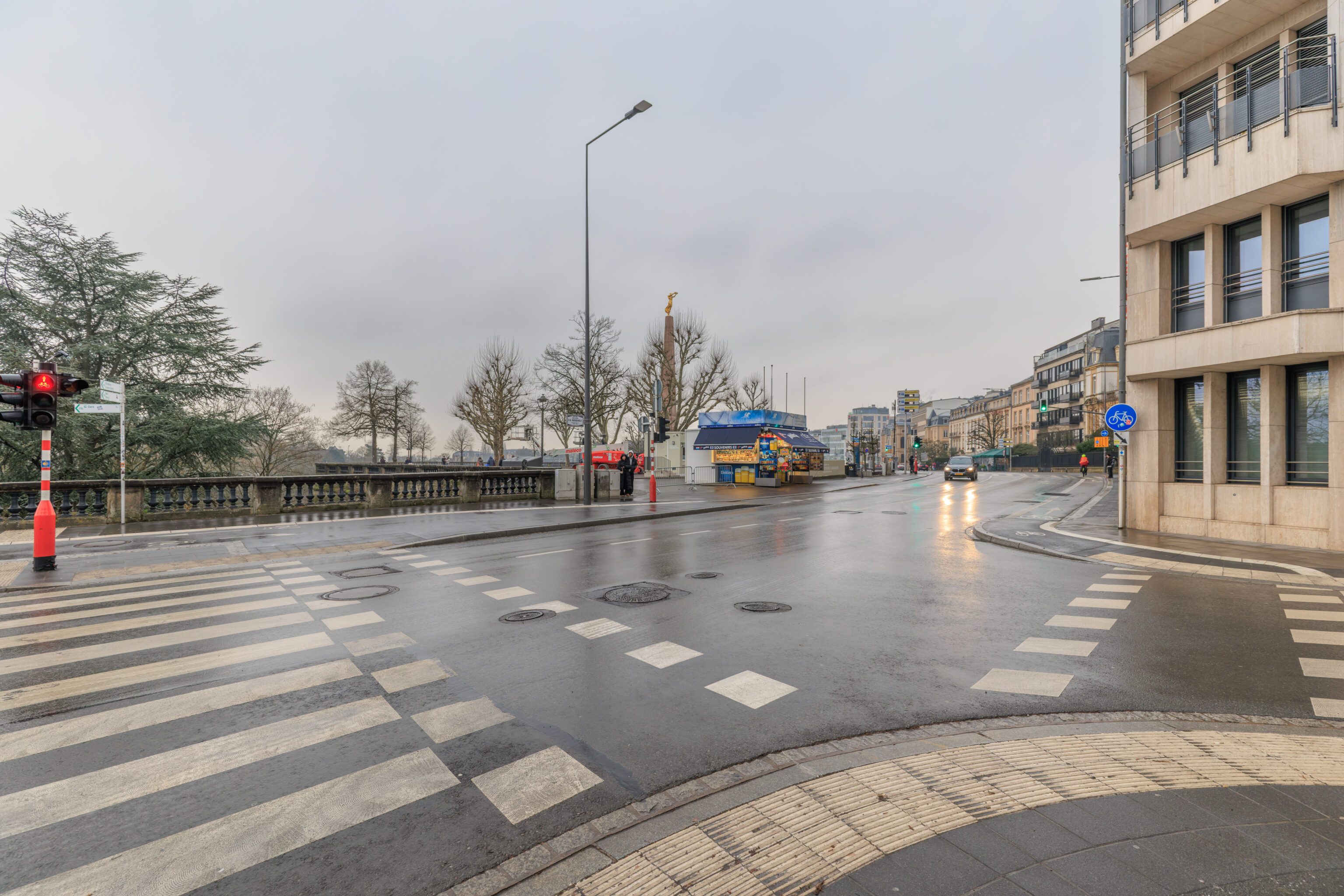
We crossed the street to return to the Place de la Constitution, the square where we entered the Pétrusse Casemates earlier.
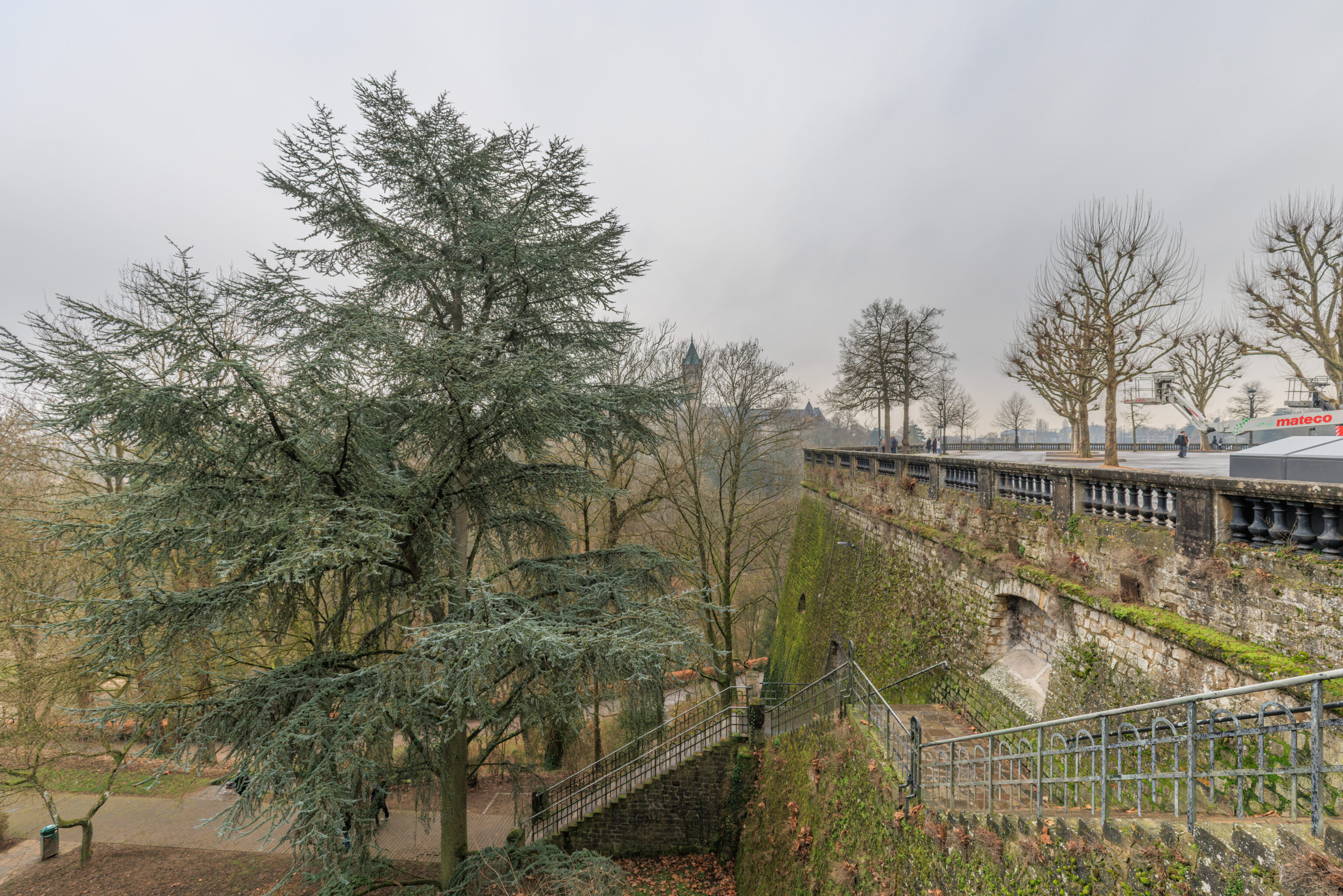
The view looking down at the stairs on the eastern edge of the square. These stairs only go part way down into the valley. There are additional stairs somewhere down there that go to the valley floor.
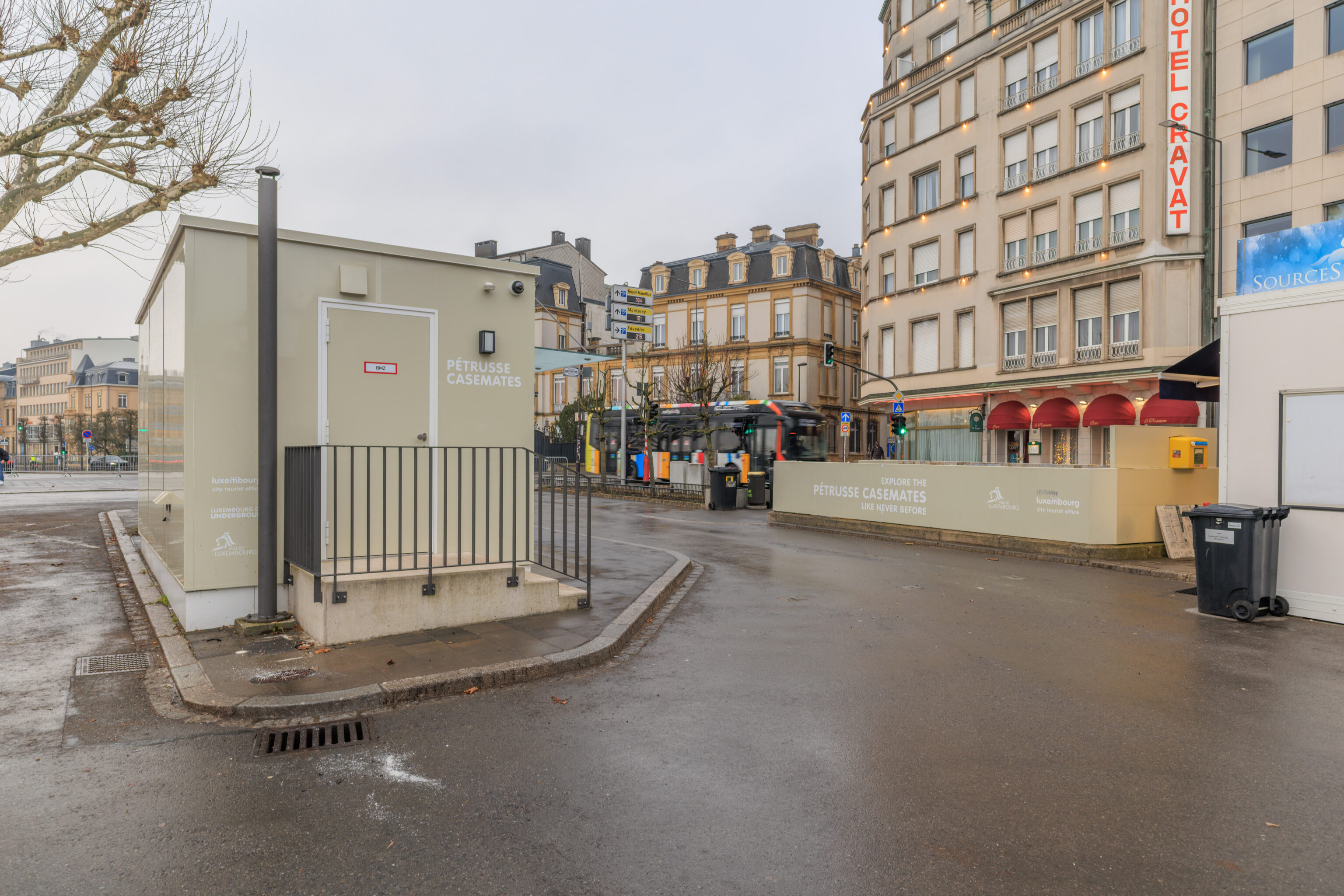
The small Pétrusse Casemates ticket office is here on the left while the entrance is on the right.
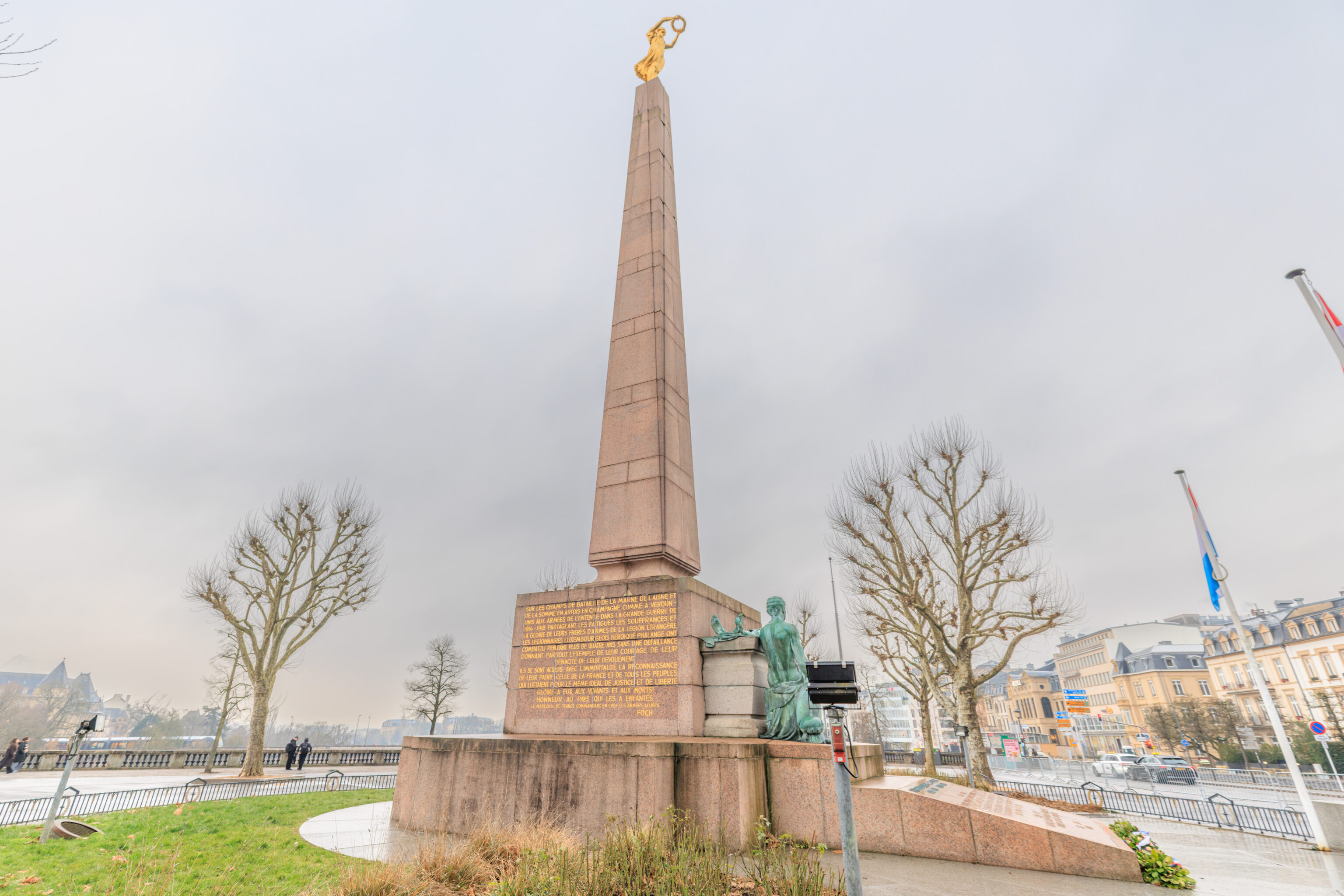
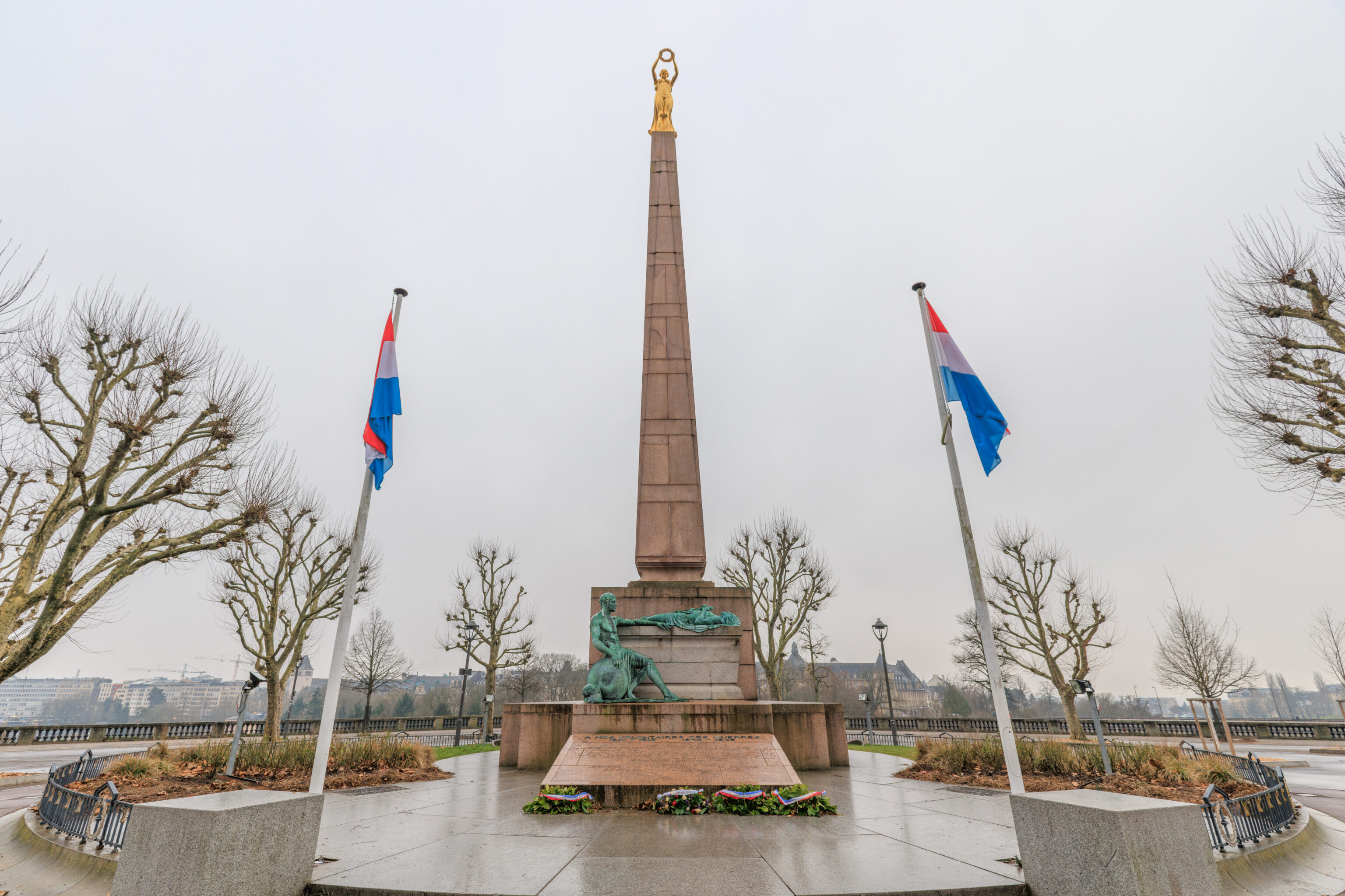
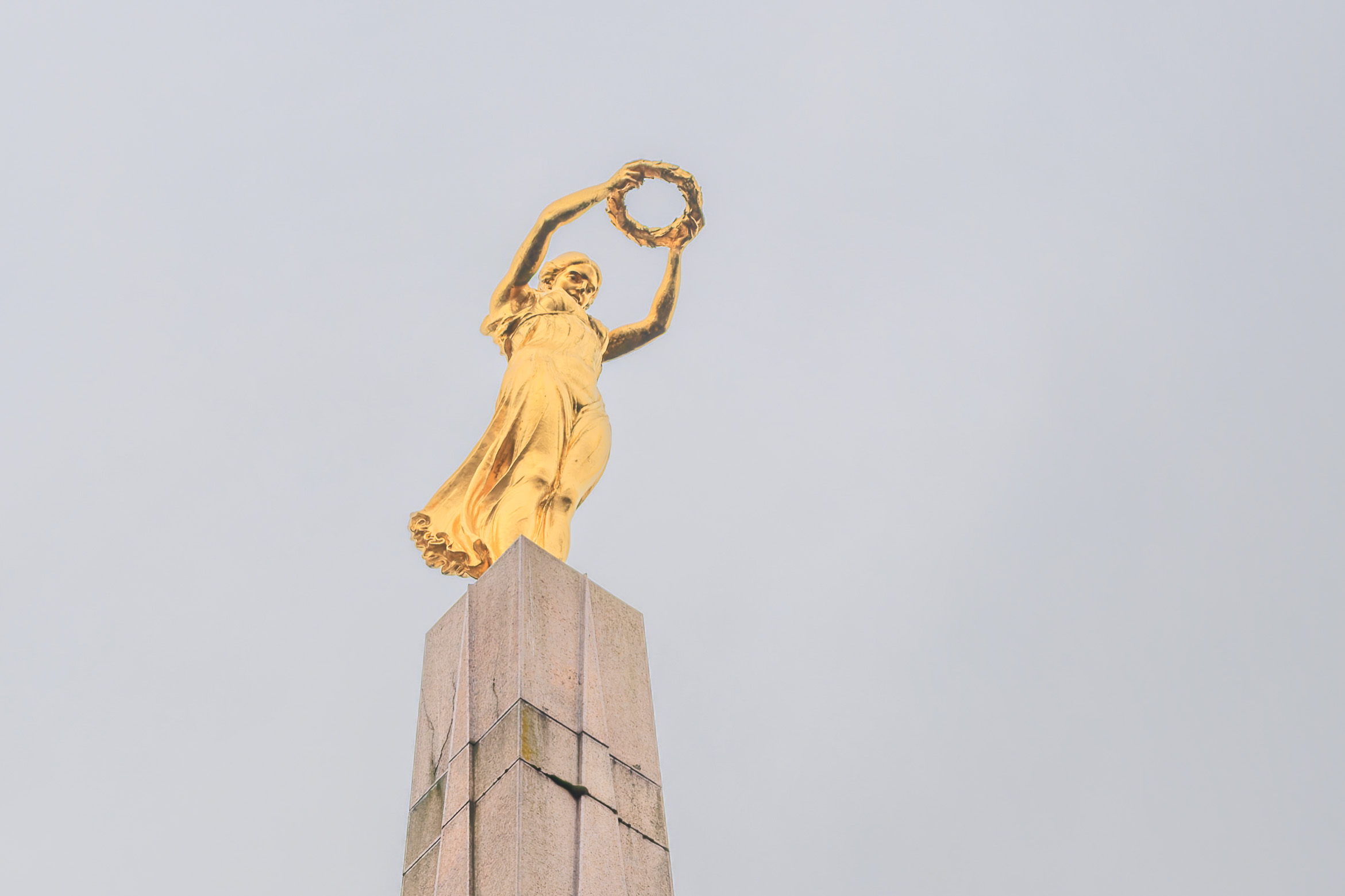
This monument is the Monument of Remembrance. The statue on top is the Gëlle Fra, Luxembourgish for Golden Lady. The monument was originally constructed in 1923. It was demolished by the Nazis when they occupied Luxembourg. While the monument was partially rebuilt after the war, the statue was not found until 1980.
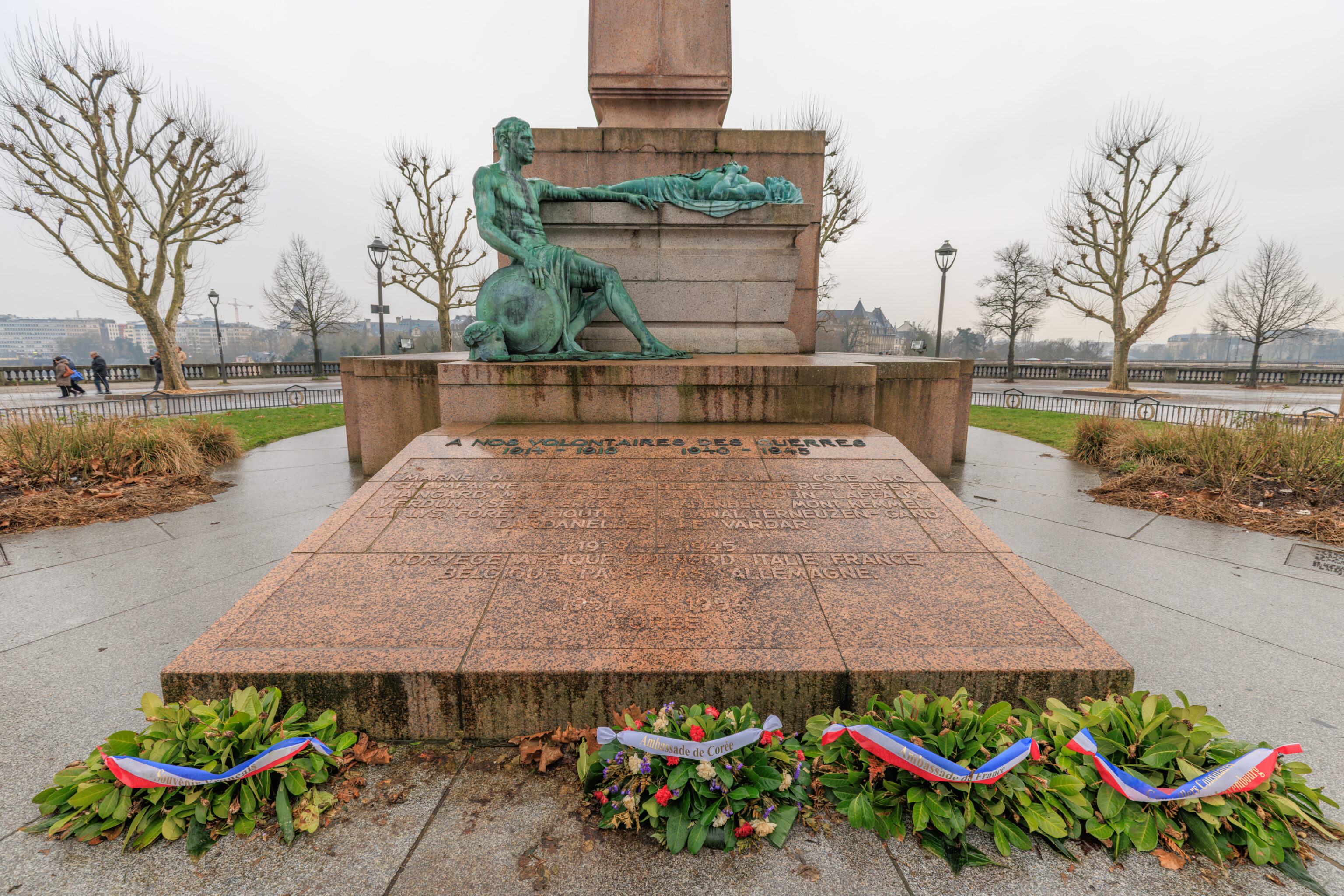
The monument is dedicated to the soldiers of Luxembourg who died during World War I and II.
A plaque on the ground reads:
LET US REMEMBER THE BARBARIC ACT OF THE NAZI OCCUPIER WHO, BY DESTROYING THIS MONUMENT ON OCTOBER 21, 1940, CONSECRATED IT AS A SYMBOL OF OUR FREEDOM AND REKINDLED THE BURNING FLAME OF THE RESISTANCE—OF A HUMILIATED PEOPLE WHO HAD ONLY THEIR COURAGE TO OPPOSE IT.

THE MEMORIAL MONUMENT—ERECTED IN 1923, PARTIALLY REBUILT IN 1958—WAS RESTORED TO ITS ORIGINAL FORM IN 1985 THROUGH A NATIONAL SUBSCRIPTION.
– French text from a plaque on the ground, translated using Google Translate.
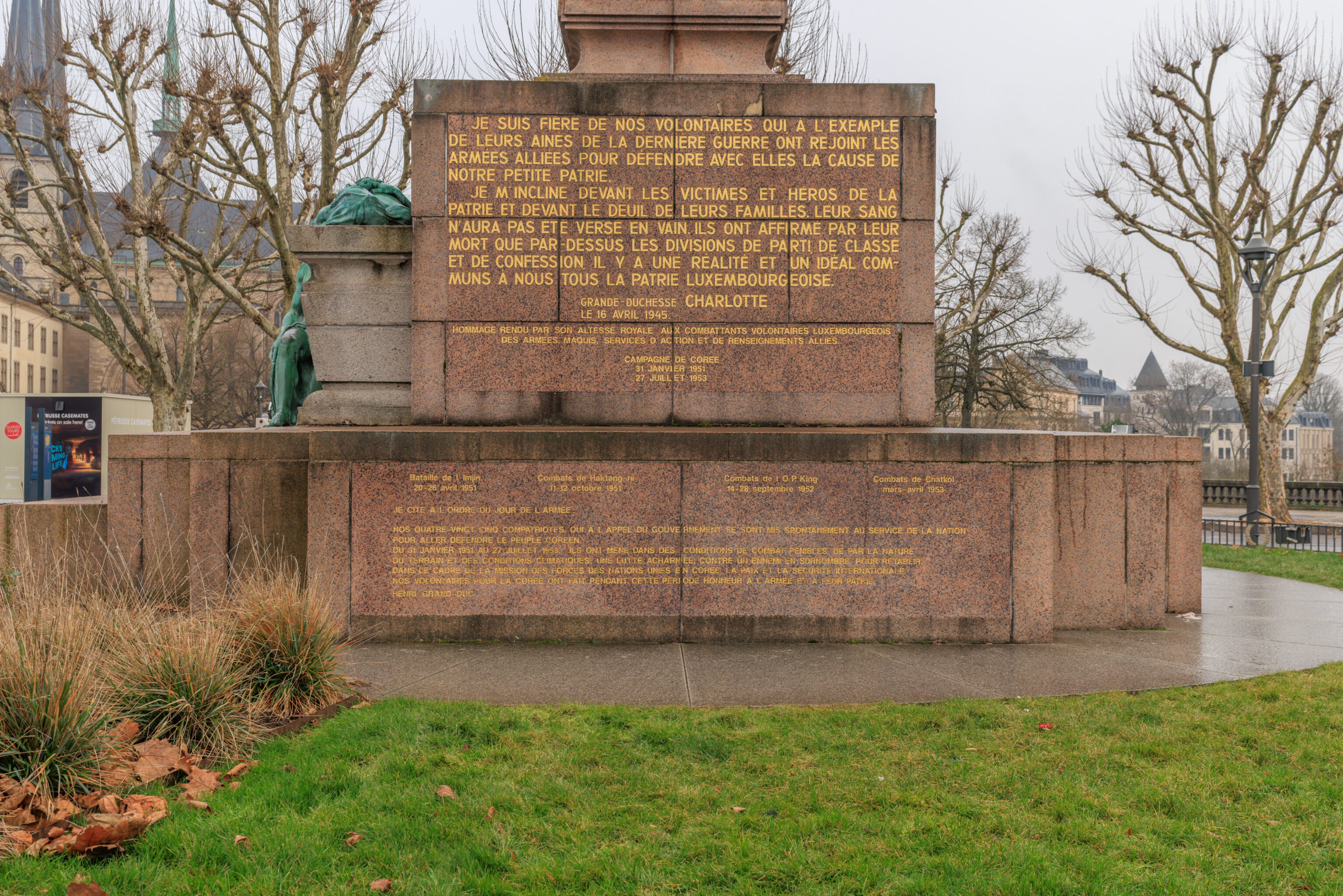
The text inscribed on the west side of the monument honors the soldiers who fought during World War II and the Korean War.
I am proud of our volunteers who, following the example of their elders from the last war, joined the Allied armies to defend, alongside them, the cause of our small homeland.

I bow before the homeland's victims and heroes, and before the grief of their families. Their blood was not shed in vain; through their deaths, they affirmed that—beyond divisions of party, class, and creed—there exists a reality and an ideal common to us all: the Luxembourgish homeland.

Grand Duchess Charlotte
April 16, 1945.

Tribute paid by Her Royal Highness to the Luxembourgish volunteer combatants of the Allied armies, resistance movements, and special operations and intelligence services.

Korean War
January 31, 1951
July 27, 1953

Battle of the Imjin
April 20–26, 1951

Battle of Haktang-ni
October 11–12, 1951

Battle of O.P. King
September 14–28, 1952

Battle of Chatkol
March–April 1953

Cited in Army Orders

Our eighty-five compatriots who, at the government's call, spontaneously placed themselves at the service of the nation
to go and defend the Korean people.

From January 31, 1951, to July 27, 1953, they fought under arduous combat conditions due to the nature of the terrain and... Amidst challenging weather conditions and a fierce struggle against a numerically superior enemy, our volunteers for Korea brought honor to the army and their country during this period, serving the United Nations mission to restore international peace and security.

Henri, Grand Duke
– French text from the photograph above, translated using Google Translate.
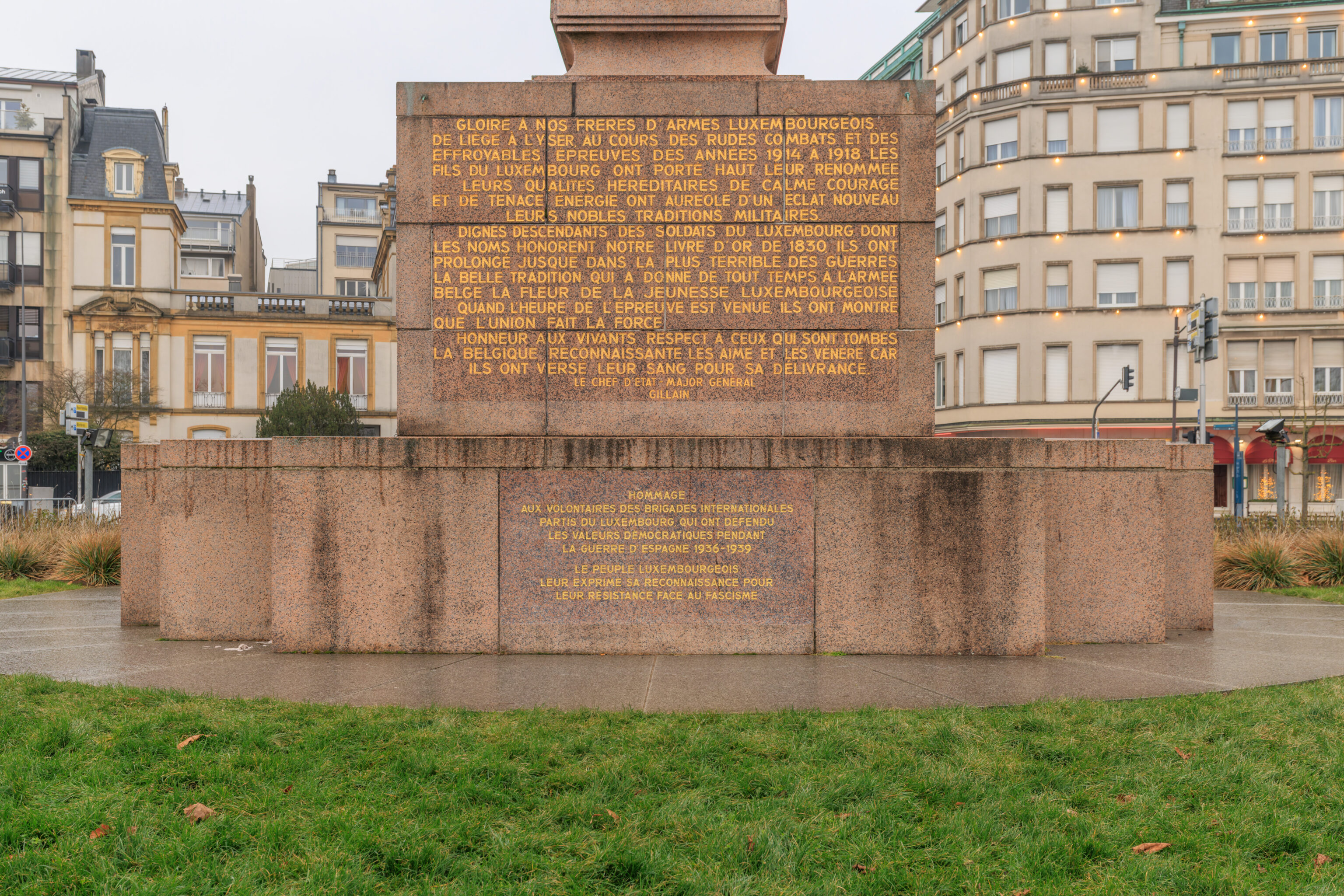
The opposite side honors the soldiers who fought during World War I and the Spanish Civil War.
Glory to our Luxembourgish brothers-in-arms from Liège to the Yser, amidst the fierce fighting and terrible ordeals of the years 1914 to 1918, the sons of Luxembourg upheld their renown.

Their inherent qualities of calm courage and tenacious energy shed new lustre upon their noble military traditions.

Worthy descendants of the Luxembourgish soldiers whose names grace our 1830 Roll of Honor, they carried on—even into the most terrible of wars—the fine tradition that has always given the Belgian Army the flower of Luxembourg’s youth.

When the hour of trial came, they demonstrated that unity is strength.

Honor to the living; respect for the fallen.  A grateful Belgium loves and reveres them, for they shed their blood for her liberation.

The Chief of the General Staff
Gillain

Tribute
To the volunteers of the international brigades who left Luxembourg and defended democratic values during the Spanish Civil War (1936-1939)

The people of Luxembourg express their gratitude for their resistance against fascism
– French text from the photograph above, translated using Google Translate.
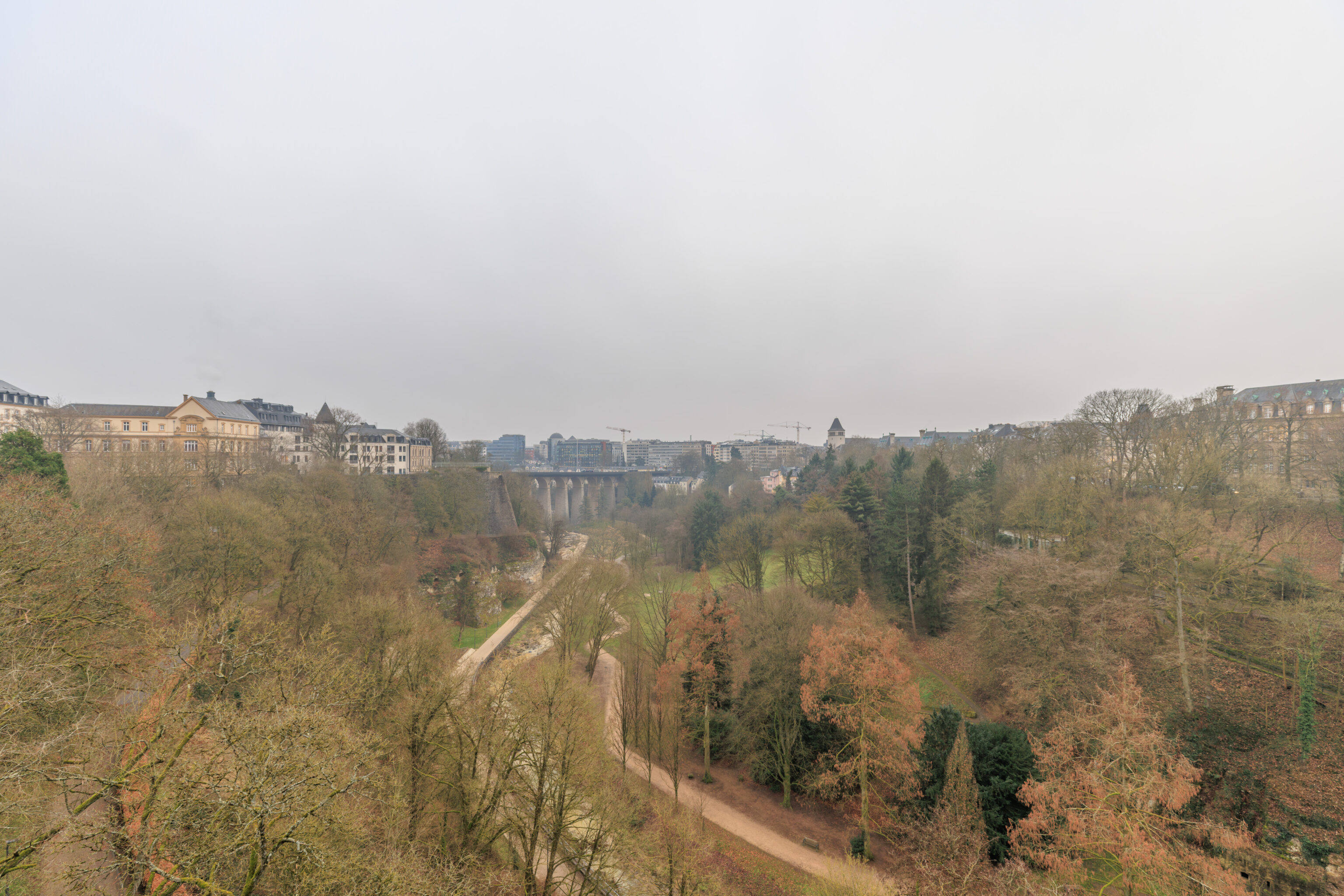
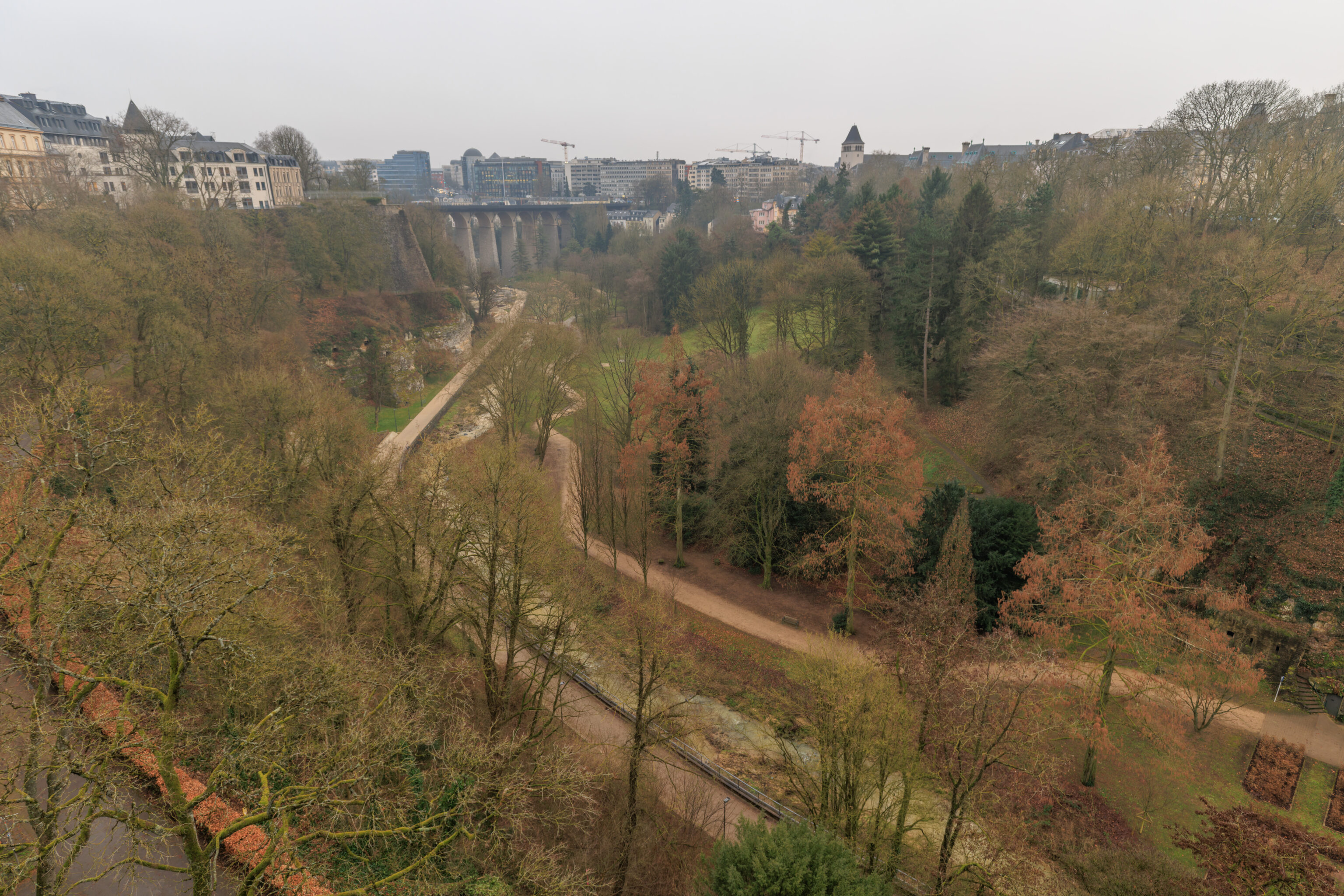
We walked over to the southern tip of the square to take a look at the view. Looking to the east, we could see the Passerelle in the distance. The path we walked on after exiting the Pétrusse Casemates is down below in the valley.
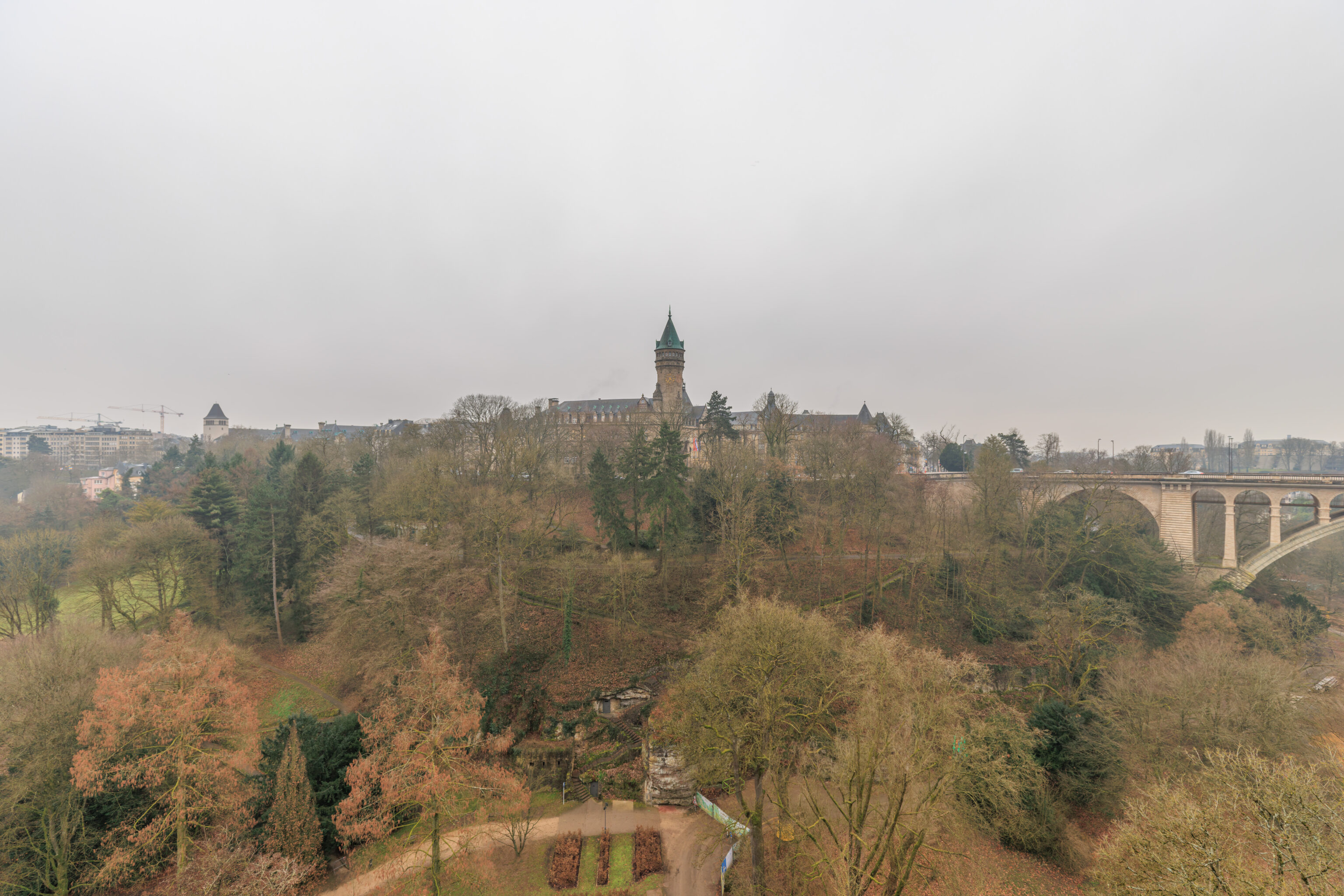
We noticed a building with a large tower and clock directly to the south of us on the other side of the valley.
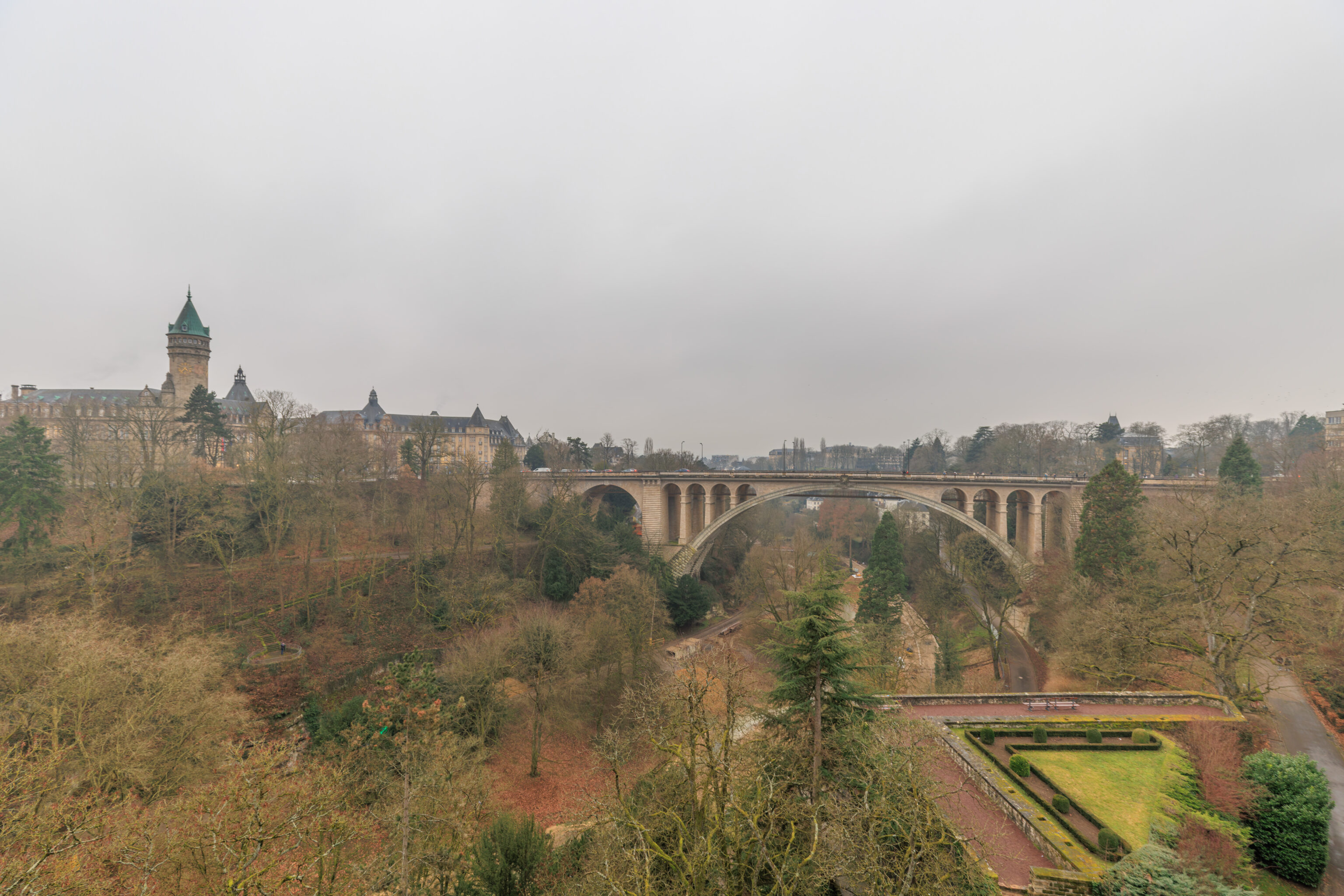
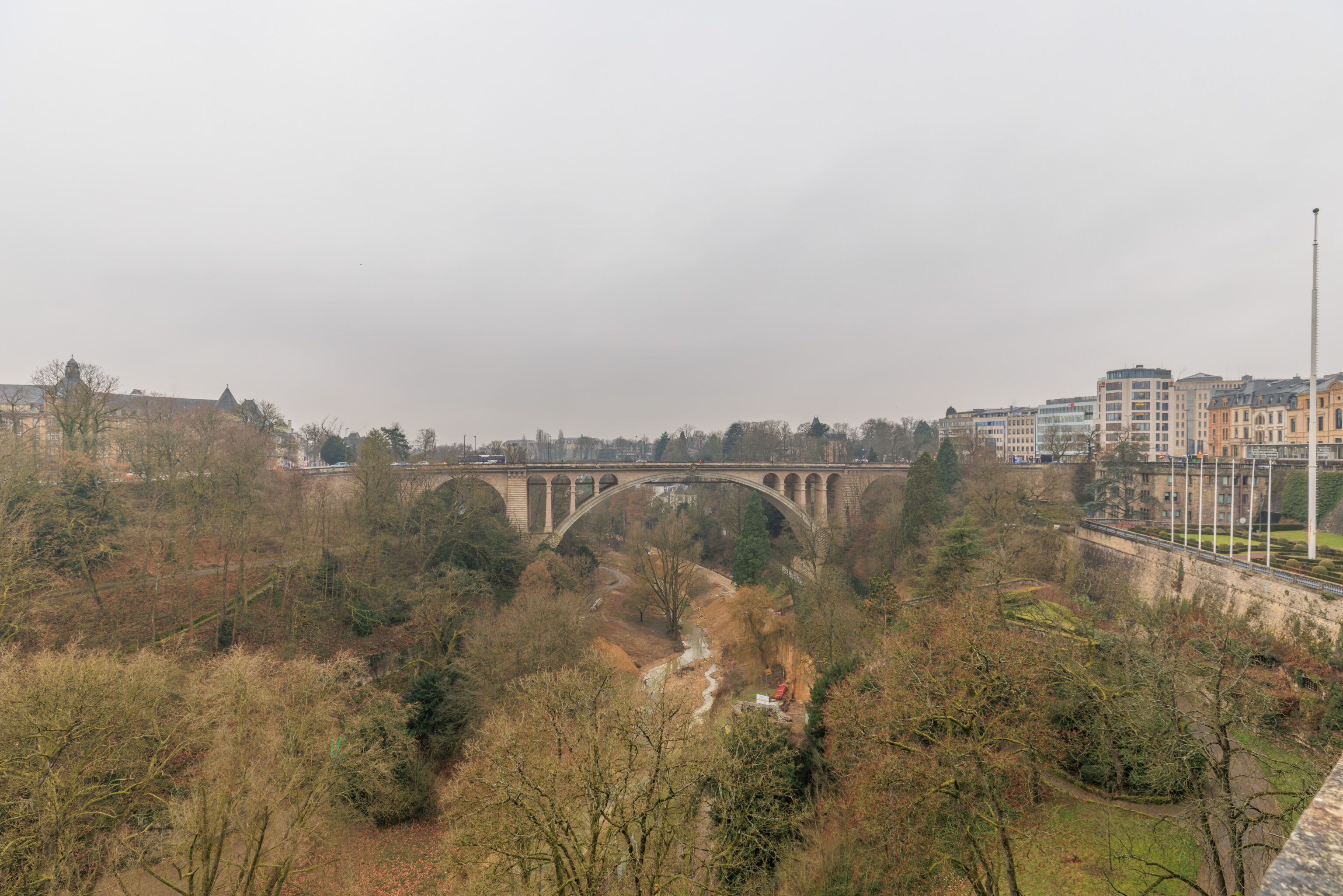
To the southwest, we could see the Adolphe Bridge. We noticed that there is a walkway suspended underneath the bridge! That’s not really something we’ve seen before!
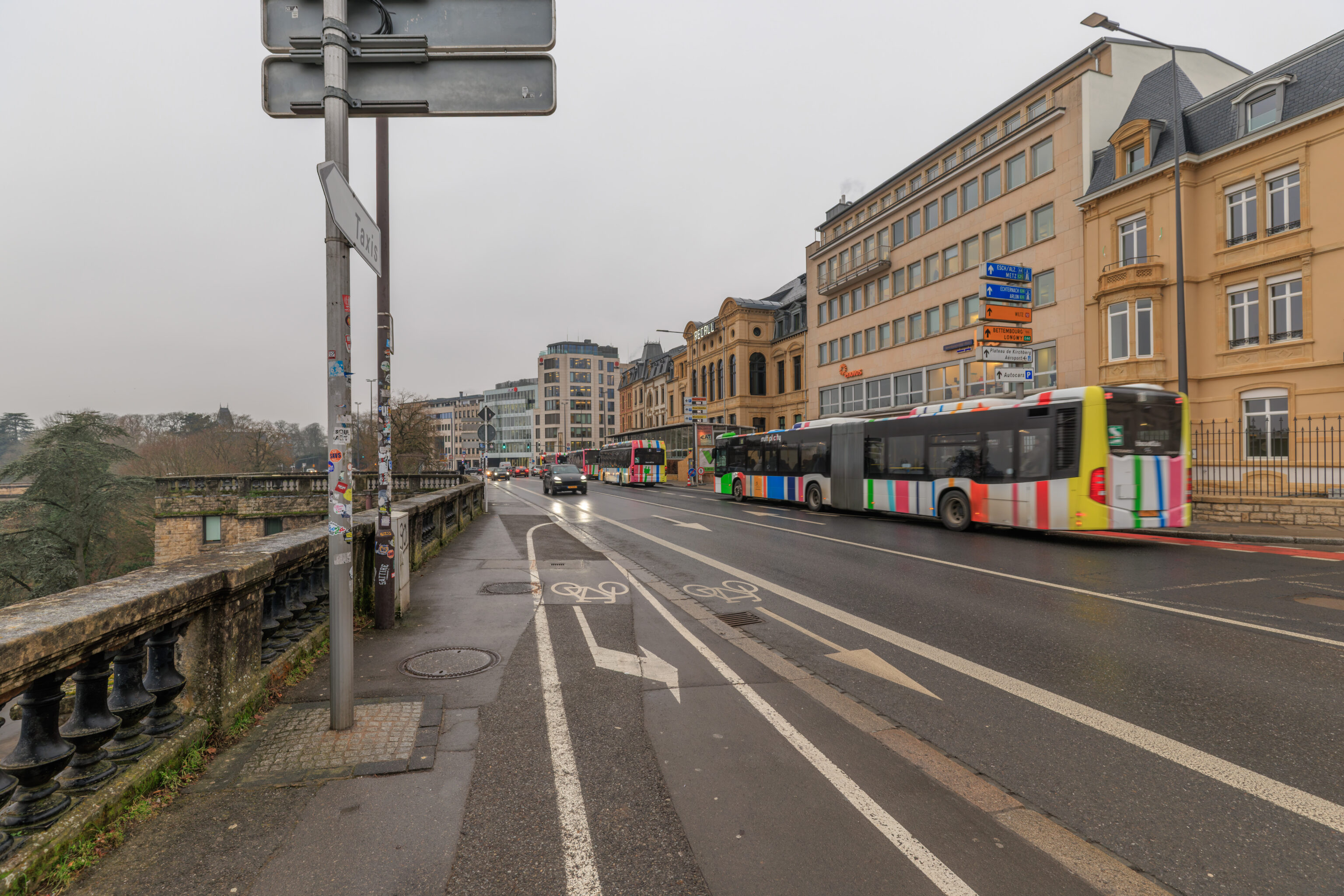
We started to walk to the west.
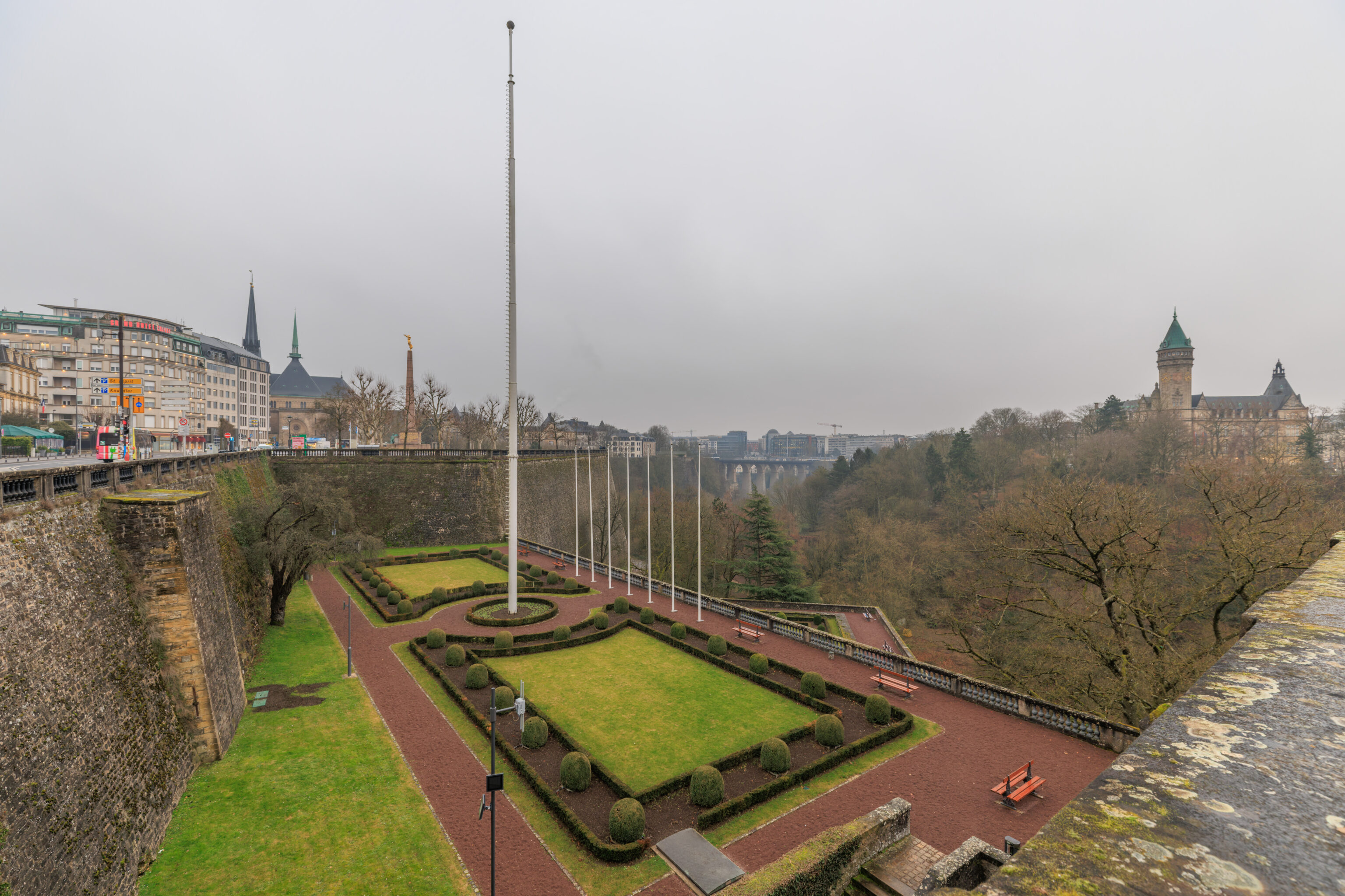
There was another square just to the west of the Place de la Constitution.
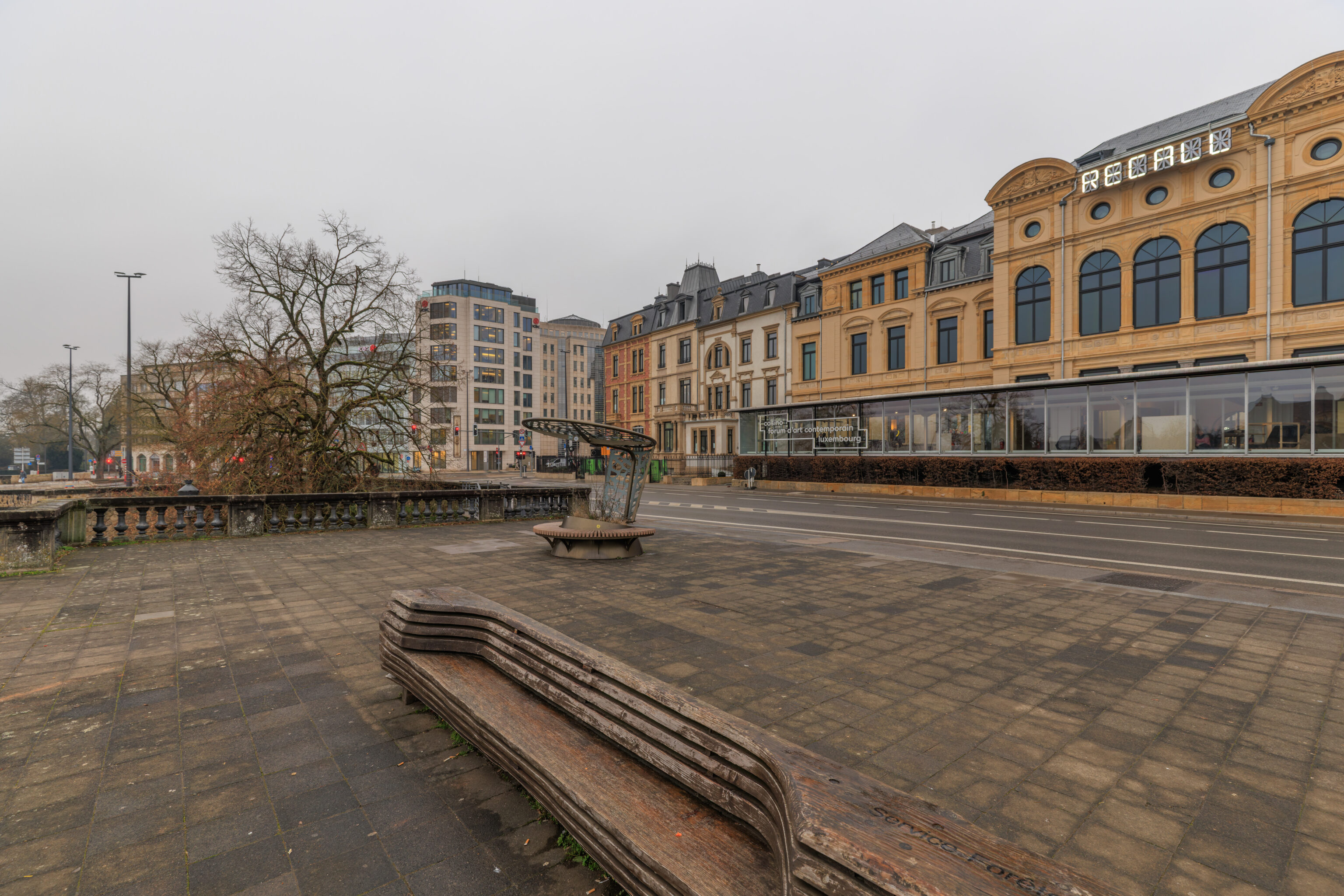
This area where we are at seems to be the roof of a building.
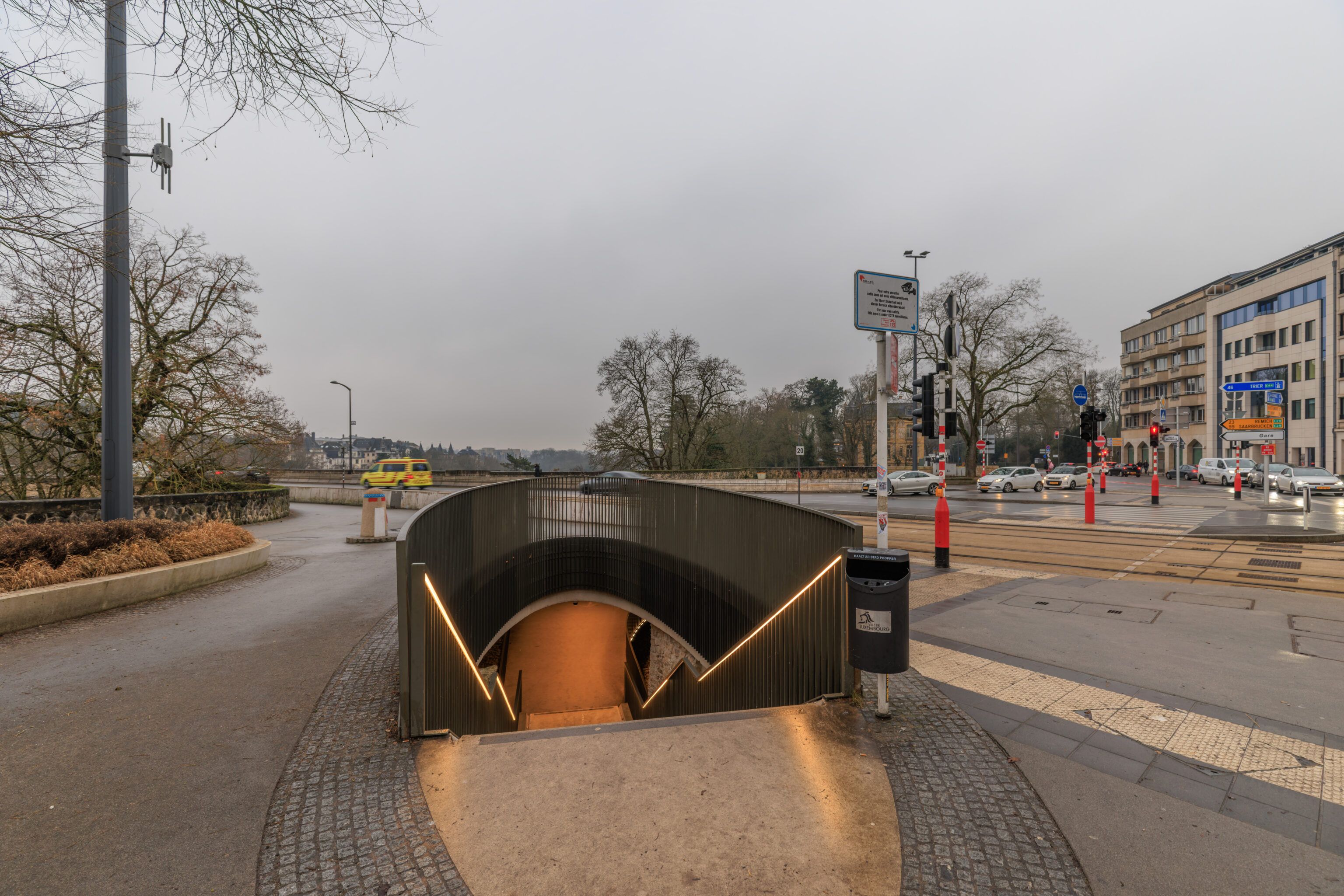
These stairs seem to lead down to the walkway suspended below the Adolphe Bridge.
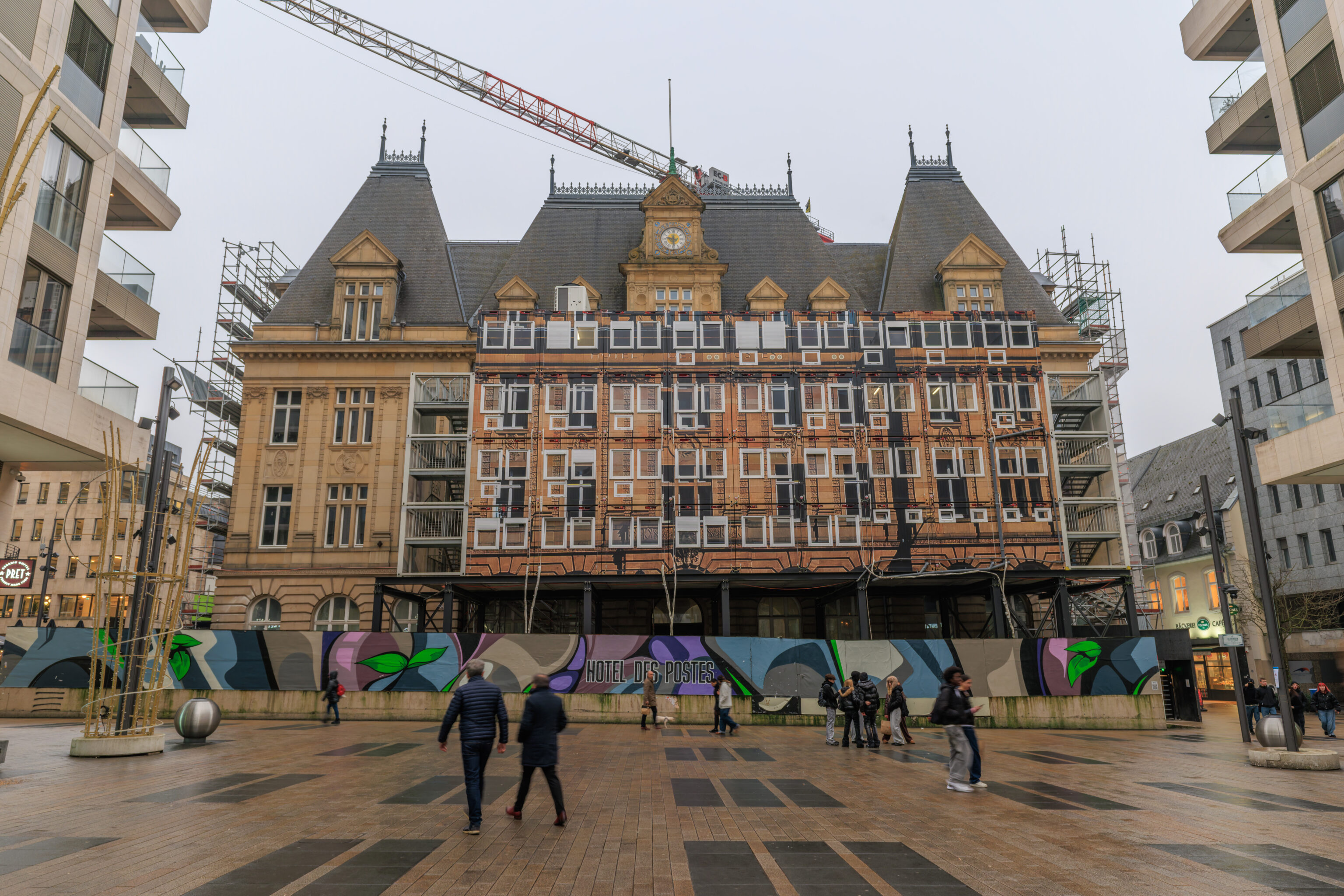
We ended up walking to the north to buy stamps from a post office nearby. This building was the Hôtel des Postes, the city’s main post office. It is currently being redeveloped. There was a smaller post office across the street that we visited.
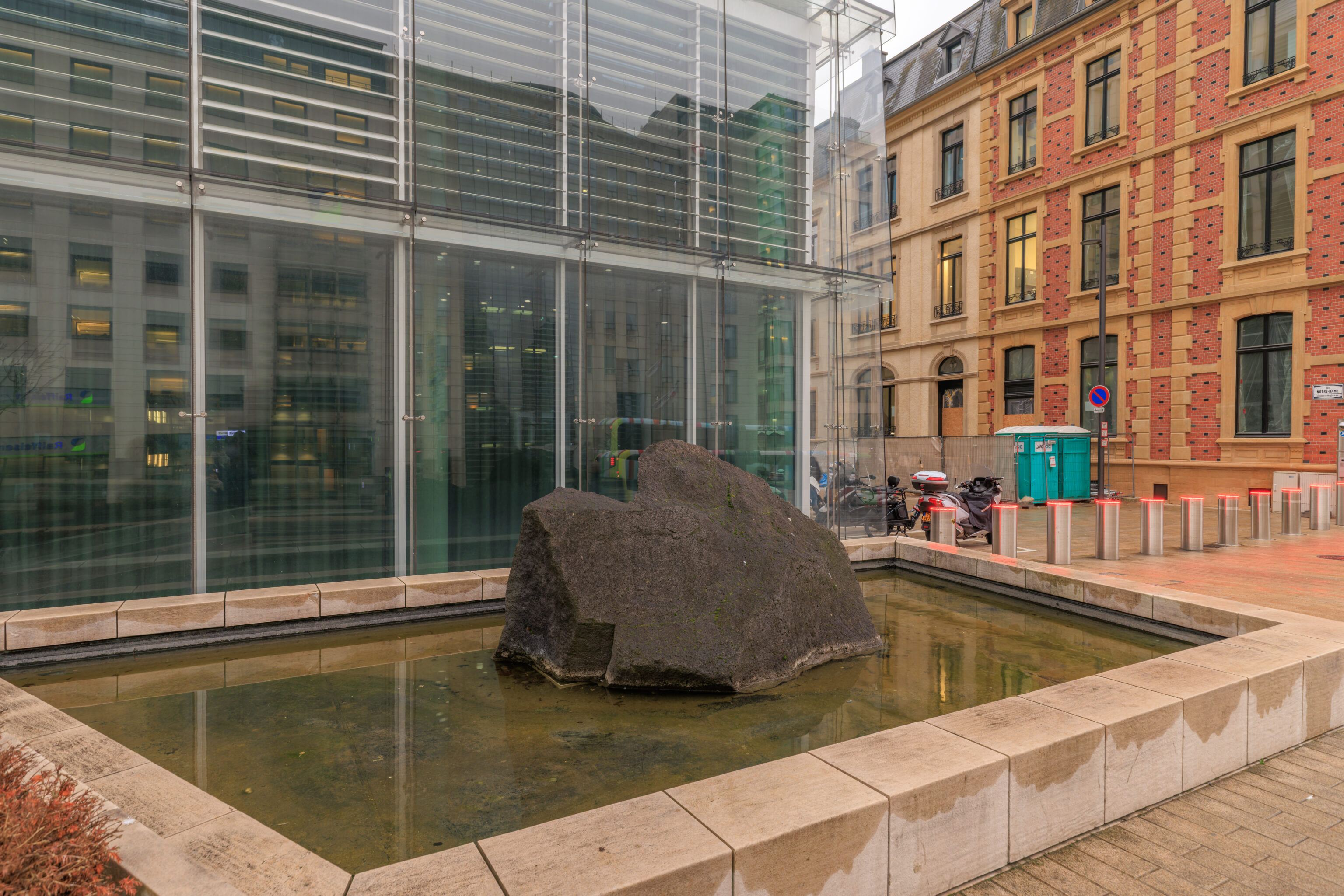
Is there any significance to this stone?
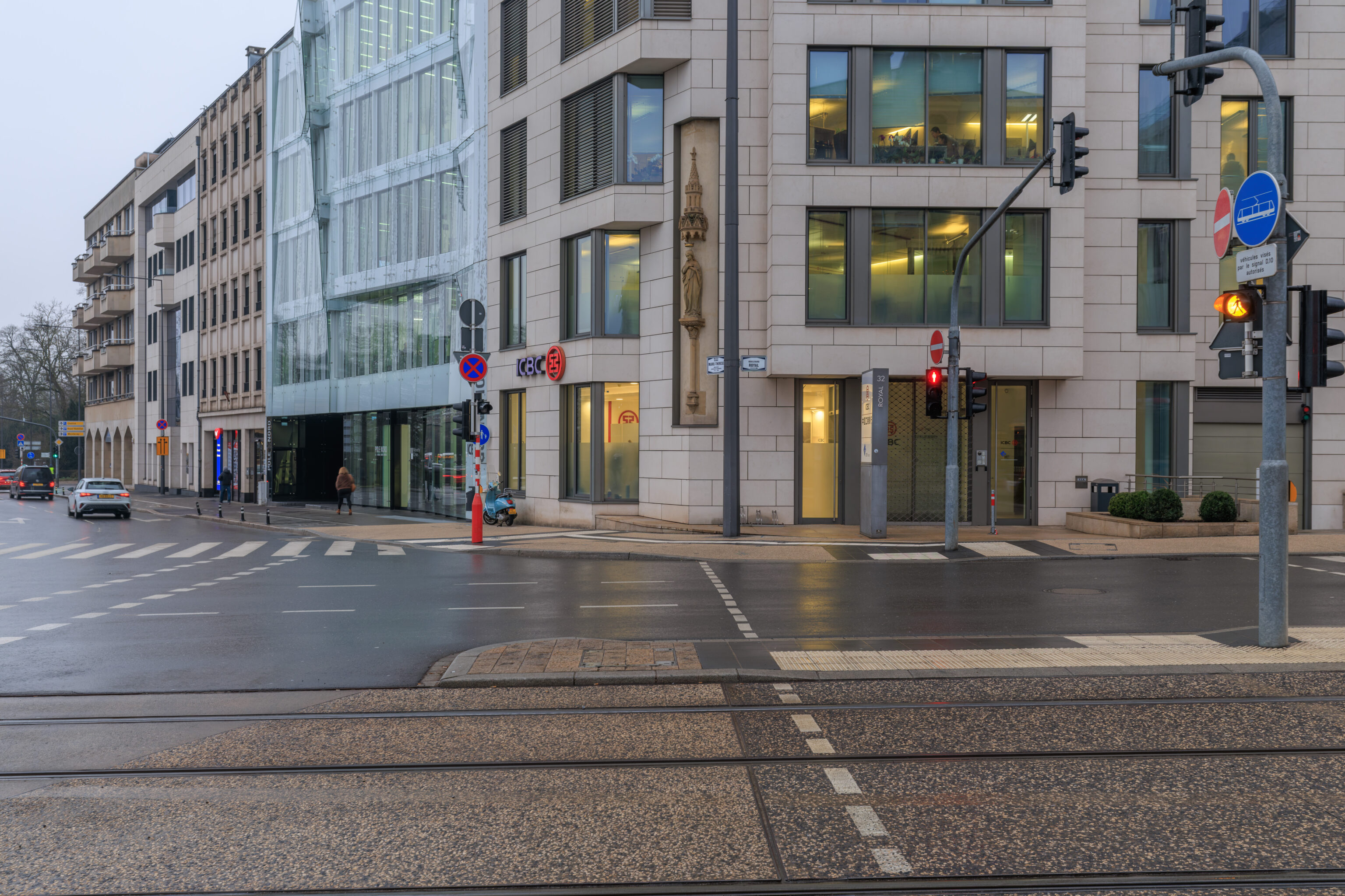
There was even a sculpture on the corner of this modern building!
Adolphe Bridge
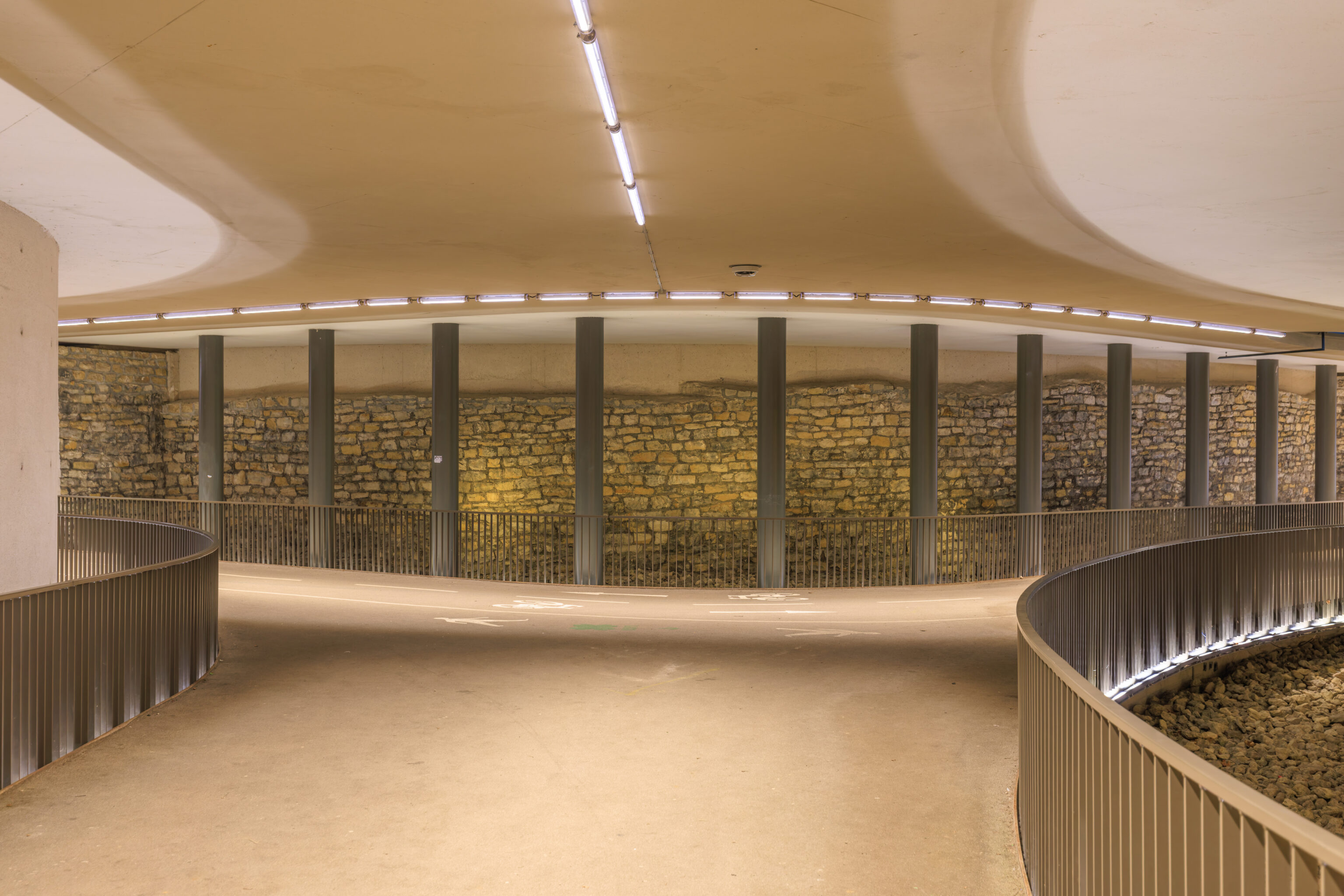
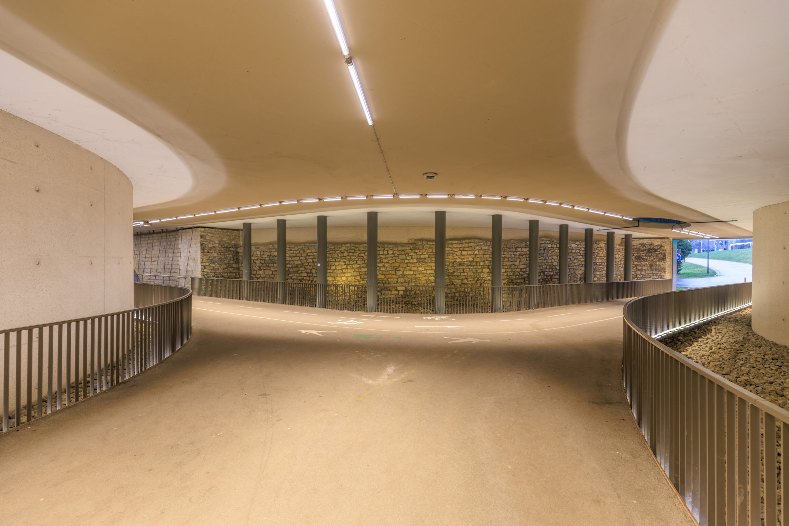
We decided to cross the Adolphe Bridge via the lower walkway. We entered via the stairs we saw earlier. This led us down to this area where the path merged with another entrance that was across the street.
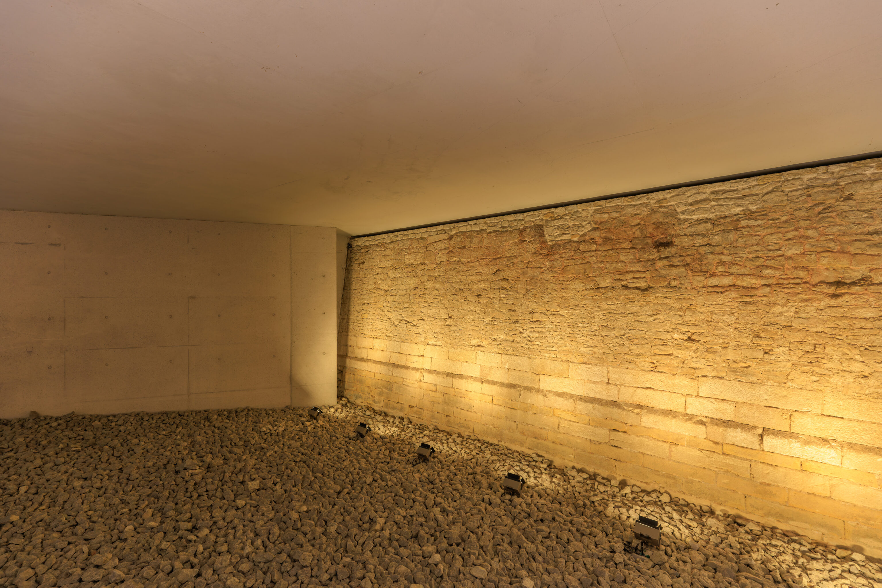
The bridge seems to be built against fortified walls.
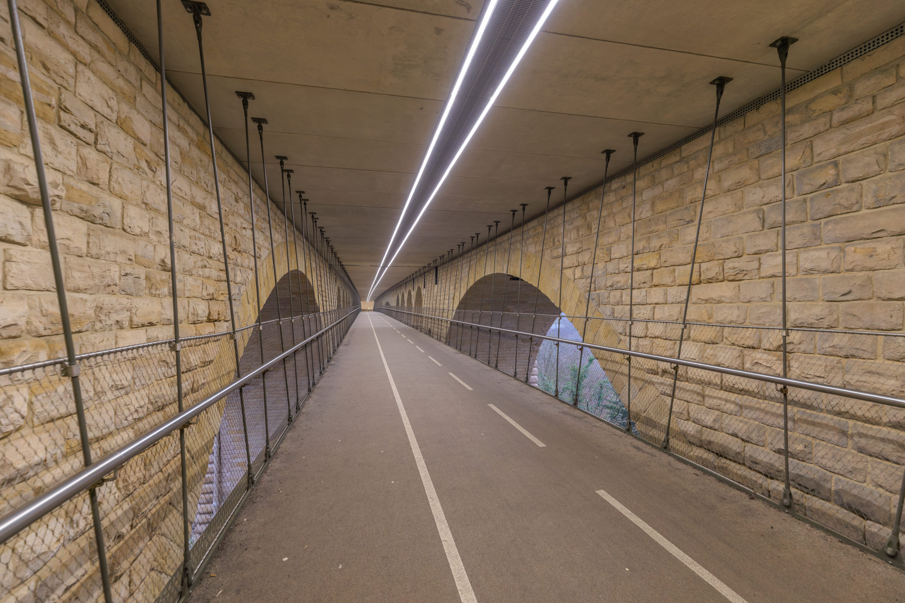
The path consists of three lanes, two for bicycles and one for pedestrians.
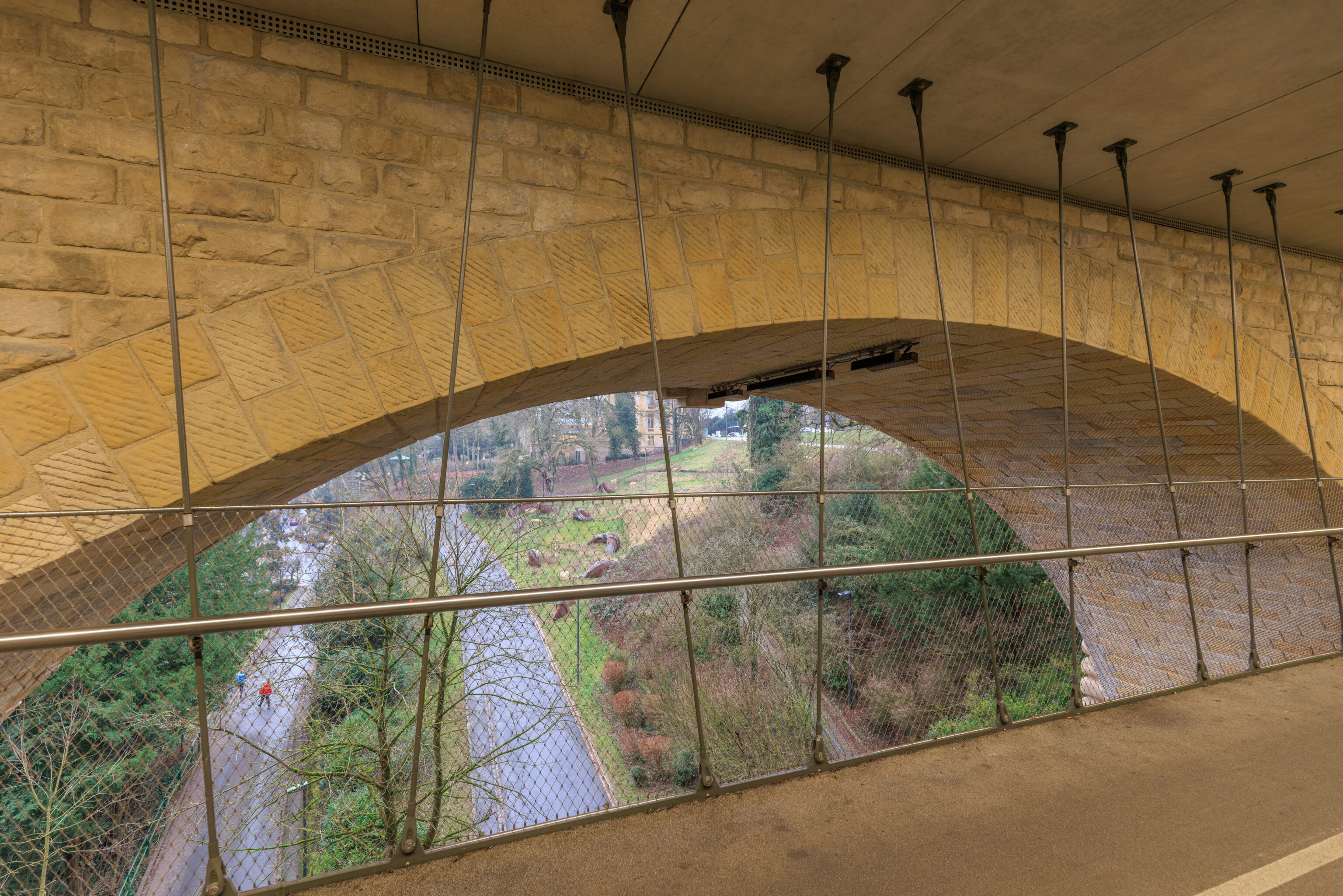
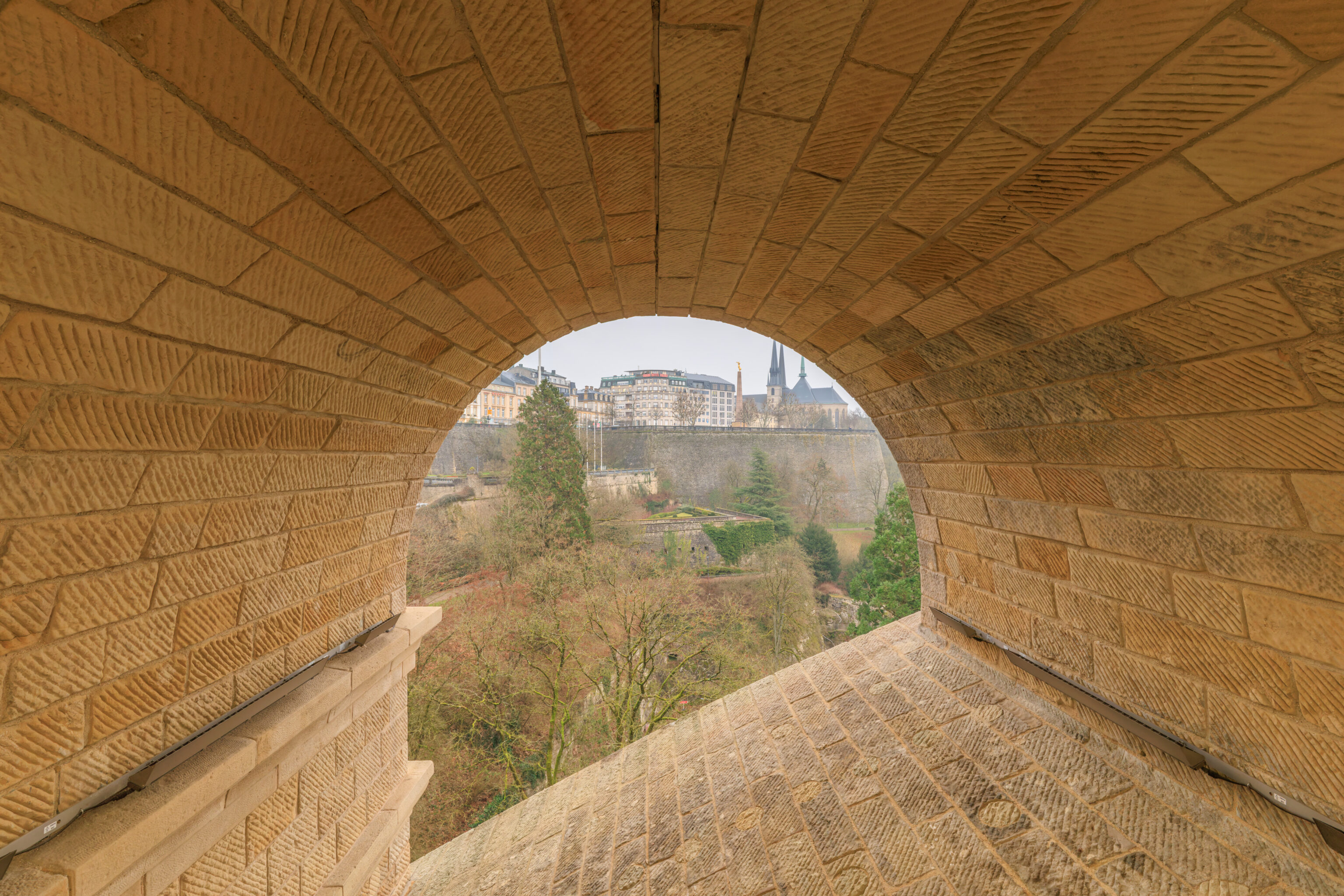
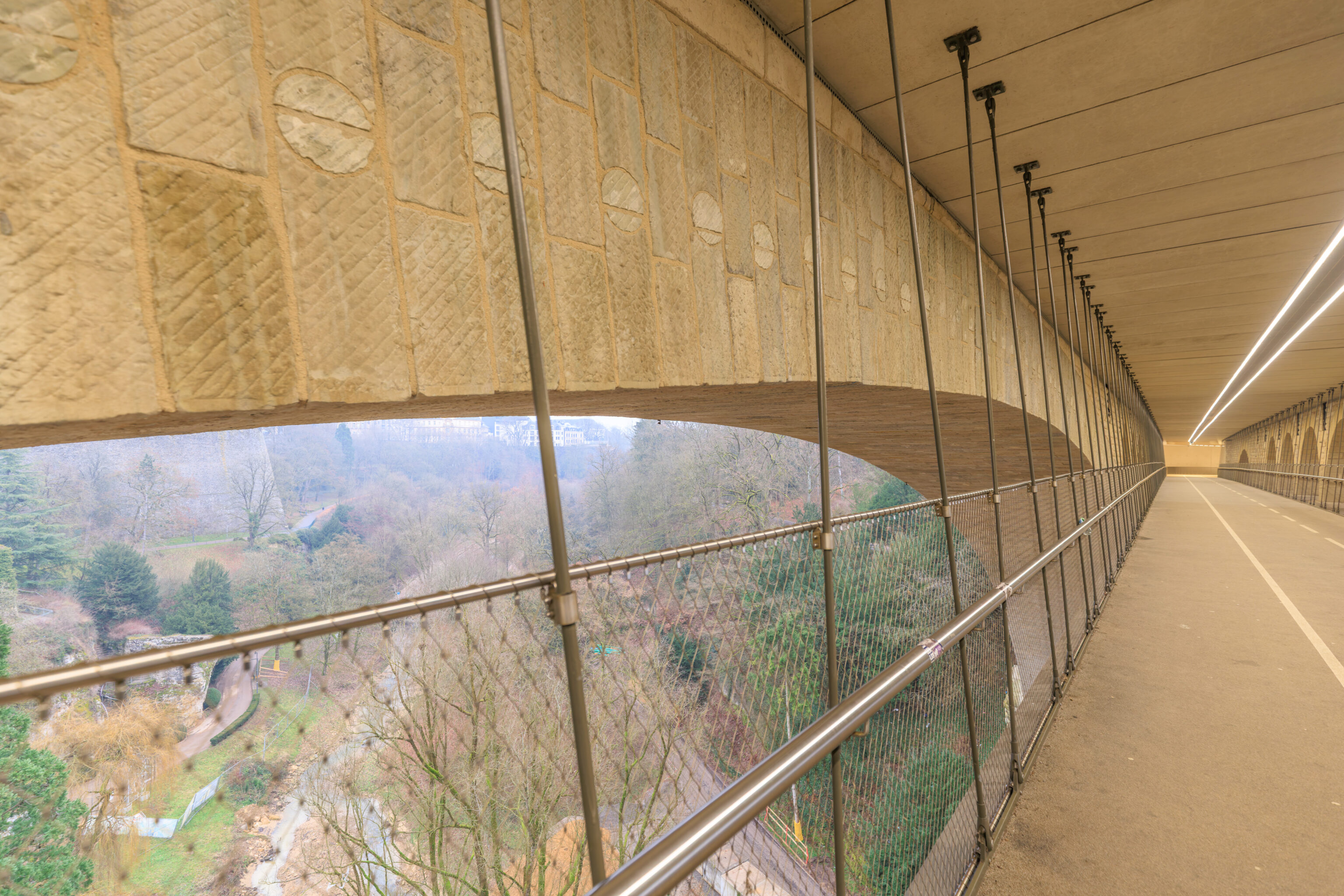
Definitely an interesting experience! The path really is suspended below the bridge!
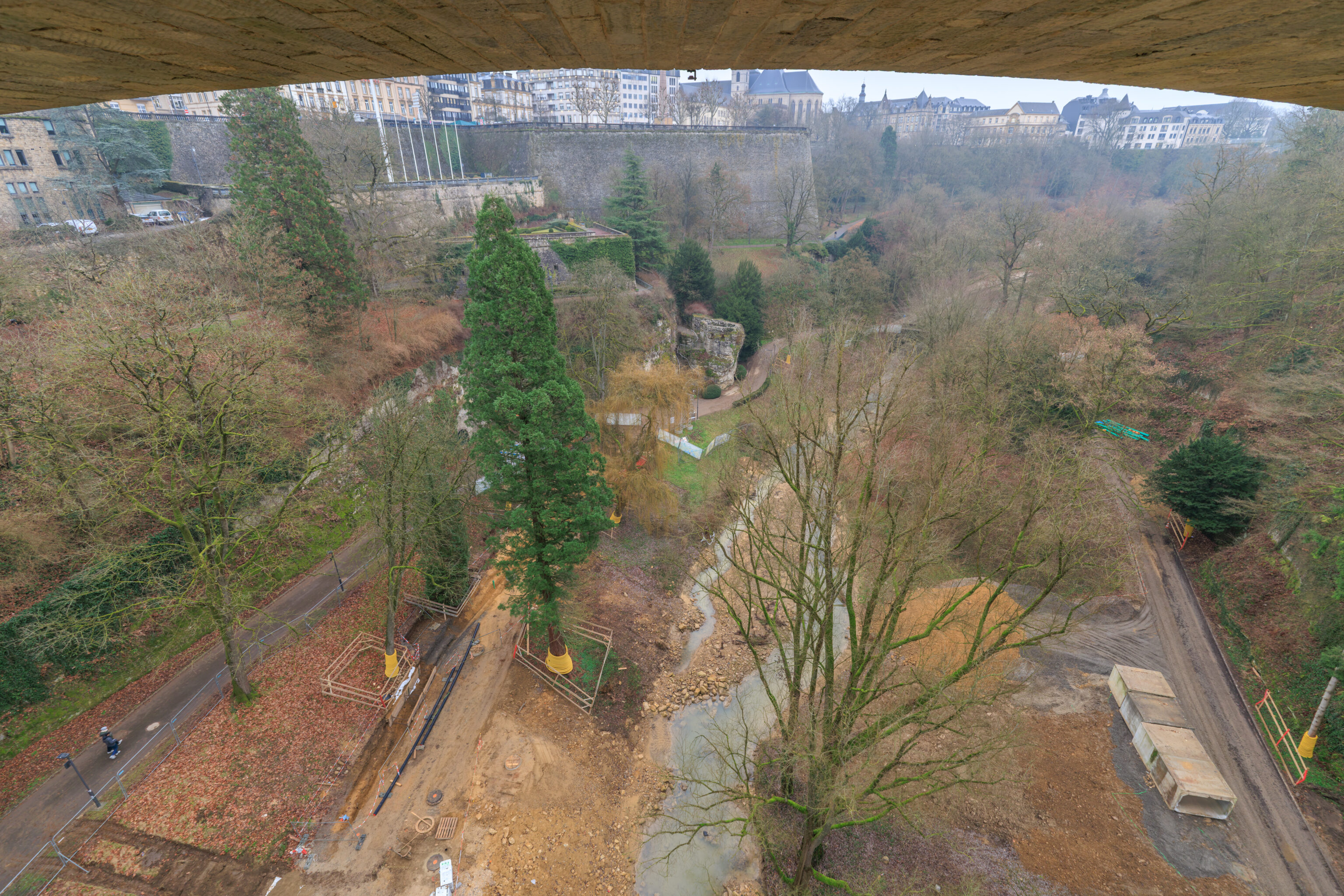
This was more or less the middle of the bridge. The Place de la Constitution is in the background here. Below it, we can see the stairs at the exit to the Pétrusse Casemates.
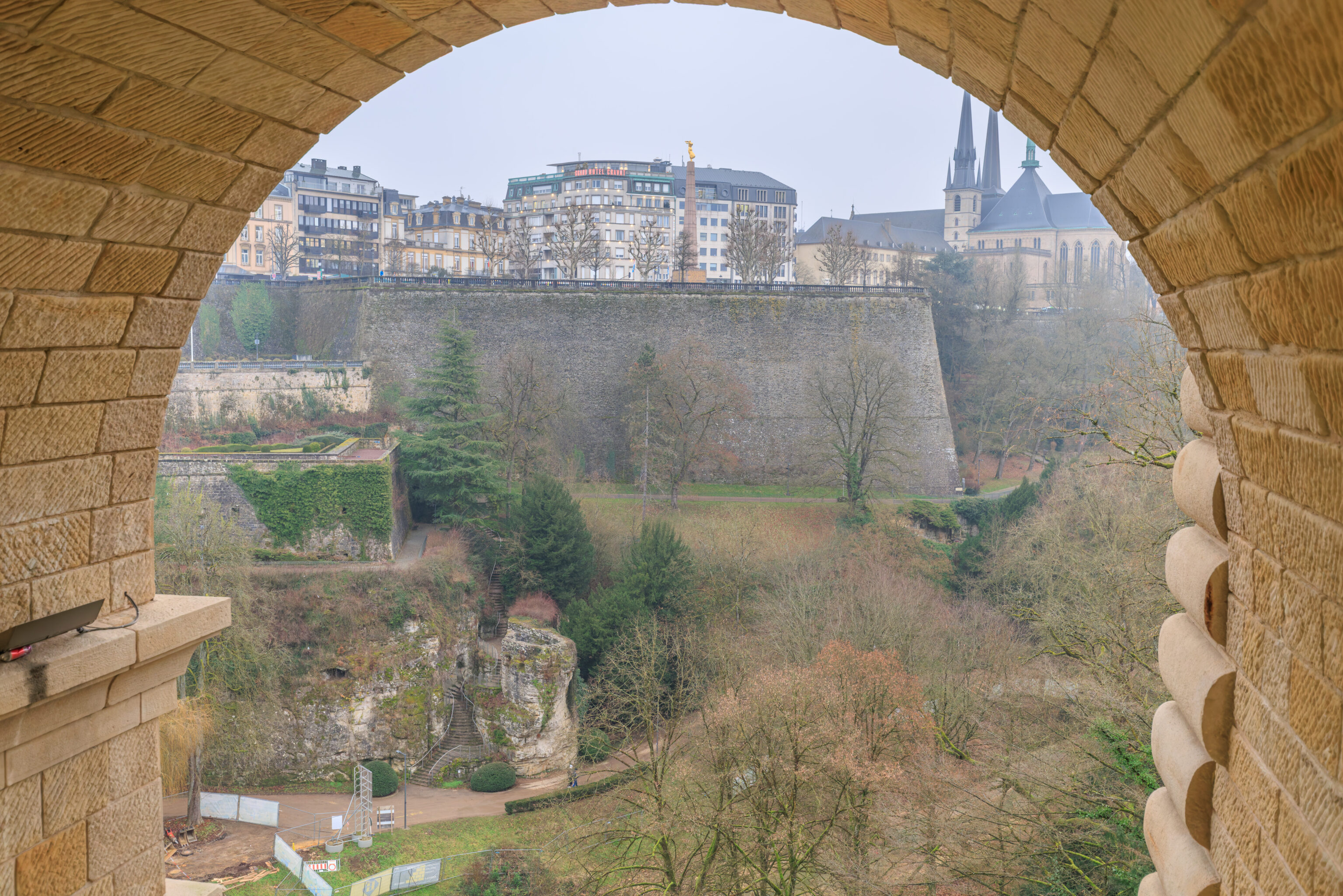
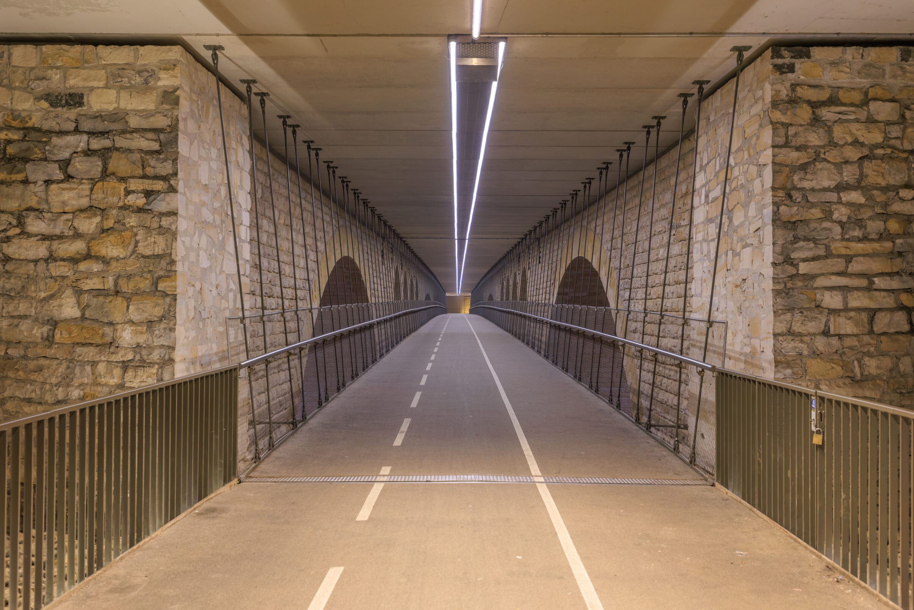
We continued walking to the southern end of the bridge.
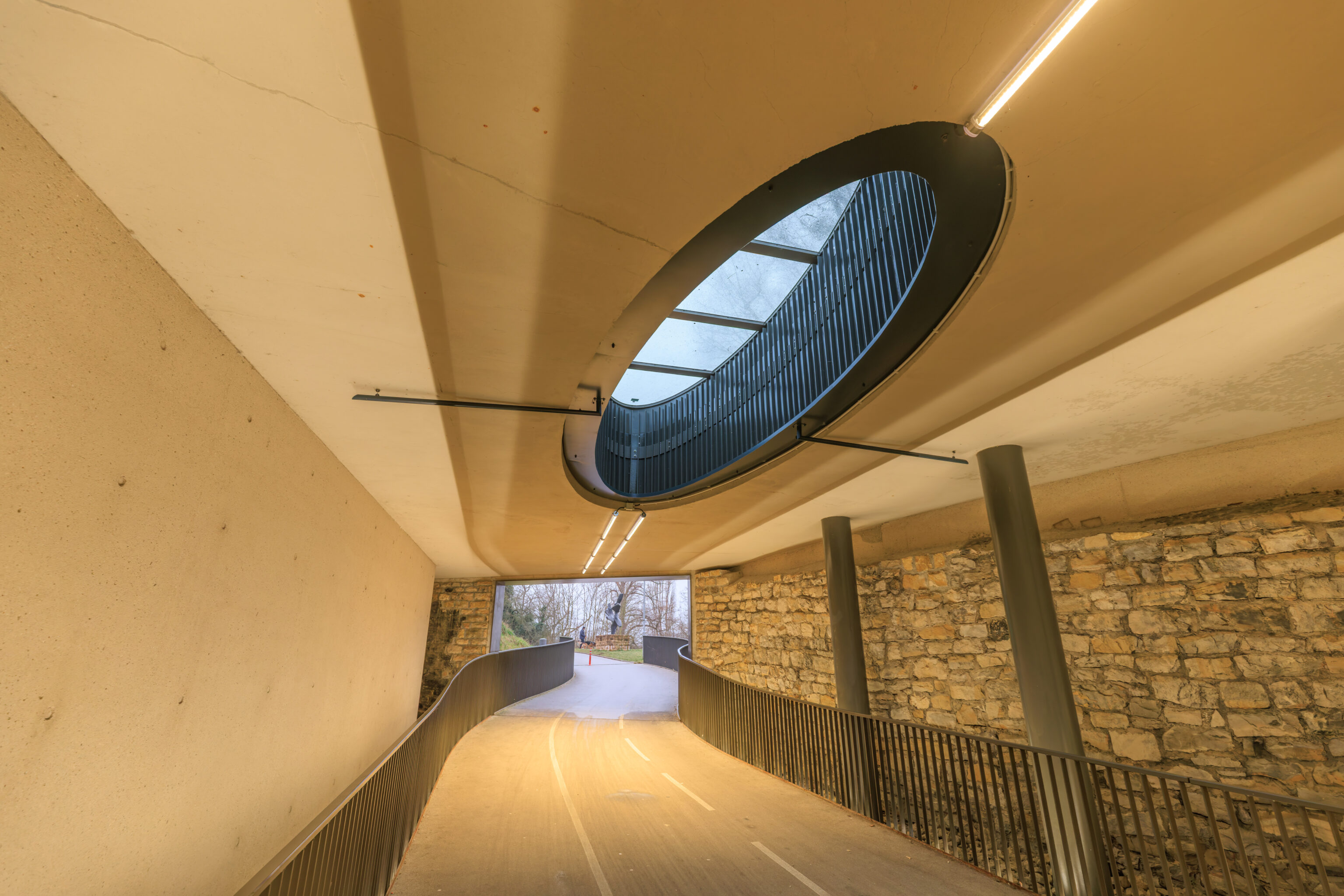
There was a little skylight above the ramp that leads up to ground level.
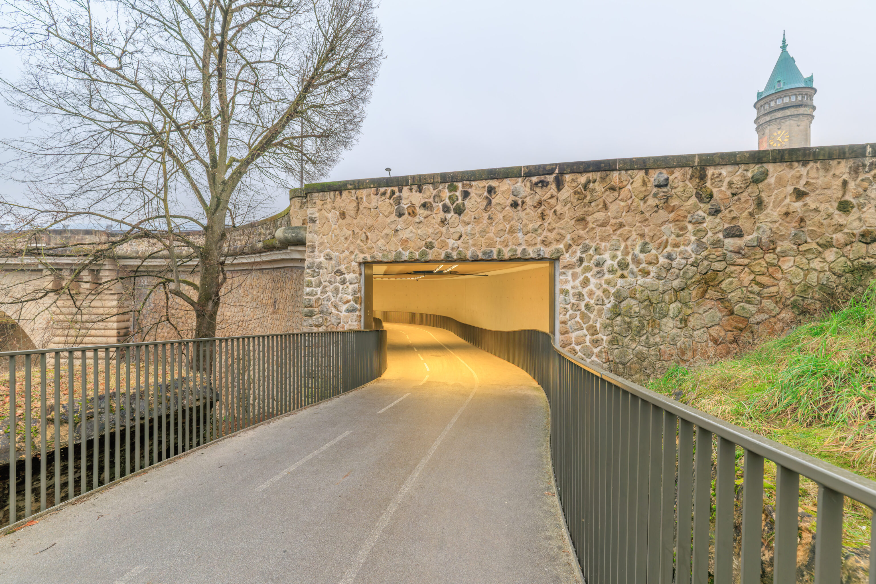
The ramp led to the western side of the bridge.
Gare
The area to the south of the valley here is the Gare district, gare meaning station in French, referring to Luxembourg Station.
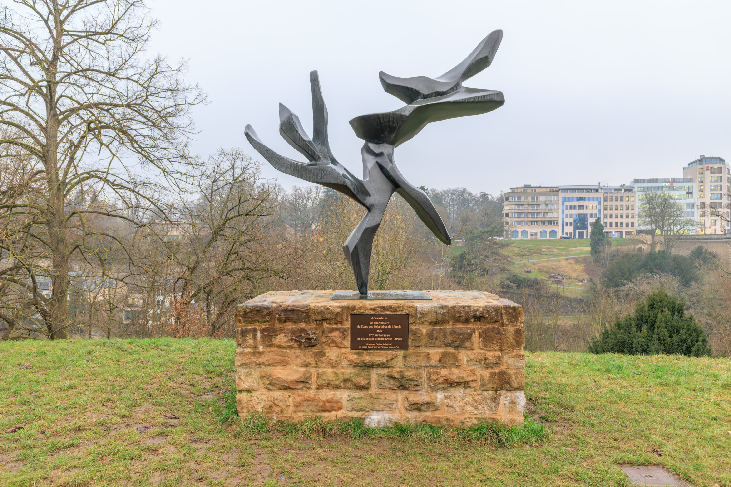
This sculpture, Tree of Peace by French artist Hedva Ser, was nearby. This sculpture has been installed in 21 different locations.
Marking the
50th anniversary
of the Army Volunteer Corps
and the
175th anniversary
of the Grand Ducal Military Band

"Tree of Peace" sculpture
by Hedva Ser, UNESCO Artist for Peace
– Text from the plaque below the sculpture, translated using Google Translate.
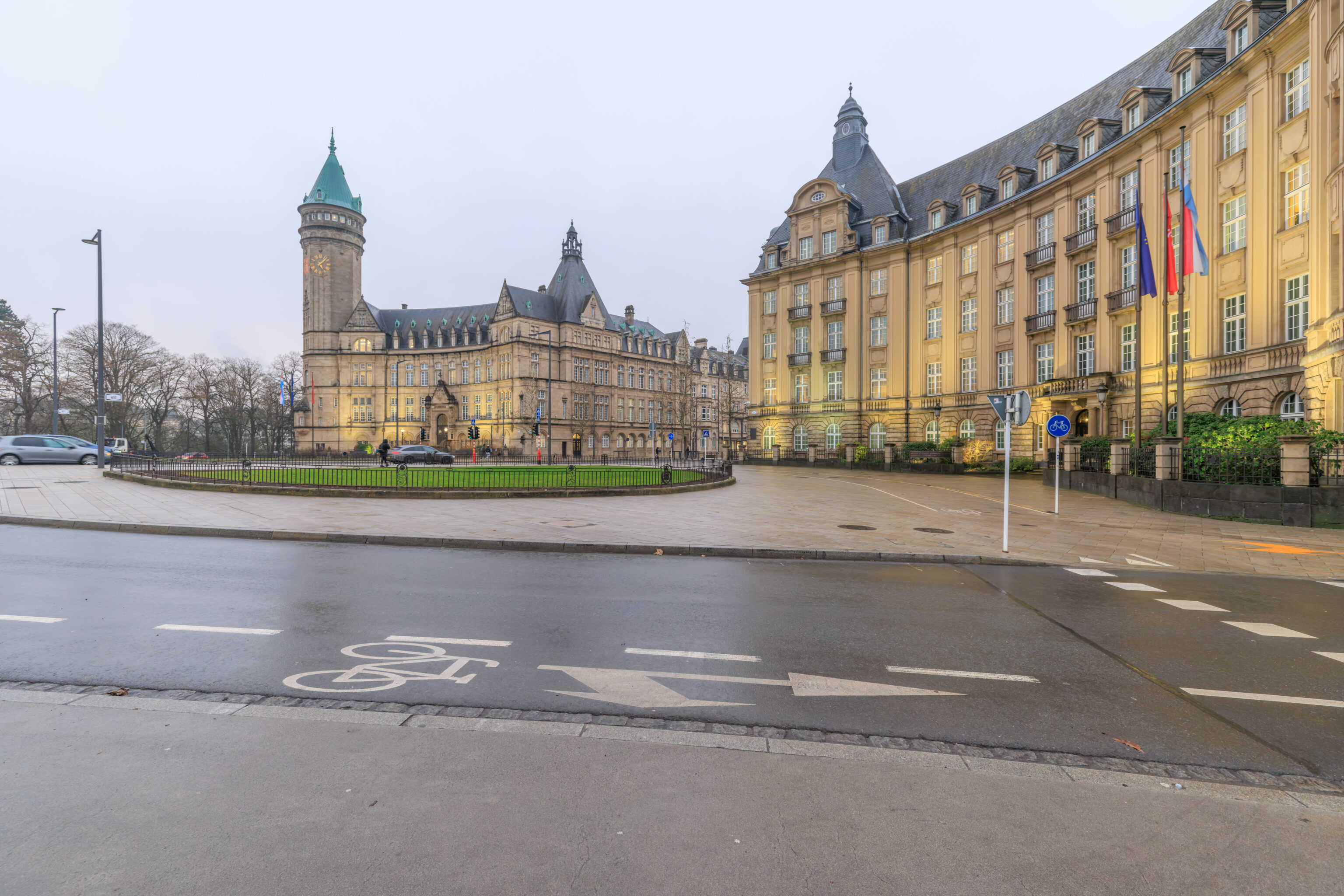
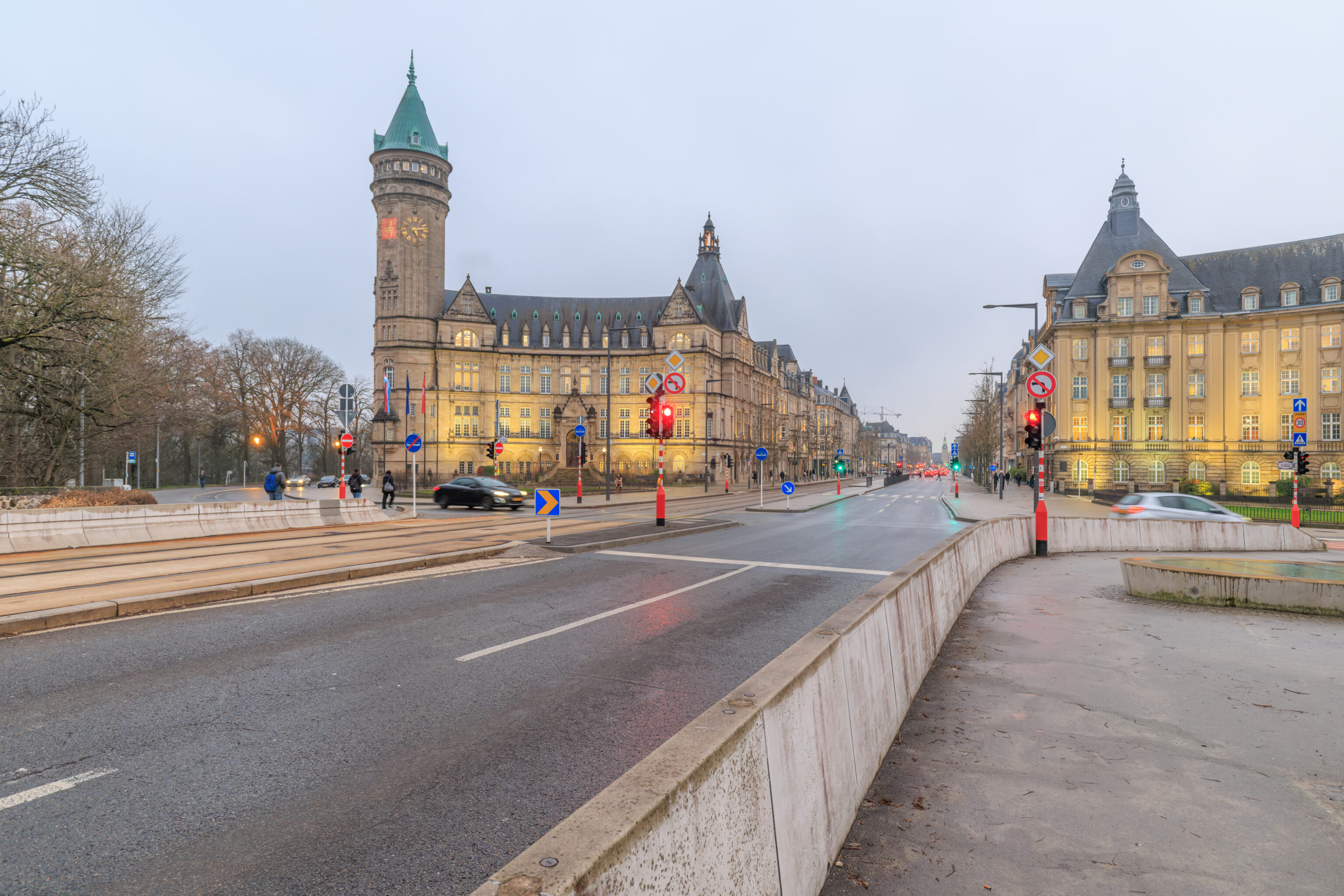
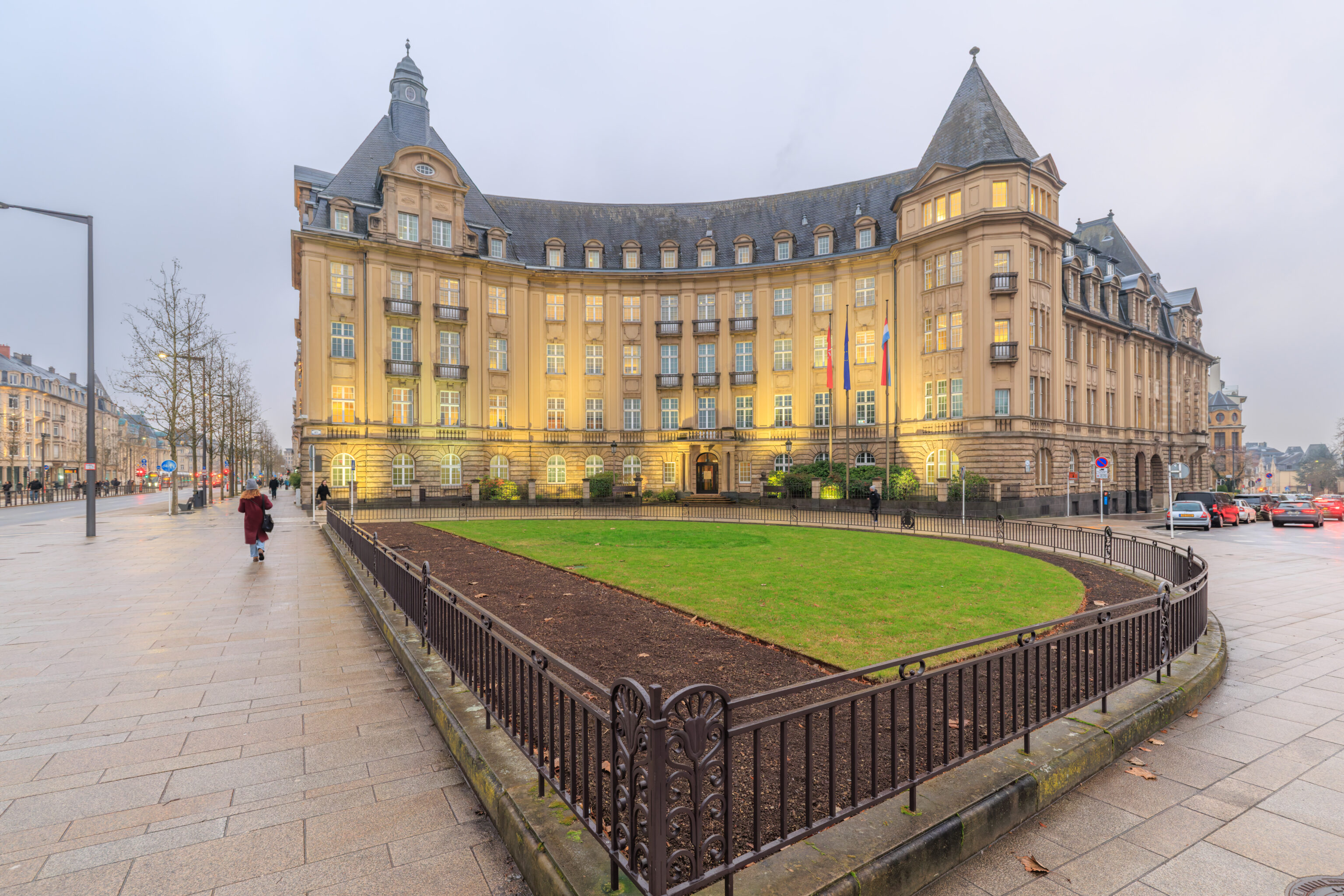
The buildings on the south side of the bridge are curved and form this sort of partial hemicycle. We noticed the circular tower on the left earlier.
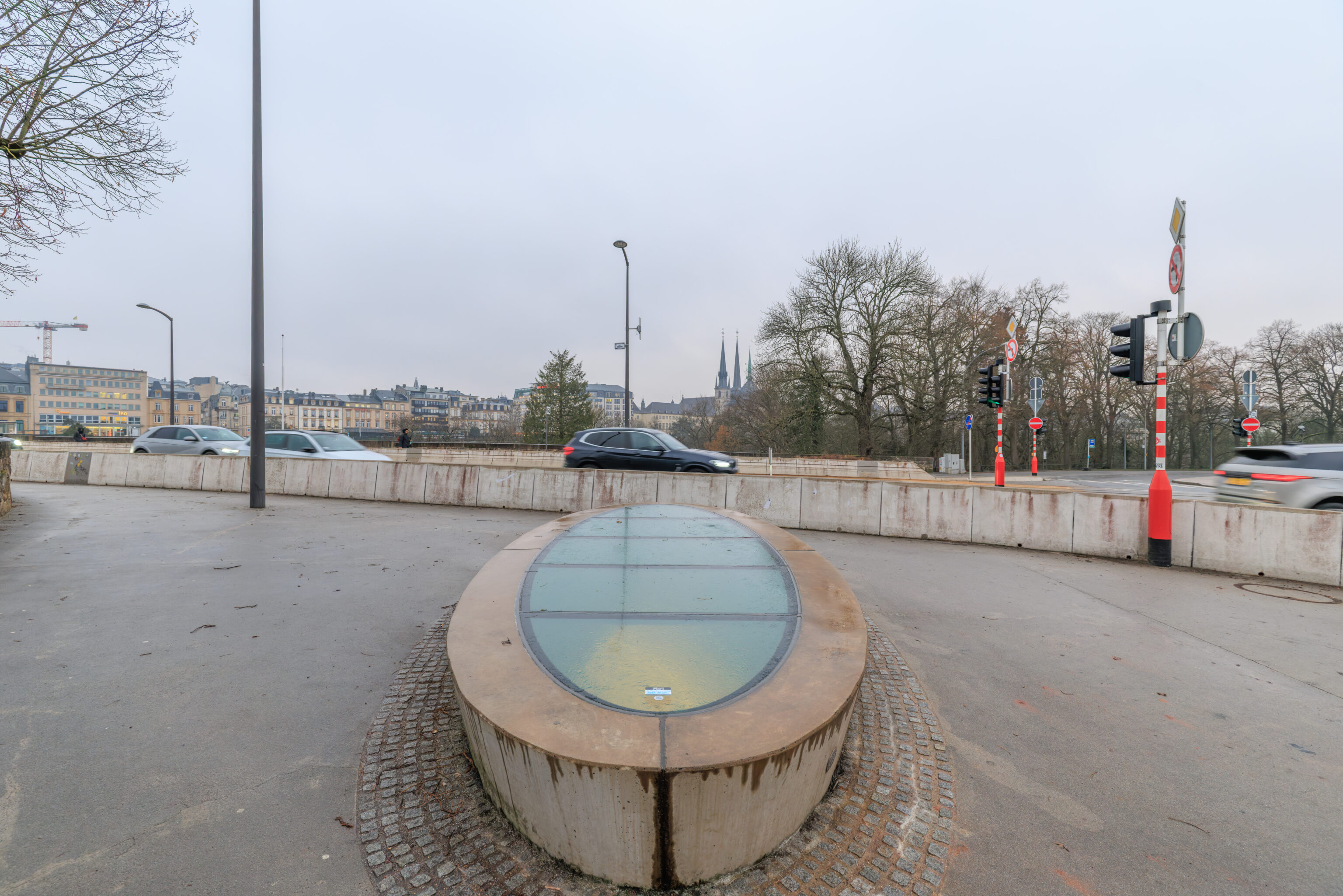
We decided to walk onto the bridge to take a look at the unobscured view from road level. We walked past the skylight we saw earlier from below.
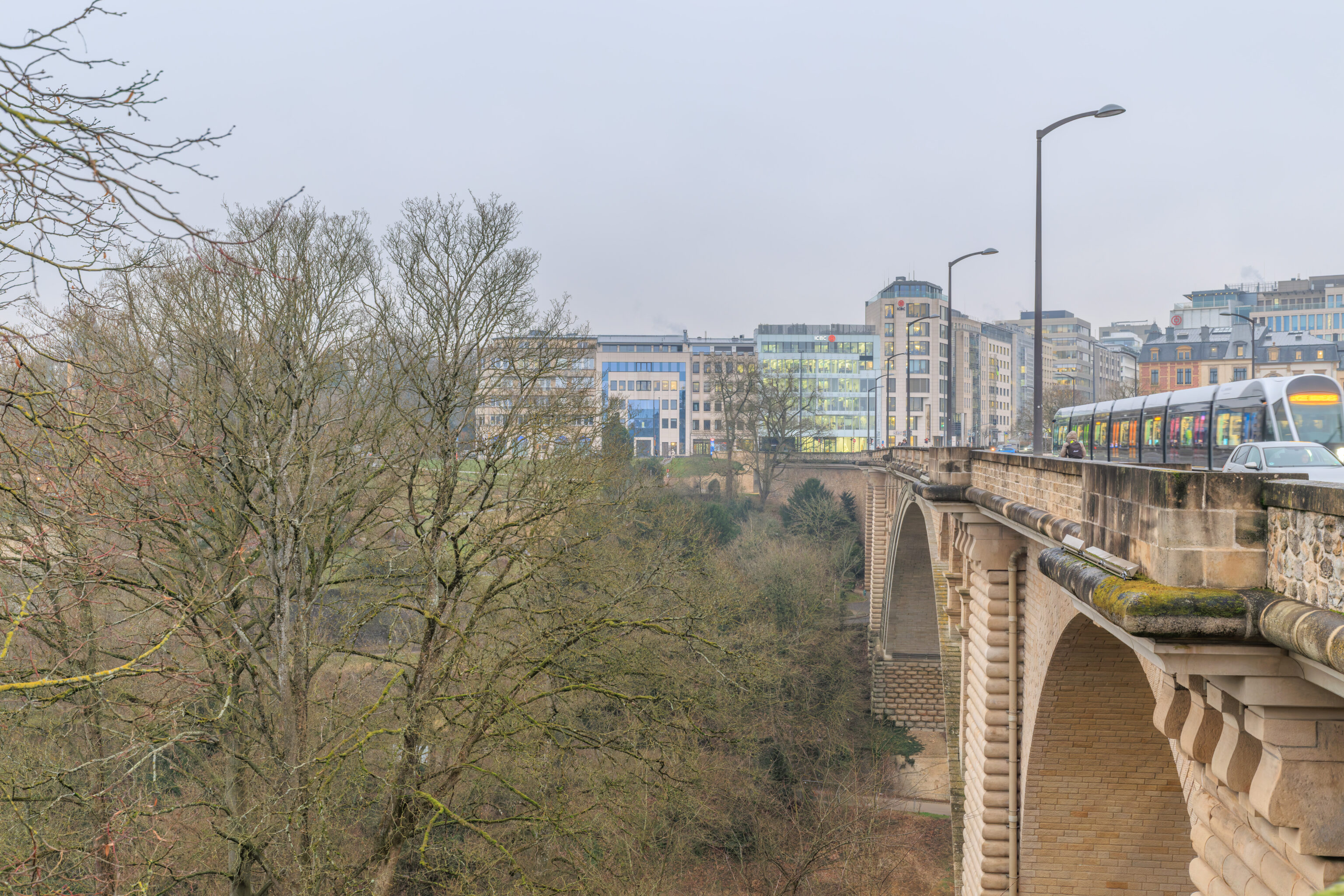
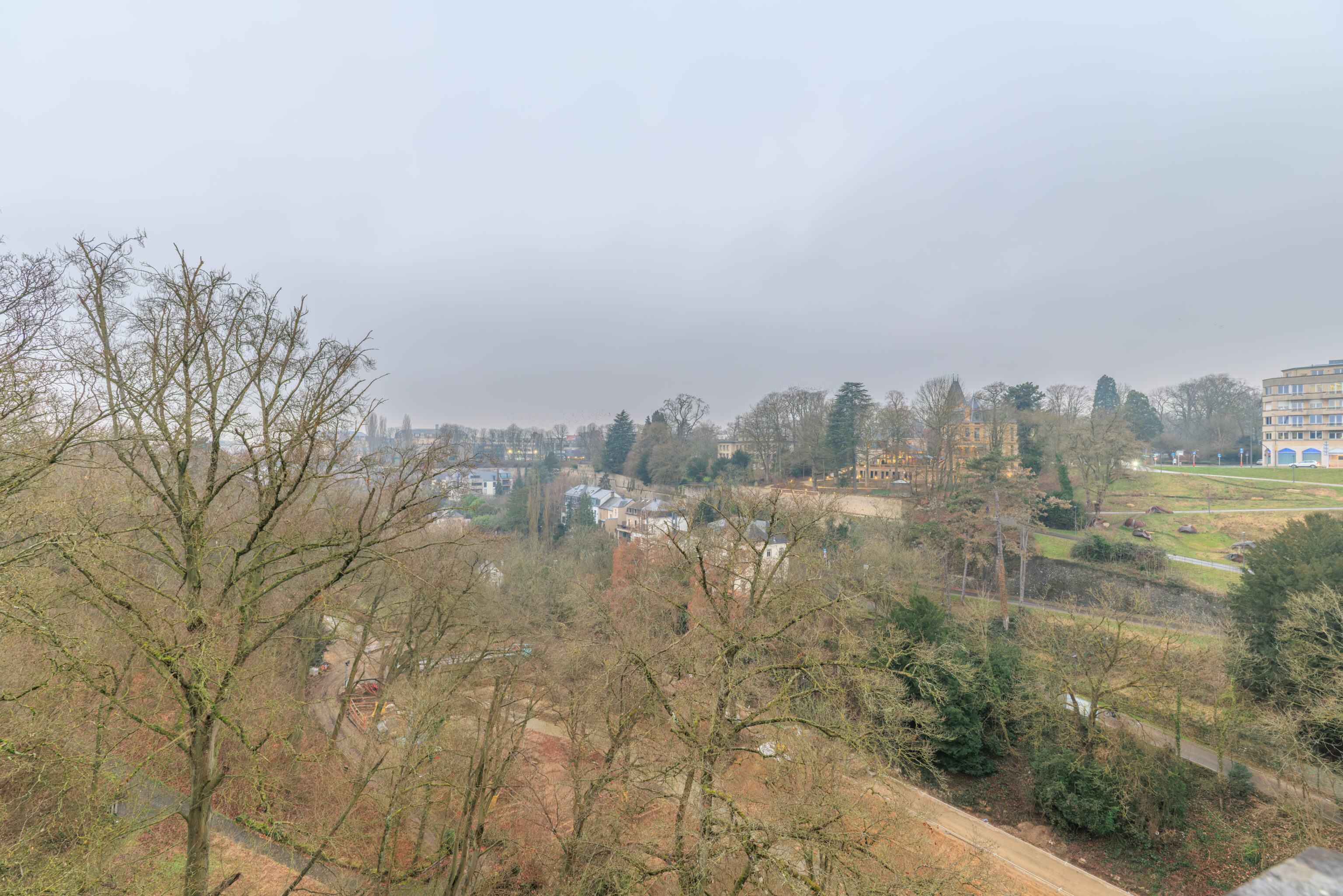
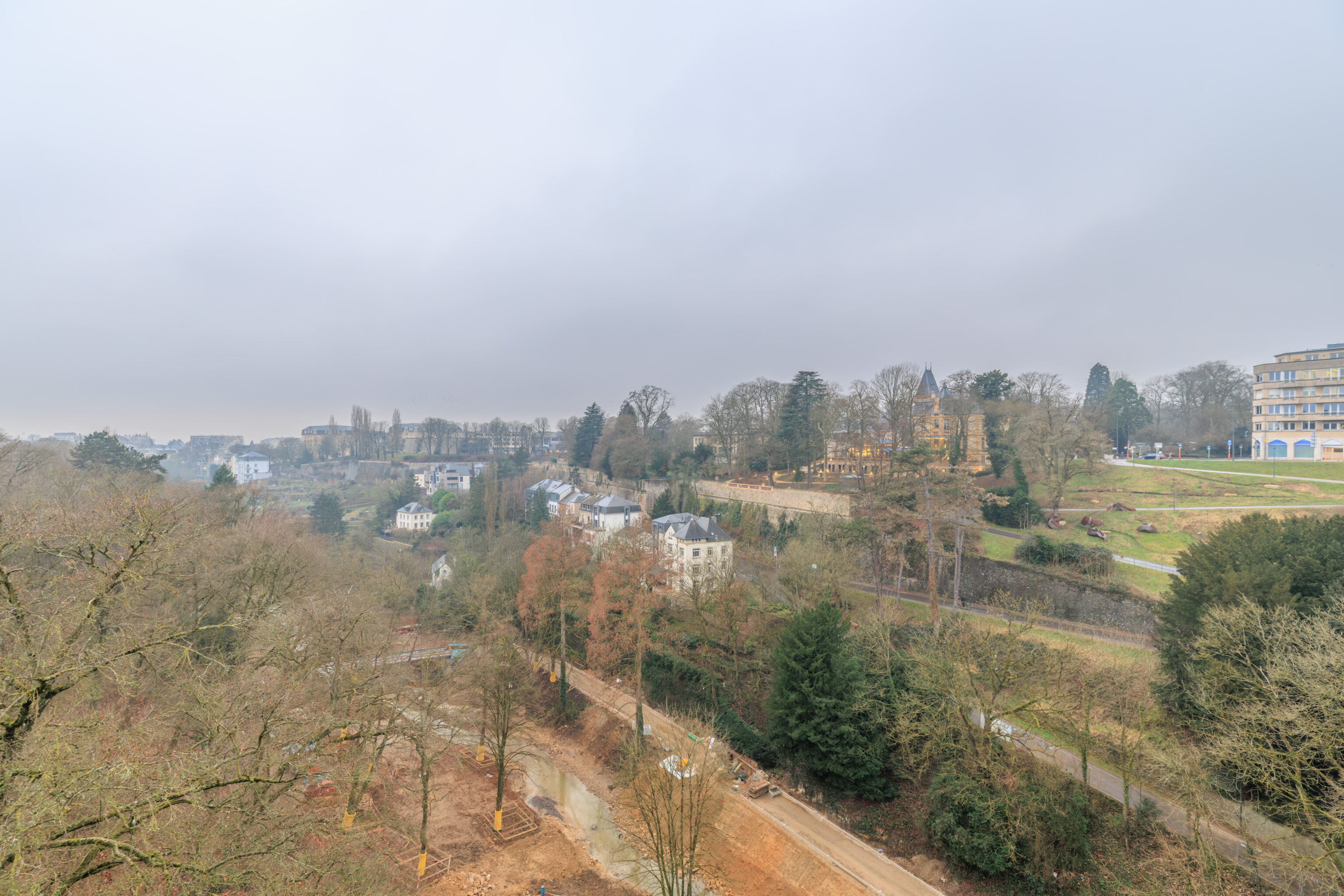
On the west side of the bridge, we mainly saw how large the construction site was below.
We returned to the southern end of the bridge so we could cross the road to the east side of the bridge.
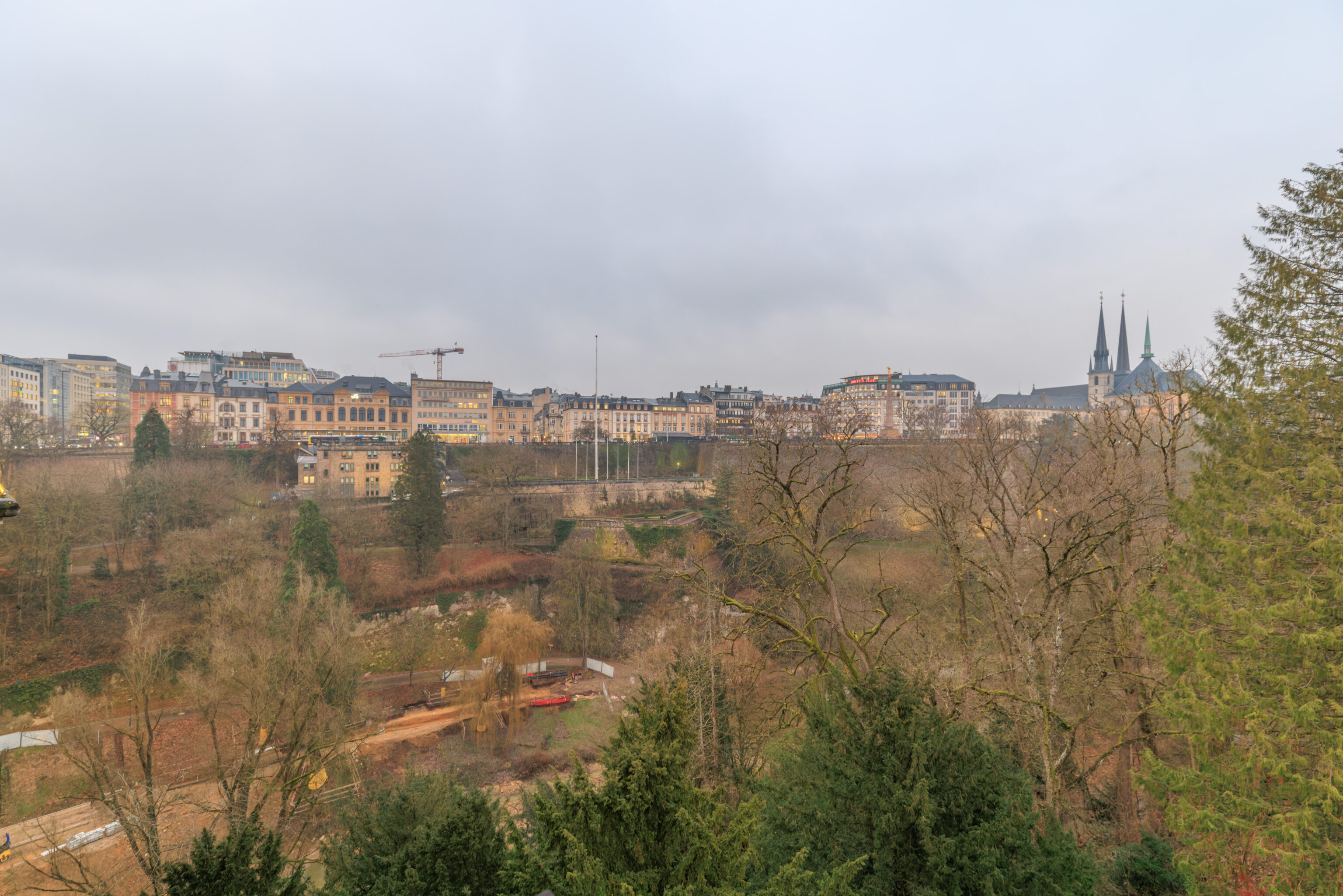
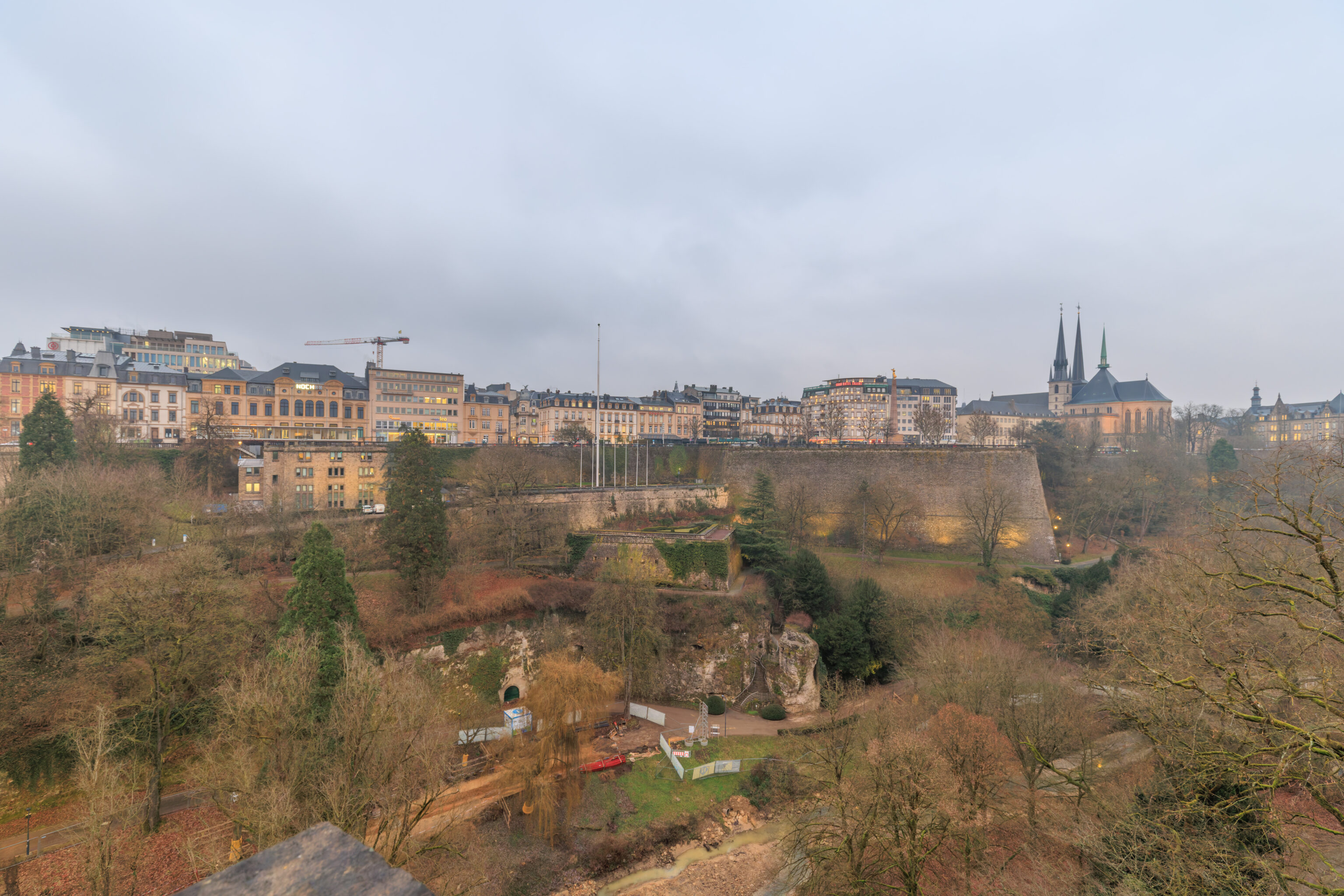
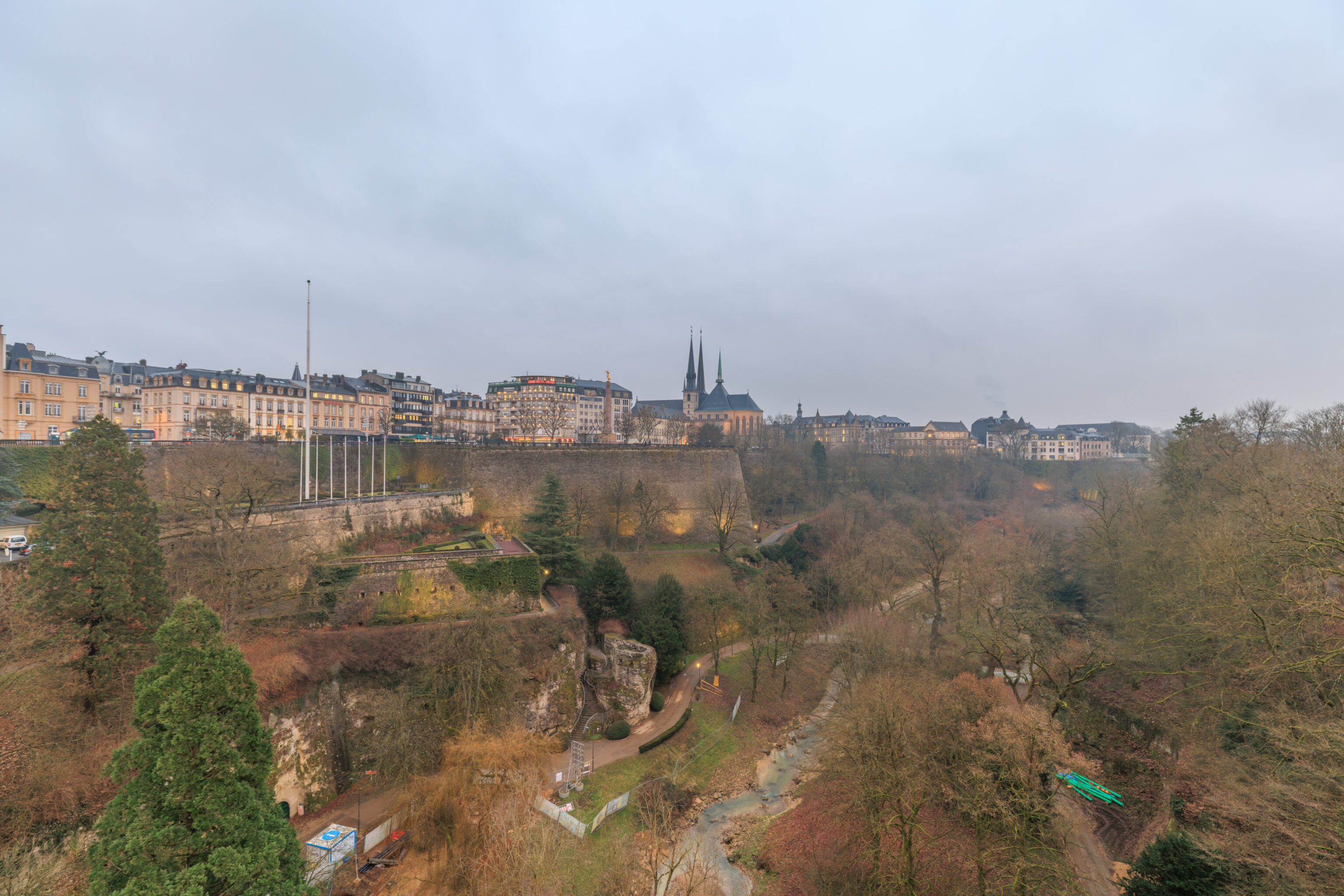
The scenery on the side is more interesting. It was starting to get dark and we could see various lights starting to illuminate the fortress walls.
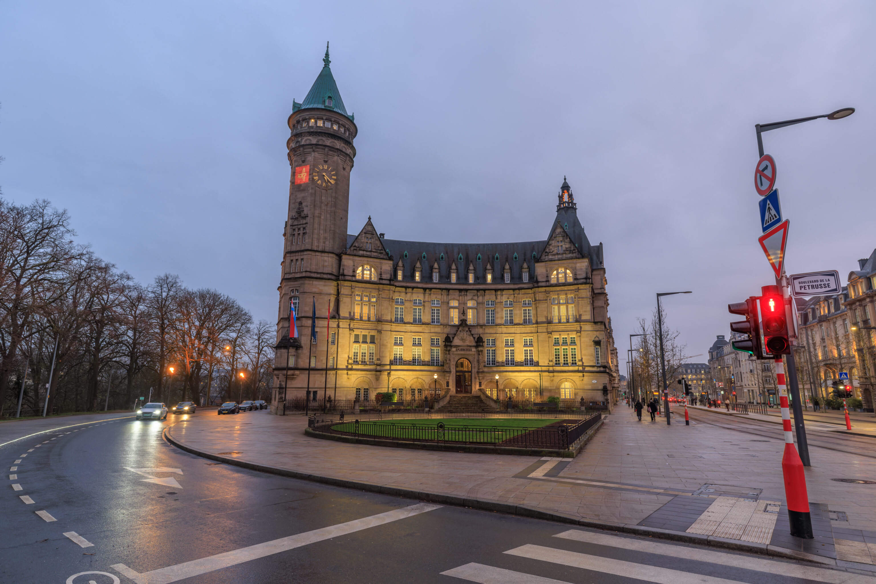
We ended up taking a tram back from the stop here, Place de Metz, which is the name of this square here. Metz is a nearby city in France.
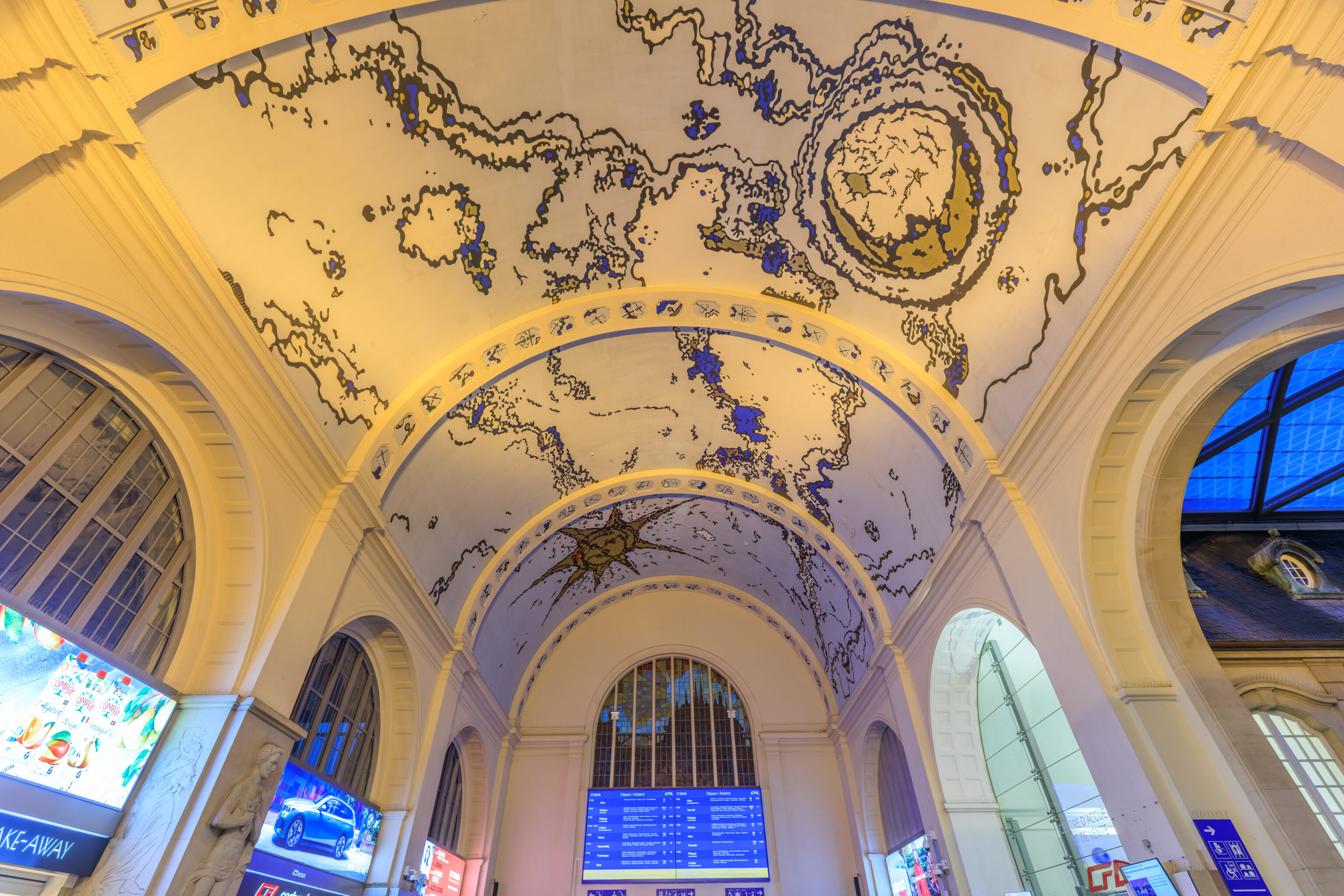
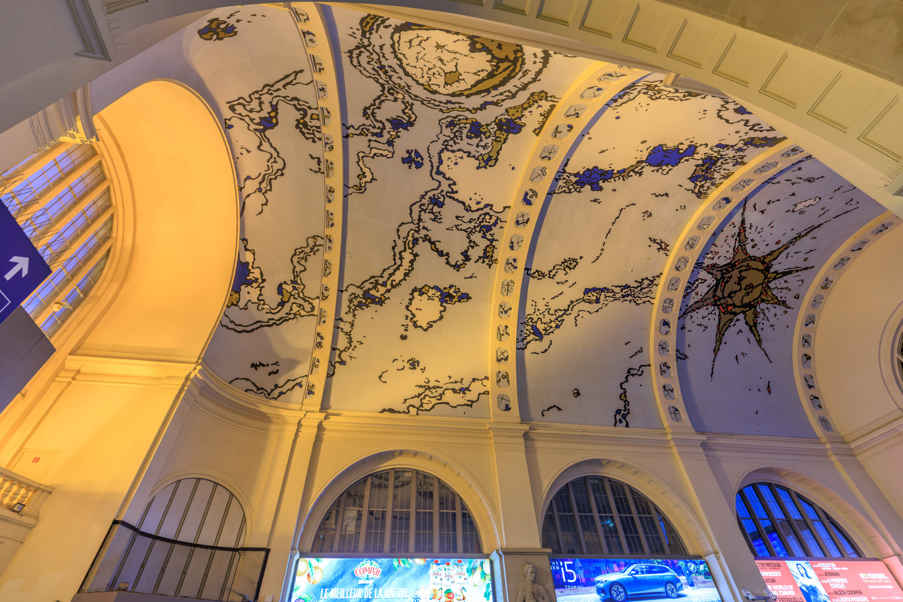
After returning, we went to take a look at the interior of the church-like hall at the train station. A large mural was painted on the ceiling.
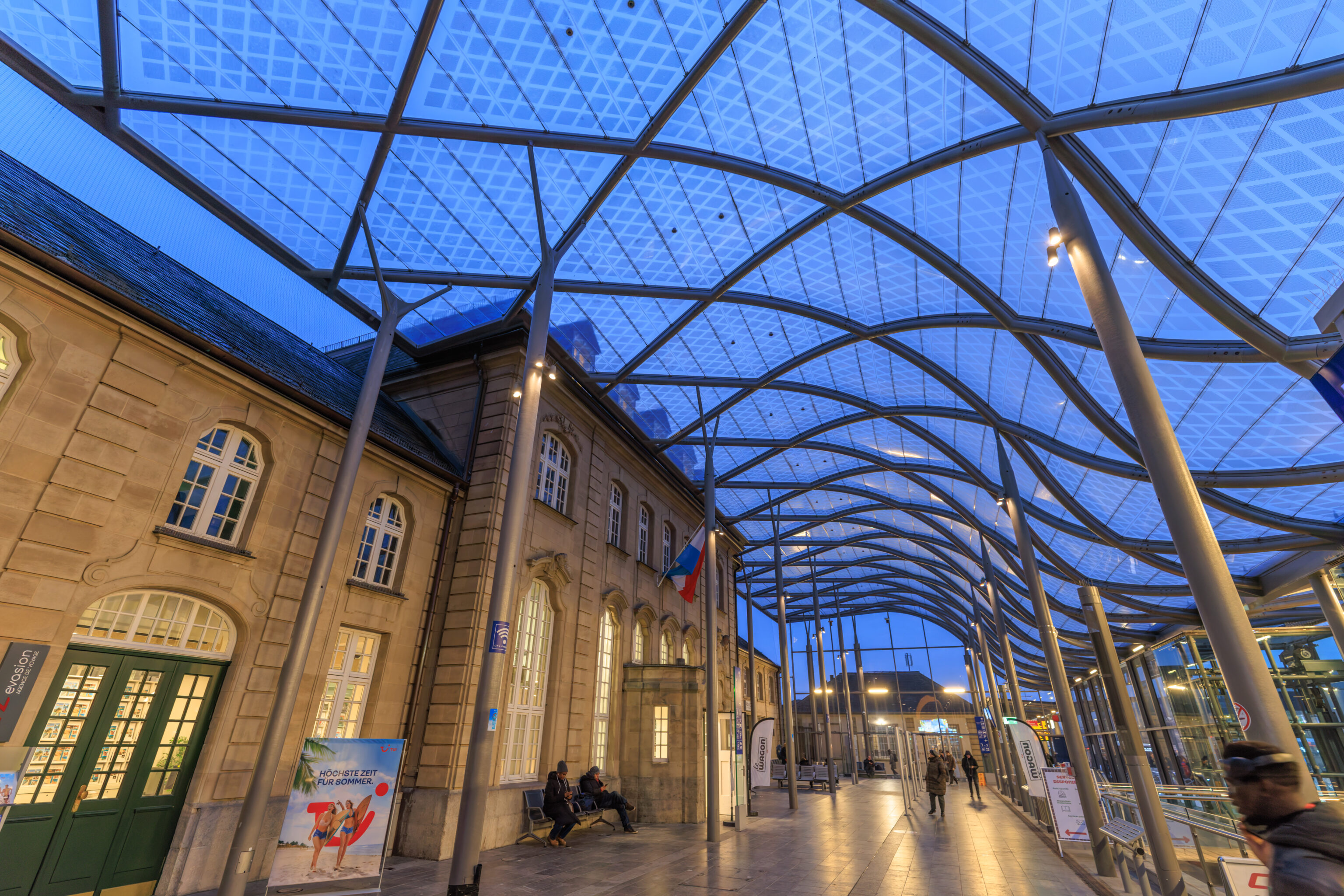
There is a covered exterior area as well.
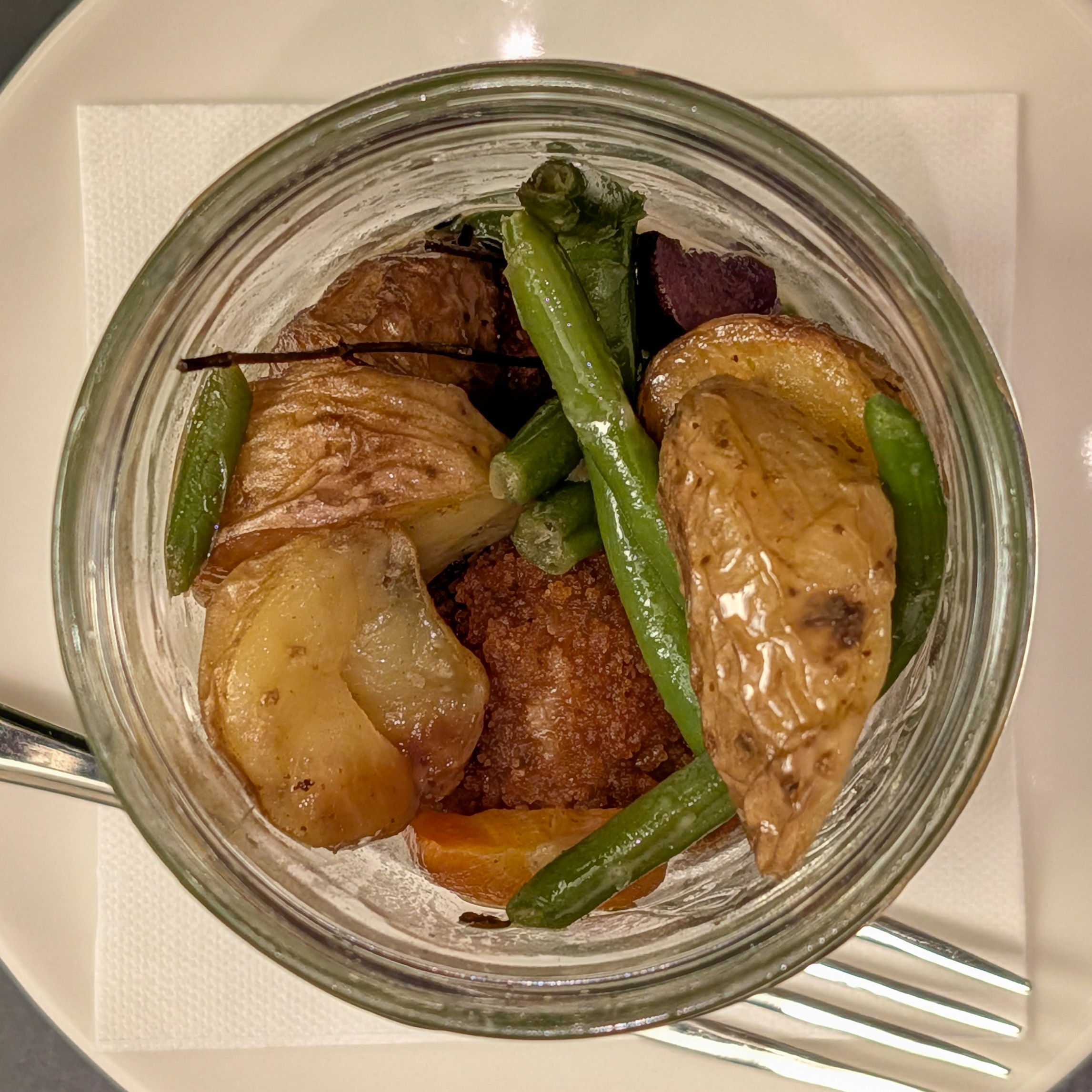
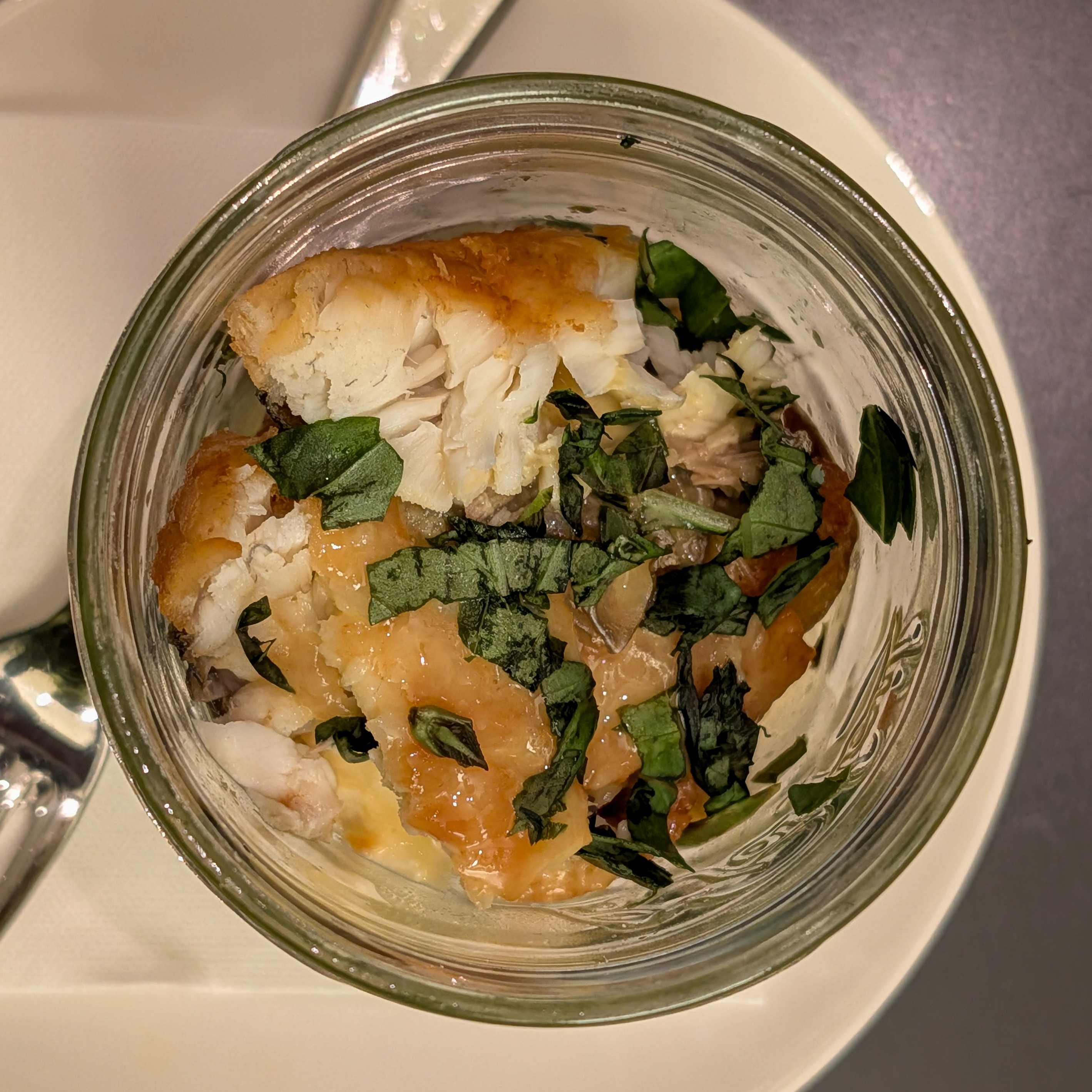
After returning to the Marriott, we went to the lounge and had some snacks. We had the two hot items available. One had meatballs and the other was trout with orange sauce. Both were decent.