
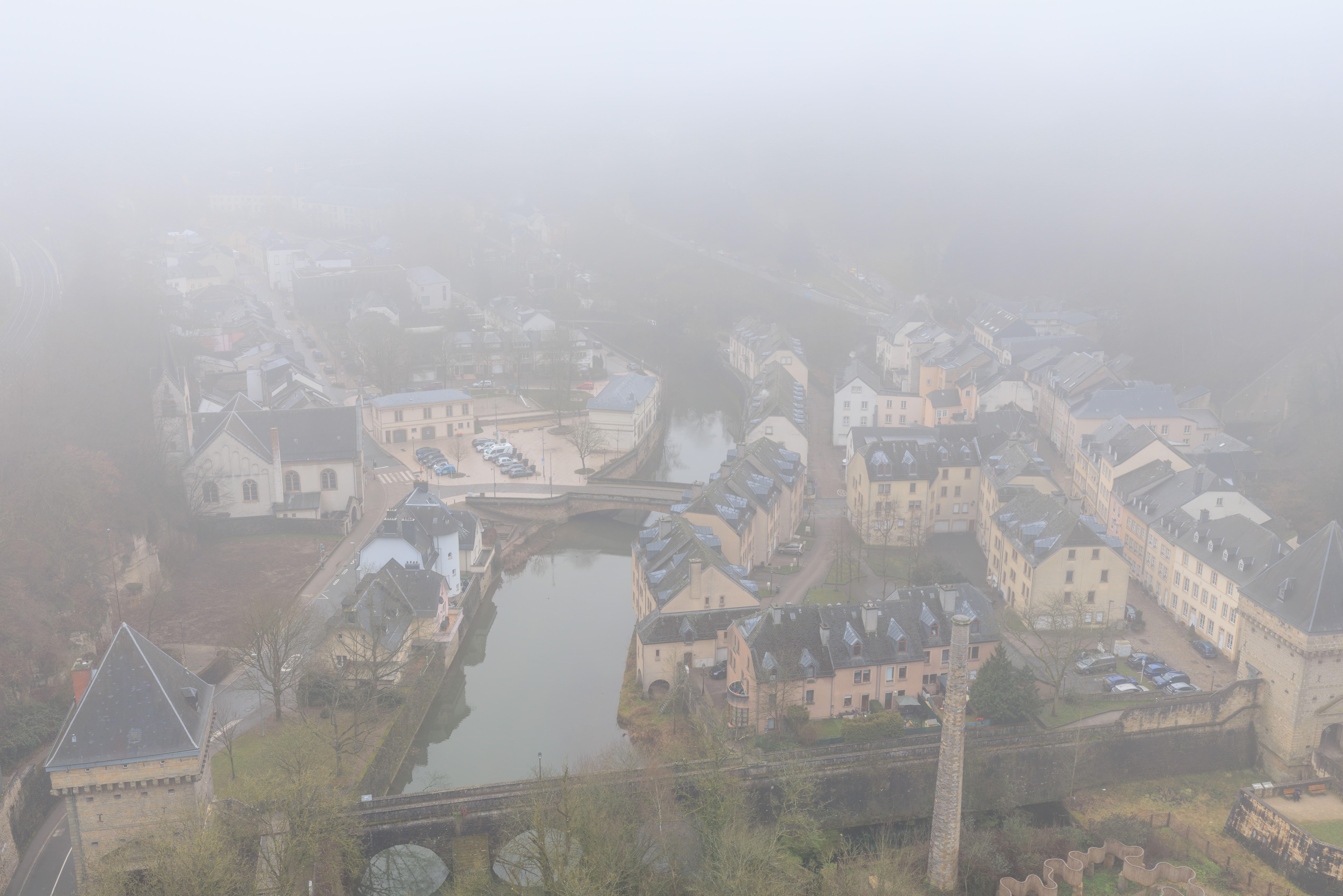
We woke up at the Luxembourg Marriott Hotel Alfa to a dark and foggy morning. After breakfast, we walked across the Pont Grande-Duchesse Charlotte to visit the Musée Dräi Eechelen within Fort Thüngen. We then walked down into the Pfaffenthal district in the valley formed by the Alzette and ascended back up the Ville Haute via the Pfaffenthal Panoramic Elevator. After lunch, we walked to the south above the cliffs and walls of the Luxembourg Fortress and the Chemin de la Corniche until reaching the Citadelle du Saint-Esprit at the south end of the Ville Haute. Later in the evening, we returned to the Ville Haute to see the view at night and to have a light dinner.
Morning
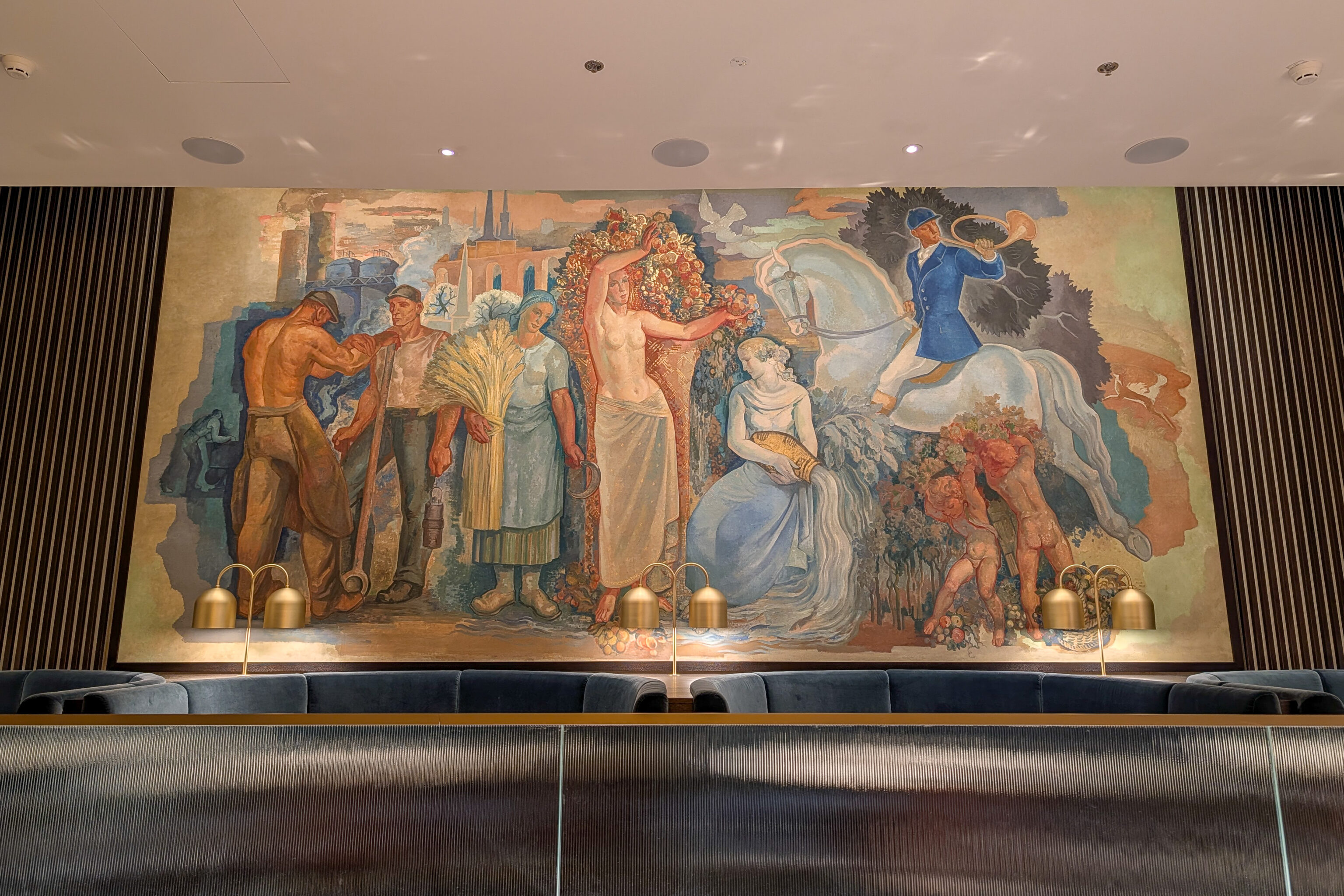
After waking up at the Luxembourg Marriott Hotel Alfa, we headed downstairs to the hotel’s restaurant, Brasserie Alfa, for breakfast. This mural is on the back wall.
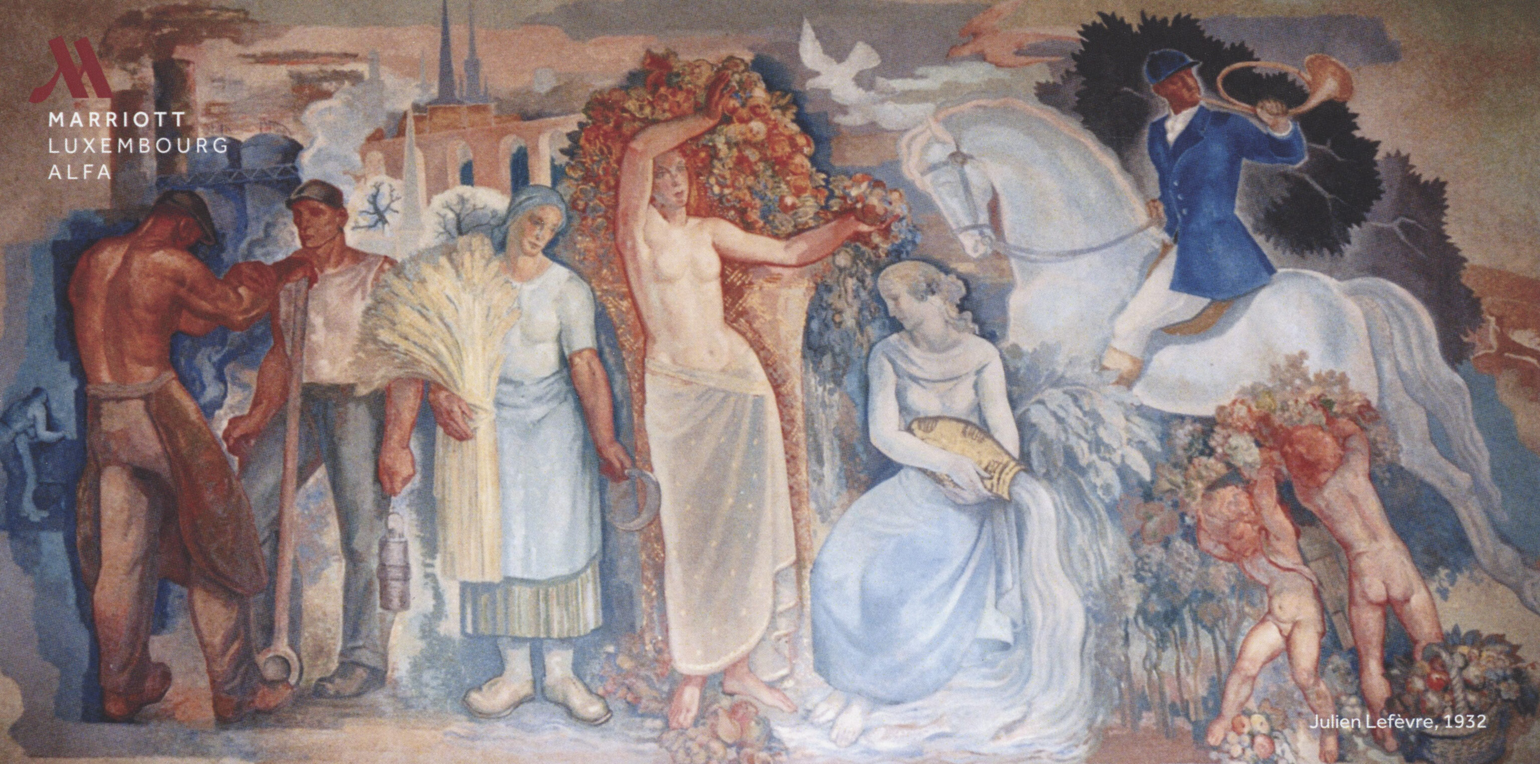
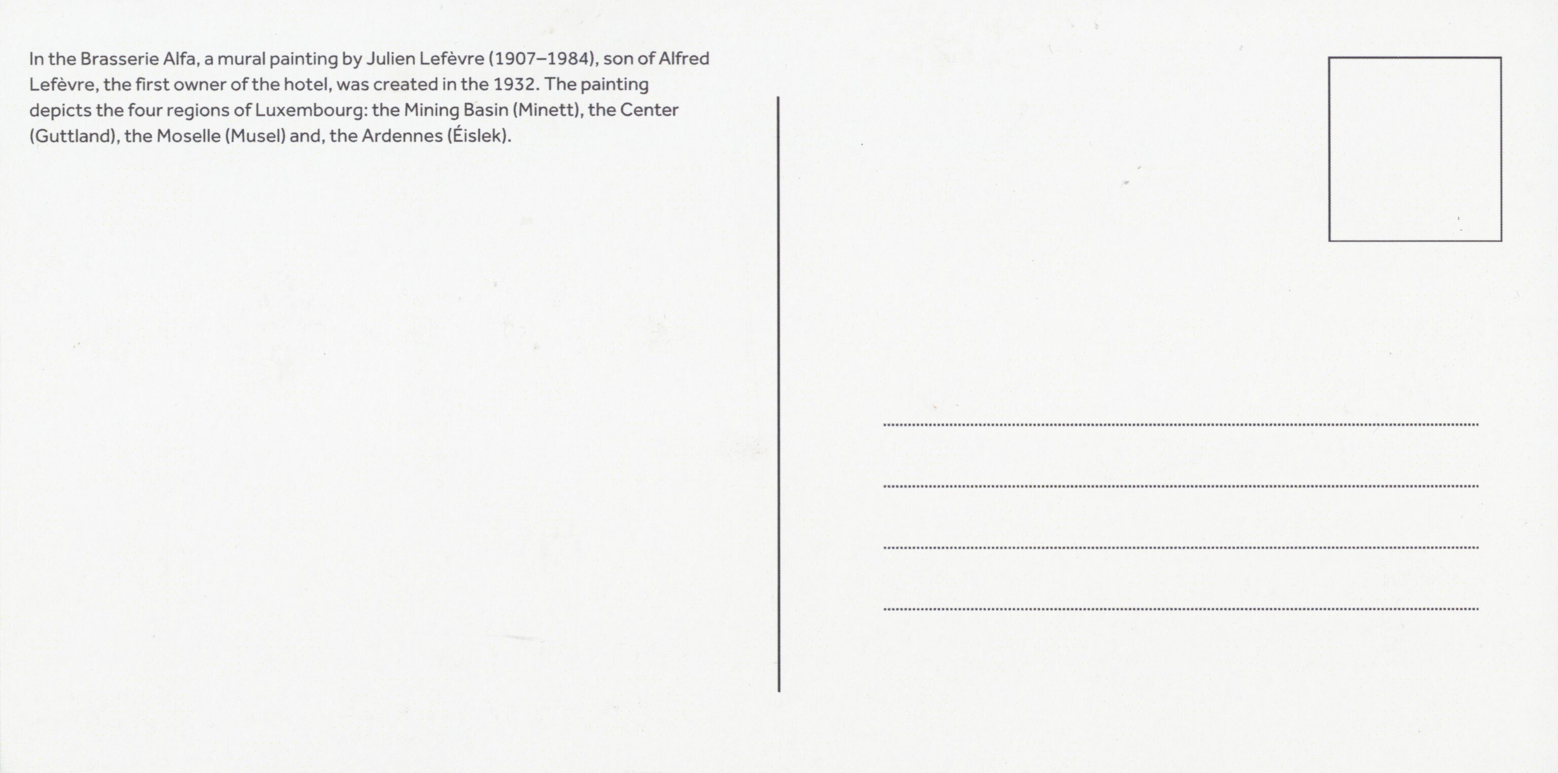
This is the same mural that is depicted on a hotel postcard.
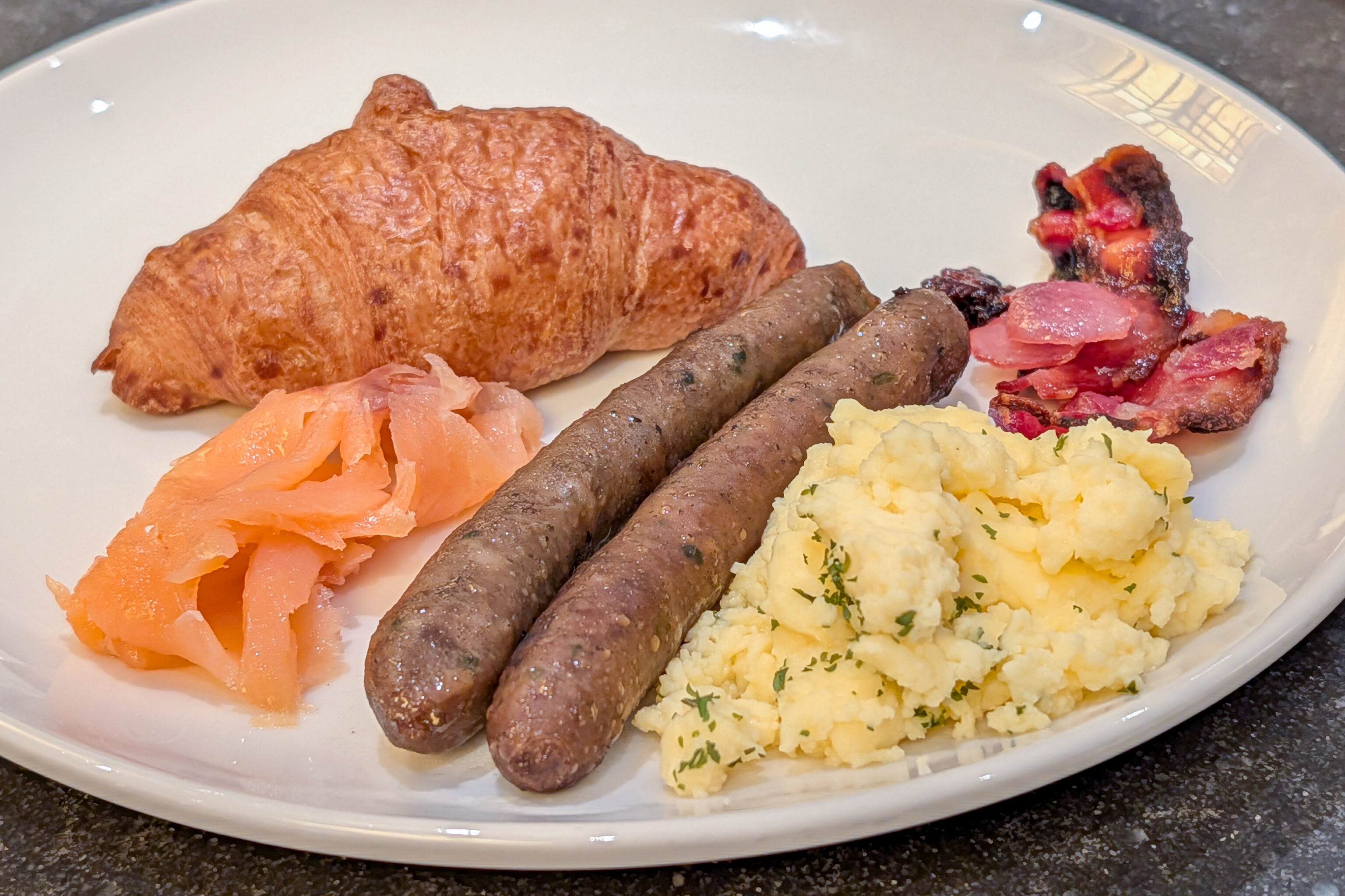
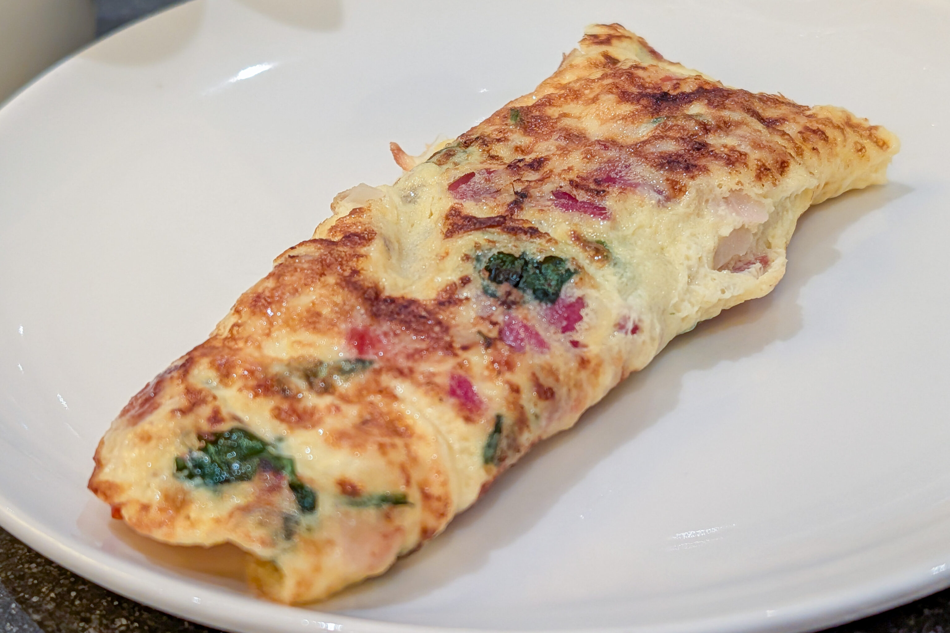
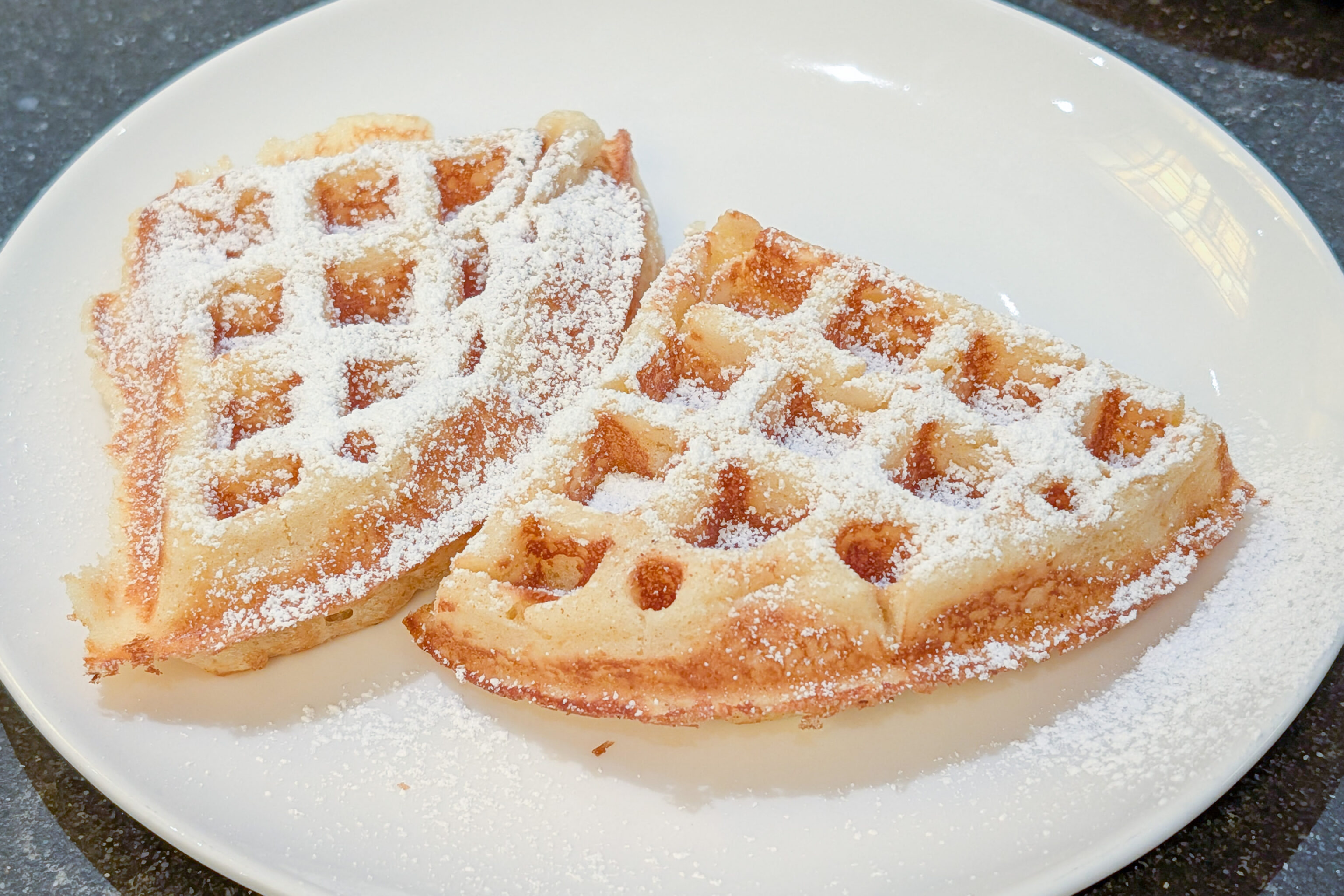
There was a new item for breakfast at the Marriott – Toulouse sausages. There’s a reason why no one ever gets excited over French sausages… Otherwise, it was an excellent breakfast!
Pont Grande-Duchesse Charlotte
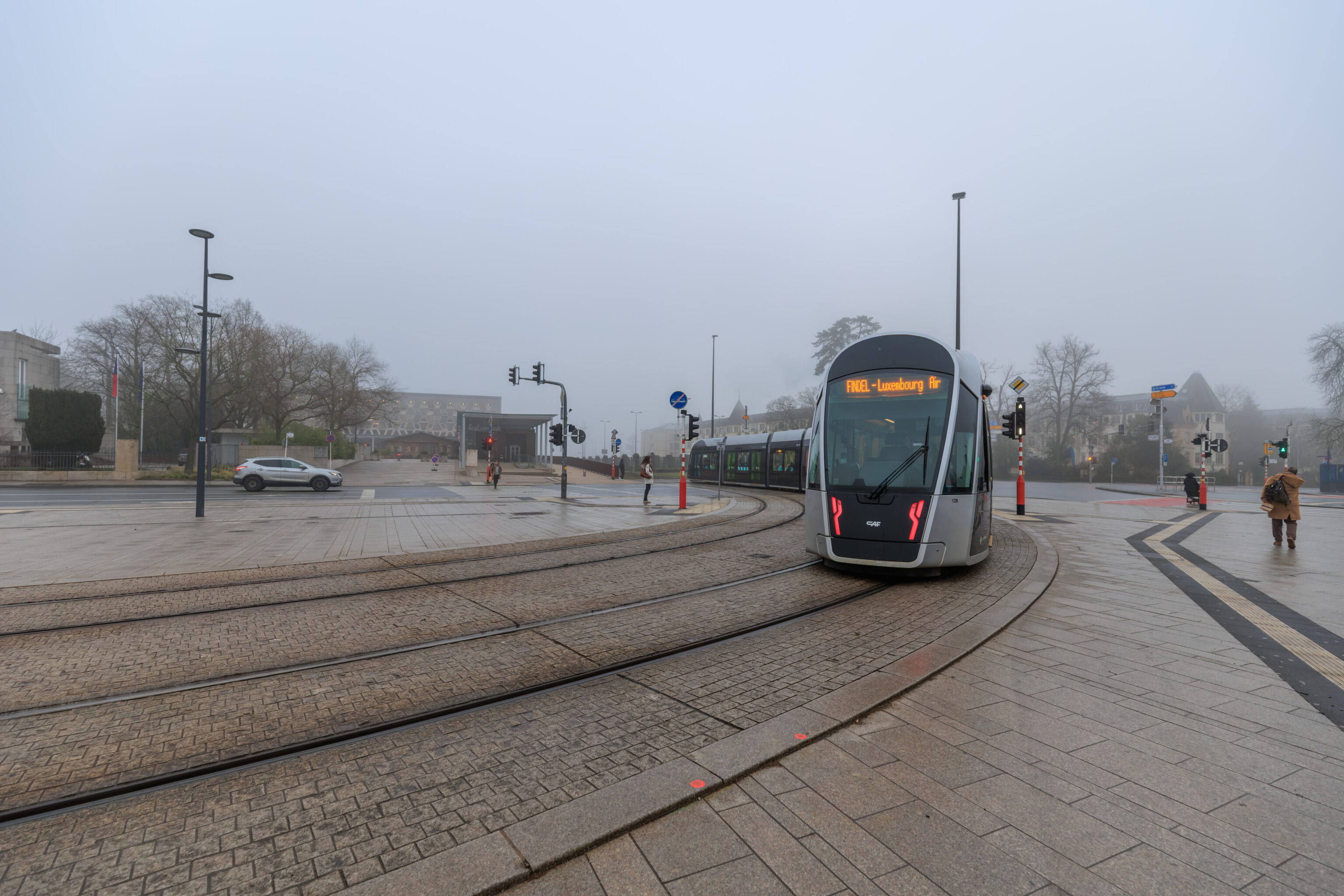
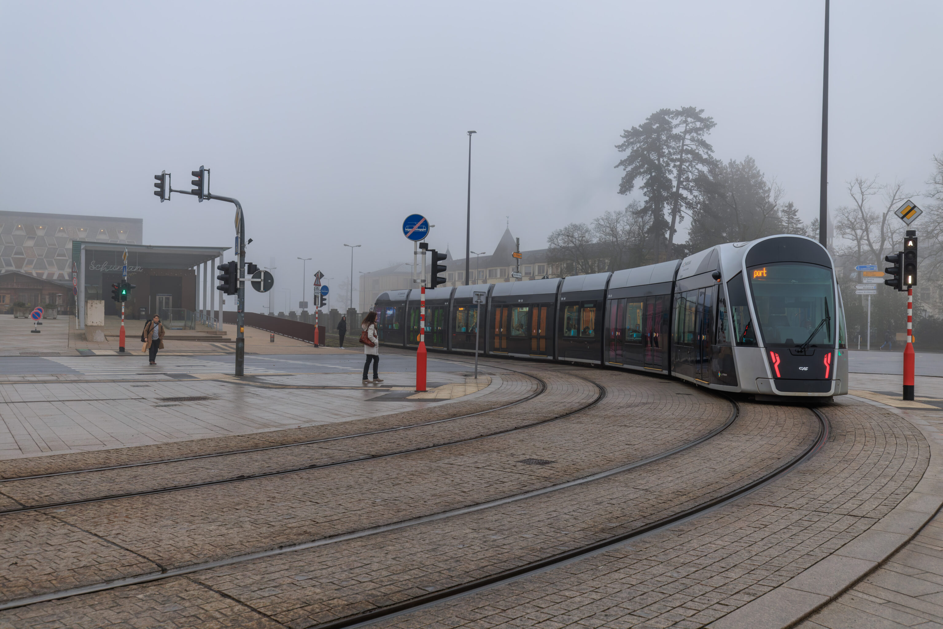
The morning was dark, foggy, and wet. We took the tram from the train station north to the Theater stop.
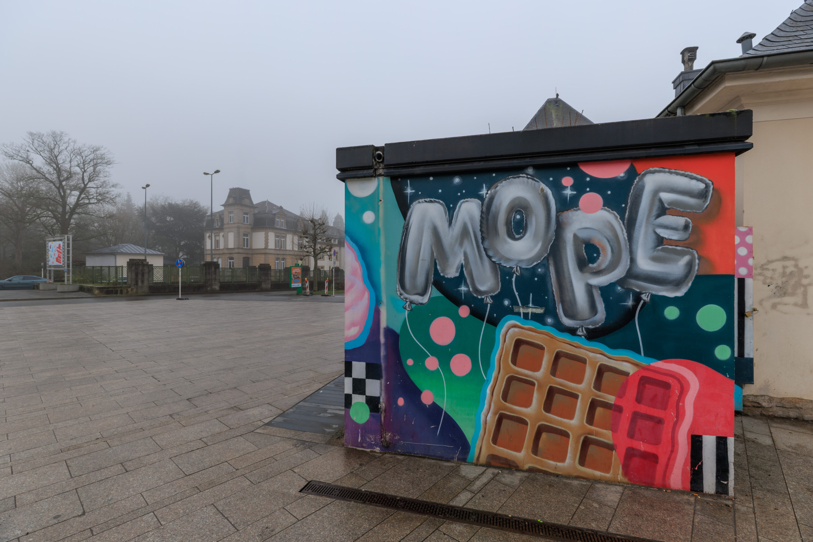
This graffiti-esque mural seems to be by Alain Welter, who goes by Mope.
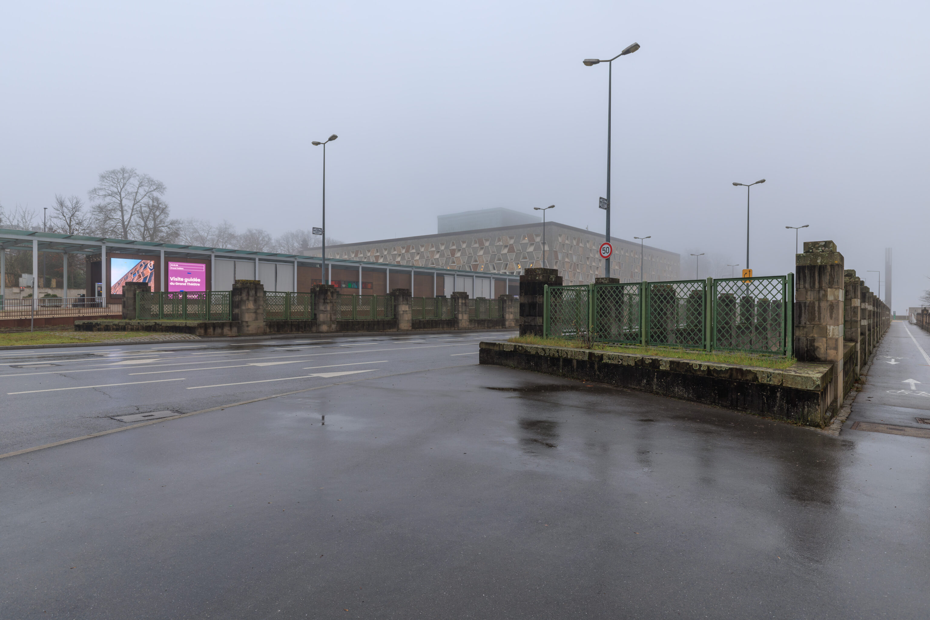
The Theater tram stop gets its name from this building in the background, the Grand Théâtre.
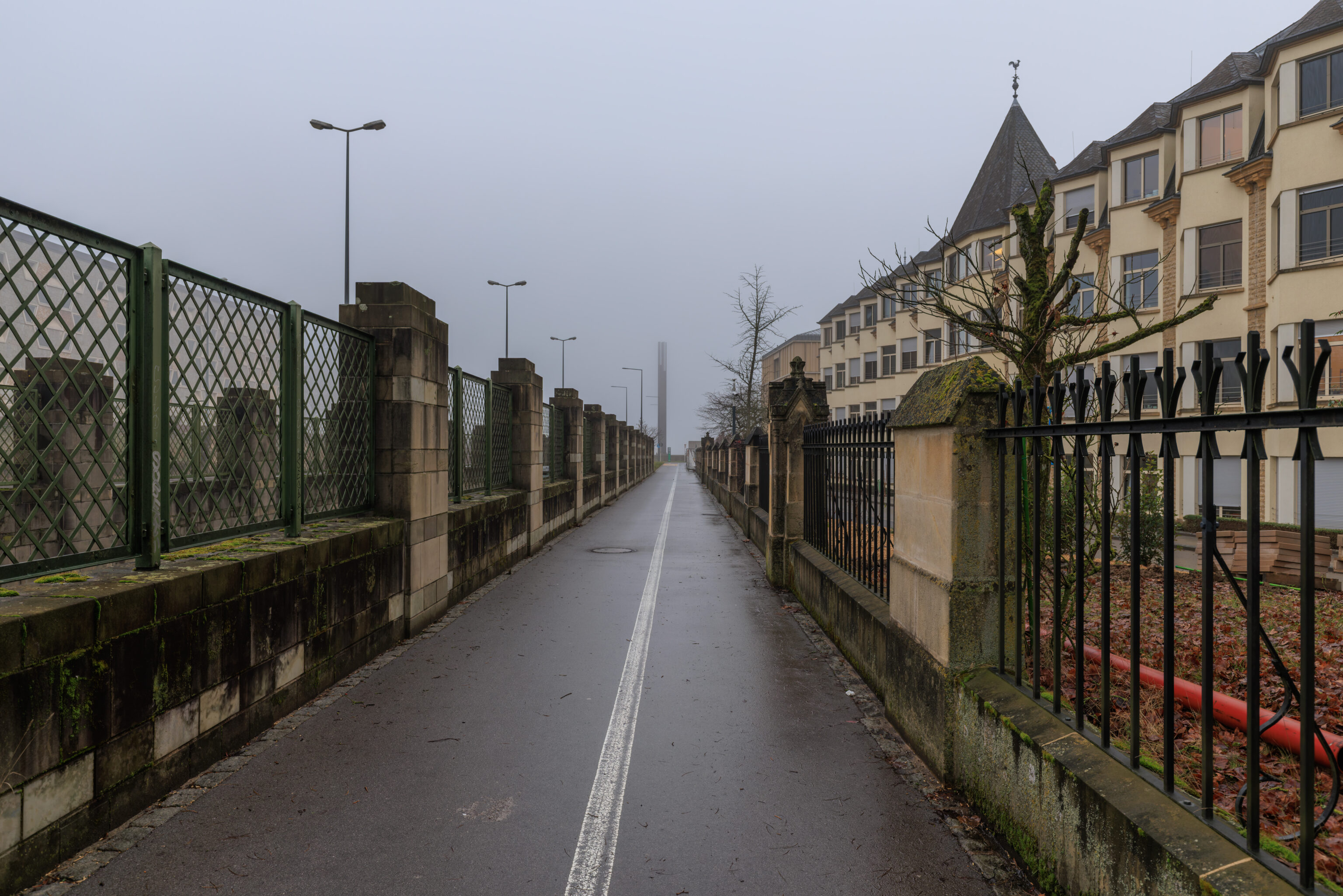
We crossed the street to the south of the theatre and started walking to the east.
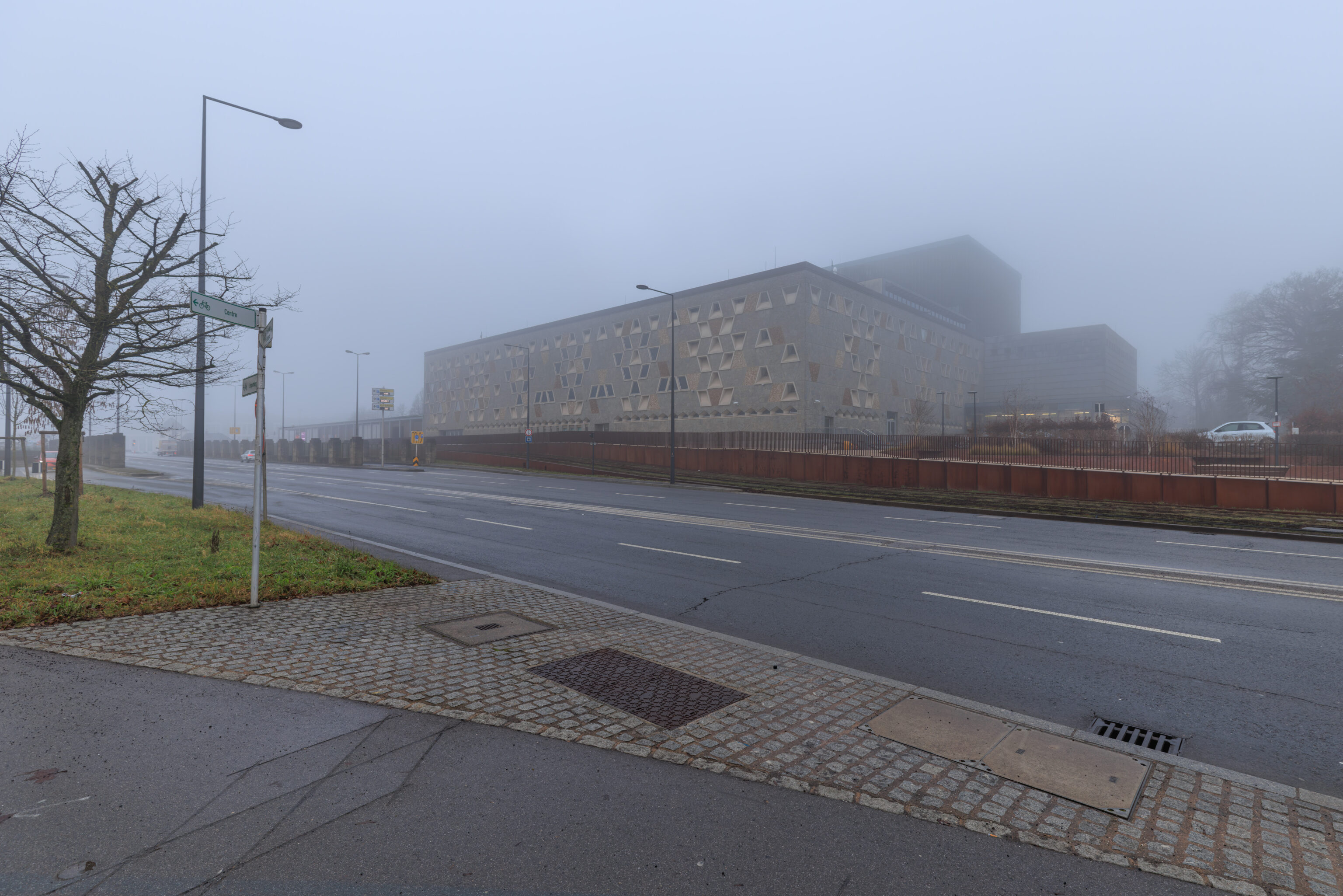
A better view of the theatre from the southeast. Well, it would have been a better view if it wasn’t so foggy!
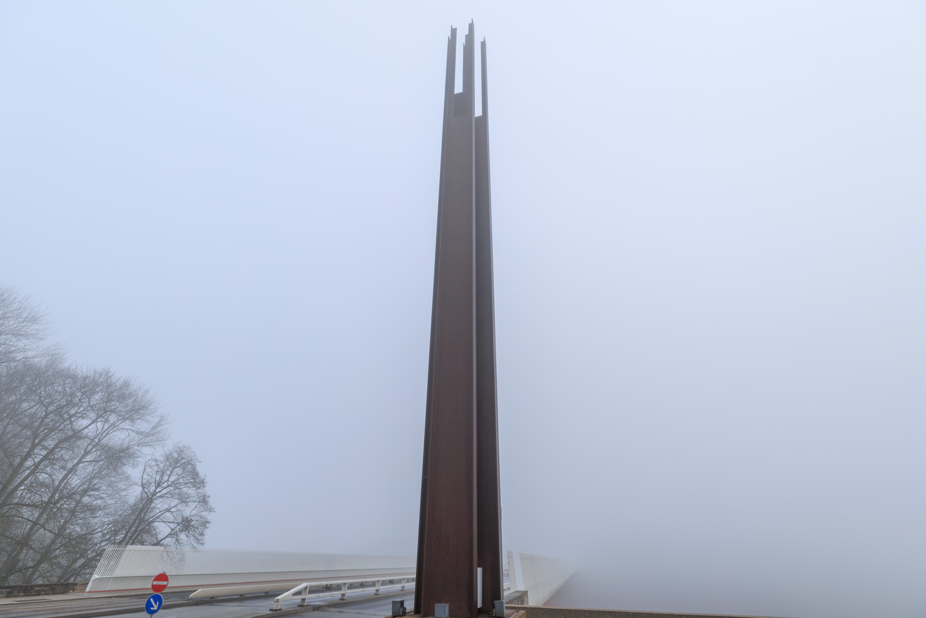
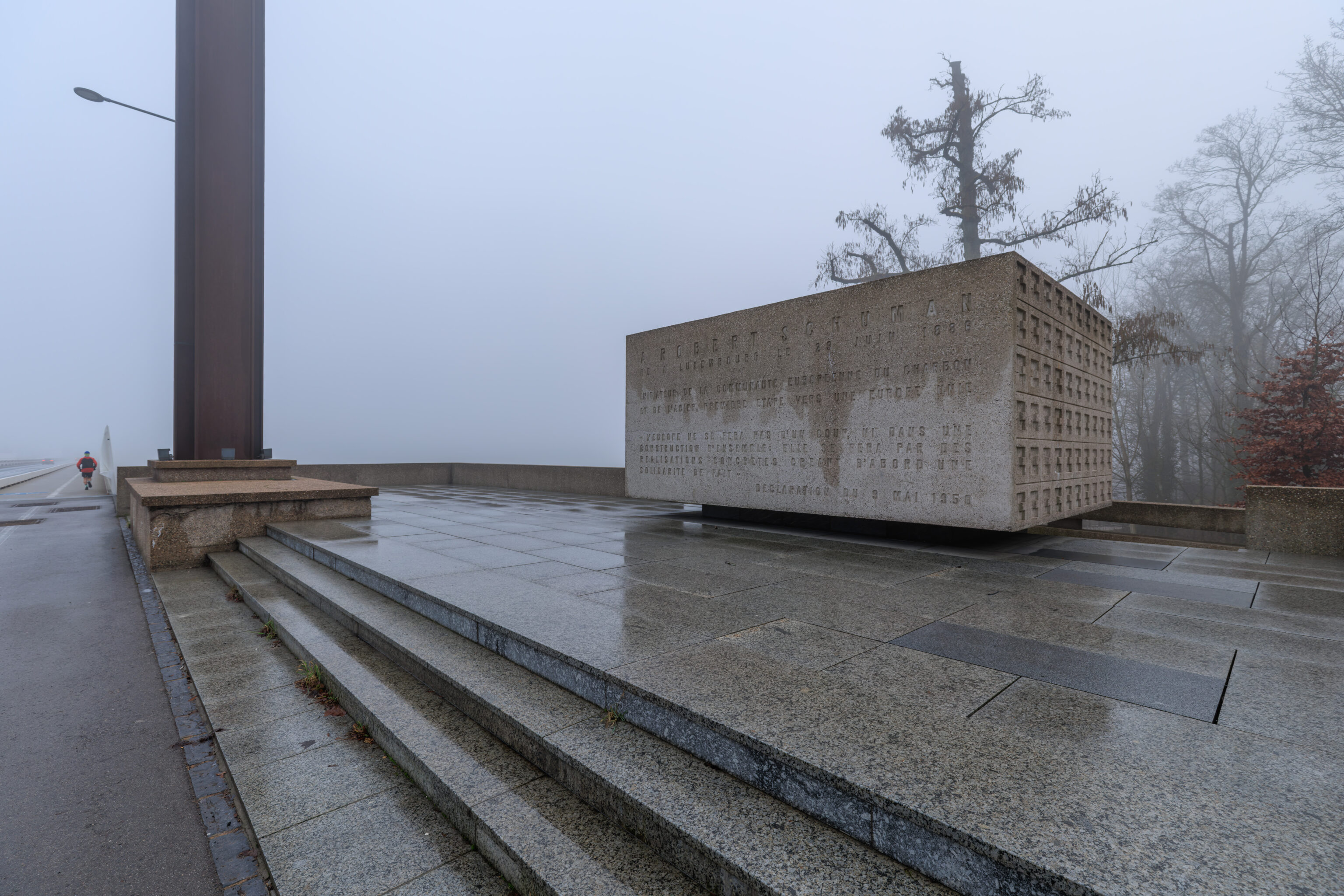
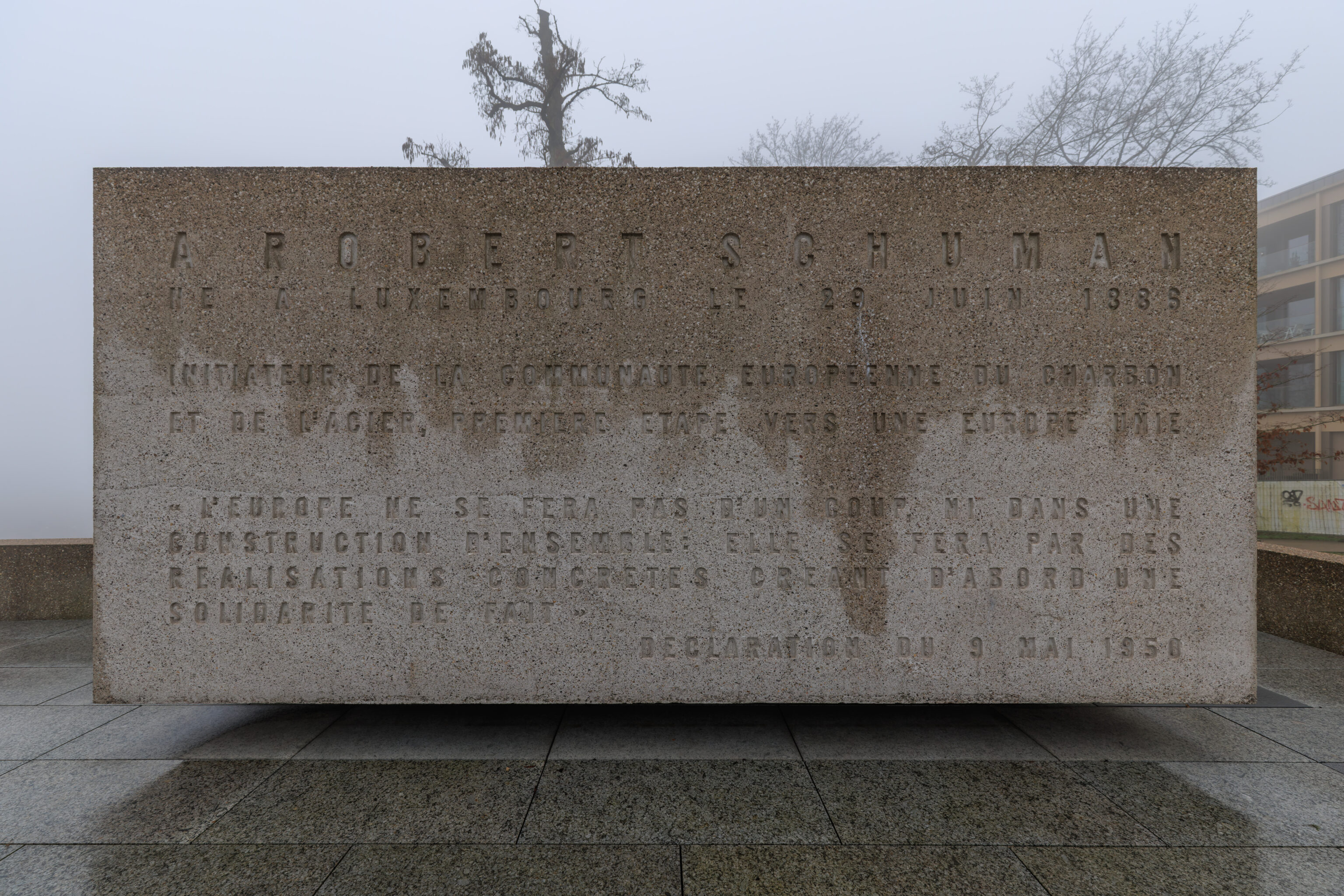
We came across the Robert Schuman Monument which consists of what seems like steel beams standing upright along with a large block of stone. Robert Schuman was born in Luxembourg and became the Prime Minister of France. He was an important figure in the ultimate creation of the European Union as well as NATO.
ROBERT SCHUMAN
LUXEMBOURG, 29 JUNE 1985

INITIATOR OF THE EUROPEAN COAL AND STEEL COMMUNITY, THE FIRST STEP TOWARDS A UNITED EUROPE

"EUROPE WILL NOT BE BUILT ALL AT ONCE, OR IN A SINGLE OVERALL DESIGN. IT WILL BE BUILT THROUGH CONCRETE ACHIEVEMENTS THAT FIRST CREATE A SOLIDARITY..."

DECLARATION OF 9 MAY 1950
– Text from the monument, translated from French using Google Translate.
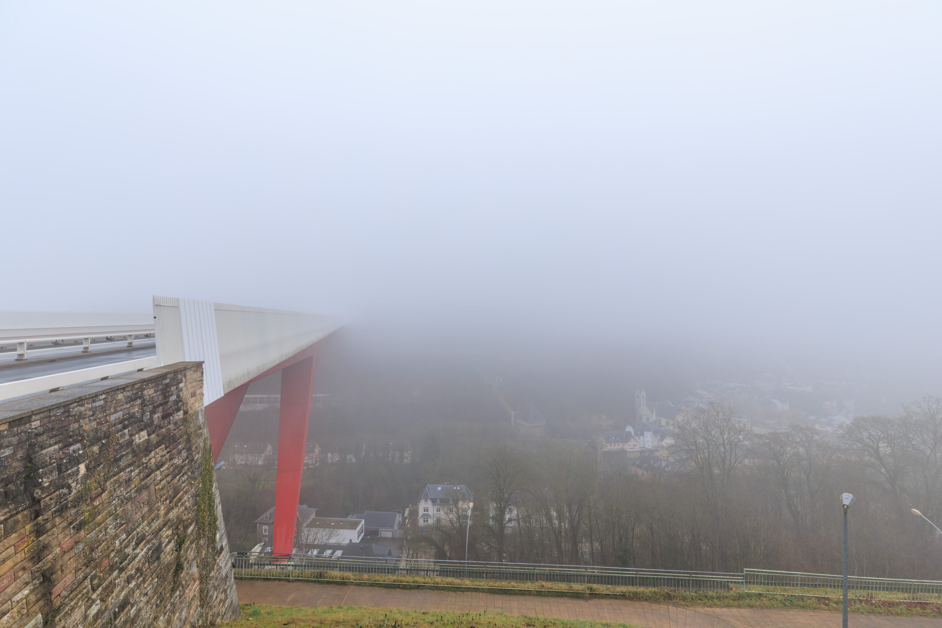
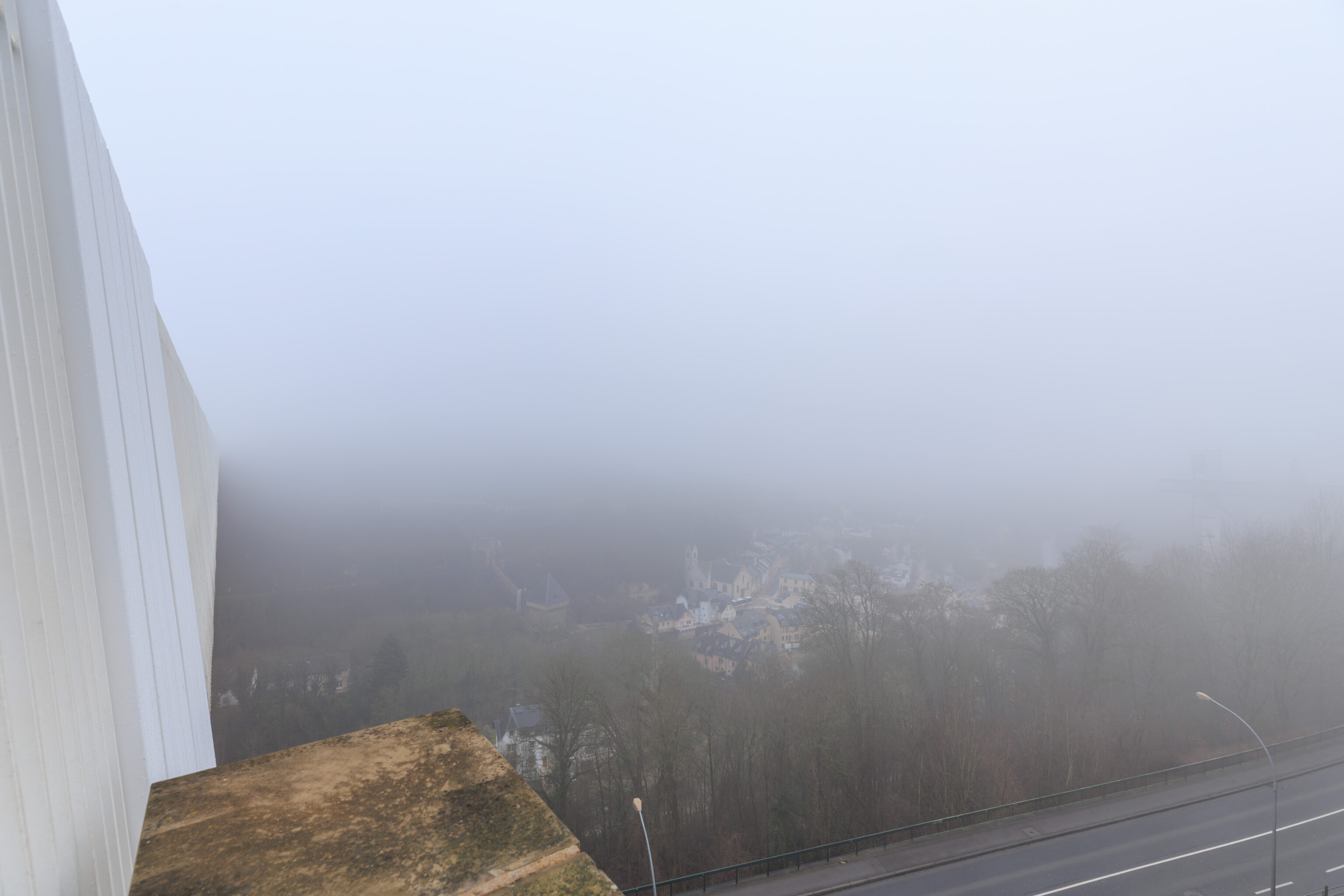
The Pont Grande-Duchesse Charlotte (Grand Duchess Charlotte Bridge) was just to the east of the monument. We couldn’t see the other side at all!
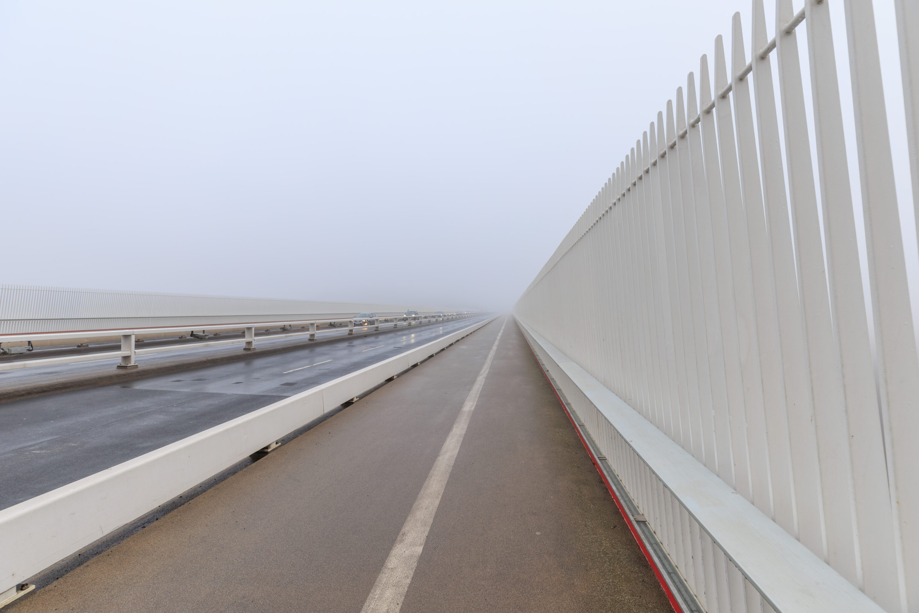
The bridge has walkways on both sides to allow bicyclists and pedestrians to easily cross over the Alzette down in the valley below.
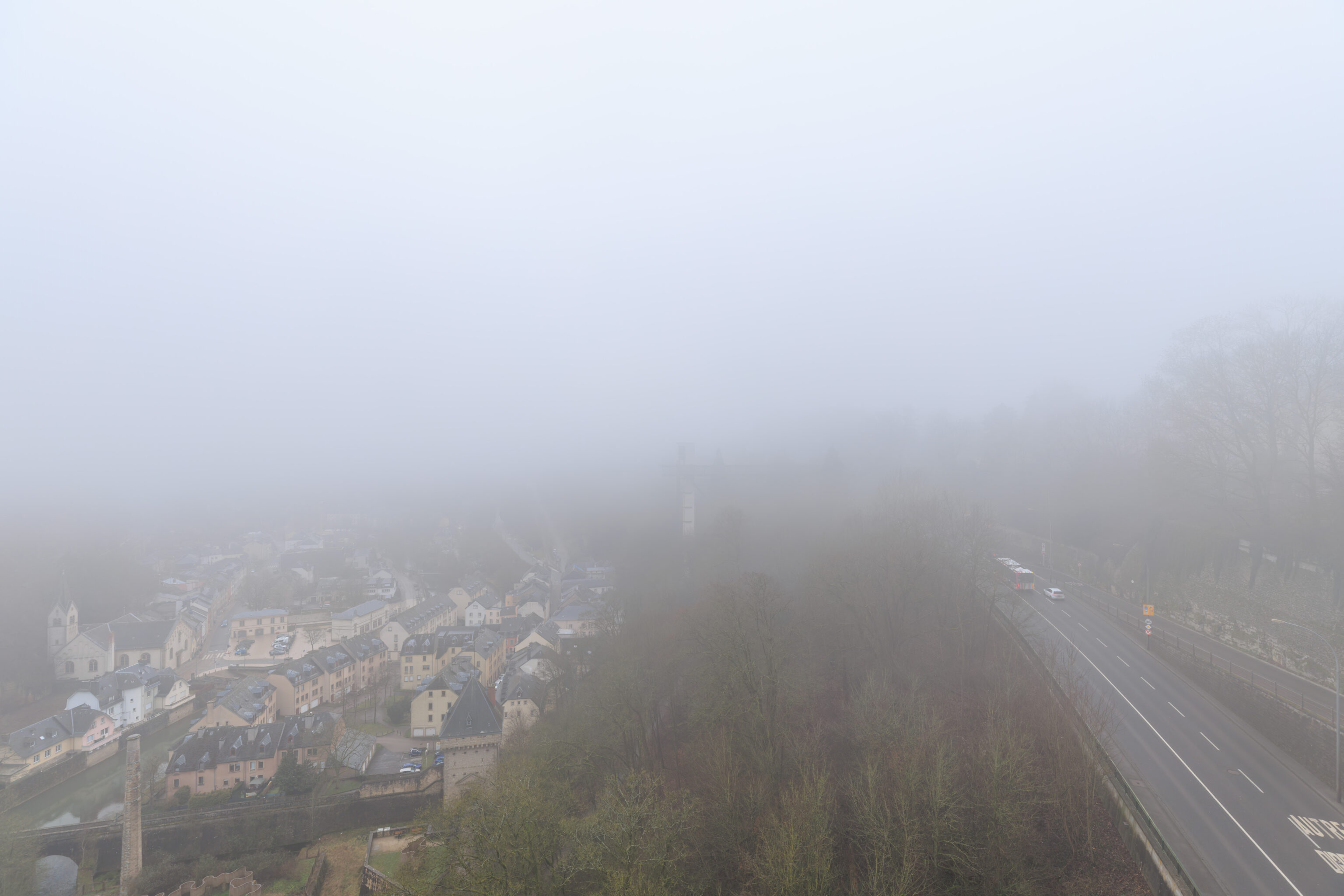
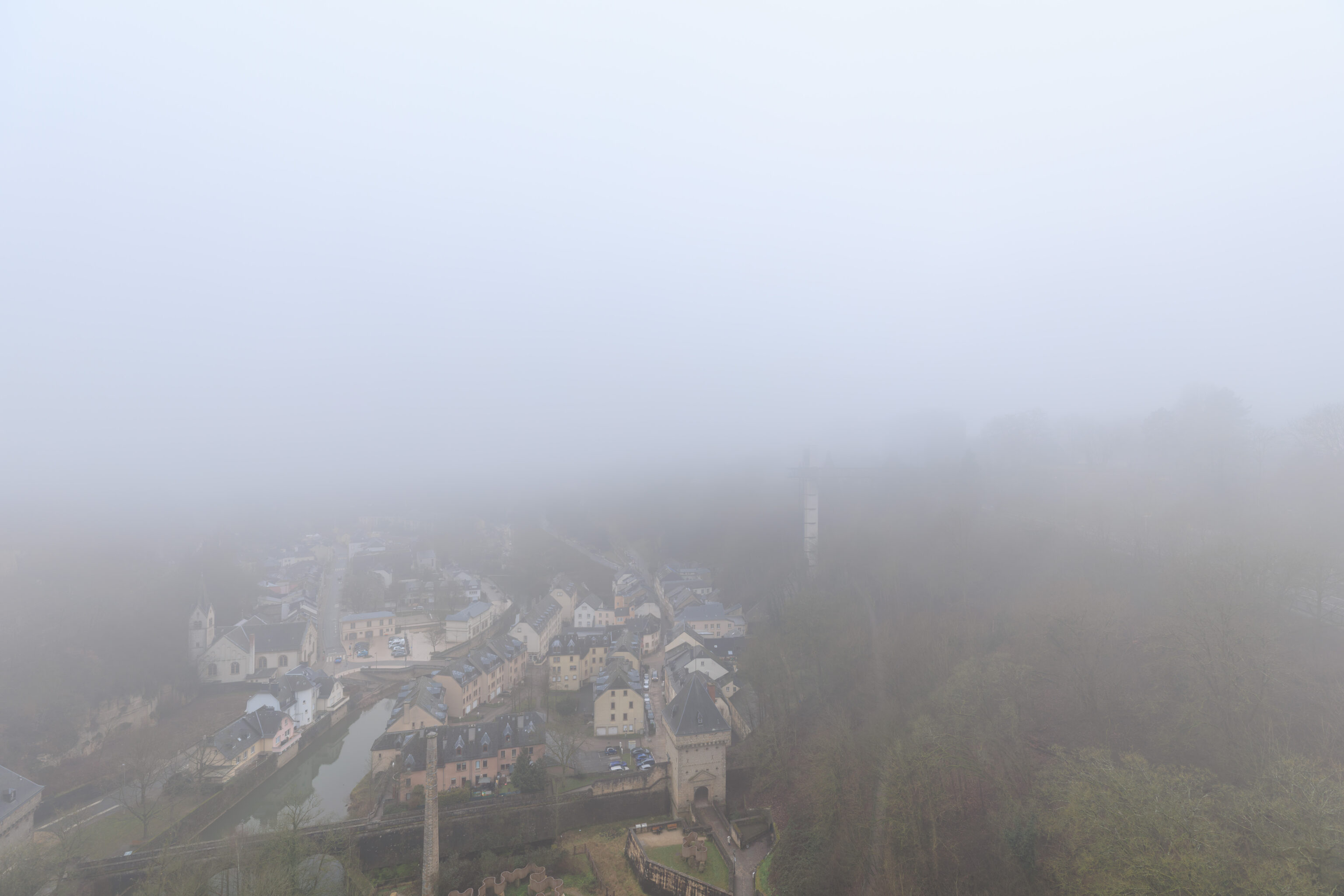
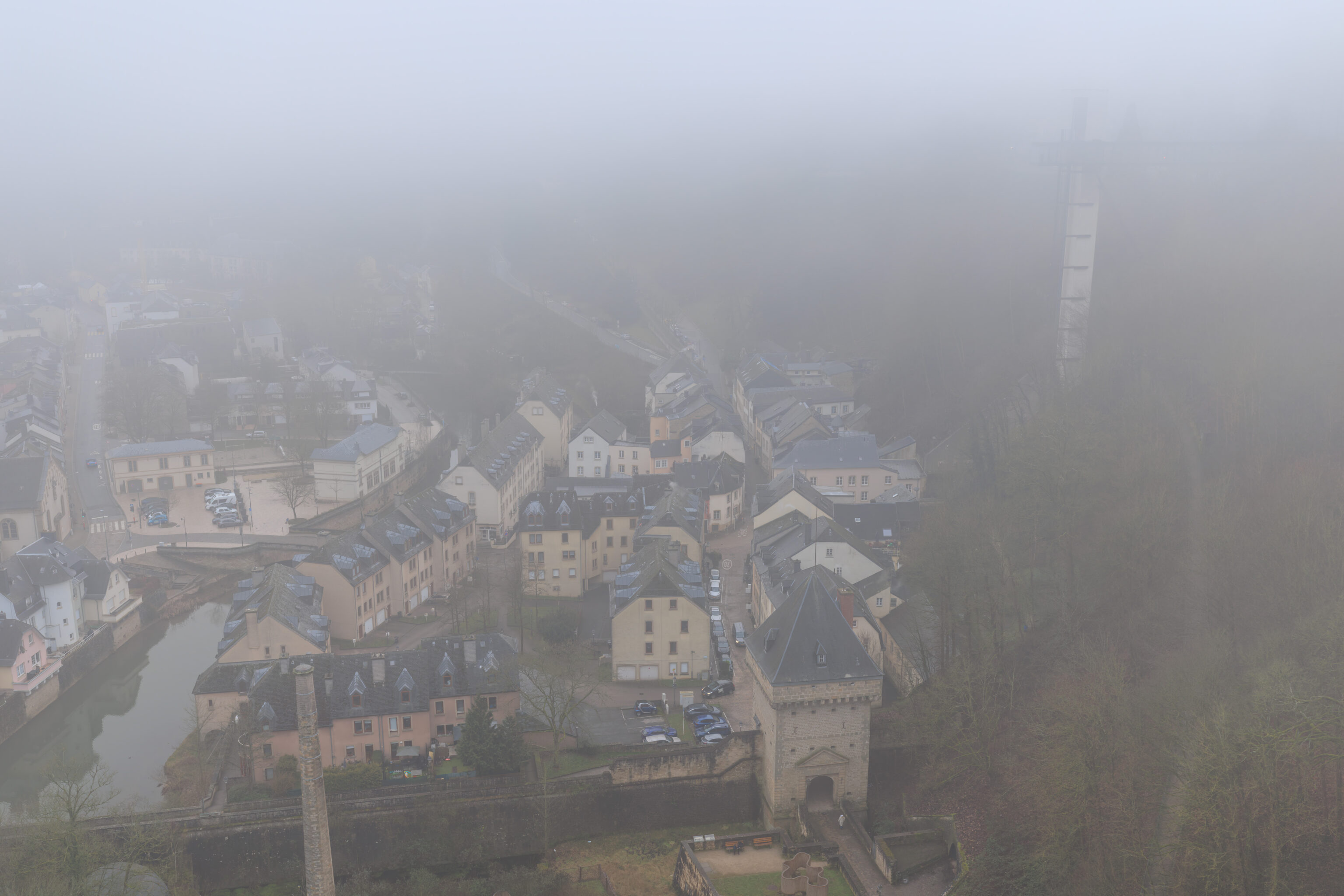
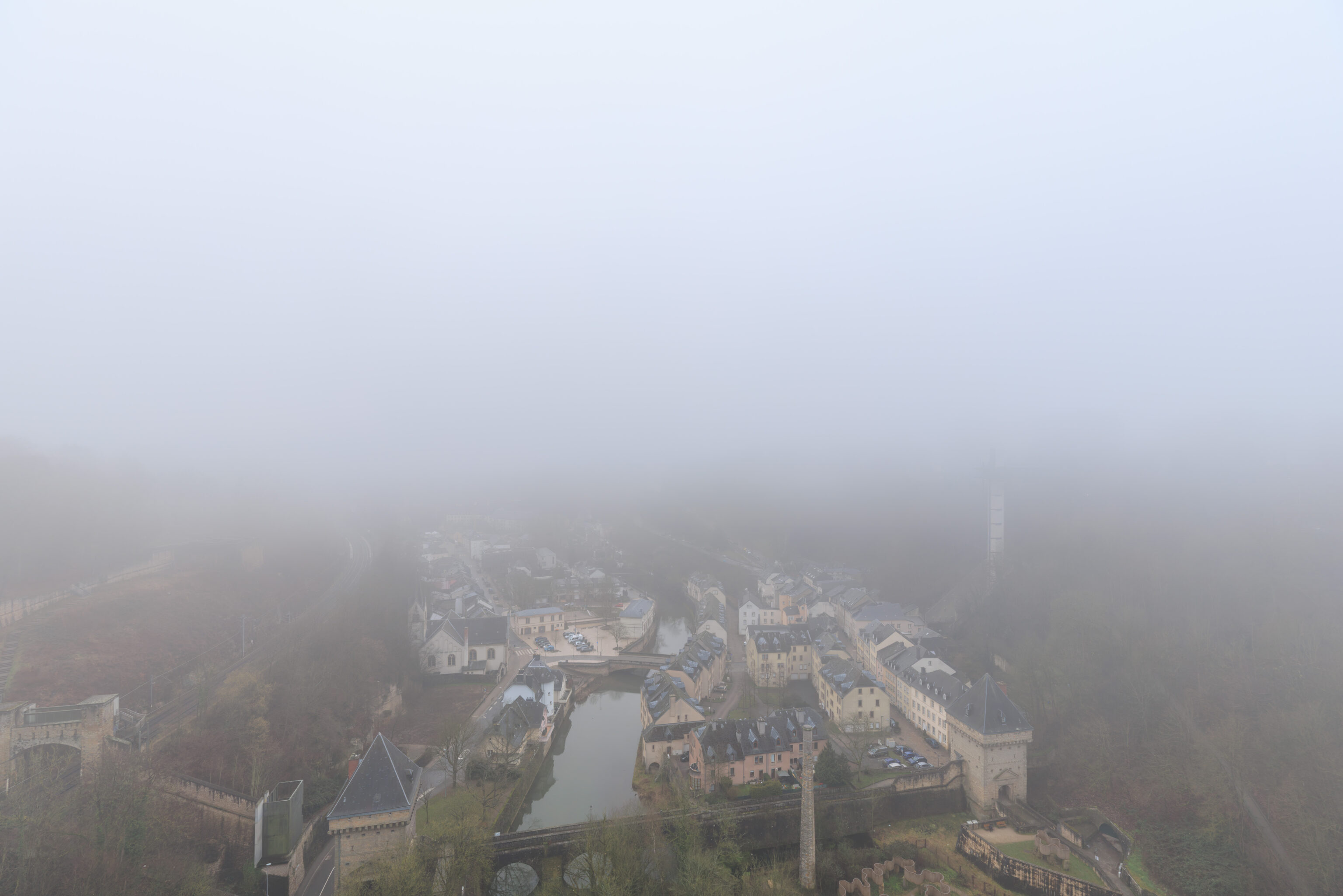
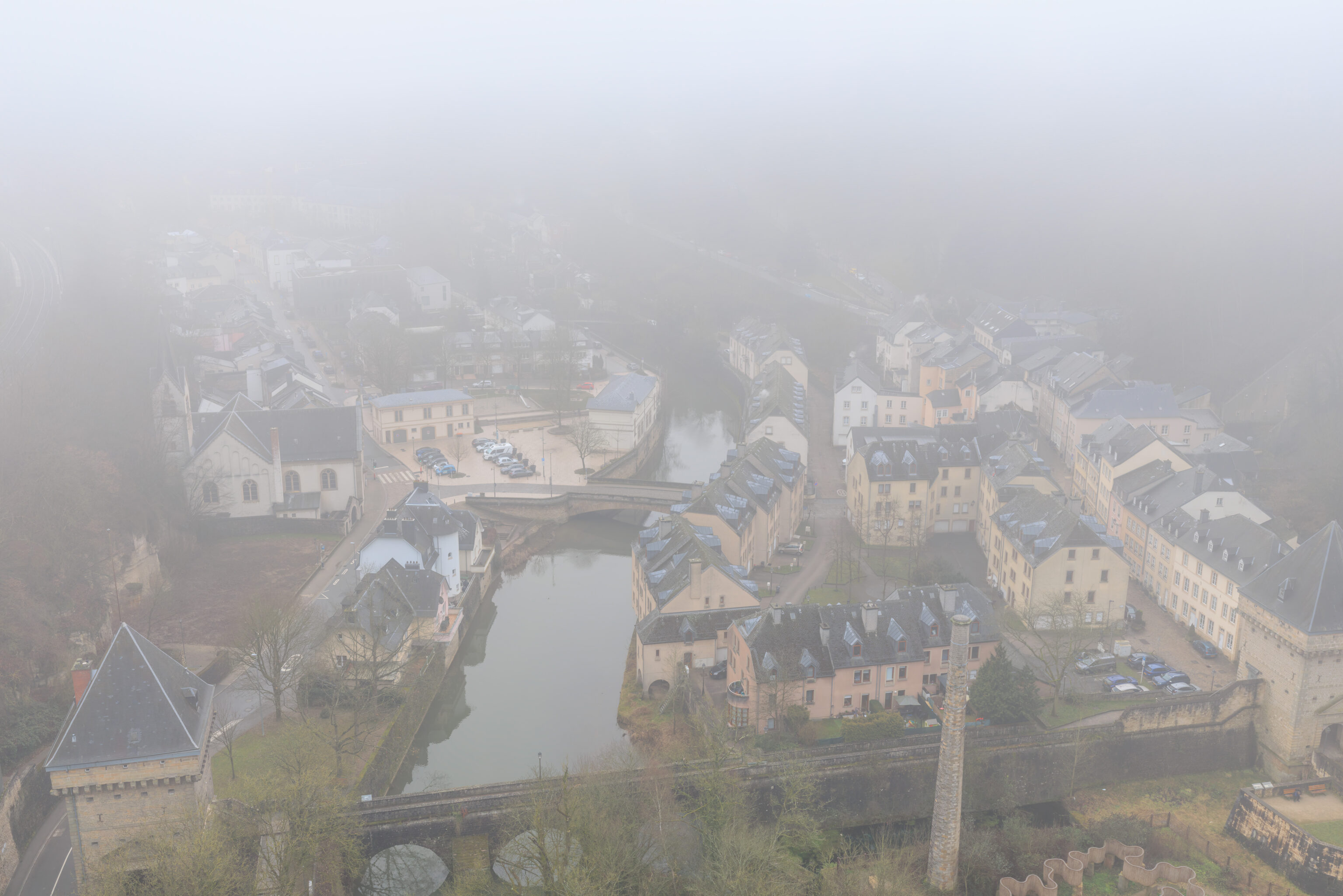
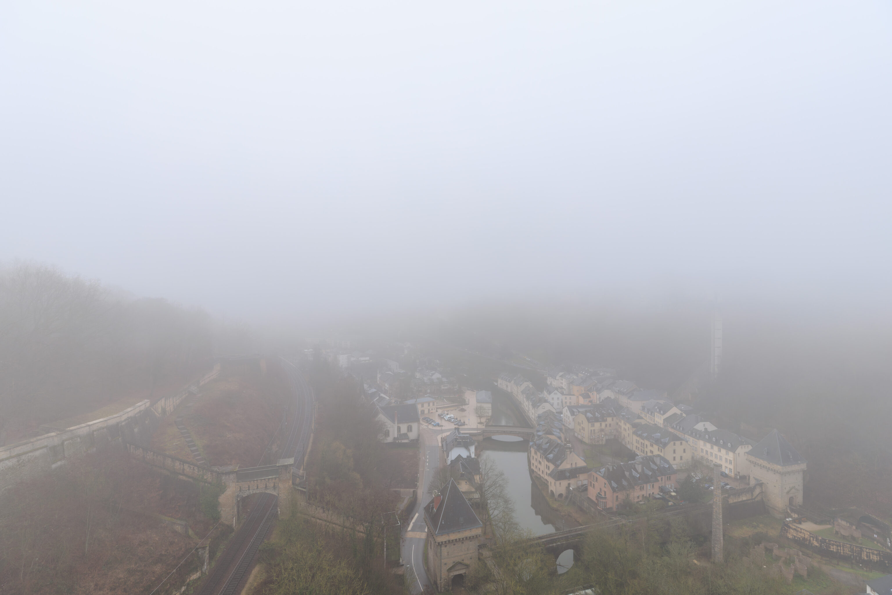
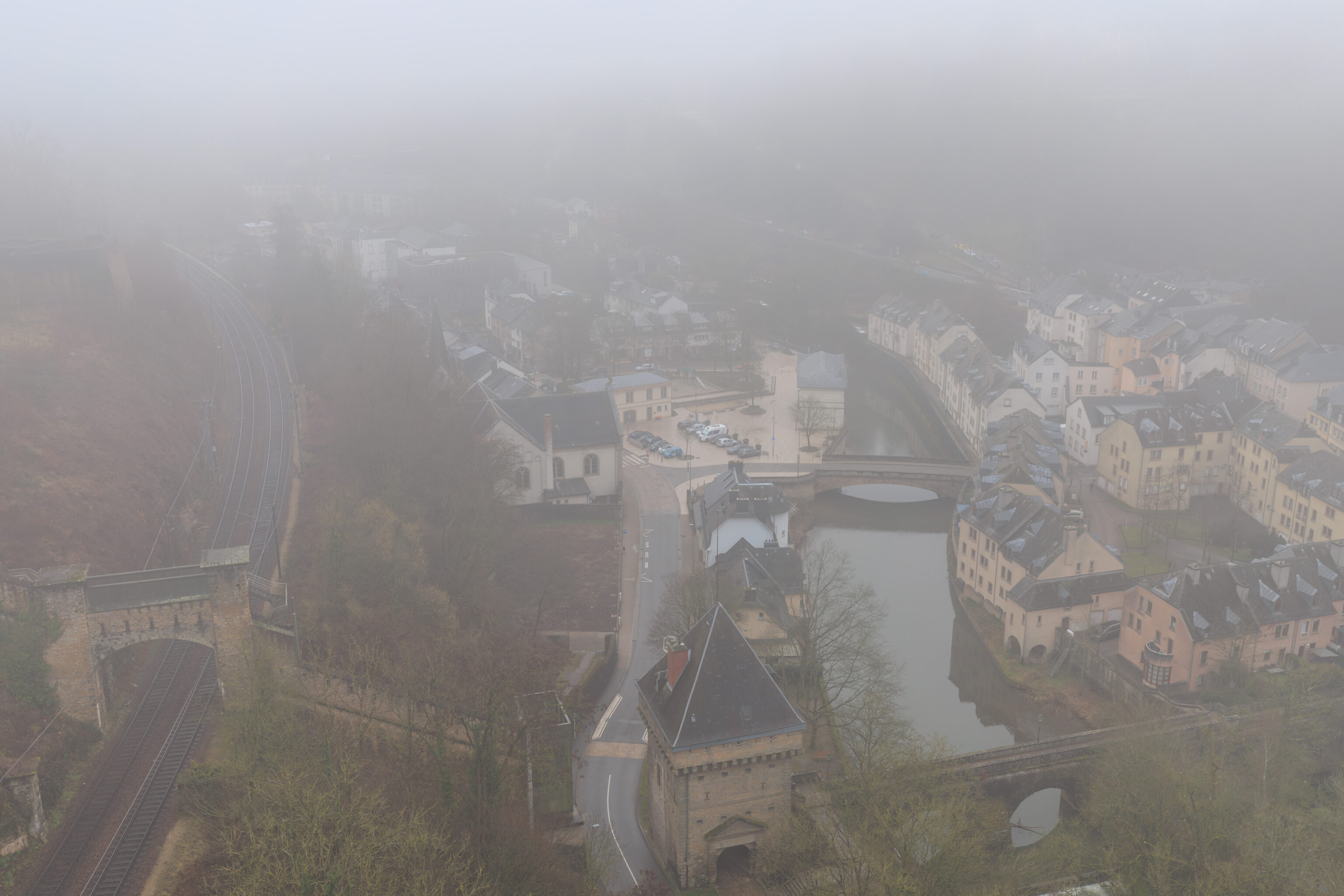
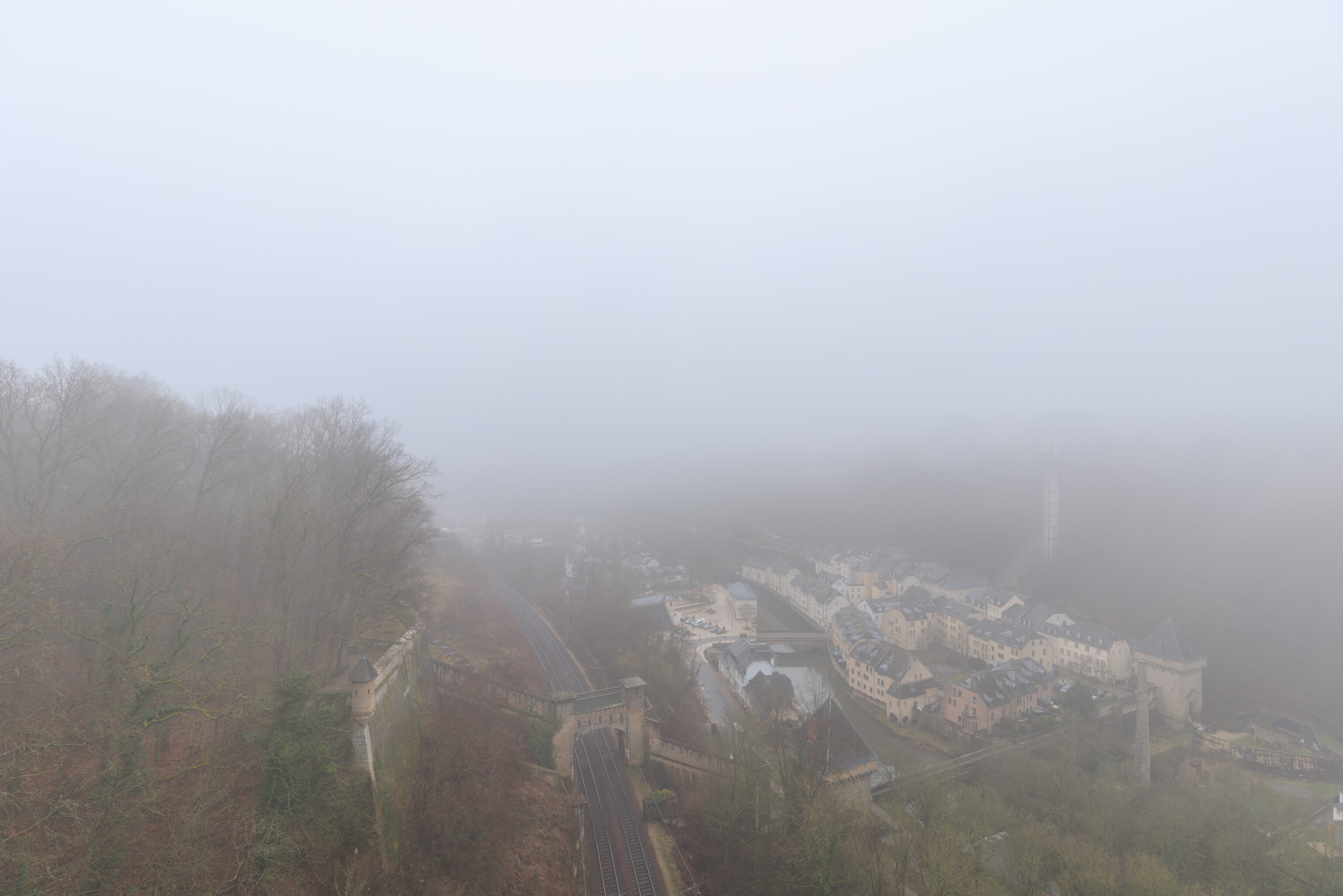
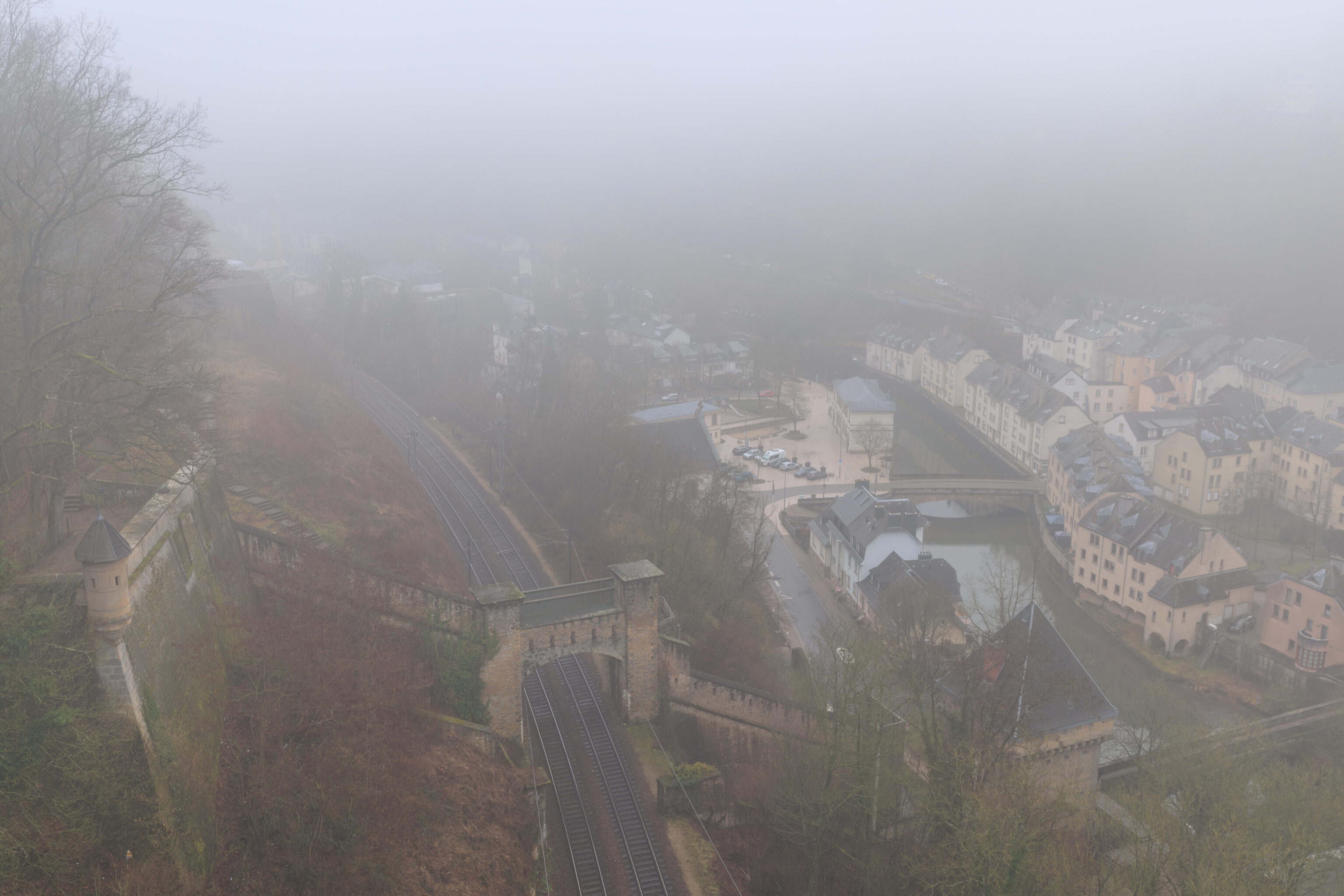
Although we could see down into the valley, we couldn’t see anything far away. Visibility was probably limited to at most 1,000 feet, or about a third of a kilometer. It was unfortunate as we weren’t able to see the places that we visited two days ago!
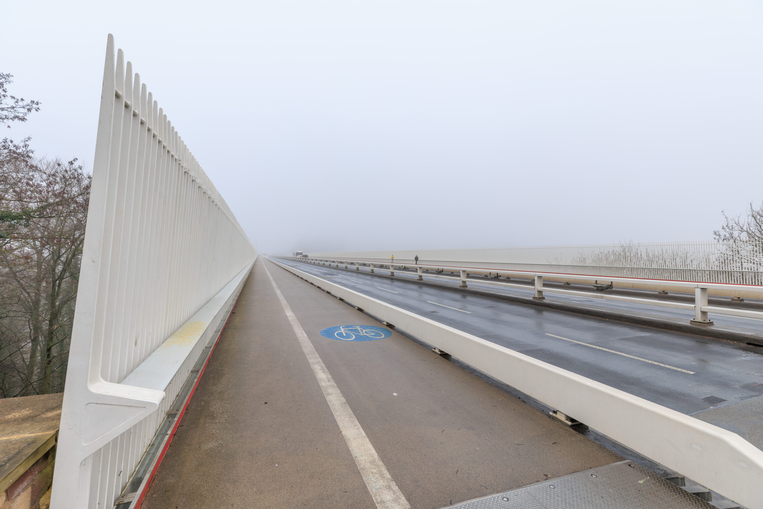
The view looking back after we reached the east end of the bridge.
Musée Dräi Eechelen
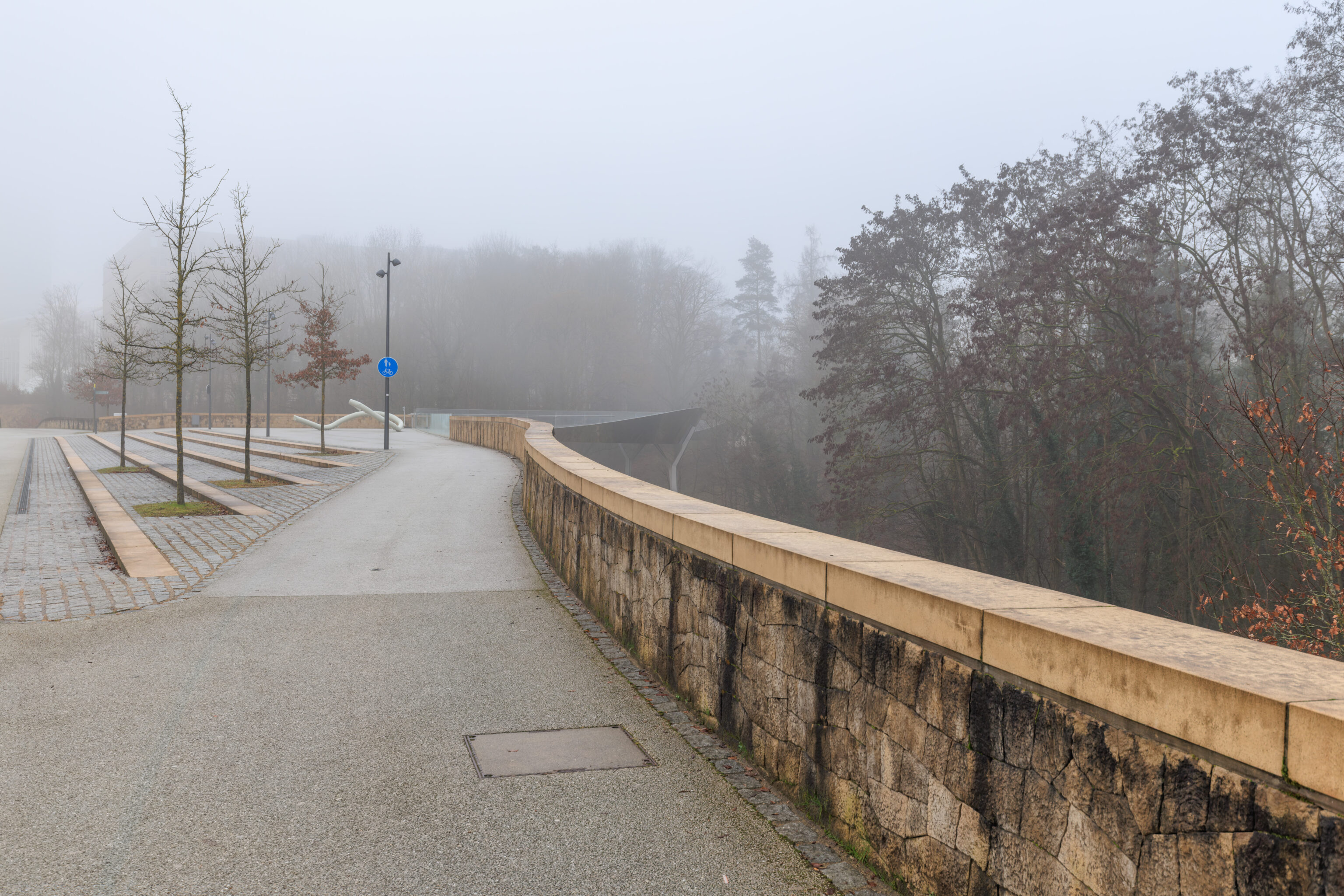
We continued walking to the east.
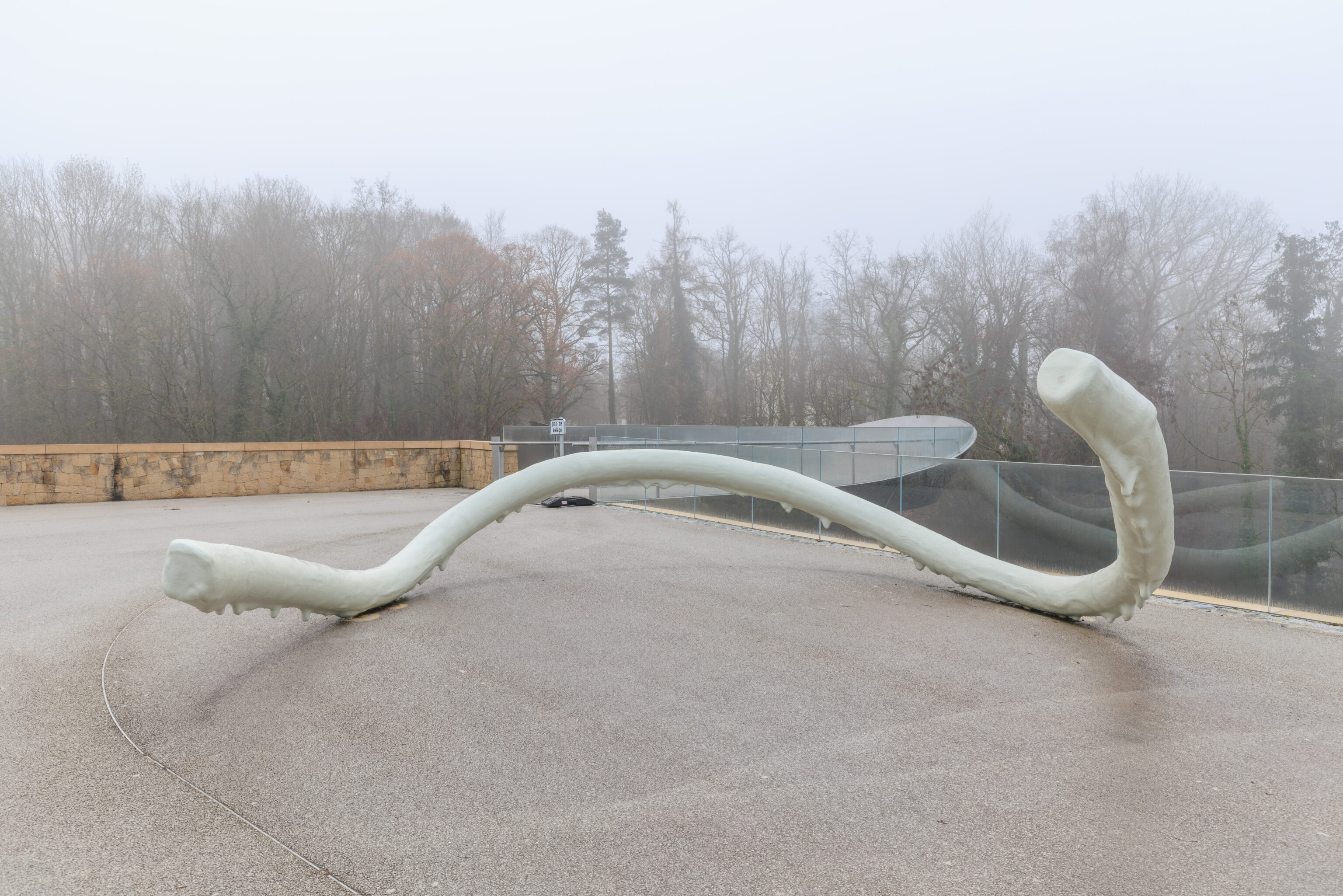
We walked by some sort of sculpture that was designed with a wet paint-like appearance. Kind of fitting given how wet it is here right now!
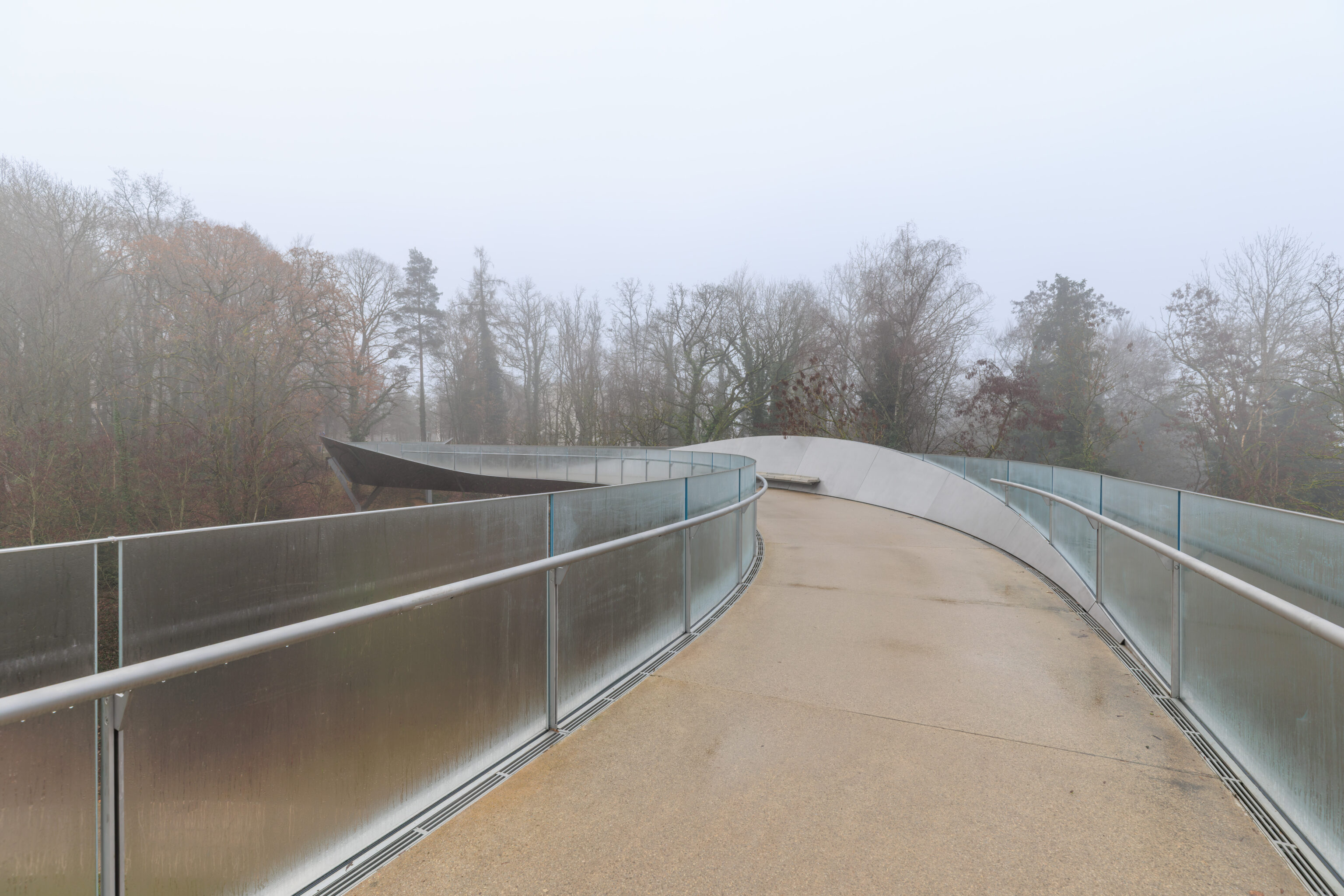
We turned right to cross over the Passerelle des Arts, which opened in 2024.
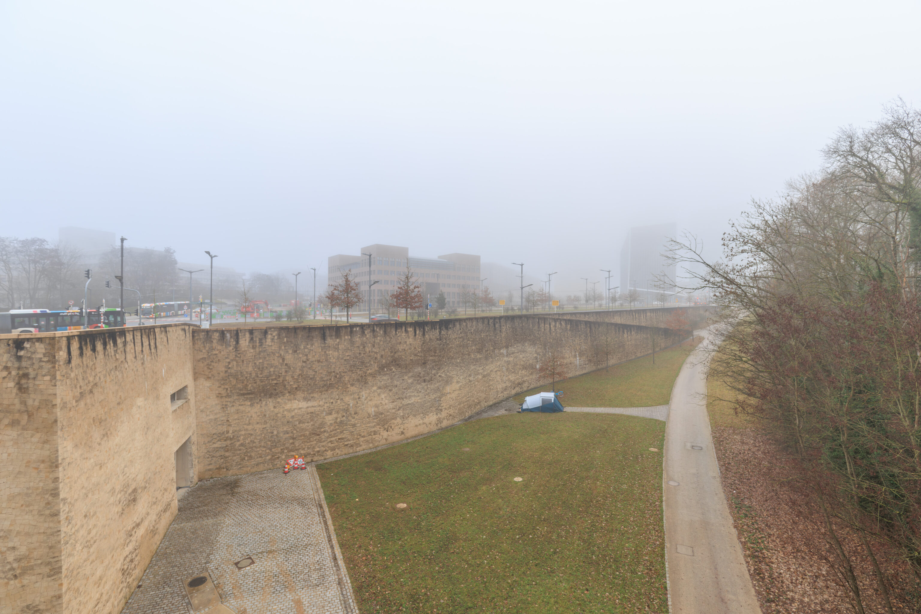
The bridge crosses over what seems to be an artificial valley between the retaining wall for the road that leads to the Pont Grande-Duchesse Charlotte and land to the south.
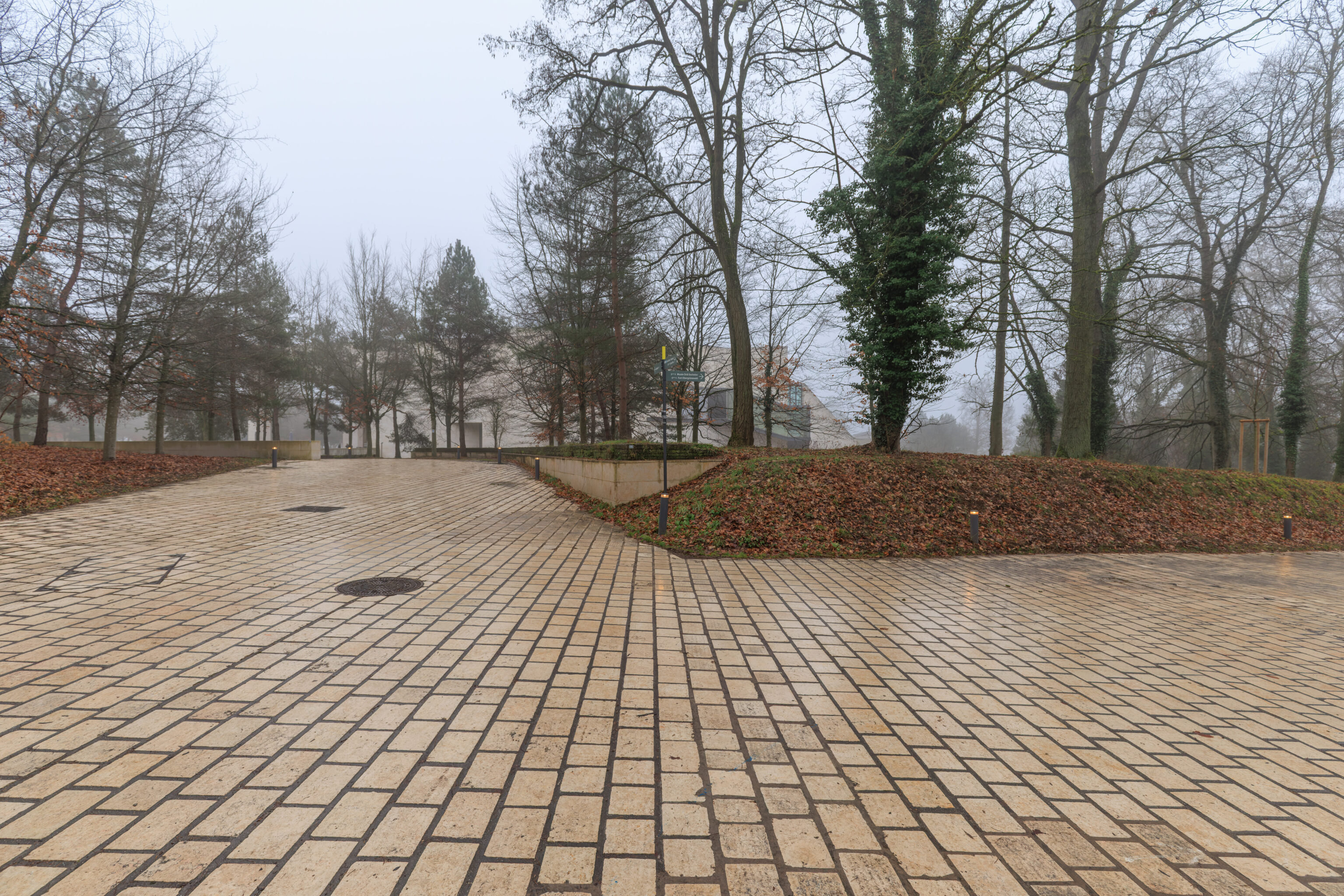
Beyond the bridge, there was a junction.
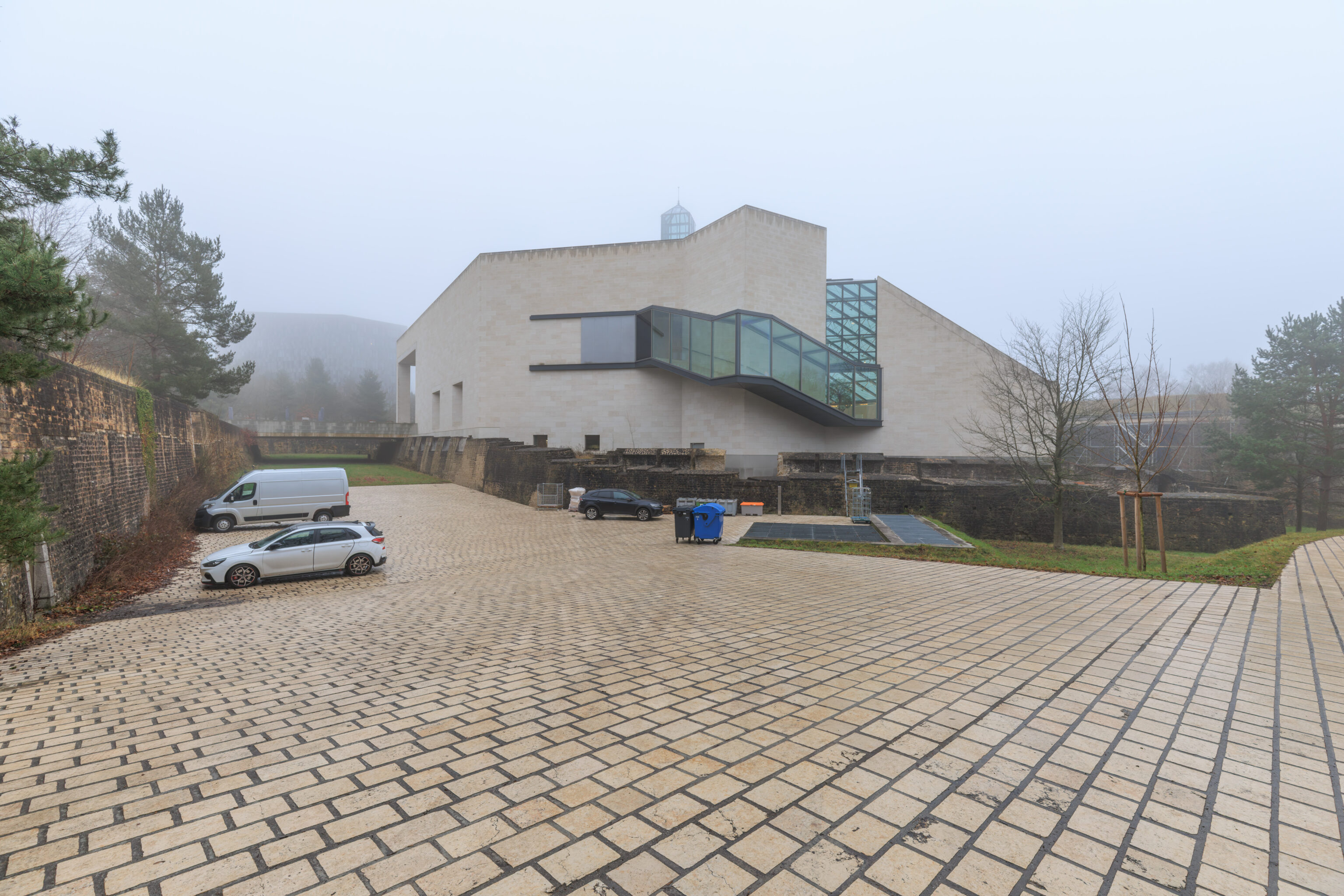
We took the path to the right, which leads to the entrance of the building seen here from its west side, the Musée d’Art Moderne Grand-Duc Jean, also known as its abbreviated name, MUDAM.
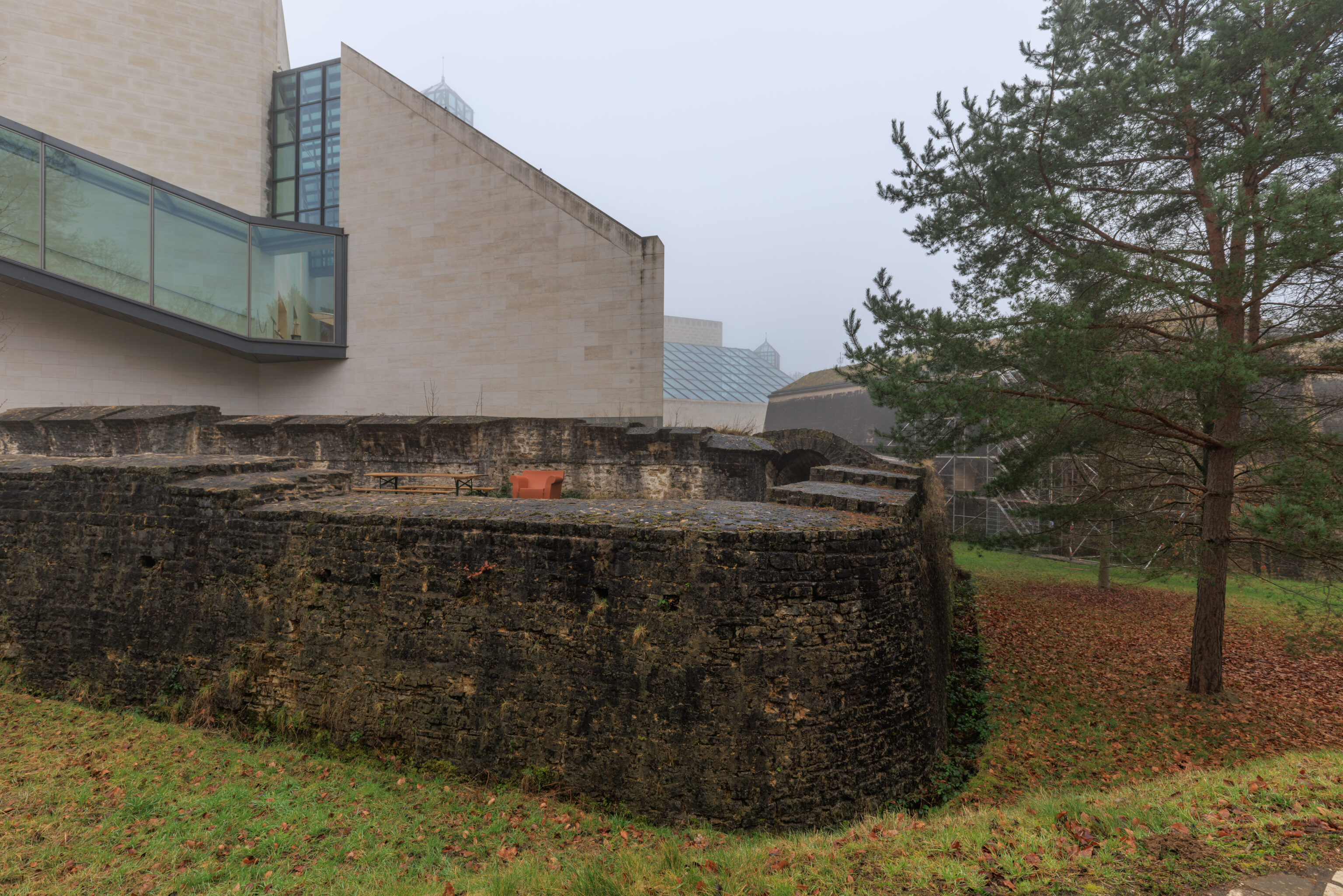
This seems like a little outdoor area at the museum surrounded by an old fortification wall.
This entire area here was formerly part of Fort Thüngen.
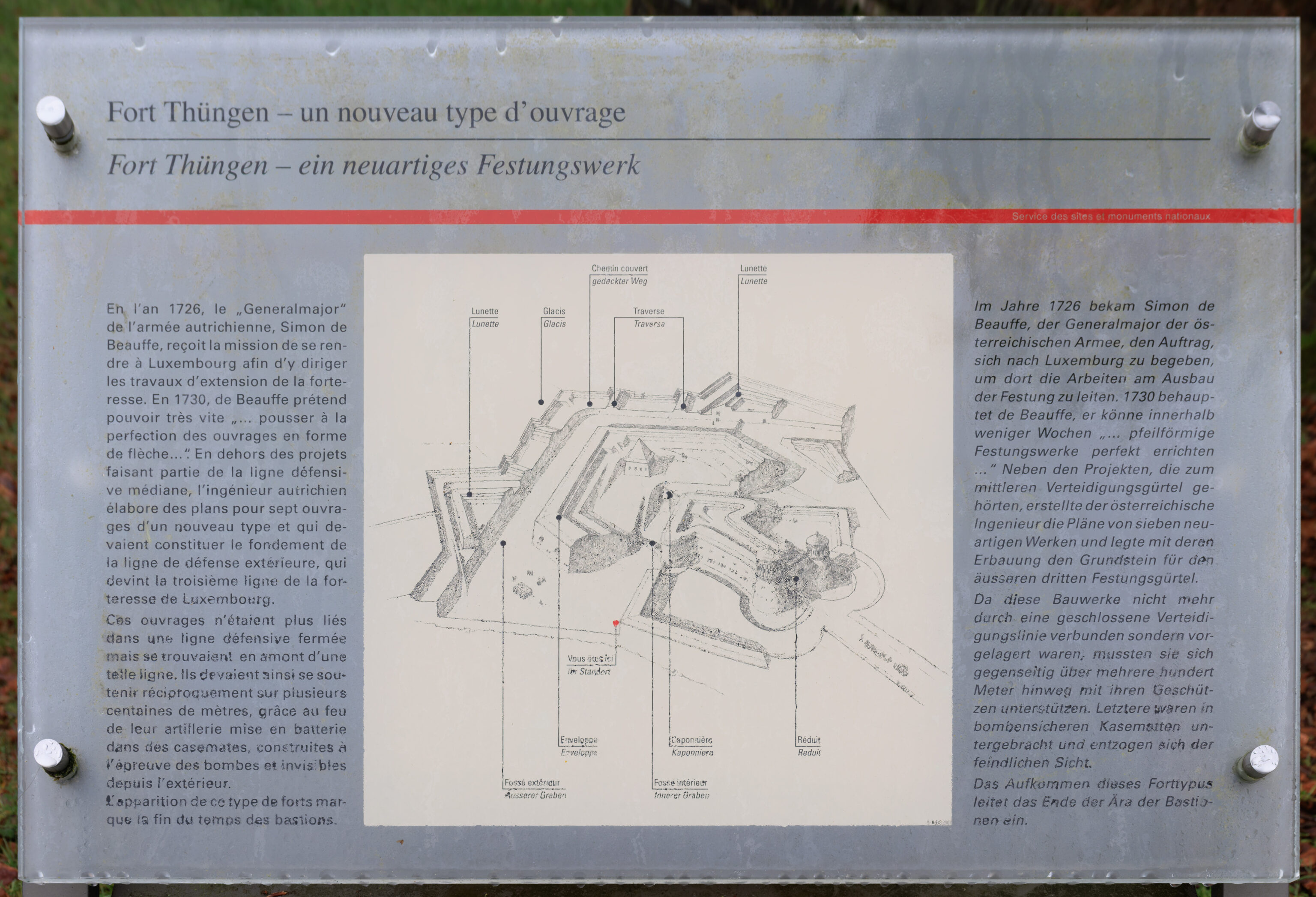
Fort Thüngen – an innovative type of fortification
In 1726, Simon de Beauffe, a major general in the Austrian army, was commissioned to travel to Luxembourg to oversee the expansion of the fortress. In 1730, de Beauffe claimed he could "perfectly construct arrow-shaped fortifications" within a few weeks. In addition to projects forming part of the middle defensive ring, the Austrian engineer drafted plans for seven novel structures; their construction laid the foundation for the outer, third defensive ring.

As these structures were not connected by a continuous defensive line but were instead positioned forward, they had to provide mutual artillery support across distances of several hundred meters. The guns were housed in bombproof casemates, shielded from enemy view.

The emergence of this type of fort marked the end of the era of bastion fortifications.
– Text from a sign, translated from German using Google Translate.
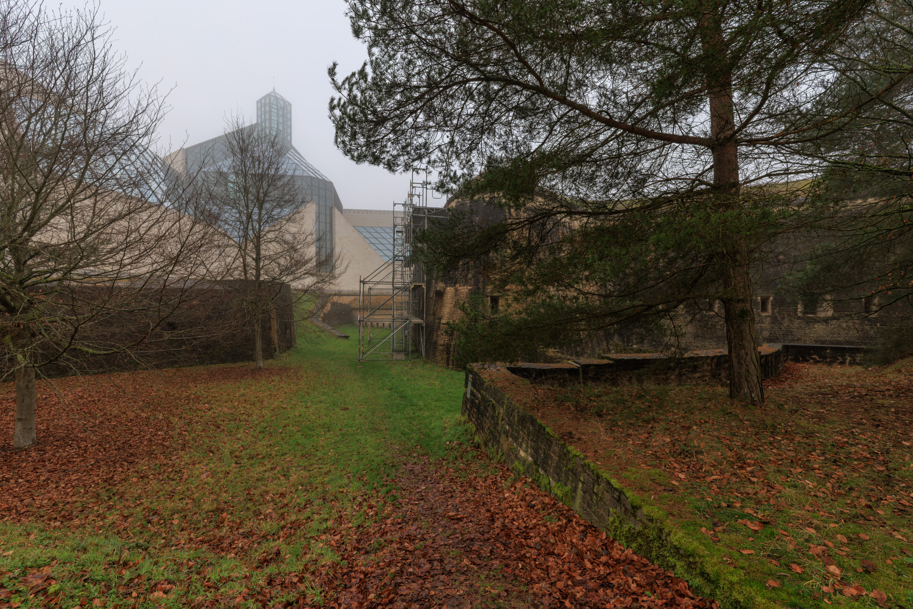
We continued walking to the south. We could still see the MUDAM to our left.
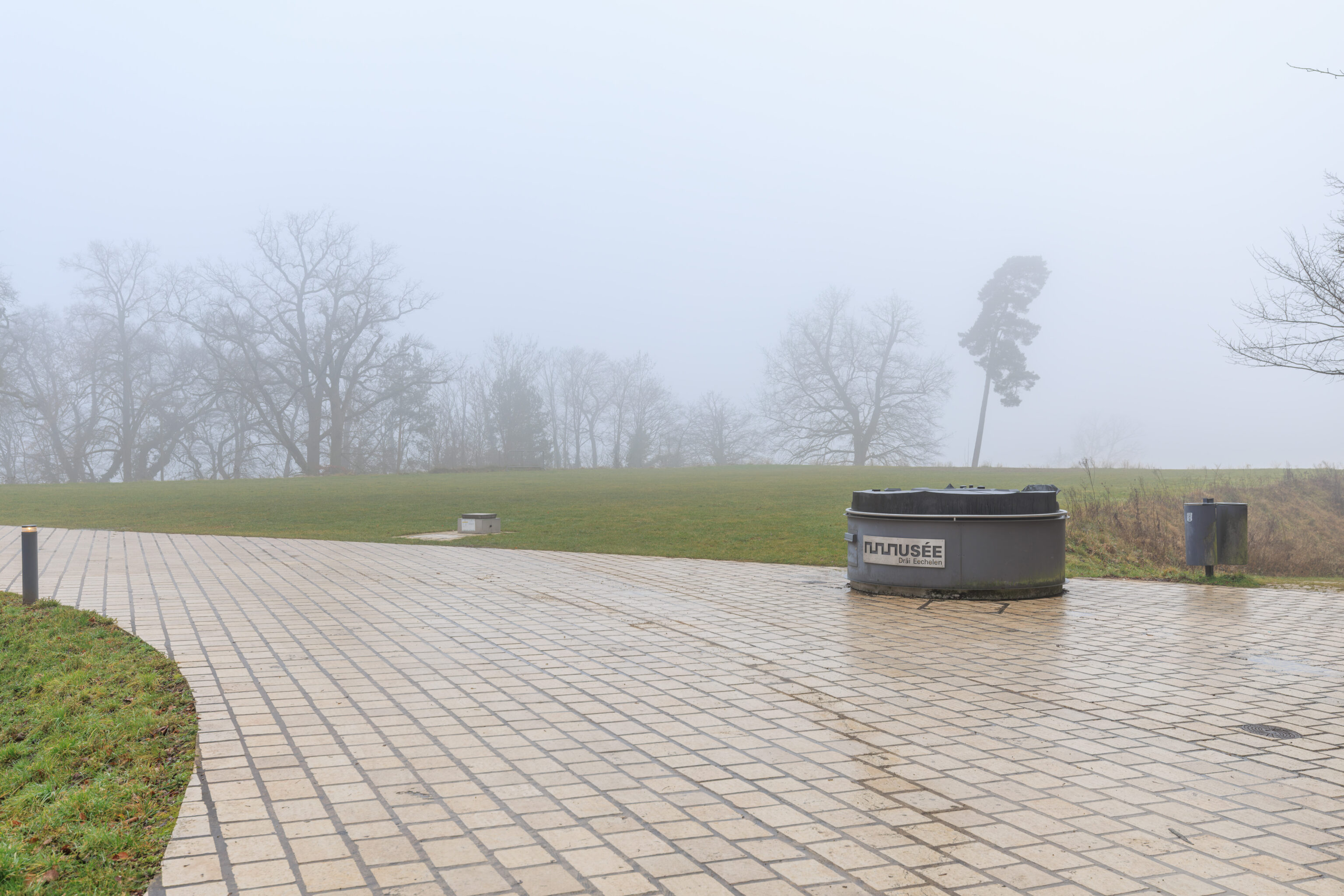
We arrived at an open area.
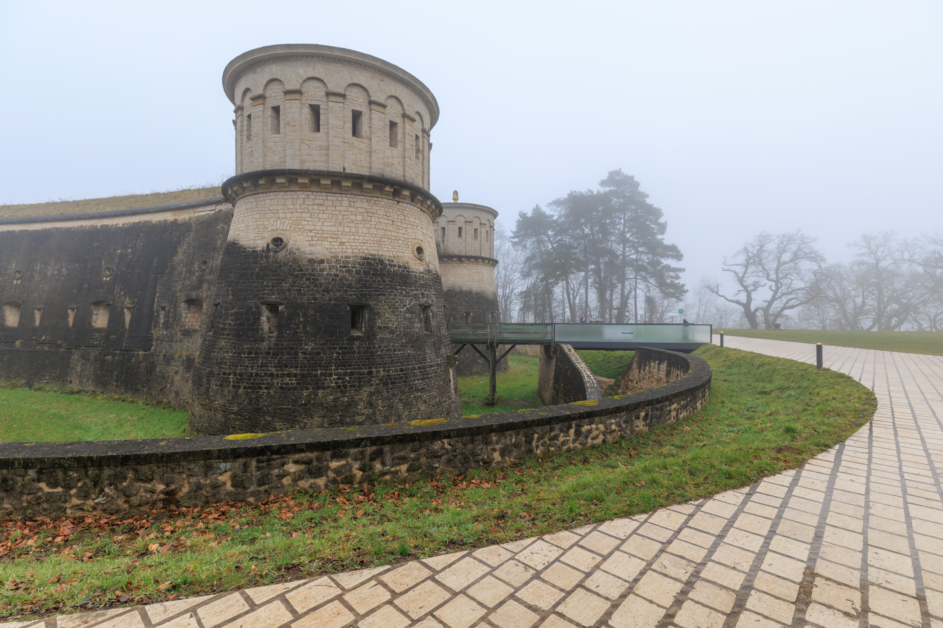
To our left, the rear defensive structure at Fort Thüngen with its three towers and arrow shaped wall, which isn’t visible here.
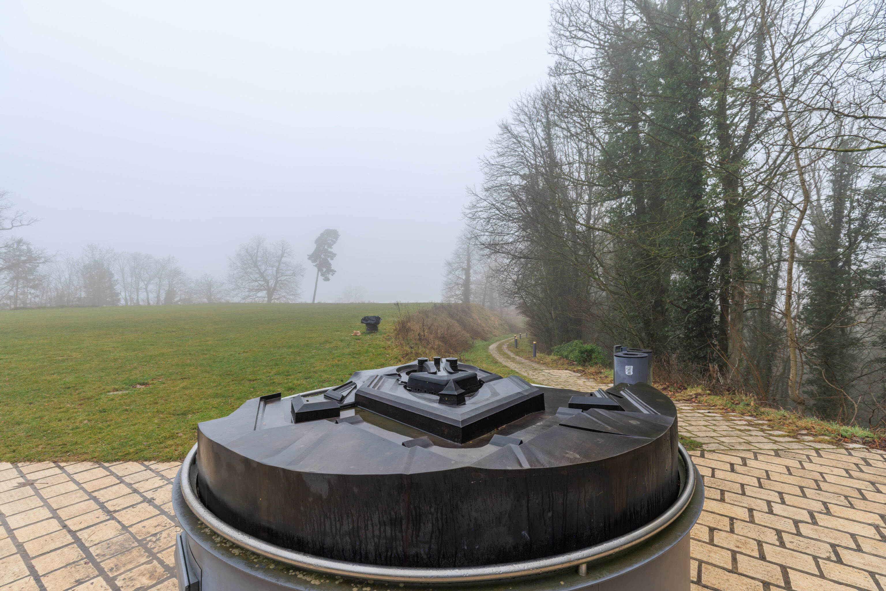
This model shows what the fort looked like. The inner arrow and three towers are still present. The outer tower with pointy top is where the MUDAM is located. The MUDAM is more or less shaped like the part of the fortress that it now occupies.
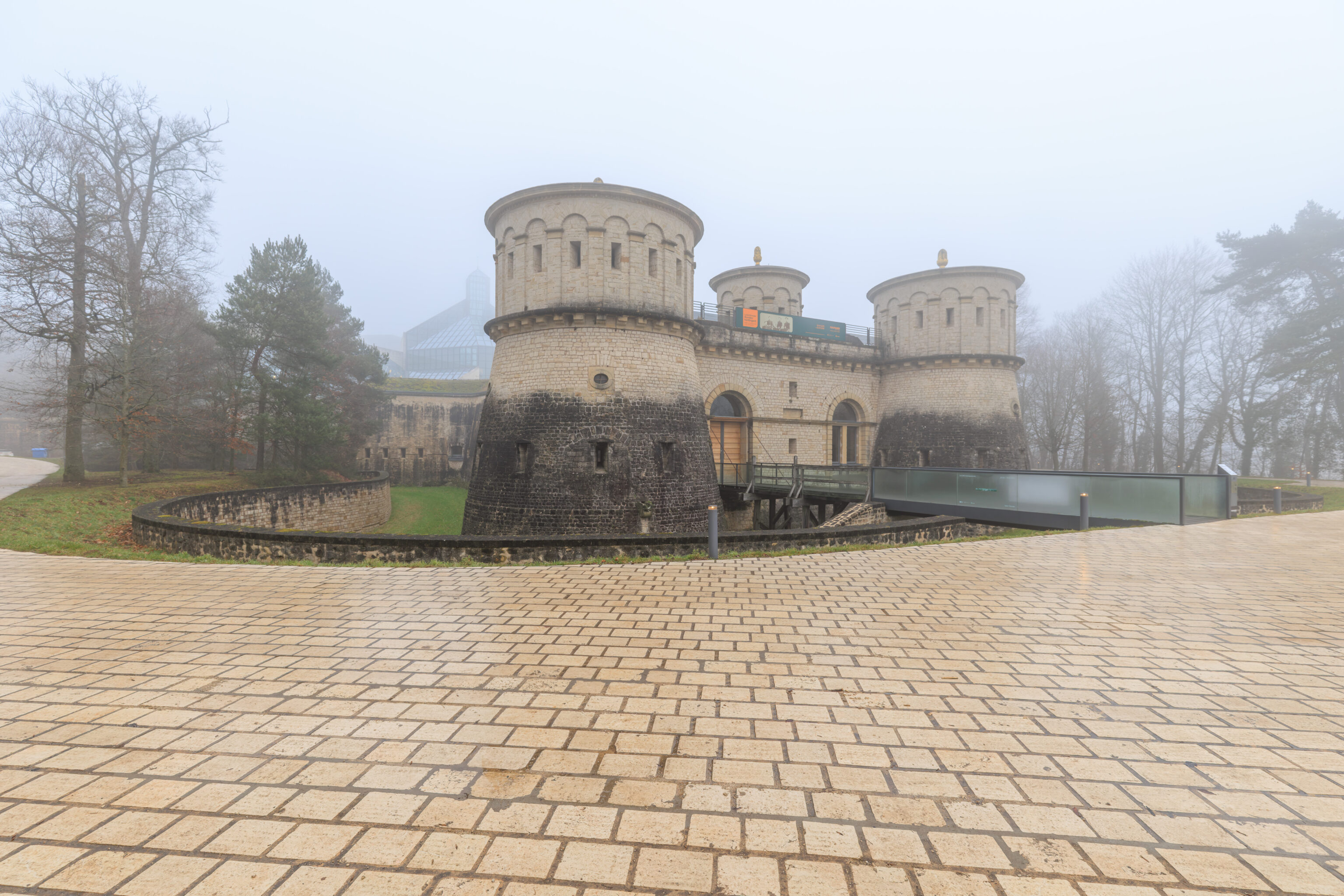
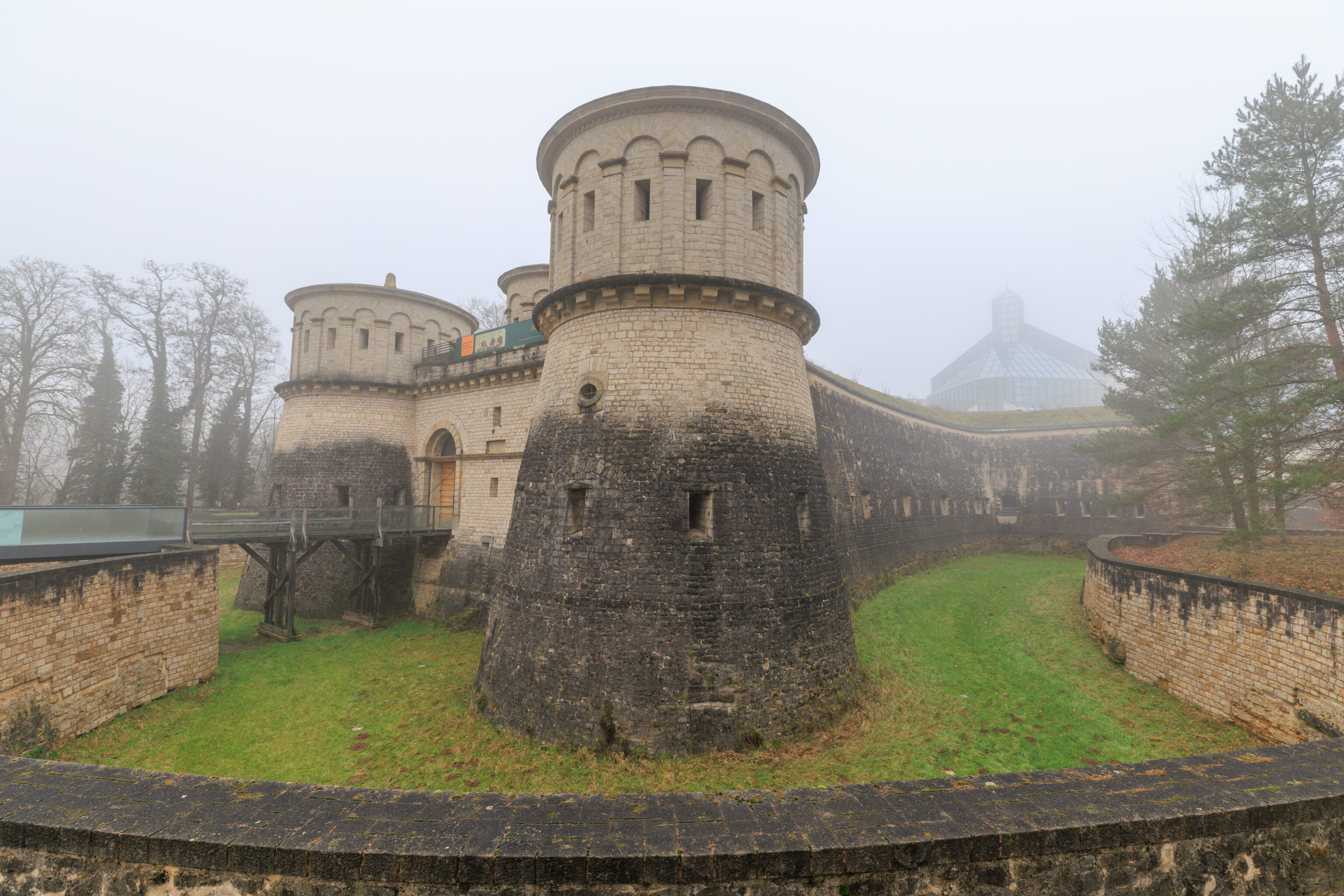
The view from a bit further away. We actually arrived too early as the scheduled opening time for the Musée Dräi Eechelen (Three Acorns Museum), the museum within the fortress building, is 10am. The name of the museum comes from the nickname of the fortress, the Three Acorns, as each of the three towers here has an acorn atop it. Or maybe something that looks like an acorn? It might not be literal?
Two signs here provided a brief history of this fortification as well as information about its drawbridge.
Fort Thüngen – "Three Acorns"
1688 — Construction of the *Redoute du Parc* by Vauban, serving as an observation tower in front of the glacis of Fort Obergrünewald.

1732–33 — Construction of Fort Thüngen by the Austrians.

1795 — The fort is incorporated into the defense of the fortress against the French army.

1829 — Powder magazines are installed in the flanking casemates.

1836–37 — The Prussians completely remodel the redoubt.

After 1860 — Additional modifications by the Prussians.

1870 and 1874–76 — Demolition of the fortress complex. A small section of the redoubt remains and is integrated into the park designed by French landscape architect Edouard André.

After 1997 — Restoration of the remains as part of the construction of the "3 Eechelen" fortress museum and park.
– German text from a sign, transcribed using Google Gemini and translated using Google Translate.
The sign above mentions Vauban, a name we first encountered on this trip at the Citadelle de Namur in Namur, Belgium.
Fort Thüngen – The Reduit Drawbridge
Originally, the entrance to the Austrian *reduit* (central stronghold) was quite narrow and situated at nearly the same level as the system of demolition mines. It was located exactly on the building's central axis. Access to the drawbridge was via a fixed wooden bridge resting on sleepers within the moat. A drawing from 1821 shows that the movable section of the bridge could be raised using chains.

During the modernization work carried out by the Prussians between 1835 and 1837, the interior level of the *reduit* was raised. Parts of the moat also had to be filled in to raise the level of the moat bed. Furthermore, masonry foundations were required to provide solid supports for the piers of the new, wider bridge structure. The entrance opening was enlarged and repositioned between the building's central axis and the left side tower.

Remains of the Prussian bridge were discovered during archaeological excavations.

The movable drawbridge, weighing approximately 600 kg in total, can be raised and lowered by two people, thanks to a system of 13 counterweights (each weighing 21 kg) suspended by chains on either side. When the bridge deck is raised, the counterweights assist the manual effort; when it is lowered, they brake the downward movement.
– German text from a sign, transcribed using Google Gemini and translated using Google Translate.
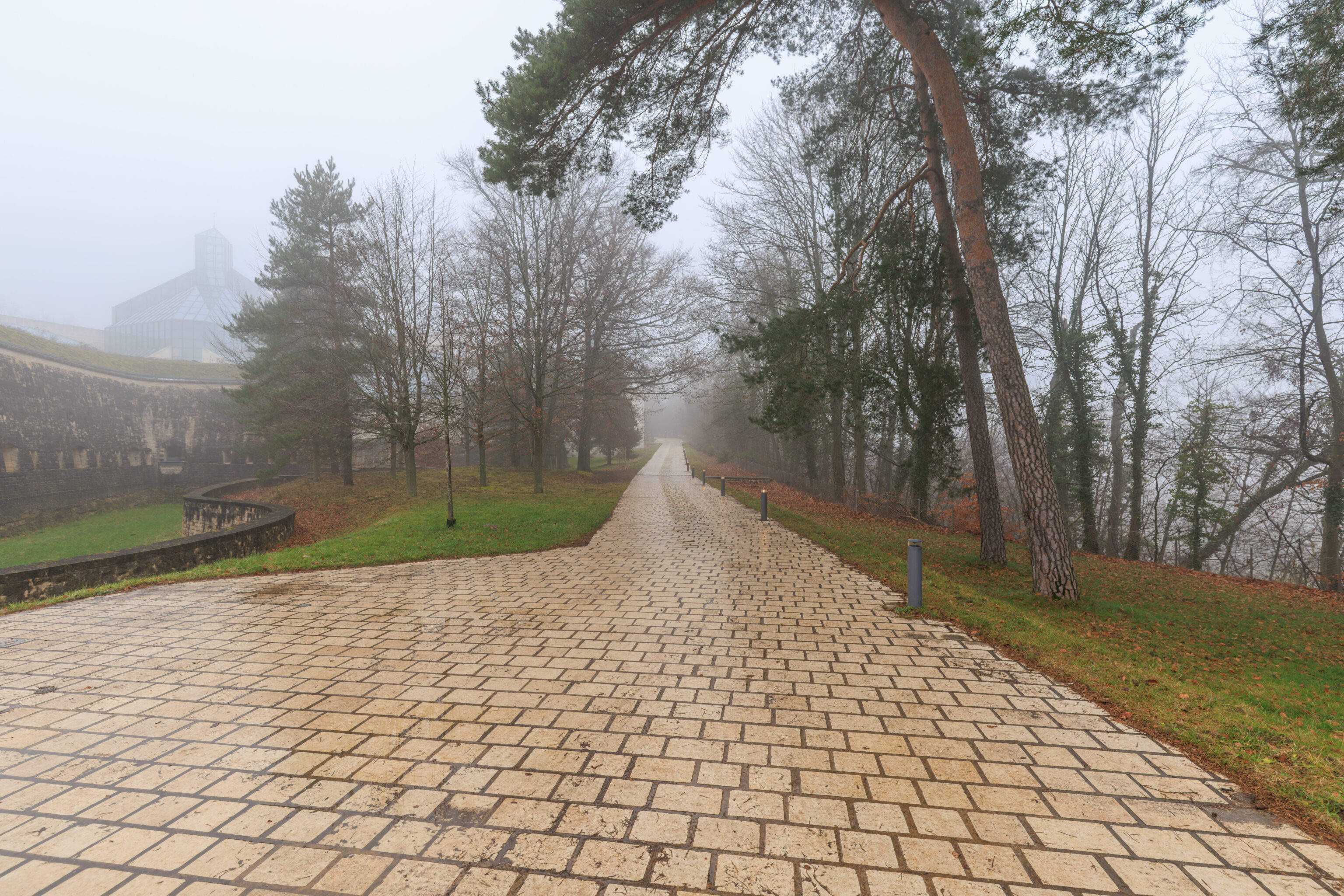
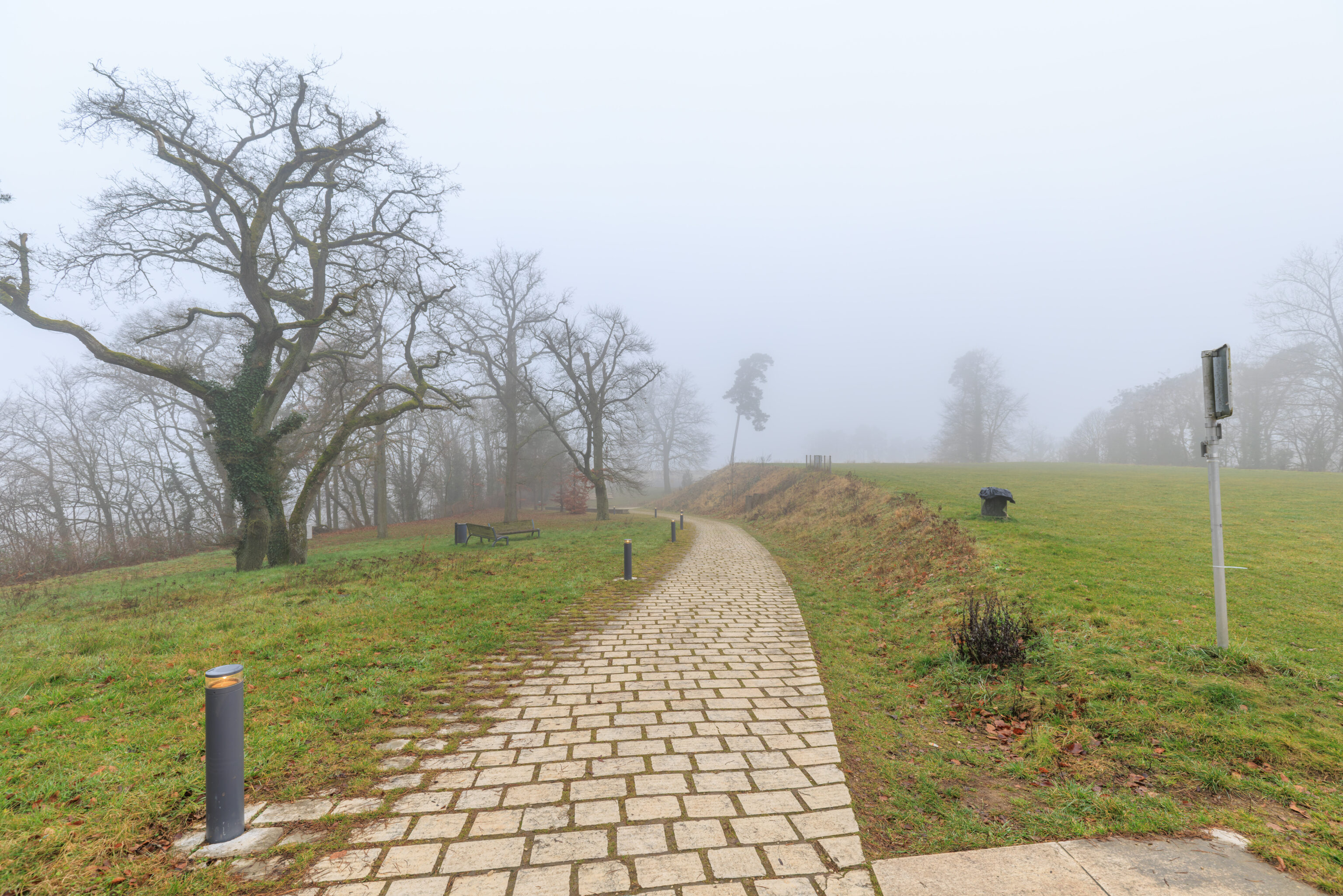
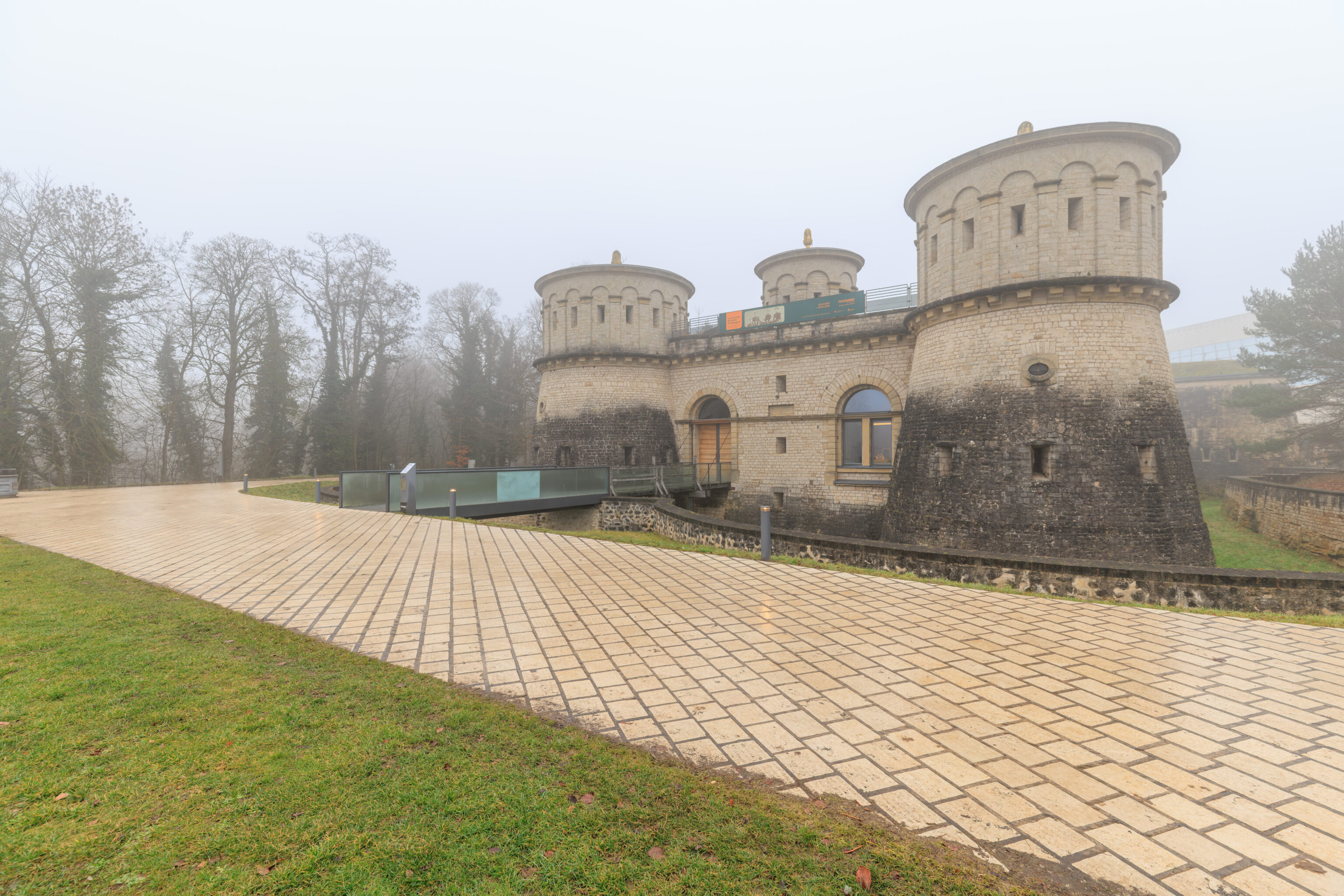
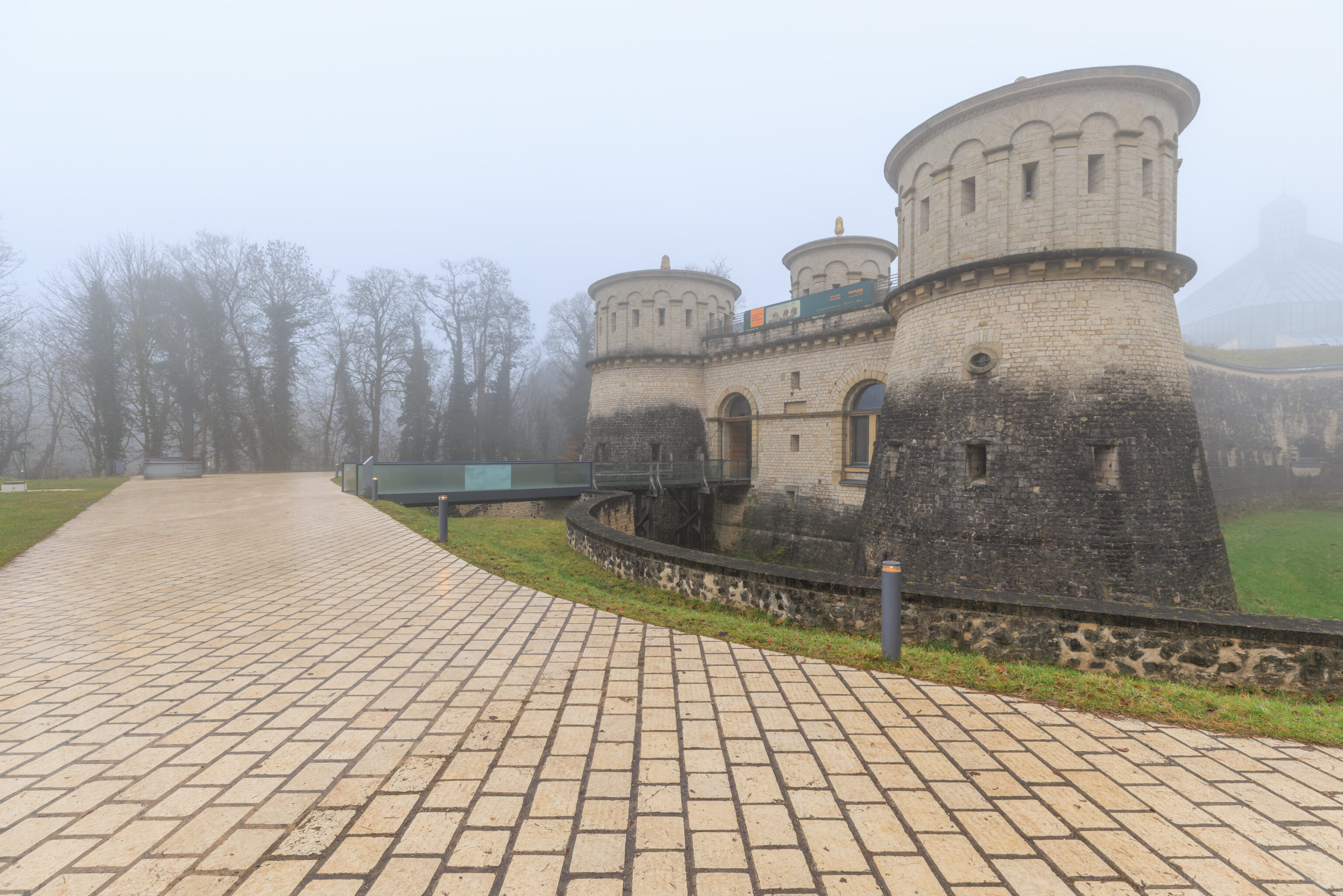
We walked around a bit in the unpleasant wet foggy weather until it was 10am!
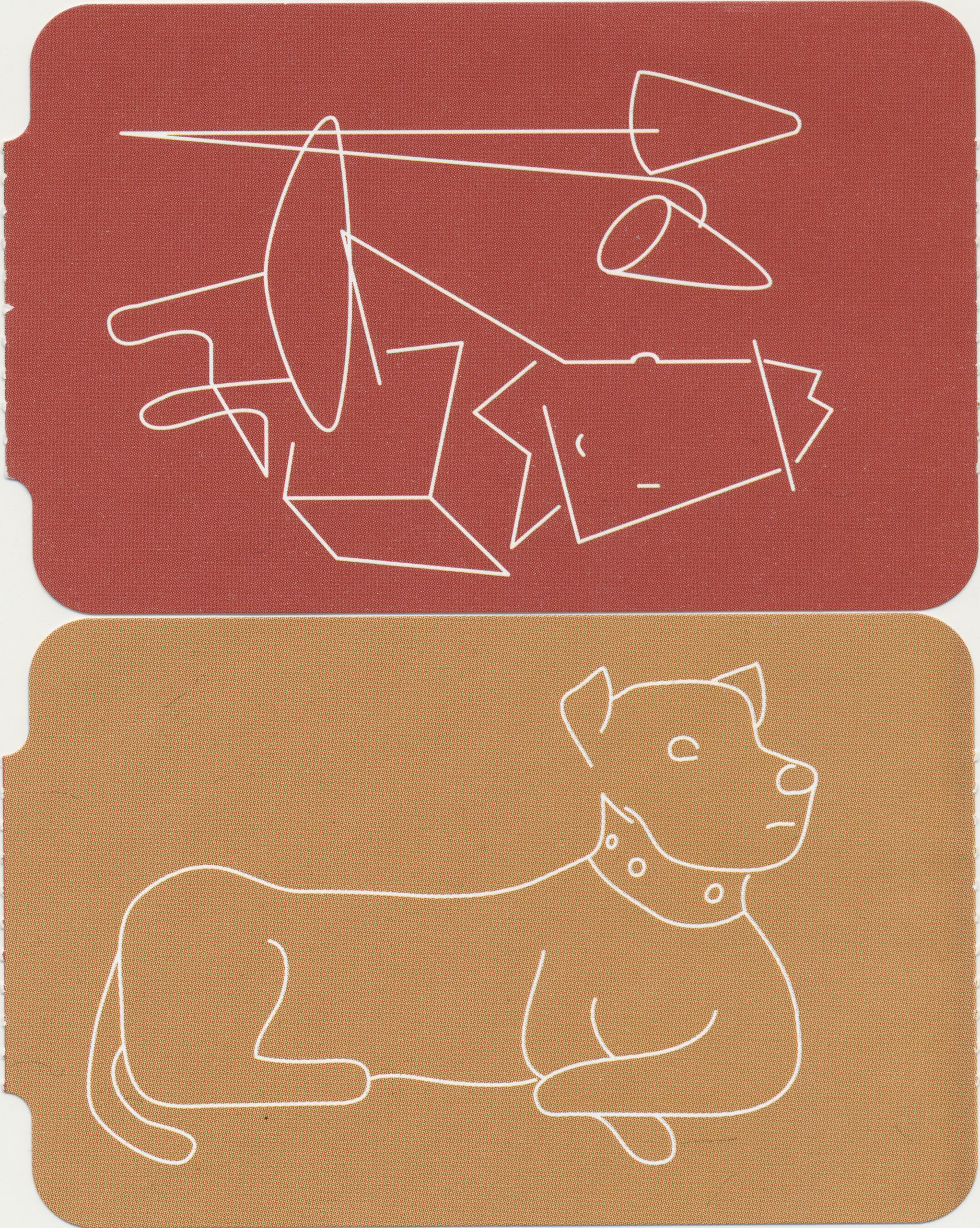
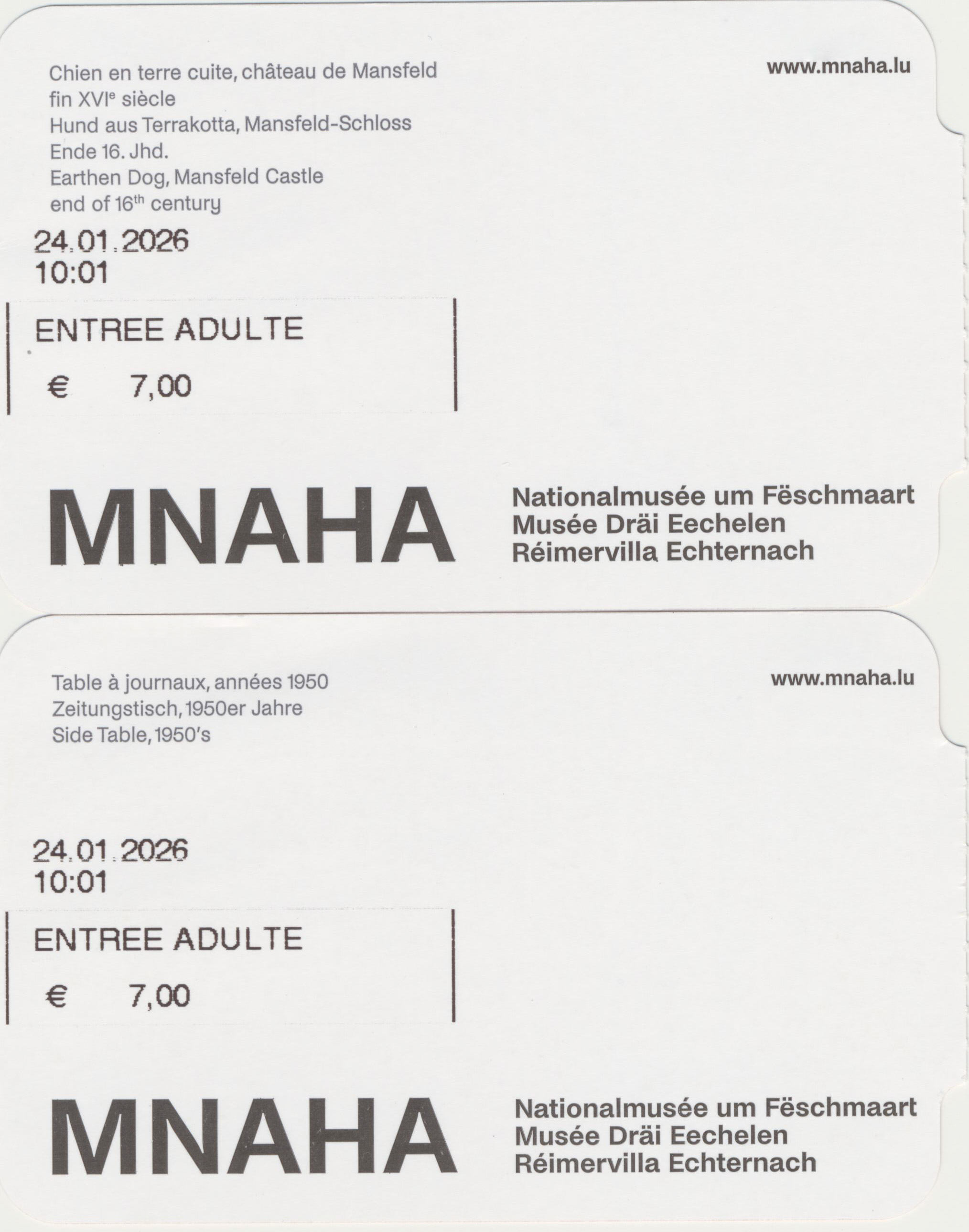
Upon entering the museum, we purchased entry tickets for €7 each. Also, we had to go downstairs to leave our bags in a bag storage locker room, which must be accessed by stairs.
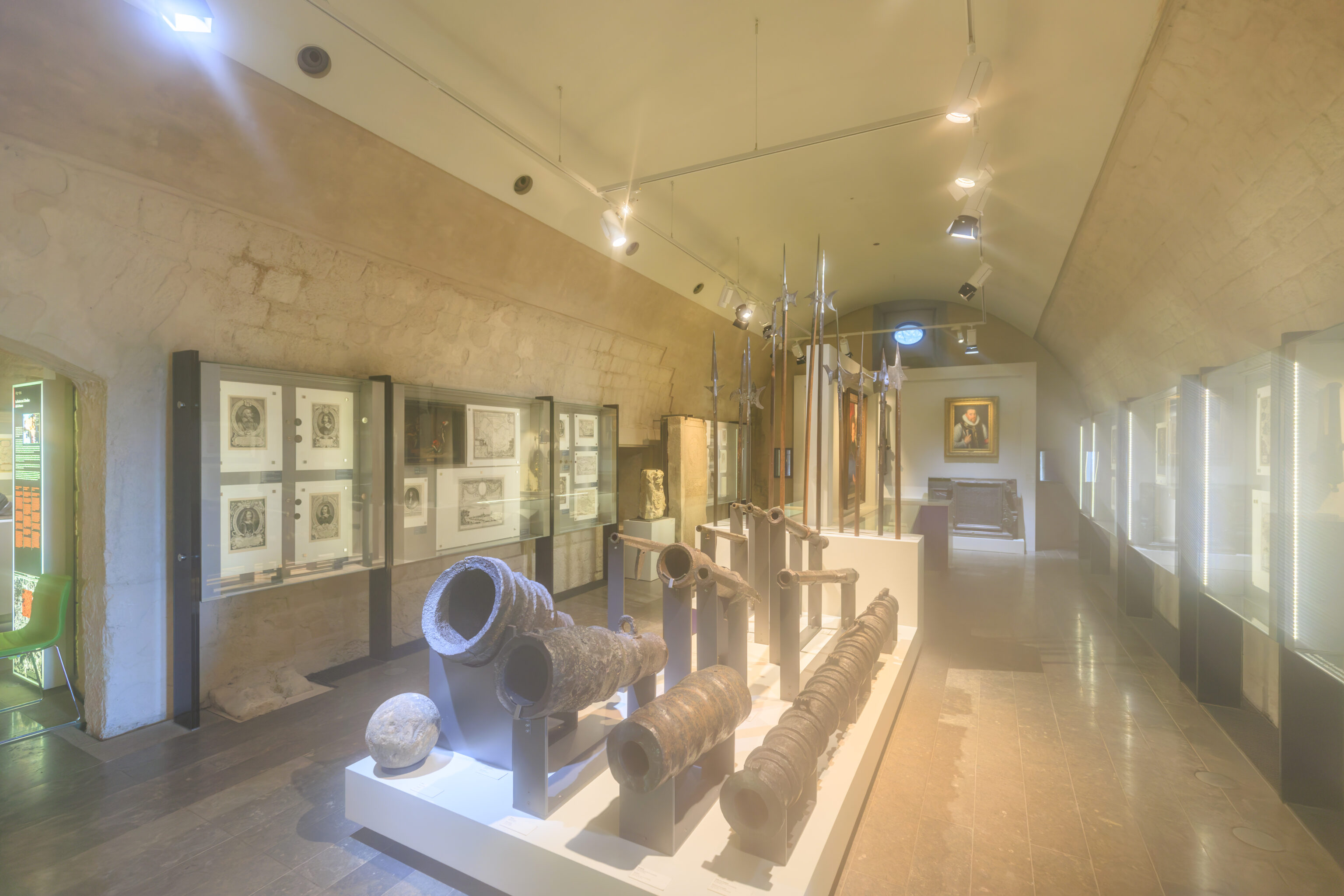
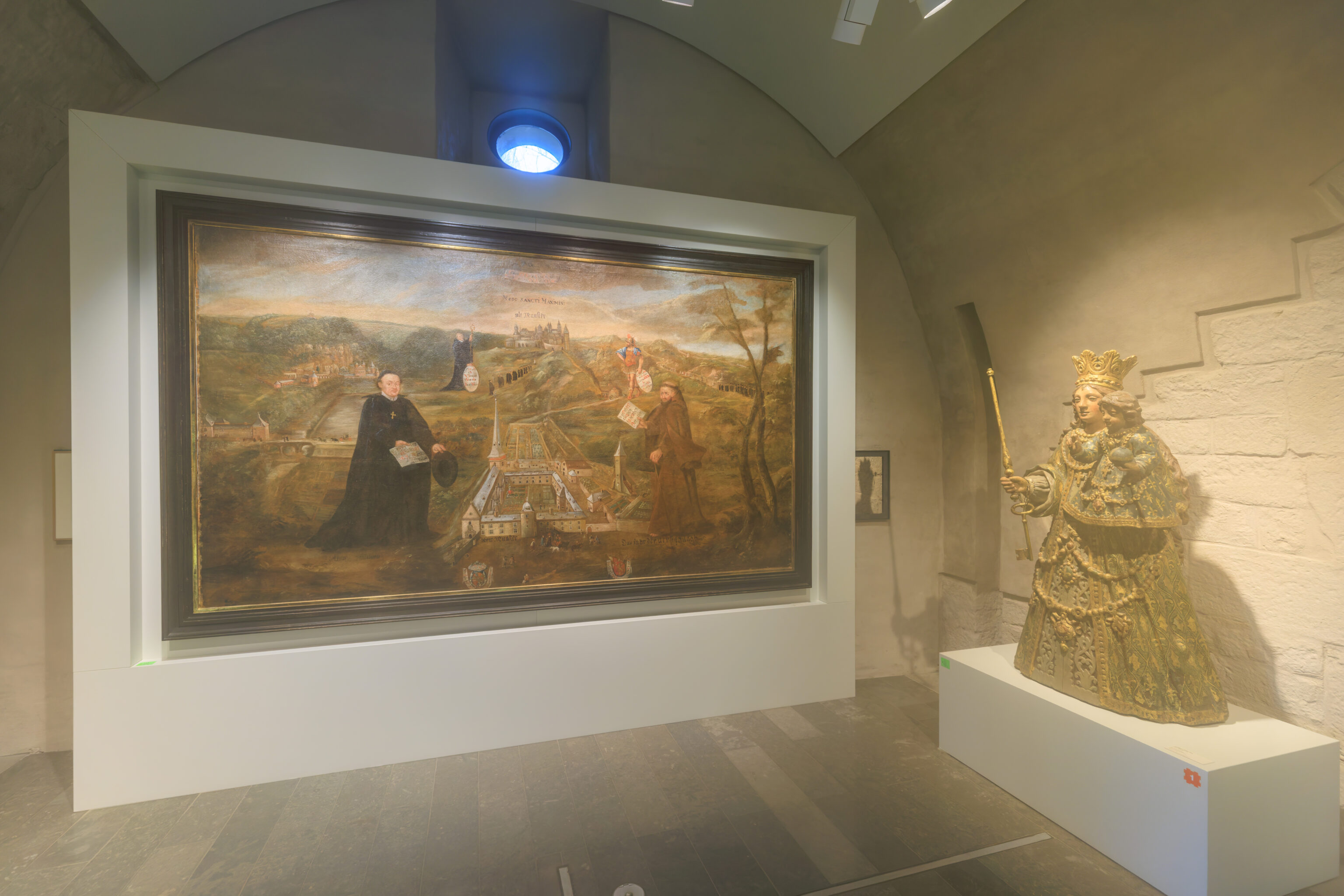
The camera’s lens fogged up right away upon entering the museum! Unfortunately, when condensation occurs inside the lens, it takes awhile for it to clear up. A nearby sign provided a brief history of the fortifications in Luxembourg during the 15th to 17th centuries:
From the fortified City to the modern Fortress
Since the 15th century, the Duchy has been drawn into trans-regional conflicts. The strategic importance of the city and the development of artillery explain its transformation into a fortress.

Burgundian troops conquer the city in 1443, and the Duchy initially becomes part of the rapidly developing Burgundian state. When Emperor Charles V abdicates in 1555, it passes to his son Philip II of Spain. From then on, it is one of the 17 provinces of the Spanish Netherlands, which are governed from Brussels. The city and the duchy become a bone of contention in the long-running conflict between Spain and France.

Between 1542 and 1544, the city is twice conquered by the French but finally remains under Spanish rule. The castle on the Bock Cliff, the ancestral seat of the House of Luxembourg, is not rebuilt but incorporated into the emerging fortress as an artillery position. The first bastions, Marie (1544-1548), Louis and Beck (1547-1561) are built.

In the course of his long career, Governor Peter Ernst von Mansfeld is a significant representative of the renaissance era in Luxembourg. With the help of his troops, he plays an active role in the repressive politics of Philip II in the Netherlands. Luxembourg remains untouched by these conflicts, and the fortress is further expanded.

In the course of the Counter-Reformation, Spain encourages the settlement of Jesuits and thereby the Catholic orientation of Luxembourg. In 1666, the city chooses Our Lady, Comforter of the Afflicted as its Patron Saint.

During the Thirty Years' War (1618-1648), Thionville is besieged twice by the French. It is relieved in 1639 by Governor of Luxembourg Jean Beck and eventually captured in 1643.
– Text from a sign.
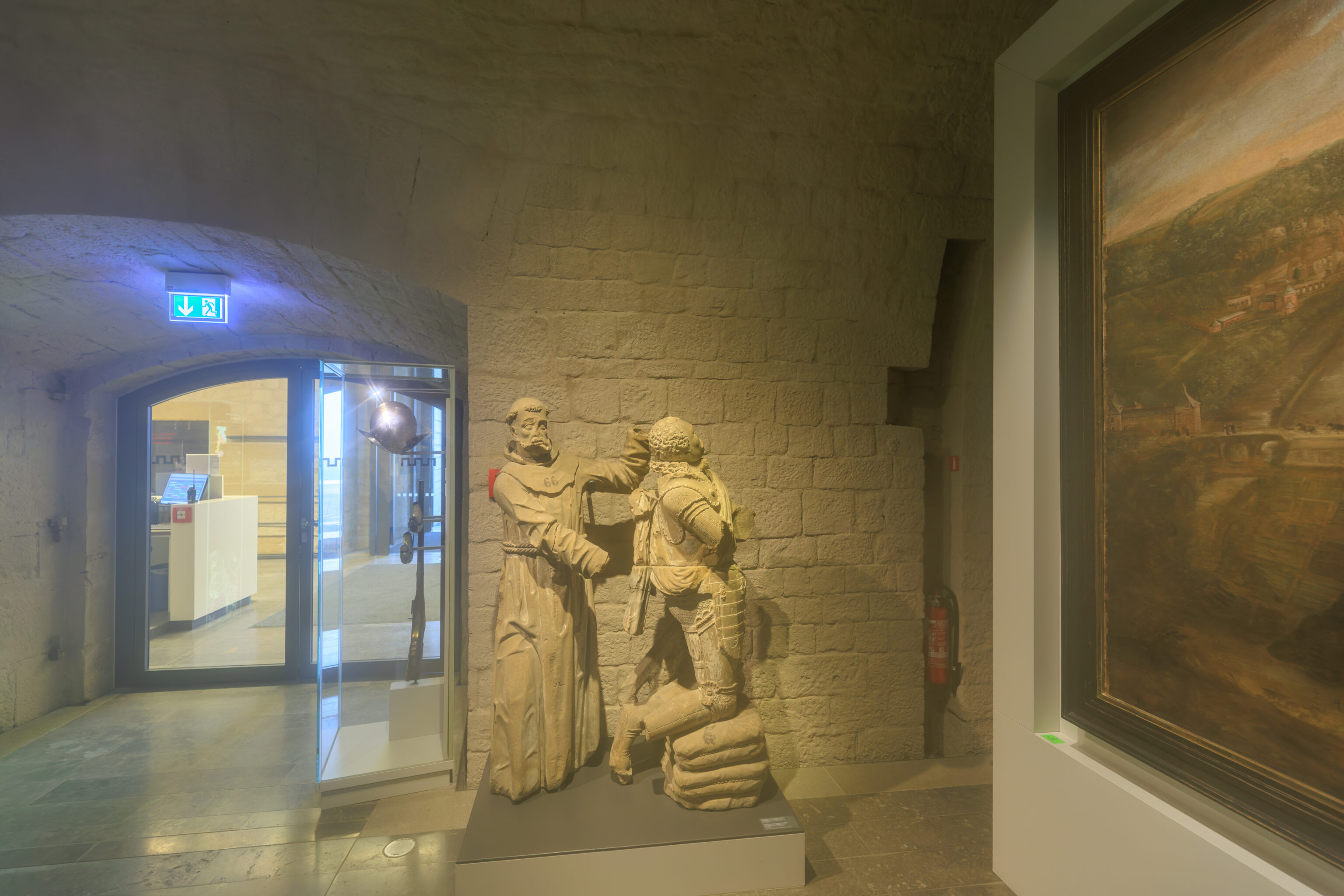
Abbey of the Holy Ghost in Luxembourg
Stone, 1628
Institut Royal Grand-Ducal, Section historique, Luxembourg
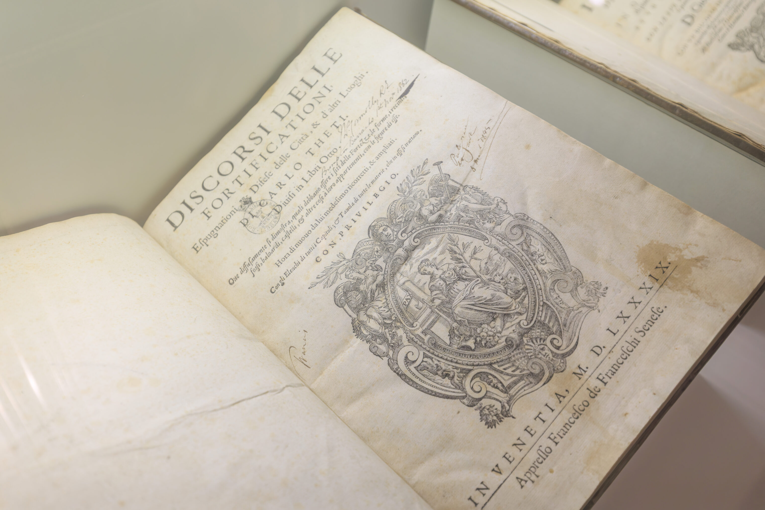
The Fortress in the Shadow of France
French expansionism claims new victims. Montmedy is taken in 1657. The Treaty of the Pyrenees of 1659 seals its loss.

The Spanish react to the growing number of encroachments by reinforcing the fortress in 1672. Innovative redoubts like Marie and Berlaimont form the beginning of the second fortification line. The first barracks are built. More than 100 houses in the lower town of Grund and on Pfaffenthal hill fall victim to the expansion of the fortress. The residents are relocated to the new streets Chimay, Louvigny and Monterey at the centre of the city.

French troops are kept close to Luxembourg from 1681 onwards. On Christmas day 1683 the city is bombarded for several days. But the siege, under the command of Marshall de Créqui, does not begin until April of 1684. After nearly six weeks of intense fighting, the city council urges Governor Chimay to surrender the largely destroyed city.

Vauban draws his conclusions from the siege and further expands the fortress to include the surrounding heights. Powder magazines, a military hospital and new barracks are built, the latter for instance on the Rham Plateau.

The French withdraw in early 1698 in accordance with the Treaty of Rijswijk. They leave behind a fully modernised fortress. The turmoil of the Spanish War of Succession (1701-1714) follows. At the instigation of Louis XIV, the Spanish Netherlands and Luxembourg fall temporarily under the rule of the Bavarian elector Maximilian Emmanuel. In 1705 Marshall de Villars is able to stop another advance by the Duke of Marlborough, partly by relying on the Fortress of Luxembourg. Thanks to the fortress, Luxembourg is mostly spared by this war.
– Text from a sign.
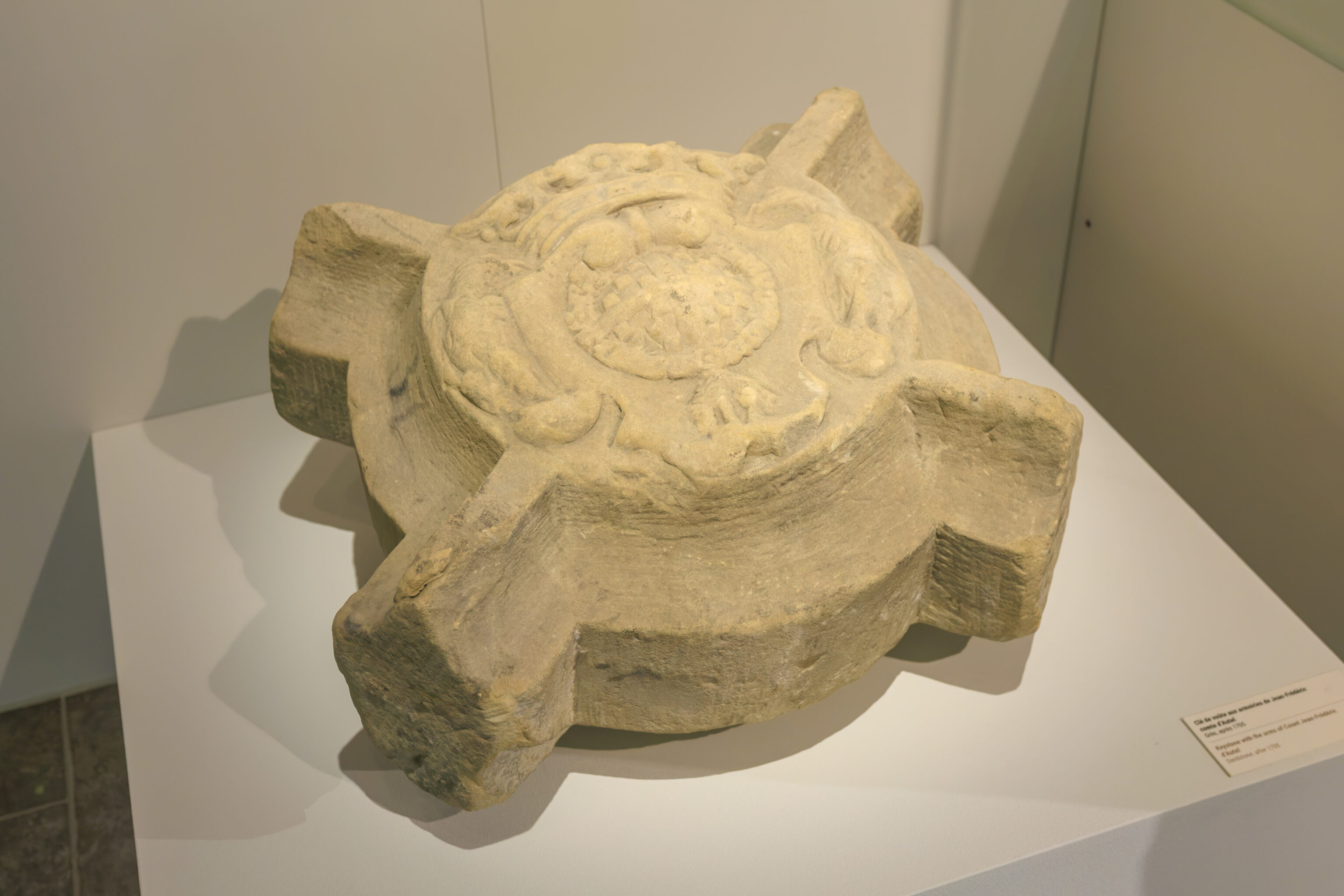
Sandstone, after 1705
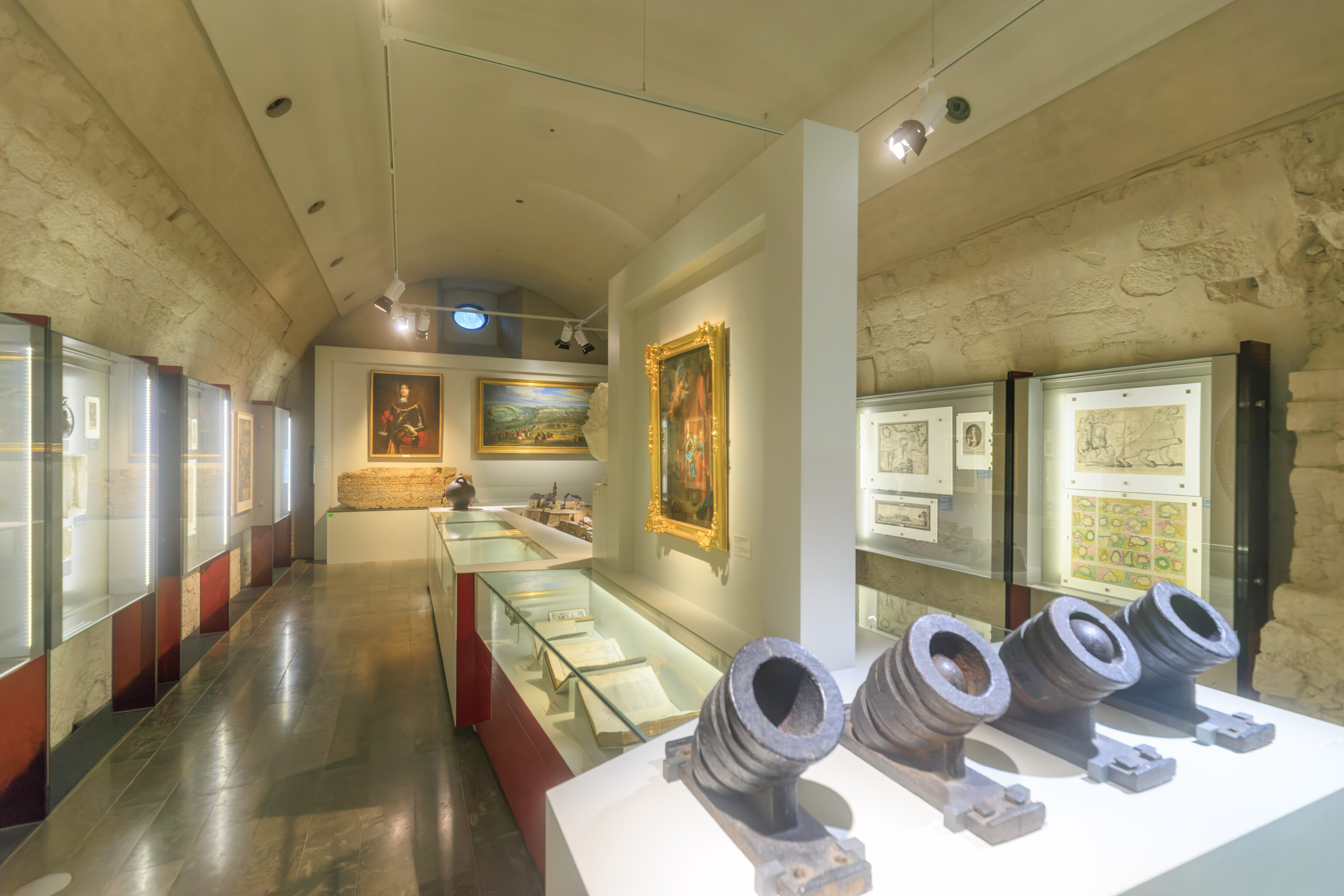
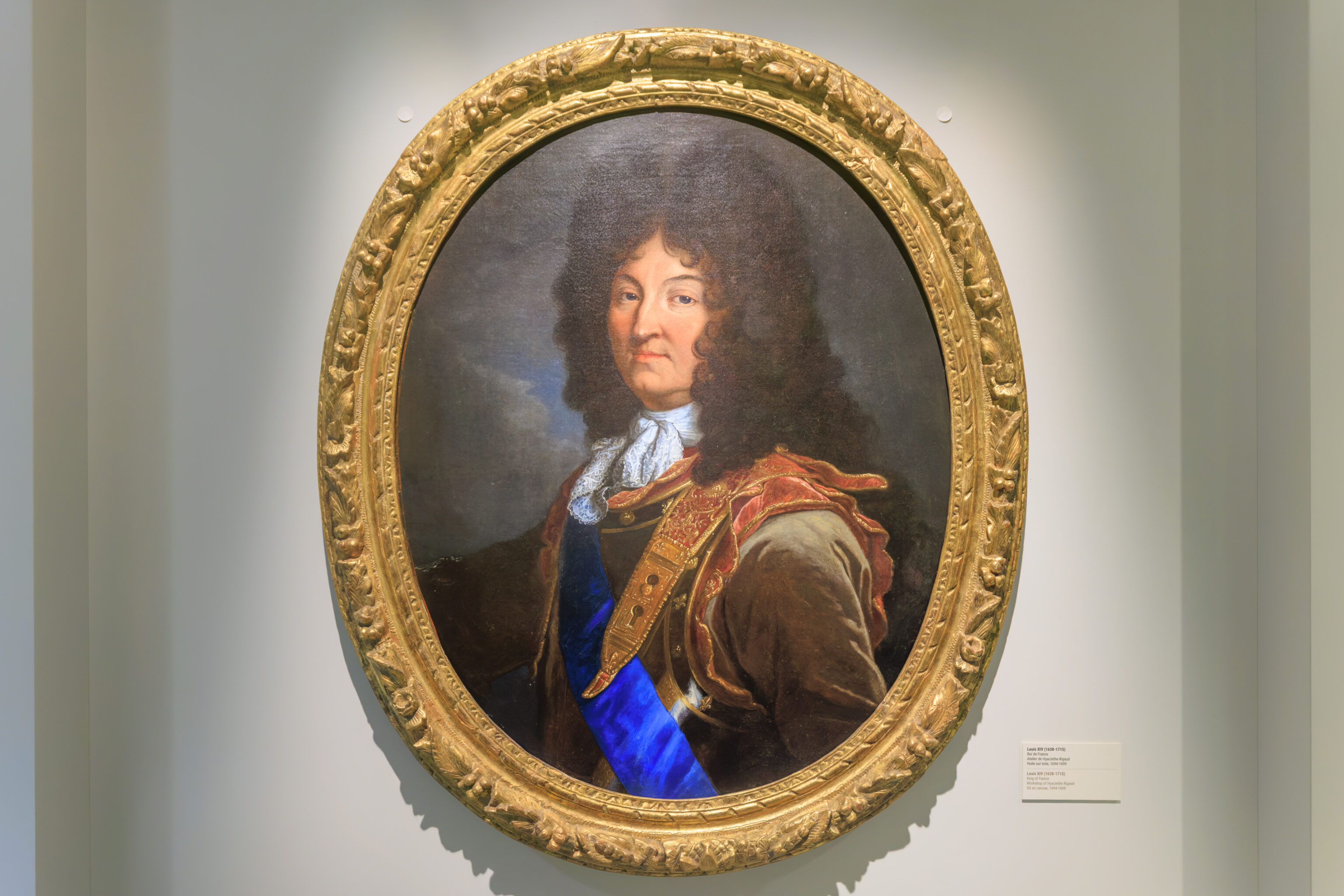
King of France
Workshop of Hyacinthe Rigaud
Oil on canvas, 1694-1699
King Louis XIV, the Sun King, has a pretty unmistakable appearance!
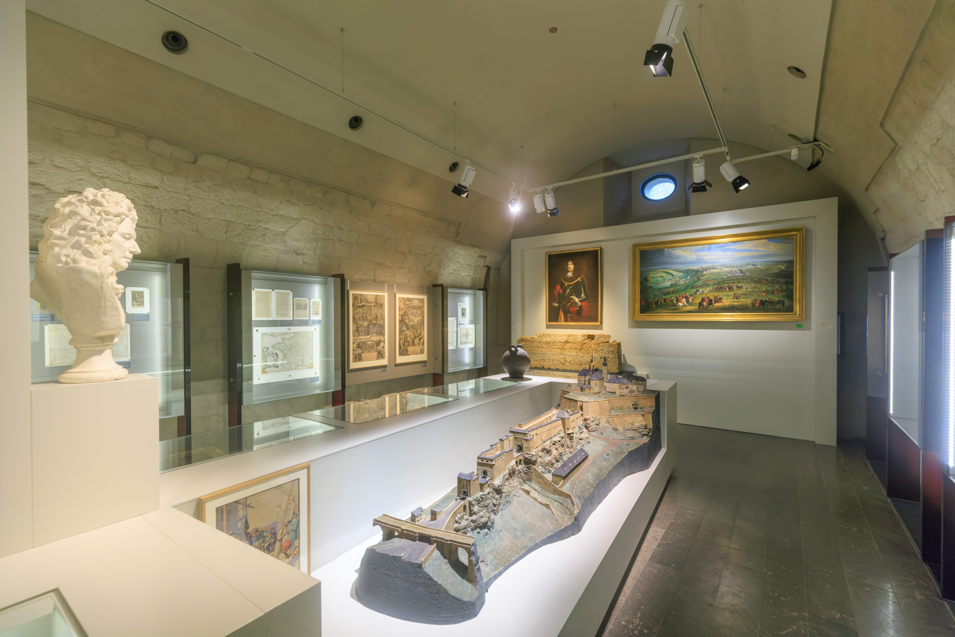
This model depicts the fortifications on the Bock.
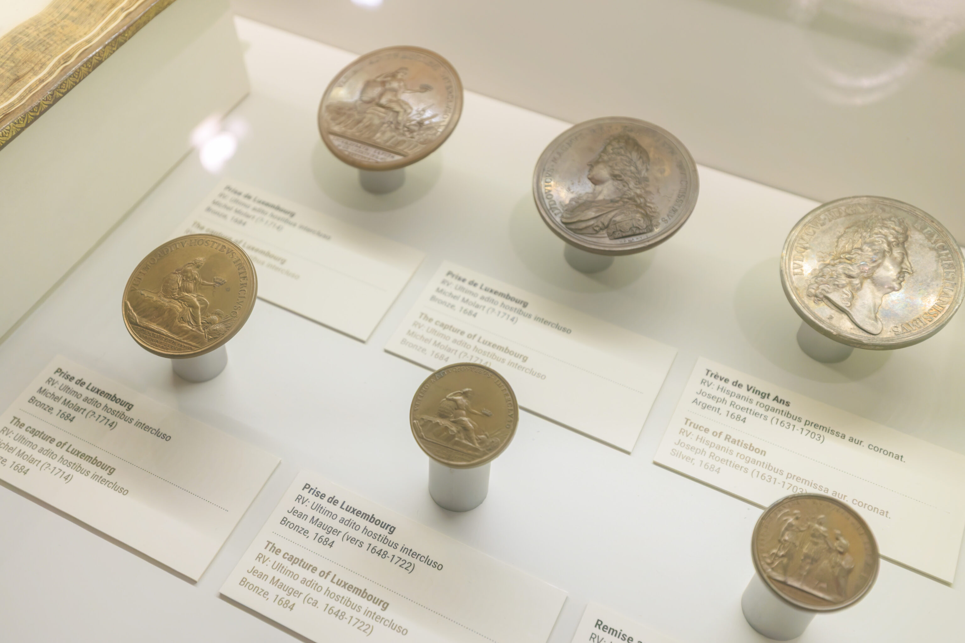
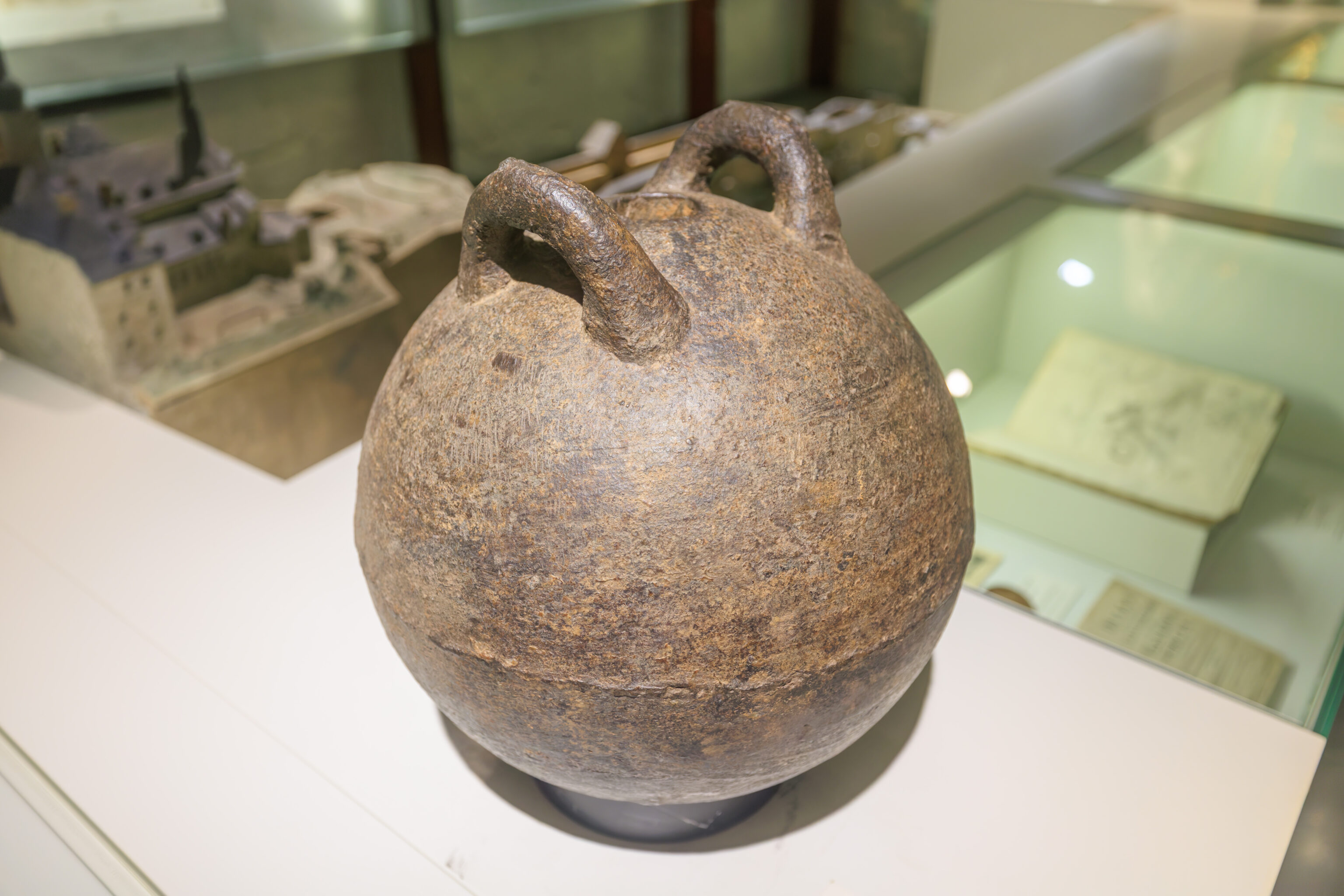
From the Ancien Régime to the 1st French Empire
The Peace of Rastatt in 1714 brings Luxembourg back under Habsburg rule as part of the Austrian Netherlands. Under Maria-Theresia (1740-1780) the duchy flourishes and is marked by reforms.

During the long-lasting peacetime, the fortress expands to one of the largest in the Austrian Netherlands. Fort Thüngen (1732/33), named after a commandant of the fortress is built.

The garrison is made up of Walloon and German regiments, which are transferred from time to time. Luxembourg is spared during the Seven Years' War (1756-1763), though some of the garrison sees action.

The Ancien Régime ends in the course of Emperor Franz II's reign. French revolutionary troops initiate the blockade of the 'Gibraltar of the North' in November 1794. Eight months later the starving Austrian garrison surrenders. The Duchy of Luxembourg is dissolved and the city becomes the administrative centre of the new French Département des Forêts.

During the time of the Napoleonic Wars (1799-1814), Luxembourg loses its importance and is relegated to the status of an inland fortress, with hardly any construction work performed. While only a very modest French garrison remains in the fortress, Luxembourgish conscripts are drafted en masse. This leads to the "Kloppelkrieg", a peasants' revolt that is quickly subdued. This period, other-wise characterised by social and legal progress, ends with the French withdrawal on May 3, 1814.
– Text from a sign.
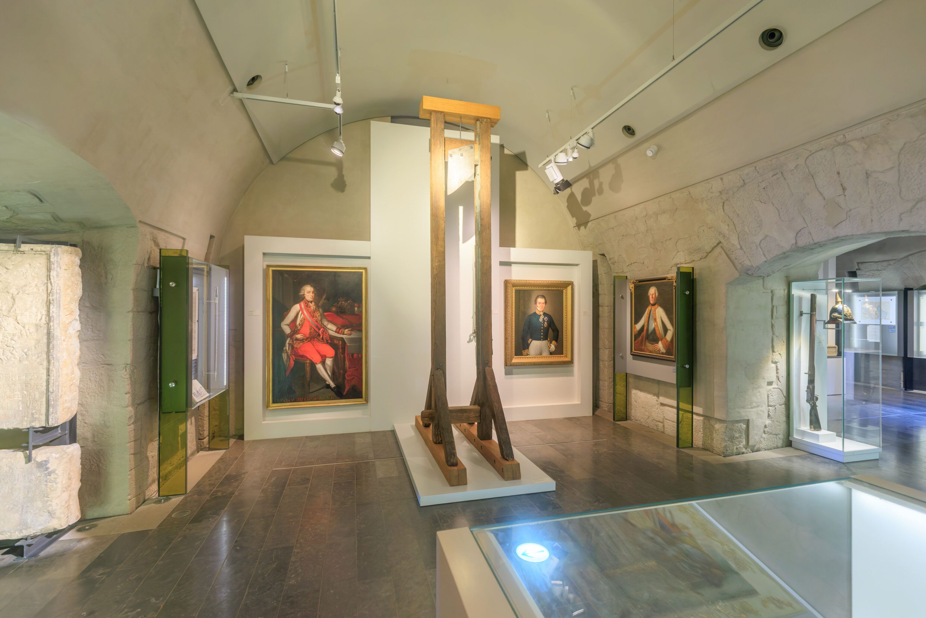
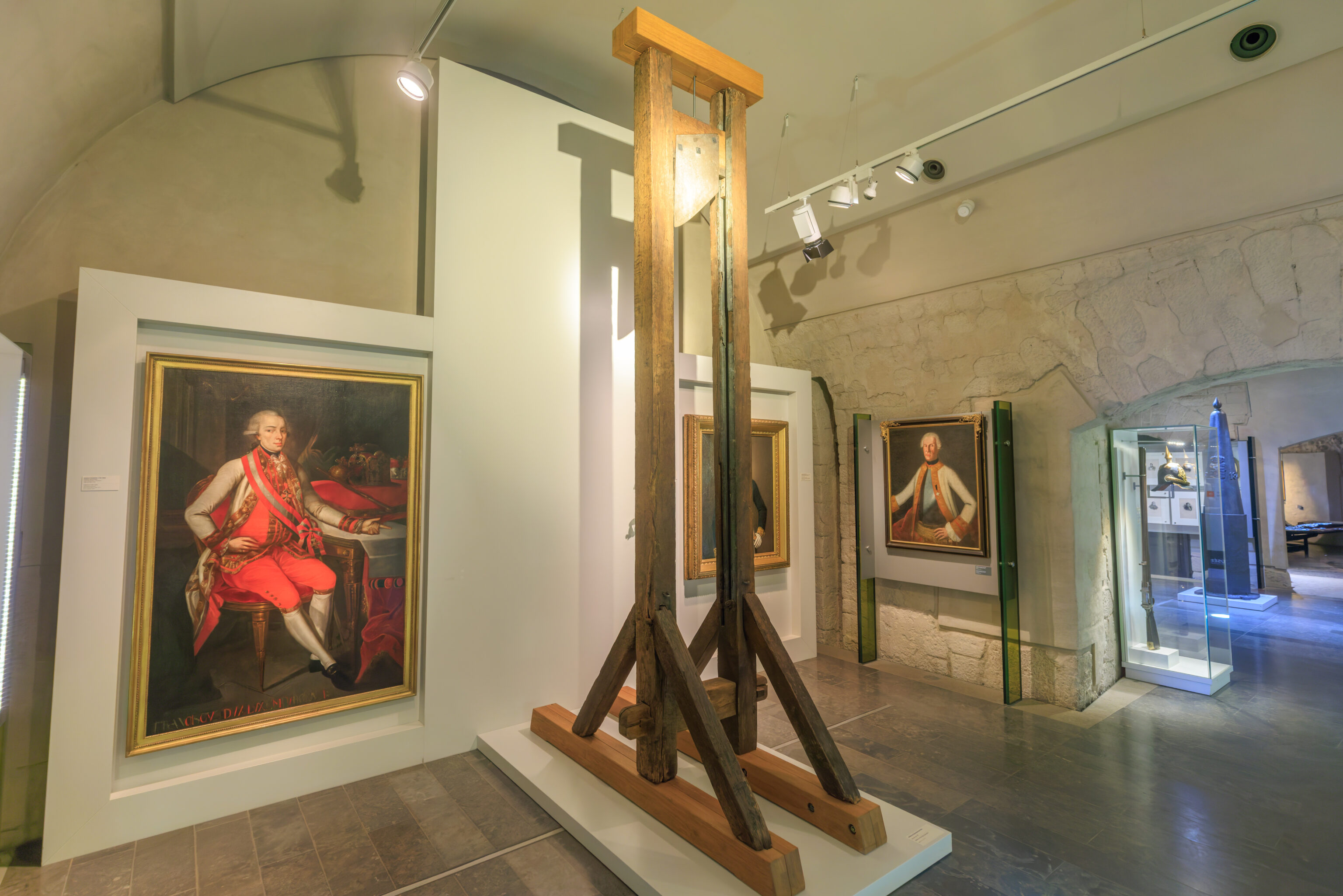
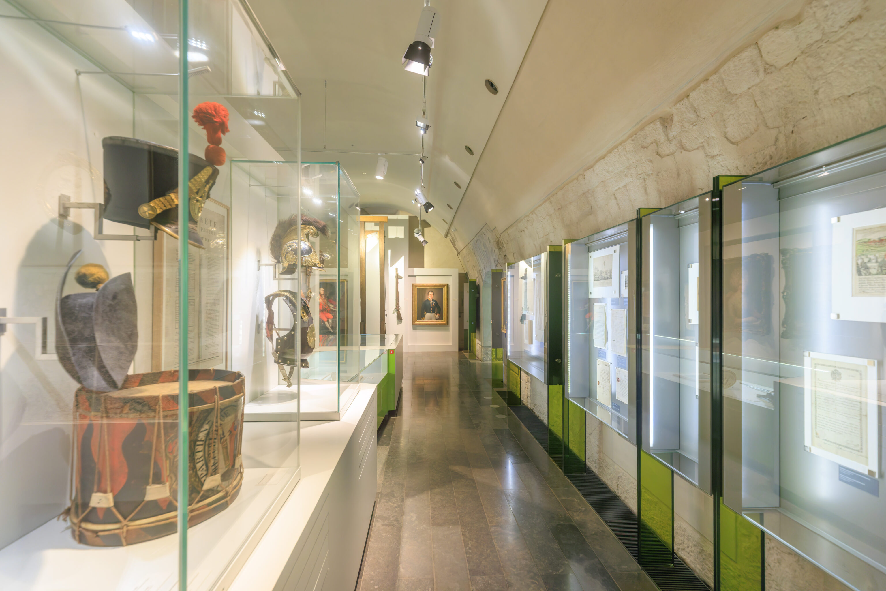
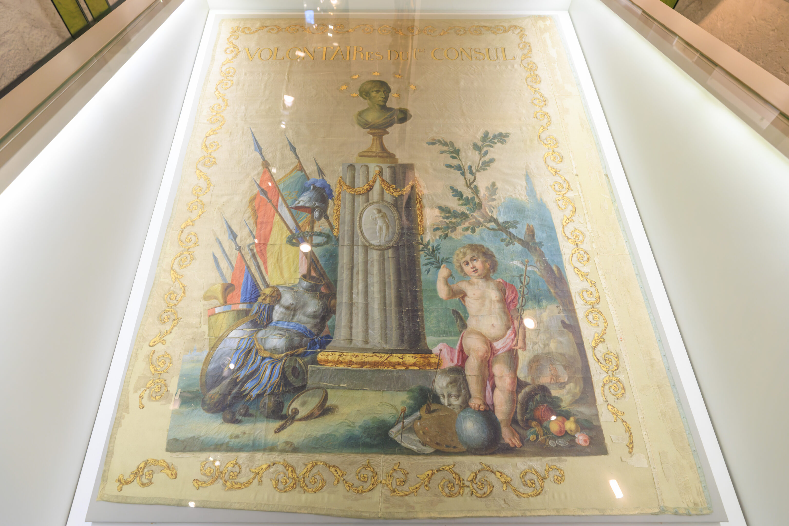
Federal Fortress and Independence
The Vienna Congress of 1815 lays out the borders of the new grand duchy and regulates the administration of the fortress and the the surrounding country. The co-existence of a Prussian garrison (6,000 men), Dutch officers and the Luxembourgish population (4,000) in the fortress in a country (200,000) ruled by Holland inevitably creates confusion. In addition, there is also a native federal contingent (1,000) stationed in Diekirch and Echternach.

The garrison is an important economic factor for the city and its blossoming bourgeoisie. Military bands play a major role in the cultural revival. Marriages between soldiers and Luxembourgish women occur, but the unbalanced composition of the city's population serves as a catalyst for conflict between soldiers and civilians.

The fortifications neglected by the French are restored and modernised. In addition to new barracks, hospitals and magazines are built inside the fortress. The outer forts (Thüngen) are made inhabitable and also reinforced. Luxembourg, like Mainz, Landau, Rastatt and Ulm, is a fortress of the German Confederation. Due to its exposed position towards France it is initially held in high regard. The new railways require the construction of new, modern forts (Wedell). In spite of this, the fortress continues to lose in importance due to improved artillery technology.

Luxembourg's modern borders are laid down in 1839 in the Treaty of London as a result of the Belgian Revolution. The Walloon part falls to Belgium, the land surrounding Bitburg to Prussia. The Luxembourgish population seems to be drawn to the new country of Belgium.
– Text from a sign.
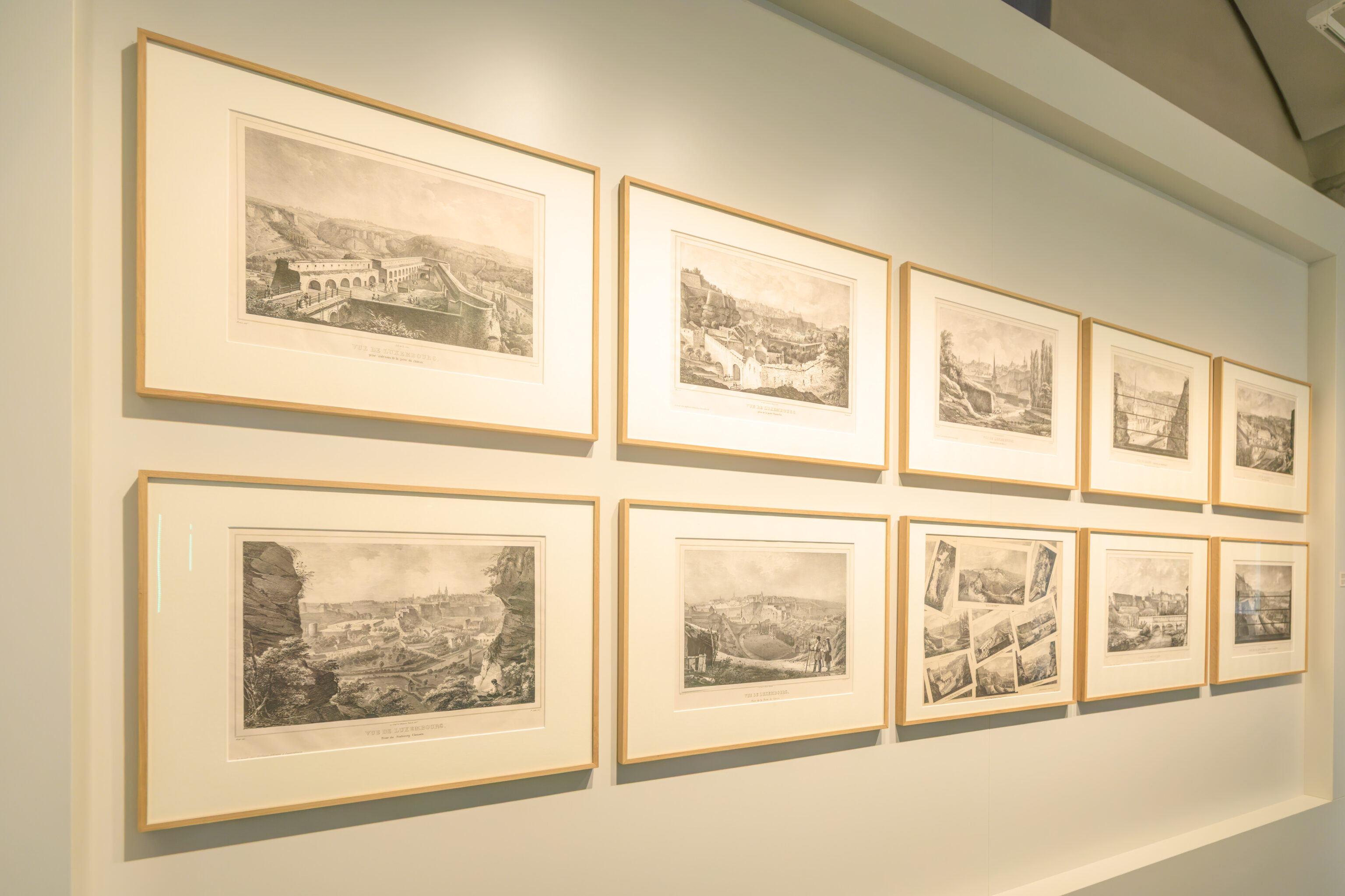
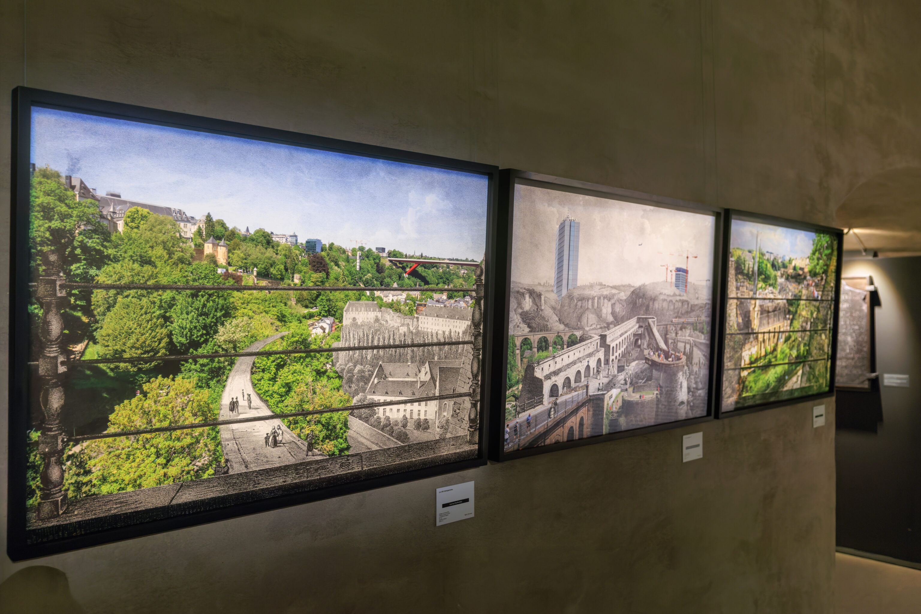
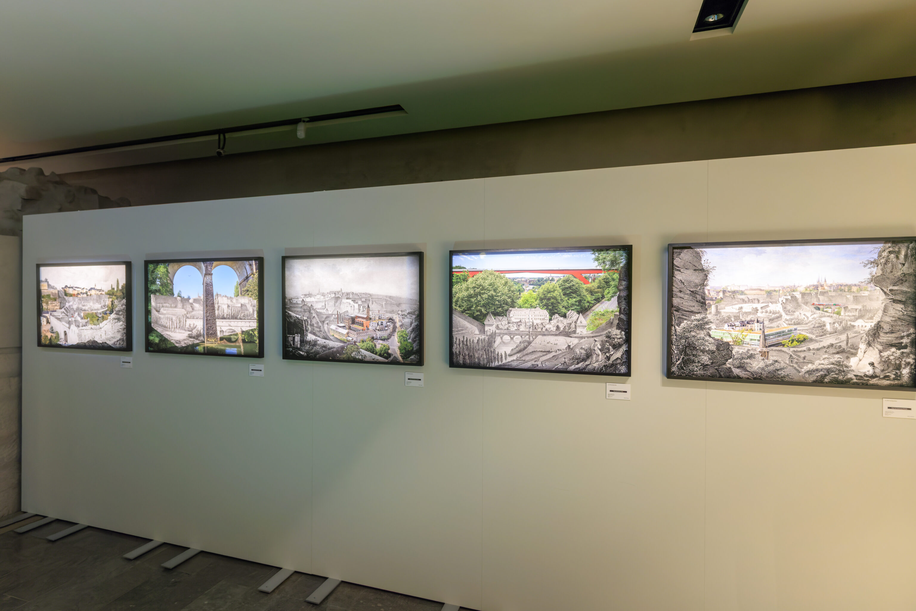
The images above are part of an exhibition by Yann Tonnar. They consist of modern digital photographs combined with historic drawings of Luxembourg from 1828 through 1829.
taken from above the castle door.
Yann Tonnar

The Musée Dräi Eechelen will be presenting its first exhibition as part of the European Month of Photography (EMOP). The museum will showcase an original project by Luxembourgish artist Yann Tonnar which features a series of composite images inspired by nine lithographs titled Vues de Luxembourg and created in 1828-1829 - six drawings by Jean Baptiste Fresez (1800-1867) and three by his student Jean-Nicolas Bernard (1803-1866). These iconic panoramas of the city of Luxembourg have left their mark on the nation's collective memory as they are omnipresent in historical representations of the capital. Over time, these views have taken on a nostalgic, even romantic quality, harking back to the time of the fortress.

By mapping contemporary photographs onto historical lithographs with the same view, Yann Tonnar explores different stages of history. In a single image, the Luxembourg of 1829 and that of today coexist, taking us on a journey through two centuries of history by means of digital collage. This approach also juxtaposes two techniques that are representative of their time: lithography, an 19th-century invention that revolutionised the art of printing, and contemporary digital photography, which continues to shape today's world. Thanks to digital compositing, these two methods of reproduction can be combined to generate hybrid works that reflect on the development of urban landscape. Specially commissioned for EMOP 2025, Yann Tonnar's project invites us to consider the metamorphosis of the city between memory and modernity and takes an unprecedented look at the urban, historical, civilisational and identity issues that shape Luxembourg's past and present.

24-04 - 16.11.2025
– Text from a sign.
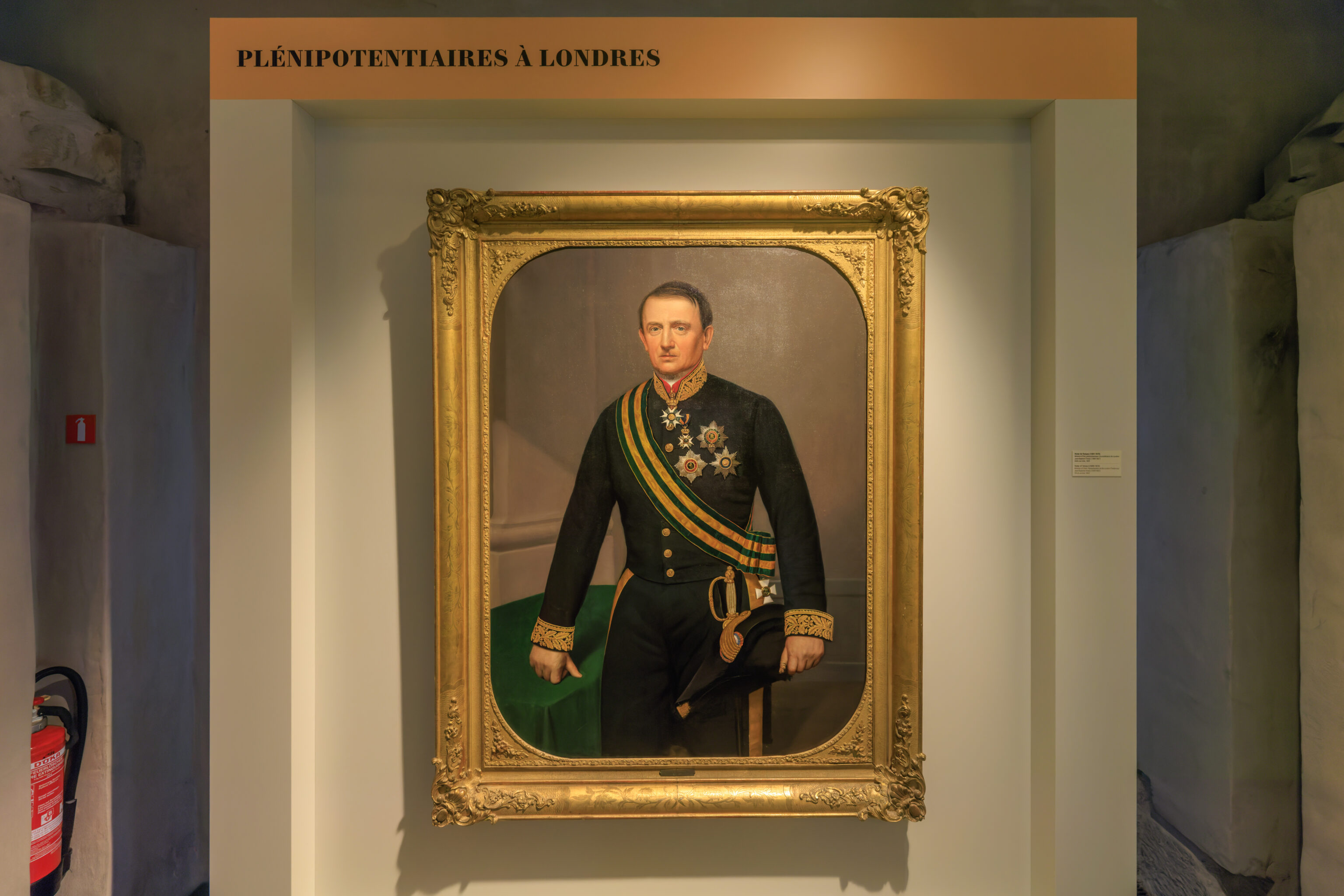
Minister of State, Plenipotentiary at the London Conference
Jean-Baptiste Fresez (1800-1867)
Oil on canvas, 1865
The Demolition of the Fortress
The Prussian-Austrian War of 1866 leads to the dissolution of the German Confederation. The French emperor Napoleon III lays claim to the fortress, which the Dutch king William III is not averse to. In 1867 the Treaty of London seals the fate of the fortress. In order to head off a looming Franco-Prussian conflict, the great European powers decide that it is to be demolished. The demolition of the fortress prevents Luxembourg, now a neutral country, from becoming involved in the Franco-Prussian War of 1870/71.

The orderly withdrawal of the Prussian garrison leads to the loss of most of the fortress' documents and plans. Arsenals and magazines are emptied; cannons, gunpowder and other weapons are taken to Prussian territory.

The population has mixed emotions regarding the withdrawal of the garrison. On the one hand, it had always remained a foreign entity. On the other hand, much of the economy had depended on its presence. The demolitions also cause enormous costs, which can be offset only in part by the sale of materials and property. The sudden availability of vast fortress land threatens to disrupt the property market.

The demolition work begins with openings for the large traffic arteries in the upper part of the city (Avenue Marie-Thérèse, Monterey, Emile Reuter, de la Porte Neuve). Bastions are razed and ditches filled with the rubble. Timber, doors, stone and iron are sold or recycled for use in new buildings. It takes 16 years for 400 years of construction history to almost entirely disappear in an organised effort. On 22 May 1883 a celebration is held to mark the end of the demolition of the fortress.
– Text from a sign.
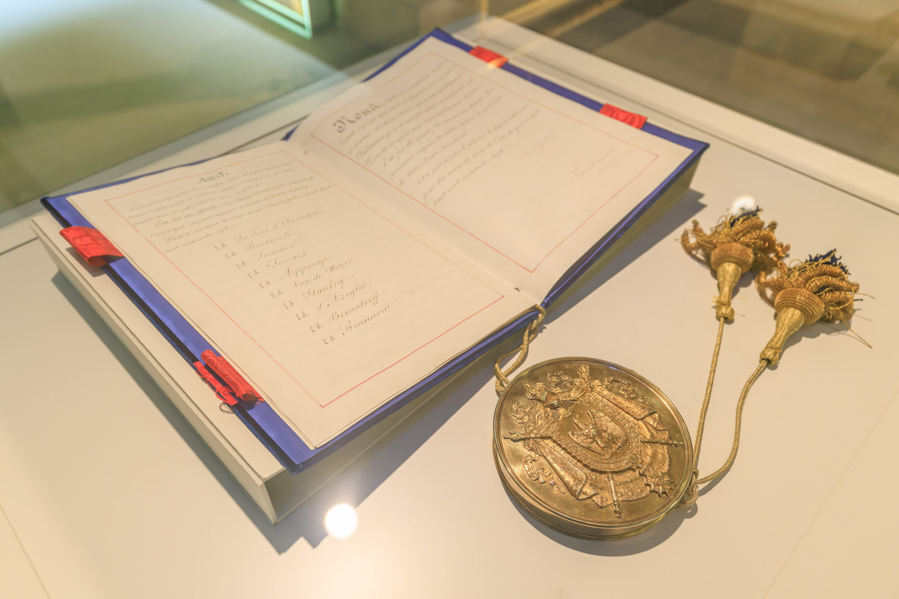
Signed by Napoleon III (1808-1873)
18 May 1867
Archives nationales de Luxembourg
Economic Upswing and a New Dynasty
After the death of the Dutch king William III, on the basis of the Succession Agreement in the house of Nassau, Adolph of Nassau is named Grand Duke of Luxembourg in 1890 at the age of 73. He had lost the duchy of Nassau-Weilburg in 1866 during the Prussian-Austrian War. The personal union between the Netherlands and Luxembourg is now dissolved.

The dynasty's residence is Berg Castle. The official seat is the Palais on Marché-aux-Herbes, specially renovated for this purpose. Adolph visits the country only occasionally, and his son William IV becomes Grand Duke of Luxembourg in 1905.

The Grand Duke leaves all important political decisions to his minister of state, Paul Eyschen (1888-1915), who promotes numerous educational and social policy reforms. We also have to thank him for the preservation of particularly prominent and picturesque remnants of the fortress. In 1881 additional construction is performed on the House of Parliament, which was considered too small from the very beginning.

In addition to the traditional factories, such as the Schleifmühle textile manufactory, new industries are established in part due to the transportation opportunities provided by the popular railways. The steel industry plays a large role in the country's economic upswing. After acquiring the patent for the Thomas converter in 1879, Metz & Cie builds an ironworks near the ore deposits in Dudelange in 1885.
– Text from a sign.
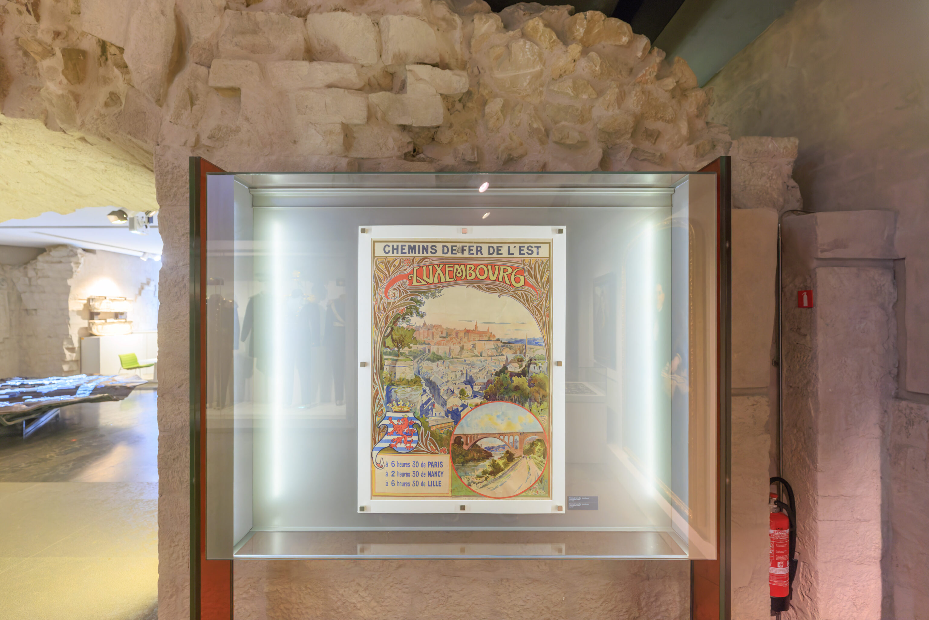
The City's Heyday
The former fortress city is transformed at breathtaking speed. The population of the now "open city" has been able to grow quickly for the first time since the Middle Ages. New districts spring up along the traffic arteries and offer the bourgeoisie an opportunity for self-expression. The construction of the Adolph Bridge in 1903, known as "Nei Bréck" (New Bridge), opens different perspectives and creates access to a completely new district between the historic part of the city and the train station.

New views of the city that had been refused to the inhabitants for centuries, as the city was in a restricted military zone, are opened. The renowned French landscape designer Édouard André creates spacious parks on the former fortress belt on behalf of the city. These parks still exist as a green belt around the city centre.

Nostalgia for the fortress soon sets in. Particularly picturesque elements, such as the Three Acorns, the guerites and the Malakoff Tower, still exist, setting distinct tones along the promenades. Building inscriptions from the fortress are carefully removed and preserved. The retired captain Guillaume Weydert creates a large, richly  detailed plaster model of the former fortress, which in 1903 served as the basis for the famous bronze model.
– Text from a sign.
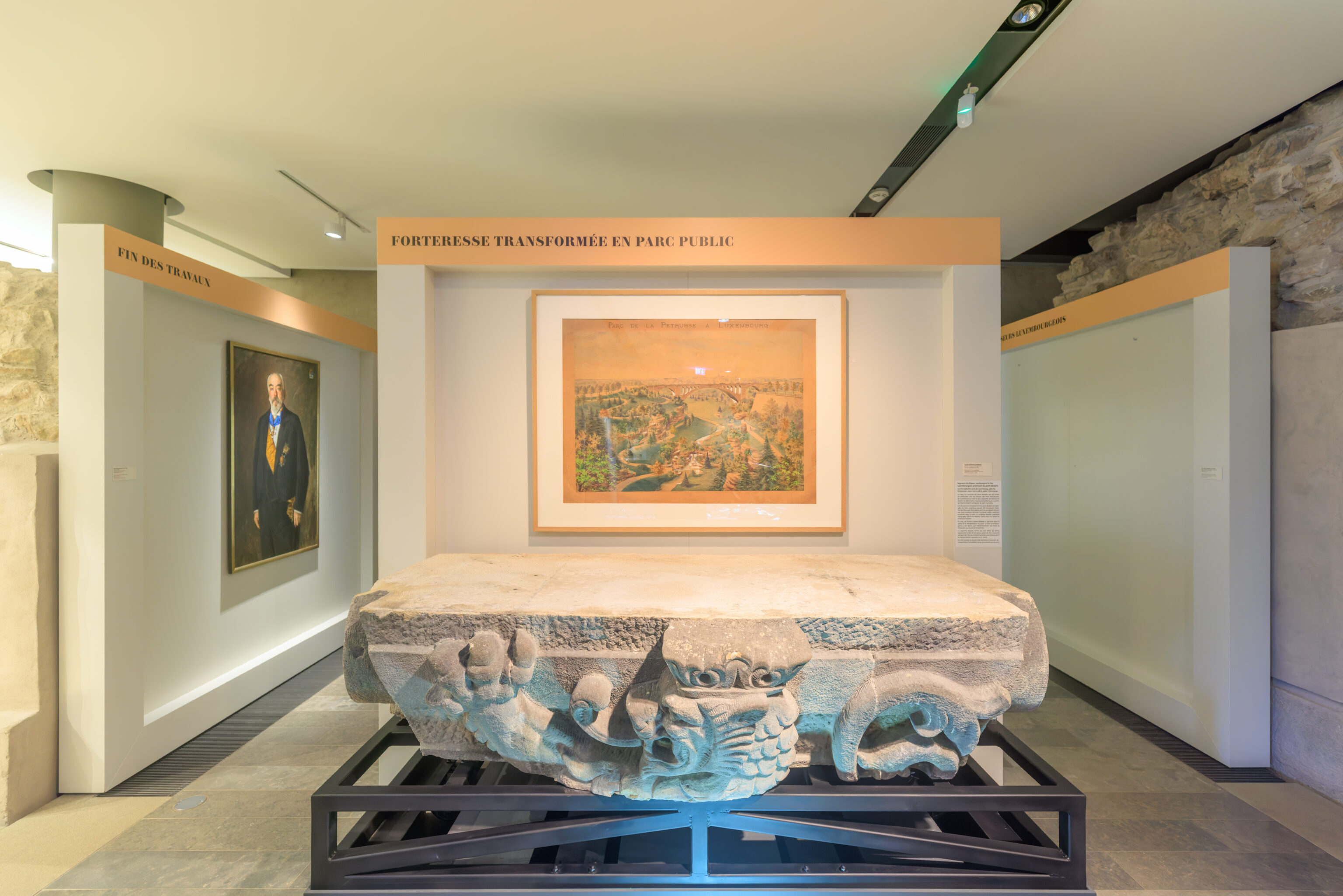
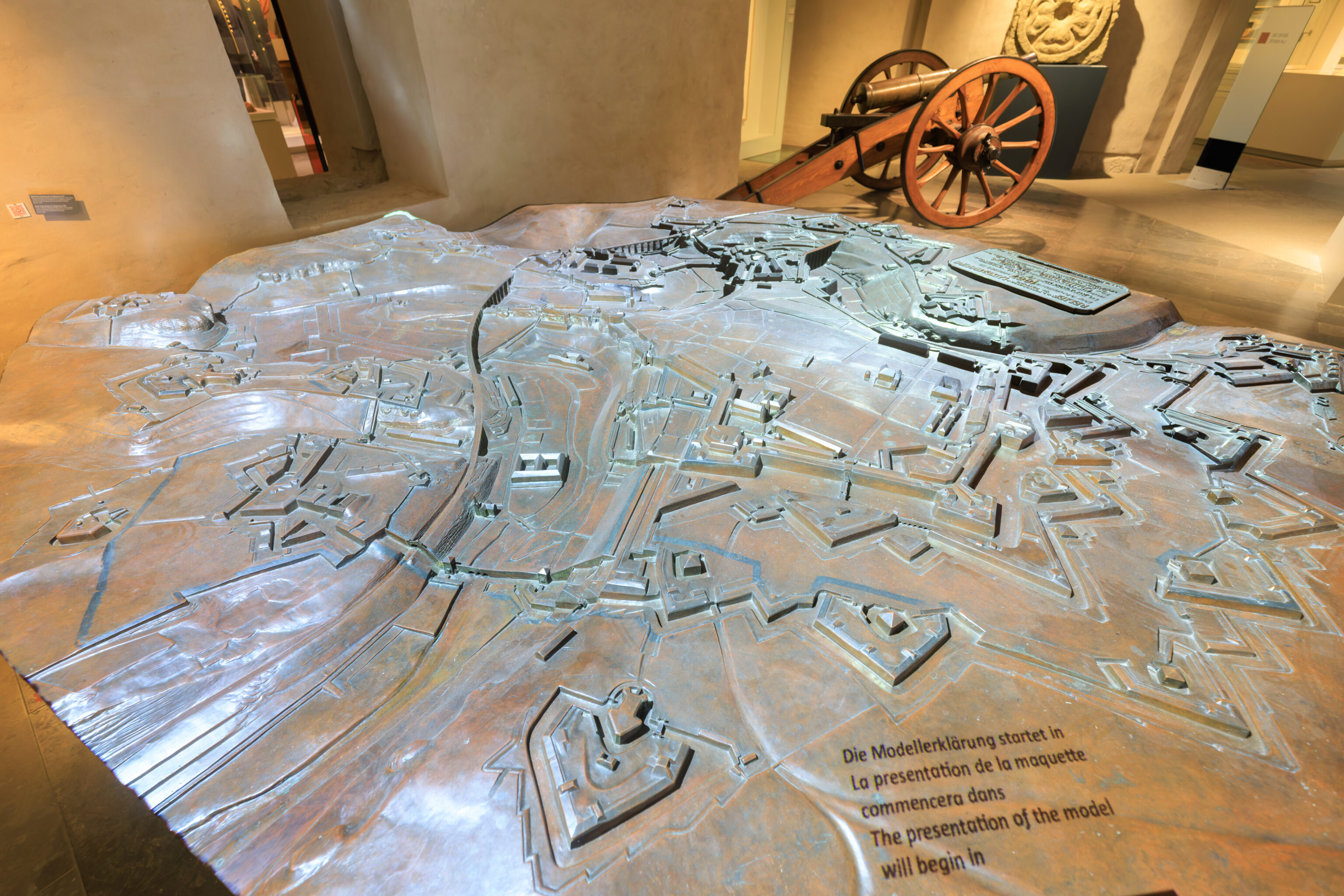
The model mentioned on the previous sign is possibly this one.
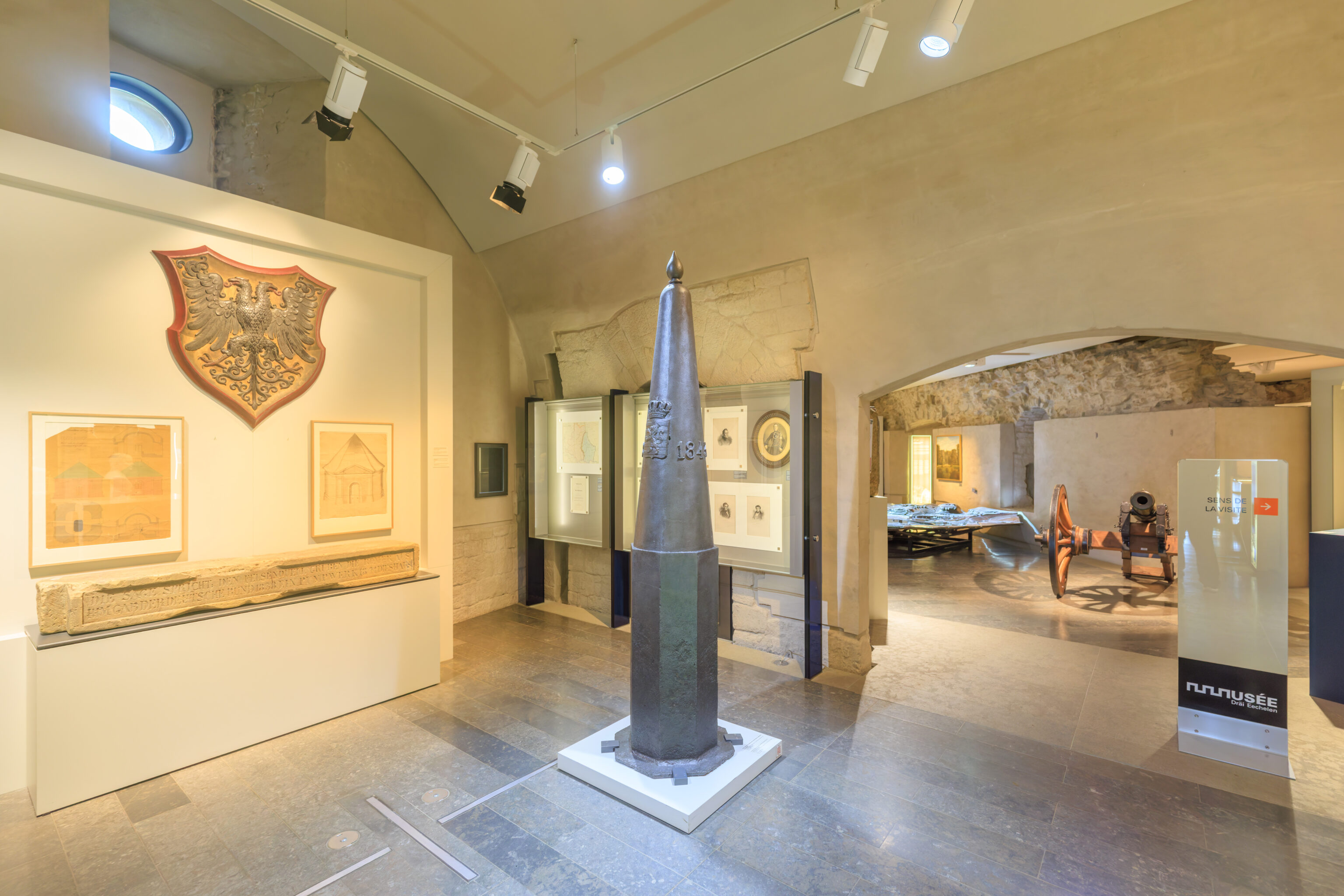
287 boundary markers were put in place after the Convention de limites of 1843
Société Cockerill, Liège
Cast iron, 1843
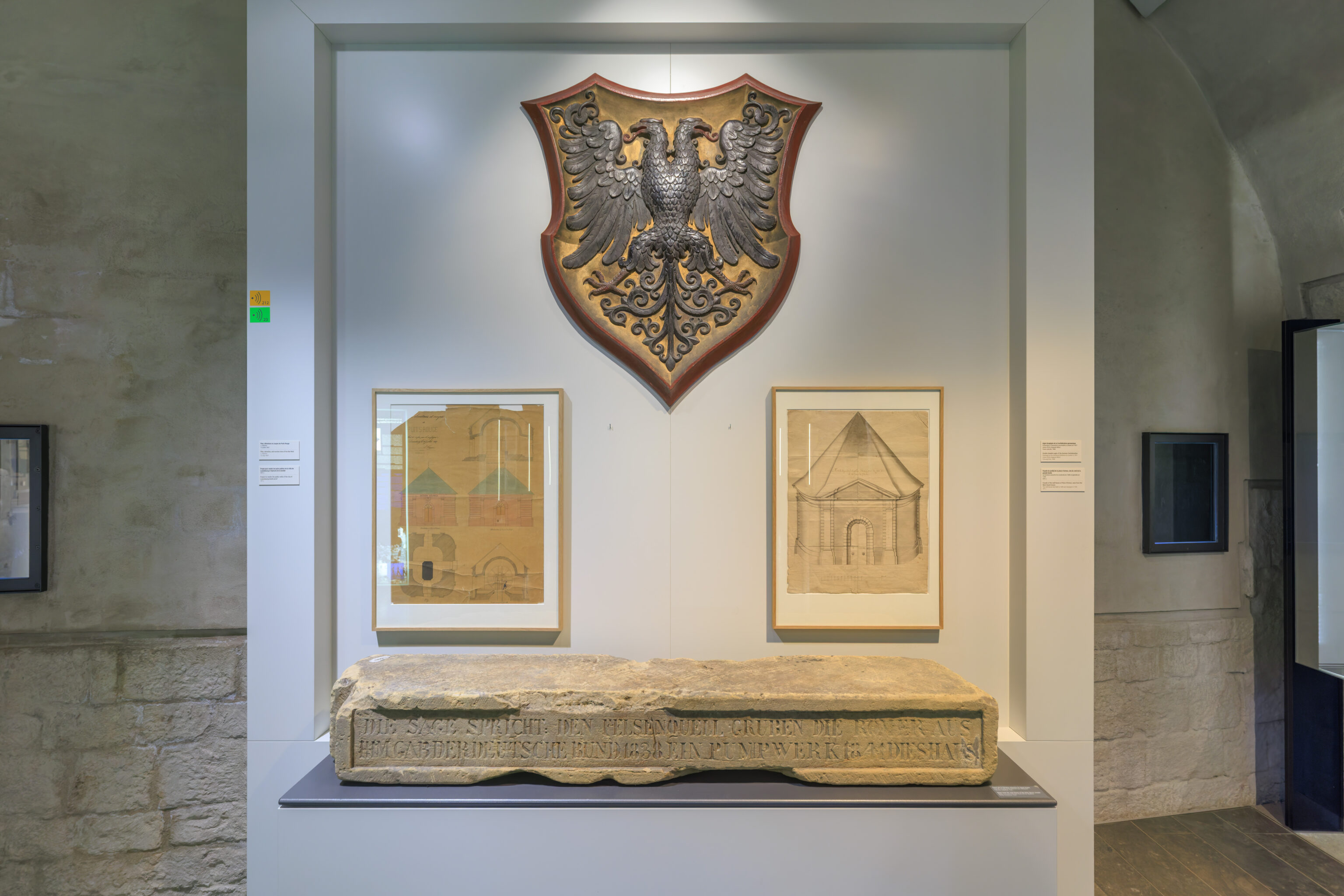
Displayed at the Universal Exhibition in London in 1851
Usine d’Eich (Auguste Metz)
Coloured iron, 1848
Facade of the well house at Place d’Armes, seen from the Main Guard-house
The well house was built in 1688 and enlarged in 1750
19th c.
After walking through the first floor, we took an elevator up to the 2nd floor.
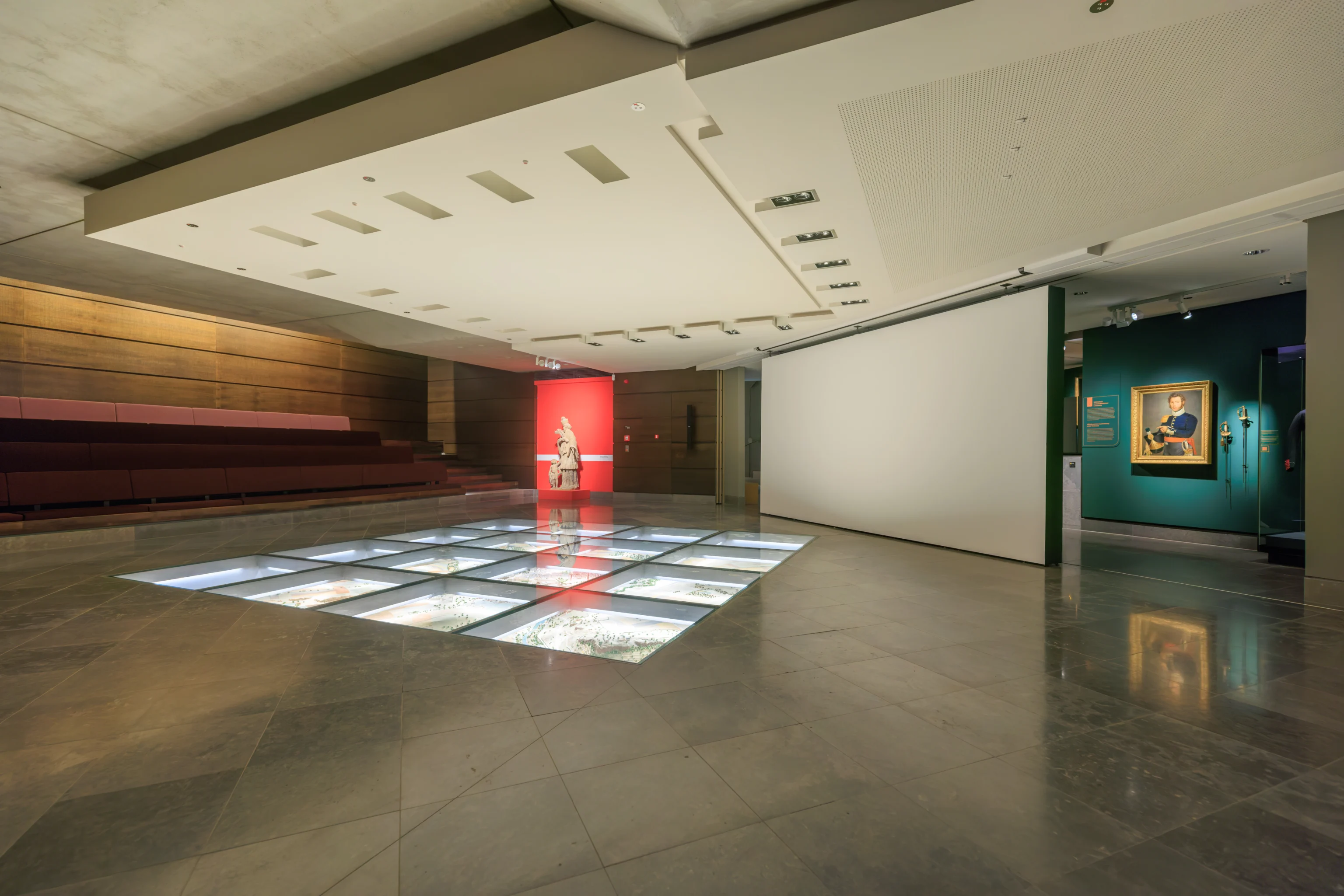
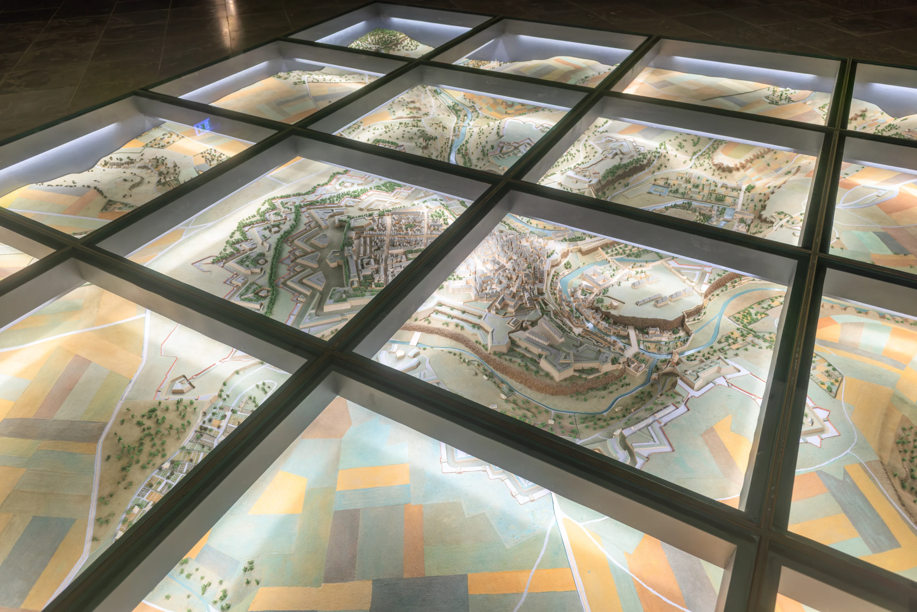
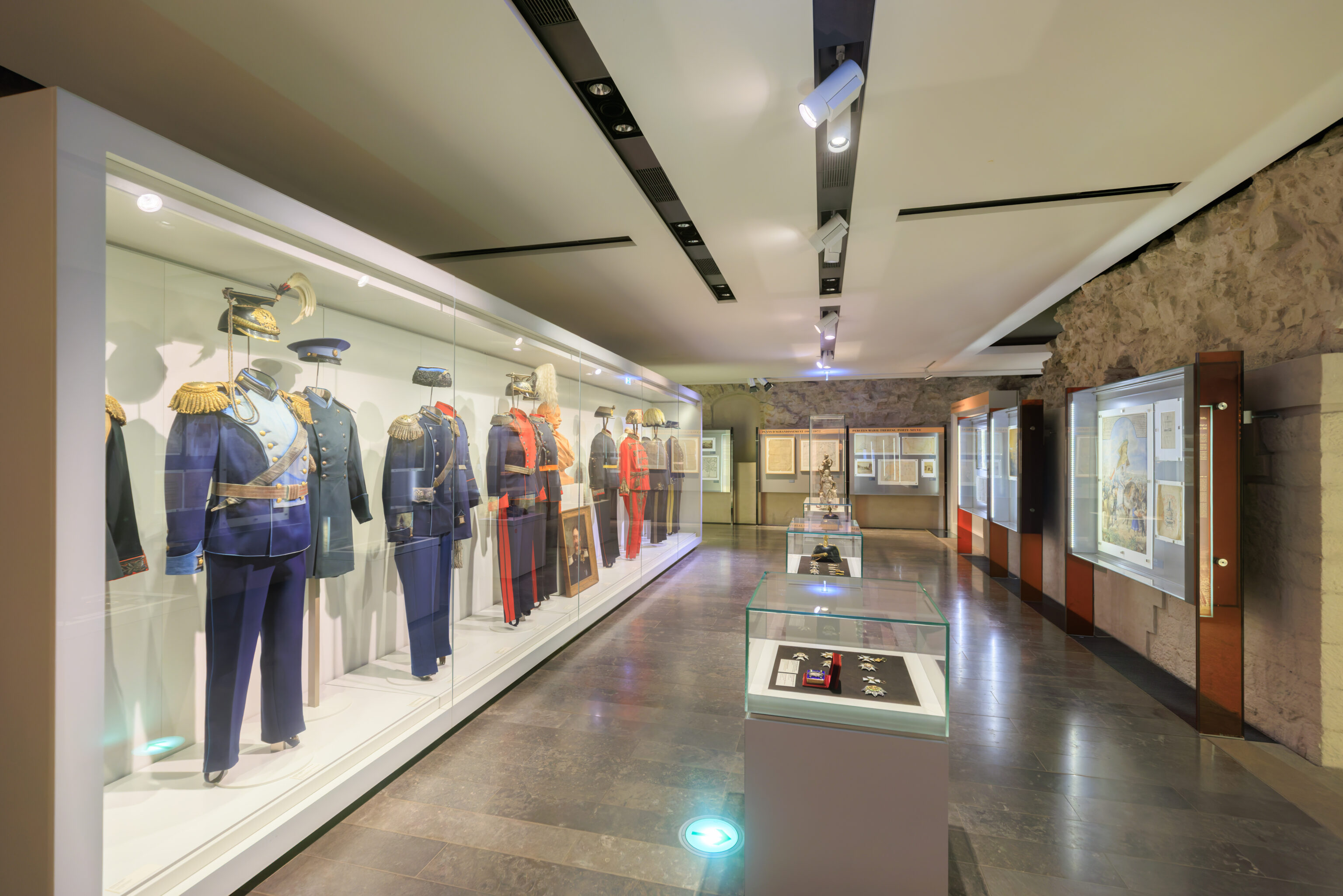
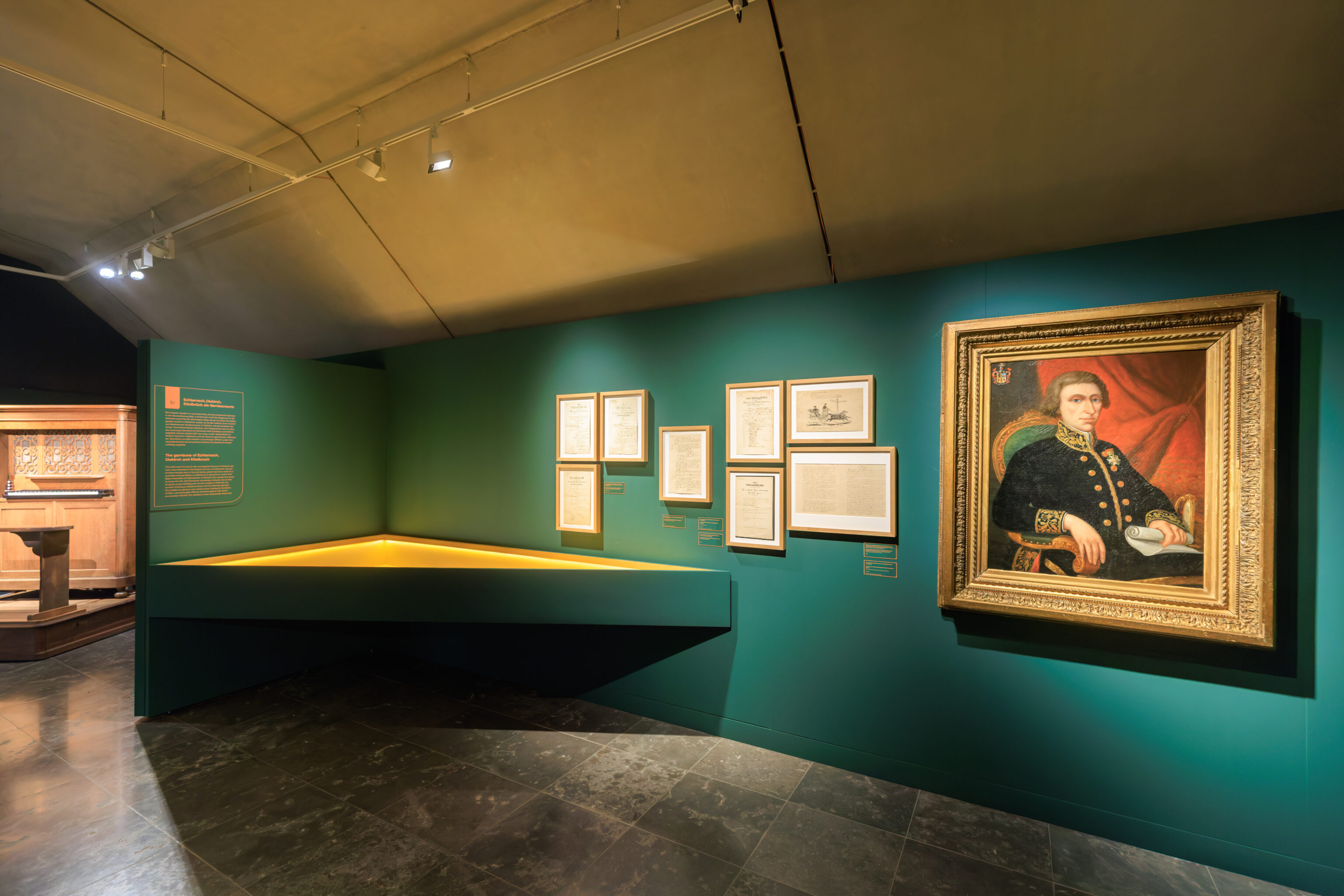
The first room we entered was basically an auditorium with a model of Luxembourg below glass floor panels. The next area of the museum contained an exhibition on the Luxembourg Federal Contingent, the military of Luxembourg that served in the German Confederation.
Luxembourg Federal Contingent
Military and Society in the 19th Century

Under the High Patronage of His Royal Highness the Grand Duke

Amidst a Europe marked by upheavals and wars, Luxembourg's national army was established on the orders of the Dutch King Grand Duke for the army of the German Confederation, which consisted of 39 "German" states and parts of Prussia and Austria. Recruiting, housing and equipping 1,600 soldiers, made up of Luxembourgish recruits under initially foreign officers, was difficult.

The career of officer Louis-Alphonse Munchen captured this turbulent time. He served in the Koninklijke Landmacht (1815-1839), the contingent for the German Confederation (1841-1866), the Chasseurs battalion of the neutralised Grand Duchy (1868-1881) and the newly created Corps des Volontaires (volunteers corps).
– German, French, and English text from a sign, French and German text translated using Google Translate.
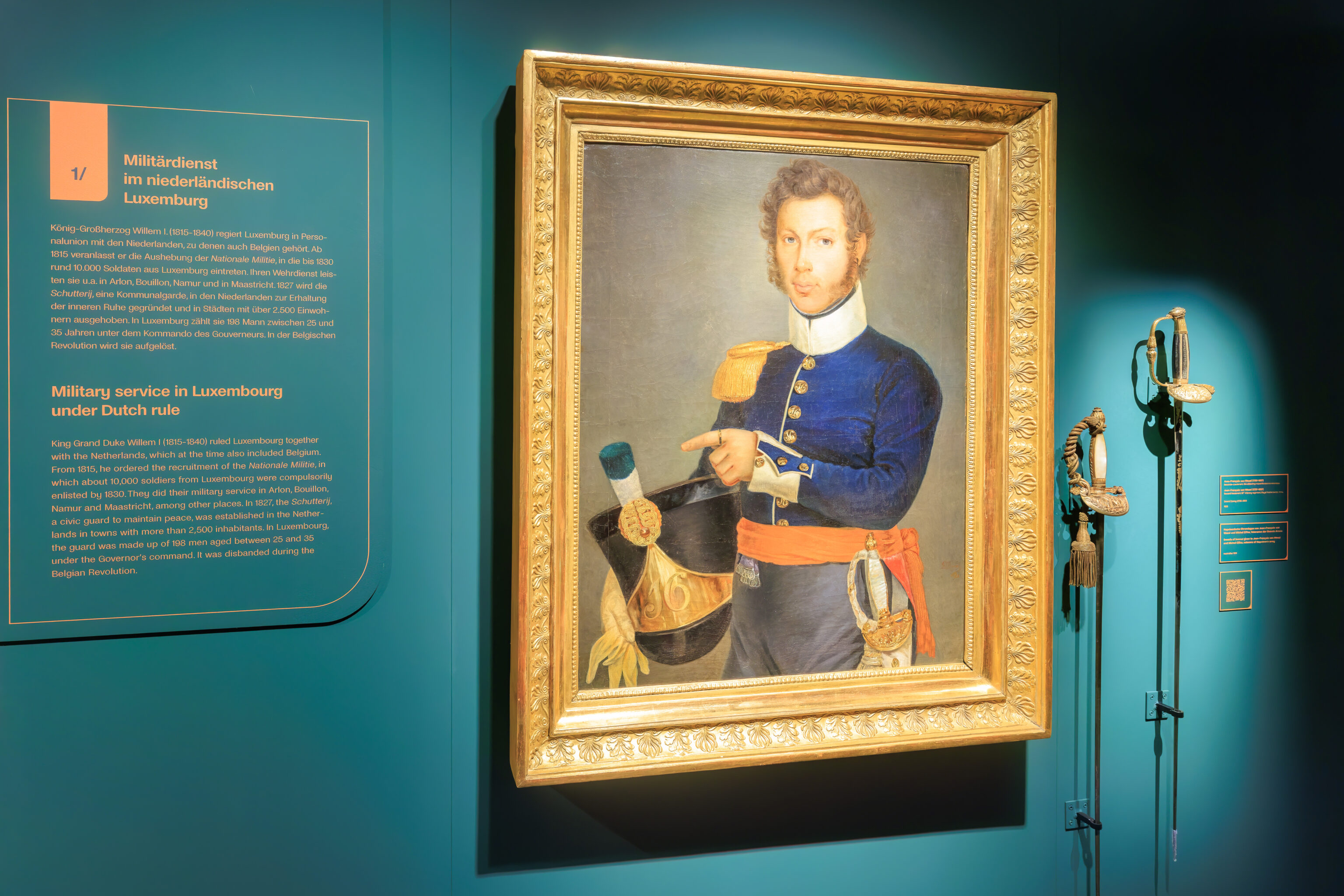
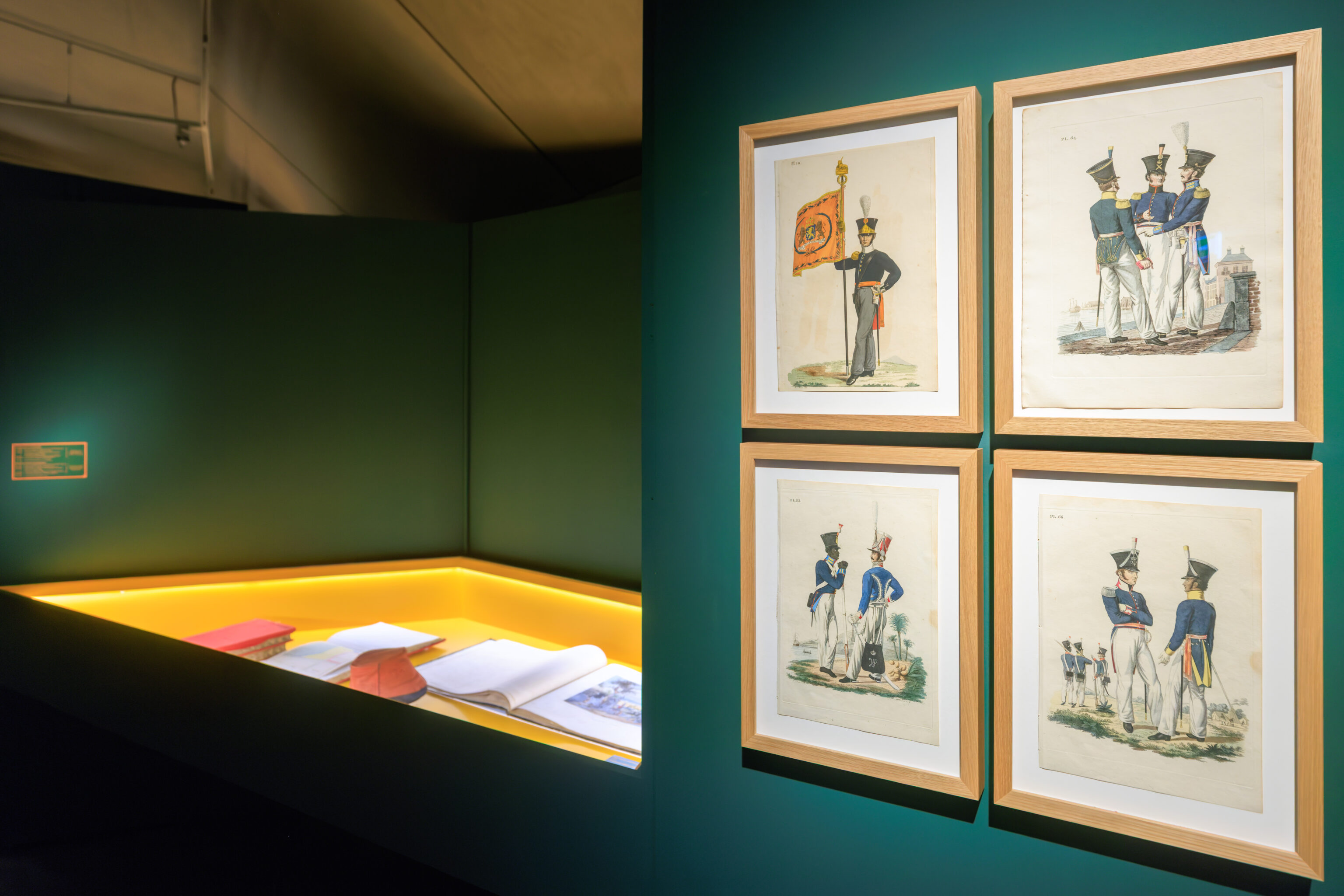
Military service in Luxembourg under Dutch rule
King Grand Duke Willem I (1815-1840) ruled Luxembourg together with the Netherlands, which at the time also included Belgium. From 1815, he ordered the recruitment of the Nationale Militie, in which about 10,000 soldiers from Luxembourg were compulsorily enlisted by 1830. They did their military service in Arlon, Bouillon, Namur and Maastricht, among other places. In 1827, the Schutterij, a civic guard to maintain peace, was established in the Netherlands in towns with more than 2,500 inhabitants. In Luxembourg, the guard was made up of 198 men aged between 25 and 35 under the Governor's command. It was disbanded during the Belgian Revolution.
– Text from on the wall in the photograph above.
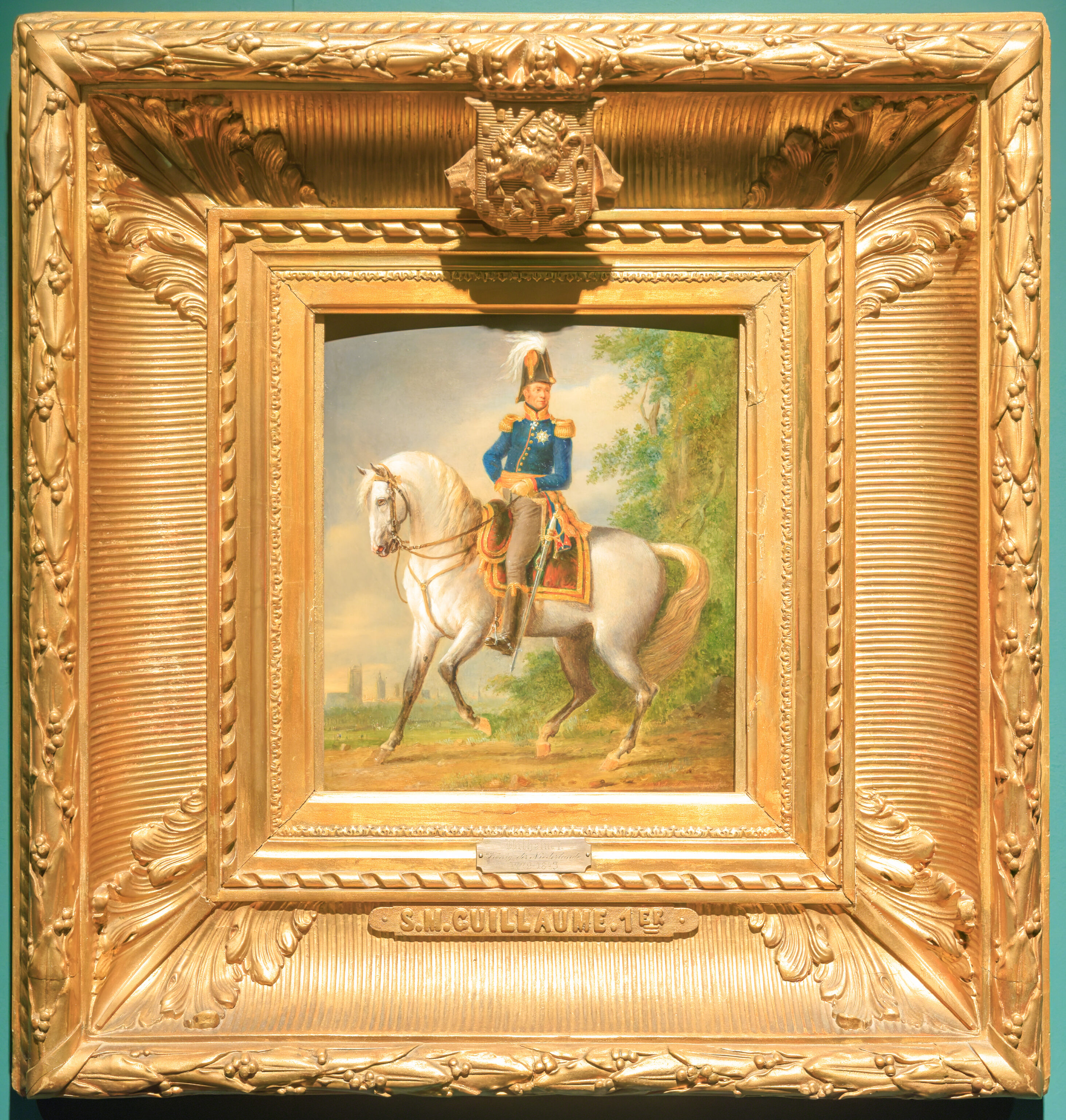
Eugène Joseph Verboeckhoven (1798-1881)
1822
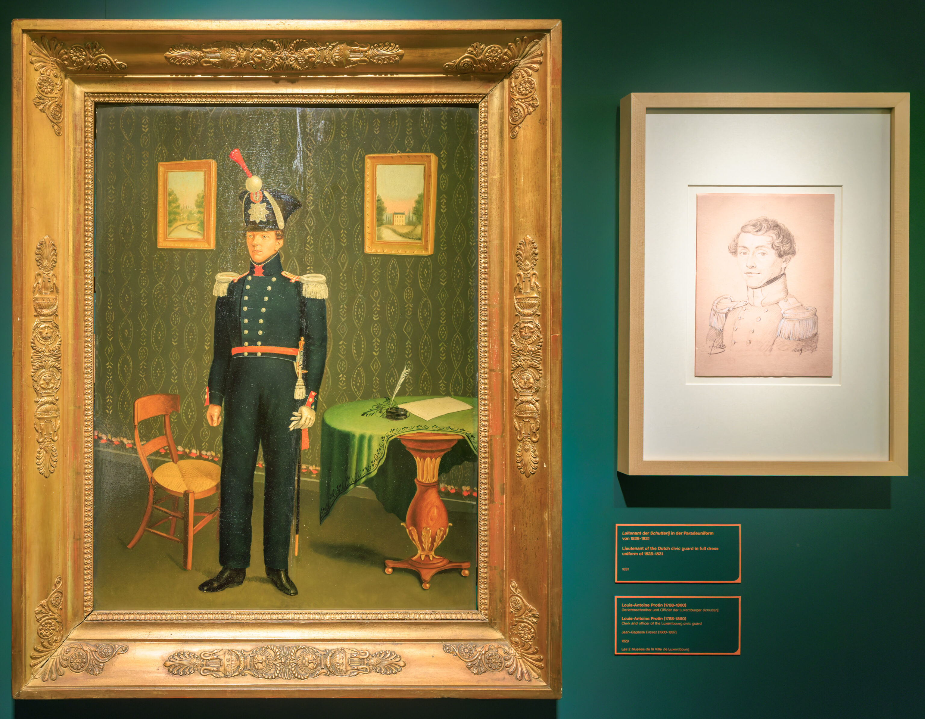
1831
Louis-Antoine Protin (1788-1860)
Clark and officer of the Luxembourg civic guard
Jean-Bapuste Fresez (1800-1867)
1829
Les 2 Musées de la Ville de Luxembourg
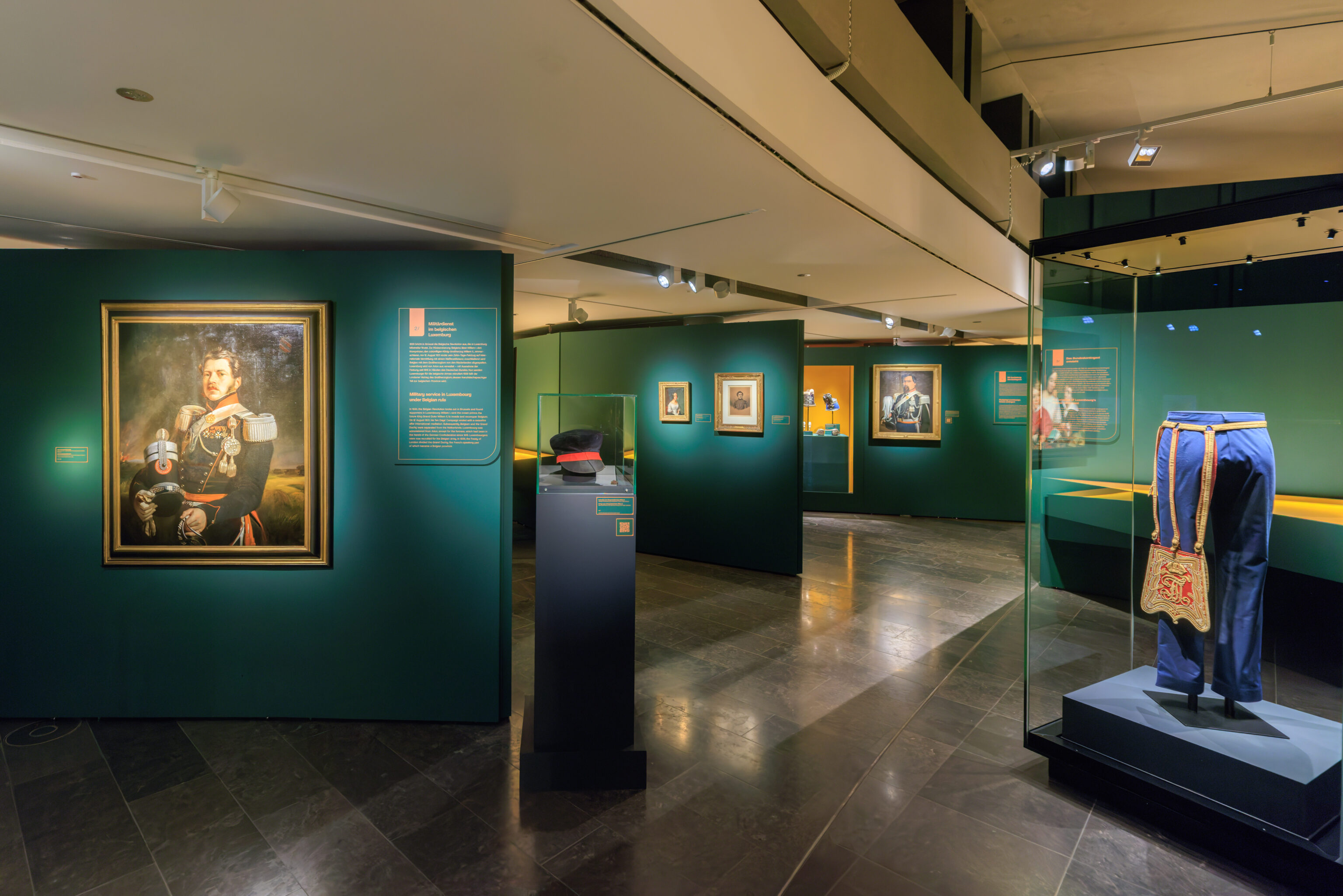
Military service in Luxembourg under Belgian rule
In 1830, the Belgian Revolution broke out in Bruscels and found supporters in Luxembourg. Willem L sent the crown prince, the future King Grand Duke Willem il, to invade and reconquer Belgium, On 12 August 1891, his Ten Days' Campaign ended with a ceasefire after international mediation.Subsequentiy, Belgium and the Grand Duchy were separated from the Netherlands. Luxembourg was administered from Arton, except for the fortrese, which had been in the hands of the German Confederation since 1815. Luxembourgers were now recruited for the Belgian army. In 1839, the Treaty of London divided the Grand Duchy, the French-speaking part of which became a Belgian province.
– Text on the wall in the photograph above.
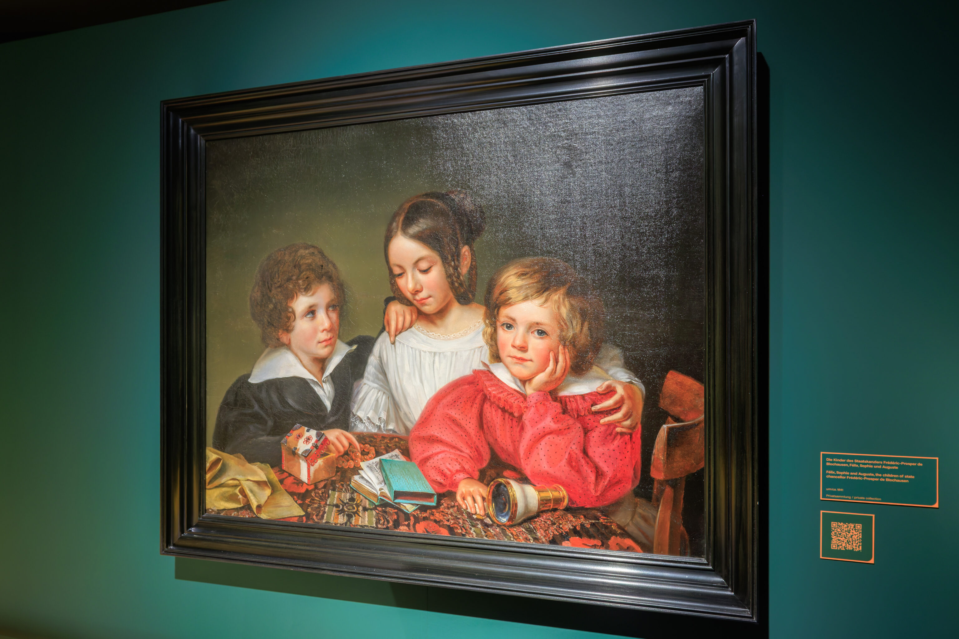
um/ca. 1841
Privatsammlung / private collection
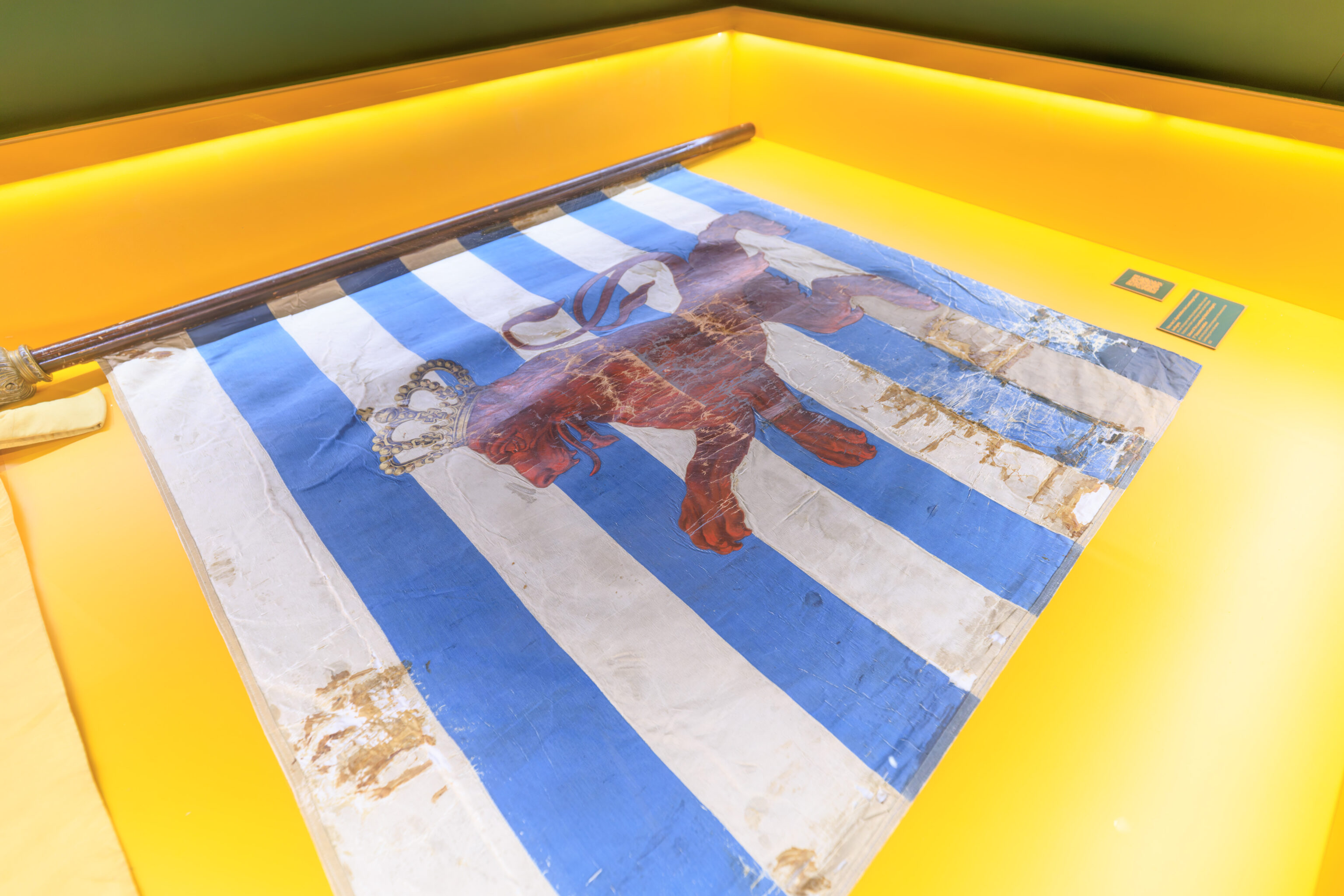
with the King Grand Duke’s monogram on the averse and the Luxembourg Lion on the reverse
1850
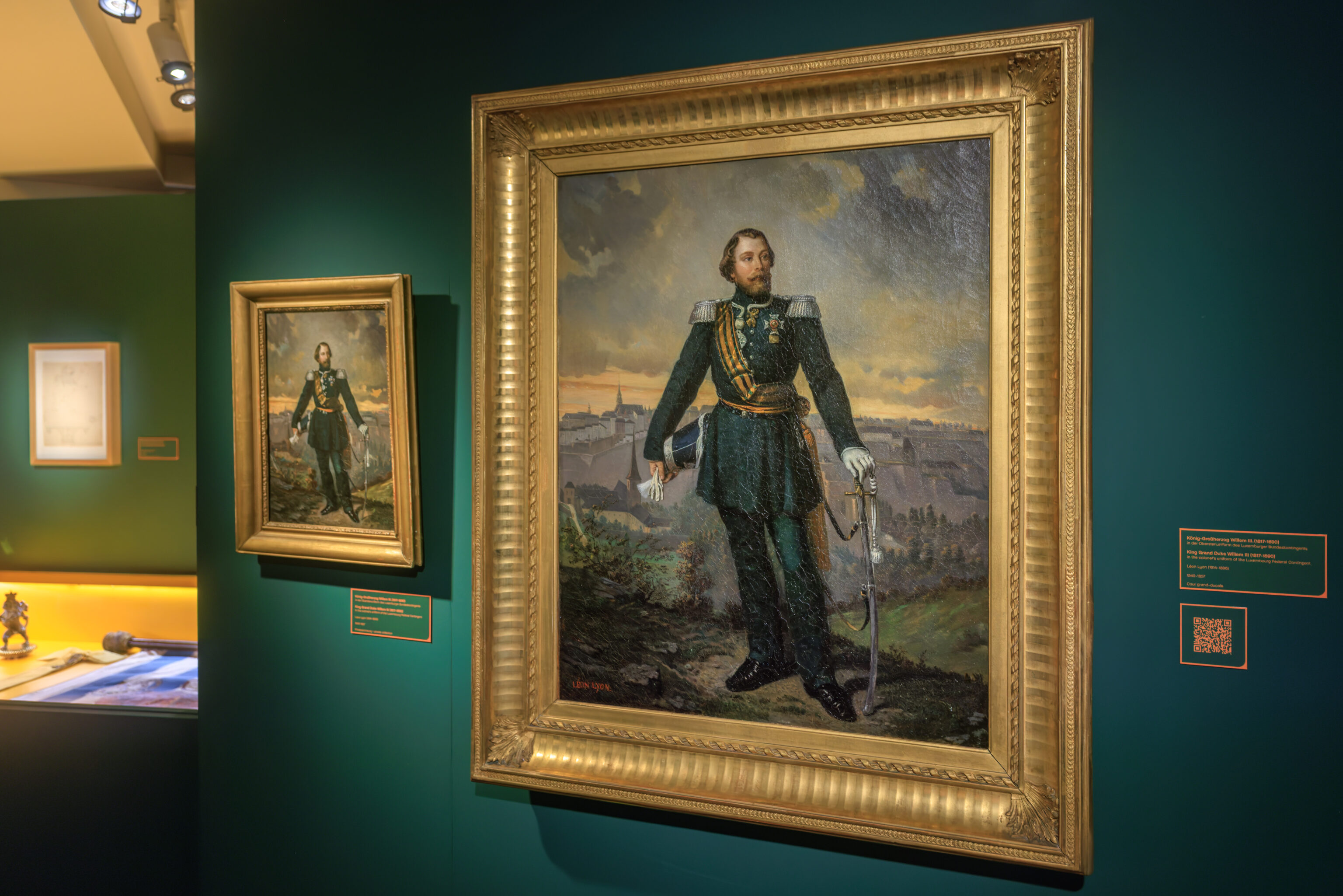
in the colonel’s uniform of the Luxembourg Federal Contingent
Leon Lyon (1614-1806)
1849-1857
Cour grand-ducale
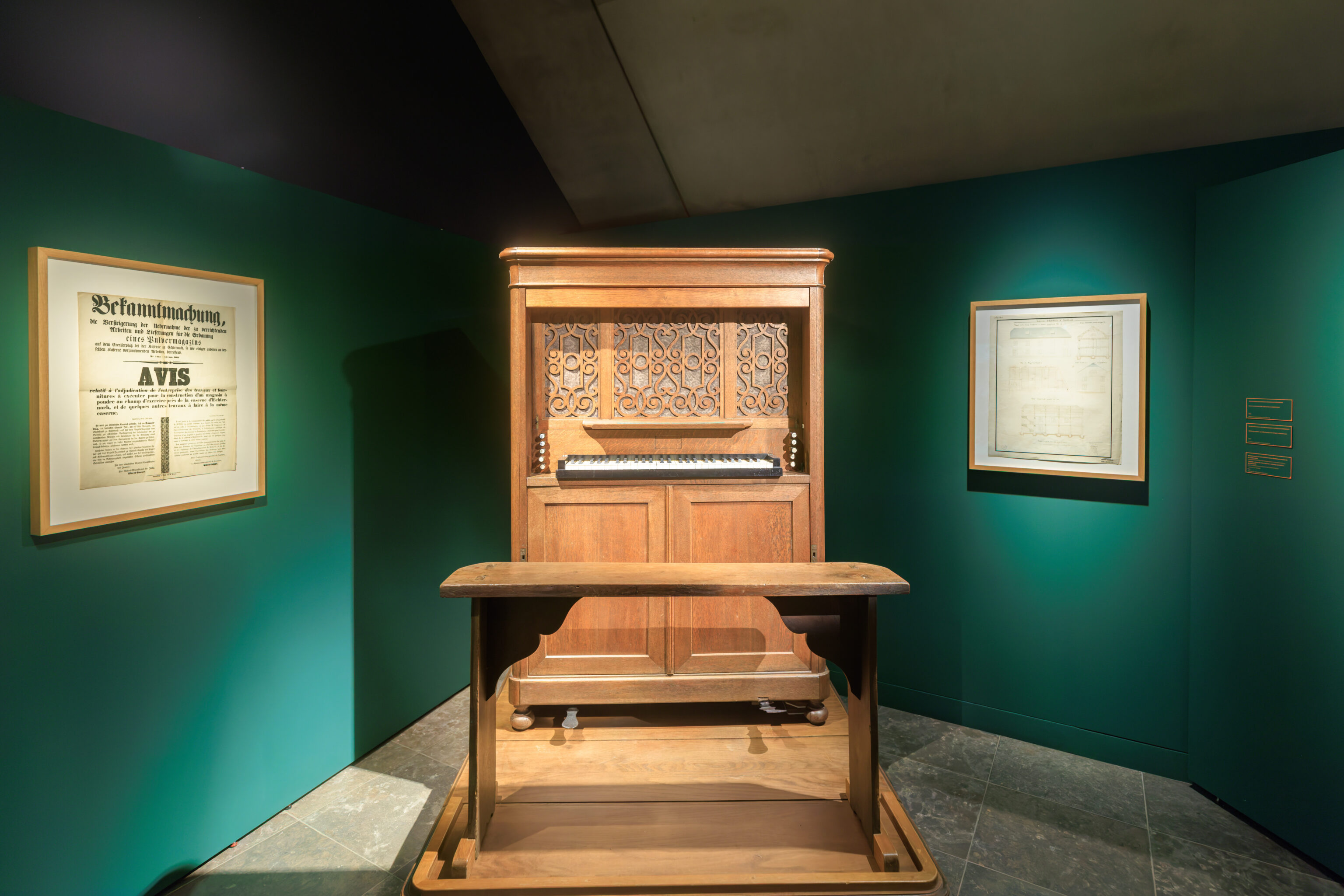
given to the garrison by King Grand Duke Willem II
J. Bätz & Co., Utrecht
1846
Paroisse St. Willibrord Echternach
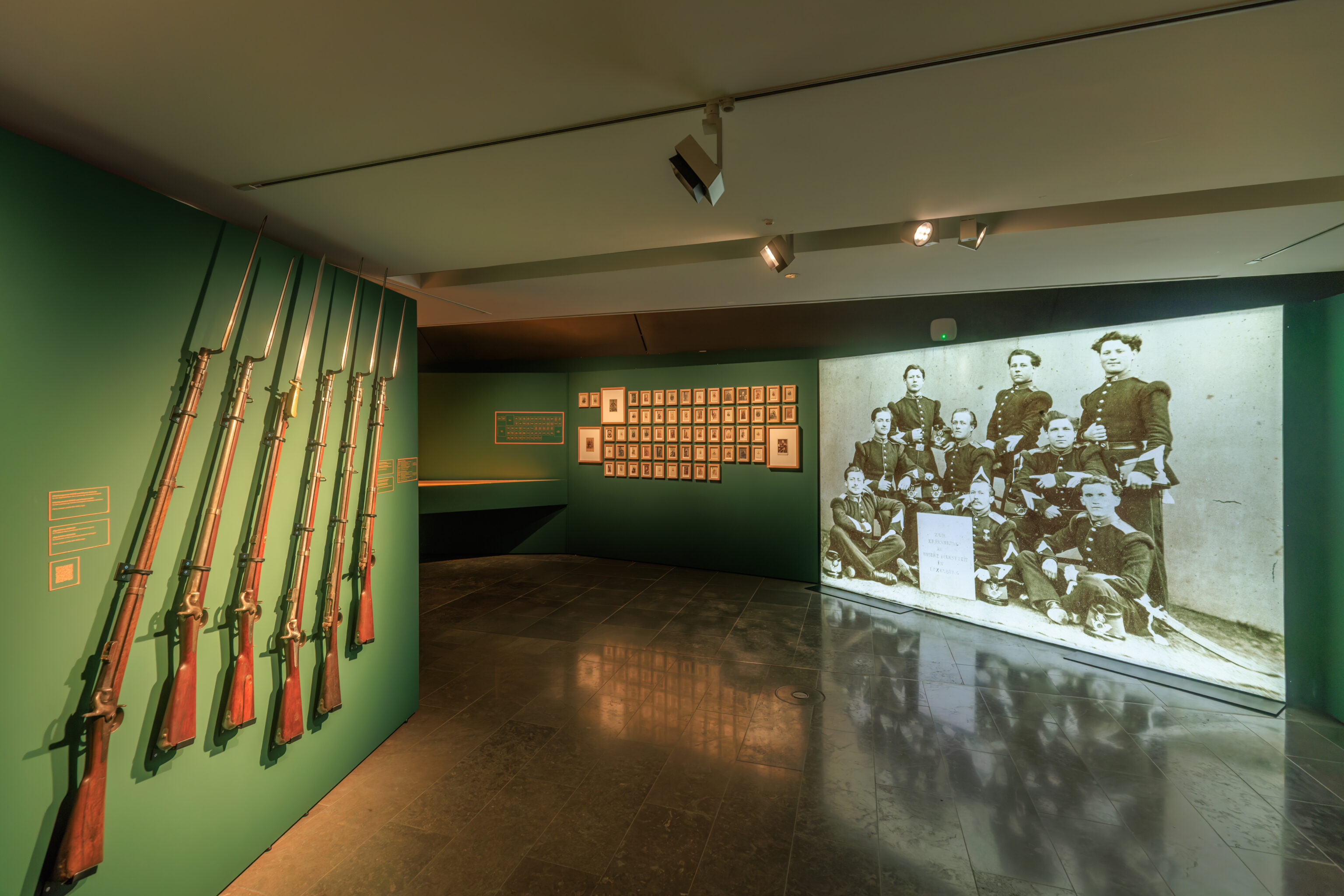
Luxembourg's contingent in the German Confederation
On 2 April 1849, King Grand Duke Willem III (1849-1890) recalled the troops under the Luxembourgish commander Pierre Mertens and a Luxembourgish officer corps. In 1846, 1853, 1858 and 1863, the contingent was inspected by three generals of the Confederation during manoeuvres on the Beaufort heights between the garrisons of Echternach and Diekirch. This was also where the war council was held. In the event of war, the Chasseurs battalions were to reinforce the garrison of the federal fortress, carry out reconnaissance missions in the countryside and patrol the outskirts of the fortress. Due to the Confederation's mutual defence guarantee 800 Chasseurs were meant to be deployed against the Danish army in the 1st Schleswig War in 1849.
– Text on a wall.
Luxembourg's contingent is neutralised
In 1866, the Austro-Prussian War broke out. Adolph, Duke of Nassau, who would later become Grand Duke of Luxembourg, supported the Austrian Empire in this war. The federal states took sides and provided military support. Only Luxembourg and Limburg remained neutral. Prussia's victory put an end to the German Confederation. The federal contingent became obsolete, but the two Chasseurs battalions continued to exist. The Treaty of London of 11 May 1867 declared the country neutral, required the fortress to be dismantled and the Prussian garrison to withdraw.
– Text on a wall.
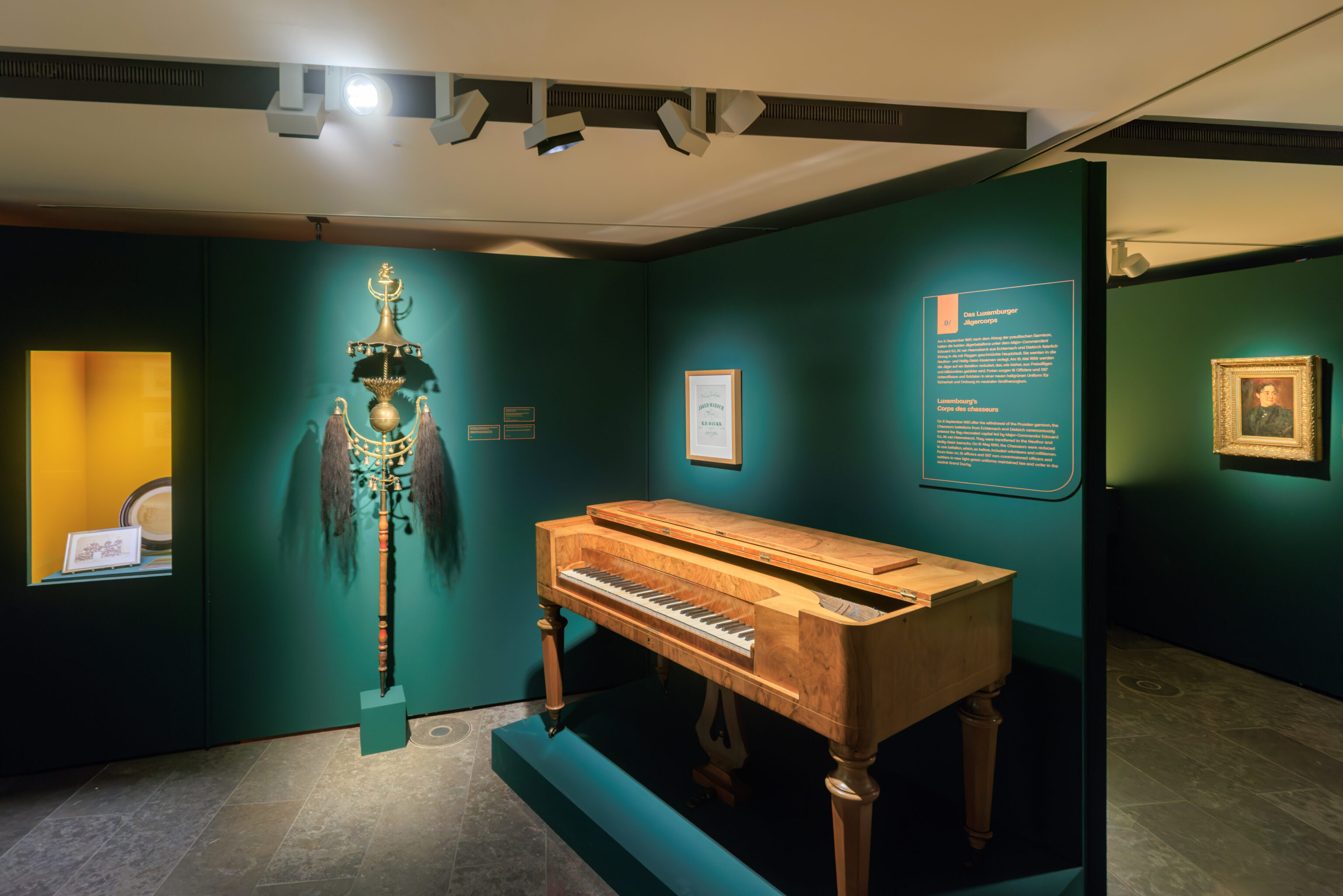
Luxembourg's Corps des chasseurs
On 9 September 1867, after the withdrawal of the Prussian garrison, the Chasseurs battalions from Echternach and Diekirch ceremoniously entered the flag-decorated capital led by Major-Commandor Edouard G.L.W. van Heemskerck. They were transferred to the Neuthor and Heilig-Geist barracks. On 18 May 1868, the Chasseurs were reduced to one battalion, which, as before, included volunteers and militiamen. From then on, 18 officers and 587 non-commissioned officers and soldiers in new light-green uniforms maintained law and order in the neutral Grand Duchy.
– Text on the wall in the photograph above.
The first officers of the Corps des gendarmes et volontaires
On 16 February 1881, the militia was abolished - 11.555 Luxembourgers had been conscripted since 1840 - and the armed forces were reorganised on the Heilig-Geist-Plateau into a corps of gendarmes and volunteers under a single command. Louis-Alphonse Munchen resigned on 7 March, but suddenly died on his last day in service. Many officers and soldiers hardly noticed the transition from the federal contingent's Chasseurs battalions to the single battalion of the Corps des chasseurs and the Corps des volontaires. They continued to enlist for military service, which led to careers spanning half a century. In 1891, Adolph of Nassau succeeded Willem Ill as Grand Duke of Luxembourg (1890-1905) and became commander-in-chief of Luxembourg's armed forces.
– Text on a wall.
After walking through the exhibition, we tried to find the route up as there is supposed to be an outdoor rooftop area. We ended up asking one of the staff on the first floor. They said the only way to access the rooftop is via the same set of stairs that is used to access the bag storage room.
Also, they would not allow us just to walk out of the museum space, into the lobby, and up the stairs. They said it was not allowed for some unknown reason. Instead, one must go to the far end of the museum, take the elevator down underground, then walk back, and take the stairs up. It probably doesn’t help that in general, Europe does not seem to have any real accessibility requirements. As terrible as the US often is, the ADA was fantastic legislation.
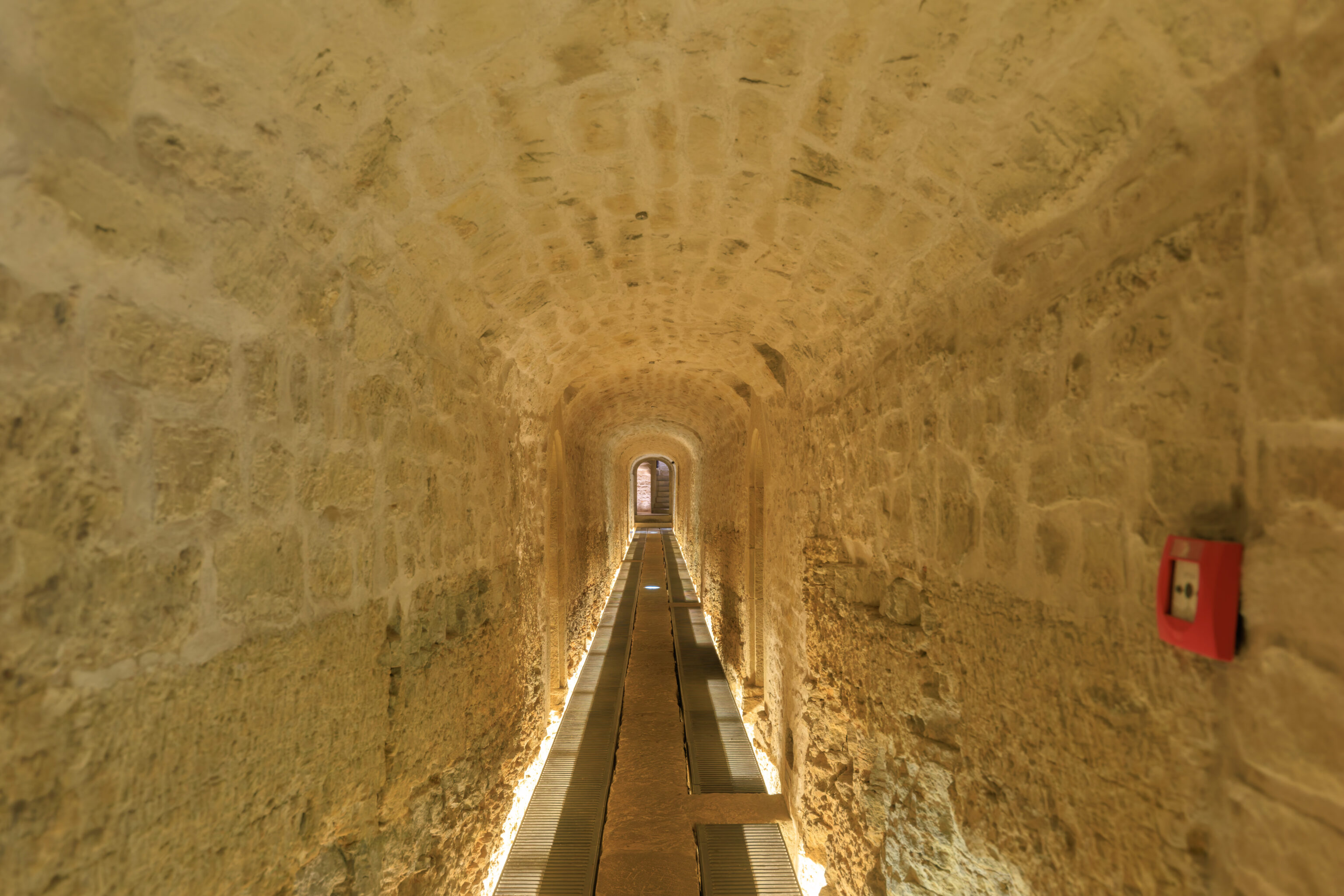
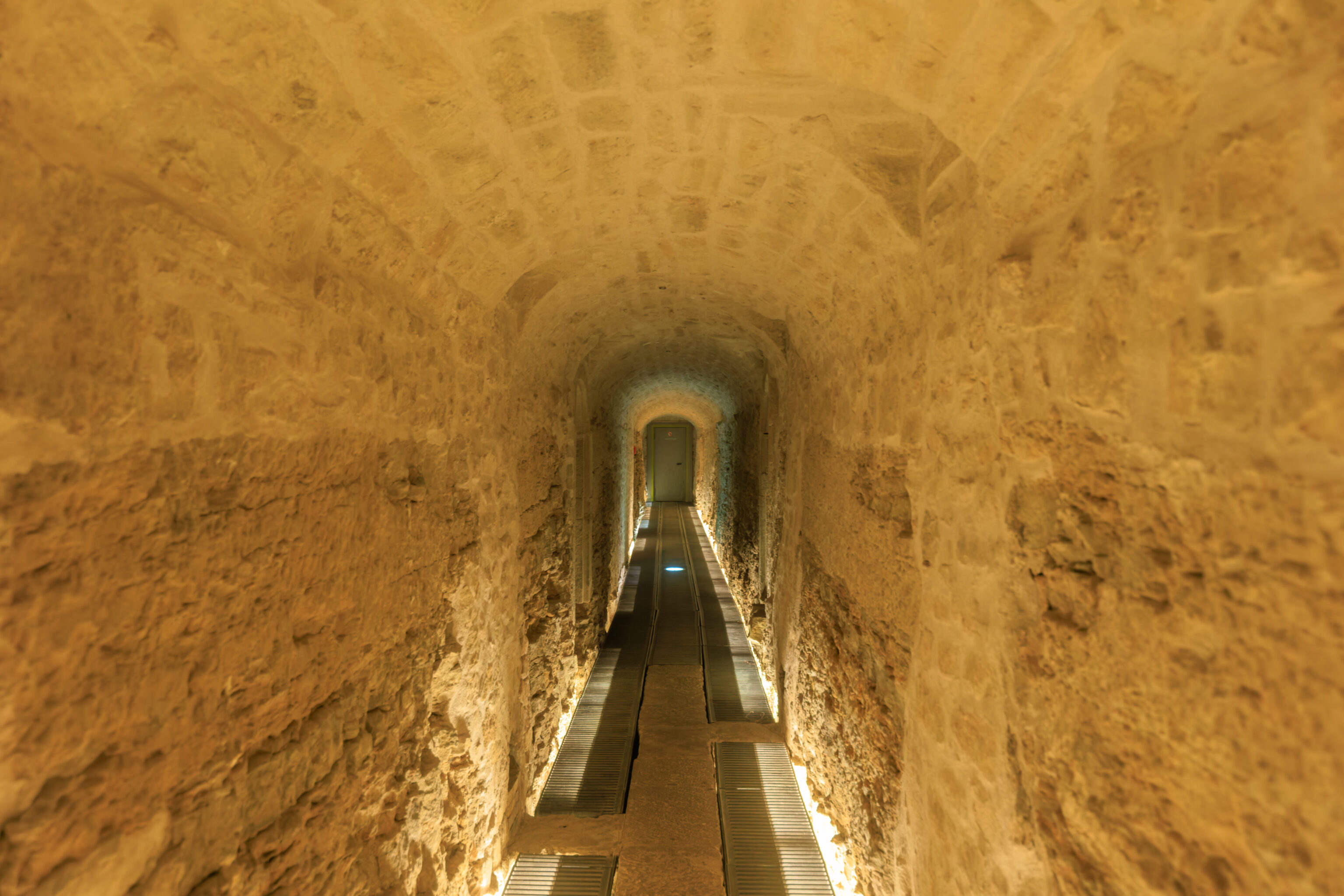
So, having no choice other than just walking past them and risking arrest, or whatever would happen here, we took the elevator downstairs. The underground area seems to just consist of a tunnel that runs between the opposite ends of the museum. There is probably more here but it was all closed off.
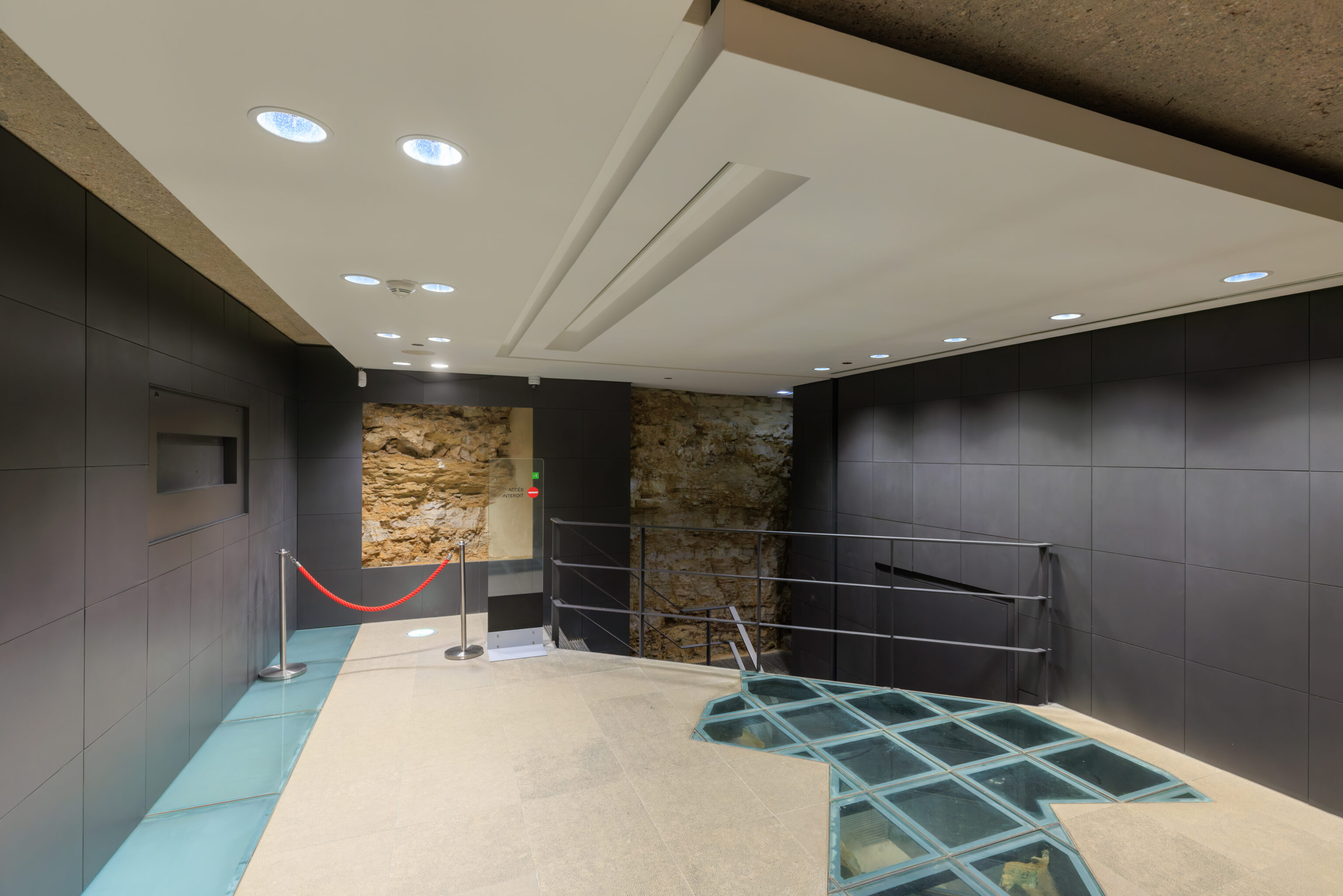
An inaccessible area. After going upstairs, it turns out that the access door was actually closed. So I had to go back down to the first floor to ask them to open it.
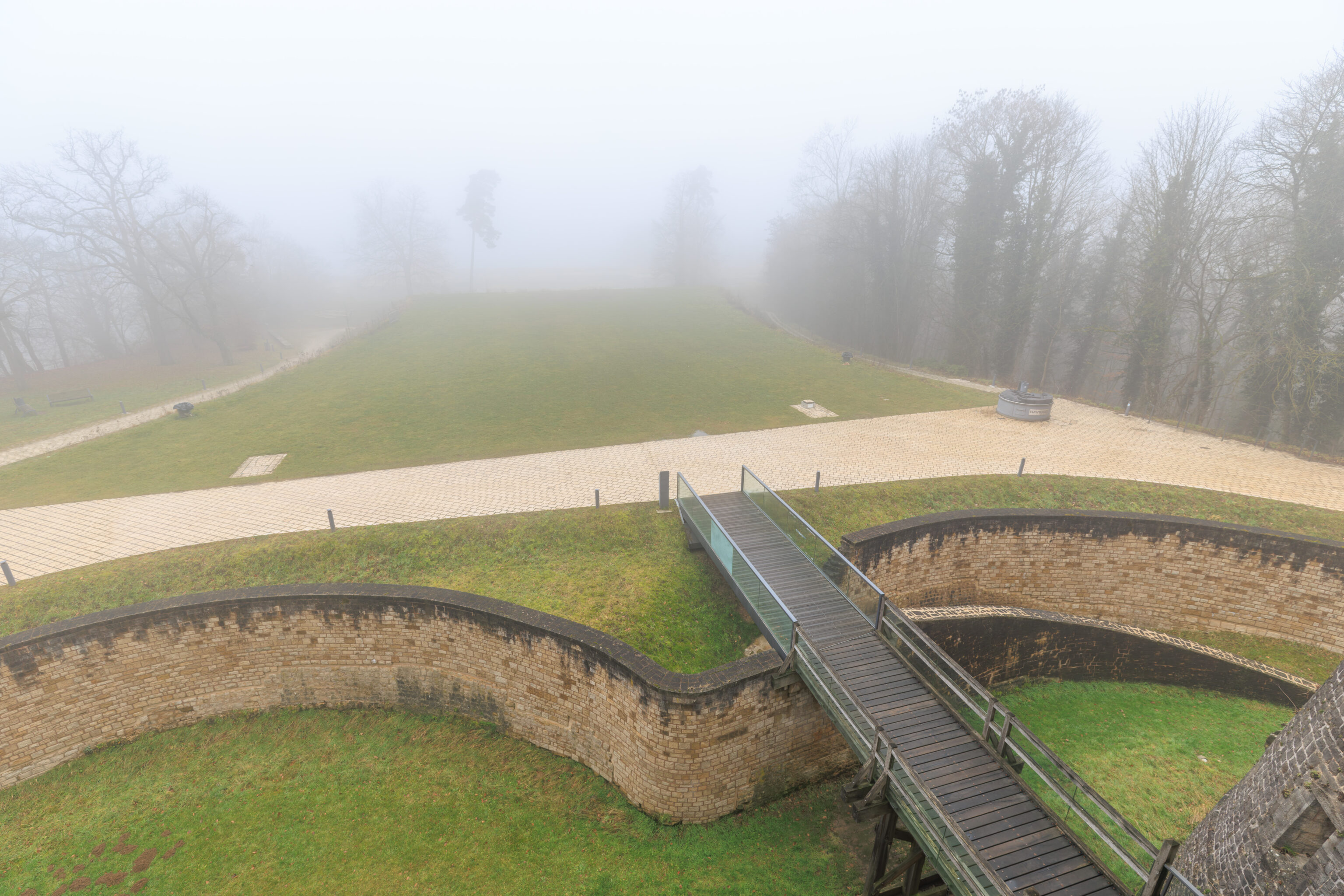
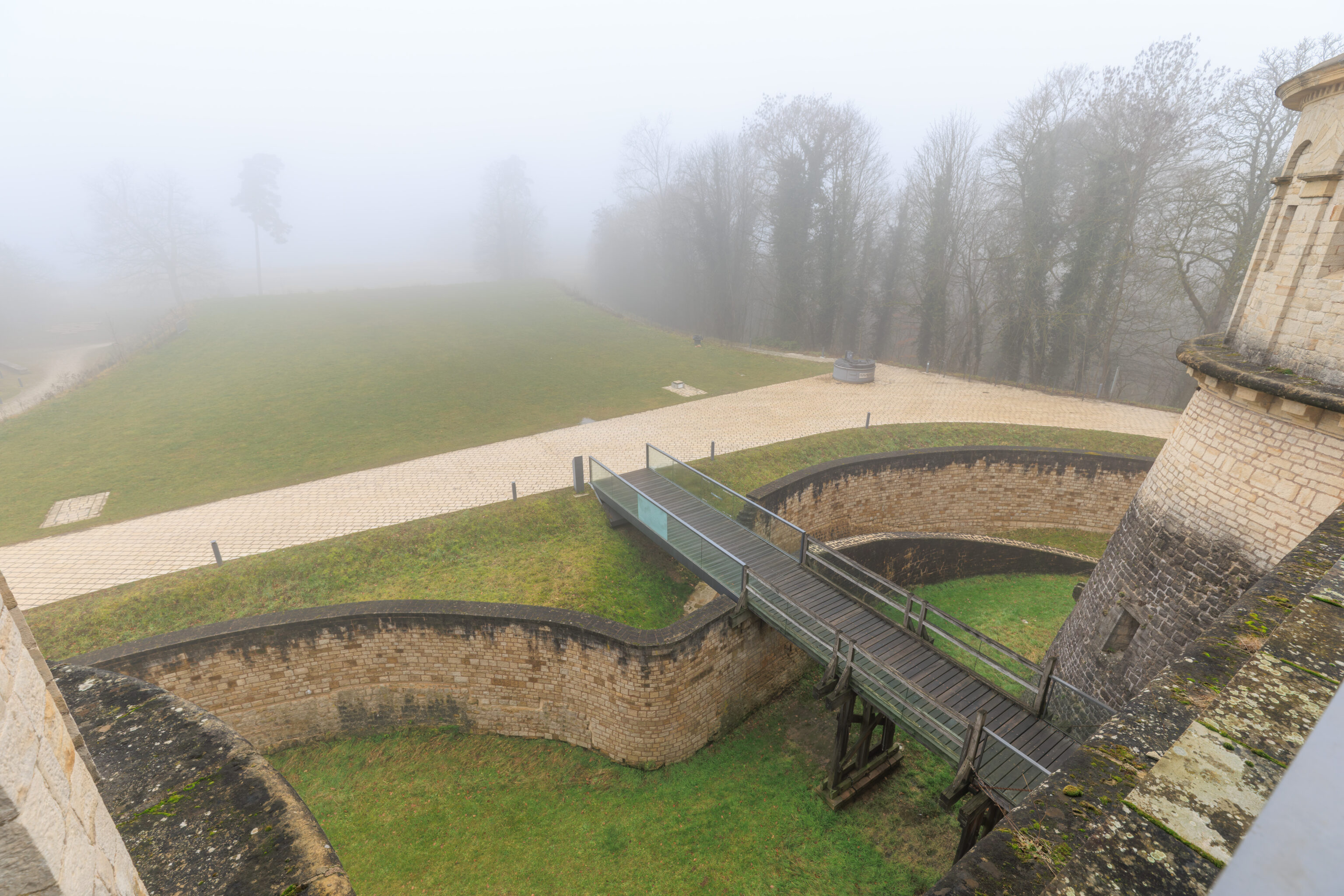
It was still quite foggy outside.
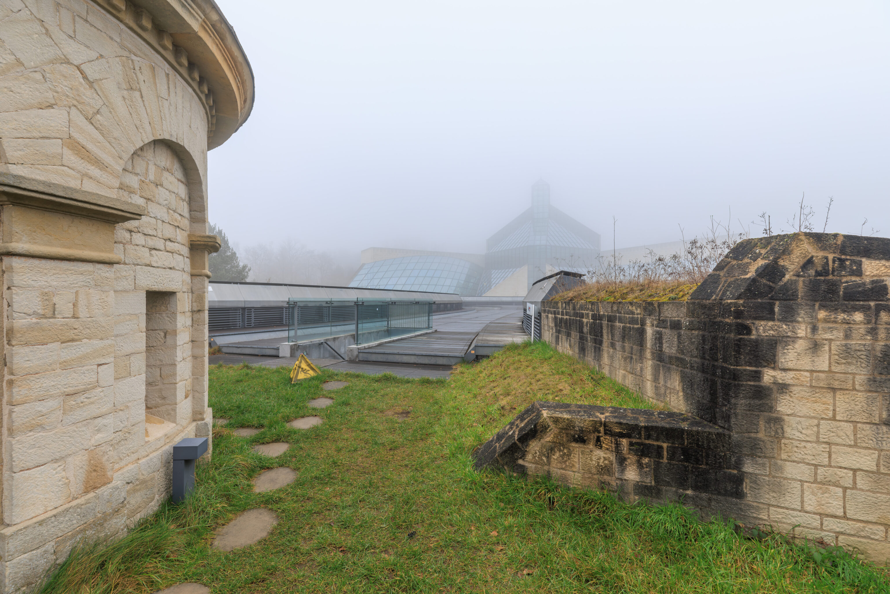
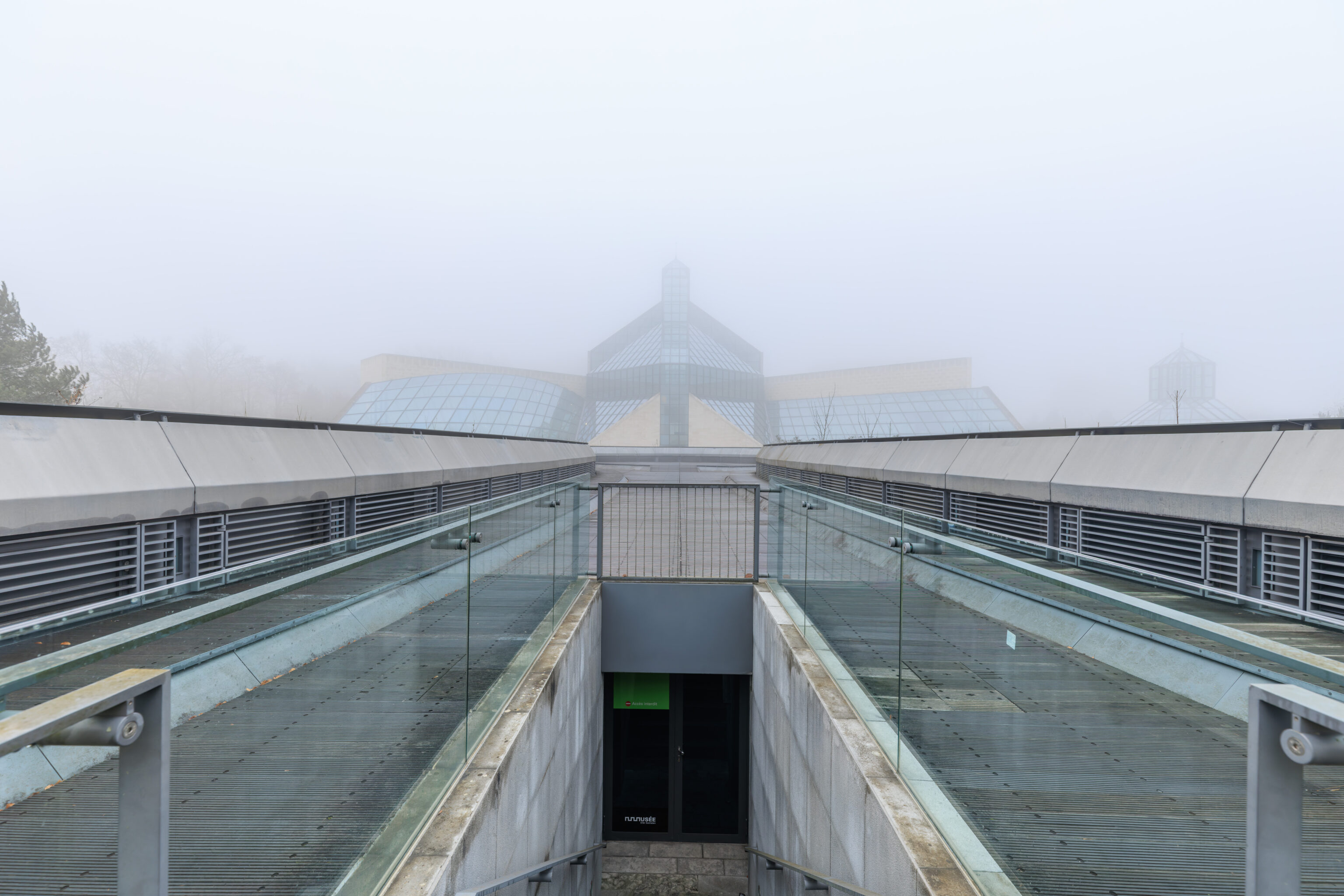
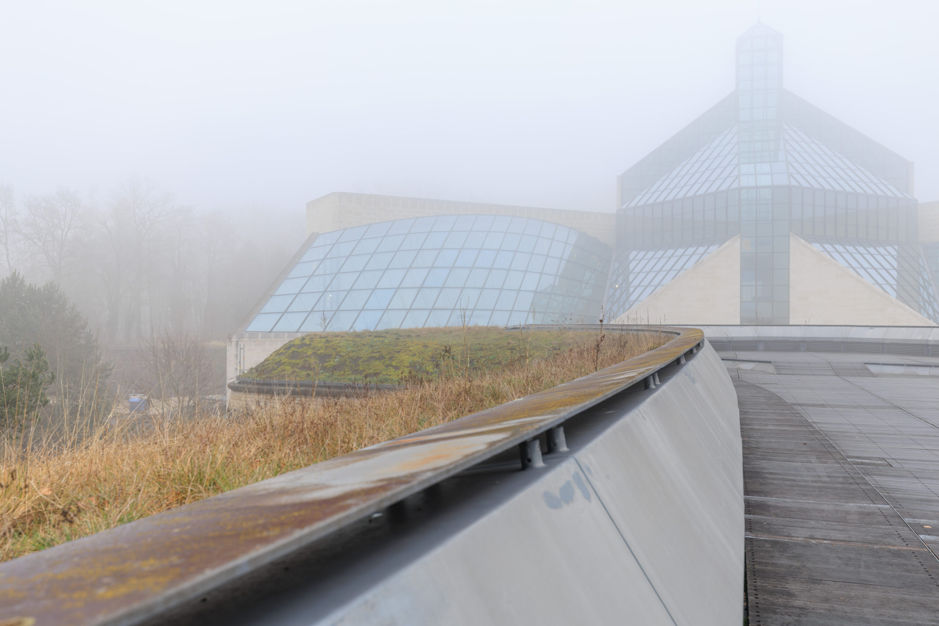
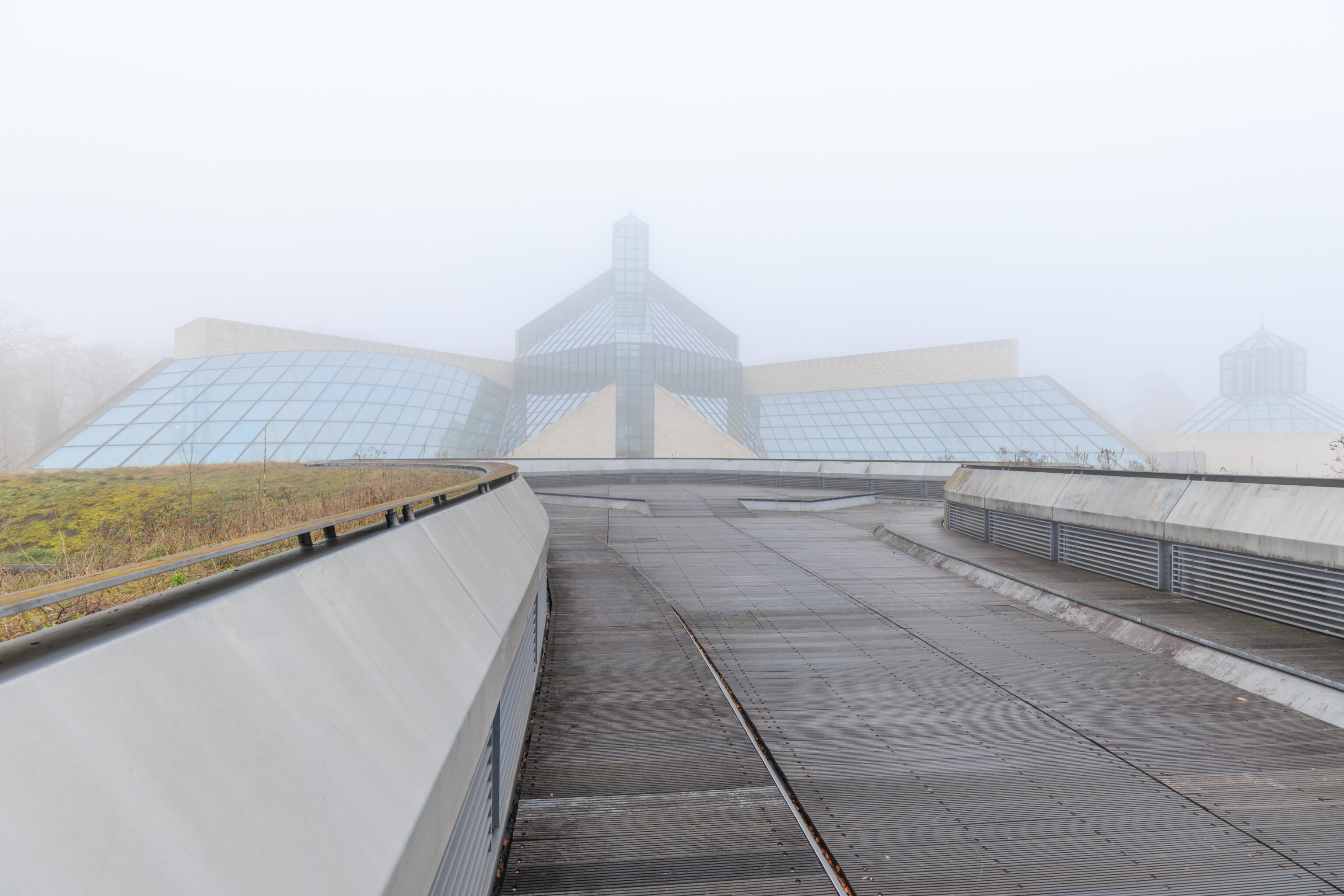
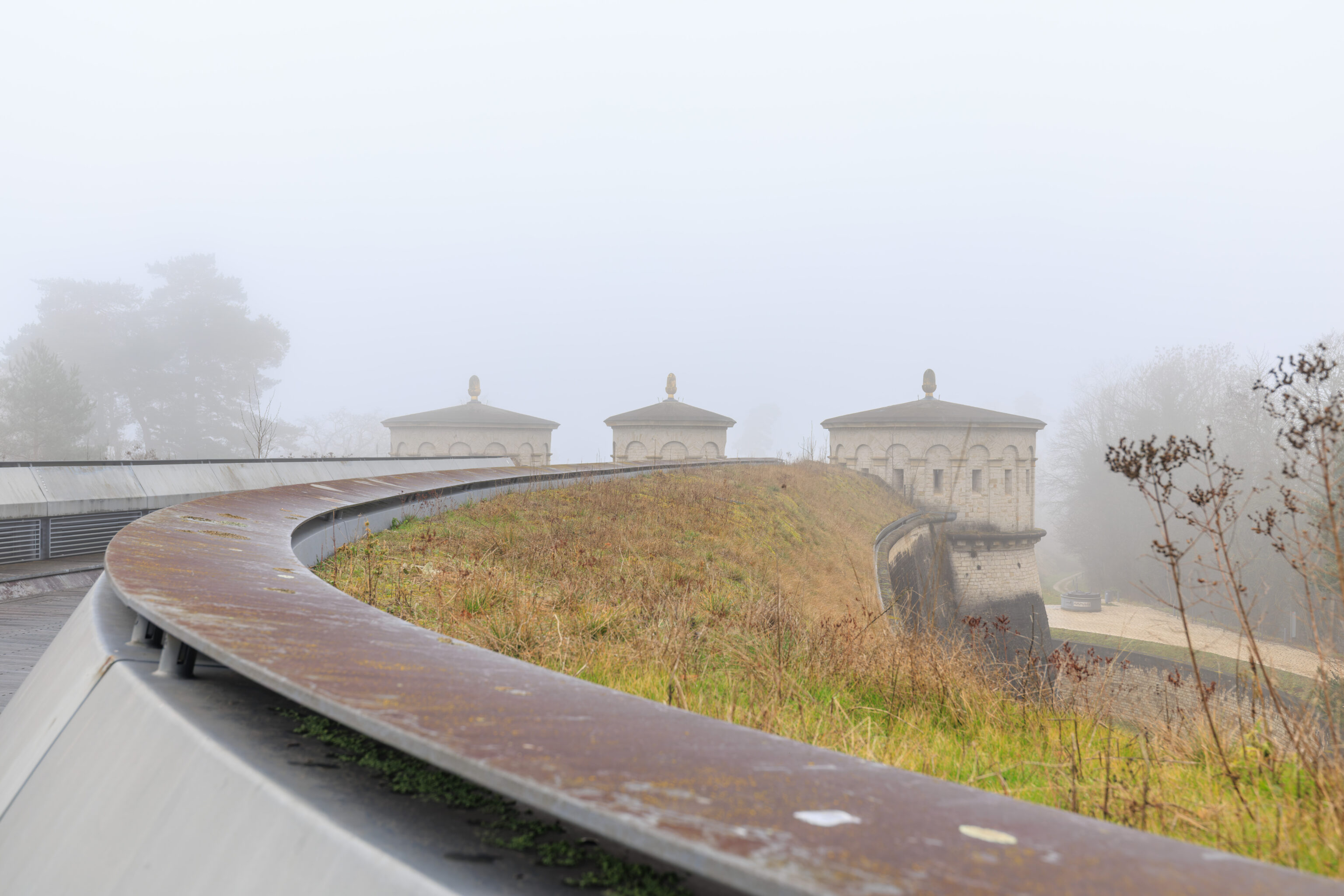
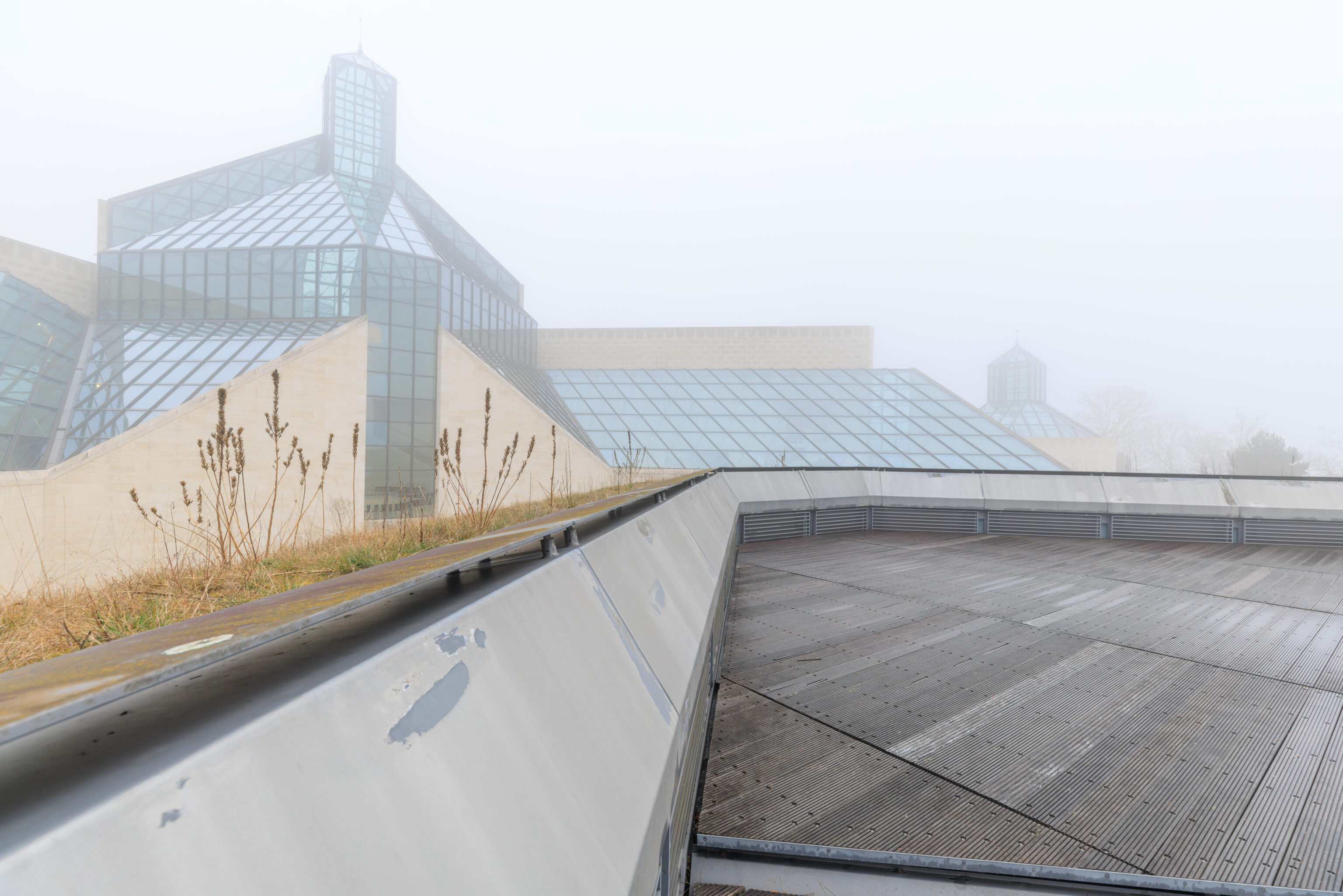
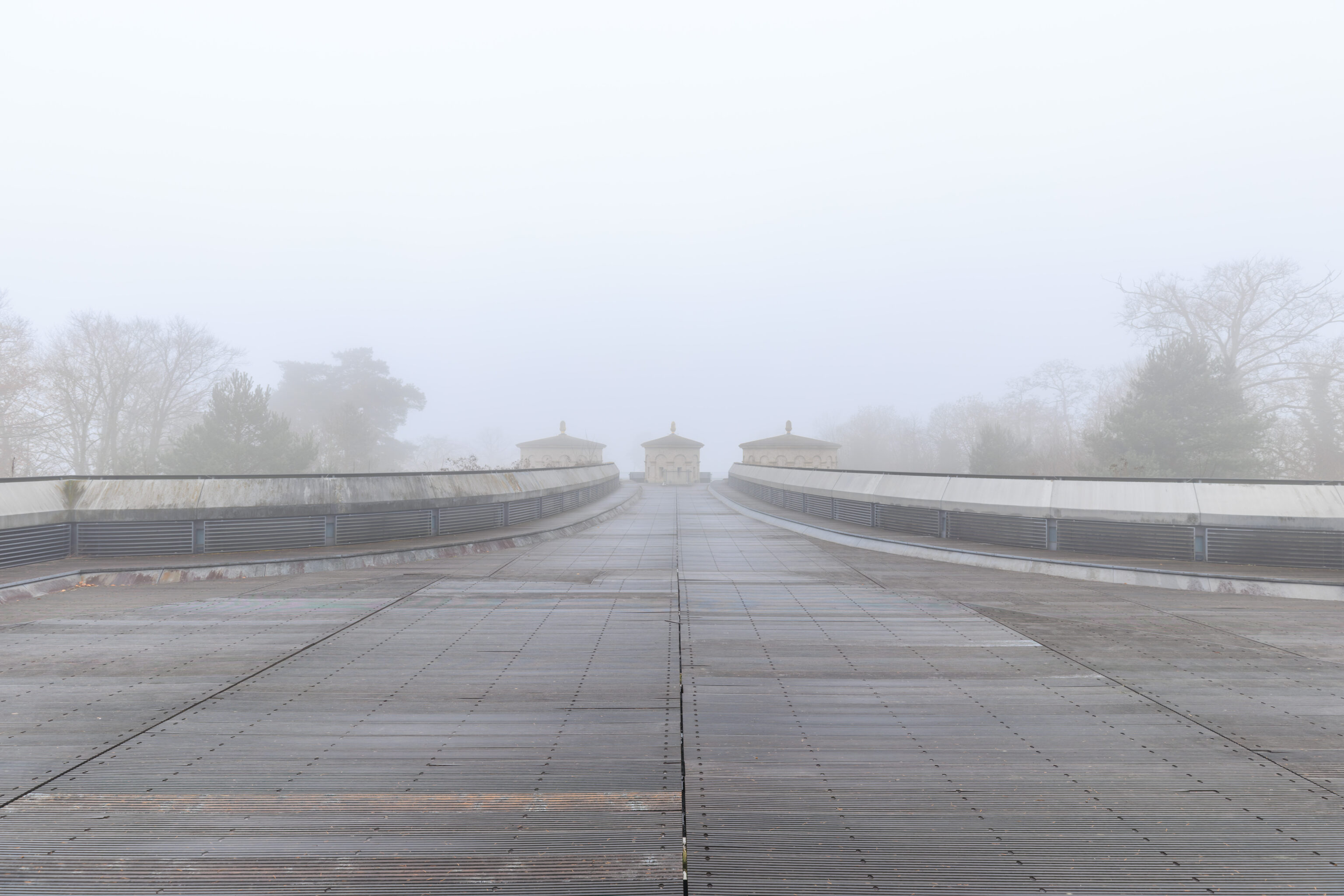
We walked around the rooftop for a bit before heading back downstairs.
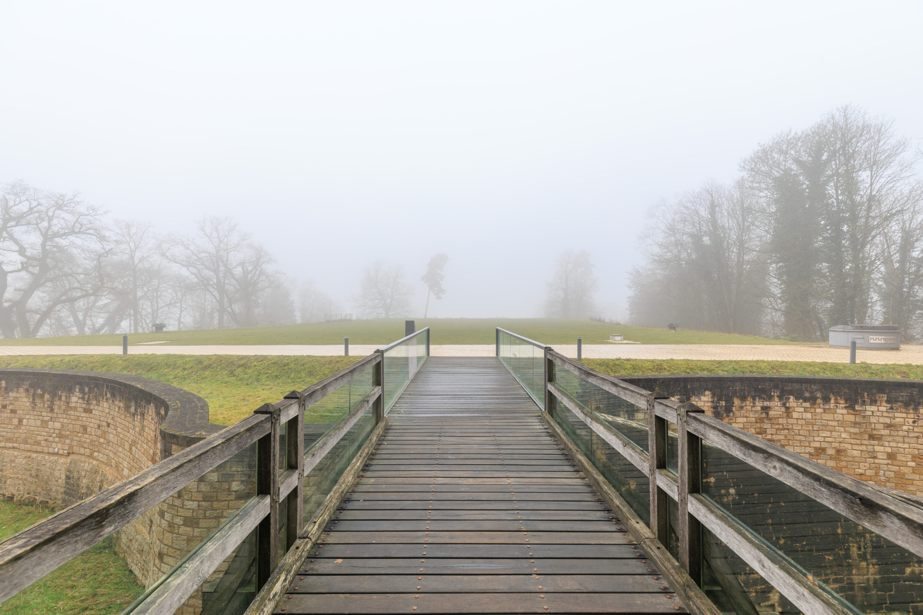
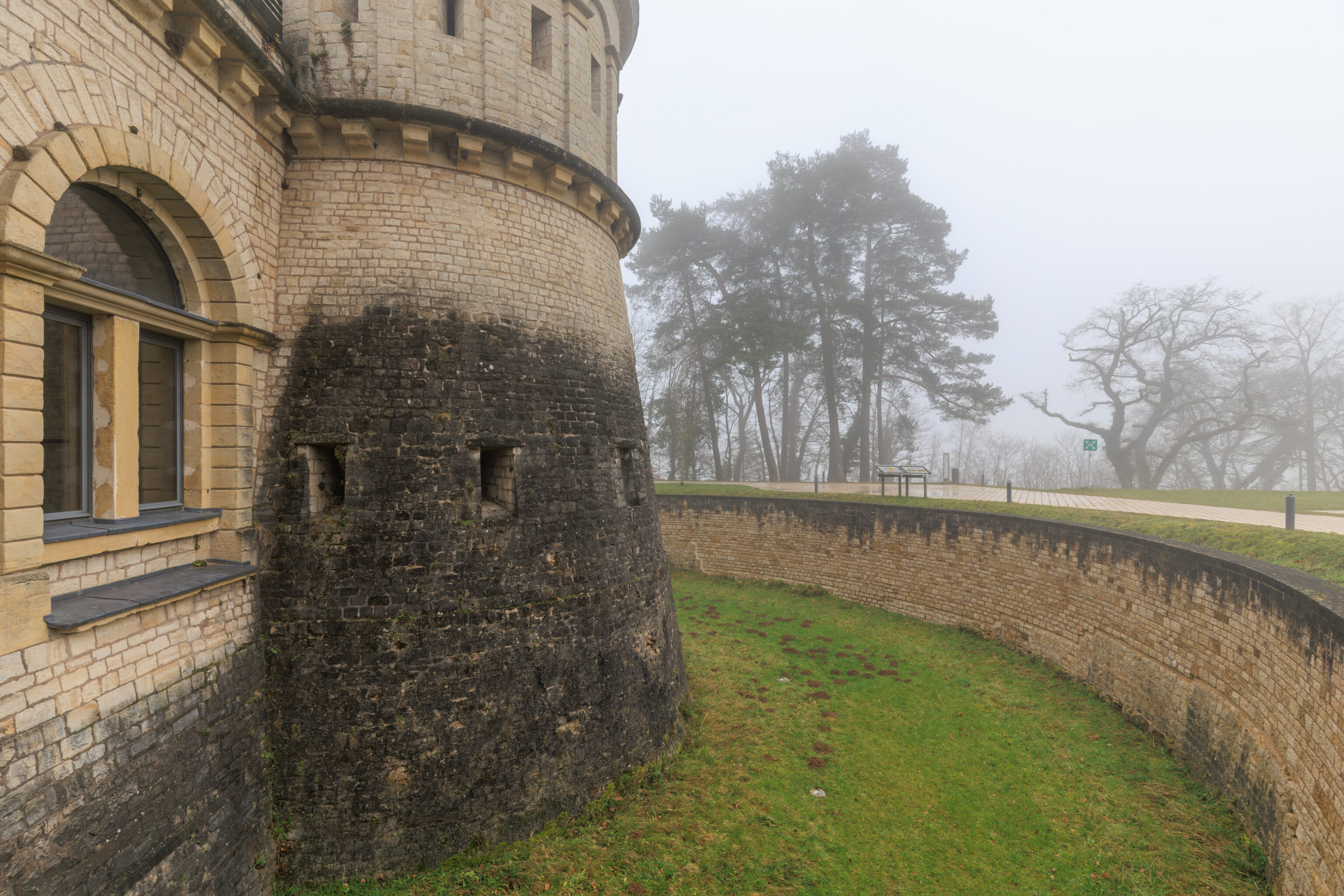
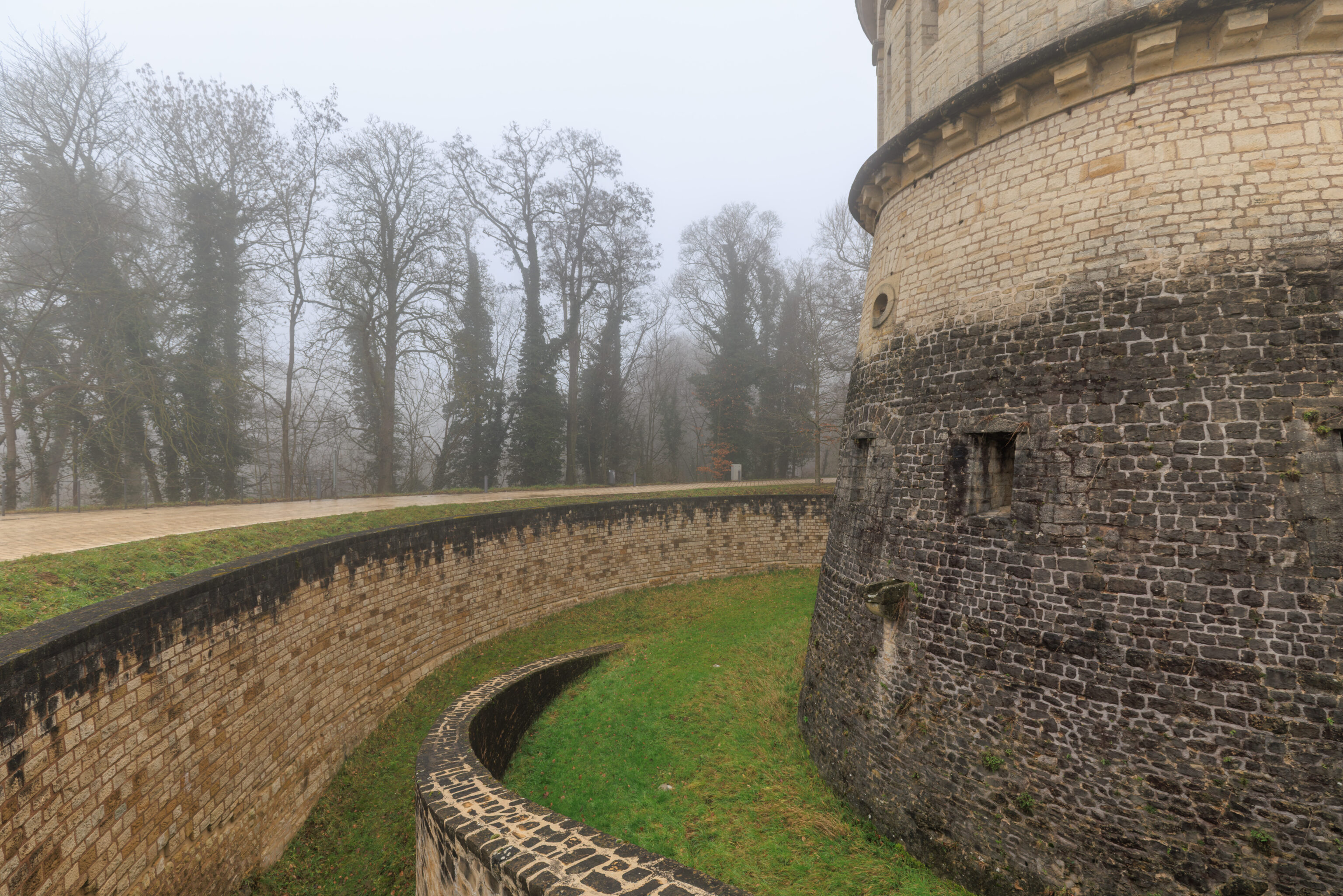
Overall, the museum wasn’t particularly interesting and the staff weren’t particularly helpful.
Various sources indicate that the museum is supposed to be free for its permanent collection. But this is no longer the case as entry now requires €7 per person. This is an easy skip.
After leaving the museum, we started to walk downhill towards the southwest.
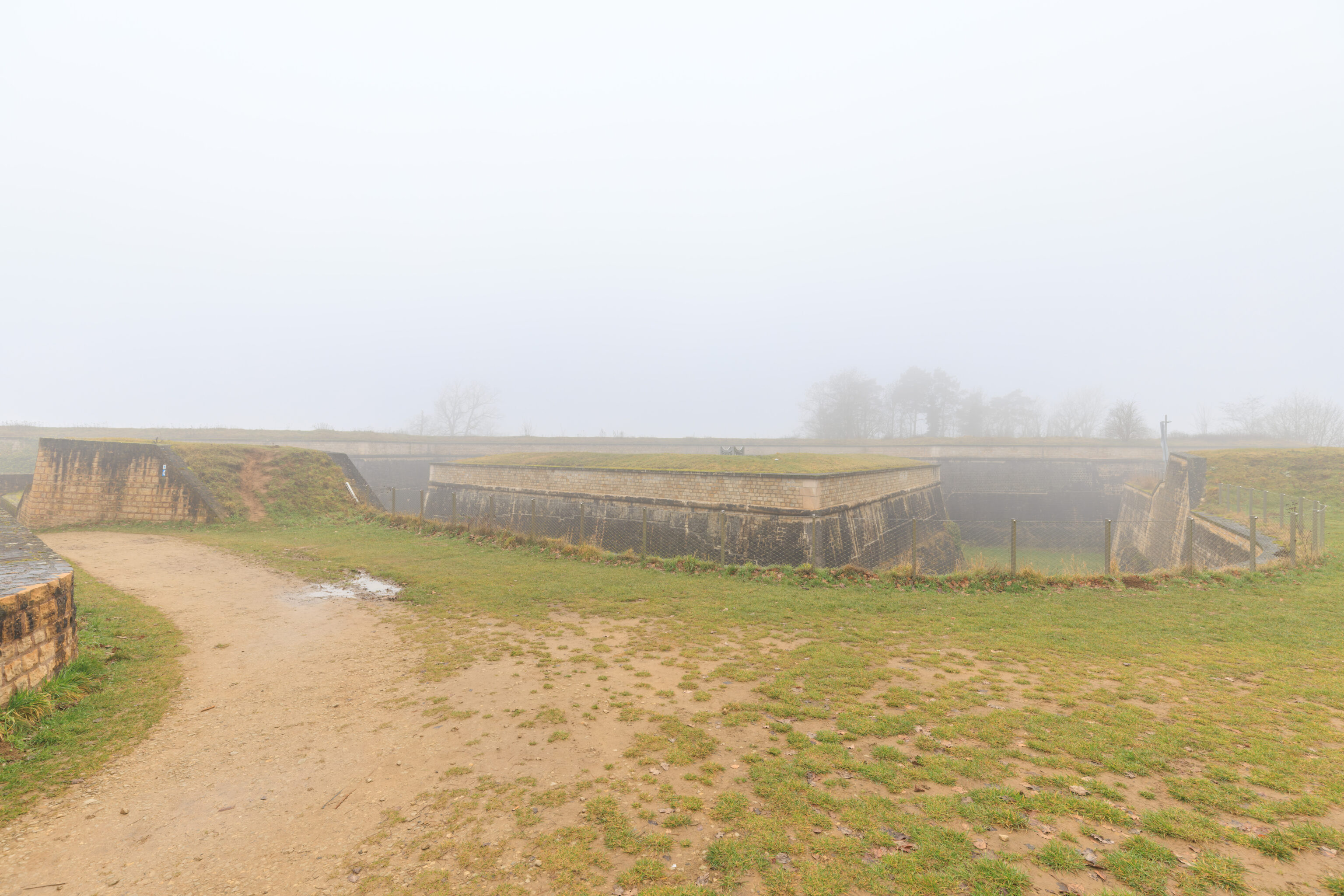
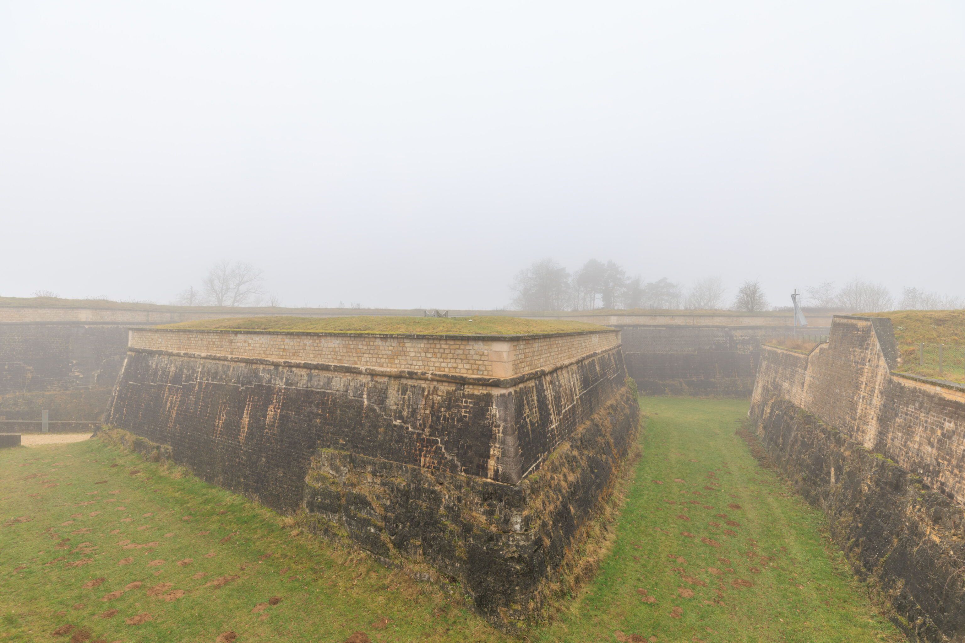
We arrived at another fortification, Fort Obergrünewald, another defensive structure created by Vauban.
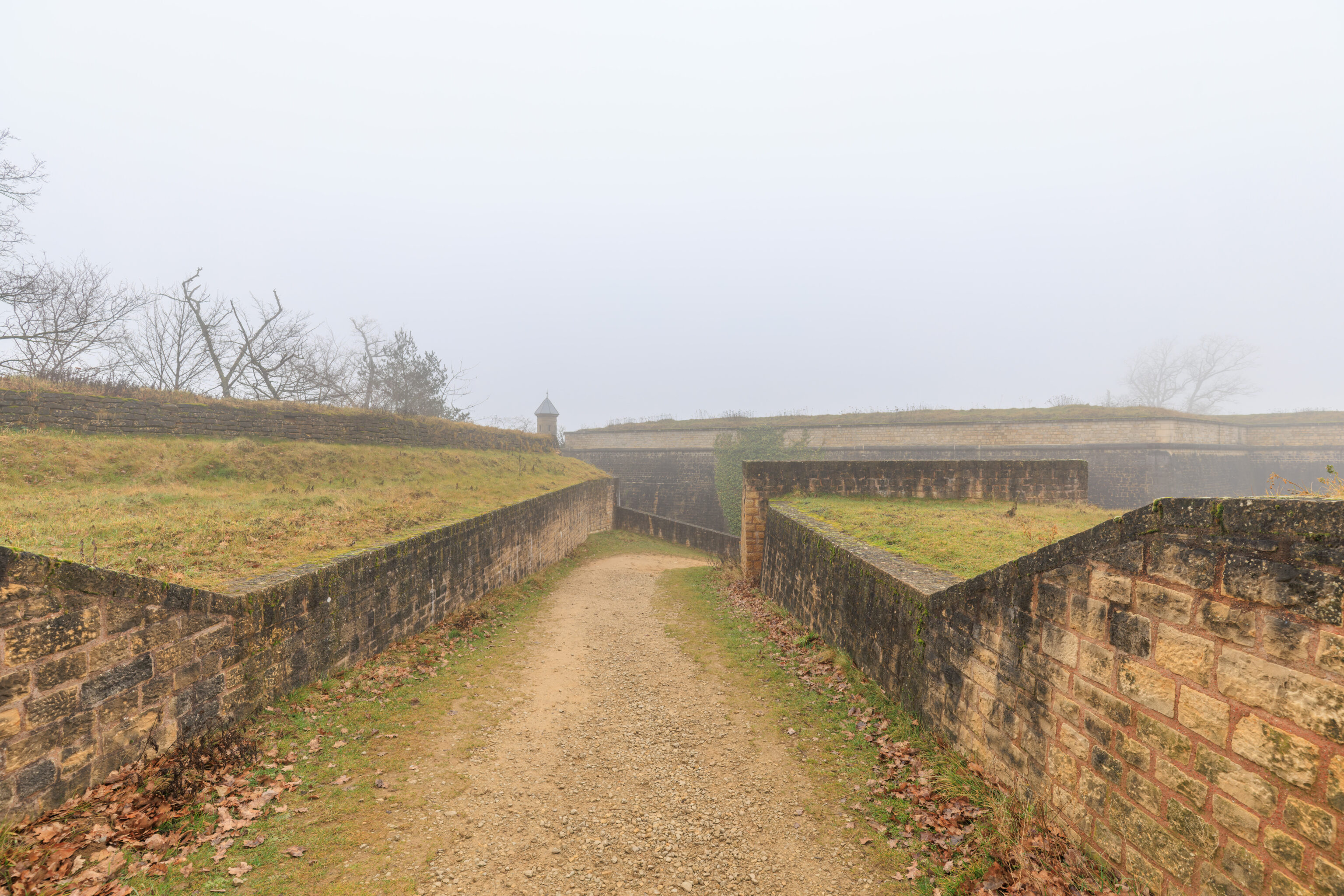
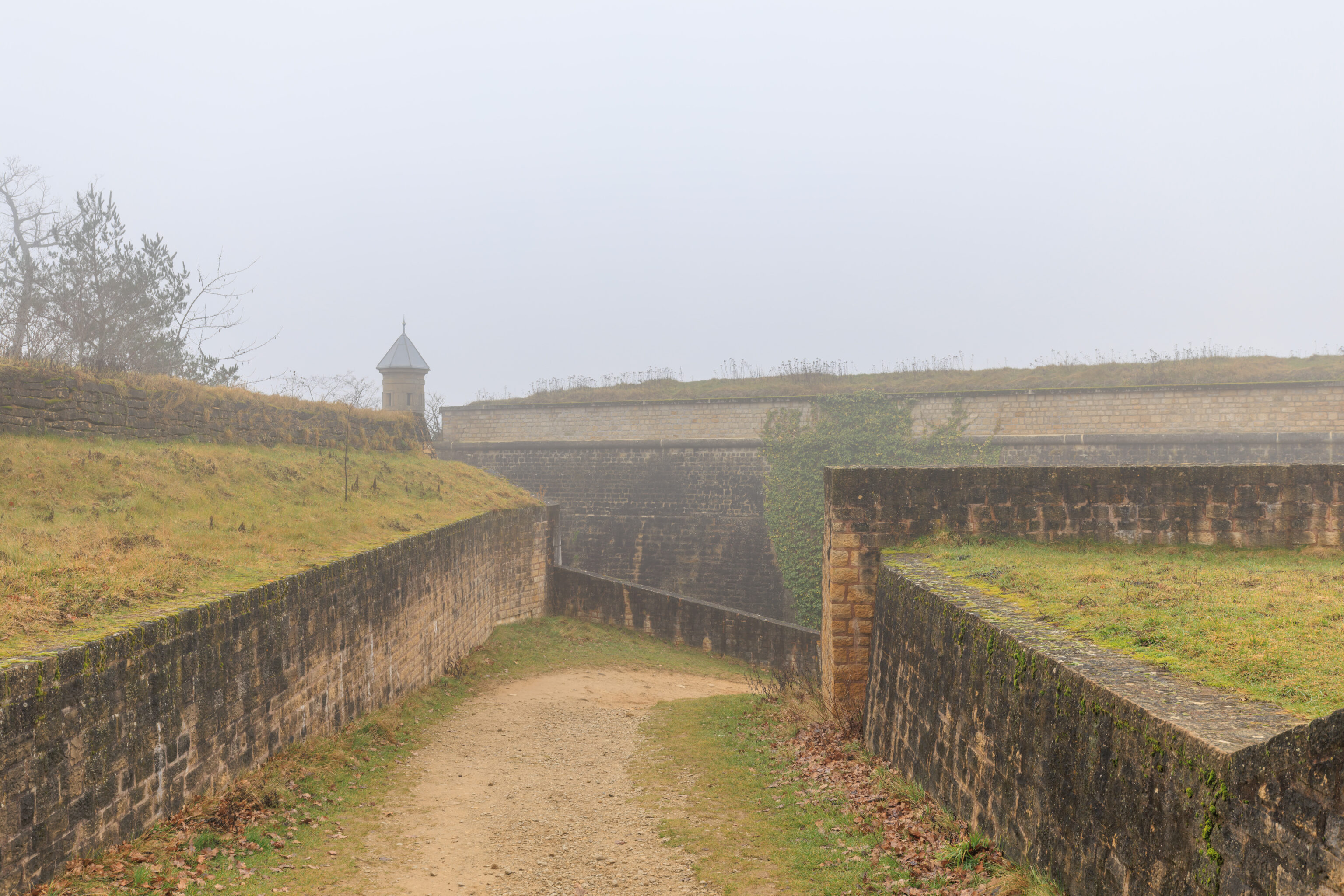
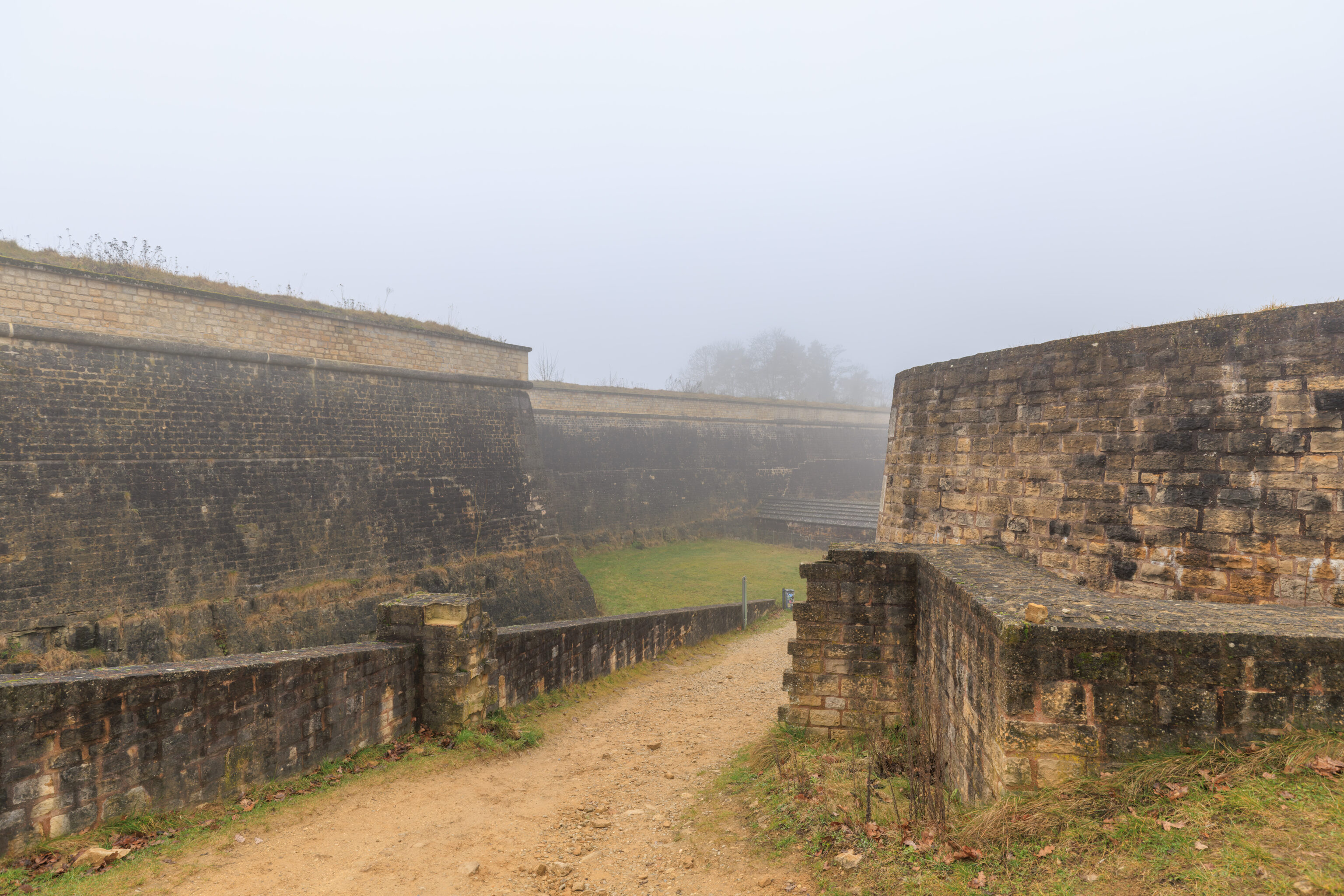
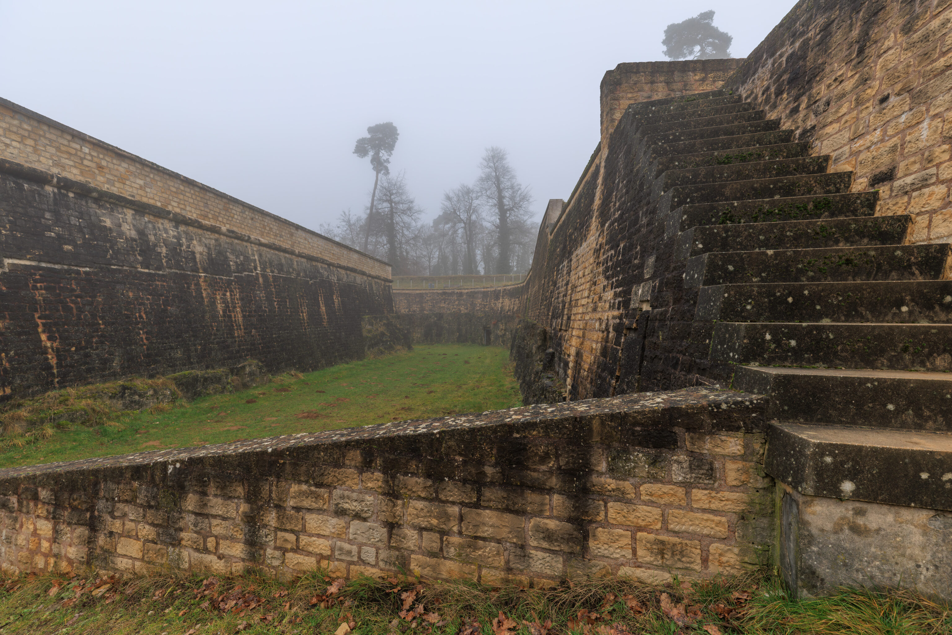
We followed the path as it led down into the fort.
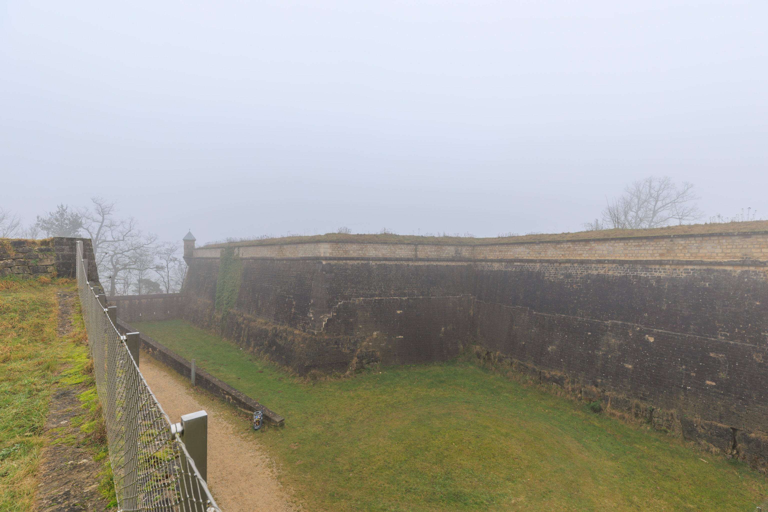
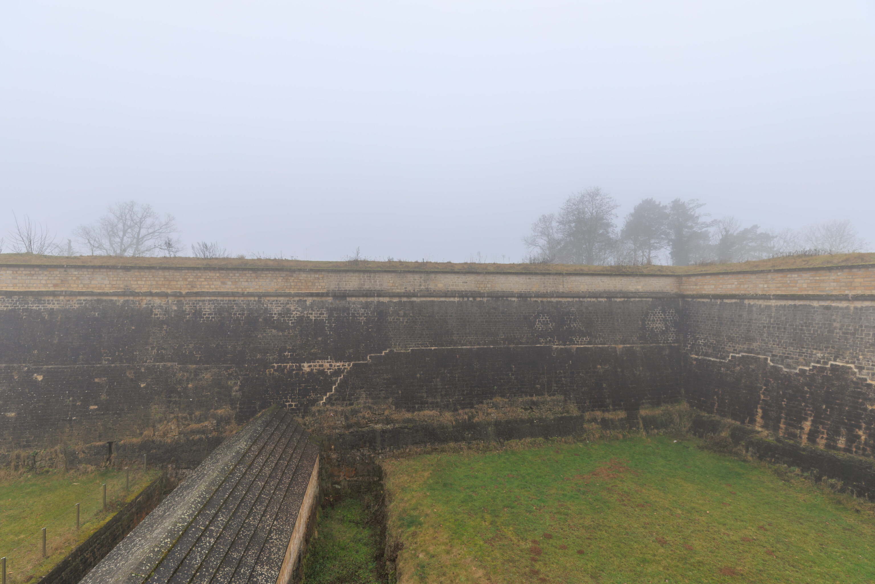
We found stairs that led up to the top of the fort. Well, the top of this part of the fort.
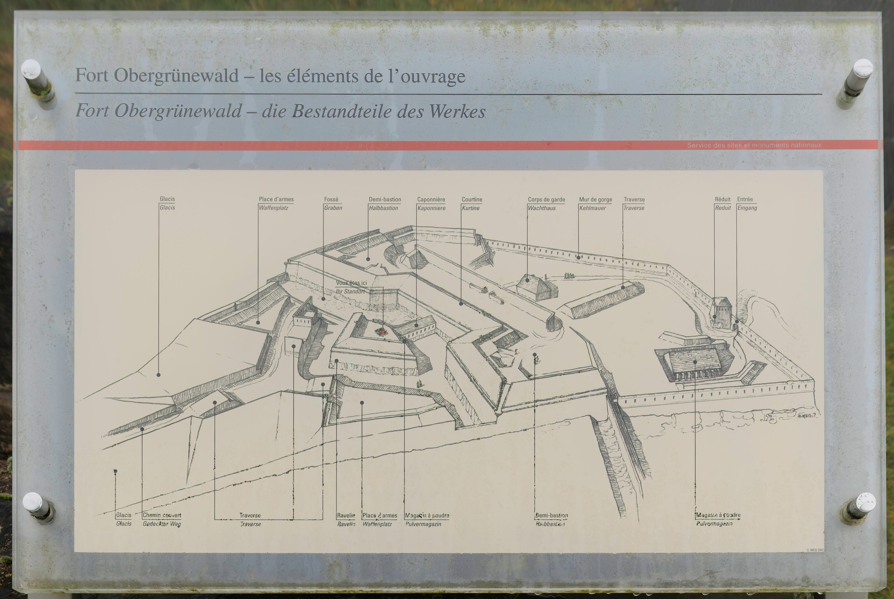
This sign at the top had an illustration of Fort Obergrünewald. We are in the fort’s ravelin. We arrived from the bottom left, walked down via the path that curves to the left and then right, and then entered the caponier (caponniere / kaponniere) on the right side of the ravelin. The stairs leading up to where we are were in the middle of the ravelin.
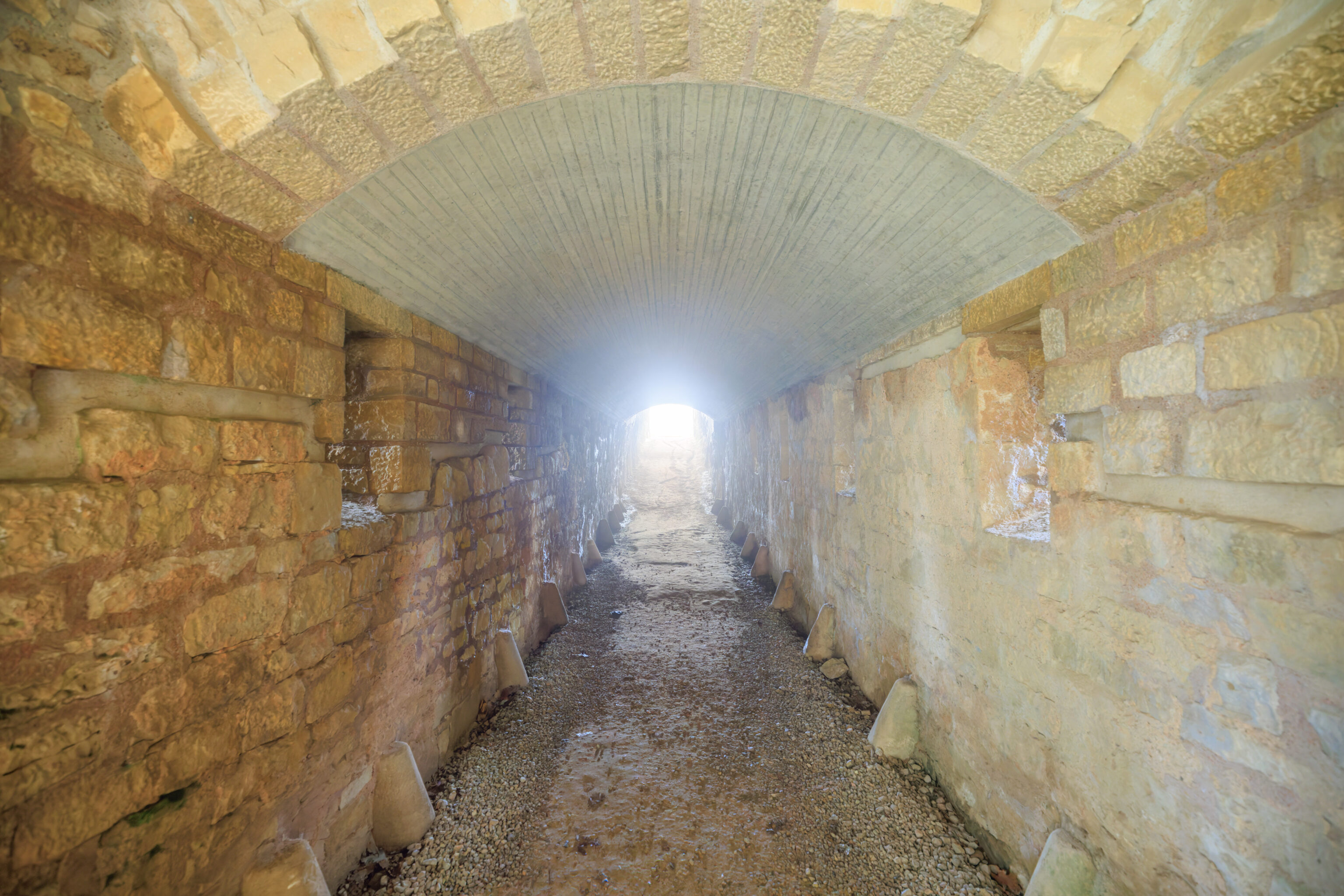
We walked through the caponier, which led to a tunnel through the curtain wall (courtine / kurtine).
A sign illustrates where we are:
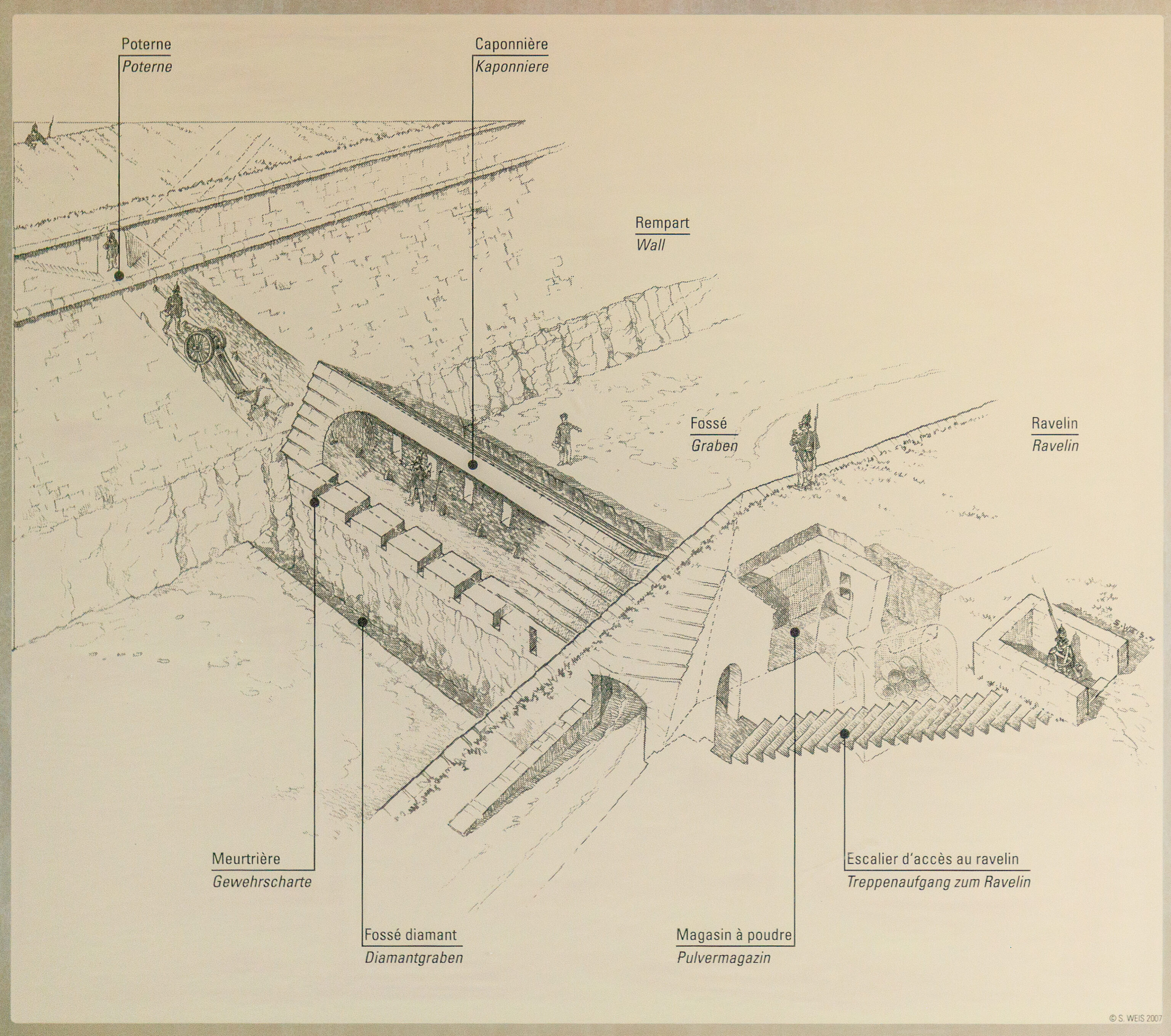
Fort Obergrünewald – Postern, Caponier, Ravelin, and Powder Magazine

To reach the moat, soldiers used an underground, vaulted passage running through the main rampart. This passage—known as a postern—leads into the caponier, a bombproof, vaulted gallery that runs across the fortress moat and is protected by the ravelin.

The passage features rifle slits designed for defending the moat floor and admitting light. The caponier leads directly to the stairway of the ravelin, a bastion-like defensive work situated in front of the curtain wall. To the left of the stairway lies a small powder magazine blasted into the rock; this was used to store the daily supply of ammunition.

To the right, an exit leads into the main moat. On both outer sides, the caponier is separated from the moat floor by so-called diamond moats.
– Text from the sign above, translated from German using Google Translate.
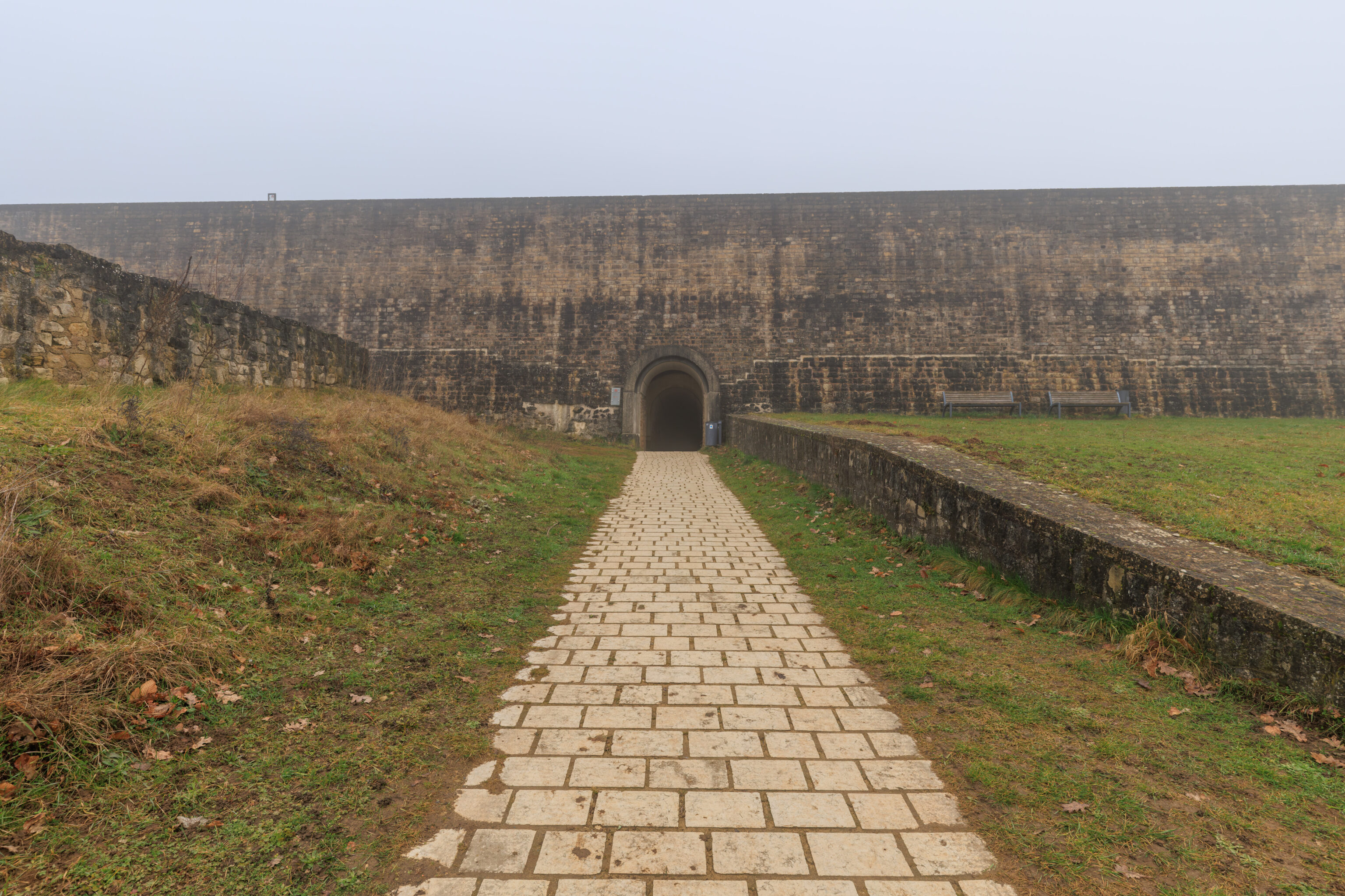
We emerged below the reinforced earthen wall of Fort Obergrünewald.
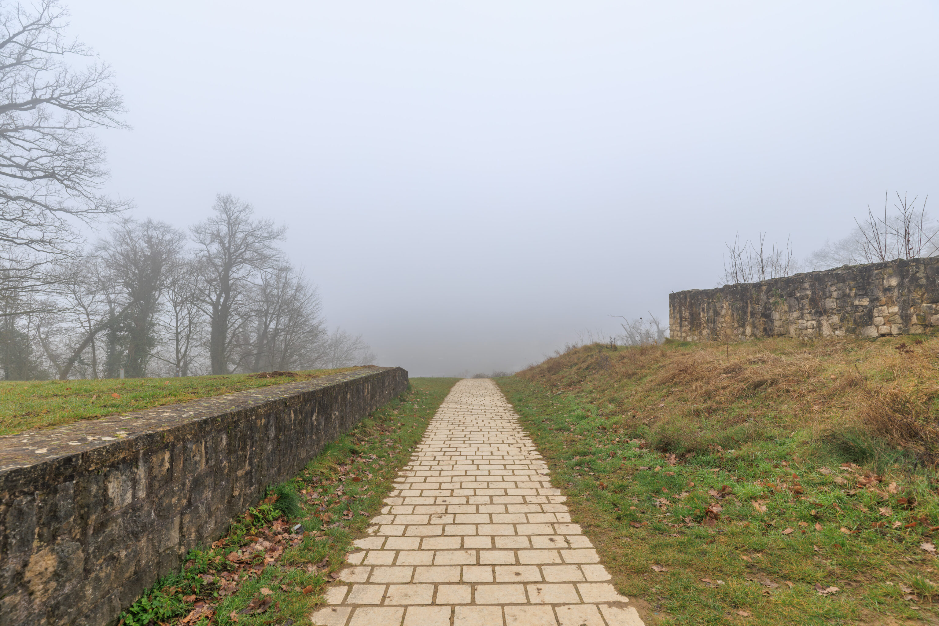
The path forward continued downhill, seemingly into the fog.
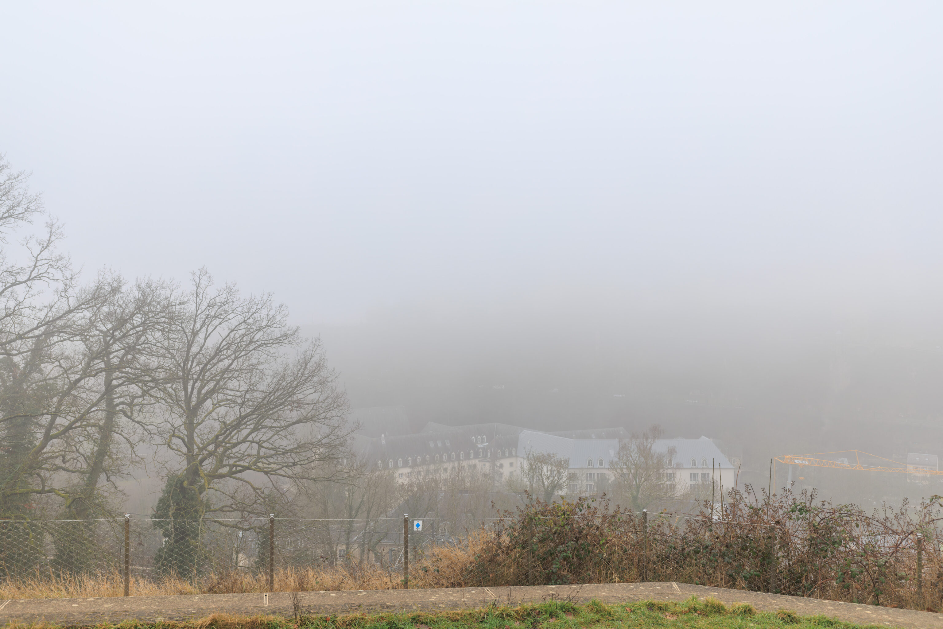
As we followed the path down to the southwest, we eventually were able to see some buildings down in the valley.
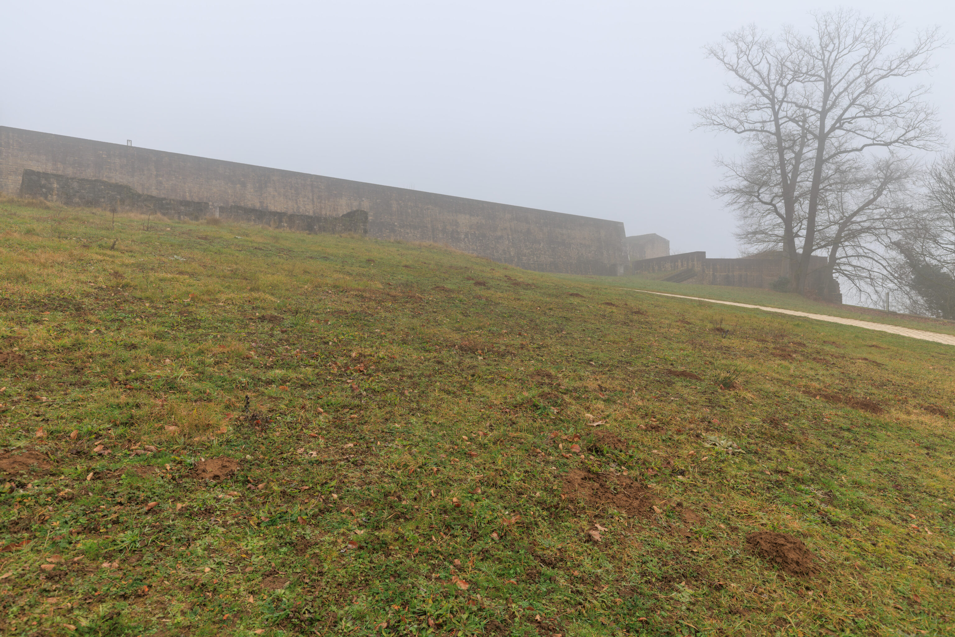
The path curved to the right, and now headed to the northwest. Looking back, the facade of Fort Obergrünewald appeared as one long solid wall.
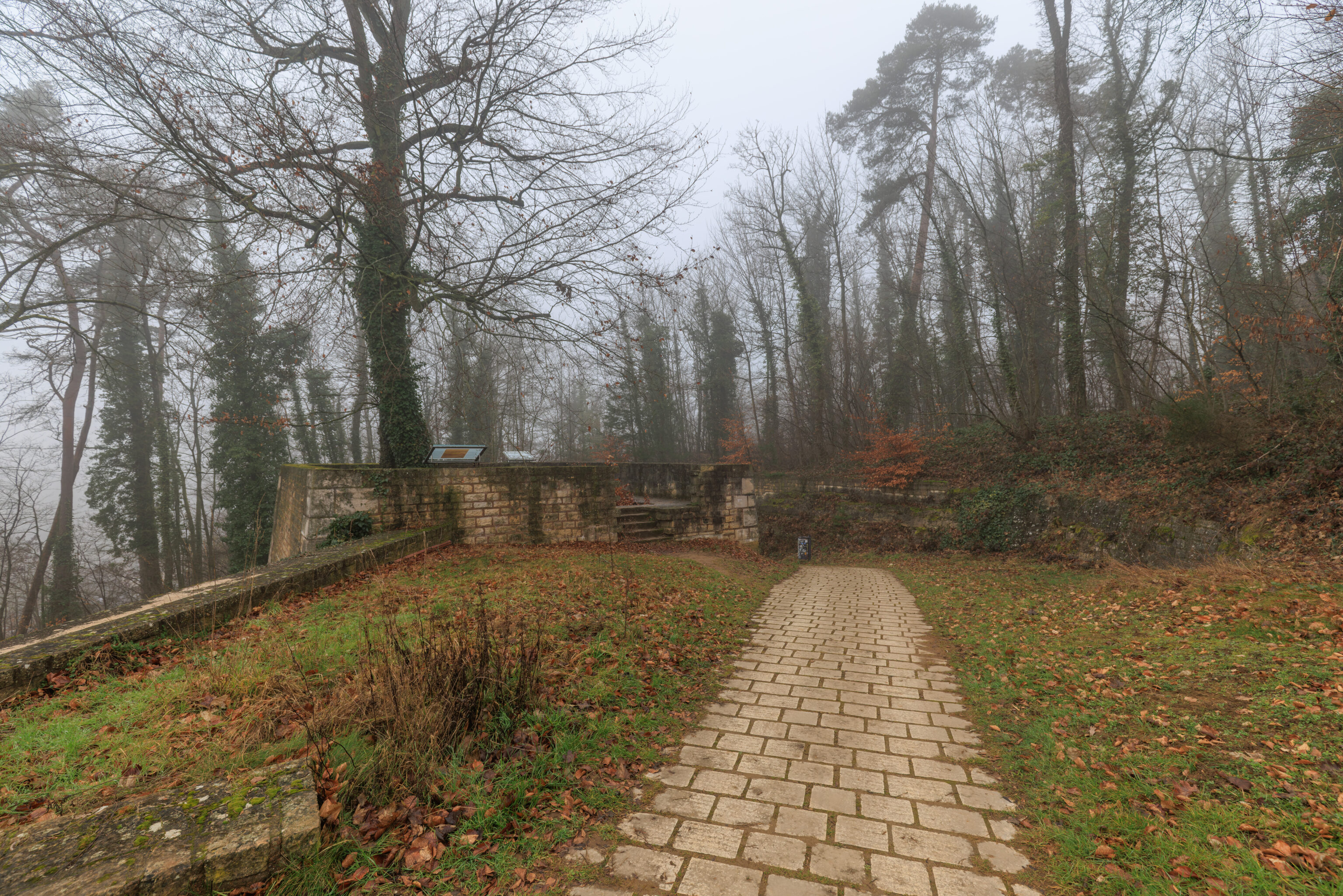
The path led to the edge of a wooded area where we could see the remains of a fortification structure.
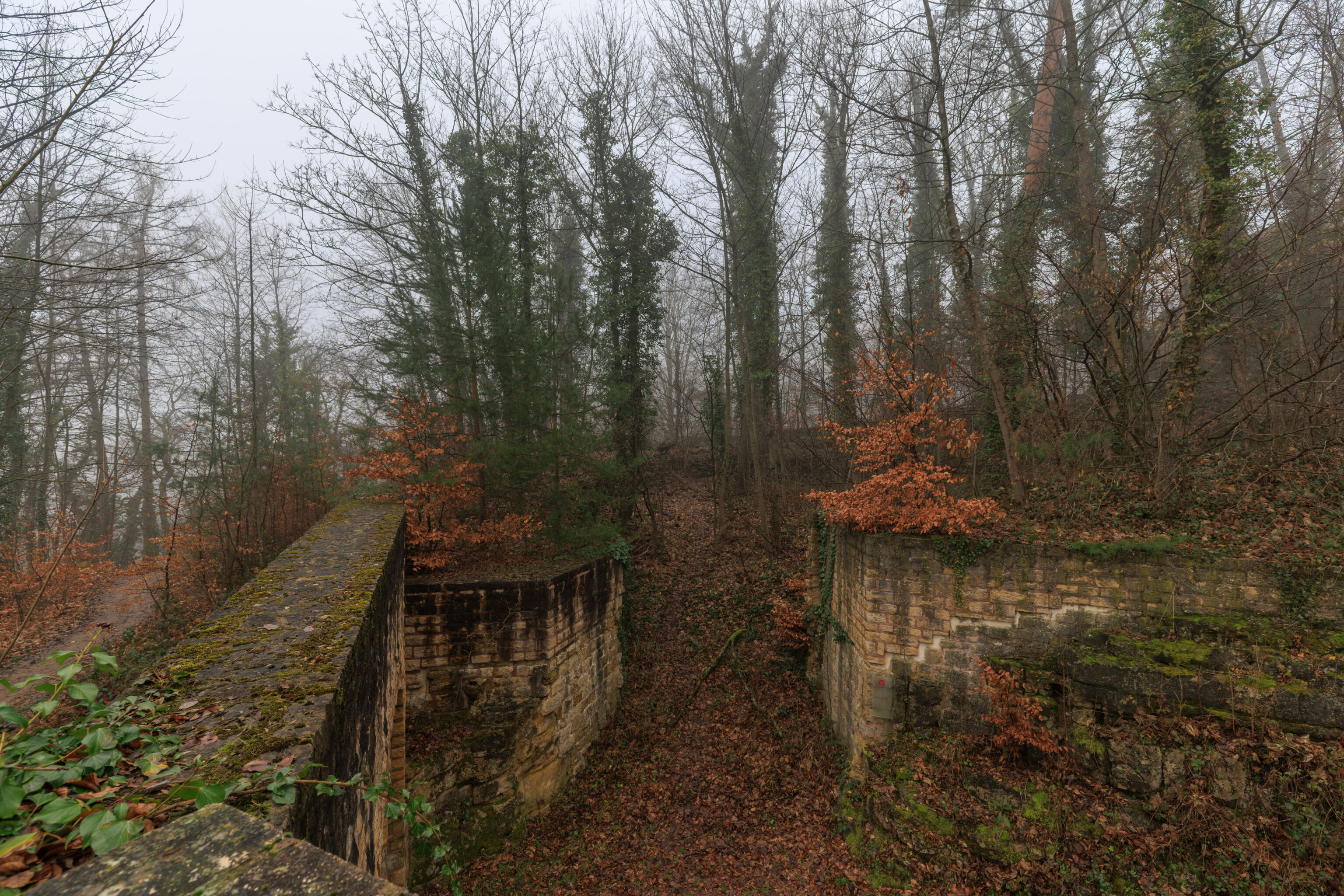
A sign here describes where we are, at an entrance gate built by the French.
Fort Obergrinewald – The Gorge
An access path connects the Pfaffenthal suburb to this fort. Both the path and the entrance gate were relocated several times. The restored gateway structure visible here was likely built by the French around 1800.

The gorge wall featured rifle loopholes and a firing step, serving to defend the rear areas of the fort. A bombproof vaulted tower—known as a *reduit*—provided cover for soldiers during attacks or bombardments. Additionally, the *reduit* casemate allowed for the defense of the outer face of the gorge wall.

Inside the fort, beneath the vegetation to the left of the entrance gate, lie the remains of the Prussian gunpowder magazine built in 1860.
– Text from a sign, translated from German using Google Translate.
Another sign briefly describes the forest here:
The thermophilic oak forest of the Niedergrünewald
Here, on the sunny rocky outcrops of Luxembourg Sandstone, grows a thermophilic (warmth-loving) oak forest—a relatively rare type of forest community. The dominant tree species are pedunculate oak and beech. Sycamore maple and wych elm show vigorous natural regeneration. The area is remarkable for its high species diversity; over 60 different species of trees and shrubs are found on this southwest-facing slope. In addition, countless plants grow here in the grass and herb layers.
– Text from a sign, translated from German using Google Translate.
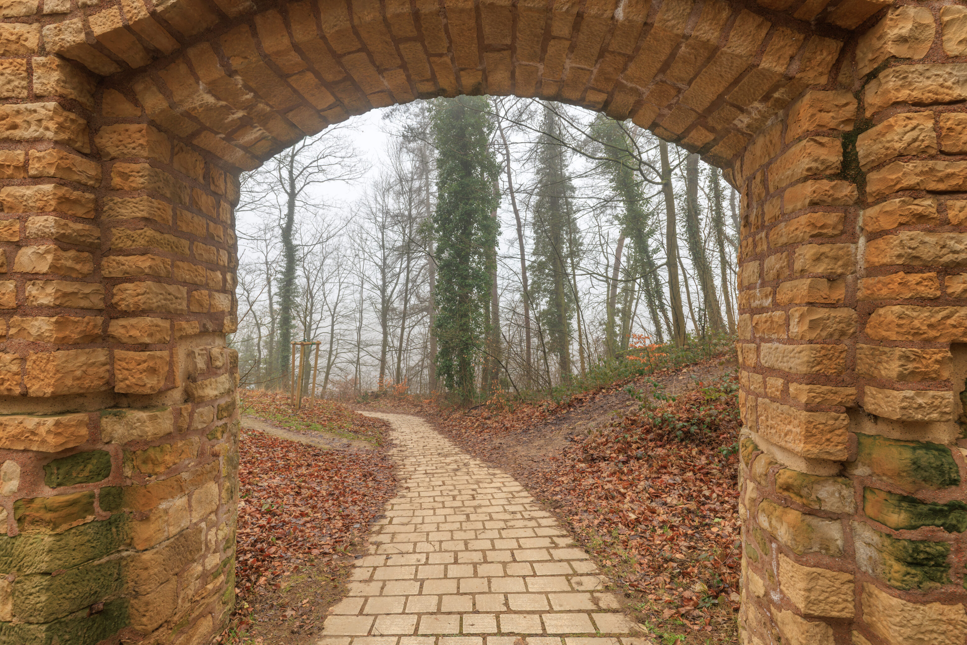
We continued on through the gate.
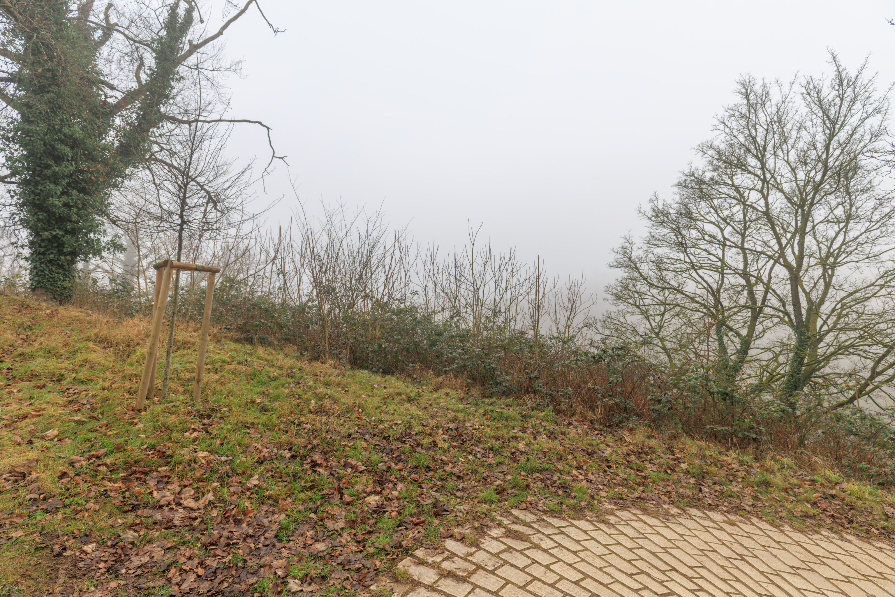
The path continued to descend.
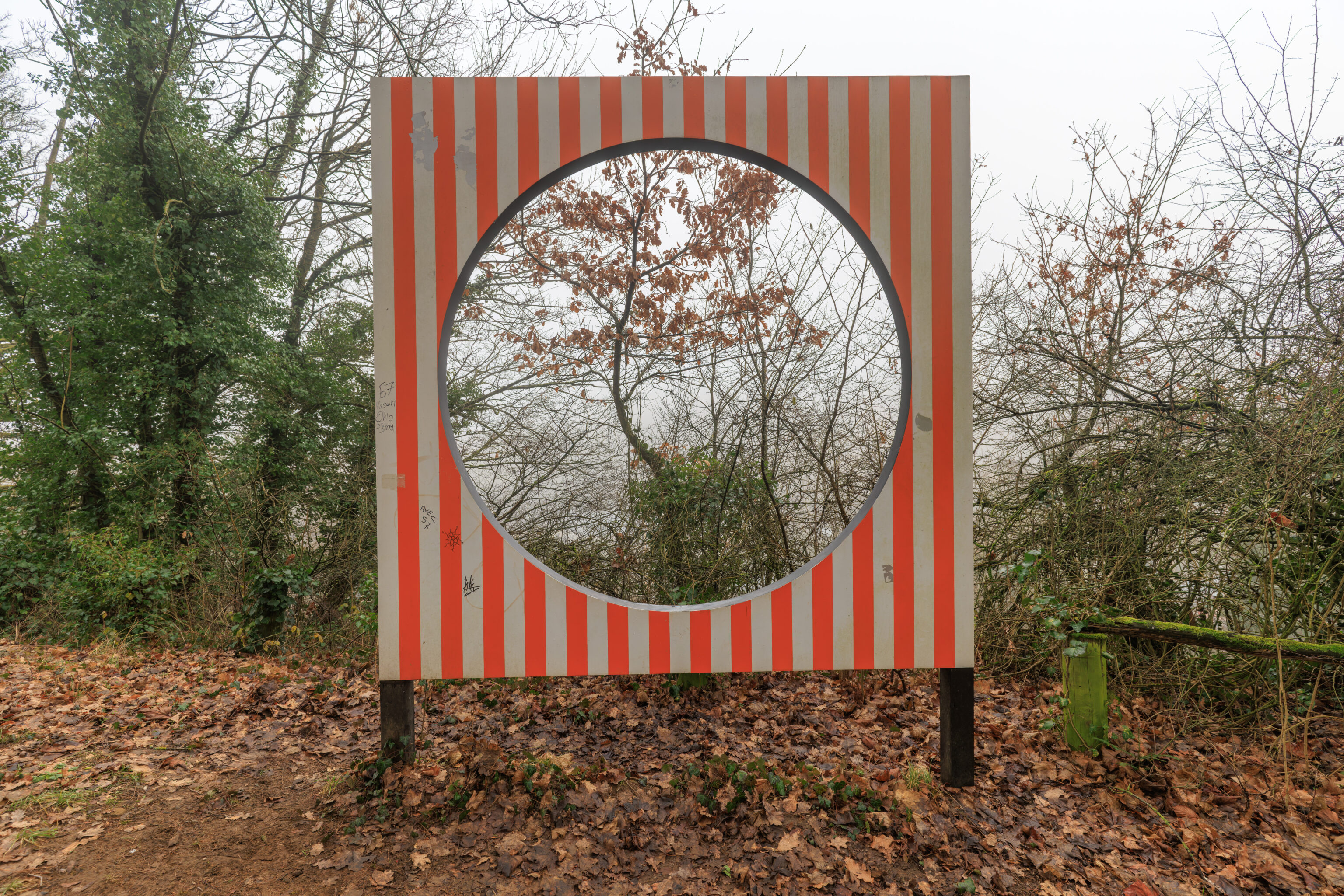
We passed by what seems to be some sort of art?
Daniel Buren
From One Circle to Another: The Borrowed Landscape

Polychrome stainless steel, 2005
City of Luxembourg Art Collection
– Text from a plaque o the ground, translated from French using Google Translate.
We didn’t photograph it but we followed the path as it turned to the southeast. The path ended there, forcing us to turn around and take a sketchier looking route.
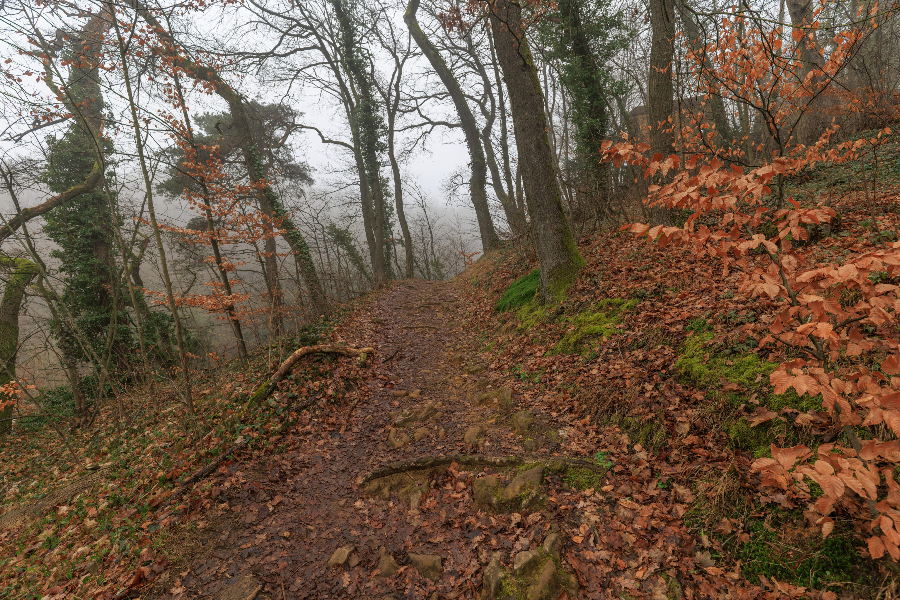
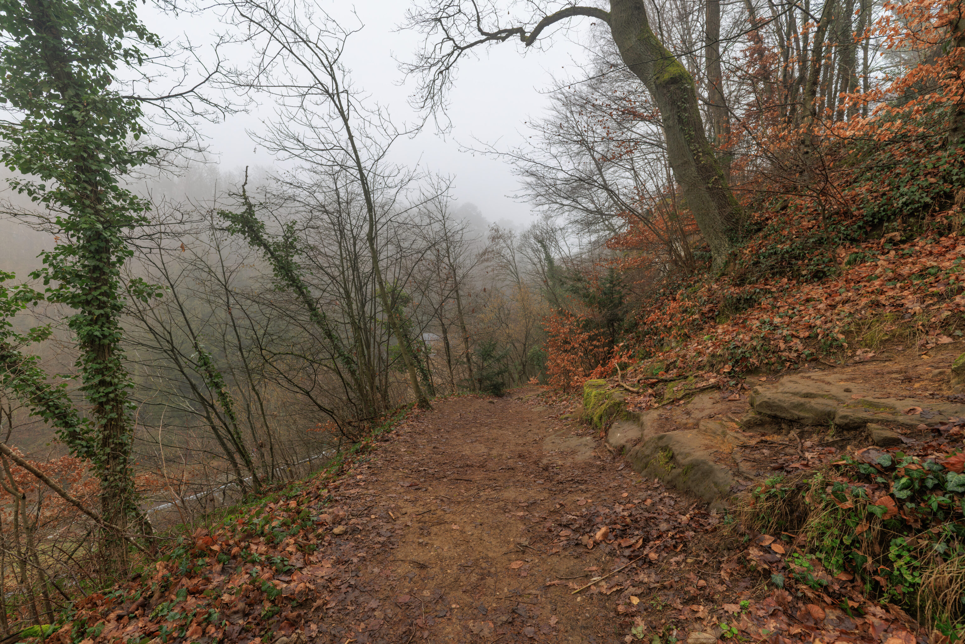
Now, we were on what would be best described as a trail… We were not equipped for hiking as our normal street shoes have pretty poor traction but luckily despite how wet it was it wasn’t too bad.
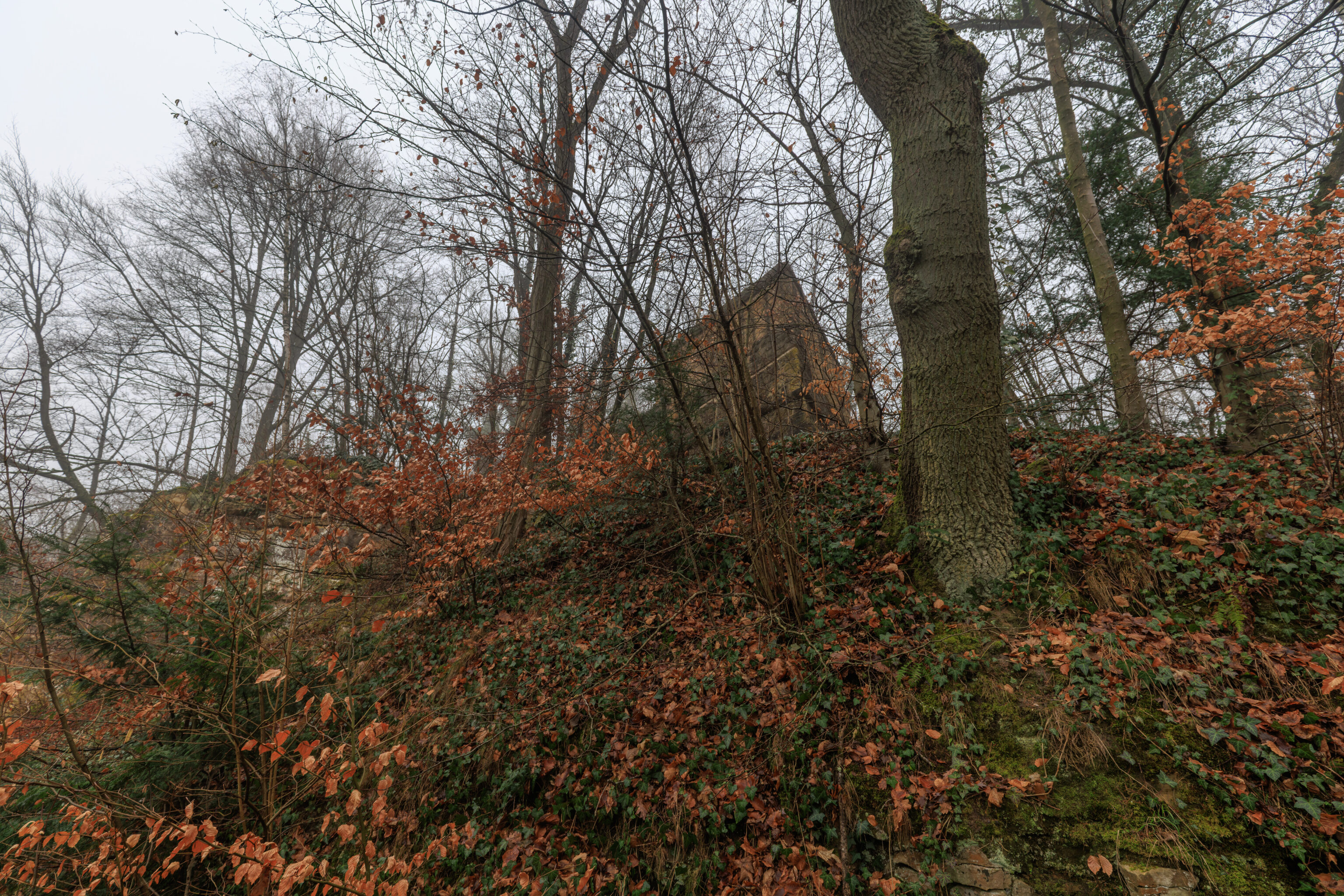
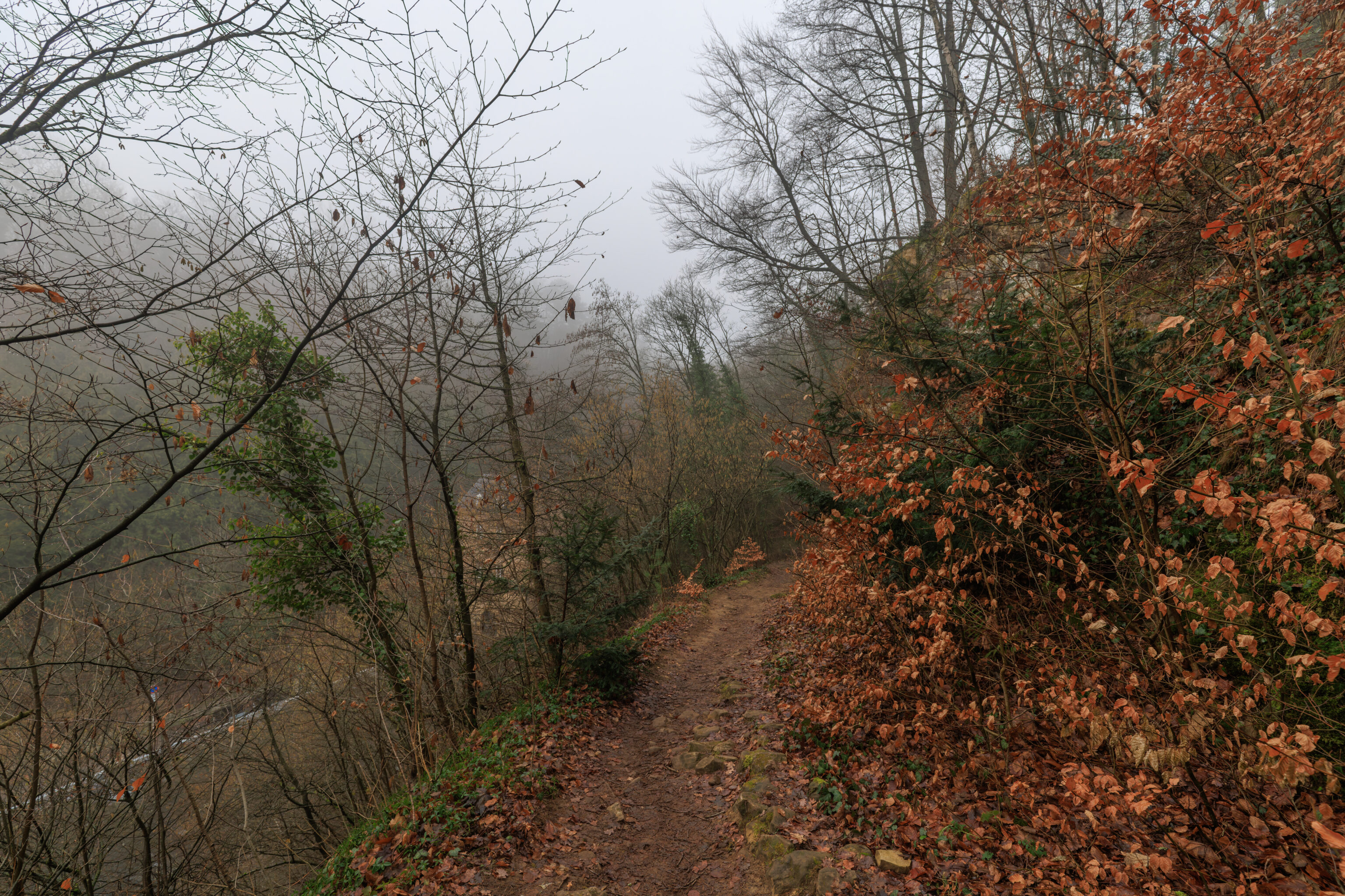
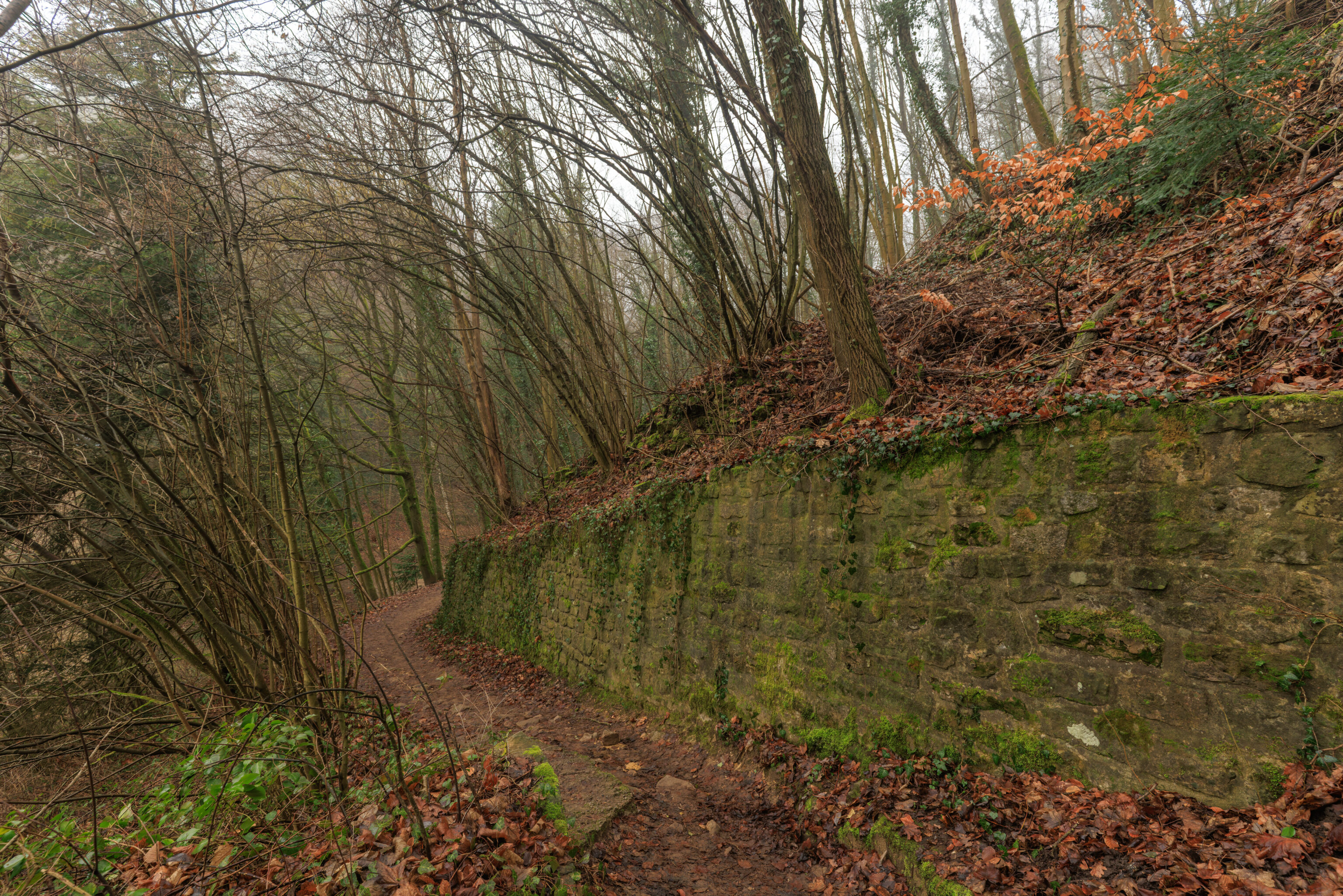
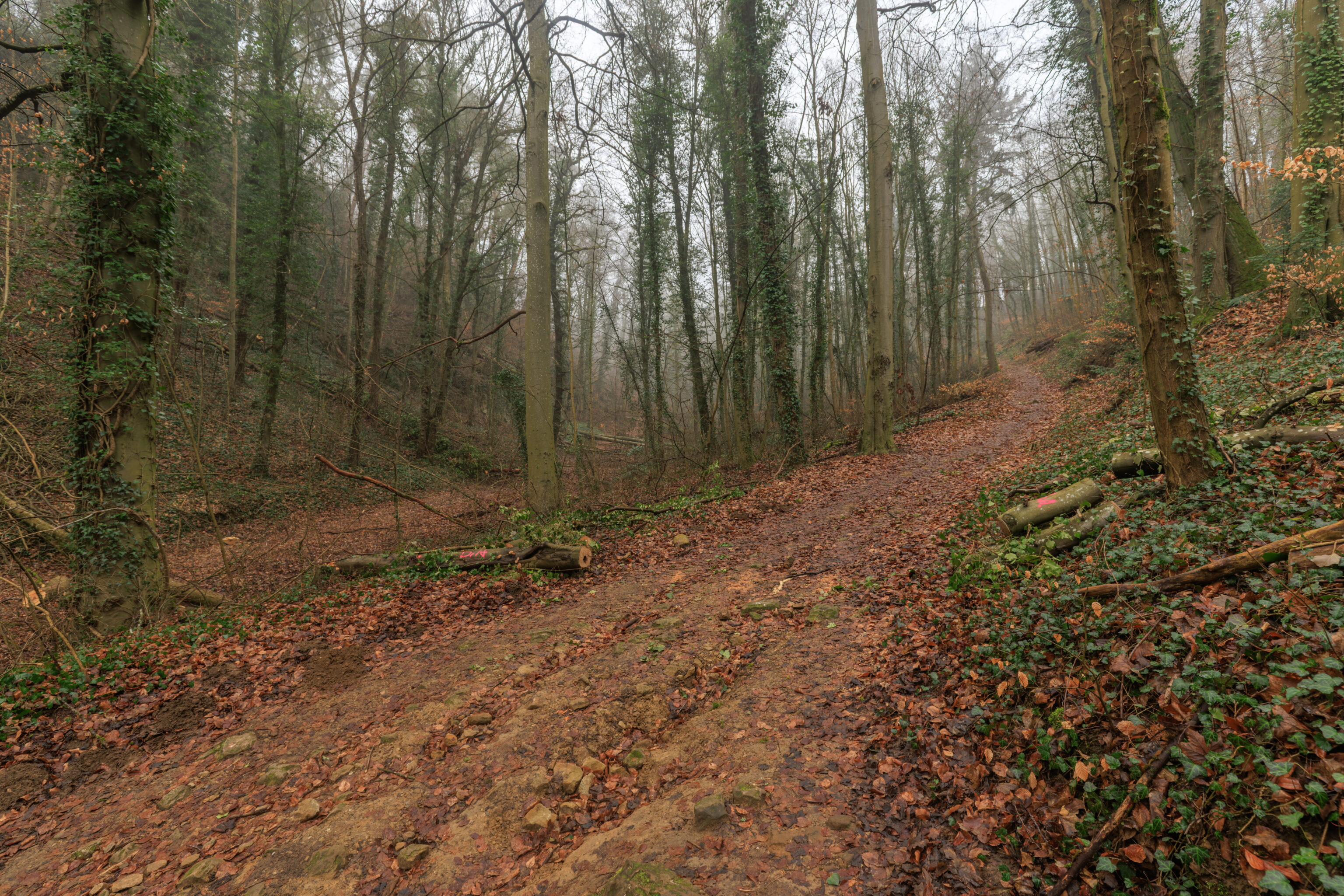
Compared to the well paved path that we were on earlier, this really didn’t seem like the way to go.
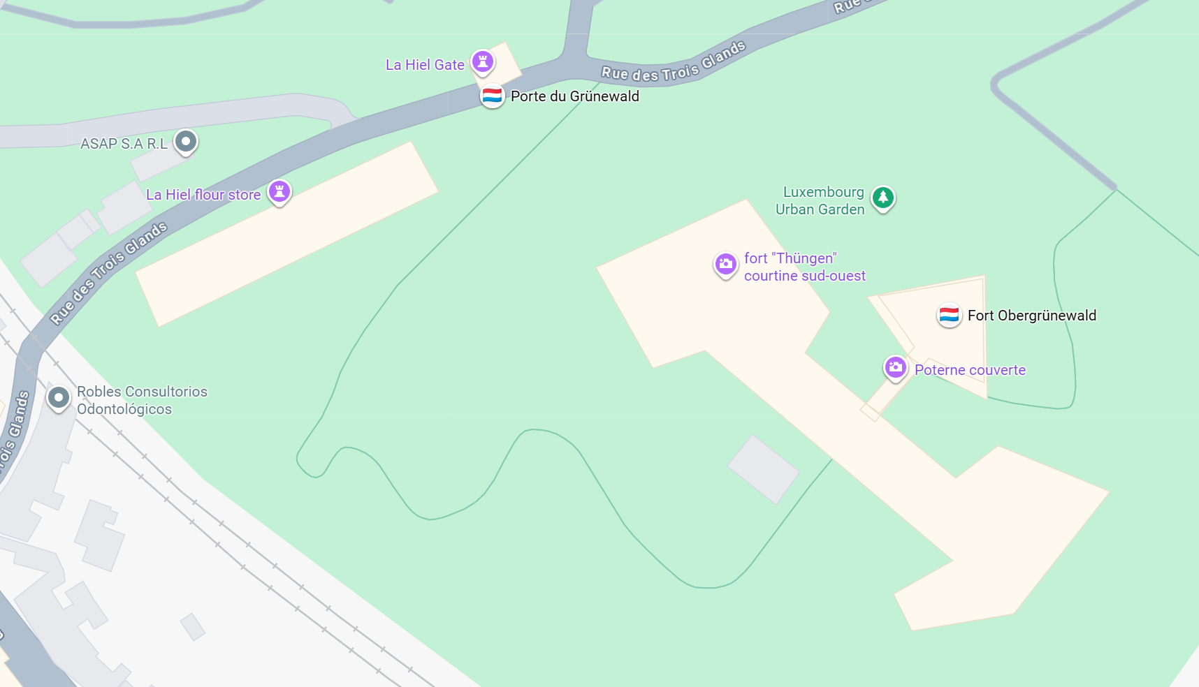
But, it did appear on Google Maps.
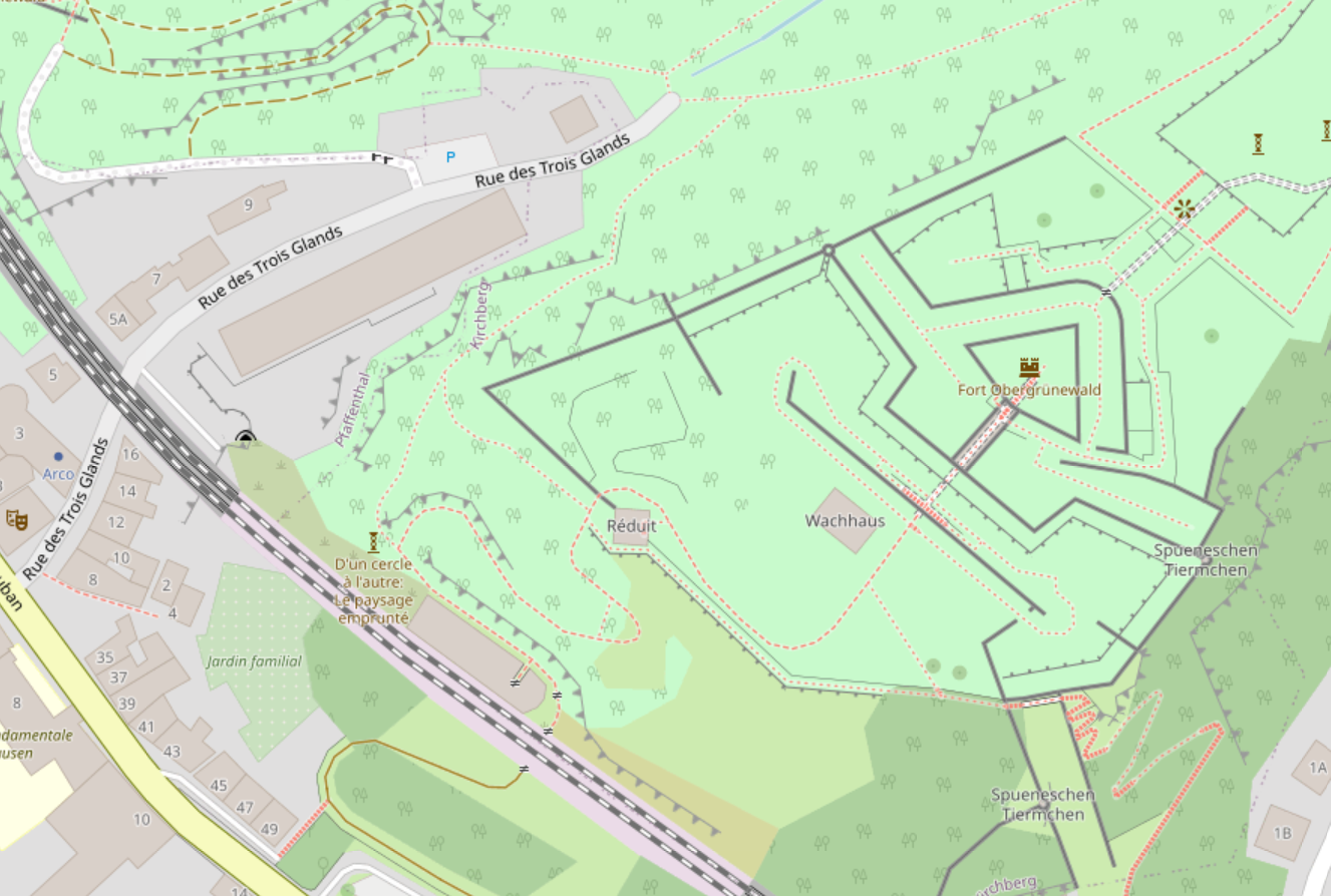
And it also appeared on OpenStreetMap. OpenStreetMap even has the dead-end path that we were on. It seems likely at some point in the past it was possible to cross or go under the railroad tracks that way.
Pfaffenthal
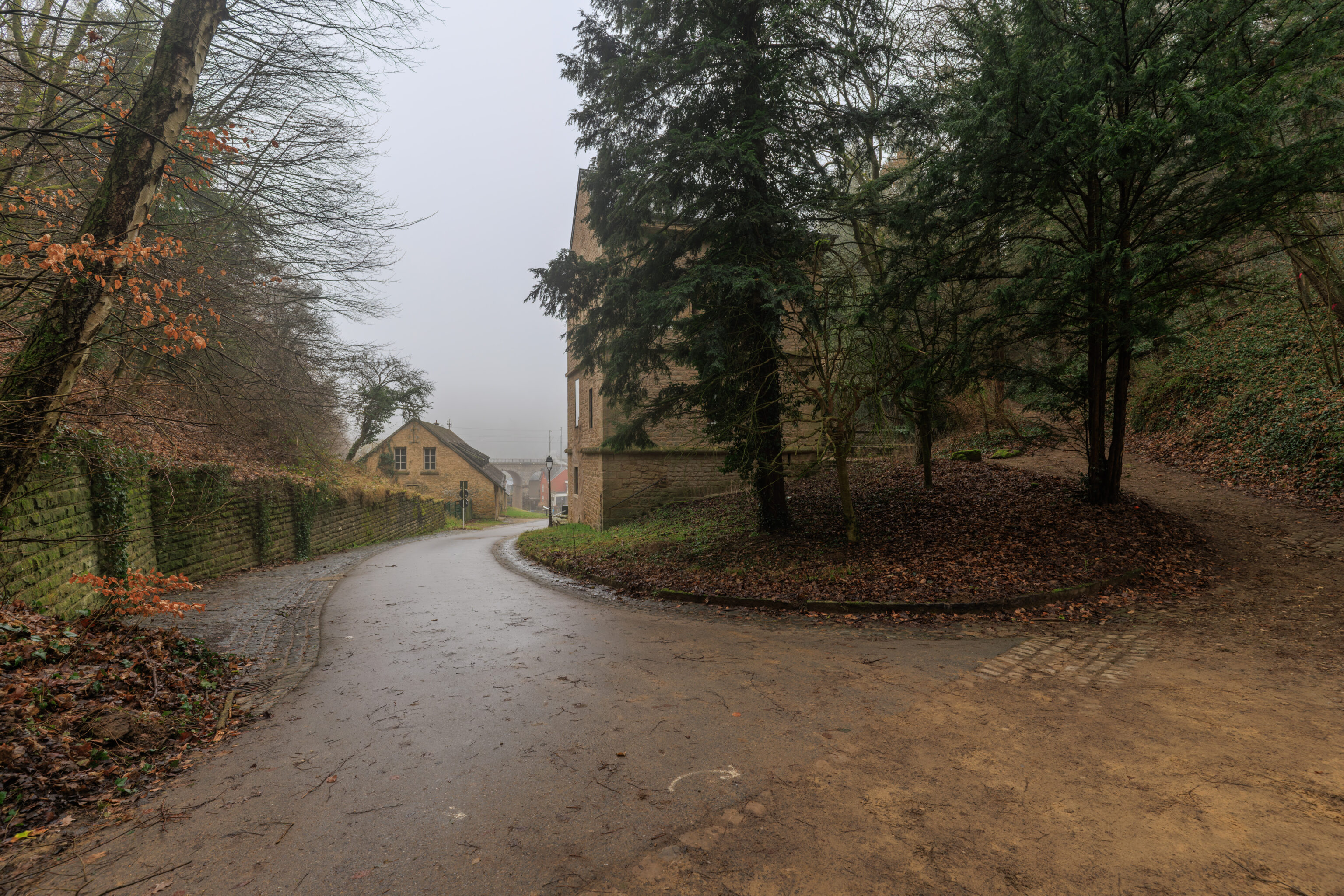
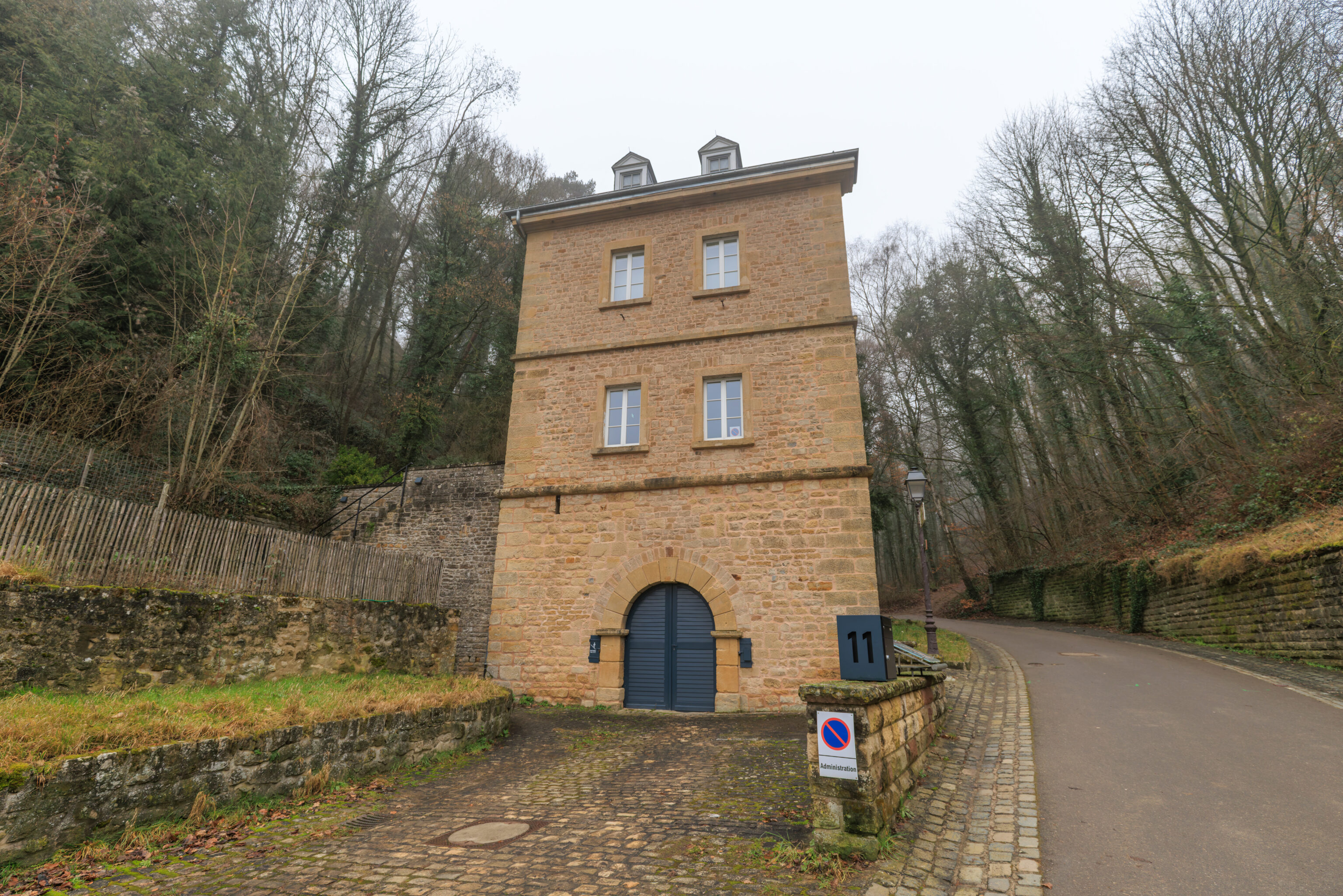
We walked onto pavement by this structure, the Porte du Grünewald (Grünewald Gate), Grünewald being the forested area here.
The Grünewald Gate
This fort was built in 1685 in the valley known as "an der Hiel." A wall—equipped with a moat in front and musket loopholes—connected the gate complex to Fort Niedergrünewald on the left and Fort Obergrünewald on the right. A Roman road once ascended the Kirchberg plateau at this location, connecting Luxembourg with Trier. It was dismantled in 1732 because the two-meter-high embankment upon which it ran—situated in front of the fortress ramparts—could have provided cover for enemy artillery. By that time, an alternative road connection to Trier already existed.

In 1836, Prussian engineers rebuilt the gate structure into its
current form.
– Text from a sign, translated from German using Google Translate.
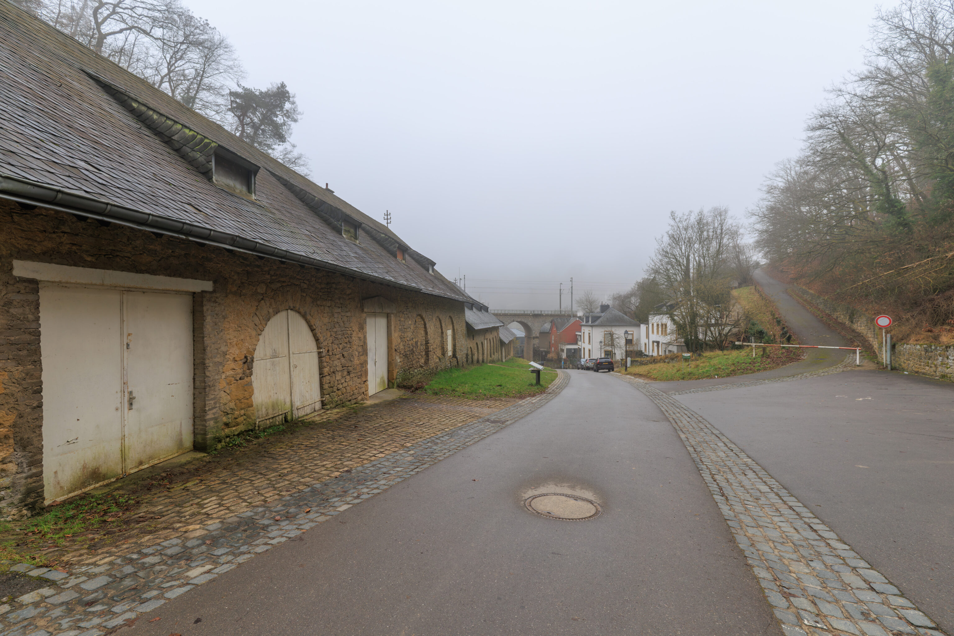
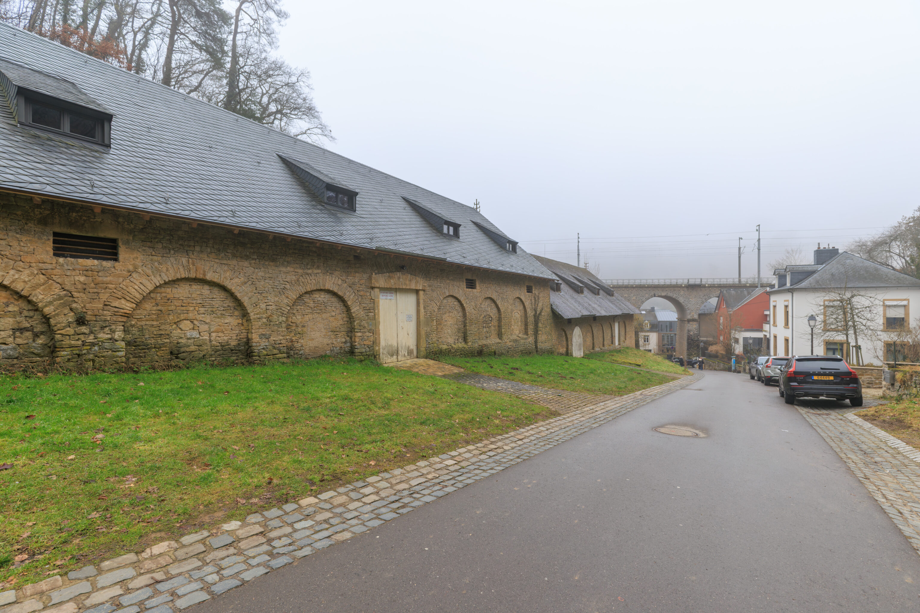
This building on the left is a flour storage building:
The Flour Magazine
In 1733, the Austrians built the flour magazine in the valley by the Miel stream. Here, flour could be stored in wooden barrels—protected from vermin and mice—ensuring an adequate food supply in the event of a siege.

The structure, which initially featured only wooden outer walls, was given an arcaded exterior on its narrow sides and rear façade in 1771.

The front façade likely did not take on its current form until the era of the Federal Fortress (1815–1866).
– Text from a sign, translated from German using Google Translate.
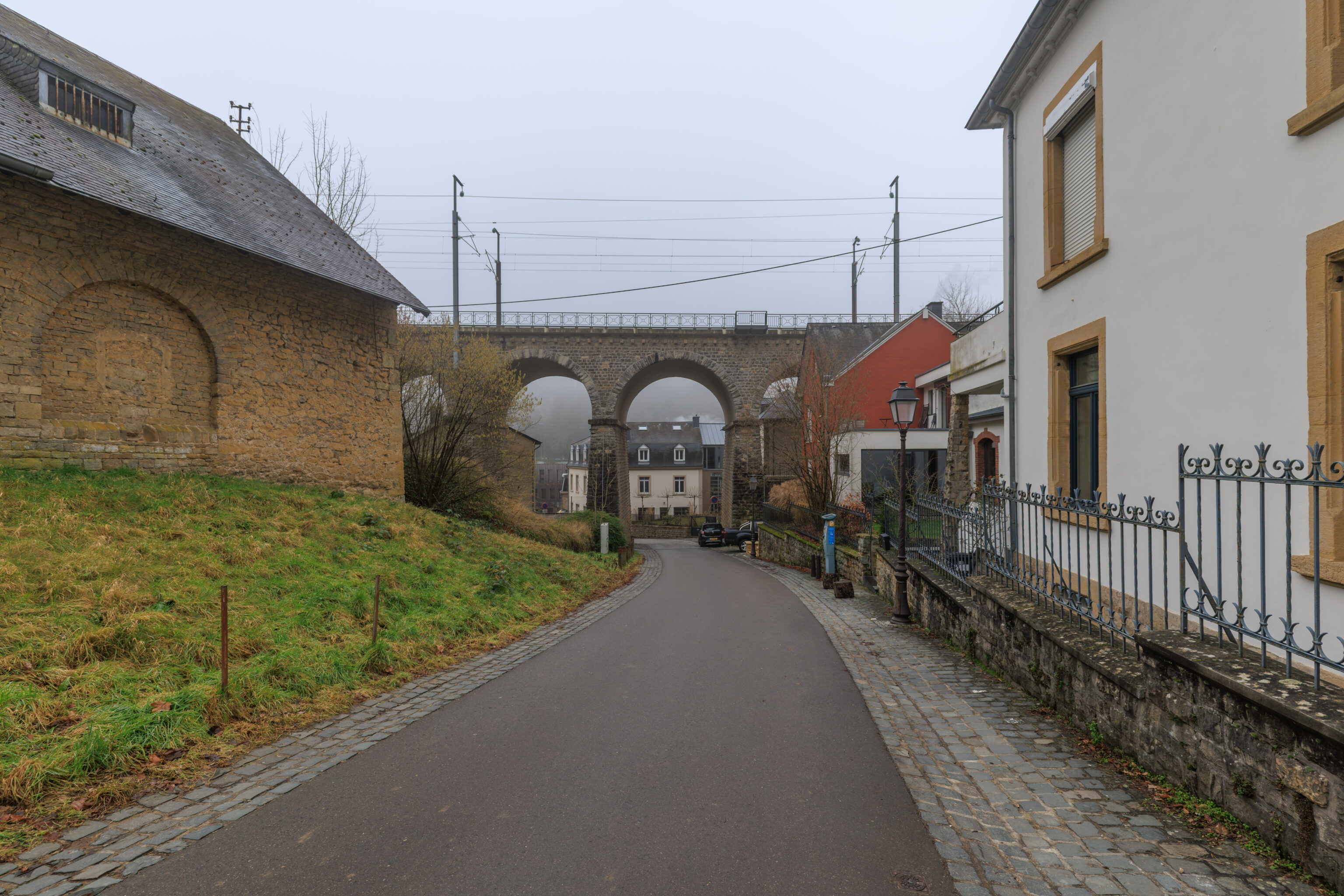
We walked down the street to the west, more or less, passing under a short rail viaduct.
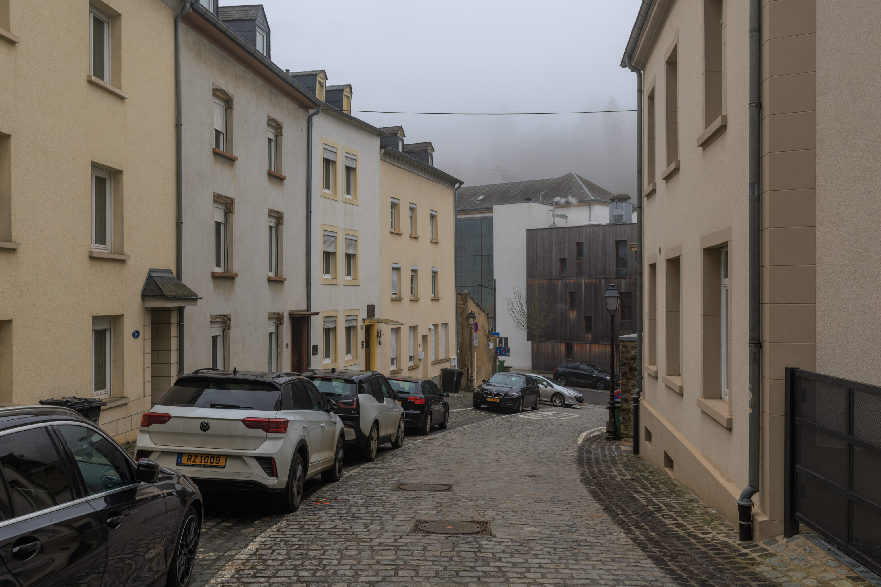
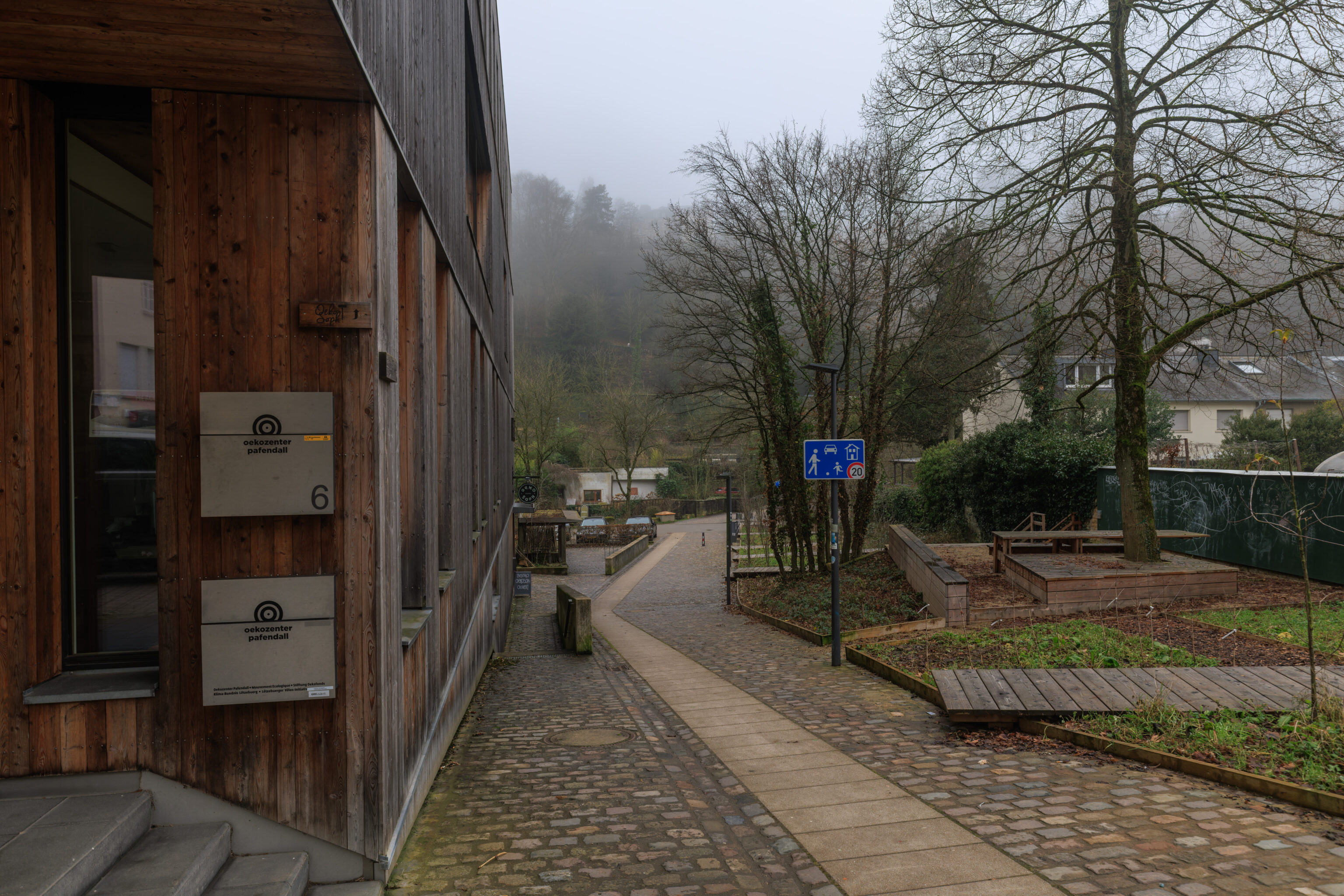
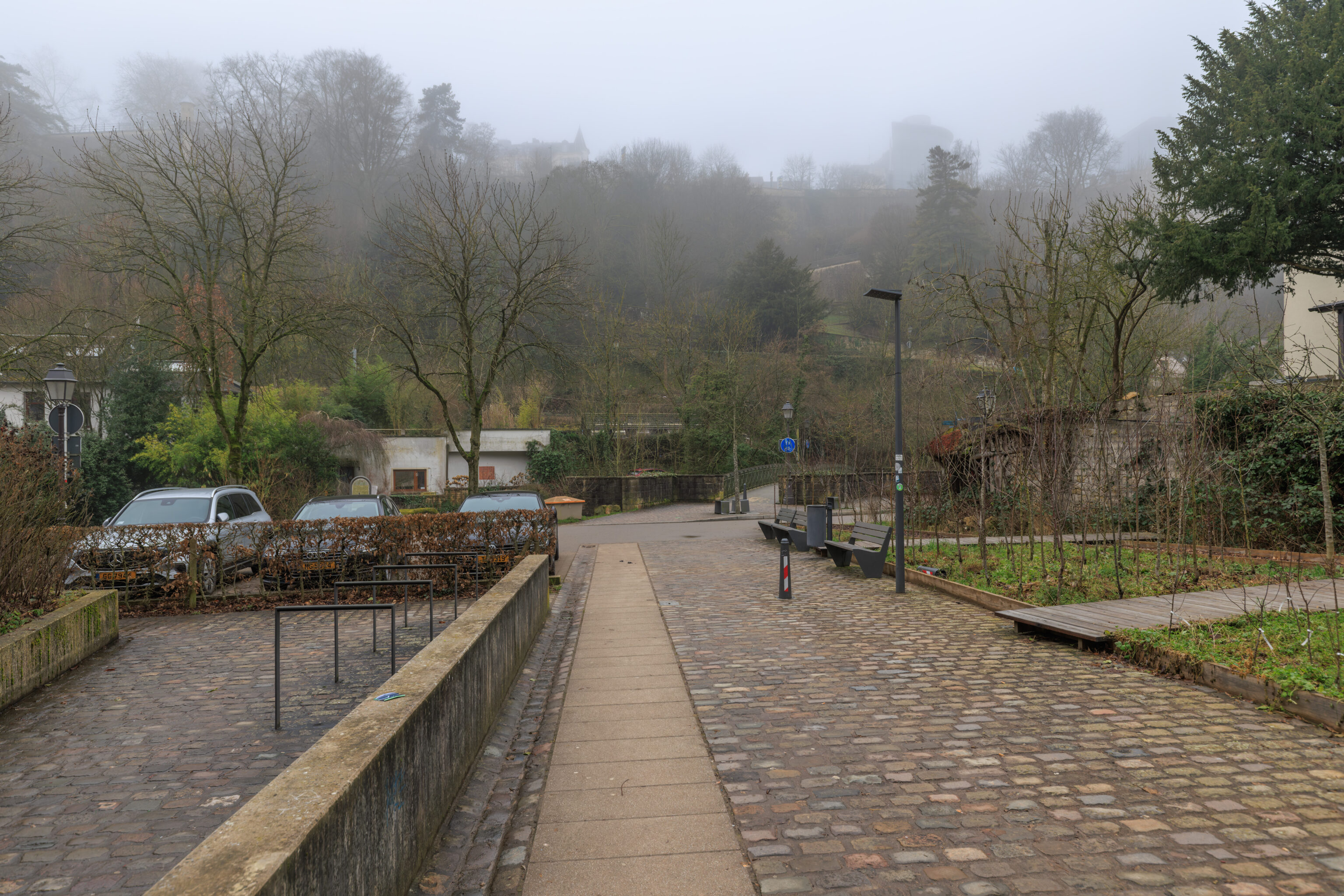
We continued on, still going more or less to the west, through a residential area in the Pfaffenthal district, which is the area down in the valley north of the Grund.
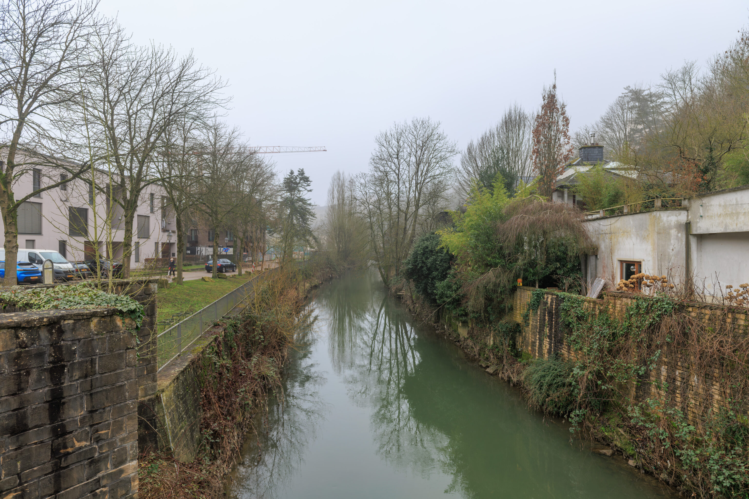
We came to a bridge that crosses over the Alzette.
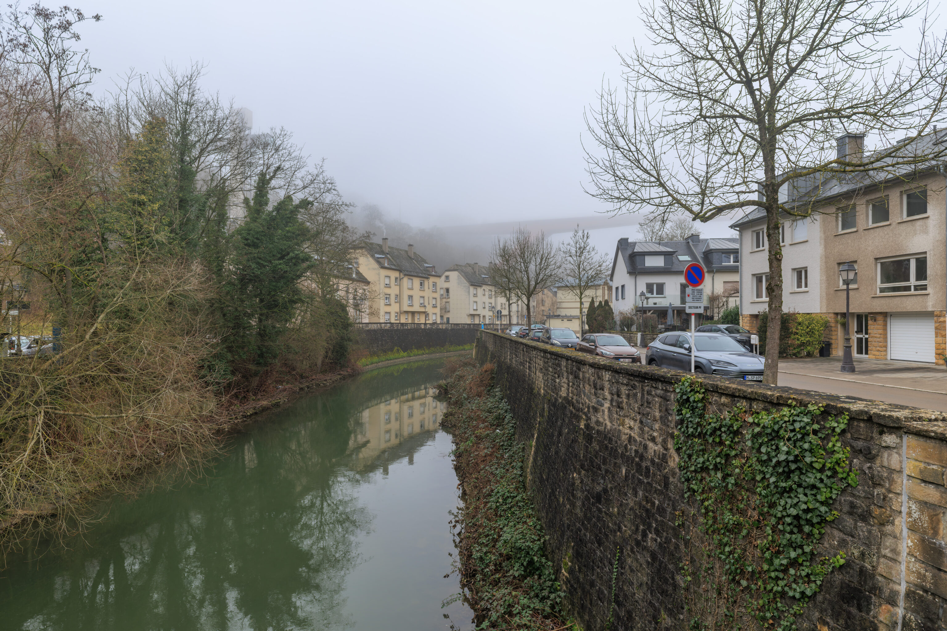
From this bridge, looking to the north, we could see a bit of the Pont Grande-Duchesse Charlotte.
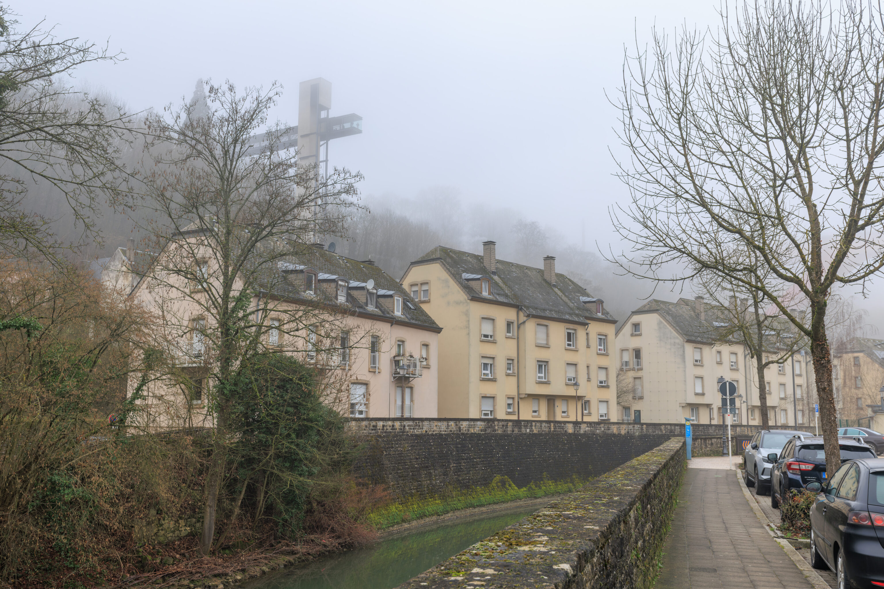
We didn’t cross though but instead walked to the north along the river. Up ahead and to the left, we could see our destination, the Pfaffenthal Panoramic Elevator.
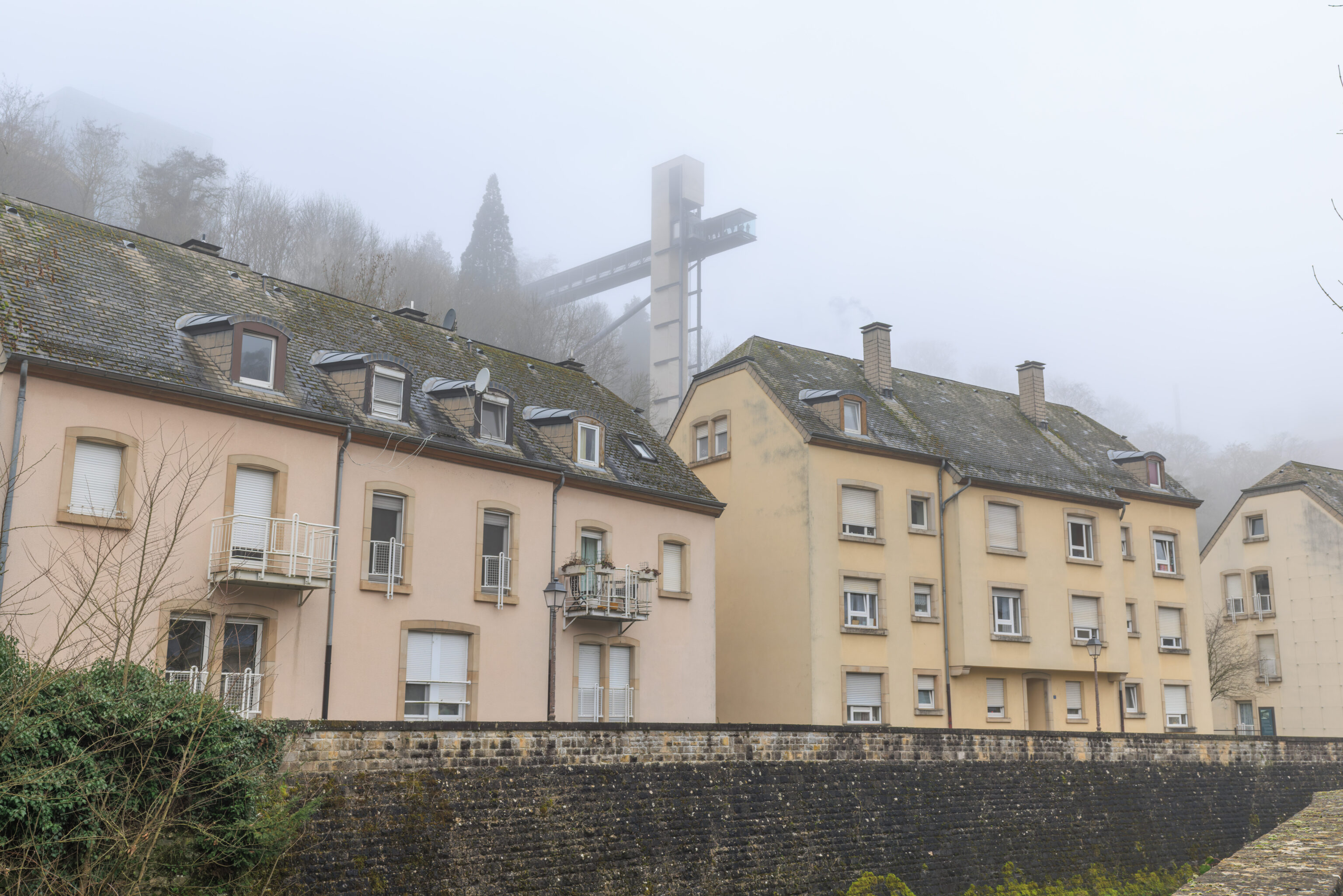
It is quite literally an elevator that ascends to a short pedestrian bridge that leads to the Ville Haute.
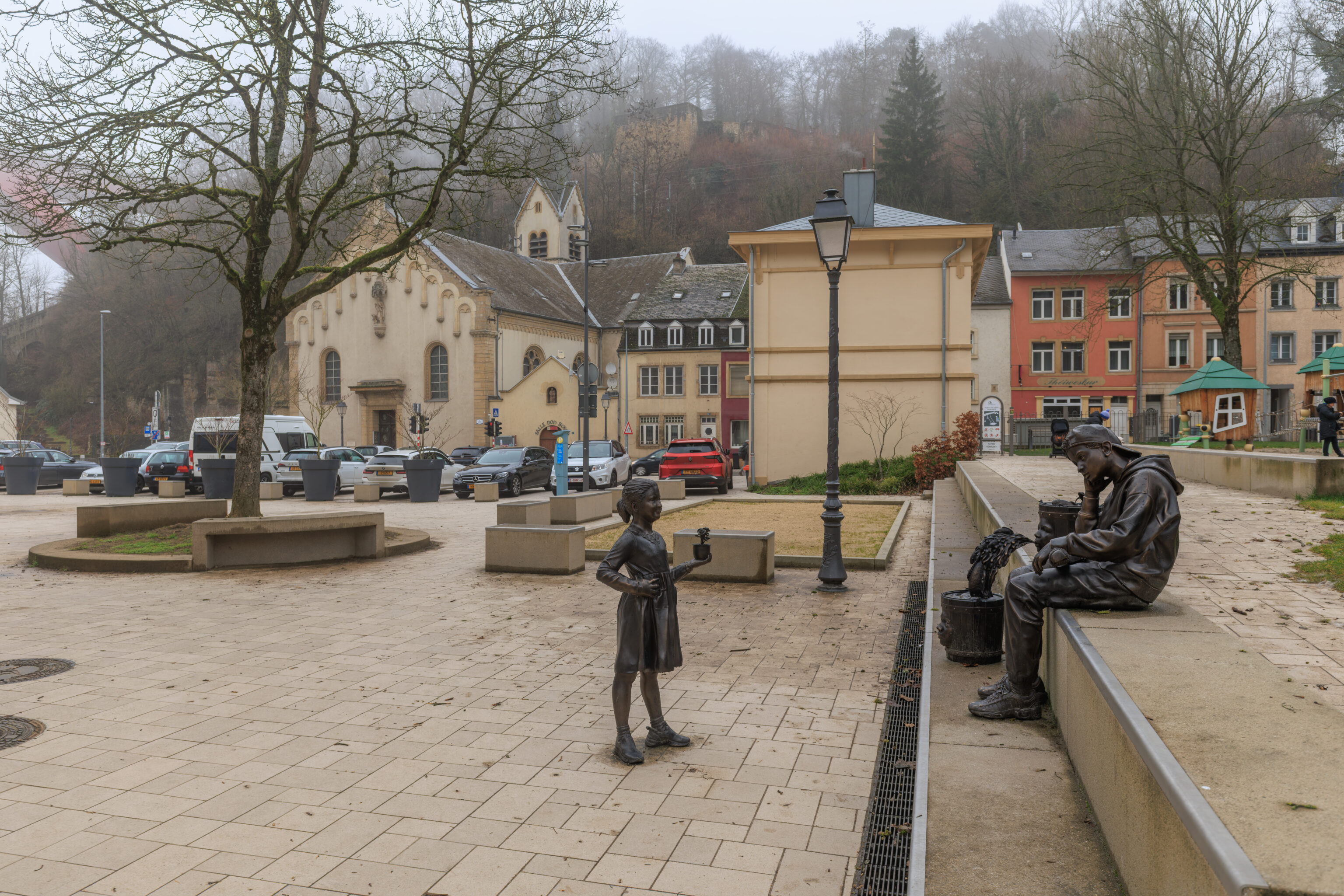
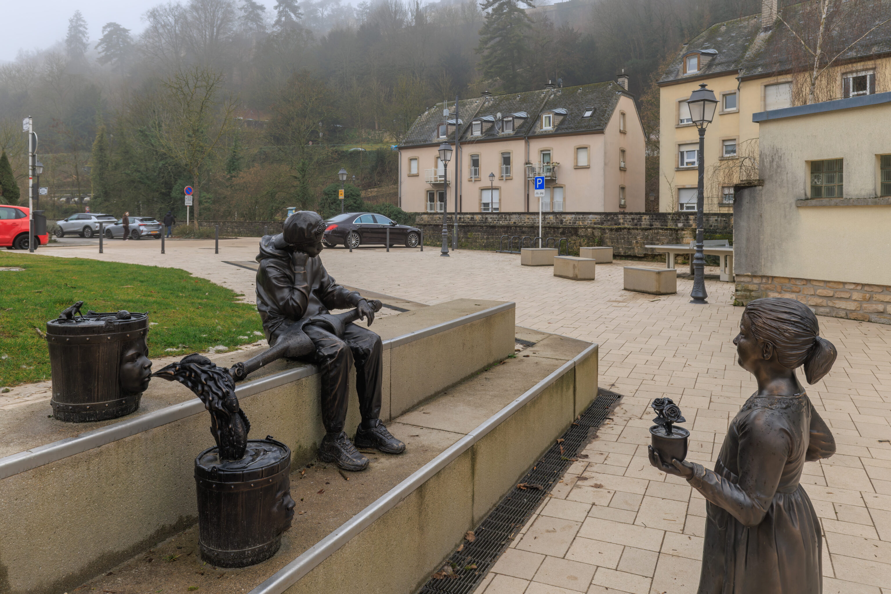
We arrived at a small square, the Place Spidolsgaart (Hospital Garden Square), with a children’s playground. This area was recently redeveloped in 2024 and once contained a large military hospital built by Vauban.
This sculpture here is Le porteur d’eau fatigué / De midde Waasserdréier (The Tired Water Carrier) by Menny Olinger.
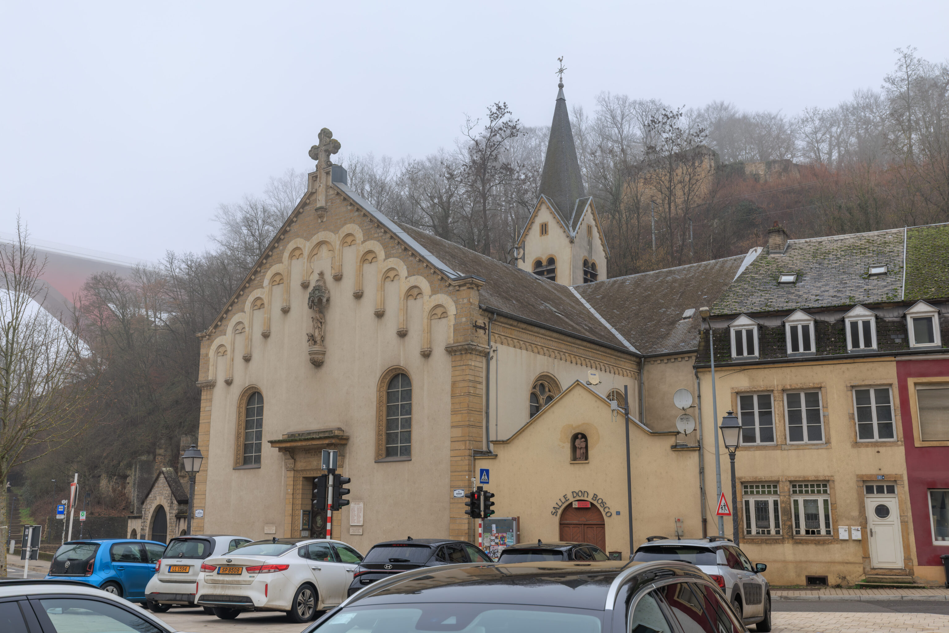
This Romanian Orthodox church Nașterea Domnului was across the street.
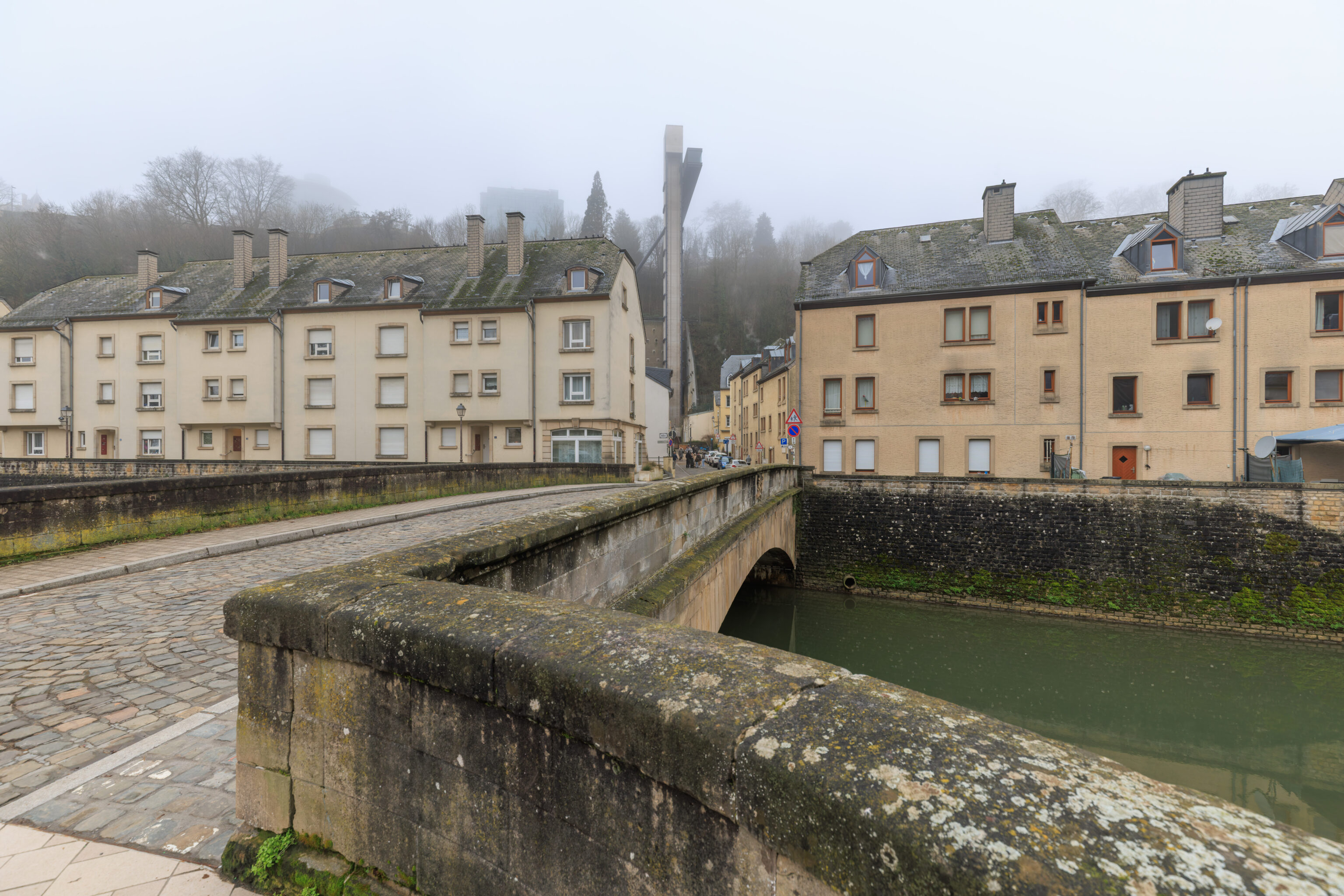
This bridge leads directly to the base of the Pfaffenthal Panoramic Elevator. But, we continued on walking along the river.
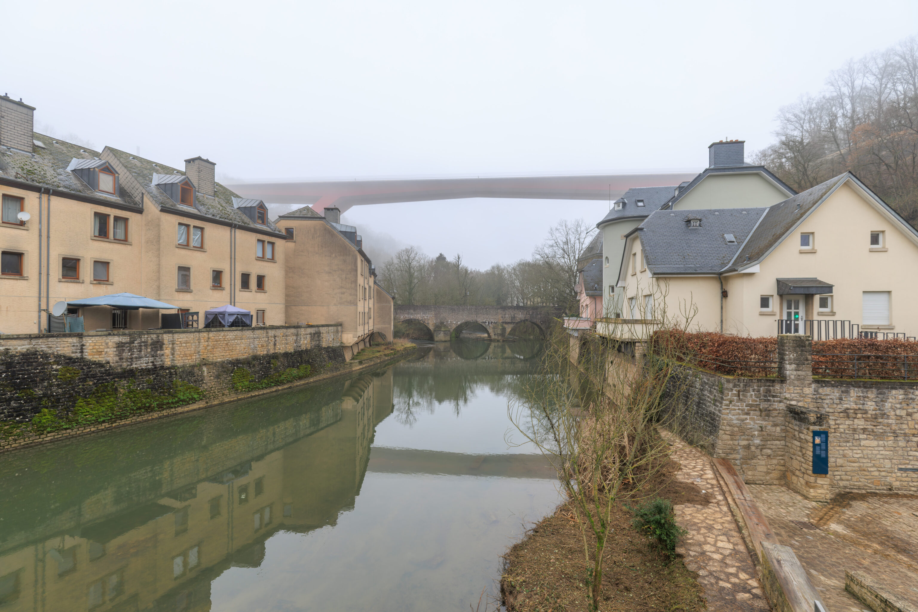
There is an older bridge that was part of Luxembourg’s fortifications ahead that we want to cross over.
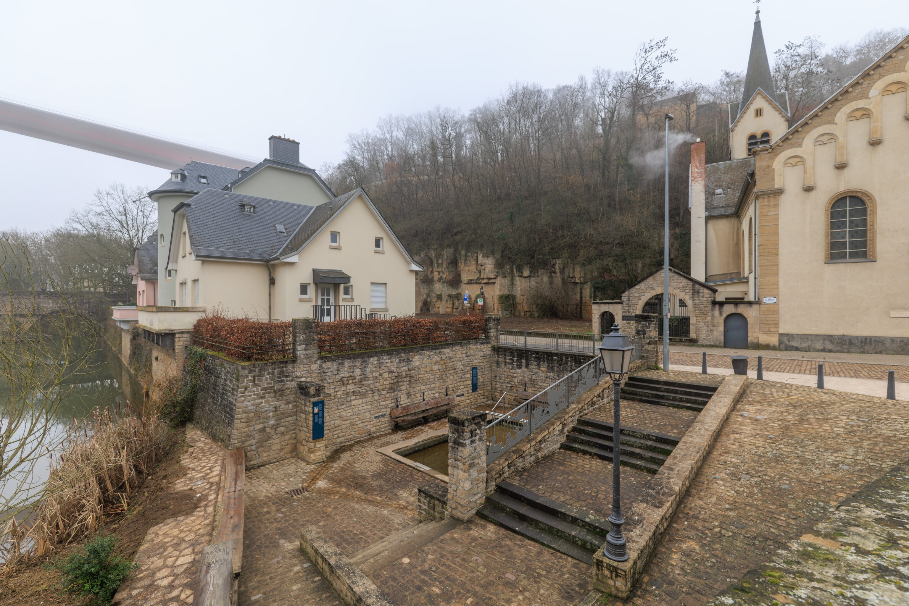
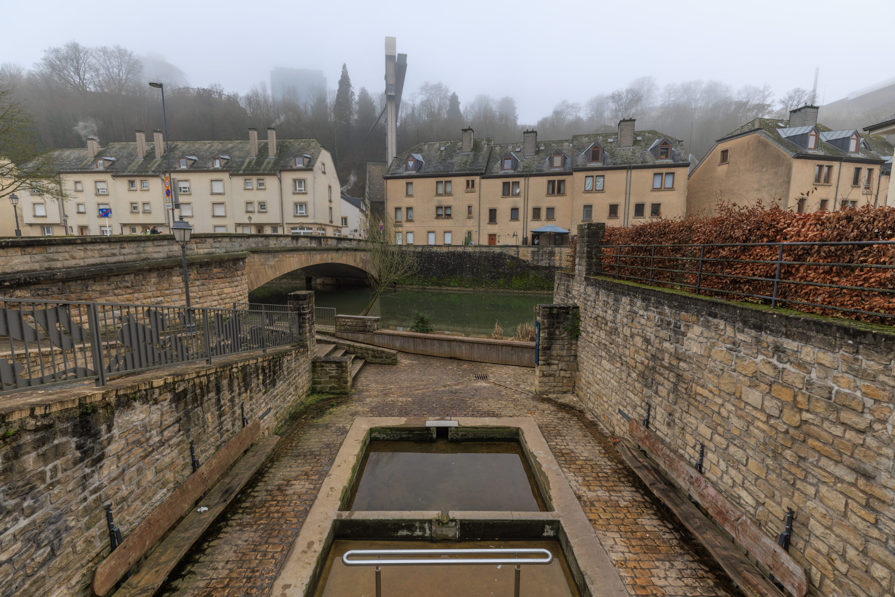
There was formerly a public lavoir, a place to wash clothing.
The lavoirs
Besides their function as wash-houses, these public spaces were places of encounter and exchange. At least four other washing places existed in the neighborhood until they became unnecessary because of the emergence of the washing machine.

The commercial laundry and dye factory Voelker-Schumann, founded in 1886 in Vauban-Street number 10, provided natural washing by avoiding the use of chemicals and returned the laundry to the customers. Until 1979, they also ran a public bath and shower.

This washing well is supplied by the washing and drinking fountain Théiwesbur which lies to the left of St. Matthew's church. "Théiwes" is the old Luxembourgish name for Matthew, the patron saint of Pfaffenthal. It became famous through the Lidd vum Théiwesbur by Fritz Weimerskirch (1895-1971). The song criticised the displacement of the local population due to the public redevelopment measures of the 1920s.

In 2016 the washing place was completely renovated by the city of Luxembourg, and one of the two washing fountains was altered to a Kneipp bath.
– Text from a sign posted on Google Maps.
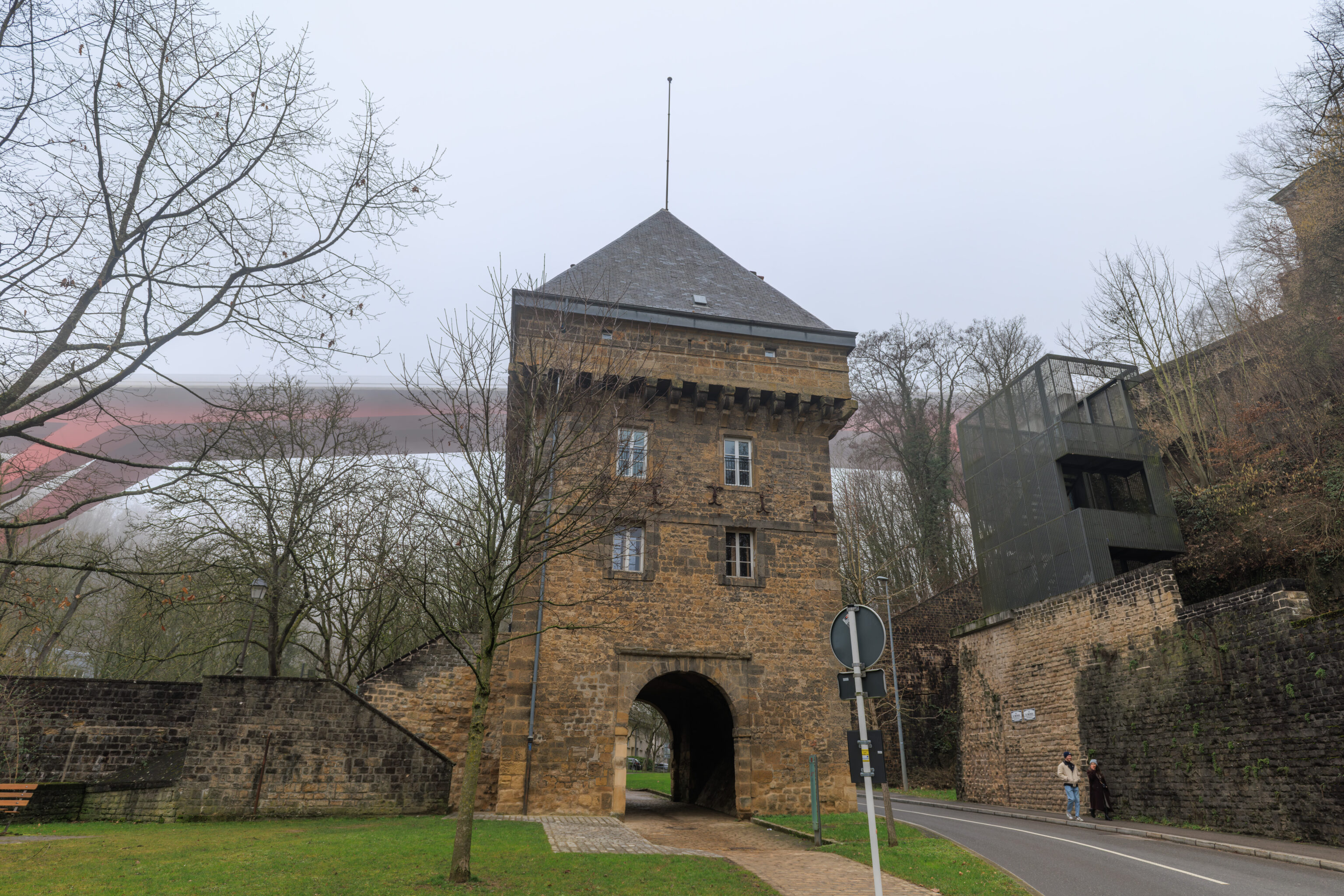
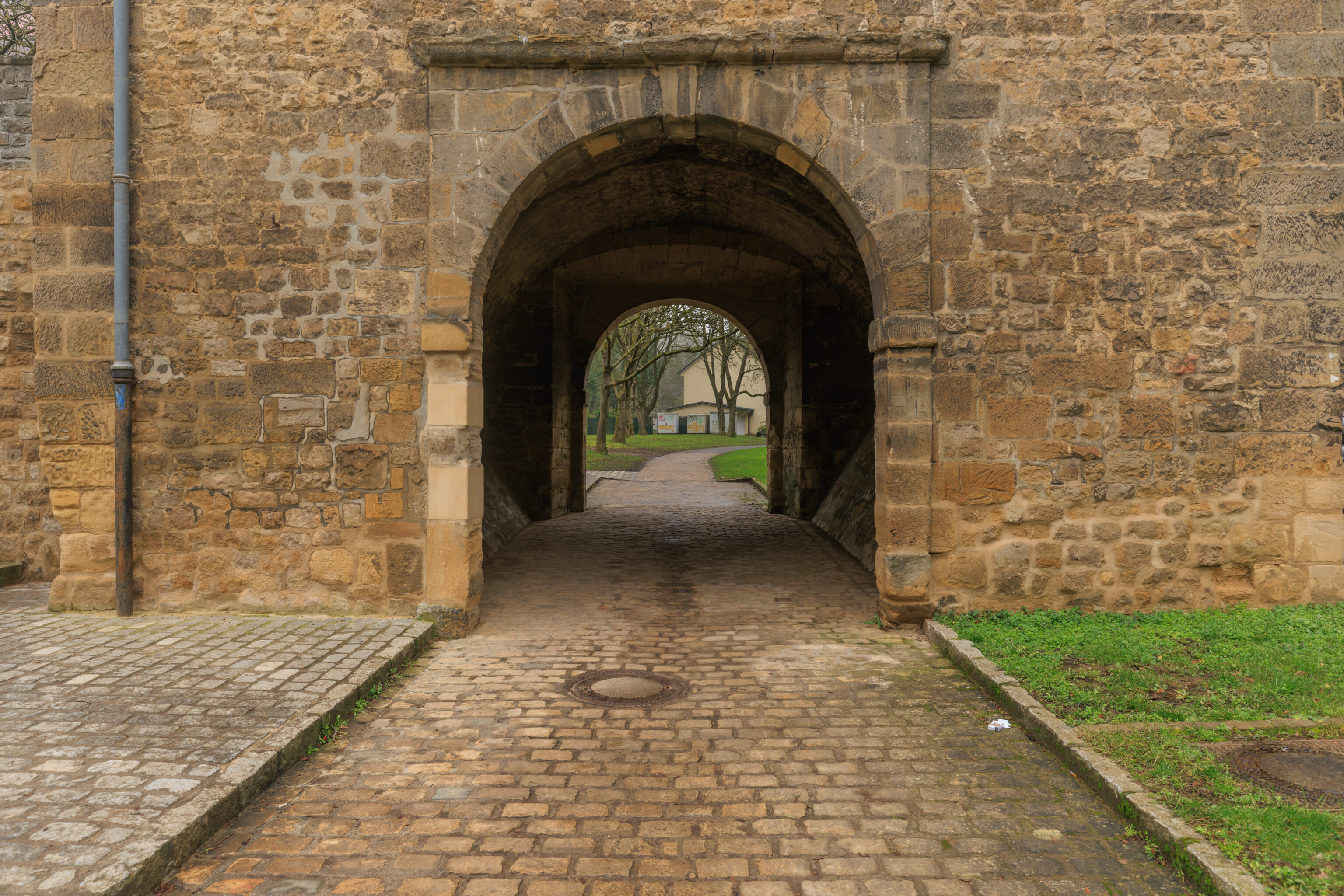
We continued walking north until we reached this tower.
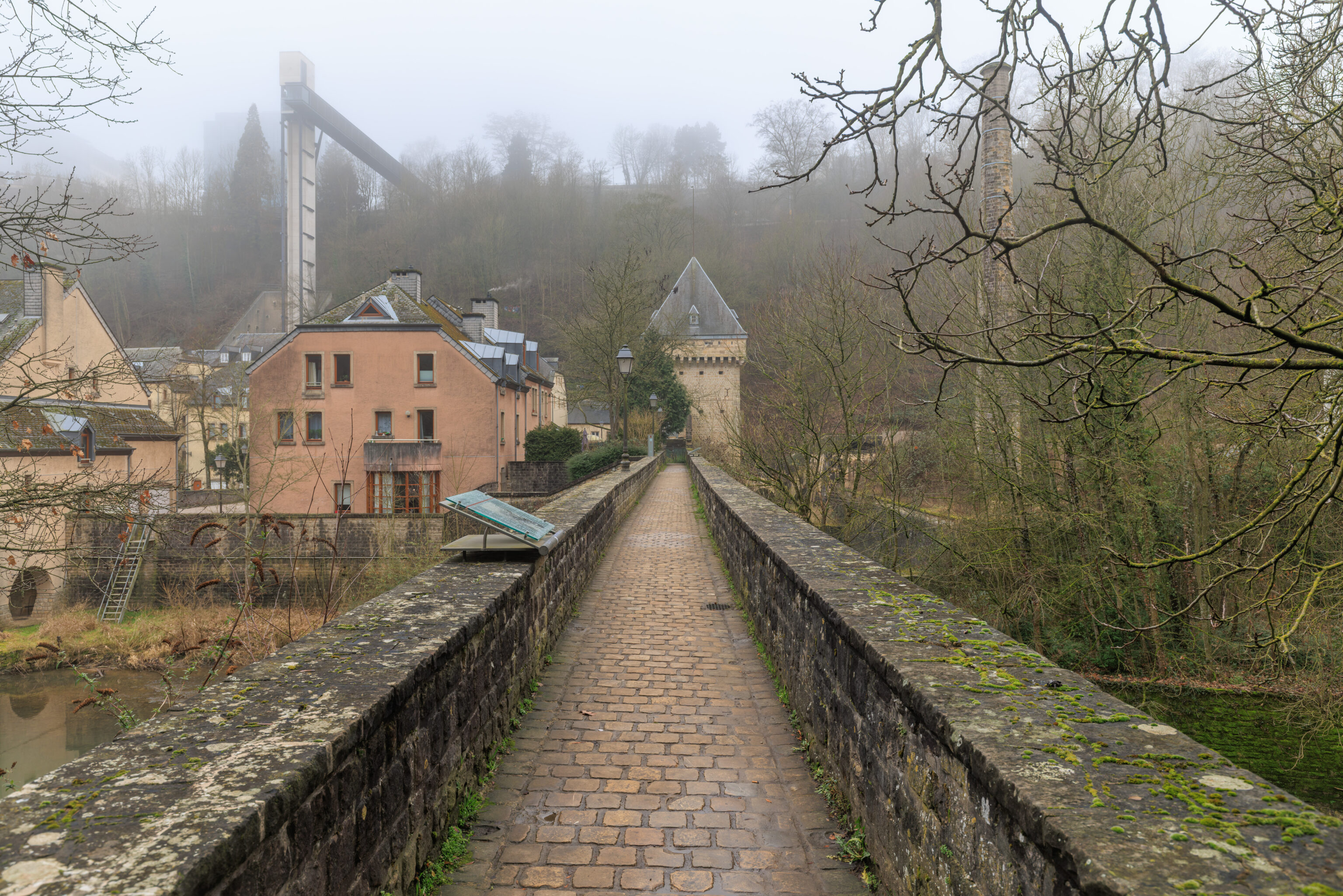
The tower is connected to another tower on the other side of the Alzette by a path atop a fortification wall. This pair of towers are collectively referred to as the Vauban Towers.
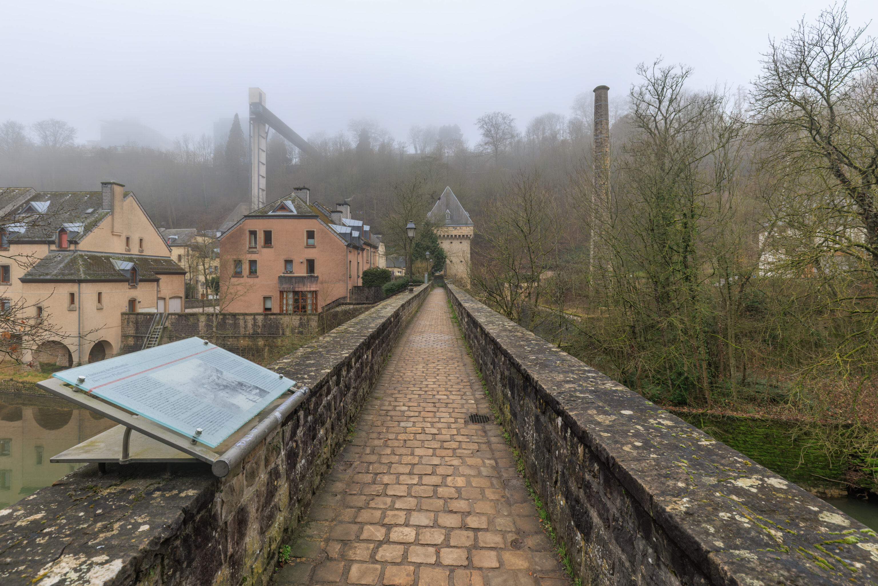
The sign here on the left describes the Pfaffenthal district:
The suburb of Pfaffenthal
Settlement in the valley dates back to Roman times; the Roman road from Reims to Trier crossed the Alzette River via a bridge. A permanent settlement based on agriculture and crafts has existed here ever since; fishermen, millers, and bakers, for instance, have been established here since the late 11th century.

The name Pfaffenthal—or *Pafendall* in Luxembourgish—roughly translates to "Valley of the Monks" or "Valley of the Clergy." It is linked to the Münster Abbey, whose lands extended as far as the *Pfaffenaue* or Pfaffenthal.

Pfaffenthal was one of the city's poorest districts, inhabited by a diverse mix of people: beggars, second-hand dealers, fishermen, millers, rag-and-bone men, tinkers, pan-casters, scissor sharpeners, tanners, tawers, brewers, washerwomen, fairground workers, leather dressers, wool carders, weavers, dyers, and so on.

The *Siechenpforte* (Sick Gate) is first mentioned in 1388; it served to protect the city and to collect tolls and import duties.
Since the Middle Ages, infectious diseases such as leprosy were treated at the leprosarium in the Lower Town. Those deemed incurable were taken through the *Siechenpforte* to the *Siechenhaff* (leper colony) located outside the city walls.
– Text from a sign, translated from German using Google Translate.
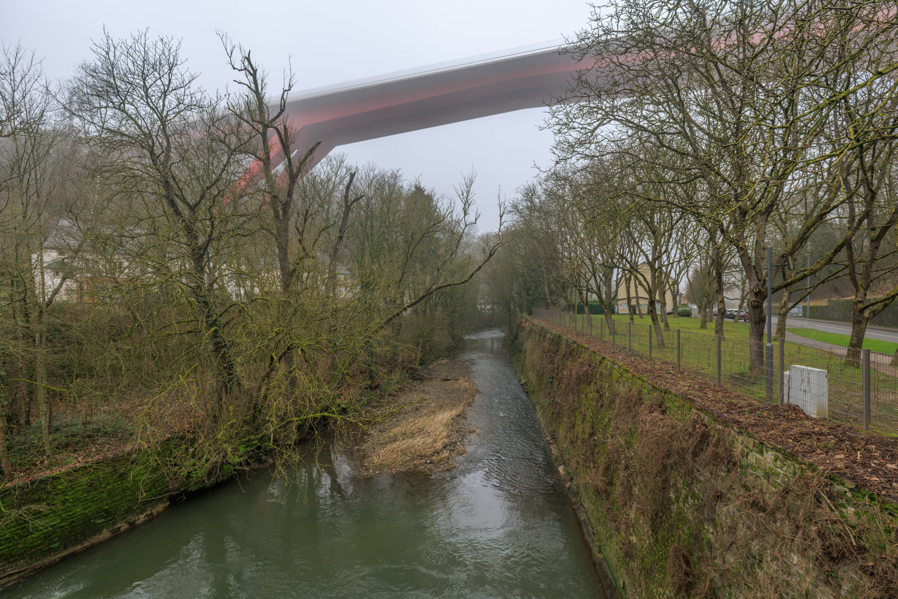
This is the clearest view of the Pont Grande-Duchesse Charlotte that we’ve had all day!
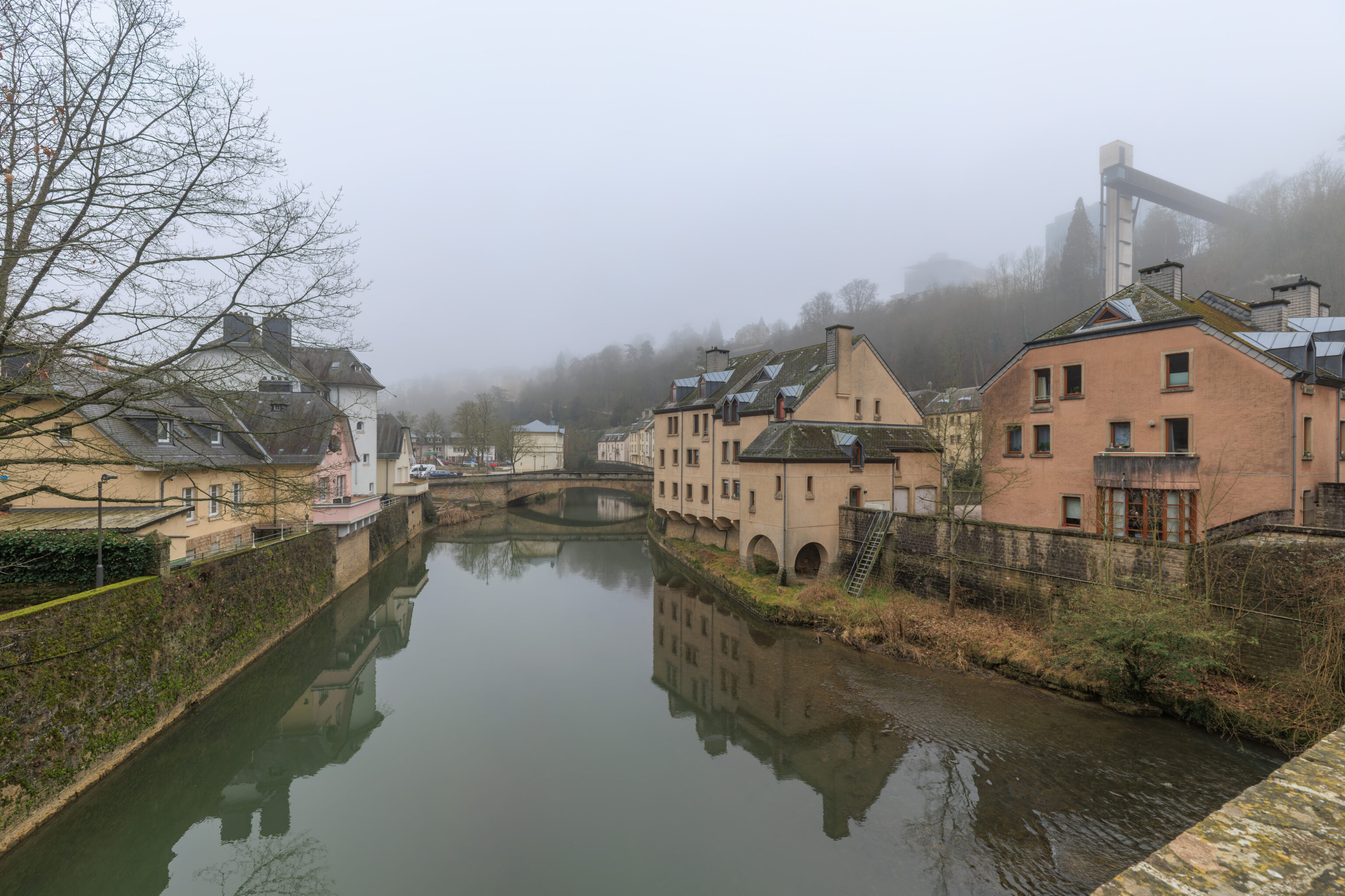
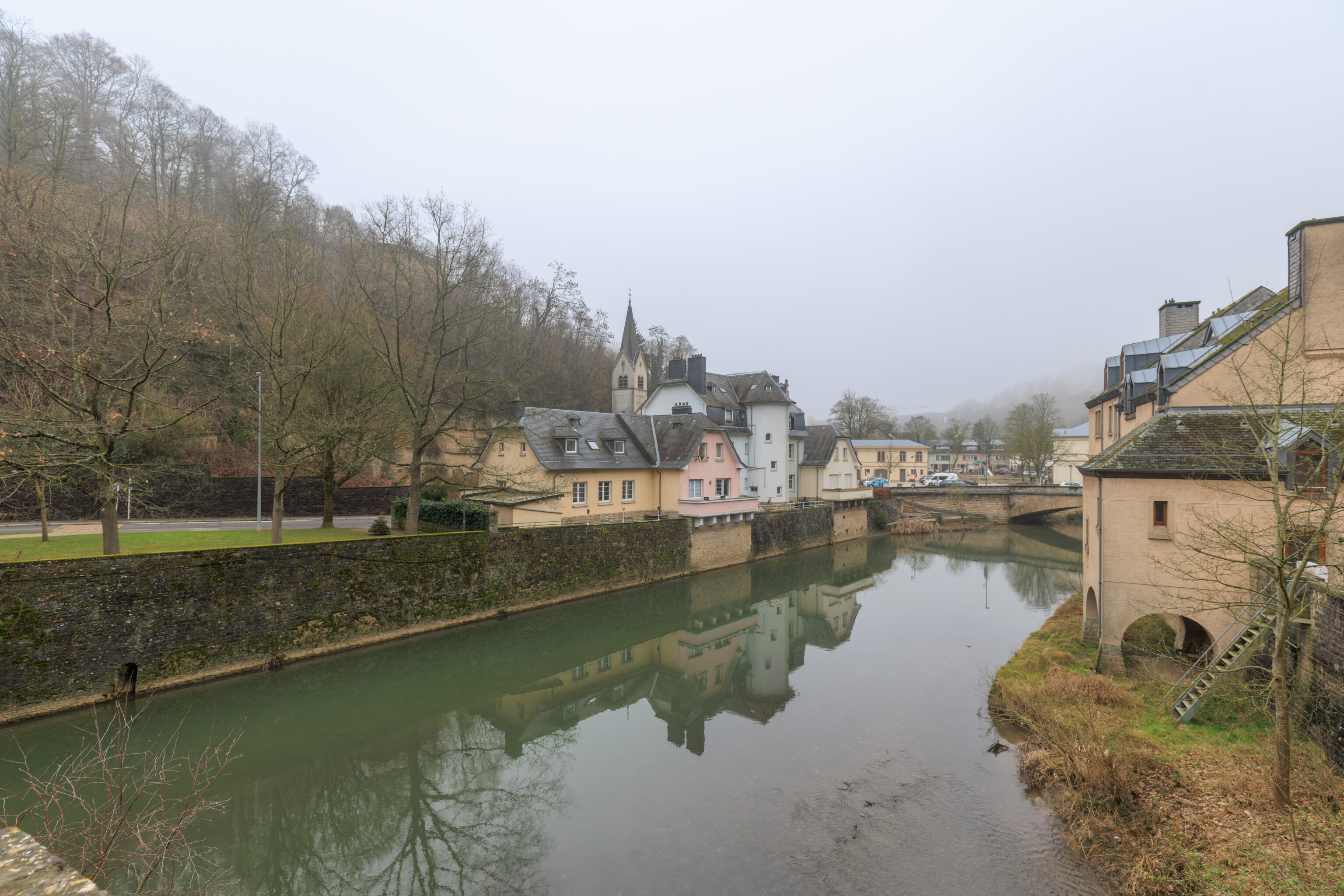
The view to the south.
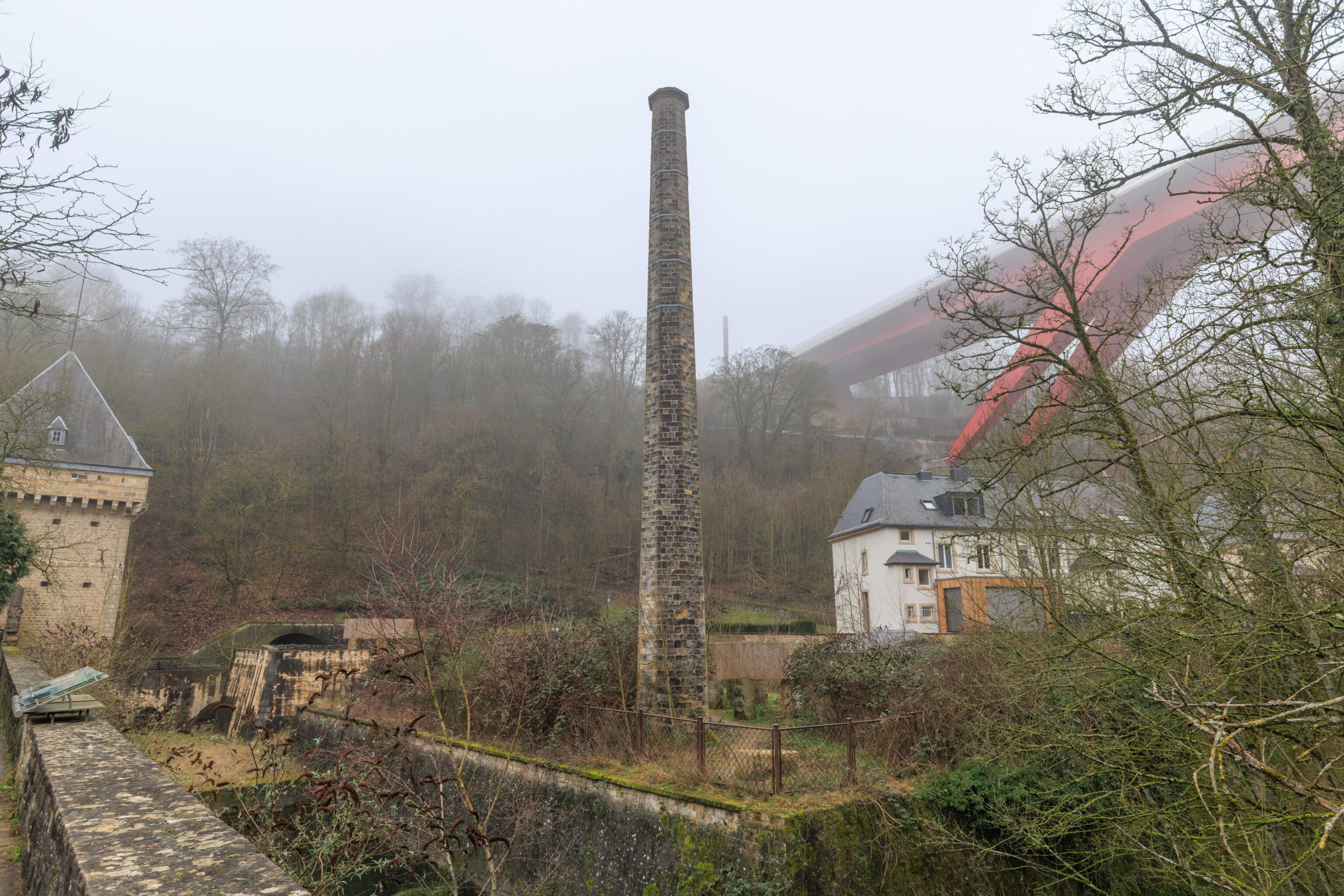
While crossing over to the western side of the Alzette, we noticed this large chimney.
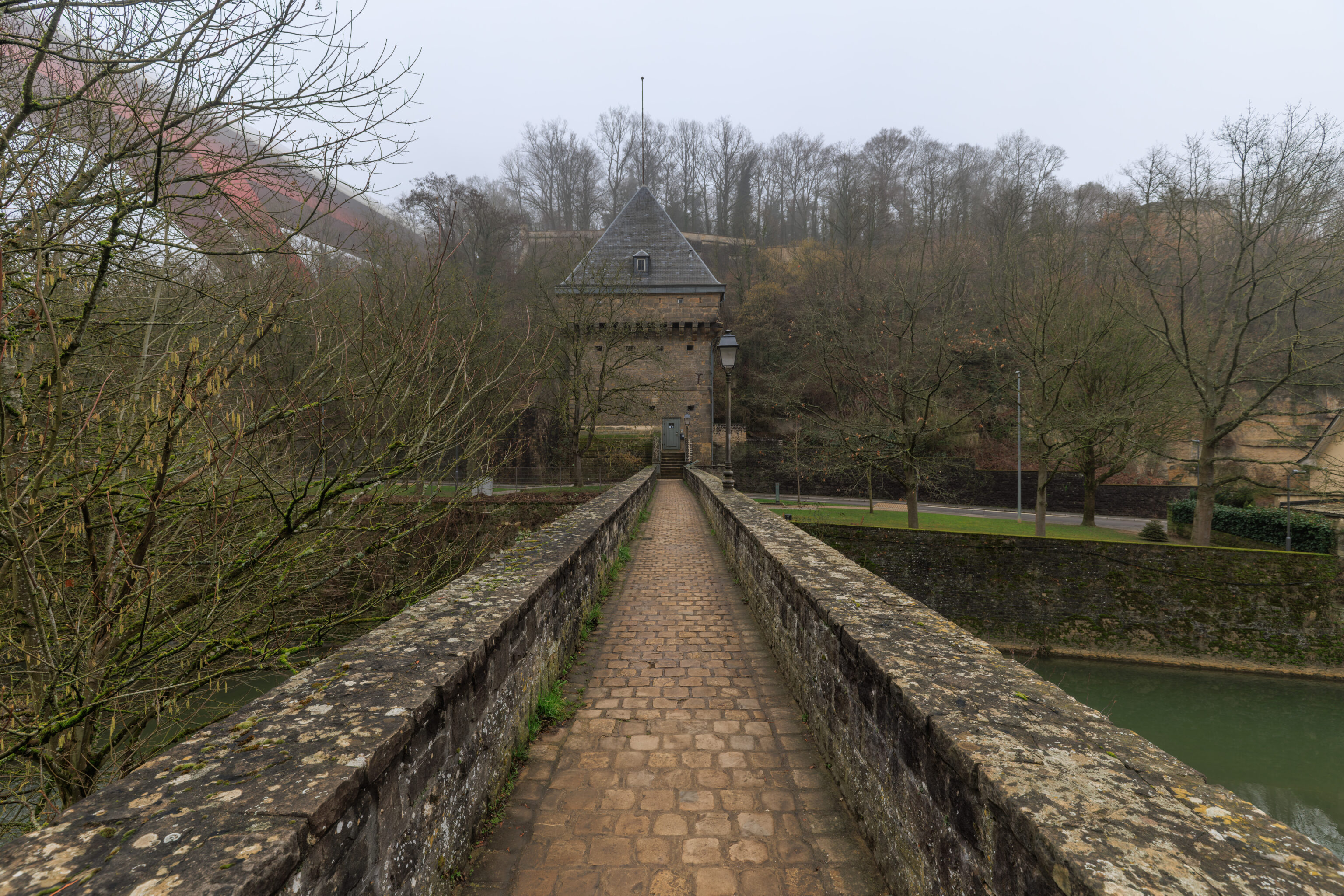
The view looking back.
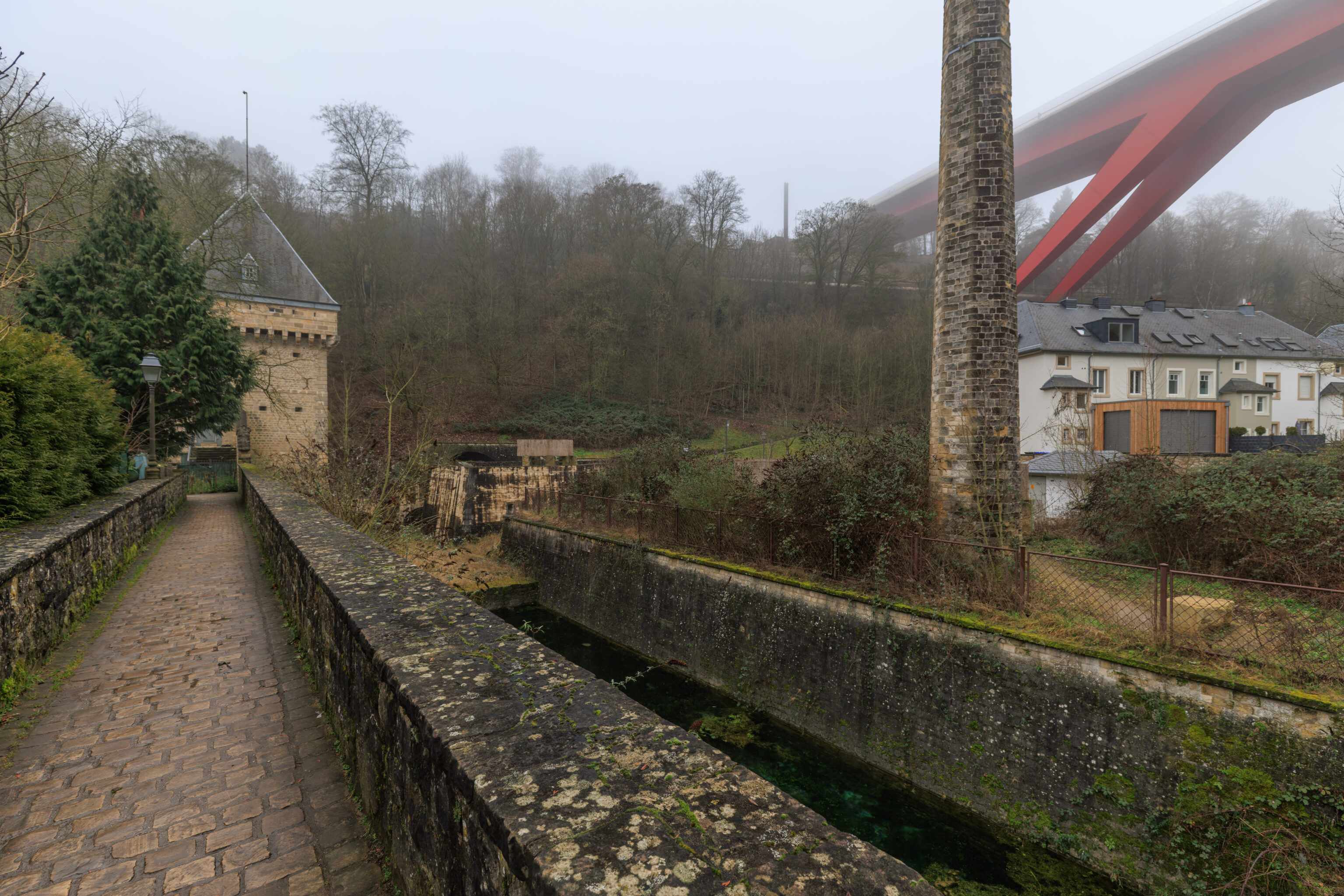
And the view ahead. A sign described what was here before:
The City's First Drinking Water Pipeline
In 1866, the City of Luxembourg put its first water pipeline into operation. After overcoming numerous difficulties, a 337-meter-long tunnel had been driven through the sandstone, starting from the springs at the Eichertor gate in Pfaffenthal. This tunnel, which spanned a vertical rise of 71 meters, discharged into the Neutor Fountain located at what is now Bäderplatz. A suction pump transported the water from the Neutor Fountain to a reservoir on the Berlaymont Bastion.

Here in Pfaffenthal, at the Breedewues site, stood a pumping station equipped with a 22-horsepower steam engine; it supplied the new reservoir in Limpertsberg until 1940. Apart from a few remaining sections of masonry, only the stone-built "Féngerléck" chimney bears witness to the existence of the former waterworks.
– Text from a sign, translated from German using Google Translate.
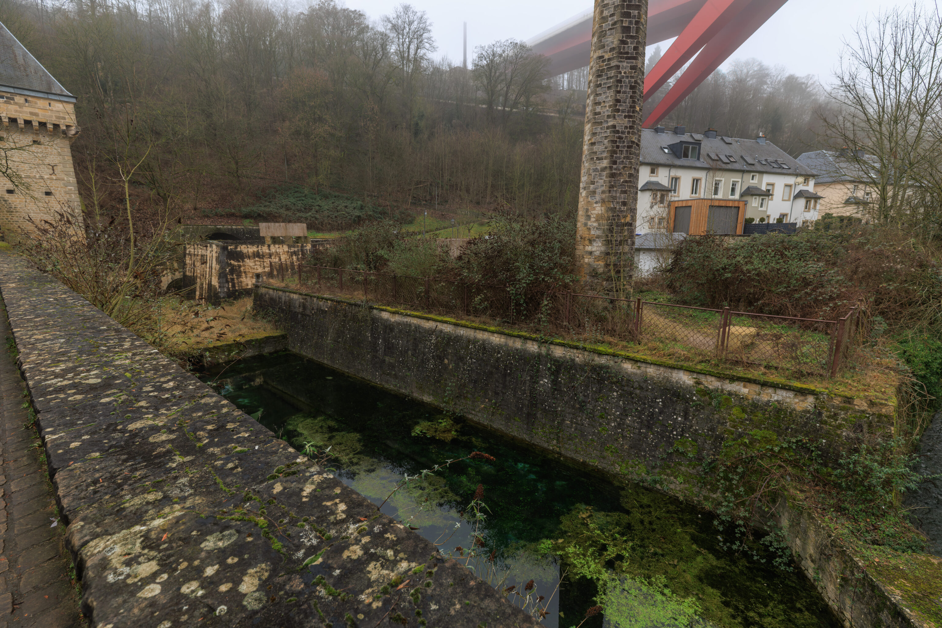
We noticed this rather iffy pool of water below. It was formerly a lavoir, perhaps something like the renovated one we just saw earlier.
Water – The Wealth of Pfaffenthal
Due to the unique topographical layout of the Fortress of Luxembourg, the suburbs situated along the Alzette River held a monopoly on water. As early as the Middle Ages, Pfaffenthal boasted—in addition to numerous private wells and springs—the Hondhaus Well, the Teiweshbuer, and the Eichtor Well.

Trades that relied heavily on water—such as millers, brewers, and tanners—tended to settle in Pfaffenthal.

In the Upper City, where there were no natural springs, rainwater was collected in cisterns. Fresh water was carried up from the Lower City districts by water bearers and sold at a high price (2).

Between 1740 and 1780, during the reign of Empress Maria Theresa, four wells were dug in the Upper City to supply residents with water (1). However, typhoid epidemics bore witness to the poor quality of the water from these wells, and the water bearers from the suburbs were once again in demand.

The remains of a public washing well (3) are located in the moat in front of the wall. This wall, known as the "Béinchen," connects the two towers like a bridge.
– Text from a sign, translated from German using Google Translate.
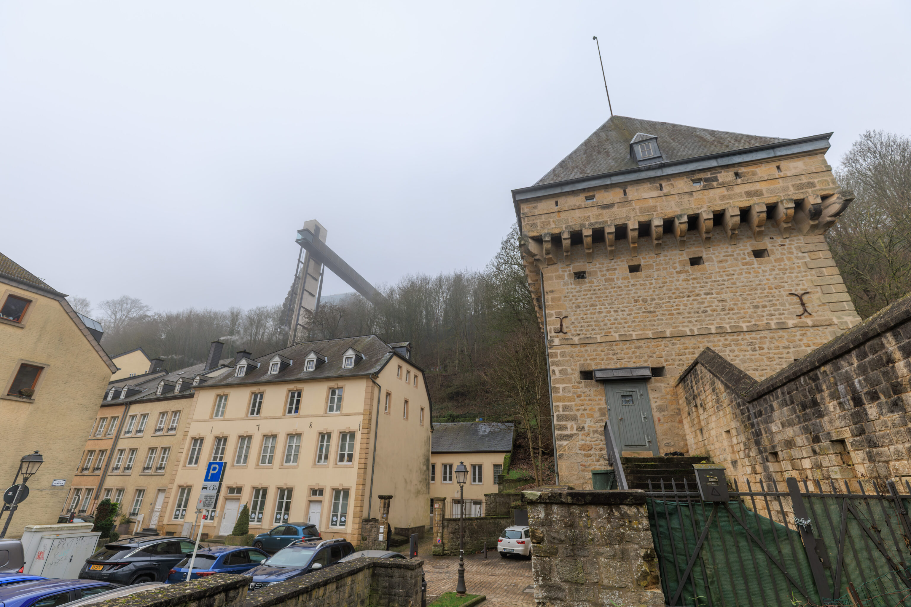
We arrived at the western tower.
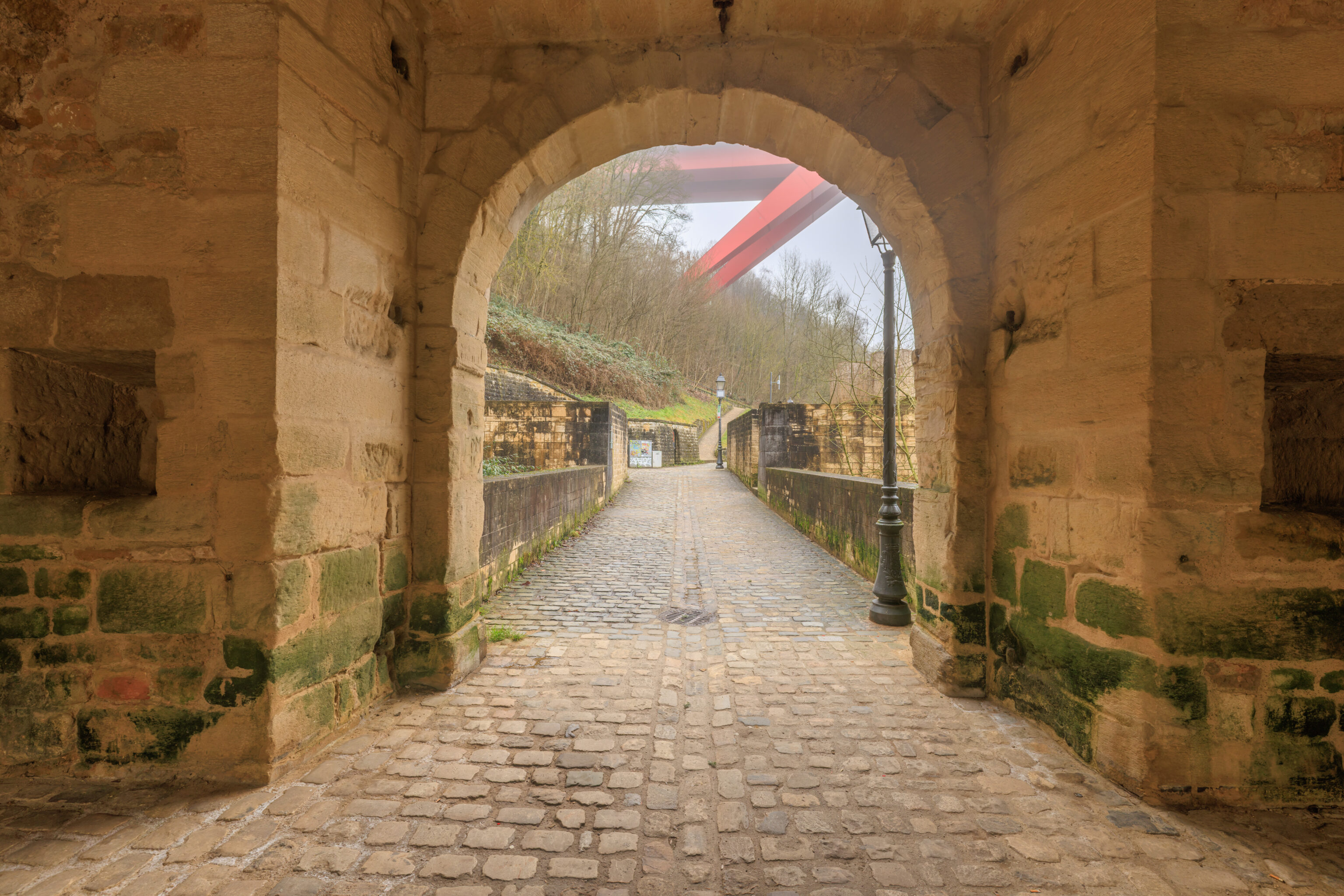
We walked through the tower to the north side.
The Eichertor (Oak Gate)
The gate tower was built by the French in 1684–85. A guardroom equipped with wooden sleeping platforms and an open fireplace was set up above the gateway passage. This room was accessible via a staircase. In the event of war, the vaulting over the passage could be made even more bomb-proof by covering it with a layer of fascines and manure.  A wooden bridge, consisting of a fixed section and a movable section, spanned the moat in front of the gate.

The movable section was a drawbridge featuring a counterweight and a counterweight pit. A gear mechanism (2) operated by a hand crank allowed the counterweight to be lowered into the pit; this action raised the outer section of the bridge, closing off the gate opening in a vertical position.

In 1743, the Austrians provided additional protection for the Eichertor. A ravelin was constructed, complete with an outer moat and casemated rifle positions. During the subsequent demolition work, the wooden bridge was replaced by a stone one in 1868, and the ravelin's gateway passage was opened up (3). Following the completion of the work in 1872, only the gate tower remained.
– Text from a sign at the tower, translated from German using Google Translate.
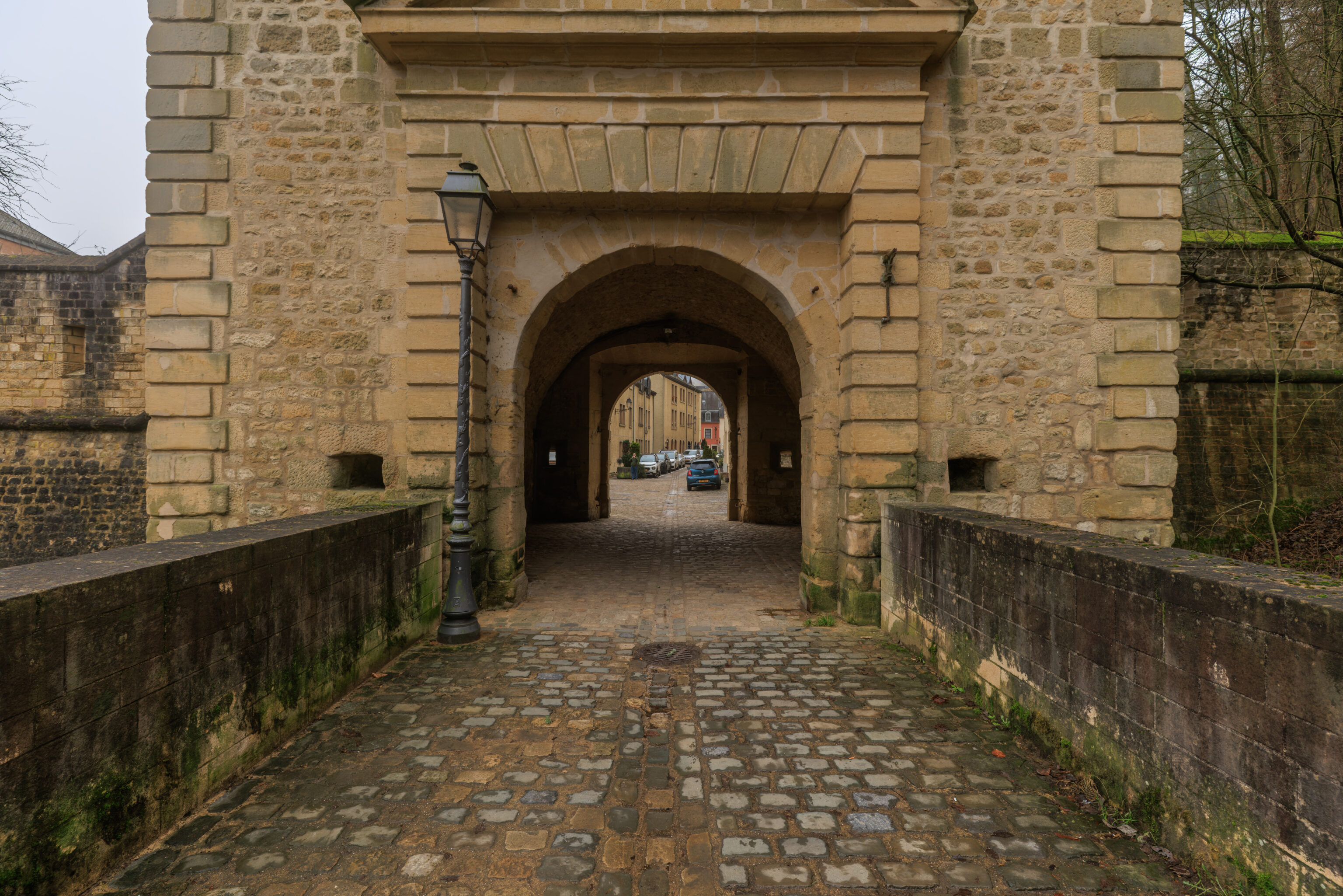
The view looking back through to the south.
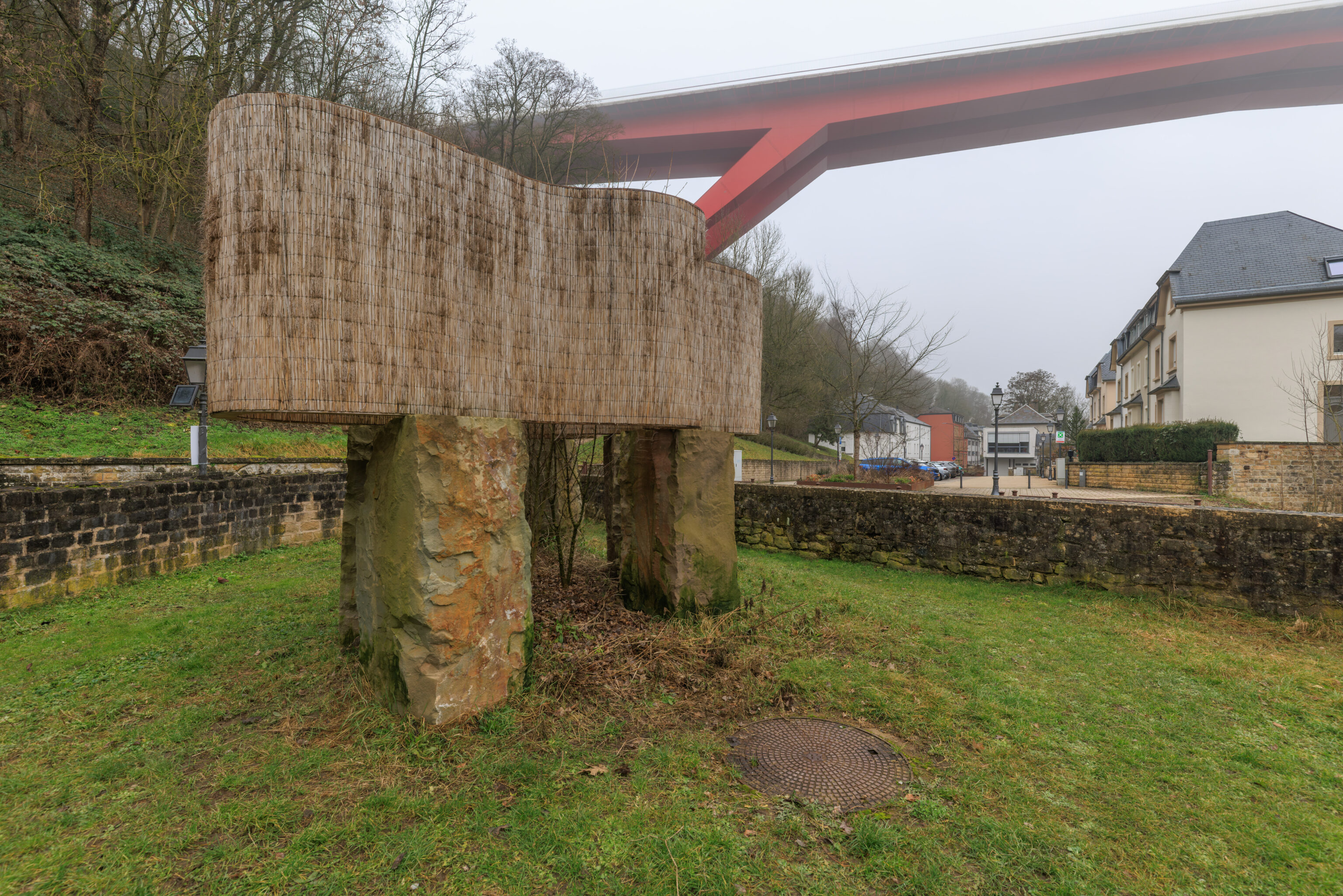
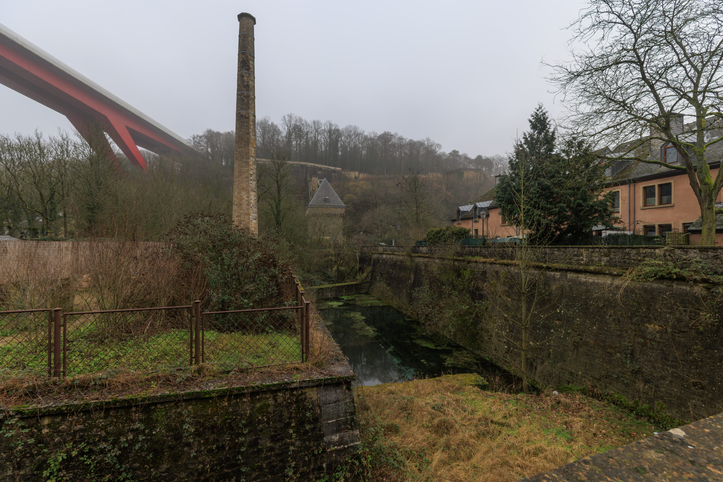
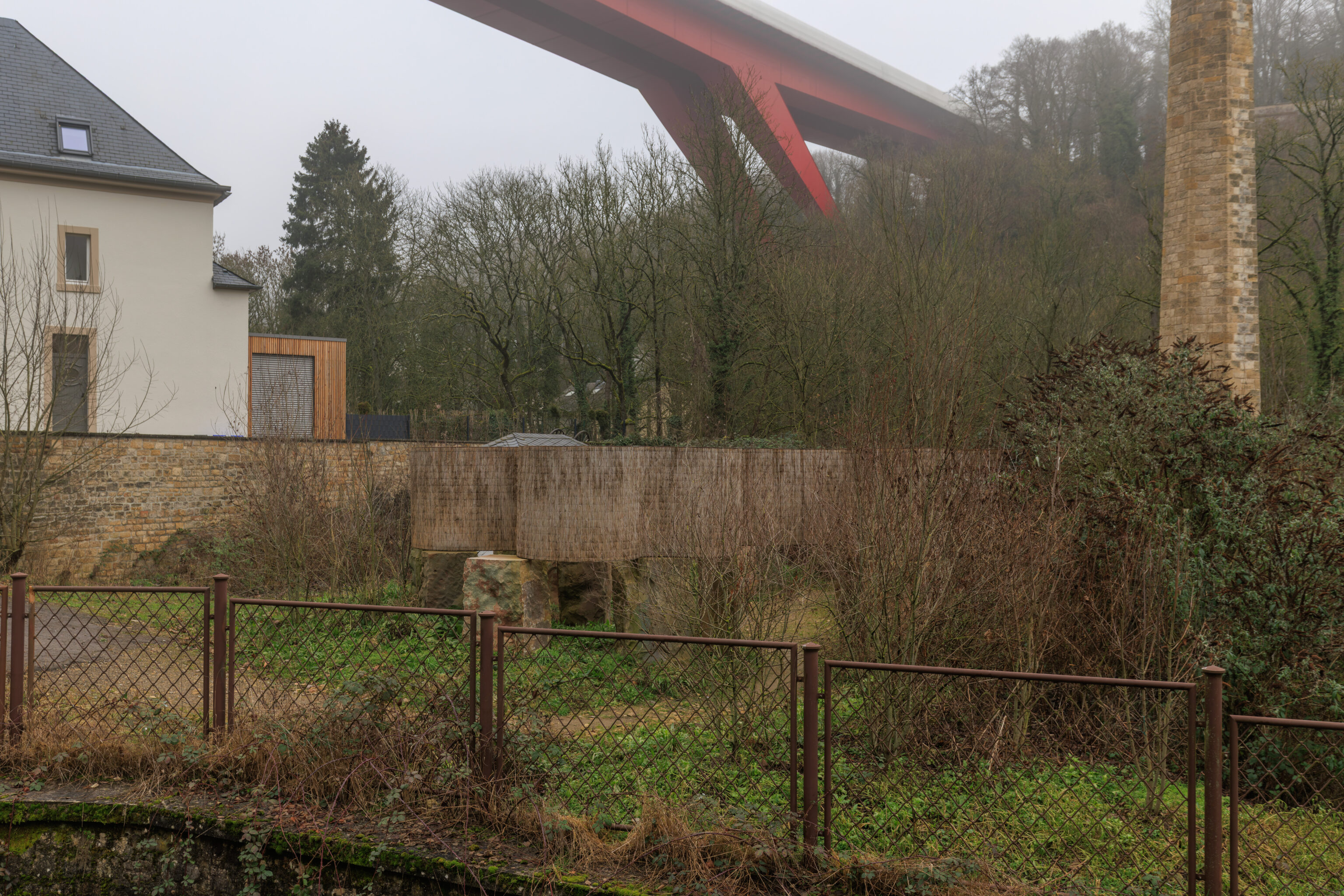
We walked into a small fortified area on the north side of the tower. We noticed that some areas here seemed to have some sort of elevated fencing, for lack of a better descriptor. We’re not sure what it was for. Was it art? Or winter protection from the elements for plants?
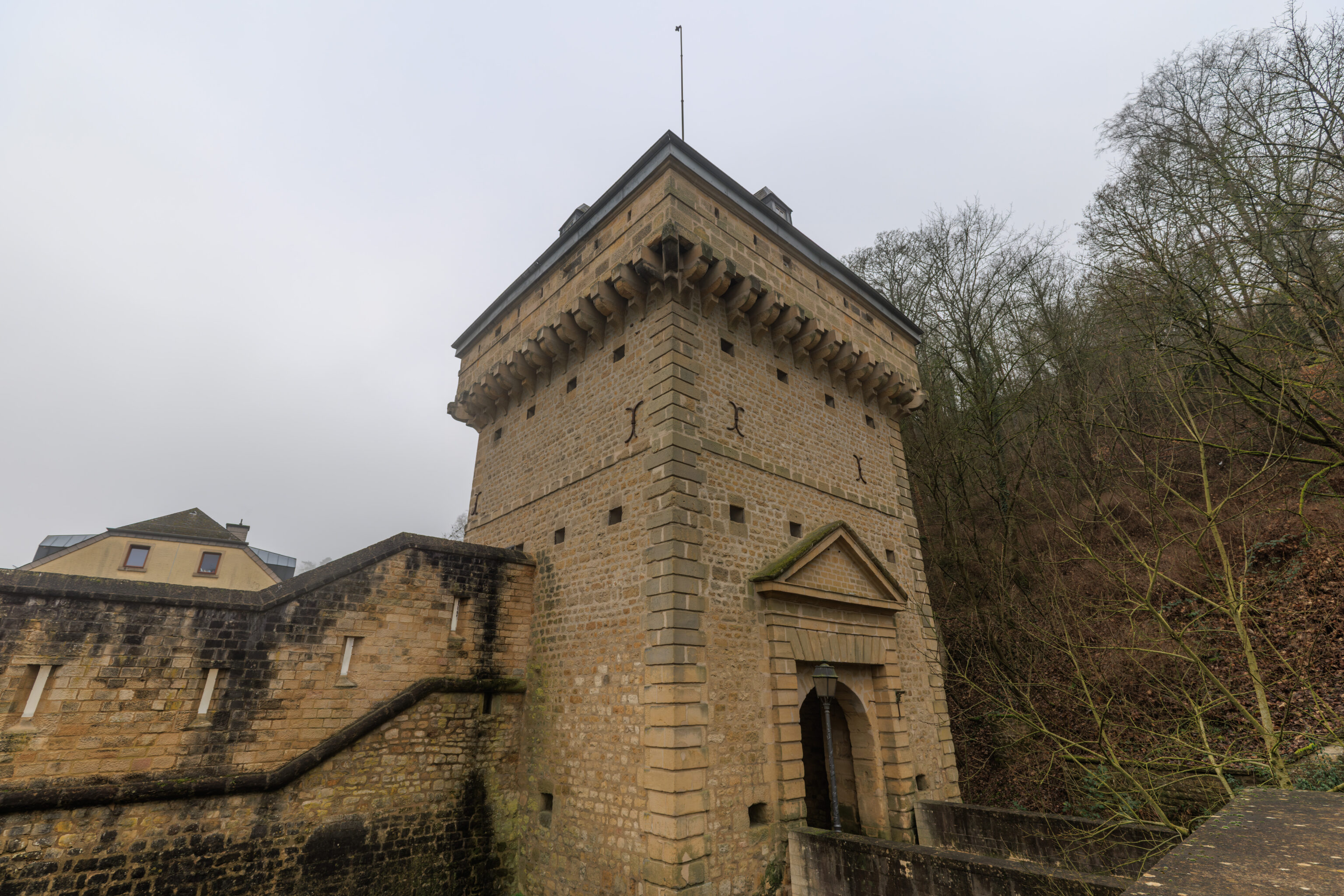
The tower that we just walked through.
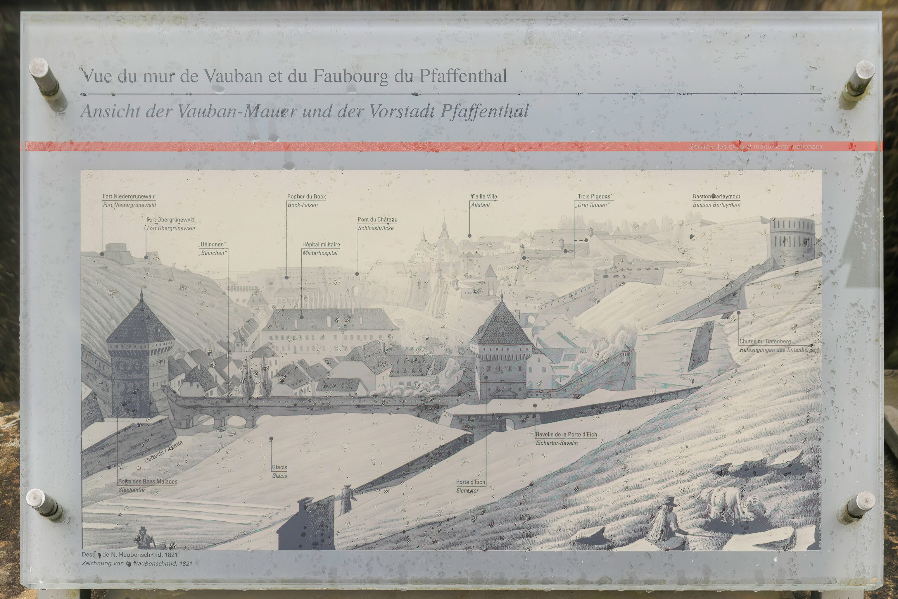
This illustration on a sign depicts how this placed looked in 1821.
The wall and bridge known as the "Béinchen," situated between the Eicher Gate and the Siechen Gate
A wall, equipped with an outer ditch and rifle loopholes, blocked off the flat section of the valley between the towers of the Eicher and Siechen Gates. The guards on duty not only monitored the entrances and exits at the fortress gates but—thanks to a walkway along the top of the wall—could also keep a lookout for deserters and spies. An oak-timber grate was lowered into the waters of the Alzette between the three bridge arches to prevent desertion. A sluice keeper adjusted the height of these grates according to the prevailing water levels of the Alzette
– Text from a sign, translated from German using Google Translate.
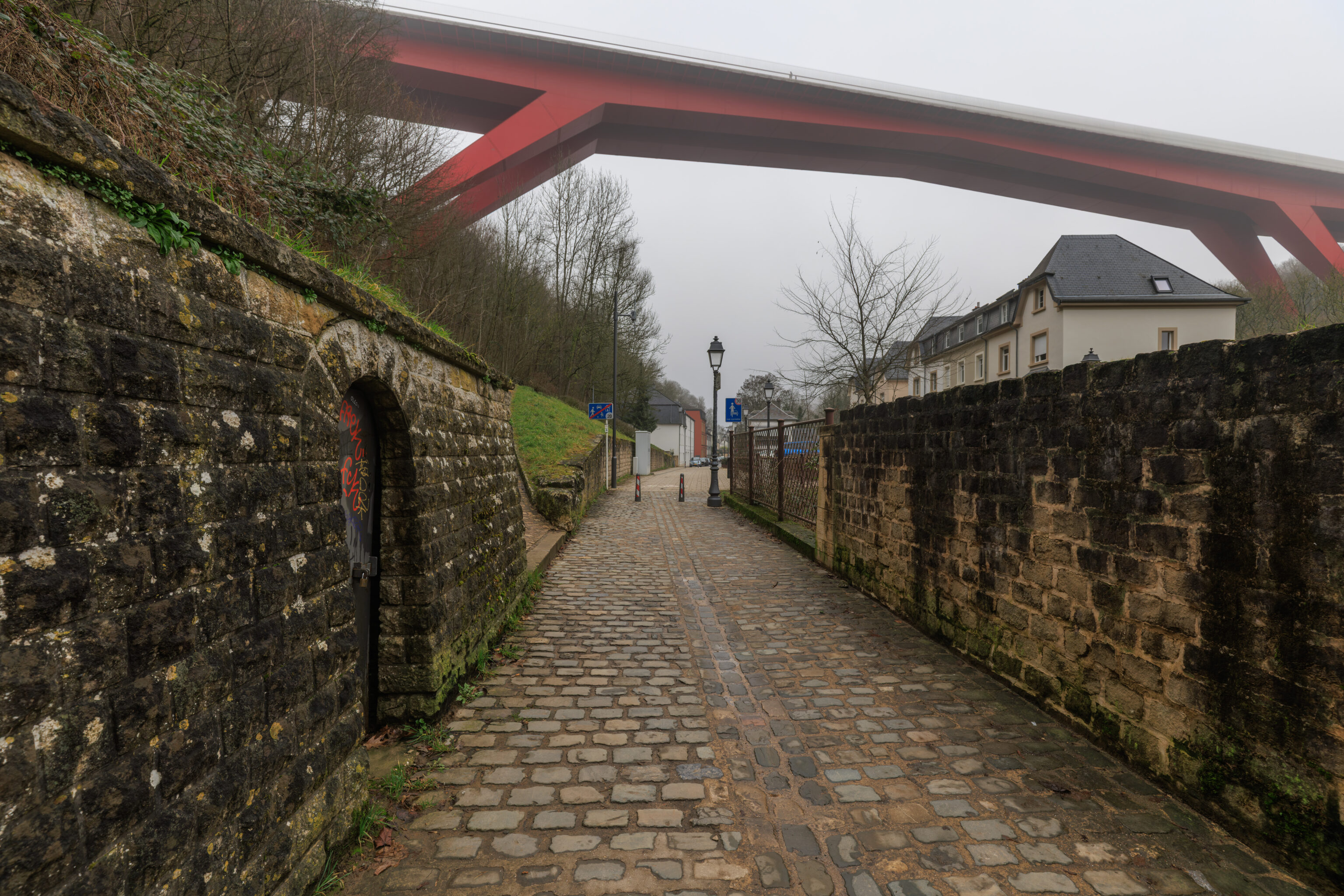
The view to the north again.
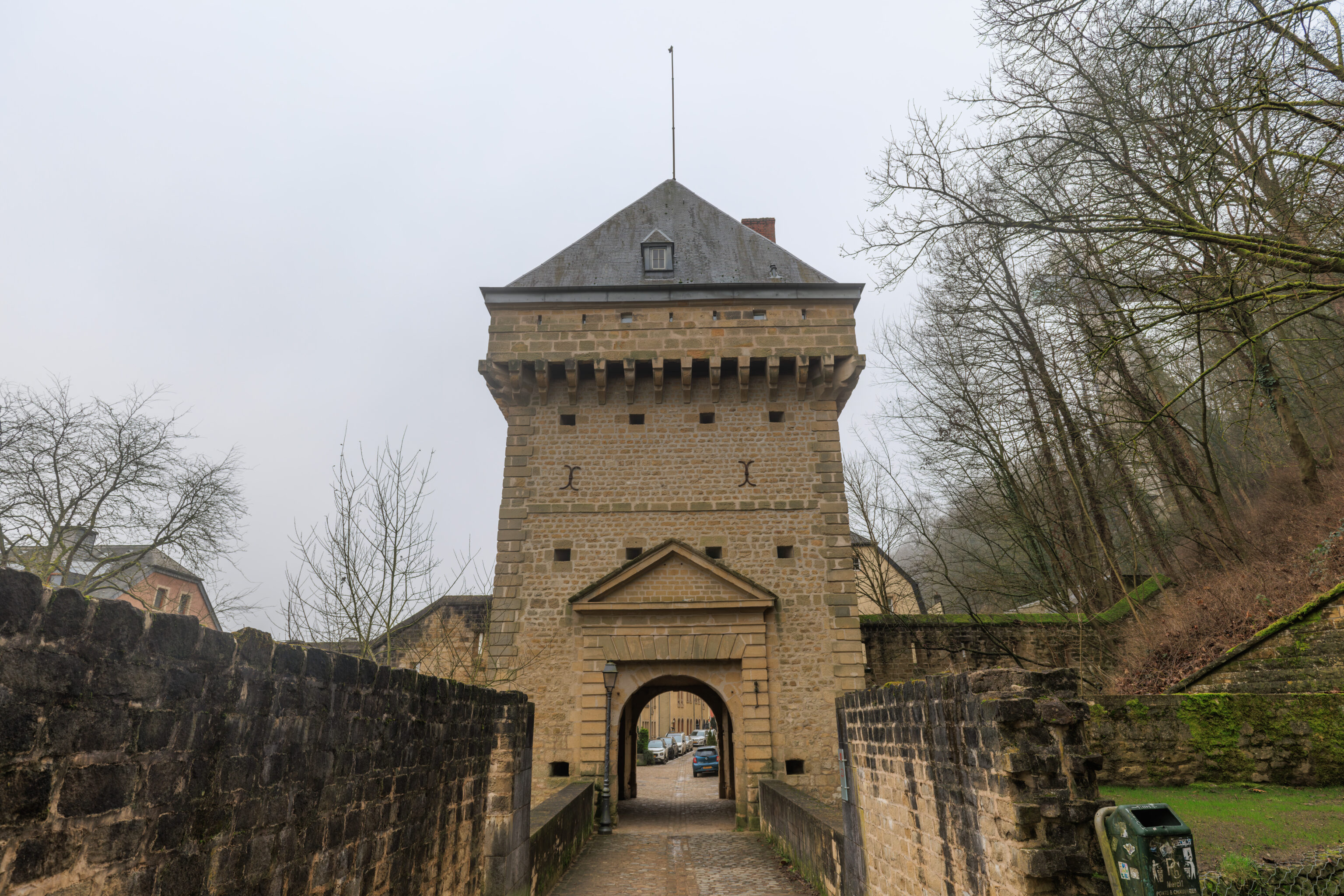
We walked back through the gate.
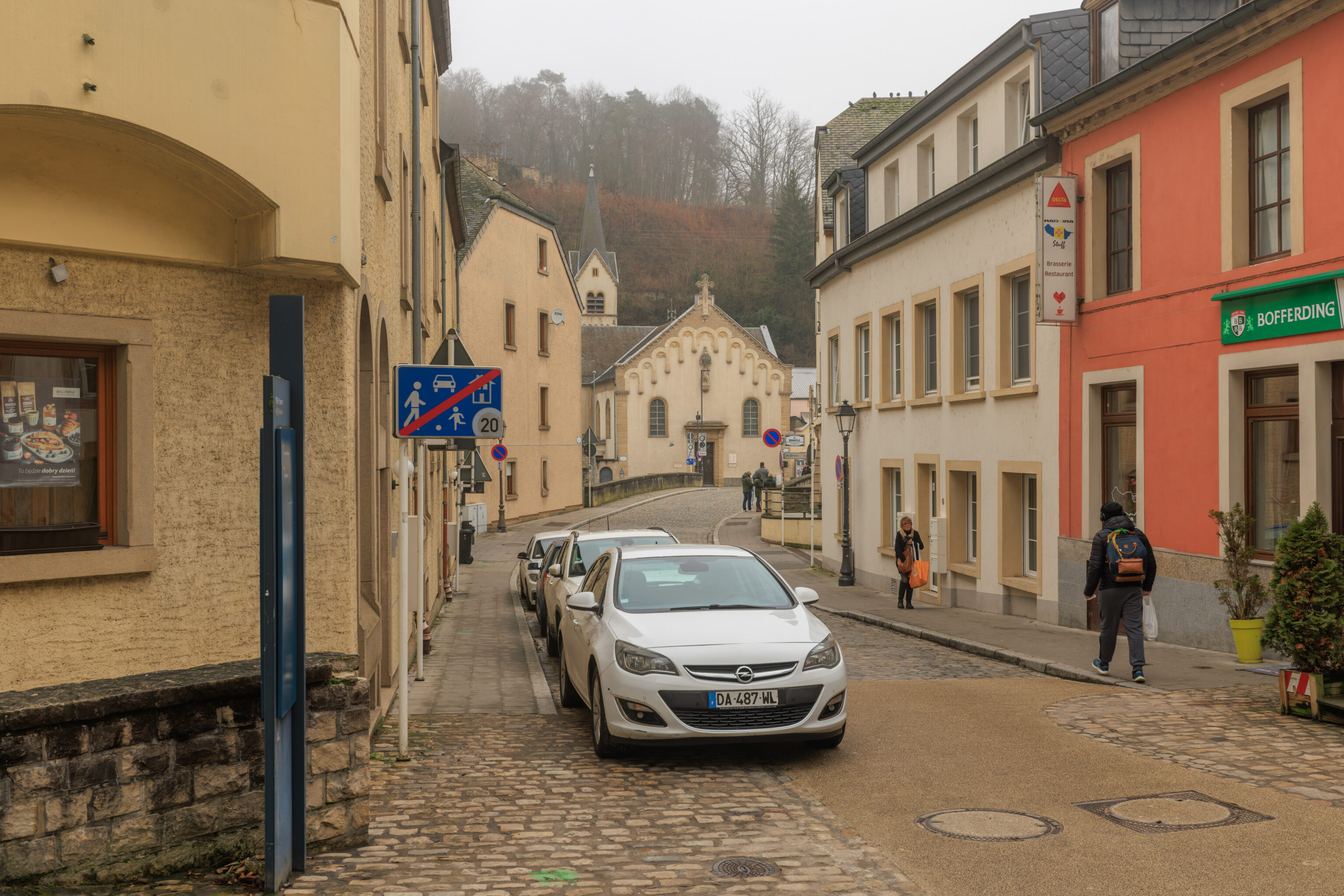
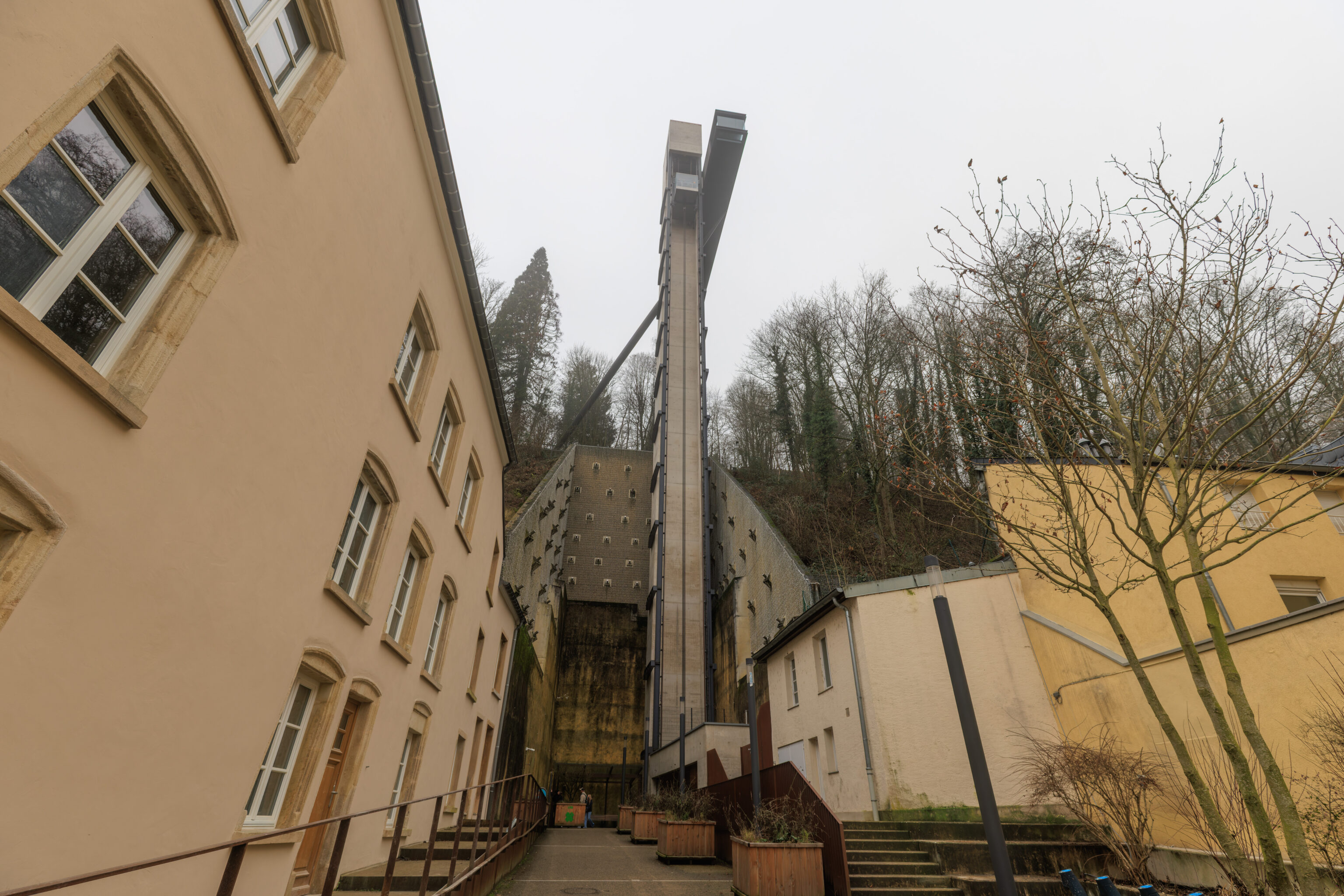
We continued walking south to reach the Pfaffenthal Panoramic Elevator.
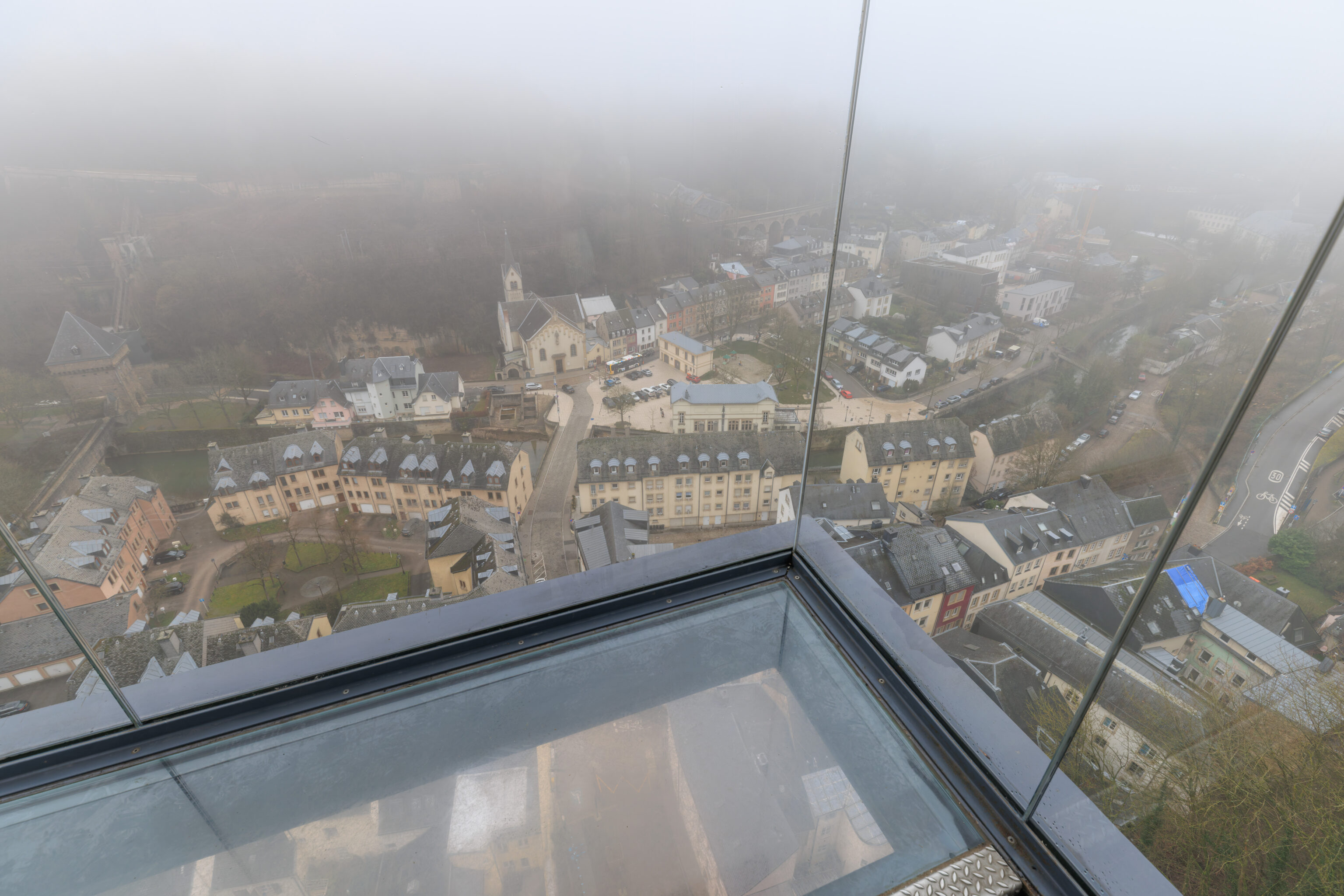
We ascened up into the fog…
Ville Haute
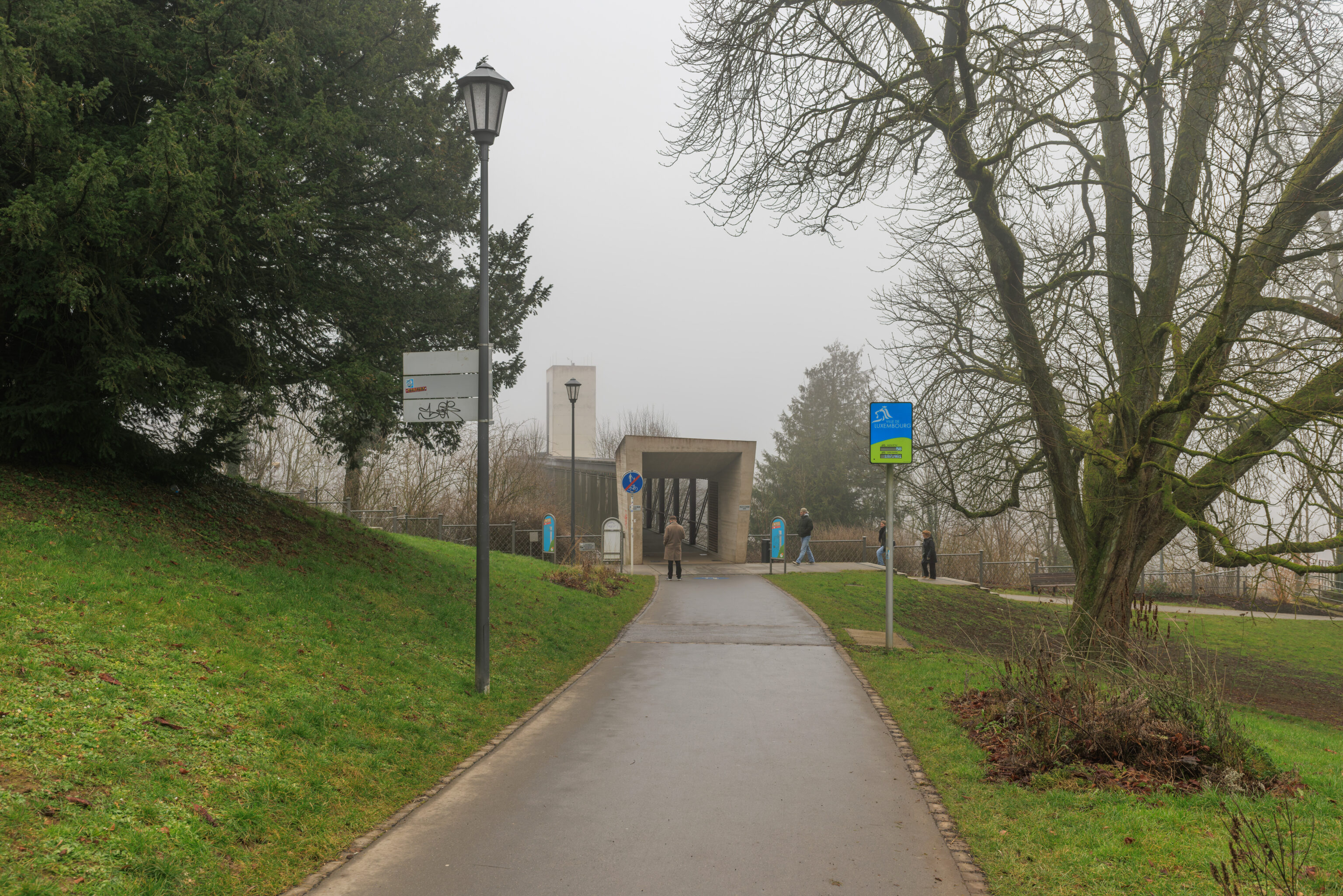
The upper entrance to the Pfaffenthal Panoramic Elevator is located at a park, the Parc municipal d’Edouard André (Edouard André Municipal Park). This park wraps around the north and west sides of the Ville Haute.
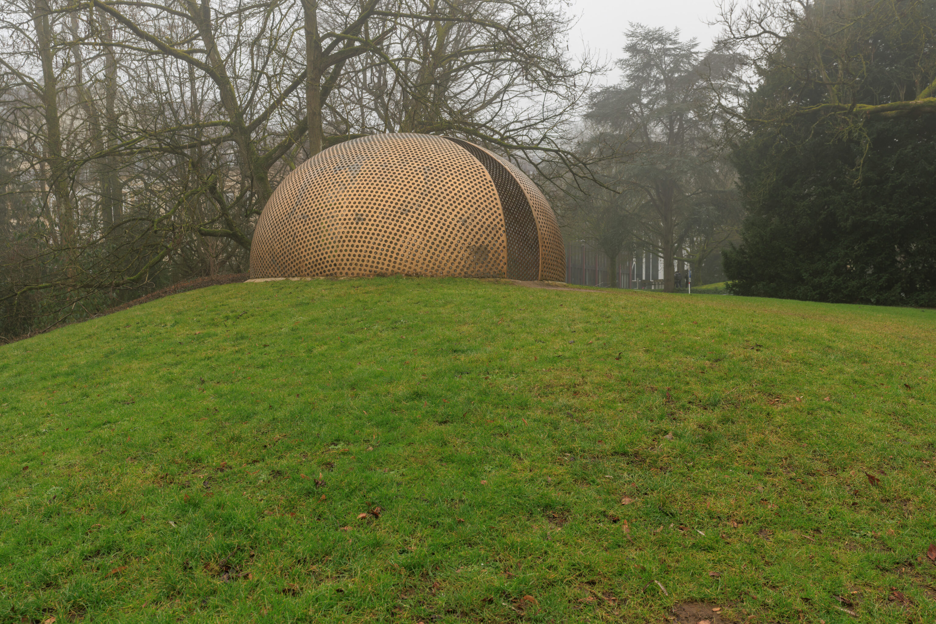
This sculpture in the park is Le Passe-Muraille, created by Jean-Bernard Métais in 2006.
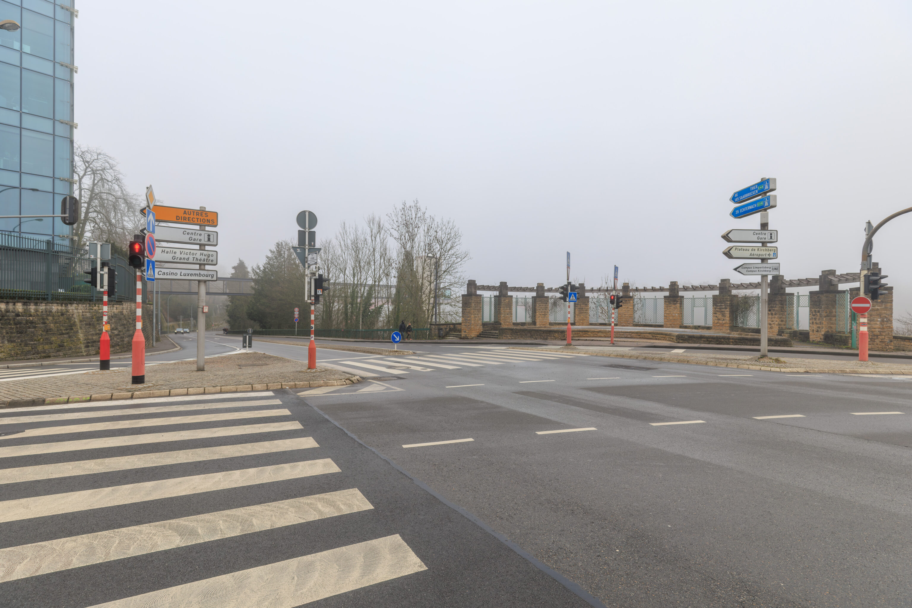
We decided to walk to the south to get a late lunch.
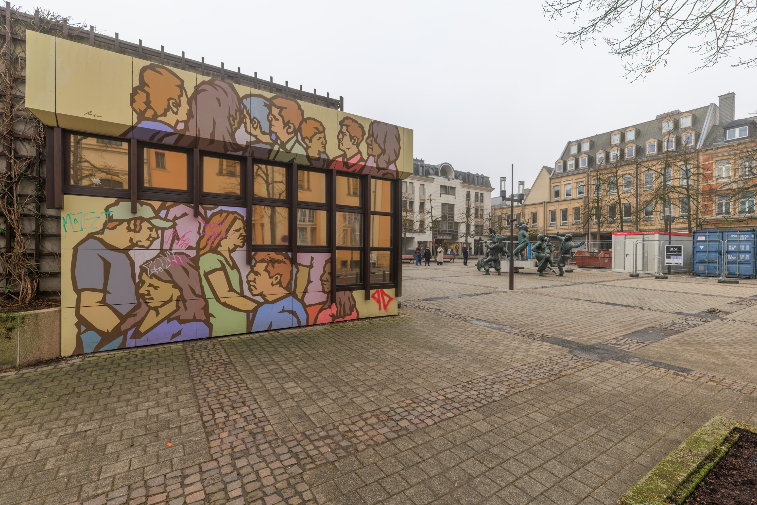
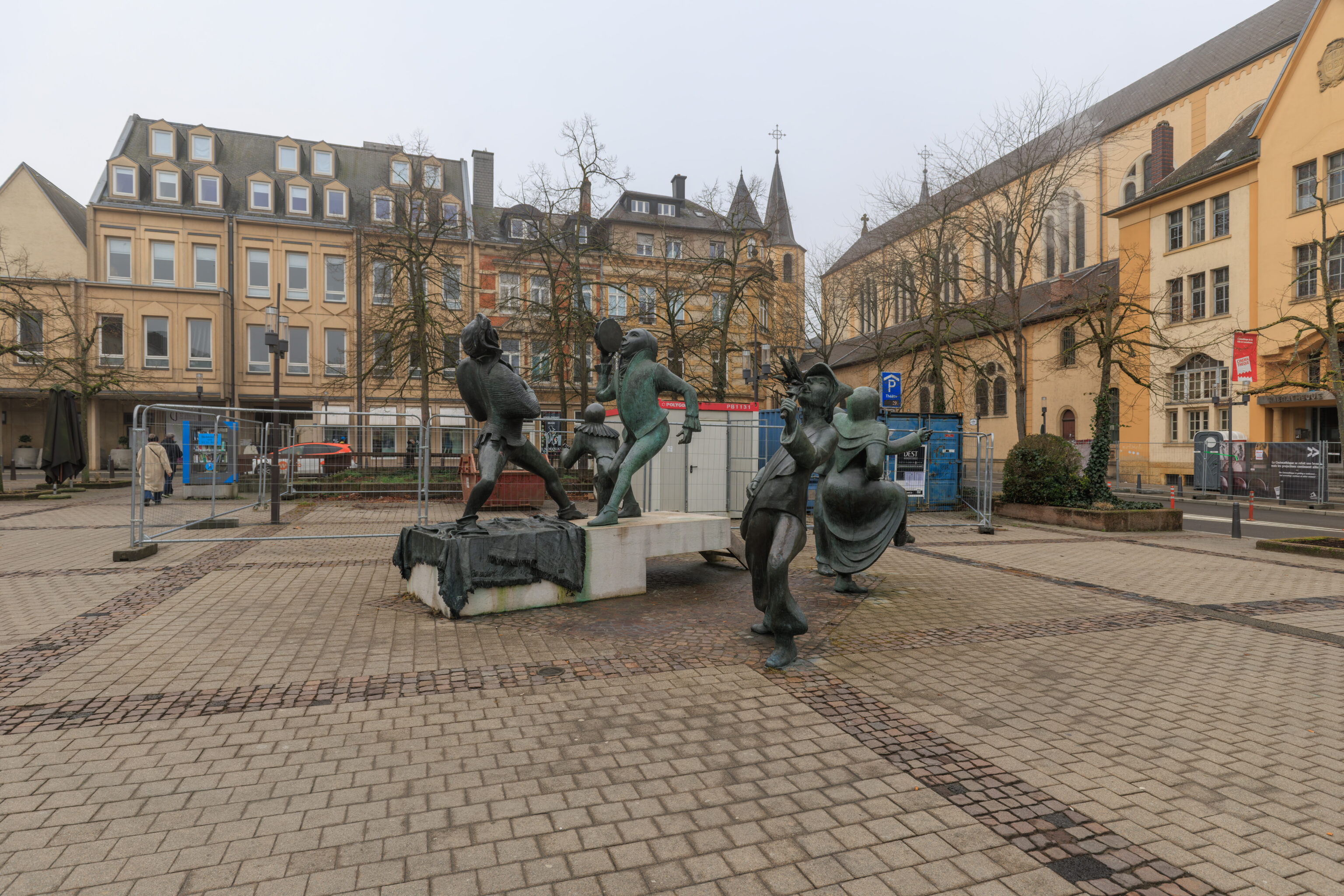
This square,t he Place du Théâtre (Theatre Square) was three blocks to the south. There is a theatre here, the Théâtre des Capucins, in a former Capuchin monestery. The sculpture in the square is Saltimbanques (Acrobats), created byt Bénédicte Weis in 1987.
Our first choice for lunch was unfortunately full. We ended up visiting Flûte Alors, which was a block away from the square.
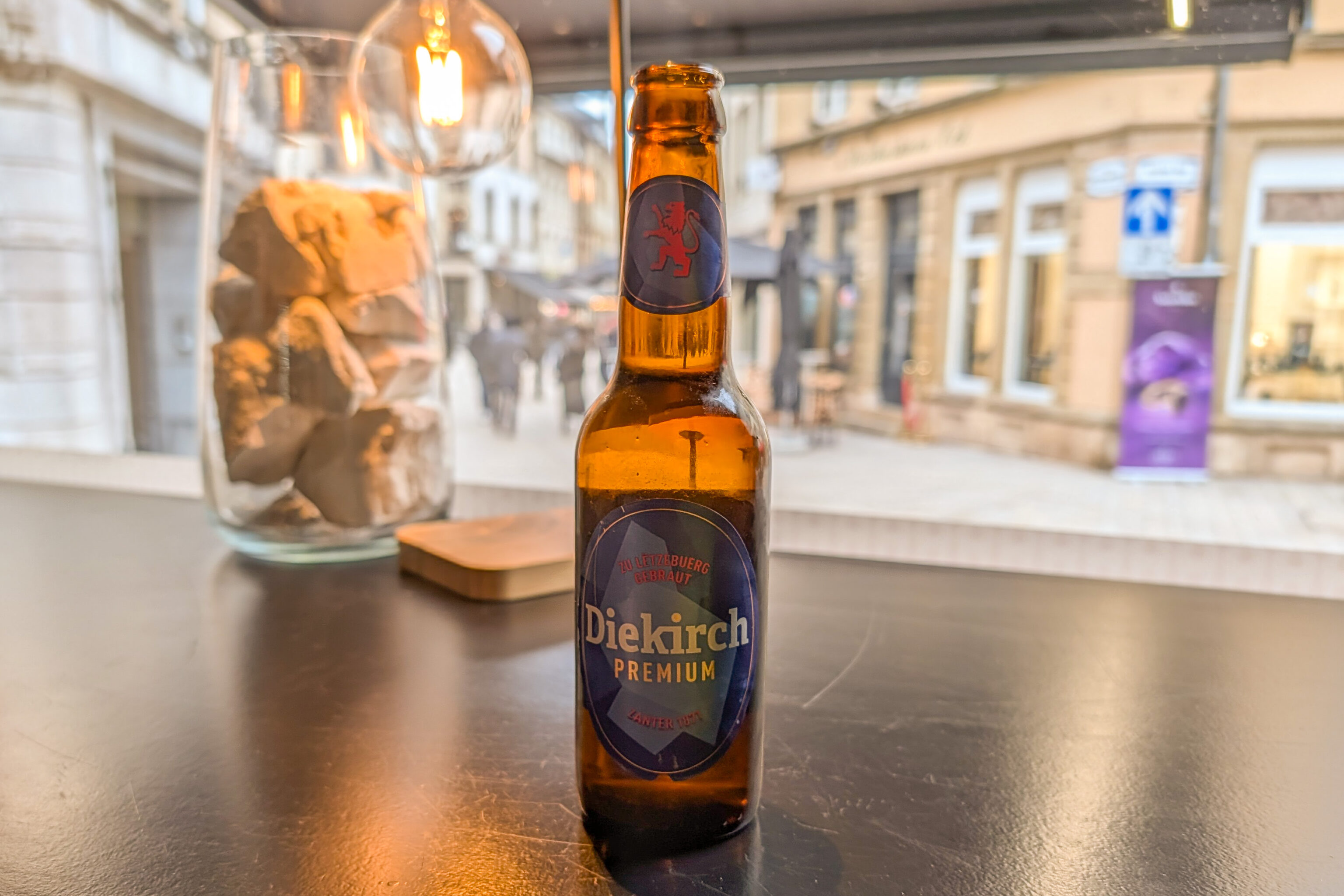
We ordered the local Diekirch beer as we wanted something from Luxembourg. Although, maybe we should have gotten a Champagne given that it is their speciality!
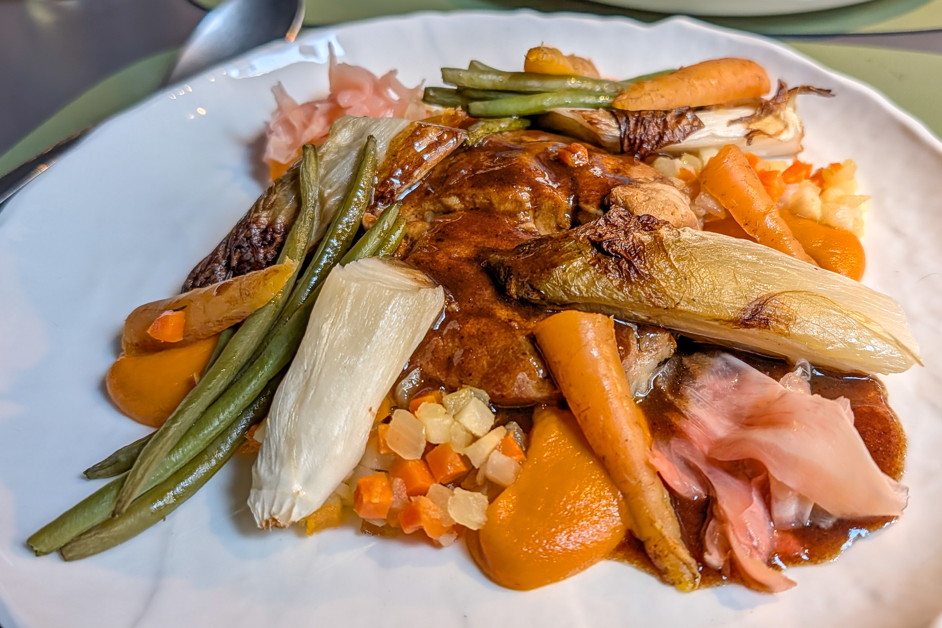
Carotte en 3 façons, gingembre, curcuma et jus corsé
Pork knuckle
Carrot three ways, ginger, turmeric, and rich jus
The pork was well cooked with good flavor from the other ingredients.
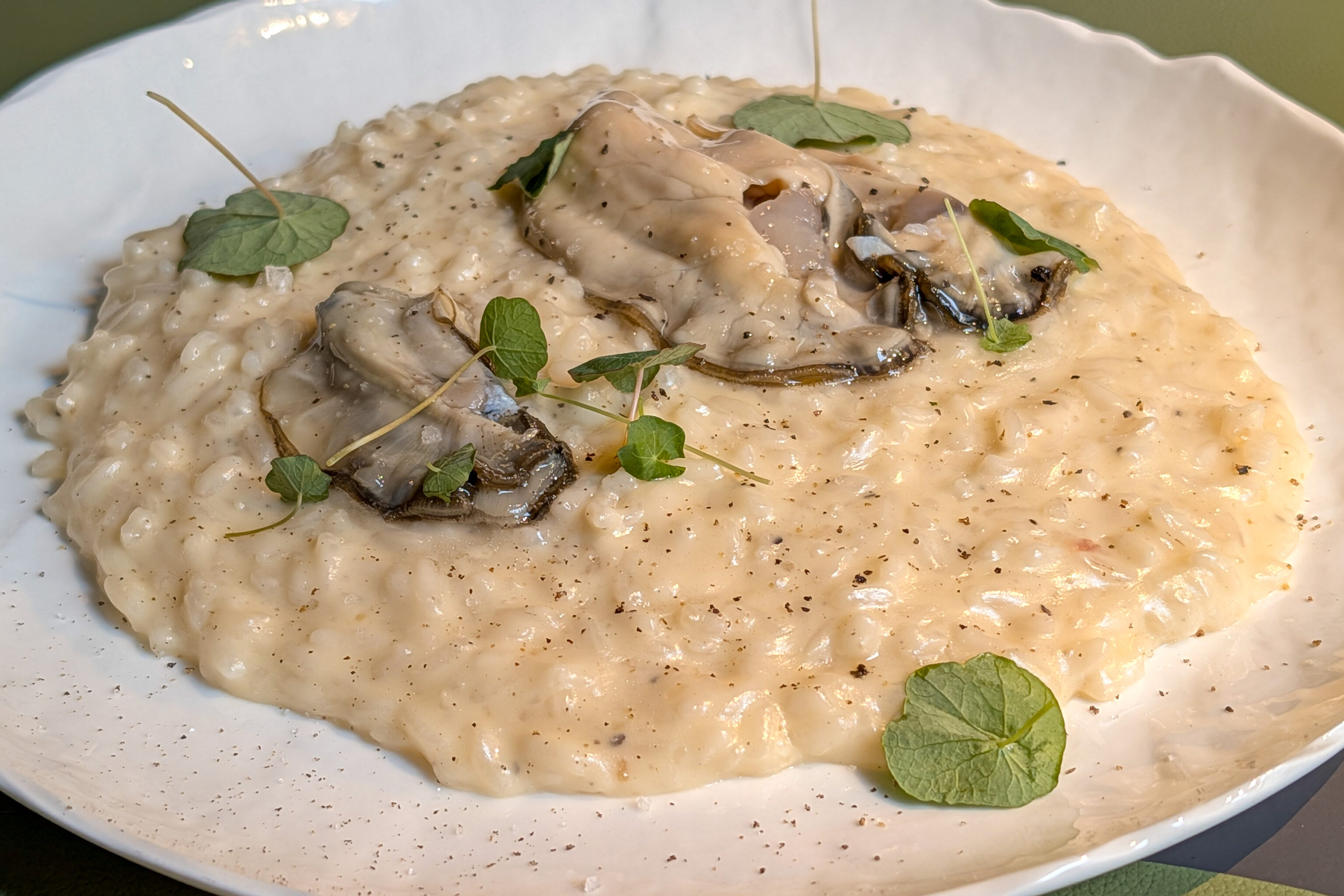
Huître, beurre fumé et gel de citron confit
Risotto Acquerello
Oyster, smoked butter and candied lemon gel
The risotto was good as well with a bit softer rice than we’ve had in actual Italian regions. We didn’t really taste the lemon though.
Bread was also provided, which was actually excellent. Overall, a bit of an expensive meal for the quantity.
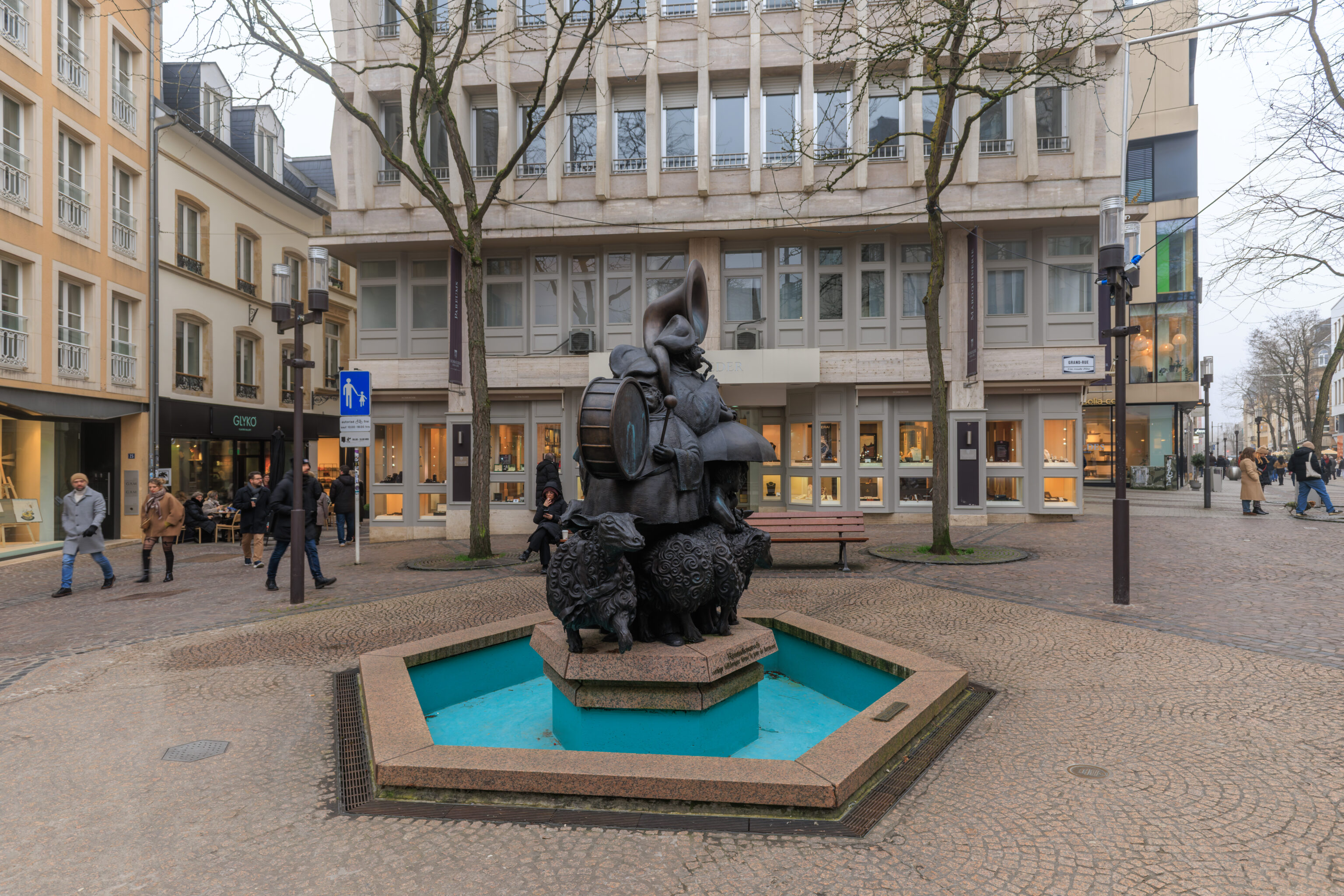
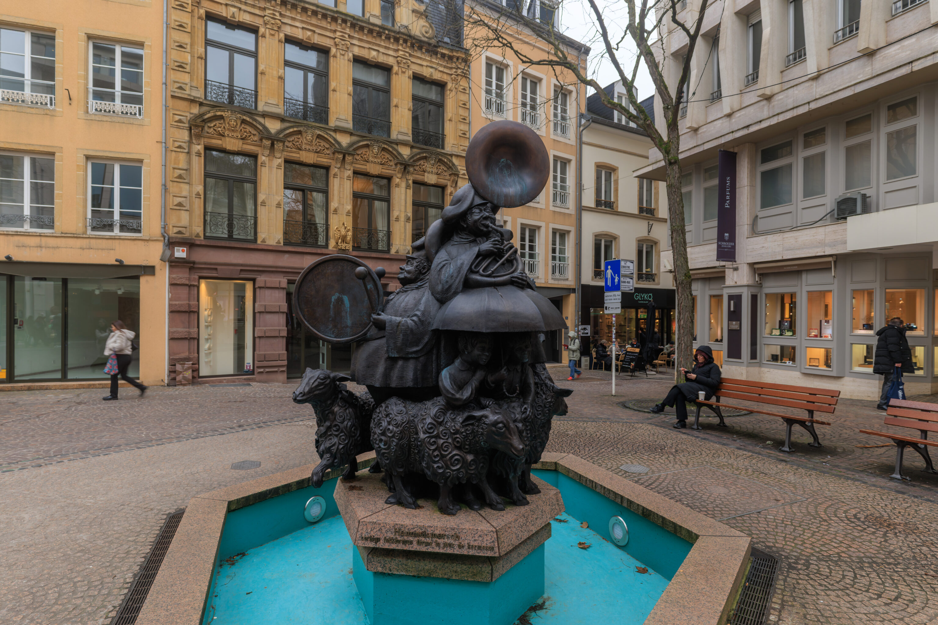
This interesting fountain was in the Place du Puits-Rouge, a few buildings to the west of the restaurant where we had lunch. There was formerly a well where this fountain now stands.
The fountain depicts the Hämmelsmarsch, a Luxembourgish tradition described as being something like a marching band parade with sheep.
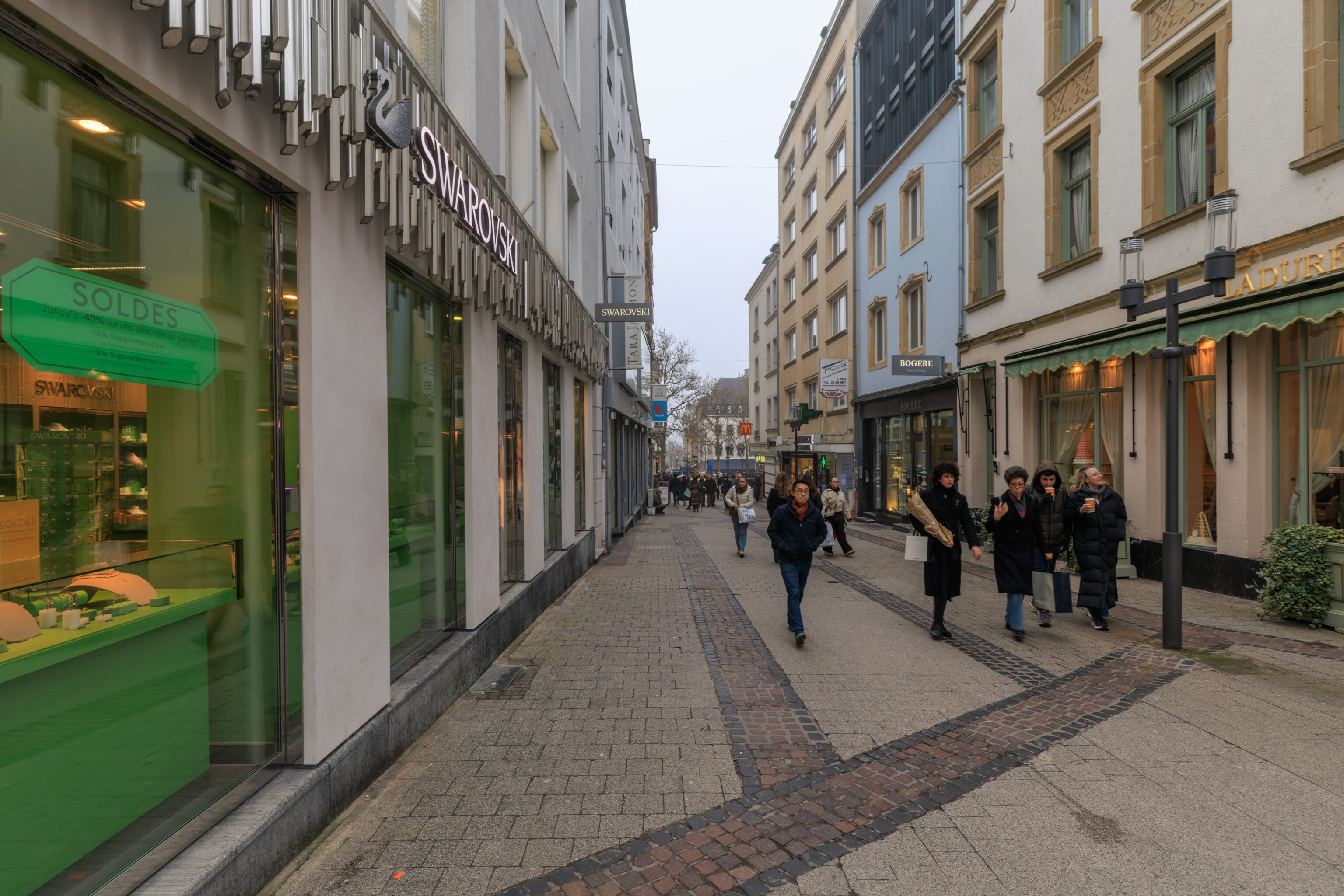
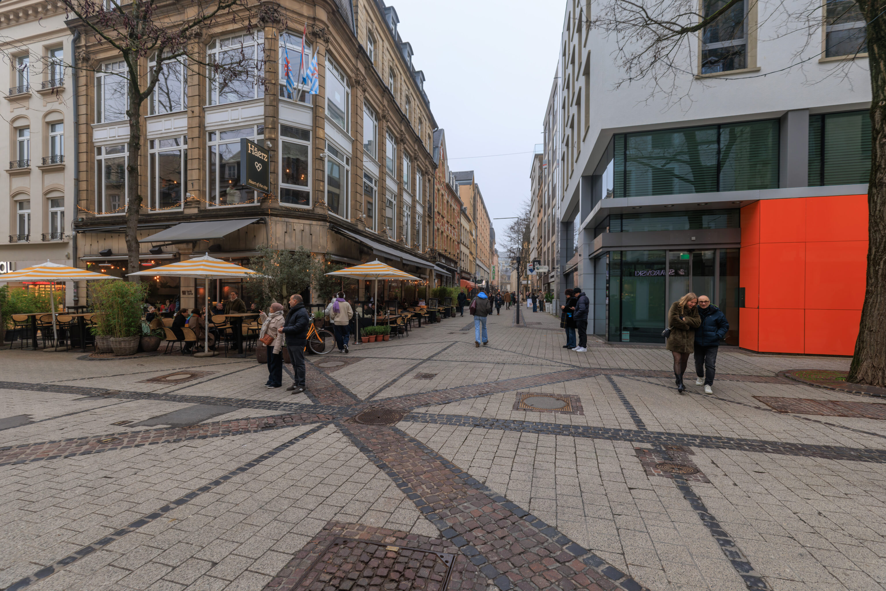
We decided to walk through the parts of the Ville Haute that we didn’t see yet so far.
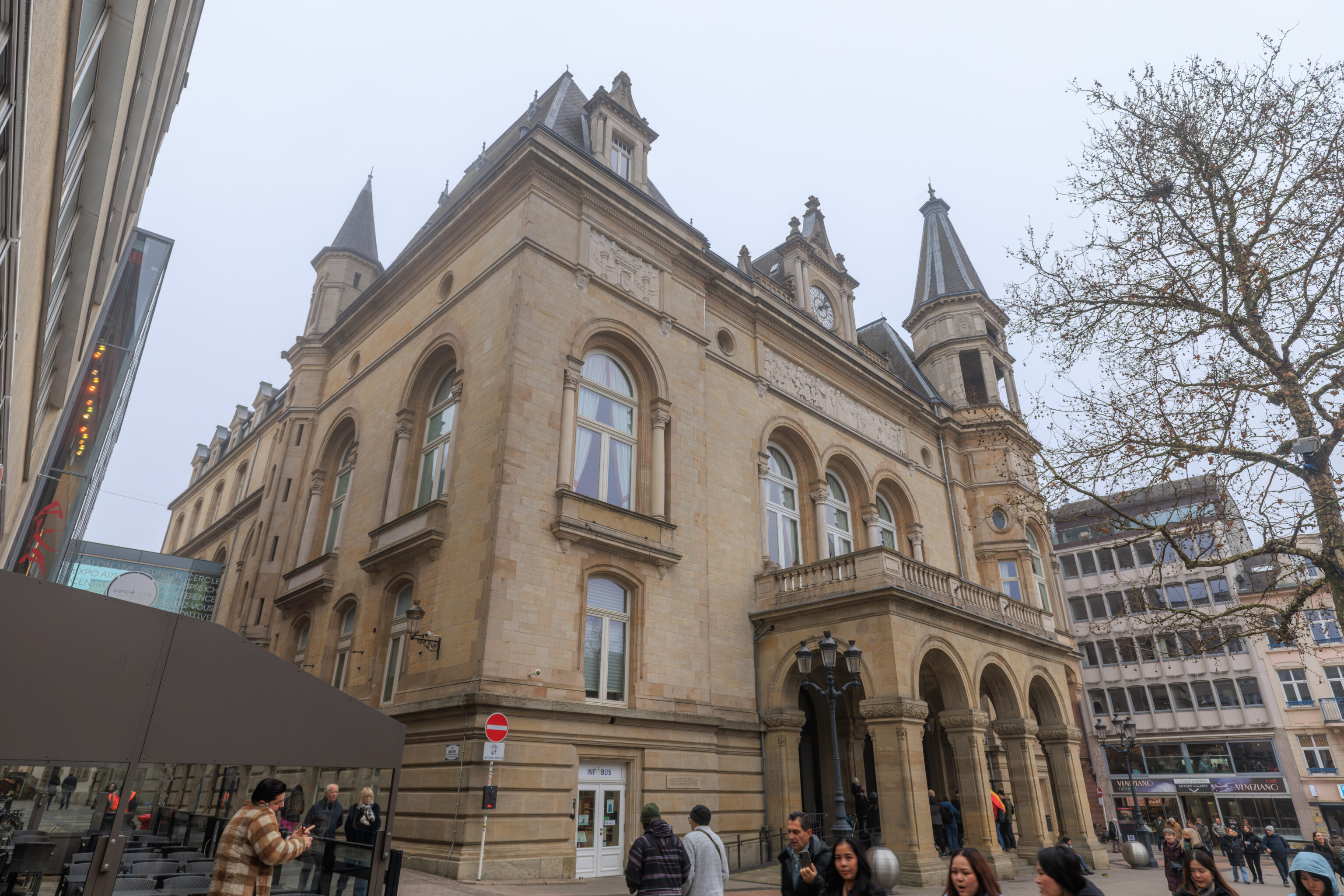
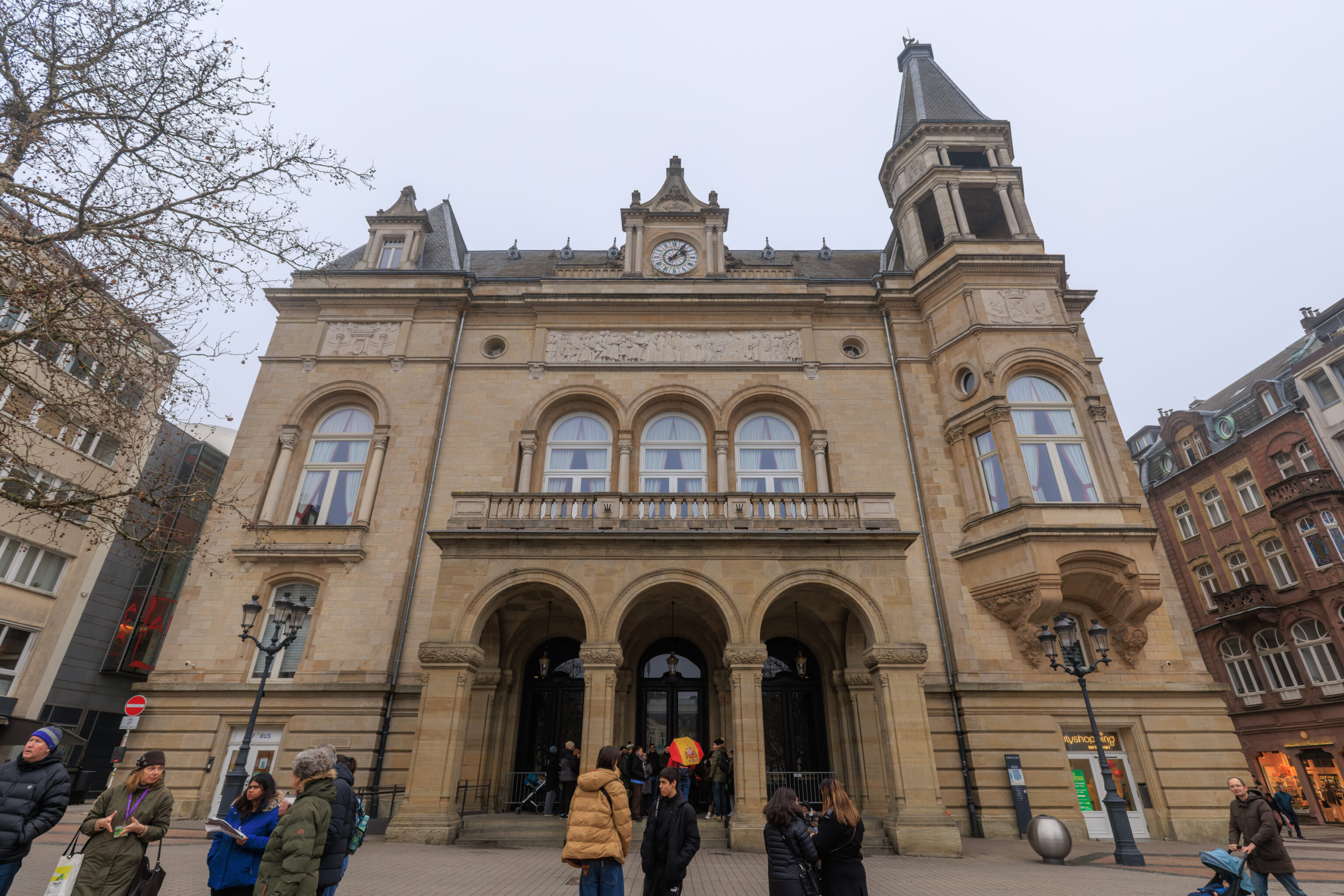
This building, a block to the west, is the Cercle Cité, a former administrative building from the early 20th century. Today, it operates as a conference and exhibition center. It is located on the eastern end of the Place d’Armes.
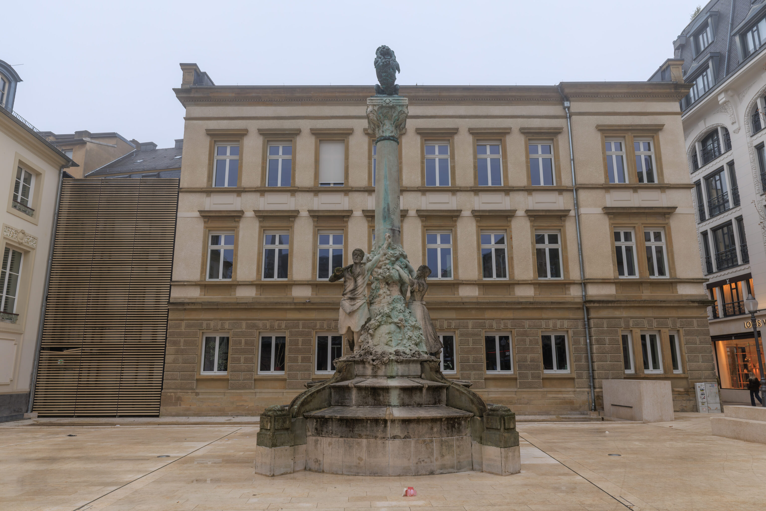
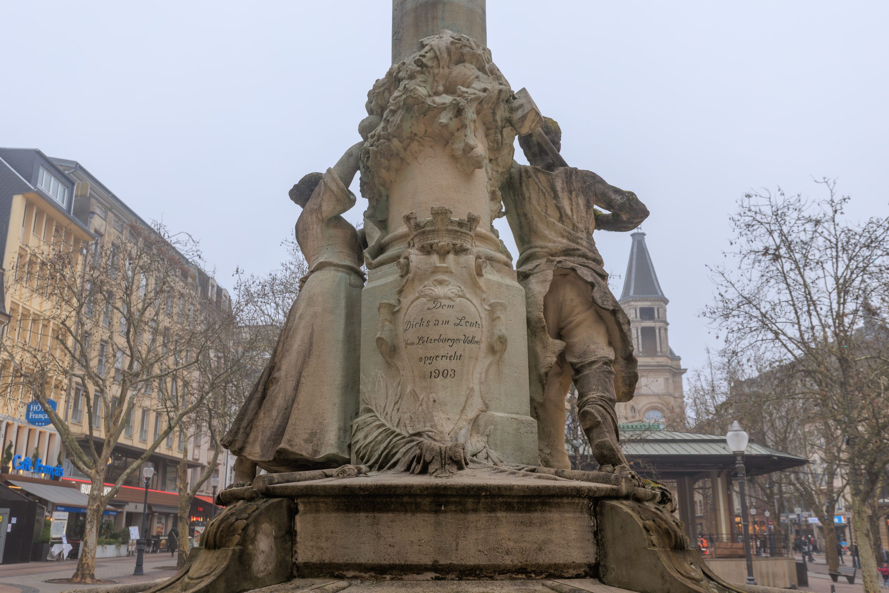
The Monument of Dicks and Lentz is across the street just past the west end of the square. This monument honors Michel Lentz who wrote Ons Heemecht, the Luxembourg national anthem. Dicks was his pen name.
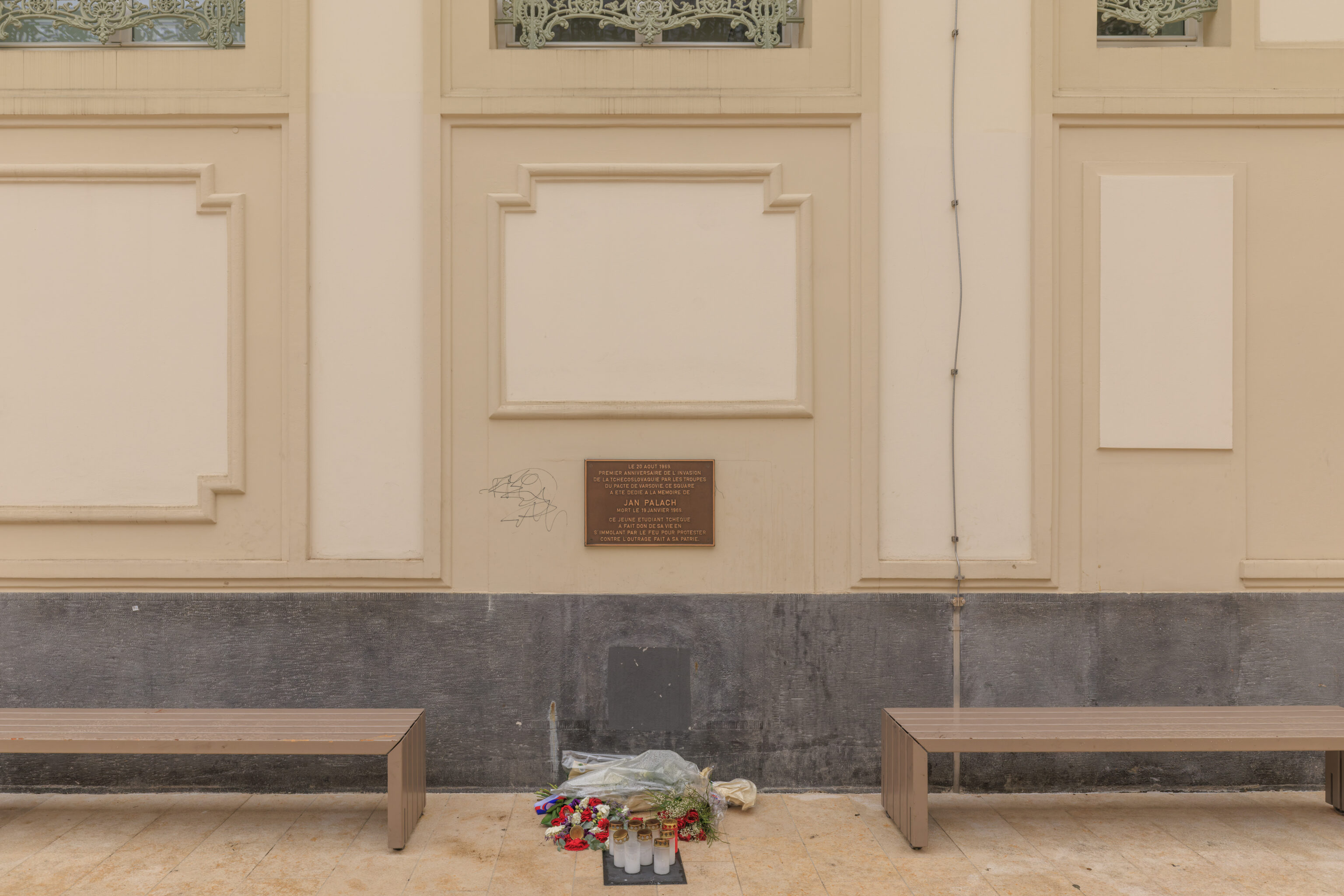
This memorial plaque is for Jan Palach, a student who set himself on fire in Prague, then part of Czechoslovakia which was part of the Warsaw Pact, as a protest against a Soviet invasion in 1968 to stop the Prague Spring.
On August 20, 1969,
the first anniversary of the invasion
of Czechoslovakia by Warsaw Pact
troops, this square
was dedicated to the memory of

Jan Palach
who died on January 19, 1969.

This young Czech student
gave his life by
setting himself on fire to protest
against the outrage committed against his homeland.
– Text from the plaque in the photograph above, translated using Google Translate.
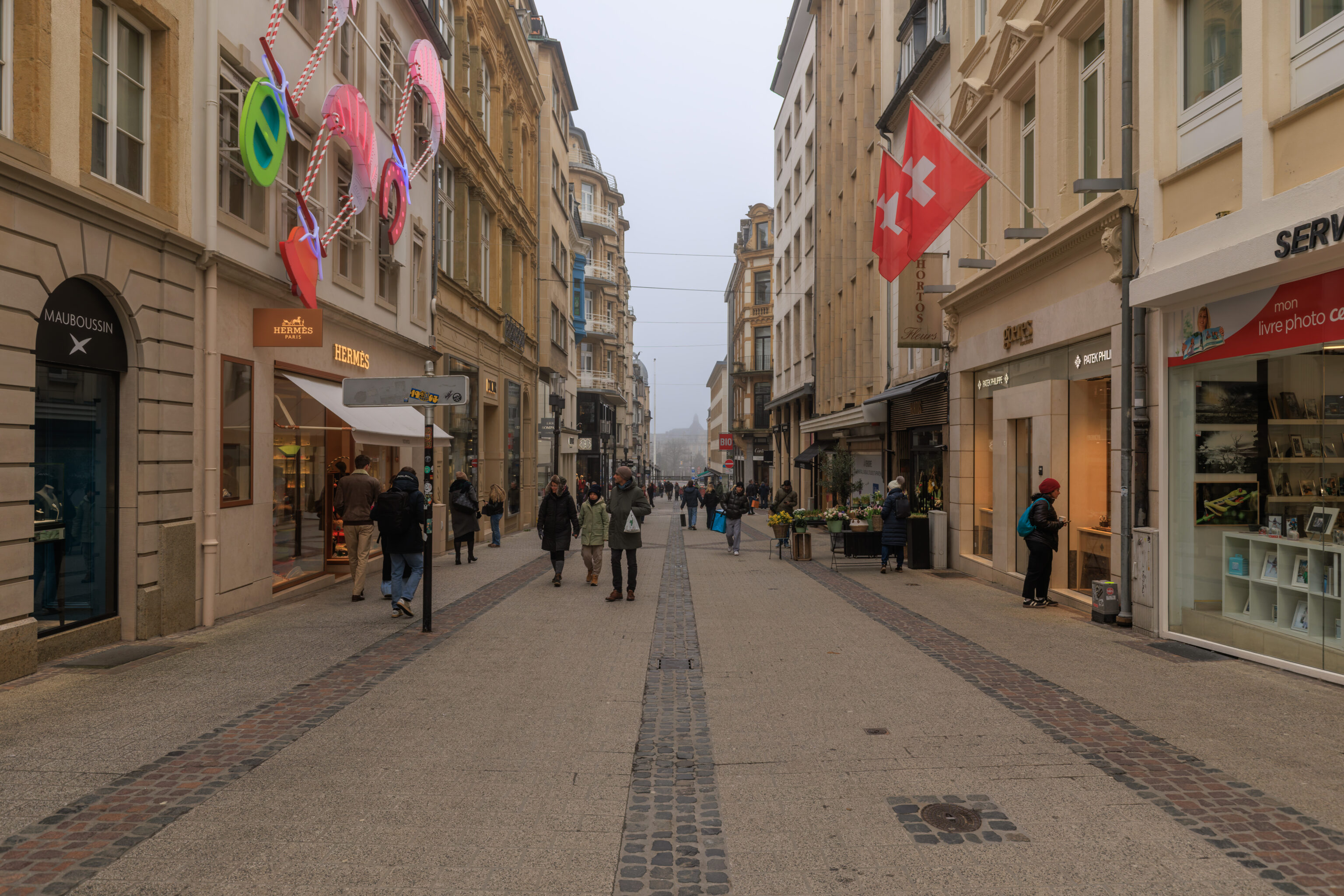
One block to the west, Hermes on the left, Patek Phillipe on the right.
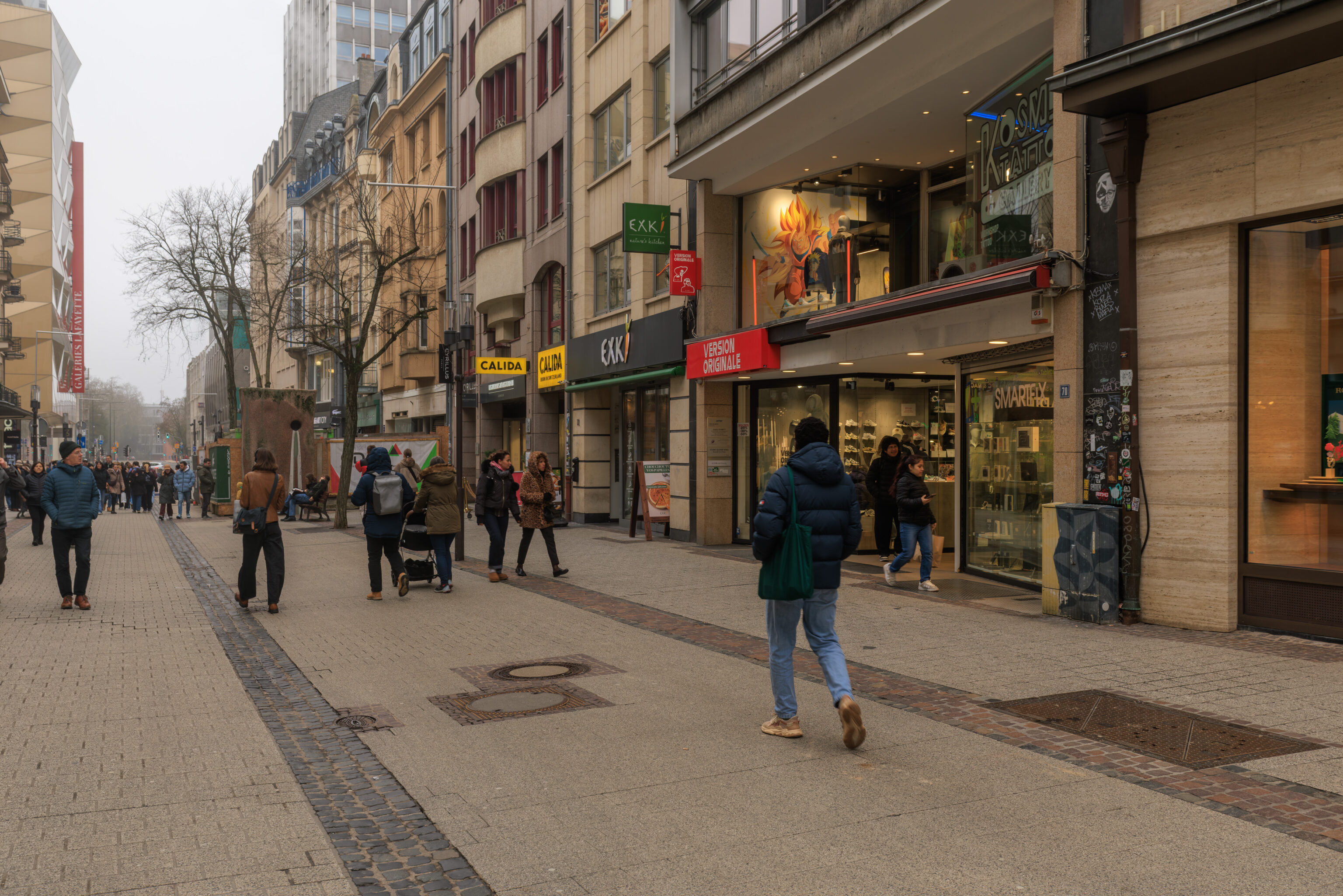
One block to the north, we noticed some anime in a 2nd floor shop window, particularly the large image of Goku on the wall!
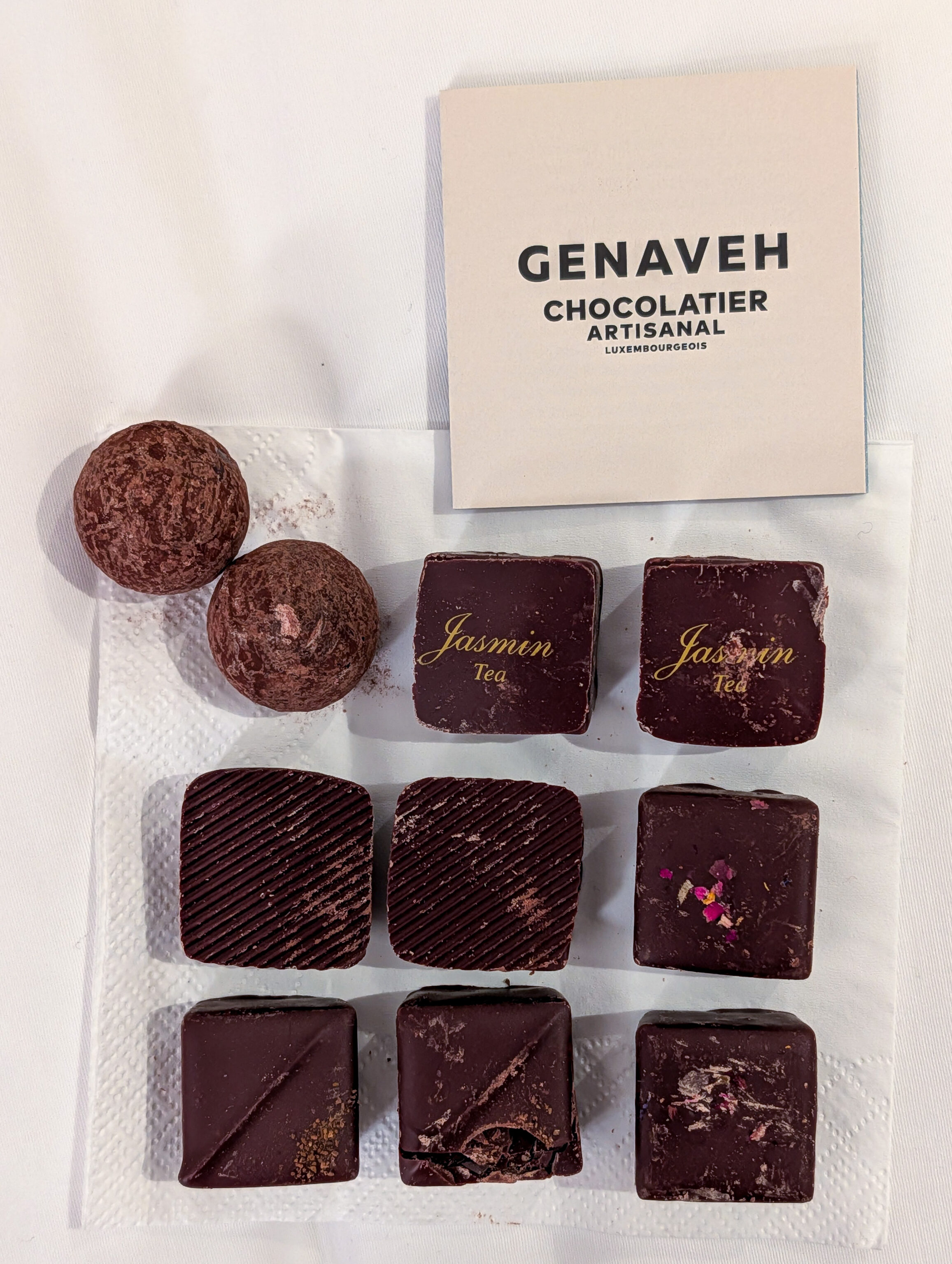
We got chocolates from Genaveh, a local chocolatier. The price was roughly the same as the Belgian Neuhaus. We ate a few in the evening and they were pretty good.
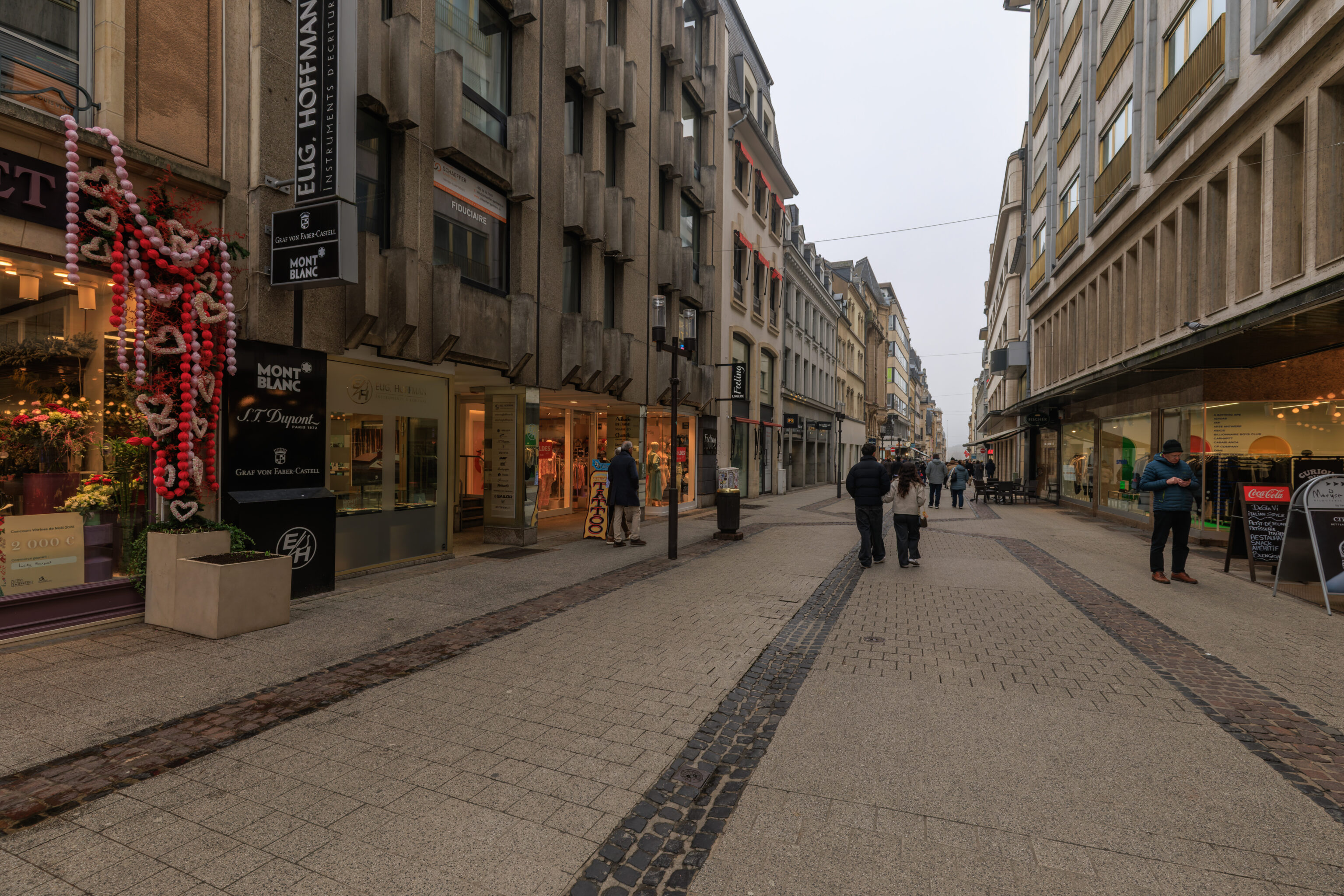
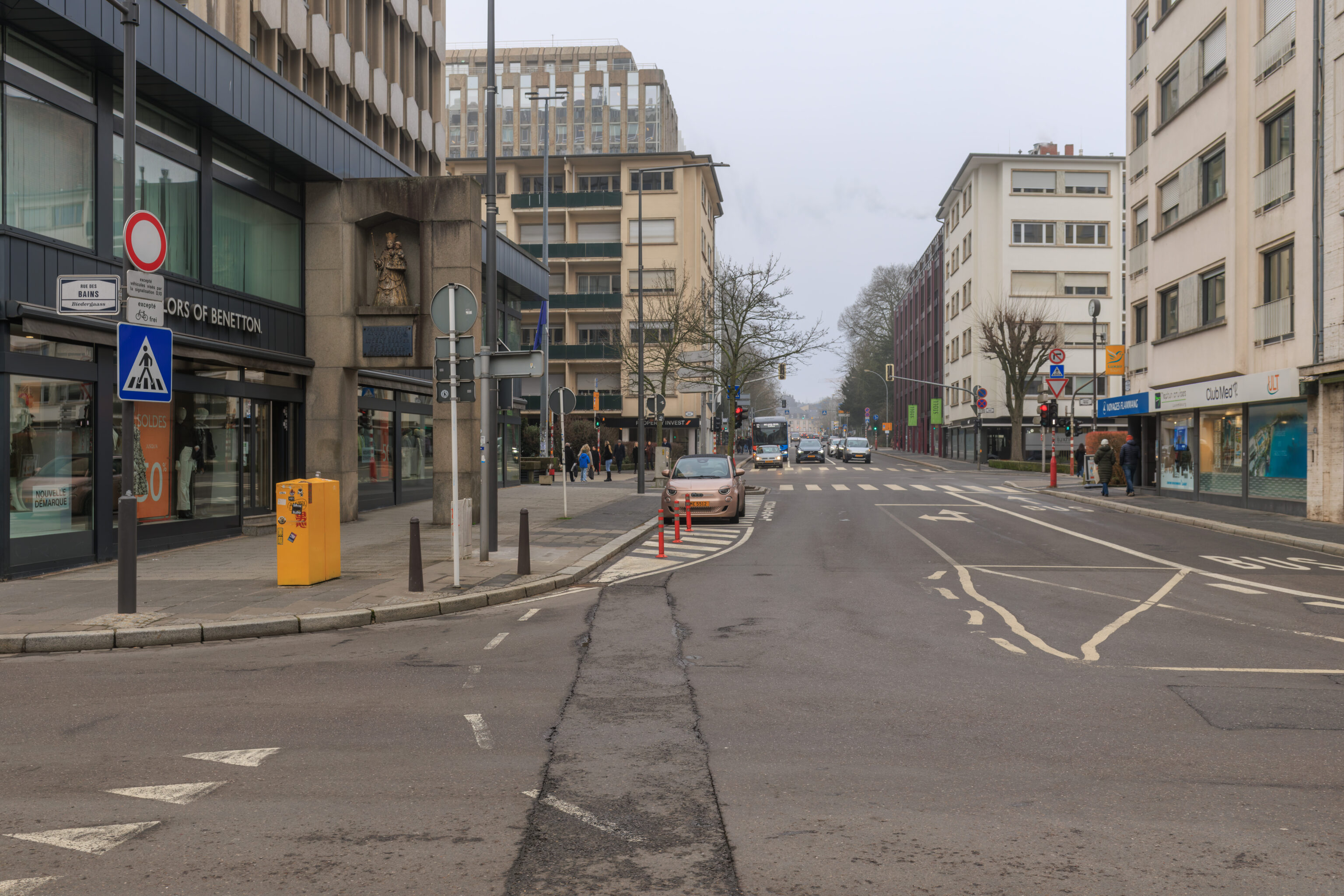
We continued walking to the north.
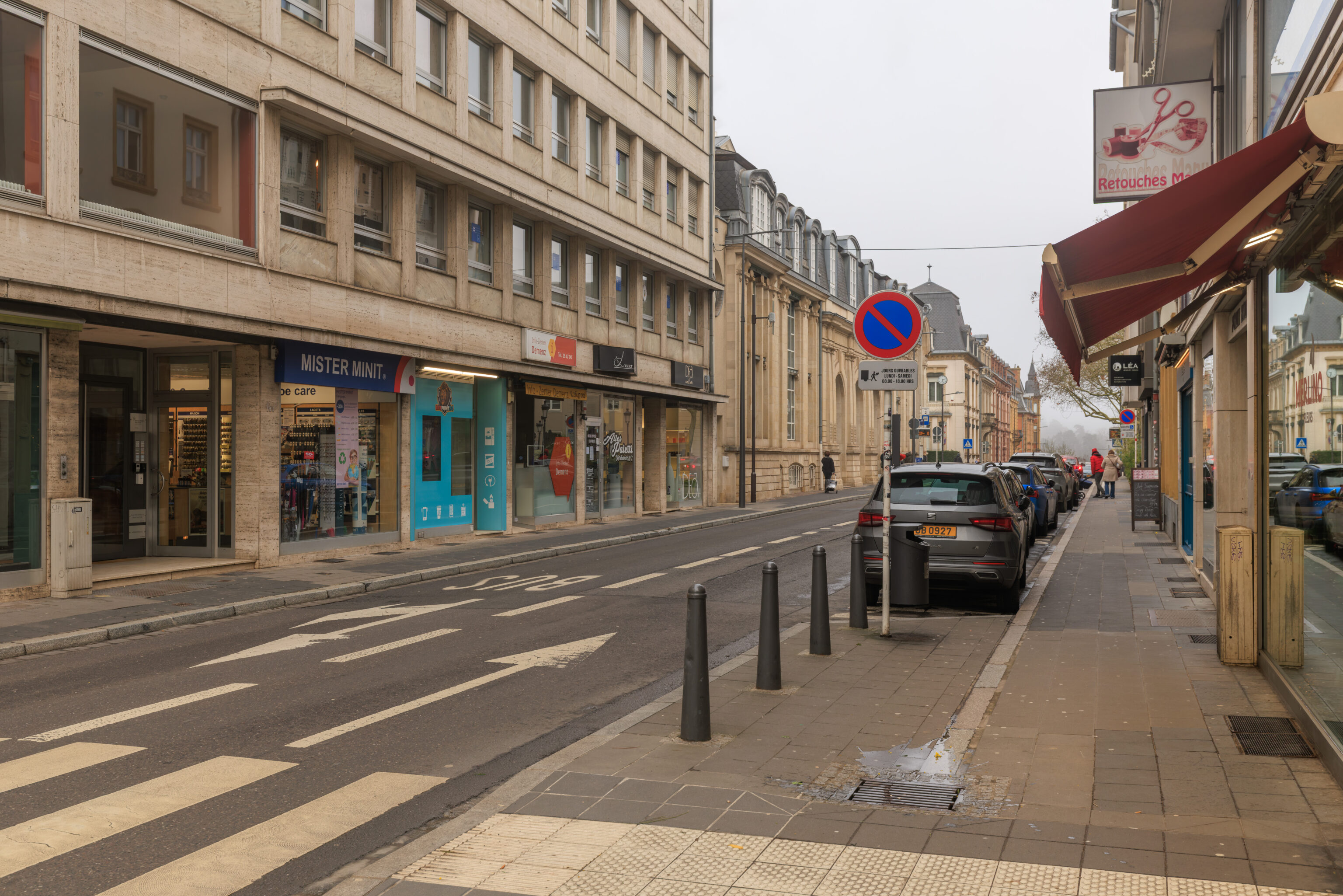
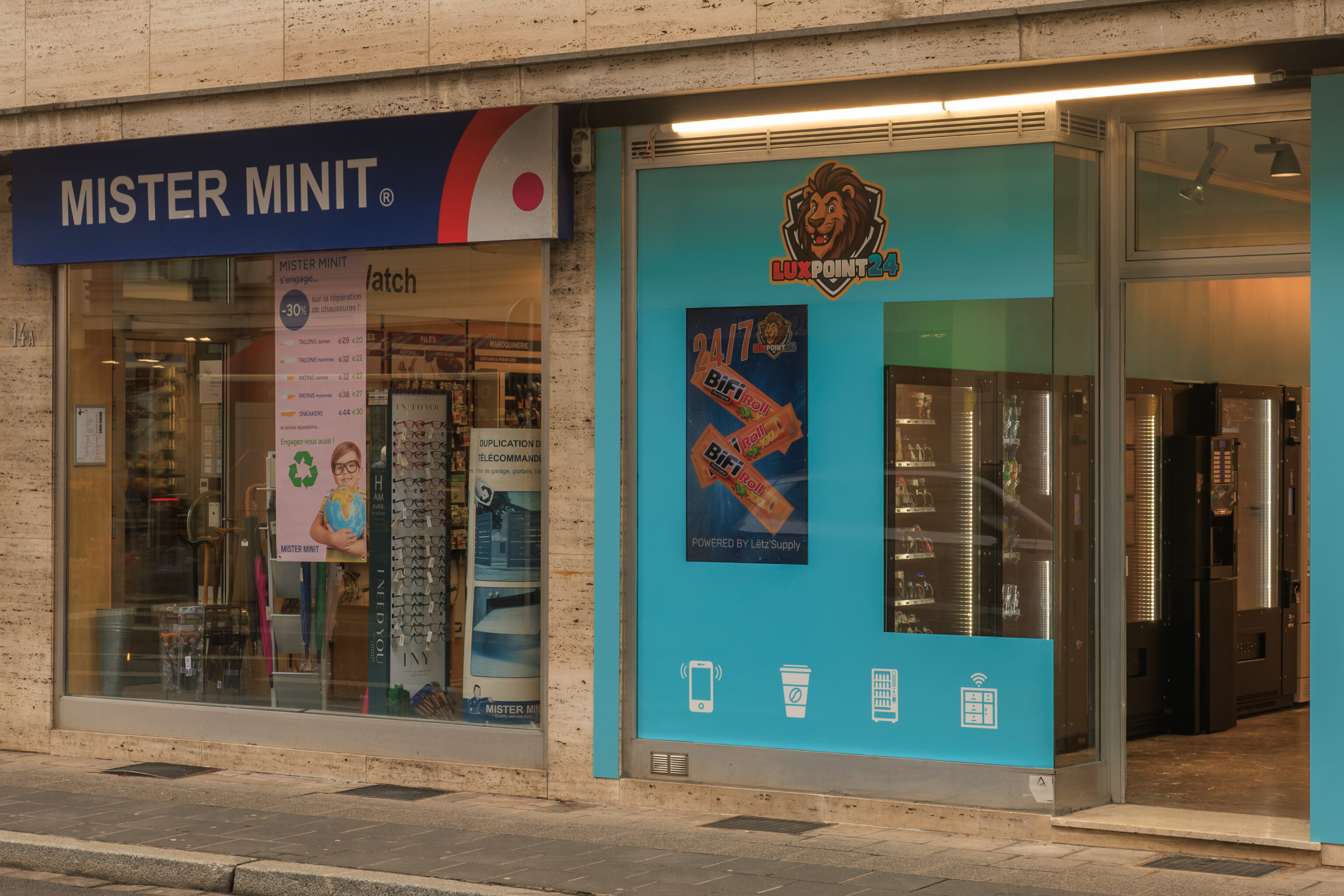
And then, we turned right to head east. We noticed a Mister Minit shop! This is a shop that we’ve seen many times at Shinagawa Station in Tokyo! We’ve never actually visited it or thought much about it but apparently it is an international chain from Brussels, Belgium!
Chemin de la Corniche
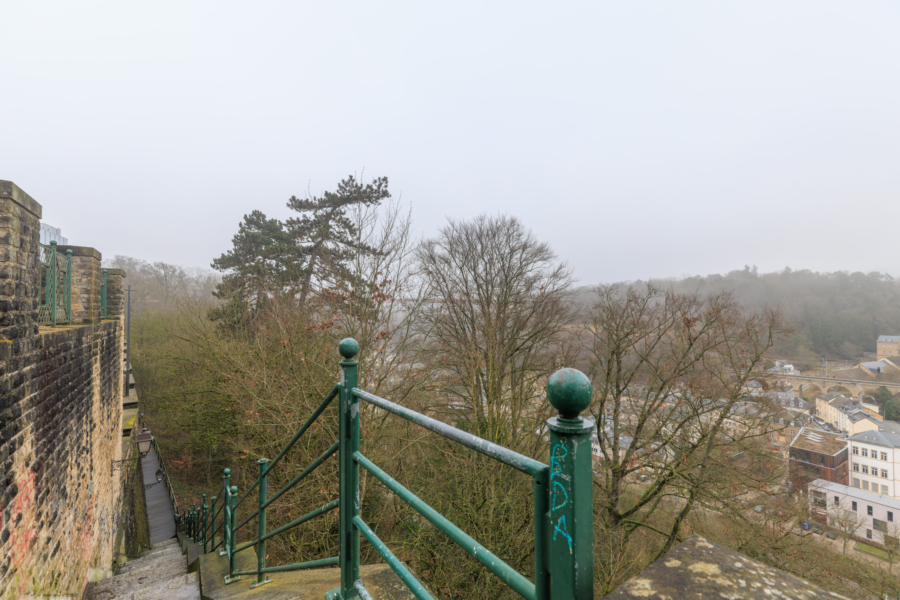
We walked to the east as far as we could until we reached the edge of the Ville Haute. This was the view of a path that went to the north. We walked in the opposite direction, to the south, to head to the Chemin de la Corniche. The Chemin de la Corniche is a path that starts down by the Bock, which is just a few hundred meters away, the equivalent of a few city blocks.
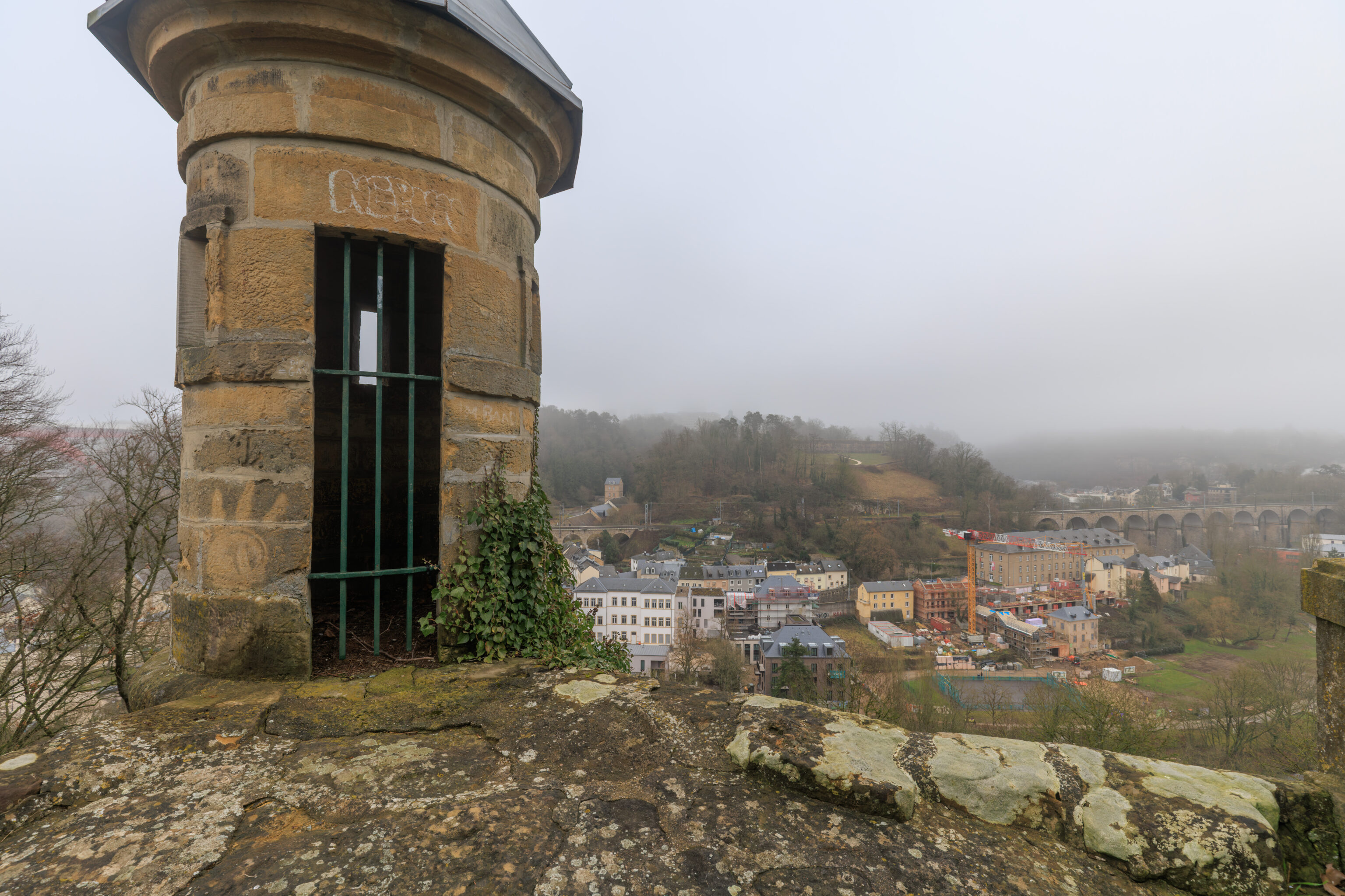
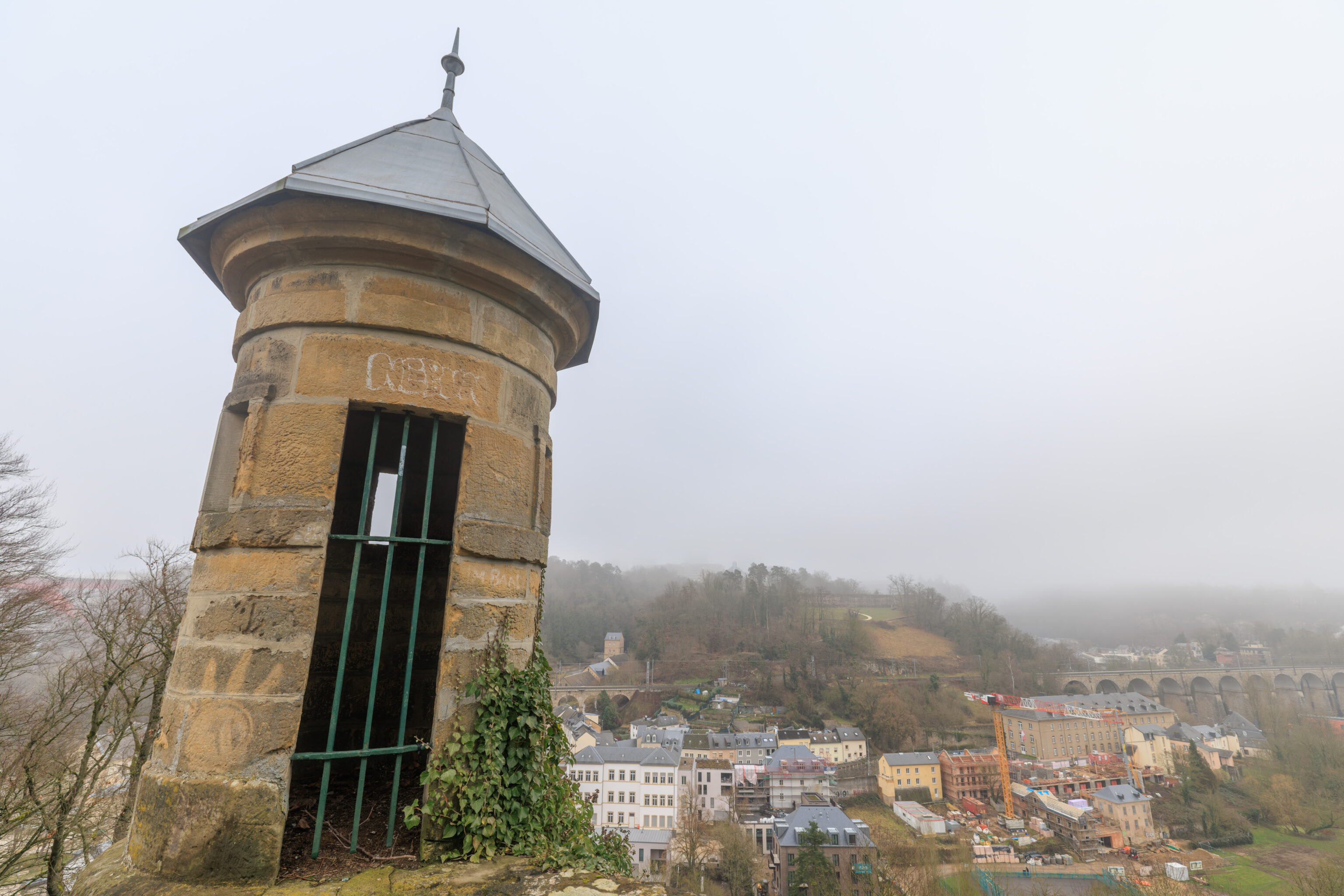
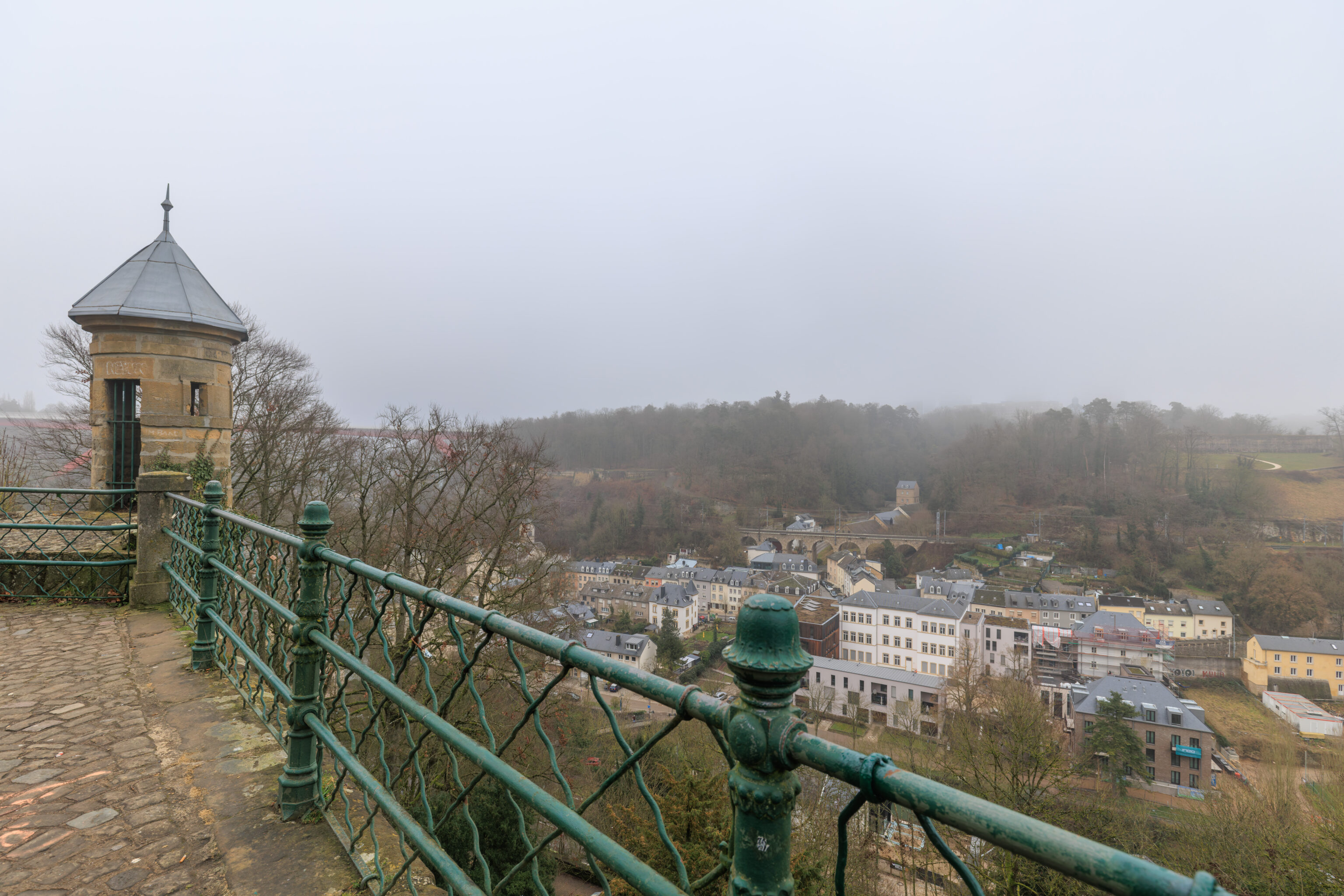
We walked to the south top the fortifications on our left and a road on our right. This tower was on top of a small plaza with a vehicular tunnel going underneath it.
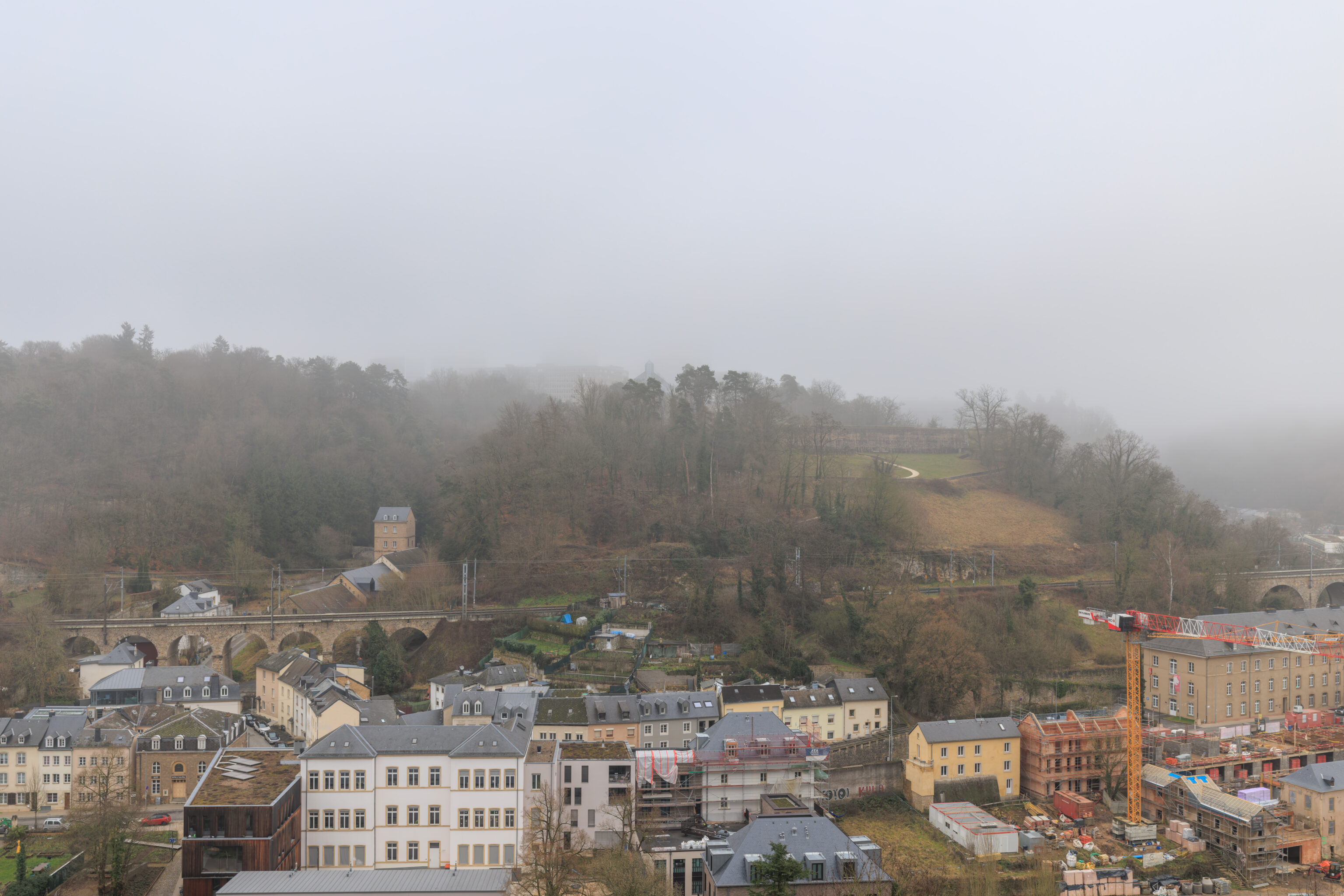
The fog seems to have cleared a bit. From here, we could actually see Fort Obergrünewald as well as the top of the MUDAM. The Porte du Grünewald is also clearly visible on the left.
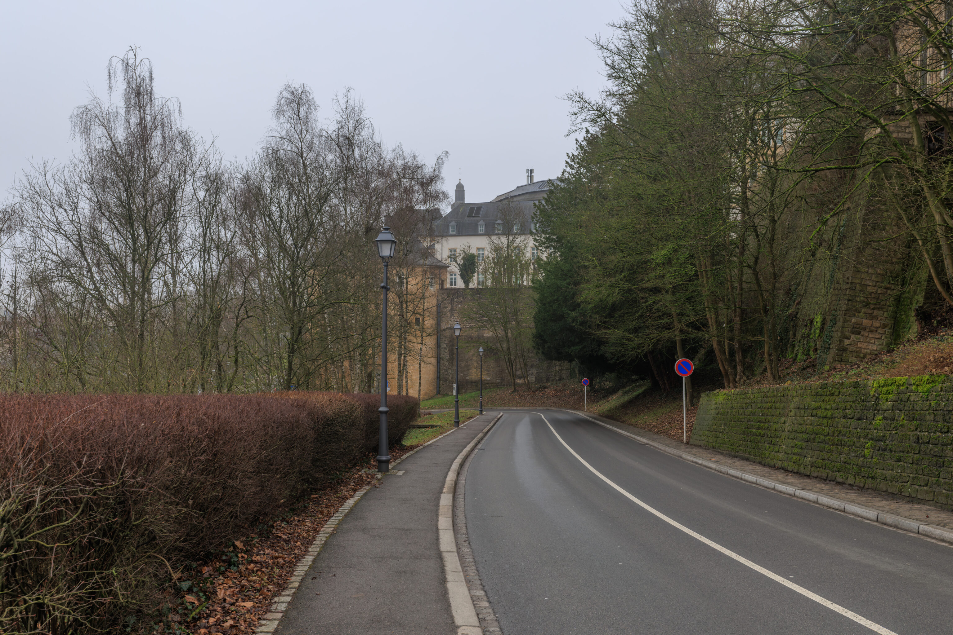
We continued walking south along the sidewalk. The road unfortunately was descending here, which means we’d have to walk uphill pretty soon.
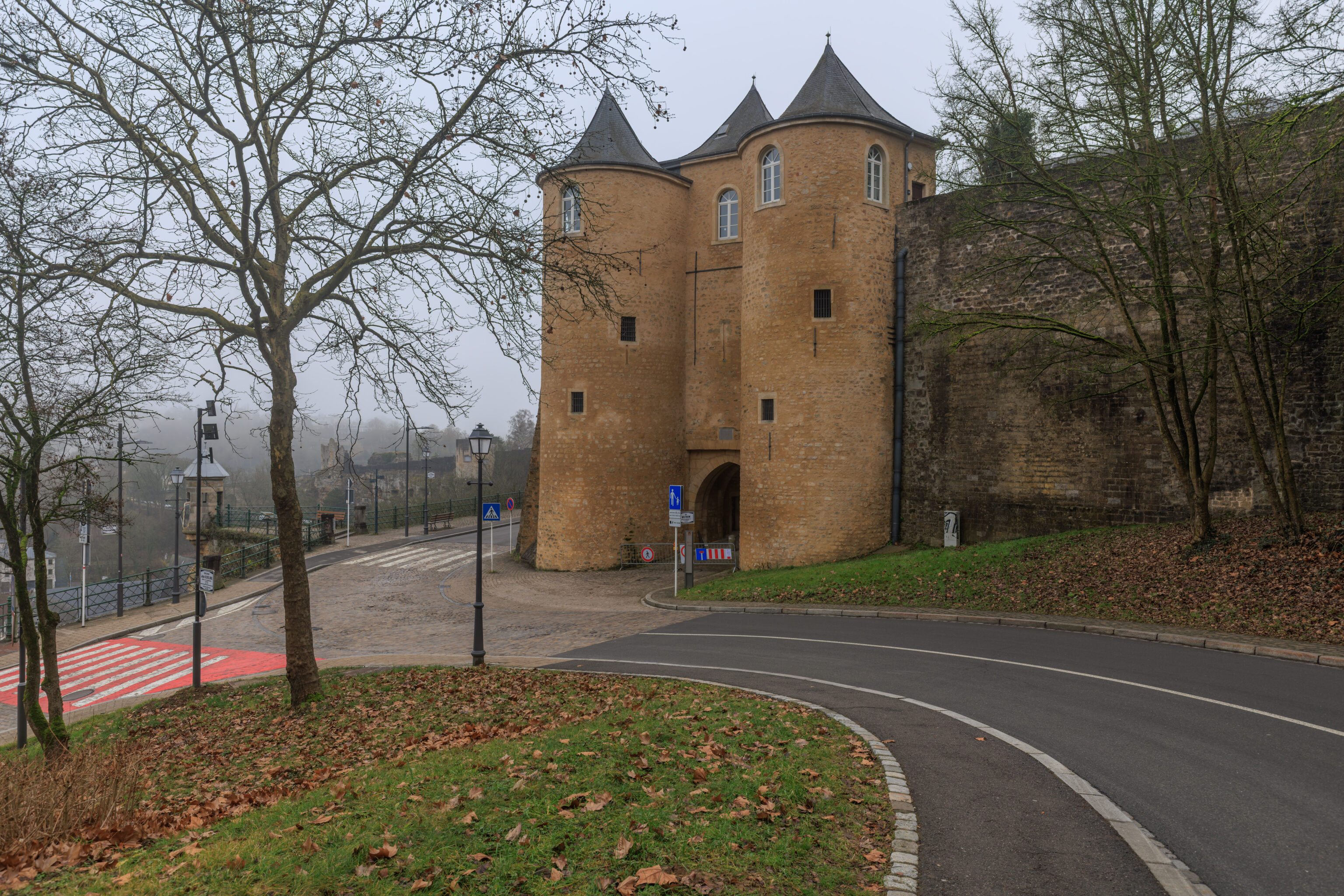
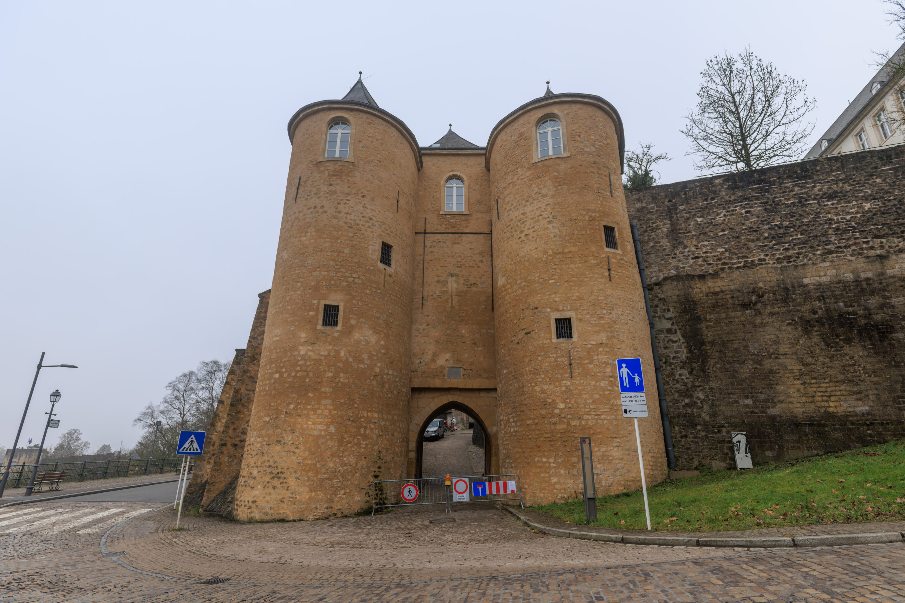
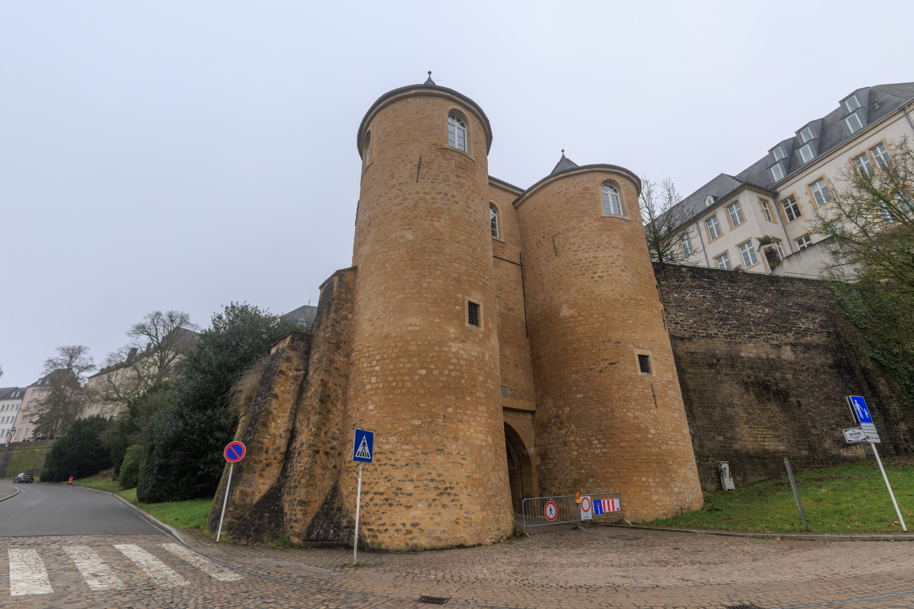
This gate is simply referred to as the Three Towers. The central tower is from the 13h century while the other two were added on in the 14th century. The path was closed as there was some sort of construction activity taking place on the other side.
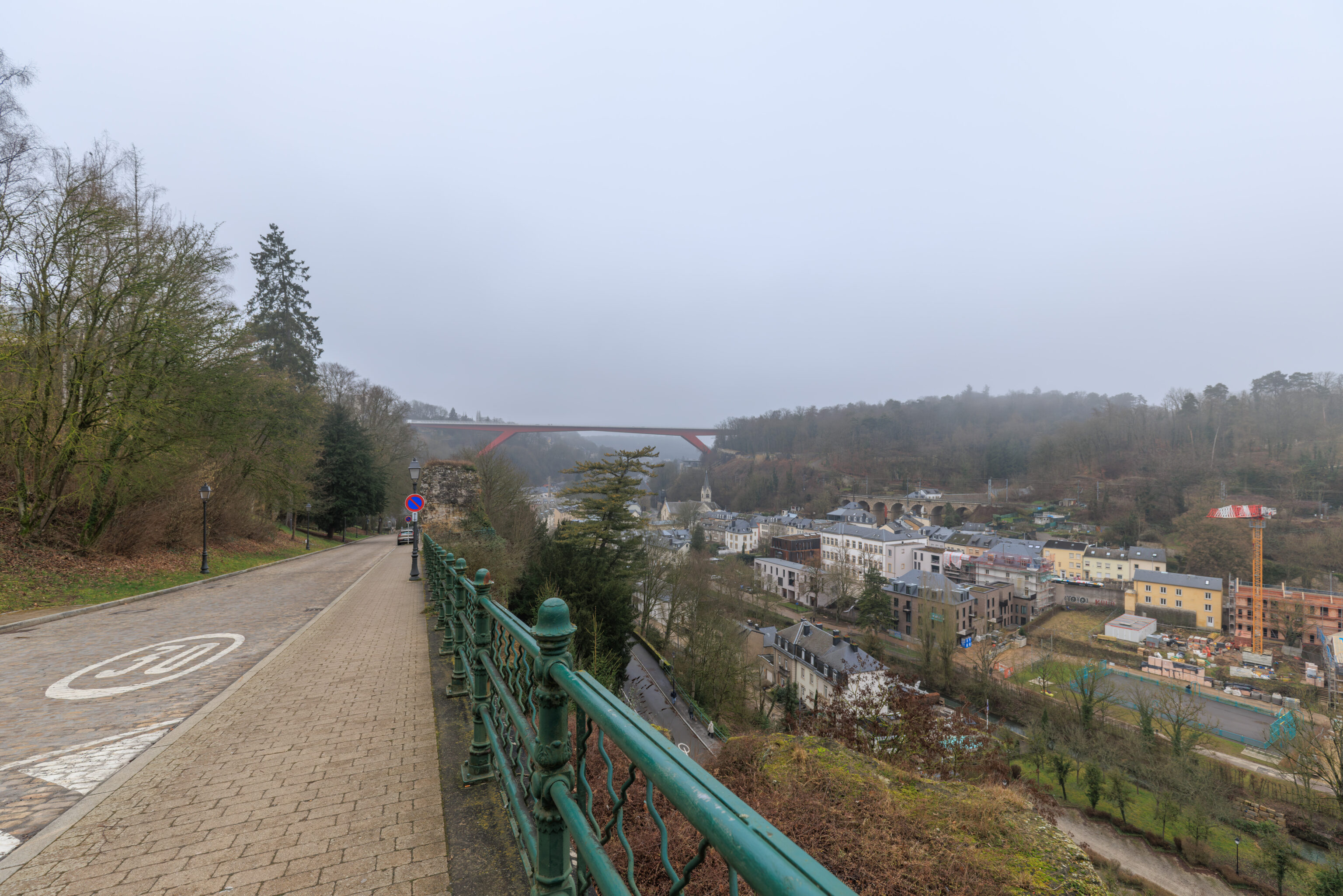
The view looking back to the north along a different road than the one we arrived from. This road actually leads to the bottom of the Pfaffenthal Panoramic Elevator.
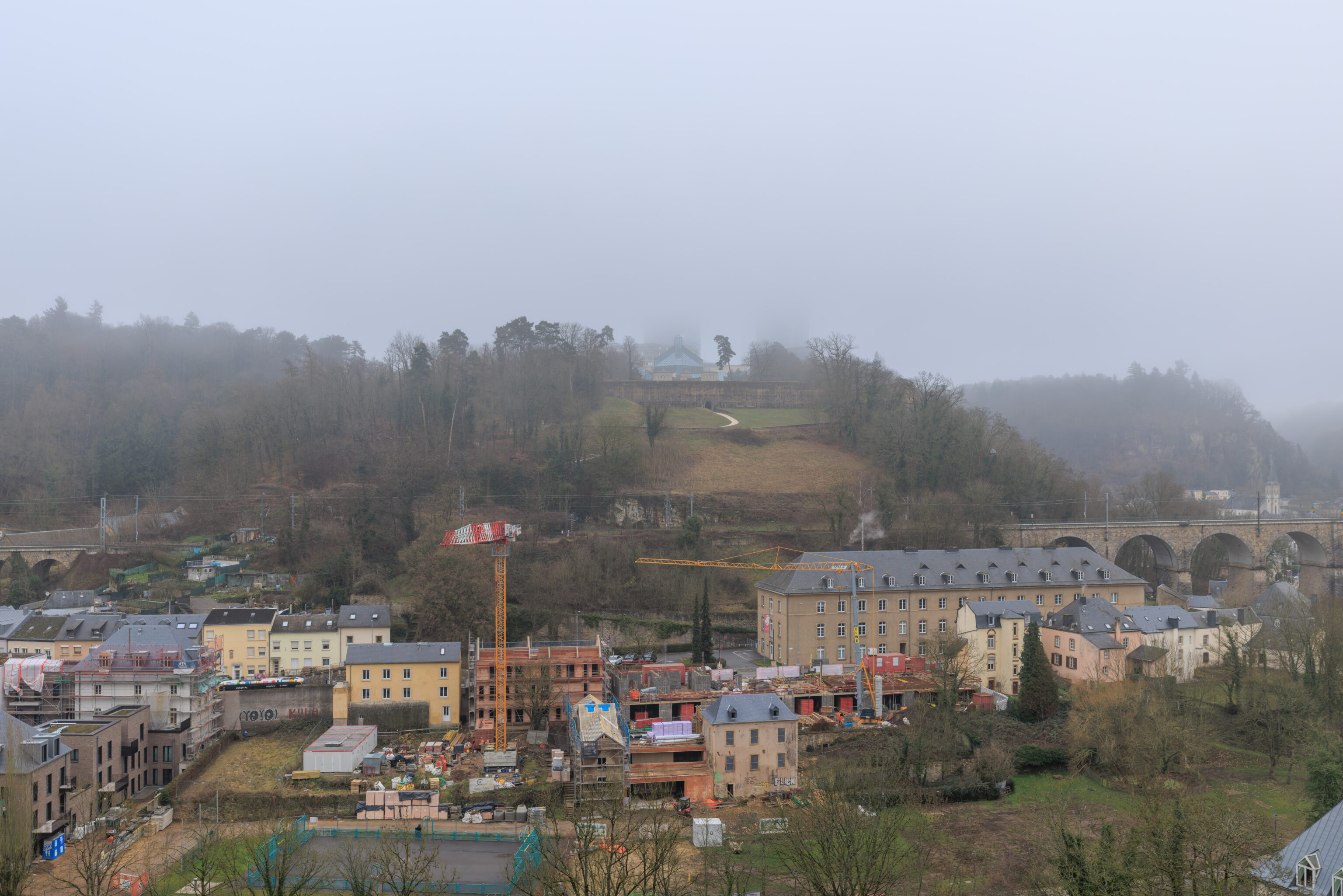
From here, we could now see Fort Thüngen and the Dräi Eechelen.
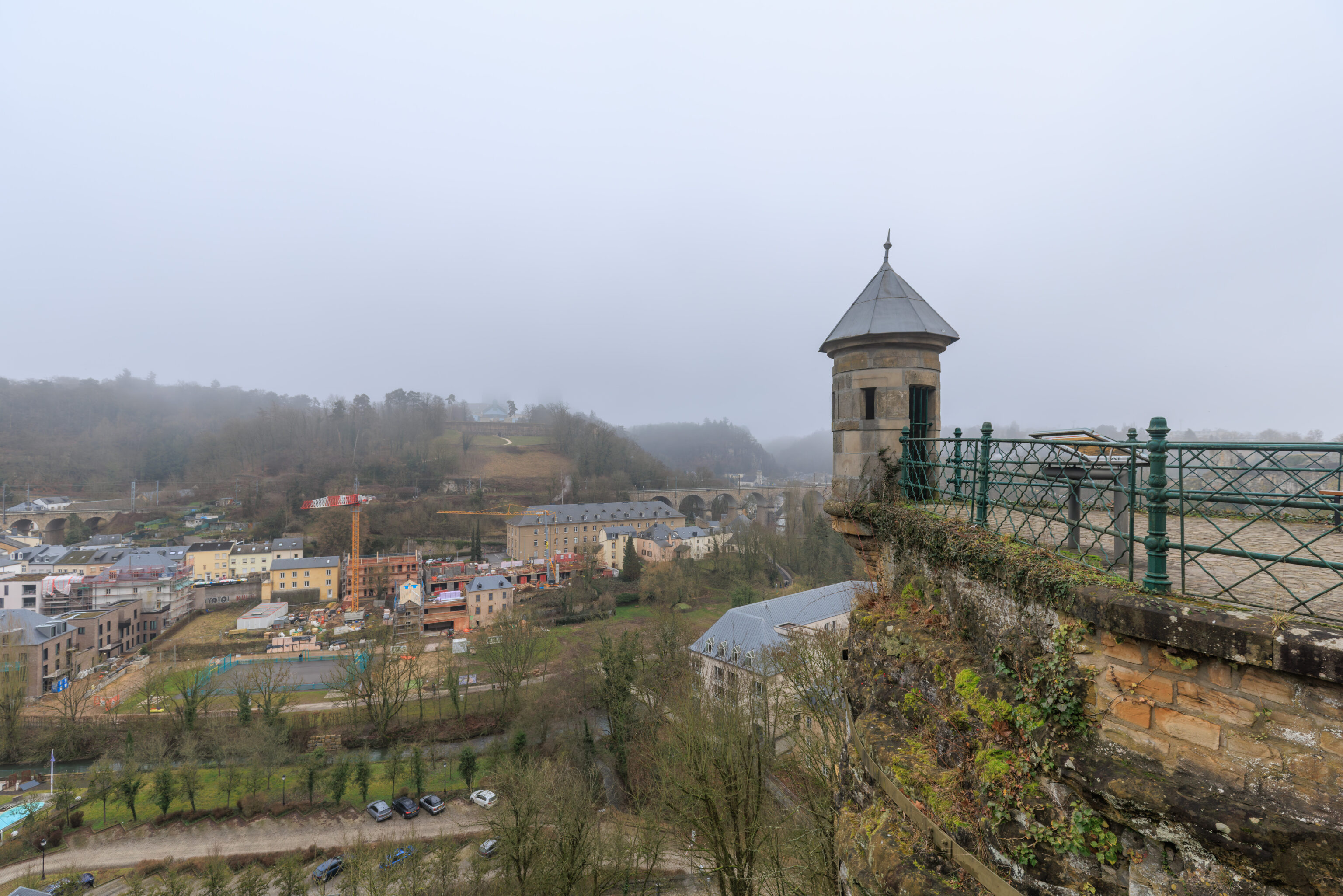
There was another little tower here, described as a Spanish watchtower. They were initially created by the Spanish. It is unknown what their actual function was.
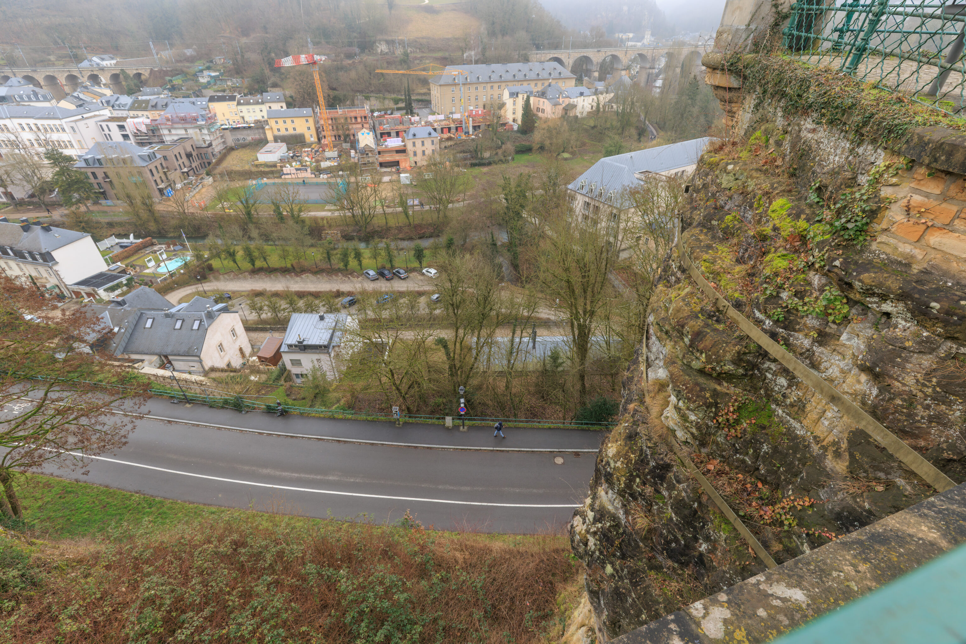
The view looking down. The road below is the one that goes below the Castle Bridge.
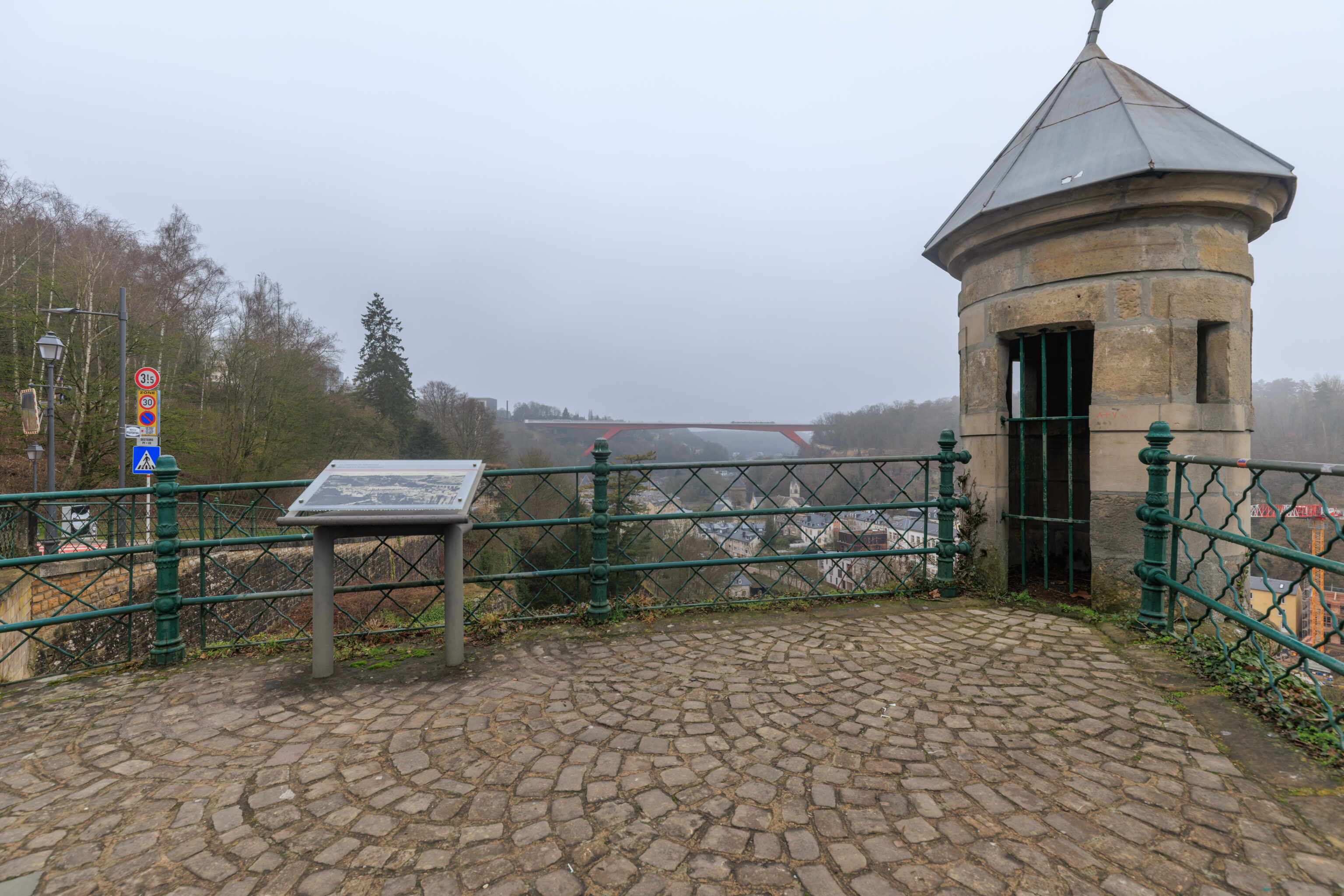
A closer look at the Spanish watchtower.
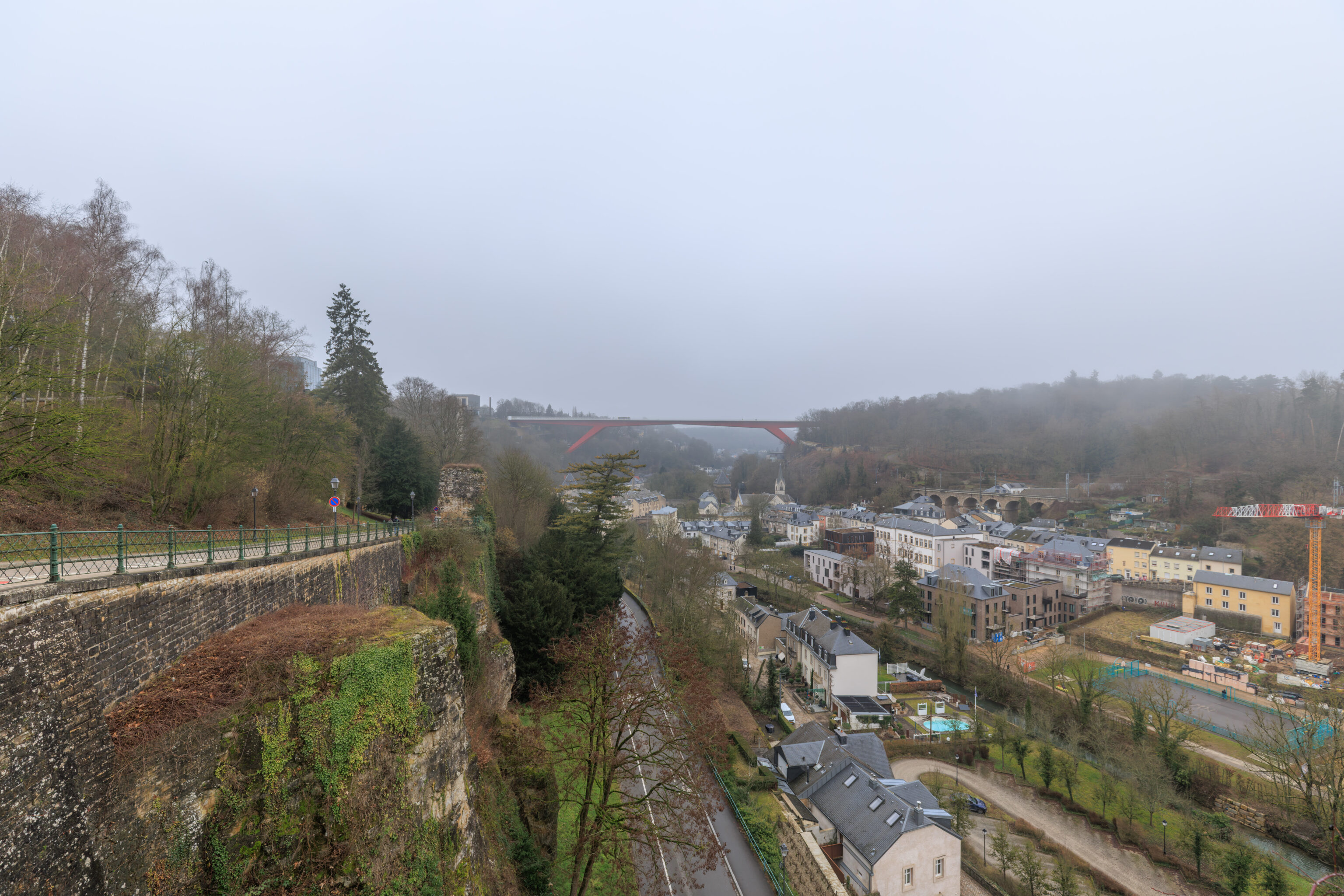
The view to the north from next to the Spanish watchtower.
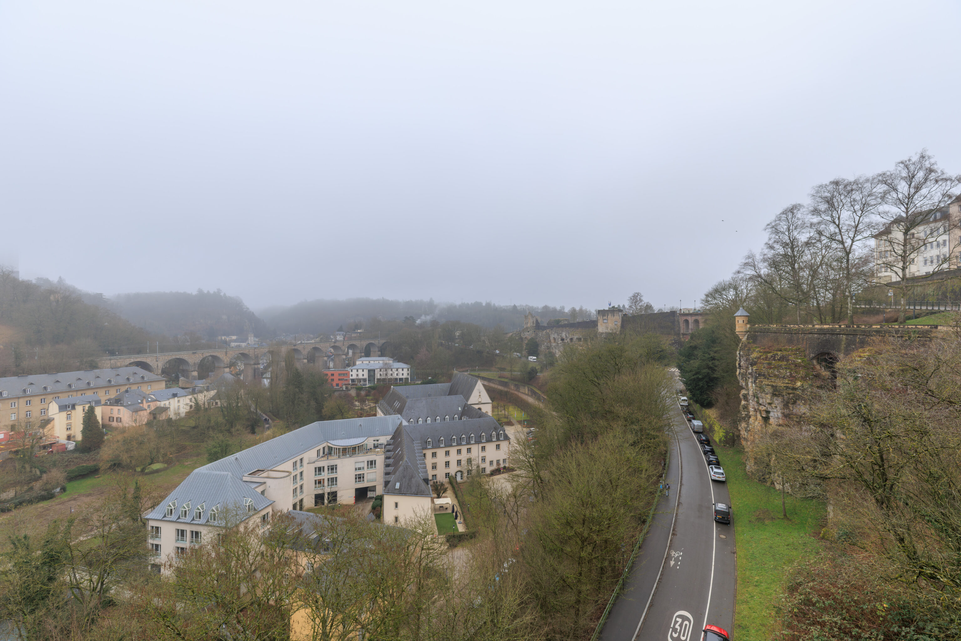
And the view in the opposite direction. The north side of the Bock is visible from this perspective.
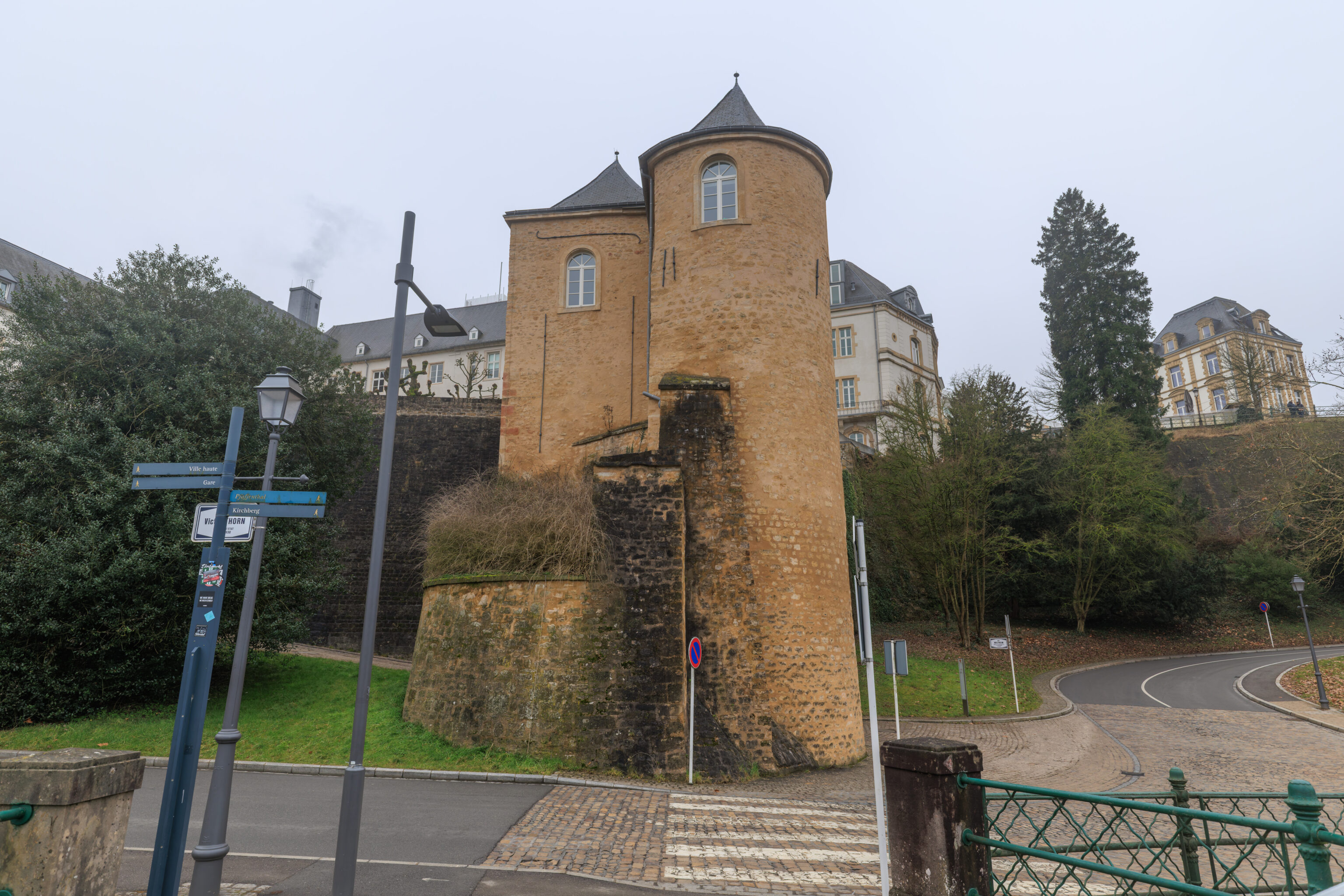
We continued on past the Three Towers.
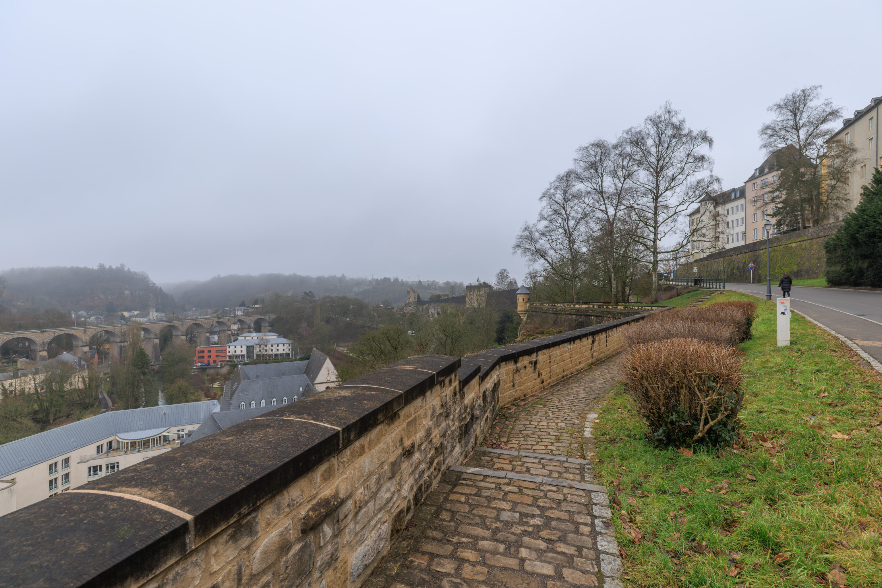
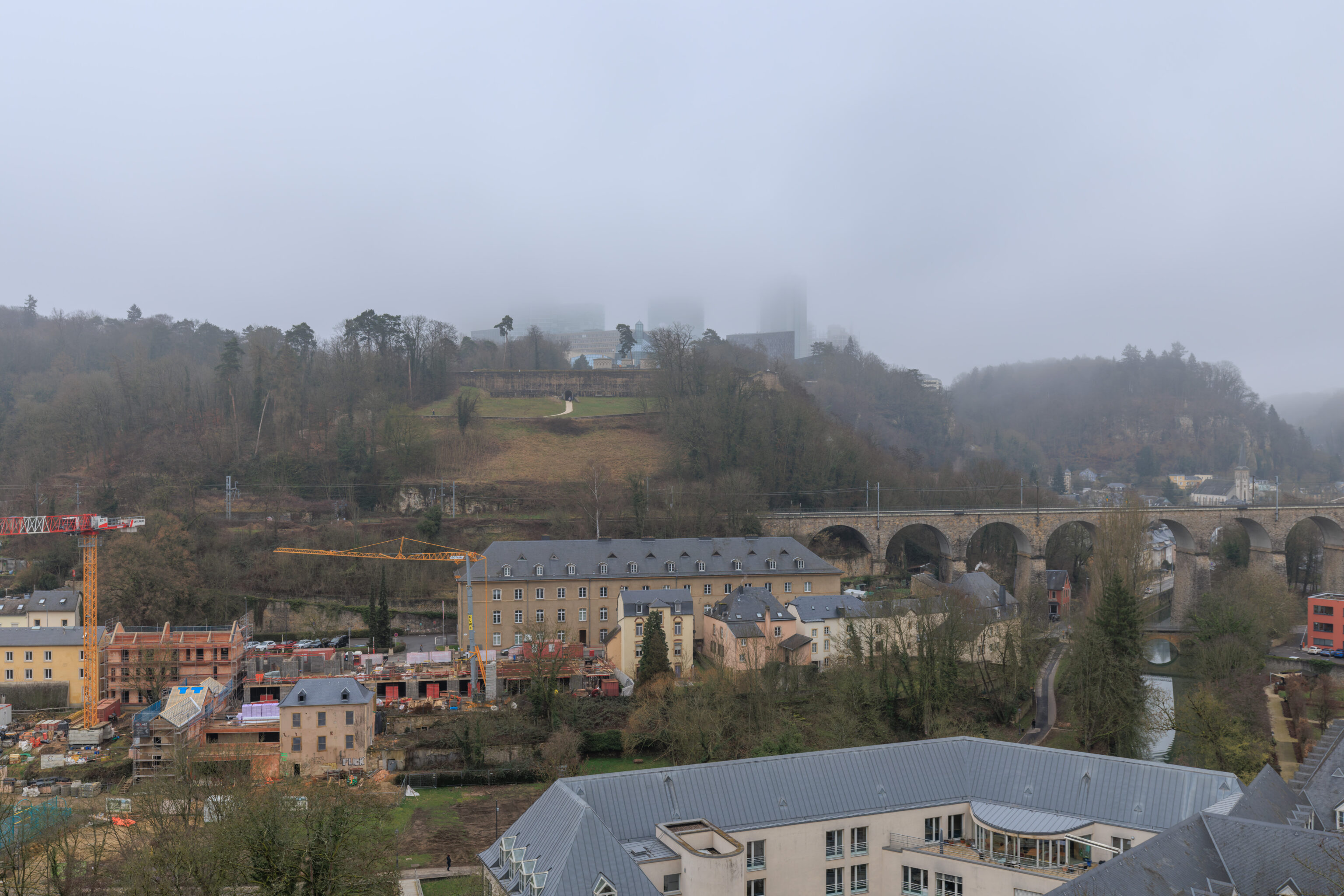
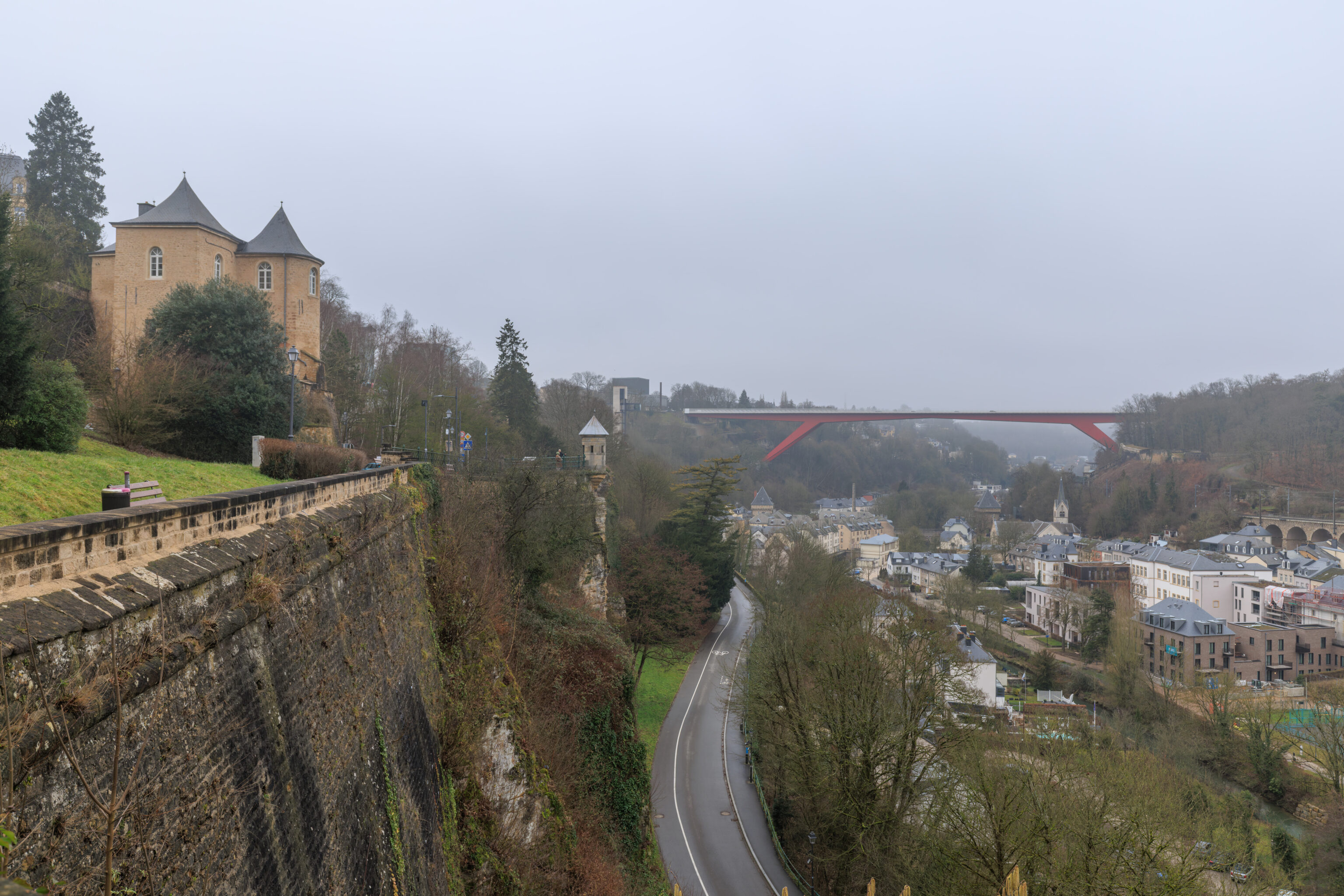
We continued walking to the south.
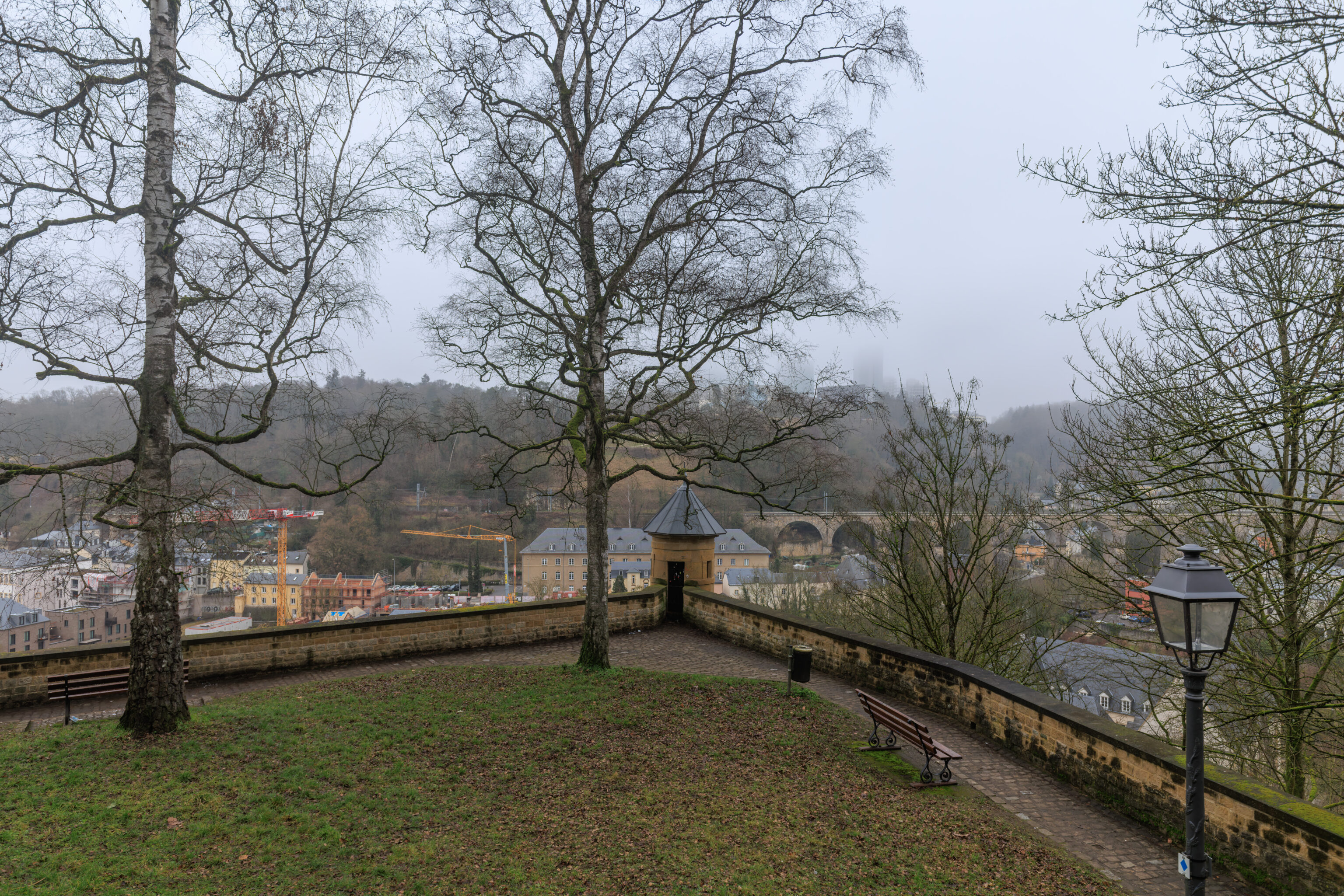
This is a different Spanish watchtower.
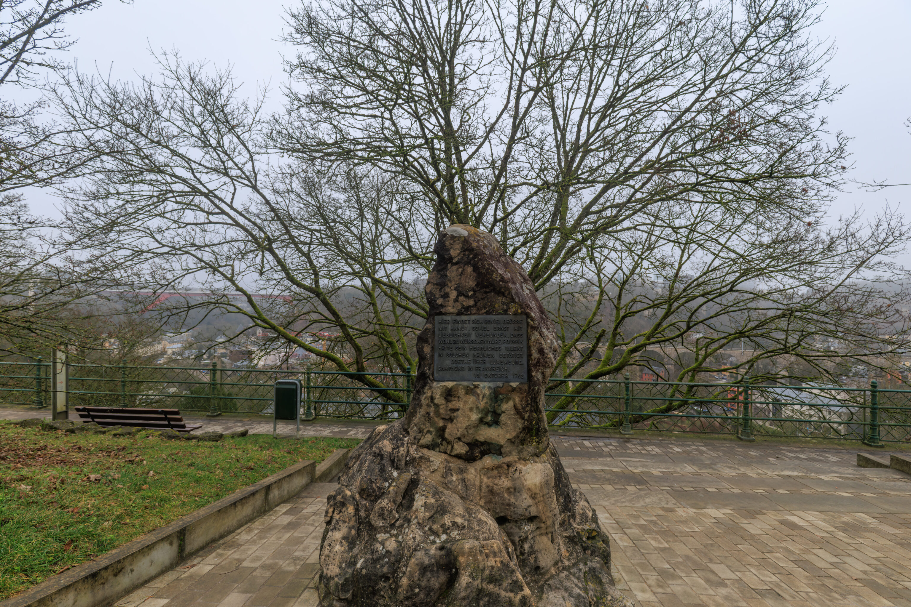
We soon reached the north side of the Bock. We noticed this small monument with a quote from Goethe:
Here one finds so much greatness combined with grace, so much seriousness with loveliness, that it would surely be desirable for Poussein to have displayed his magnificent talent in such spaces.

Goethe on Luxembourg.

Campaign in France
October 15, 1792
– Text from the plaque on the stone in the photograph above, translated using Google Translate.
He spent some time in Luxembourg in 1792.
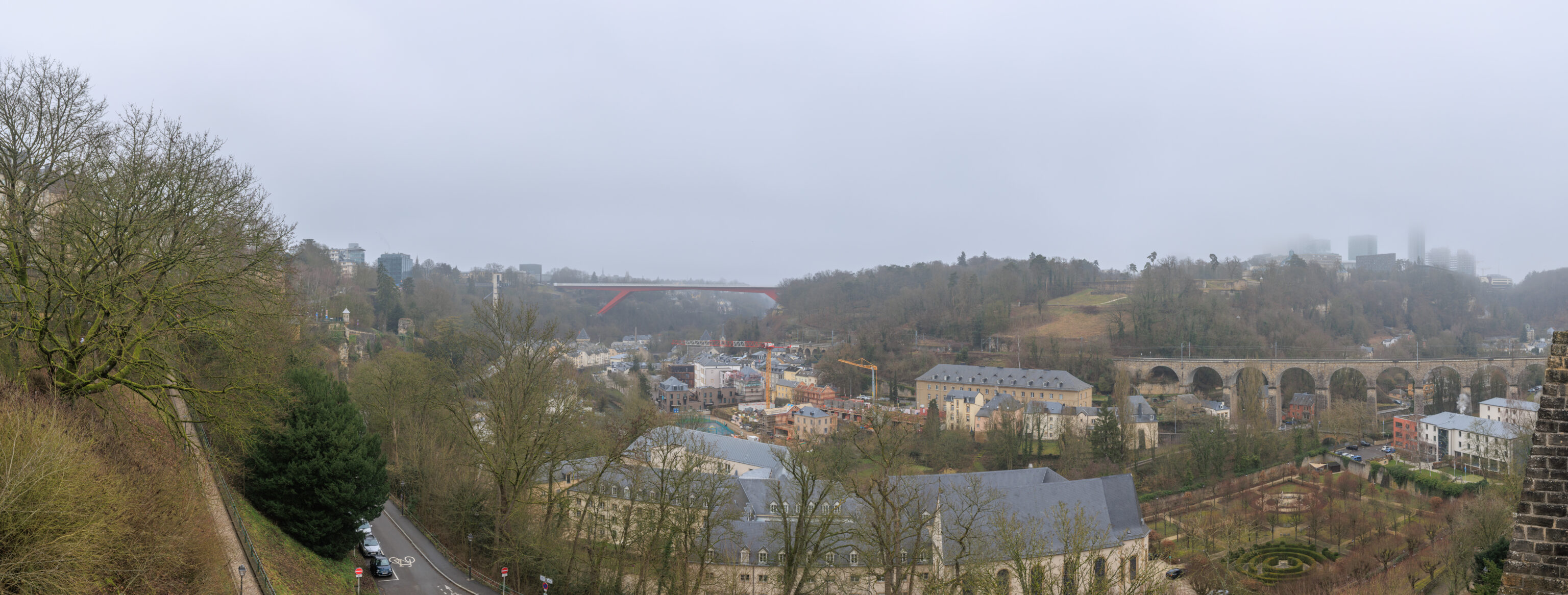
We created a panorama nearby of the view to the north and northeast before starting to walk to the south along the Chemin de la Corniche. This translates to something like Ledge Path, which is exactly what this is.
Interestingly, the word corniche exists in English specifically to refer to a cliffside road, but its not a usage we’ve ever heard of before. The French corniche is derived from the Italian cornice, the same word that the English cornice is derived from. In American English at least, a cornice is either an architectural feature or a snow cornice, snow that has been blown by the wind to overhang over a cliff.
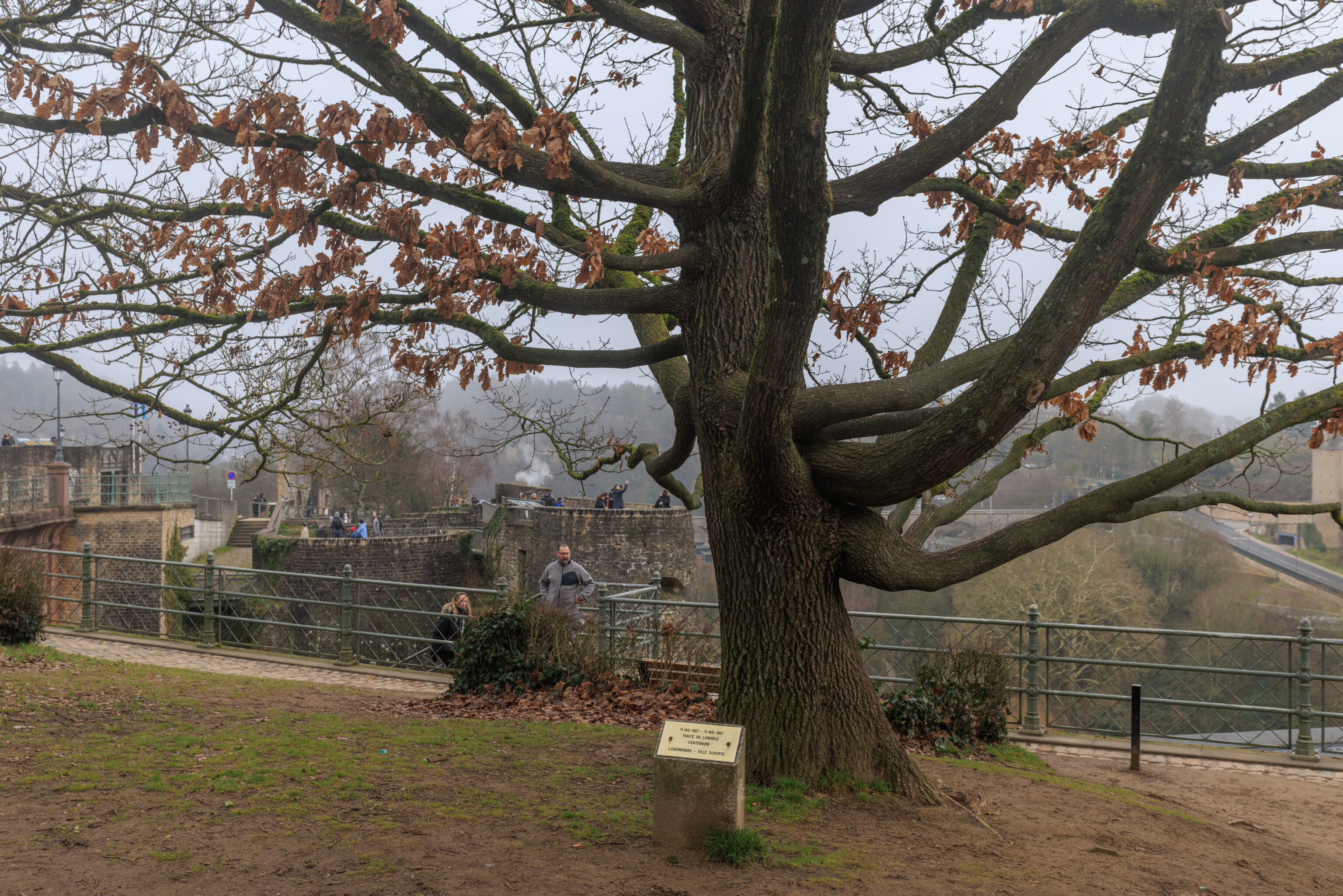
This plaque, not far to the south of the Bock, was placed for the centenary of the Treaty of London of 1867 which created the Grand Duchy of Luxembourg.
MAY 11, 1867 - MAY 11, 1967
TREATY OF LONDON
CENTENARY

LUXEMBOURG - OPEN CITY
– Text from the plaque in the photograph above, translated using Google Translate.
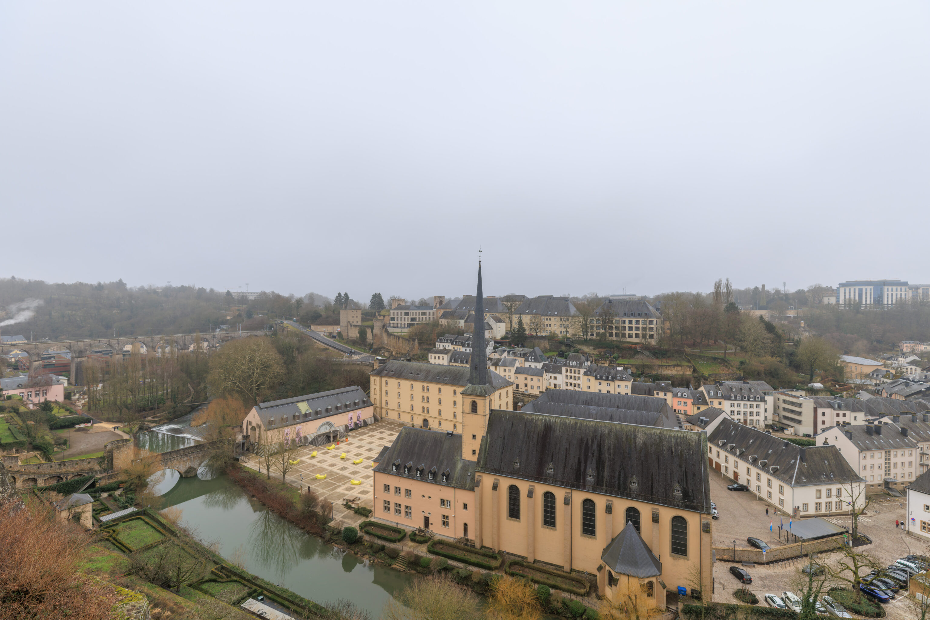
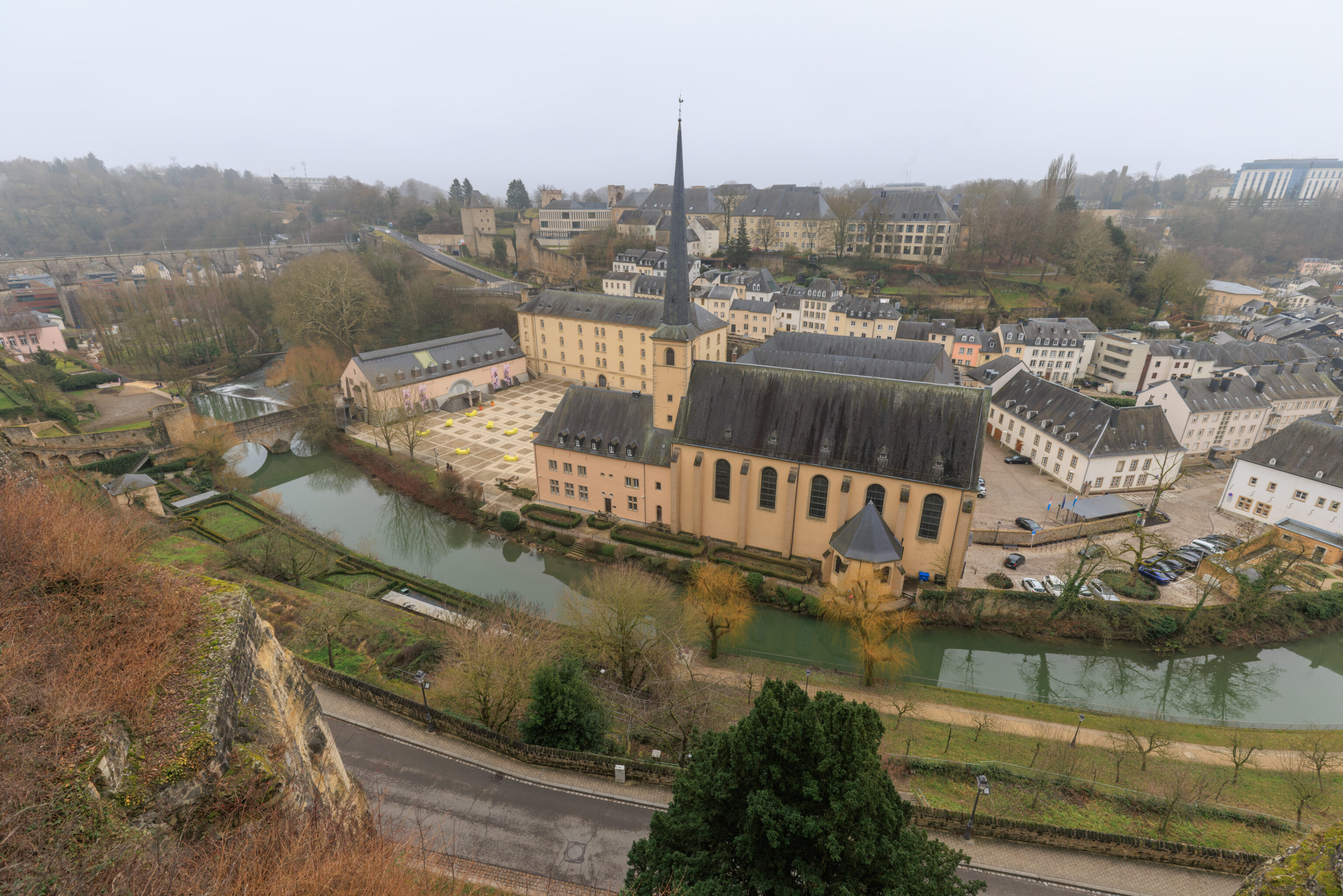
The building below is the Neimënster, a former Benedictine abbey.
Neimënster
Since 1606 the former Benedictine monastery of Neumünster
has been standing on the banks of the river Alzette. Secularized in
1796, the buildings served as an orphanage, a prison and a military
hospital. From 1867 to 1985 the men's prison was established
there. From 1940 to 1944, the Nazi occupiers held here political
prisoners before their transfer to the prison in Trier, the Hinzert
concentration camp and other concentration camps. Nearly 4,000
Luxembourg resistance fighters (women and men) as well as Italian
anti-fascists and other political opponents of the Nazi dictatorship
passed through this prison. The families of these prisoners gathered
on this viewpoint to discreetly greet them during their rounds in
the courtyard of the old prison. Since 2004 the former convent,
then prison, has been hosting the Neimënster cultural meeting center.
(https://www.neimenster.lu)
– Text from a sign.
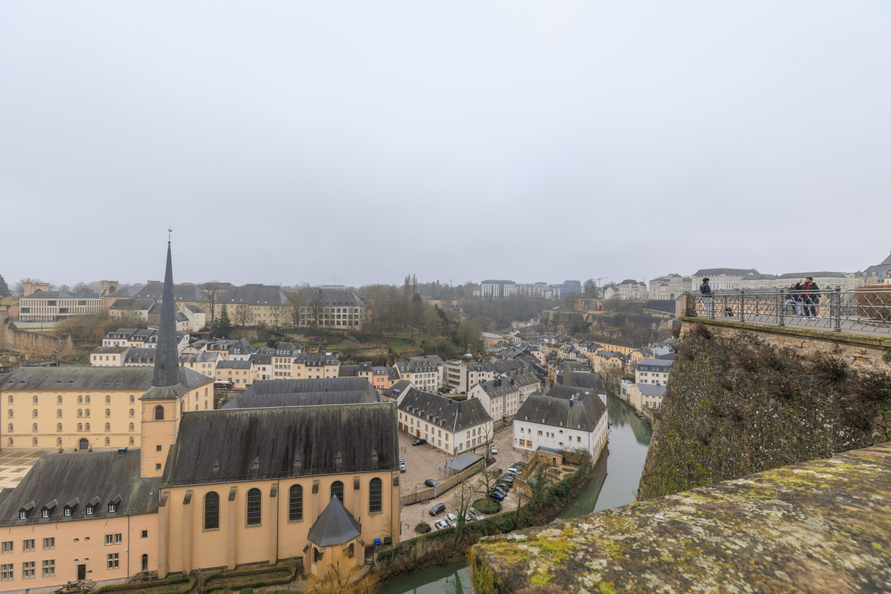
The view from here, still not far from the Bock, to the right of the Neimënster shows the fortified walls of the fortress and the calm Alzette below.
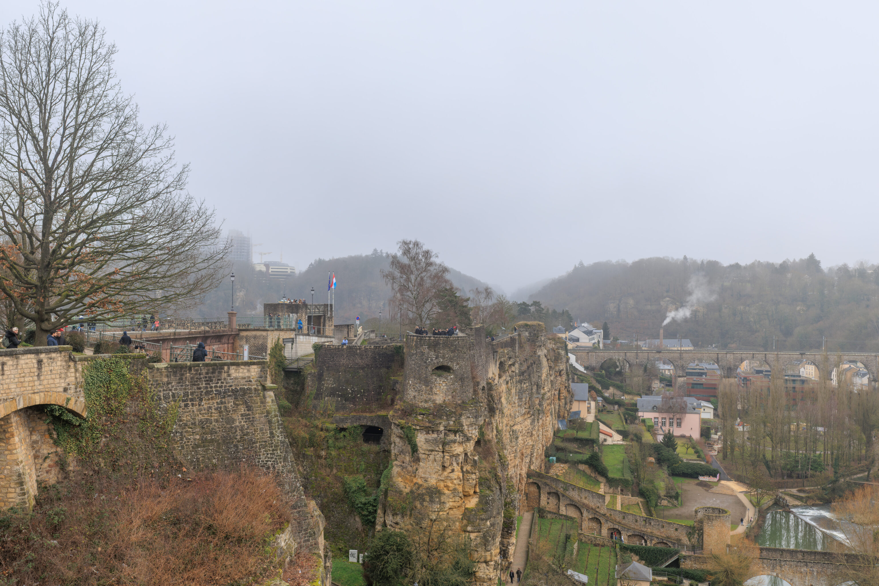
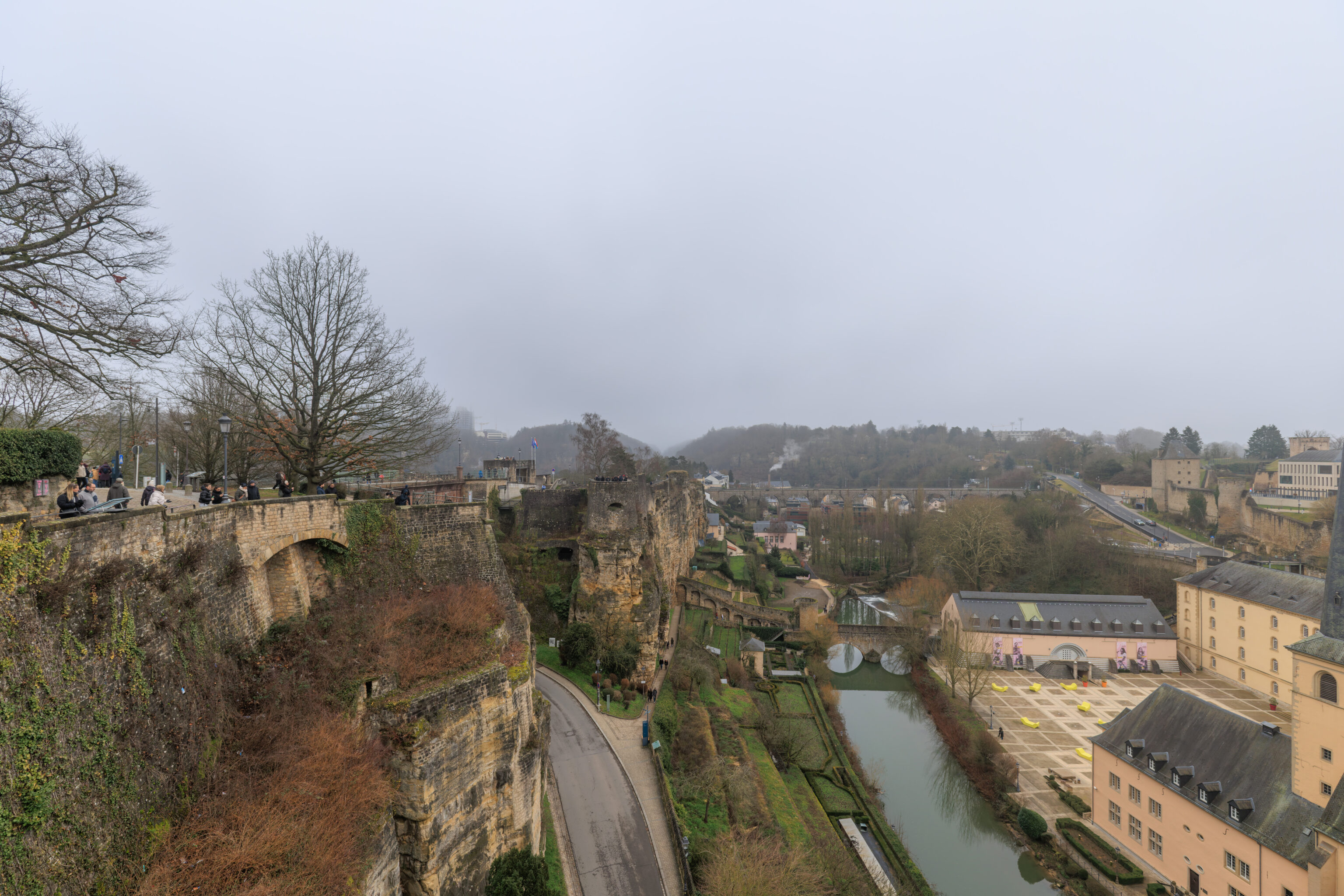
The view looking back to the northeast shows the Bock occupying the left half of the scene.
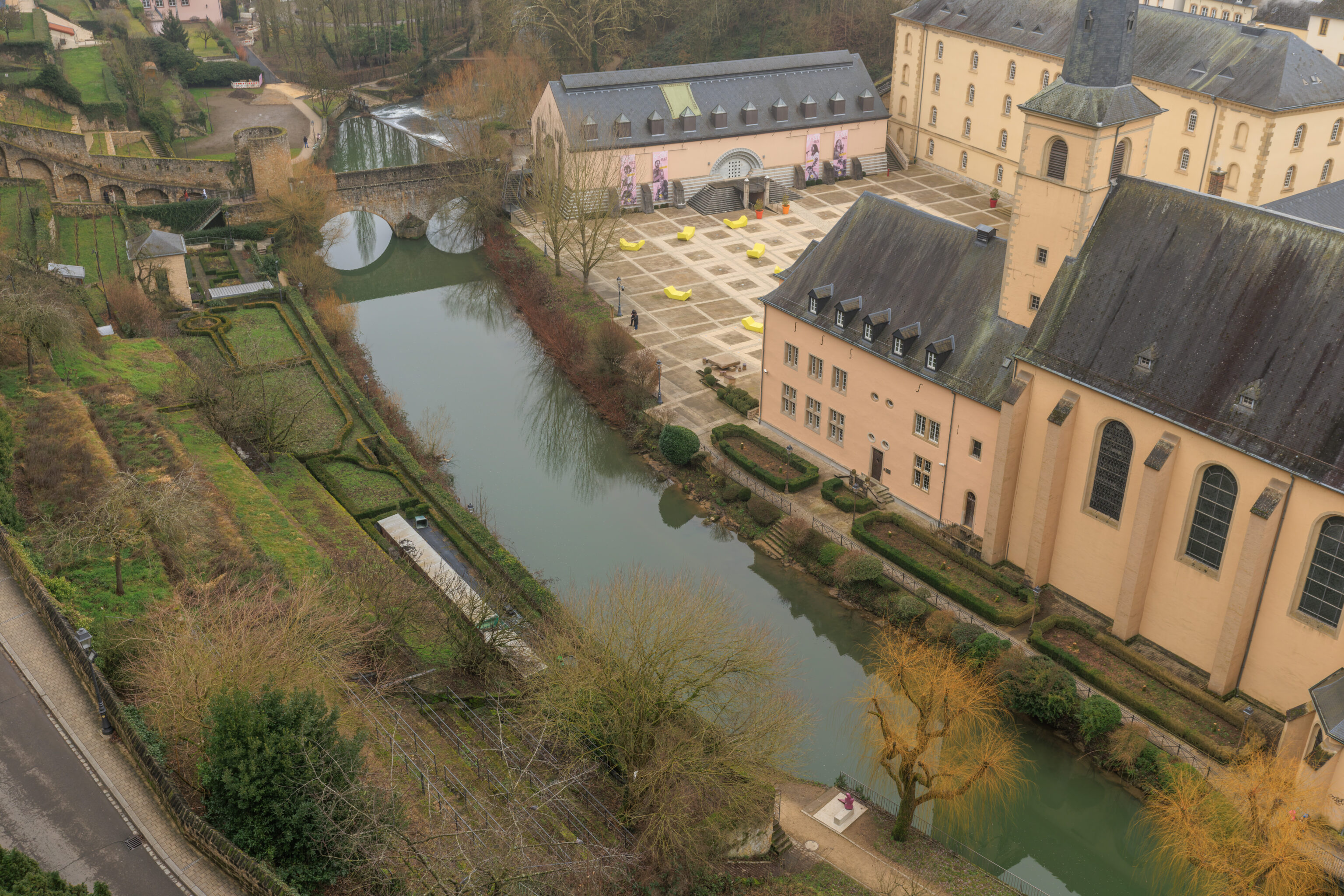
Seems like nice place for a walk by the river down there! On the right, there is a red sculpture of a seated woman. And further away, there is a spectacles bridge! It’s like we’re back in Nagasaki again! Its only been a bit more than a month!
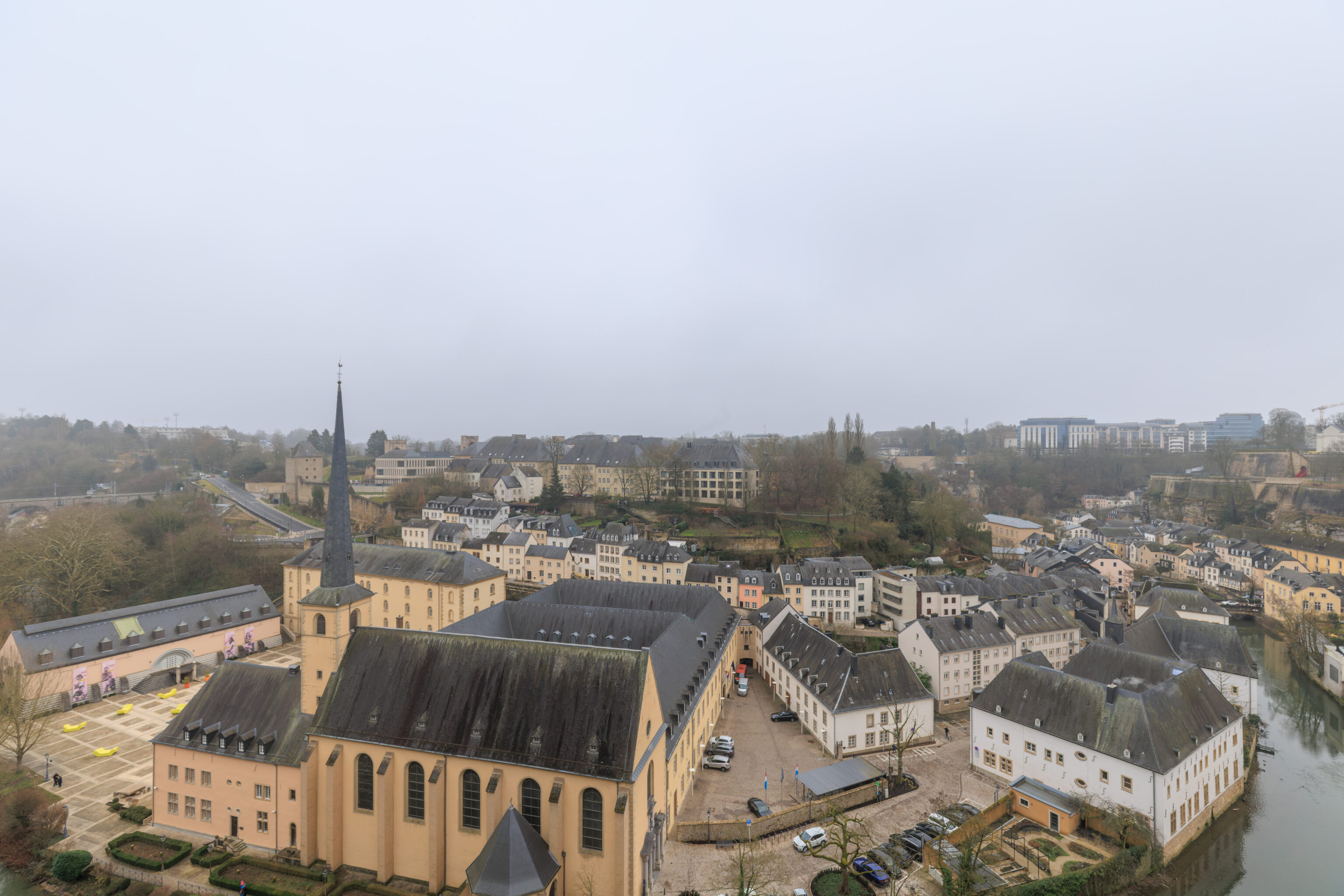
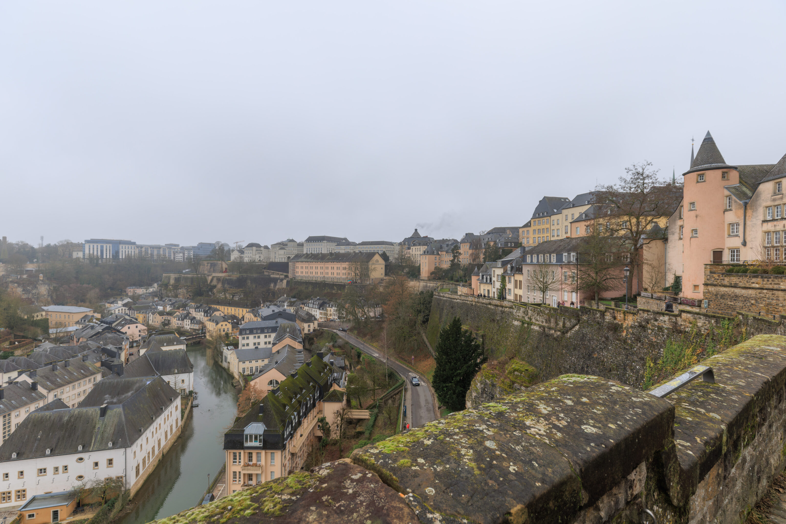
We continued walking along the Chemin de la Corniche.
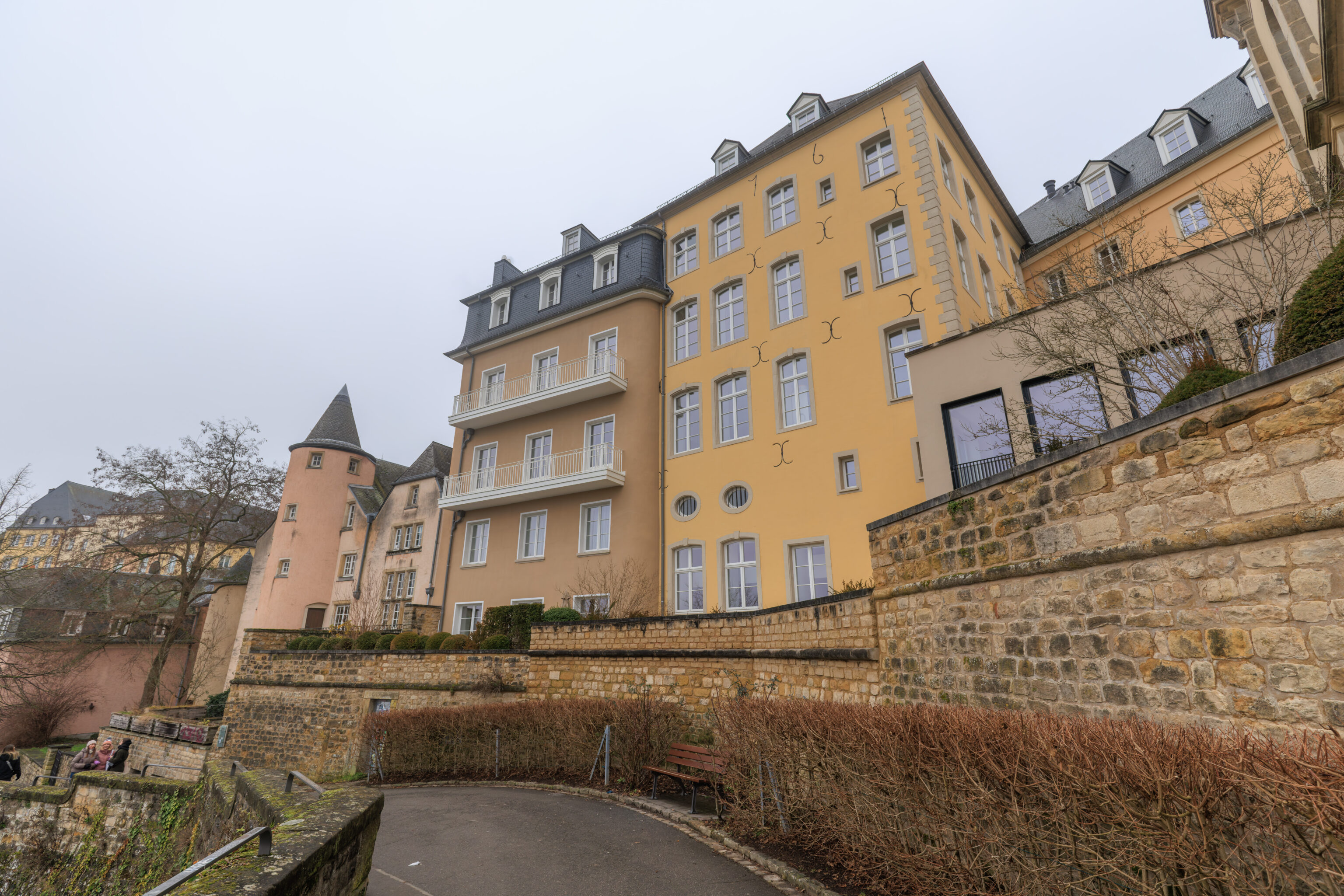
We’ve noticed these metal pieces on the exterior of many older buildings during our various travels in Europe. We never really looked into it before now. These are structural elements referred to in English as anchor plates. They help to keep the walls from falling outwards away from each other. They apparently exist in older American cities as well, although we’ve never really noticed them before.
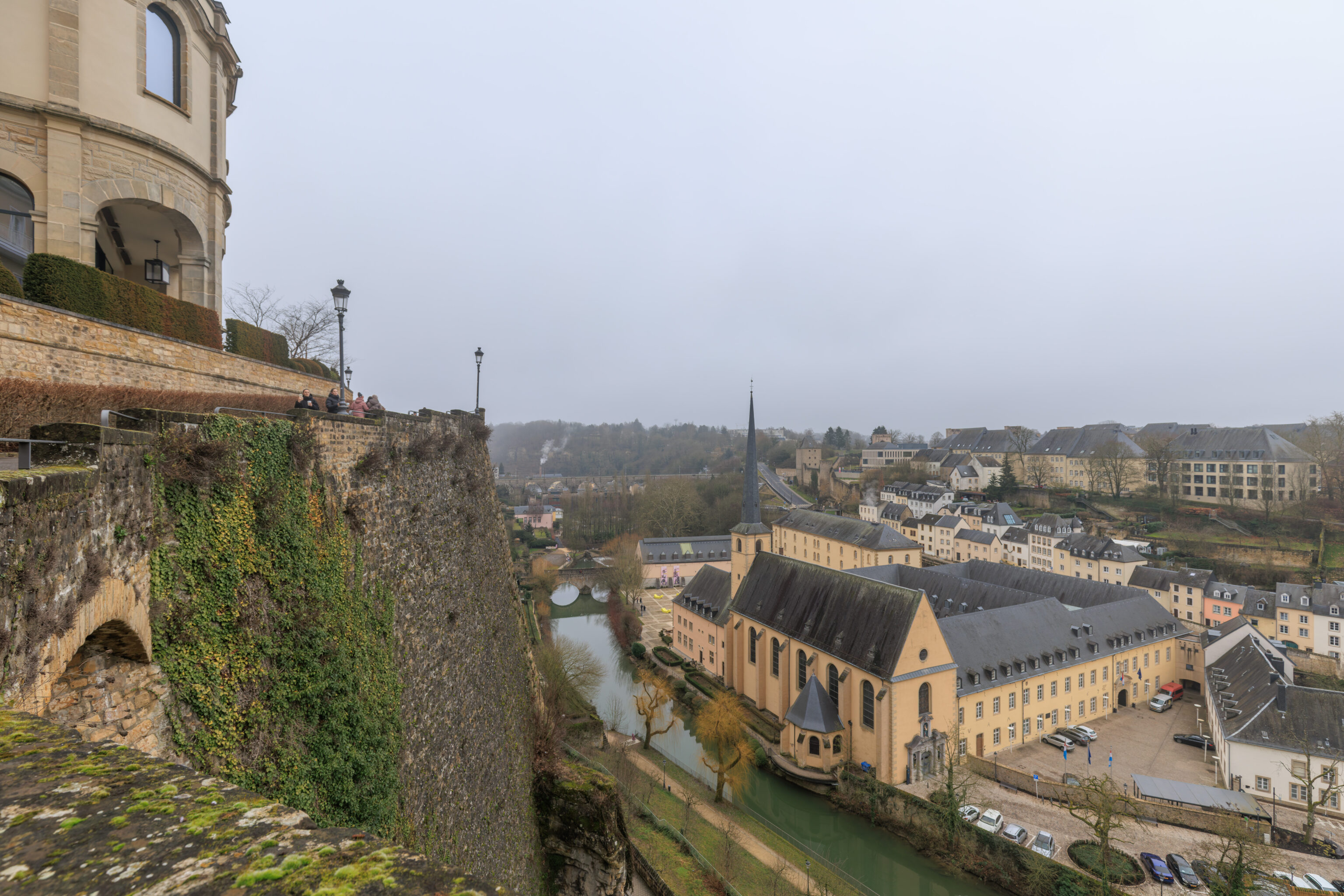
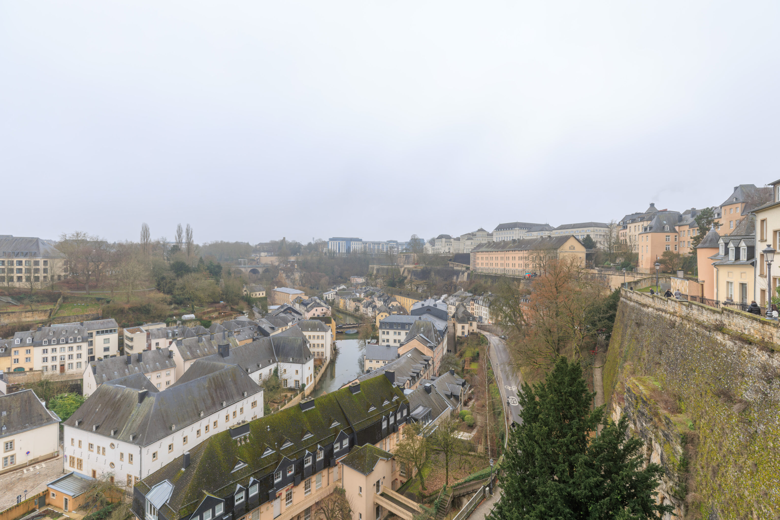
We continued following the path…
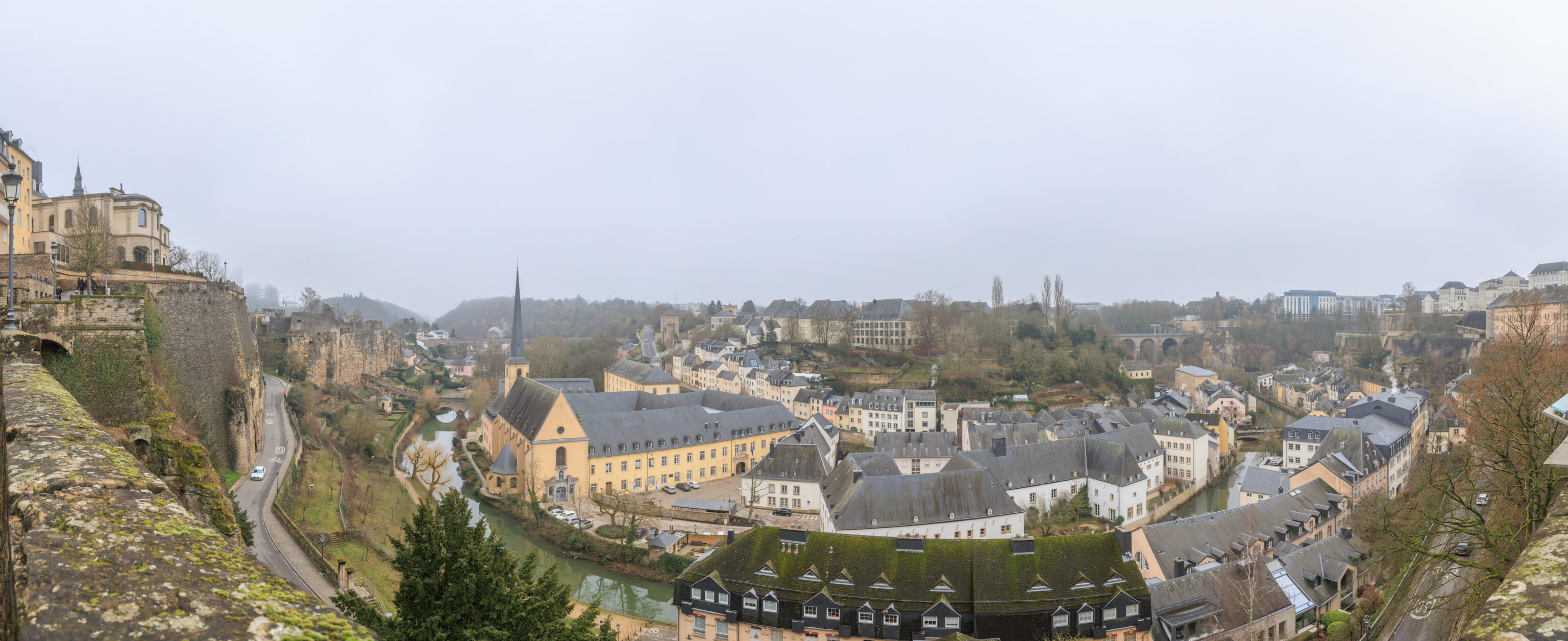
A fantastic place for a panorama!
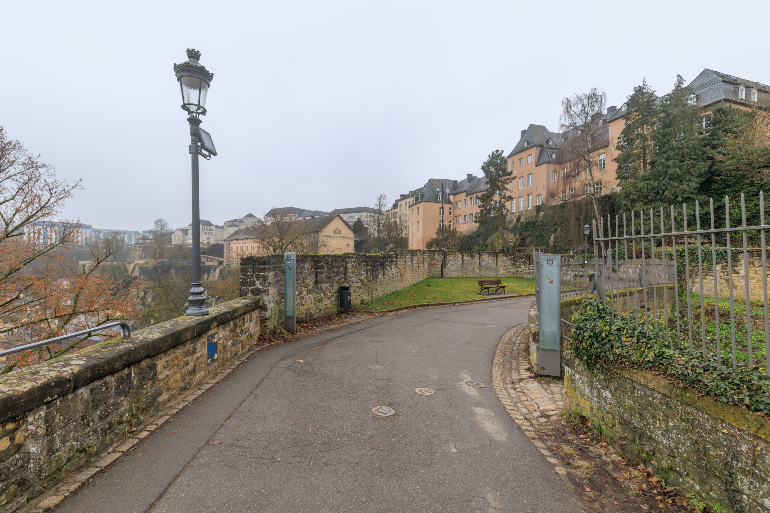
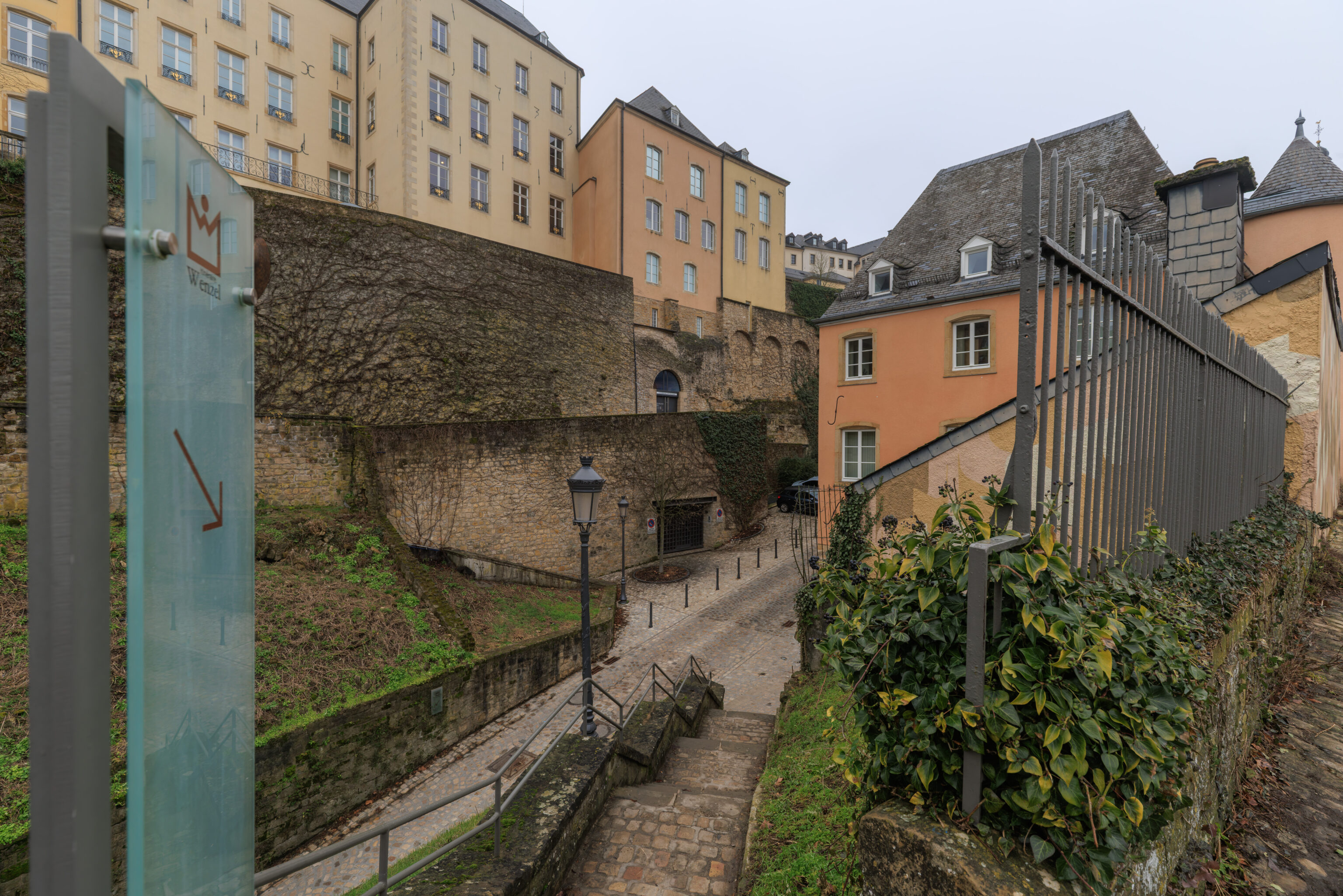
There was a junction ahead with a suggested path that led down. We continued on though.
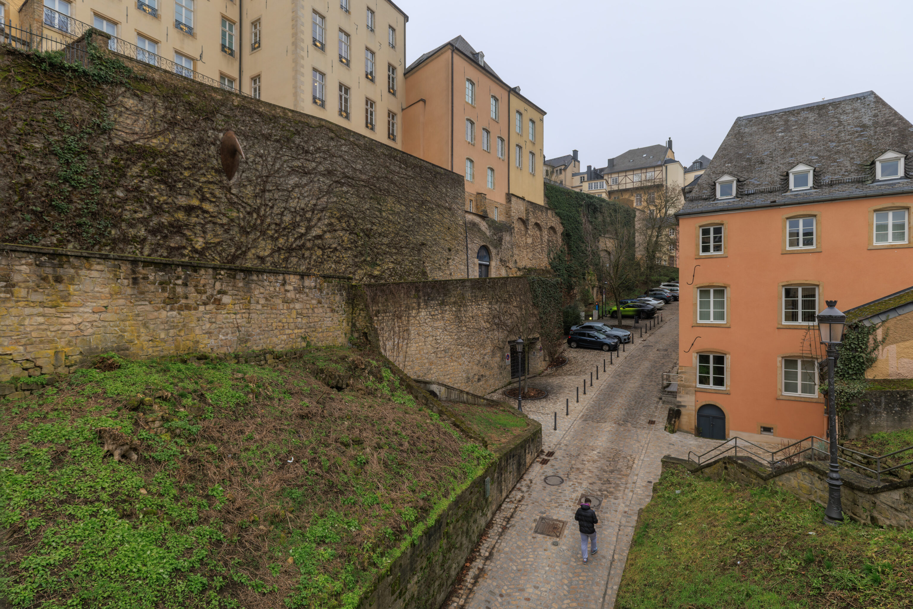
The building on the left is the Lëtzebuerg City Museum, Lëtzebuerg being Luxembourgish for Luxembourg. It seems like there may be a rear entrance here? During our first full day in Luxembourg, we visited an overlook in the Ville Haute with a designated selfie spot. That overlook is actually just right of center above the wall lined with green vines.
The path below also leads under where we are now…
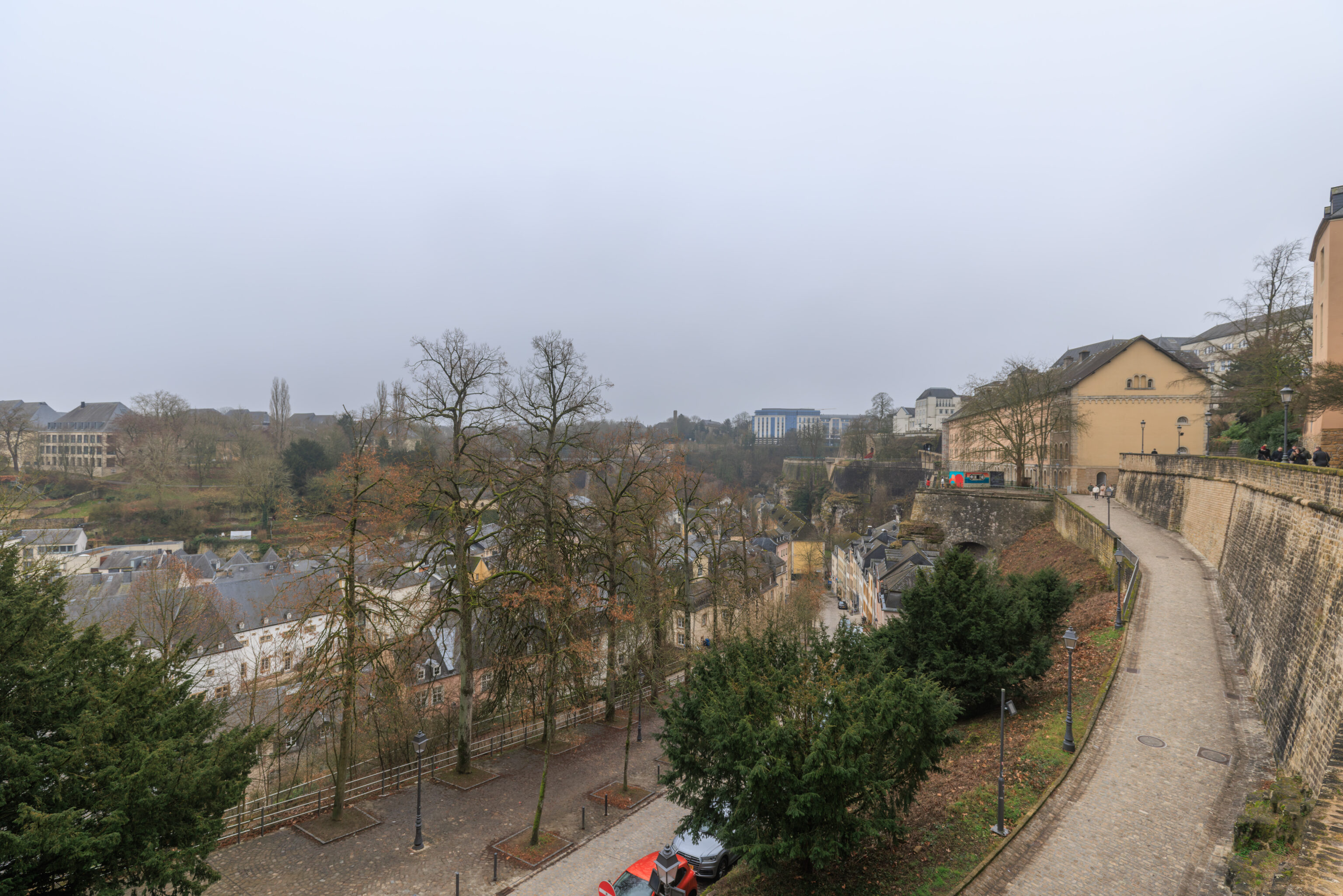
The view in the opposite direction shows the path on the right coming out from below.
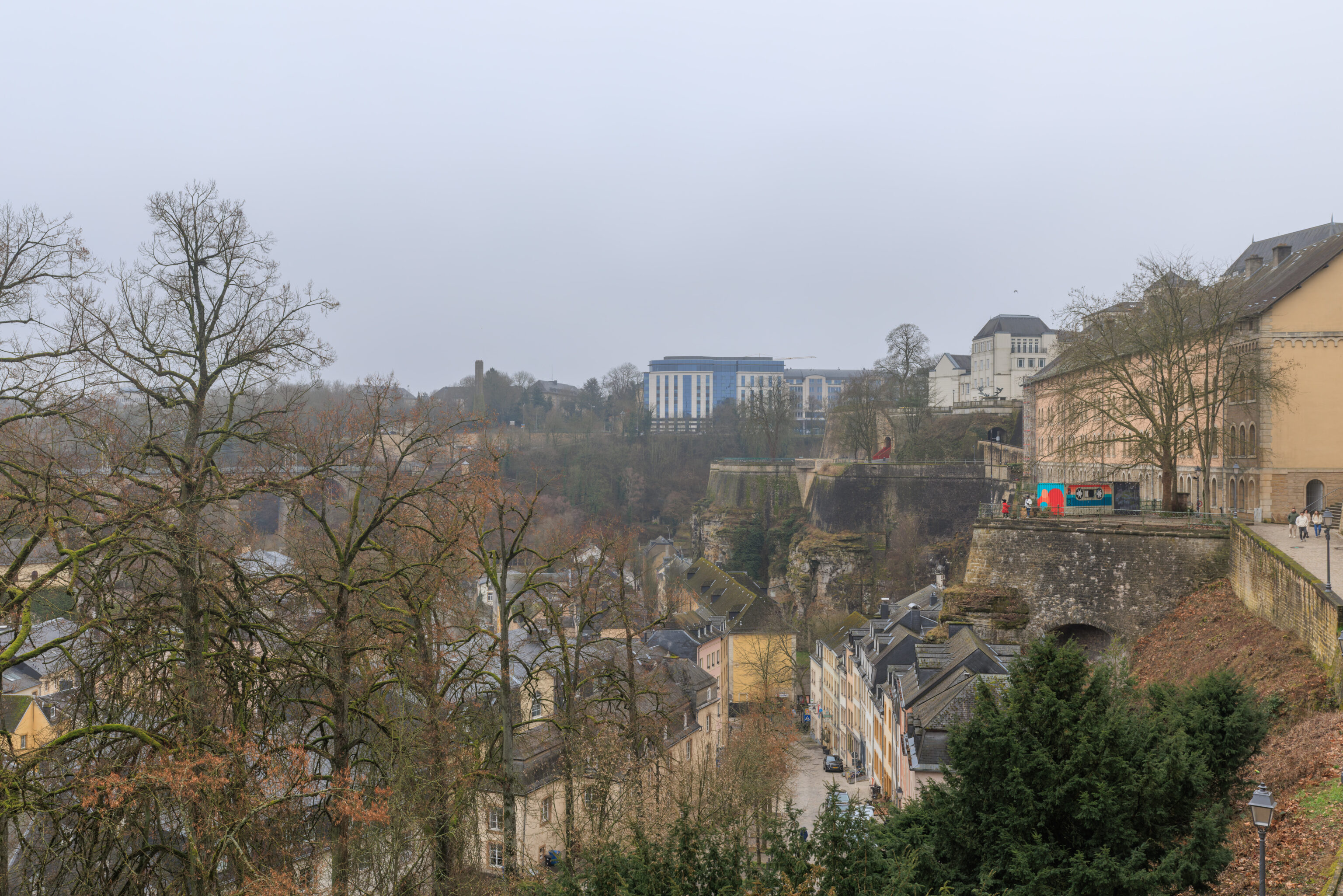
A zoomed in view of the area to the south. The Fountain of Doves, which is something we saw on our first day here, is visible on the right. It turns out that this sculpture is much more prominent than expected due to its location basically right at the edge of a cliff.
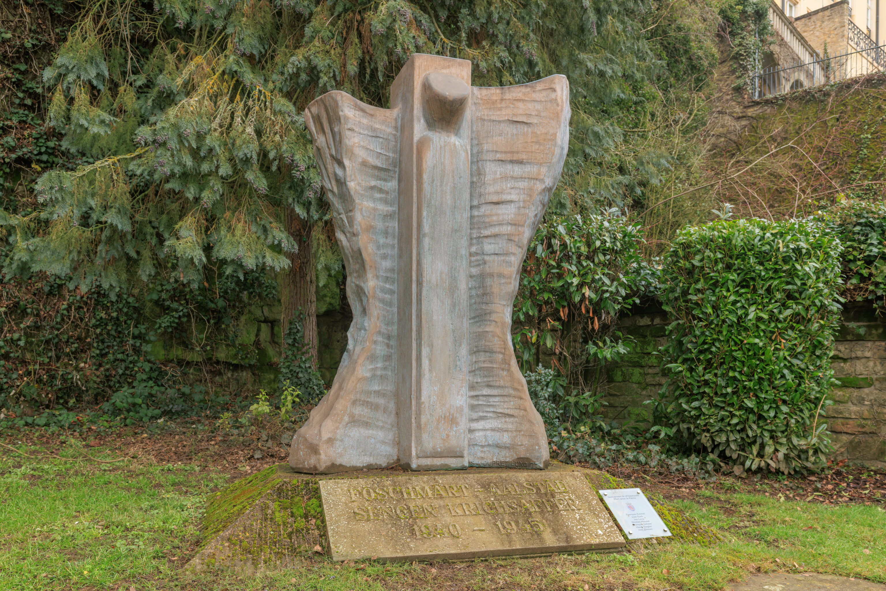
This memorial is for the victims of World War II from the Fish Market. The text reads in Luxembourgish:
FÖSCHMAART – AALSTAD
SENGEN KRICHSAFFER
1940 – 1945
– Text from the memorial’s base.
The sign to the right lists a few names:
Died for the Homeland

François Emmel
Jean Esch
Jos Levy
Nicolas Mousel
François Scheer
Henri Siegler
Josy Zinnen
– Text from the sign to the right of the memorial, translated using Google Translate.
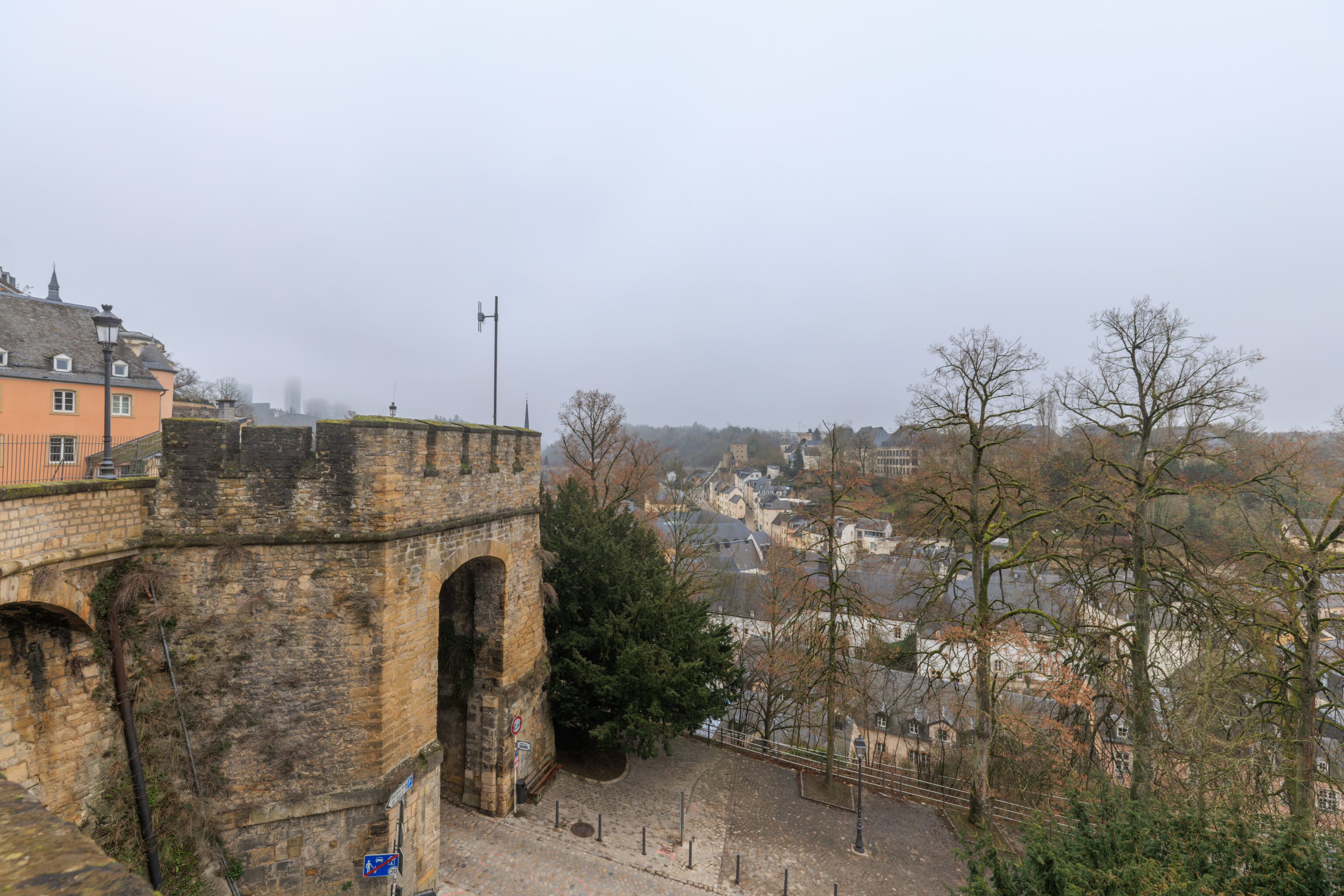
This is the Porte Espagnole (Spanish Gate). We just walked over the top of it. The path that we walked over is the one that goes through this gate.
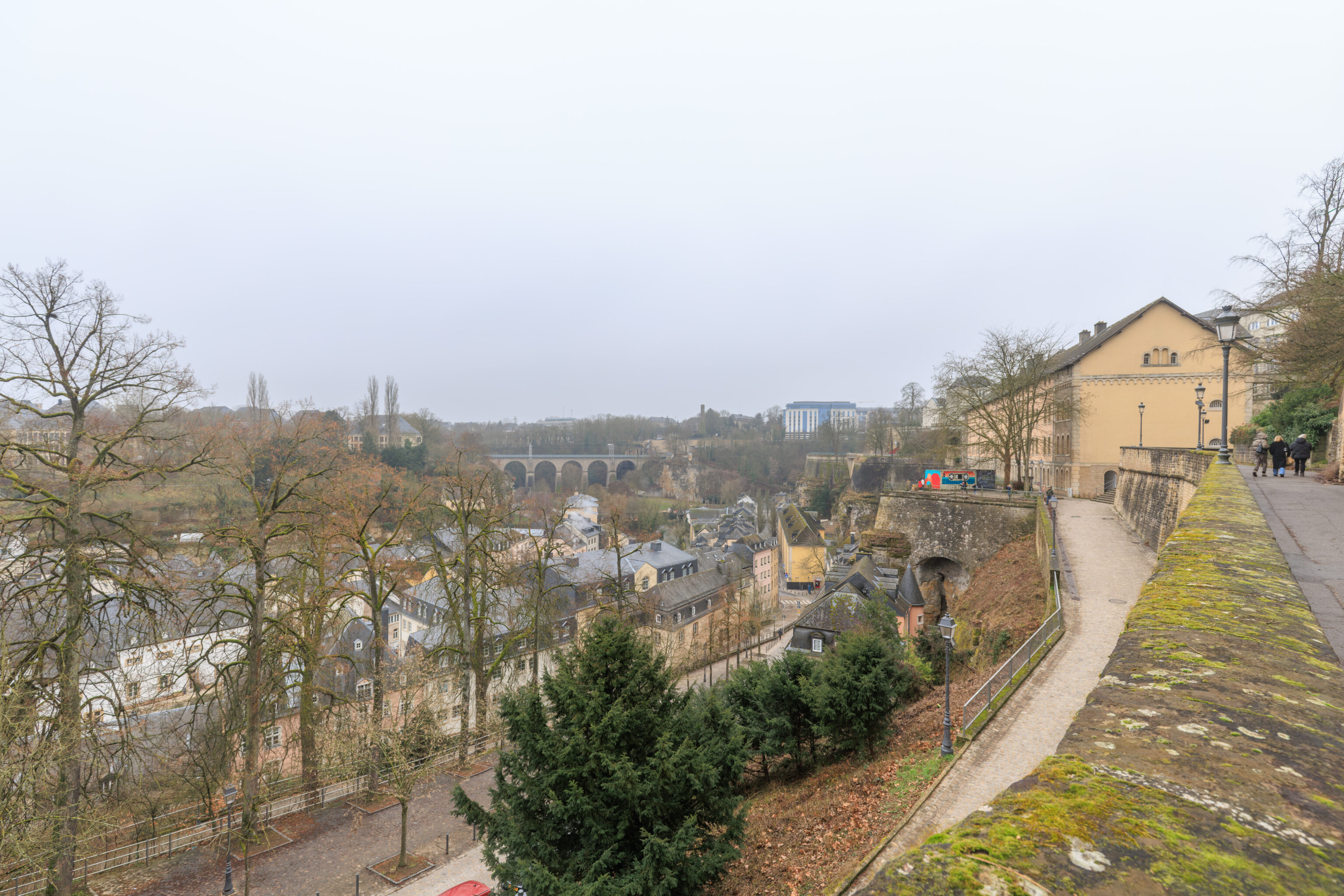
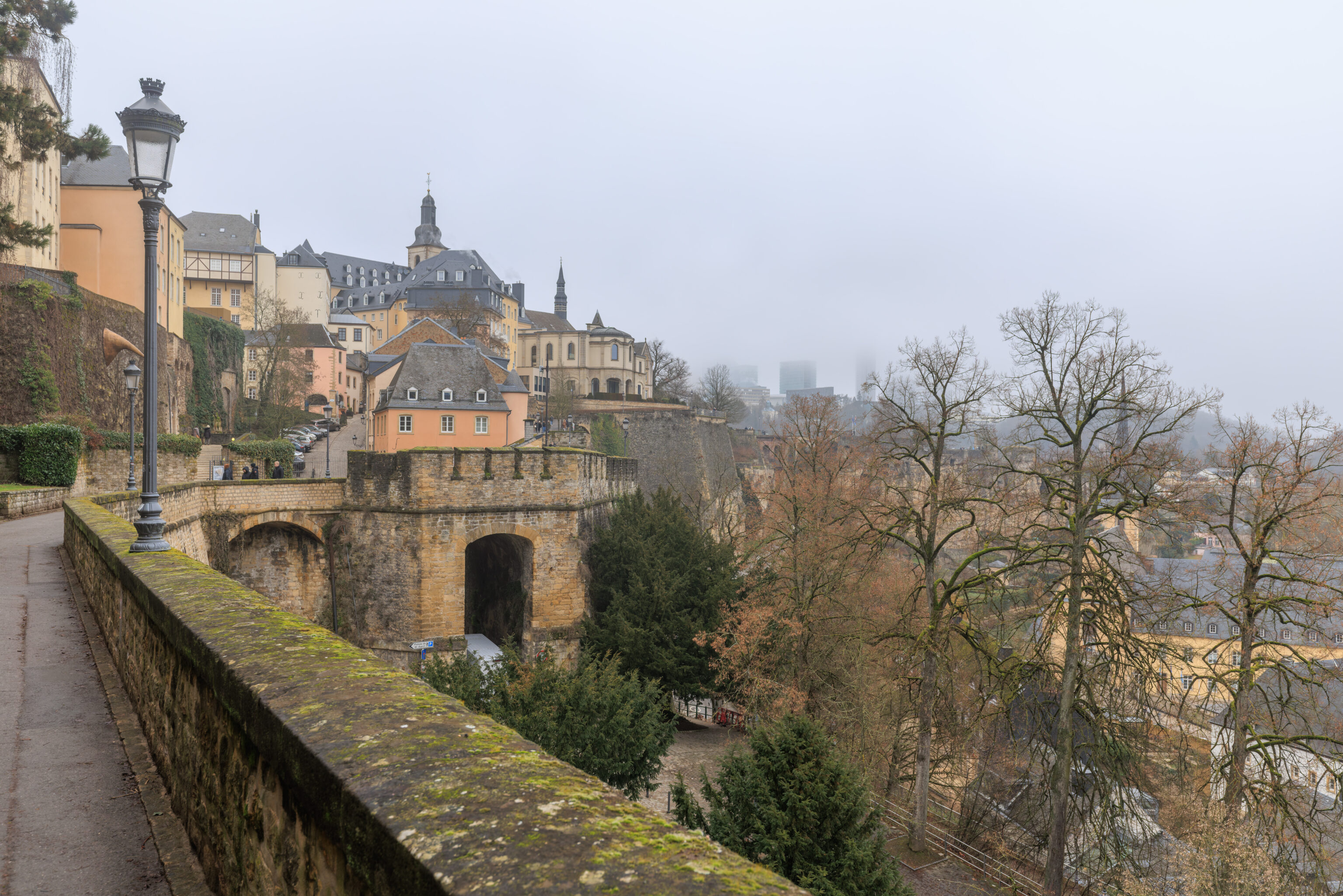
We continued on…
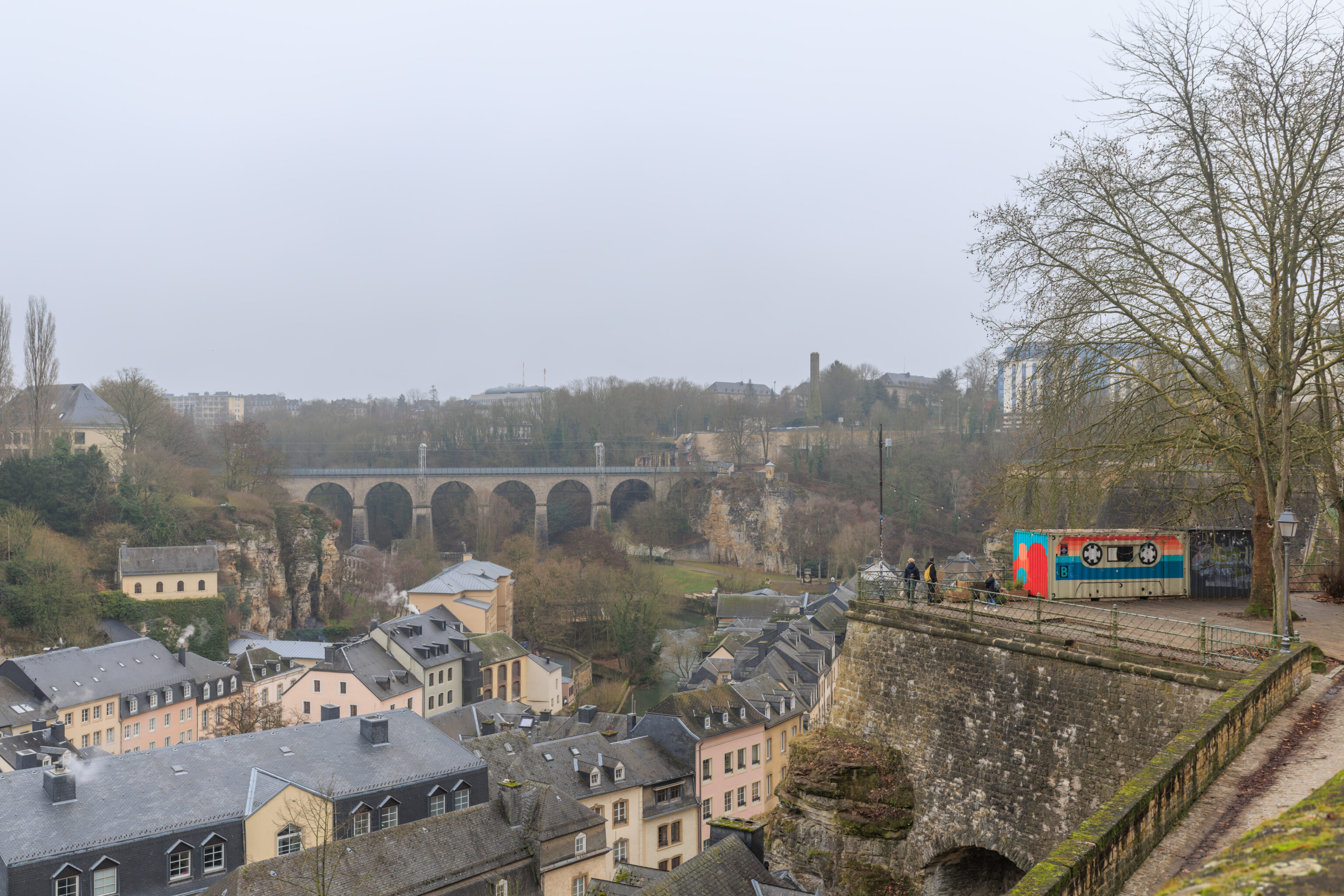
A nice view! Interesgintly, there is a colorful shipping container on the right that is painted to look like a tape casette!
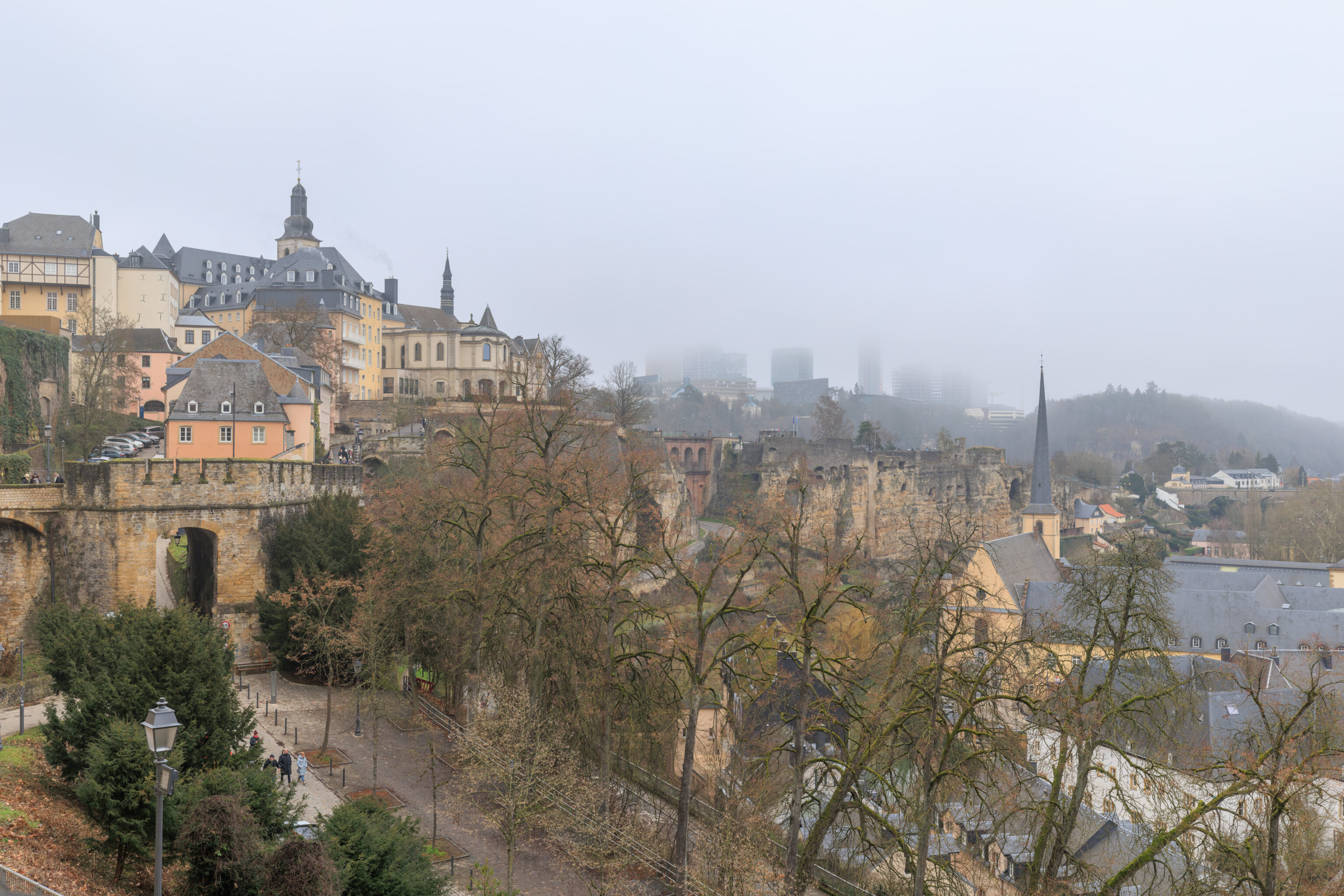
The view looking back again. This is an excellent spot as we can see parts of the Ville Haute on the left and much of the Bock descending to the right. The top of the MUDAM is again visible near the center appearing above the Castle Bridge.
At this point, we were basically at the north end of the city’s judicial complex, the Cité Judiciaire, and at the south end of the Chemin de la Corniche. We wanted to keep following the clifftop if possible. The only way to do this was to walk down some stairs.
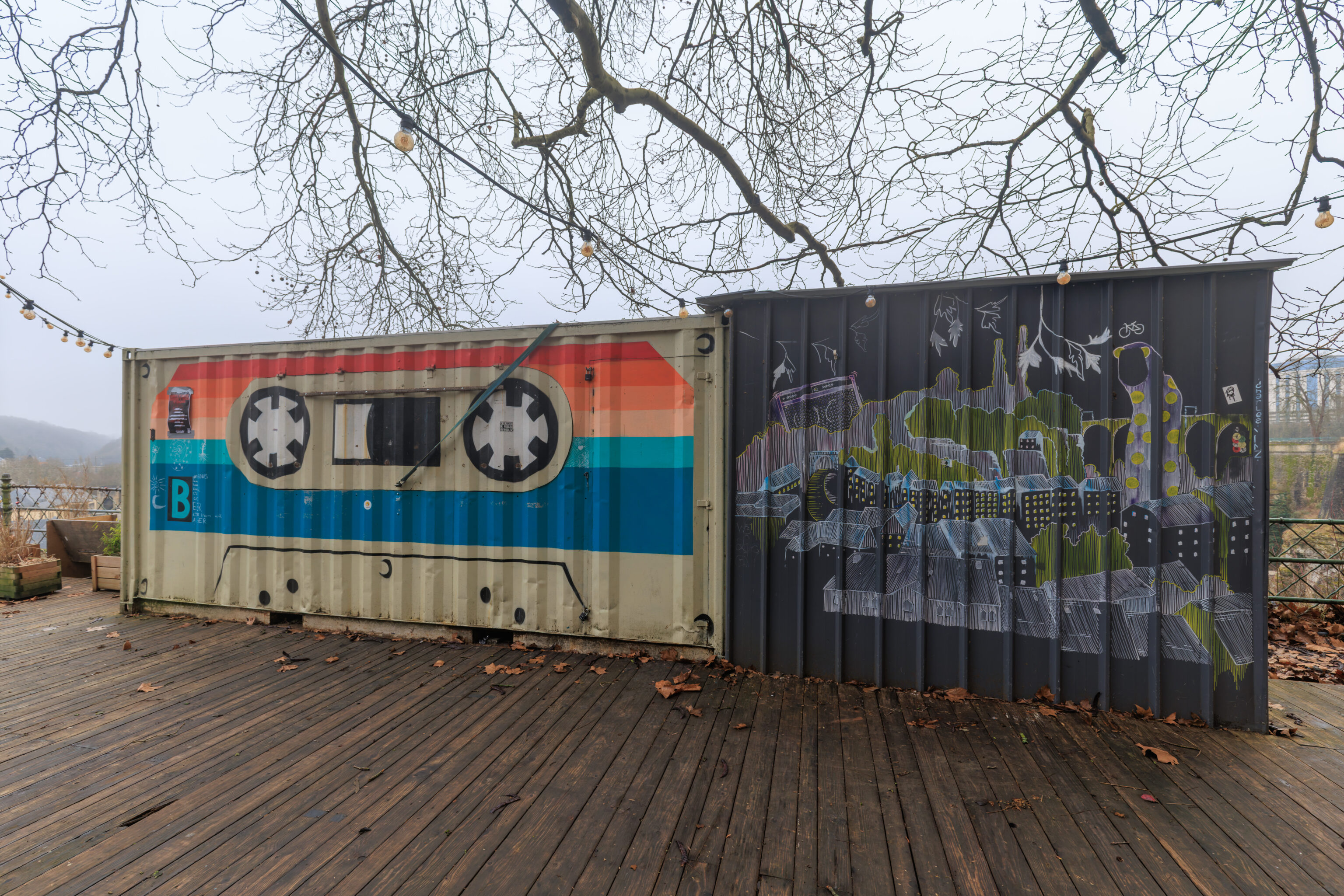
The stairs led to the tape casette shipping container! It’s actually pretty realistic! It looks like this is probably a food stand as there is a large section that can open. On the right, there is a illustration of Luxembourg along with a giant worm or something like that!
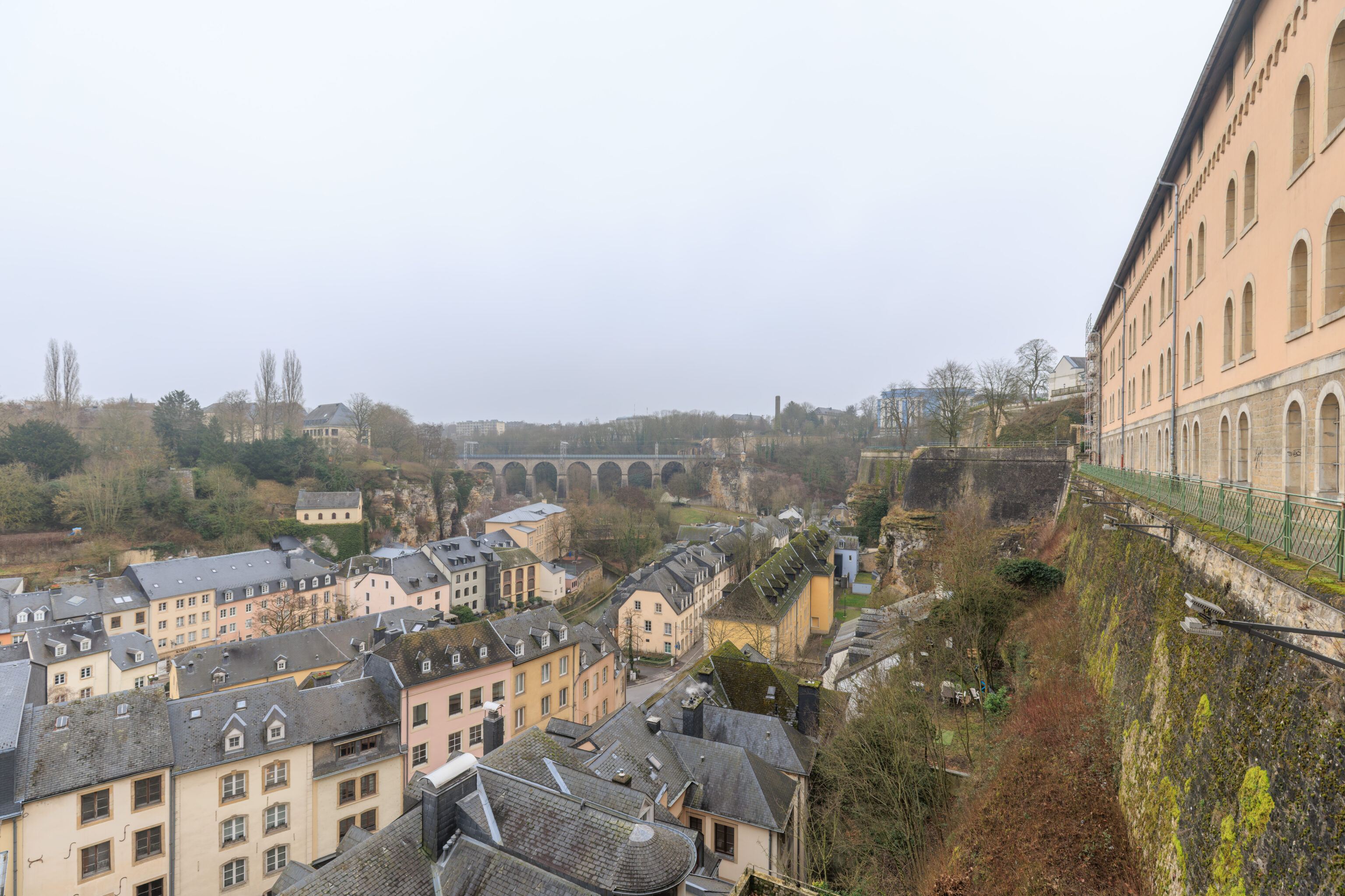
Normally, it seems like we can walk on the path on the right in front of the long building. But, it was closed, likely due to the scaffolding on the far side of the building. This long building contains the Archives Nationales (National Archives), which has the acronym ANLux.
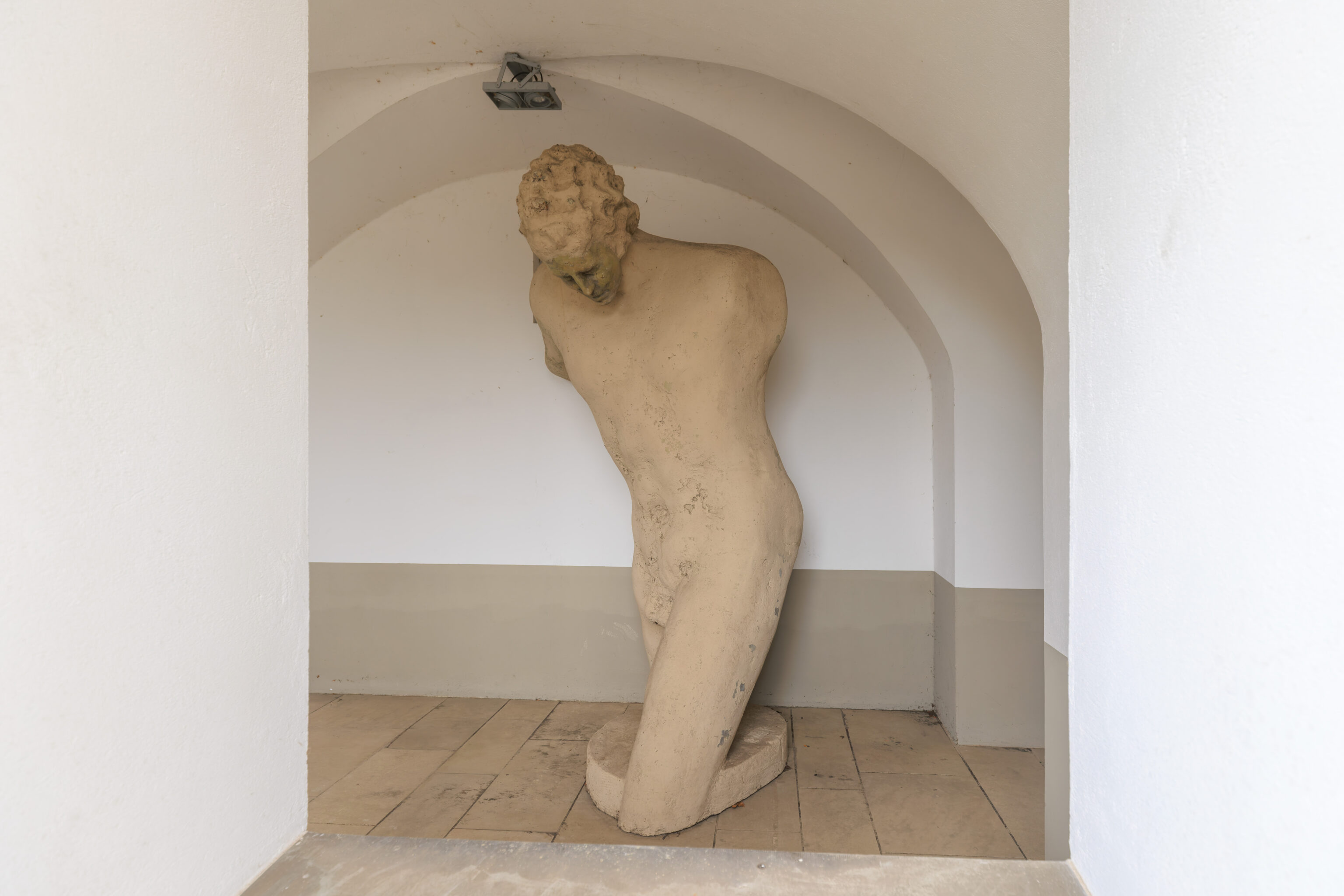
While we couldn’t walk past the building, we did see this sculpture in an alcove that was visible from where we were.
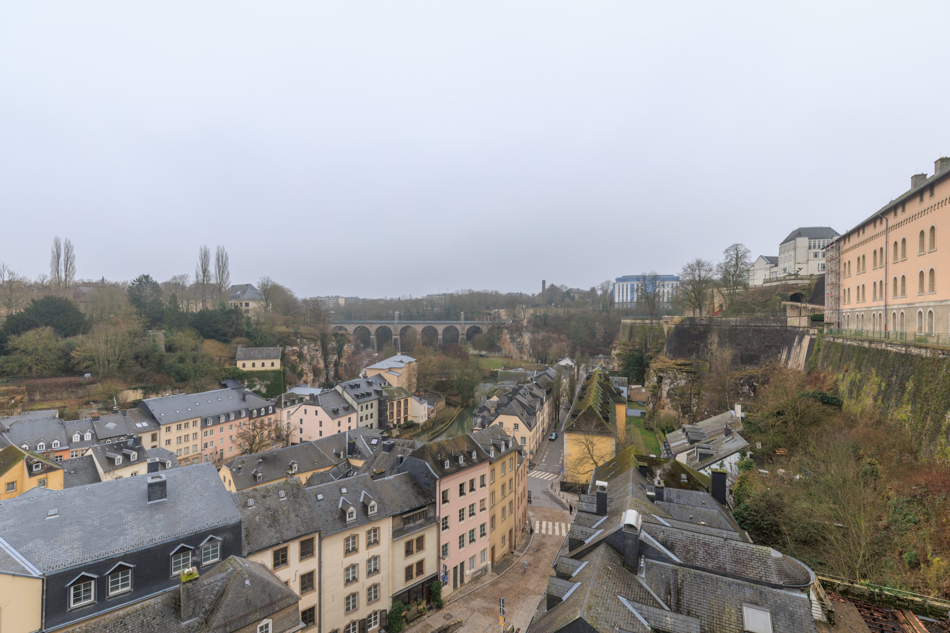
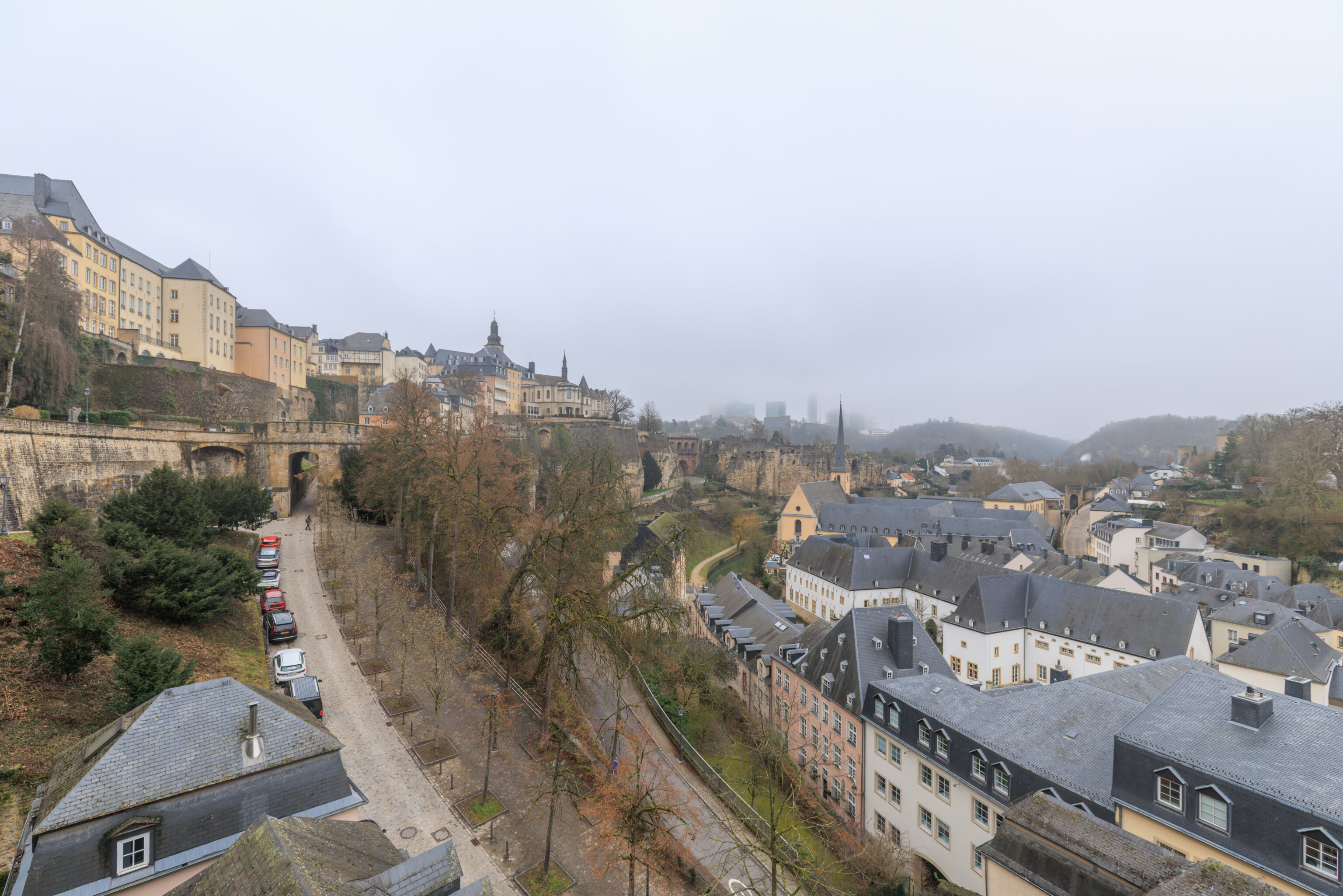
The view from here was excellent!
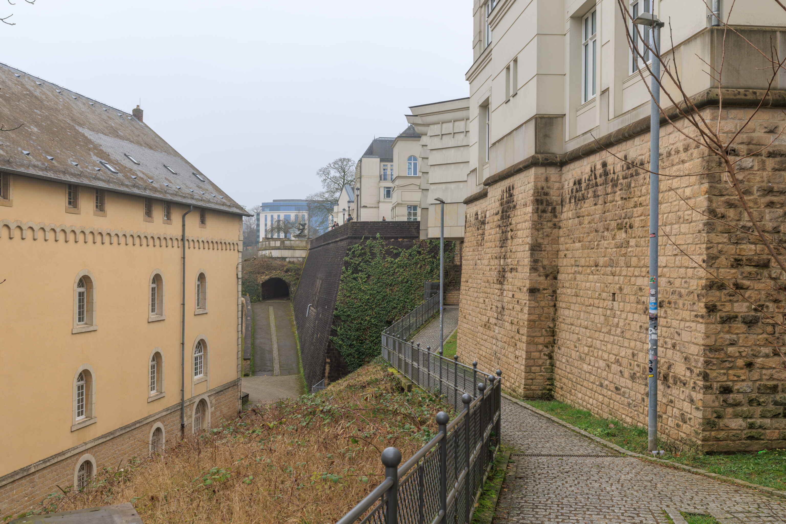
We walked back up the stairs. The Fountain of Doves is not too far ahead!
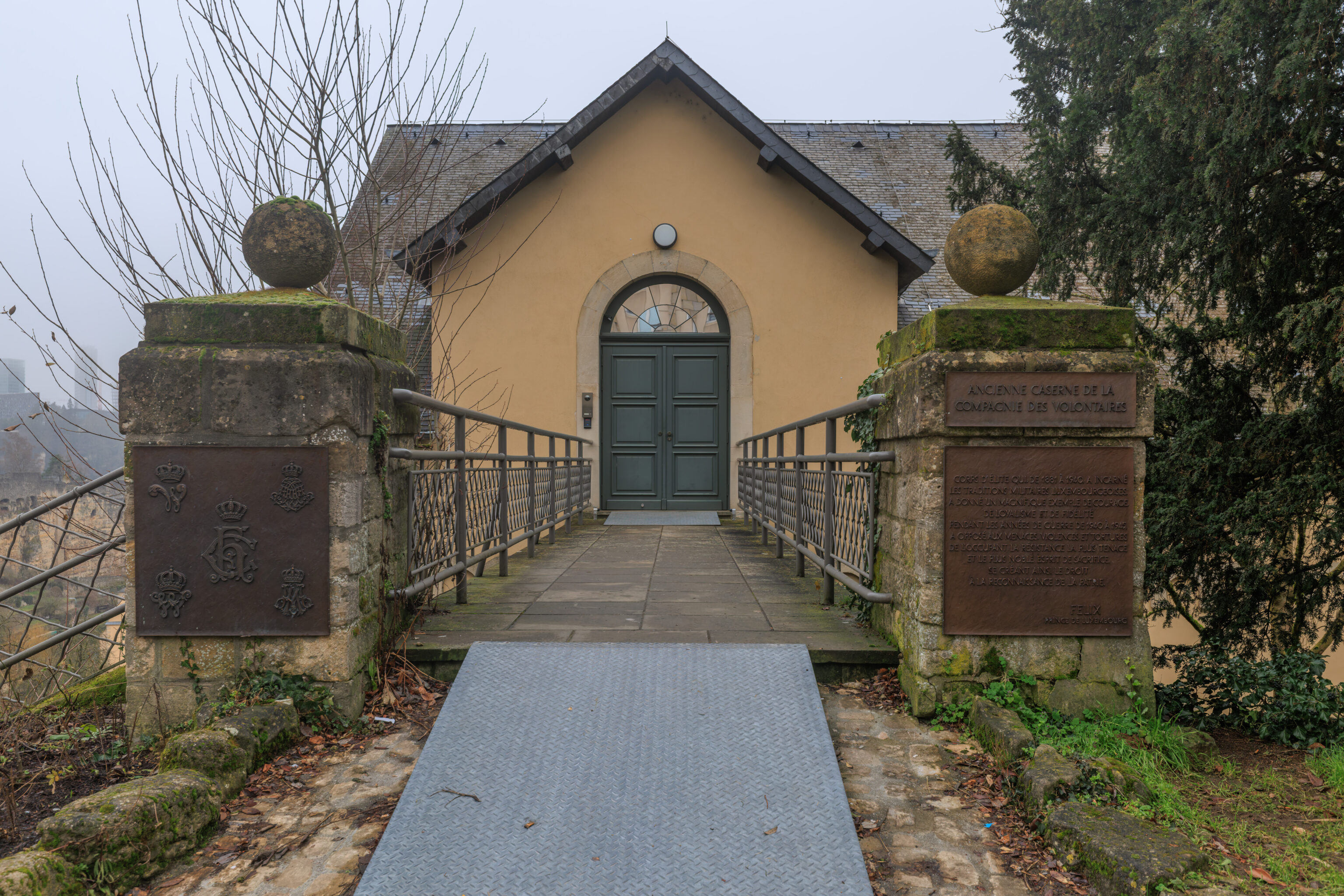
The long National Archives building was previously a barracks for Luxembourg’s volunteer miltary corps.
FORMER BARRACKS OF THE VOLUNTEER CORPS

AN ELITE UNIT WHICH, FROM 1881 TO 1940, EMBODIED LUXEMBOURG'S MILITARY TRADITIONS AND SET A MAGNIFICENT EXAMPLE OF COURAGE, LOYALTY, AND STEADFASTNESS.

DURING THE WAR YEARS OF 1940 TO 1945, IT MET THE THREATS, VIOLENCE, AND TORTURE OF THE OCCUPIER WITH THE MOST TENACIOUS RESISTANCE AND THE NOBLEST SPIRIT OF SACRIFICE, THEREBY EARNING THE RIGHT TO THE NATION'S GRATITUDE.

FELIX
PRINCE OF LUXEMBOURG
– Text from the plaque on the right, translated from French using Google Translate.
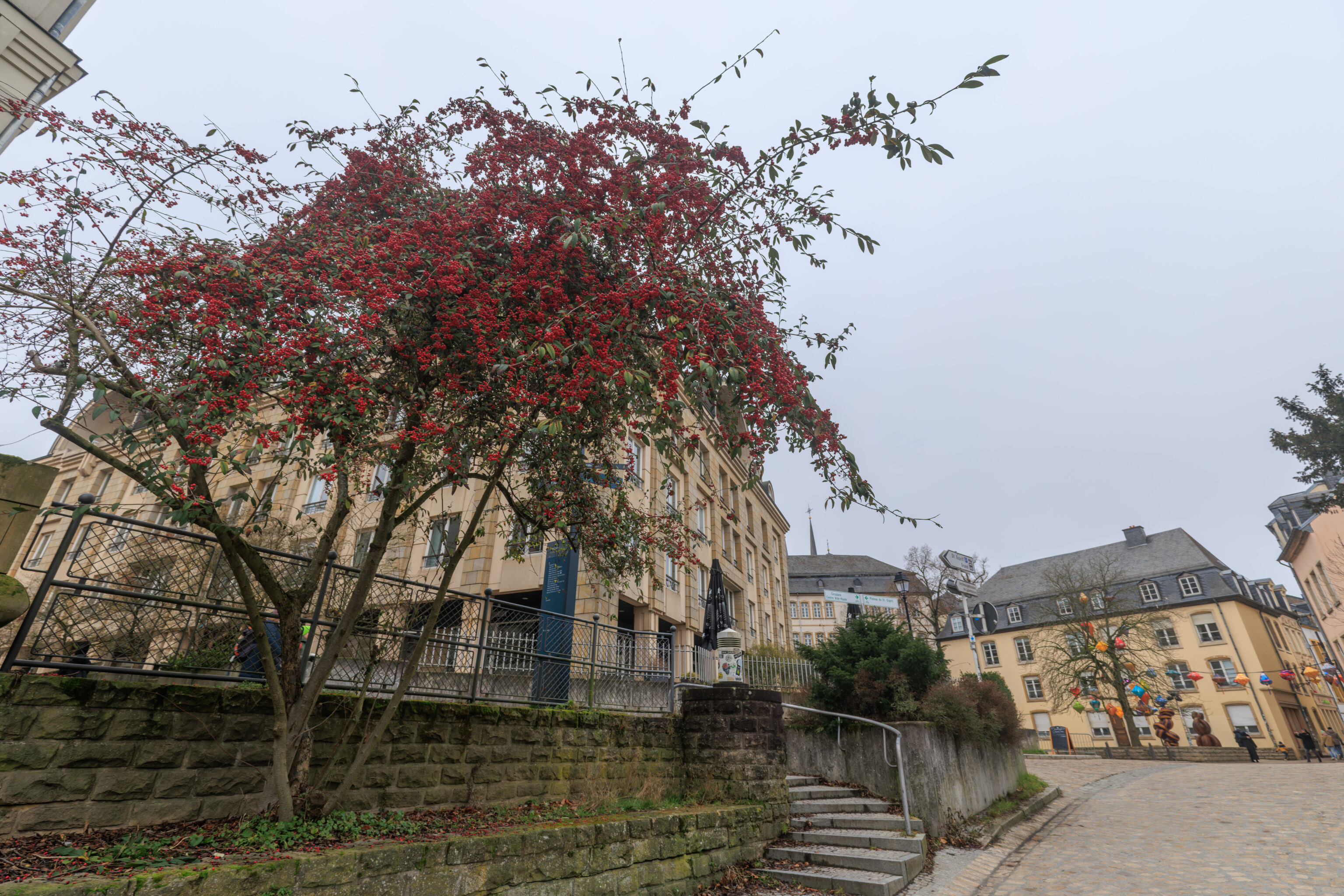
We noticed this tree on the left with many small red berries.
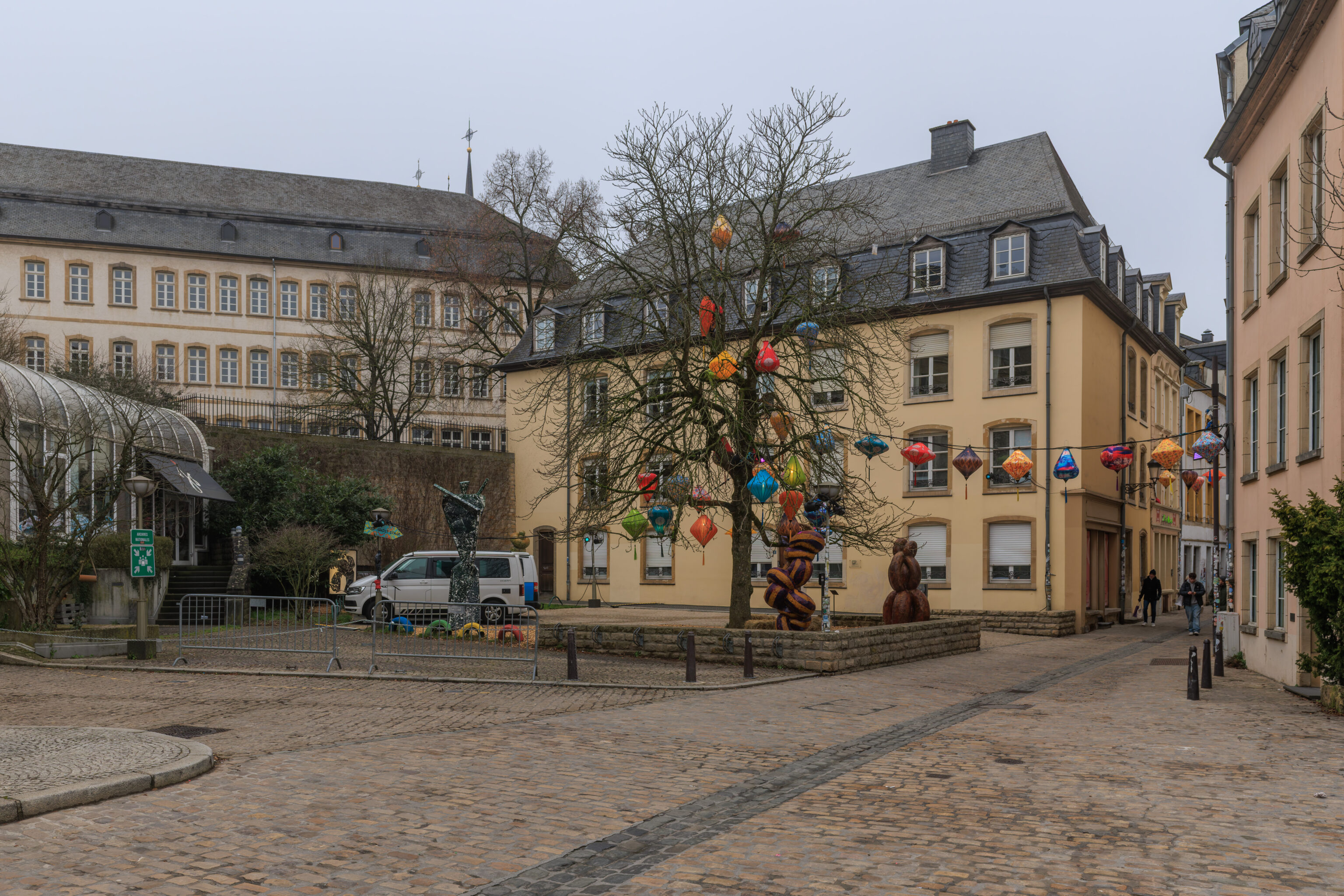
This small square to the north of the tree had some colorful and interesting decorations. This tree at the square is labelled on Google Maps as the Wunschbaum (Wish Tree).
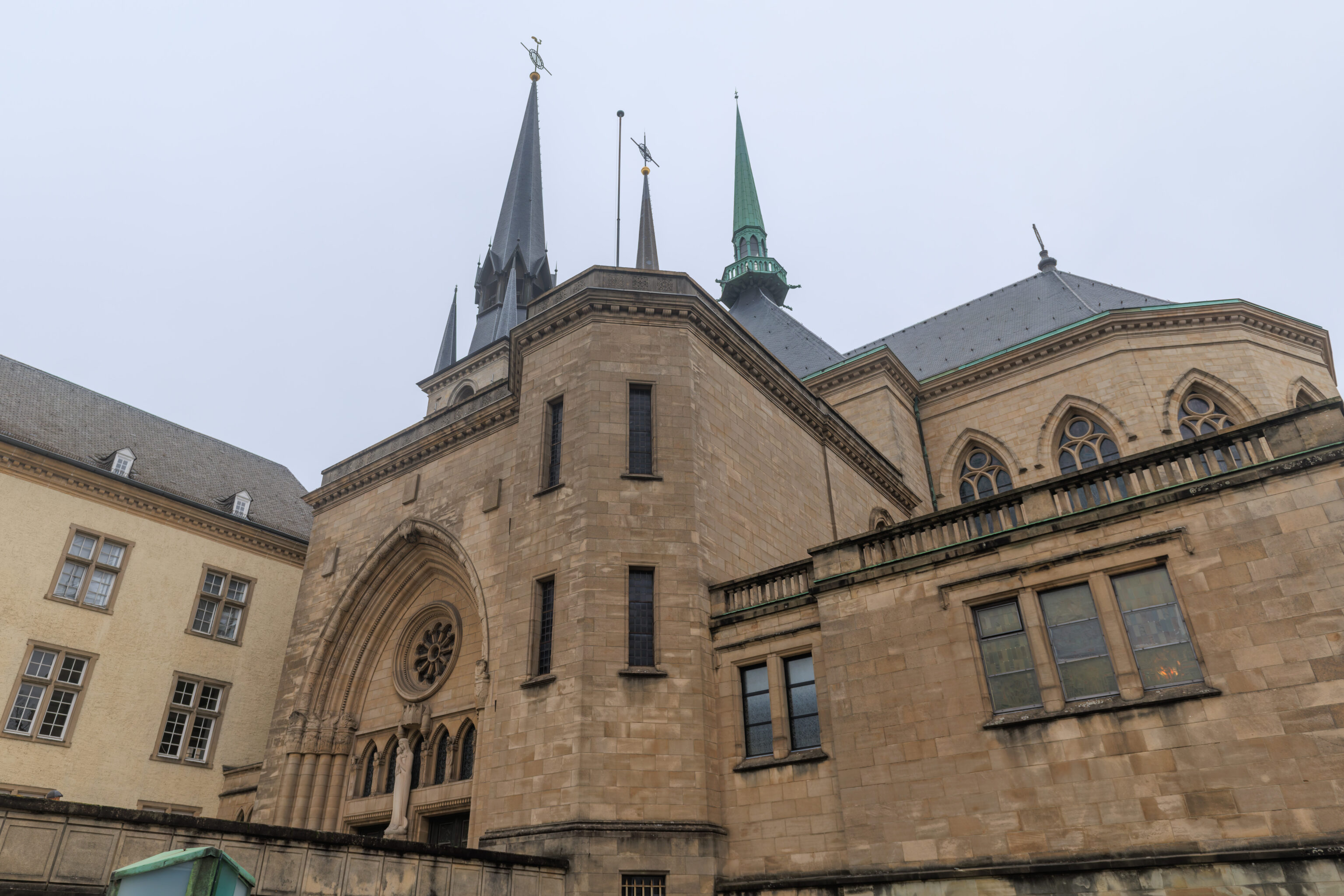
We returned to the Cathédrale Notre-Dame to rest for a bit. We already photographed its interior two days ago so did not take any additional photographs today.
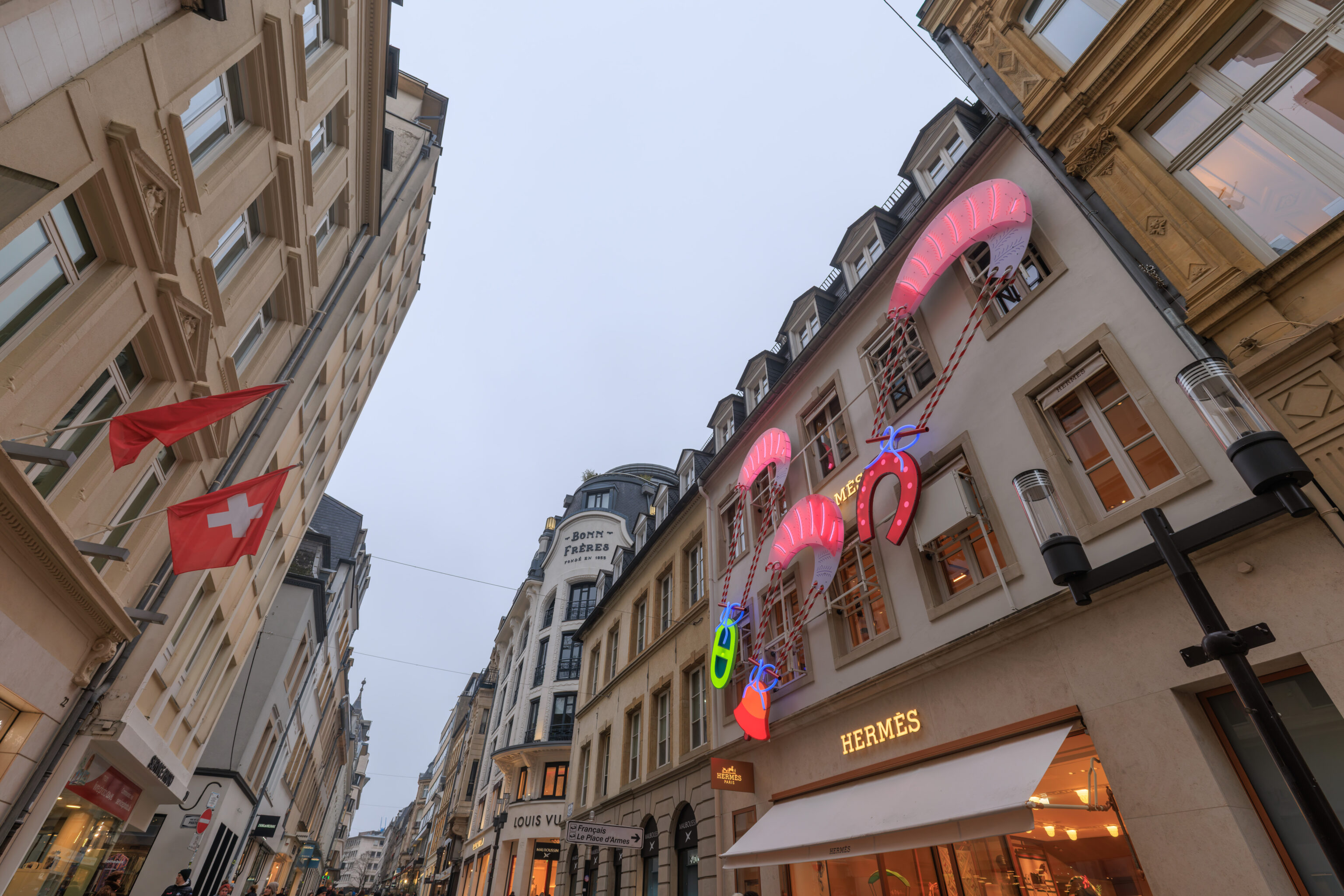
We ended up walking thorough the Ville Haute a bit more before taking a tram back to the Marriott.
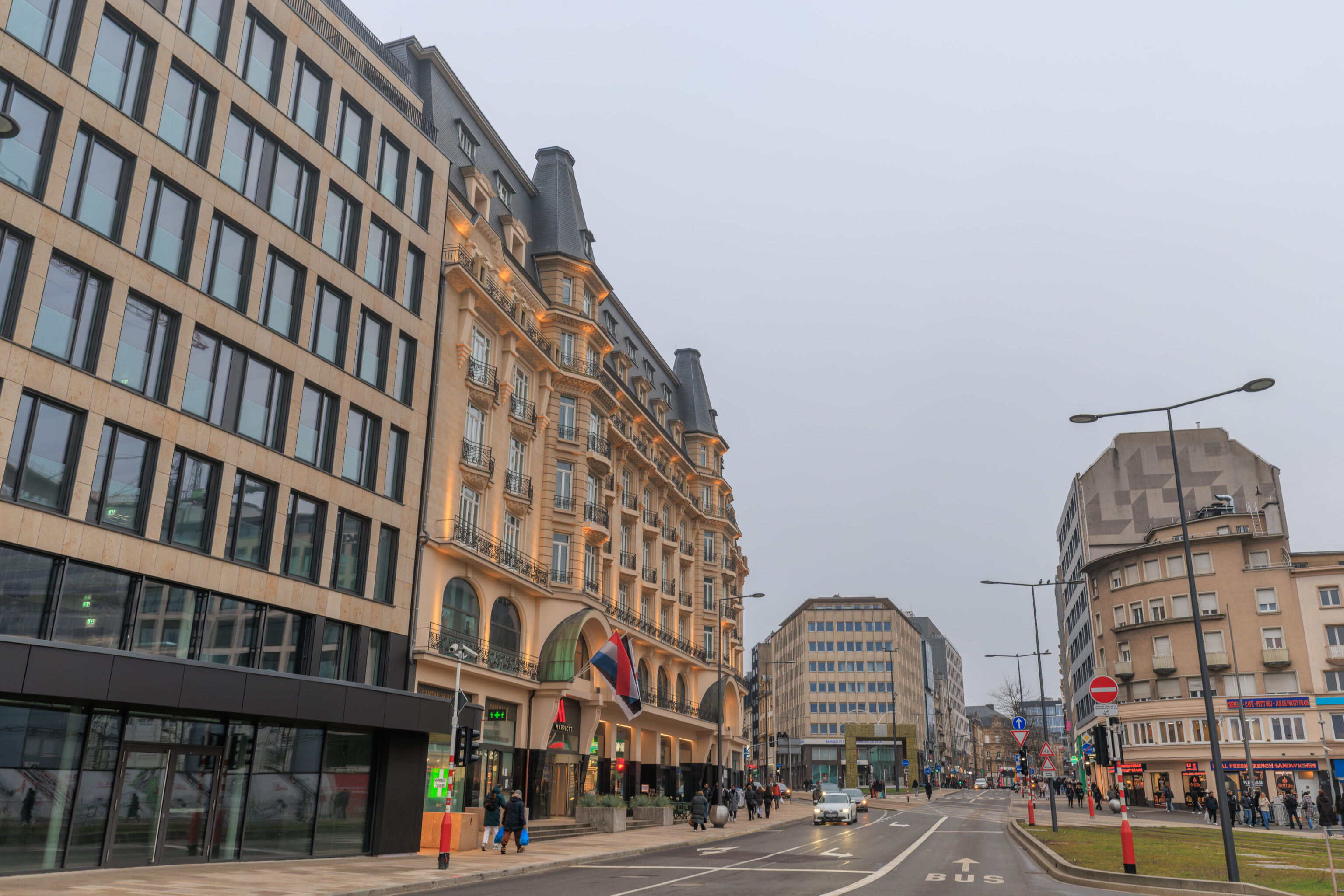
The Marriott, as seen from the crosswalk by the train station and tram stop.
Evening
We decided to head back out once it was dark to see how Luxembourg looks at night. We took the tram over to Rout Bréck – Pafendall, the stop on the east side of the Pont Grande-Duchesse Charlotte.
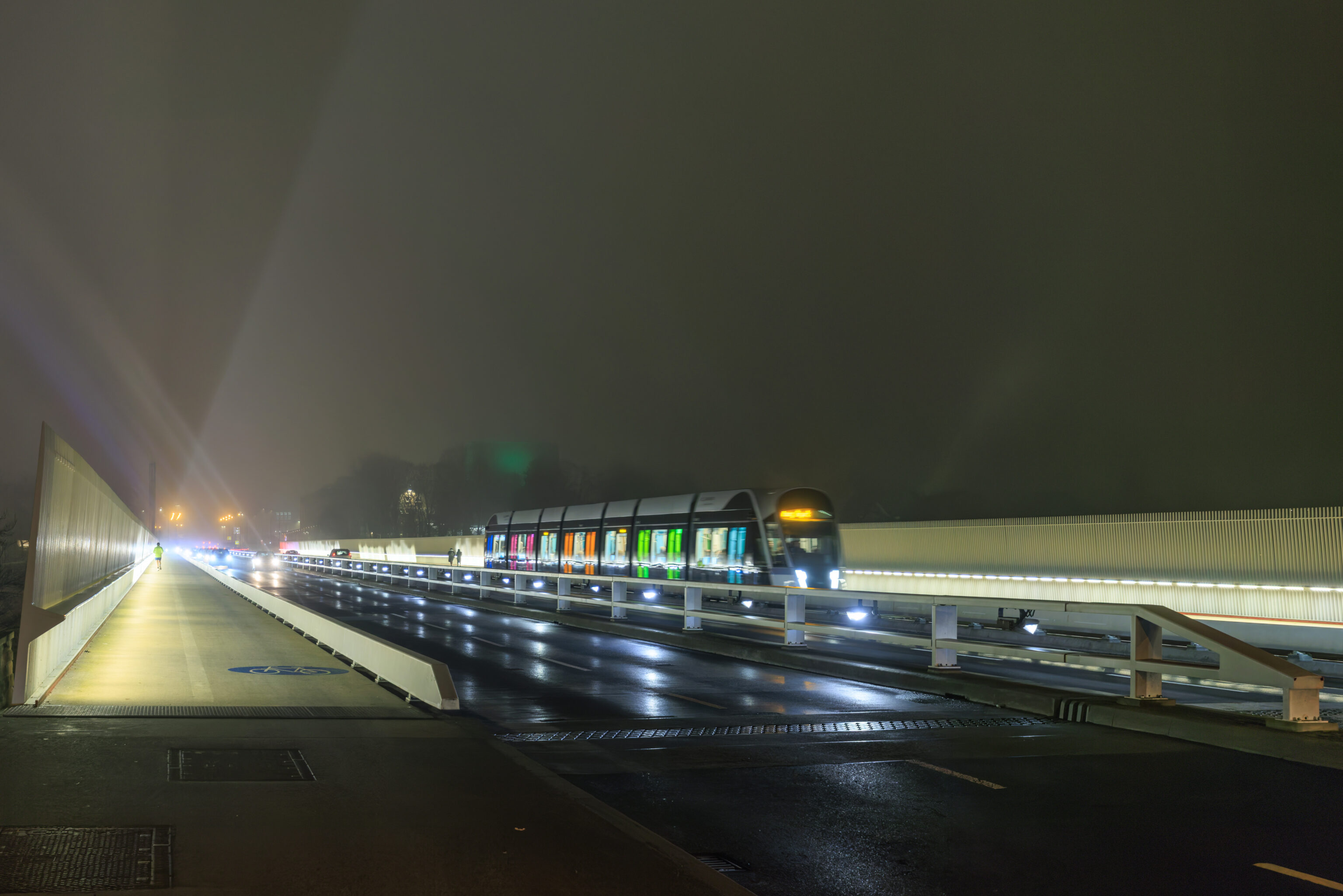
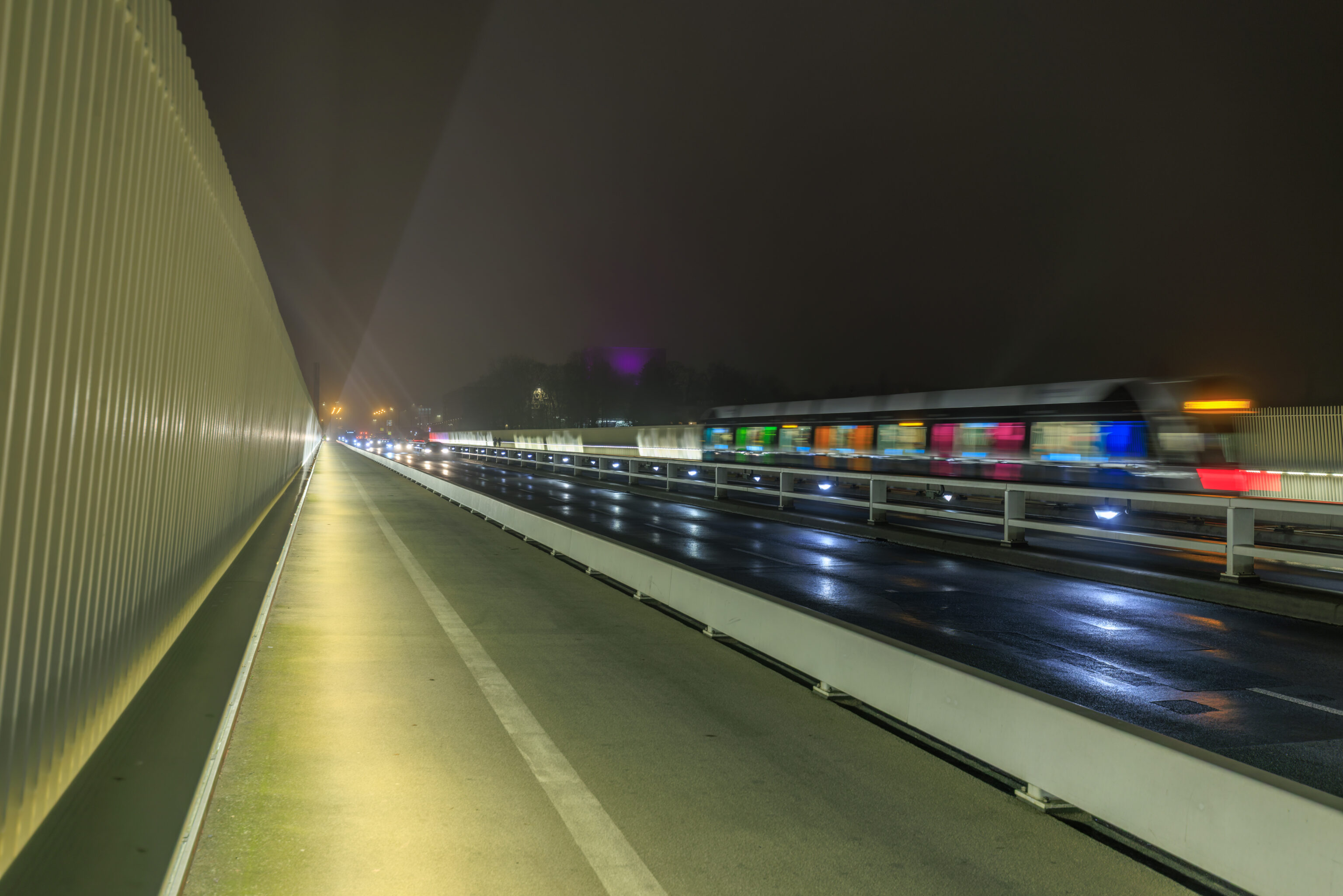
We walked over to the south side of the bridge to cross back to the west. We took a few photographs of the city’s colorfully illuminated trams as they crossed the bridge along the dedicated tracks on the north side.
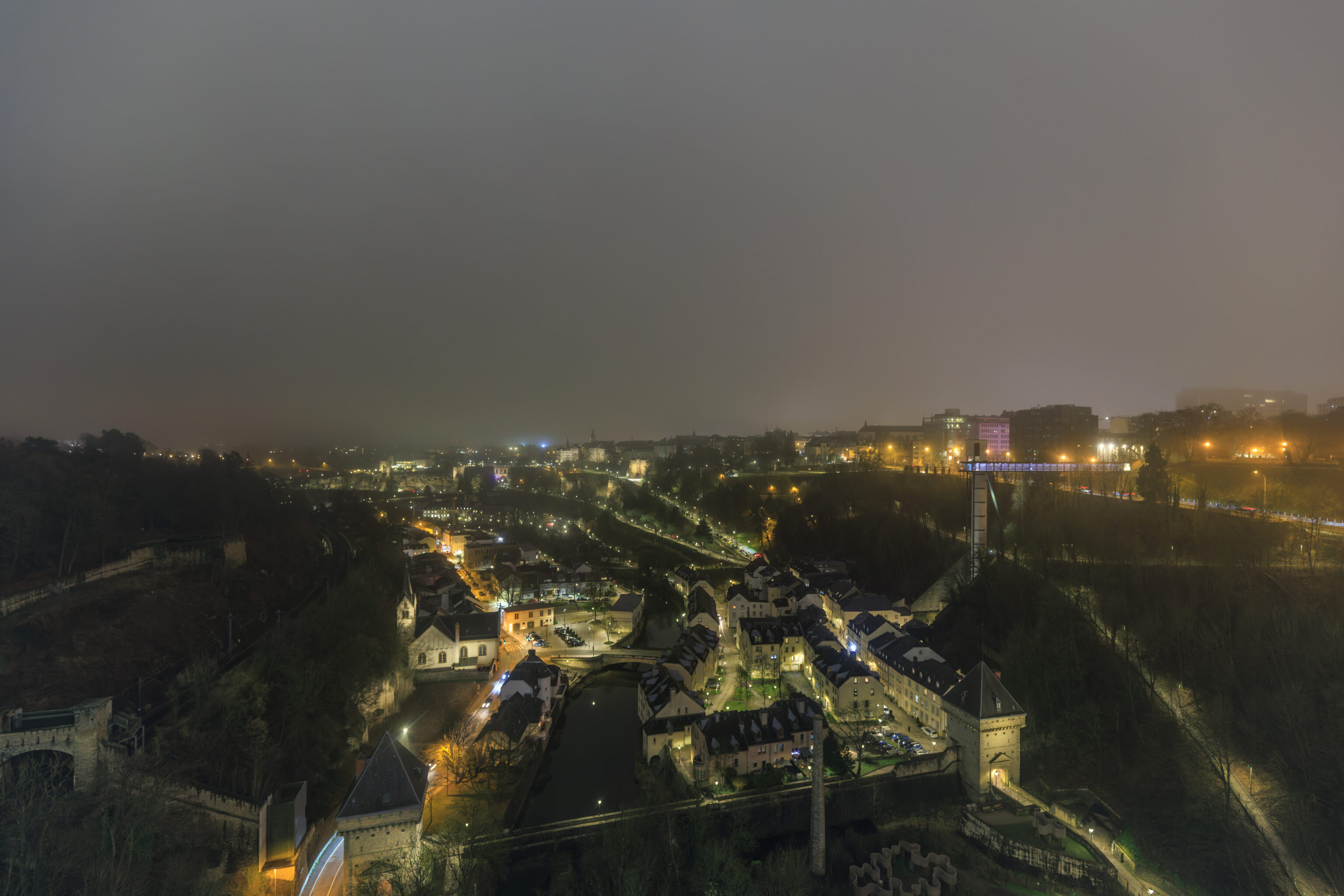
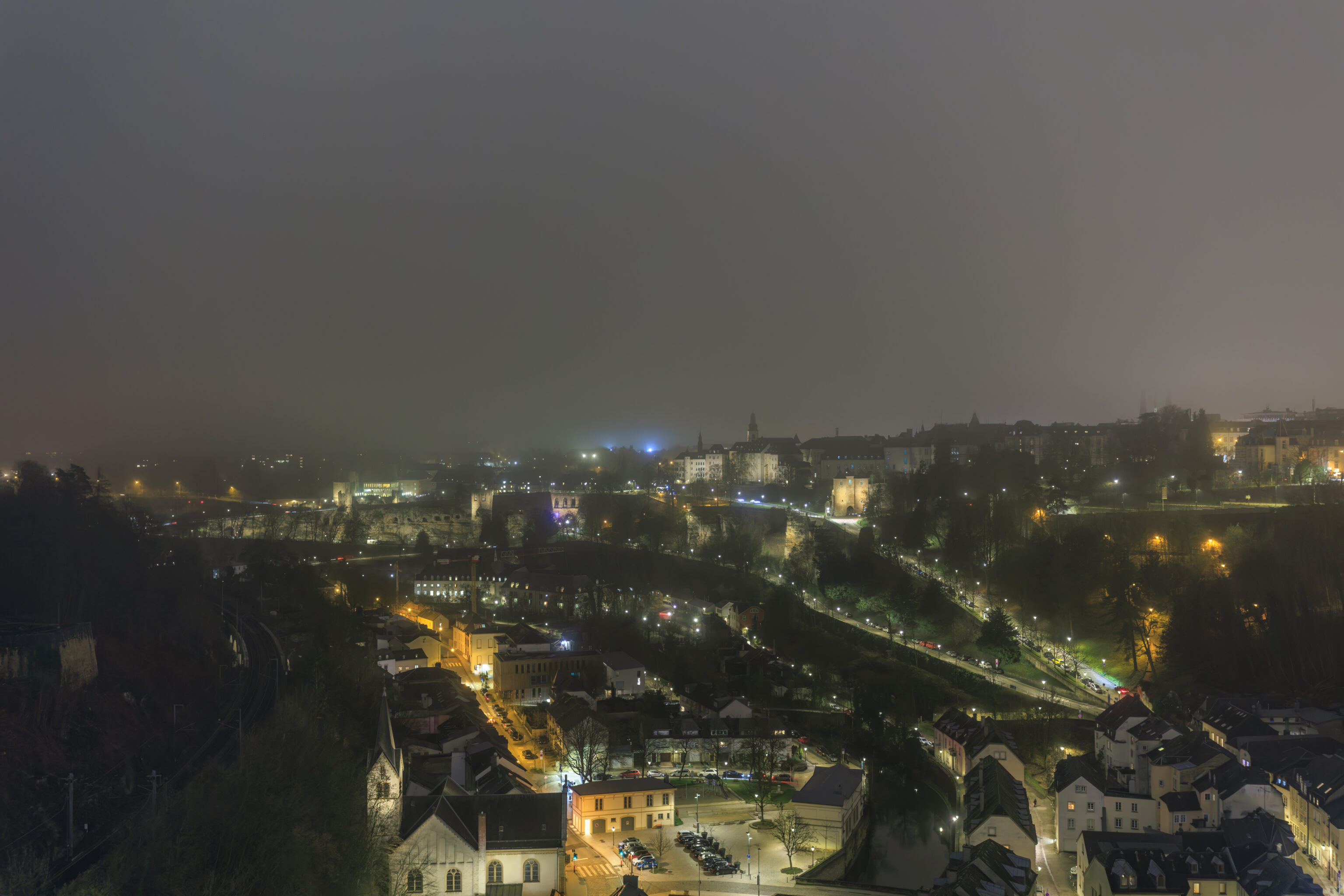
Although it was still foggy, visibility was much better than it was this morning when we crossed in the opposite direction!
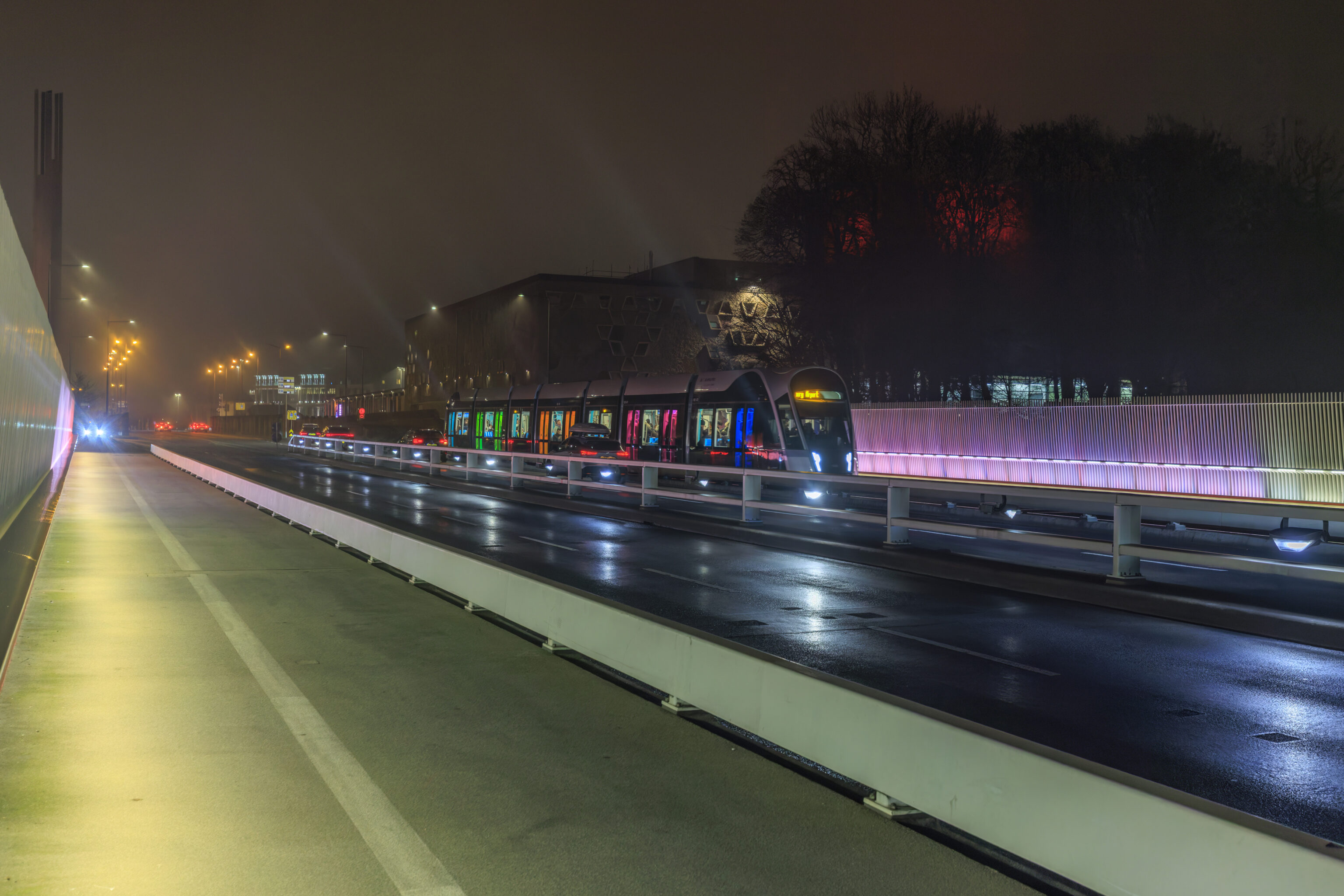
We continued walking to the west, photographing another tram on the way.
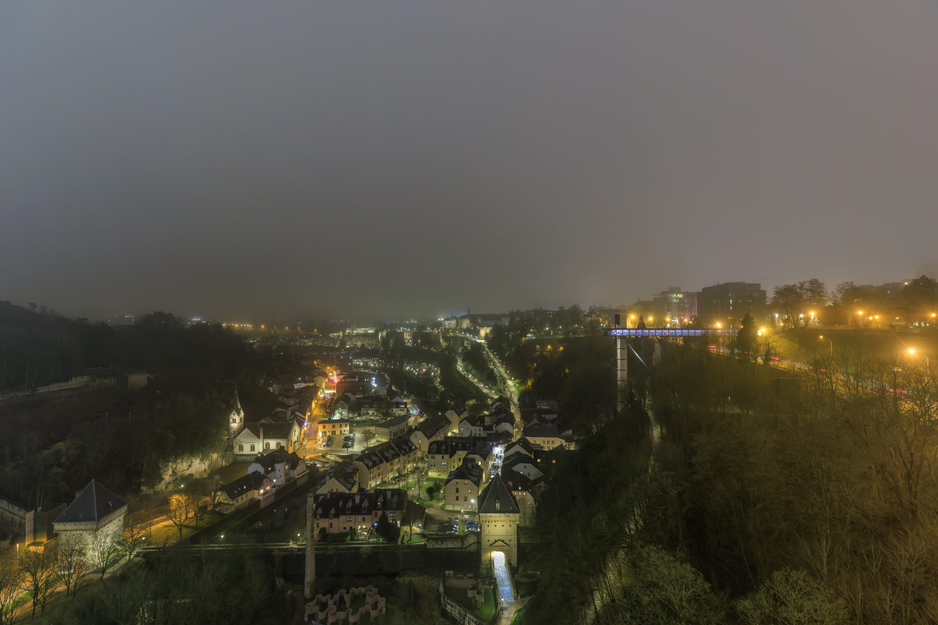
Despite the weather, still an excelelnt view!
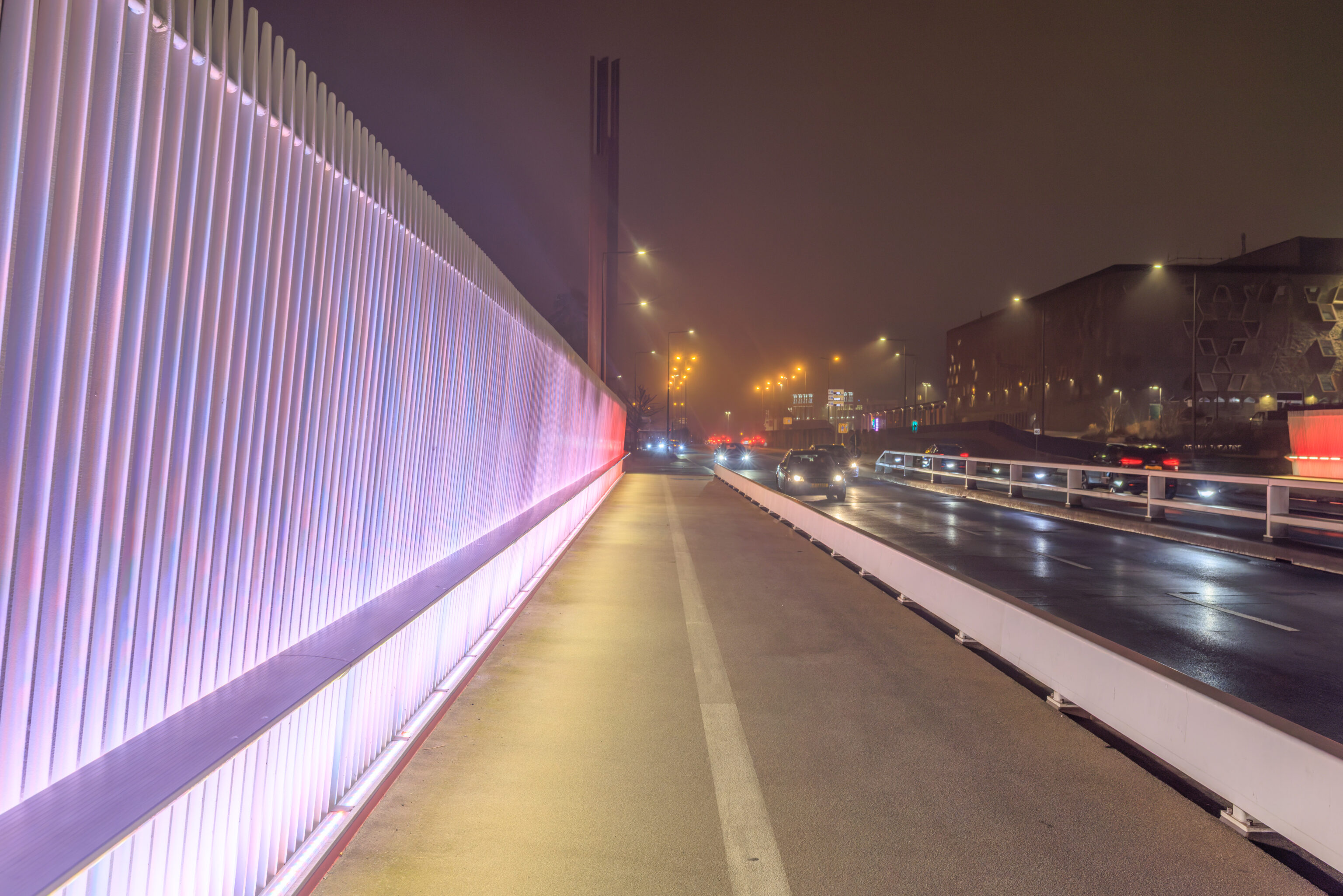
The bridge is colorfully illuminated at both ends.
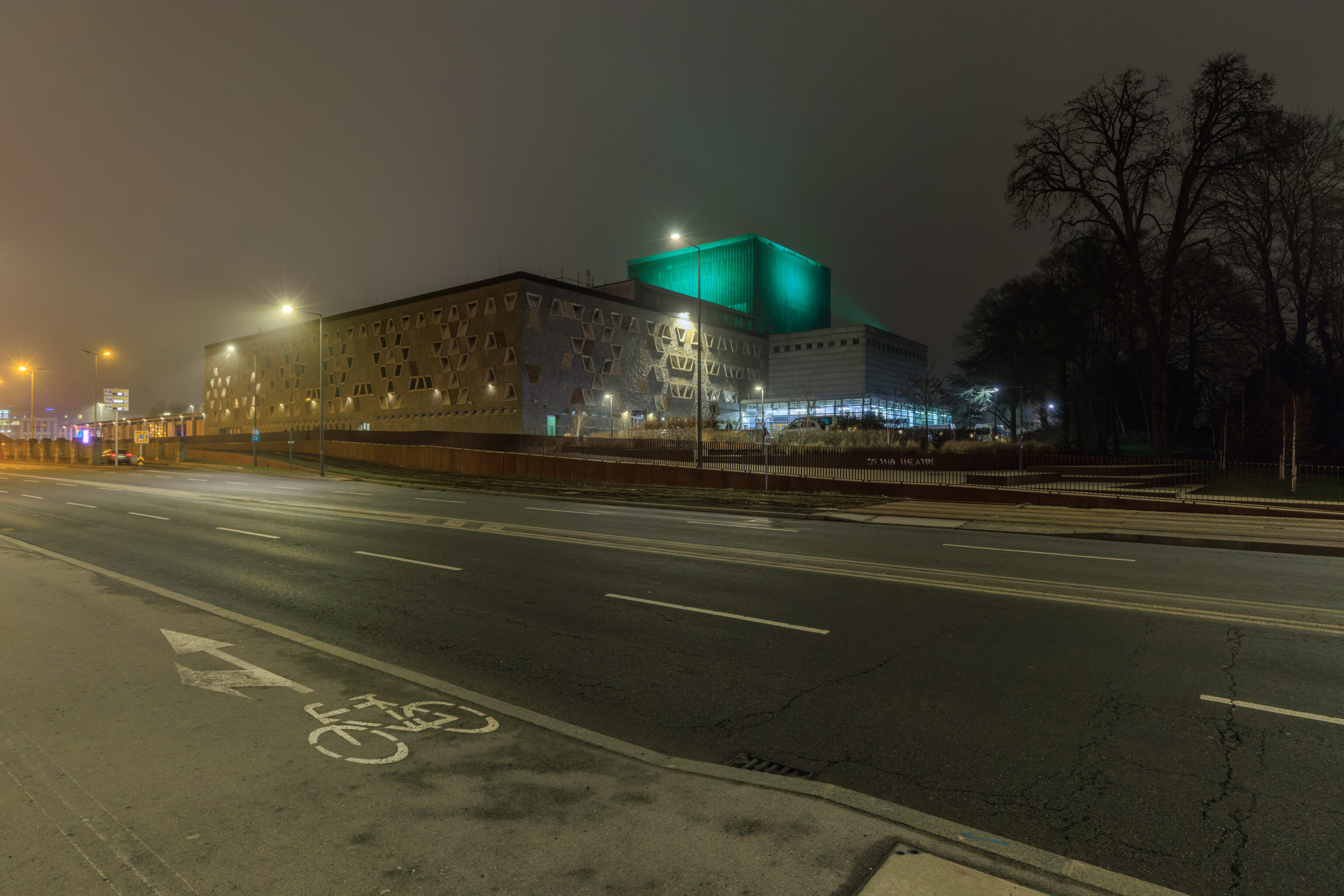
The view of the Grand Théâtre is much better now compared to this morning! The buikding has some interesting geometrically shaped windows and patterns but otherwise doesn’t seem particularly attractive.
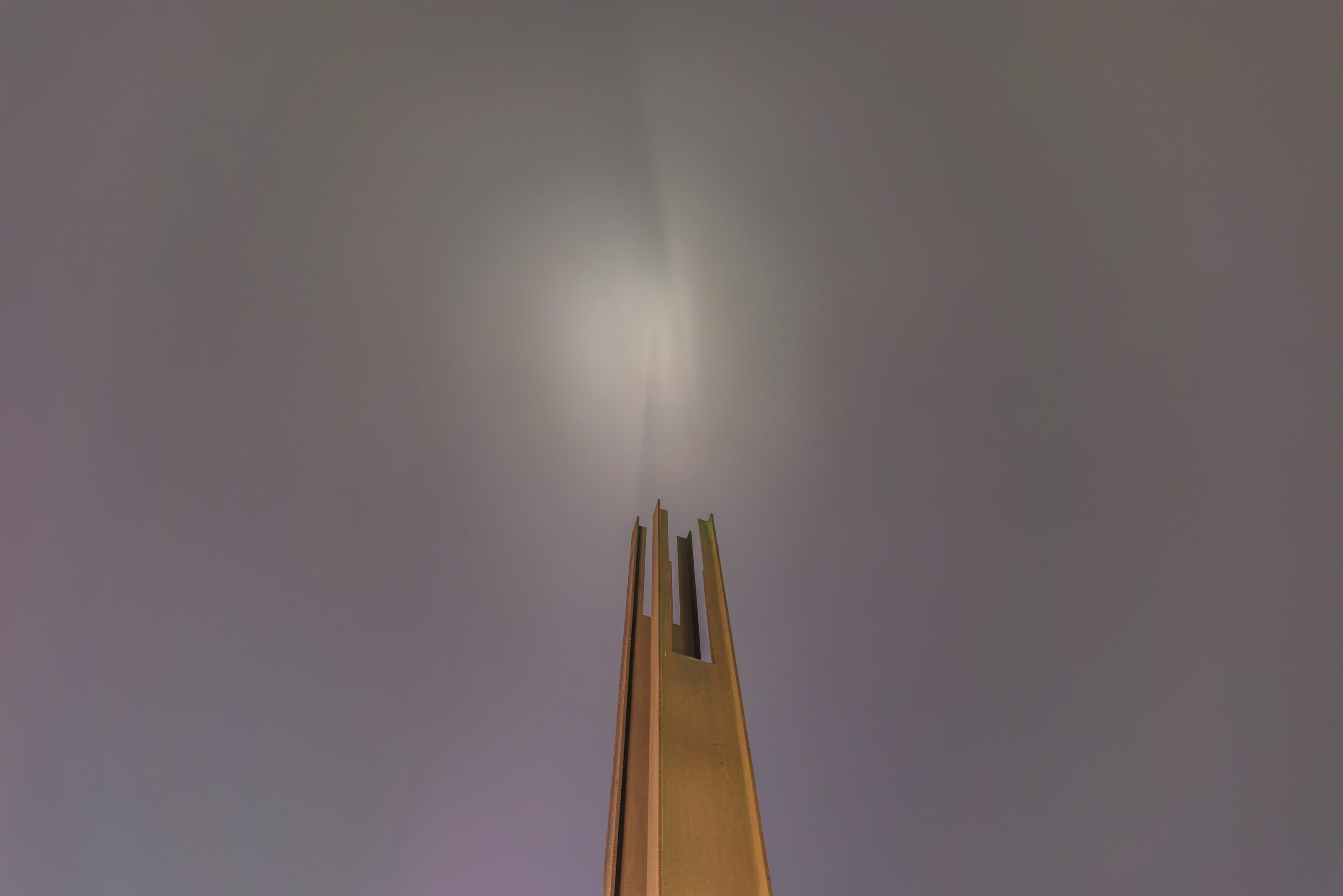
The light from the Robert Schuman Monument was illuminating the low clouds above! Very reminiscent of being at the Tokyo Tower in the evening on Christmas when it was pouring rain and the tower’s lights illuminated the clouds, just like here.
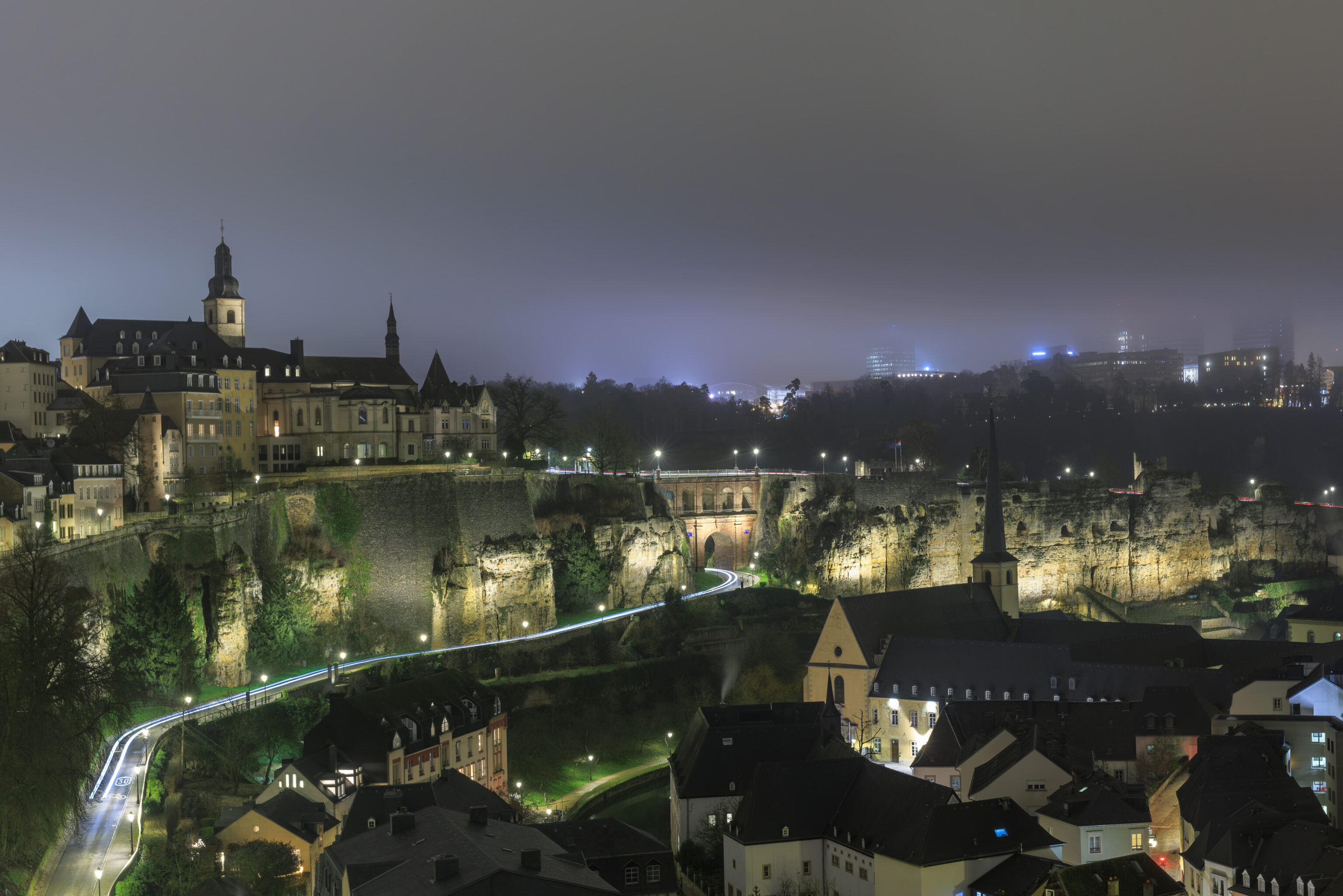
We took a bus back to the Cité Judiciaire and headed over to the Fountain of Doves for this fantastic night view of the city!
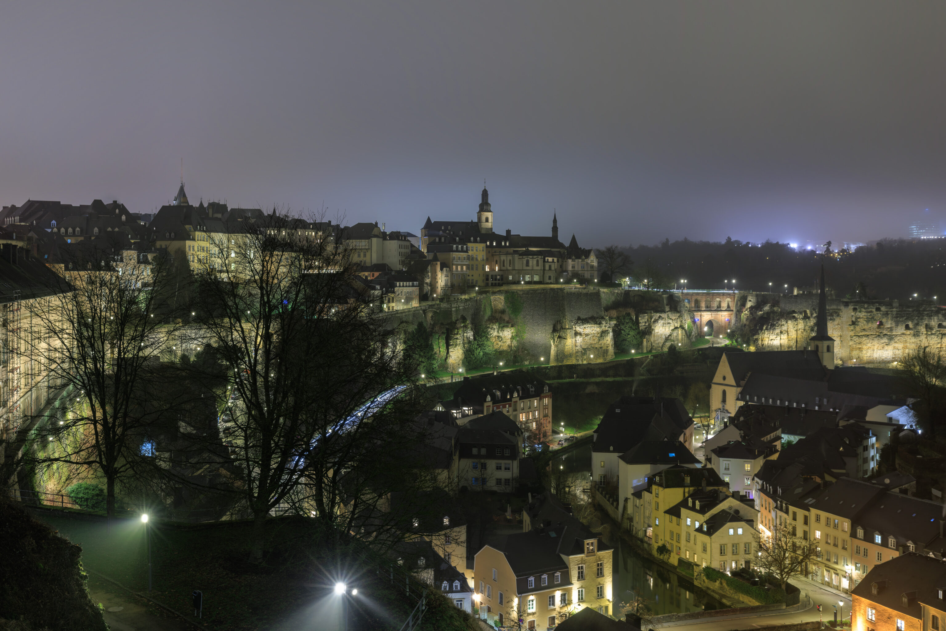
We then walked to the southeastern tip of the Ville Haute for a slightly different perspective.
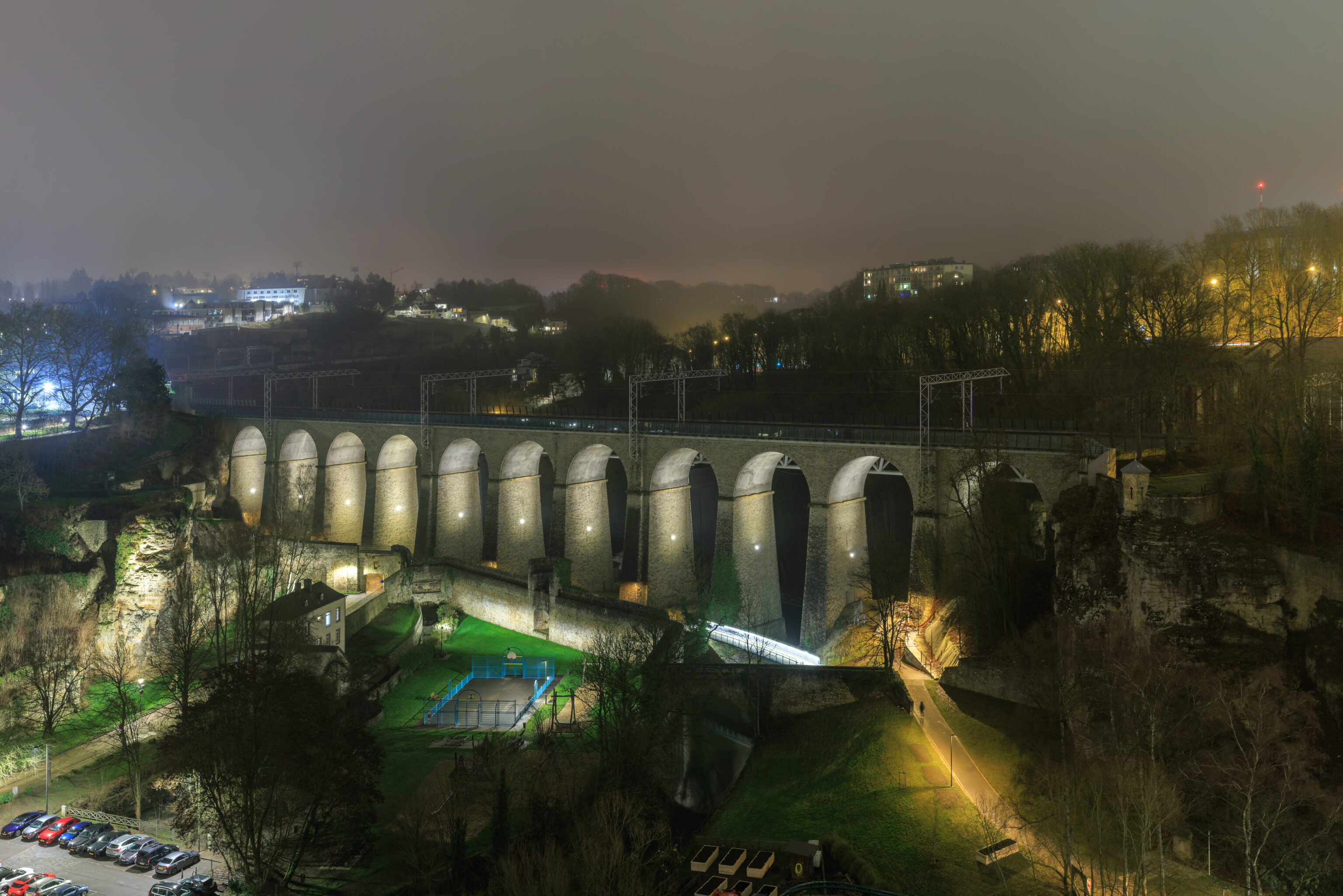
This was the view to the east, showing the railroad viaduct on the north side of the train station.
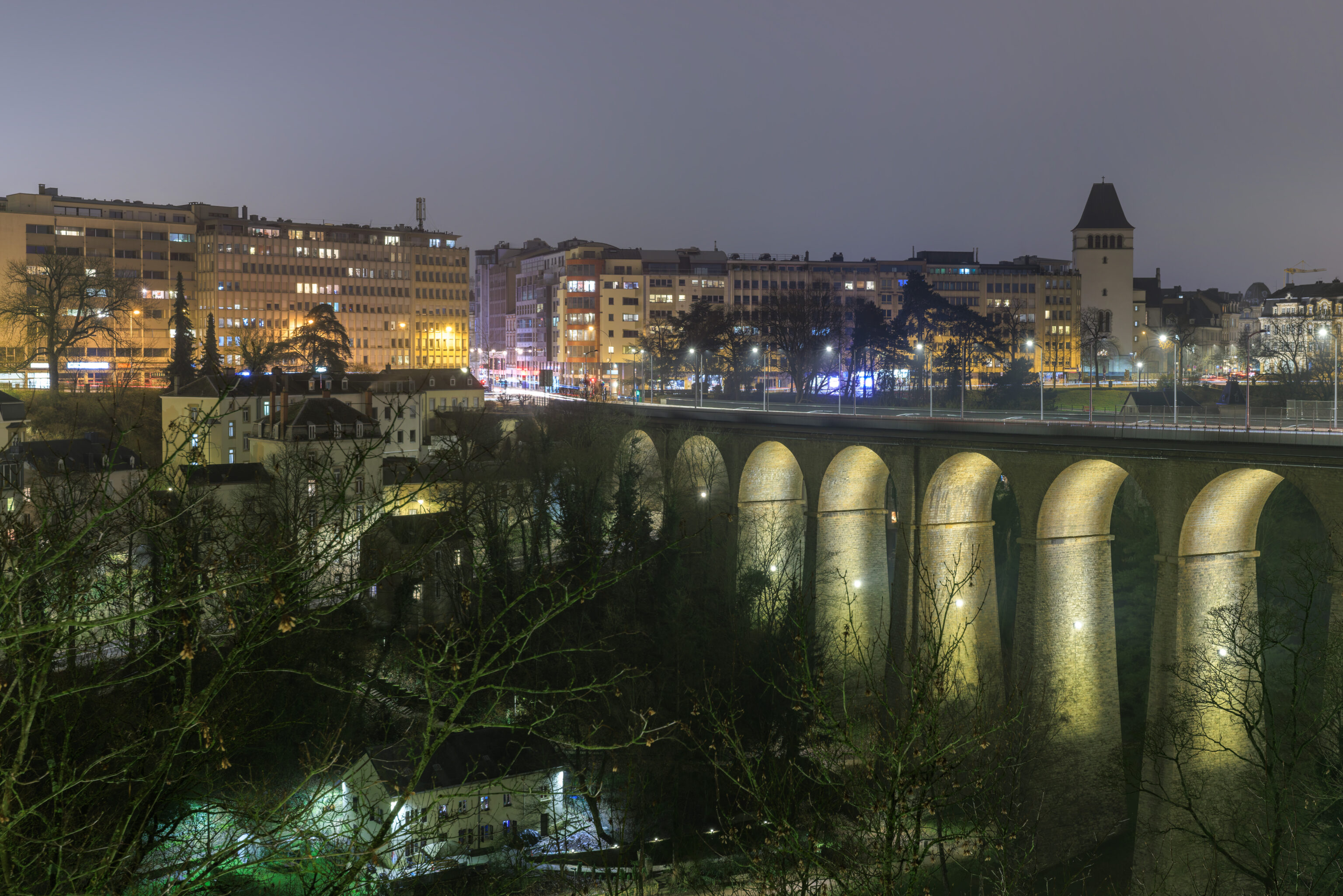
We followed the path west, basically backtracking the route we walked on our first day here, to see the Passerelle in the foreground and the Gare (Station) district in the bacgkround.
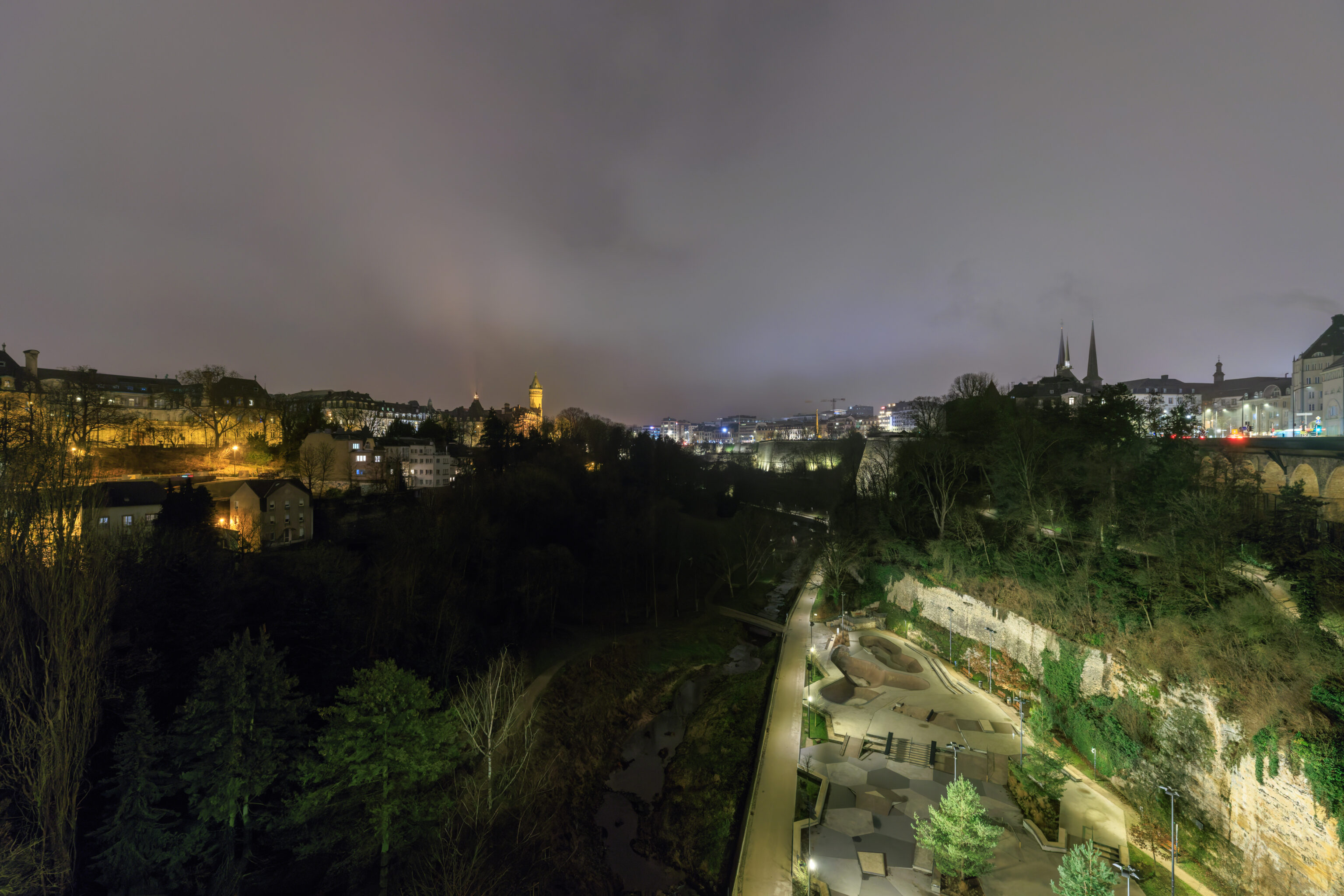
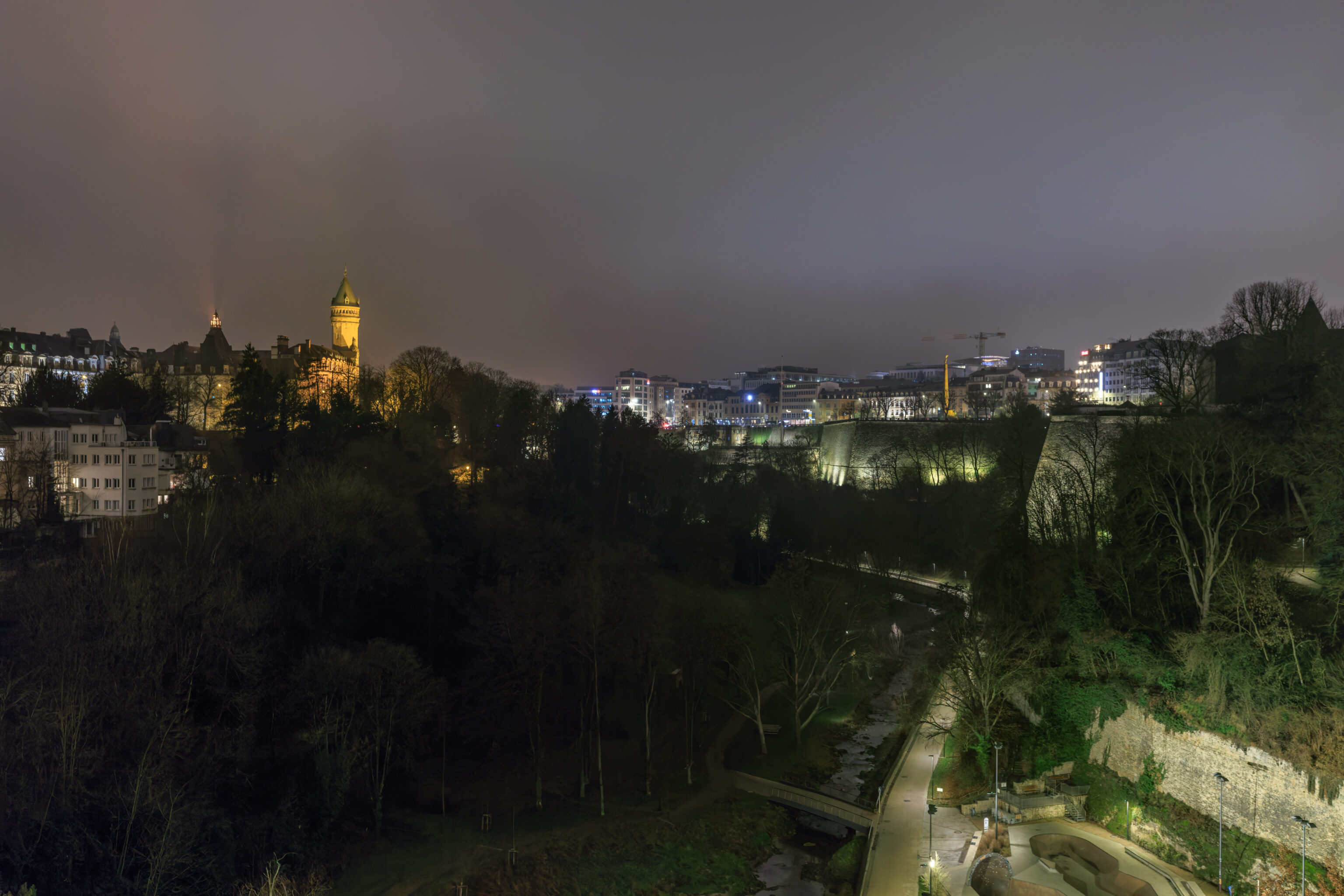
We crossed over the Passerelle on its western side. The parkland below was completely dark other than one illuminated path.
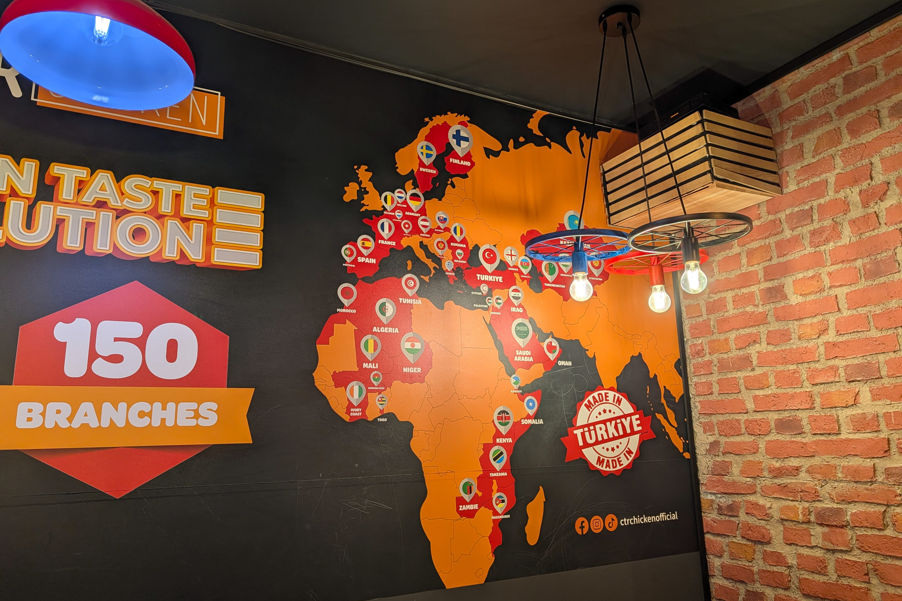
On the way back to the Marriott, we wanted to get a small snack for dinner. We ended up visiting CTR, a fried chicken chain from Turkey. The company’s founders actually started in the fast food business in Leicester, England, before they started CTR.


We got wings and a fried chicken sandwich. It was all freshly prepared and excellent! So much better than Kentucky Fried Chicken!
After returning to the Marriott, we ended the day at the lounge again. We just had some juice and snacks.