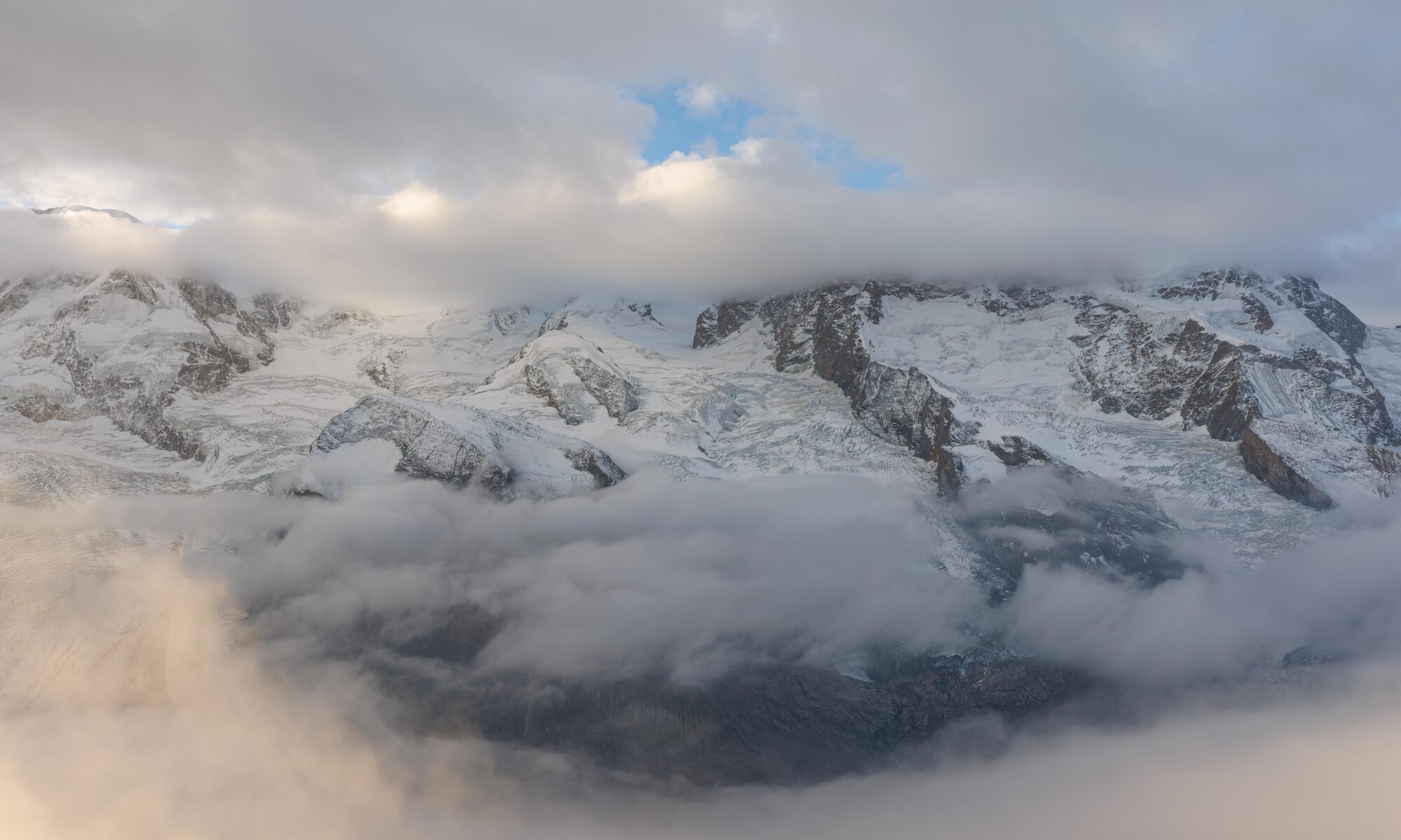
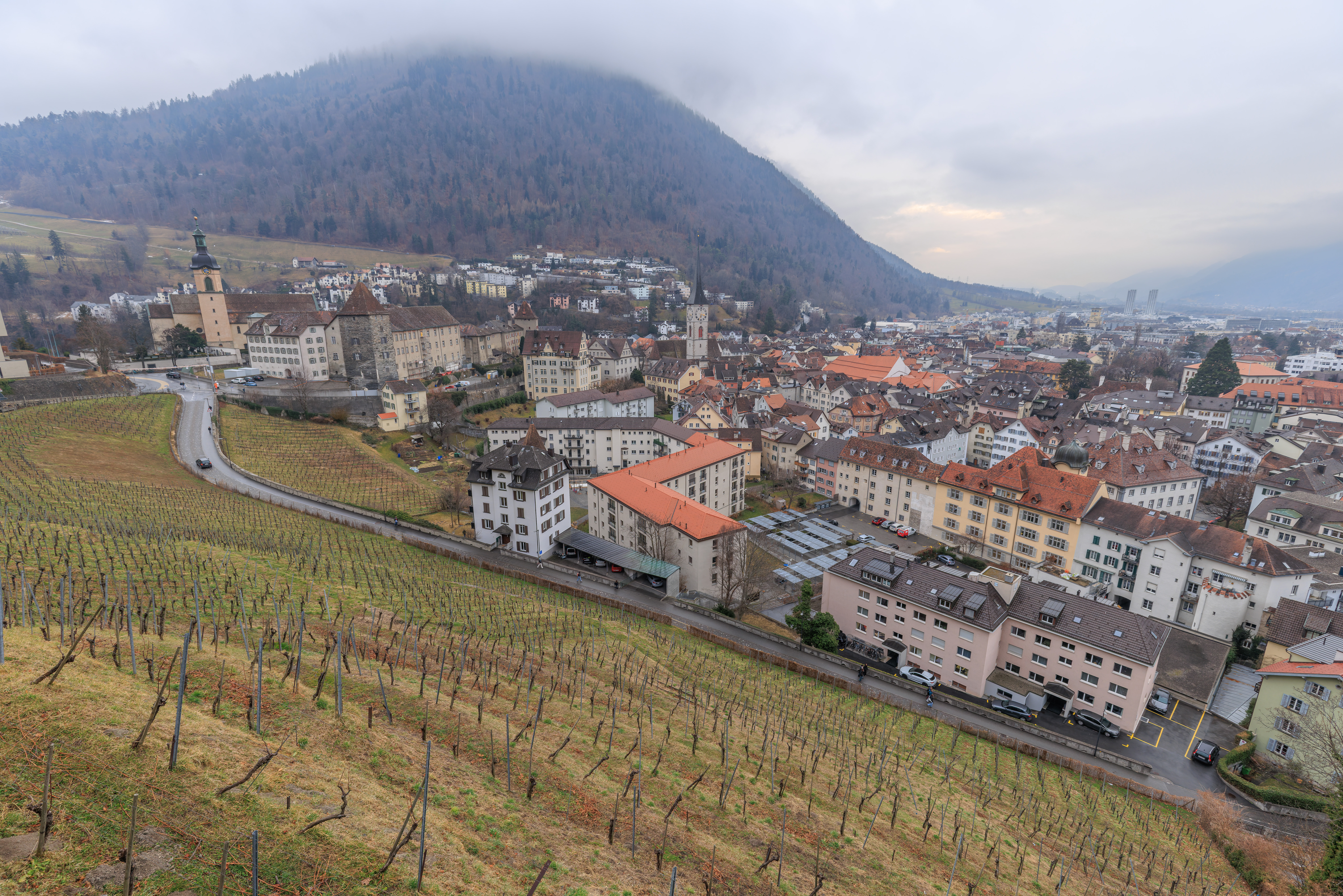
After breakfast at the Kameha Grand Zurich, we decided to visit Chur, a city in Switzerland that is easy to get to but we haven’t been to before. Upon arriving, we took the Chur Bergbahnen up to Brambrüesch on a mountain on the south side of the city. There was snow on the ground and soon there was heavy snow falling from the sky! After enjoying winter, we descended and had lunch in the Altstadt. We walked through the area, visiting the Martinskirche and Kathedrale St. Mariä Himmelfahrt. We continued on to the Haldenhüttli at a wonderful viewpoint above the Altstadt. On our way back to the train station, we encountered the Swiss Army engaged in a ceremony! After returning to Zurich, we had döner before returning to the hotel to end our last full day of this trip.
Morning
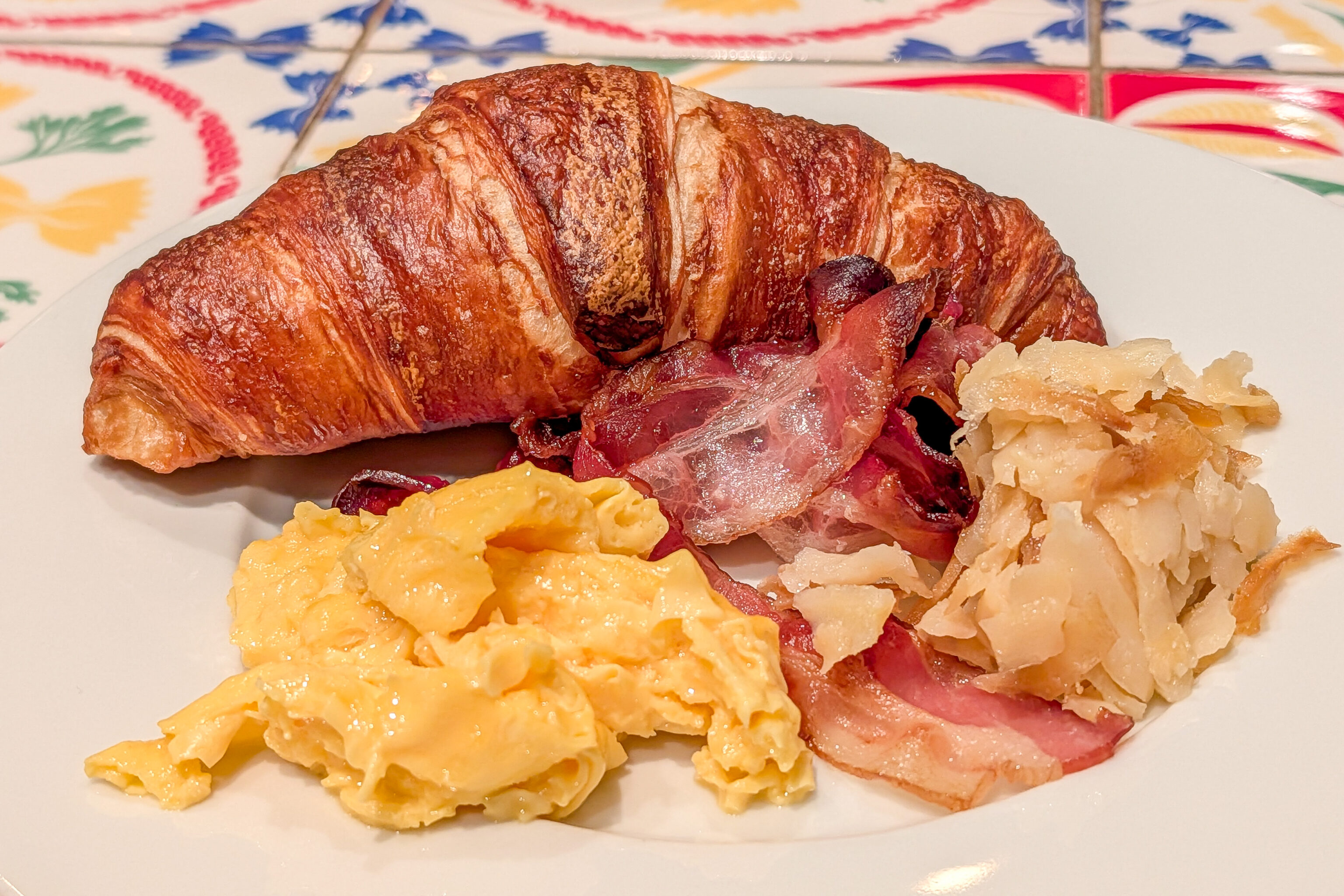
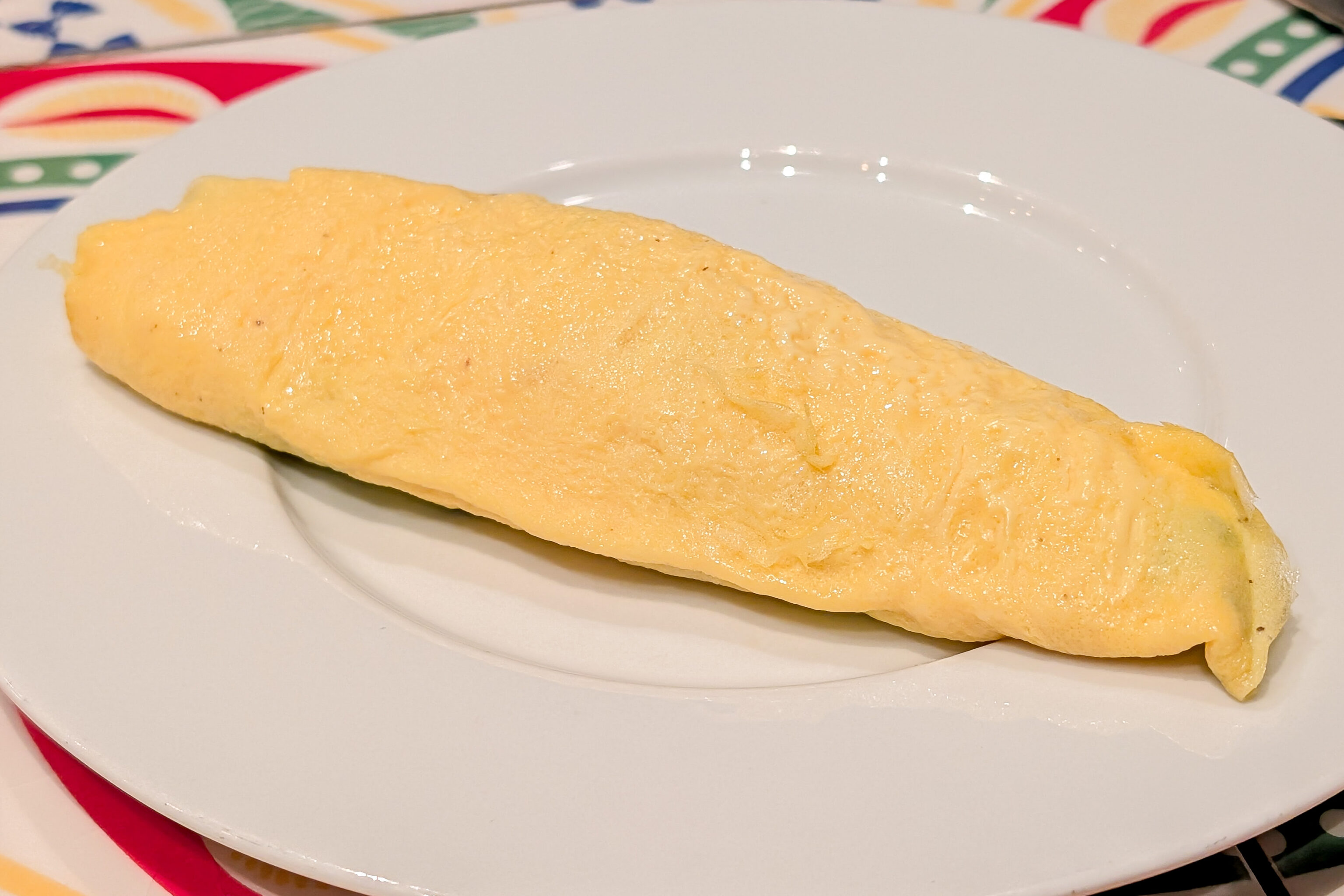
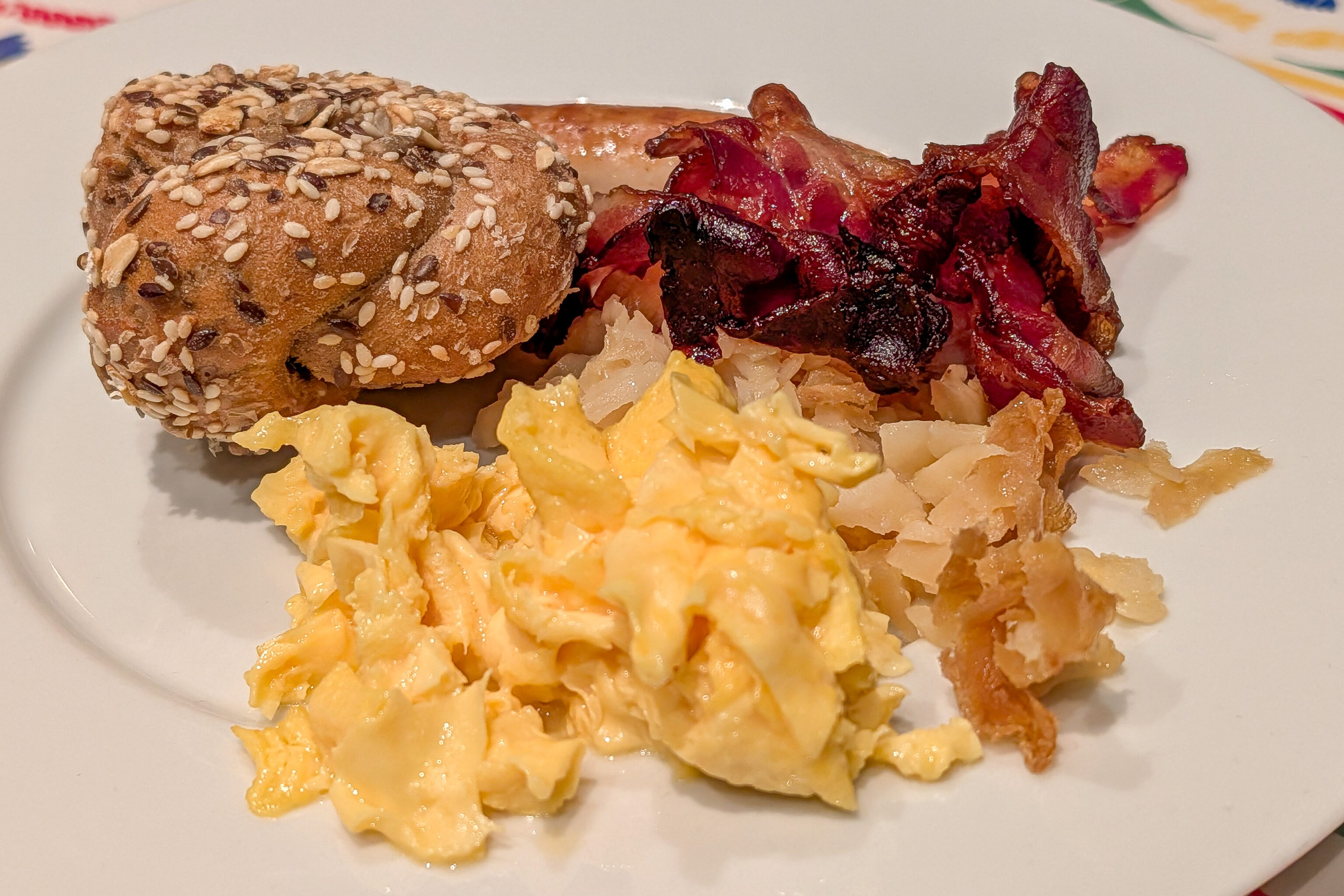
Today is the last full day of this trip! After waking up at the Kameha Grand Zurich, we headed downstairs for breakfast in the hotel’s restaurant. Most of what we had was good, except for the chicken sausages which generally are never good!
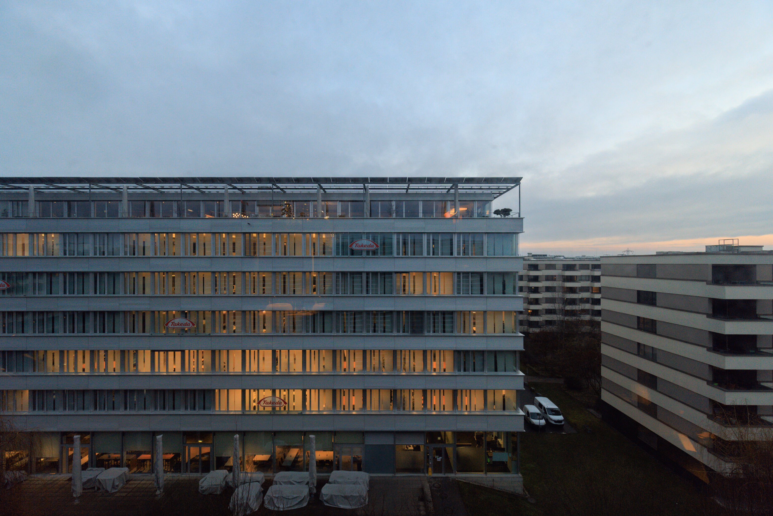
It was still fairly dark at 8am when we were about ready to head out. As we mentioned yesterday, we weren’t originally planning on coming to Zurich but changed our plans due to a railway strike in Belgium. There were various options for today. We decided to visit Chur, a city in the mountains to the southeast of Zurich that can be reached in a little more than an hour on frequent IC trains.
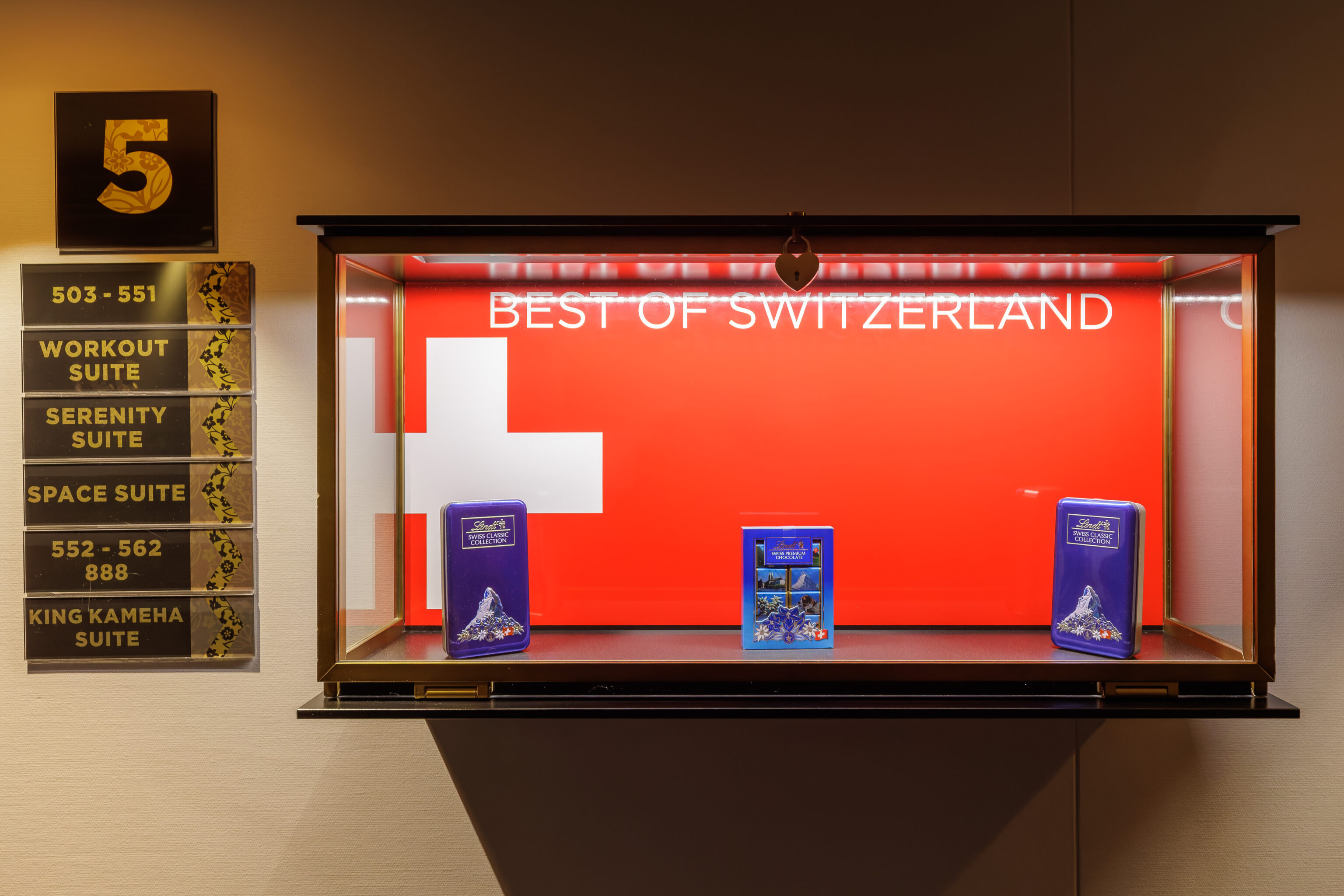
Lindt, the Best of Switzerland! This display was in the hallway near the elevator. When we stayed here a bit more than a year ago, the display on the 4th floor featured Jack Daniel’s. We thought that was odd.
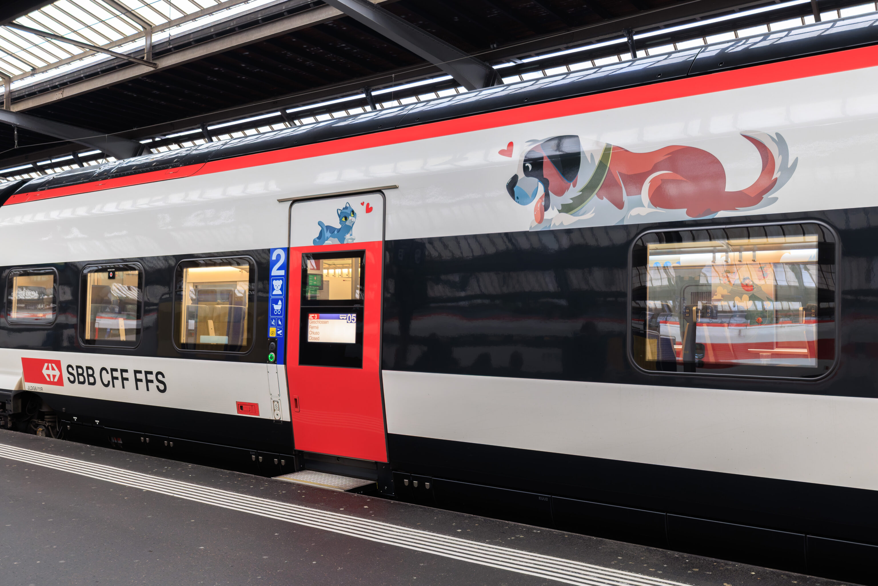
This must be our train’s family coach!
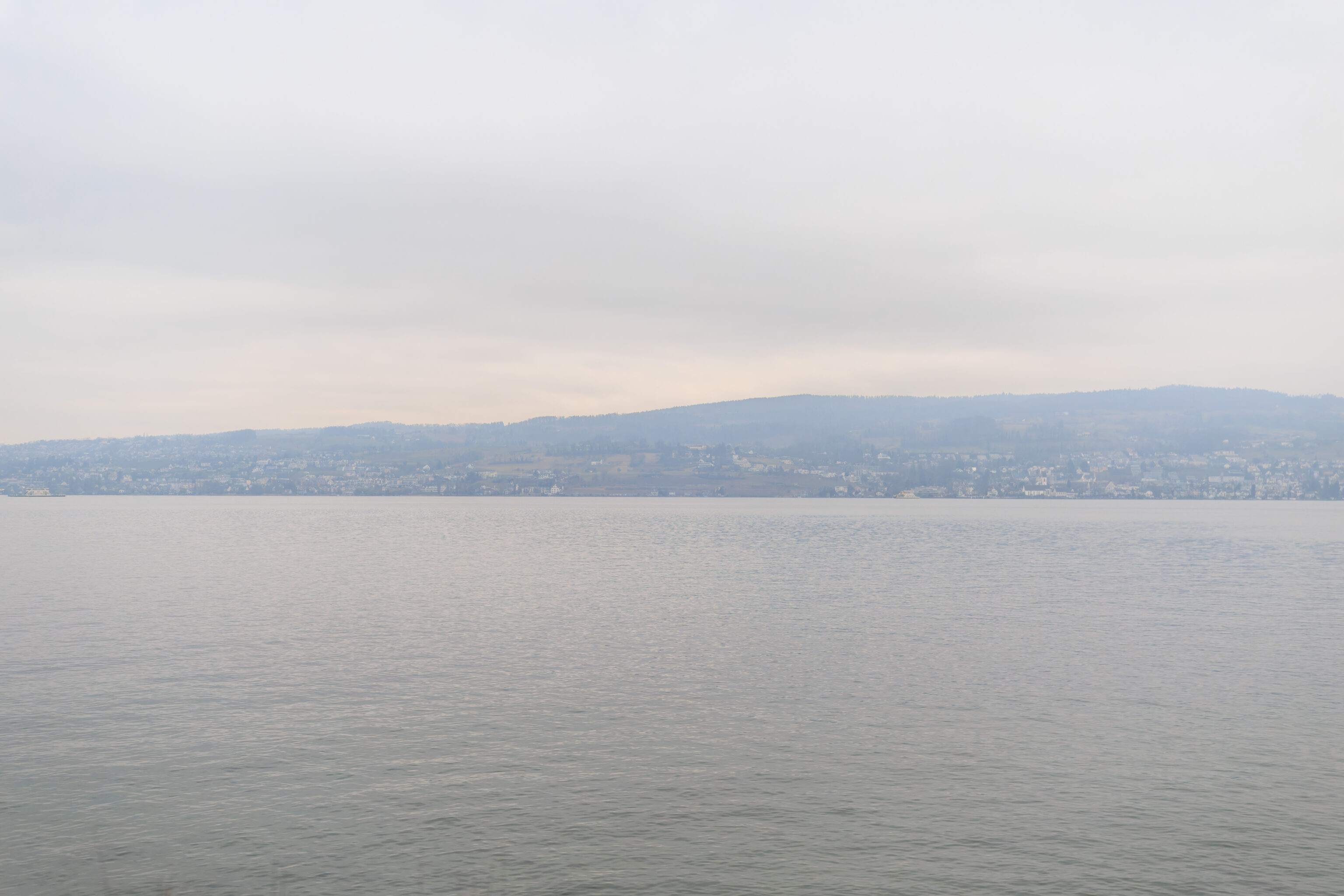
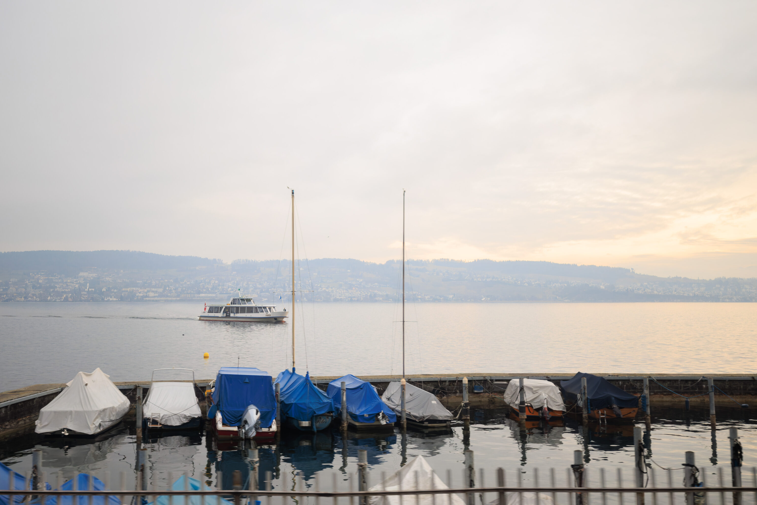
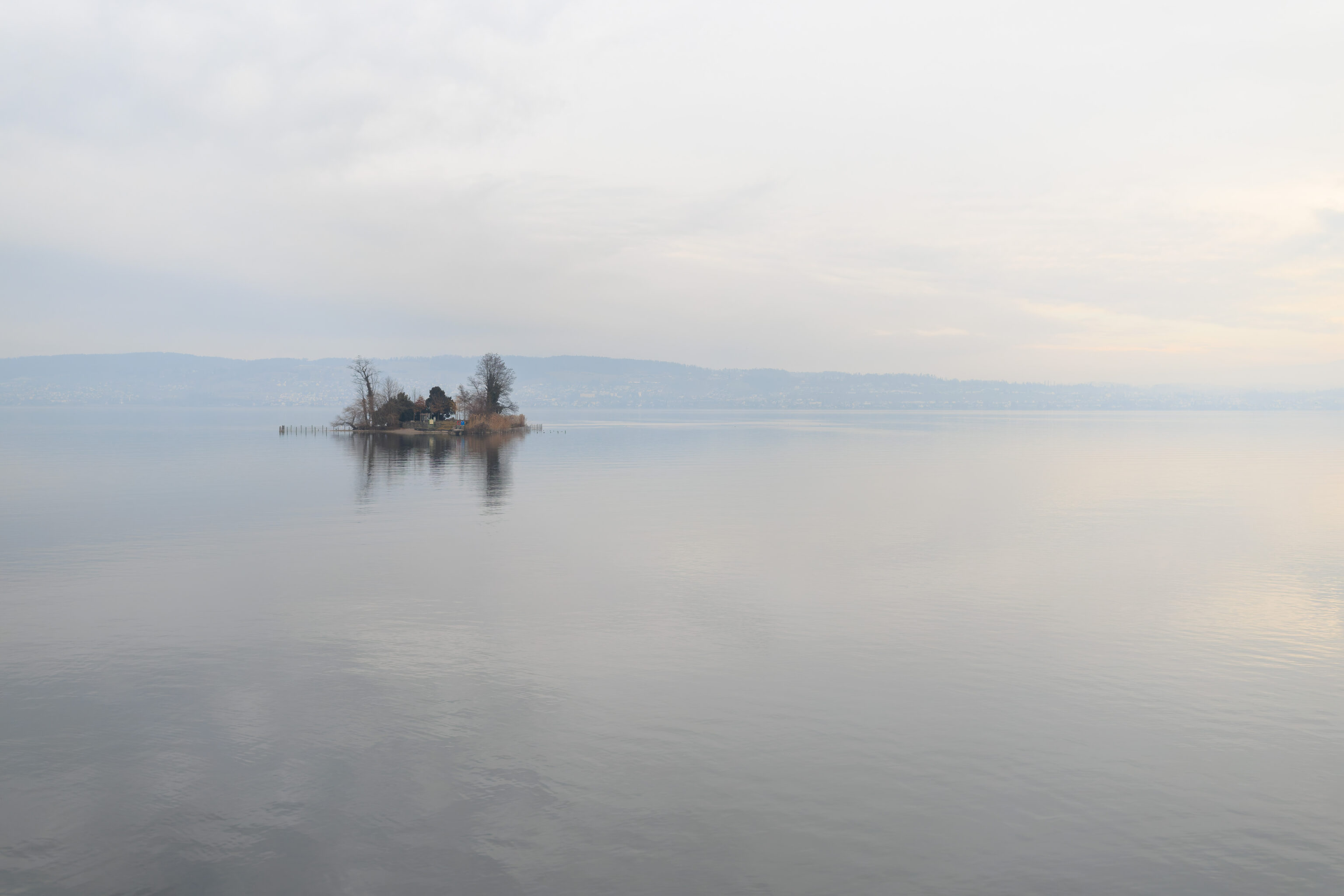
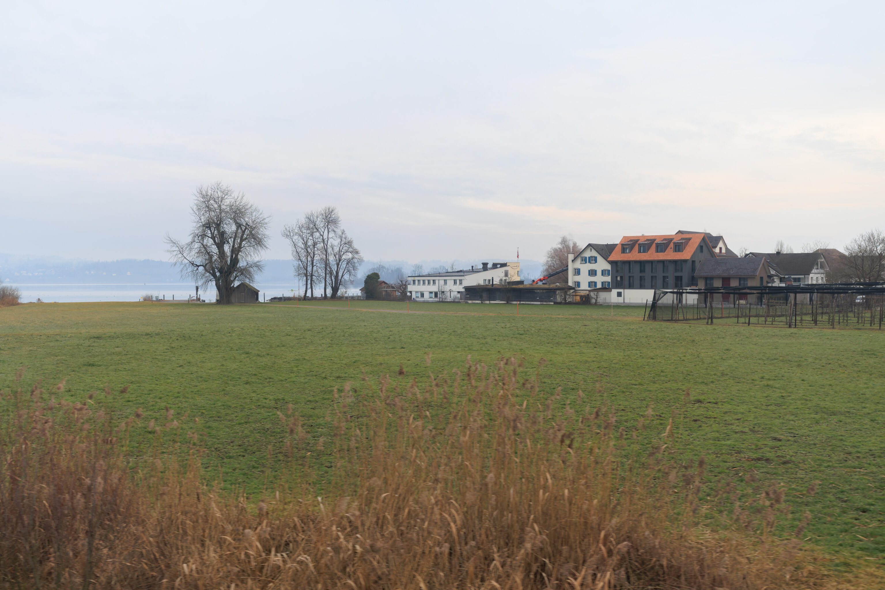
The route starts off on the south side of the Zürichsee (Lake Zurich).
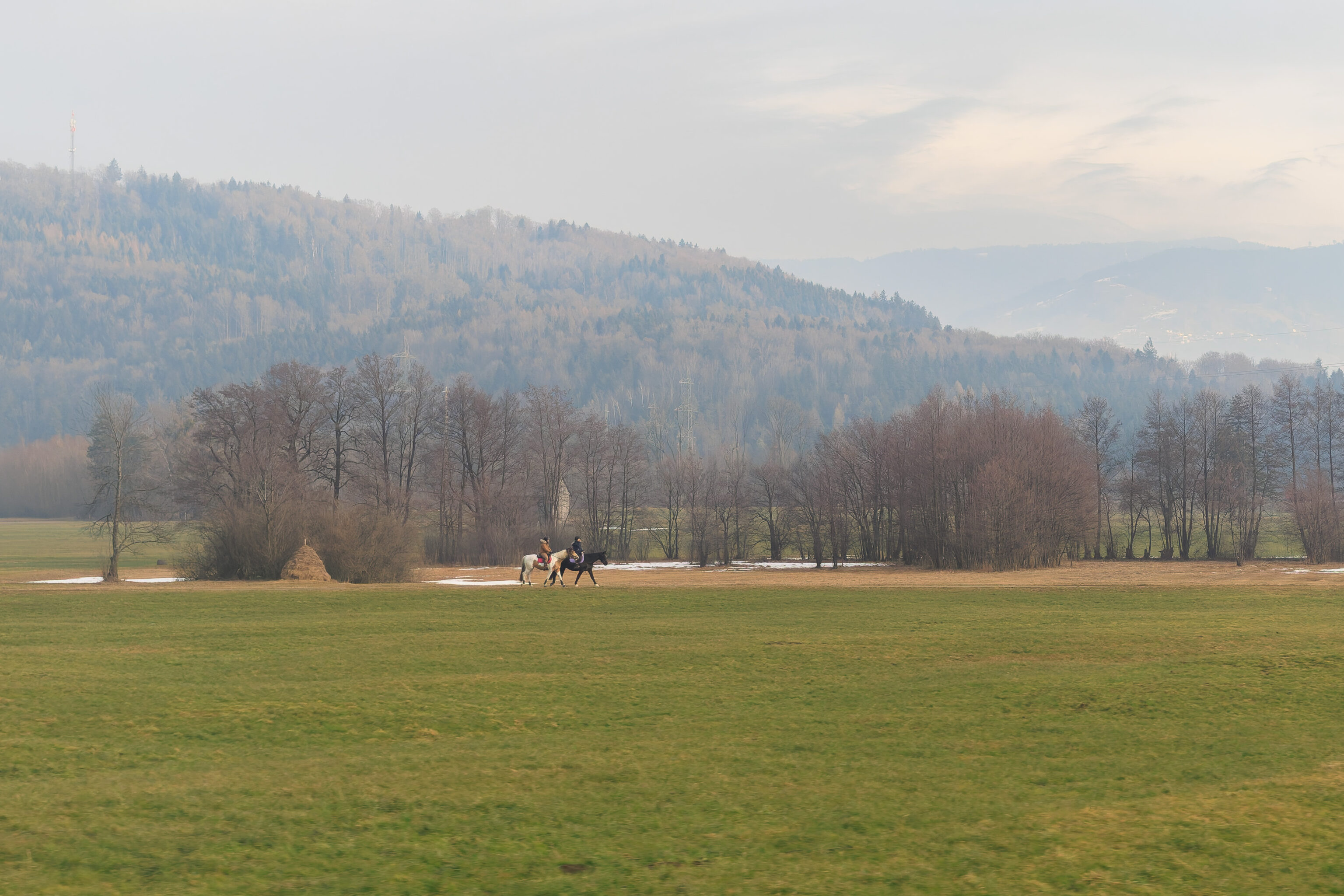
And then, some land… We even saw two people on horseback!
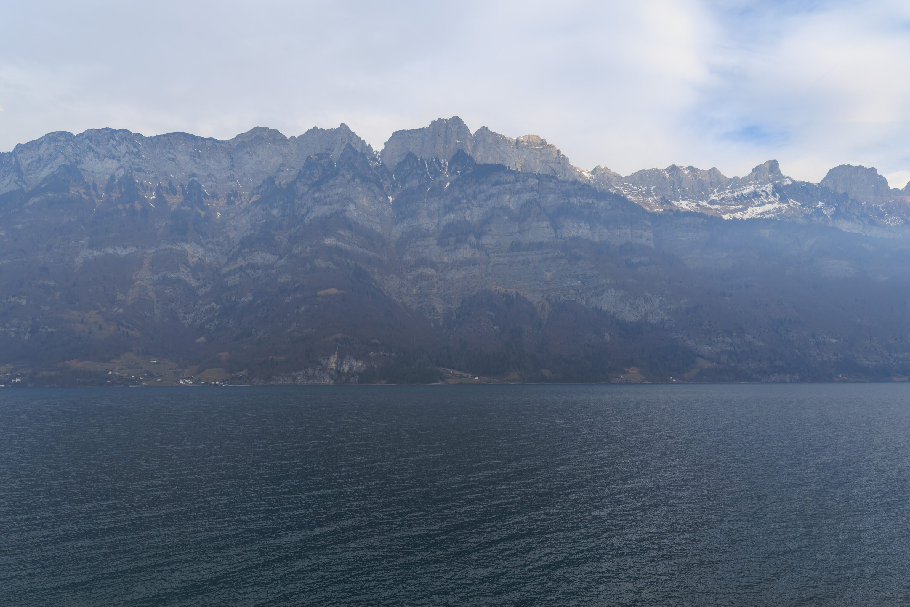
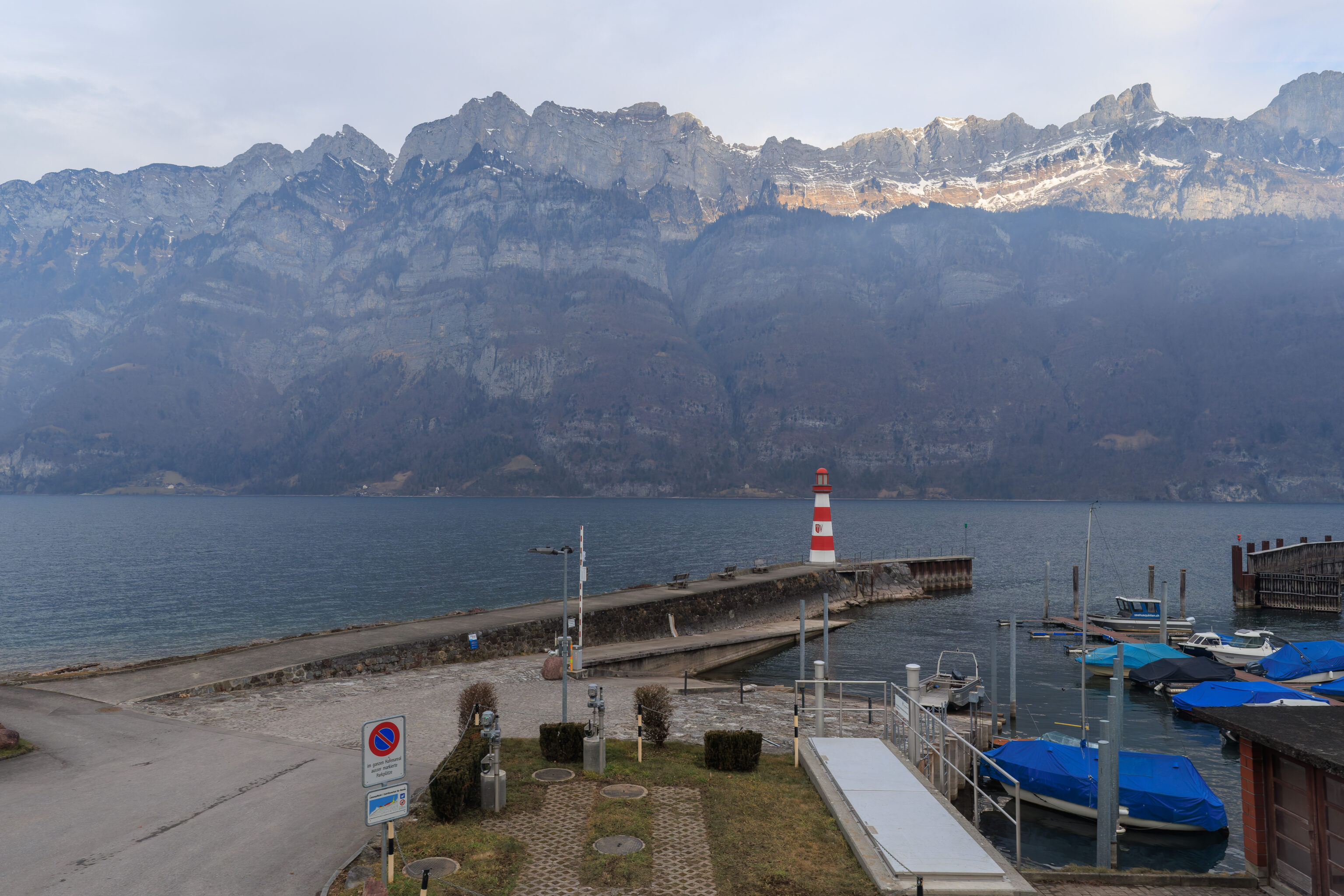
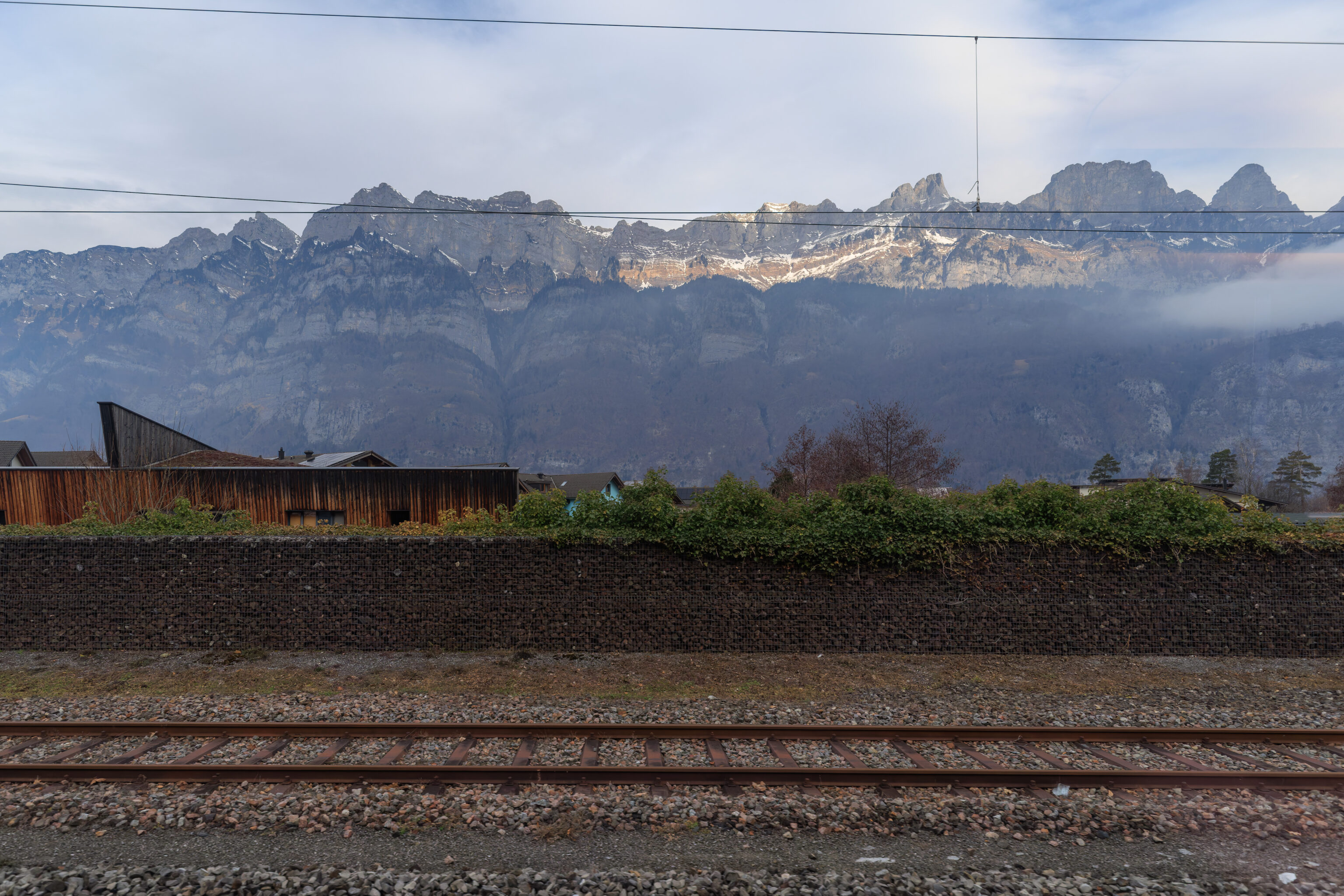
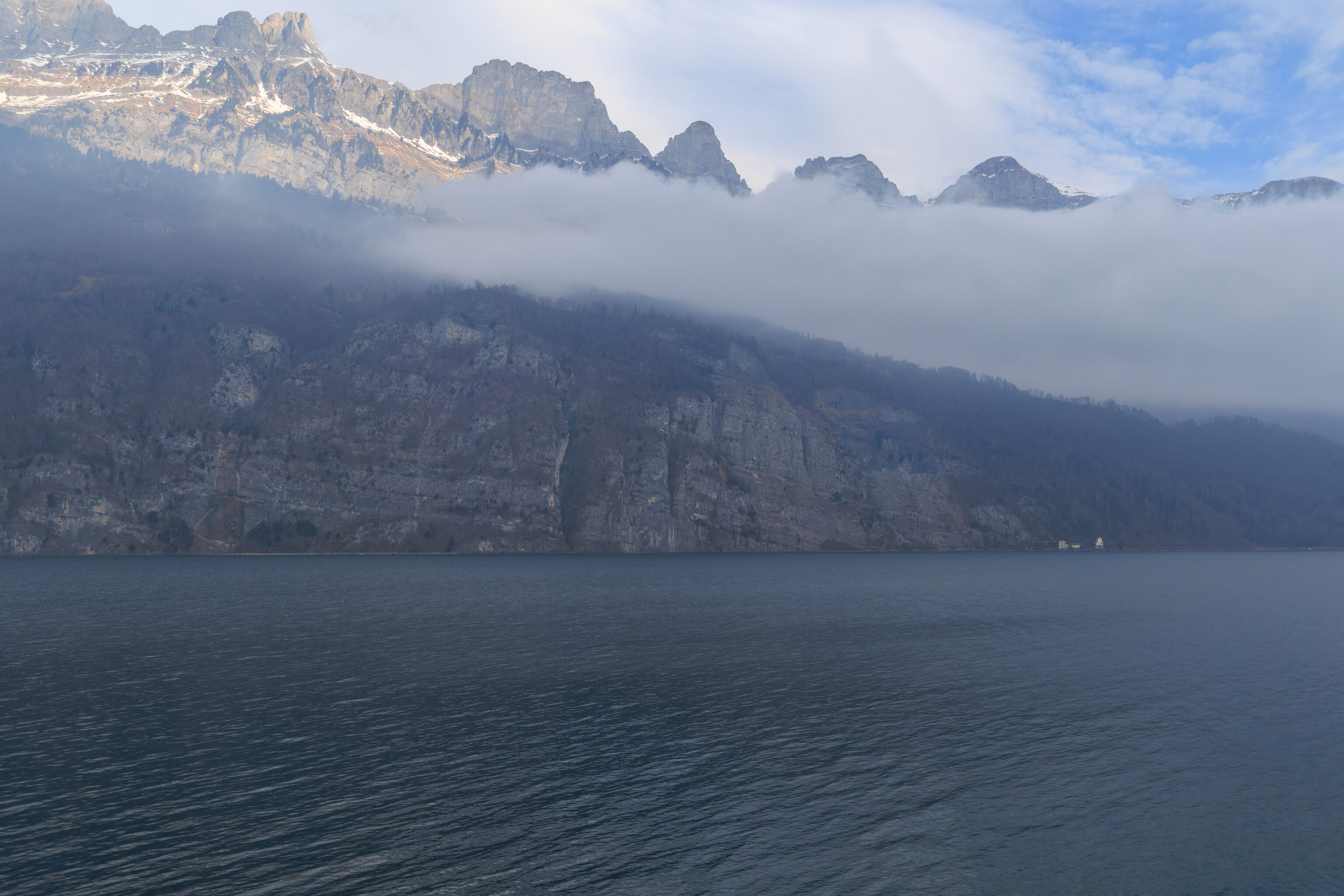
Another lake, this time, its the Walensee, about halfway to Chur. This is where we start to go into the mountain valleys.
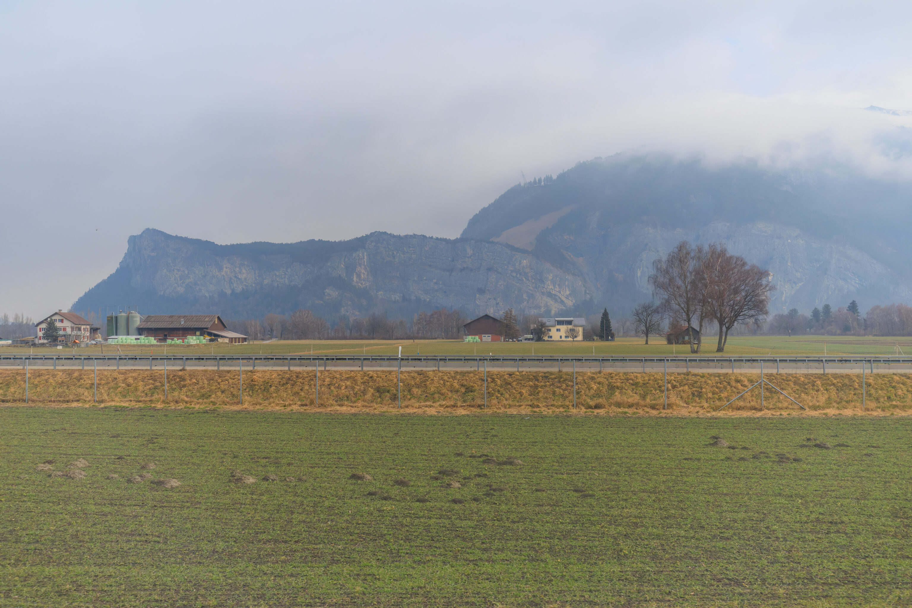
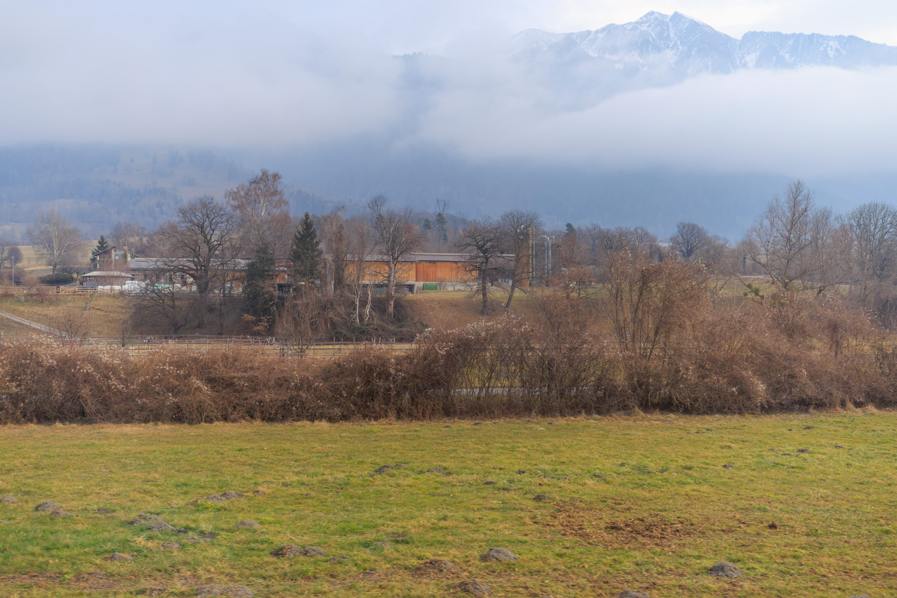
The route to Chur goes through a wide valley.
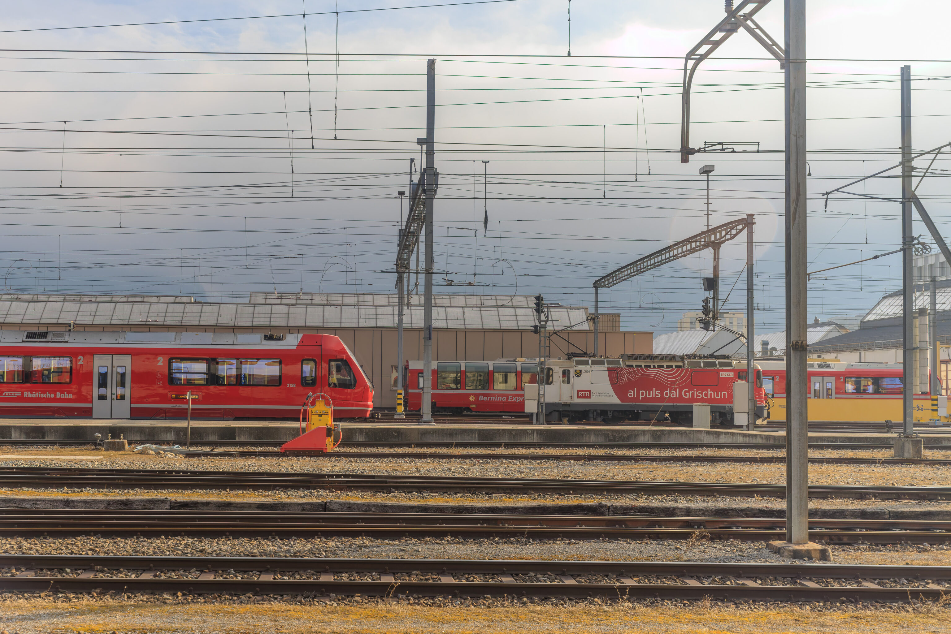
The local railway company in this region is the Rhätische Bahn (Rhaetian Railway). The most famous of their trains is the Bernina Express, which runs from Chur through the mountains down to Italy. A Bernina Express train is here in the background.
Chur
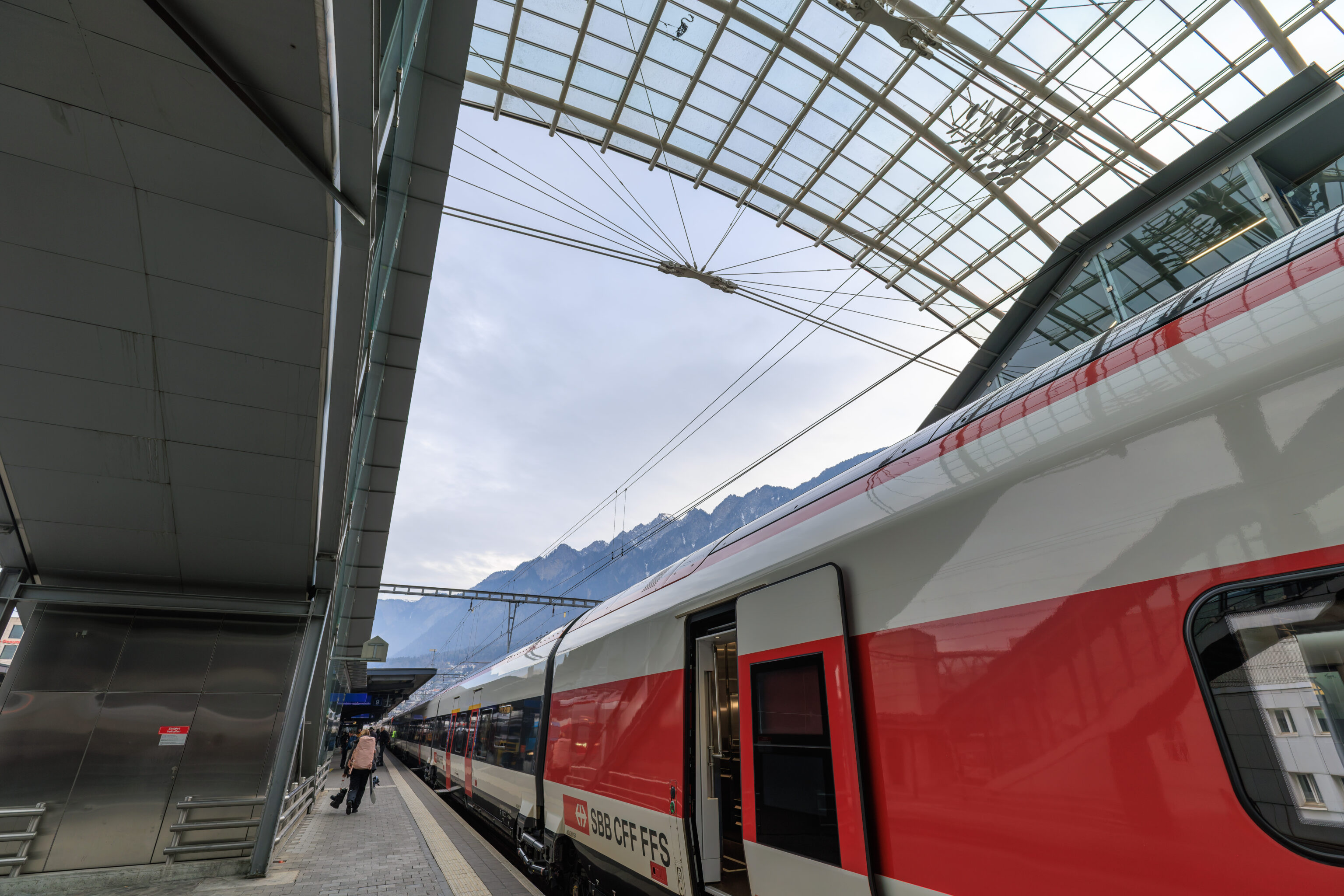
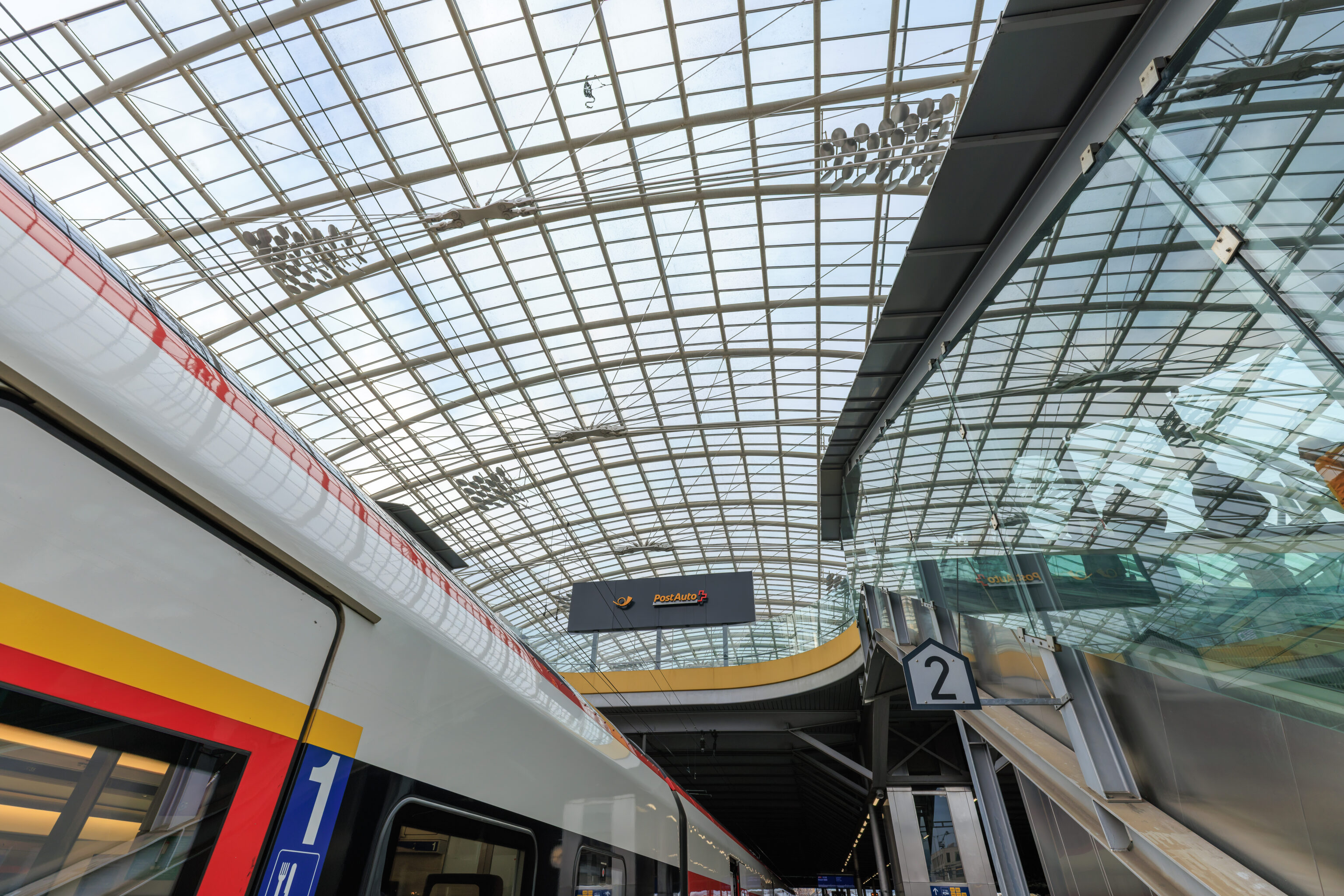
We arrived at the Chur Bahnhof at 10:20am. Part of the platform was covered with a large transparent canopy.
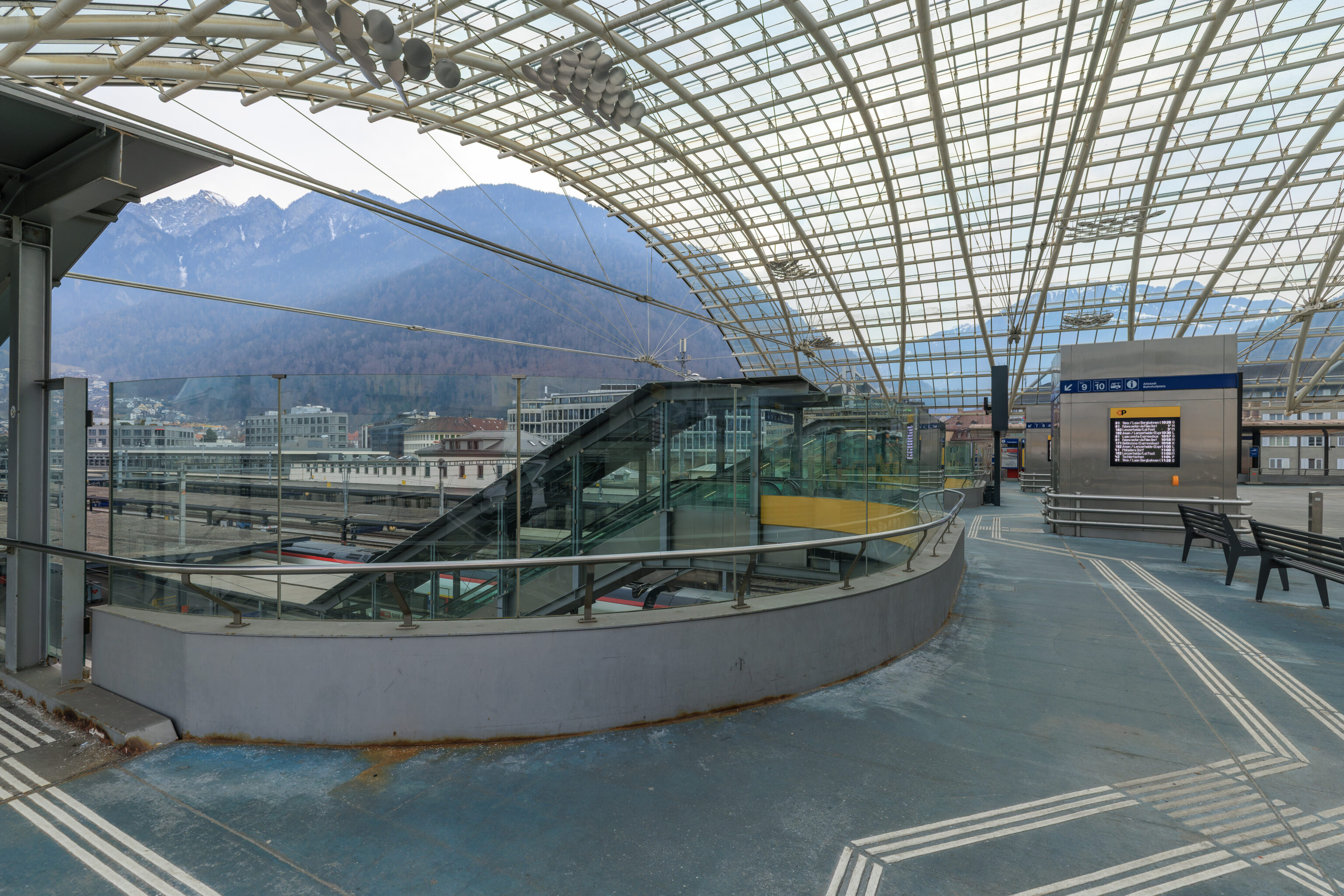
We headed upstairs to try and find the stop for the bus that goes to the Chur, Brambrüeschbahn/Stadthalle bus stop. It turns out that this area above the train platforms was actually a bus station. But, we couldn’t find signage for our bus here. It seems that there are other bus stops at the station outside.
It ended up being a bit confusing. We soon figured out that there was another lower area beneath the platforms which provided access to the south side of the station where we ultimately found the bus stop.
Brambrüesch
After taking the bus over to Chur, Brambrüeschbahn/Stadthalle, which was only about one kilometer away, we crossed the street to reach the lower terminal of the Chur Bergbahnen‘s aerial tram.
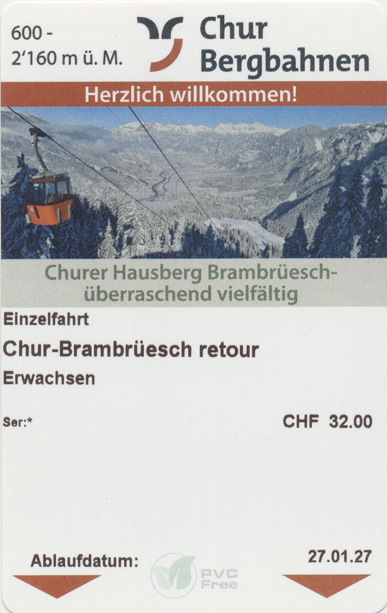

We bought round trip tickets to go to Brambrüesch.
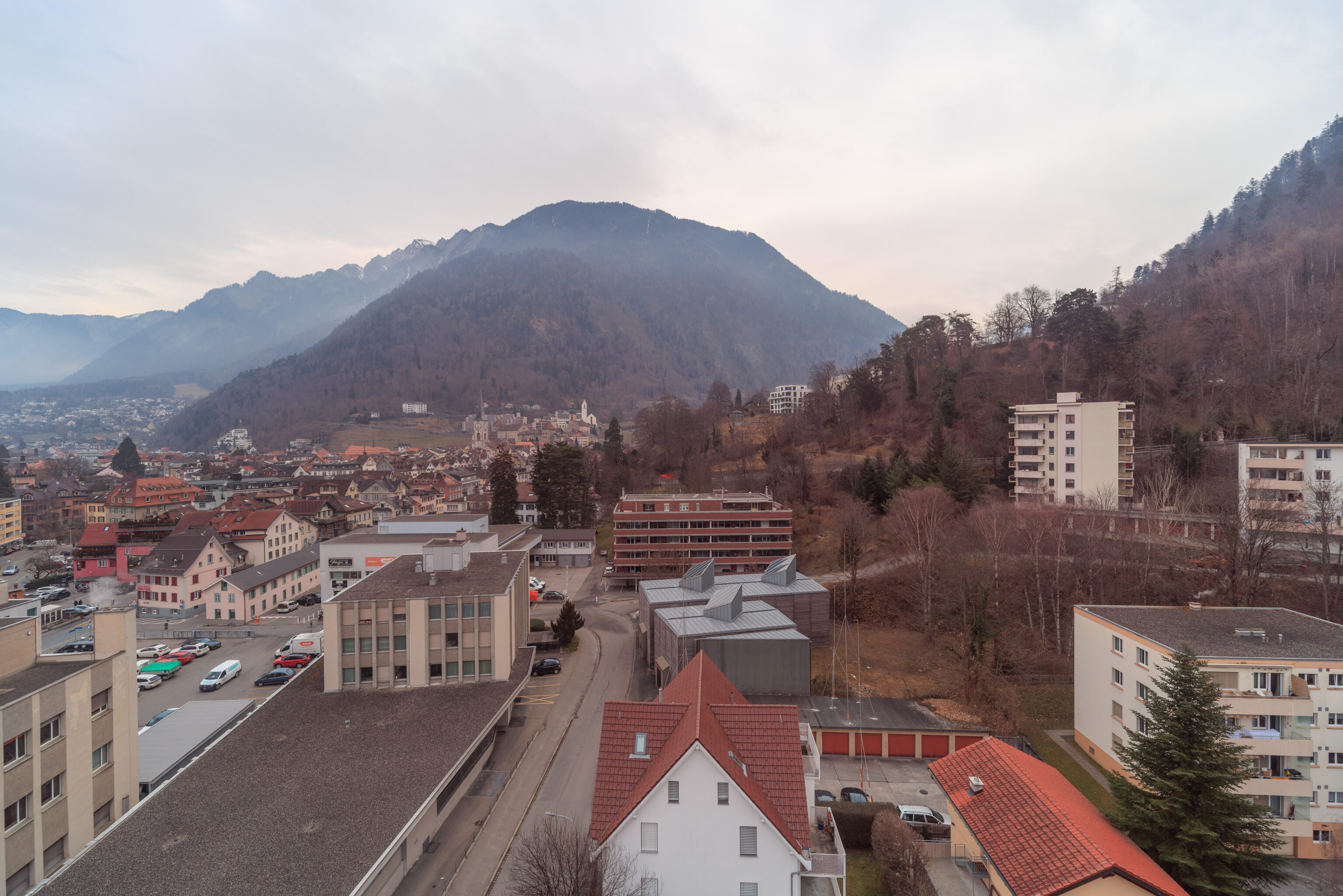
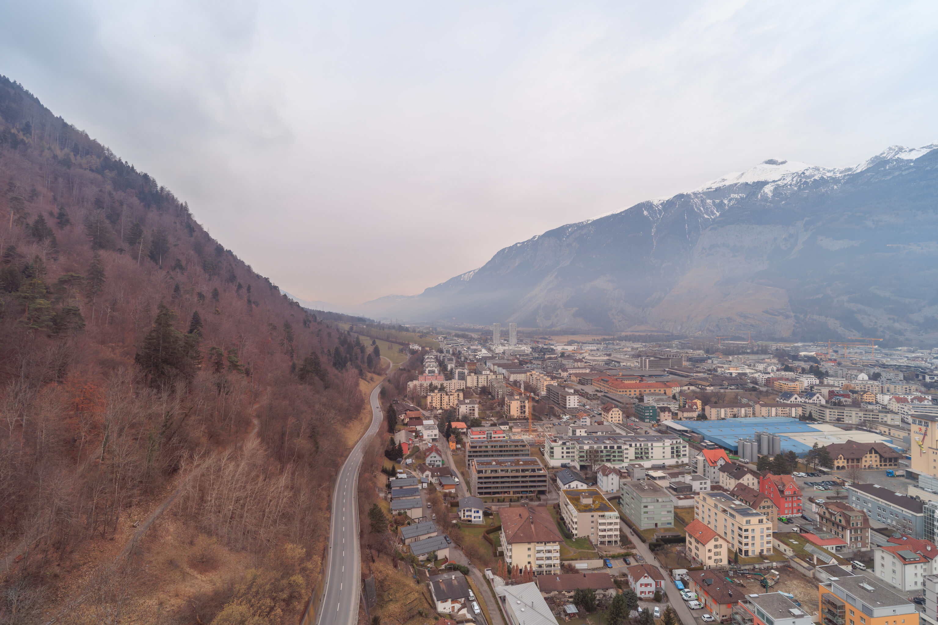
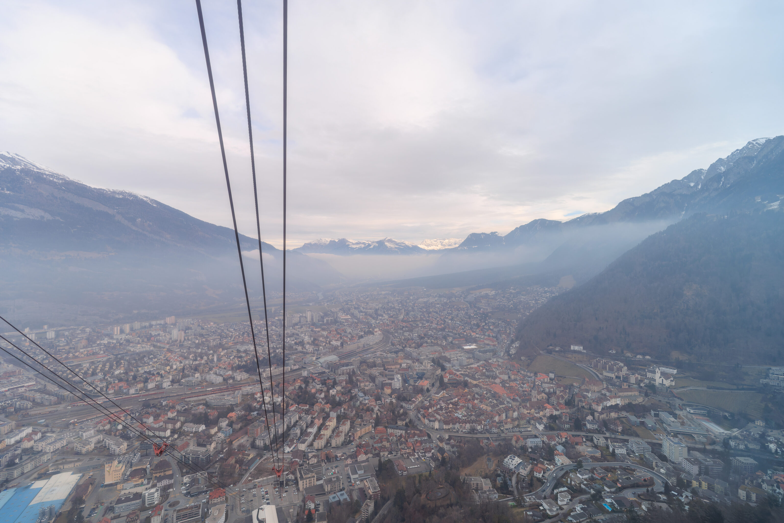
The aerial tram departed at around 10:40am and quickly ascended above Chur. After arriving at Känzeli, we switched to an adjacent gondola to go the rest of the way up to Brambrüesch.
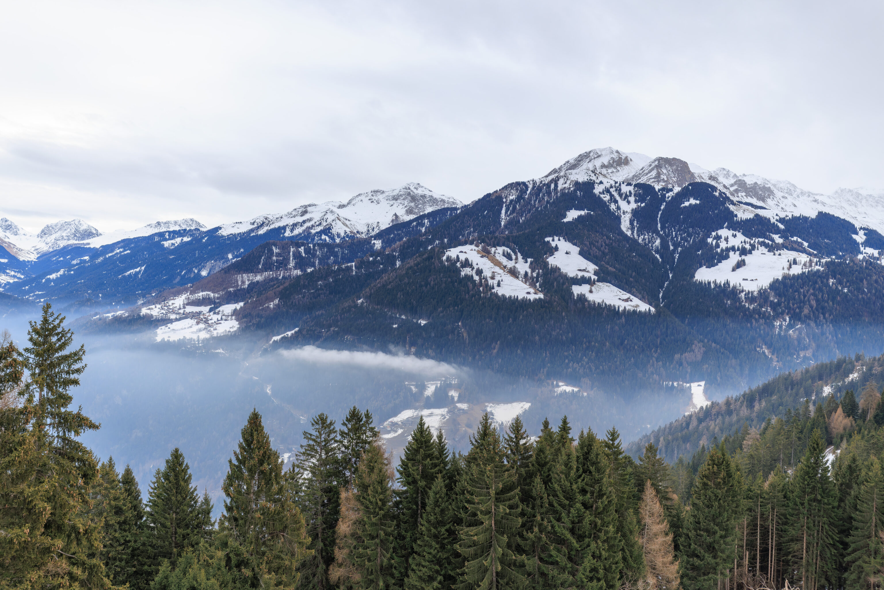
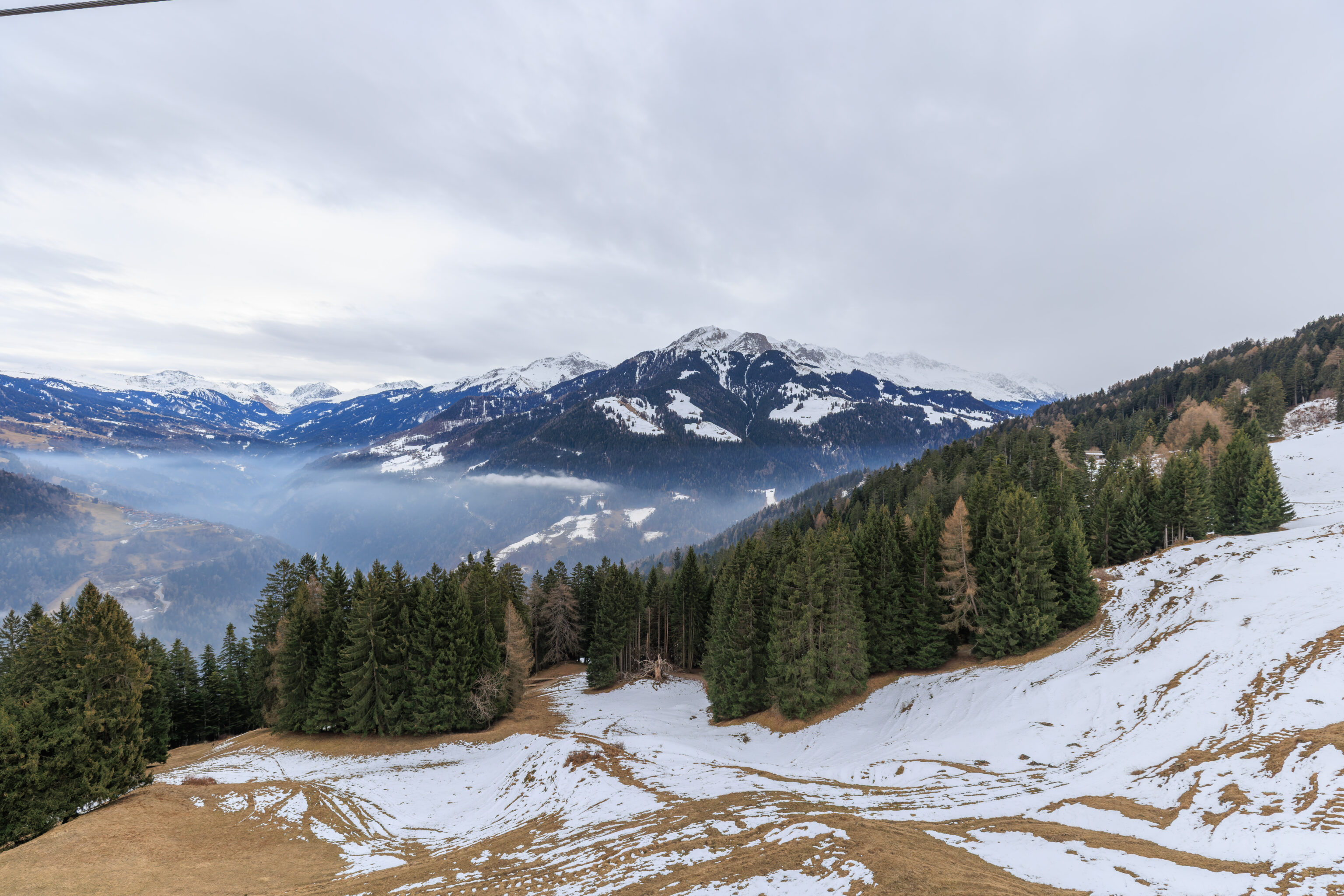
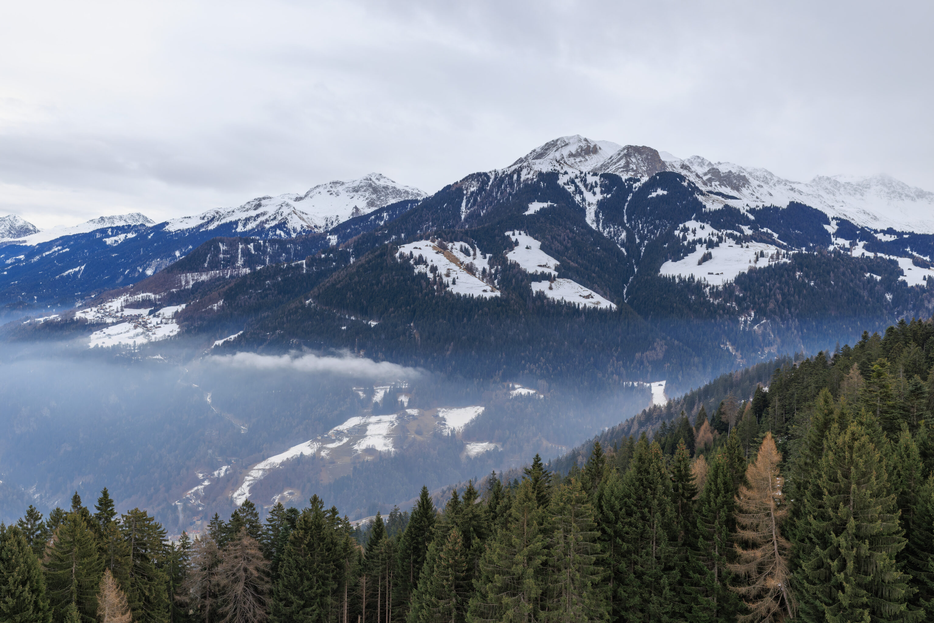
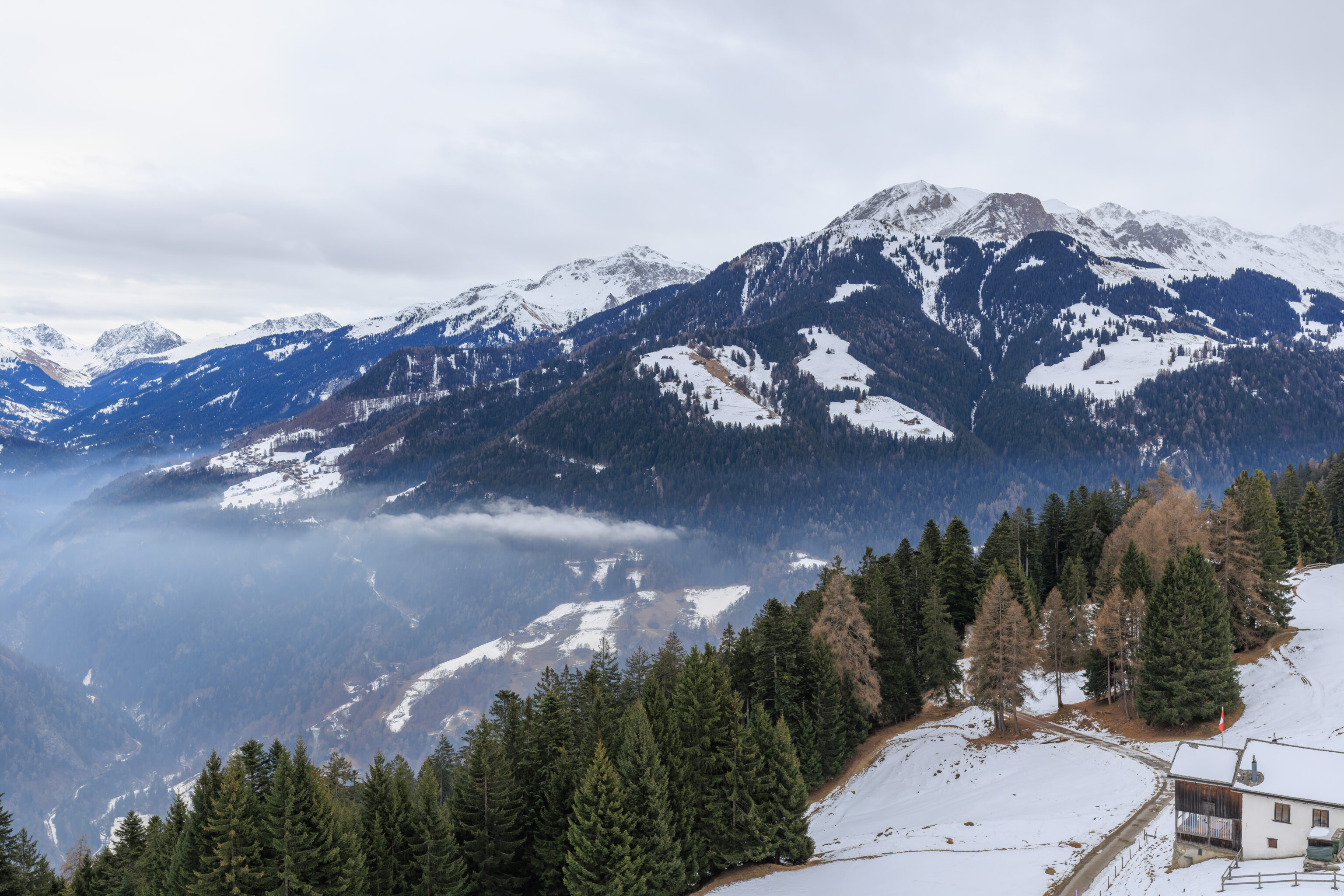
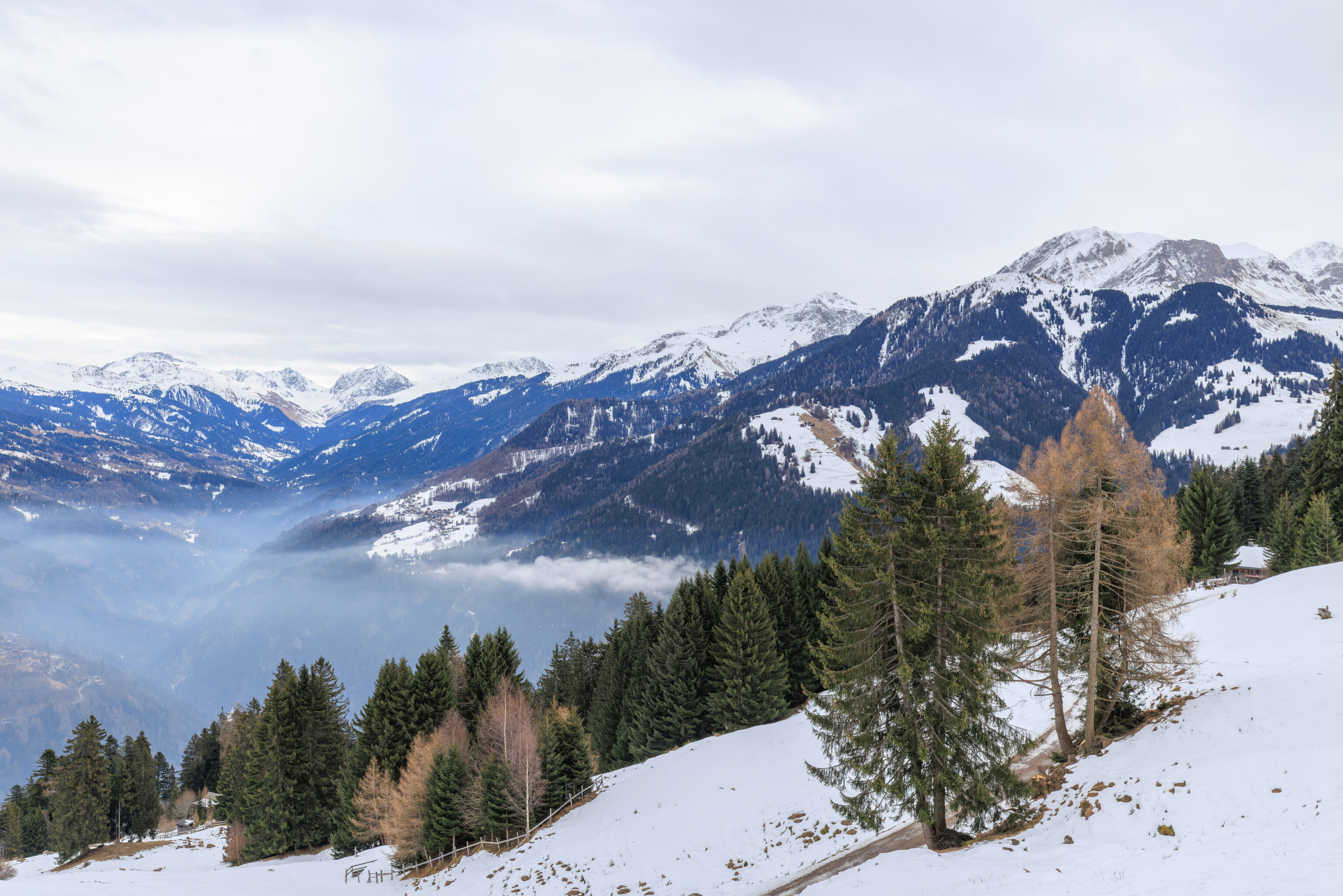
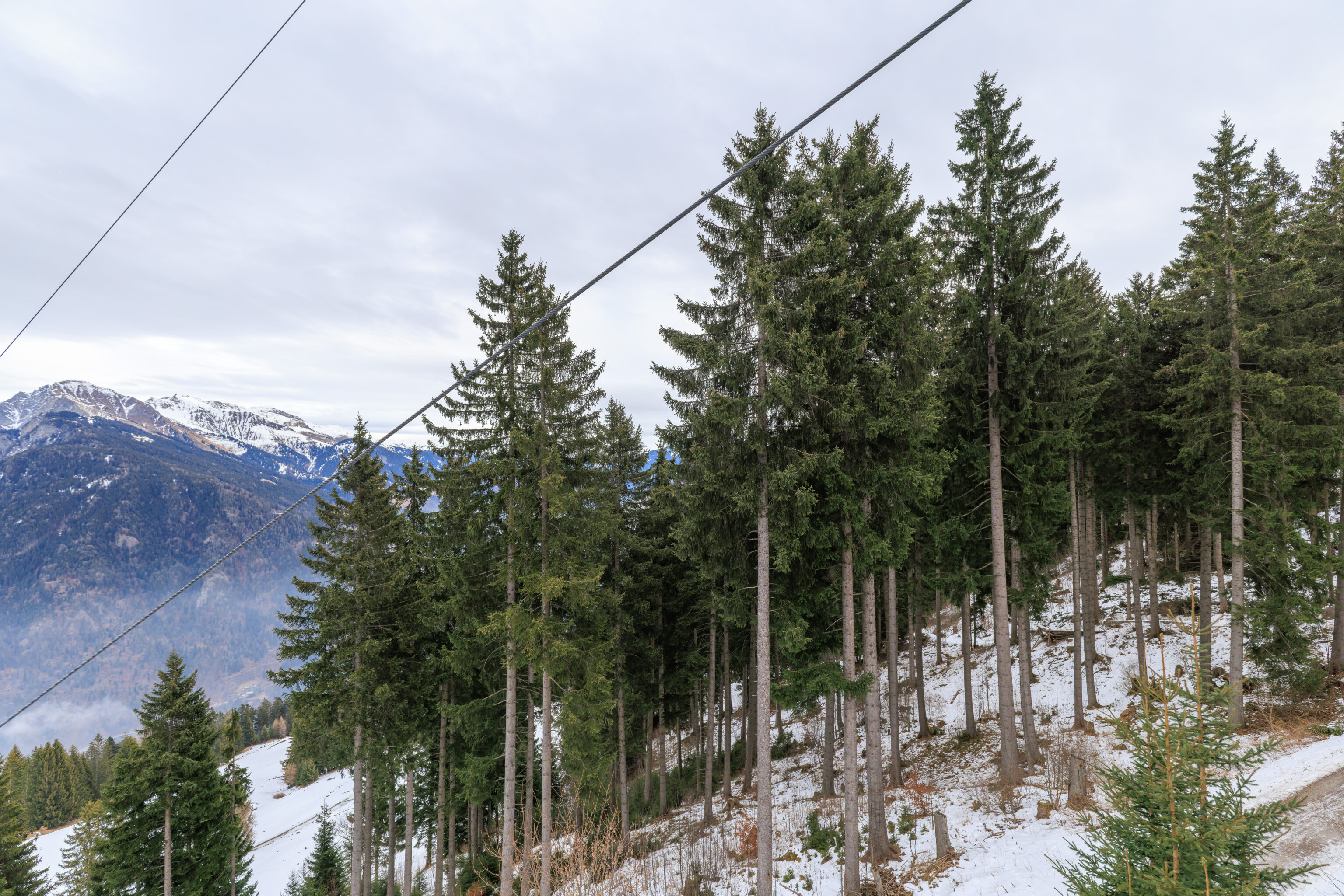
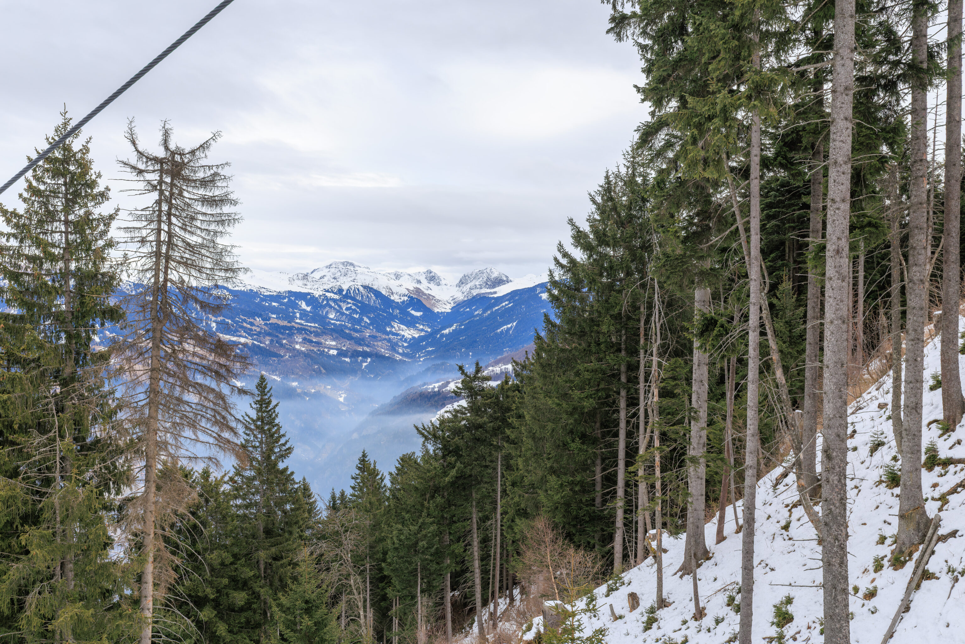
There was some snow on the ground as we rode the gondola further up the mountain. Although there was a light layer of clouds below us now, the clouds that we could see above us were much higher in elevation.
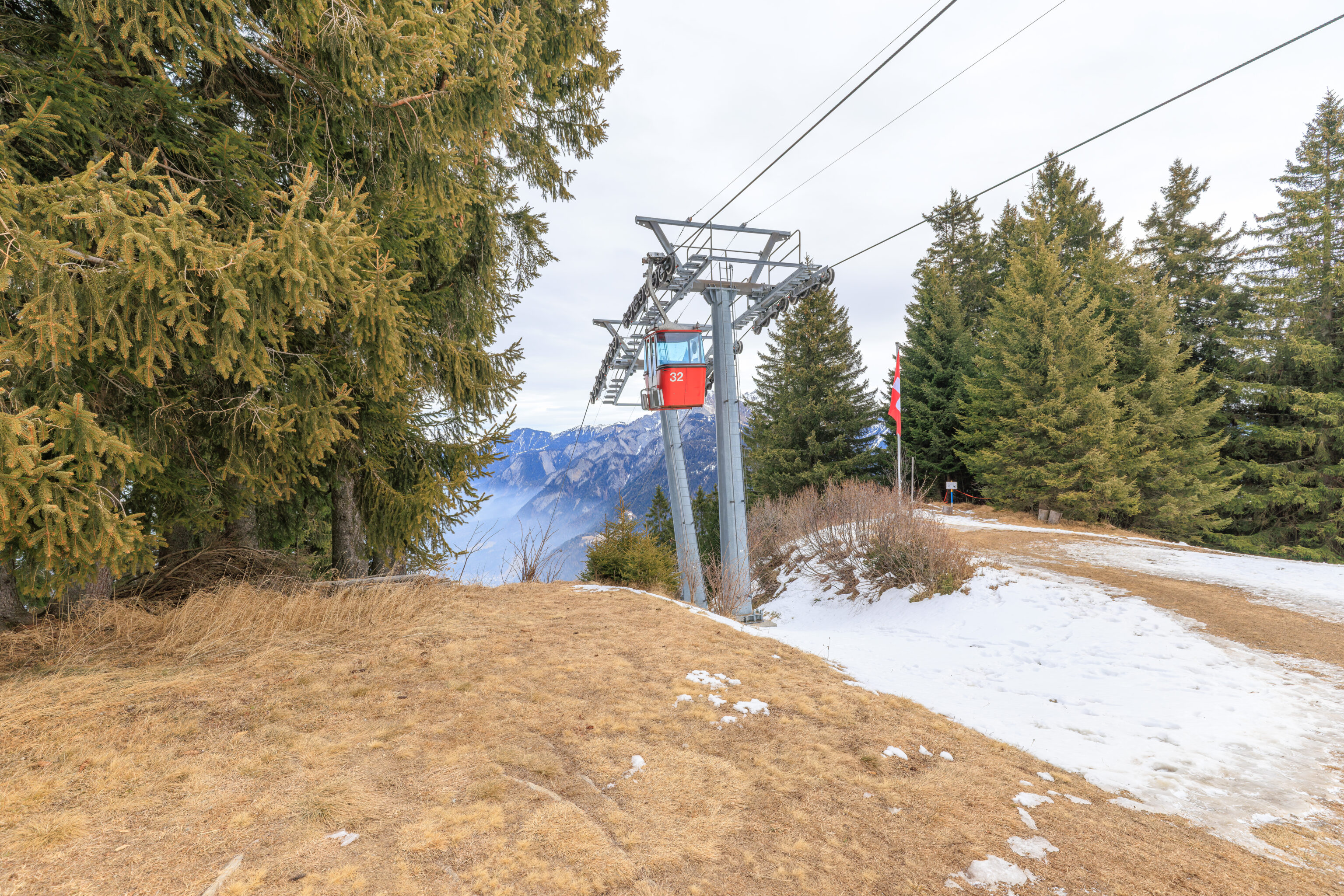
After arriving at Brambrüesch, we walked around the gondola station a bit, in particular, north below the gondola line.
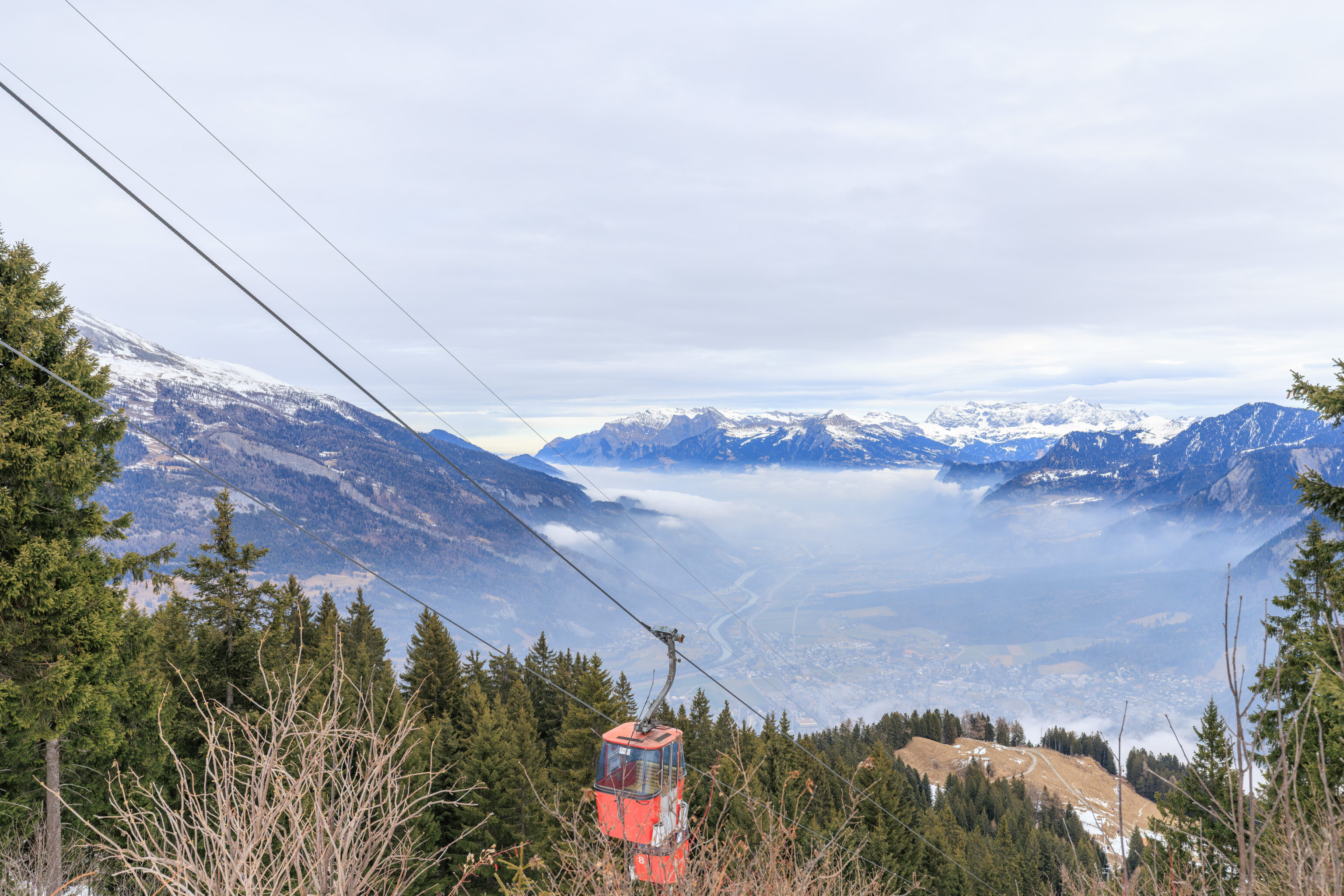
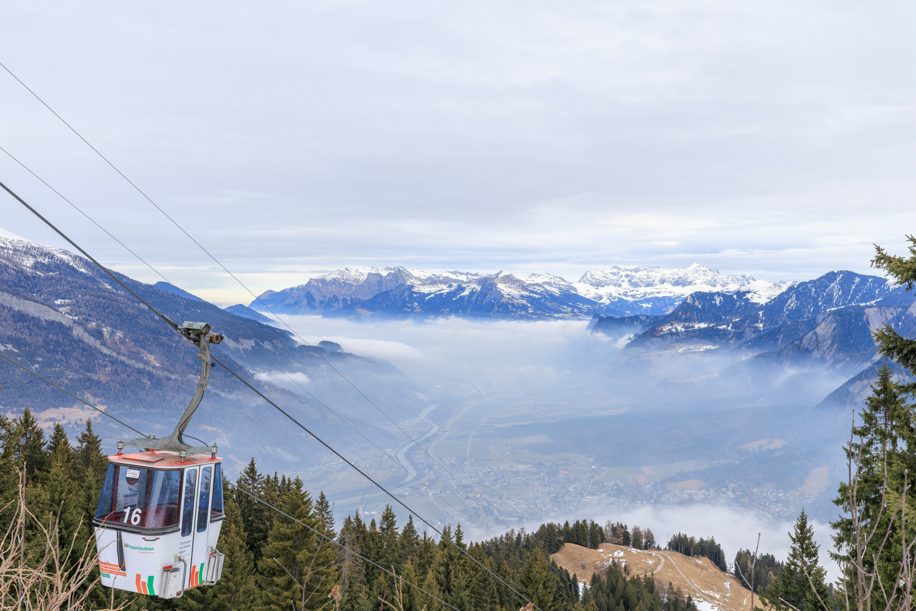
There was a nice little spot here where we had a view to the north with Chur visible through the clouds below us.
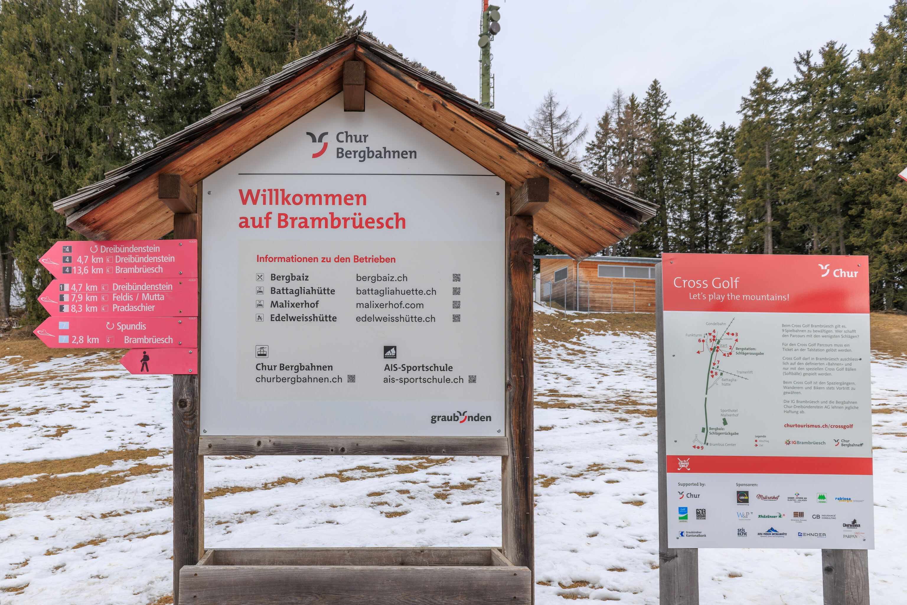
Welcome to Brambrüesch!
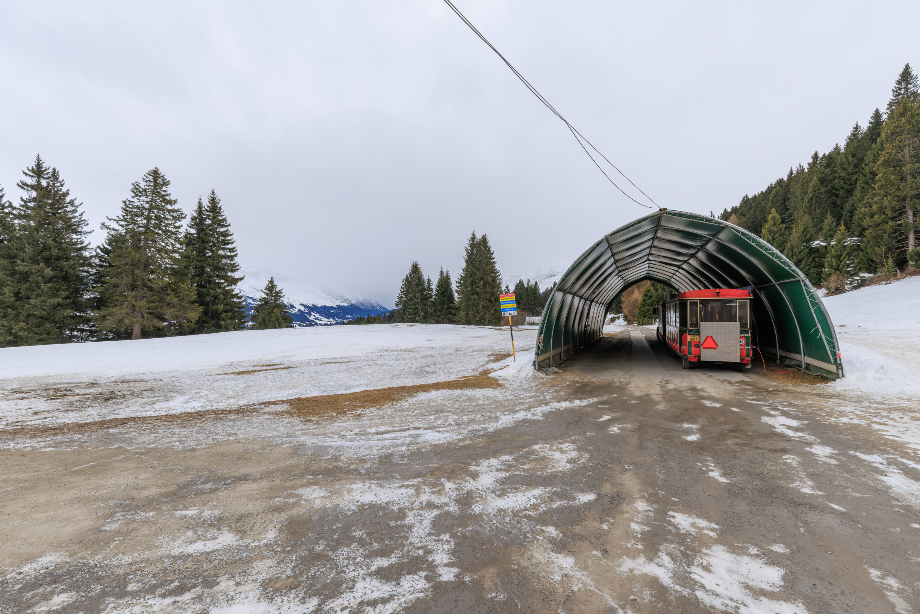
We started to walk to the south.
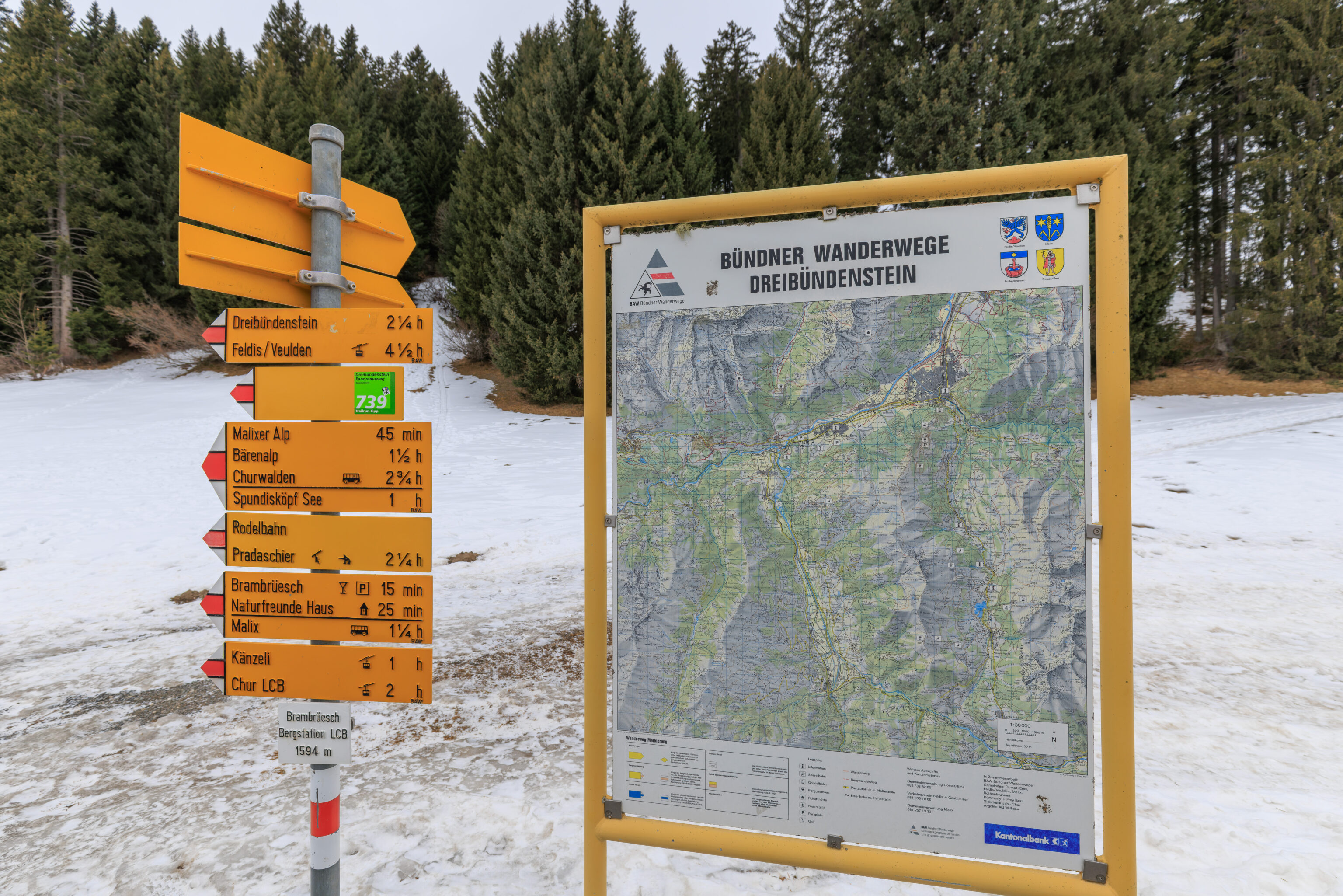
We found a map of the area around Chur along with the usual Swiss signpost indicating the various destinations in the area. We didn’t come here with any particular destination in mind, we mainly just wanted to go walk in the mountains a bit!
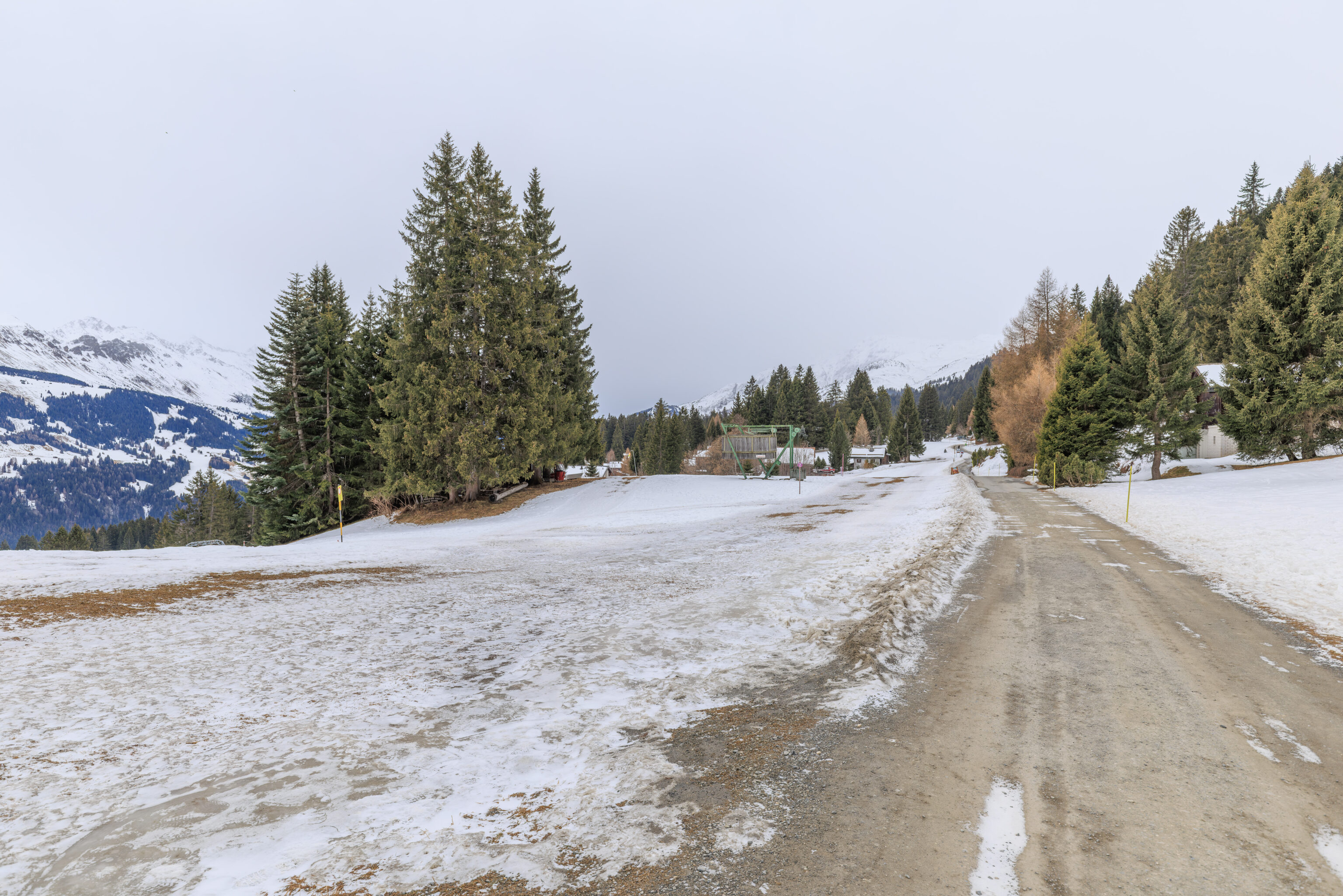
Although there was some snow on the ground, the path, which is probably actually a road, was mostly clear of snow.
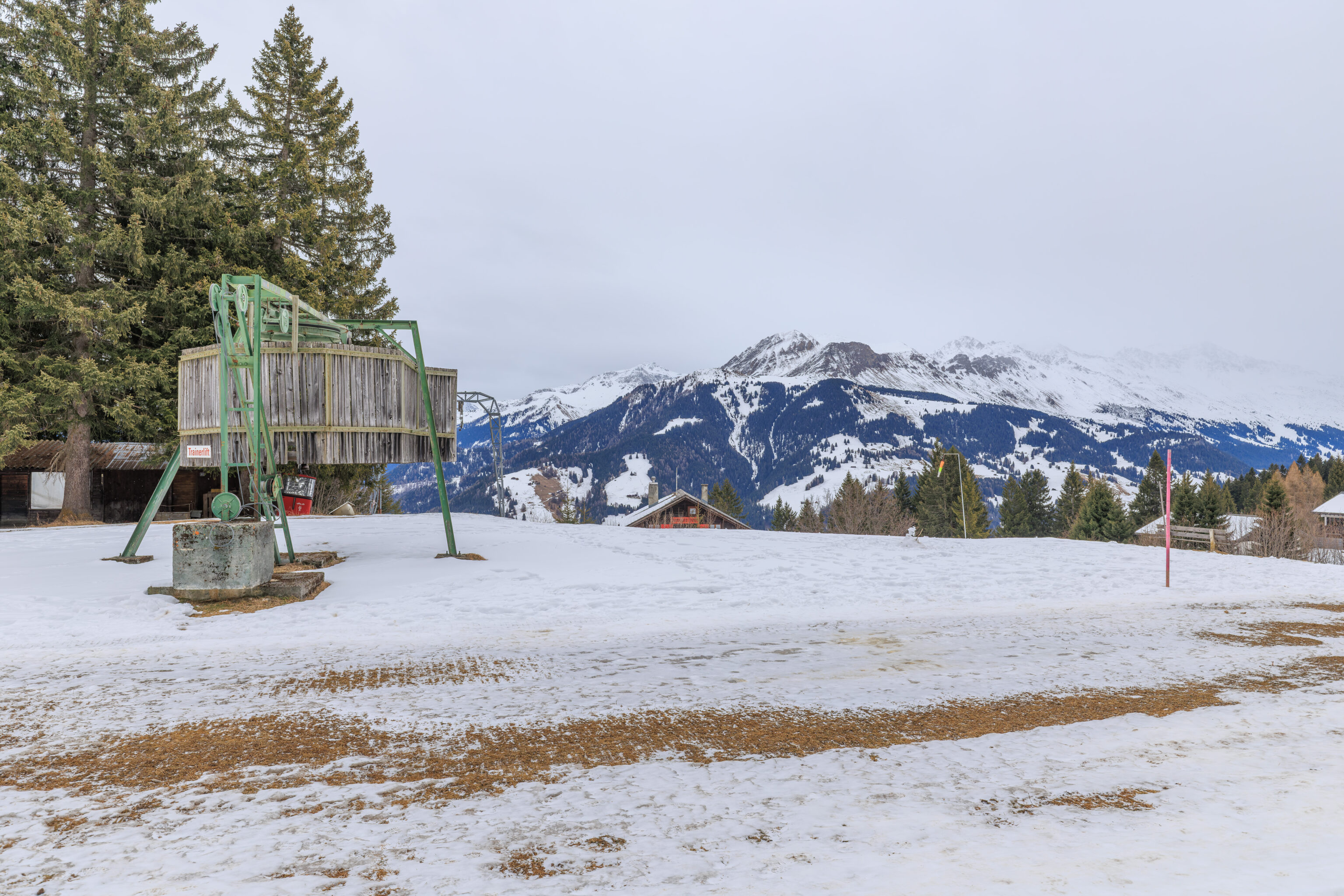
We walked past an idle surface lift. It is supposed to be ski season right now but no ones going to be doing any skiing here right now. This is, unfortunately, becoming a trend in the Alps with increased temperatures and less snow in the winter.
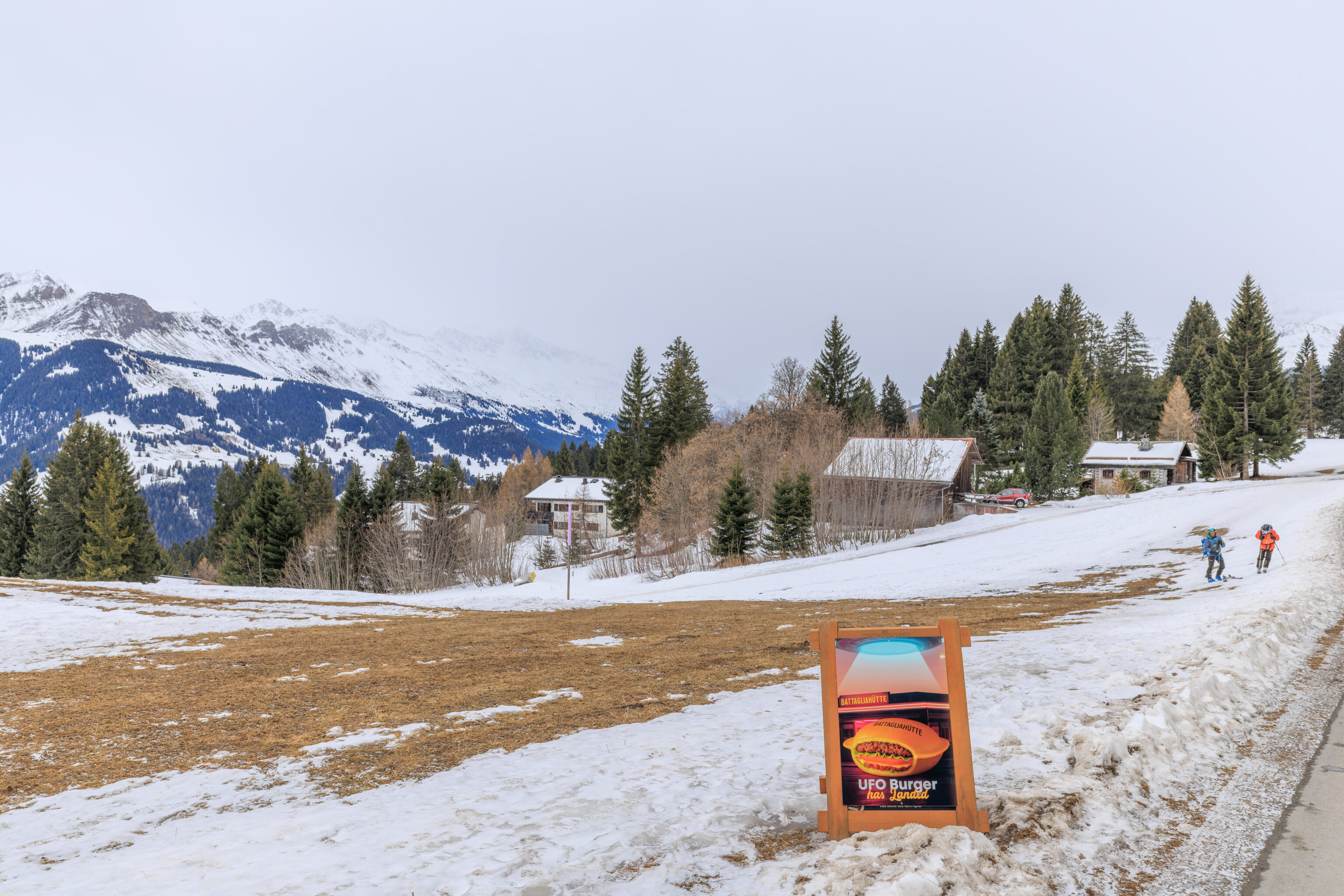
We noticed this sign for a UFO Burger at the Battagliahütte. It looked pretty good from the picture!
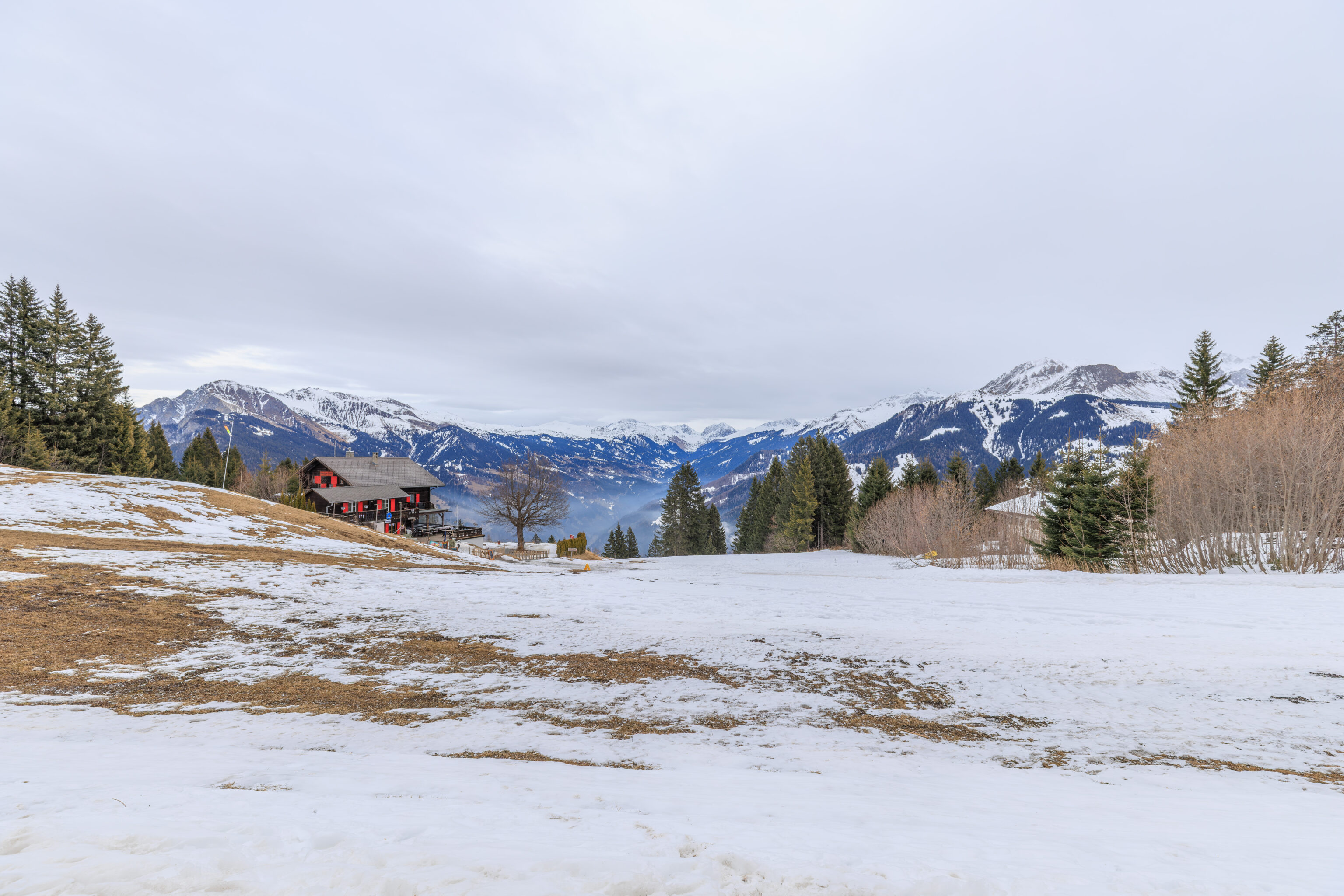
This seems to be the Battagliahütte. We weren’t sure if it was actually open, although if the sign was out here, maybe it was? Or is the sign just here all the time?
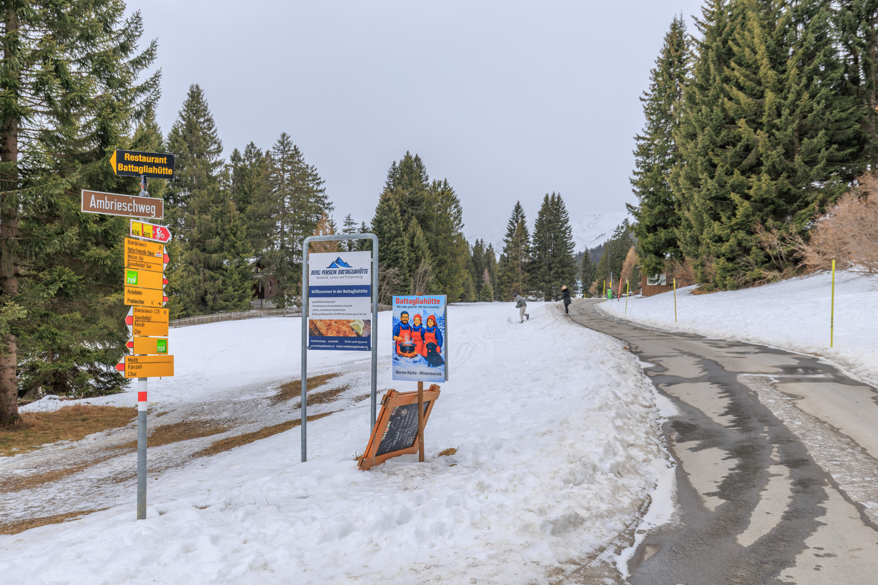
More Battagliahütte signs!
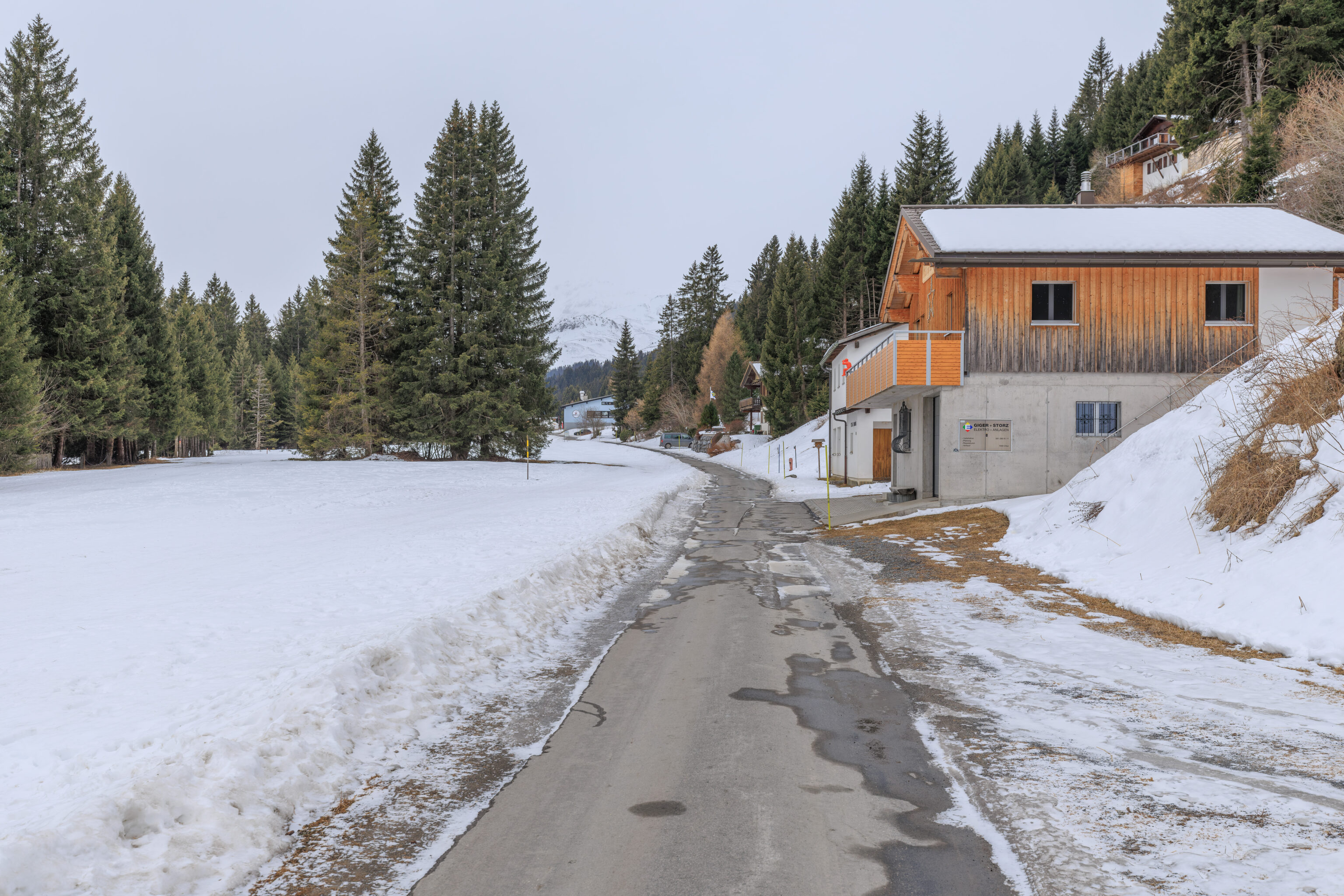
As we continued walking, there was a building on the right.
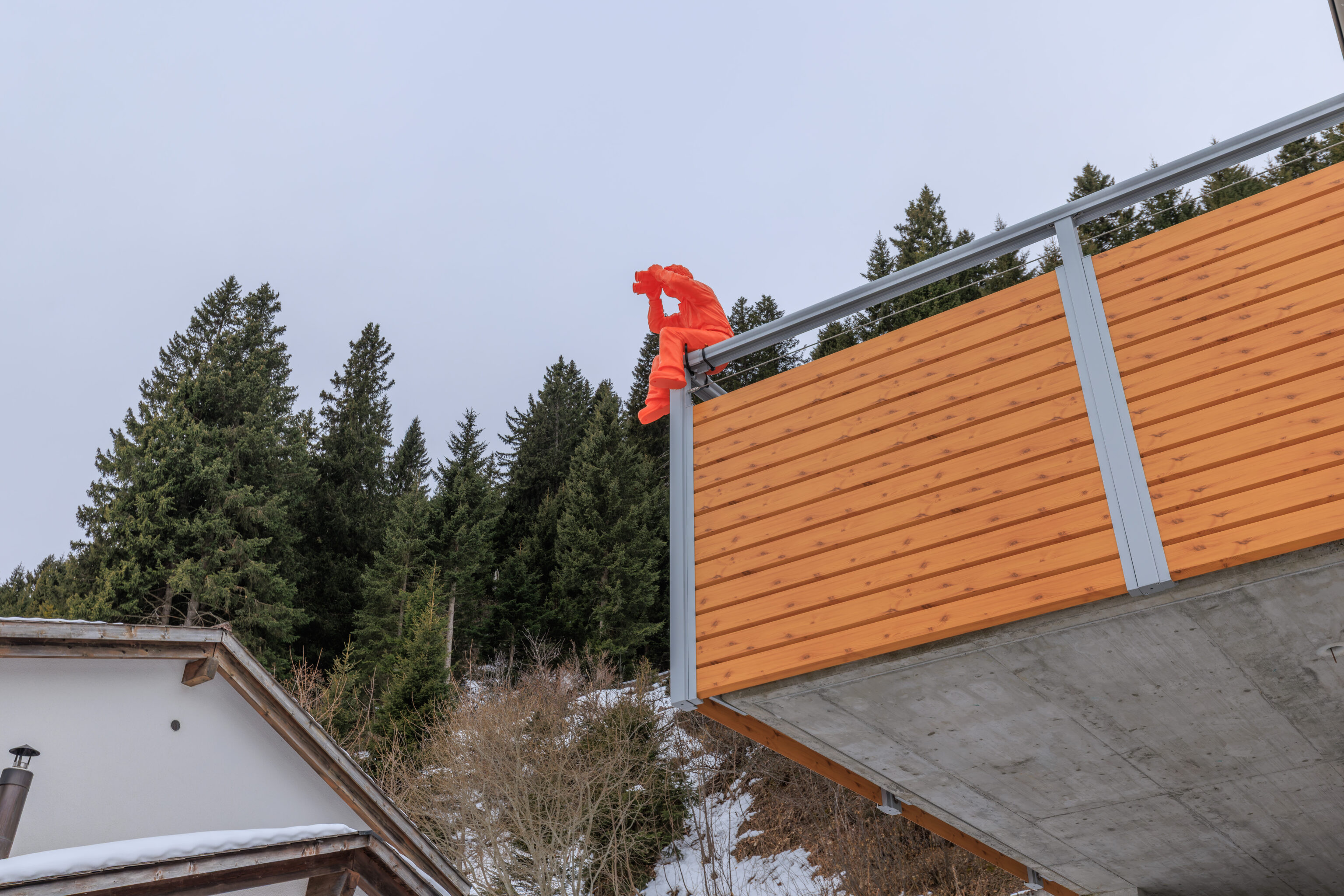
And, we saw someone with binoculars!
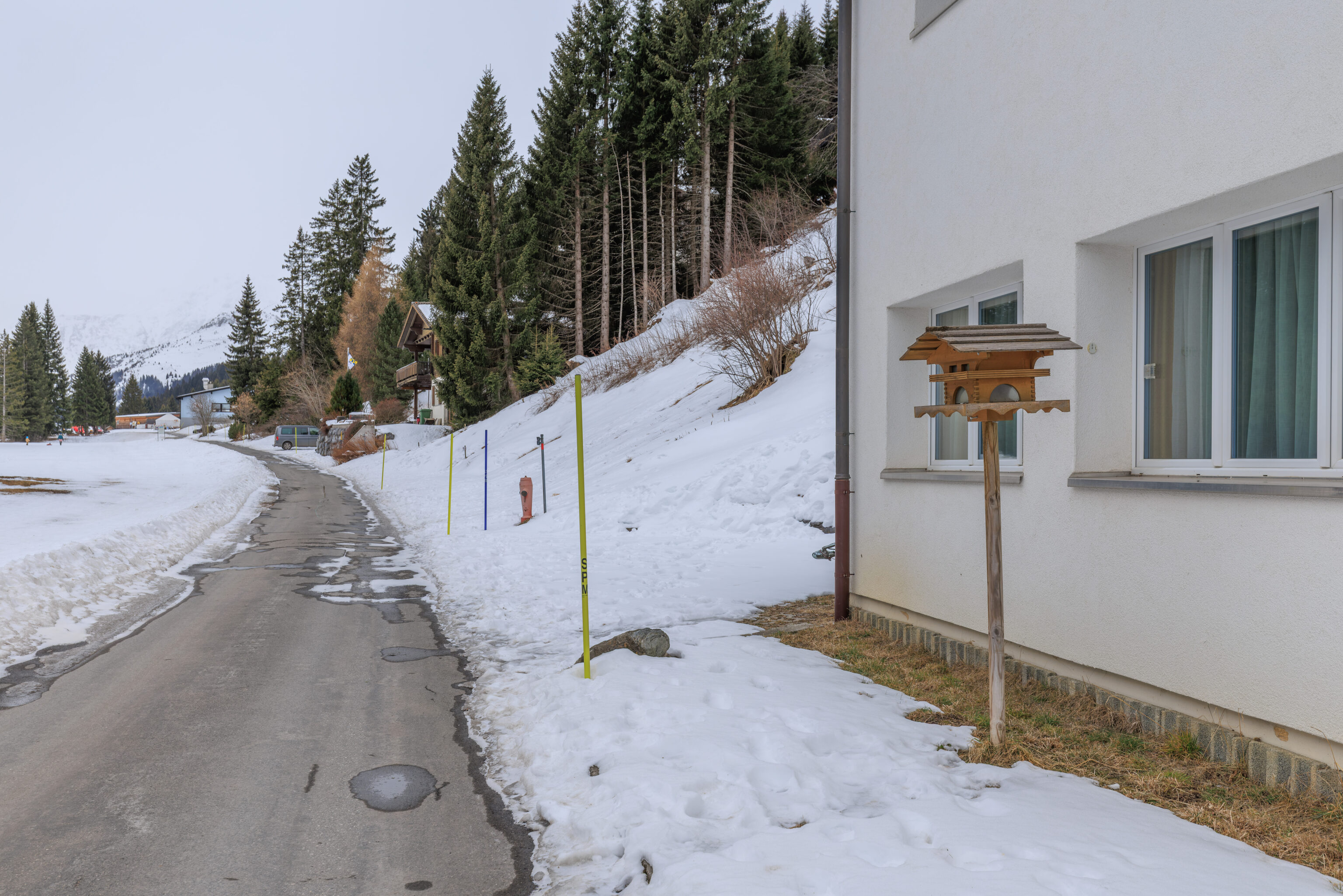
There was also a very Swiss looking bird house.
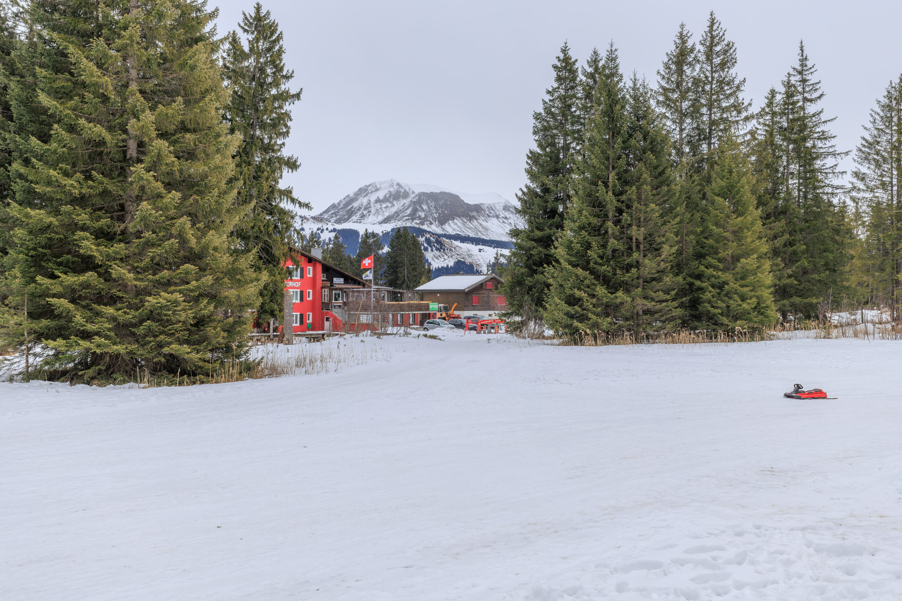
Over on the left, we saw a hotel and restaurant.
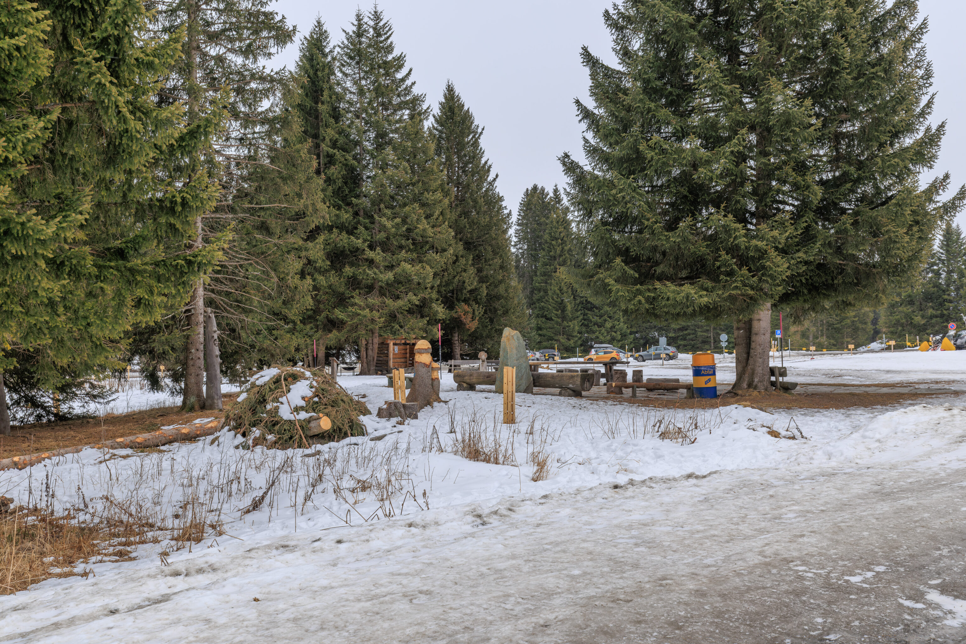
We walked by a little park area with some benches and… trees that are being carved?
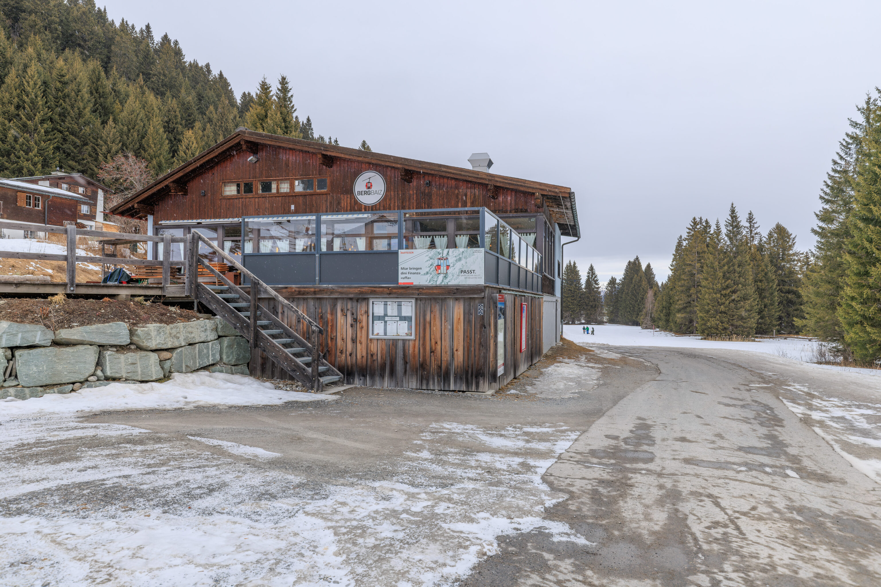
We walked past a large restaurant, the Bergbaiz.
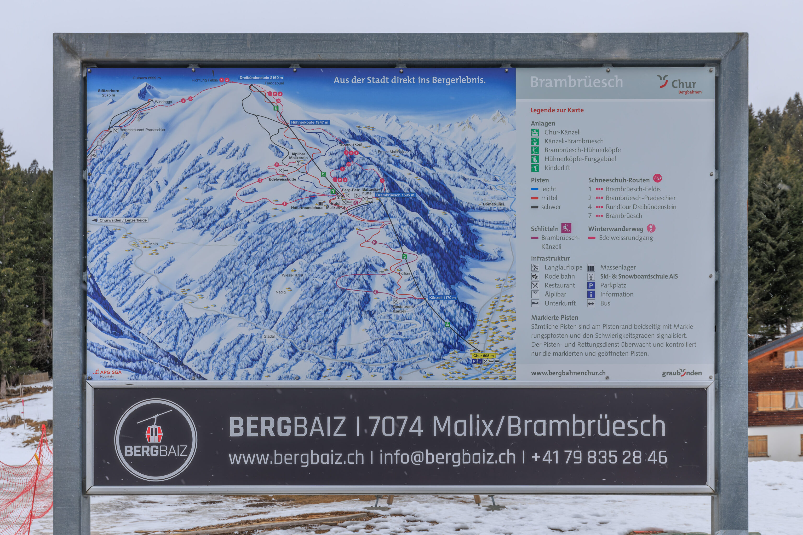
It, along with the Battagliahütte, are marked on this map of the ski area here. The Bergbaiz is actually right by a surface lift that goes further up the mountain. Good location. Too bad there isn’t more snow!
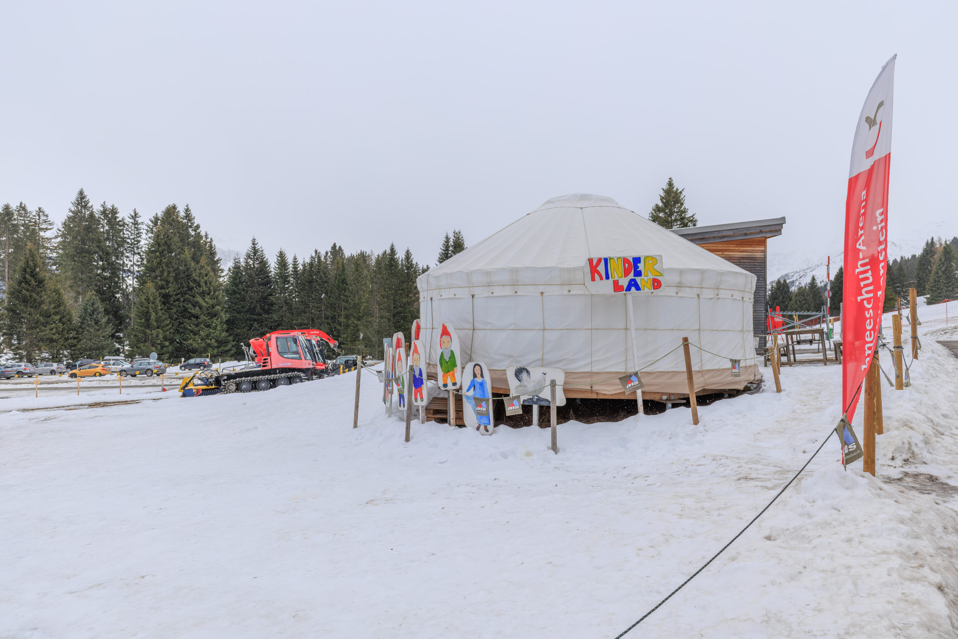
We saw a little yurt for children, the Kinderland.
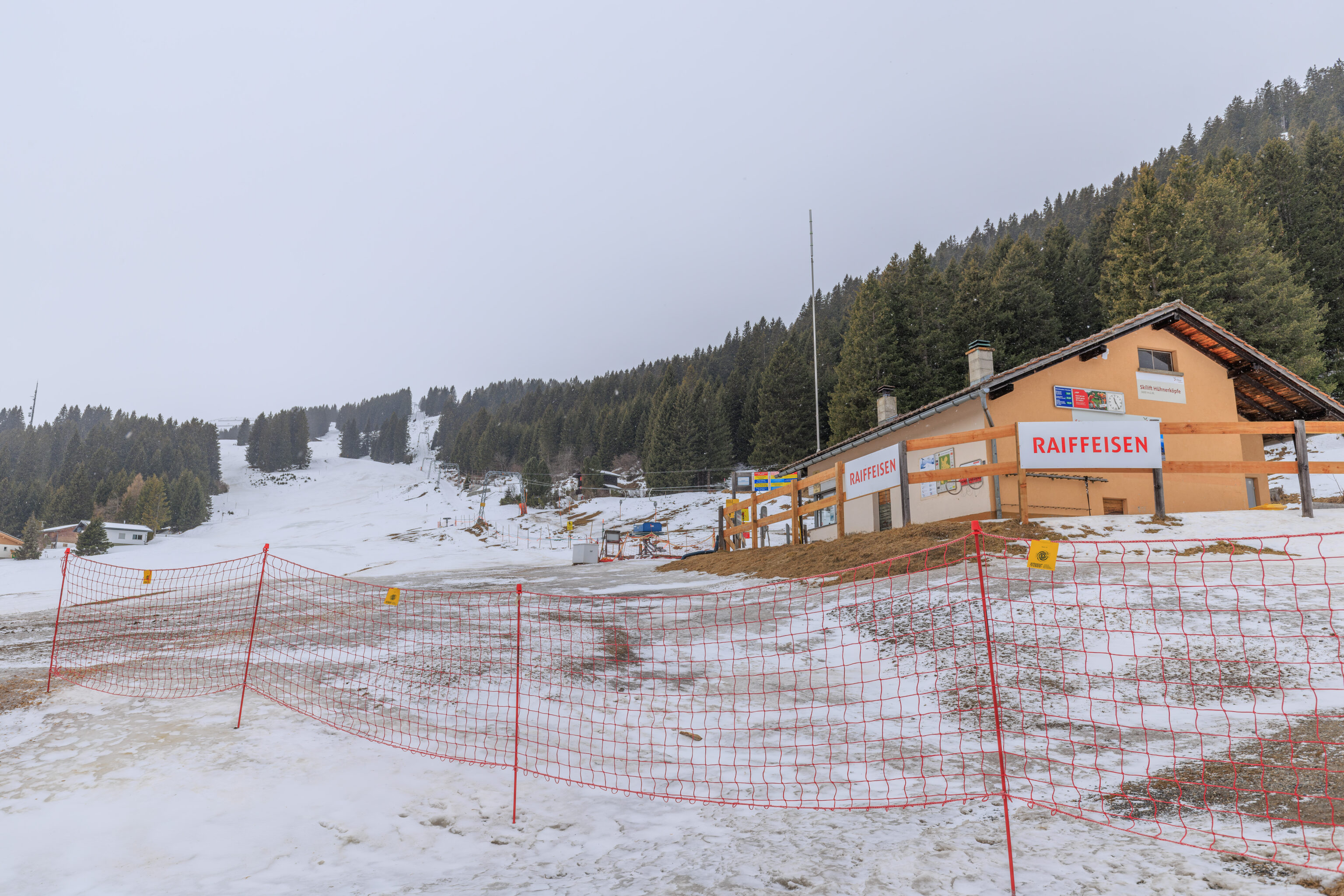
We continued past the surface lift. While there does look like there’s more snow uphill, it certainly doesn’t look very good.
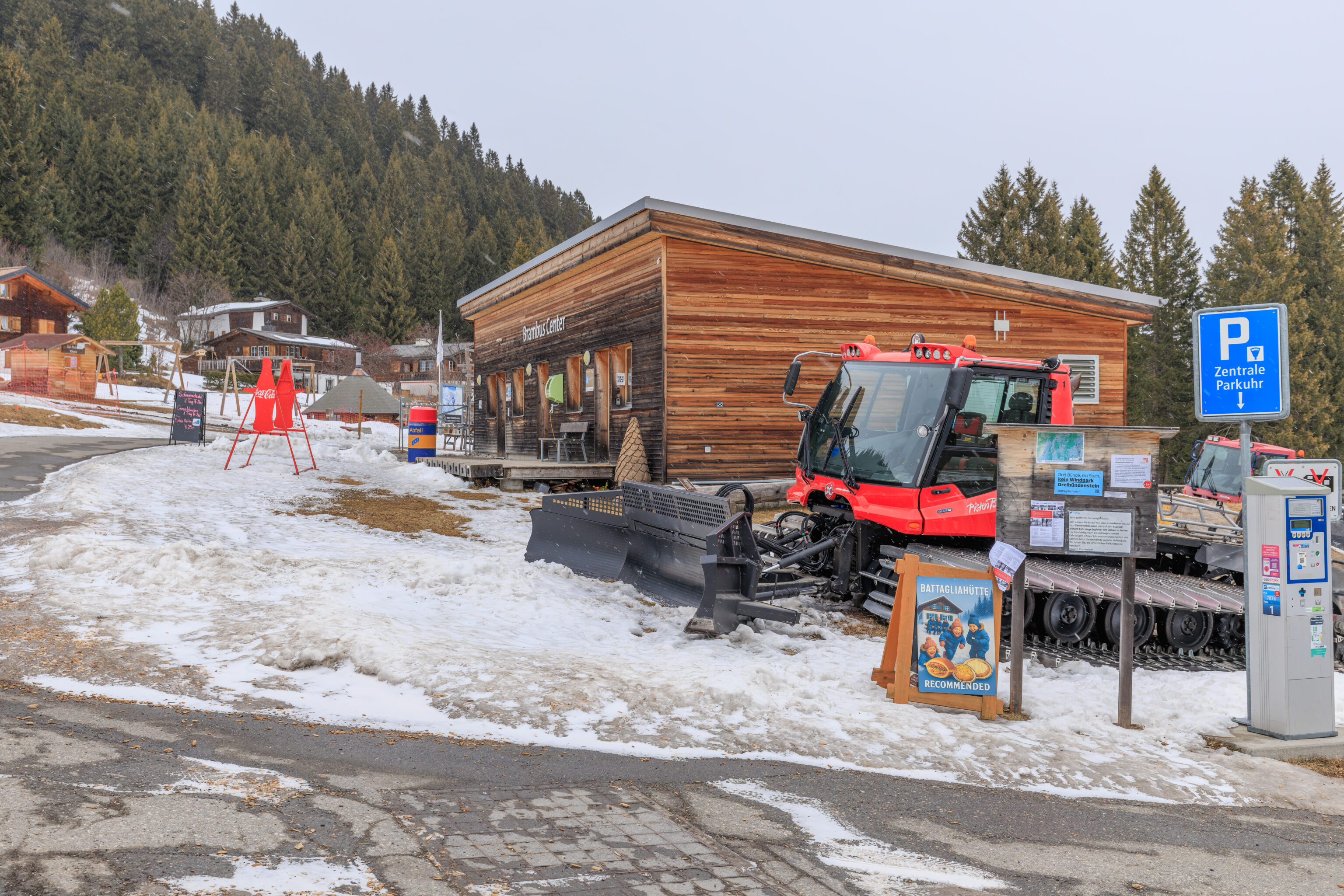
We walked past some parked grooming equipment as well as another Battagliahütte sign!
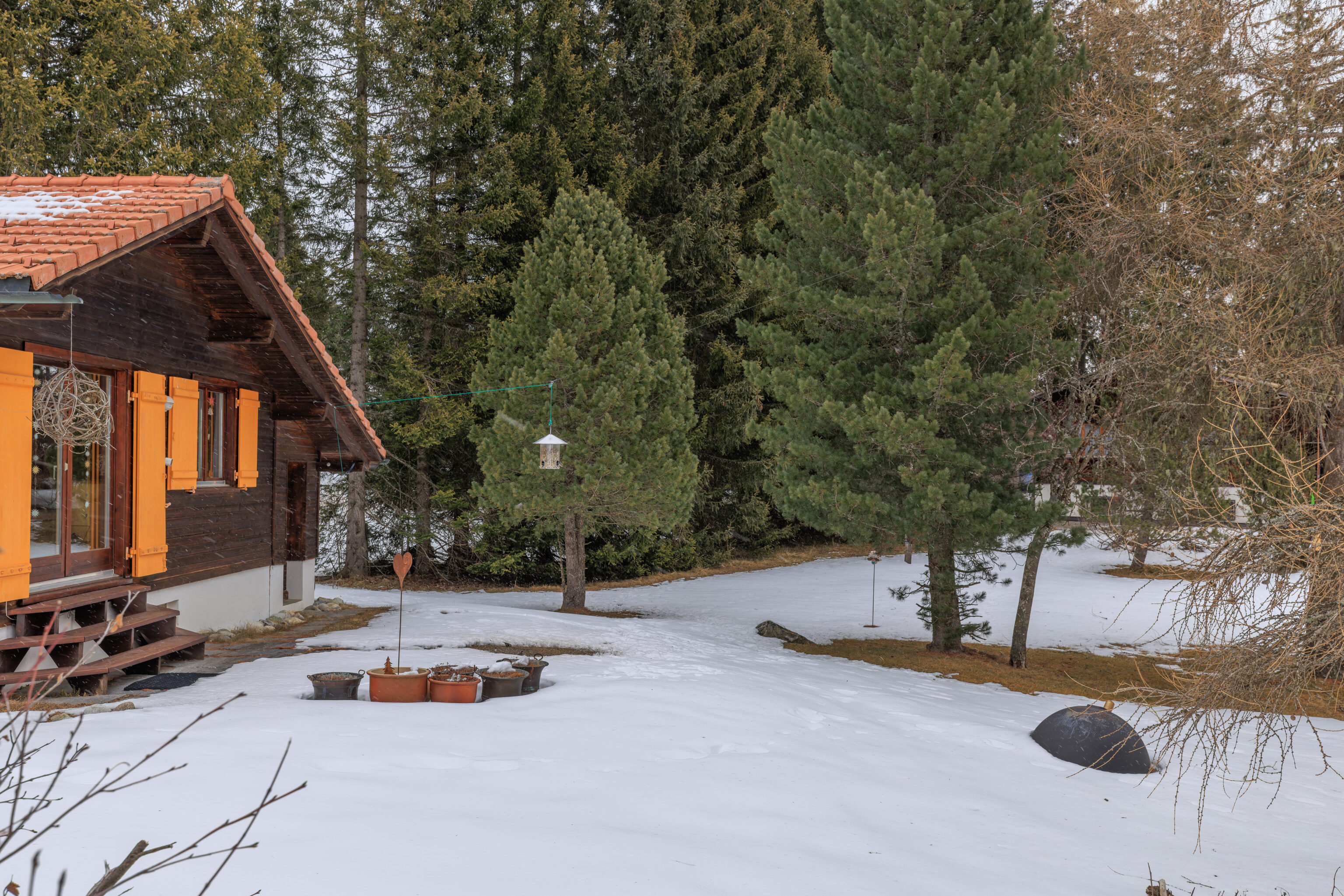
We noticed a bird feeder to our left. And, birds!
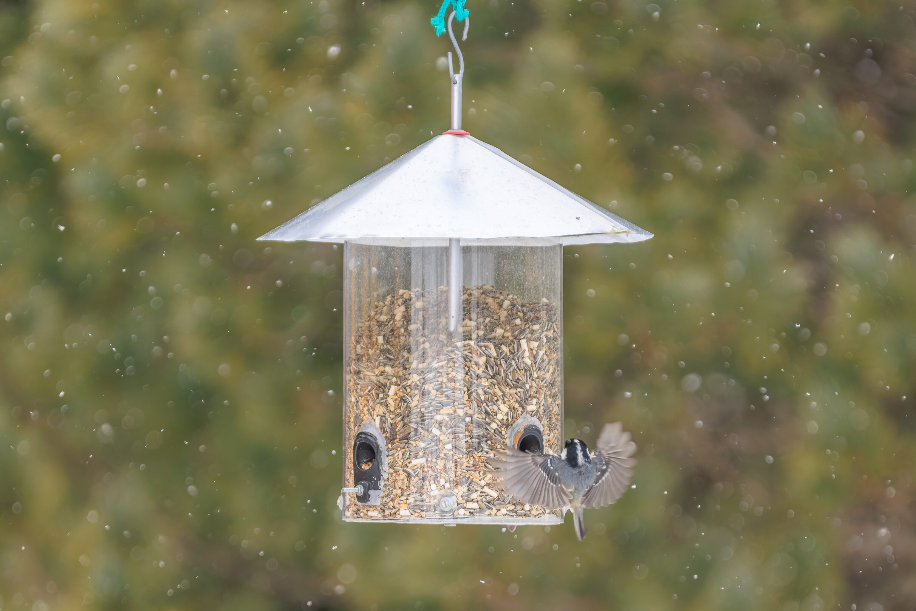
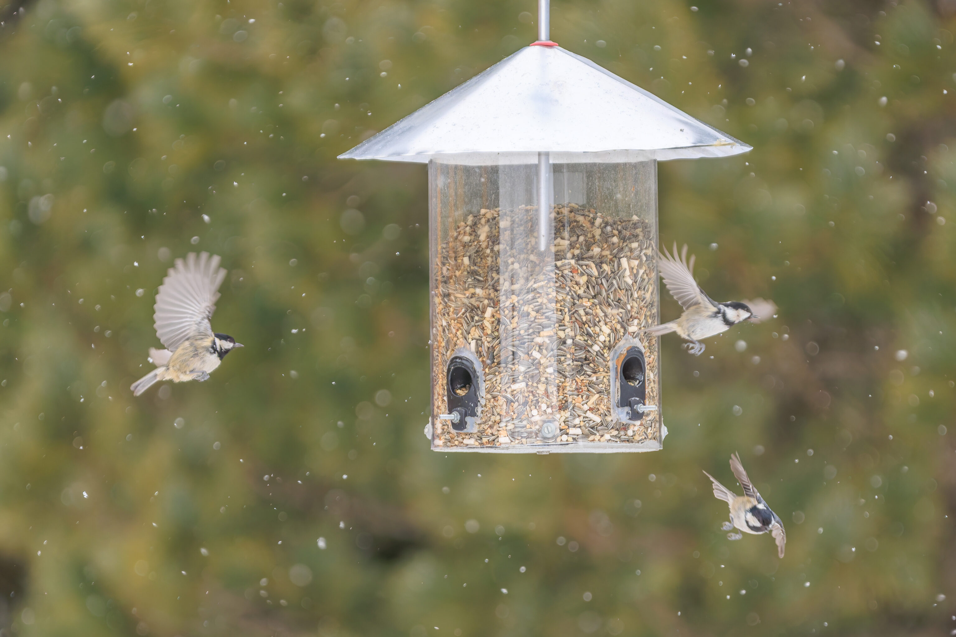
These are clearly chickadees of some sort. Or tits as they’re called in places that aren’t the US.
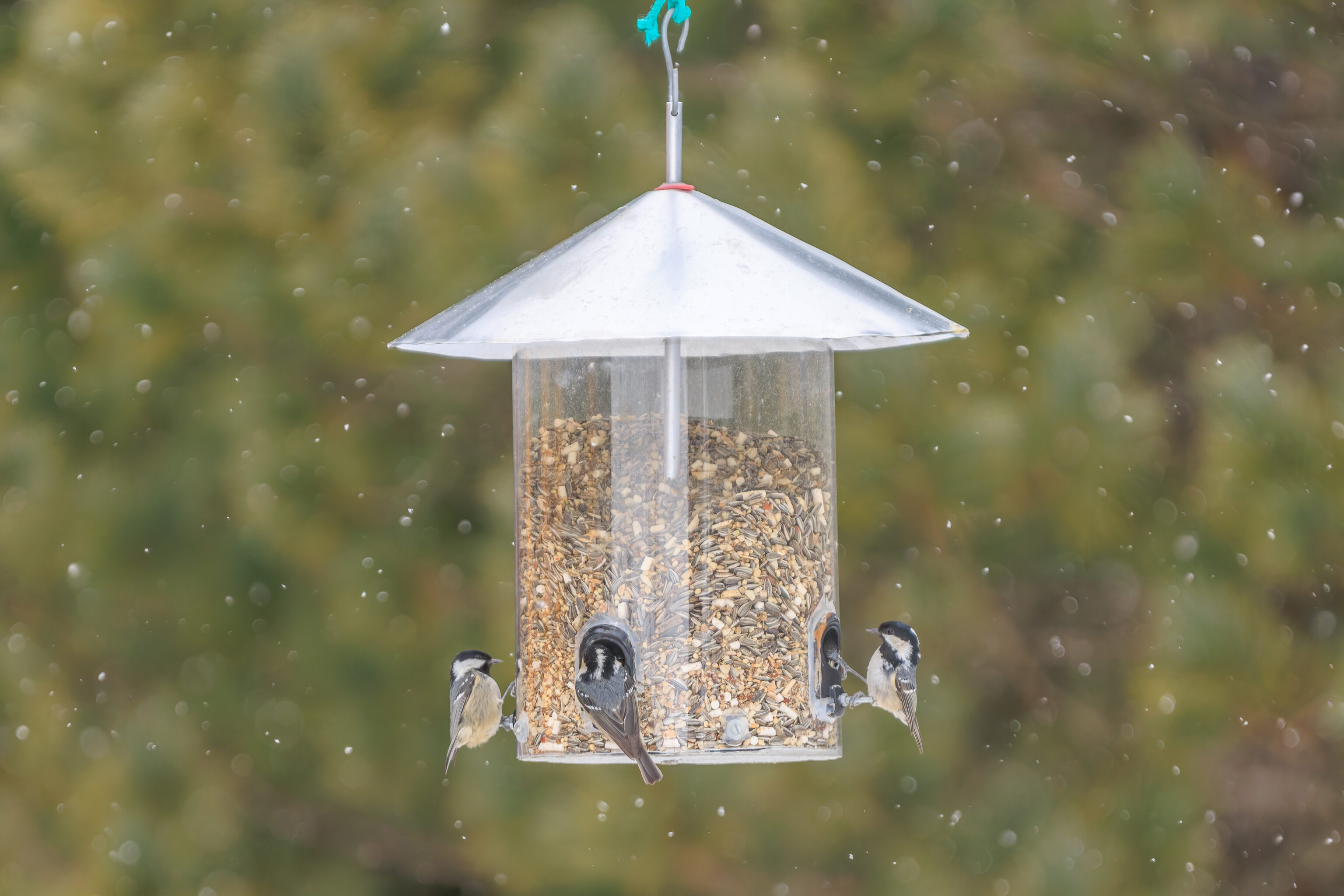
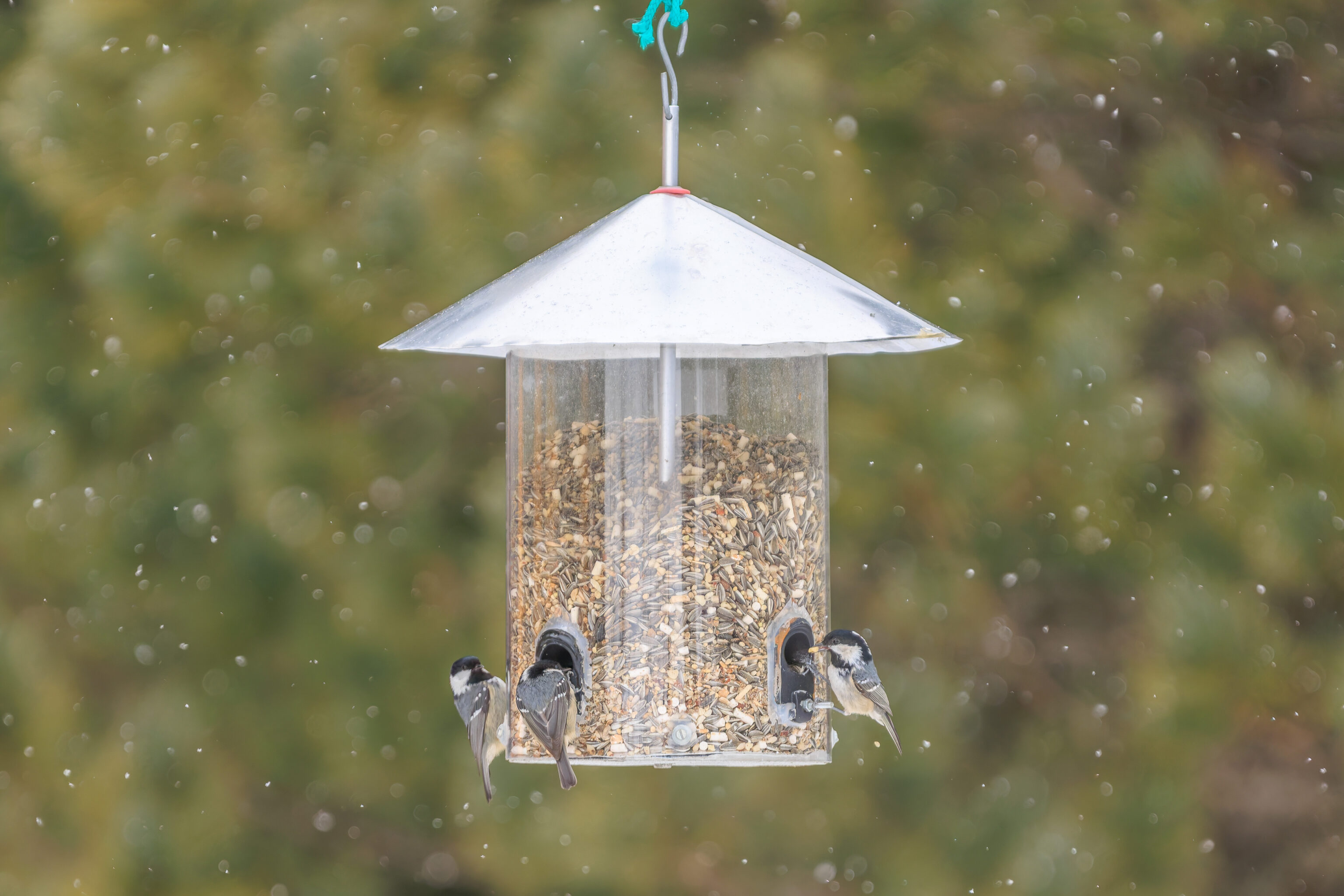
Given their black and white heads along with white stripe, they seem to be Coal Tits.
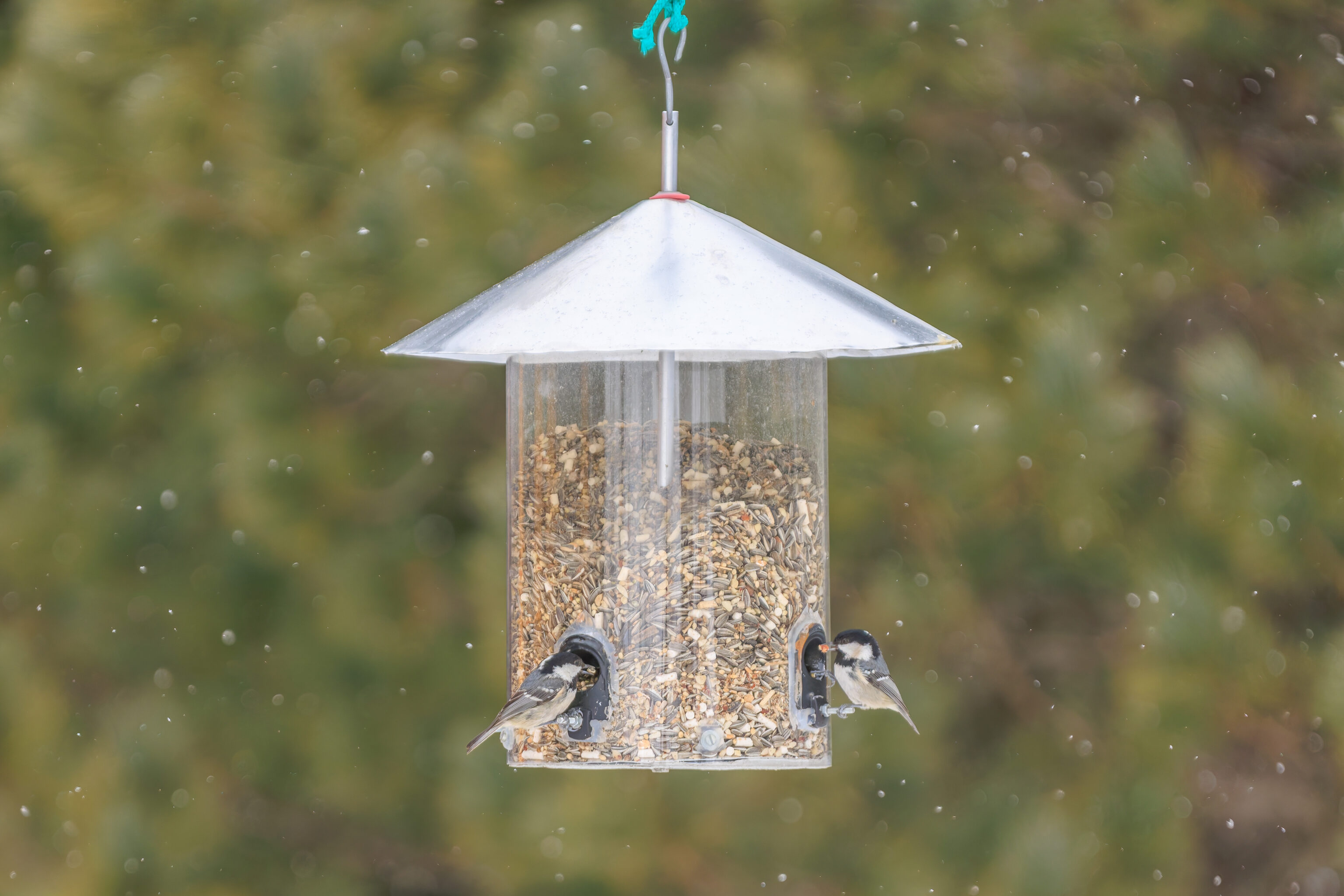
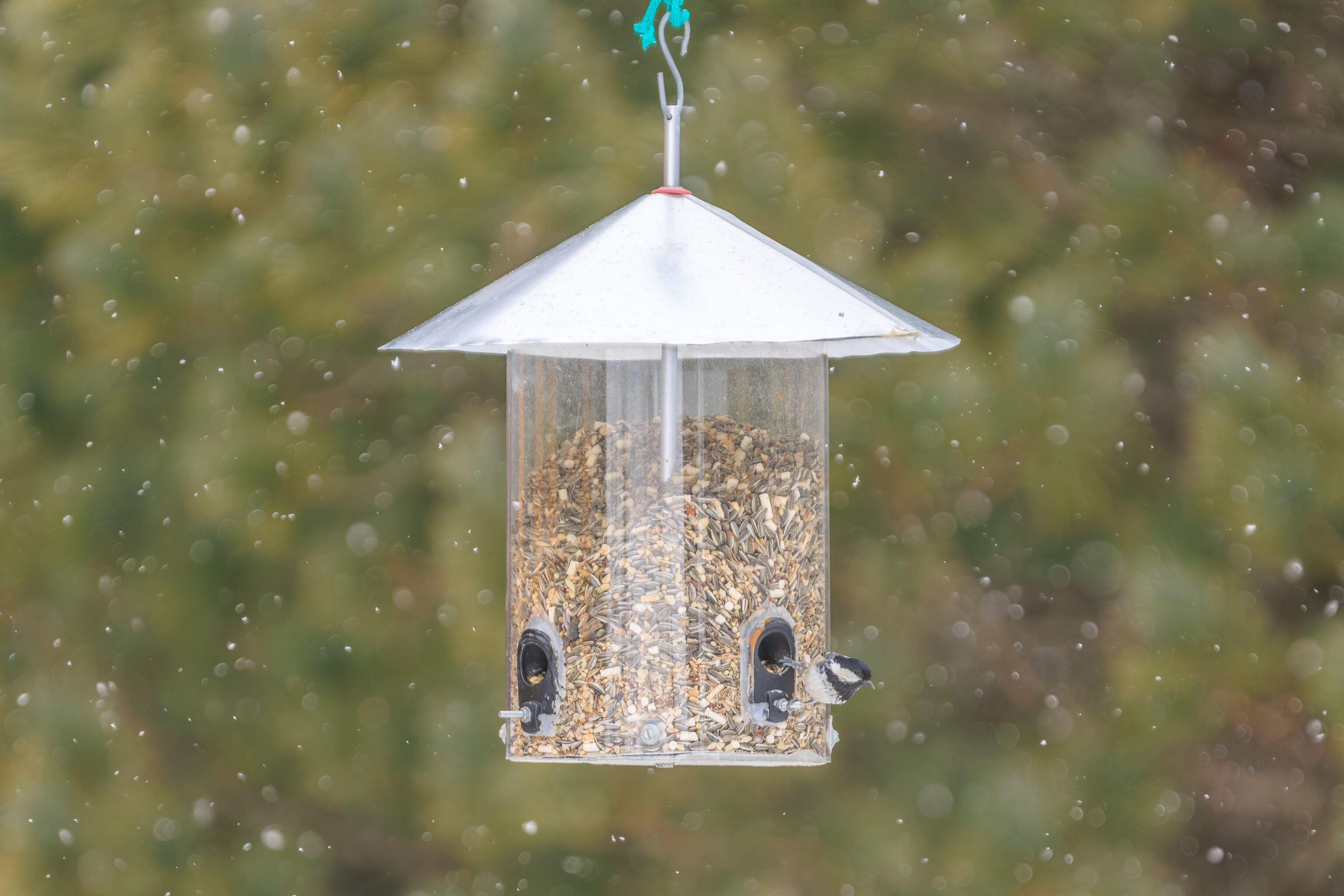
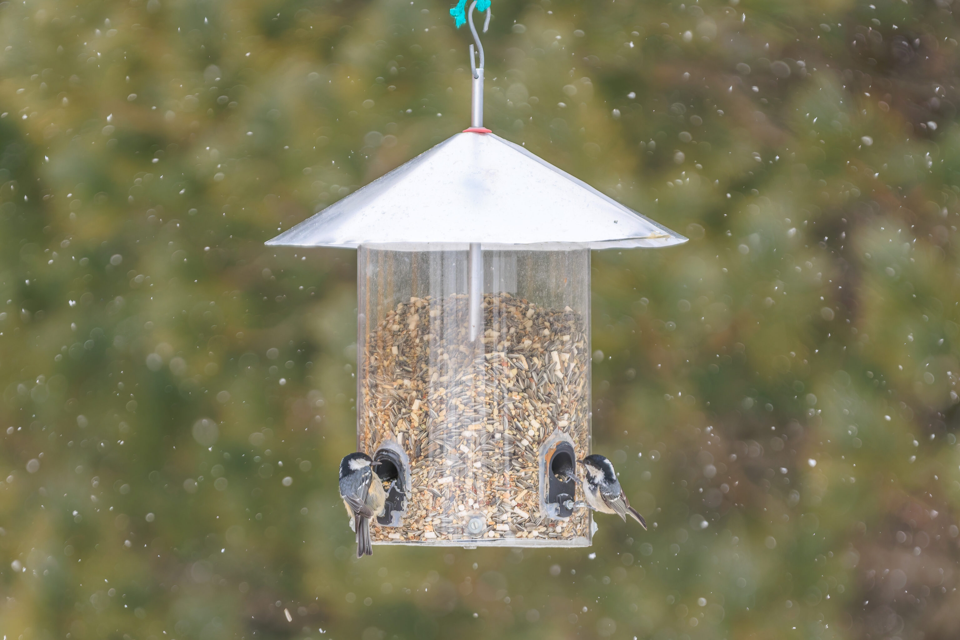
So, it started to snow while we were watching them. It was just a little bit at first but it quickly started to snow harder.
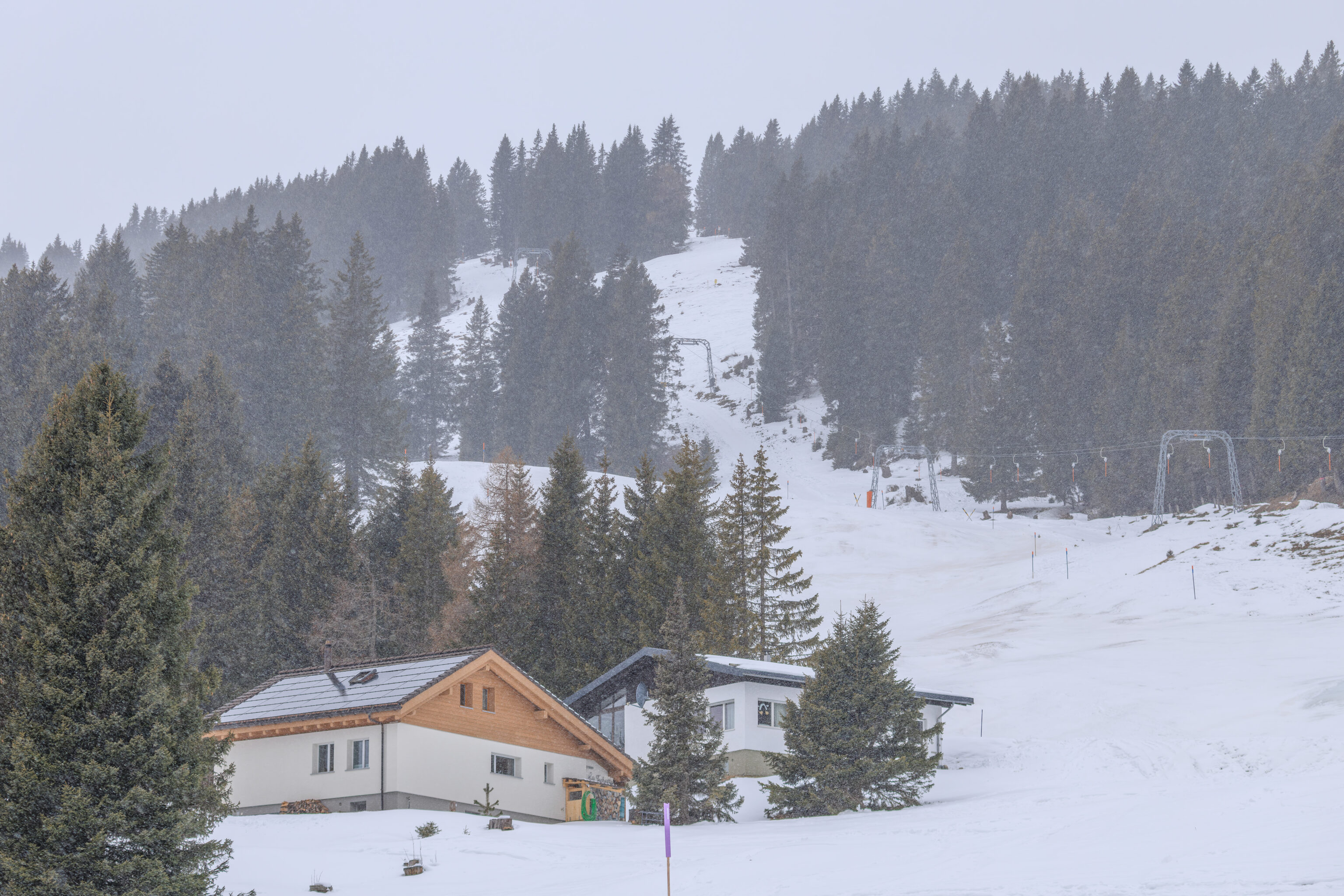
A very different scene compared to just a few minutes ago!
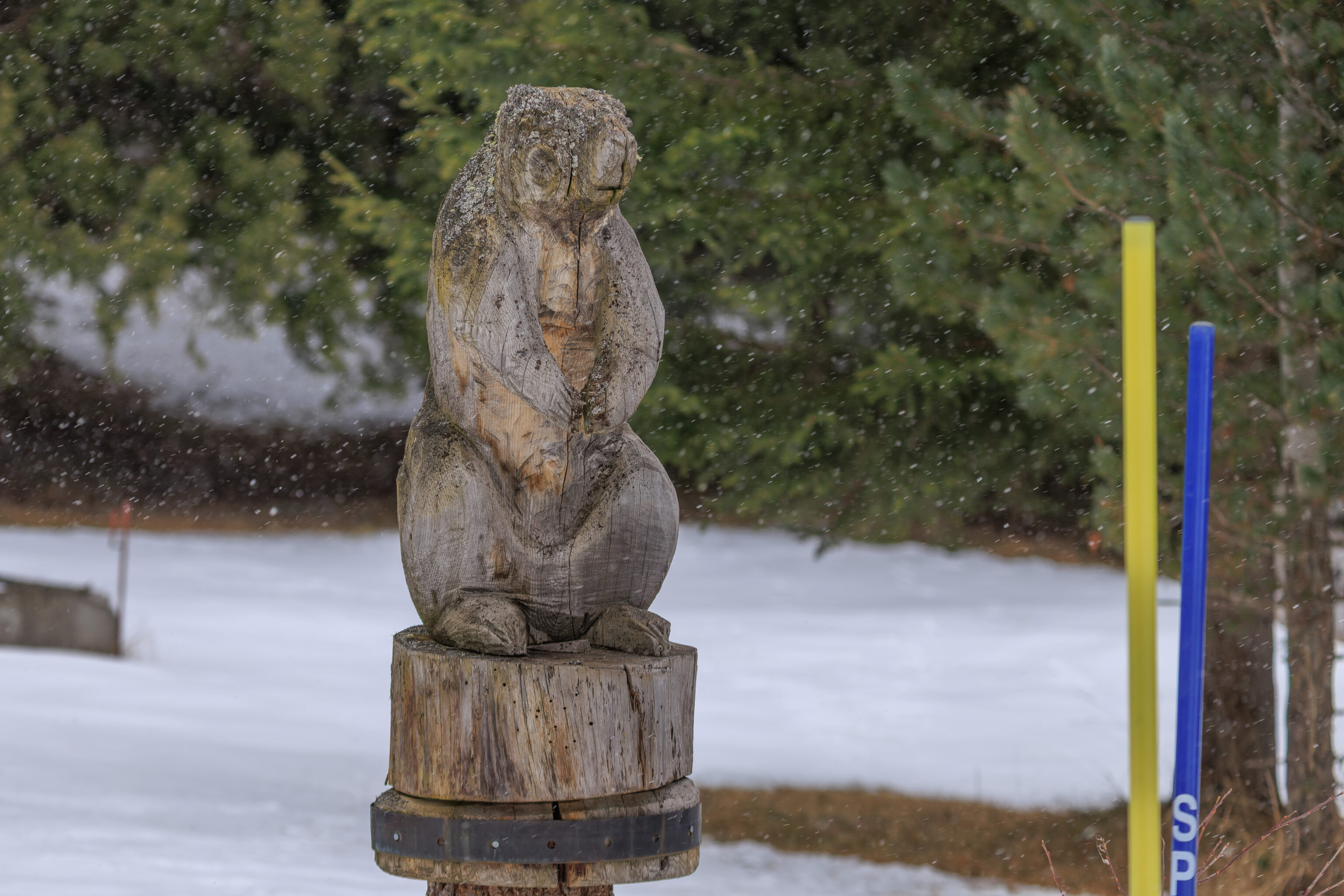
We walked by a wood carved marmot.
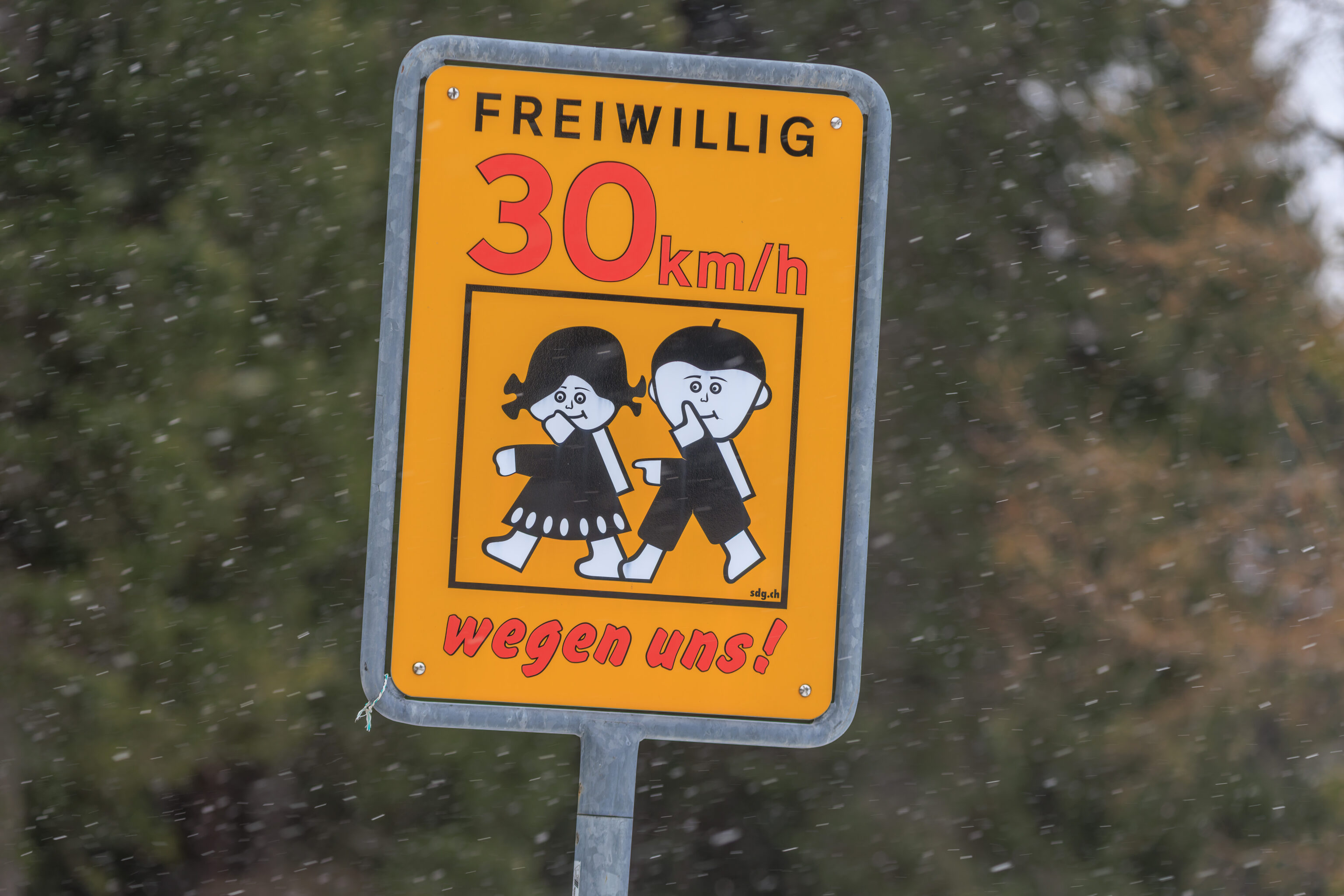
This is apparently a voluntary speed limit! What is the actual legal speed limit here?
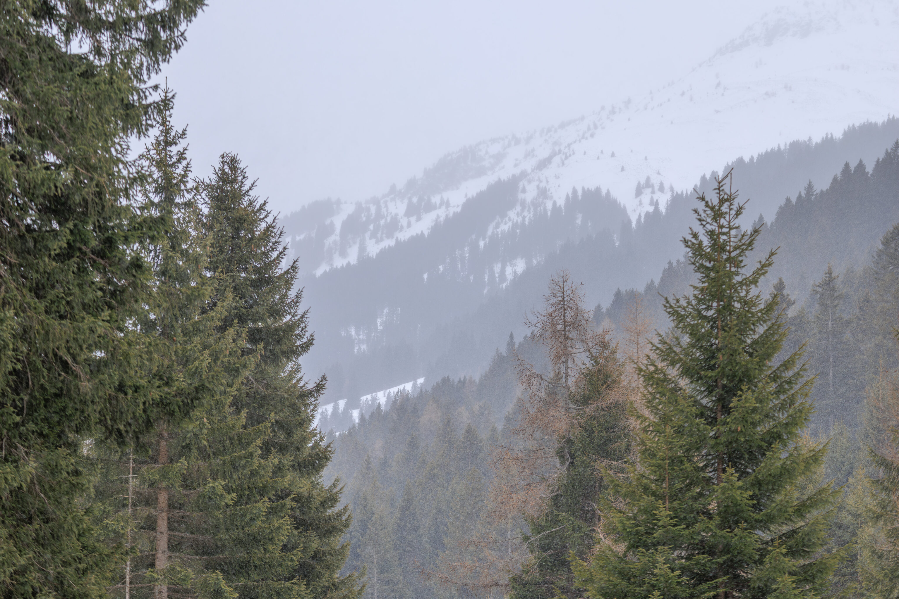
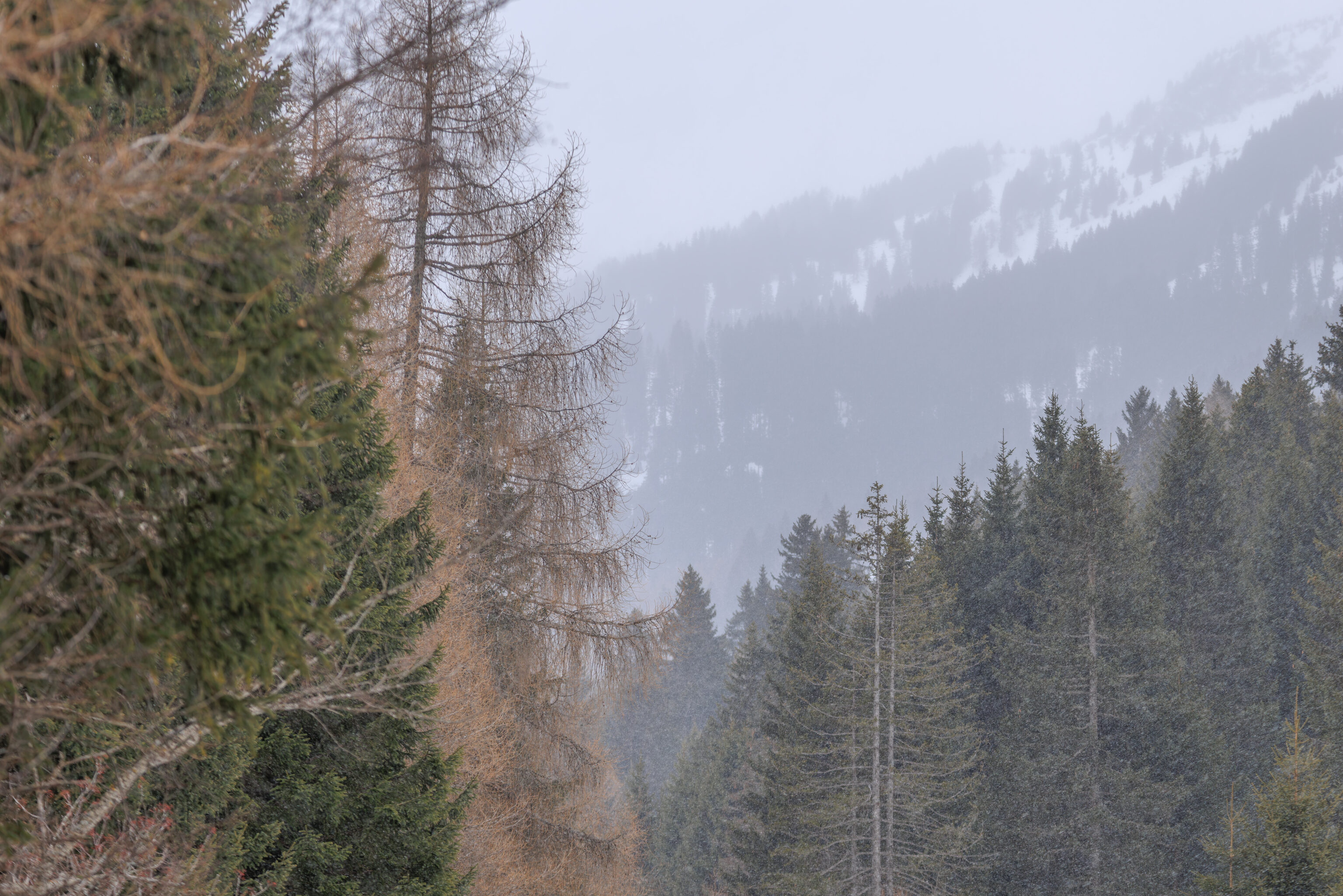
We just walked a little bit further before turning around. The road was continuously going downhill and it didn’t really seem like it would go anywhere interesting anytime soon.
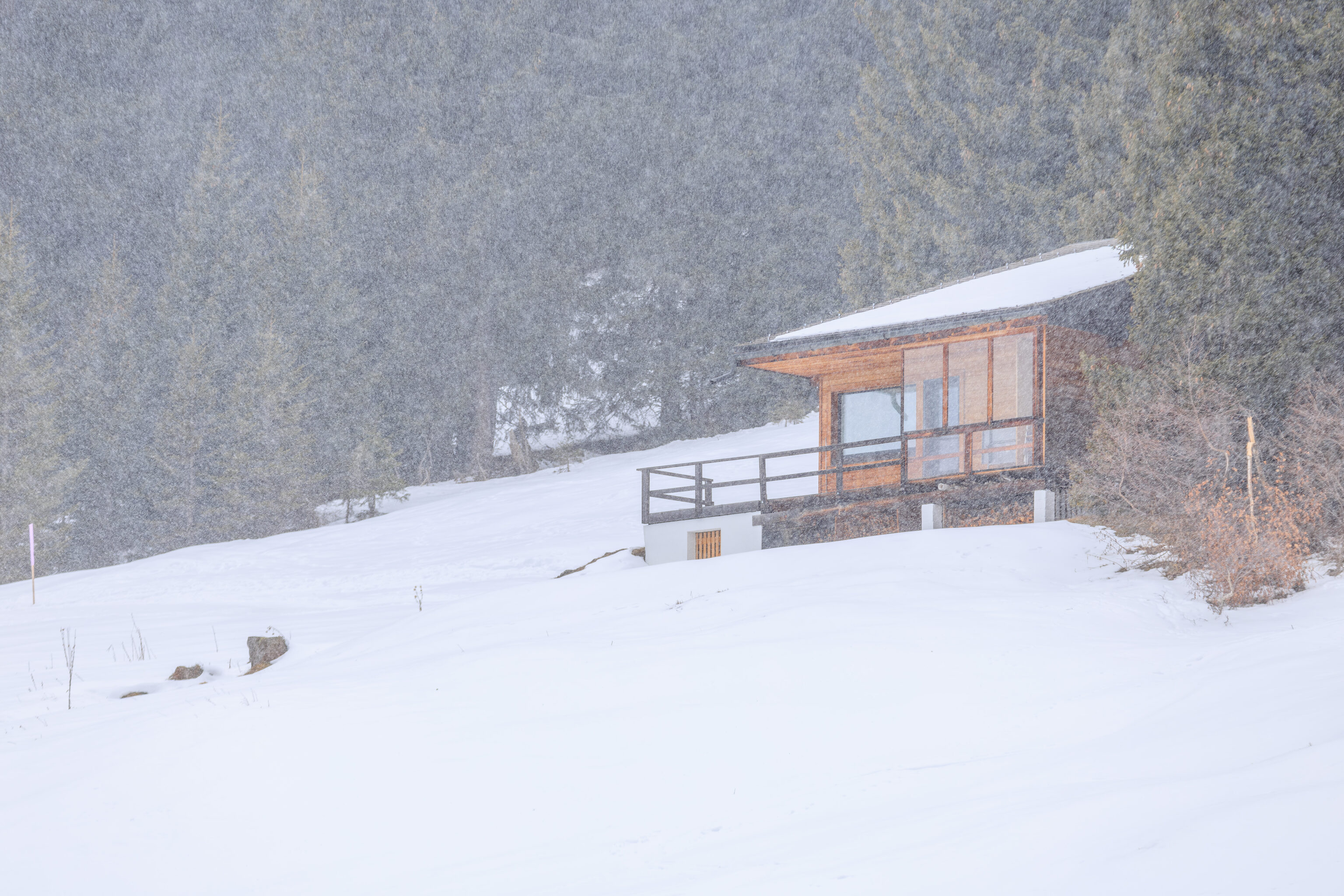
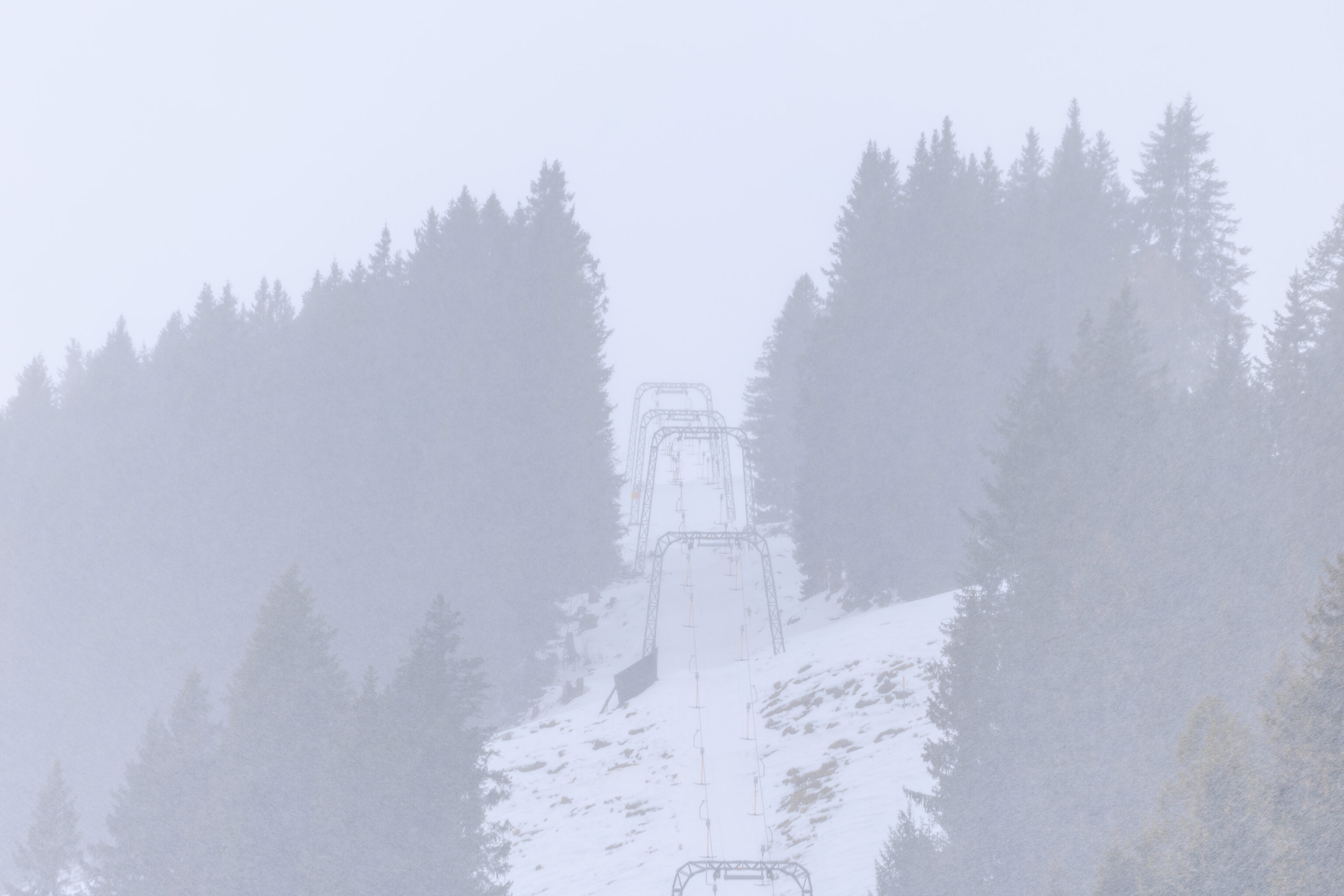
So, we turned back. There were actually more interesting paths we could have tried to walk on but we didn’t have any winter gear with us. No boots of any sort and no traction devices. Normally, we would bring our microspikes, but this was a completely unplanned visit!
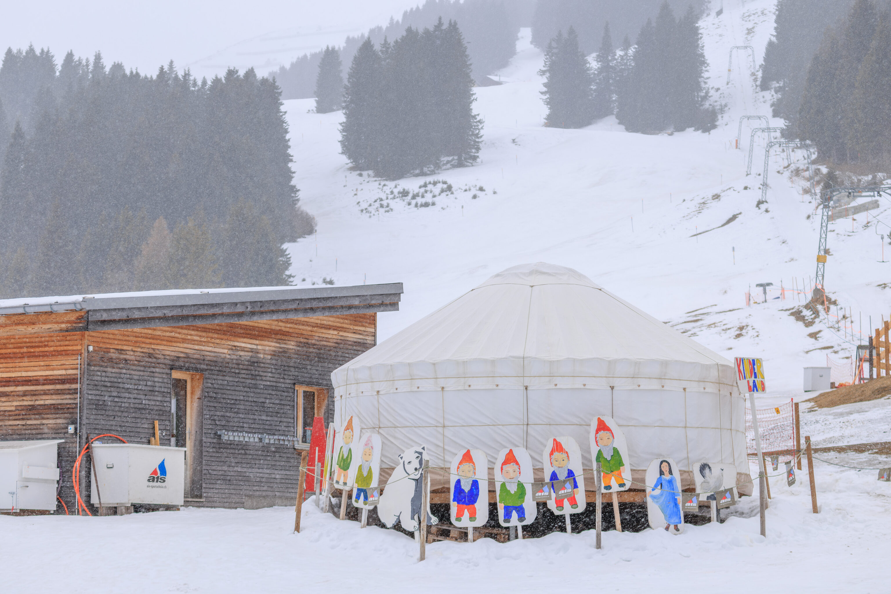
We walked past the Kinderland once again.
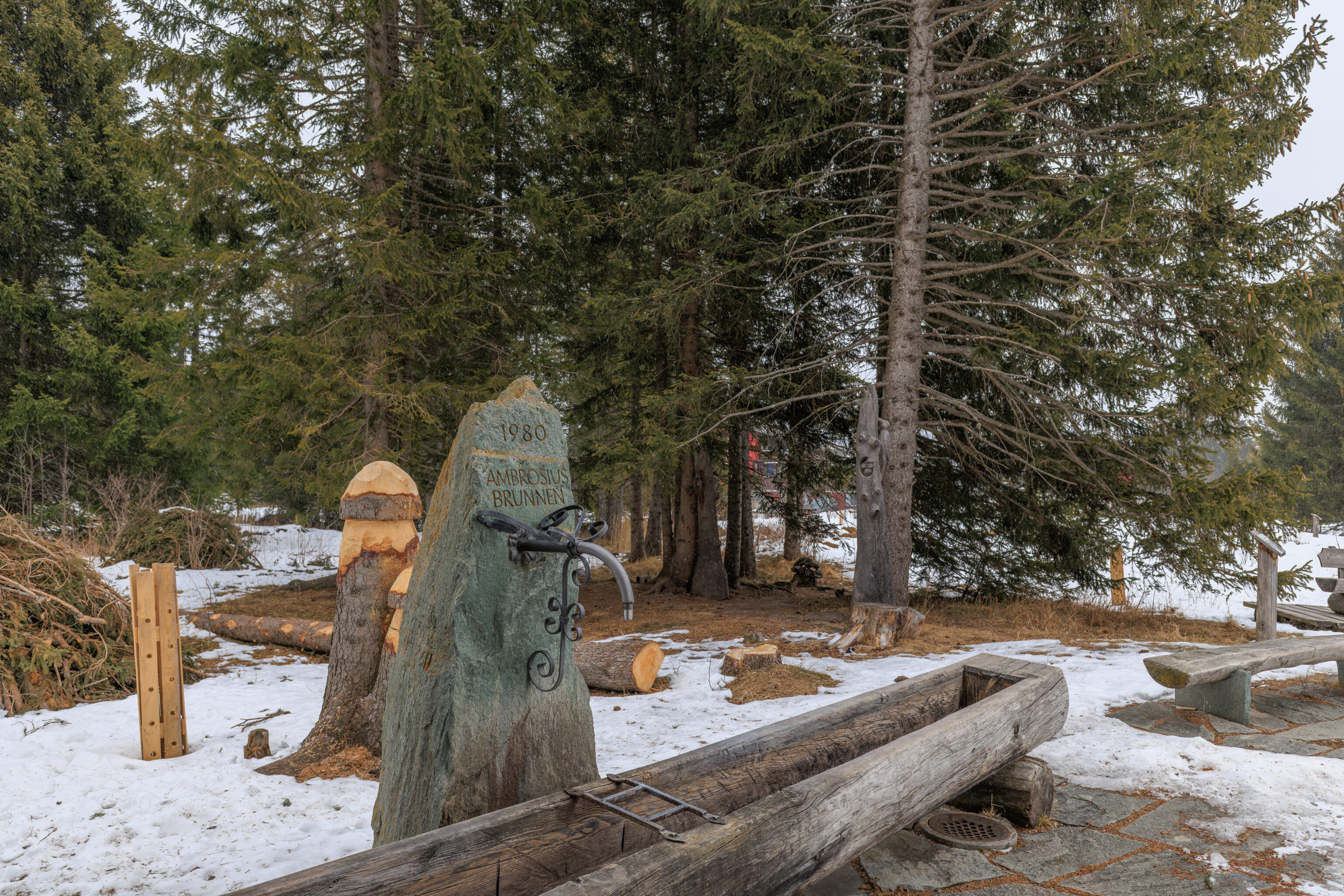
Earlier, we had noticed this little area with some benches. There was also a fountain, the Ambrosius (Ambrose in English?) Fountain from 1980. “Water is Life”. Maybe, but its not available here today!
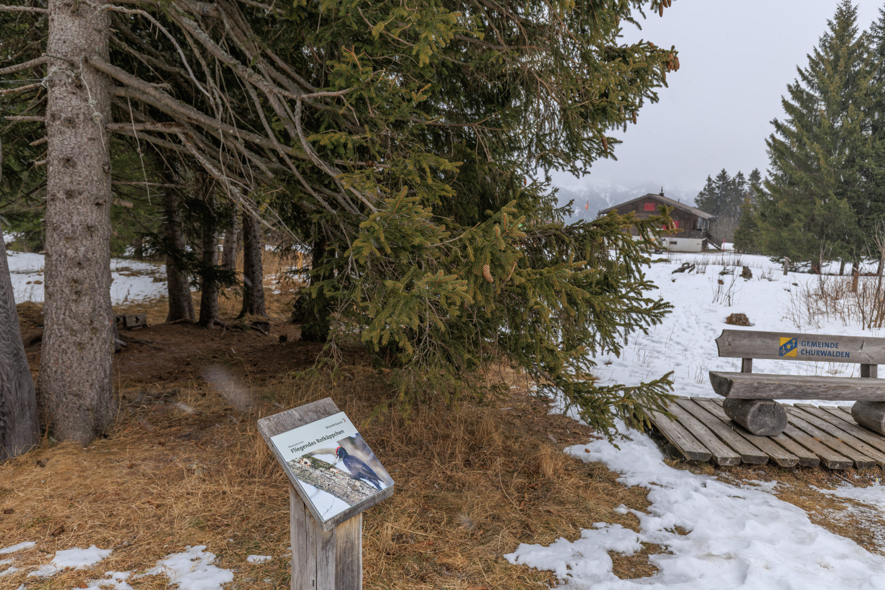
We noticed this sign here for a trail, the Moorland Trail. There are apparently woodpeckers here! The sign mentions Fliegendes Rotkäppchen, Flying Little Red Riding Hood! The bird on the sign is a Black Woodpecker. So maybe a cool local nickname?
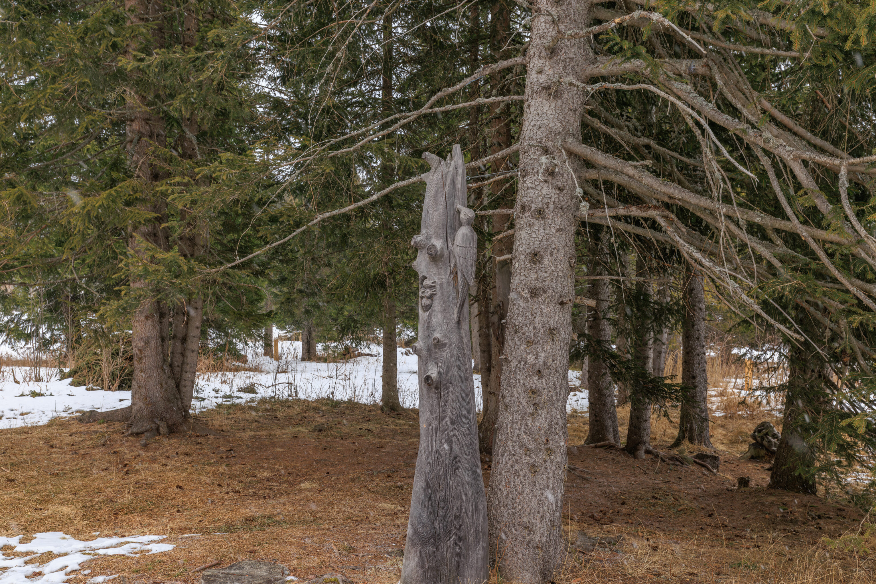
Oh look, we found one! Sort of… Look closely, there are nestlings!
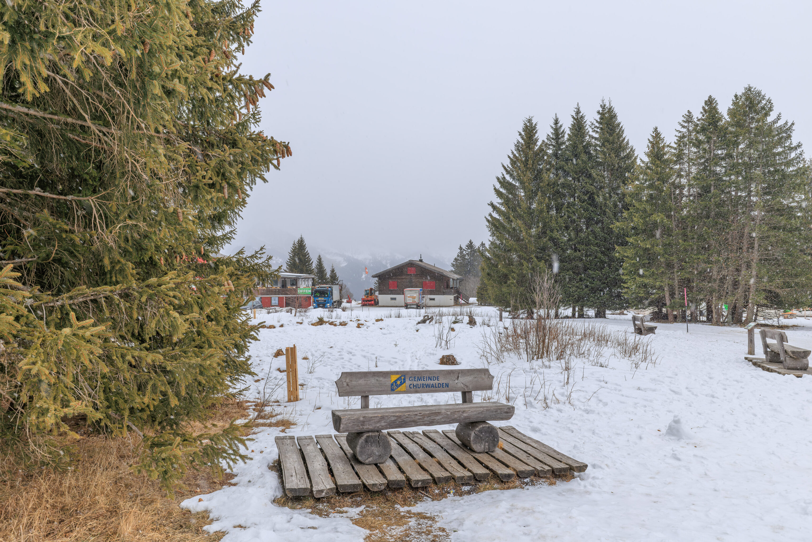
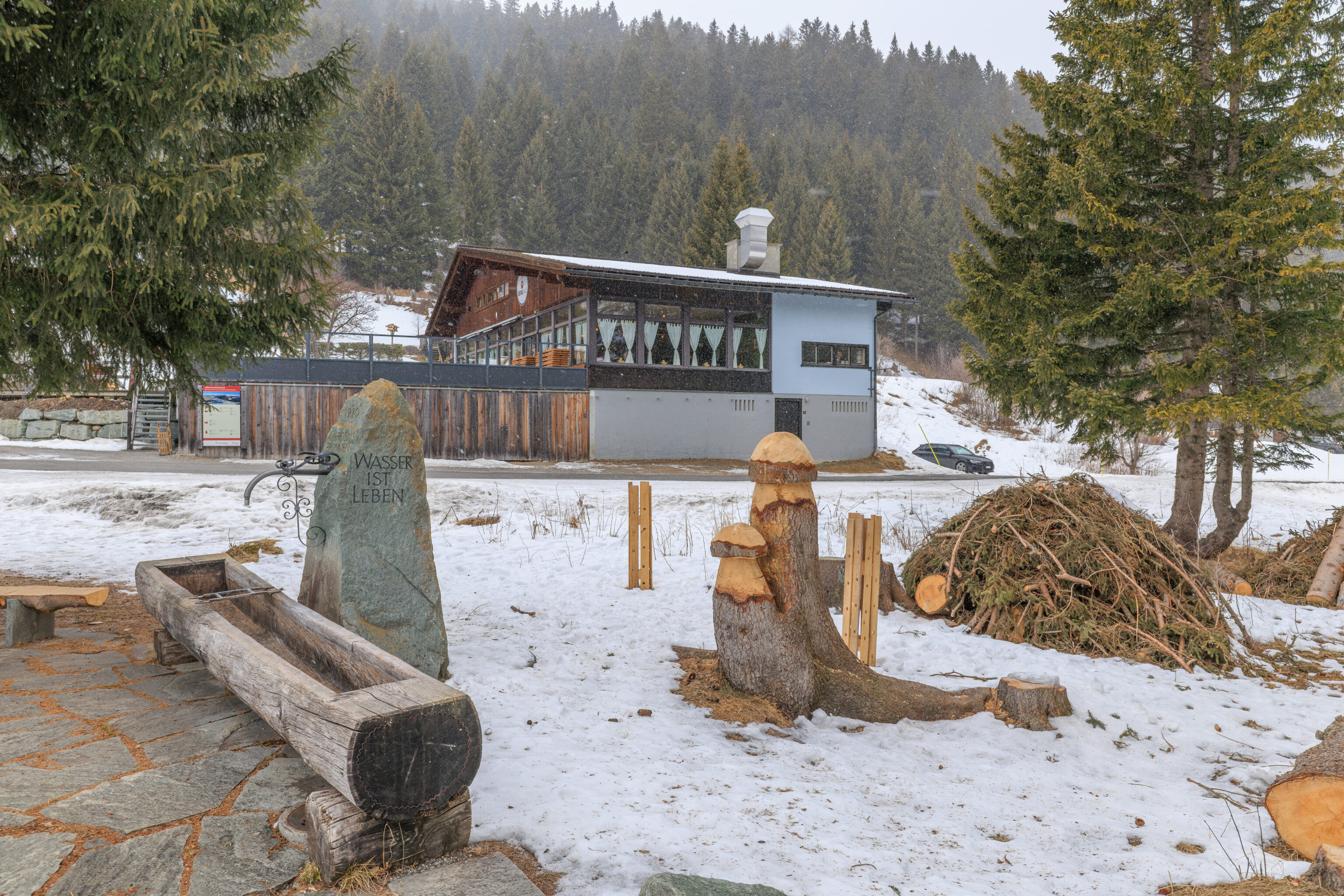
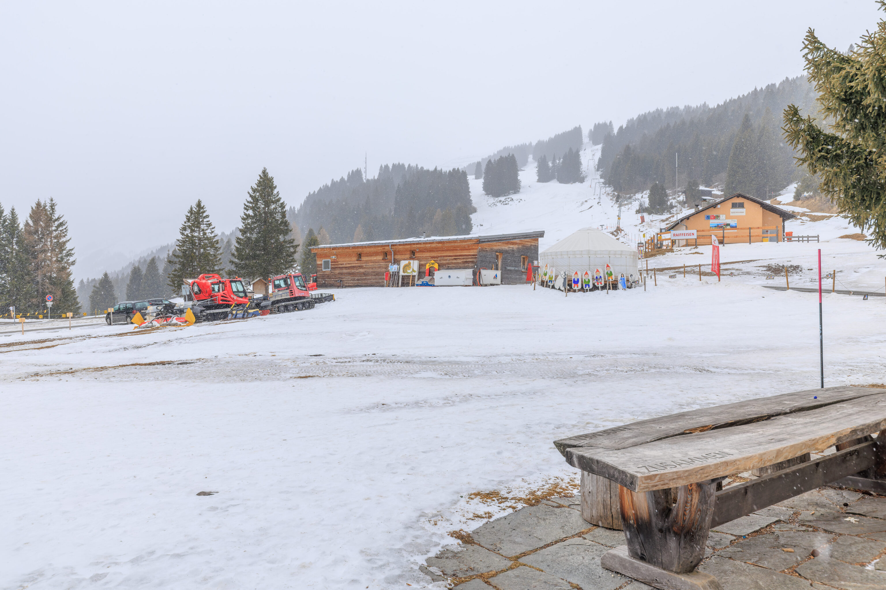
We enjoyed this little seating area for a bit before moving on.
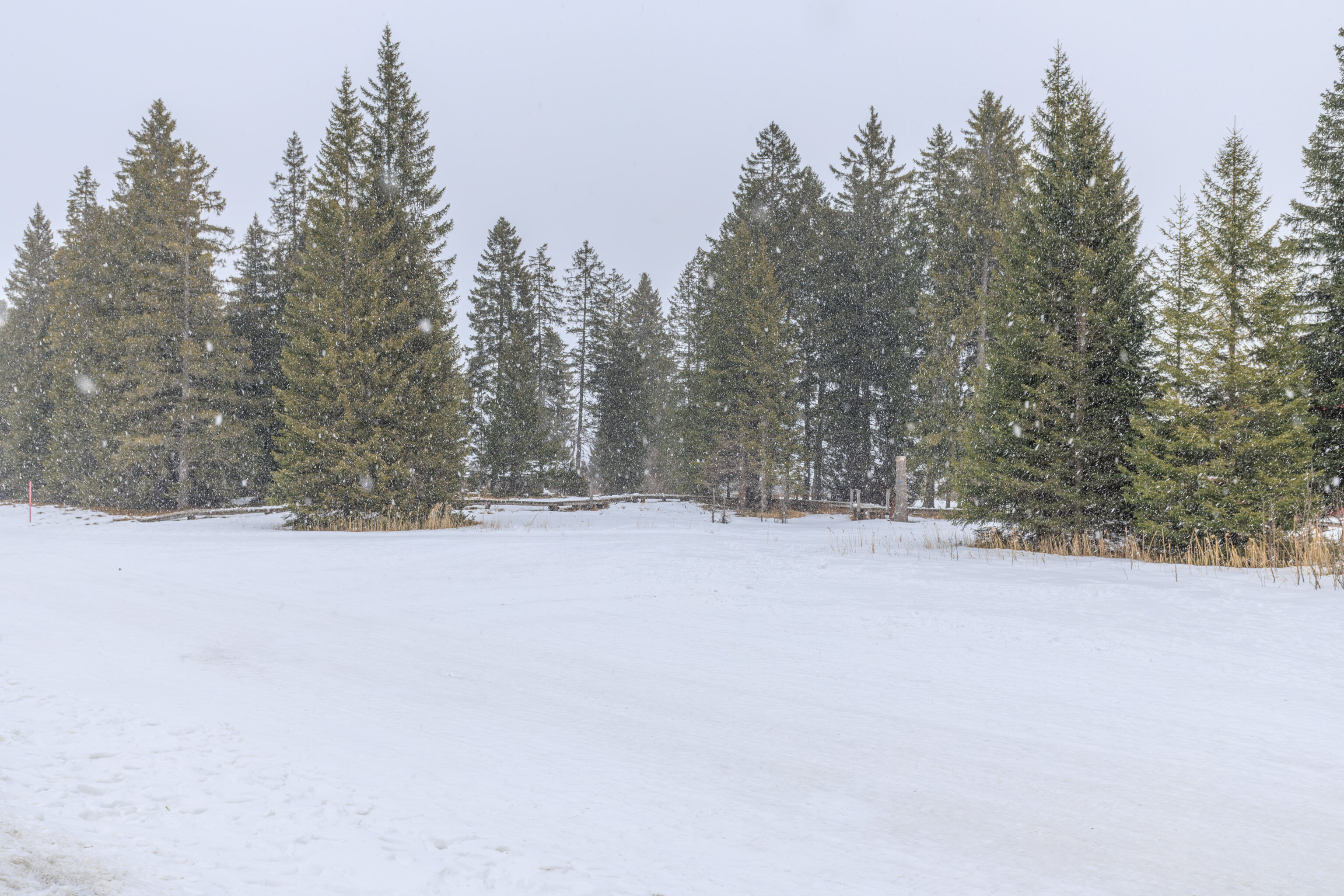
There seems to be a boardwalk over in the trees to the east. Maybe this is the trail from the sign?
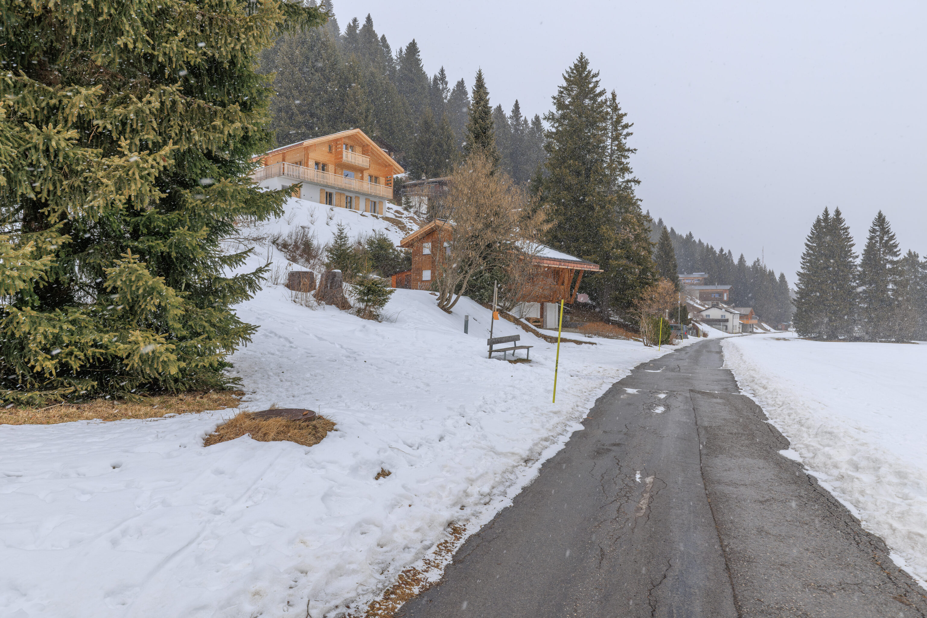
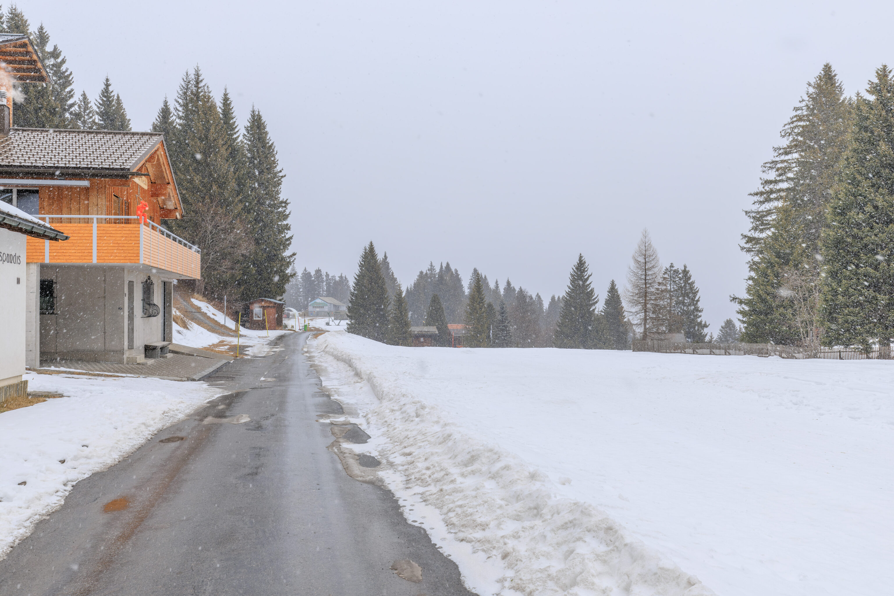
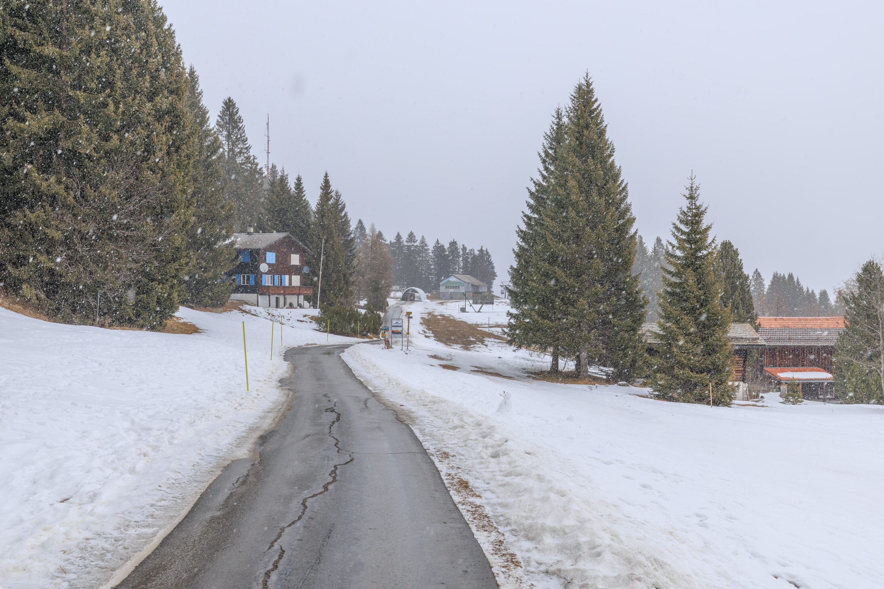
We continued walking back as it continued to snow. This is much better than rain!
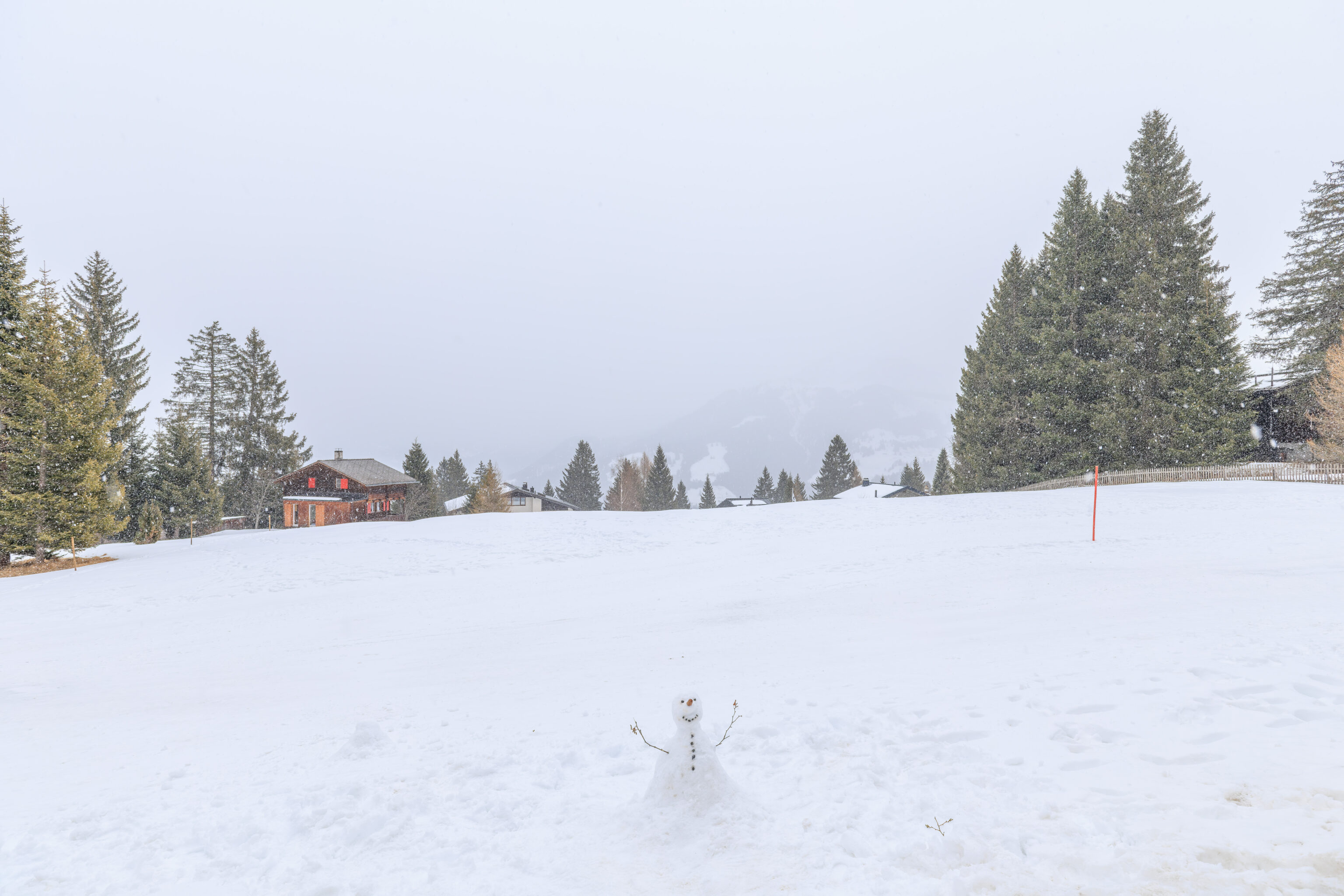
Do you want to build a snowman? We didn’t. This was already here.
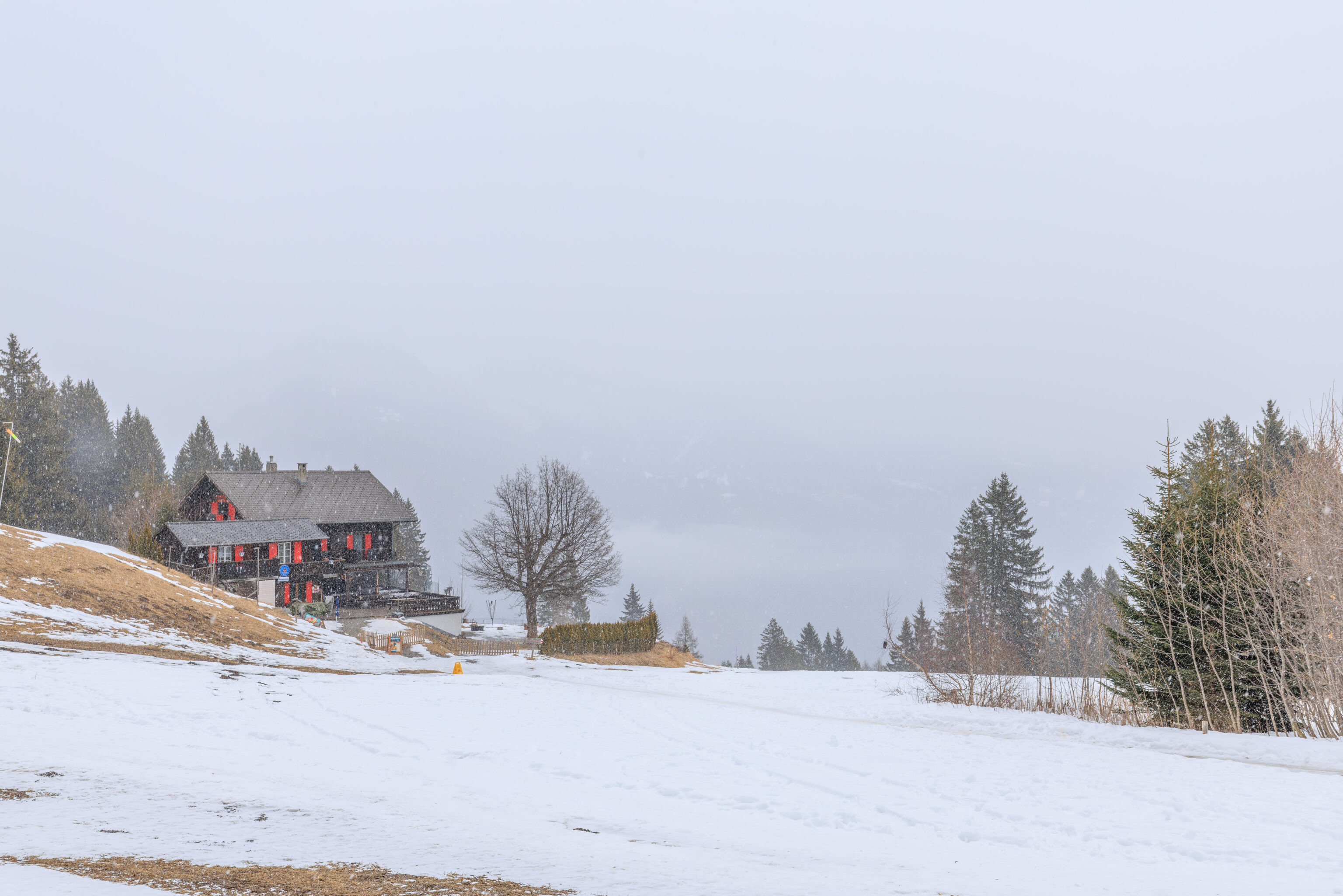
Should we have gone to the Battagliahütte? Was it even open?
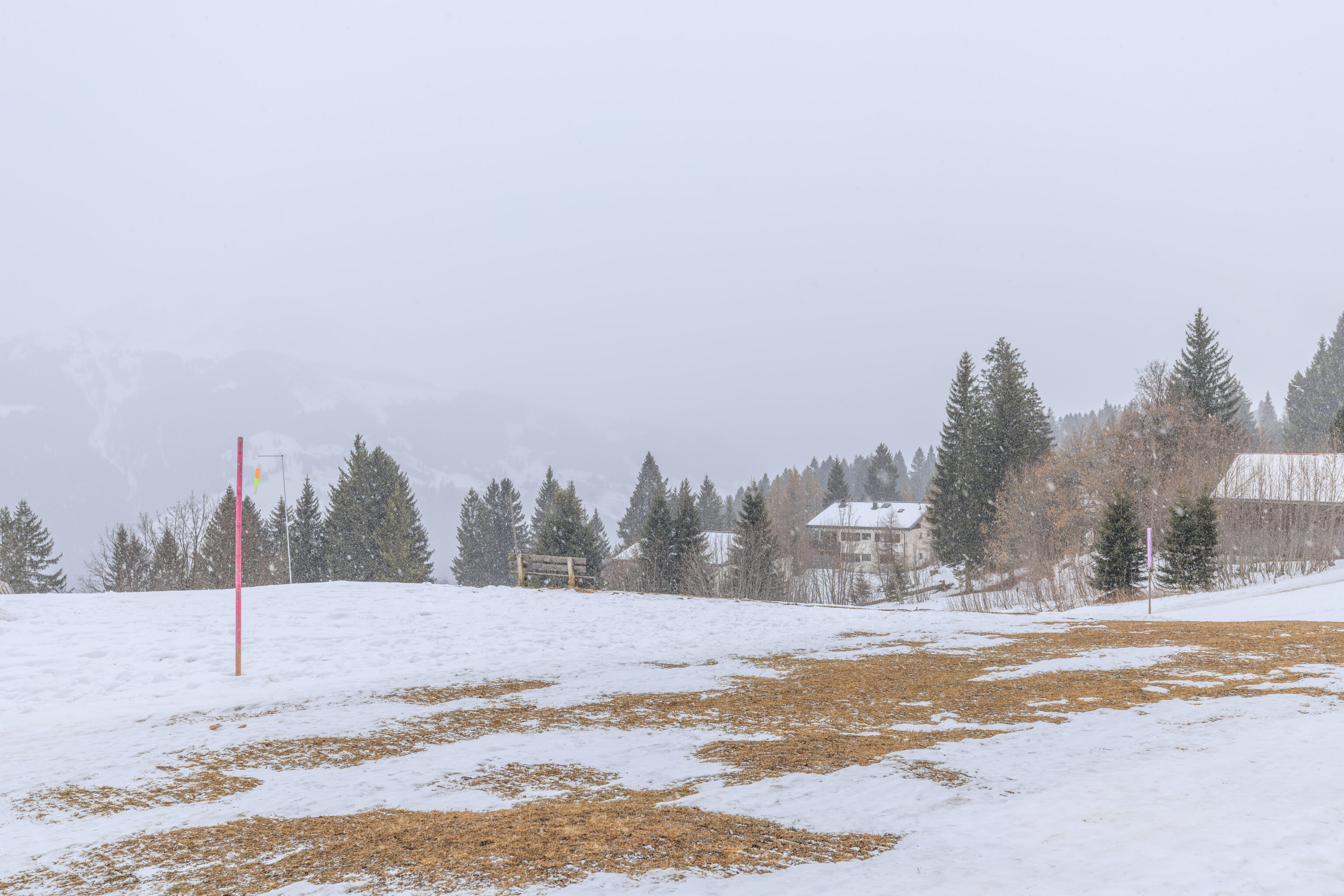
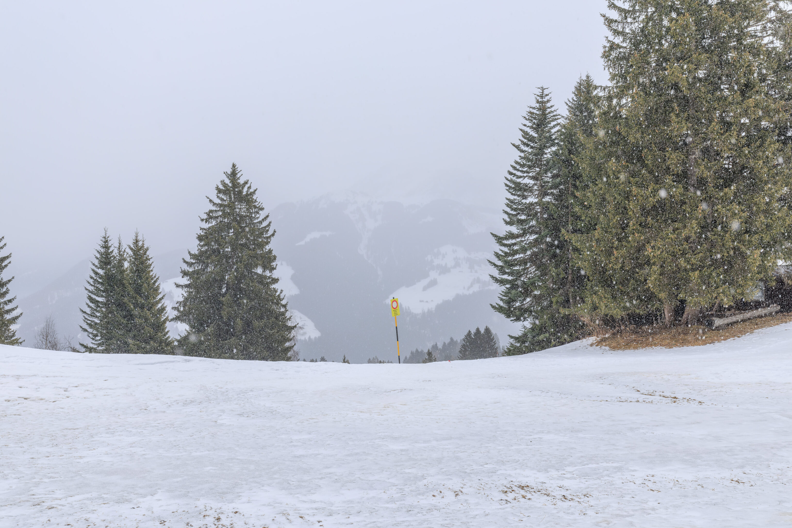
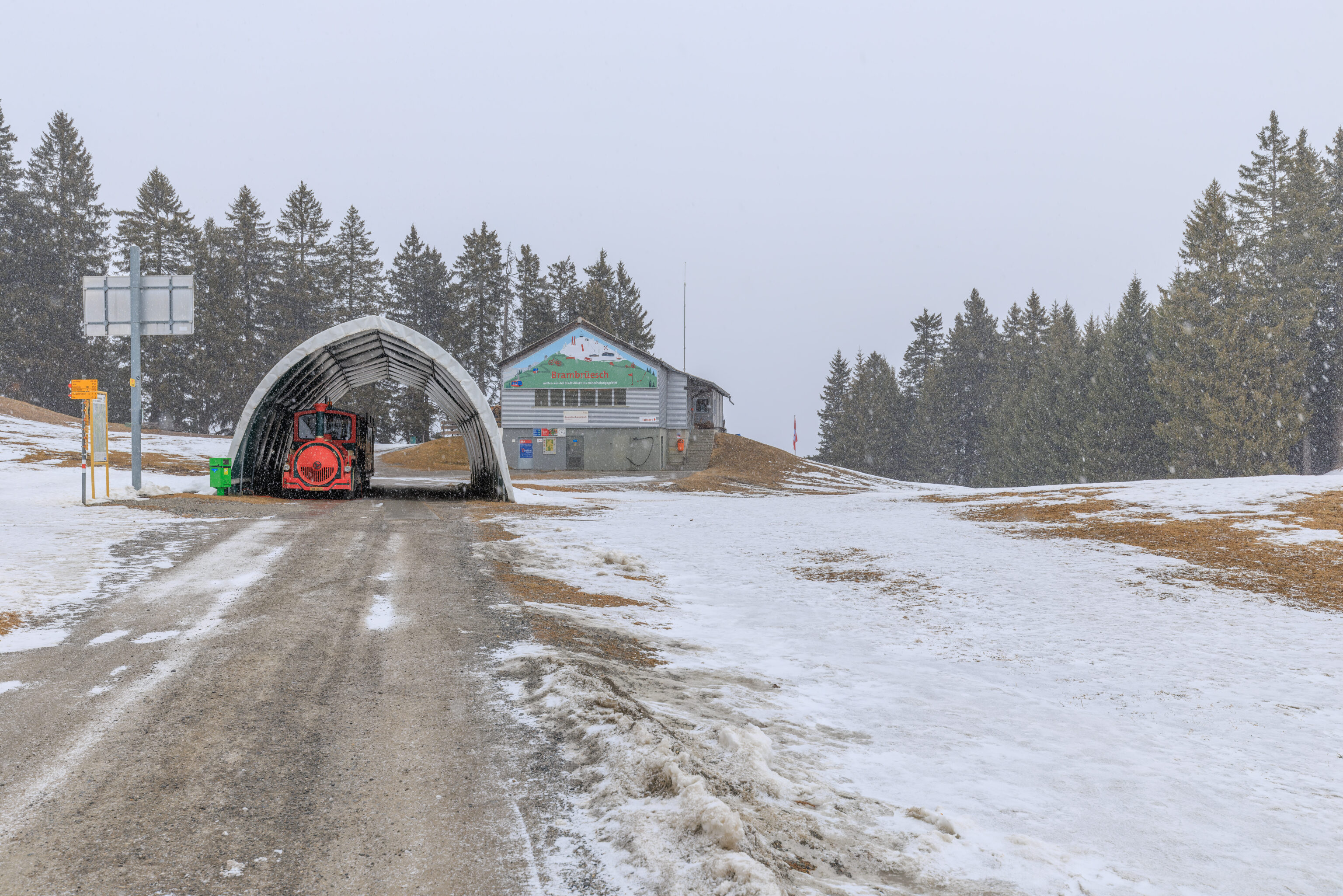
We continued backtracking…
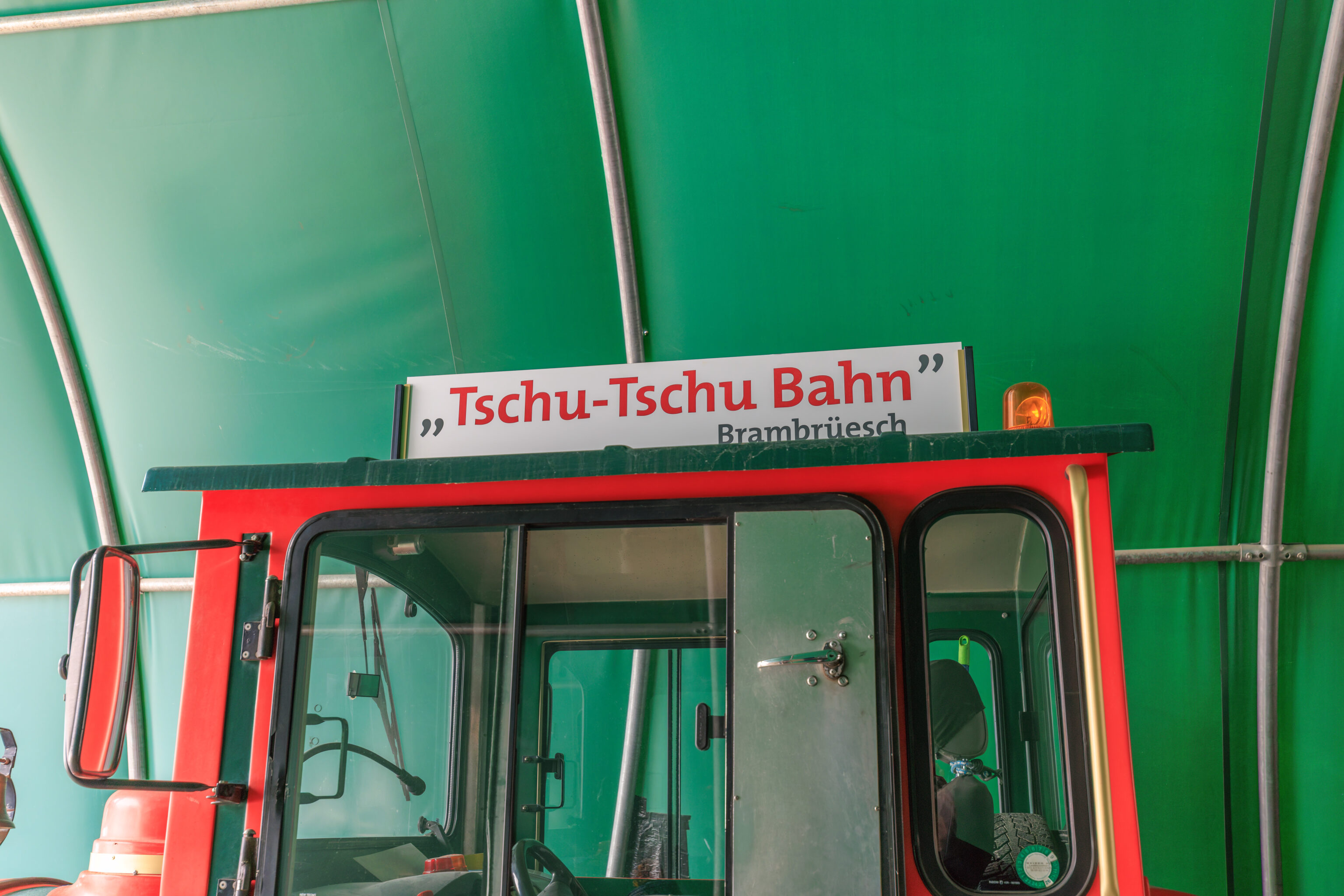
It turns out that this is, indeed, a choo choo train!
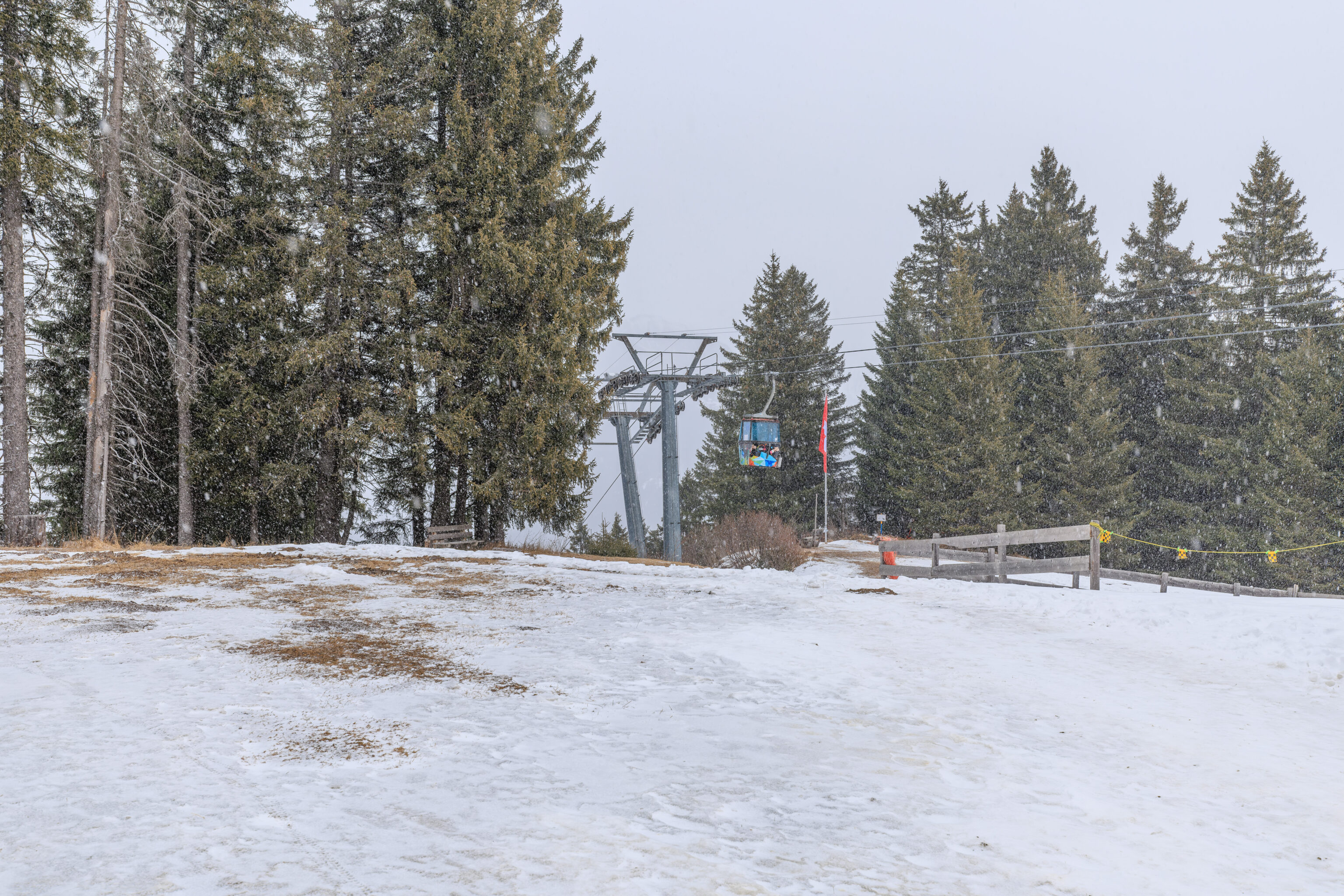
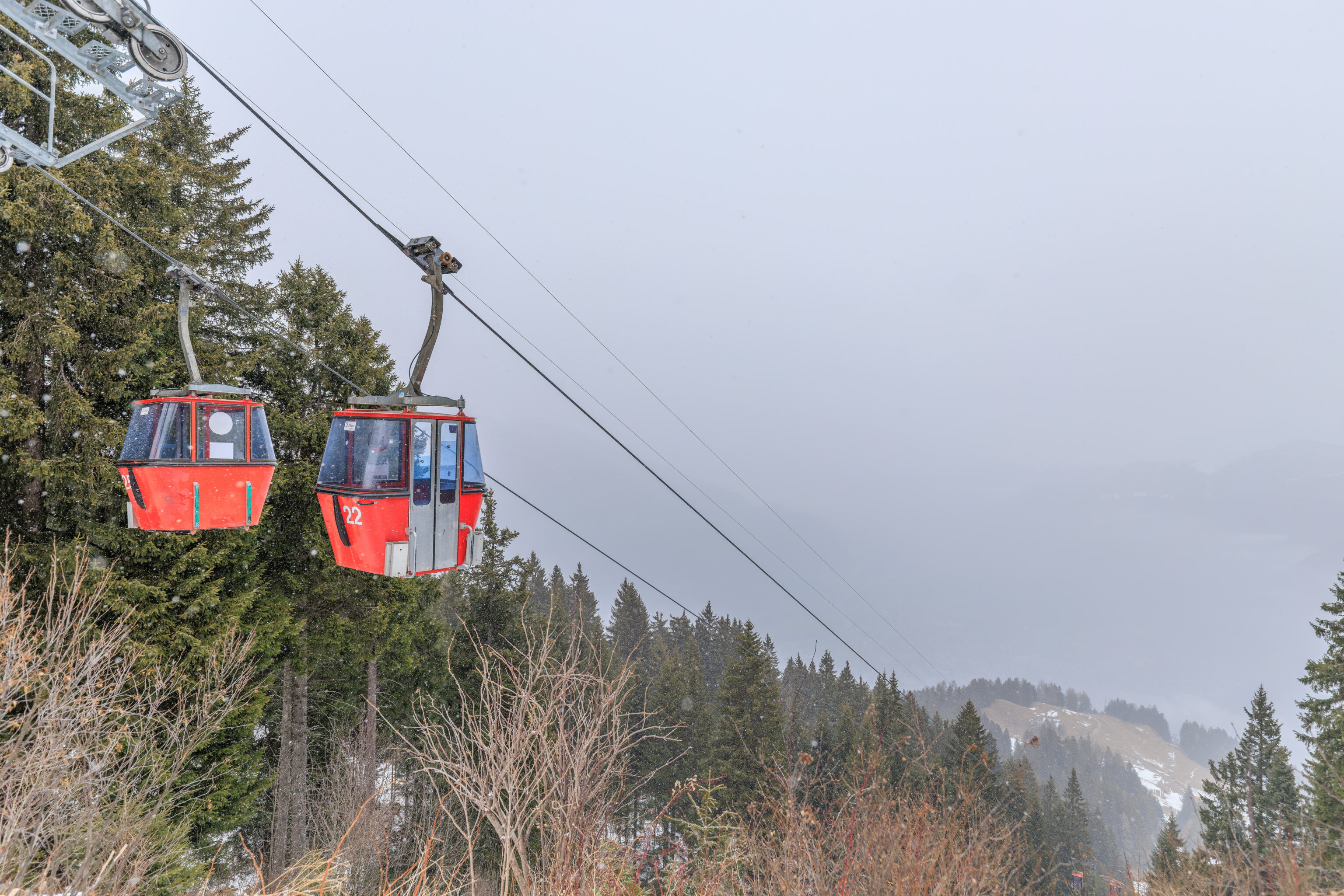
We walked over to look at the gondolas again as well as Chur. Well, no more Chur.
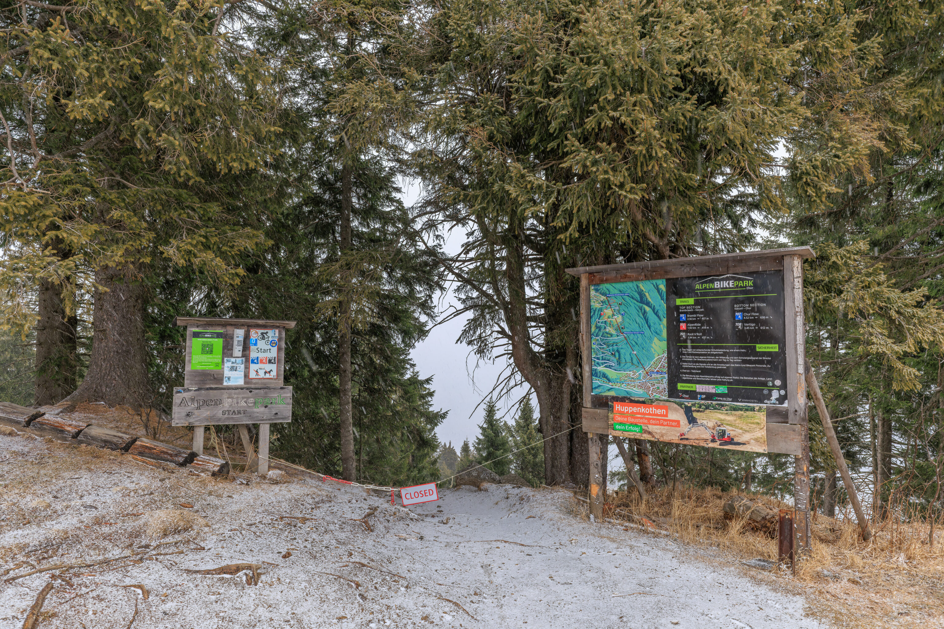
There is apparently a mountain bike trail that starts here.
We returned to the gondola station to ride back down.
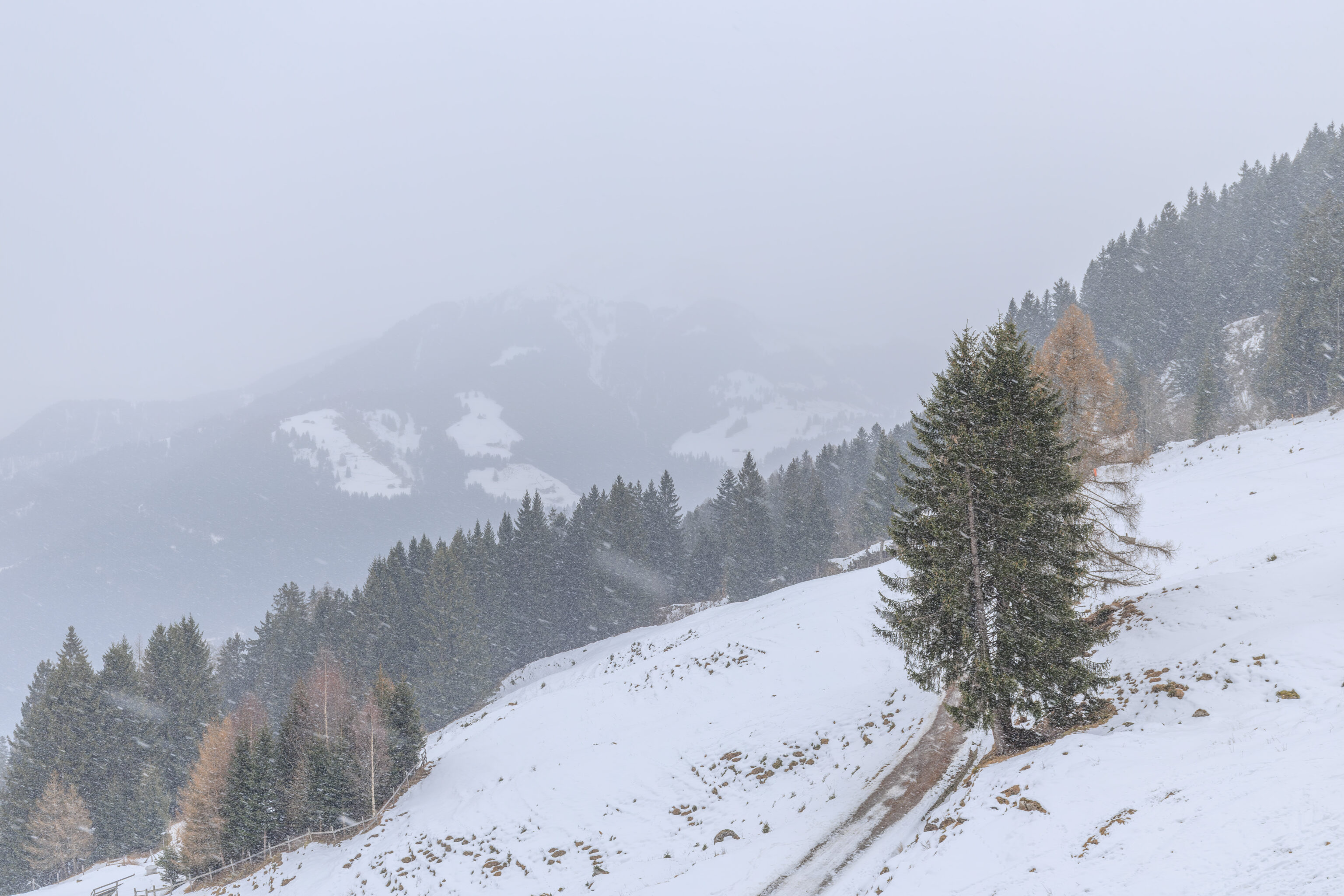
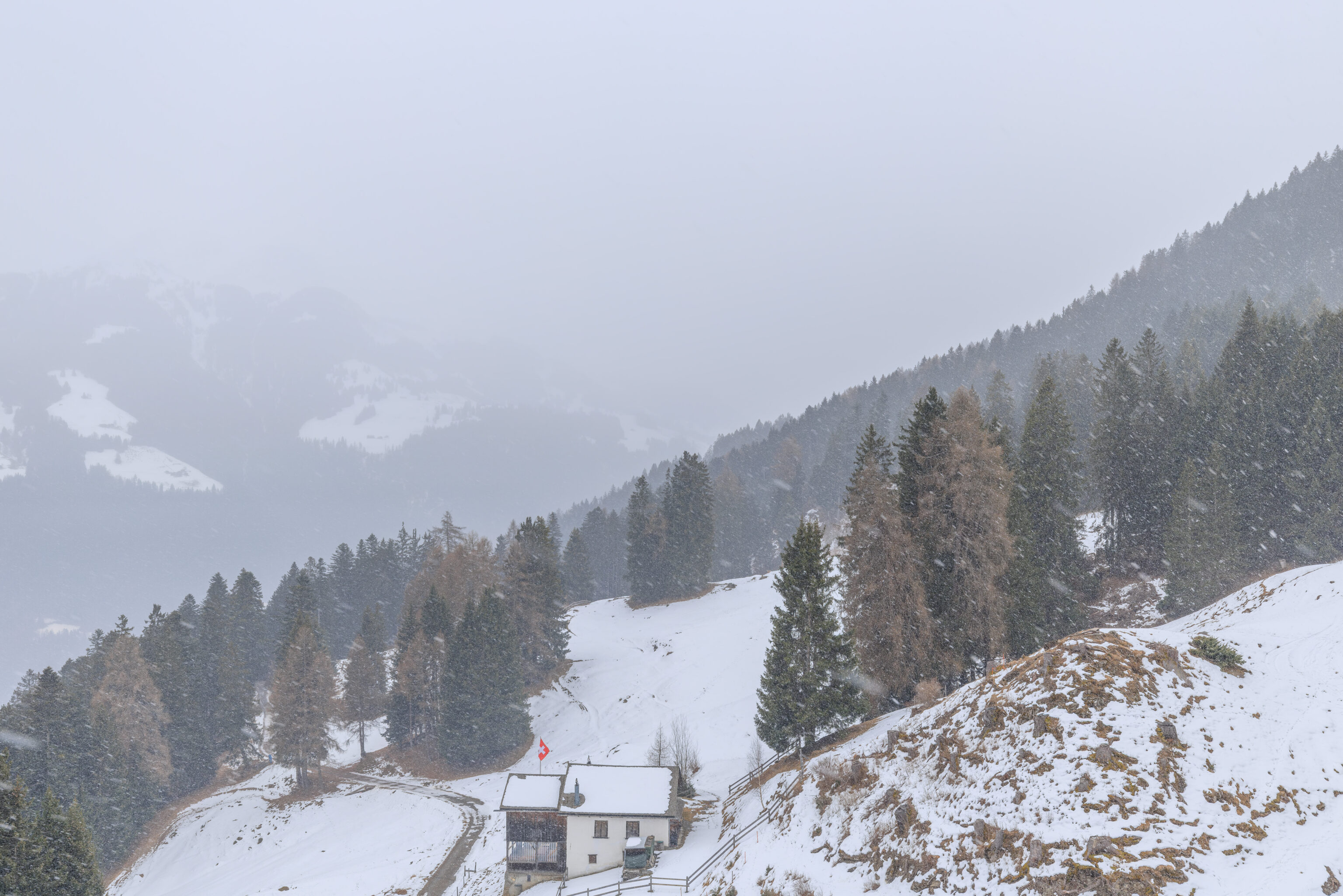
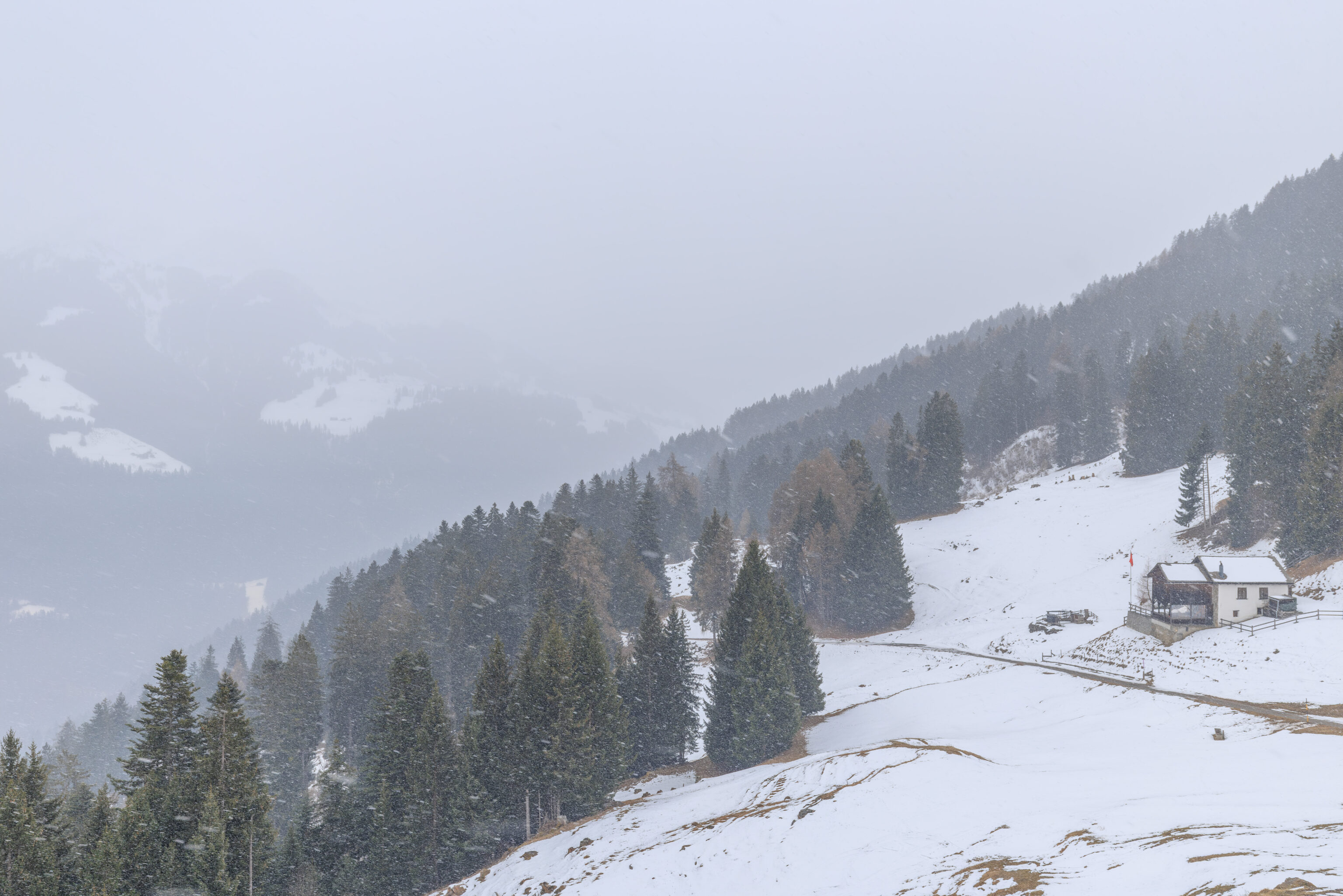
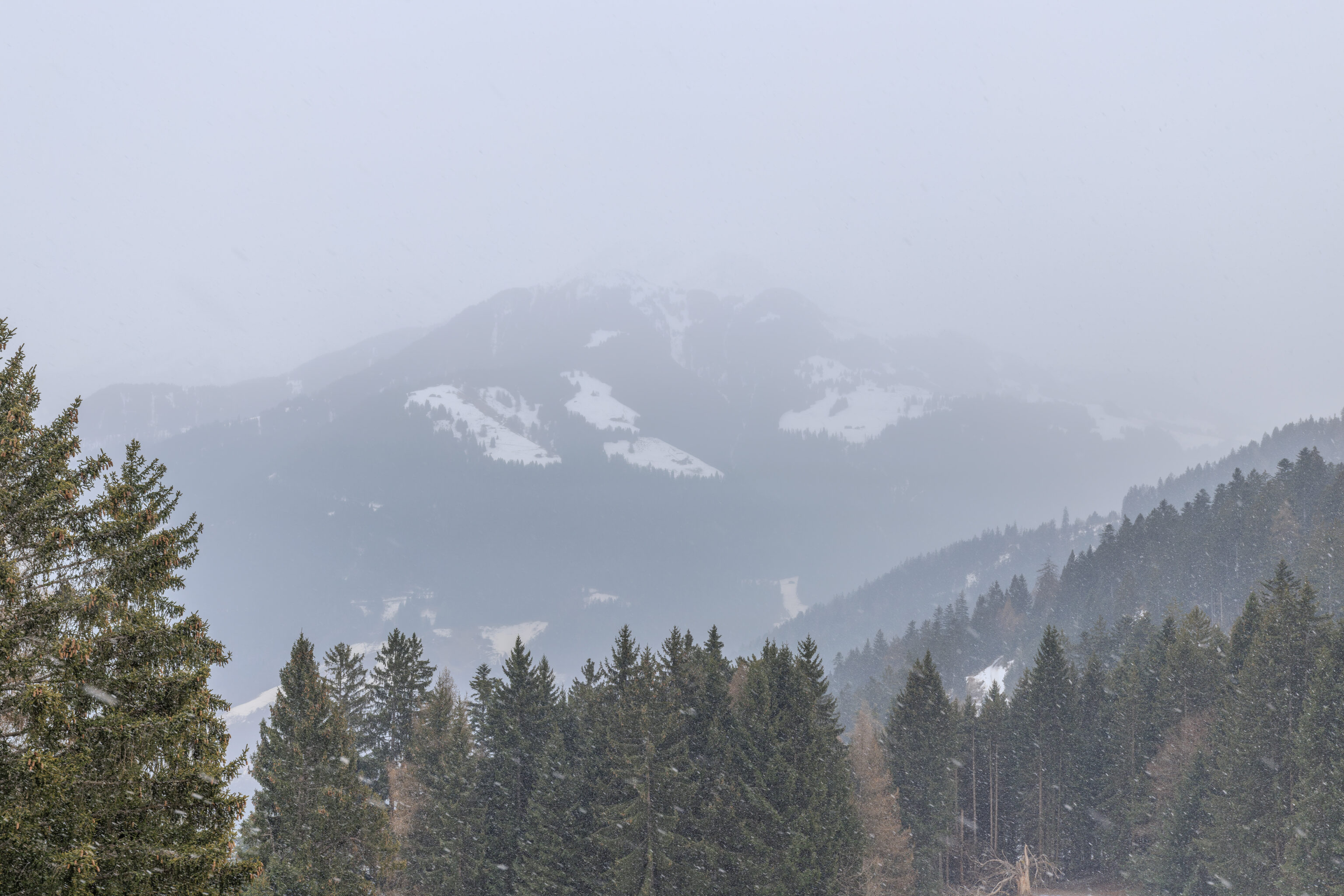
It continued to snow as the gondola descended.
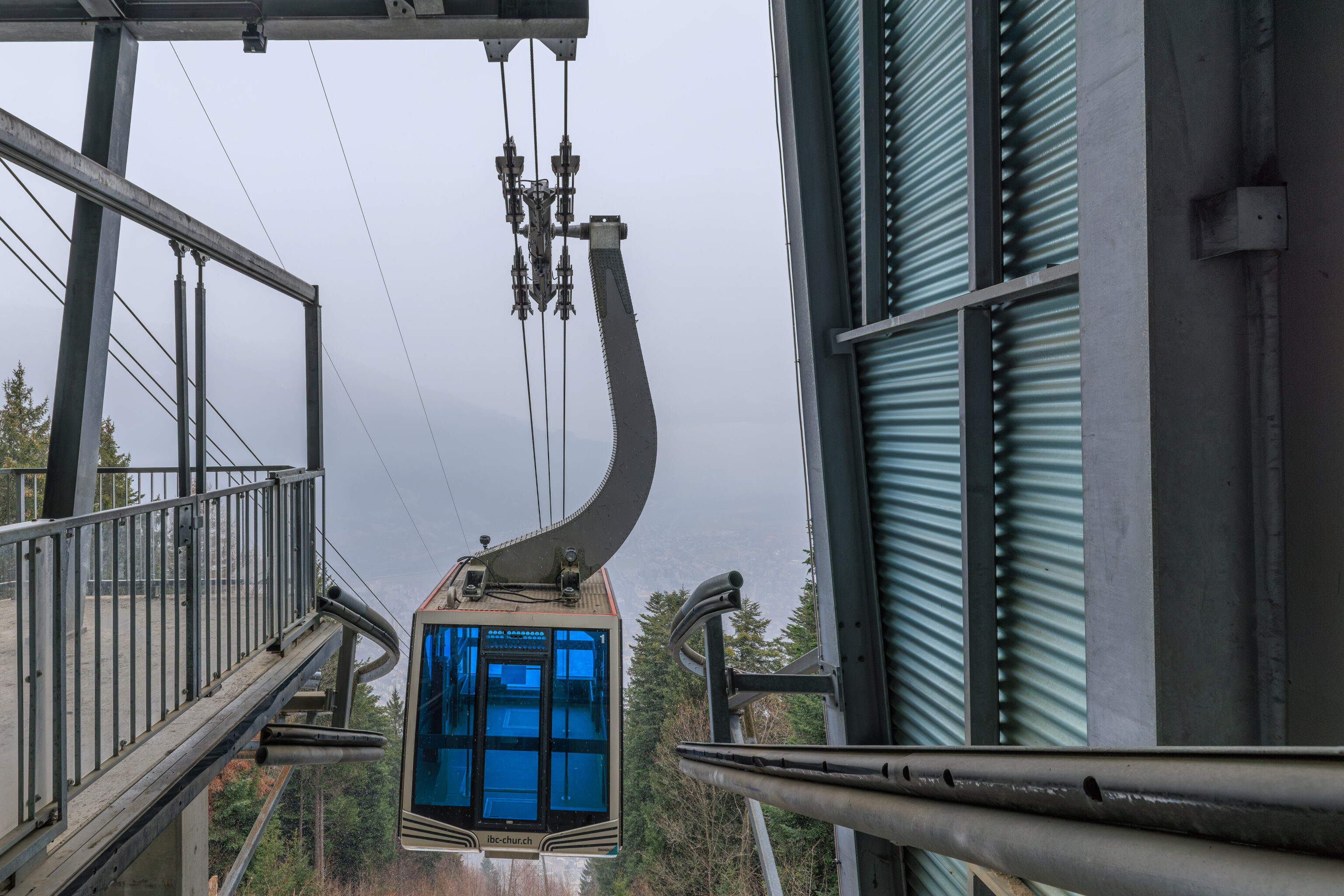
We had to wait a bit at Känzeli for the aerial tram to arrive.
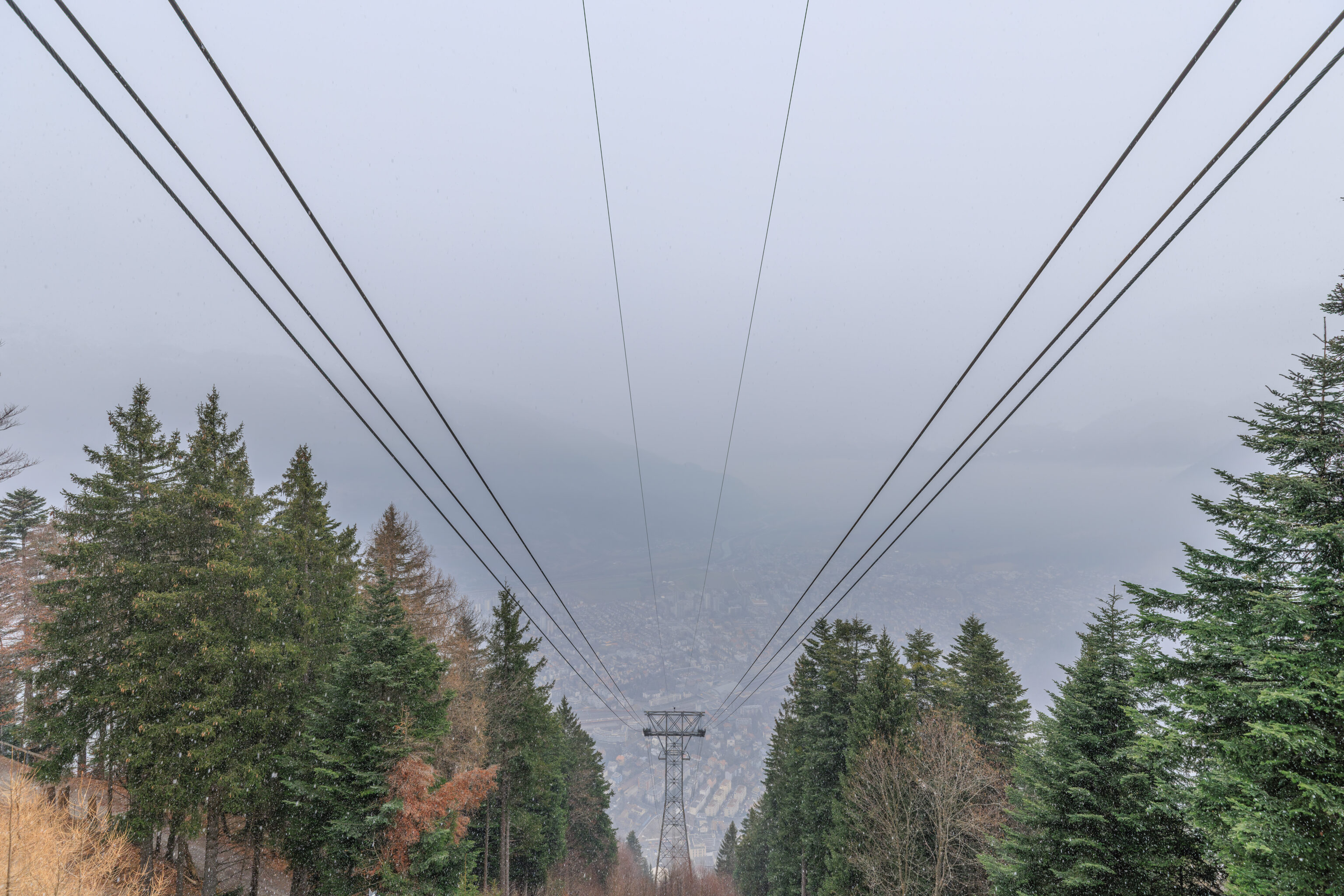
From the aerial tram platform, we could see some of Chur below through the clouds.
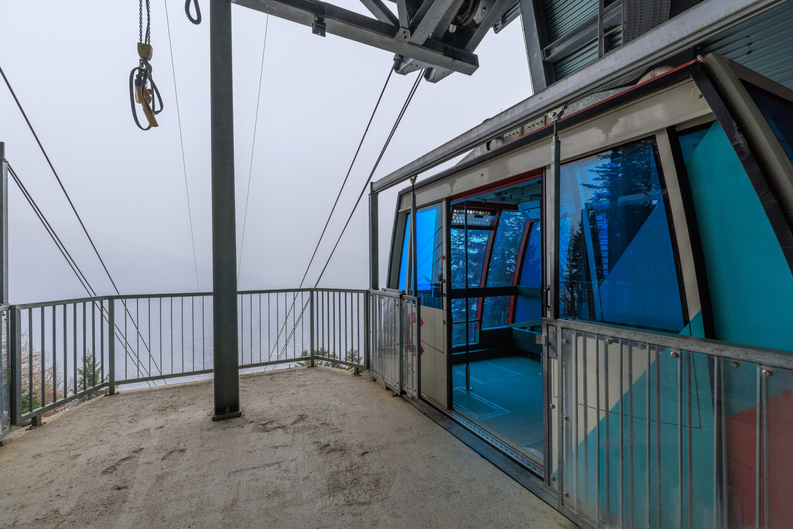
We boarded the aerial tram and waited for the departure time.
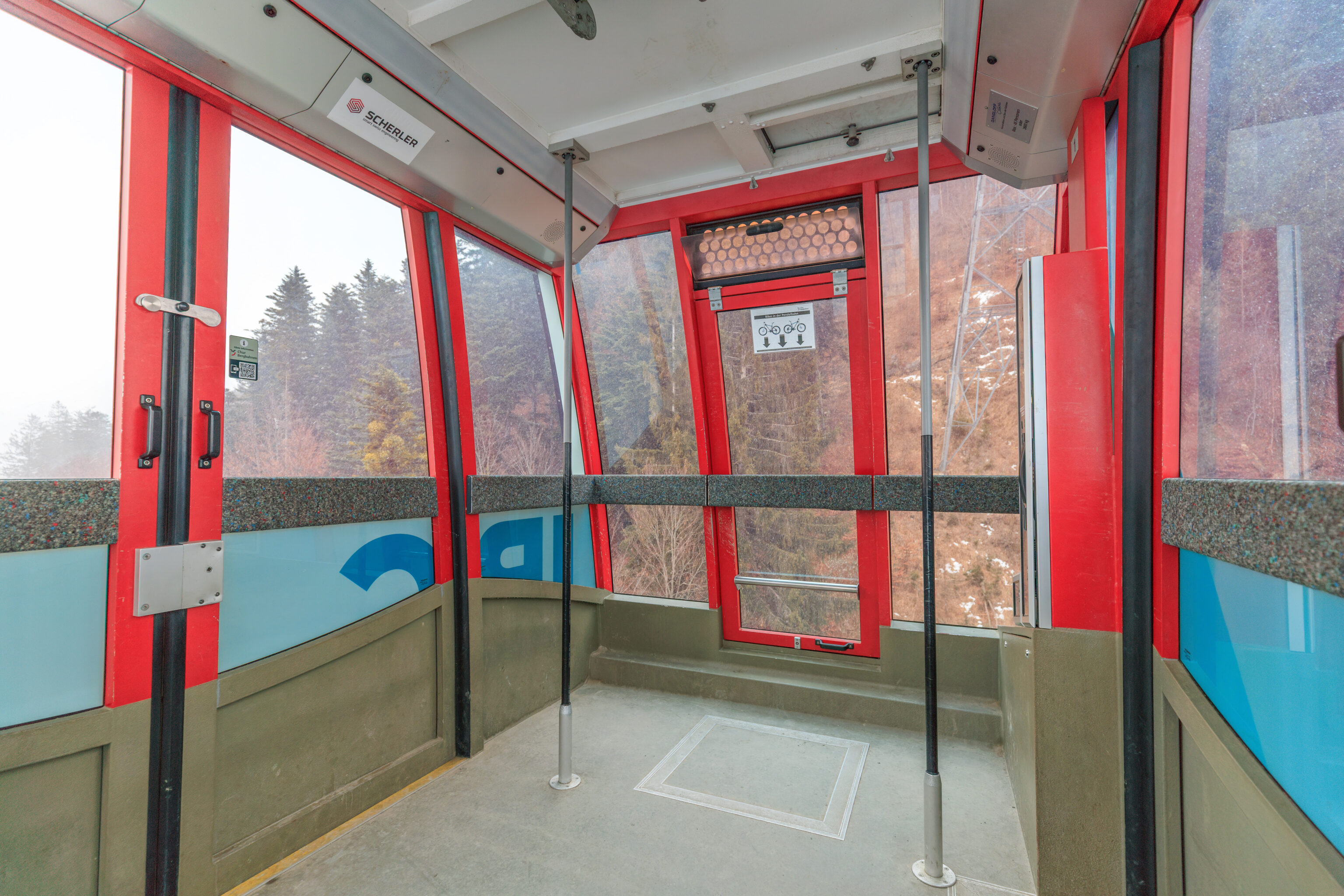
We were the only passengers aboard! We were actually the only people aboard. Typically on aerial trams, there is a staff member onboard. But not this tram.
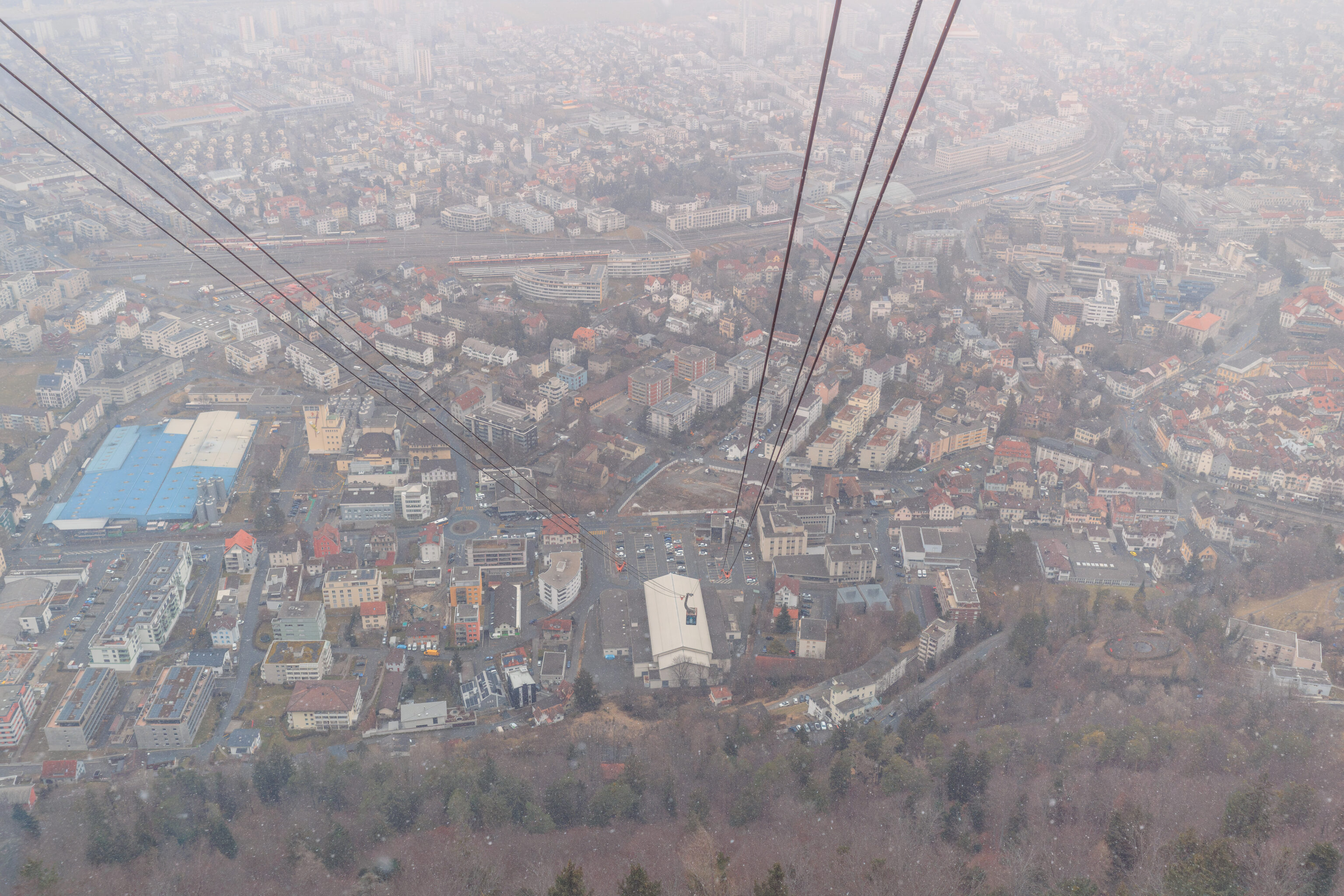
It continued to snow even as we descended.
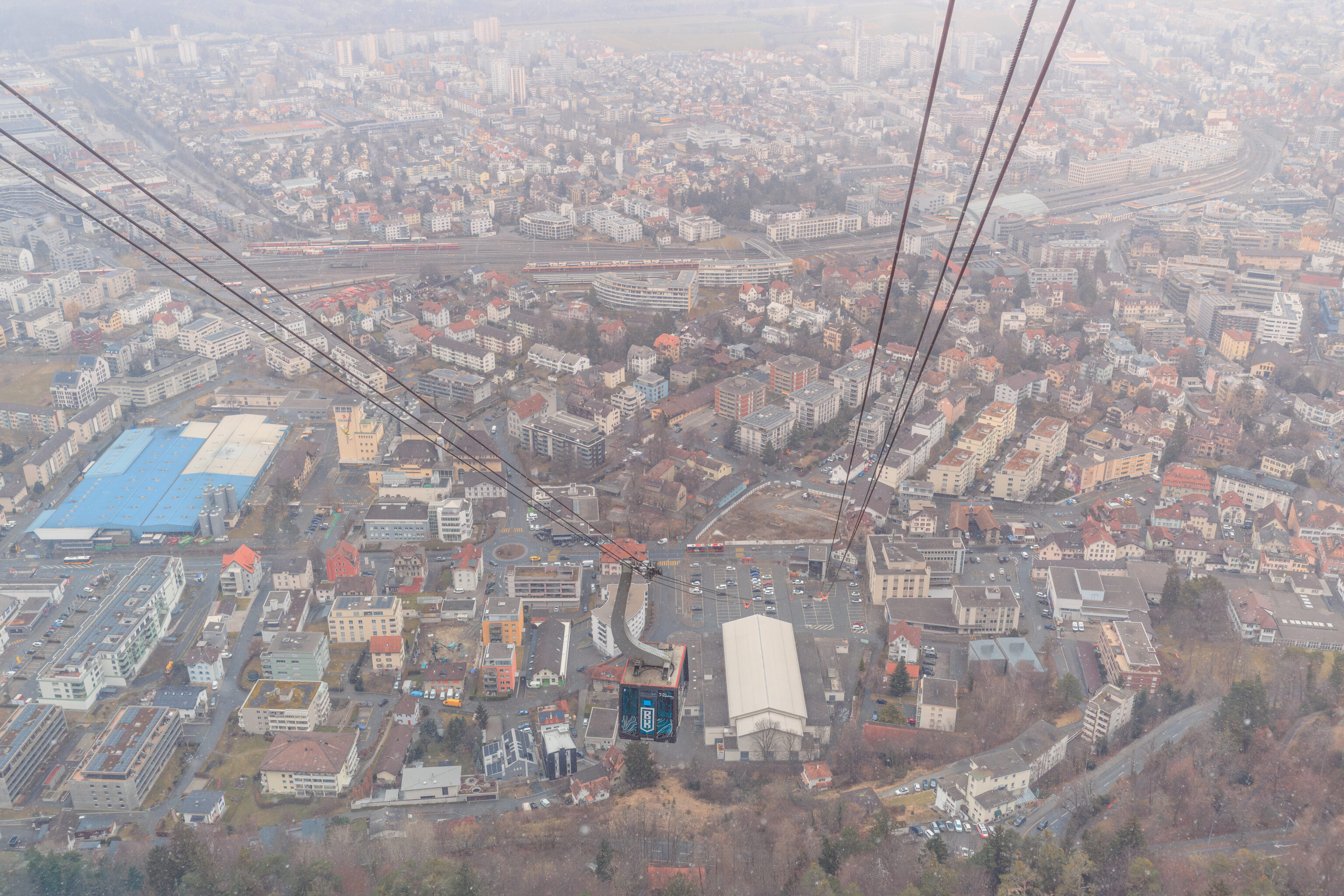
We saw the other tram as we reached the midpoint of the cableway.
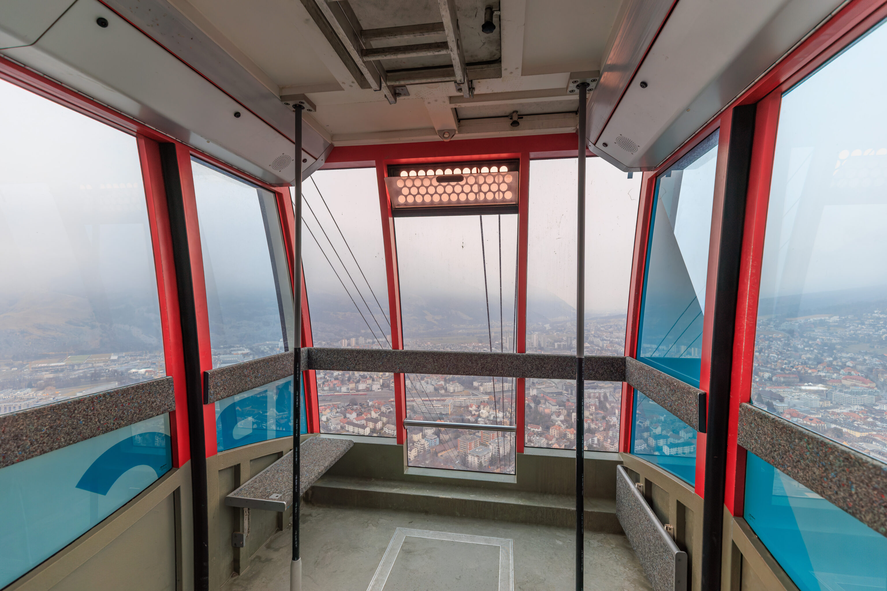
The view looking forwards from within the tram.
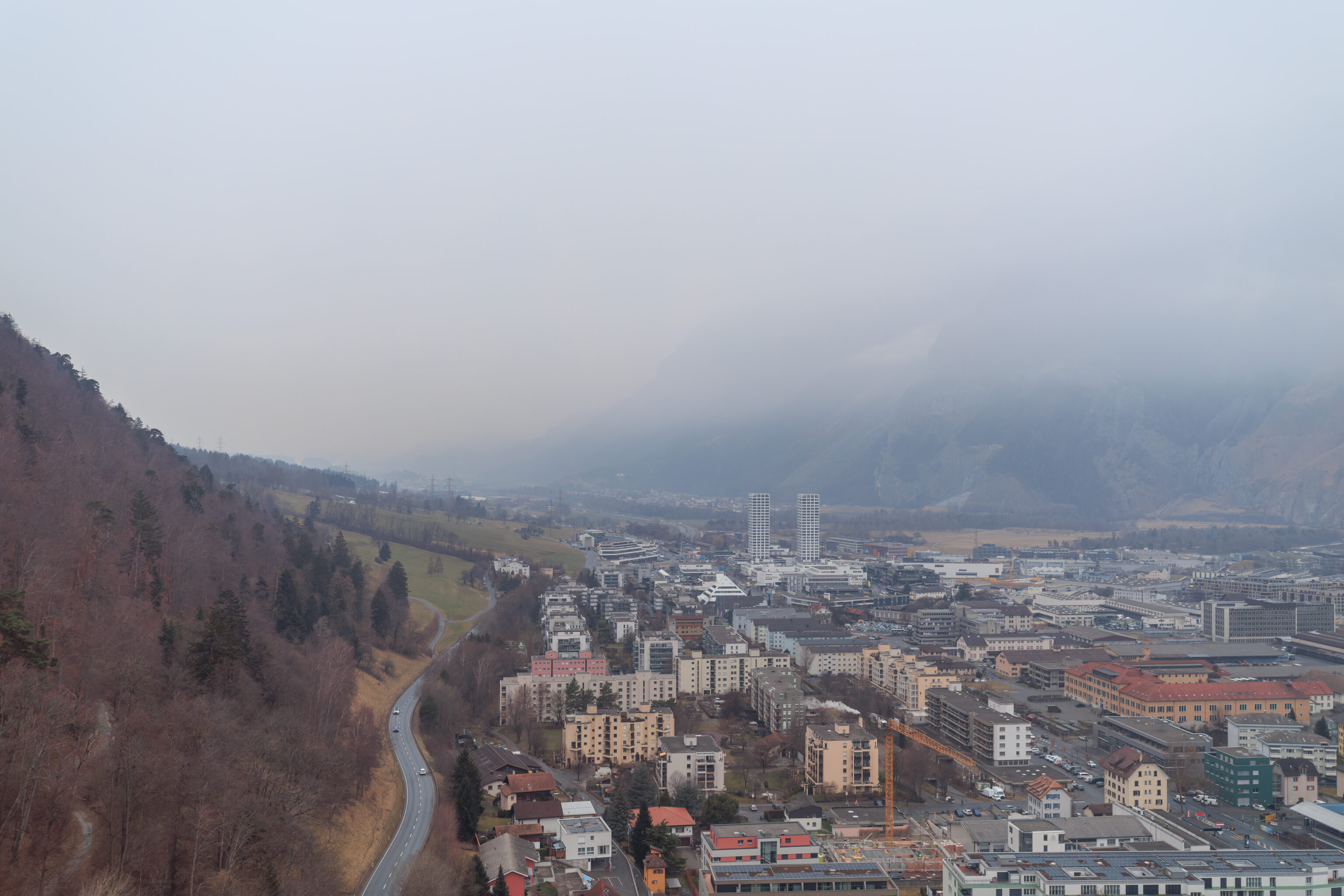
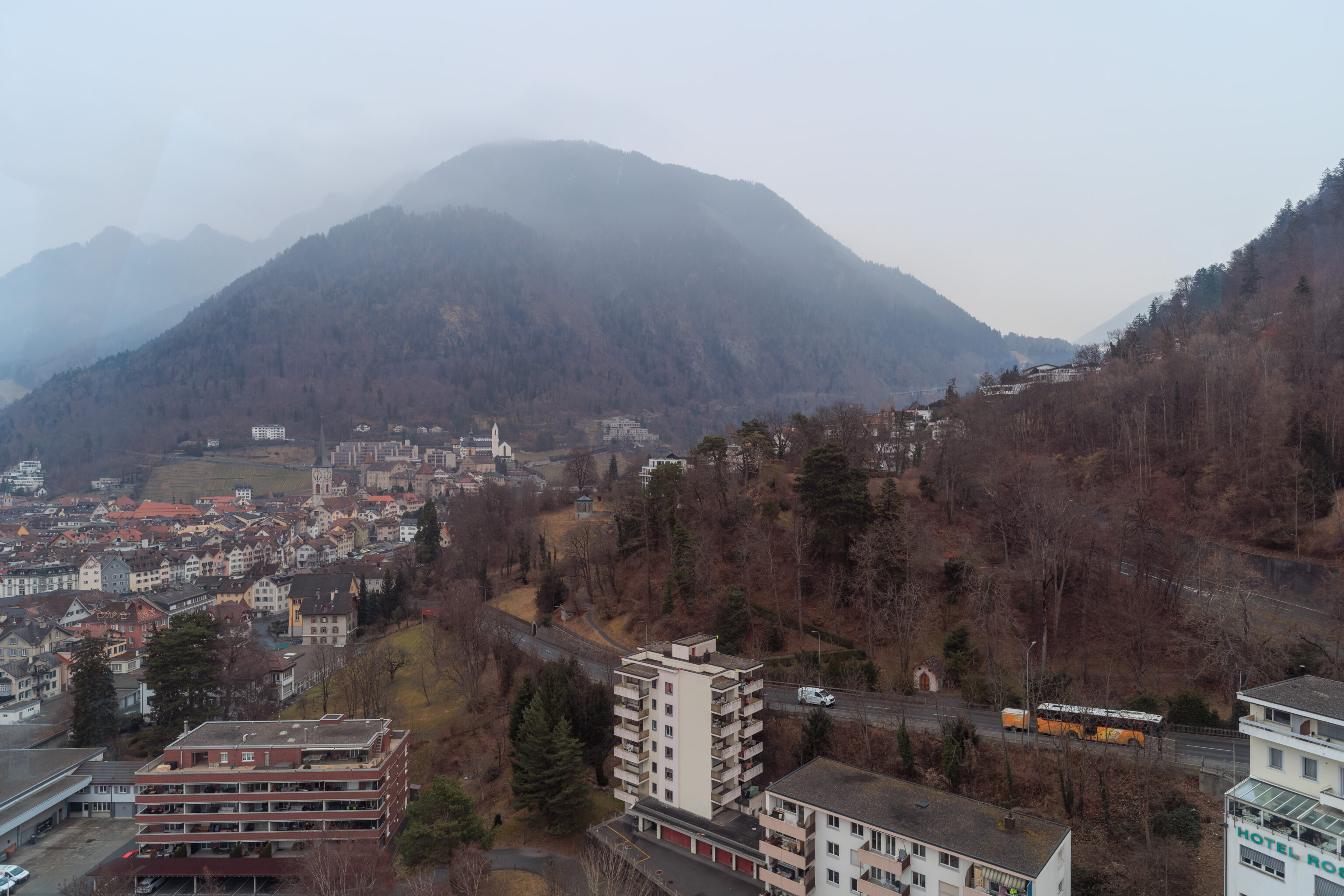
Visibility was pretty good as we got closer to the ground.
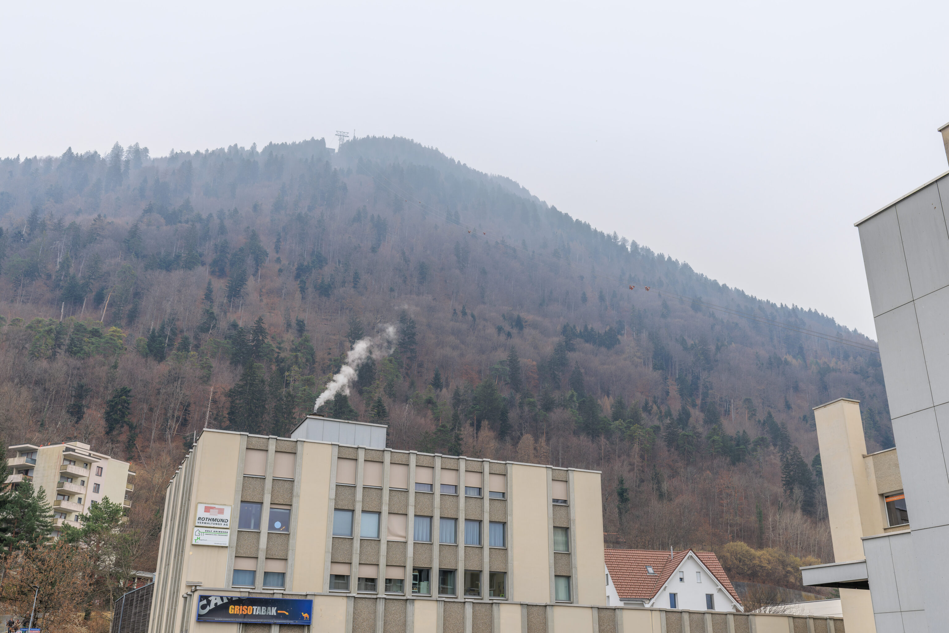
The view from outside the lower aerial tram station looking back up at Känzeli.
Altstadt
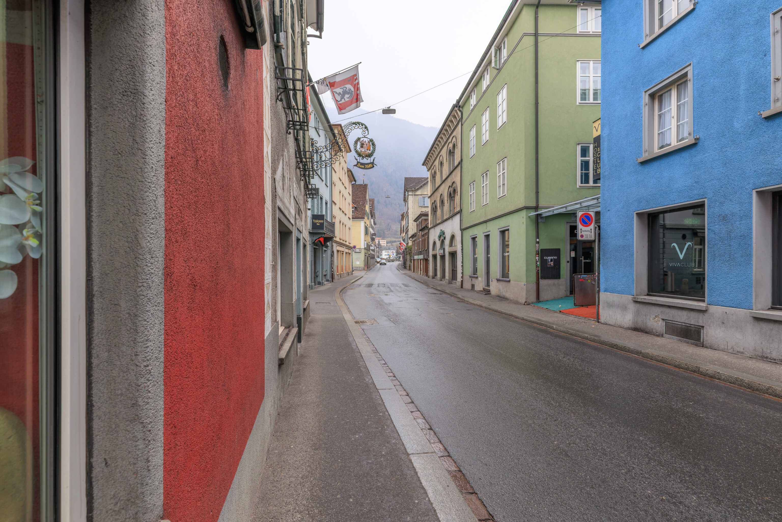
We started to walk to the east to enter Chur’s Altstadt (Old Town).
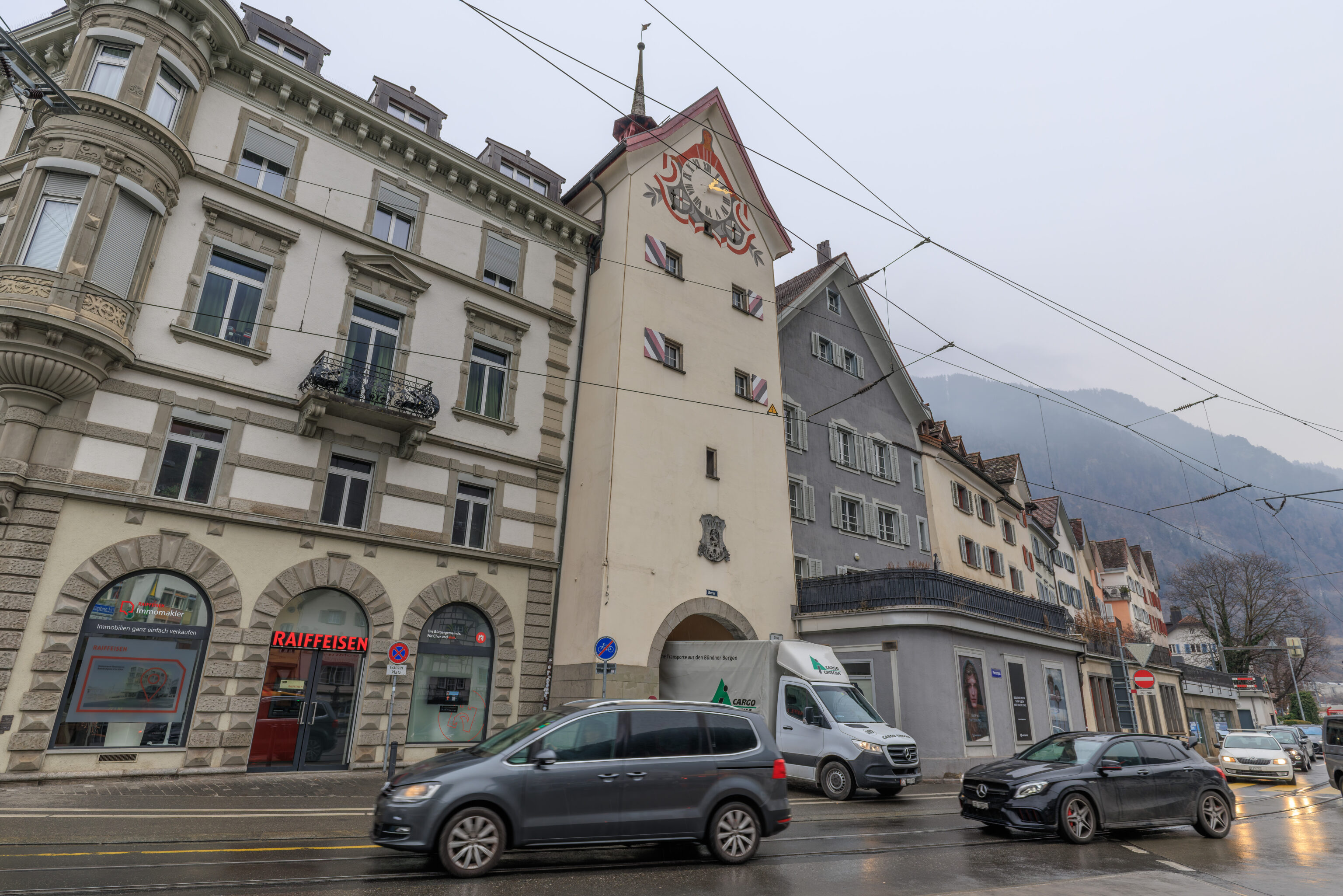
The Altstadt was just a few blocks away. This tower and gate at the southwest corner of the Altstadt is the Obertor. The Altstadt is
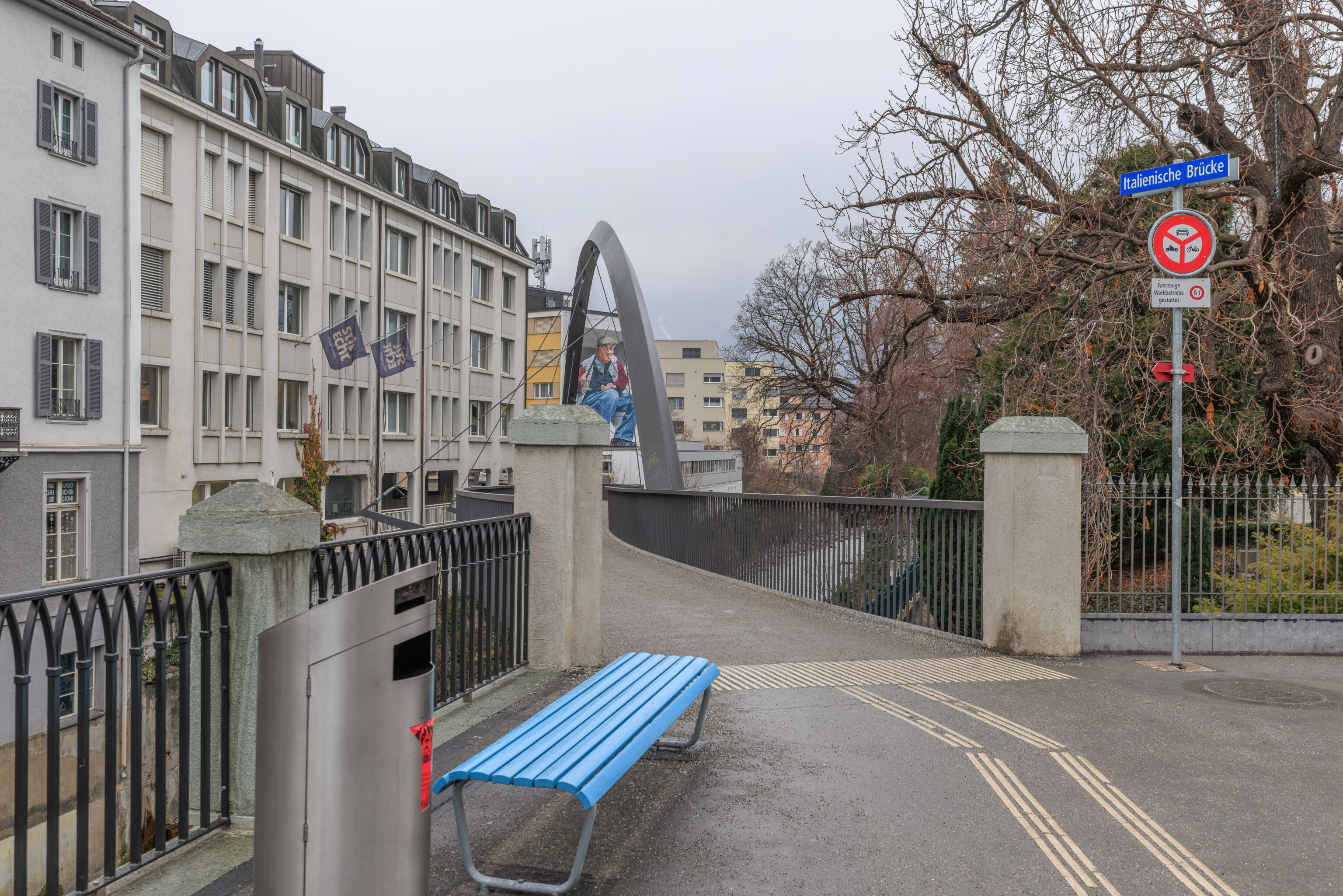
We crossed the street as well as a river, the Plessur, which runs adjacent to the southern end of the Altstadt. Looking to the west, we saw a modern bridge and a mural of a guy fishing. This bridge is the Italienische Brücke (Italian Bridge). Its name was selected from 850 suggestions by local residents.
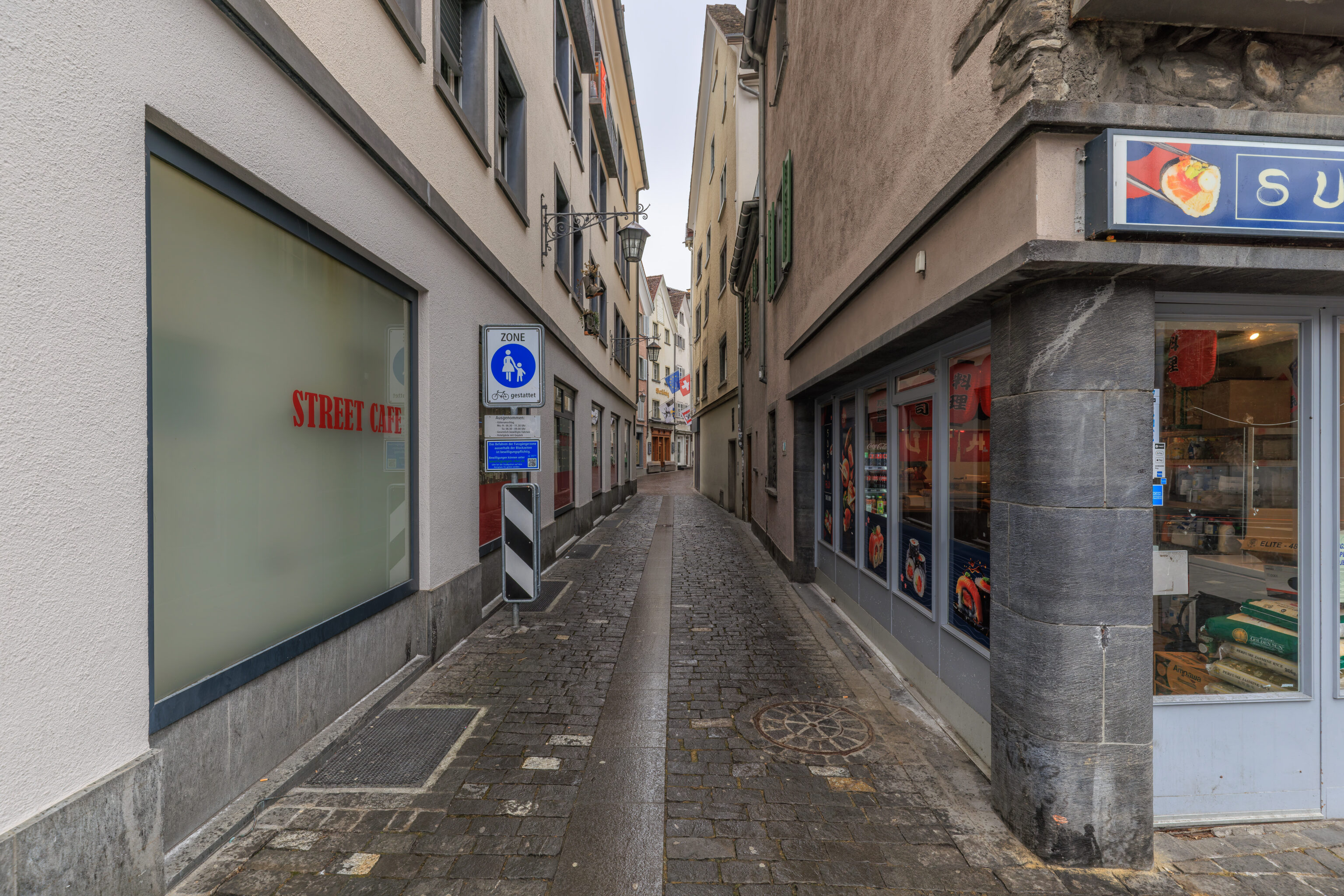
We entered the Altstadt from the west. Our first task, to get something to eat! It was around 1:15pm and not many restaurants were open.
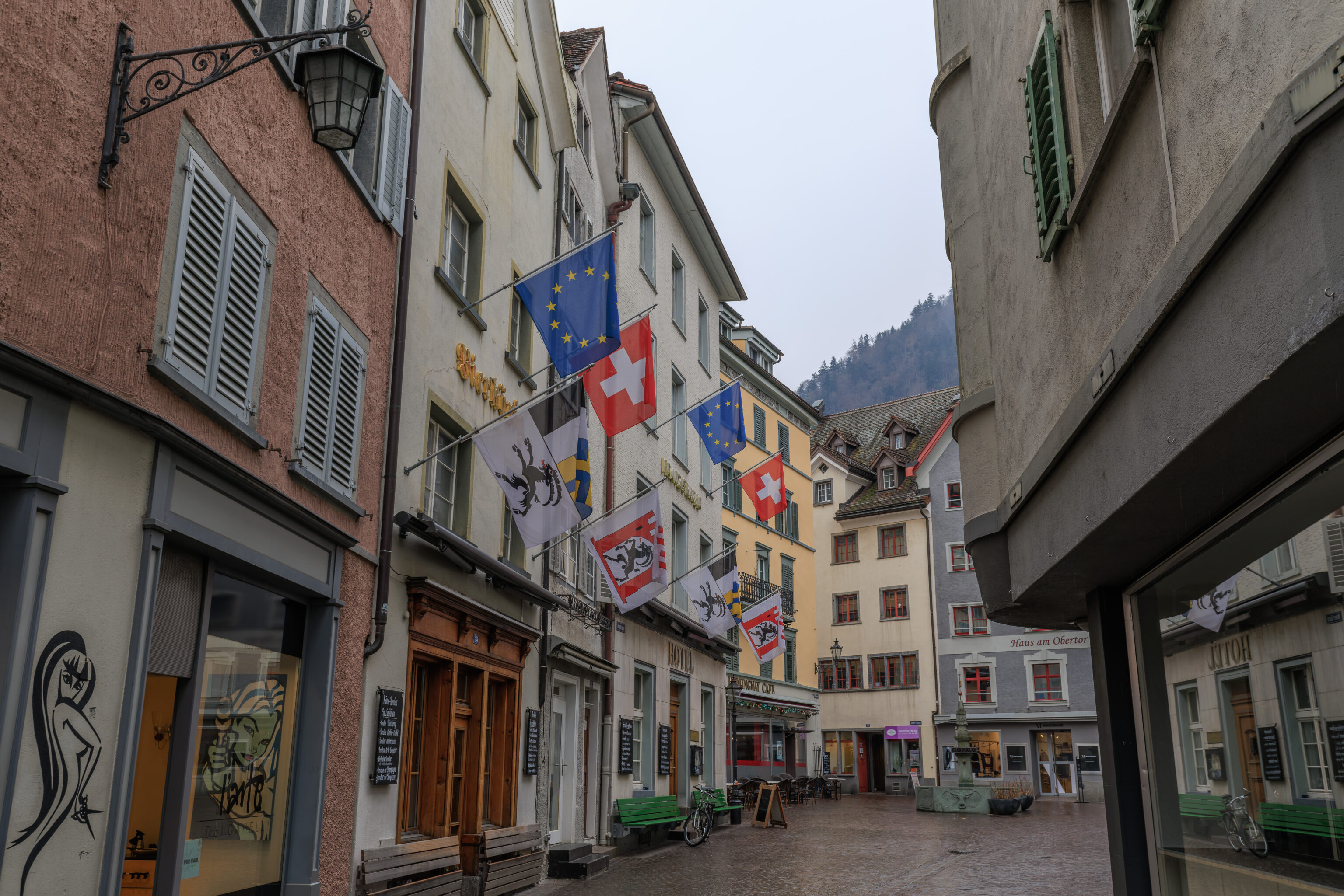
Chur is possibly the oldest city in Switzerland and was conquered by the Roman Empire in 15 BC. Chur is the Grisons canton, or Graubünden in German. This is the canton where Romansh is spoken, one of the four official langues of Switzerland along with German, French, and Italian. The historic name for this region is Rhaetia, the name of the province of the Roman Empire as well as the tribes that lived here previously.
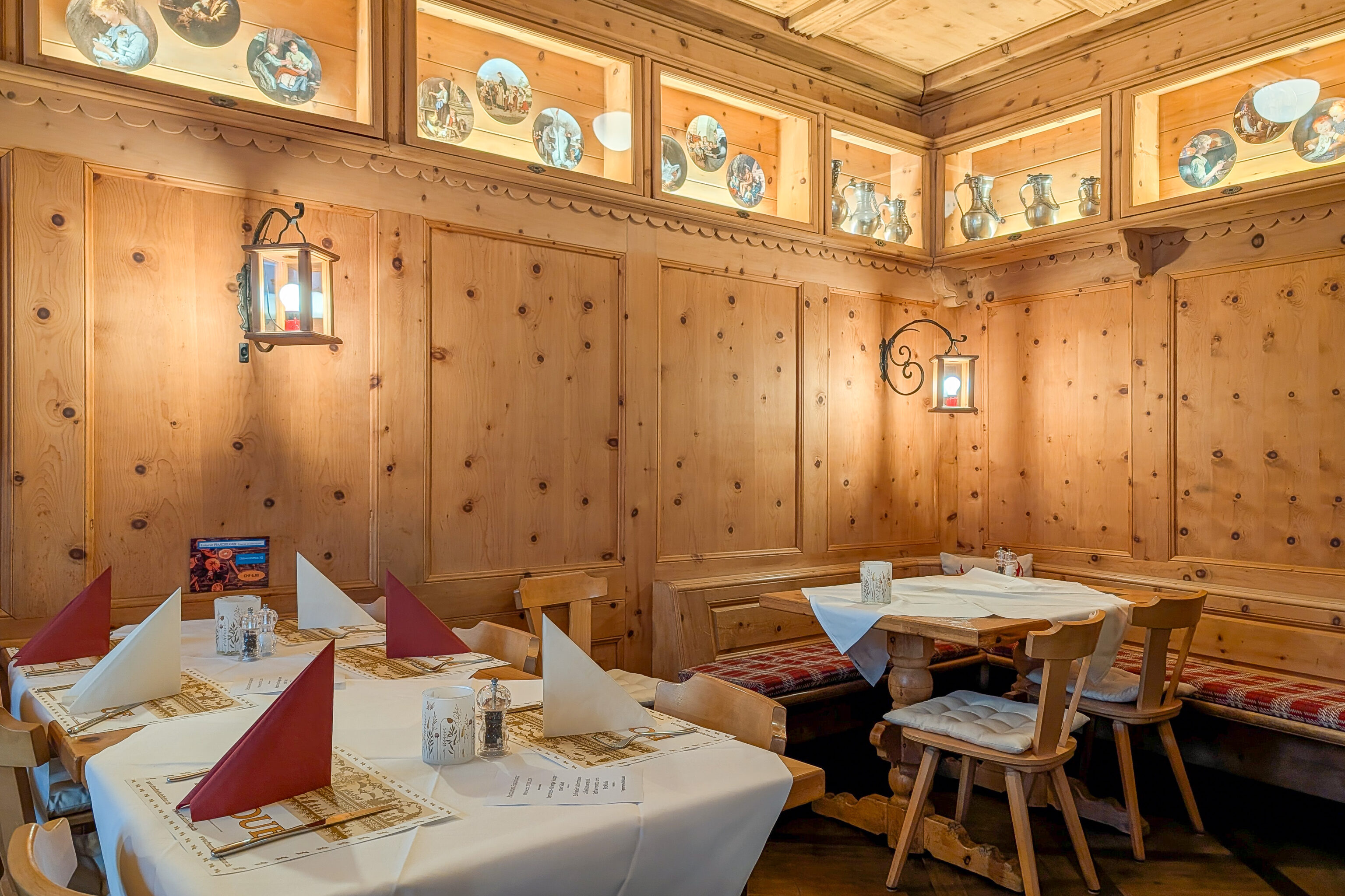
We ended up having lunch at the Hotel Franziskaner‘s restaurant. The small restaurant had a nice wood paneled dining room.
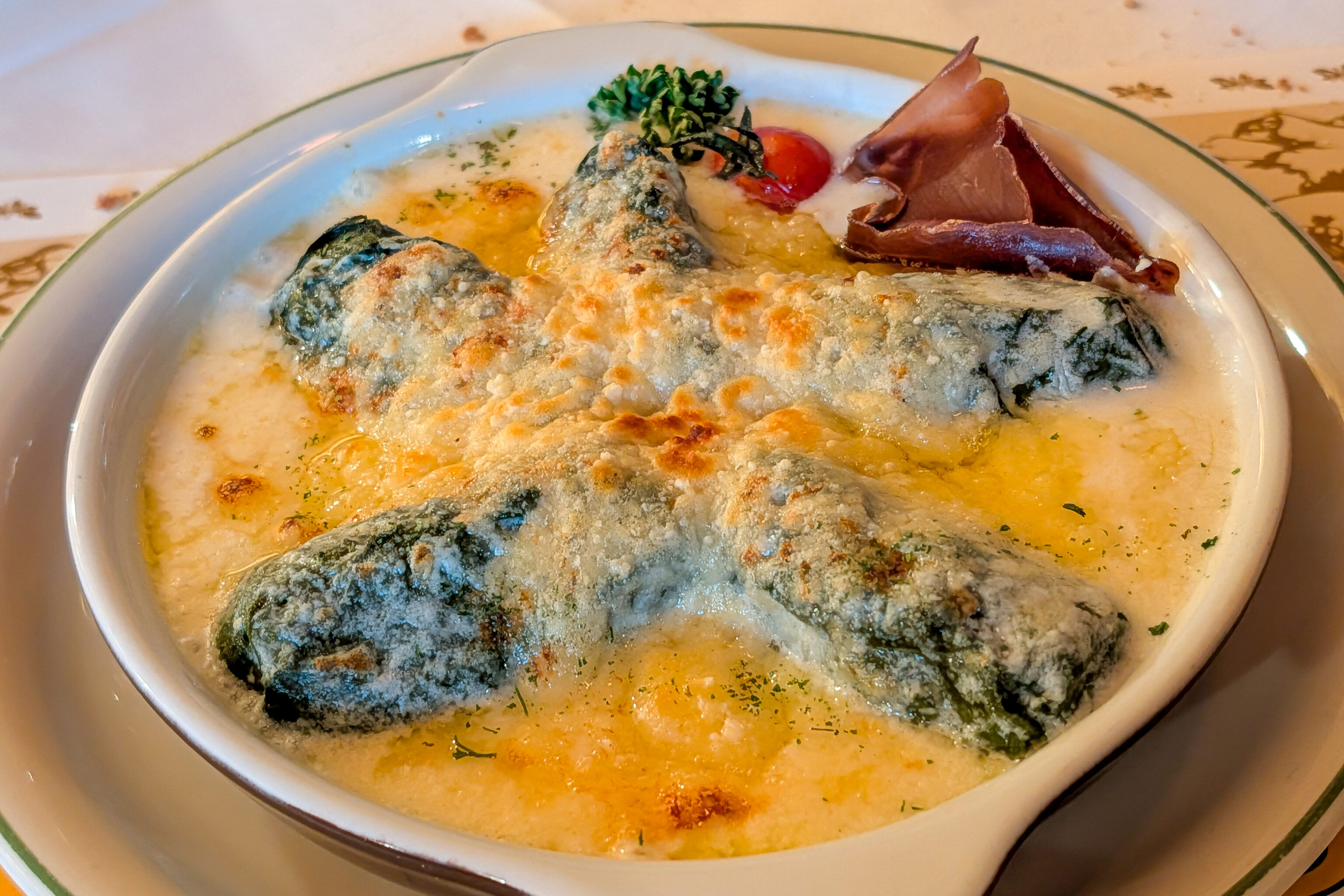
Capuns Sursilvans with Riesling foam sauce and topped with cheese
This is a local dish from the Canton of Grisons. It’s basically a dumpling filled with pork and wrapped in a leg, possibly chard. It is served after being baked with cheese on top. It doesn’t sound very good and it actually looks a bit weird but tastes very good.
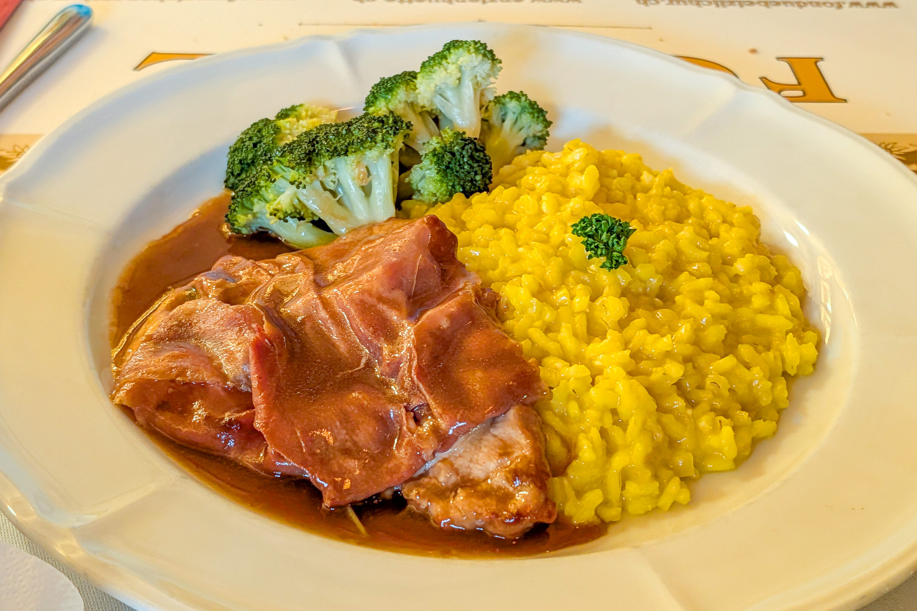
We also had their daily special, which consisted of risotto with pork and prosciutto, maybe, on top. Both elements of the dish were very good. The rice was a nicely prepared, not too hard and not too soft.
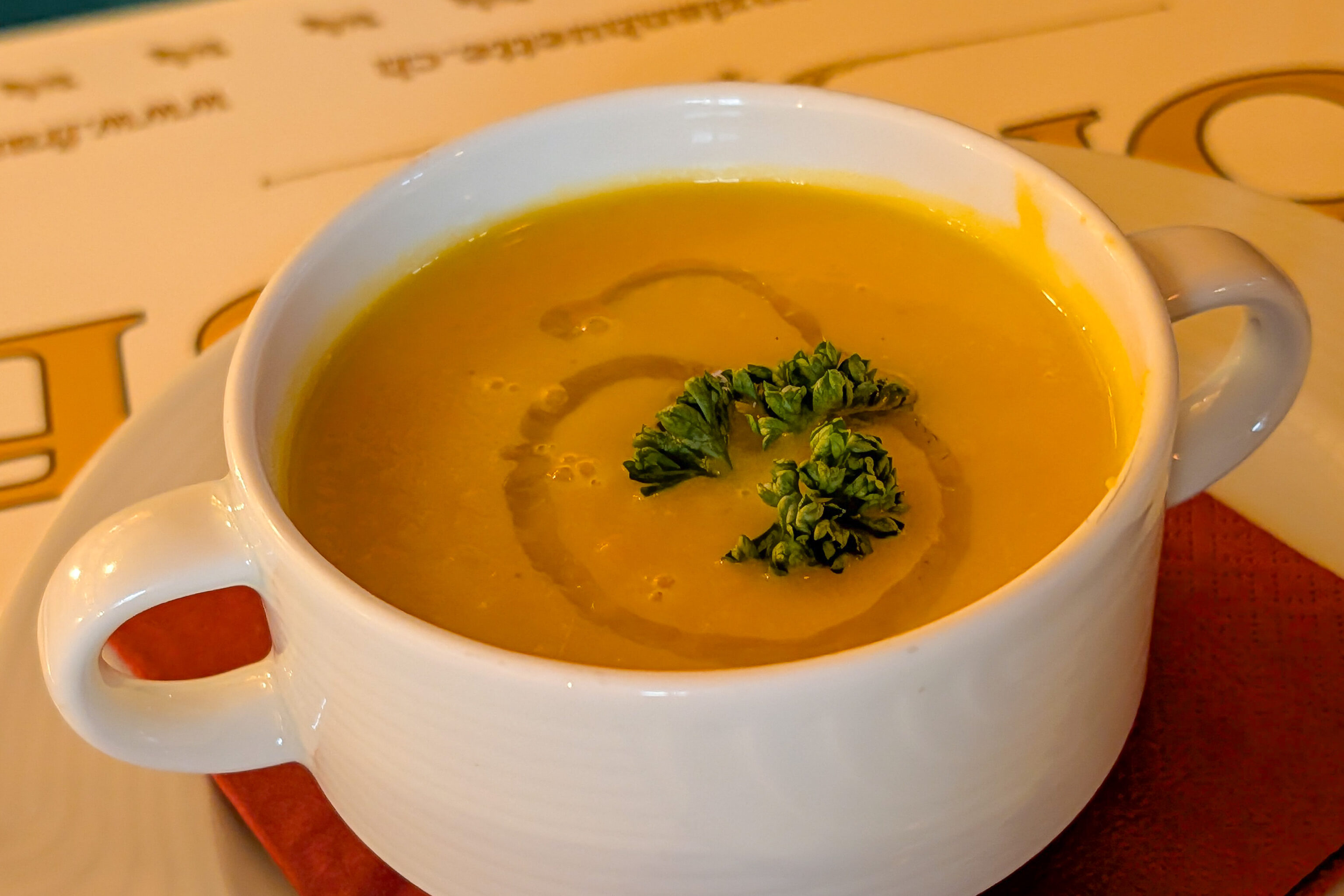
It also included a potato orange soup. Definitely quite different from any other soup we’ve had but still good.
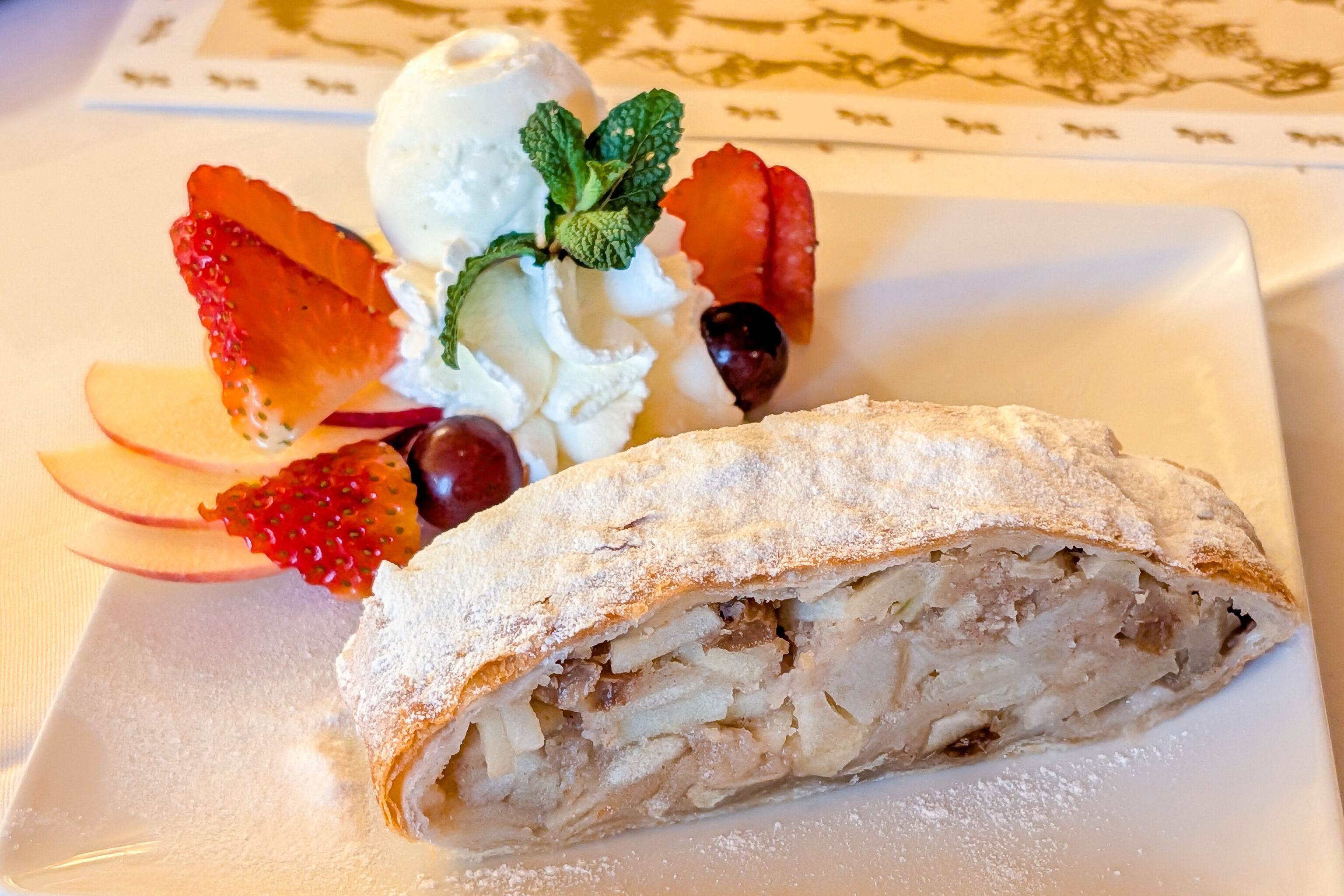
We also had apple strudel with vanilla ice cream. It was very good.
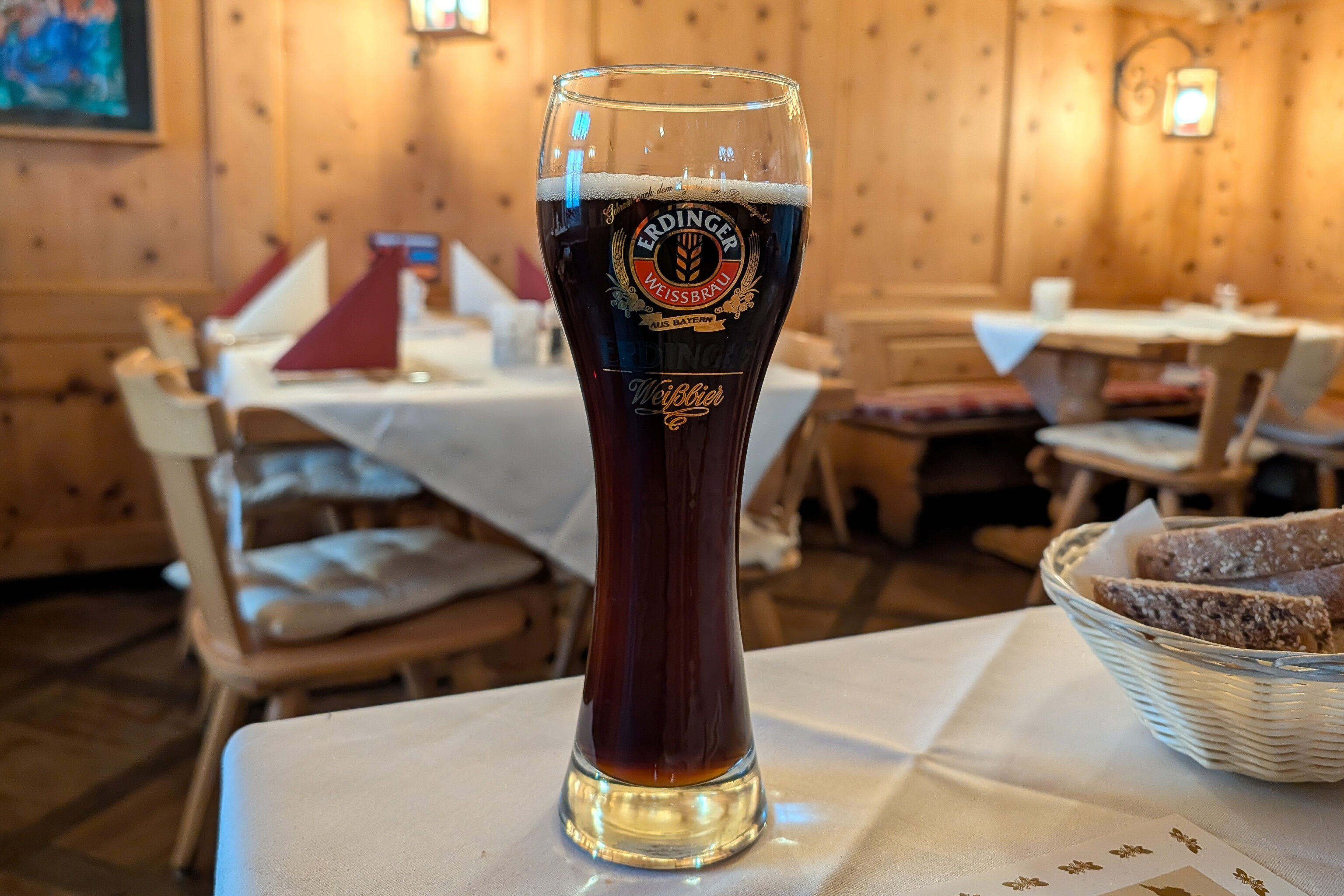
We had a dark beer with the meal. Unfortunately it doesn’t match the glass.
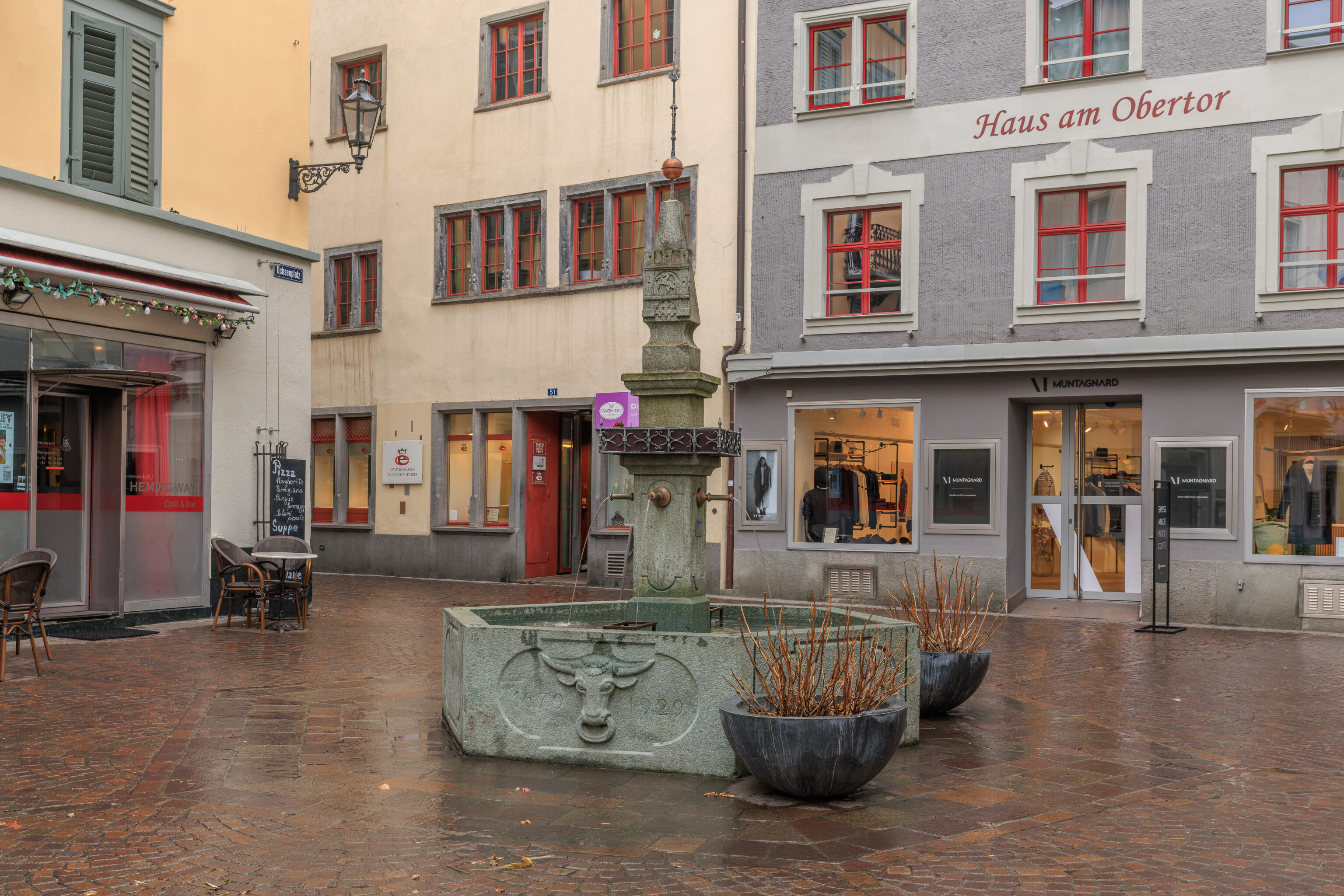
An active fountain!
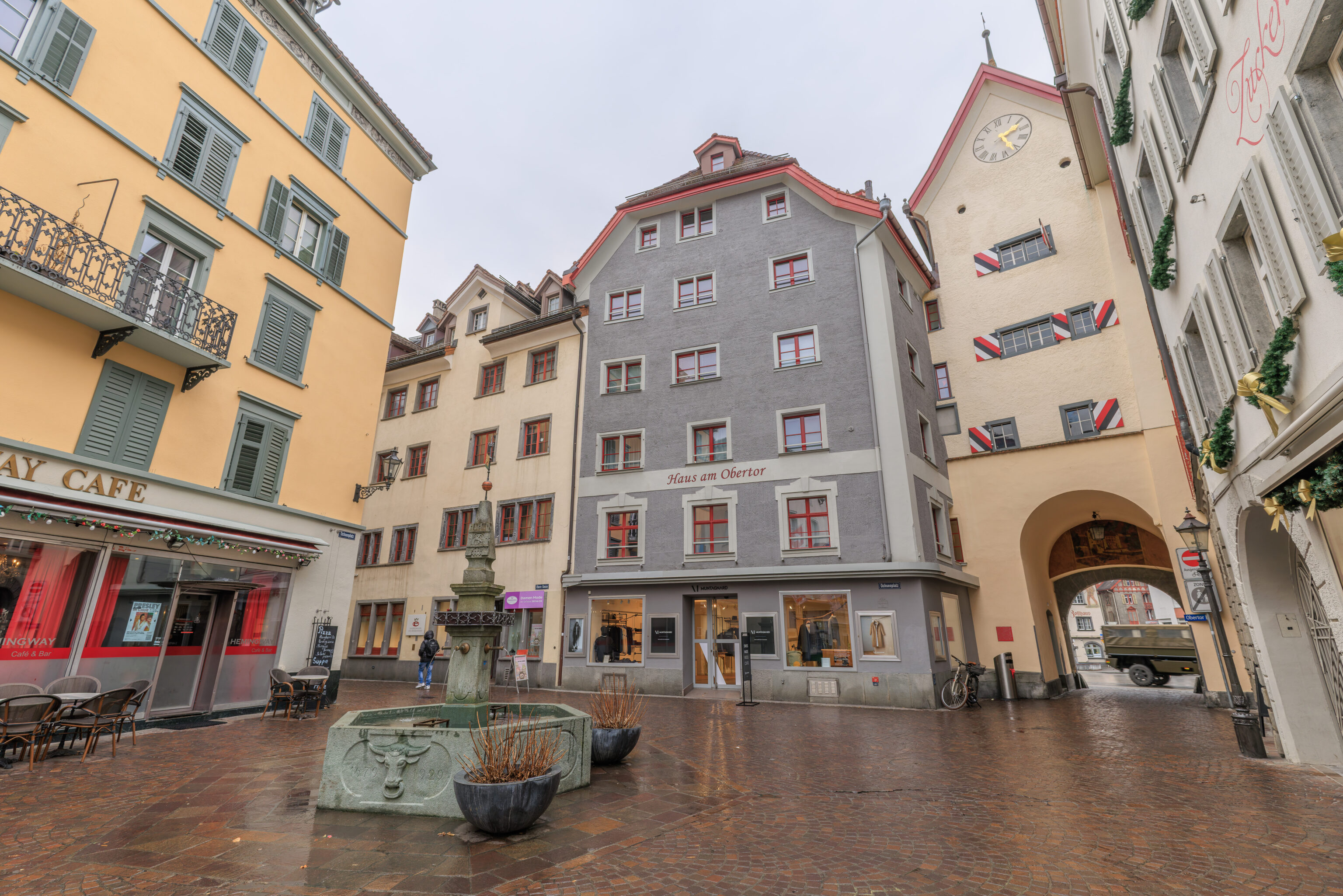
The fountain was in the square behind the Obertor, the gate that we saw when we were on the other side before lunch.
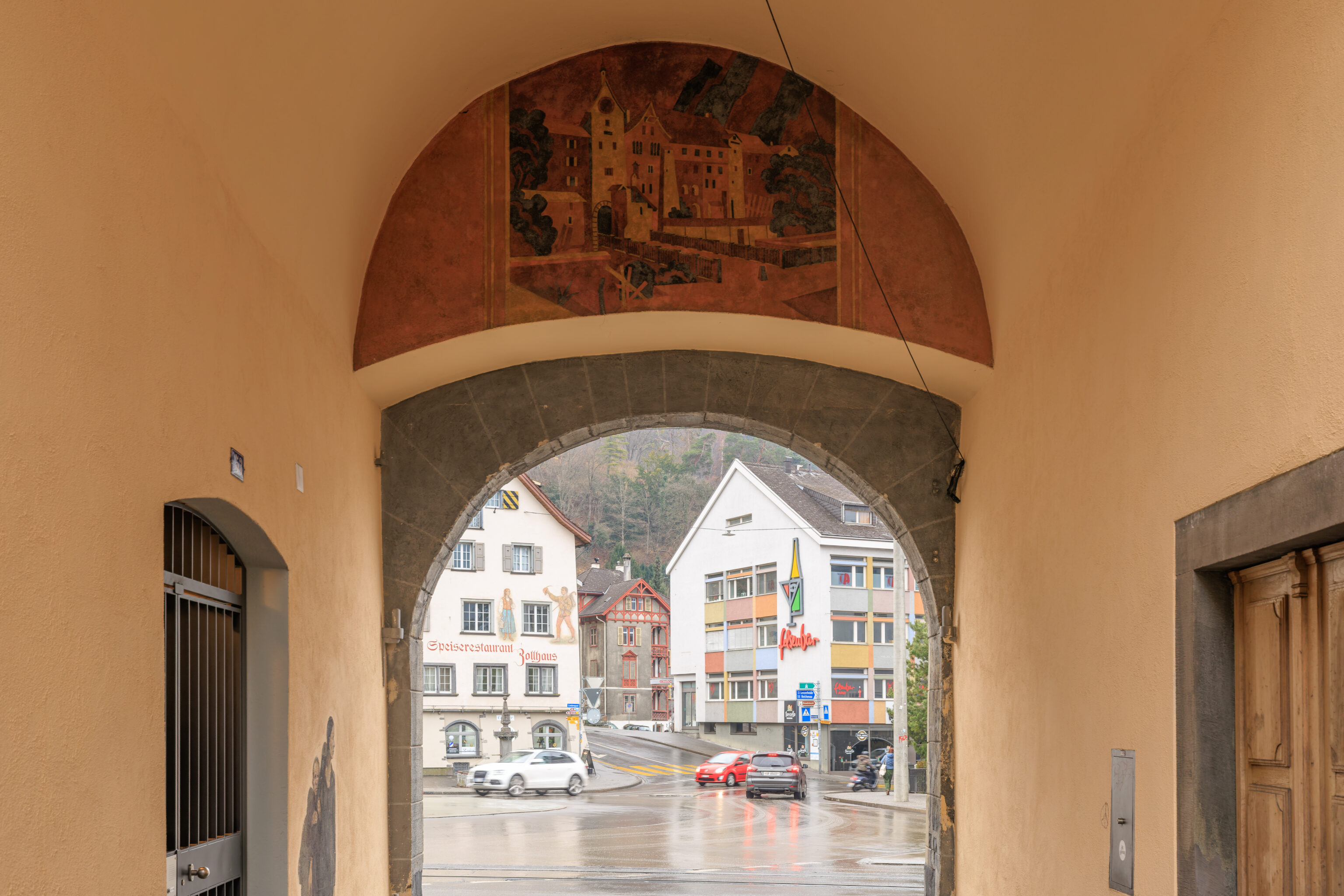
We walked through the Obertor to take a look. Inside, there was a small mural above the gate. It seems to depict what the Obertor and the area around it may have looked like historically.
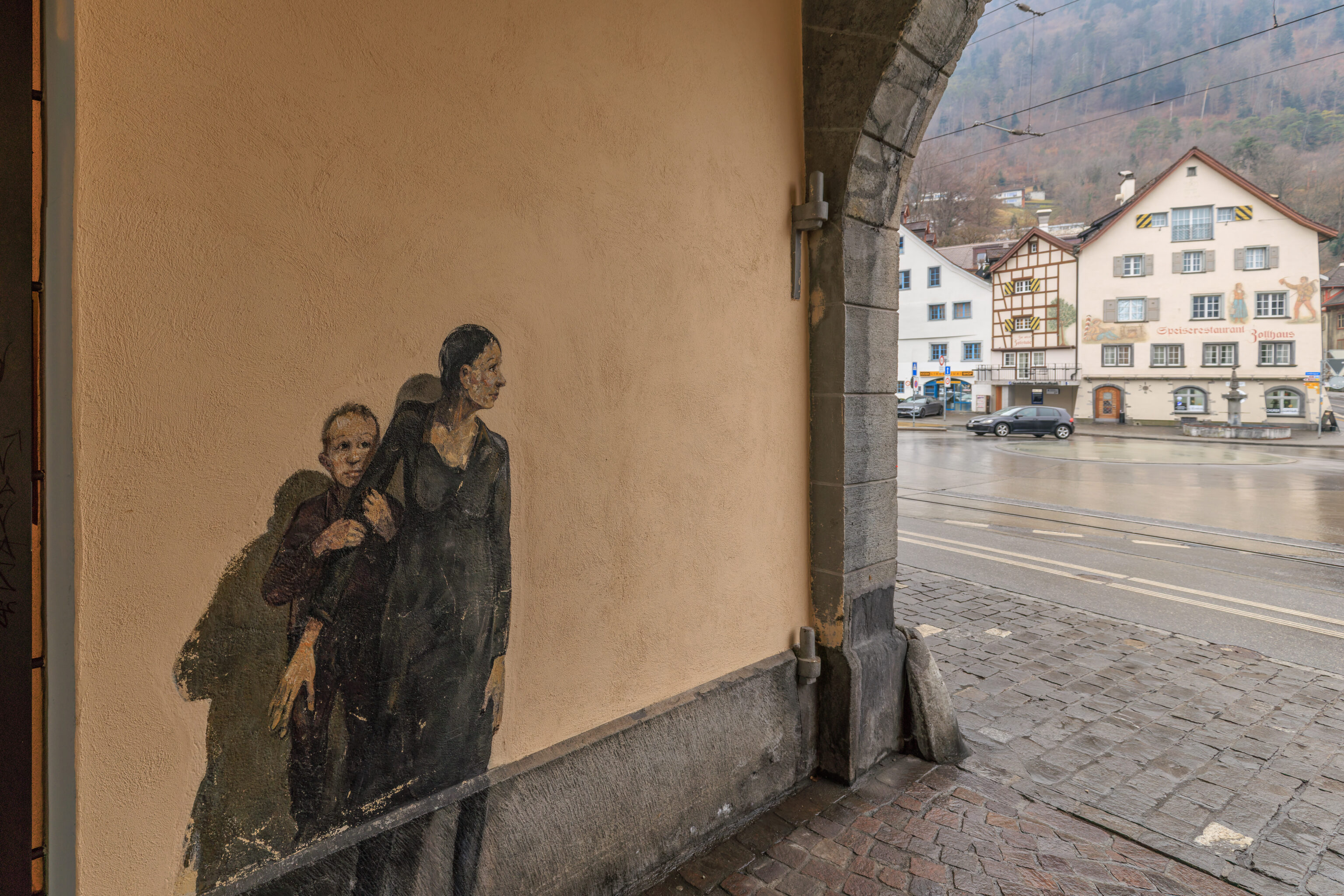
There was also a mural of what seems like a mother and child inside the gate. This could be street art?
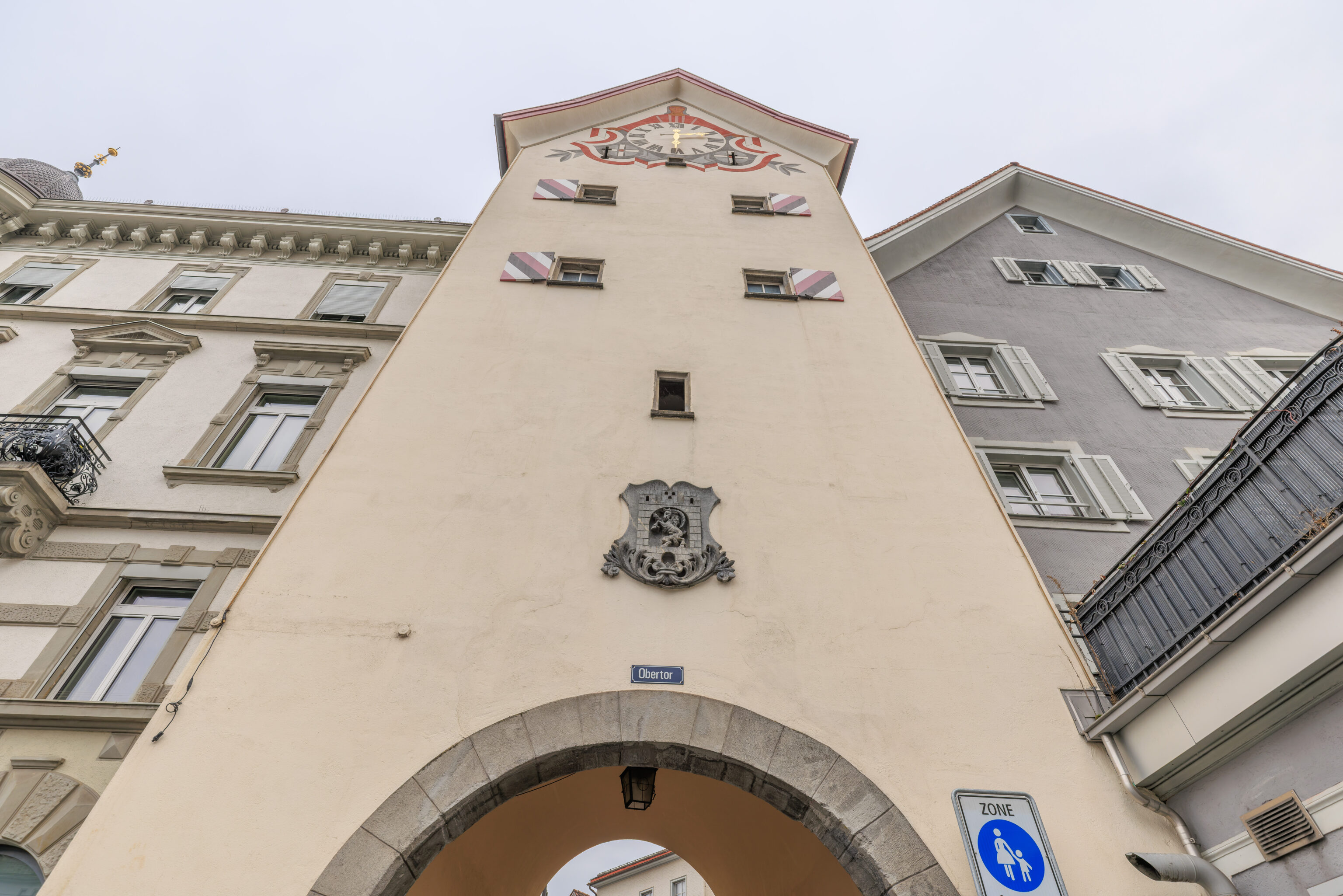
The Obertor as seen from the outside.
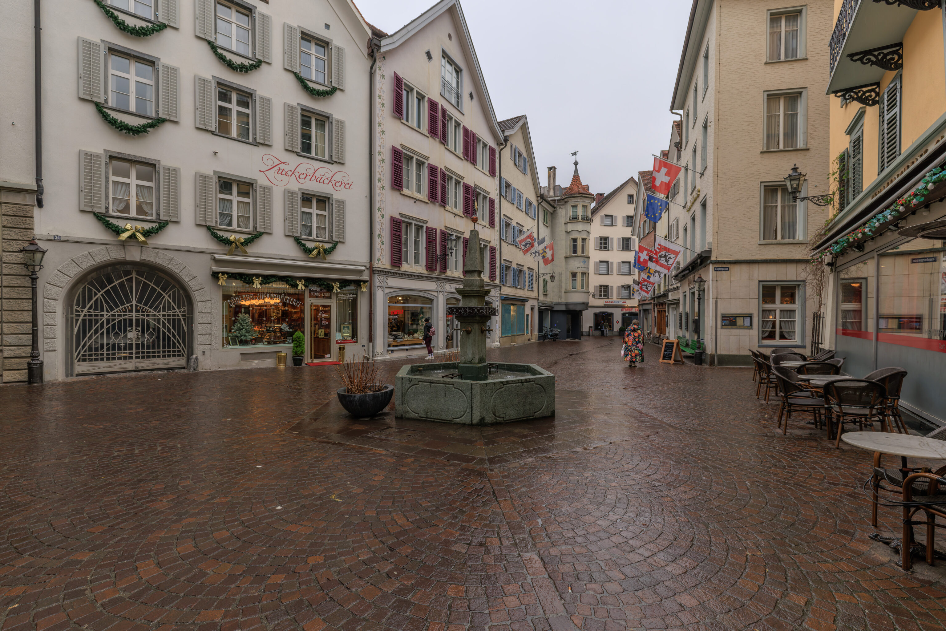
After taking a quick look outside of the Altstadt, we went back through the Obertor to continue walking around.
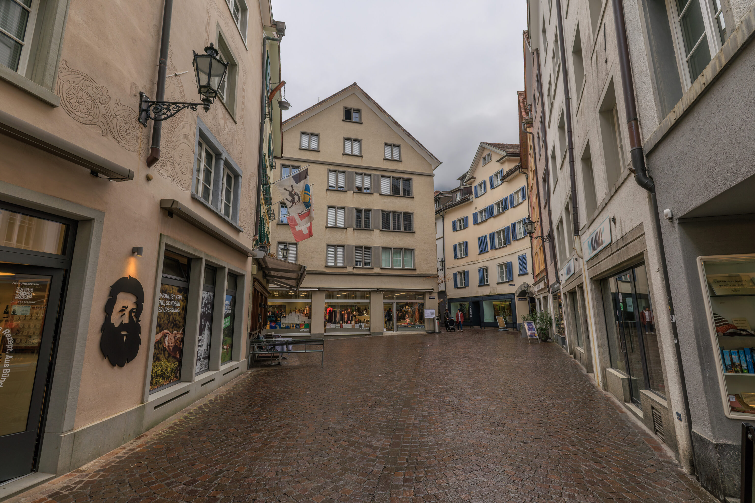
We walked to the east…
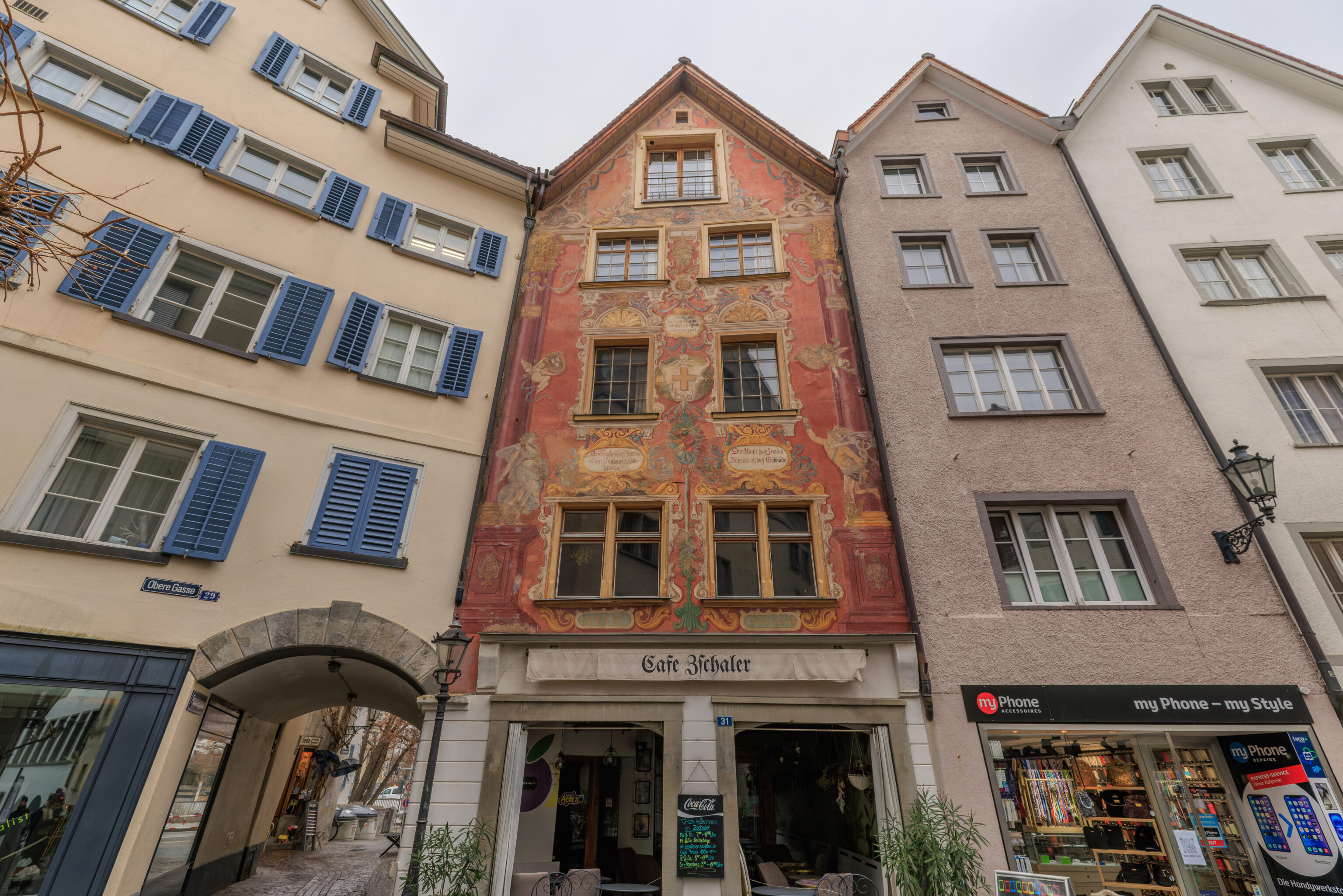
This building had rather detailed painted facade.
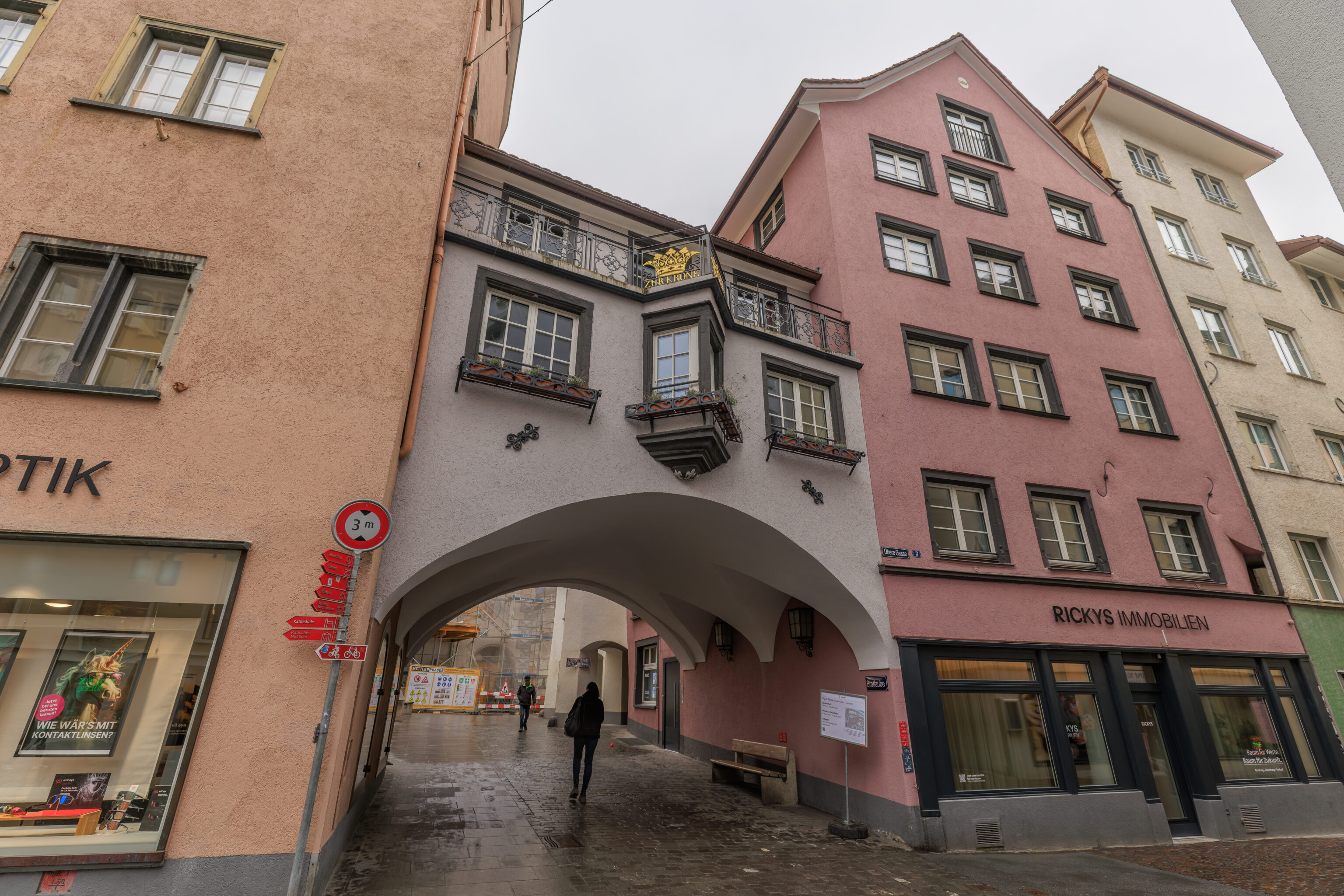
We under this bridge, if one can call this a bridge, that connected two adjacent buildings.
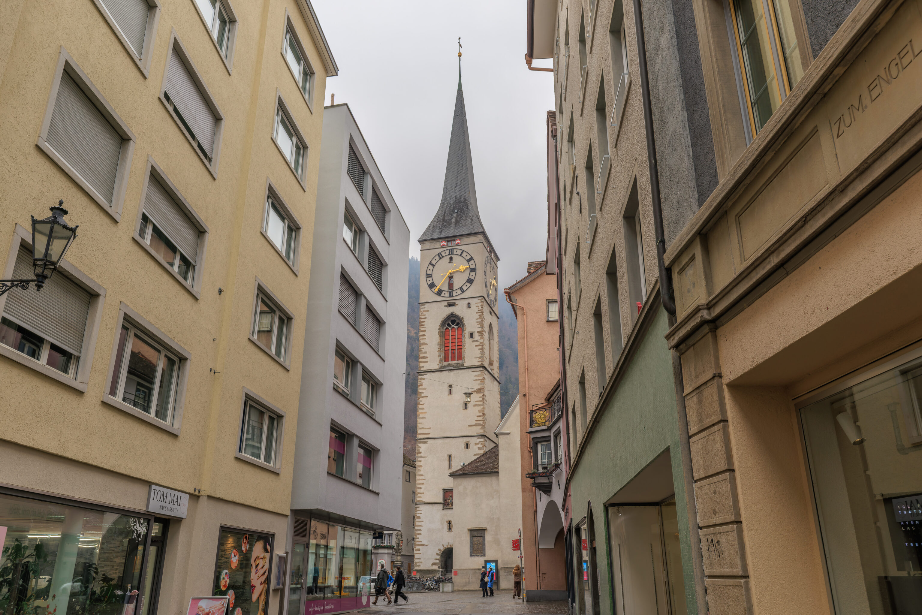
To our east, we saw the tower of the Martinskirche (St. Martin’s Church).
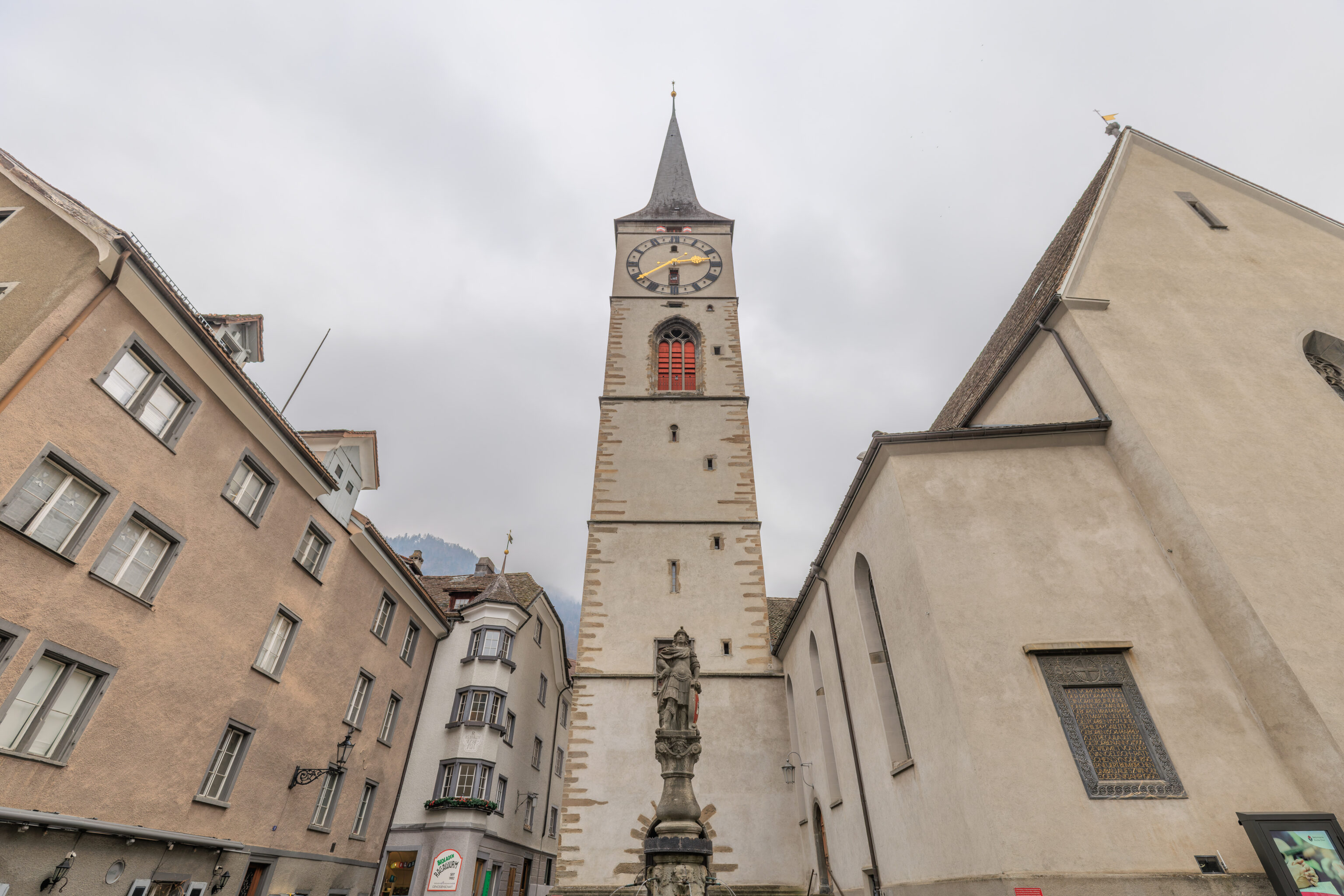
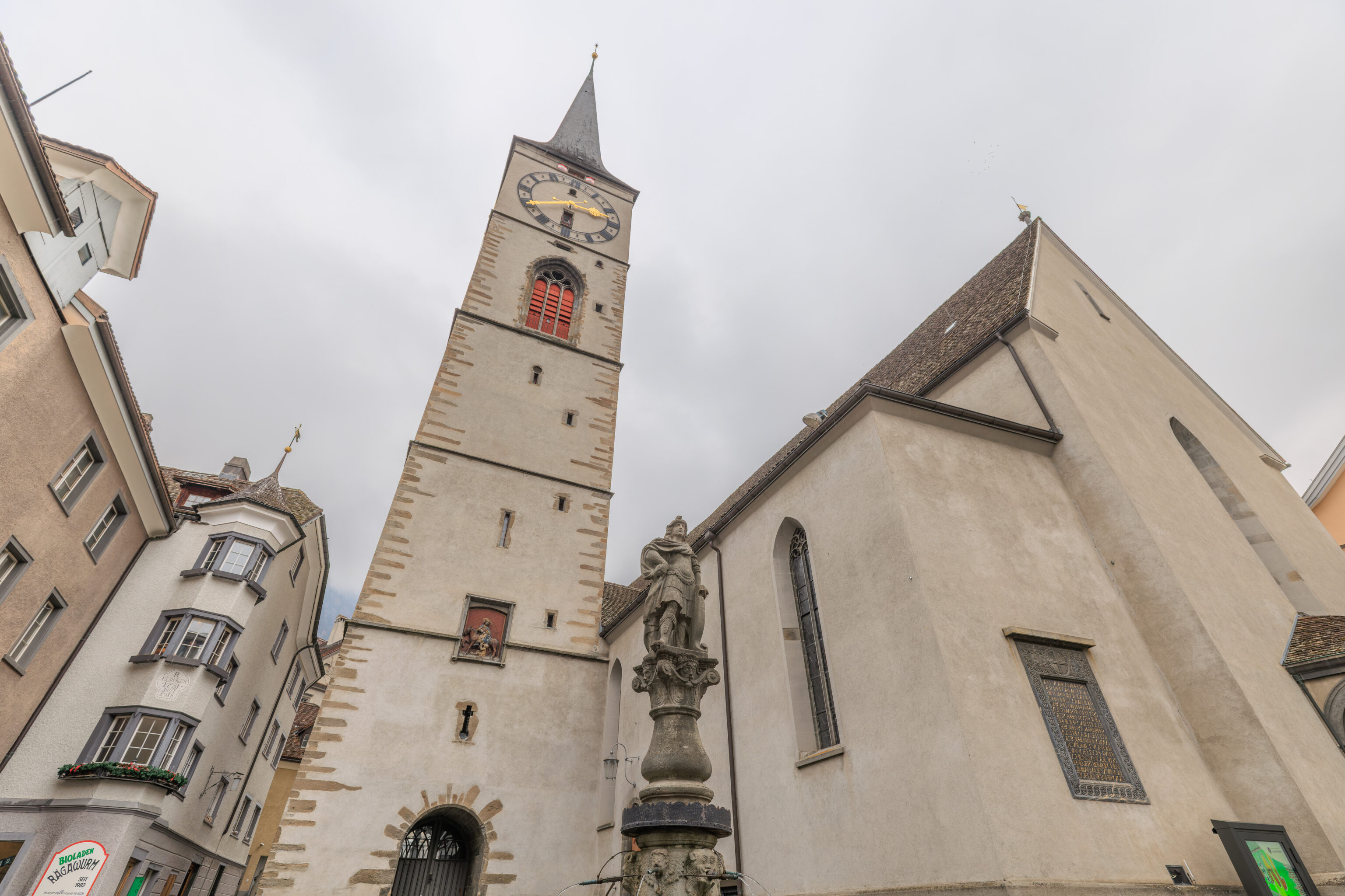
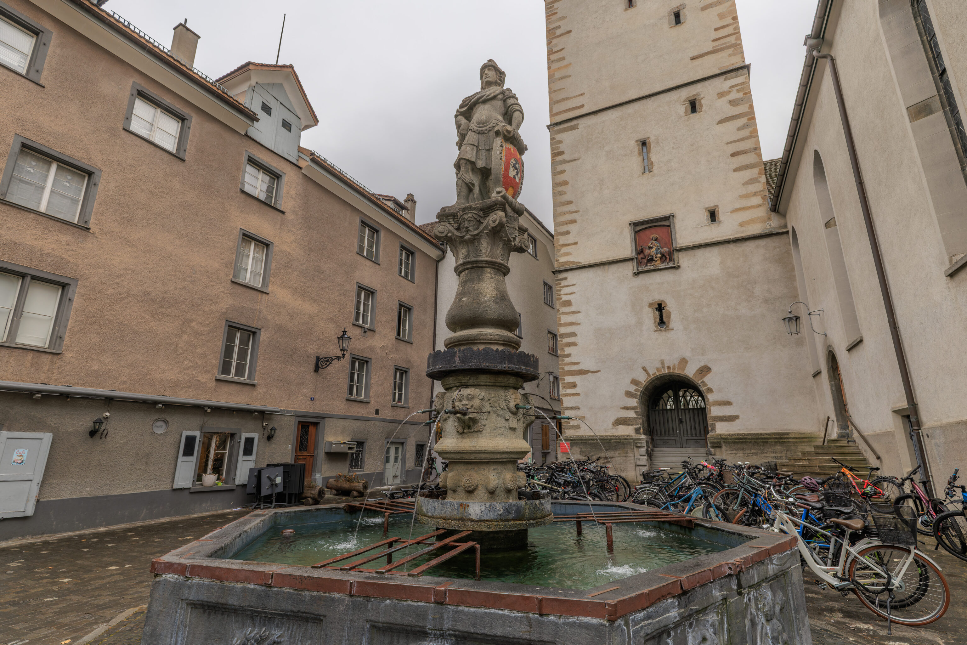
We walked over to the church and first took a look at the Martinsbrunnen, a fountain, in the Martinsplatz, the small square in front of the church. The statue atop the fountain depicts St. Martin, also known as Martin of Tours.
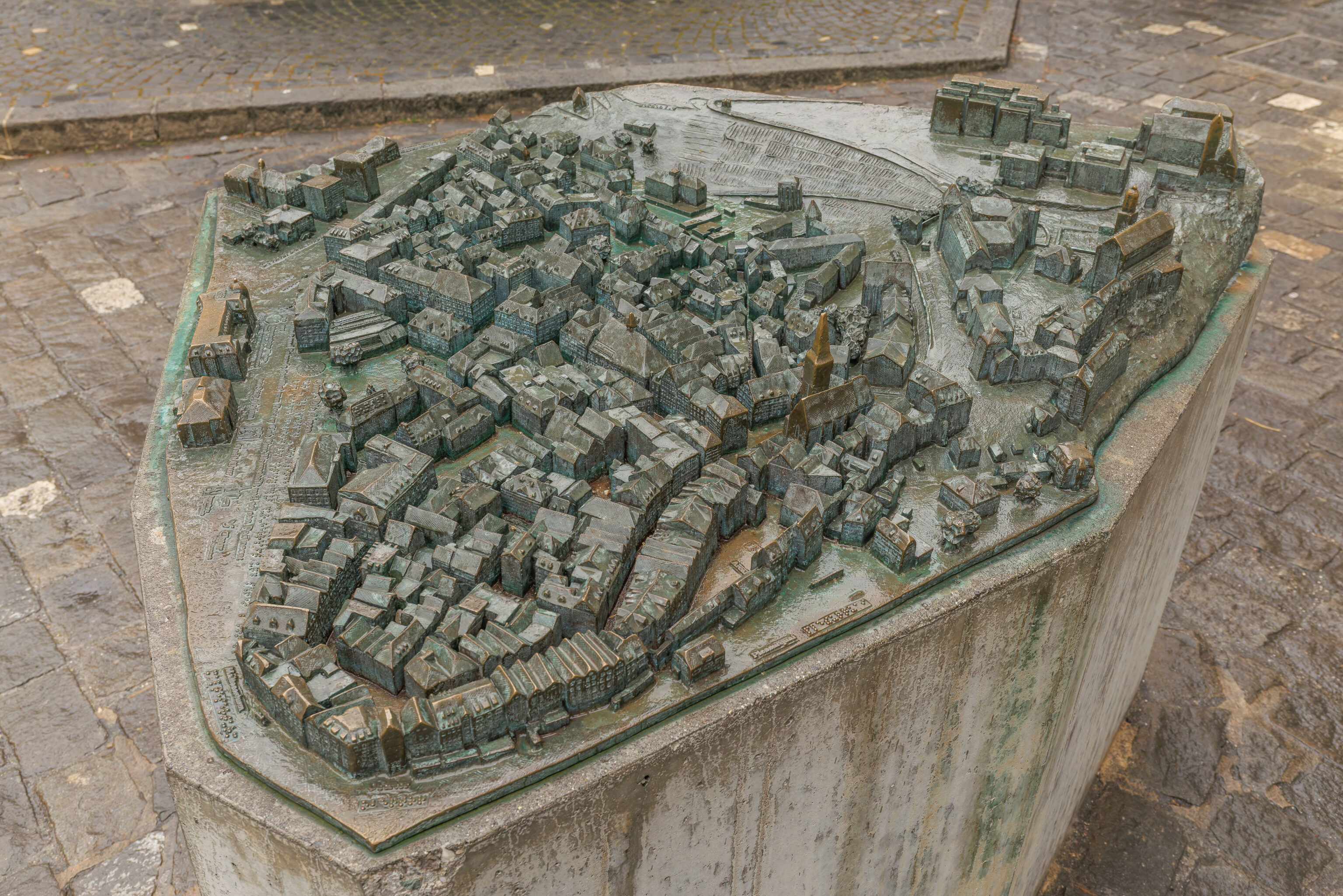
There was also a 3D model of the Altstadt. It seems to depict what the area looks like today.
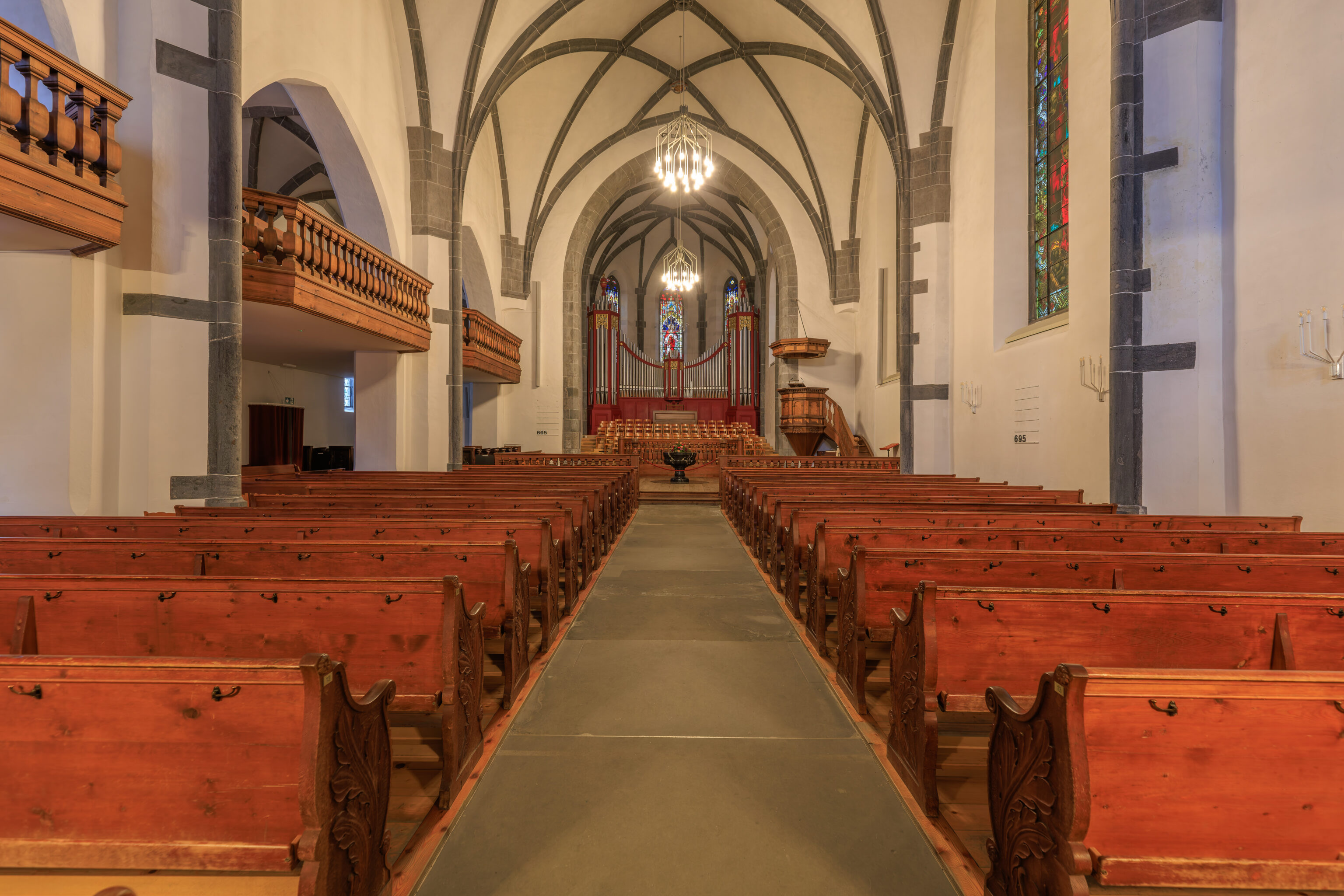
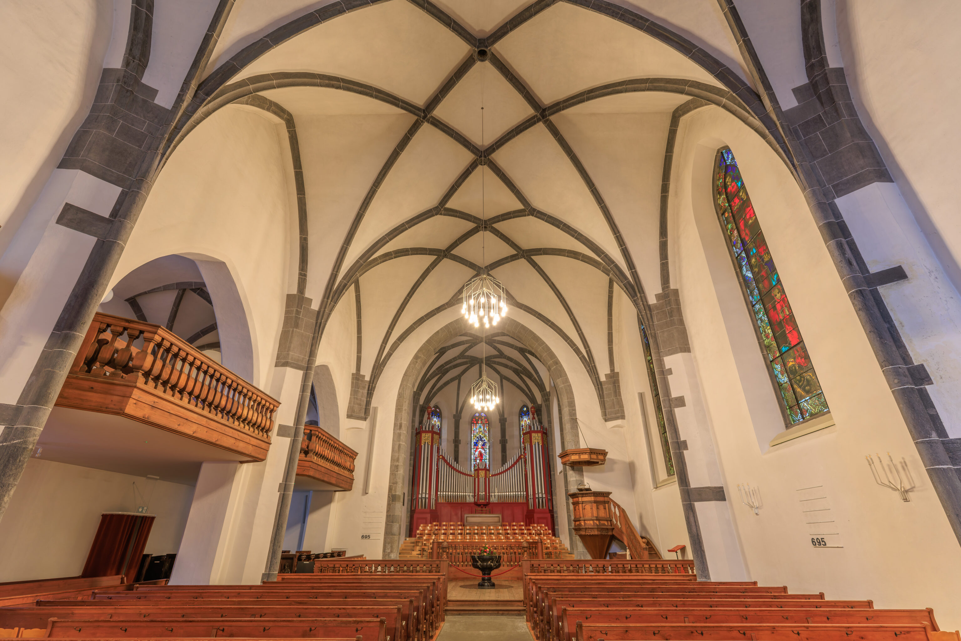
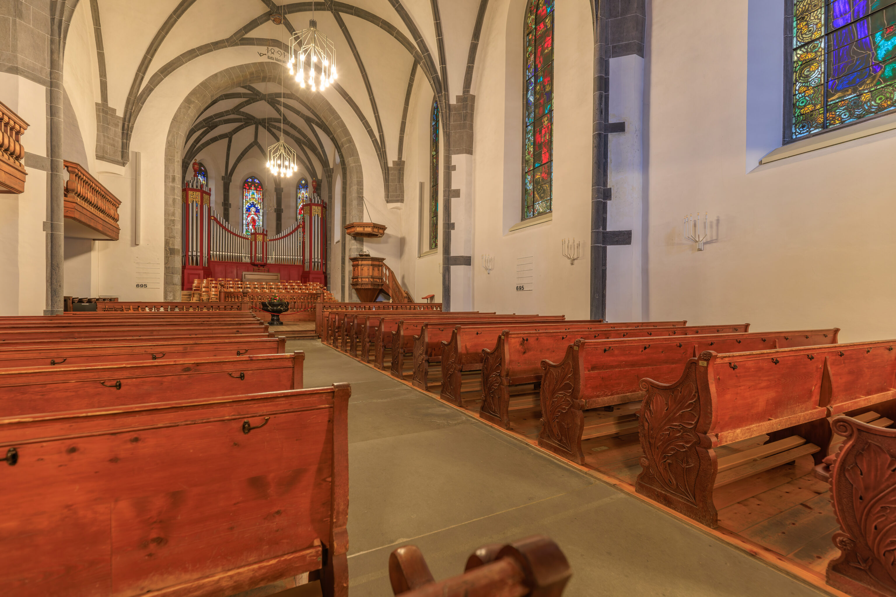
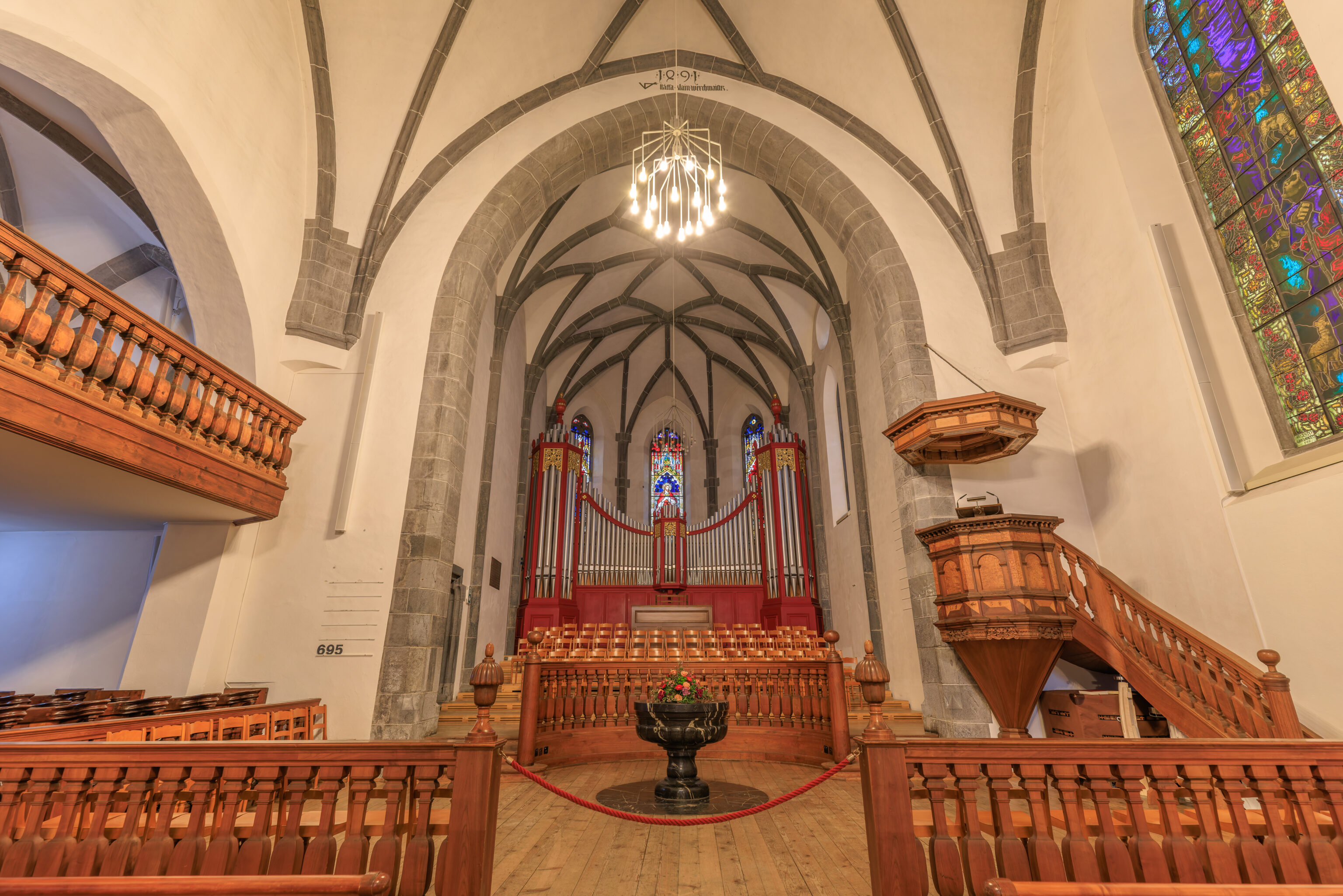
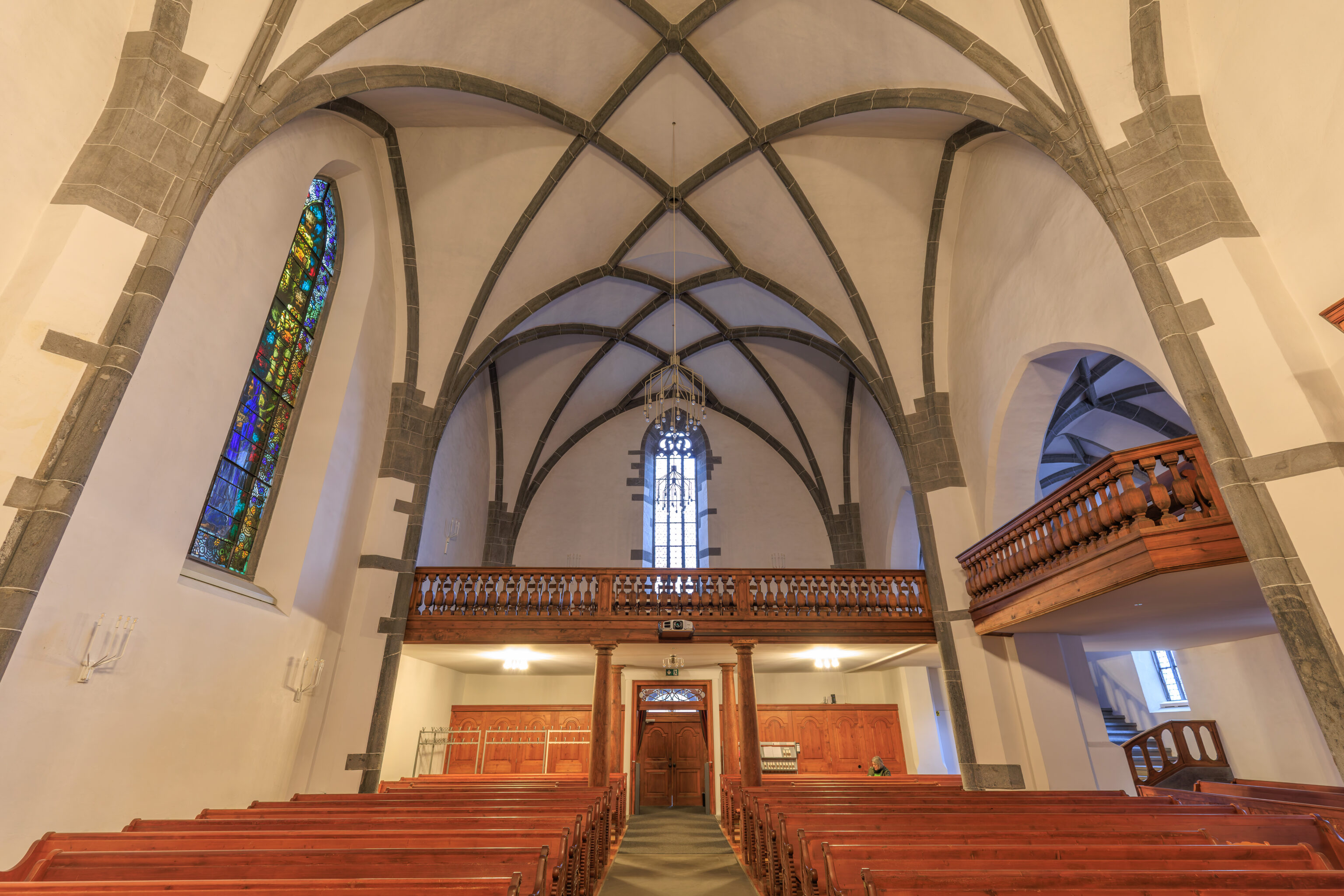
We walked into the church to take a look. The interior was pretty plain with the stained glass windows being the most visible decorations. The light fixtures hanging from the ceiling were a bit unusual.
St. Martin's Church
The main Protestant church, St. Martin's, incorporates masonry from an earlier Carolingian hall church with three apses. The older structure was destroyed in the great city fire of 1464. Blind arcades dating from the 8th century remain clearly visible on the south façade. Reconstruction in the Late Gothic style was completed in 1491. Master builder Stäffa Klain from Freistadt, Austria, gave the church its distinctive Alpine-Rhaetian form; the characteristic Grison tendency toward broad, robust architectural design is evident here as well.

The interior reflects a spirit of simple, unadorned piety. It was here that Johannes Commander proclaimed the Reformation in 1523. The choir stalls come from the workshop of Jakob Russ, creator of the cathedral's high altar. Three stained-glass windows (1918) on the south wall are the work of the renowned Grison artist Augusto Giacometti (other works by the master can be found at the Kunsthaus). The pulpit dates from 1558.

If the church is closed, please contact the sexton at Kirchgasse 8 to arrange a visit.
– Text from a plaque, translated from German using Google Translate.
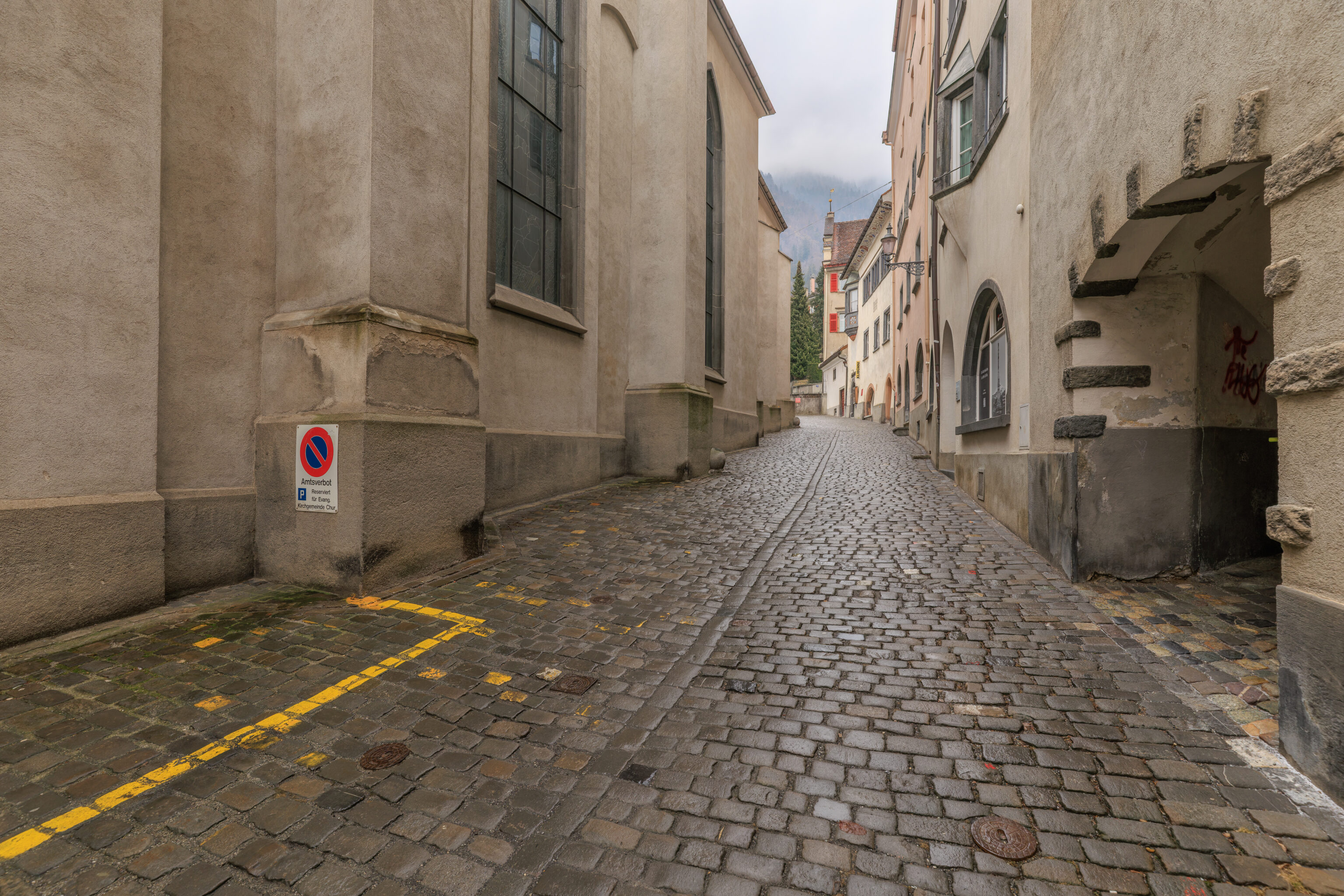
After leaving the church, we proceeded to the east along the church’s southern side.
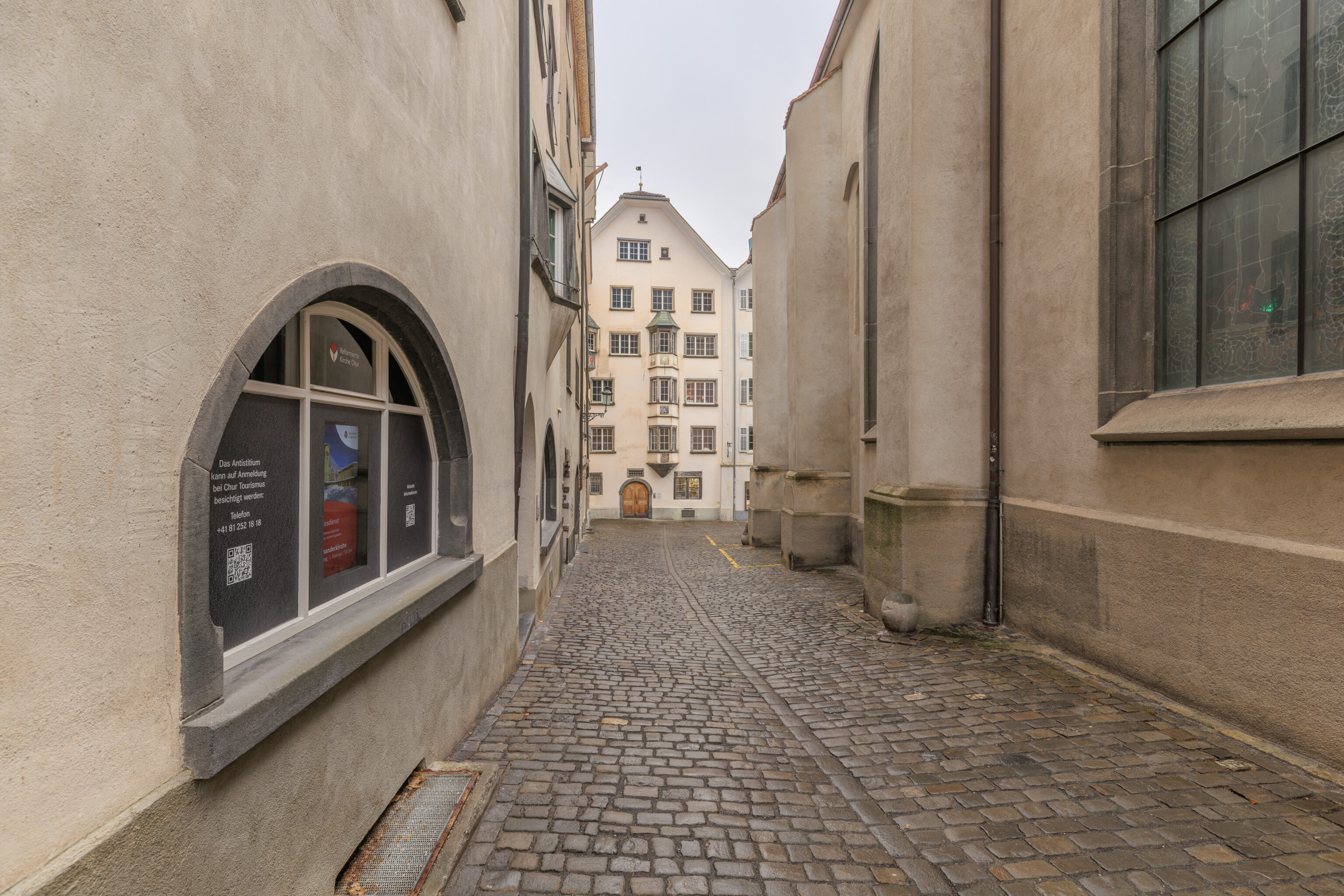
The view looking back to the west.
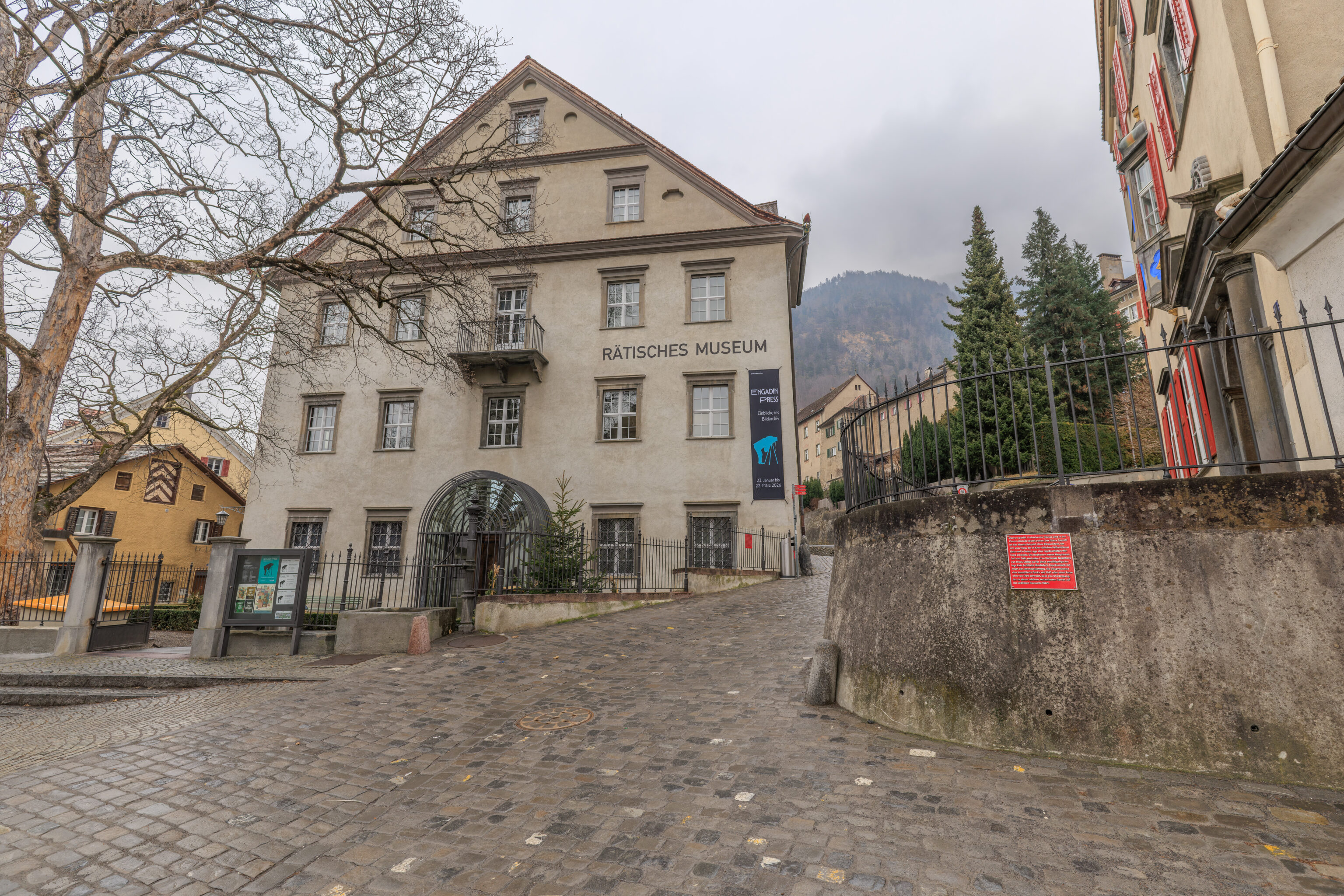
We walked by the Rätisches Museum, a museum focused on the history of Grisons. The building it is in is from the 17th century.
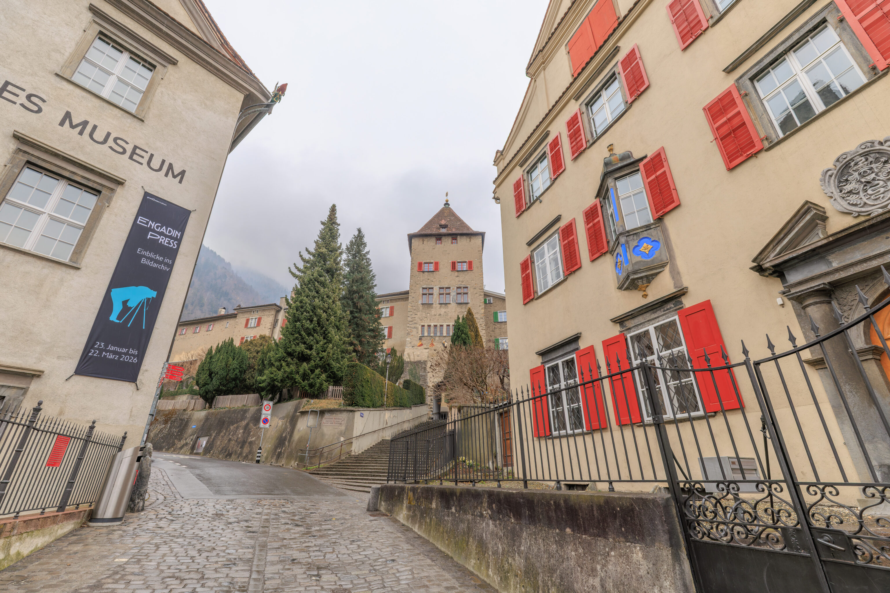
This house on the right, the Oberer Spaniöl, is significant enough to have its own descriptive plaque. Its significance seems to be that it is the oldest private standalone residence in what is now the Altstadt.
Oberer Spaniöl. Detached houses are extremely rare in Chur’s Old Town. The Oberer Spaniöl is the oldest example of a patrician residence that broke away from the row-house style typical of Chur, achieving a stately presence through its freestanding position. It was commissioned by Captain Carl von Salis and his wife, Hortensia Gugelberg von Moos. Unfortunately, the name of the architect behind this two-winged complex has not been recorded. In addition to its interior features—which include, for instance, a coffered ceiling from 1645 and a tower stove from 1750—the building is distinguished by an arcade leading to a beautiful terraced garden on the south side of the house.
– Text from a plaque visible in the photo above the prior photo, translated from German using Google Translate.
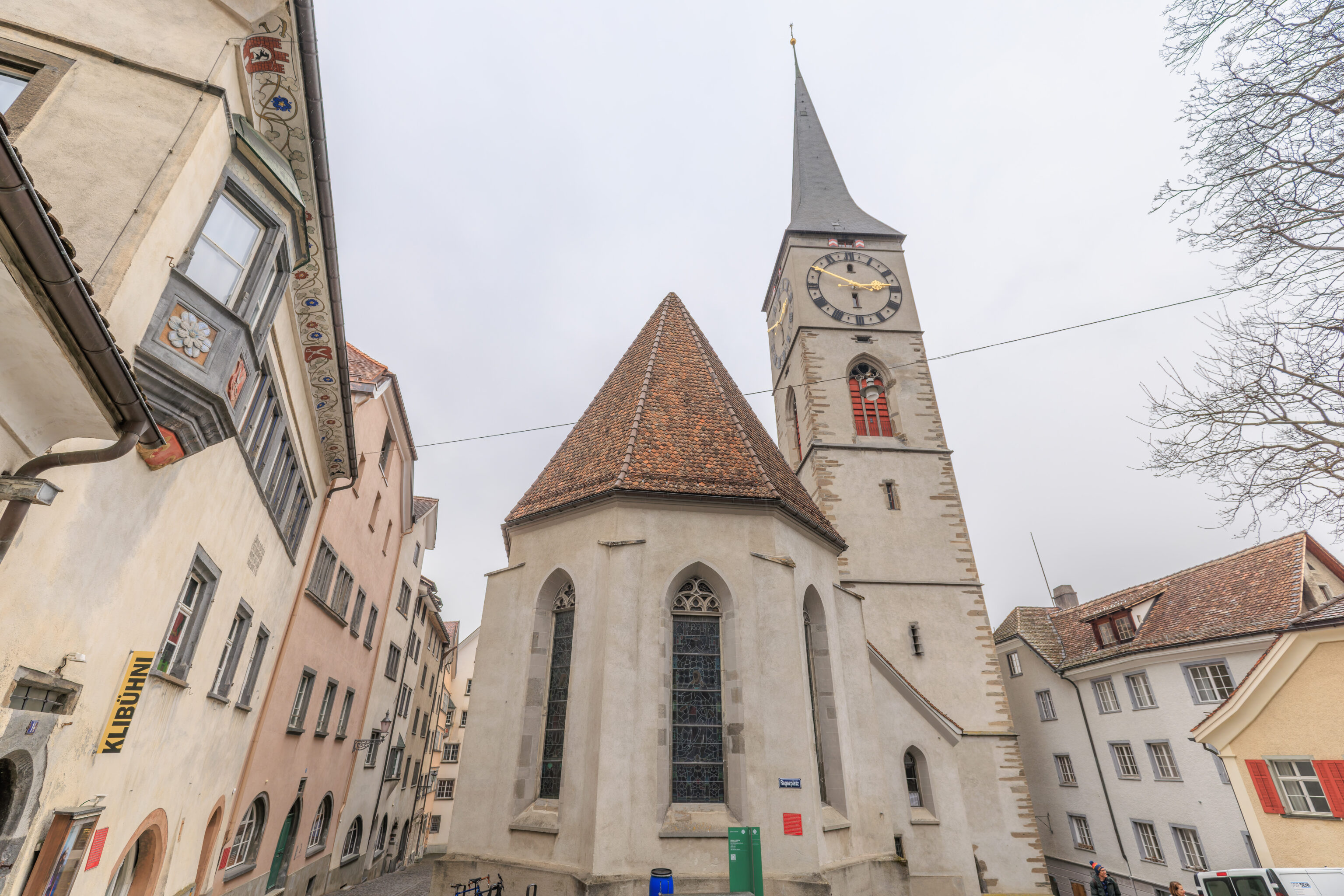
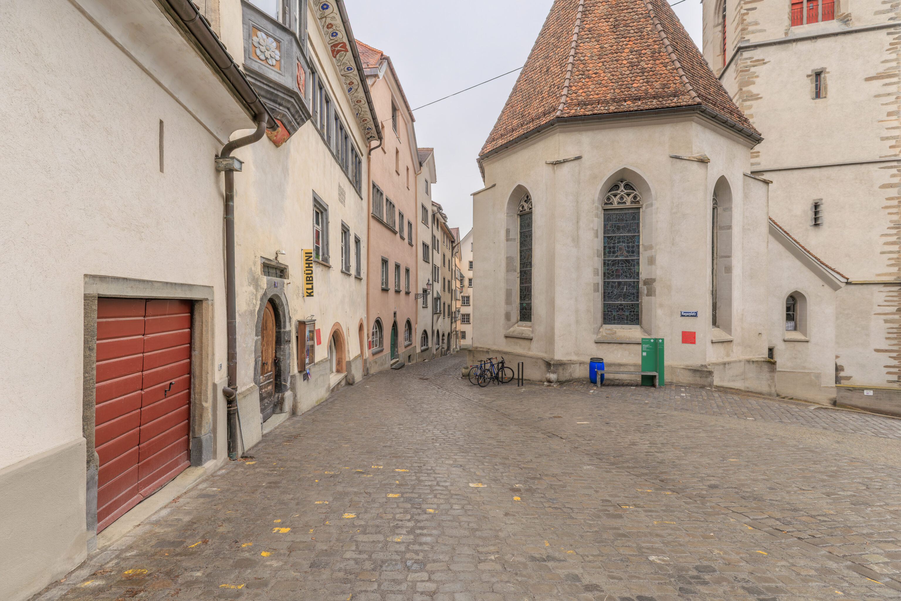
The Martinskirche, as seen from its eastern end, along with the path we just walked down.
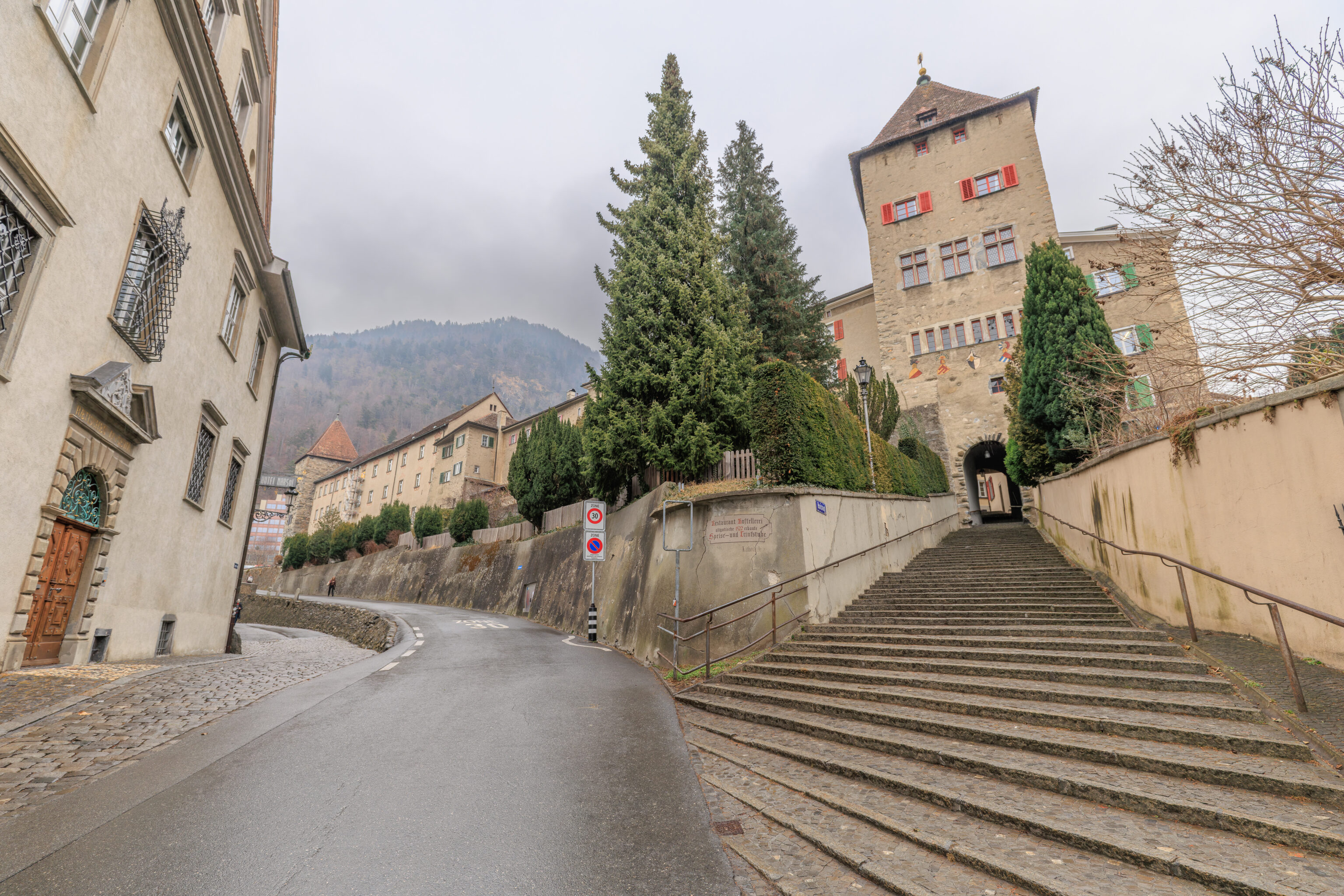
Ahead, we could either go up the stairs or follow the road on the left.
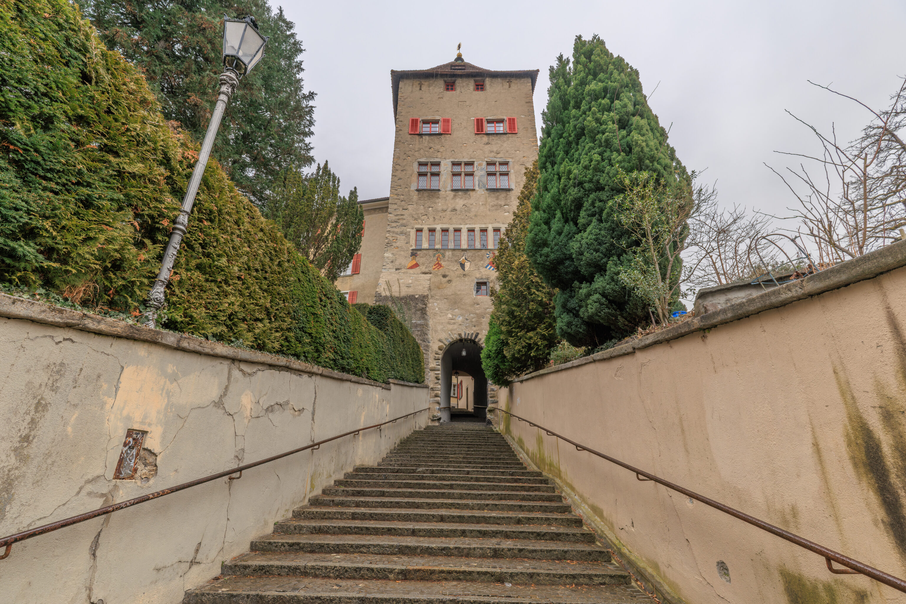
We took the stairs because they lead somewhere we want to go! The gate under the tower in front of us leads to an area simply called the Hof (Courtyard). This path leading up to the Hof seems to be referred to as the Hofsteig, meaning something like the Courtyard’s steep path, and the tower seems to be called the Hofturm (Courtyard Tower).
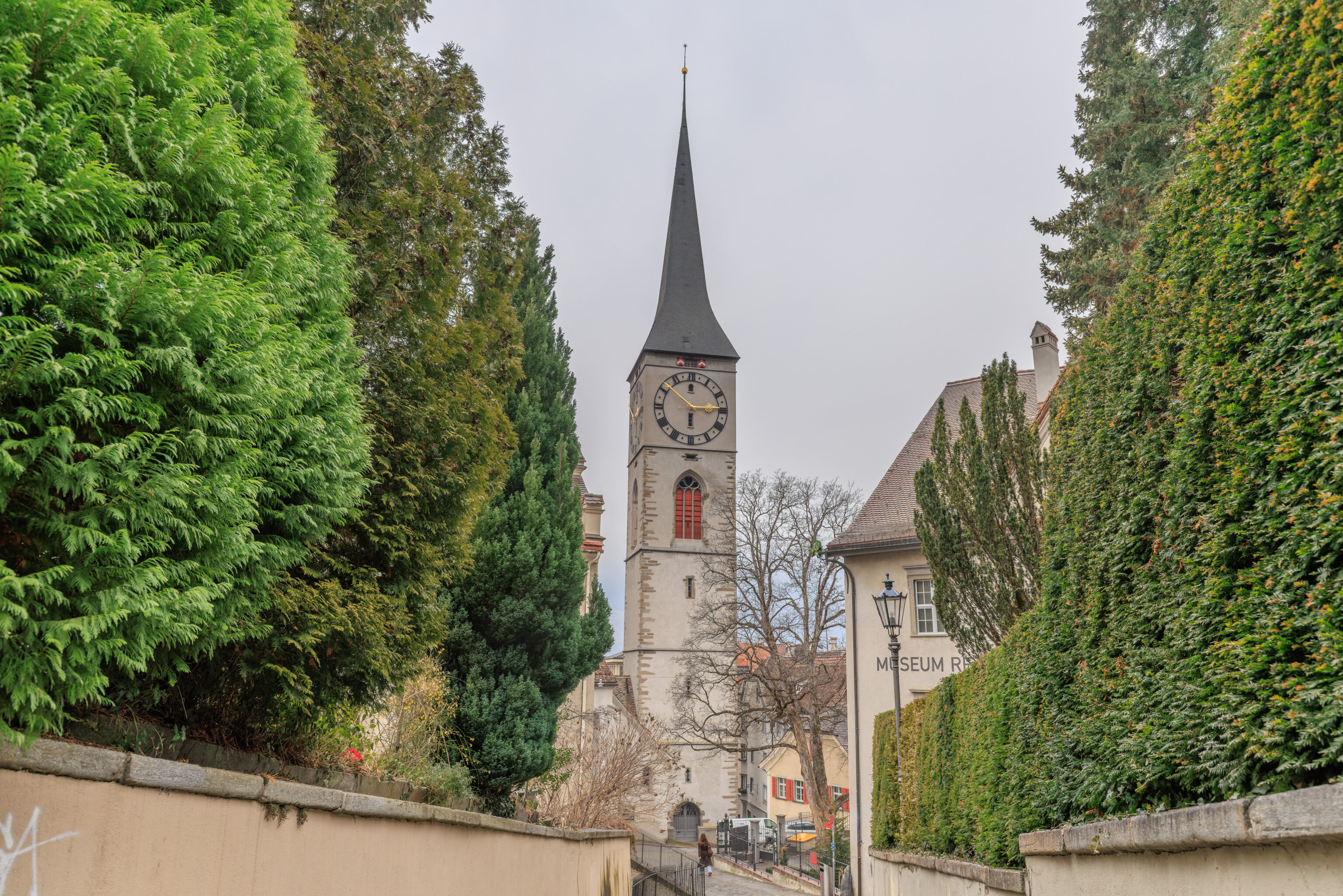
Looking back, we could still see the Martinskirche.
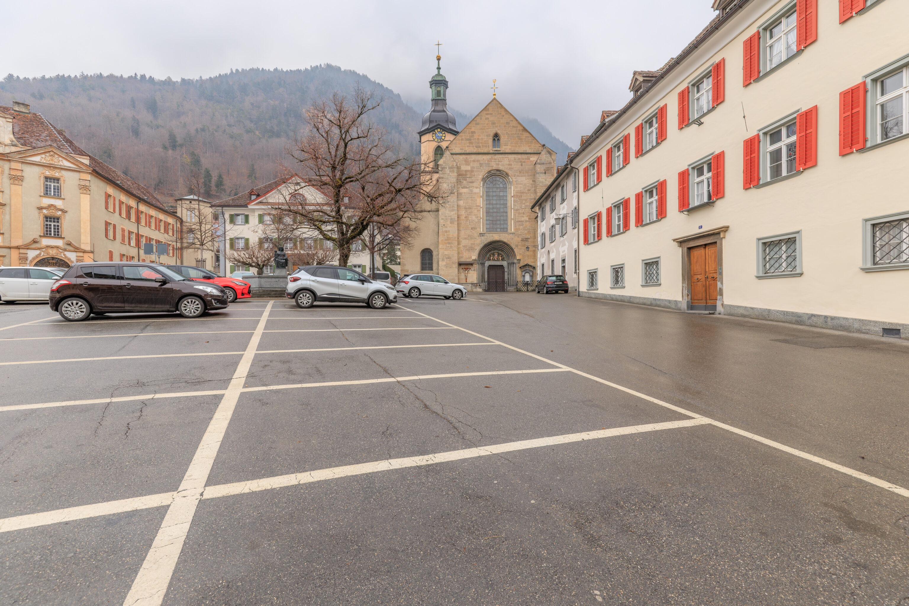
After walking up the stairs, we arrived at the western tip of the triangular Hof. Ahead, we could see the Kathedrale St. Mariä Himmelfahrt (Cathedral of the Assumption of Mary) at the Hof’s southeast corner.
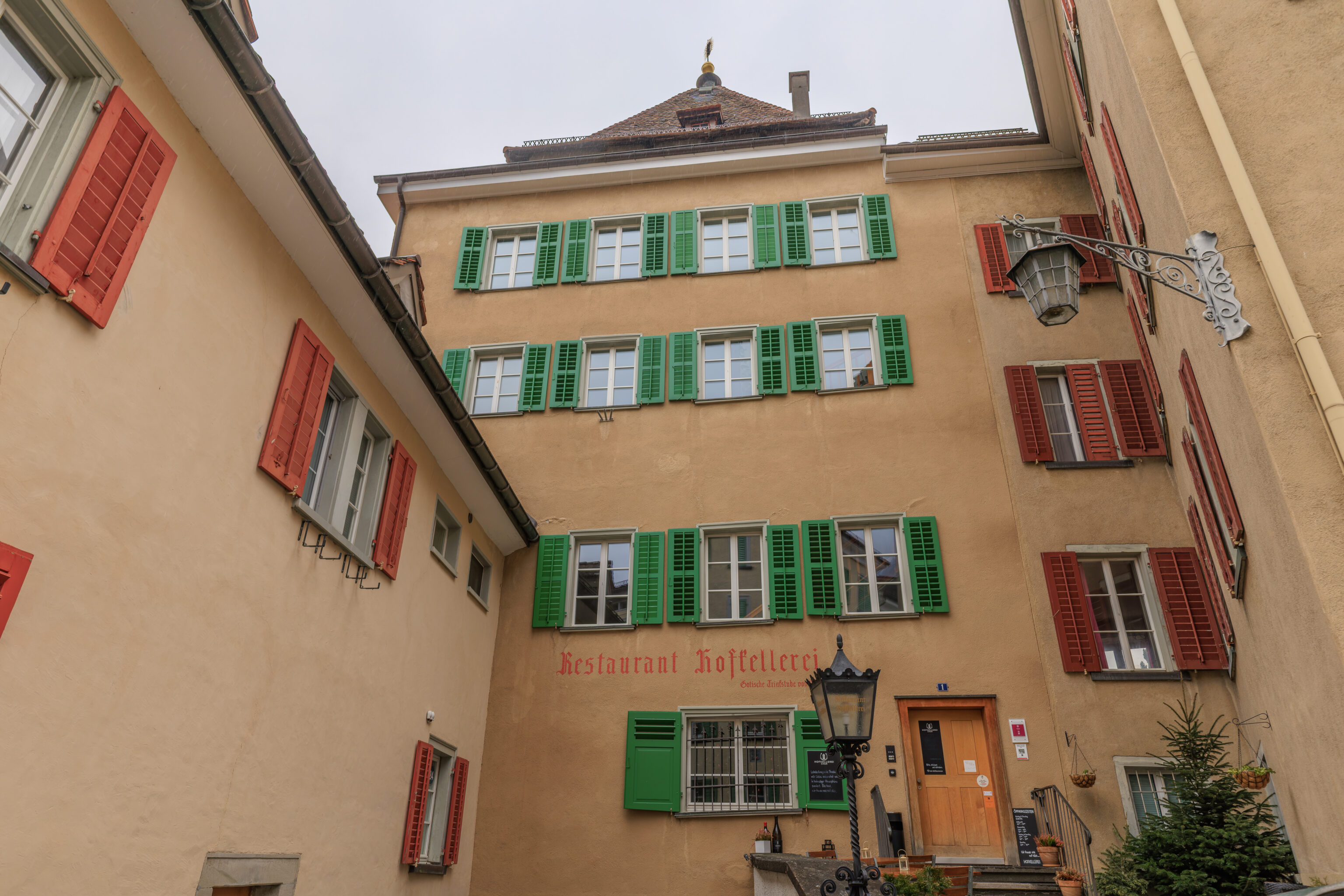
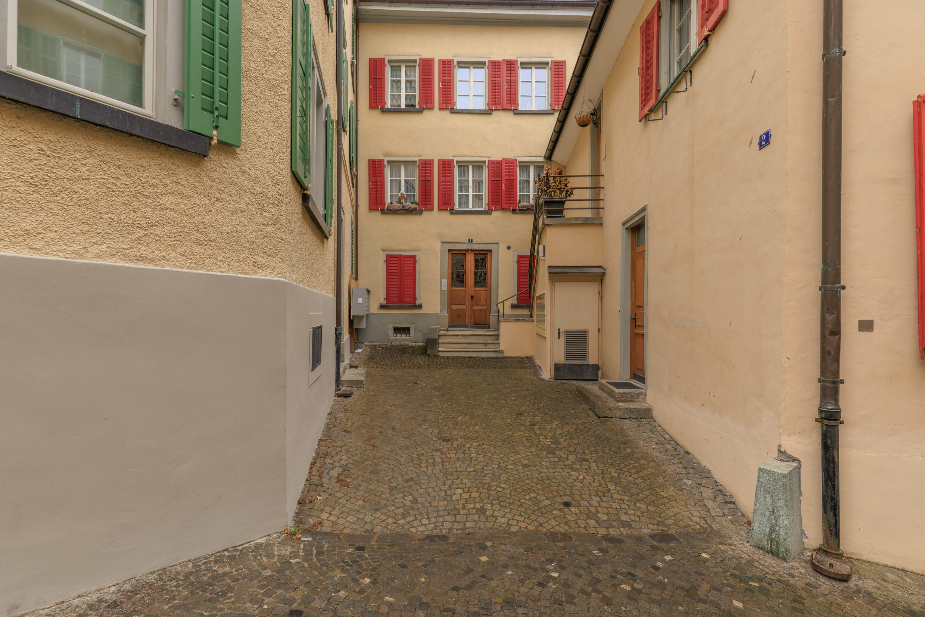
Just some buildings here on the western side of the Hof.
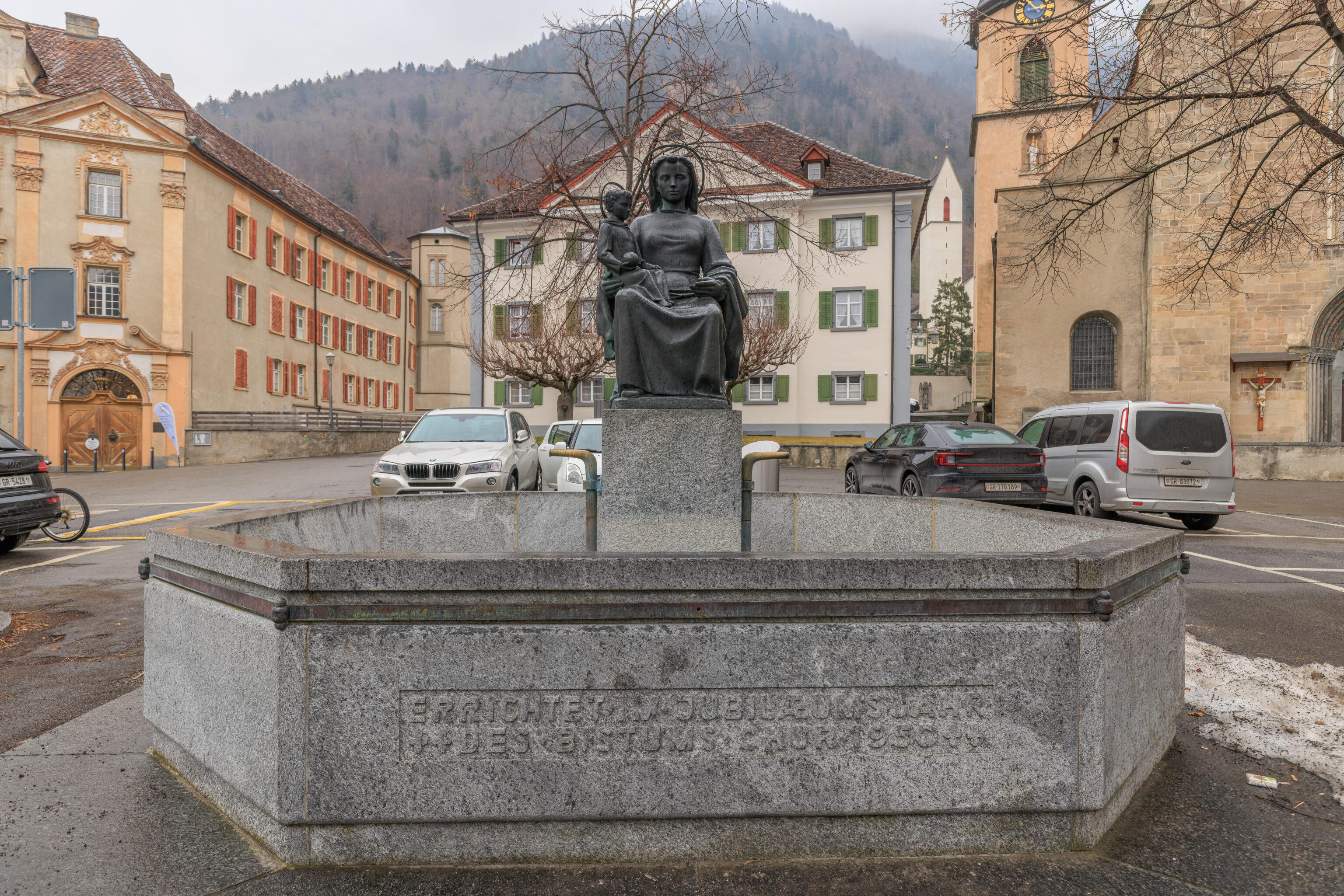
This fountain, the Marienbrunnen, was at the center of the Hof. It is pretty new. The inscription in front indicates that it was created in 1950, a Jubilee year.
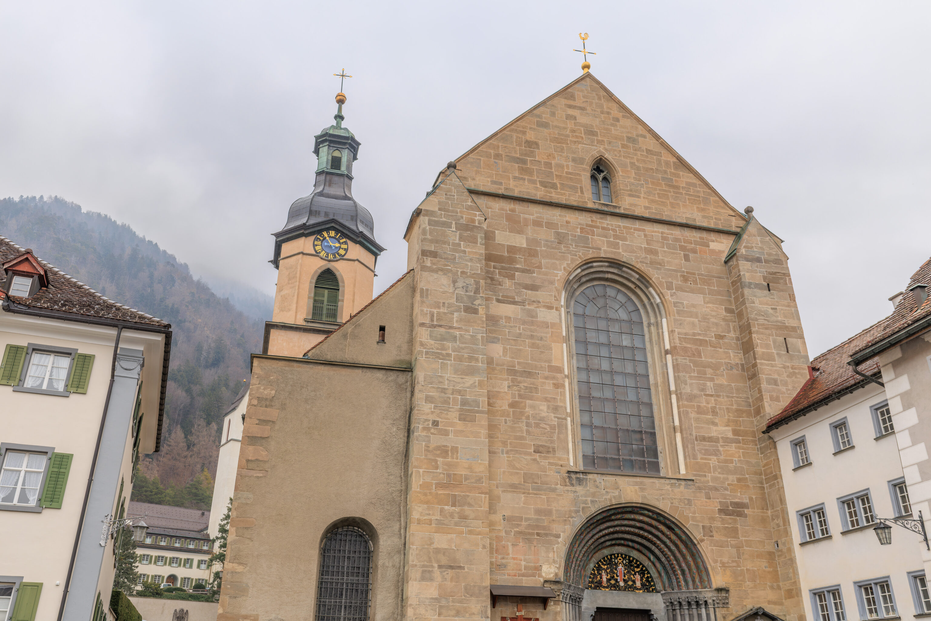
We walked over to the cathedral.
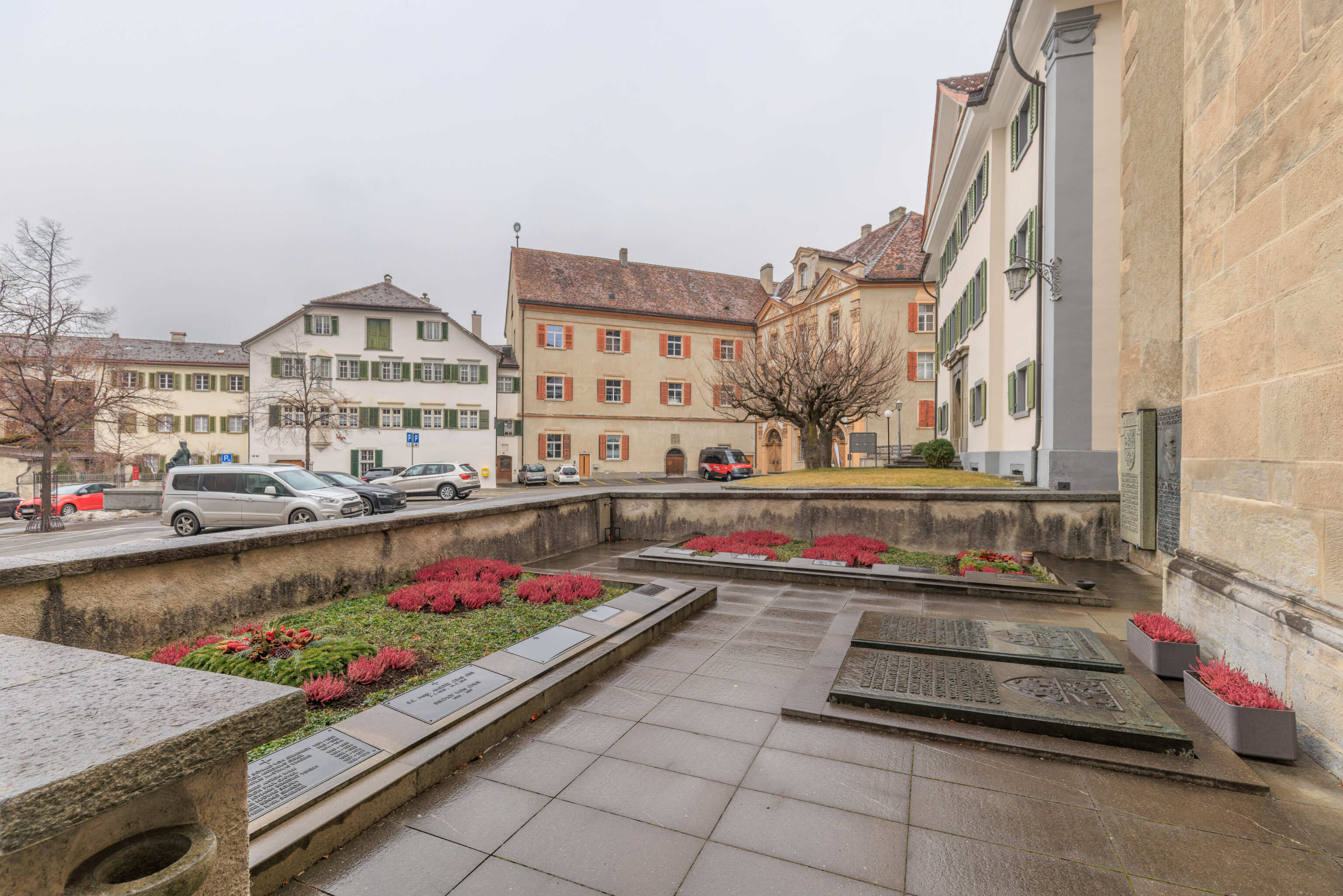
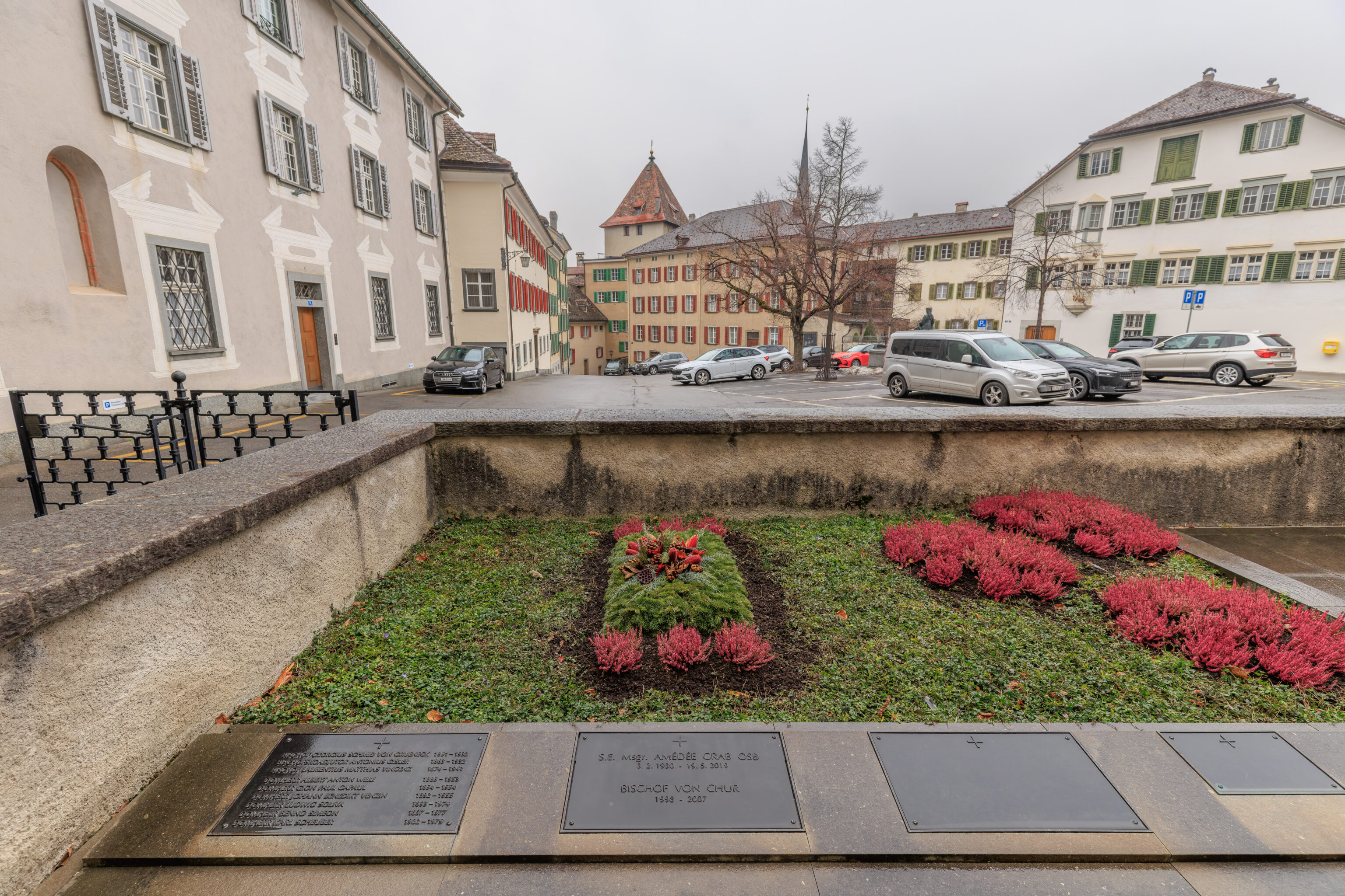
There were some graves in front by the entrance.
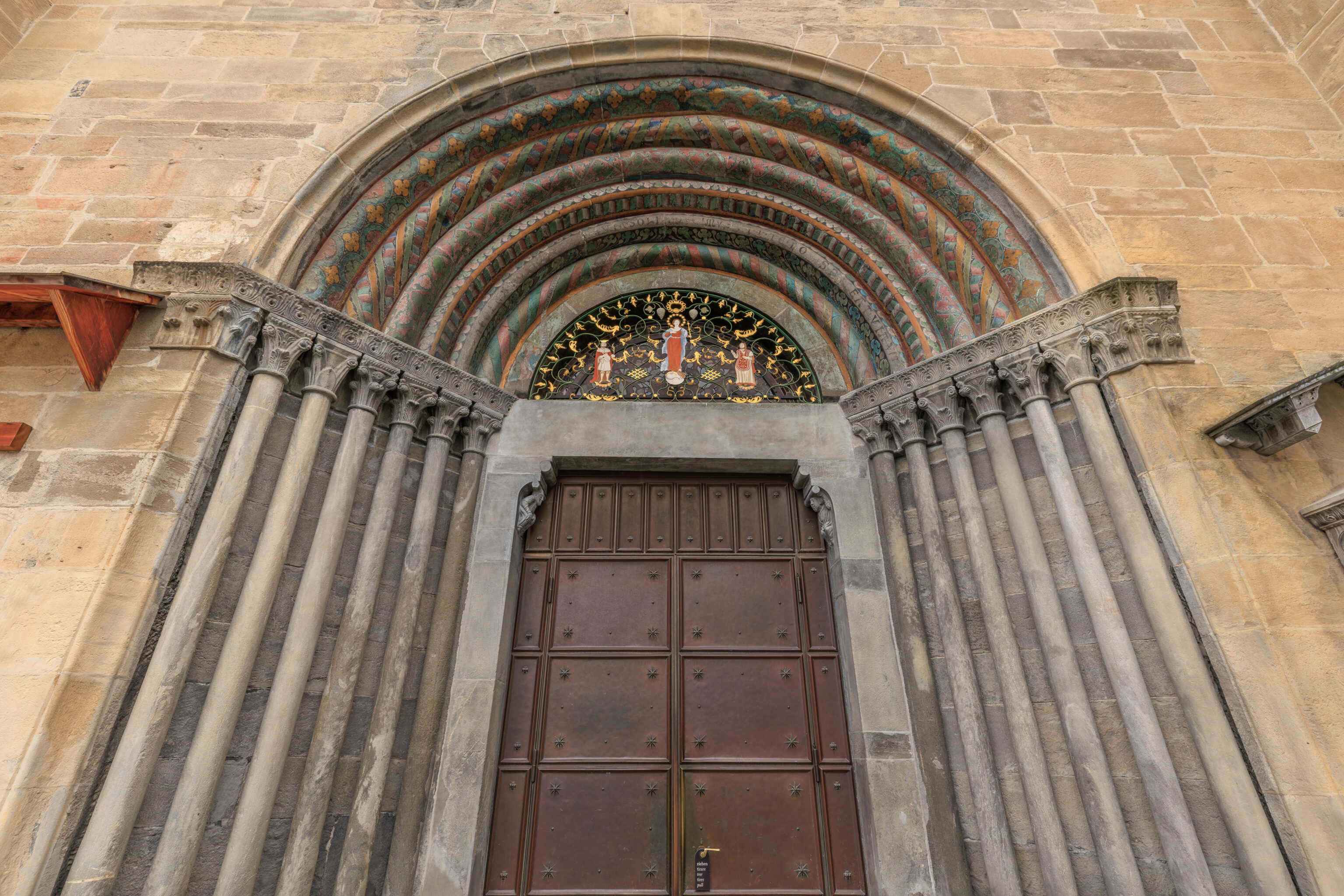
While the lower part of the entrance was pretty plain, the upper part had some intricate details as well as some color.
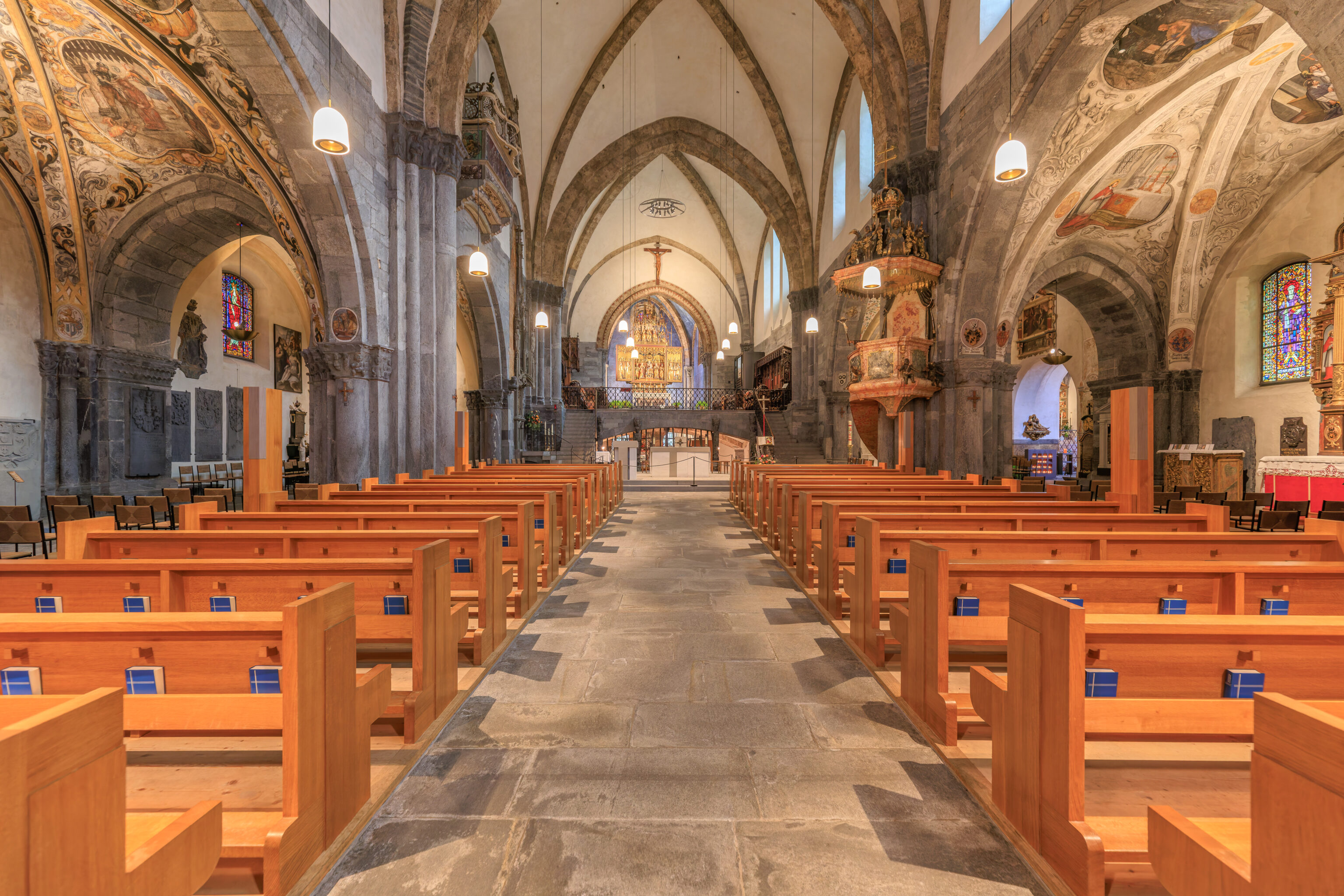
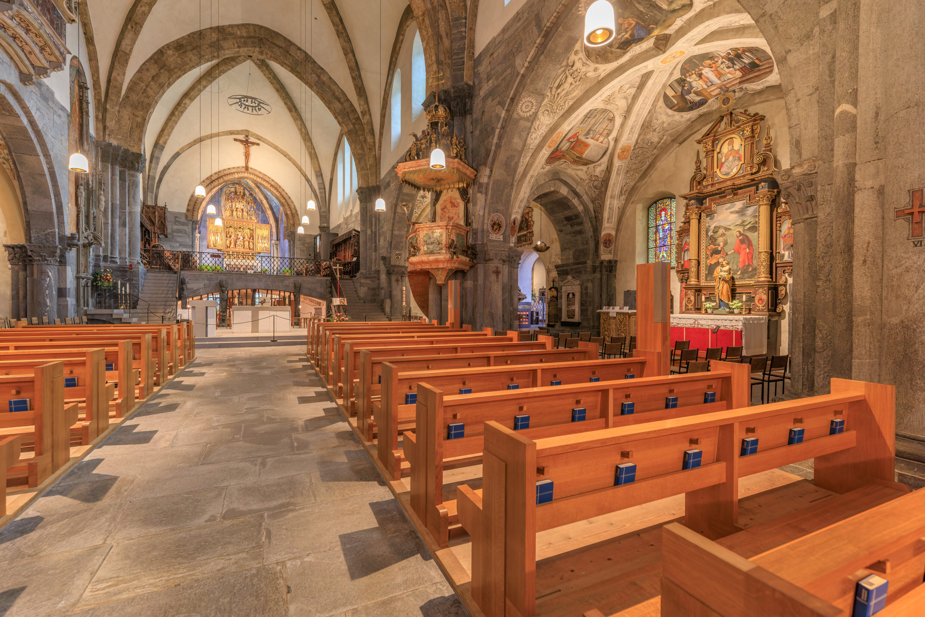
The interior of the cathedral was relatively plain in parts but there were also very detailed painted elements, particularly in the aisles on either side of the nave.
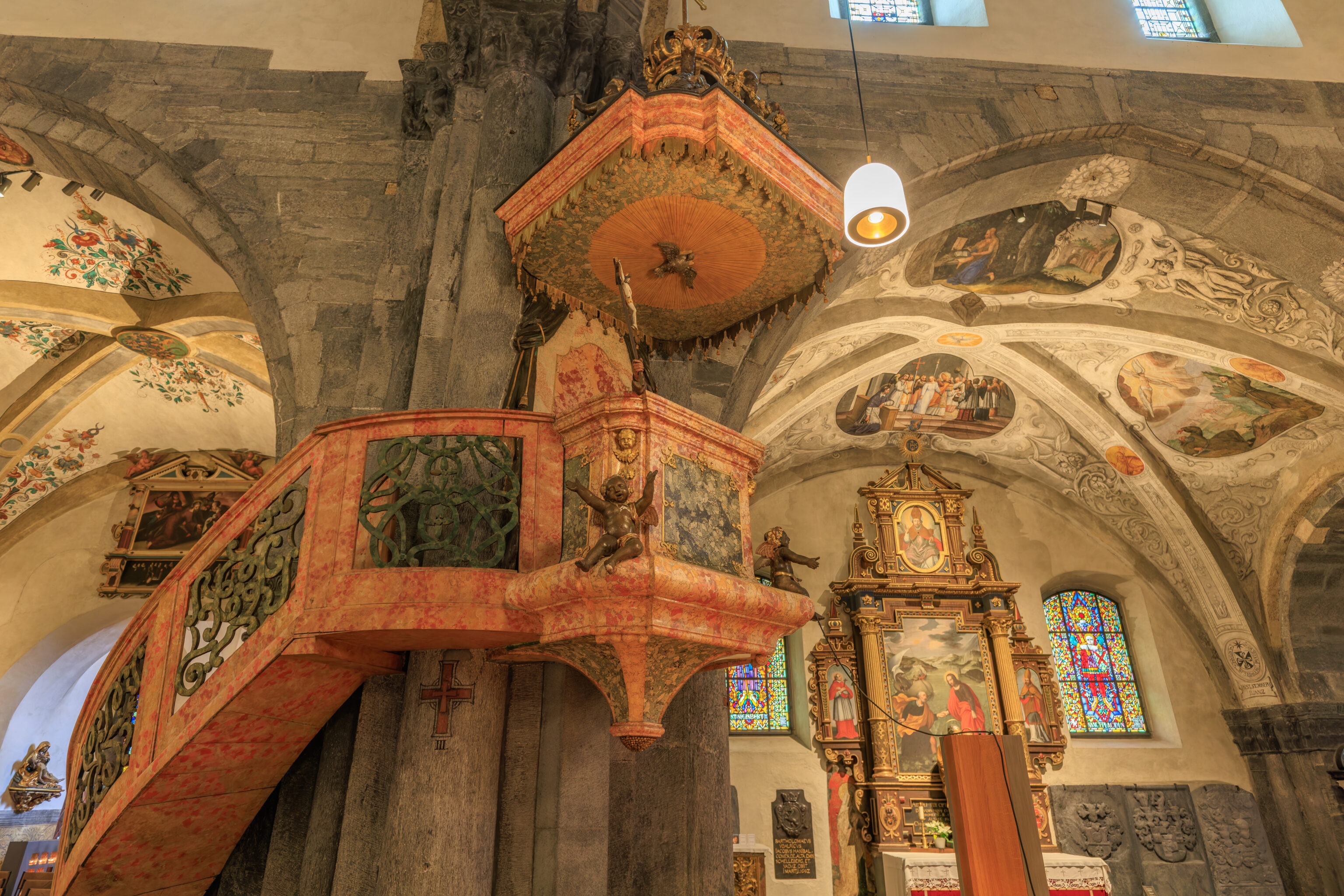
The marble pulpit was somewhat ornate.
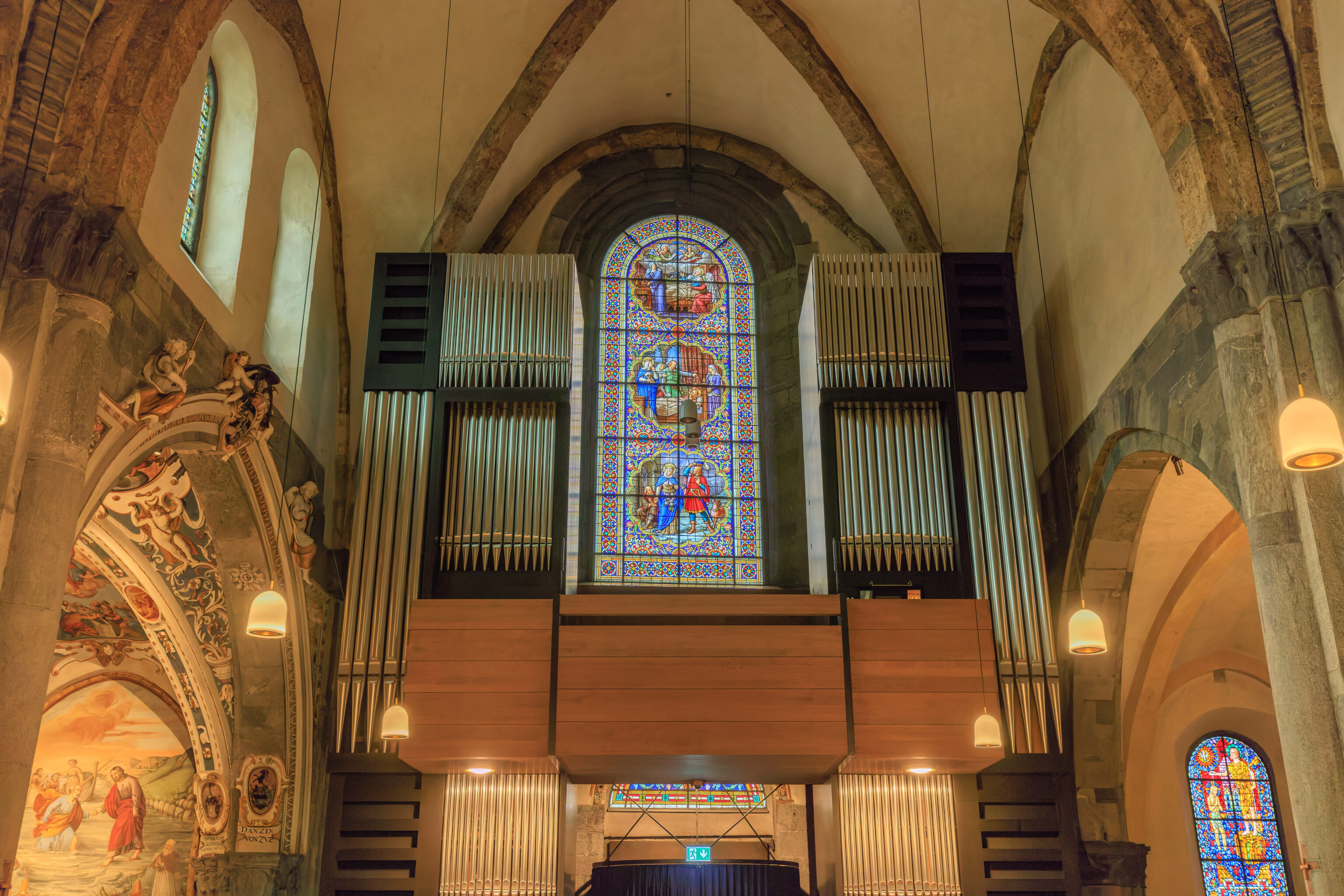
The cathedral had a very intricately detailed stained glass window, visible between the two sets of organ pipes.
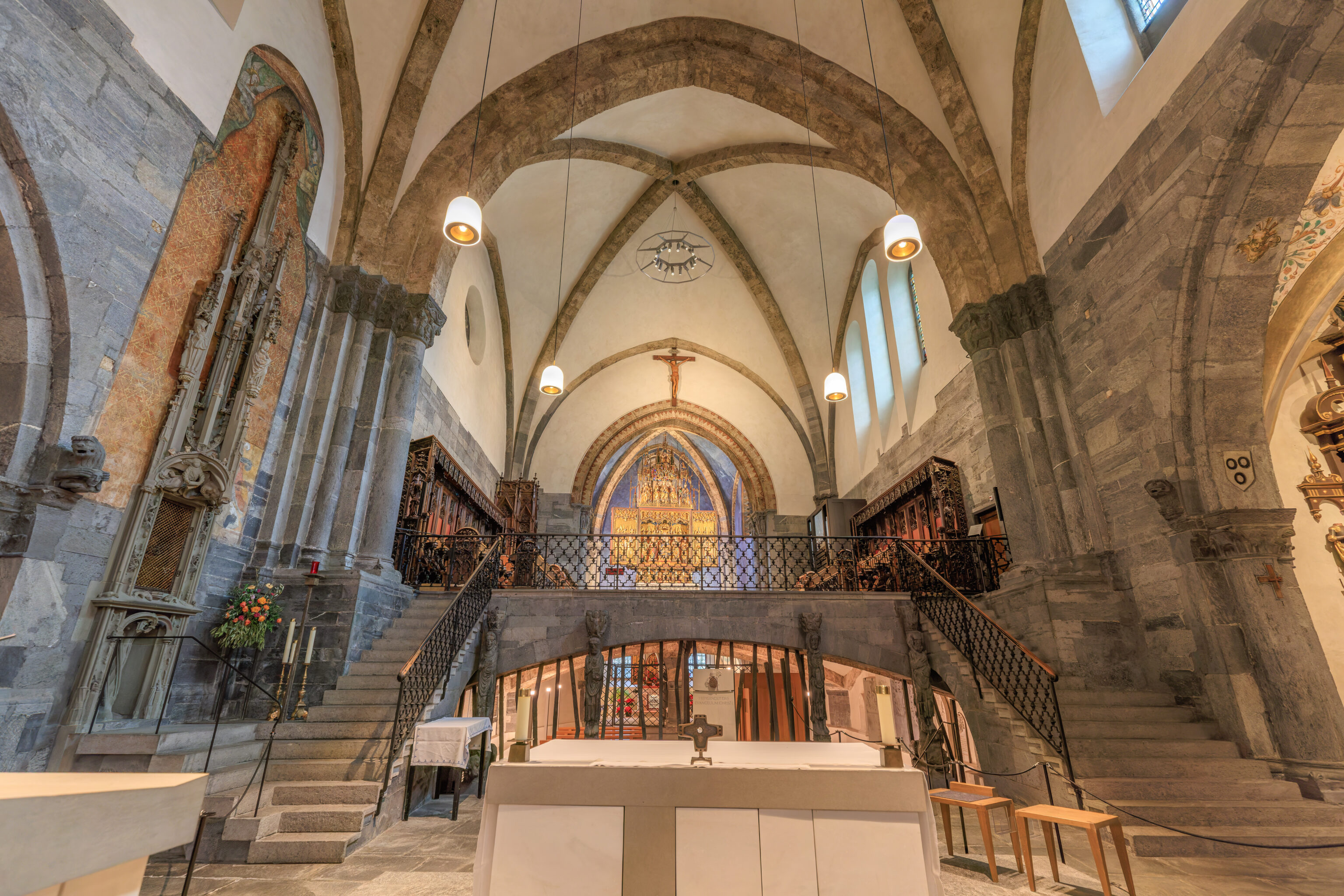
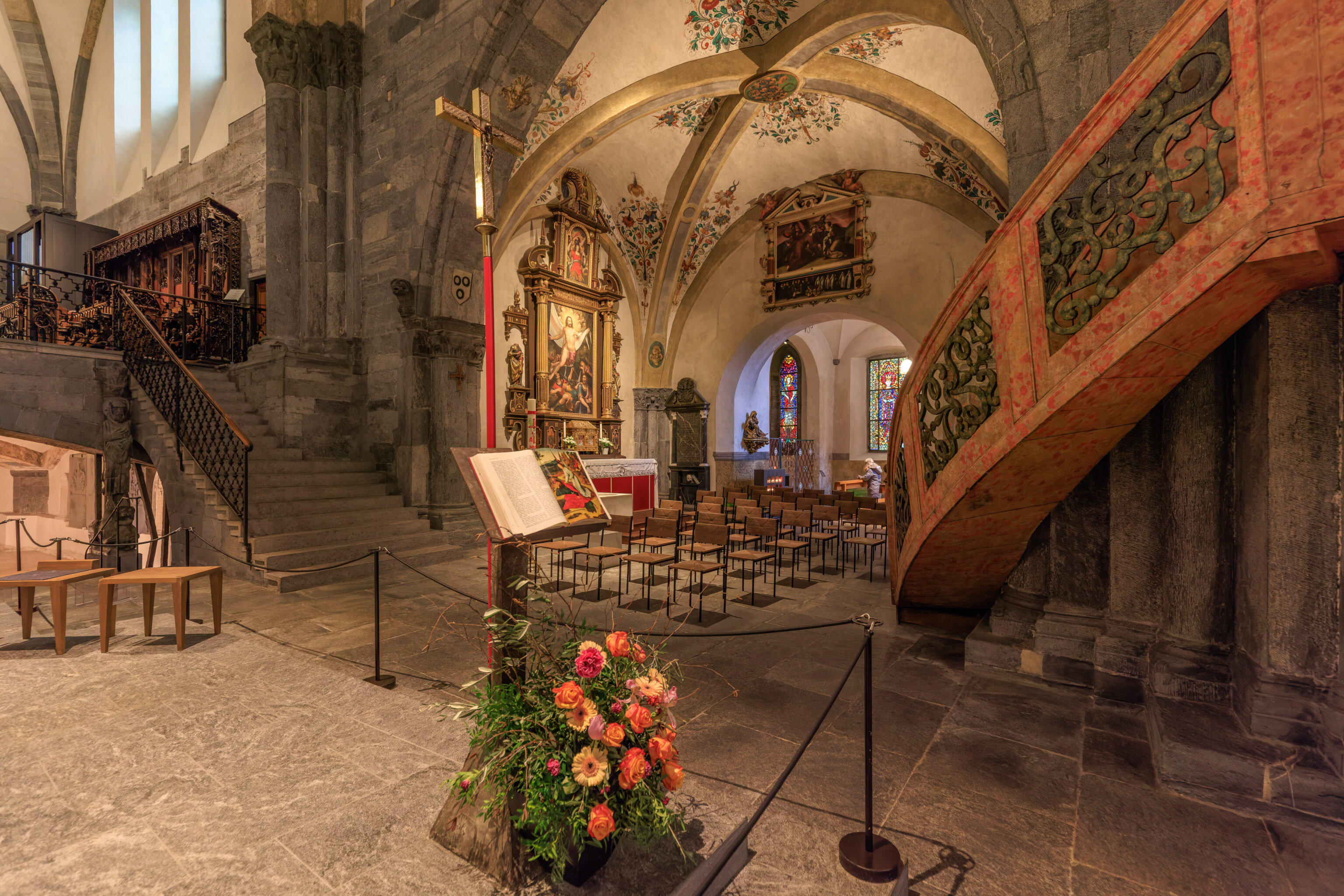
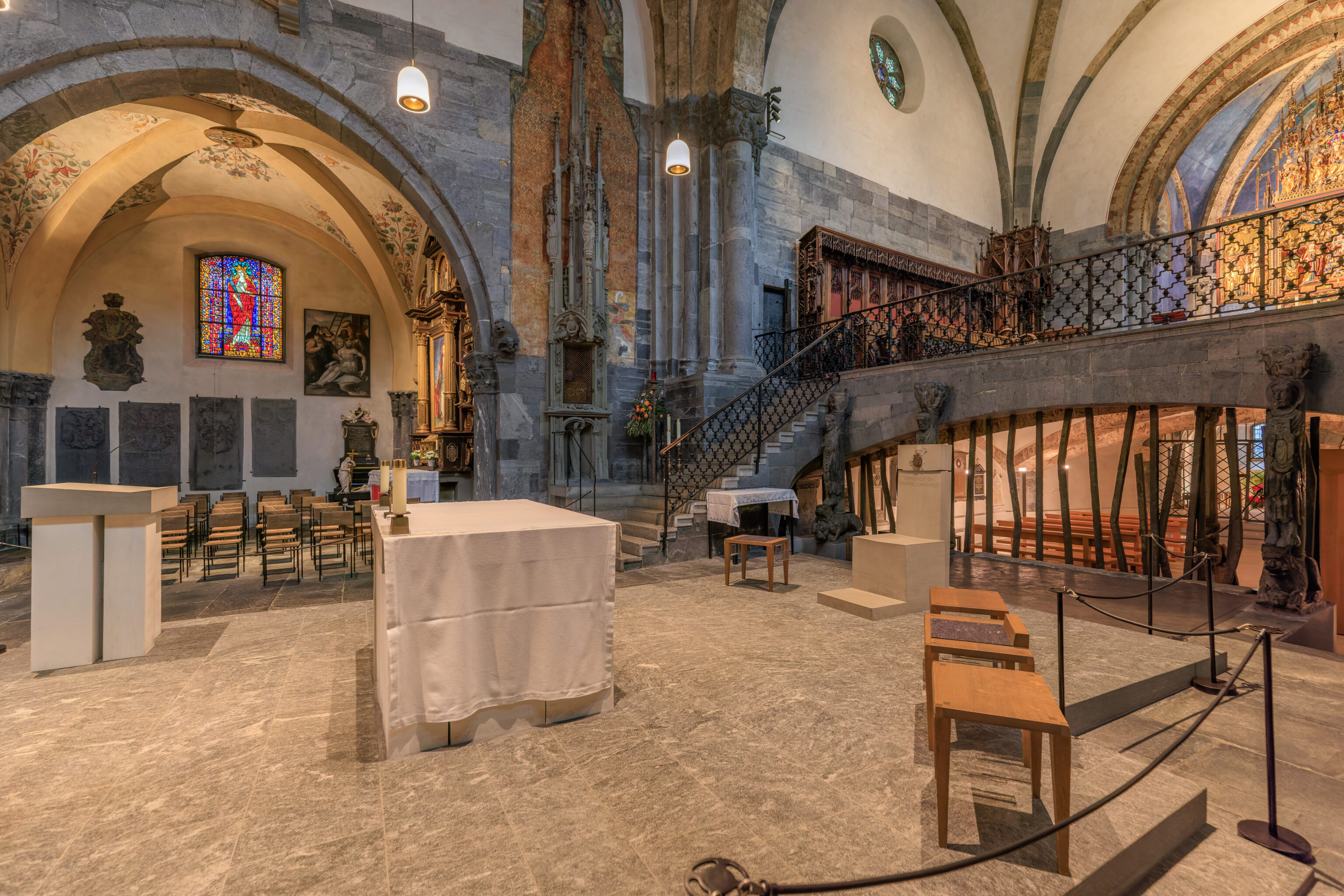
We walked up to the front of the cathedral.
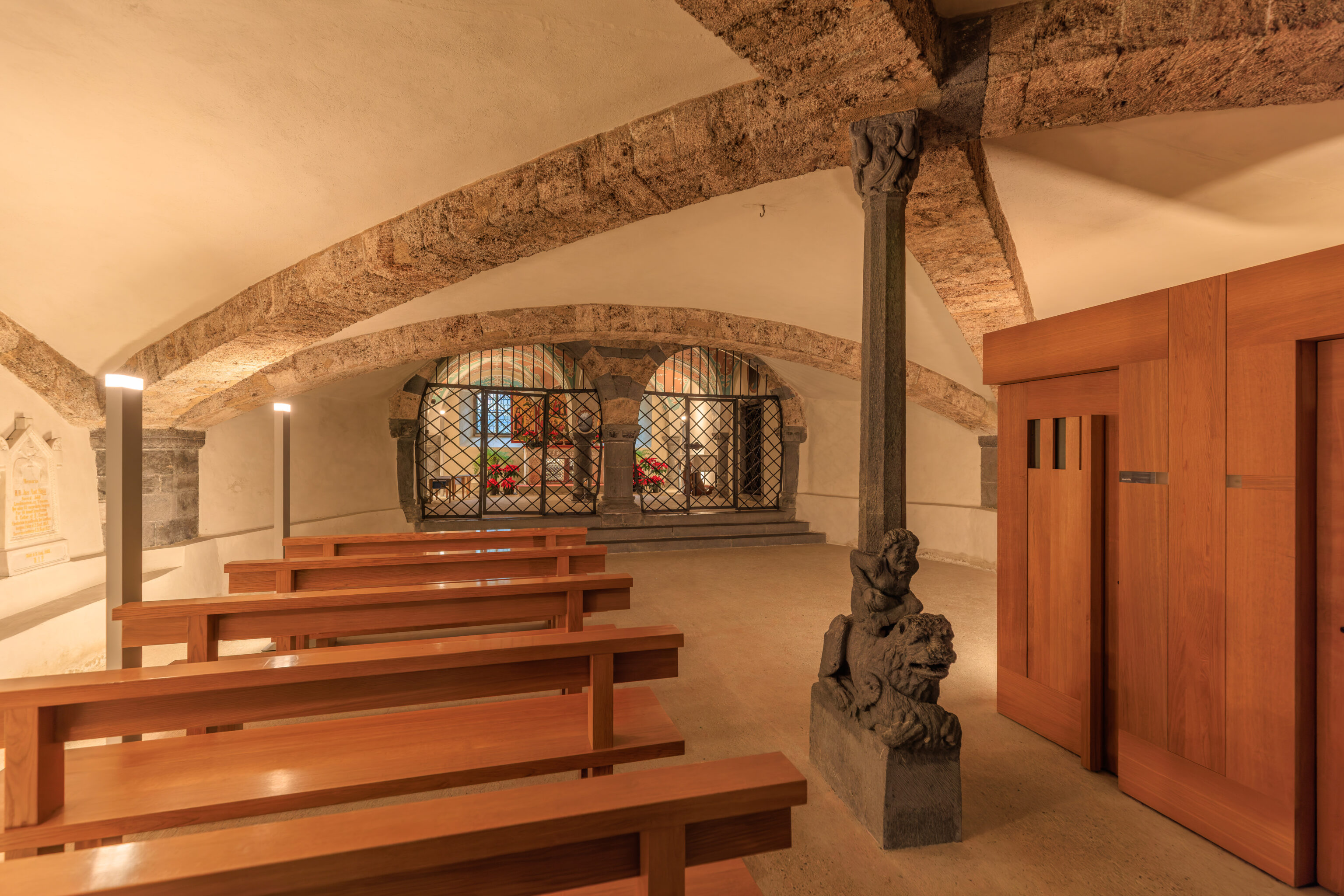
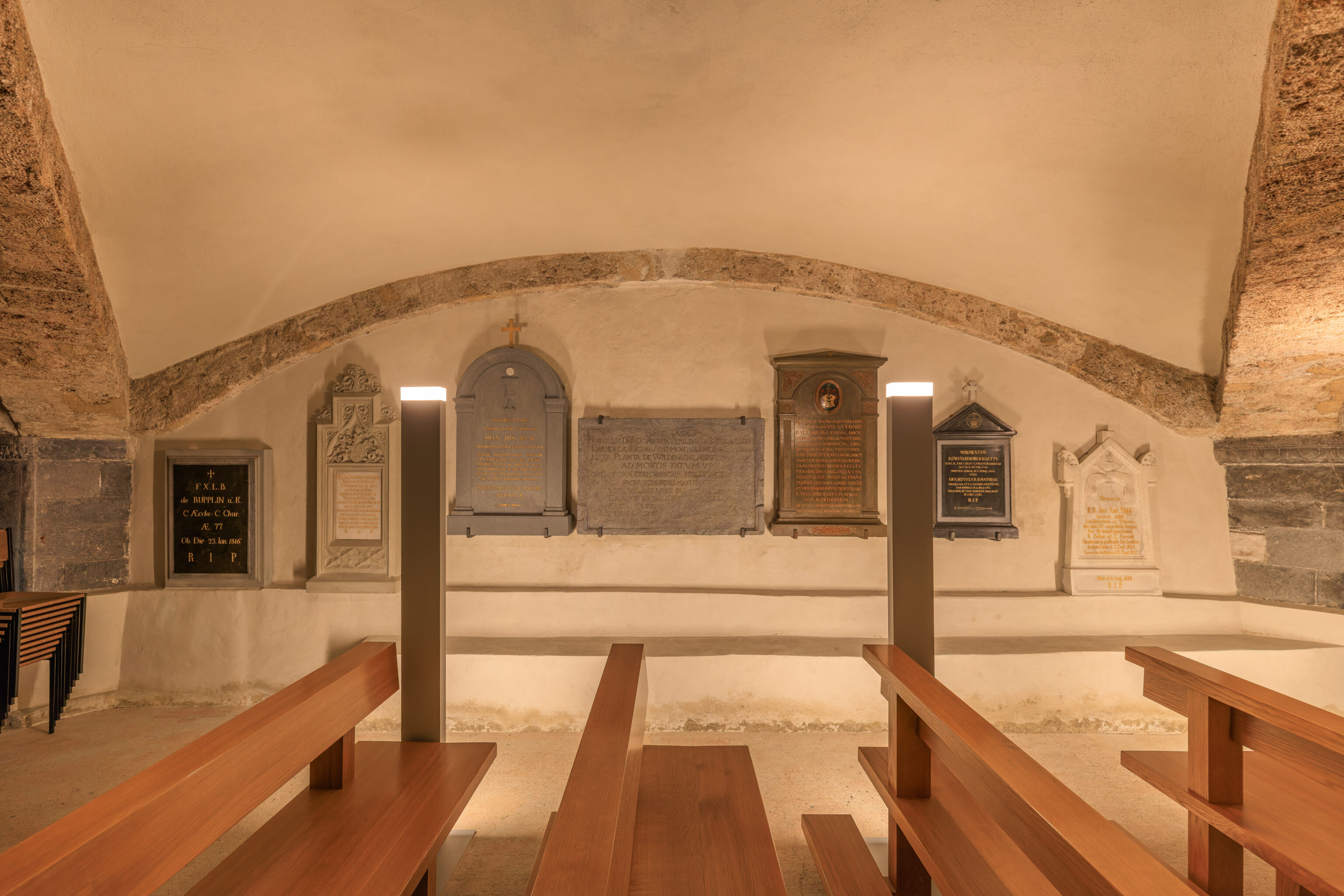
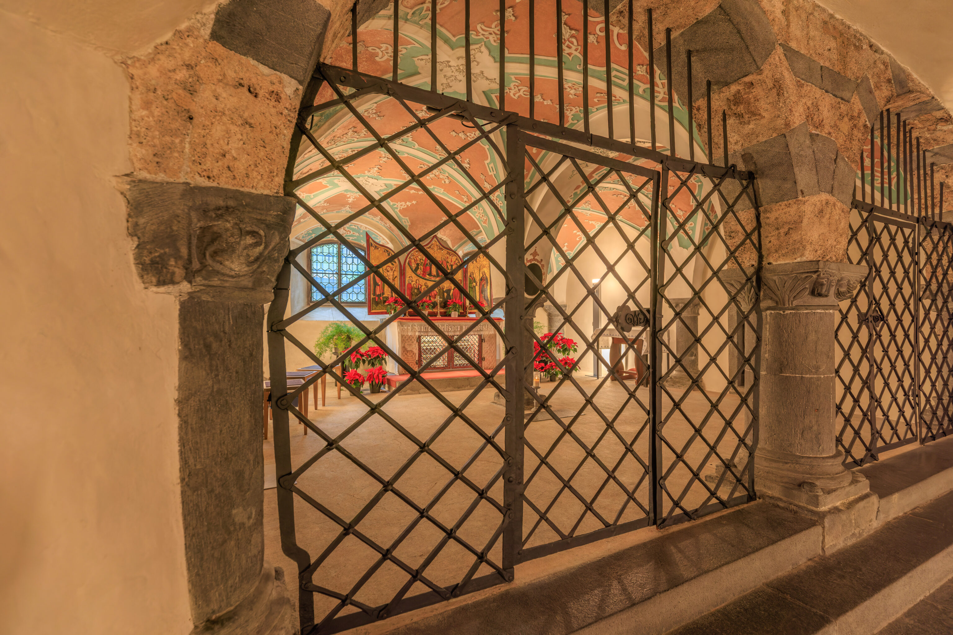
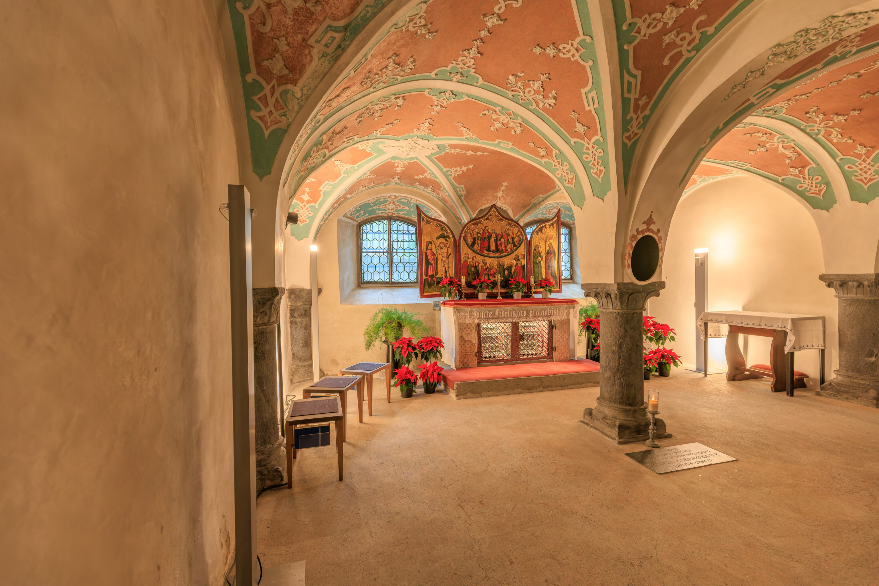
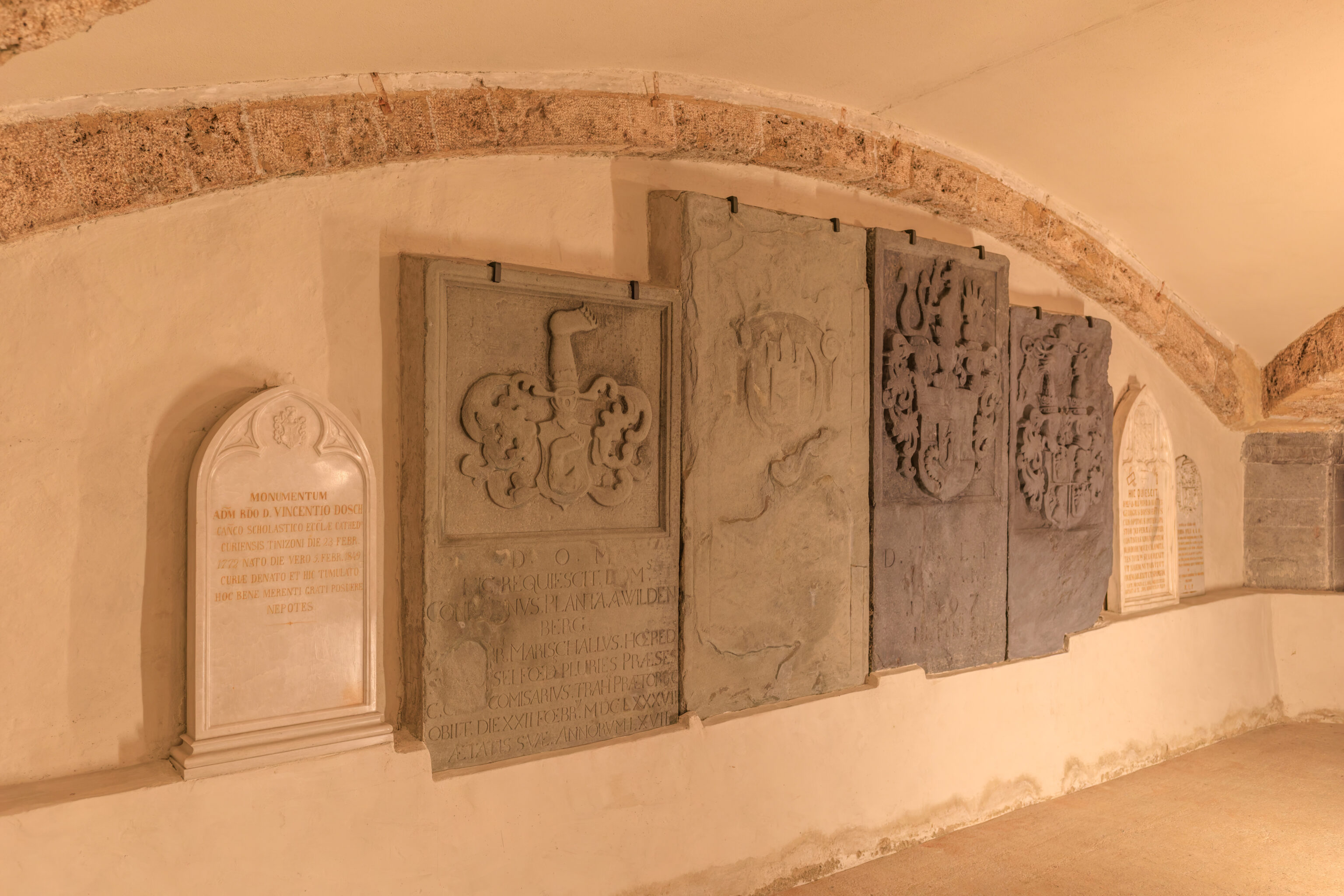
There were stairs that lead down behind the altar. We took a quick look around before coming back up.
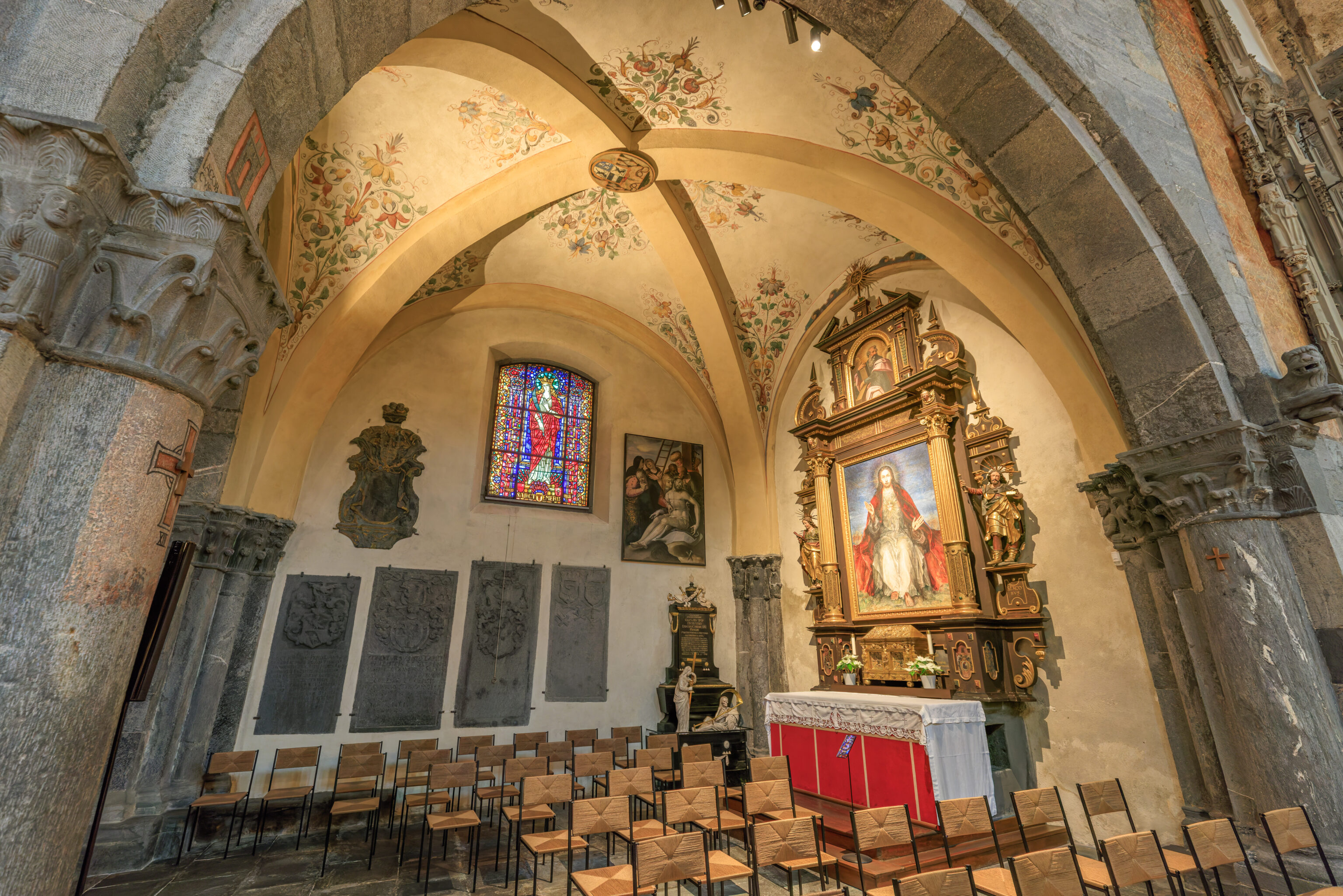
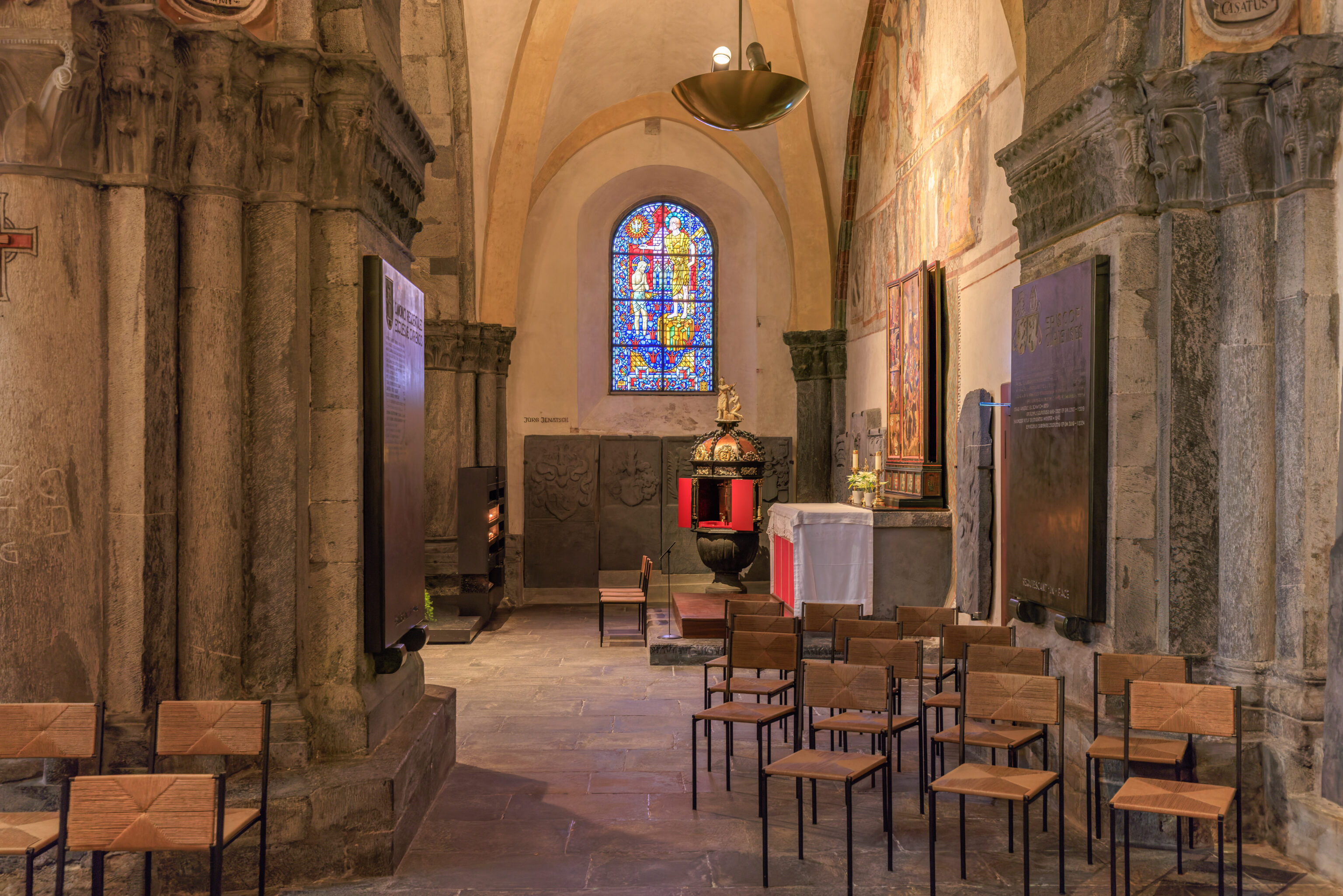
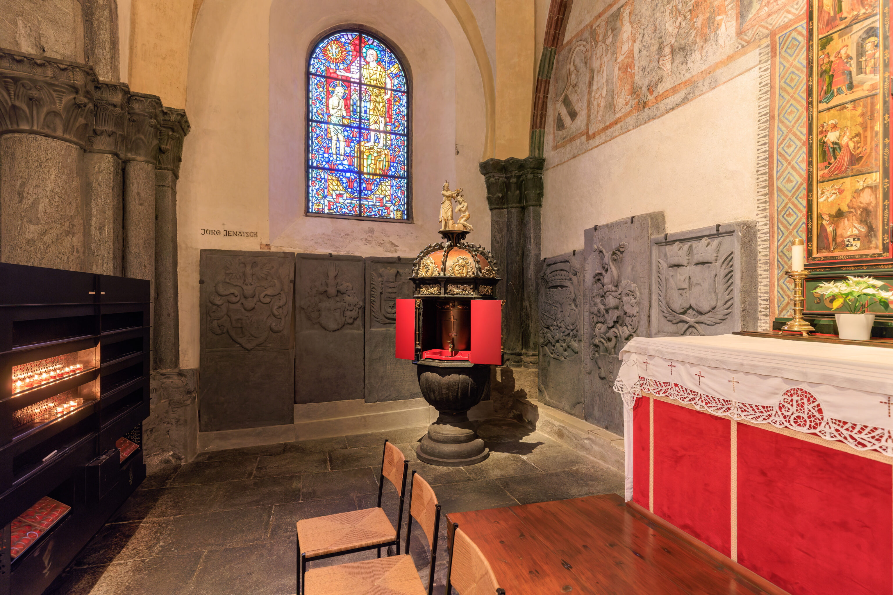
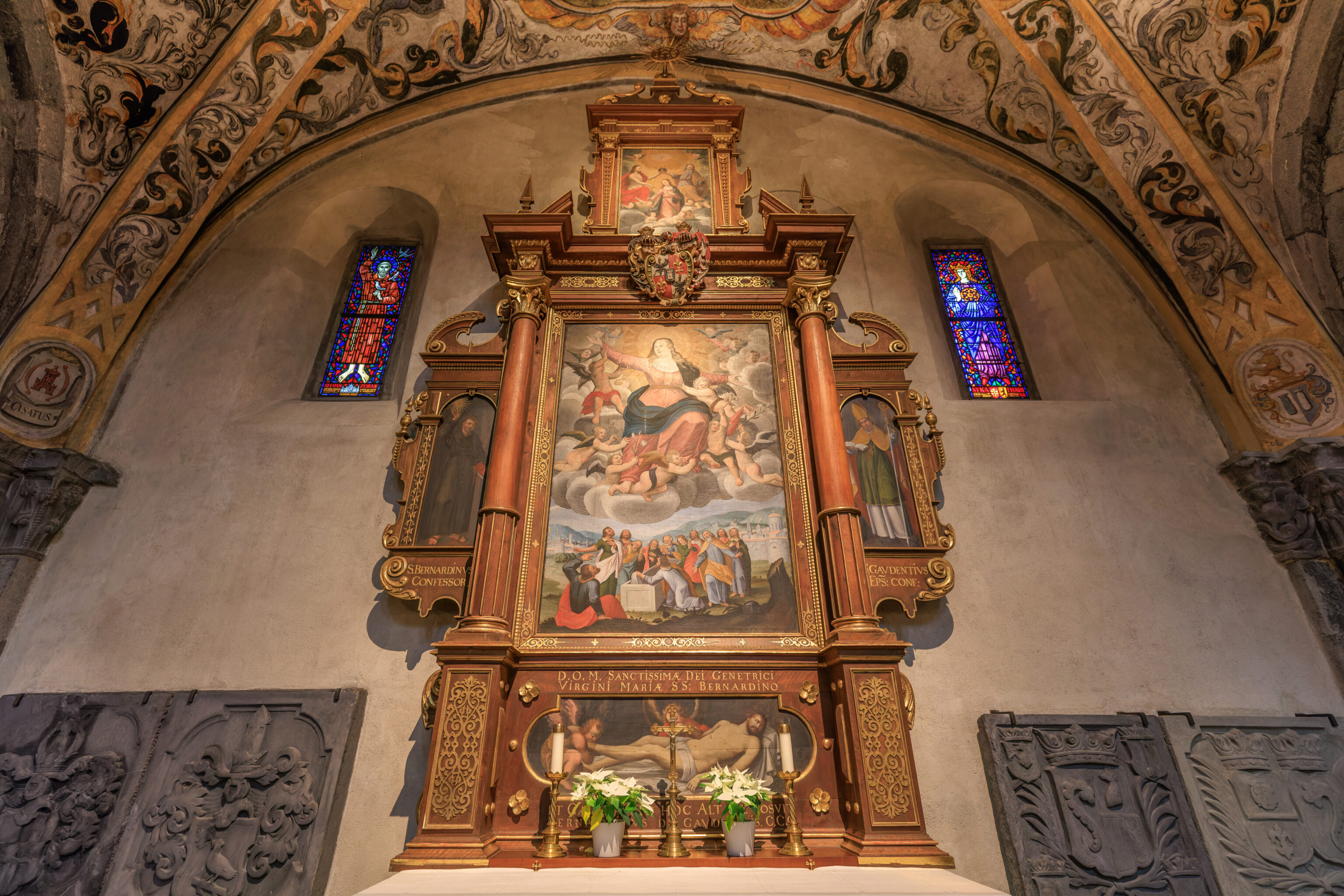
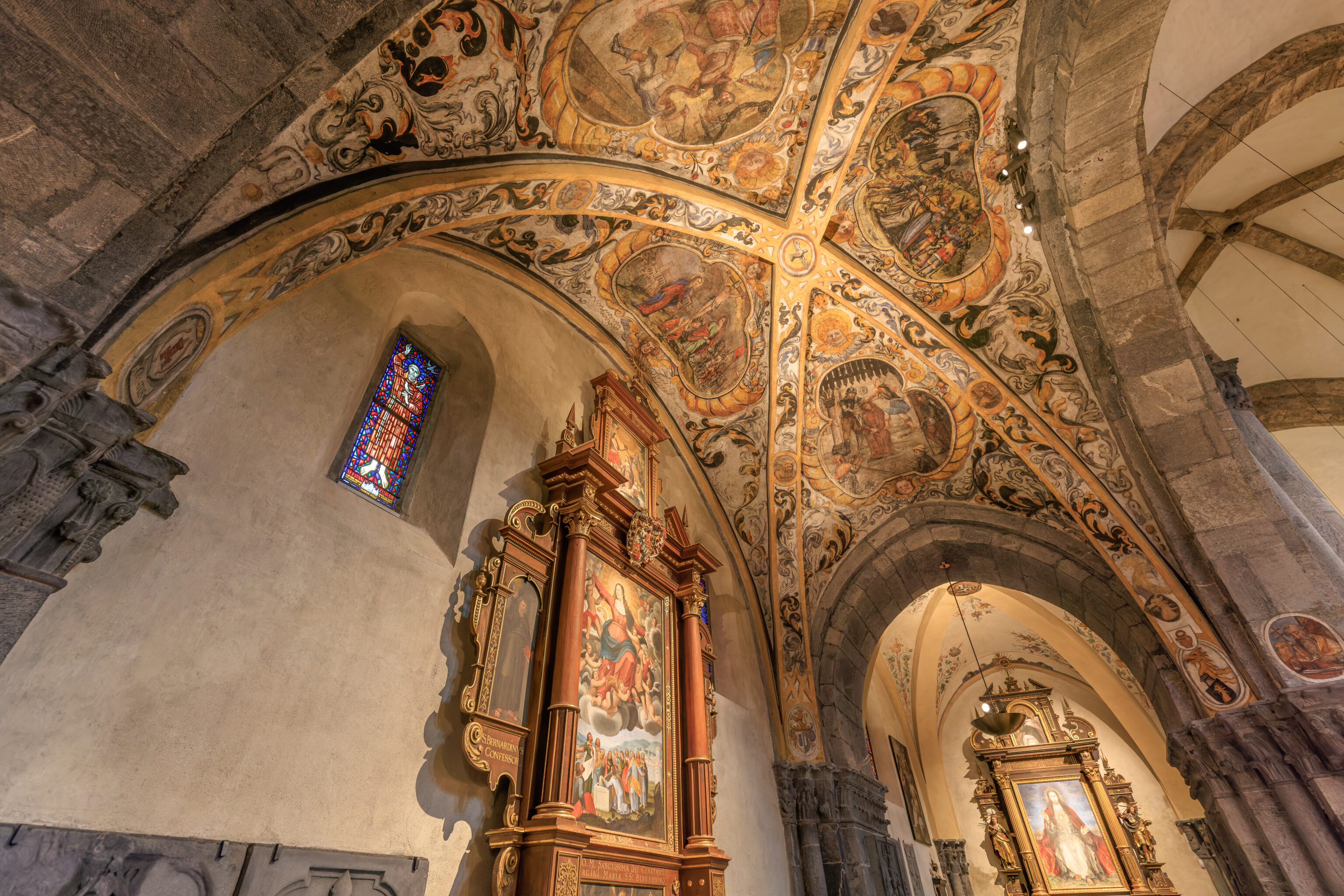
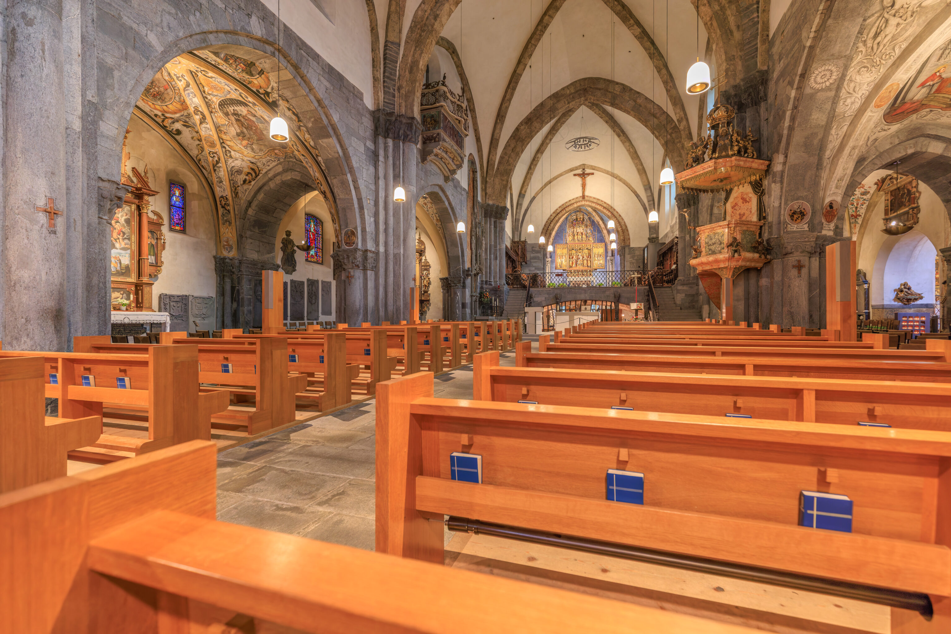
We then walked around a bit more before heading back out.
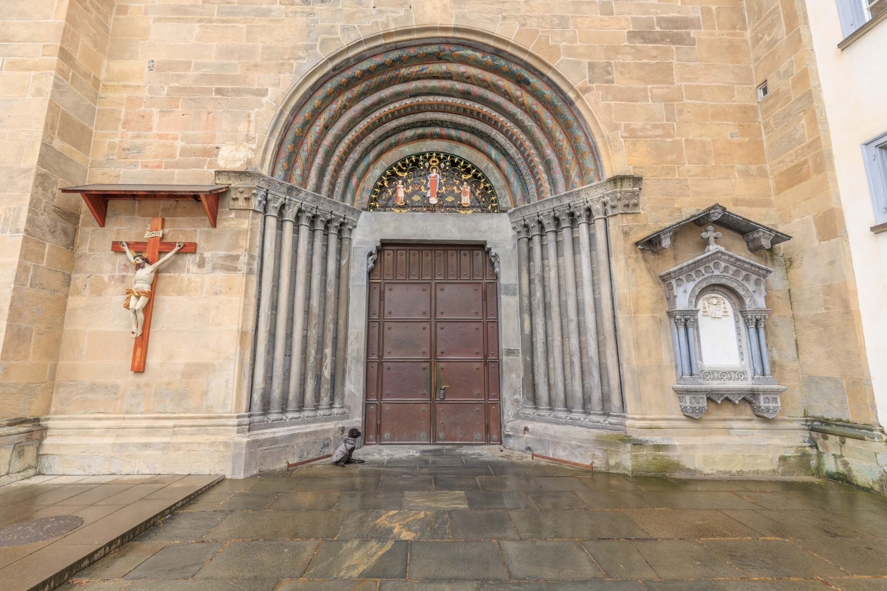
There was a dog waiting patiently outside!
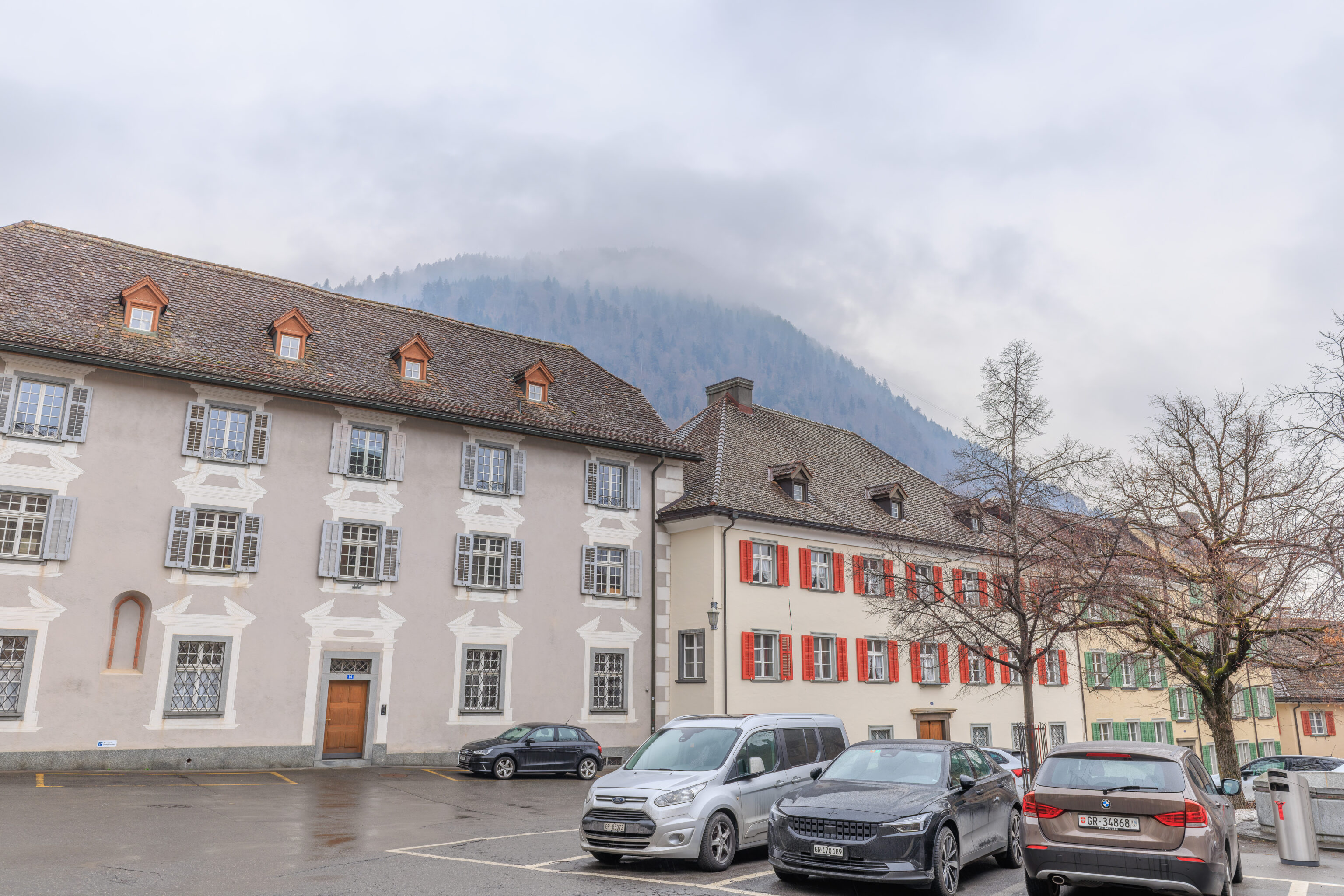
Looking to the southwest, we could see the Chur Bergbahnen’s aerial tram cables! But, that’s all we could see due to the clouds.
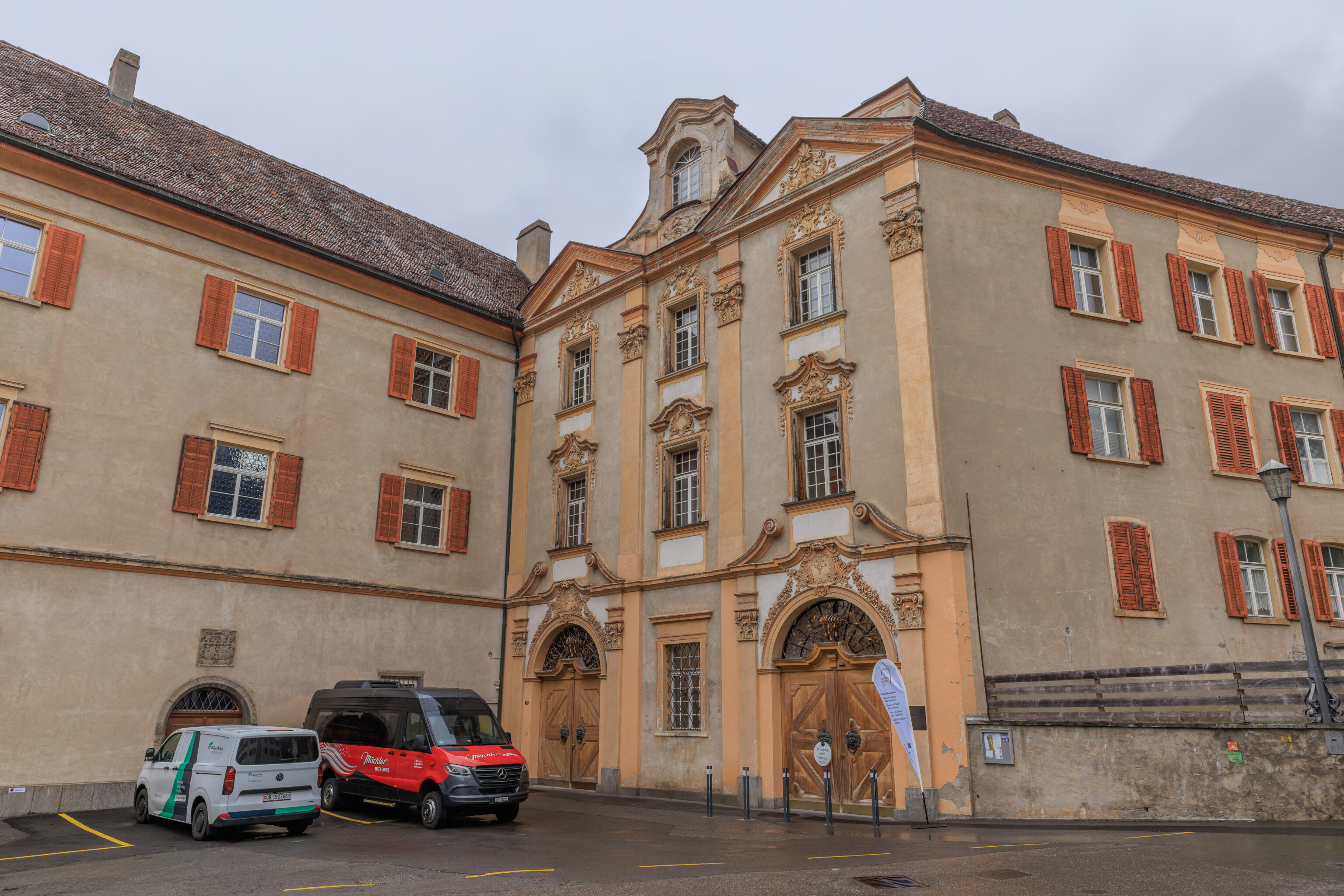
There was a museum, the Domschatzmuseum (Cathedral Treasury Museum) on the north side of the Hof.
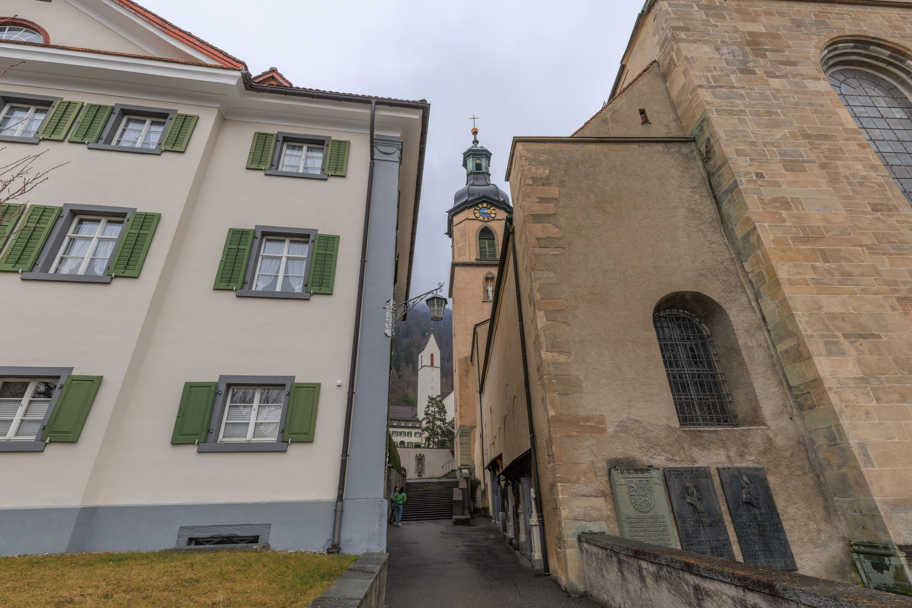
There was a somewhat narrow alley on the north side of the cathedral. Beyond the cathedral, we could see the tower of the Kirche St. Luzi in front of a cloudy mountain backdrop.
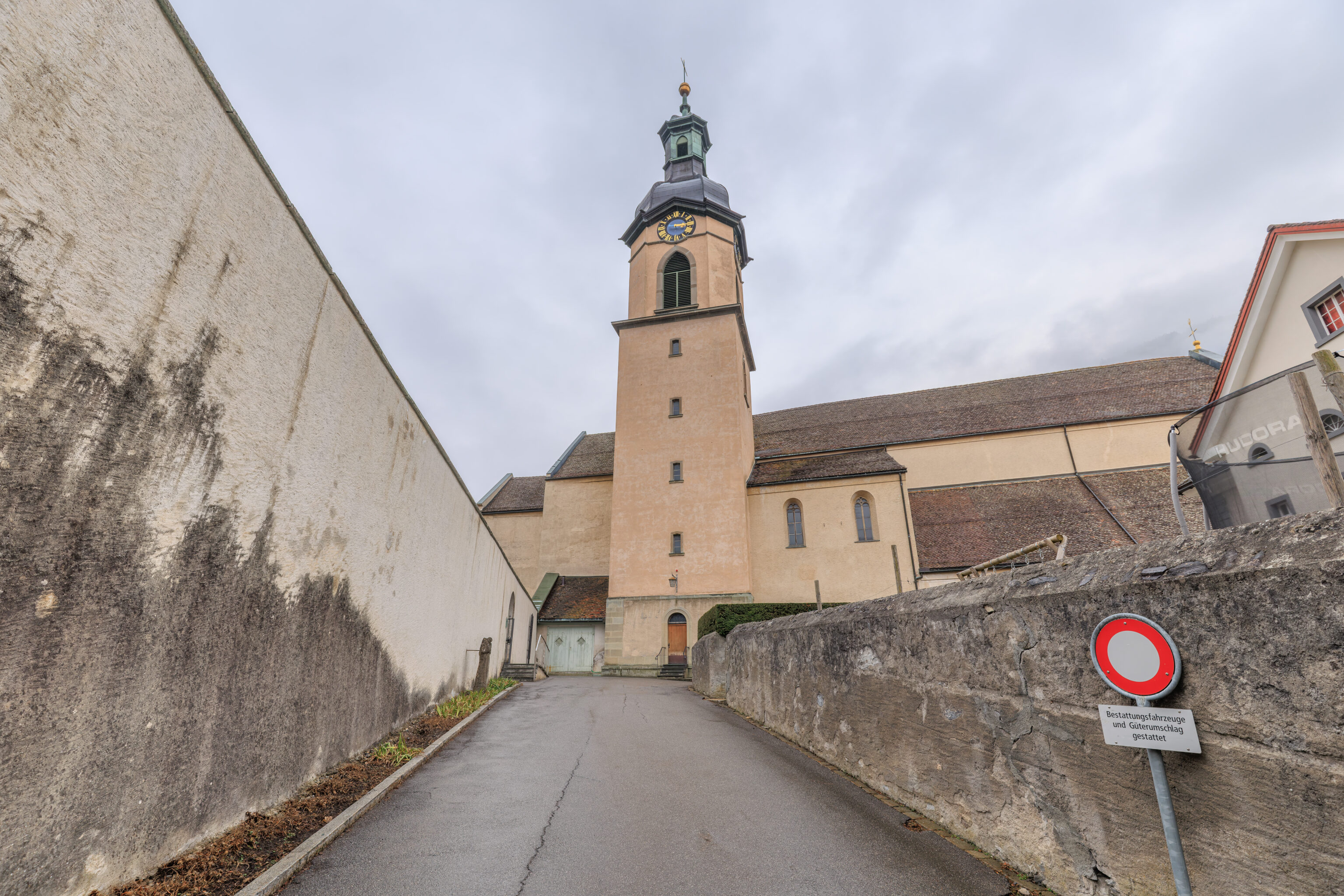
This was the view of the cathedral’s tower as we walked by on the north side of the Hof.
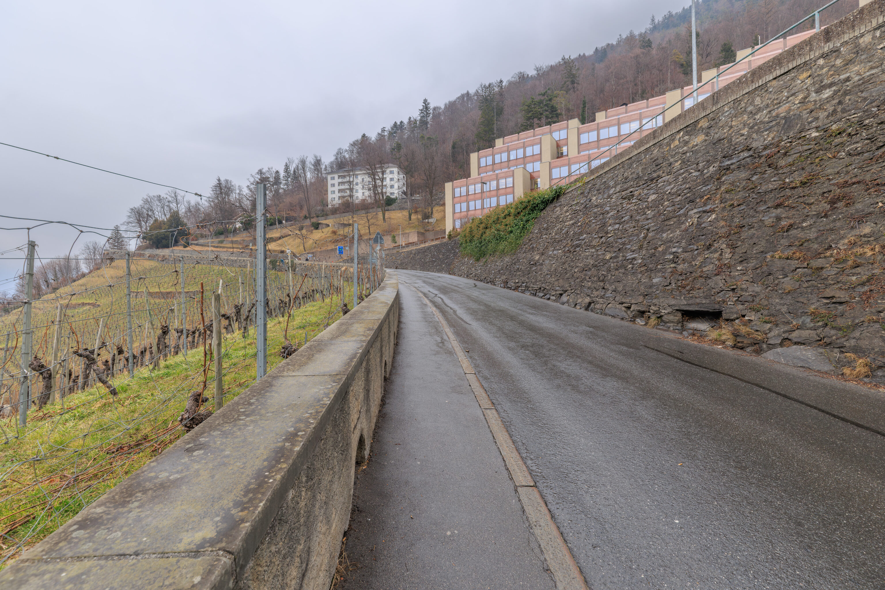
After crossing the street, we walked on the narrow sidewalk of a road that started ascend the lower elevations of the Mittenberg, a small mountain on the east side of Chur.
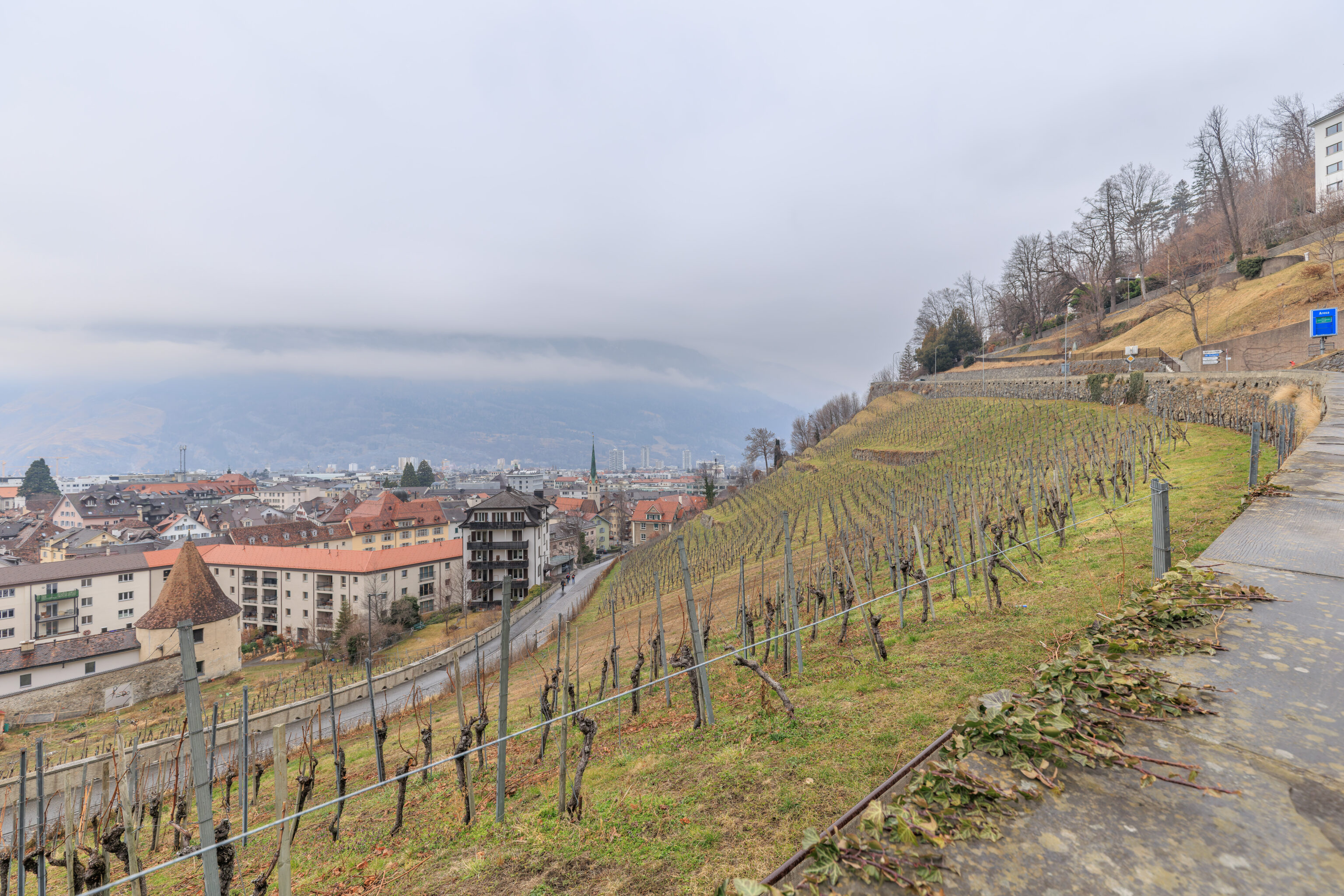
The slope below the road contained a vineyard.
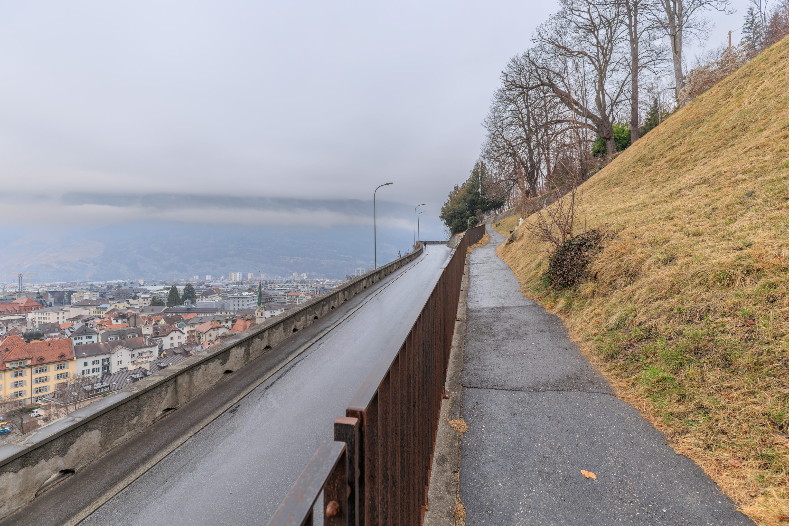
We ended up crossing the road to walk on a pedestrian path that was slightly above the road.
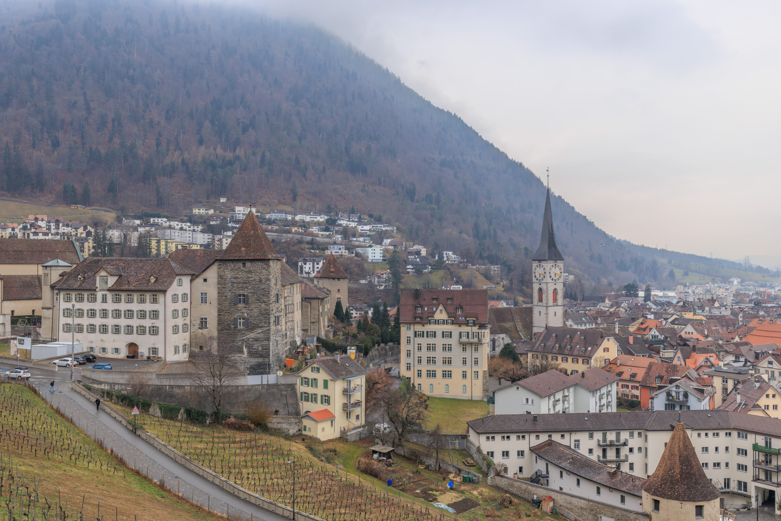
We had a great view of the Altstadt below us! We even captured one of the aerial tram cabins! It is just to the right of the Martinskirche’s tower.
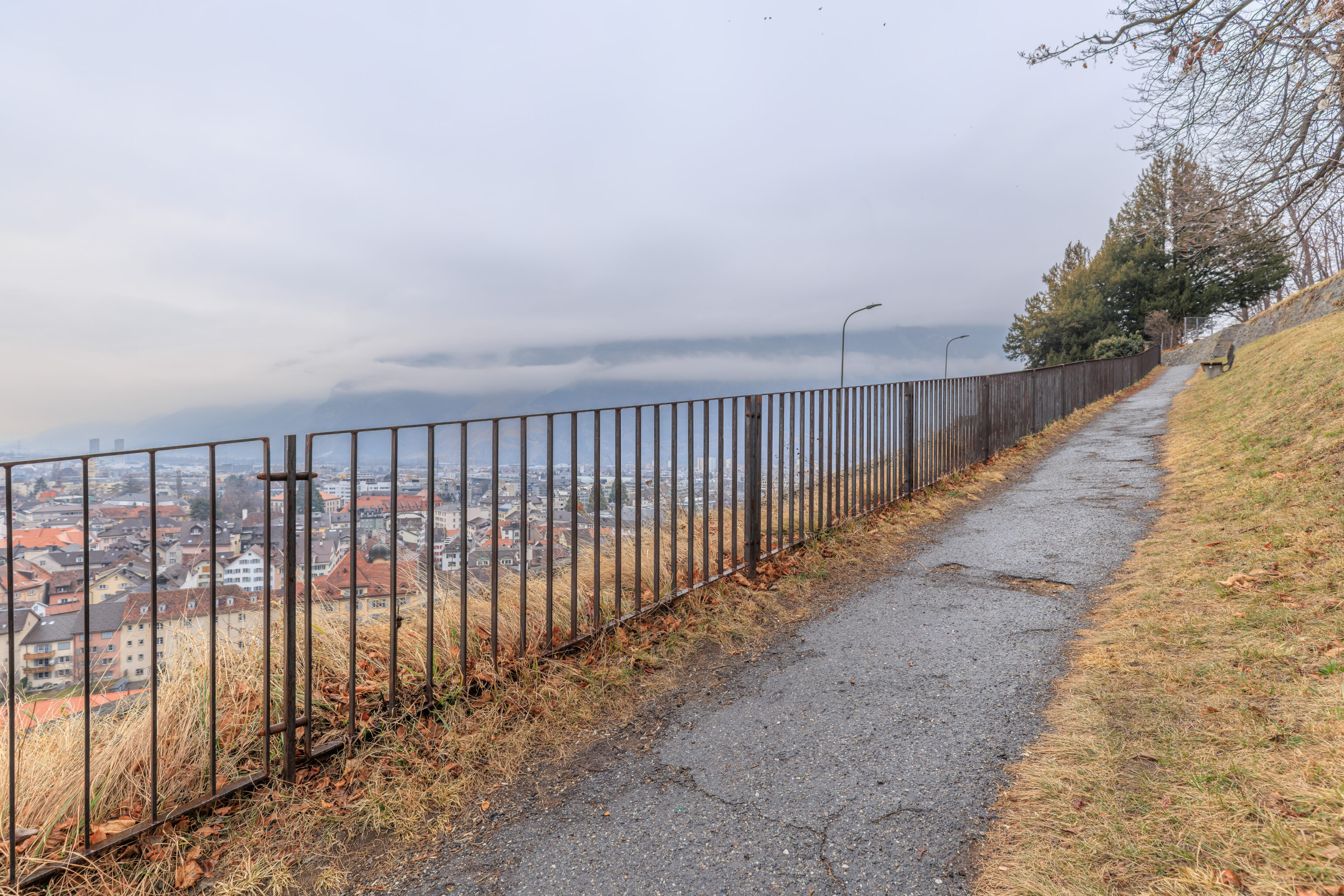
We continued to follow the ascending path.
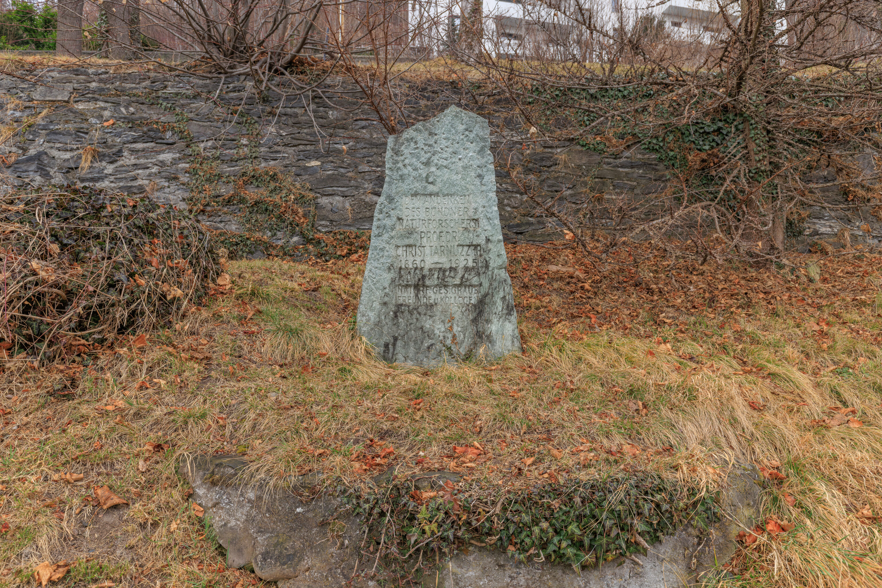
This is a memorial to a local professor:
In memory of the Grisons naturalist

Prof. Dr. Christian Tarnuzzer
1860 — 1925

Graubünden Natural Research Society
Friends & Colleagues
– Text from the memorial, translated from German using Google Translate.
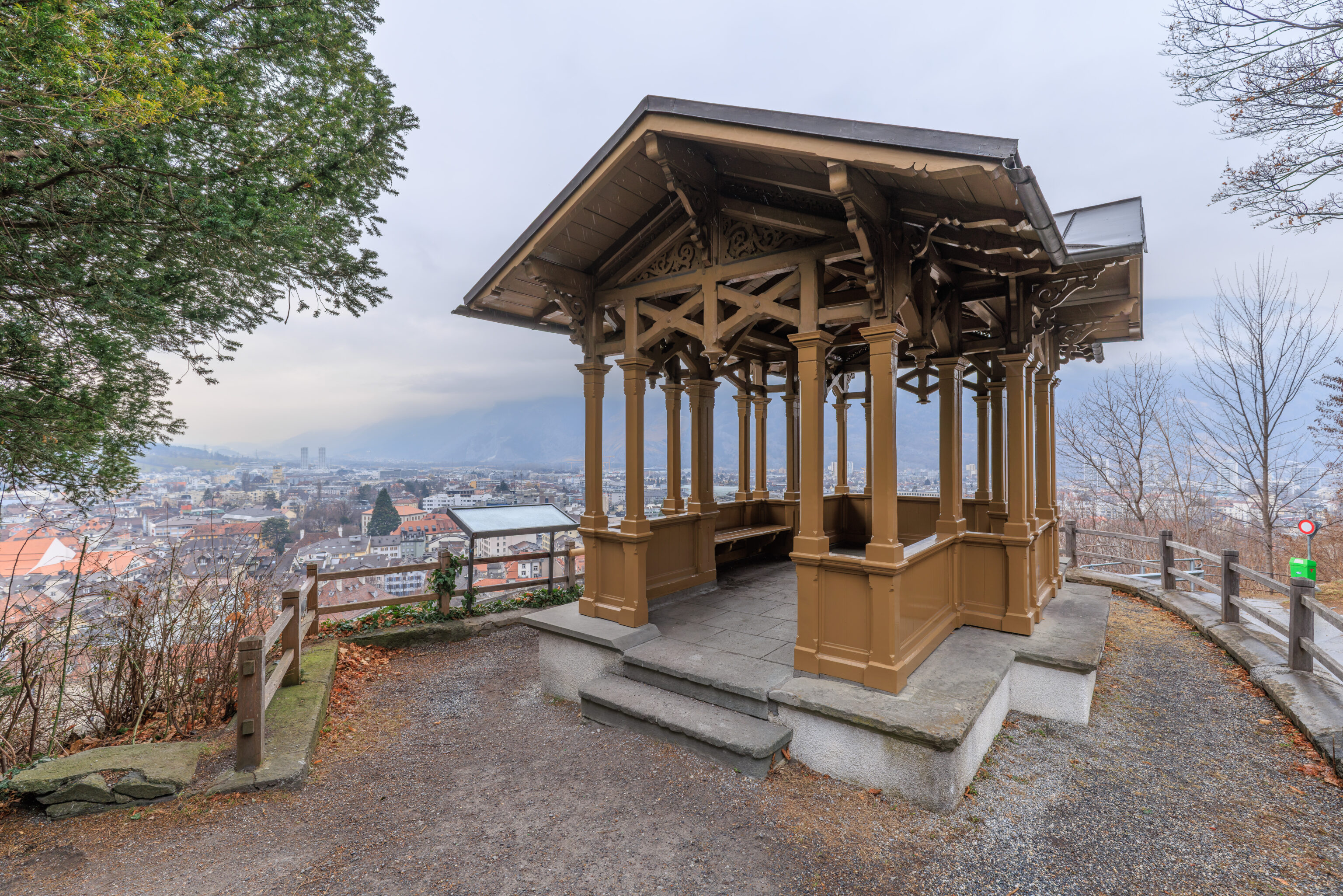
After walking just a little bit further, we arrived at the Haldenhüttli. This small pavilion was built in 1879 and is located in the middle of a switchback in the road.
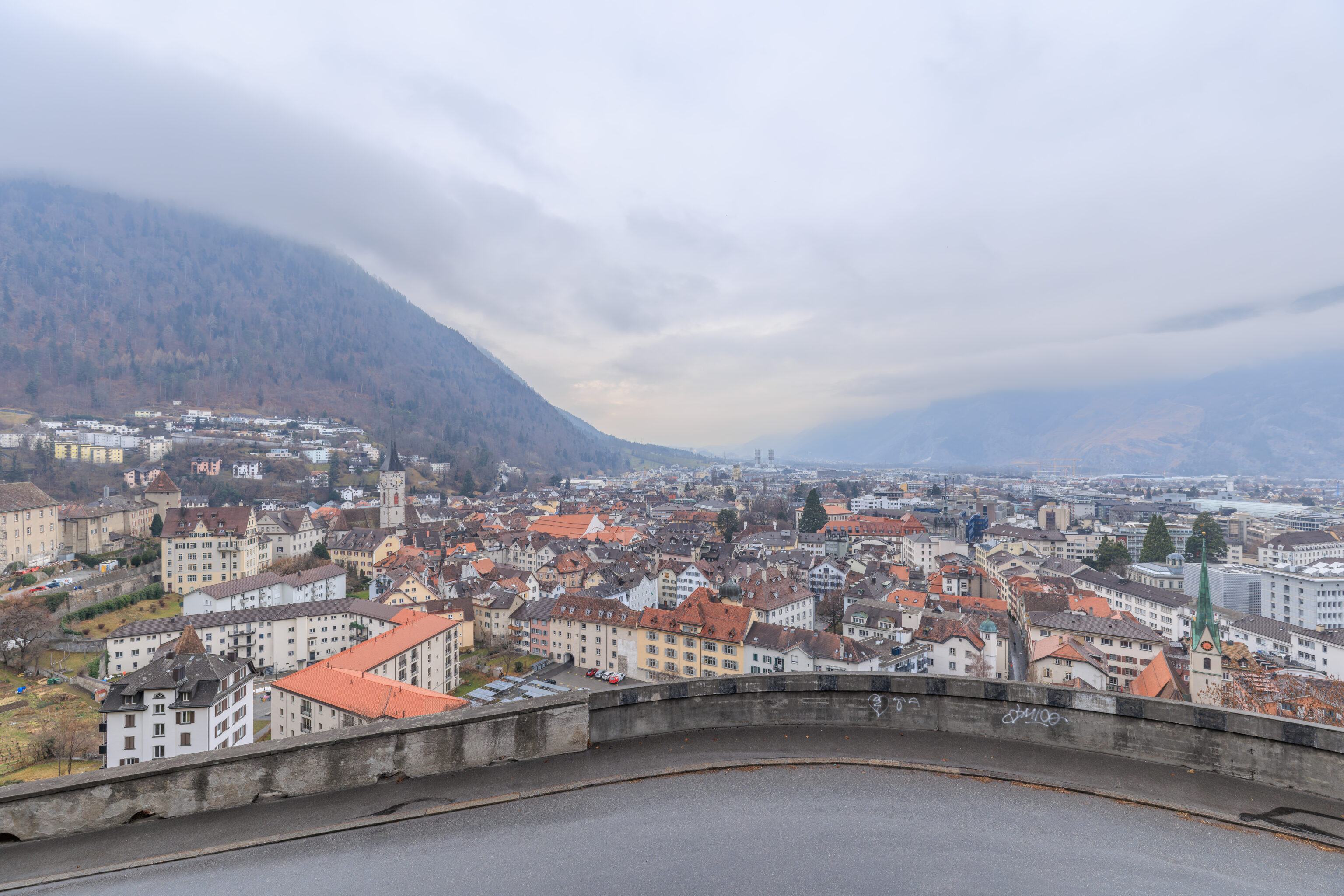
The view from here was quite wonderful, although the road blocks the lower part of the view a bit.
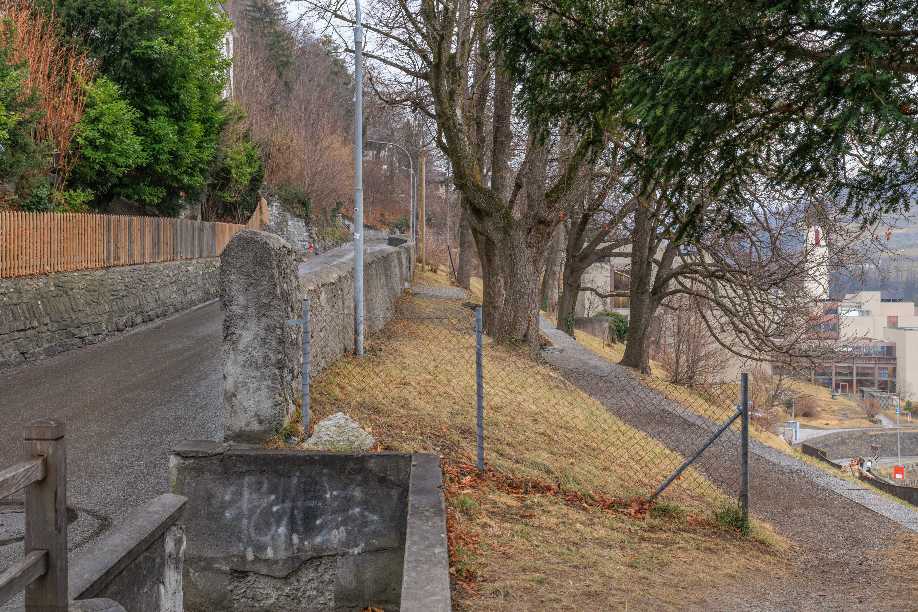
To go to the sidewalk on the far side of the road, we had to actually go up as there was no way down on the lower side of the Haldenhüttli.
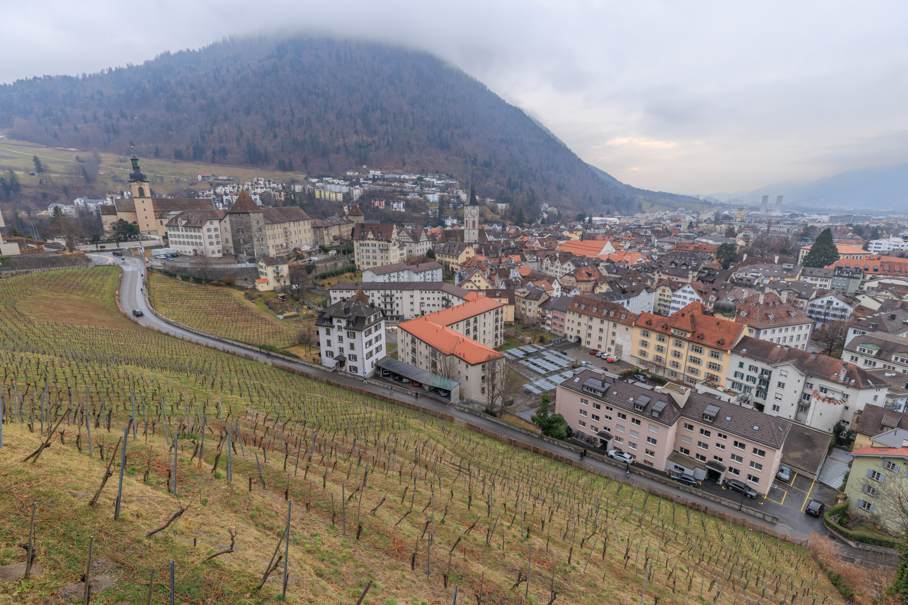
After getting back to the road, we walked on the sidewalk to reach the west side of the road. From here, we had a view of Chur and the vineyard below us.
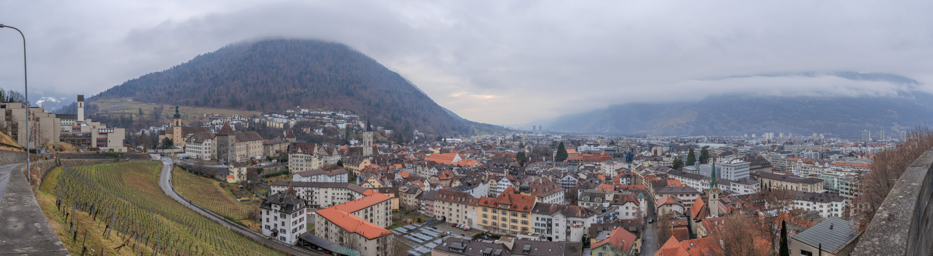
A great place for a panorama! Every place we’ve been here within the city is in this view, even the train station, which is over on the right.
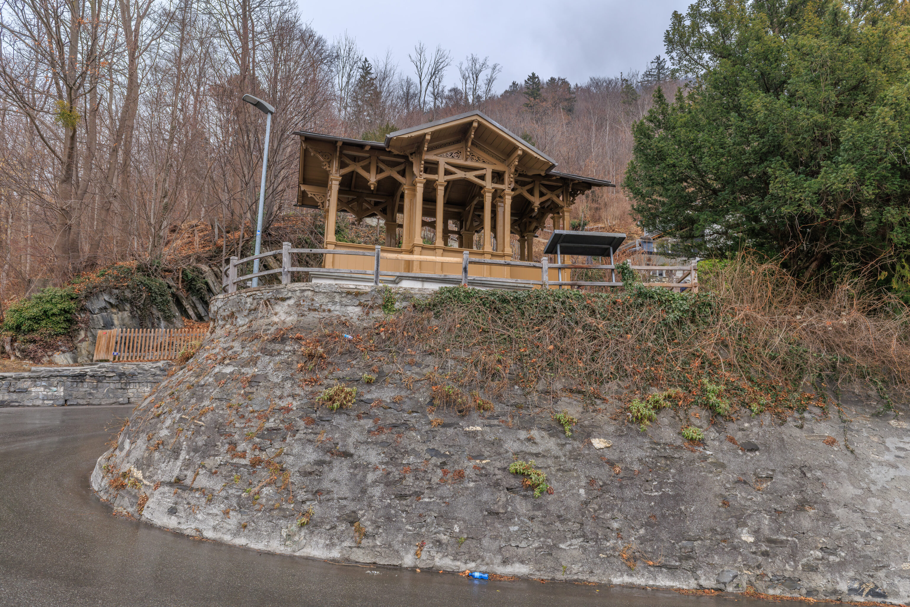
The Haldenhüttli, as seen from the road below.
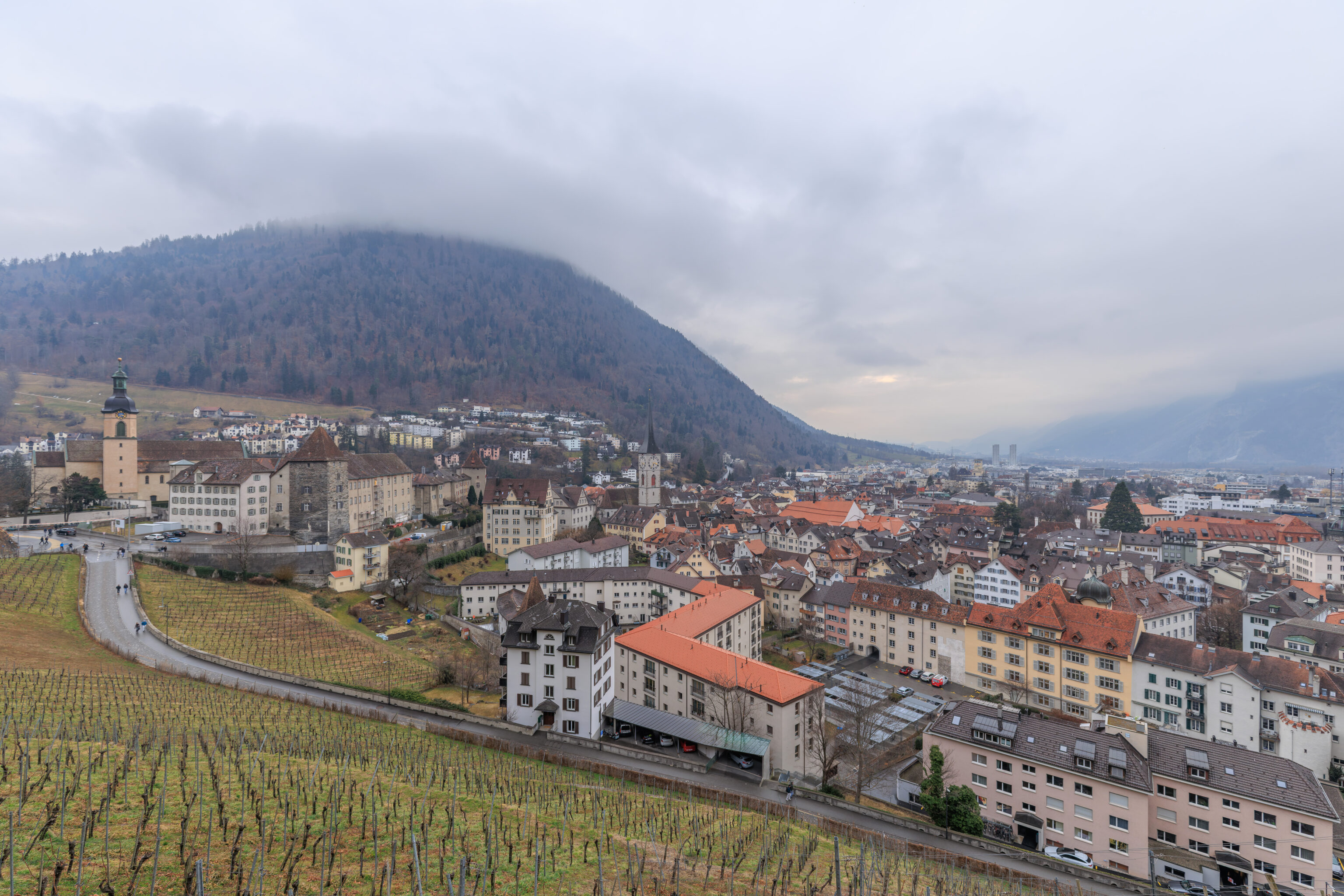
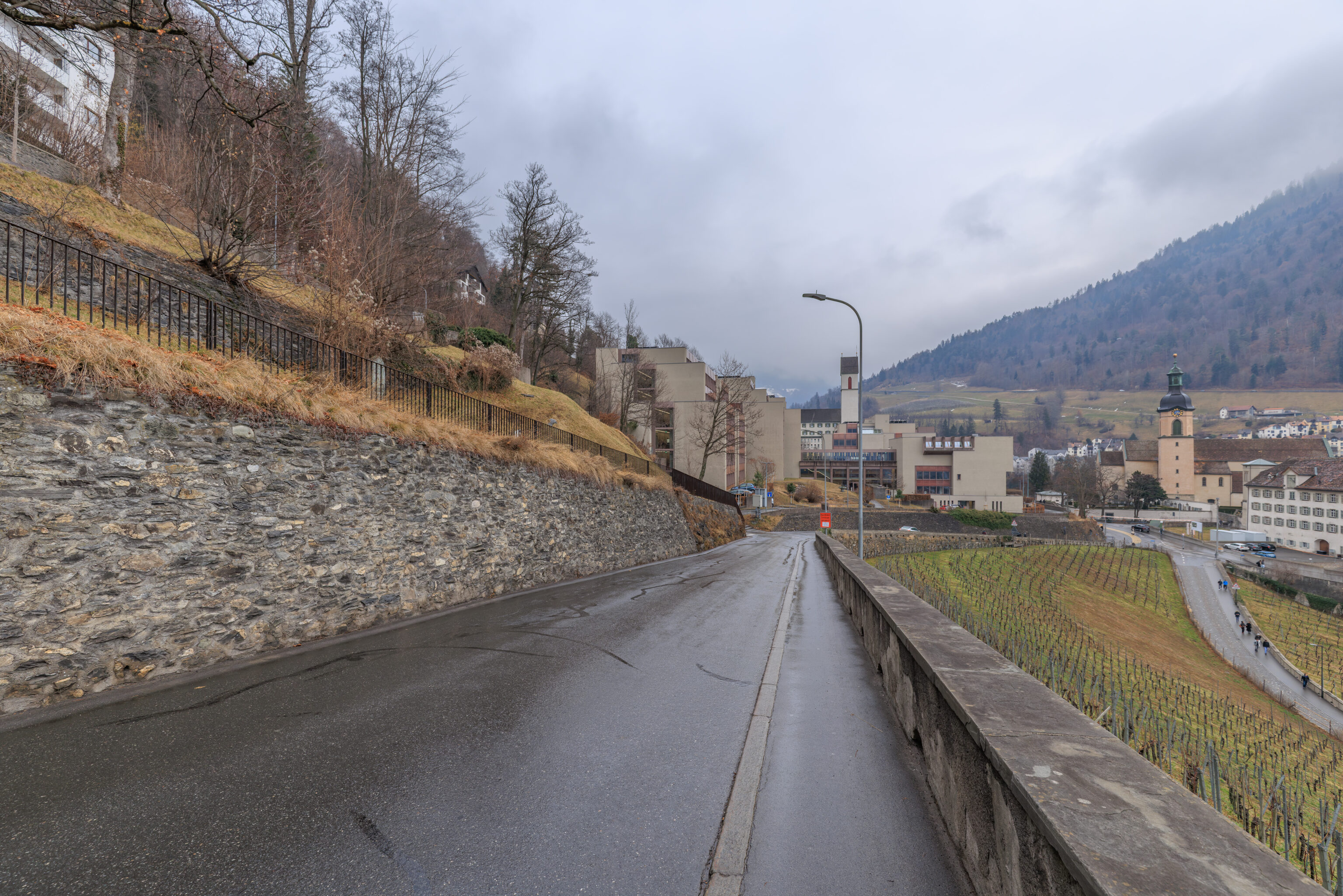
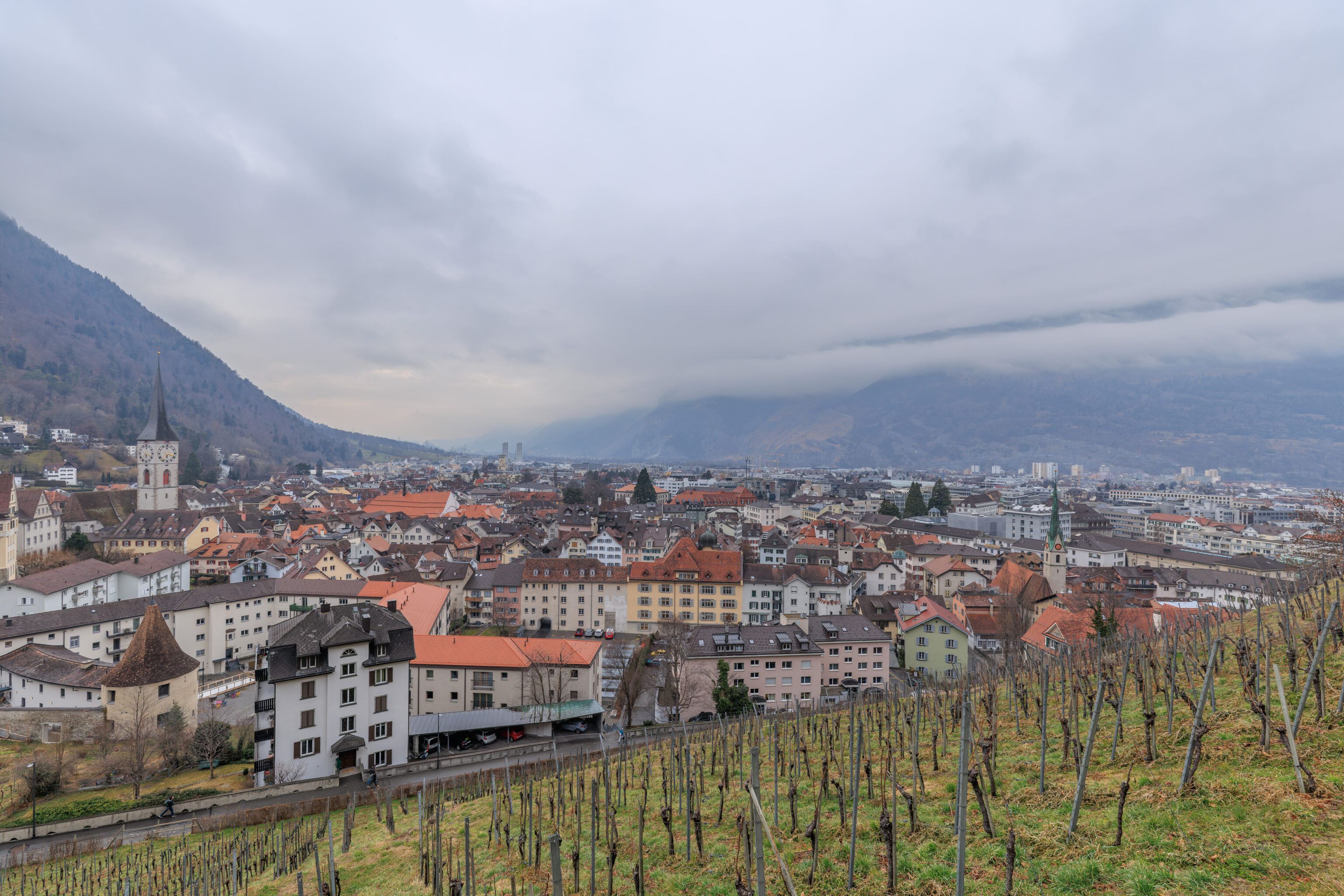
After enjoying the view, we started to descend.
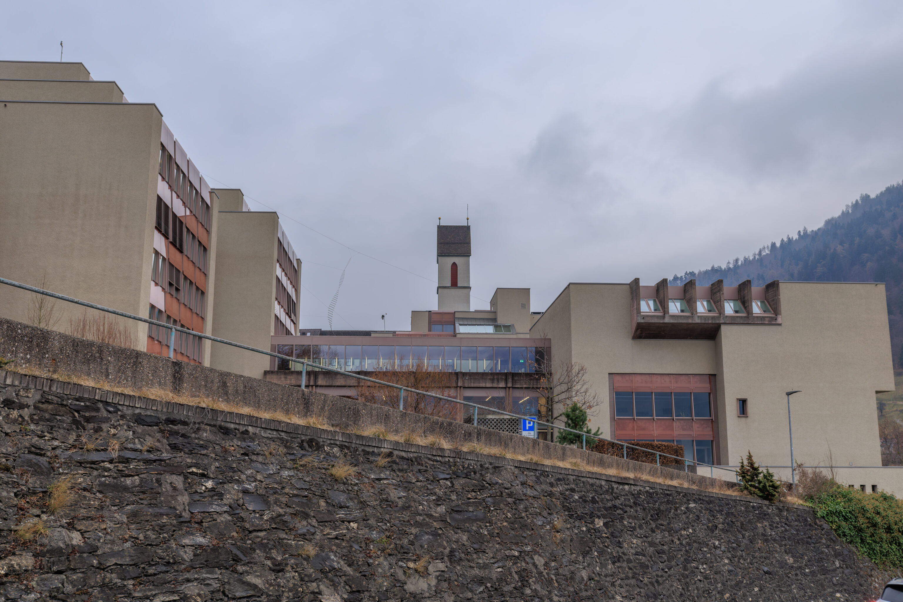
The buildings in the foreground here belong to the Bündner Kantonsschule (Cantonal School of Graubünden). It is the largest high school in the canton. The tower behind the school belongs to St. Luzi. It is the same one we saw before from the cathedral. The church actually includes a religious school, the Theologische Hochschule Chur (Theological College of Chur).
One interesting thing we noticed was what almost looks like a rope ladder suspended from a cable on the left side of the school. We have no idea what that’s supposed to be! It almost seems like the twisted ladder depiction of DNA.
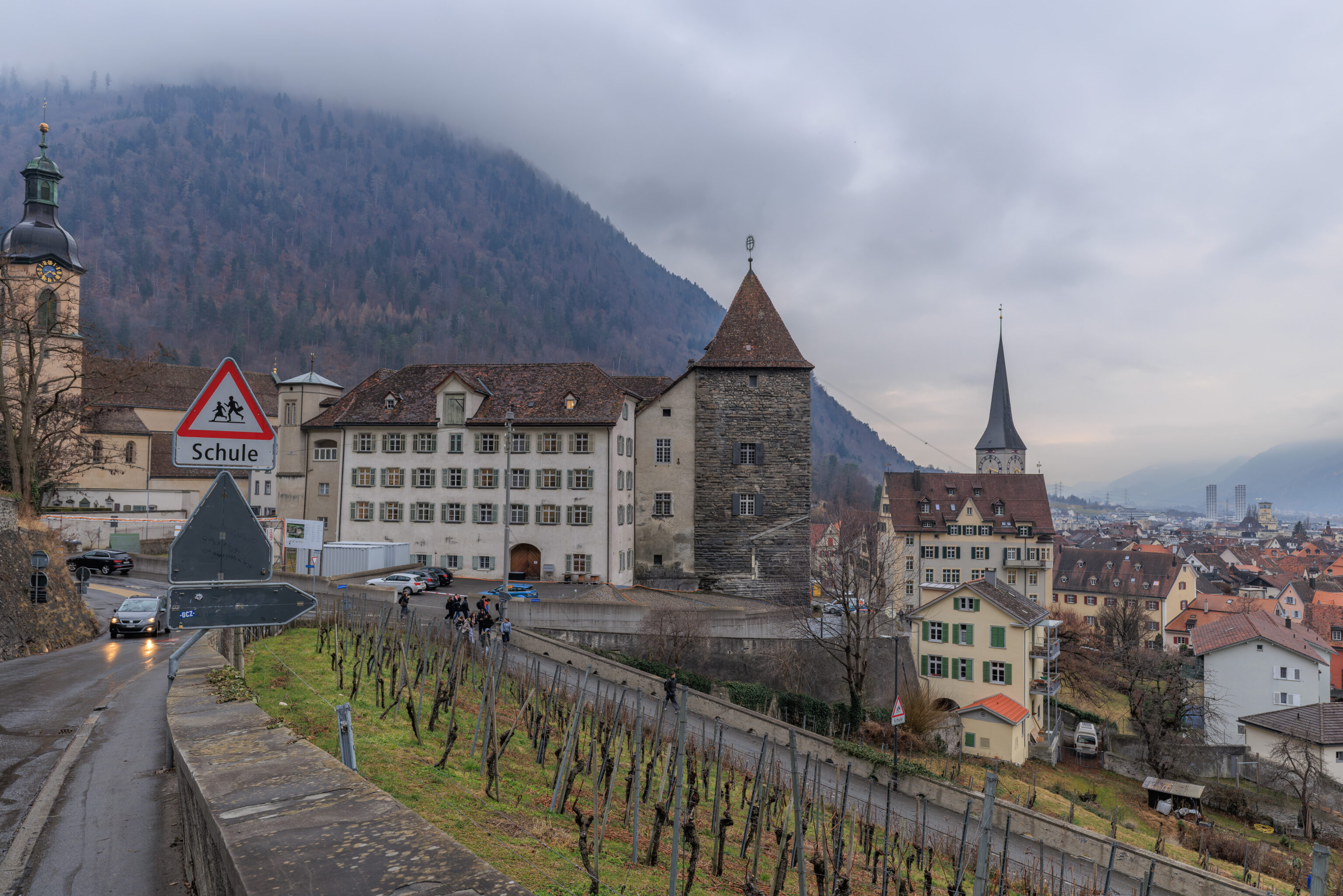
As we were walking down, we saw children leaving school. It was about 3:40pm at the time.
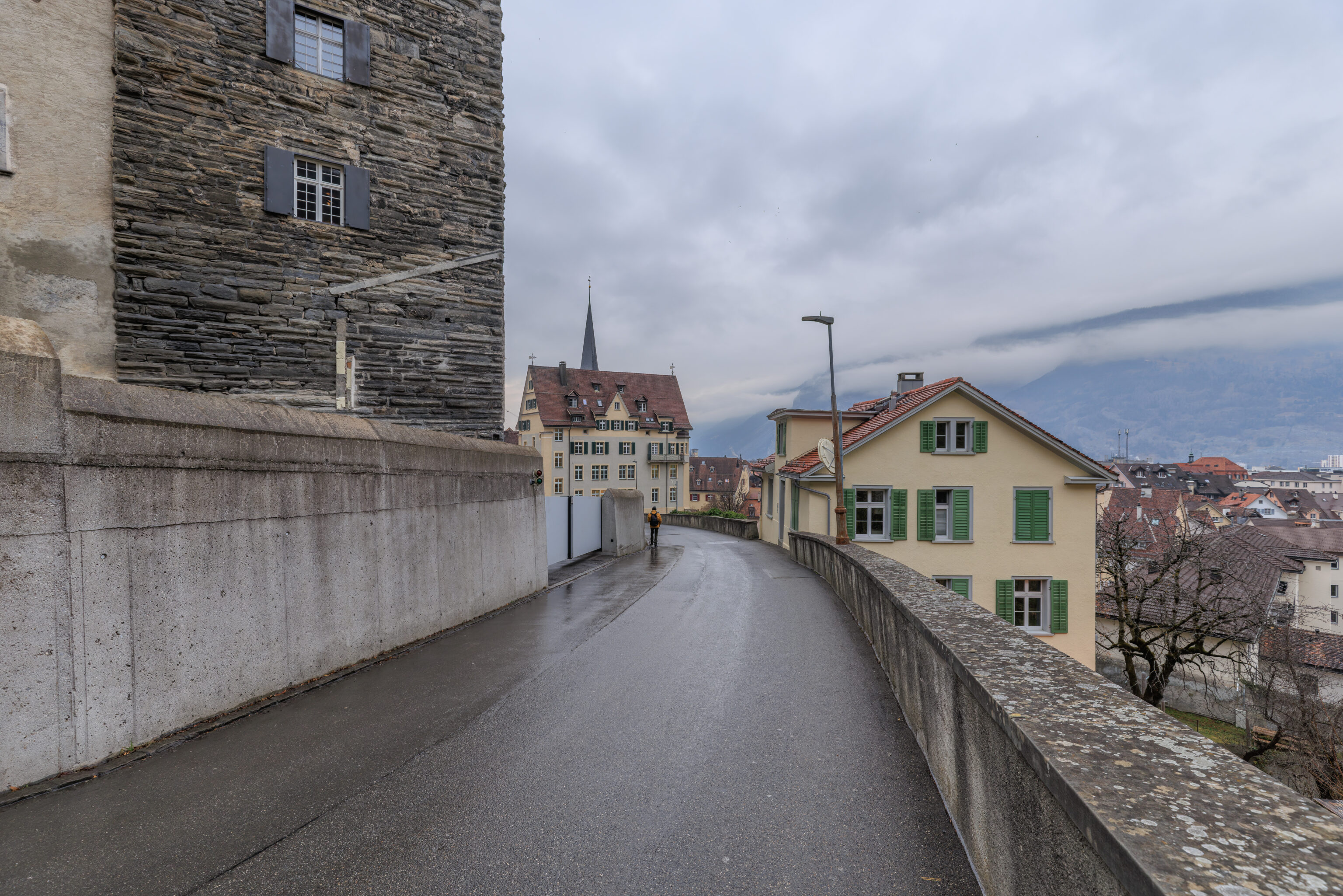
After reaching the intersection at the end of the road, we decided to walk along the north side of the Hof.
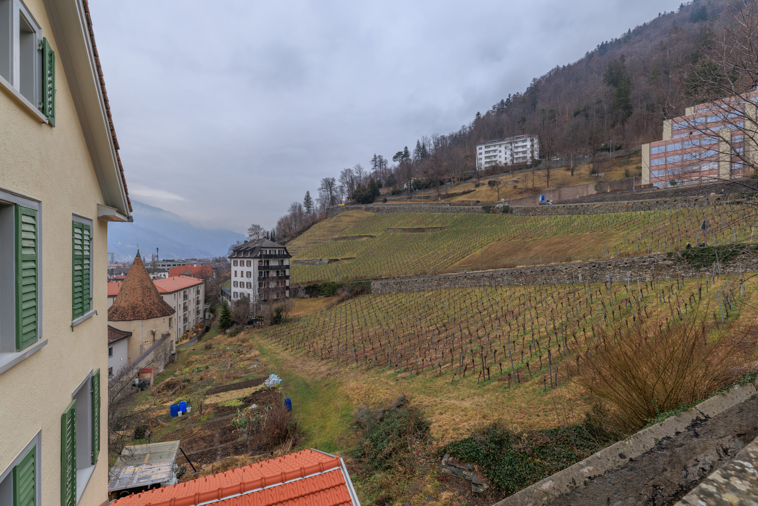
We had a good view of the slope that we just came from as we walked to the west.
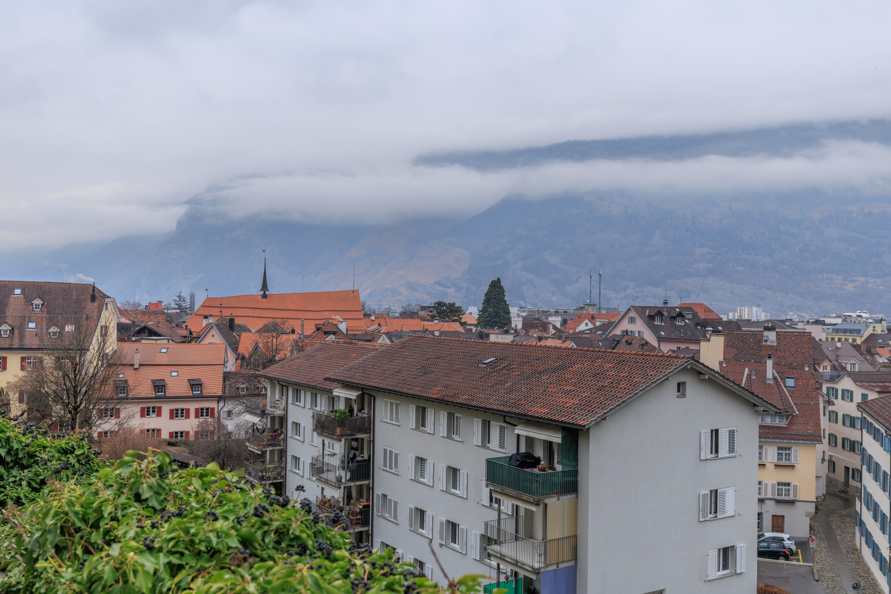
We were still relatively high compared to the buildings to the north of us.
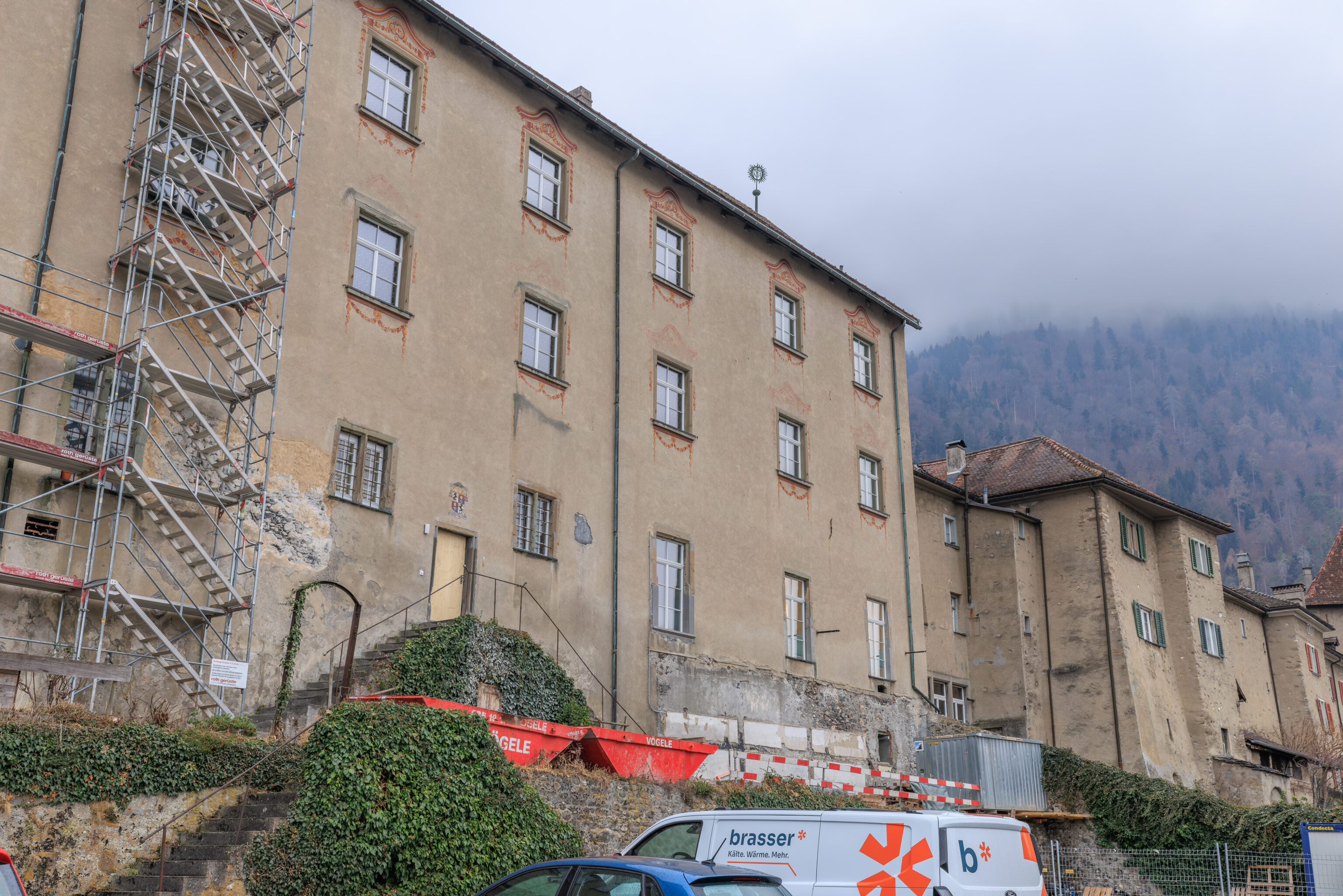
This building on the north side of the Hof had a few decorative elements around the windows as well as some symbology on the roof.
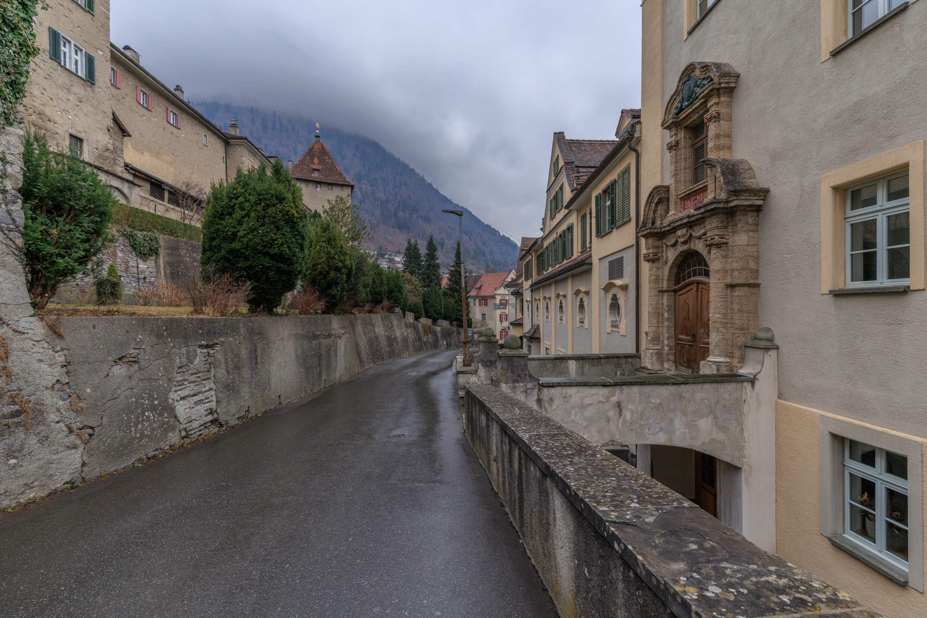
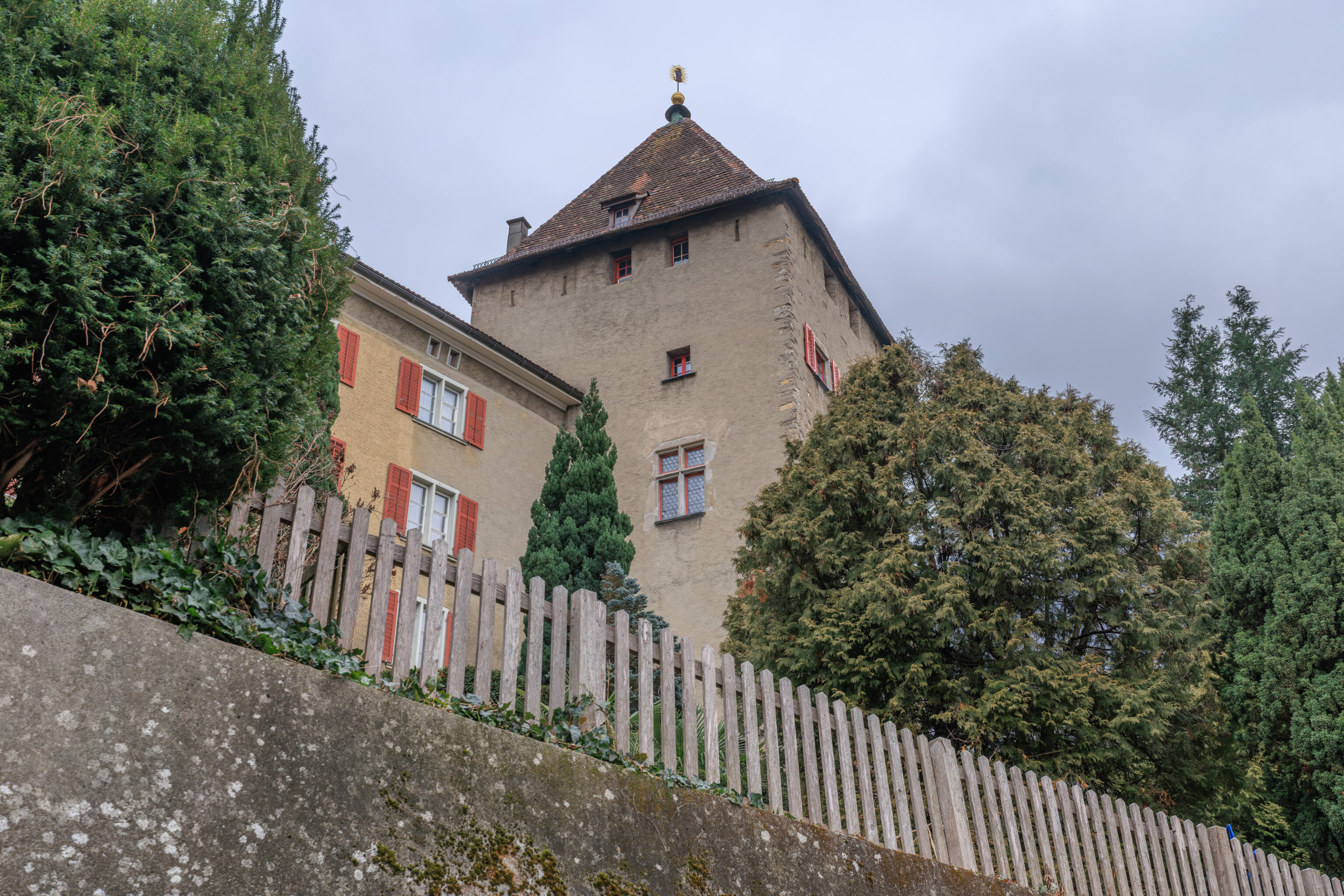
As we continued walking, we saw the Hofturm above and on our left.
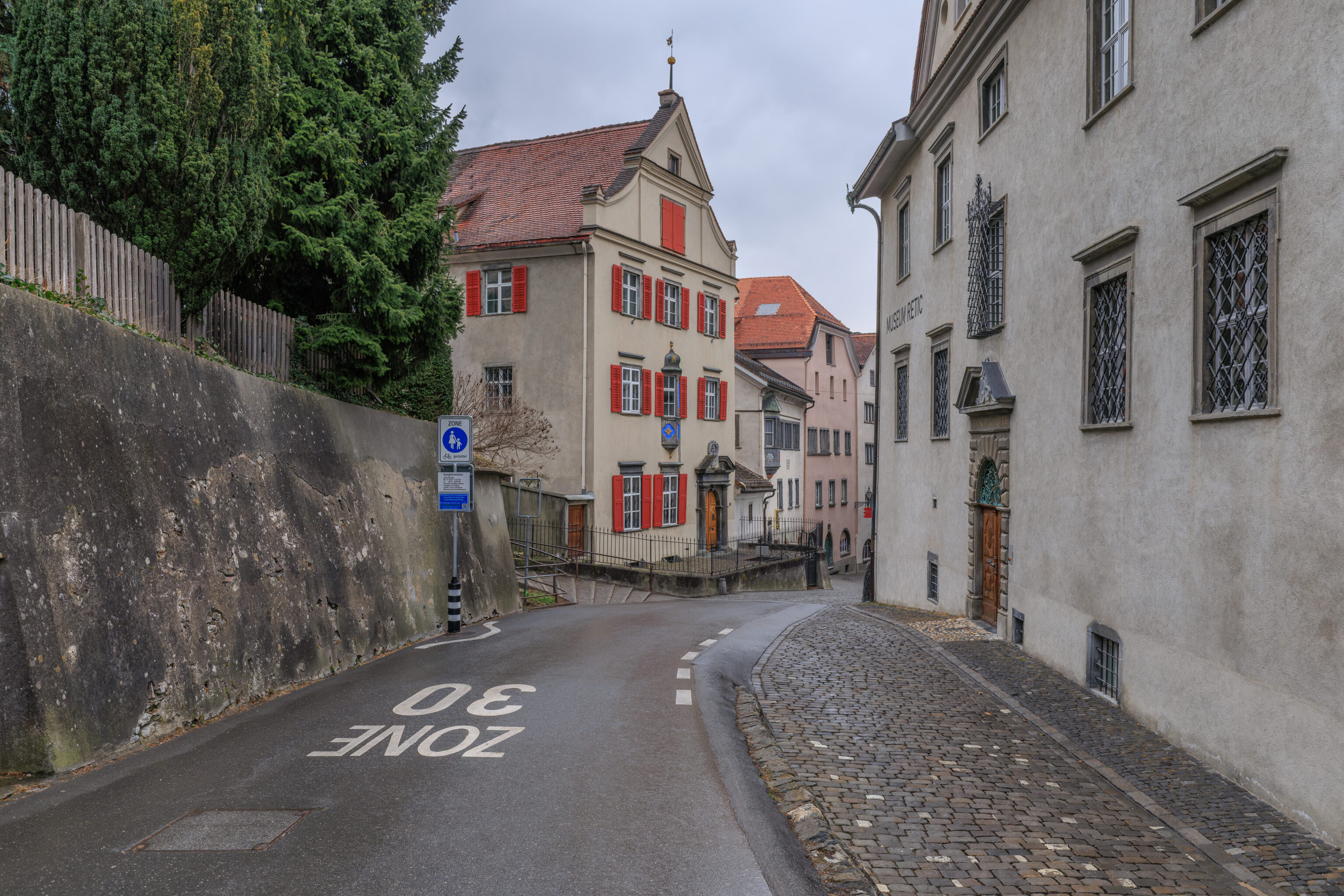
The stairs on the left are the ones we walked on earlier to go up to the Hof. They look quite narrow from this perspective.
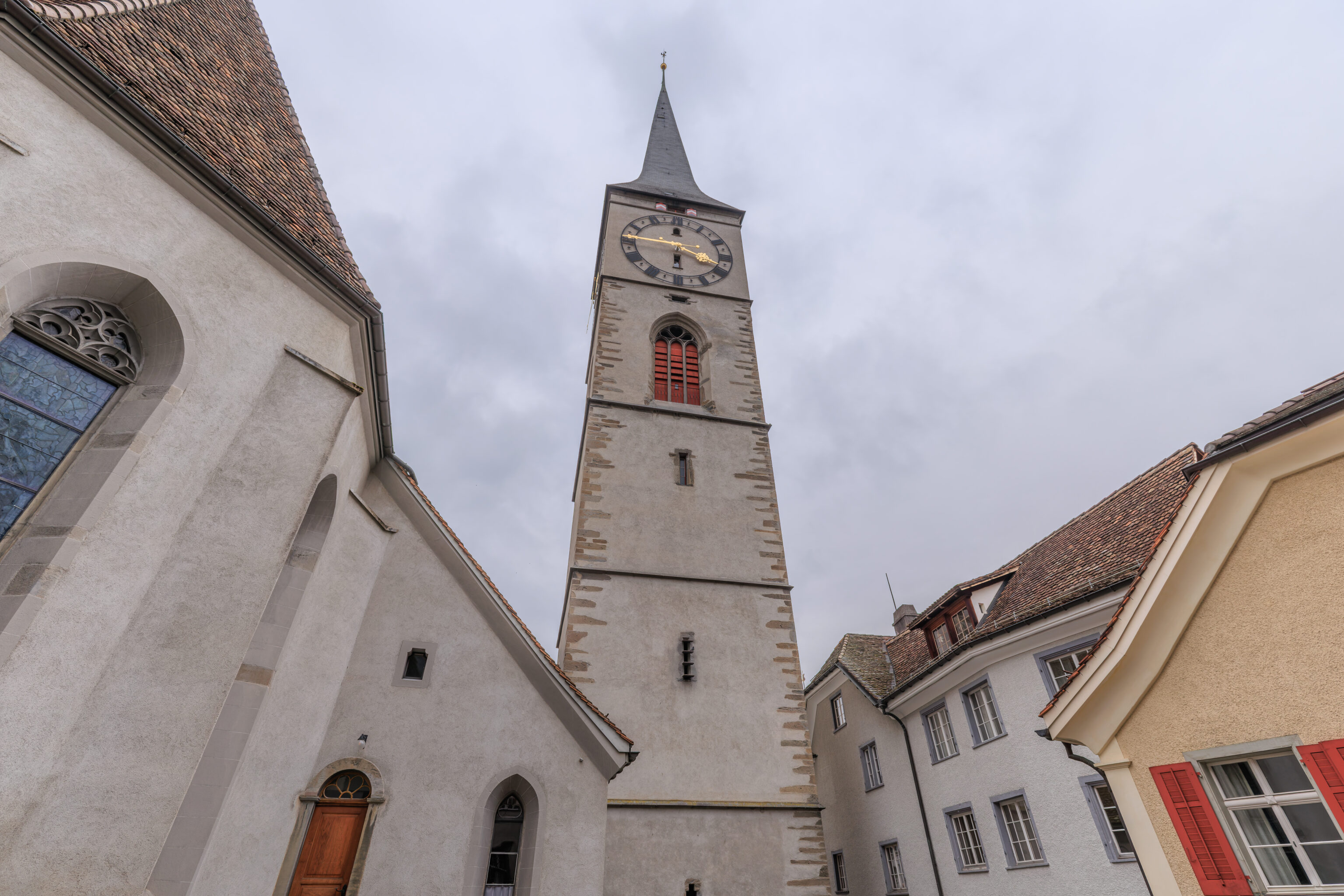
We continued walking to the west along the north side of the Martinskirche.
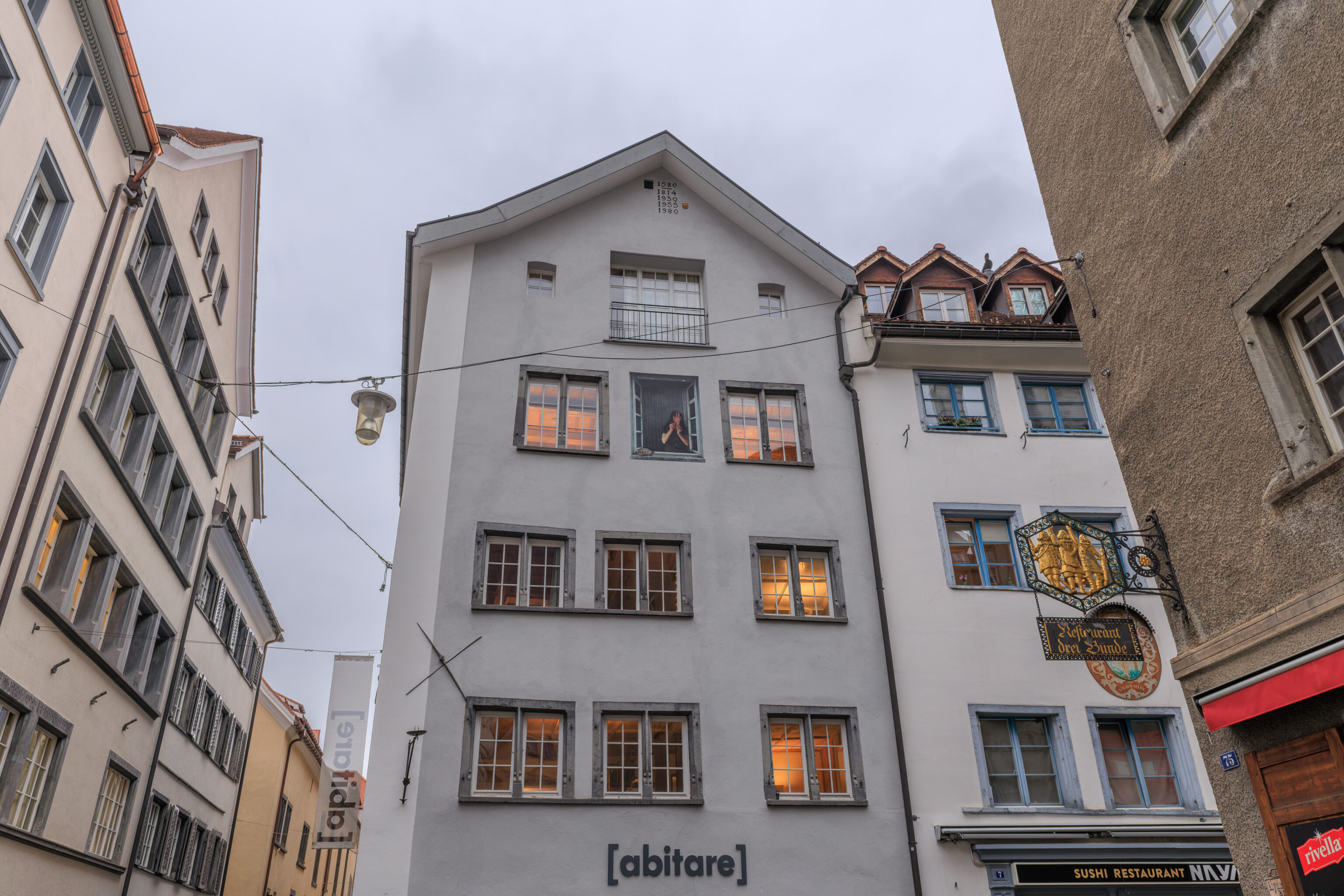
That’s not a real person up there! Its a weird mural if you look closely because she is holding a hand up to her face and there is a turtle on the windowsill!
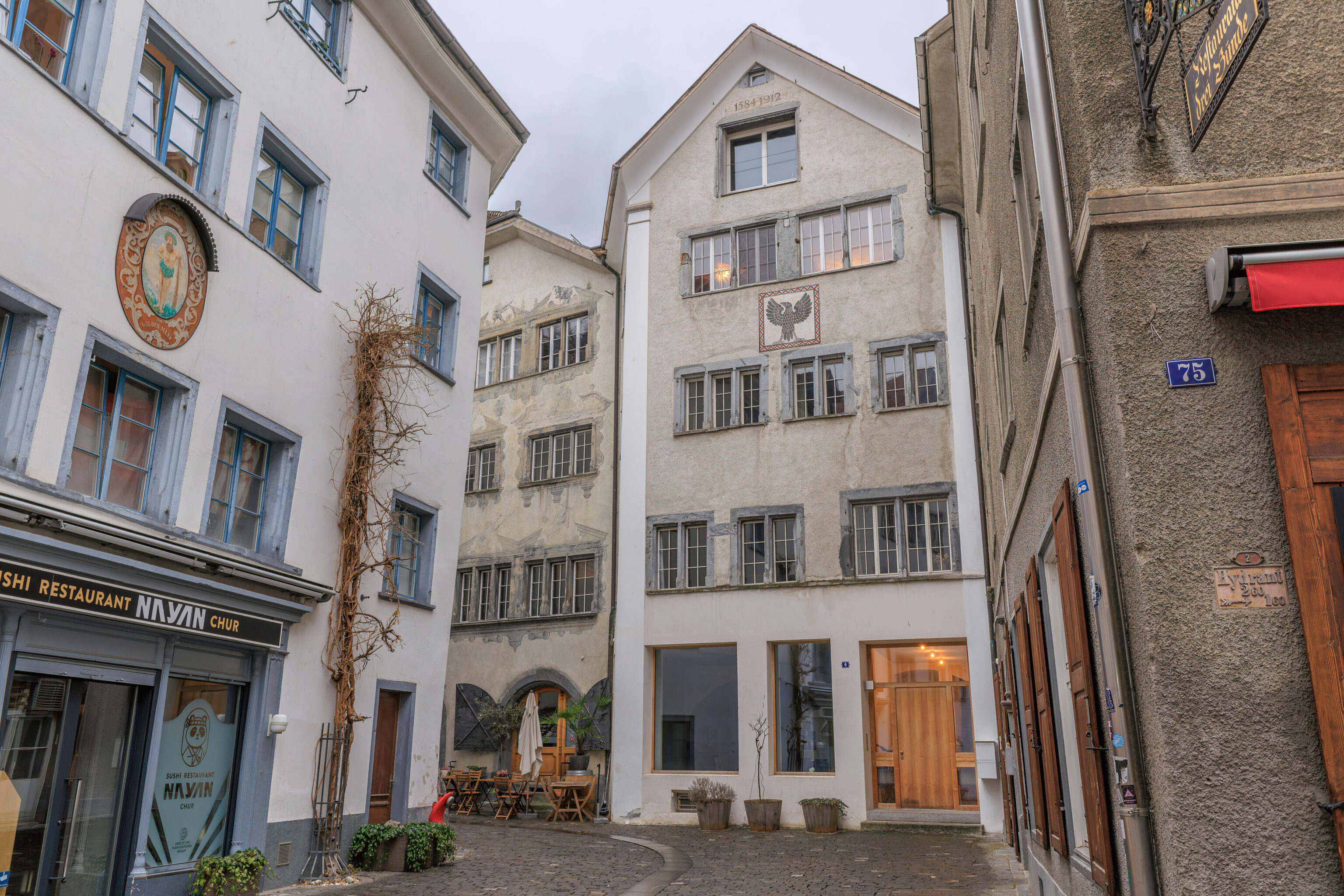
These buildings also had various decorations on their facades. Nothing unusual though.
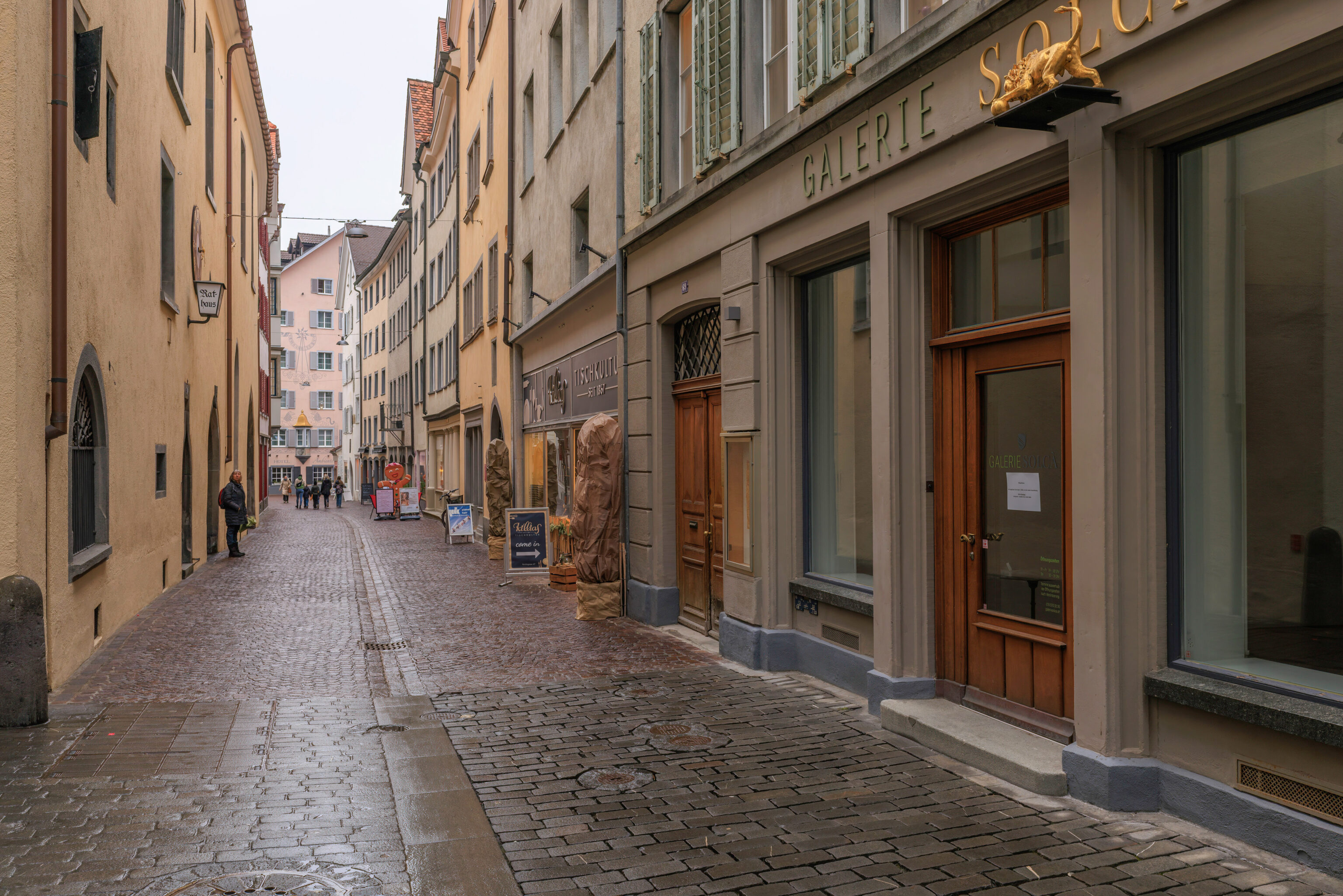
The building on the left here is the Rathaus (City Hall).
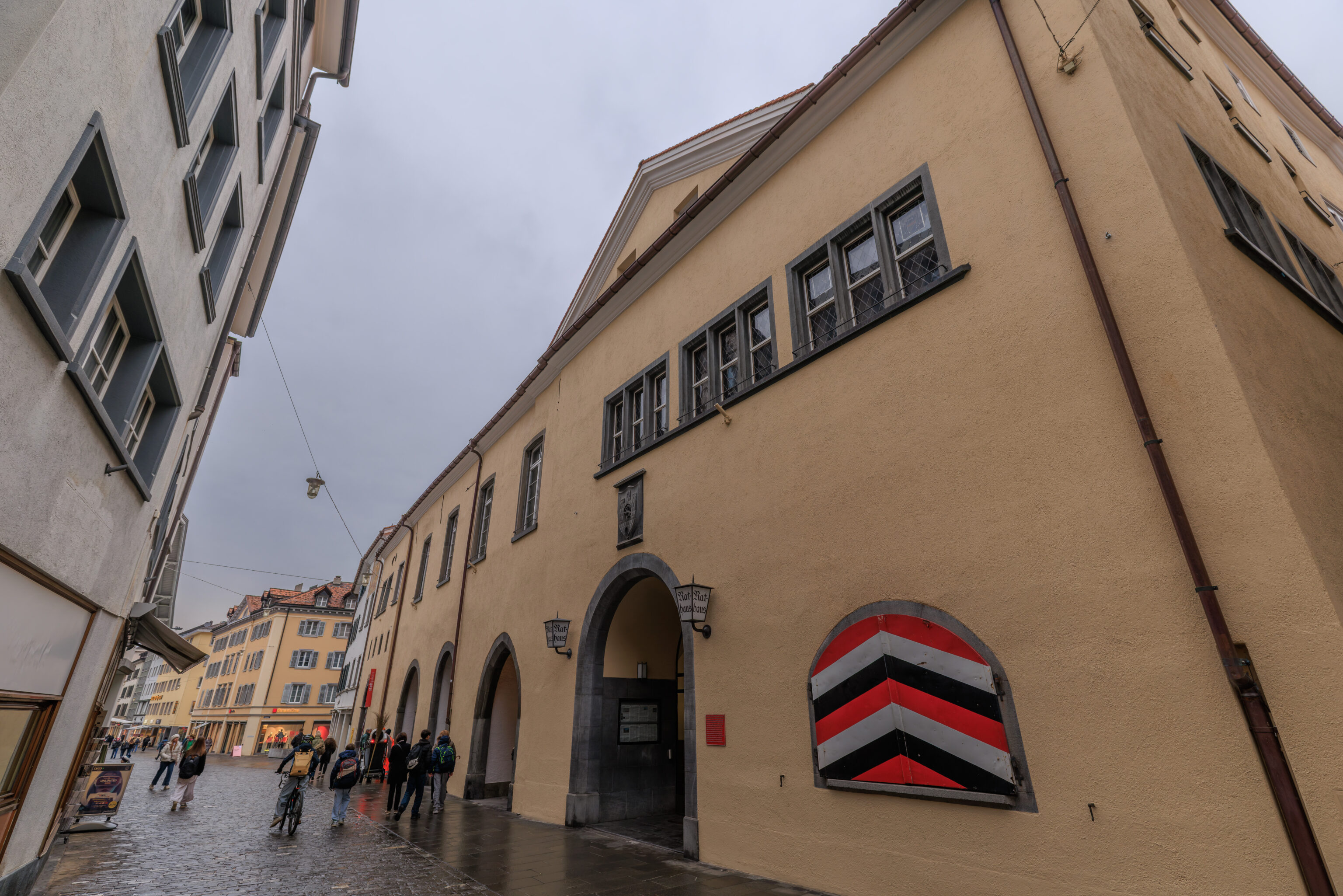
A better view of the building from the other side.
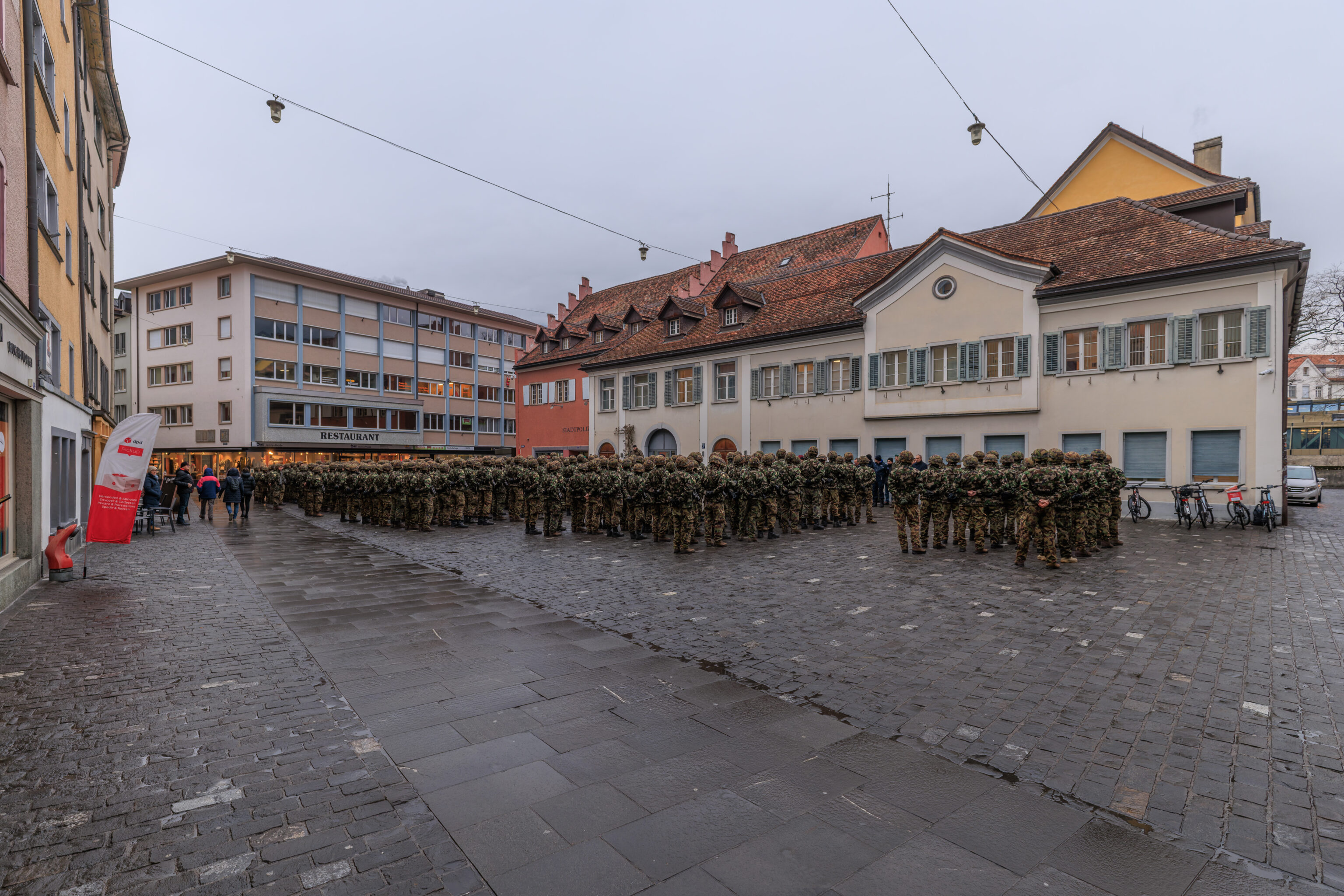
We heard what sounded like music and walked towards the source. We were surprised to come across a military formation at the Kornplatz (Corn Square)! This square gets its name from a former corn granary that was here.
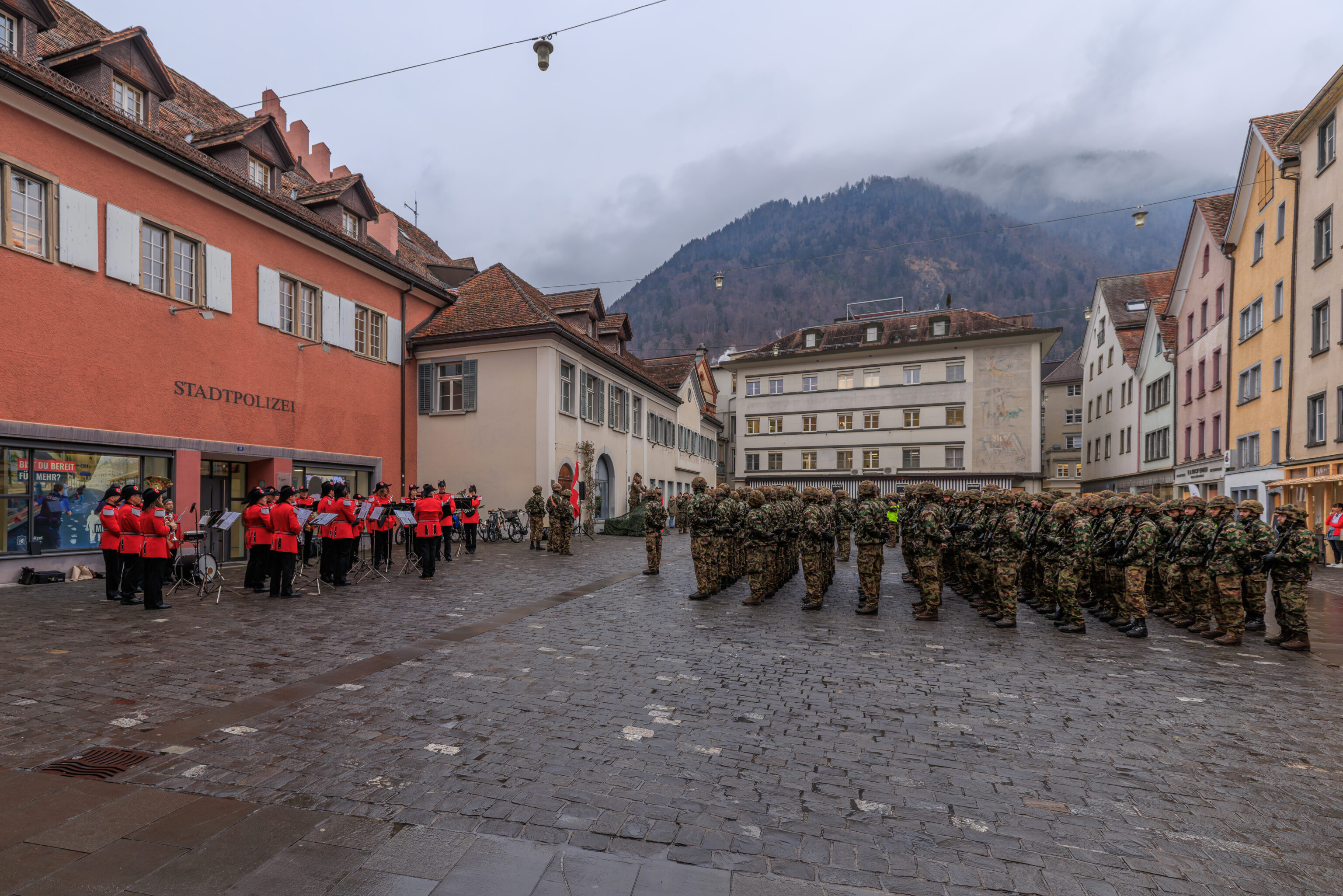
We ended up walking to the west side of the formation to see if we could tell what was going on.
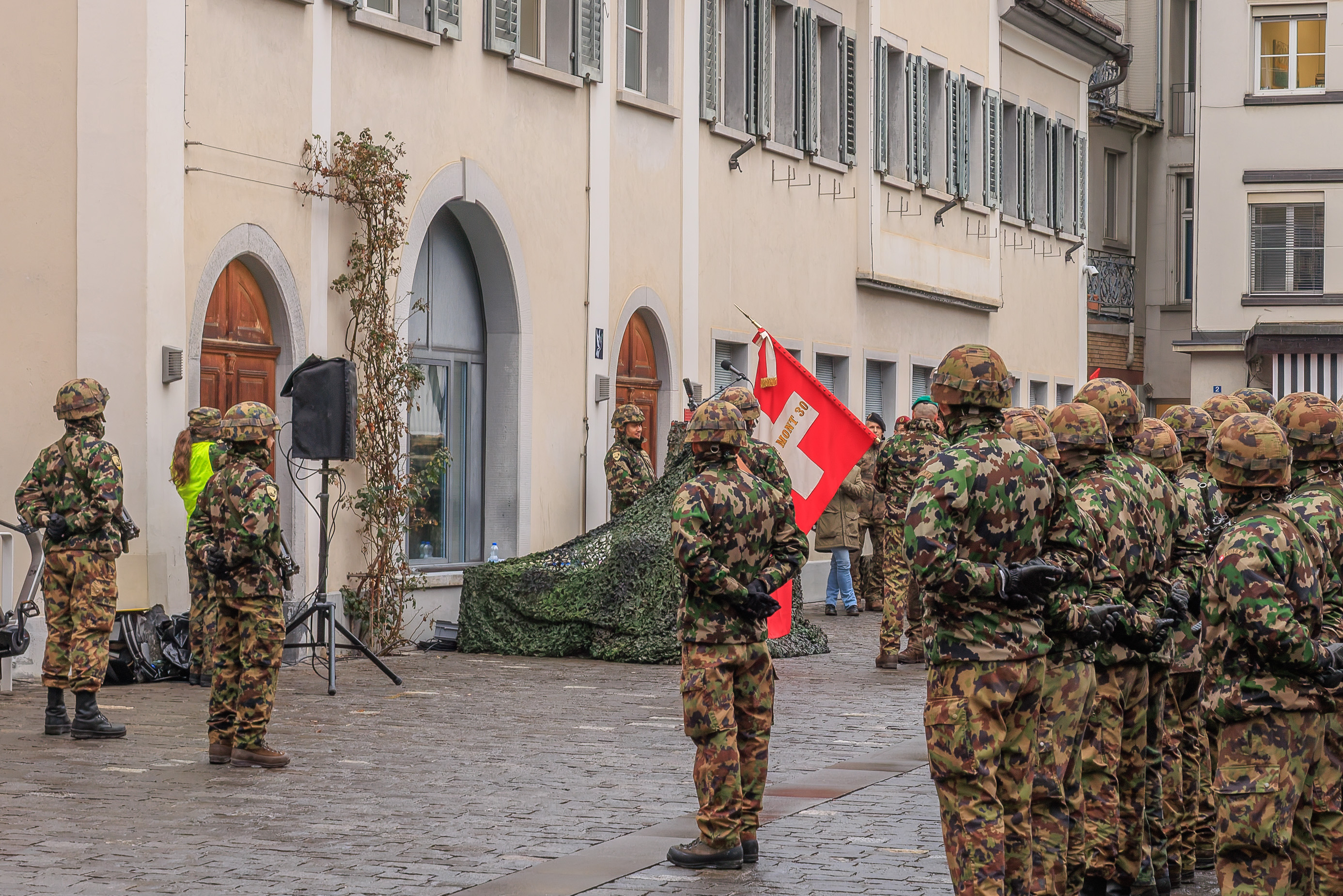
There was a speech and there was music. Based on what we see here, this is the Italian speaking Battaglione Fanteria di Montagna 30 (30th Mountain Infantry Battalion) of the Swiss Army. Although we couldn’t understand what they were saying, it looked like a change of command ceremony.
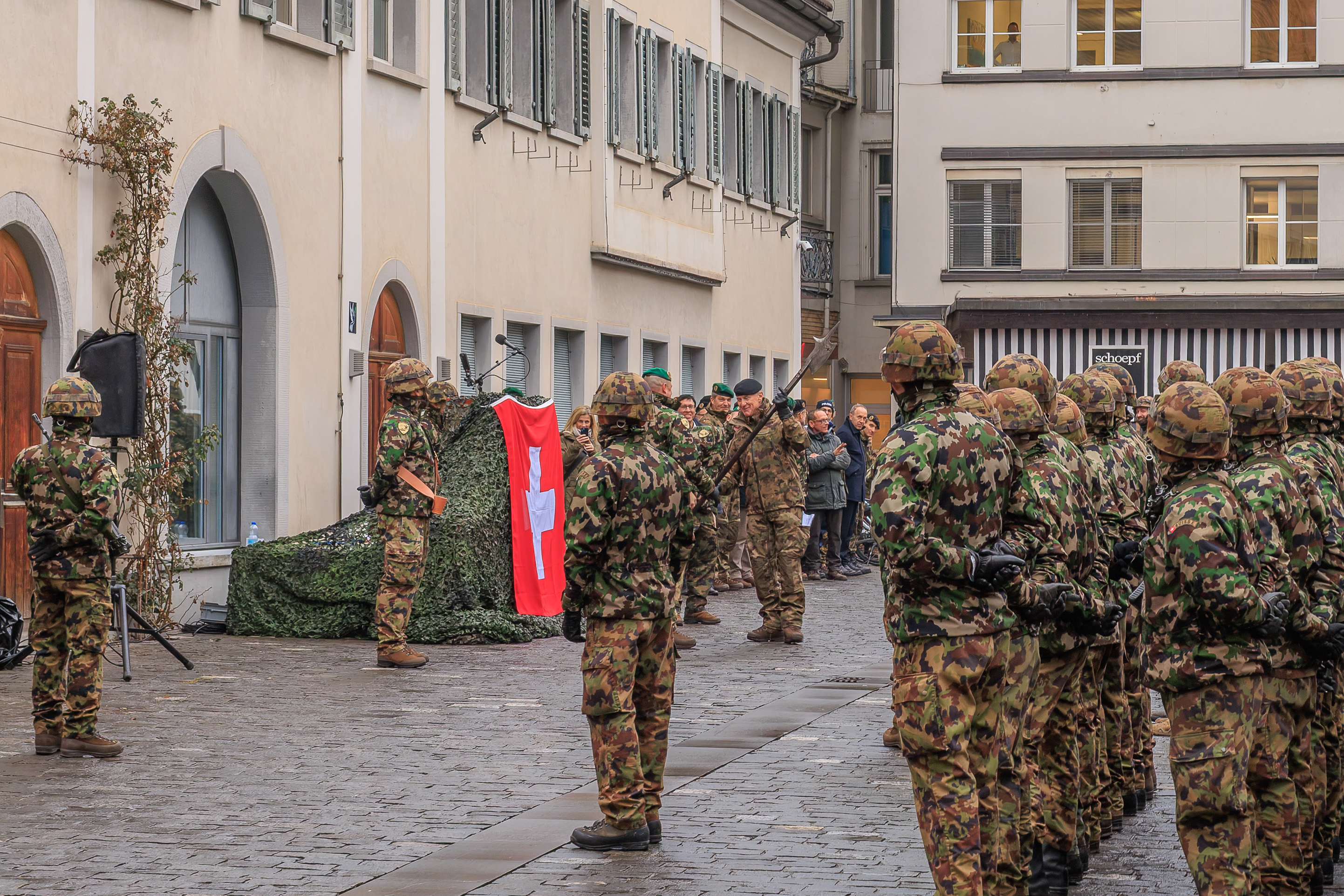
They even passed a halberd!
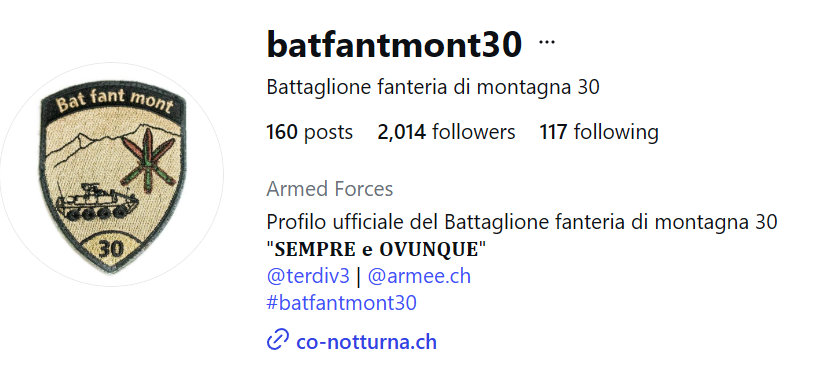
It turns out that this battalion has an Instagram page!
They posted some photos from the ceremony….
As well as a video!
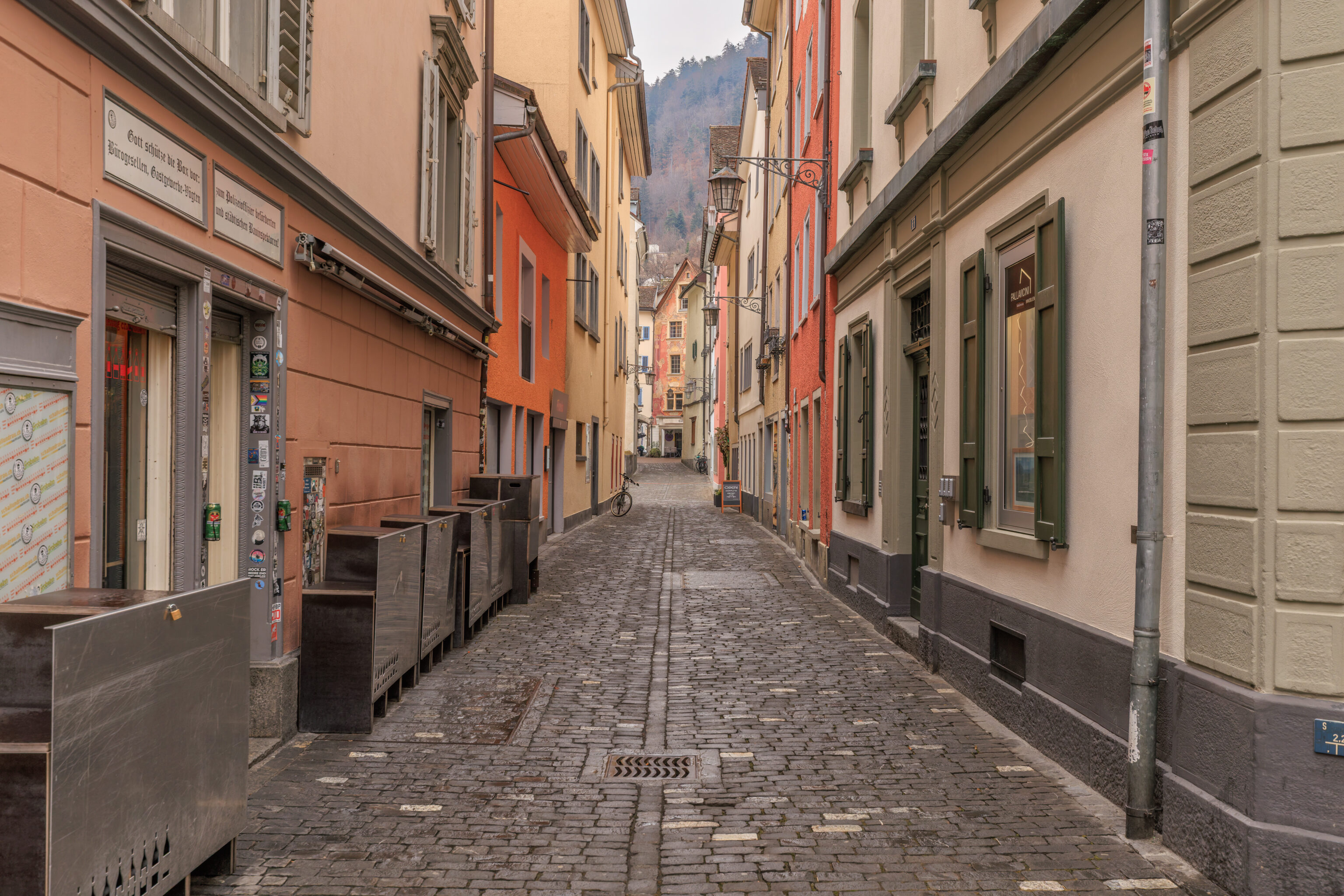
We continued walking through the Altstadt after the ceremony ended and the soldiers started to disperse.
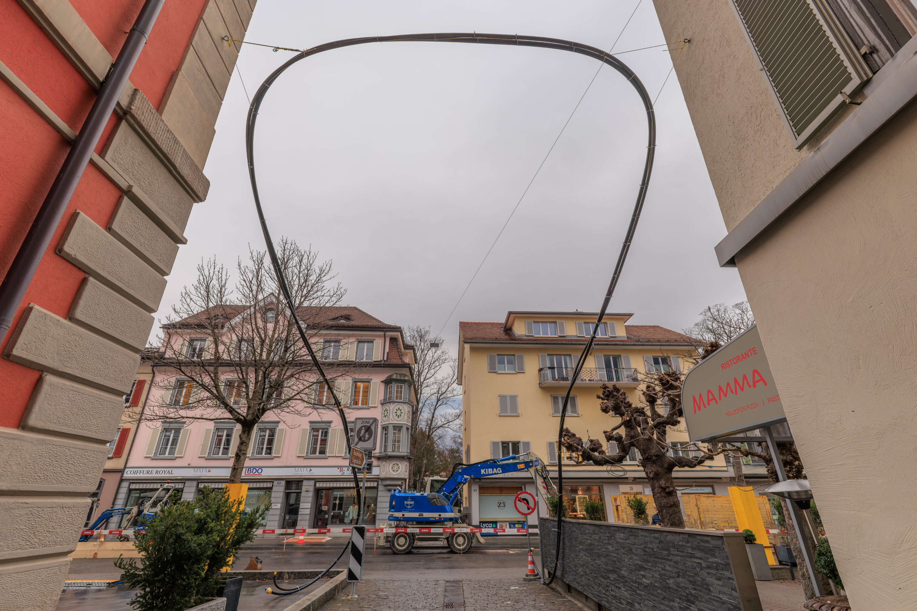
We ended up walking to the northwestern edge of the Altstadt, which is actually pretty close to where we entered before lunch. This kind of looks like art but it appears that this is simply a mechanism of getting a cable over the road without it getting run over by vehicles!
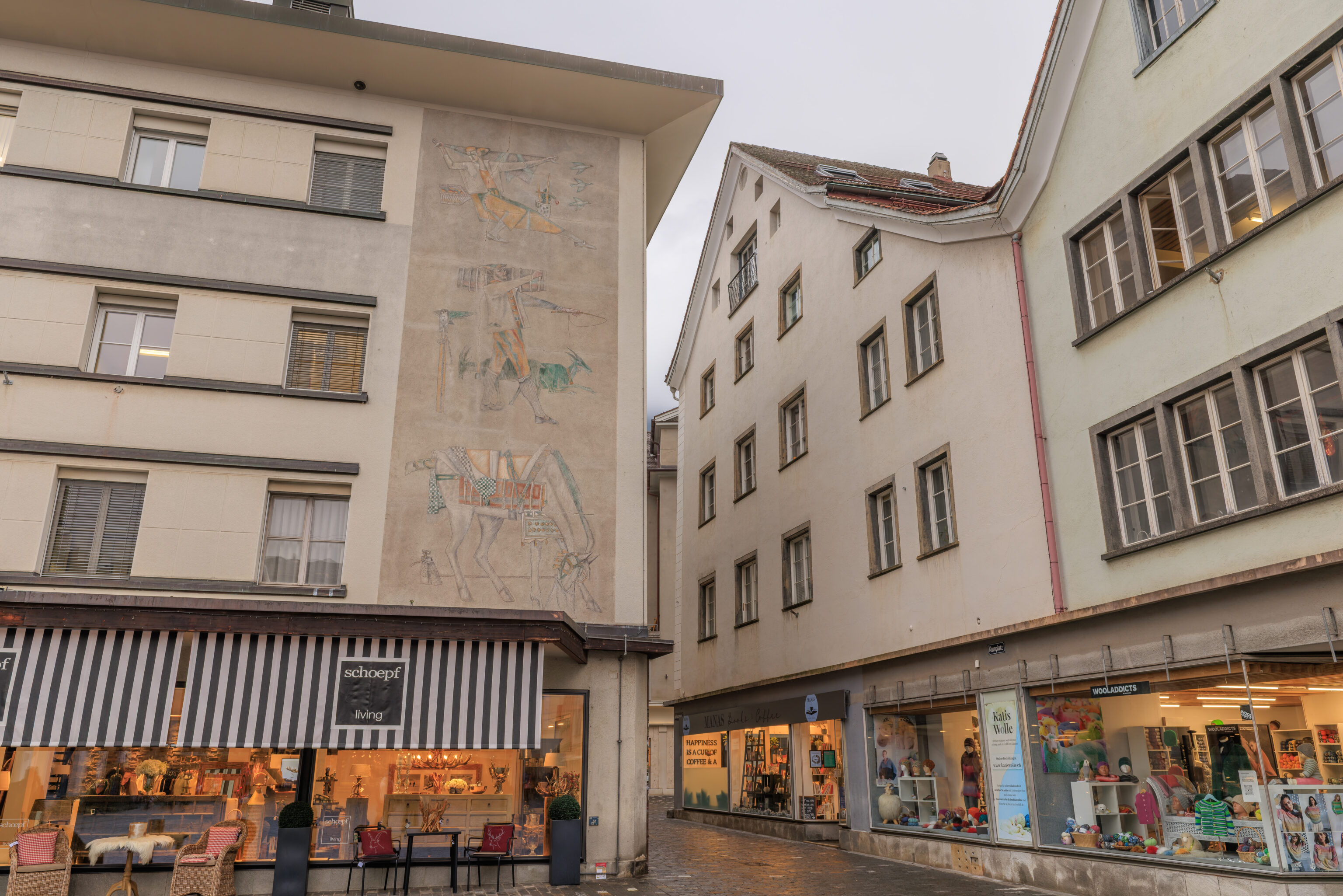
We returned to the Kornplatz to take a quick look around as we were just focused on watching the Swiss Army earlier.
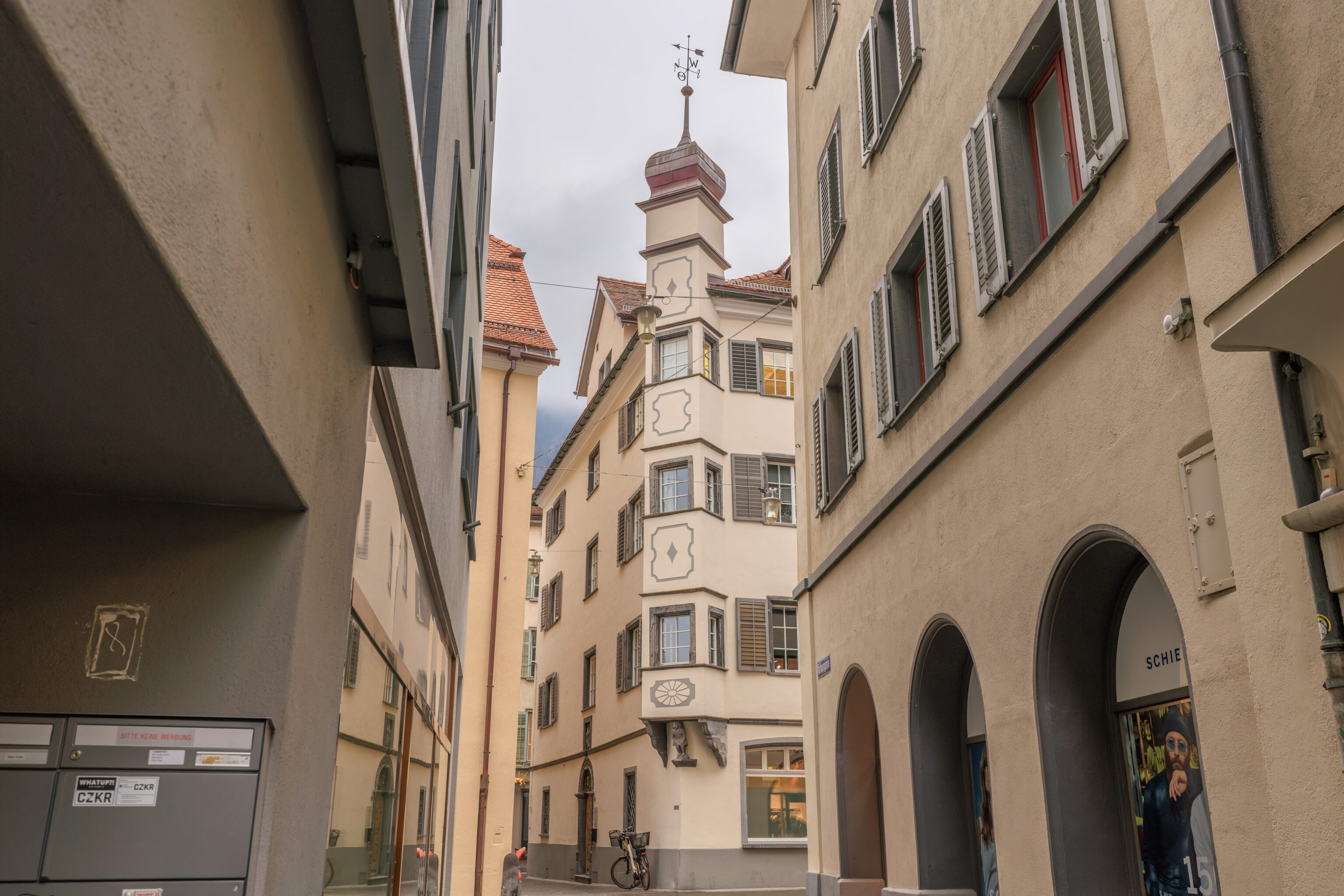
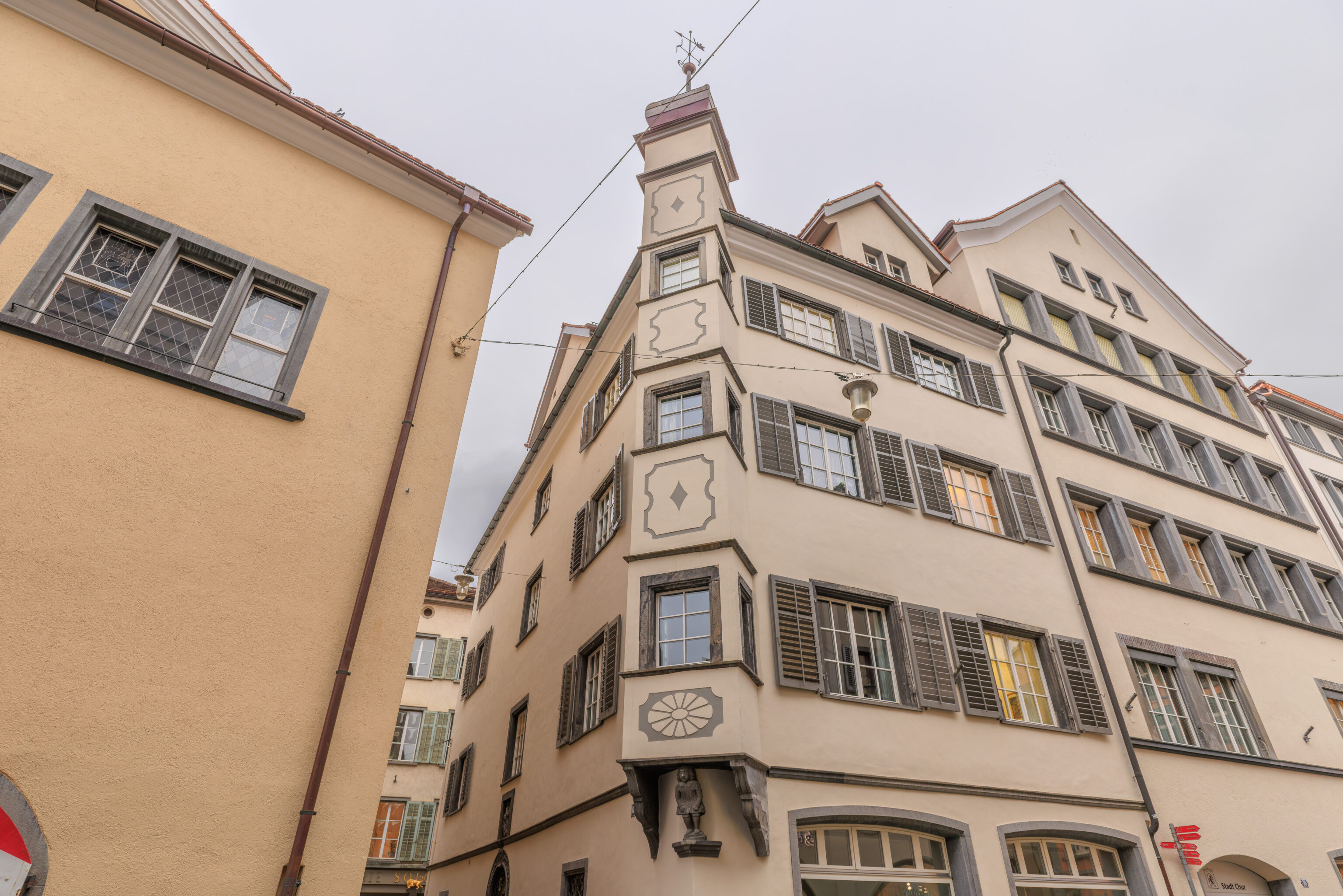
We continued walking to the east, basically backtracking. This one little statue was holding up multiple floors above him!
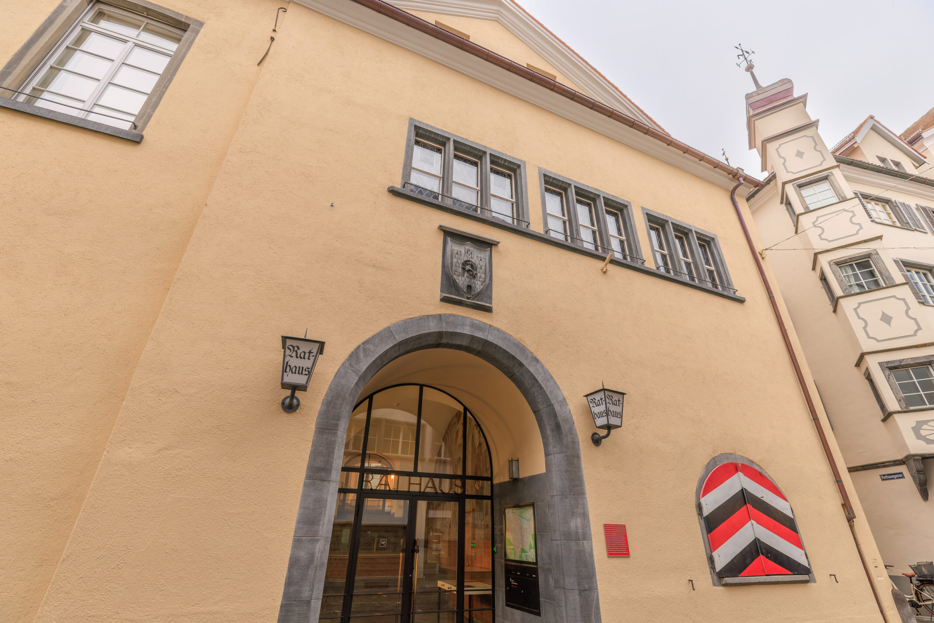
We walked past the Rathaus again.
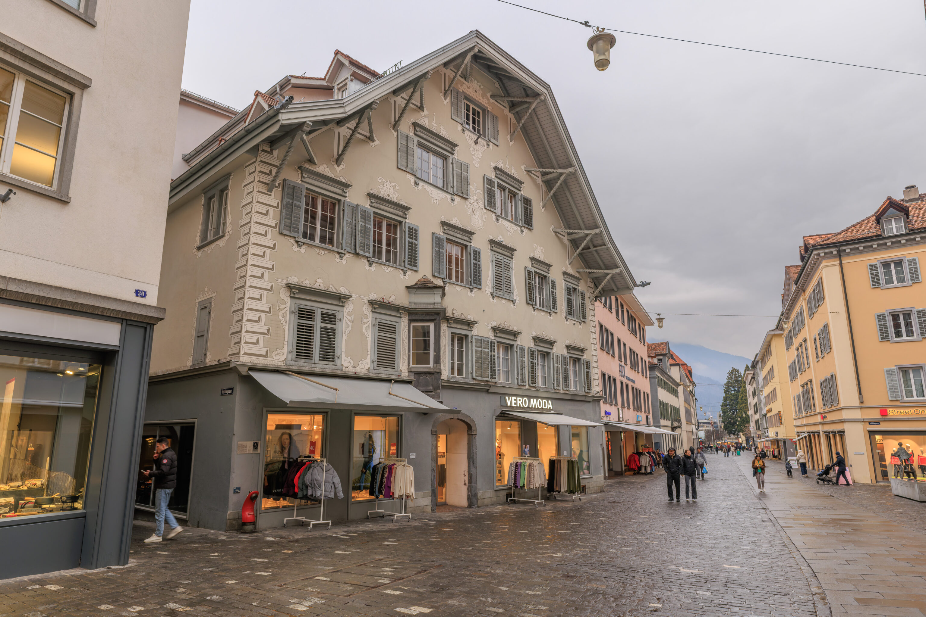
We started walking to the north in the direction of the train station. We passed by another building designed like a chalet with a painted facade.
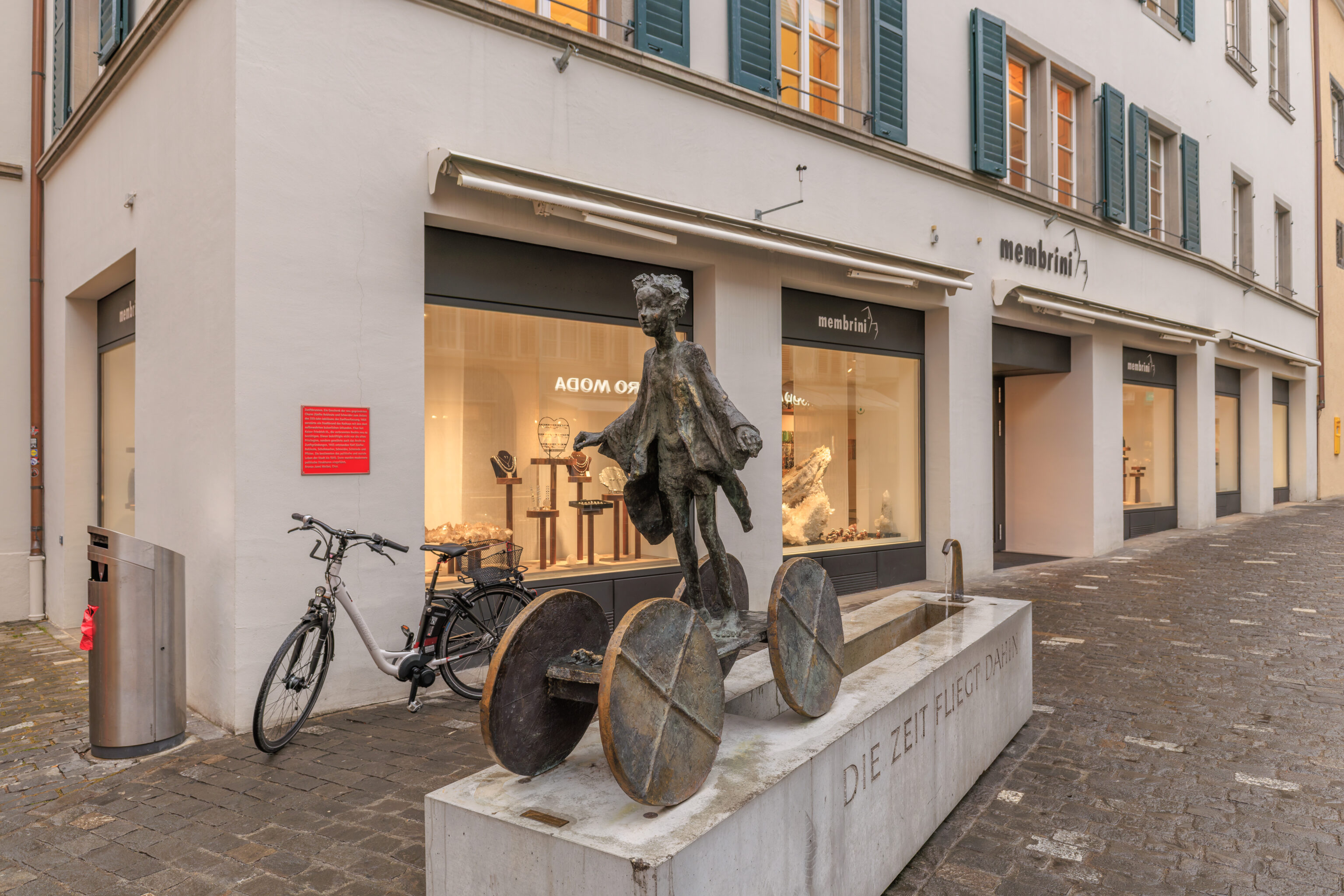
This sculpture is actually a fountain!
Guild Fountain. A gift from the newly founded Chur guilds of Vintners and Tailors to mark the 555th anniversary of the guild constitution. In 1464, a city fire destroyed the town hall along with the imperial charters kept there. Chur asked Emperor Frederick III to reconfirm the rights that had perished in the fire. He not only reaffirmed the old privileges but also granted the right to establish guilds. Five guilds were formed in 1465: Vintners, Shoemakers, Tailors, Blacksmiths, and Bakers. They shaped the city's political and social life until 1840, when more modern political structures were introduced.

Bronze by Janni Weibel, Chur.
– Text from the red sign on the wall, translated from German using Google Translate.
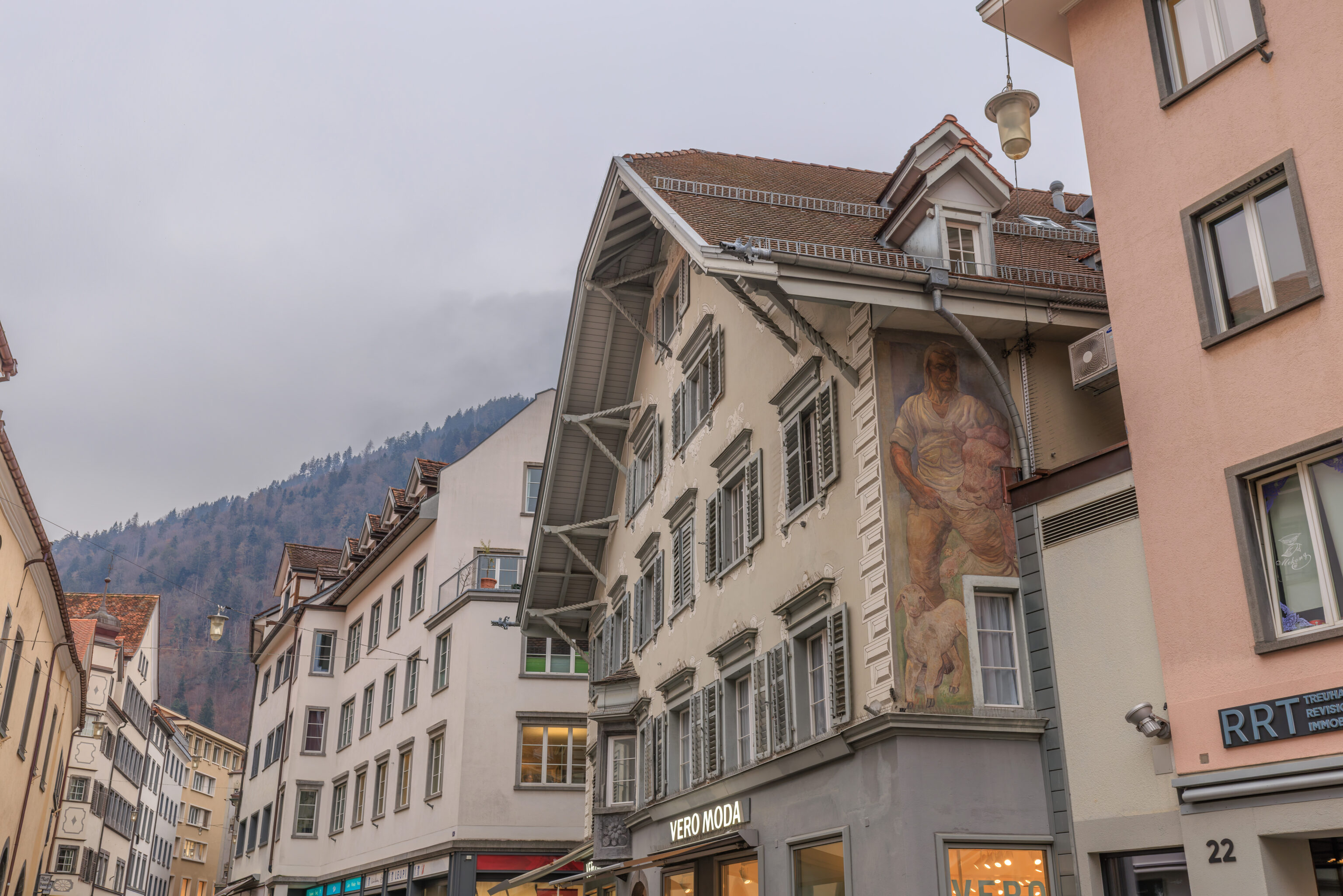
The building with the painted facade had a mural on the side as well!
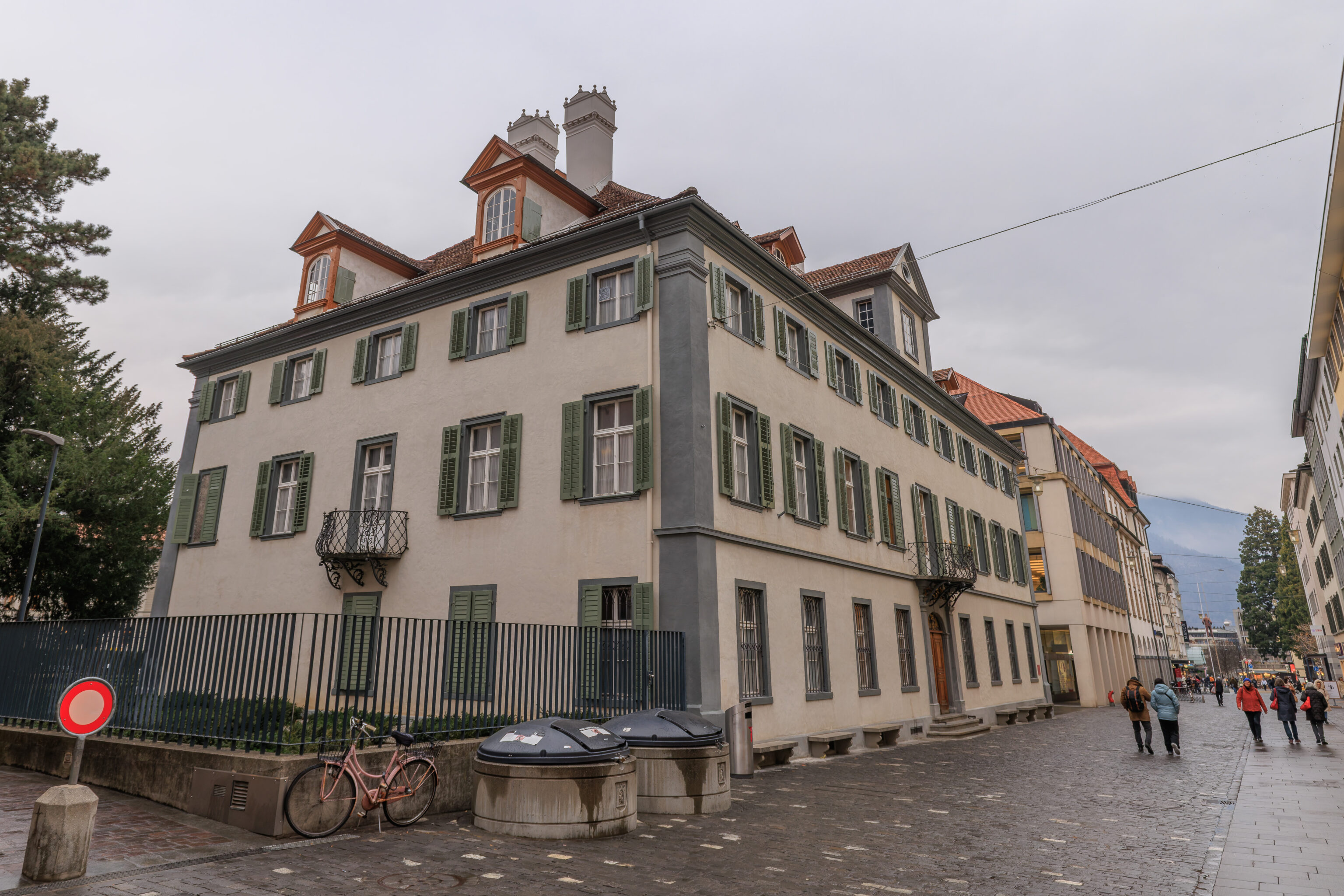
There was probably a reason why we photographed this building! Is it because of the unusual chimneys?
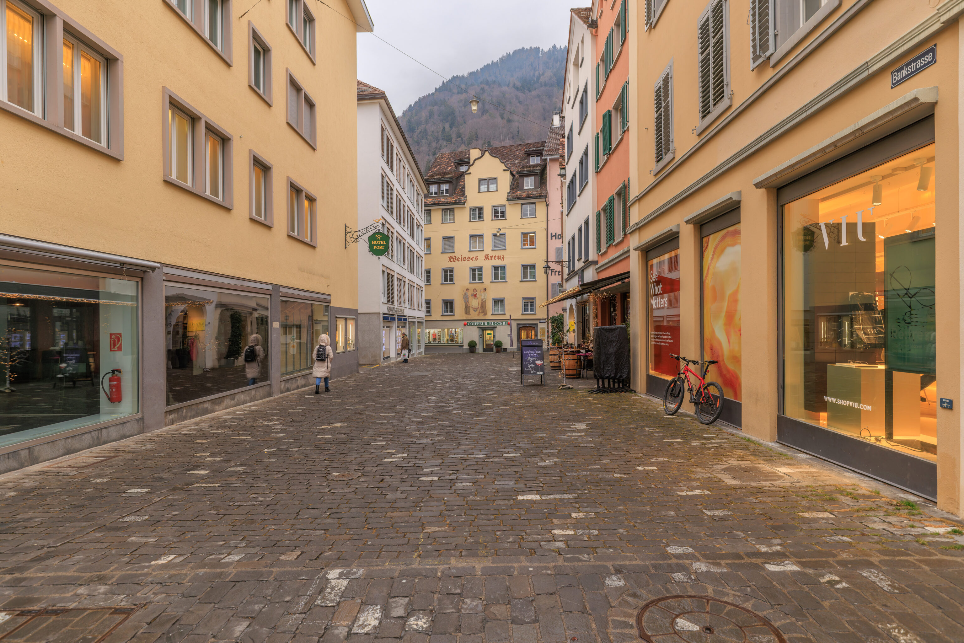
The view looking to the east down a side street. If the building at the end of the block was not there, as well as the buildings behind it, we would see the Haldenhüttli.
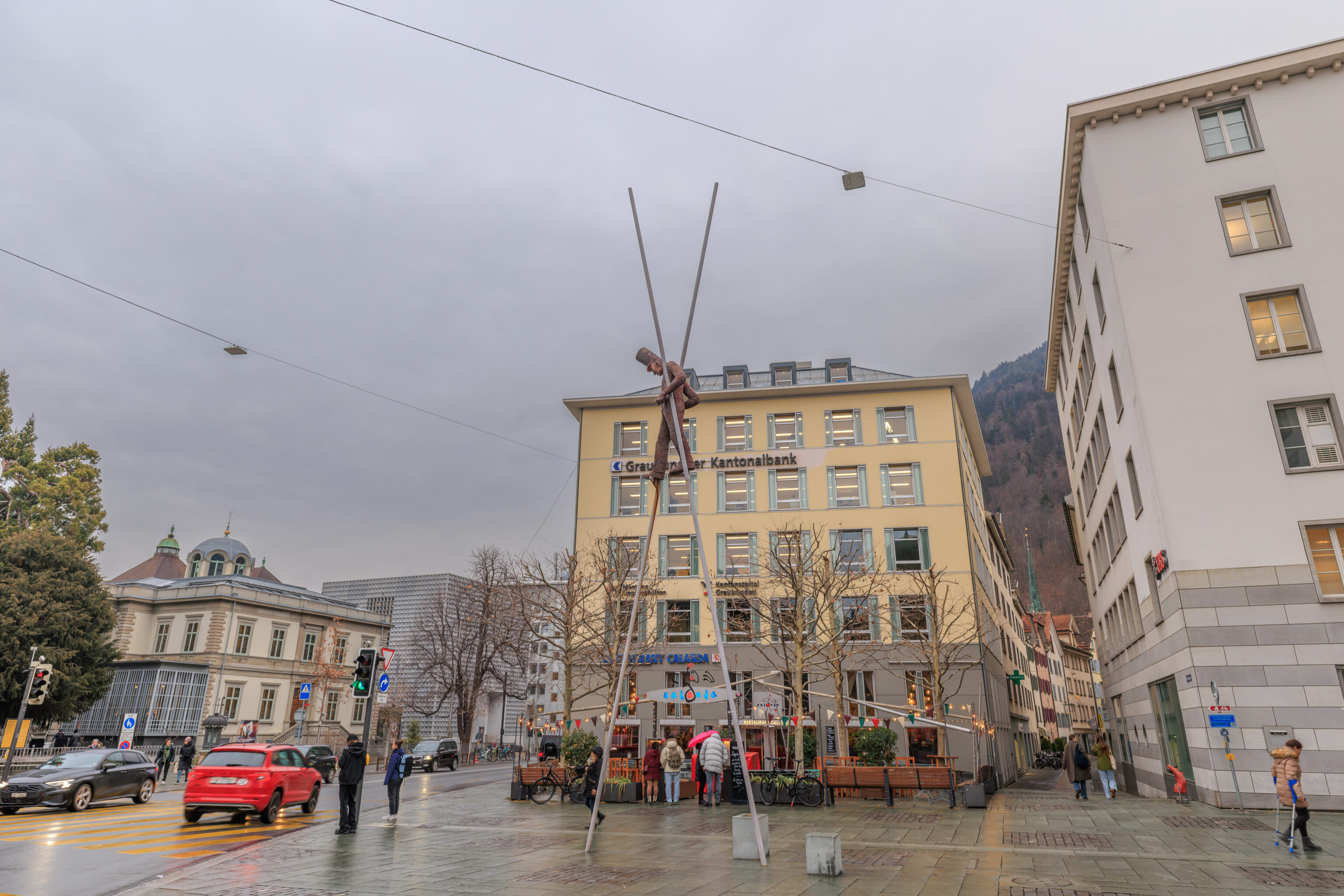
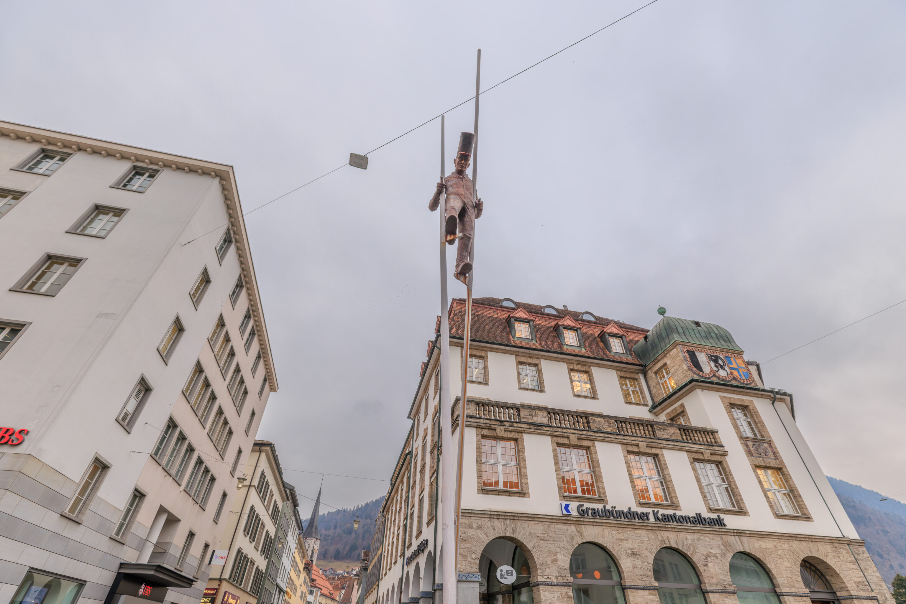
We came upon an unexpected sculpture! This is Orbiter by Robert Indermaur.
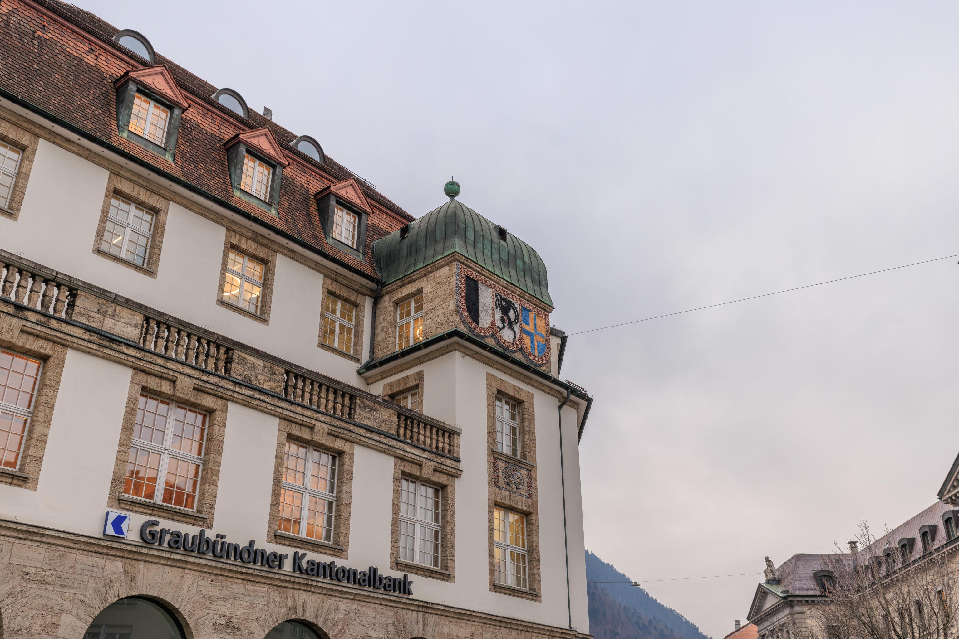
This bank, the Graubündner Kantonalbank, is the cantonal bank of Grisons. The three coats of arms on up on the building are the coats of arms of the Three Leagues which combined to form Grisons. The Grisons coat of arms is a combination of these three coats of arms. These leagues seem to be what would be considered a small scale confederation, perhaps a bit like the early United States?
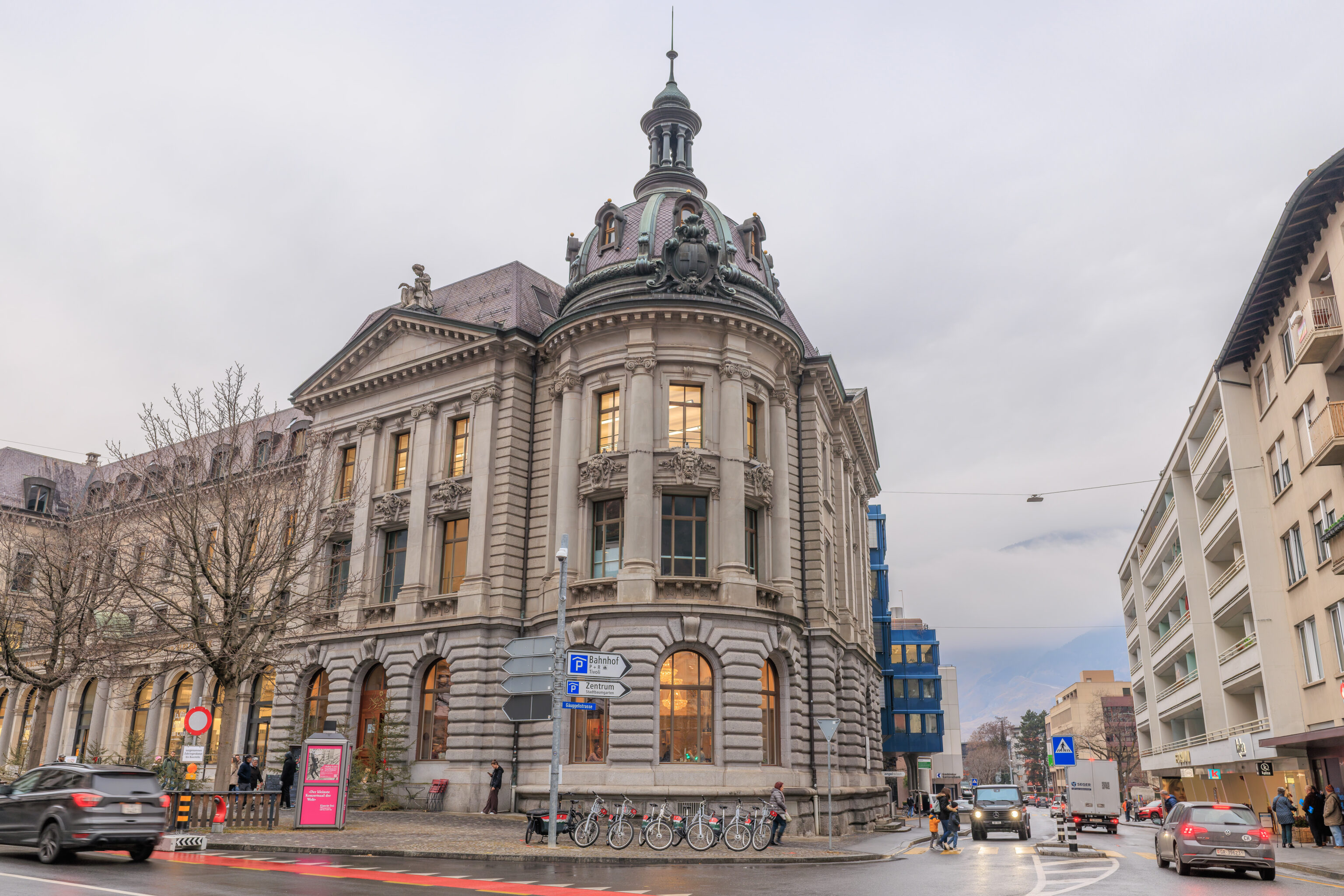
Just a nice looking building across the street.
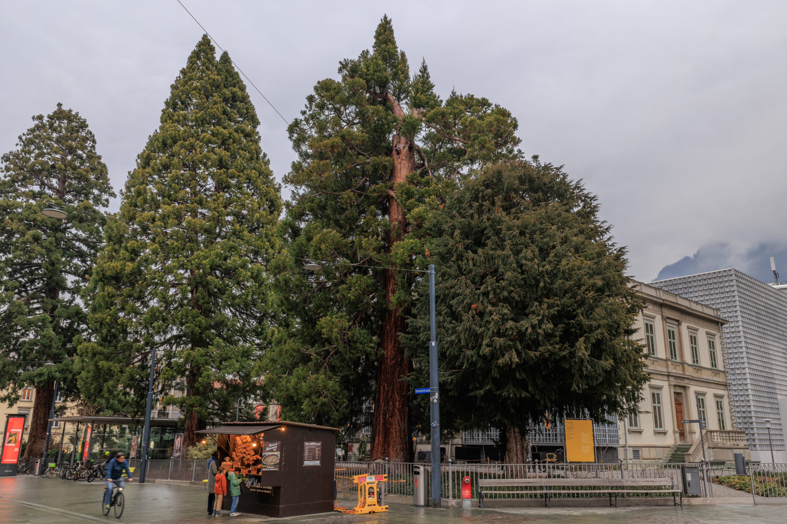
The next block had some rather large trees along with a chestnut stand. Typically, these stands only take cash. We hadn’t planned on coming to Switzerland and thus did not have any Swiss Francs with us. The vendor let us buy in Euros at a higher price, which we accepted.
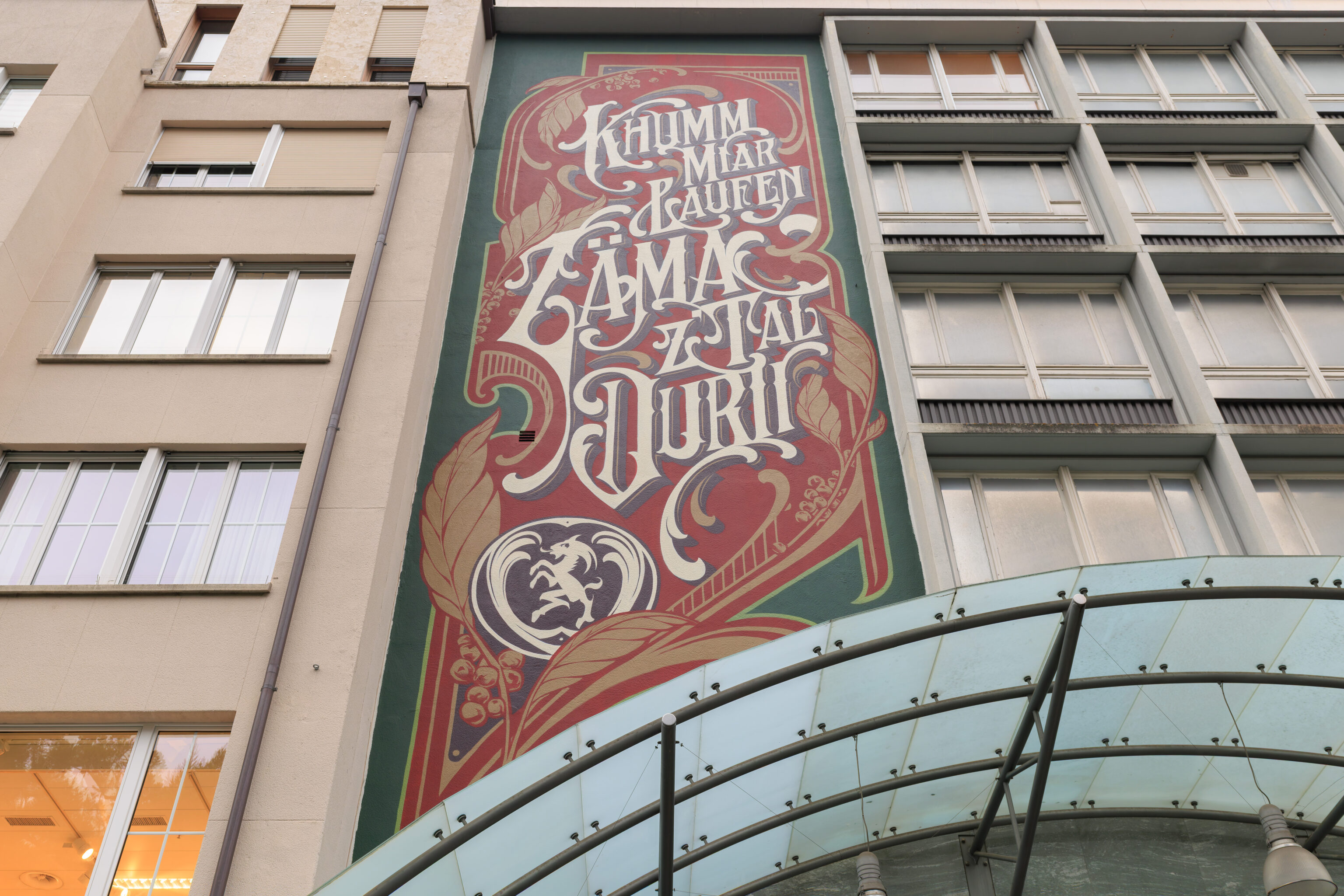
This mural is by Kkade Schwarzmaler. According to the artist’s website, the text is lyrics from a local hip-hop group, Breitbild, and translates to “Lets Walk Together Through The Valley”.
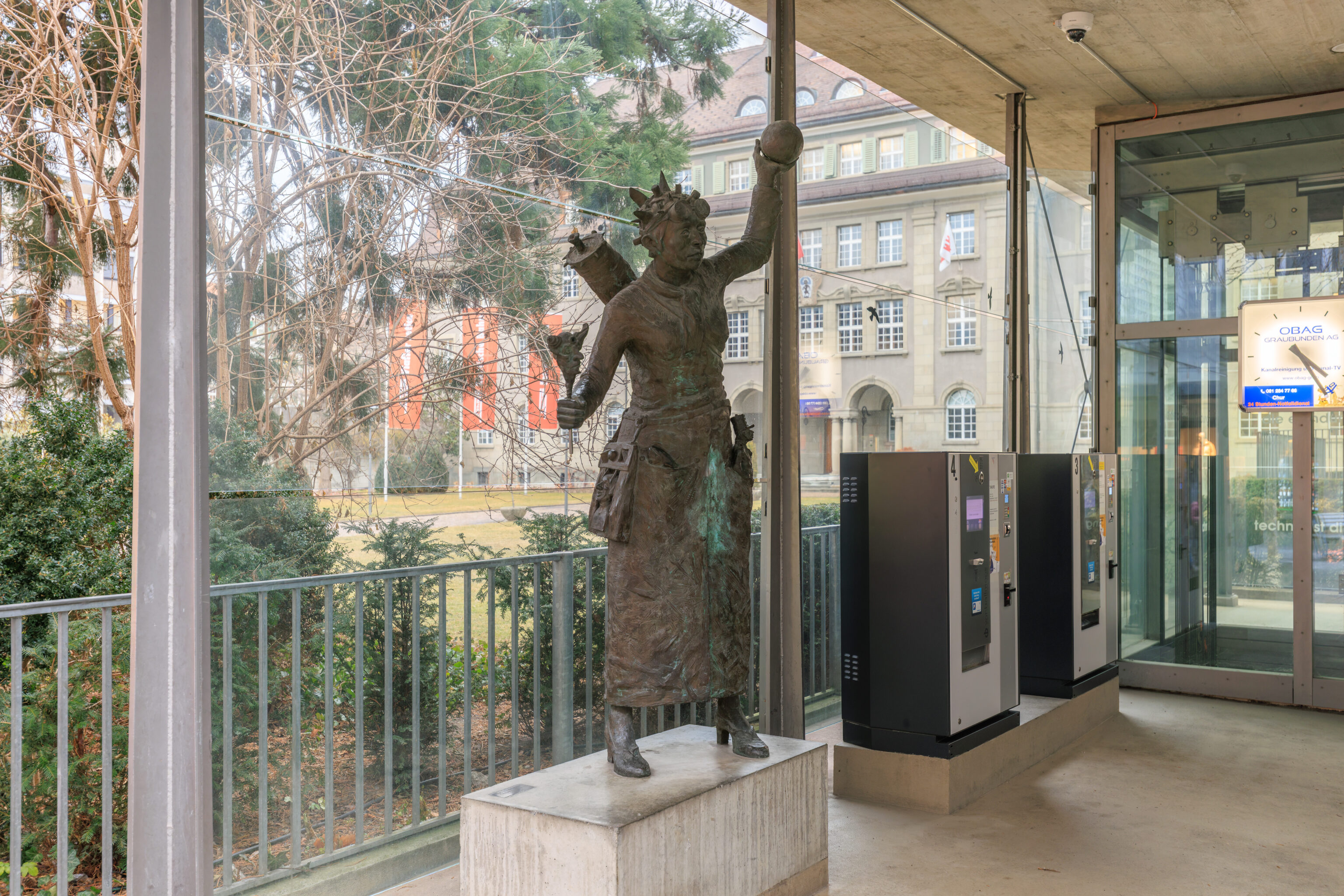
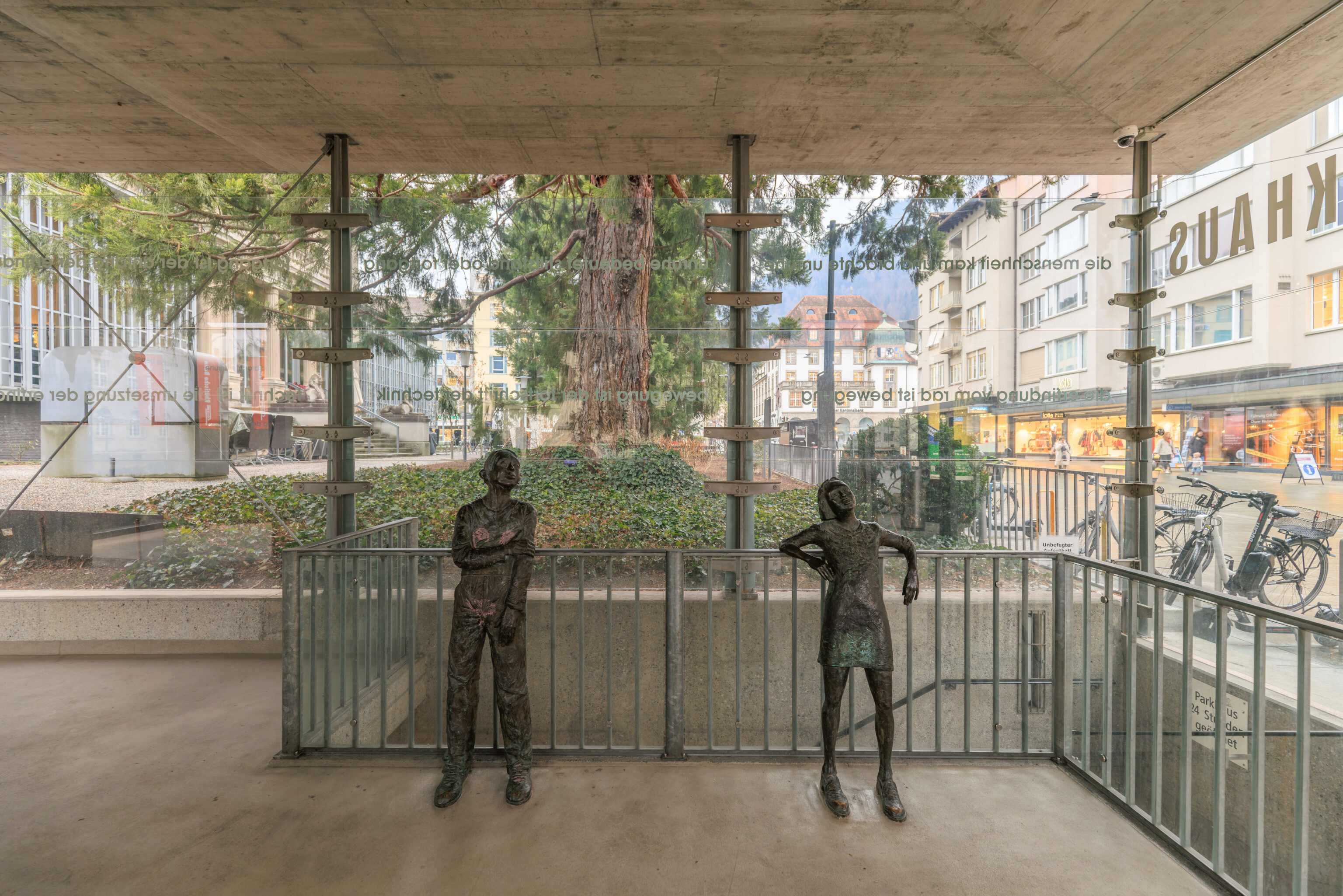
These three statues were at the covered entrance to a parking garage. Collectively, they seem to be Centurinas Kinder by Robert Indermaur. It is listed on his website as:
"Centurina's Children" – 3 sculptures for the City Parking Garage in Chur, Grisons.
– Text from 1968 – heute on Robert Indermaur’s website, translated from German using Google Translate.
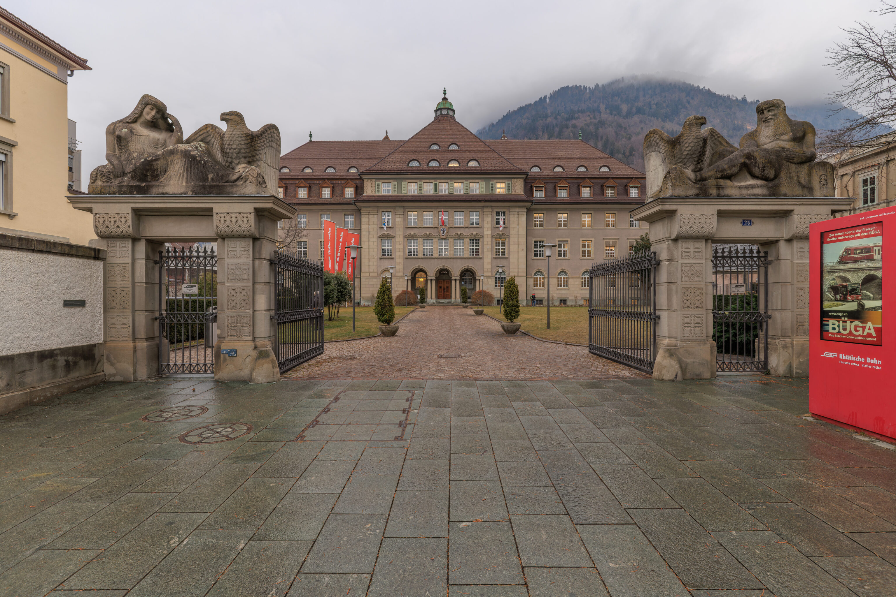
This building is the headquarters of the Rhätische Bahn.
Rhaetian Railway administrative building. Large and grey, yet welcoming: that is how one might characterize the building erected between 1907 and 1910 by St. Moritz architect Nicolaus Hartmann. With its grey, strictly structured facades, the building appears majestic, yet—thanks to the large forecourt—it does not feel overpowering. The structure is an example of the so-called Grisons "Heimatstil" (regional vernacular style), a movement that sought to adopt and further develop regional building traditions. The Rhaetian Railway’s administrative building—imposing yet appealing—is considered one of the movement's most important structures.
– Text from a sign, translated from German using Google Translate.
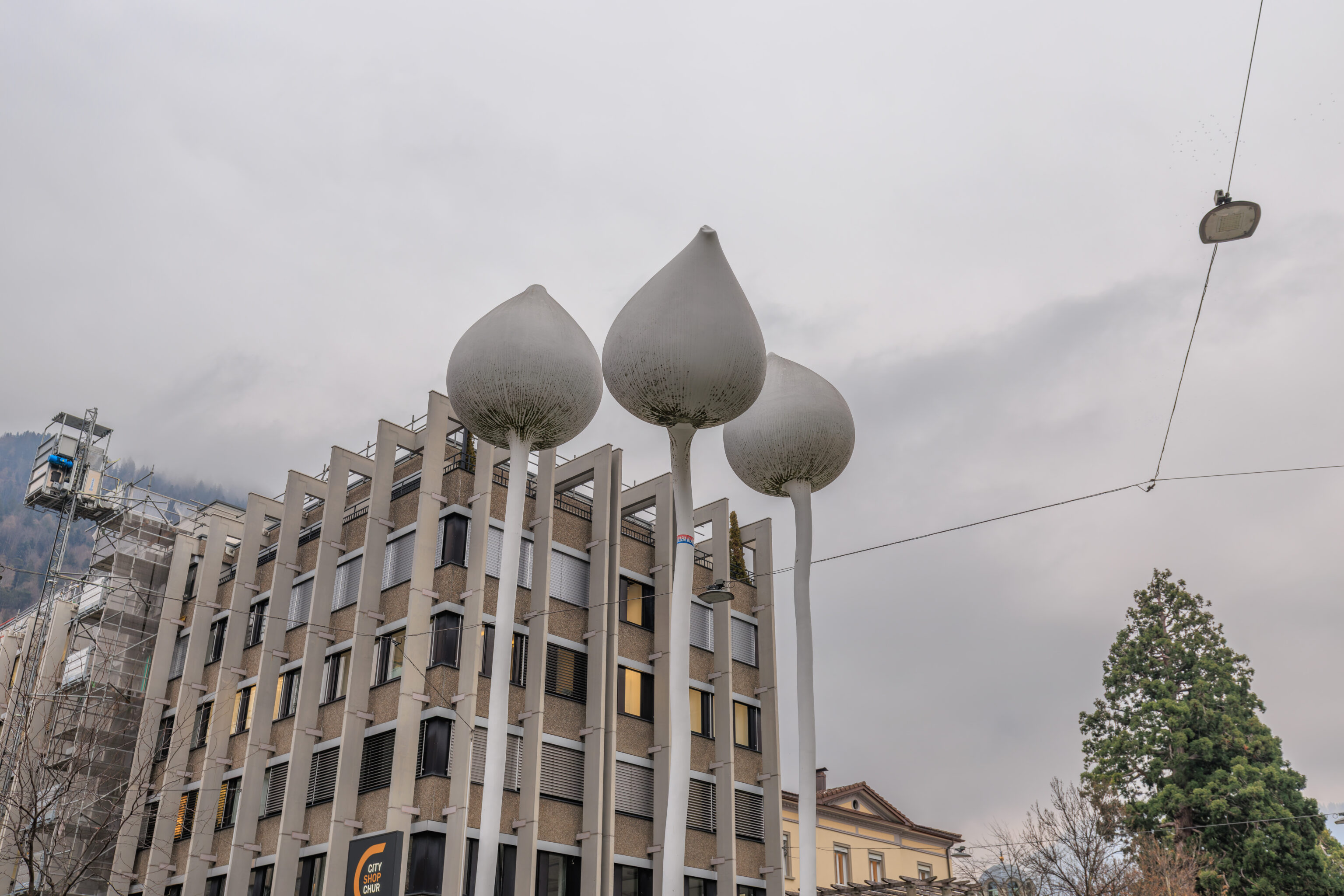
This sculpture is 3 Lotus by Not Vital.
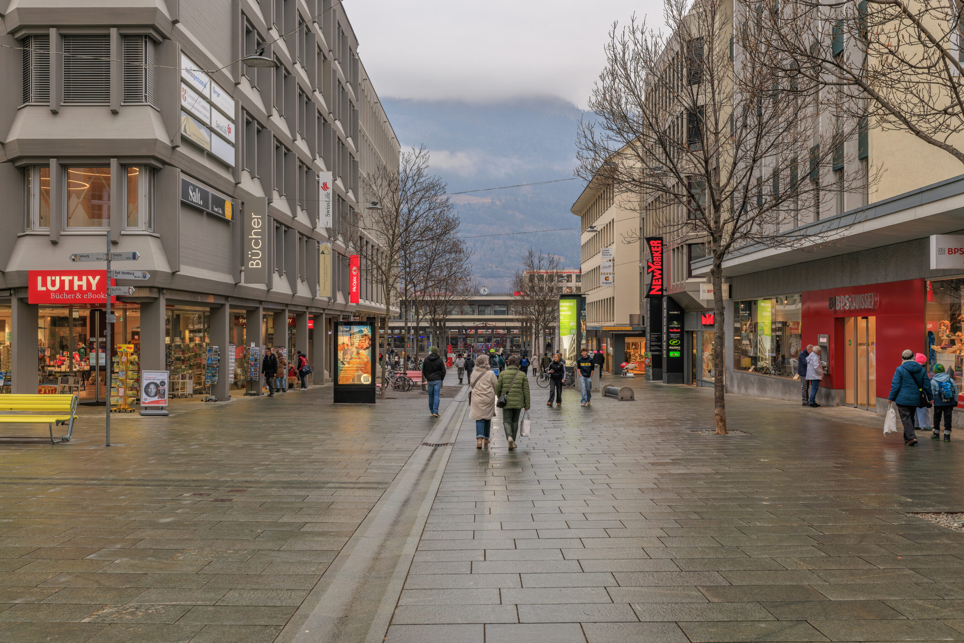
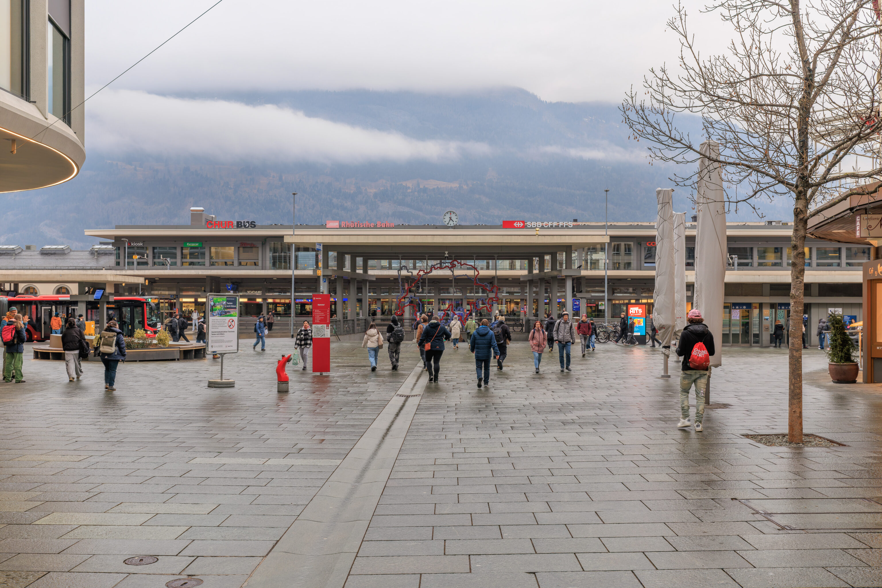
We continued on to the train station, which wasn’t far away by now.
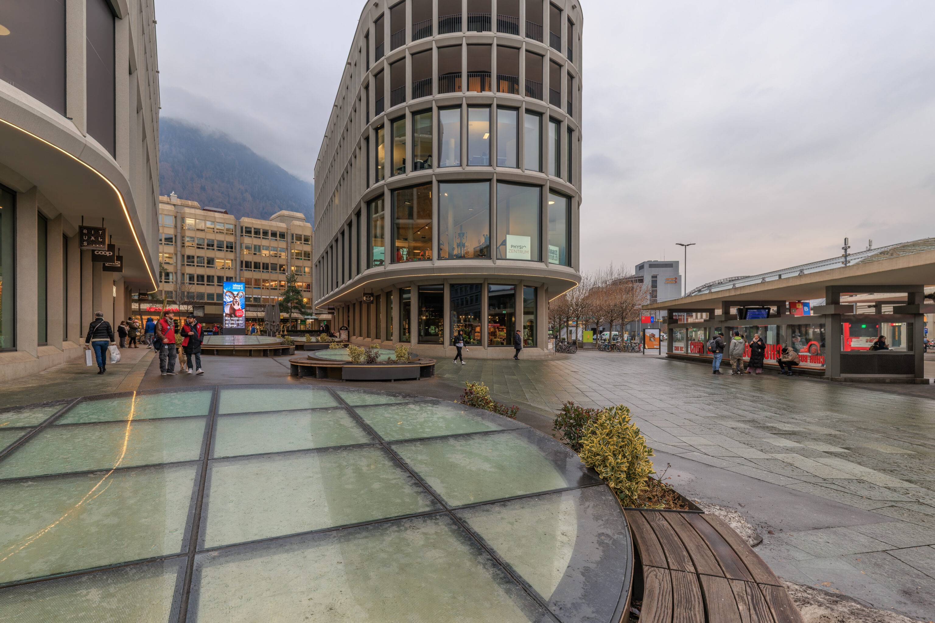
We had a bit of time until the next train back to Zurich but unfortunately the weather wasn’t particularly pleasant.
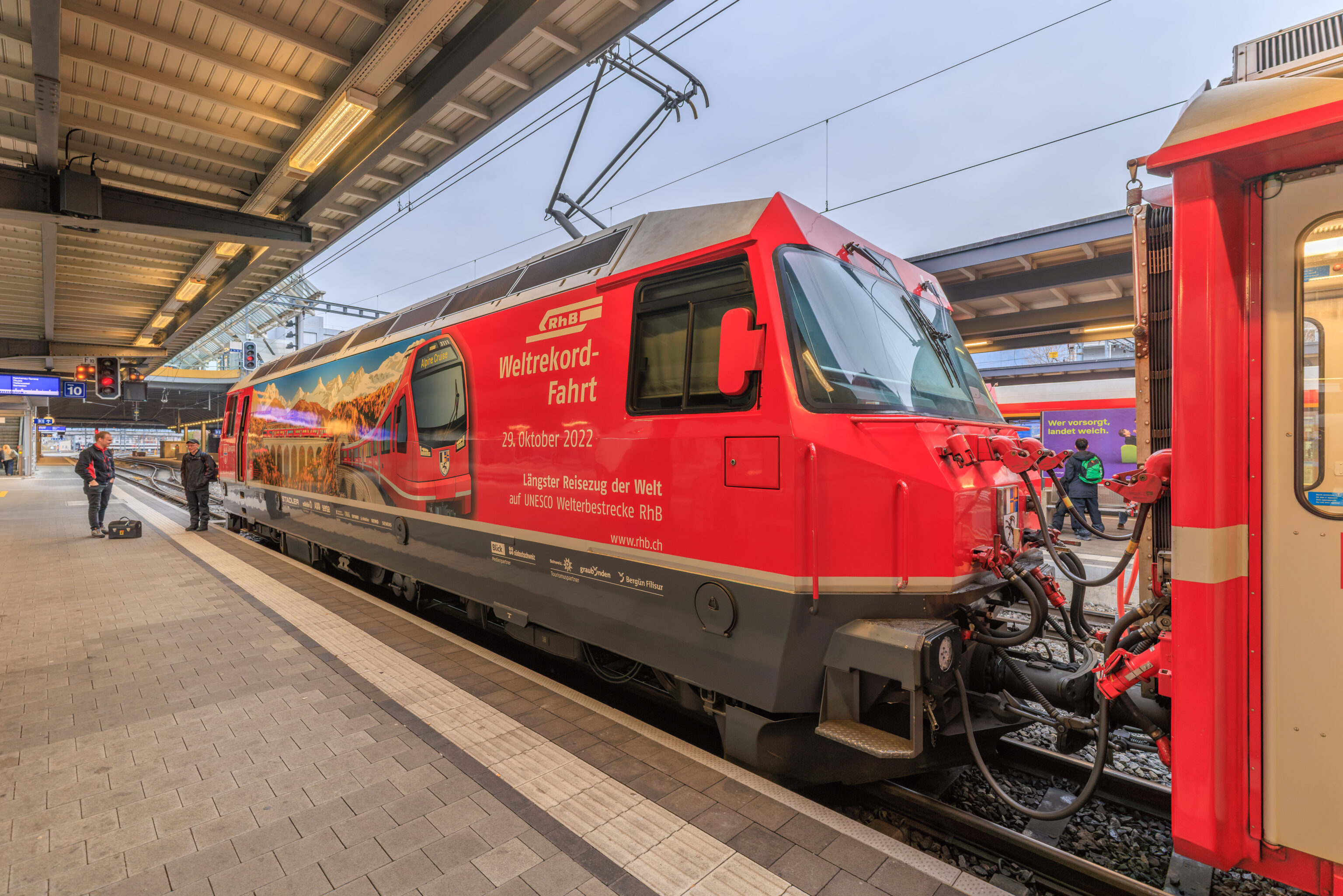
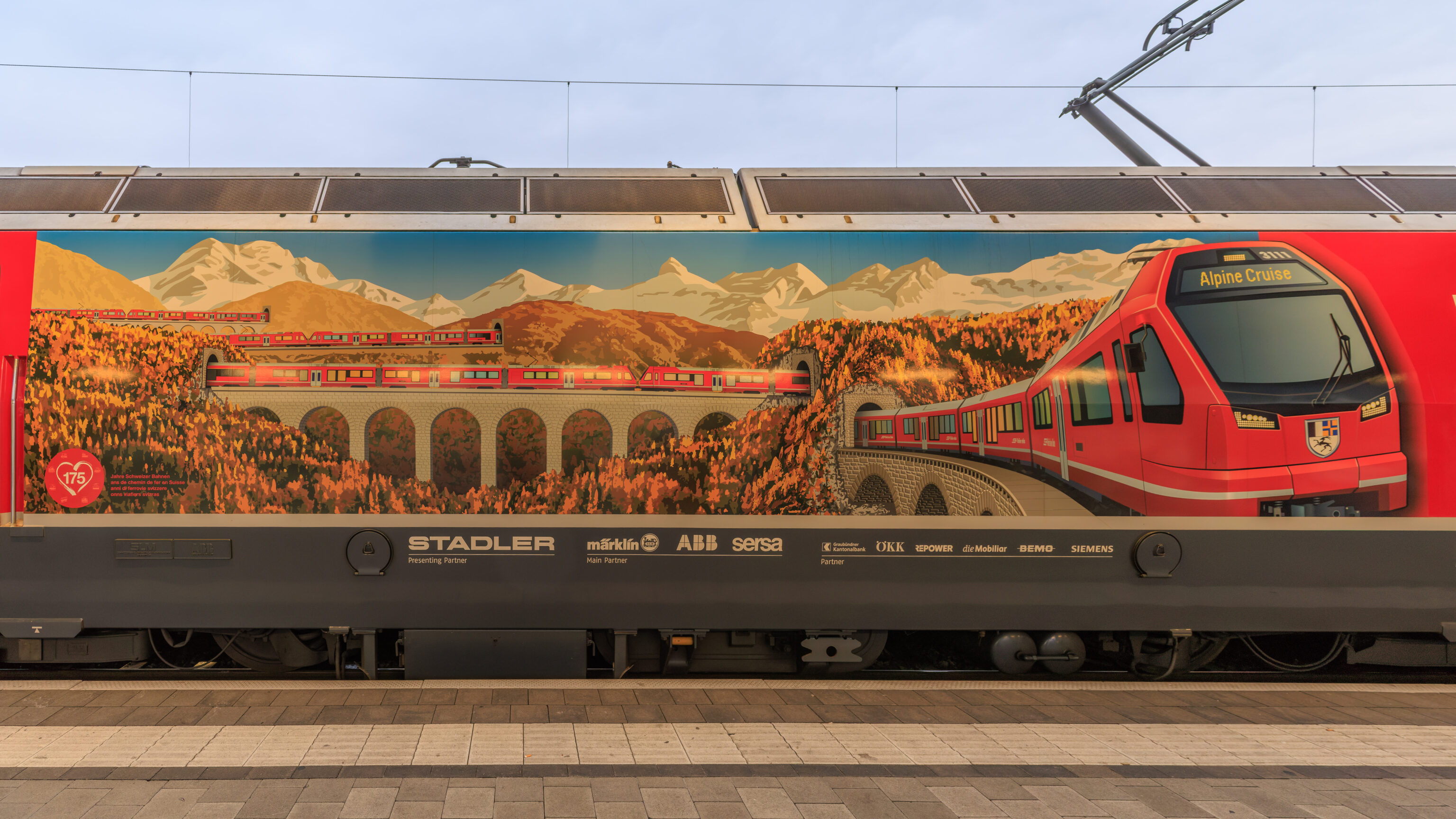
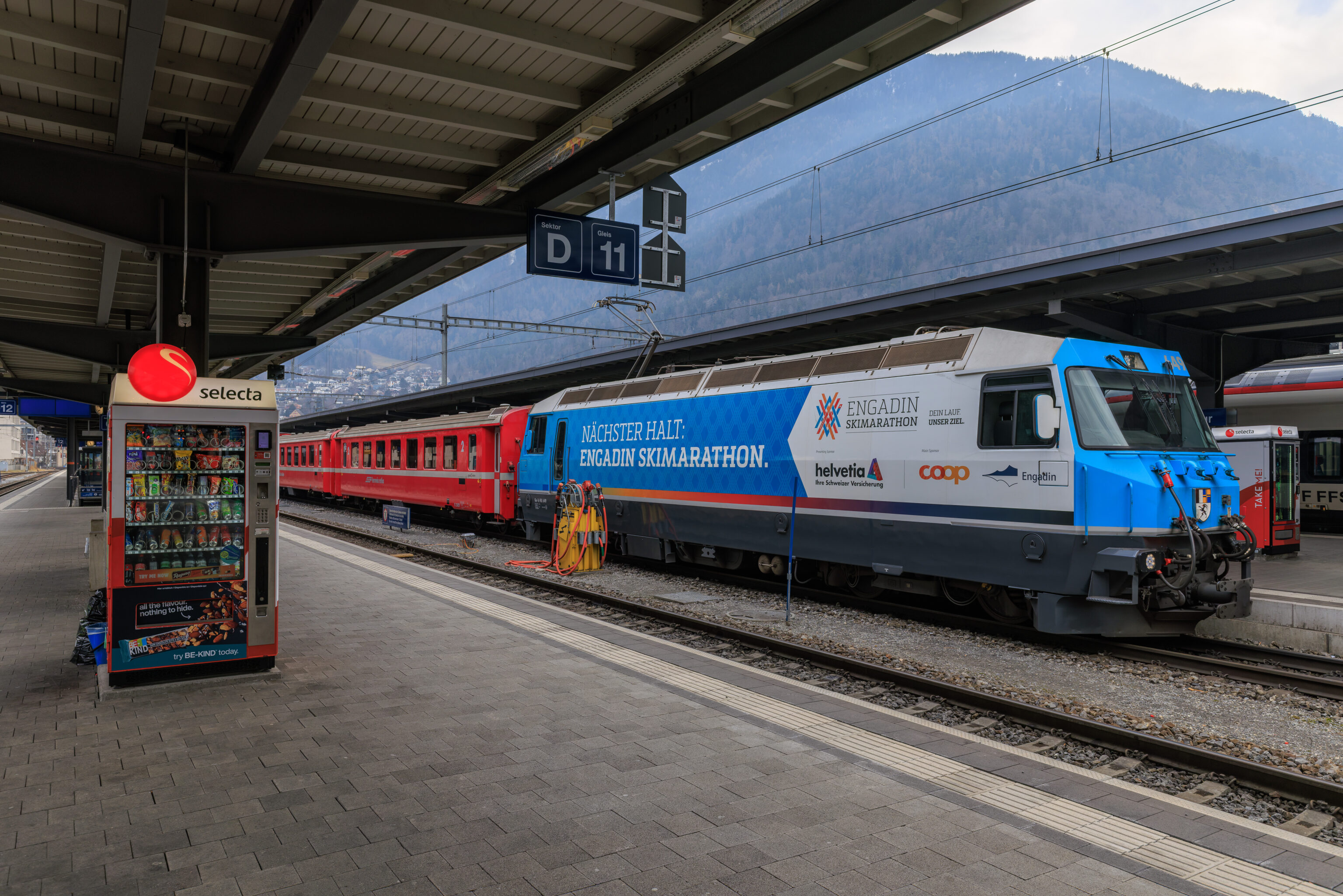
We noticed this locomotive on the platform while waiting for our train. The image depicts a recent event where the Rhätische Bahn set the world record for the world’s longest narrow gauge passenger train! To accomplish this feat, they coupled together 25 four unit train sets to build a 100 car train.
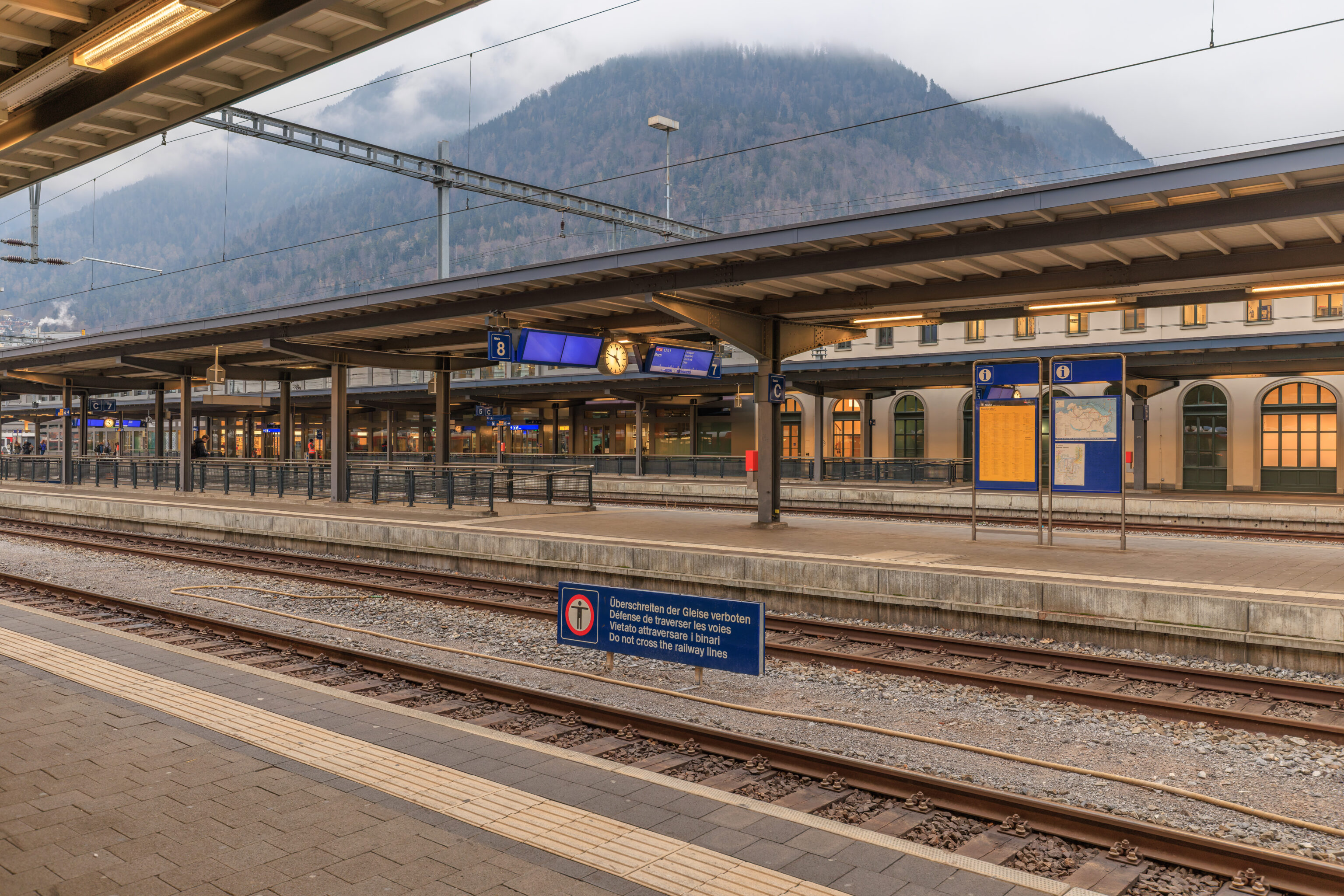
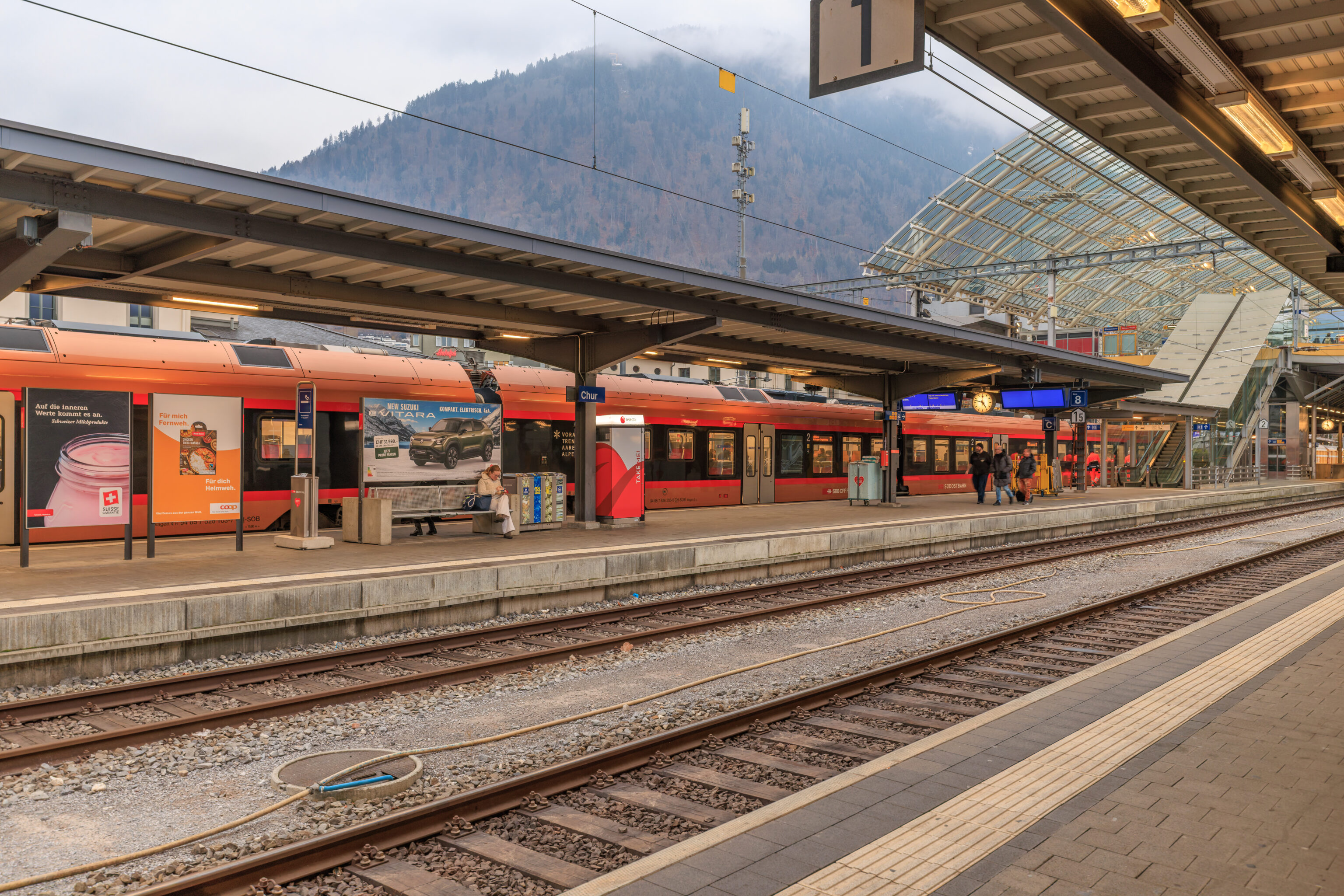
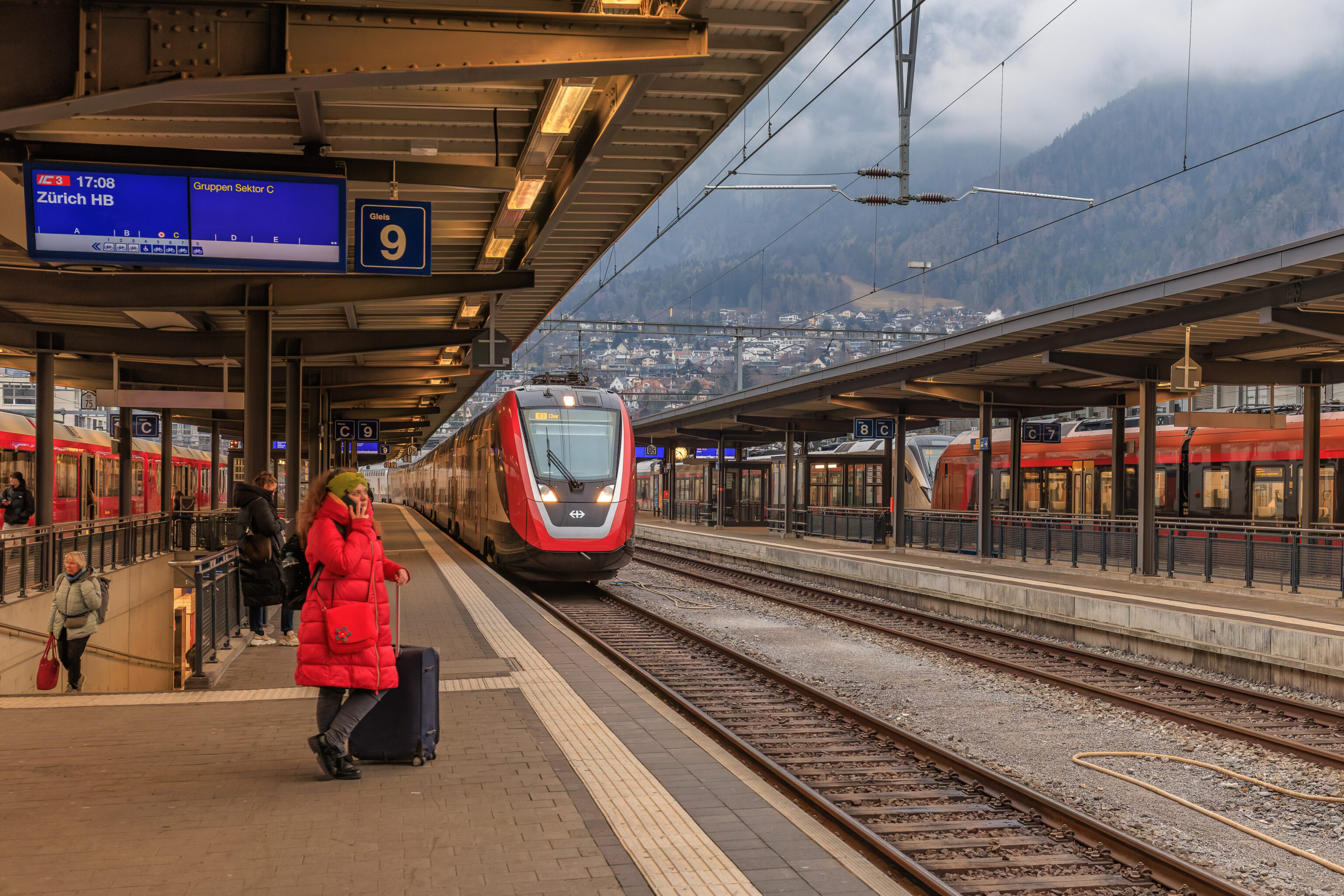
We saw our train arrive at around 4:50pm for a 5:08pm departure to Zurich.
Zurich
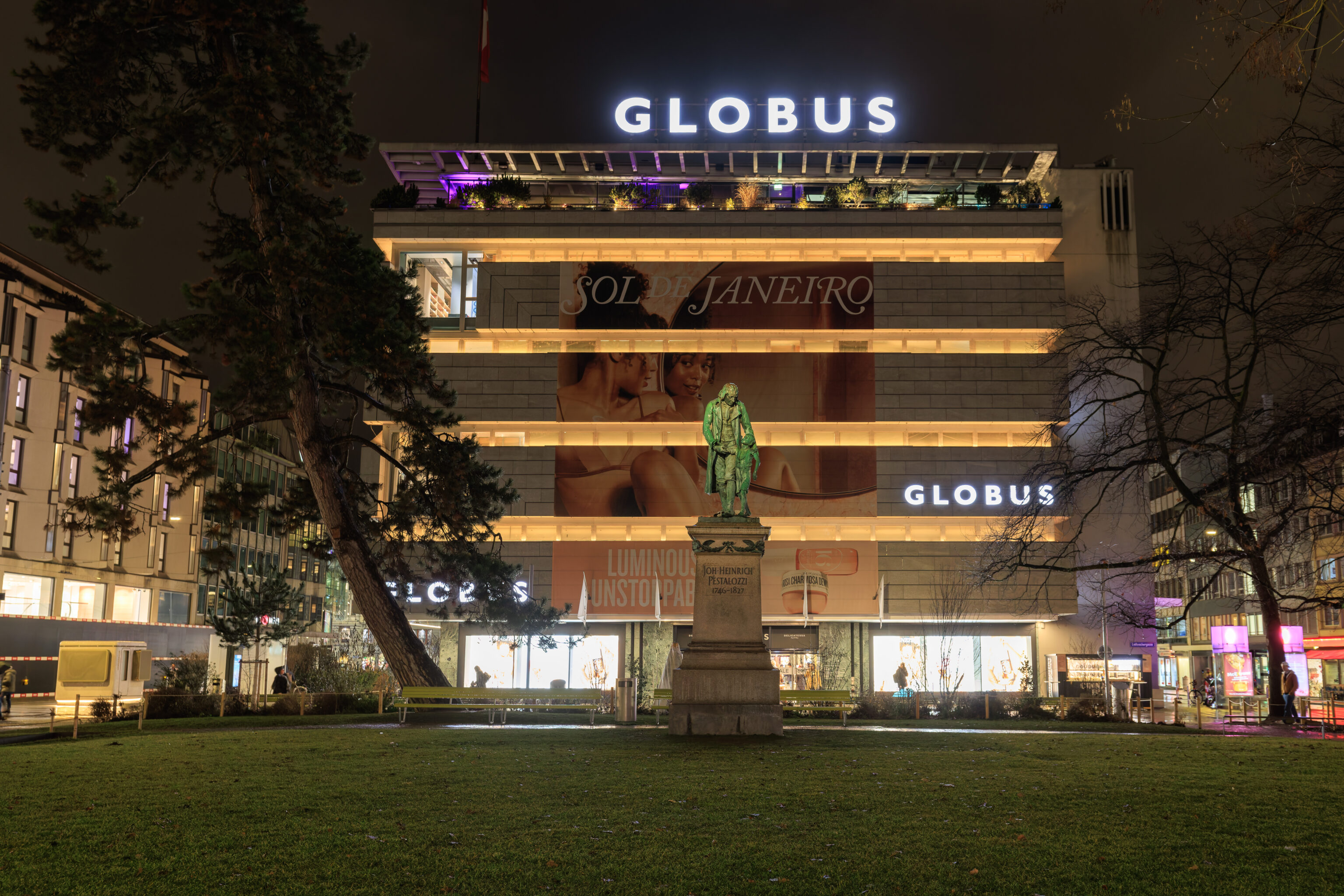
After arriving at the Zurich Hauptbahnhof, we decided to get something to eat nearby. Well, sort of nearby. We started by walking to the south away from the station. We remembered this building and the statue in front of it from our previous visit to Zurich when this area had a small Christmas market. The statue depicts Johann Heinrich Pestalozzi, a member of the Illuminati!
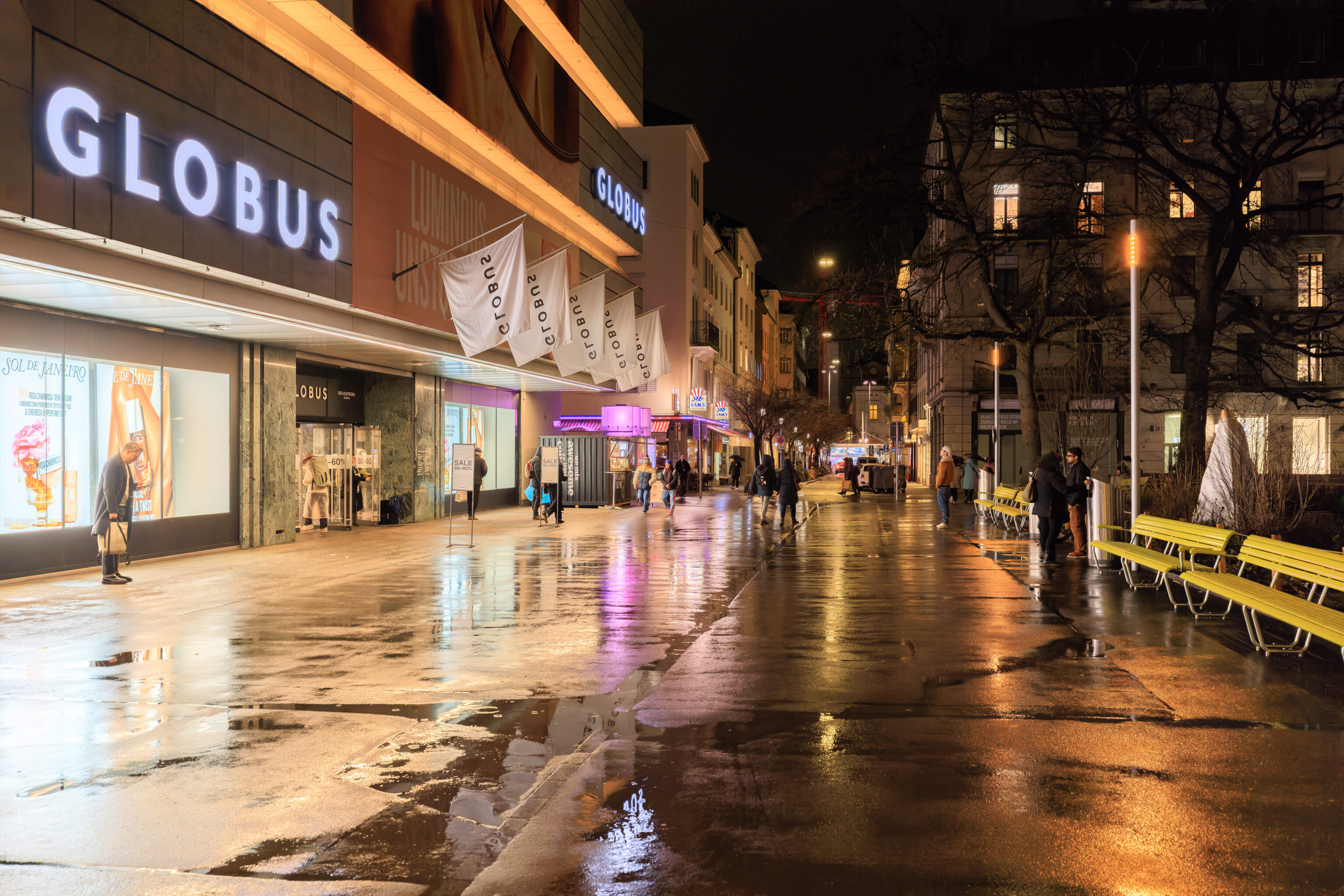
We turned right and walked past the southern side of the Globus department store.
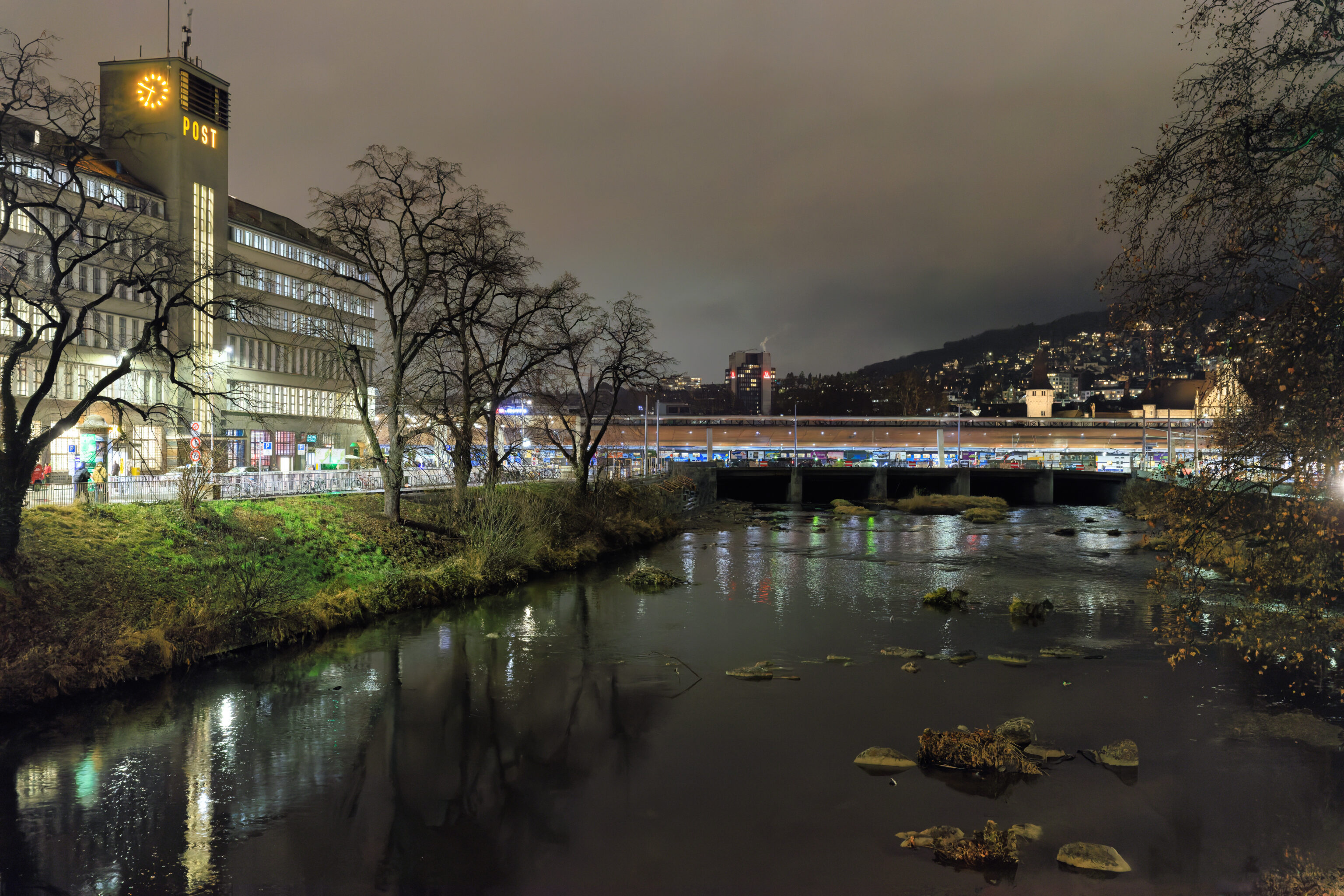
We crossed over the Sihl.
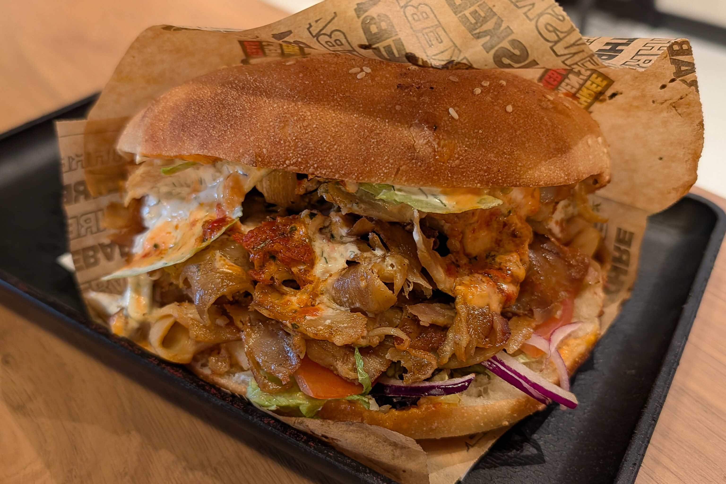
We walked three small blocks to reach 3 Mens Kebab, a highly rated döner restaurant. It was excellent and much cheaper than the döner we had in the station yesterday afternoon. Only about twice the cost of döner in Luxembourg!
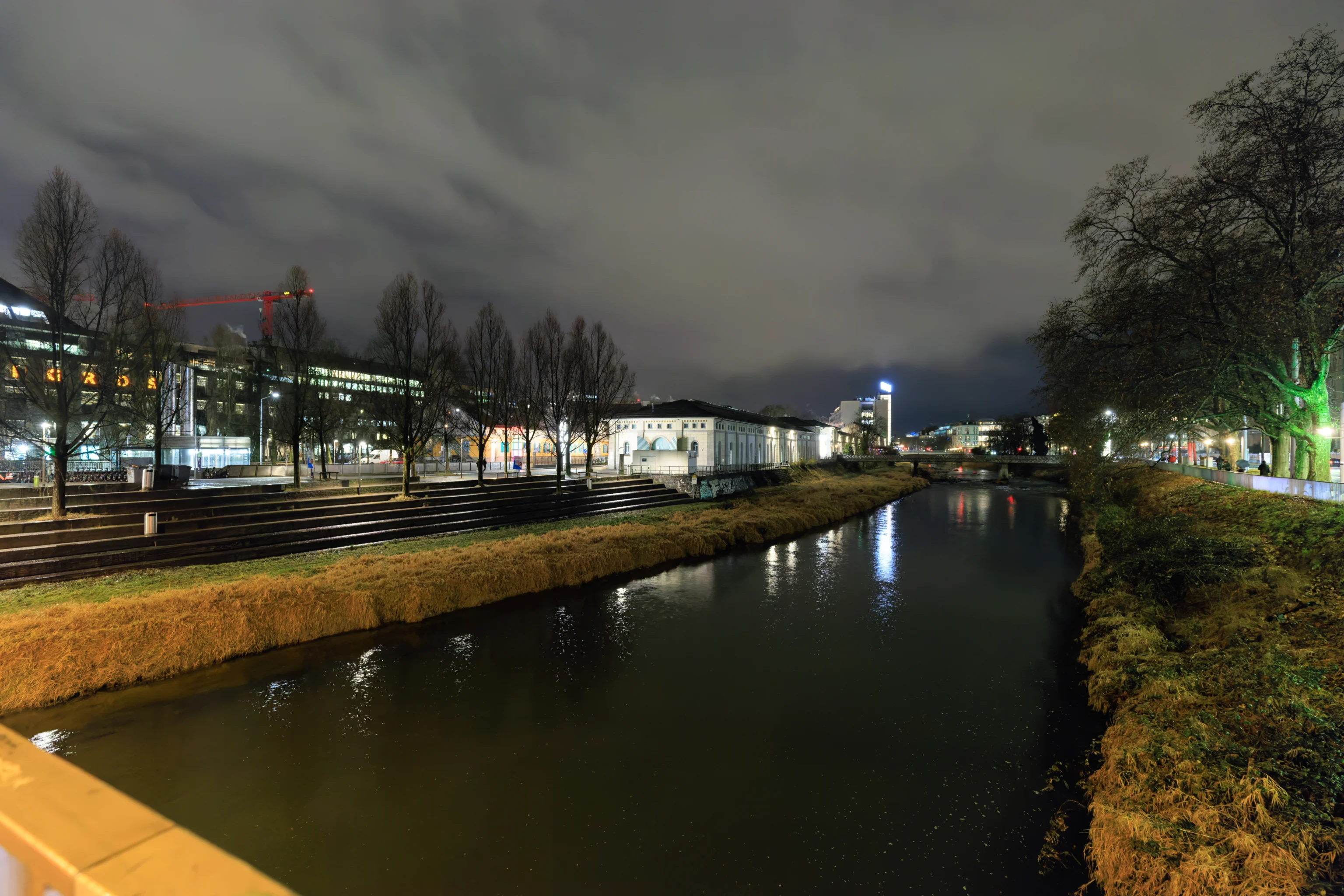
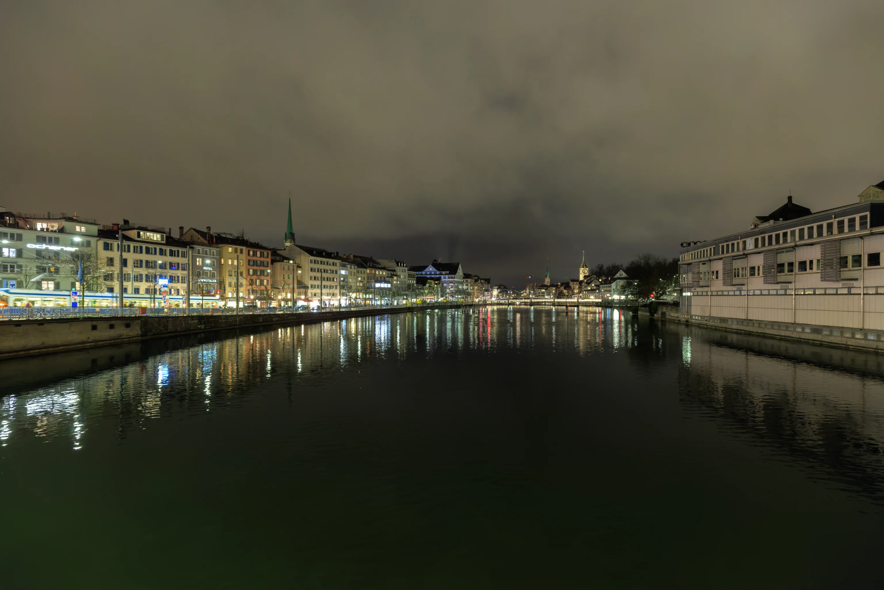
After having döner, we passed back over the Sihl to catch a tram to return to the Kameha Grand, thus ending the final full day of this trip.