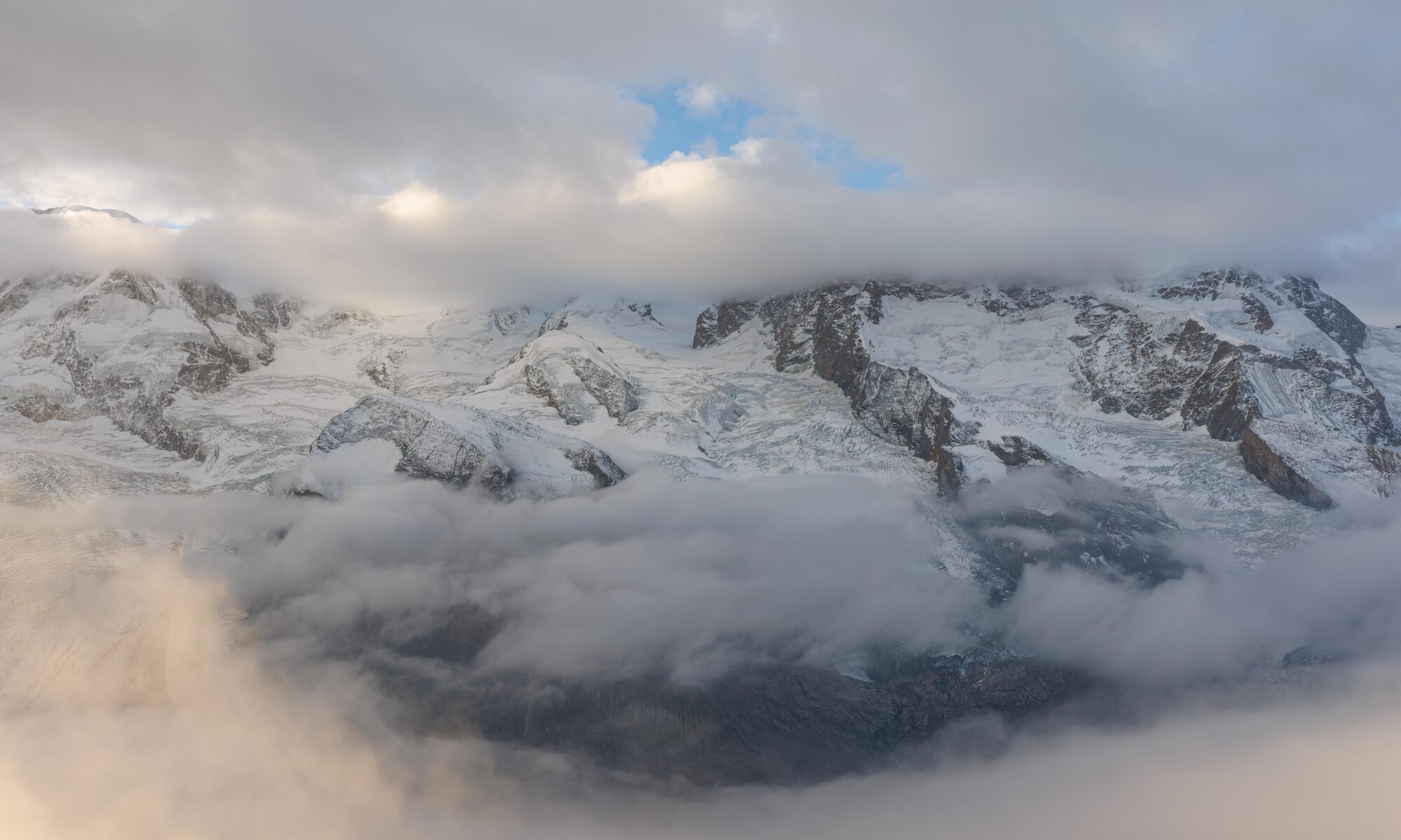

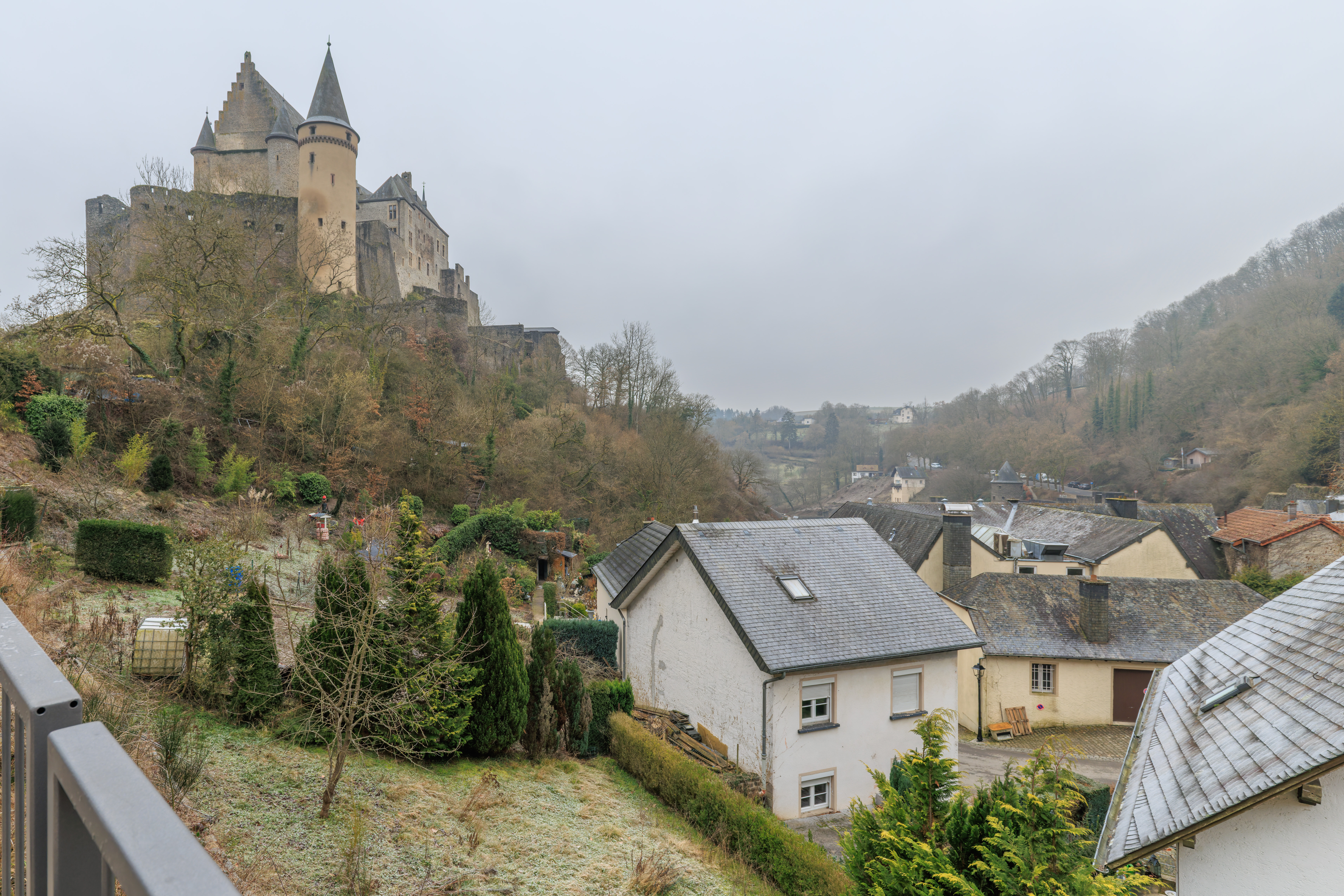
After breakfast at the Luxembourg Marriott Hotel Alfa, we headed north by train and bus to Vianden, a town in Luxembourg next to the border with Germany, to visit the Château de Vianden, a beautiful castle atop a hill overlooking the town below. After our visit, we had a huge lunch at a local restaurant before returning to Luxembourg to end the day.
Morning
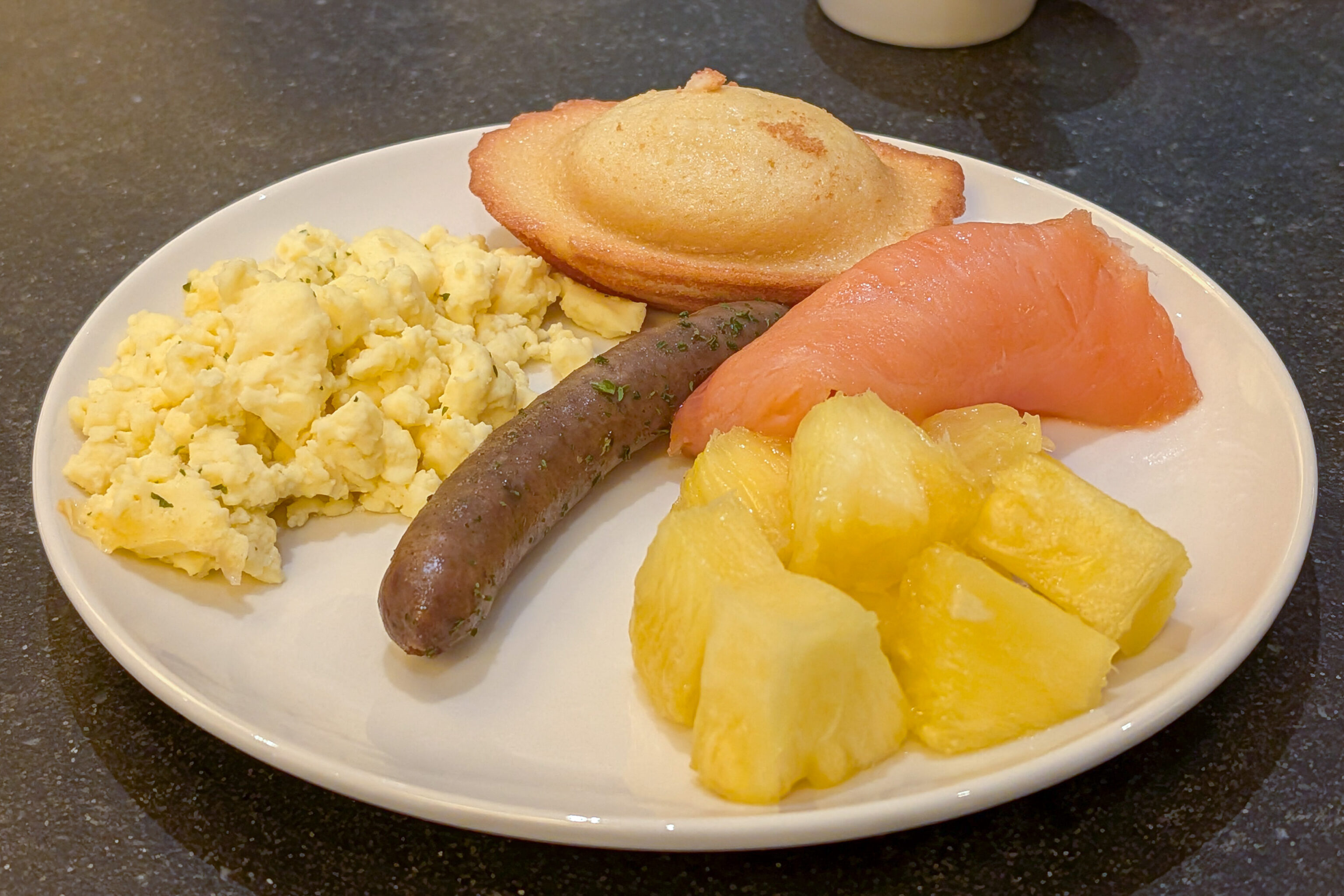
We had a quick breakfast as we had a train to catch. Unfortunately, that meant having a Toulouse sausage instead of an omelette.
Vianden
We departed for Vianden, a town to the north in Luxembourg near the border with Germany, by train. Vianden does not have a train station so we had to transfer to bus at Ettelbruck. There was some construction going on at the station but we were still able to get to the bus stop on the southwest side of the station.
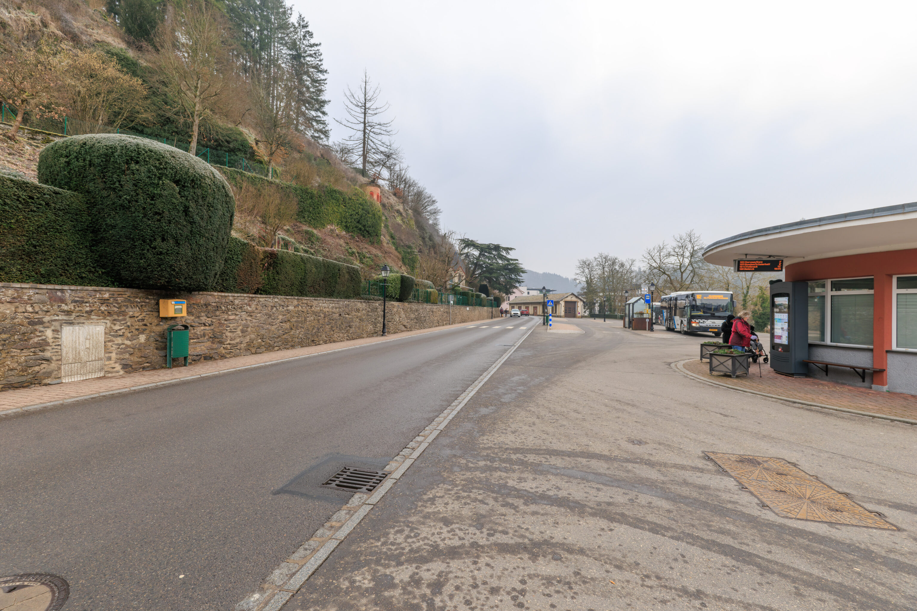
We took the bus to the Vianden, Gare bus stop in Vianden, arriving at around 10:20am. Although there was a closer bus stop to the Château de Vianden, we wanted to see if we could get a distant view of the castle.
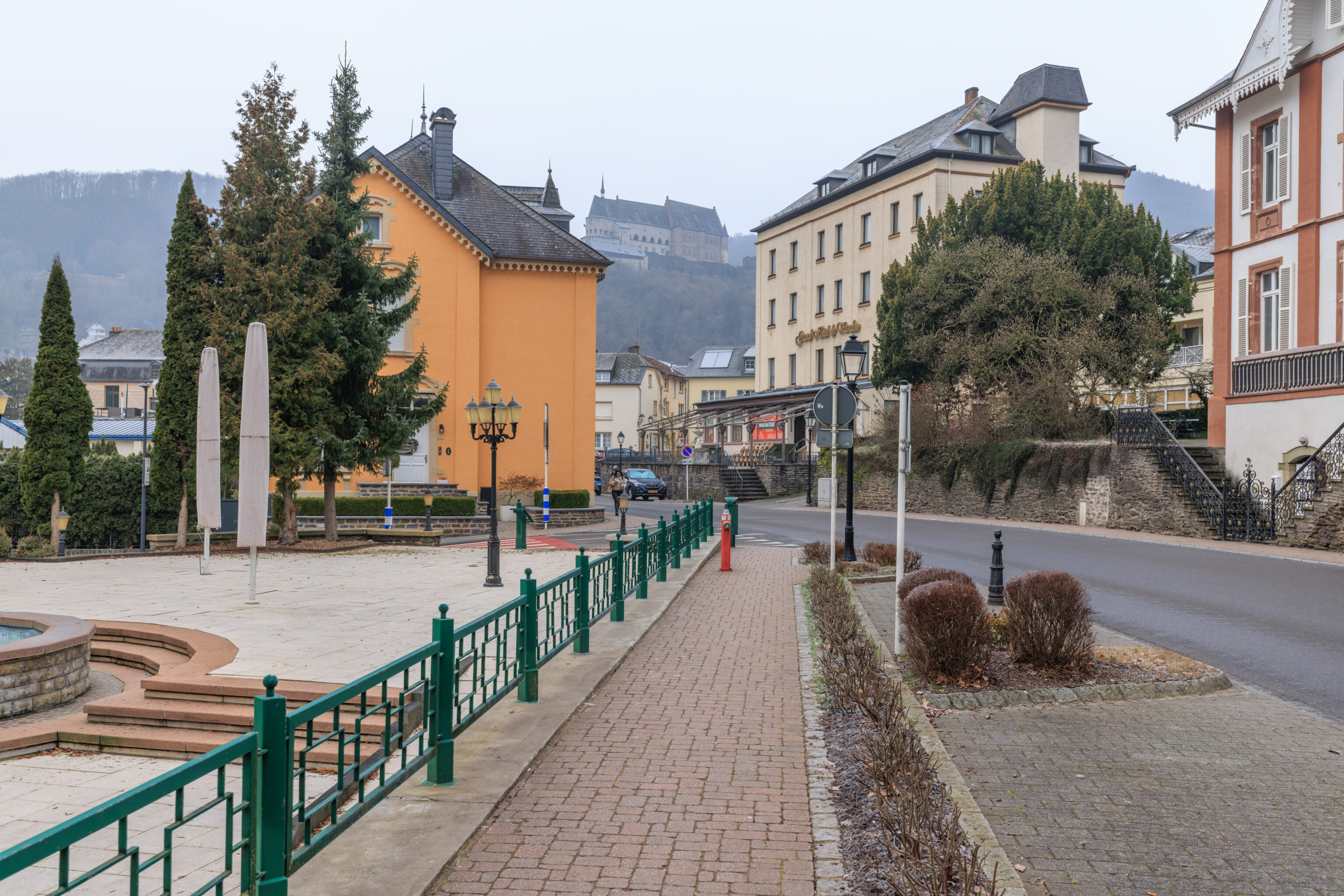
After walking just a little bit to the west, we started to see the castle in front of us.
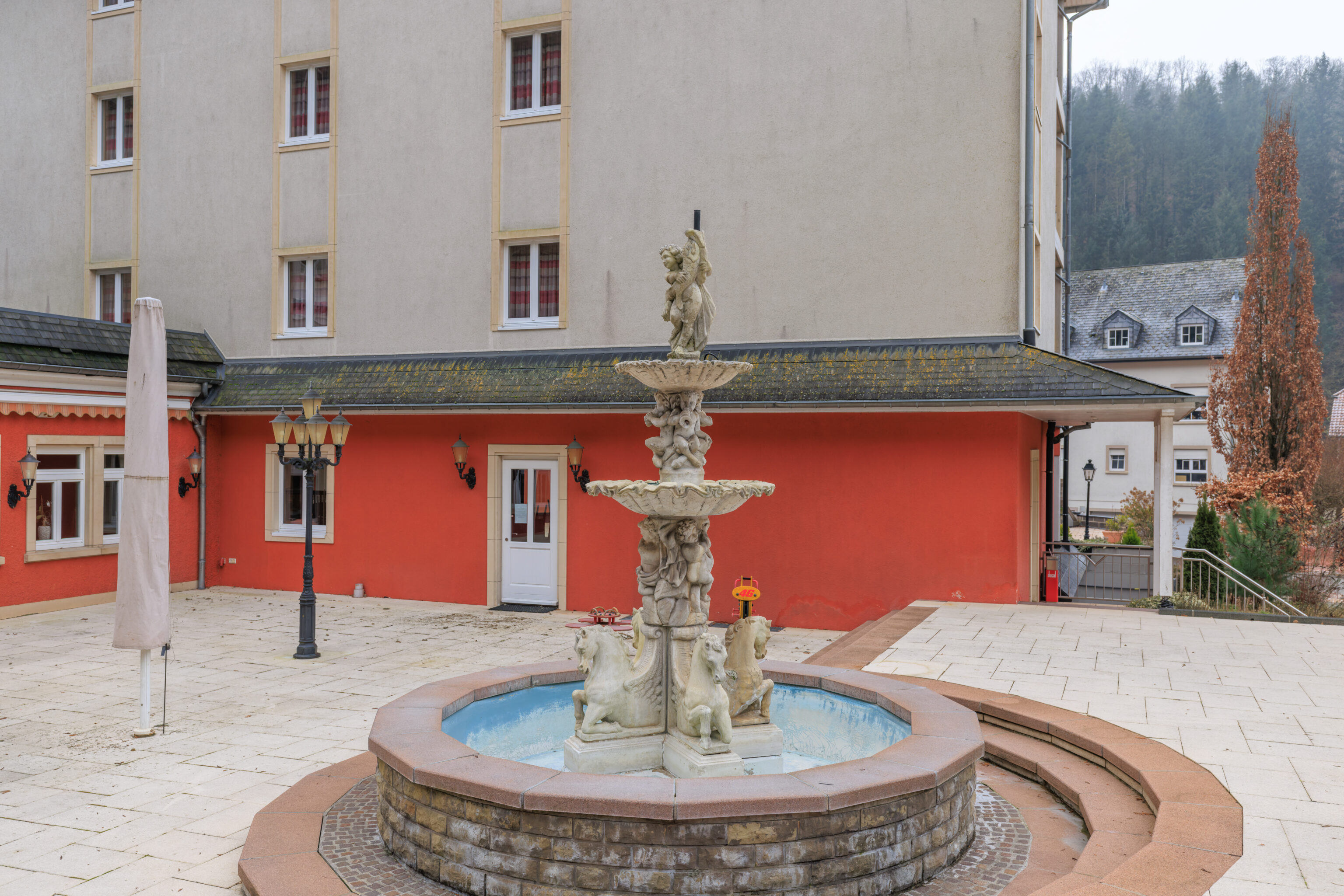
We walked by a small fountain in front of the Hotel Belle-Vue featuring four winged horses and a variety of cherubs.
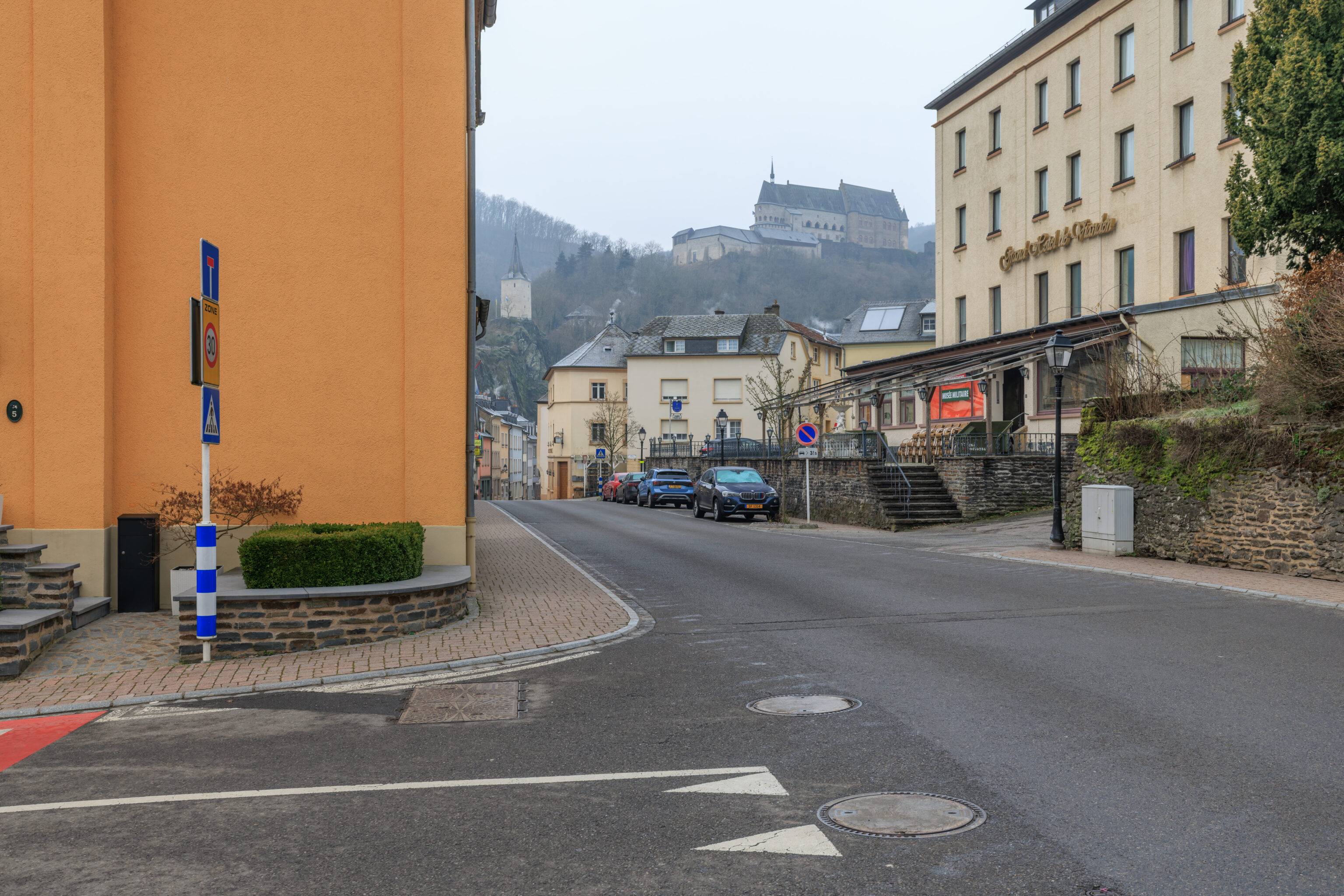
We started to get a more complete view of the castle as we continued on.
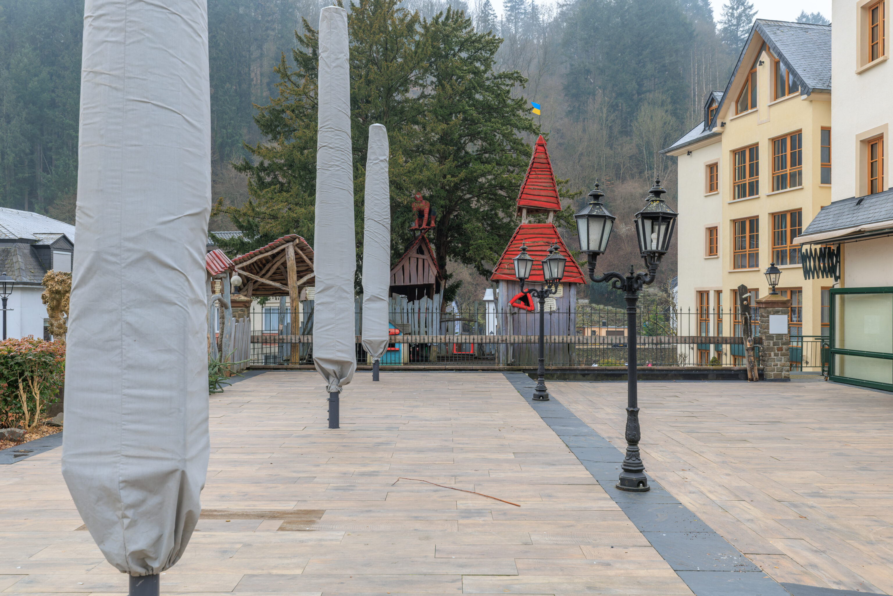
We can’t tell exactly what’s there beyond the fence but it looks like Spider-Man in Ukraine?
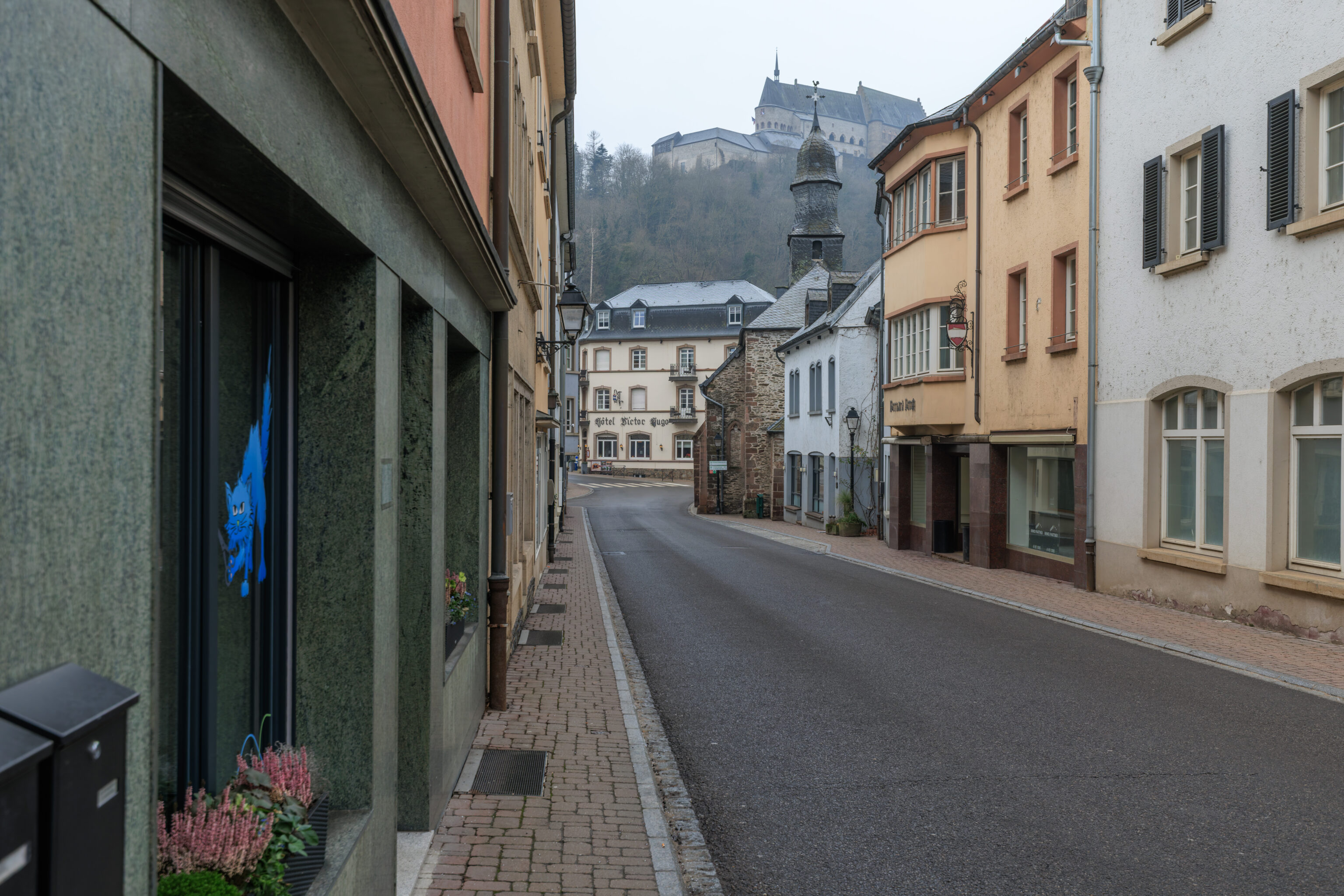
There was pretty much no one else around as we continued walking through the small town.
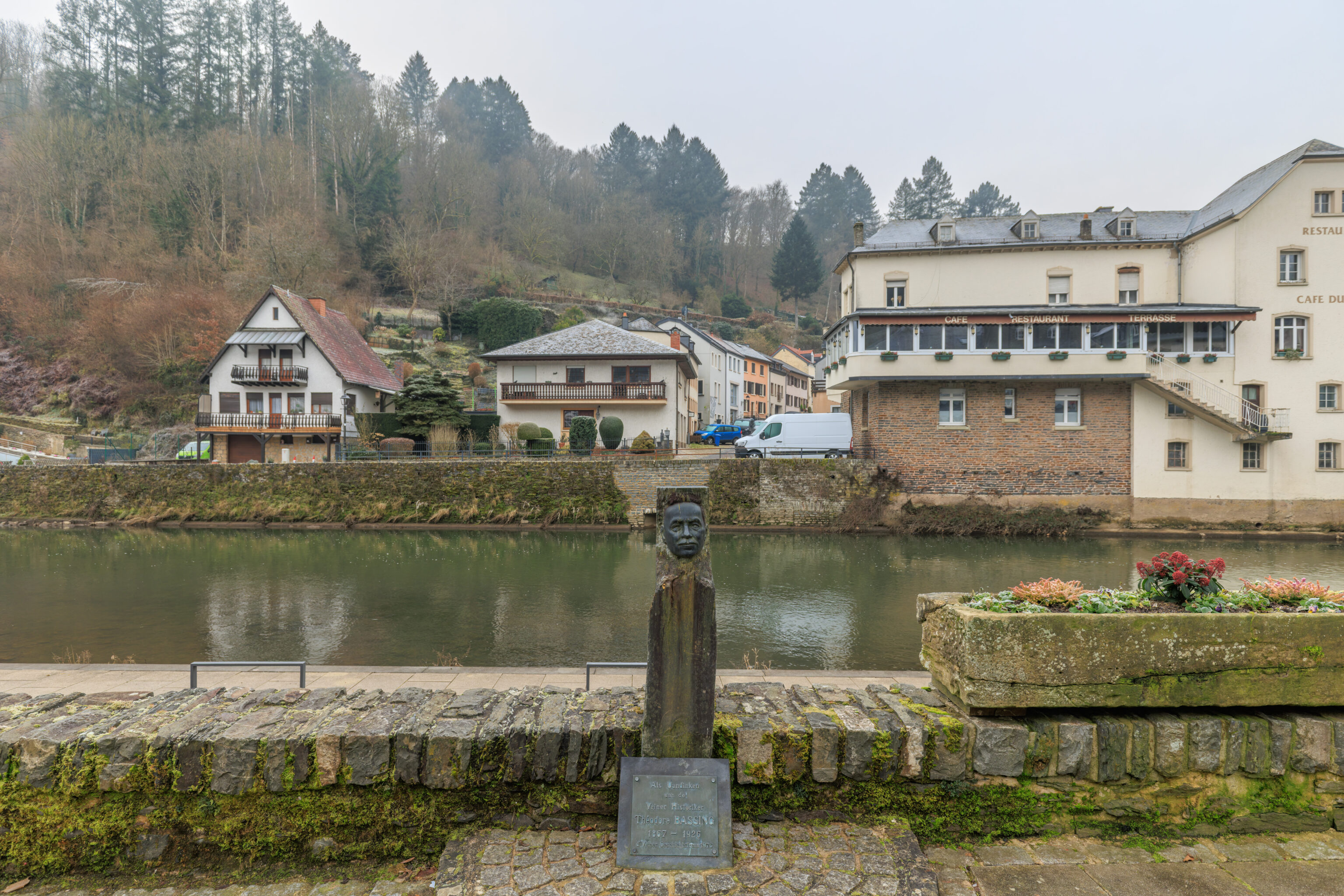
We arrived at the eastern bank of the river Our. This river forms Luxembourg’s northeastern border with Germany, other than around Vianden where the border moves a kilometer or so to the east, until it flows into the Sûre.
In memory of the Vianden historian Théodore BASSING 1867 - 1926
The Vianden History Friends 1976
– Text from the plaque in the photograph above, translated using Google Translate.
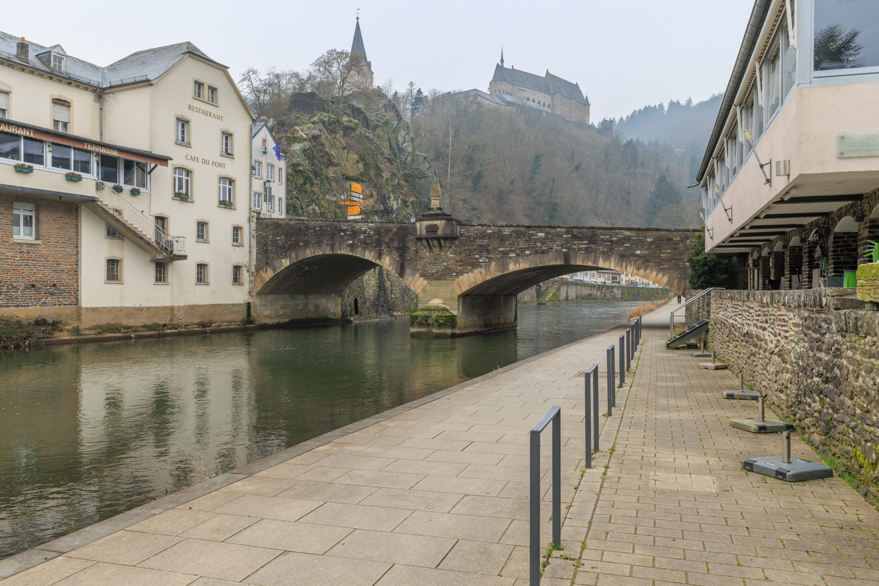
From the riverside, we were able to see the castle to the north on the west side of the river. The tower to the left of the castle is the Hockelsturm, which currently serves as a bell tower.
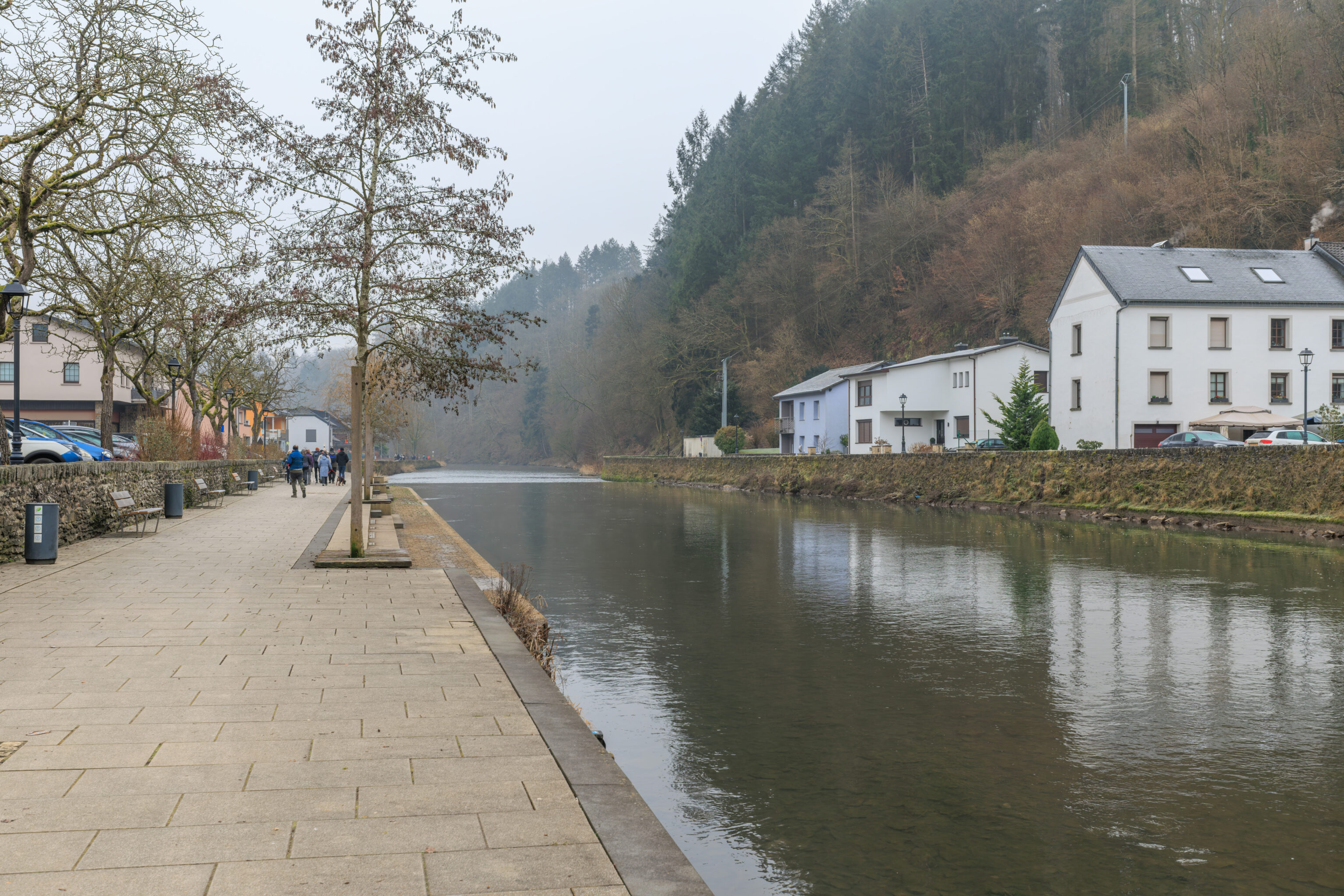
Although we saw almost no one else, there was a large group of walkers that passed by. This seemed like some sort of organized activity.
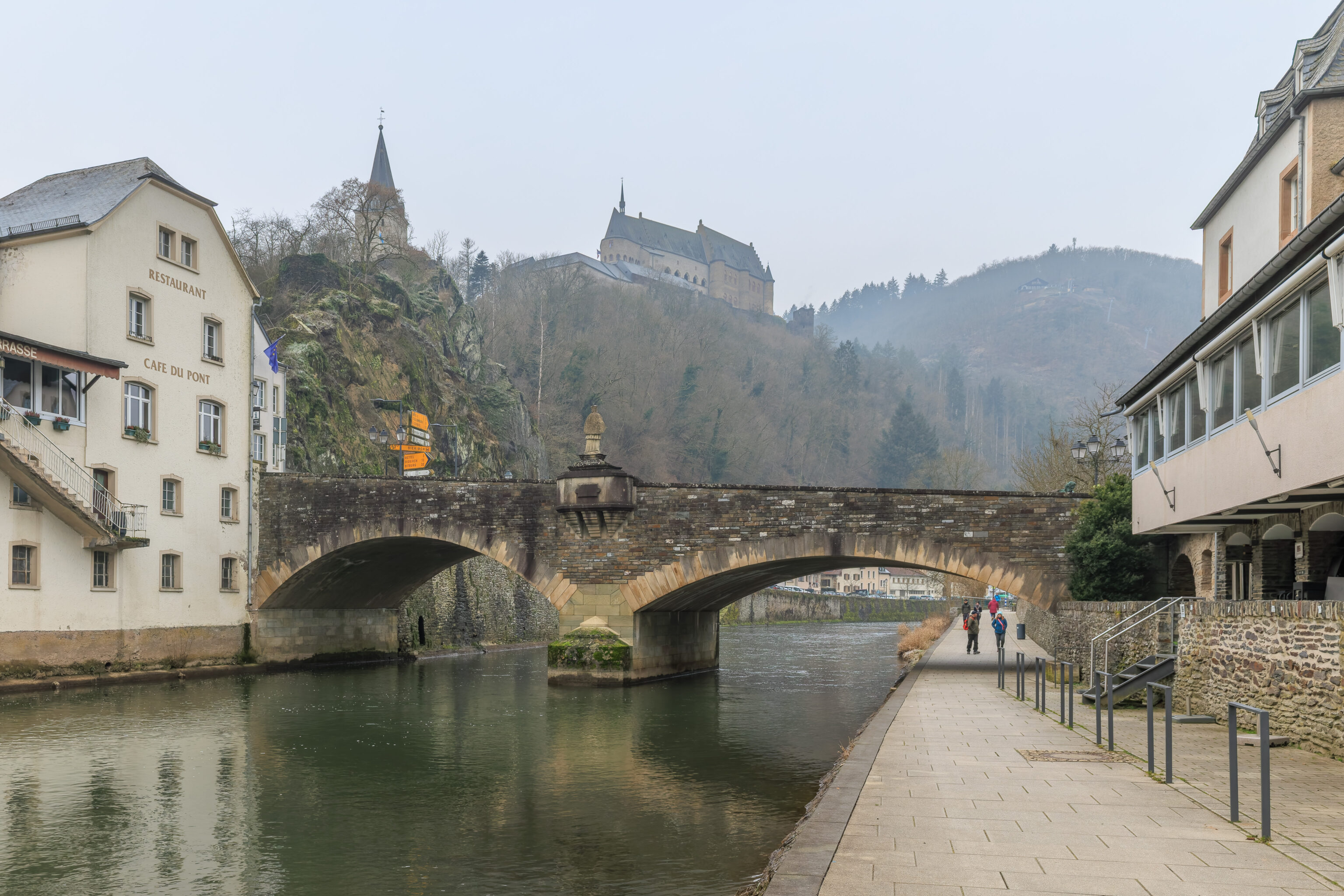
There were a few stragglers.
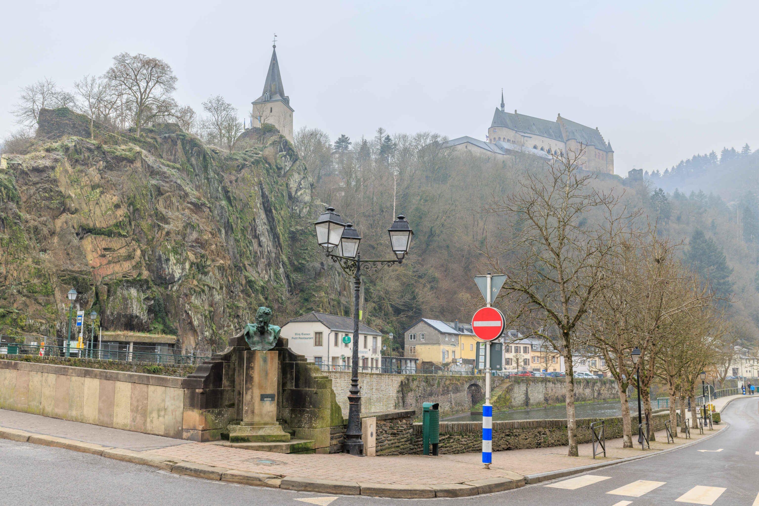
We walked north to cross river via the bridge we saw in the previous photographs. The bust at the corner depicts Victor Hugo, the French national hero and writer of Les Misérables and The Hunchback of Notre-Dame. He stayed here in Vianden in 1870 at what is now the Hôtel-Restaurant Victor Hugo, which is across the street from this bust.
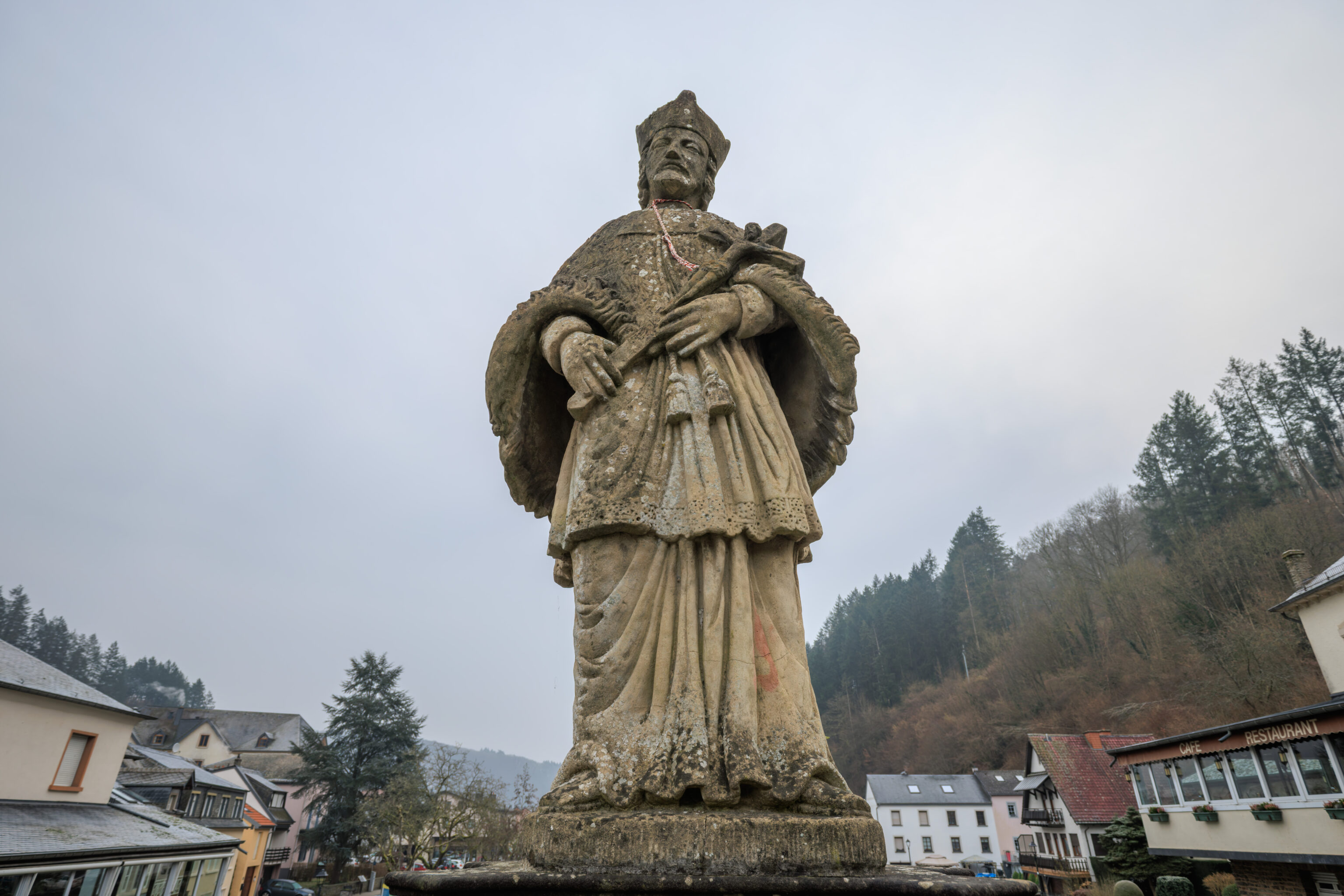
This statue on the bridge depicts Saint Jean Népomucène.
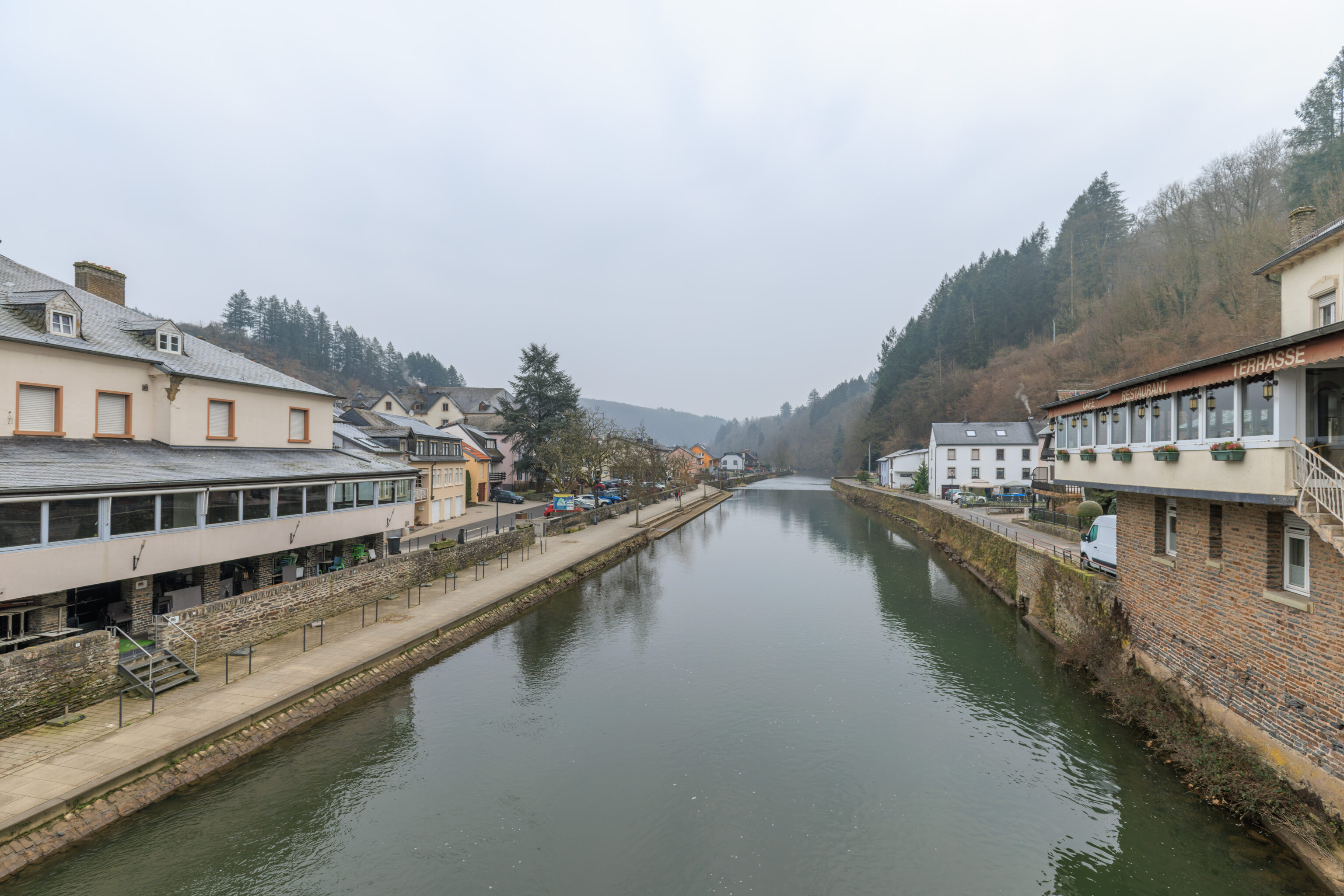
The view looking downstream to the southeast from the bridge.
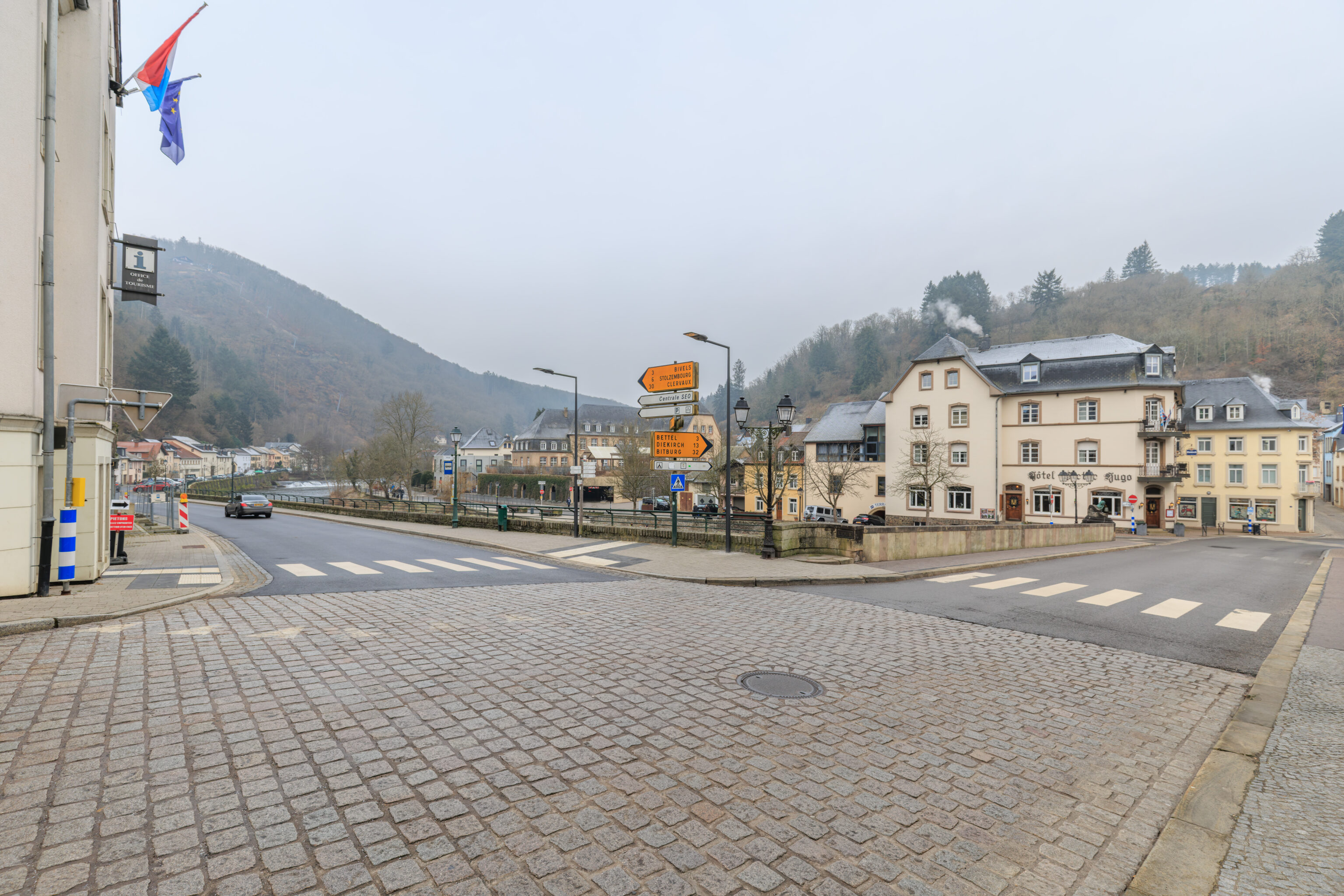
You can barely tell there is a bridge from its southwest side!
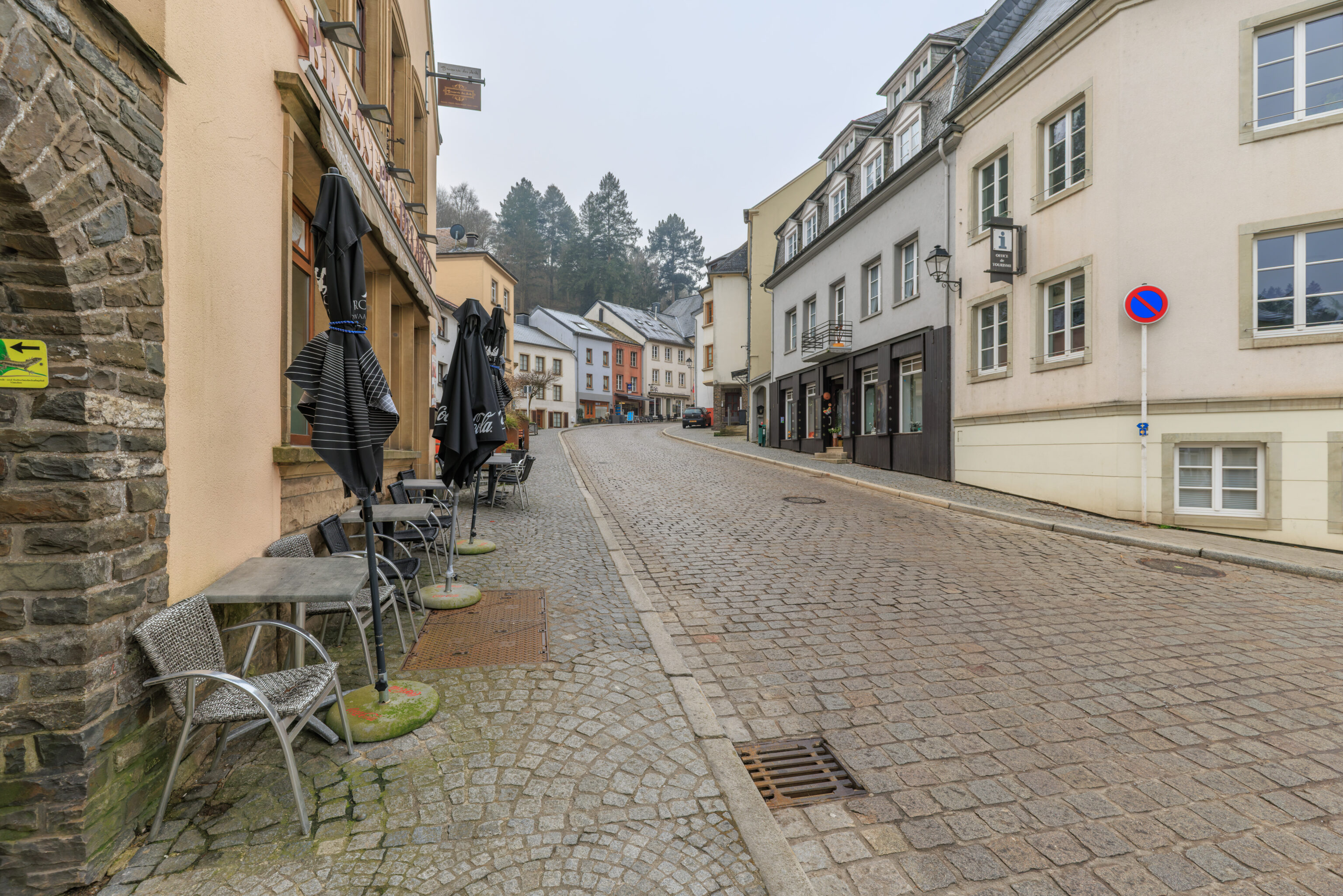
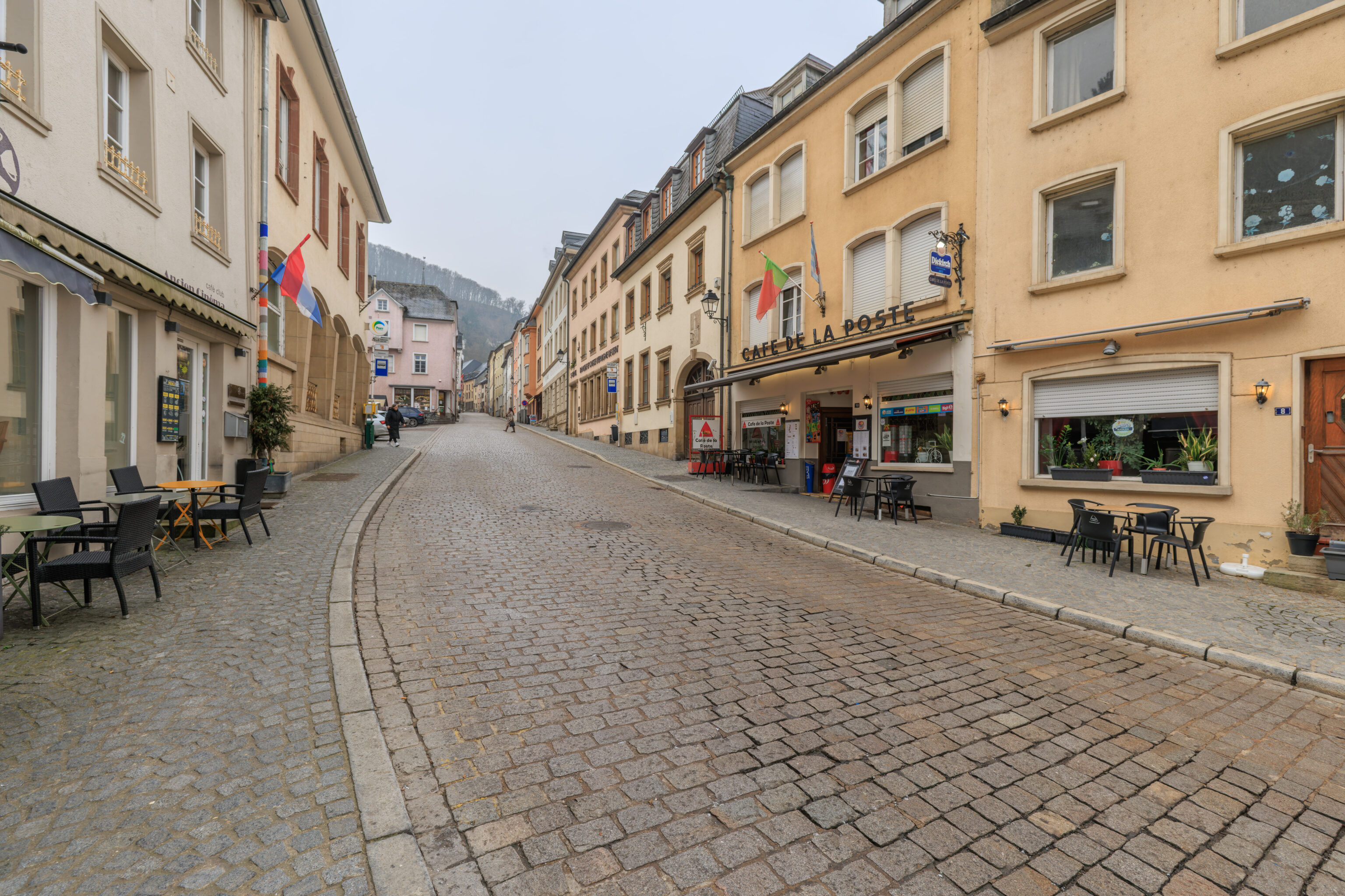
We continued straight ahead after crossing the bridge as the road started to head uphill.
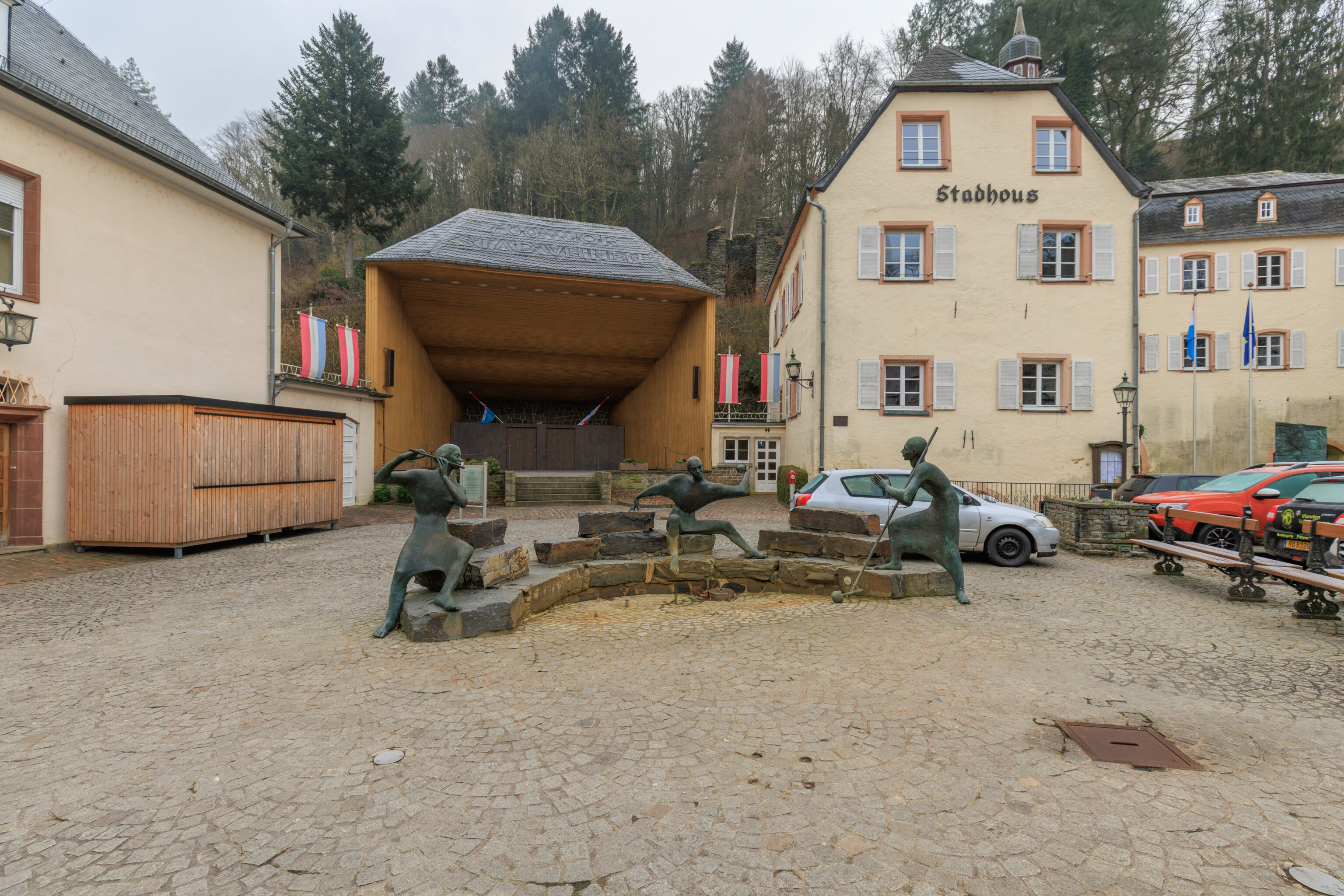
We walked past a sculpture in front of City Hall:
The WHITEWASHER
The MUSICIAN
The FOOL

In the Middle Ages, Vianden was the capital of a county that extended as far as Bitburg and Prüm in Germany.

In 1815, following the Congress of Vienna, 42 localities from the former county and 7 of the 15 municipalities in the canton of Vianden were ceded to Germany.

In 1851, the canton of Vianden was temporarily abolished.

Customers disappeared, poverty increased, and emigration began.

To find work, the WHITEWASHERS of Vianden would travel through Ardennes villages, whitewashing houses in preparation for the local fair. On the day of the fair, they would return as MUSICIANS, bringing their instruments to invite people to dance.

This is why the conservative village populations referred to the whitewashers and musicians from Vianden—who were always cheerful and in high spirits—as the "FOOLS OF VIANDEN."

In short, the three sculptures represent a single person: the "WHITEWASHER" is also the "MUSICIAN" and, consequently, the "FOOL OF VIANDEN."

The three bronze sculptures were created and executed by the local artist Marie-Josée Kerschen, whose renown extends far beyond the country's borders.
– Text from a photograph of a sign posted on Google Maps, translated from French using Google Translate.
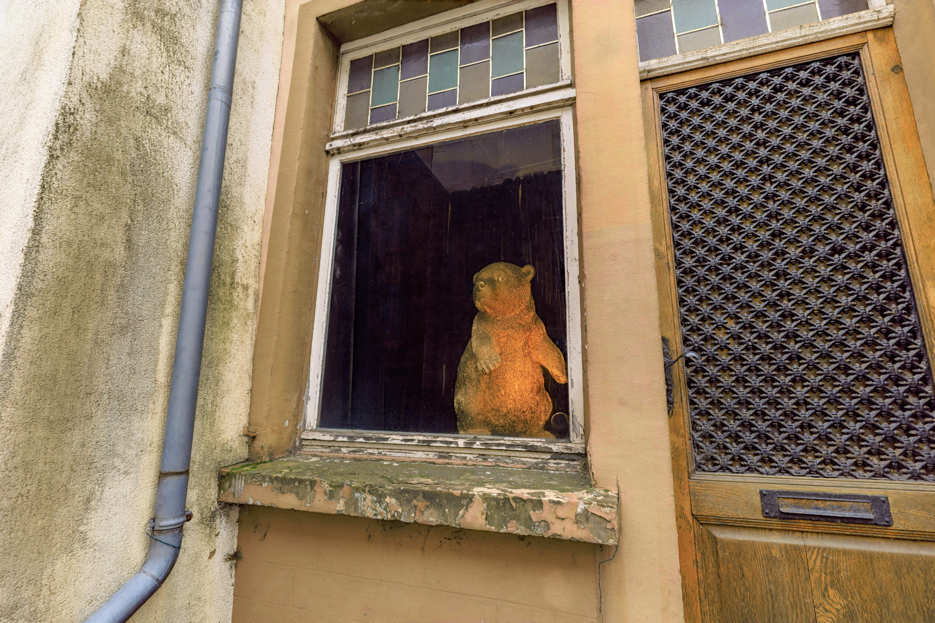
Is this supposed to be a bear cub?
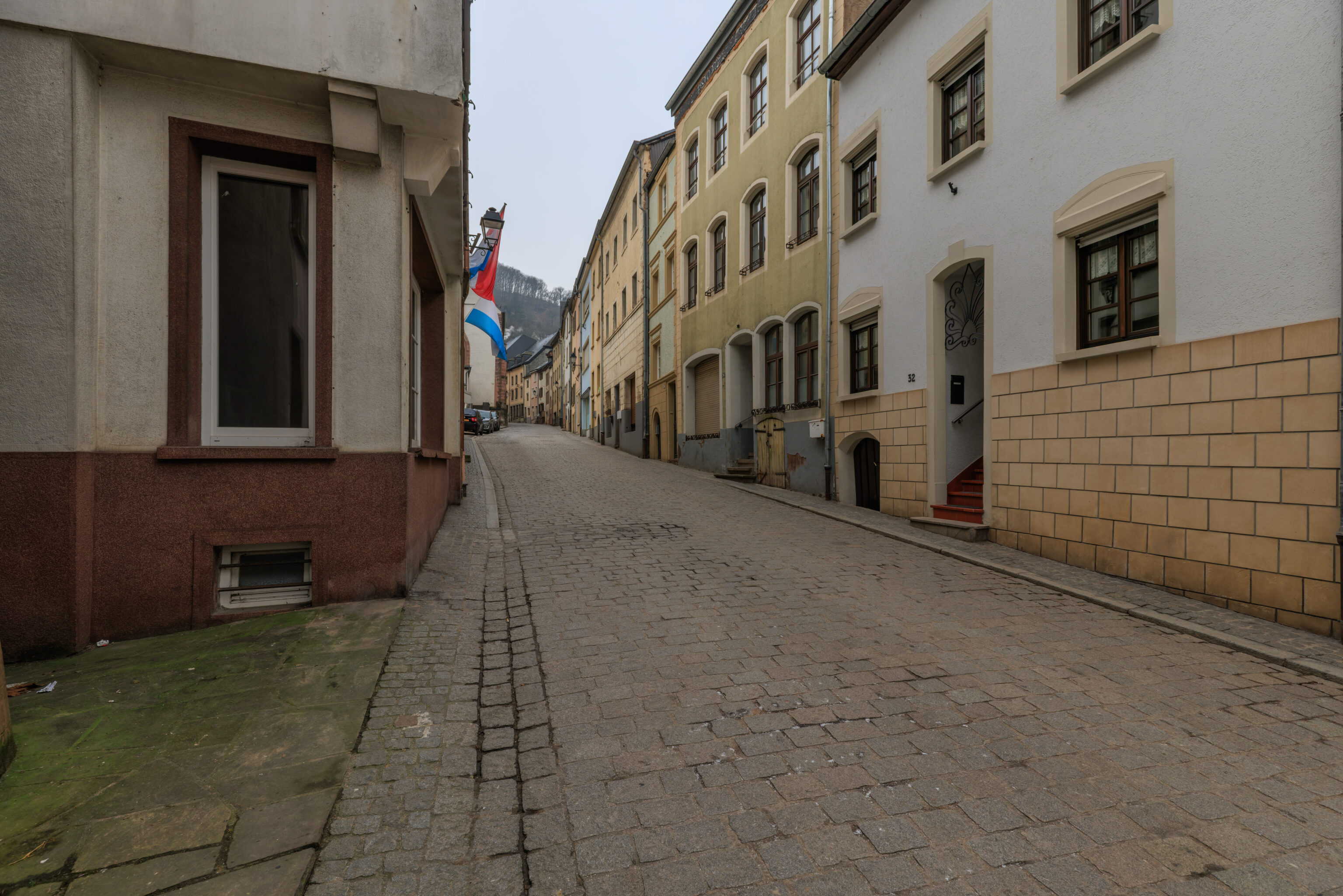
We continued walking along the deserted streets.
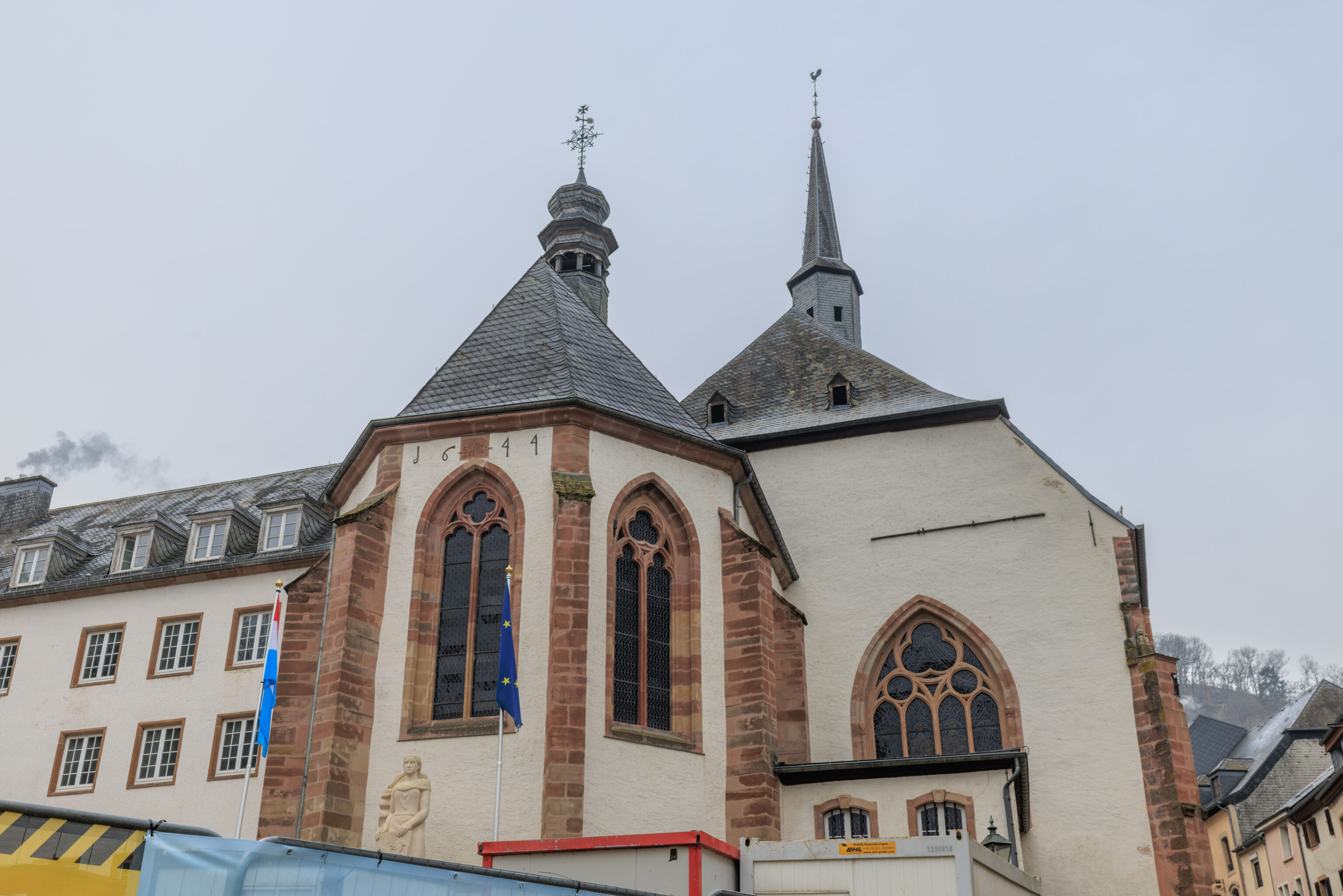
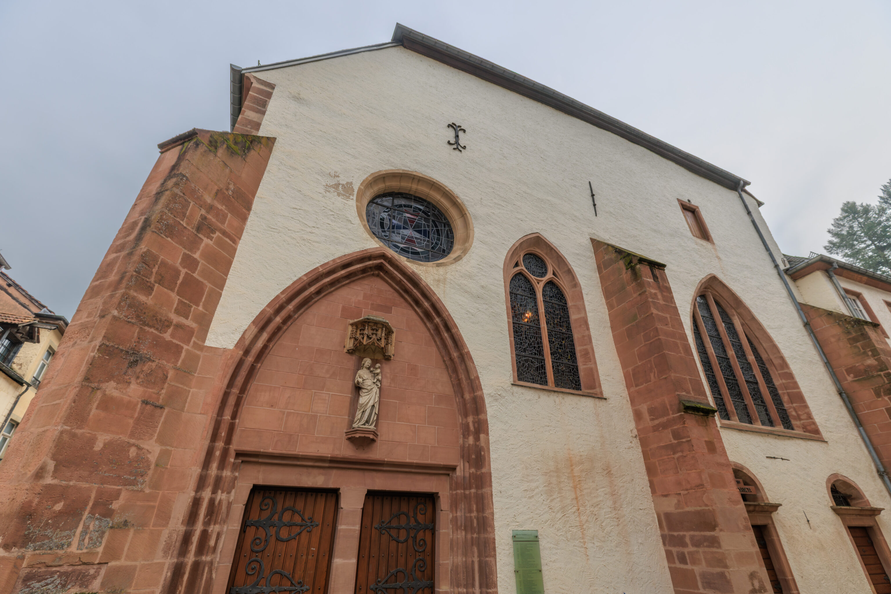
We walked past the Roman Catholic Trinitarierkirche (Trinitarian Church). Today is Sunday and it sounded like Mass was probably going on at the time.
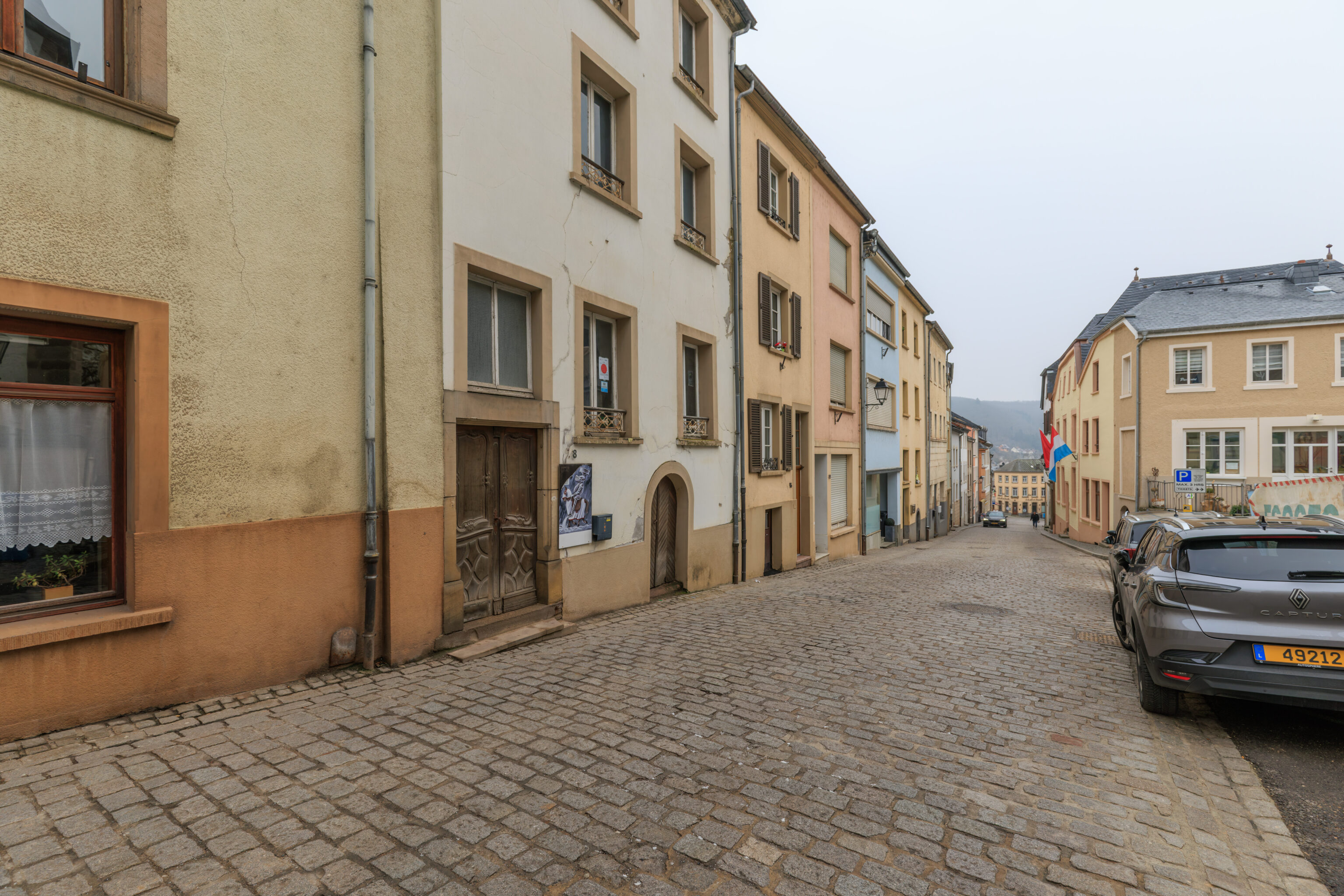
The view looking downhill.
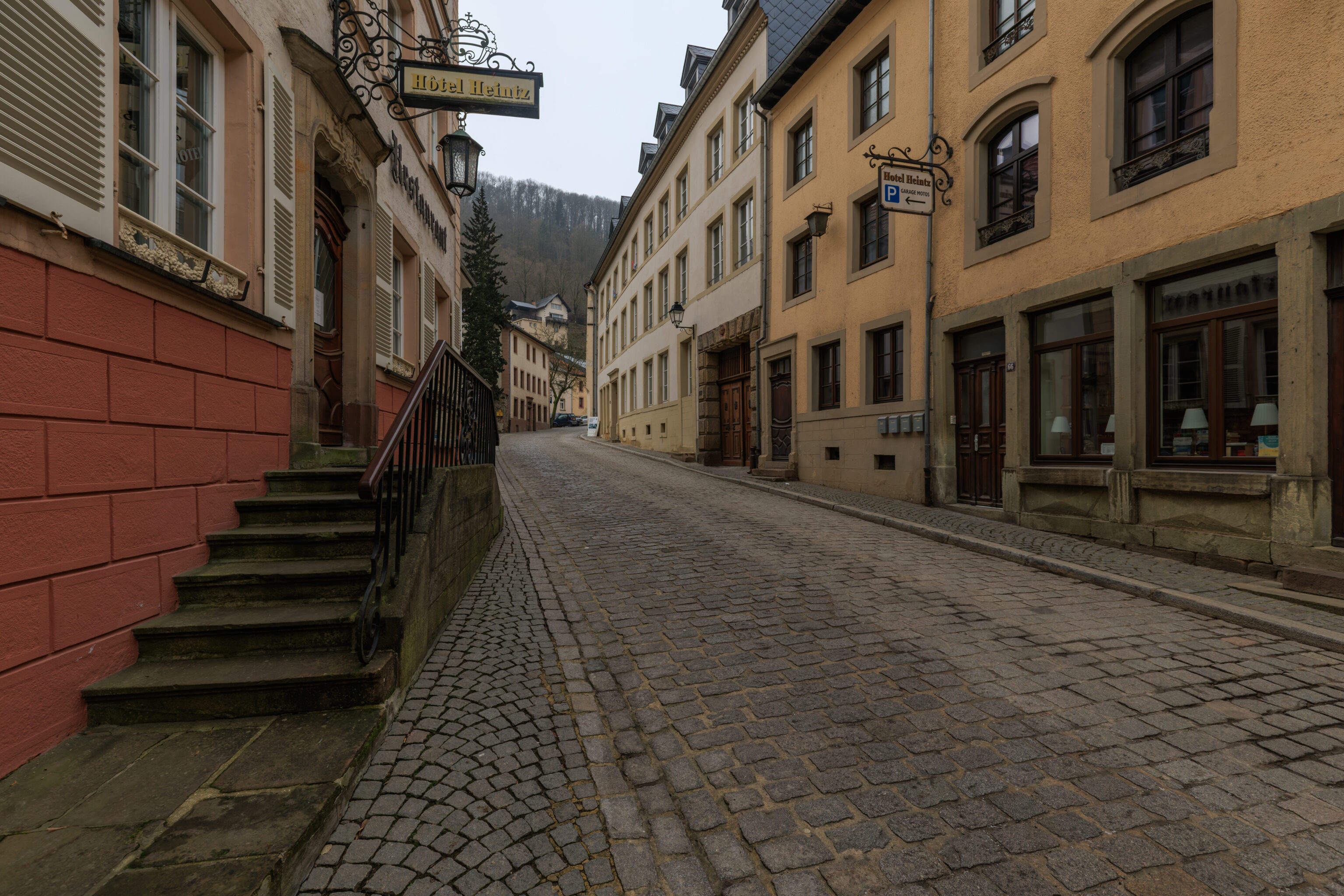
We continued walking uphill.
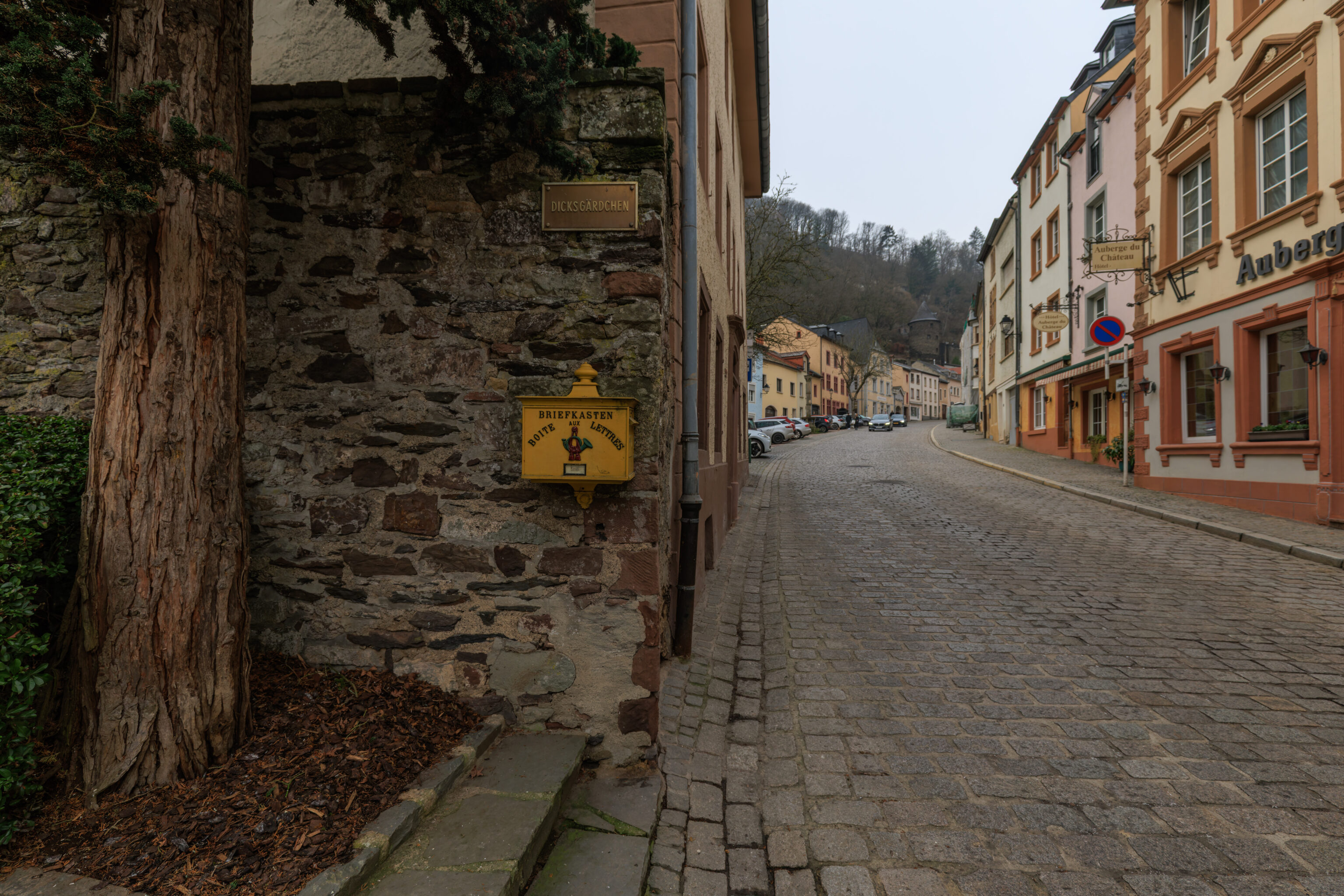
There was a little mailbox on a wall. And above it, a sign indicated there was a small garden here, Dicks’ Little Garden. The Dicks here probably refers to Michel Lentz, who wrote Ons Heemecht, Luxembourg’s national anthem. His pen name was Dicks. We know this because of the Dicks and Lentz Monument in Luxembourg.
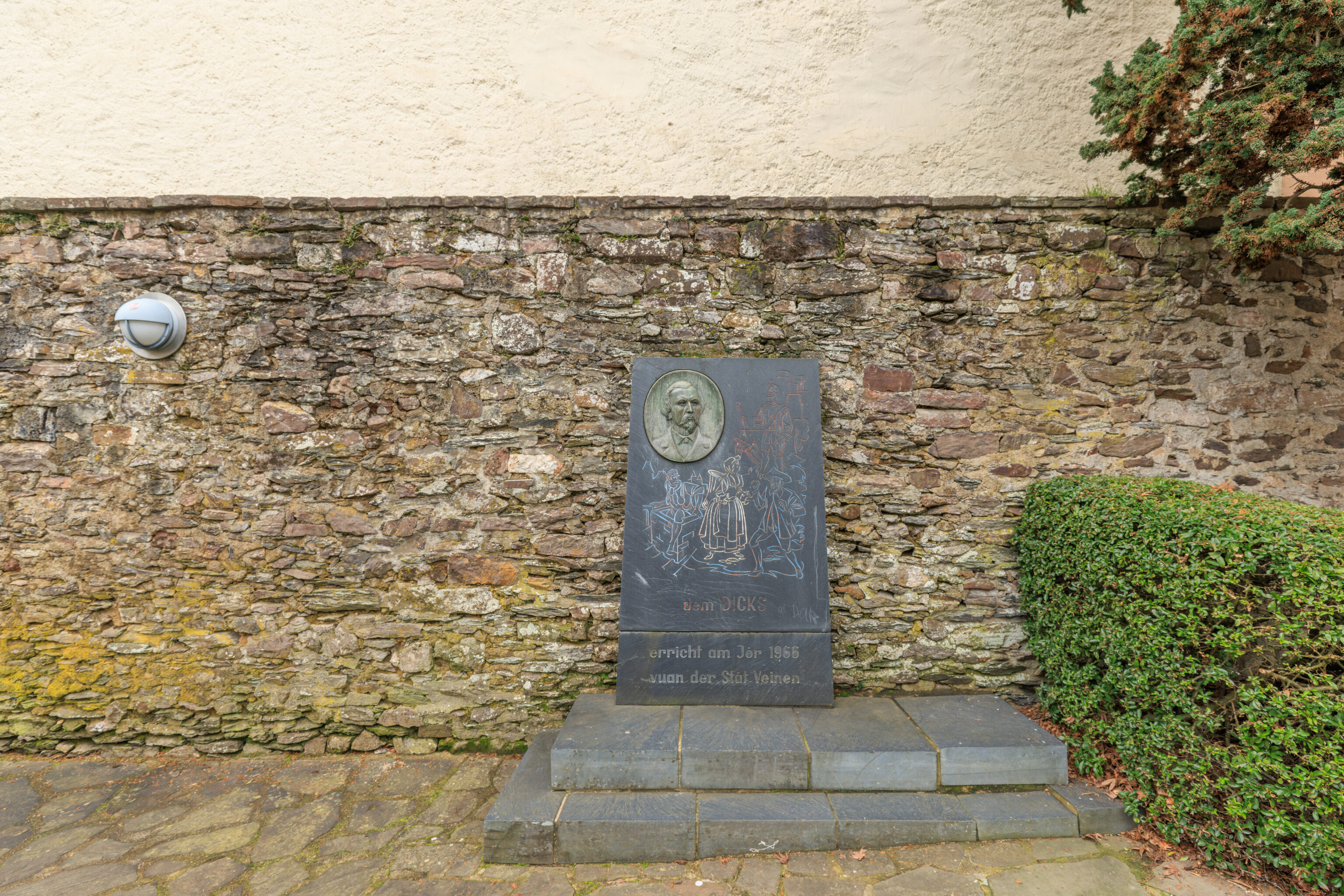
The Luxembourgish text here is humorous if you read it as English…
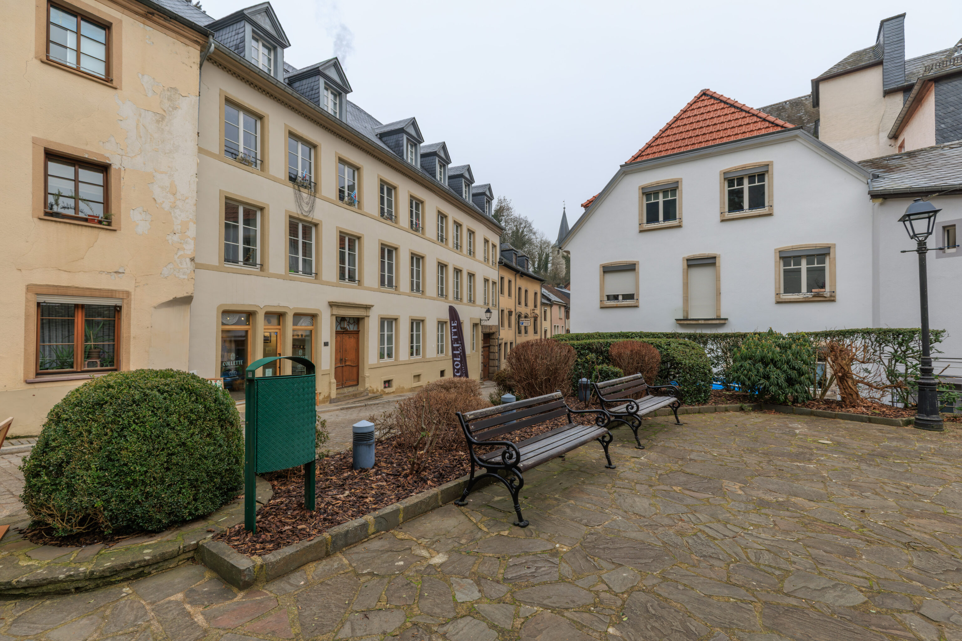
There were also some benches here at the little garden.
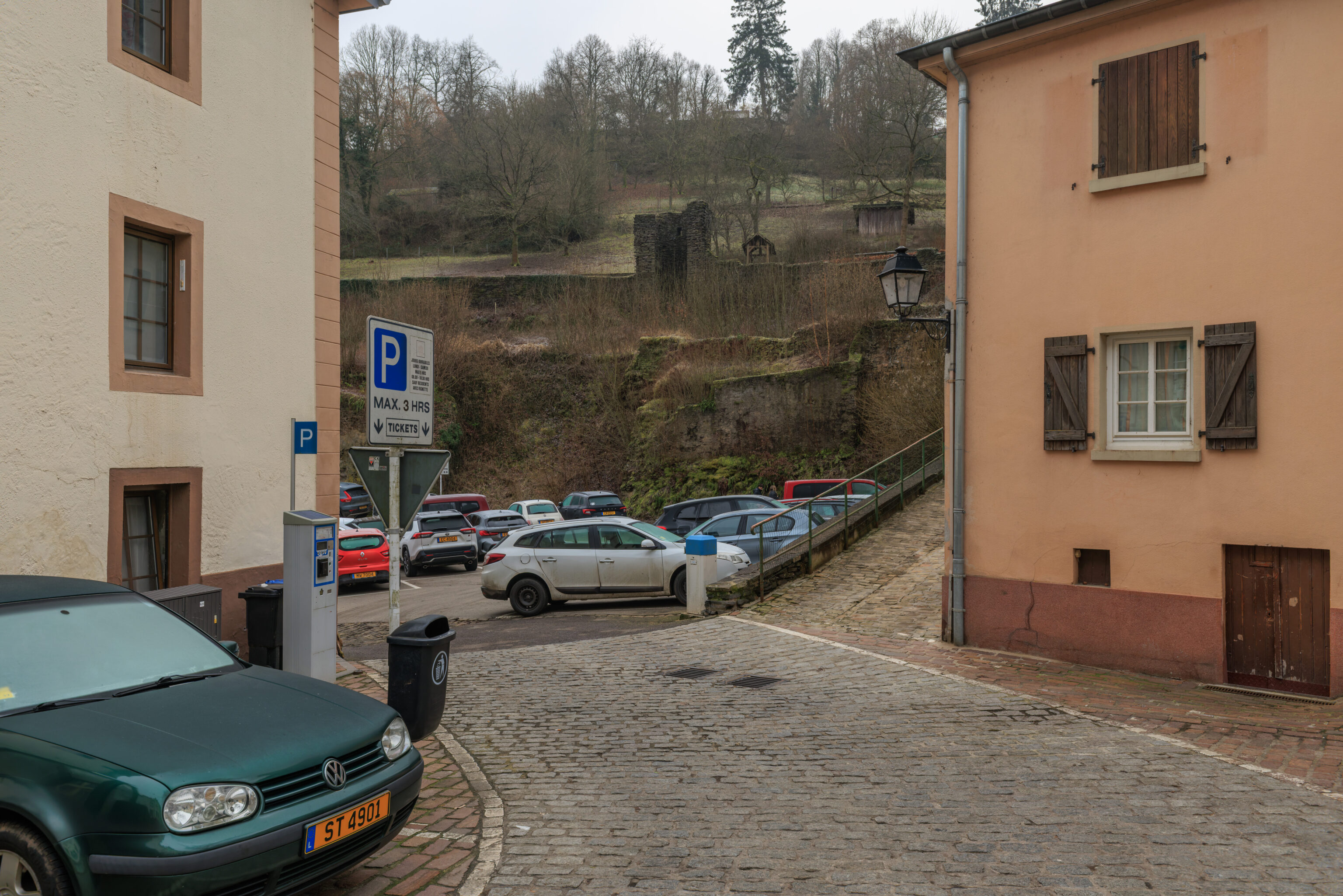
Just past the garden, we saw a section of wall and the remains of a tower beyond a small parking lot.
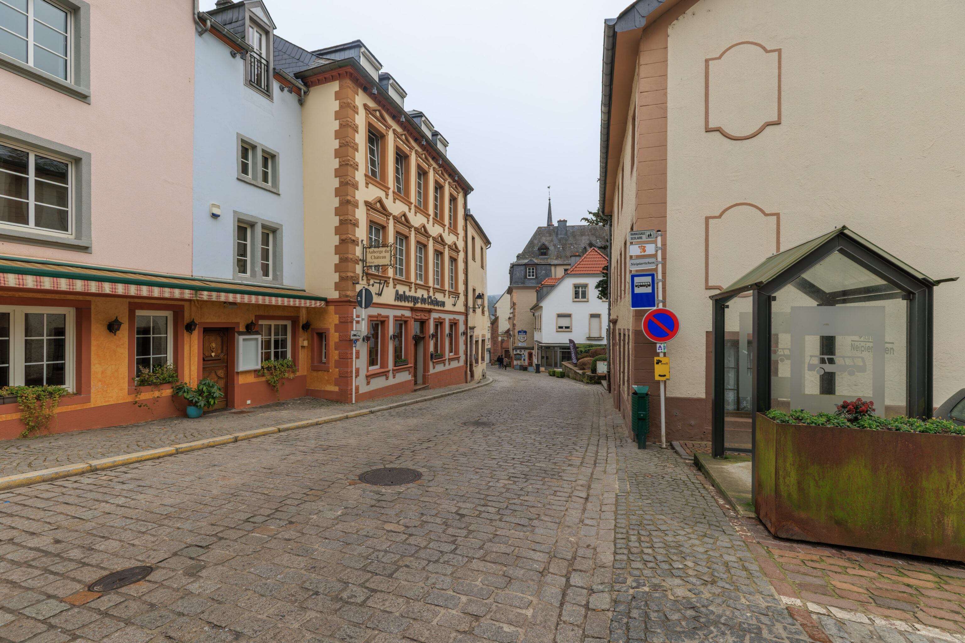
There was also a bus stop.
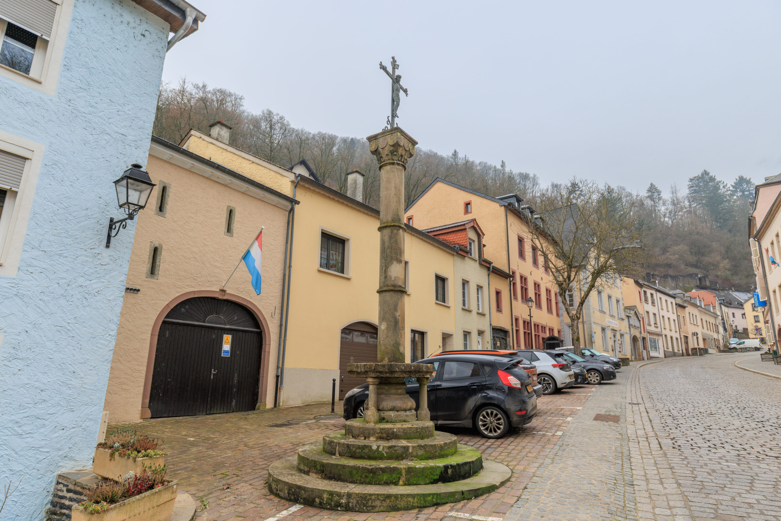
We walked past a column…
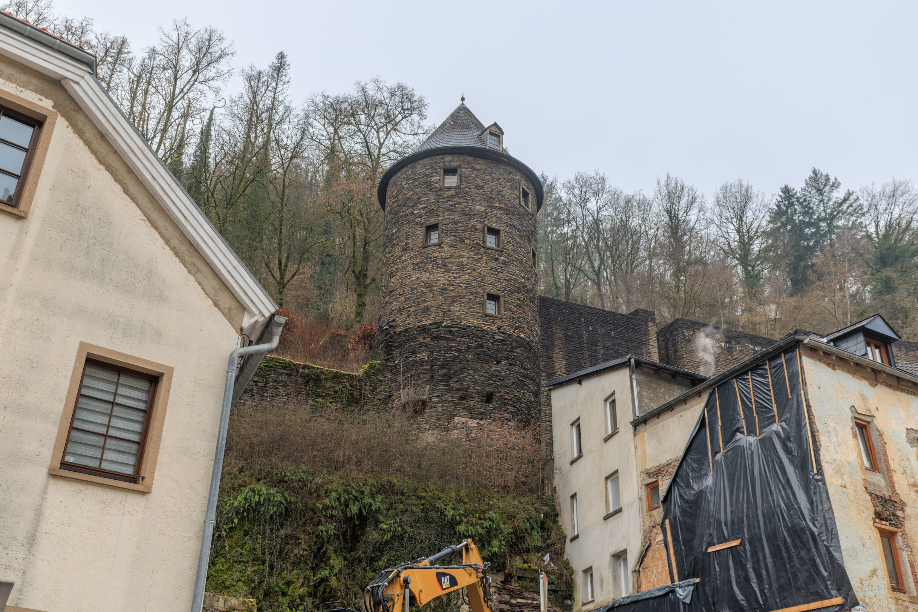
This tower looked to be in pretty good condition.
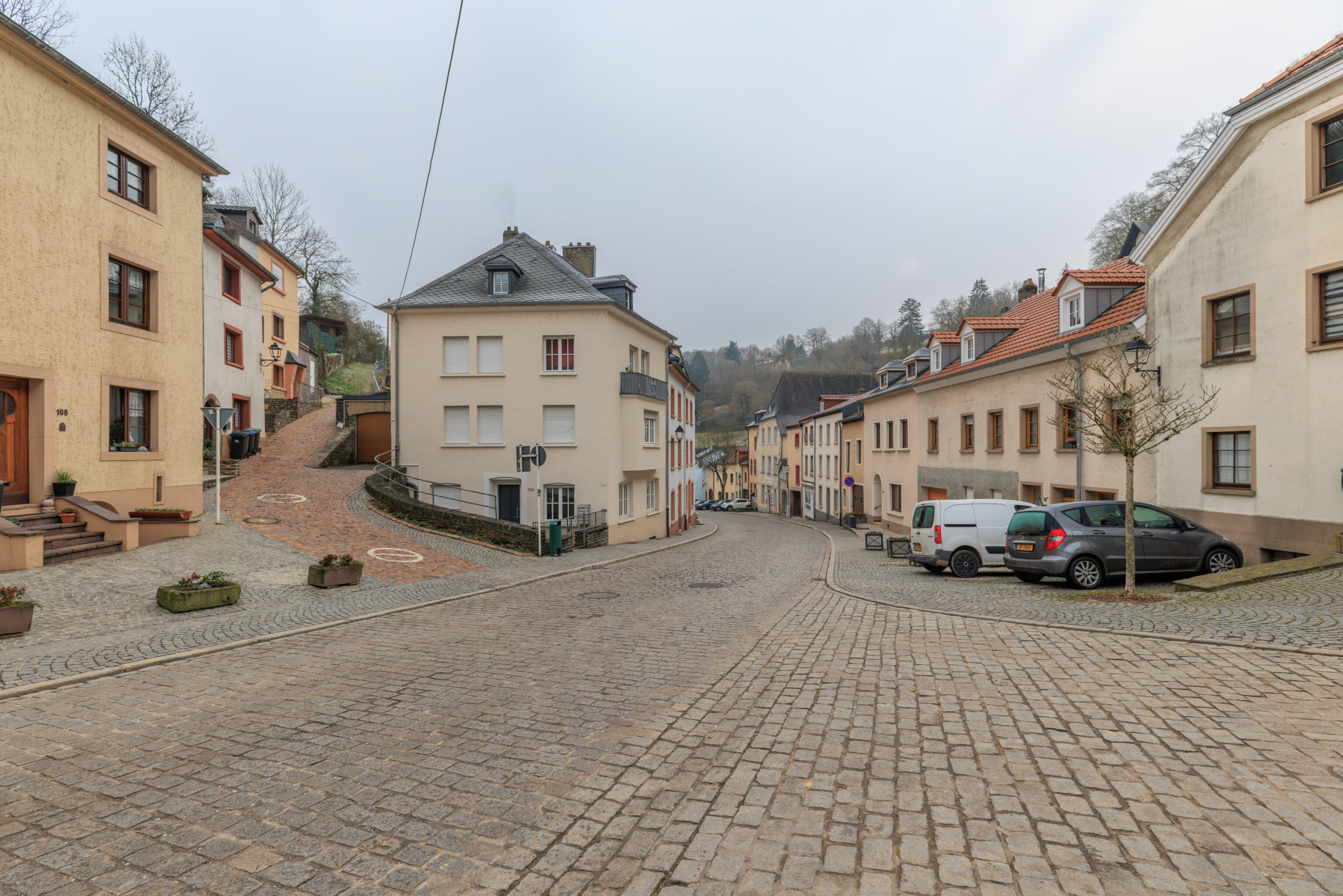
The view looking downhill.
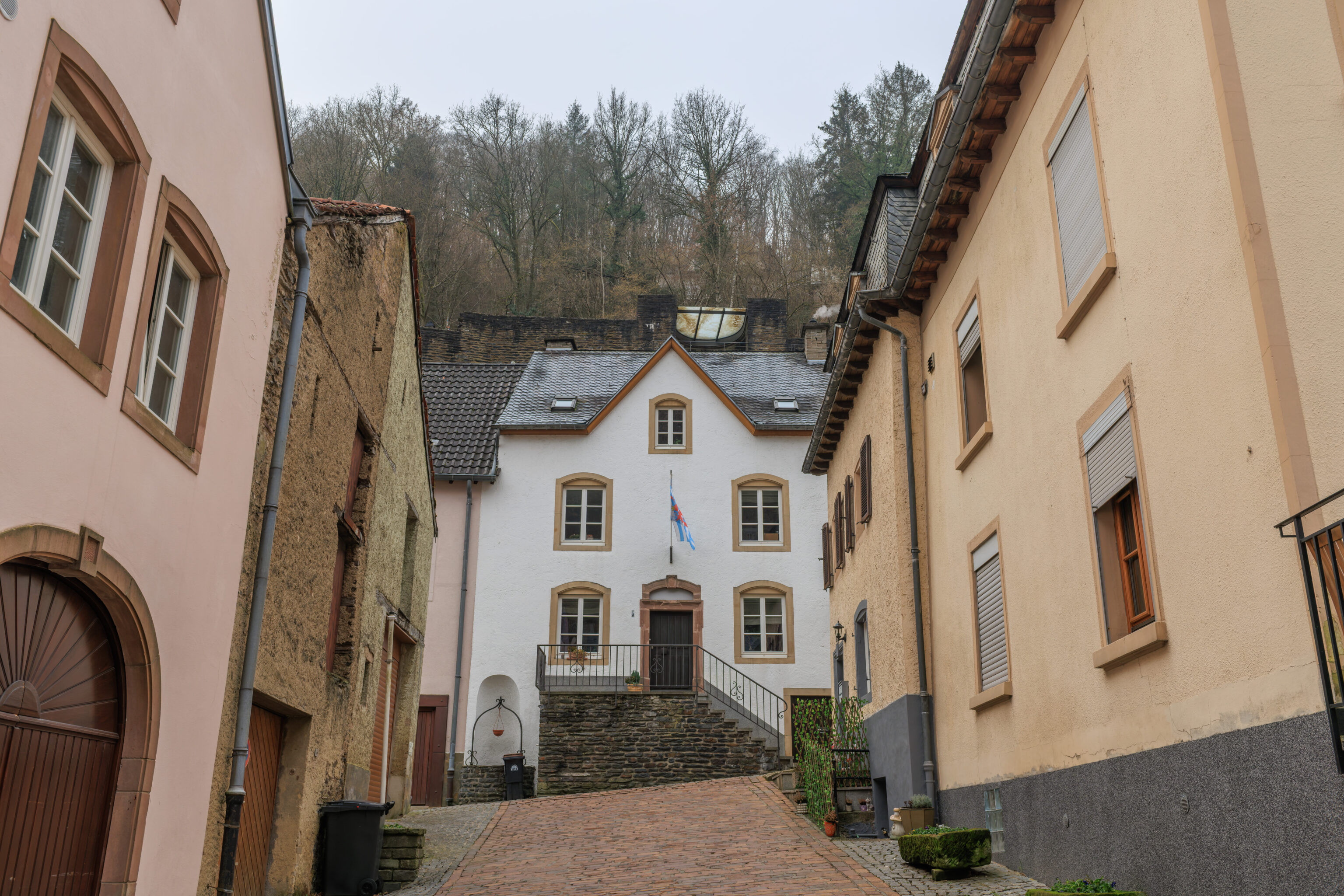
There is actually a smaller street, or maybe just a pedestrian path, that runs parallel to the street that we’re on here.
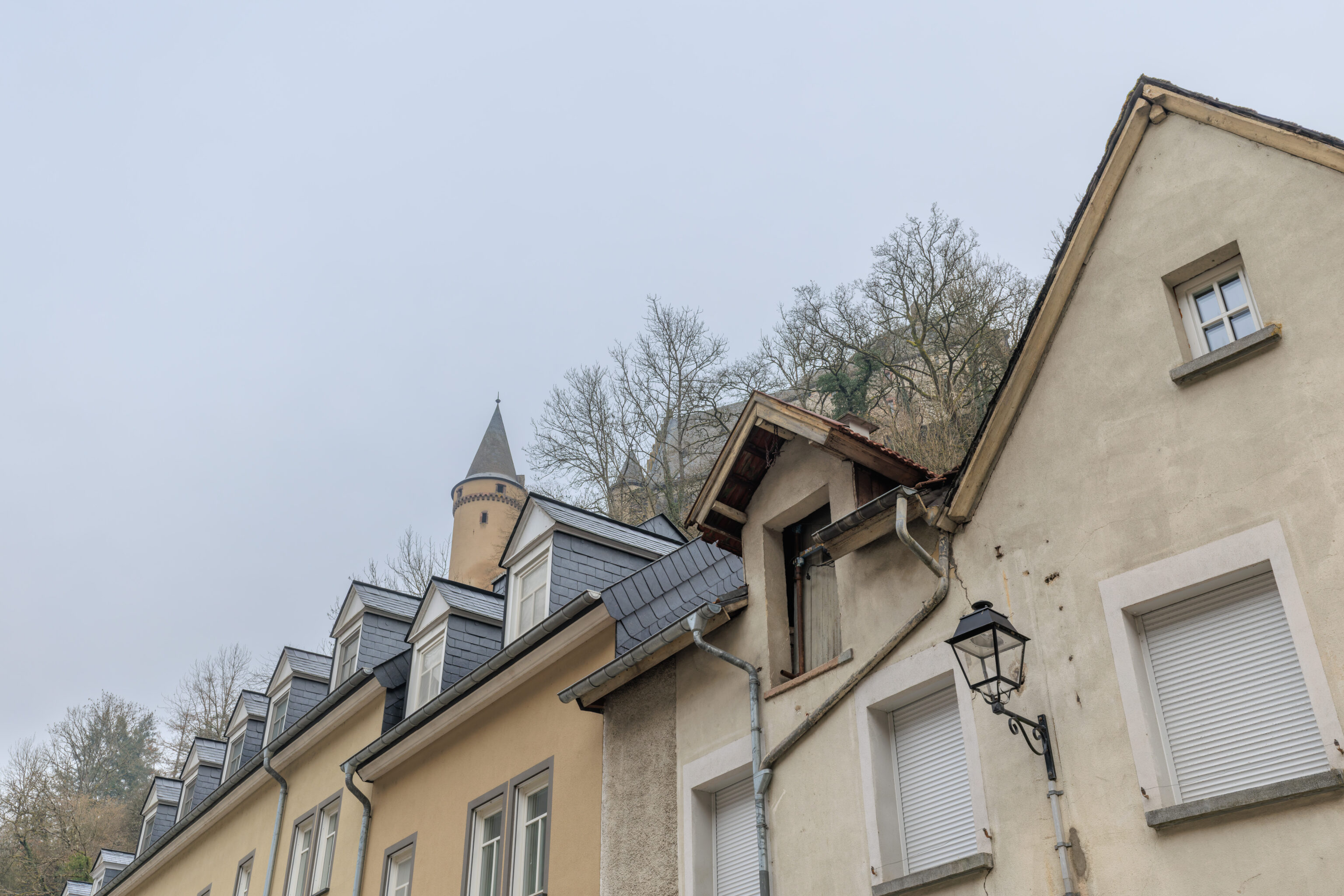
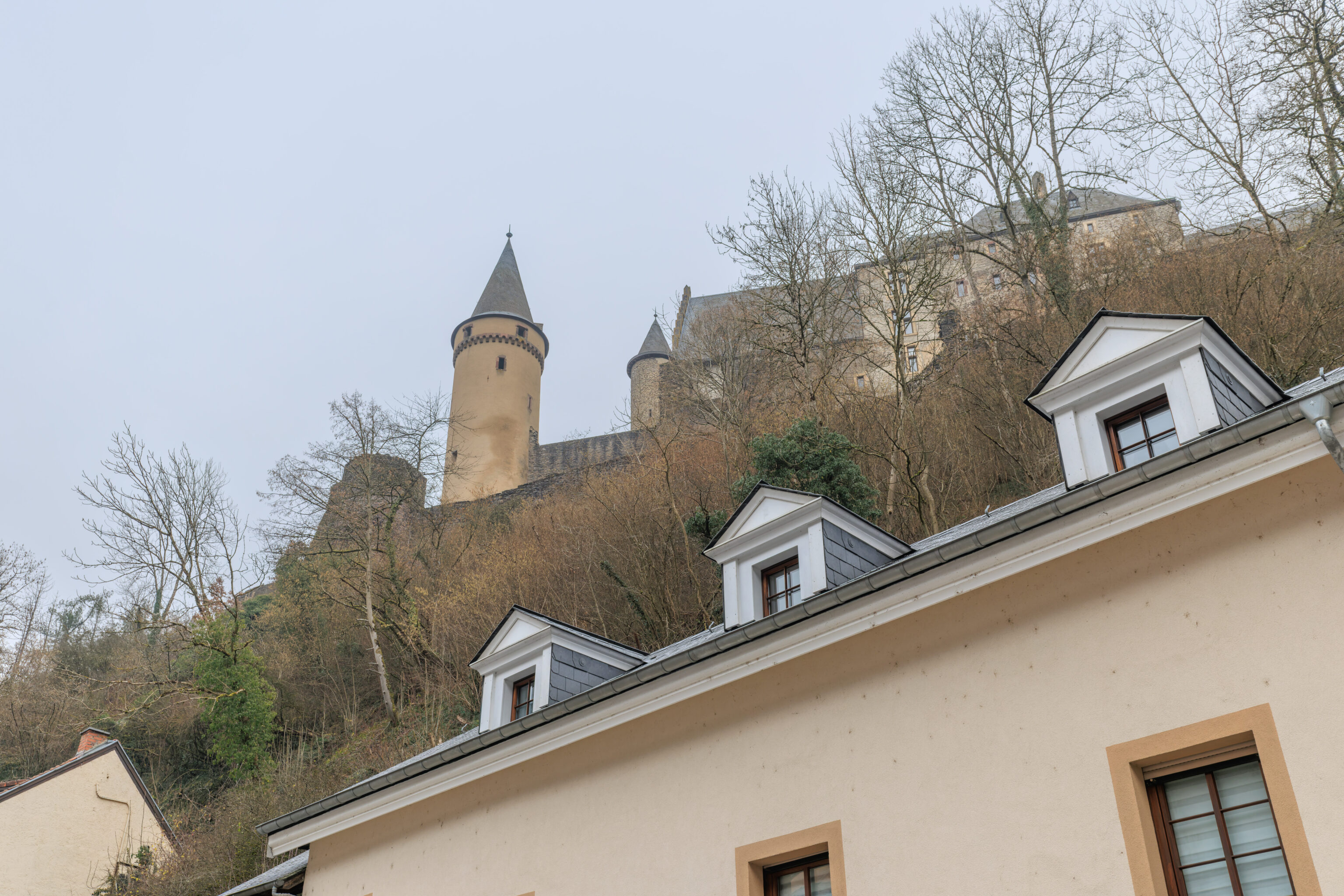
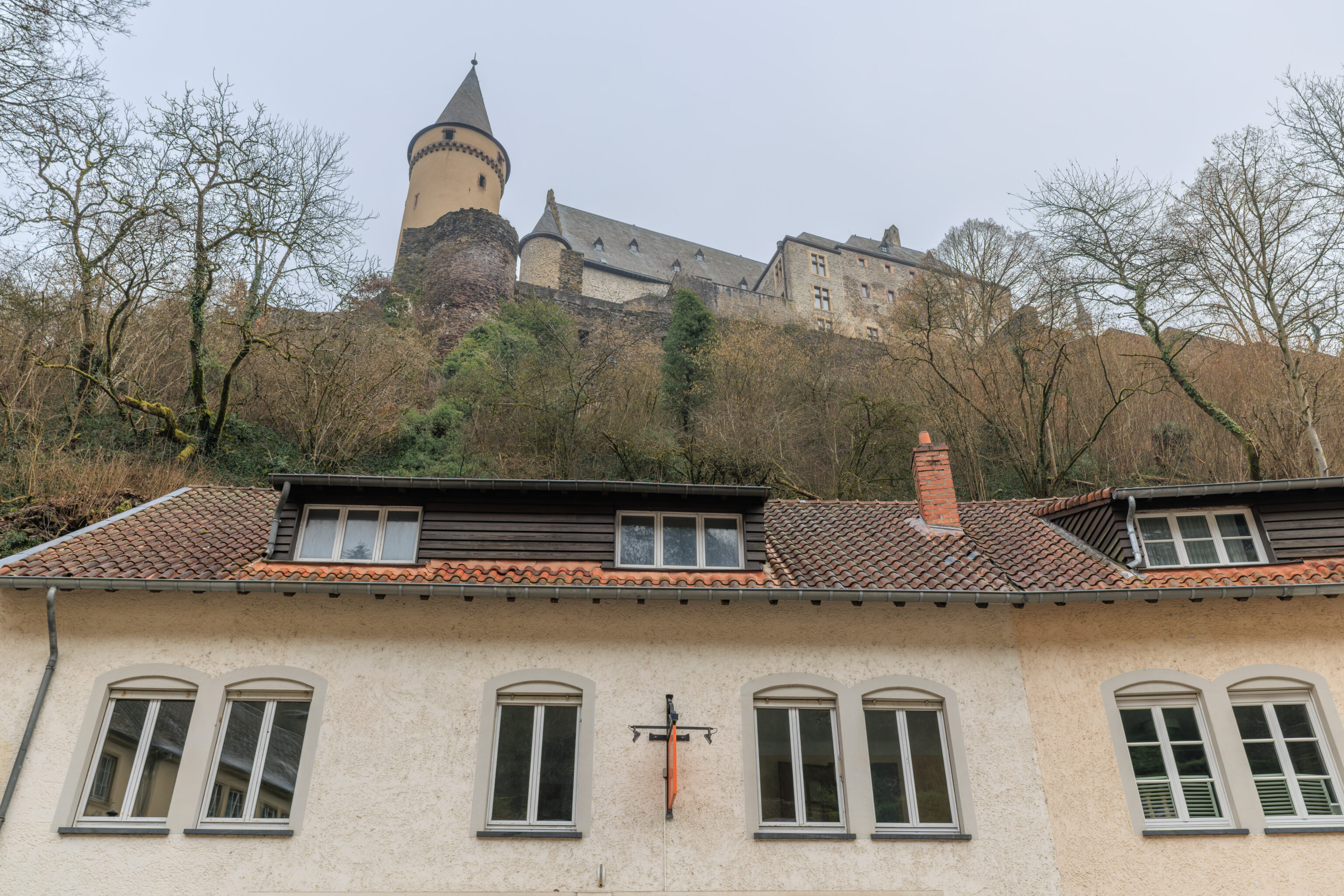
Looking up and to the right, we were able to see parts of the castle high above us.
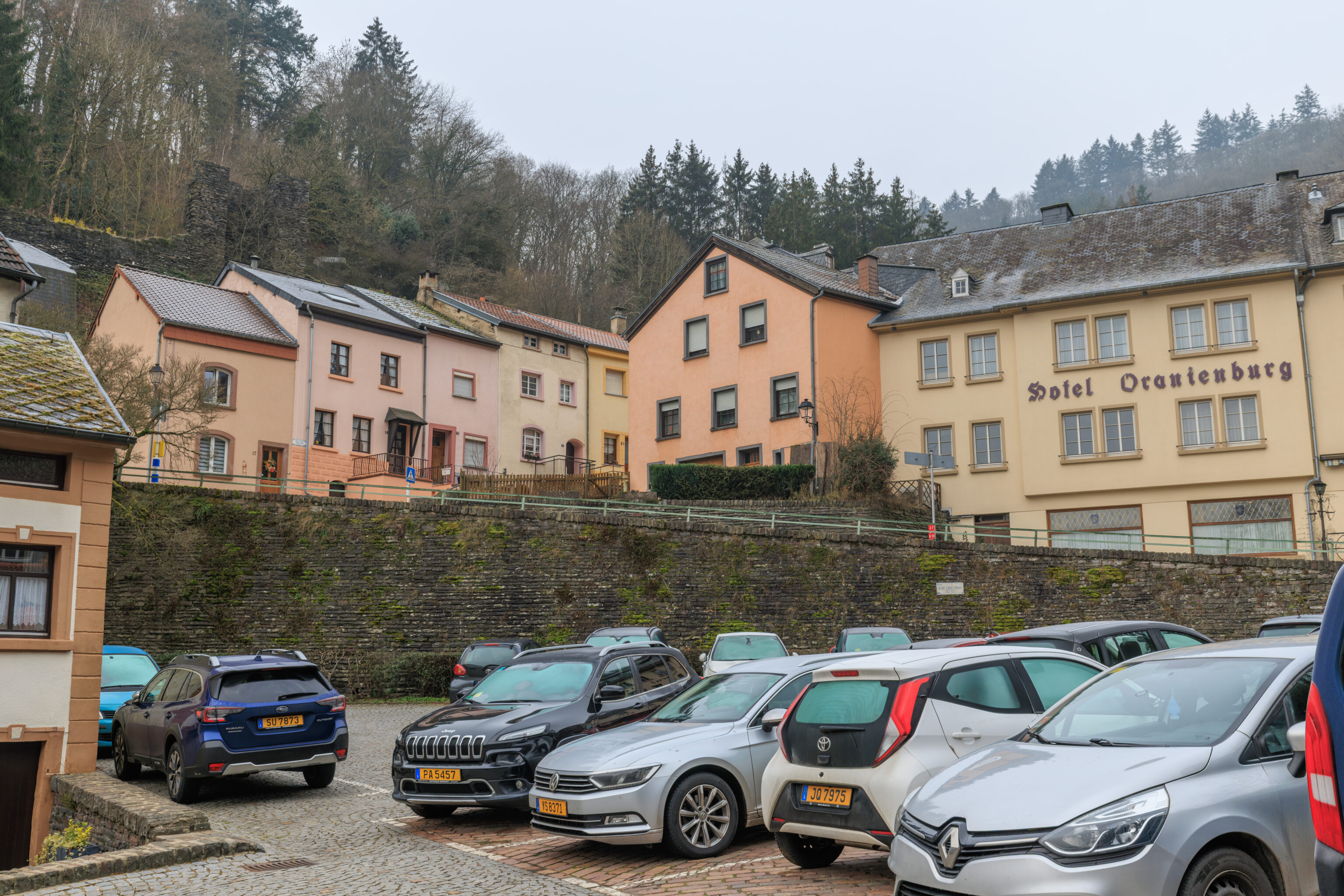
We arrived at another parking lot. Like the other one, we saw many parked cars. Are they all at church? Or visitors to the castle?
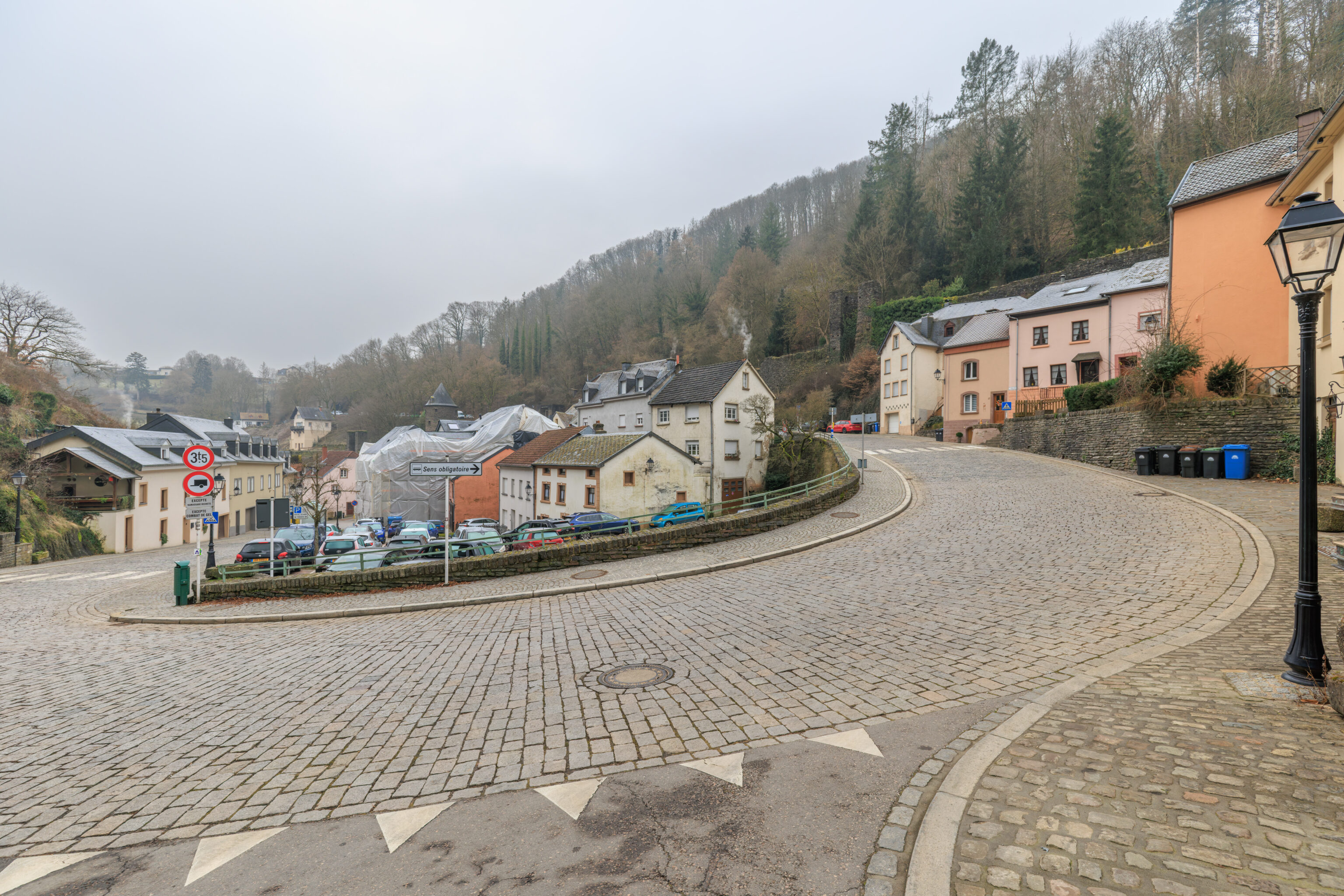
The street curves around the parking lot. We kept on going straight to head to the castle’s entrance.
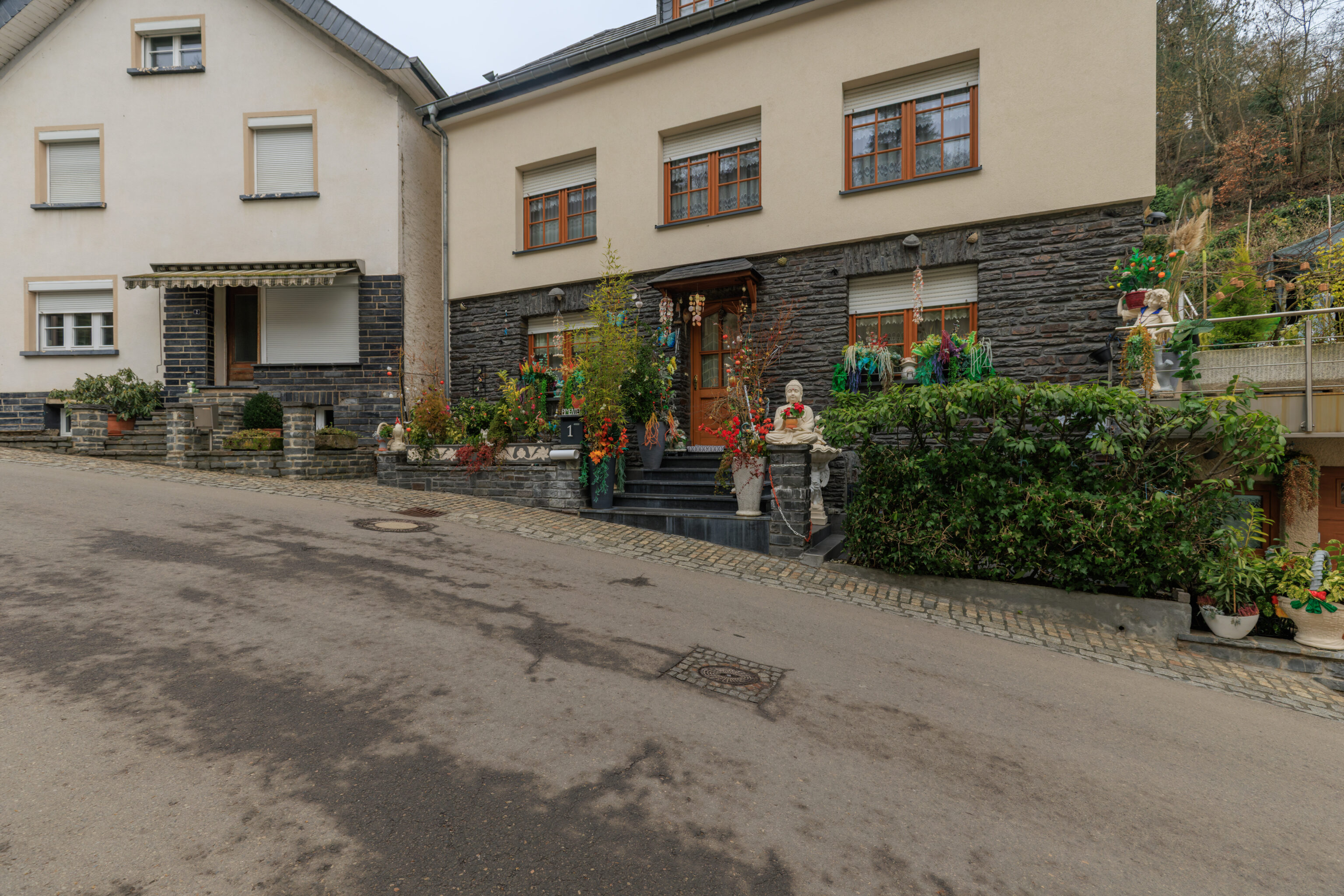
This house had many decorations in front!
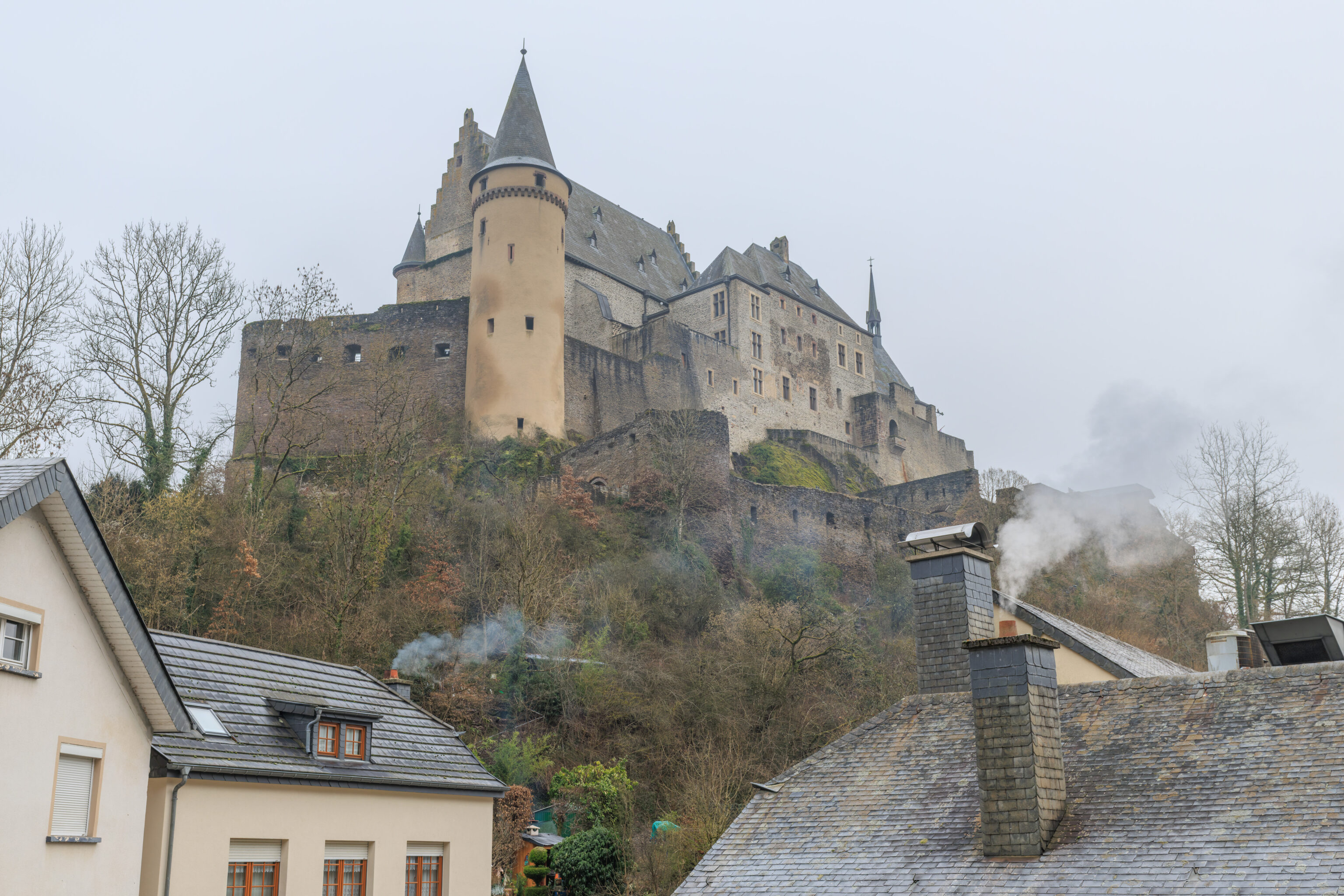
We had an excellent view of the castle, now to the southeast of us, as we continued to ascend.
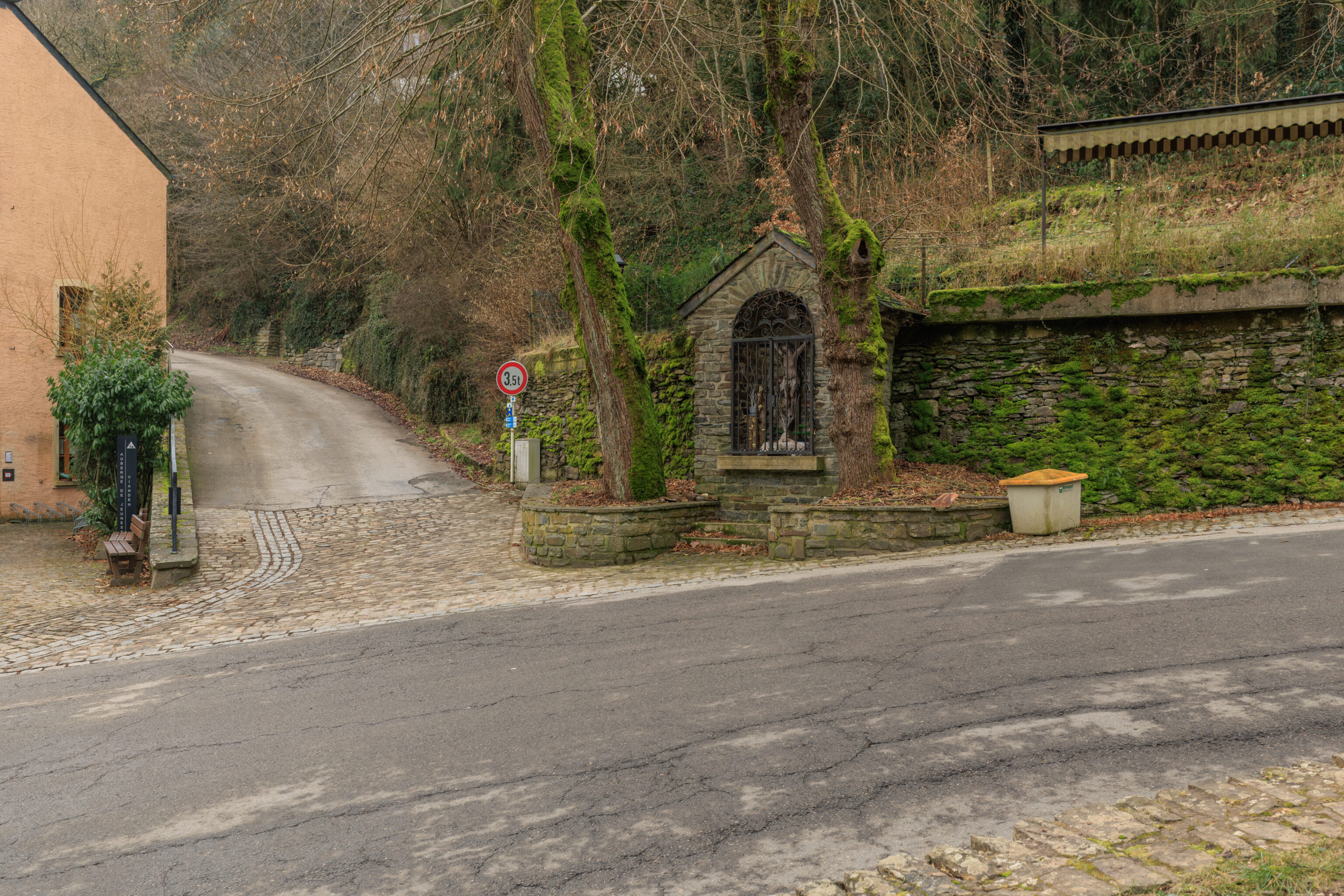
We walked past a small shrine.
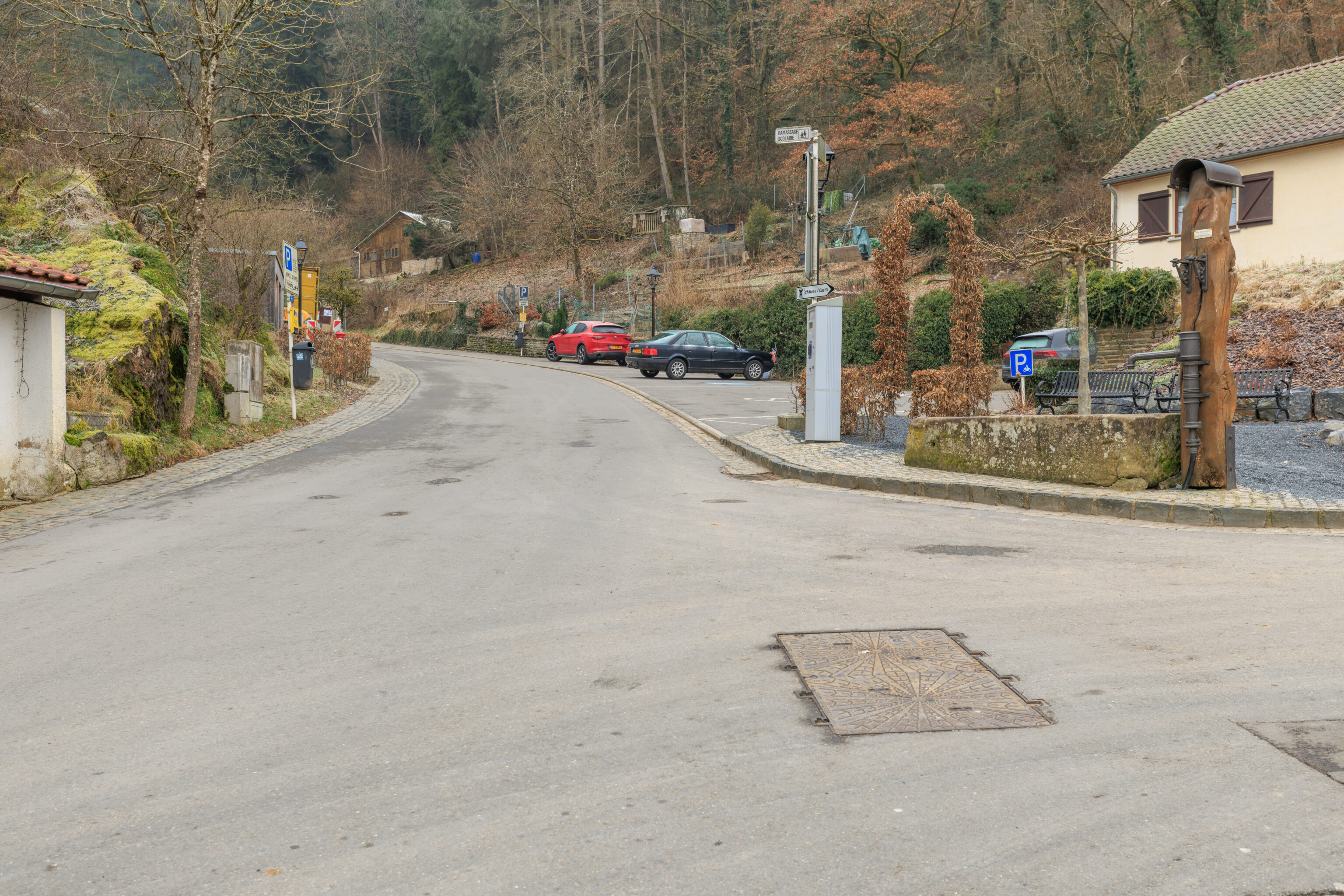
There was another junction here. We turned right.
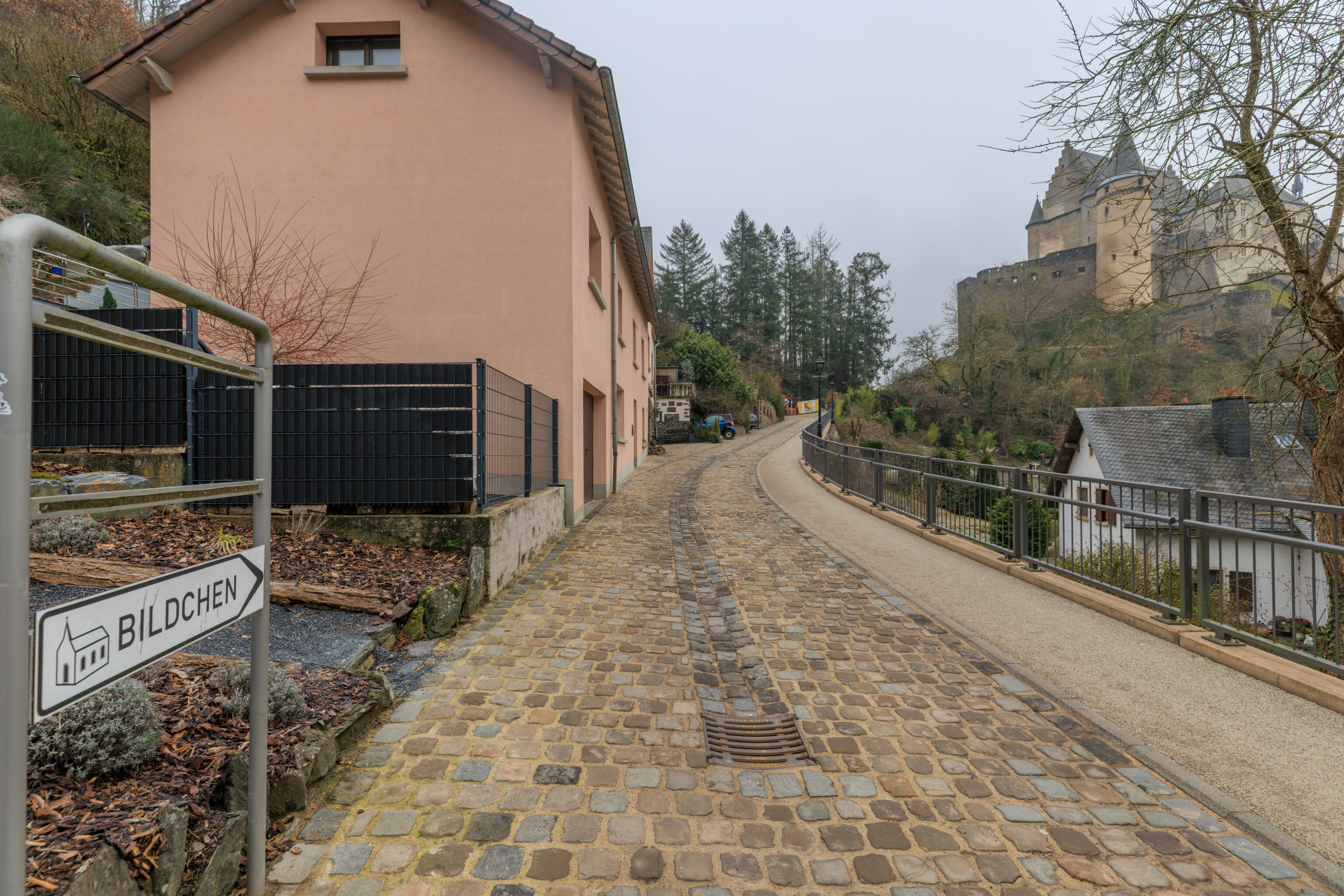
This smaller road leads to the castle’s entrance.
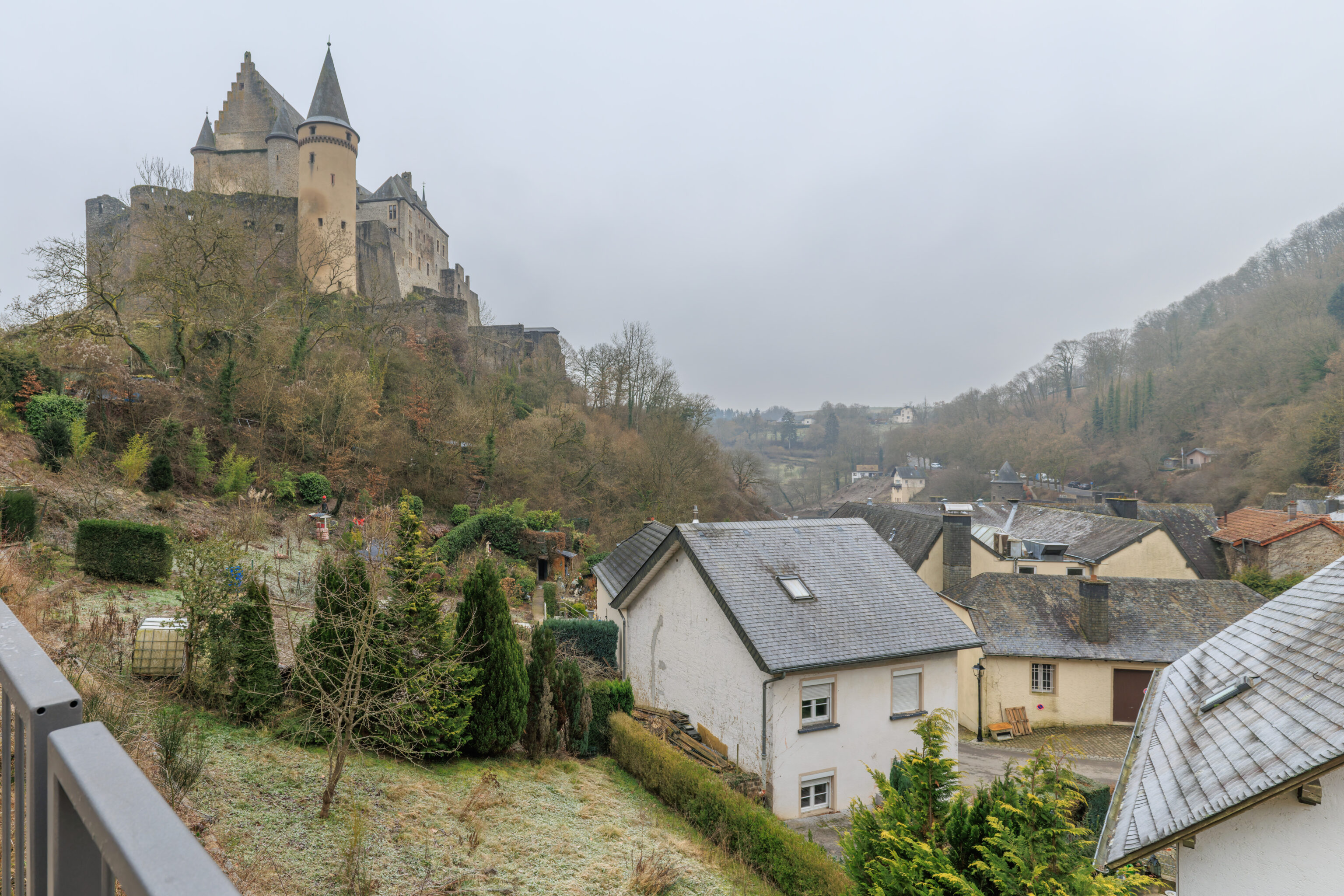
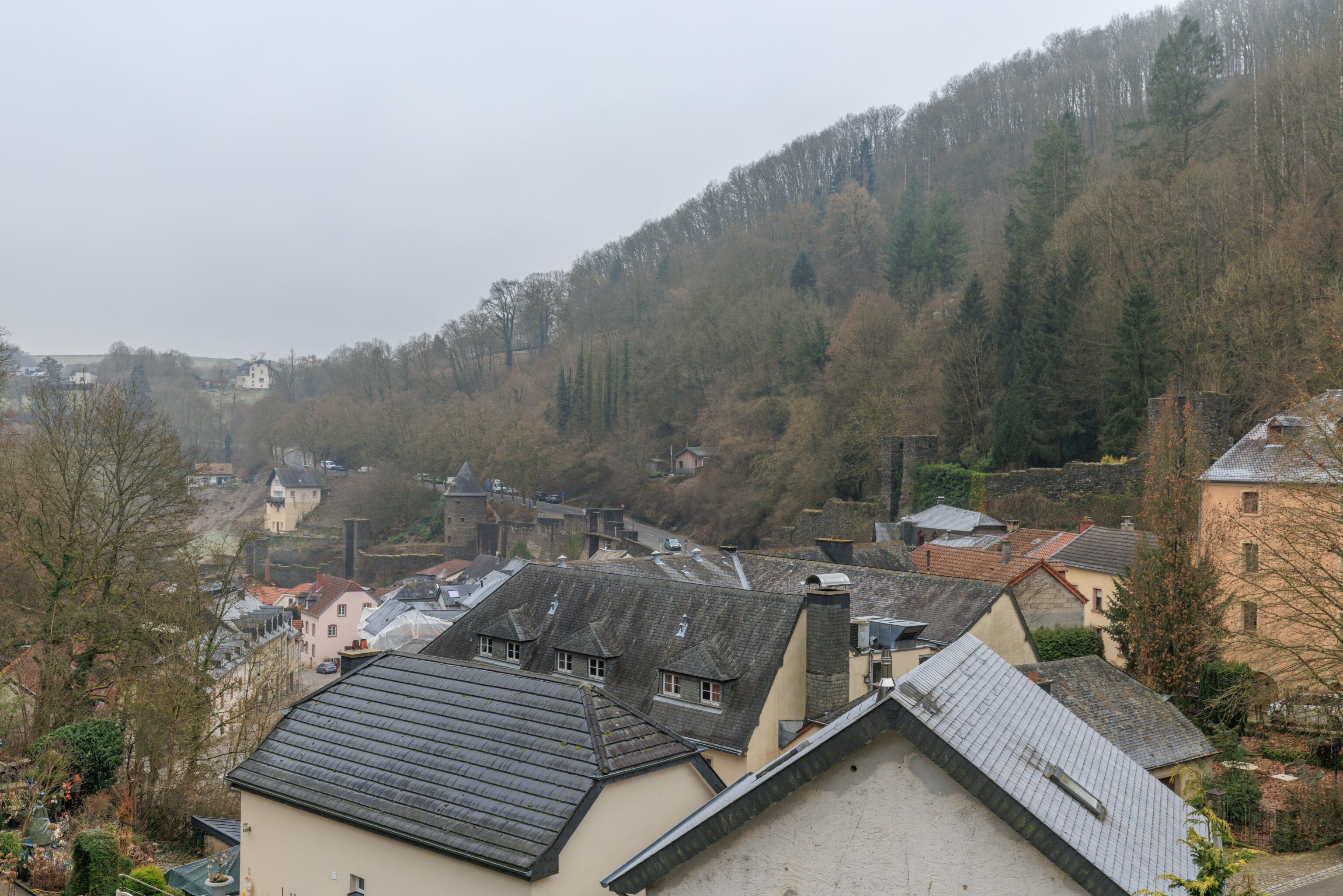
The view from this road overlooks Vianden and also has an excellent view of the castle, still above us.
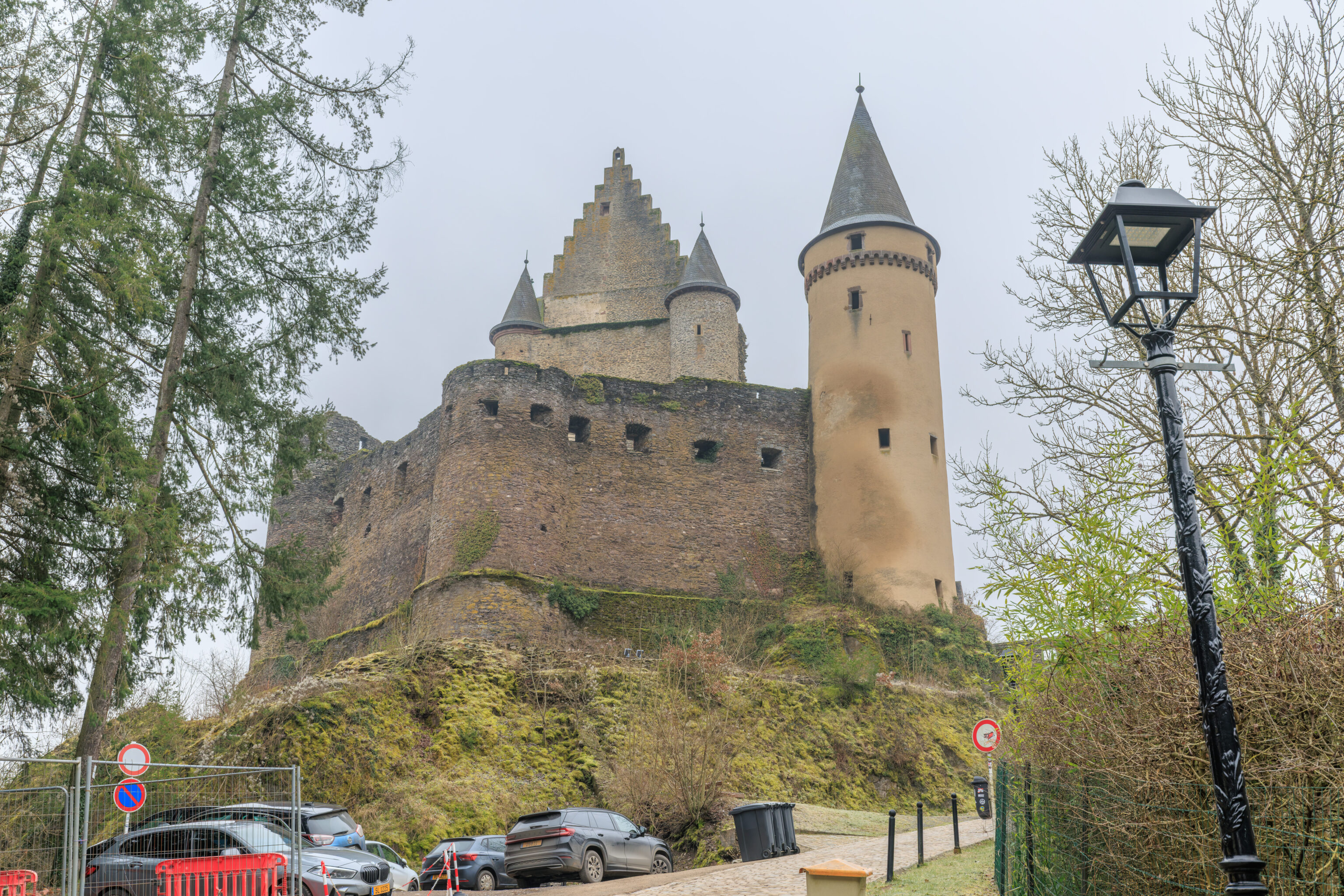
The road curved to the right, ending at a small parking lot below the castle.
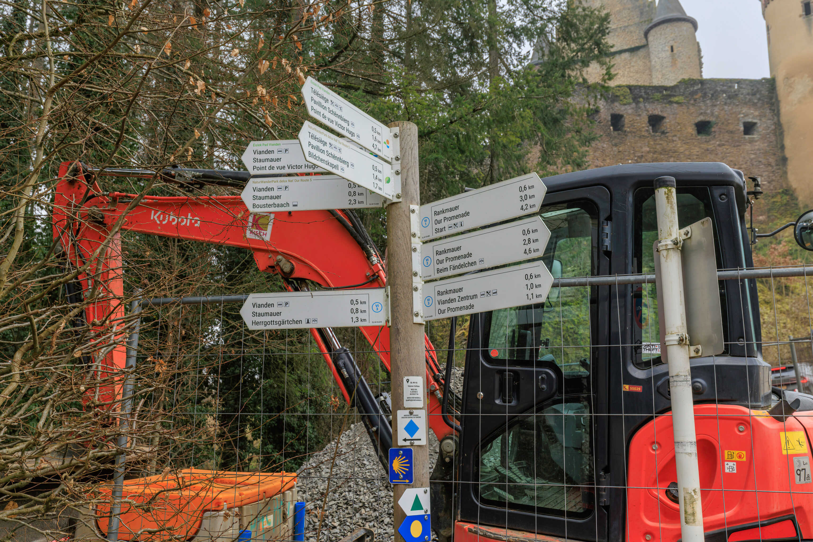
These signs show distances to various destinations along various walking paths.
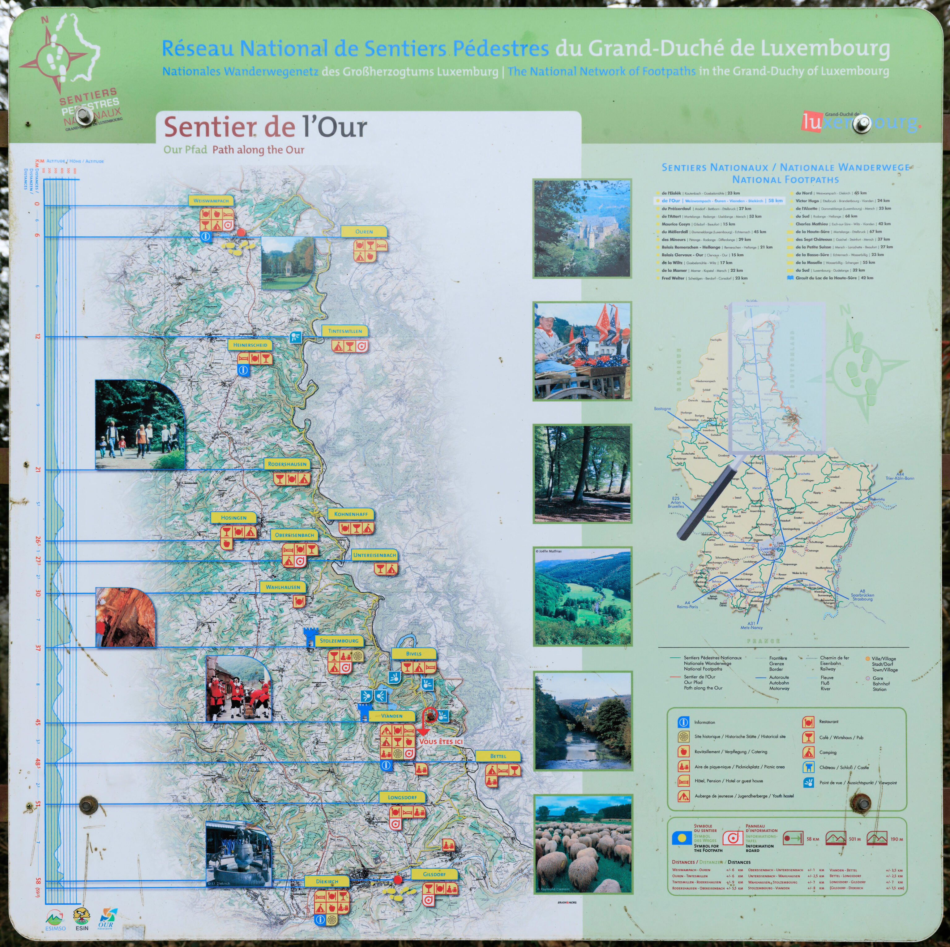
This map depicts a path along the Our in northeastern Luxembourg. The path is marked with a yellow line on this map and is blazed with a blue marker with yellow circle. Ettelbruck is near the bottom left corner of the map, although it doesn’t have a big yellow label like nearby Diekirch, home of the Diekirch beer that we had yesterday during lunch.
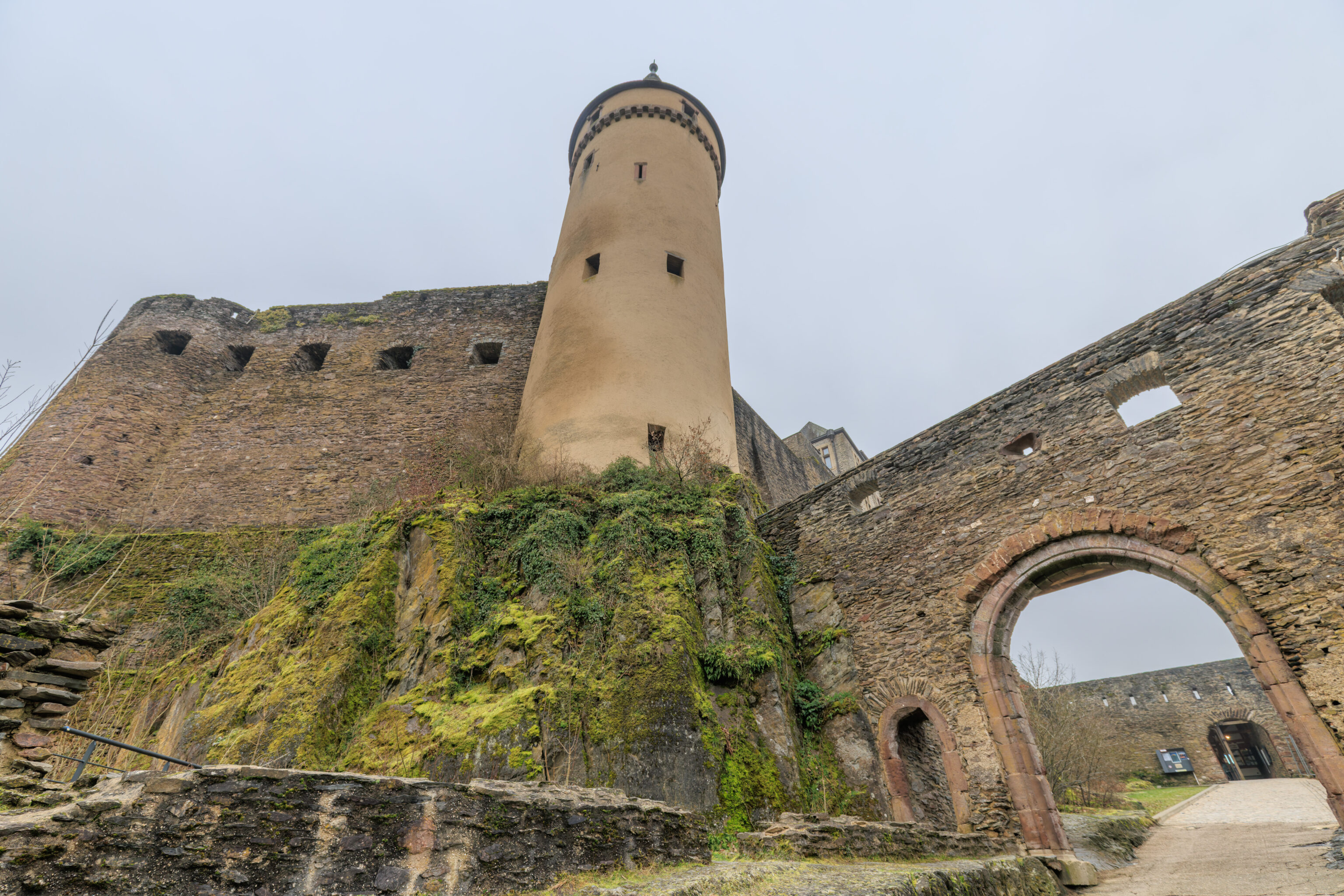
We entered the castle via the gate here on the right.
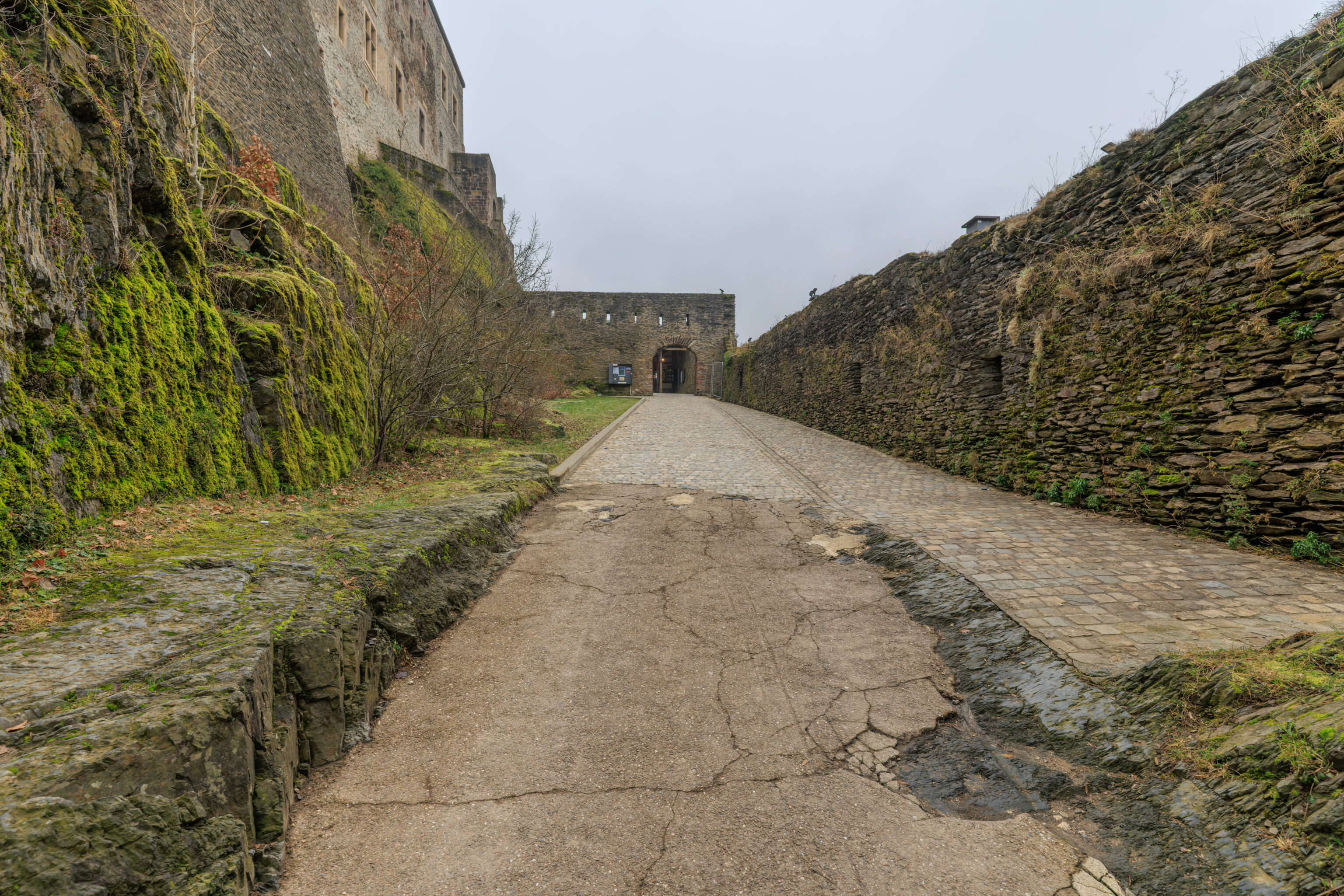
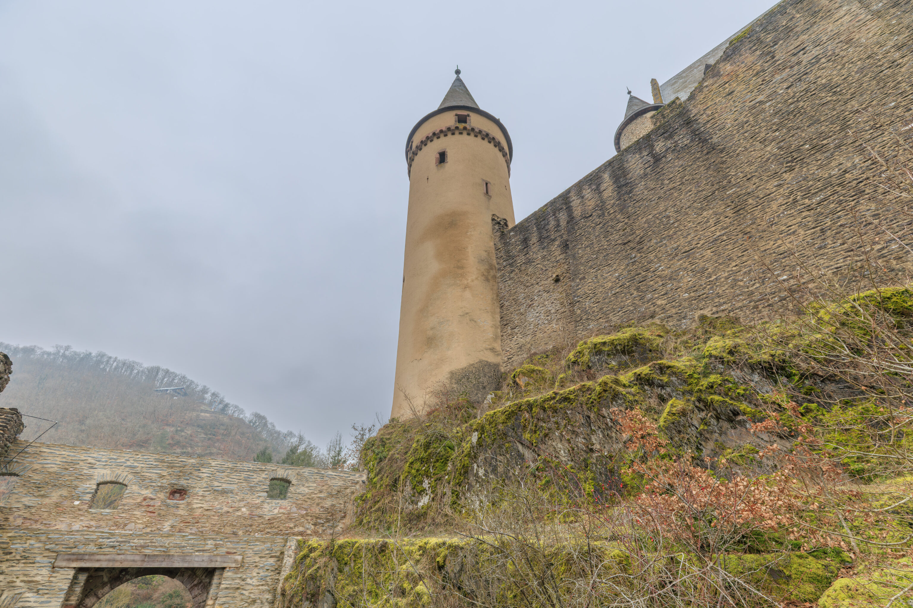
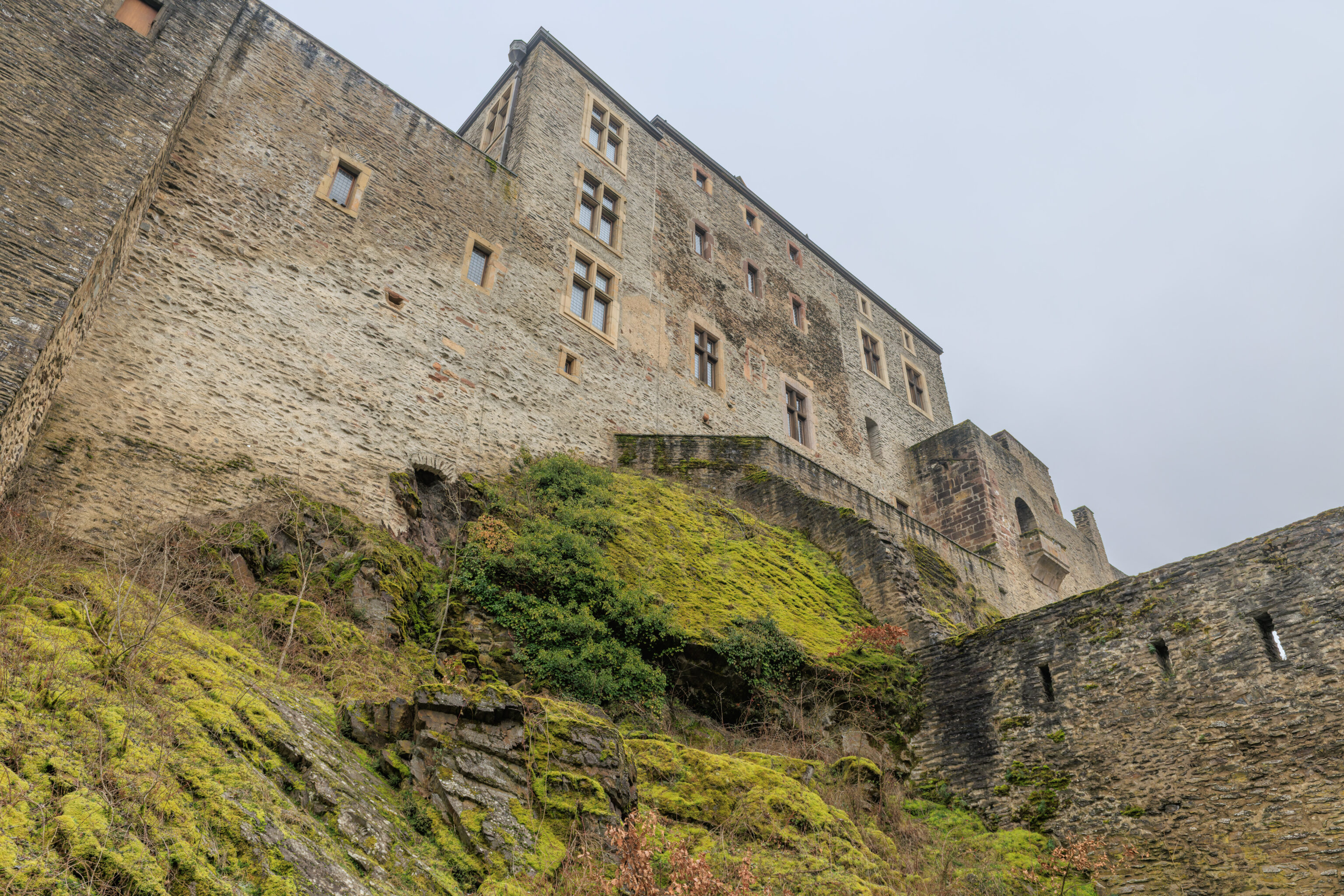
The path continued to ascend.
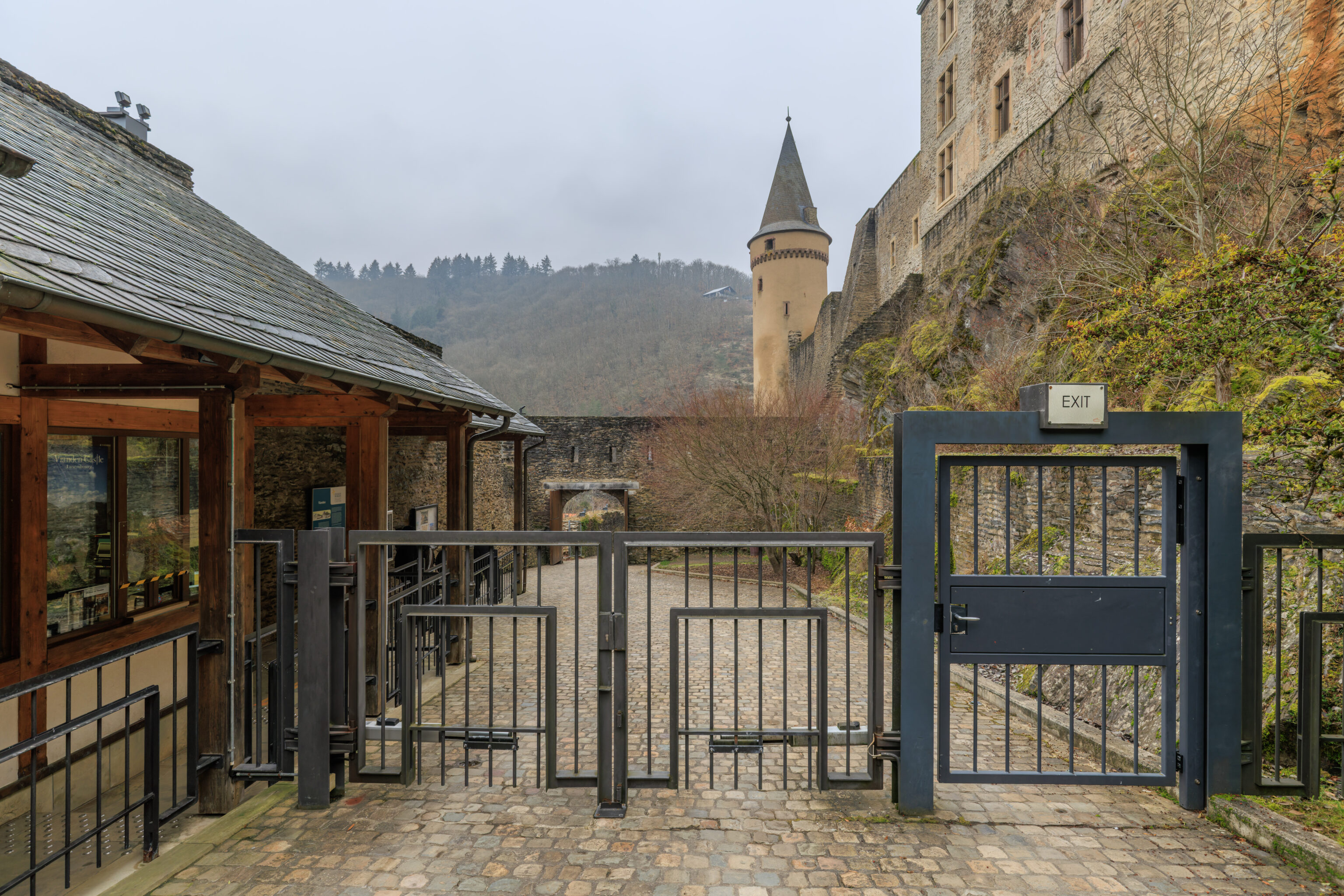
There was a small ticket office here as well as a separate gate to exit. This was the view after we had purchased our tickets and entered the paid area of the castle grounds.
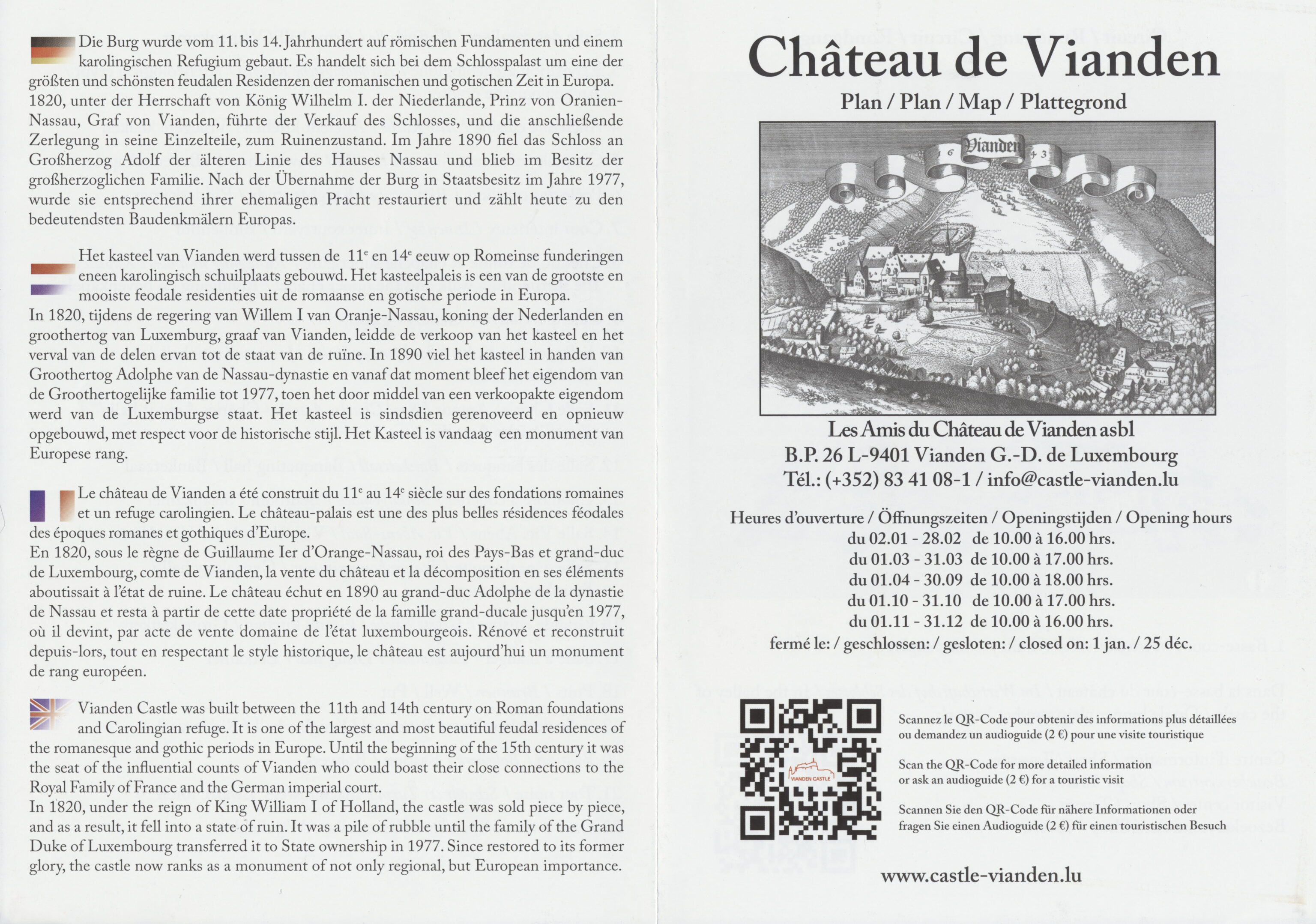
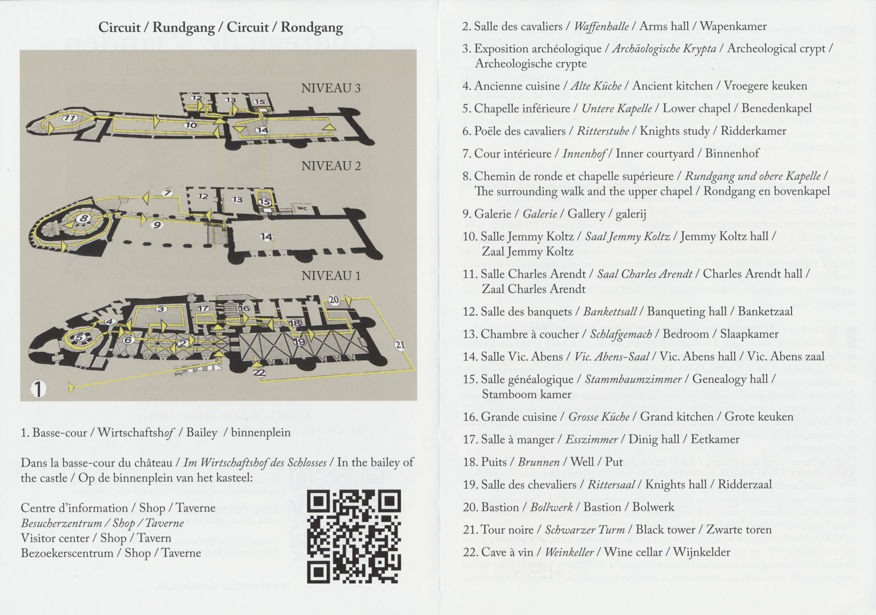
We received an informational pamphlet with map of the castle building. The below text is a translation of the German text from the pamphlet because the English text is missing one critical character in the first sentence.
The castle was built between the 11th and 14th centuries upon Roman foundations and the site of a Carolingian refuge. The palace complex stands as one of Europe's largest and finest feudal residences from the Romanesque and Gothic eras.

In 1820—during the reign of King William I of the Netherlands (also Prince of Orange-Nassau and Count of Vianden)—the sale of the castle and its subsequent dismantling led to its falling into ruin. In 1890, the castle passed to Grand Duke Adolf of the elder line of the House of Nassau and remained in the possession of the Grand Ducal family. After the state acquired the castle in 1977, it was restored to its former splendor and is now considered one of Europe's most significant architectural monuments.
– Text from the pamphlet, translated from German using Google Translate.
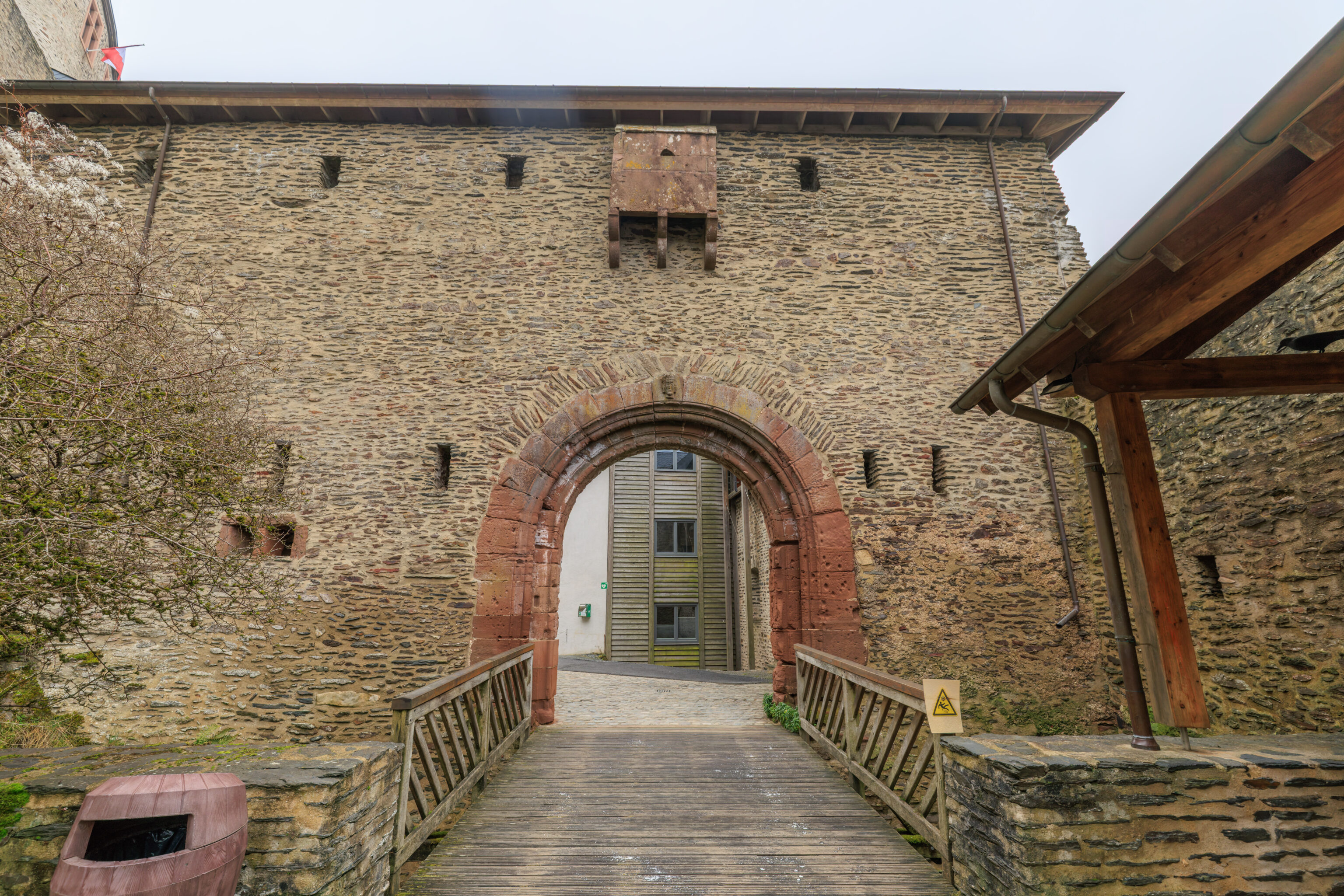
We continued through another gate.
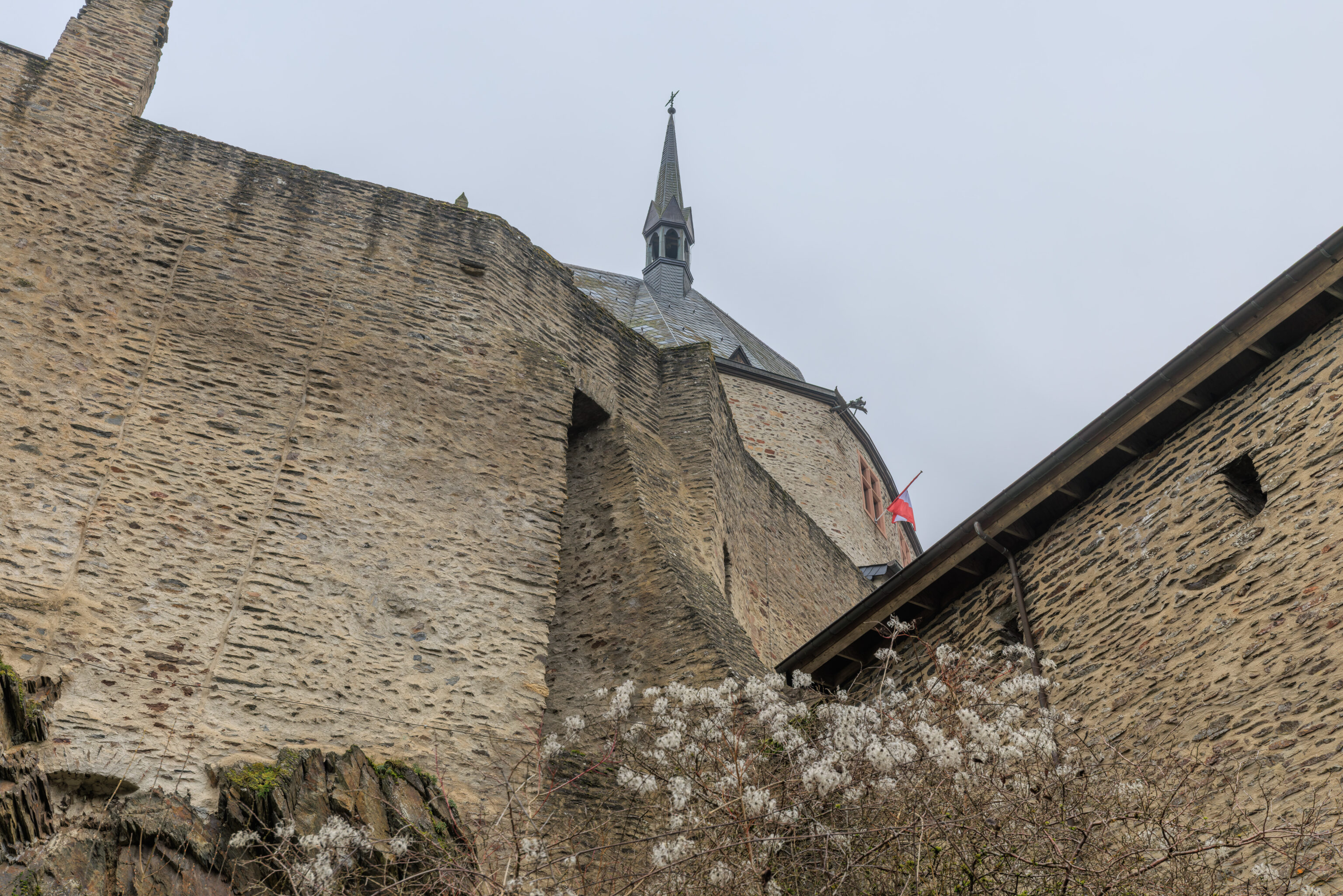
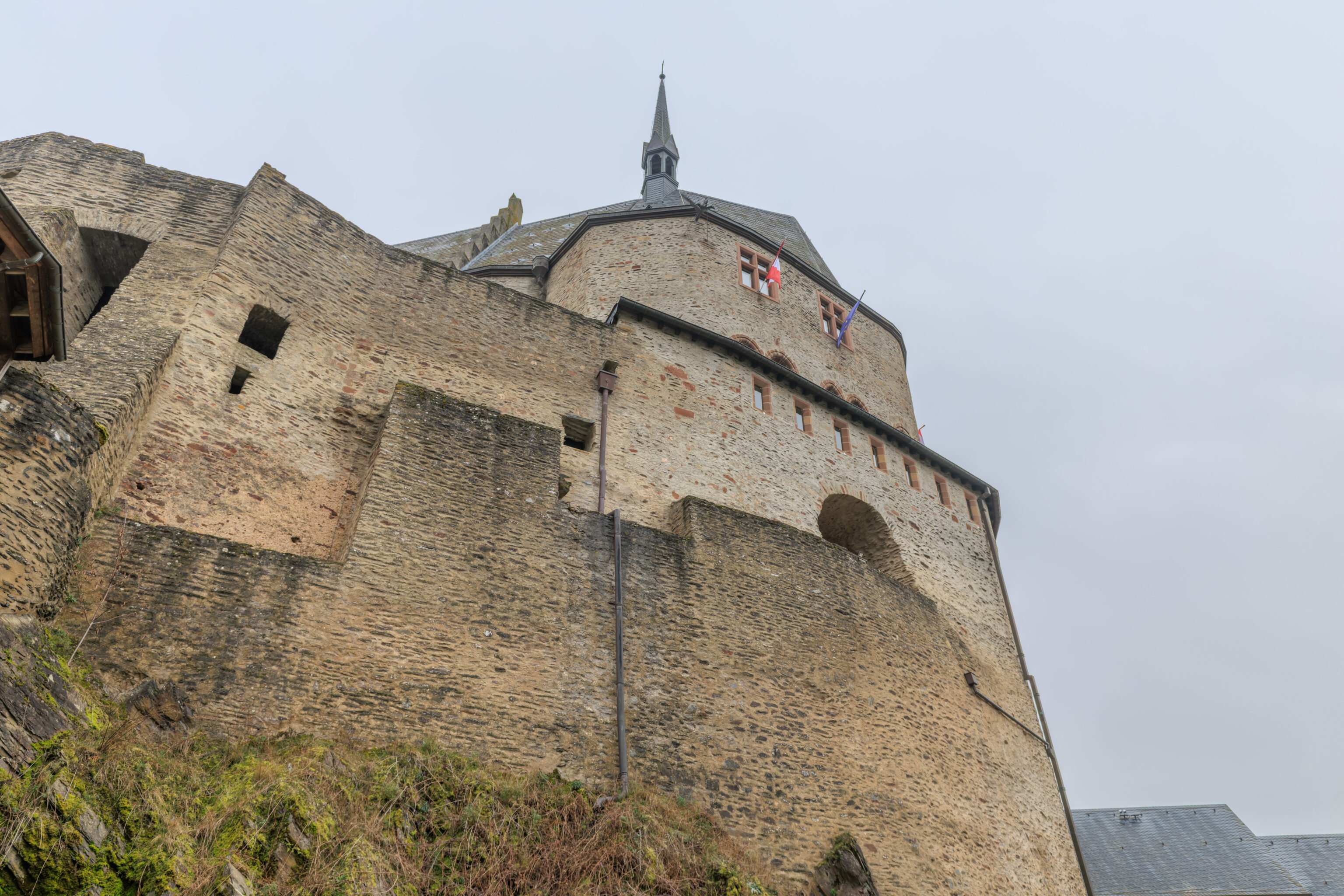
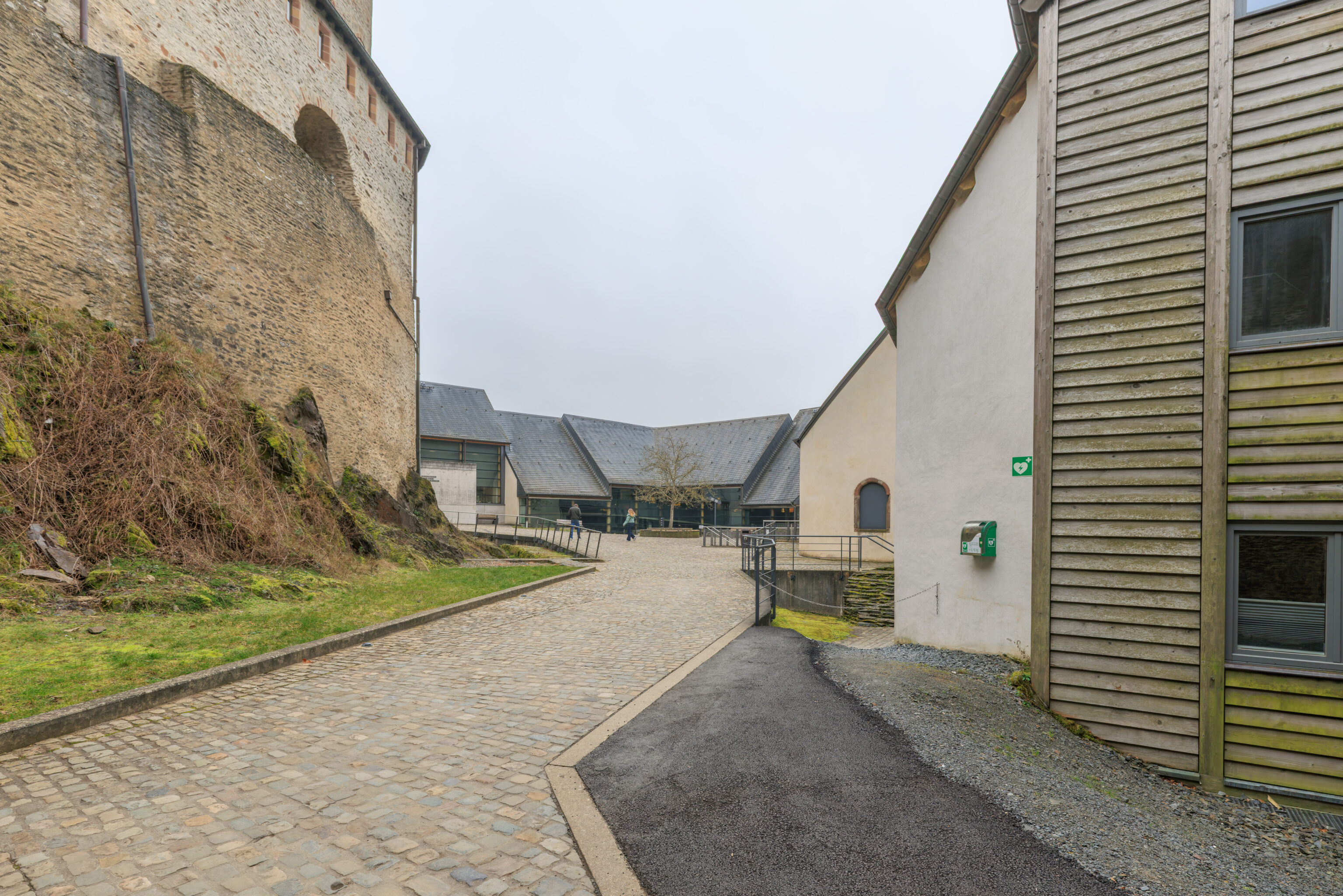
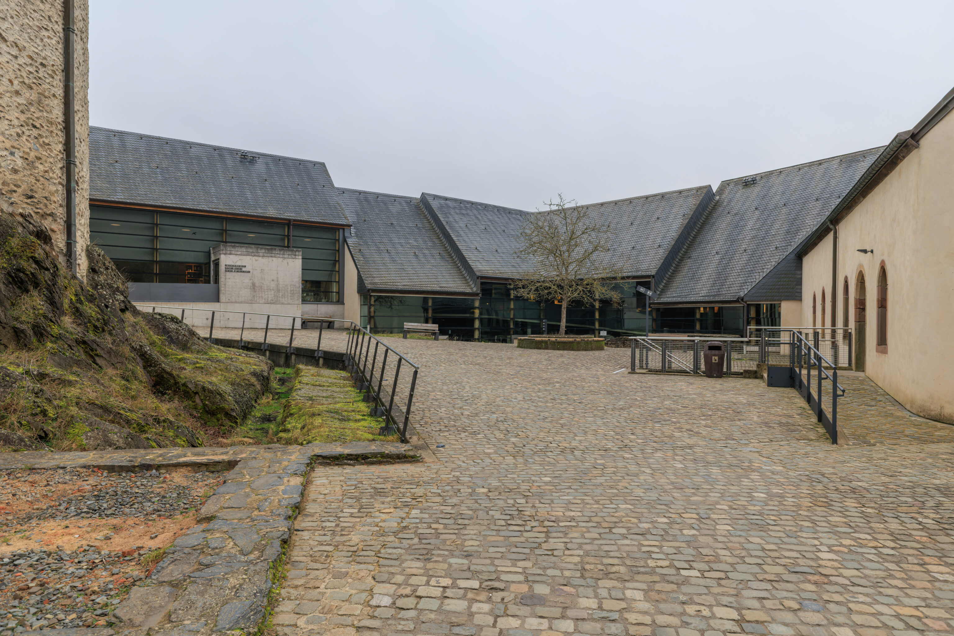
Just past this gate, we reached this sort of courtyard area, technically a bailey, at the southern tip of the castle. The building ahead of us contains a museum and gift shop.
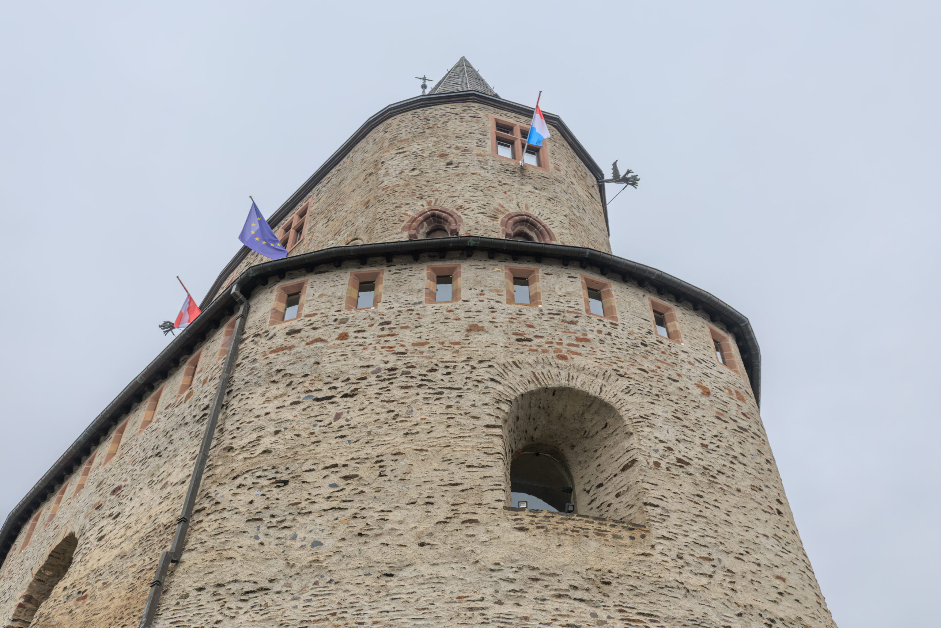
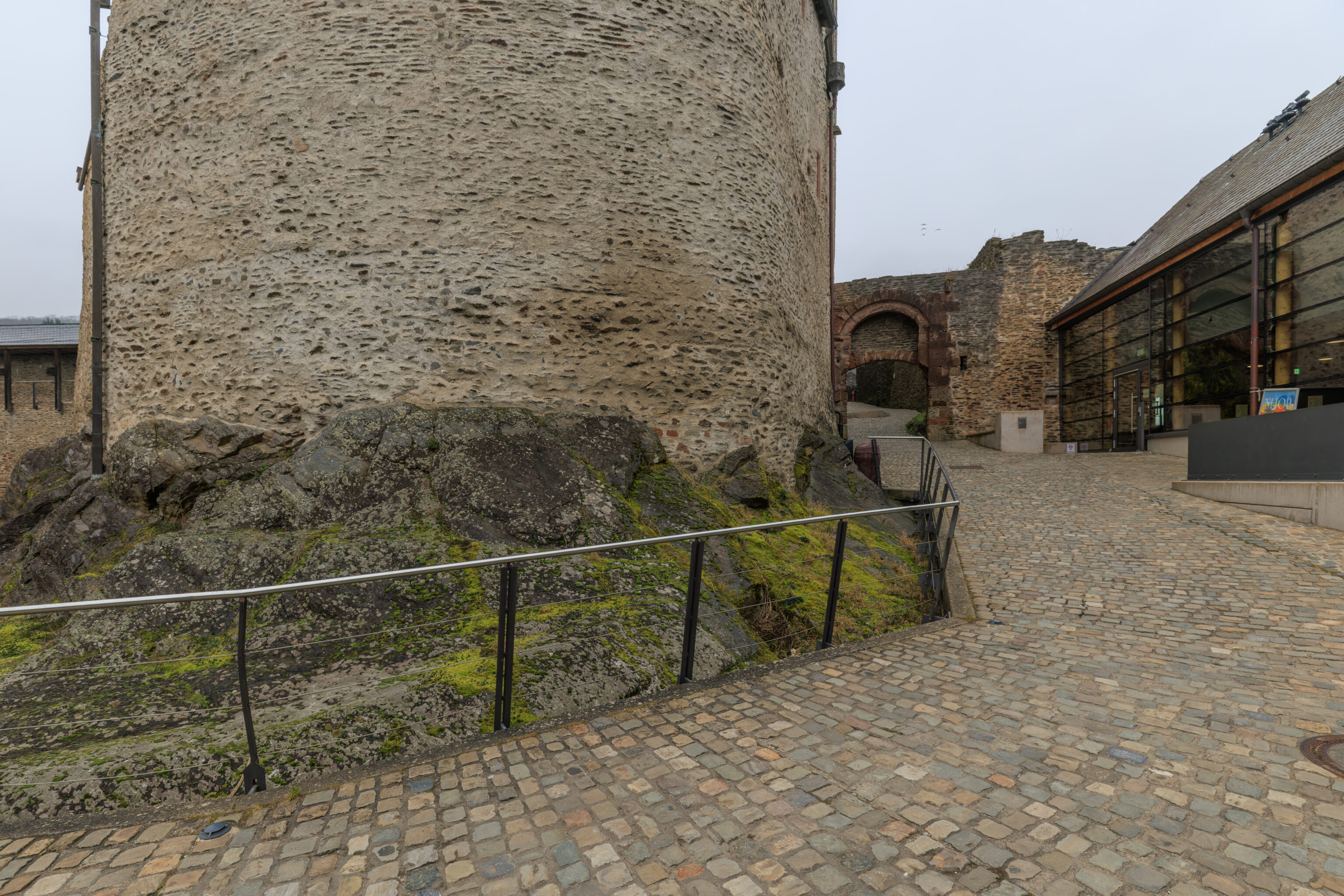
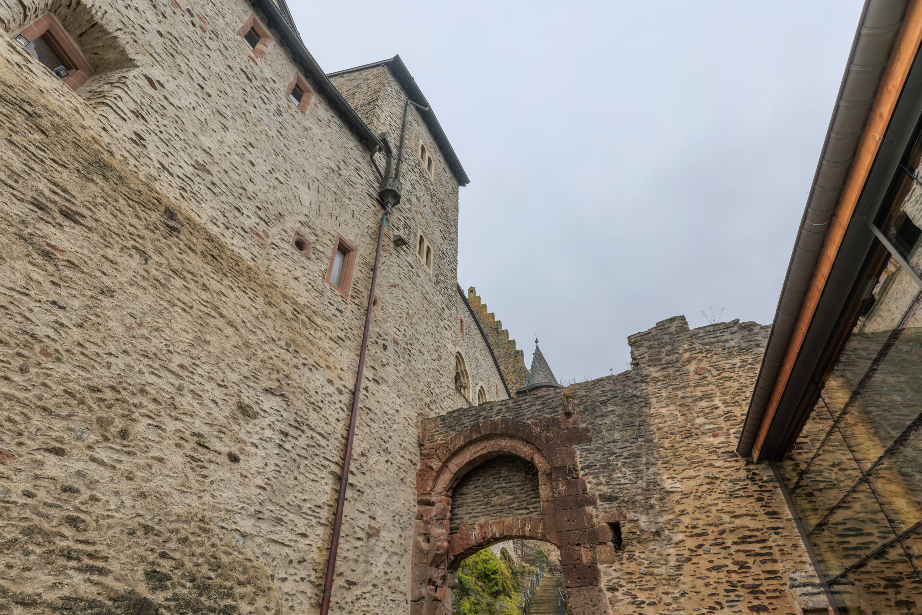
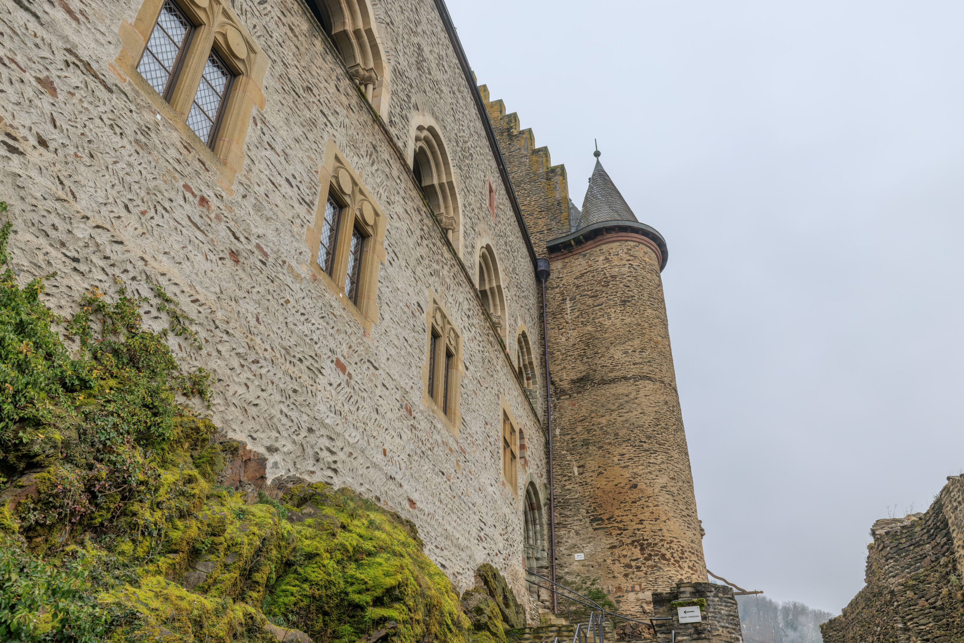
We decide to continue on to enter the castle. The entrance was on the castle’s eastern side.
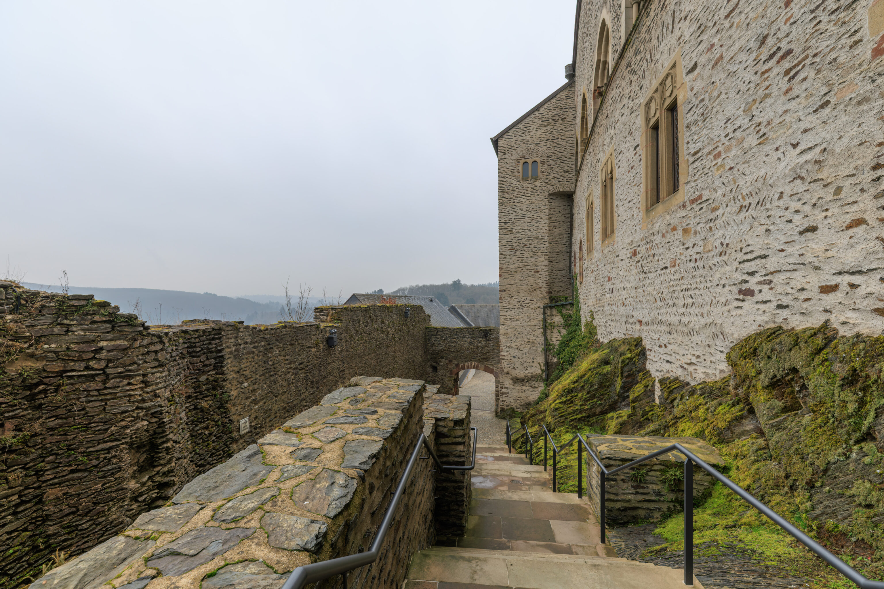
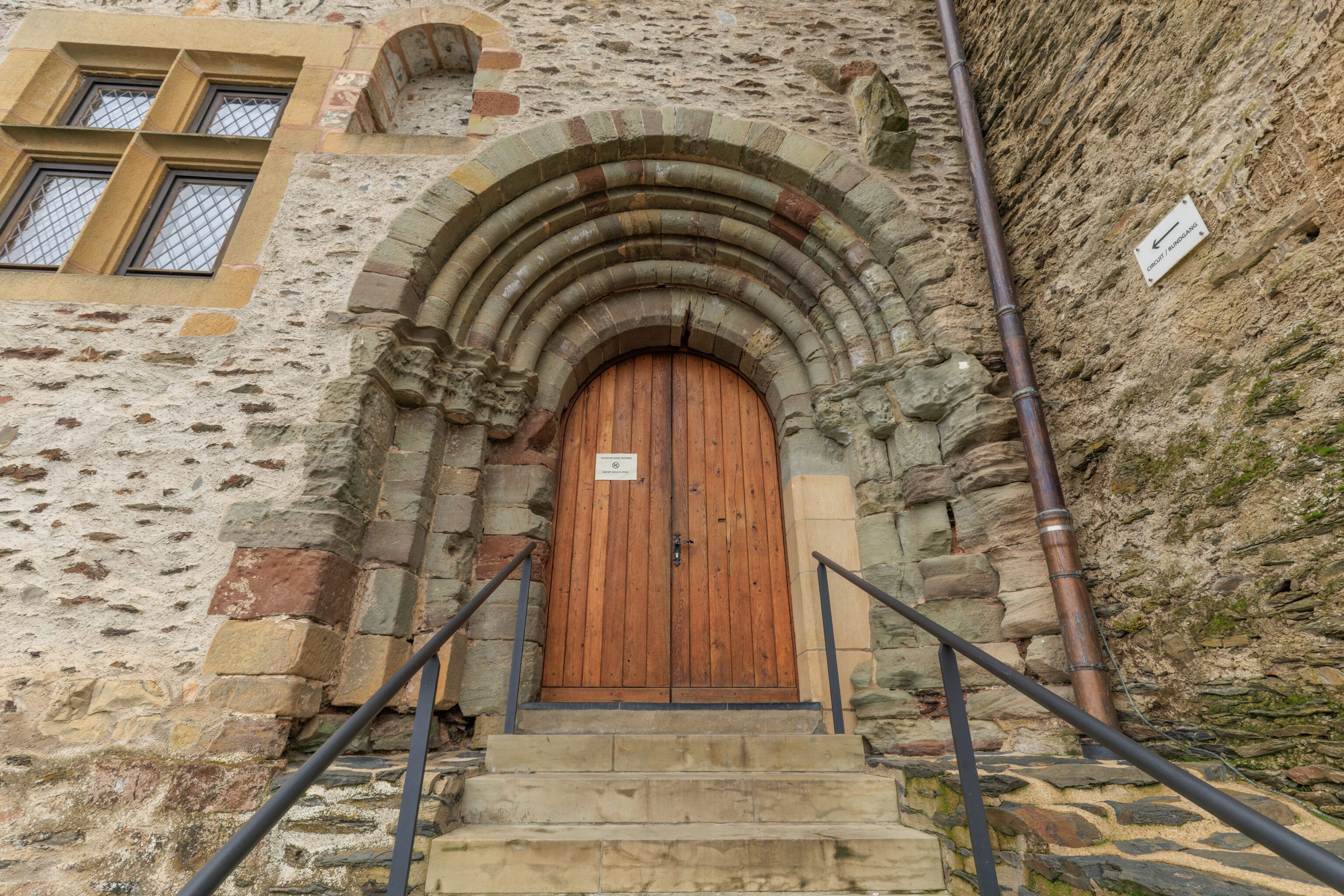
We walked up these stairs to access the entrance door.
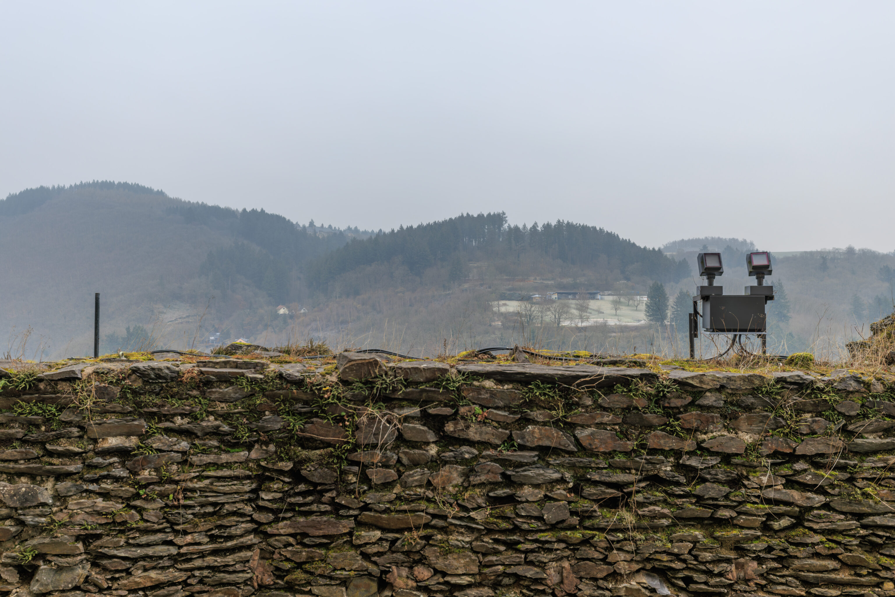
Although there is a view to the east from this door, the castle wall is a bit too high to see much.
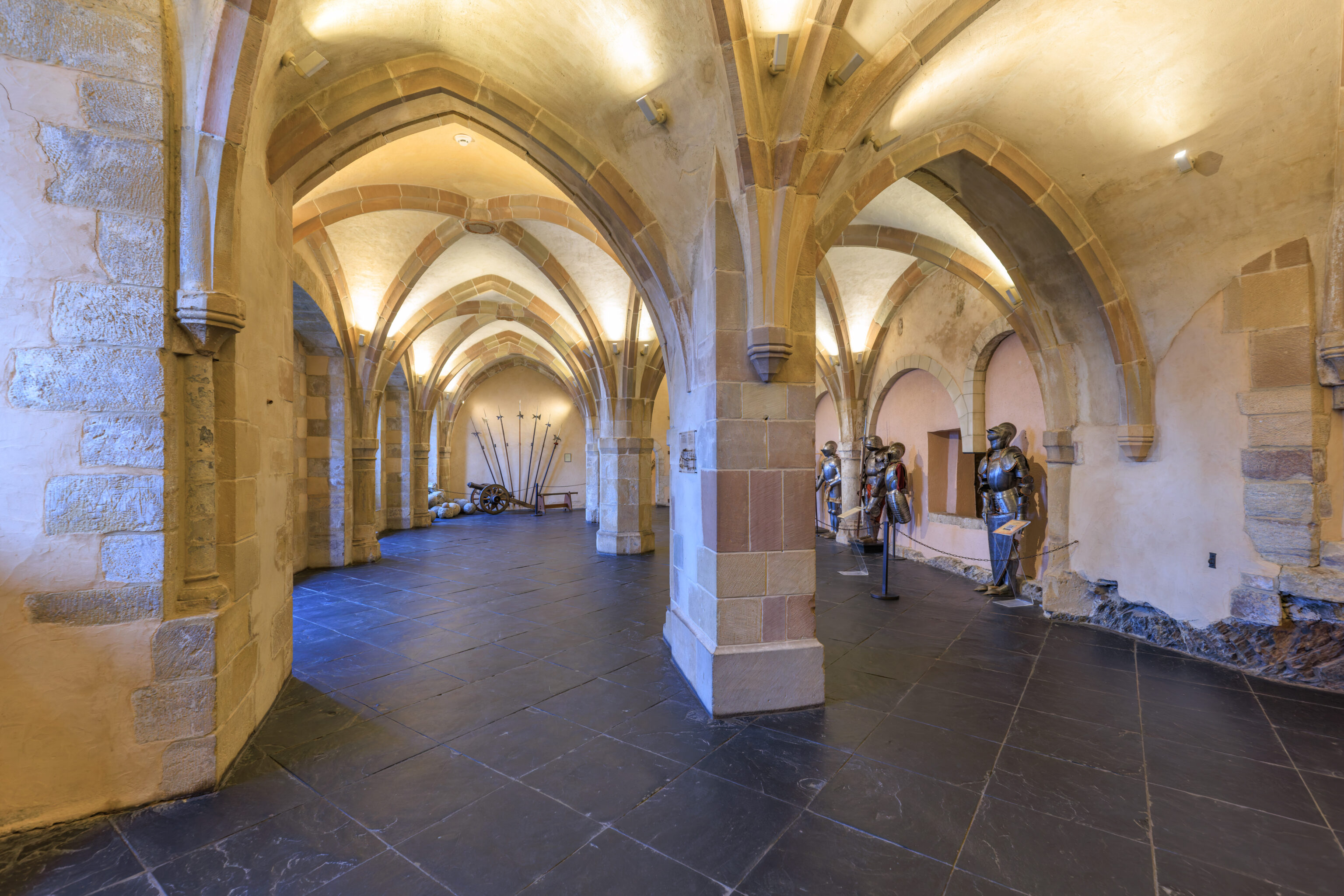
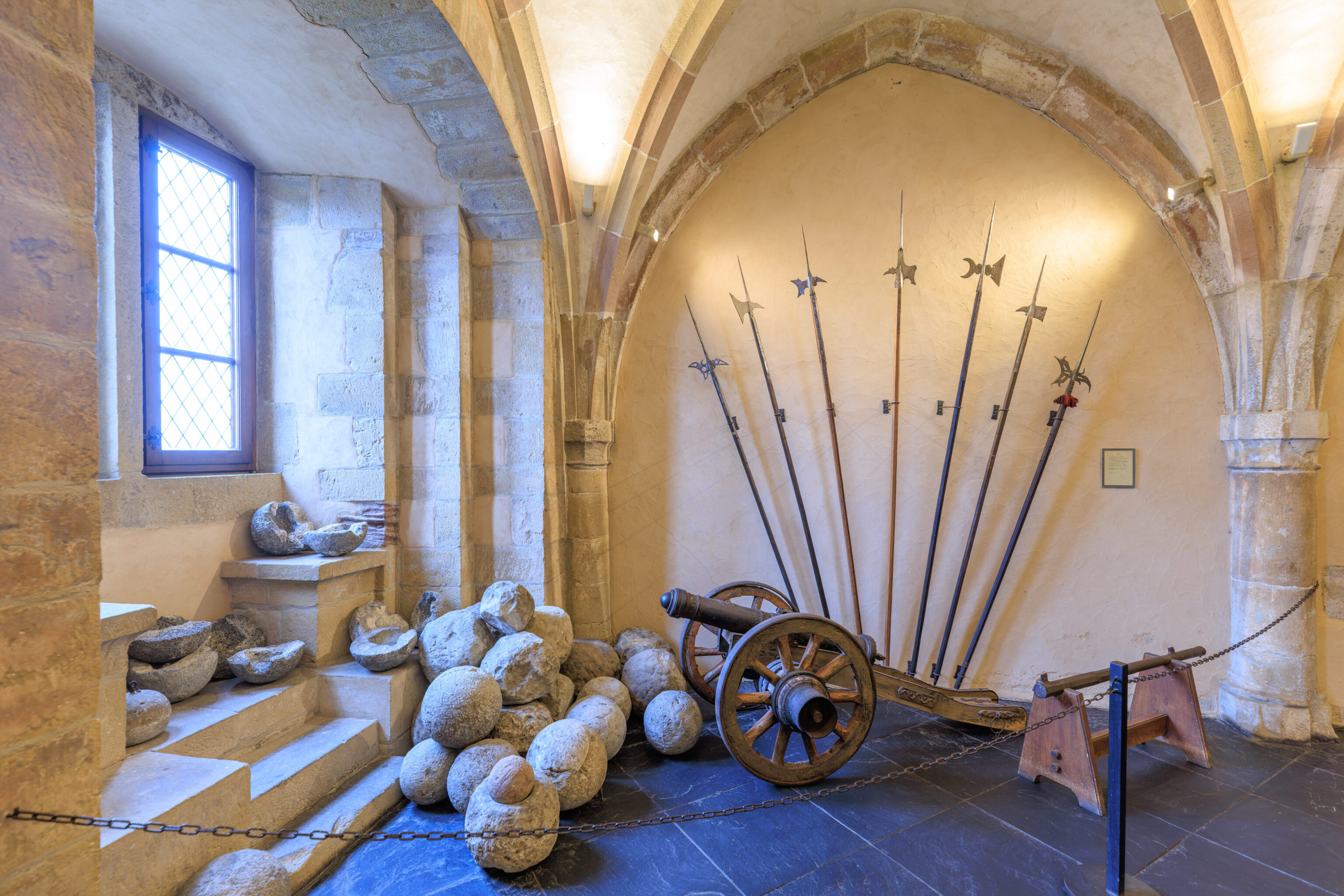
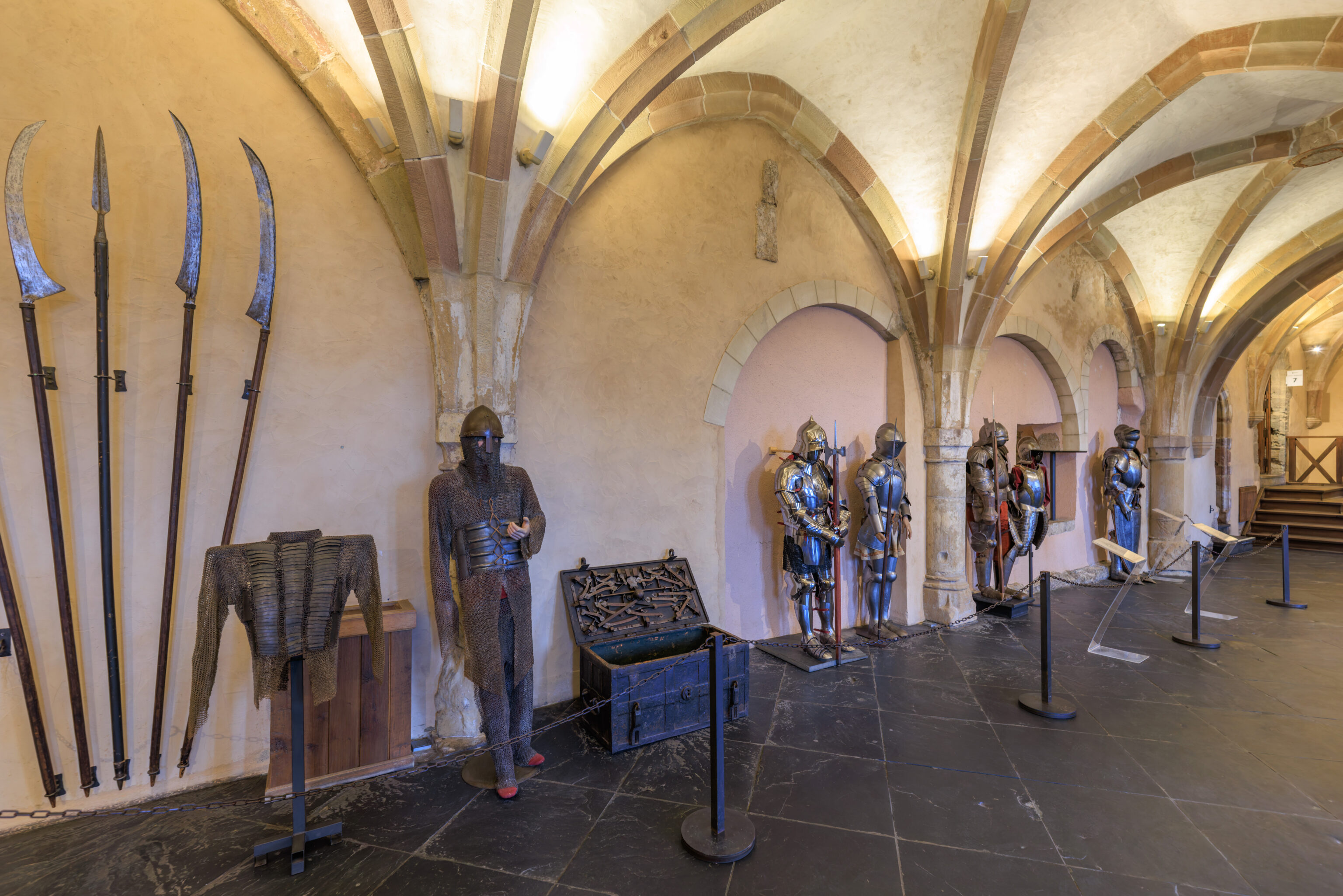
The first room we entered, the Arms Hall, contained an armor display.
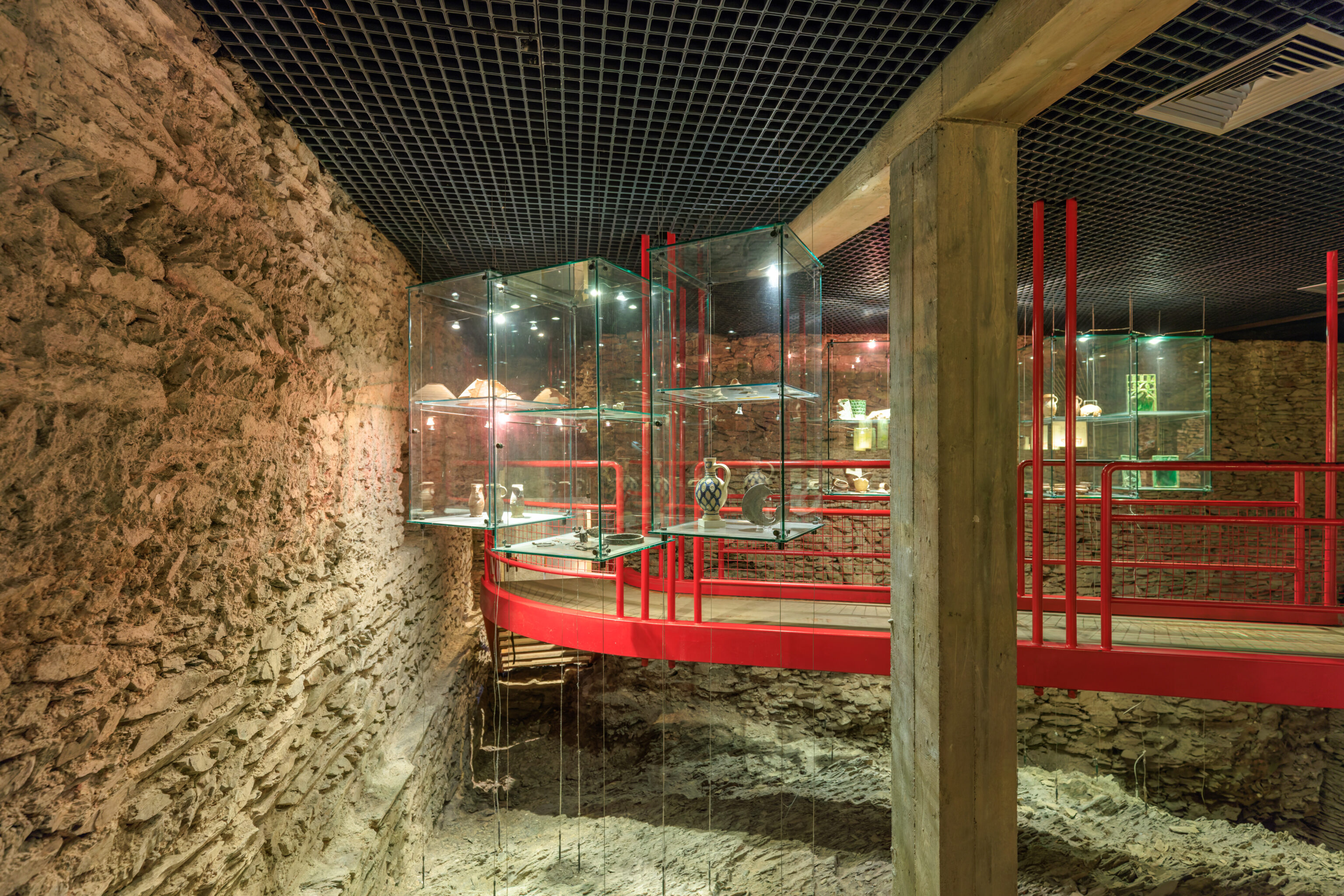
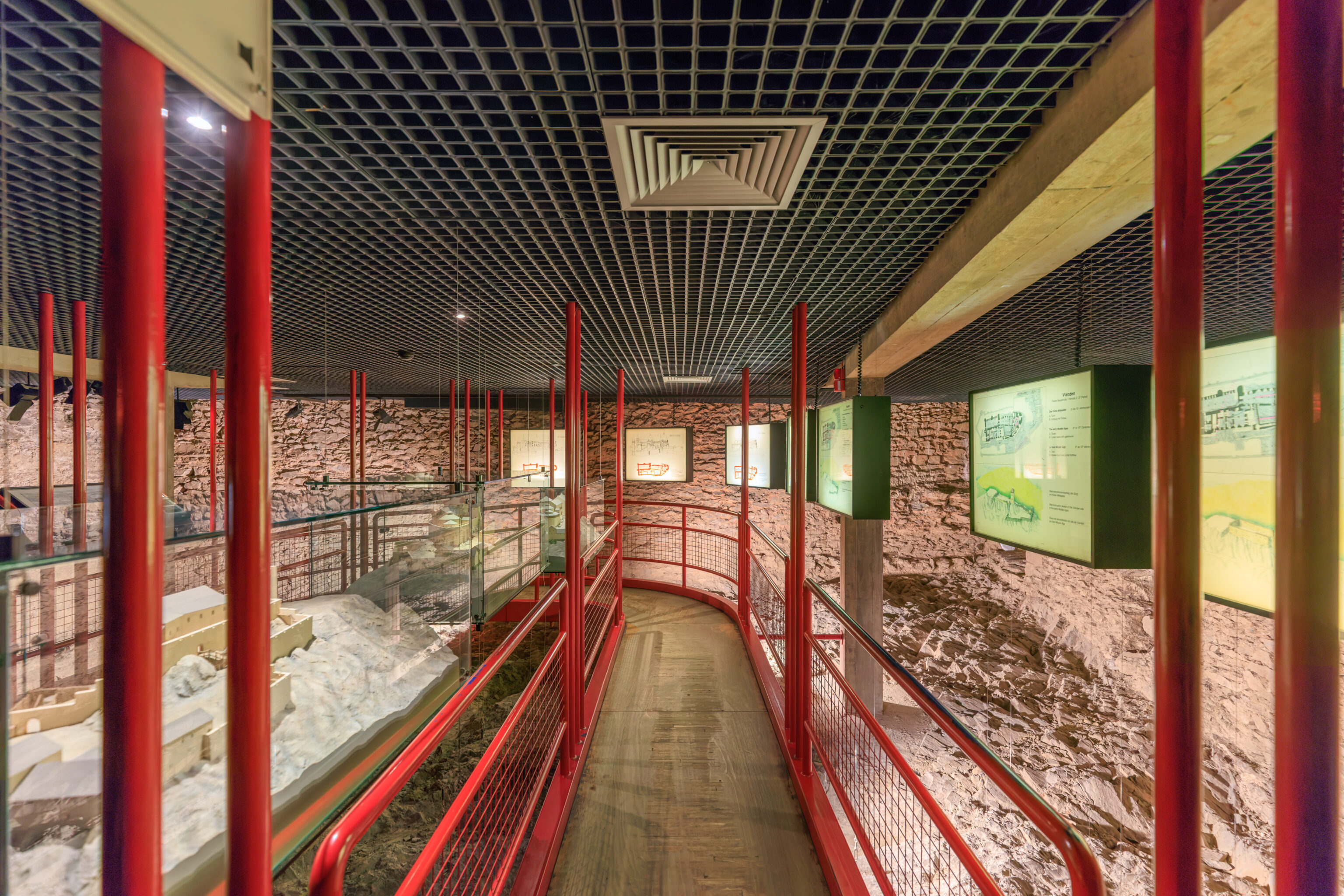
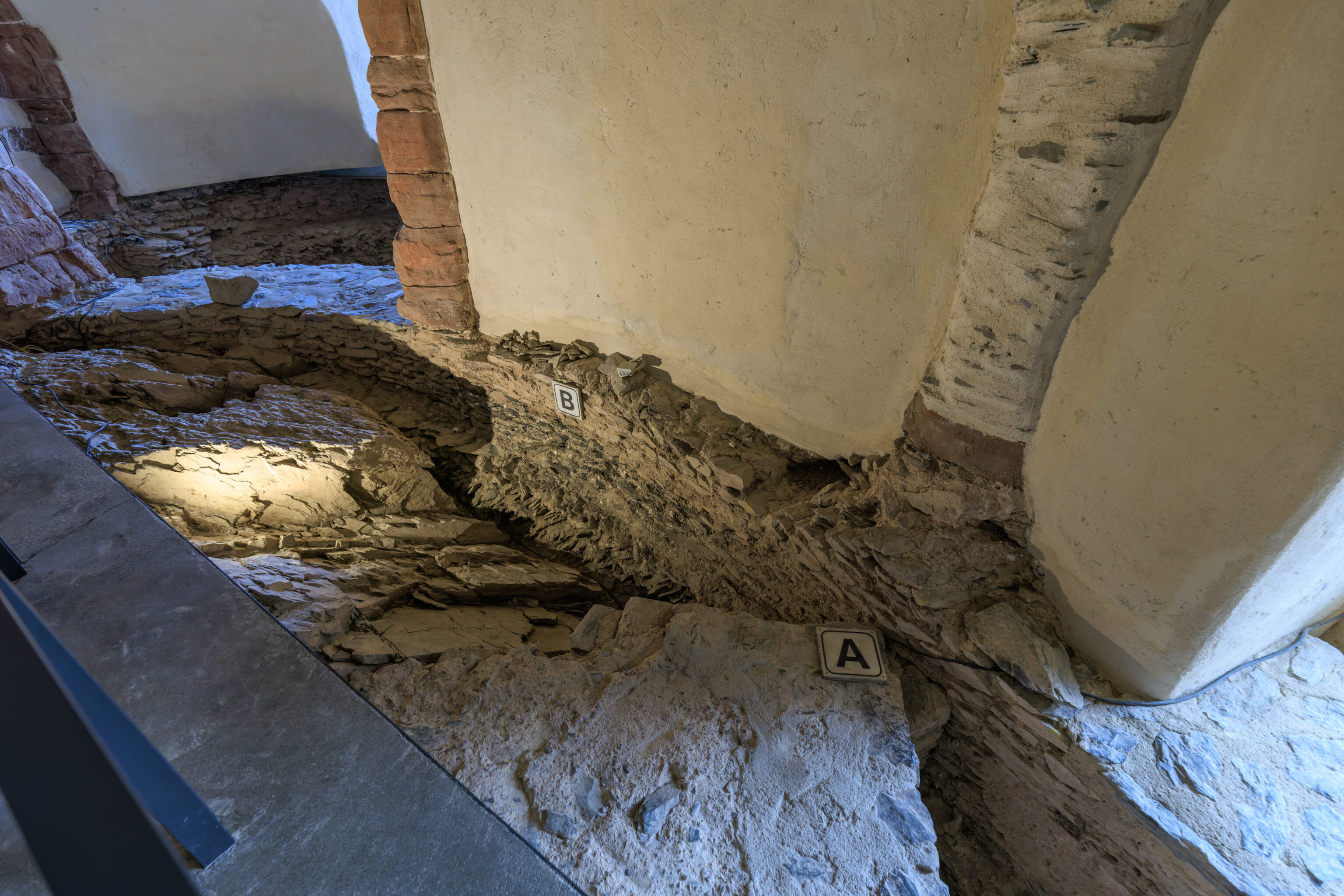
This next room was the Archeological Crypt. In this context, a crypt is simply an underground excavation site rather than a place where people are buried.
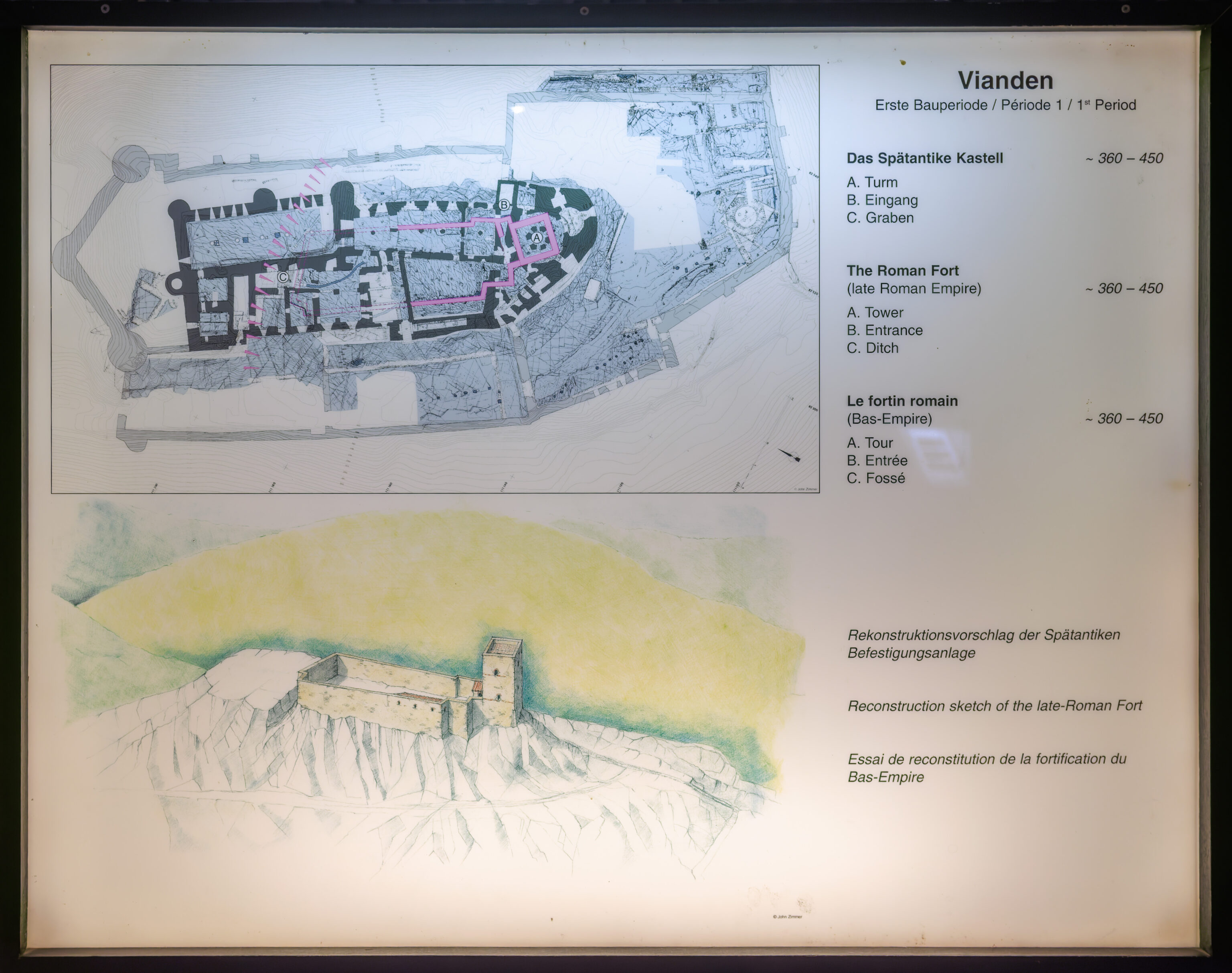
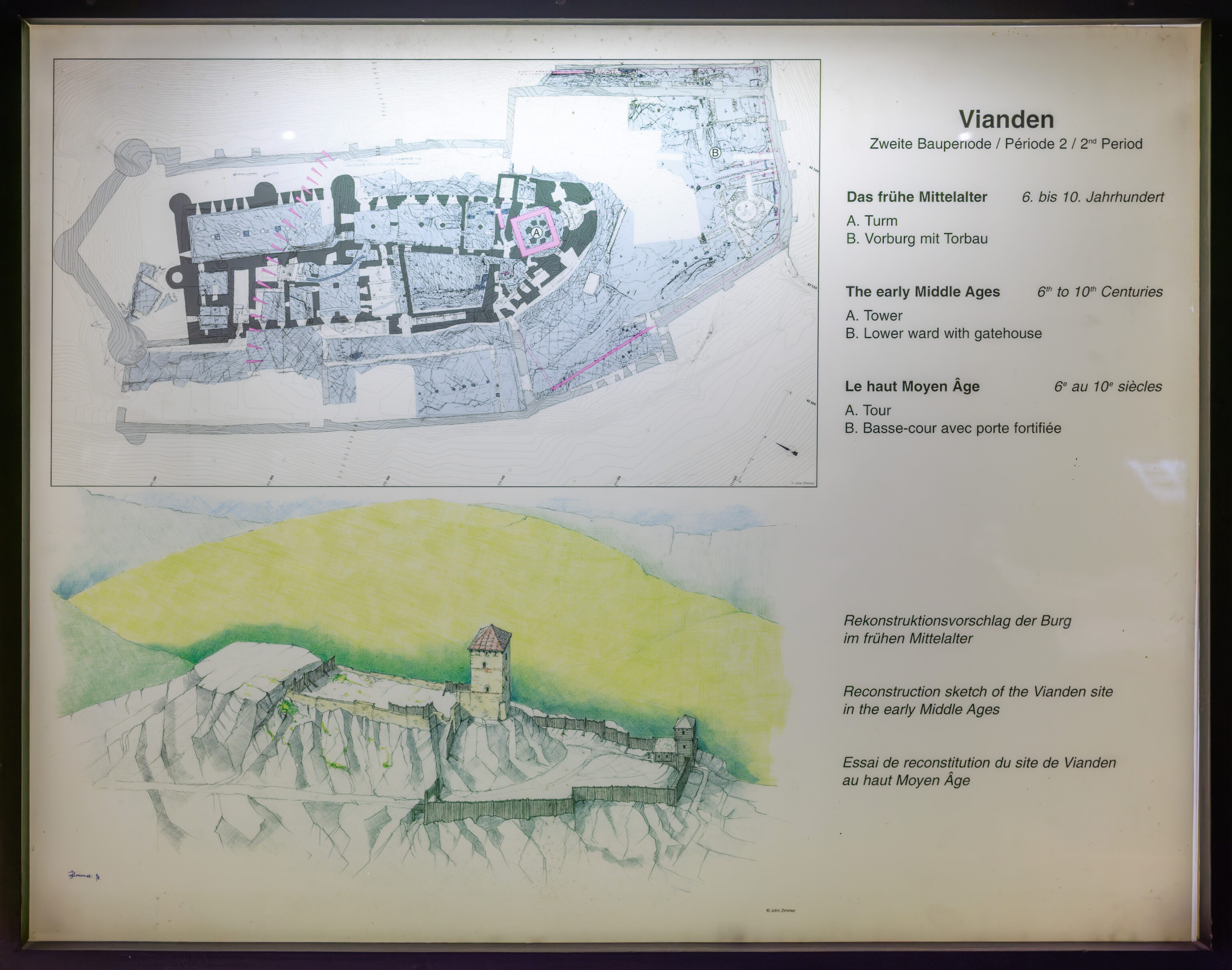
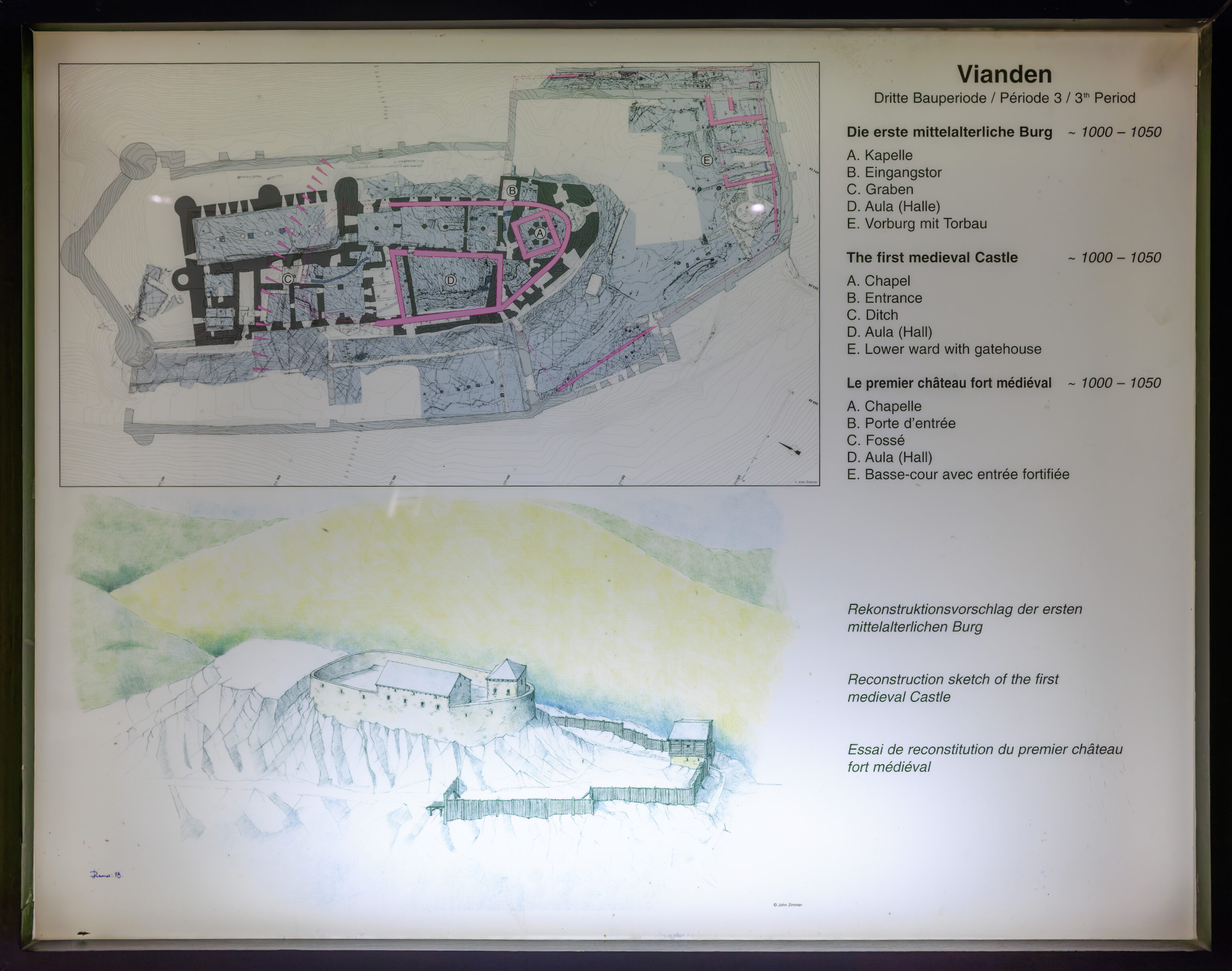
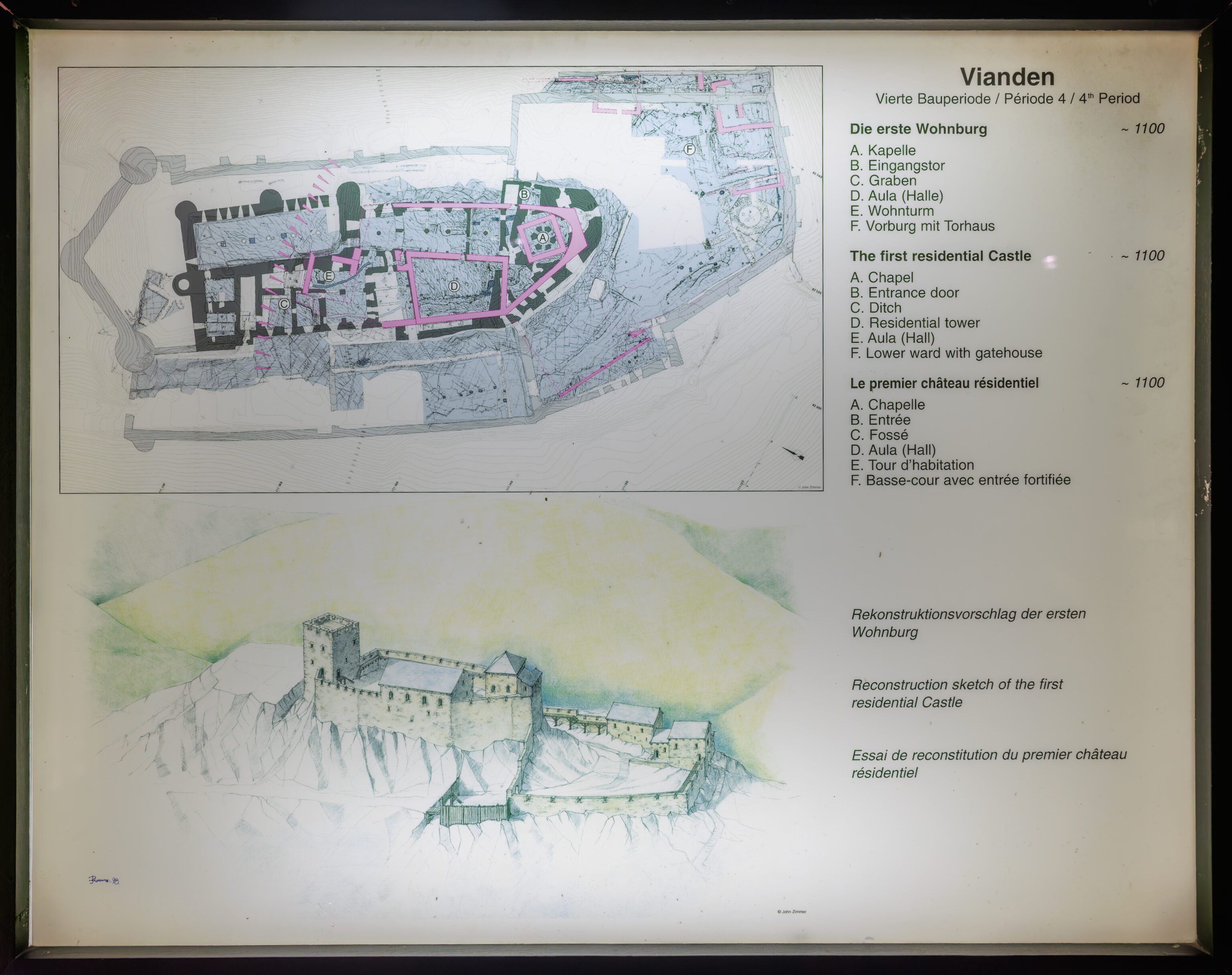
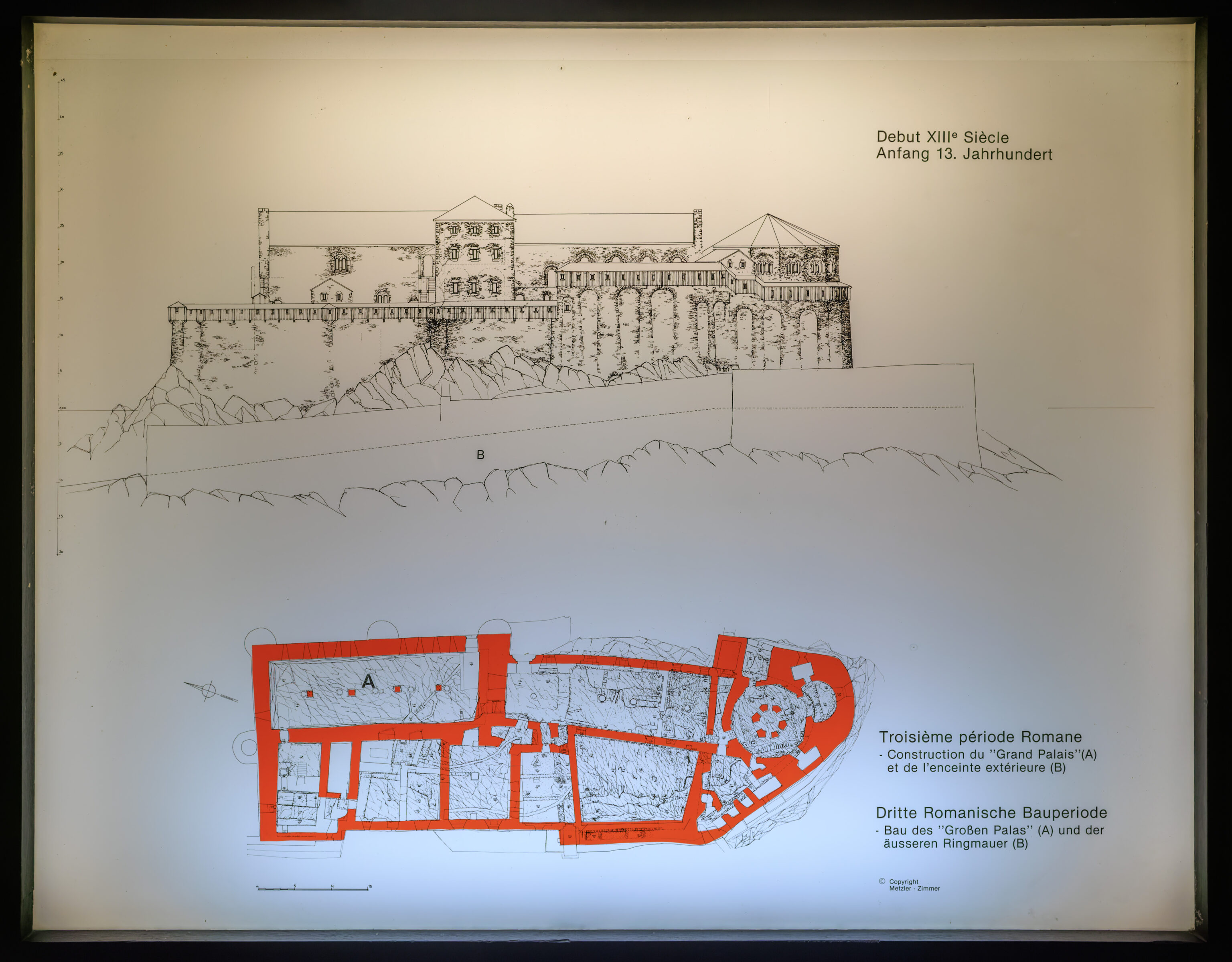
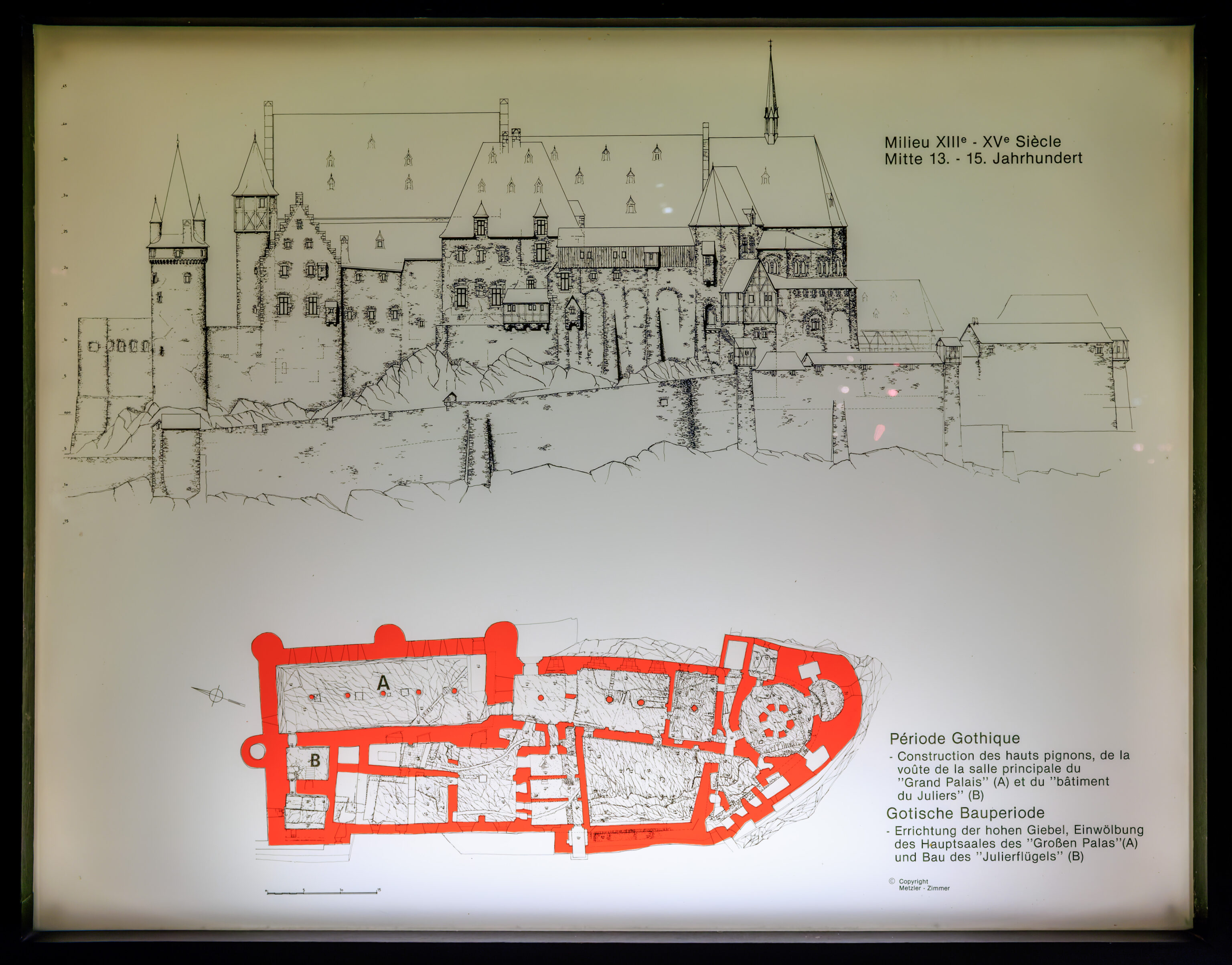
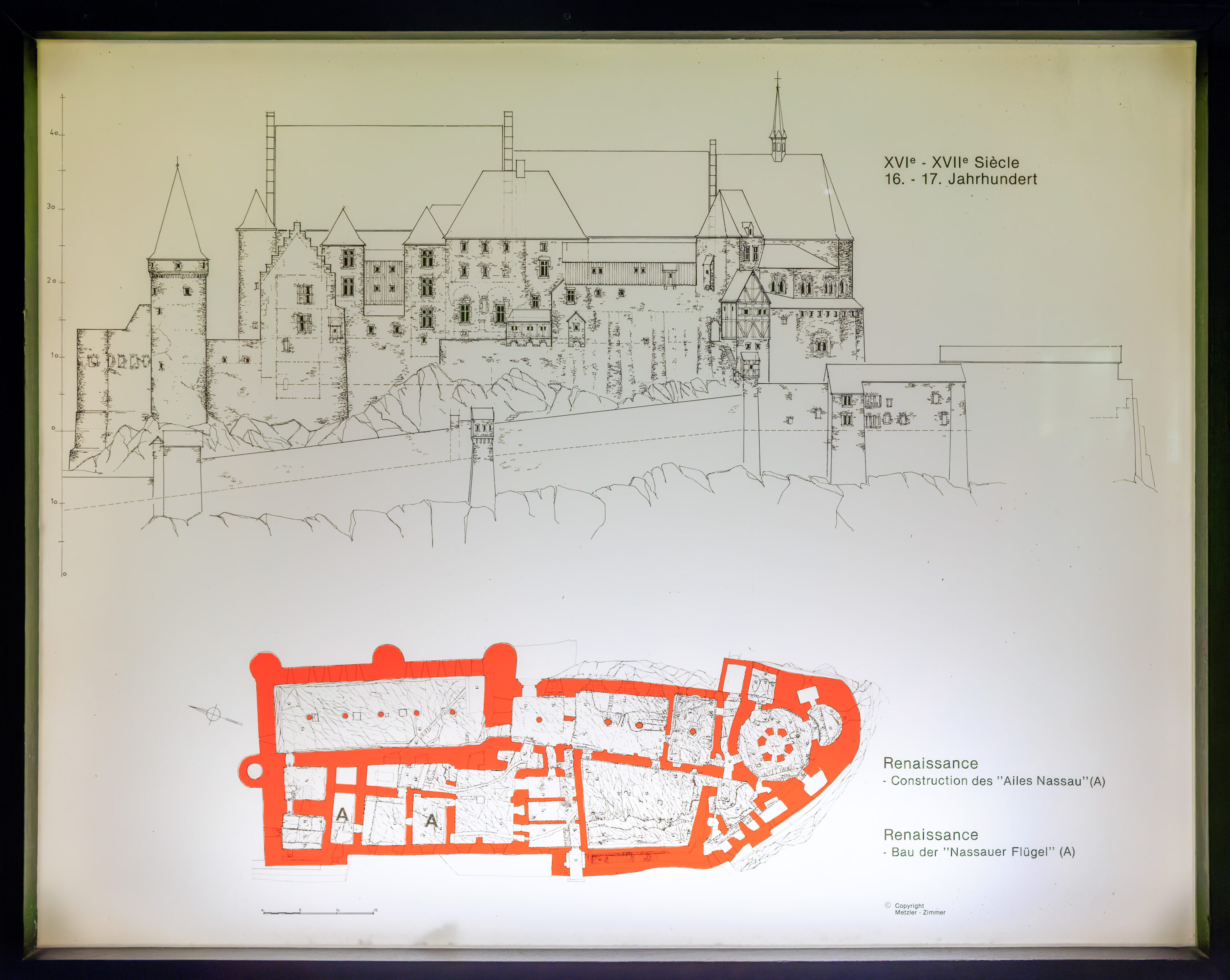
A series of informational panels depicted the castle as it developed over about 1,600 years. It already had its final appearance around the 13th to 15th century.
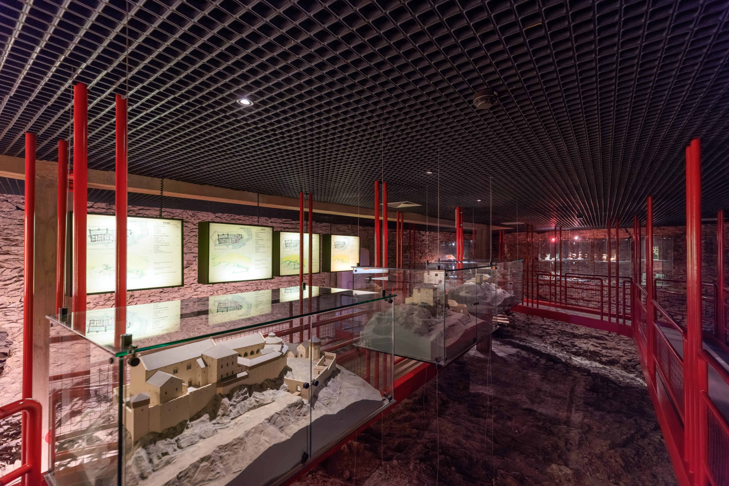
There were also models of the castle suspended from the ceiling.
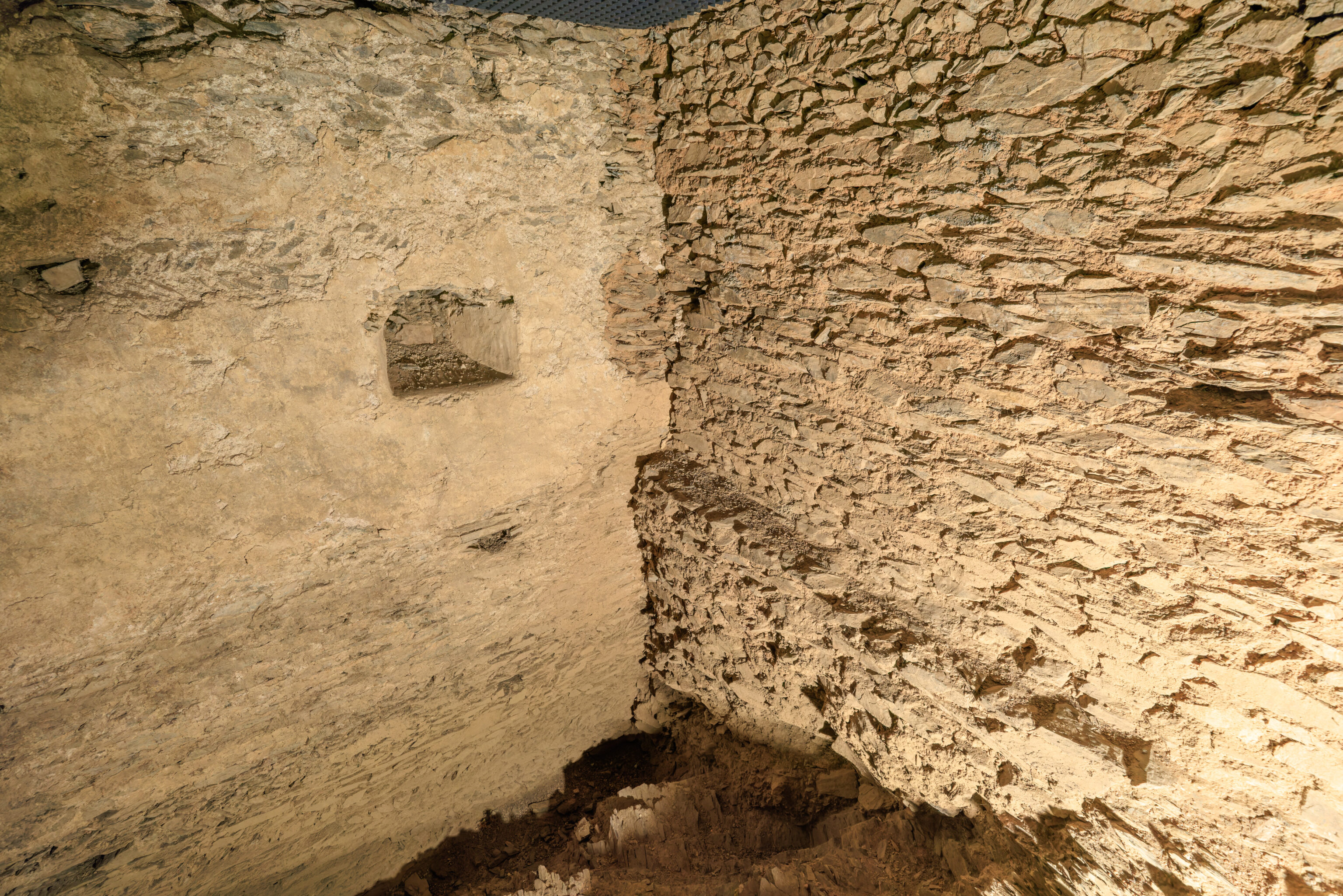
There were a few features on the walls that were briefly described on a sign. This little indentation in the wall is described as a latrine and niche, although it isn’t really clear exactly what this would have looked like back in the 11th century.
Latrine and niche belonging to the lower level of the first Romanesque palace (11th century)
– Text from a sign, translated from French using Google Translate.
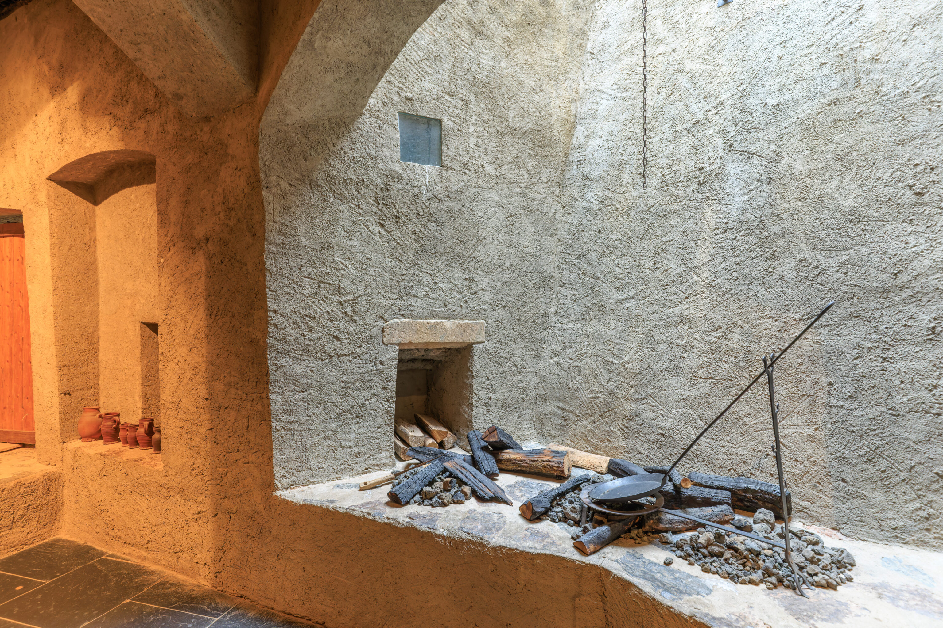
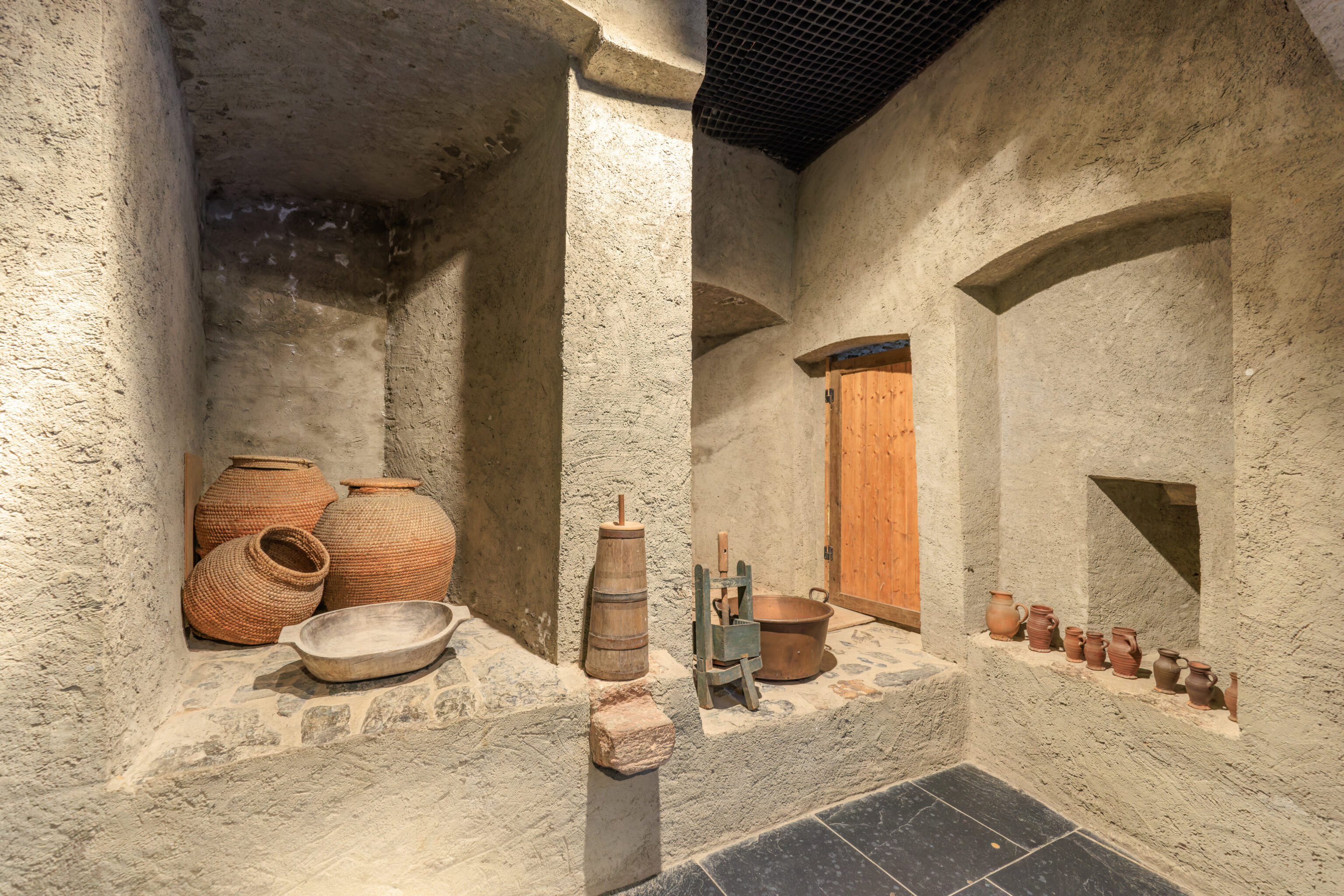
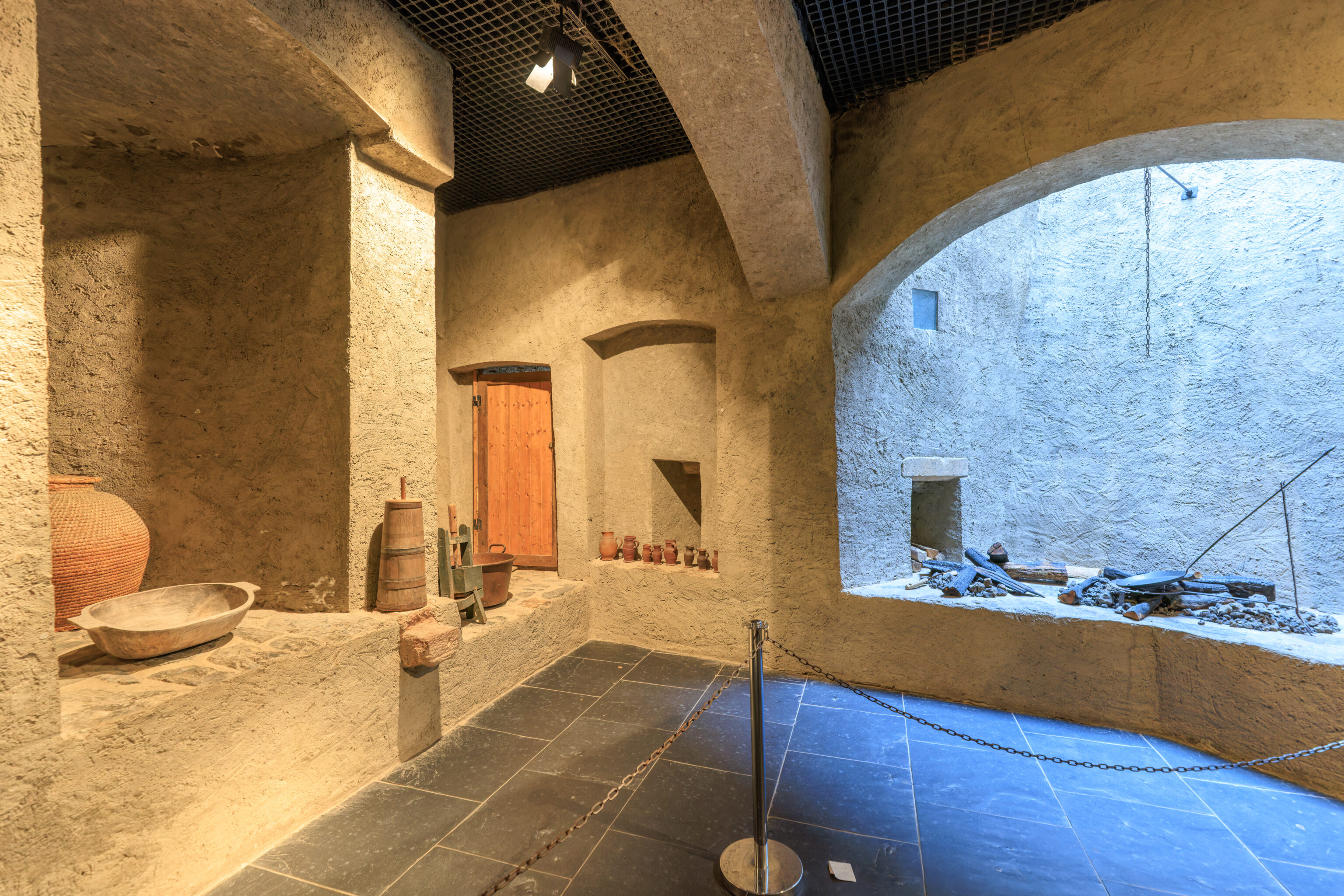
We then walked through the Ancient Kitchen.
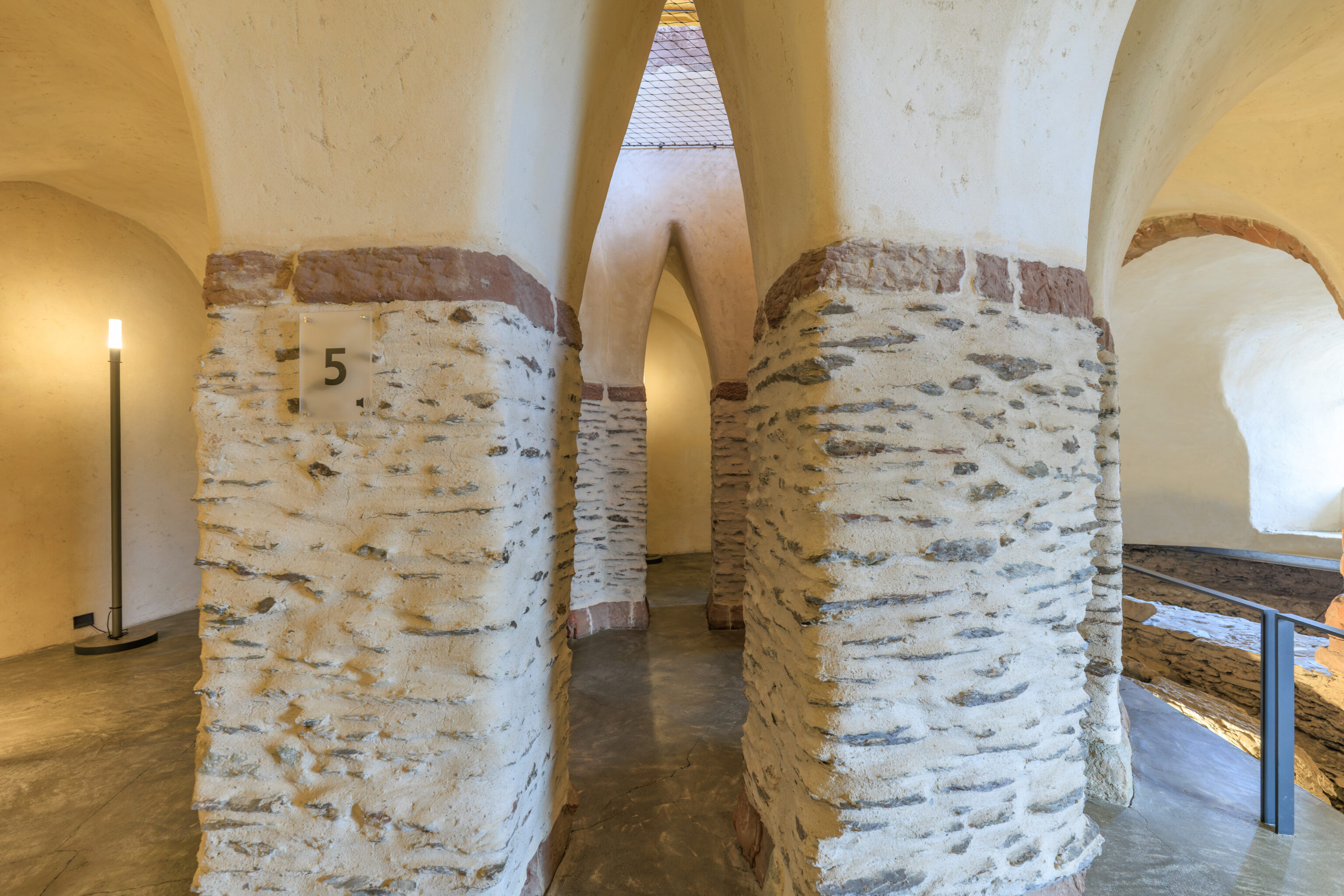
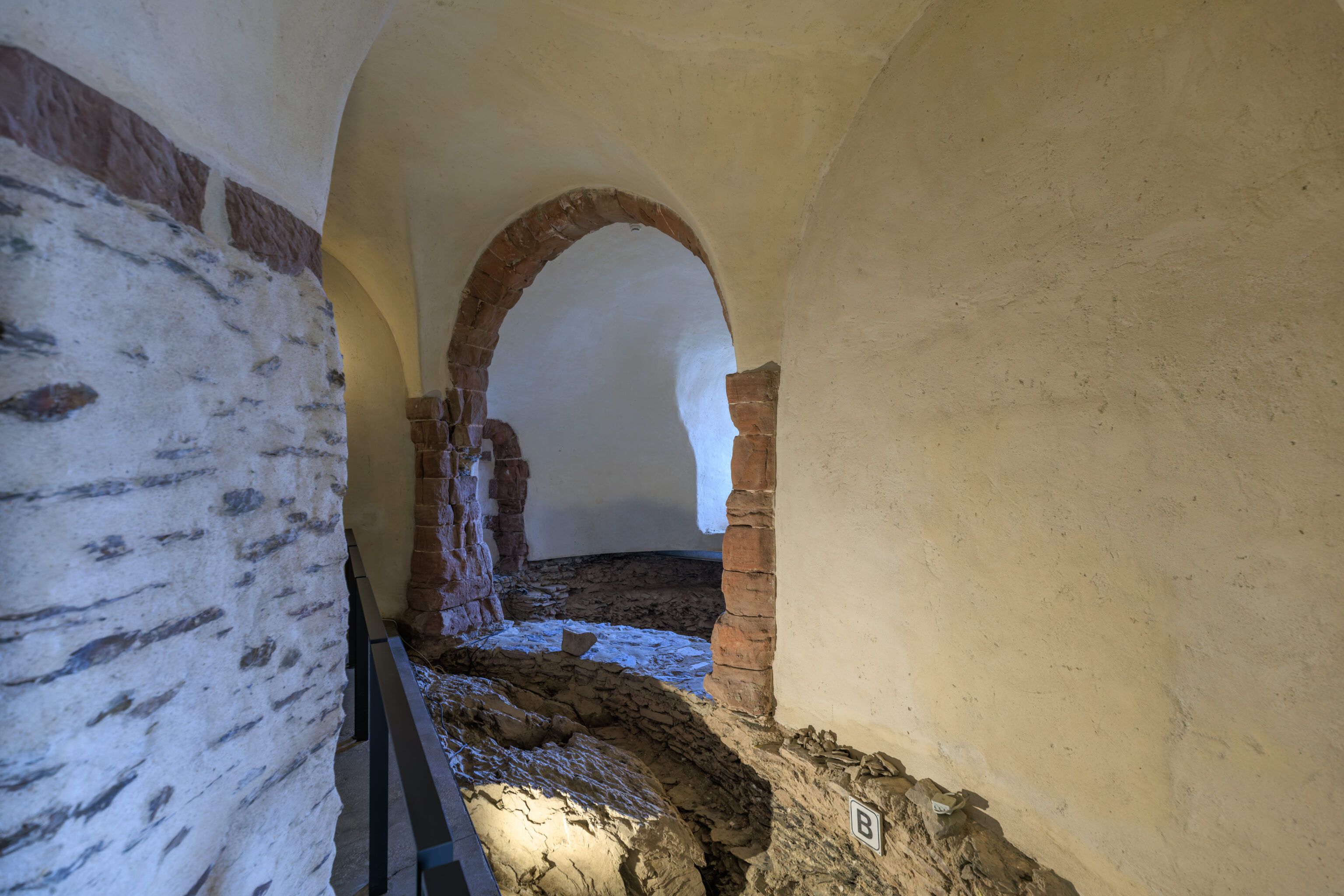
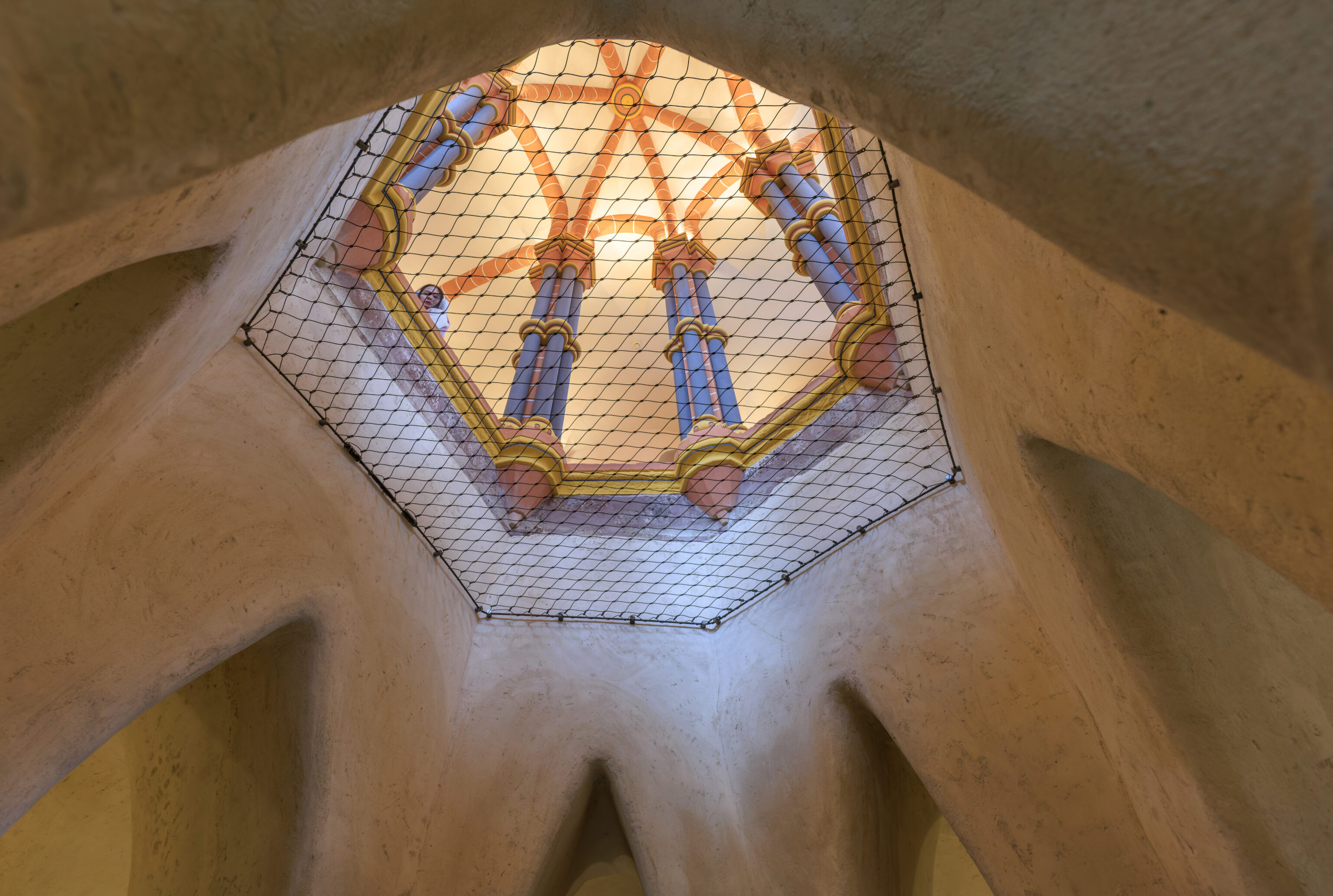
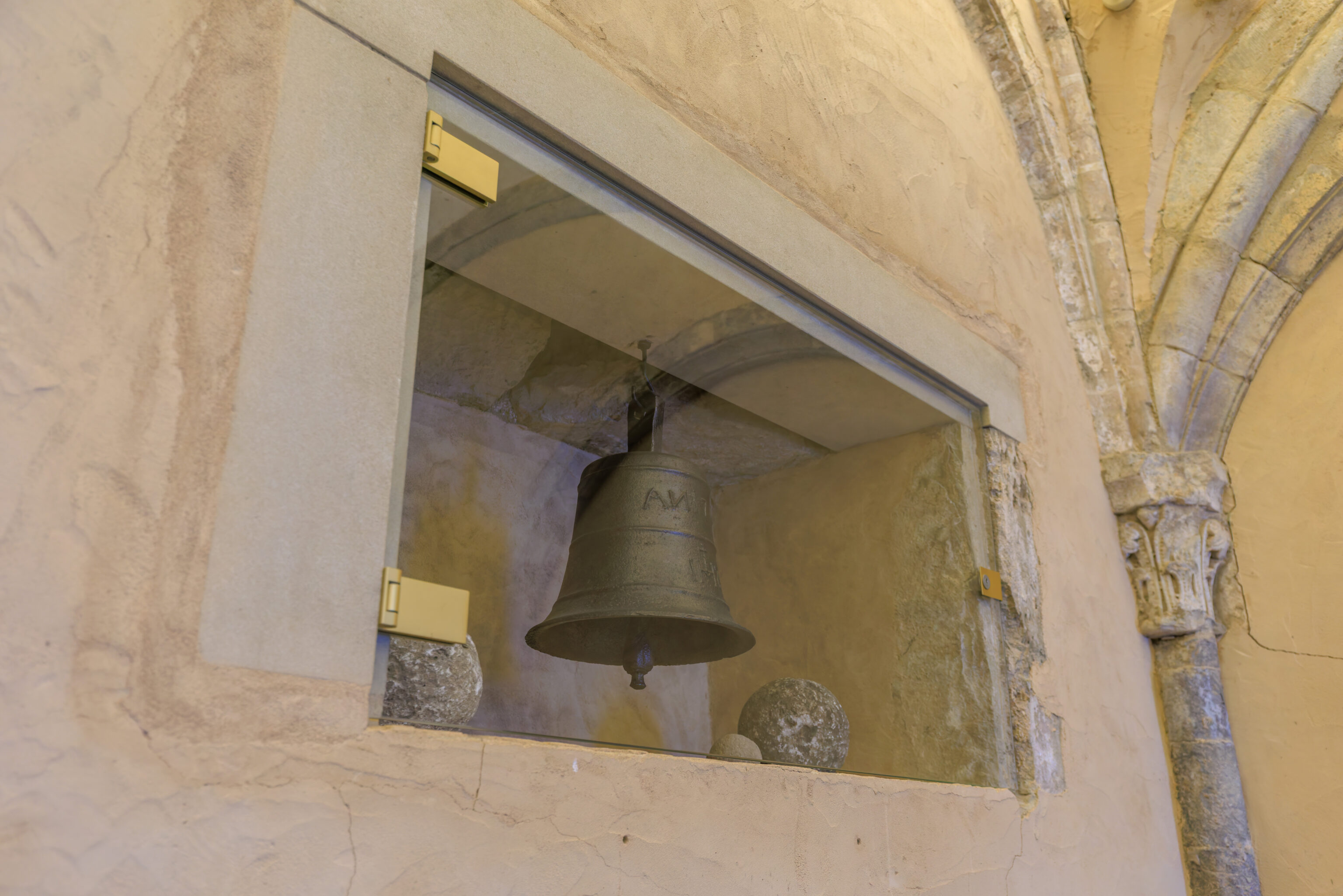
The next room was the Lower Chapel. We were able to look up into what is presumably the Upper Chapel.
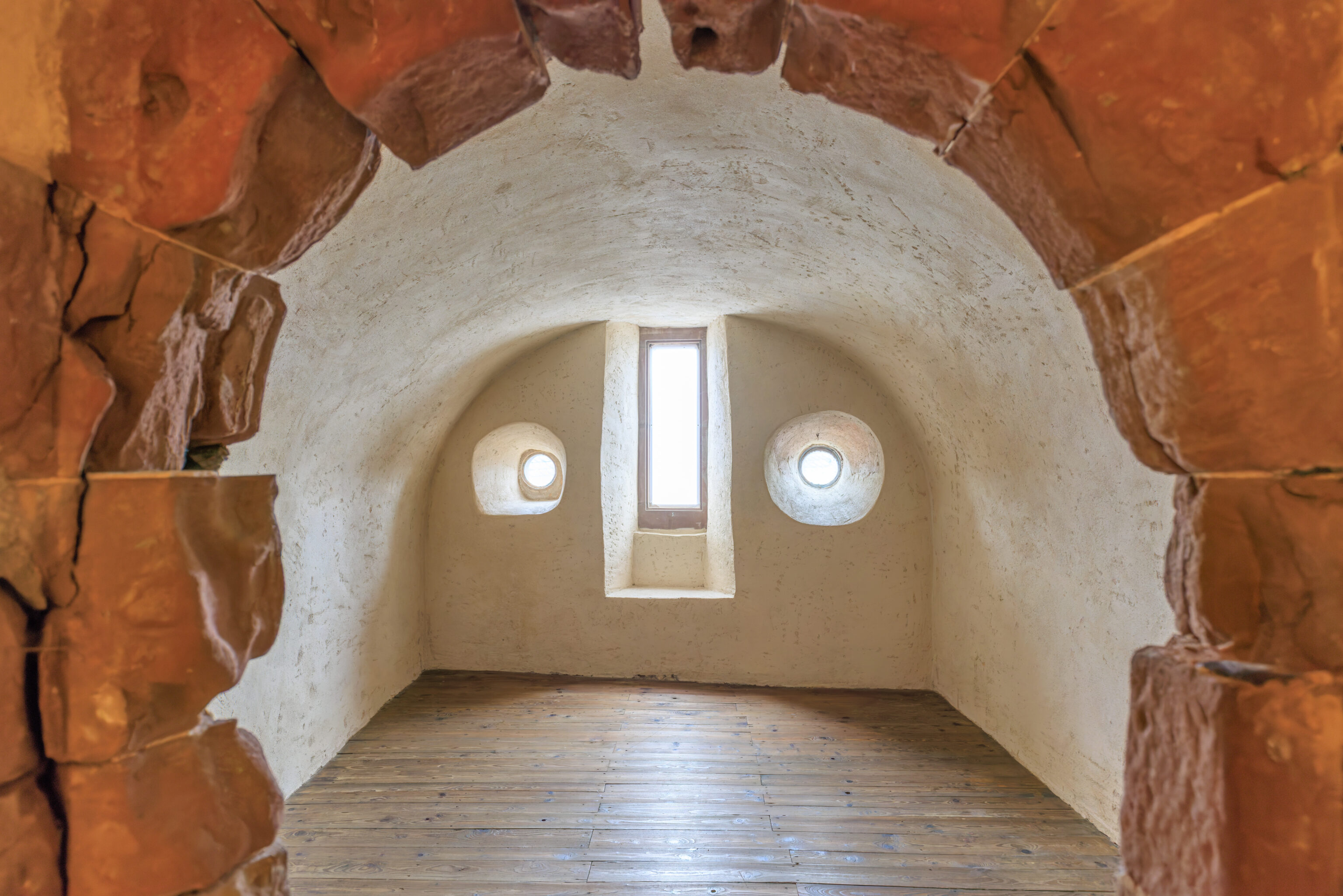
These windows make this alcove look like a face! Maybe a robot face, but still a face!
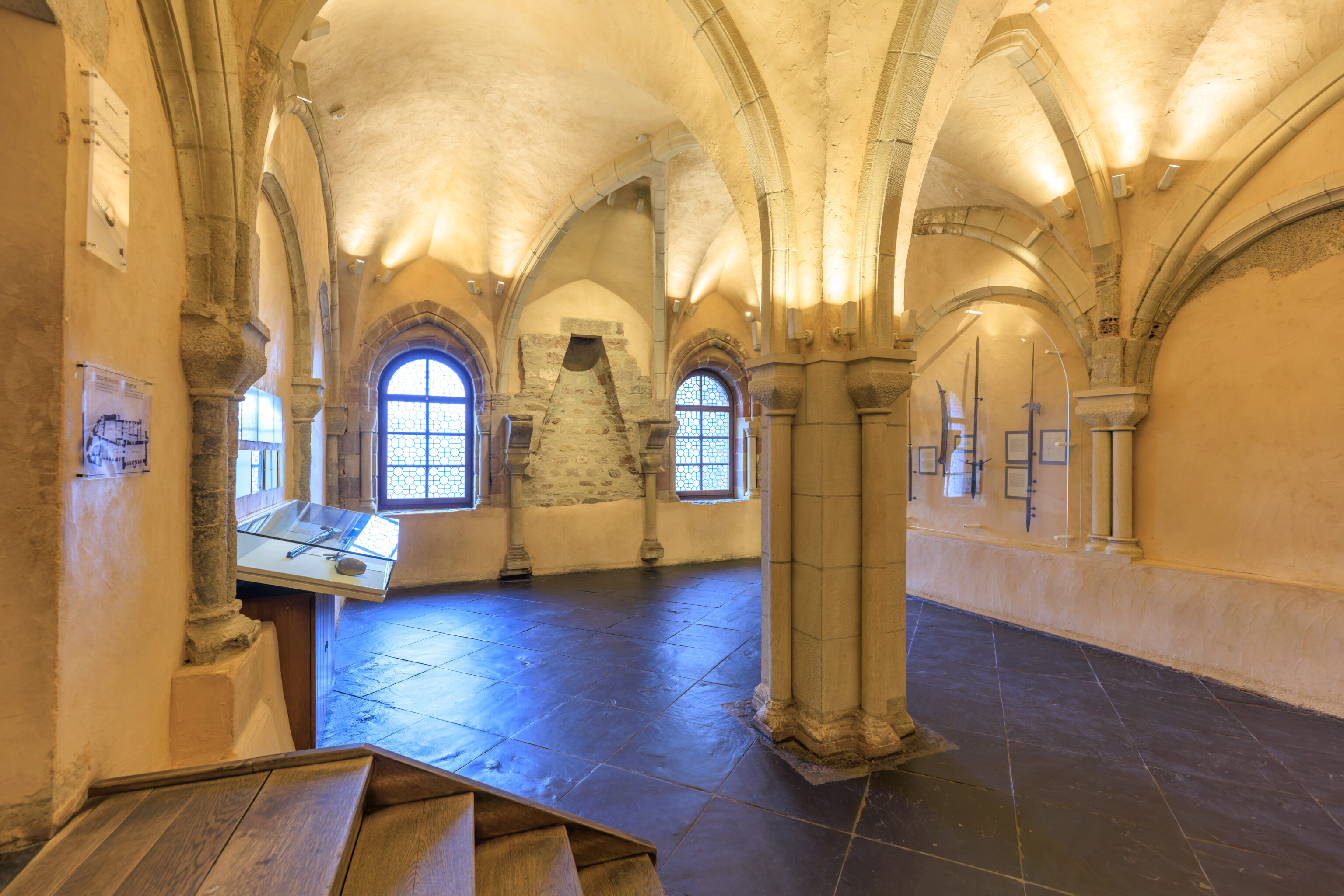
This next room was the Knights’ Study.
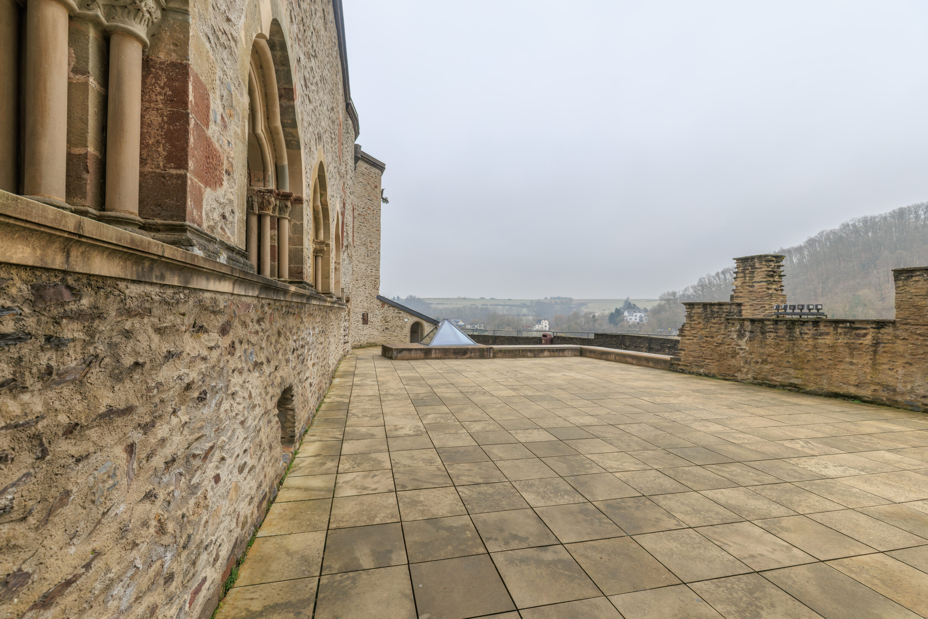
We then walked outside to reach the Inner Courtyard.
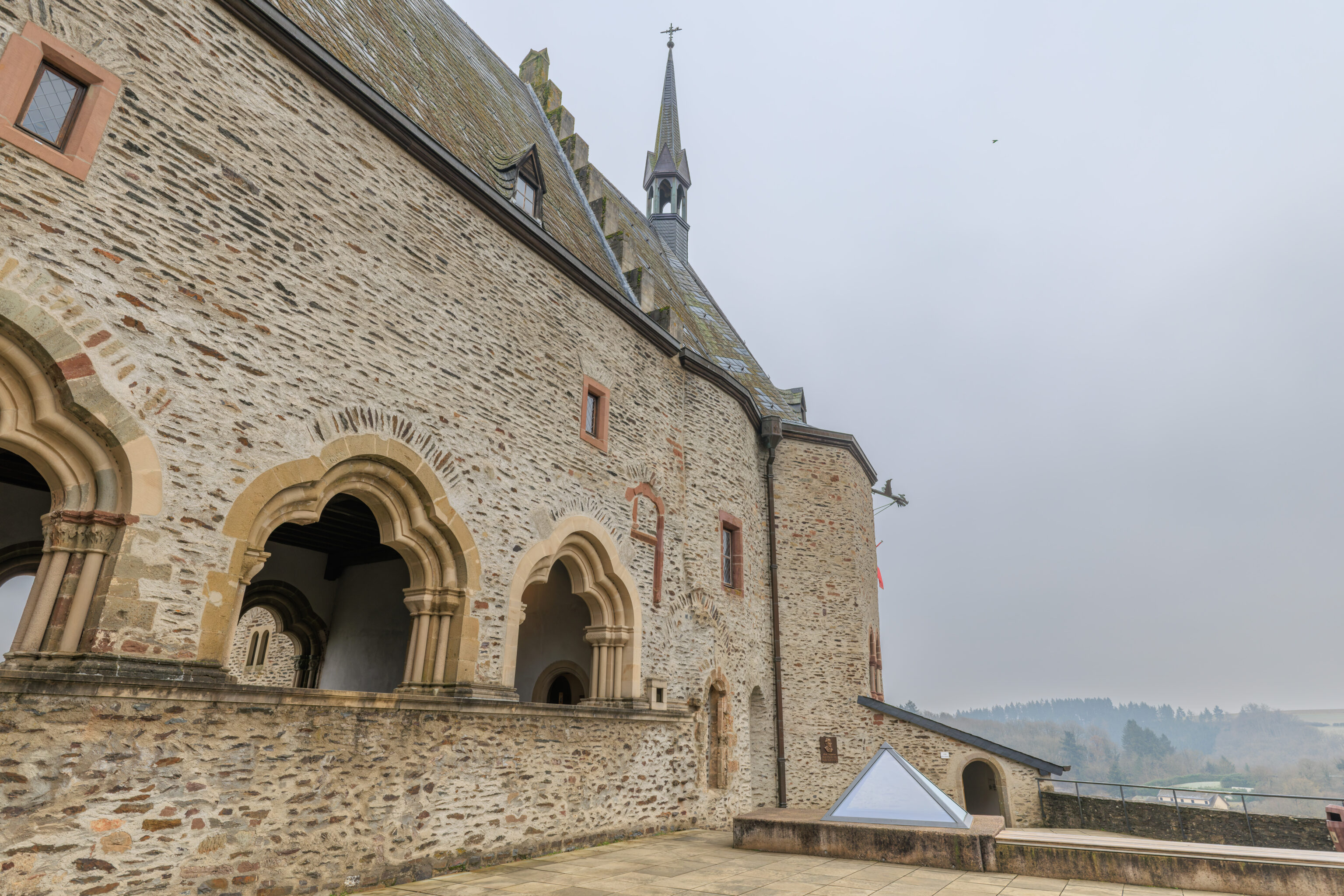
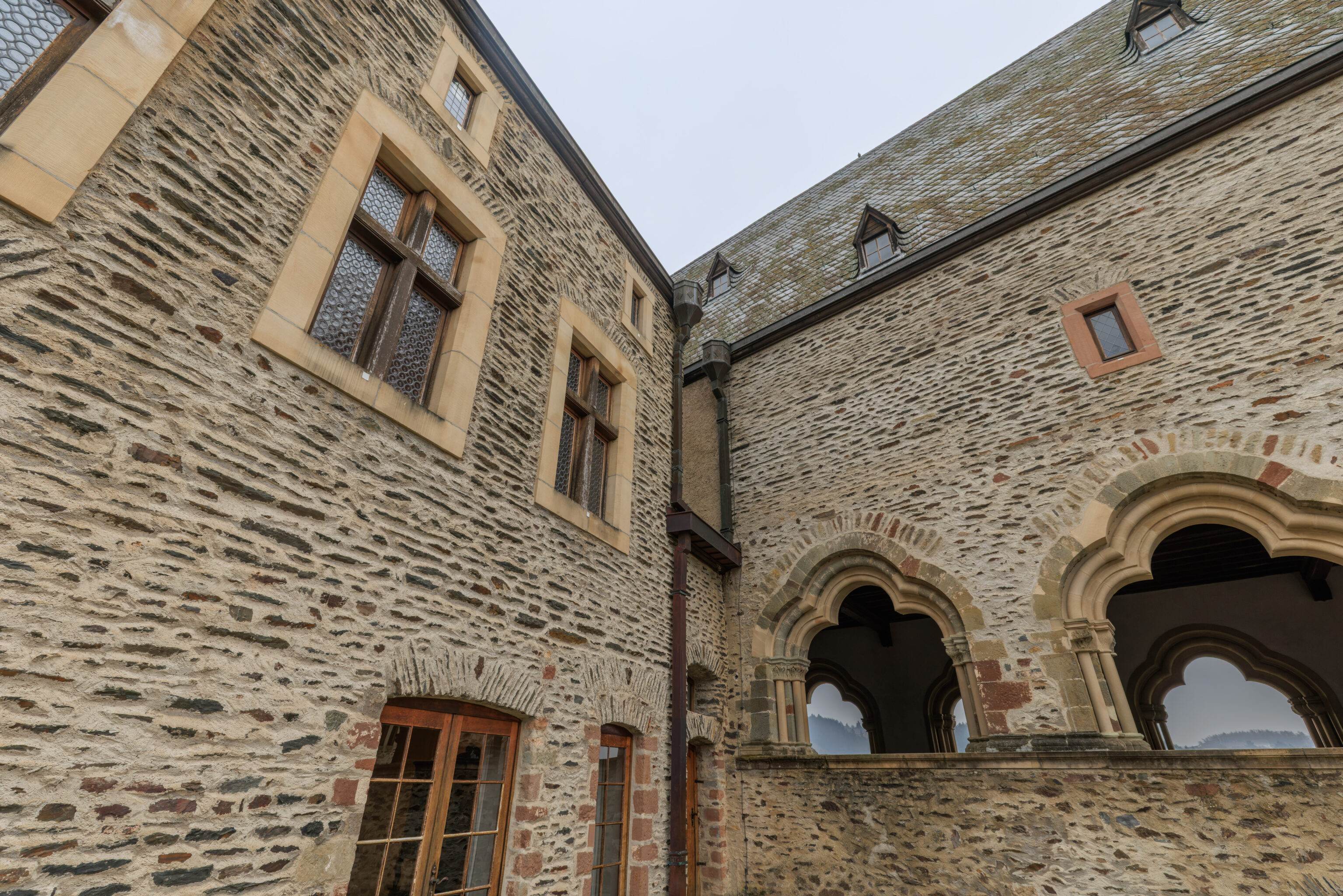
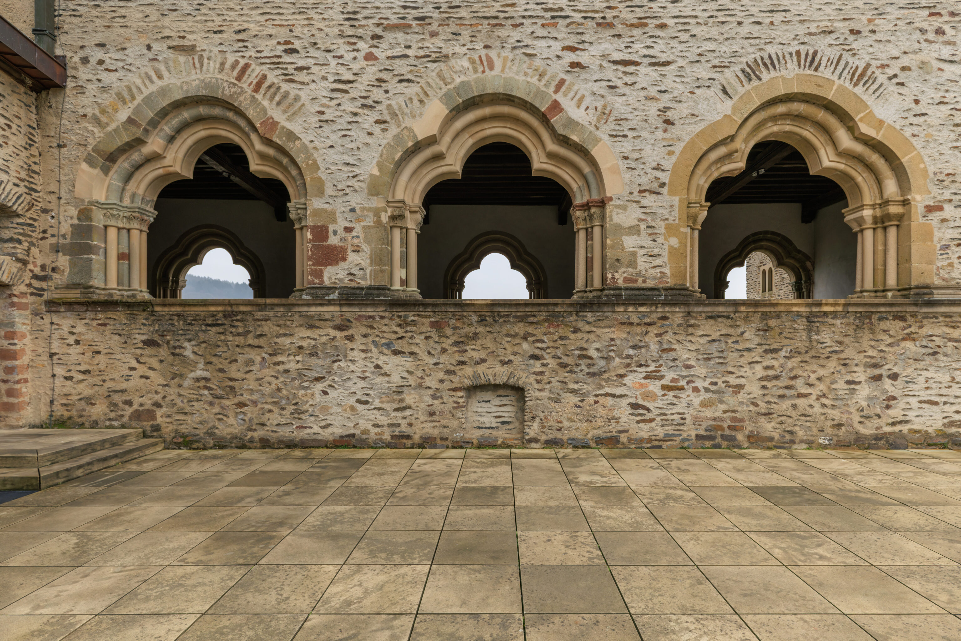
We couldn’t quite see inside this large room, the Gallery.
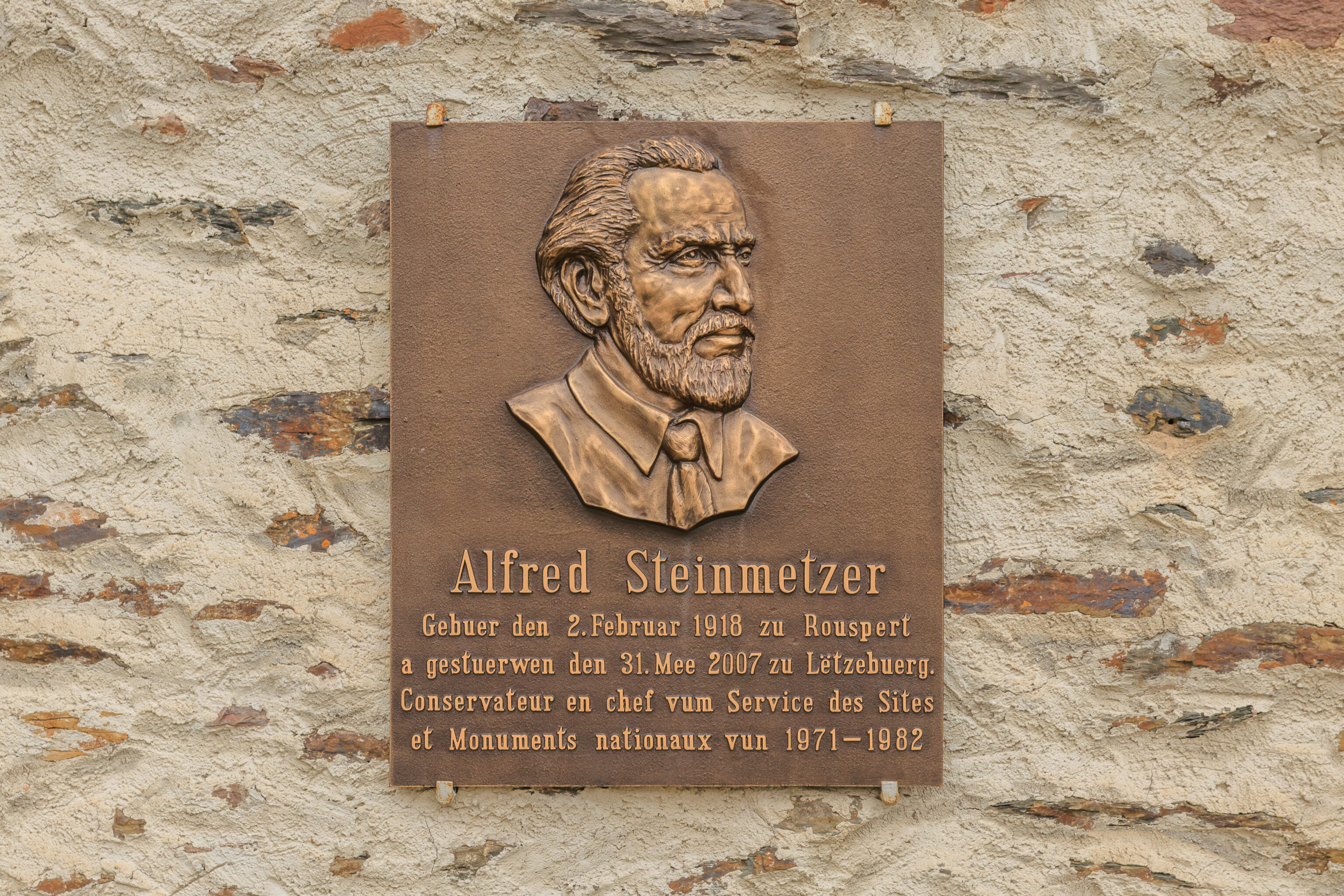
Alfred Steinmetzer
Born on February 2, 1918 in Rouspert and died on May 31, 2007 in Luxembourg.  Chief Conservator of the National Sites and Monuments Service (1971-1982)
– Text from the plaque in the photograph above, translated from Luxembourgish and a bit of French using Google Translate.
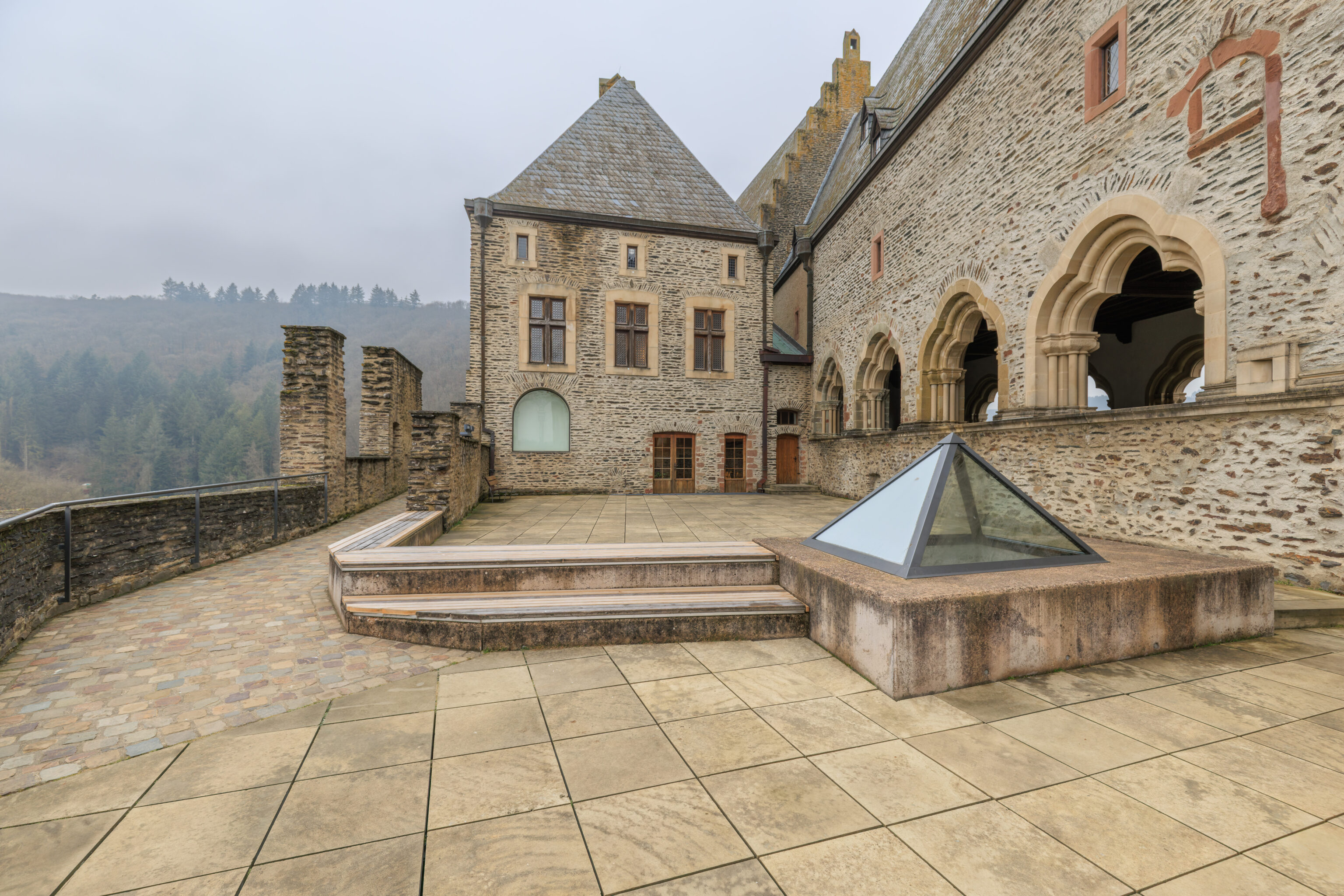
This was the view to the northwest from the southern end of the Inner Courtyard. We had entered via the single windowless wooden door.
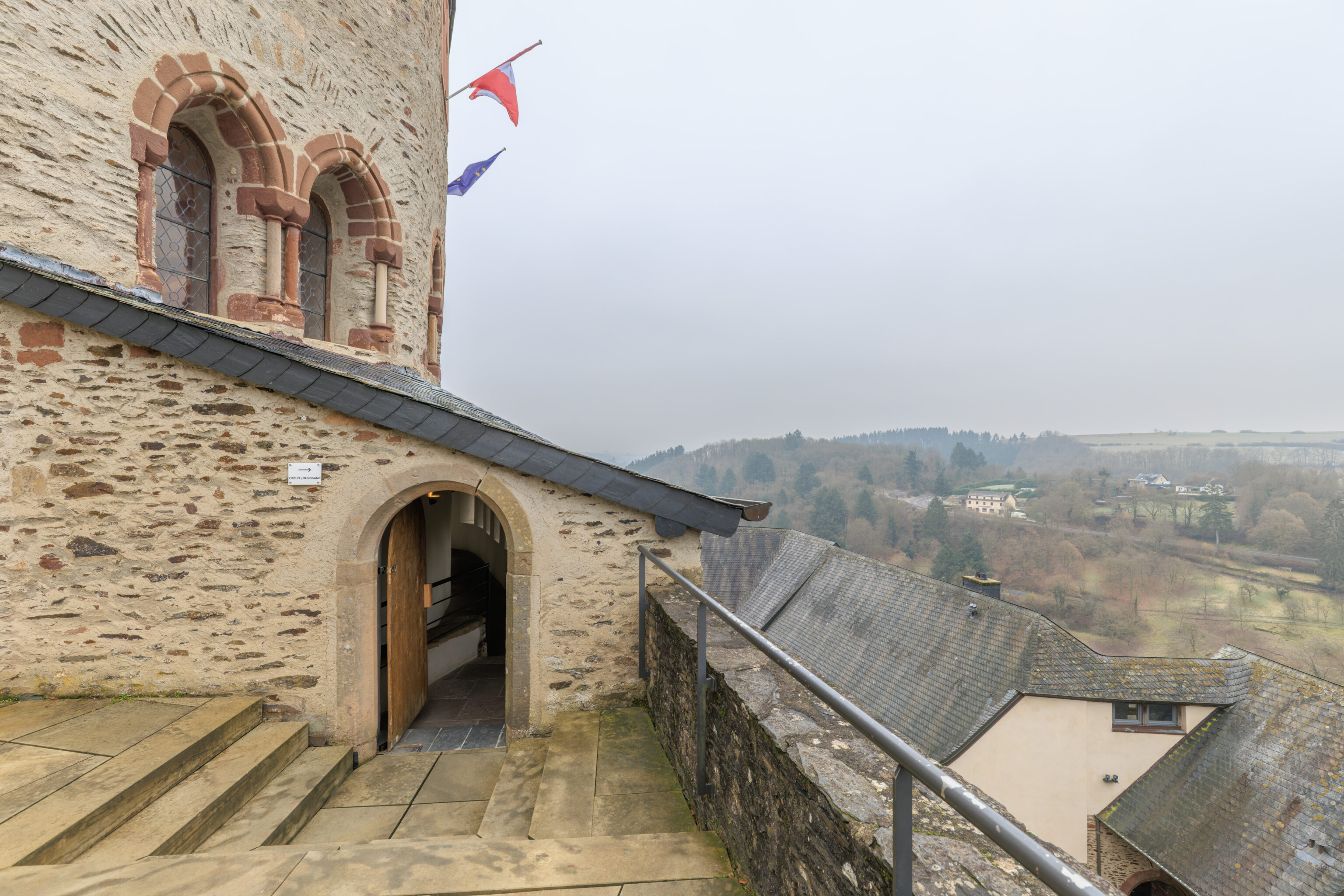
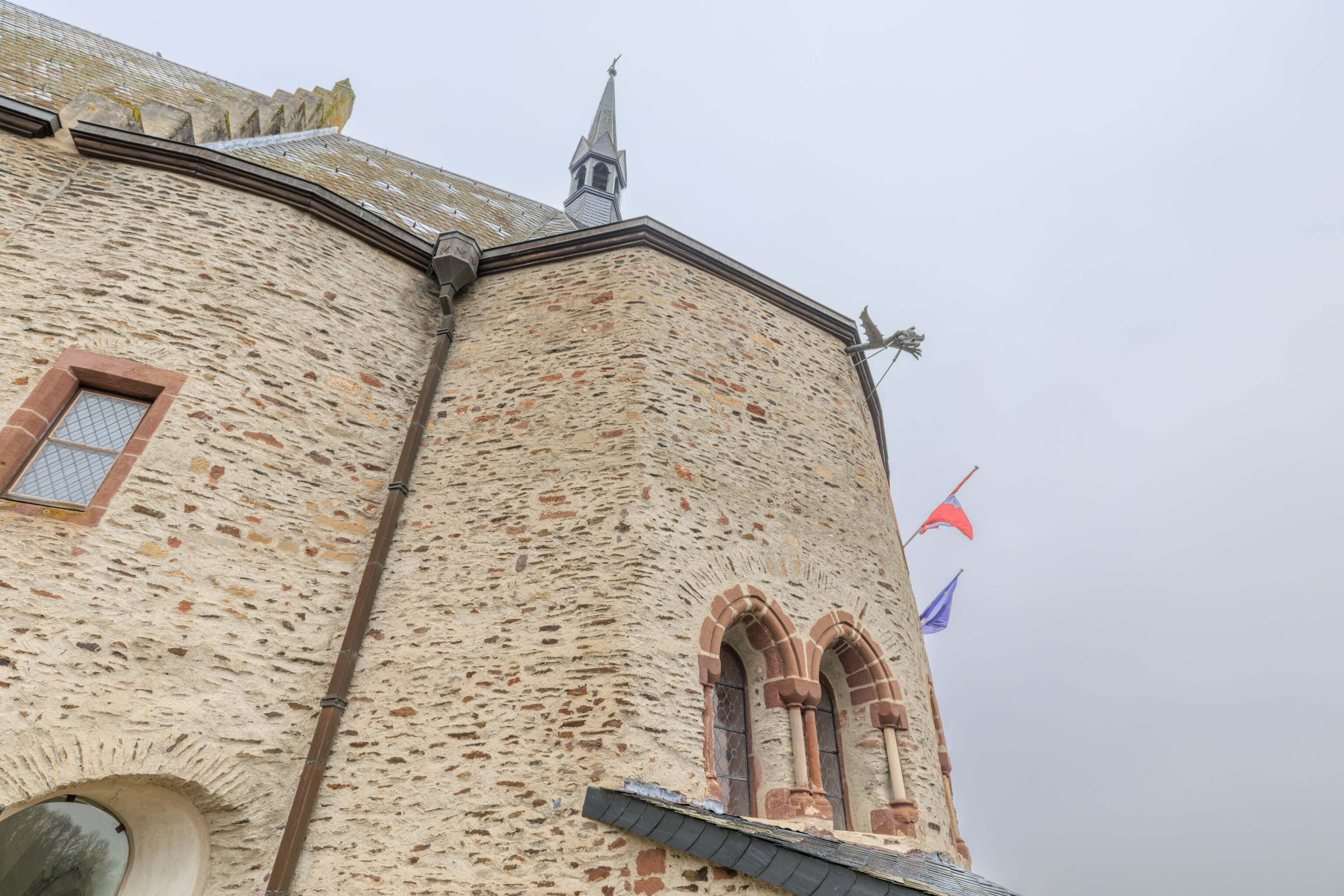
The route continues inside here.
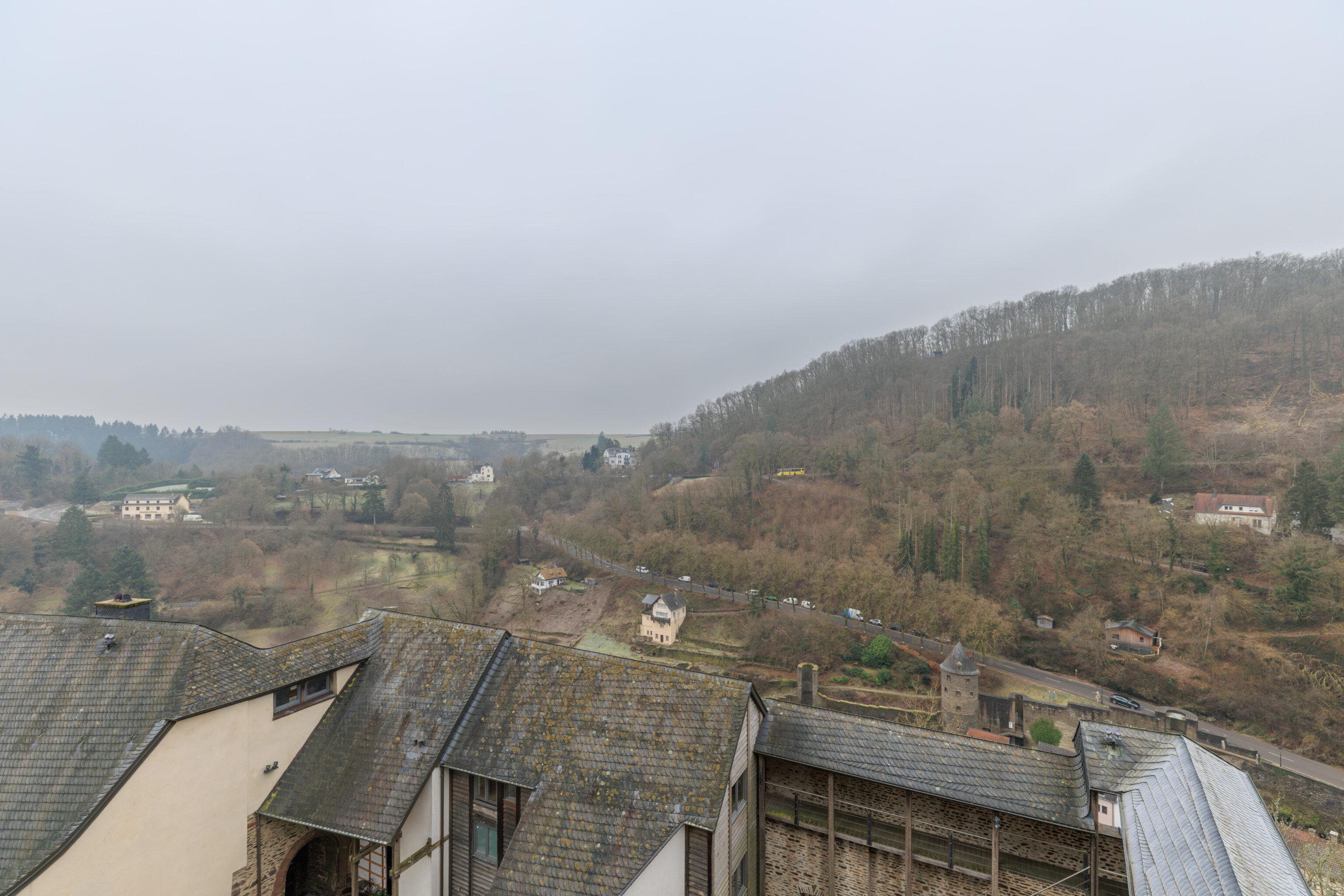
Before continuing on, we walked over to the castle wall to take a look at the surrounding area. This was the view to the southwest. The circular tower at bottom right is the one we saw while walking over to the castle.
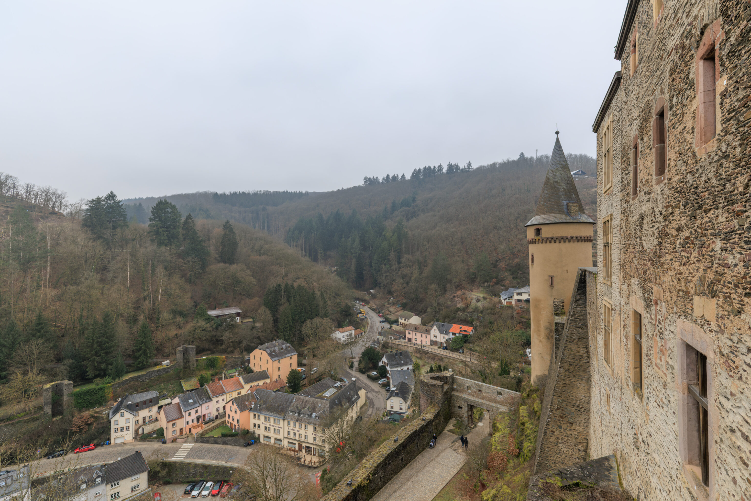
Looking to the northwest, we can see the roads that we walked on to get here.
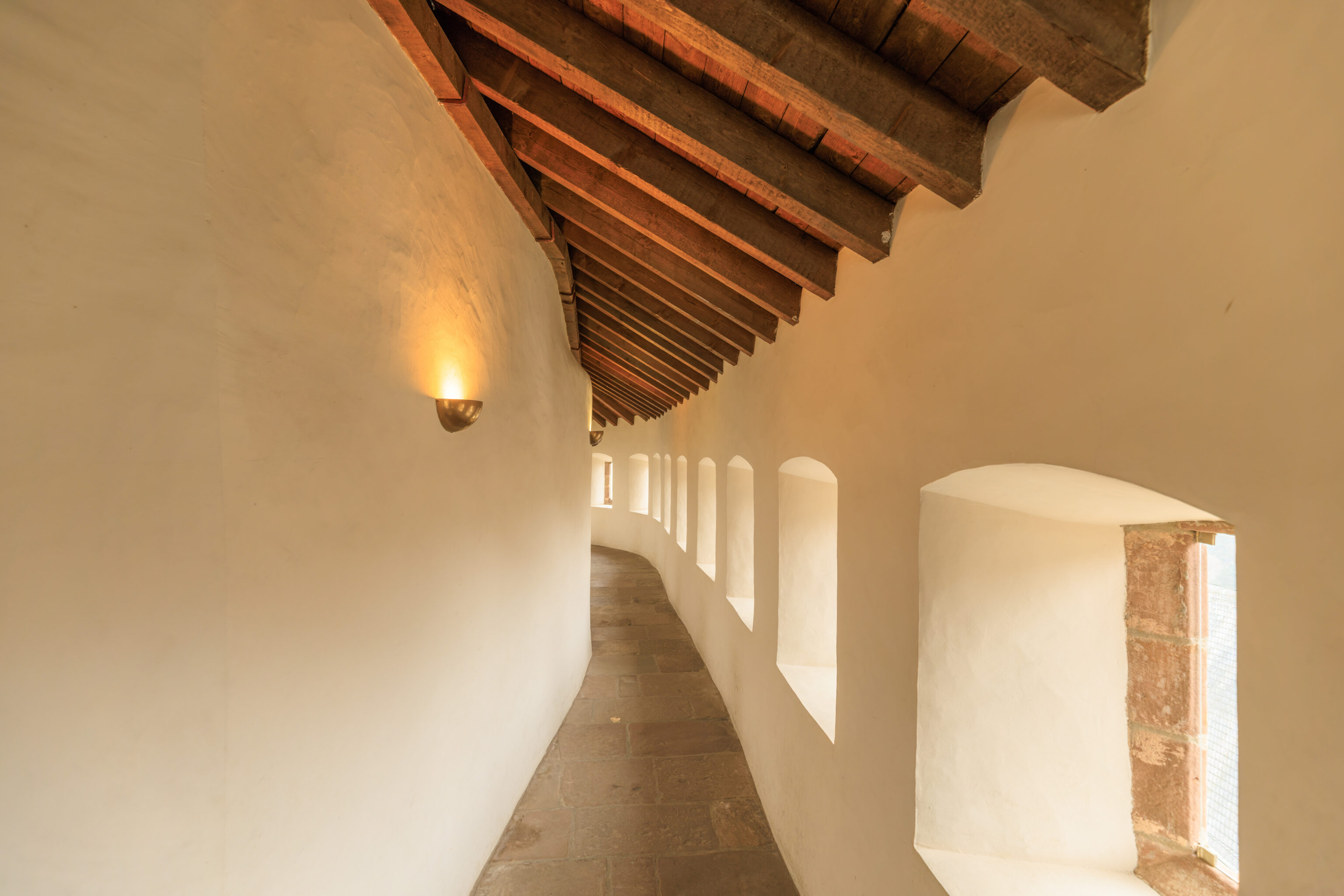
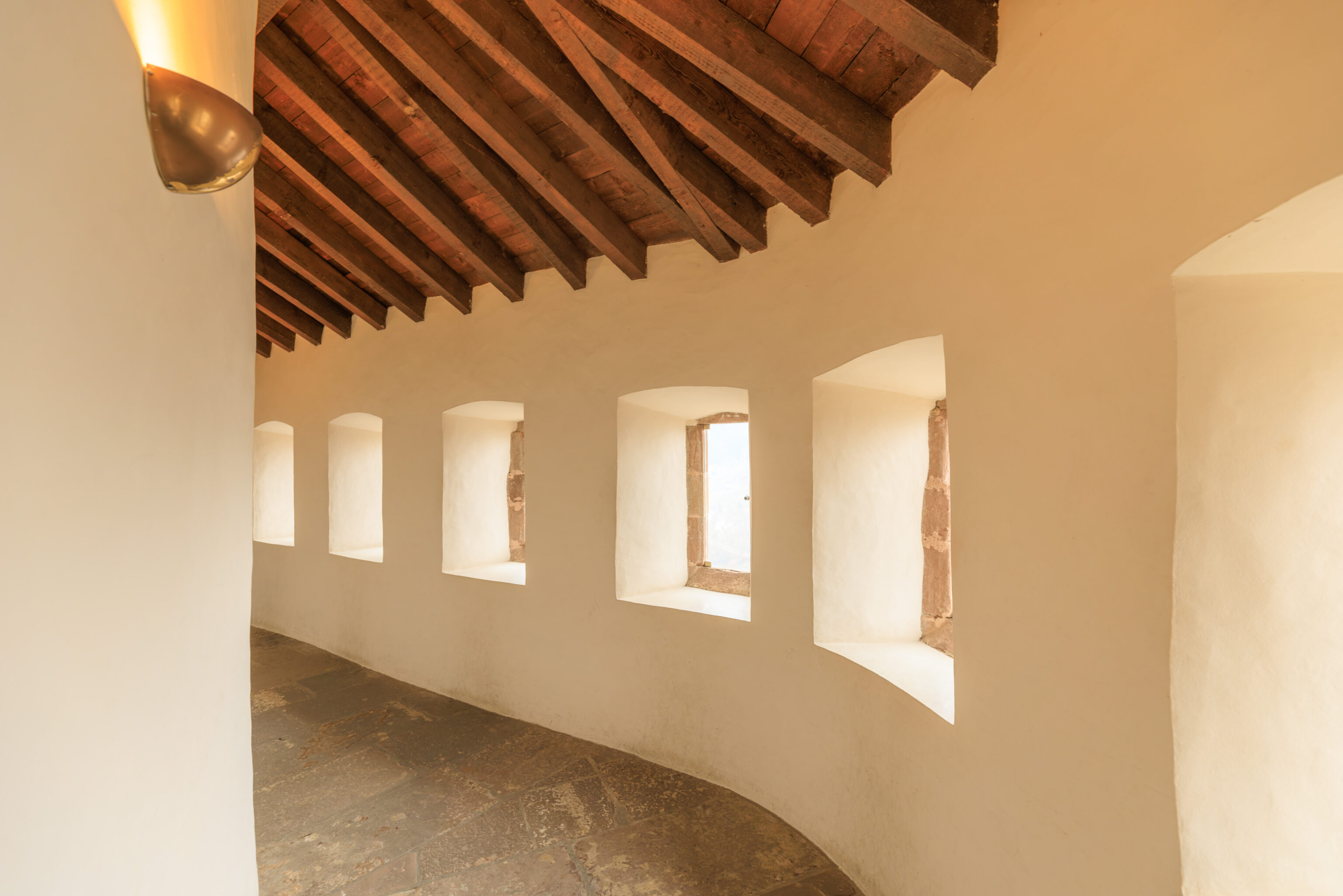
We went inside and continued on the route. This section here is a walkway around the Upper Chapel, which is on the other side of the round wall on our left.
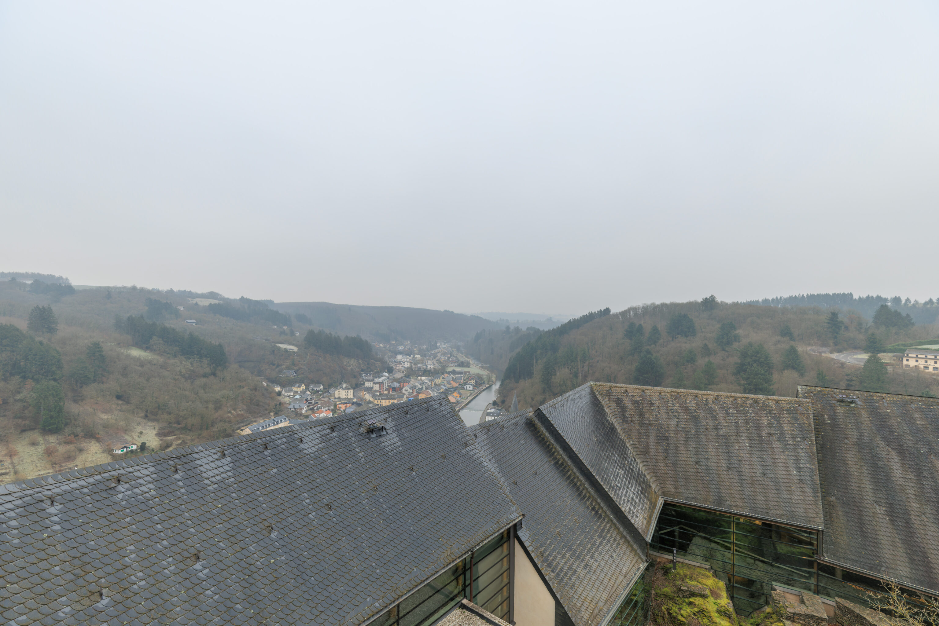
The right side had windows. This view was to the southeast looking down the Our. It’s hard to identify but the bus stop that we arrived at is visible from here. There is actually a bus parked at it right now.
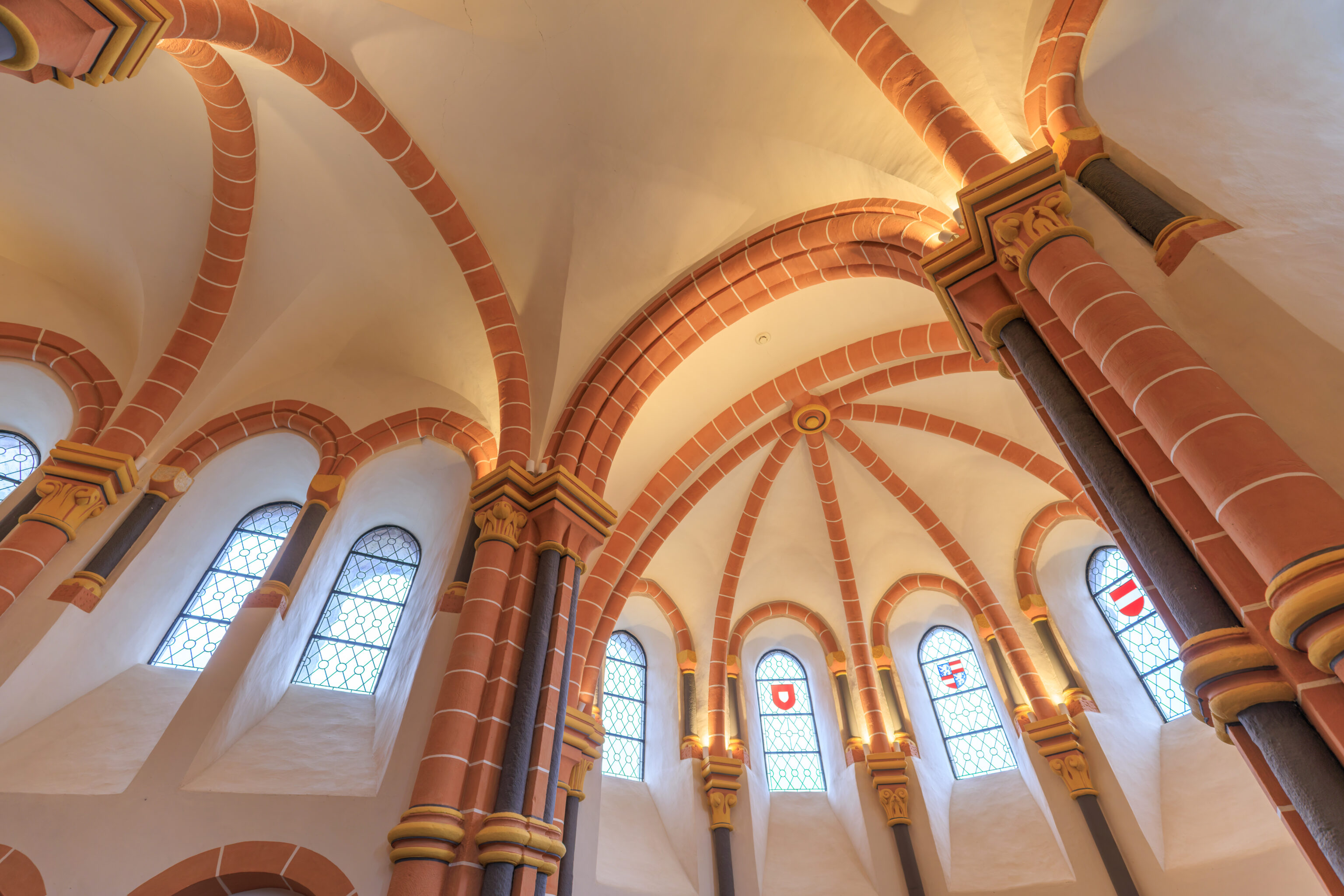
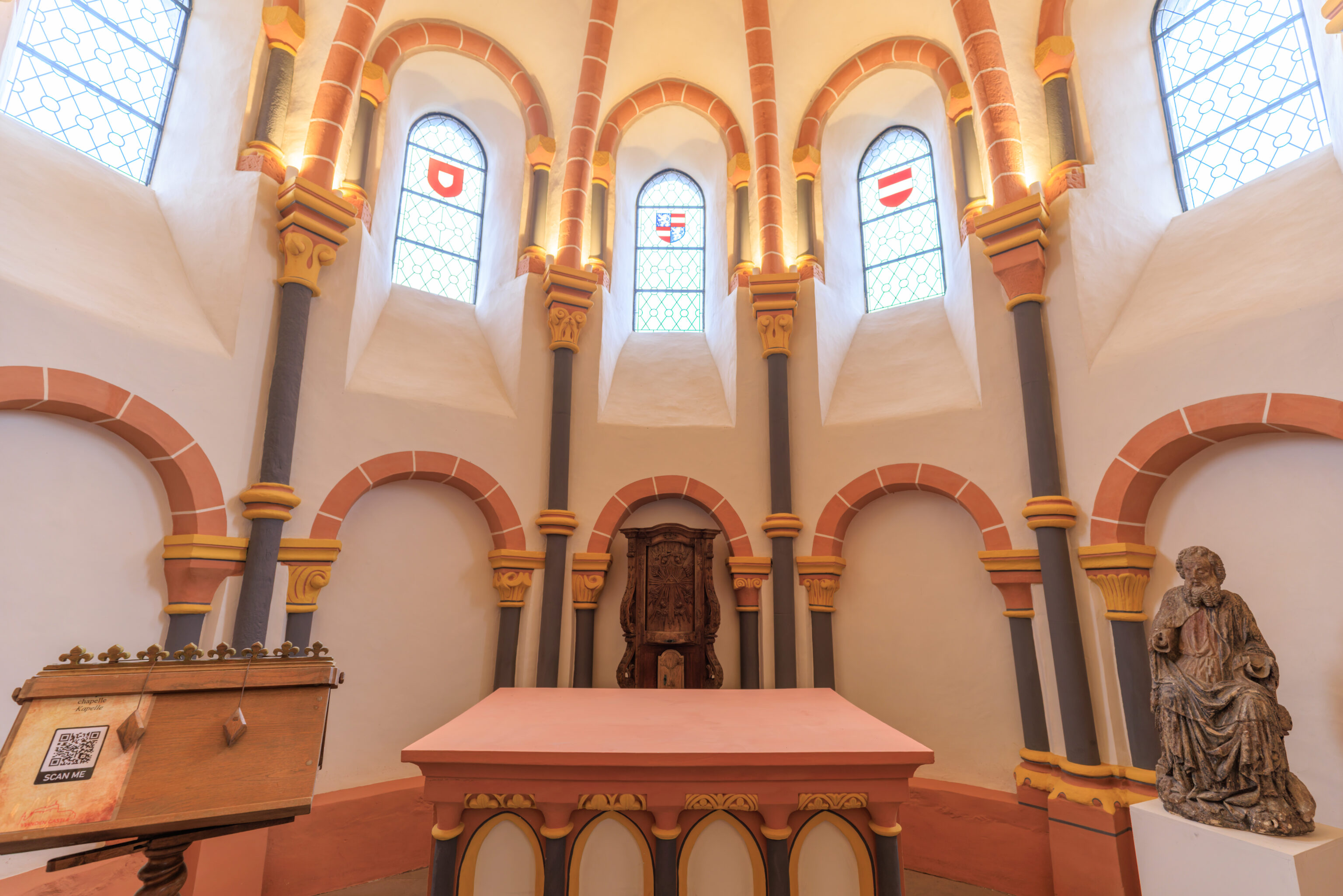
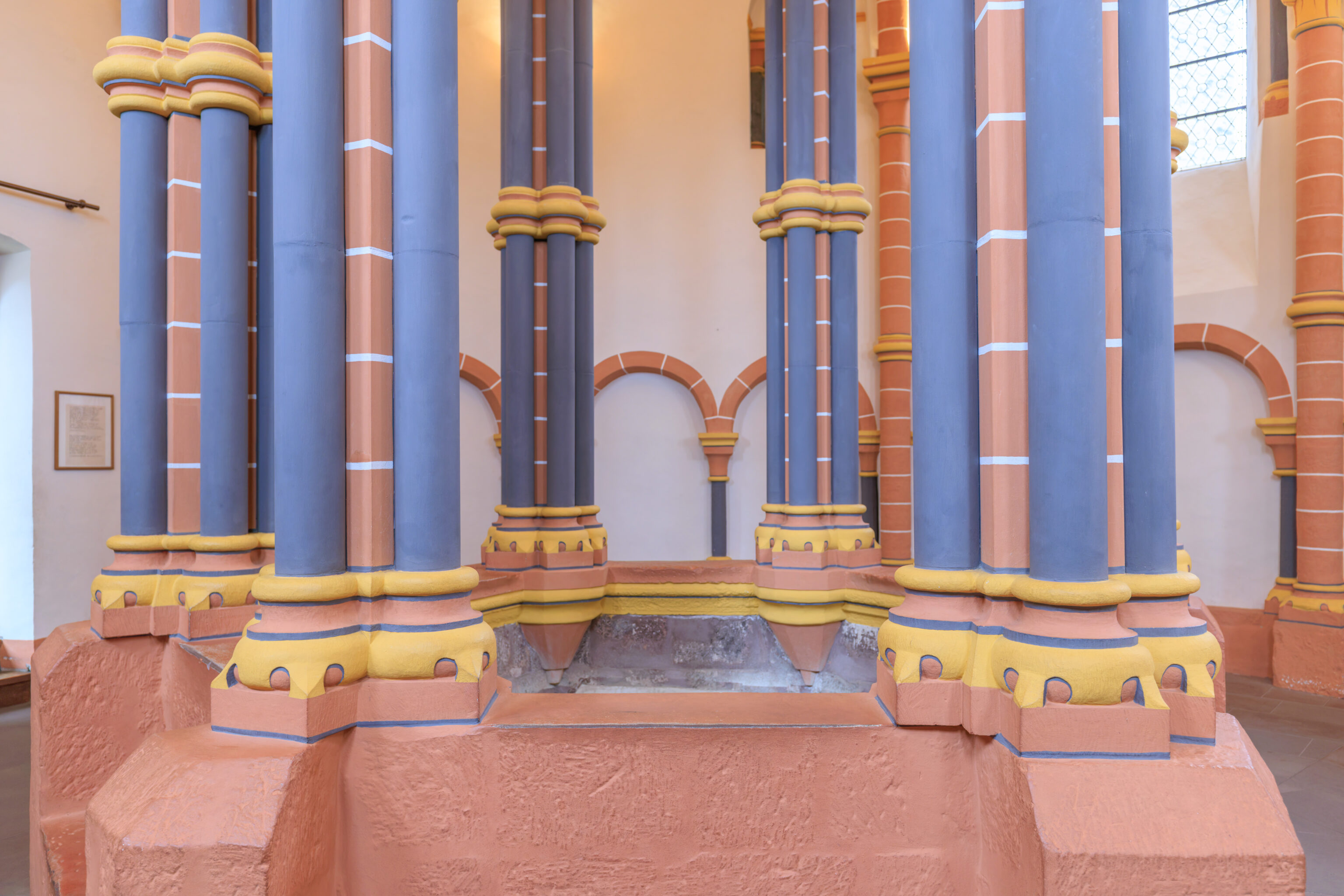
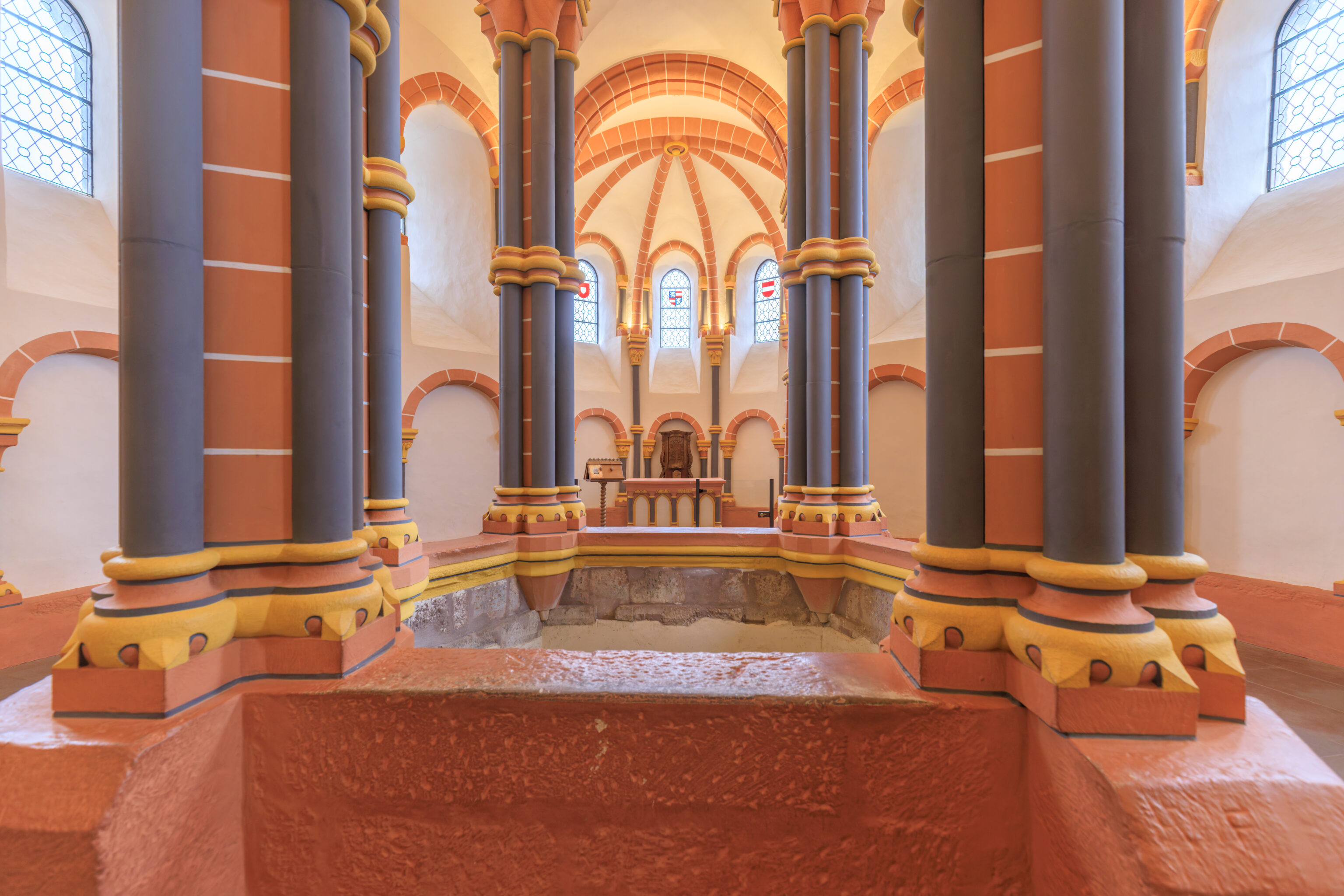
We then entered the Upper Chapel.
UPPER CHAPEL
- Masterpiece of early Gothic architecture
- Decagonal plan with a pentagonal choir
- Built in the first half of the 13th century
- Dedication: St. Anthony
– Text from a sign, translated from French using Google Translate.
Painting was considered the necessary completion of every civil and religious edifice, and was applied—by preference—to ornamental sculpture or statuary, to moldings and profiles, as if to bring out their importance and value. If painting is subject to the lines, forms, and design of the structure, it is an essential part of architecture
(Viollet-le-Duc).

The appearance of historic architecture is defined by forms and materials, but also by color. The goal of heritage conservation work is therefore not only the preservation of the original fabric, but also the restoration of the original color scheme—which in most cases has been lost.
(Rhineland-Palatinate State Office for Monument Preservation).
– Text from a sign, translated from French and German using Google Translate.
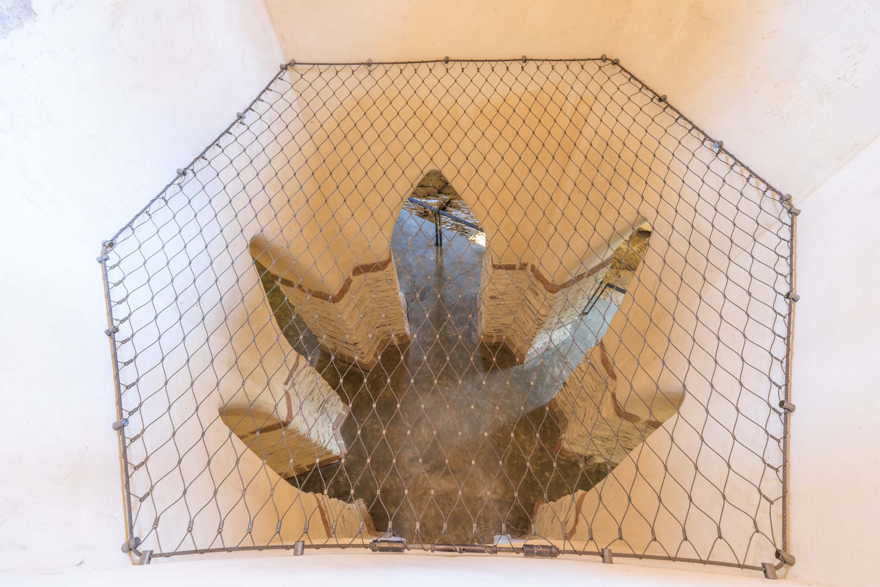
We were able to look down into the Lower Chapel.
We continued on…
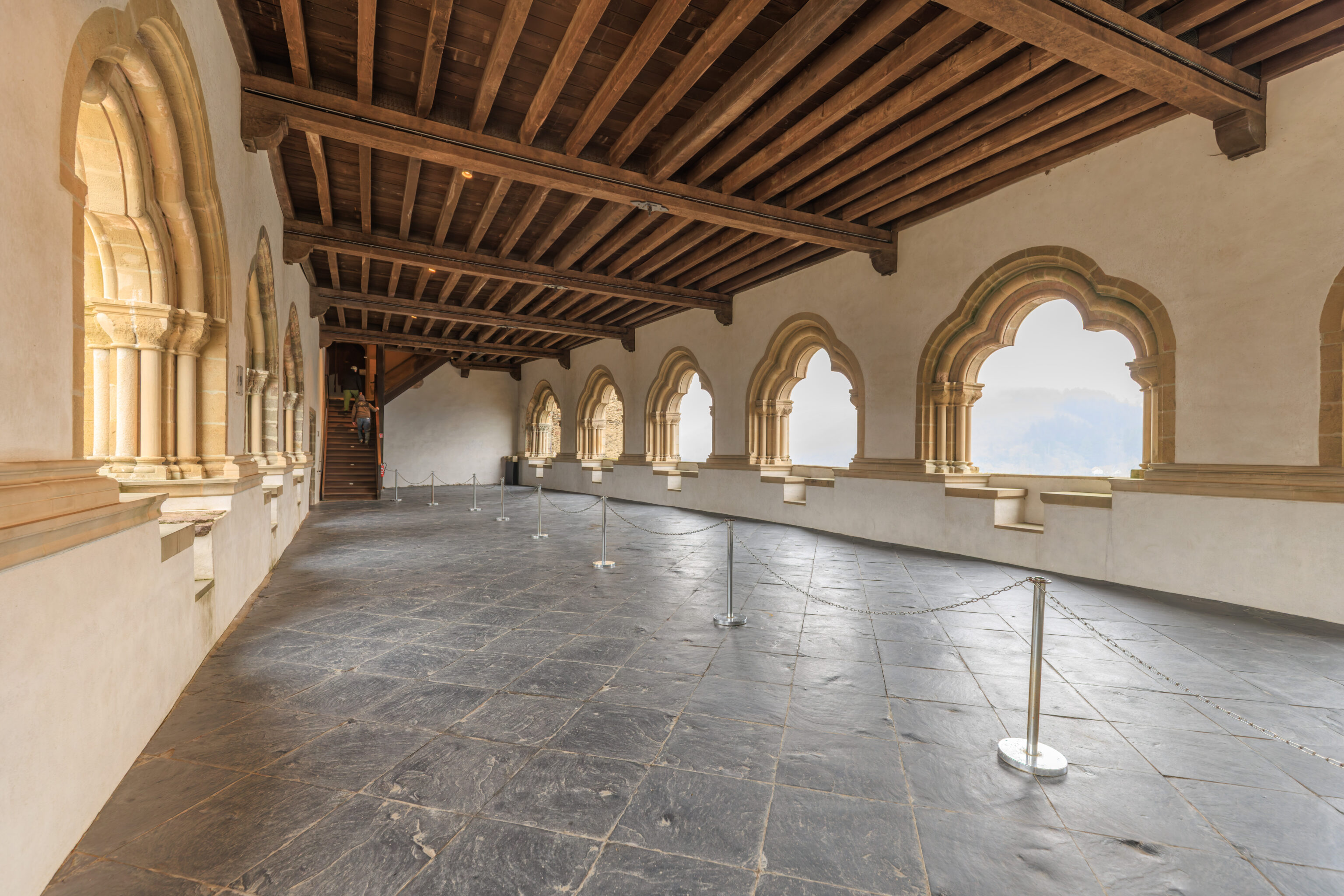
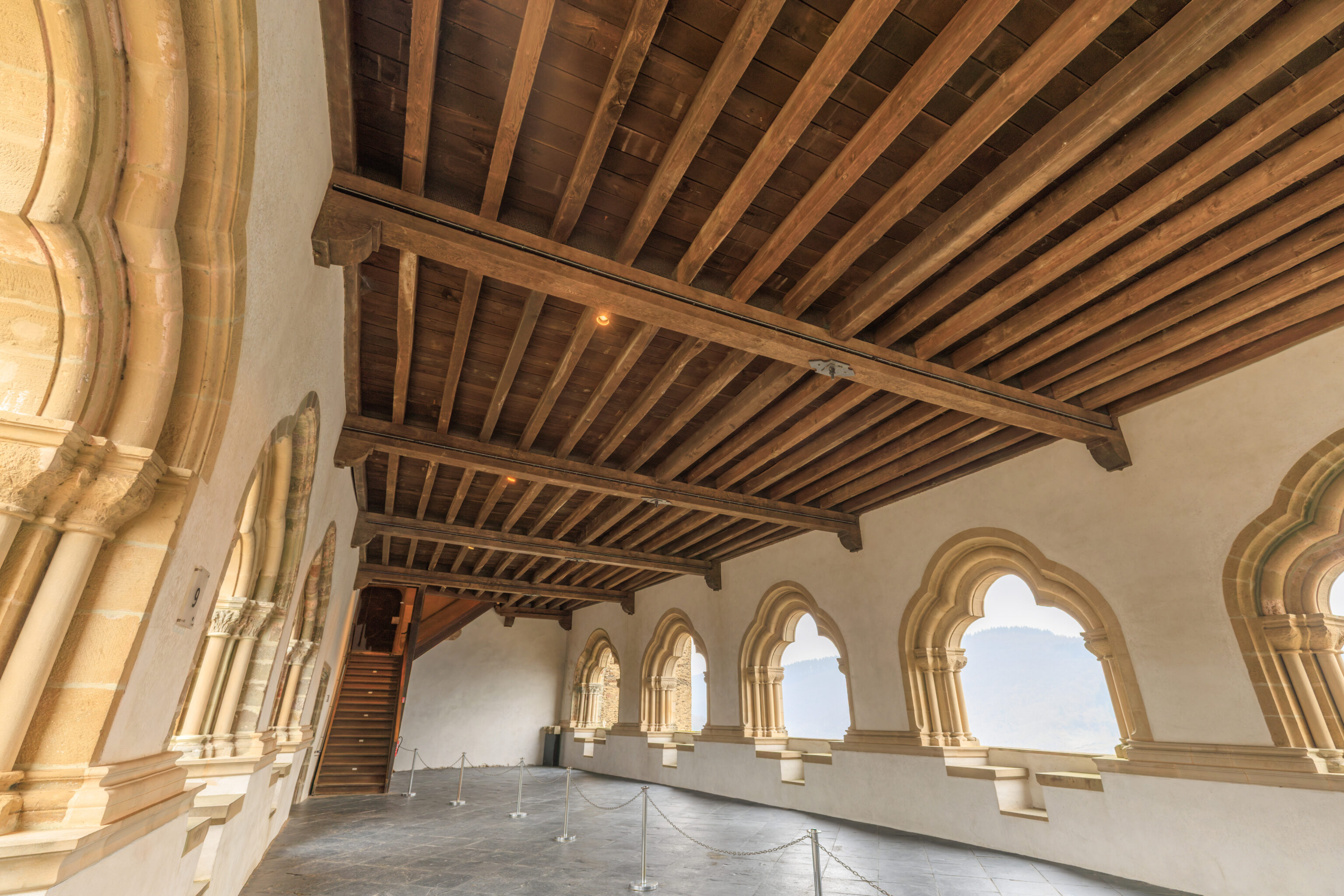
The next room we entered was the vast Gallery. In this context, a gallery is a long and narrow room like this that serves as a corridor.
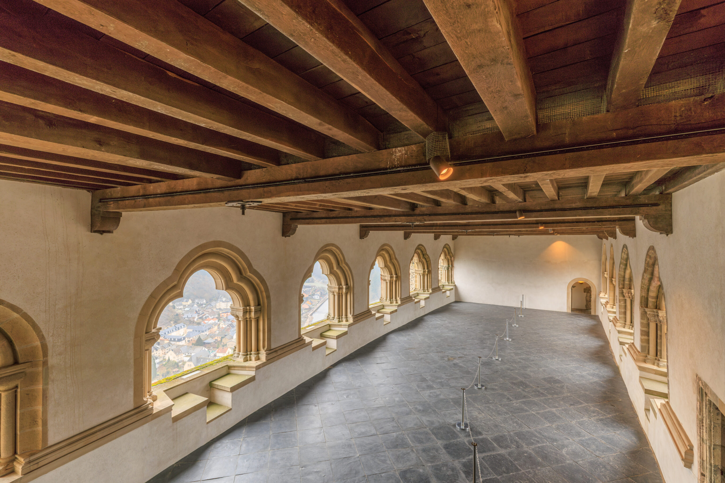
This view was from the top of the stairs leading to the next room.
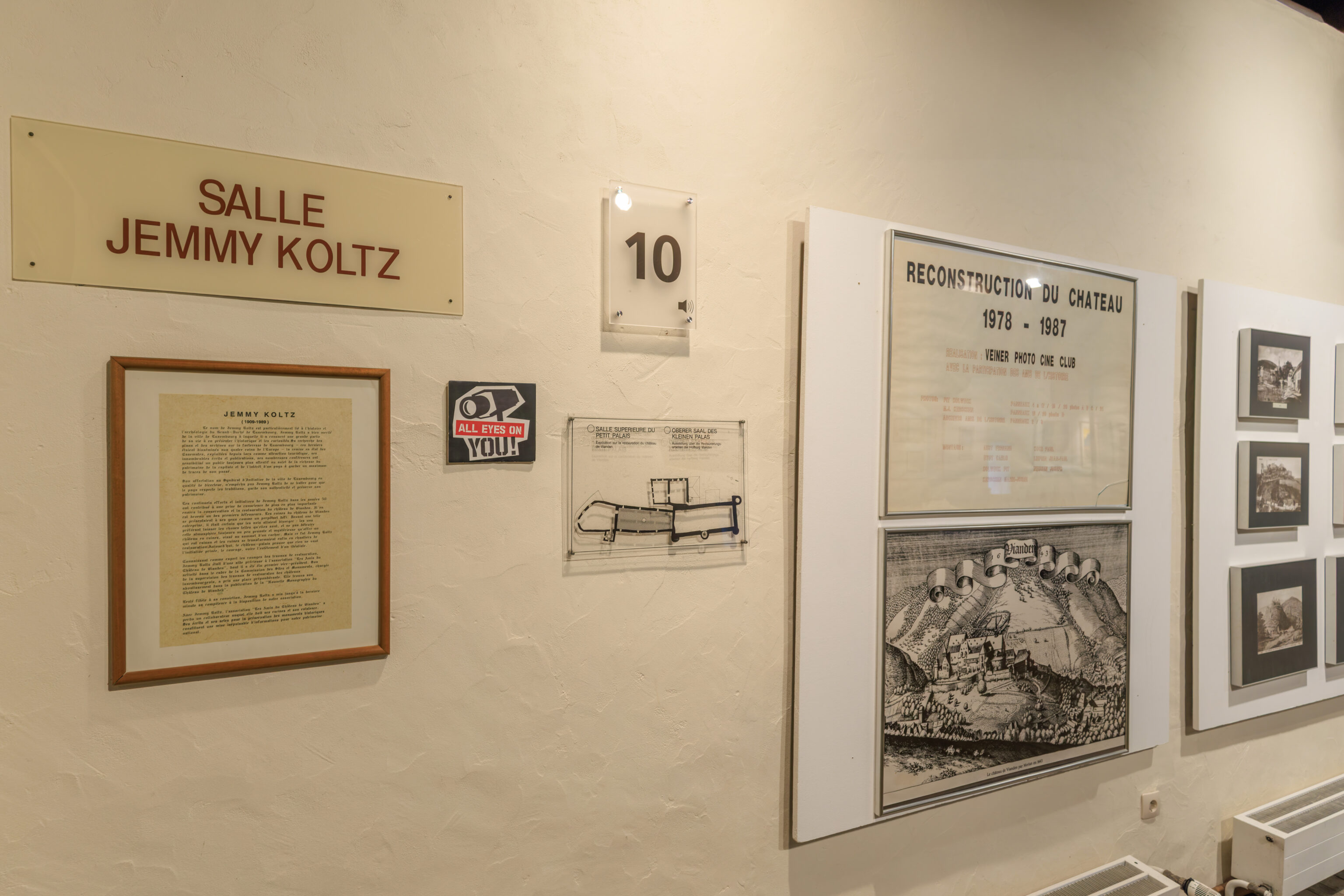
This room, on the 3rd floor, was the Jemmy Koltz Hall. The framed sign on the left contains a biography:
JEMMY KOLTZ
(1909–1989)

The name Jemmy Koltz is closely linked to the history and archaeology of the Grand Duchy of Luxembourg. Jemmy Koltz rendered great service to the city of Luxembourg, dedicating a large part of his life to showcasing its history and curiosities. His search for plans and archives regarding the Luxembourg Fortress—materials that were scattered across the four corners of Europe—along with the restoration of the Casemates (subsequently operated as a tourist attraction), his countless writings and publications, and his numerous lectures, raised public awareness regarding the richness of the capital's heritage and the importance of preserving as many traces of the past as possible.

His appointment as director of the Luxembourg City Tourist Office did not stop Jemmy Koltz from fighting to ensure the country respected its traditions, maintained its authenticity, and preserved its heritage.

Jemmy Koltz’s persistent efforts and initiatives during the 1950s contributed to growing awareness regarding the conservation and restoration of Vianden Castle. He became one of its foremost champions. To him, the ruins of Vianden Castle represented a perpetual challenge. Faced with such an undertaking, opinions were bound to differ: some preferred to leave things as they were, unwilling to destroy the somewhat heavy, mysterious atmosphere offered by a ruined castle perched atop a rocky outcrop. But it was Jemmy Koltz who was proven right, and the ruins were finally transformed into restoration sites. Today, the castle-palace stands as proof that nothing beats the private initiative, the courage, and even the sheer tenacity of an idealist.

Drawing on his expertise in restoration work, Jemmy Koltz was a vital asset to the "Friends of Vianden Castle" association, of which he was elected first vice-president. His work with the Commission for Sites and Monuments—tasked with overseeing the restoration of Luxembourg’s castles—played a pivotal role, culminating in the publication of the *New Monograph on Vianden Castle*.

True to his convictions, Jemmy Koltz placed his expertise at our association's disposal right up to the very end.

In Jemmy Koltz, the "Friends of Vianden Castle" association has lost a collaborator to whom it owes its very roots and existence. His writings and research on the preservation of historic monuments constitute an inexhaustible wealth of information for our national heritage.
– Text from the sign on the left side of the photograph above, translated from French using Google Translate.
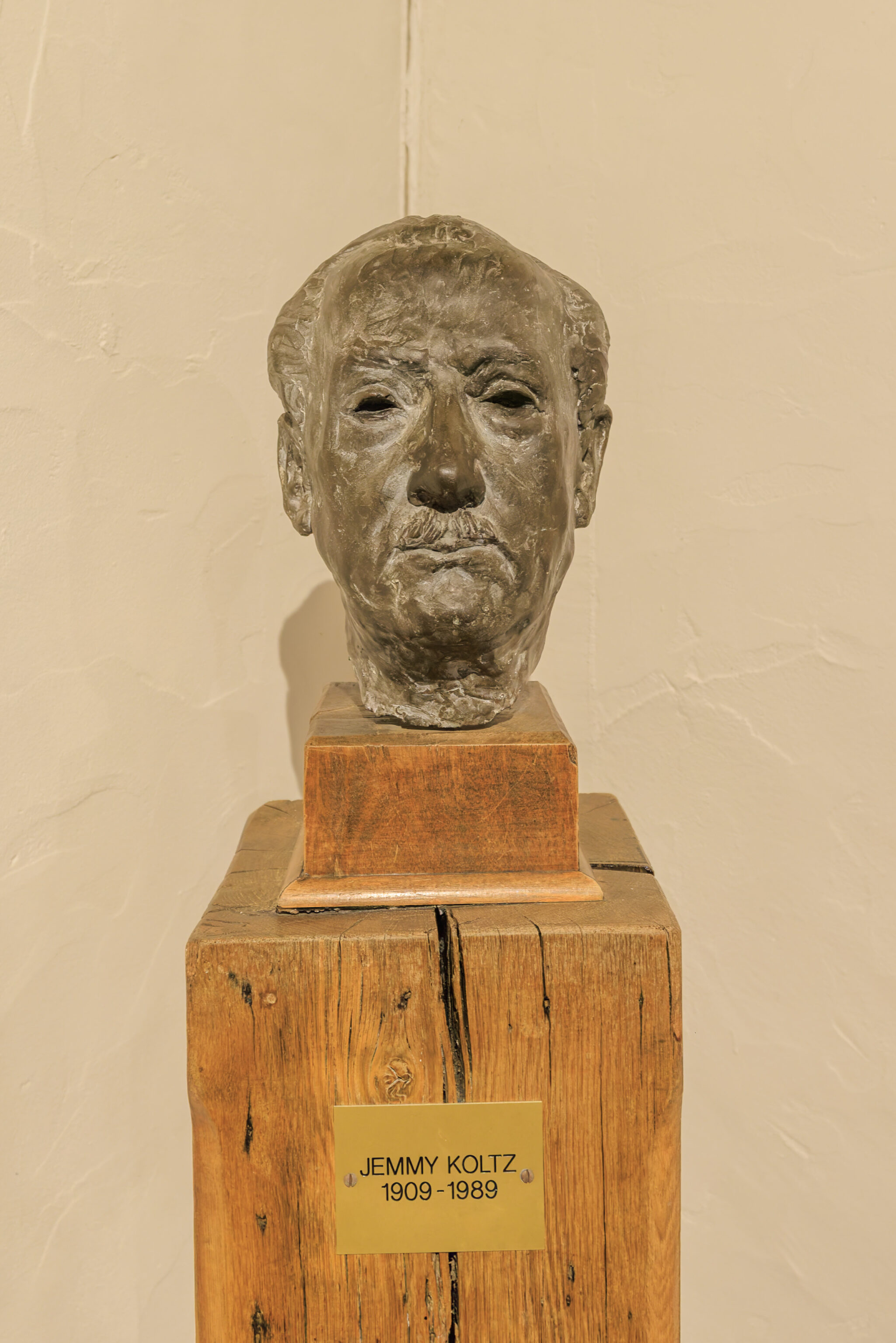
A sculpture depicting Jemmy Koltz.
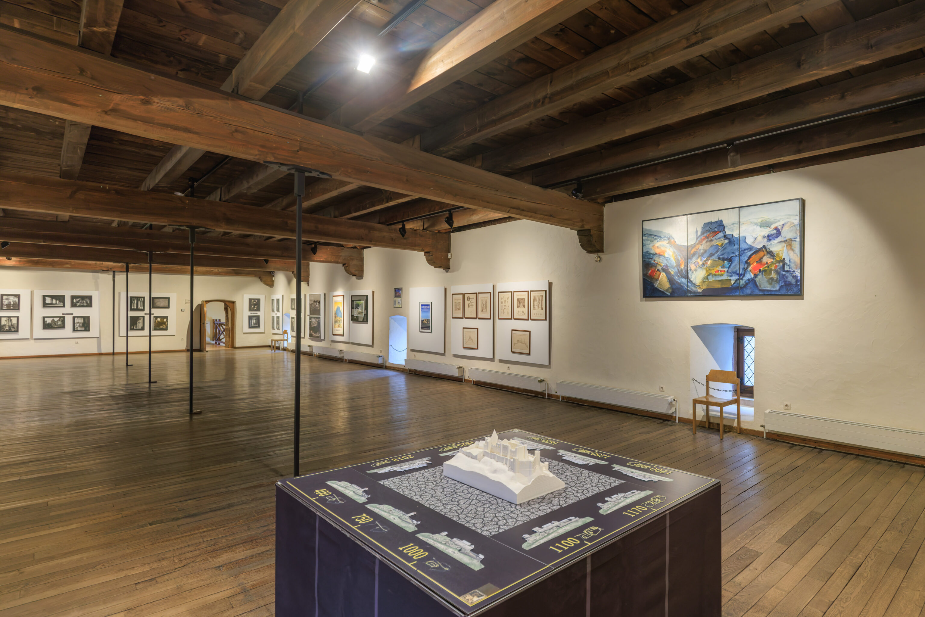
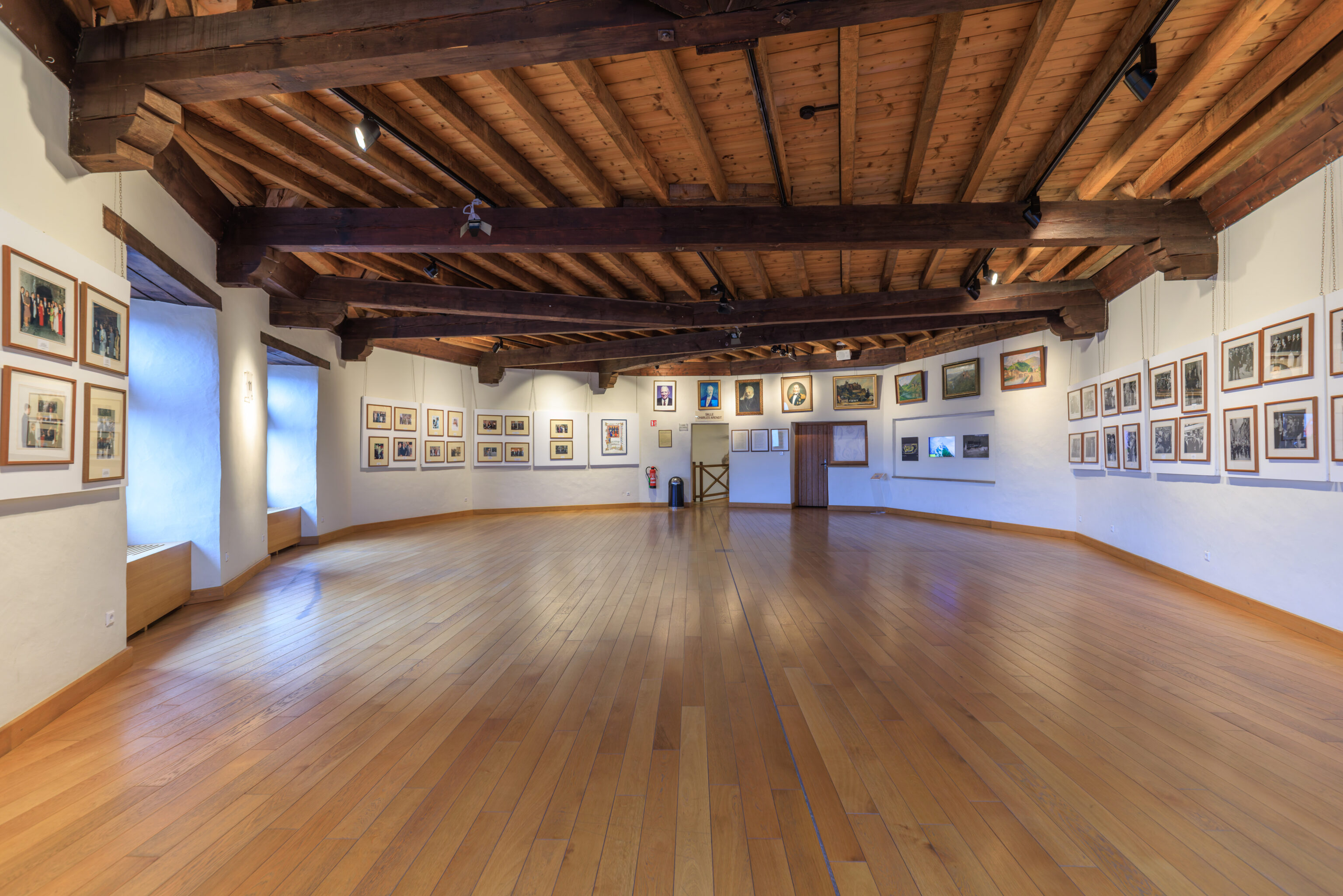
This room and the adjacent Charles Arendt Hall contained a gallery with various photographs and artwork related to this castle.
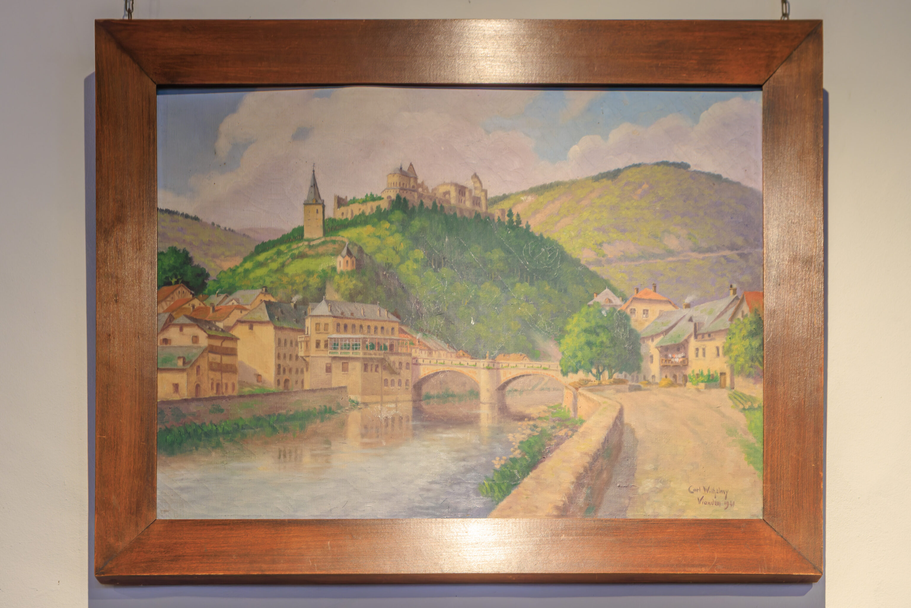
A painting of the castle in 1941 in its ruined state. The painter’s perspective is from about where we first reached the river Our today.
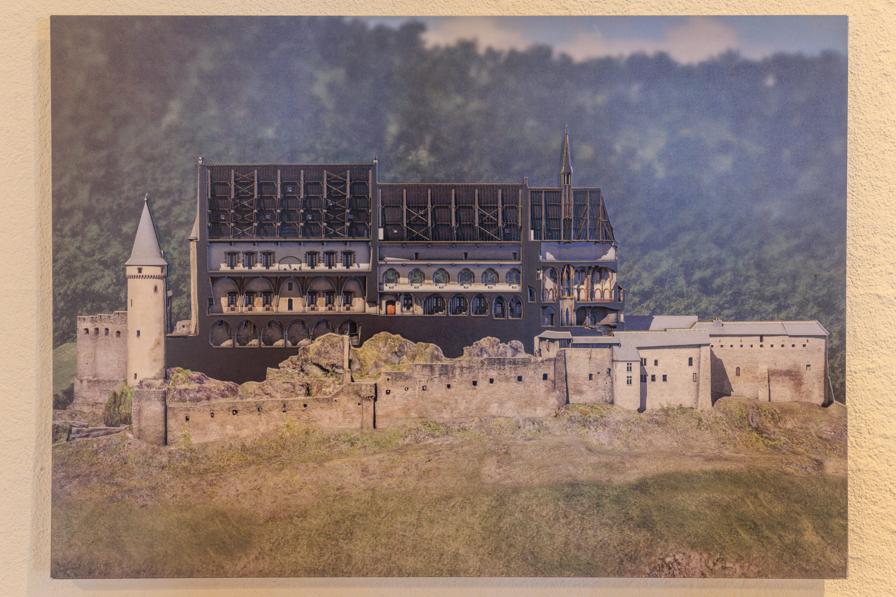
This interesting artwork contains what looks like a photograph of the castle with a cross section of its interior.
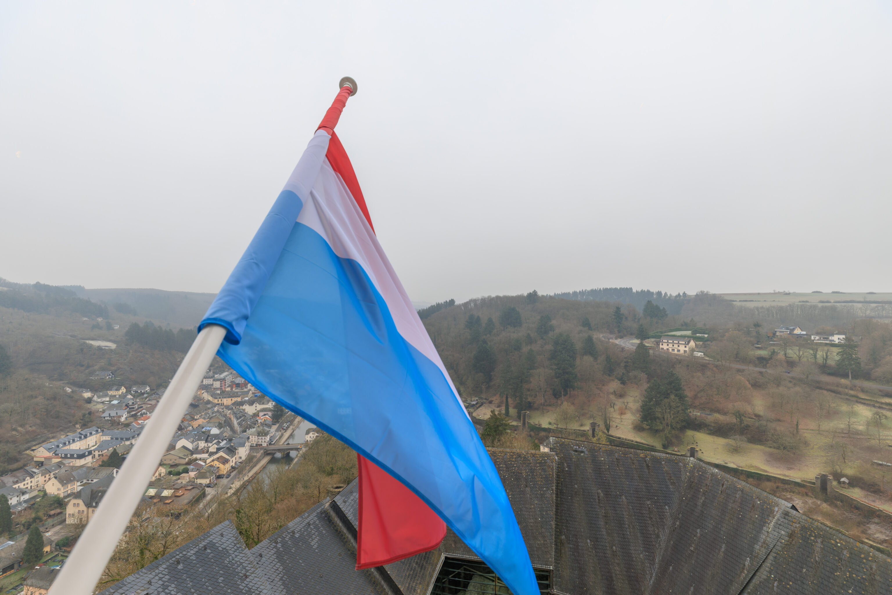
We saw the flag of Luxembourg from a window.
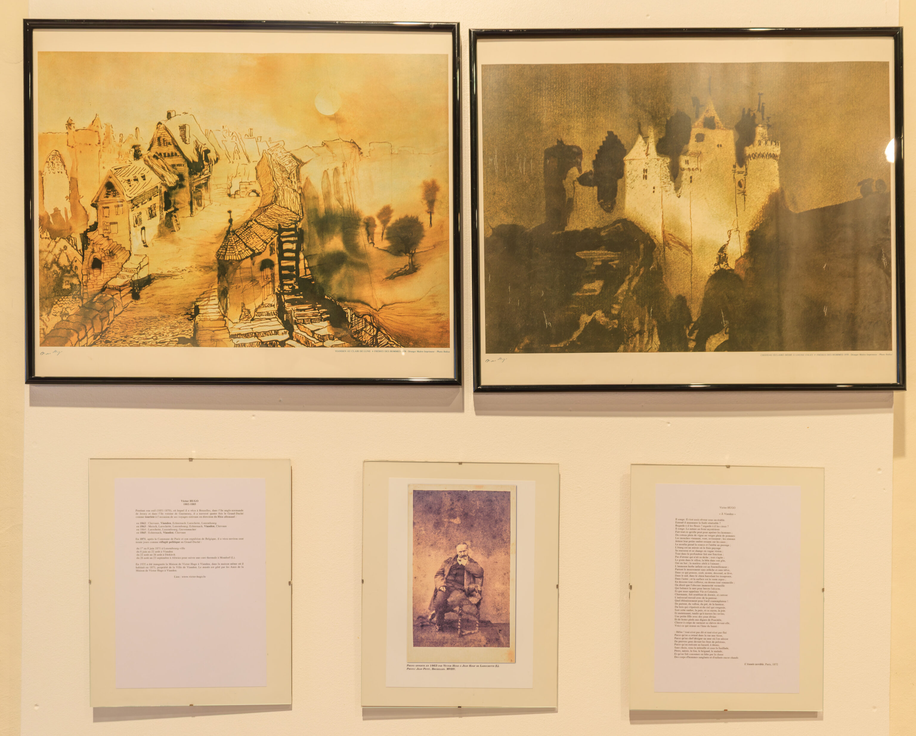
This display was about Victor Hugo. The photograph at the bottom is of Victor Hugo. The sheet on the left briefly describes his visits to Luxembourg:
Victor HUGO
1802–1885

During his exile (1851–1870)—spent in Brussels, on the Channel Island of Jersey, and on the neighboring island of Guernsey—he traveled through the Grand Duchy four times as a tourist during his summer journeys toward the German Rhine:

1862: Clervaux, Vianden, Echternach; Larochette, Luxembourg City
1863: Mersch, Larochette, Luxembourg City; Echternach, Vianden, Clervaux
1864: Larochette, Luxembourg City, Grevenmacher
1865: Echternach, Vianden, Clervaux

In 1871, following the Paris Commune and his expulsion from Belgium, he lived in the Grand Duchy for approximately 130 days as a political refugee:

June 1–8, 1871: Luxembourg City
June 8 – August 22: Vianden
August 22–26: Diekirch
August 26 – September 23: Altwies (to undergo a thermal cure in Mondorf, Luxembourg).

The Victor Hugo House in Vianden was inaugurated in 1935; located in the very house where he lived in 1871, the property belongs to the City of Vianden. The museum is managed by the Friends of the Victor Hugo House in Vianden.

Link: www.victor-hugo.lu
– Text from the left sheet of paper in the photograph above, translated from French using Google Translate.
The sheet on the right contains a poem written by Victor Hugo about Vianden as part of his L’Année Terrible (The Terrible Year).
Victor HUGO
"At Vianden"

He is lost in thought. He sits, dreaming, beneath a maple tree.
Does he hear the ancient forest murmuring?
Does he gaze at the flowers? Does he gaze at the heavens?
He is lost in thought. Nature, with its mysterious brow,
Does all it can to soothe mankind:
From the vine-clad hillside to the apple-laden orchard,
Flies come and go and return; birds
Cast their small, wandering shadows upon the waters;
The mill catches the spring and halts it in its course;
The pond is a mirror where the cool landscape
Is reflected upside down, turning into a hazy vision:
Everything in the depths performs a function:
No atom lacks its task; all is in motion;
The seed in the furrow, the beast in its lair,
Have a purpose; matter obeys the magnet;
The vast, infinite grass teems with life;
Everywhere there is ceaseless, unremitting movement—
In all that sprouts, grows, rises, falls, and stirs,
In the nest, in the dog harrying the flocks,
In the star; yet the surface is a realm of vast repose;
Beneath, all strives; above, all slumbers;
It seems as though that dark, crimson immensity—
Which sways the sea to cradle the halcyon,
And which we call Life and Creation—
Charming, feigns sleep, and caresses
The universal labor with a touch of indolence.
What a dazzling sight for the contemplative eye!
From every quarter—valley, meadow, and height,
From the deepening woods and the reddening sky—
Emerge this shadow, which is peace, and this ray, which is joy.
And now, as through the ravines
A little girl with eyes divine
And nimble bare feet worthy of Praxiteles
Herds her goat before her with a vine-shoot,
Here is what stirs within the exile's soul:

Alas! Not all is said, nor all is done,
Just because a trench was dug in the street,
Because a leader points to a wall where poor folk
Are lined up before the firing squads,
Because executions happen at random, blindly—
Without distinction, amidst the hail of bullets—
Fathers, mothers, the madman, the bandit, the sick,
And because the bodies of bloodied men and still-warm children
Are hastily consumed by quicklime.

*L'Année terrible*, Paris, 1872
– Text from a sign, translated using Google.
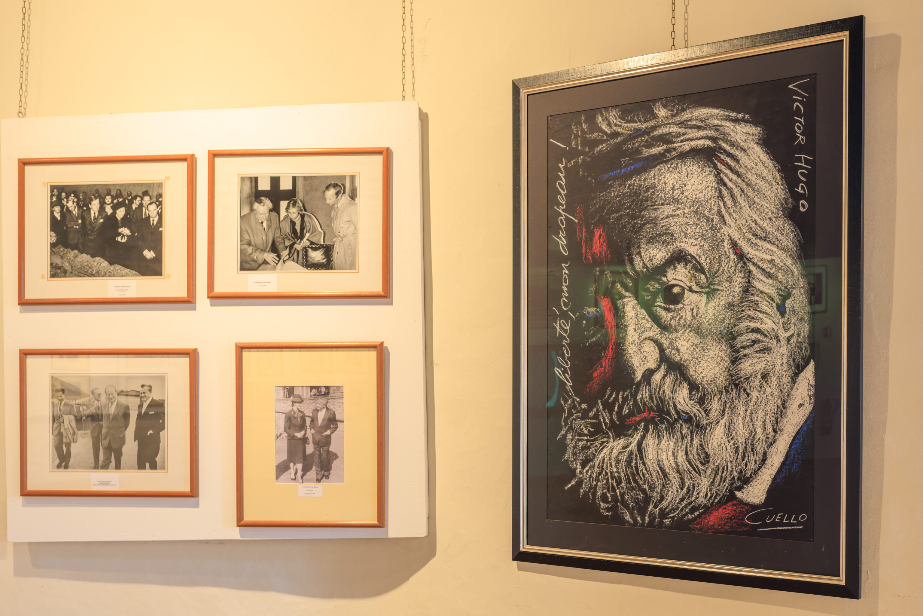
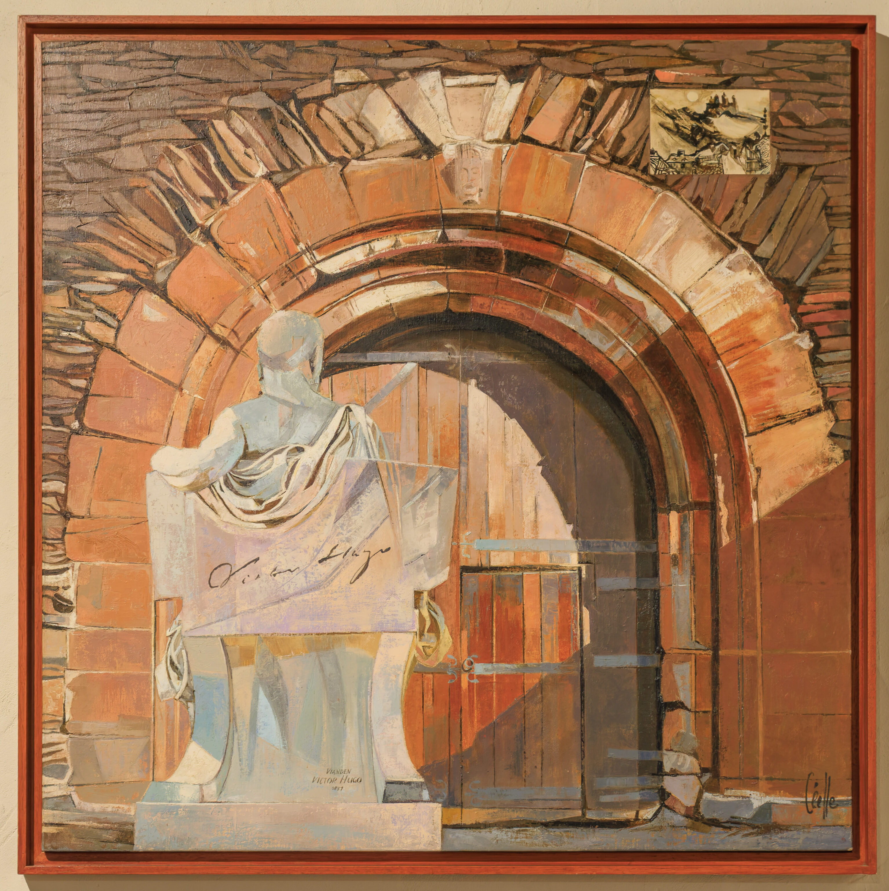
There were some additional Victor Hugo items on display.
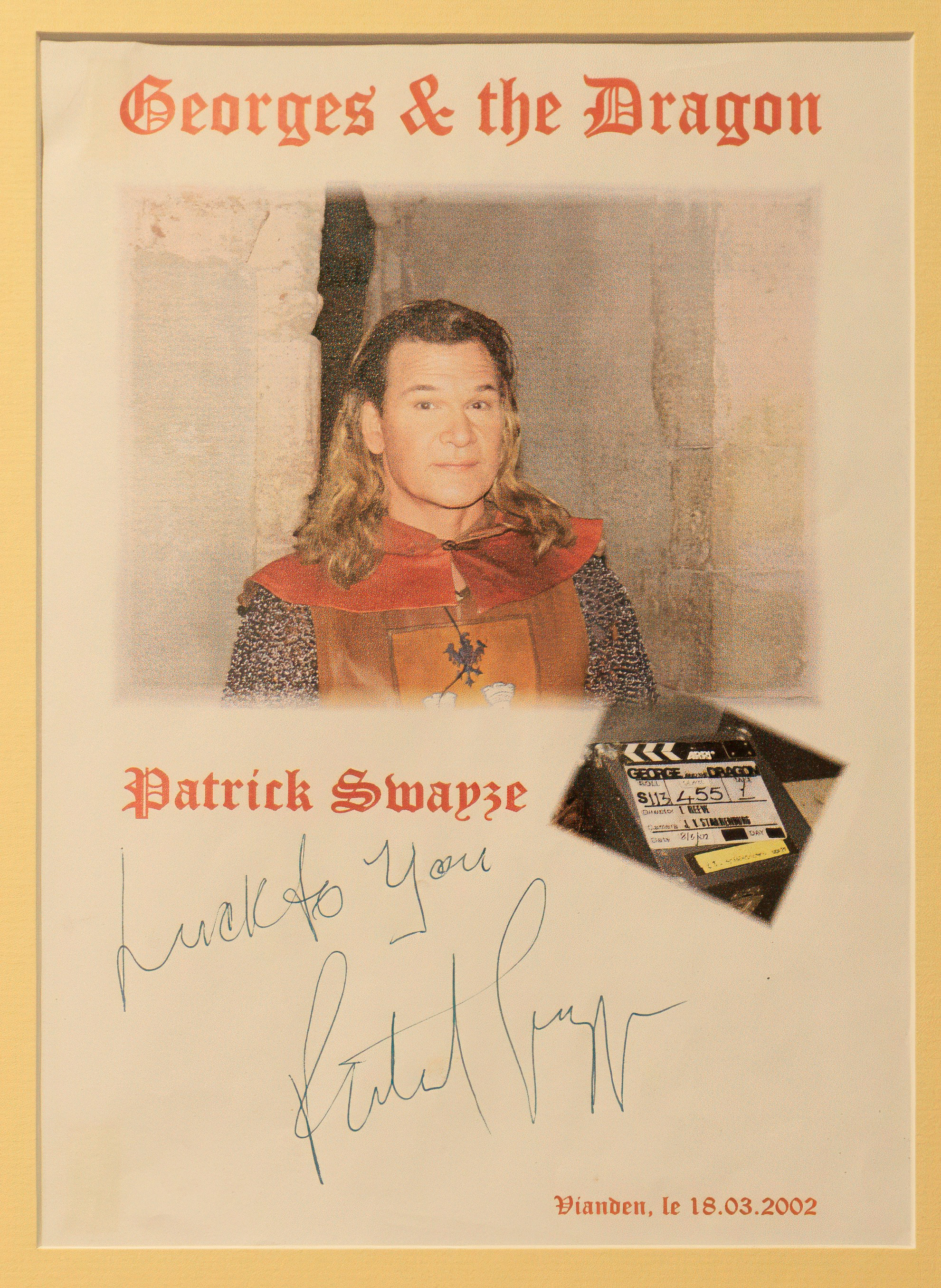
„George and the Dragon“
Mit James Purefoy, Piper Perabo,
Patrick Swayze (Foto) ….
Directed by Tom Reeve
2004
We photographed a few other interesting but random items on display. Here is Patrick Swayze in 2004. Vianden Castle was a filming location for George and the Dragon.
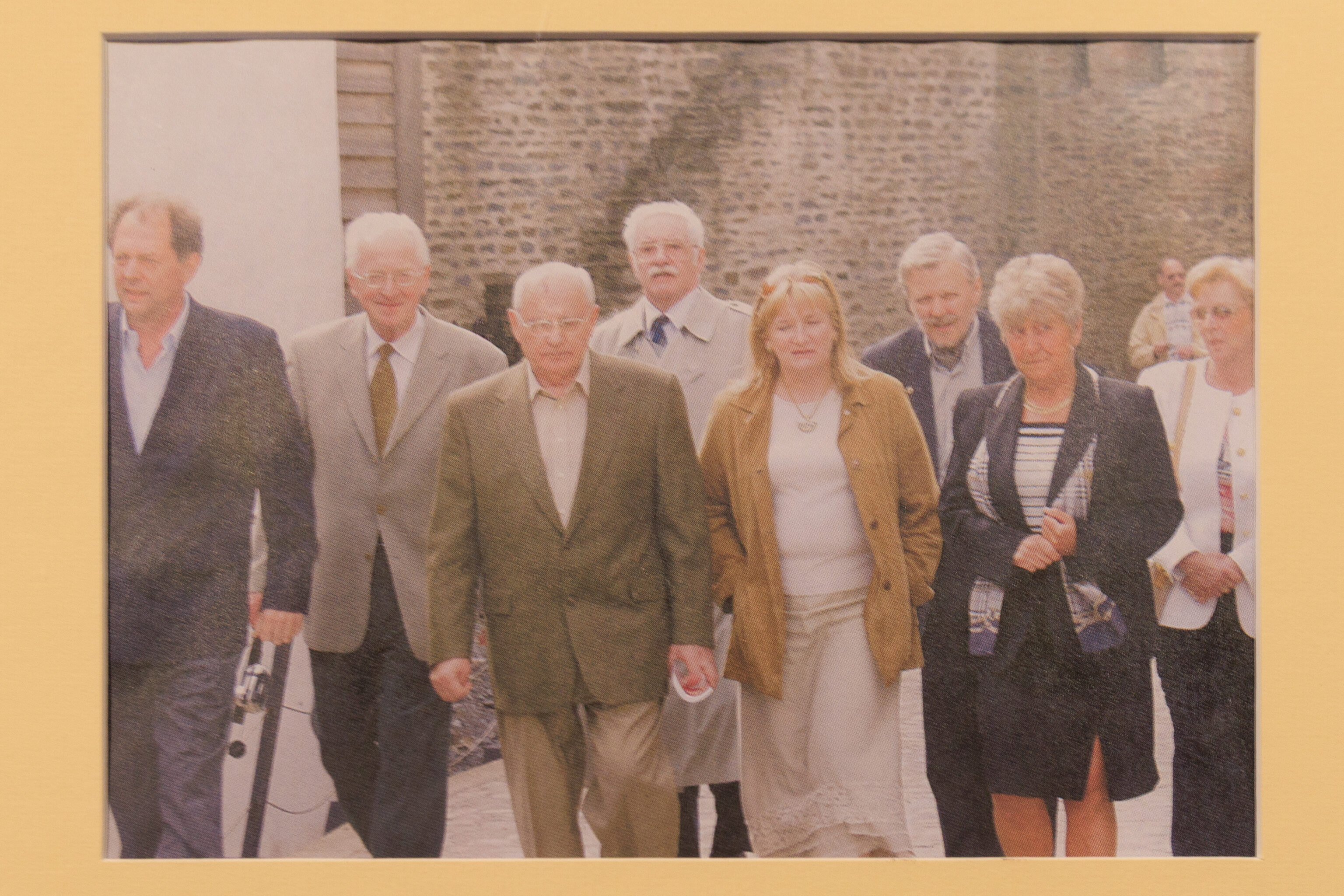
chemaliger Präsident der Sowjetunion
2004
This photograph shows the last Soviet president, Mikhail Gorbachev, here at the castle in 2004.
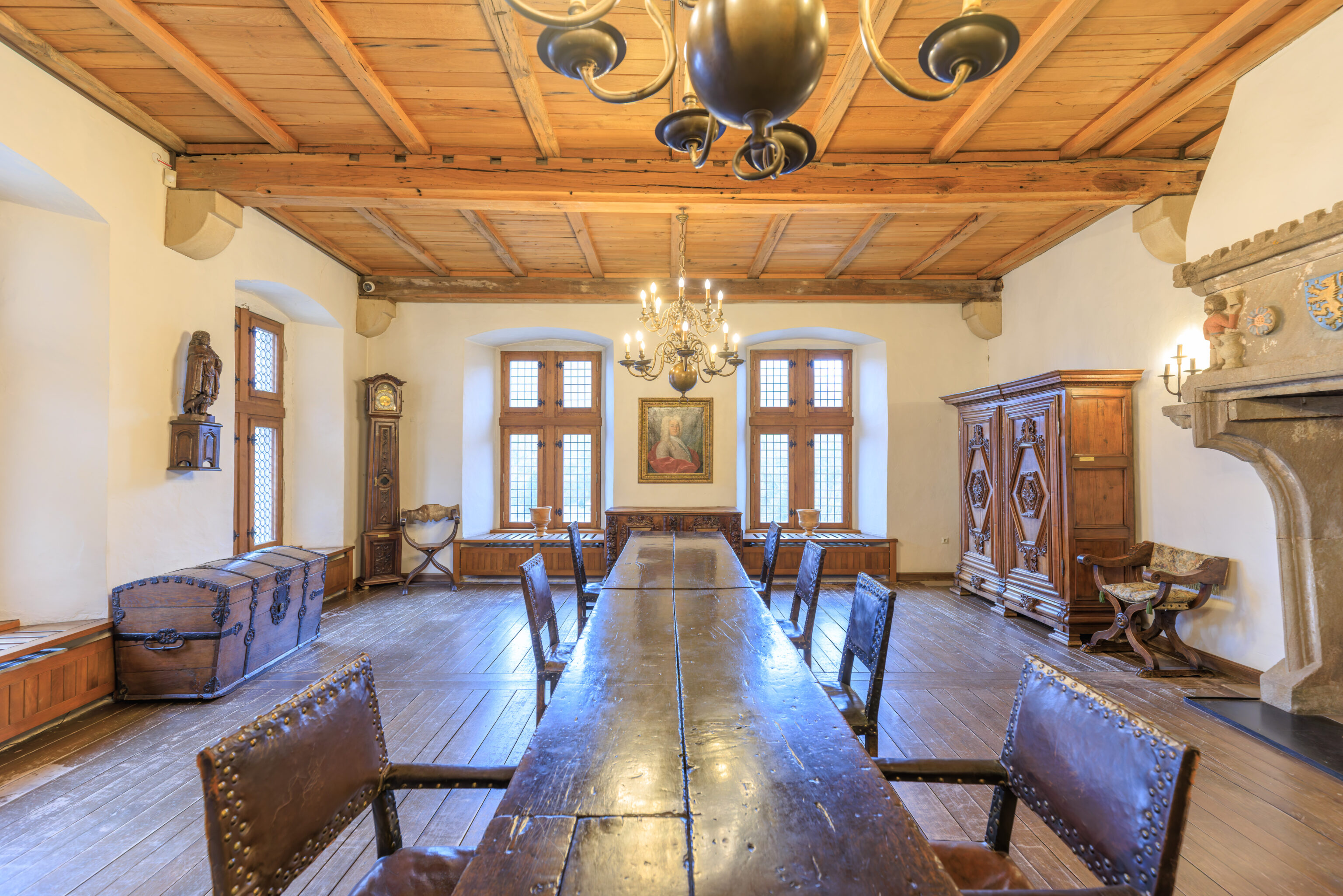
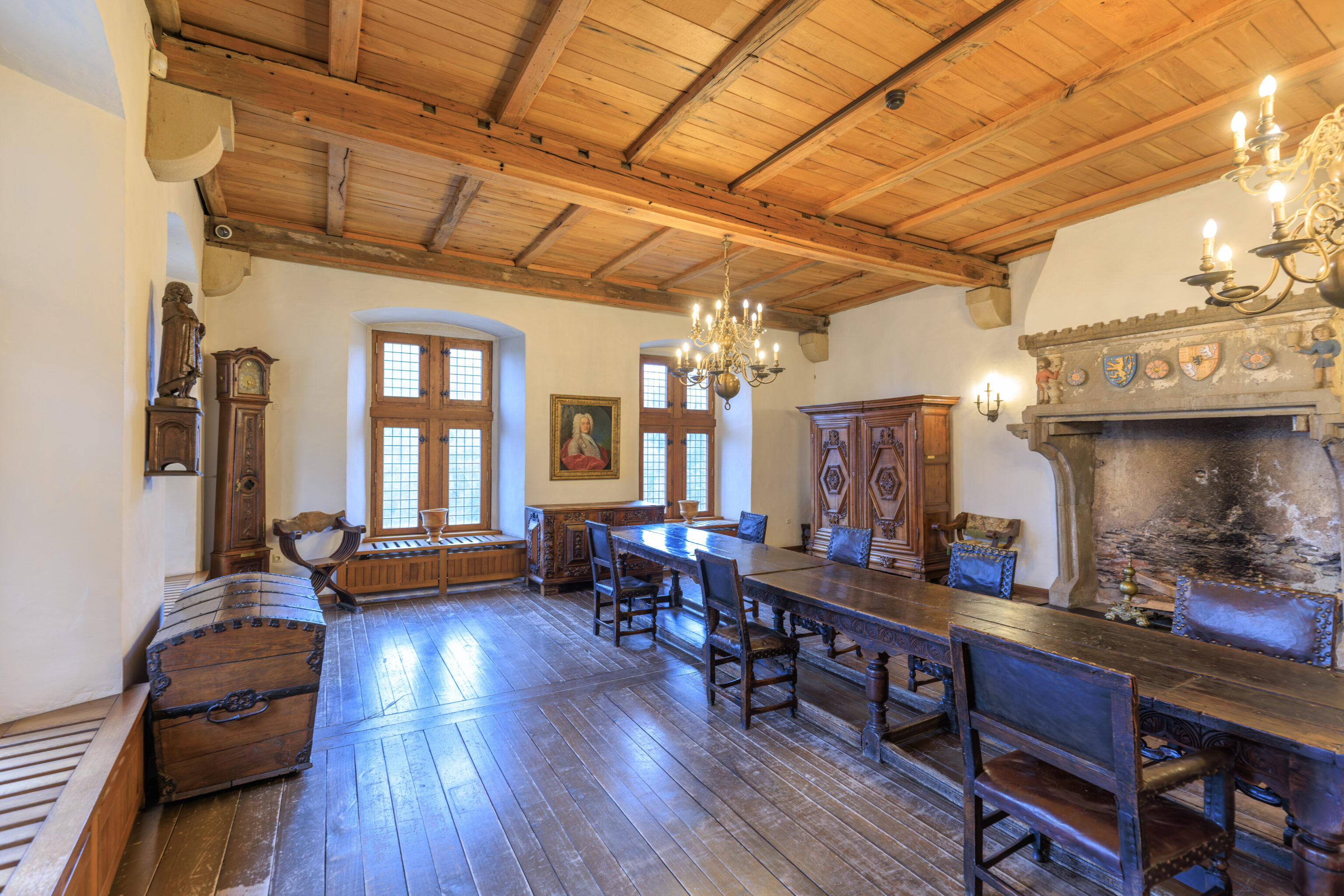
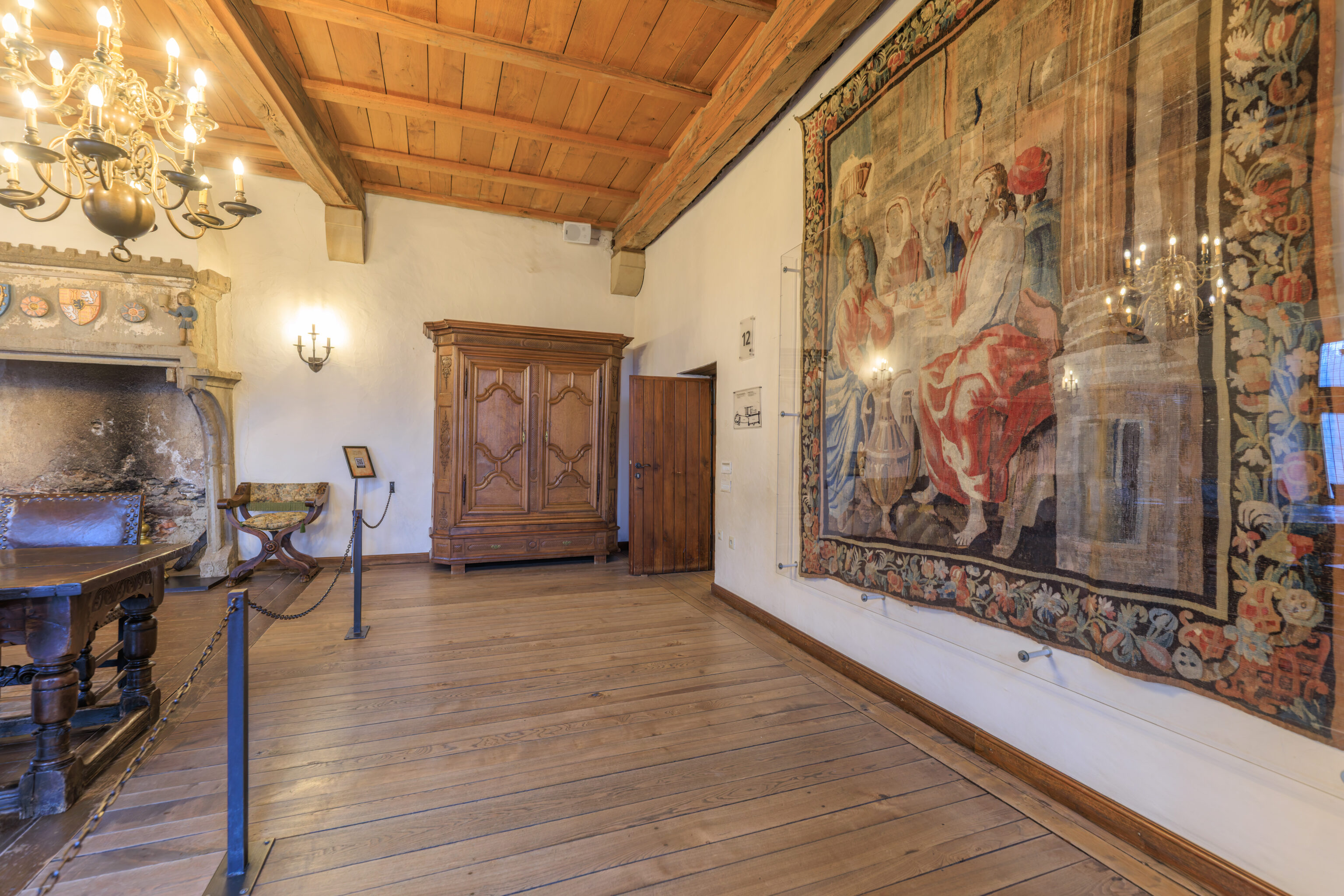
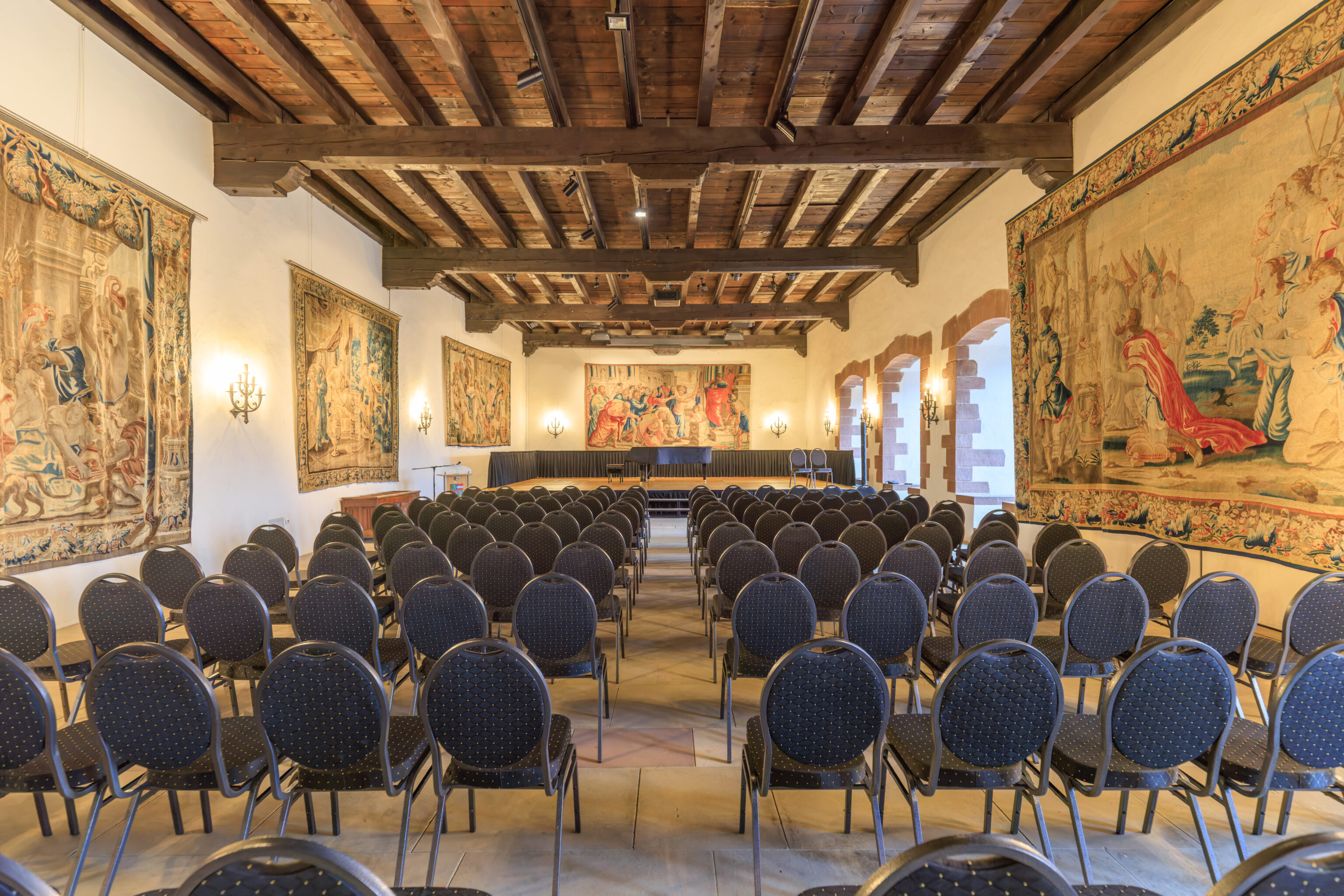
The next room was the Banquet Hall…
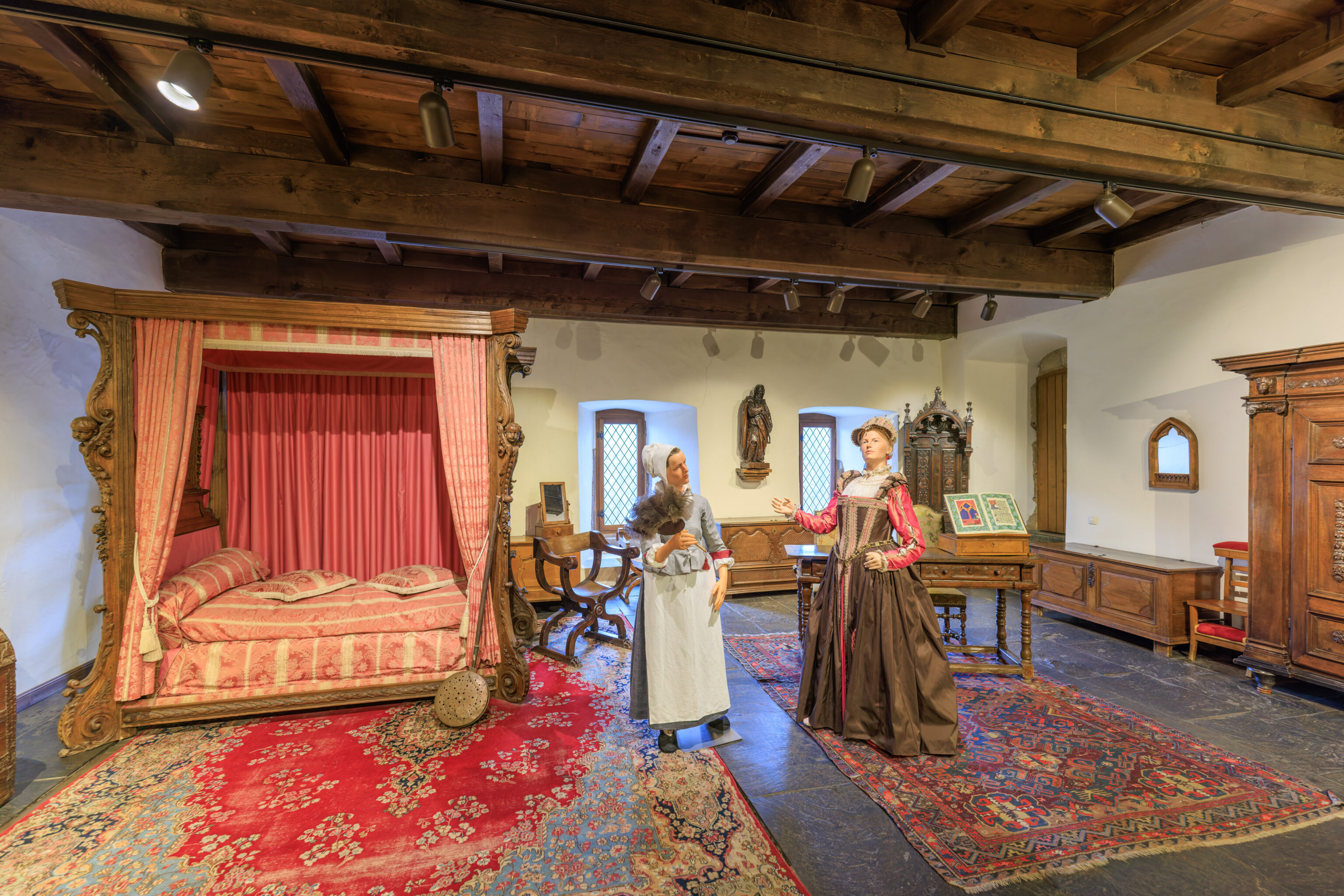
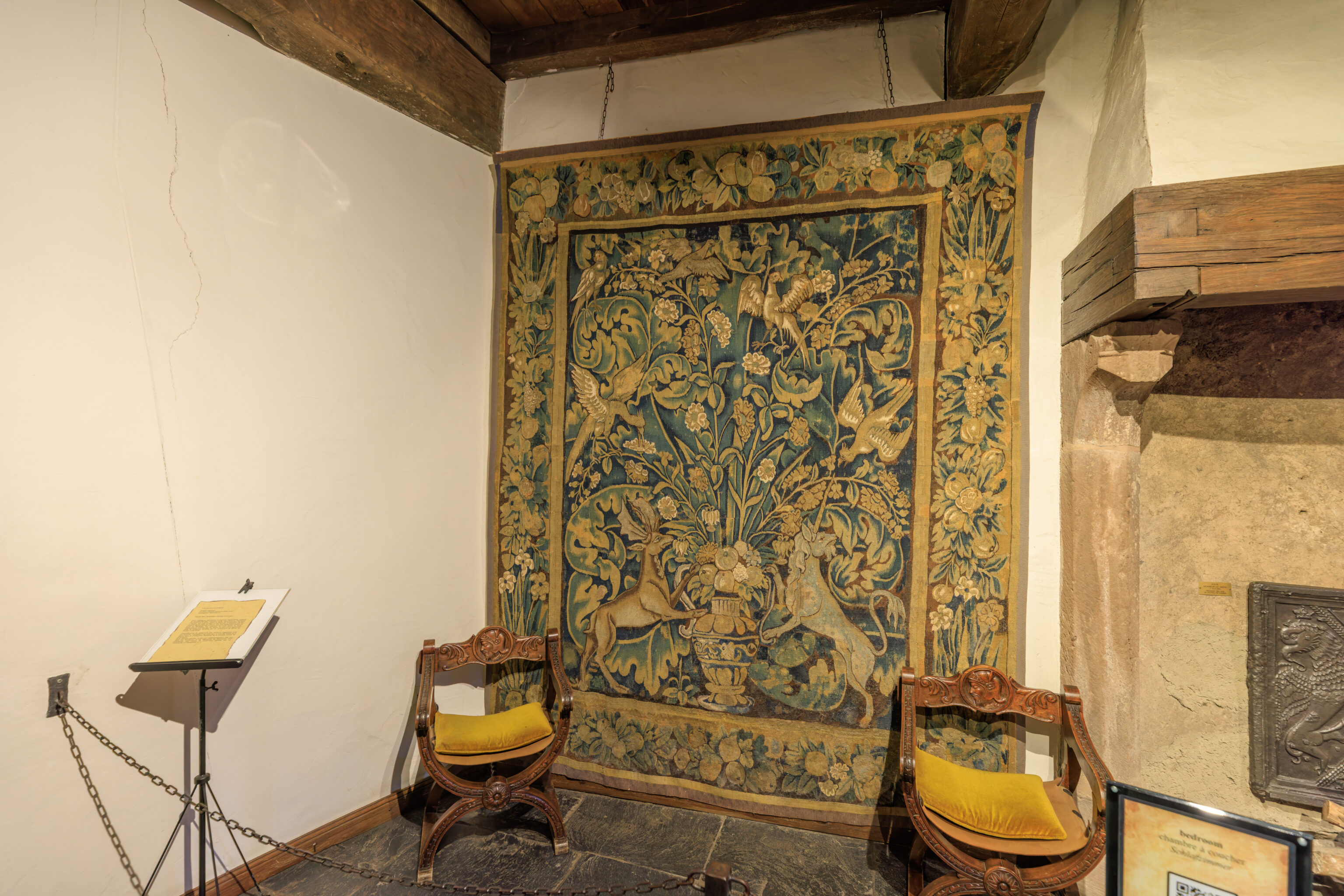
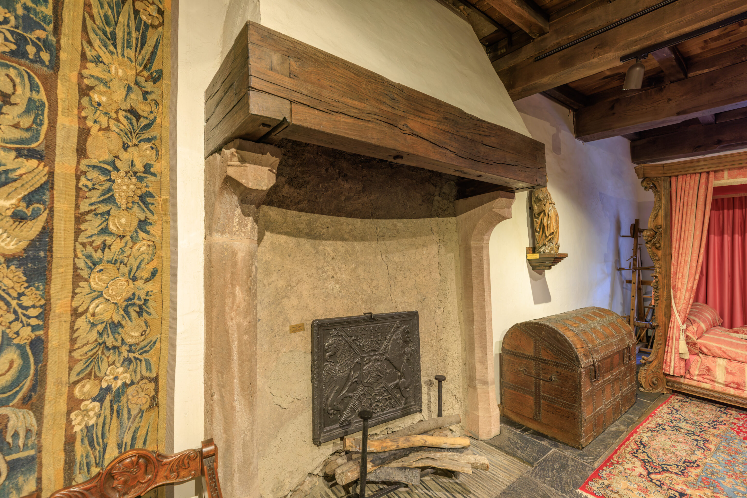
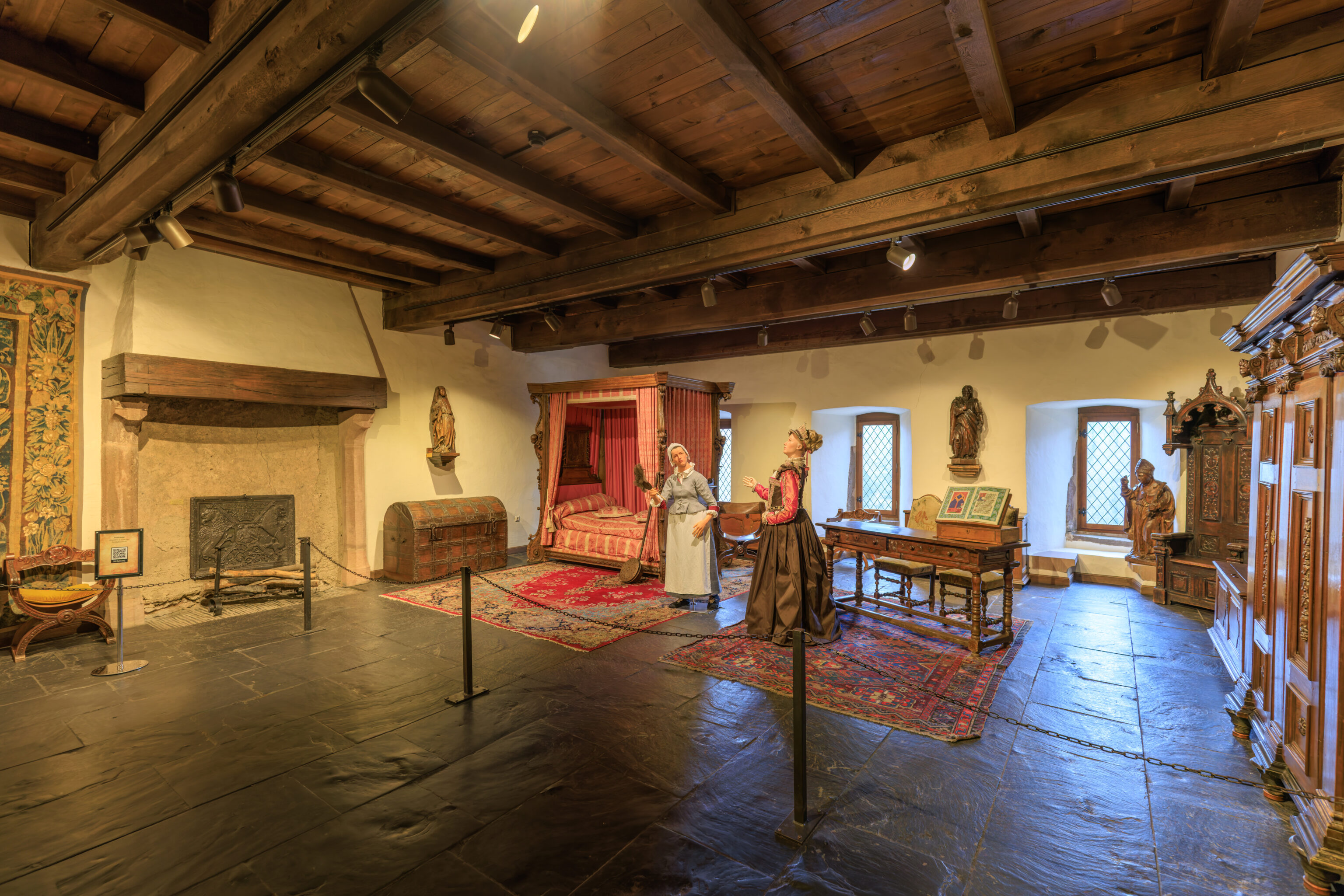
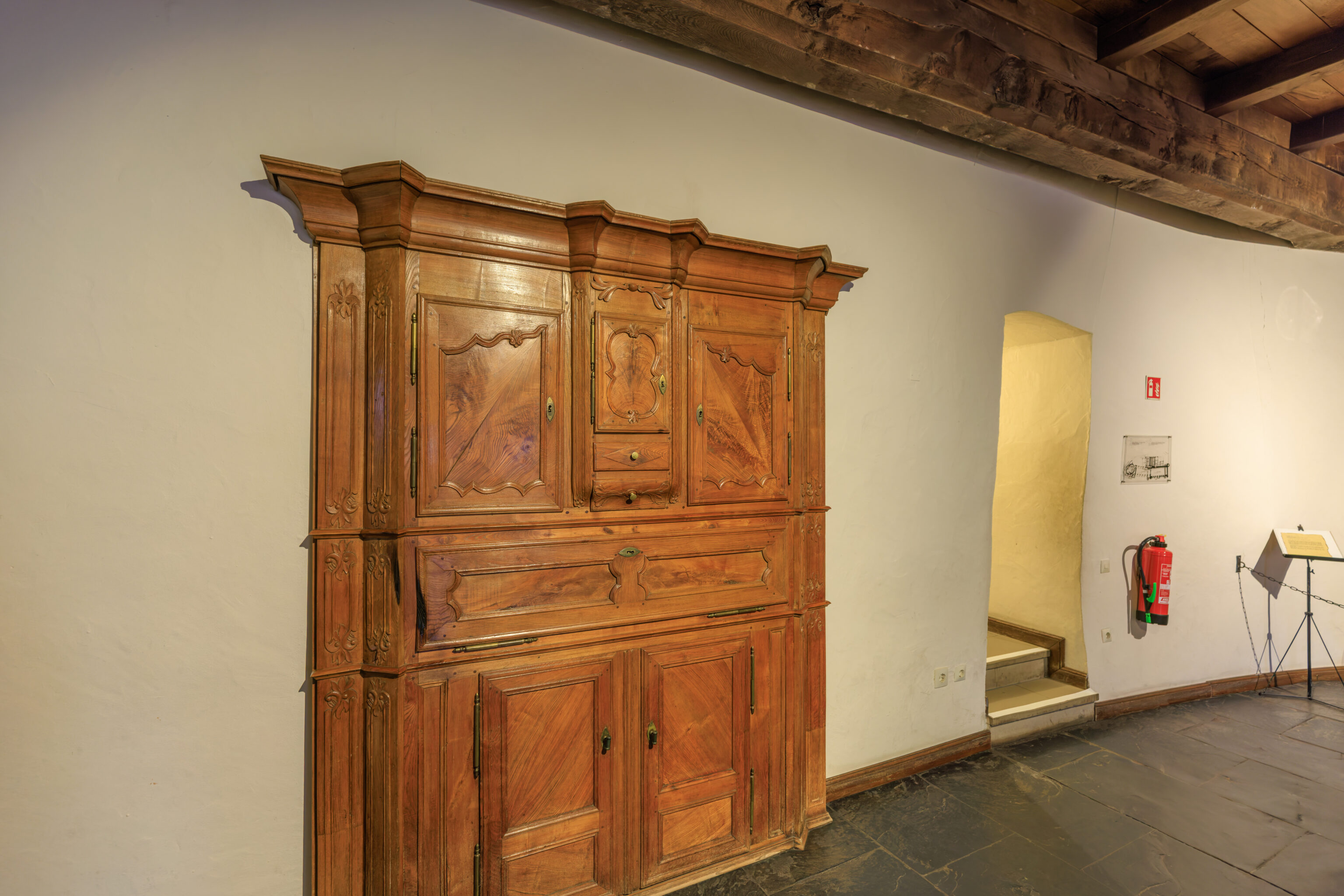
Followed by the bedroom…
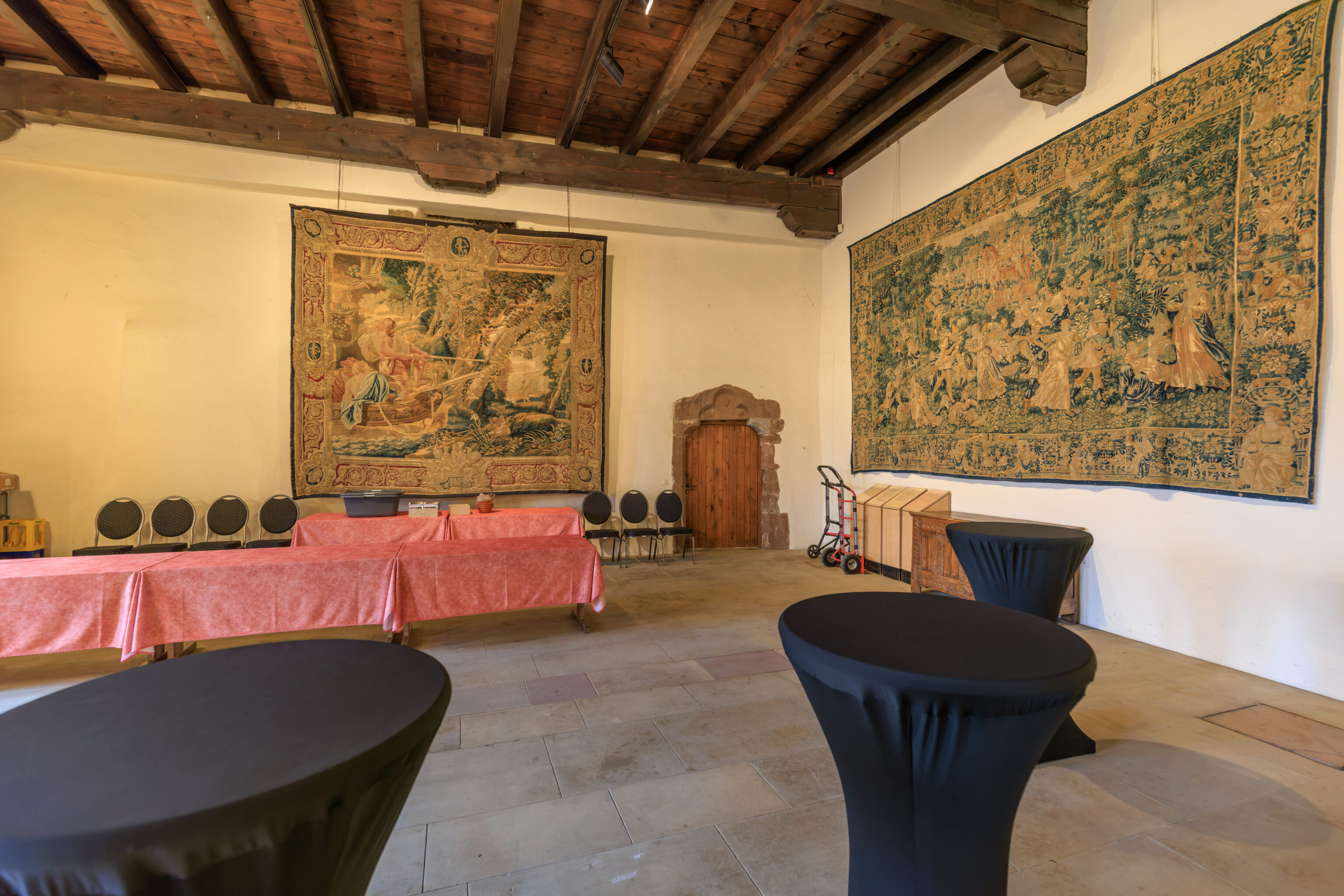
And then the Victor Abens Hall, named after Victor Abens, a local man from Vianden who defended the city against the Nazis and became a politician.
One of the tapestries in this room is from the 17th century and depicts the meeting between the Queen of Sheba and King Solomon.
THE MEETING OF THE QUEEN OF SHEBA AND KING SOLOMON

Flemish tapestry, Tournai region, early 17th century
Height: 3.65 m
Width: 5.30 m

The scene takes place in a palace. The central figures are flanked on the left by armed men and an elderly man—likely a cleric—and on the right by a young boy presenting a parrot and a slave carrying an ewer. Various animals—including a monkey in the foreground, a lion, and dogs—enliven the composition. A prominent border of floral garlands runs along the top, featuring a central medallion identifying the scene. Very wide side borders—flanking the central drapery—feature large floral bouquets in the style of late 16th-century Northern painters, arranged in urns decorated with swans and masks. A wide floral border runs along the bottom.

Excellent state of preservation, regarding both the vegetable dyes-which remain remarkably vivid—and the weave.

Gift of the European Investment Bank,
the European Union's financial institution, Luxembourg
– Text from a sign, translated from French using Google Translate.
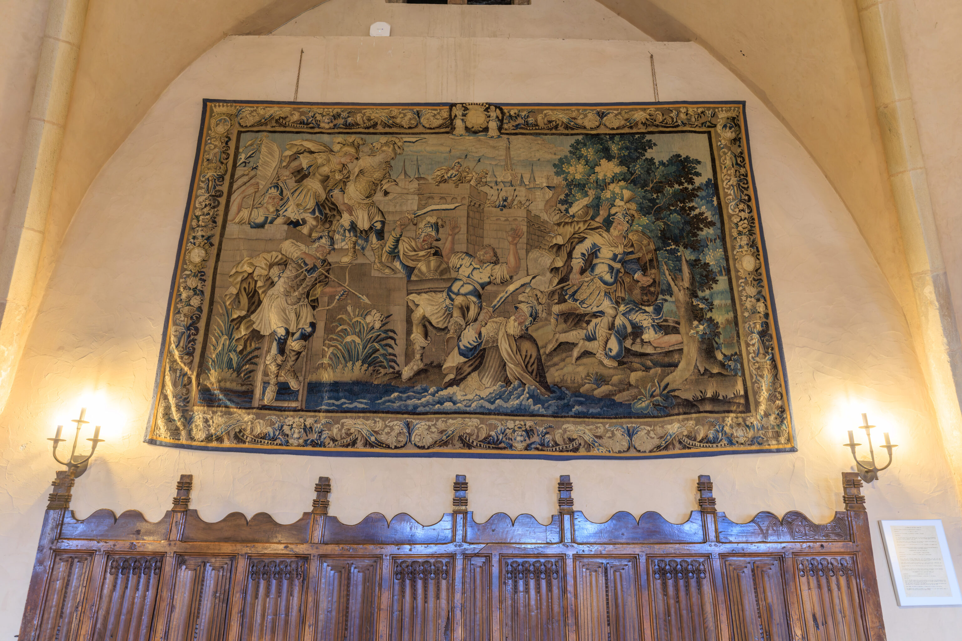
Another tapestry depicts the Trojan War:
THE TROJAN WAR

Dimensions:
H. 3.35 m x W. 5.13 m

Place and date of manufacture:
Flanders – 16th century

Description:
Framed by a wide border featuring figures alternating with floral motifs, the tapestry depicts the most famous episode of the long siege of the city of Troy by the Greeks, led by Agamemnon.

The composition is organized into three distinct planes:

- In the background, the city of Troy is visible, flanked by massive ramparts that appear largely intact—though some buildings on the right side of the city are engulfed in flames.

- At the center of the composition stands the immense wooden horse, into which Greek infantrymen are climbing. Unable to take the besieged city by storm, the Greeks—advised by the cunning Odysseus built a colossal wooden horse, concealed armed soldiers within its belly, and withdrew to their ships, feigning abandonment of the expedition.

- In the foreground, within a broader panorama, a chaotic scene unfolds: women carrying chests filled with precious objects, and soldiers hauling away weapons or slaughtering civilians.

This final scene could represent either the Greeks' feigned departure or the subsequent sacking of Troy and the massacre of survivors following the horse's entry into the city; indeed, on the left side, a man can be seen carrying an elderly person on his shoulders. According to legend, this is the hero Aeneas carrying his father, Anchises.
– Text from a sign, translated from French using Google Translate.
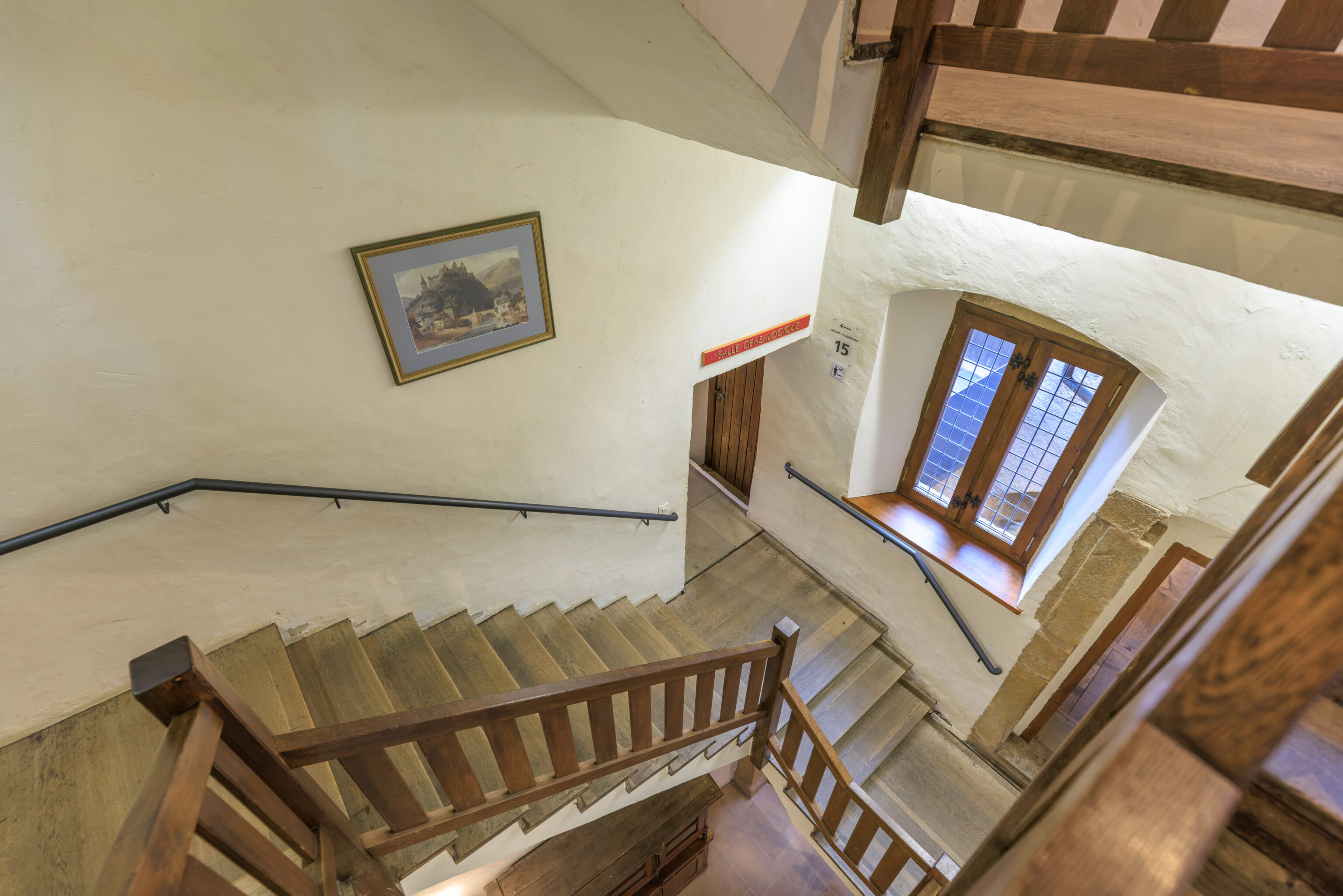
We continued down these stairs…
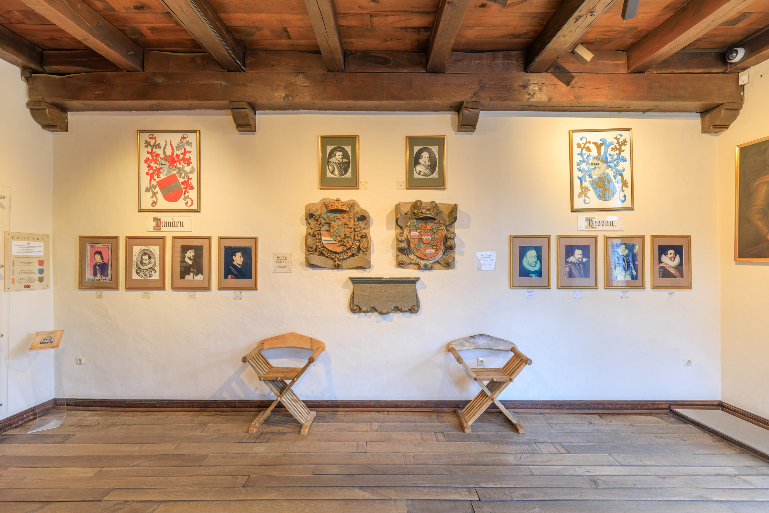
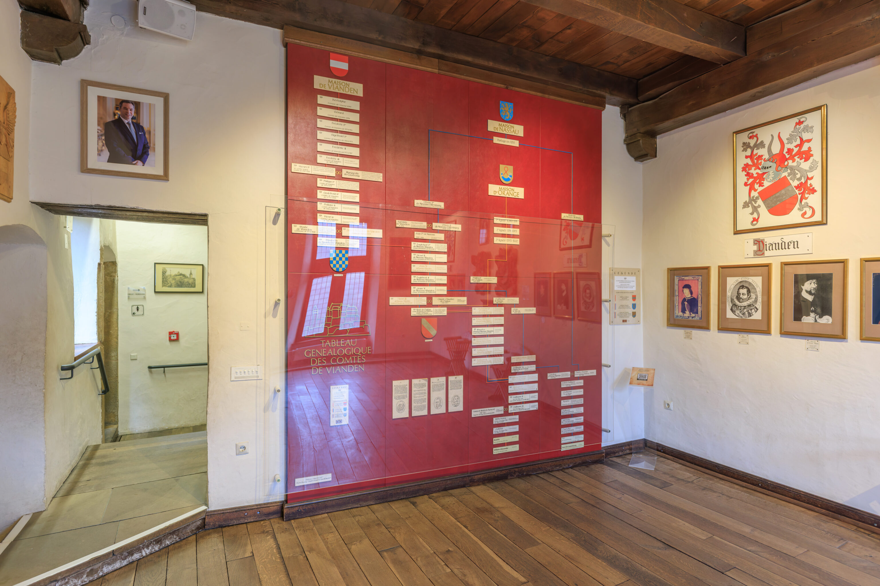
And entered the Genealogy Hall. The displays here show the history of the Counts of Vianden.
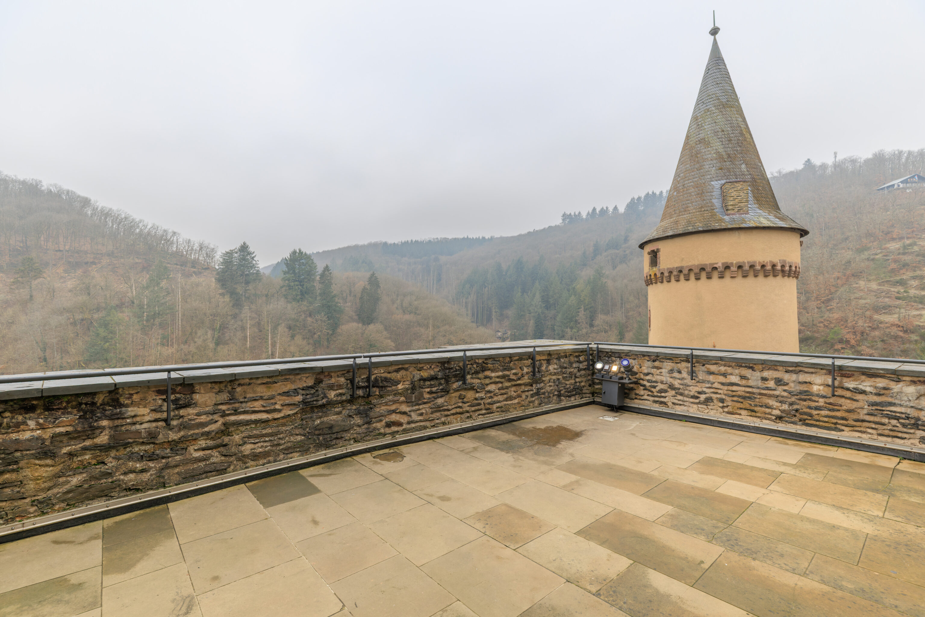
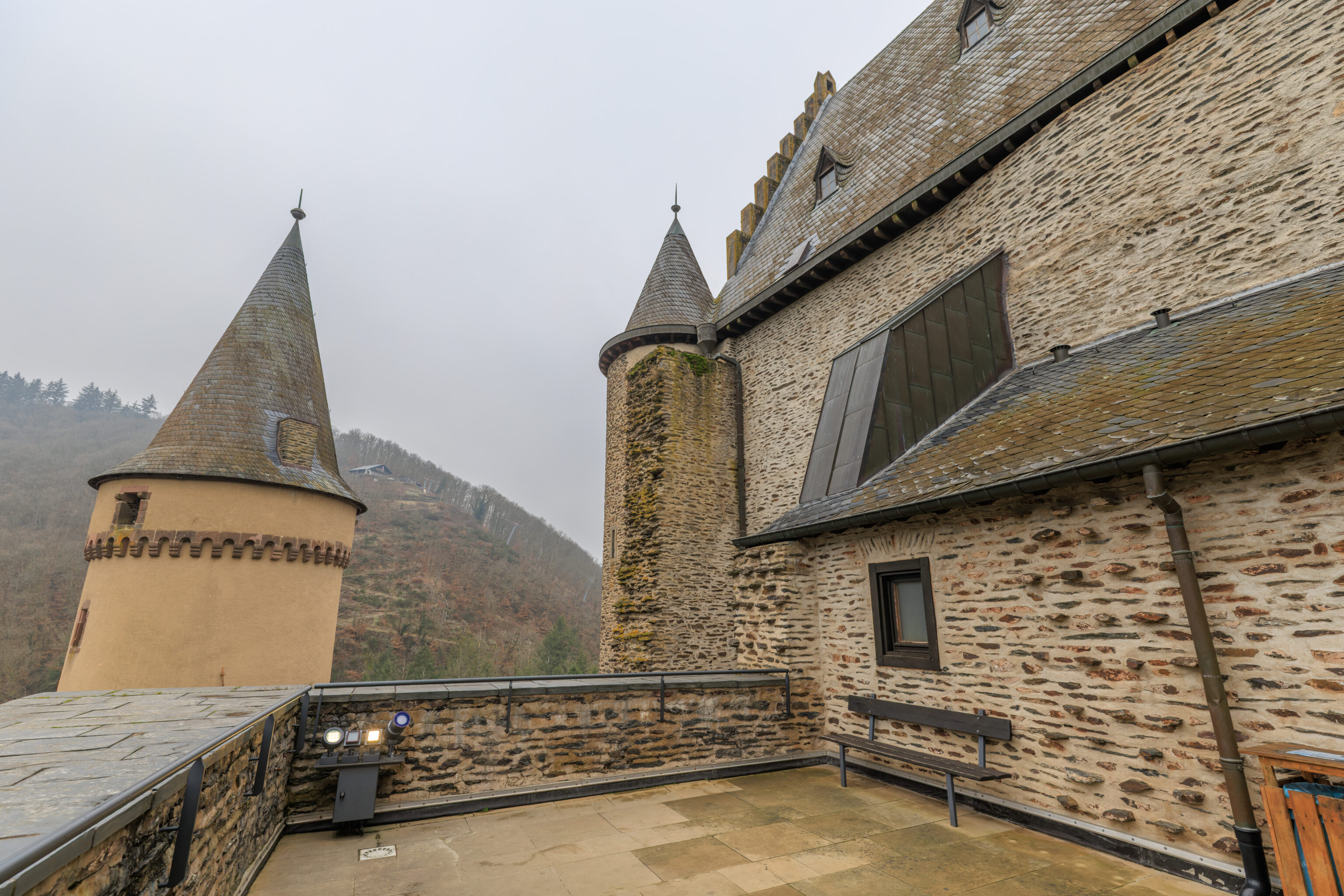
There was a small outdoor area here.
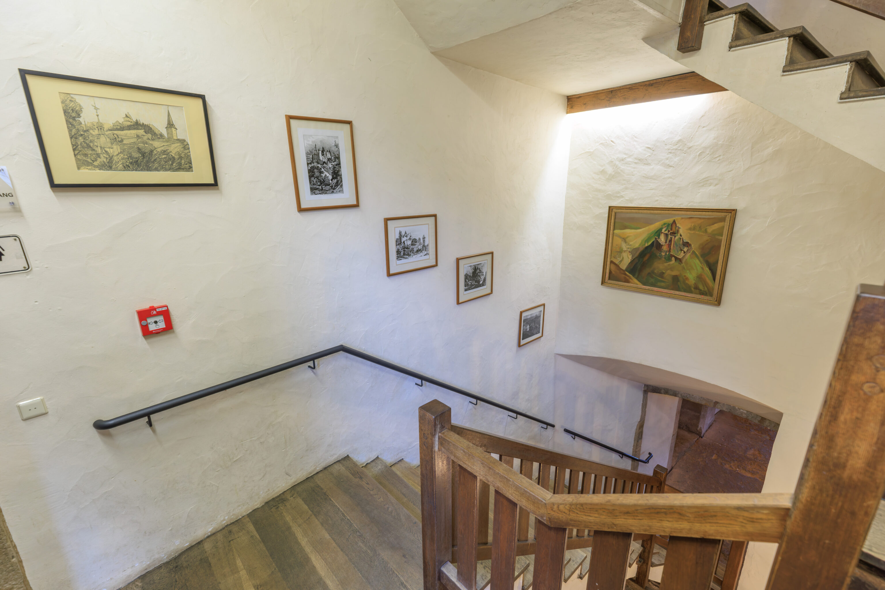
We continued walking down the stairs…
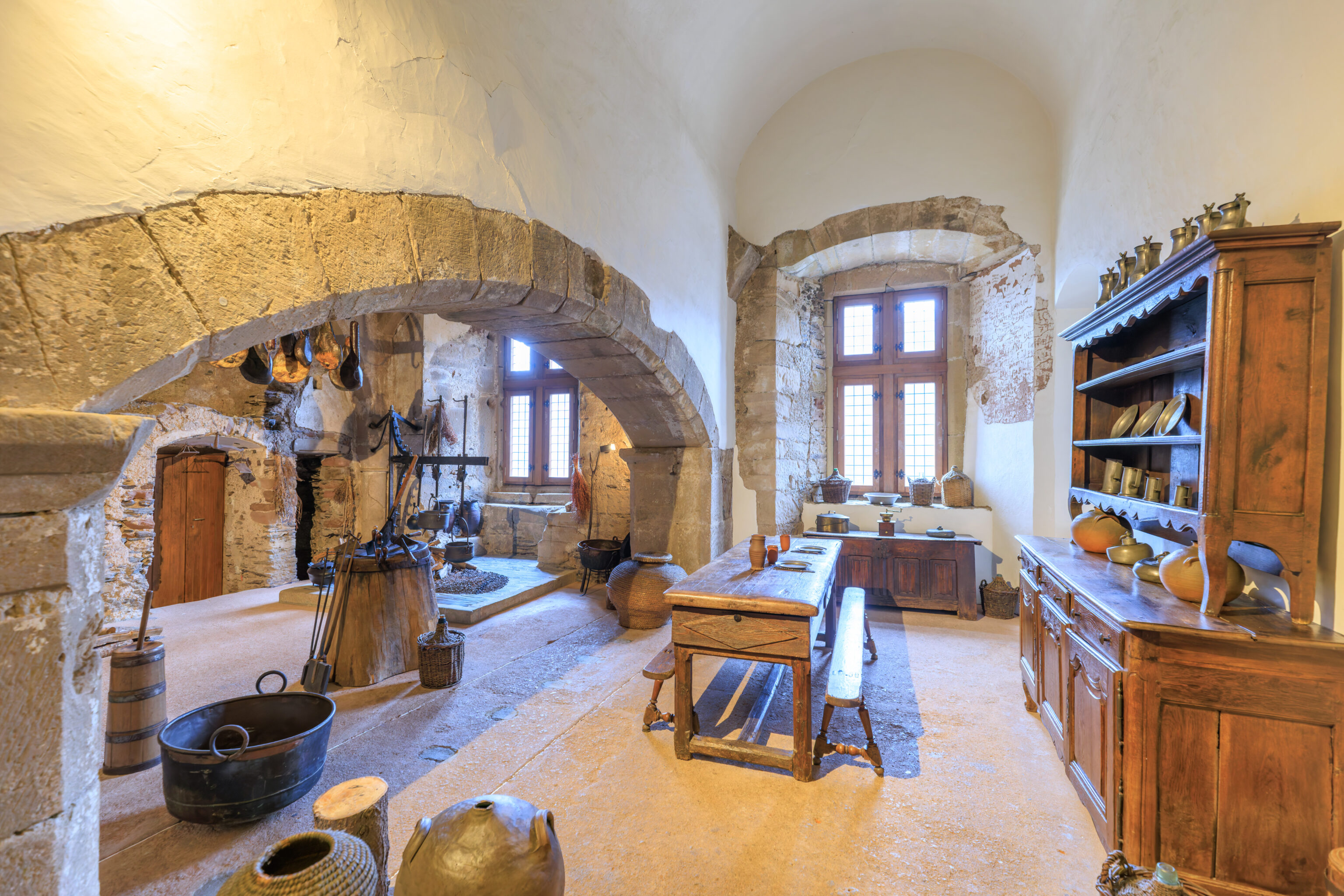
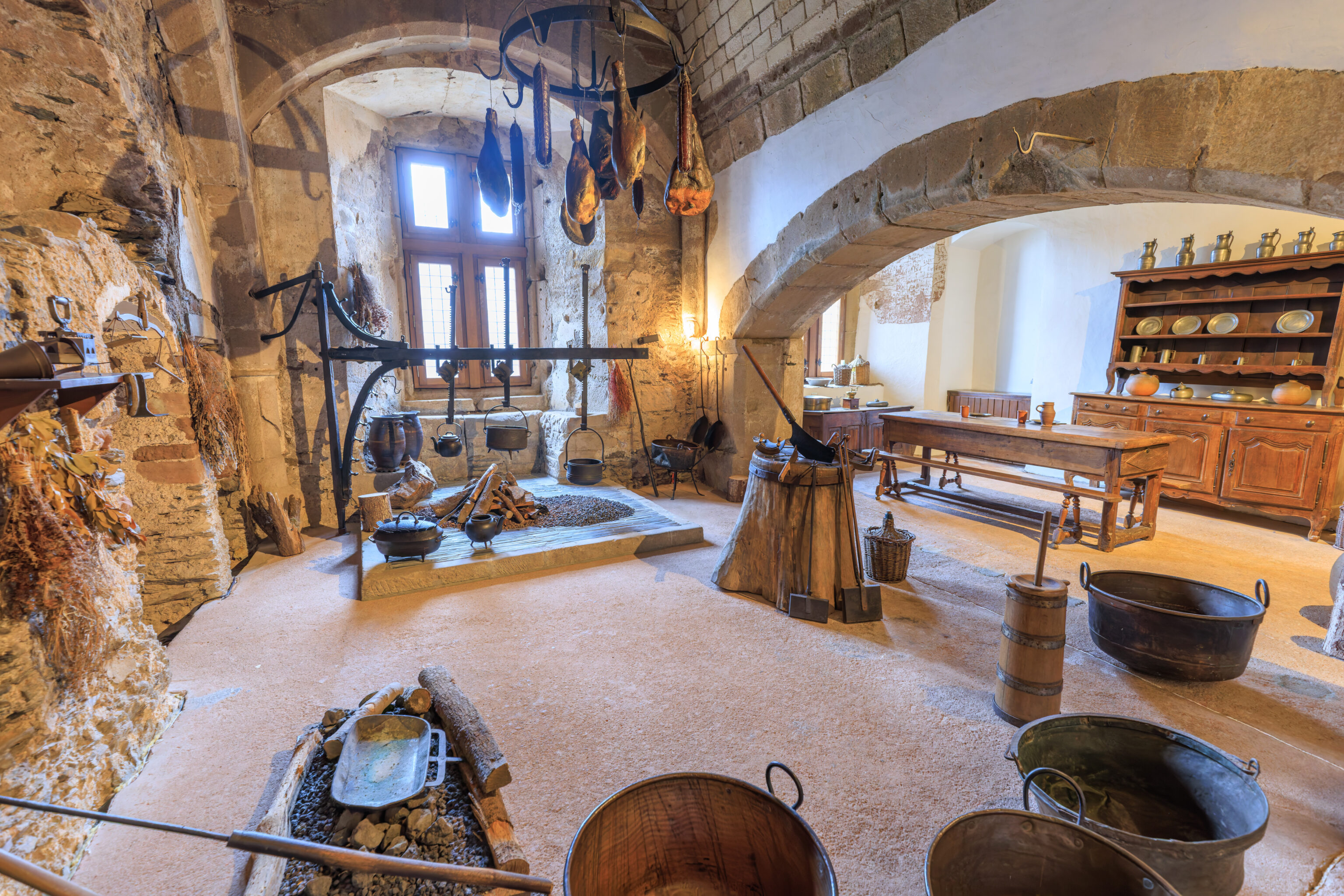
And ended up in the Grand Kitchen.
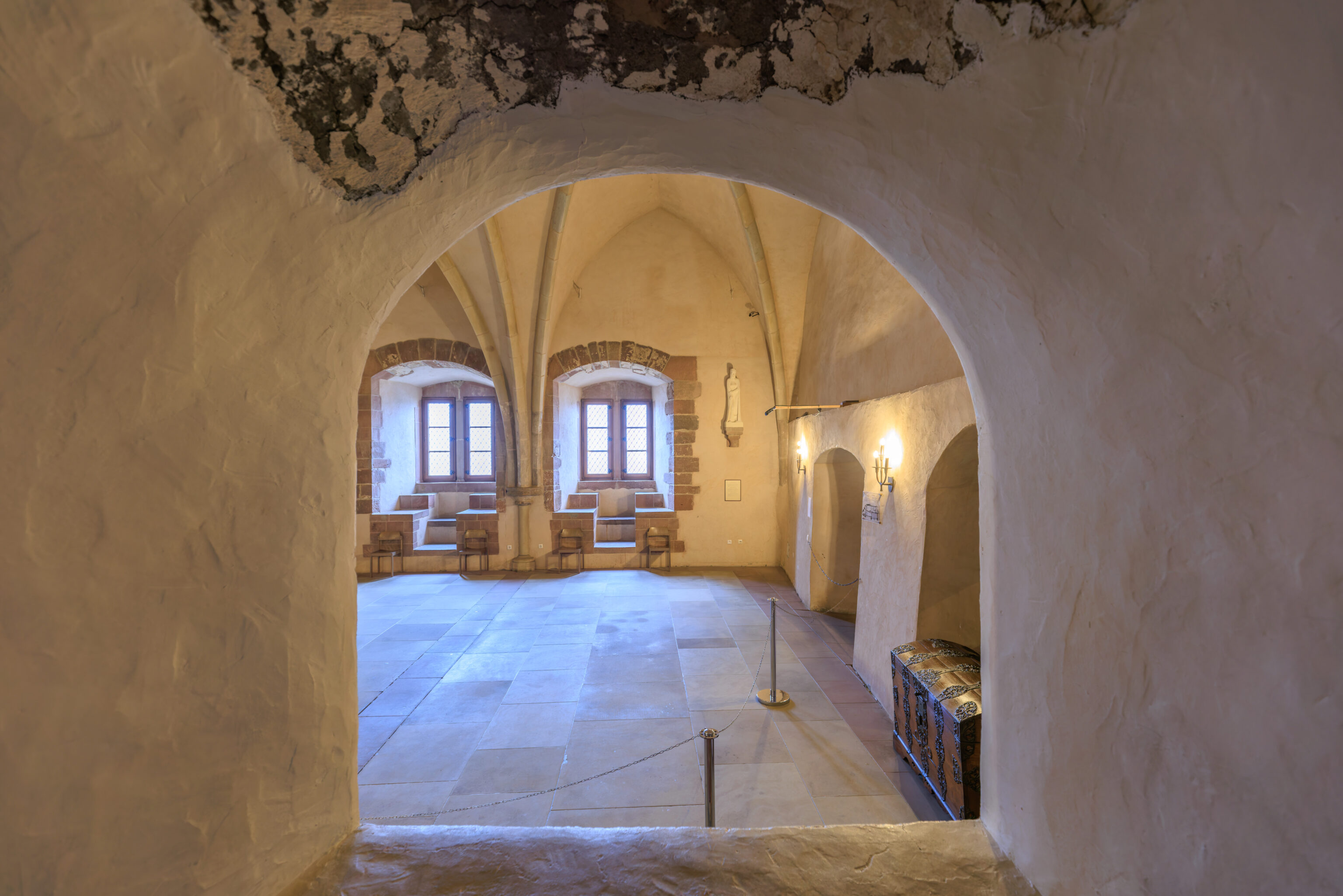
The Grand Kitchen has a window that looks into a room that we haven’t visited yet.
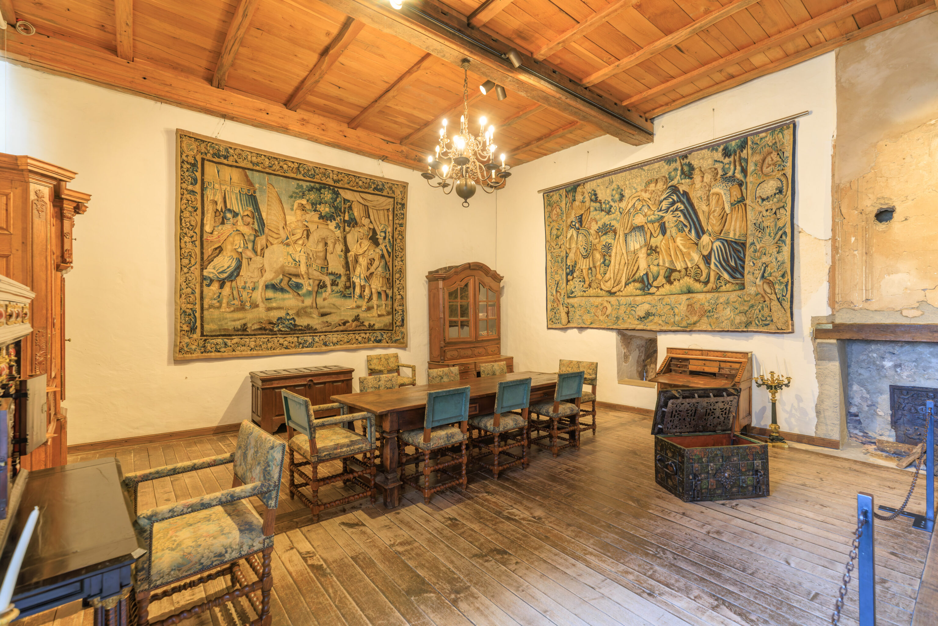
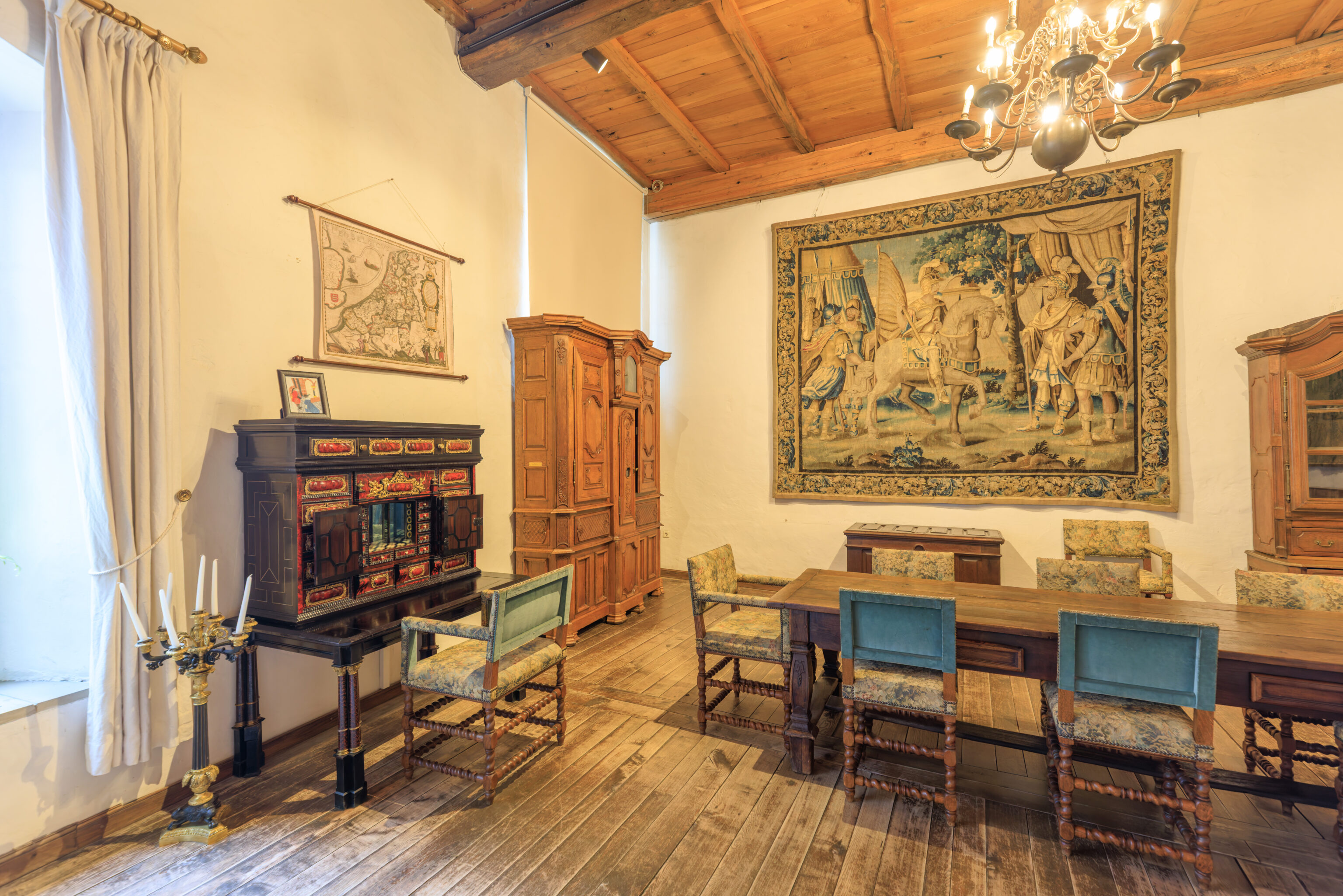
The next room was the Dining Hall.
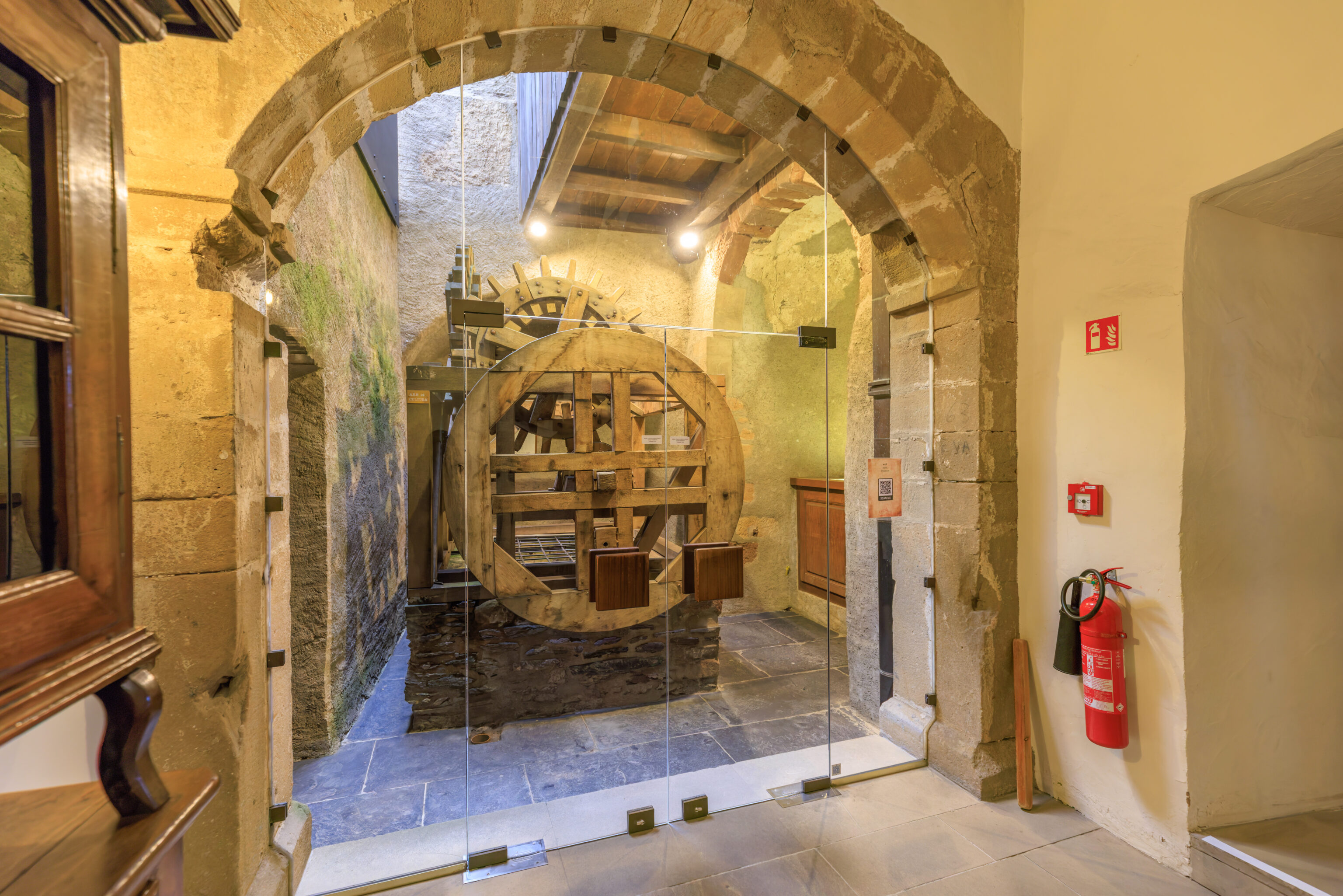
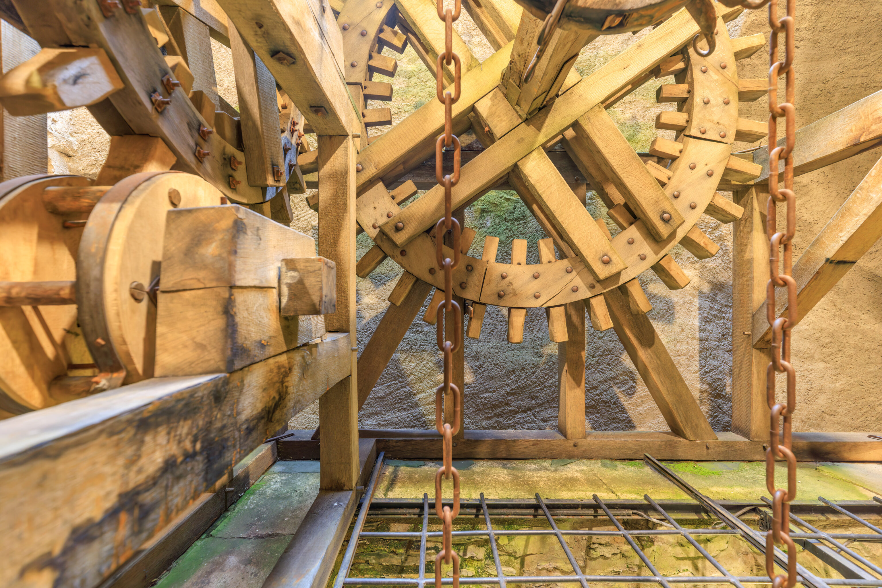
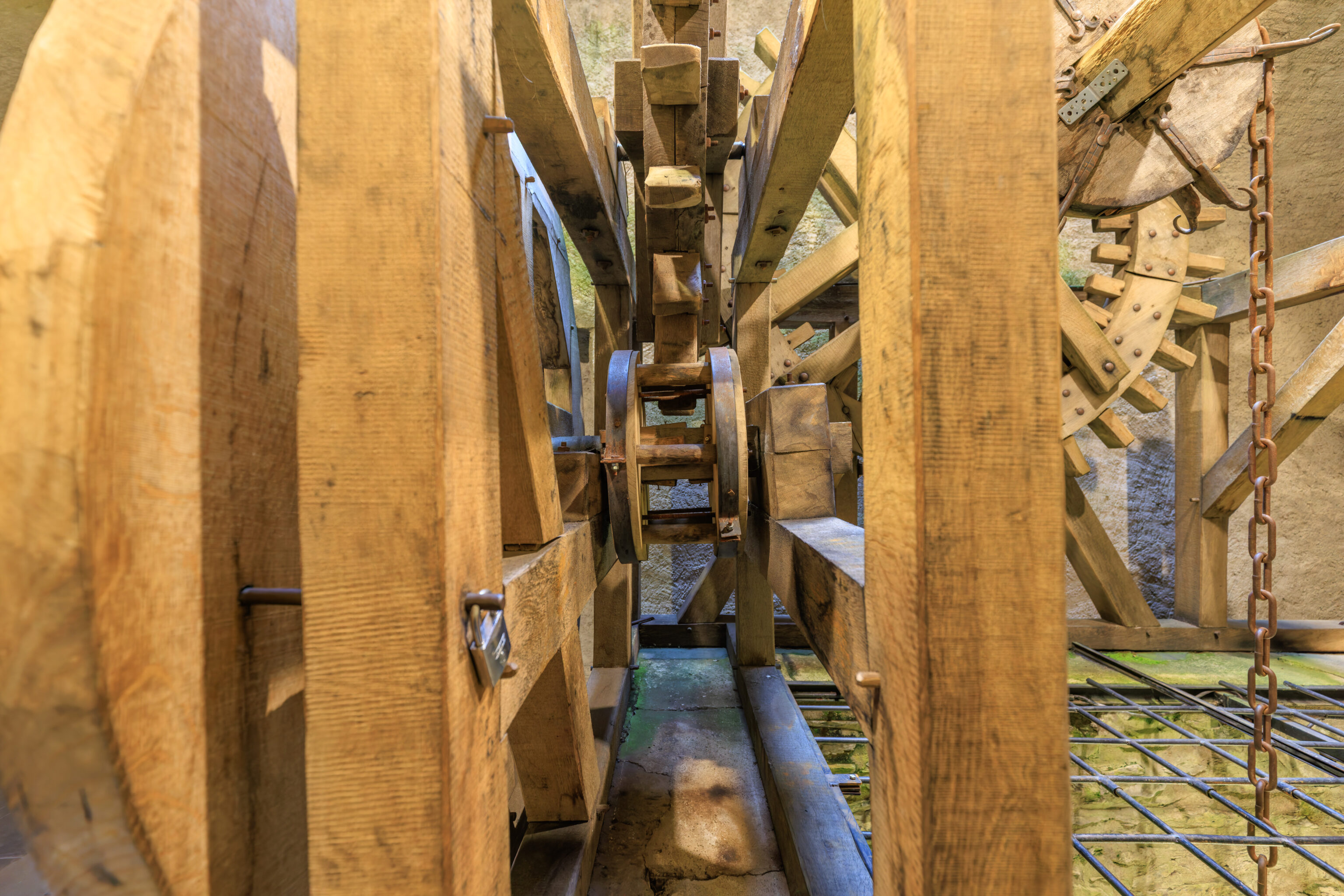
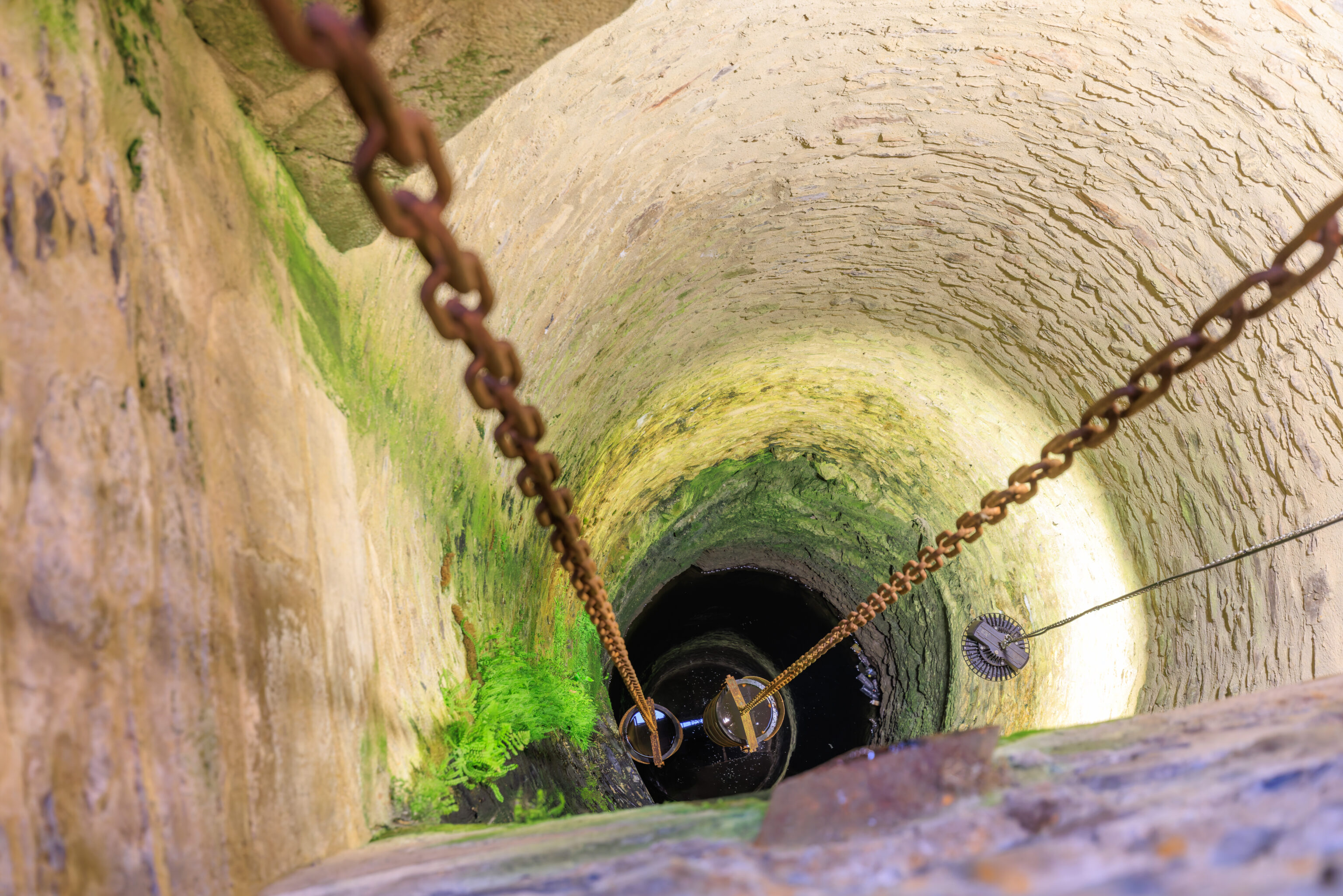
There was a well on the way to the next room. This is one of the few wells that we’ve seen at any historical site where there is an actual mechanism to retrieve water present.
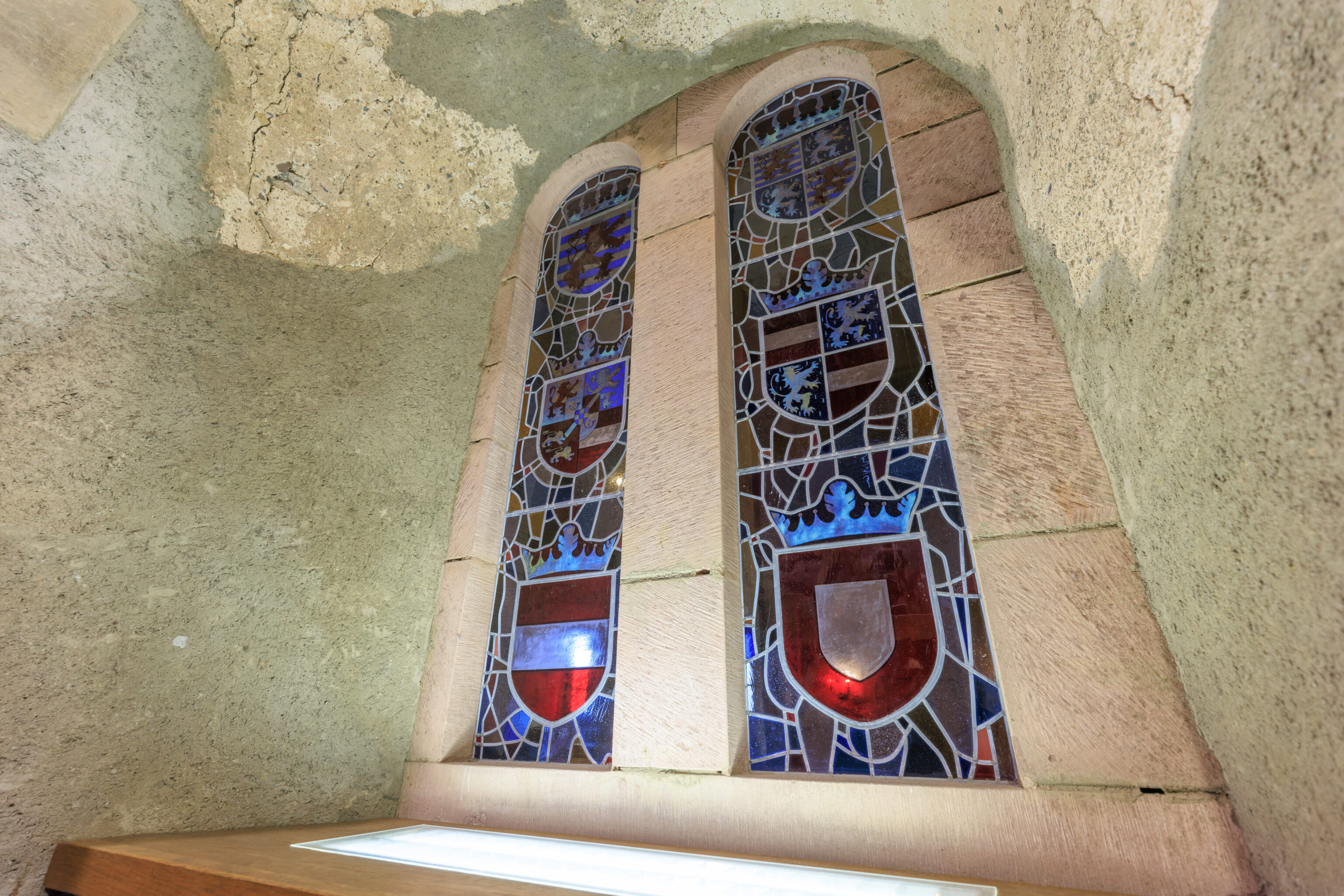
There was a stained glass window in the small room with the well.
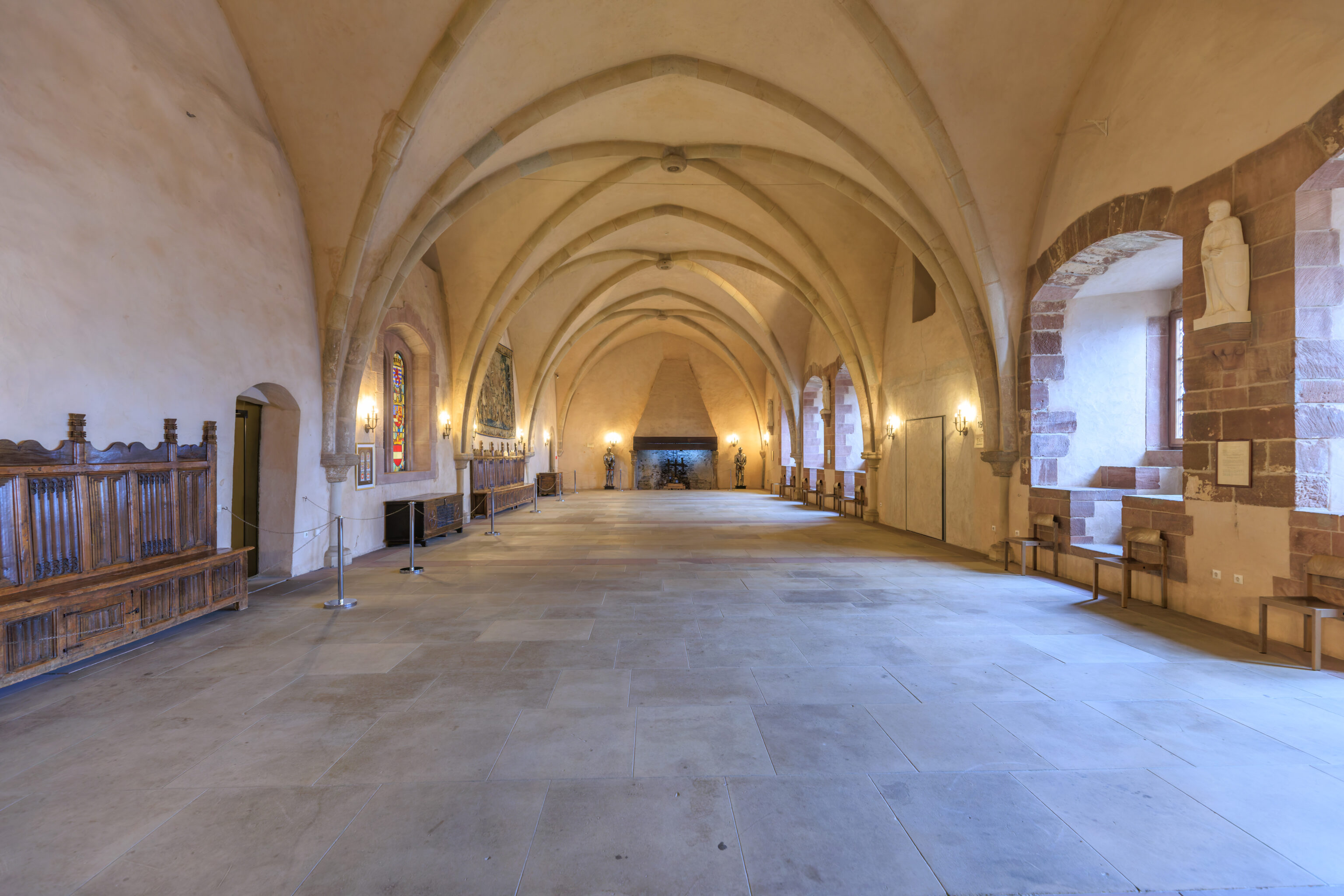
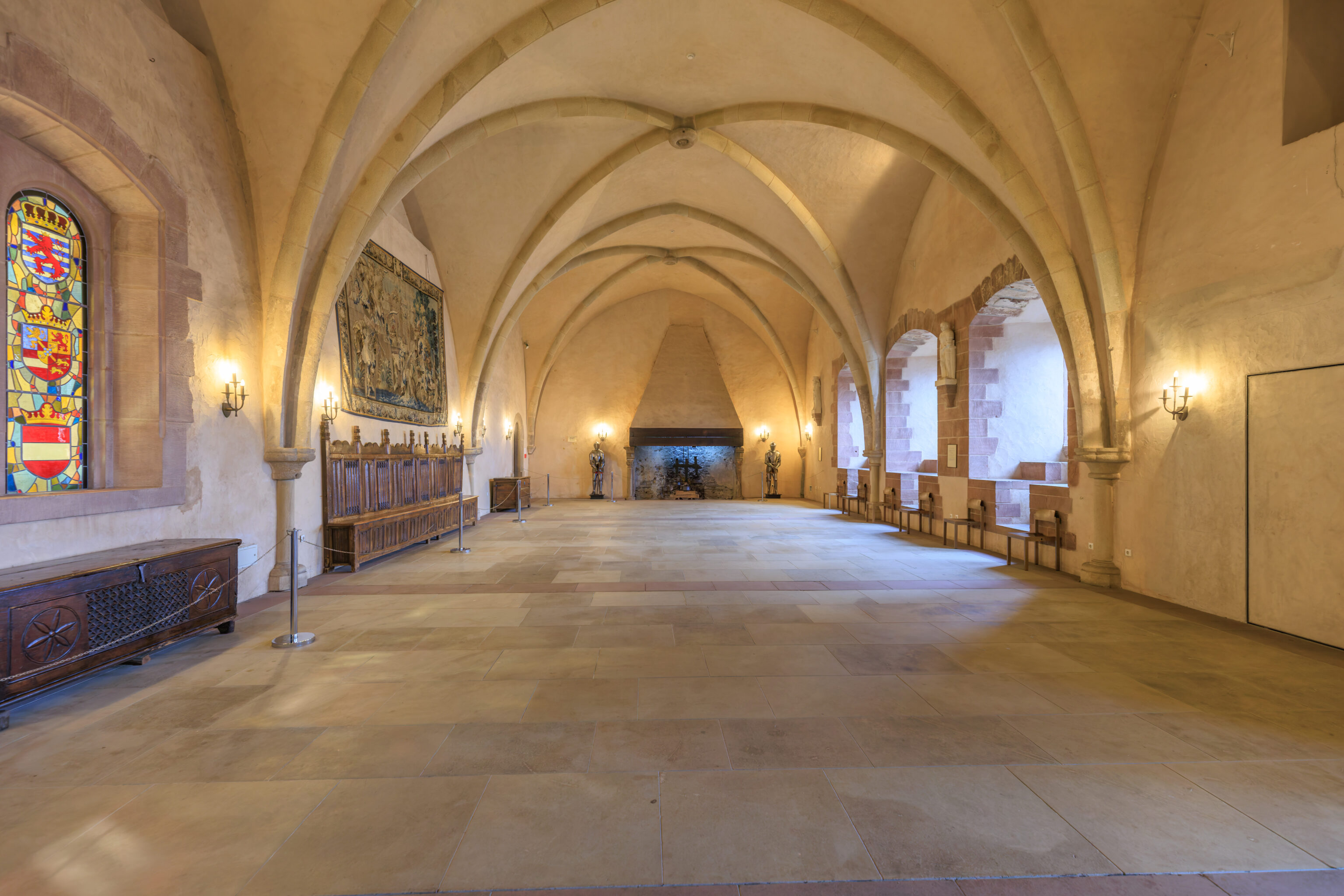
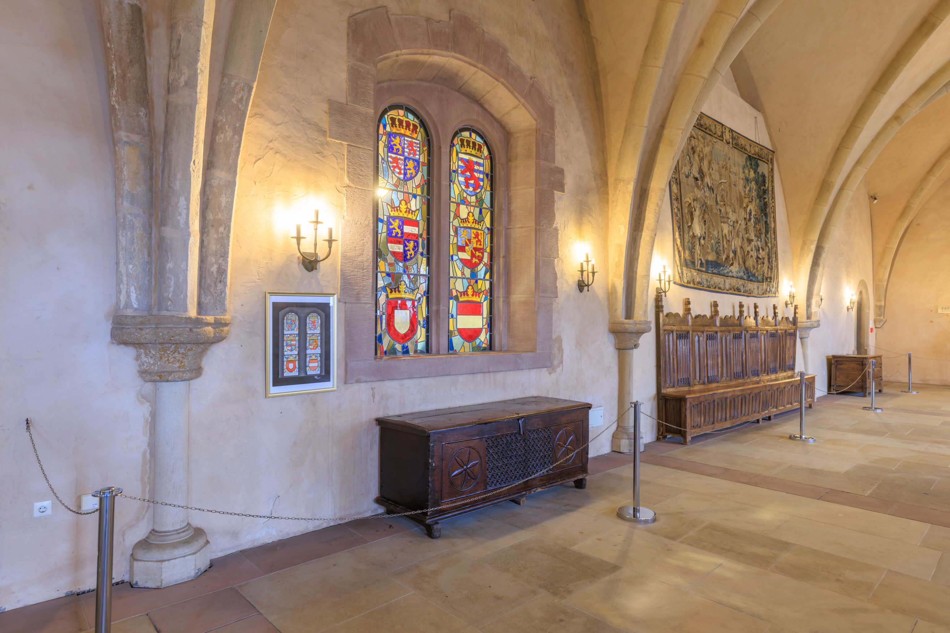
This next and final room is the Knights Hall. We unfortunately only photographed it in one direction.
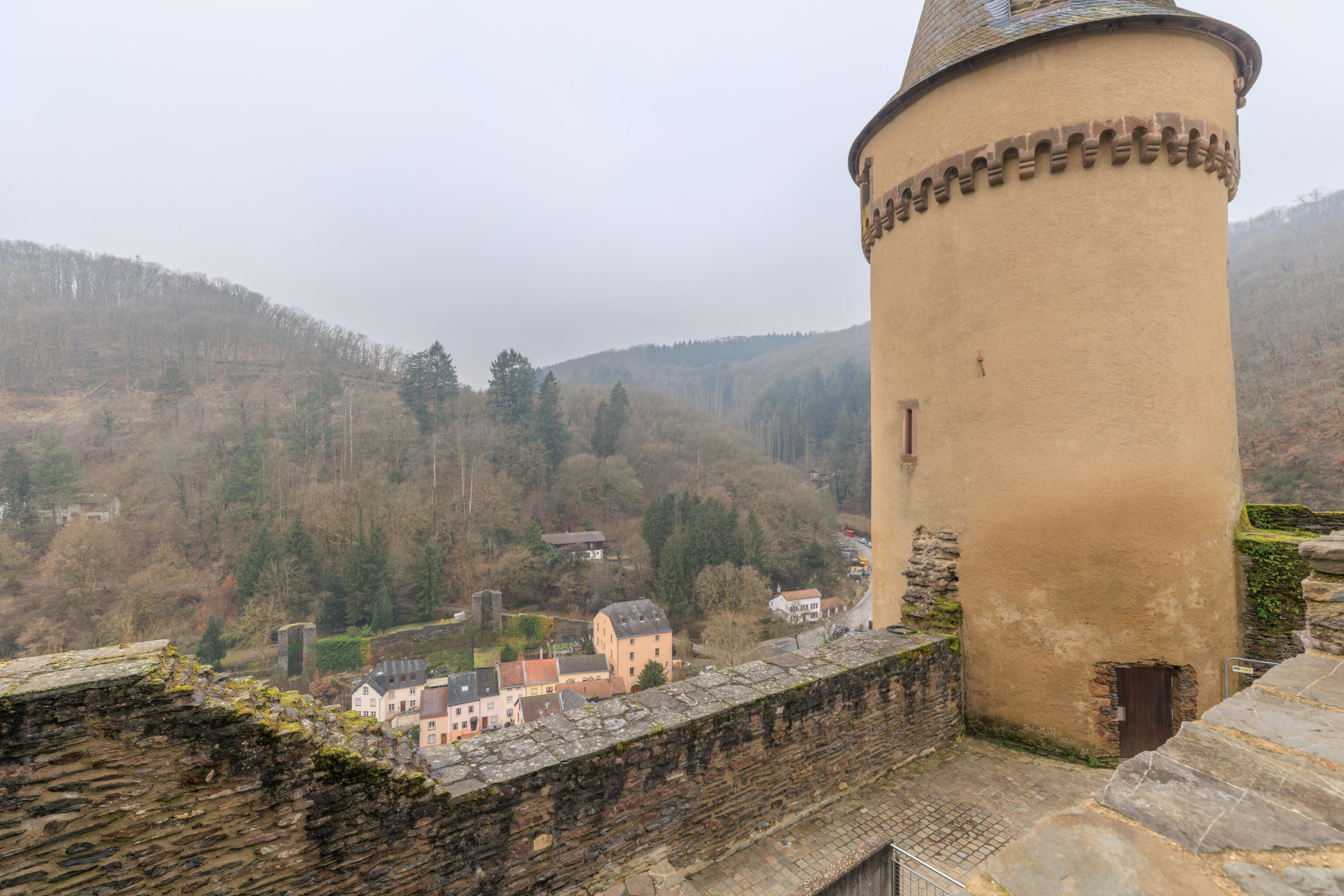
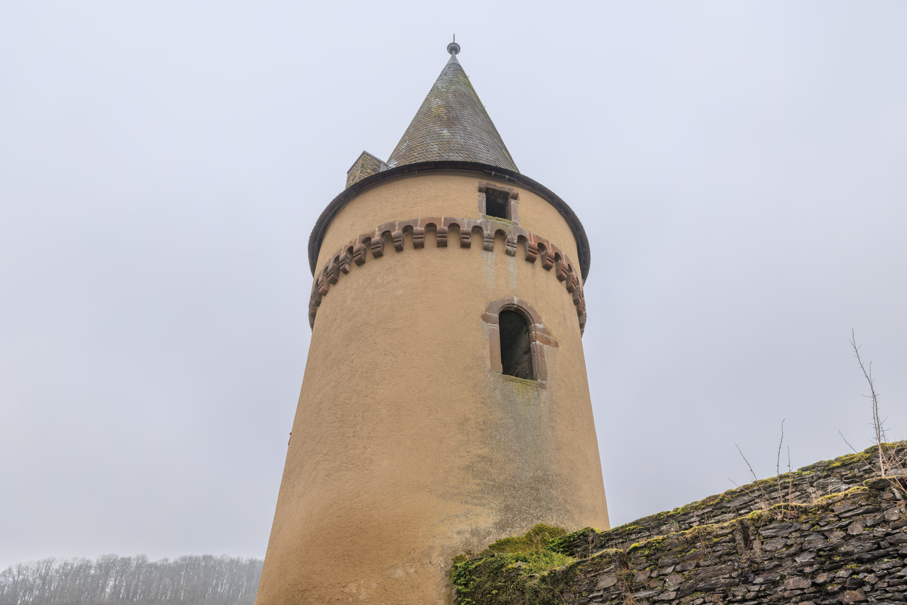
We exited at the northeast corner of the castle by this round tower. It seems to be the Black Tower.
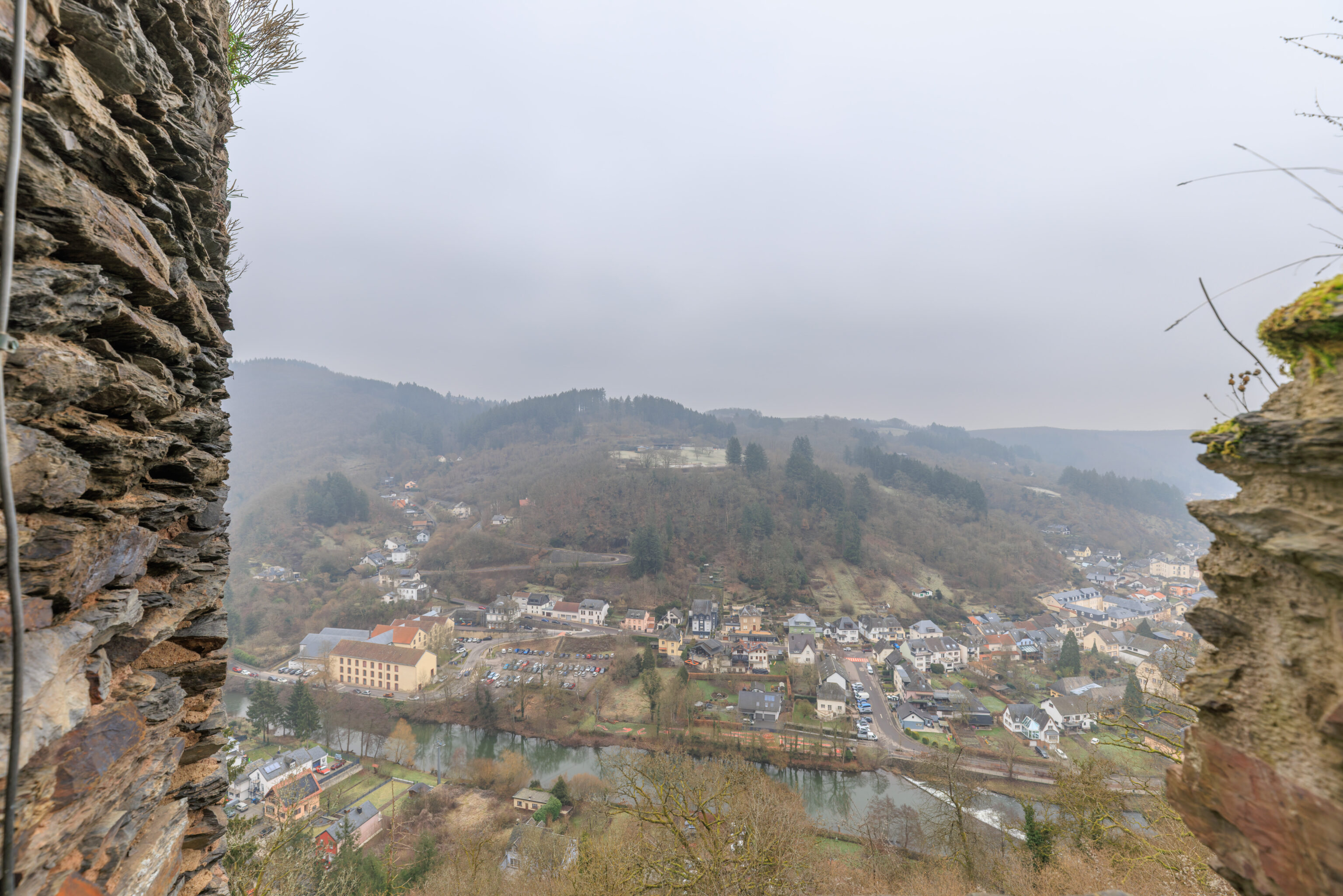
This view was to the northeast. It isn’t really identifiable from this perspective but the clearing on the hill in the background actually contains a rather nice looking outdoor public swimming pool.
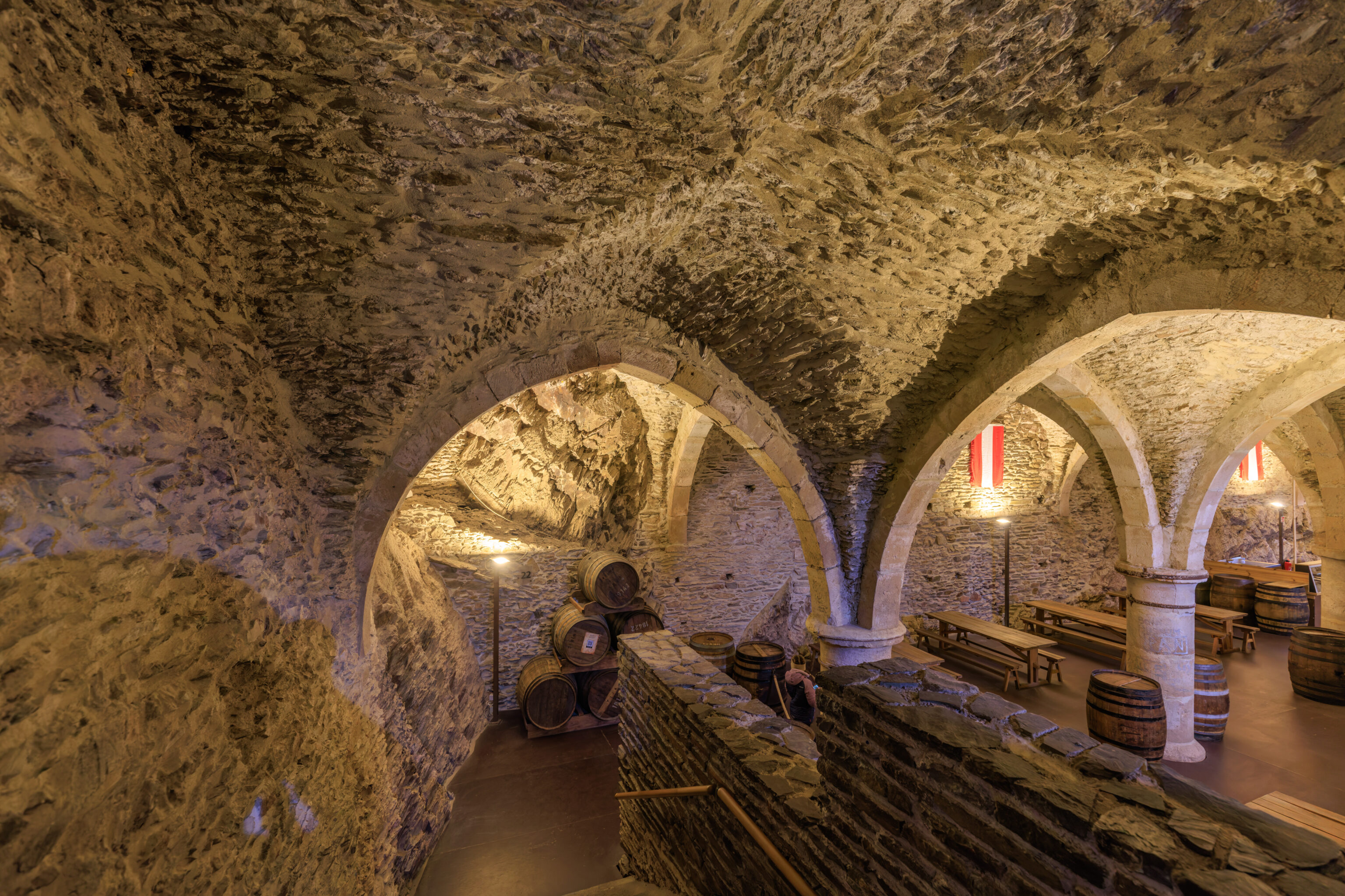
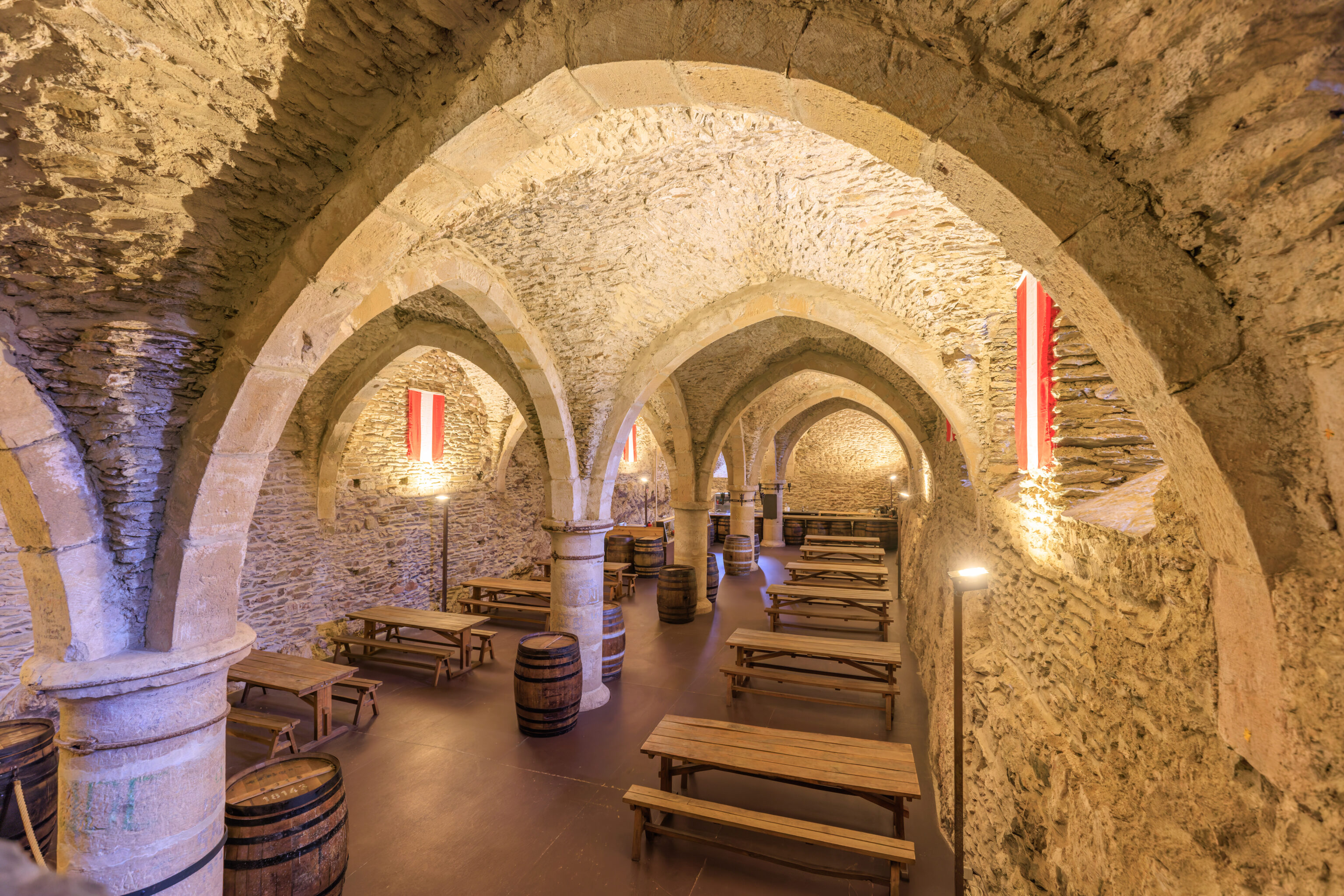
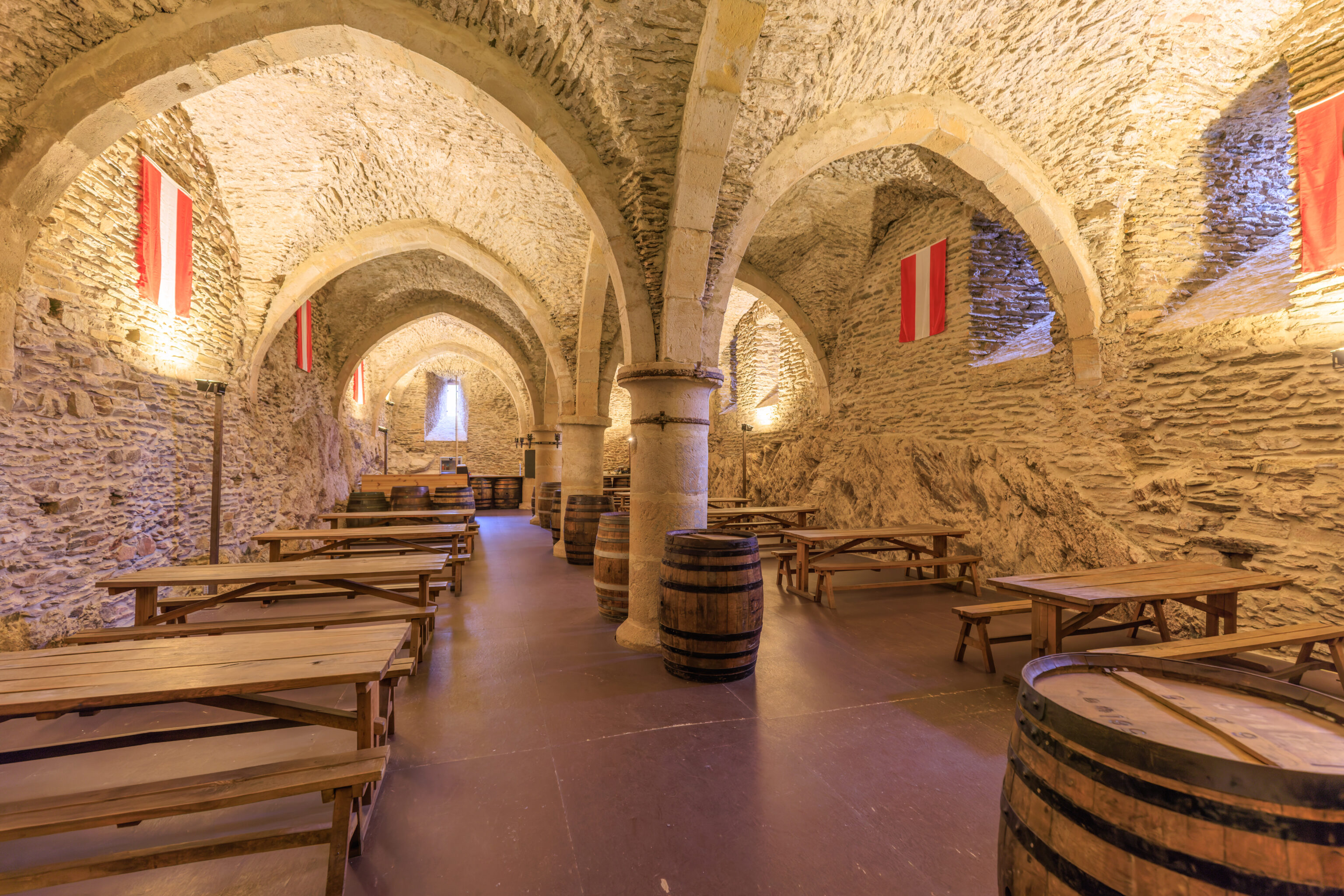
There was a door on the northeast side of the castle that led down into the Wine Cellar.
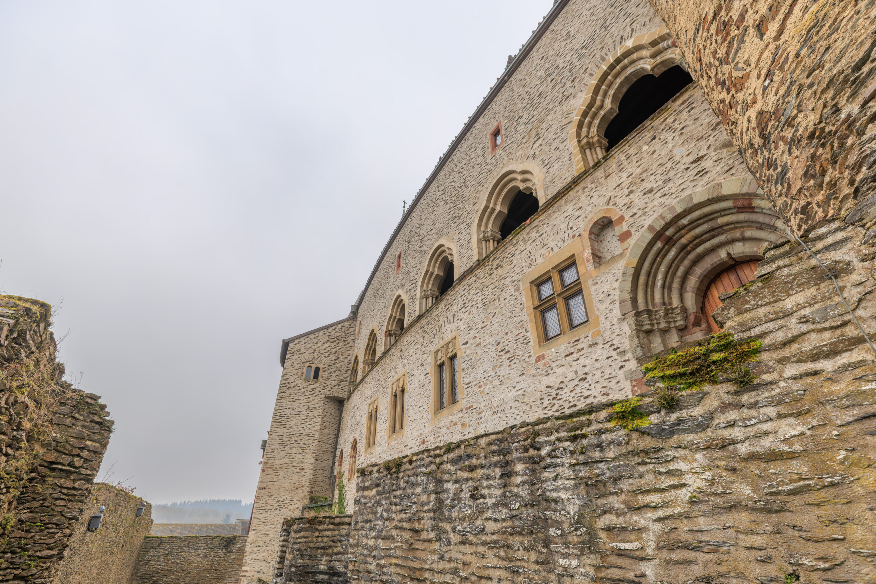
Continuing on, we walked past the entrance into the castle, seen here on the right.
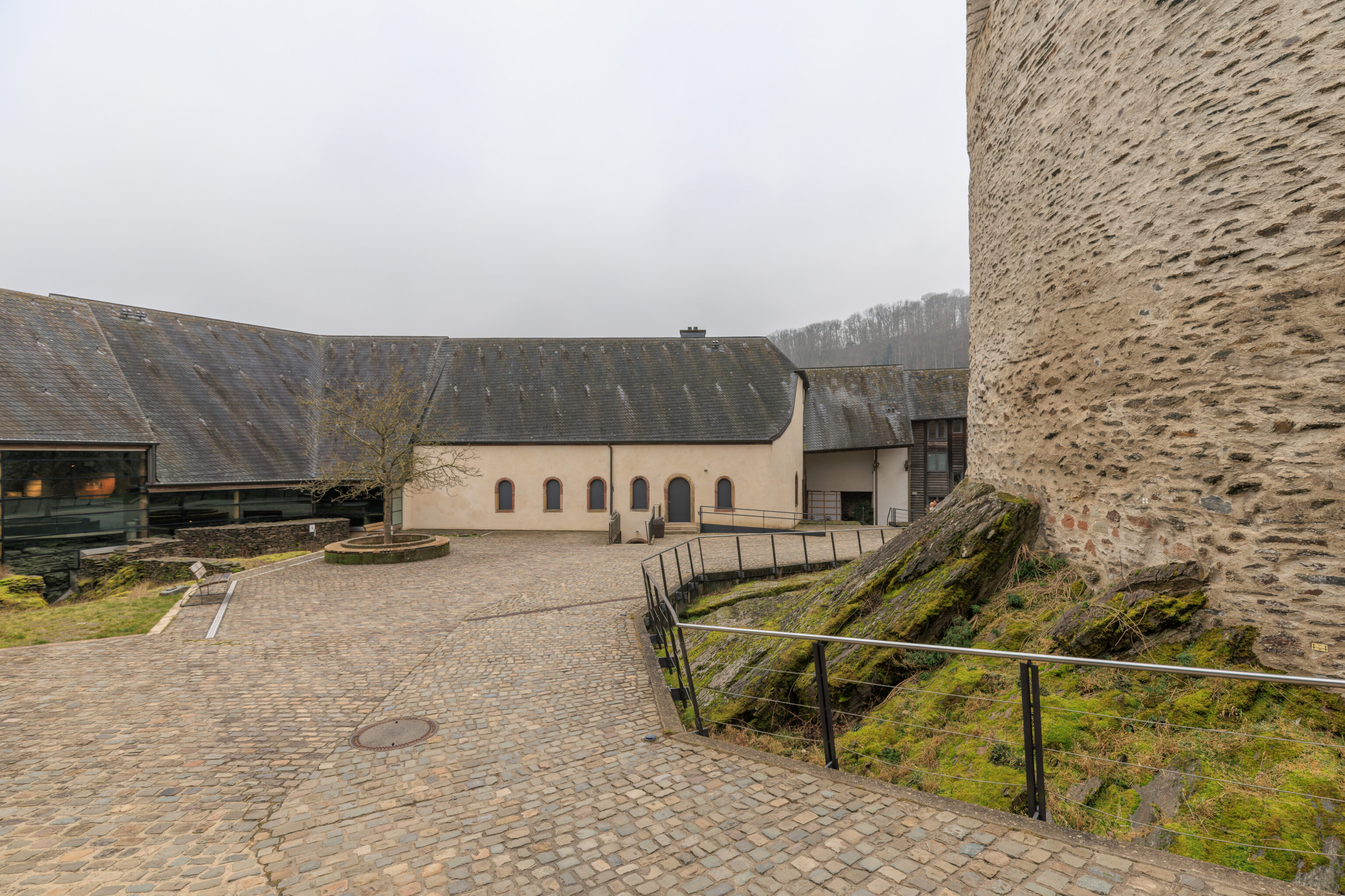
We walked over to the museum and gift shop to take a look.
VIANDEN: THE CASTLE
Vianden Castle stands on a hill above the River Our. Around 400 AD, the site was home to a Roman sentry post. In the Middle Ages - around the year 1100 - it became the setting for a habitable fortification. The castle later became the seat of the counts of Vianden and the centre of their territory. Over the centuries, the castle was enlarged and rebuilt. In 1820 it was for the first time not passed down through inheritance, but sold to a local burgher, who dismantled it and let it fall into ruin.

Over time, castles have changed in appearance because their meaning has changed: in the Middle Ages a castle fulfilled different roles than it did in the following centuries.
– Text from a sign in the museum.
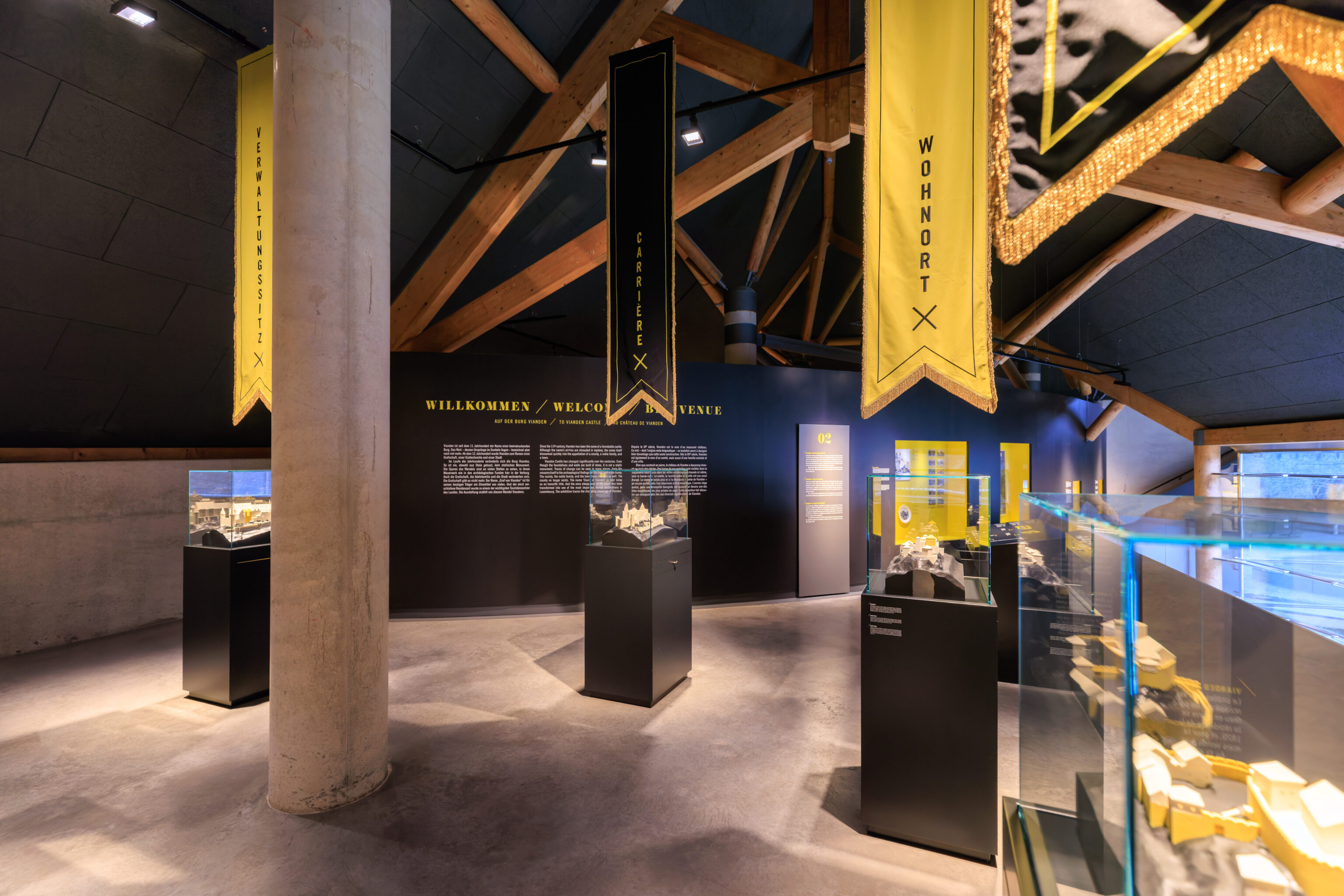
WELCOME
TO VIANDEN CASTLE

Since the 11th century, Vianden has been the name of a formidable castle. Although the name's orioins are shrouded in mystery, the name itself blossomed quickly into the appellation of a county, a noble family, and a town.

Vianden Castle has changed significantly over the centuries. Even though the foundations and walls are built of stone, it is not a static monument. Traces of change can be seen in many places, from the masonry itself to the archaeological findings on this very spot in the bailey. The county, the noble family, and the town have changed as well. The county no longer exists. The name 'Count of Vianden' is held today as an honorific title. And the once sleepy seat of the count has been transformed into one of the most important tourist destinations in Luxembourg. The exhibition traces the changing meanings of Vianden
– Text on the wall in the background.
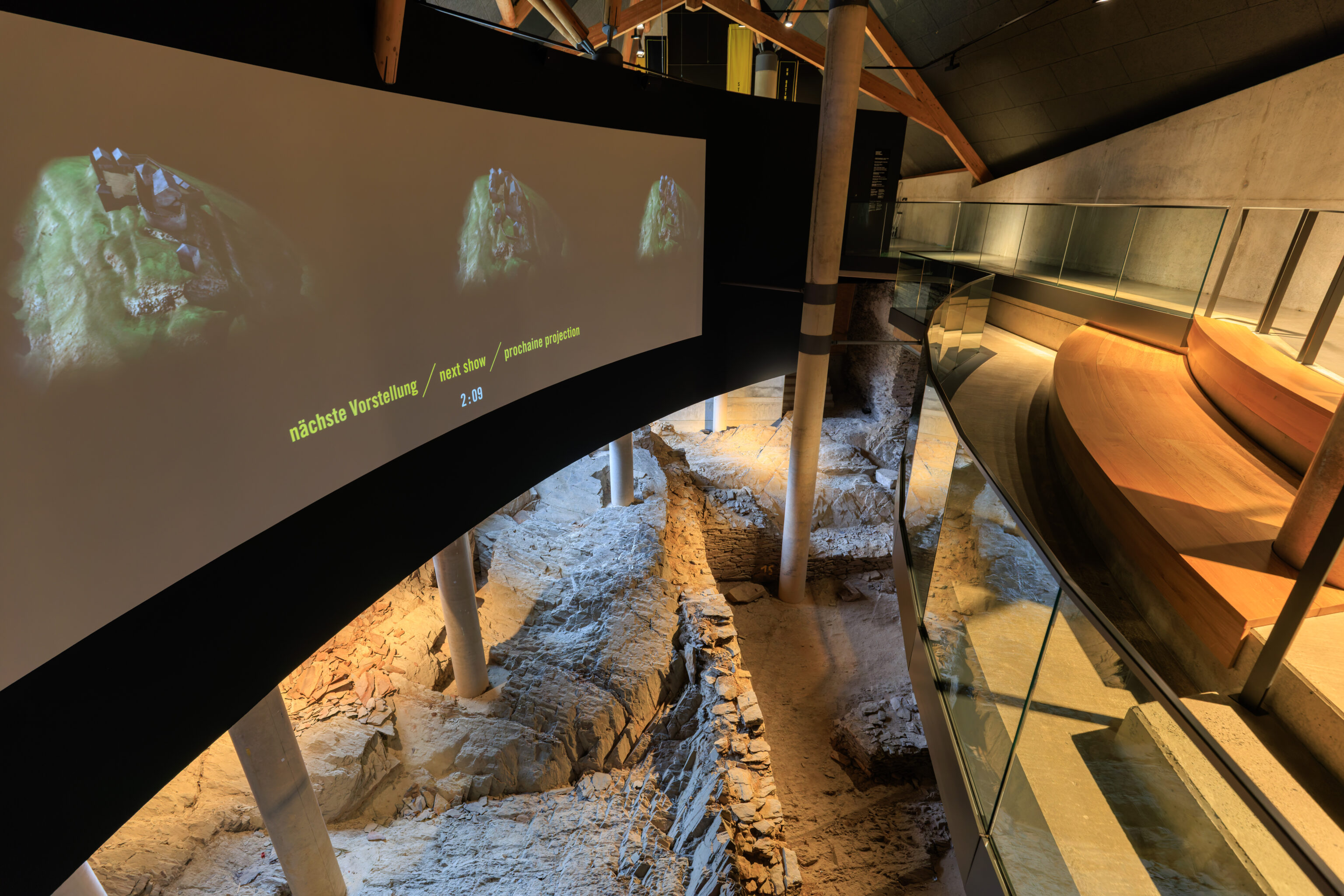
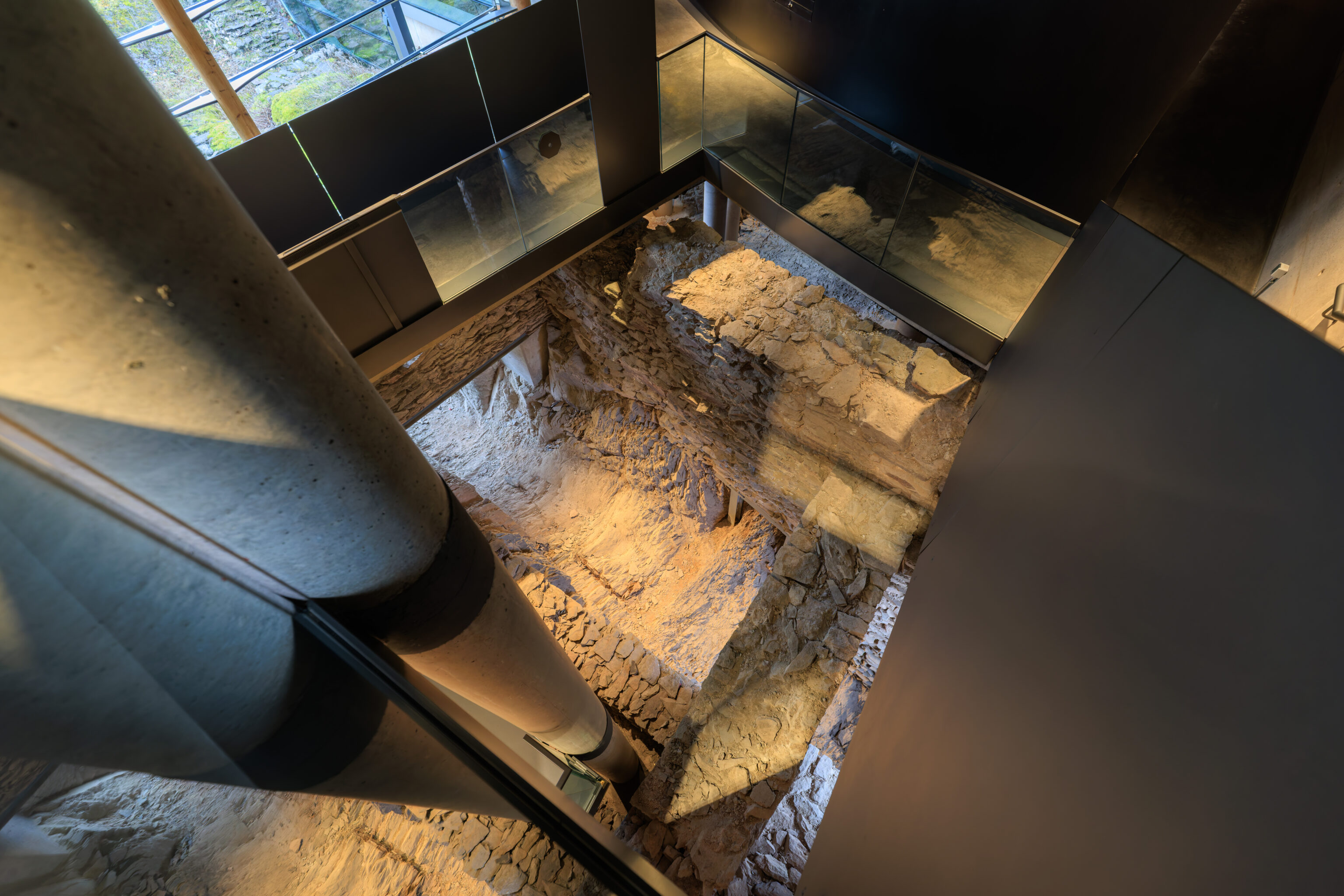
A video played in an interestingly designed room with ruins below.
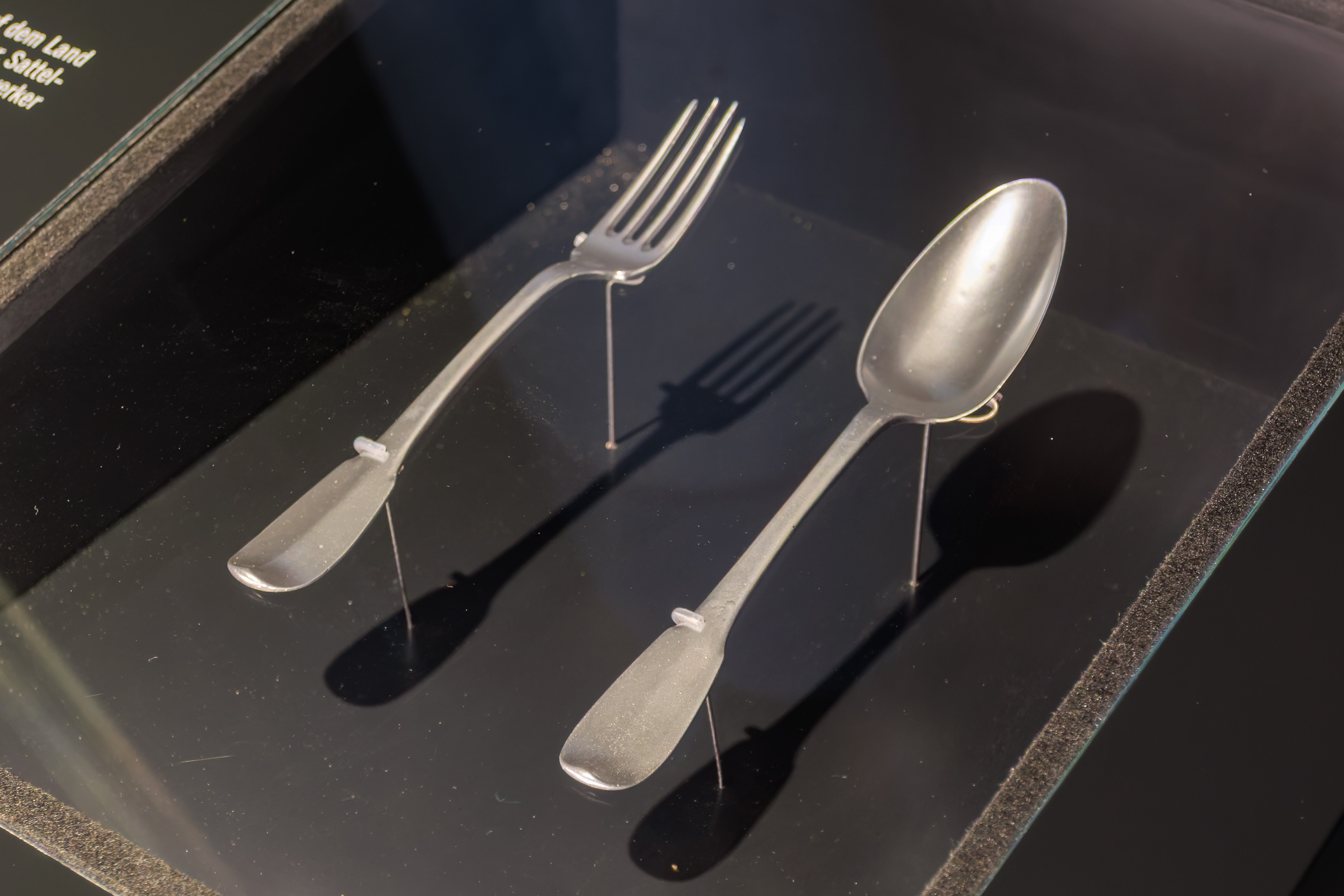
Franz Carl Felsenhart, Vianden, 18th century
Musée national d’Histoire et d’Art, Luxembourg
Replicas
In the 18th century, Vianden’s gold- and silversmiths were renowned beyond the region’s borders.
Silverware from Vianden, unfortunately, replicas. They look very much like a modern fork and spoon.
CRAFTS, GUILDS, AND MARKET
A town attracts people because it offers crafts and goods not available in the countryside. Medieval Vianden had cobblers, bakers, saddlers, barbers, and weavers as well as North Italian moneylenders. The artisans were organised in associations called guilds.

Vianden's market was another important economic factor. Here, traders and farmers from the region sold their goods, such as hats and textiles, salt and spices, butter and cheese, in addition to livestock and meat, grains and bread, nuts and vegetables, and wine and beer.
– Text on the left side of the display above.
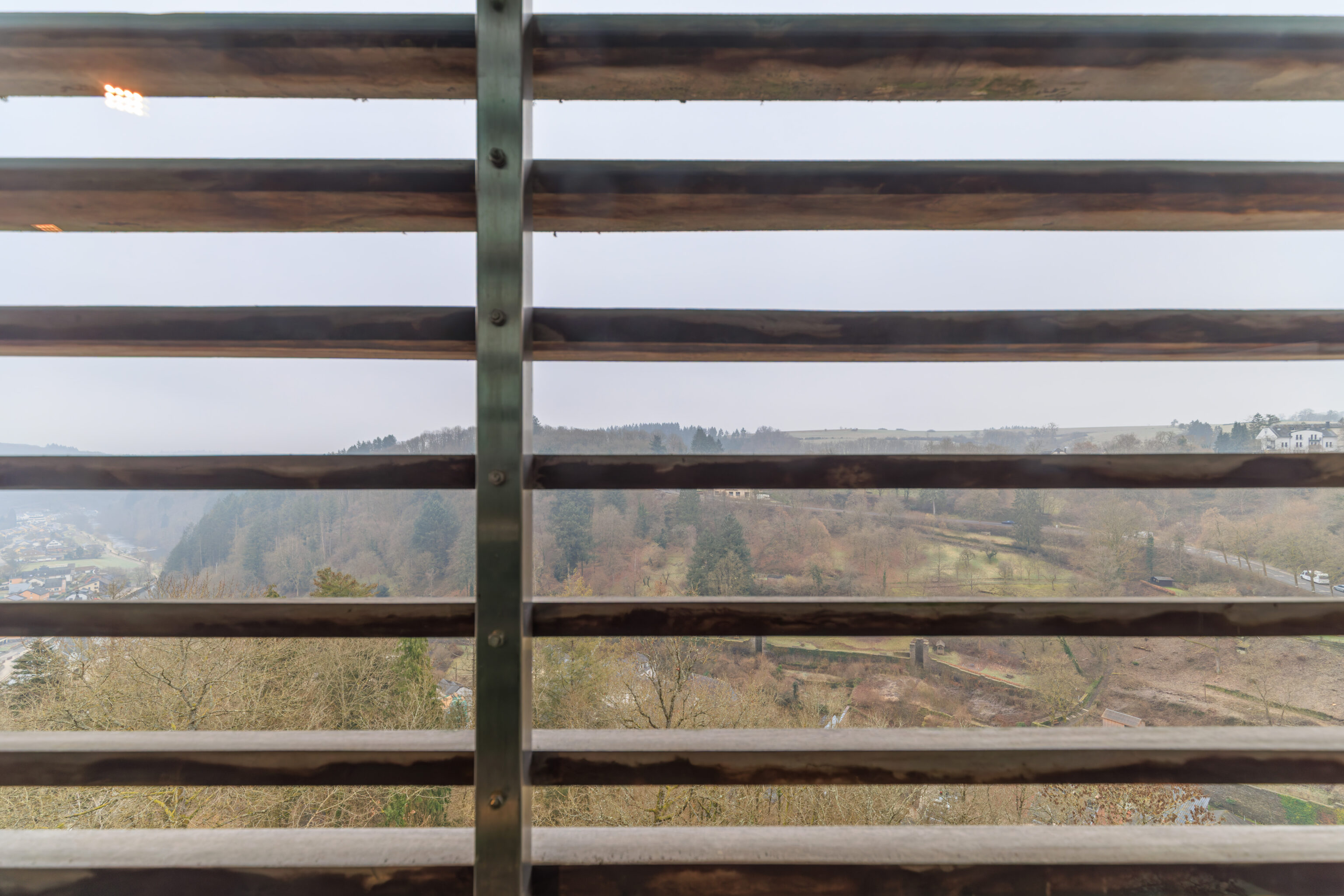
This window had a view to what seems like the southeast. The town wall is visible on the side of the hill. This is the same wall that we saw on our way here.
THE TOWN WALL
The wall was a visible symbol of the town. It separated town from countryside; it was built, maintained, and defended by the residents; and in case of an attack it protected the town against enemies. Vianden's second, late-13th-century wall has been preserved. It is about 1.5 metres wide, up to 9 metres tall, 1,150 metres long, and was defended from 16 towers. People entered town through two main gates, while three minor gates permitted a quick exit to vineyards and fields.
– Text from a sign, translated using Google.
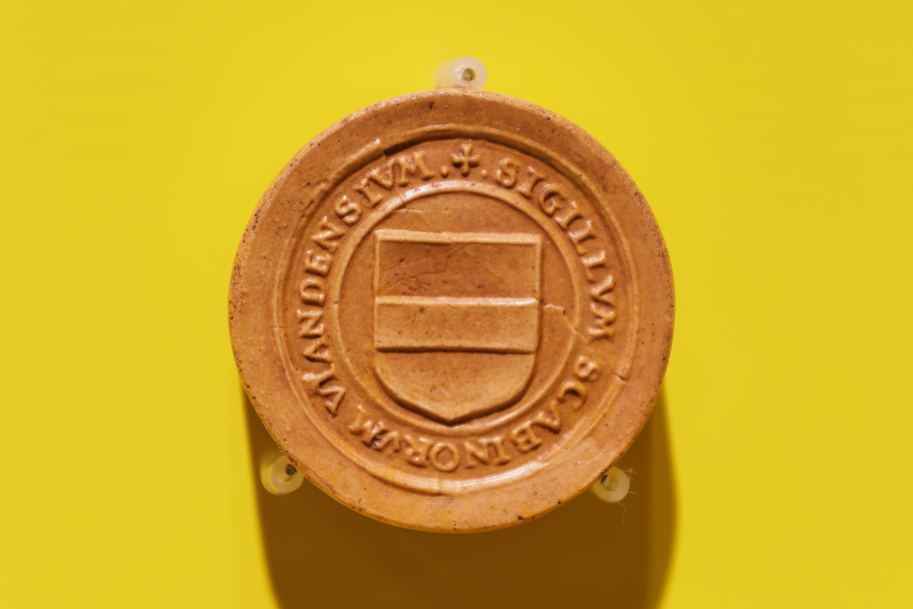
THE ALDERMEN'S SEAL OF VIANDEN TOWN
Archives générales du royaume, Brussels
Plaster cast

Many cities and towns, including Vianden, used a seal as a symbol of their autonomy. Instead of using their own motif, the burghers of Vianden used the count's coat of arms and were probably instructed to do so.
– Text below the seal in the photograph above.
WAS VIANDEN A FREE TOWN?
In 1308, Count Philip II gave the town of Vianden a letter of enfranchisement. This did not give the town independence, but rather represented an agreement that formalised the longstanding relationship between the burghers and the ruler.

It codified the inhabitants' rights as well as their obligations to the count, such as taxes and military assistance. The agreement also confirmed the burghers' right to organise and manage their own affairs.
– Text to the right of the display above.
VIANDEN: THE TOWN
Over the centuries, a town took shape at the foot of the castle. The counts fostered the settlement's growth because they expected higher tax revenues from the expanding population and trade. The settlement itself benefitted as well, gaining importance from its proximity to the count's residence and administrative centre.

Over time Vianden developed the key features of a town in the Middle Ages: a town wall that protected the citizens; a market and specialised craftsmen, stimulating trade and offering a range of goods; as well as churches and a hospital, dedicated to the inhabitants' religious and social needs.
– Text from a sign.
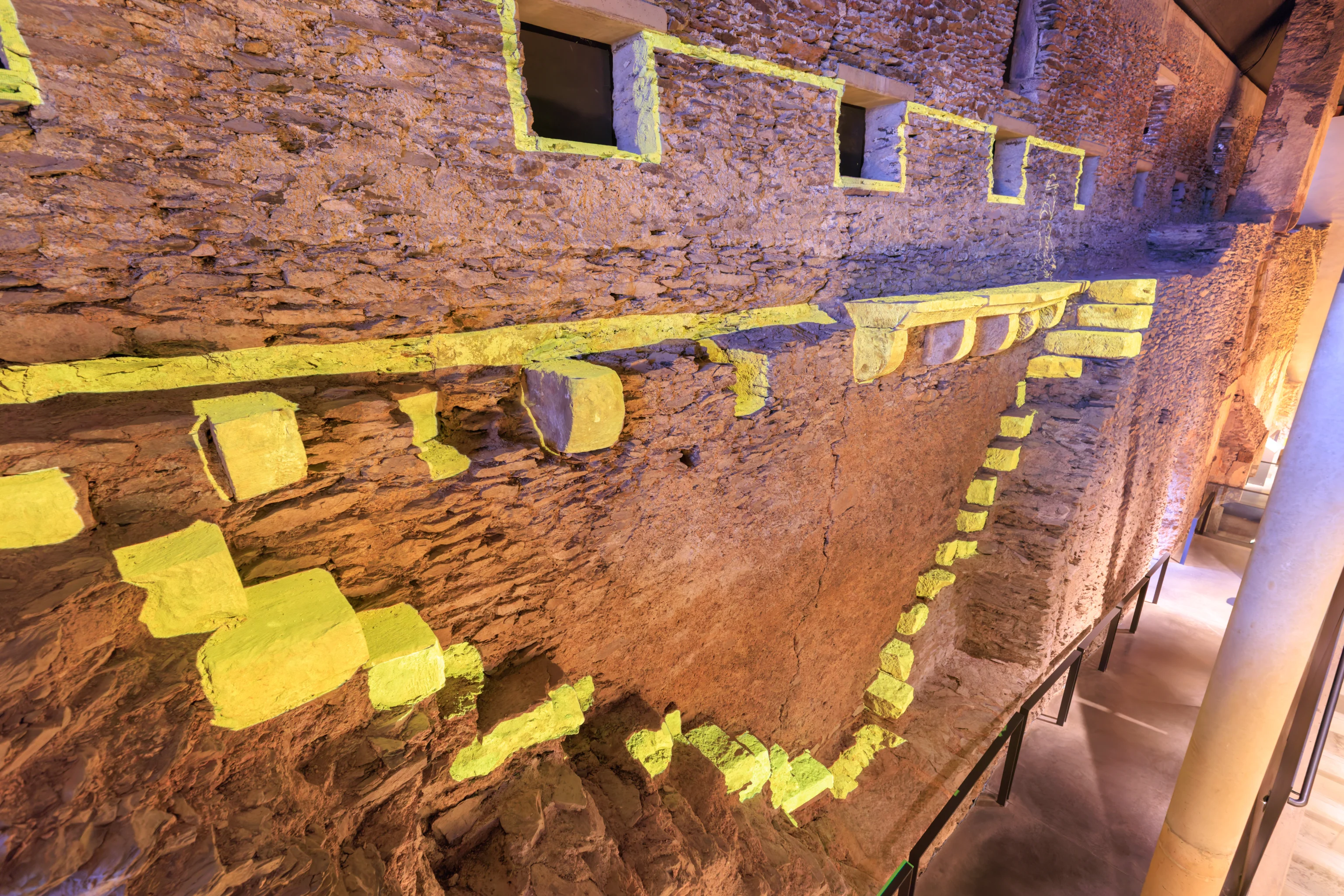
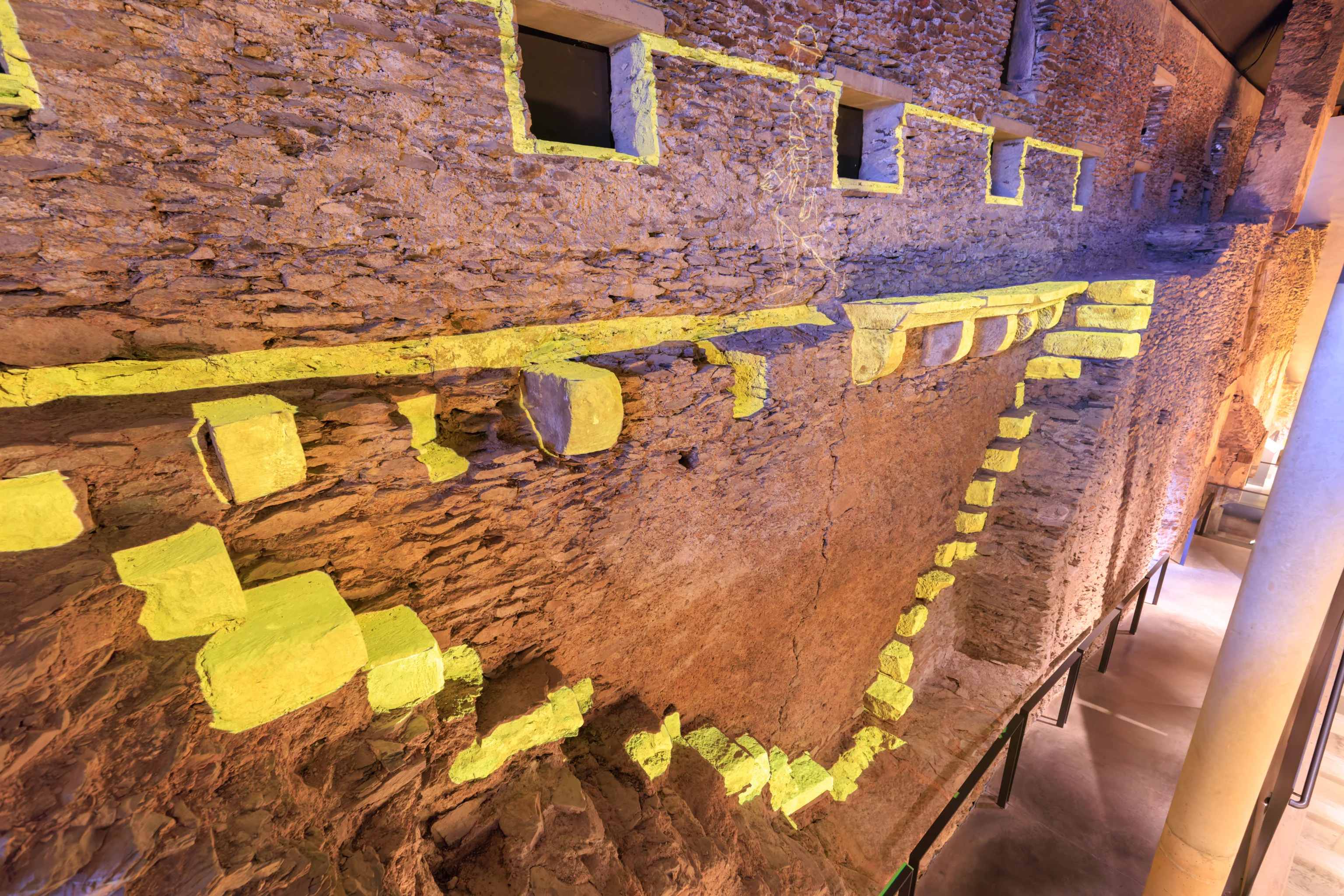
This was an interesting display that used projection mapping to show a soldier walking on a fortification wall.
THE DISCOVERY OF THE WALL-WALK
When building historians studied the outside of this section of the curtain wall, they discovered traces of battlements. They uncovered the corresponding 13th-century wall-walk, as can be seen here, on the inside of the wall. That same rampart had been raised at a later stage and required a new, higher wall-walk. The old battlements were bricked up during that process and thus preserved to this day.
– Text from a sign, translated using Google.
THE FORTIFICATION OF A CASTLE
A castle with mighty walls, soaring towers, and heavily fortified gates made for an impressive and intimidating sight. From afar, they signalled the owner's power over the land and his subjects.

But walls, towers, and gates were not only symbols of power, but had specific defensive functions, just as many other areas of the castle did. The wall-walks, for example, are located on high curtain walls and gates, and they allowed the garrison to monitor the surroundings. In case of an attack, the battlements provided cover; the gaps between them allowed defenders to throw stones at the attackers or to shoot at them with crossbows.
– Text from a sign.
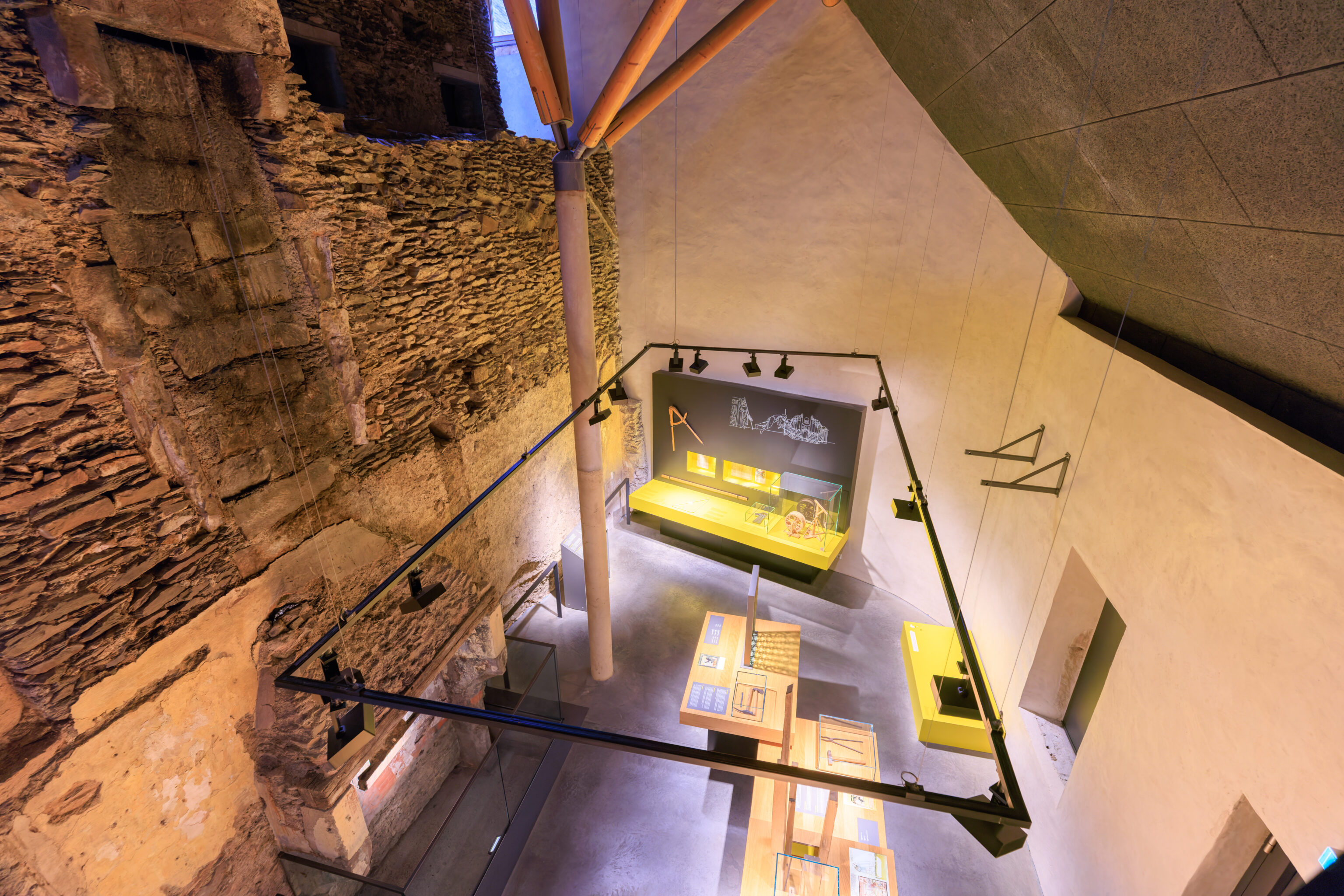
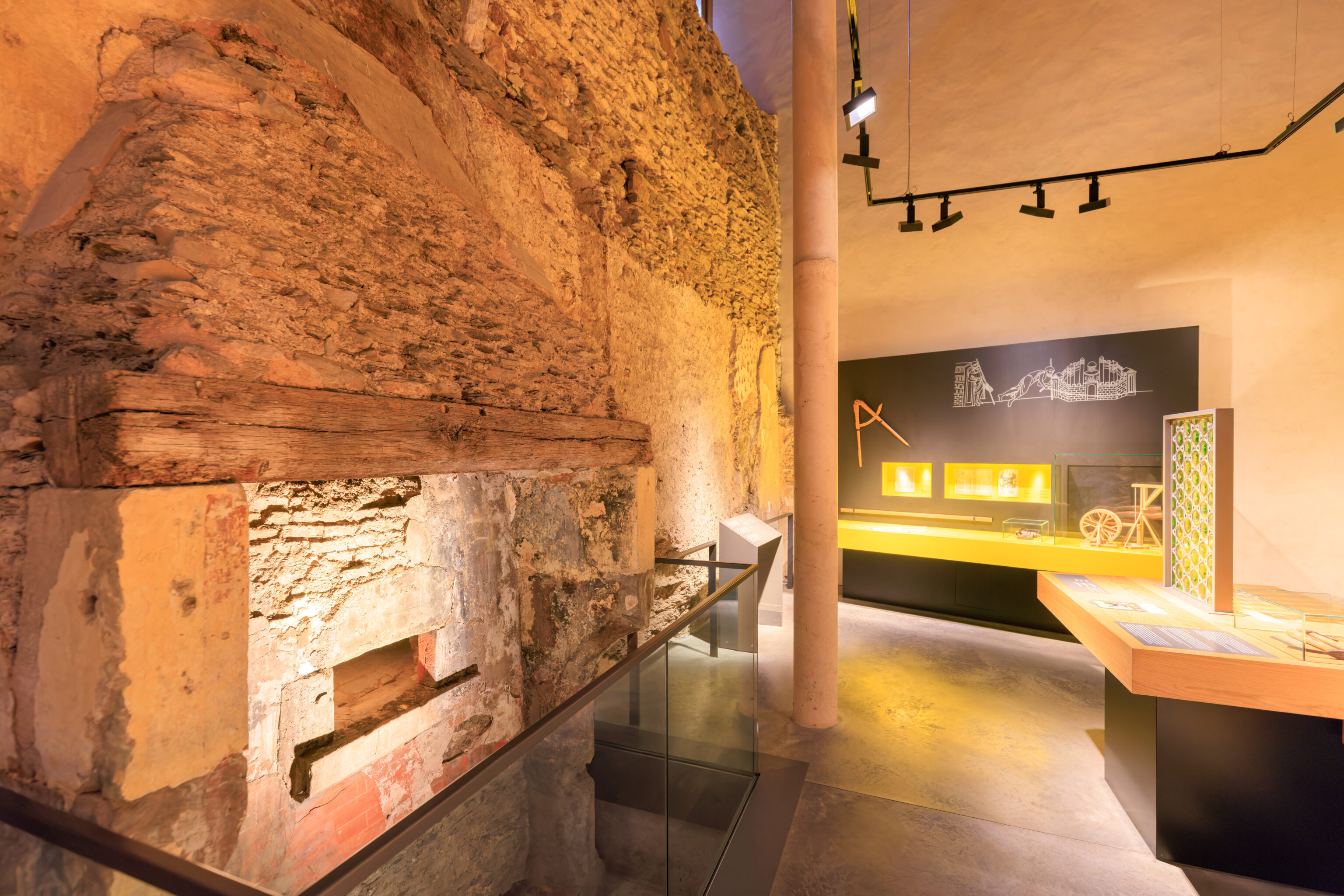
We walked down to this next area of the museum where there was an example of a fireplace.
HOW TO HEAT A CASTLE?
In winter, cold moist air blew through the doors and openings of the castle. The thick stone walls were not insulated, and large amounts of firewood were needed to heat the living spaces. Fireplaces radiated heat only to their immediate surroundings. Especially large and elaborate fireplaces - as found in the 'Great Hall' of the main castle - underscored the prosperity and social status of the lord.

This fireplace was probably installed in the Middle Ages but transformed several times thereafter.
– Text from a sign to the right of the fireplace.
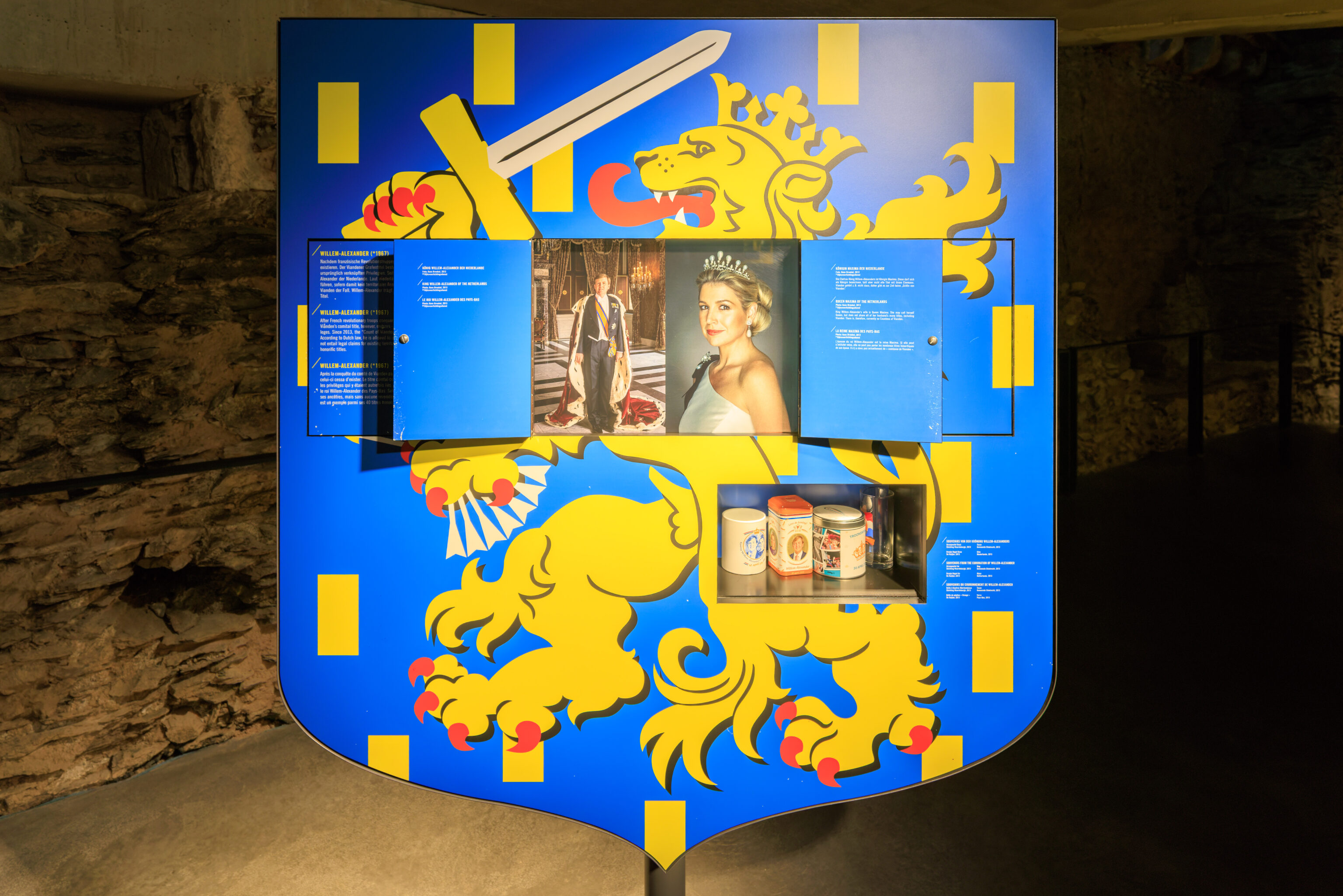
The current Count of Vianden is actually King Willem-Alexander of the Netherlands. This is because he is the head of the House of Orange-Nassau.
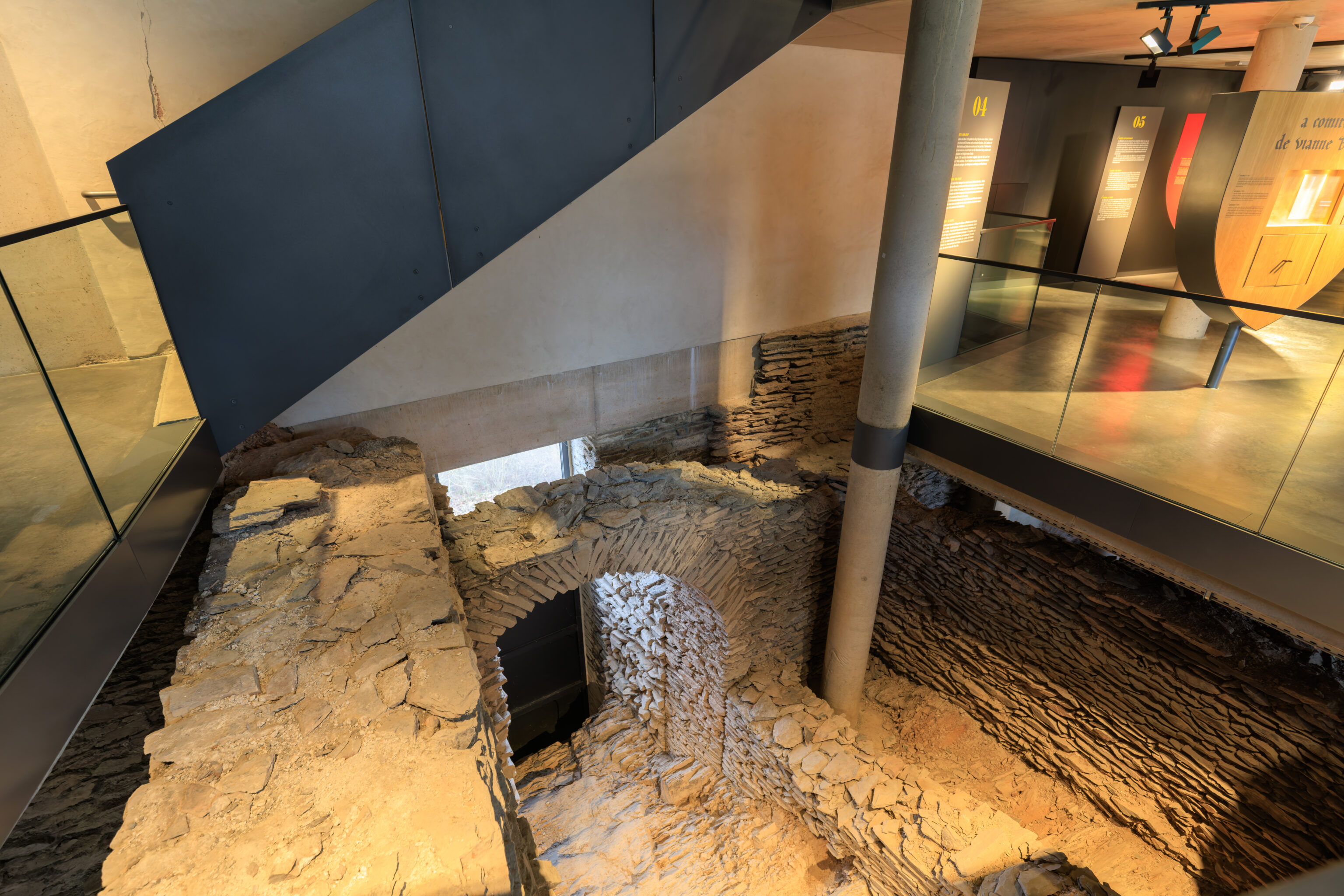
THE EXCAVATIONS IN THE BAILEY
To serve the castle's varied roles across its history, a series of buildings was constructed, demolished, levelled, and rebuilt in the bailey. At one location, the stones of an old wall were used to construct the large encircling curtain wall. The impact of a grenade in 1944 left a large hole where this passage turns toward the east. In consequence, archaeologists did not always know where exactly the found shards and charcoal remains came from, though they did manage to date these finds.
– Text from a sign.
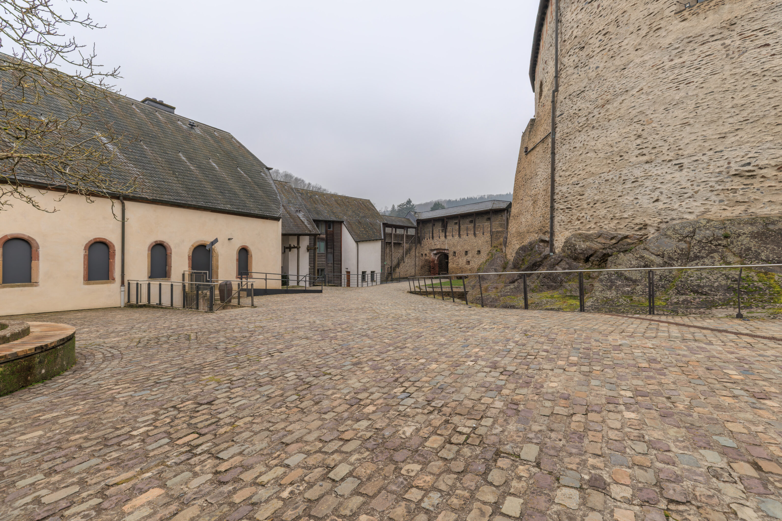
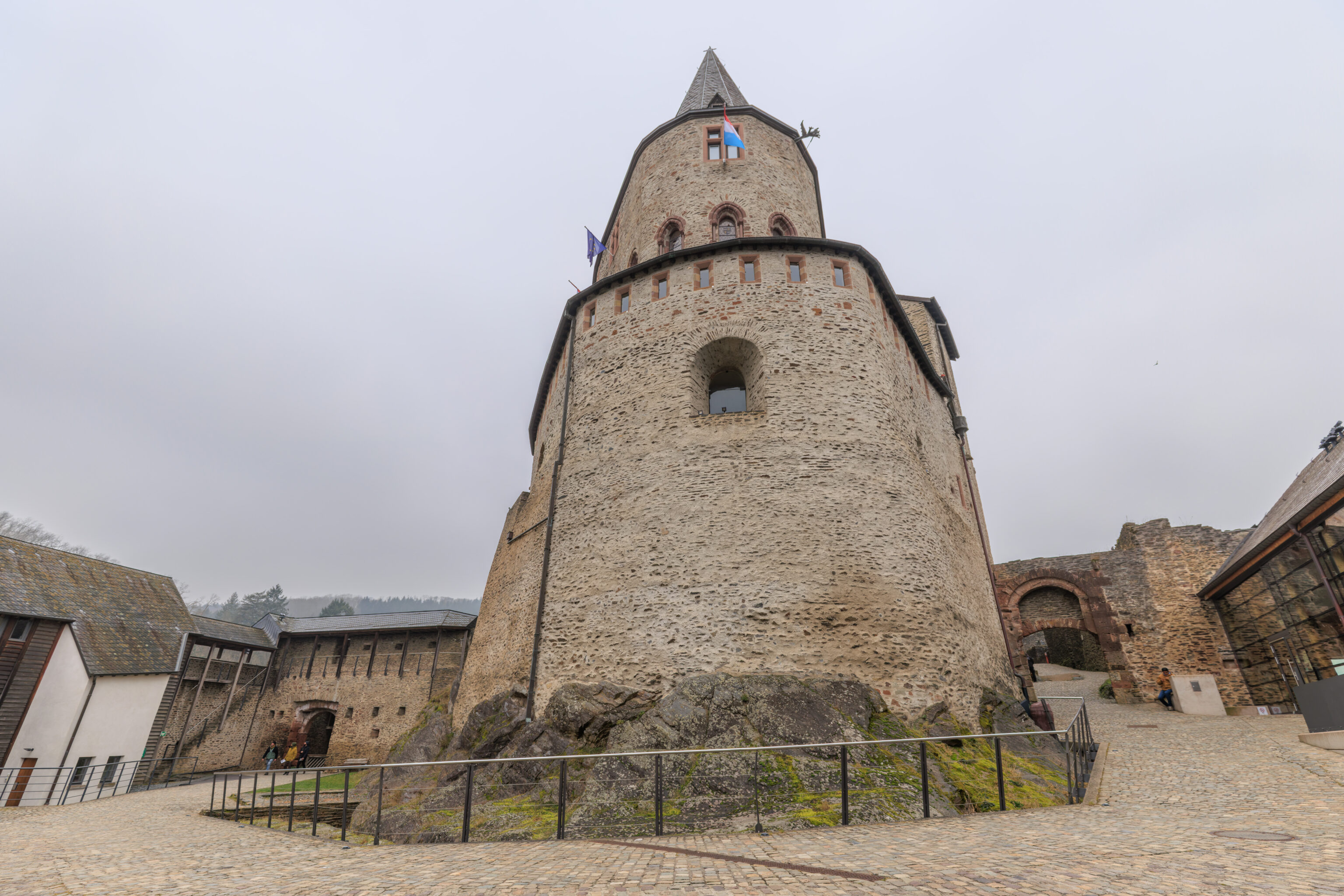
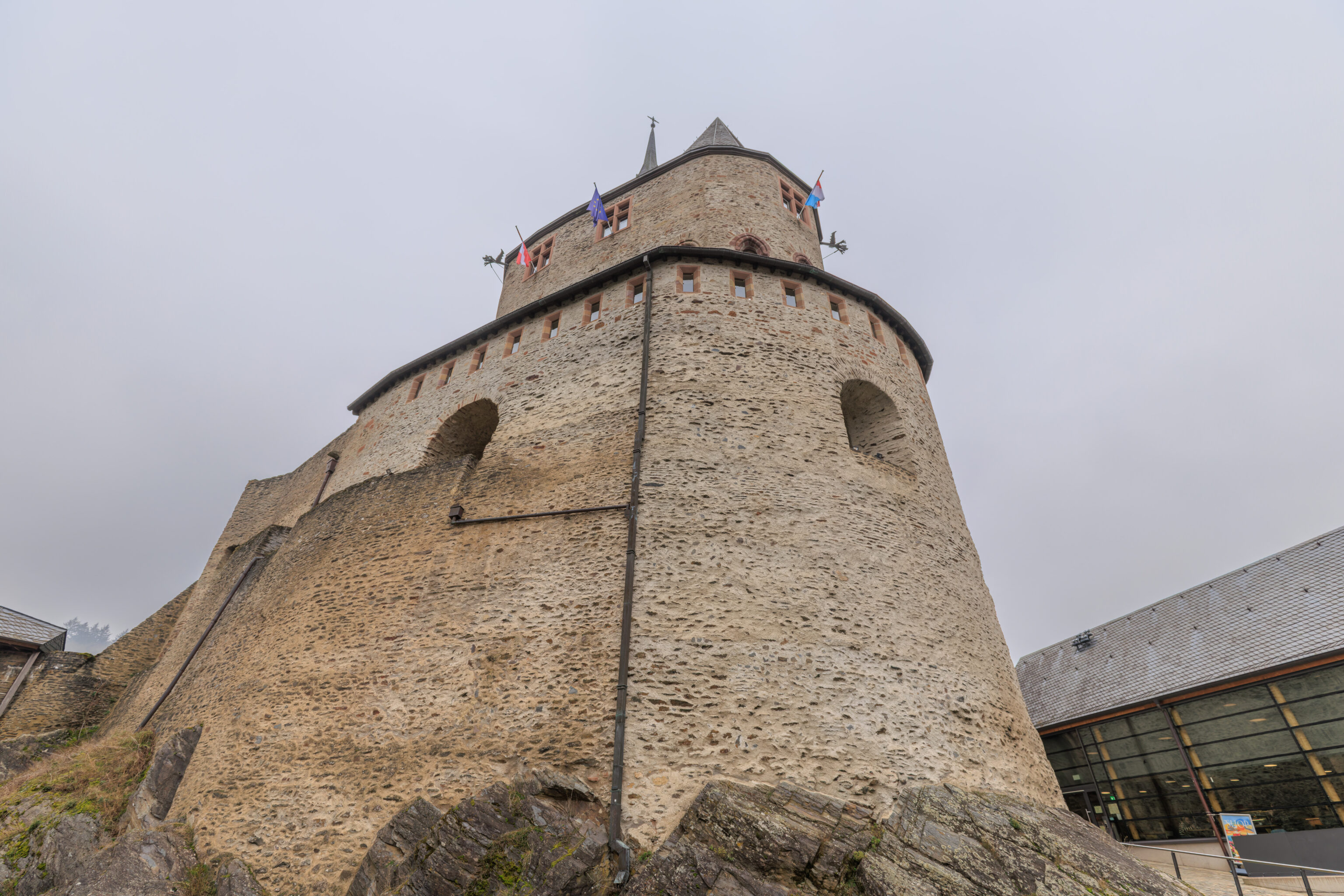
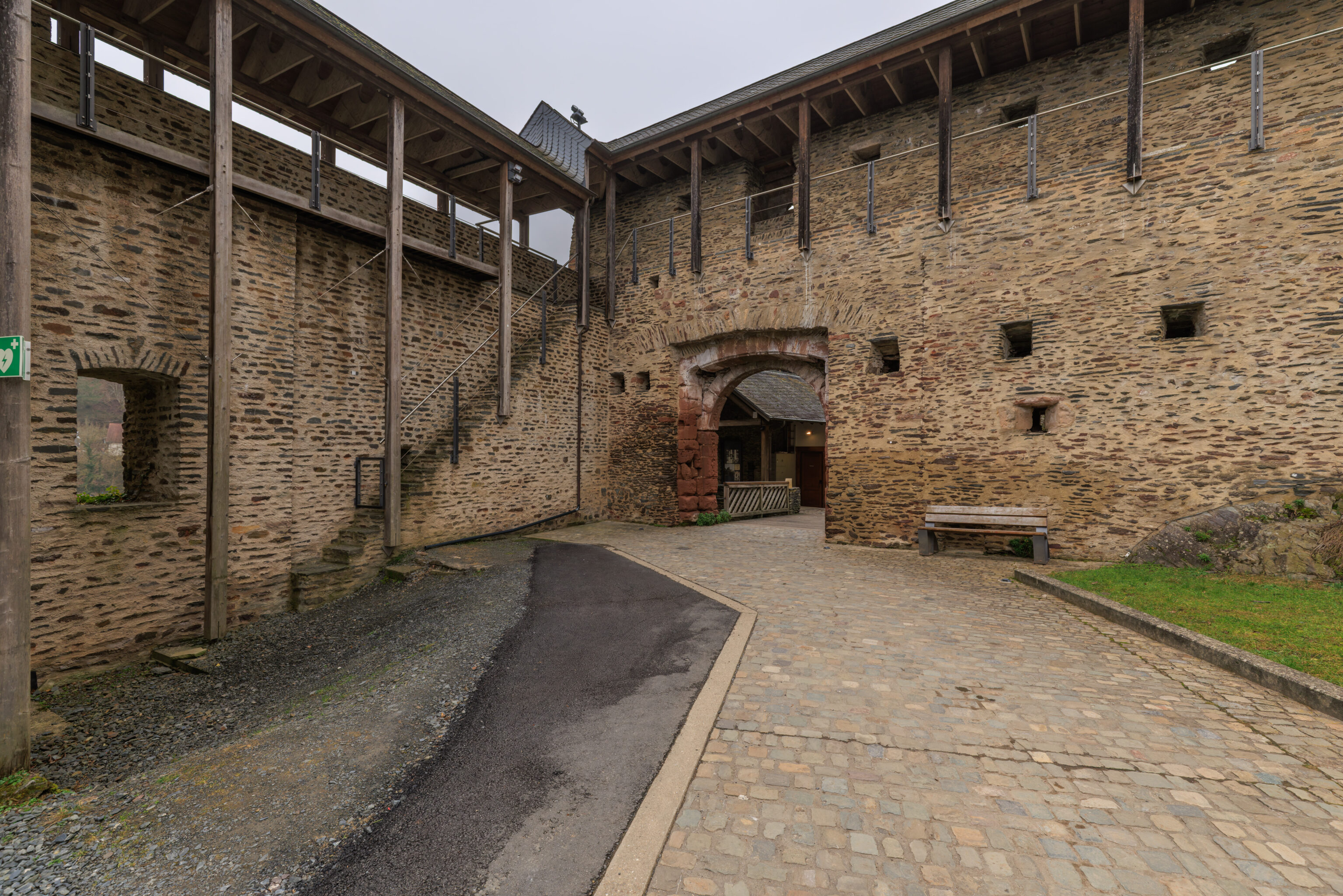
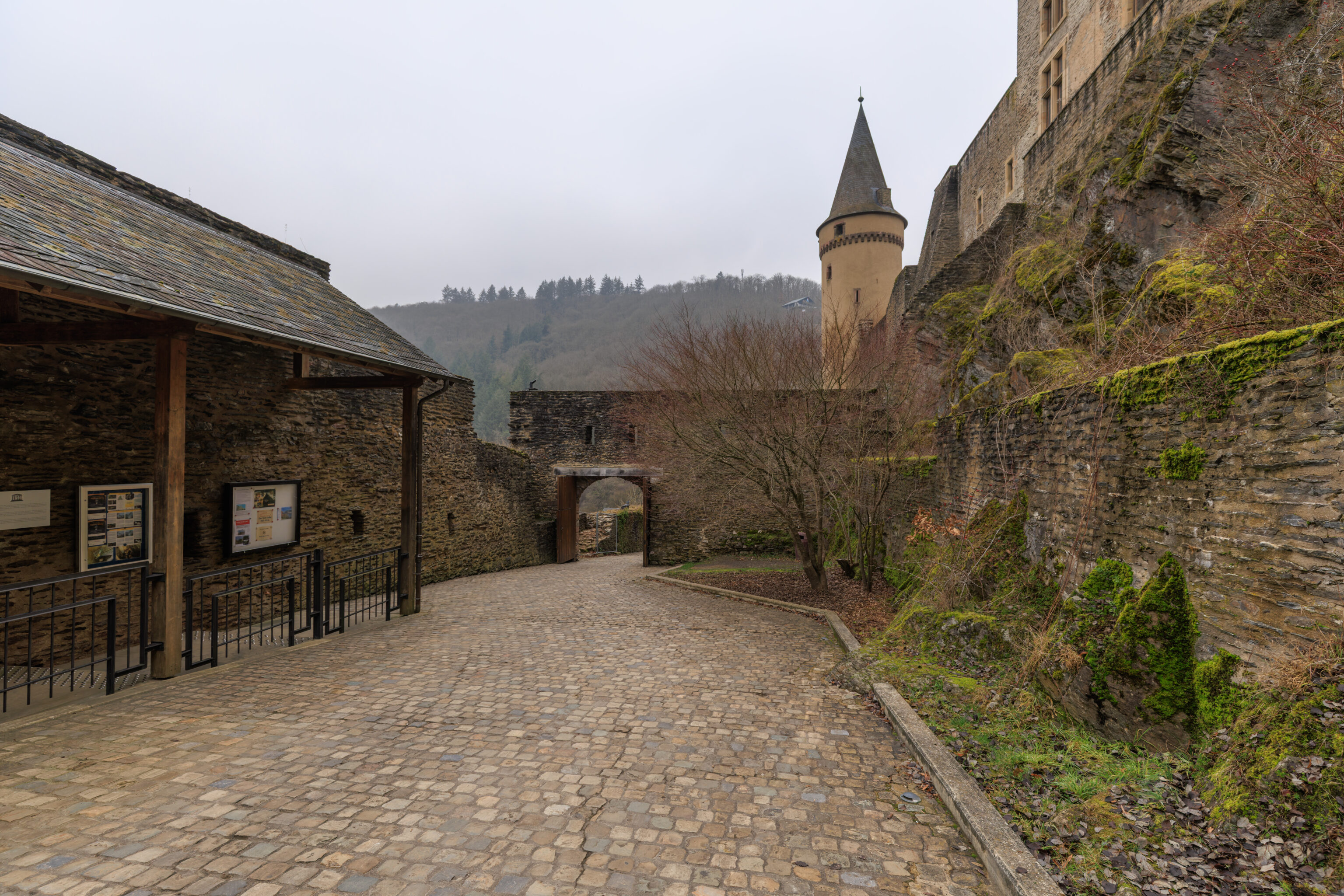
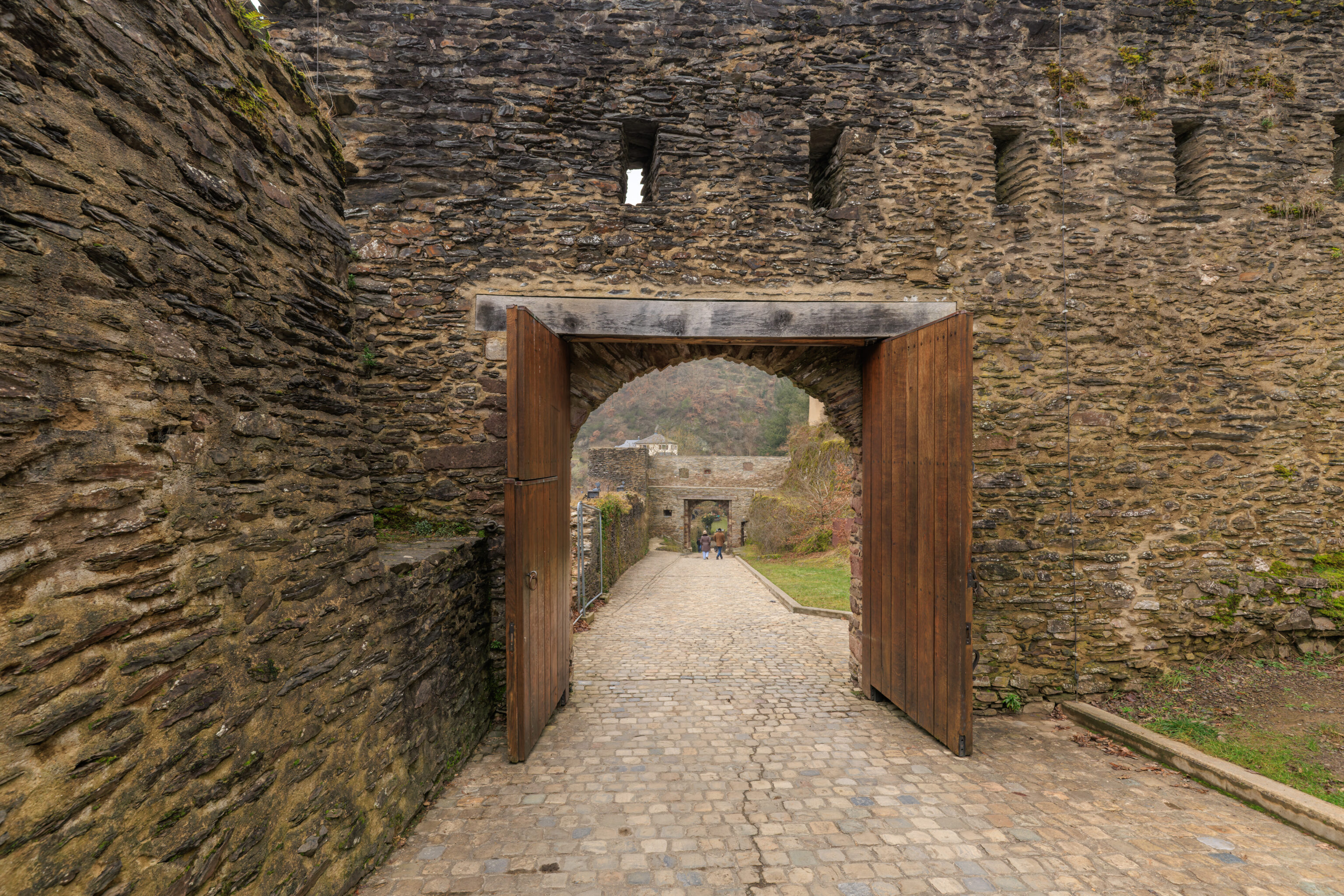
We ended our visit at around 1:15pm and started to exit the castle grounds.
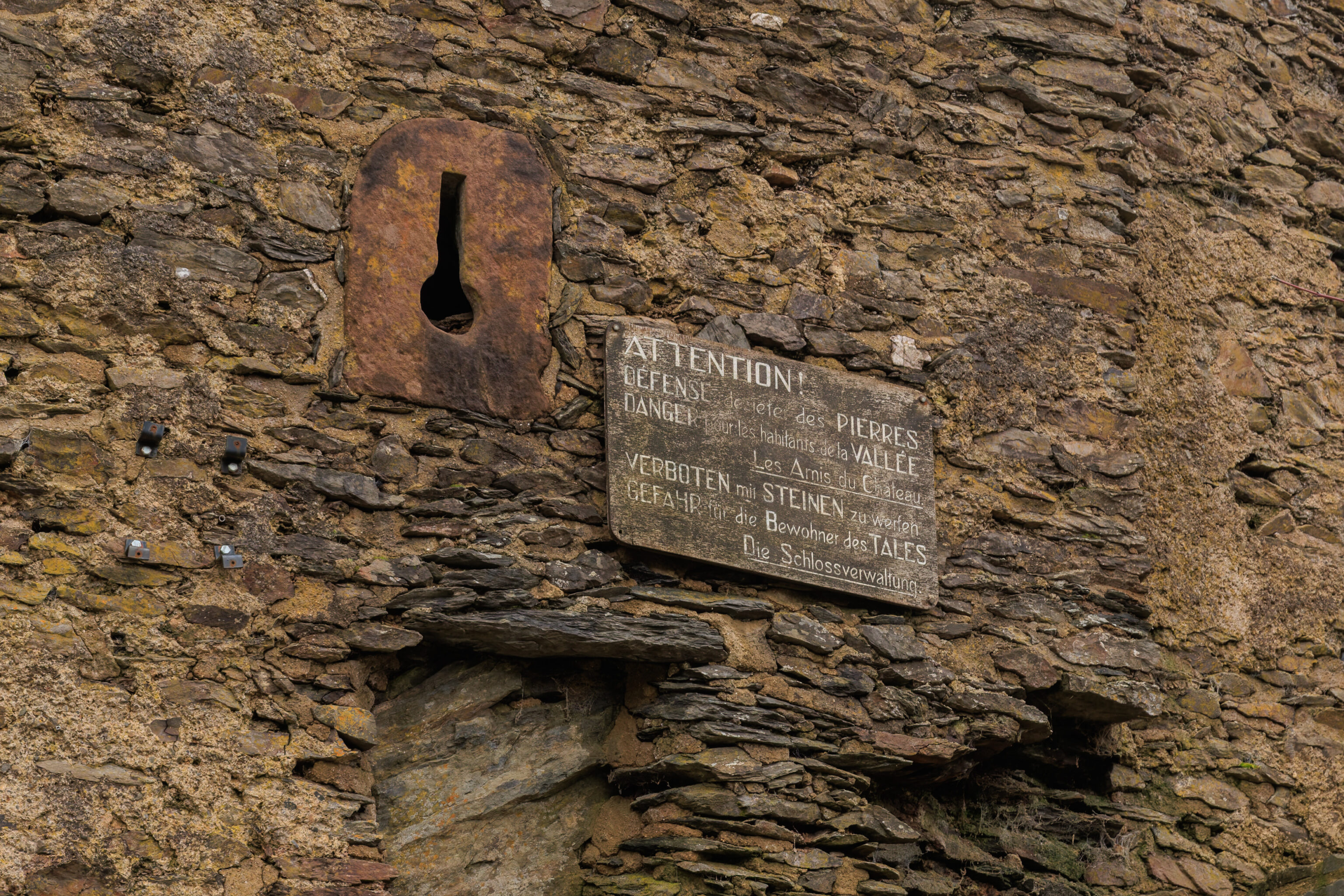
There was a warning sign that we missed earlier prohibiting throwing stones from the castle!
WARNING!

Do not dislodge stones
Danger to valley residents
Friends of the Castle

Throwing stones is prohibited
Danger to the inhabitants of the valley
The Castle Administration
– Text from the sign in the photograph above, translated from French and German using Google Translate.
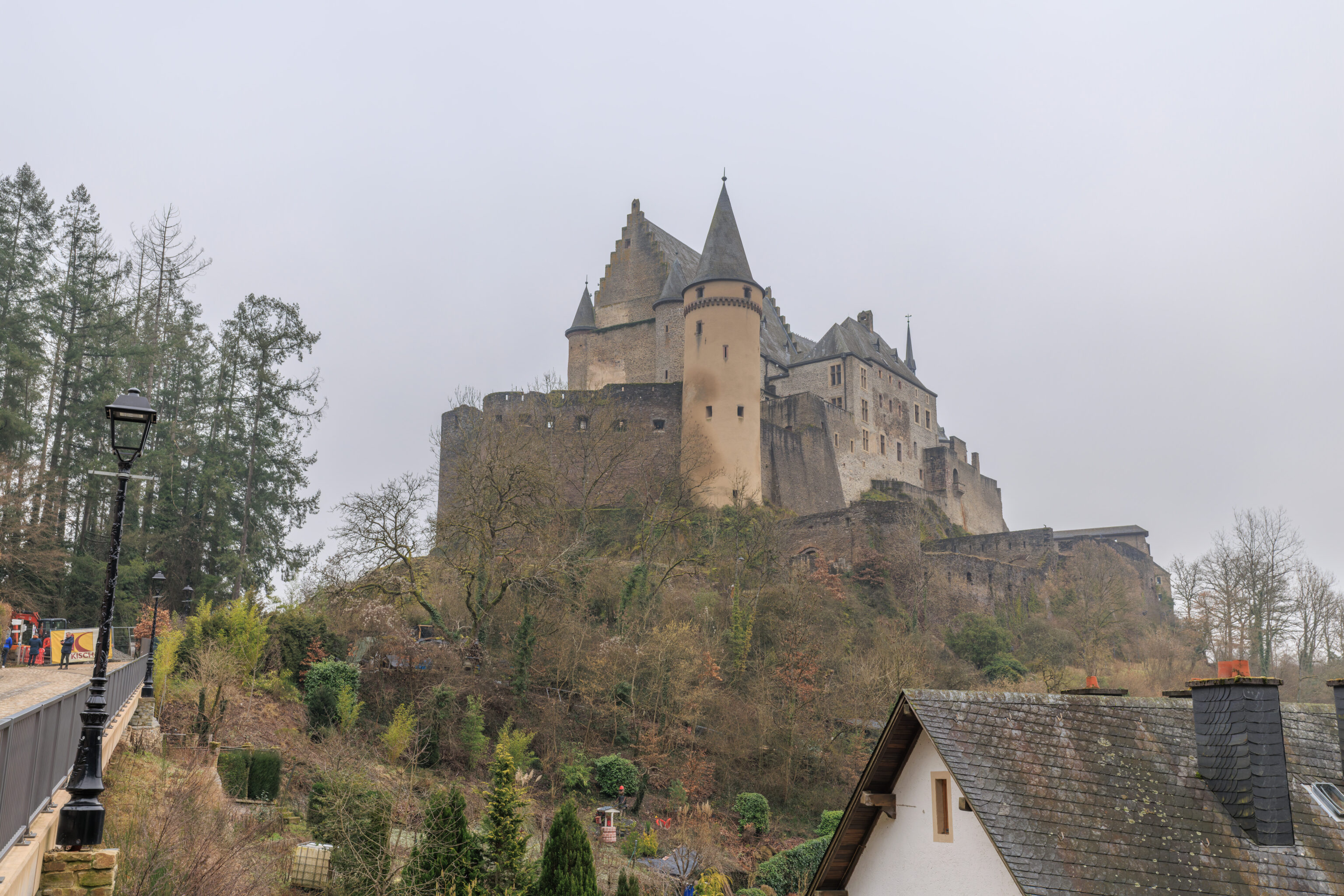
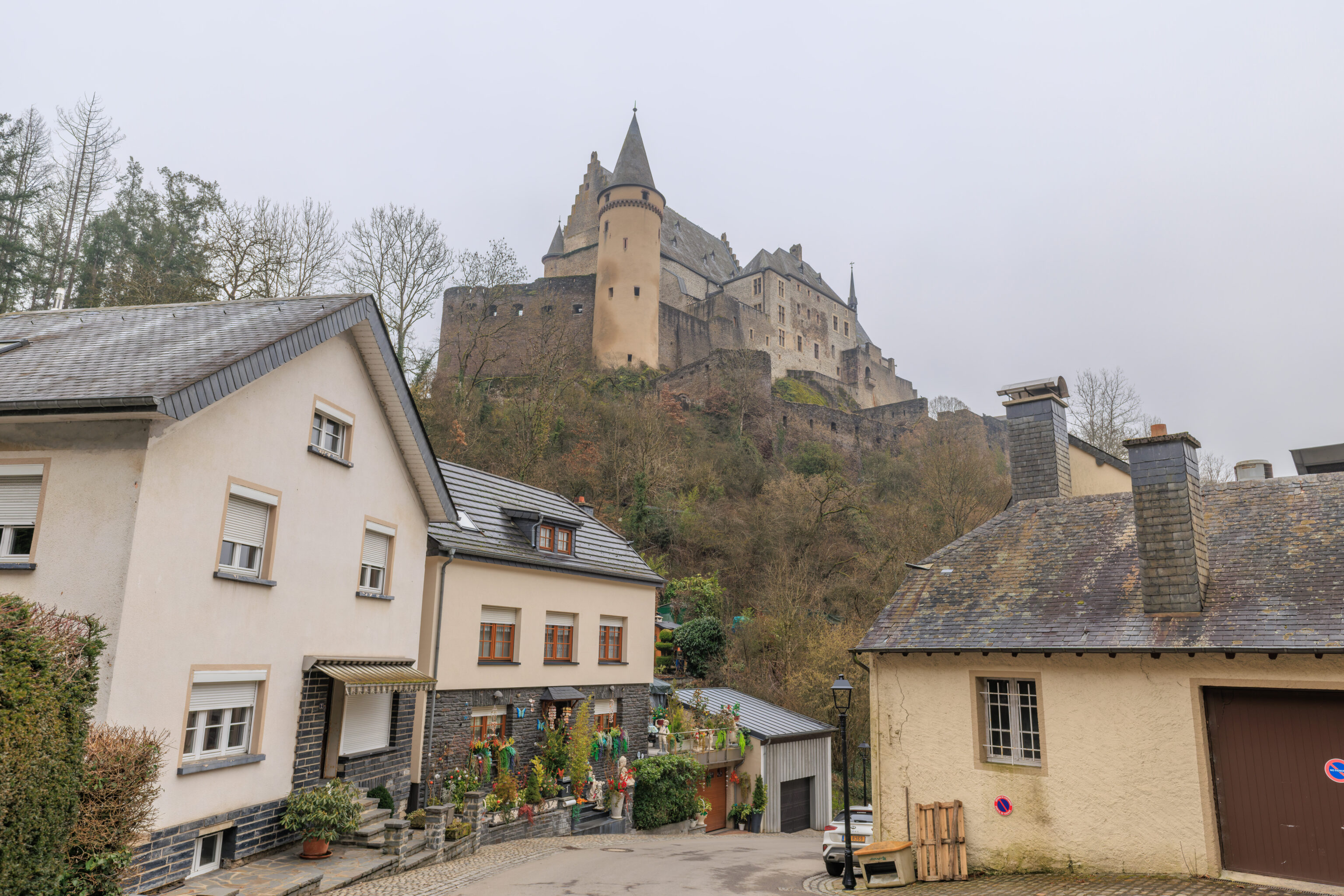
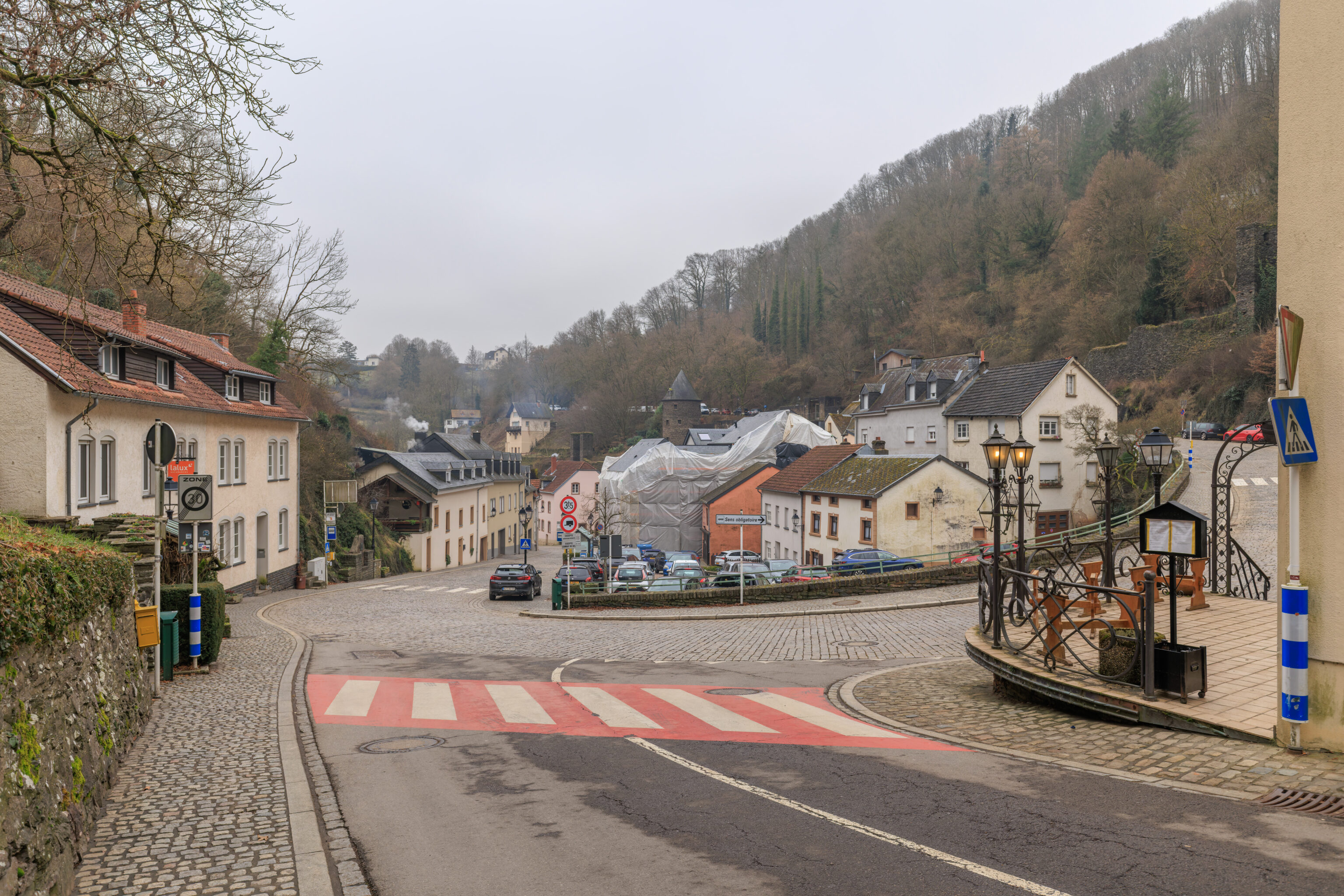
We started to walk back down to the town.
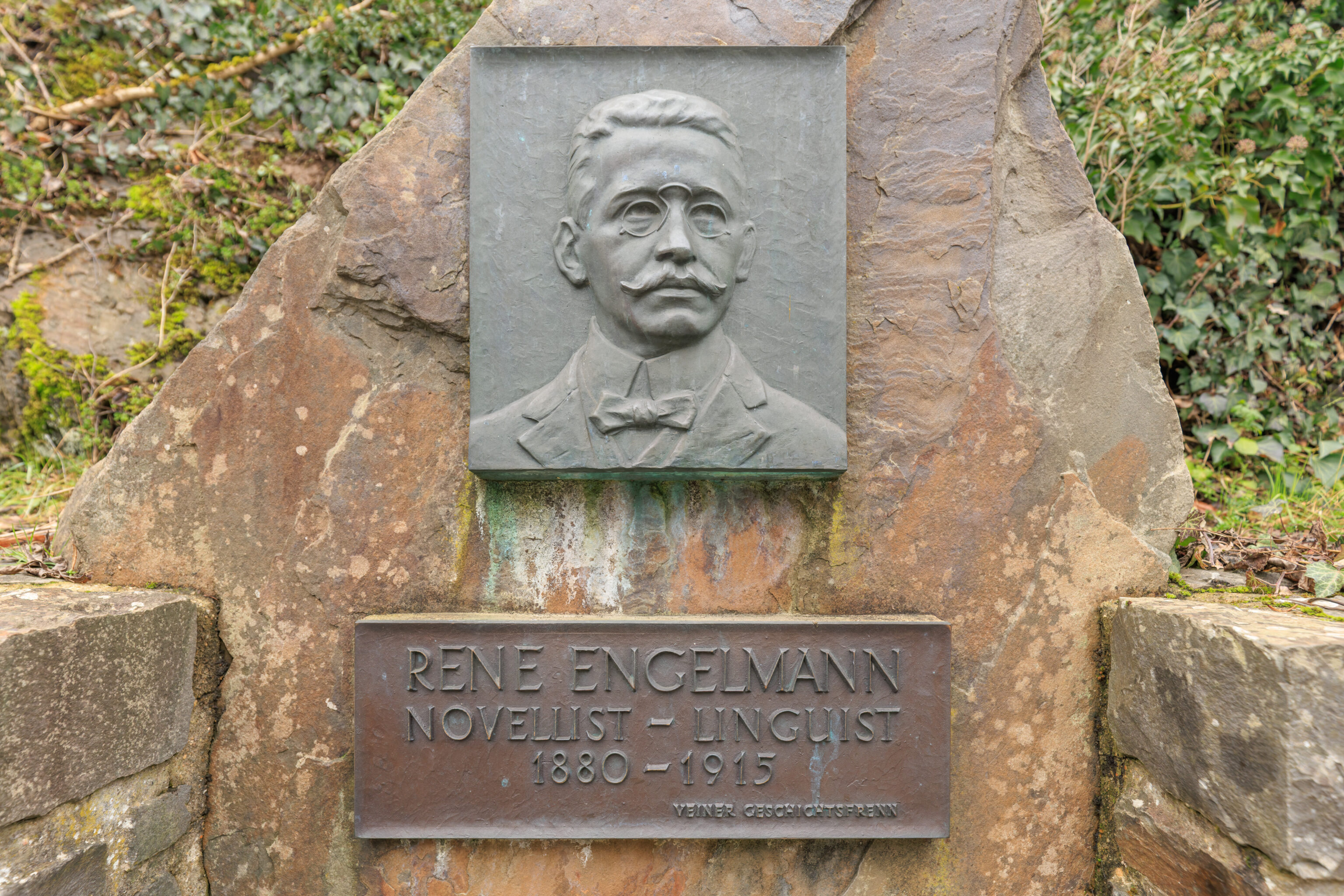
This small memorial to Rene Engelmann was across from the parking lot in the photograph above. He was born here in Vianden and helped to develop and document the orthography of the modern Luxembourgish language.
We decided to have lunch here in Vianden at Beim Hunn, a restaurant and hotel in the shadows of the castle above. The restaurant was packed inside! We ended up getting a table on the 2nd floor.
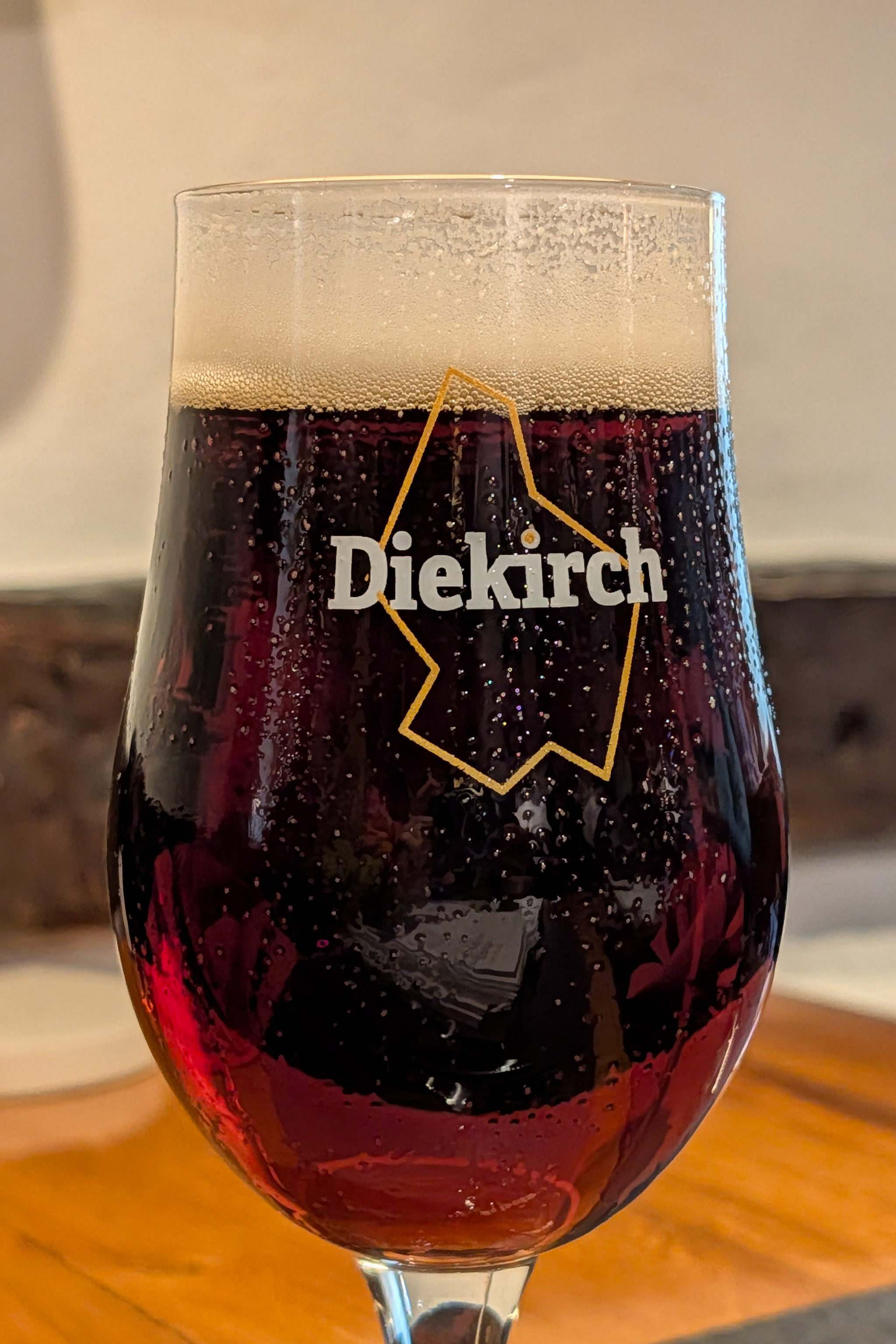
We ordered the local Diekirch Grand Cru beer. It was very good. Diekirch is nearby, the bus we took to get to Vianden actually went through the town.
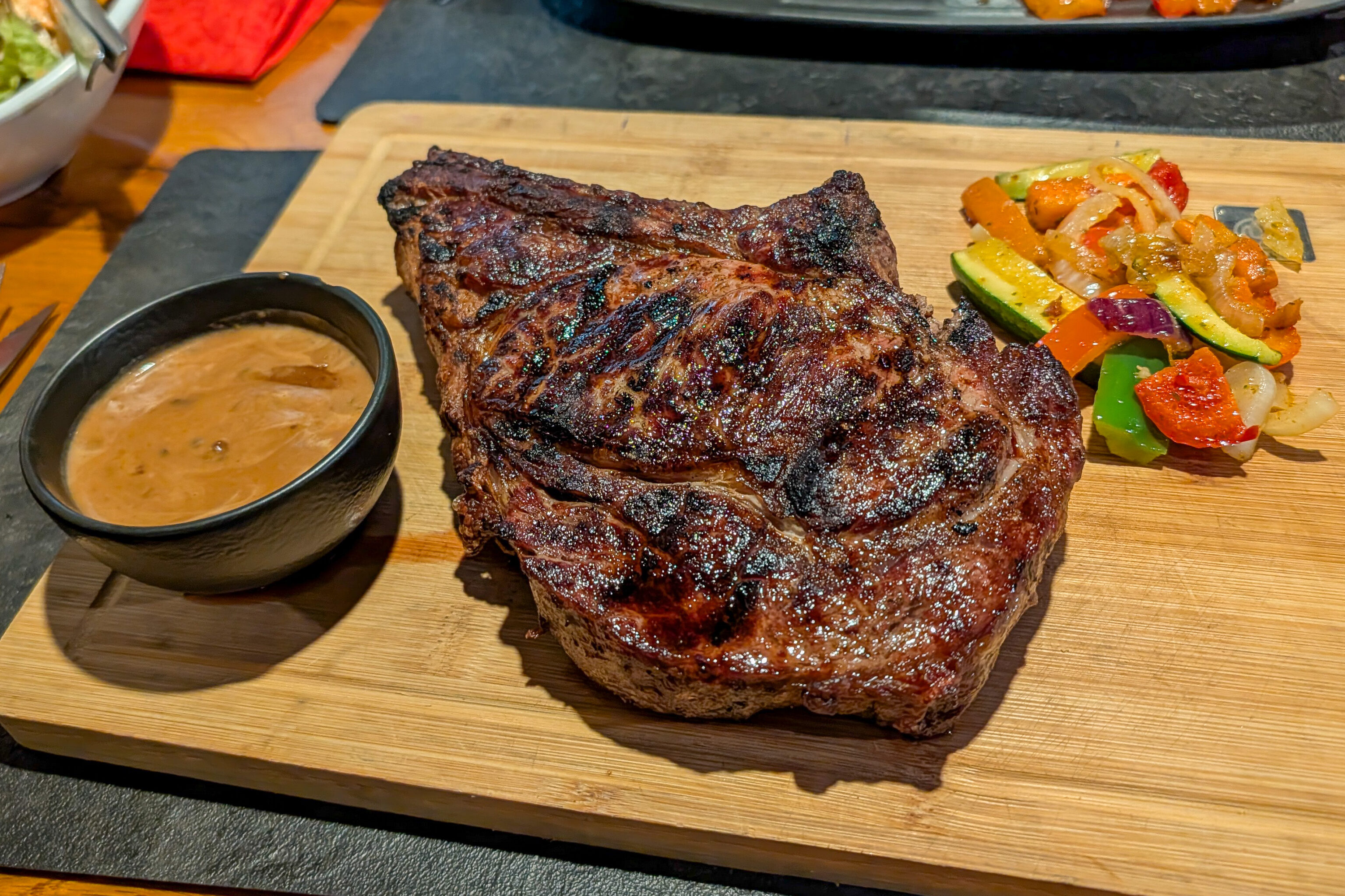
Rippensteak vom Rind (mit Knochen)
Ribstuk van het Rund
Prime rib of beef
Sauce poivre
Pfeffersoße
Pepersaus
Pepper sauce
The prime rib here is the same cut as the US but the end product is pretty different. It was a good flavorful steak, although we still prefer the American style. It is hard to tell scale but this steak was pretty large at 24 ounces. We’ve of course had much larger steaks in the US but for whatever reason this one looked larger than its size.
We got it with a pepper based sauce. The steak was better plain than with the sauce.
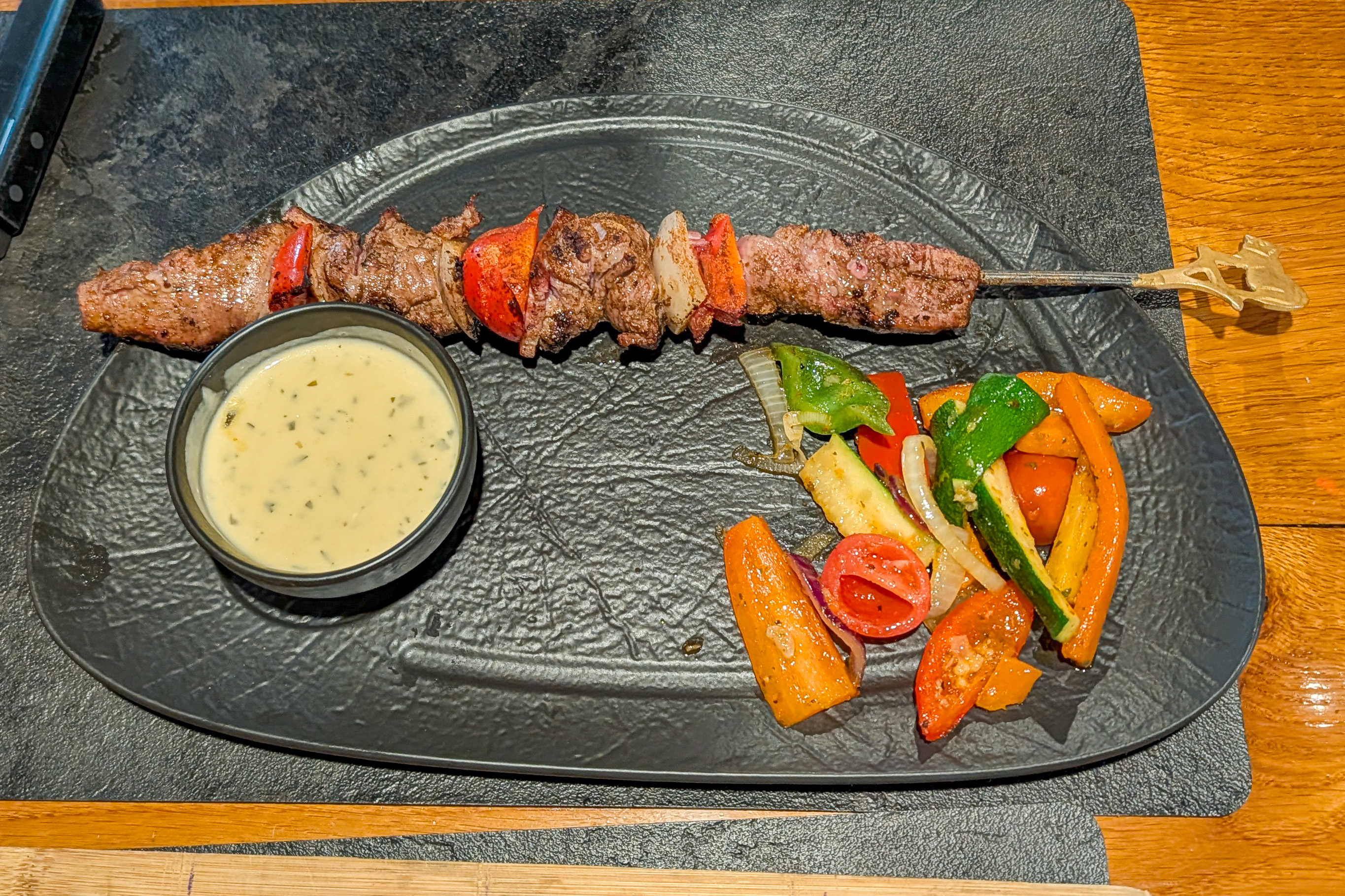
Spiess vom Lammfilet
Lamsboutspies
Lamb brochette
The skewered lamb was very good, probably the most tender lamb we’ve had. The portion size was tiny compared to the steak though!
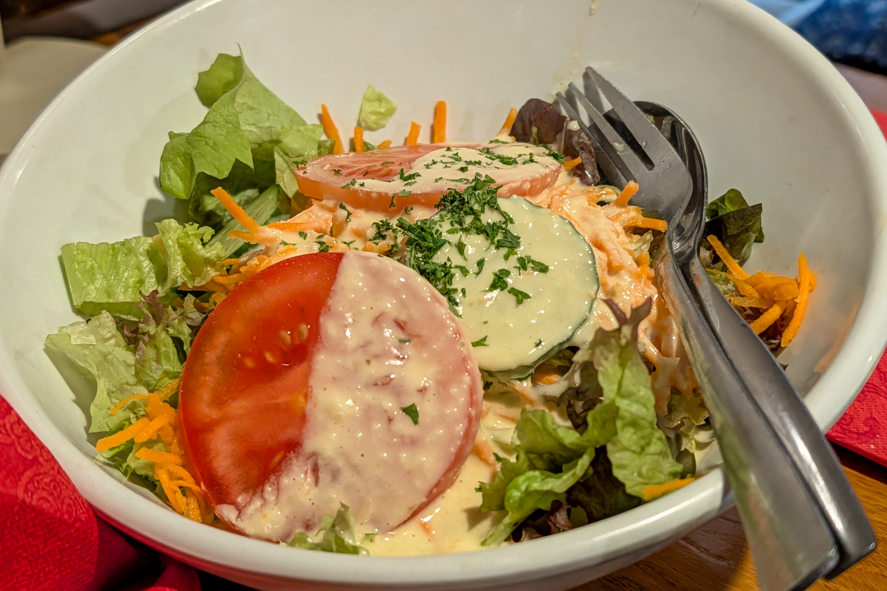
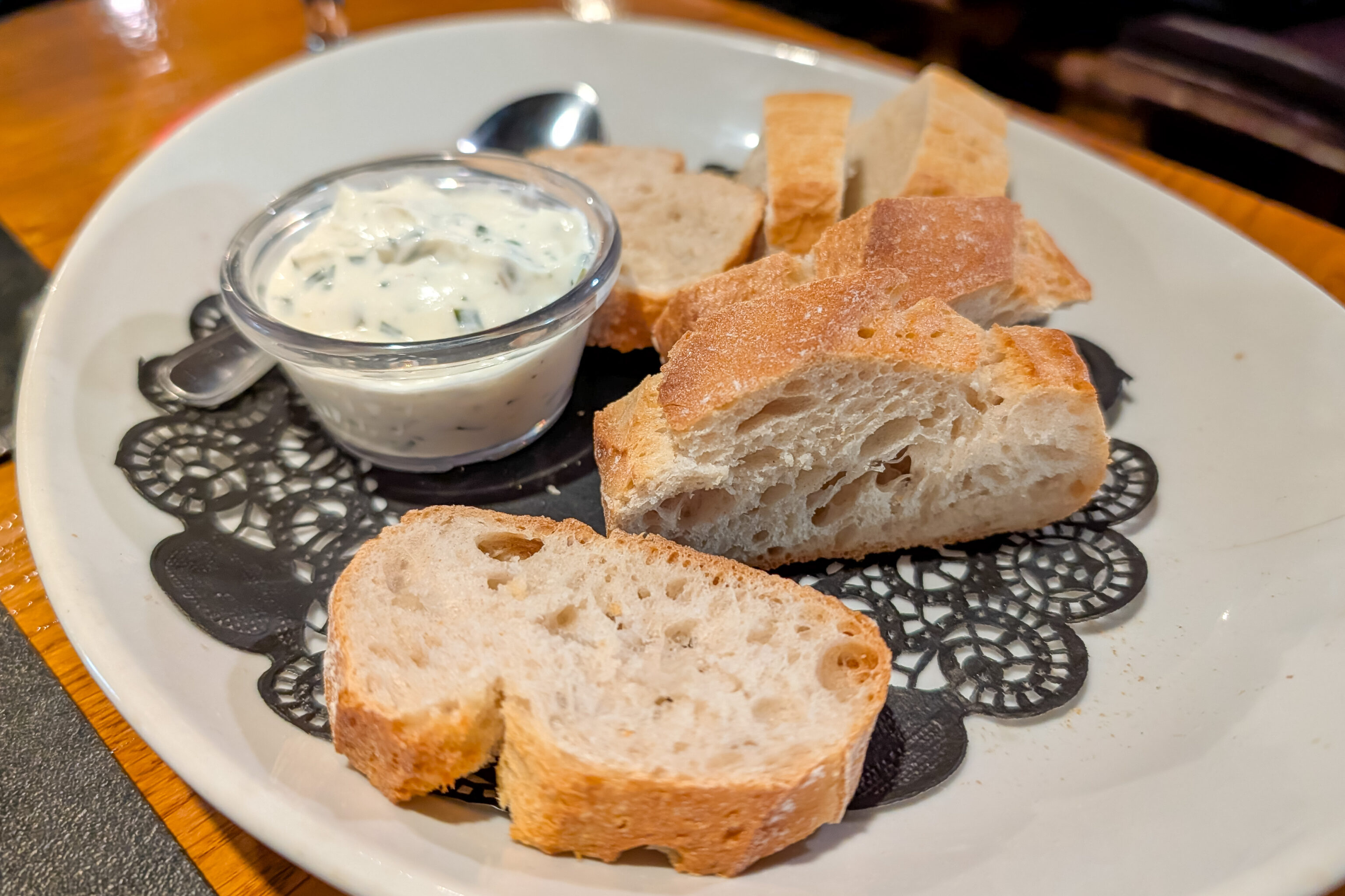
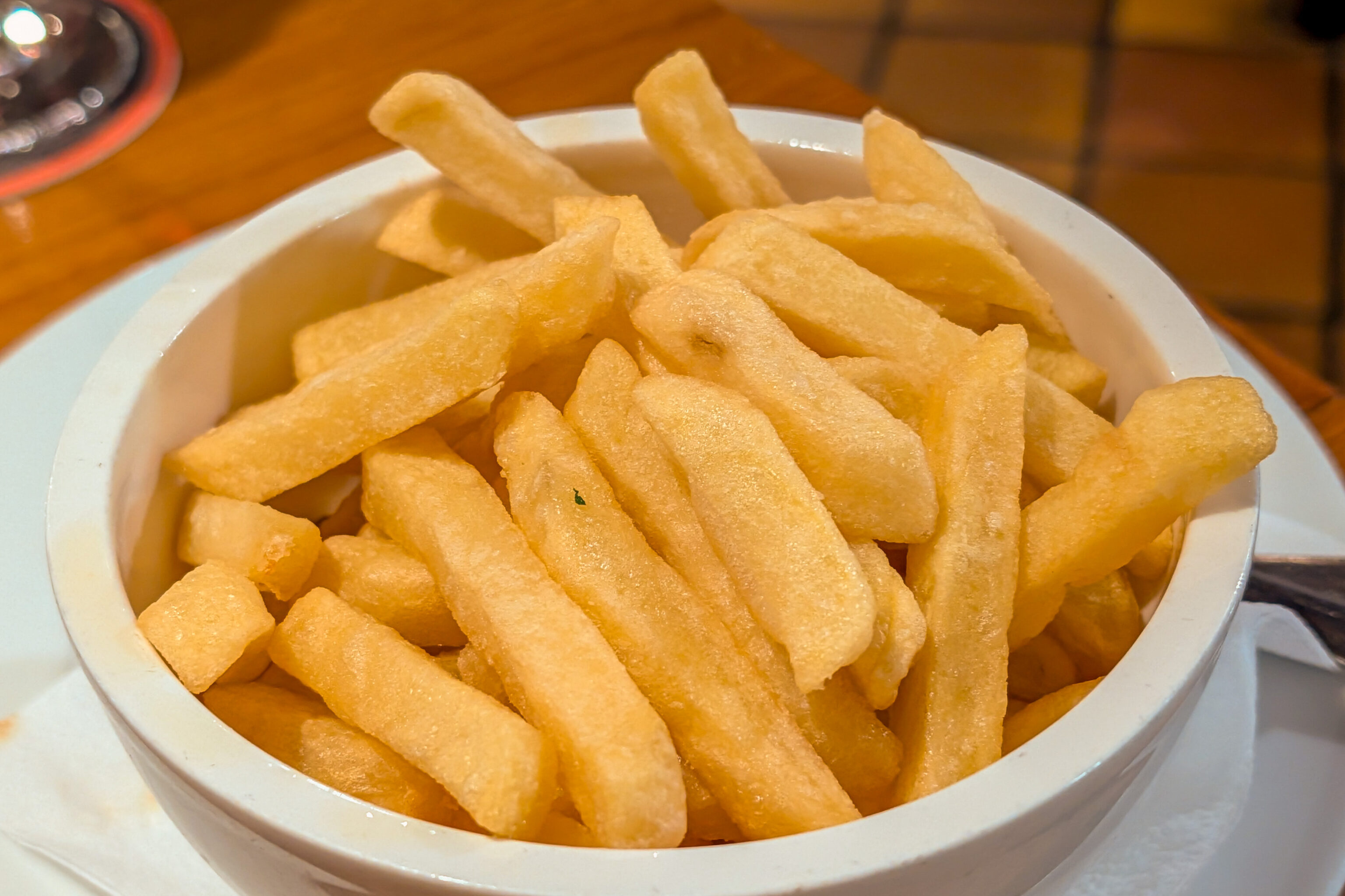
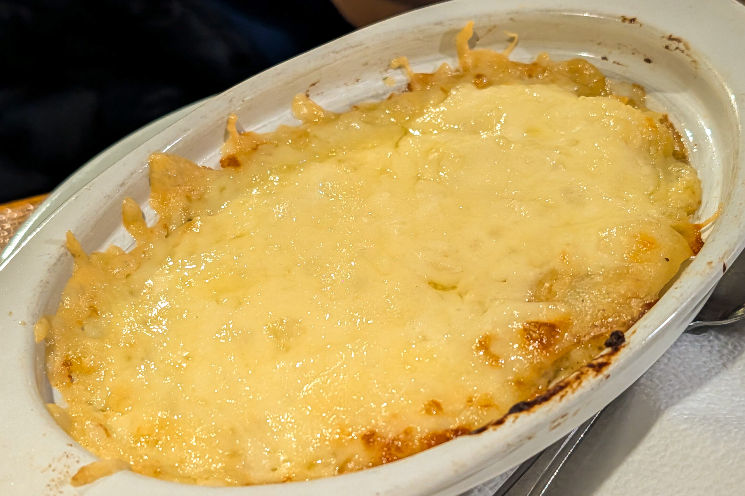
The dishes also included salad as well as bread. We also had fries with one dish and potato gratin with the other. The potato gratin and bread were excellent. The fries were unfortunately pretty mediocre. The salad was a perfectly acceptable salad but didn’t stand out in any way.
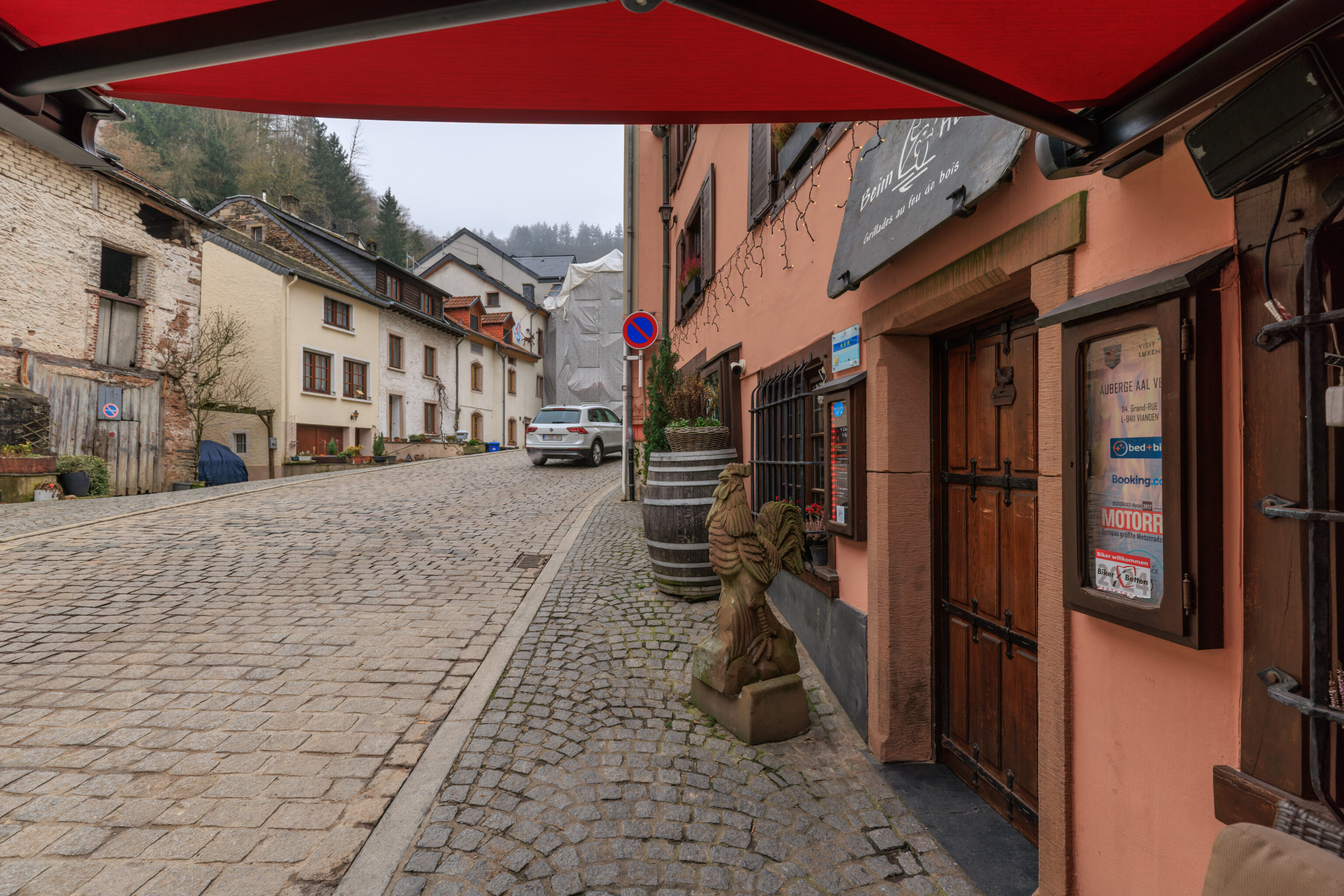
The view looking uphill from the entrance to the restaurant when we finished just before 3pm. The weather had unfortunately gotten worse. We walked downhill in the opposite direction.
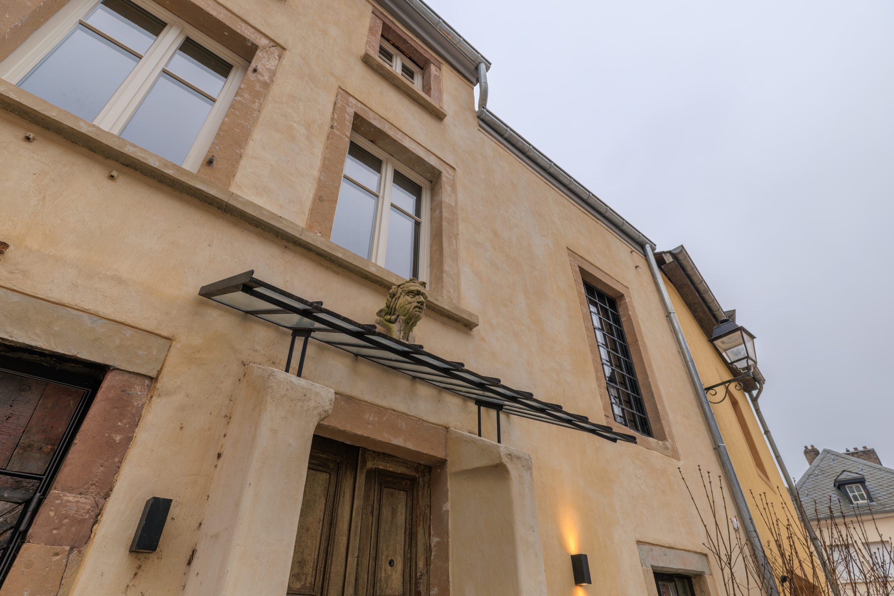
We walked past a creepy looking sculpture of a head…
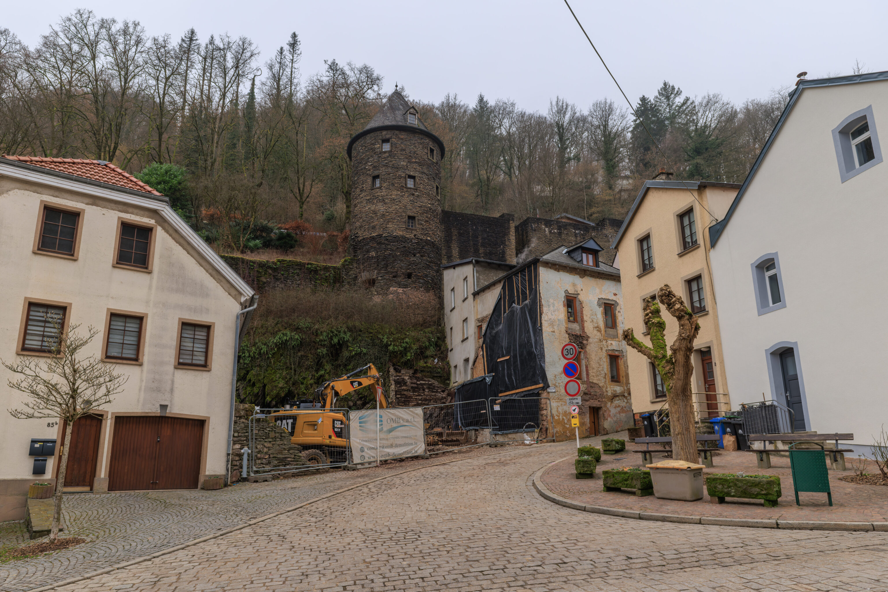
The circular tower that we saw on our way up and from the castle.
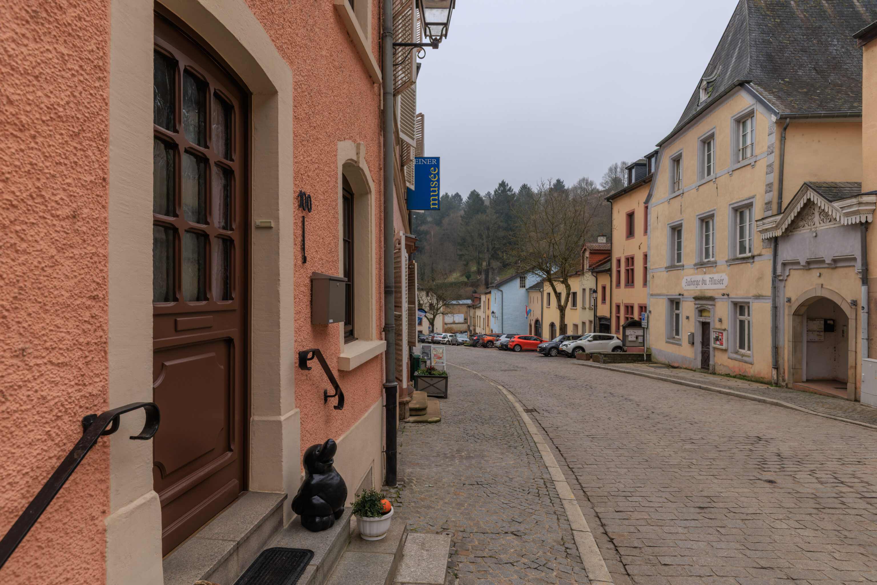
This little sculpture of a character from something seems oddly familiar.
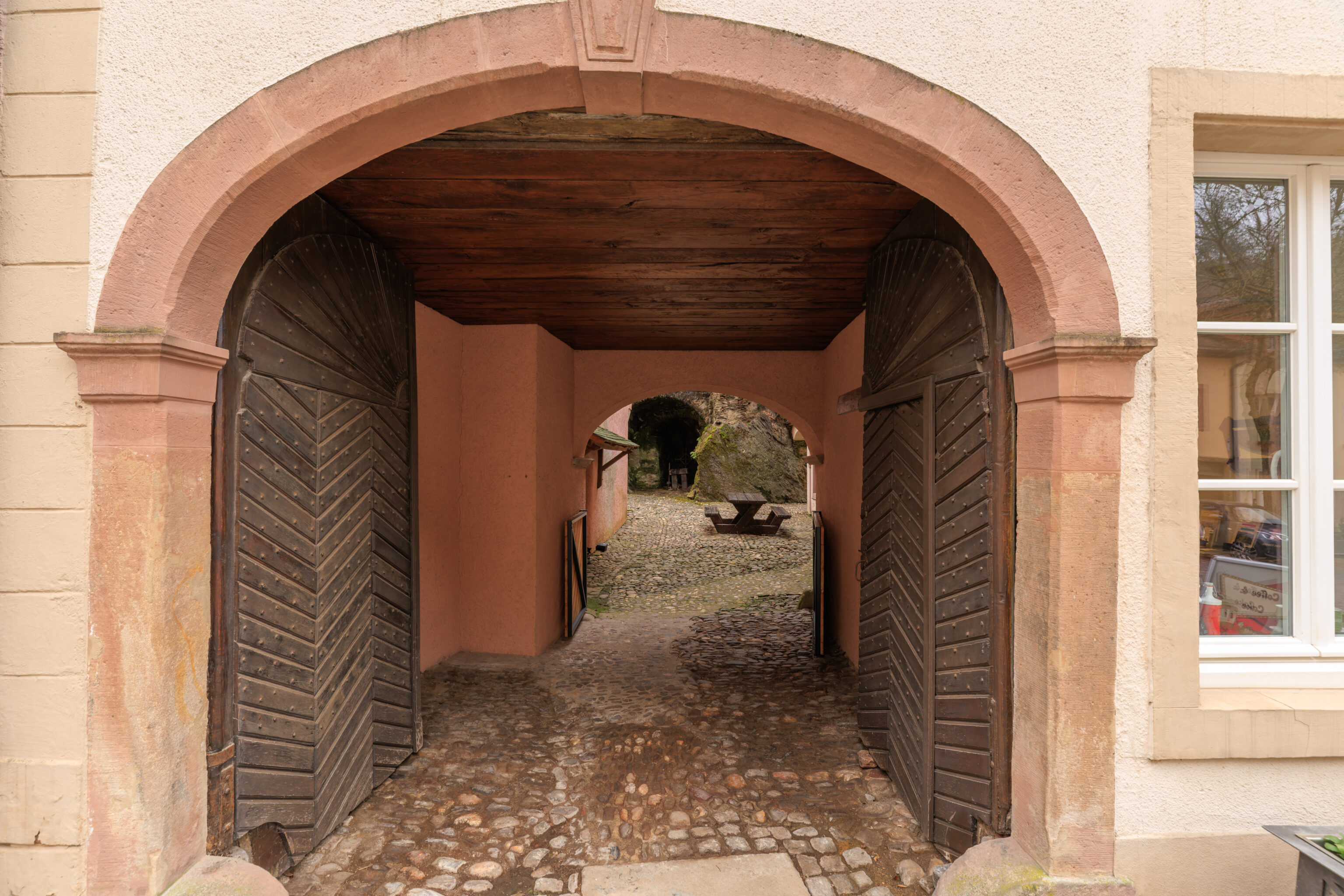
This open gate led to what looked like a small square or park at what looks like the base of the hill below the castle.
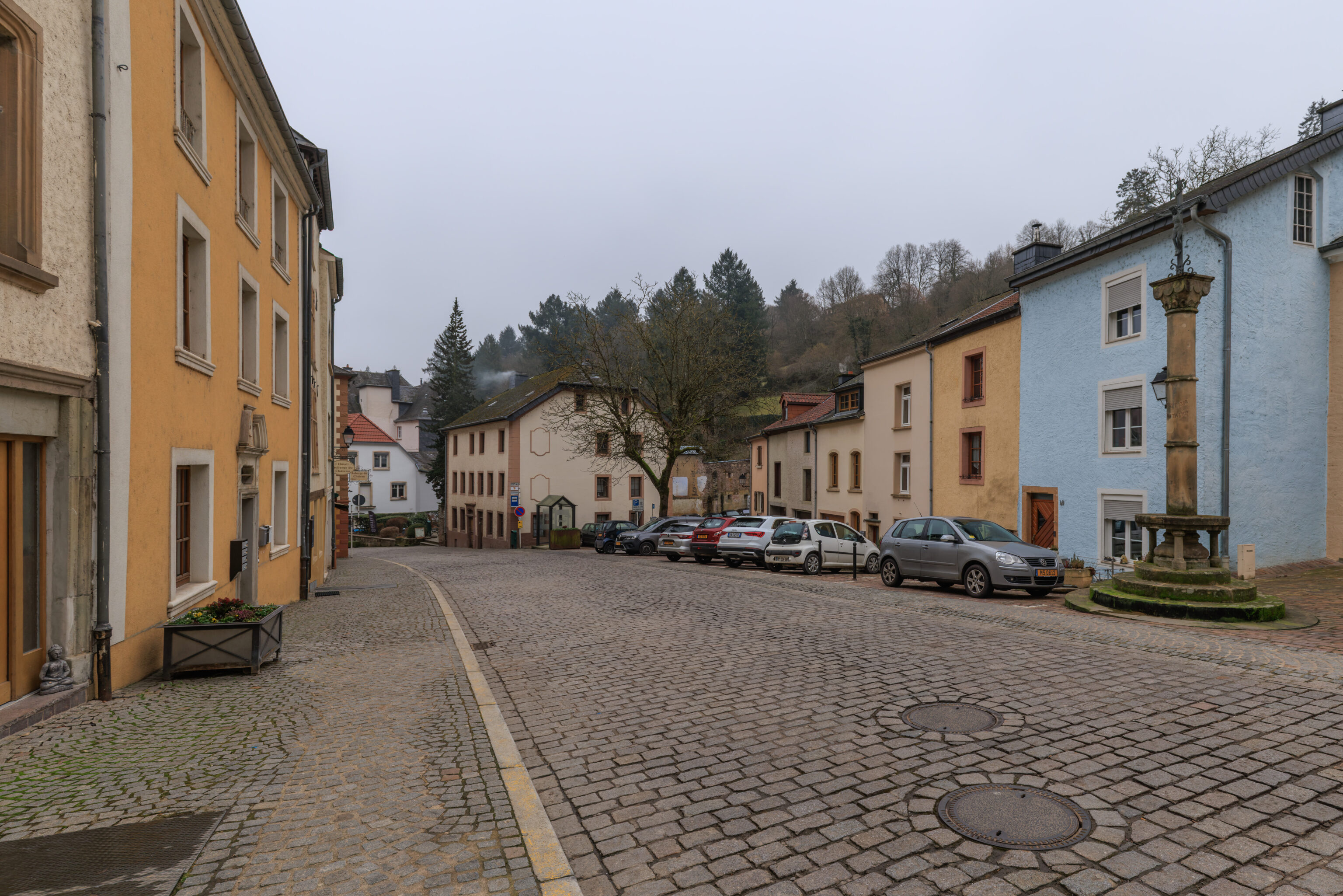
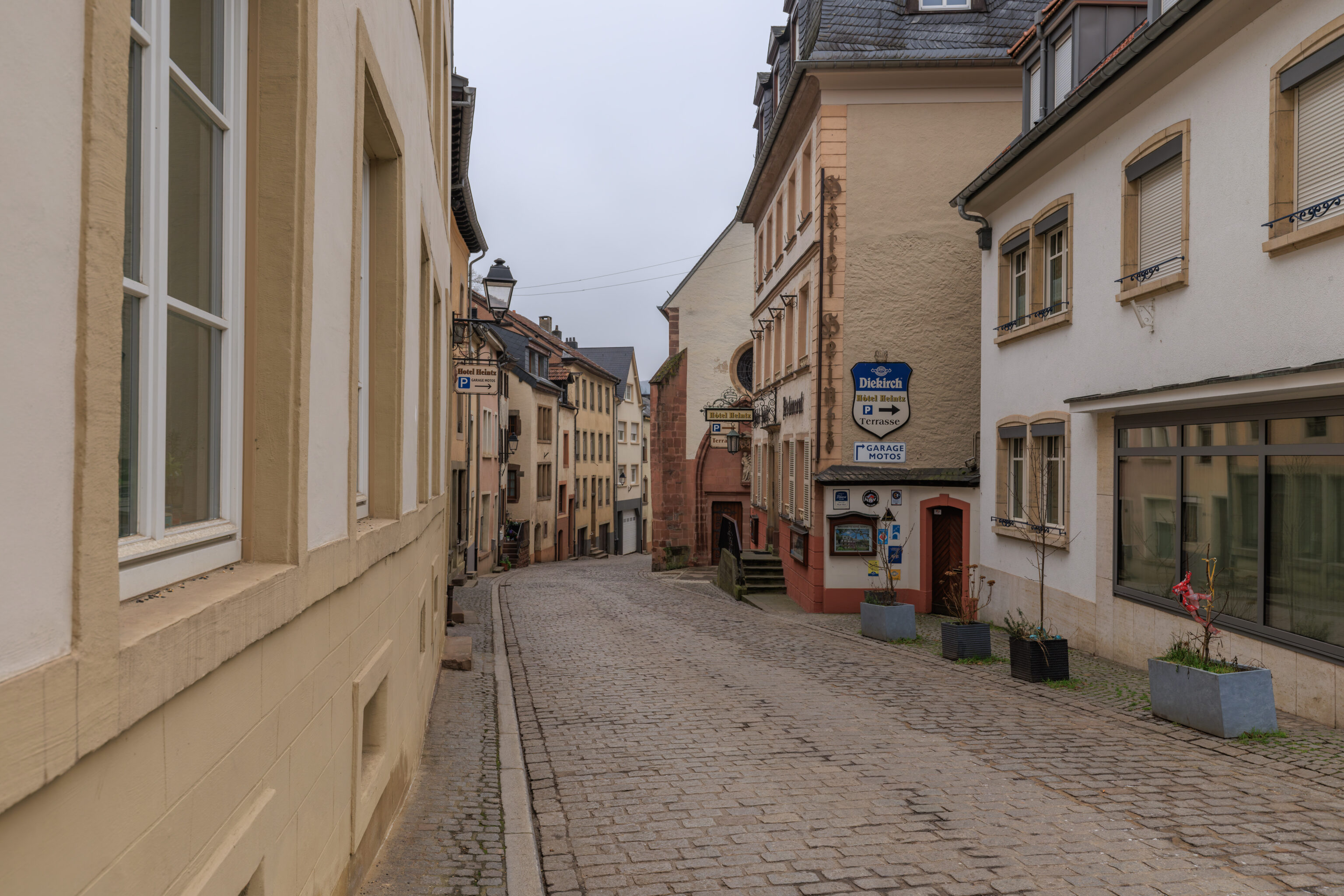
We continued walking downhill…
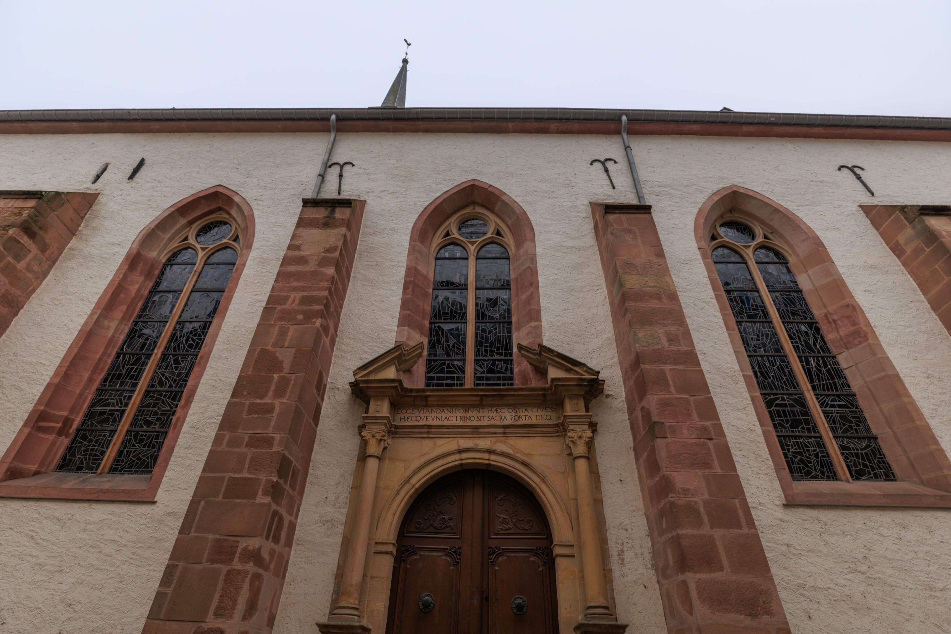
We walked past the Eglise des Trinitaires again.
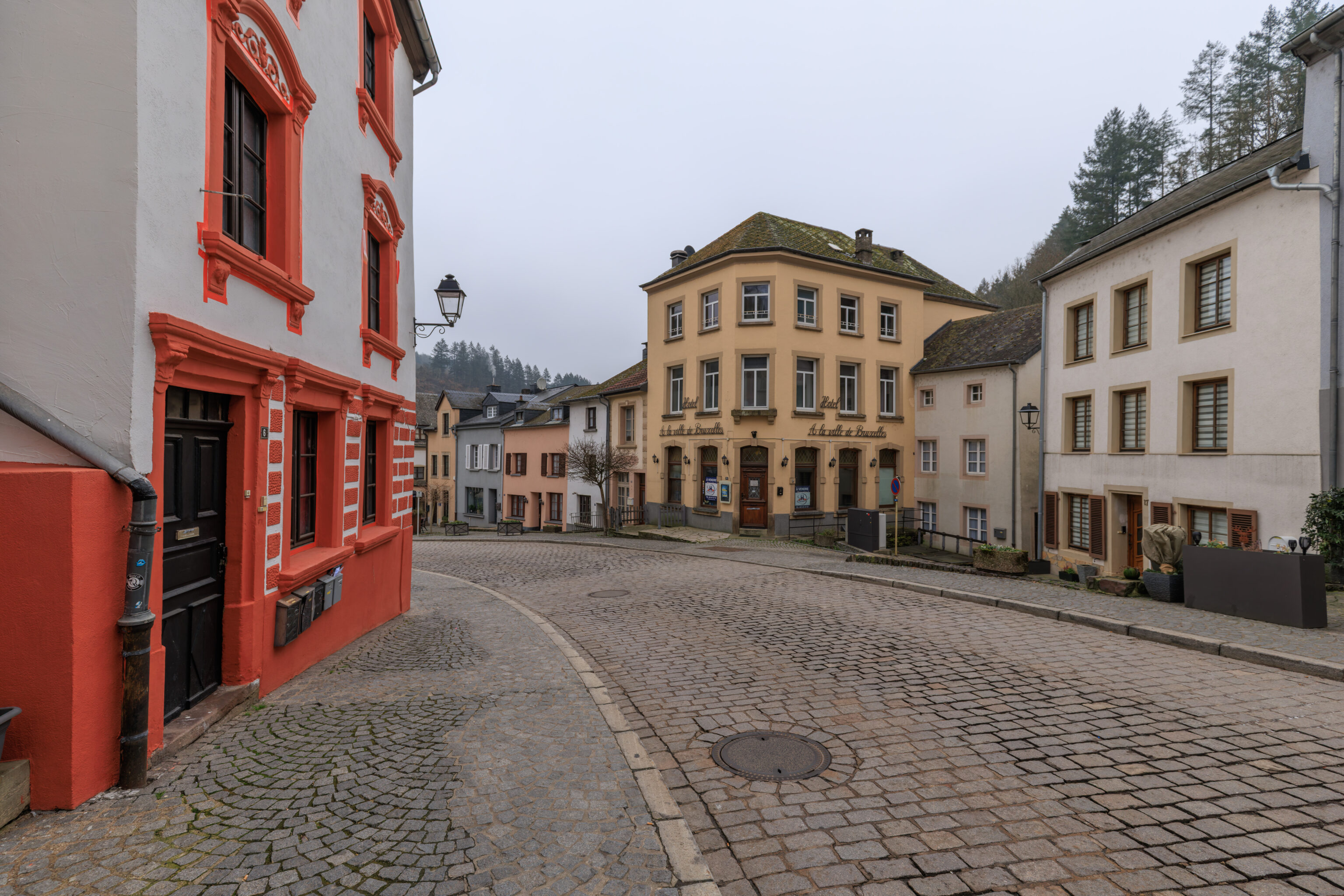
Like our walk up, there was pretty much no one else around. Very different from the restaurant which was packed and the castle which at least had other visitors.
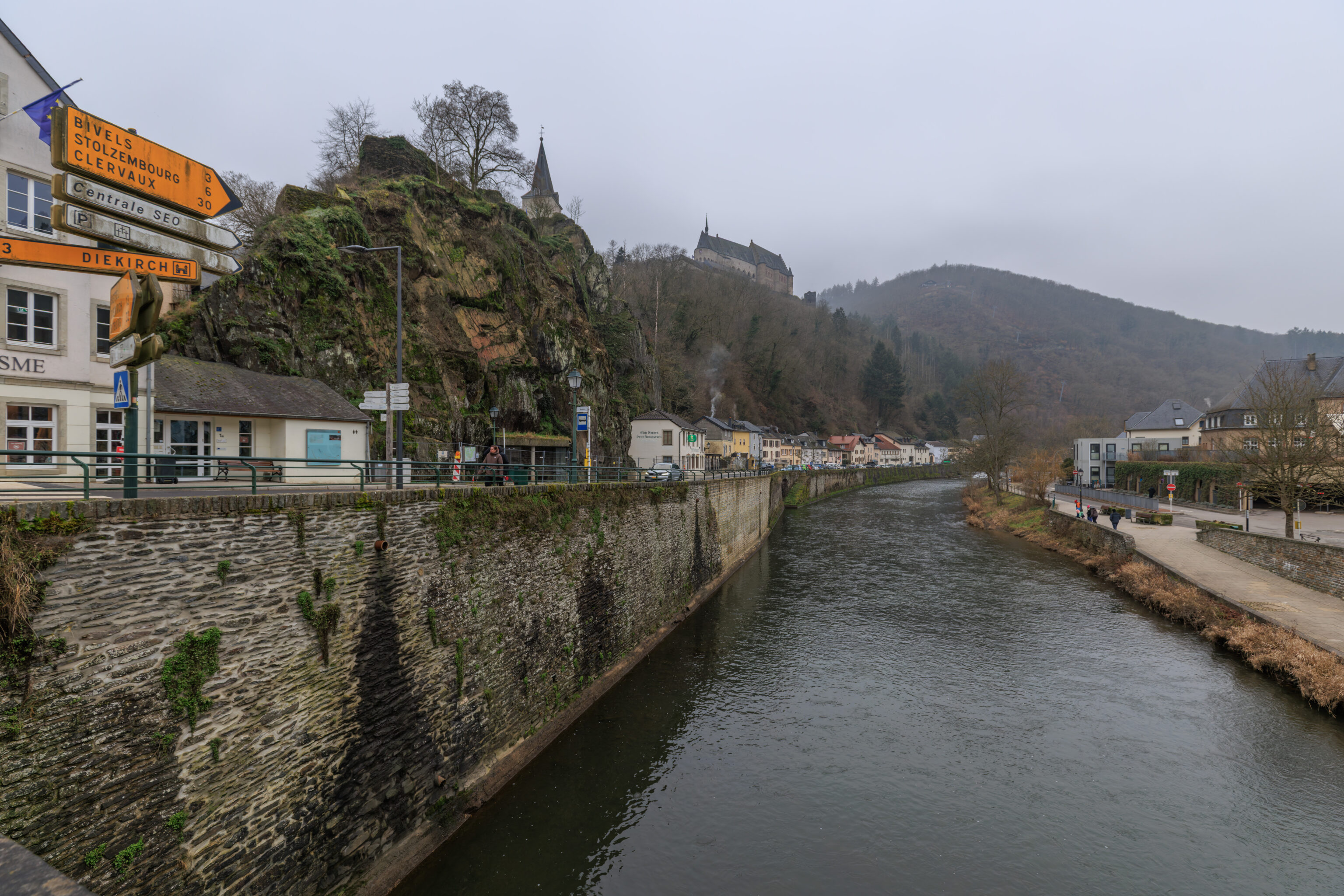
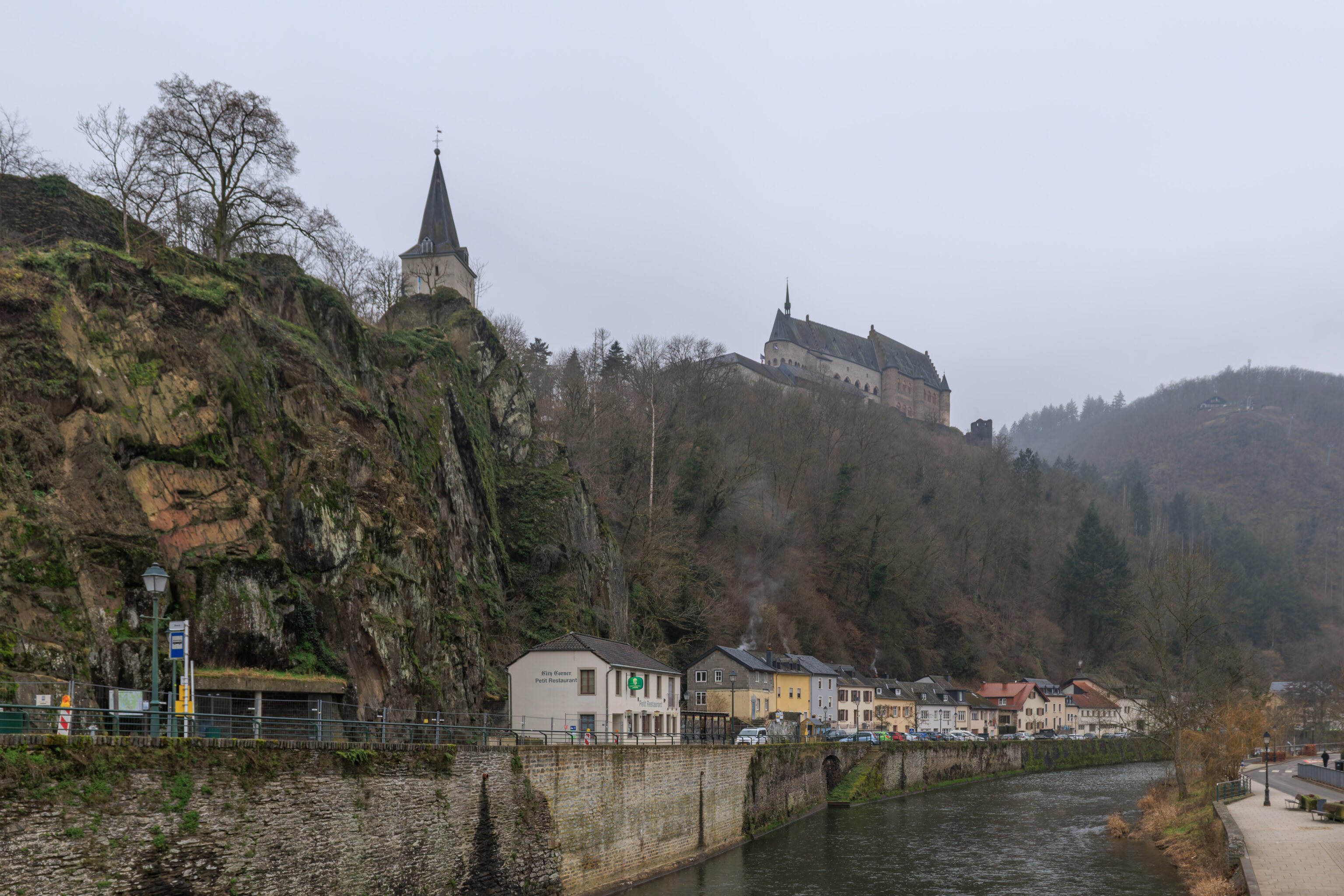
We crossed back over the Our.
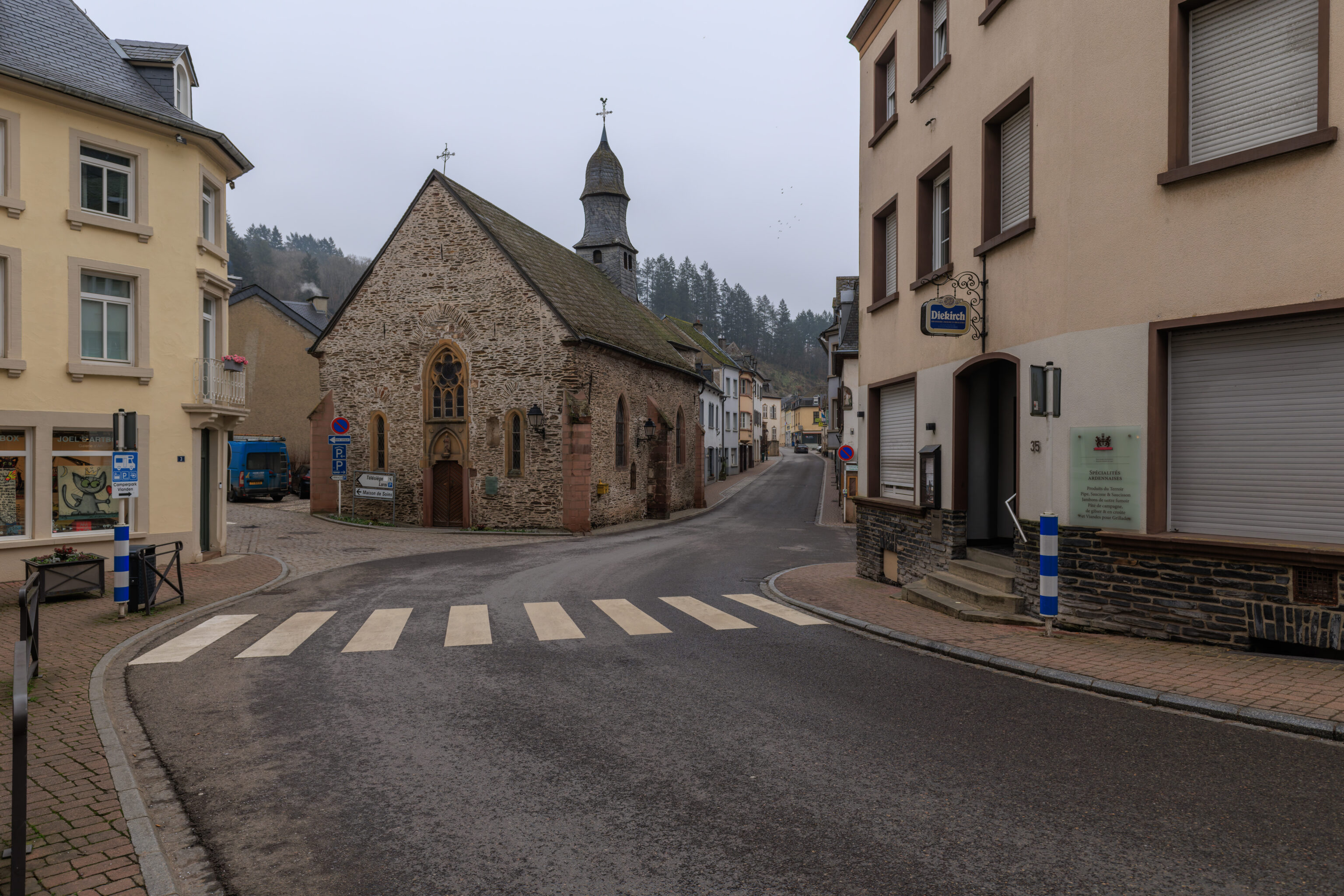
This small church is the Eglise St-Nicolas. It was built in the 18th century to replace an older structure that burned down.
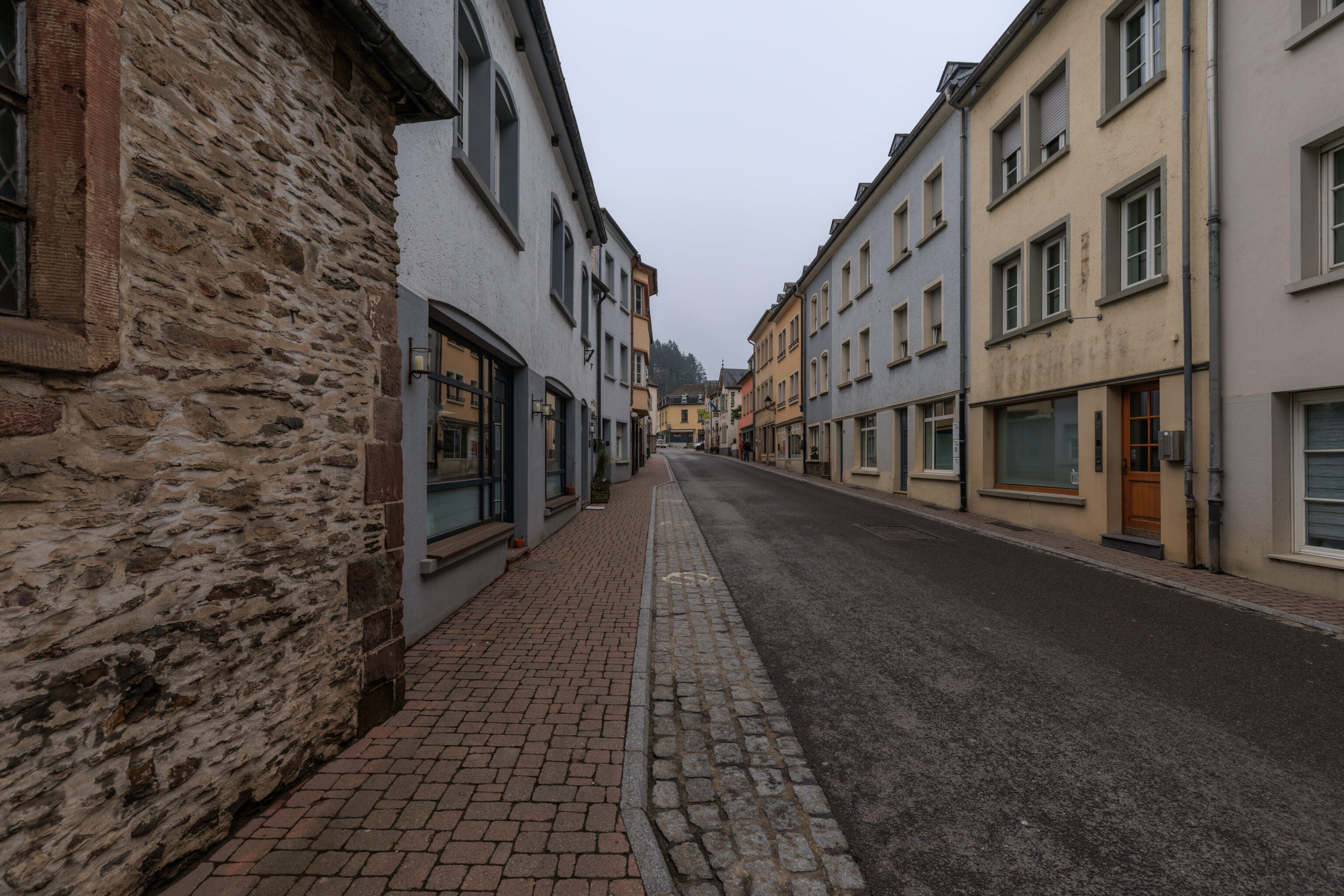
There’s actually not much here in this part of town. Many of the storefronts seem to be vacant.
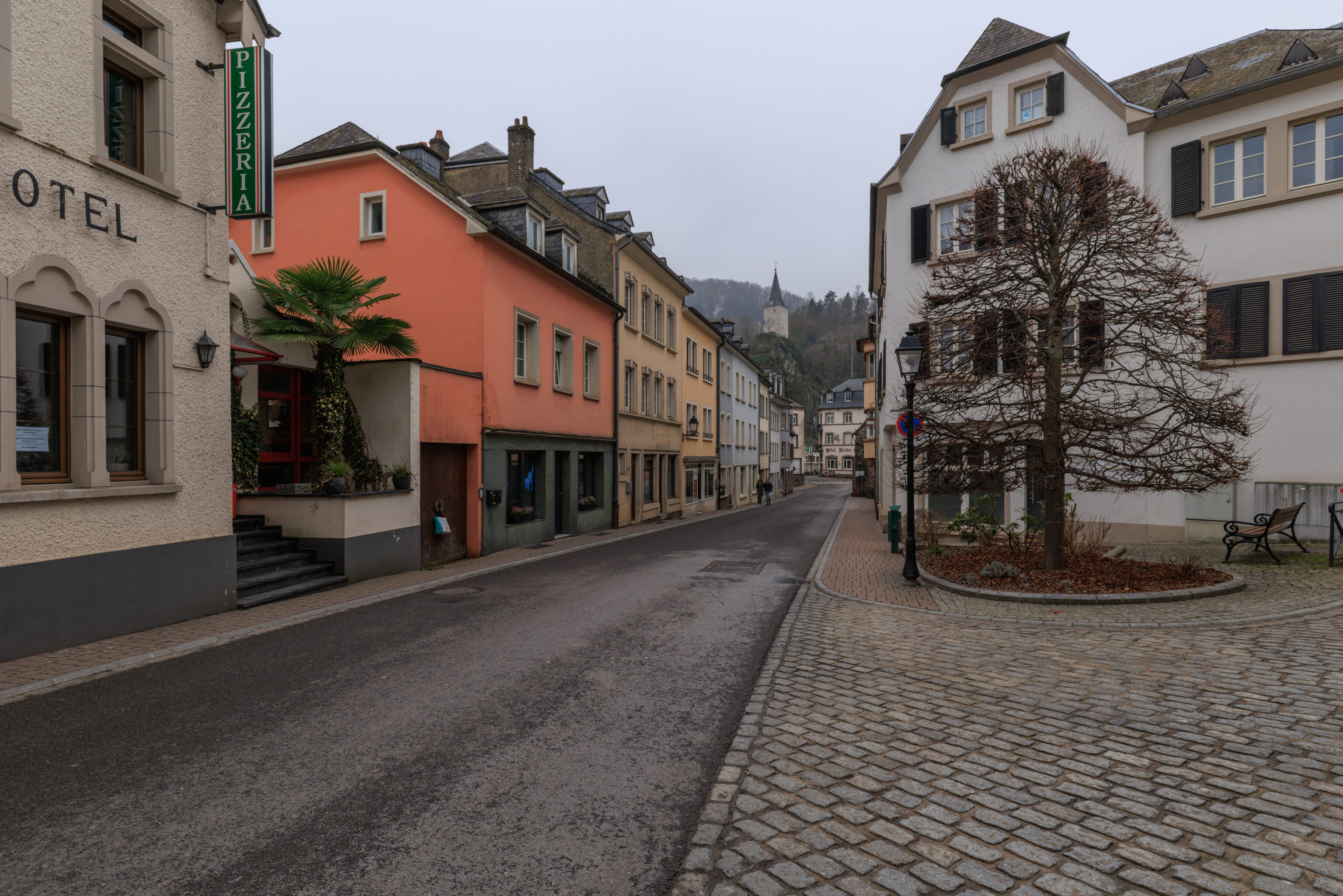
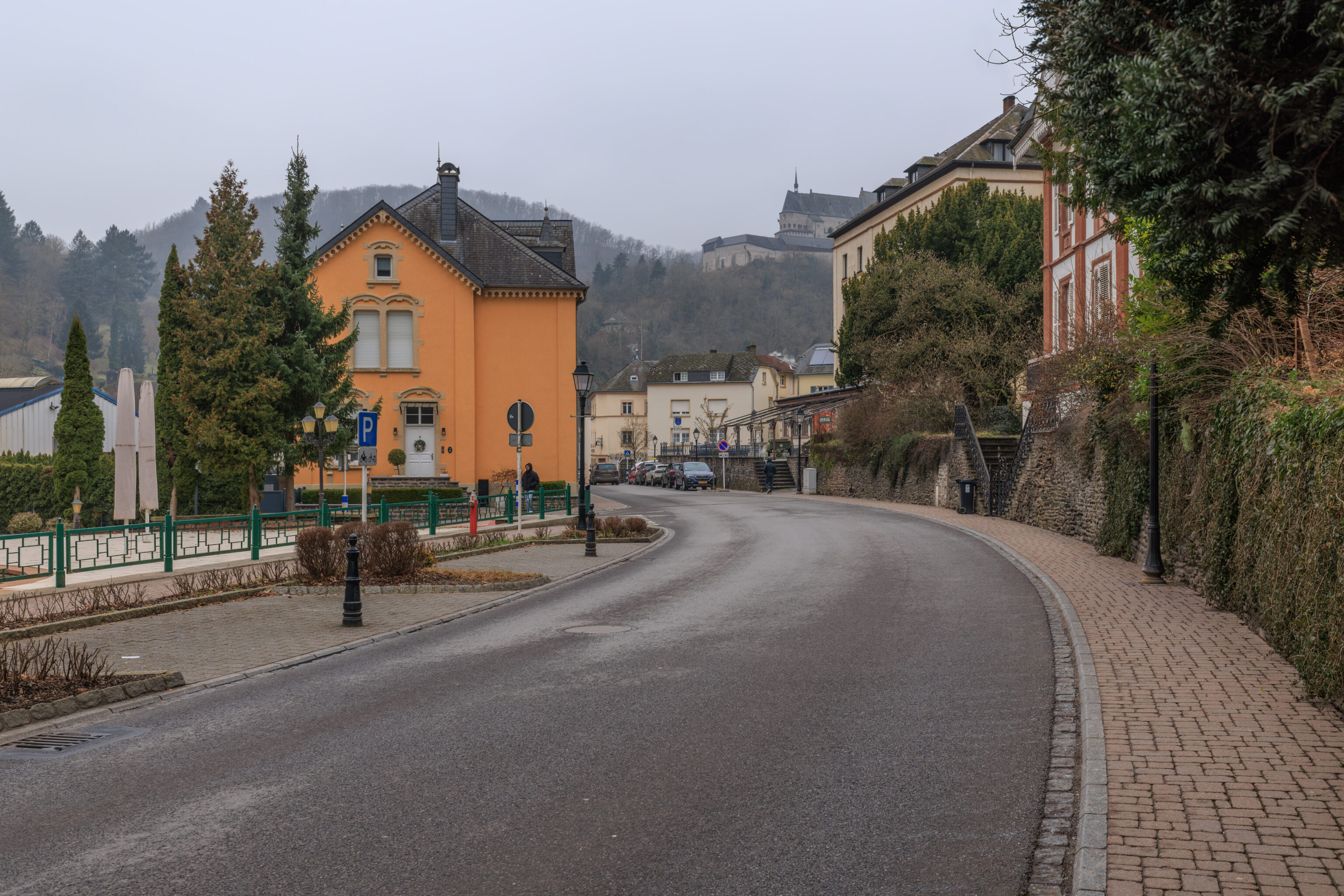
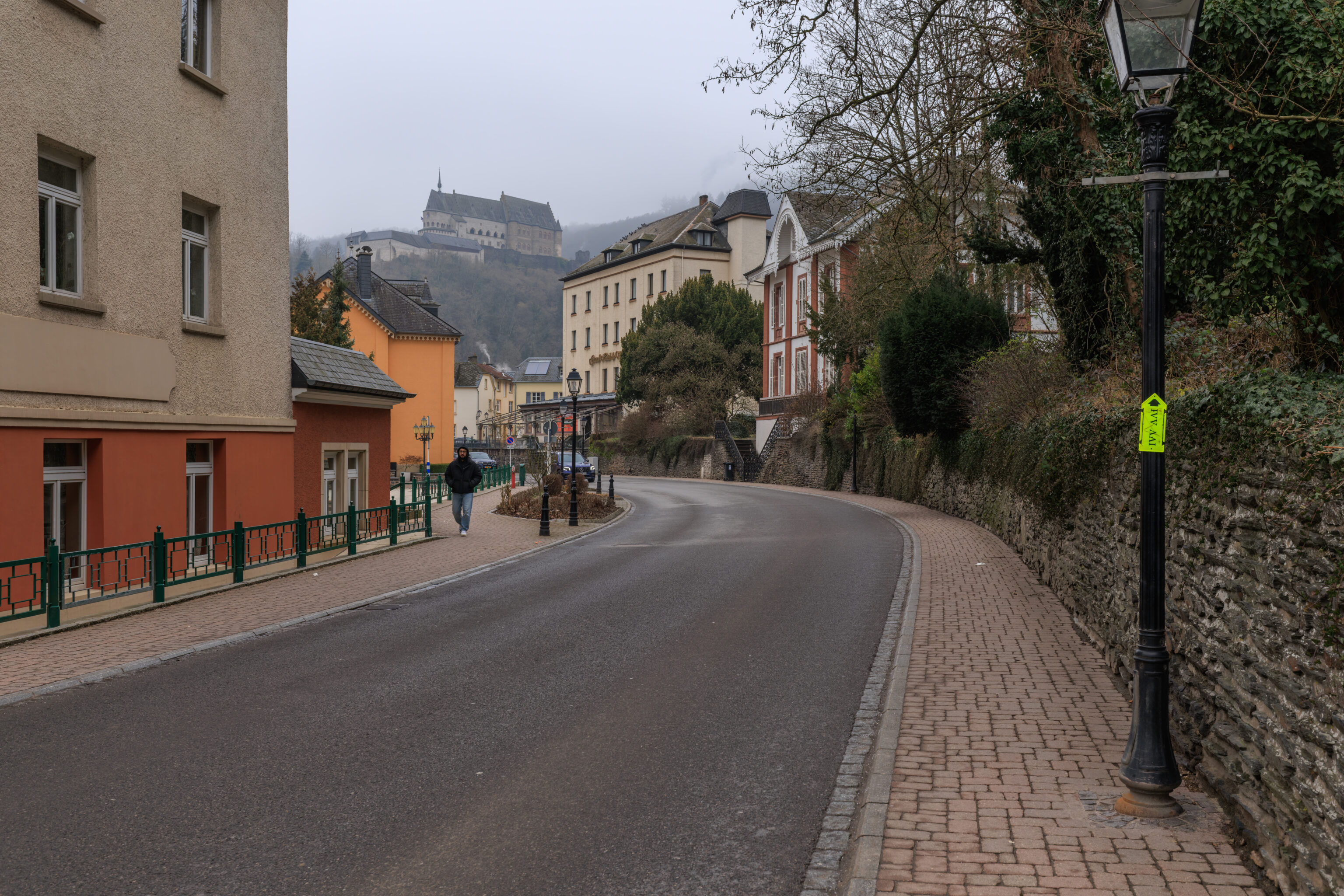
We made sure to look back on the way to the bus stop to see the castle.
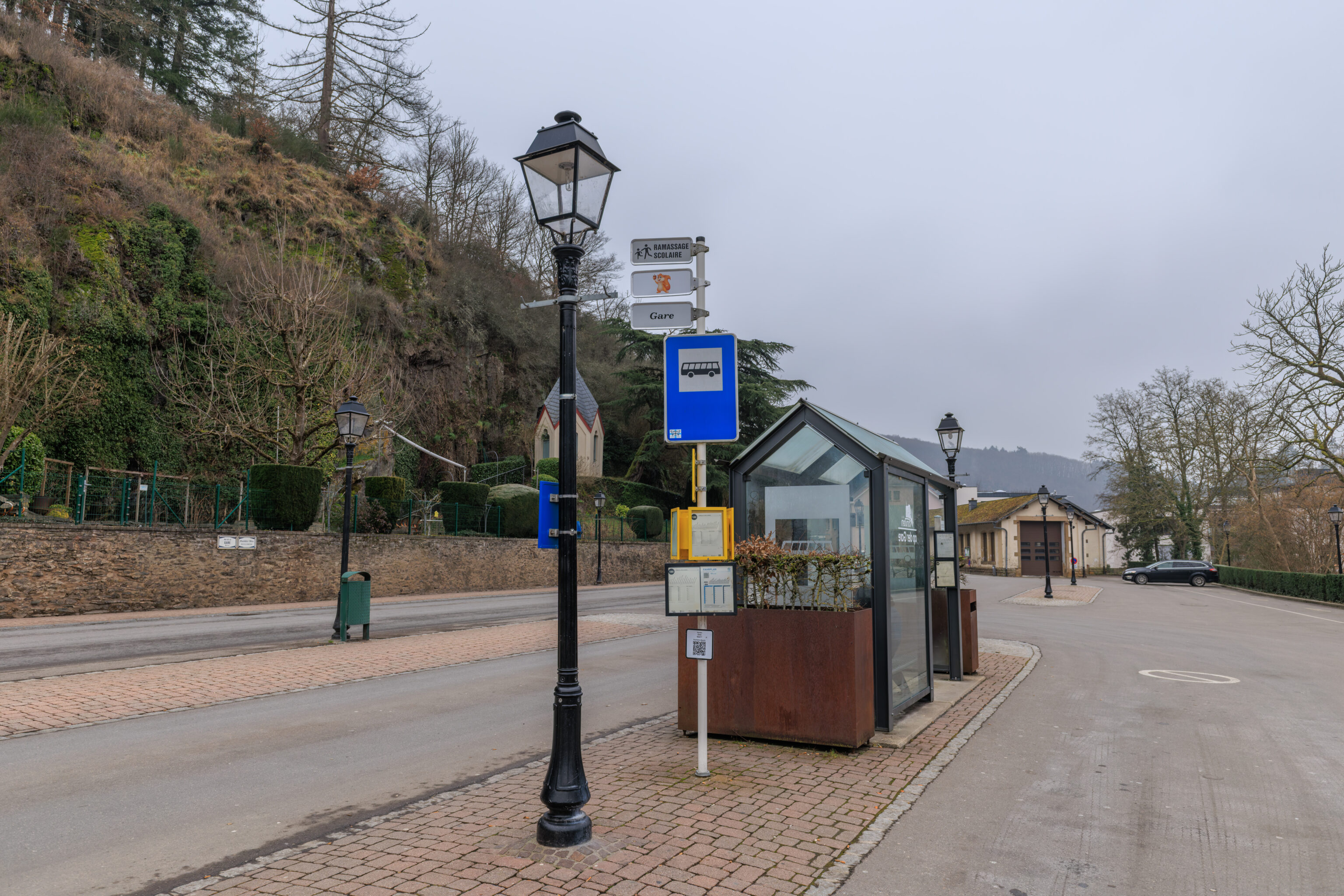
We thought it was odd that this bus stop is named the Vianden Gare. There is no gare (station) here.
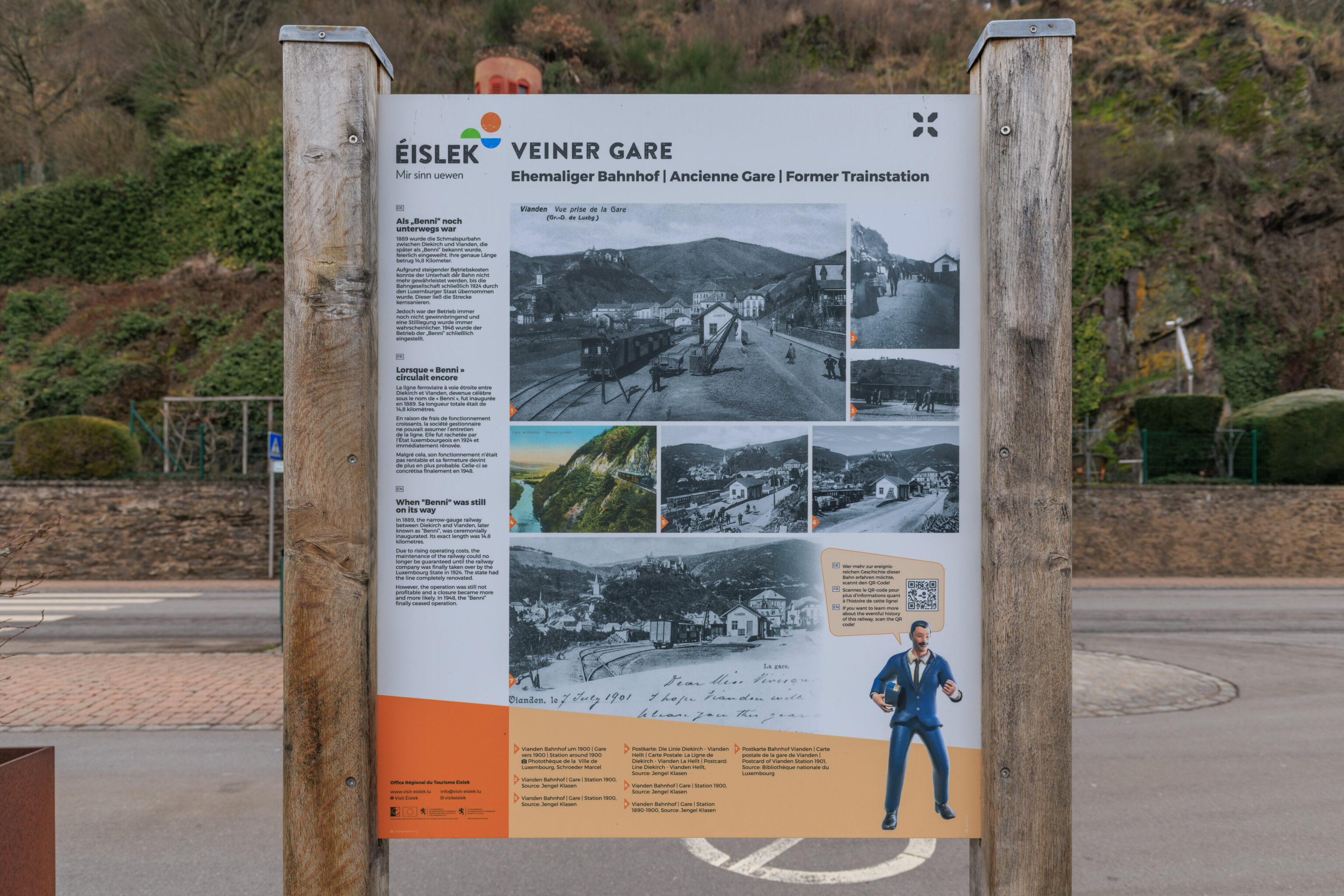
Well, apparently there actually was a station here!
When "Benni" was still on its way
In 1889, the narrow-gauge railway between Diekirch and Vianden, later known as "Benni", was ceremonially inaugurated. Its exact length was 14.8 kilometres.

Due to rising operating costs, the maintenance of the railway could no longer be guaranteed until the railway company was finally taken over by the Luxembourg State in 1924. The state had the line completely renovated.

However, the operation was still not profitable and a closure became more and more likely. In 1948, the "Benni" finally ceased operation.
– Text from a sign, translated using Google.
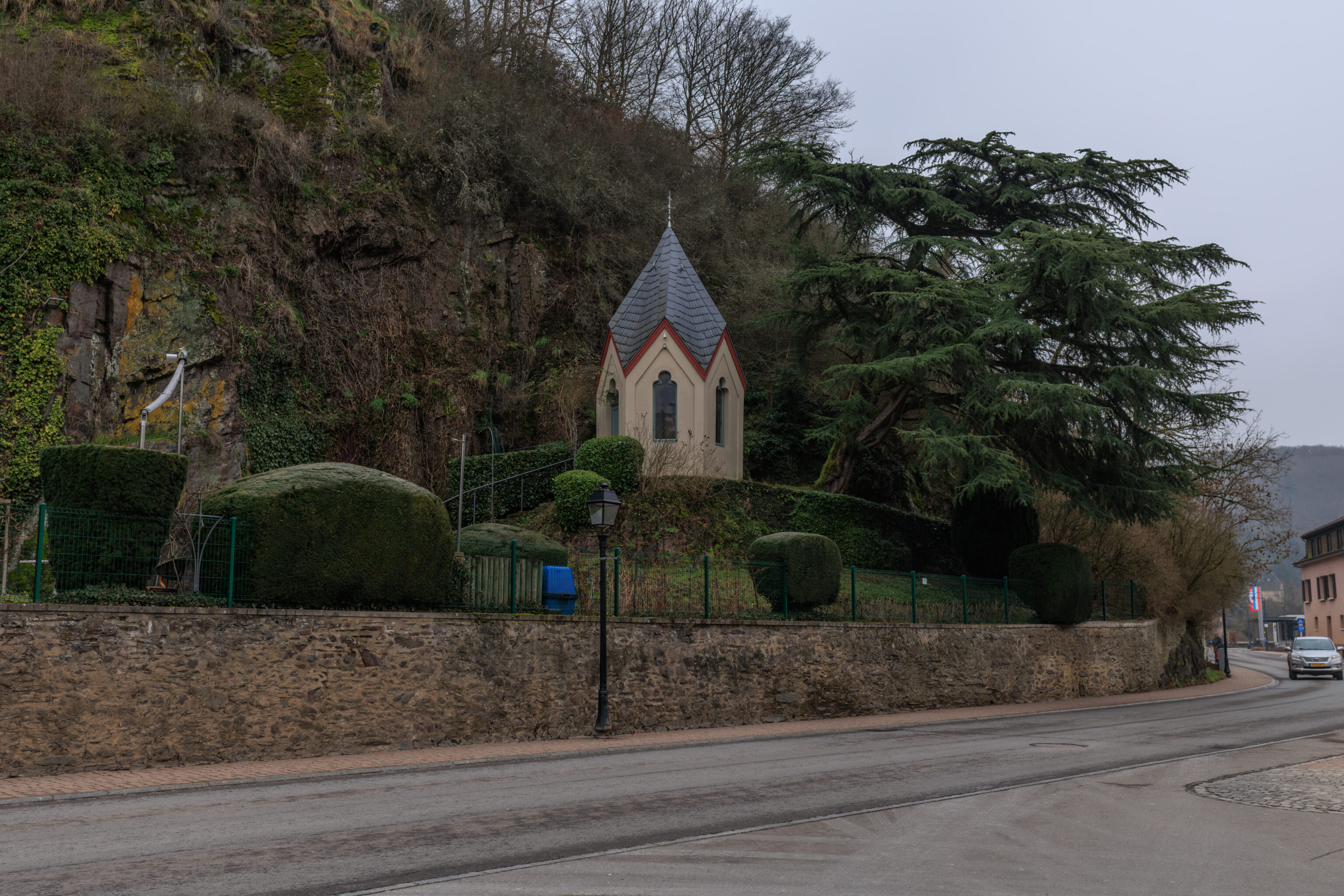
There wasn’t really much else nearby. This small building, which looked like maybe a small chapel, was in what seemed like a garden of a house that was across the street from the bus stop.
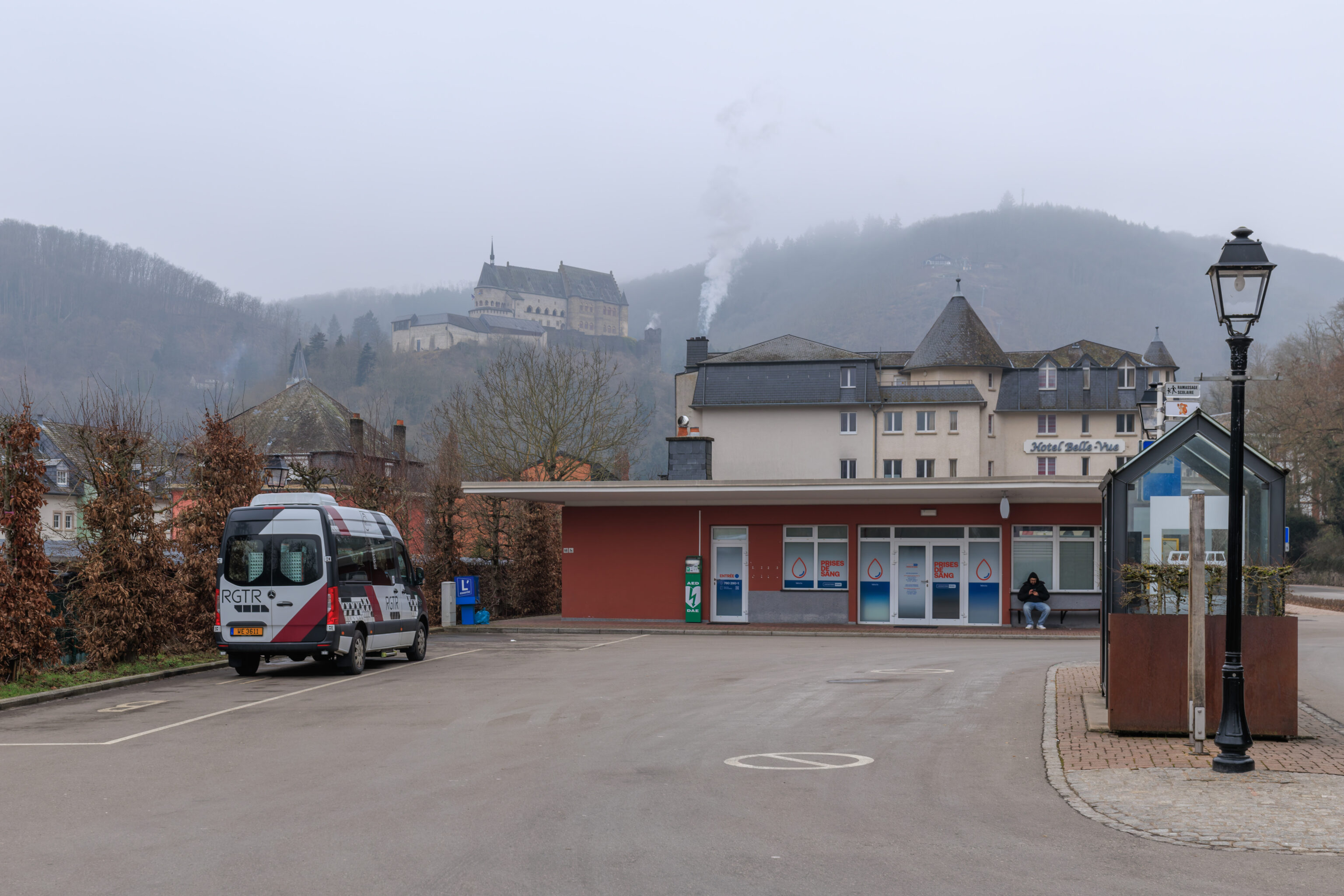
The only building at the train station was used for testing blood. There was a tiny little shelter on an island between two bus platforms as well as seating under the larger building’s overhanging roof. The little van on the left seemed to be running a smaller scheduled bus route. The bus we took was a regularly sized city bus.
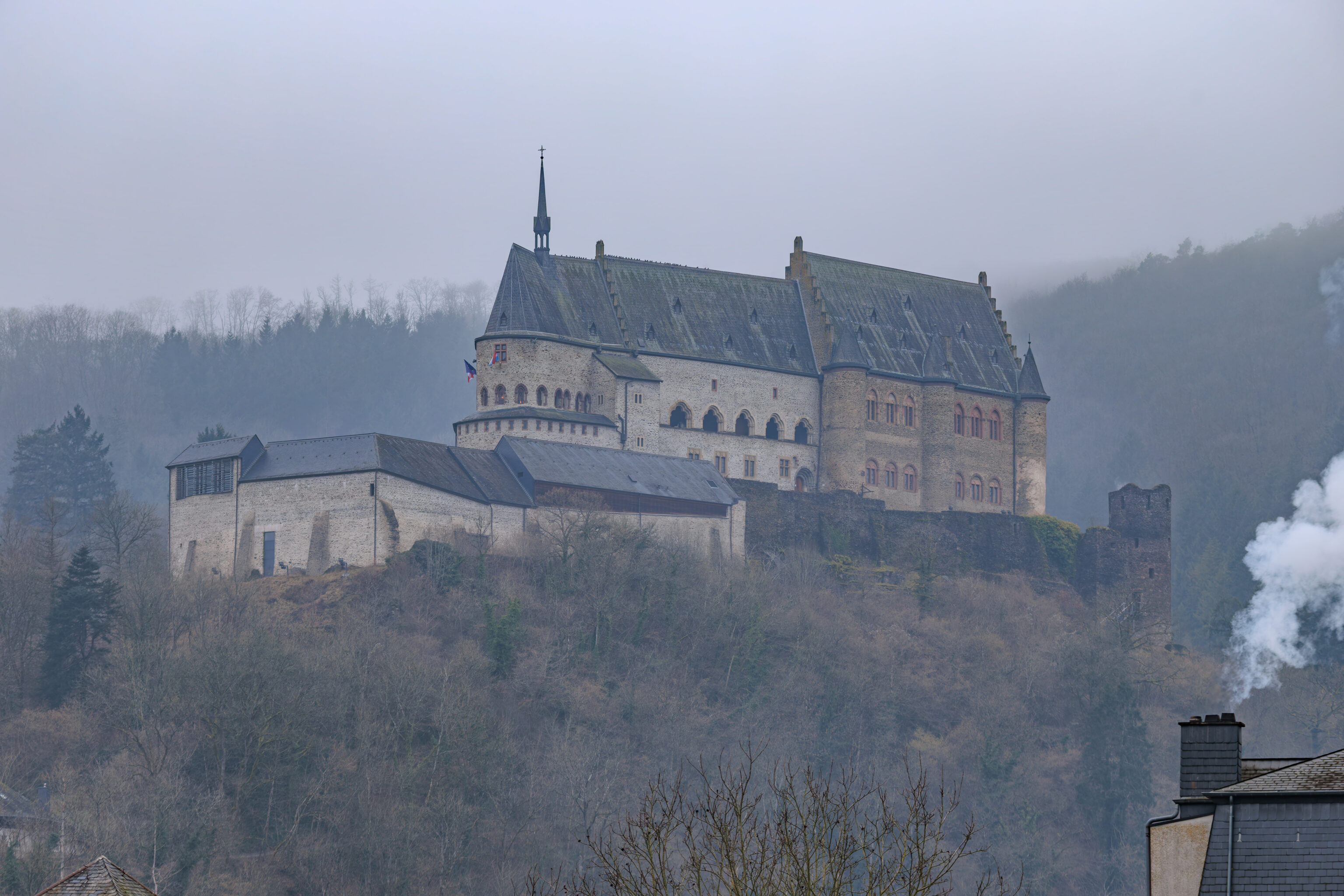
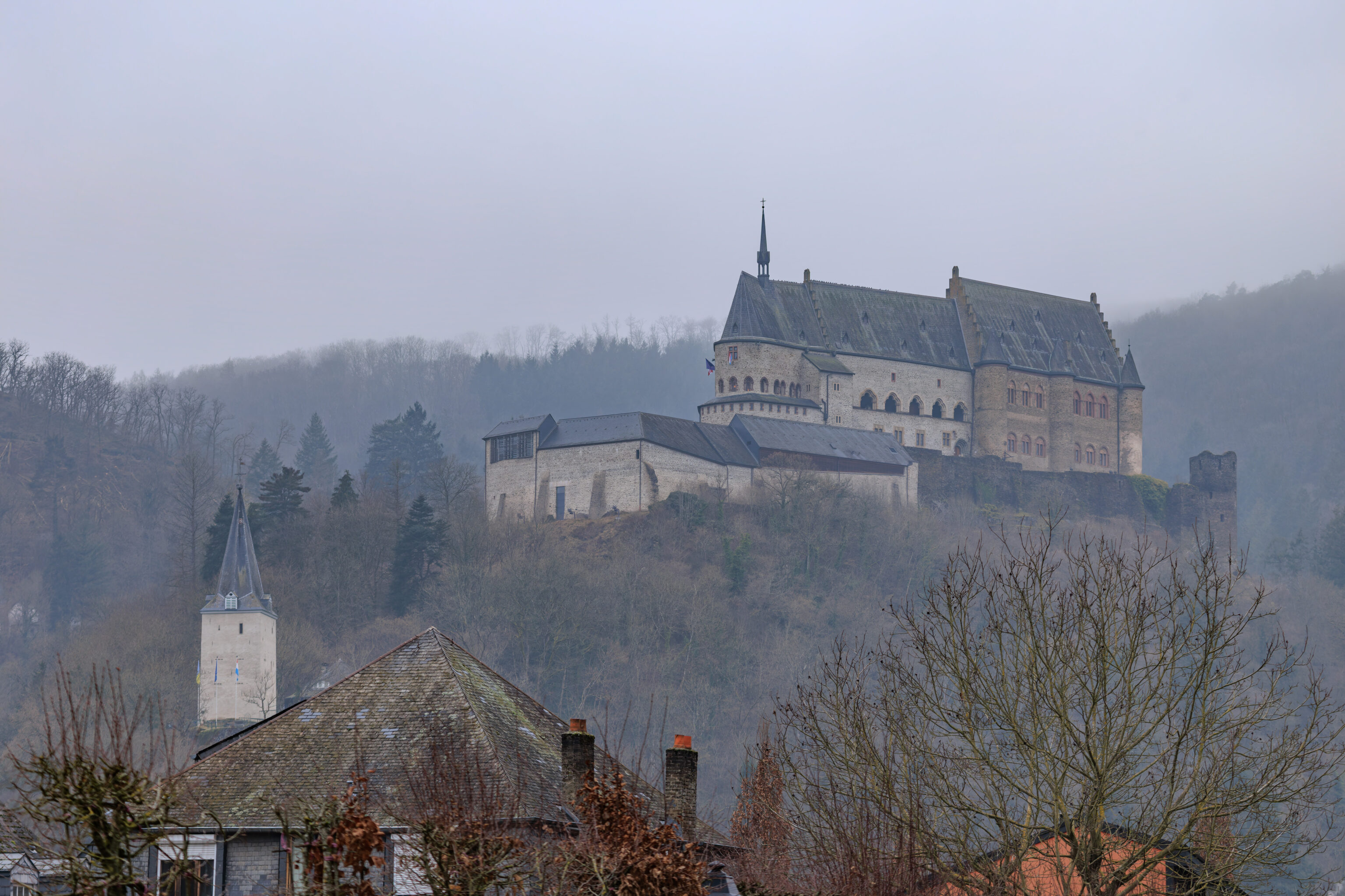
We swapped to the telephoto lens to take some photographs of the castle from the bus stop. Its too bad the weather wasn’t better. Well, at least it wasn’t pouring rain!
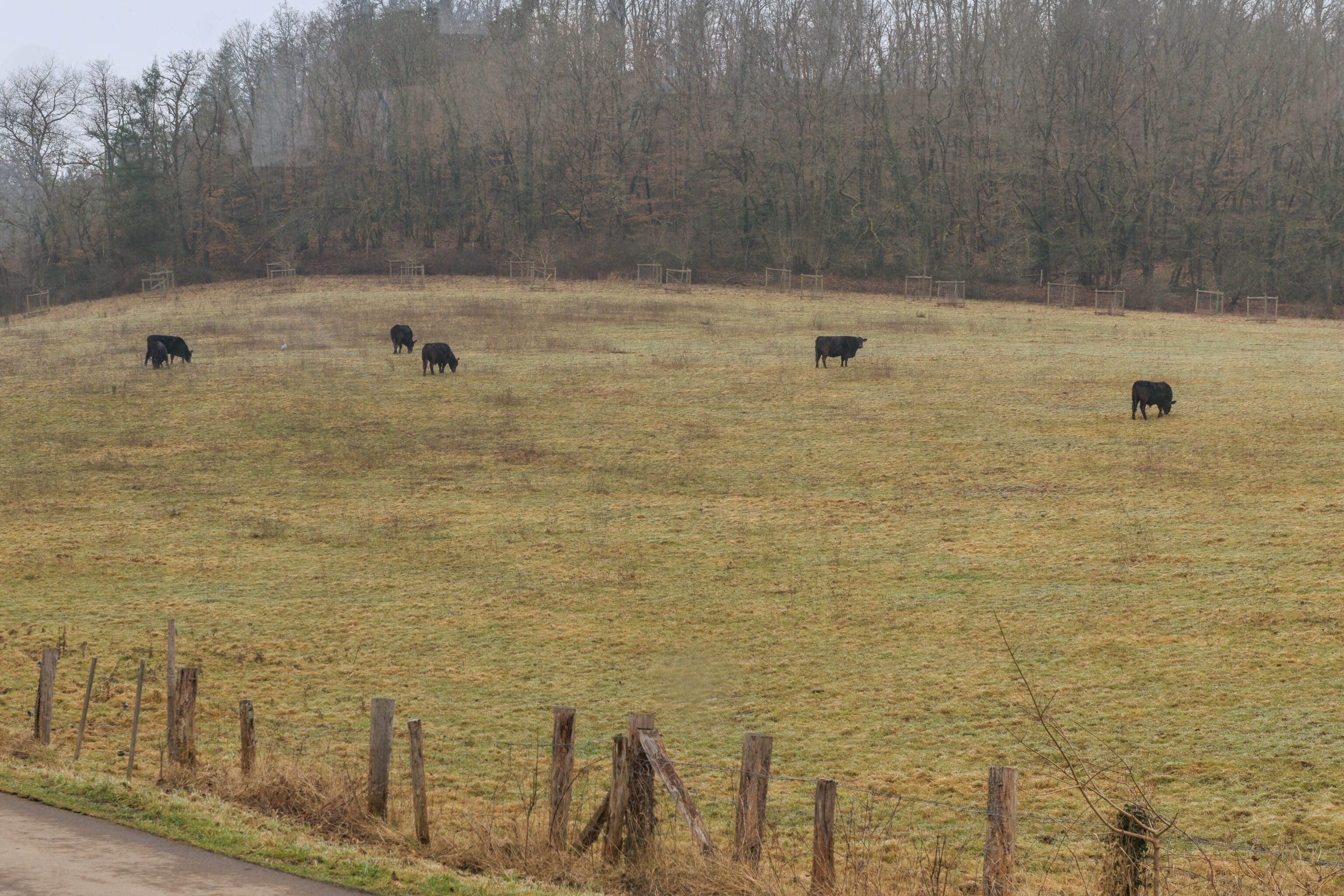
A rural scene with cows on our way from Vianden back to Ettelbruck.
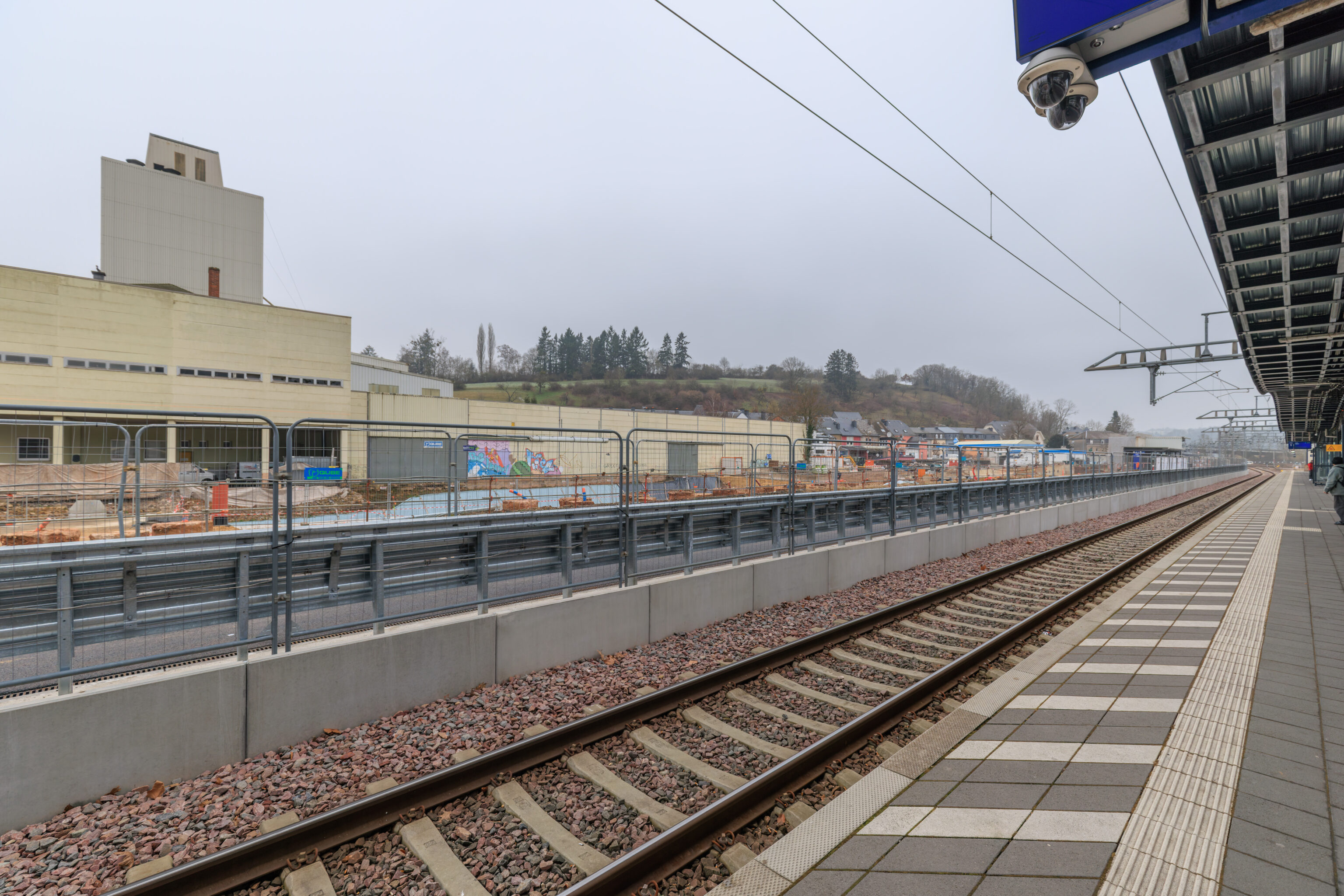
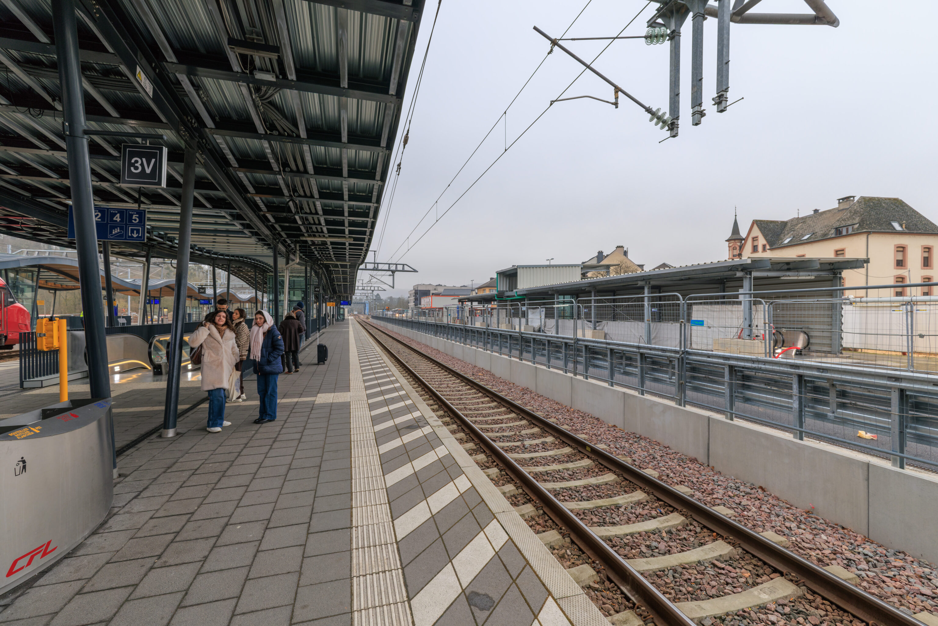
Upon arriving at Ettlebruck, we waited for the next train back to Luxembourg.
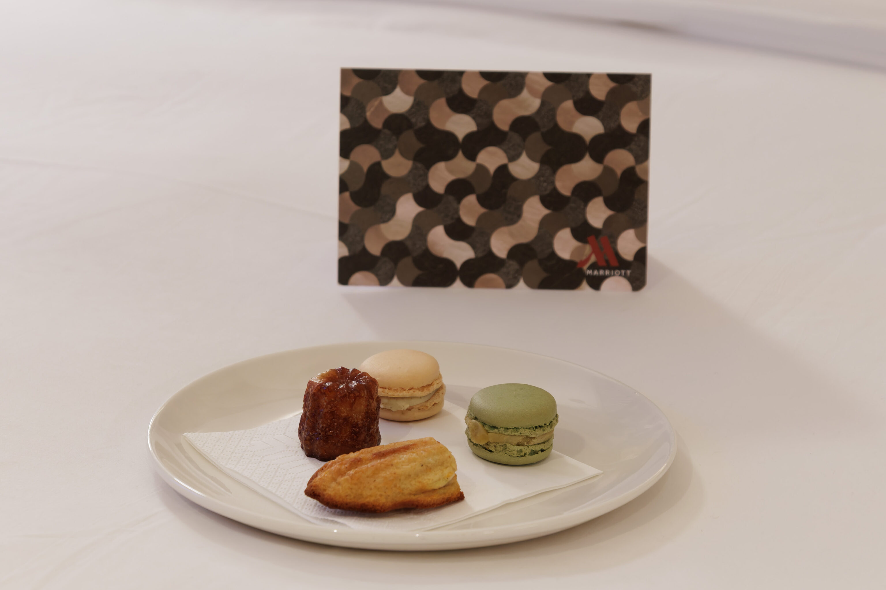
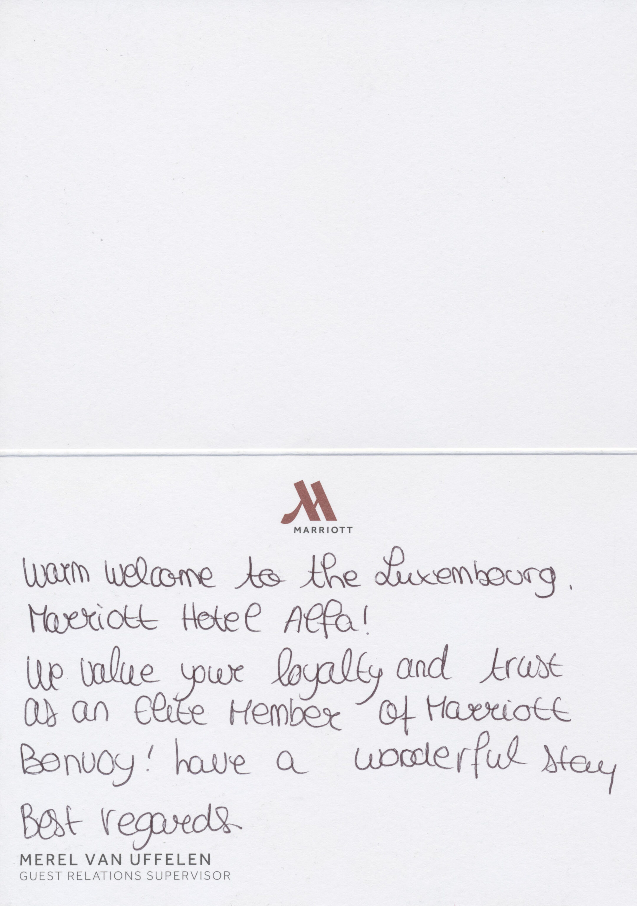

There were some snacks and a card waiting for us when we returned to our room at the Marriott! Technically speaking, we checked in to the hotel again today. We had two back to back reservations, one for four nights and another for two. This was because we added two additional nights awhile ago and it was easier to just make a second reservation for the extra nights as there was a rate change. At better hotels, such as this, this can be done seamlessly.