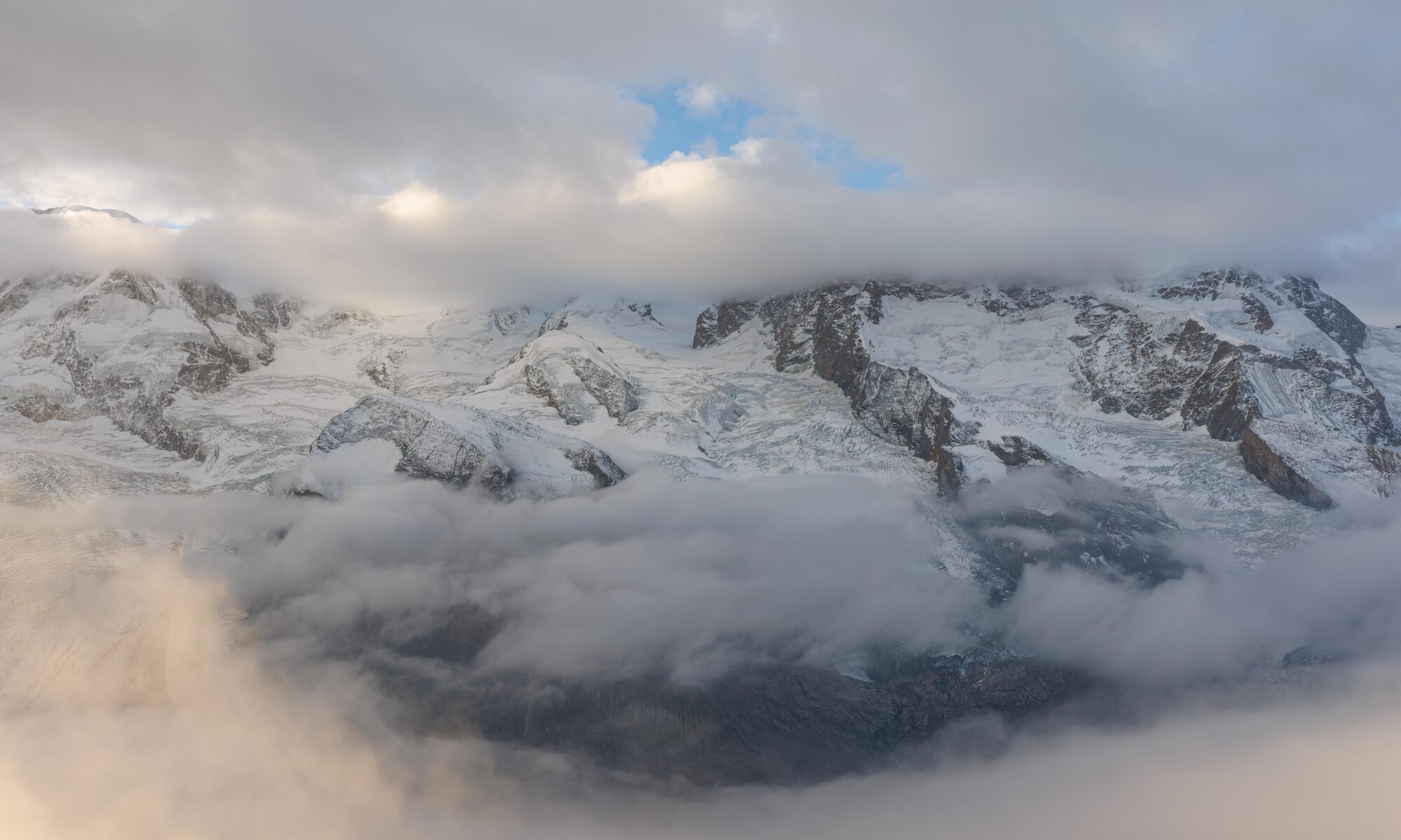
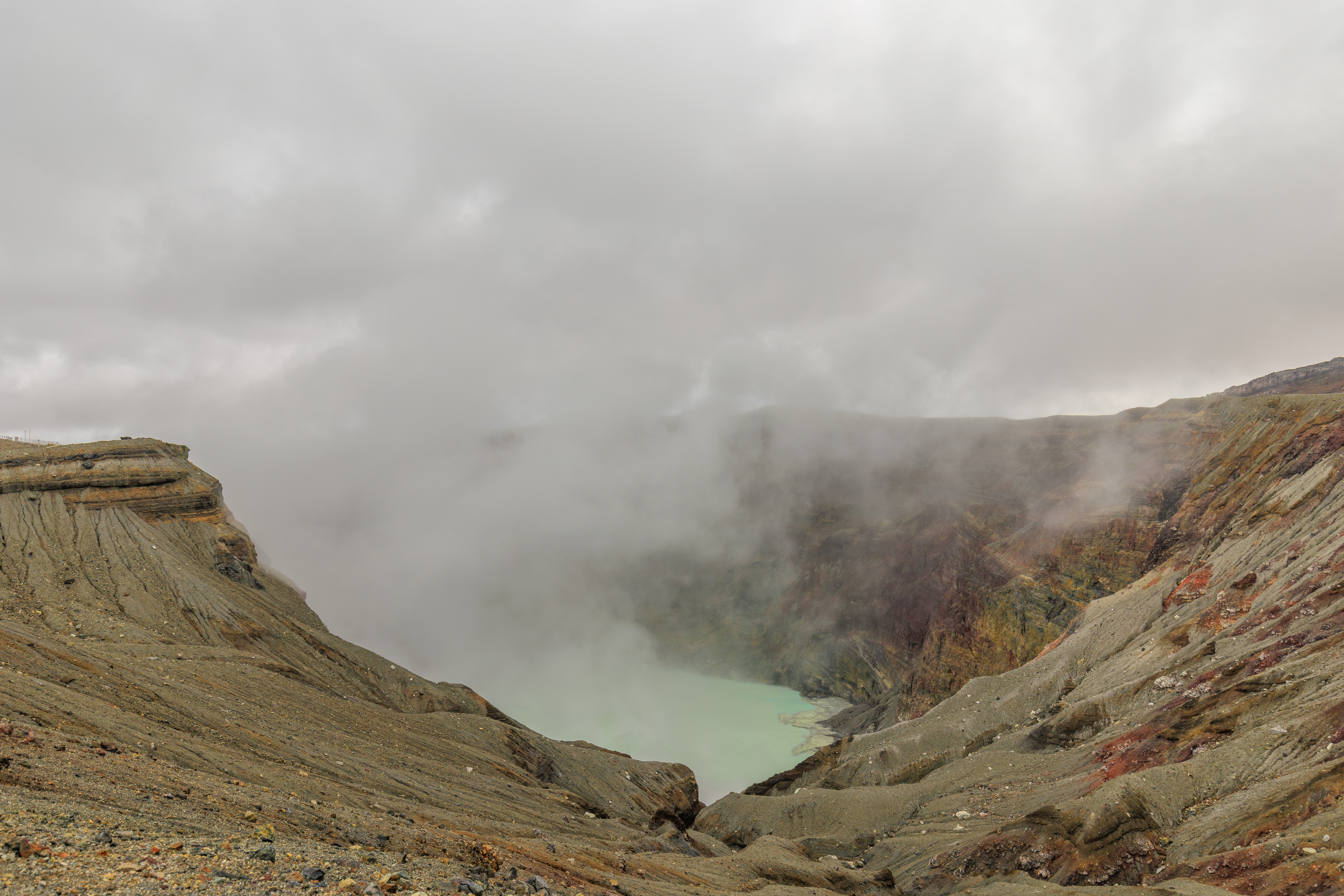
After waking up at the フェアフィールド・バイ・マリオット・熊本阿蘇 Fairfield by Marriott Kumamoto Aso, we had a Lawson breakfast before visiting the first crater viewpoint for 阿蘇中岳 Aso Nakadake, one of five volcanic peaks within 阿蘇山 Aso Volcano. We were lucky to have seen the water-filled crater as the weather changed to rain and low clouds. After, we visited the 内牧 Uchinomaki district of 阿蘇 Aso where we had a late lunch before briefly visiting the Aso Milk Factory‘s nearby store.
Morning
We woke up a little bit before the official 7:13am sunrise time at the フェアフィールド・バイ・マリオット・熊本阿蘇 Fairfield by Marriott Kumamoto Aso.
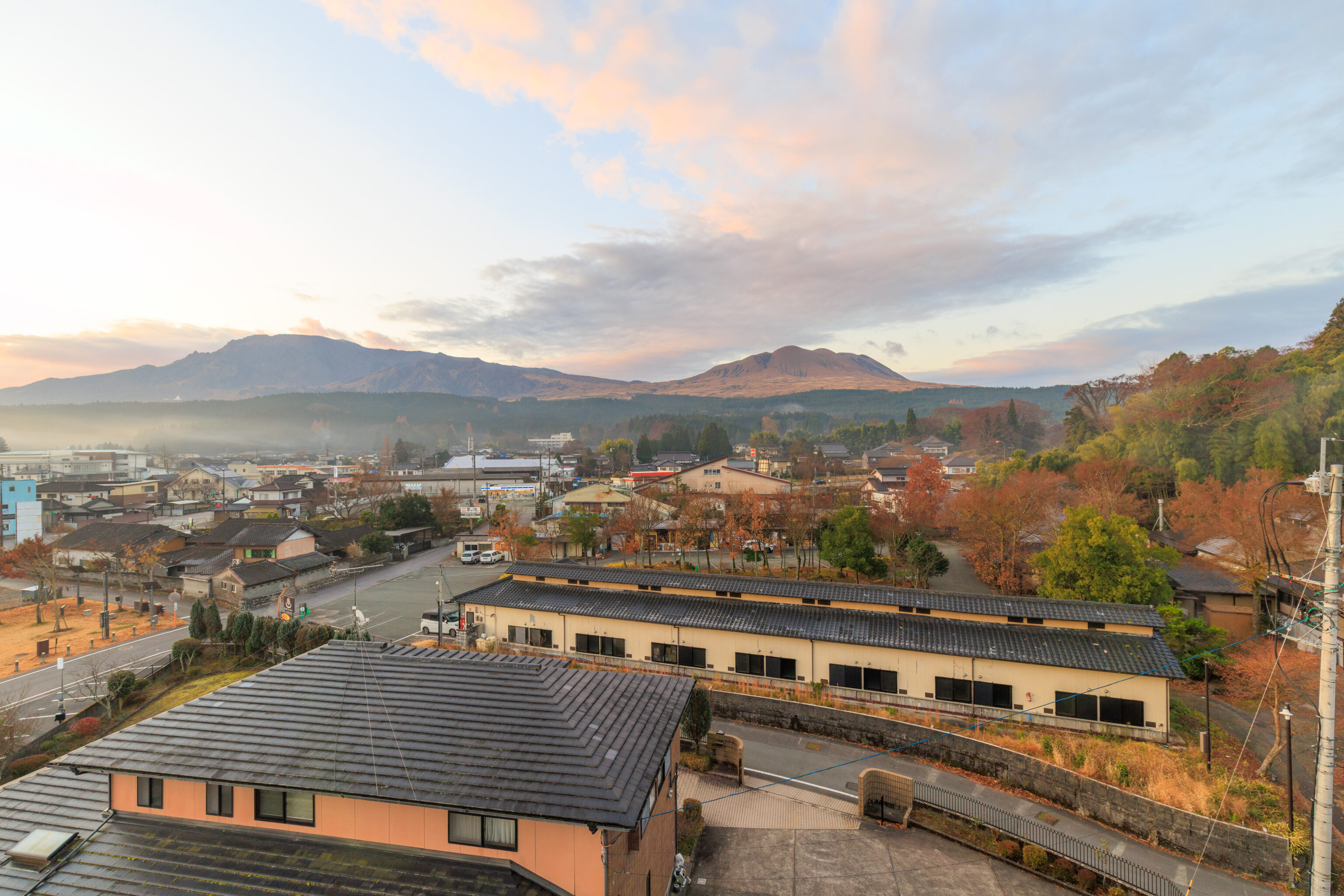
Unfortunately, sunrise was not particularly impressive in any way. The sky mostly just got brighter! At least the weather looked good for visiting the Aso Volcano today!
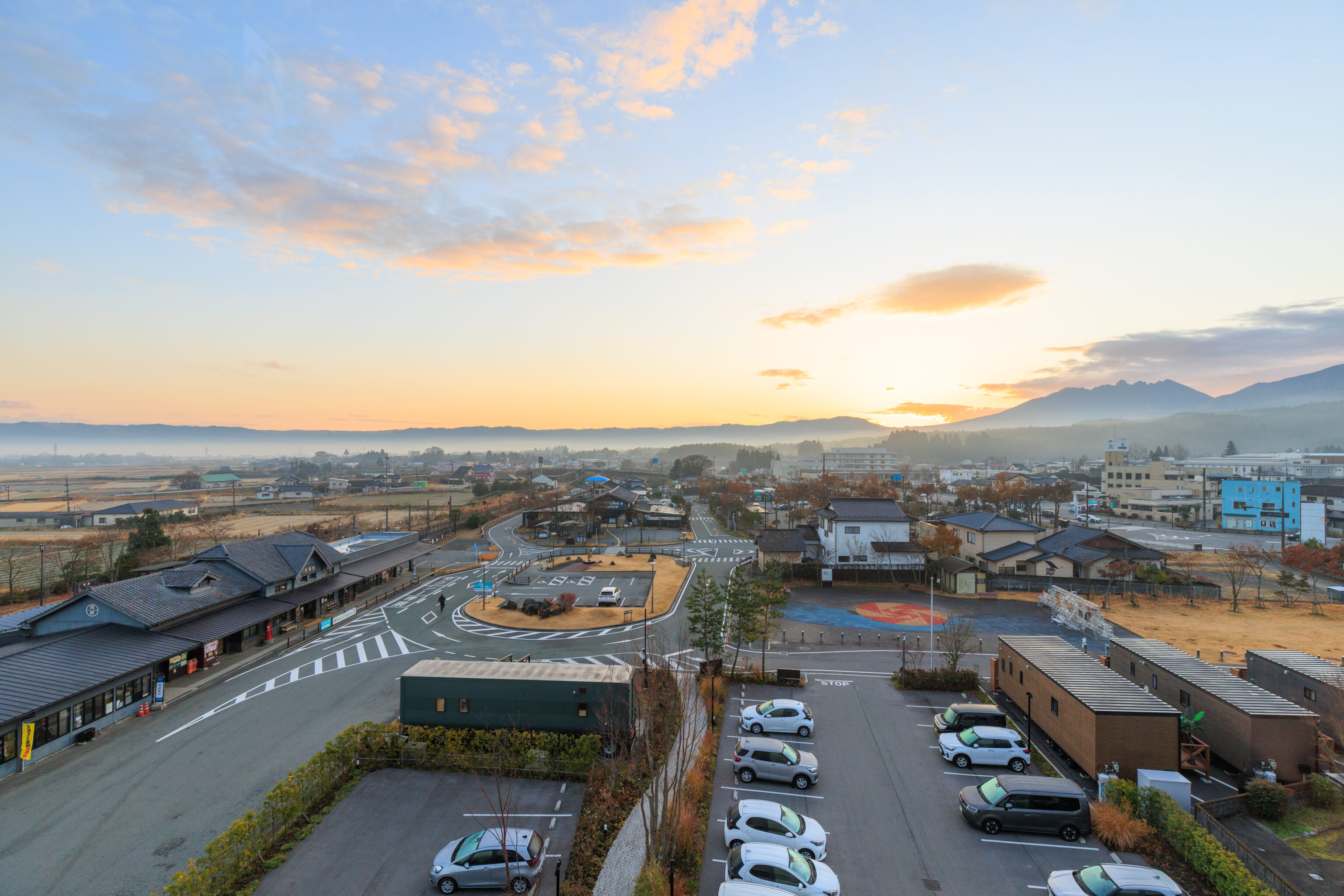
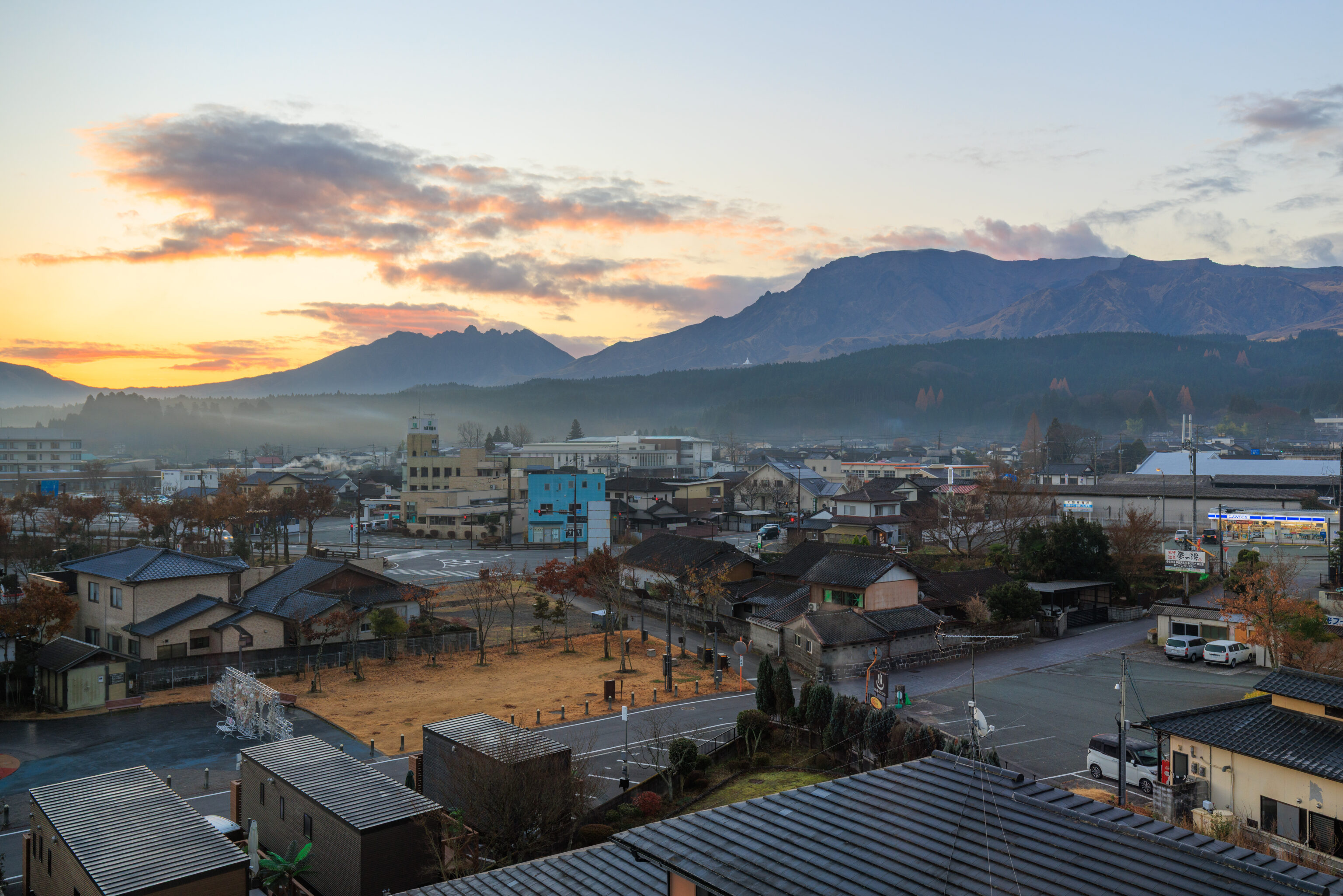
The view to the east towards the rising sun as we headed out of our room at a little bit before 7:30am.
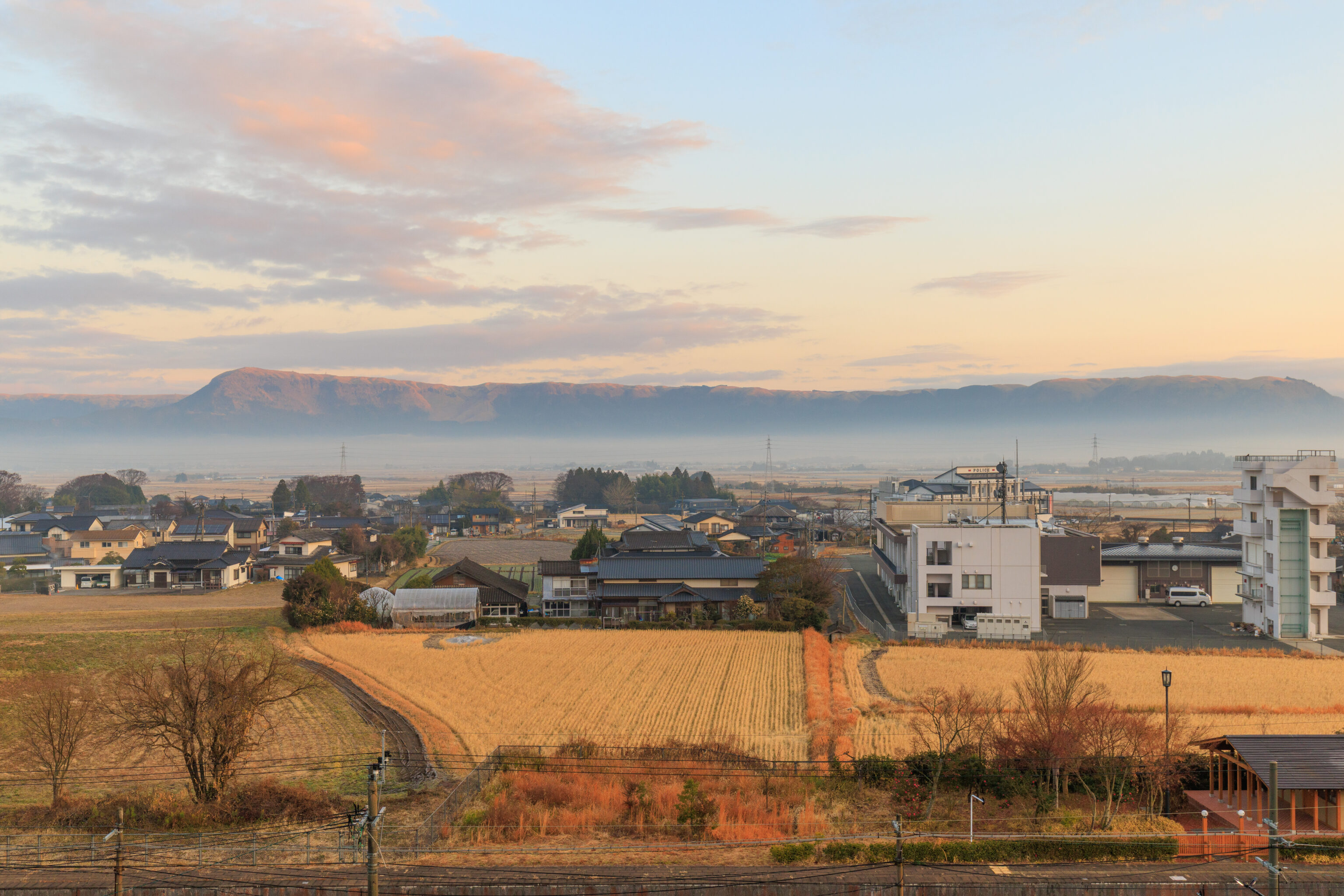
There looked to be quite a bit of fog to the north.
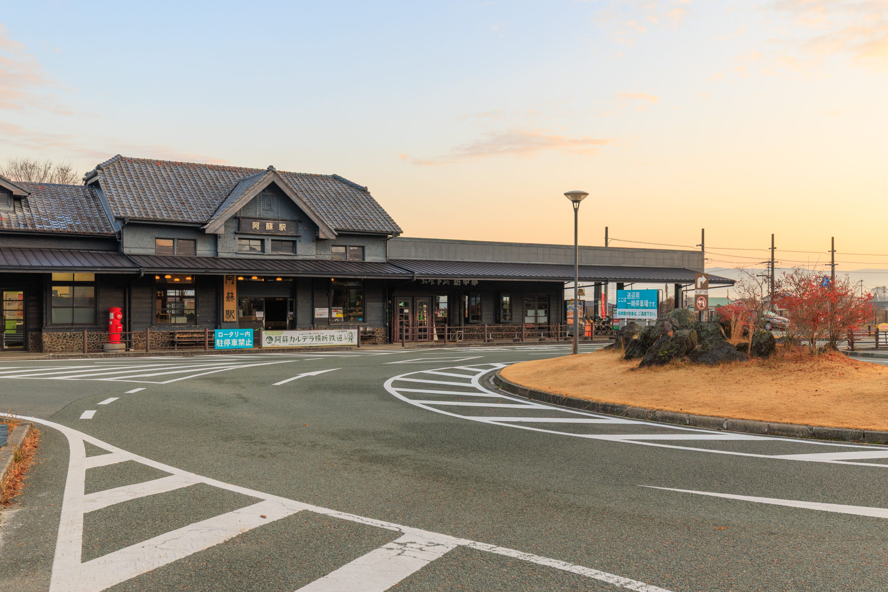
We walked over to Aso Station to check out the Sanko Bus ticket office.
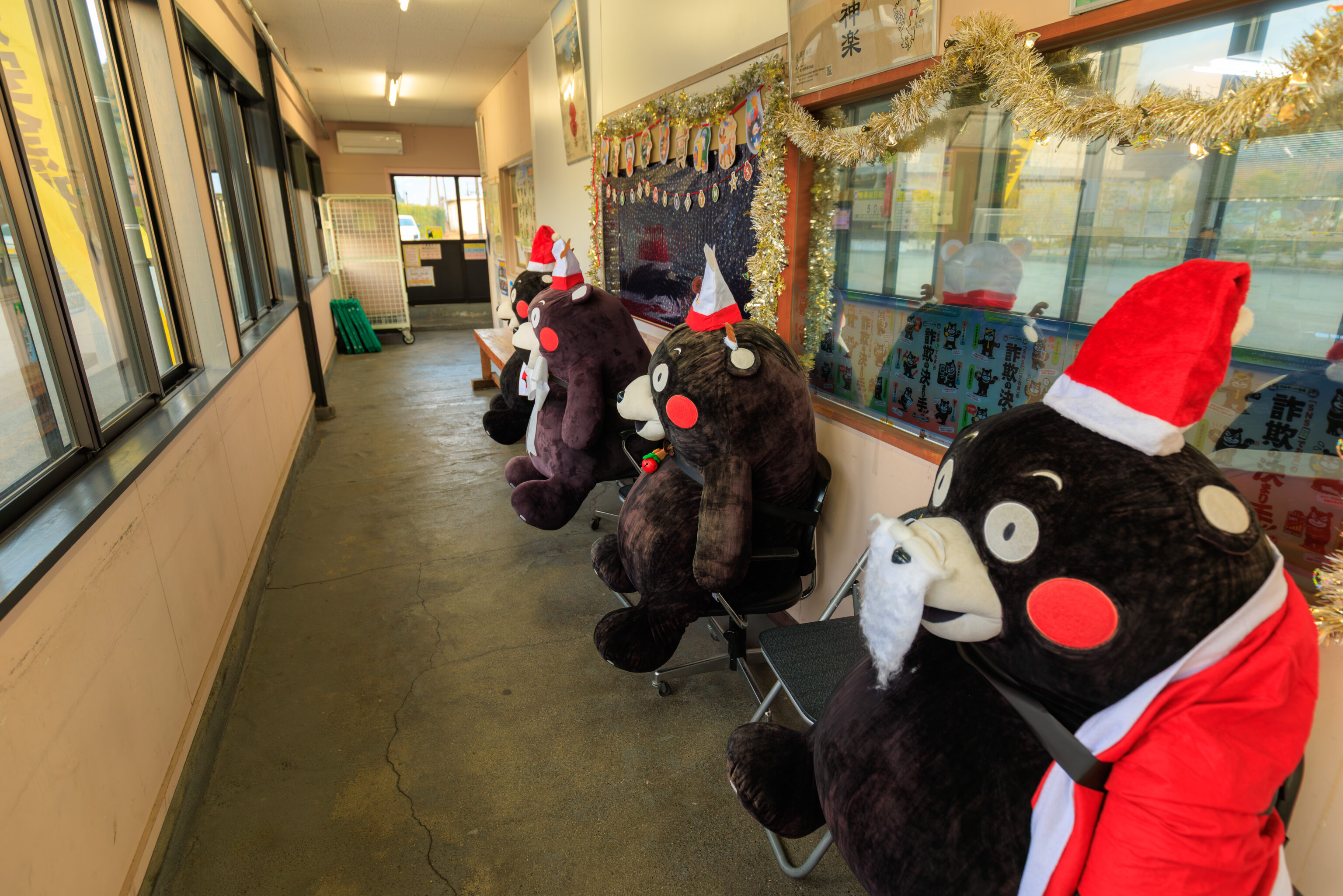
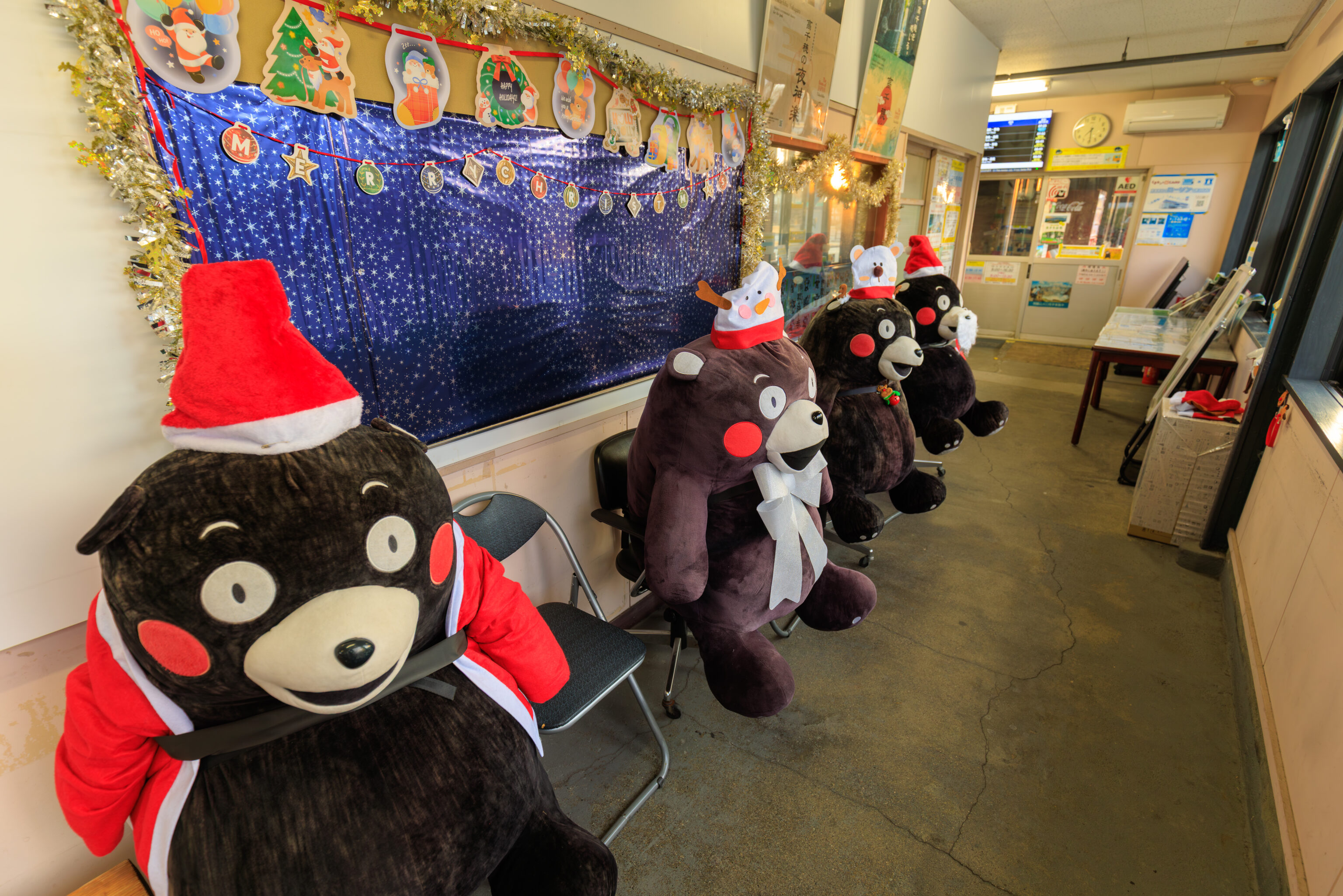
The ticket office was not yet open. However, we were able to go into the building where they had quite a collection of くまモン Kumamon! This bear is probably the most prolific municipal mascot in all of Japan!
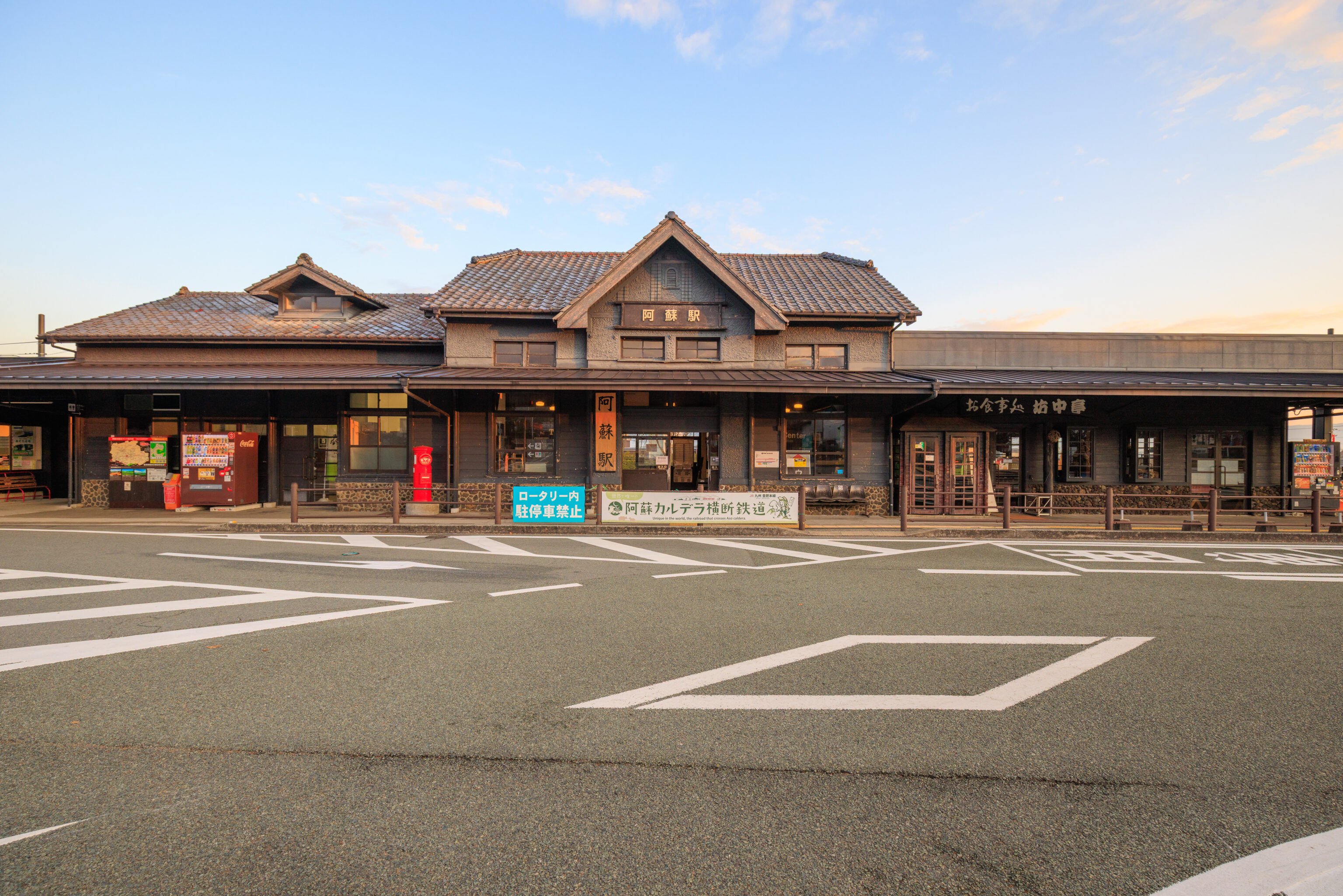
We started to head over to Lawson for a convenience store breakfast. This was the station as we walked away to the south.
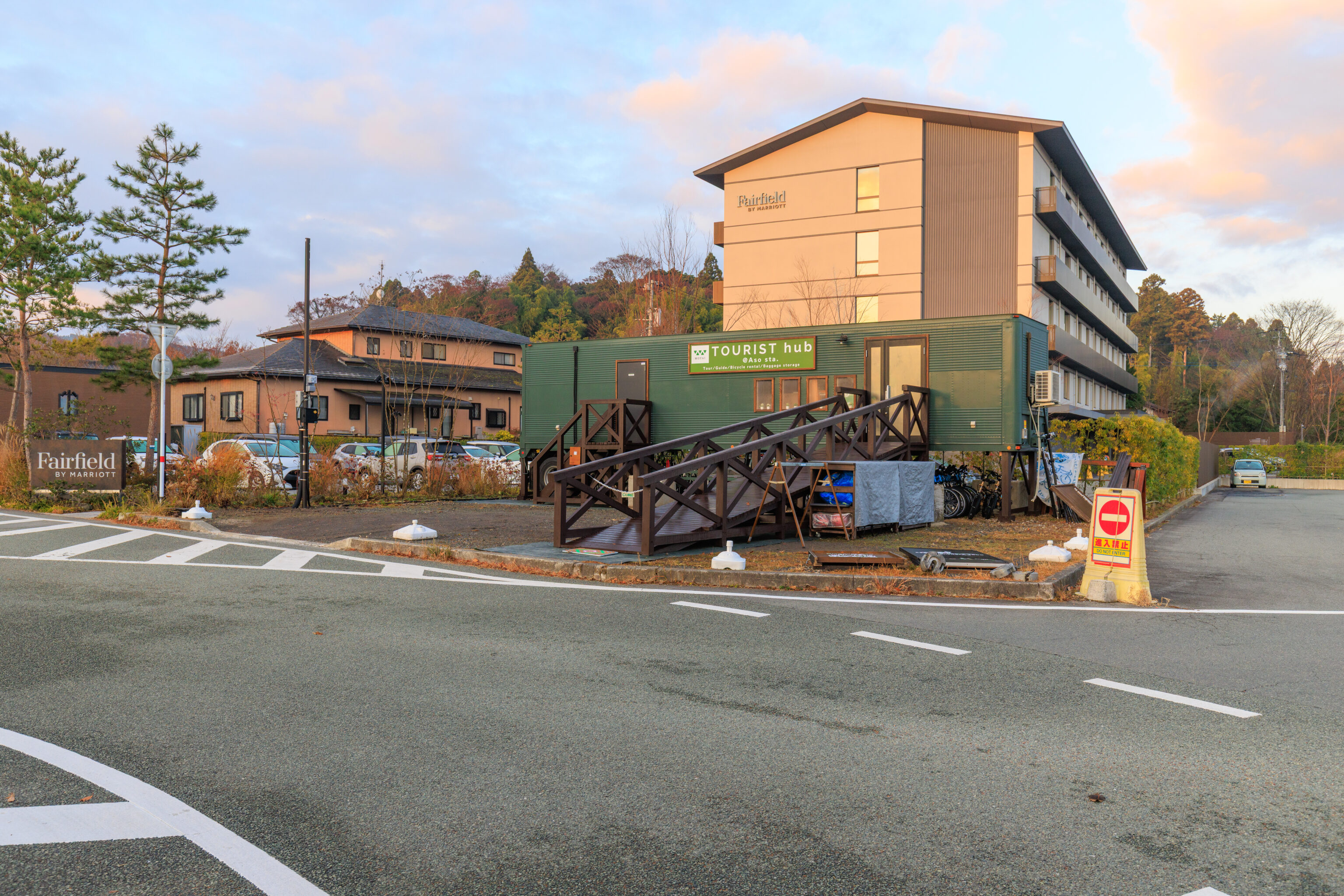
We walked past the Fairfield, which was on our right.
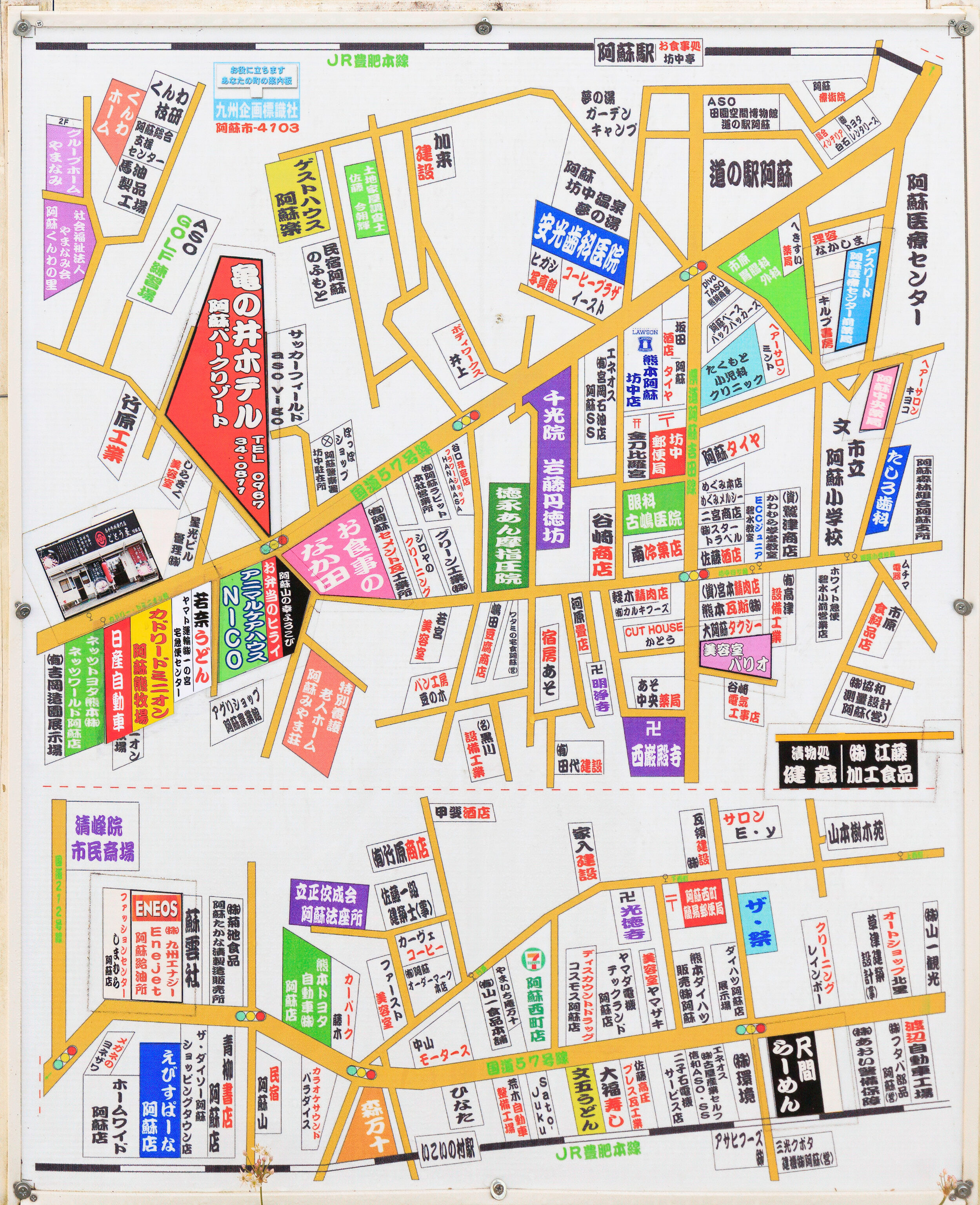
There was a sign on the ground with this map showing all the businesses in this part of Aso.
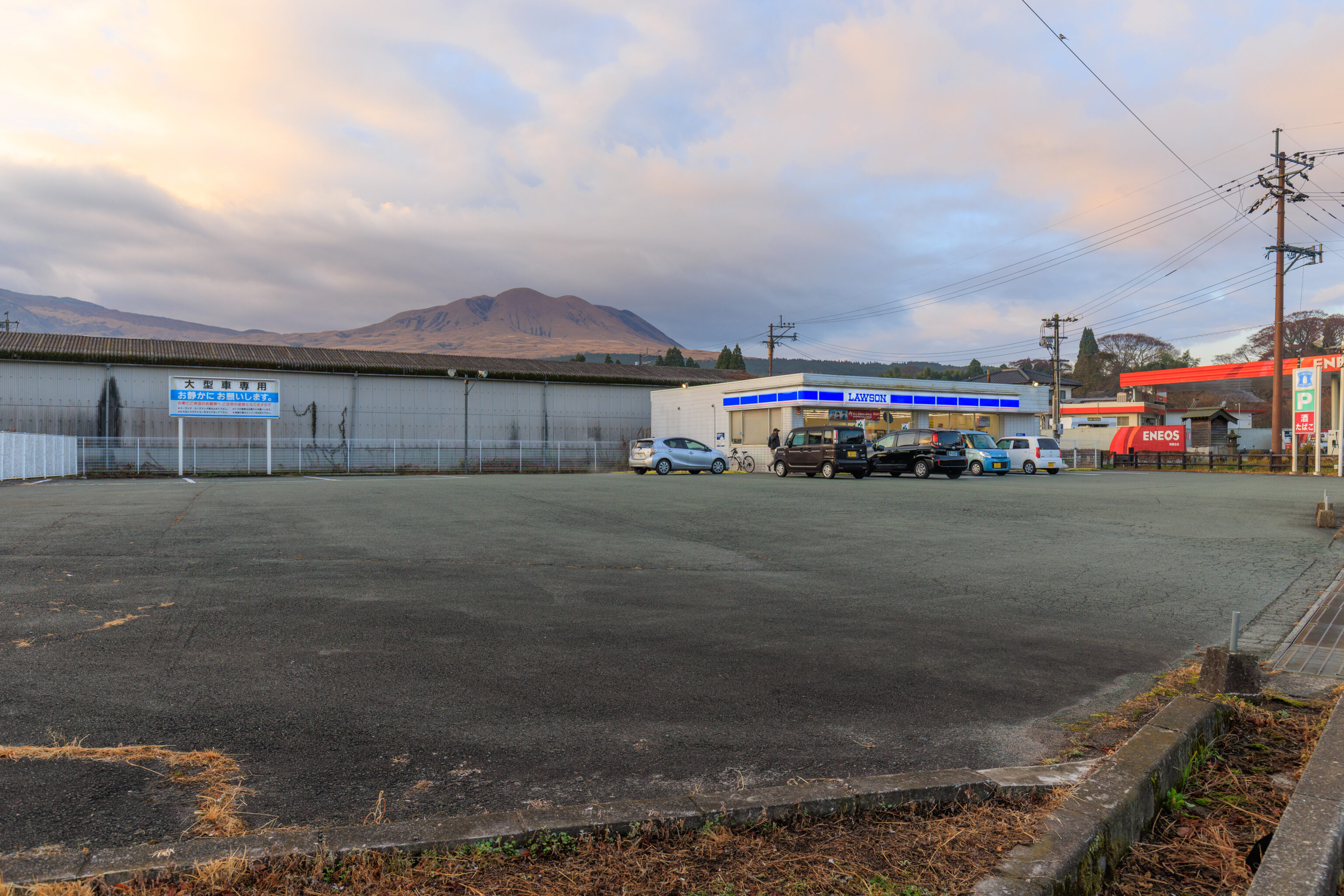
It took about five minutes to get to the Lawson.
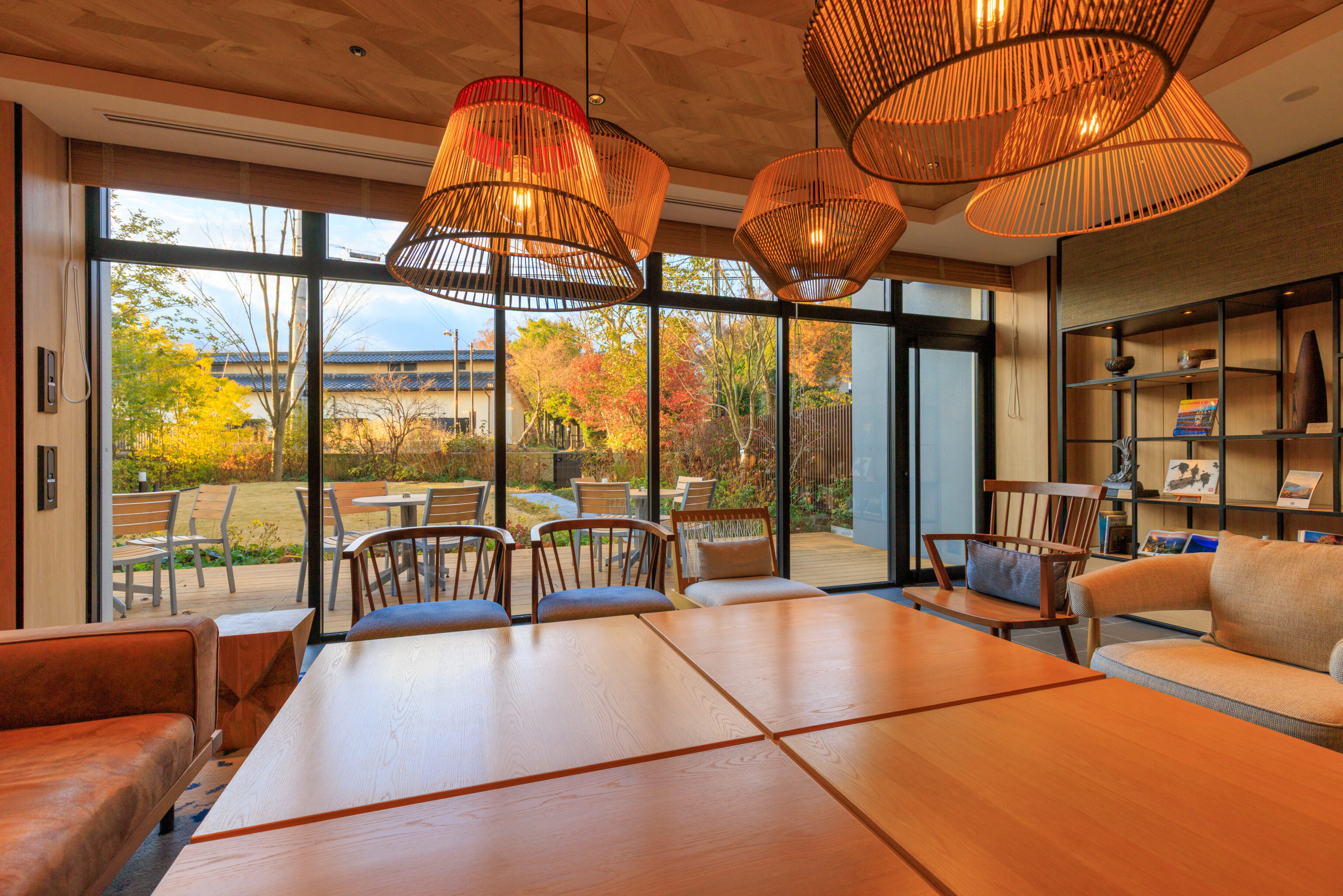
We brought our breakfast back to the Fairfield to eat in the first floor dining area adjacent to the lobby.
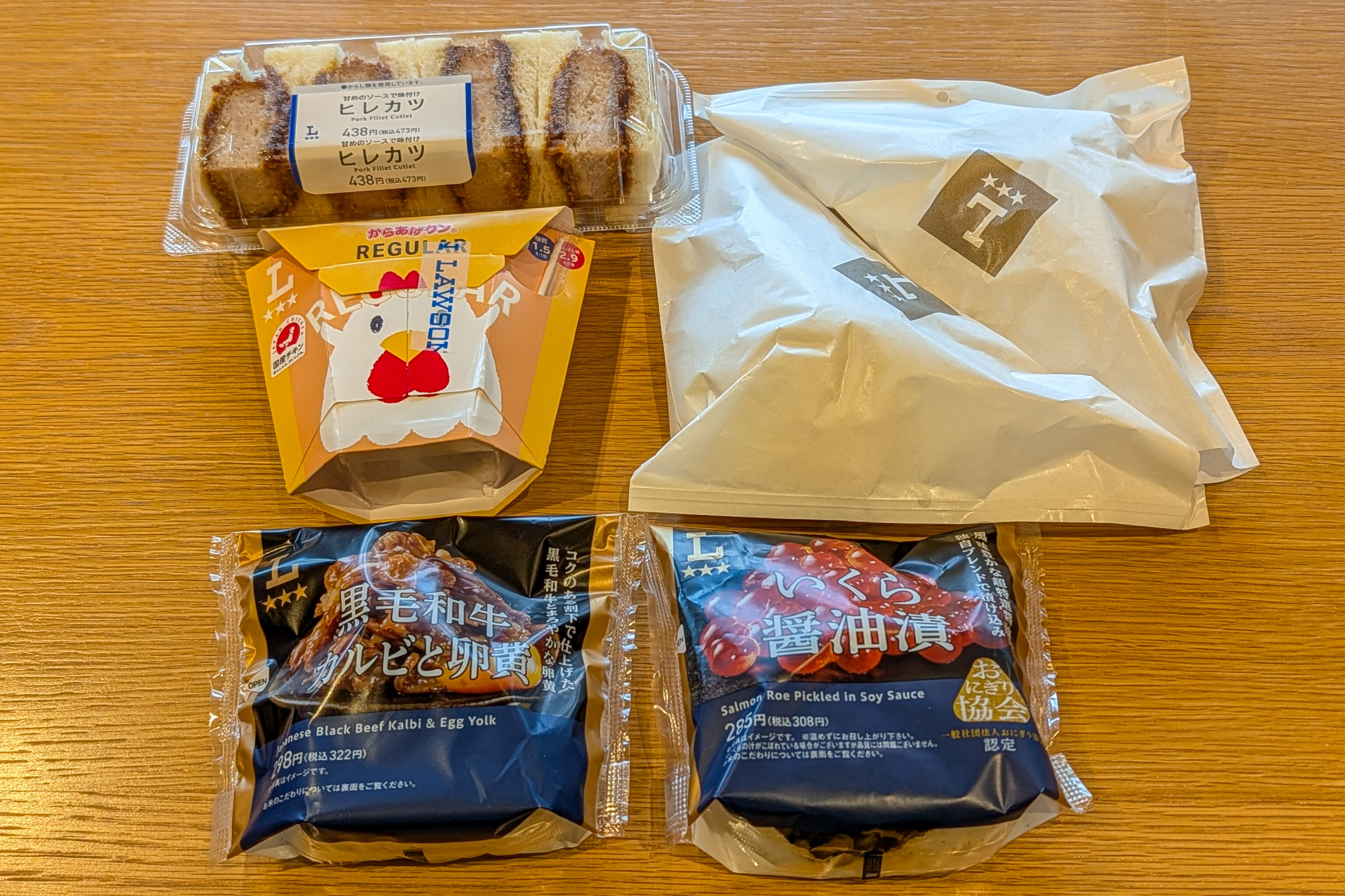
We got two onigiri, two butaman (basically baozi), karaage nuggets, and a pork fillet cutlet sando. The onigiri and butaman were decent and about what we expected. We ended up saving the sando for later.
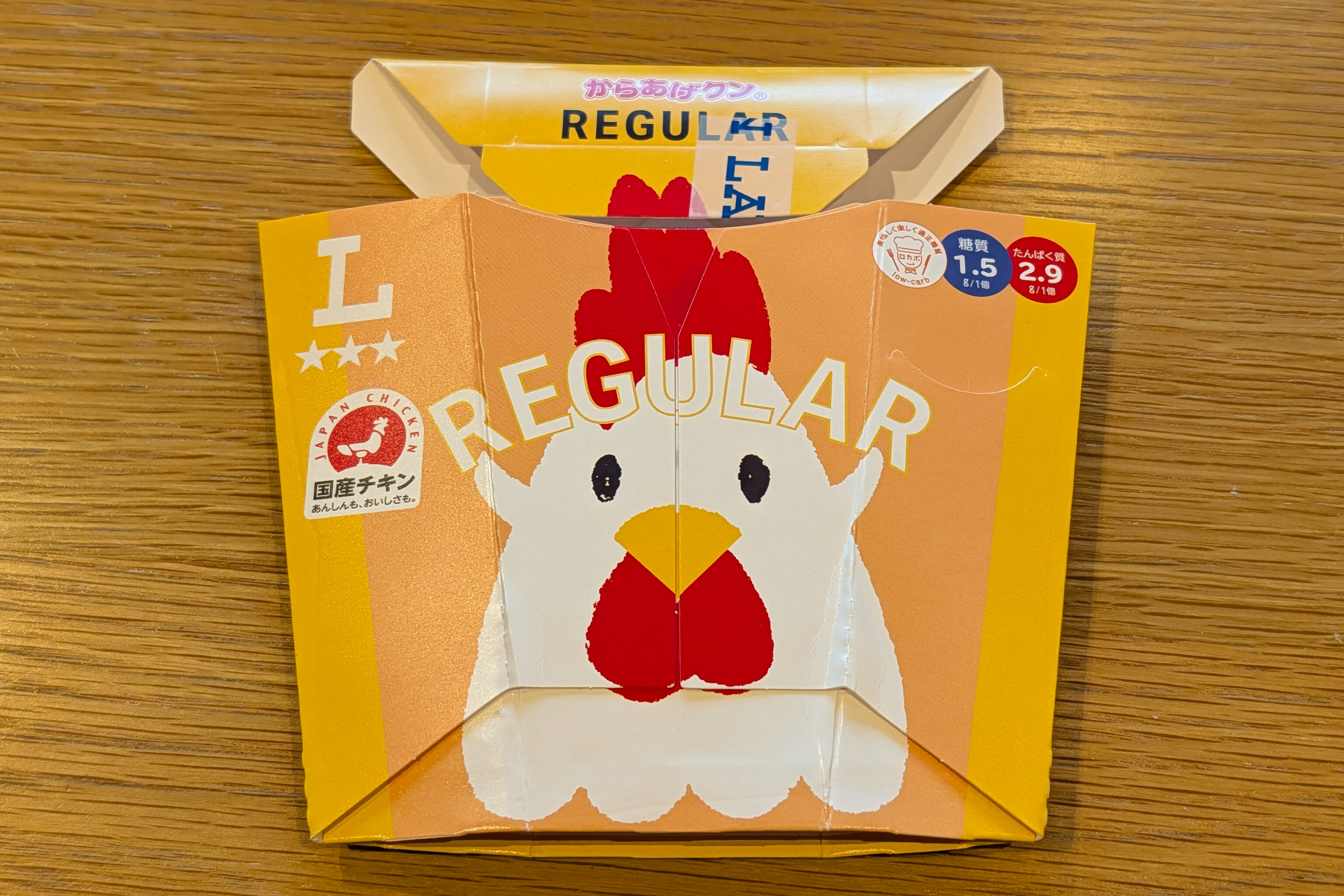
The karaage nuggets were pretty good for what seemed like processed chicken. And the box was cute!
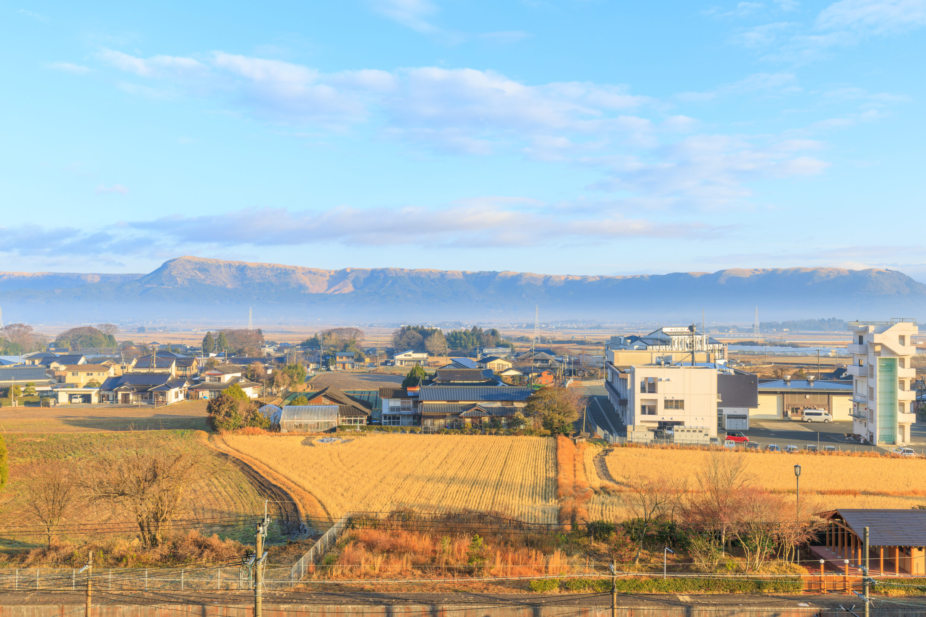
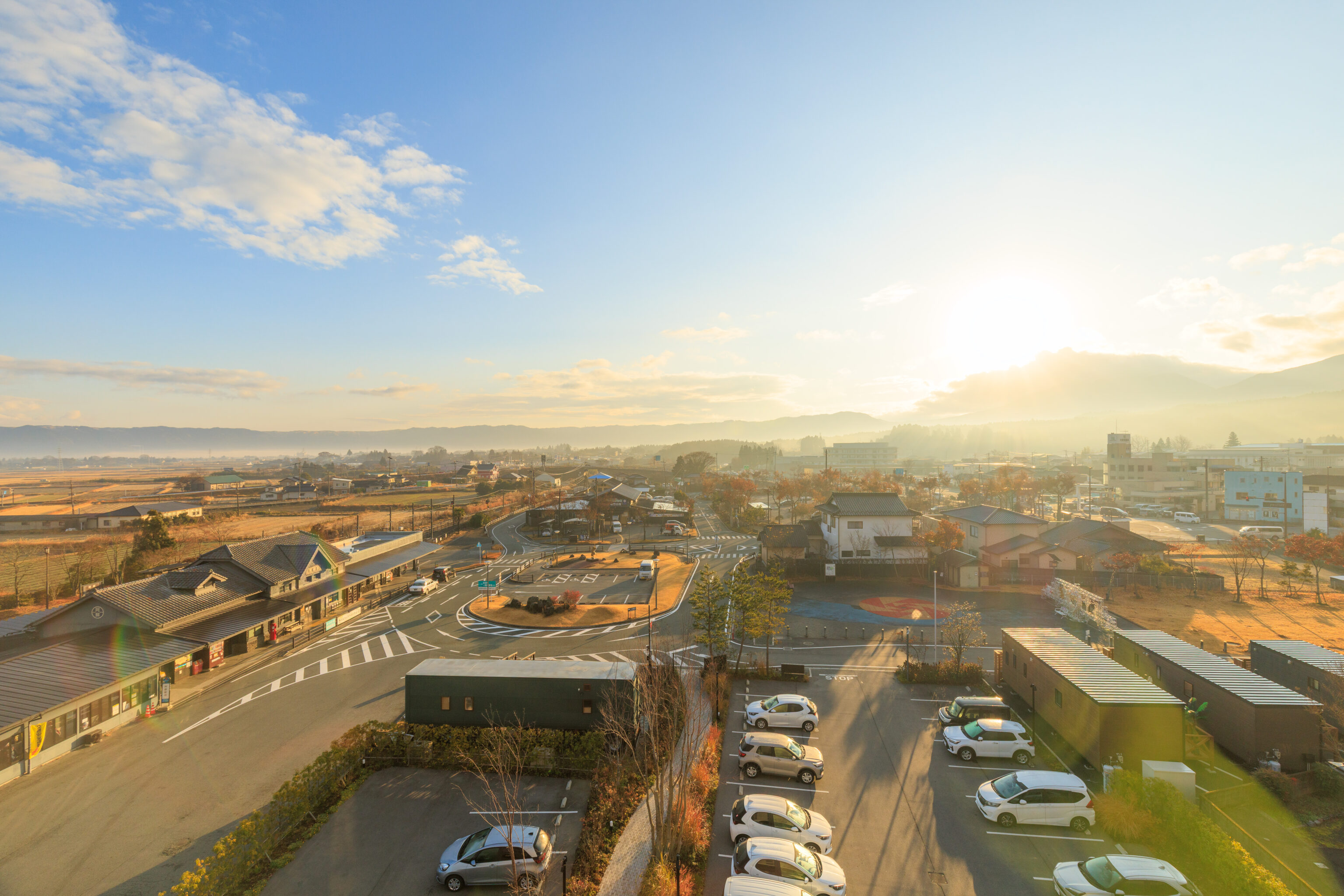
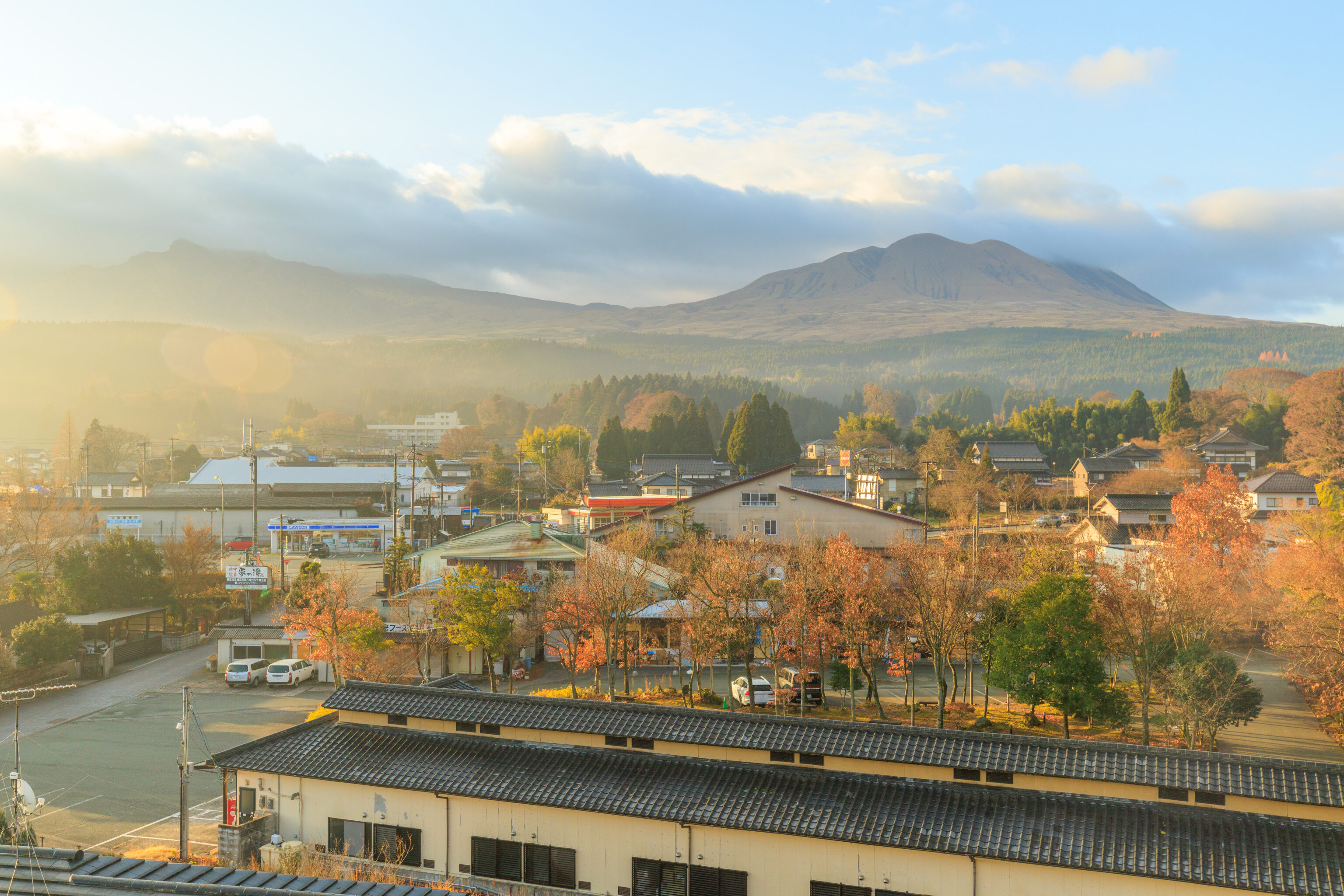
After our little meal, we went back up to our room to wait for awhile before going back to the bus stop.
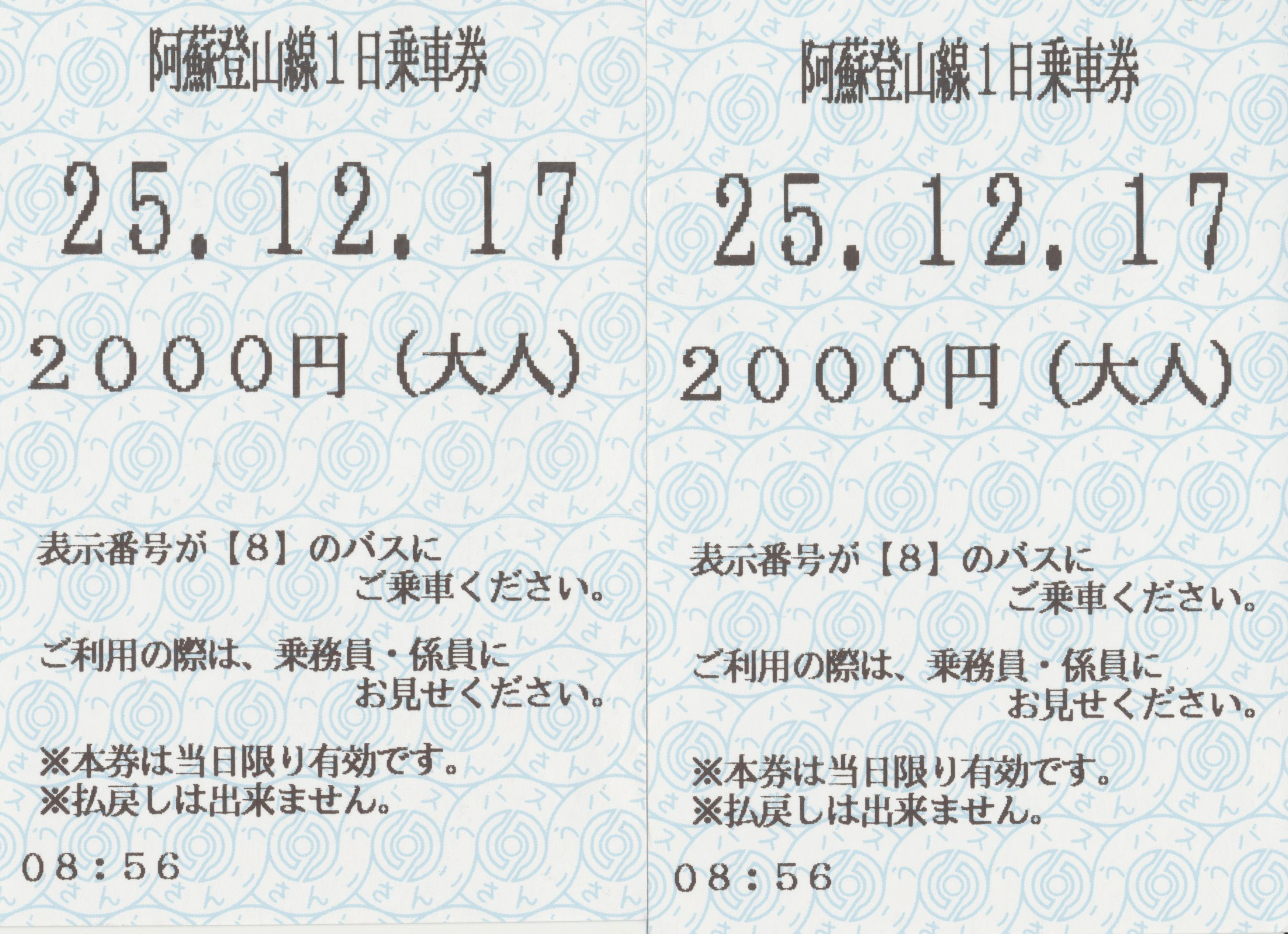
We got our bus tickets when the ticket office opened, which ended up being a bit before 9am. Note that while there is a ticket vending machine here, it is not turned on when the office is closed.
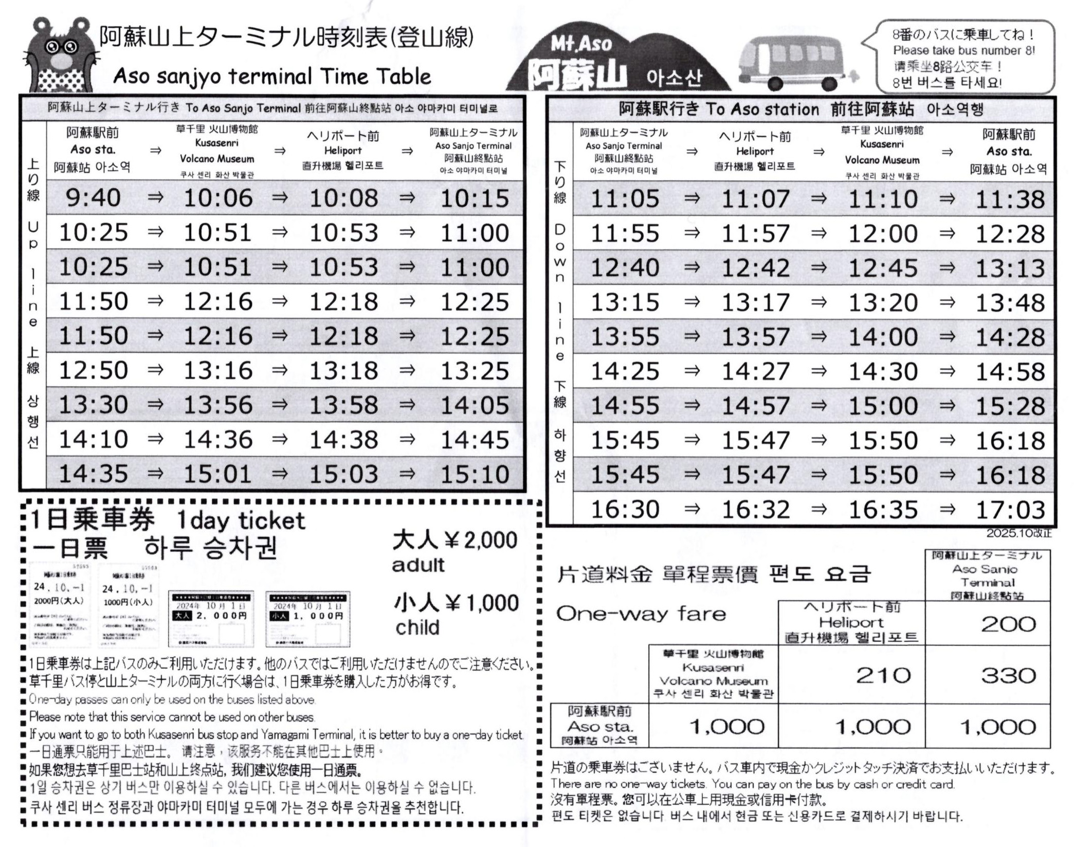
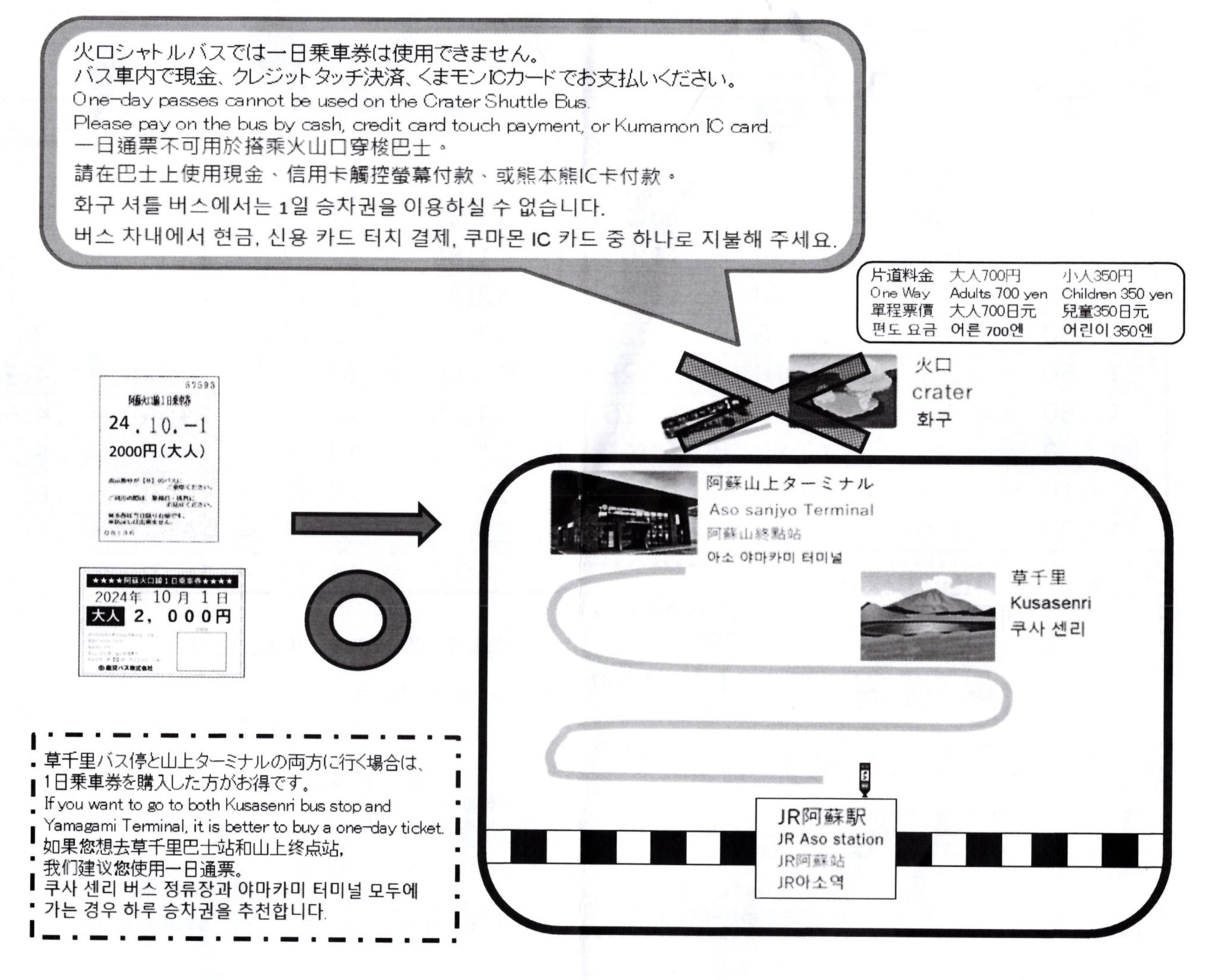
The trip to the crater viewing area requires taking two different busses. The bus from Aso Station goes up to the 阿蘇山上ターミナル Aso Sanjo Terminal. The most sensible thing to do here is to simply buy the one day ticket.
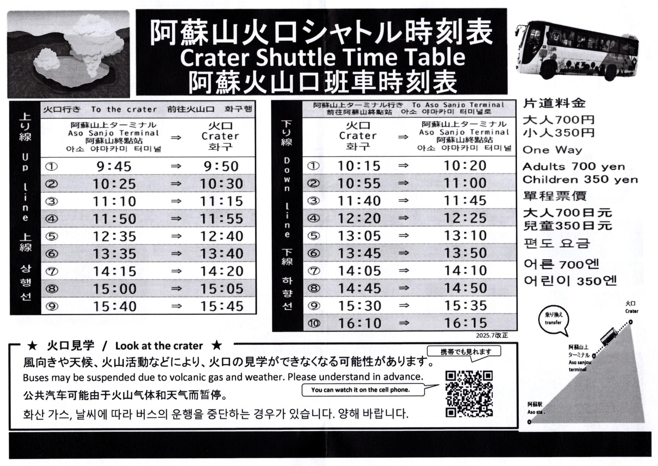
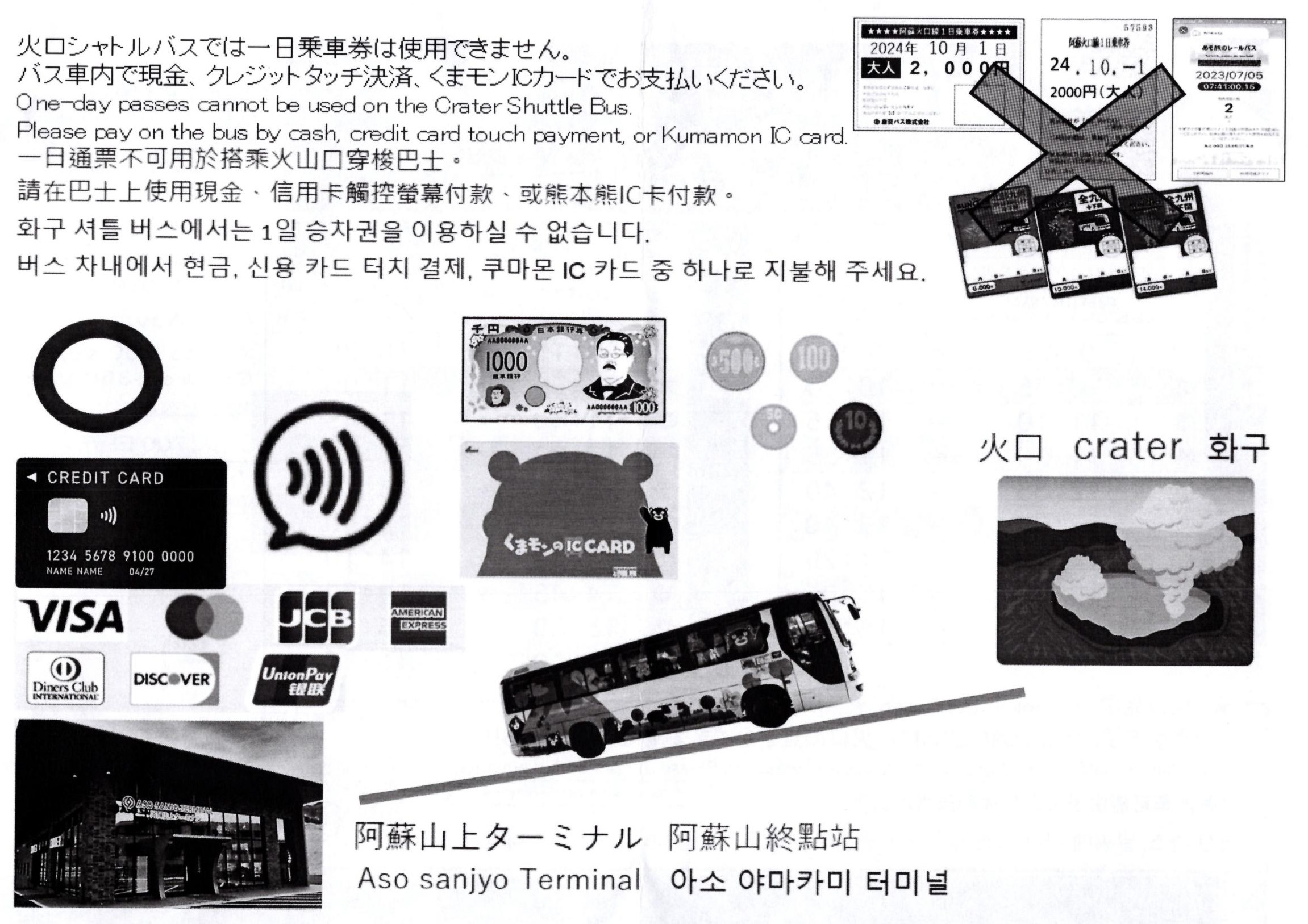
From the Aso Sanjo Terminal, there is a separate bus that makes a short five minute trip up to the crater viewing area. A separate ticket is required for this bus, which must be paid for on the bus.
Aso Volcano
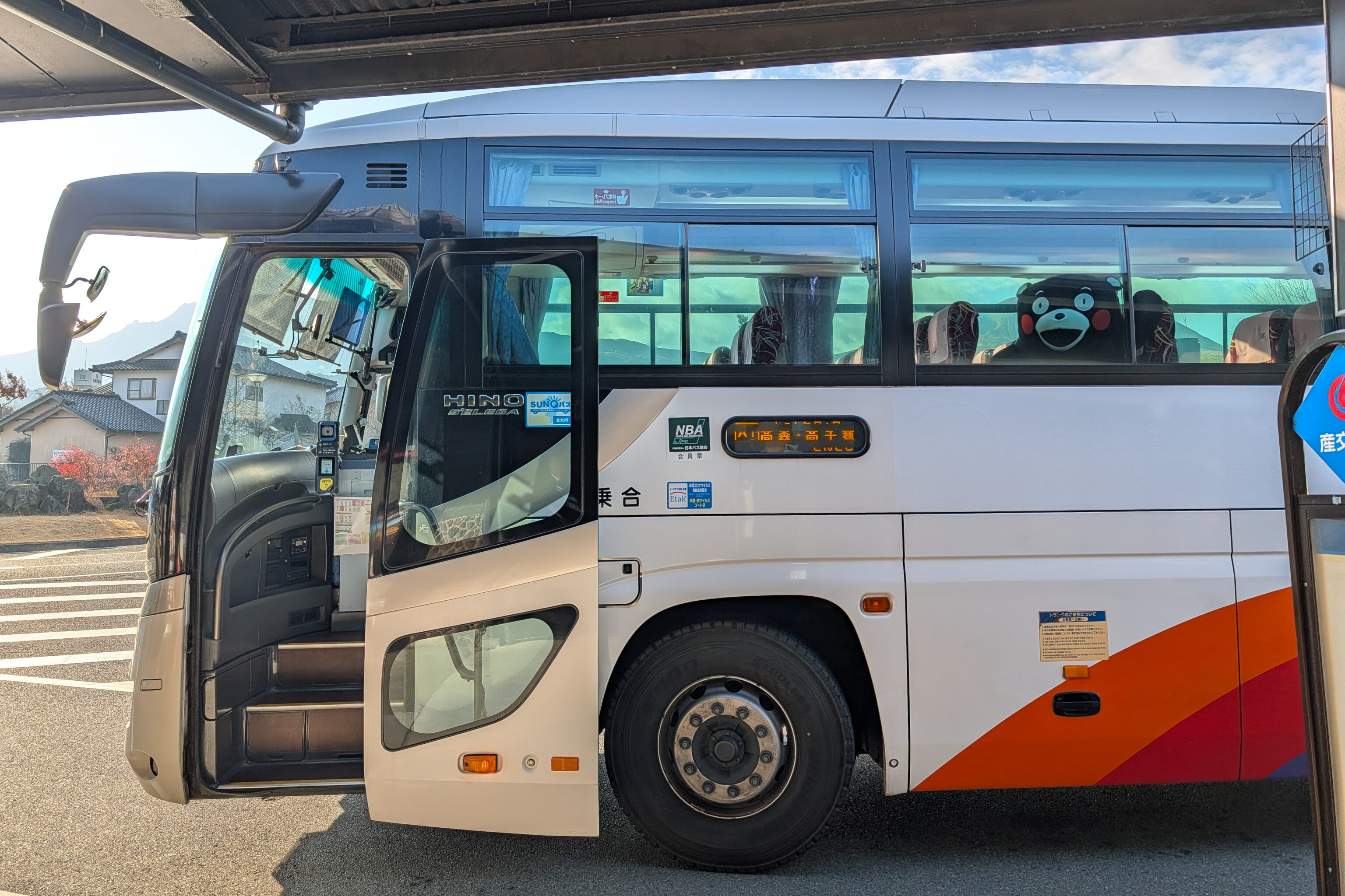
The bus from Aso Station to the Aso Sanjo Terminal arrived pretty early. There was already one passenger onboard, Kumamon!
We weren’t actually sure what kind of bus it would be. It turned out to be a highway bus, or what we’d call a coach in the US.
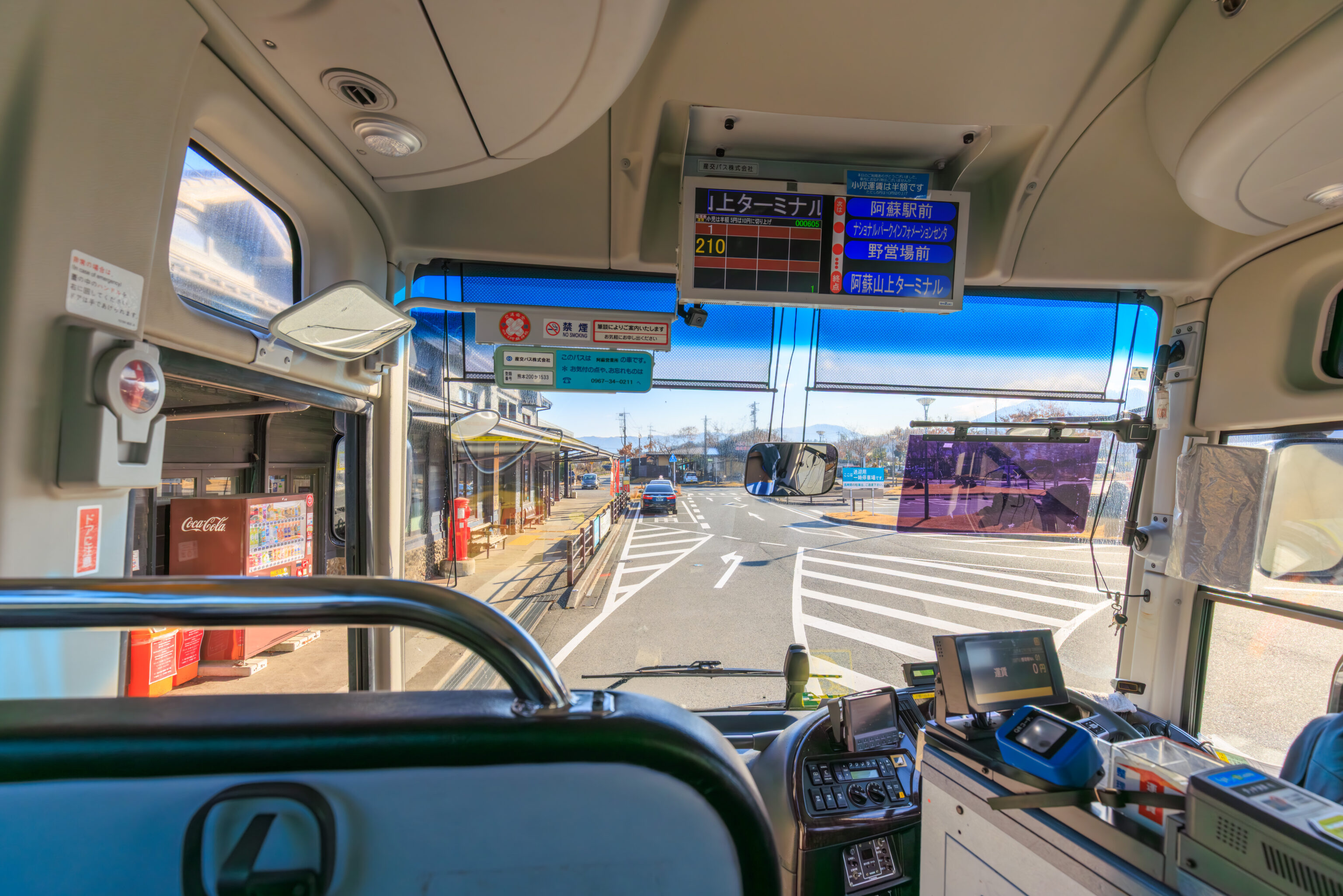
We ended up sitting in the first row on the left side of the bus.
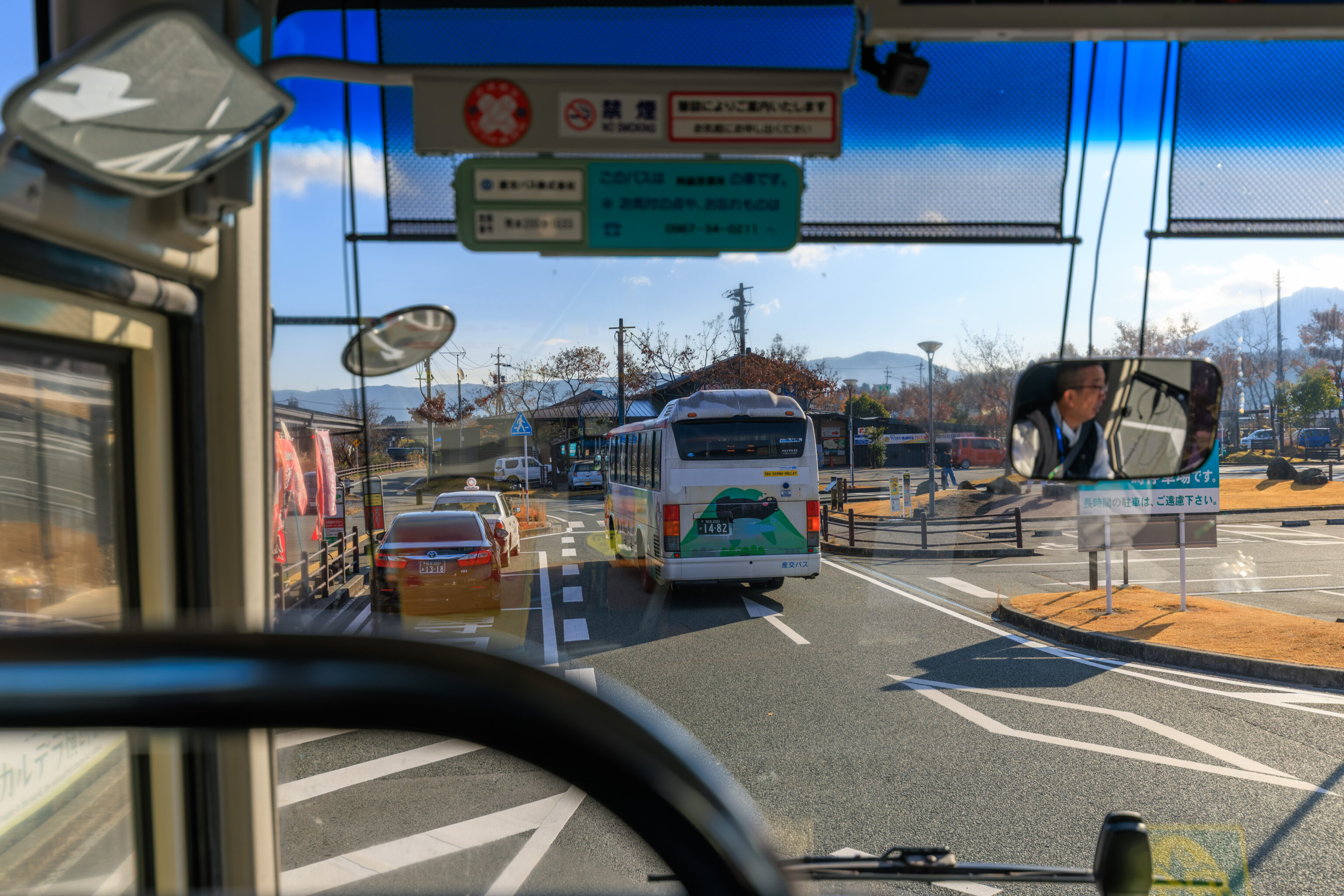
We departed at 9:40am, exactly on schedule.
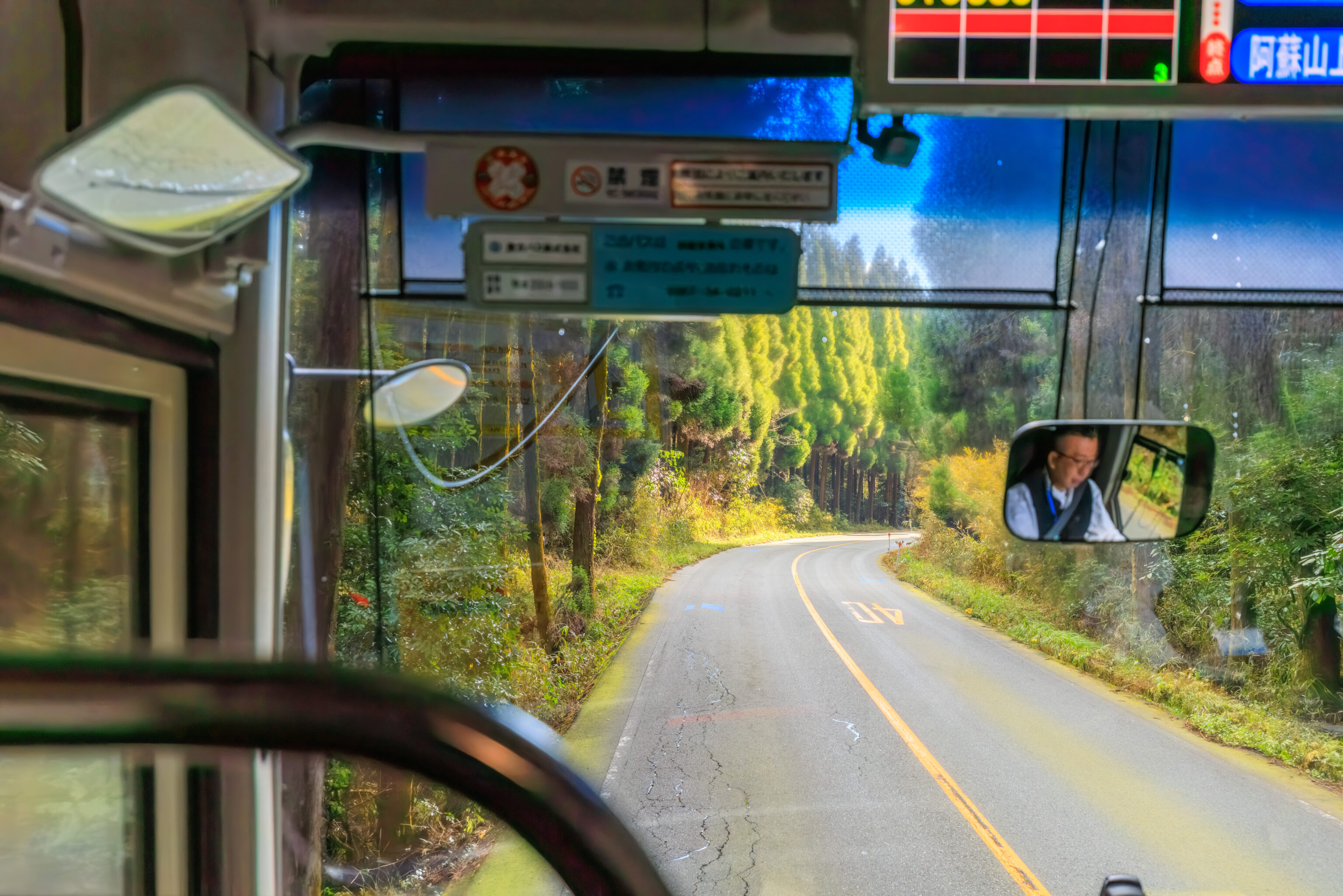
After a few minutes, we were in a forested area outside of town.
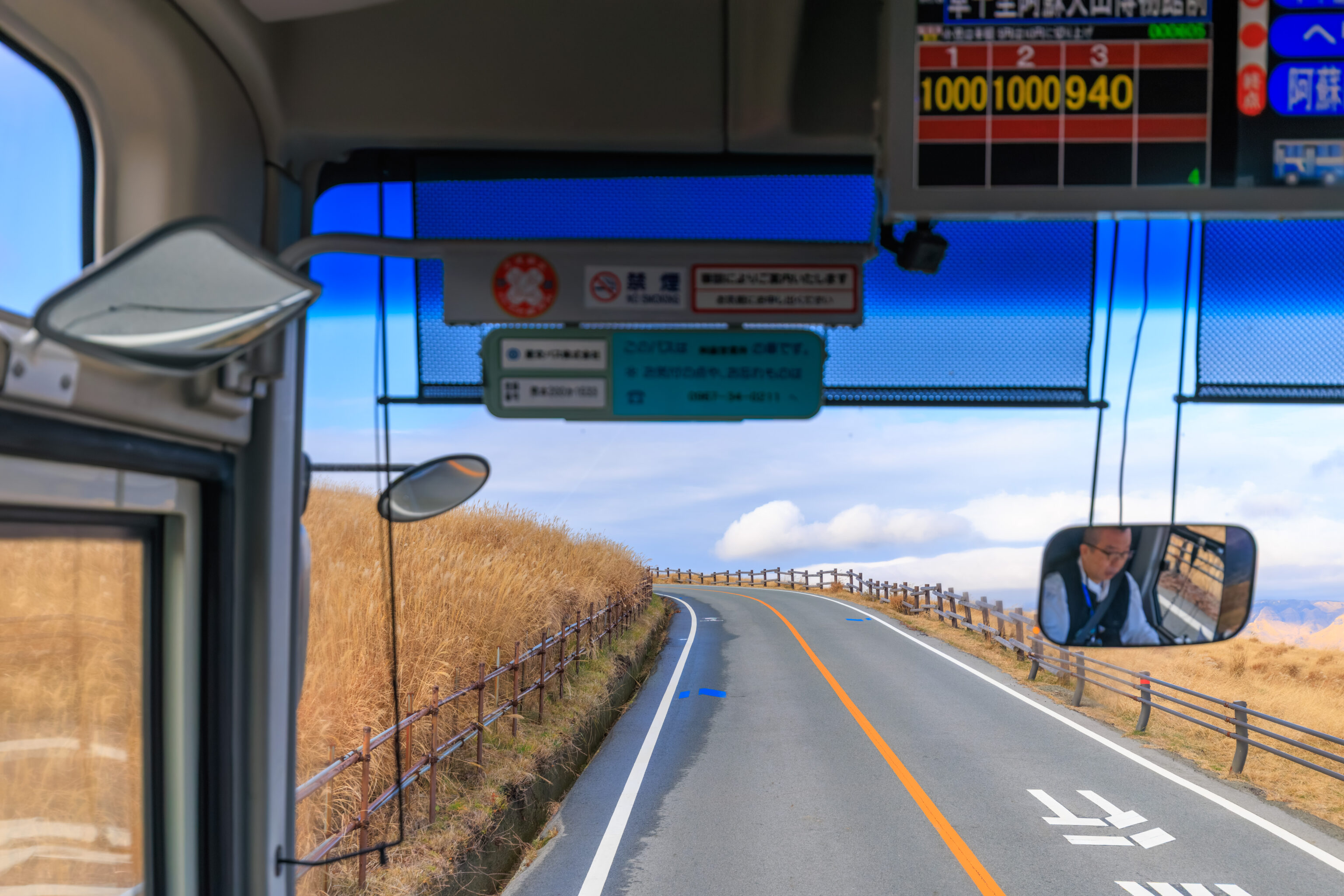
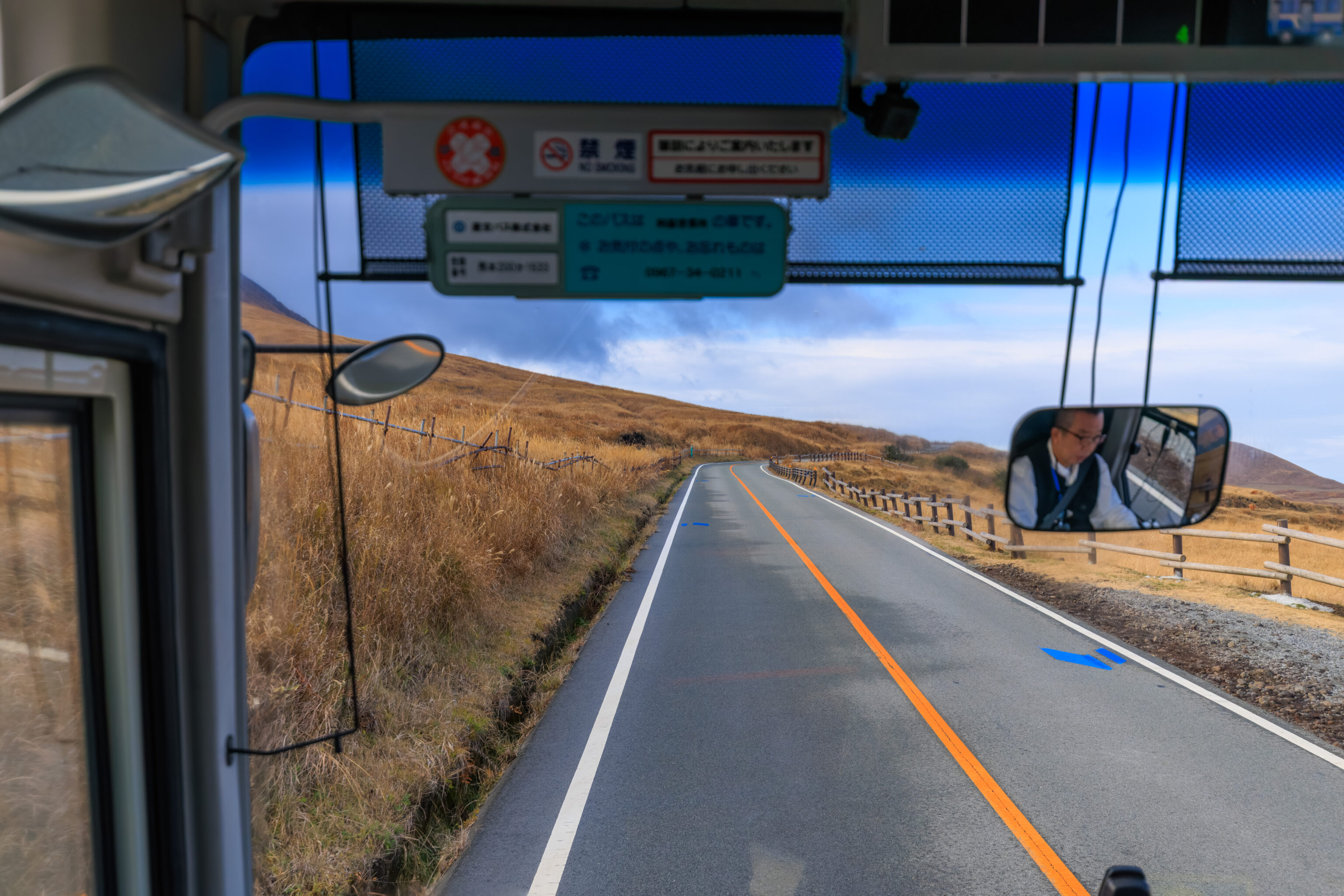
Soon, the bus started ascending the northern slopes of Aso Volcano. What we call Aso Volcano is actually a cluster of five volcanic peaks at the center of the larger Aso Caldera. Technically, the whole thing is Aso Volcano.
Only one of those five peaks, 中岳 Nakadake, is currently active. The name of this peak is literally Middle Peak. If you were to circle all the peaks, it would be pretty close to the center of the circle. It is right next to 高岳 Takadake. Its name literally means high peak and it is, indeed, the highest of the five.
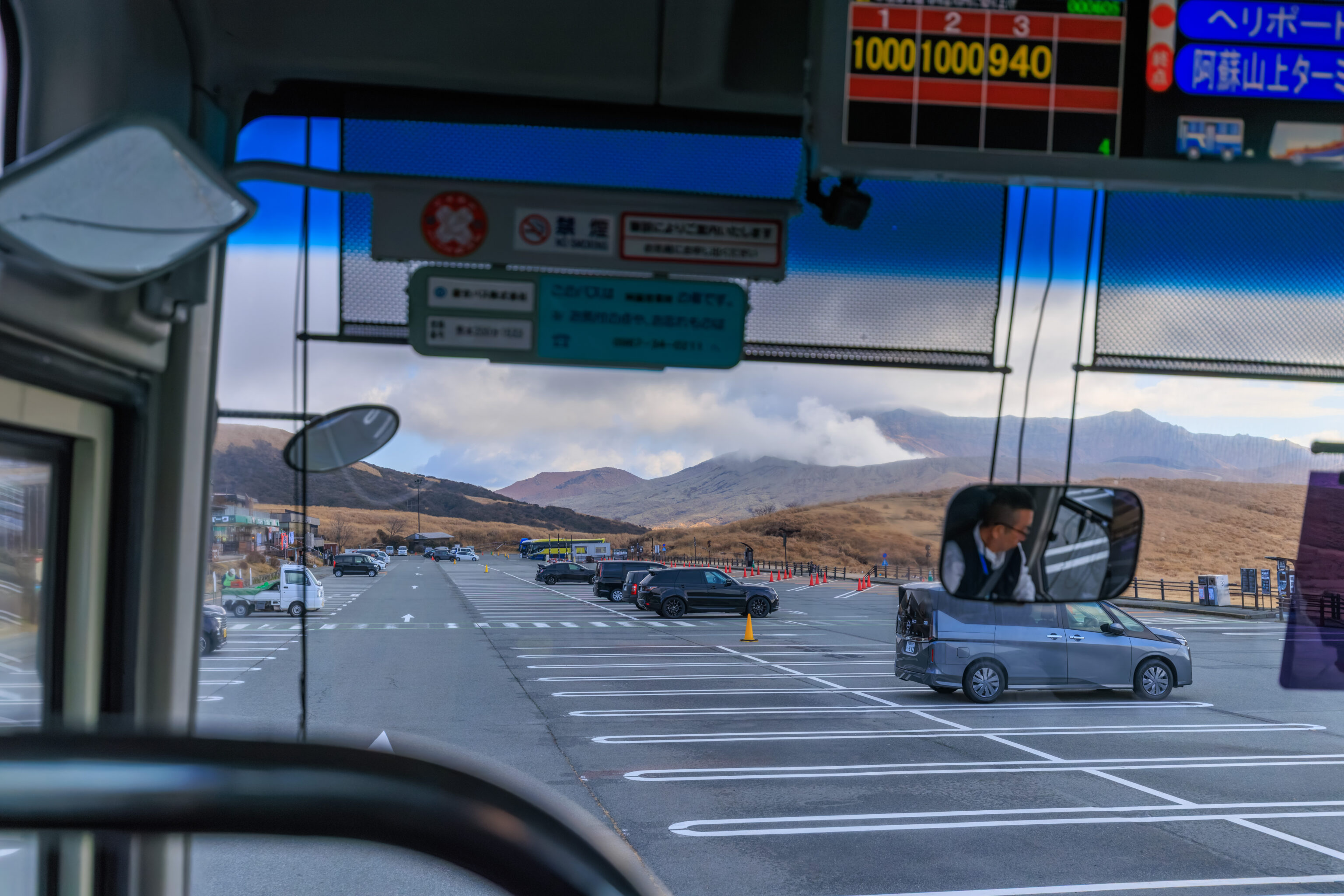
The bus stopped at the 阿蘇火山博物館 Aso Volcano Museum at around 10:06am. We stayed on the bus as we wanted to visit the crater first. From the bus stop here, we could see quite a bit of steam being emitted ahead, perhaps from the Nakadake crater that we’re ultimately heading to? We could also see that the weather seemed to be getting worse. The sky was not like the mostly clear sky we saw this morning.
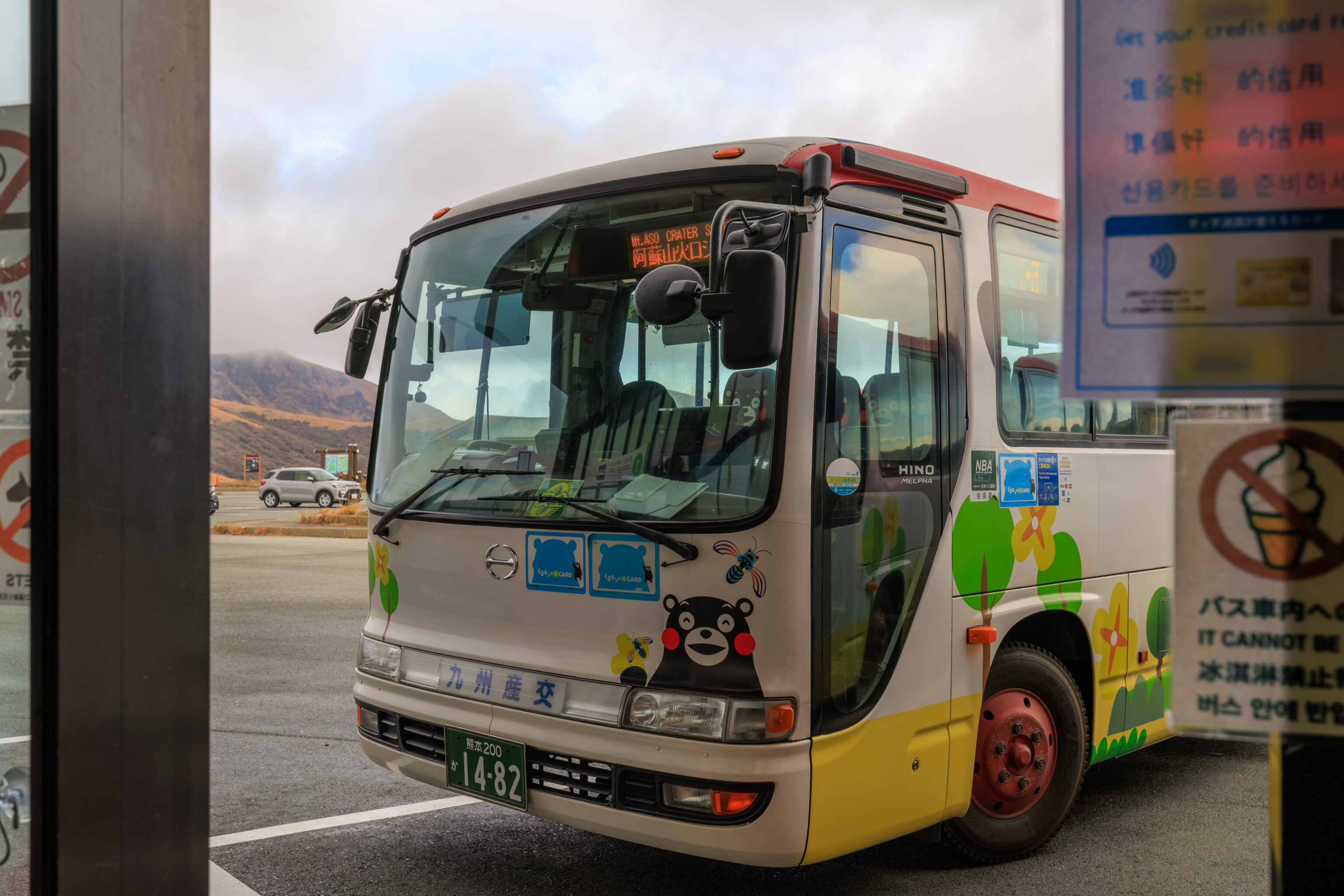
After arriving at the Aso Sanjo Terminal, we switched to a second bus operating as the Mount Aso Crater Shuttle, seen here. There seems to be a souvenir shop as well as other facilities here. However, we wanted to keep on going.
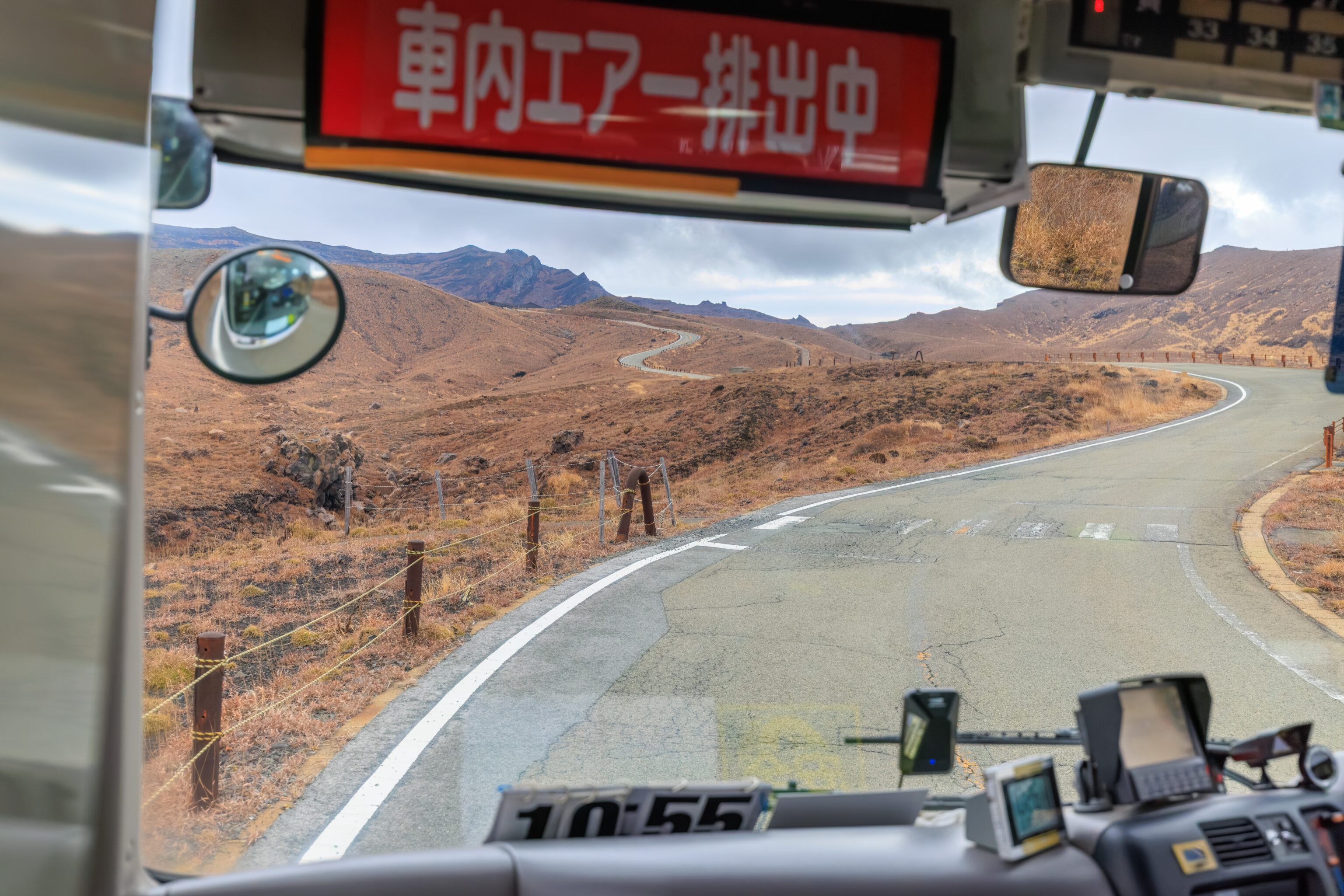
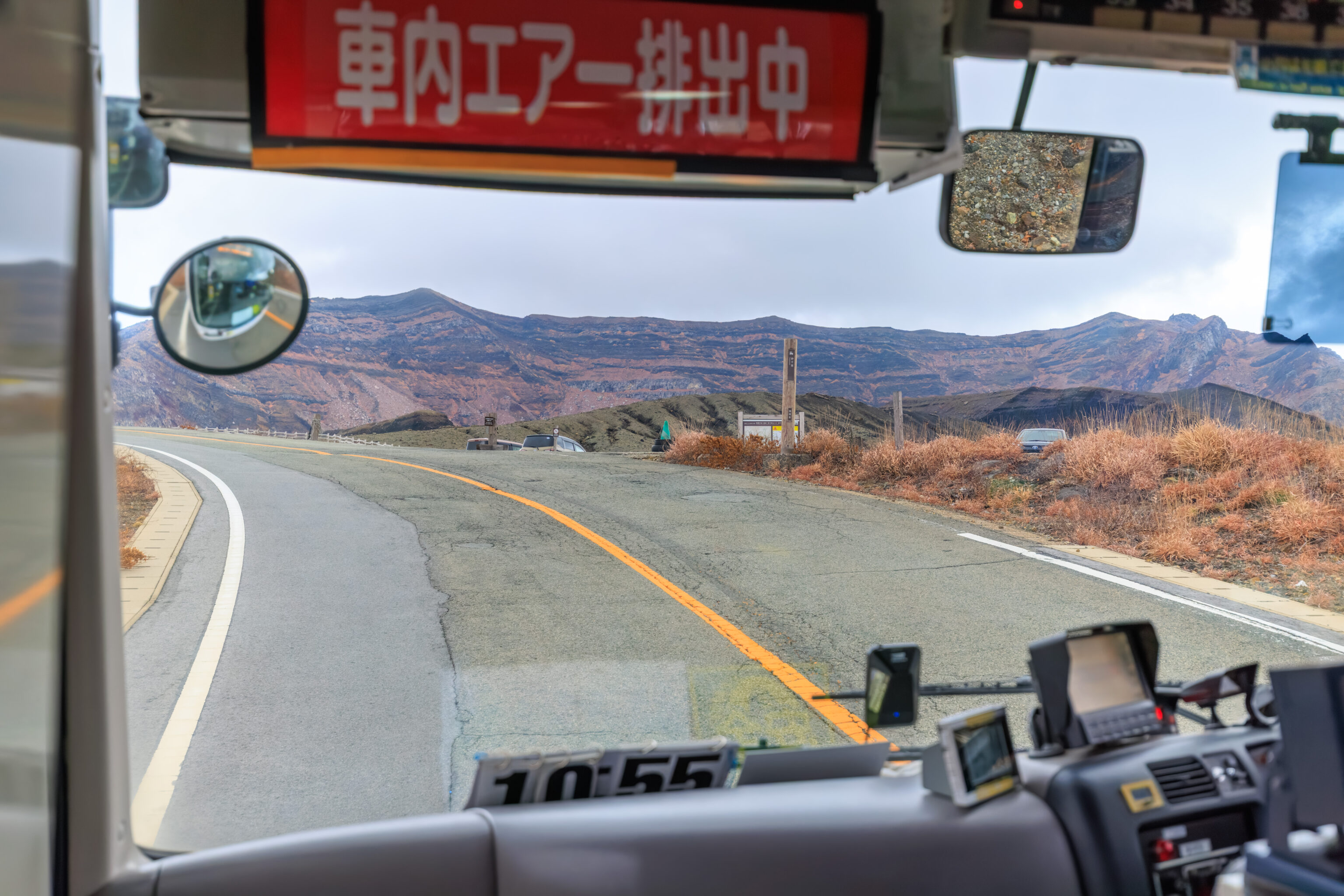
We again sat in the front.
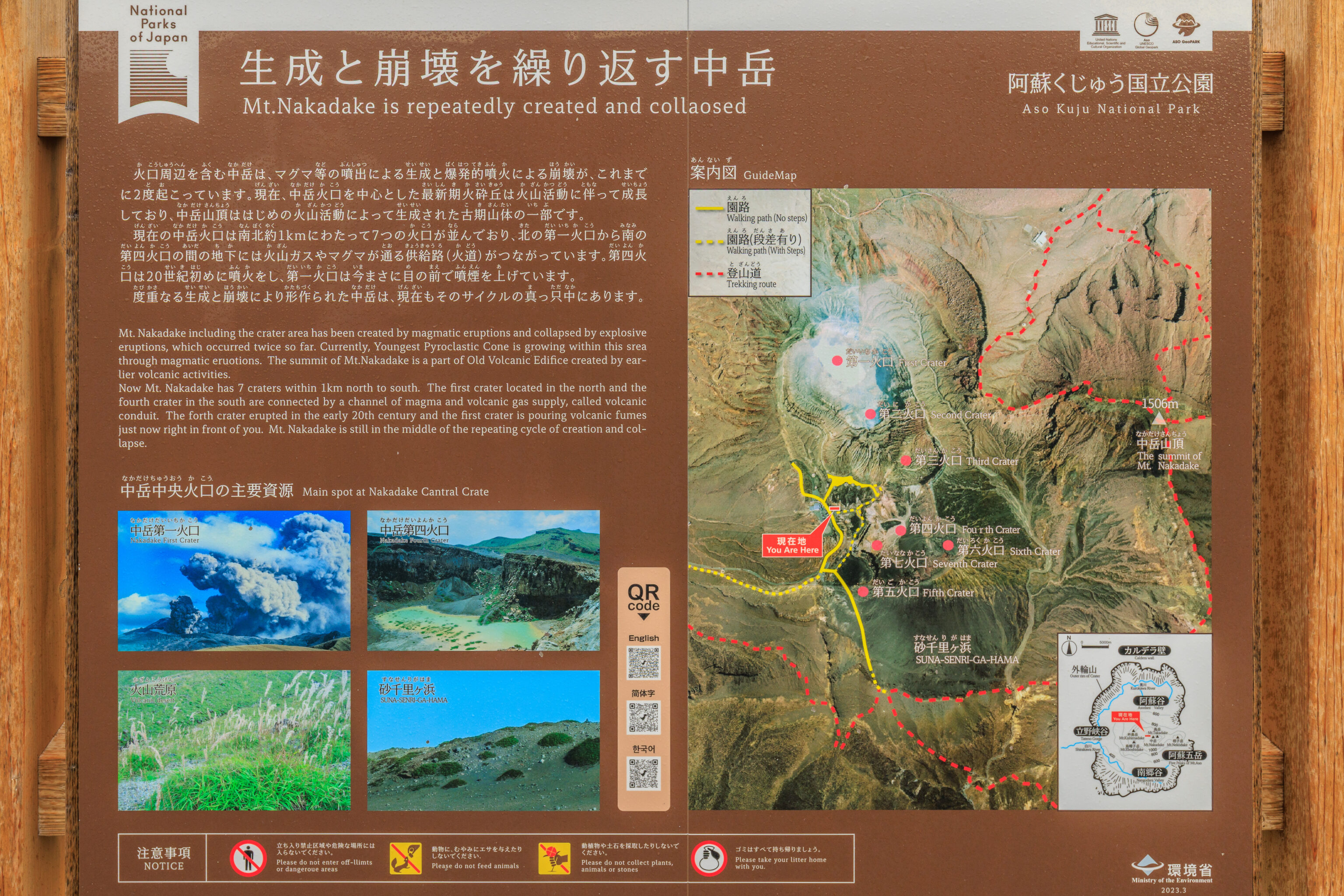
We were at the crater viewing area by 10:30am. This area consists of a parking lot, shelter building, and various paths to scattered viewpoints.
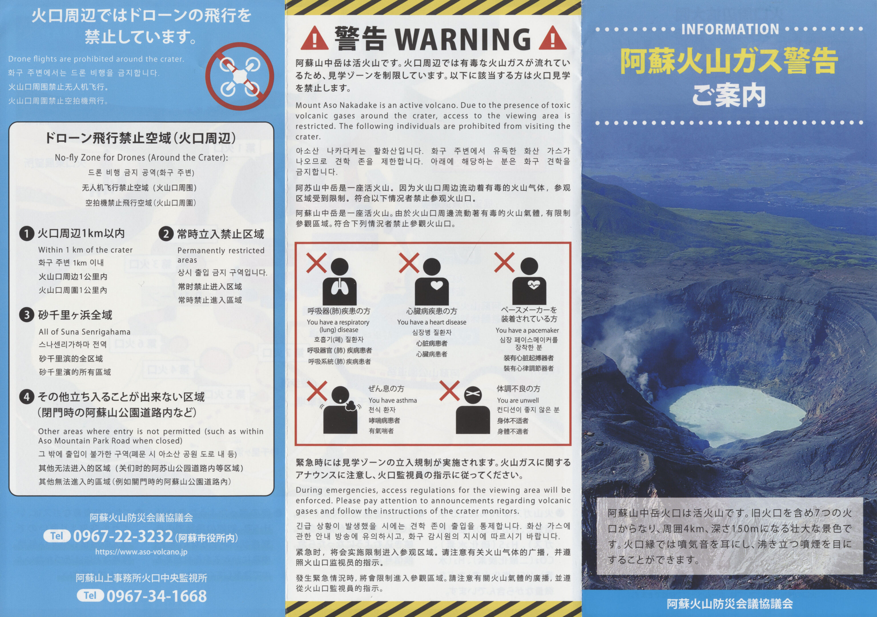
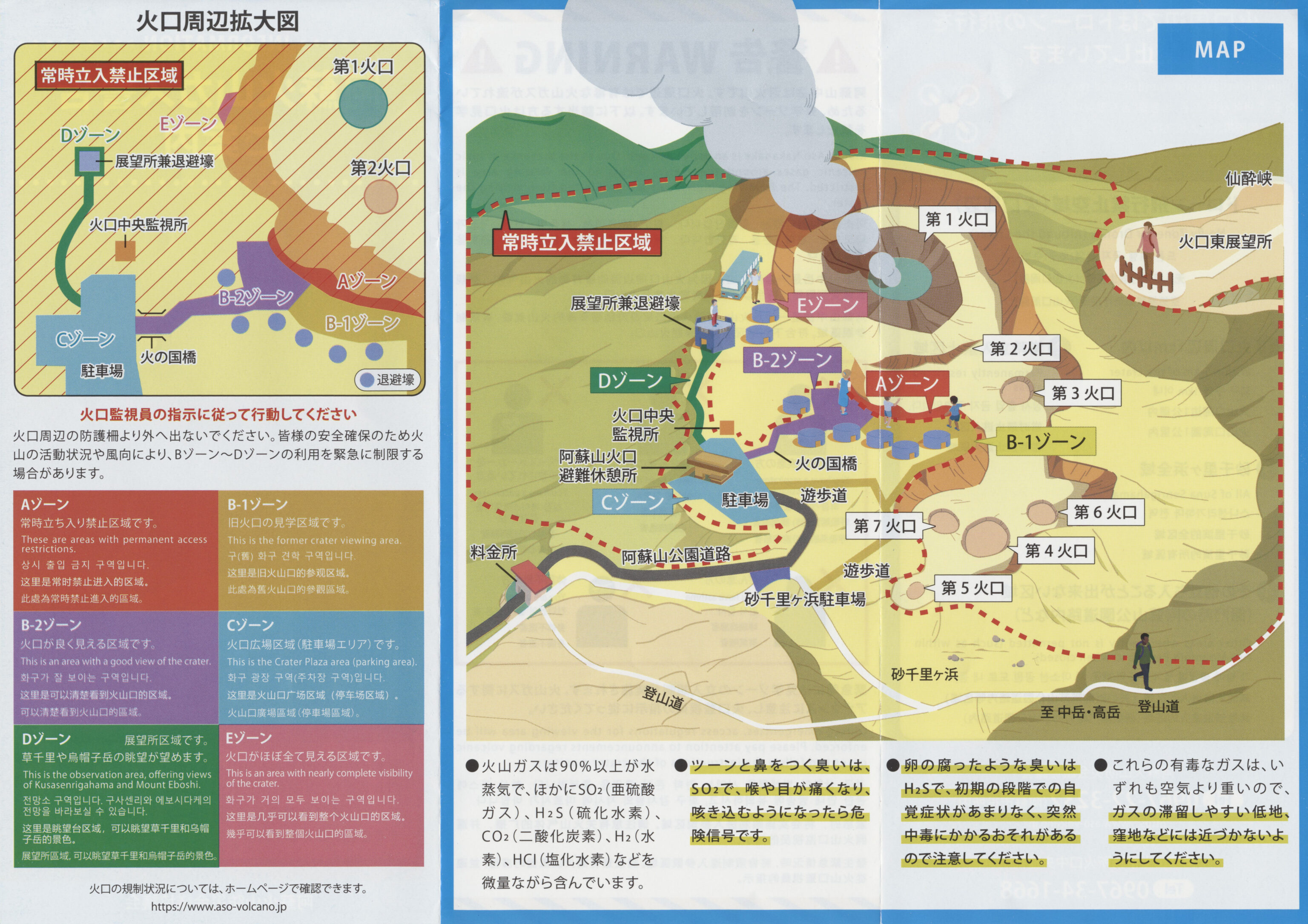
This Japanese language pamphlet provides a bit of information about this area.
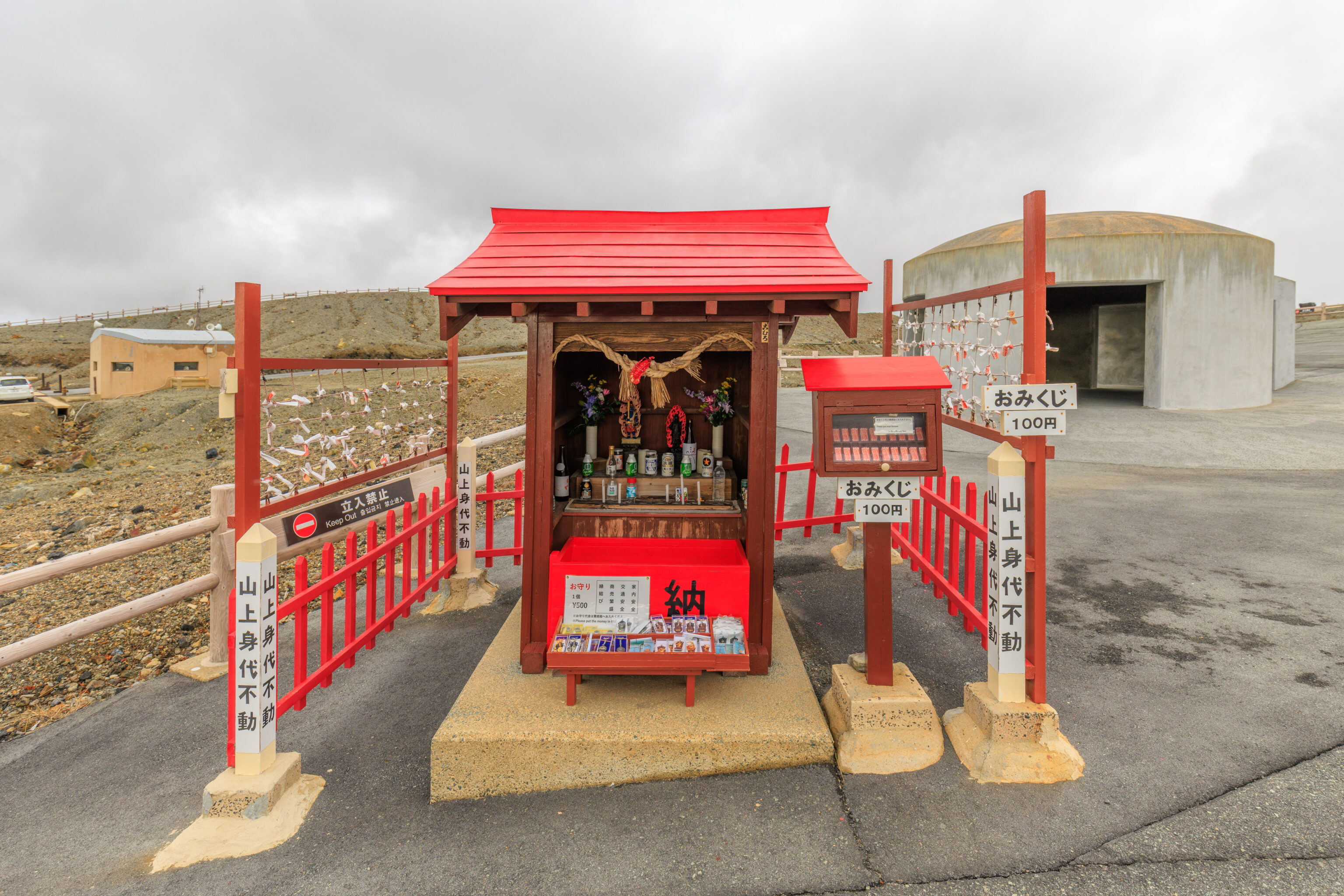
We passed by a small shrine on our way to the closest viewpoint.
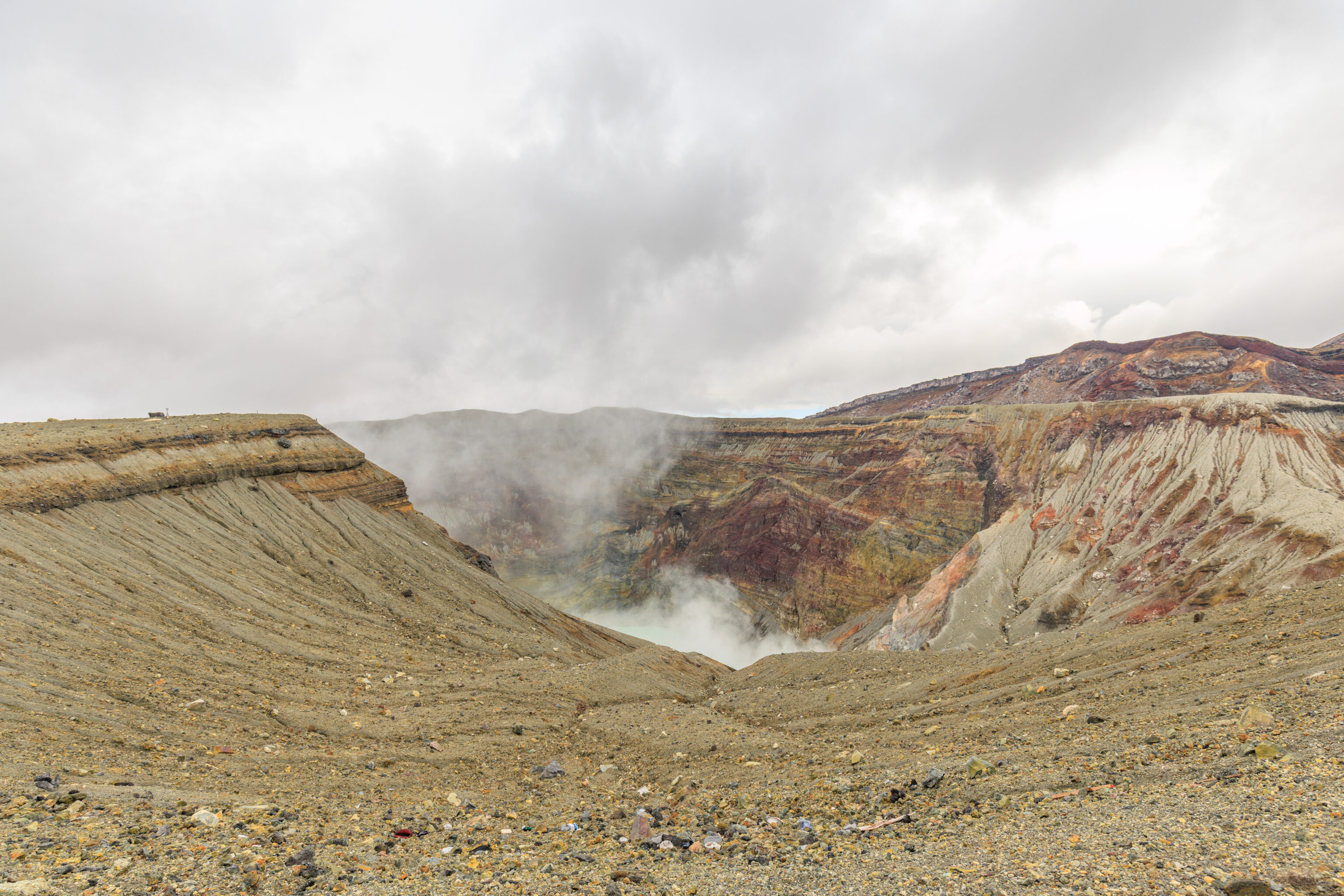
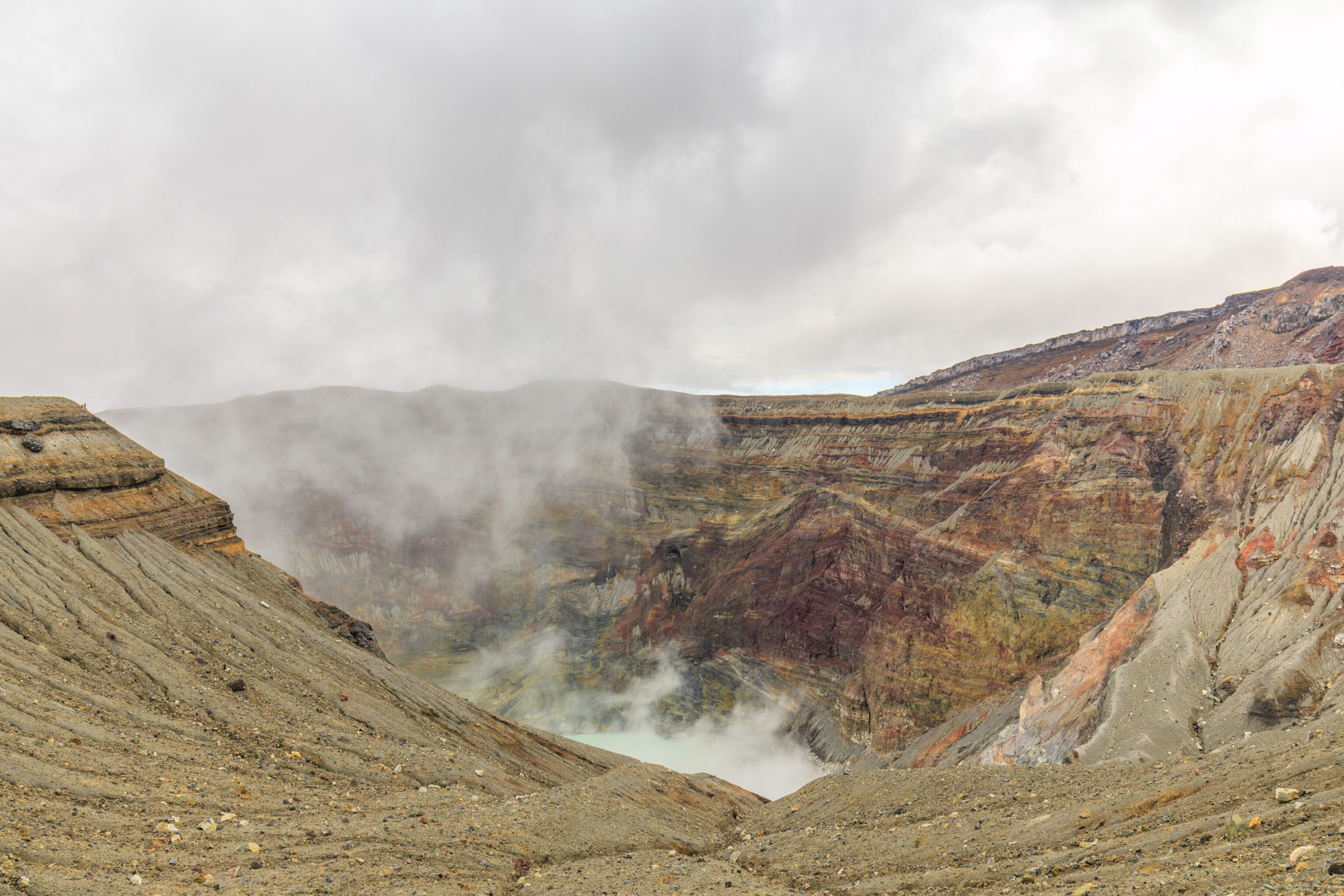
The viewing area here is basically a wide overlook on the south side of the first Nakadake crater. This is the only currently active volcanic area in Aso Volcano. From here, we could see volcanic steam being vented as well as a bit of the water that fills the crater.
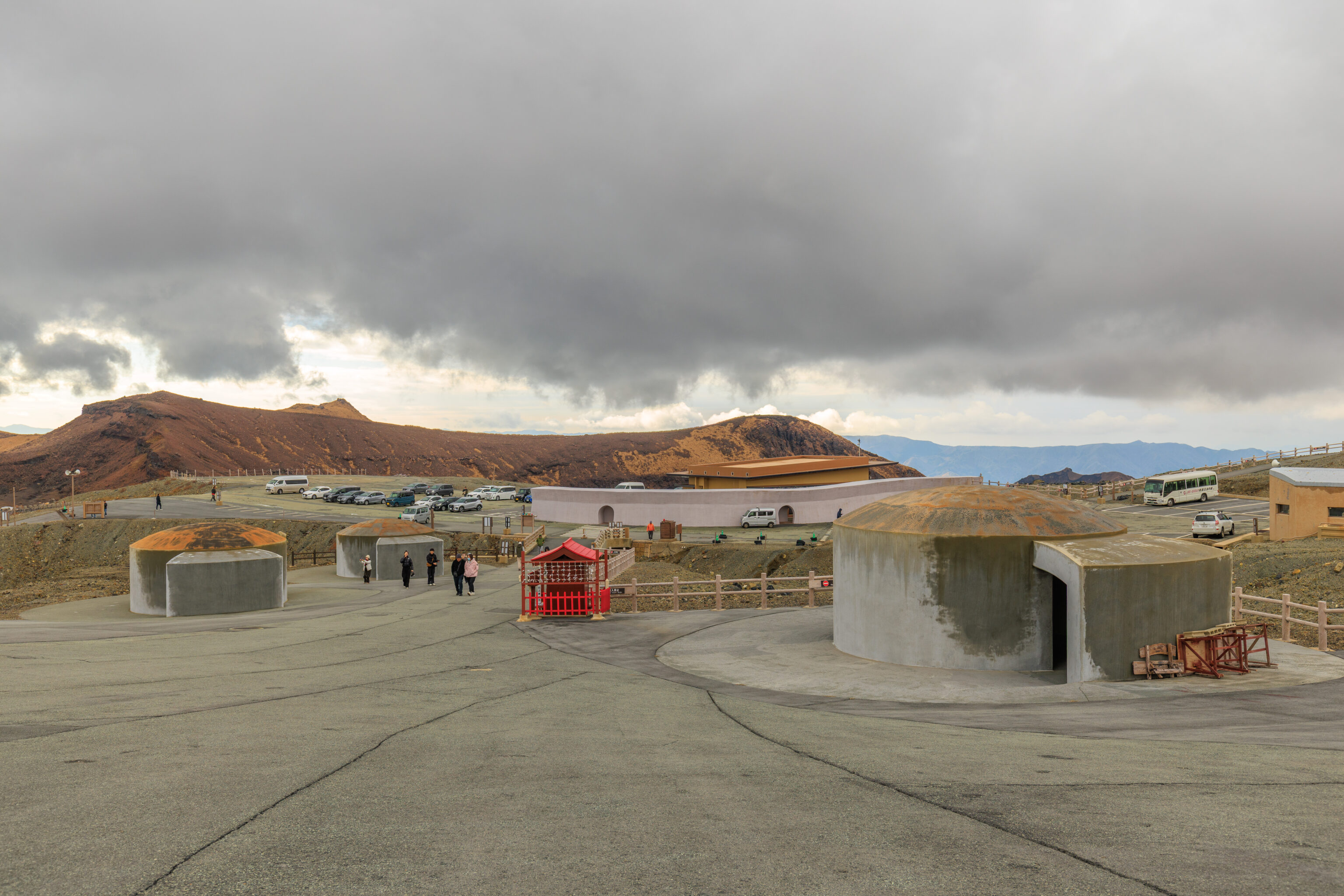
Looking back, the weather did not look good. The bunker-like structures seen here are intended to be used as shelter in case the volcano erupts. We saw similar structures when we visited Owakudani in Hakone, although the physical design of the shelters weren’t quite the same. The wall in the background almost seems like it is intended to protect the building behind it.
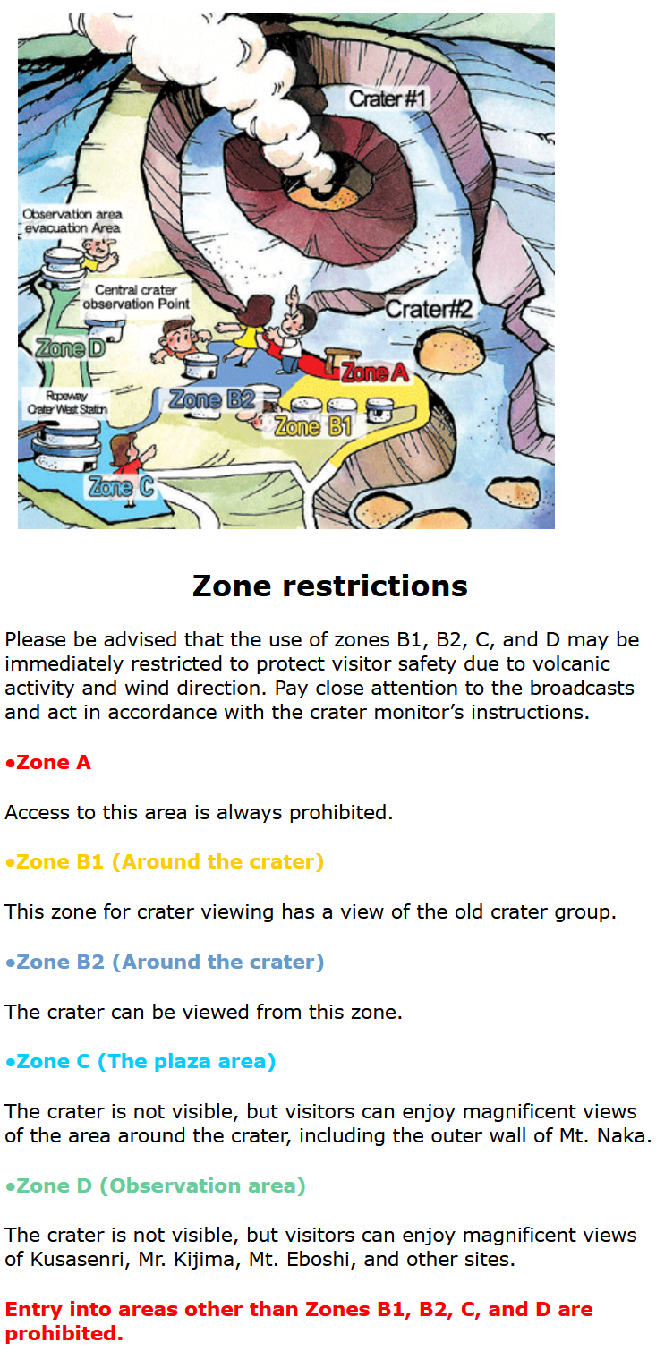
This diagram on the left from the Aso Volcano website depicts the zones here at the crater observation area.
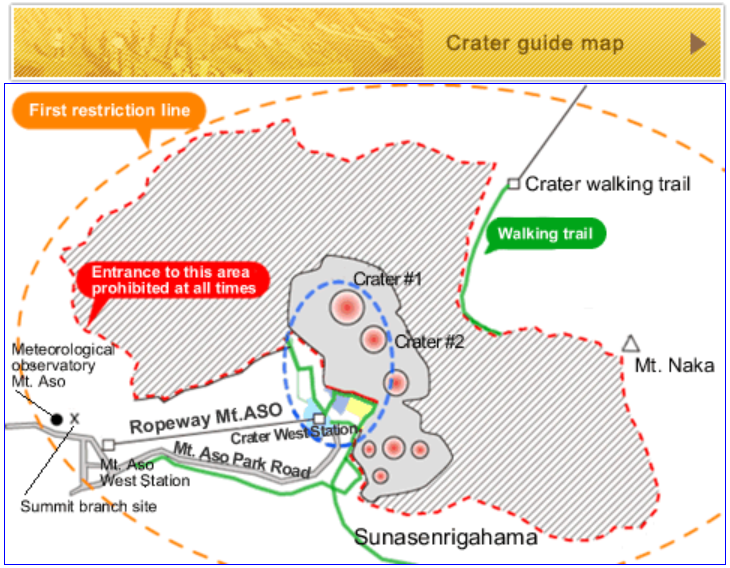
There are seven craters total here on the west side of Nakadake.
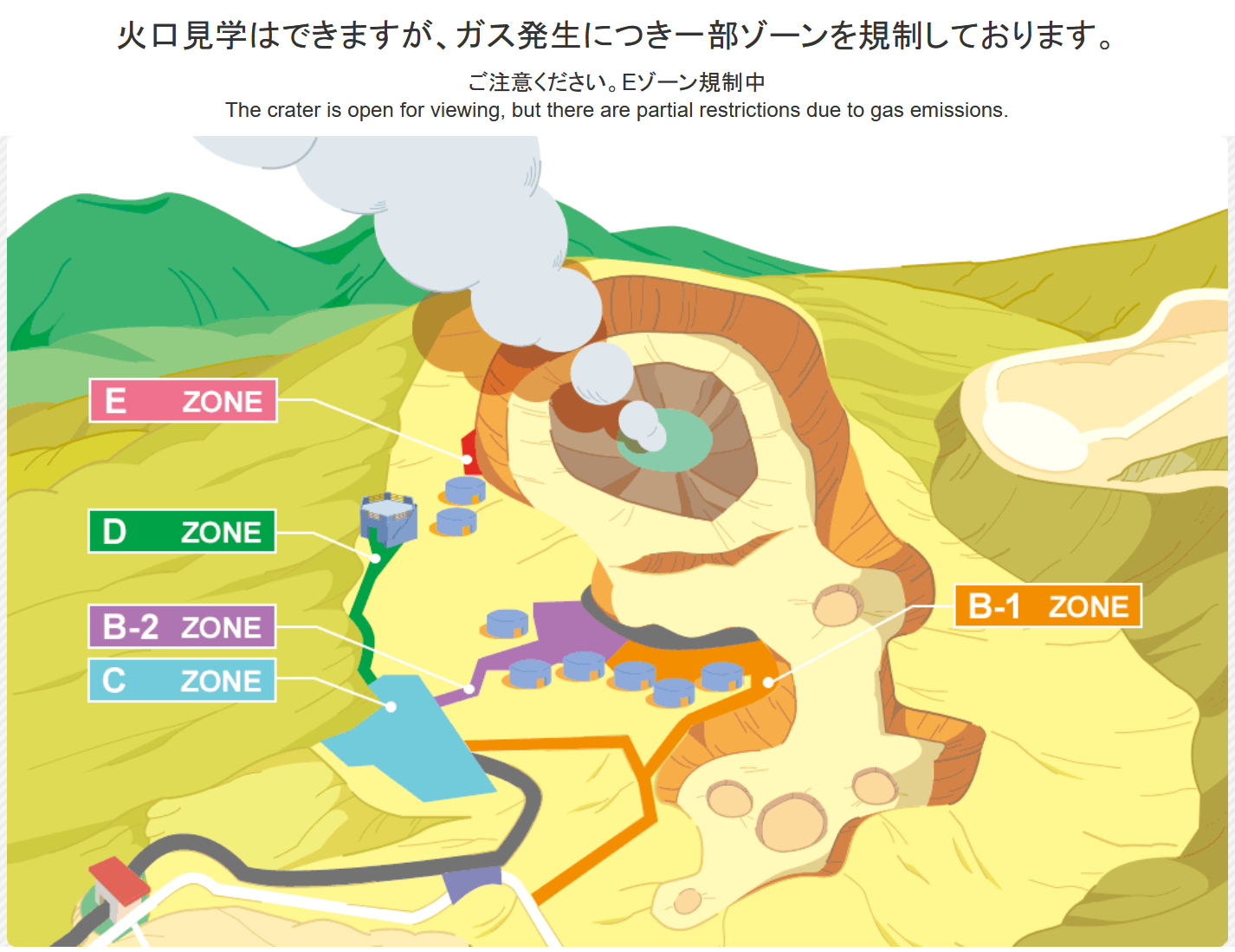
The Aso Volcano website indicates which areas are open. You can’t tell from this screenshot but the areas that are closed flash red. Note that the E zone seems to be permanently closed. The closed areas, like E above, actually flash red when viewed on the website.
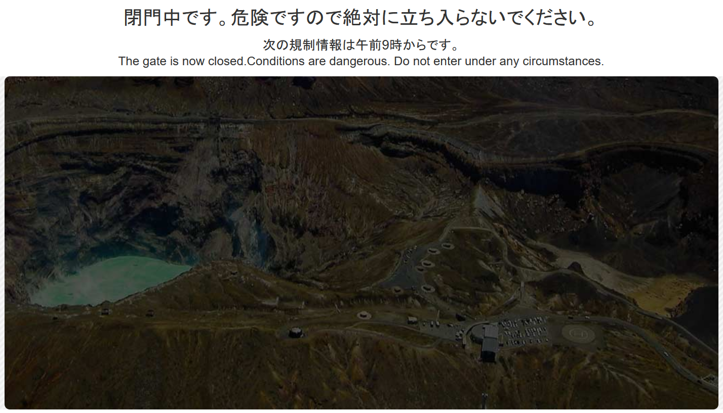
The website is updated throughout the day. If you view it outside of the time that the park is open, it will indicate that it is closed. There is no way to know if it will be open the next day as it depends not only on the weather but if there are dangerous fumes.
January 20th, 2026
A sightseeing helicopter crashed into the side of the first crater. There was one pilot and two tourists from Taiwan.
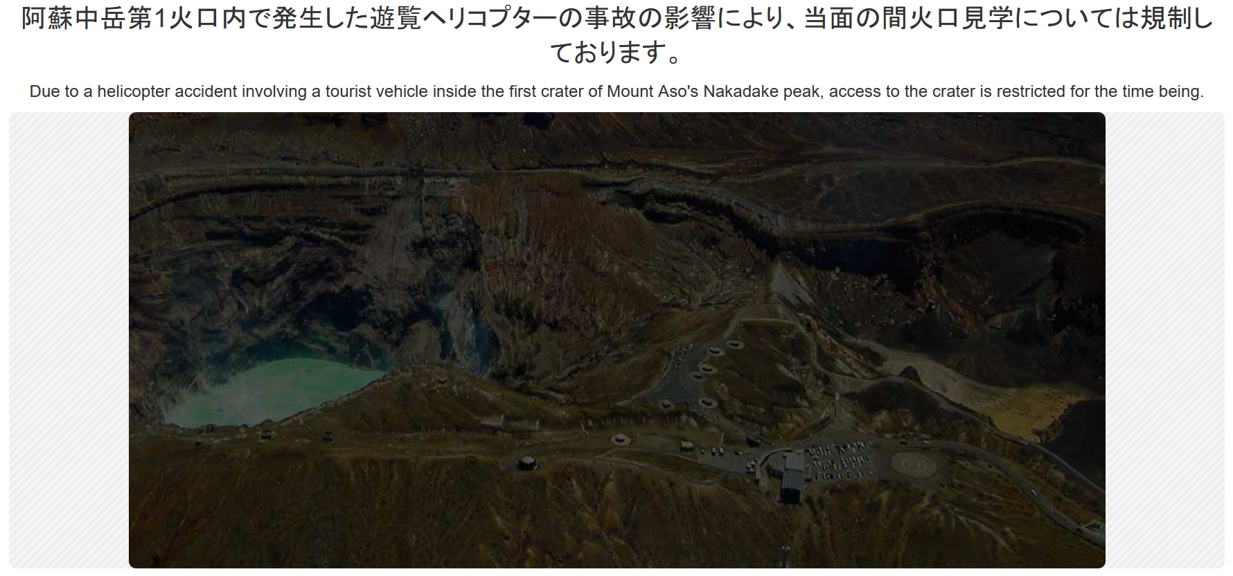
It appears that the crater observation area is closed until the helicopter and the remains of its three occupants can be recovered.
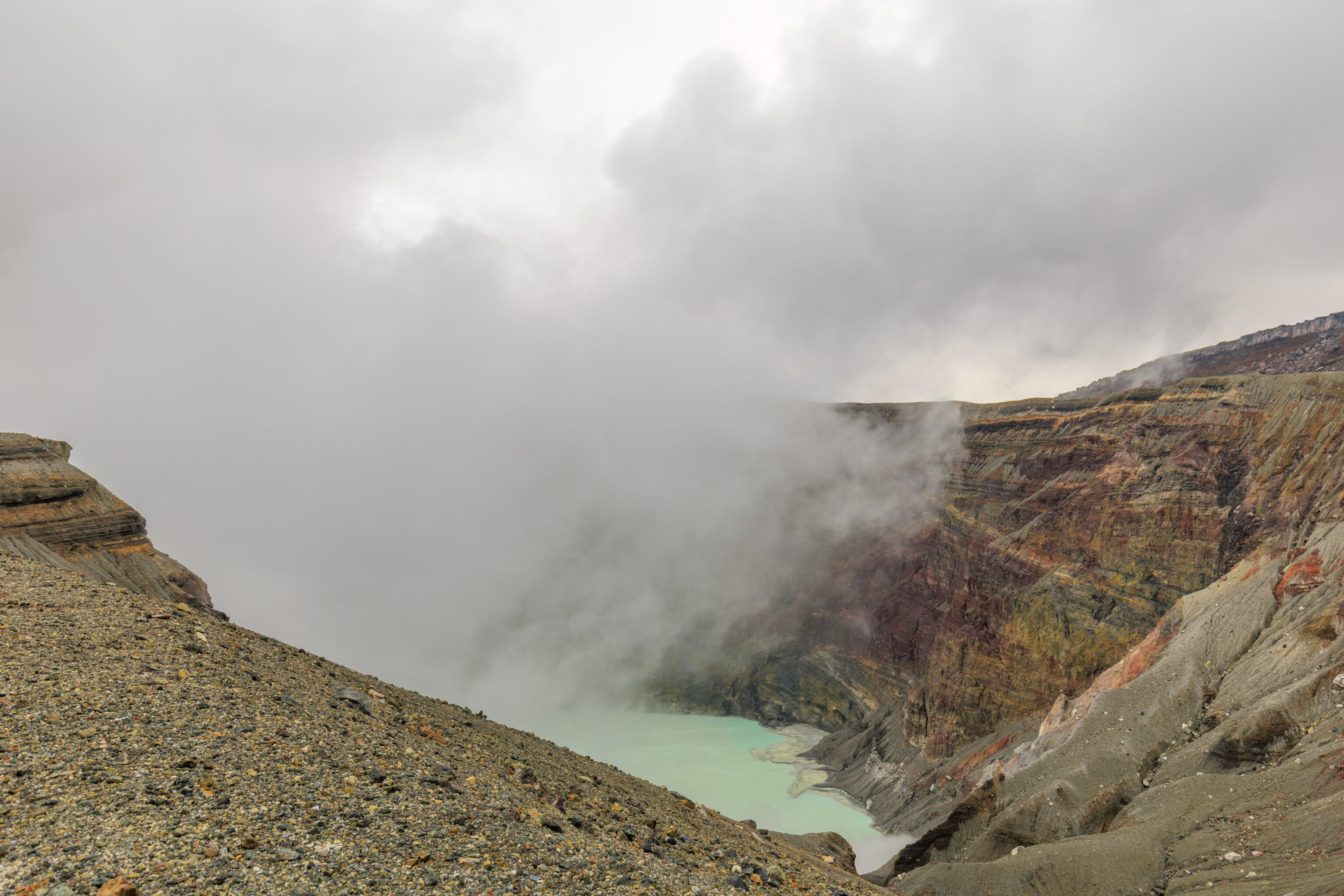
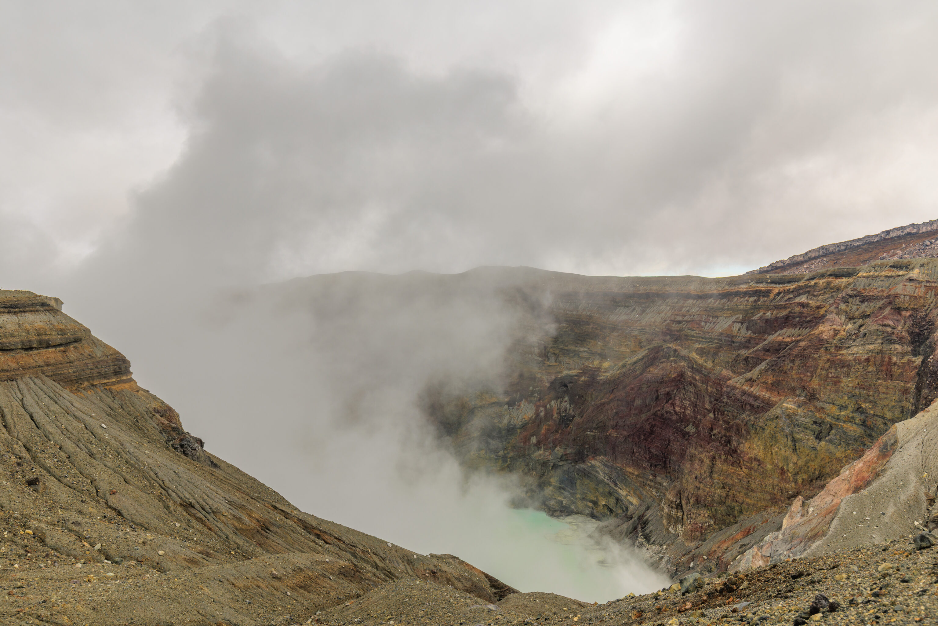
Walking to the east, we started to get a better view of the crater lake below.
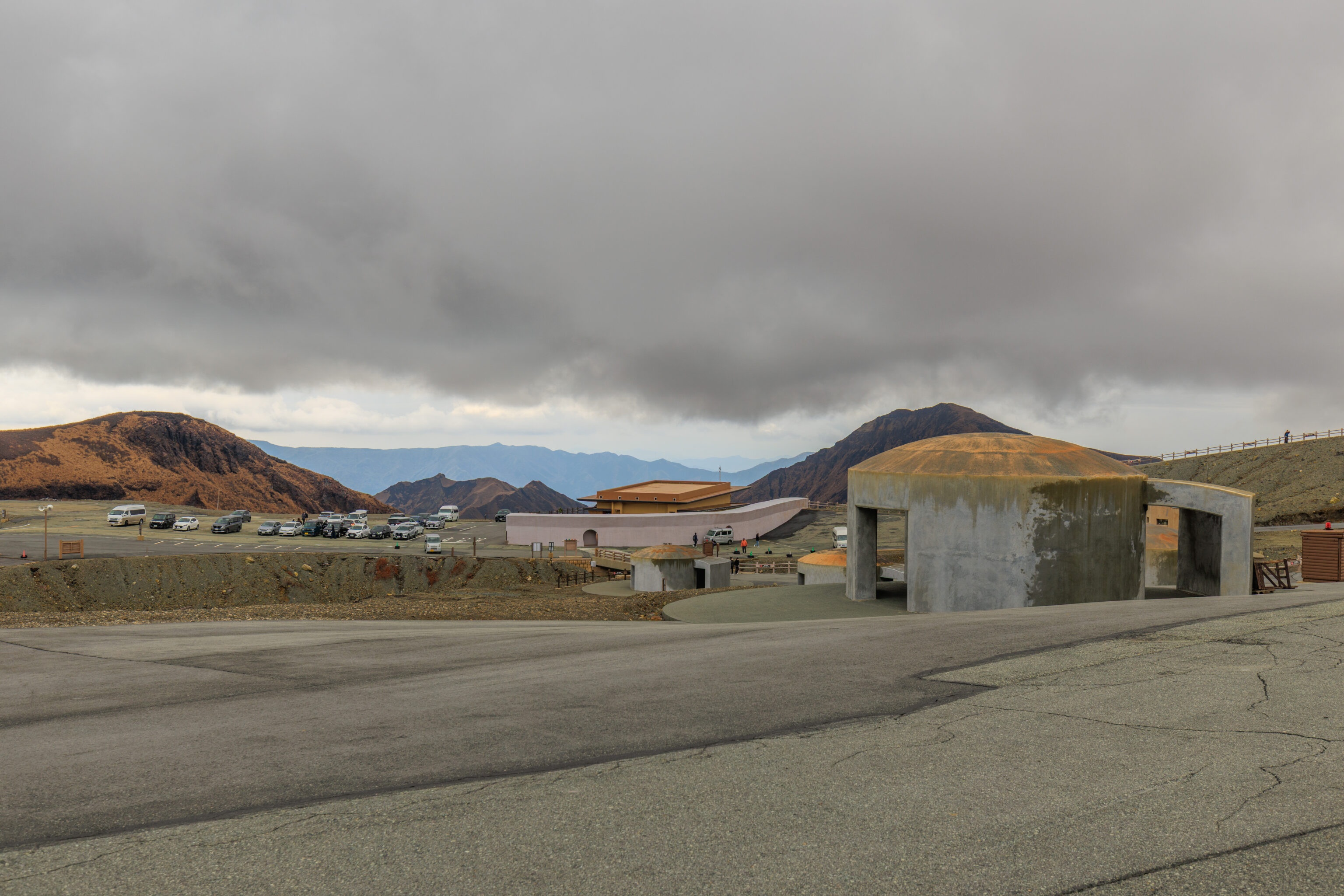
The view looking back once again.
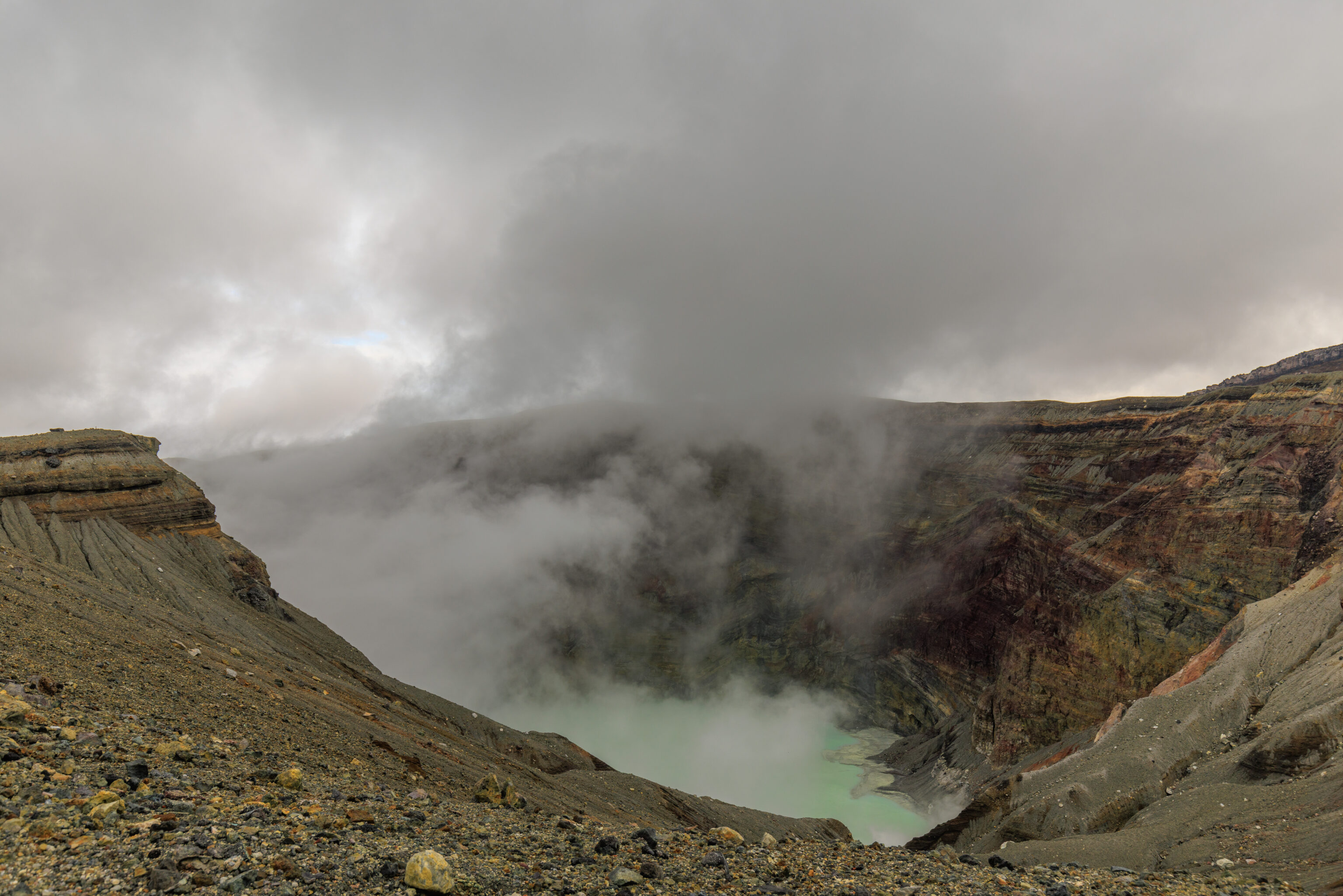
We walked a bit further to the east. The view from here was perhaps slightly better.
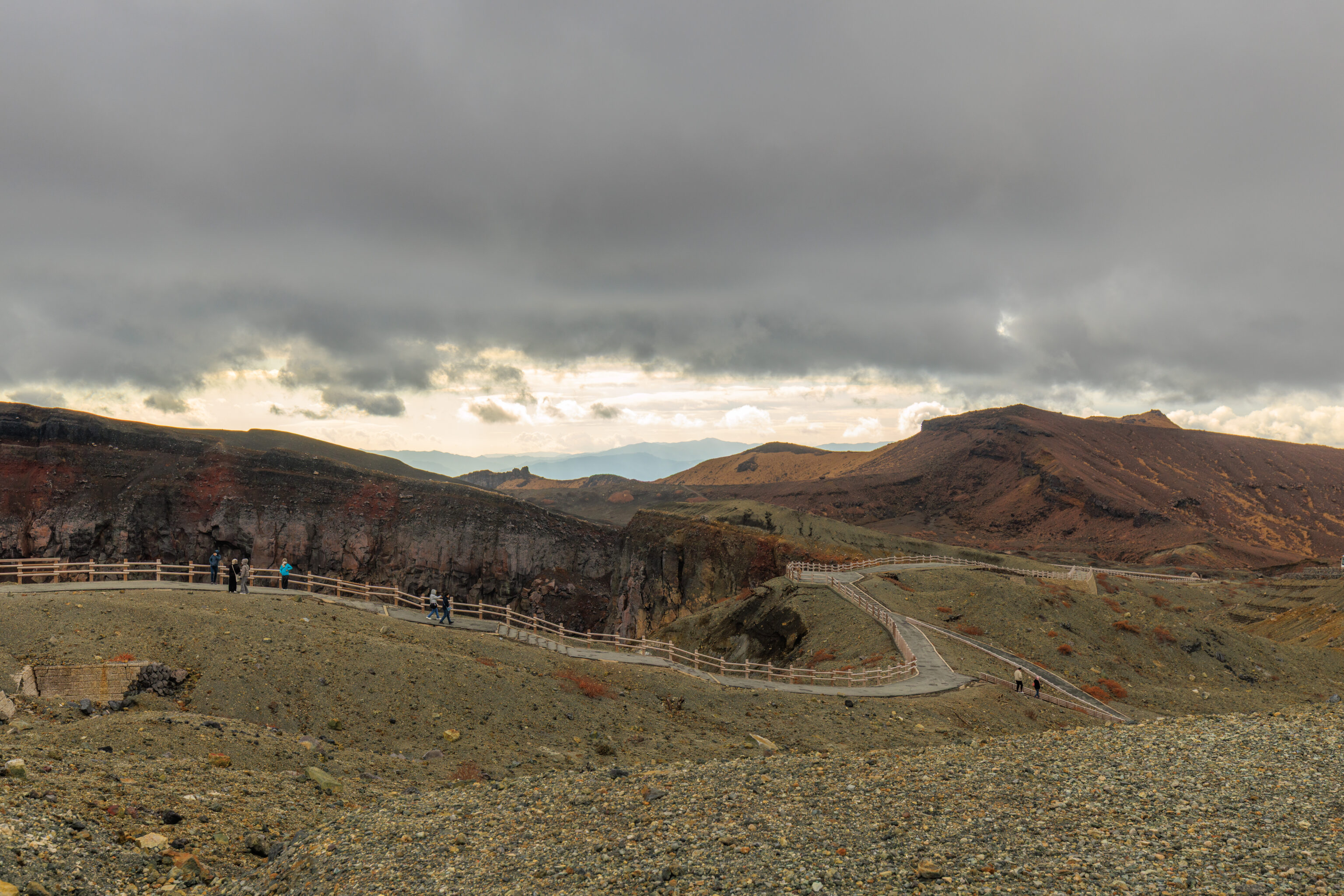
The path continues to the south, away from the first crater.
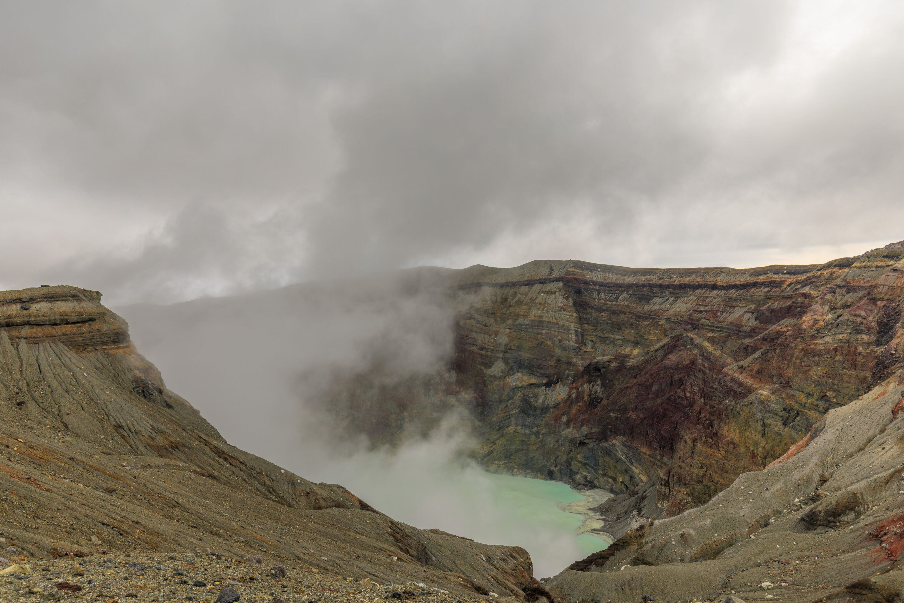
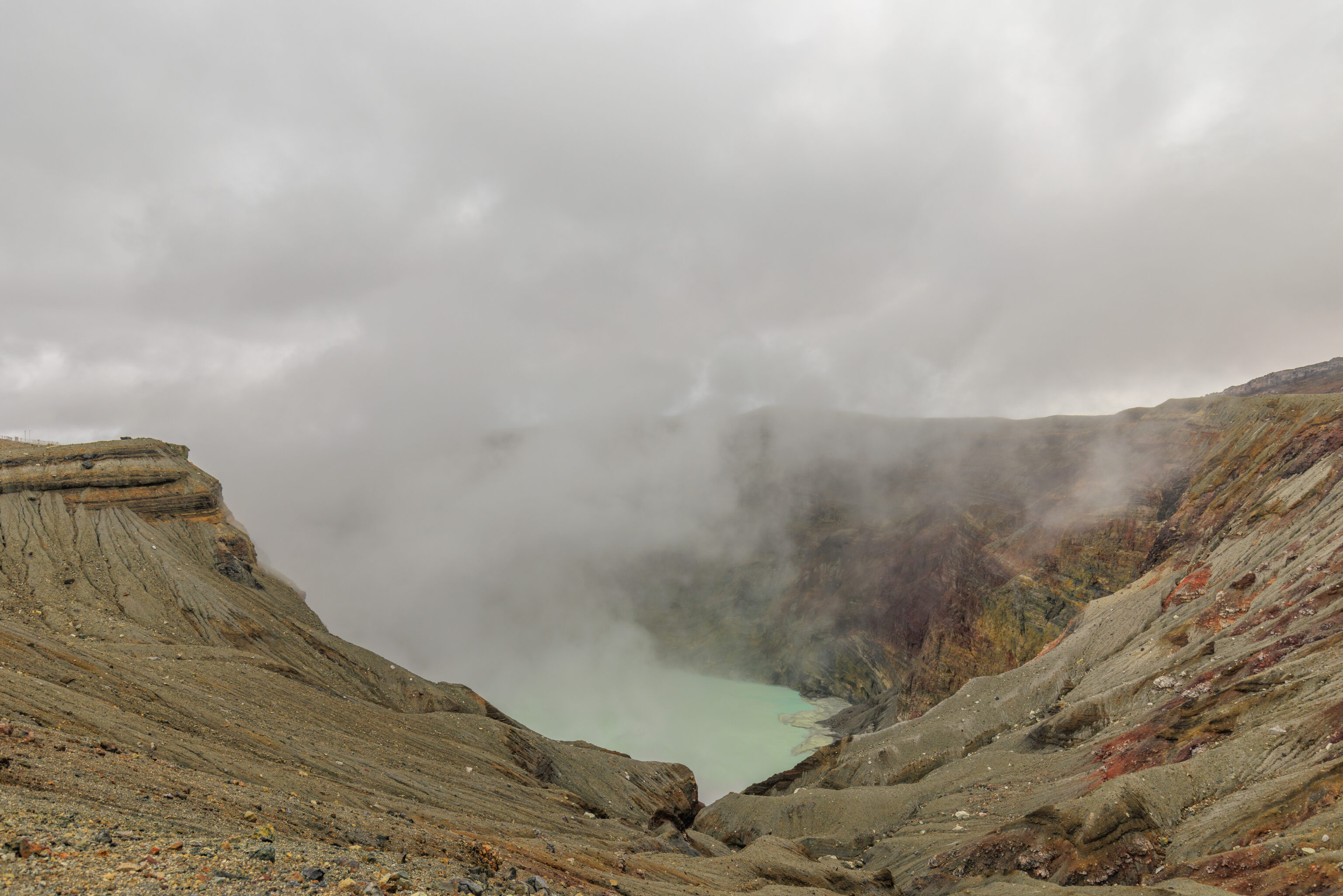
We walked a bit further to the east, which provided the best views of the crater lake below.
We recorded video from the crater observation area. You can’t tell from looking at the previous photographs but it was very windy during much of our visit.
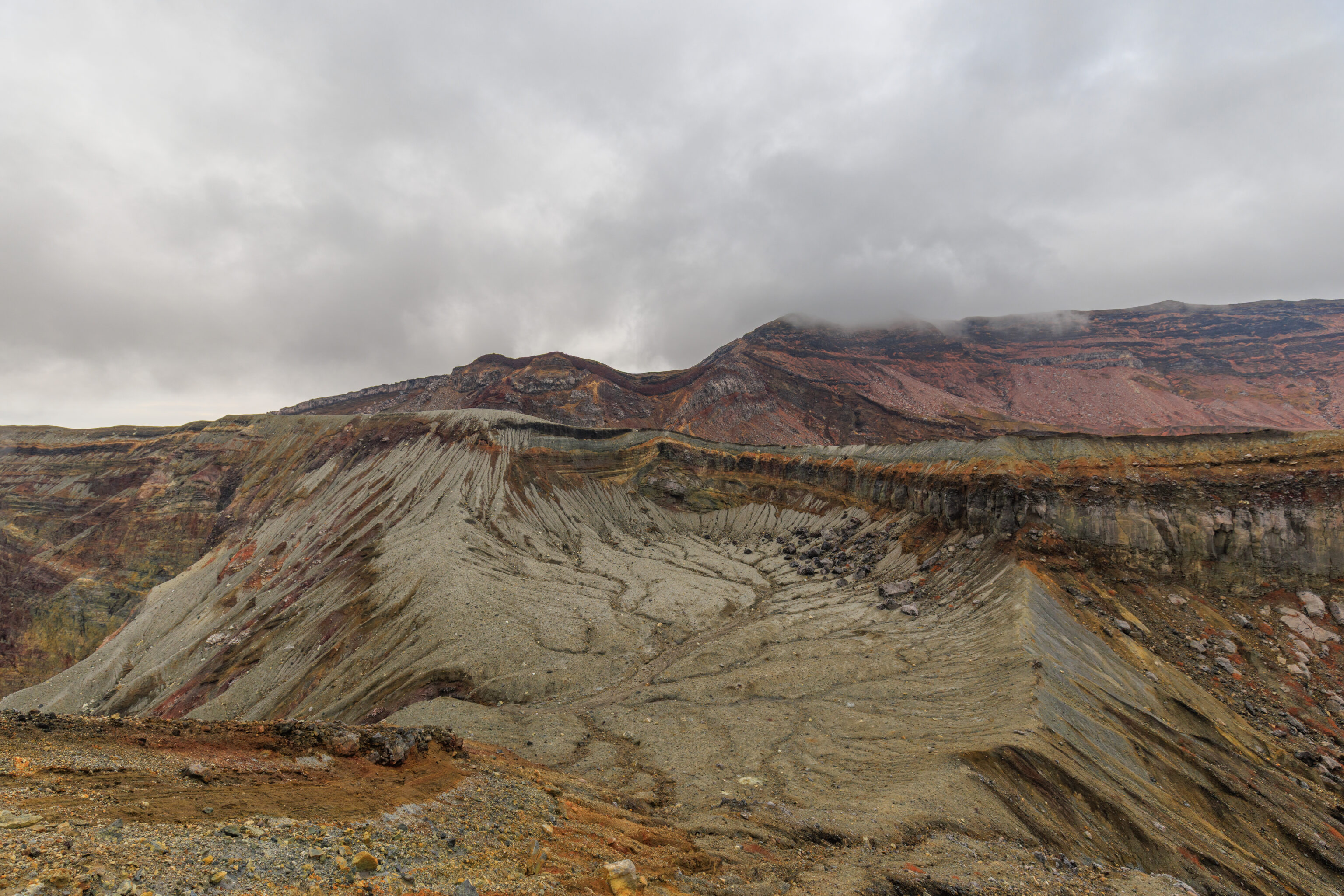
Looking more or less to the northeast, this area is probably the third crater.
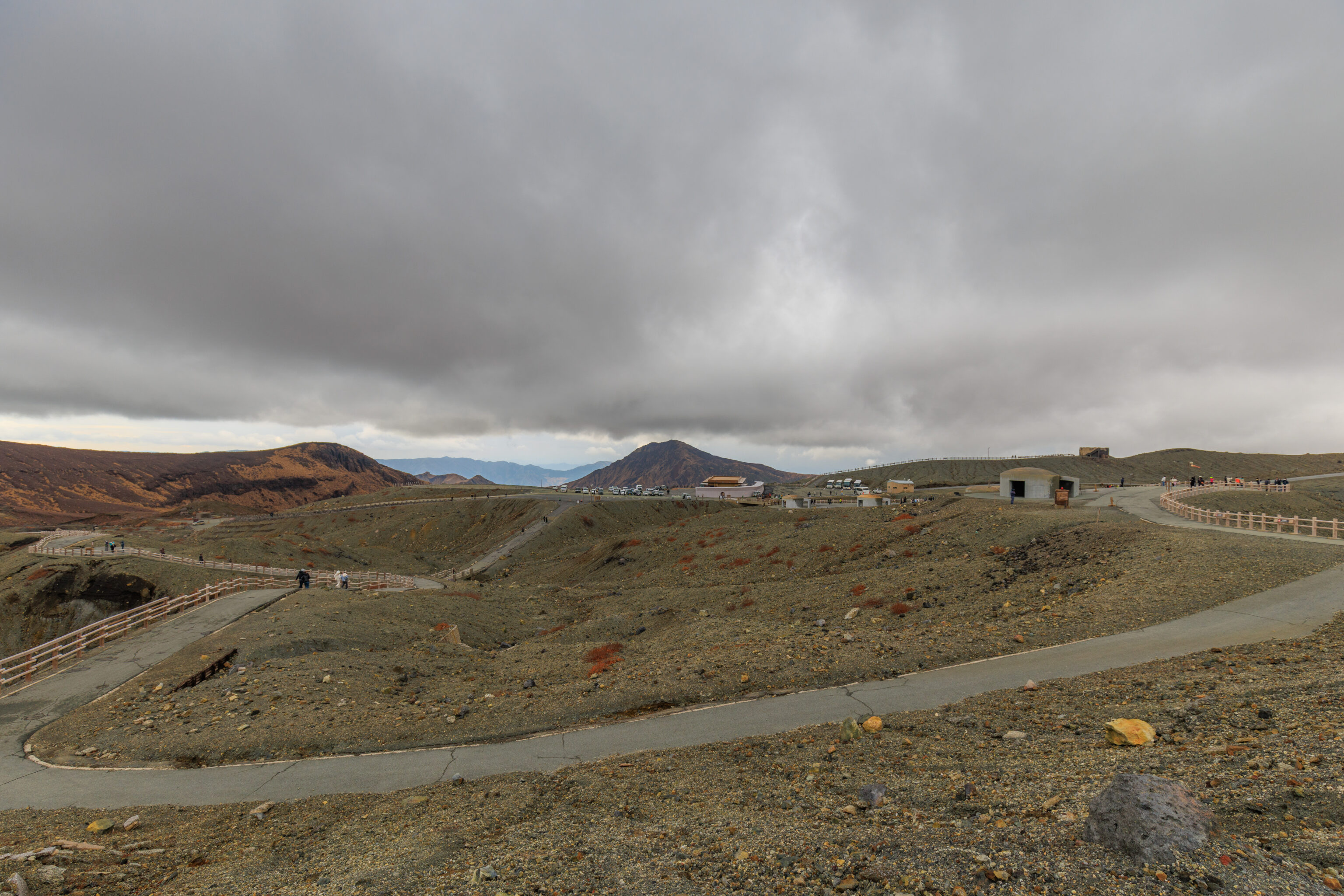
Looking to the south, we can see that the path continues. There also appears to be a shortcut back to the parking area.
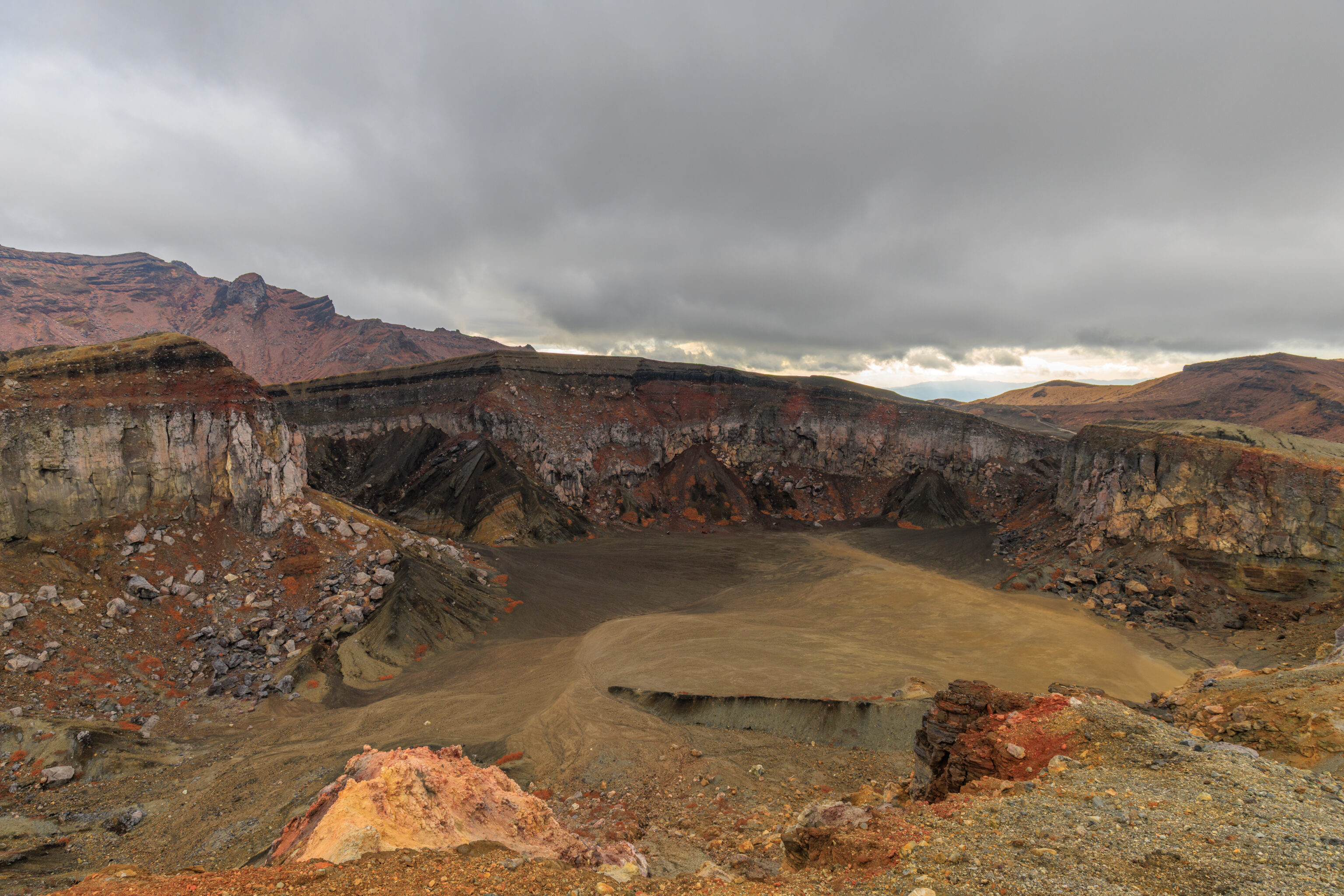
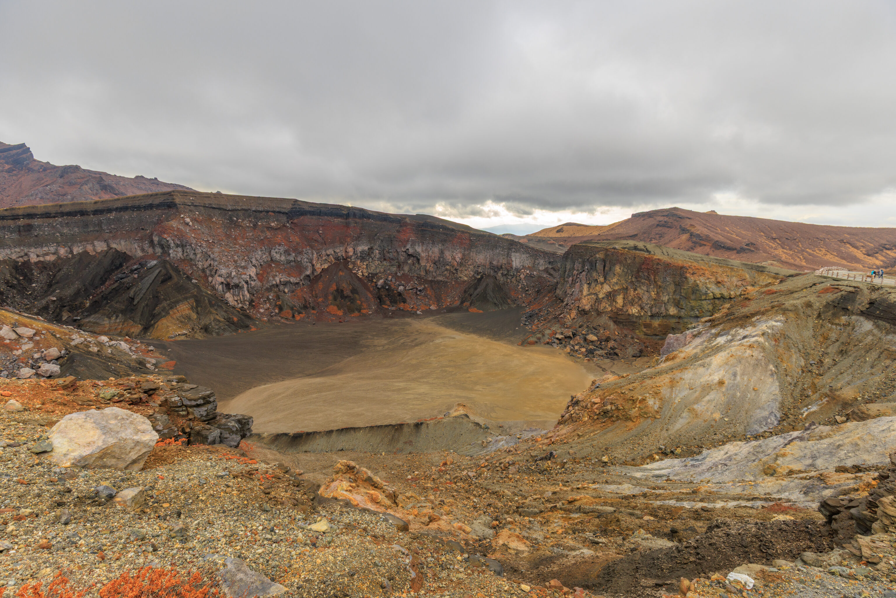
We continued following the path as it turned to the south. This area below seems to contain the remaining craters.
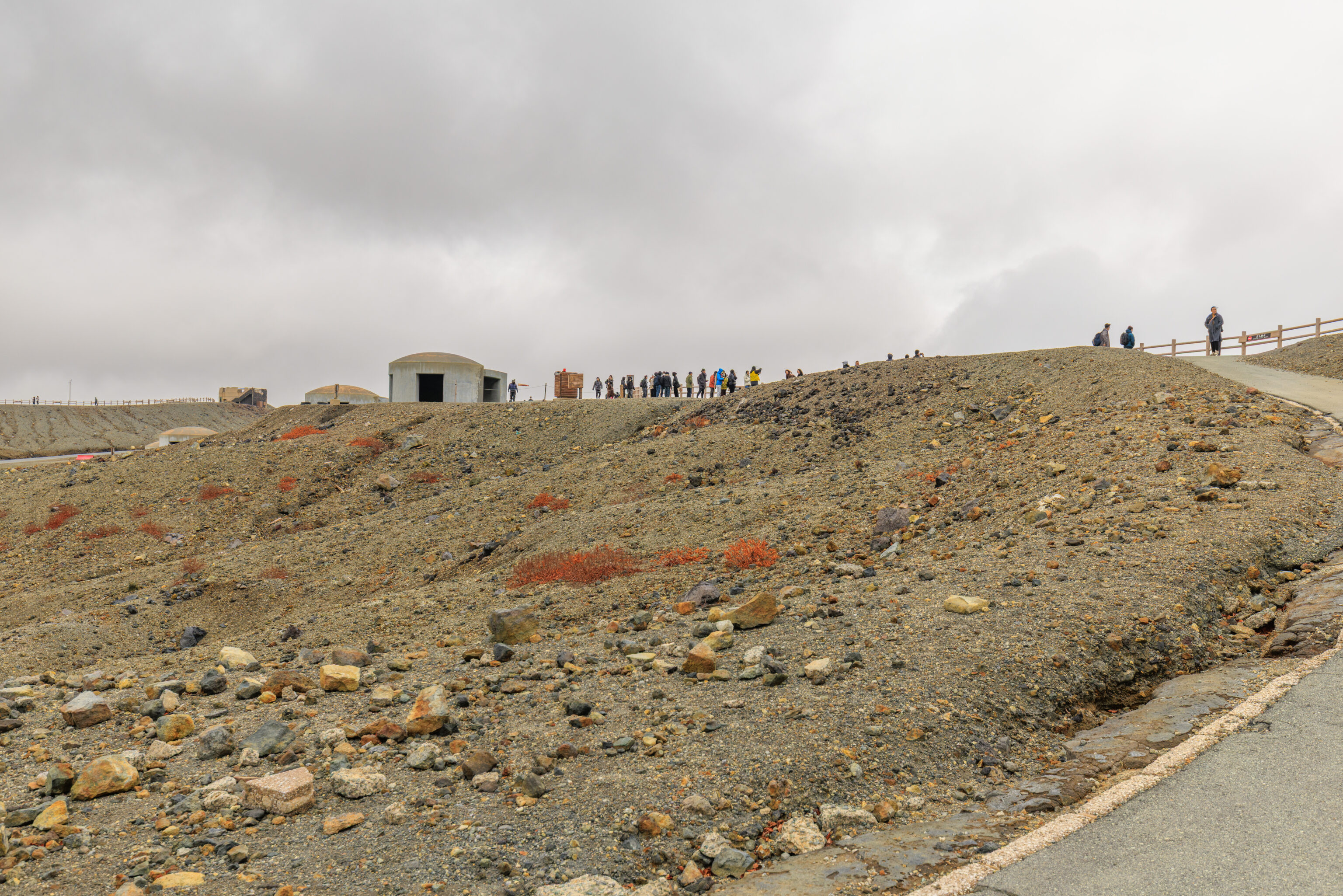
We took this path on the right, which takes us back to where we just were.
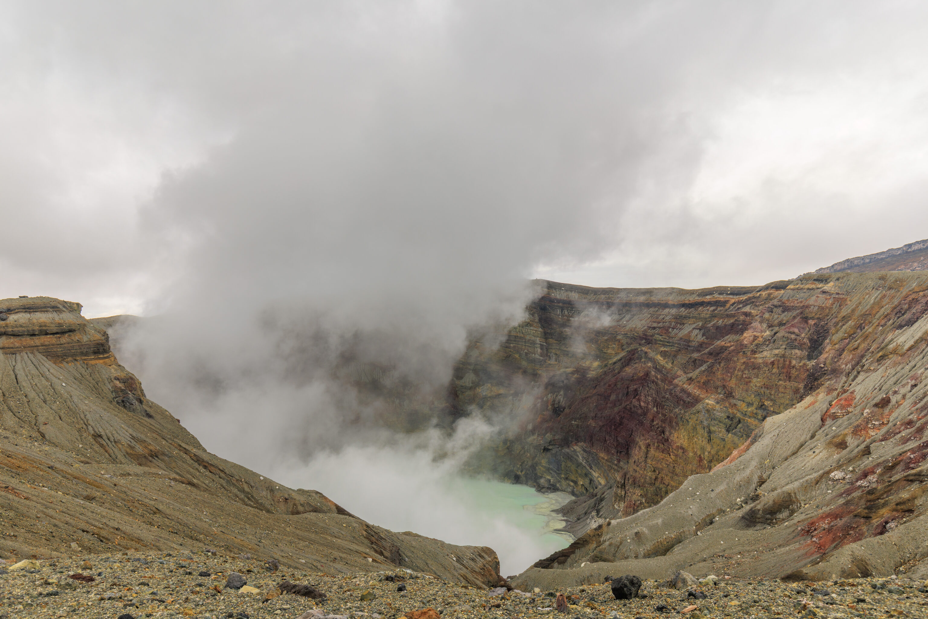
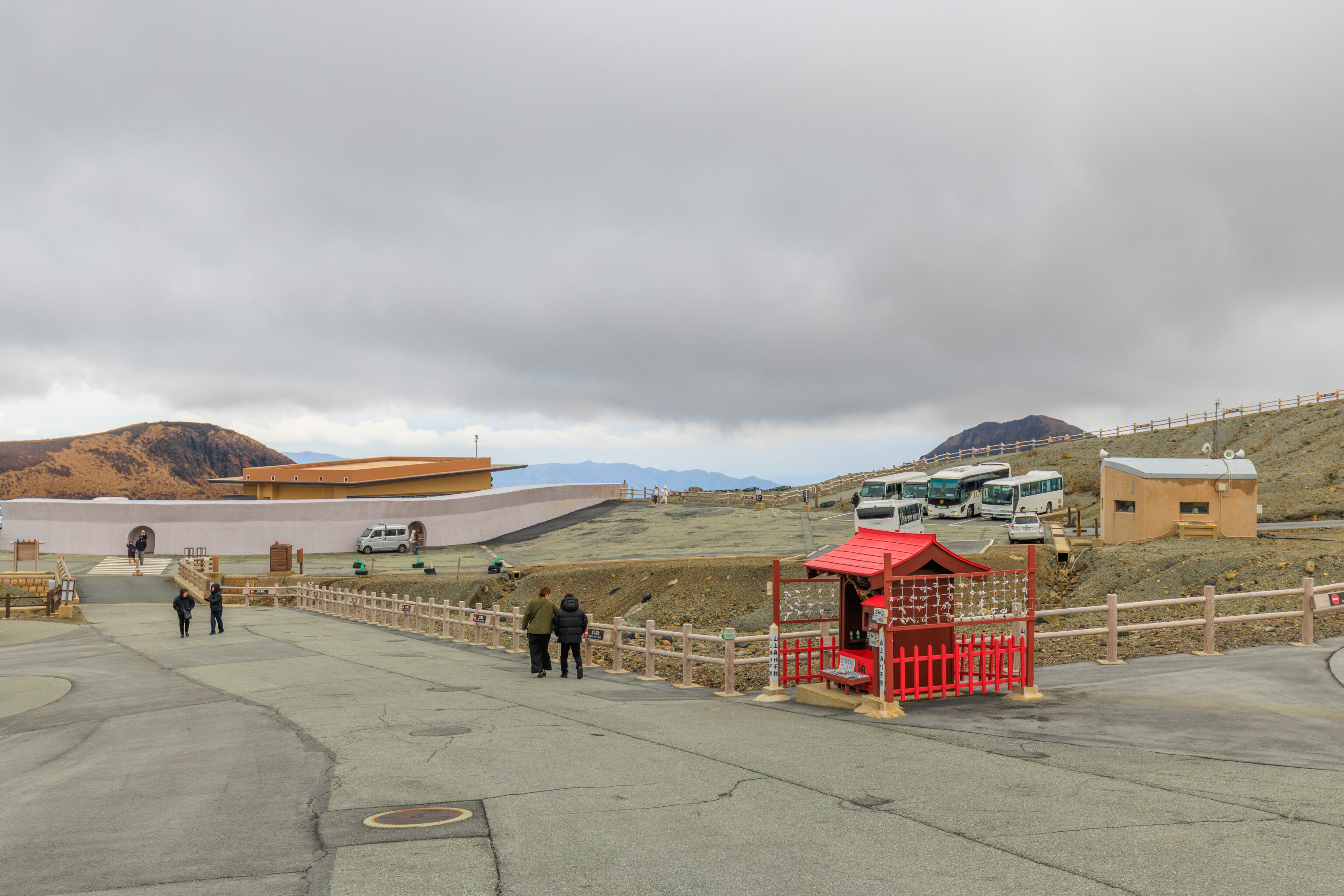
We started to backtrack to return to the area by the parking lot.
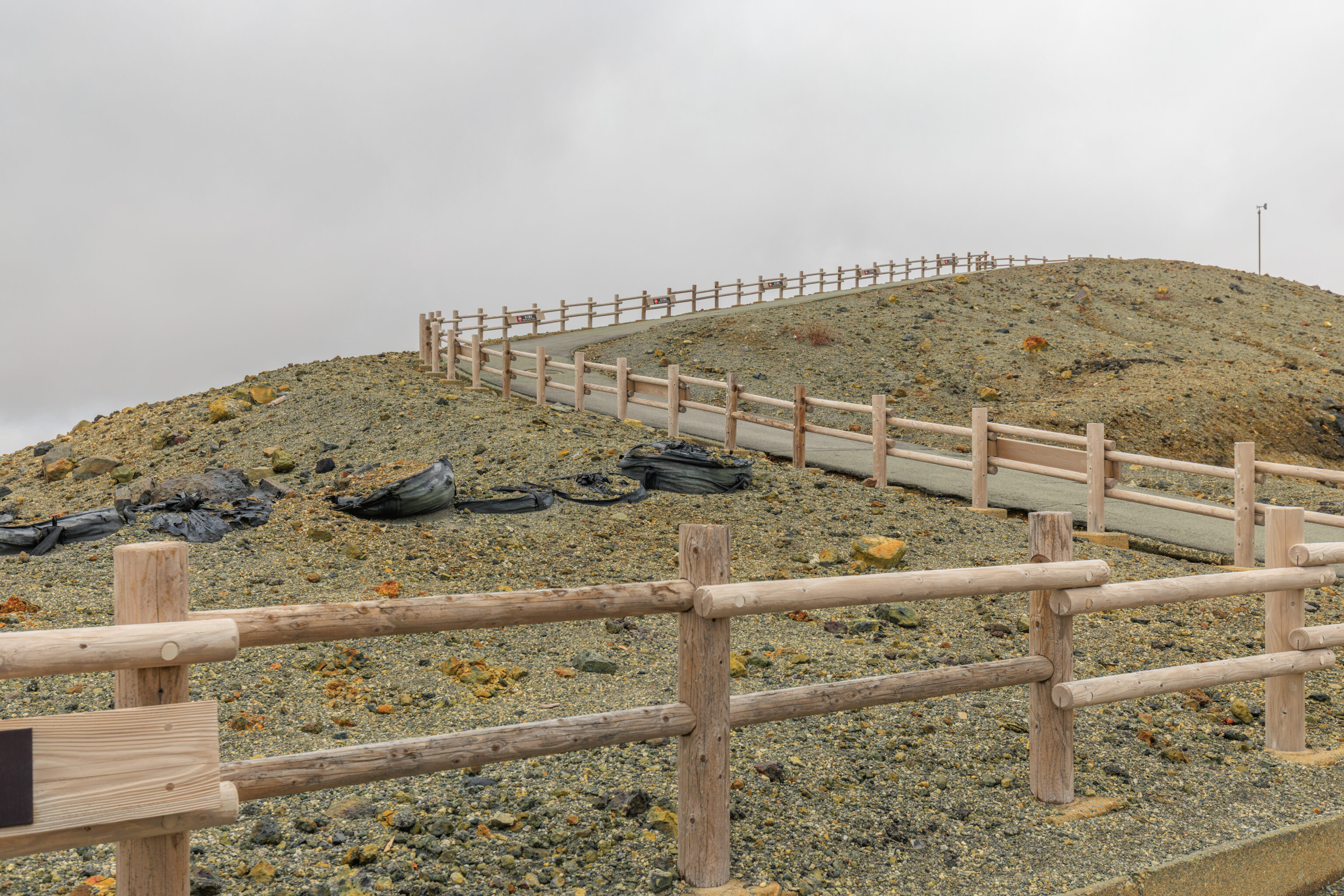
After returning to the parking lot area, we continued into zone D, which is up on this hill.
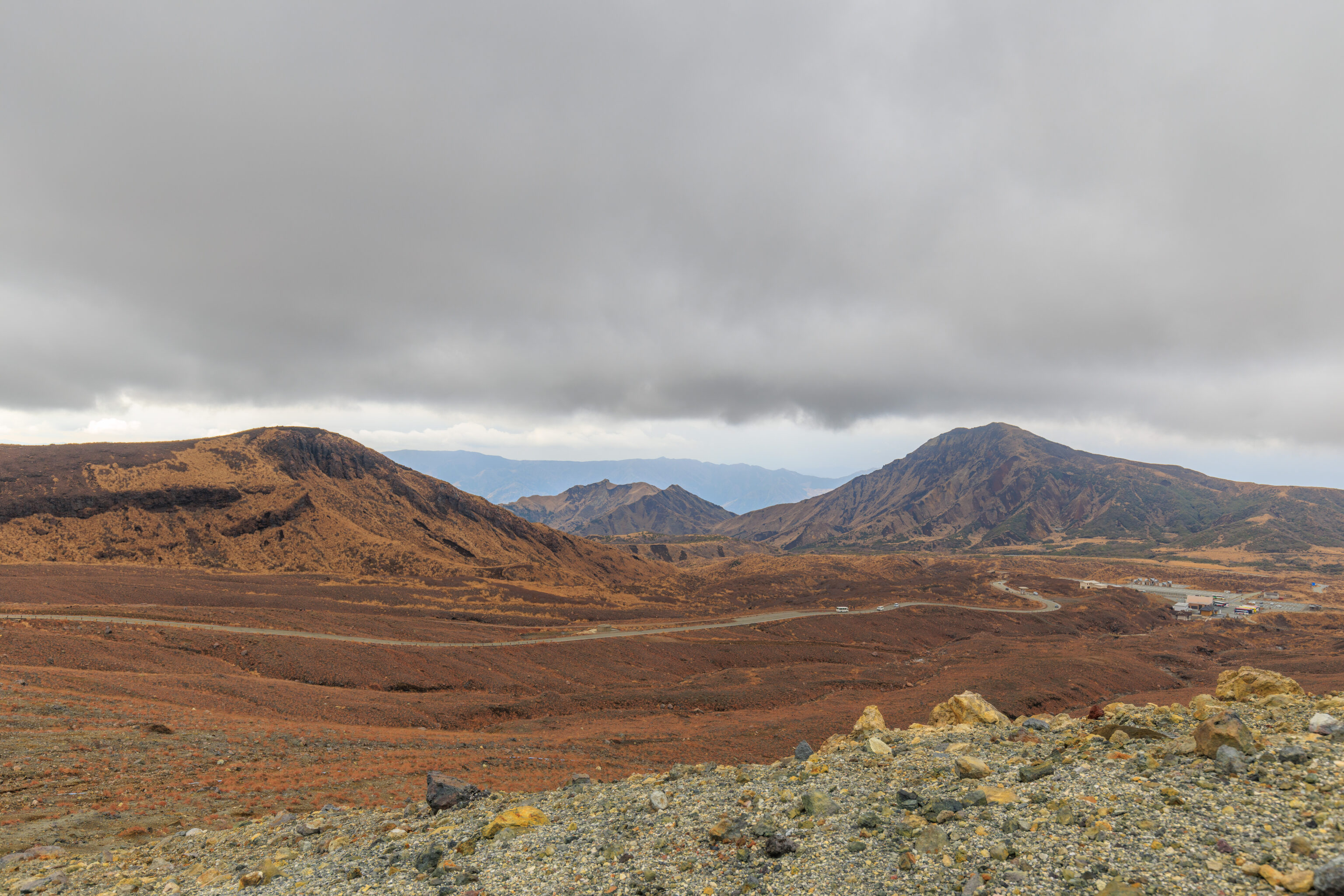
From this path, looking towards the Aso Sanjo Terminal, we could see the road that the bus took on its way here.
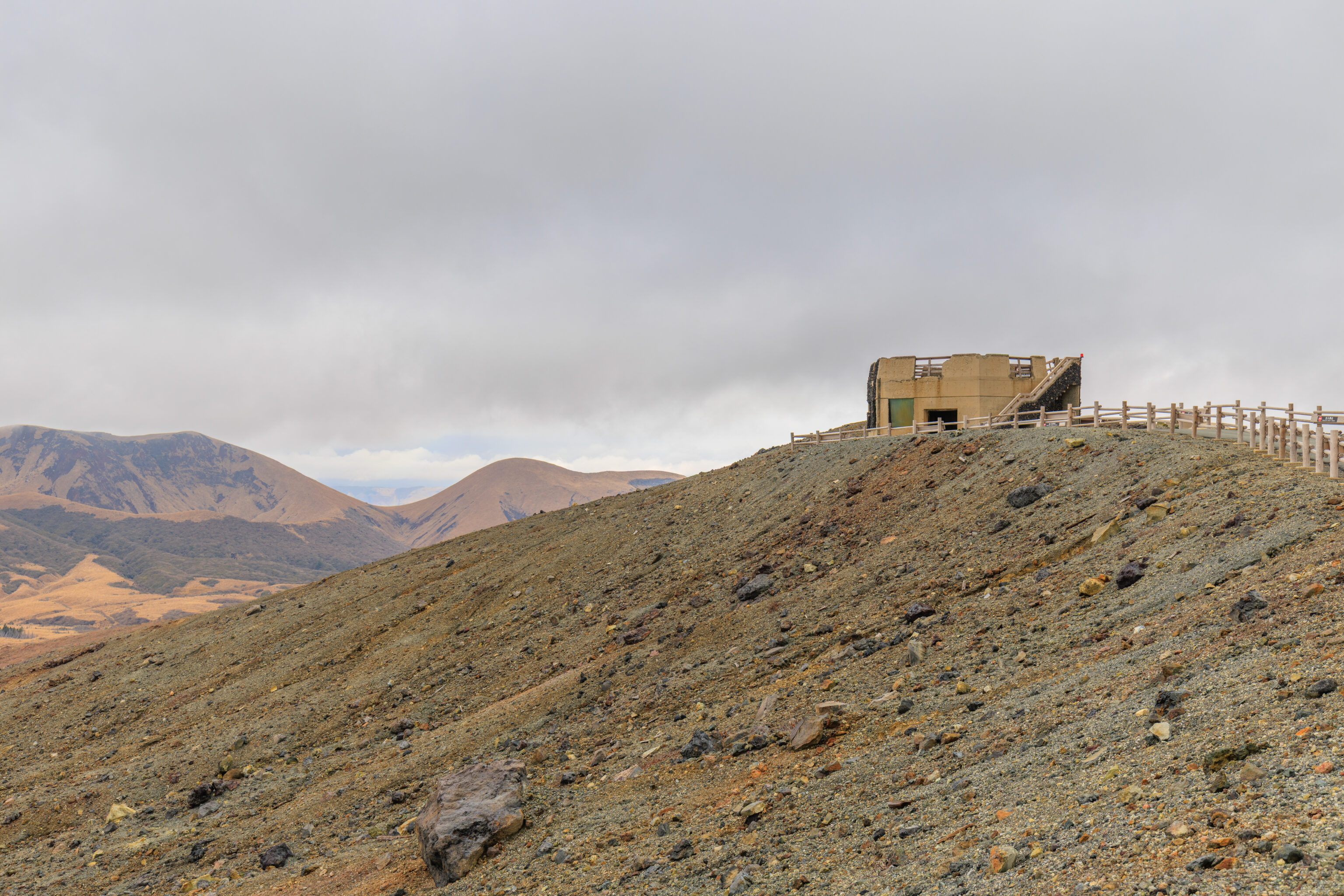
Up ahead, we could see a shelter building at the top. It looked a bit like it was falling apart.
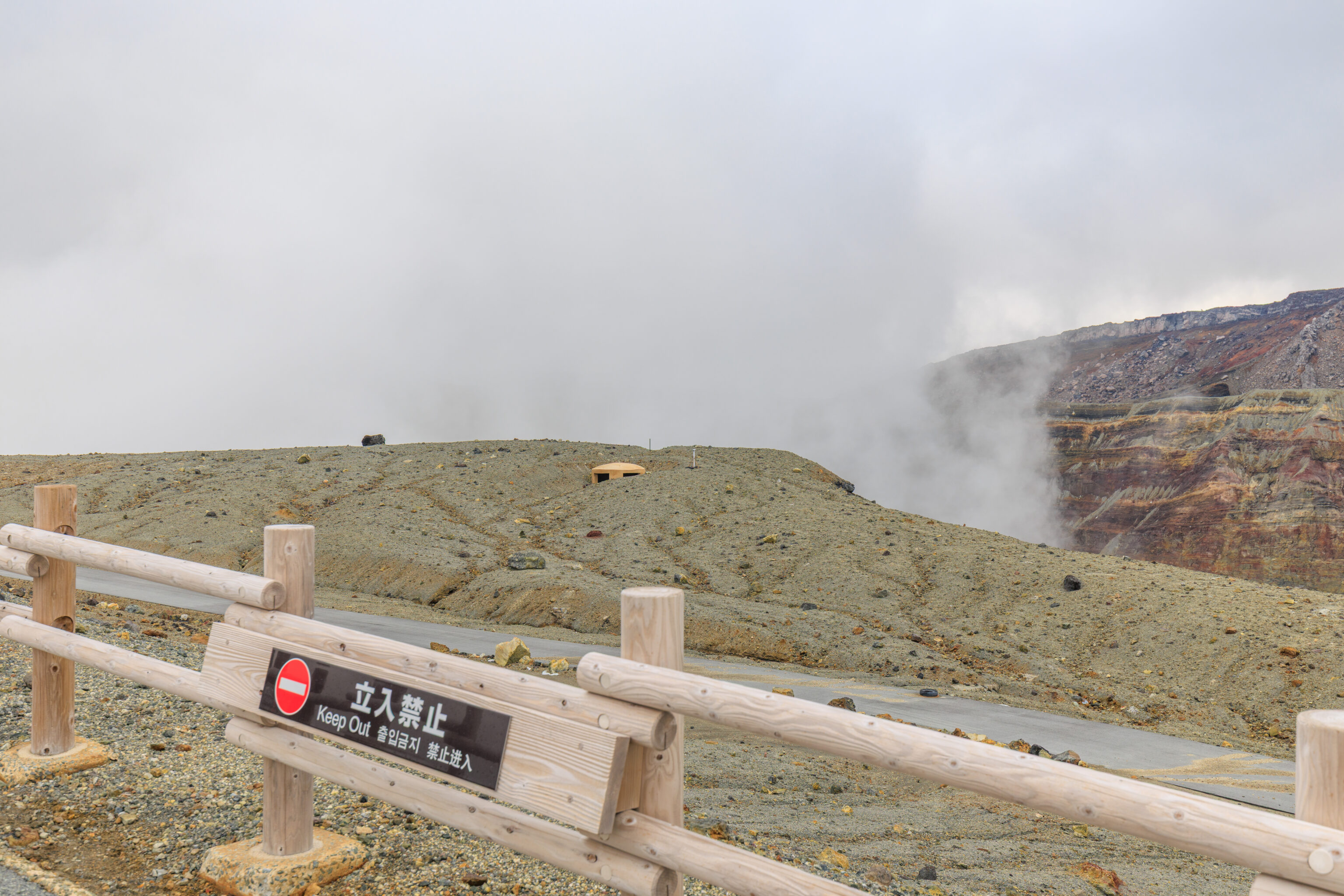
Looking to the east, we could see the steam coming out of the volcanic crater below. However, it is not possible to get any closer here. The path on the other side of the fence, which seems to lead to zone E, is inaccessible.
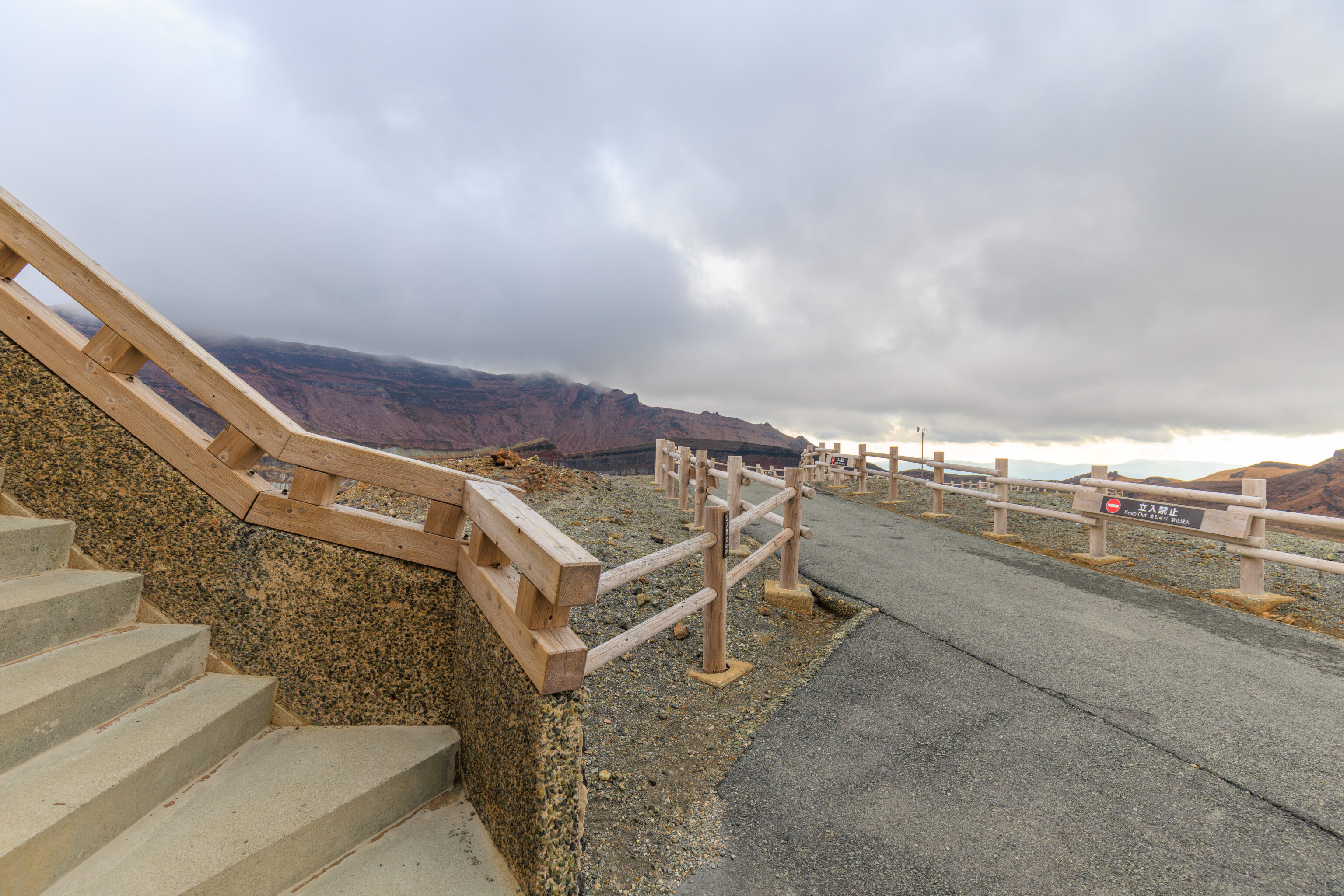
The view looking back at the path we just took to get here.
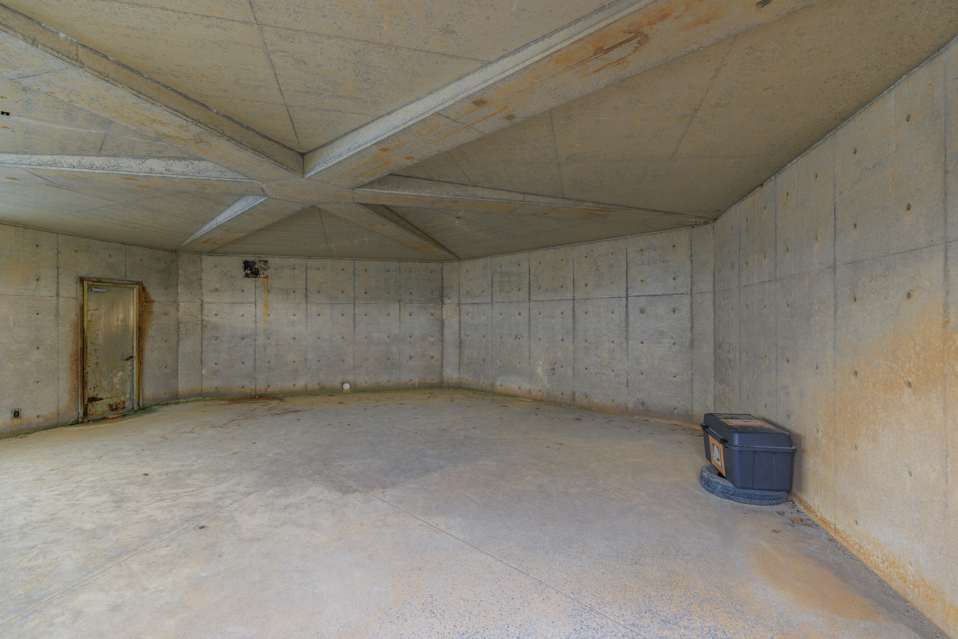
There is nothing inside the shelter, other than a small container that is supposed to hold safety equipment.
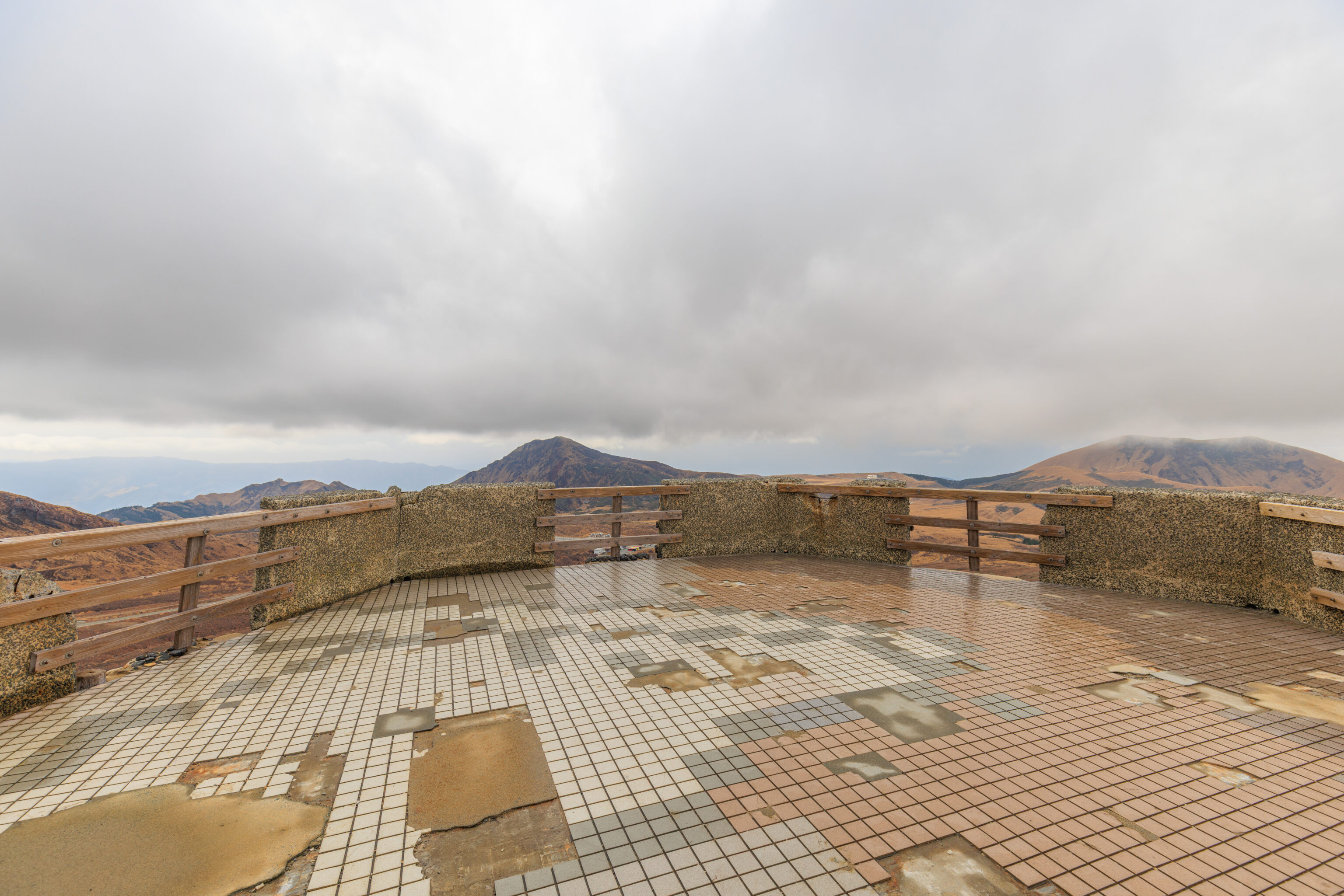
There is a rooftop observation area. It could use a bit of repair.
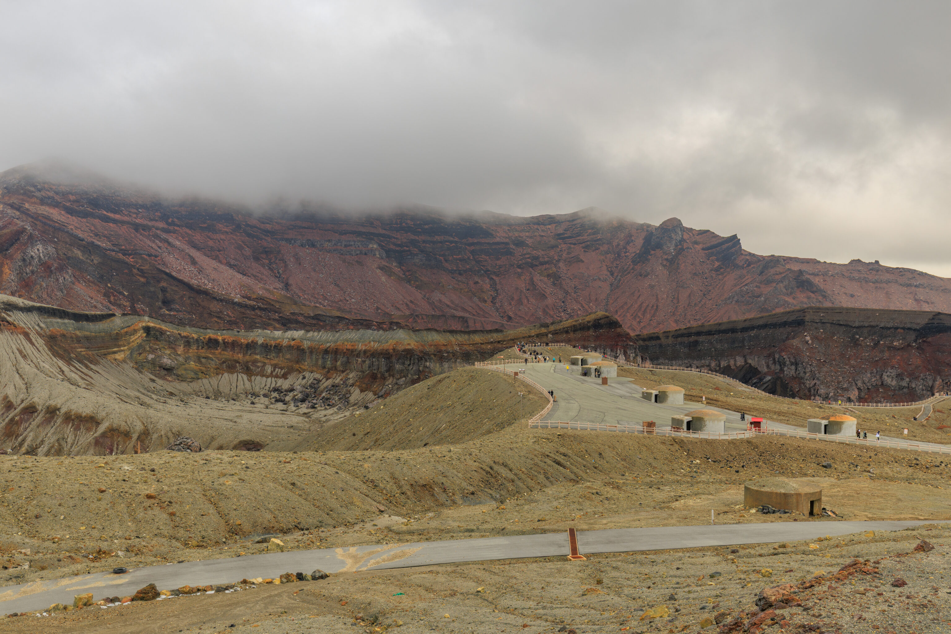
Looking to the east, we could see the area where we just were, zones B1 and B2.
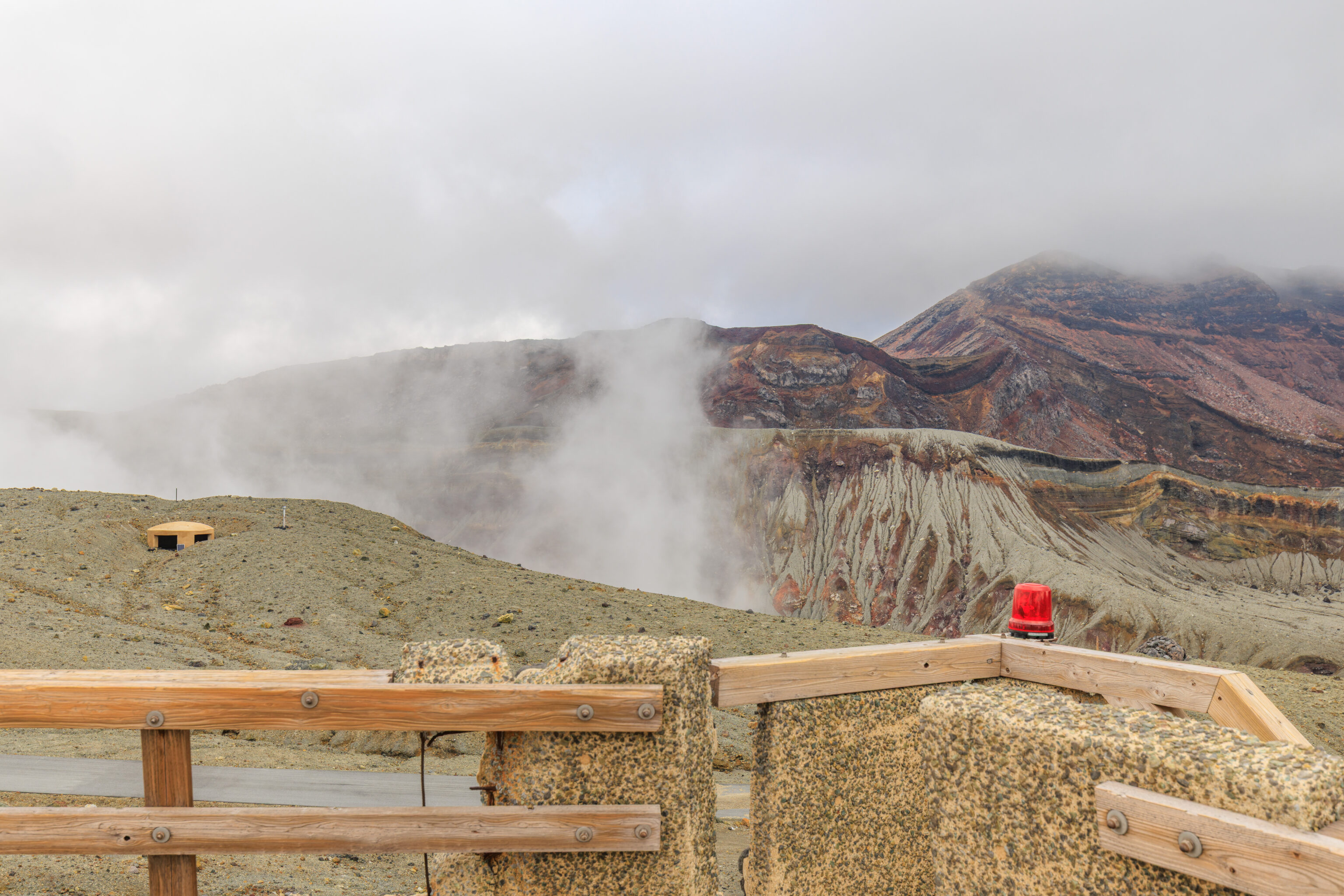
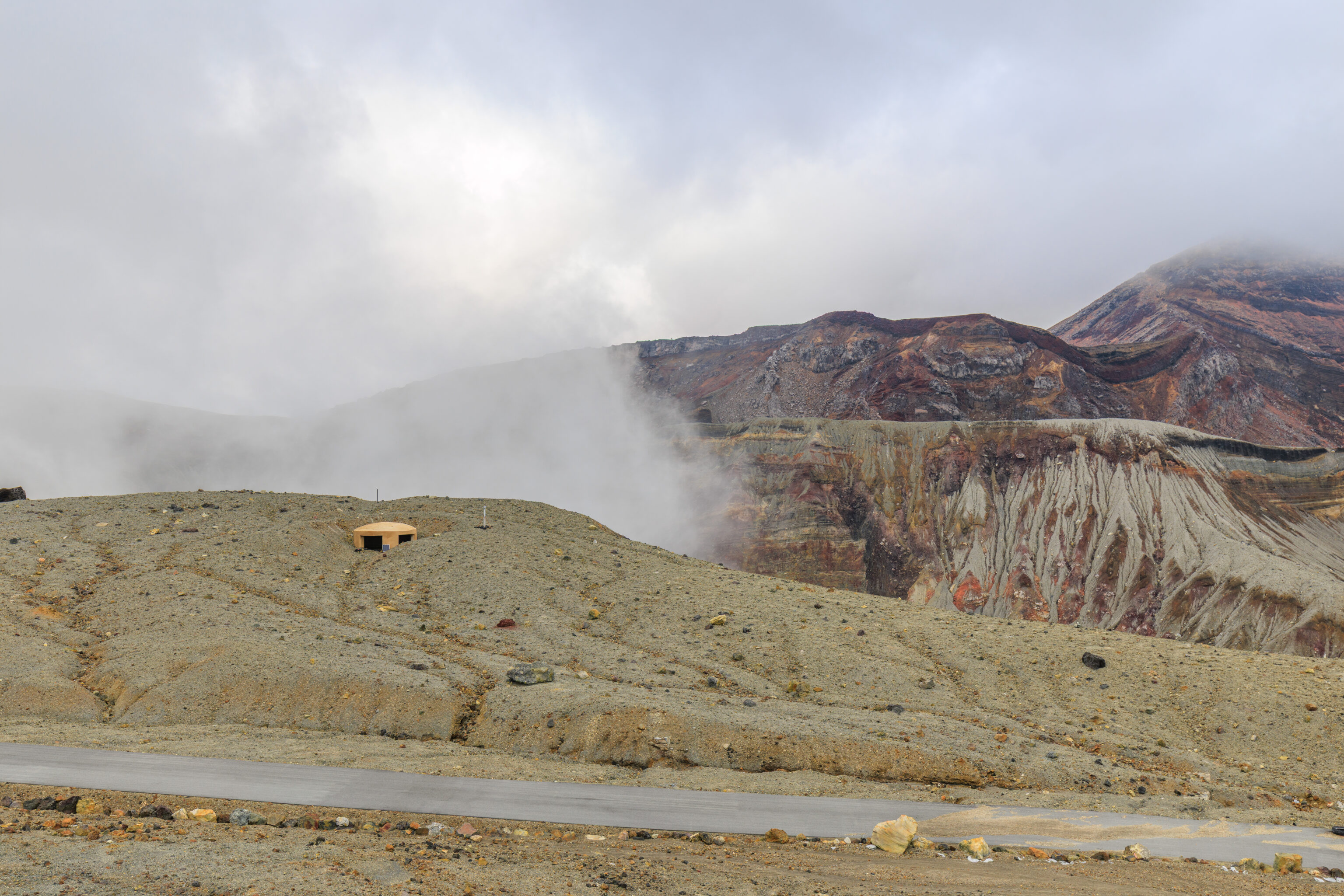
The shelter building isn’t tall enough to offer much of a view.
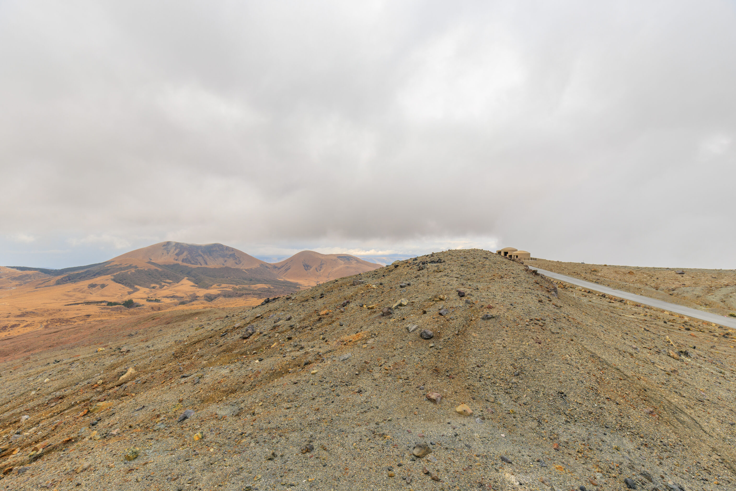
Looking to the north, we could see the shelters at zone E.
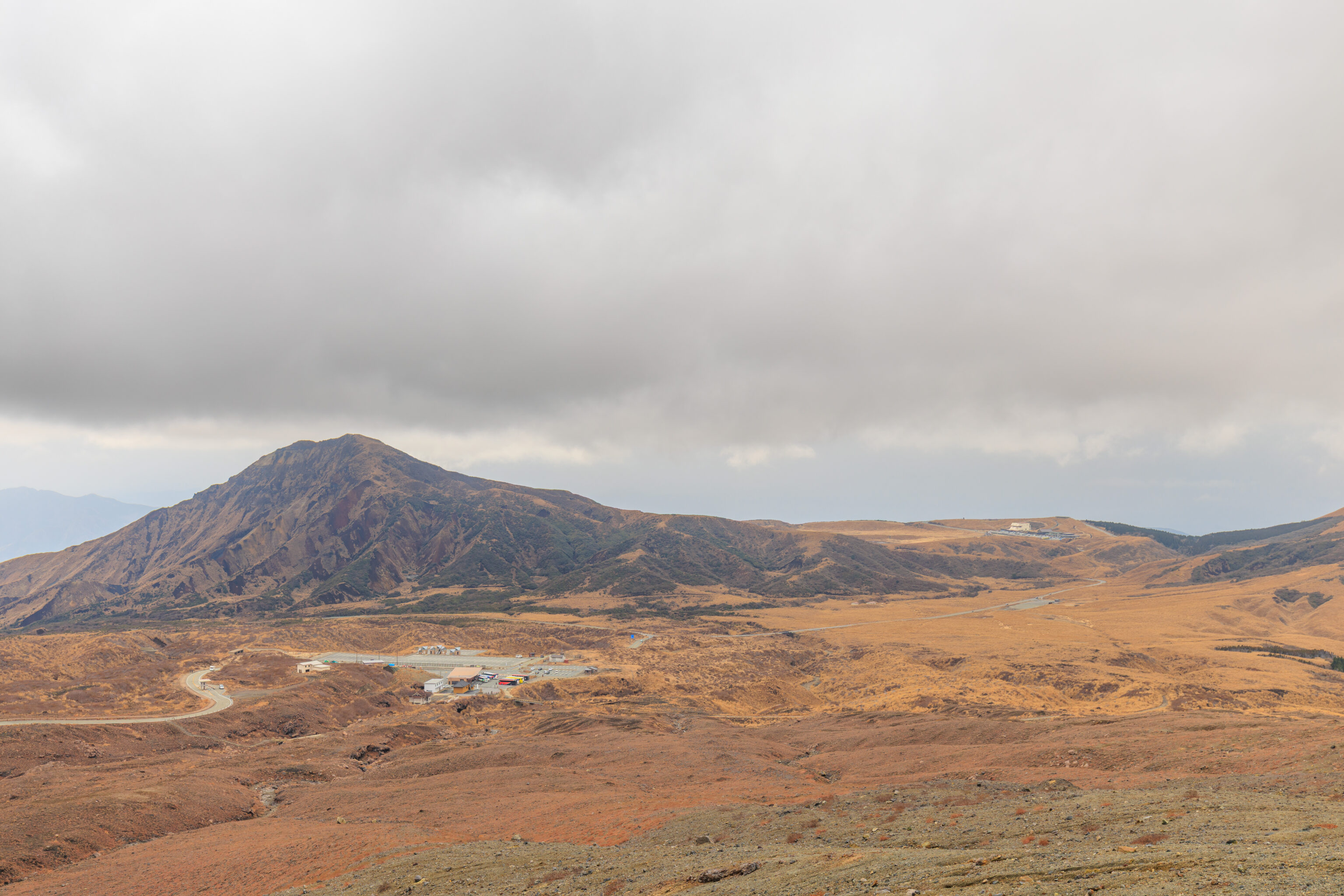
From here, we could see the Aso Sanjo Terminal below on the left as well as the Aso Volcano Museum in the distance on the right.
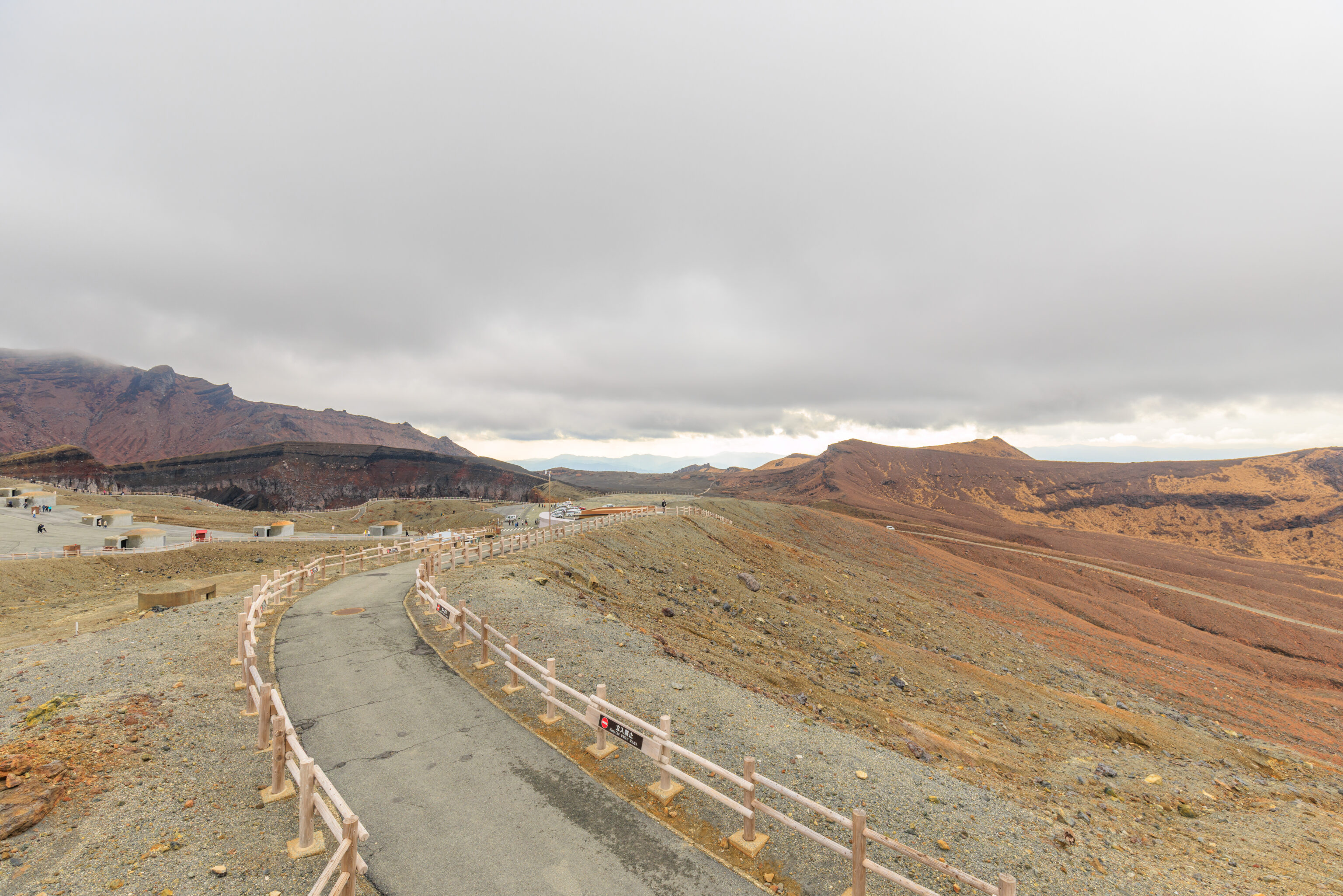
The view from the top of the shelter looking back at the path we came on.
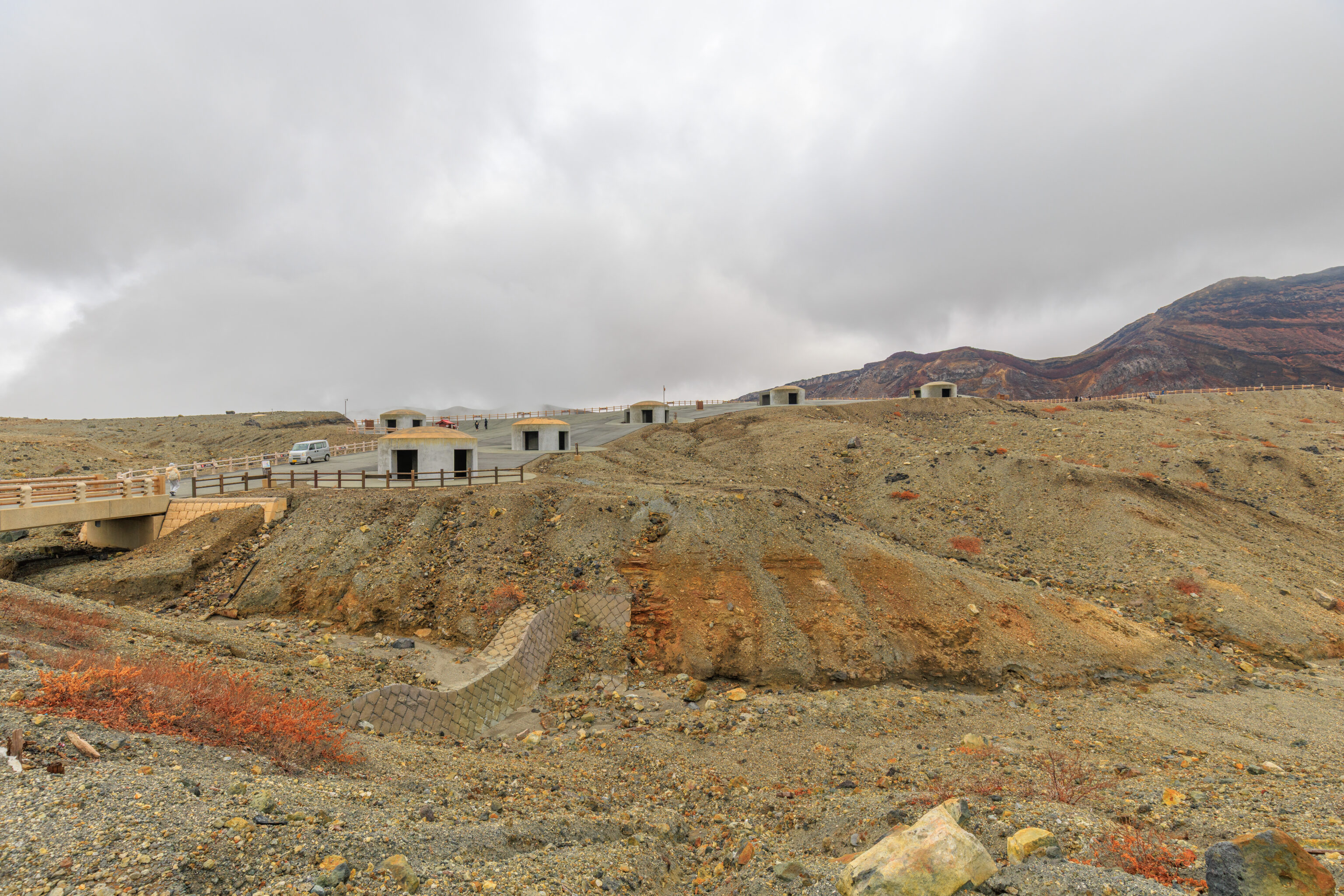
We returned to the parking area and went into the building there, which is the mount Aso Crater Evacuation Shelter. The small building has restrooms and a small sitting area. After using the facilities, we headed back out. We decided to continue from where we left off earlier and to walk back down to the Aso Sanjo Terminal.
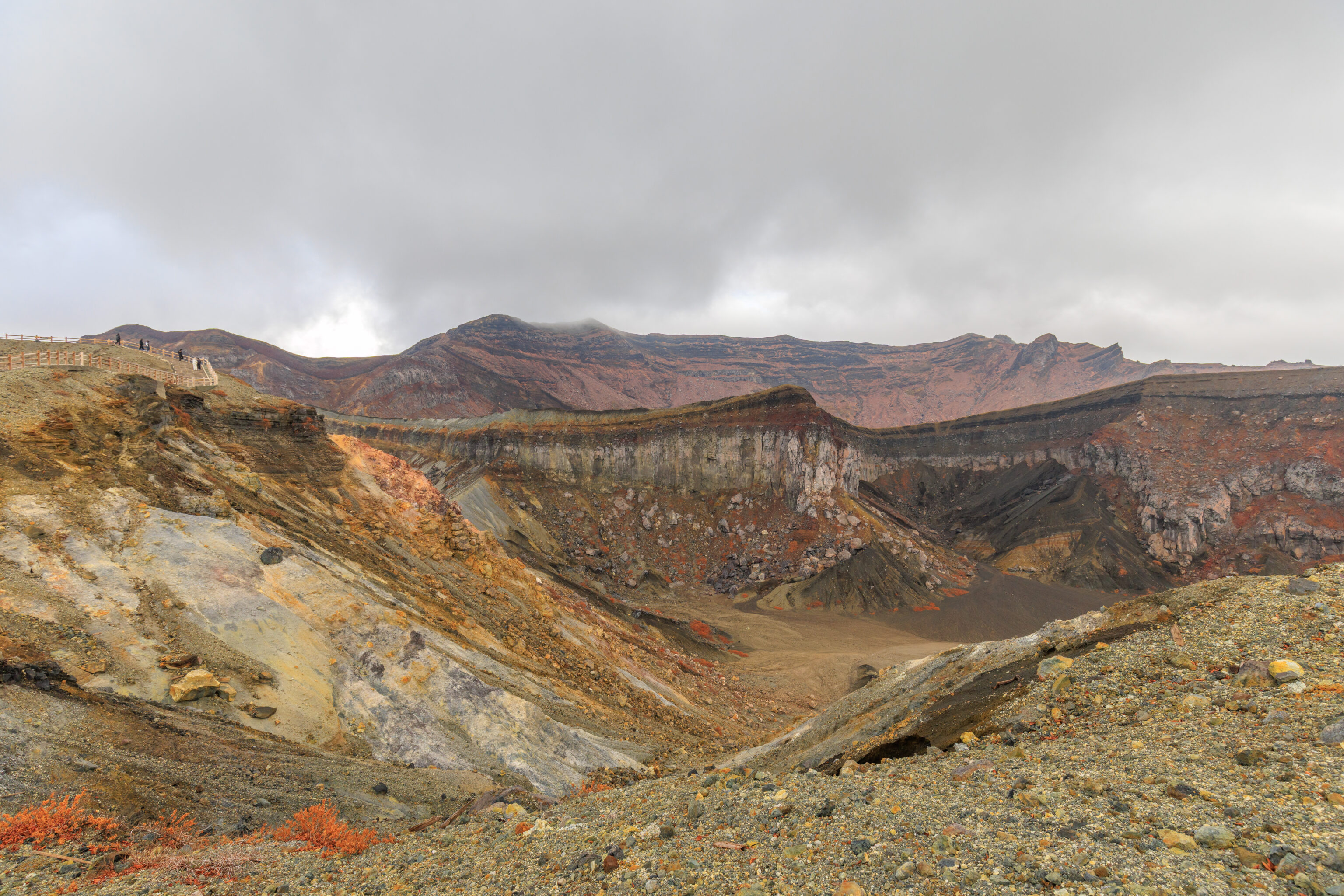
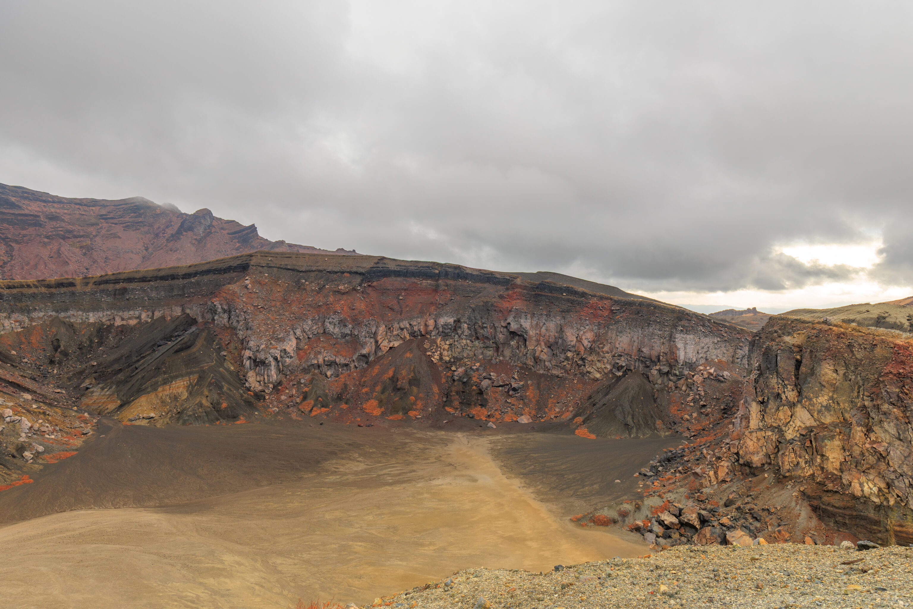
After returning to the easternmost end of the path where we turned back before, we continued on.
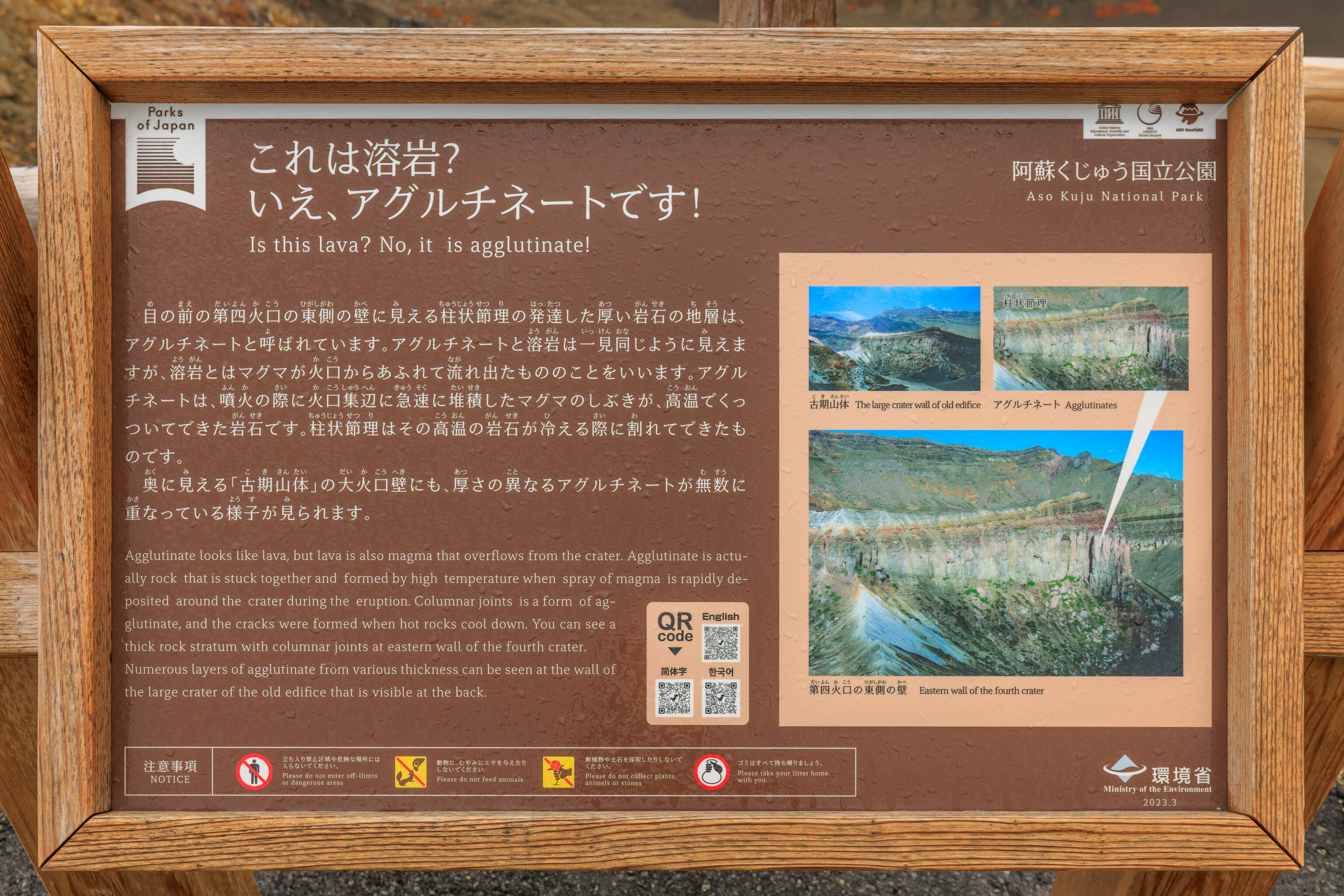
This sign explains the rock formations that we see on the crater walls to the south, which are seen in the two photographs above his sign.
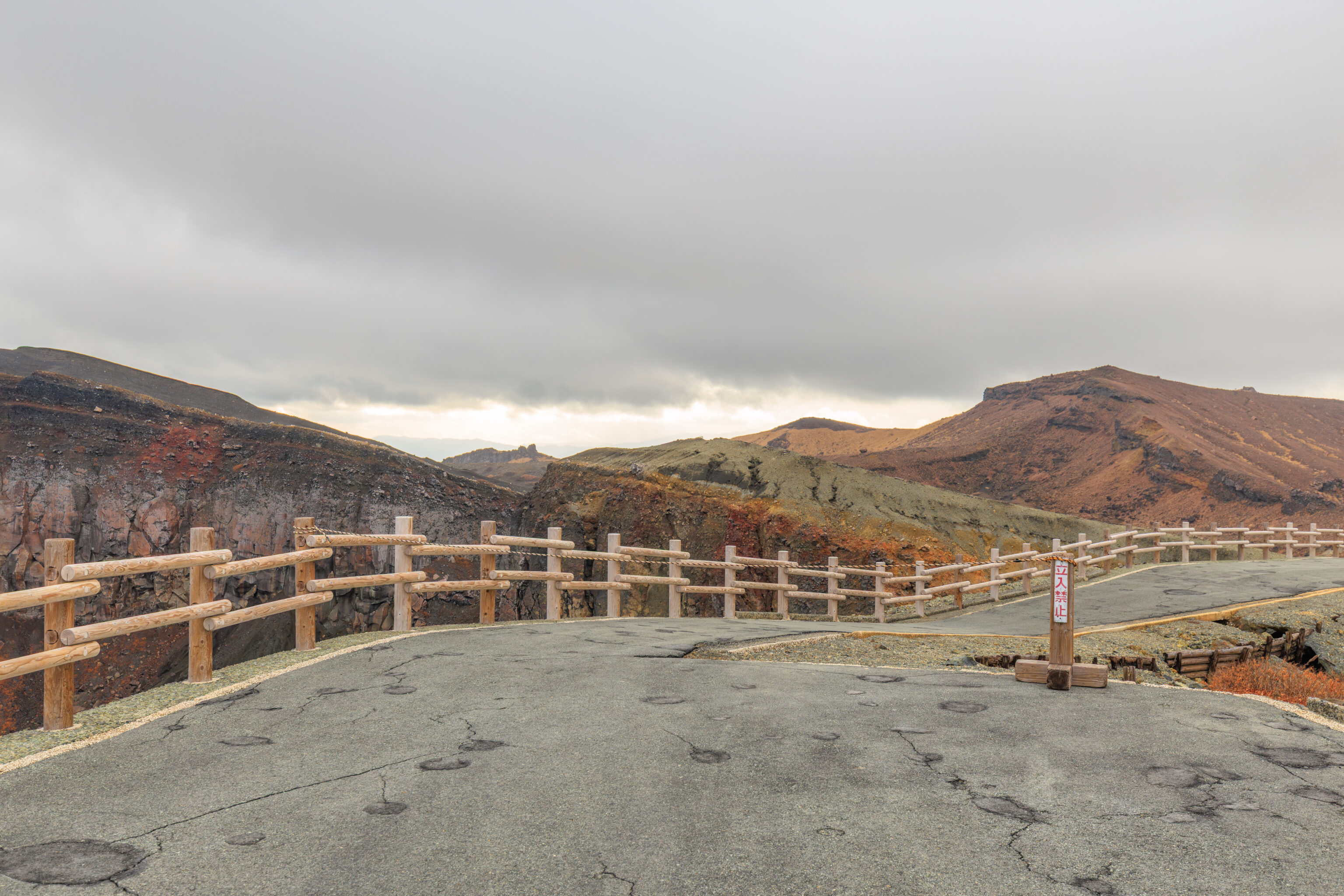
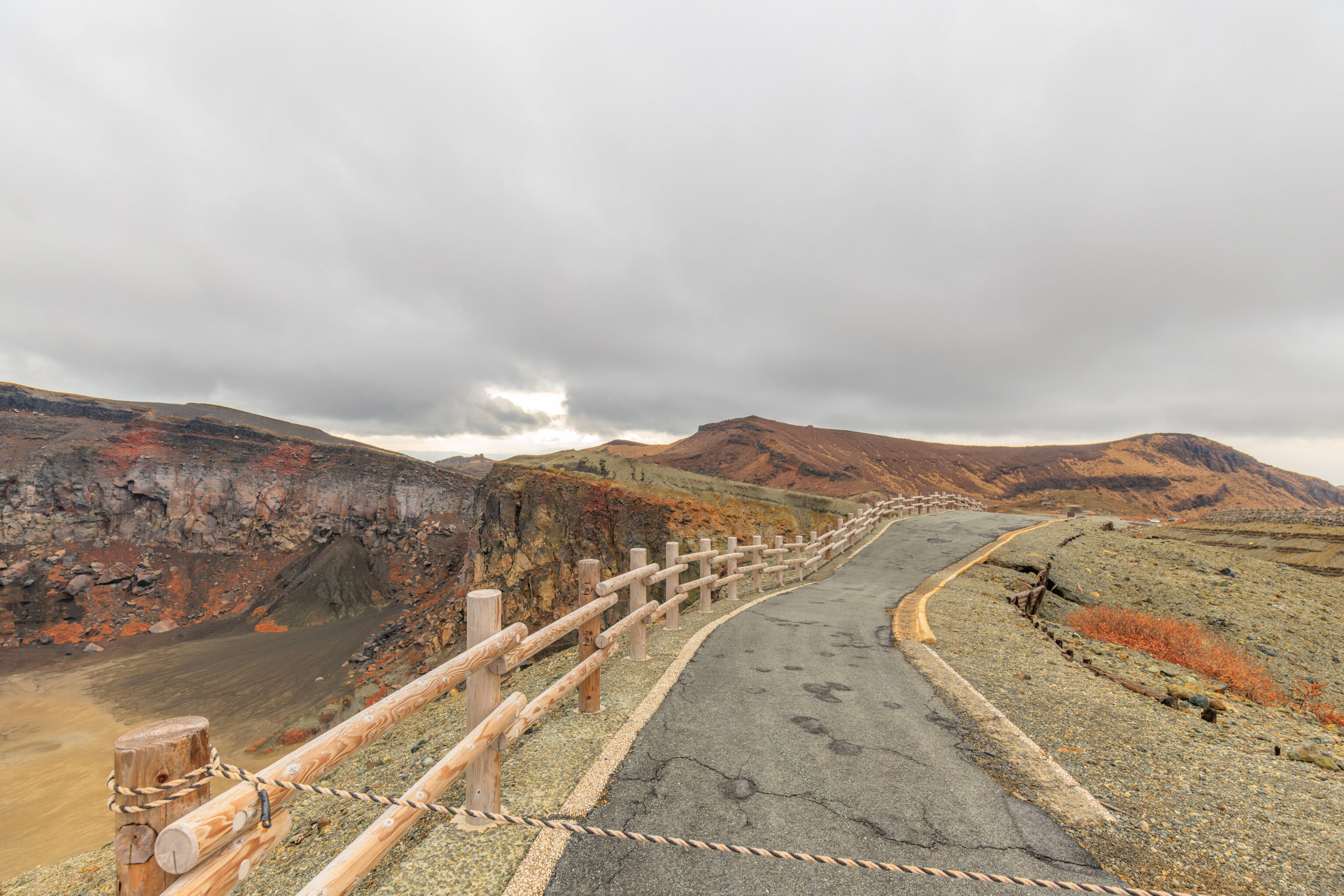
We quickly found the path ahead to be closed!
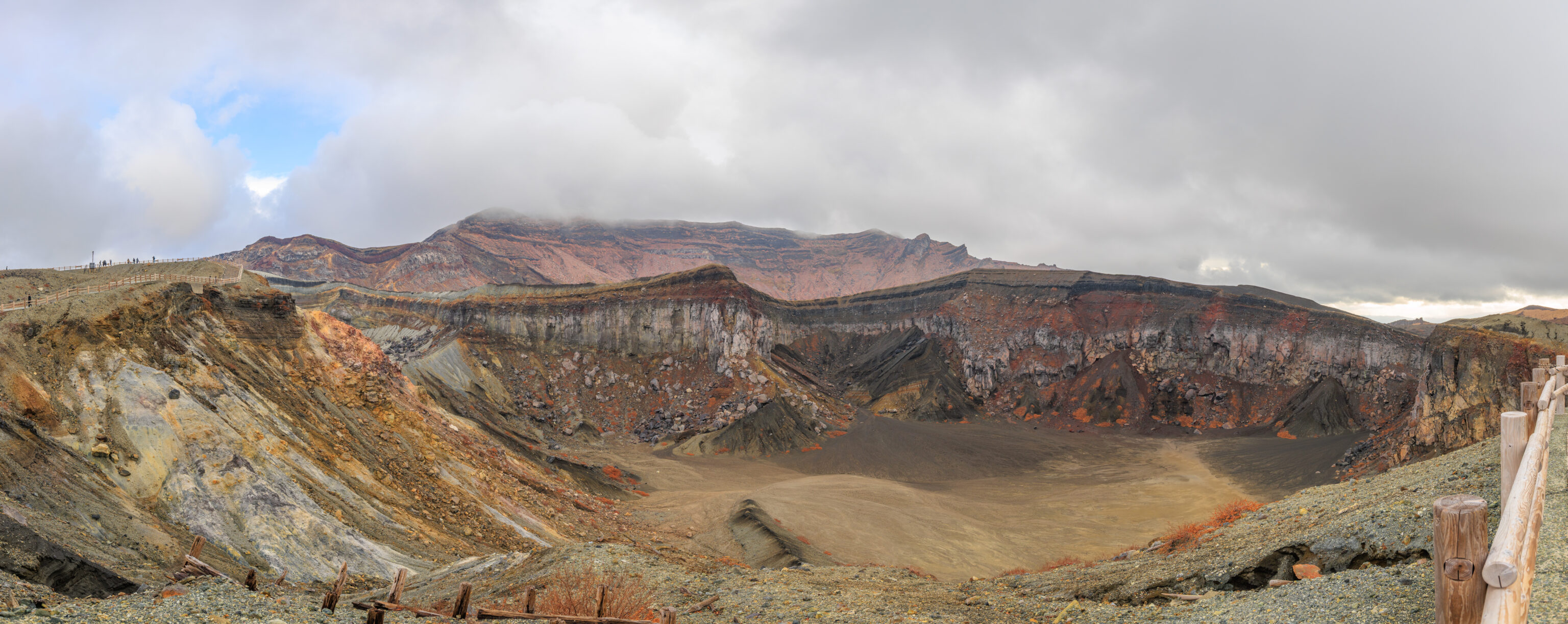
We captured a panorama of the crater area to the south from here.
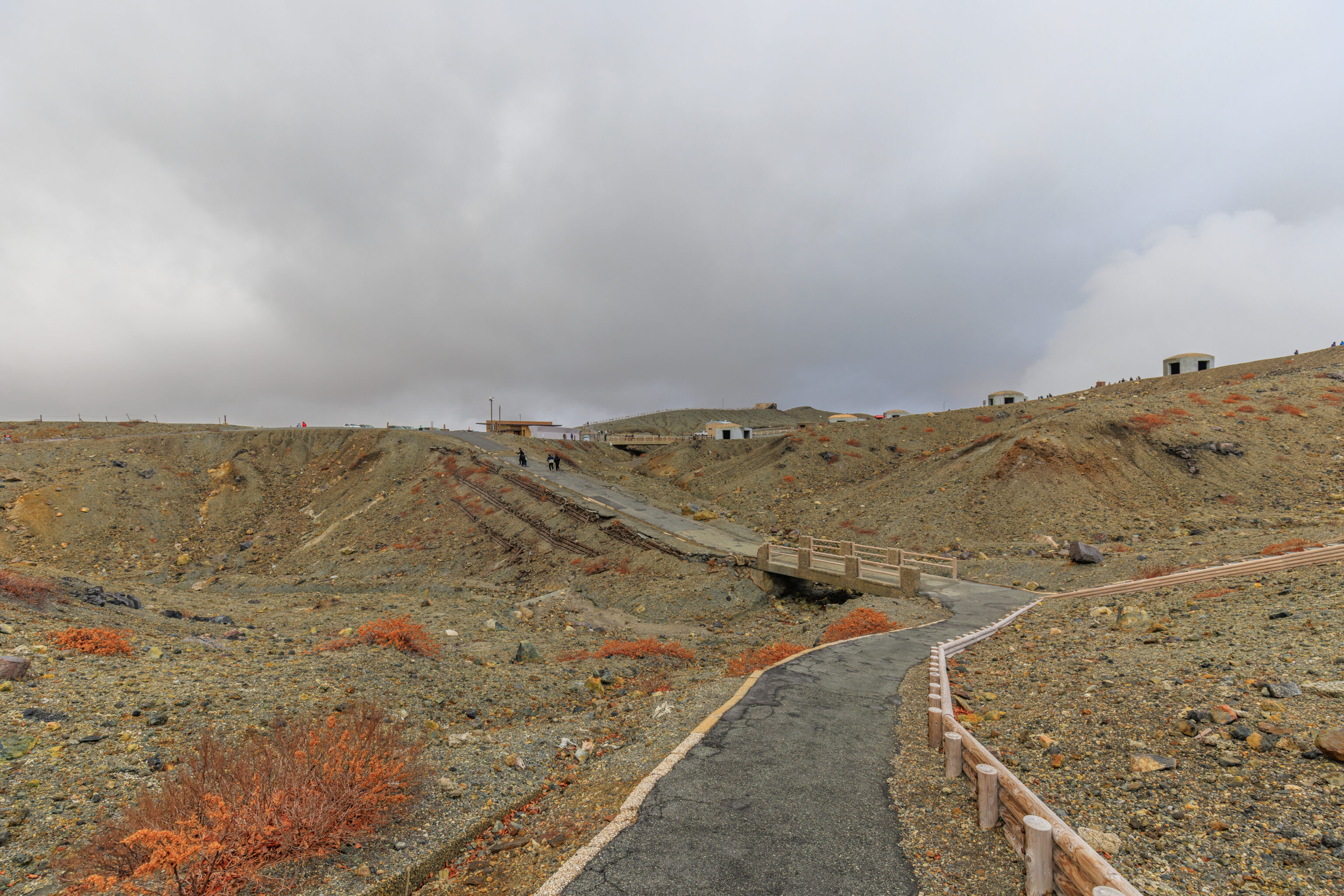
And then, we backtracked to go back to the parking area. It seemed like we could simply take the sidewalk along the road that leads up to here.
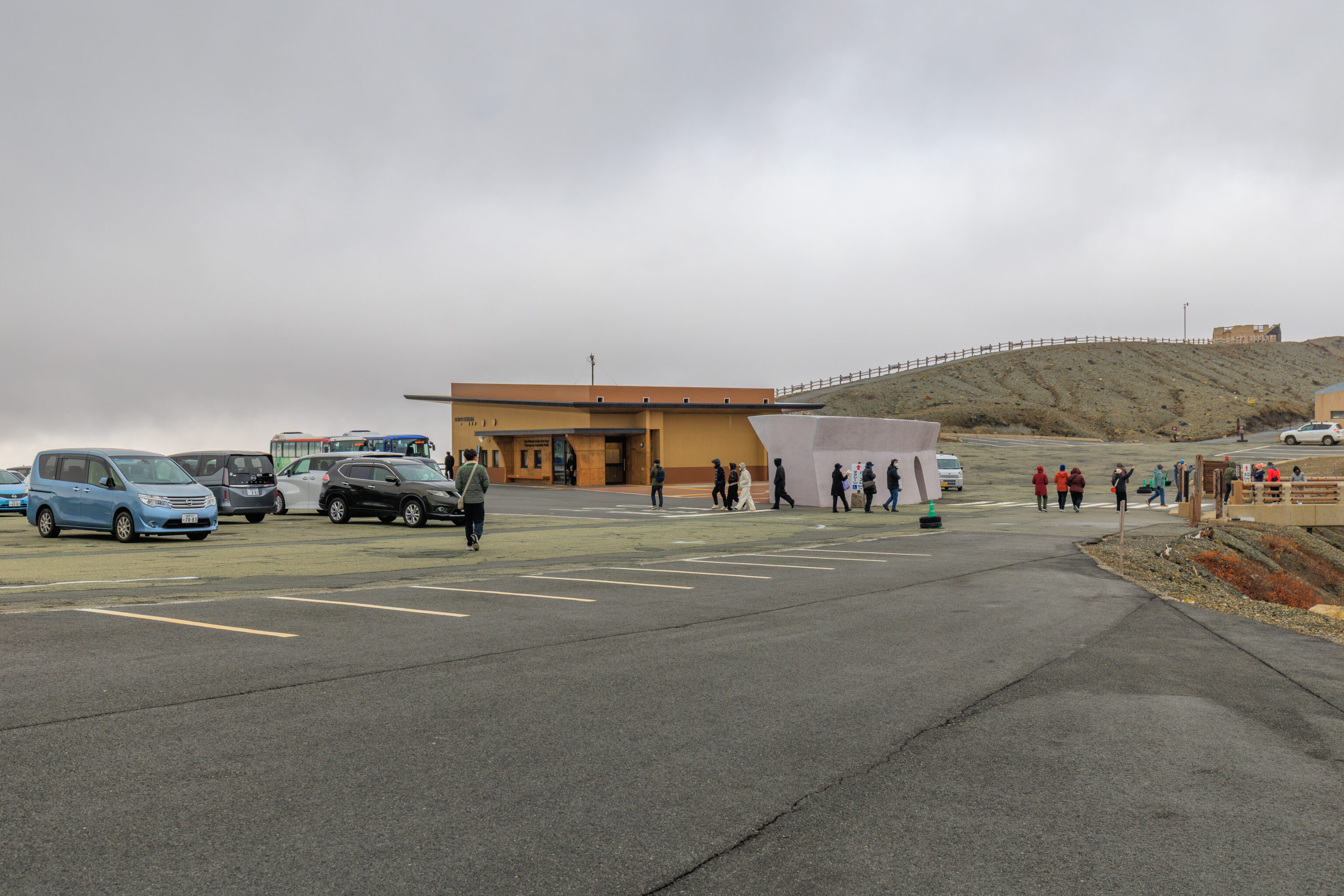
After returning to the parking lot, we turned to the left.
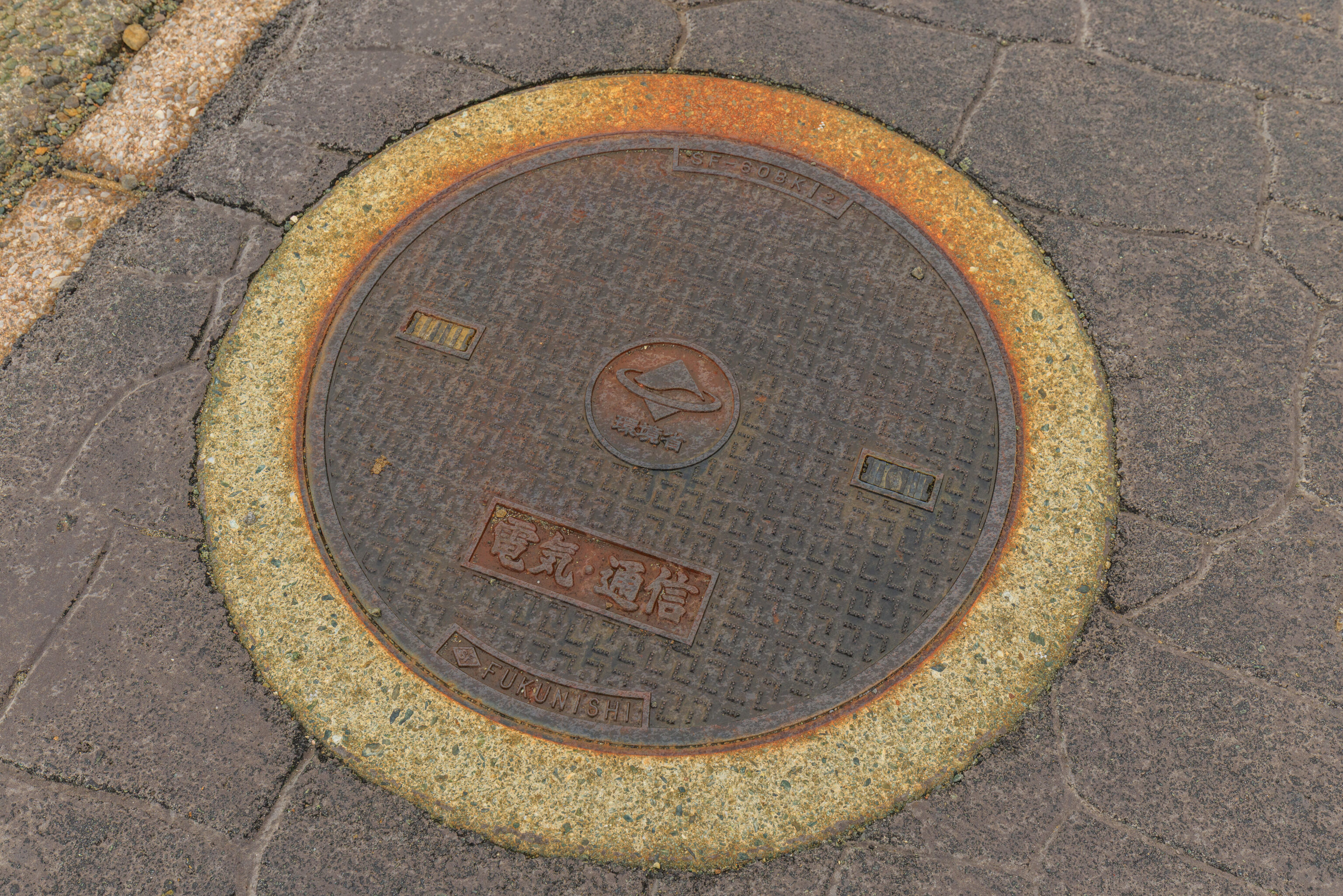
Sadly, no fun utility covers up here!
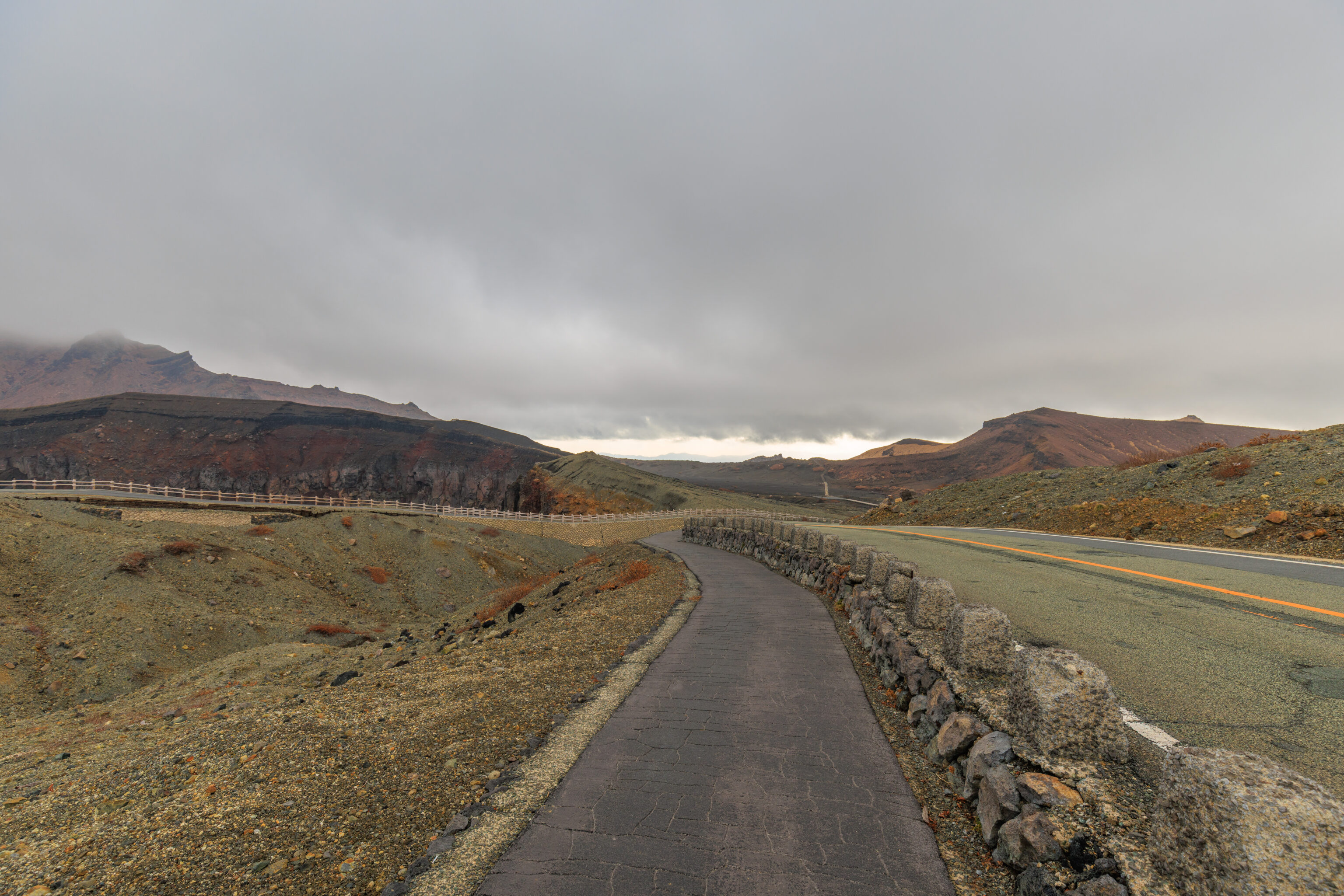
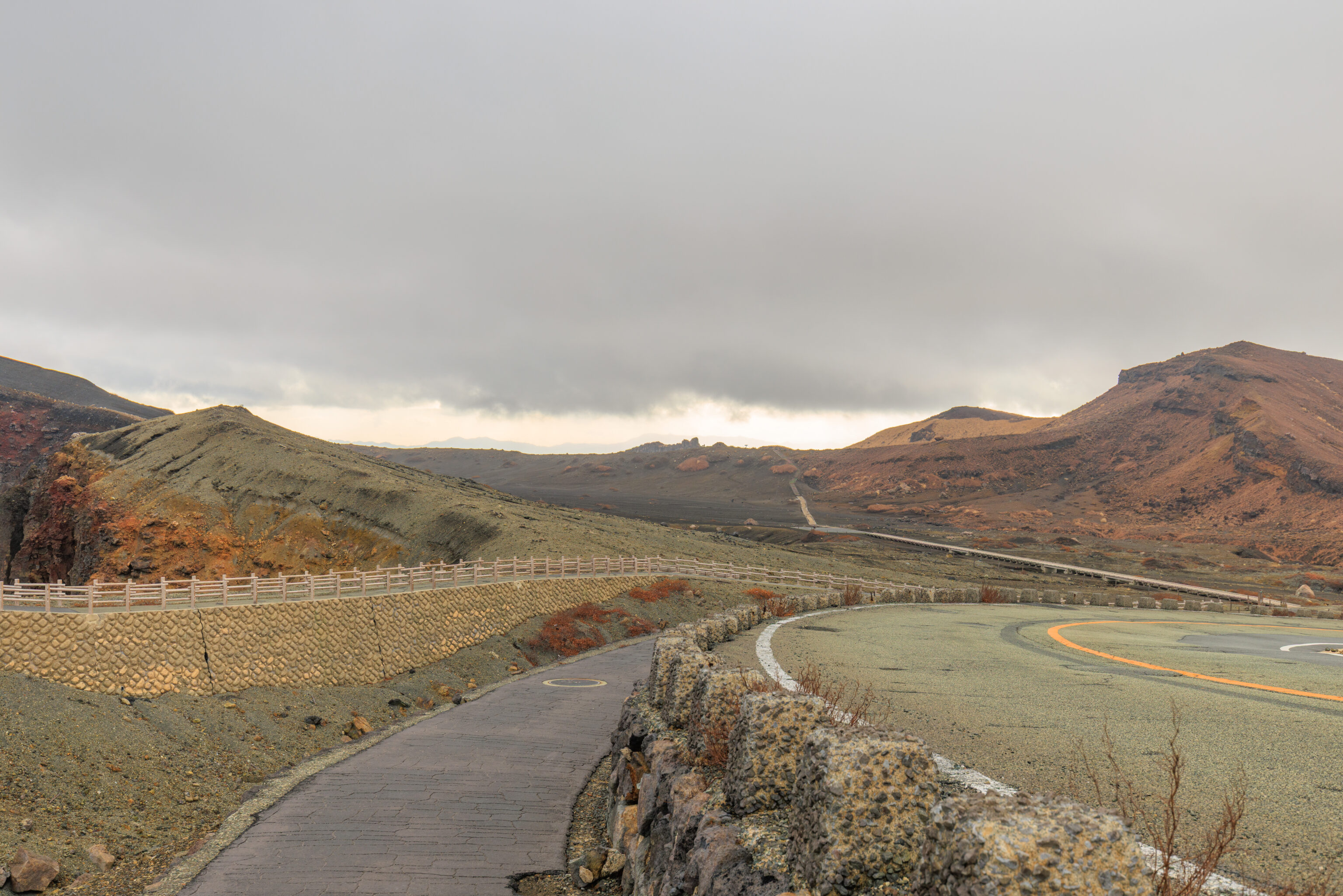
We followed this path which was on the east side of the road.
In these photos, there is a path that continues on towards the horizon. This path seems lead to a ridge. From there, it is possible to hike to the top of Nakadake. The trail seems to then continue to the east side of the Nakadake craters. The path eventually leads to the former upper terminal of the 仙酔峡ロープウェイ Sensuikyo Ropeway, which has been out of service since the 2016 earthquake.
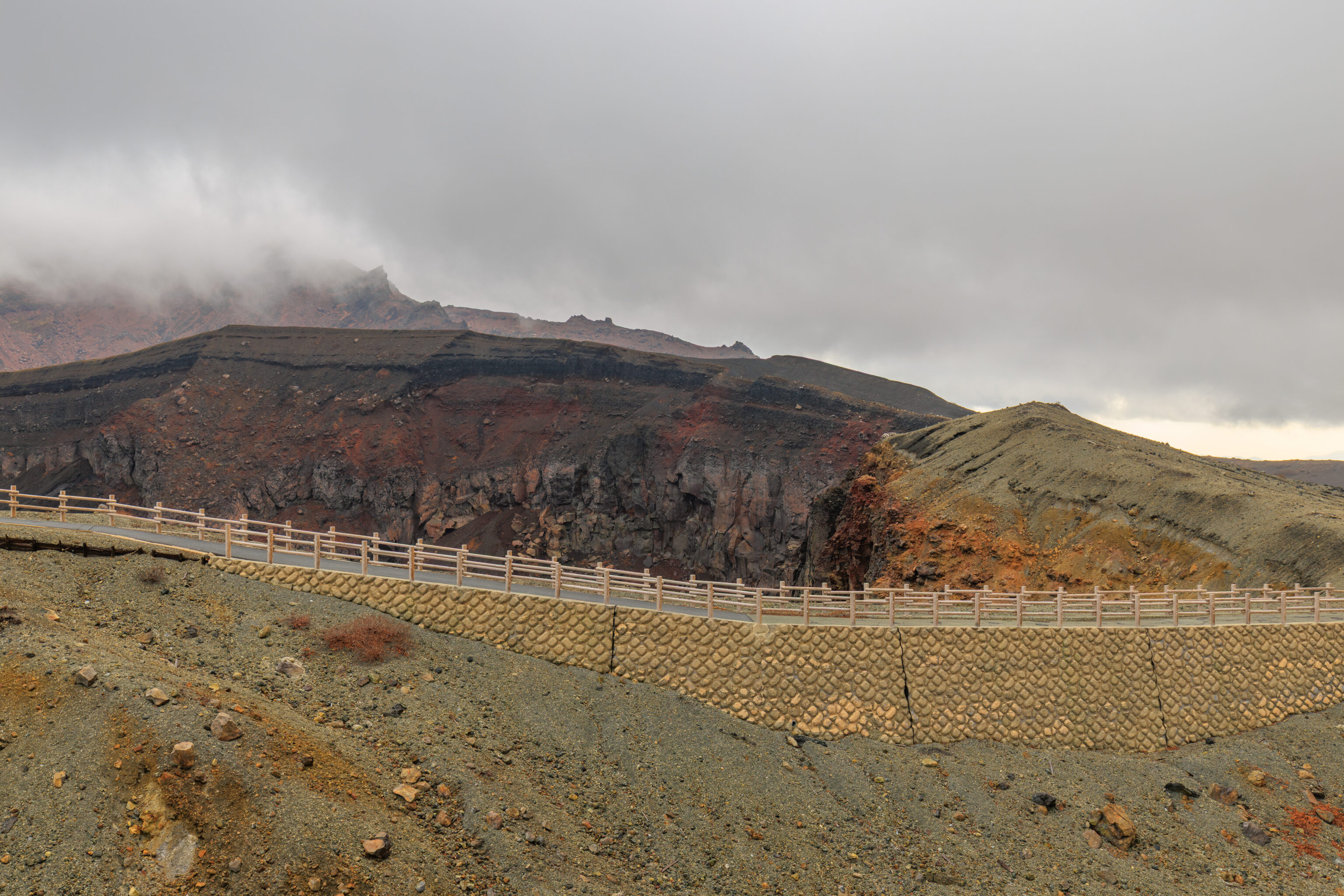
Looking to our left, we could see the path that we had wanted to take.
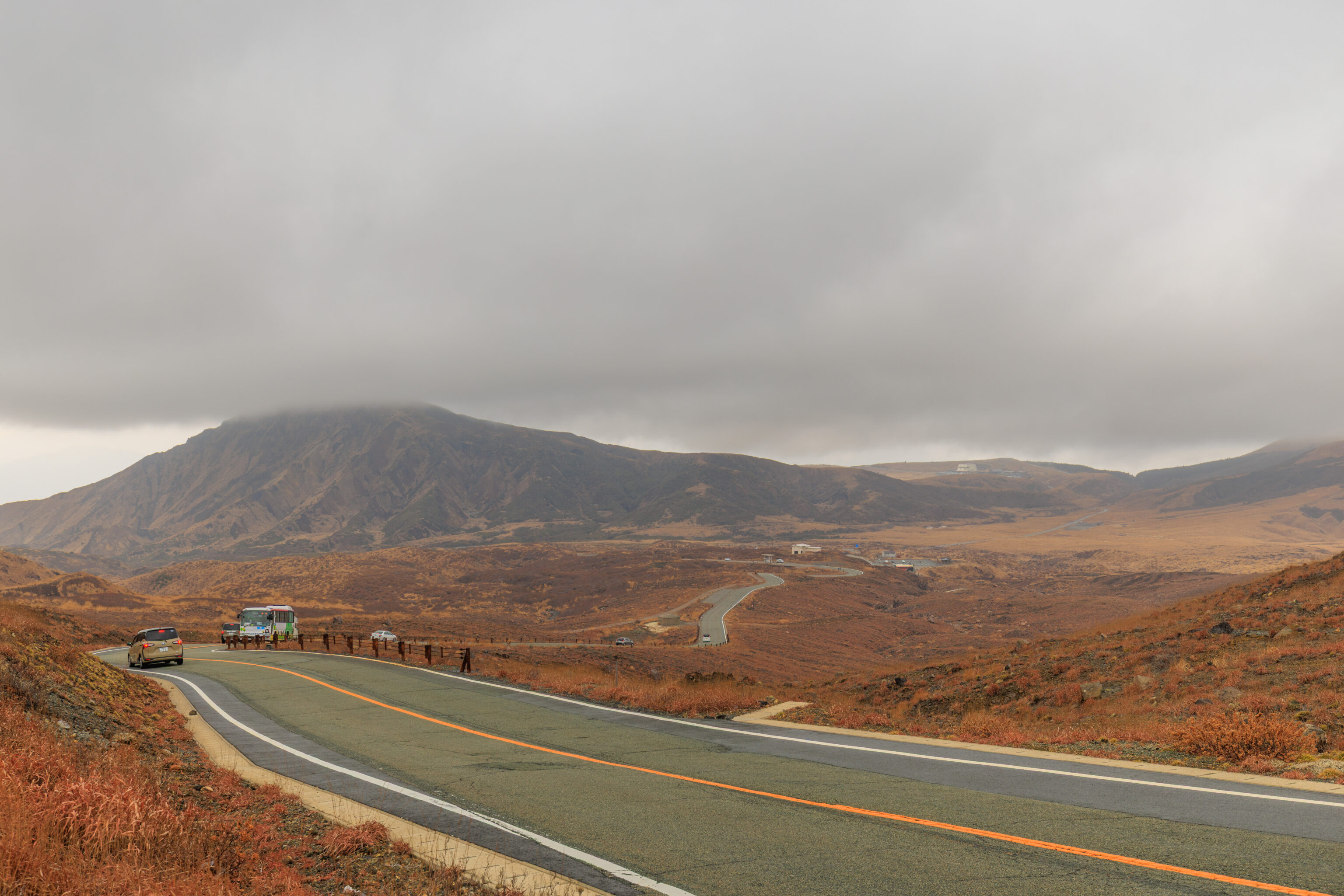
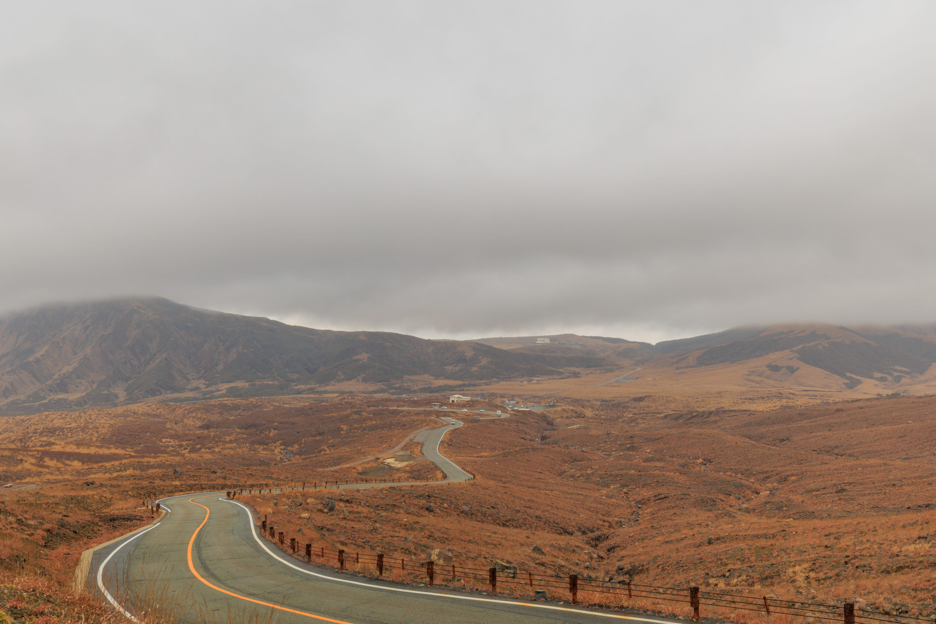
We continued along the path as it turned to the west. By now, the weather was deteriorating quickly as it was starting to rain.
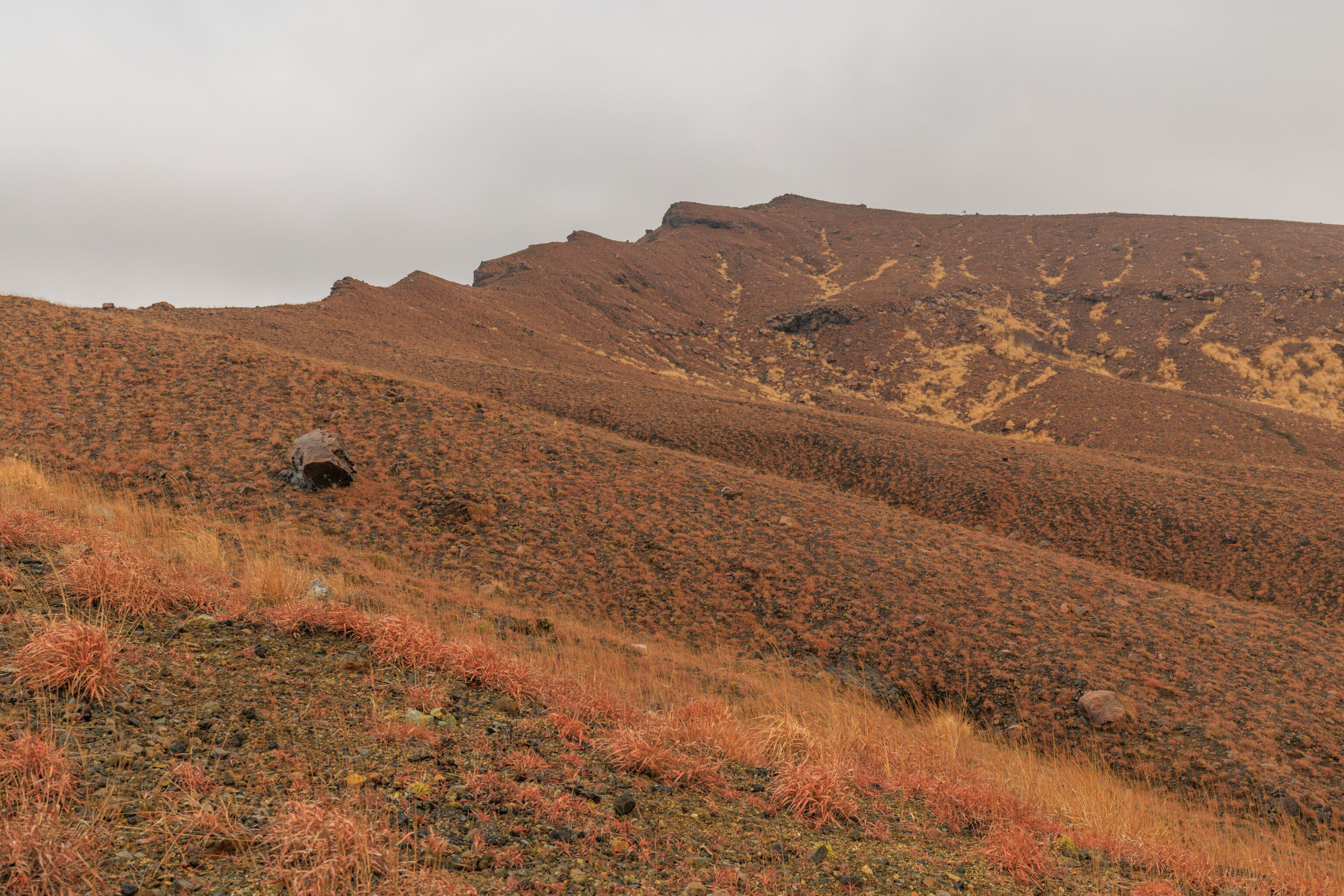
Other than the trail to the peak of Nakadake, there is a trail that goes in the opposite direction to 皿山 Sarayama, which might be what we see here. There is a sign visible up there right of center!
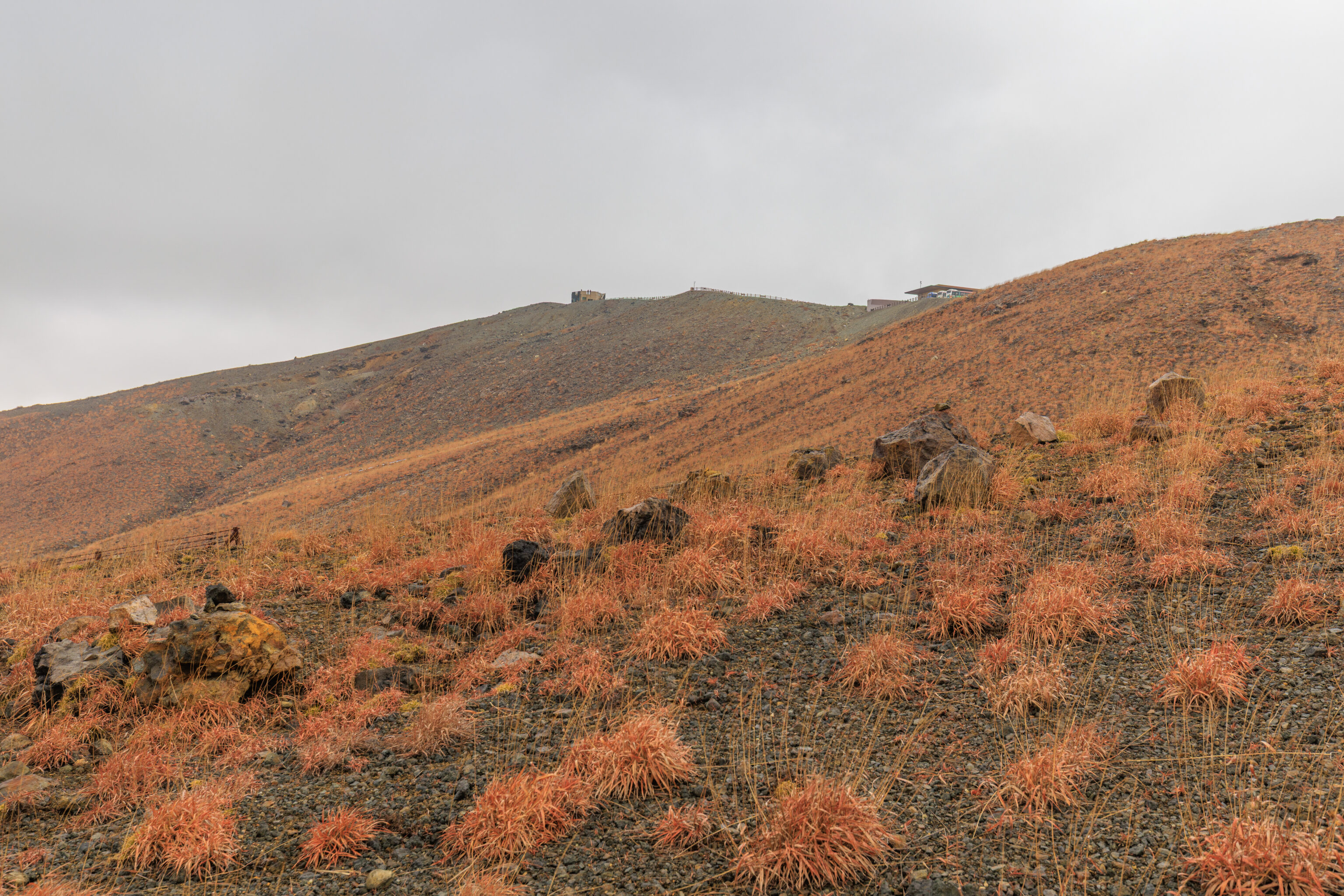
Looking in the opposite direction, we could see the shelter at zone D as well as the larger shelter by the parking lot.
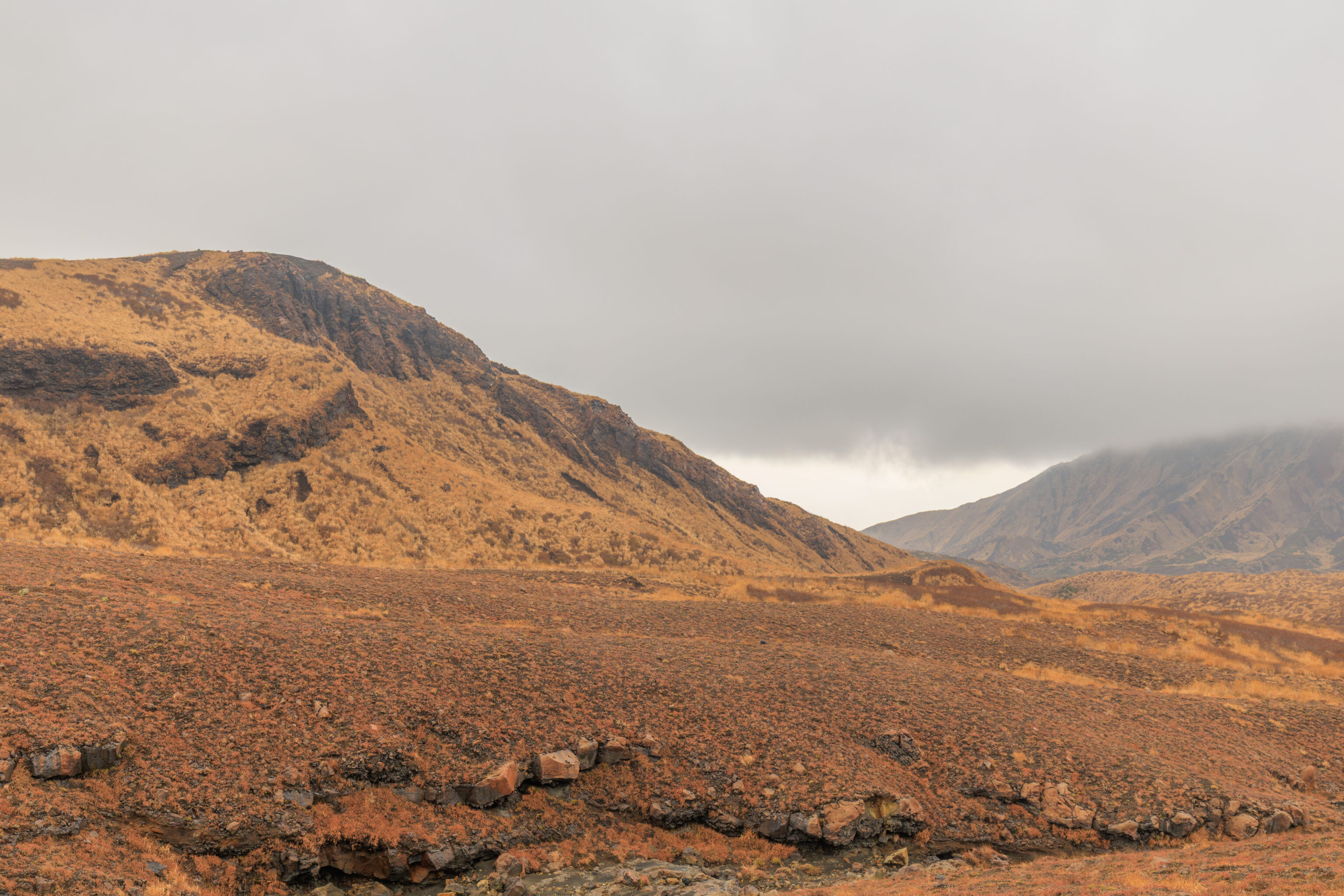
We continued on…
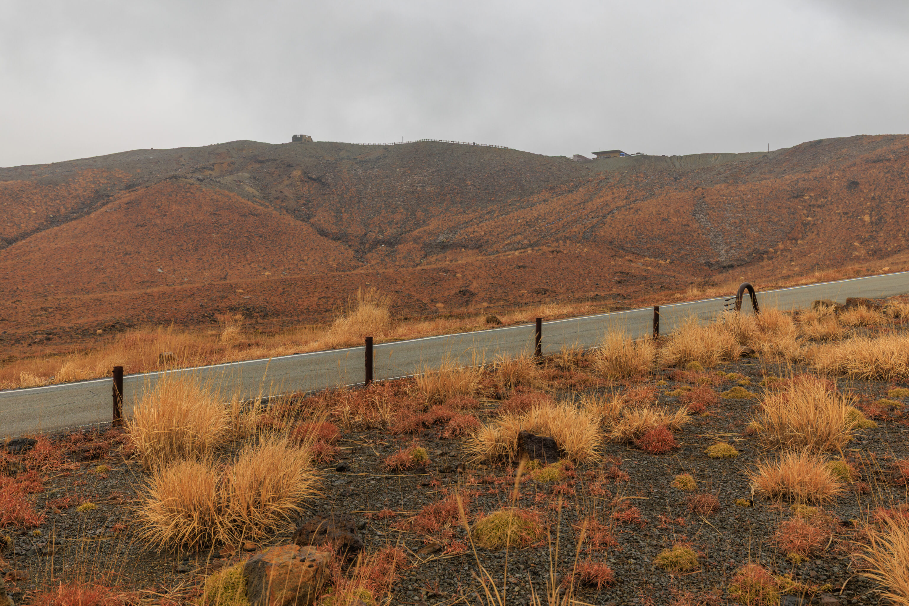
Now looking to the northeast, we could still see the two shelters but from a different perspective.
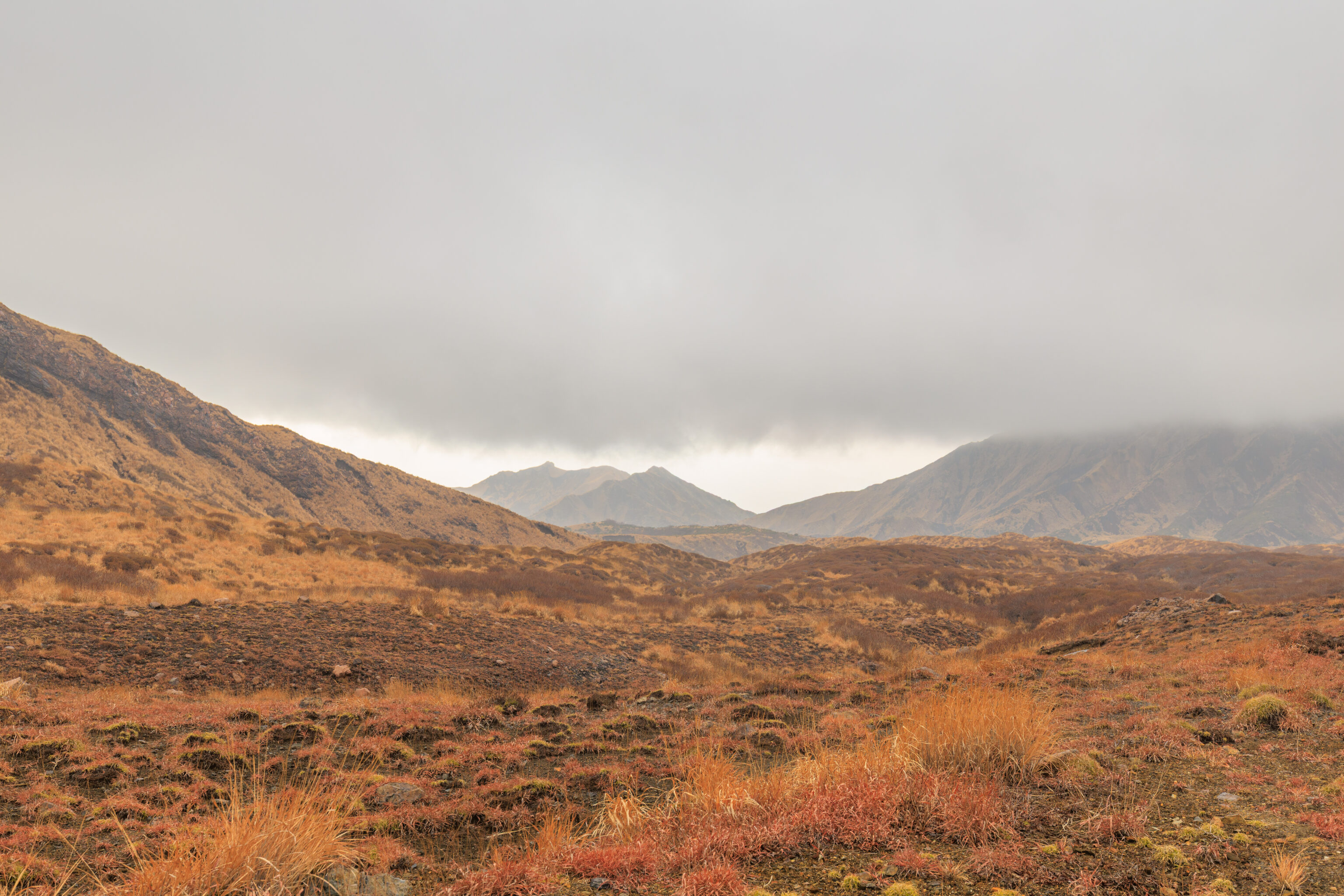
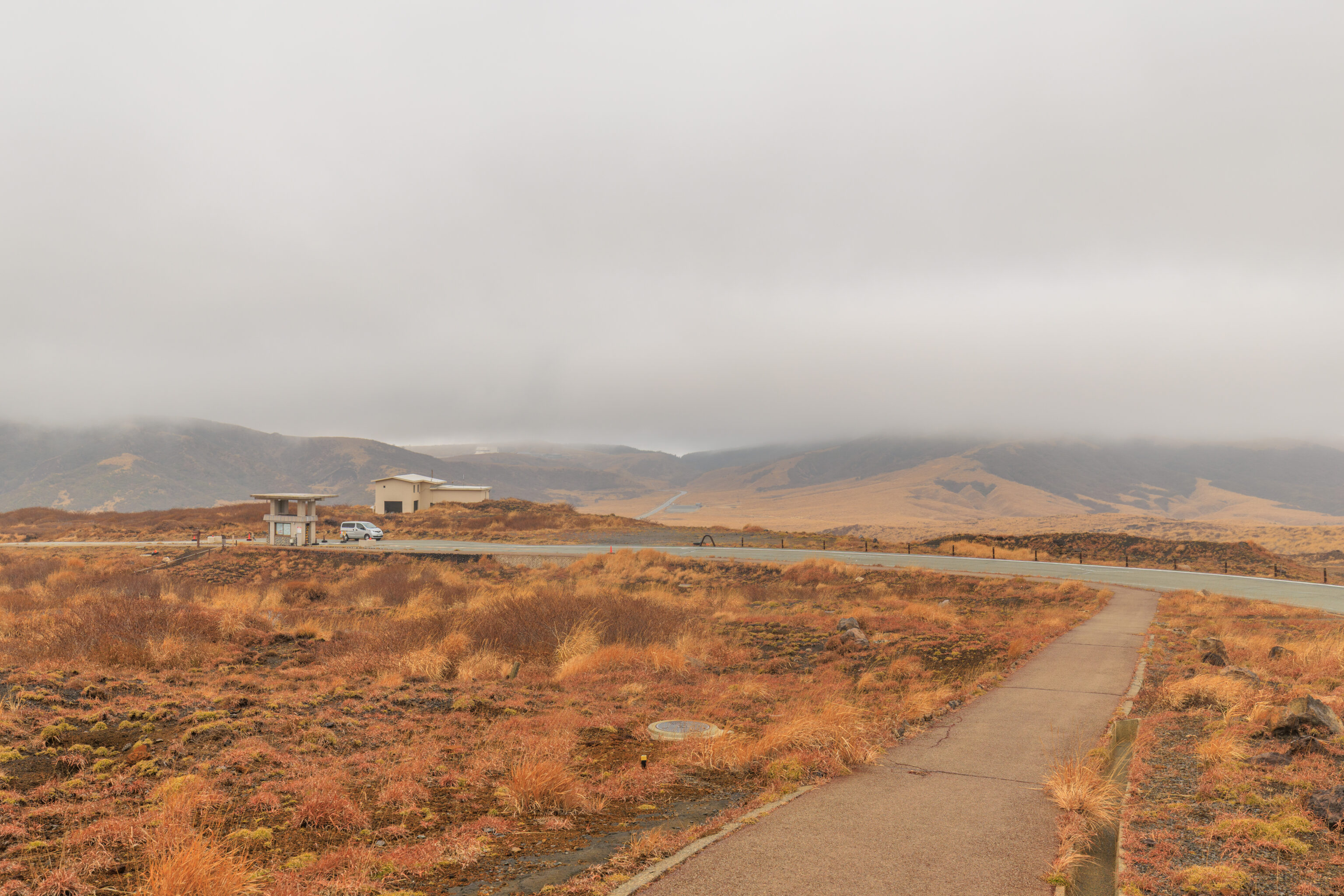
We continued on until we reached the road’s toll booth.
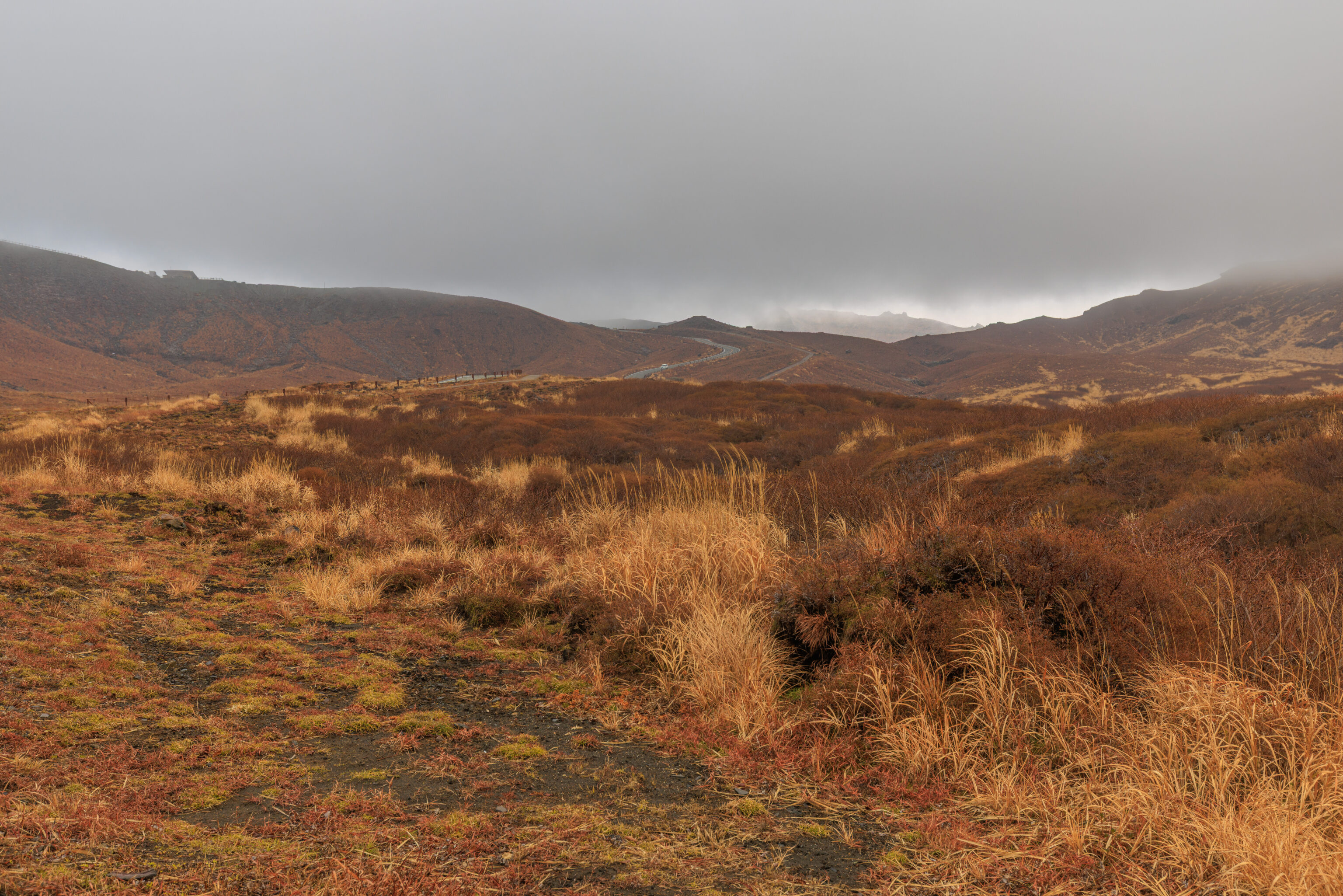
We continued on past the toll both. Looking back, we could see that the low clouds were beginning to envelope the shelter by the parking lot, seen here at the left edge of the frame.
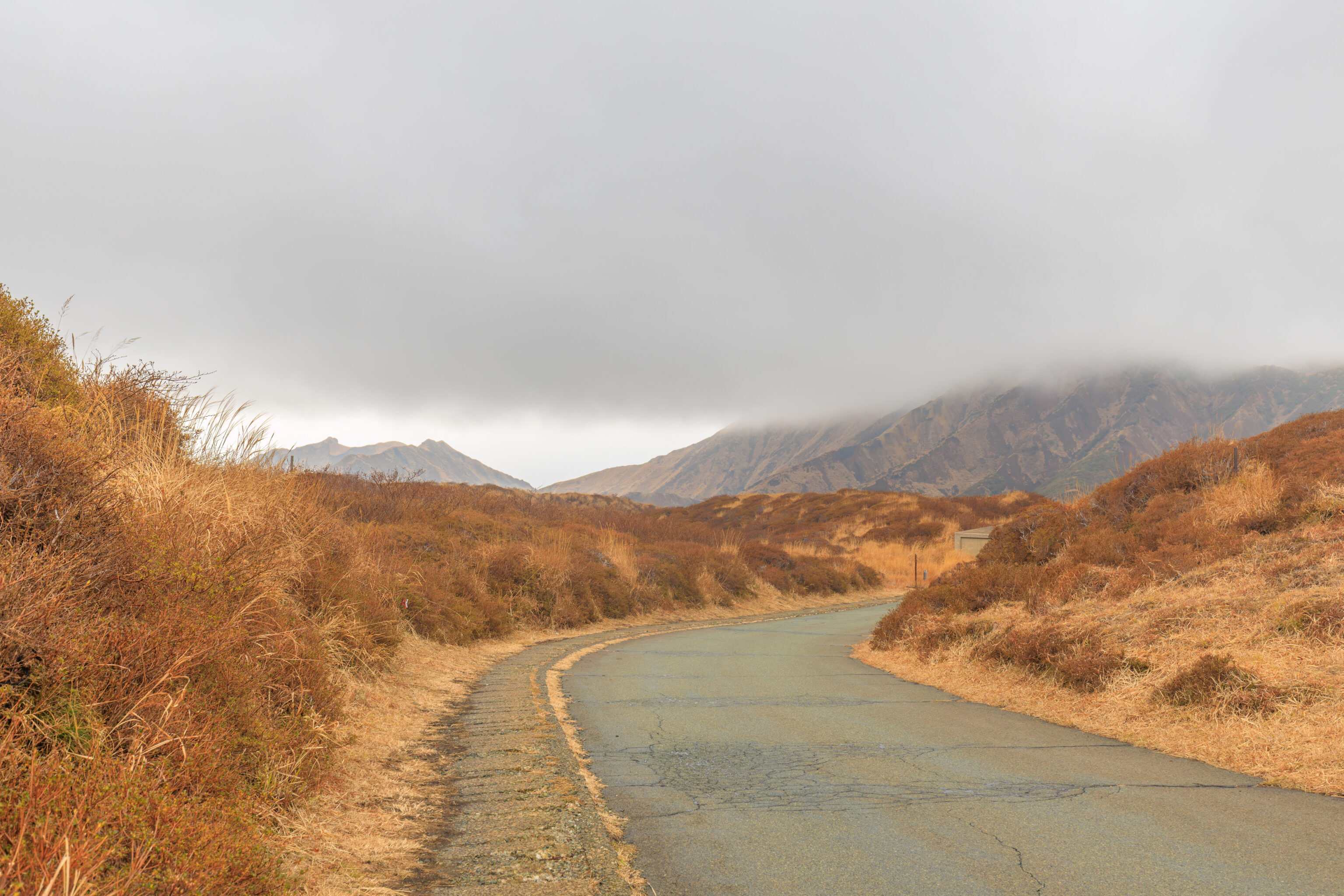
As we continued walking to the west, the pedestrian path separates from the road.
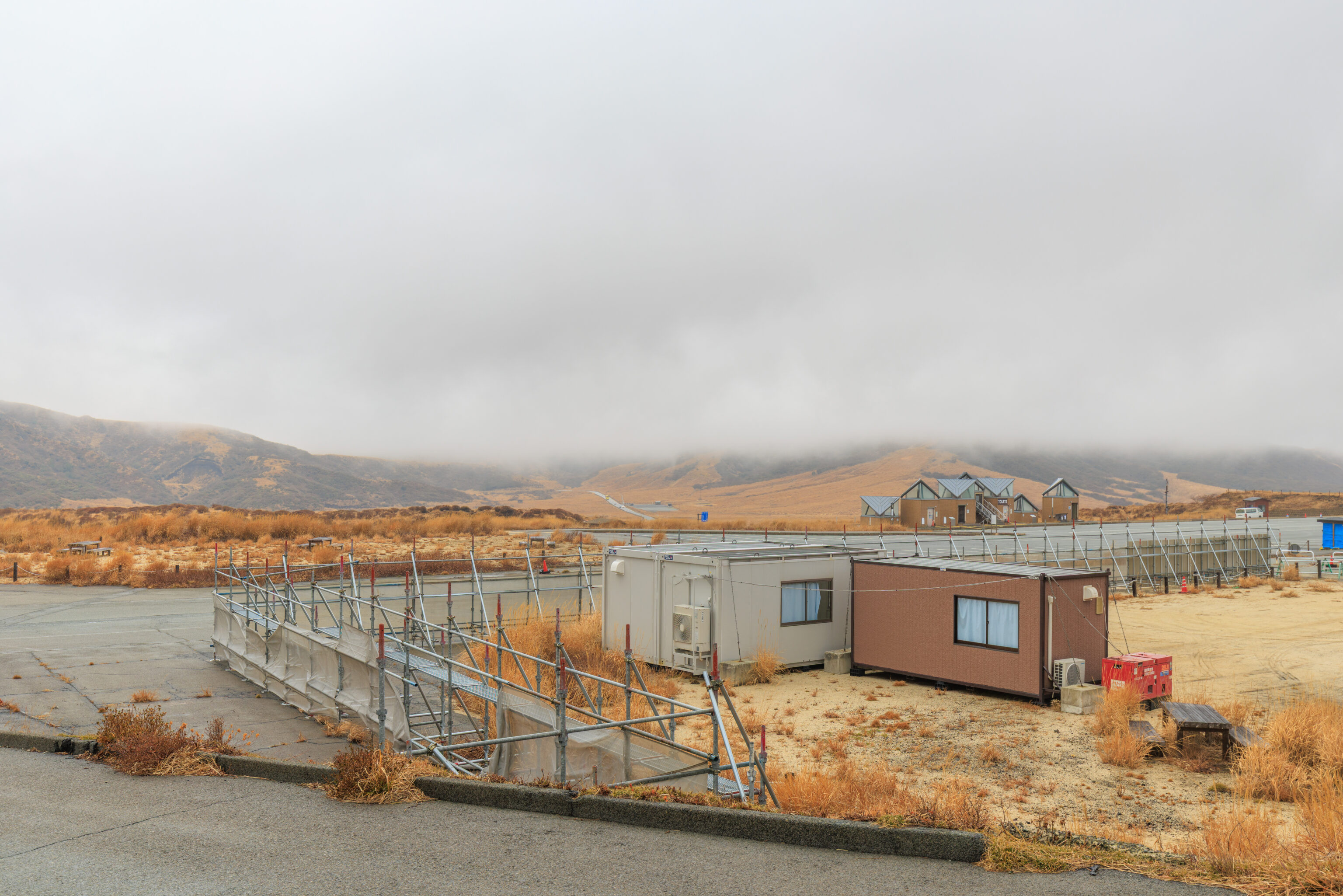
The path takes us to the southern end of the Aso Sanjo Terminal parking lot where there seems to be a bit of constriction going on. Based on historical satellite imagery available on Google Earth, there were some buildings here that were removed this year.
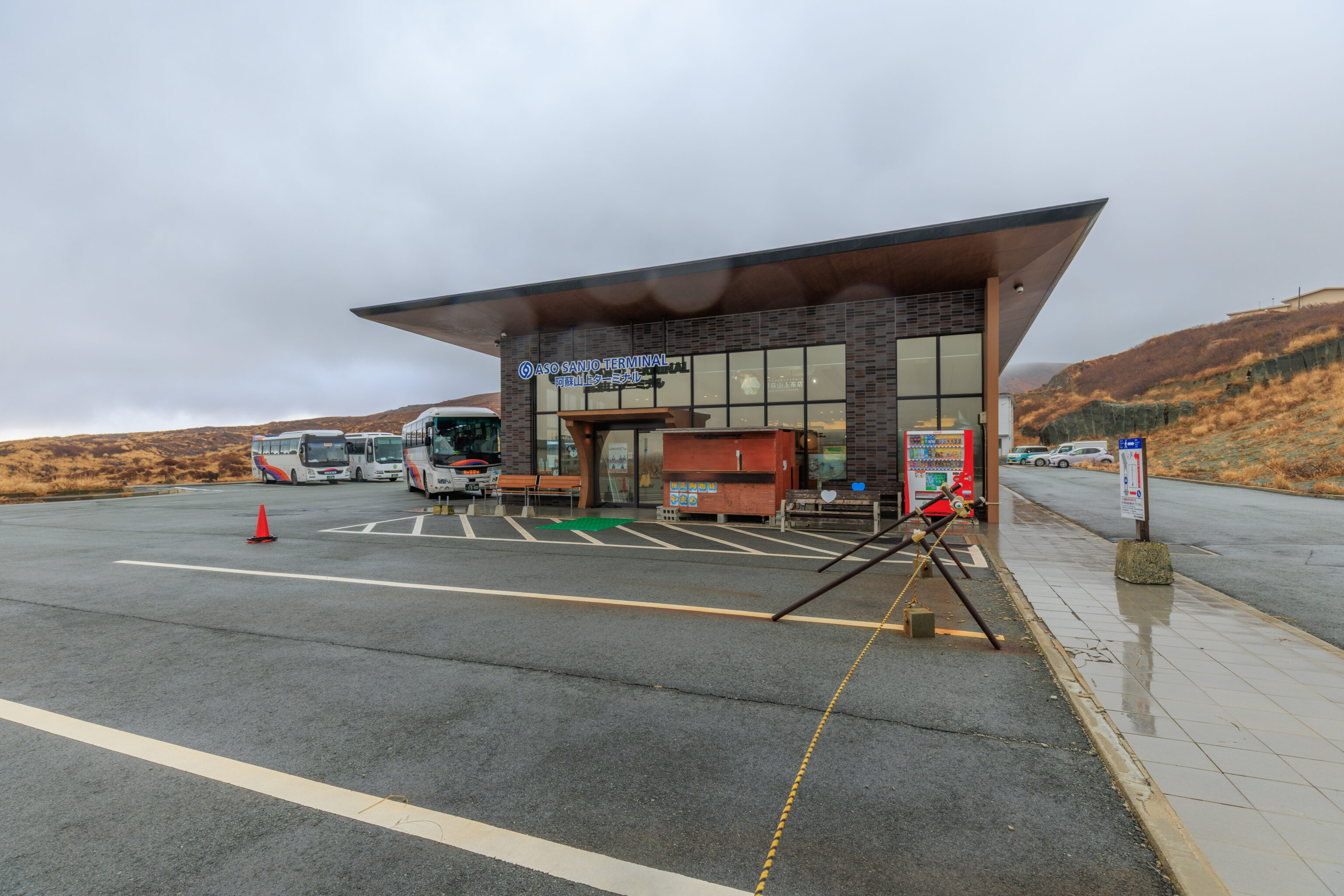
We walked a bit further to arrive at the Aso Sanjo Terminal. This building is pretty new. Previously, this location was the lower terminal of the 阿蘇山ロープウェイ Mount Aso Ropeway, which was an aerial tram. It stopped operating in 2014 due to increased volcanic activity and was damaged in the 2016 earthquake. It was fully demolished between 2019 and 2020 with this building taking its place. The upper terminal was replaced with the shelter by the parking lot.
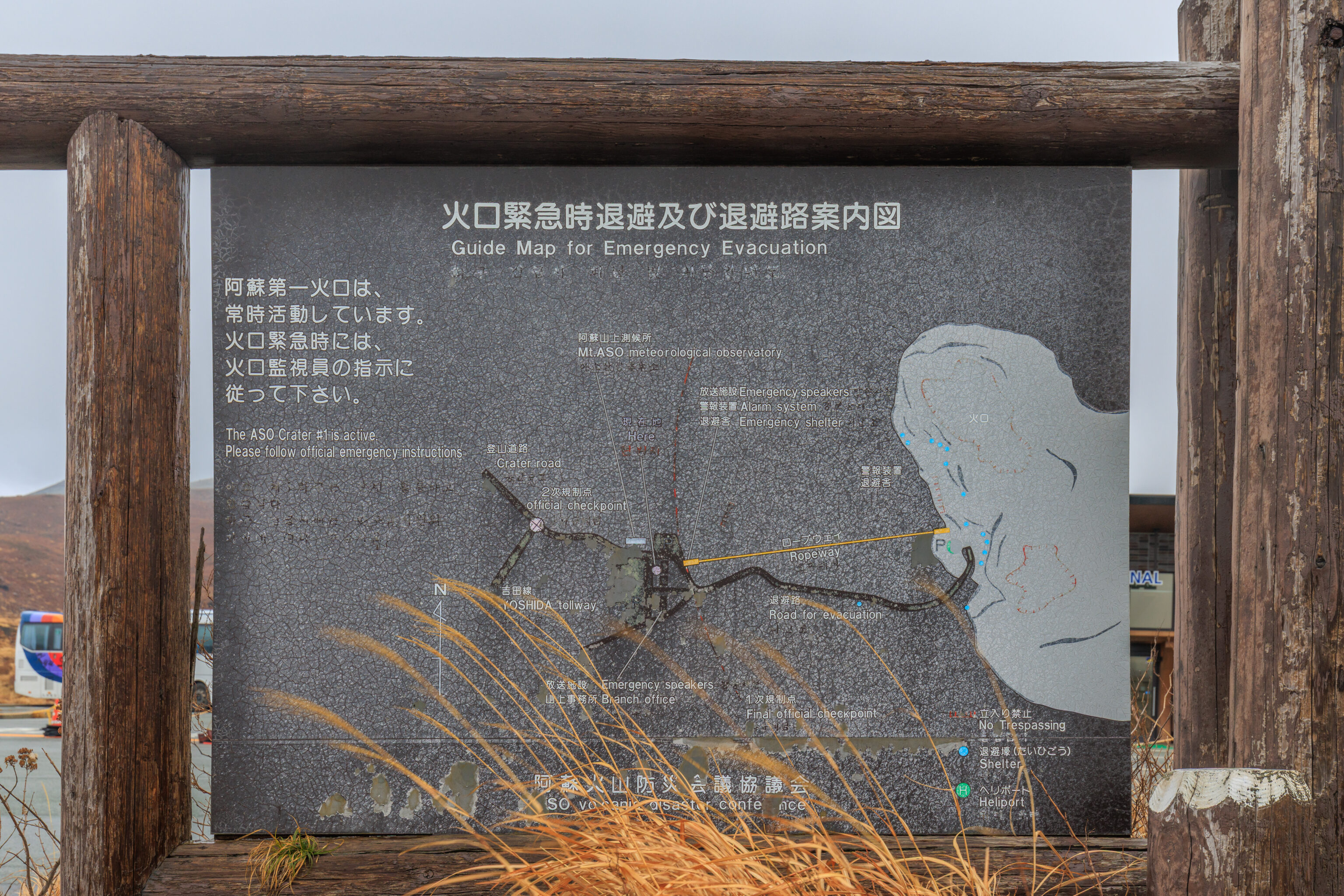
This old sign shows where the ropeway was located.
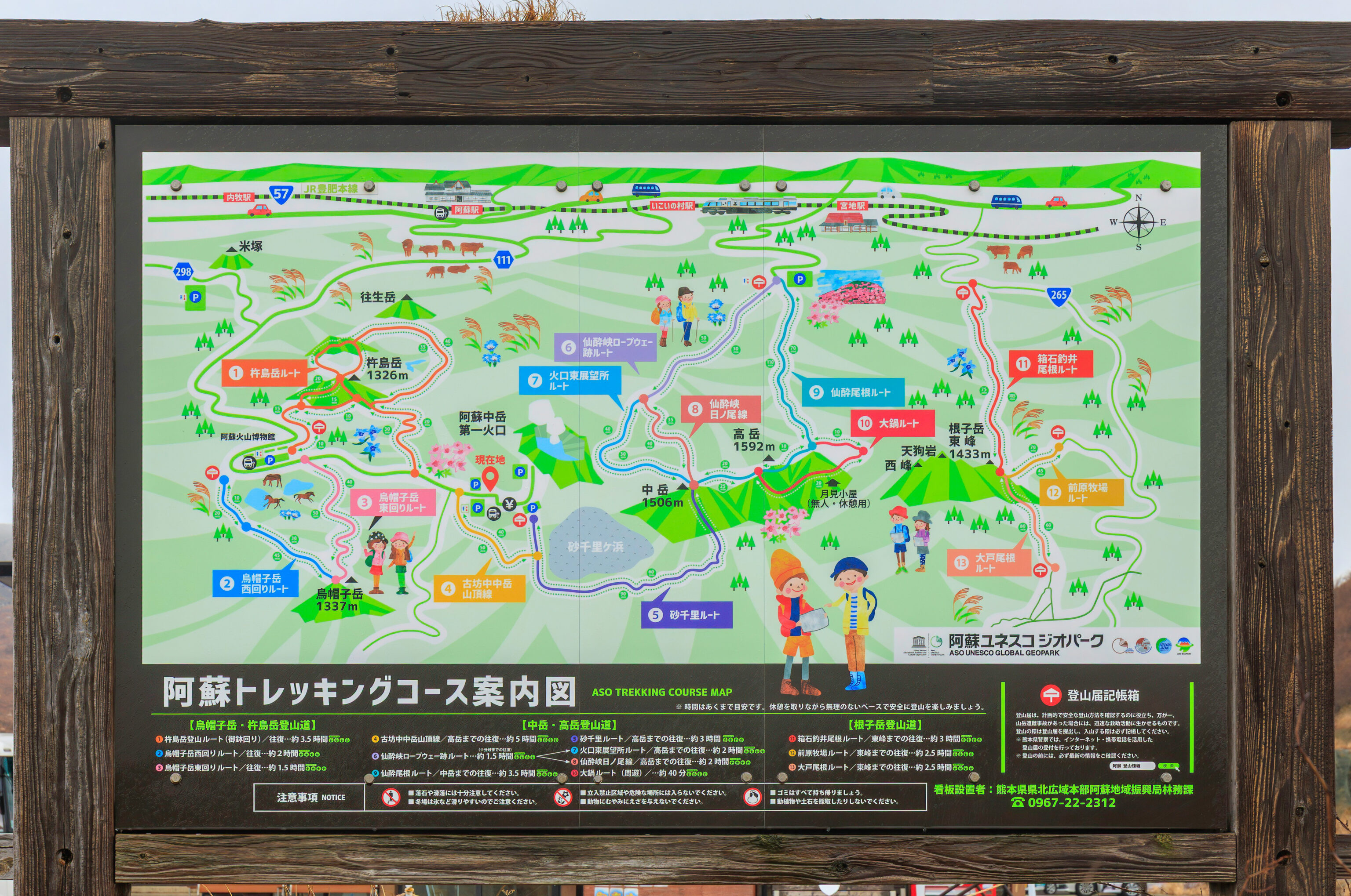
This sign shows the various hiking trails that are in the area.
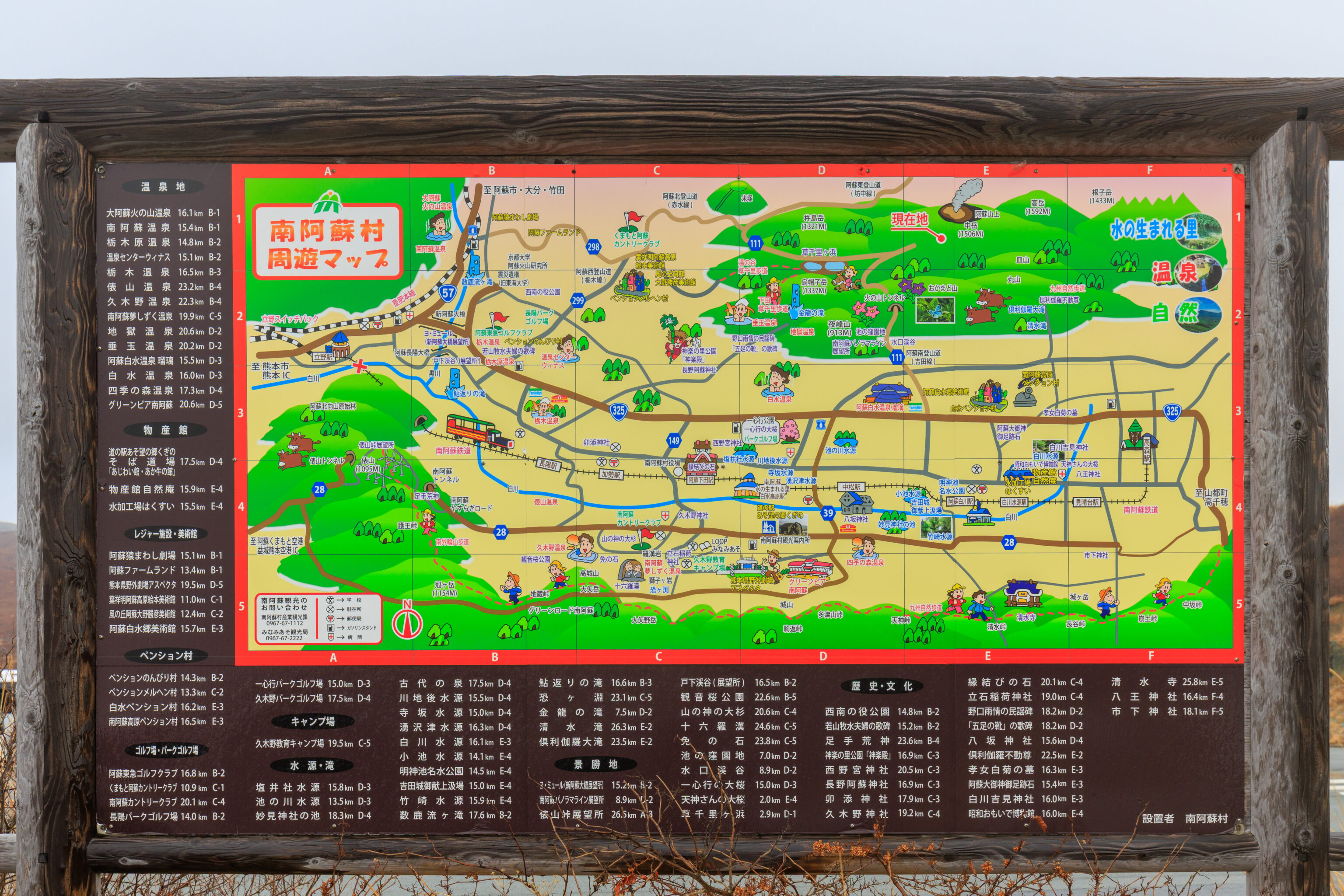
This map depicts the area on the south side of the Aso Caldera.
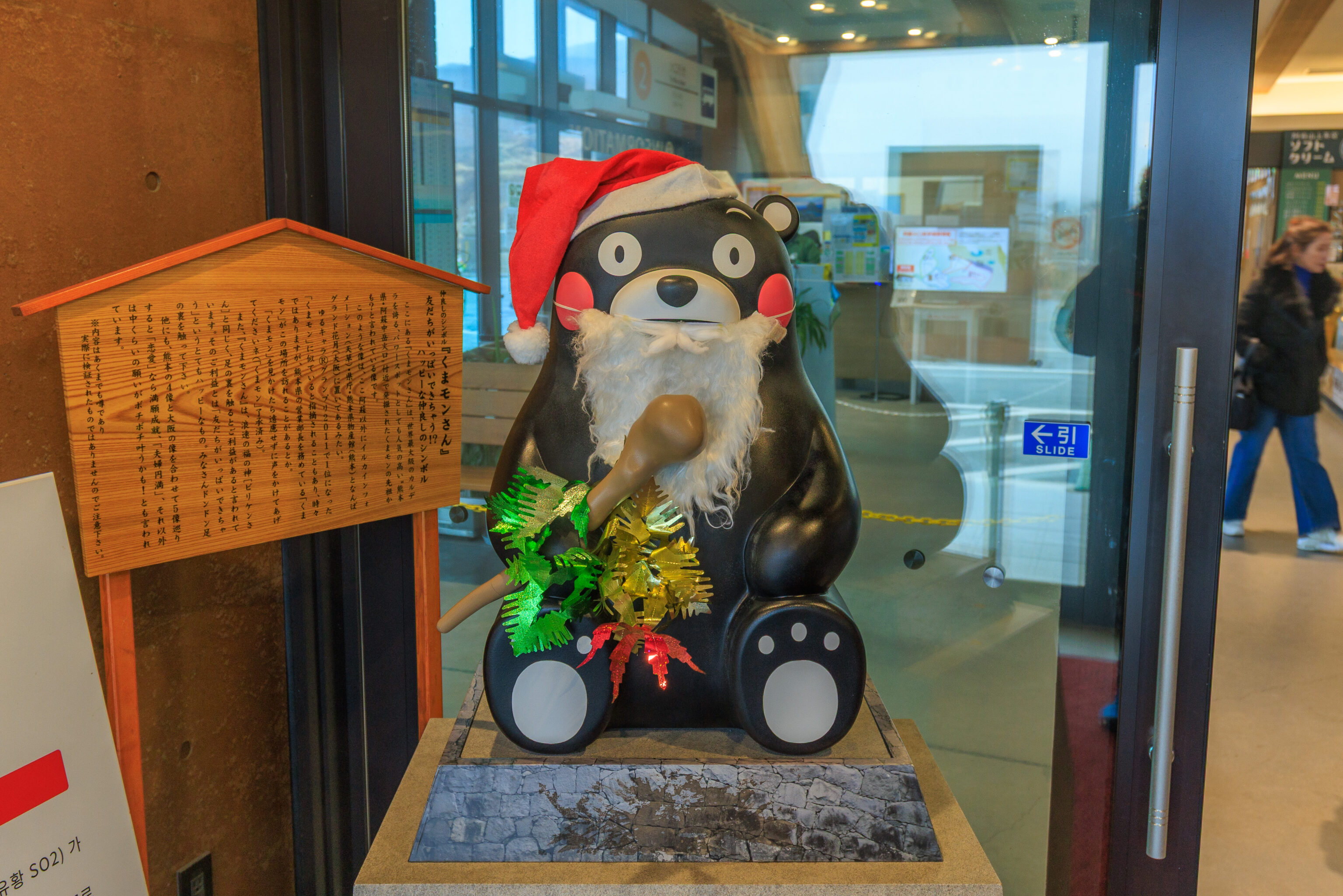
The first thing we saw upon entering the building was Kumamon!
The Symbol of Friendship: Kumamon-san
Make lots of friends!?
A symbol of happy friendship

The Kumamon-san statue here is said to be an ancestor of Kumamon, excavated near the Aso Nakadake crater in Kumamoto Prefecture, a popular power spot boasting one of the world's largest calderas.

Similar statues can be found here in other locations besides Aso, including the Dolphin Information Center (Amakusa), the Prefectural Government Office, the Kumamoto Prefectural Products Center (Kumamoto), and Namba Grand Kagetsu (Osaka).

It's sometimes pointed out that it resembles Kumamon, who won first place in the 2011 Yuru-chara Grand Prix, and occasionally Kumamon, who serves as the sales manager for Kumamoto Prefecture, visits this place.

If you see Kumamon, don't hesitate to say hello (Kumamon has given his permission).

Furthermore, like Billiken, the god of fortune in Osaka, it is said that touching the soles of Kumamon's feet brings good fortune. The benefit is said to be the very happy one of "making lots of friends." So please, everyone, go ahead and touch the soles of his feet!

It is also said that if you visit all five statues—the four in Kumamoto and the one in Osaka—your wish for "love" will be fulfilled, your "marital harmony" will be achieved, and "other moderate wishes may be granted little by little!"

*Please note that this information is merely a rumor and has not been actually verified.
– Text from the wooden sign, read using Google Gemini and translated using Google Translate.
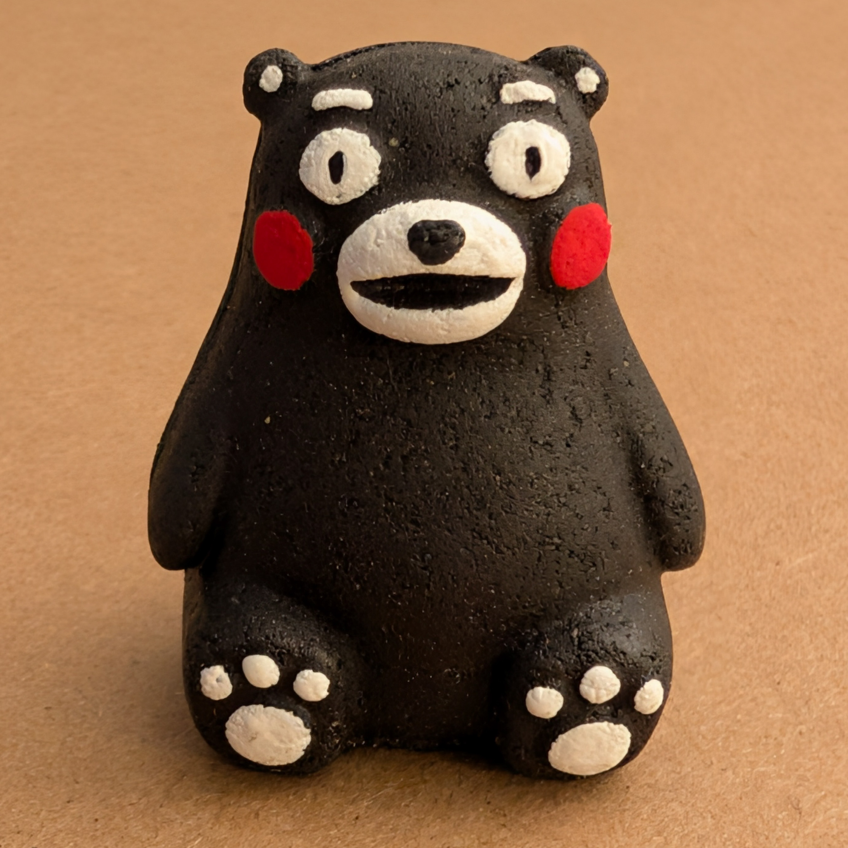
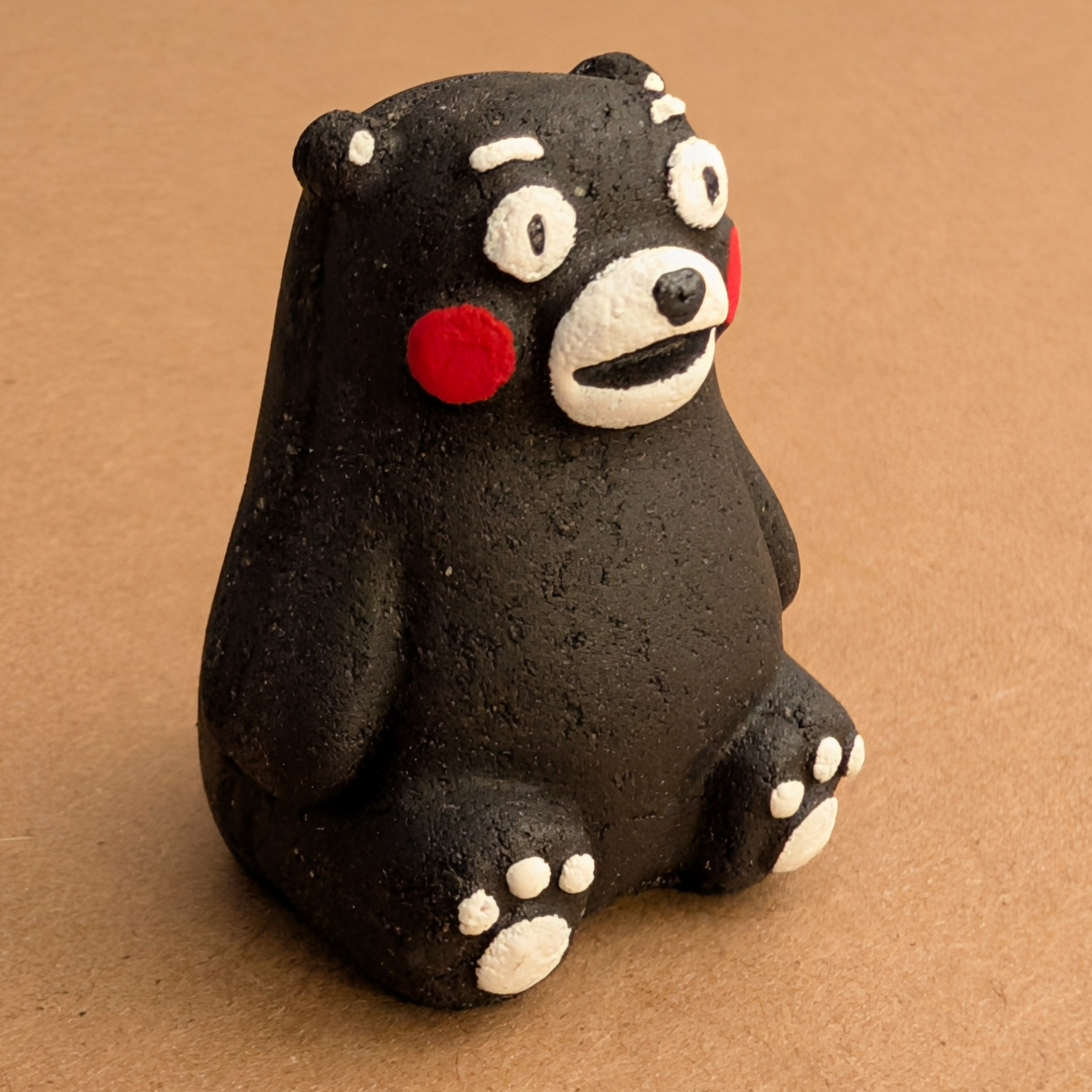
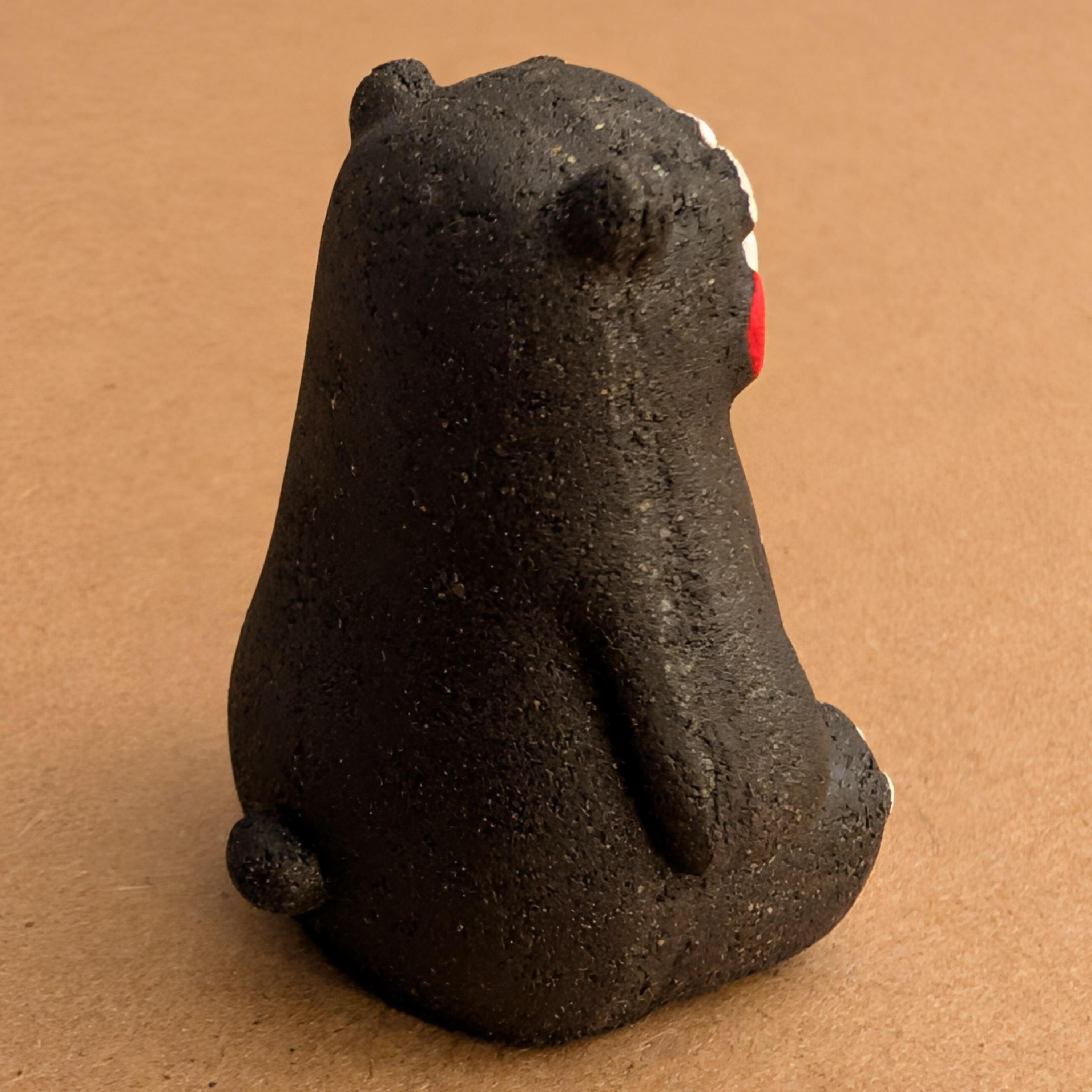
We spent some time inside looking at all the souvenirs while waiting for the next bus departure. We bought this little Kumamon made from volcanic
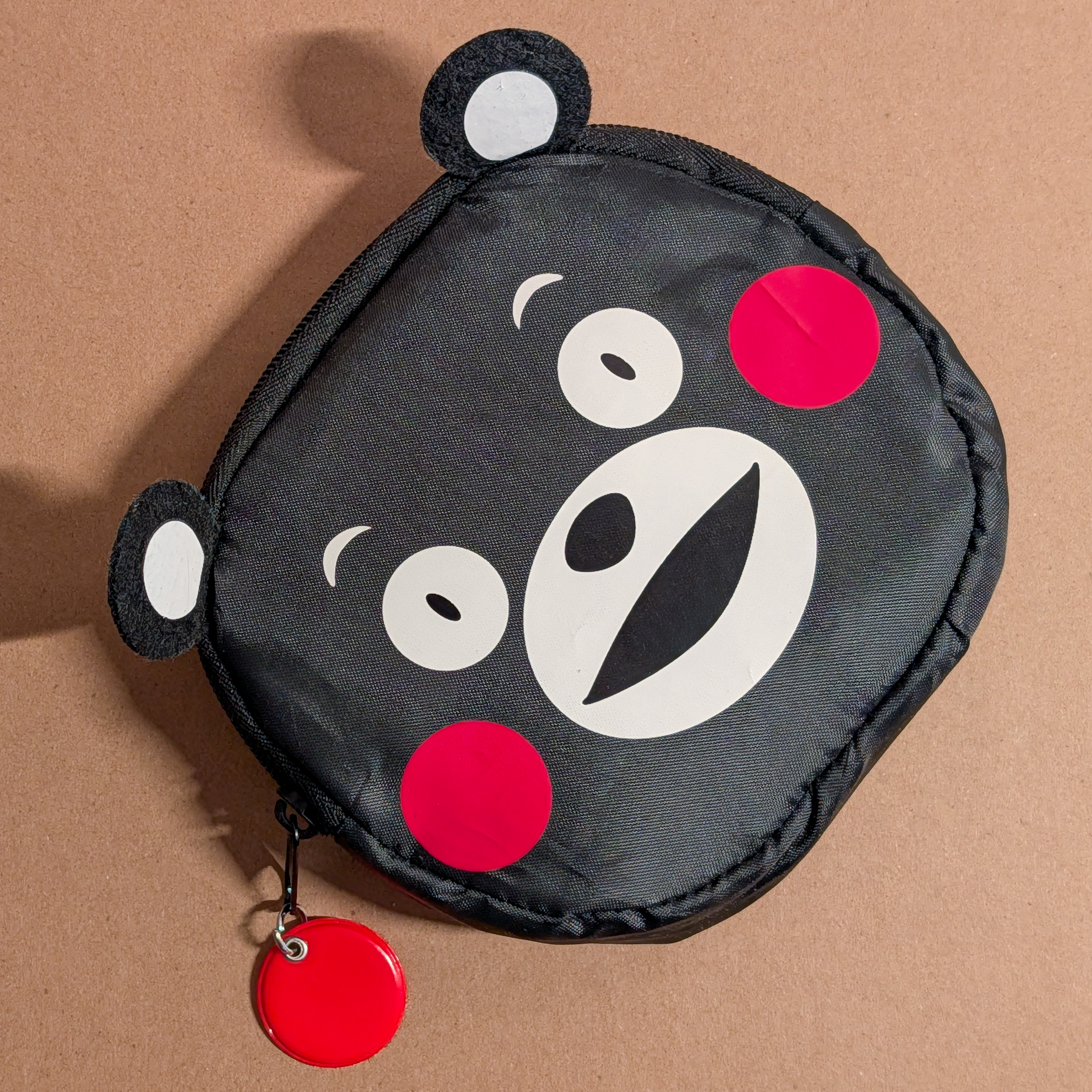
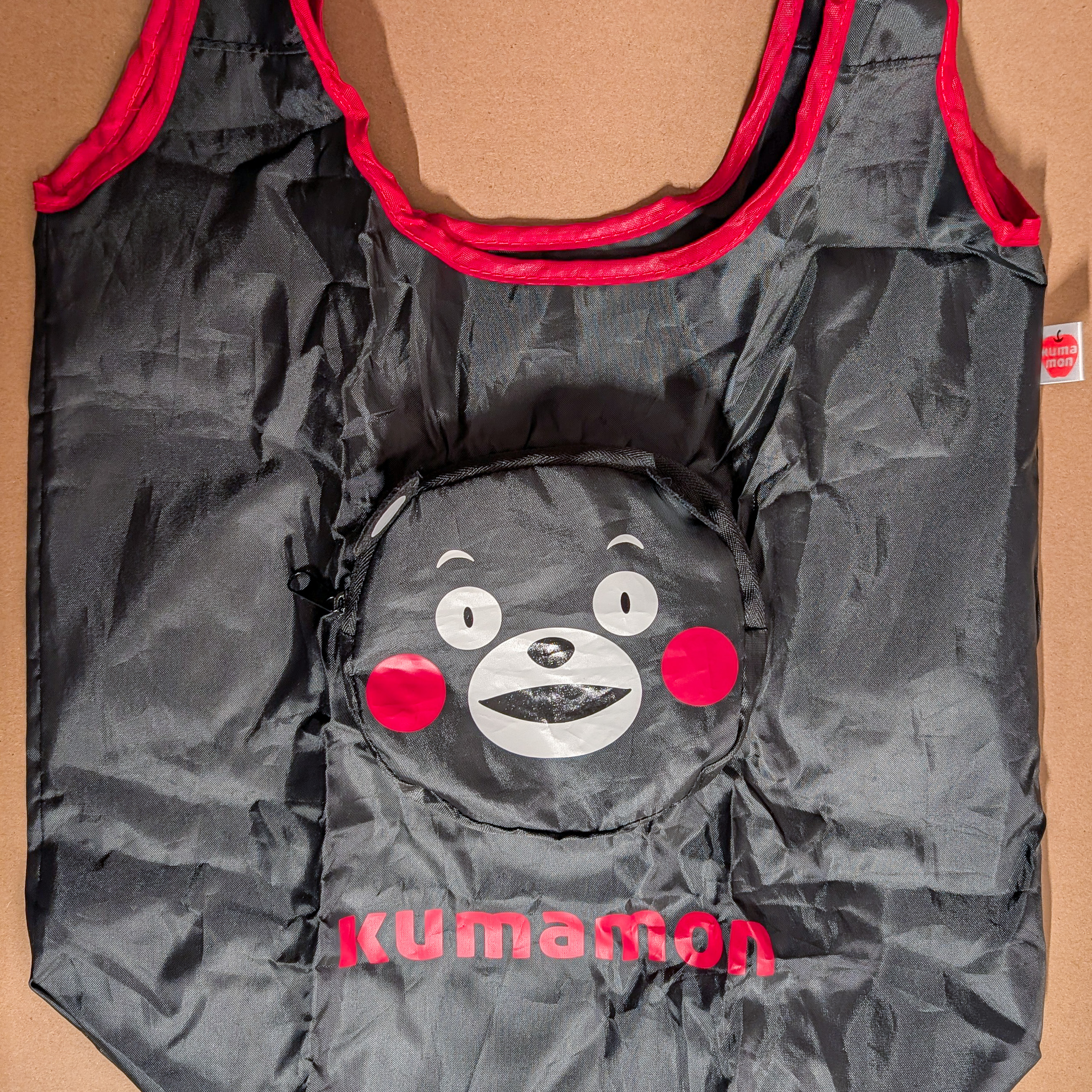
We also bought a Kumamon bag that folds into its own pouch when not in use.
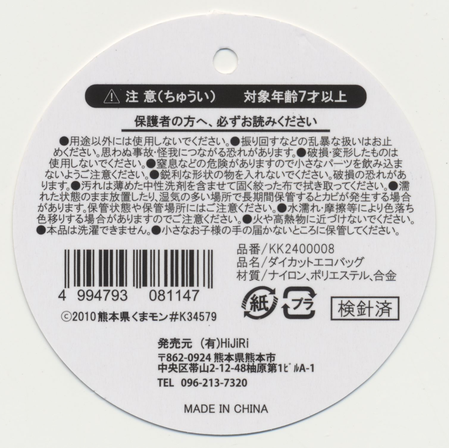
Its made in China and not particularly high quality but its cute and practical!
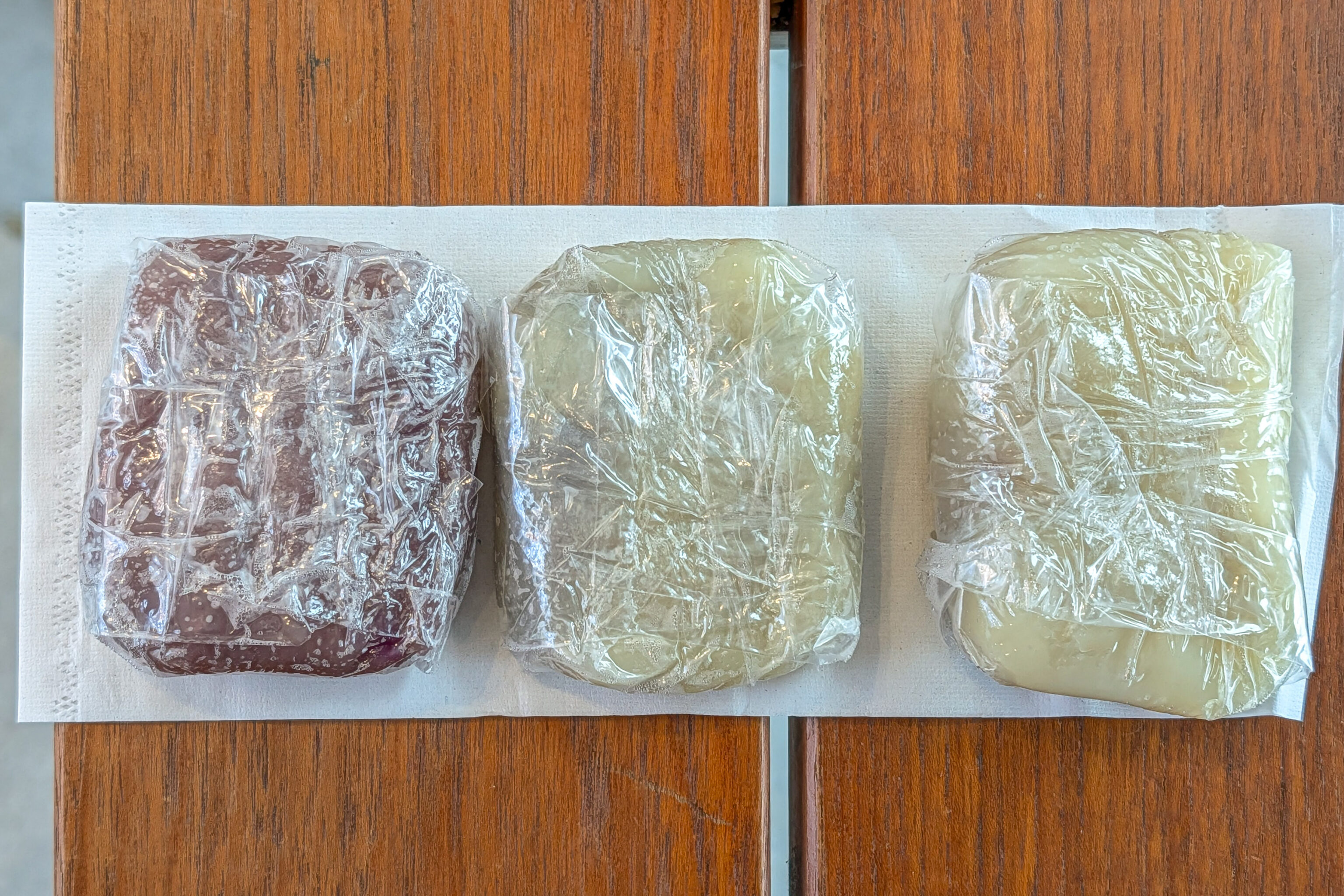
We also had some snacks, which unfortunately didn’t photograph very well when wrapped in plastic!
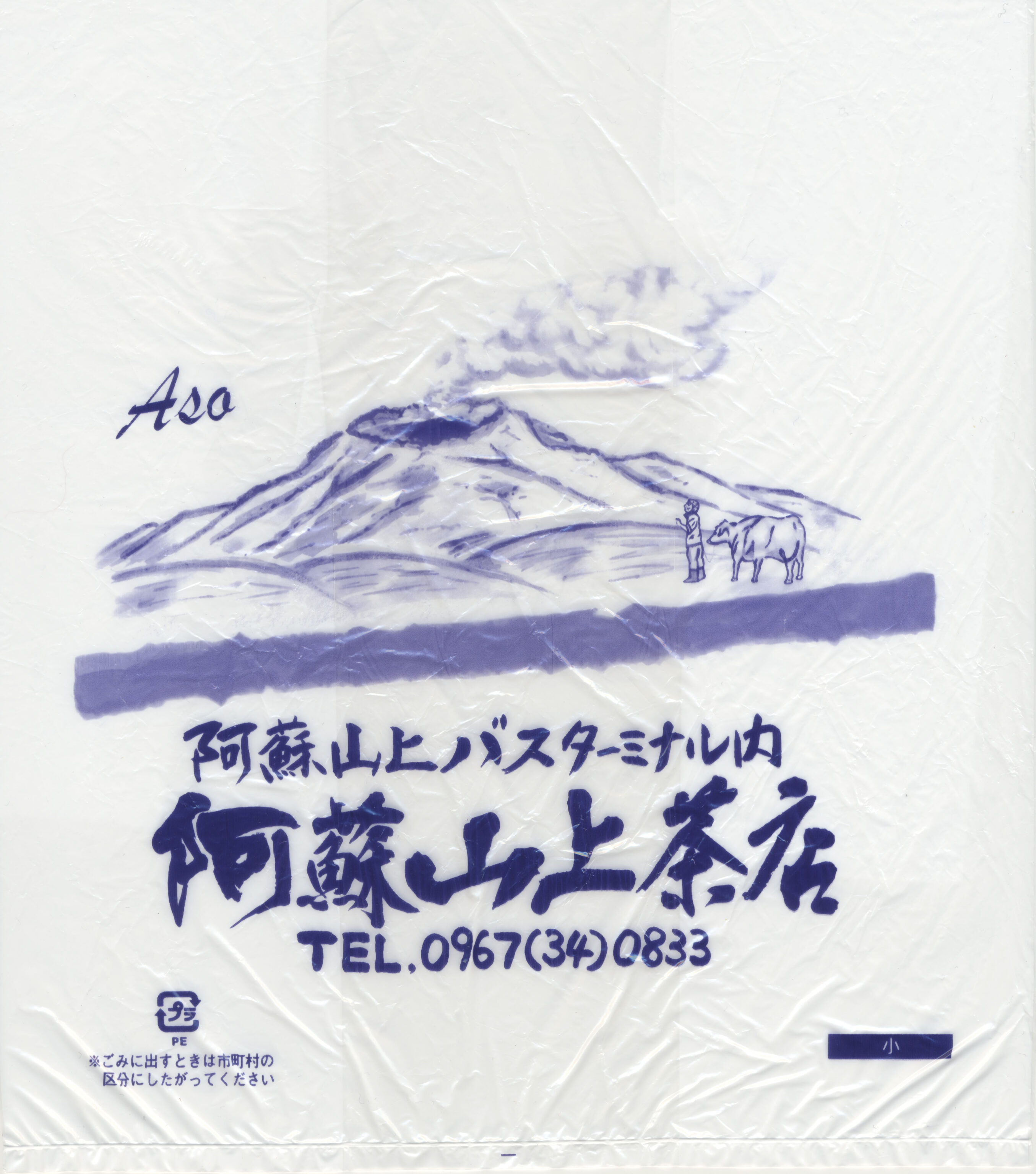
The shop here is the 阿蘇山上茶店 Aso Sanjo Chaten.
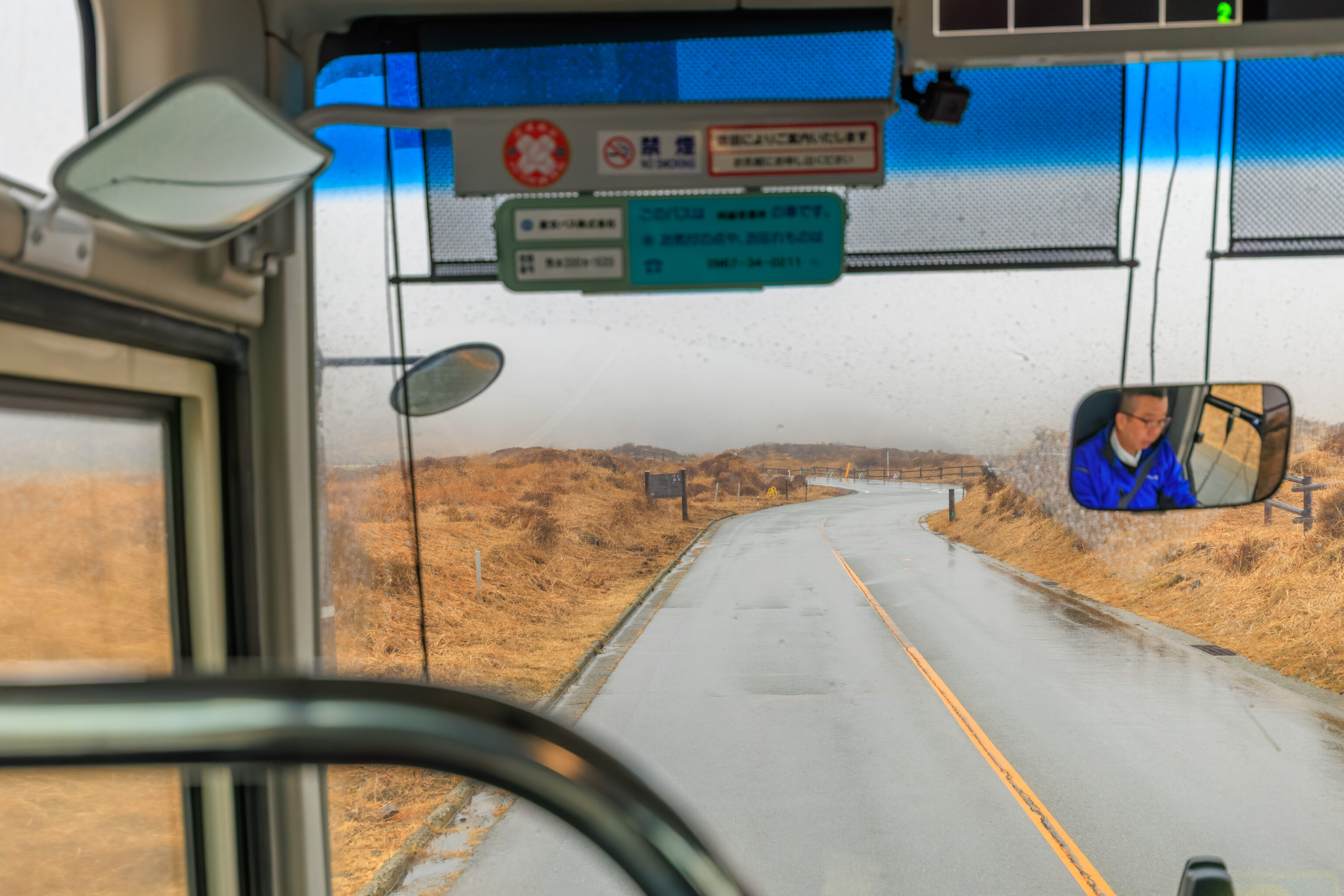
We took the next bus down, departing at 12:40pm.
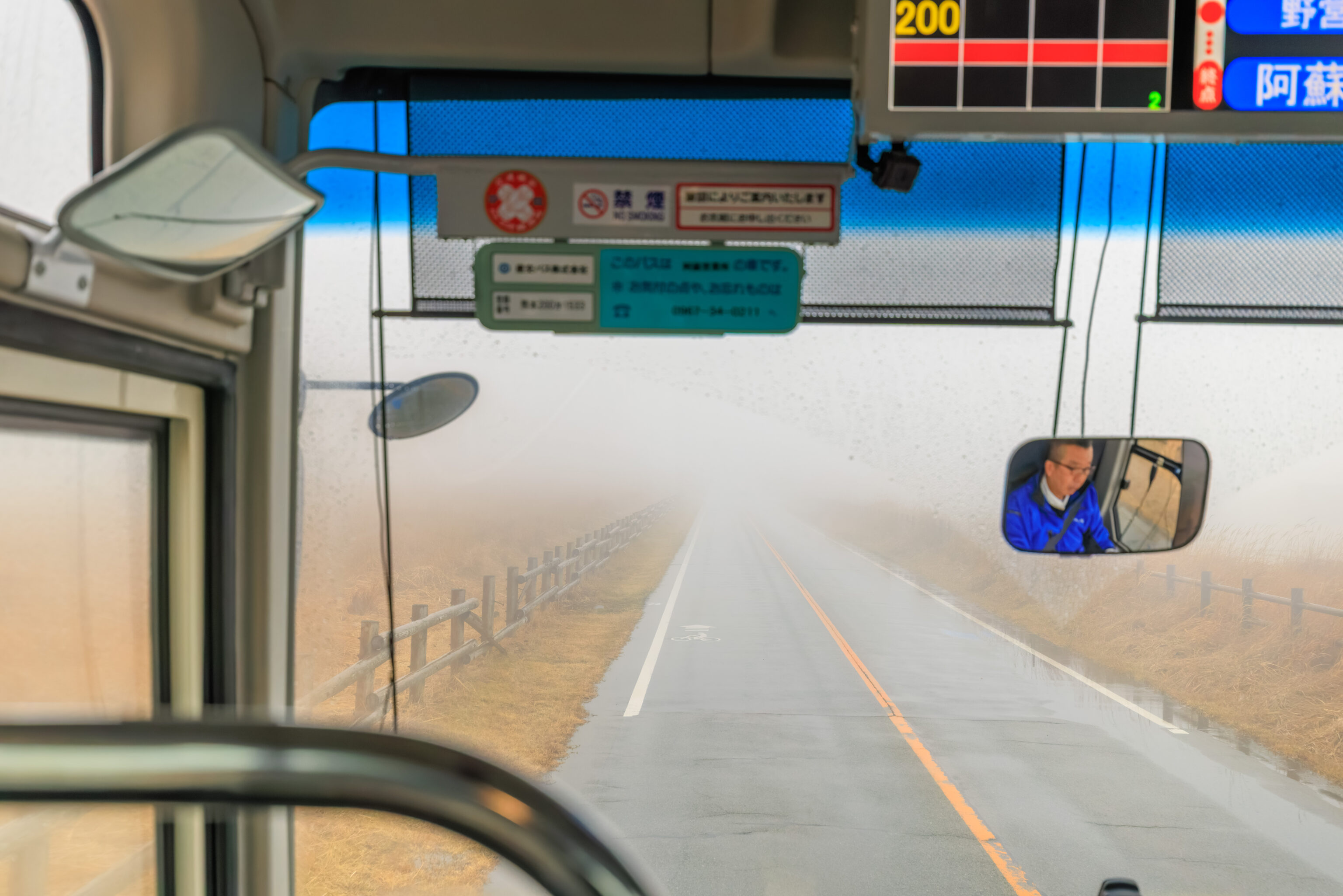
We passed through an area that was enveloped in low clouds.
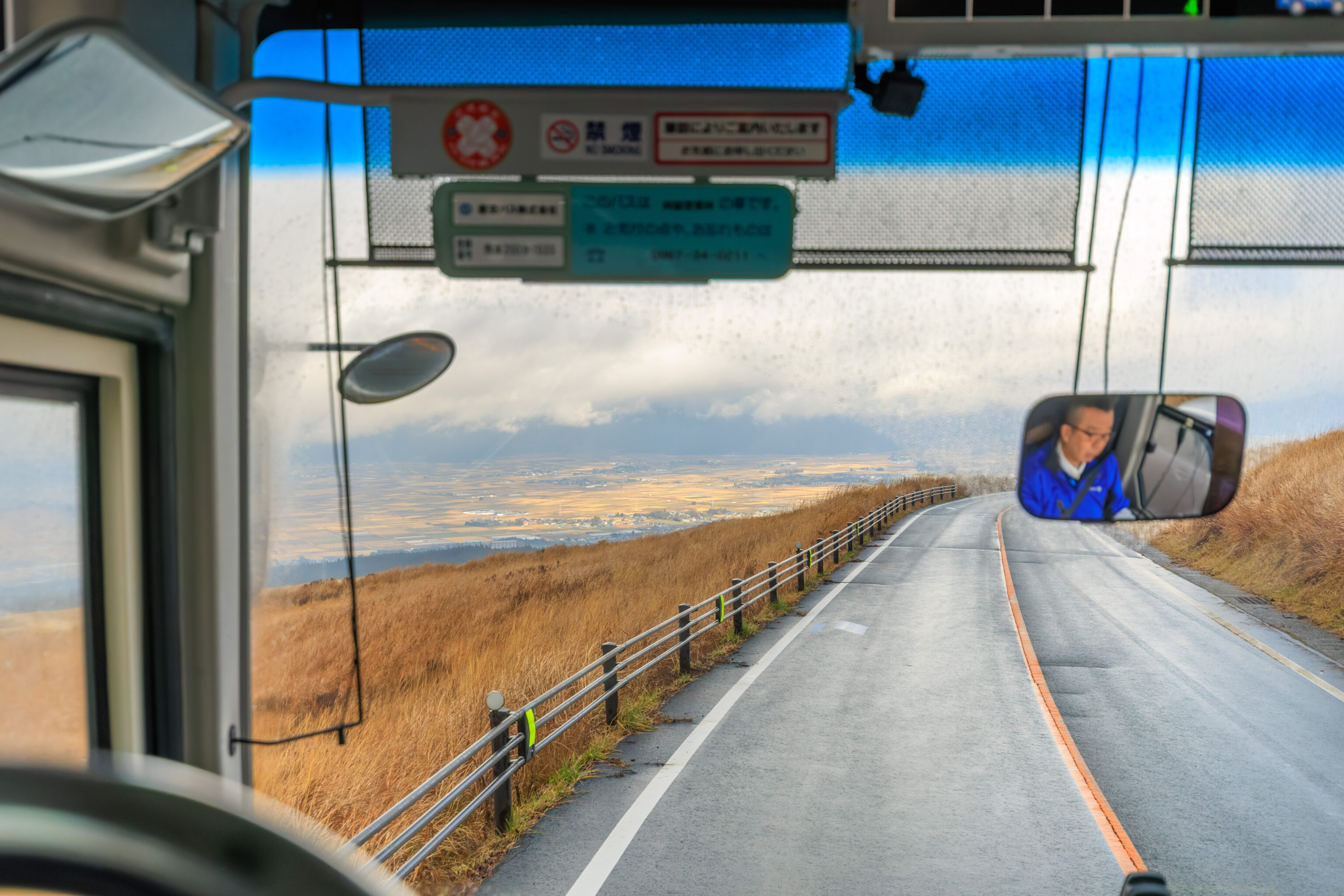
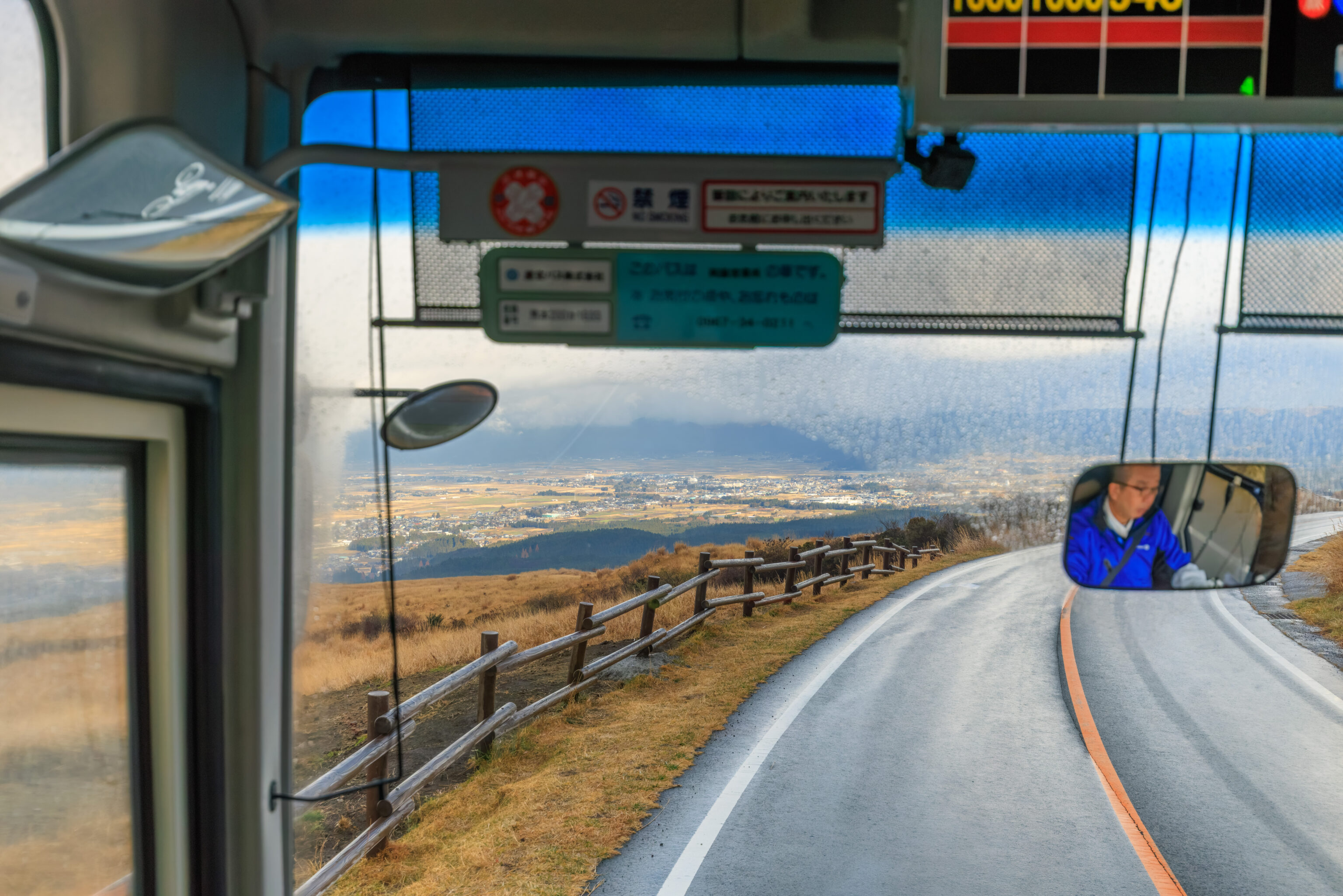
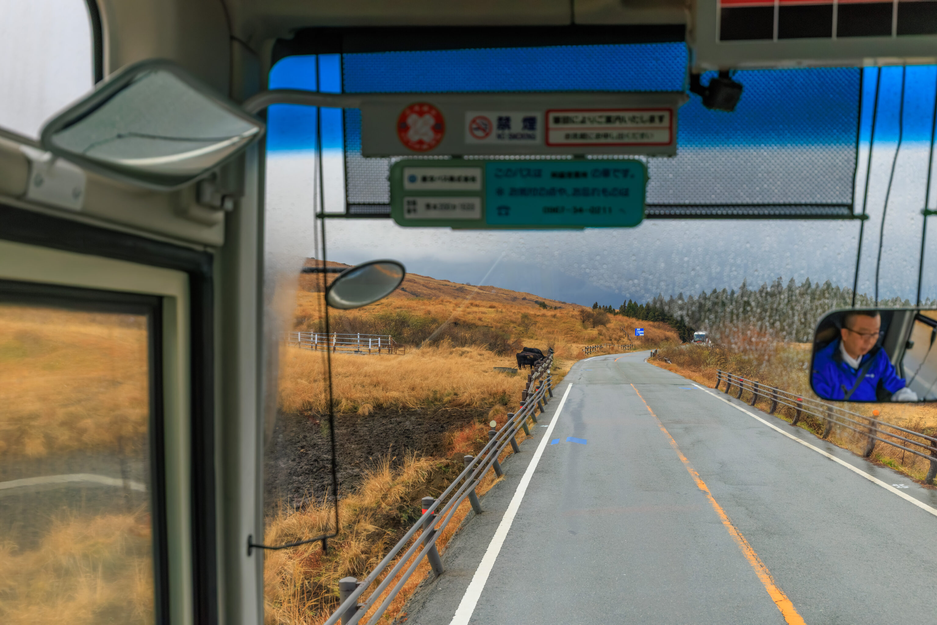
Although it was still raining, the clouds did clear once we were at a lower elevation.
Uchinomaki
After returning to Aso Station, we decided to head over to the 内牧 Uchinomaki district of Aso to get lunch. All we had to do was wait for the bus!
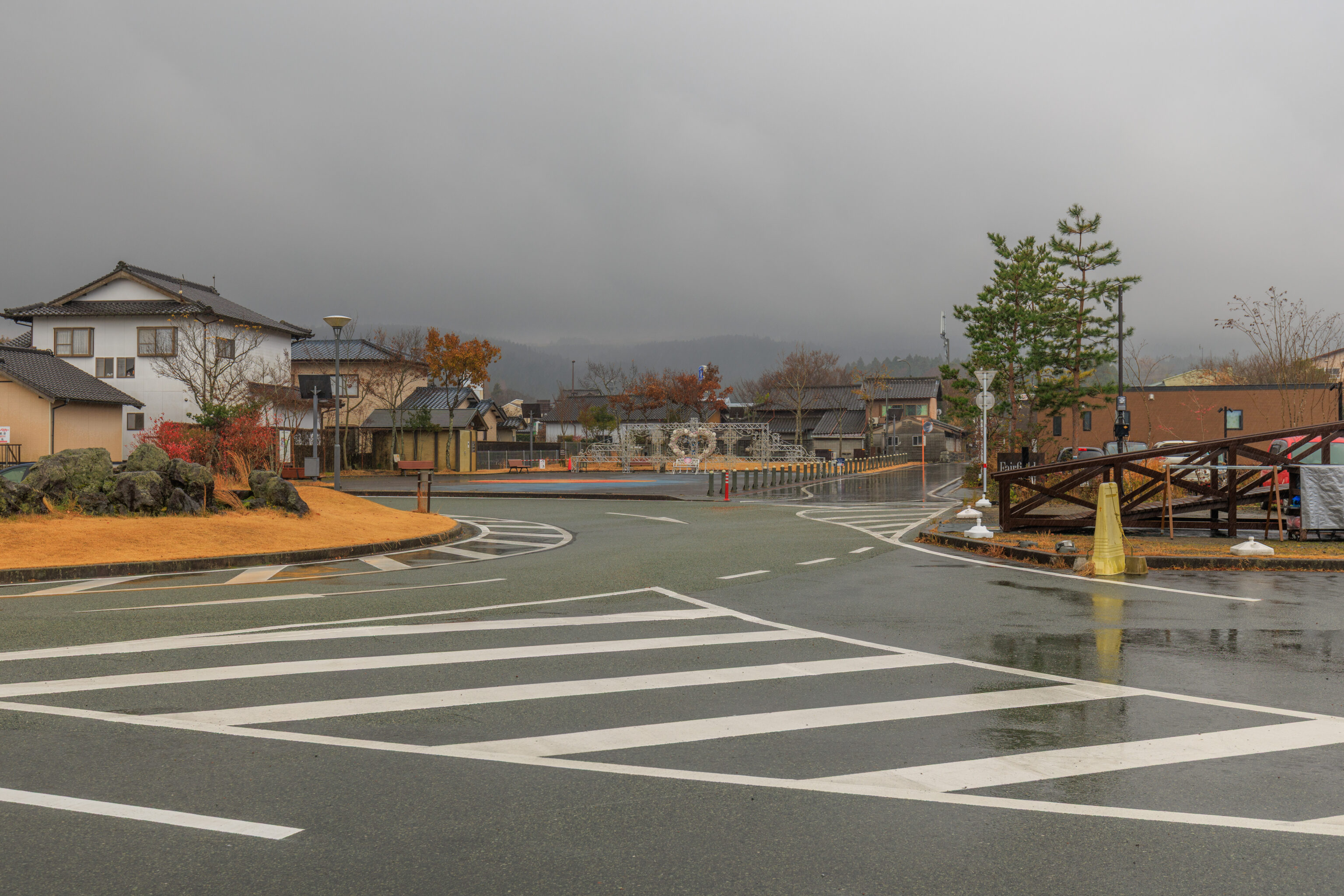
Aso Station faces the Aso Volcano. The weather looked pretty terrible now with the volcanic peaks completely hidden from view.
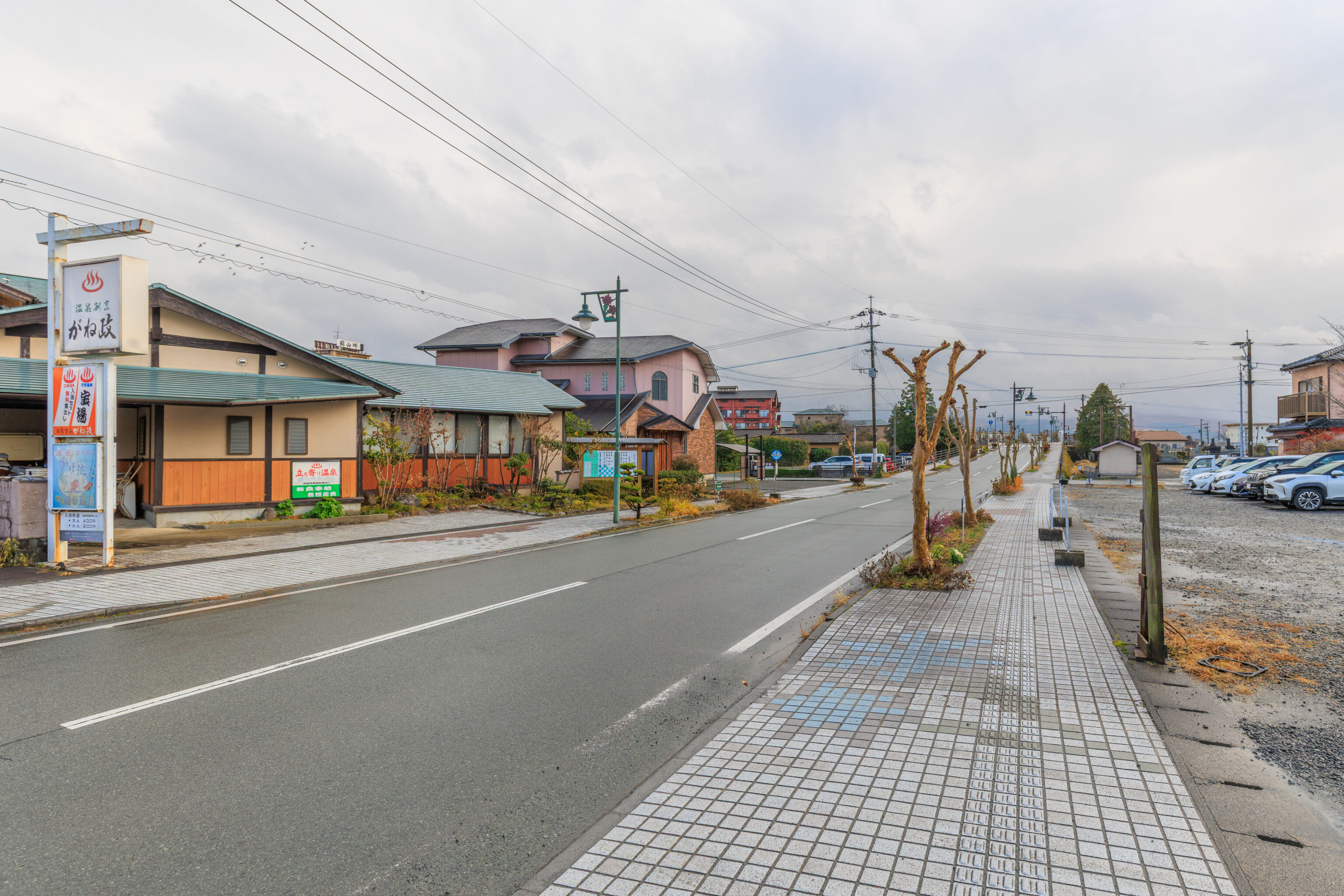
We took the bus to 阿蘇市商工会前 Asoshi Shokokai Mae, which is near the caldera’s northern rim. The trip covers about 7km in distance and takes a minimum of 15 minutes by bus. The busses don’t run particularly late here so that’s something to consider if you’re planning on making this trip. Although the sky was overcast to the south, the weather was much better here.
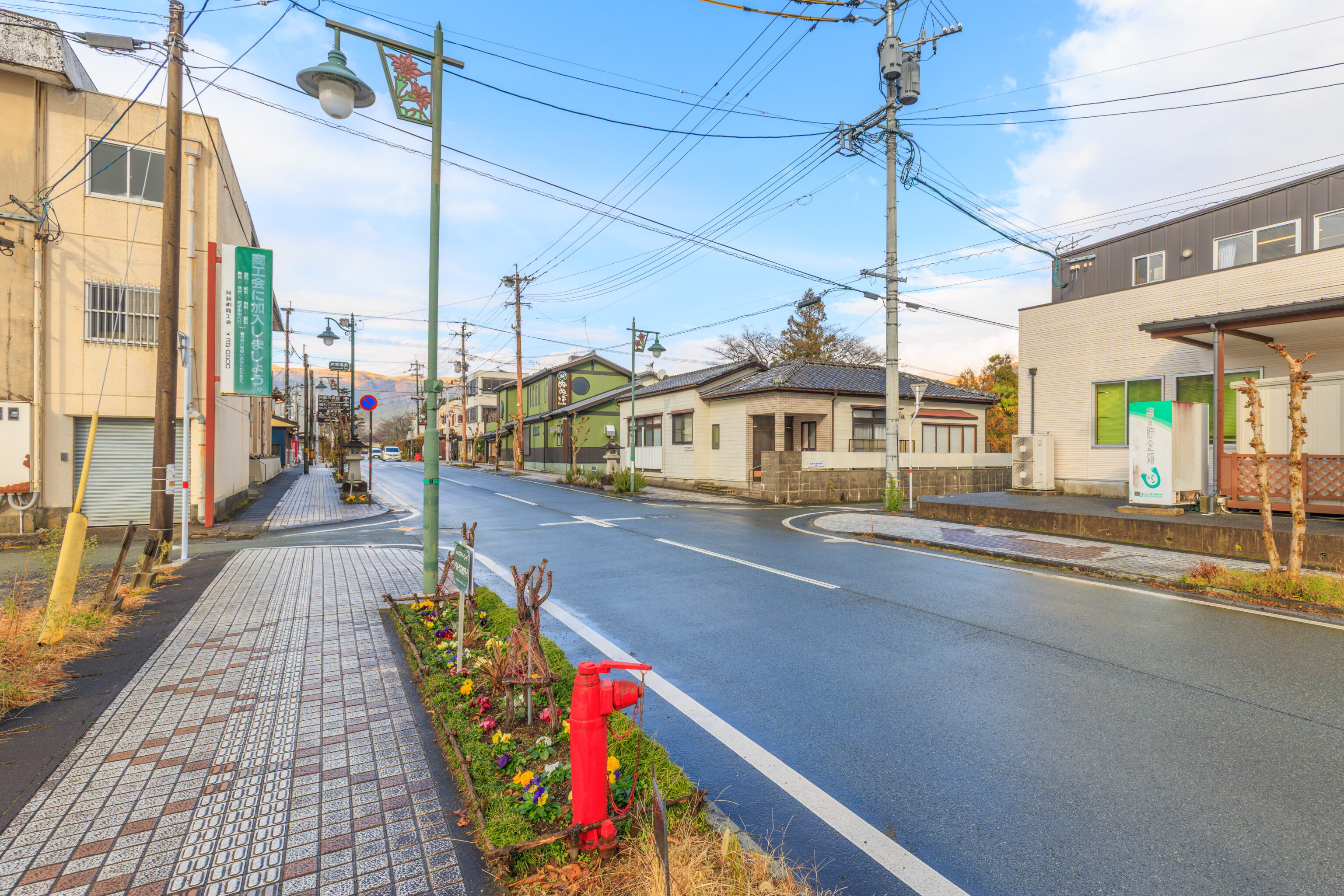
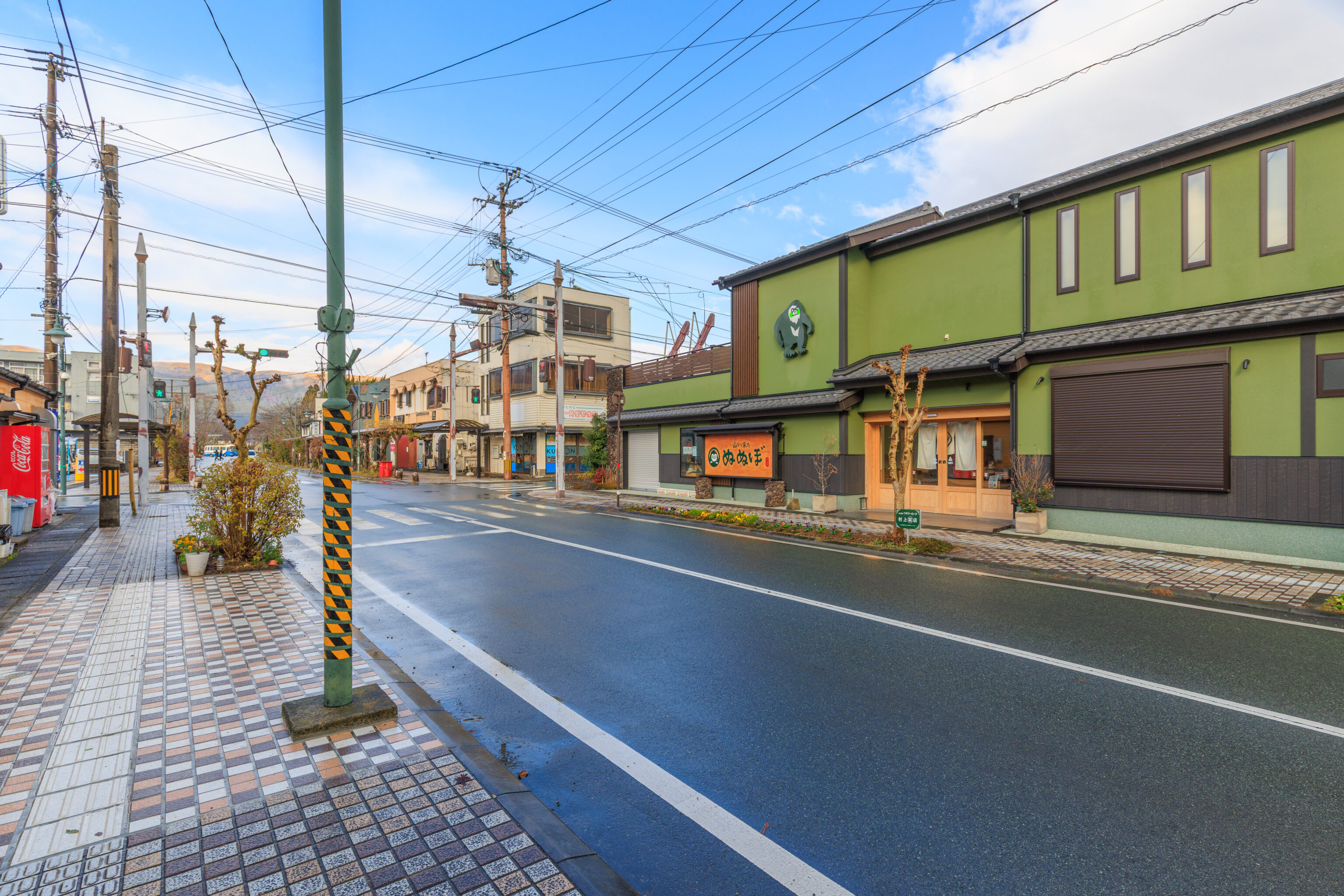
There was even blue sky to the north!
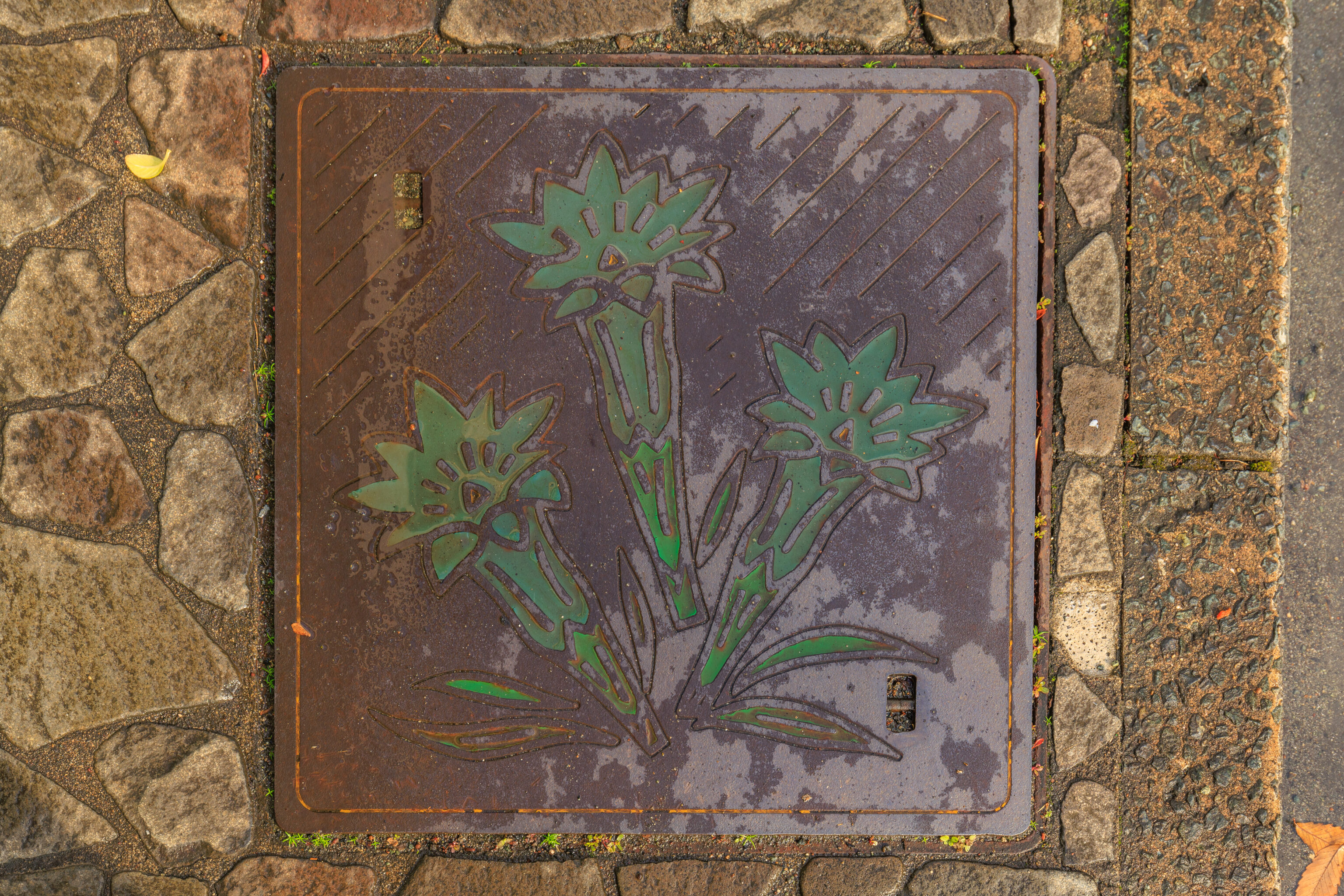
This random utility cover featured a flower. It appears to be the ハルリンドウ Harurindou, probably Spring Gentian in English.
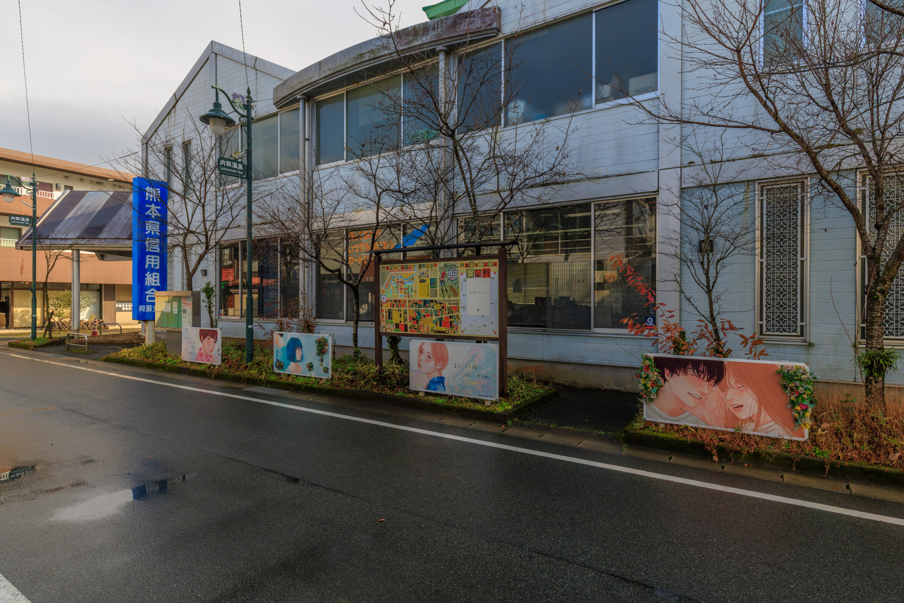
We noticed some art as we were walking through the area.
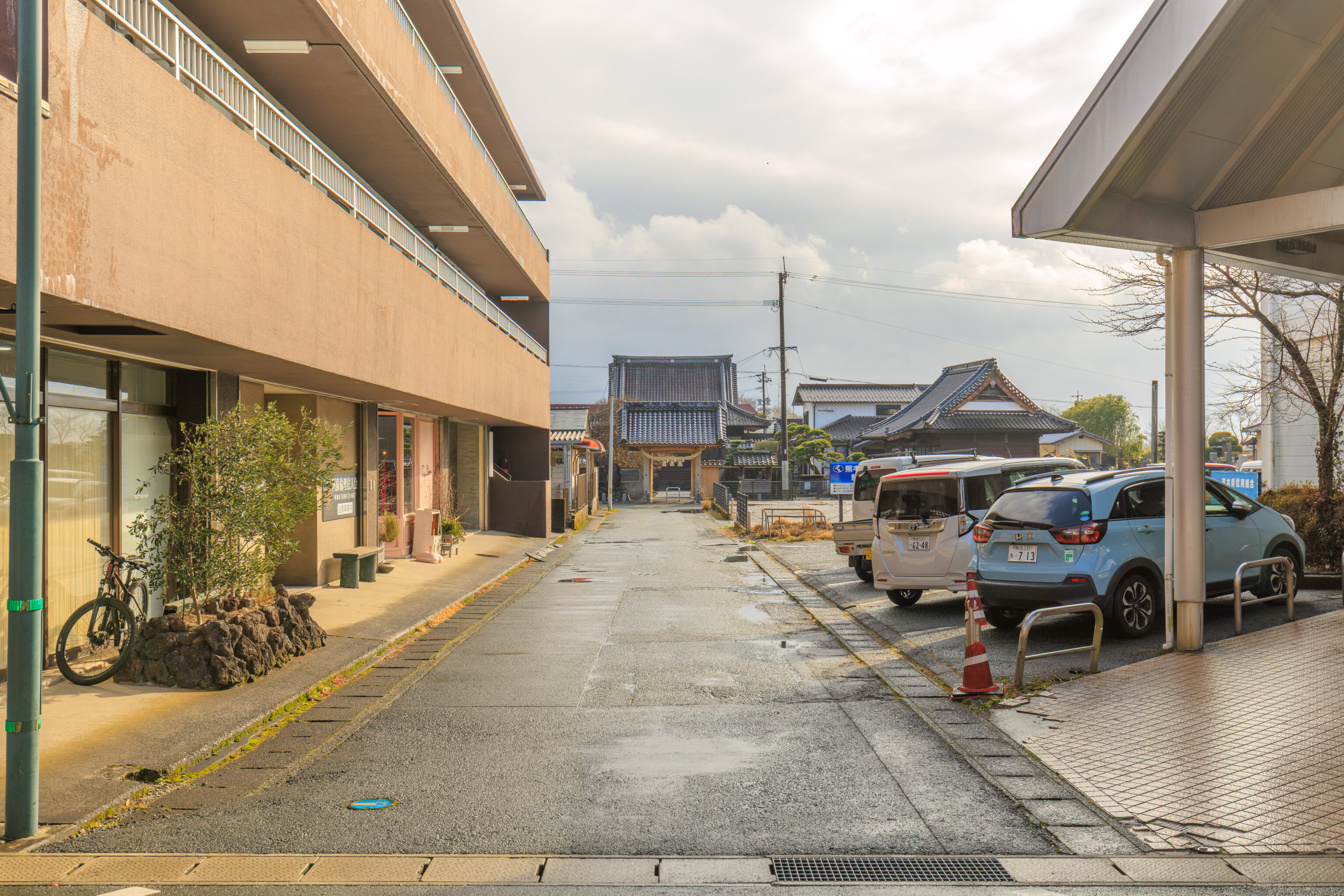
We walked by the entrance to a temple.
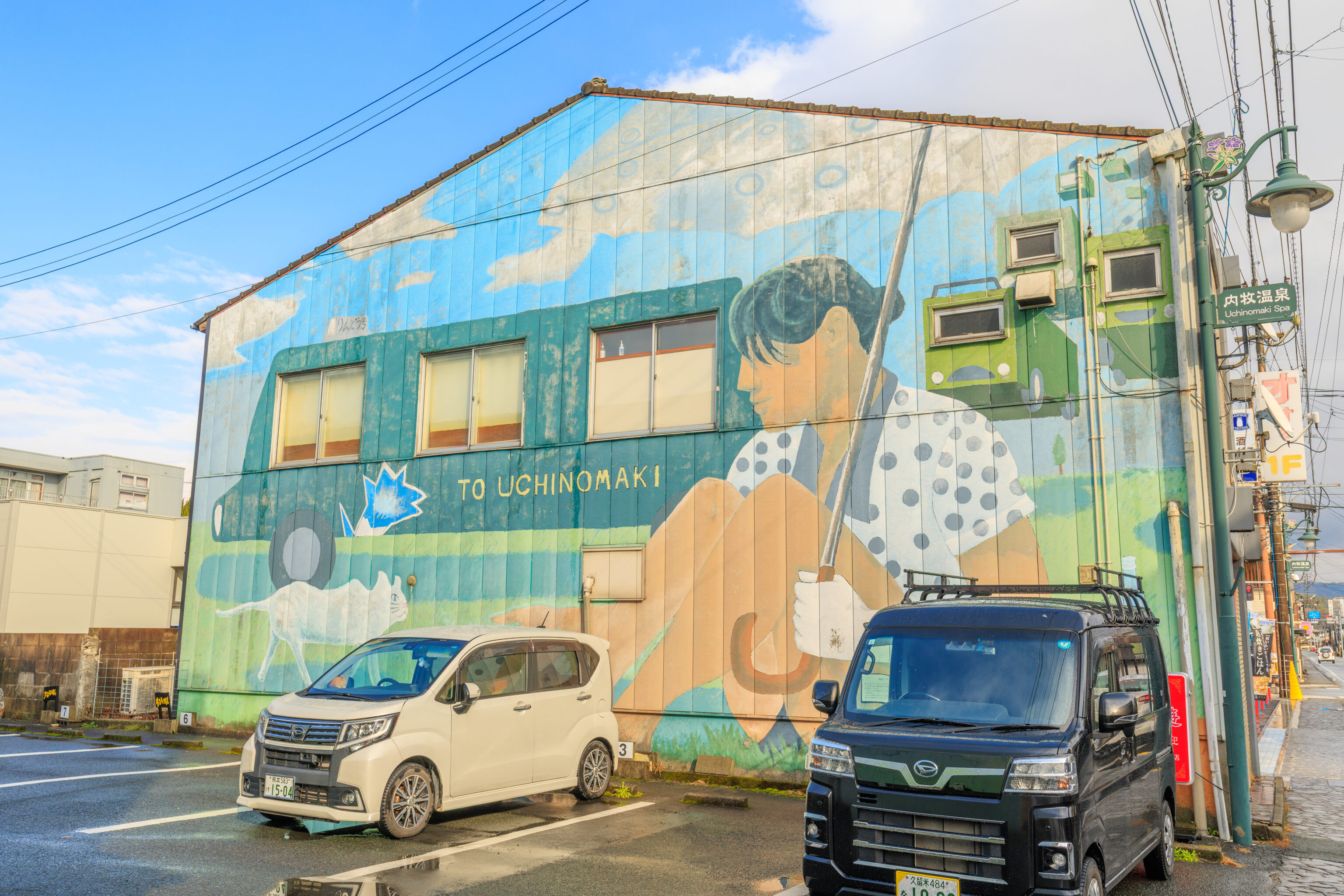
This mural on the side of a building made good use of its windows!
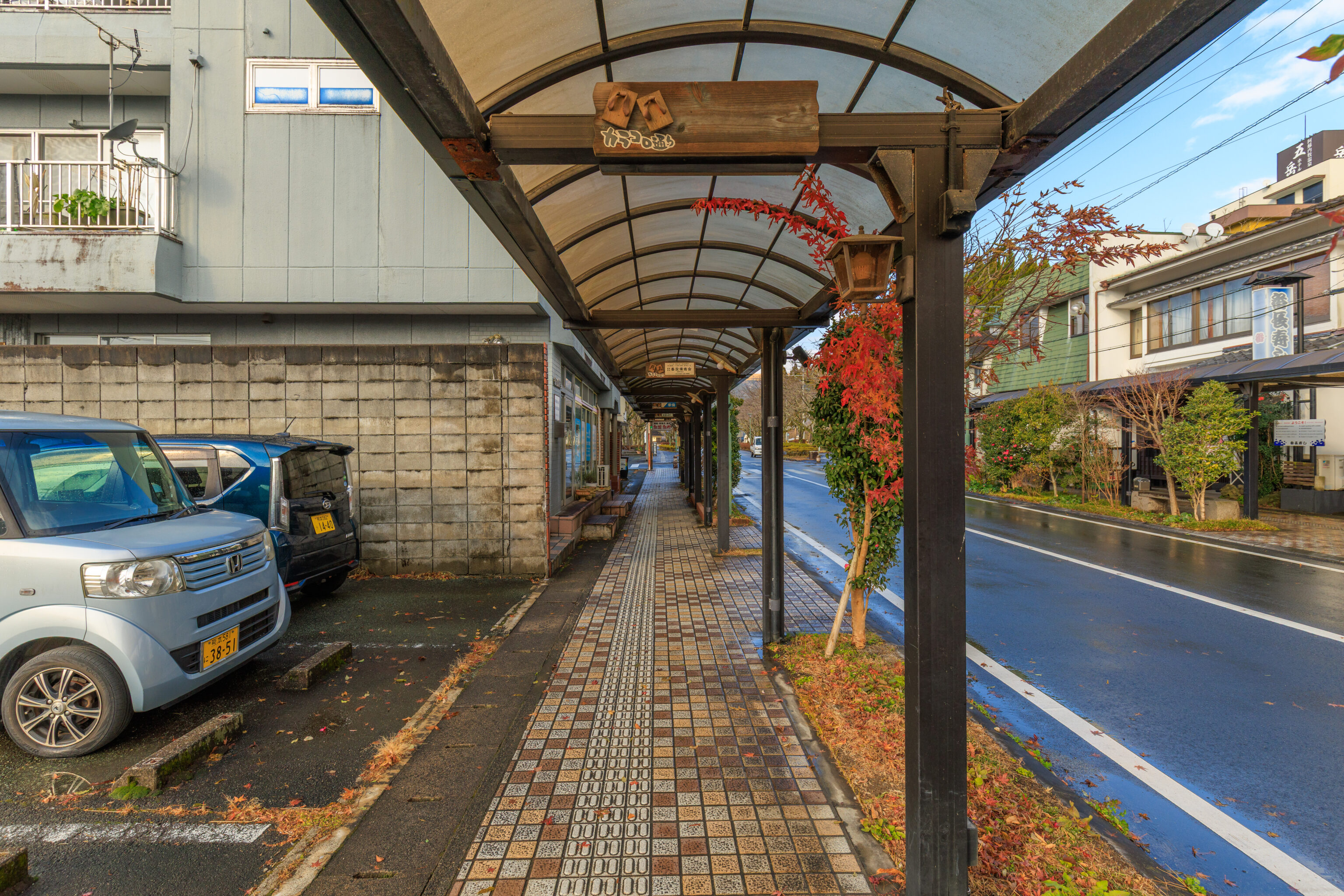
While there was not a shopping arcade here, there was a covered sidewalk.
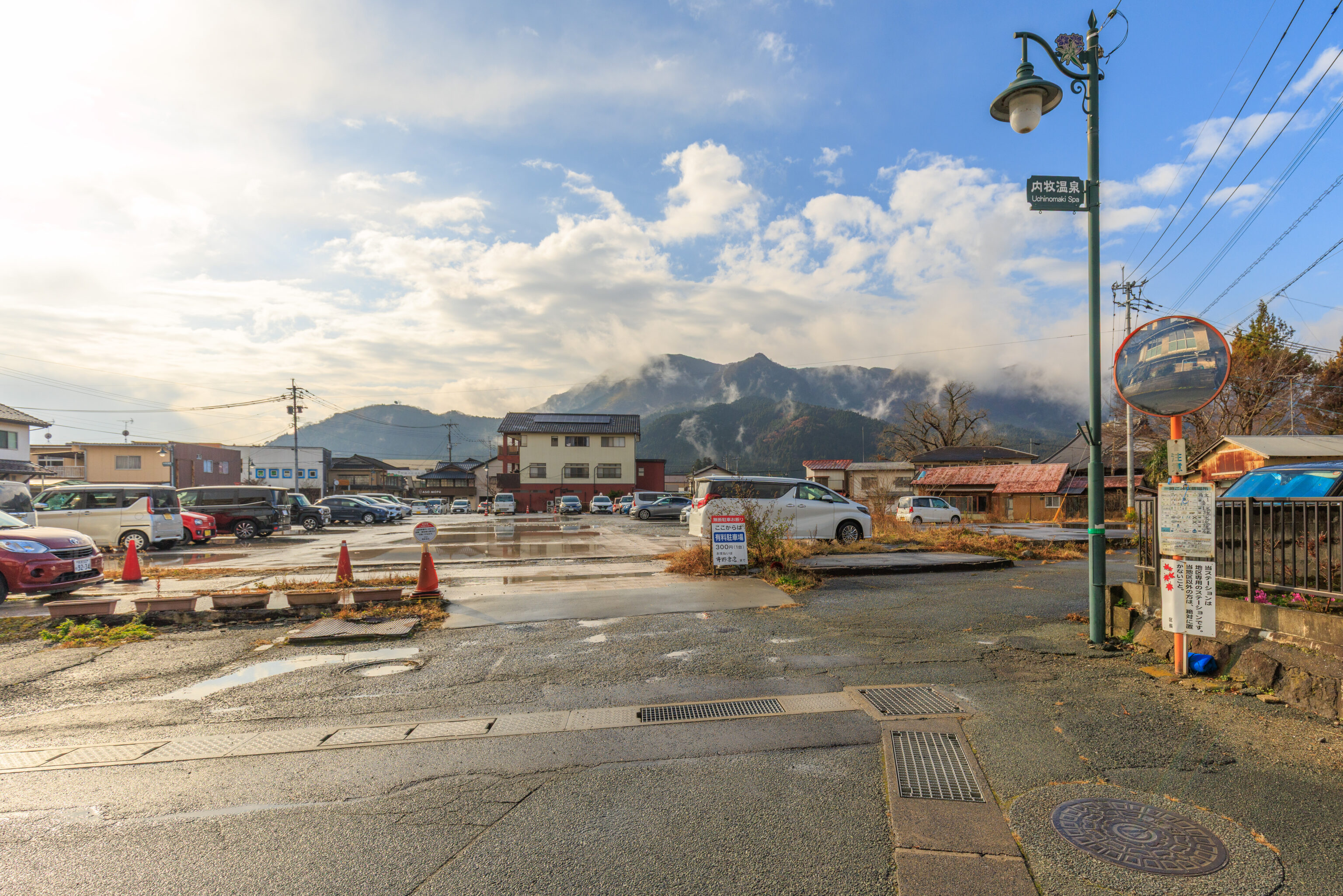
The mountains visible here are part of the caldera rim. Definitely much better weather here than just a few miles to the south!
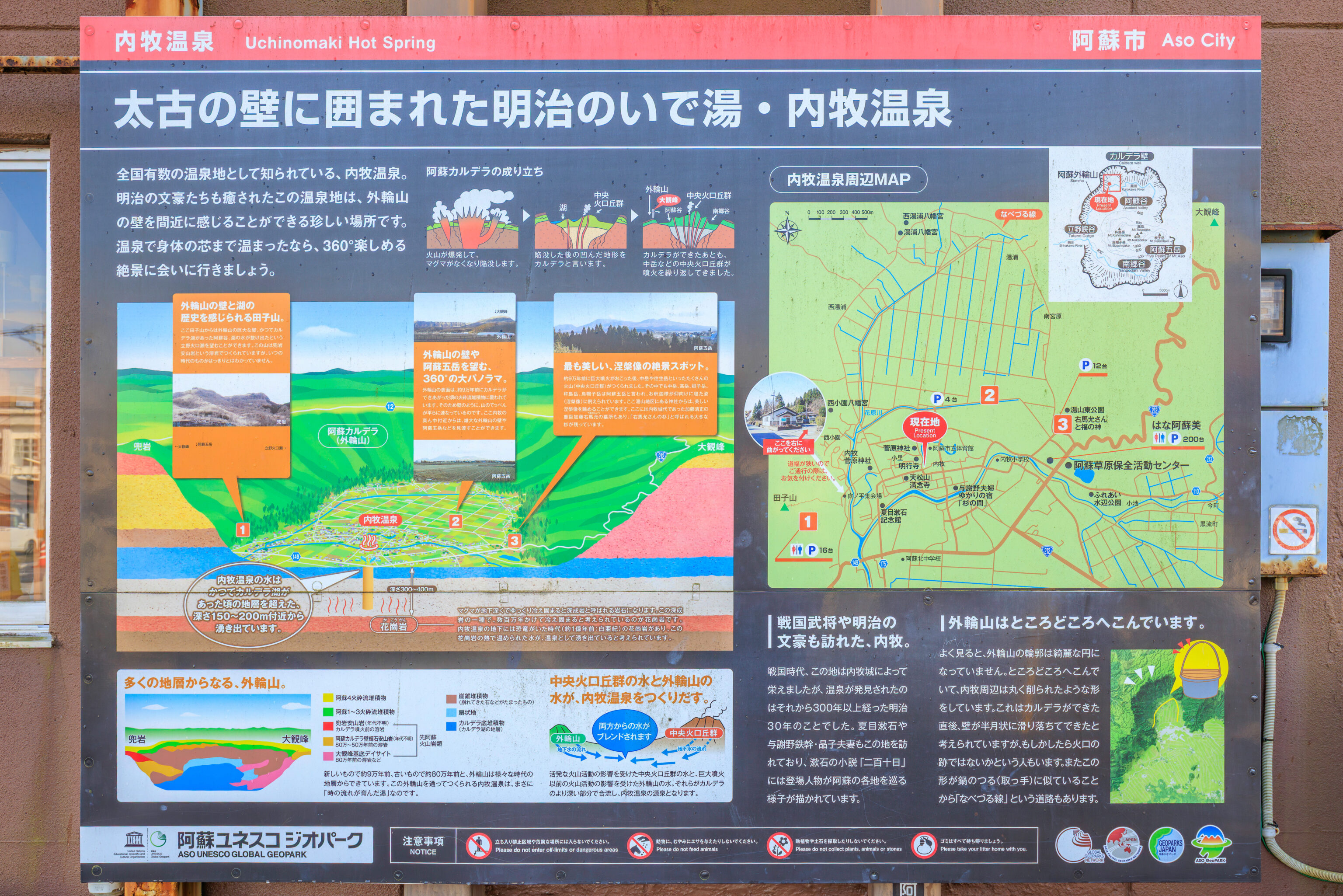
We came across a sign that talks a bit about Uchinomaki. This is actually a hot spring area, thanks to the volcano.
Uchinomaki Onsen, a Meiji-era hot spring resort surrounded by ancient walls.
Uchinomaki Onsen is known as one of Japan's leading hot spring resorts.  This hot spring resort, where even Meiji-era literary giants found solace, is a rare place where you can feel the outer rim of the caldera up close.  After warming yourself to the core in the hot springs, let's go and enjoy the breathtaking 360° view.

Uchinomaki, a place visited by Sengoku-era warlords and Meiji-era literary giants.
During the Sengoku period, this area flourished thanks to Uchinomaki Castle, but the hot springs were not discovered until more than 300 years later, in 1897 (Meiji 30). Natsume Soseki and the Yosano couple, Tekkan and Akiko, also visited this area, and Soseki's novel "210th Day" depicts the characters traveling around various parts of Aso.

The outer rim of the caldera is indented in places.
If you look closely, you'll see that the outline of the outer rim isn't a perfect circle. It's indented in places, and the area around Uchinomaki looks like it's been carved out into a rounded shape. It's thought that this was formed when the wall slid down in a crescent shape immediately after the caldera was created, but some people think it might be the remains of a crater. Also, because this shape resembles the handle of a pot, there's a road called "Nabezuru Line" (Pot Handle Line).
– Text from the sign above, translated using Google.
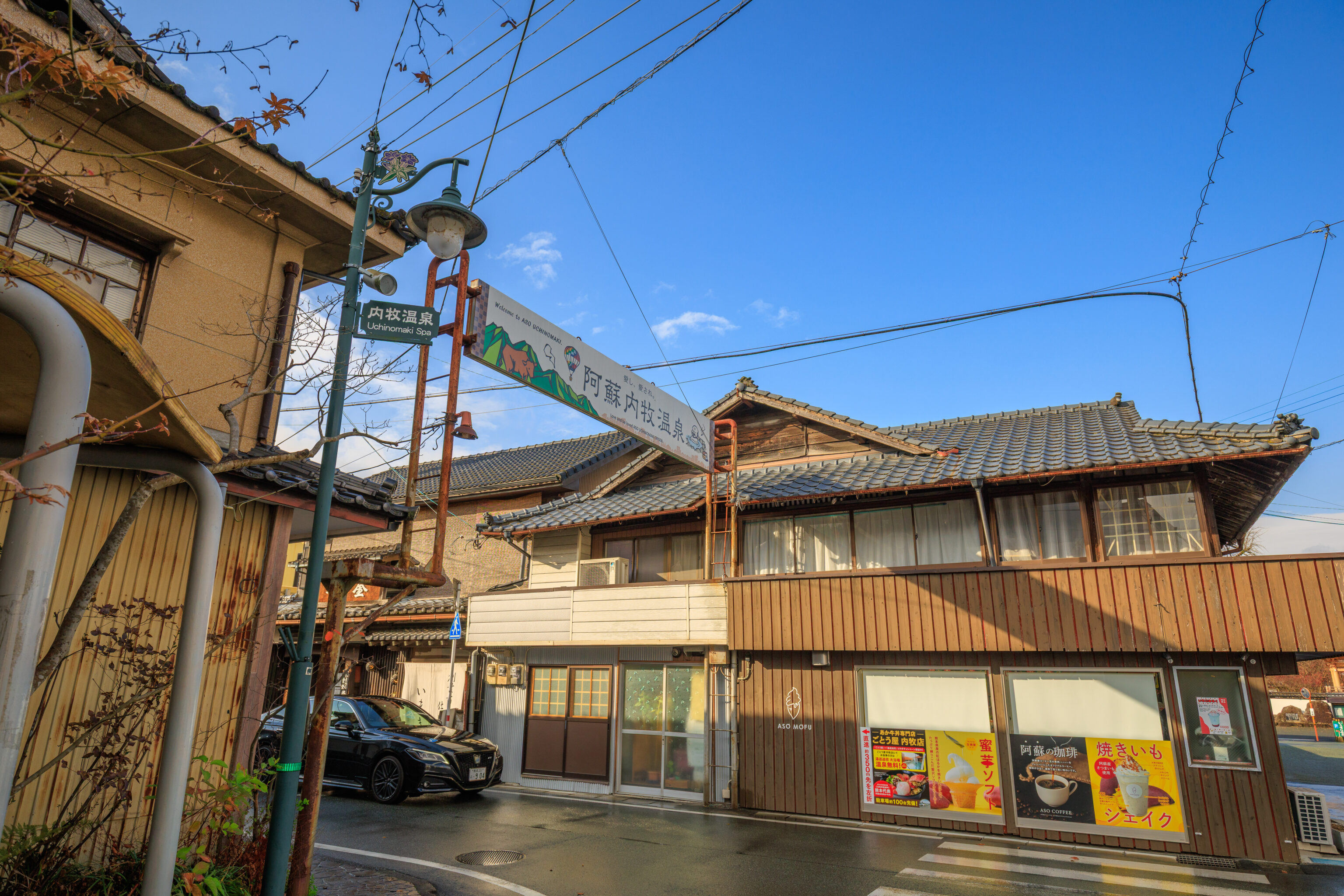
It turns out that nearly everything in town was closed! We found two restaurants that were open – いまきん食堂 Imakin Shokudo and めしのやまいち Meshi no Yamaichi. They were across the street from each other, basically behind us in this photograph.
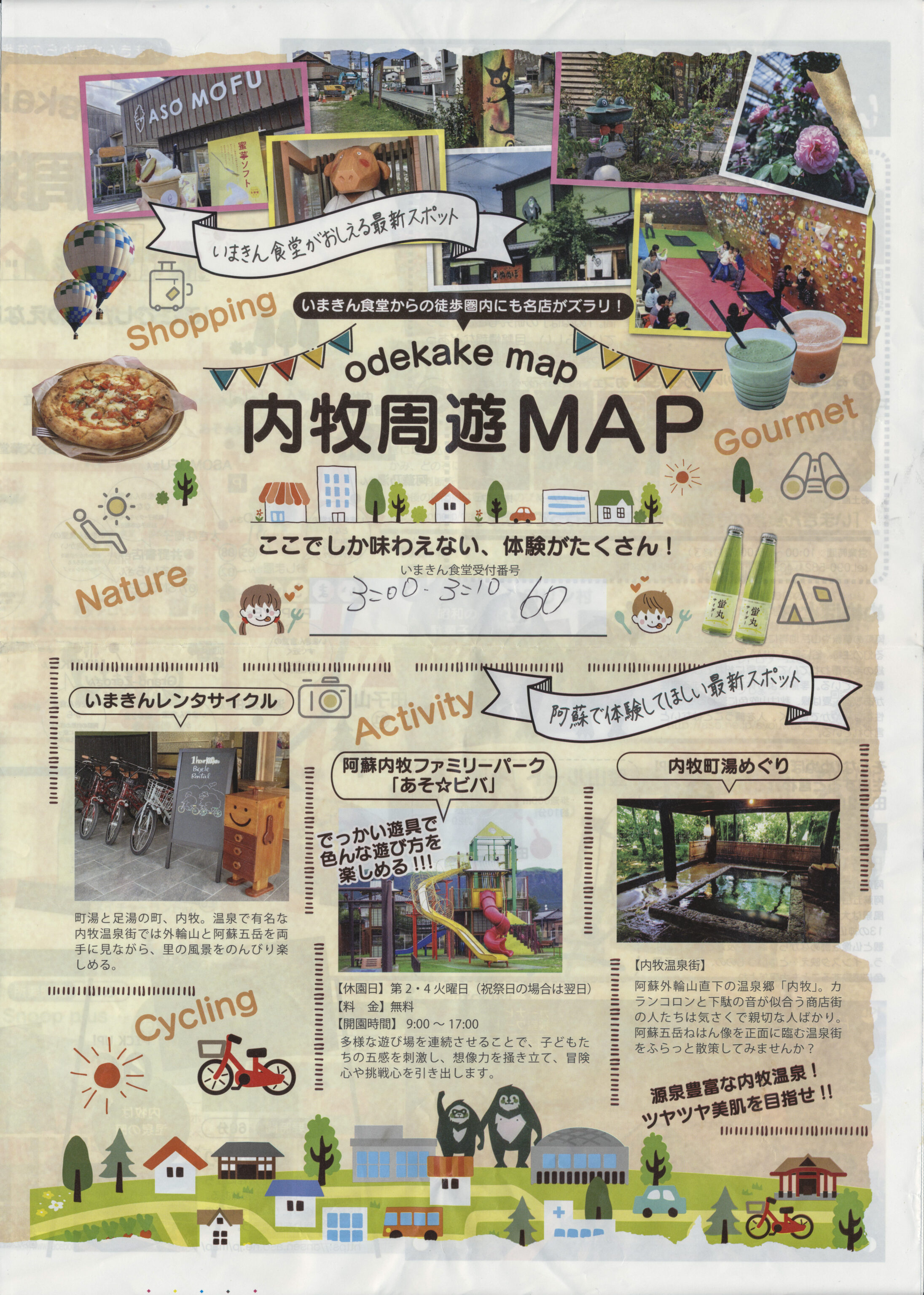
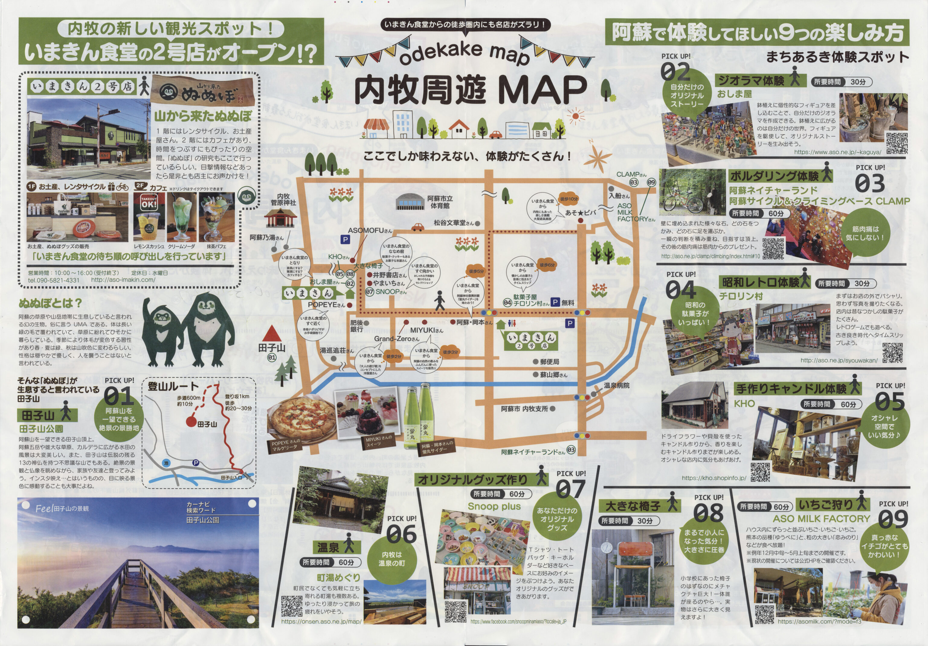
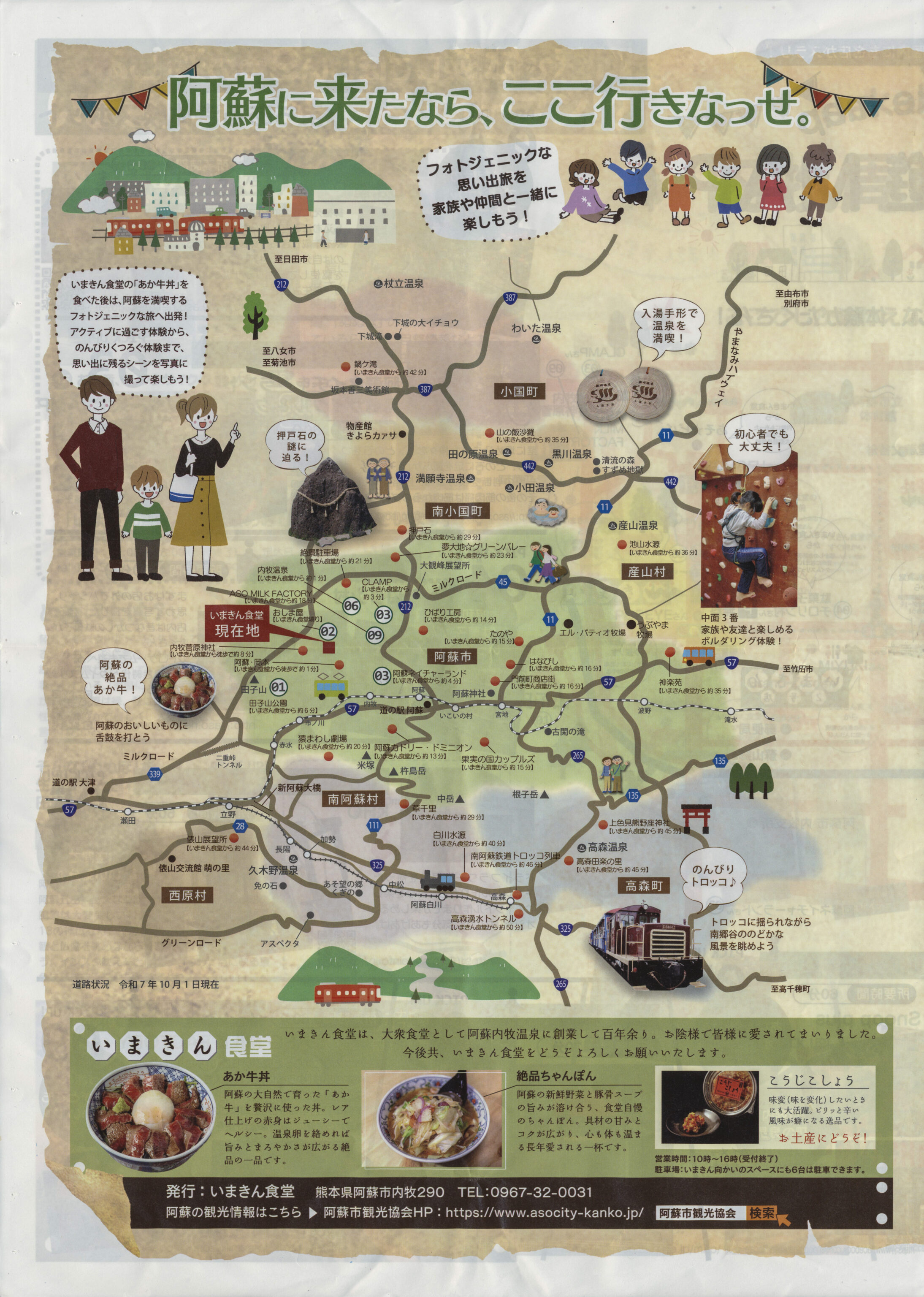
We ended up queuing for Imakin Shokudo as it was highly rated and there was a queue. Luckily, you didn’t have to hang around and wait. We we’re given a map of the town with an estimate as to when our table would be ready.
Note that Imakin Shokudo only accepts cash. We ended up going to a nearby Lawson to get cash!
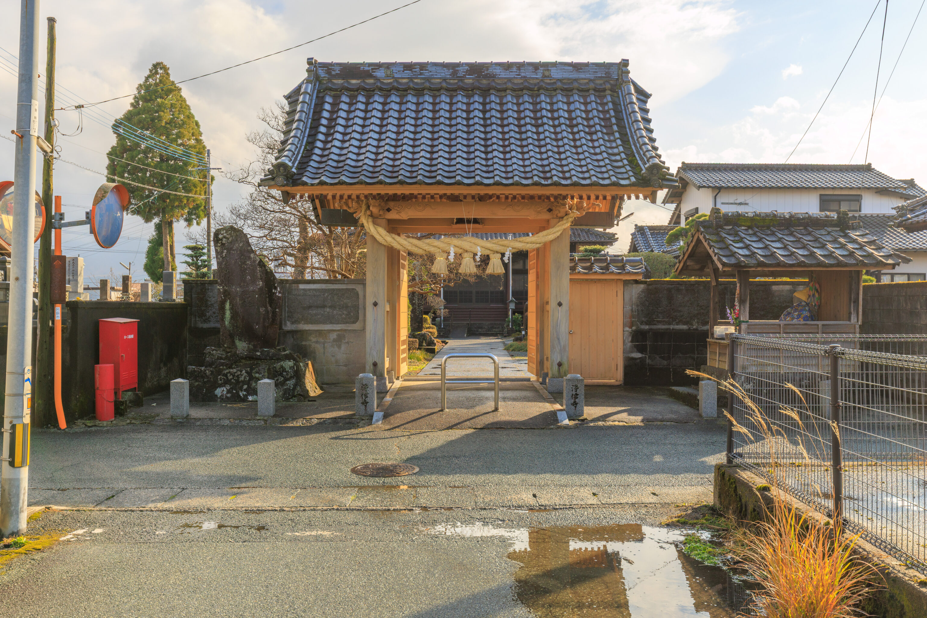
We had quite bit of time before we needed to return to the restaurant. We walked to the south to 浄信寺 Joshinji, the temple whose gate we walked by earlier.
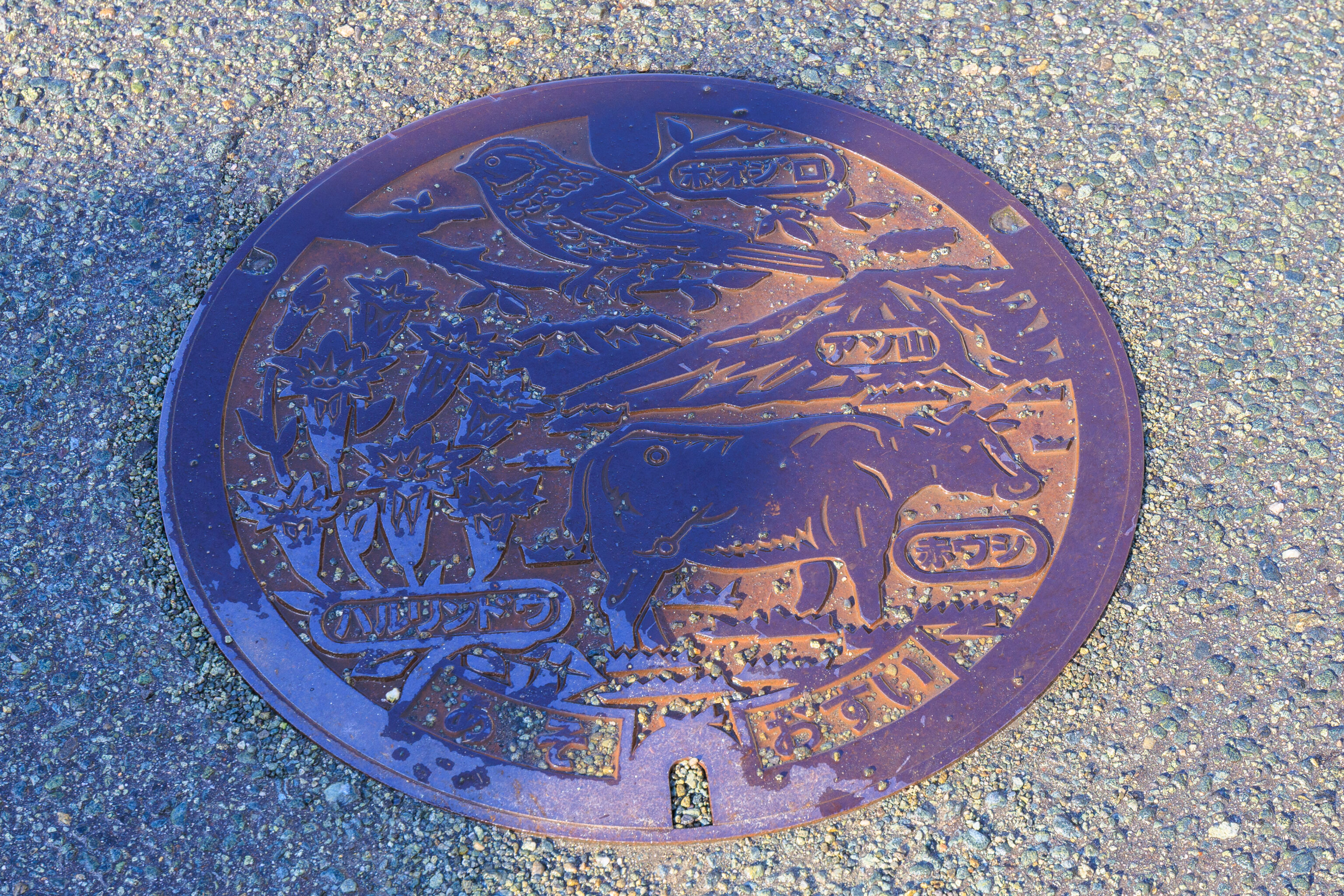
This utility cover in front of the gate depicts things from Aso. At top, there is a ホオジロ Hojiro (Meadow Bunting). Below, of course we have the Aso Volcano. The cow on the right is a 赤ウシ Akaushi (Japanese Brown), a breed of wagyu that is raised here. Finally, on the left is the ハルリンドウ Harurindou (Spring Gentian), the flower we saw earlier on a different utility cover.
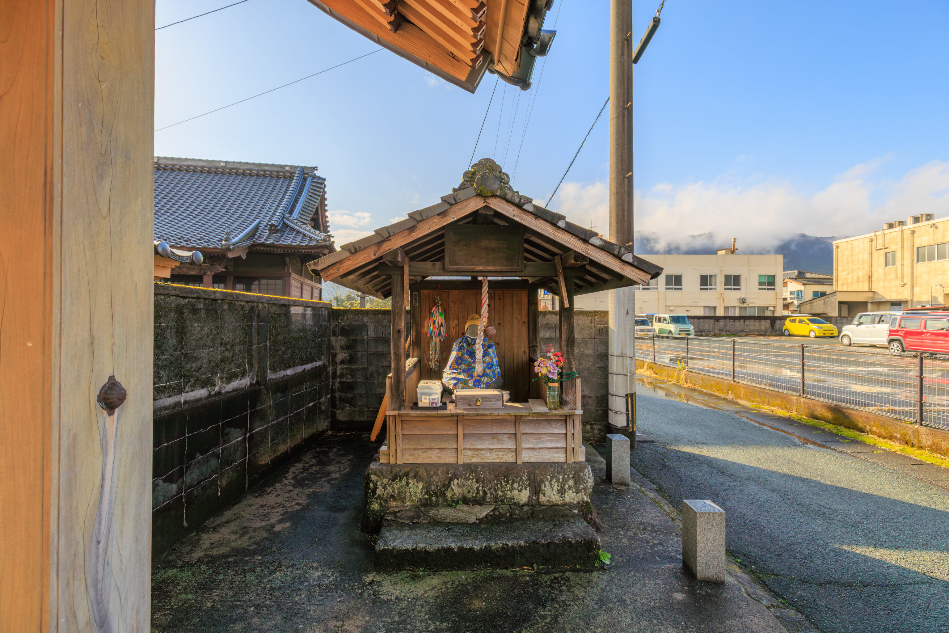
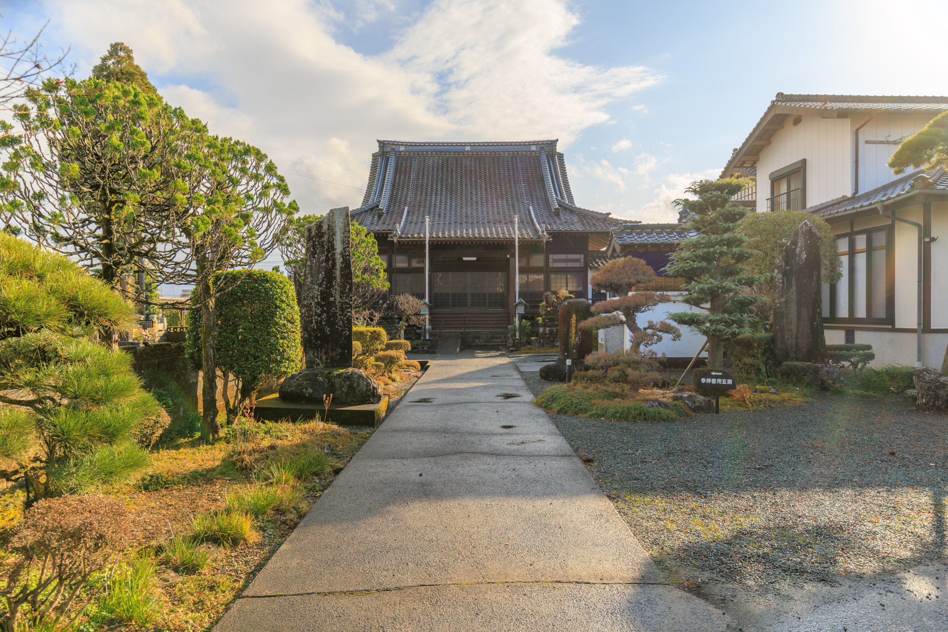
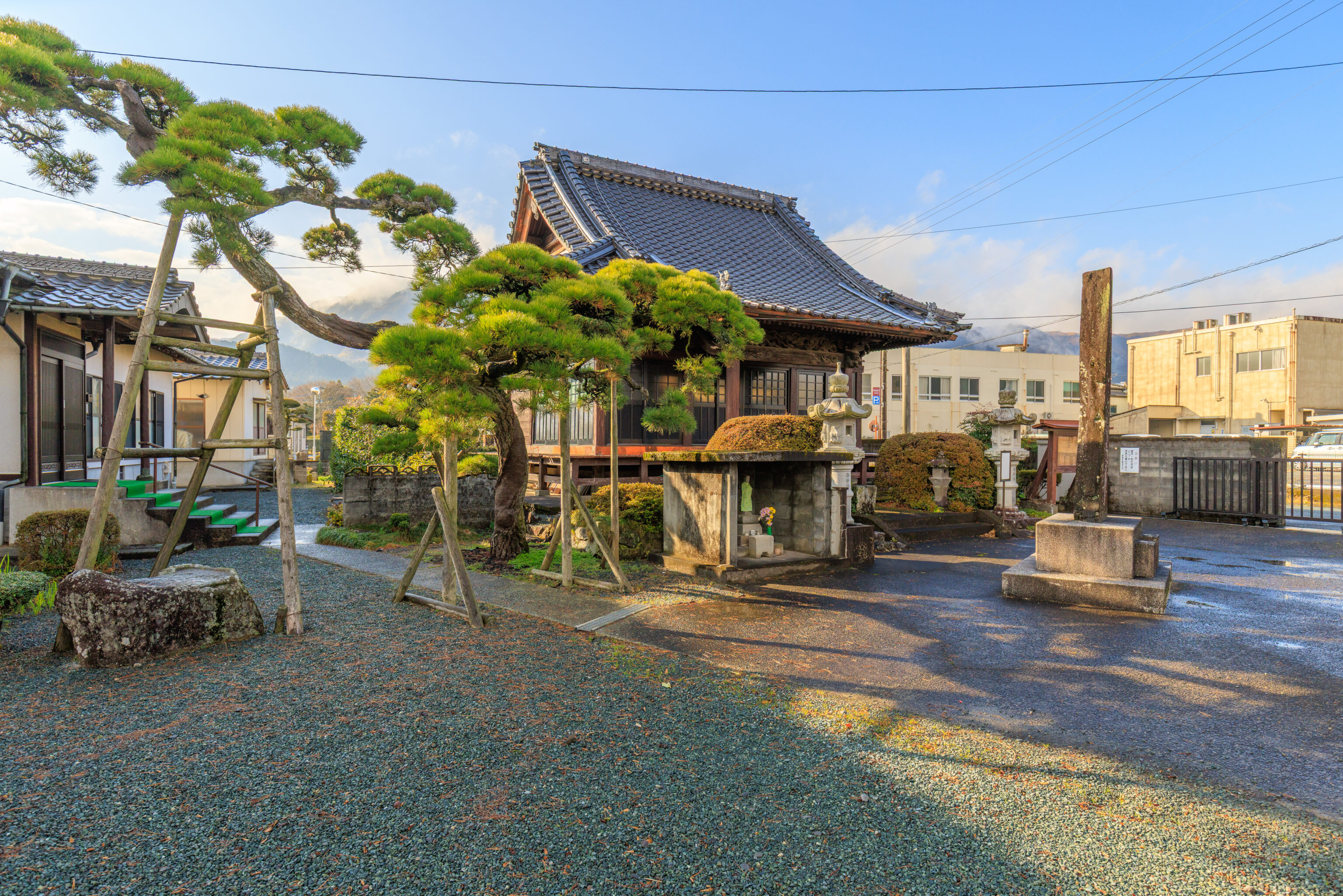
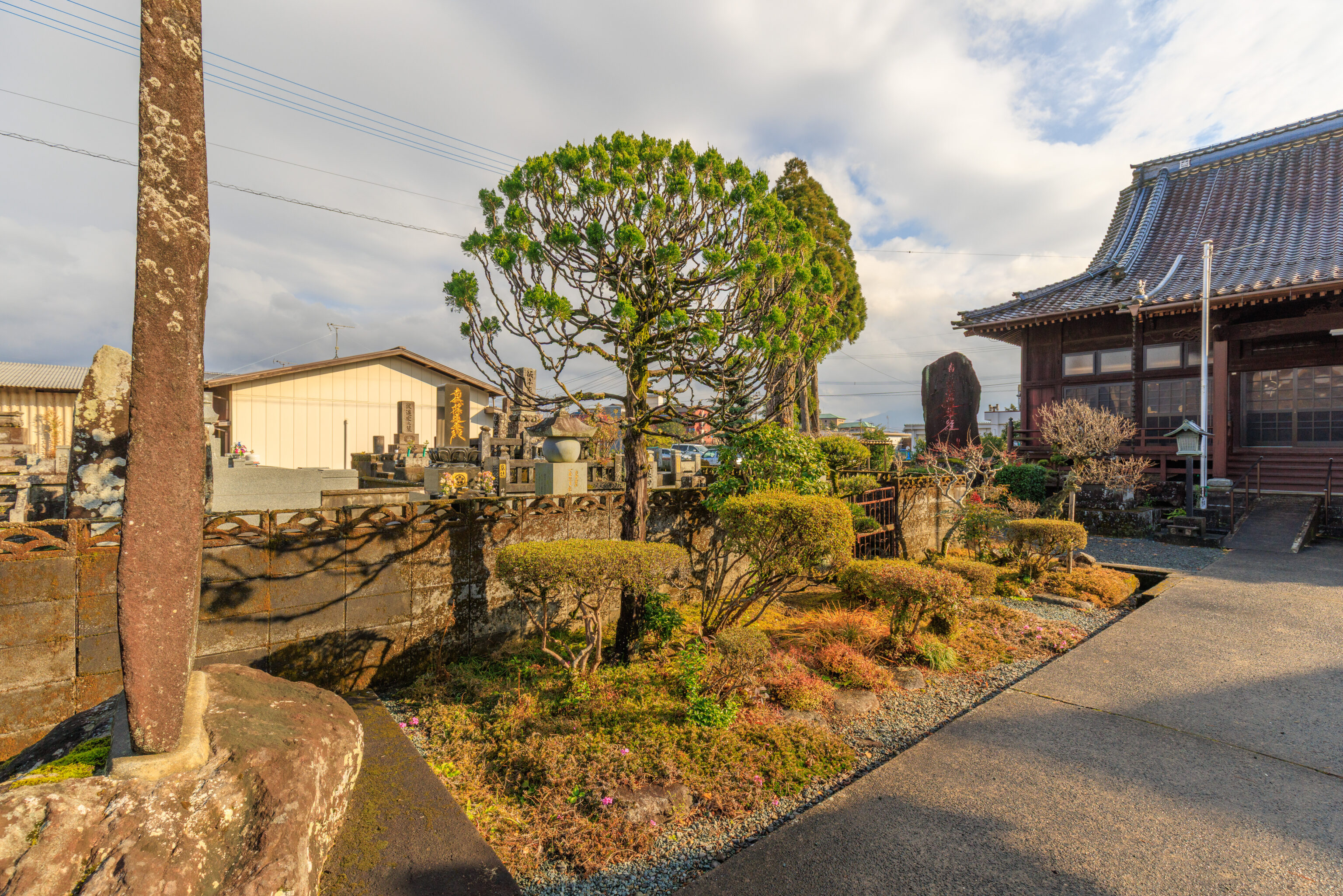
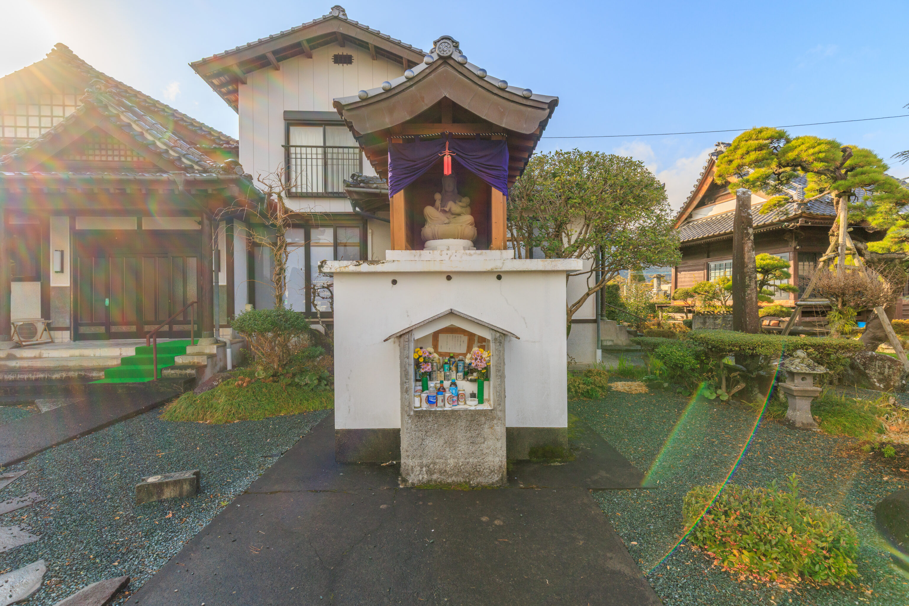
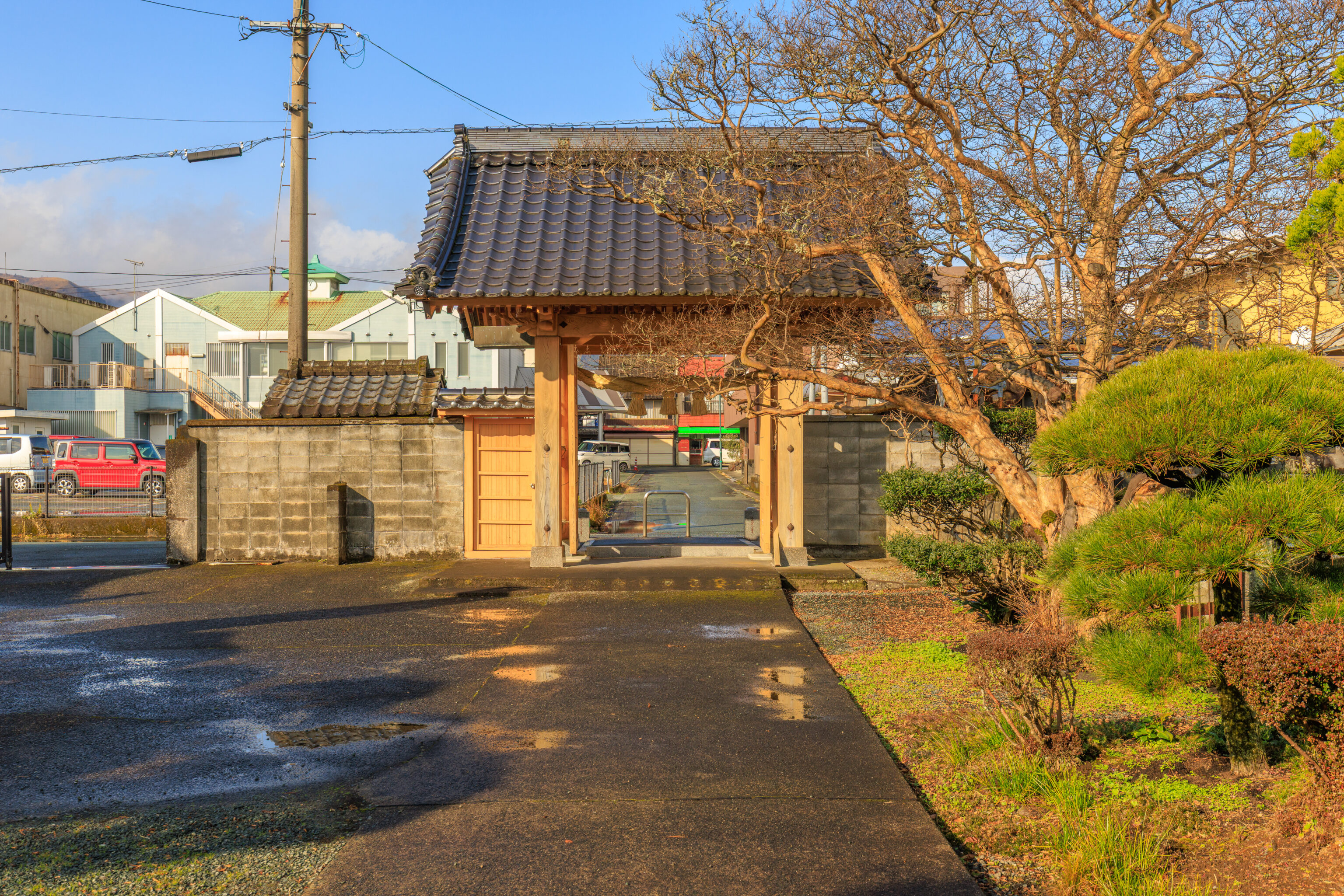
The temple was completely quiet as there was no one else around at all. We don’t know anything about this place other than its name and that it is Buddhist.
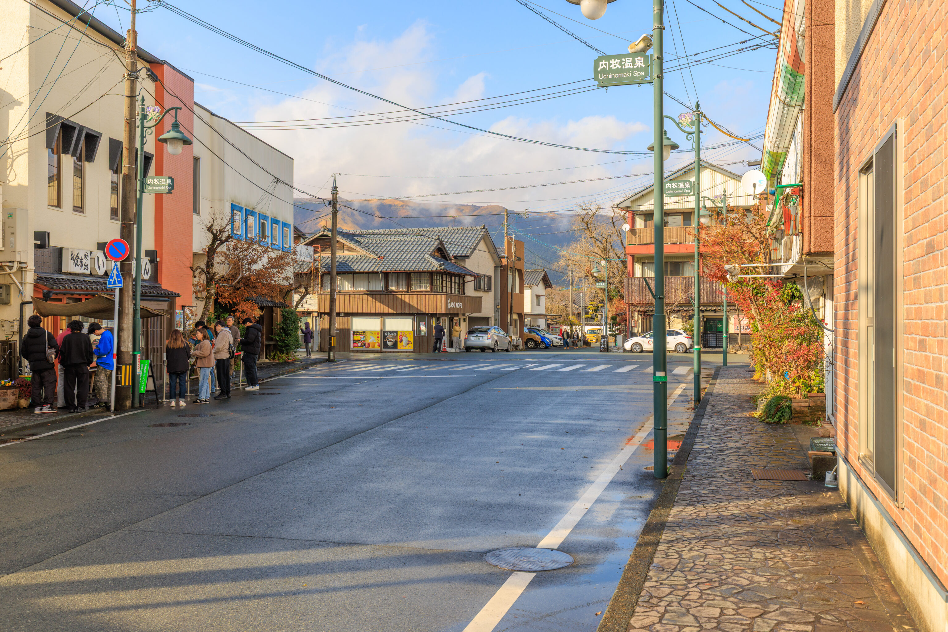
We walked back by the restaurant. It is there on the left with the small crowd of people in front.
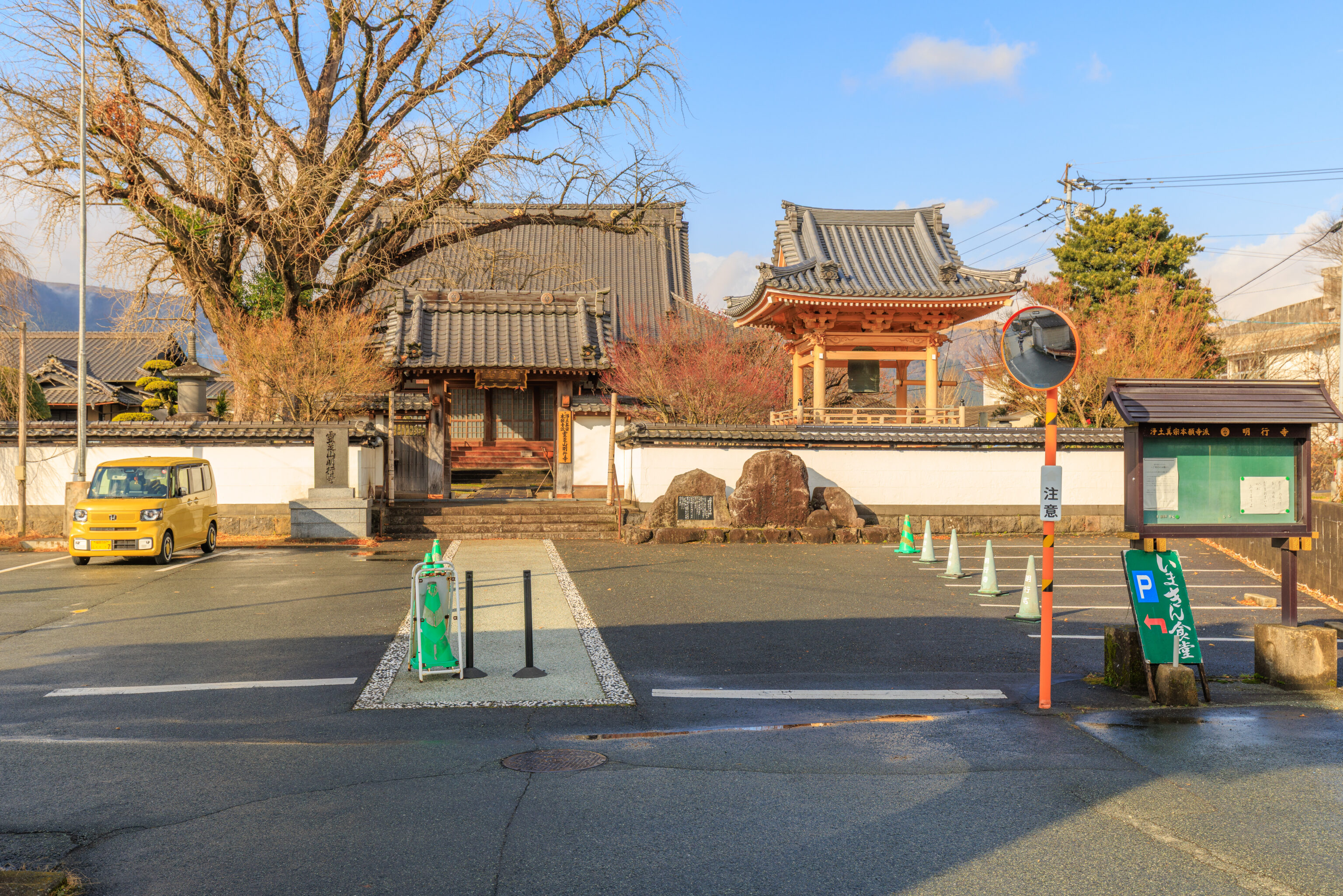
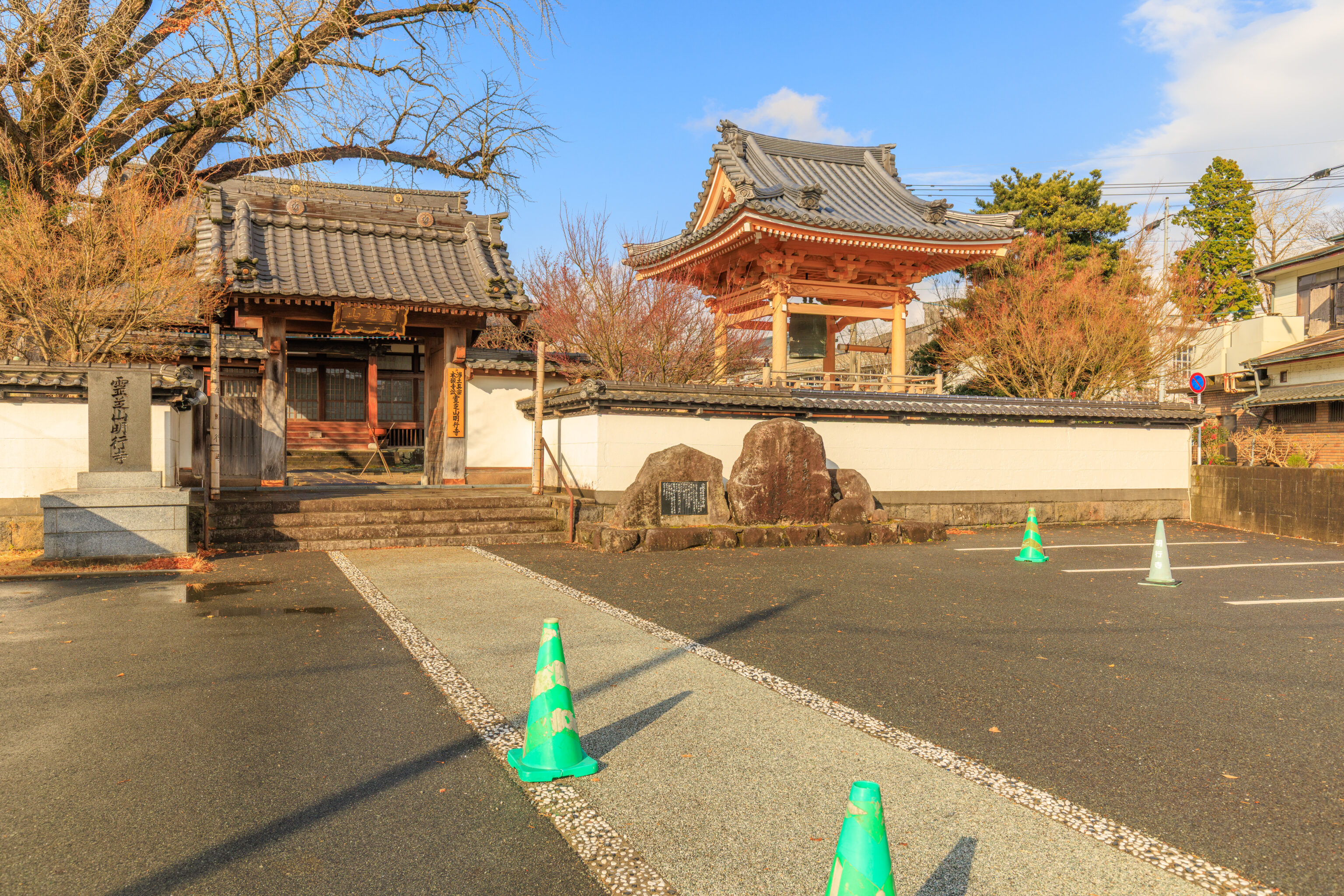
We continued to the north where there was another temple, 明行寺 Myogyoji.
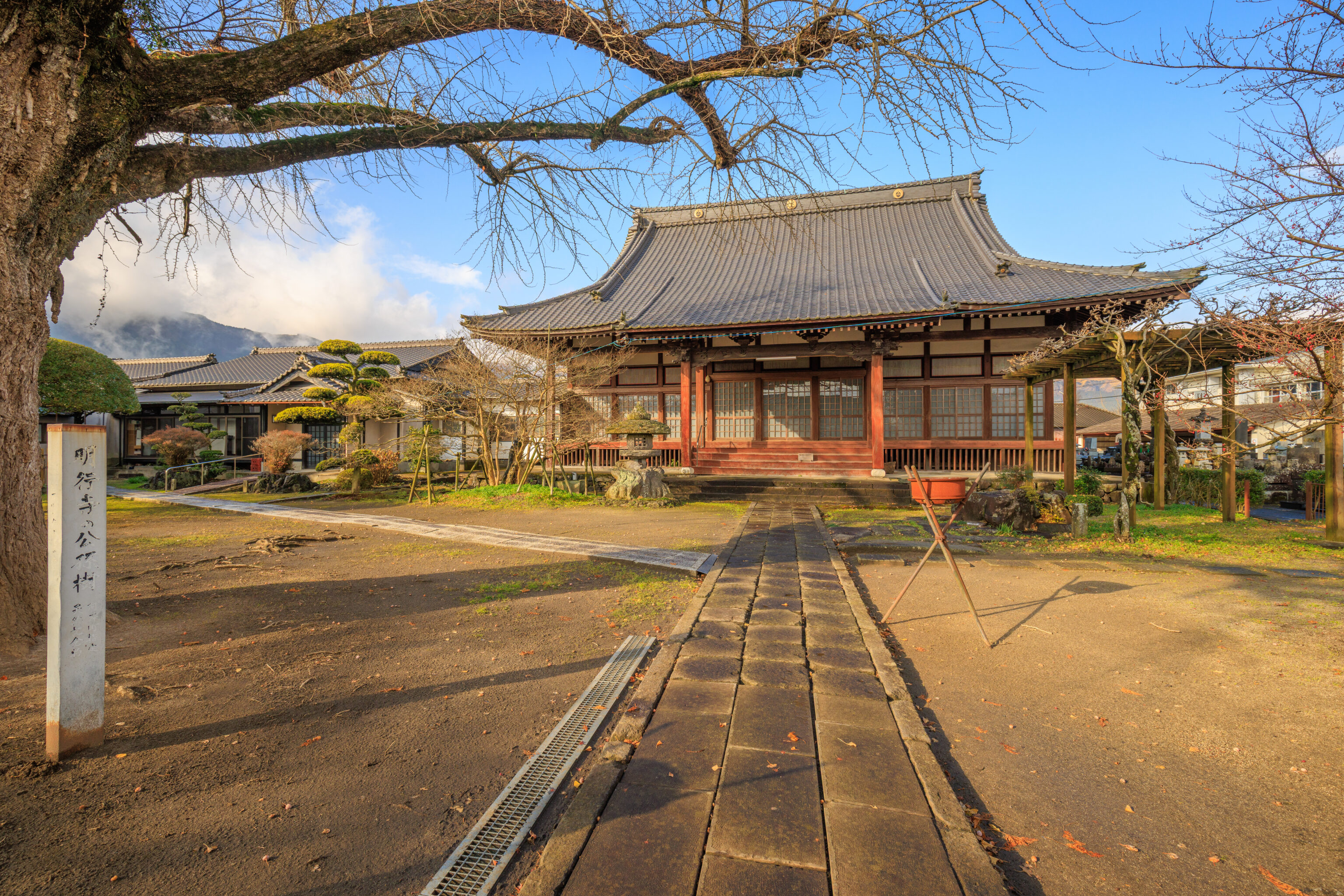
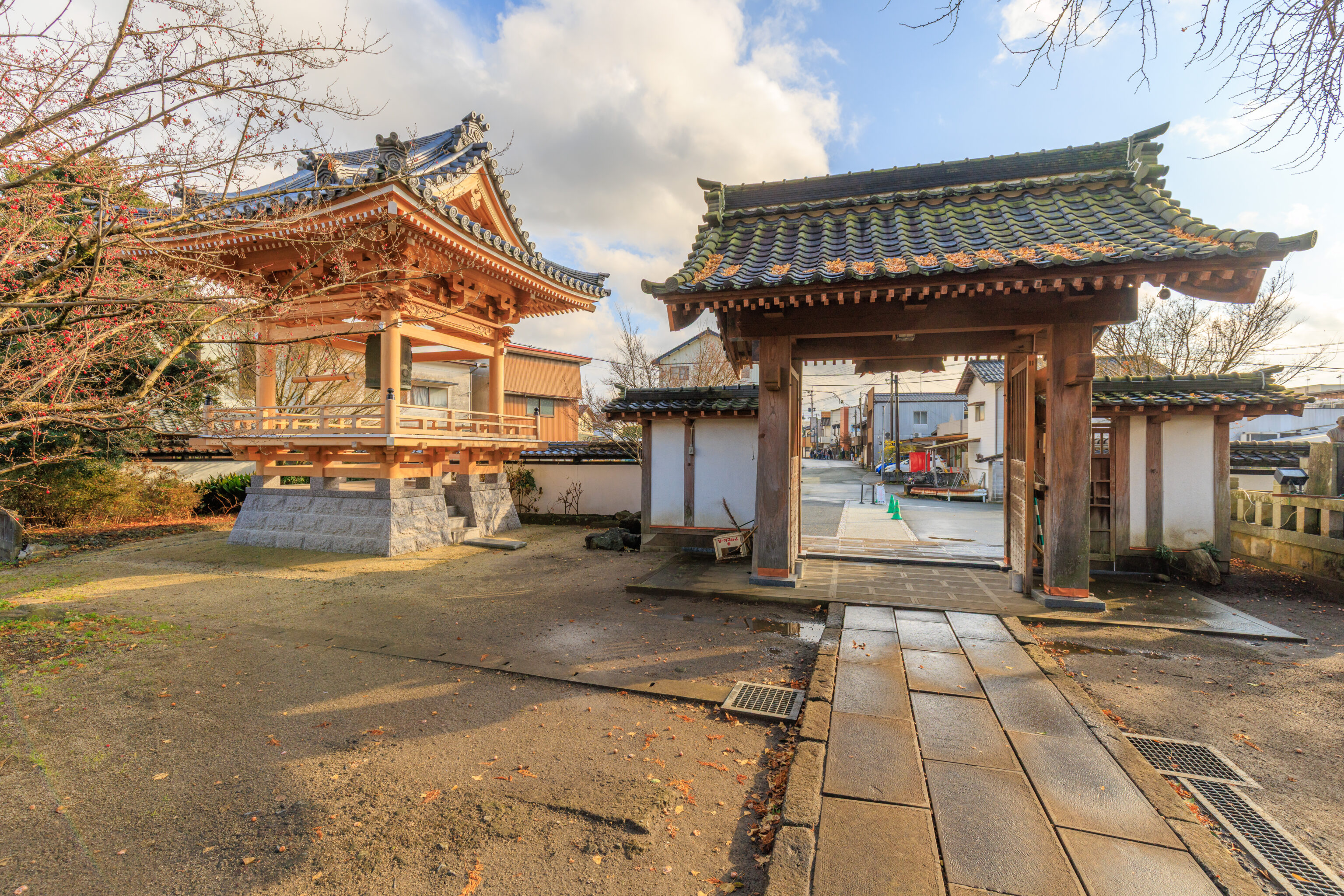
Once again, there was no one else around. We just took a quick look before moving on.
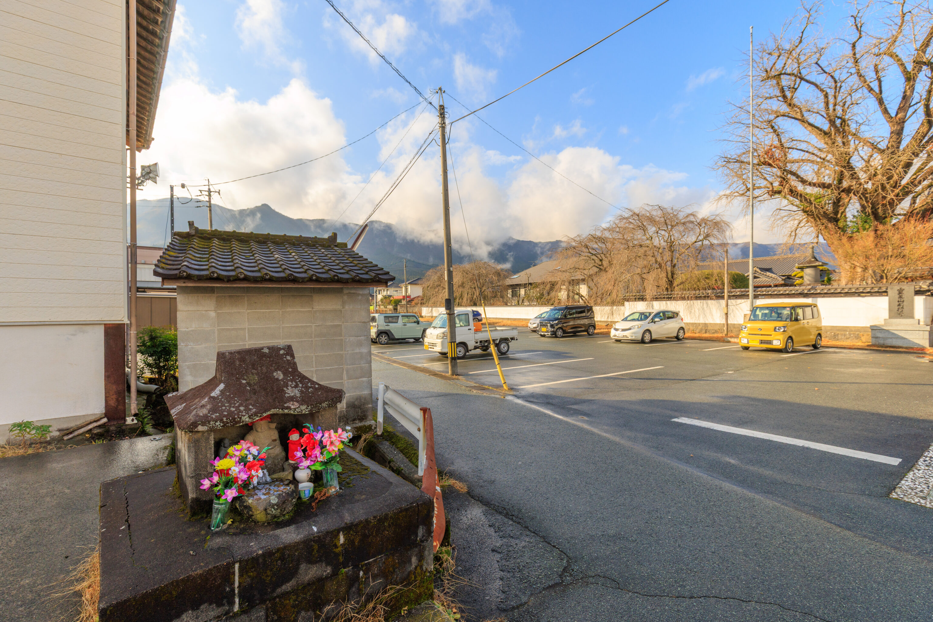
This little shrine was across the street.


We eventually were seated at around 3:30pm. Their official closing time was 4pm so we were likely one of the last groups for the day. The restaurant was larger than we expected. We sat at a table upstairs. It was one of those Japanese tables where you sit on a cushion on the floor.
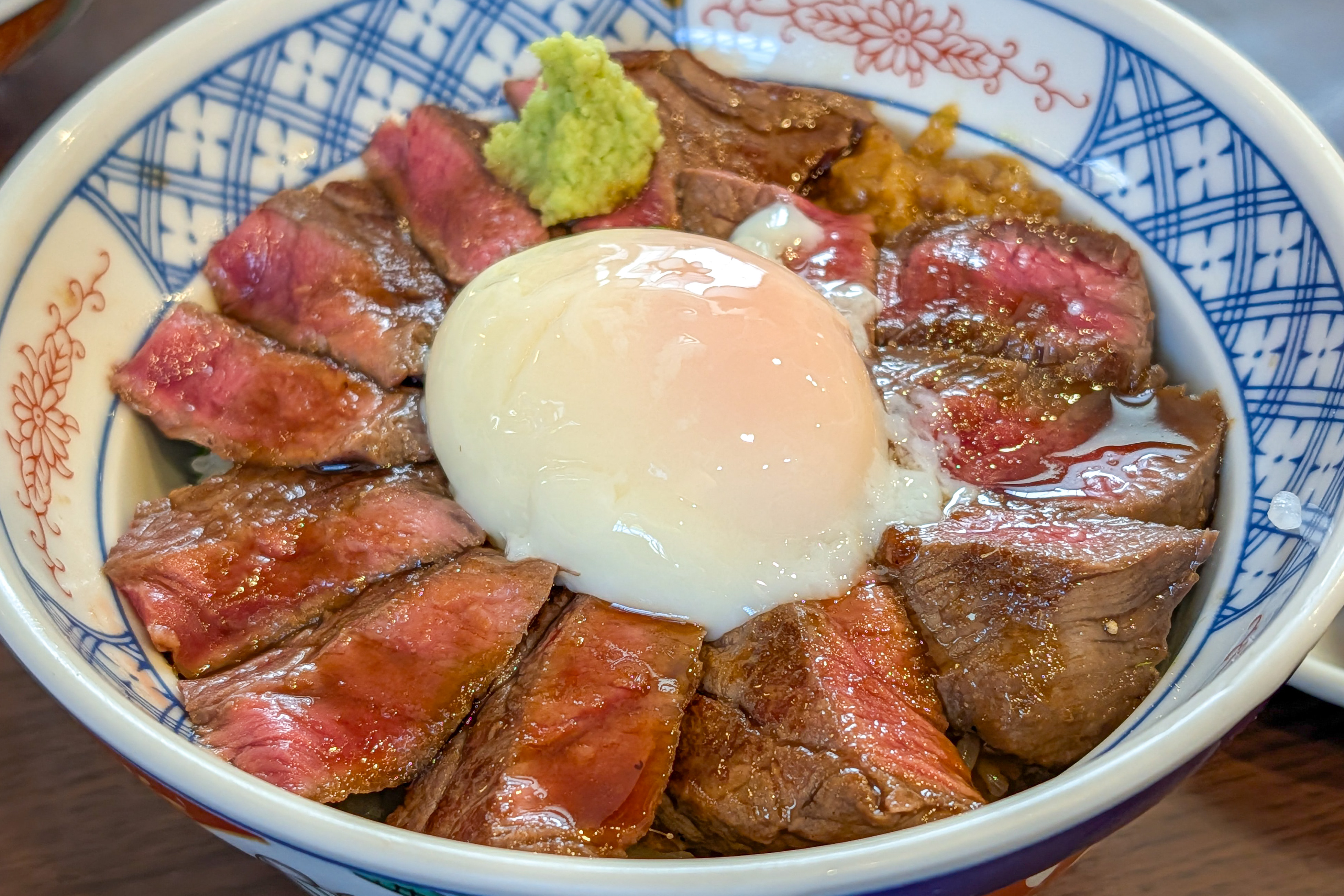
We ordered an Akaushi Steak Don, which is a gyudon that uses the local Akaushi type of beef. It was pretty good and a bit fancier than the one we had yesterday.
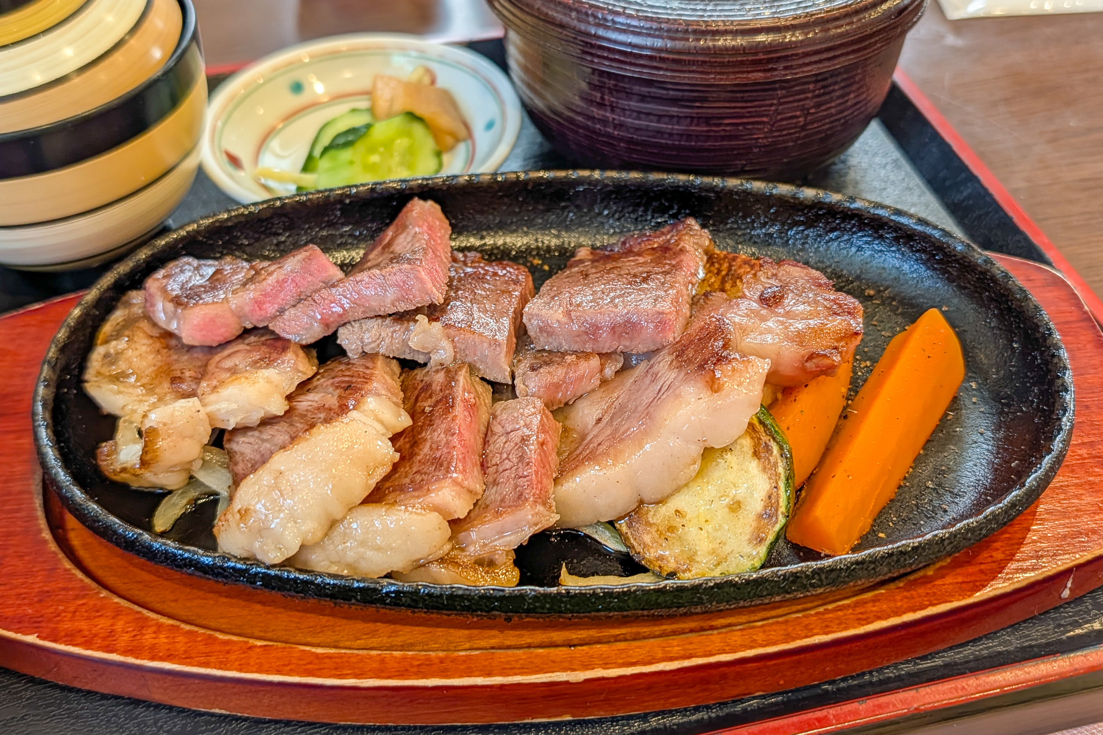
We also ordered the Akaushi Steak, which is limited to 10 orders a day. The beef was more cooked than the gyudon but was better. Even though the beef used wasn’t nearly as good as something like A5 Kobe beef, it was still better than American beef.
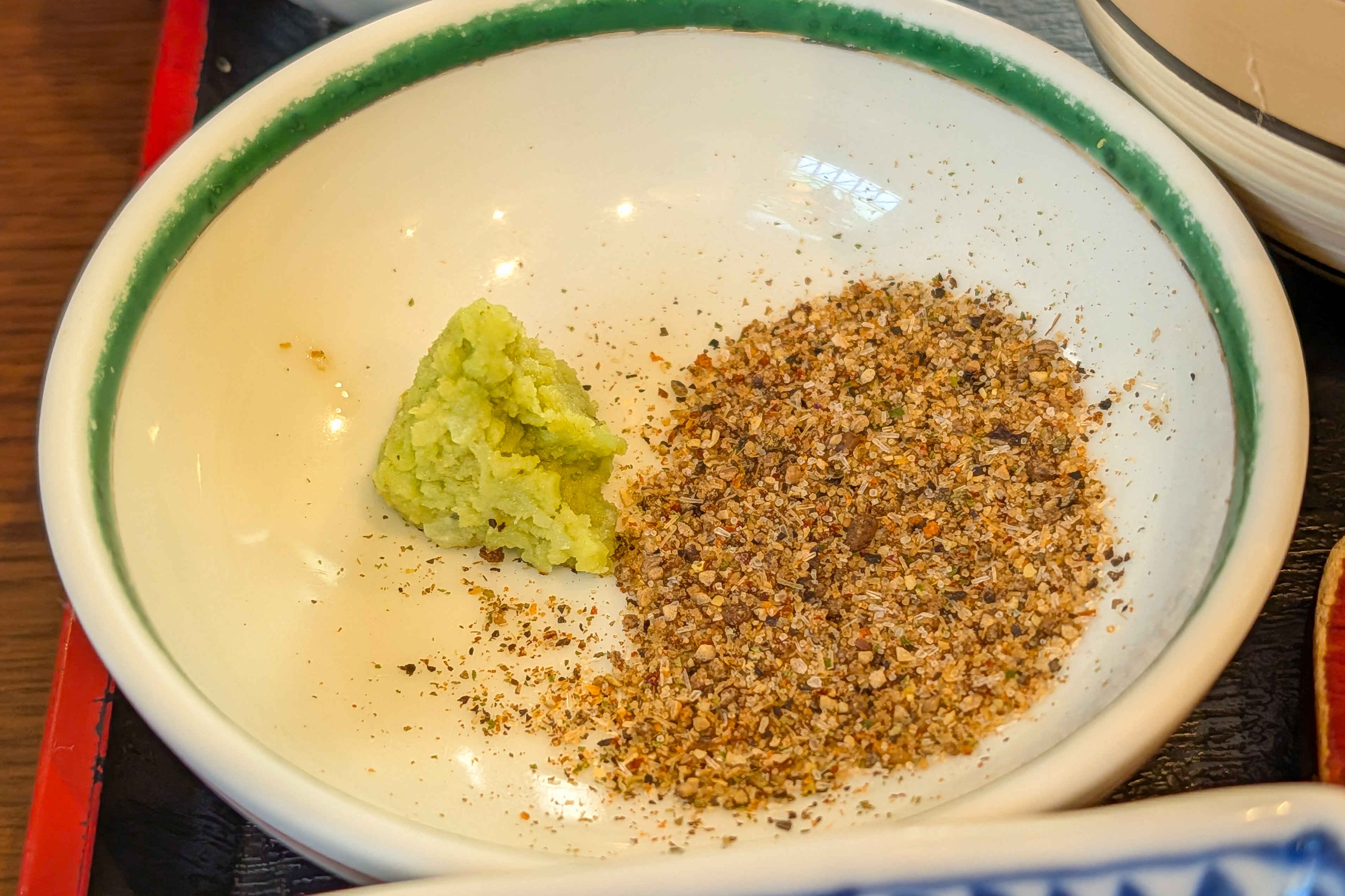
The steak also came with some excellent salt and pepper as well as a soy based sauce.
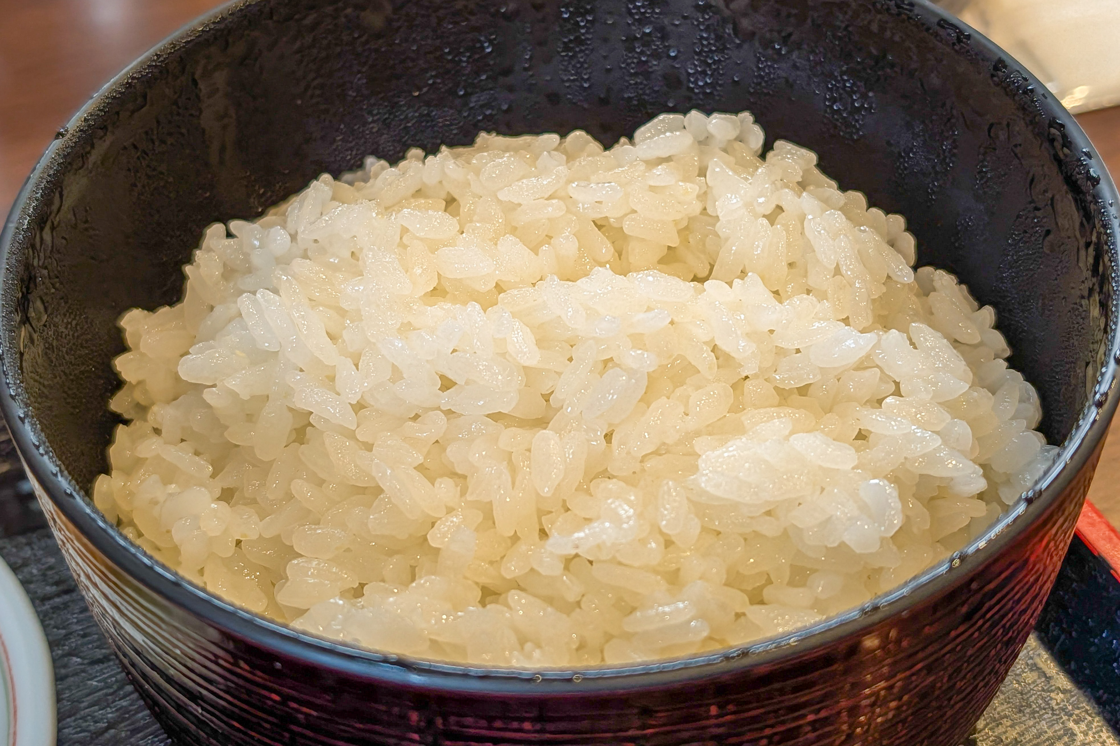
There was also a large portion of rice…
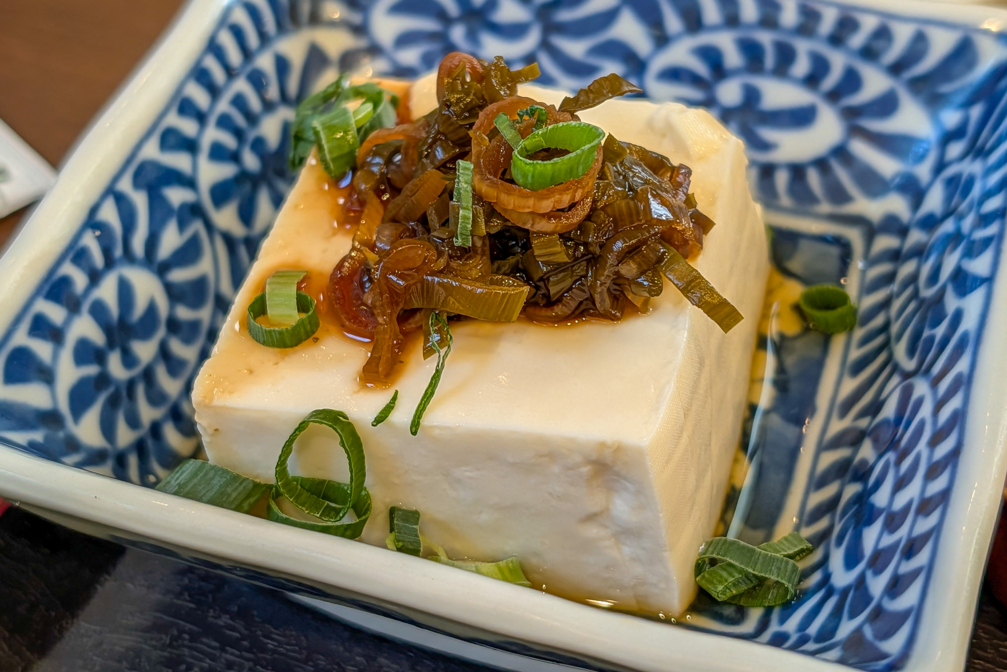
And a cube of tofu.
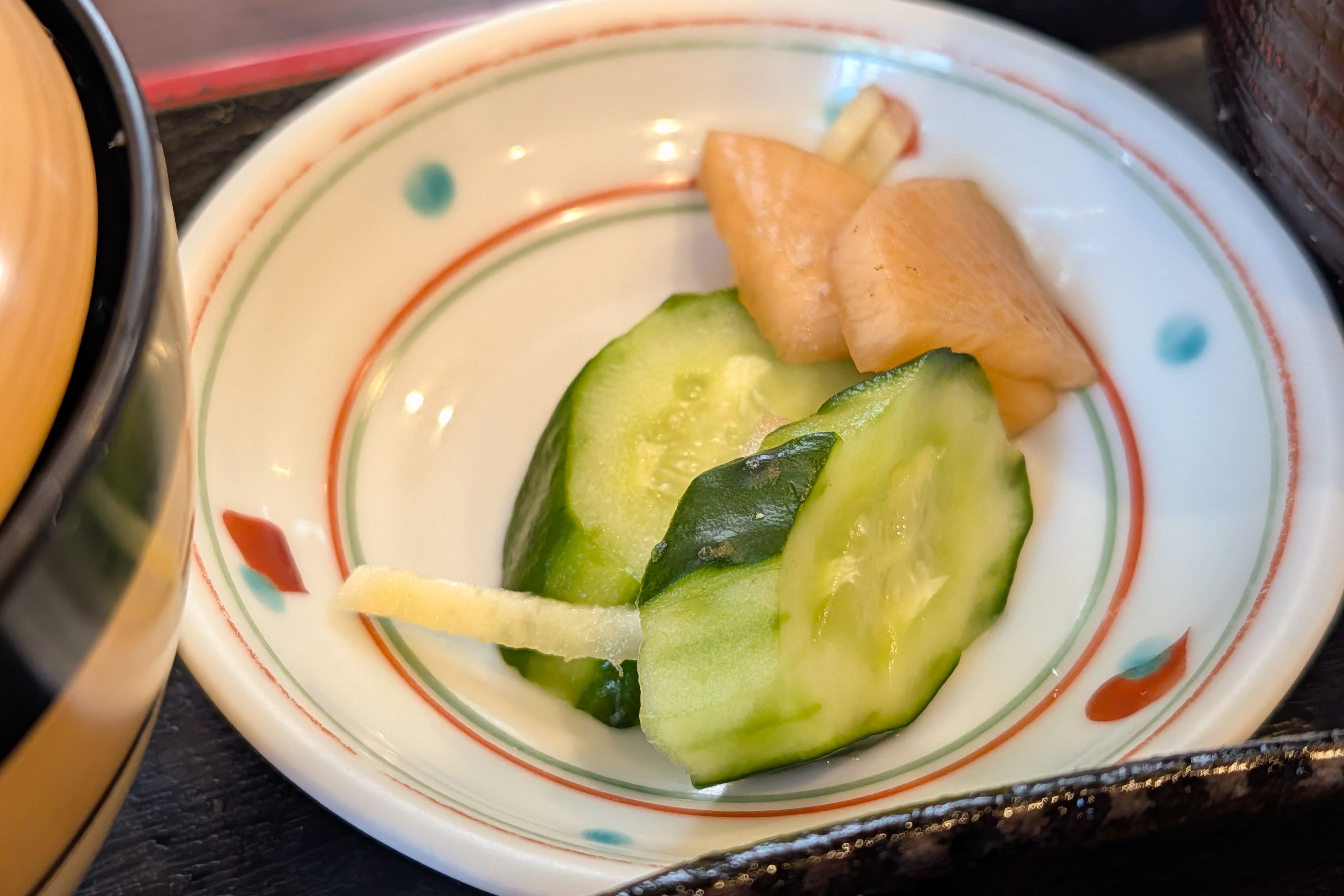
Both sets came with a bit of pickled vegetables…
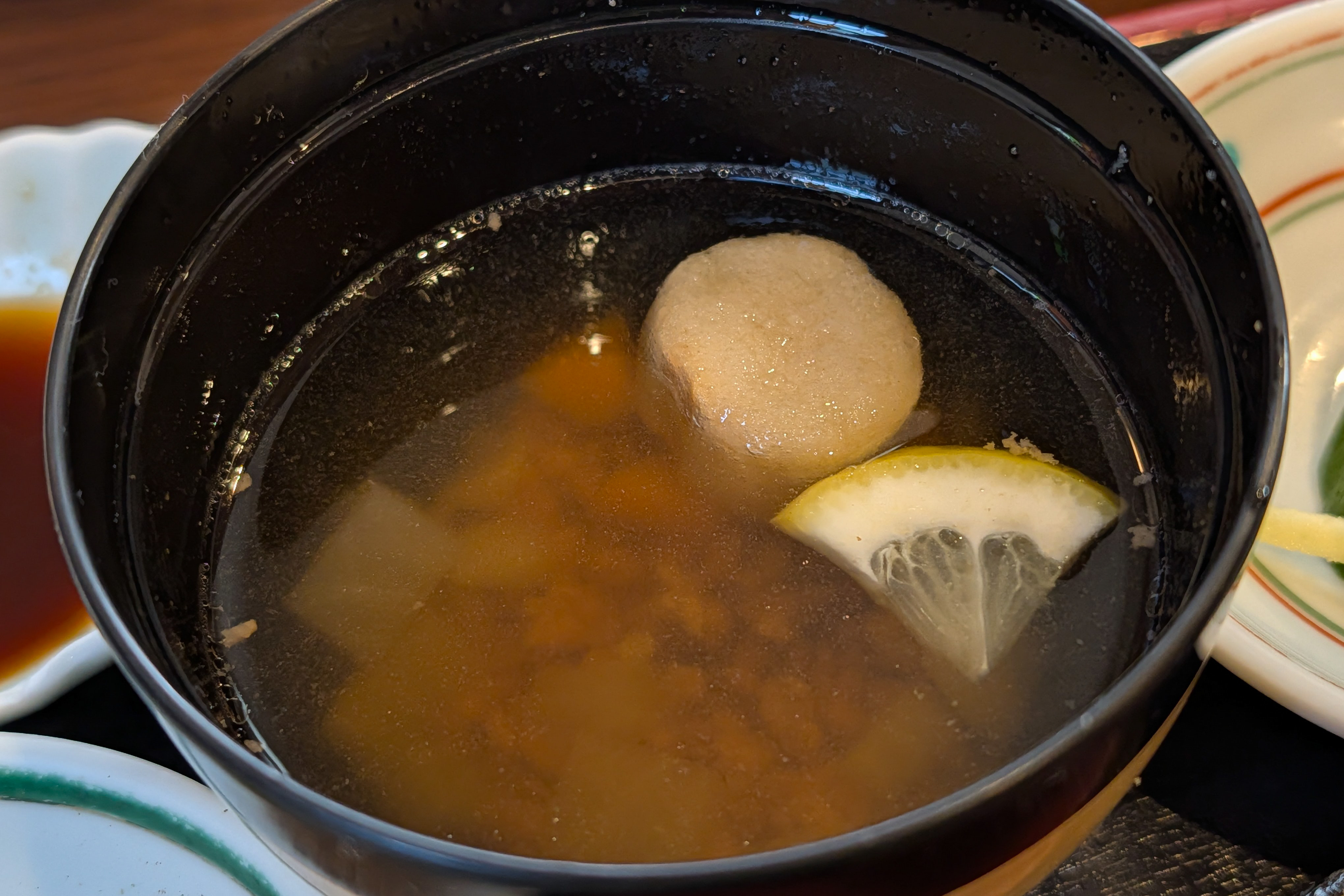
And miso soup. The soup had a surprise inside as it contained some tasty ground beef!
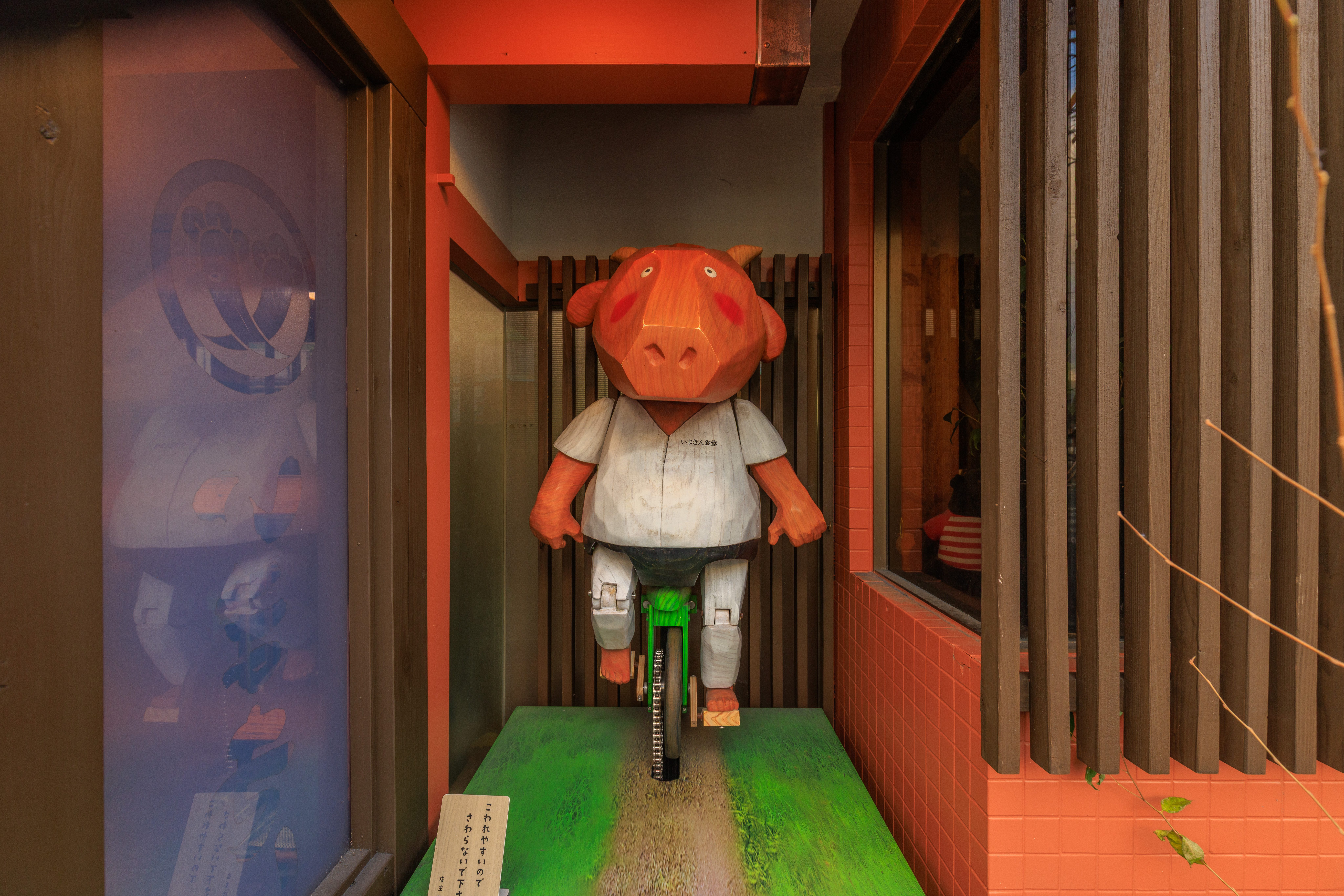
This wooden sculpture was in an alcove visible from the outside of the restaurant. Is this supposed to be an akaushi?
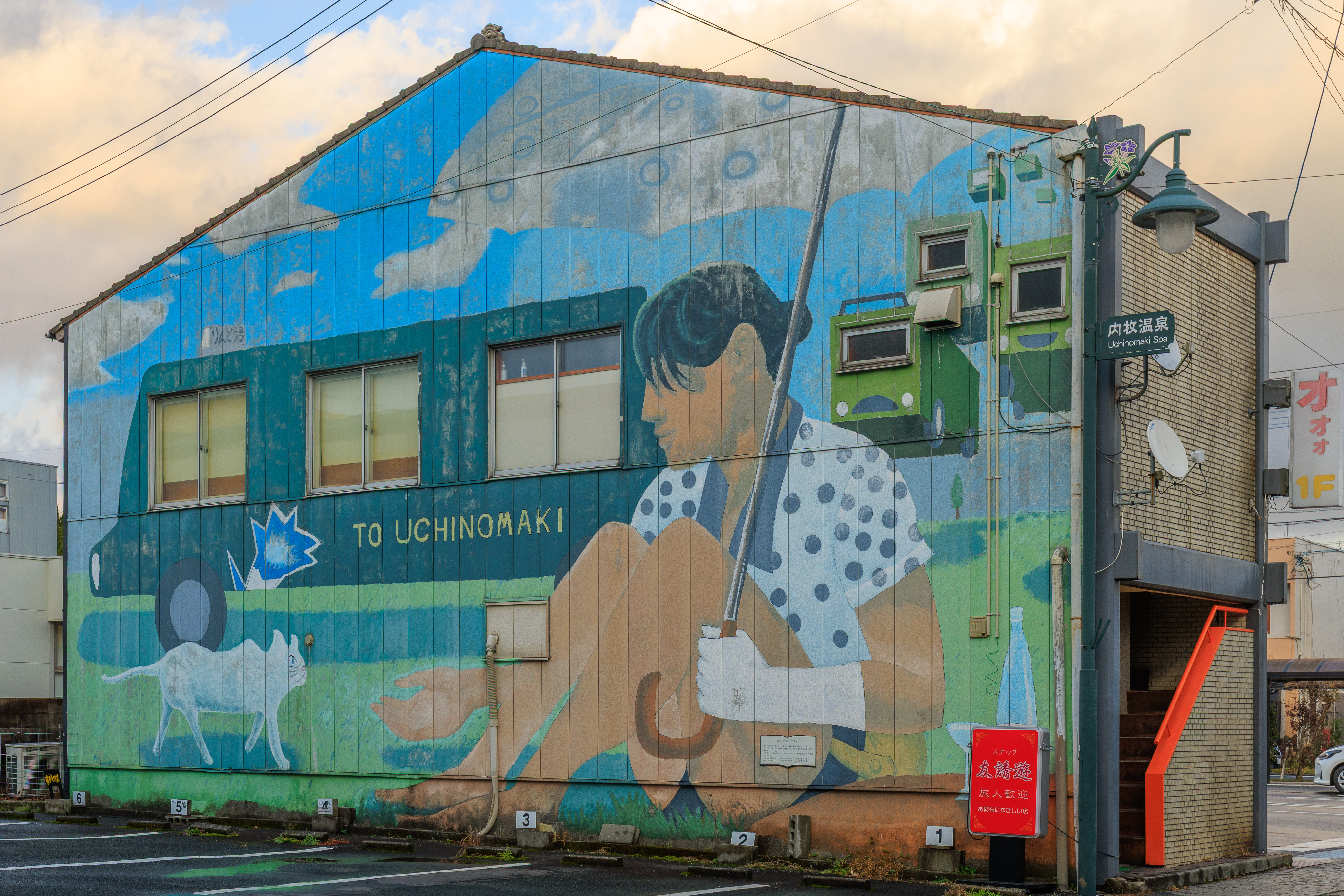
We decided to go visit the Aso Milk Factory, which was about 1.5 kilometers to the east. Given the time and our location, it made more sense to walk than to try and catch a bus. We photographed this mural again as there were no longer any vehicles blocking the view in the parking lot!
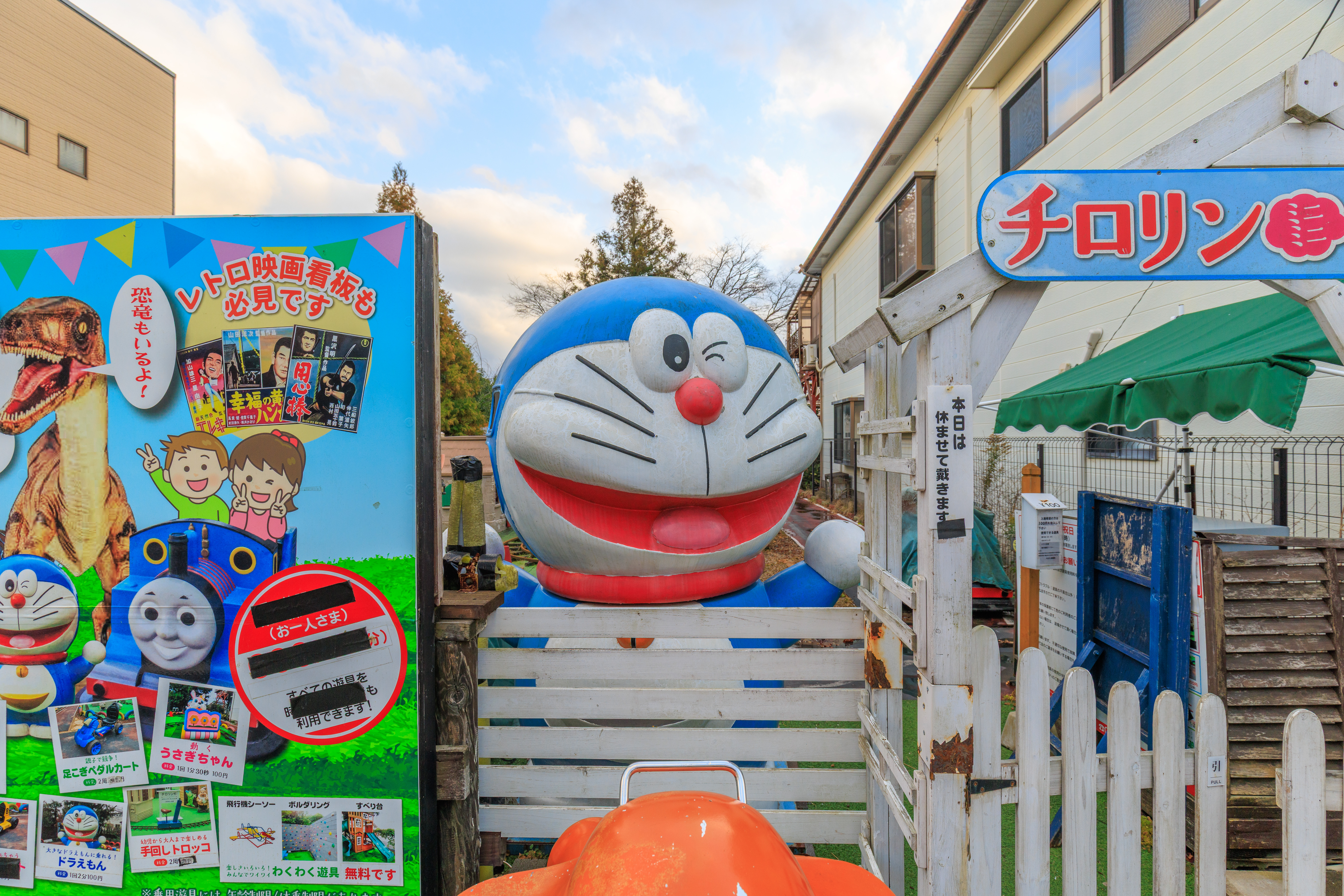
We walked by a Doraemon along with some other… stuff… This seems to be 昭和館 Showa-kan and チロリン村 Chirorin-mura. It is apparently a Showa era cafe and candy shop and packed with memorabilia.
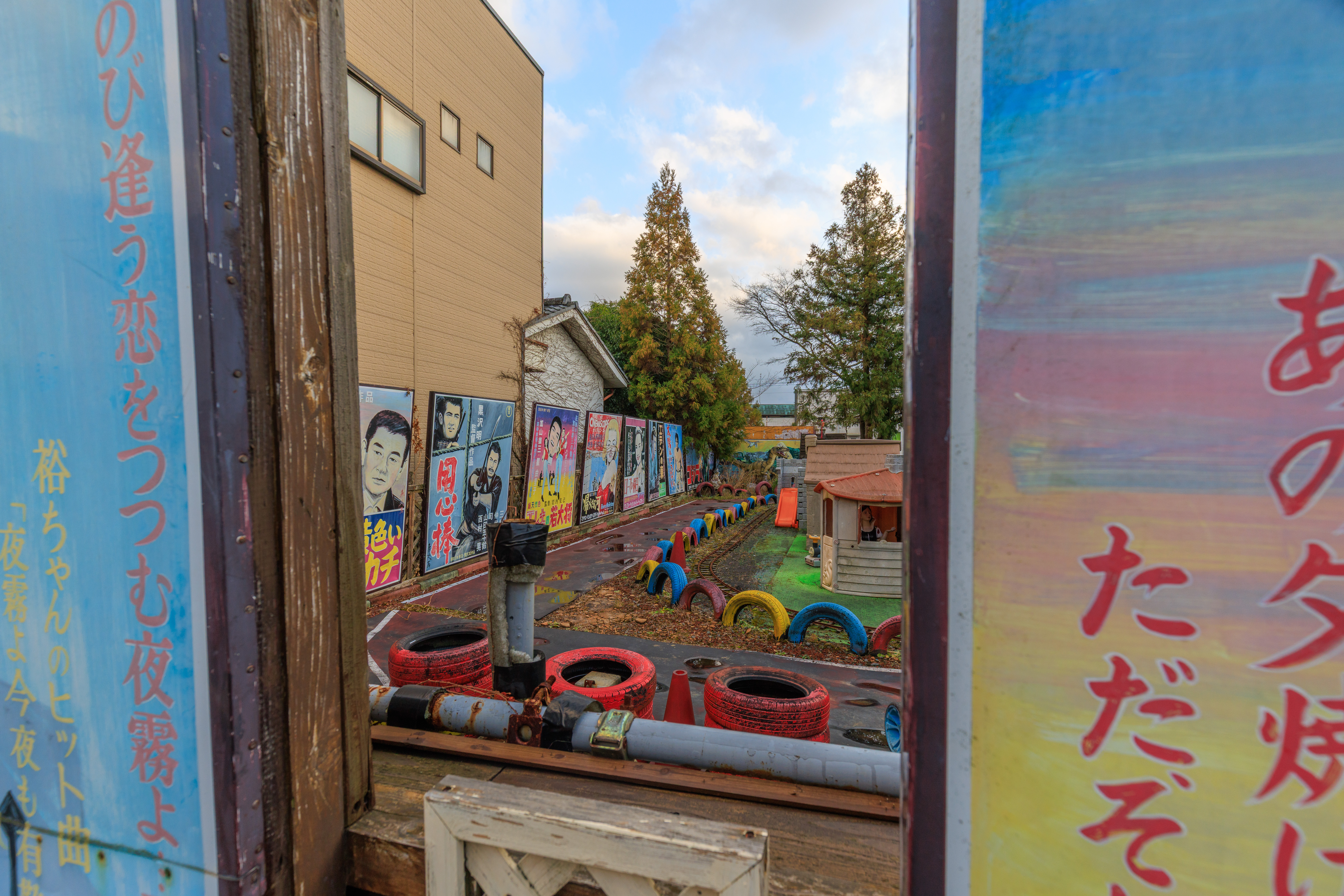
This almost seems like a go-kart track but the placement of the tires suggests that it is not.
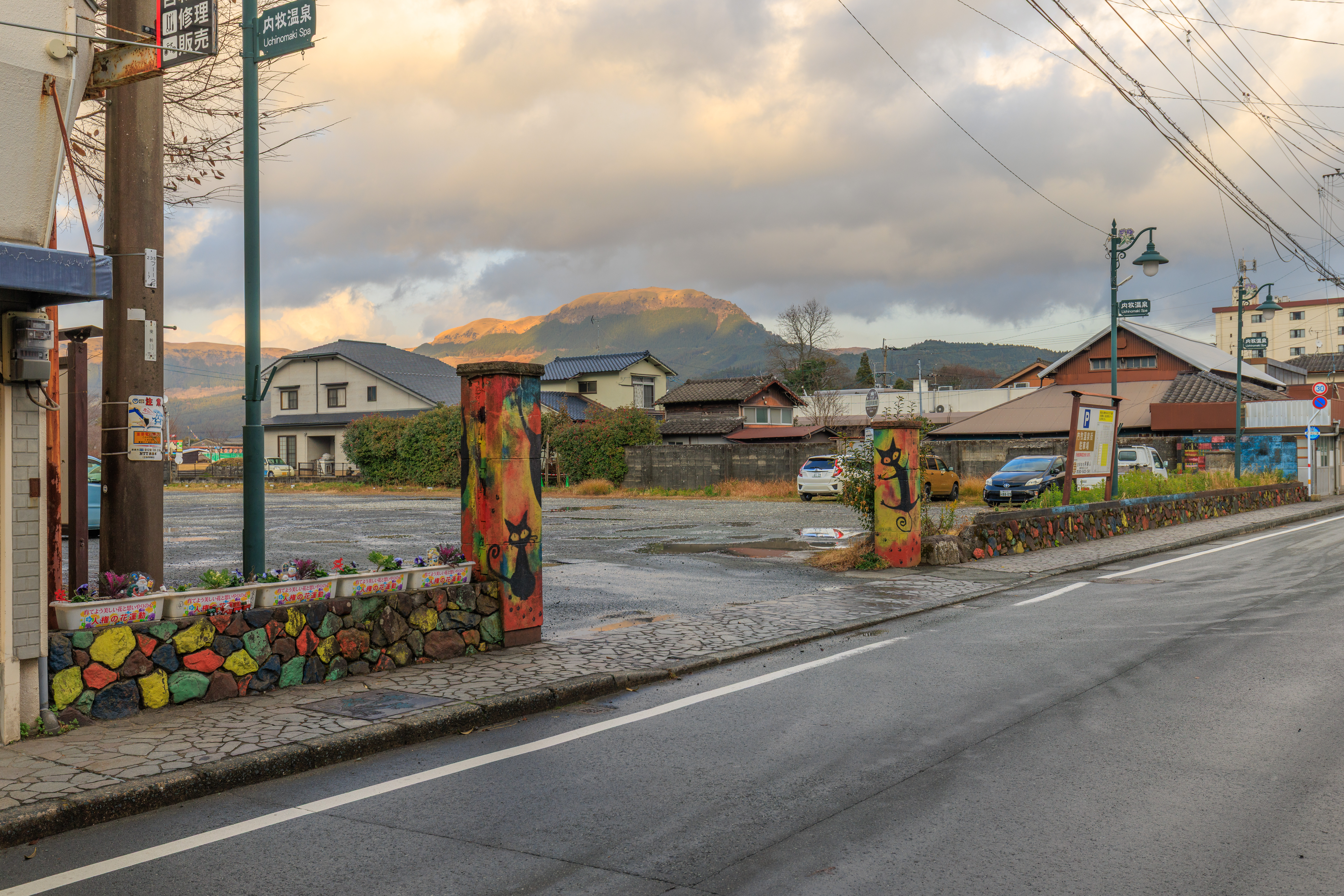
Continuing on, we saw black cats painted at the entrance to a parking lot.
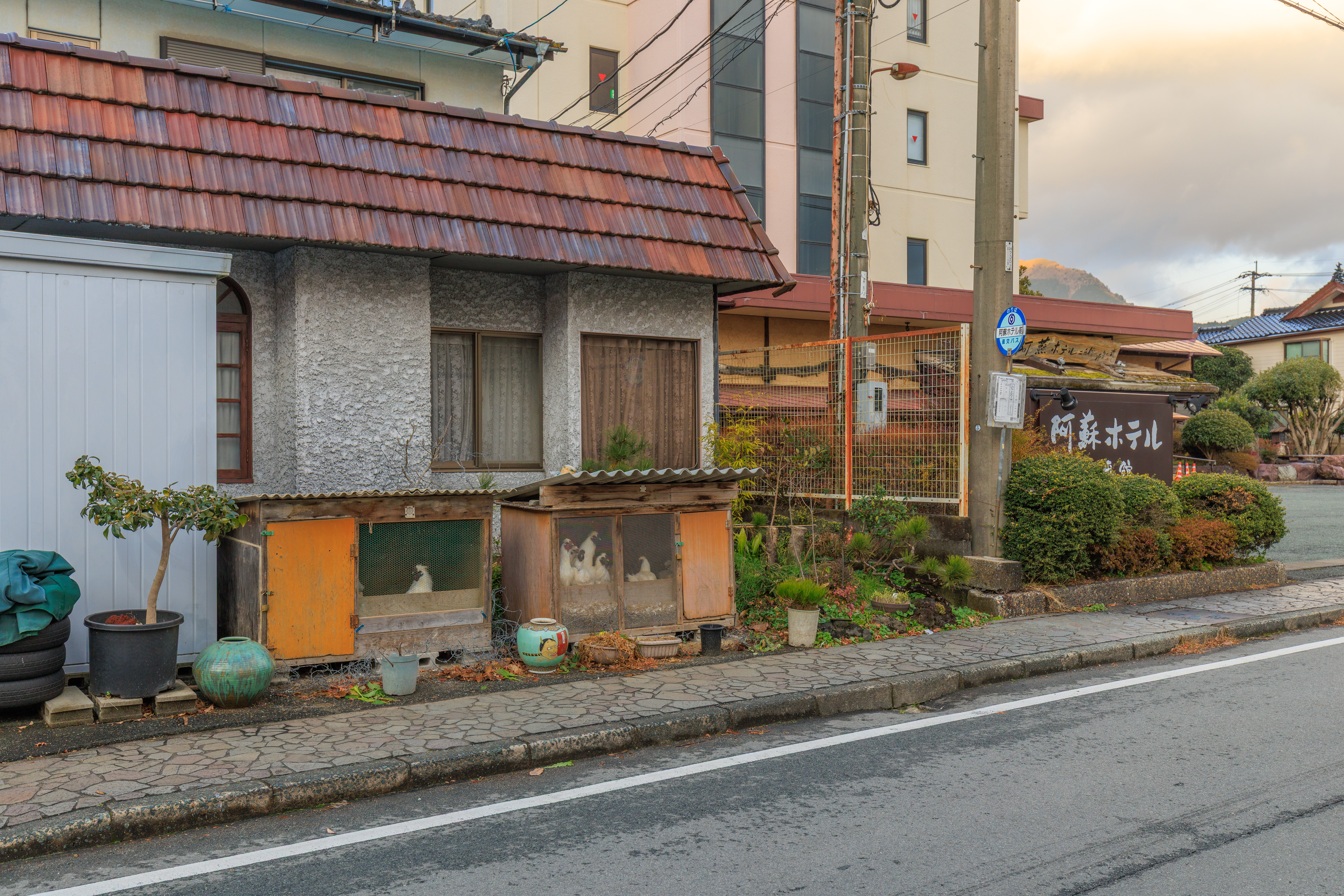
We even came upon some chickens!
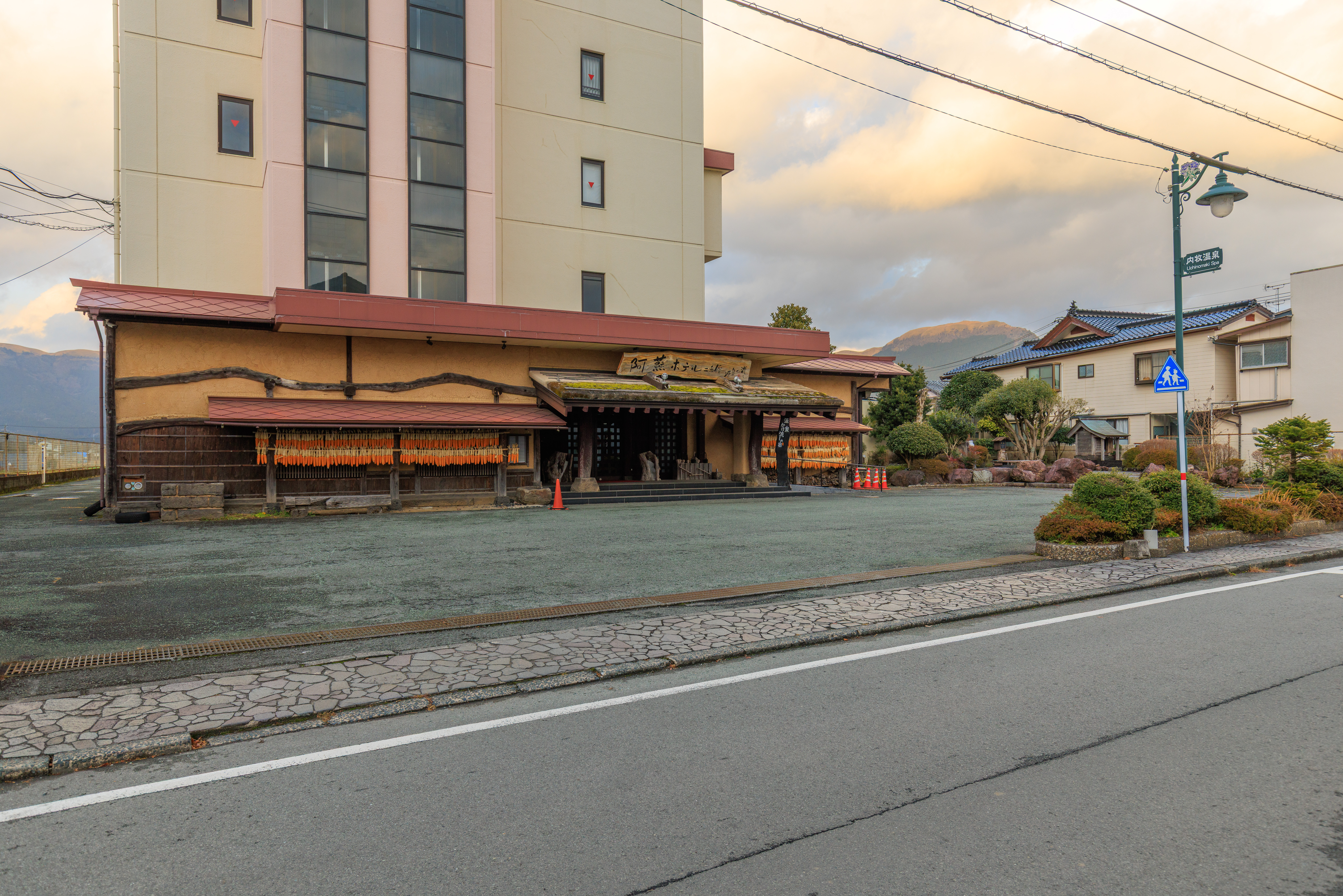
This building with historic looking entrance is the 阿蘇ホテル Aso Hotel. They are an onsen hotel with two buildings, identified simply as one and two. This is building two.
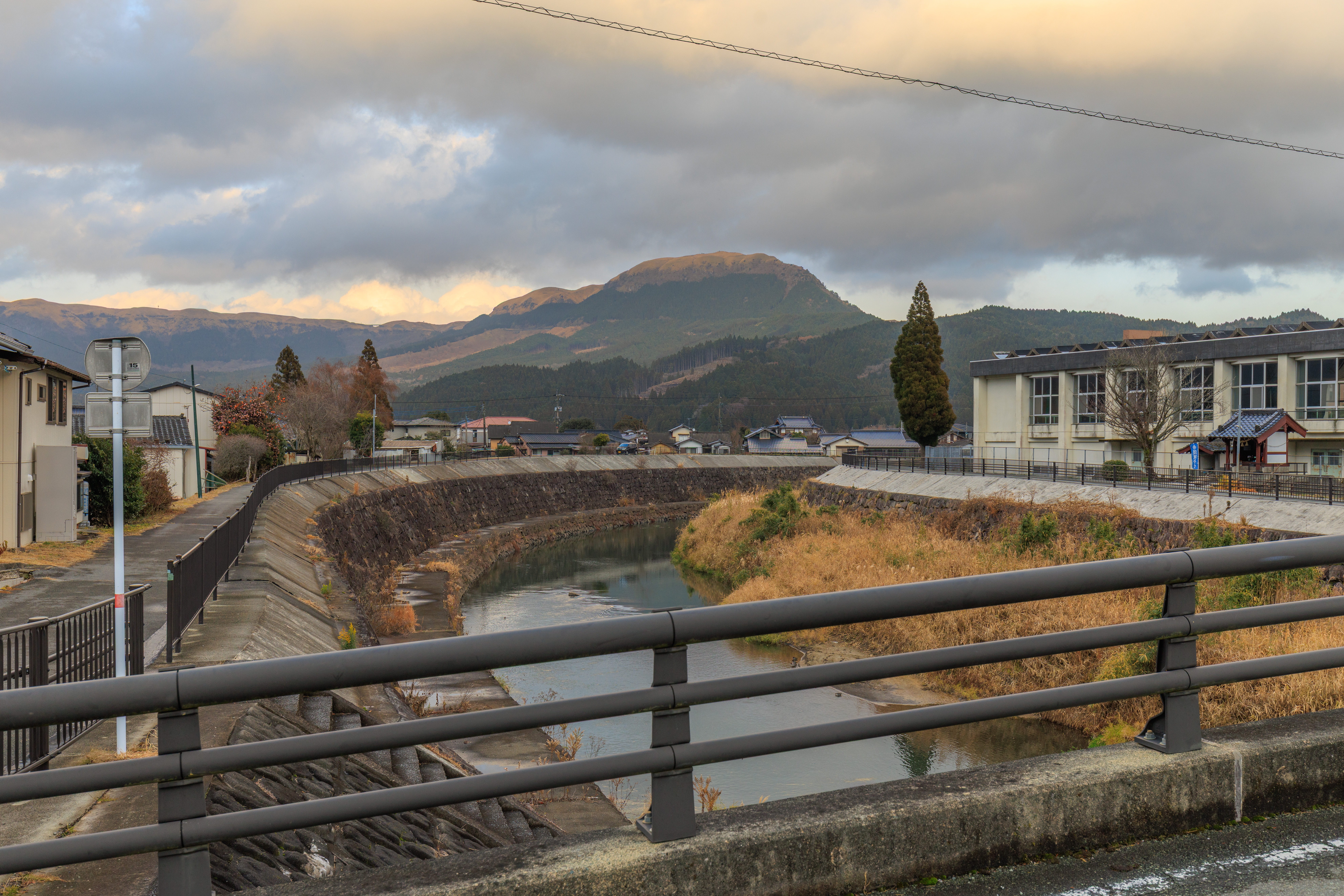
This was the view looking to our left, which was northeast, as we crossed a river. This river is the 黒川 Kurokawa (Black River). There might not be any relation to the name of the Aso Boy’s mascot, くろ Kuro, as kuro is simply black. But who knows, is it a coincidence that there is a river with this name here?
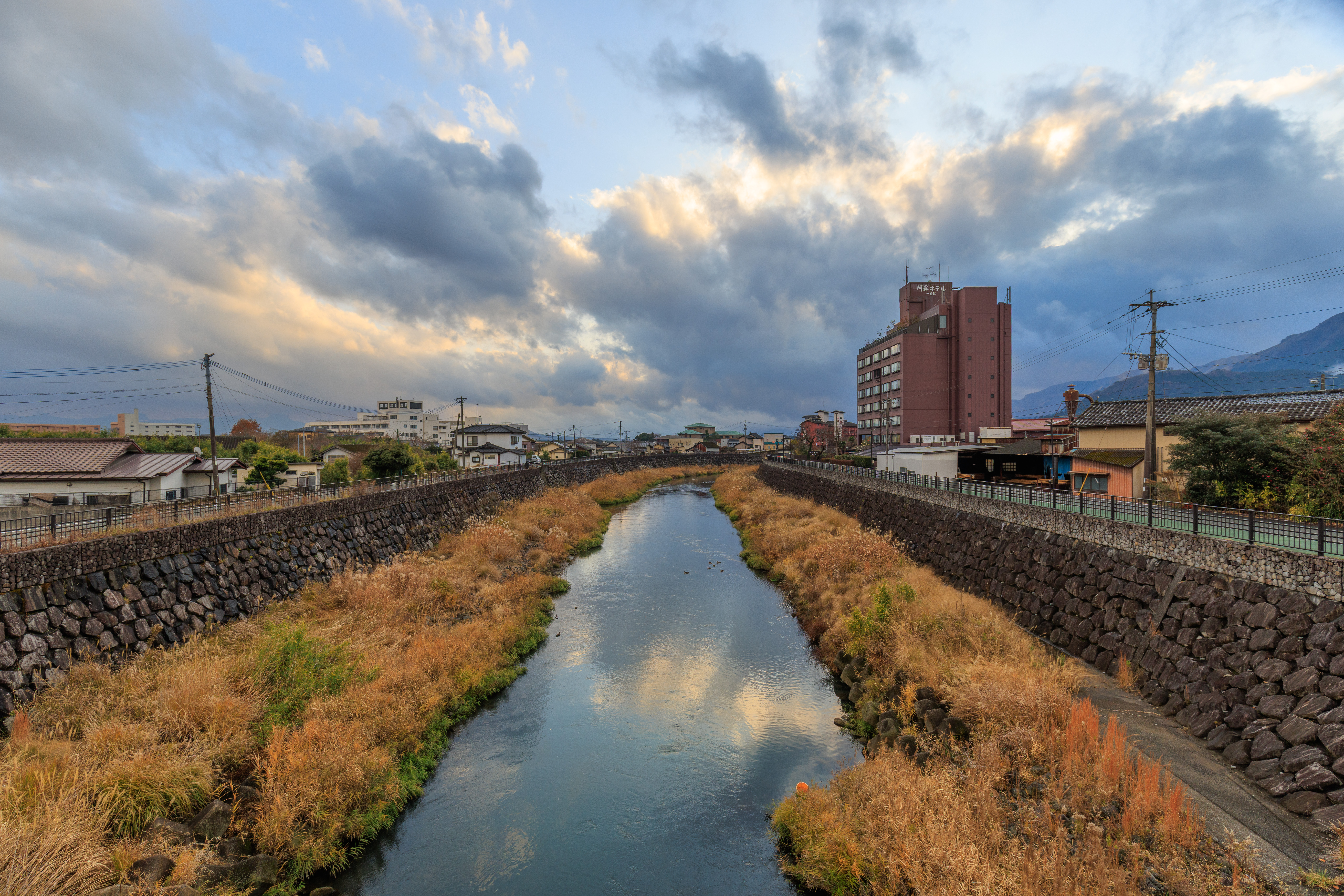
The view looking to the southwest. The ugly building on the right is the Aso Hotel’s other building.
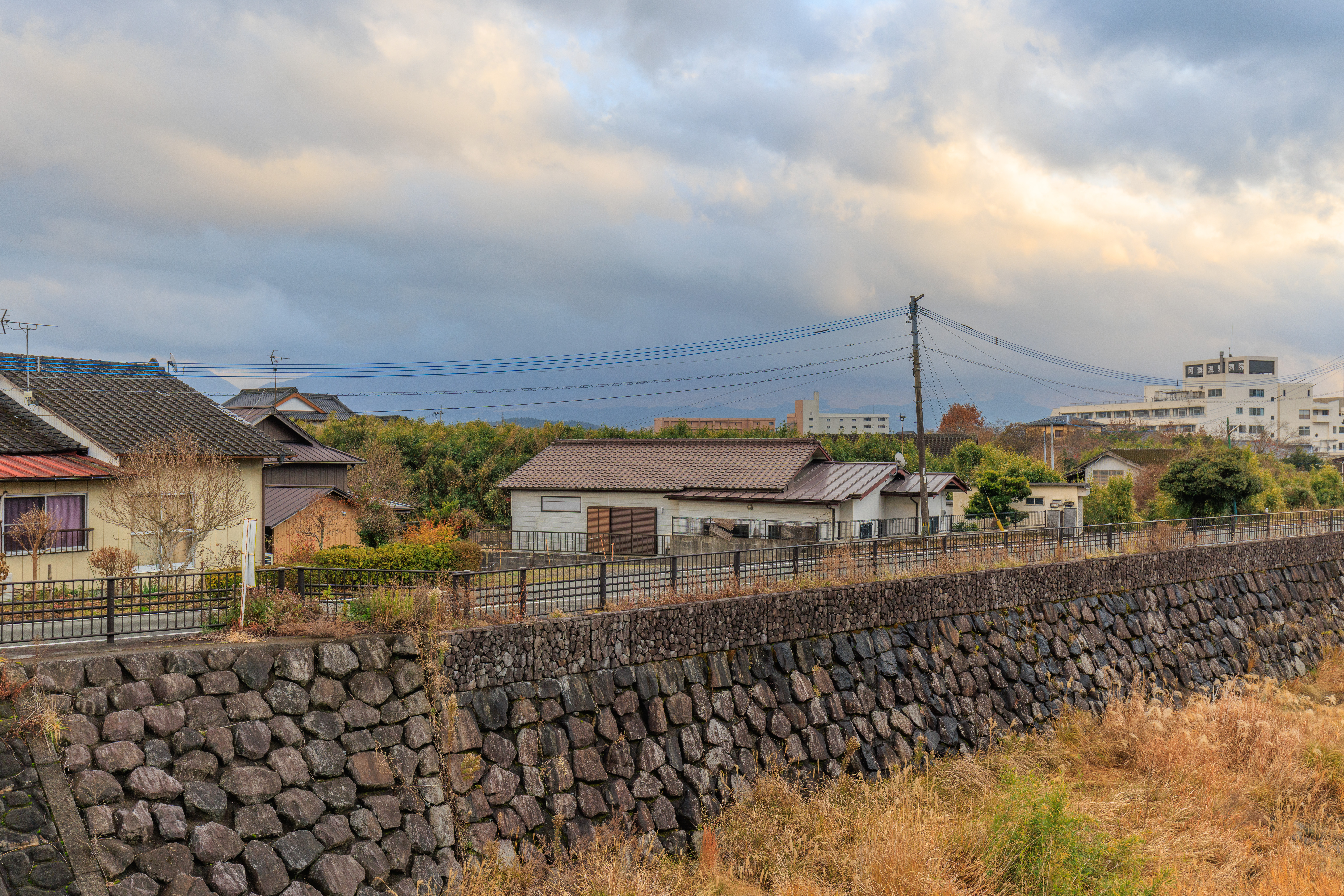
Looking to the south, the peaks of the Aso Volcano were still in the clouds.
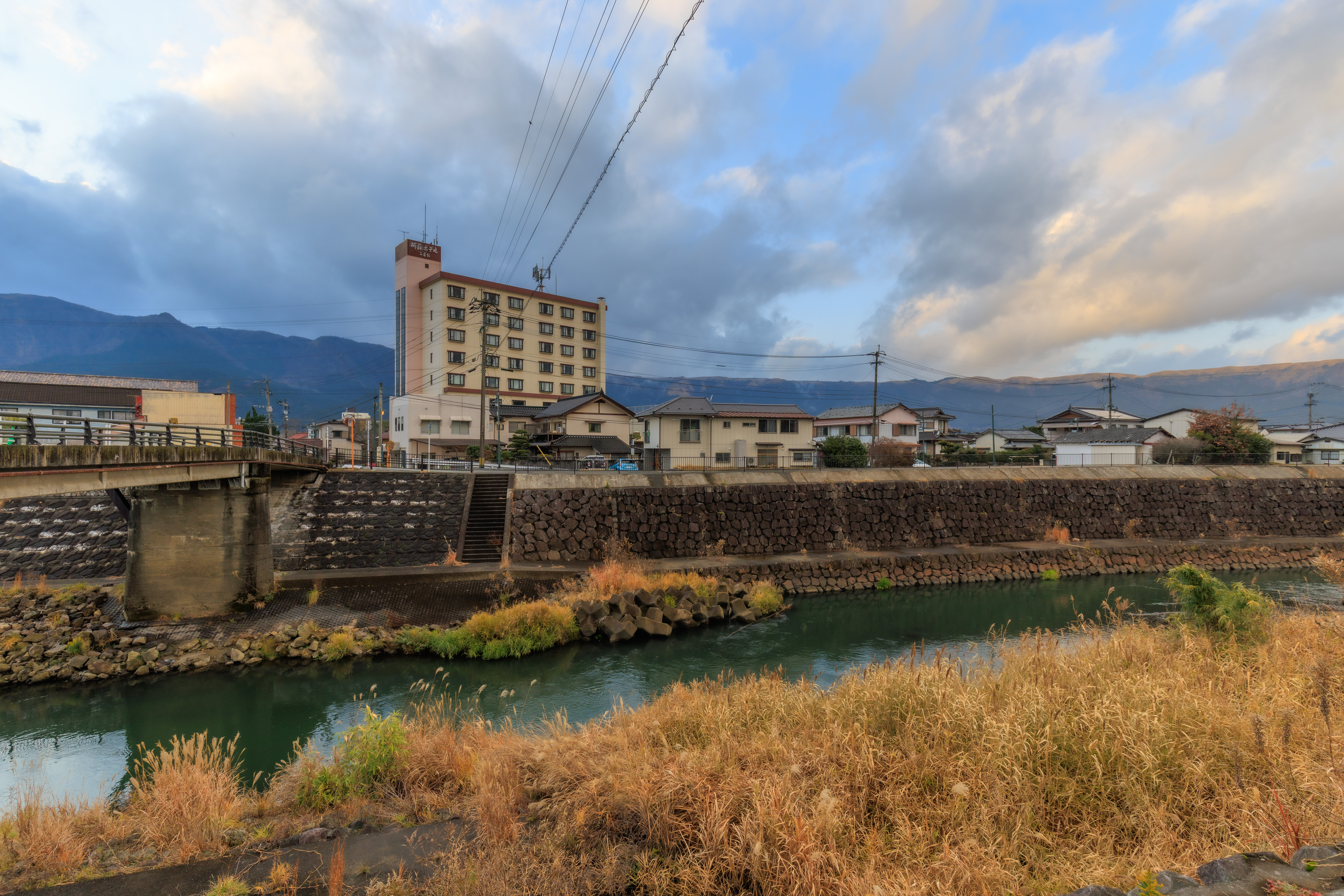
The view looking back after we crossed the river and turned left to follow the river to the east.
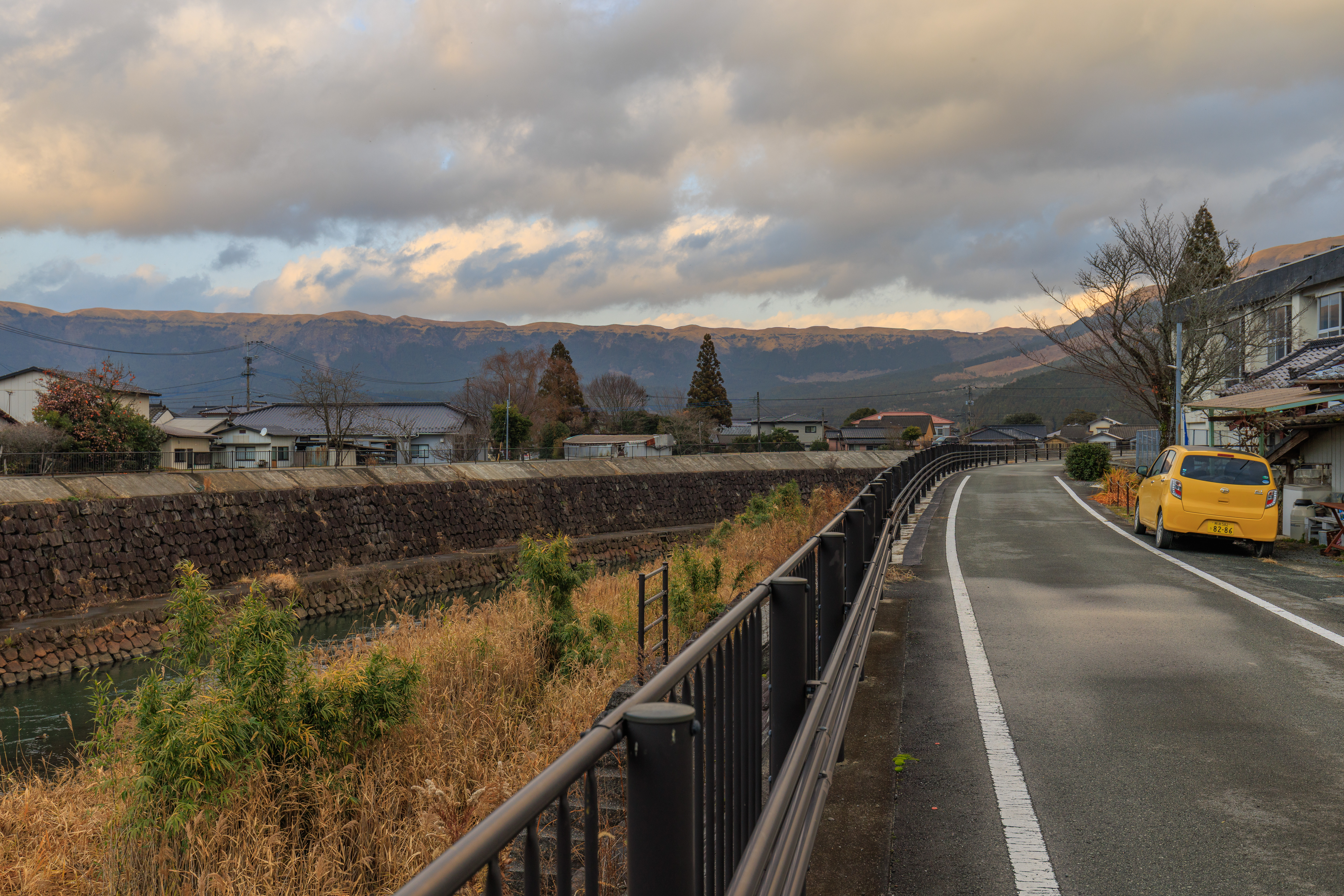
Up ahead, we could clearly see the caldera’s rim.
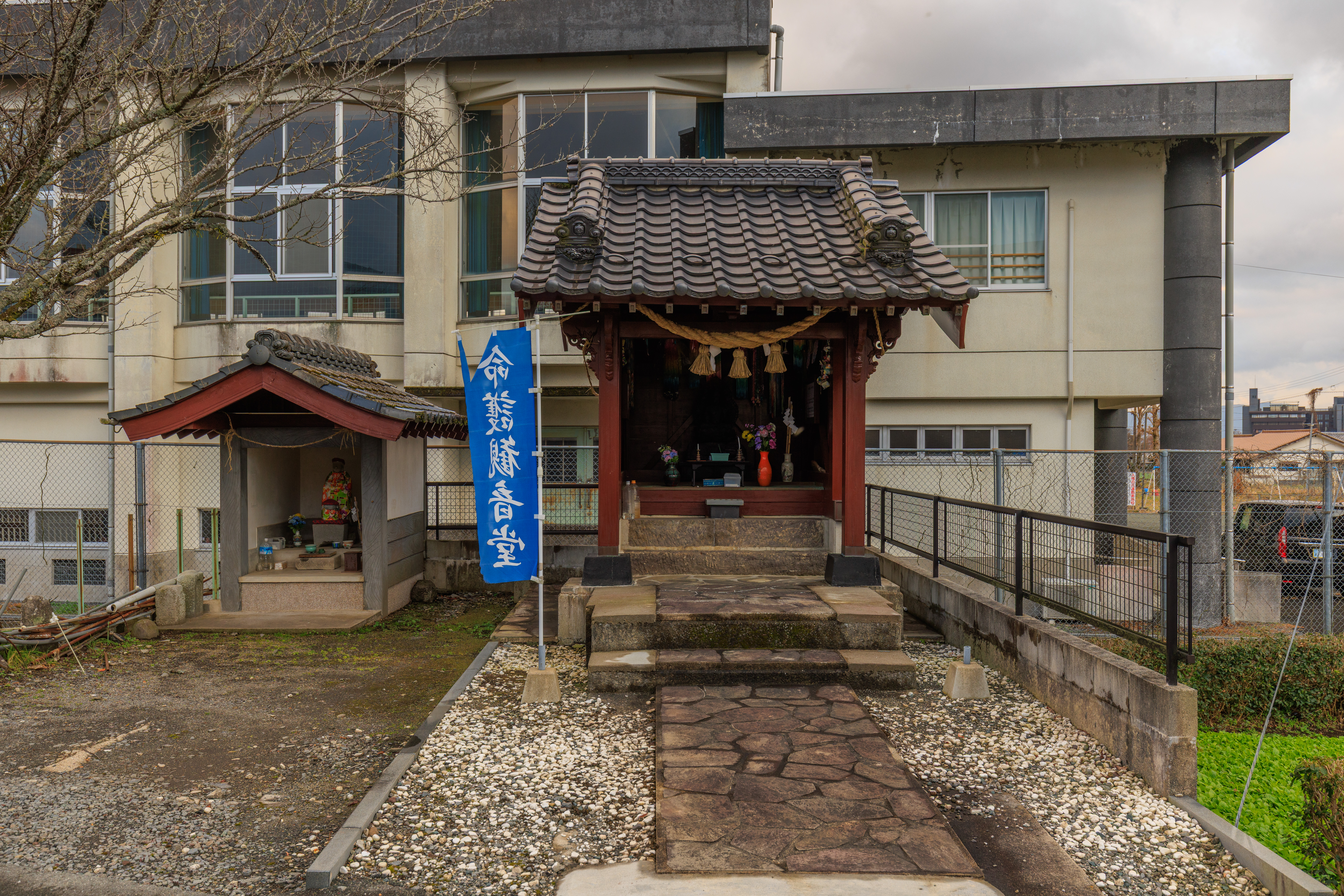
We walked by two small shrines in front of a an elementary school.
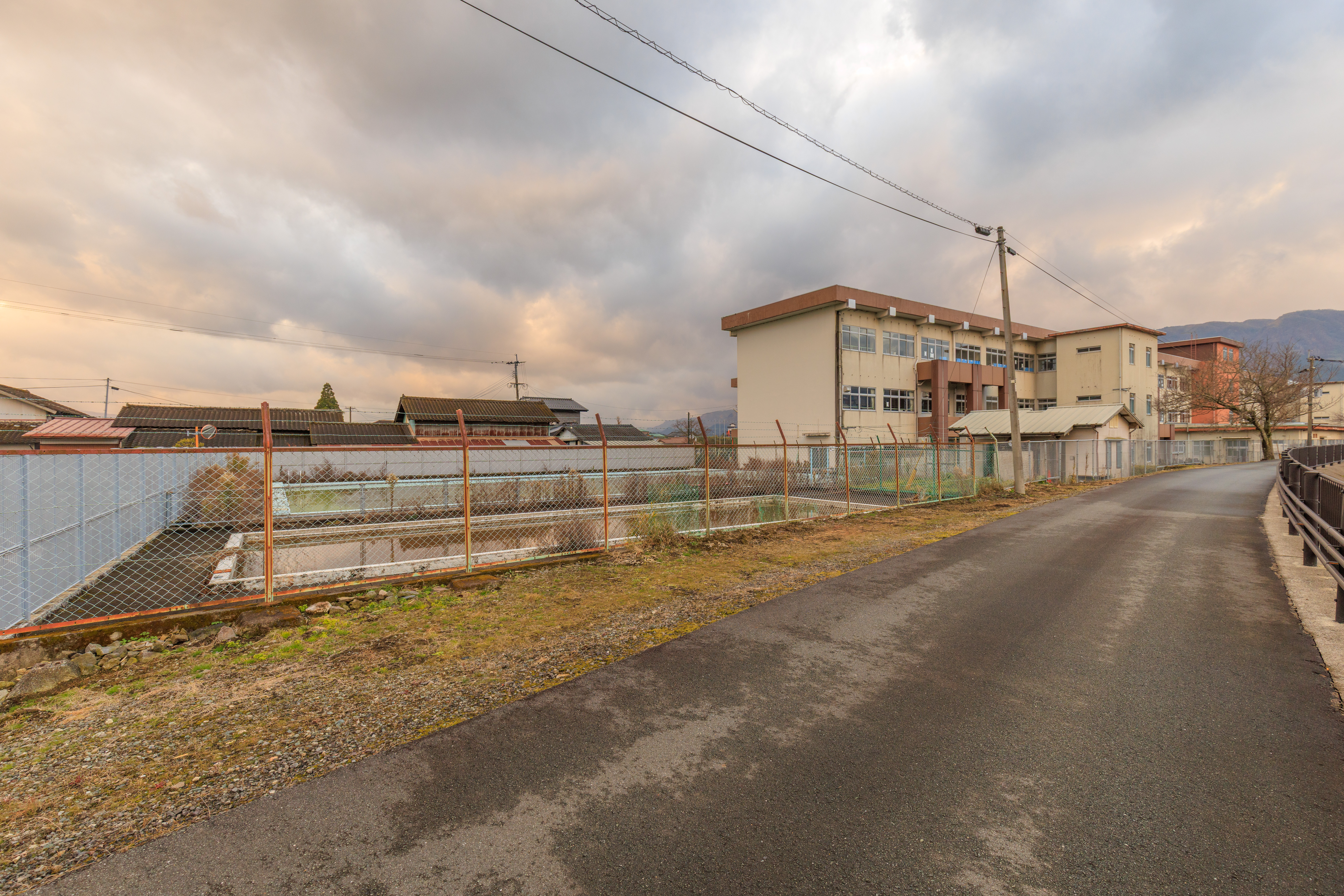
Continuing on, we noticed what seemed to be the school’s empty outdoor swimming pools.
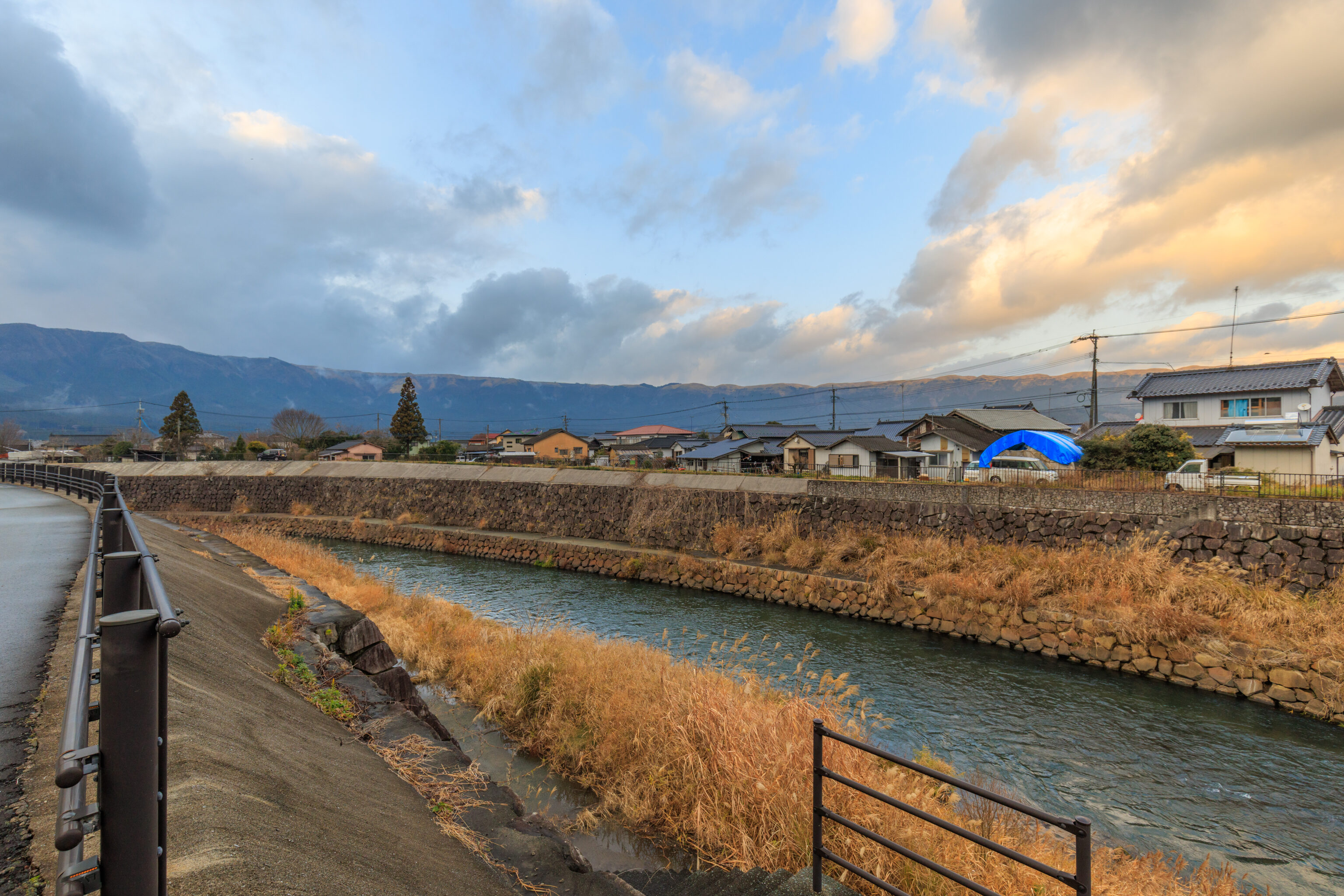
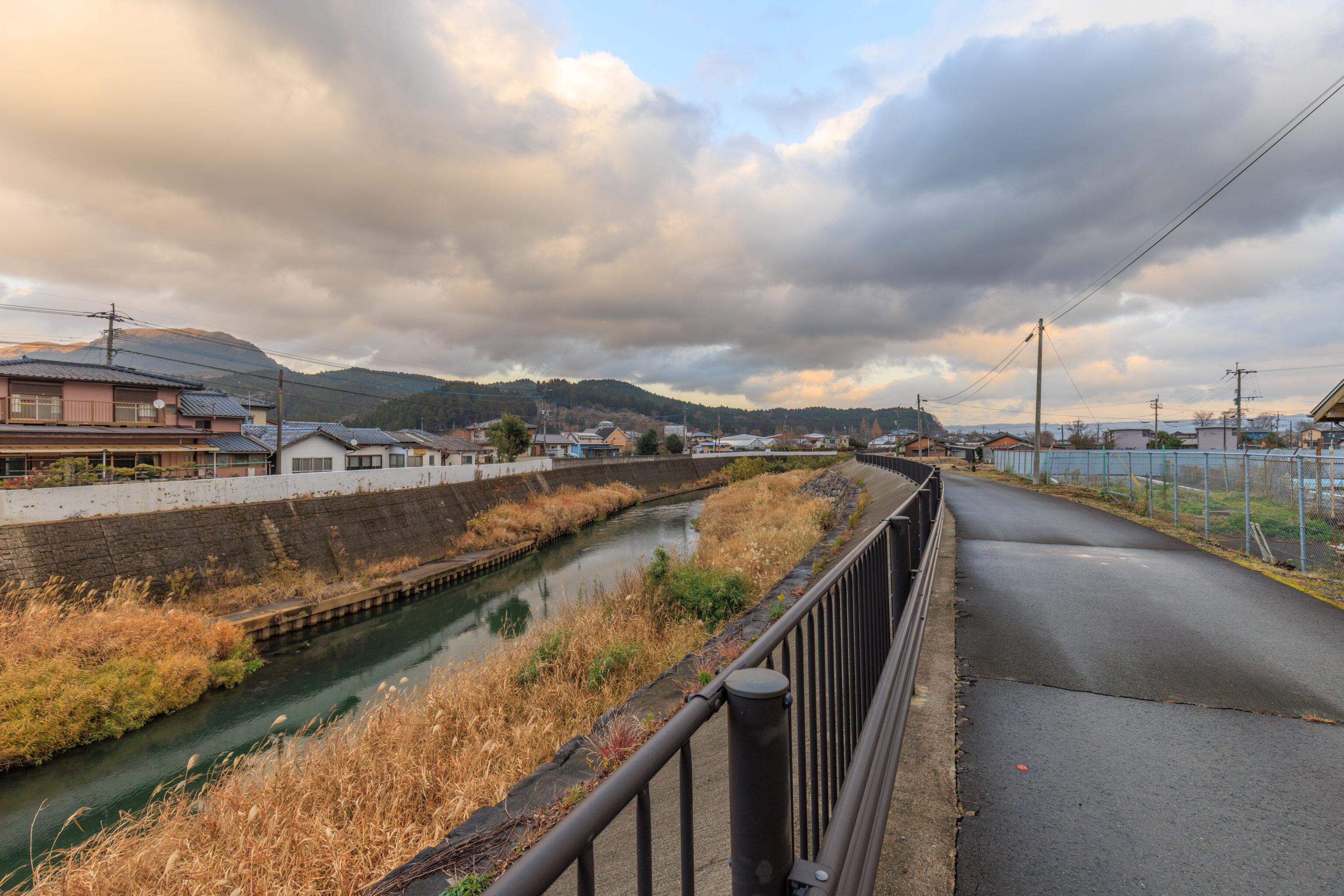
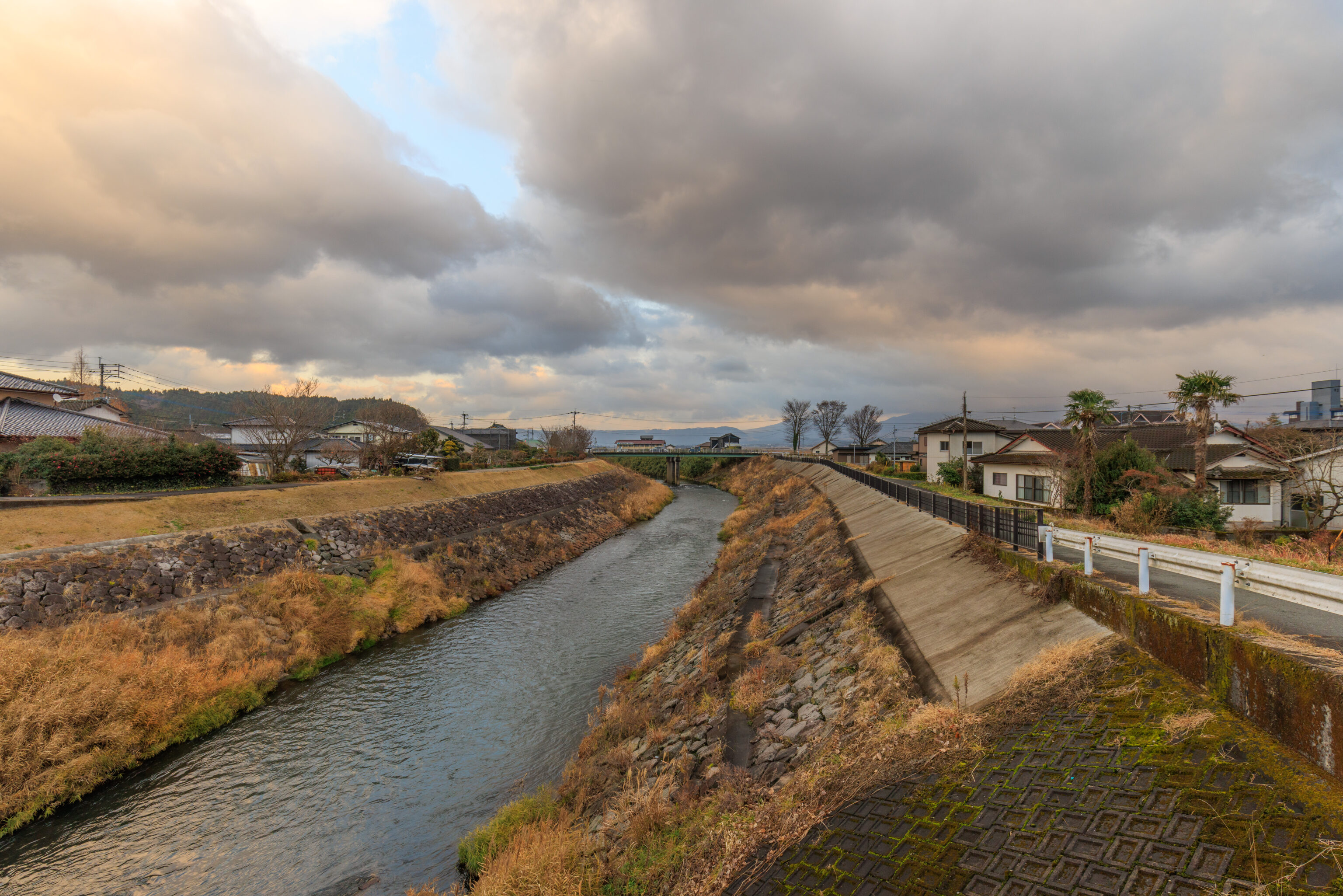
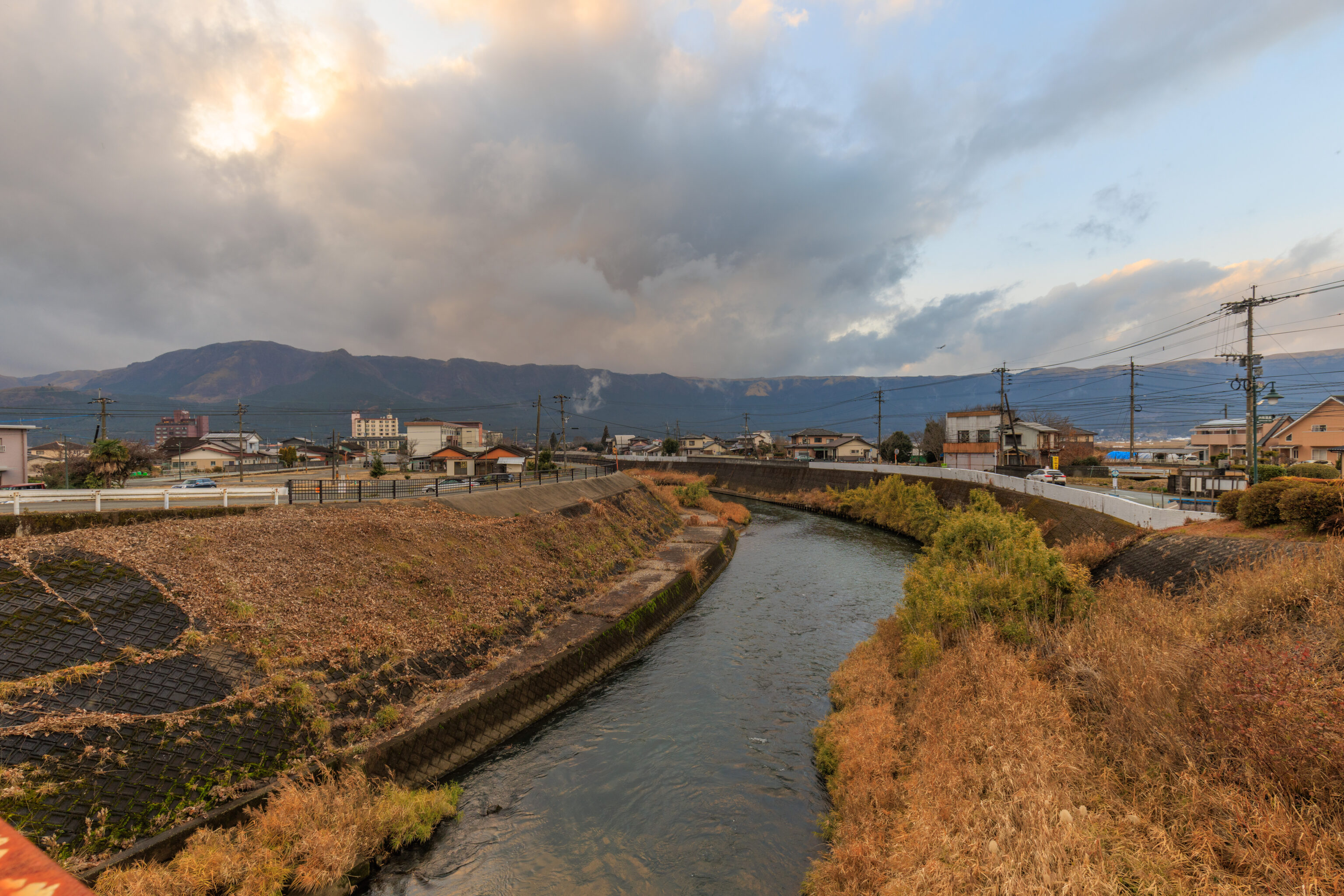
We followed the river until the next bridge, which is at the south side of the Aso Milk Factory. But, the entrance near this bridge seemed to be for the actual factory rather than the store.
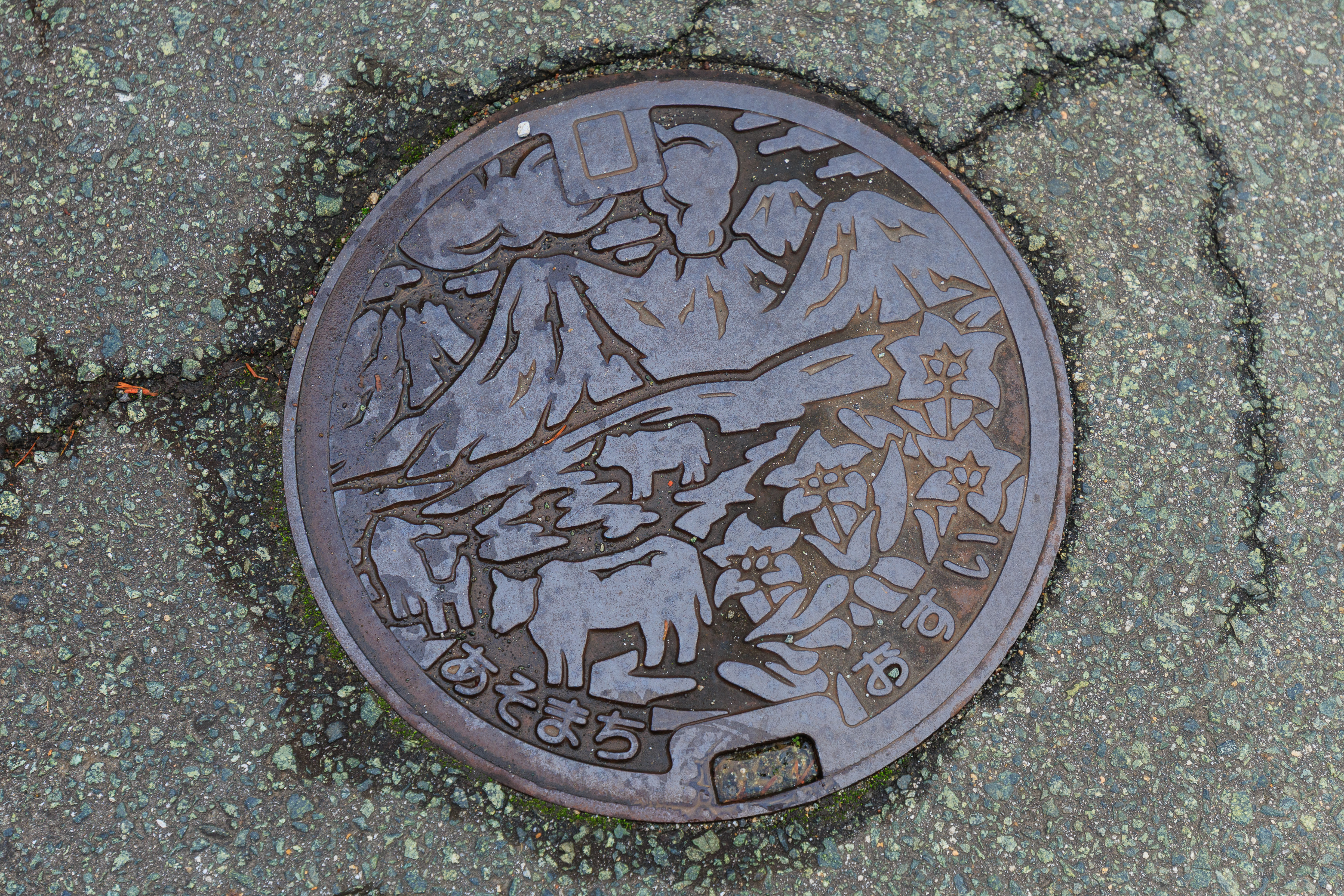
We walked to the east to try and find the proper entrance. We passed by this utility cover which was pretty similar to the one we saw before except that it did not have a Meadow Bunting.
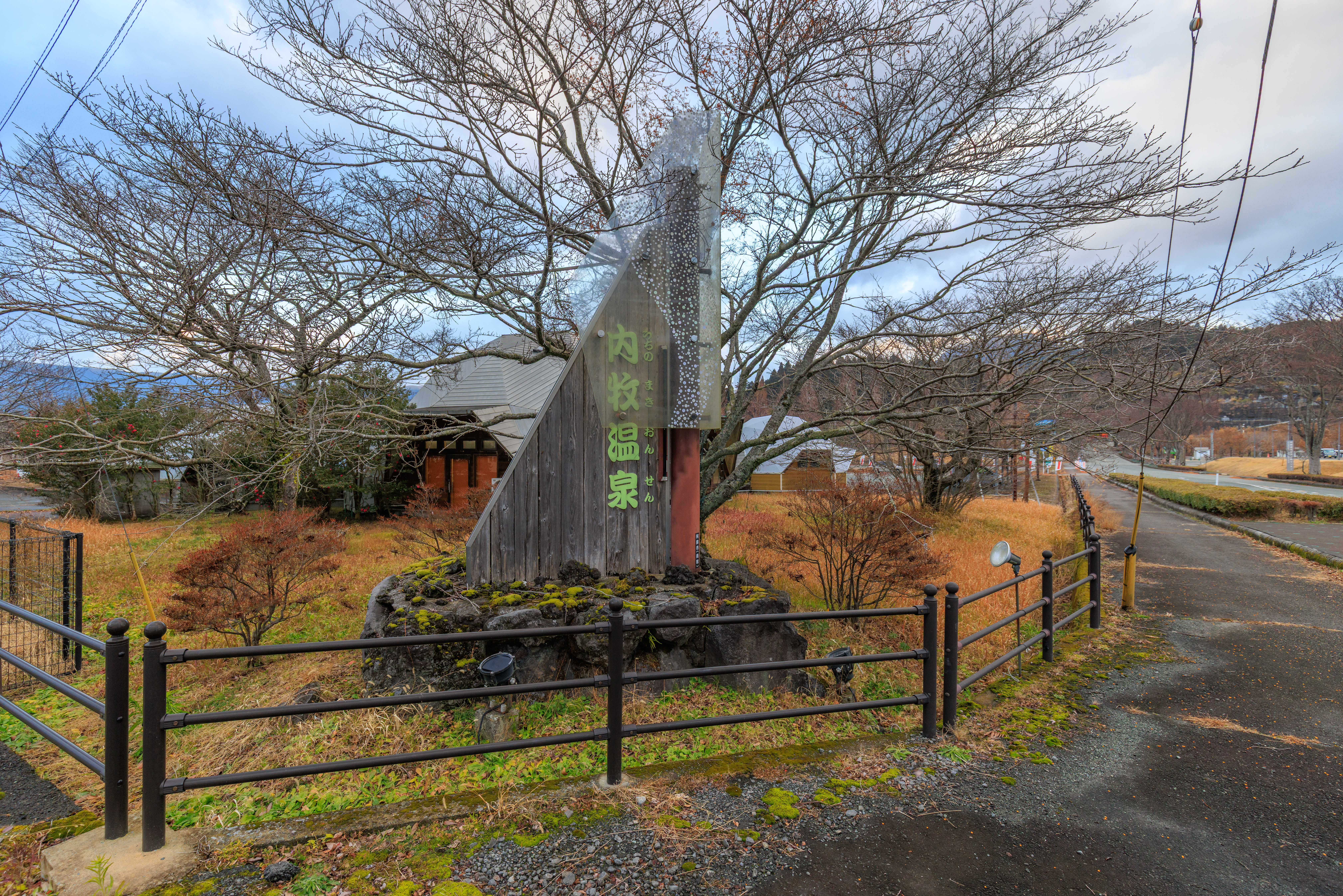
This seems to be the place! We turned left after reaching an intersection.
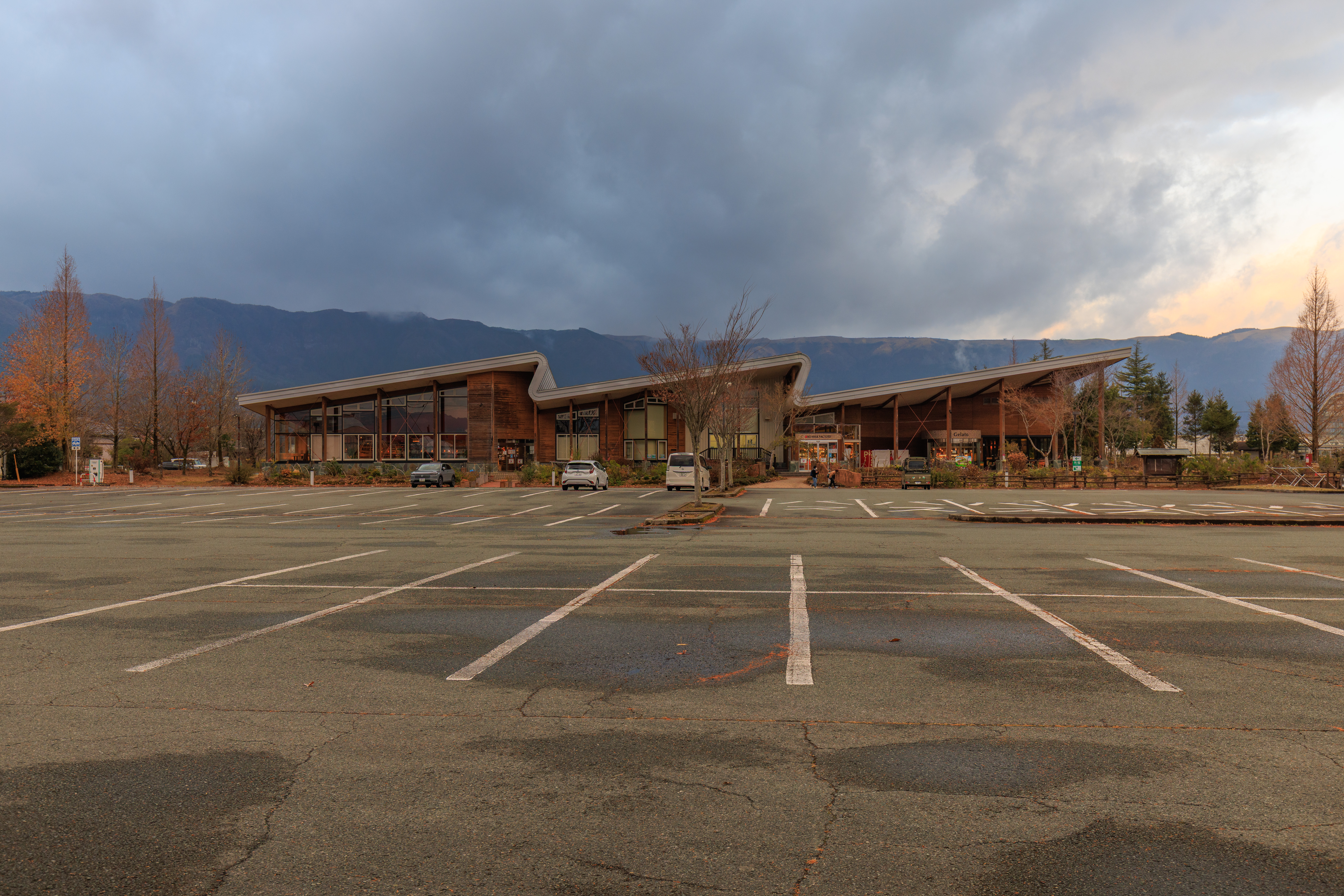
We saw the modern looking building housing the Aso Milk Factory’s store and restaurant from the far side of a vast parking lot.
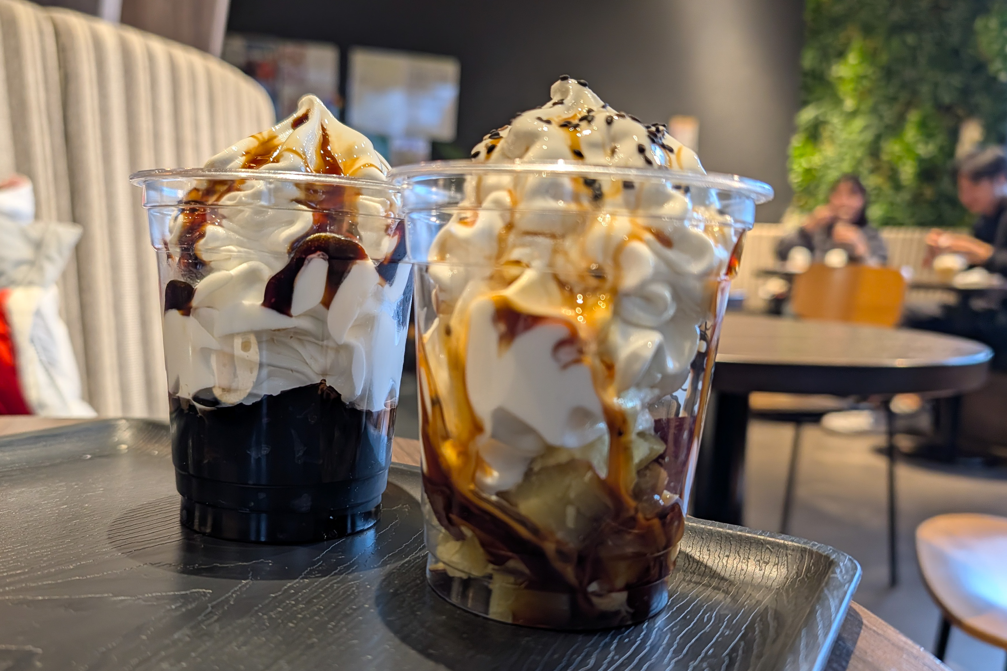
We got a coffee sundae and a yakiimo (roasted sweet potato) sundae, both with milk soft serve. The coffee sundae consisted of coffee jelly underneath and the yakiimo had pieces of yakiimo.
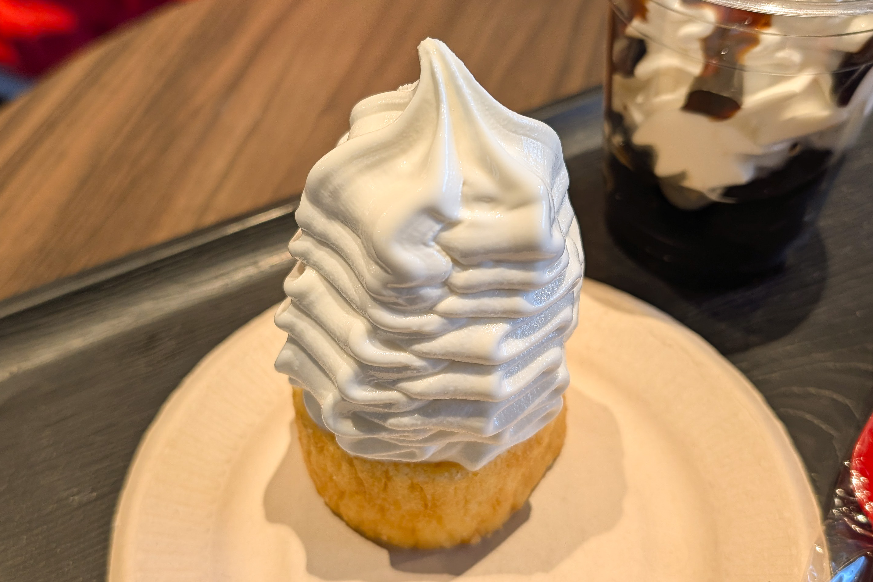
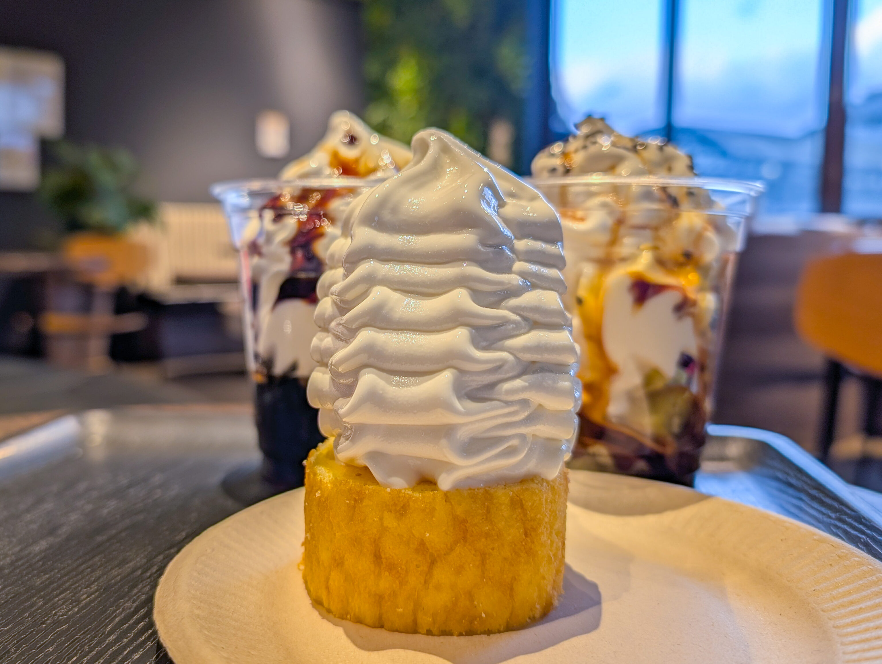
We also got a piece of baumkuchen with milk soft serve on top. The milk soft serve on all 3 was nice and milky! We didn’t stay long as we wanted to catch the next bus.
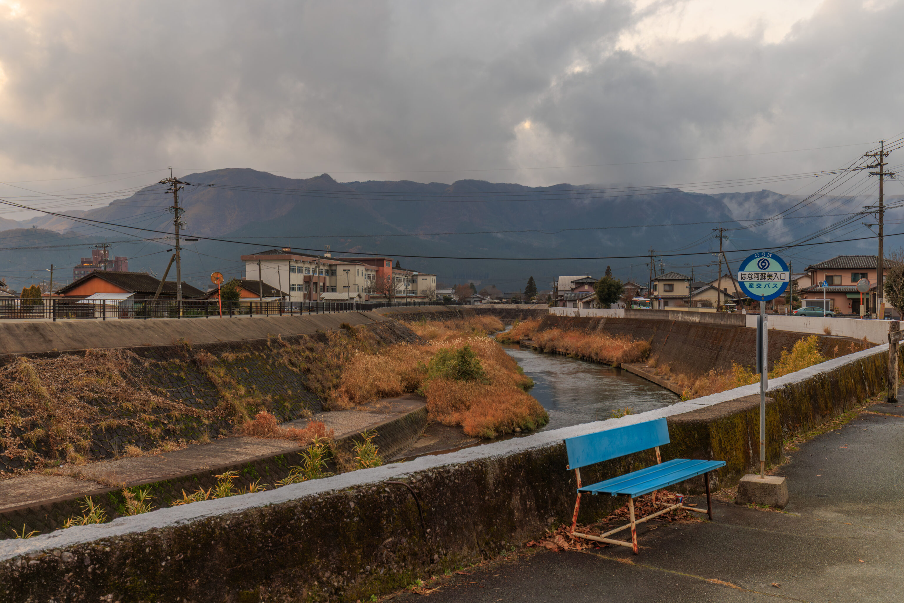
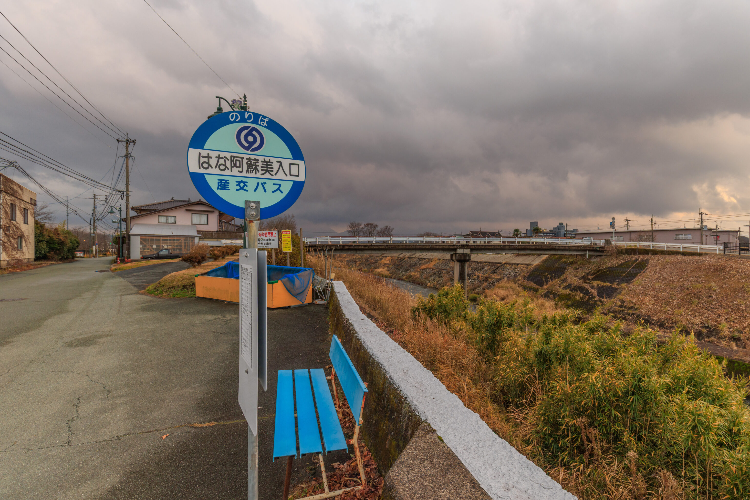
After our brief visit, we walked over to the はな阿蘇美入口 Hanaasobi Iriguchi bus stop, which was near the last bridge that we walked across.
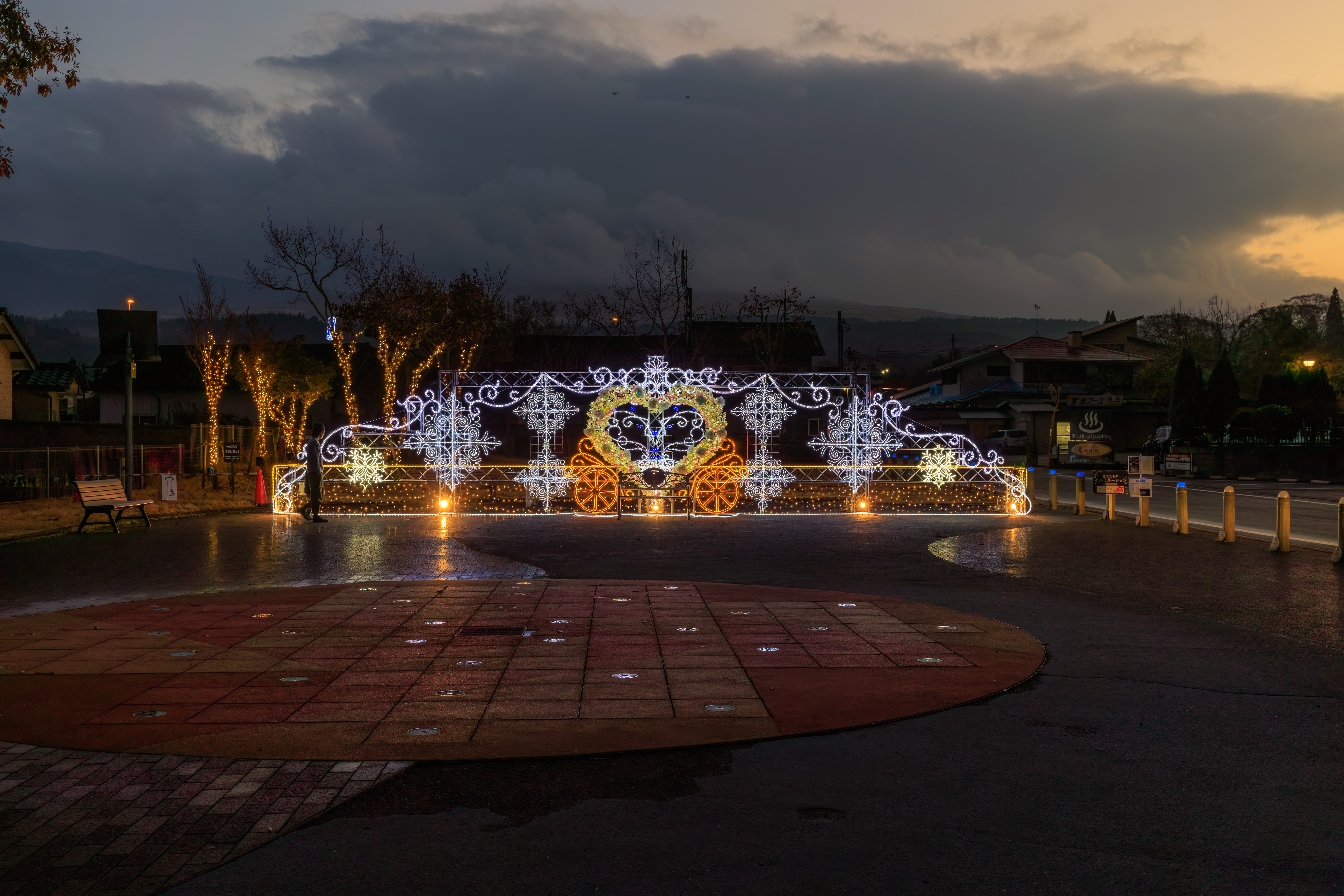
Upon returning to Aso Station, we decided to watch the water fountain show again. We were there just in time for its 5:30pm start time.
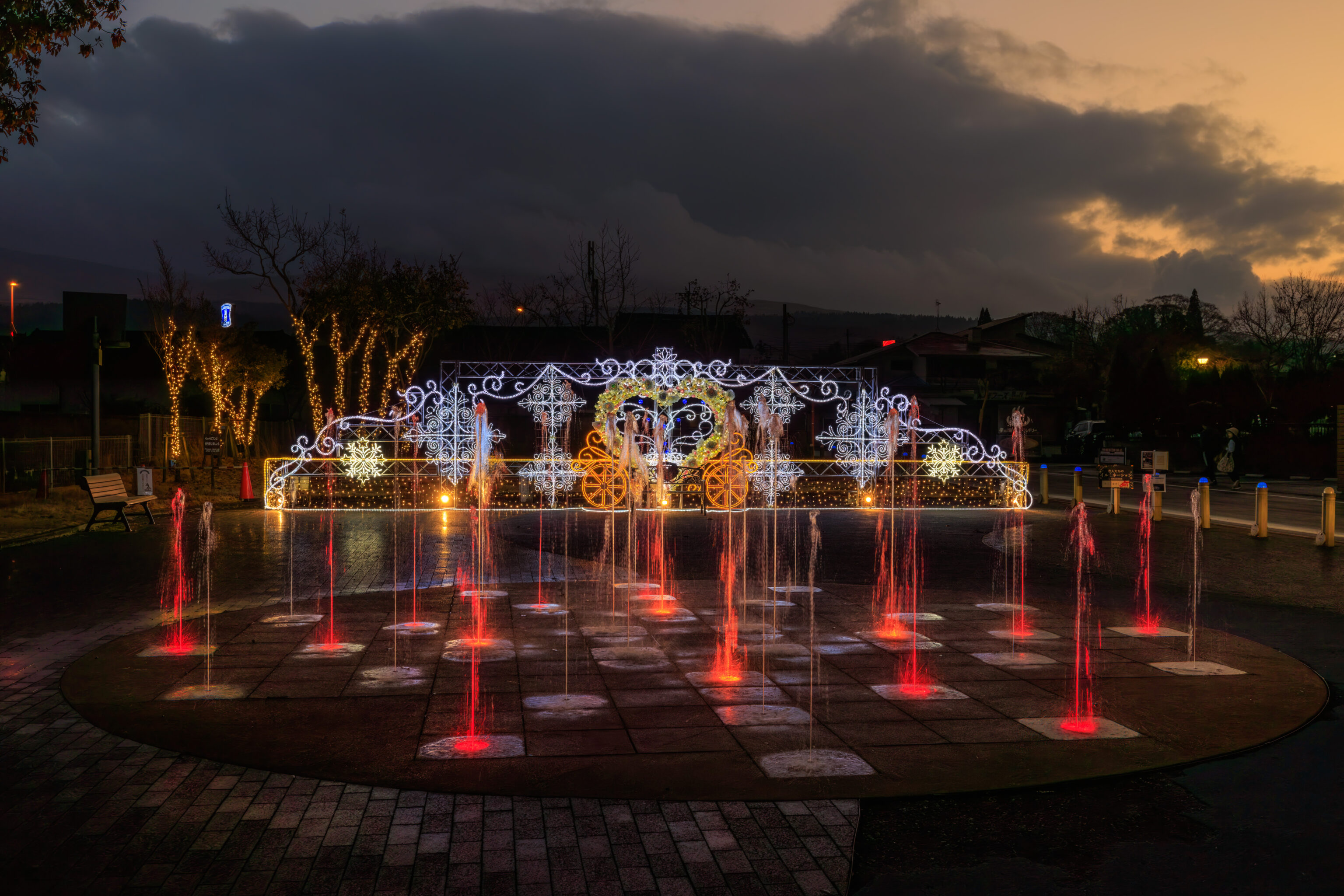
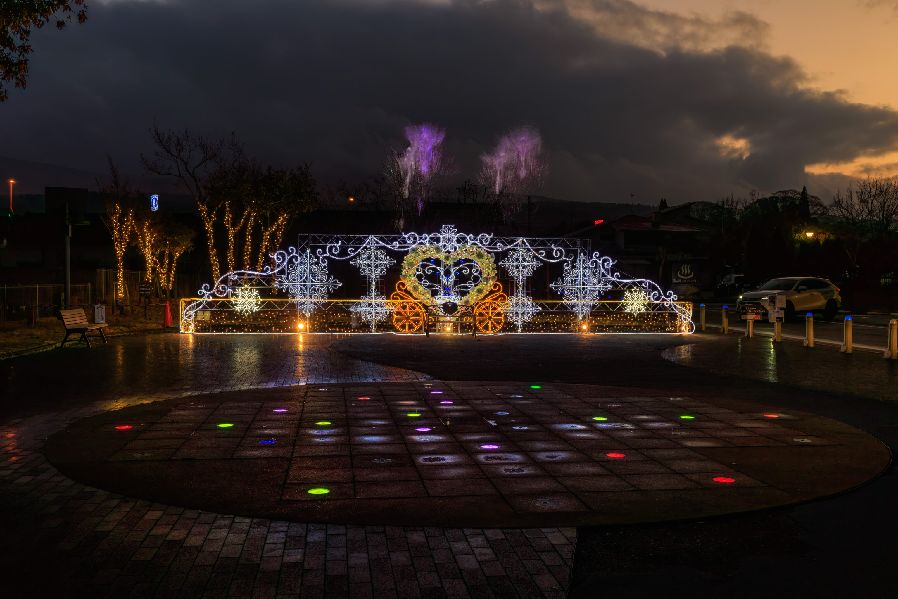
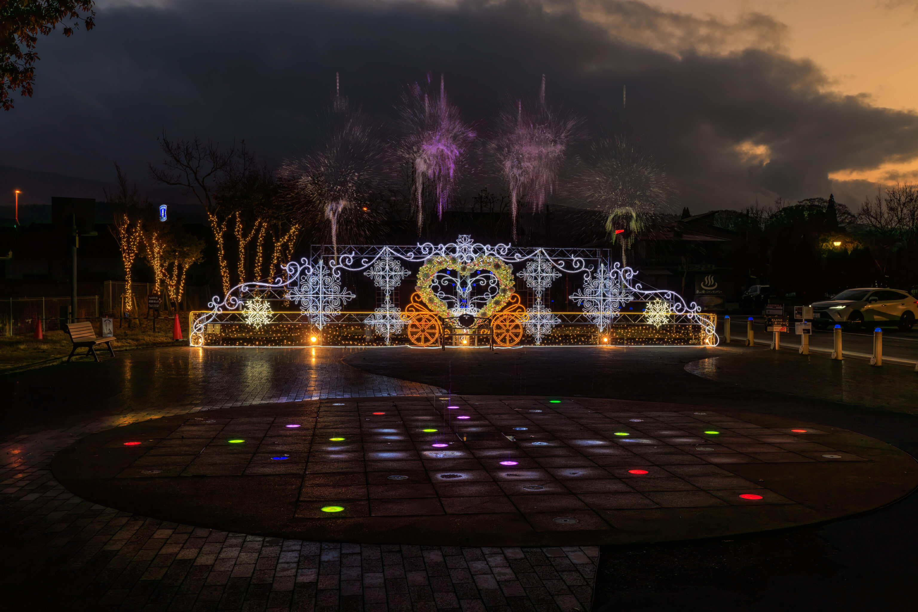
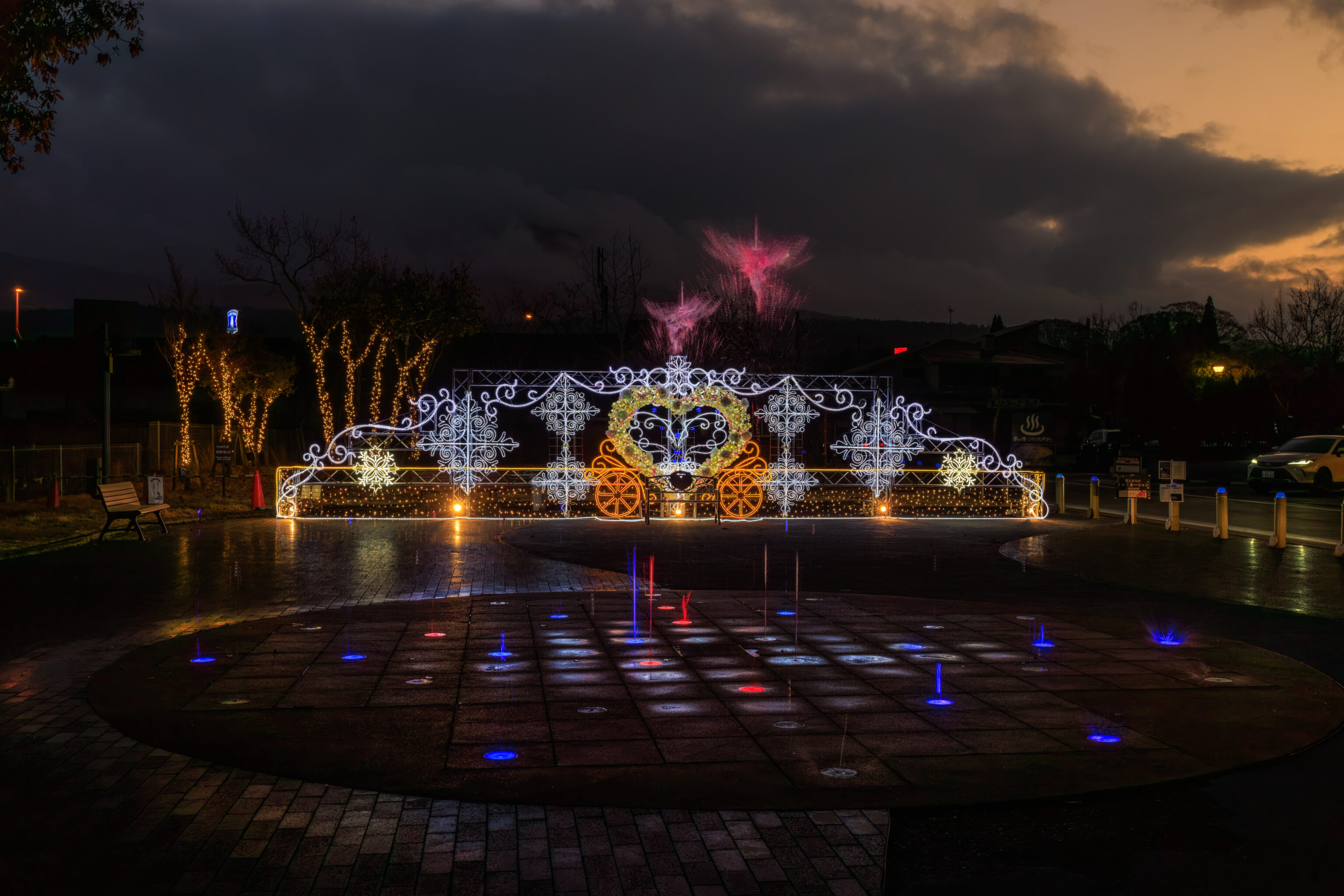
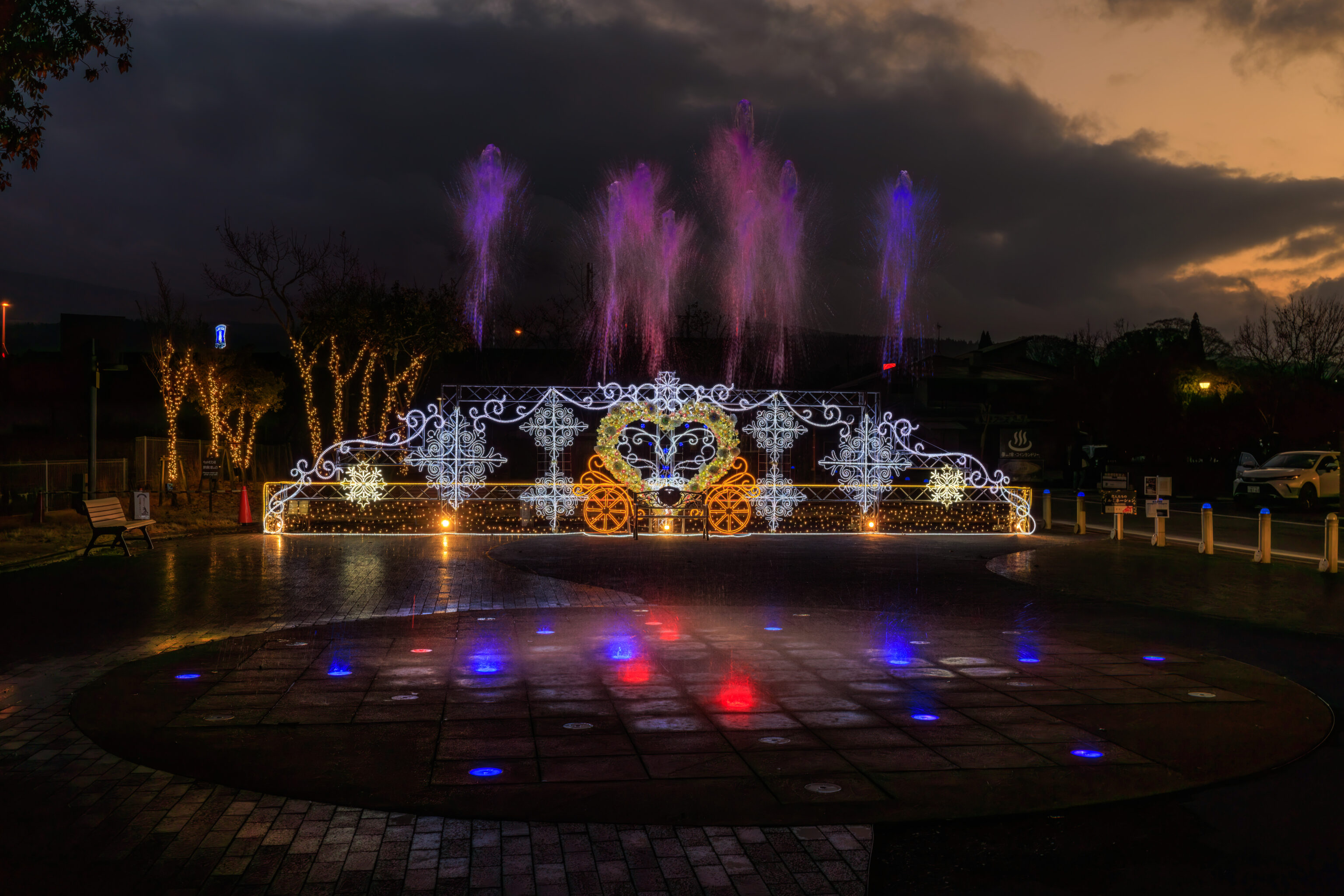
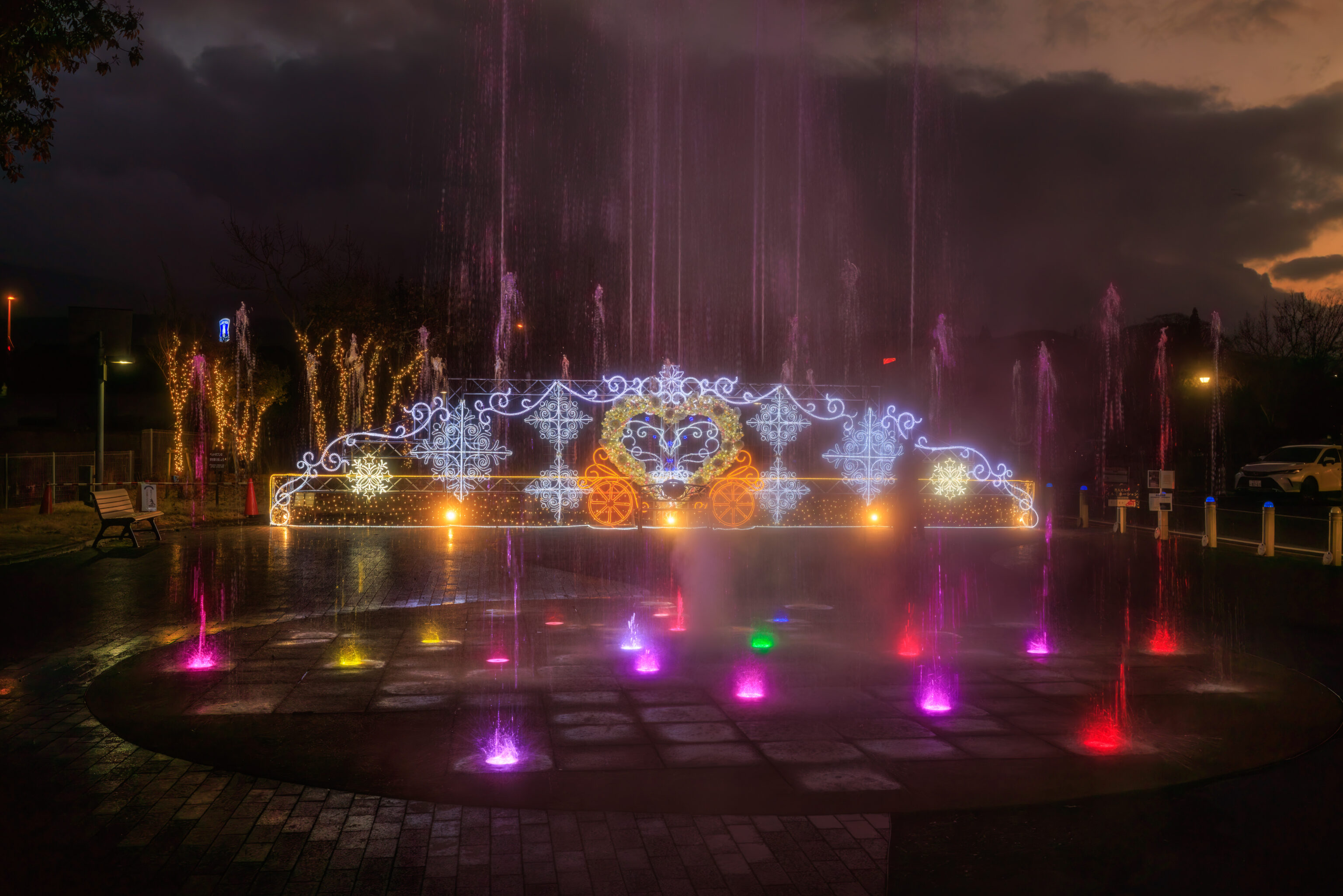
Its not particularly fancy but still nice to watch! Afterwards, we walked back over to the Fairfield to end the day. Tomorrow, we continue on to Kumamoto!