
After waking up at the AC Hotel Innsbruck and having breakfast, we took a bus over to Glungezer where we ascended via gondola. We then hiked along the Zirbenweg at 2,000m elevation to Patscherkofel, where we had lunch. After, we descended by gondola and returned to Innsbruck by bus where we visited two churches and had gelato before returning to the hotel.
Morning
We woke up at the AC Hotel in Innsbruck just in time for sunrise! We could see a nice orange glow to the east on the horizon.
The Sun popped up over the mountains to the east at around 6:15am.
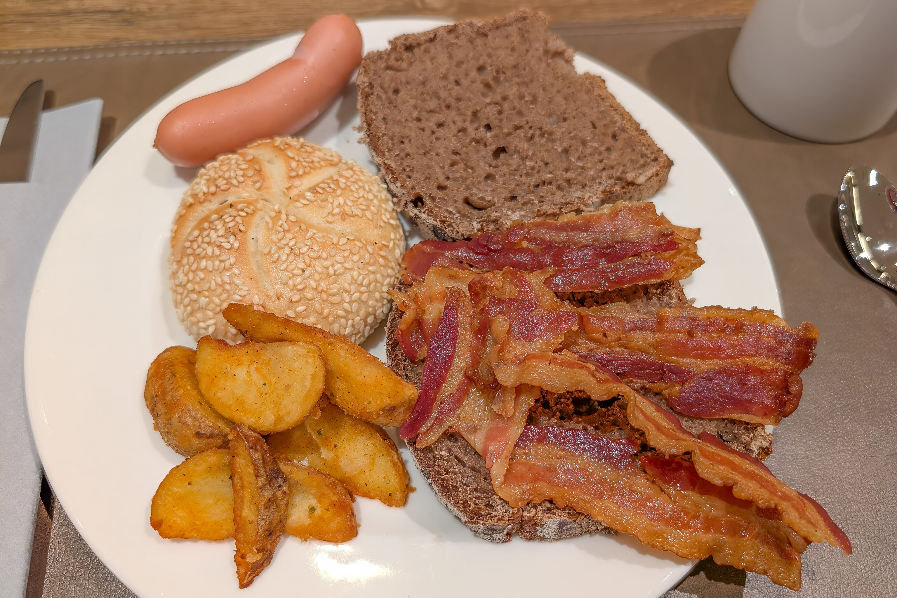
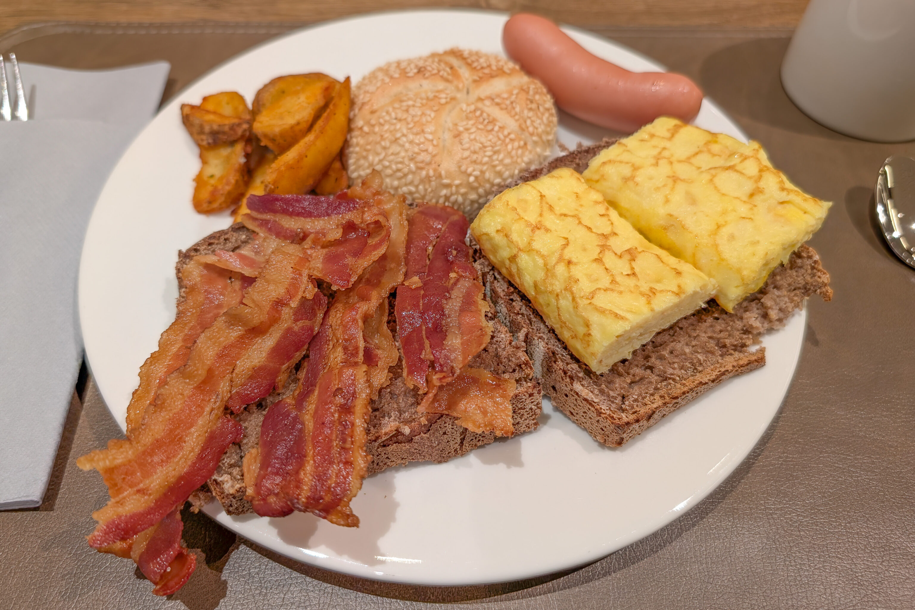
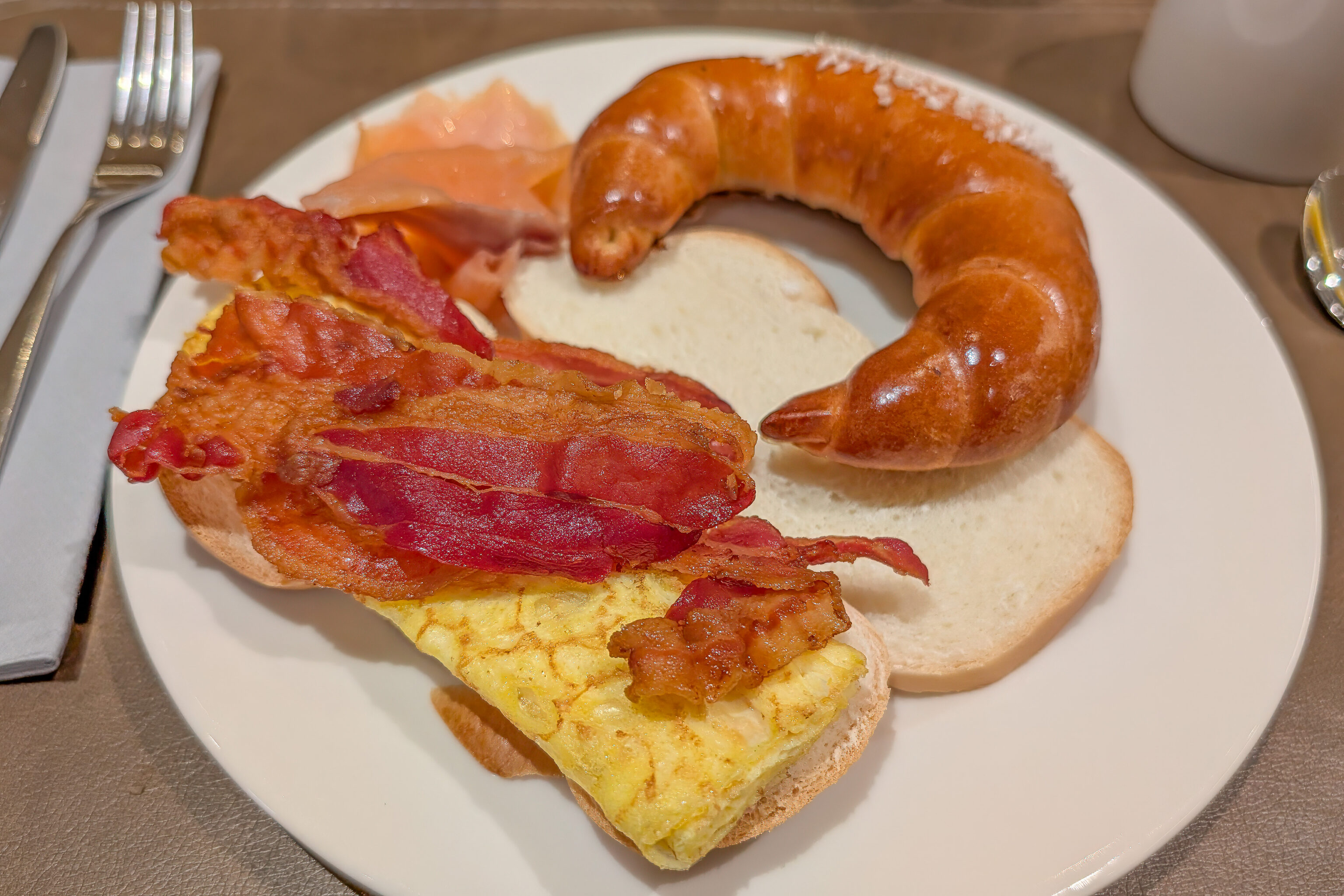
We headed downstairs for breakfast a bit after the 6:30am opening time. There were some bread options as well as hot items. There was even American-style bacon! Such a rarity in Europe!
Glungezer
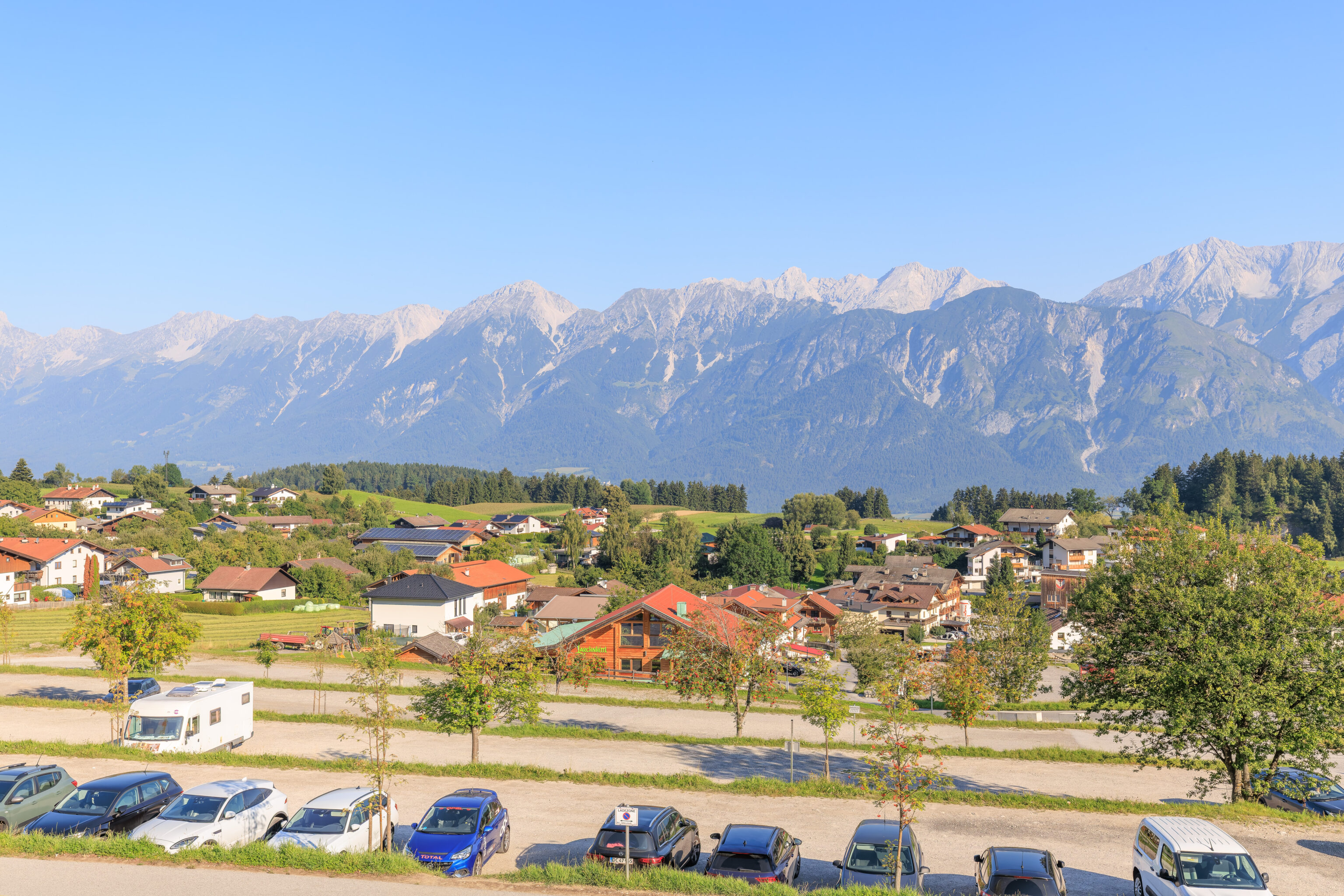
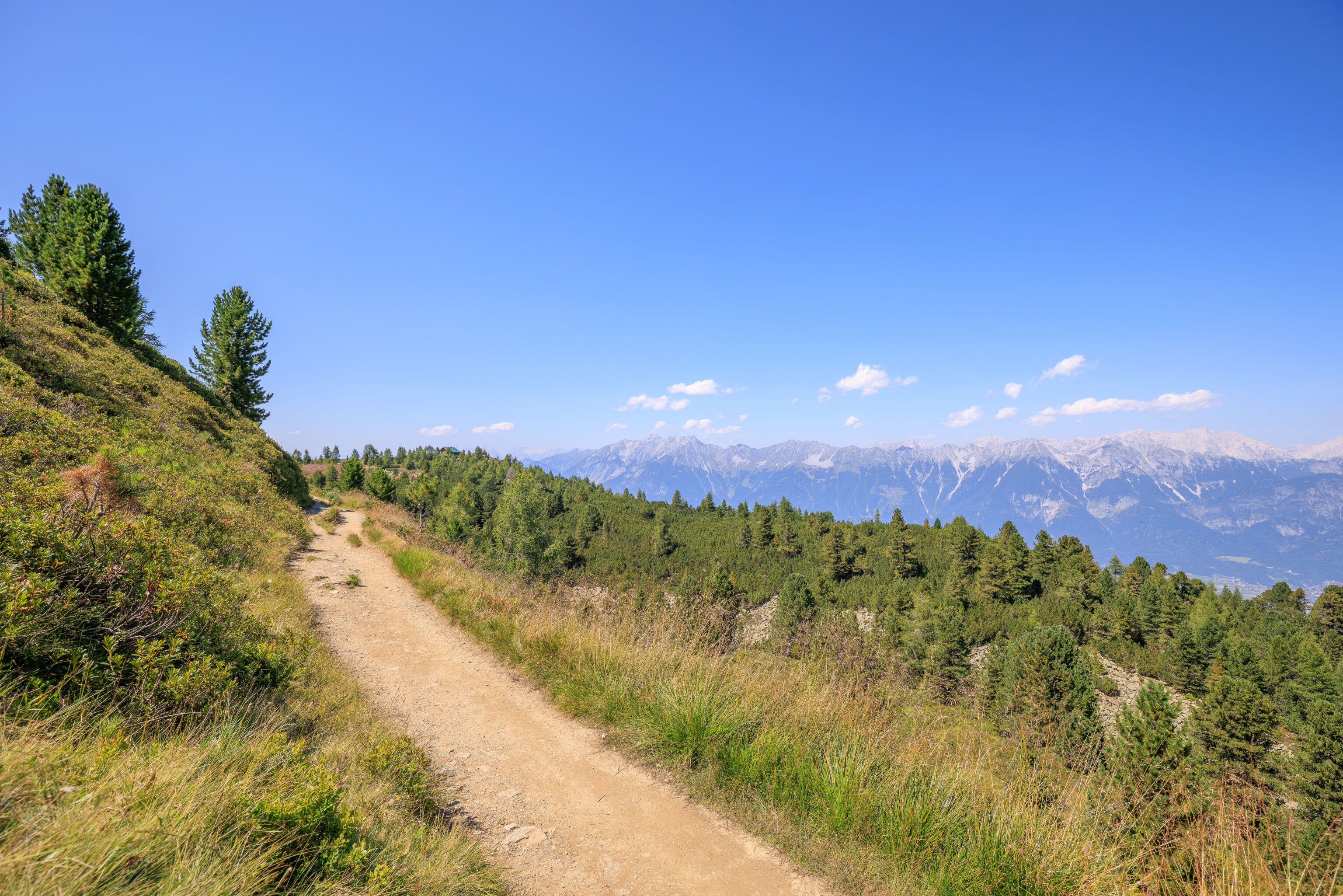
The weather looked good so we decided to do the hike from Glungezer to Patscherkofel. It is possible to do this hike in either direction but going this way from east to west means that there is an overall decrease in elevation and the Sun should not be in front of us.
We headed out at around 8am to catch a bus to Tulfes, the town where Glungezer’s gondola base station is located, from the train station. The Innsbruck Welcome Card does not provide transport all the way to Tulfes. The 540 bus is only included to Rinn Lavierenbad. So, we bought tickets from there to Tulfes Glungezerbahn Talstation. Luckily, this can be done from the ÖBB app.
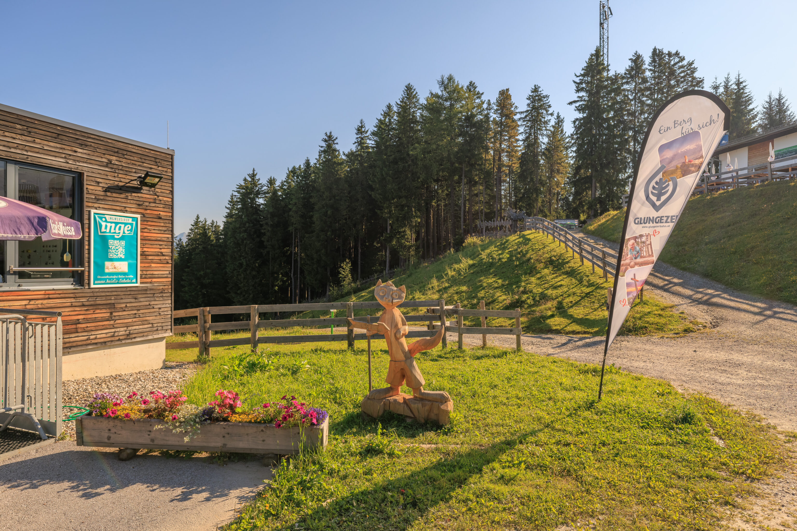
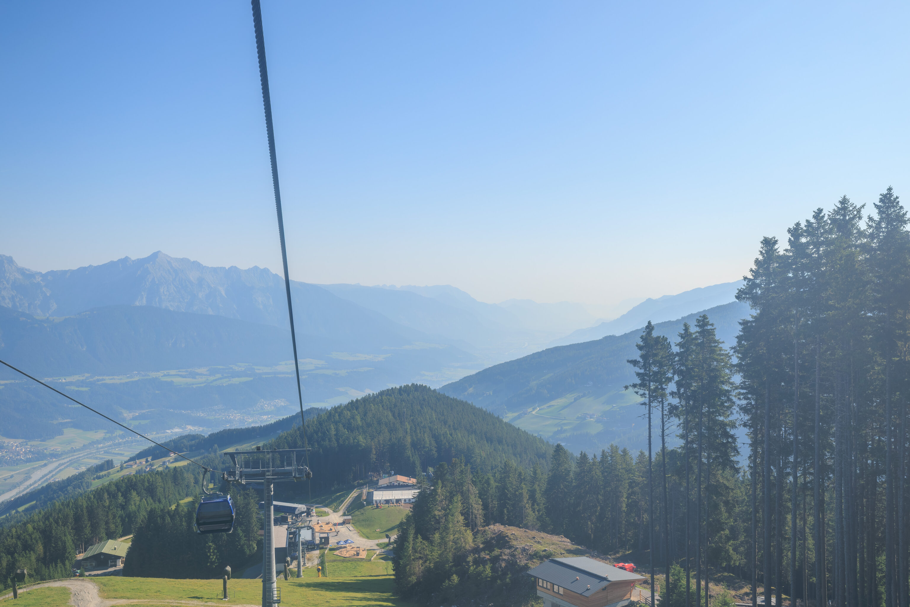
The view from the Glungezerbahn base station just after we arrived at around 8:45am.
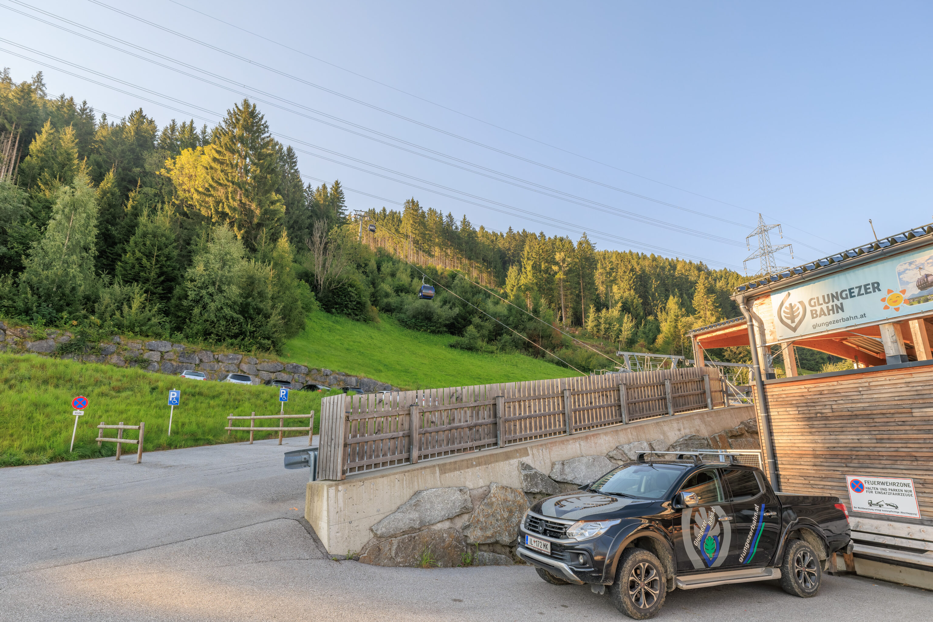
Gondolas are nice as there is no wait time unless it is very busy. While there did seem to be constant stream of new visitors arriving, it was not busy at all.
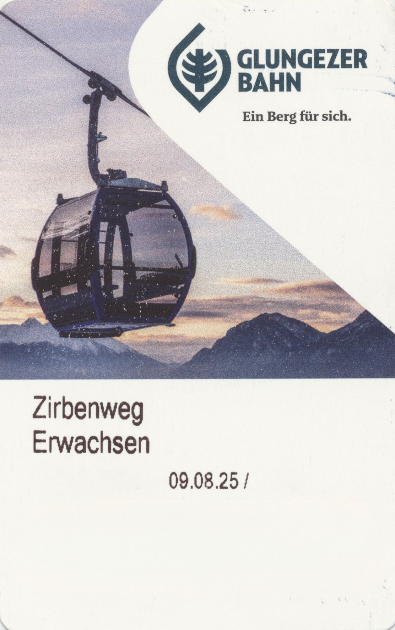
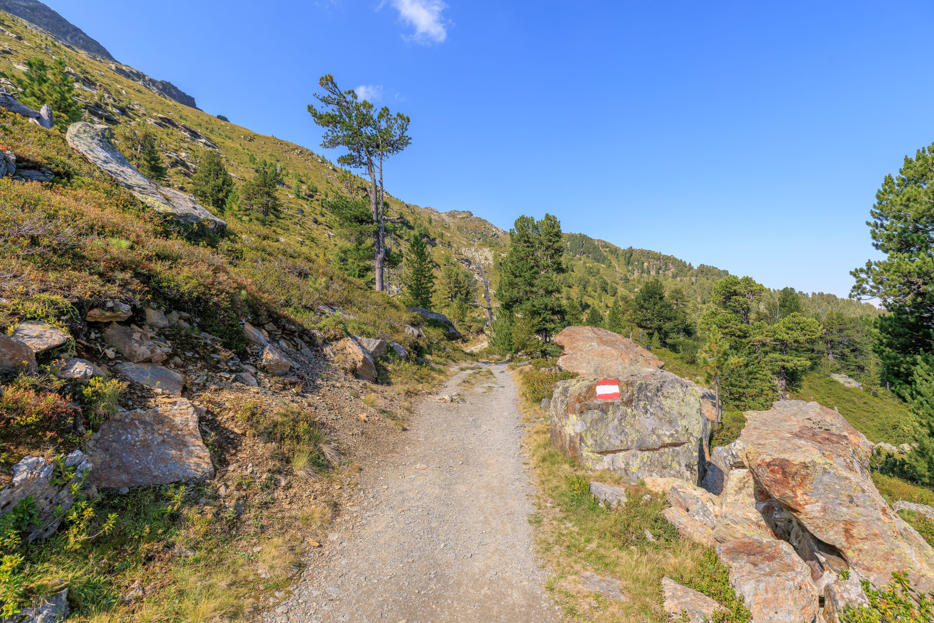
We bought Zirbenweg tickets from the ticket office. This allows you to ascend here at Glungezer, hike along the Zirbenweg, or really any route, and descend at Patscherkofel. The same ticket is available going in the opposite direction, though we don’t know without researching if the cost is the same.
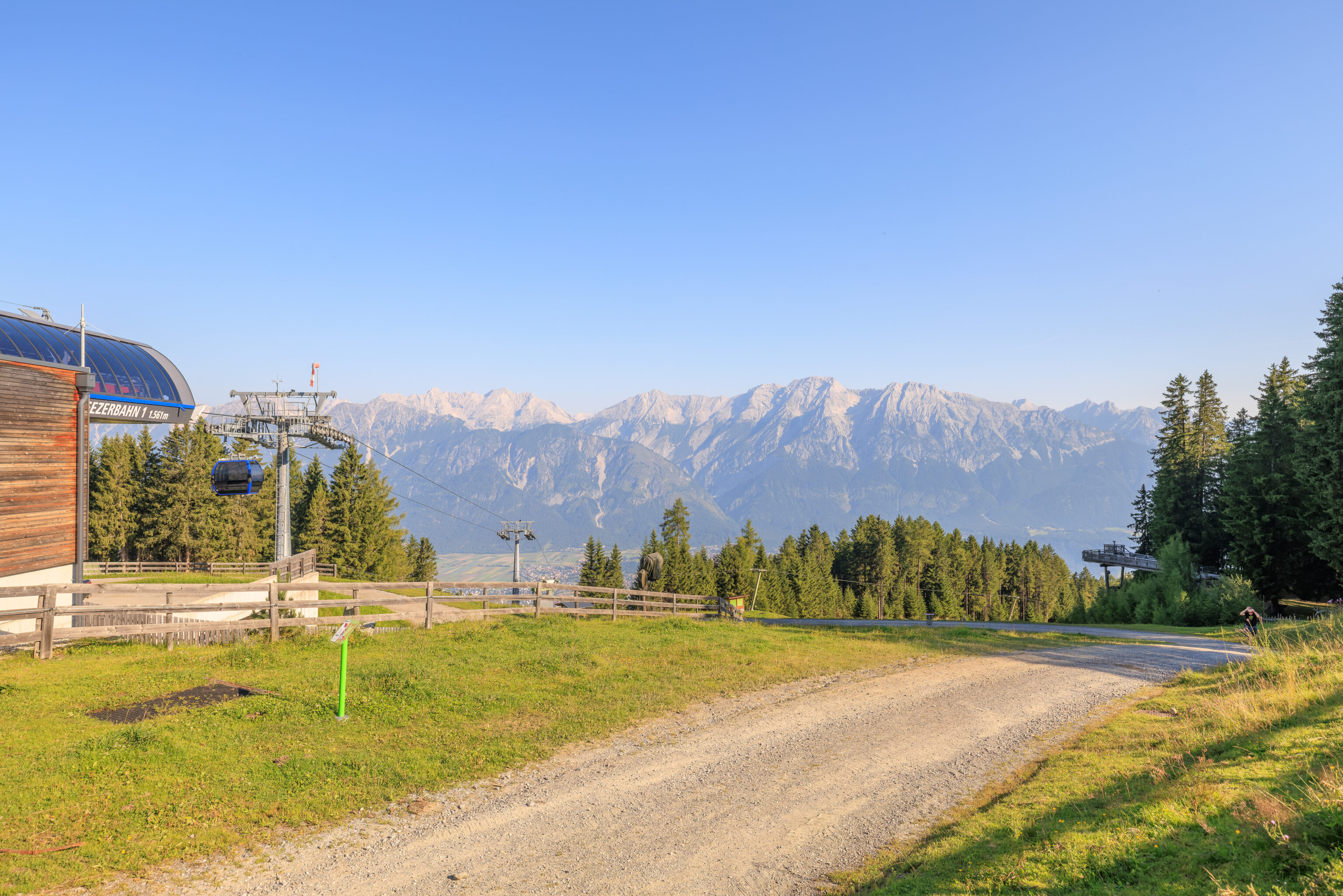
The gondola goes up to the Middle Station Halsmarter.
From there, another gondola continues up to Mountain Station Tulfein.
The windows of this gondola were in better condition and allowed for some photography.
Just in case you forgot where you are! Glungezer!
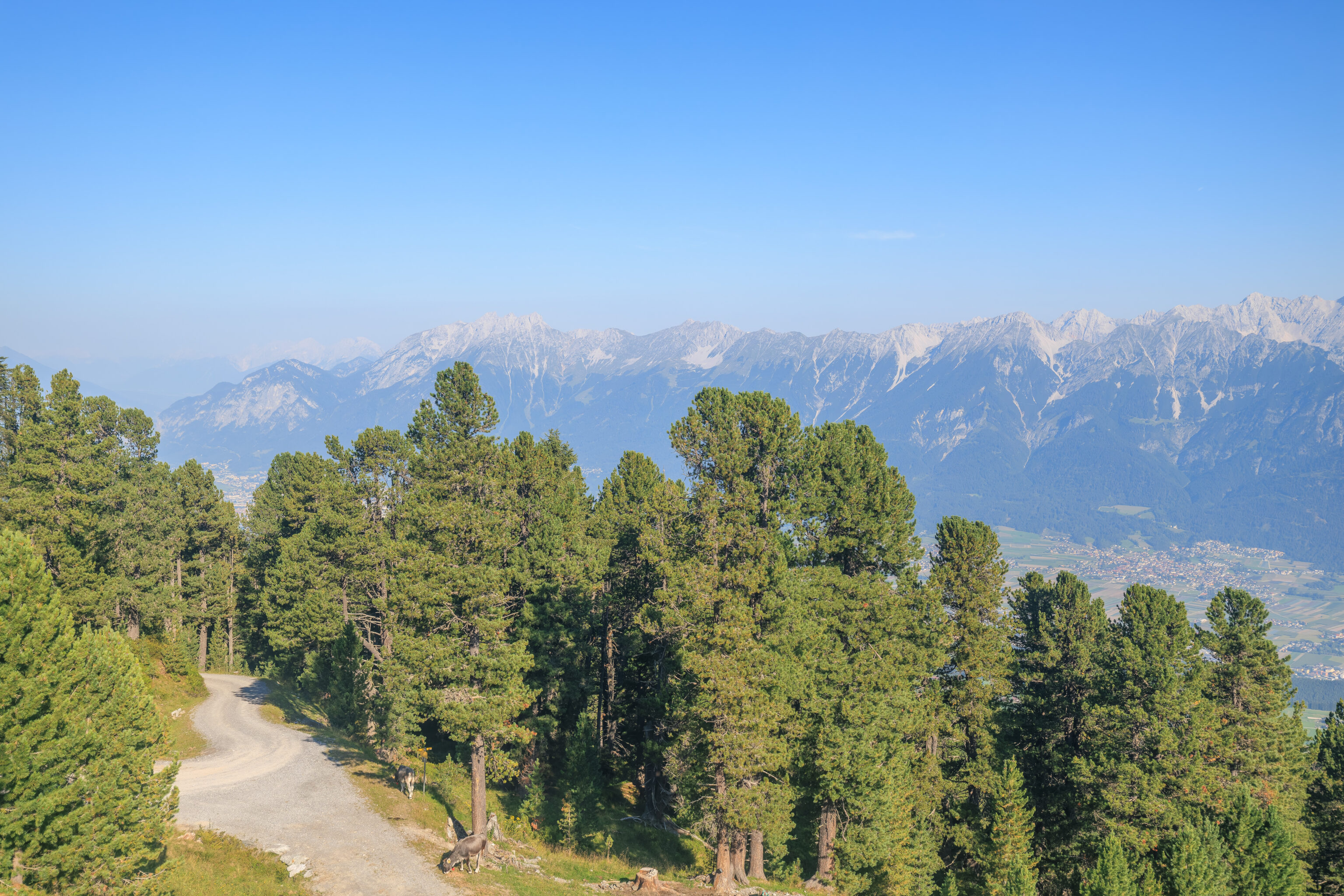
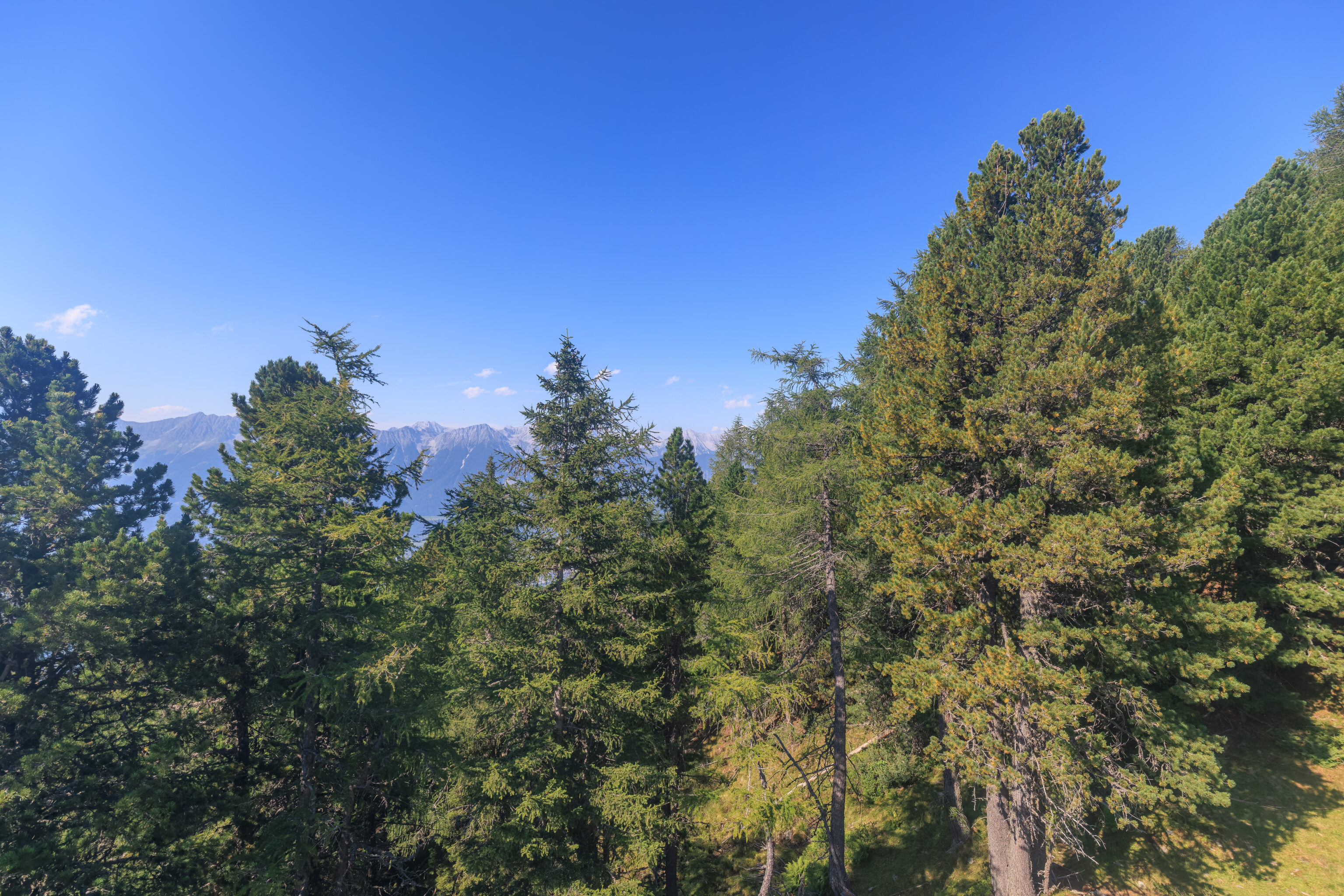
Zirbenweg
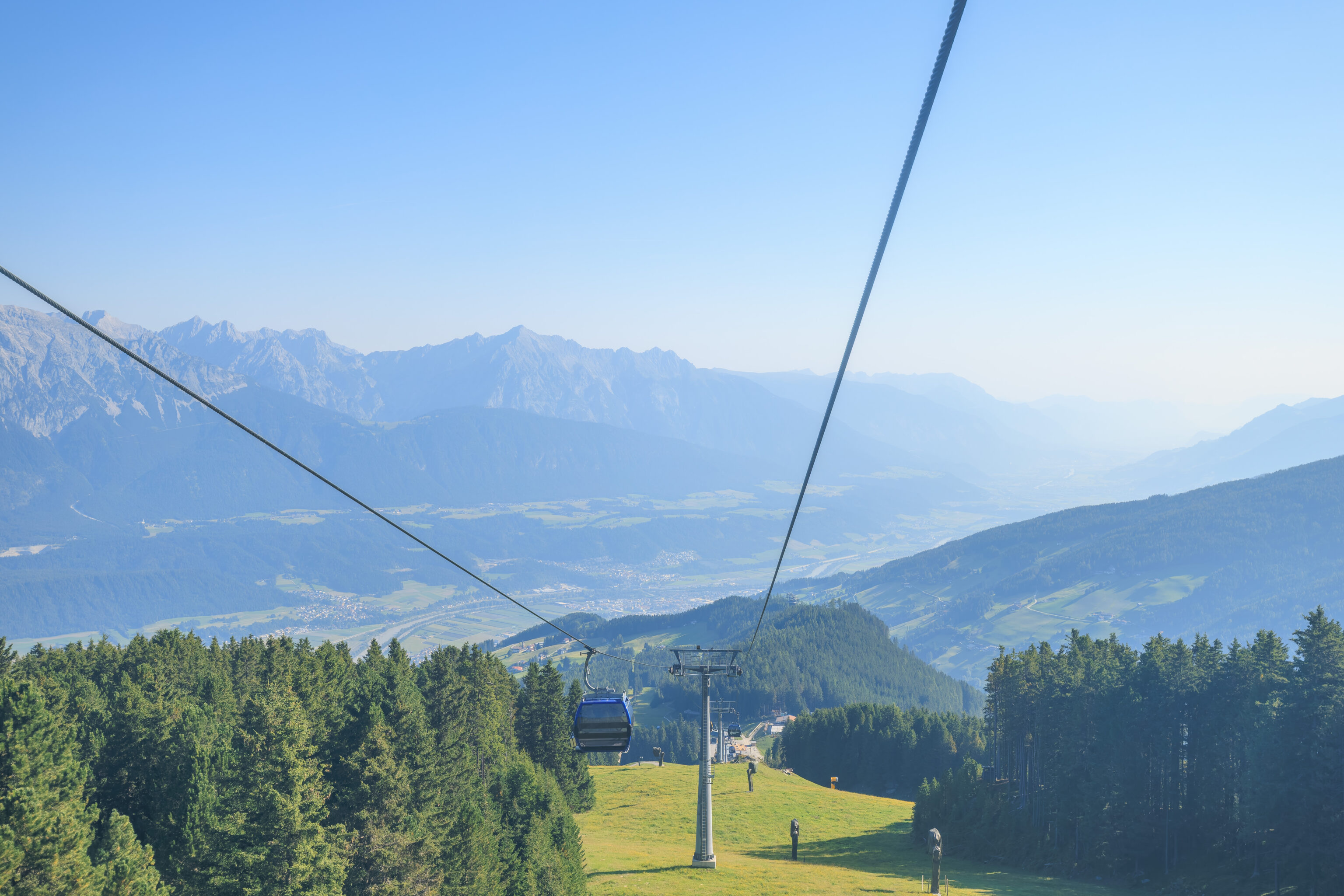
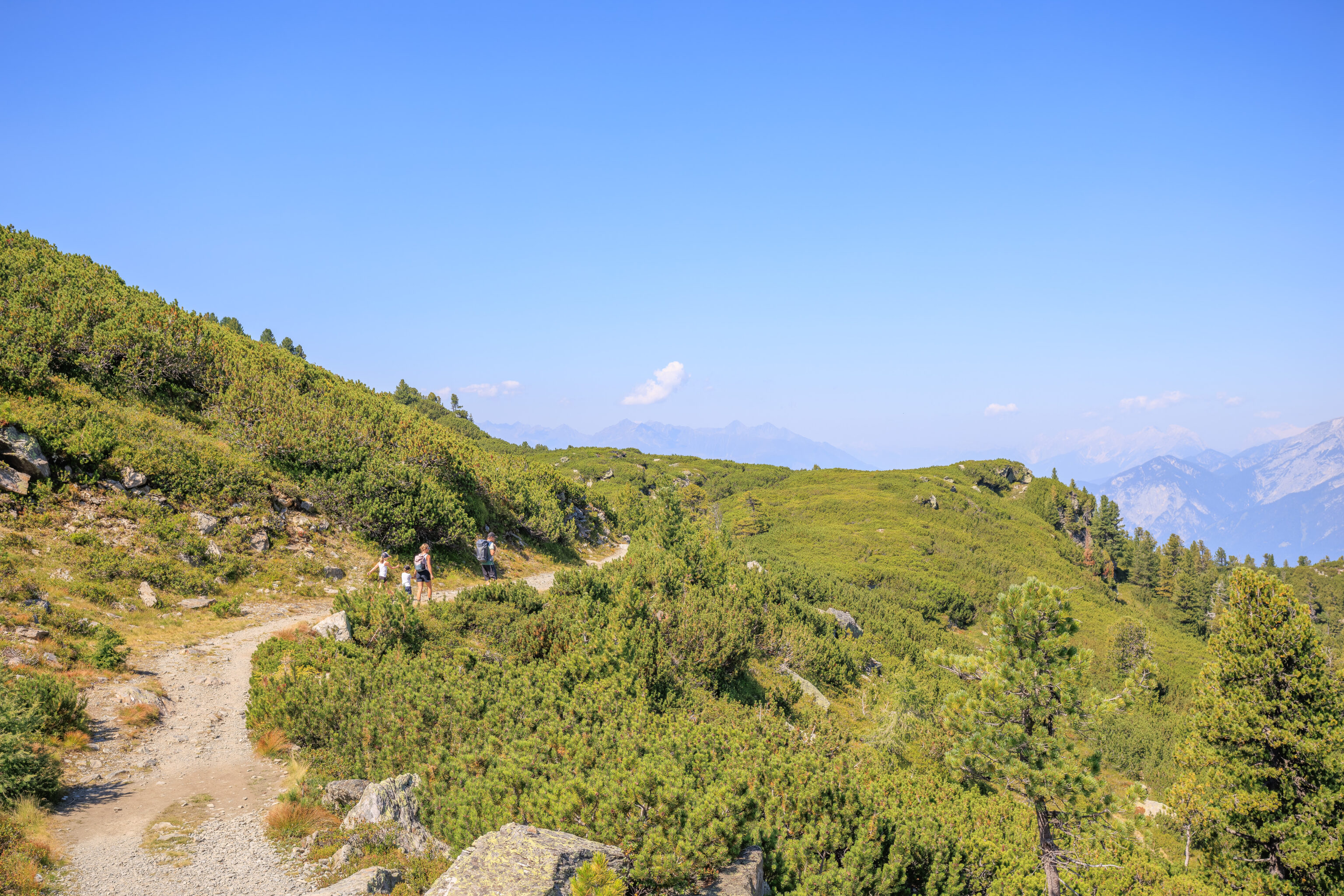
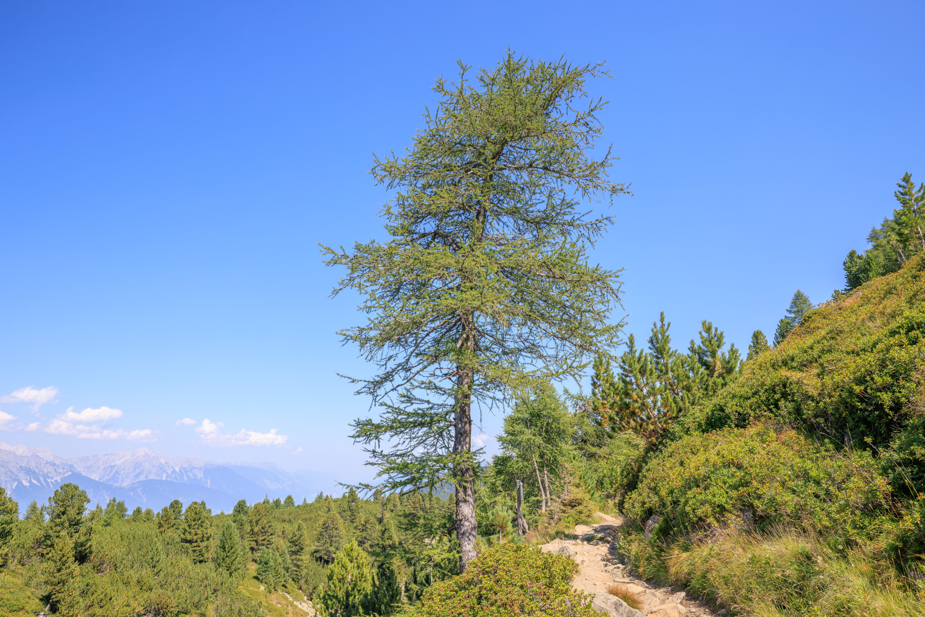
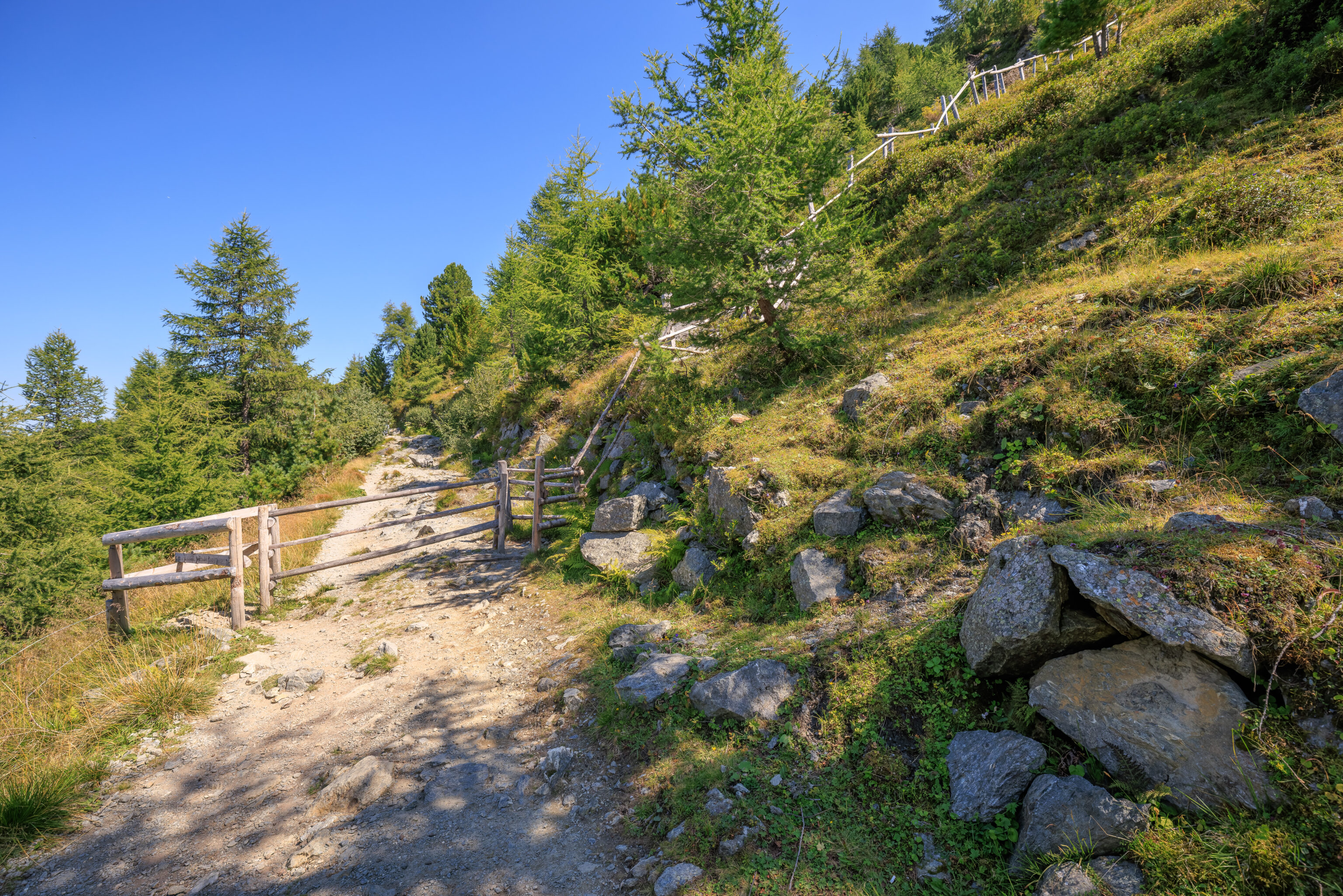
We started to follow a path to the west. The fencing here is electrified to keep cows and other large animals away.
This map was just a short distance away. It was actually visible in the previous photo. Looking at this map, we are on the left and will be following the Zirbenweg to the right. There are various other hiking trails here, however, this one is the easiest route between these two mountains.
We walked by a cute little rabbit made out of stone. A sign ahead provides a brief description of the trail.
Glungezerbahn - Patscherkofel

The Zirbenweg trail begins here and leads you along the tree line (kampfzone) to the top station of the Patscherkofel cable car. Walking time approximately 2.5 hours, elevation approximately 2000 m. This trail has also been developed as a high-altitude educational trail. Please respect the plants, animals, and the painstakingly erected information boards.
The path splits here. We decided to take the left fork to visit the Zirbensee, a small lake, before continuing on the Zirbenweg.
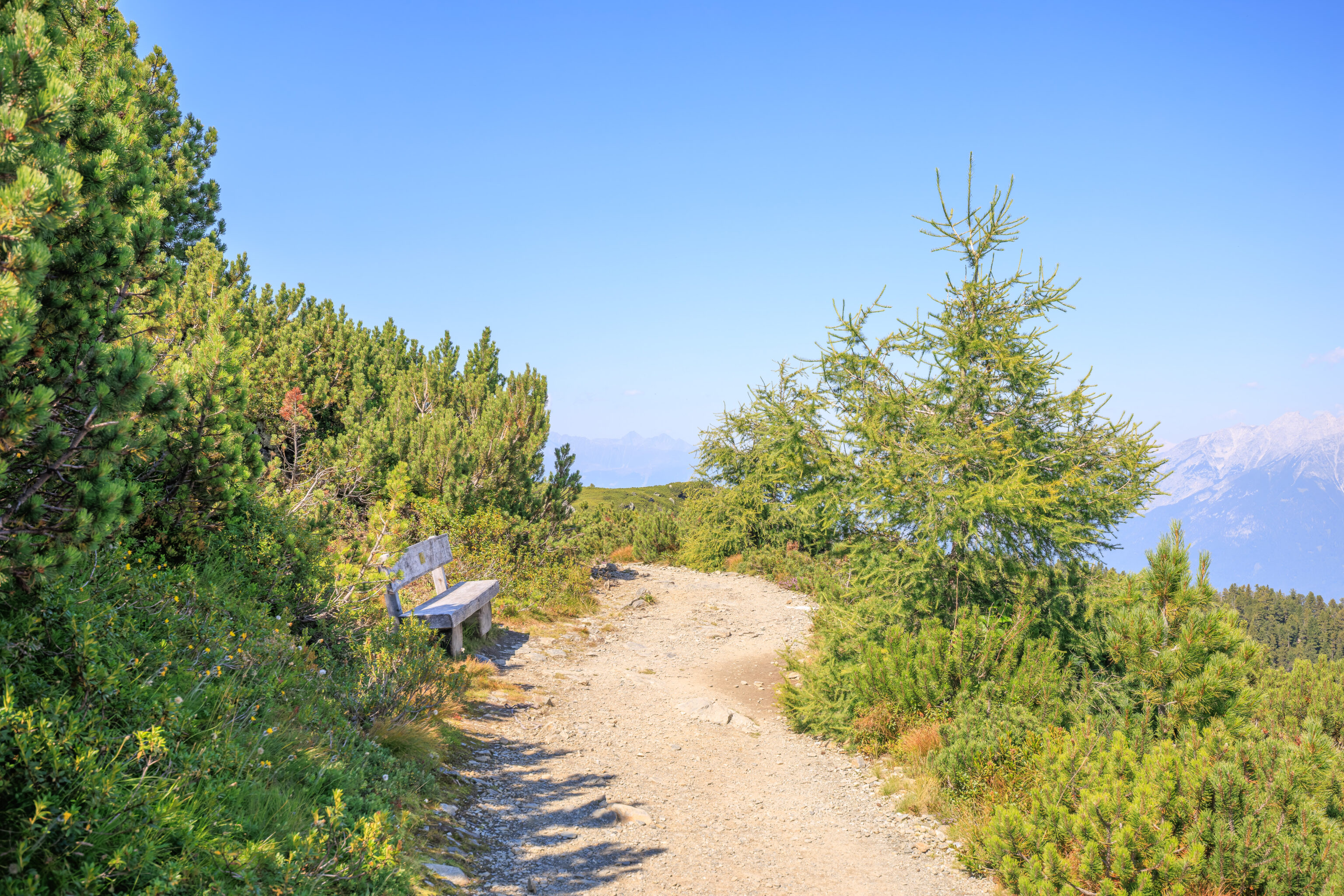
This little bench and table seems like a nice place to sit! Particularly in the morning when its in the shade!
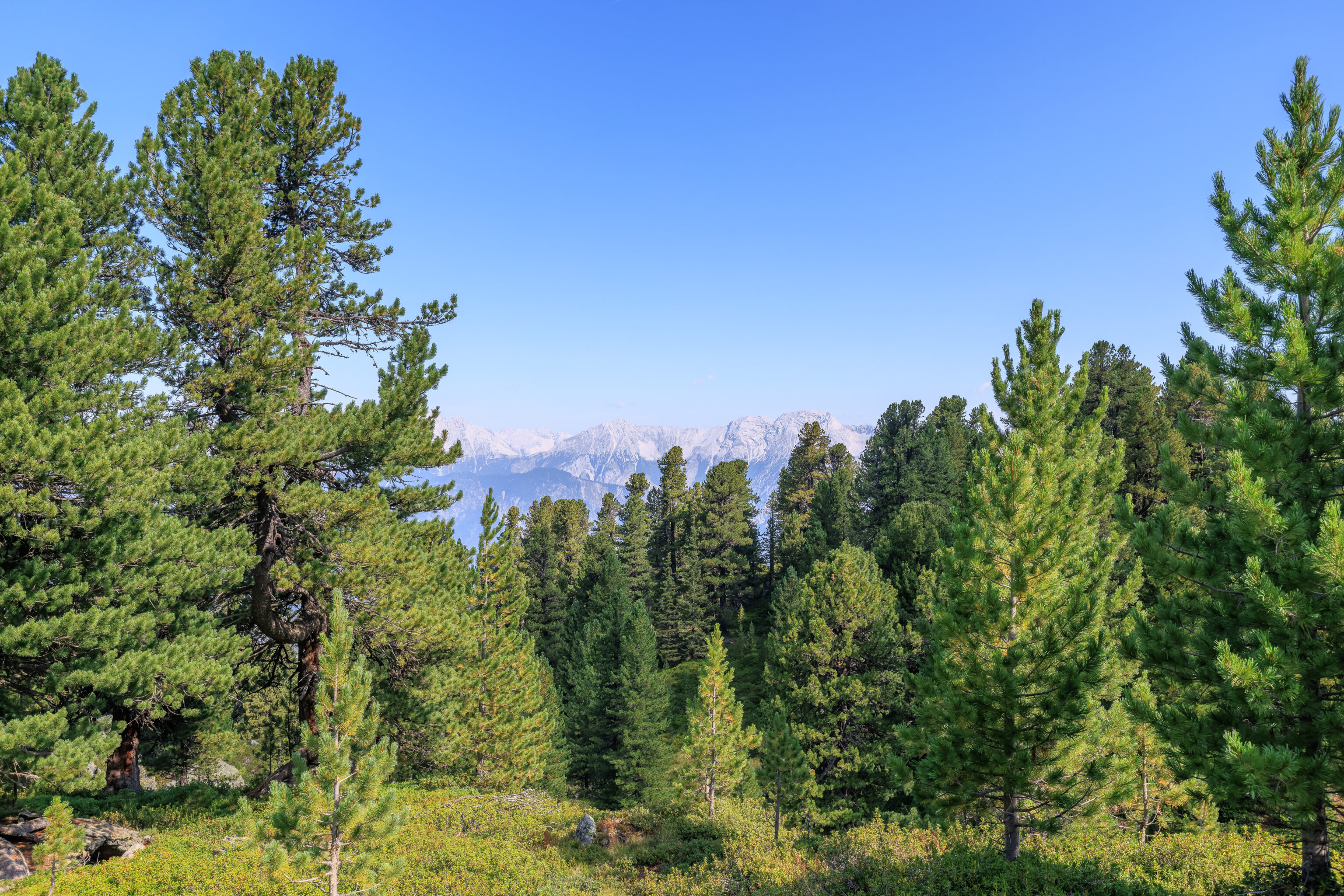
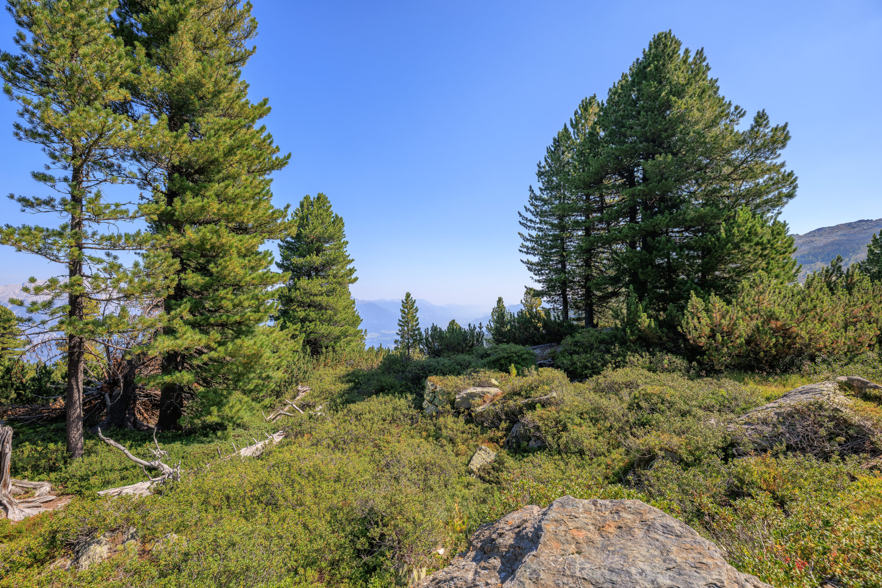
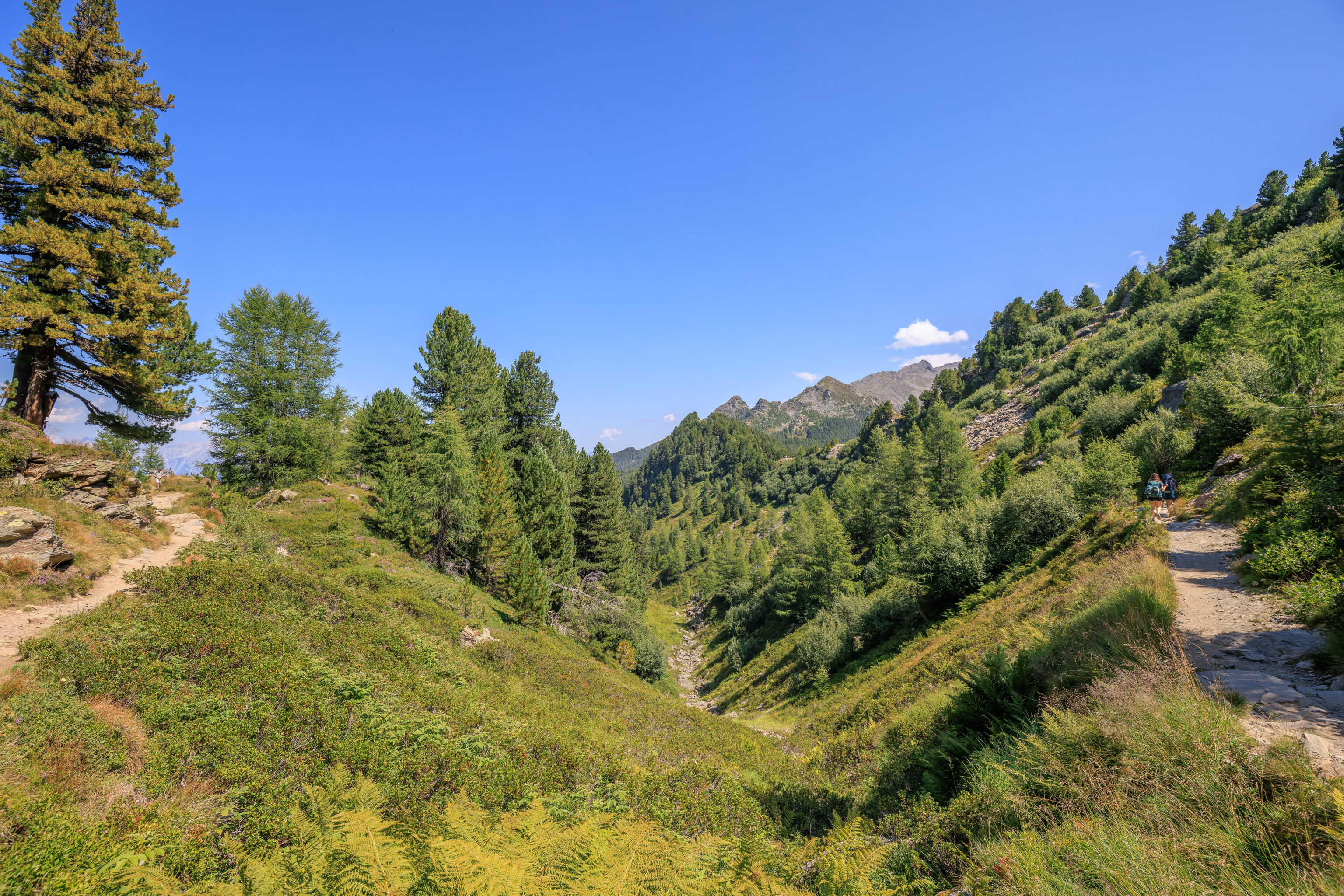
After a small forested area, we came upon a wide open slope.
Just a few trees here and there.
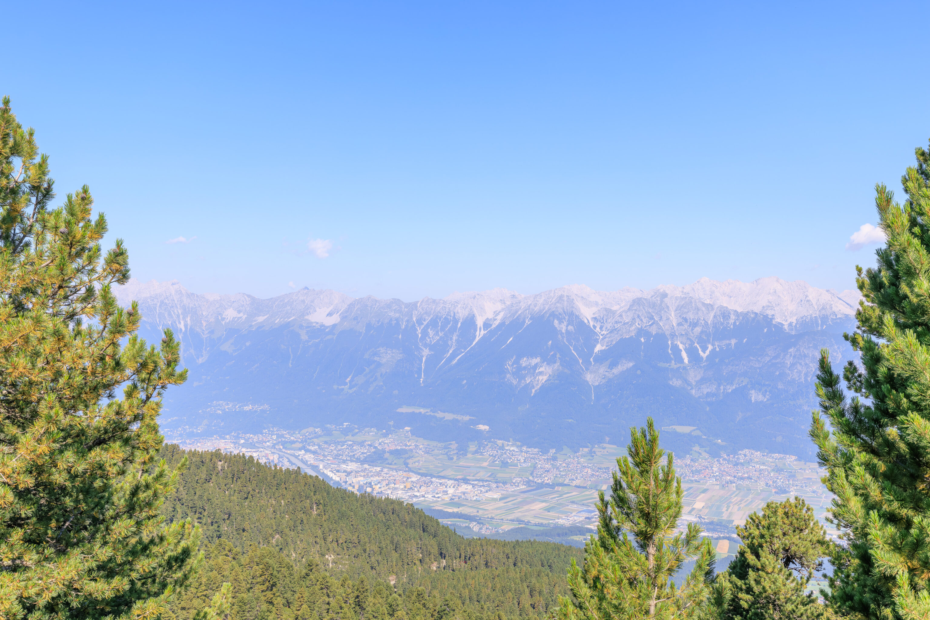
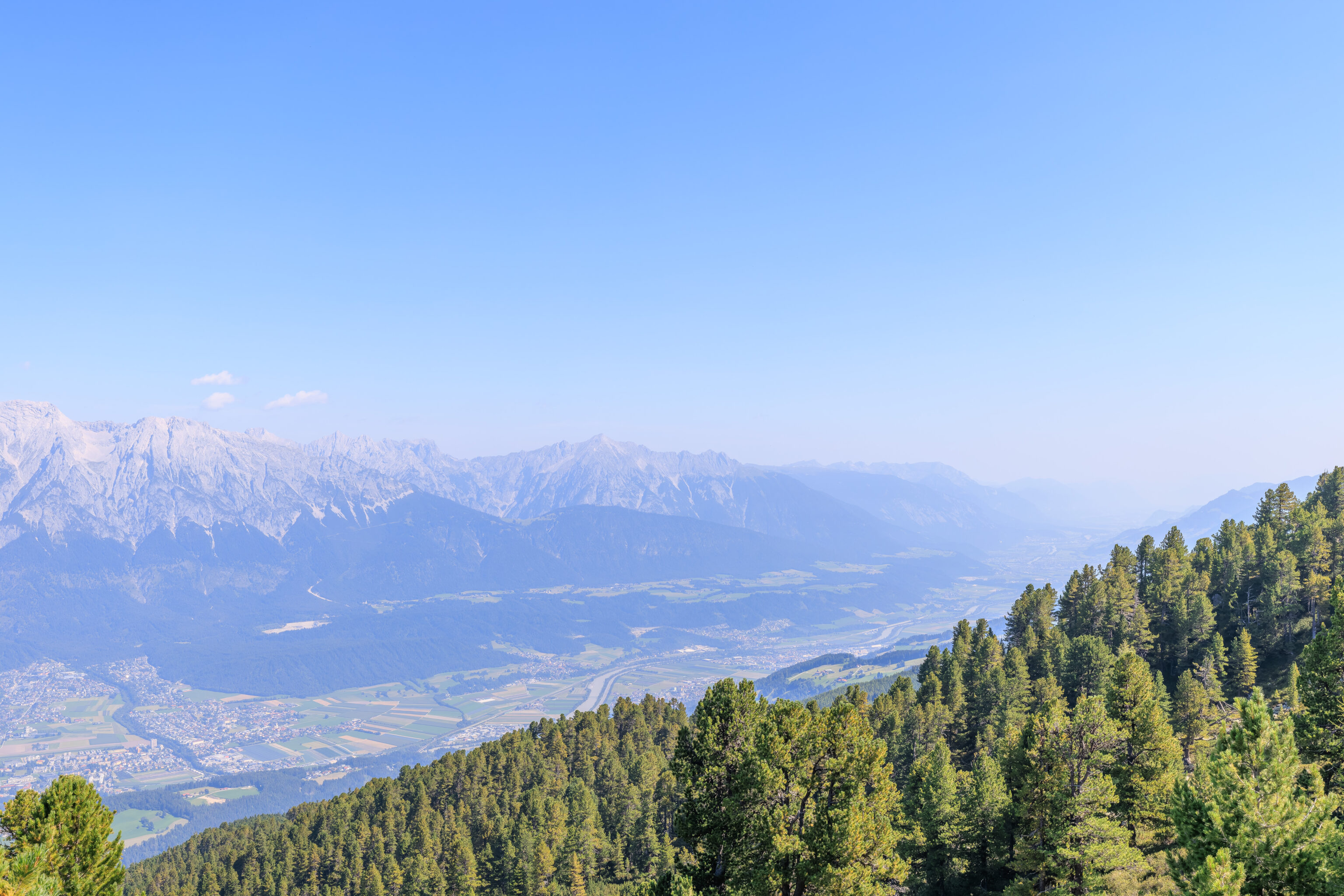
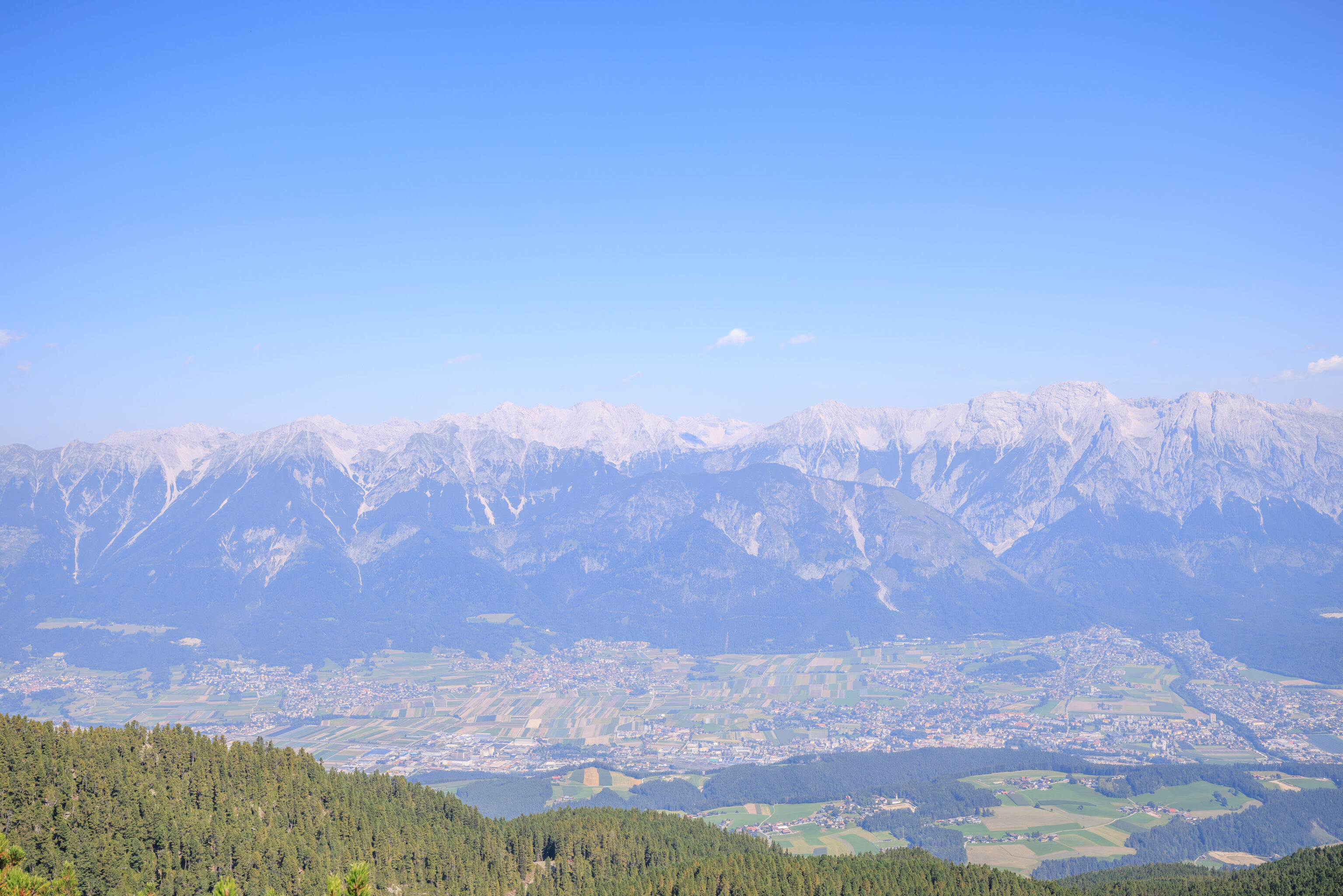
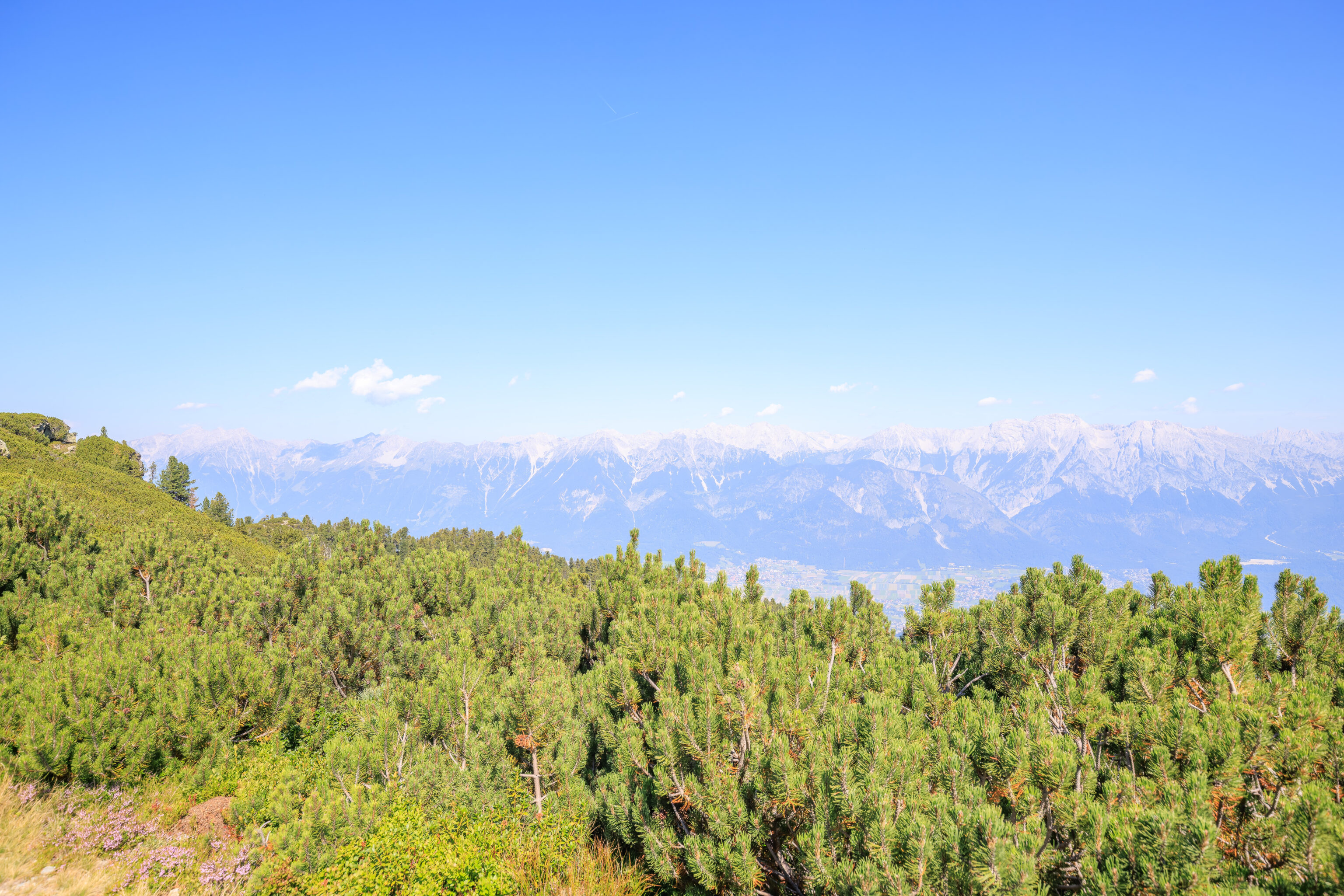
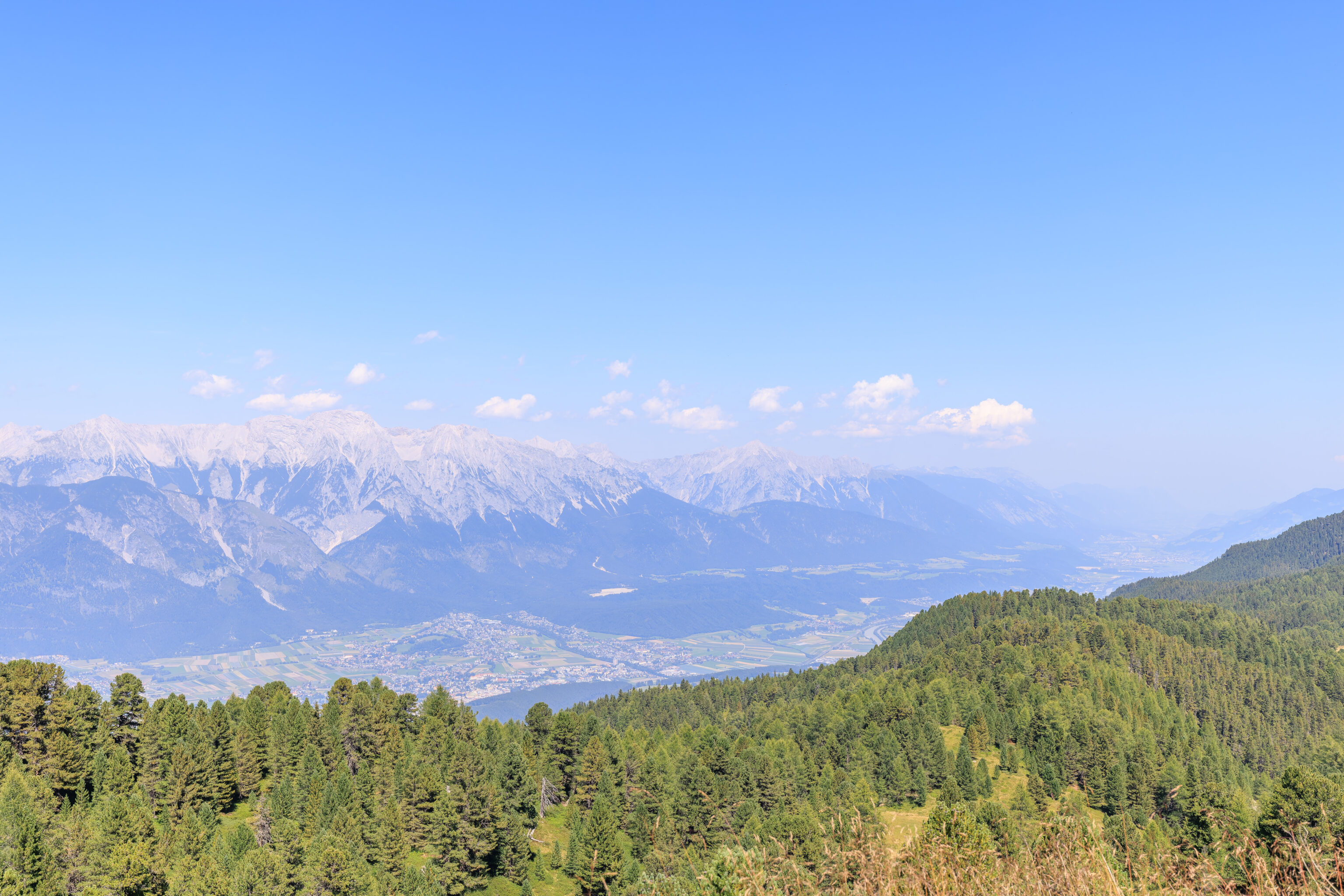
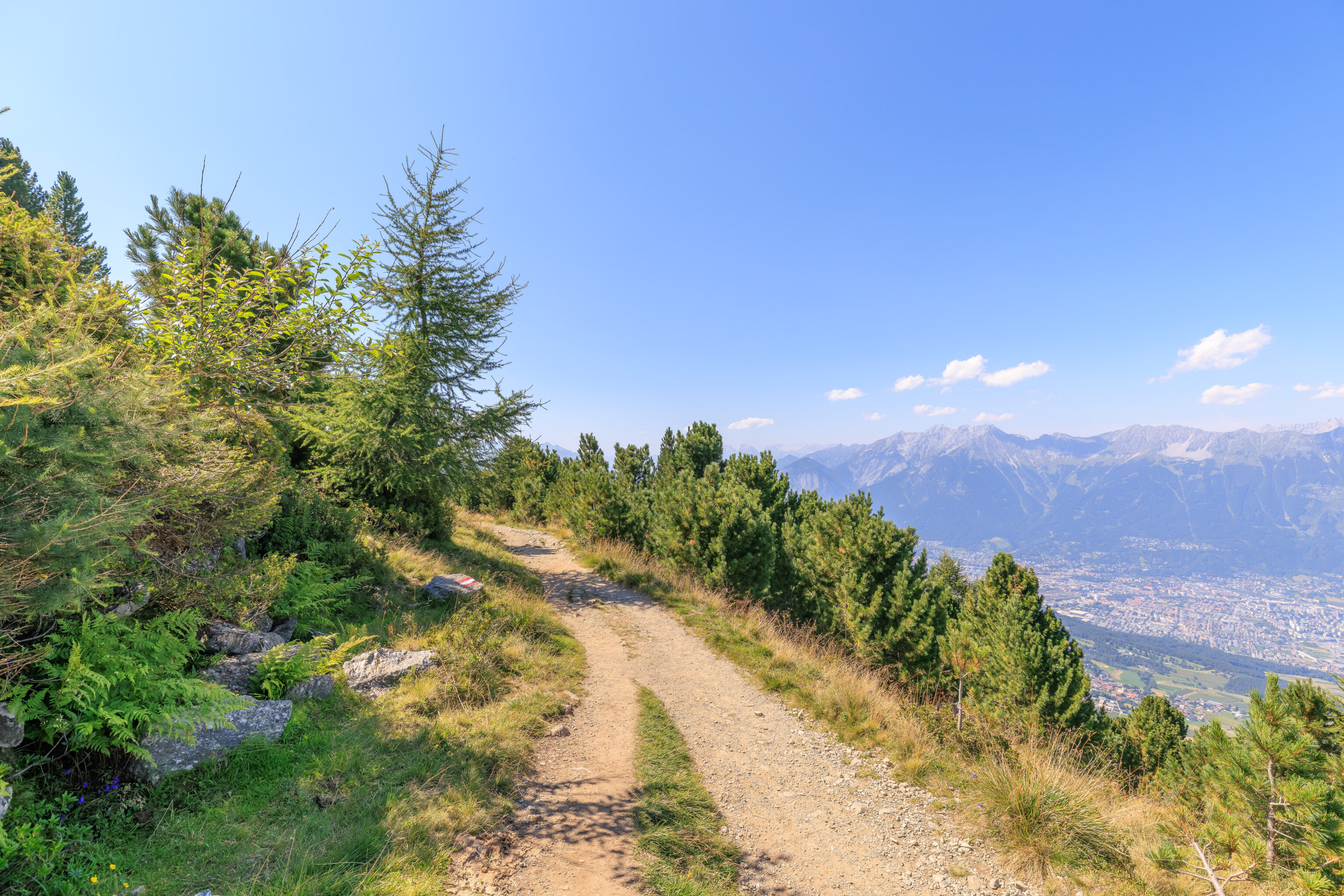
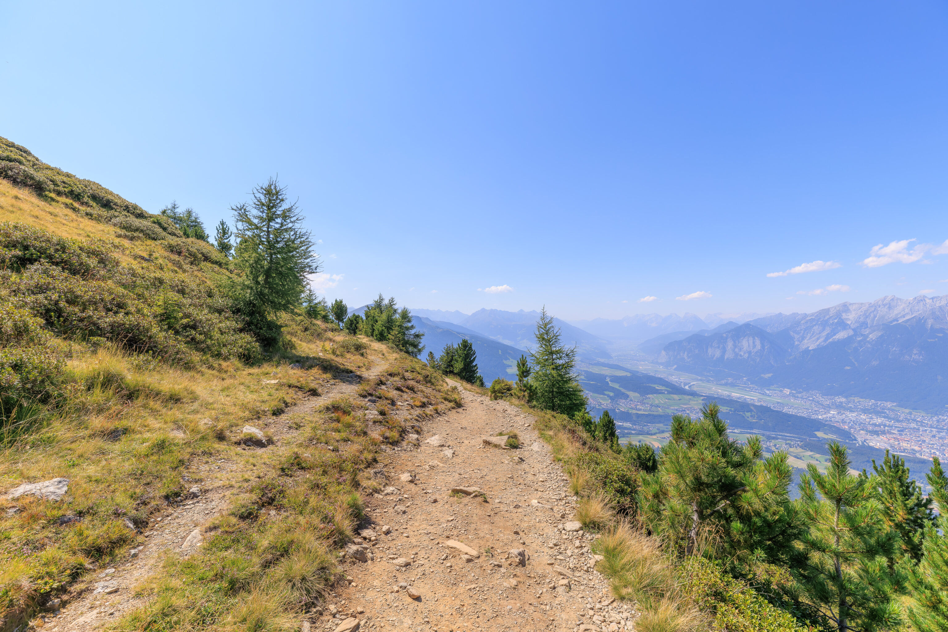
Looking back, we could see that much of the terrain here is open, other than the small forest we just walked through. From this perspective, we could see the city of Innsbruck in the valley below.
We walked through the gate in the fence up ahead.
There was a small elevated observation platform up ahead.
We went to take a look. The area here had some tiny ponds. This doesn’t seem like it is the Zirbensee as these ponds are way too small!
Looking in the opposite direction, uphill, we could see a stream of water flowing down from some unknown source. The Zirbensee?
There was a small trail to the left that seemed to follow the stream uphill. We started to go that way.
We came across a little mouse, or at least a mouse-like creature, scurrying around right by us!
The view looking back at the observation platform.
After a brief uphill hike, we found the Zirbensee!
The water was very clear and had what looked to be tadpoles!
We walked clockwise around the Zirbensee, enjoying the calm mirror-like beauty of its waters.
The top of this bench was carved to look like the mountains here. Various peaks, including the Glungezer and Patscherkofel, are labelled with their elevations. There is also a quote from Johann Wolfgang von Goethe, translated, it reads, “The best joy is living in yourself”.
We decided to do a full loop around the Zirbensee before continuing on.
As is often the case in developed mountain areas, there is quite a bit of ski infrastructure visible. There was a building here just below the lake. And further down was a restaurant, the Tulfeinalm.
The view looking across the lake and into the sun.
There was picnic table at the northern tip of the lake, about where we started from.
There is actually a memorial on a stone which overlooks the valley below. The sign is mostly German but the first two lines are in Latin. In English, it reads:
STOP, TRAVELLER
IN MEMORY

"MUTZGE"

MICHAEL WIRTENBERGER

HE DIED ON 11.2.1999 AT THE AGE OF 17 NOT FAR FROM THIS SPOT FROM THE CONSEQUENCES OF A SNOWBOARDING ACCIDENT

R.I.P.
Mutzge seems to have been his nickname based upon a classified ad in the Tiroler Tageszeitung for a memorial that took place on February 10th, 2024 at the basilica in Absam, a nearby town.
We started to backtrack to continue on our way.
We passed by a pair of… Marmots?
We followed the trail, walking under a chairlift.
We ended being a bit further up than the Zirbenweg. Looking at the terrain, we need to descend and then ascend again.
We walked by a water trough intended for animals.
A short distance away, in a small fenced in area to protect it from animals, there was bench and table as well as a fountain for people. The water was nice and cold so we topped off the water bottle that we had been drinking from.
From here, the trail started to descend. The switchbacks were actually pretty steep. Around here, we came across a photographer doing a photo session with a family and their dog. It felt a bit like the photo shoot we saw on our first day in Rome where they would walk for photos, reset, and do it all again.
If we had skipped the Zirbensee, we would have arrived from a more direct route via the Tulfeinalm. The little lake was nice though so it was a worthwhile detour.
Up ahead, we could see a chapel.
There was a fenced in tree in front of the chapel. The sign on the fence, translated to English, reads:
This sycamore maple was planted here at Abesbichl, beside the gracious face of the Tulfein Chapel, on June 27, 2023. The tree is intended to be a symbol of gratitude, contentment, willpower, and home. Helmut Erlacher, Oliver Rathmacher, Peter Schulz, Daniela, and Martin Wegscheider
We walked over to the chapel to take a look.
The interior was small and simple. One of the signs within the chapel provides a bit of history:
Tulfein Chapel "Jesus the Good Shepherd"

This place of worship was built here at Arbesbichl by the Tulfes Agricultural Community between 1985 and 1987. It stands on the site of the former Tulfes chapel, which, located at the intersection of the Landesstraße and Tulferbergstraße, had to be demolished due to the increasing volume of traffic on the access road to the Glungezerbahn, and was demolished in 1973. Under the organizational leadership of Pfunerbauer Josef Geisler, 53 volunteers, together with professional craftsmen, implemented the plan drawn up by architect Ernst Geiger, and thus, after three years of construction, the Tulfein Chapel was ceremoniously blessed by Pastor Werner Seifert, OPraem, on August 16, 1987.

The project was financed through numerous donations of money and goods from public and private sources, 740 hours of free labor, and a substantial contribution from the Tulfes Agricultural Community.

At the annual thanksgiving service in the fall, deceased members of the agricultural community, as well as athletes and recreational enthusiasts who have suffered mountain accidents, are remembered. Furthermore, during the summer, the chapel is open to hikers for contemplative retreat.

Furnishings
On the altar: "Jesus the Good Shepherd" made of Swiss stone pine by the Elbigenalp Carving School
Back right: Relief depicting St. Hubertus
Back left: A wood-carved saying written by the then hunting leaseholder, Dr. Otto Kaspar
Both reliefs are works by the artist Patricia Karg
The Stations of the Cross come from the Borgia Church in Volderwald
The view from a bench in front of the chapel. A nice quiet place to sit!
We continued on, passing through a “Welcome to the Zirbenweg” arch.
We walked by two more water fountains.
We soon came upon a sign that describes the Zirbe, or Stone Pine in English, and the namesake of the Zirbenweg. Translated to English, this sign reads:
Stone Pine (Swiss Pine)

This magnificent high-altitude tree occurs from approximately 1,500 to 2,400 m above sea level, is slow-growing, very undemanding, and wind-hardy. Its bushy needles – five in a whorl – and elastic branches act as windbreaks and can absorb a lot of snow. Therefore, it has a high protective function. Valuable timber. Used for furniture, model making, and carving.

This old stone pine already stood here at the time of Empress Maria Theresa's accession to the throne in 1740.
A plaque on a stone next to the old stone pine referred on the previous sign and behind a bench honors Dr. Heinrich Klier. The sign, translated to English, reads:
ZIRBEN PATH

BUILT IN 1968 BY DR. HEINRICH KLIER

DEDICATED TO THE BUILDER BY THE MUNICIPALITY OF TULFES
We continued on, crossing over a smal stream.
There was another Zirbe sign next to this tree on the right. It was basically identical to the previous one but gives a specific age for the tree at 250 years old in 1986.
As we continued walking to the west, we occasionally looked off to our right down into the valley and behind us to see where we came from.
A sign here describes the roots of the Stone Pine:
The stone pine and its anchor roots
Exposed to wind and weather, the stone pine needs an especially strong foothold. At first it produces a taproot: stability is strengthened over the tree's life by so-called anchor roots, which primarily penetrate rock crevices located further up the slope.
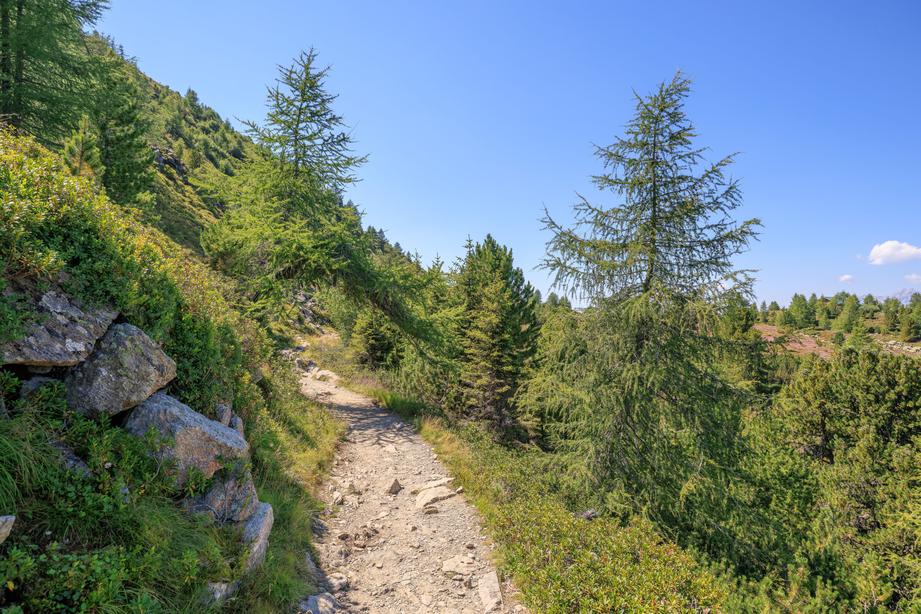
Although the path was pretty mellow so far, we did encounter a steep section here.
Two nearby signs describe the positive benefits of trees:
Wind, noise and temperature protection
By acting as a brake on the wind, the forest prevents soil erosion and impoverishment, reduces evaporation and delays the melting of snow. It also acts as a sound insulator, providing rest and relaxation for us noise-plagued people.

The forest also has a regulating effect by equalising temperatures, which are in summer cooler and in winter warmer than out in the open.

Take a deep breath
As they grow, trees extract carbon dioxide from the atmosphere for use in photosynthesis.  Oxygen is produced as a waste product, one that benefits us all. Coniferous forests can provide up to 30 tonnes of oxygen per hectare.

The filtration effect of forests for purifying the air is best illustrated in figures.

Around 1 litre of air contains:
In an industrial area: 800,000 dust particles
In an urban area: 150,000 dust particles
In a forest: 500 dust particles
One hectare of forest can filter up to 50 tonnes of soot and dust from the atmosphere each year.
A sign here describes Stone Pines which have multiple tops as a result of damage:
Witnesses to the forces of nature
A stone pine has to endure much in the course of its long life: the tops and branches may be damaged by wind, lightning or wet snow. Replacement shoots grow very quickly, creating trees with several tops, so-called "candelabra pines".
We came across an additional pair of signs:
The forest limit
Trees will not grow above a certain altitude or a certain northern latitude. Regardless of the tree species, the tree line occurs at the point where the growing period is less than three months long and the mean temperature will not reach at least 6℃. Contiguous forests, and thus the forest limit, lie just below this climate-determined tree line.

In the last few centuries the tree line has very often been forced downhill by land use; avalanches also contribute to this. The forest limits and tree lines on the Patscherkofel currently lie at different altitudes on the sunny and shaded slopes respectively. On the south side of the ridge from the Patscherkofel to the Glungezer, the line is as high as 2,120 metres on steep, relatively untouched terrain. To the west and northwest, however, the forest limit lies between 1,900 and 2,000 metres, with the tree line at around 2,050 meters.

Forests and climate change
Human-induced climate change means higher temperatures, more precipitation in winter and drier summers. The greatest warming in the Alps will be found at the highest altitudes, with a consequent overall increase in extreme weather events. Taken together, this will lead to a rise in the tree line. At lower elevations, on the other hand, arid conditions have a severe impact on trees, making them less resistant to pests and disease, thus posing enormous challenges for individual tree species and forests as a whole.
We’ve come across this particular type of scope before. They do not require money to operate, don’t move up and down, and have an overlay insides which illustrates the location of various mountain peaks and other features that the scope is pointed at.
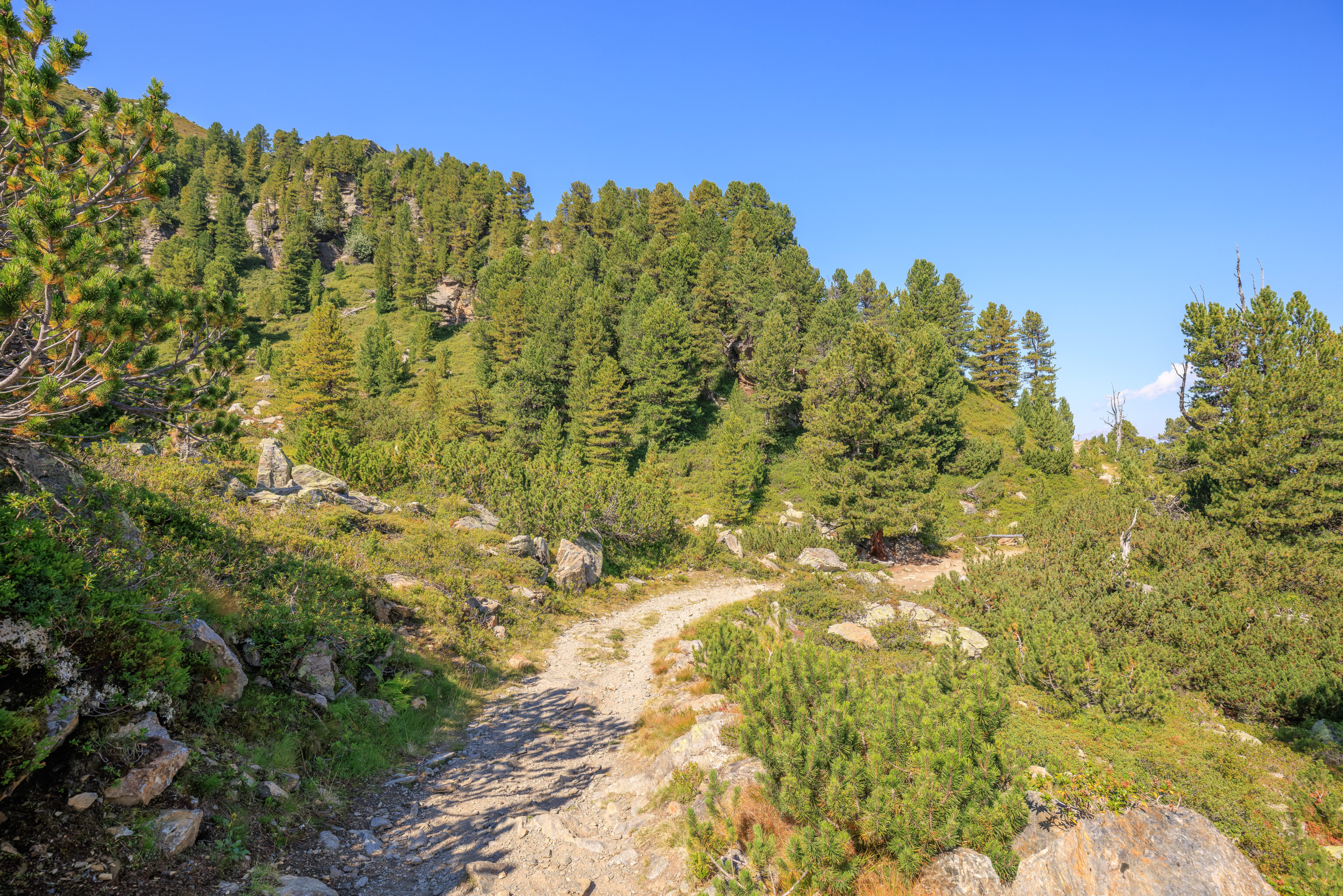
We continued on, walking through some easy terrain.
These small trees are Dwarf Pines, as explained by a sign:
Dwarf pine
The dwarf pine is an extremely hardy pioneer tree that grows up to altitudes of around 2,500 metres. The dwarf pine forms dense stands in the so-called krummholz zone of stunted vegetation, especially on rock with a high lime content. On the Patscherkofel this tree is to be found on relatively small screes of coarse blocks. Like the green alder, it can grow on slopes where avalanches frequently occur - its low-lying growth means it is ideally adapted to such locations.
As we continued, we reached an area described in German as a schneeloch. The literal translation here is snow hole. A sign explains:
Snow-rich areas
Especially on the Patscherkofel, the Föhn blows large amounts of snow about, which then gets deposited in hollows. This deep snow cover will naturally persist for a long time. Trees cannot grow here owing to the snow pressure and fungal infections. After the snow thaws, such hollows often appear as if in early spring even while summer reigns all around.
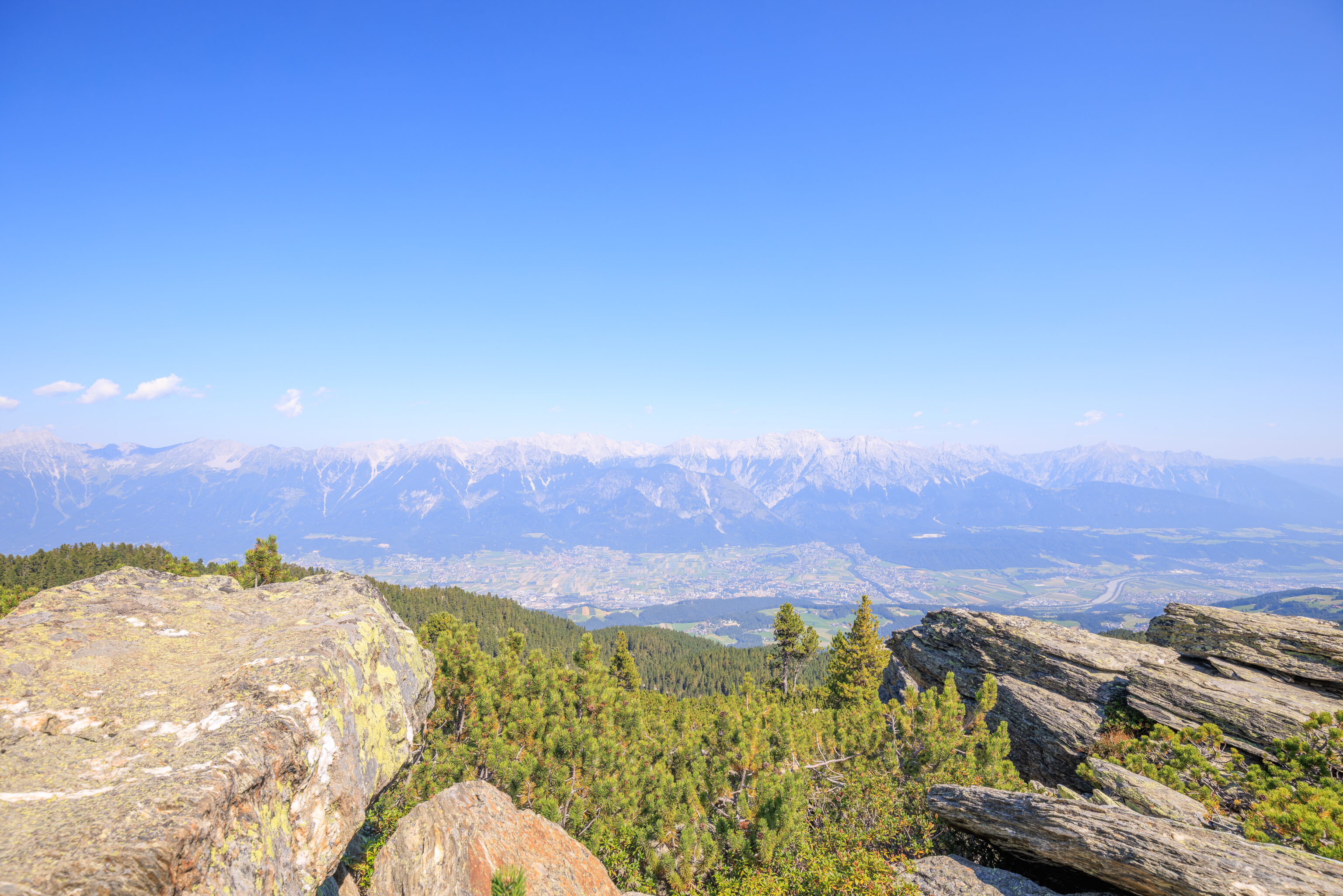
We came across a pretty good view of Innsbruck below. The AC Hotel can be located on the left, though you really need to know exactly what to look for to find it!
A sign here describes a local deer species:
Red deer
These creatures live in herds, with one animal as leader: older, stronger deer tend to be loners. The stag sheds and regrows its antlers each year. The marked migratory instincts of the red deer have today been curbed by the destruction of their winter habitats (alluvial forests in the valleys) by traffic routes, settlements and winter feeding. As a result they keep to higher-lying forest areas in winter, multiplying in above-average numbers (especially thanks to feeding) and often causing severe damage to forests by nibbling young trees and tree bark. Rarer tree species (such as fir and hardwoods) are particularly at risk.
Another nearby sign indicates that we had walked 2.9km with 4.1km to go. At this point, it was about 11:45am.
This view is through a fixed wooden tube. It is supposed to be pointed at the oldest tree in Tyrol, though to us all these trees look the same. A sign explains:
The oldest living tree in the Tyrol is a 750-year-old stone pine

Looking through the wooden peephole, you can enjoy the fantastic panoramic view over the natural forest called „Ampasser Kessel“. Close to the well-known Zirbenweg trail, you will find the oldest living tree in the Tyrol/Austria, off the beaten track and untouched by man. Woodcutters avoided the region due to the ruggedness of the terrain and that is why it has remained in its pristine state through the ages. The remarkable tree has seen a great many historic events in its lifetime. It started off as a young shoot when the Habsburg dynasty was first established in 1273.

The stone pine was listed as a natural monument in 1926. The tree provides a home for countless plant species; various types of lichen (which testify to good air quality) lend the Methuselah its archaic appearance. Several families of woodpeckers have also chosen to build their nests in the trunk of the 1,880 metre (6,160 ft.) tree. Not only does the stone pine provide a natural habitat for Great Spotted Woodpeckers but also for Black and Three-toed Woodpeckers.

Caution! Do not go off the Zirbenweg trail! Dangerous and
impassable terrain.
The sign suggests this tree is named Methuselah due to its long life. There is another Methuselah tree though in the US. It is much older at more than 4800 years old and is believed to be the worlds oldest non-clonal tree. The exact location of this tree was a secret for many years for its protection. It is located in the Ancient Bristlecone Pine Forest in remote Inyo County, California. Its an interesting place that I visited once about 17 years ago.
It should be somewhere in this view.
A nearby sign describes another deer species which exists here:
Roe deer
These live in small groups under the leadership of an experienced doe. Older bucks are solitary. The antlers are shed and regrown annually. In the course of the last hundred years, loss of habitats near valleys, together with the mostly unnecessary winter feeding, have caused the roe deer to evolve from dwelling at forest edges to being a pure forest dweller. Roe deer too can seriously damage young trees by nibbling, hitting and brushing them; excessive population growth has in some cases also occurred owing both to winter feeding and to the extermination of large predators.
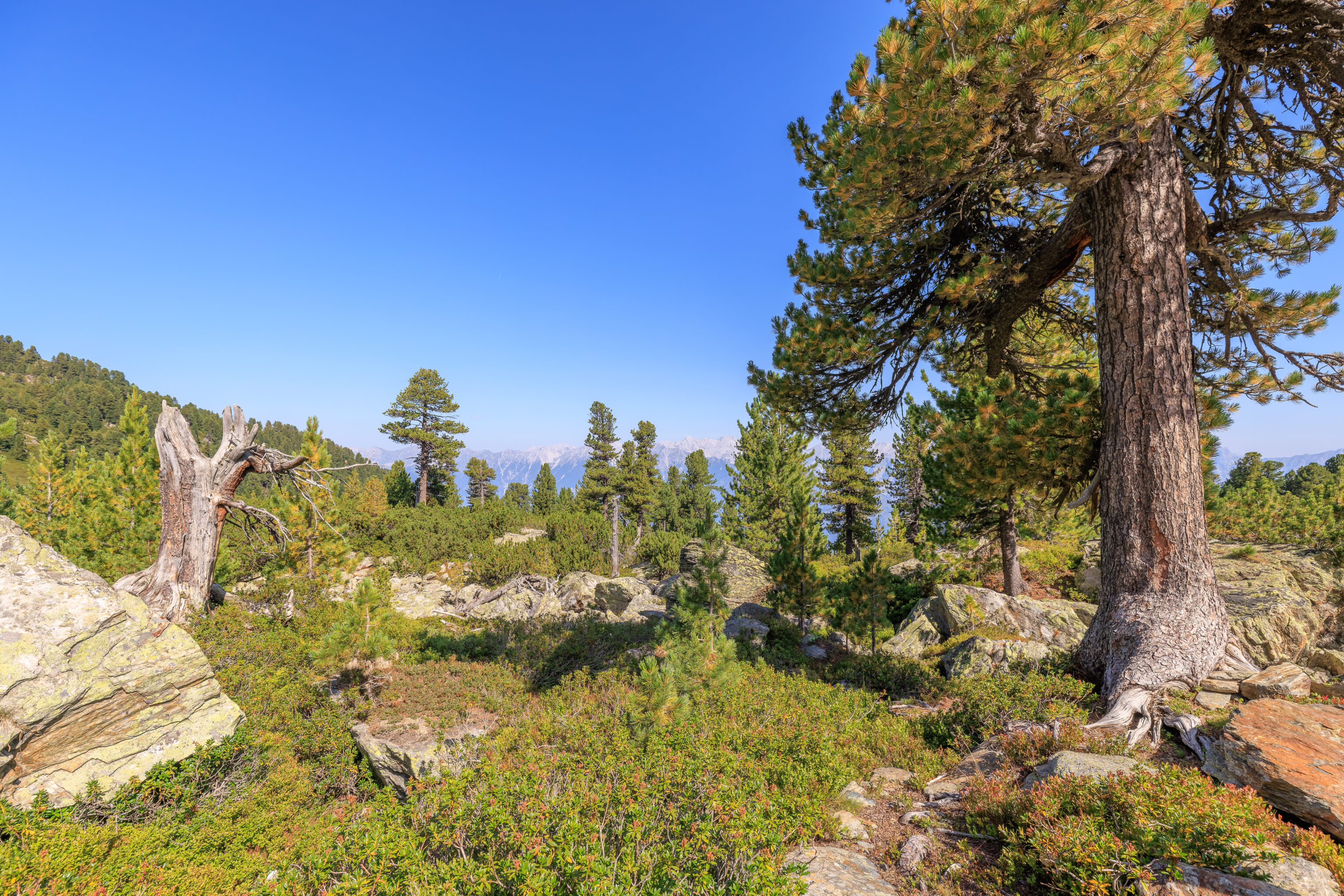
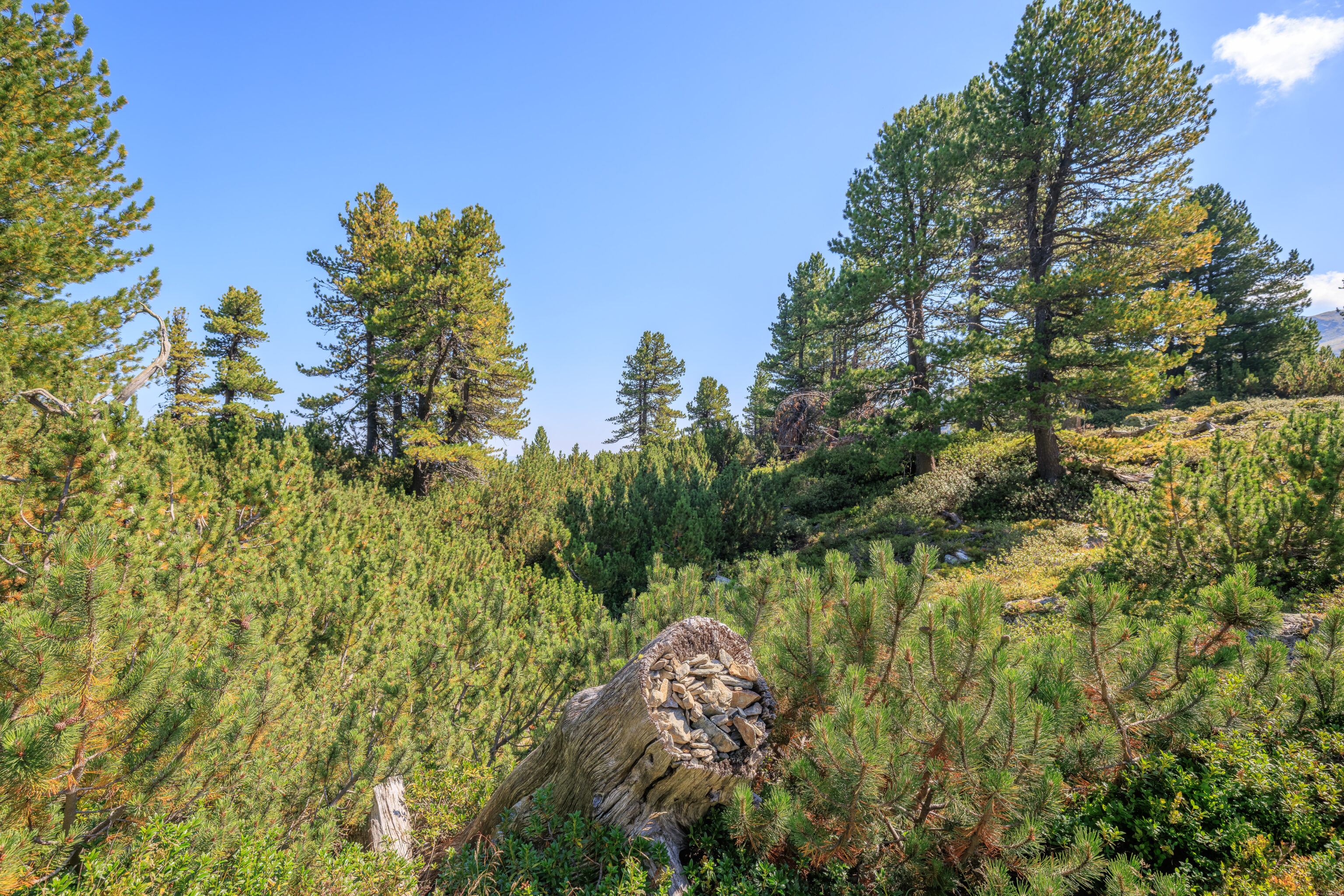
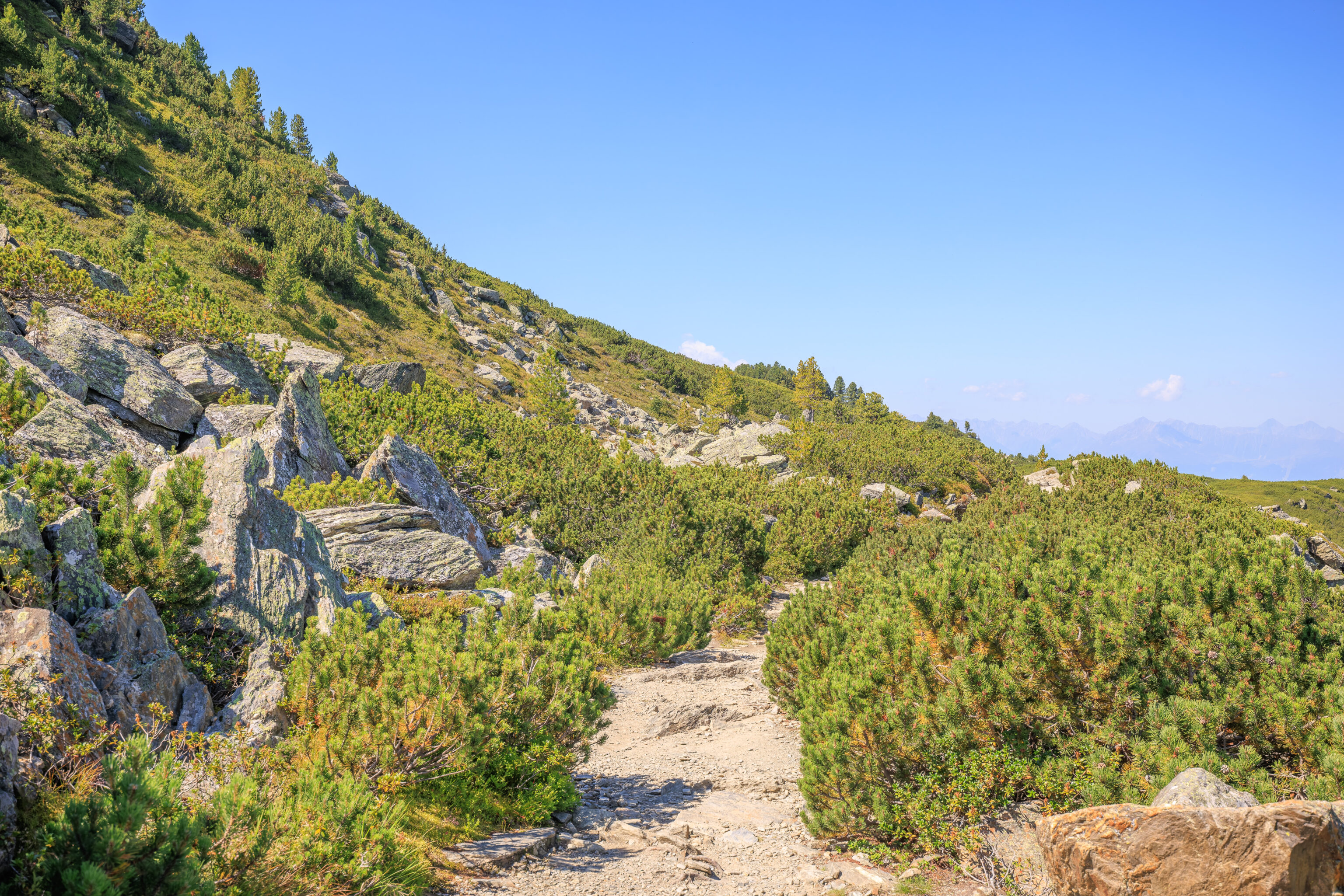
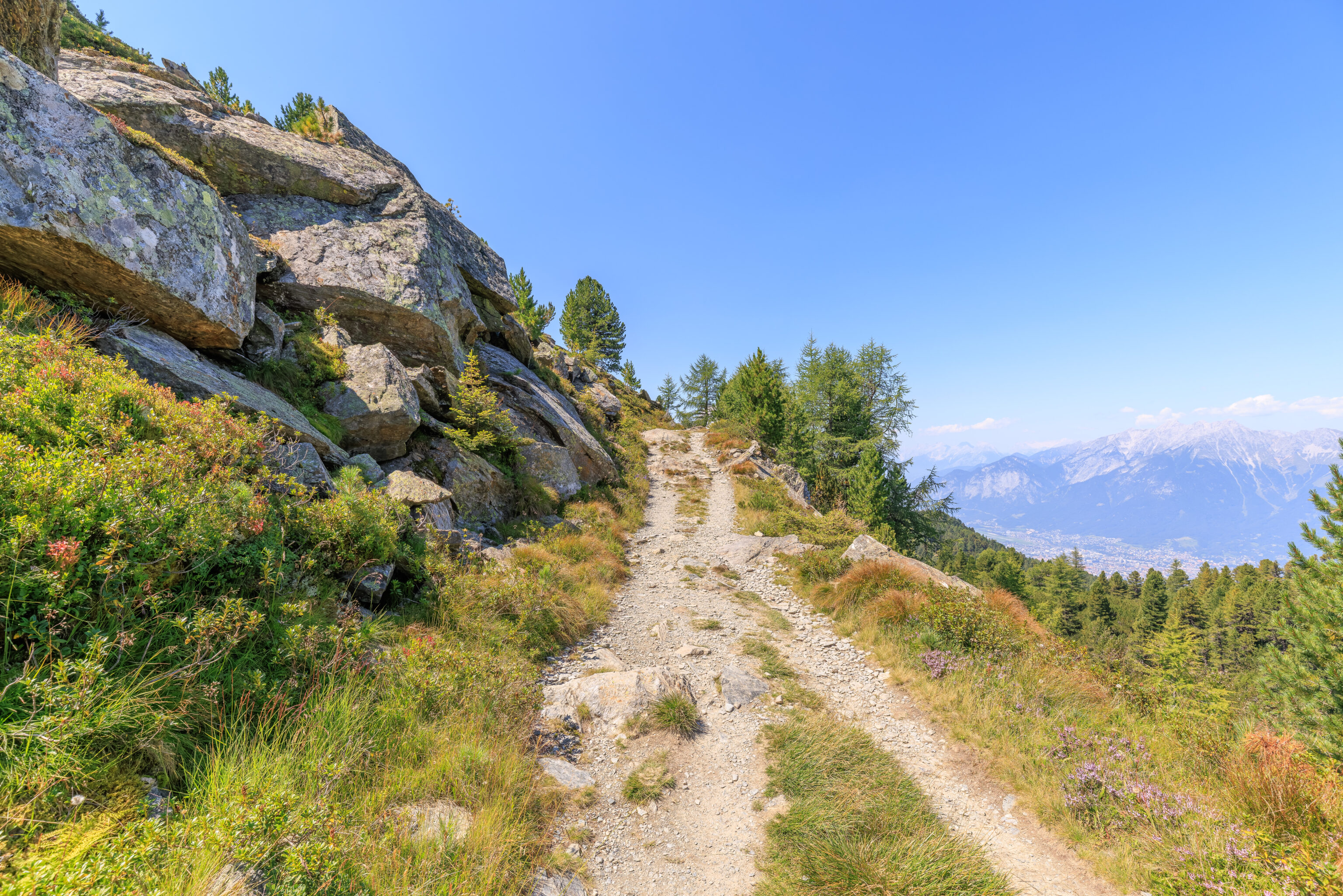
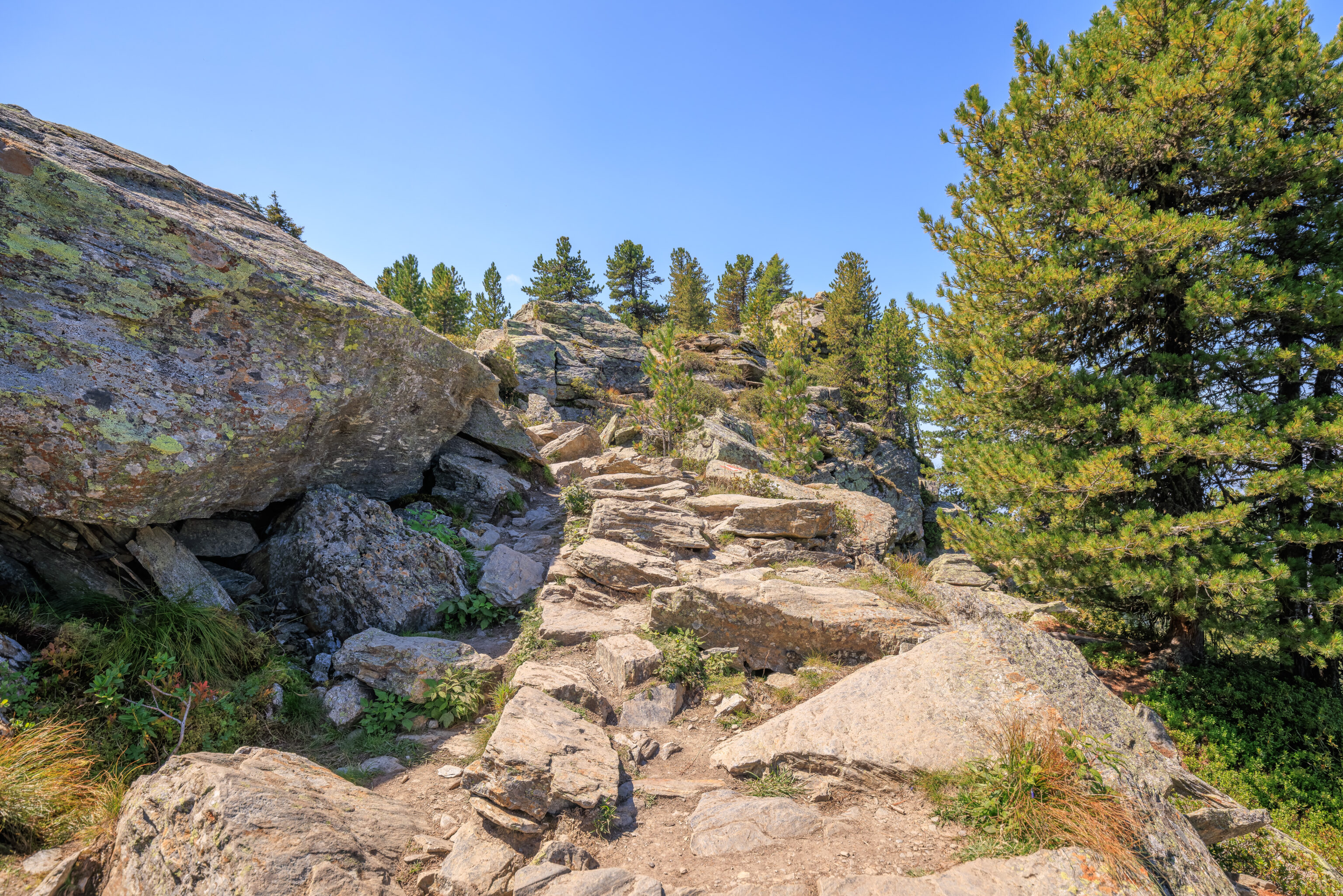
Continuing on, we started to enter a new landscape. The stones ahead would probably be described as a talus slope.
A nearby sign describes sliding snow bridges, though the description is a bit confusing.
Sliding snow bridges
Snow cover can slide off smooth, steep grass slopes even without creating an avalanche. Young forest plants, covered by snow, will be torn out and die. The "sliding snow bridges" increase soil roughness and prevent the sliding process, meaning that the plants are subsequently strong enough to withstand the creeping and sliding strains caused by snow.

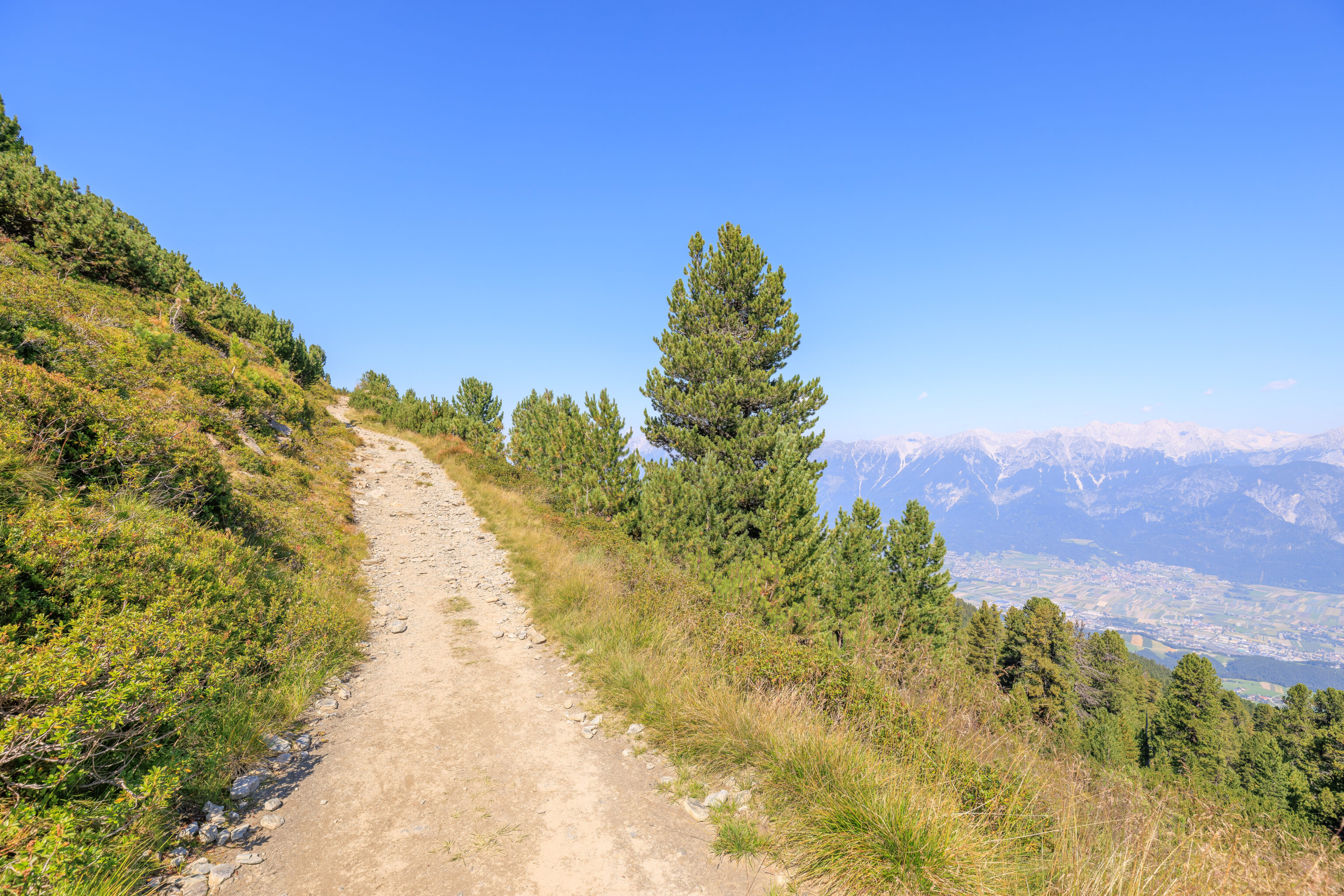
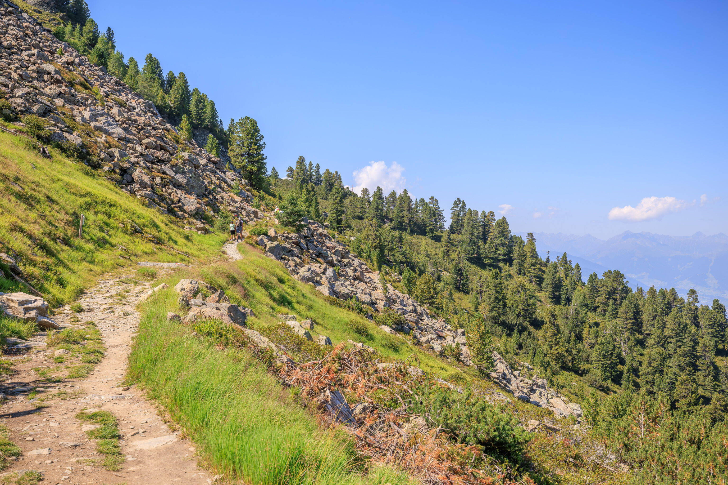
We continued on through the field of talus. Walking through this terrain was a bit harder than the mostly nice paths we’ve been walking on so far.
As we continued on, we came across another pair of signs:
Nutcrackers and stone pines
The seeds of the stone pine are heavy and, unlike the seeds of other pines, cannot glide. Help from the air is on hand, however, in the form of the nutcracker (known as the "Zirbengratsch" in Tyrol), which collects pine nuts and hides them as a food cache for the winter: those that are forgotten will sprout in the springtime. The nutcracker is thus responsible for the spread of the stone pine, which in turn provides food for these birds.

Stone pines - the crevice colonisers
The extremely strong and tenacious roots of the stone pine are not discouraged by mere boulders or large stones: they can penetrate into the smallest cracks and thus bind the debris together. This stone pine is 250 years old (2021) and around 10 metres high.
We came across another steep portion along with switchback.
We could see the part of the trail that we were just on as we ascended.
We’ve seen various wildflowers on the trail and came across many of them here. A sign suggests that this area was deforested:
Afforestation at high altitudes
Fallow meadows and pastureland created by clearing, or deforested areas created by environmental disasters, offer no defence against avalanches or flooding. Reforestation is a slow process that is made more difficult, among other things, by snow pressure and fungal infections. Afforestation at high altitudes faces numerous difficulties and must therefore be very carefully planned and monitored.
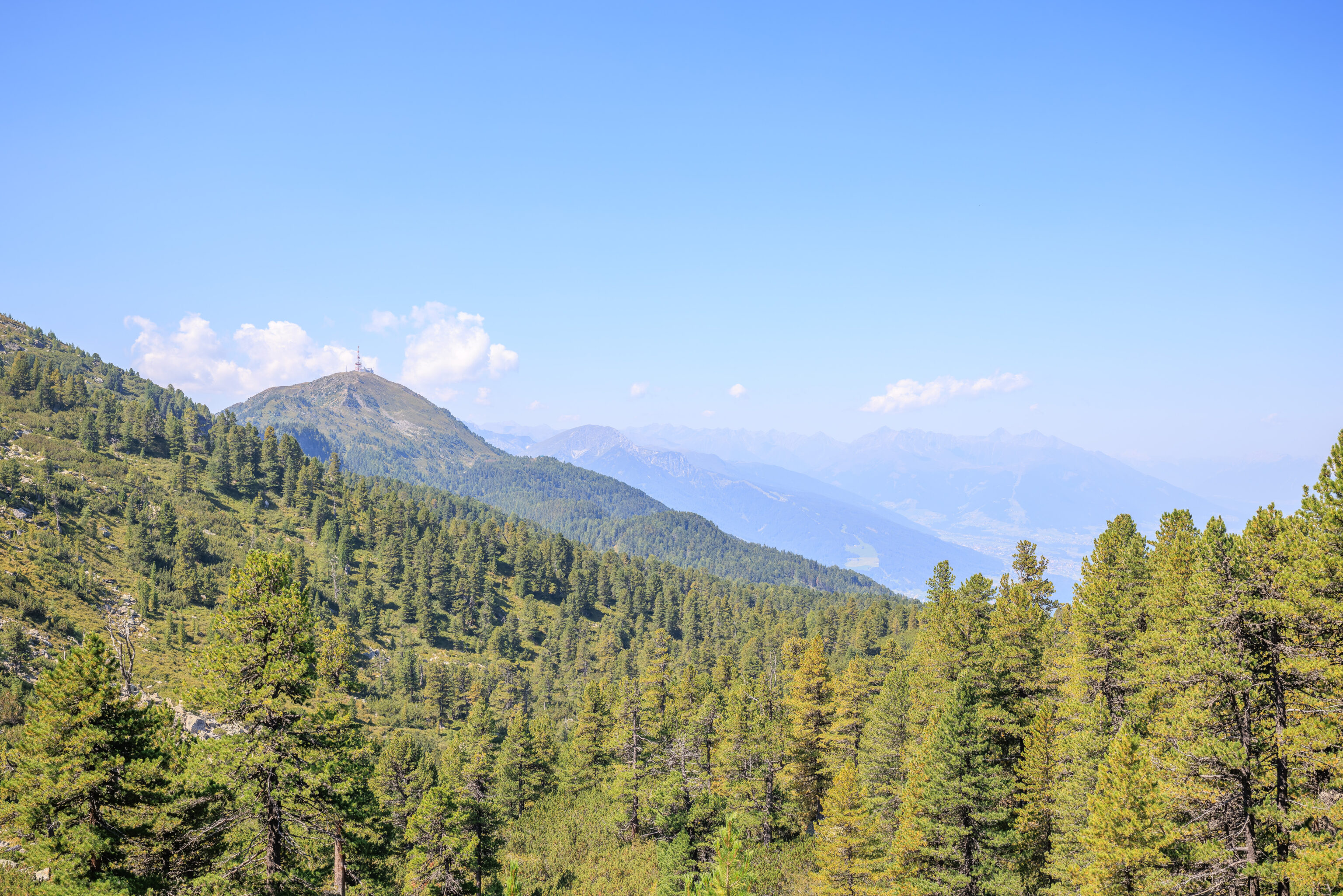
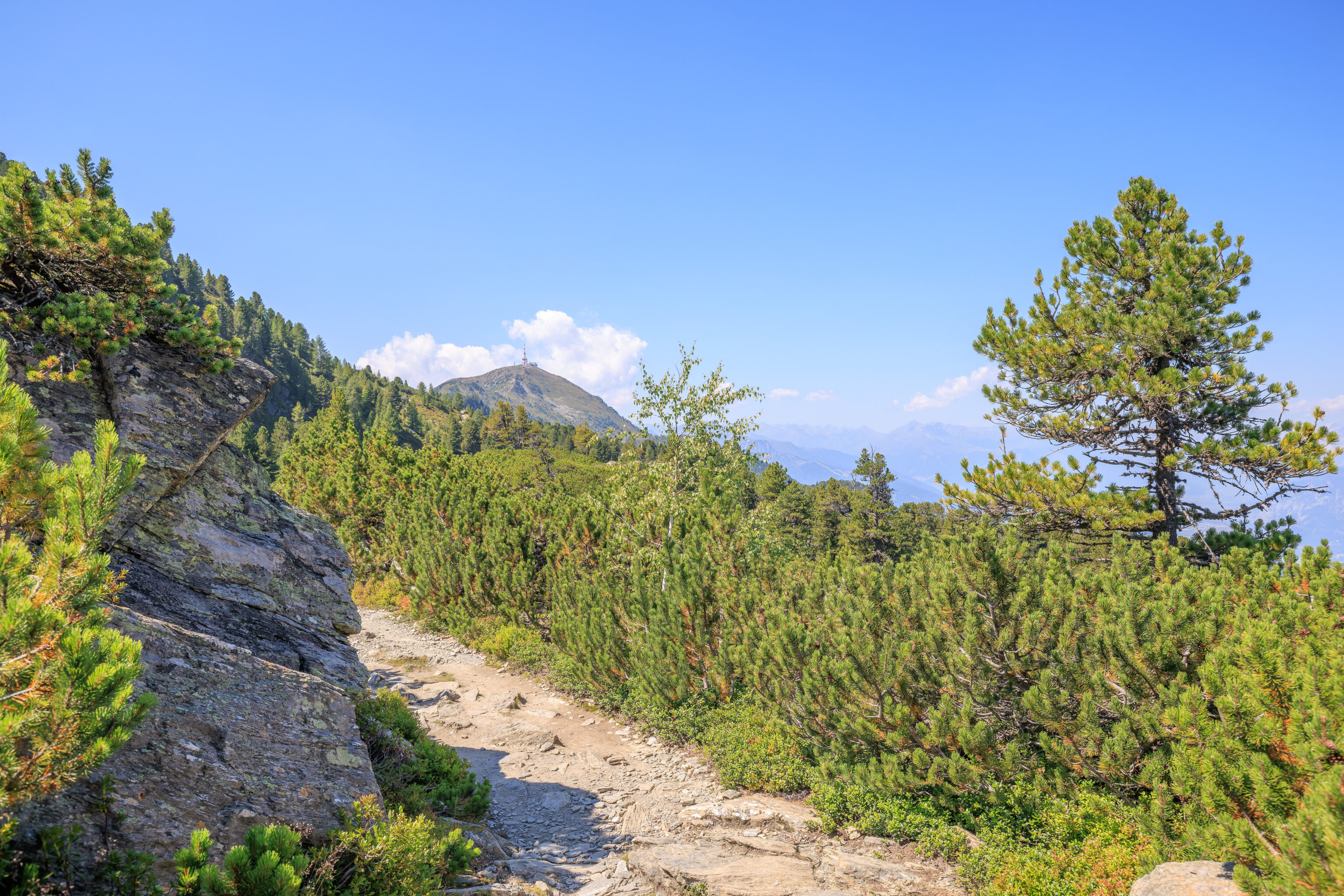
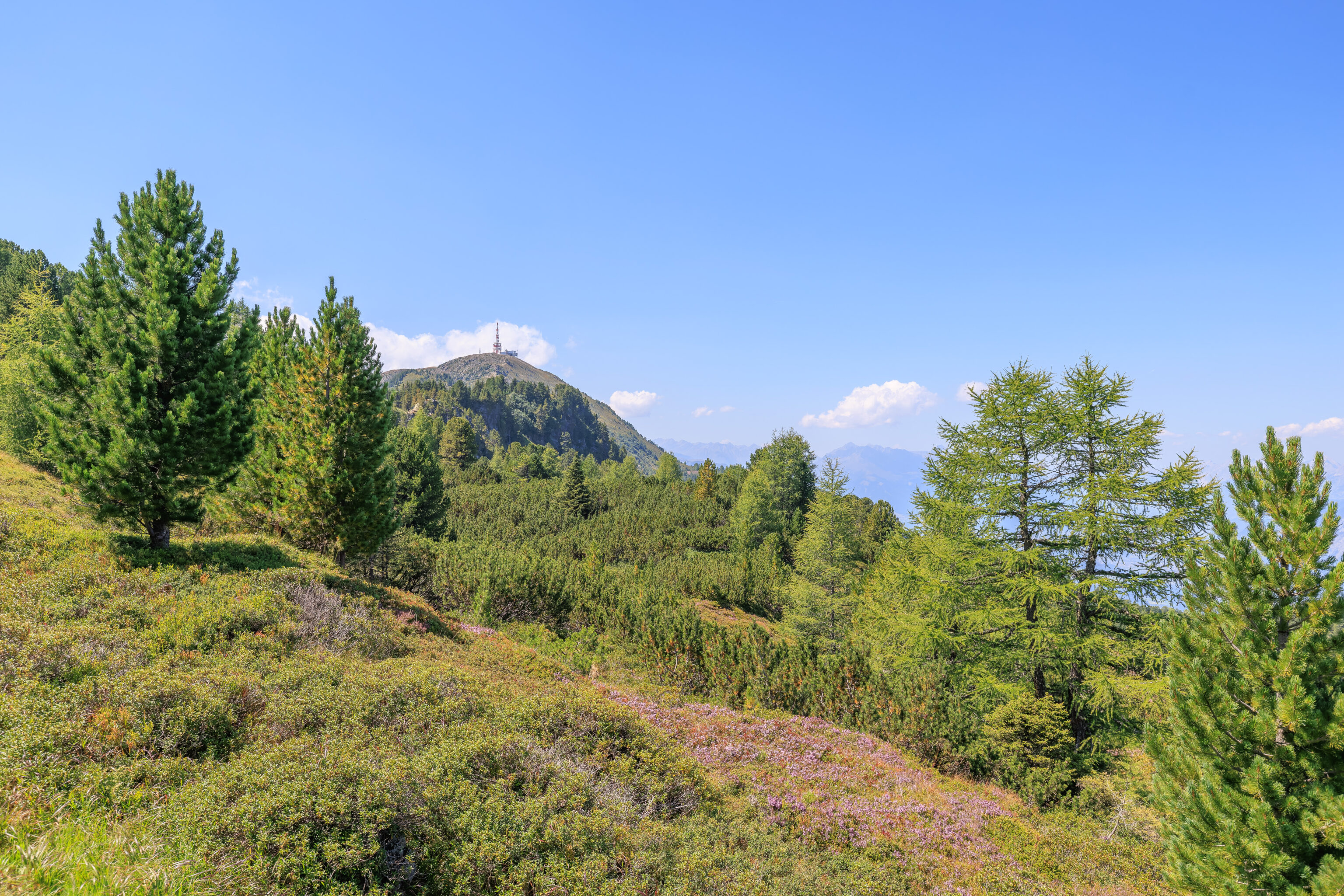
Up ahead, we could see a transmission tower atop a mountain peak. This appears to be the Patscherkofel, our first time seeing it!
These types of signs are pretty common in the Alps, or at least the parts that we’ve been to. Oddly, this sign only gives time estimates for some destinations. We’ll get to the Patscherkofelbahn Bergstation eventually!
From this clearer view of Patscherkofel, we can see a trail on the right side of the mountain. That seems like it may be the Zirbenweg. The gondola should be somewhere on the right far side of the mountain.
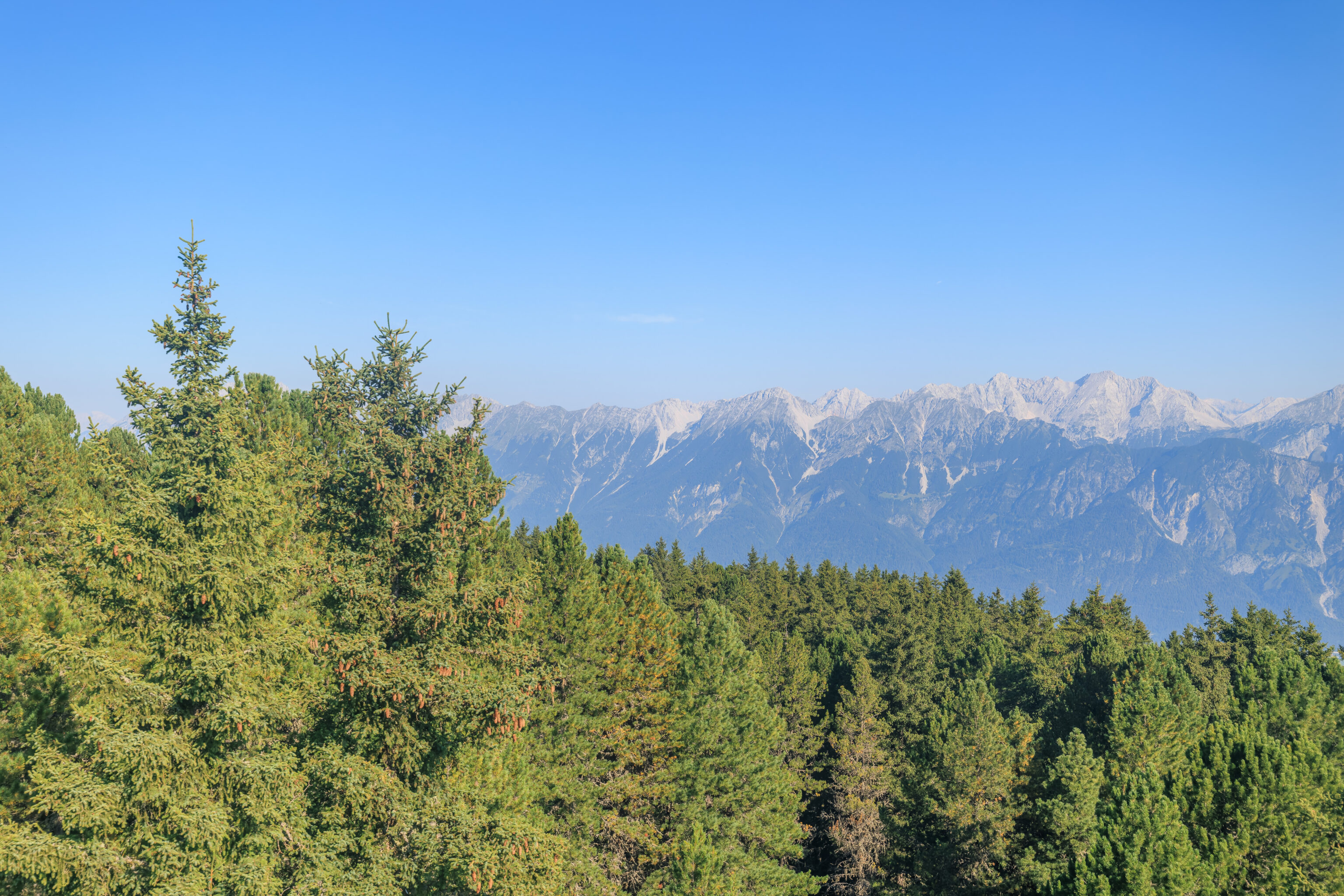
We continued walking to the west, coming across a sign that discussed Spruce trees:
Spruce
Spruce is less common at the forest limit than larch or stone pine in continental climate zones, such as here on the Patscherkofel and the Glungezer, where it occurs in a very narrow-crowned and low-branched form - admirably adapted to life at high altitude.
We came across another junction.
The trail, now pretty narrow, started to ascend more steeply. We also came across signs that we’ve seen before, suggesting that we are closer to our destination than our origin. Of course, we knew this thanks to GPS and offline maps.
The next section of trail required walking up a steep rocky path. Once again, quite different from most of the trail to the east.
We don’t know the significance of this stone but 1868 has been carved into it.
We kept on going.
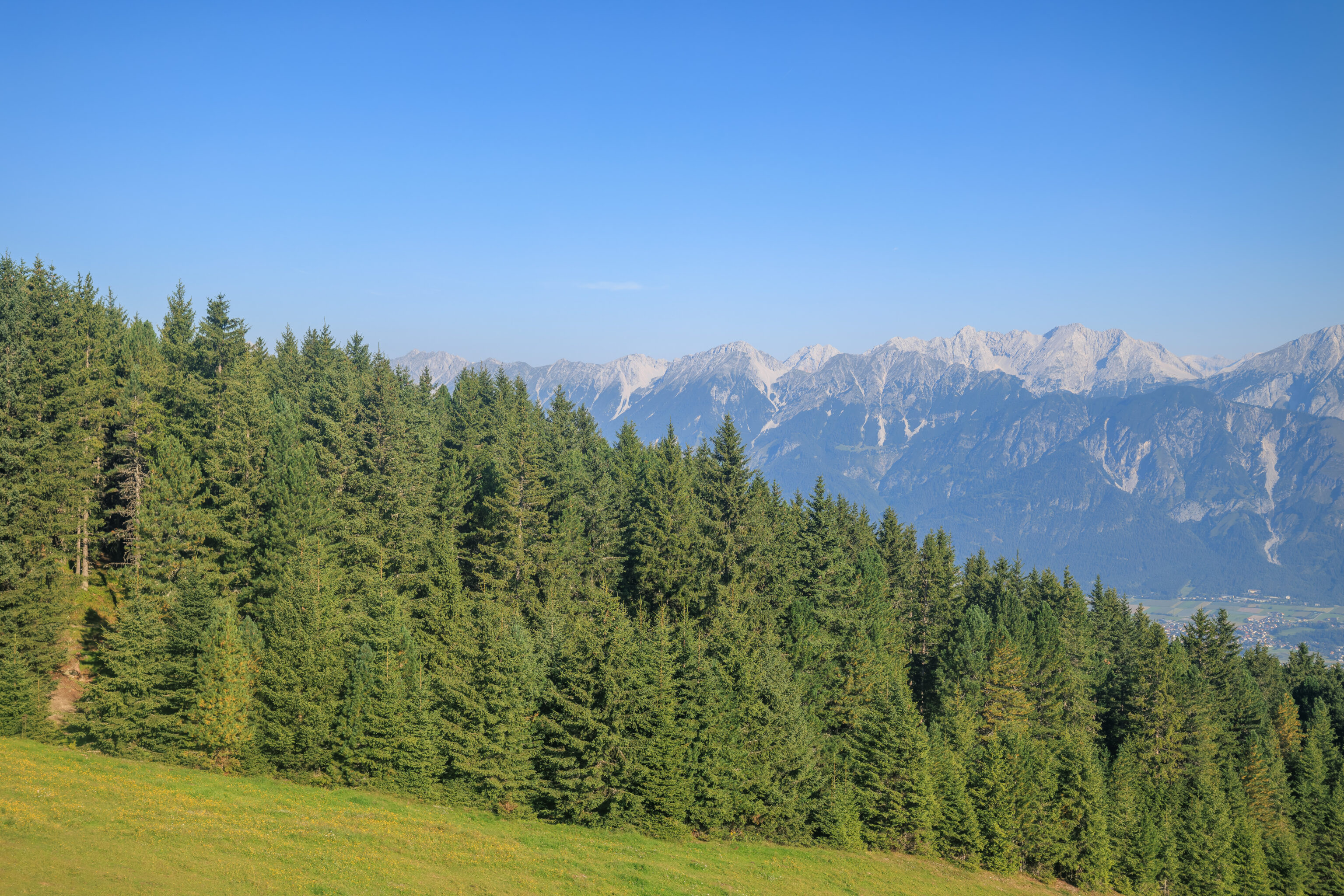
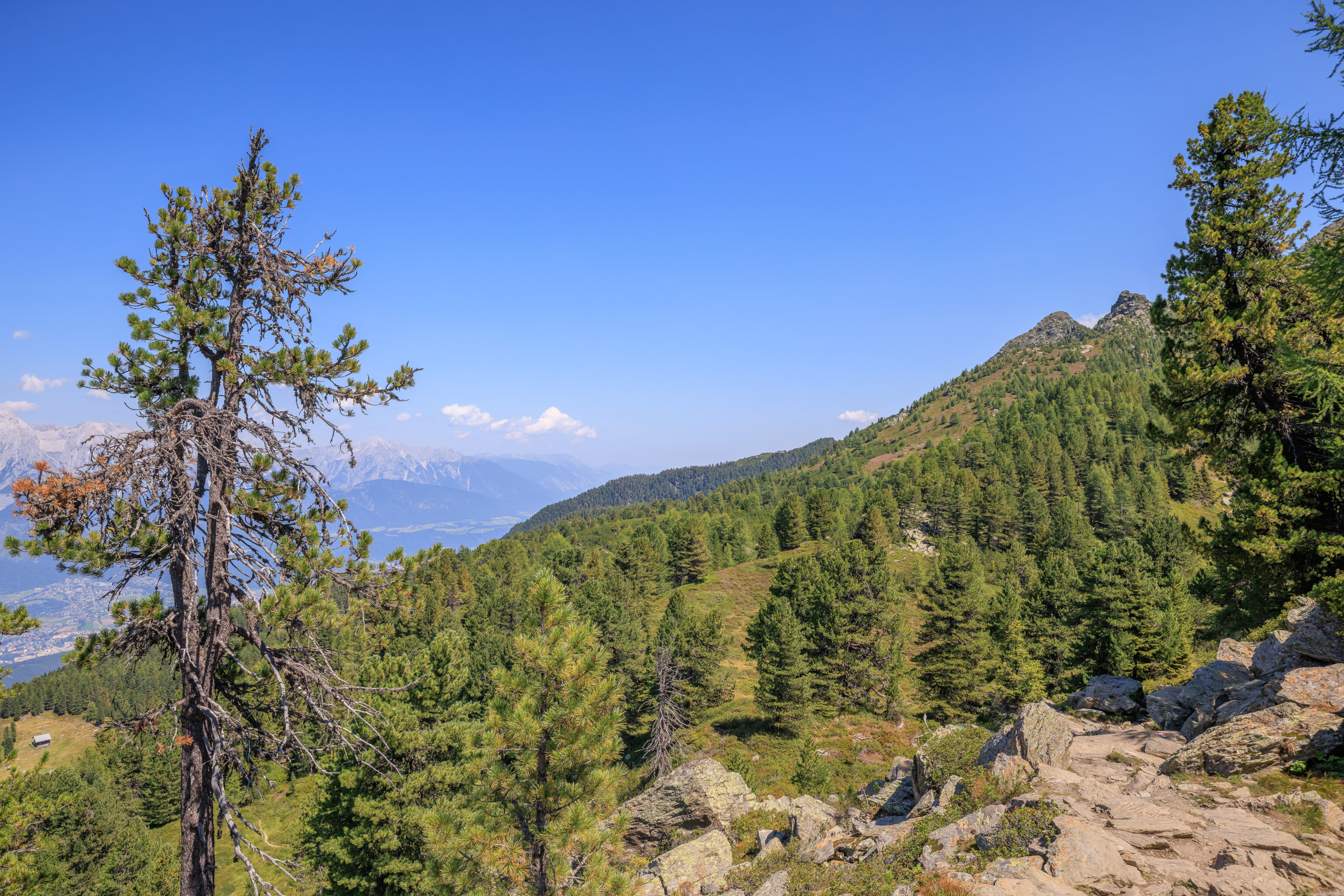
After turning the corner, we were now on the left side of a ridge on our right. This is different as so far the downhill slope has always been on our right side. A sign nearby describes the tree line here on the south side:
Natural forest limit
The tree line has been forced downwards by some 200 to 400 metres in the last few centuries, mainly due to human influence. On very steep, rocky slopes as here on this southern slope, humans have not been able to clear or remove wood: the natural forest limit has largely been preserved in these areas. Contrast this with the lower forest limit on the less steep northern slopes along the Stone Pine Path!
The view looking back.
From here, we could now see some of the terrain to the south. A sign here describes how trees help deal with water:
Water balance
A healthy forest delays water runoff, with the trees catching the precipitation in their crowns, part of which will directly evaporate again from up there. Snow thaws more slowly owing to the shade, so meltwater reaches streams more slowly. High-altitude forests have a particularly important role in flood protection in the catchment areas of mountain torrents. As a biological water purifier, forests also provide us with healthy, pure drinking water.
This section of forested trail was definitely steep on the left. A fall would be very bad. The next sign discusses how forests are helpful and refers to subsequent signs, though its not clear in which direction!
Welfare Effects of the Forest
In addition to timber production and the associated income for agriculture and forestry, the forest provides us with protection from a variety of dangers. Last but not least, it also serves the physical and mental recovery of today's overtaxed people. Some of the following panels are dedicated to these vital properties of the forest.
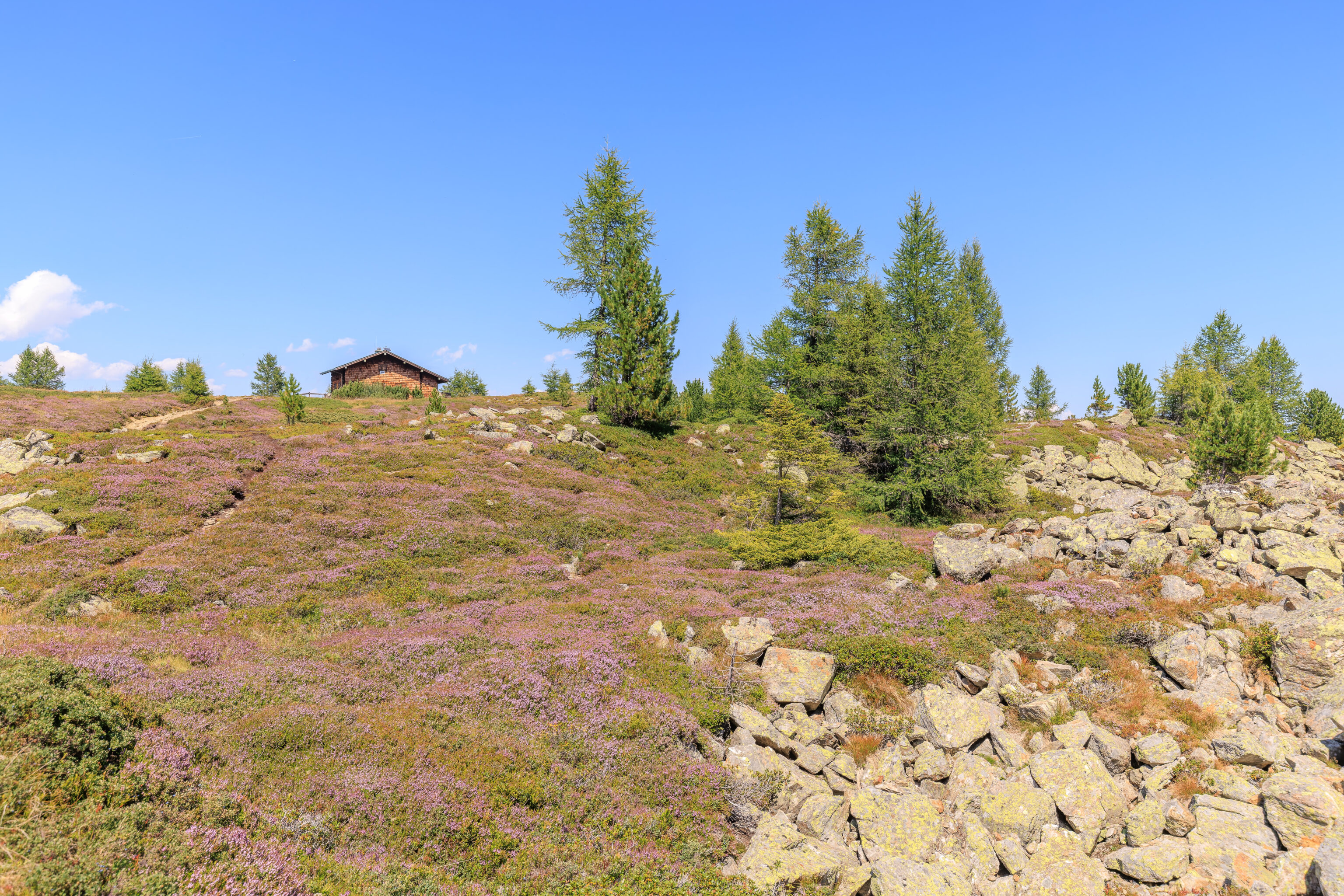
Up ahead, civilization! Sort of. We came up on the Boscheben, a mountain hut with restaurant. According its website, the entire hut can also be rented out. By now, it was 1:40pm. We considered eating here but decided to keep going.
This nearby cross indicates the 25th anniversary of something, though we’re not clear what it is referencing.
This sign finally has a time for the remainder of the trail – 45 minutes! There was also an owl sign below. We weren’t sure what the sign meant.
We continued following the trail to the west. Beyond the Boscheben, we were once again on the north side of the mountain with the downward slope to our right.
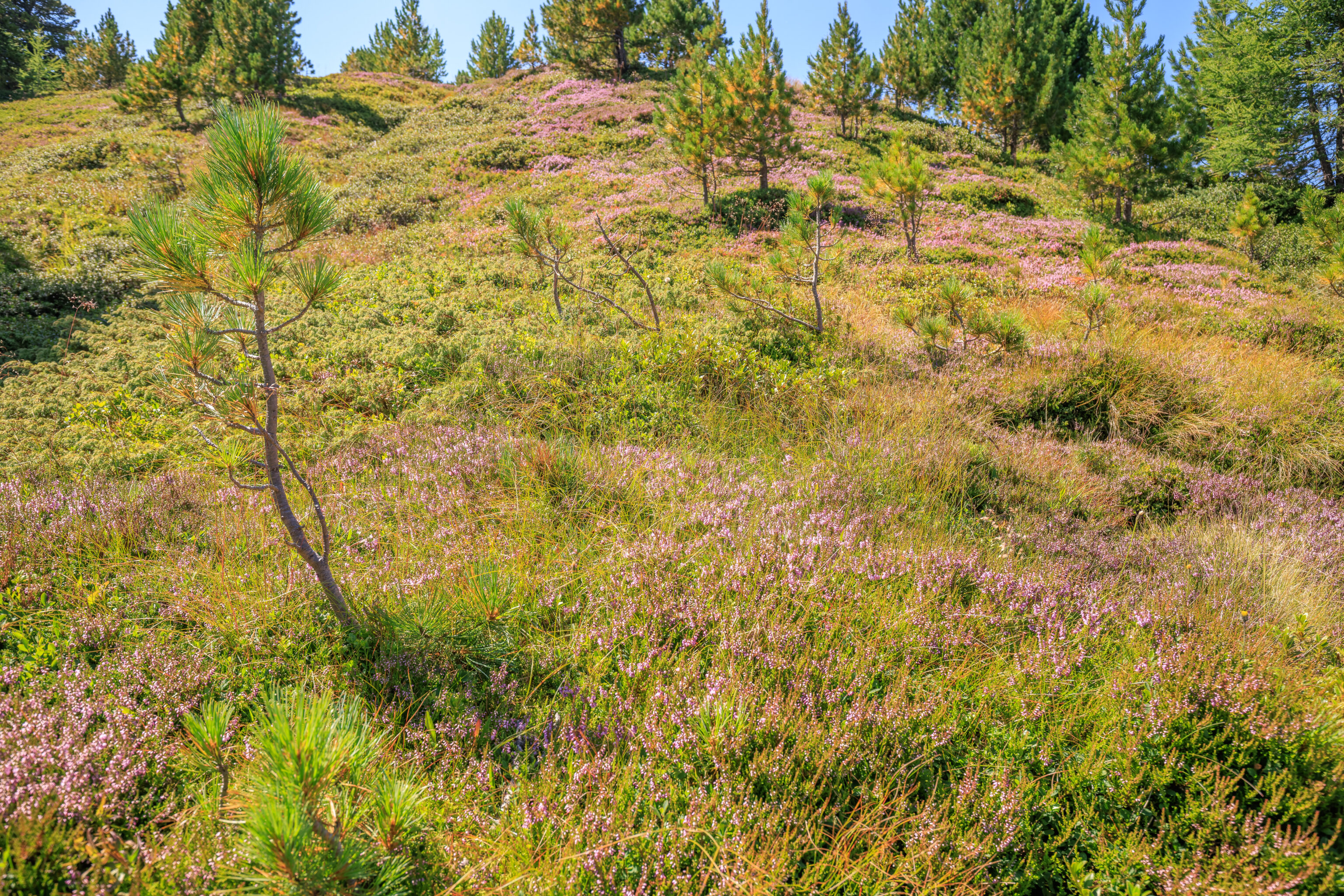
There were more wildflowers and beautiful views. A nearby sign describes the Rostrote Alpenrose:
Rusty-red Alpine rose
This small shrub, found only on siliceous rock (primary rock), reaches elevations of up to about 2800 m. Originally less widespread. Due to forest decline at higher elevations, it has advanced into these areas. Its felty root and stem network hinders the natural and artificial (reforestation) growth of forest plants.
This species, rhododendron ferrugineum, is actually the type species for the rhododendron genus. Unfortunately, we’re past their blooming period.
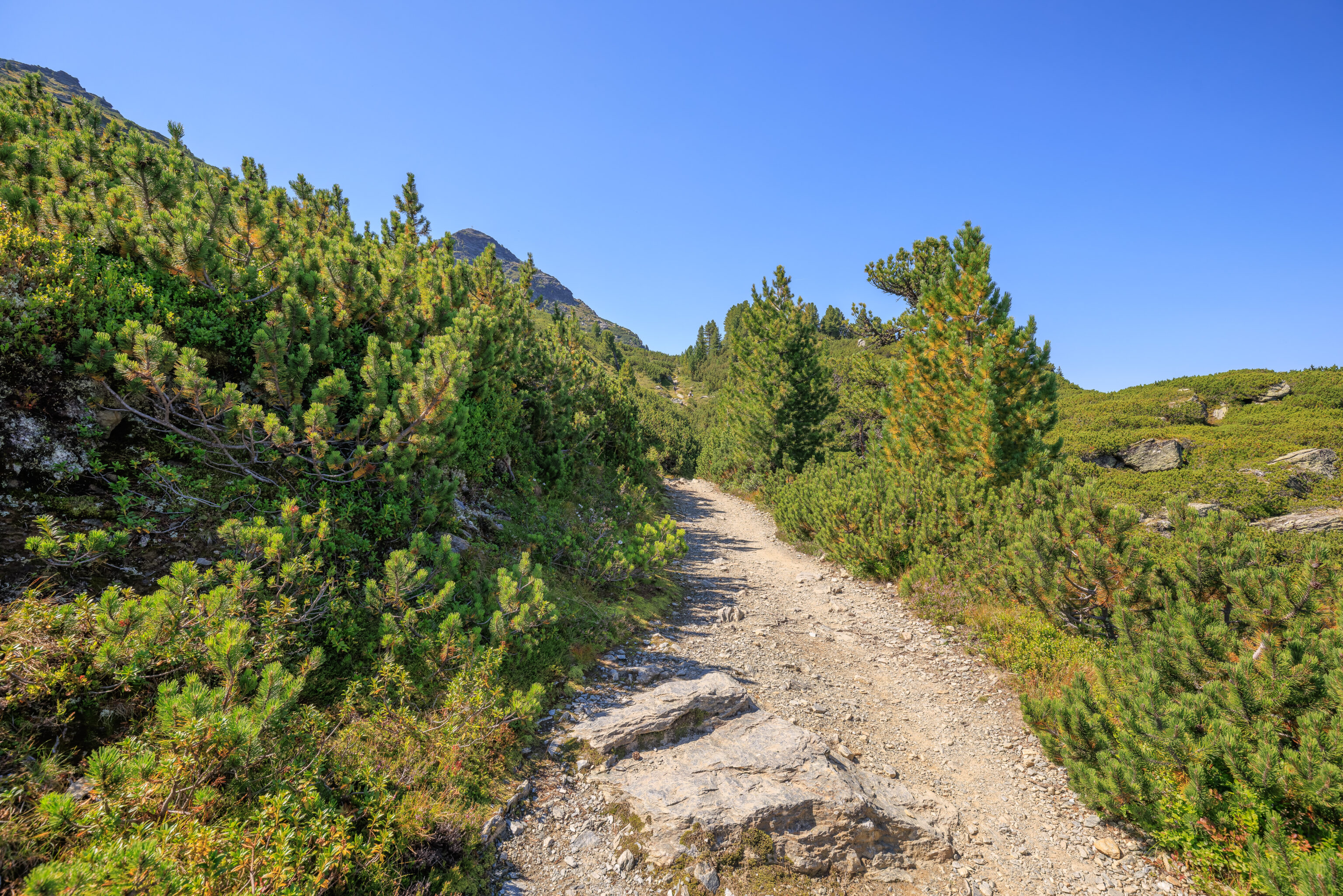
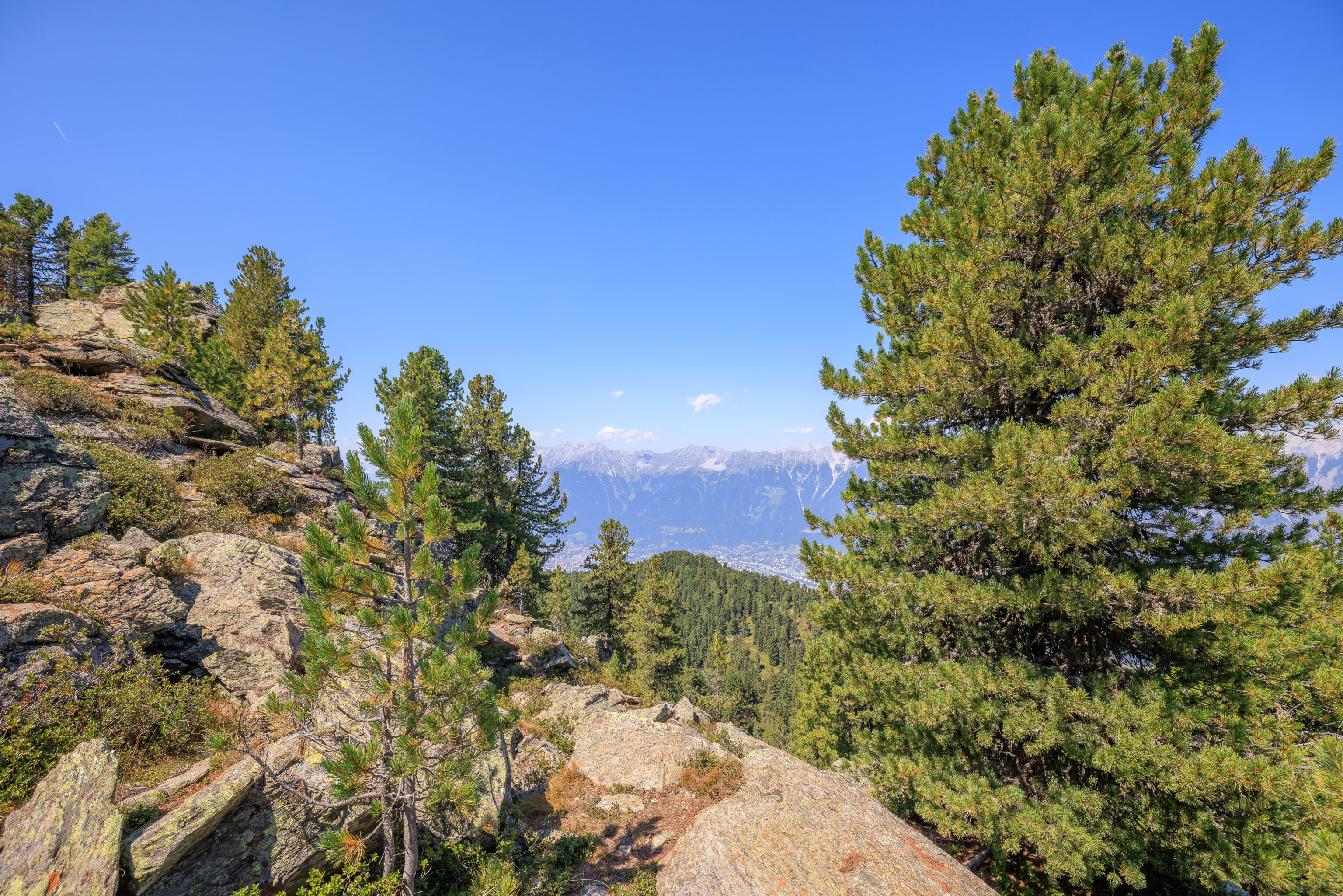
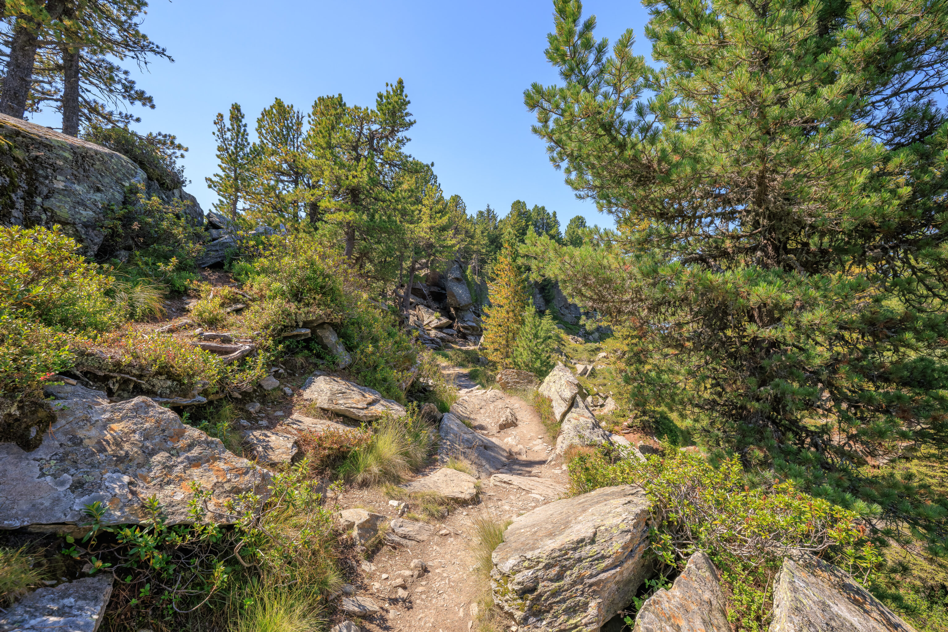
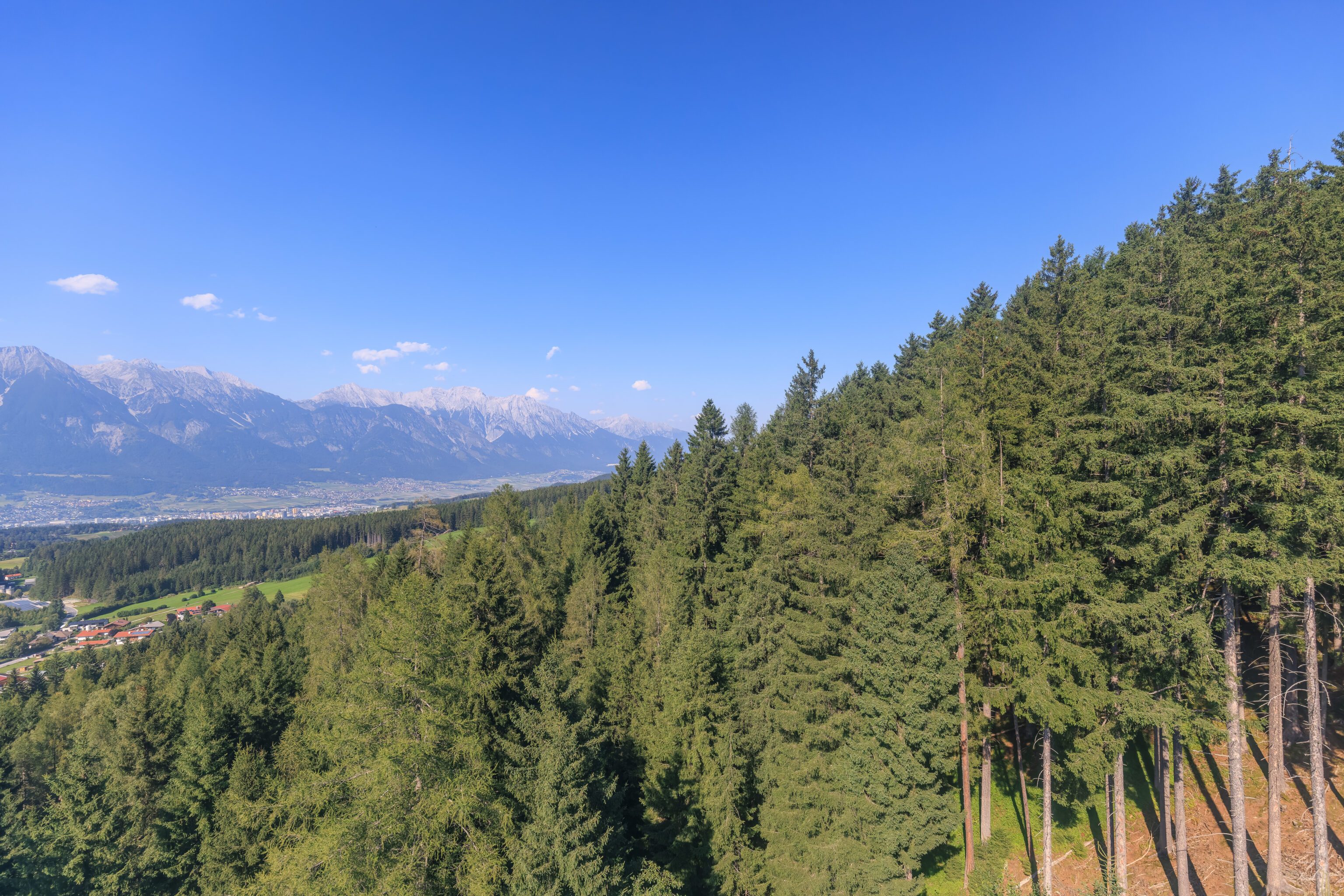
We continued walking to the west, now through some familiar terrain.
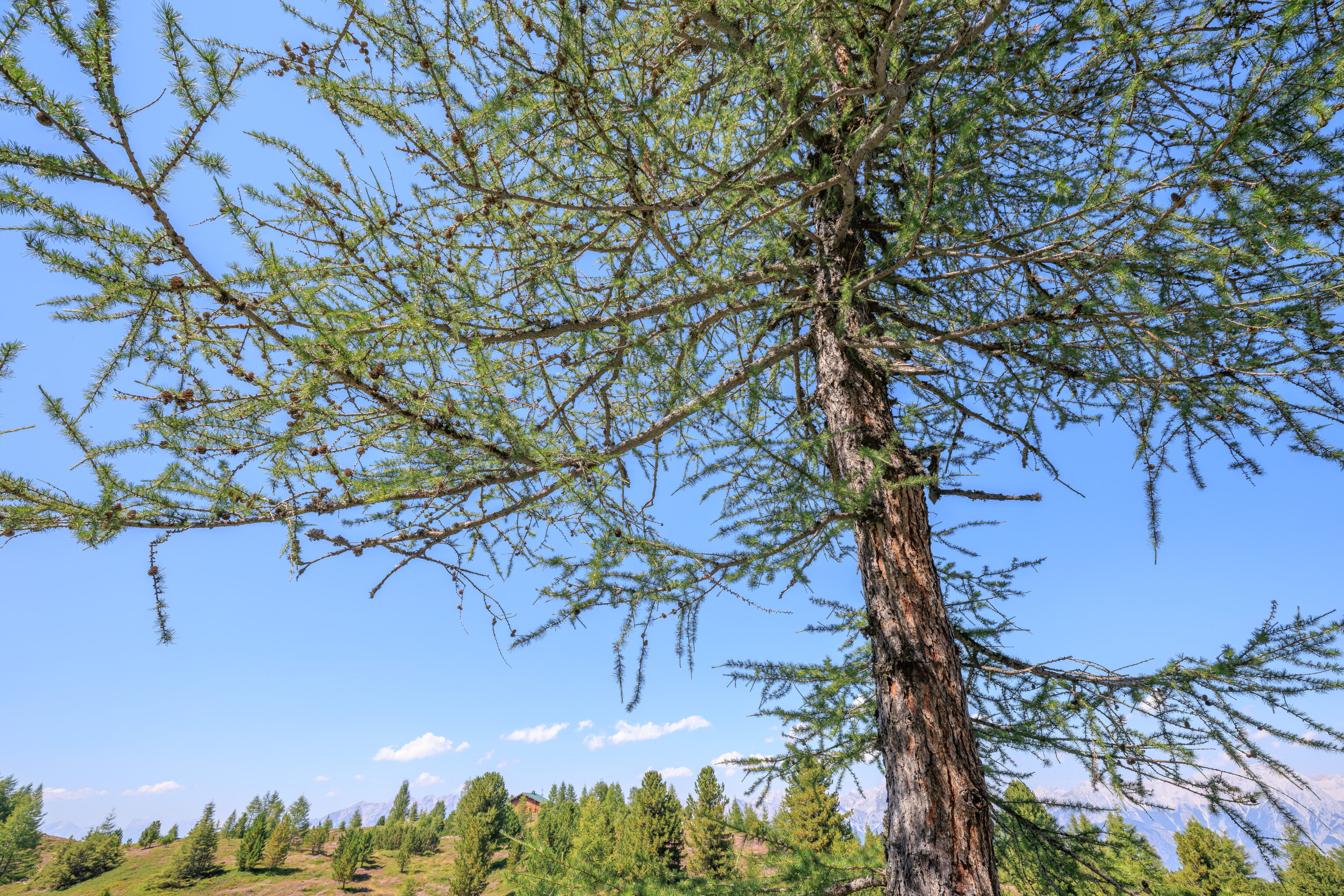
We continued on, reaching a European Larch, as explained by a sign:
European larch

The larch is the only native conifer that sheds its leaves in winter, which is why it has no problems with frost dryness on sunny winter days. In the Alps it grows at altitudes of up to 2,500 metres and, together with the stone pine, forms the typical forest at the forest limit.

The current distribution of the larch is also due to centuries of human influence. Light and airy larch forests are ideal for forest pasture and their growth has therefore been greatly encouraged.

This larch is 125 years old (2021) and 10 metres in height.
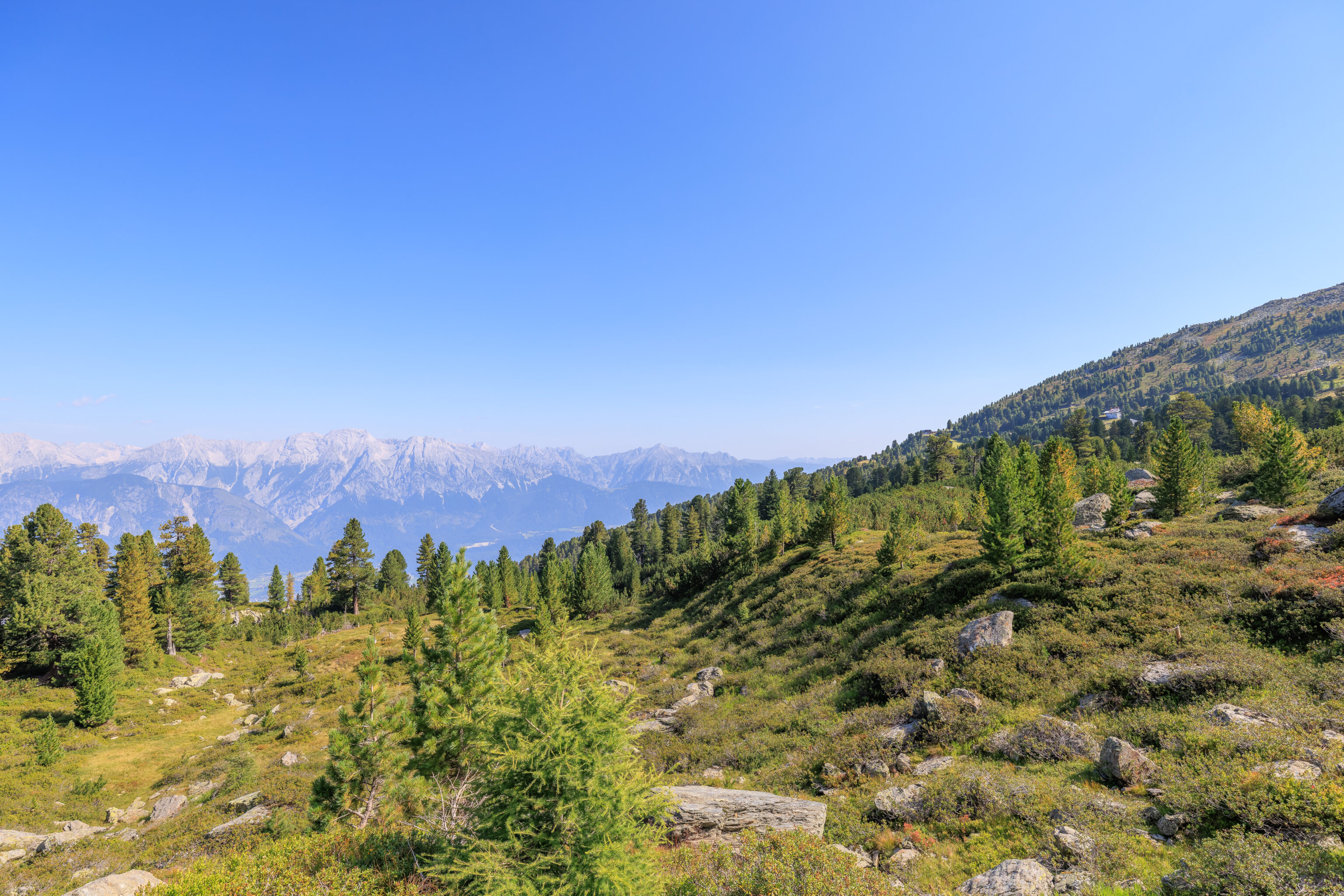
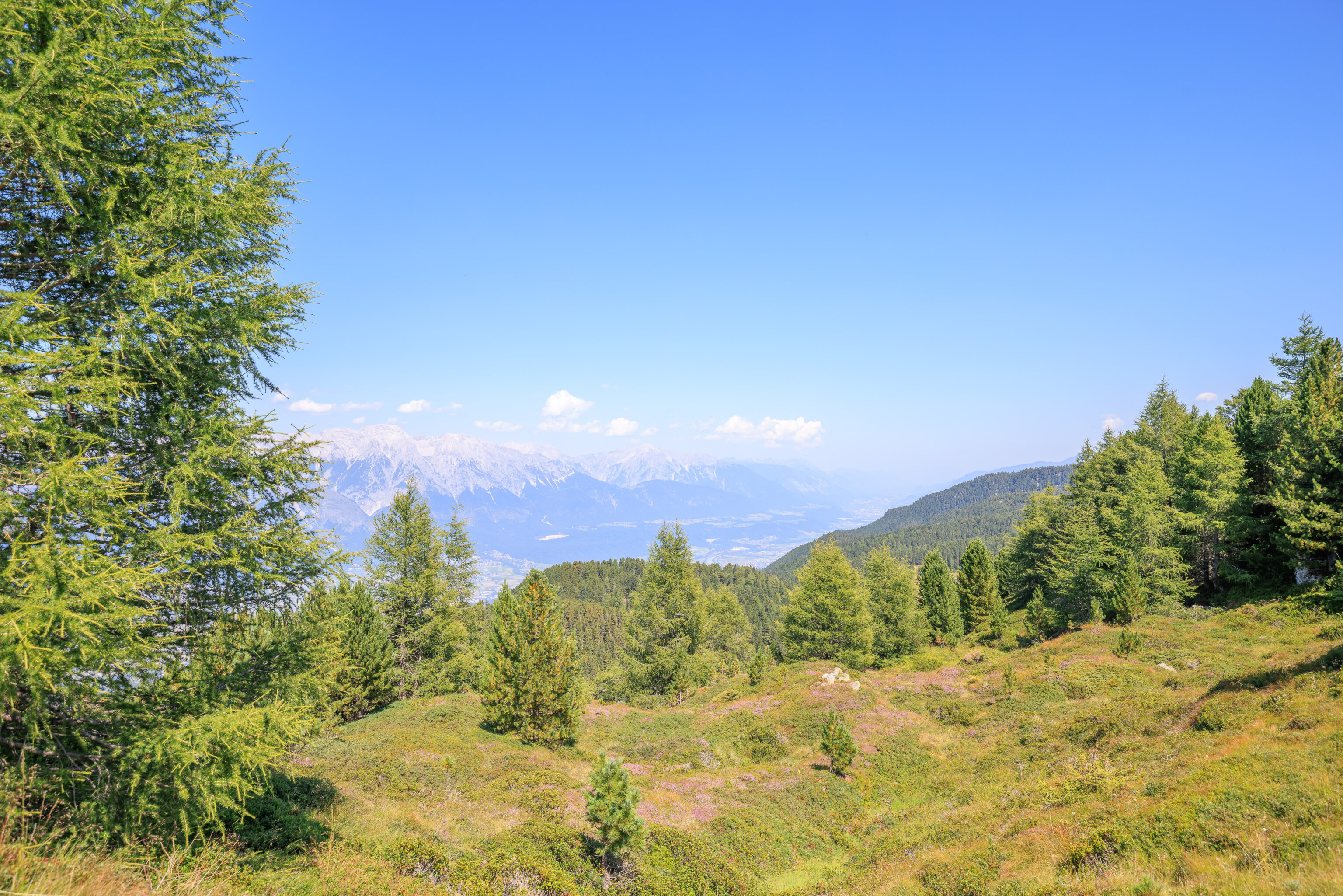
We came across what could possibly be described as a meadow filled with wildflowers. The building visible in the area seems to be private property, though that’s based on looking at a sign that was pretty far away so we could have misread it.
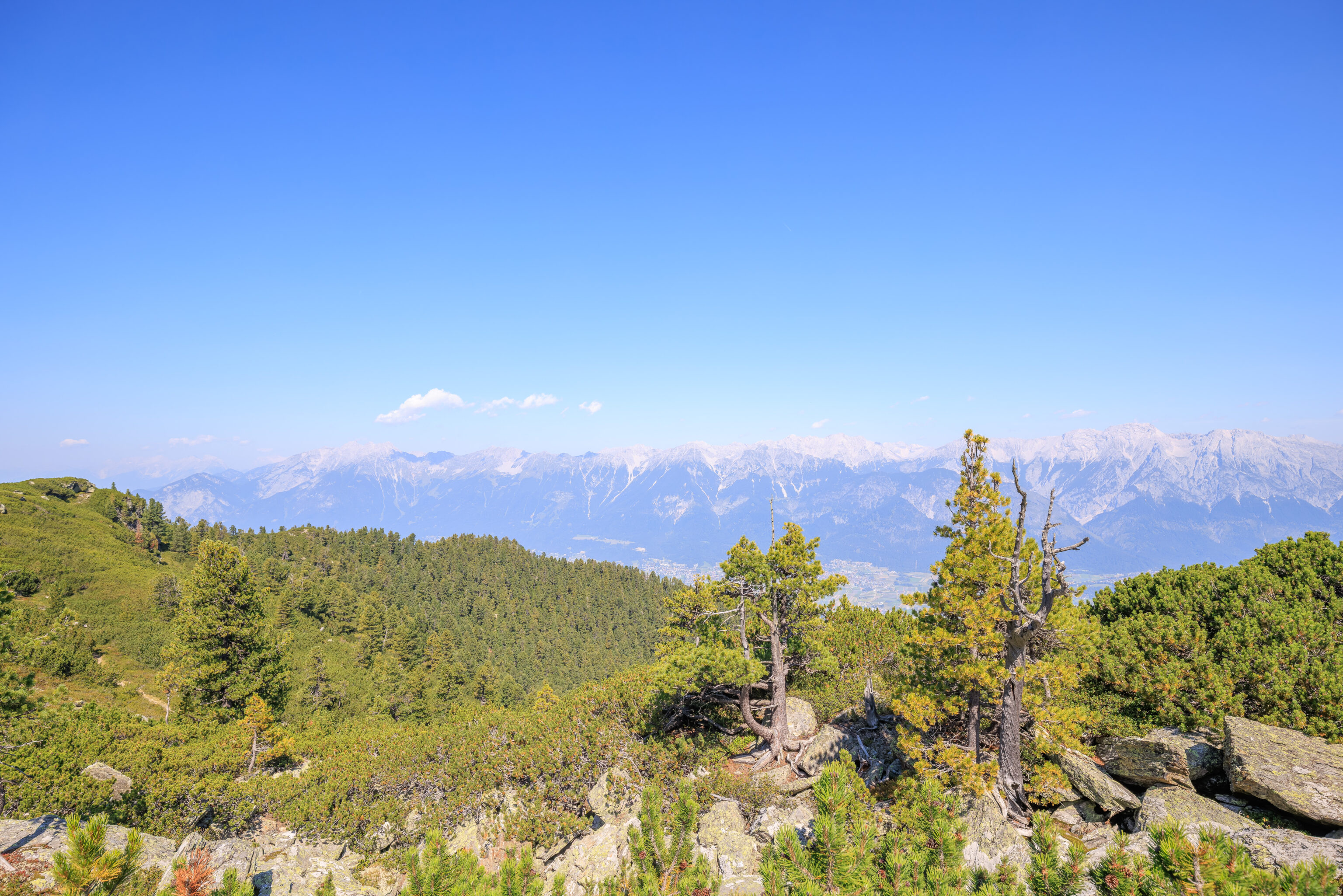
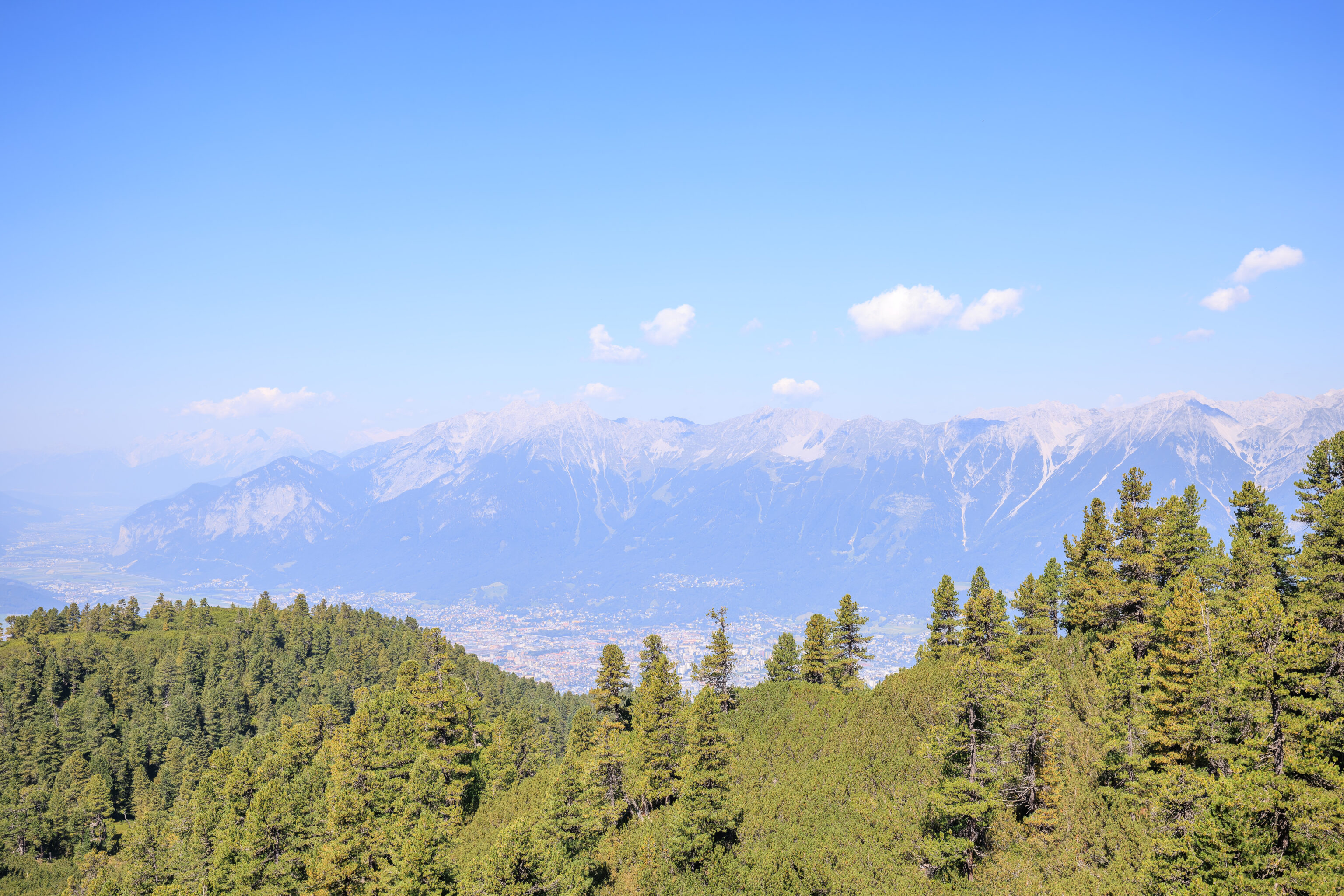
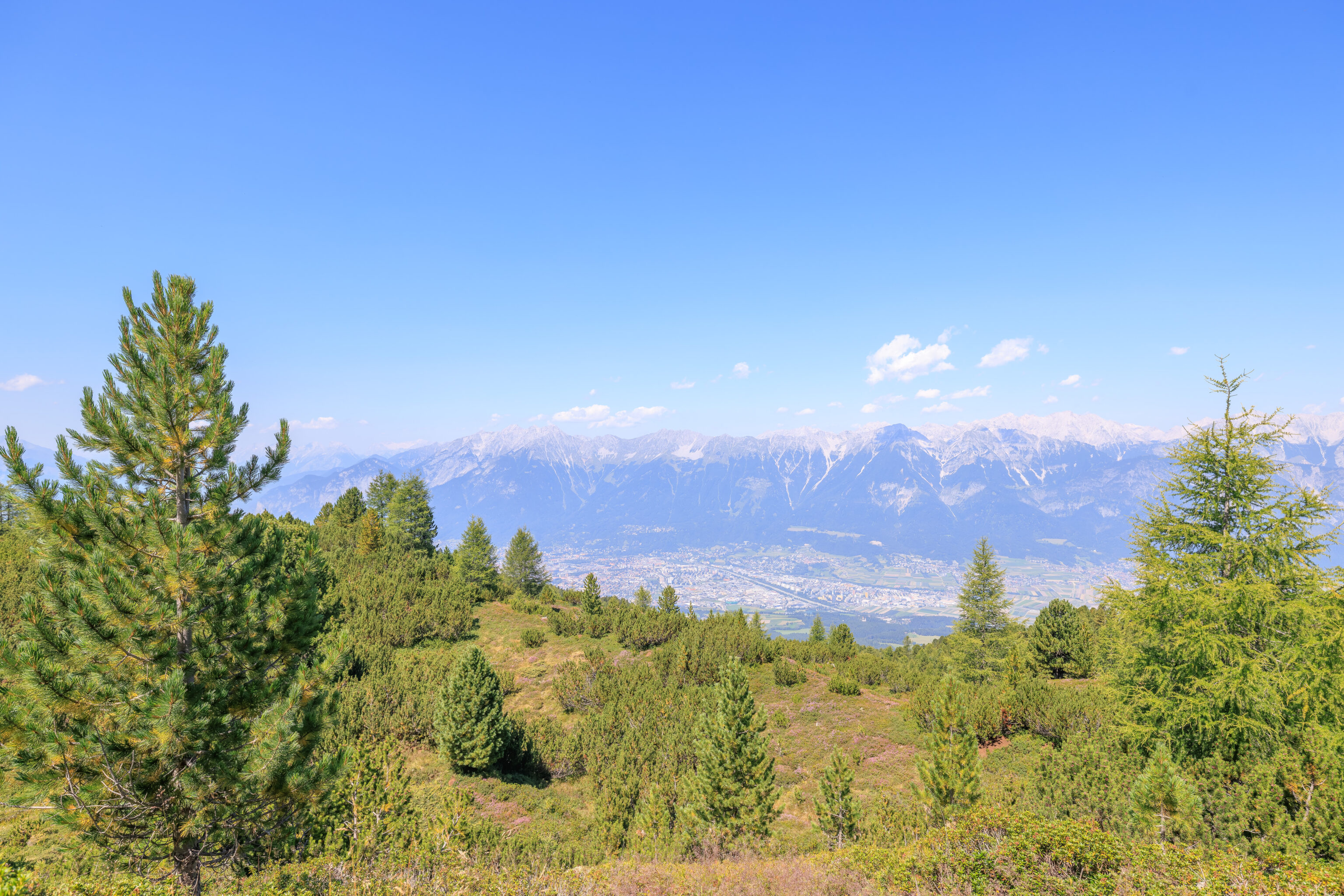
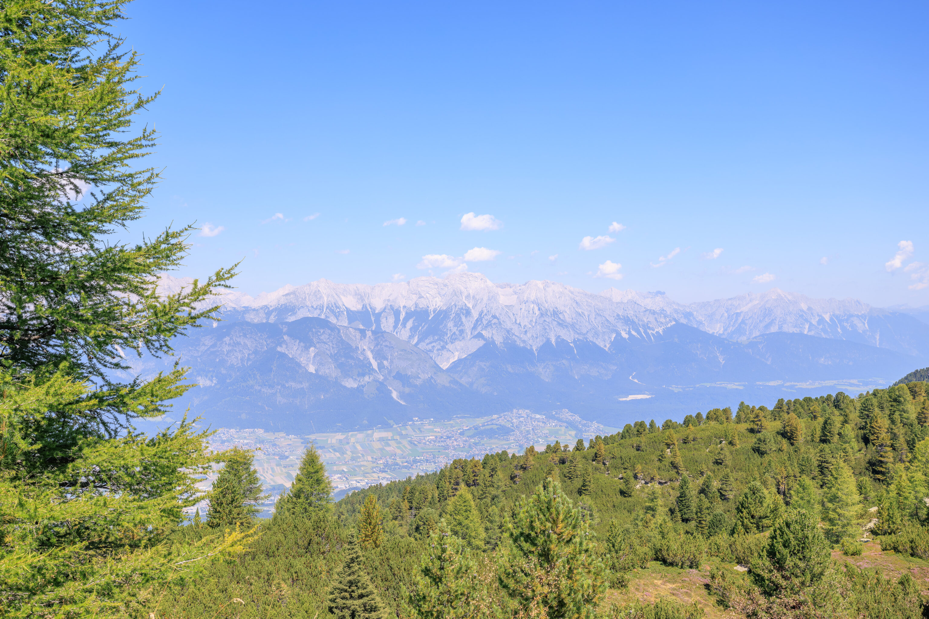
From here, we were definitely closer to central Innsbruck. We could see the Nordkette and Hafelekar, which we visited yesterday. A nearby bench had a metal sign which we don’t quite know how to interpret:
Not far from here was the base camp from which the daredevil brothers Florian and Michael Bloch with their intrepid Sherpas Gerold Ladner and Reinhold Schnizer set out on Sunday, June 28, 2009, at 11:44:17 CET for the FIRST ASCENT OF THE PATSCHERKOFEL WITH OXYGEN MASKS. At 13:35:02 CET, the Pfeifnudel flag was hoisted at the foot of the summit cross.

www.pfeifnudel.at
Pfeifnudel seems like it might be a comedy group or something like that? They did actually seem to make the first ascent with oxygen, although that is because oxygen is not required to climb this not very tall mountain!
Looking uphill, we could see the transmission tower that was formerly directly in front of us.
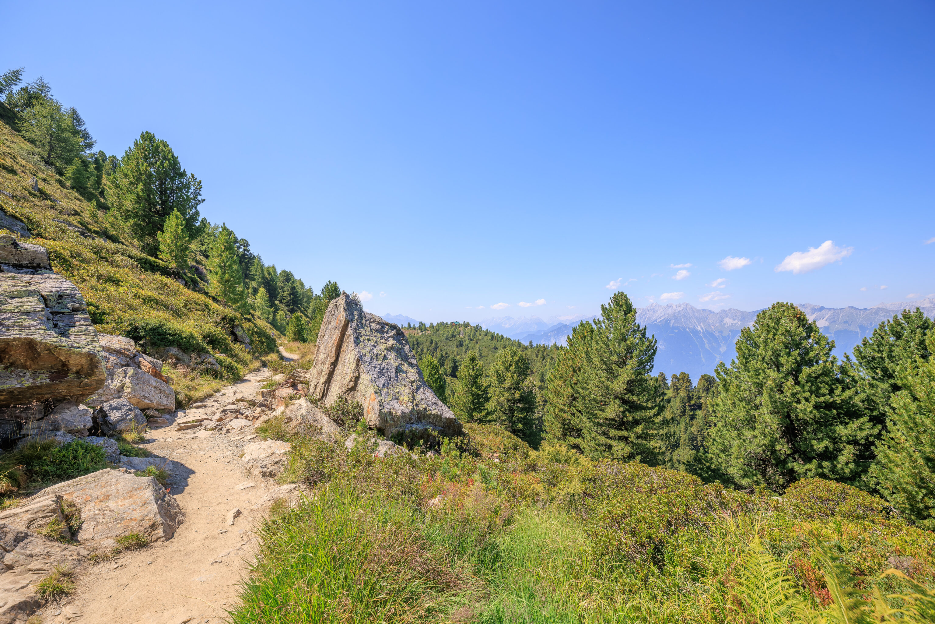
We walked past a long stone retaining wall.
We soon came across a fence. We photographed it after passing it as this perspective shows the additional fencing uphill.
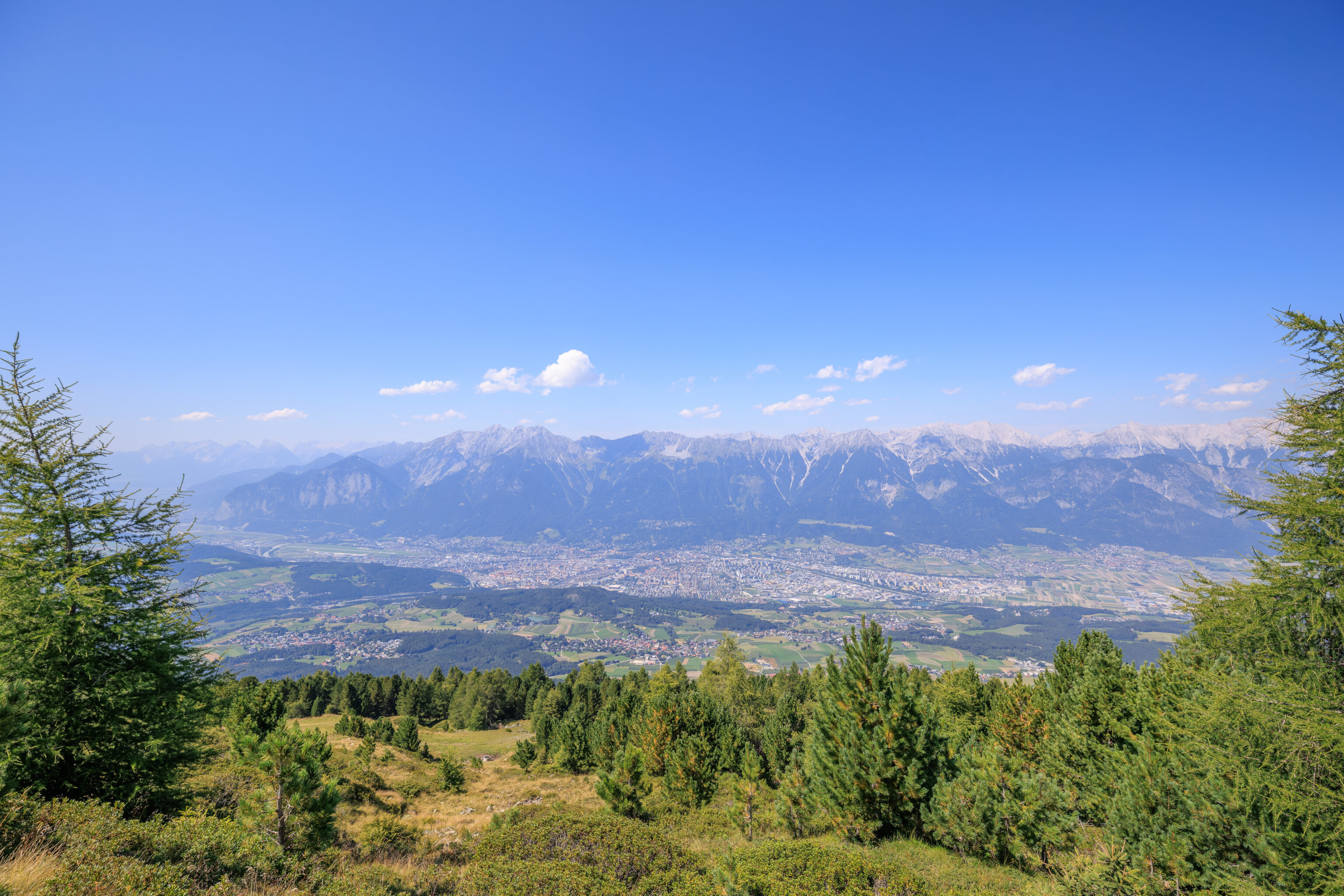
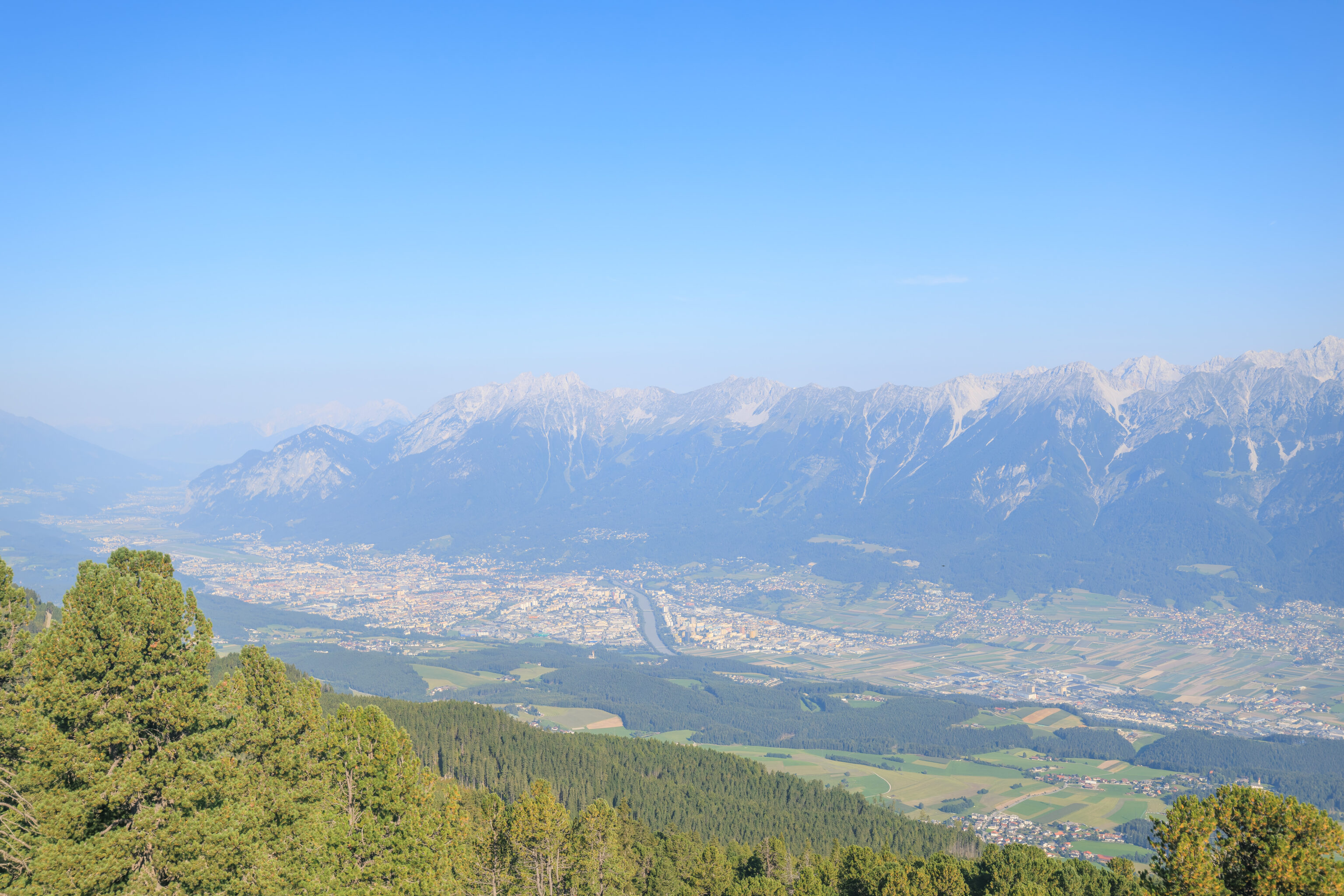
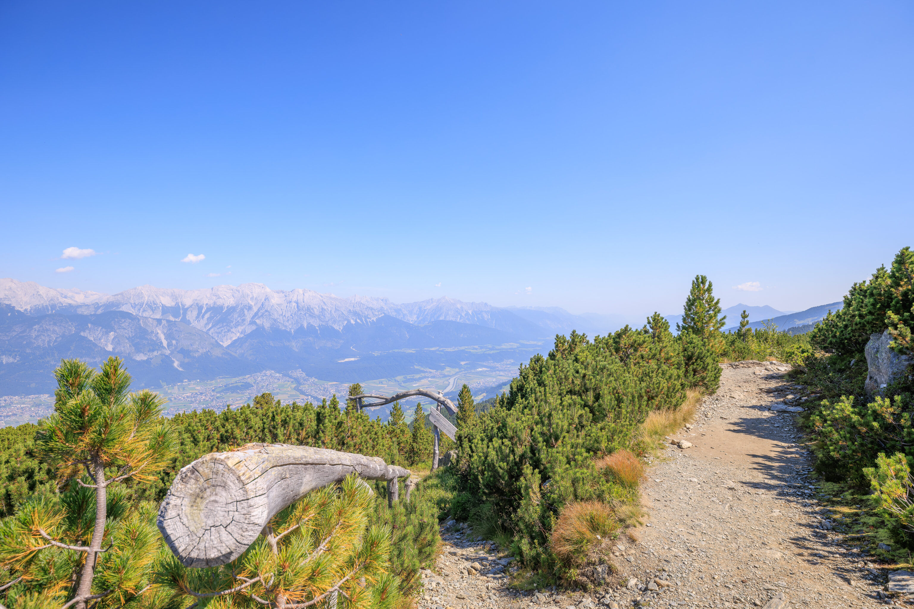
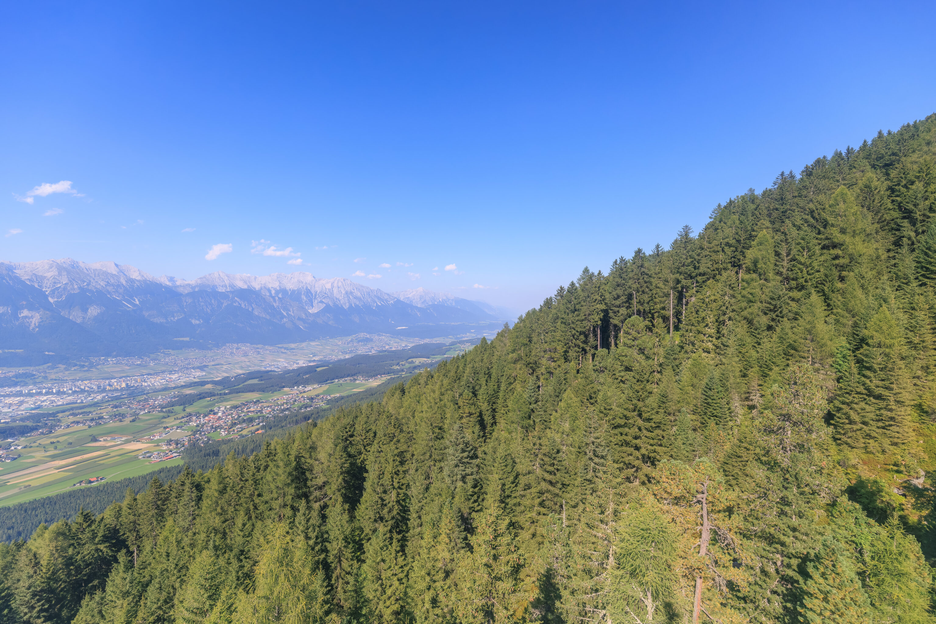
We also came upon a very wide open view of Innsbruck below us.
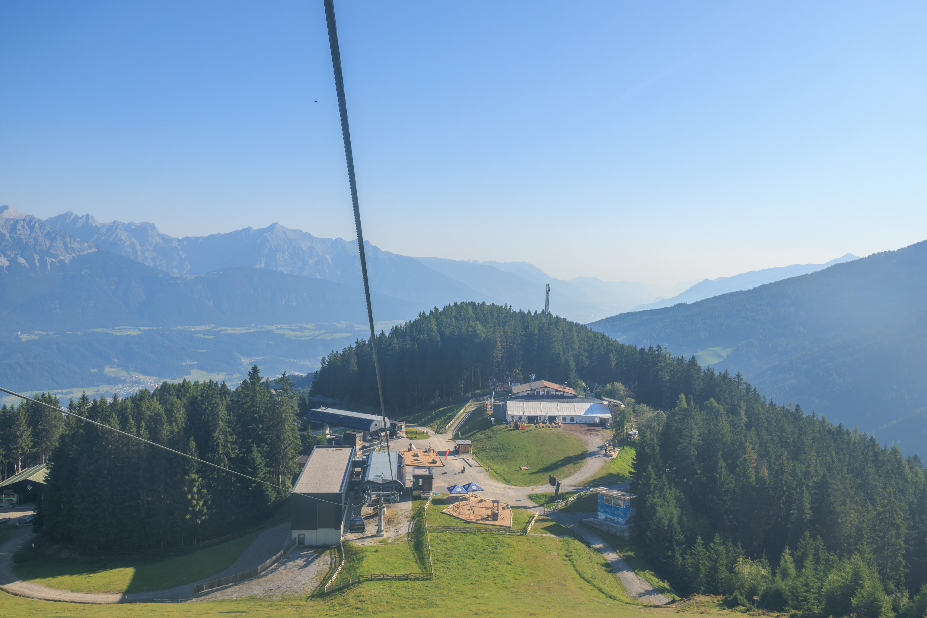
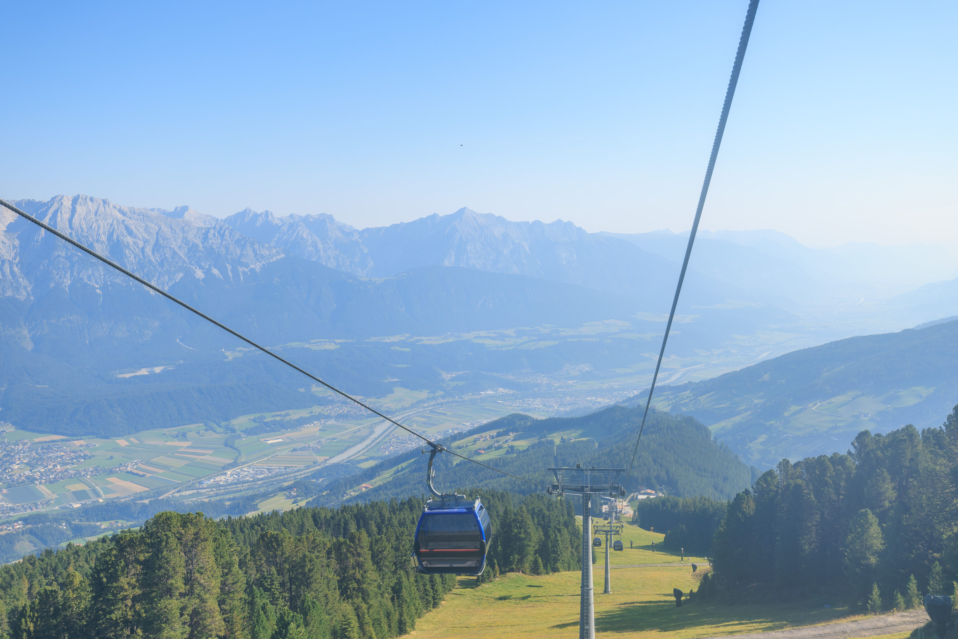
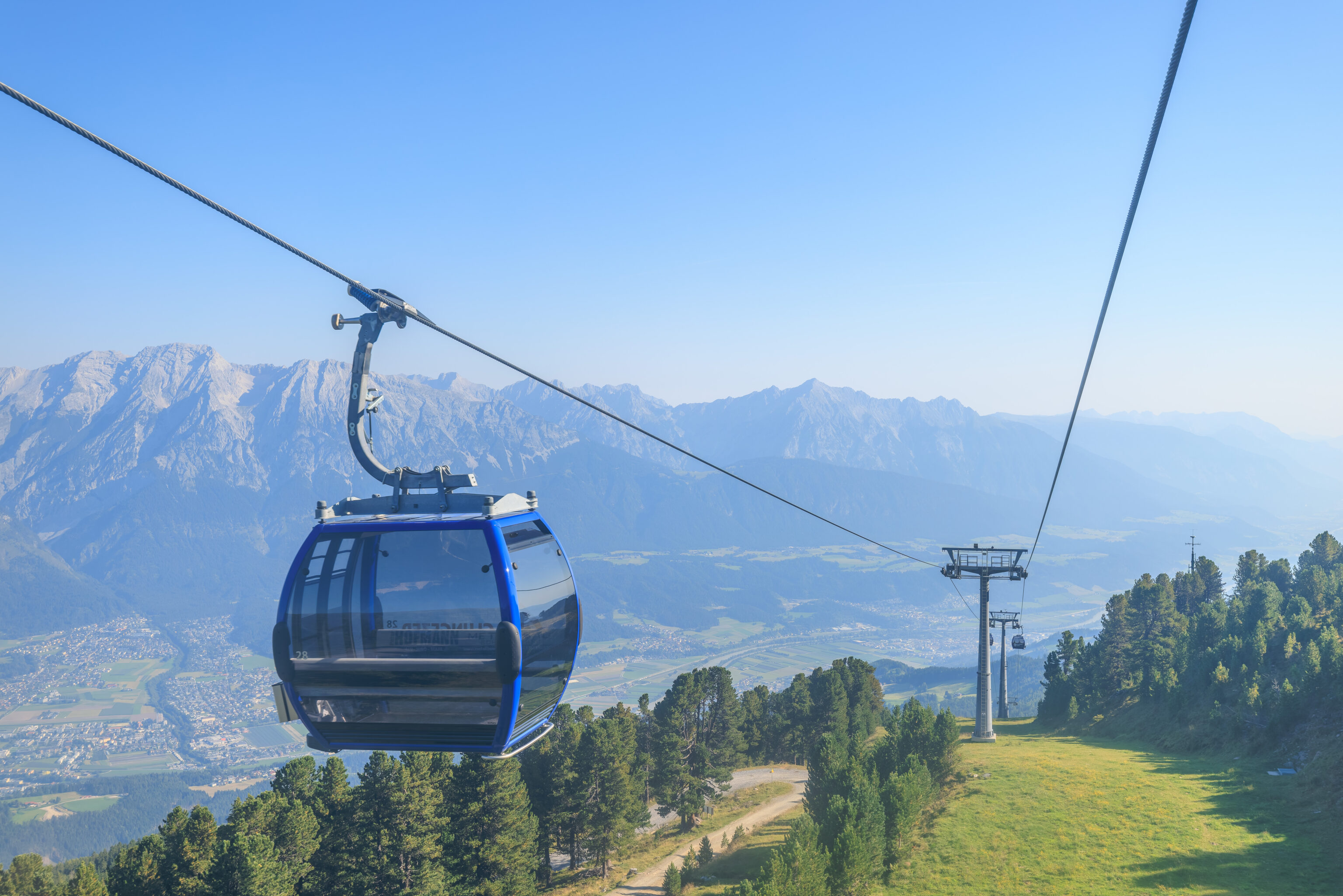
And then, around the corner, we saw the Patscherkofel’s upper gondola station!
The facility here is much bigger than the one at Glungezer.
We passed through another Zirbenweg arch, as seen here from the far side.
Having completed the trail, we had a few observations. Many sources online describe the trail as mostly flat and easy. And it is in places. But in other places it is rocky, steep, and narrow. The west side near Glungezer in particular is much easier than the side near Patscherkofel. Overall, it isn’t a hard trail, just not like walking on a paved path around a suburban neighborhood.

We decided to eat at the Schutzhaus Patscherkofel‘s outdoor terrace. In addition to having a restaurant, it also provides lodging.
We started with a Zirberol Sprizz, which was very good. As the name suggests, Zirben is one of the ingredients. We also ordered an eiskaffee, which happily came with Tomaselli ice cream! Tomaselli is the gelato shop that we visited yesterday in Innsbruck after arriving from Munich.
This dish translates to meatloaf with mashed potatoes, it seems just püree often suggests kartoffelpüree. It was a bit like Japanese hamburg but the patties had different filler and seasoning.
This was basically a type of big mushroom pasta.
We ended with an apfelstrudel after we saw other customers with it. It was excellent with large apple chunks. Definitely better than the one we had yesterday!
Overall, this was an excellent meal!
Looking back at the Zirbenweg from in front of the restaurant.
The restaurant and its terrace, as seen from over by the gondola station.
The gondola station is a very modern building, definitely different from the typical mountain architecture in the Alps.
This plaque is dedicated to Kaiserjäger-Oberst Georg Bilgeri who died on April 12, 1934. The Kaiserjägers were an infantry regiment in the Austria-Hungary Army from Tyrol. Oberst is a rank equivalent to Colonel. According to his Wikipedia page, in addition to other ski related activities, he founded a ski school here at Patscherkofel in 1930.
There were many cows resting and grazing just upslope of the gondola terminal.
A short clip of the cows.
A wide path continued beyond, though this is as far as we went. This path leads downhill and another leads up to the summit.
The view was unfortunately pretty hazy. We definitely couldn’t make out much detail in anything that was far away.
There was a map at the station, similar to the one at Glungezer.
We walked out to the downhill side of the gondola station to take a look.
From here, we could see the gondola cableway descending to the northwest.
Looking to the north, we had a different perspective of the Schutzhaus Patscherkofel.
And again, we had a good view of Innsbruck.
We made a panorama of the view from the station.
Time to descend! We noticed this display showing the Circus of Asia at the Swarovski Kristallwelten (Crystal Worlds) museum. Swarovski is from Wattens, a town just a few miles away from Glungezer. We may visit. The Circus of Asia appears to be an exhibition taking place at the museum.
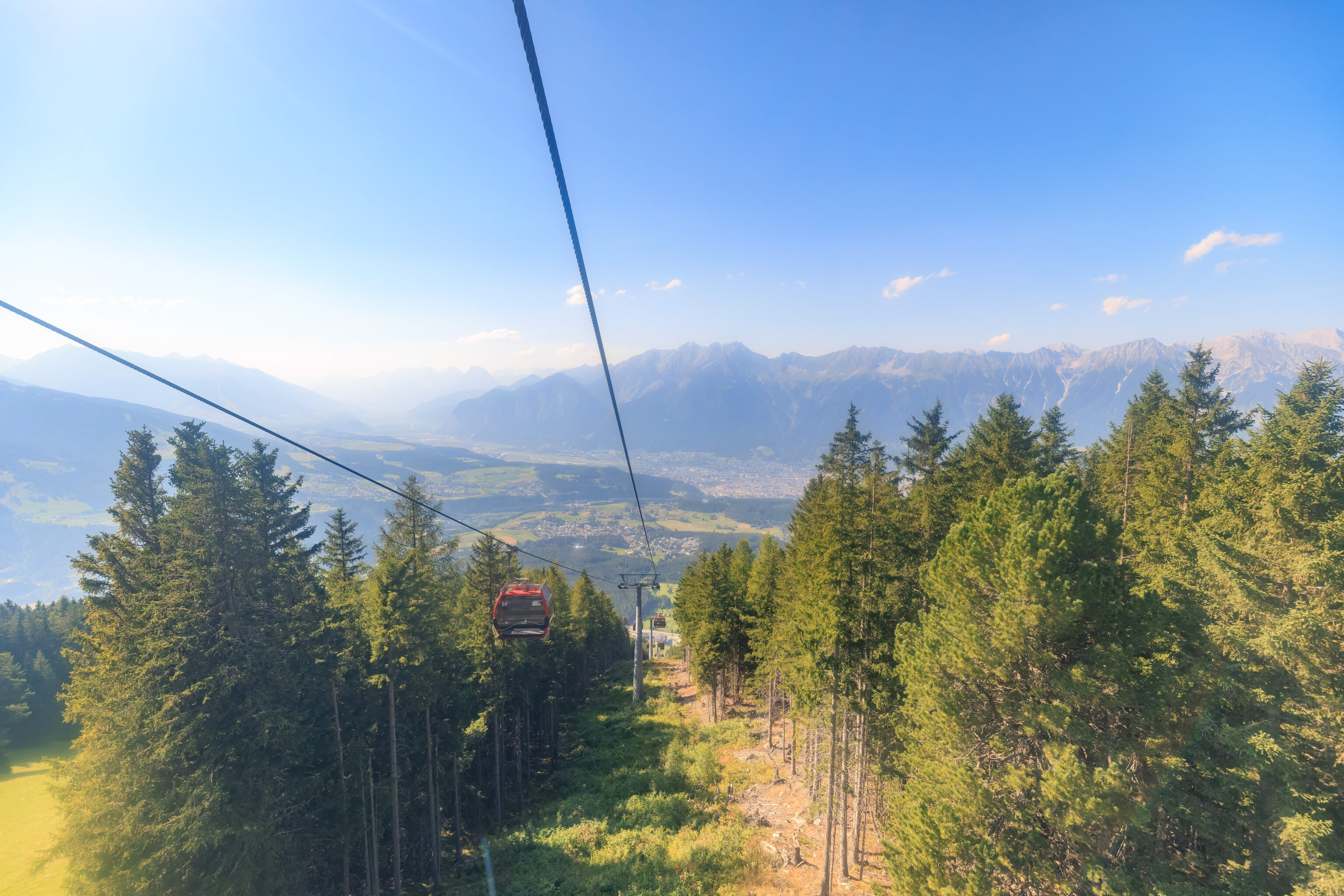
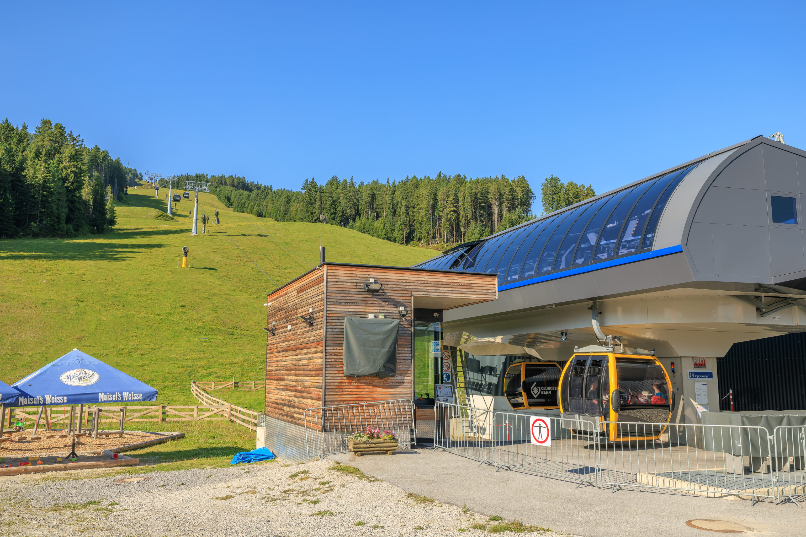
We headed down the Patscherkofel gondola. Unlike the Glungezer side, this one was just one cableway.
The metallic structure below is the Olympia Eiskanal, a bobsled track! The facility here was used in both the 1964 and 1976 Winter Olympics, both of which took place in Innsbruck.
The gondola level of the station is above street level.
The view looking back uphill. We ended up browsing the Intersport store here opposite this view for awhile.
The gondola station building, as seen from street level.
The bus stop is, well, a bus stop.
The view looking at the gondola station from the bus stop. The windows of the Intersport store are on the right.
Innsbruck
We were able to get a few decent photos from the bus on the way back to Innsbruck.
We decided to get off the bus at the Innsbruck Maria-Theresien-Straße stop, right by the rainbow crosswalks along Maria-Theresien-Straße.
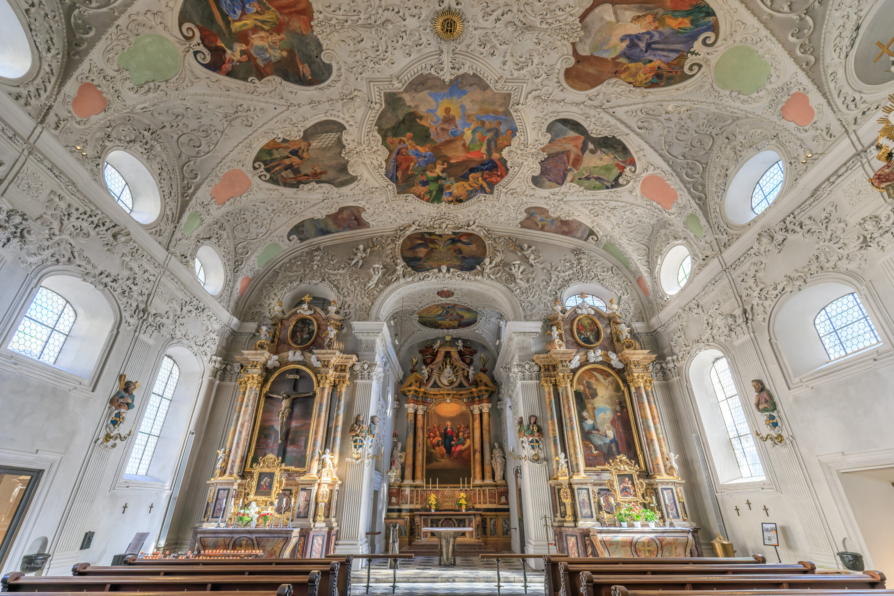
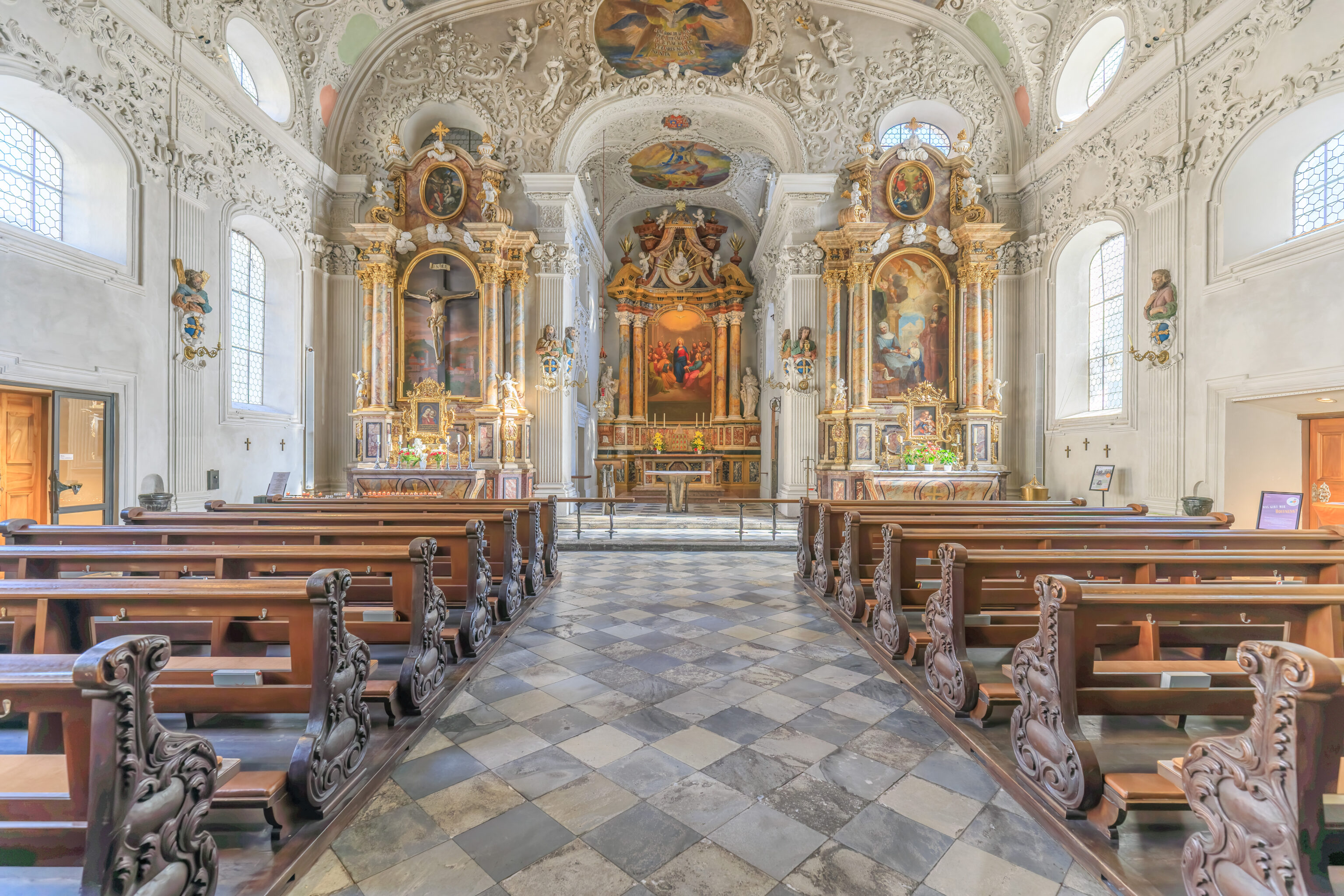
We popped into the Spitalskirche zum Heiligen Geist (Hospital Church of the Holy Spirit) to take a quick look. The interior was very white but with some color in the various paintings and sculptures throughout.
The Spitalskirche is one of the two pink churches that we saw yesterday while walking through this area. A sign outside provides a bit of history:
Hospital Church of the Holy Ghost
There was a chapel in the City Hospital from as early as 1320, first referred to as a "church" in 1381. It acquired its Baroque form in 1700/01 when it underwent a reconstruction initiated by Johann Martin Gumpp. The adjacent former hospital cemetery can also be traced back to 1320 and was used as the municipal cemetery from 1509 to the mid-19th century.
We walked to the south towards the Annasäule…
And stopped at Tomaselli for some gelato! This time, we got two scoops of peach and a scoop of raspberry. An excellent treat after a hot day in the mountains!
We had Tomaselli yesterday after arriving in Innsbruck. We actually considered getting it when we passed by in the early evening but there was a very long line outside. We probably should have just queued as it moves fairly quickly. There was a queue today but it wasn’t too bad.
We noticed the Palais Trapp, which reminded us of the von Trapps from the Sound of Music. The von Trapps were from Salzburg, which is about two hours away by train via Germany. The Palais Trapp does not seem to be related to the family.
We switched to the telephoto lens to take a look at the Triumphpforte with the mountains behind it. It was a nice scene, though marred by the overhead wires for the trams.
We also look a look in the opposite direction, back towards the Annasäule.
We also looked up at Seegrube on the Nordkette.
And, we looked at the Hafelekar aerial tram station near the summit of Hafelekarspitze above it. The actual summit was not in view.
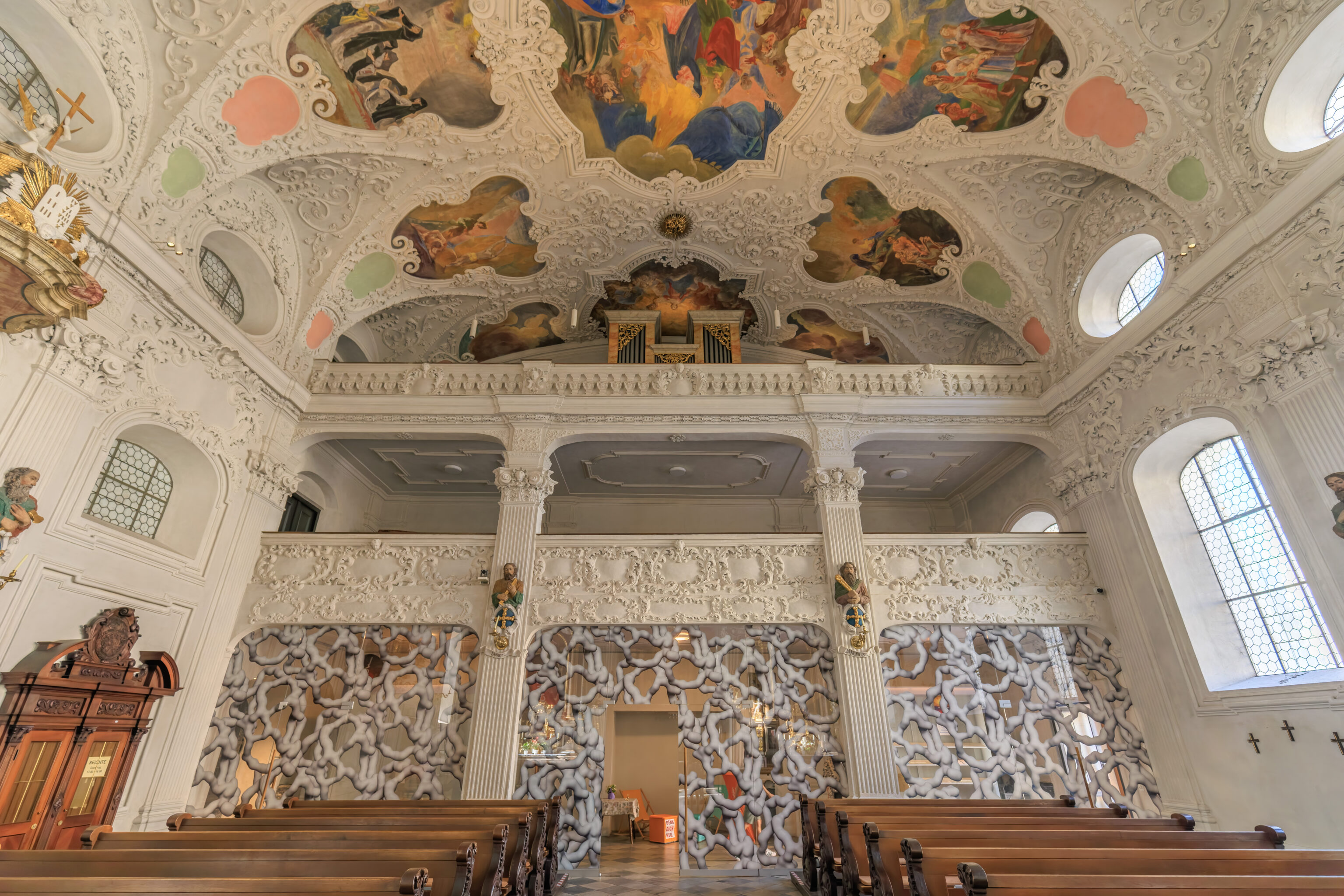
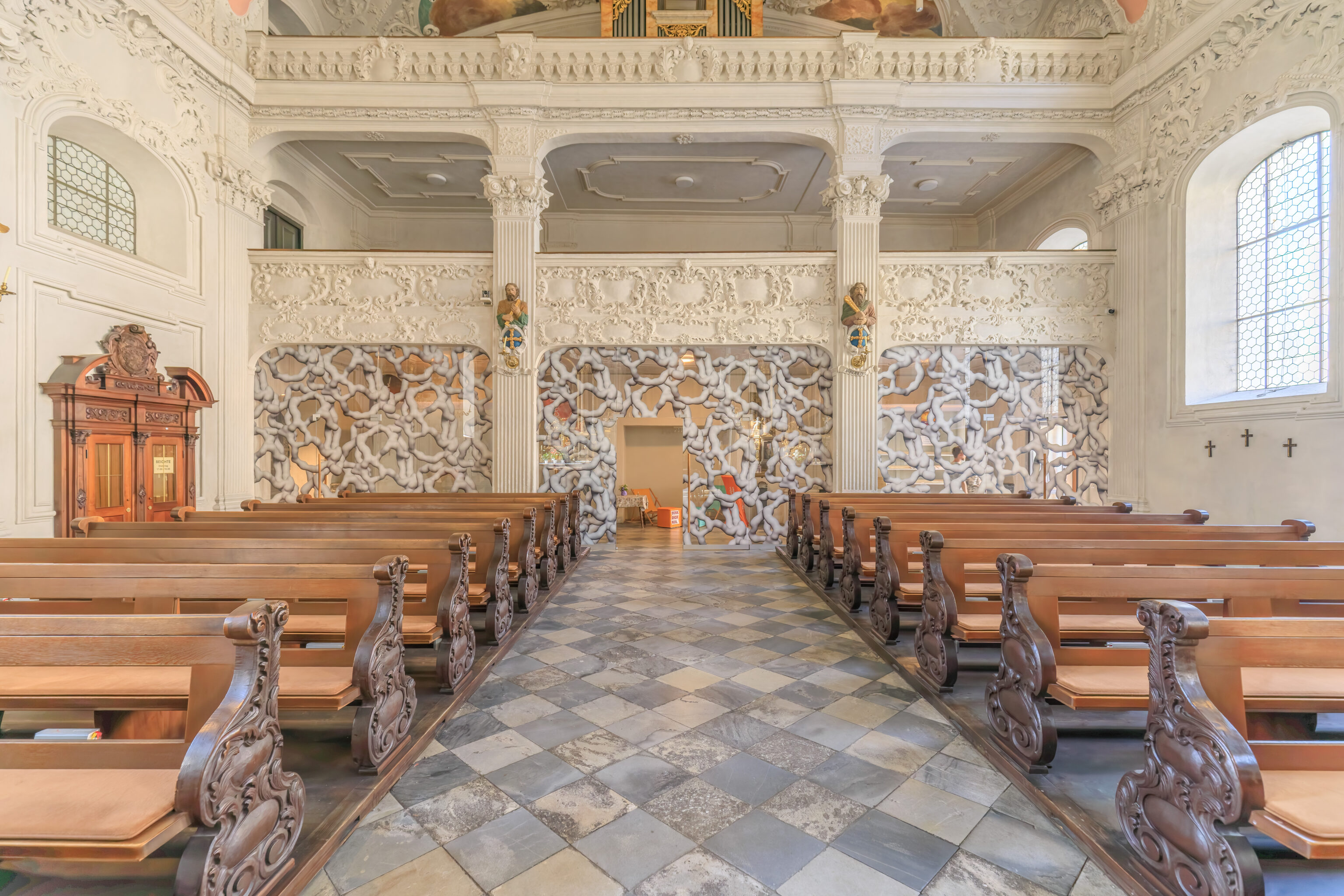
We were next to the Servitenkirche zum hl. Josef (Servite Church of St. Joseph) so decided to go in to take a look.
We walked in just as they were trying to close the church for the evening! People kept coming in, which was a bit humorous. The man trying to close down did let everyone who was already in to quickly take a look before leaving. So, we just snapped this one photo before heading back out.
We walked over to the plaza across from the AC Hotel to take a look. It turns out that it is basically a giant skate park. There were lots of people skateboarding as well a small mix of others walking around and enjoying the early evening.
Our room at the AC Hotel faces east. However, we were able to get a north facing view from the exterior stairwell at the northeast corner of the hotel building. This view is pretty good as it encompasses most of the places we’ve been to in Innsbruck so far.
We also took a look to the west, which was into the sun at this hour.
We walked over to the stairs at the opposite corner of the building. From here, we looked to the south to see the Bergisel Ski Jump.
A wider view from the stairs before heading back to our room.