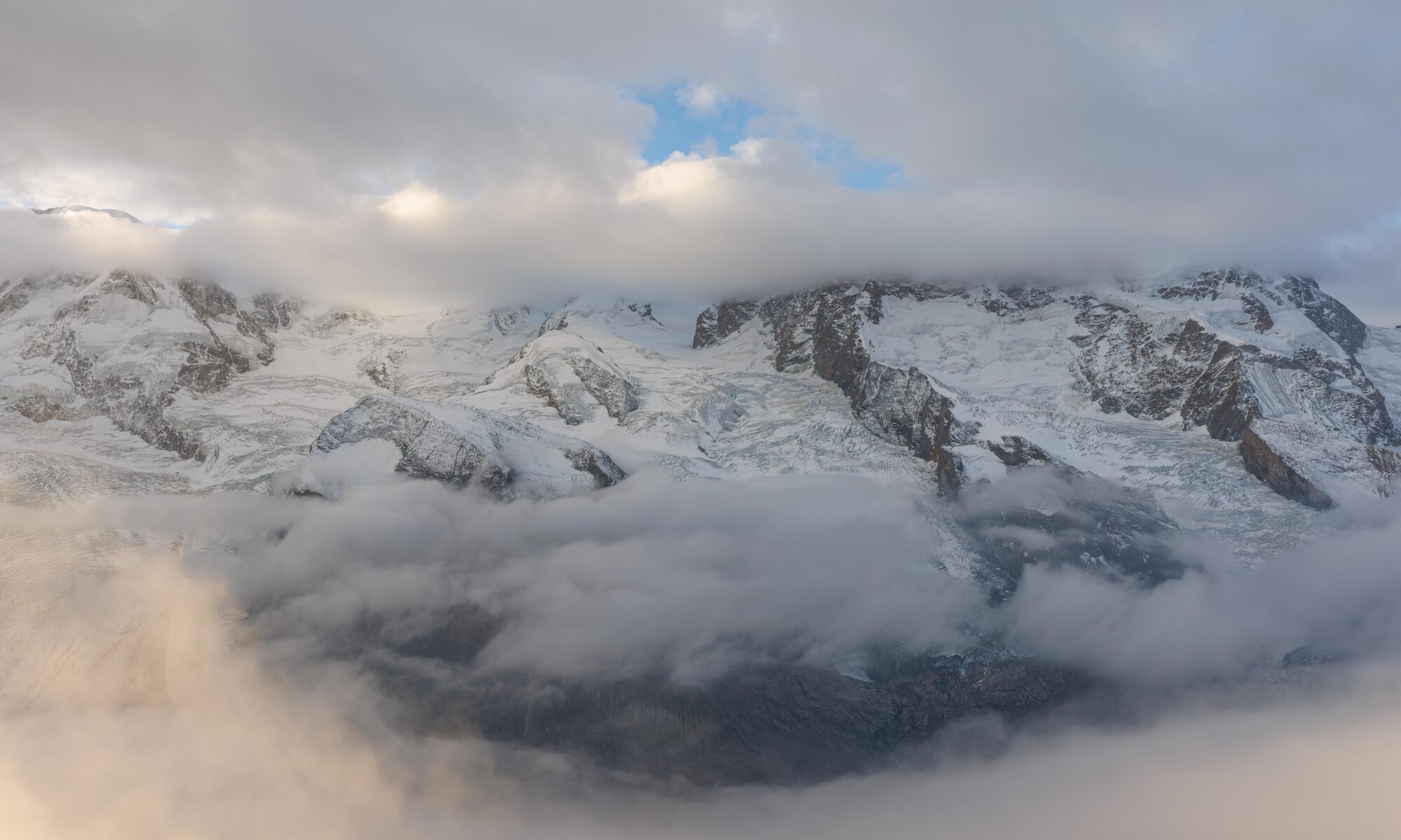
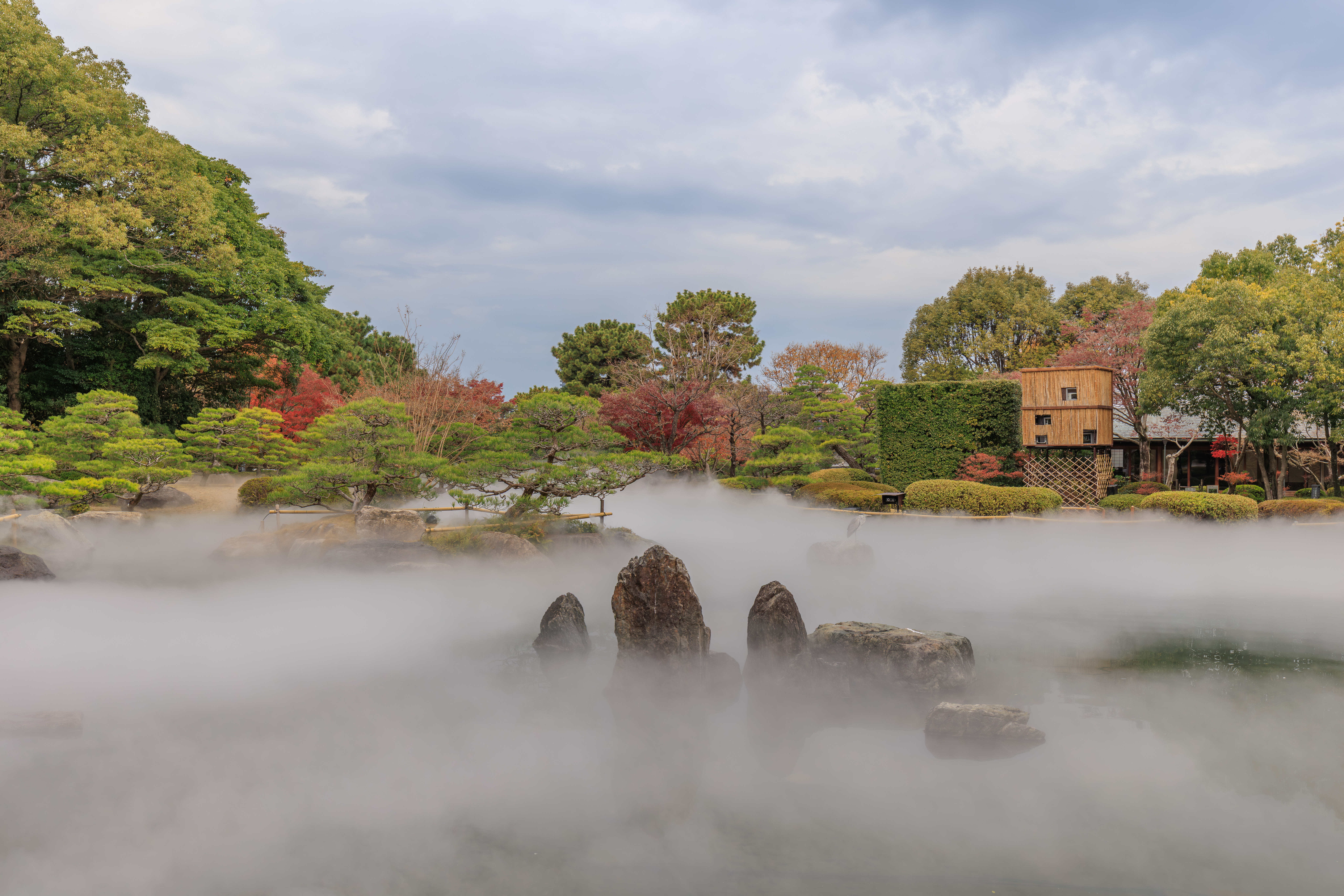
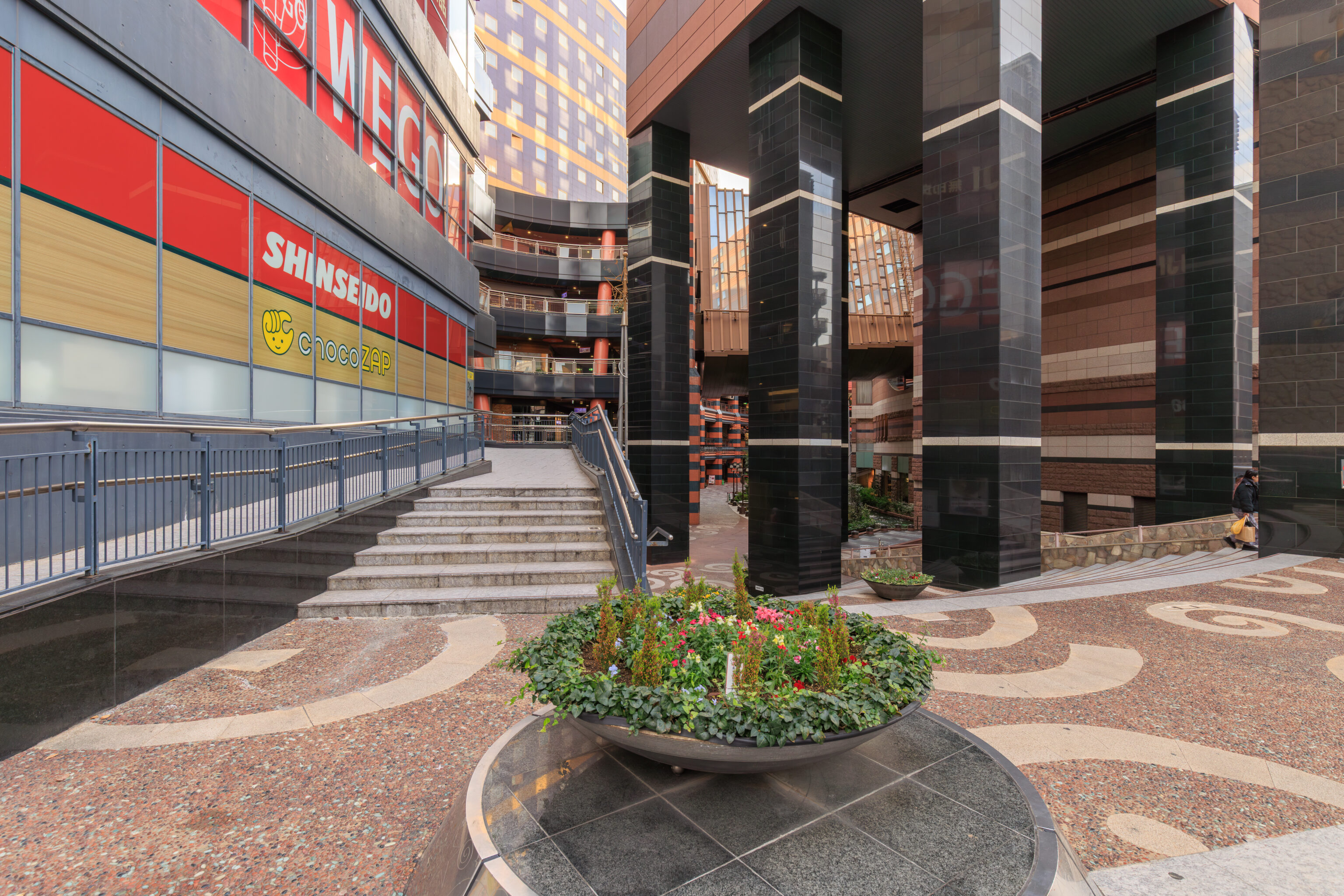
After waking up at the Grand Hyatt Fukuoka, we went out to have ramen for breakfast before walking to the castle ruins in 舞鶴公園 Maizuru Park. We then visited the foggy 大濠公園日本庭園 Ohori Park Japanese Garden and then walked through the rest of the park. After, we visited 福岡タワー Fukuoka Tower and took a ferry across Hakata Bay to 海の中道 Umi no Nakamichi before taking the train back to Hakata.
Morning
After waking up at the Grand Hyatt Fukuoka, we decided to spend the day in the city. We needed first go to Hakata Station to make some seat reservations and to pick up our JR Kyushu rail passes for the second half of our time in Kyushu.
We headed out a bit after 8am.
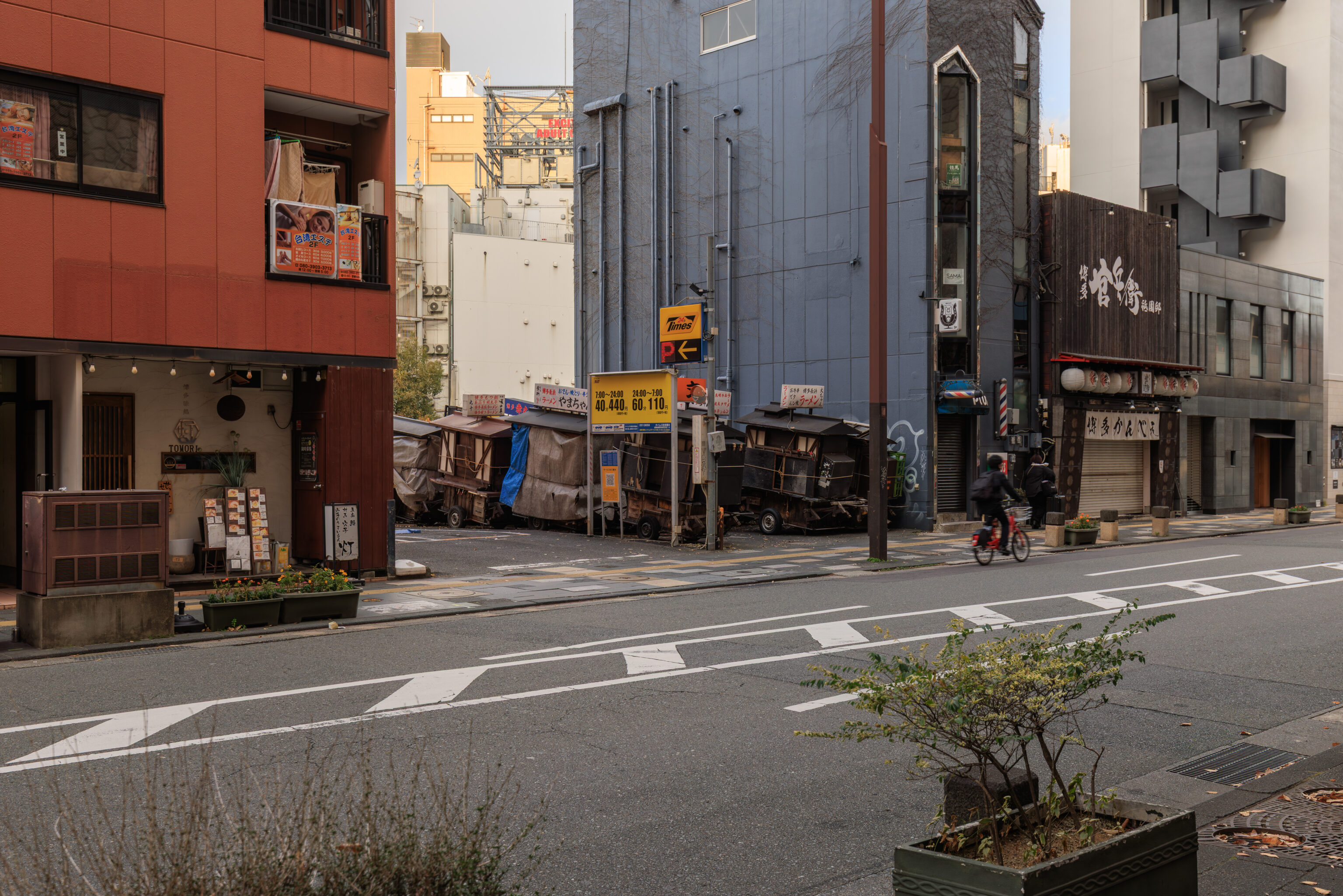
We noticed some stored yatais as we walked over to the Kushida Shrine subway station.
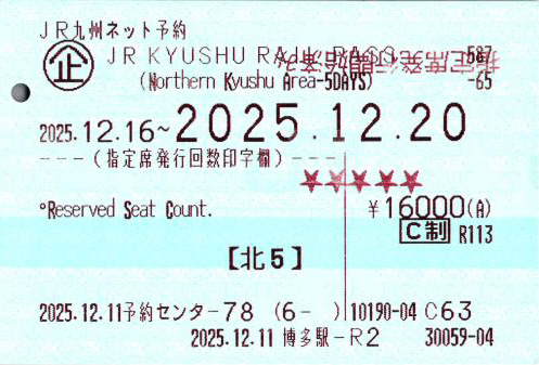
After arriving at Hakata Station, we went to the rail pass counter in the ticket office to pick up our JR Kyushu Northern Kyushu Area passes for the 16th through 20th. The southern boundary of the northern Kyushu area is Nagasaki, Kumamoto, Aso, and Oita, which happens to be as far south as we’re planning to go for the remainder of the trip.
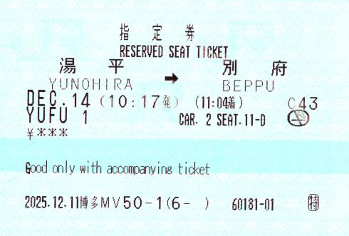
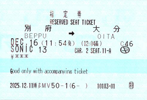
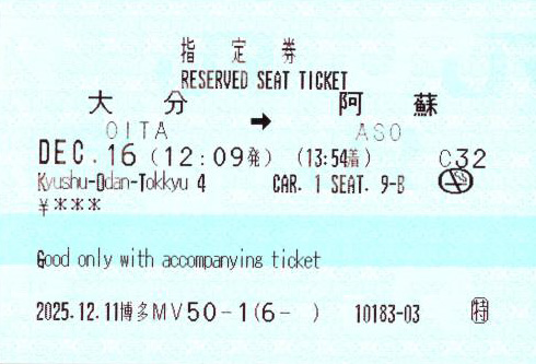
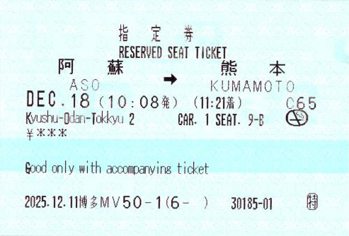
We also made seat reservations from Yunohira to Kumamoto, covering the 14th through 18th. We already have reservations that will get us to Yunohira. We don’t know our exact plans for after Kumamoto yet so will make those seat reservations later, other than we plan on going to Nagasaki.
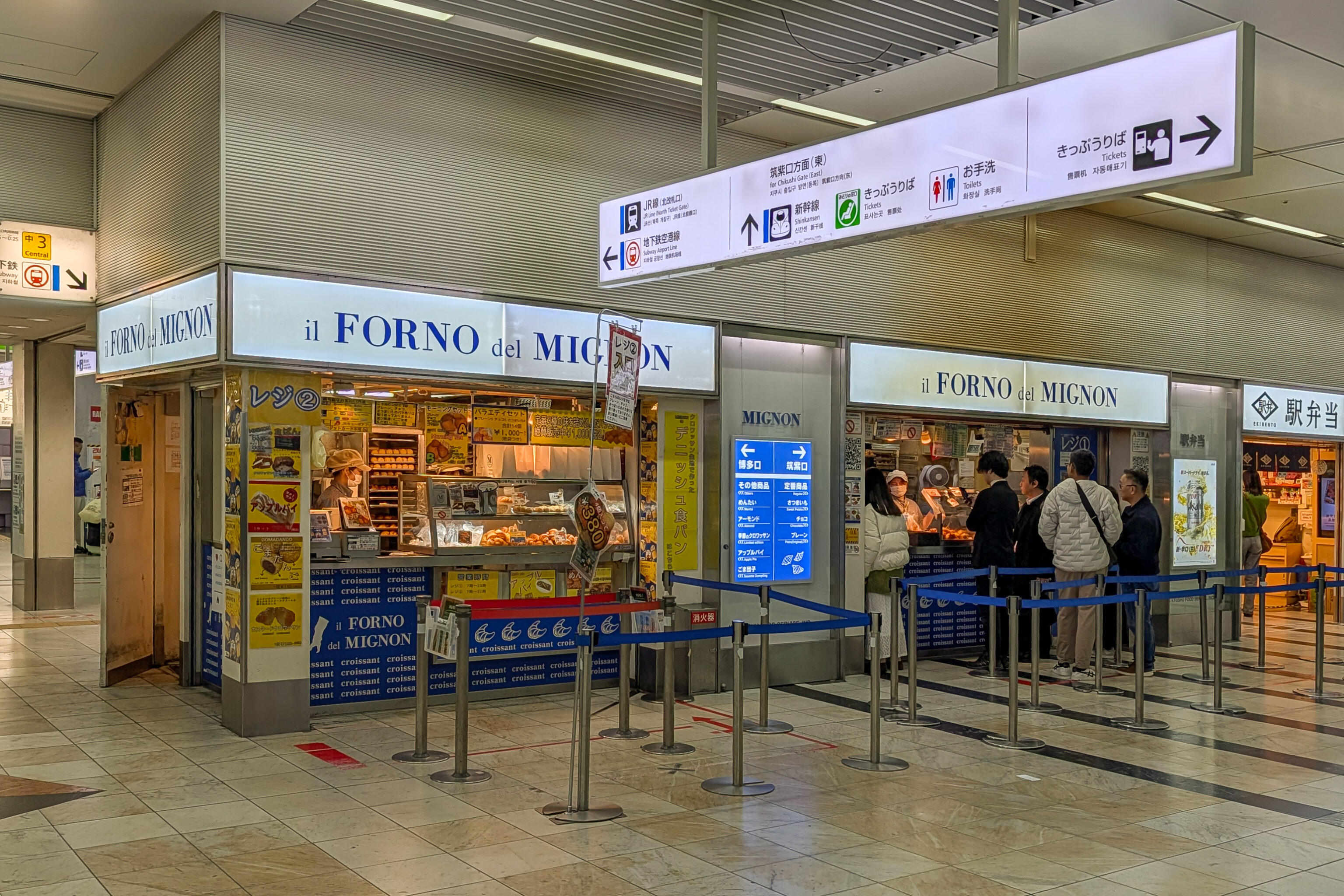
While we were at the ticket office, we noticed a minimal queue in front of il Forno del Mignon. We decided to give it a try as on prior days we’ve seen many people queued up for their little croissants. There are three varieties – plain, chocolate, and sweet potato. They kind of had a bit of a mochi texture compared to a normal croissant. It was a nice snack!
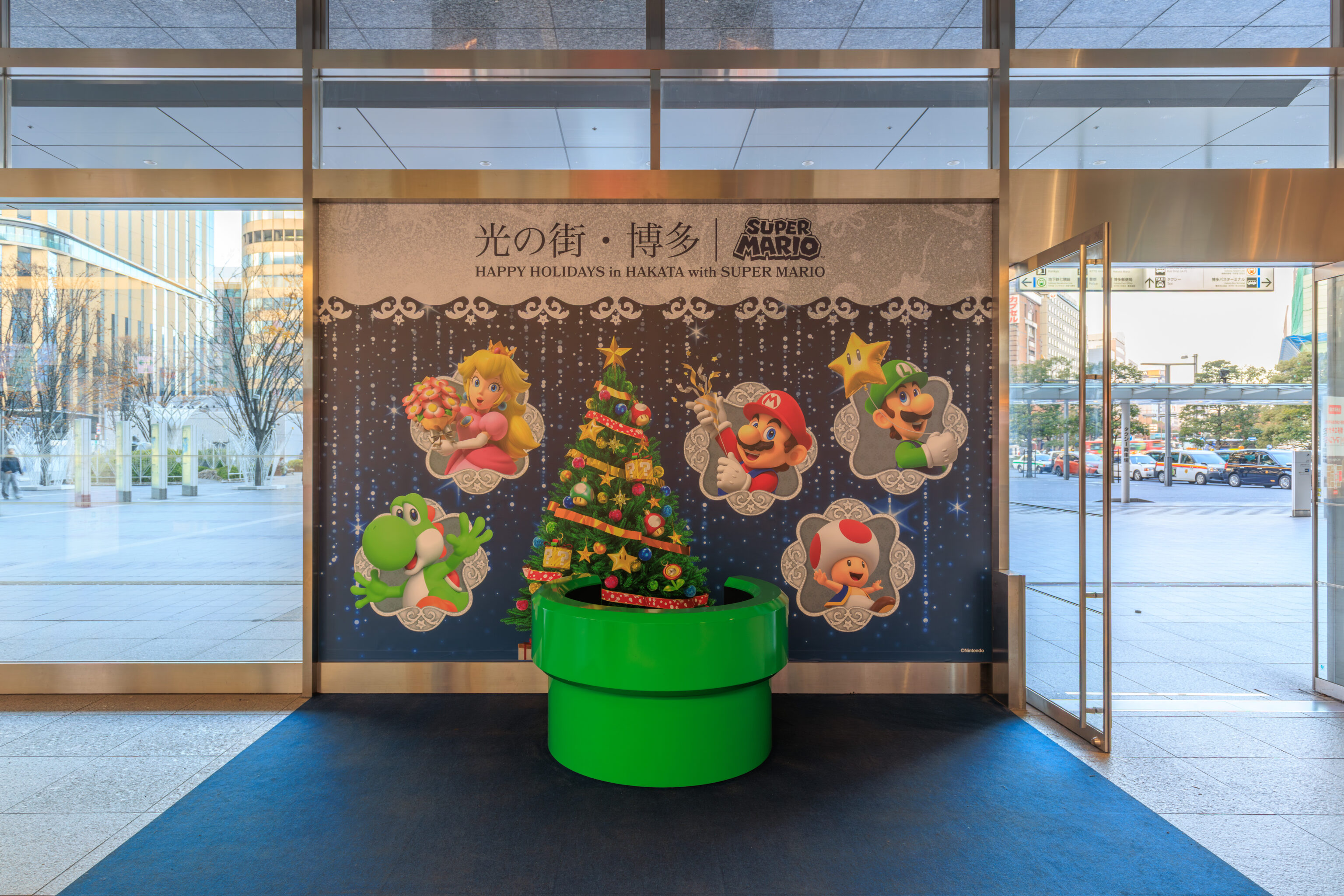
We noticed this green pipe for the Super Mario x JR Kyushu collab as we went to find the entrance to the Airport Line. We took the Airport Line subway to Akasaka Station, just one stop past the Tenjin area we were at yesterday to take the Nishitetsu train.
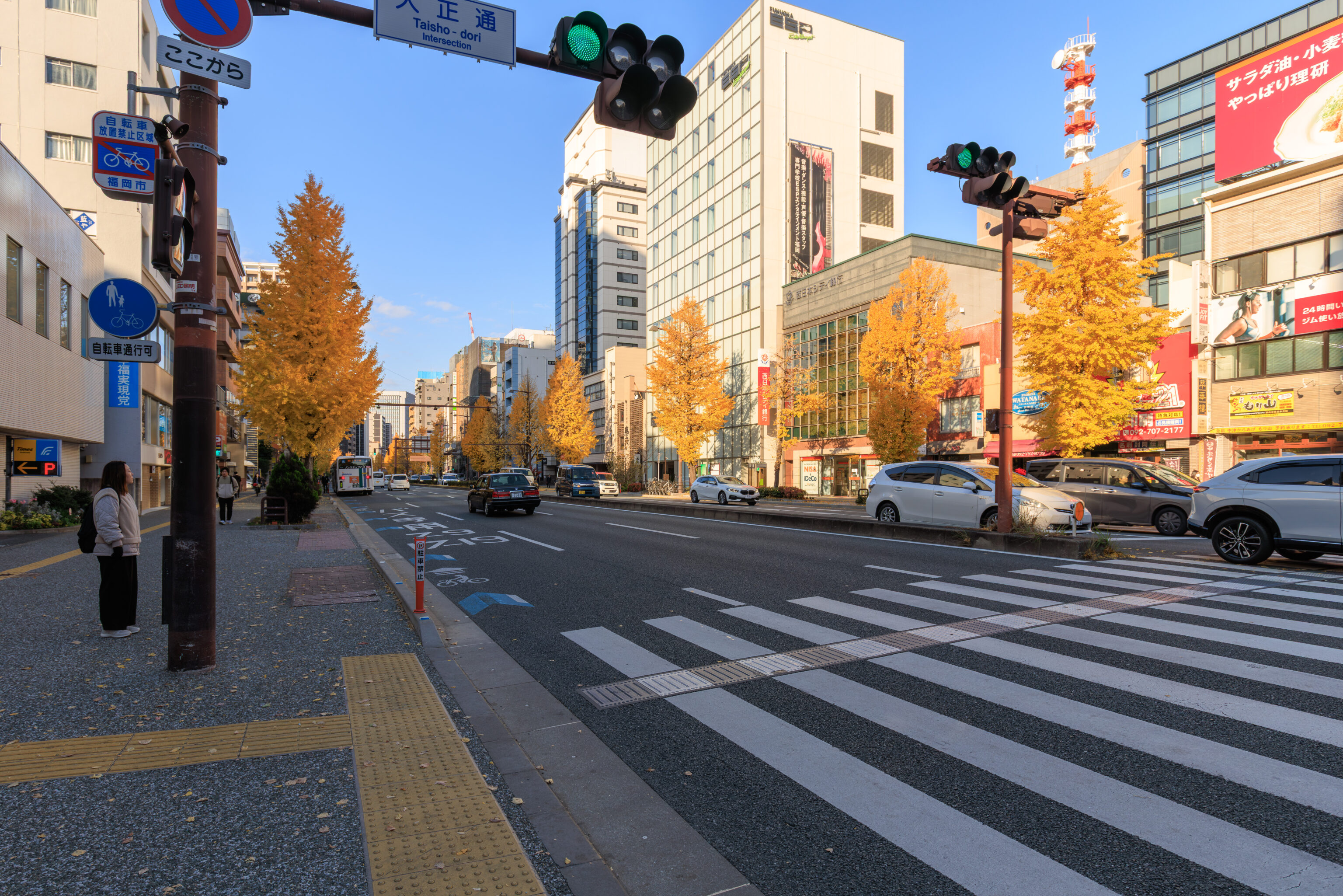
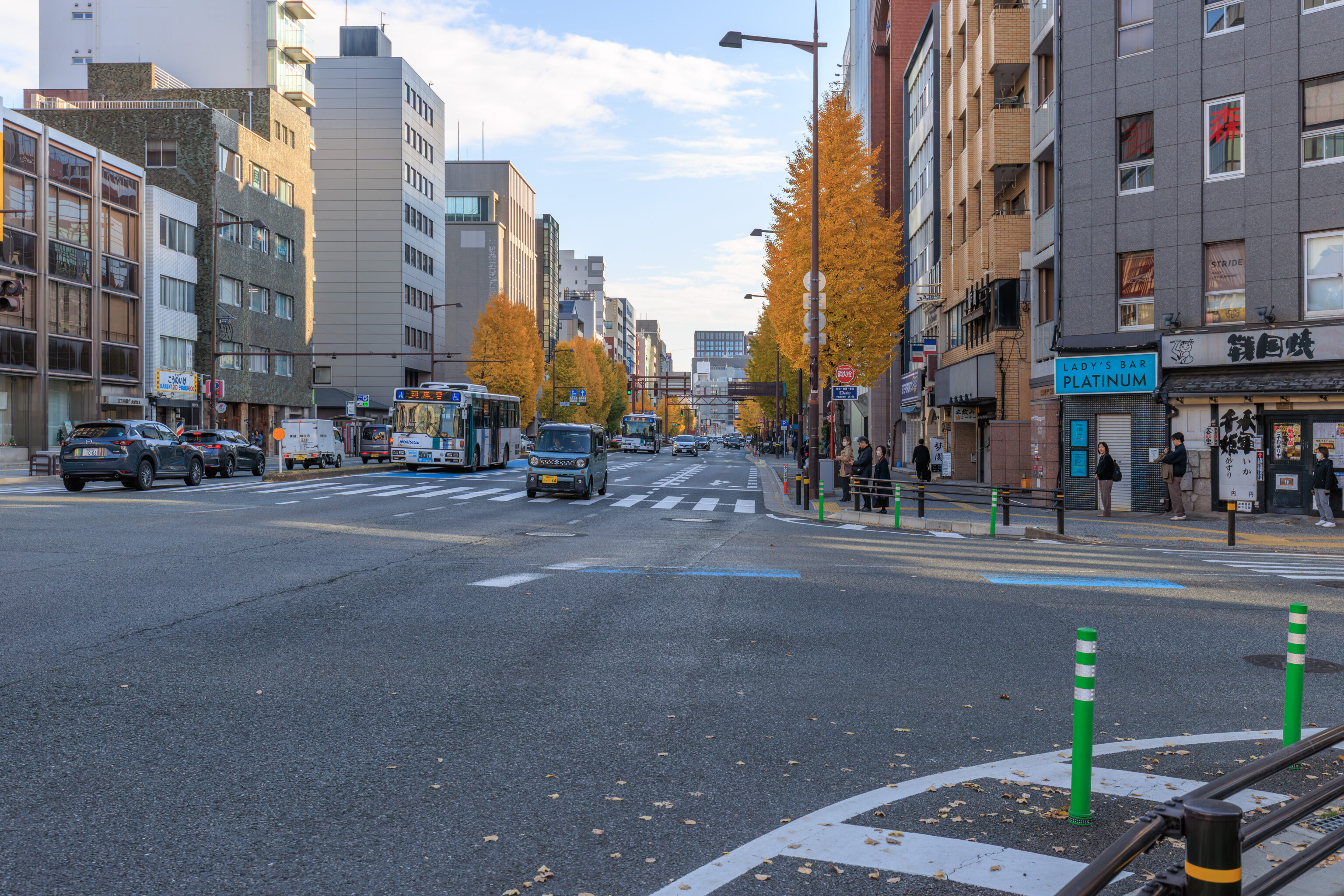
After we got off the subway at Akasaka Station, we started to walk to the north to get to Ganso Nagahamaya, the ramen restaurant we plan on having a late breakfast at. It is a famous shop from the 50s and opens at 6am.
There were some pretty gingko trees on the way.
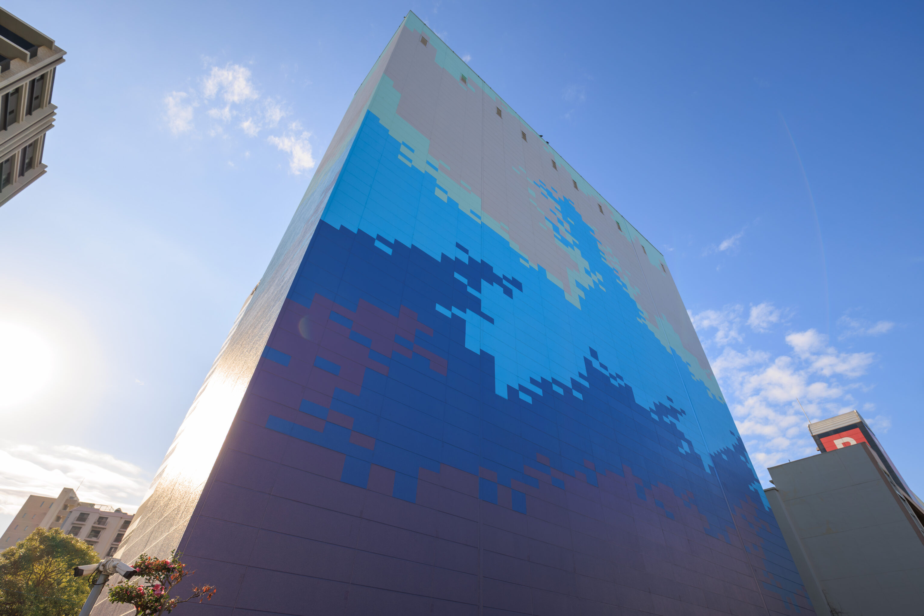
This building near the restaurant had pixel art of a wave. Although, does that kind of look like Gojira?
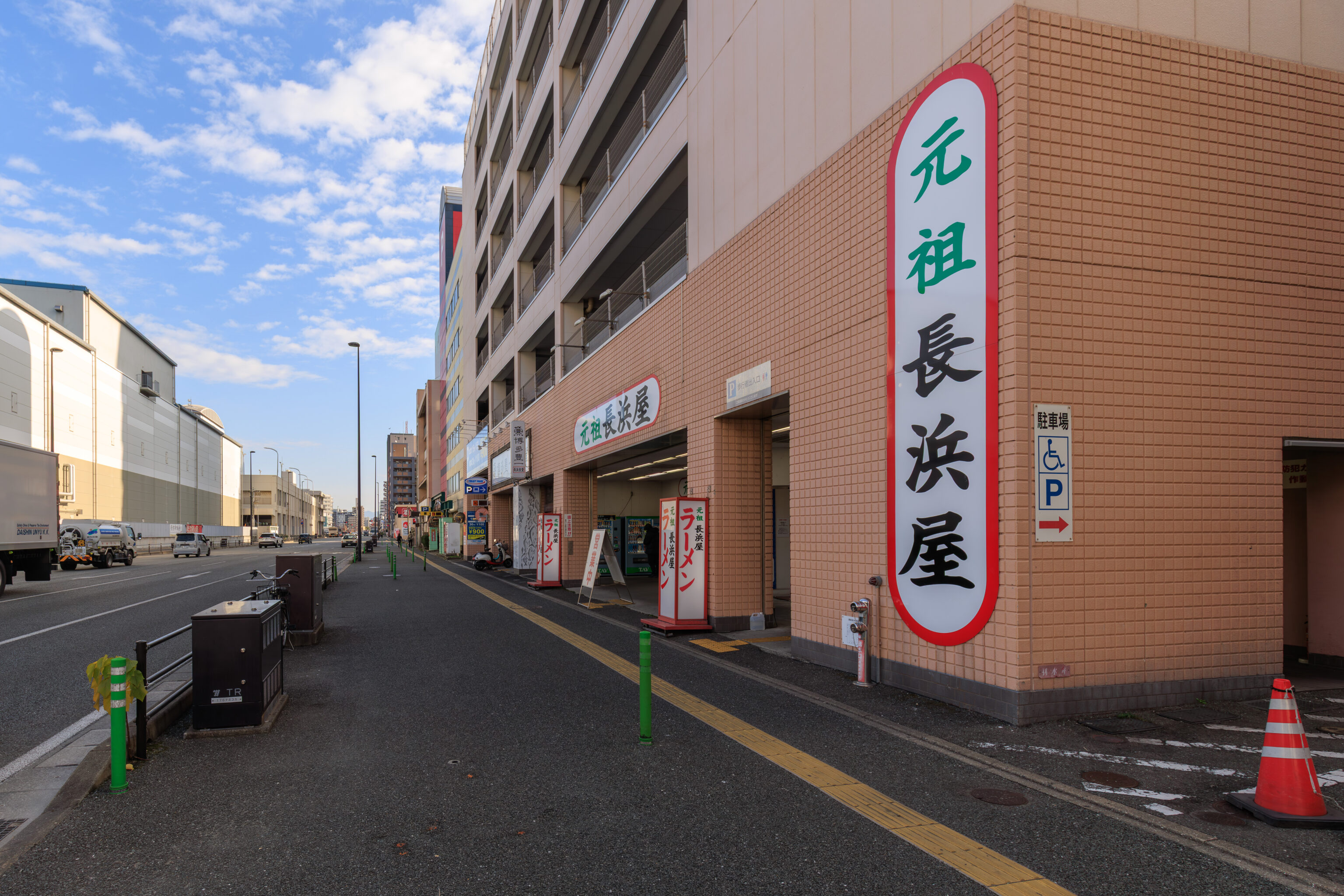
元祖長浜屋 Ganso Nagahamaya, near the Nagahama Fish Market, has been described as blue collar ramen as they exist to serve the workers at the market. The physical space is a bit like going to some beef noodle soup restaurants in Taiwan – an old utilitarian space with simple tables and stools. Although, in this case, the restaurant’s physical space was huge!
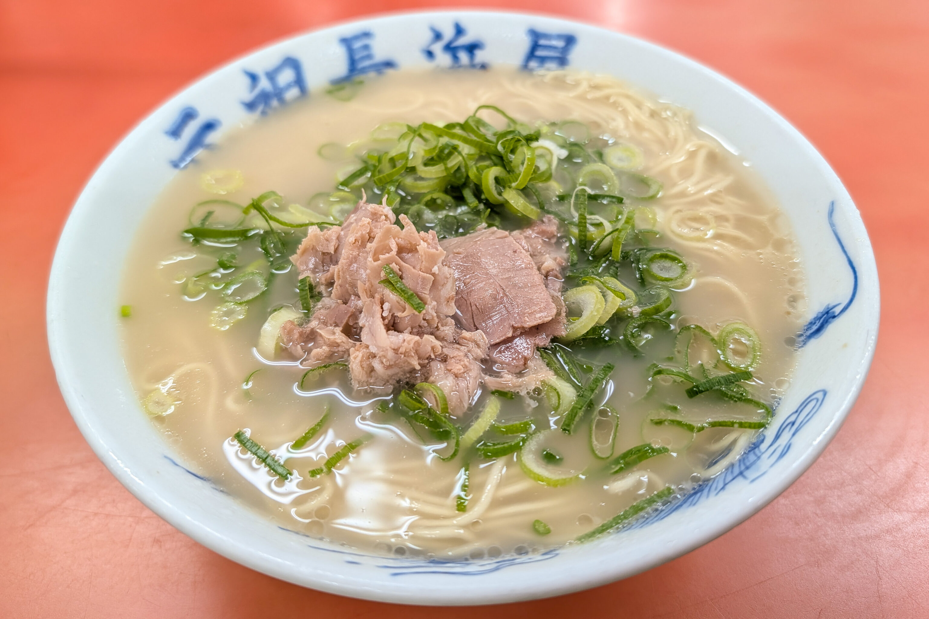
There is really just one thing to order – the ramen. The broth was definitely on the lighter side, very different from most modern ramen that we’ve had in Japan which tend to have a much stronger flavor.
Maizuru Park
After our meal, we started to walk to the southwest to visit 舞鶴公園 Maizuru Park, which contains the ruins of Fukuoka Castle.
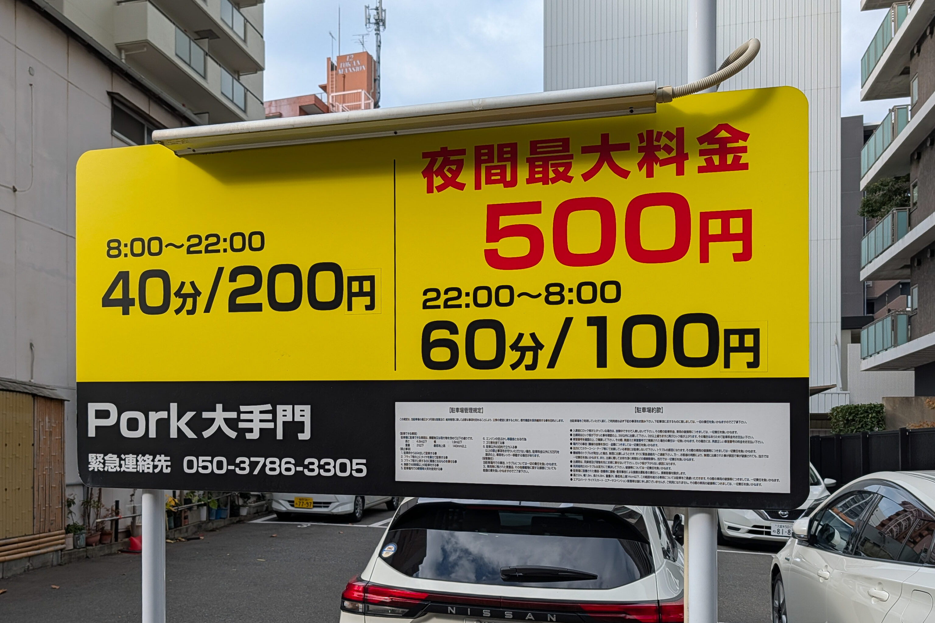
You can park here and have some pork! Well, actually, they just put an O on the sign instead of an A.
Its interesting that the cost for parking during the day is given in units of 40 minutes. Maybe that is a standard thing here, we’ve yet to ever drive in Japan so its never been a concern!
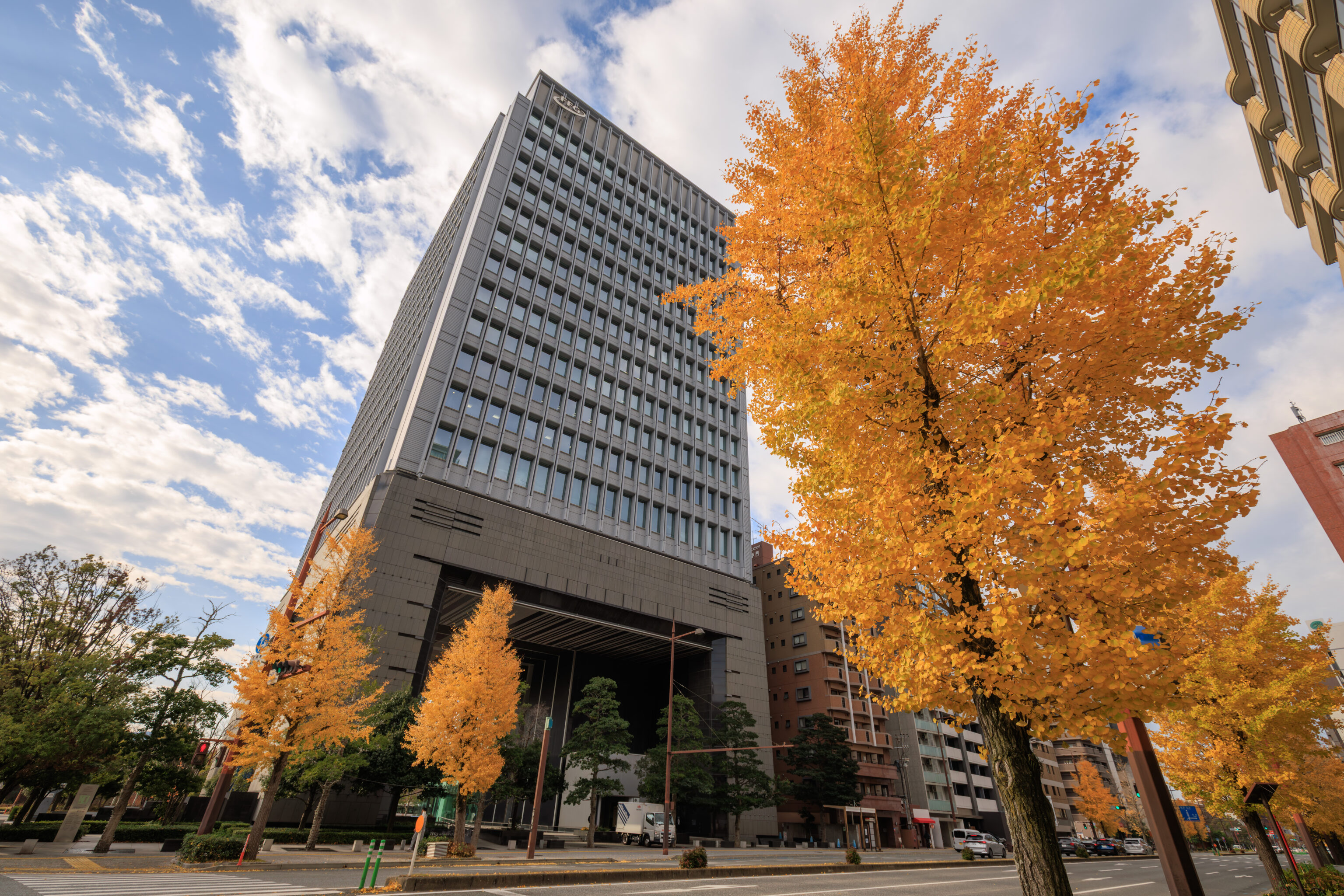
When we were a block away from the park’s northern edge, we came across some beautiful gingko trees.
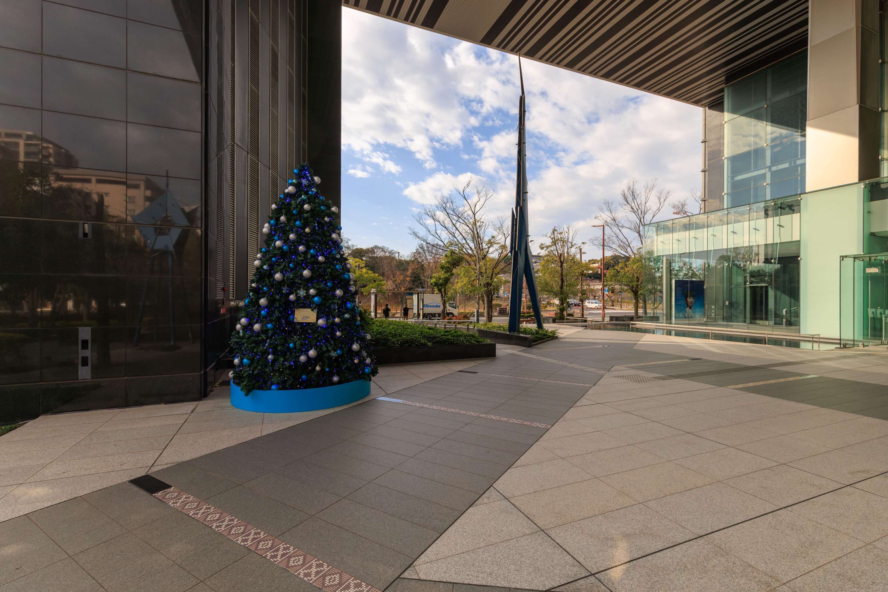
After crossing the street, we noticed this blue and white themed Christmas tree in the open plaza below an office building. Around here, we also happened to notice a group of school children being led by their teachers, kind of like watching ducks with their ducklings. Its actually a very common thing to see in Japan. The kids, that is.
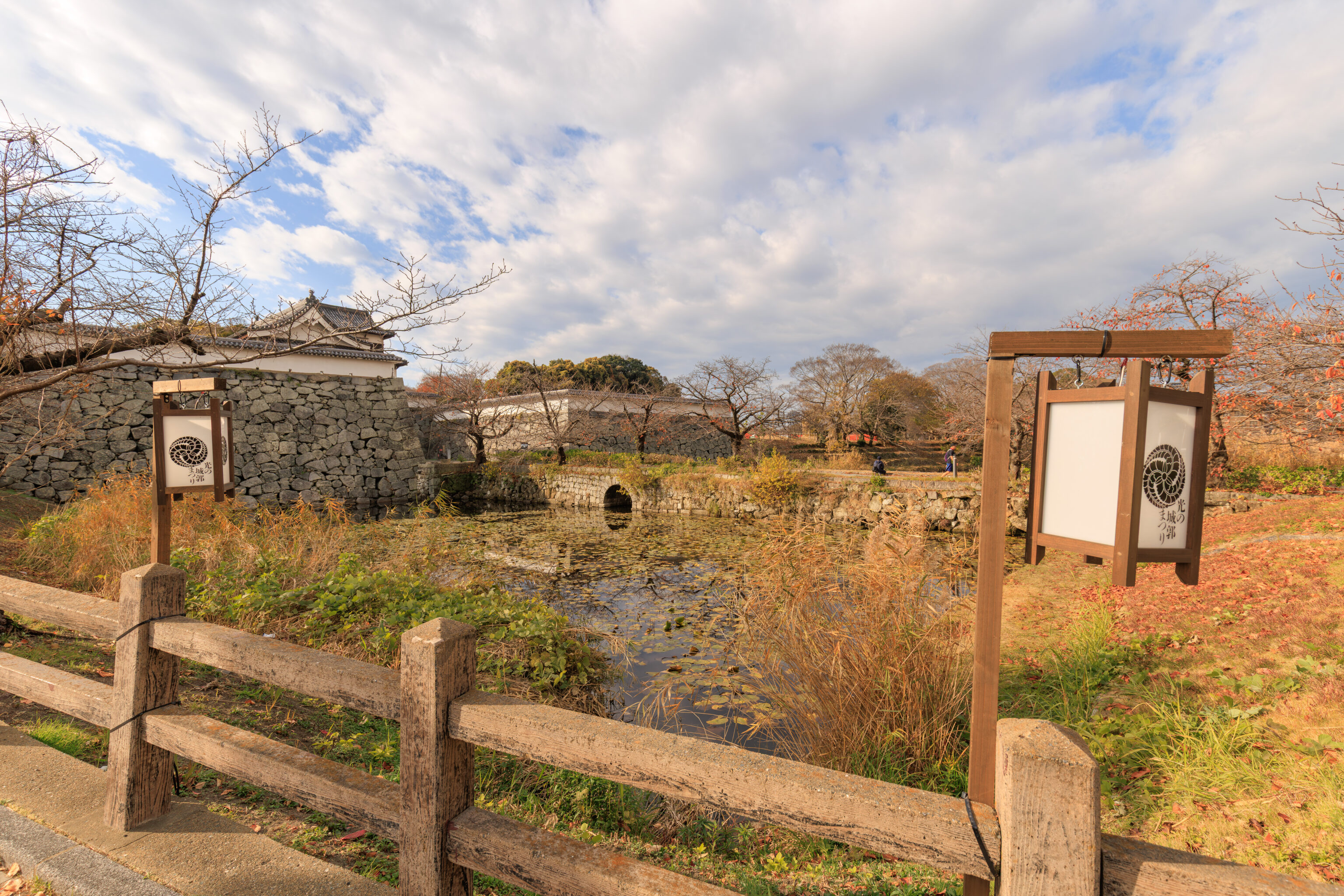
We continued walking south along a road that leads into Maizuru Park. This road ascends towards the castle’s outer walls. It seems like it might also be a bridge over what may be a moat around the castle walls, although it is just as likely that the ground has been filled under the road.
A little bit to the west, we can see a level pedestrian path that leads into what seems like the castle’s proper entrance.
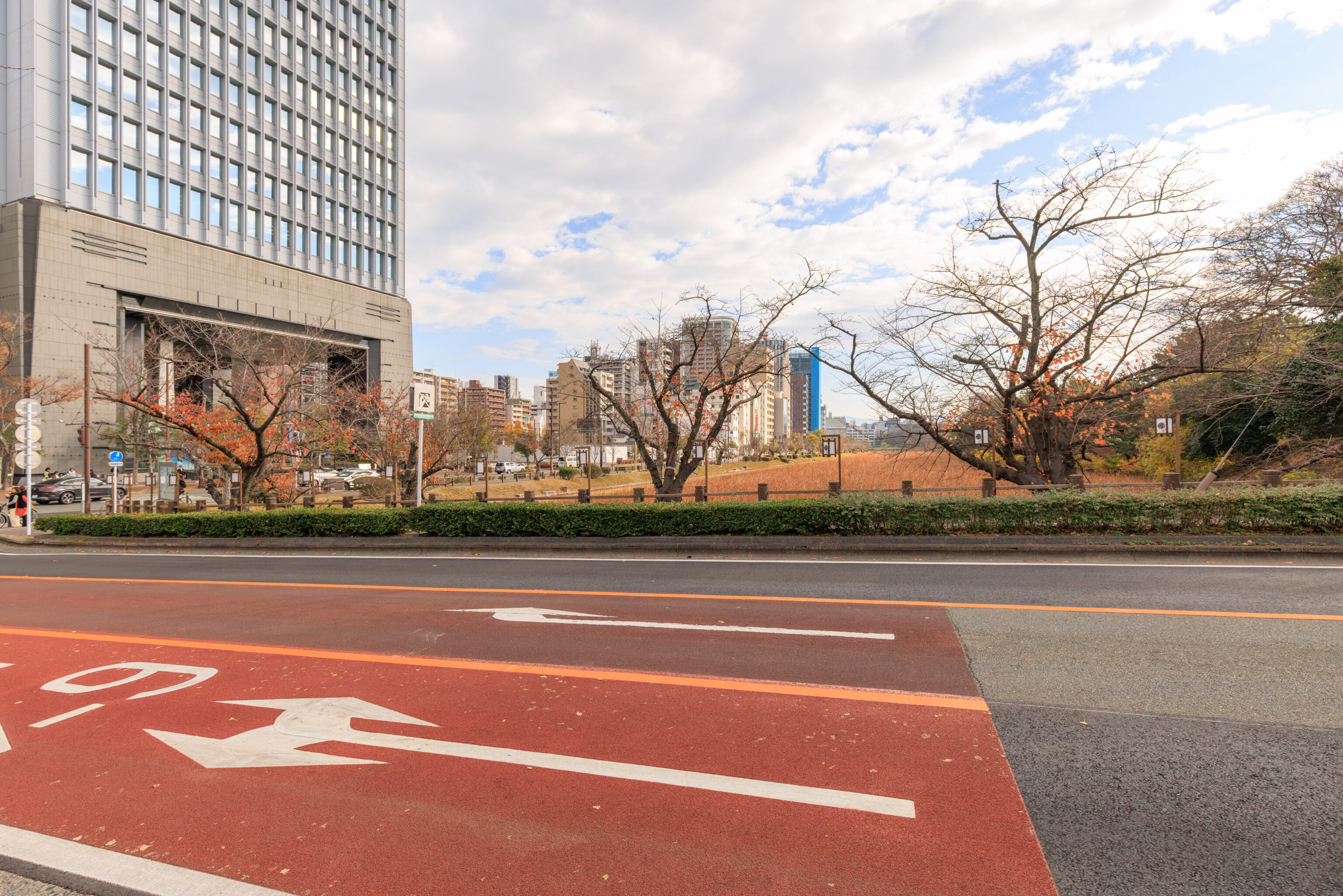
The view looking in the opposite direction. The slope of the road is more apparent from this perspective.
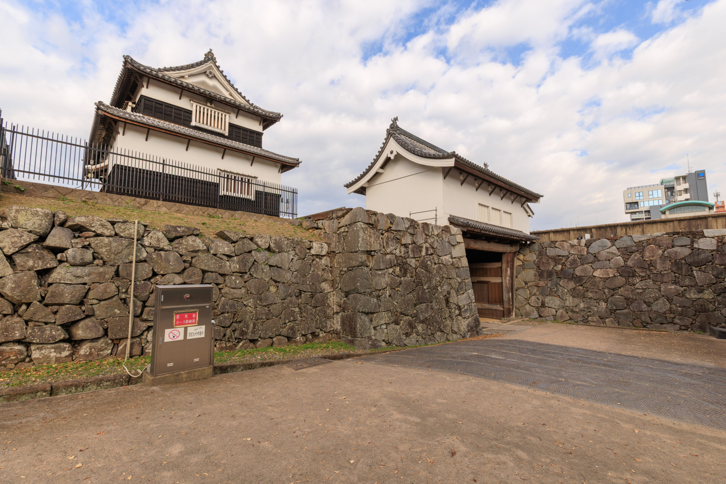
If we had taken the path to the west, we would have come out here via the gate on the right.
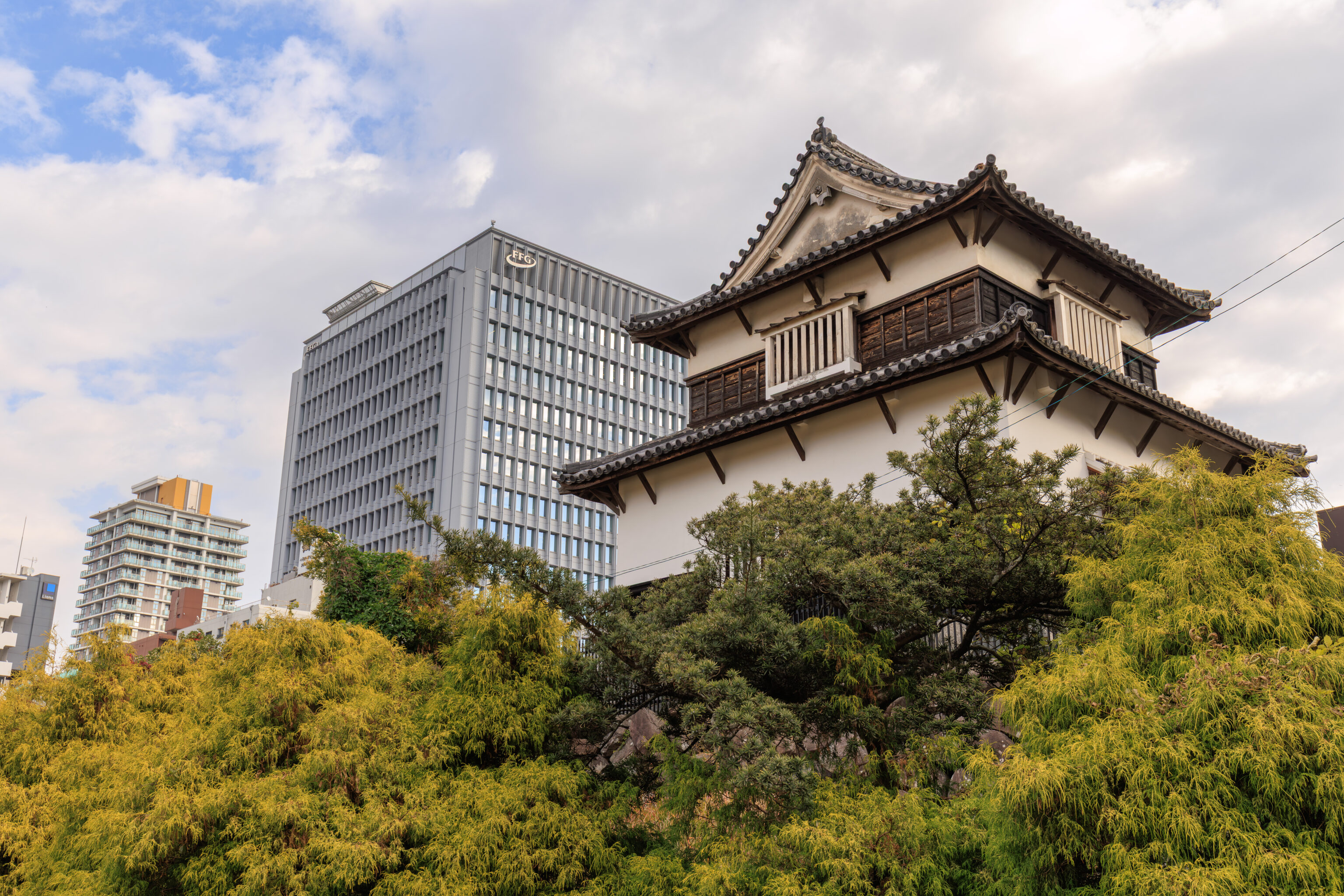
This turret, which is the same one as in the previous photo, is the Shiomi Turret and was one of 50!
Turret (f.k.a. Shiomi Turret)
Prefectural cultural asset designated on March 29, 1952

This is one of nearly 50 turrets constructed within the Fukuoka Castle grounds. After having transferred to the Kuroda family's second house in Hamanomachi at the beginning of the Taisho Period, it came to its current site. Its original location was at the northwest corner of Sannomaru. As the result of the survey conducted in 1991, this building is now considered to be not Shiomi Turret, but actually a different turret in the castle.

November, 2008
Fukuoka City Board of Education
– Text from a nearby sign.
The acronym f.k.a. used in the sign could mean formerly known as. Like the artist known as The Artist Formerly Known as Prince. Or maybe it means formally known as?
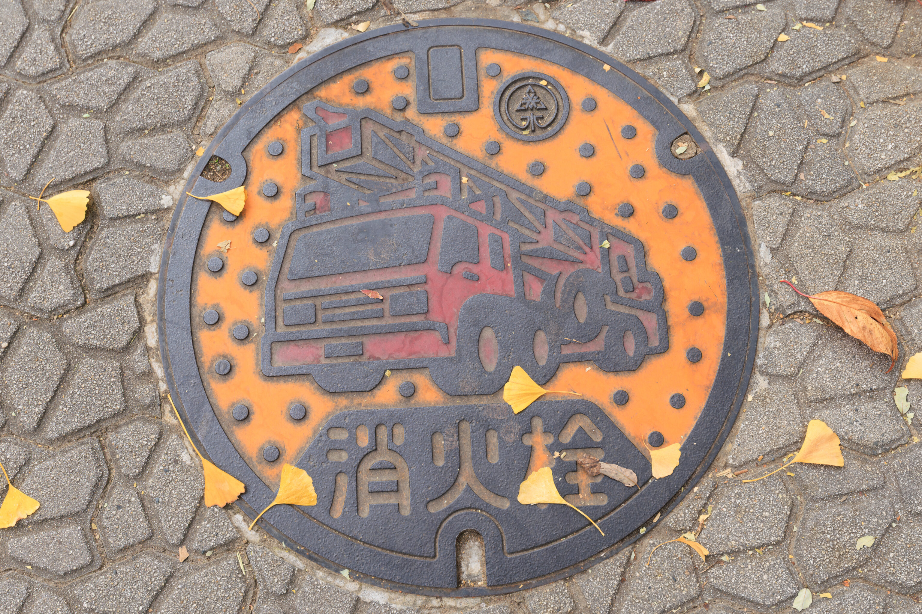
Japan has many fun and interesting manhole covers. This one is for the fire department.
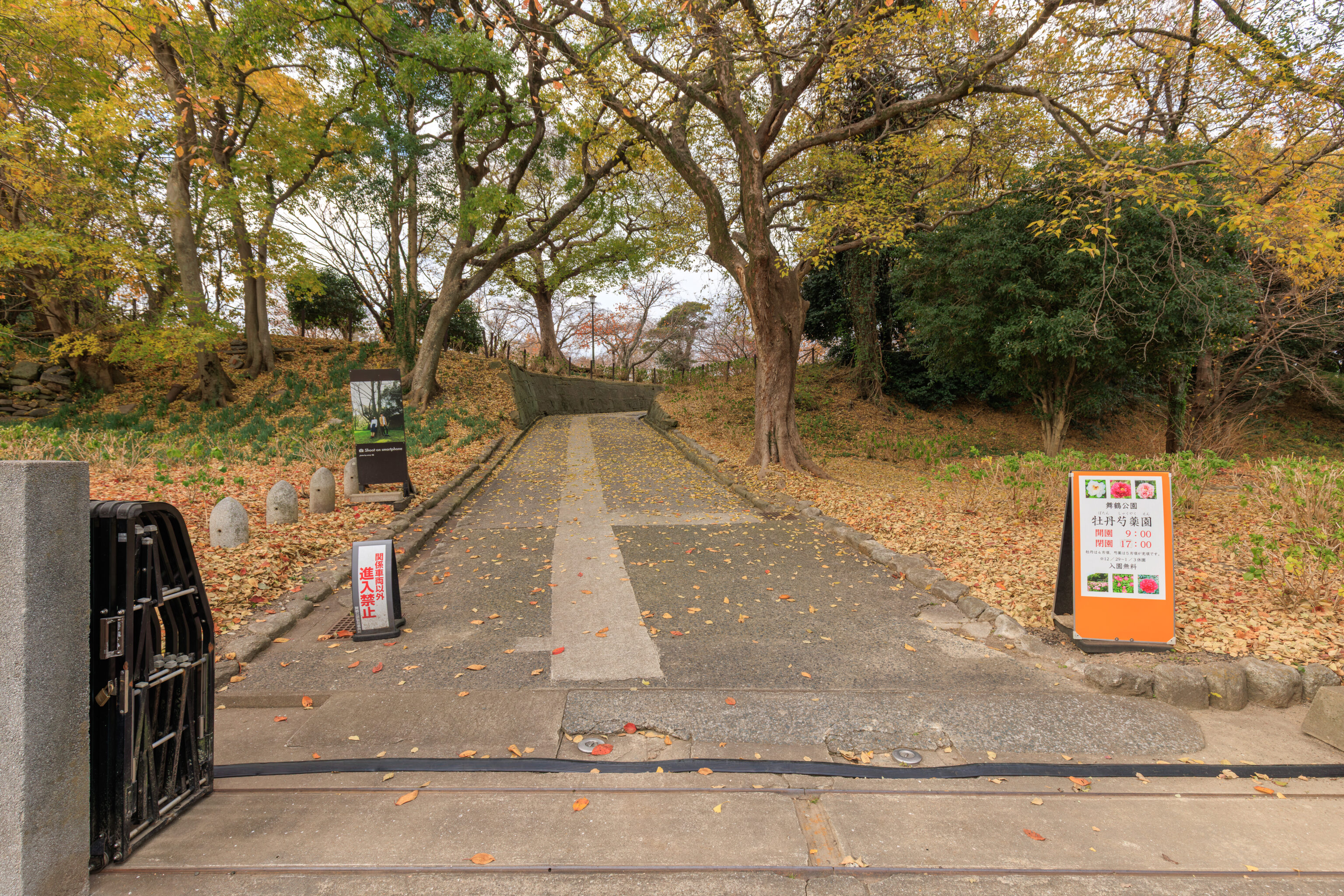
This entrance here goes to the park’s peony garden. The sign on the right say they’re best seen in April or May so lets keep on going!
Site of the Otakayashiki & Peony Garden (Kuroda Josui's Retreat)

There are roughly 20 varieties of the two main types of peony grown in this garden. Known as botan and shakuyaku in Japanese, there are almost 2,000 flowers here. When spring arrives, the air is filled with their refined, sweet scent. The garden was made on the location of the retreat of Kuroda Kanbei, later known as Josui. Josui was the father of the first head of the Fukuoka Domain, Kuroda Nagamasa.

Blooming Season:
Botan     Mid- to late-April
Shakuyaku Early- to mid-May
Opening Hours: 9:00-17:00 ADMISSION FREE
– Text from a different sign.
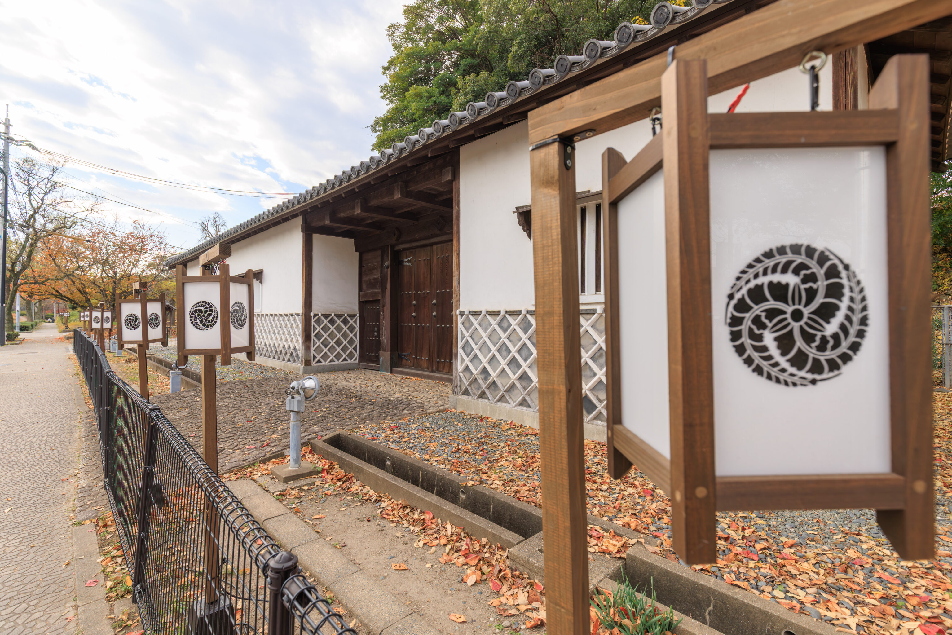
This structure was formerly a gate to a mansion.
Nagaya-Mon (Former Gate to the Mansion of Bori/Mori Tahei)

This gate was originally the gate to the mansion of Bori (also read as Mori) Tahei Tomonobu (1556-1615) but was moved to its current location in 1965. The name nagaya-mon refers to a type of construction where a gate is incorporated into the living quarters surrounding a mansion. The gate to Tahei's mansion accurately retains the shape of the nagaya-mon that were common in warrior mansions during the Edo period.
– Text from a nearby sign.
Warrior here probably means samurai?
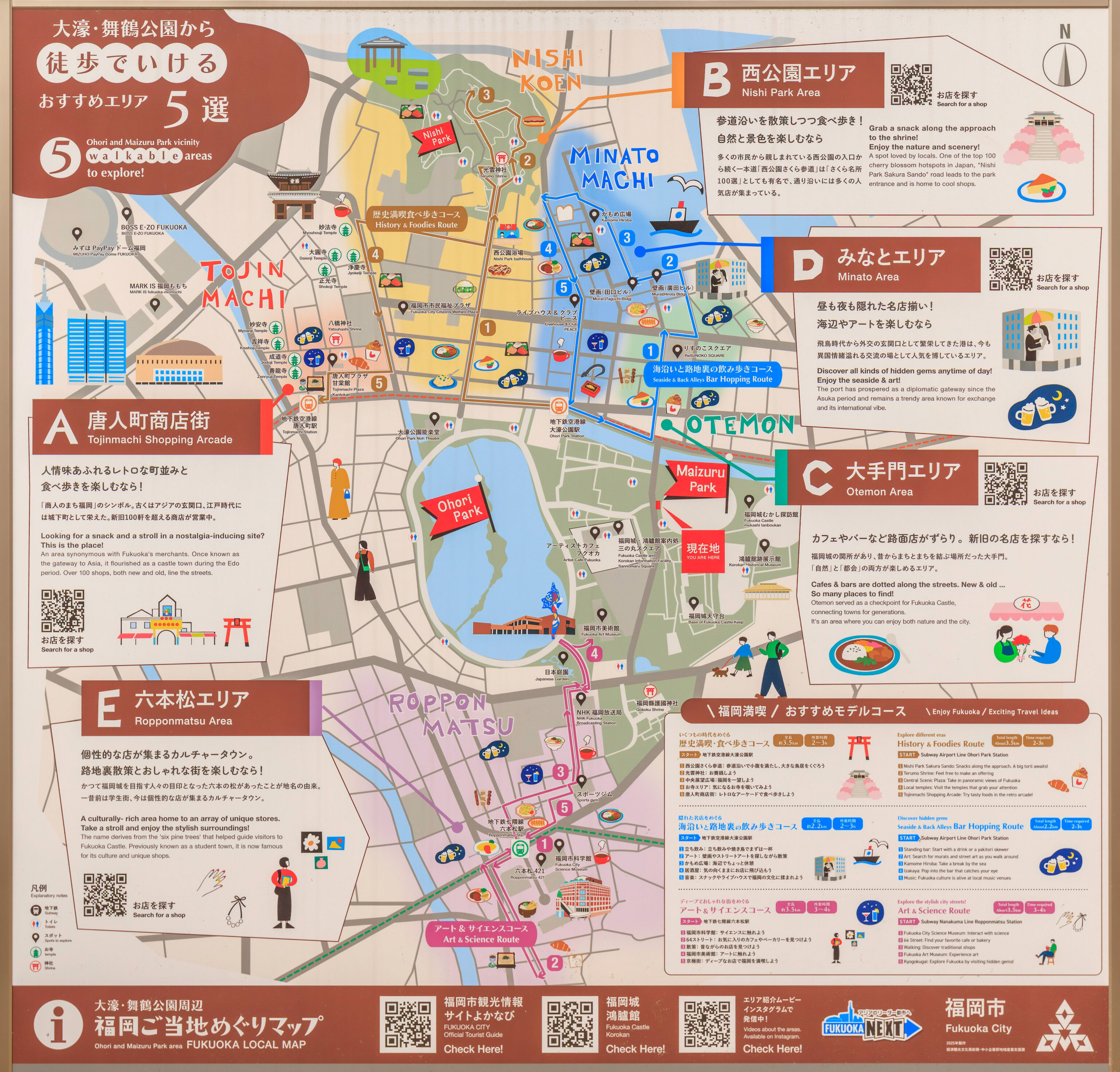
This map of the area was on a sign here. It shows the various neighborhoods around Ohori Park as well as suggested walking paths through them.
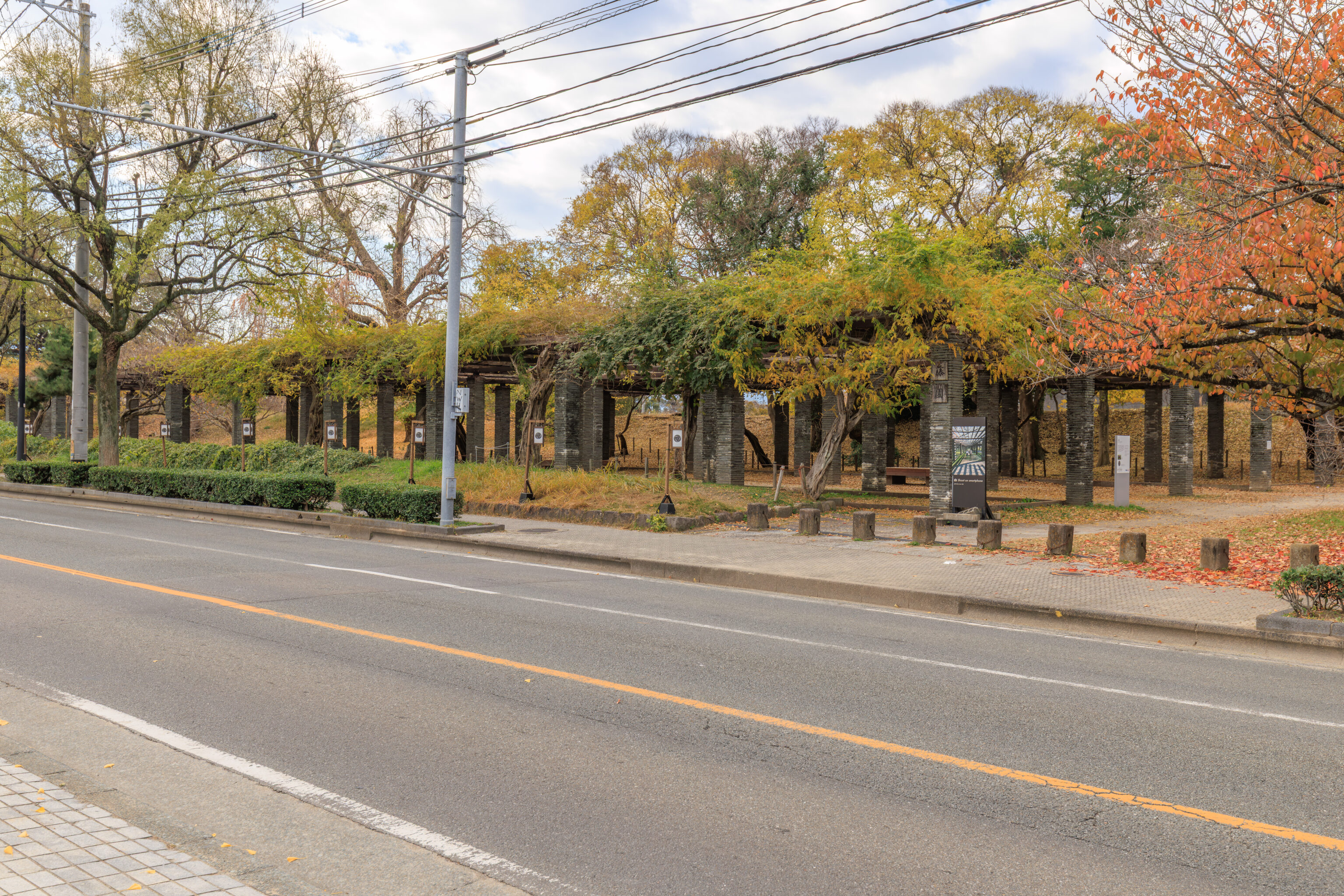
Looking across the street to the southwest, we see a large pergola that was still pretty leafy!
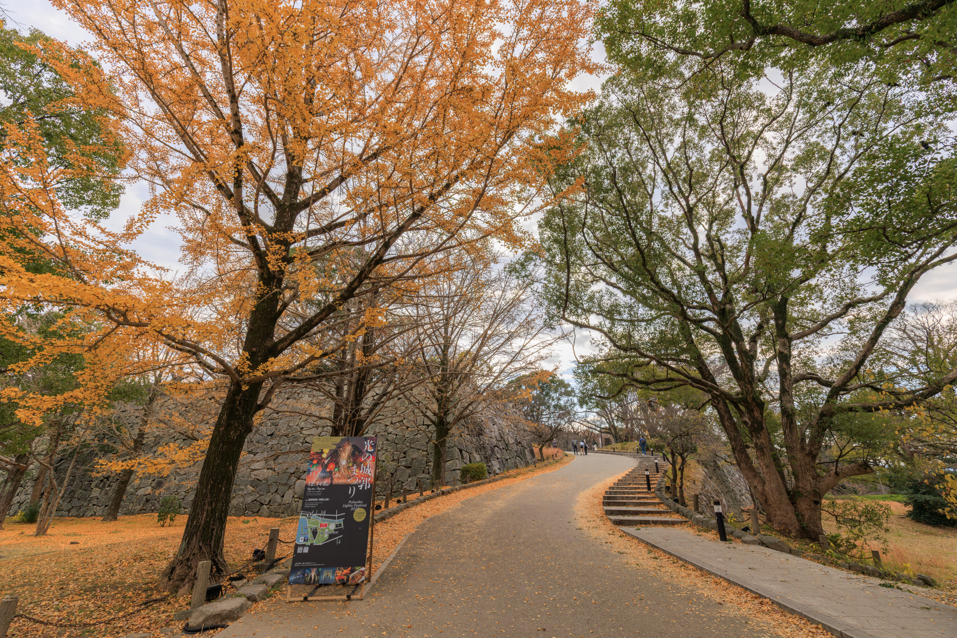
A little bit further down the road, we came to the entrance into the castle ruins area of Maizuru Park. Although this looks like a road, it is a pedestrian path.
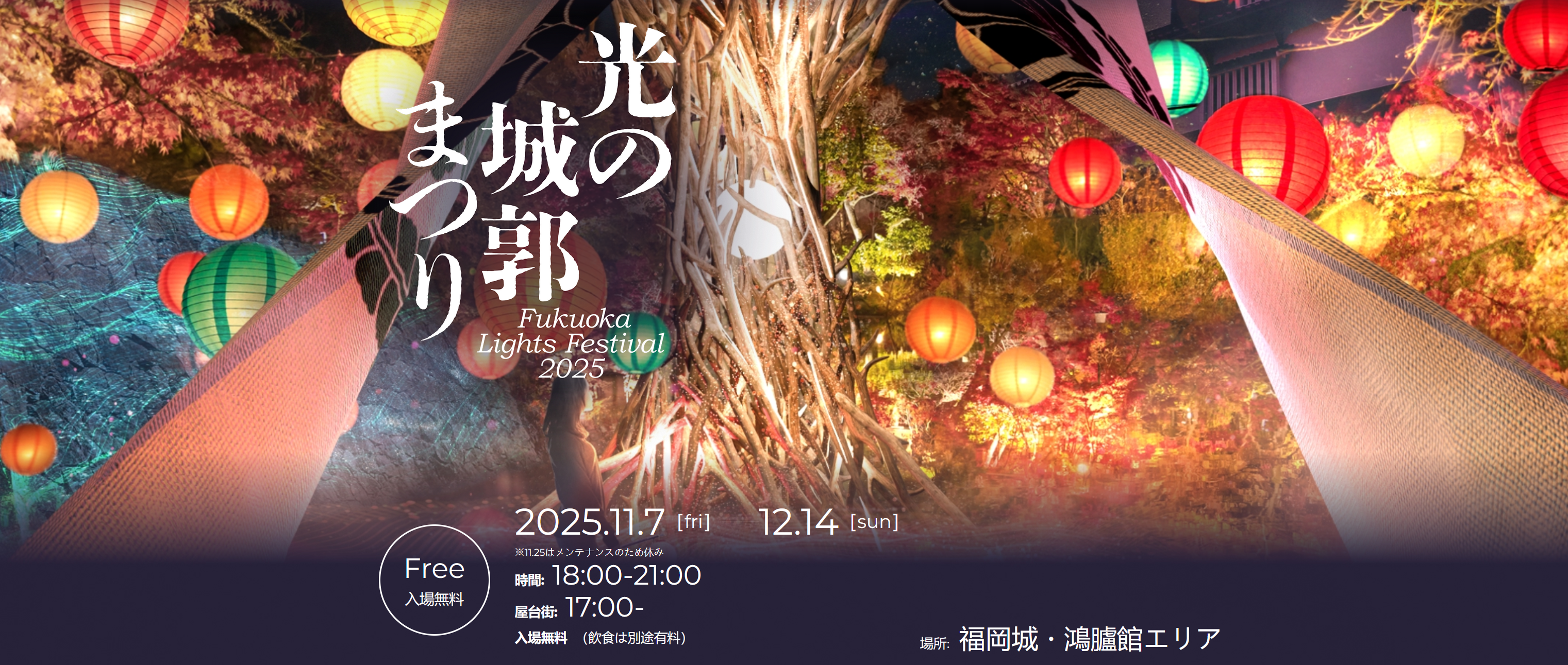
According to the sign on the left, there is an illumination event taking place here, the Fukuoka Lights Festival, from November 7th until December 14th from 6pm until 9pm.
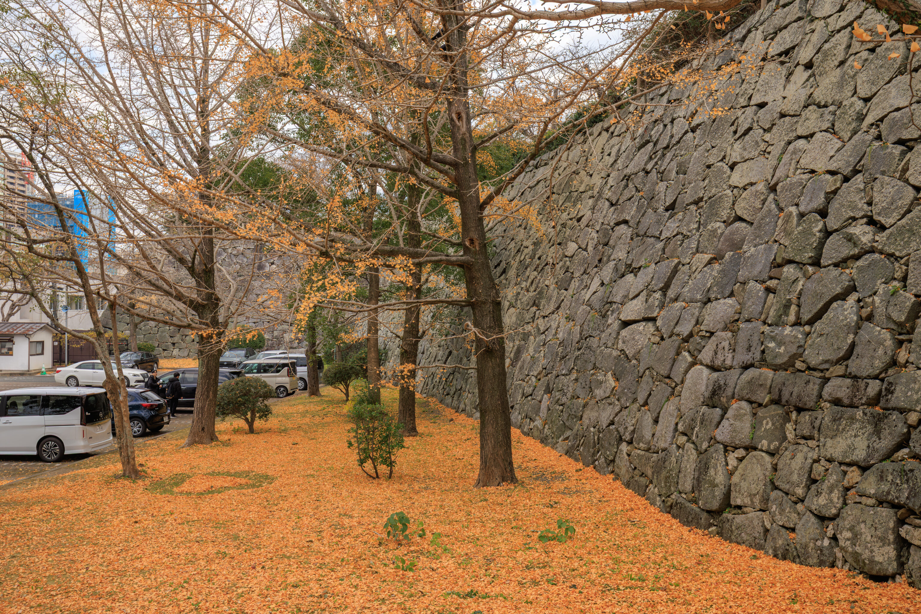
There were quite a bit of yellow gingko leaves on the ground here by the entrance. Someone even made a heart on the ground in the leaves!
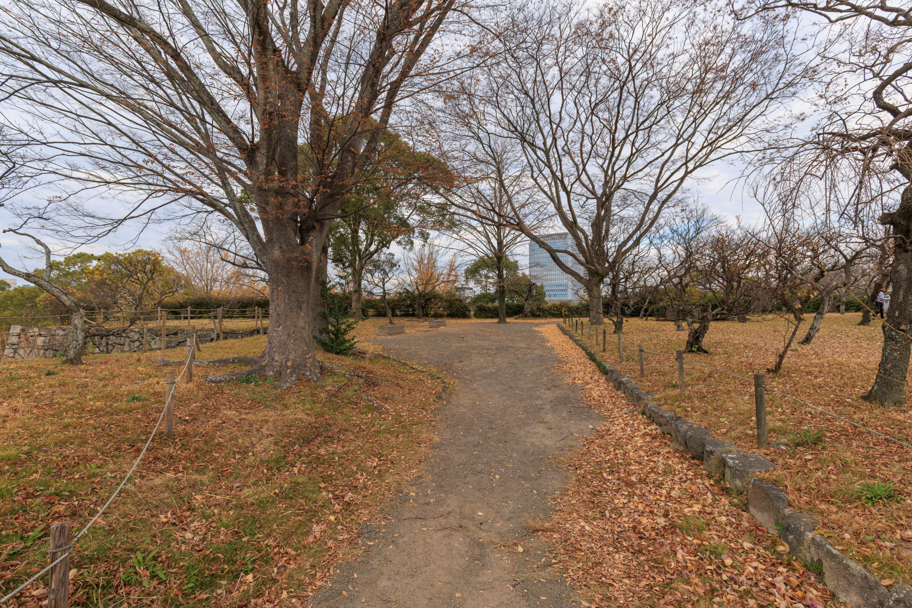
The area at the end of the path is the Plum Blossom Garden.
Baien (Plum Blossom Garden)

There are approximately 300 plum blossom trees in this garden, which were donated in 1975 and 1980. In spring, their white and red flowers bloom and the air is filled with their sweet scent.

Blooming Season: Mid- to late-February
– Text from a sign.
Its definitely not the season for them!
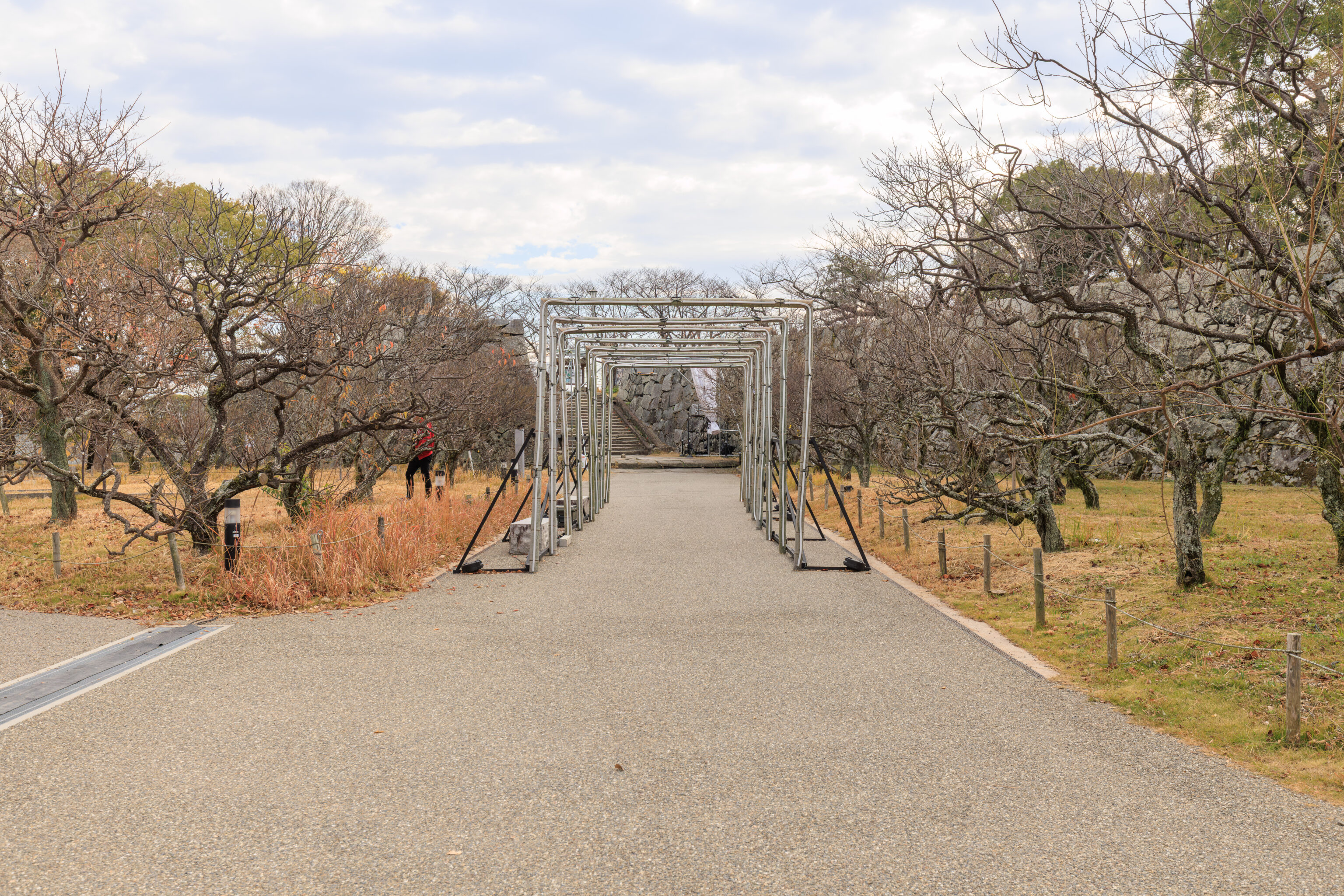
It was pretty quiet here. The only people around were workers who seemed to be trimming the trees!
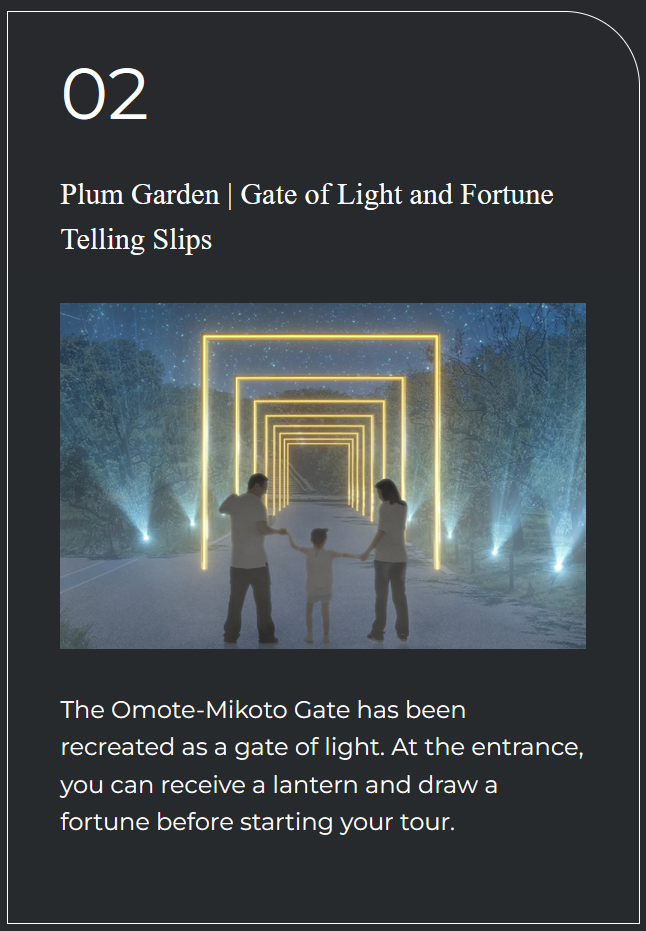
We also noticed some equipment for the illumination event. The structure we saw here looks like it is the Gate of Light and Fortune Telling Slips.
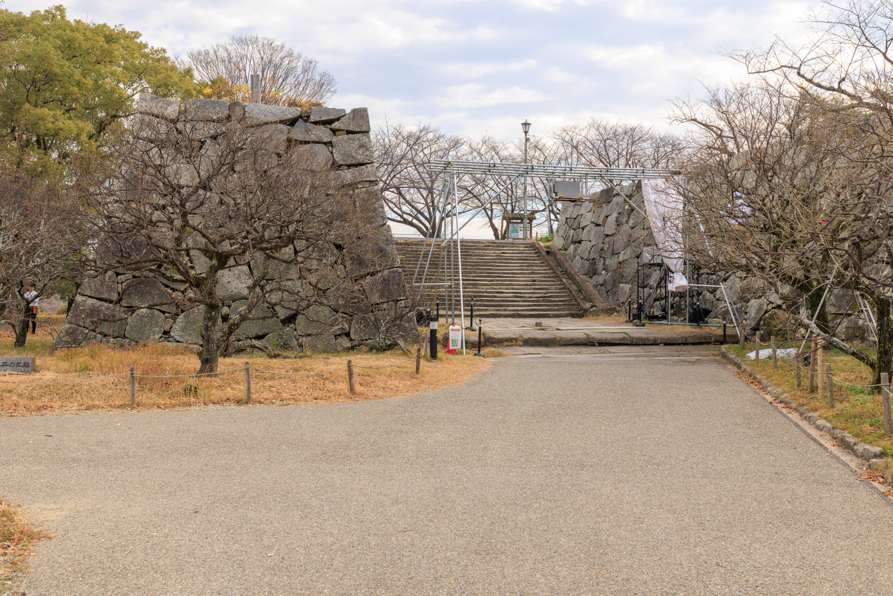
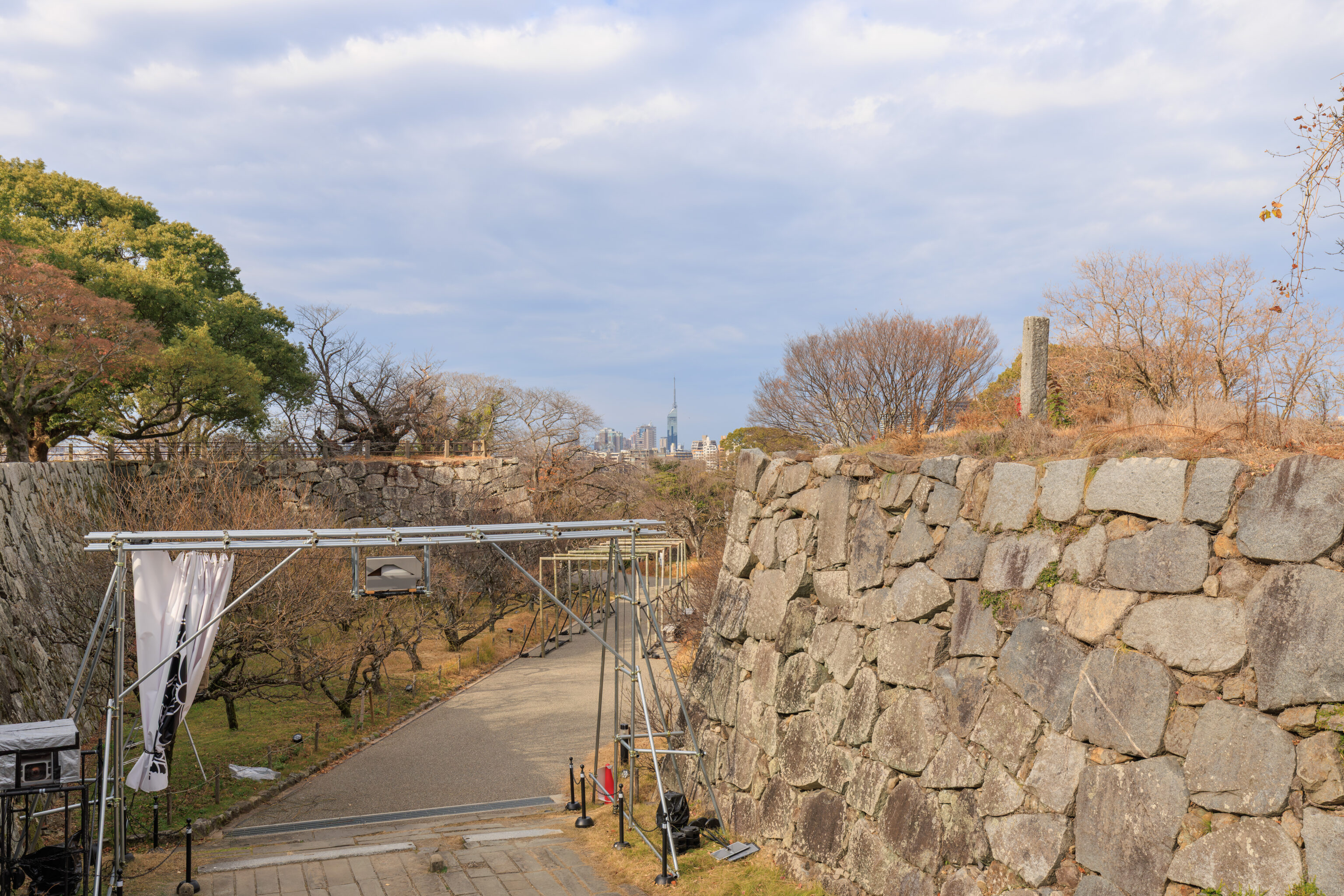
We walked up some very wide stairs to reach the top of the 本丸 honmaru, the area within the inner wall that would have contained the castle’s central buildings, in particular the 天守 tenshu, or keep.
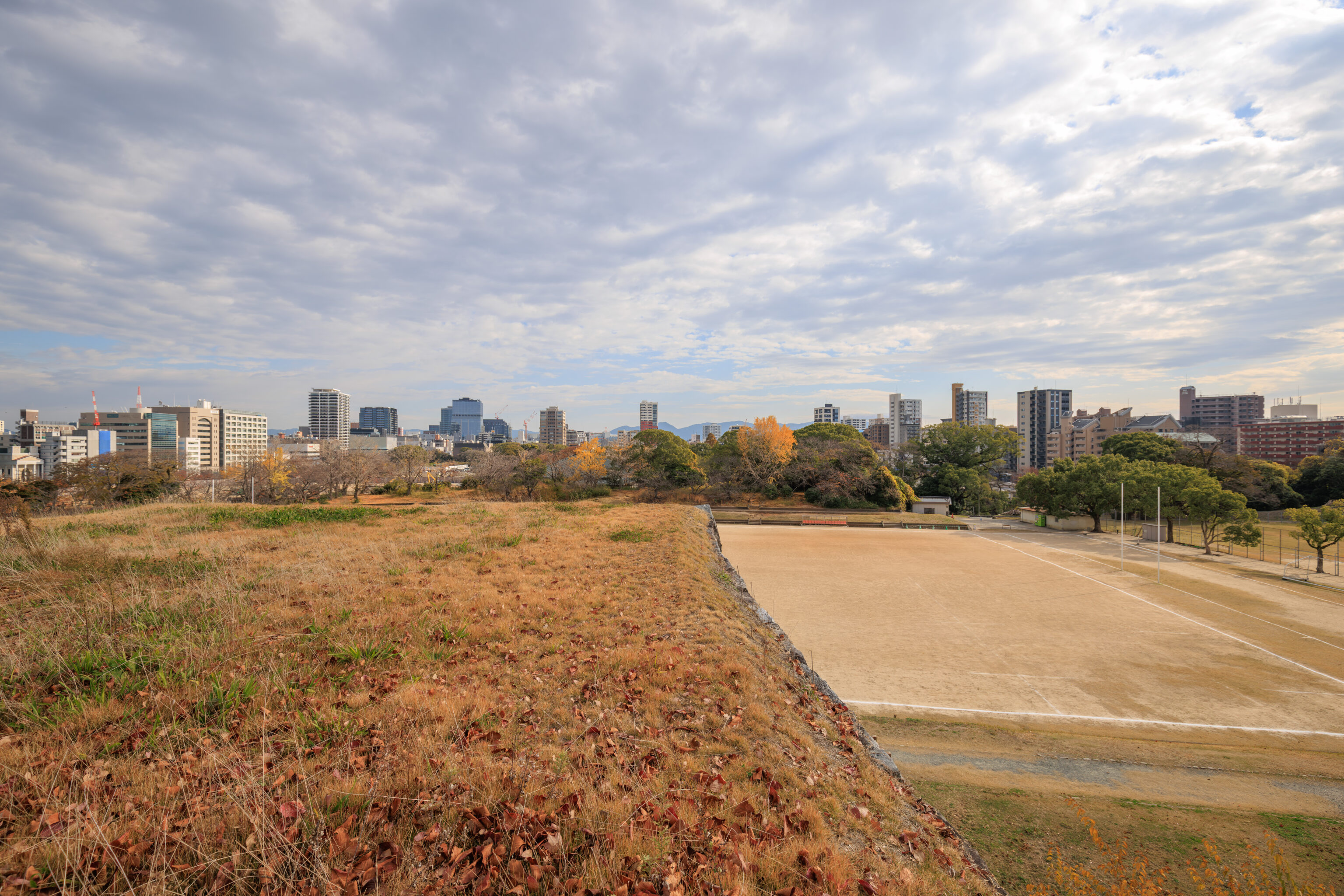
Immediately in front of the stairs, there was what would probably be called a bastion, basically a part of the fortress that juts out from the remainder of the wall. This area was just flat grassy land. This was the view looking to the east with a large sports field down below.
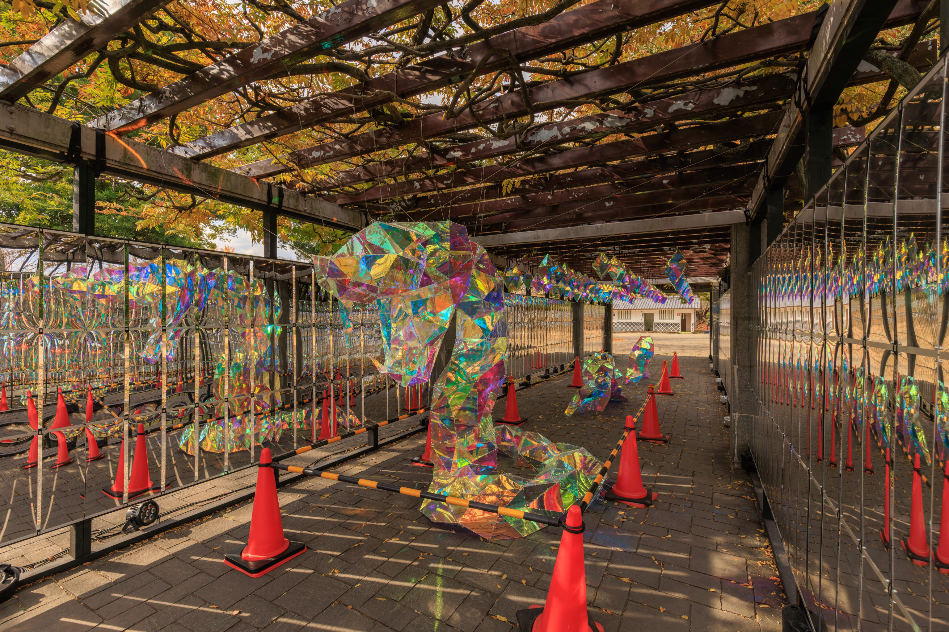
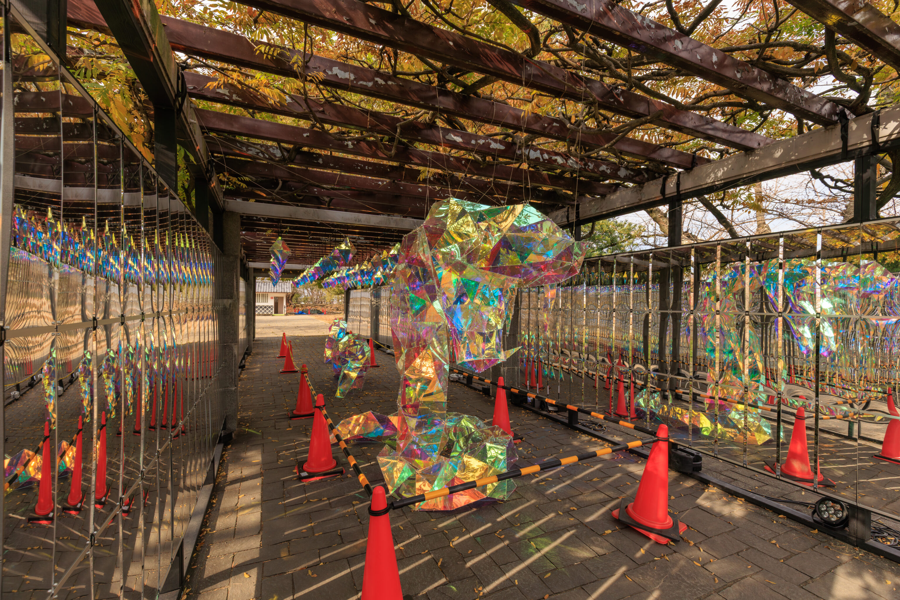
This snake was nearby, clearly for the illumination event. This year, 2025, is the year of the snake, although it will become the year of the horse on January 1st in Japan.
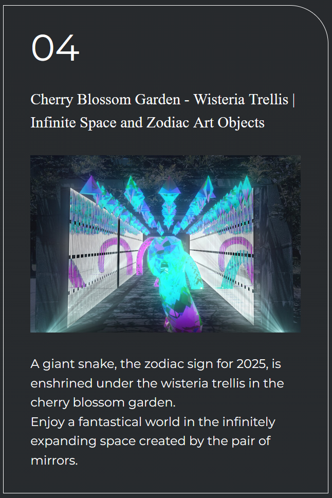
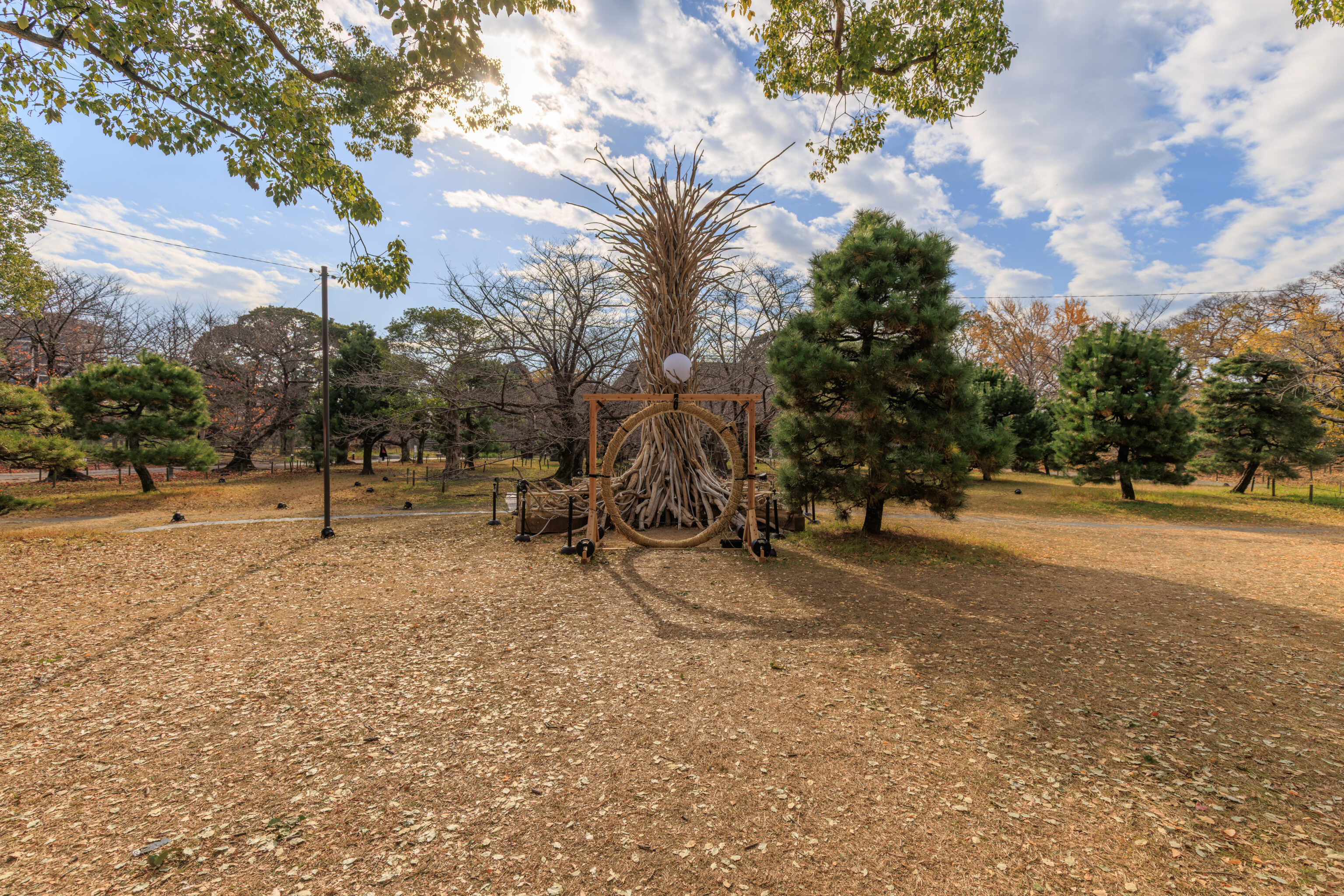
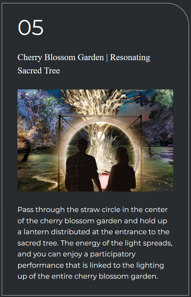
This frame and circle was also for the illumination event.
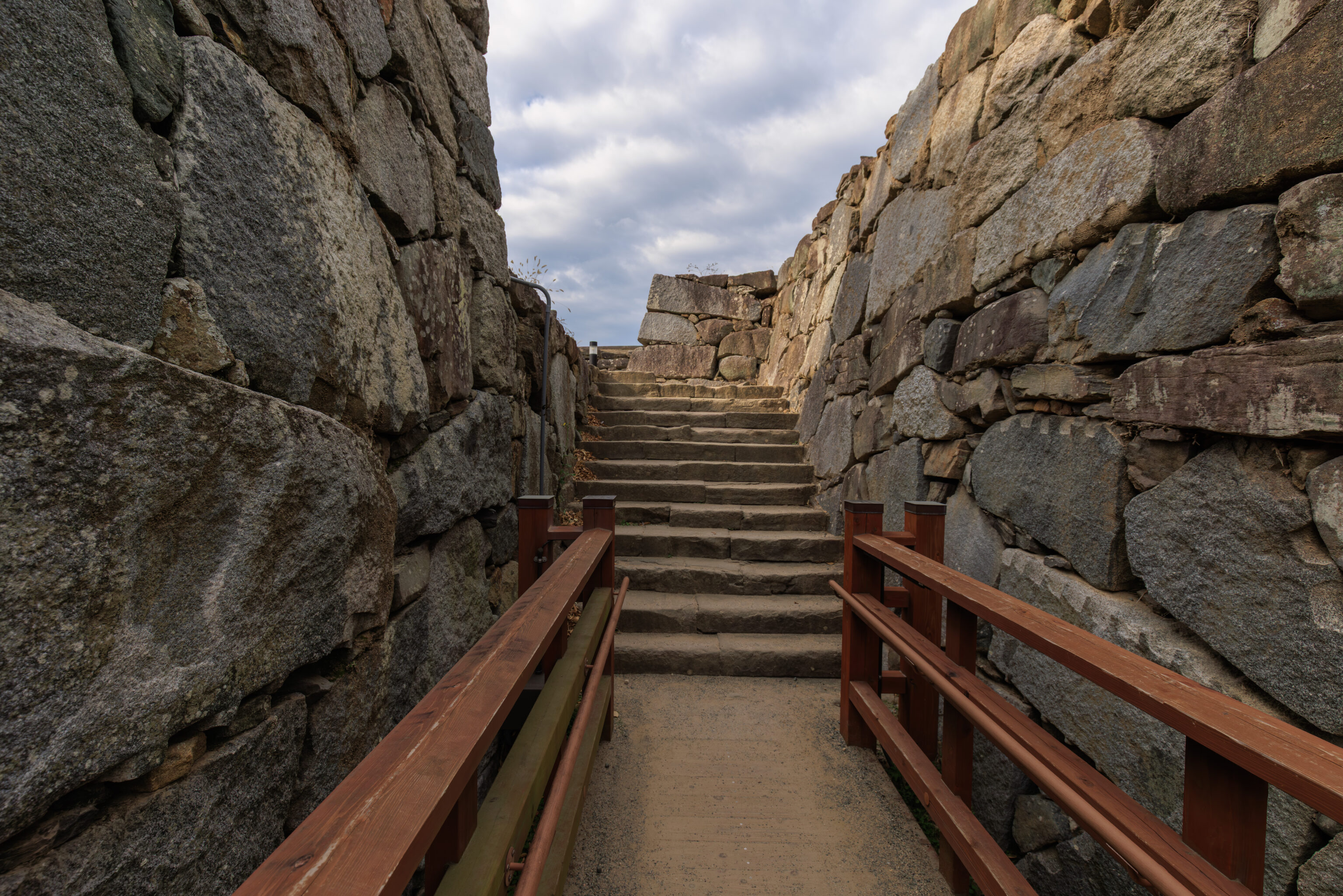
We found the path that leads up to where the tenshu would have stood.
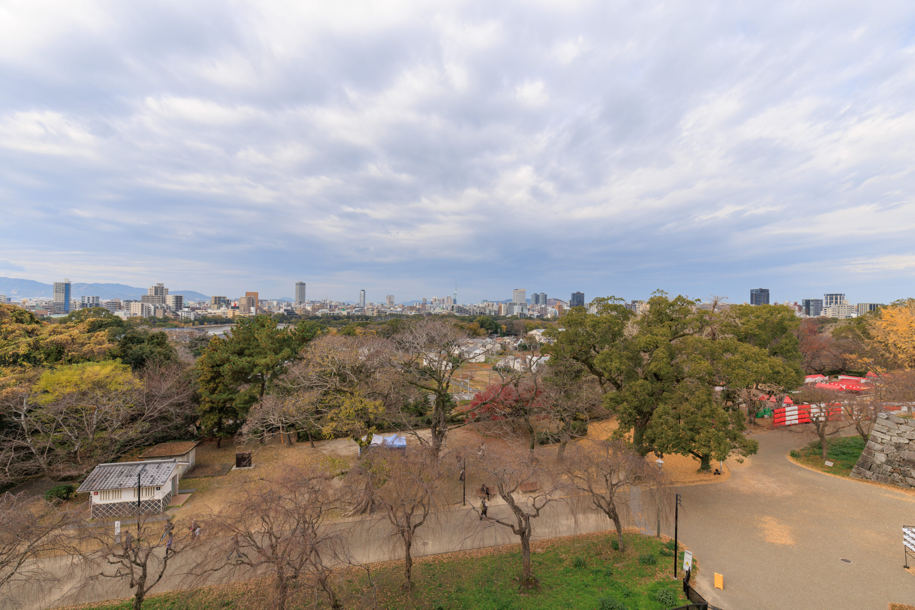
This elevated view gave us a fantastic view of the surrounding area. This was the view to the northwest.

Fukuoka Tower, which we plan on visiting later today, is at the center of this view.
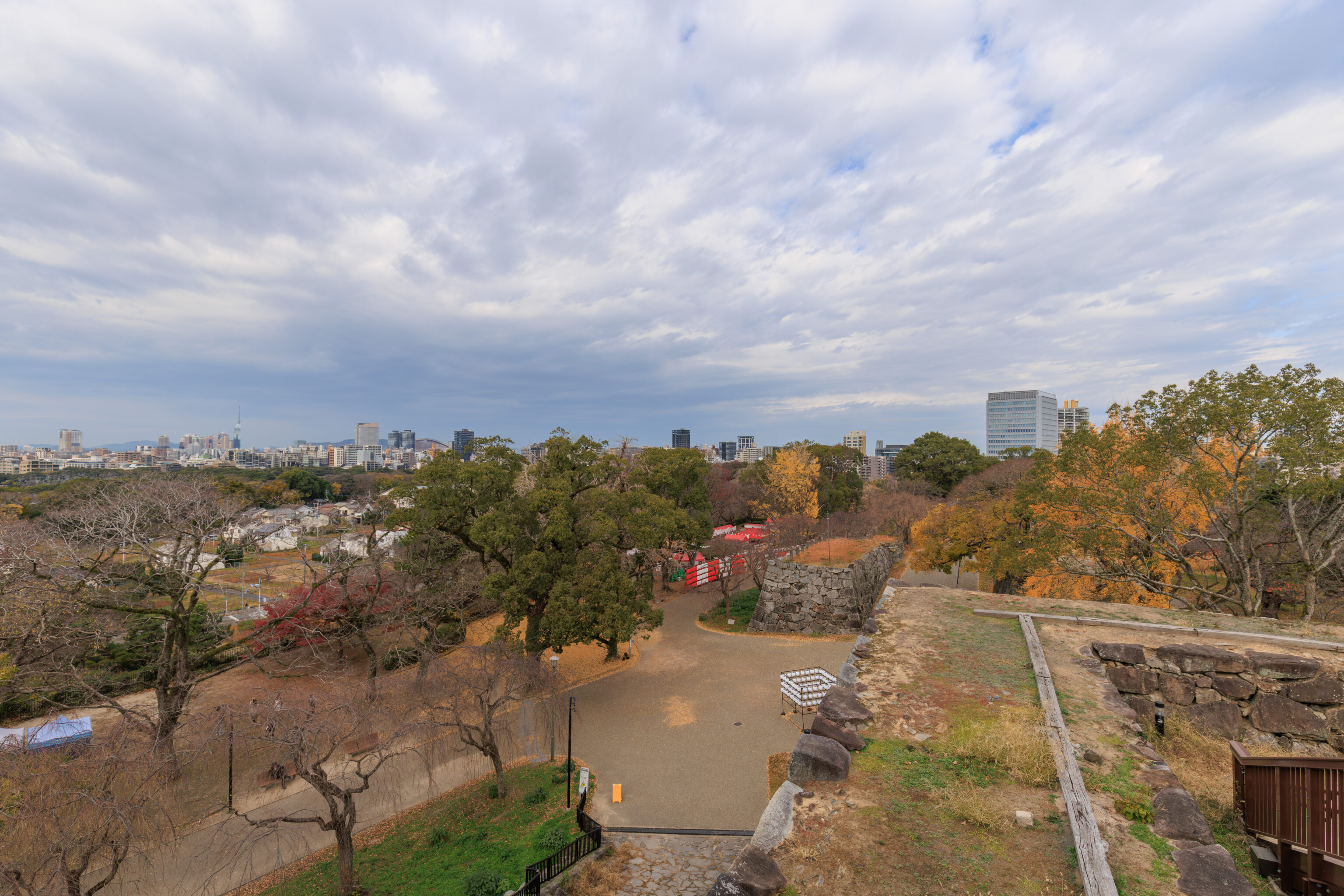
Turning just a bit to the right, we can see the walls below us.
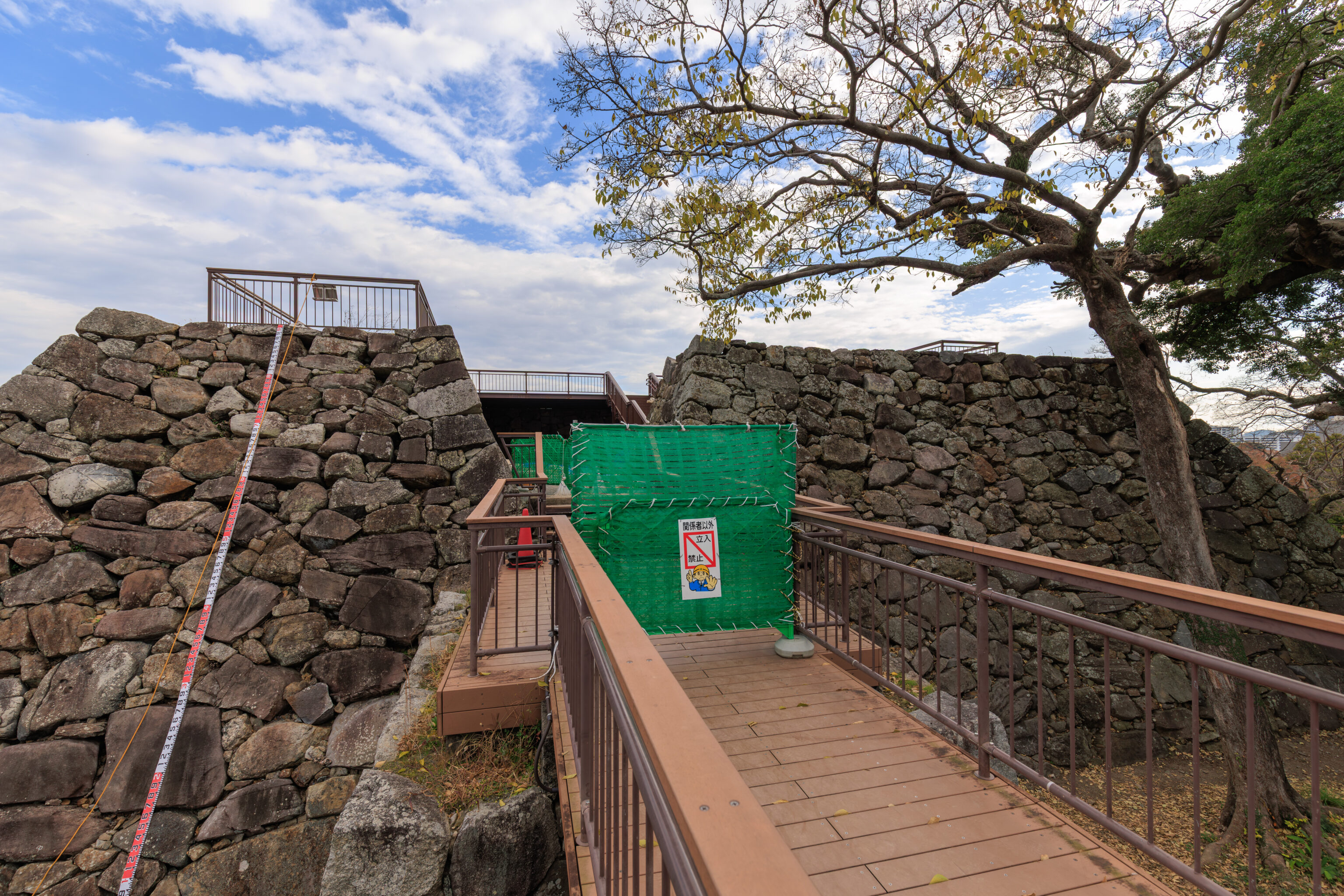
Unfortunately, we couldn’t get to the highest point of the castle ruins as it was closed for some maintenance activity. We actually saw workers in climbing gear go up!

So, having gone as high as we could go, we descended back down.
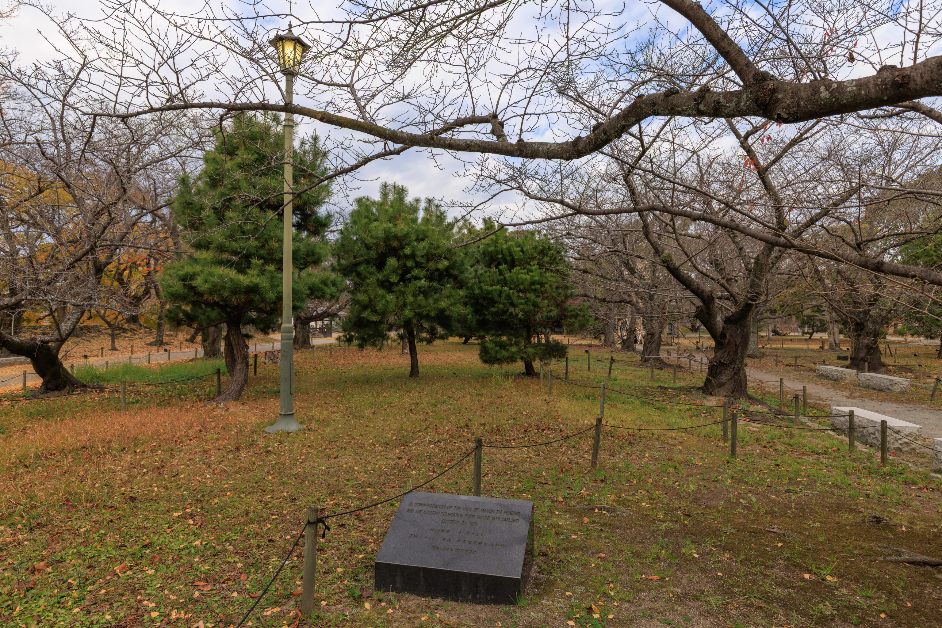
We continued in a clockwise direction around the base of the tenshu.
IN COMMEMORATION OF THE VISIT OF MAYOR T.H. READING AND THE CITIZENS DELEGATION FROM SISTER CITY OAKLAND

OCTOBER 27 1971
– Text from the marker on the ground.
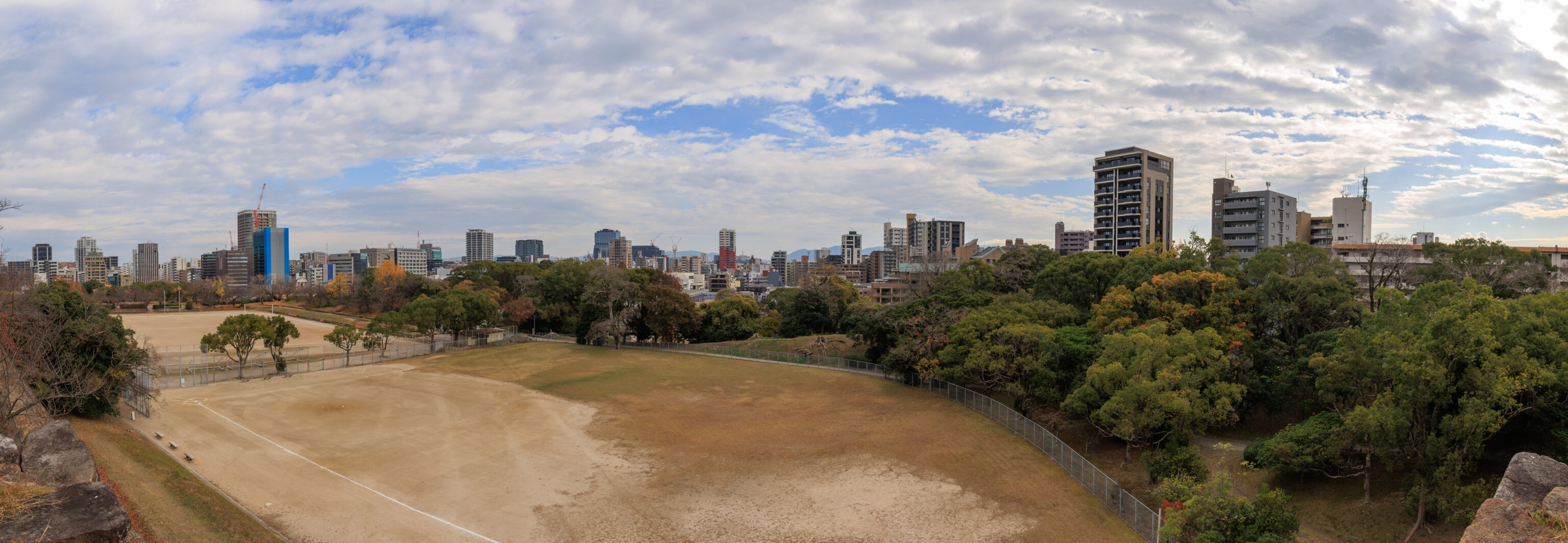
We went as far to the east as we could go atop the walls of the honmaru, which required climbing up some really tall steps to access this elevated area. We had a pretty good panoramic view to the east from here.
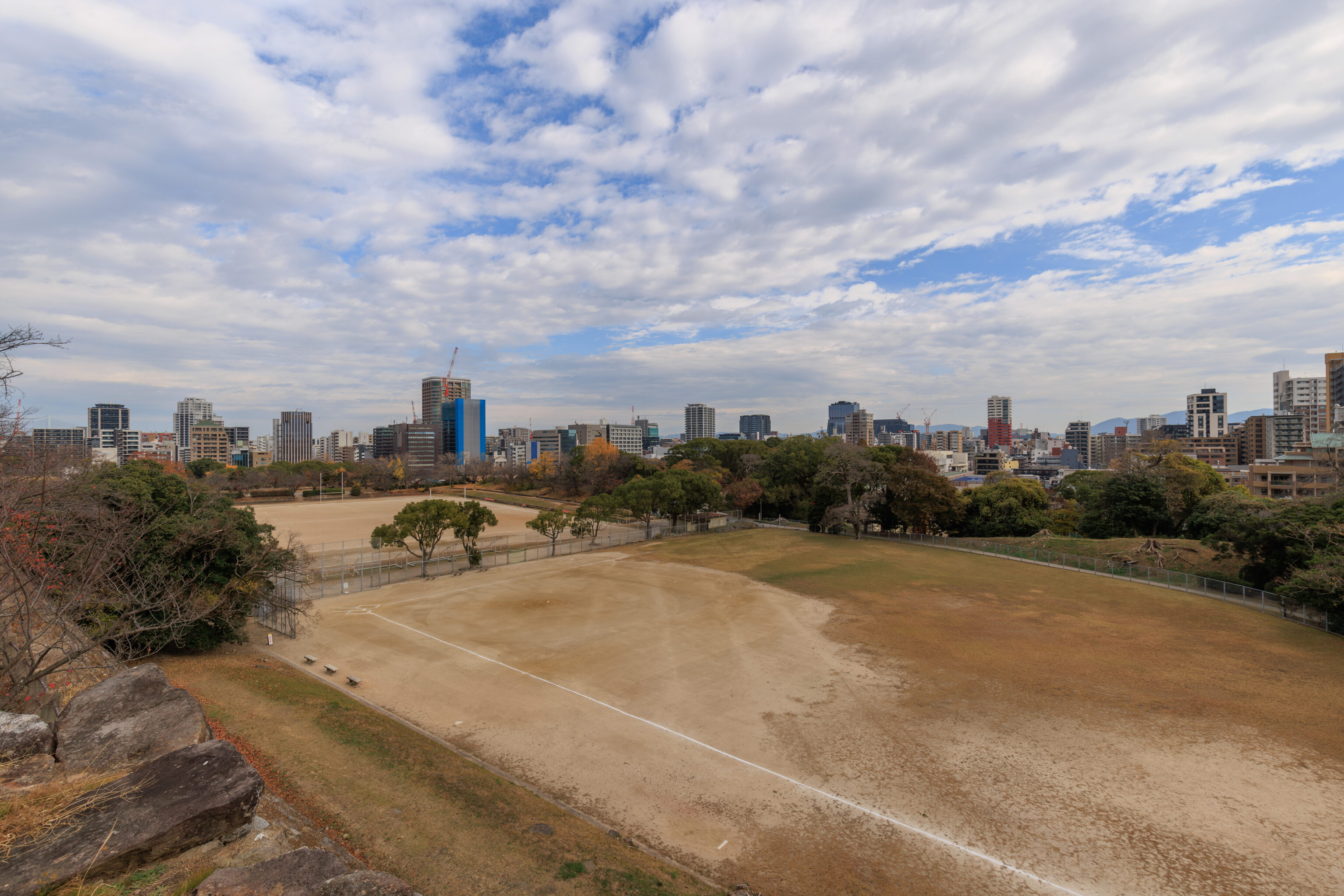
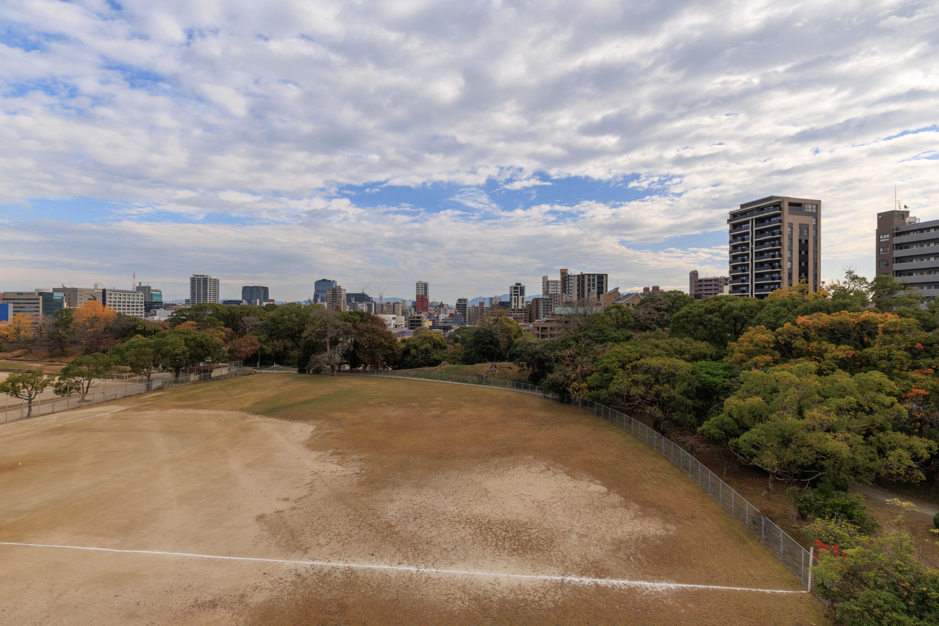
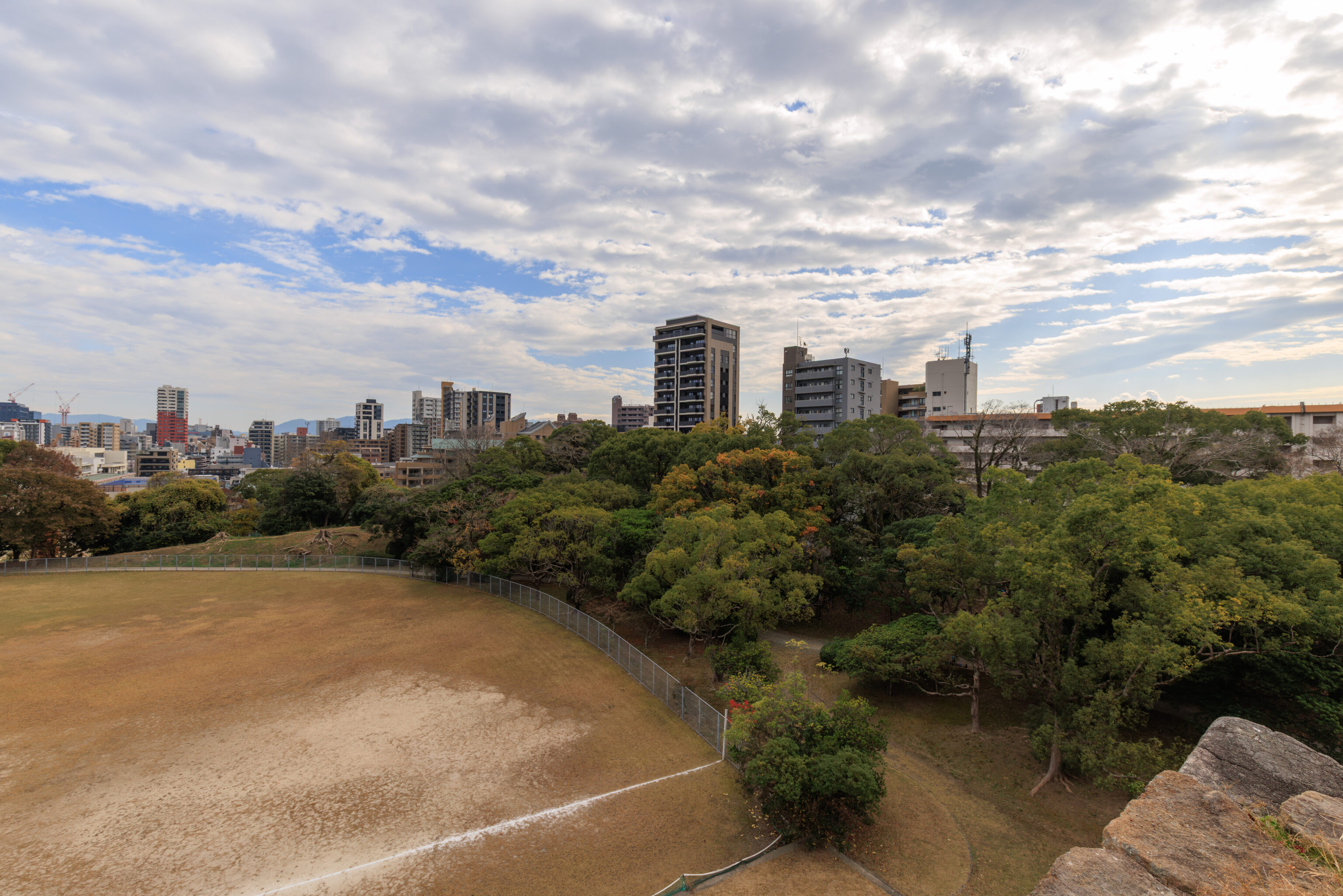
The three individual photographs that went into the panorama above.
The path continues here to the southwest. Although, we weren’t actually sure if the path leads anywhere. It seems like it should go around the tenshu and out of the honmaru though.
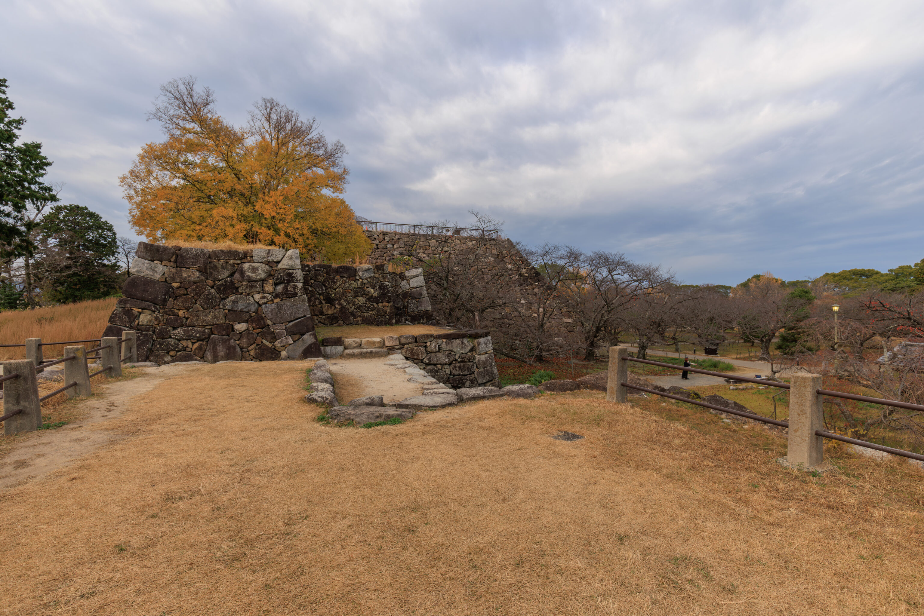
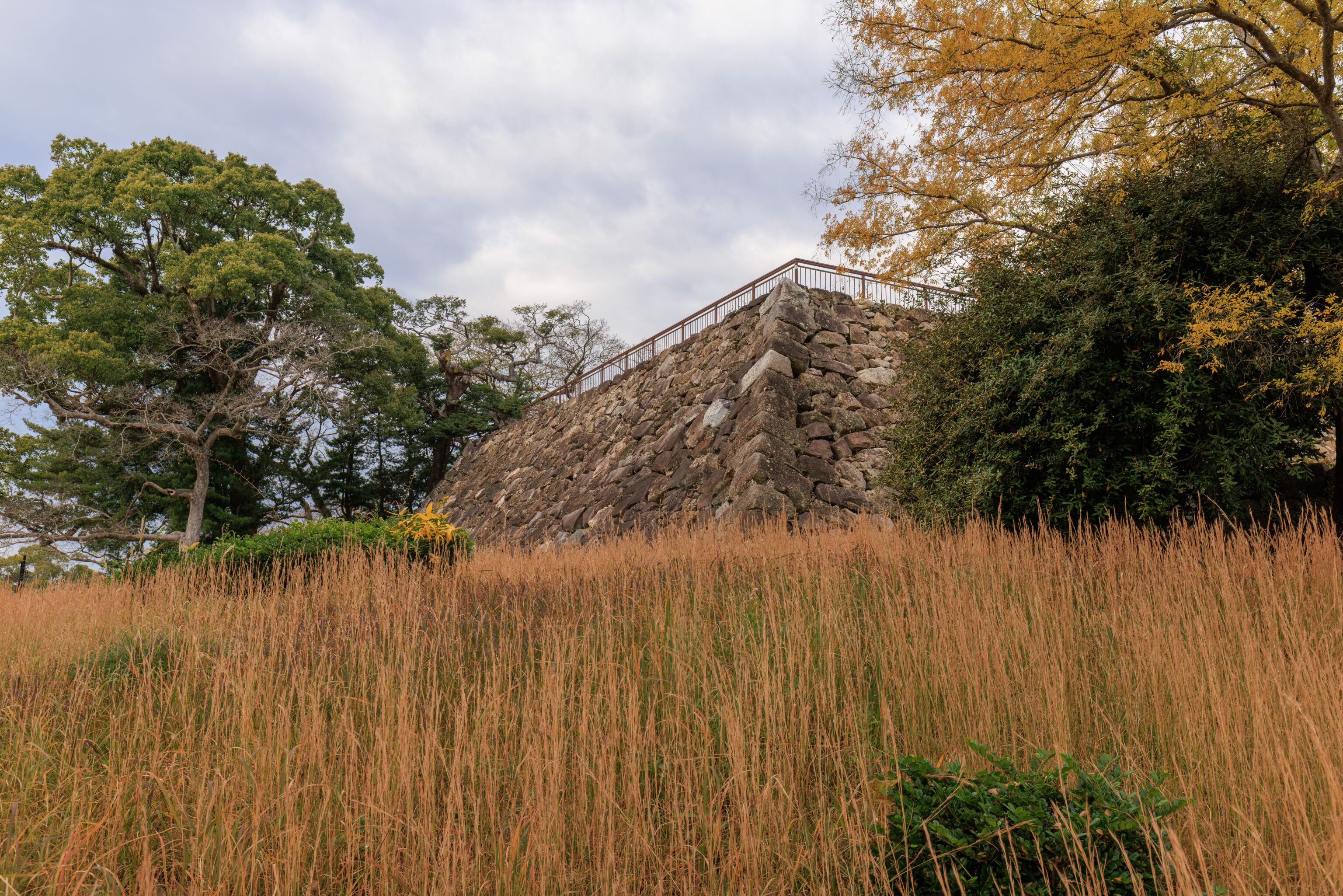
Looking to the west, we can see where the tenshu should be. The tall stairs that we had to climb are right here at center.
We followed the path to the southwest to see if it would take us anywhere. And so that we wouldn’t have to climb down the stairs we came up on.
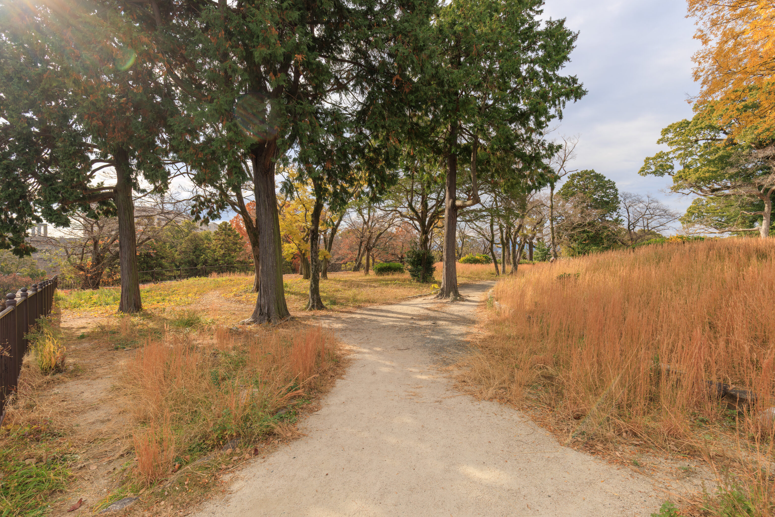
This area was pretty grassy. Here, we were southwest of the tenshu.
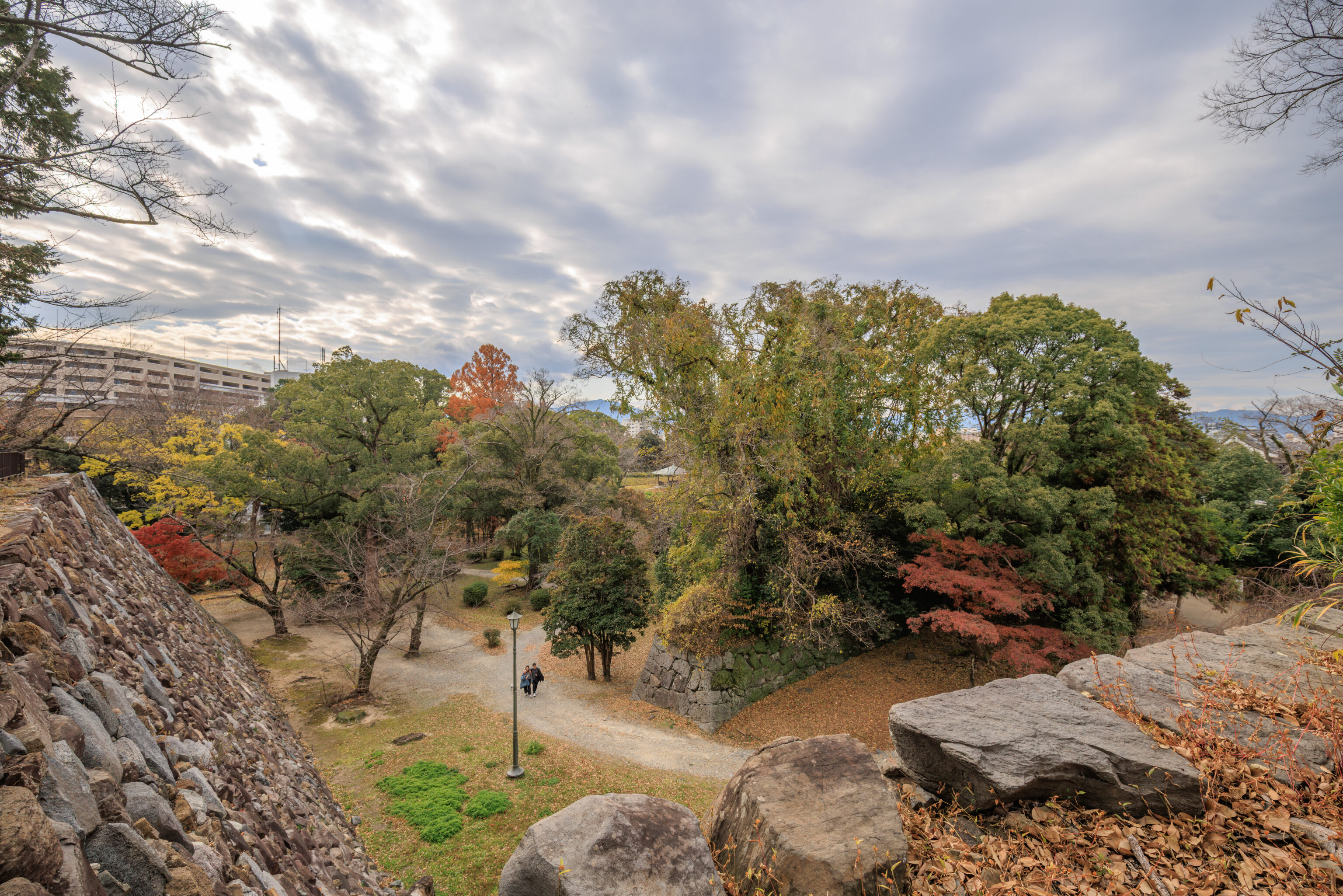
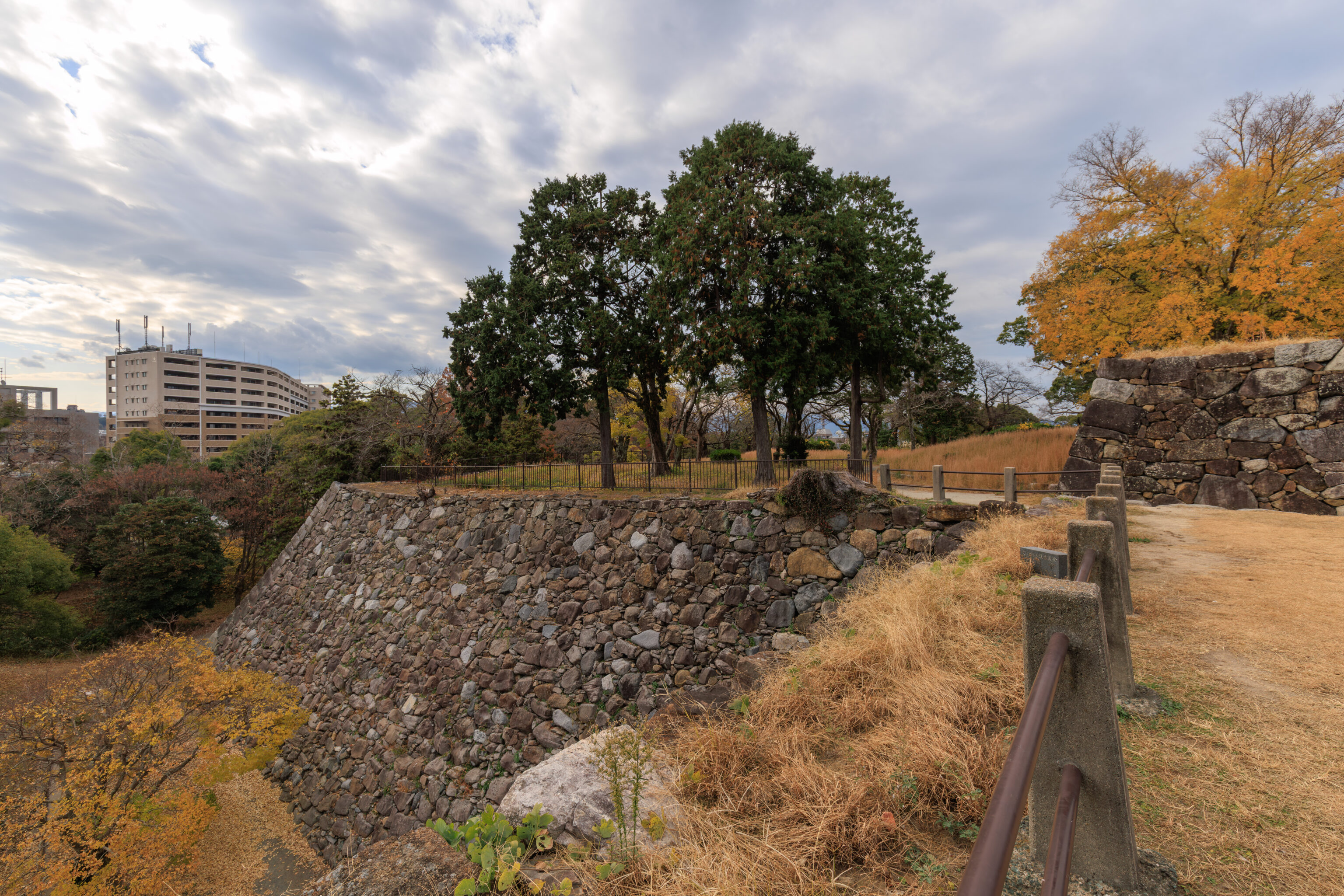
Here, we were southwest of the tenshu. Looking to the south, we had a view of a path below. The location where we were at formerly contained an armory turret.
武具櫓
Bugu-Yagura (Armory Turret)

The Bugu-Yagura, a turret that contained the heirloom weapons of the Kuroda Clan, once stood here. It also served to protect against enemy attacks from the south side of the castle.
– Text from a nearby sign.
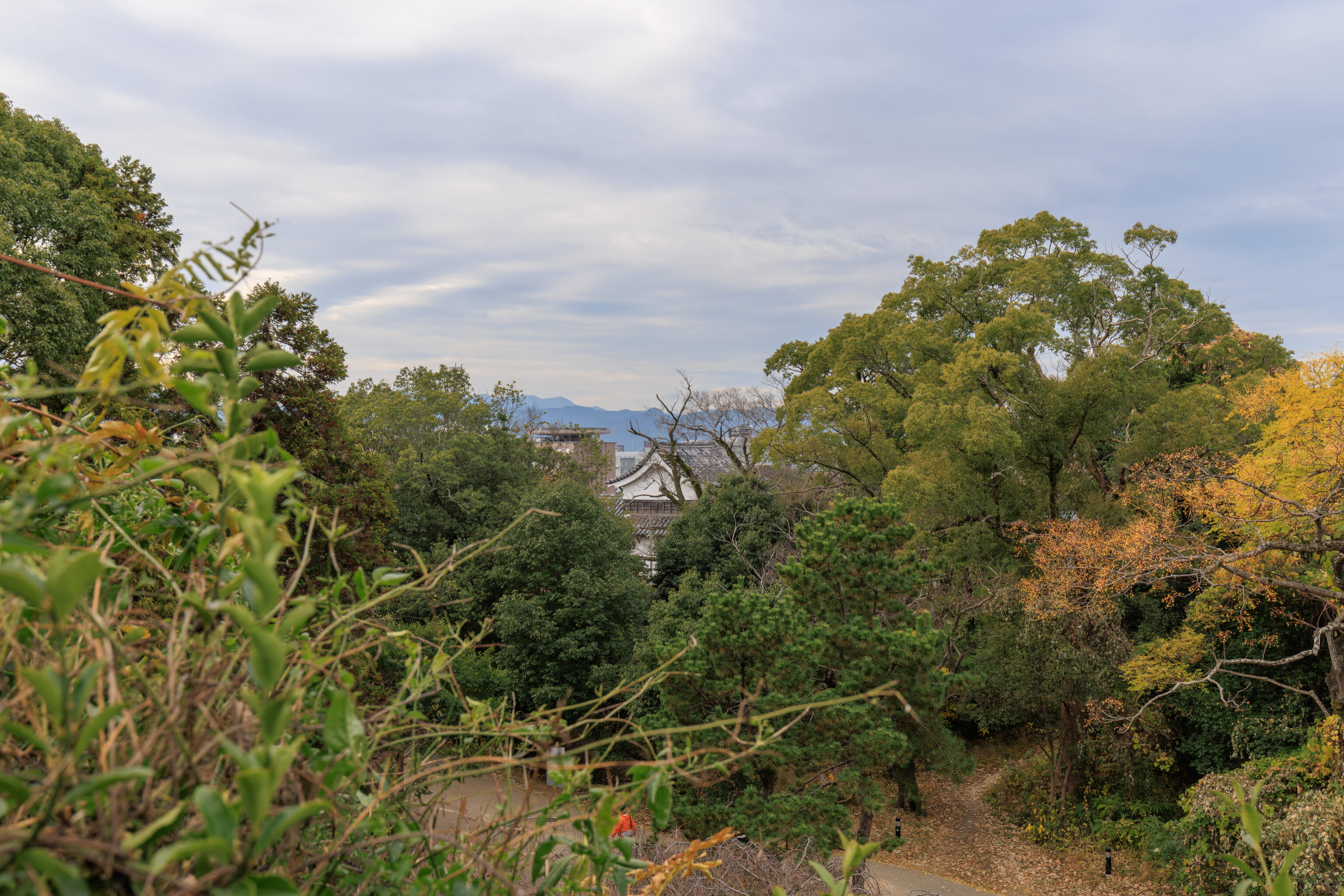
From a slightly different position here, we could see what looked like another castle structure through the trees.
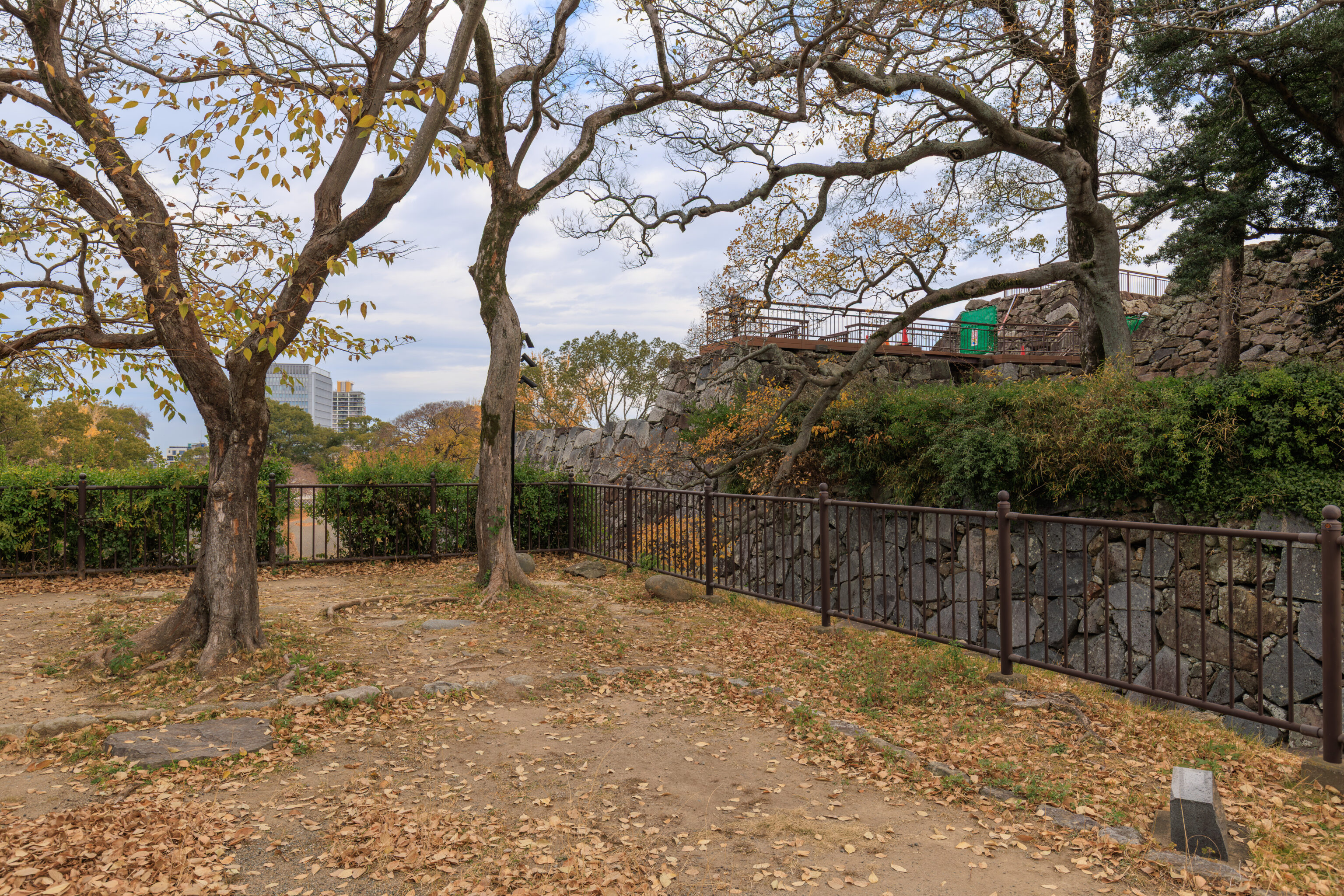
Looking to the north, we could see the highest point we were able to reach earlier over on the right side of this photograph.
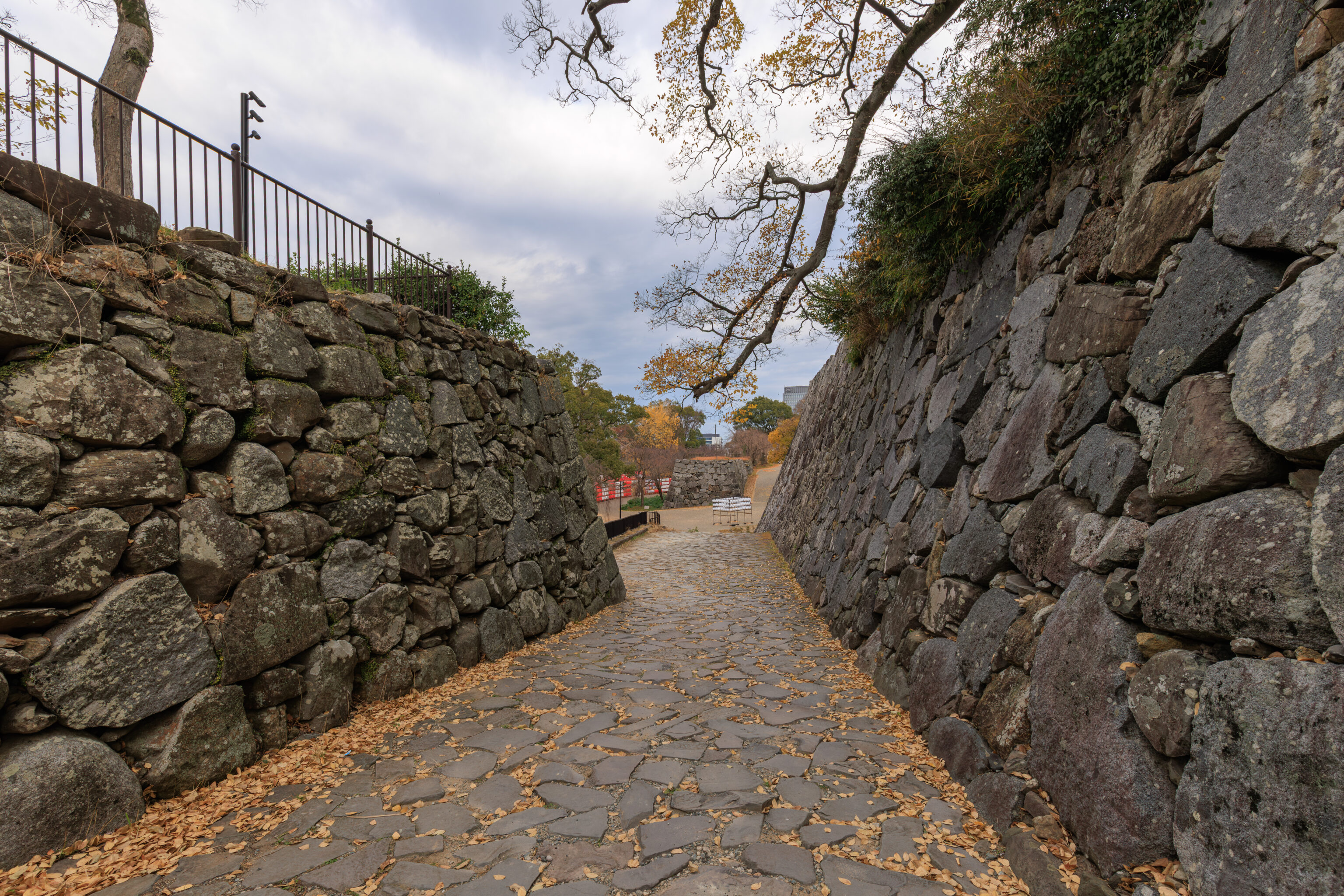
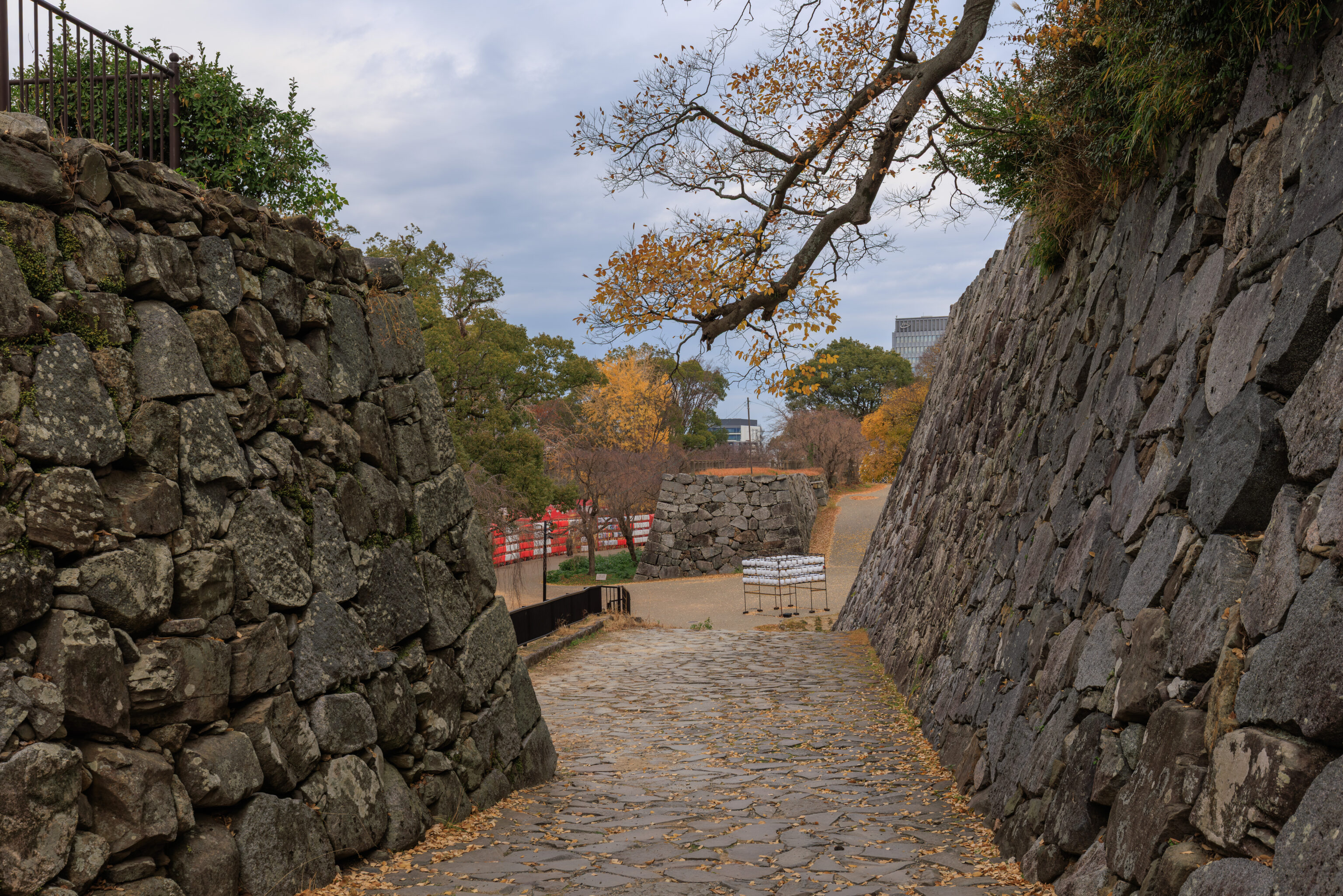
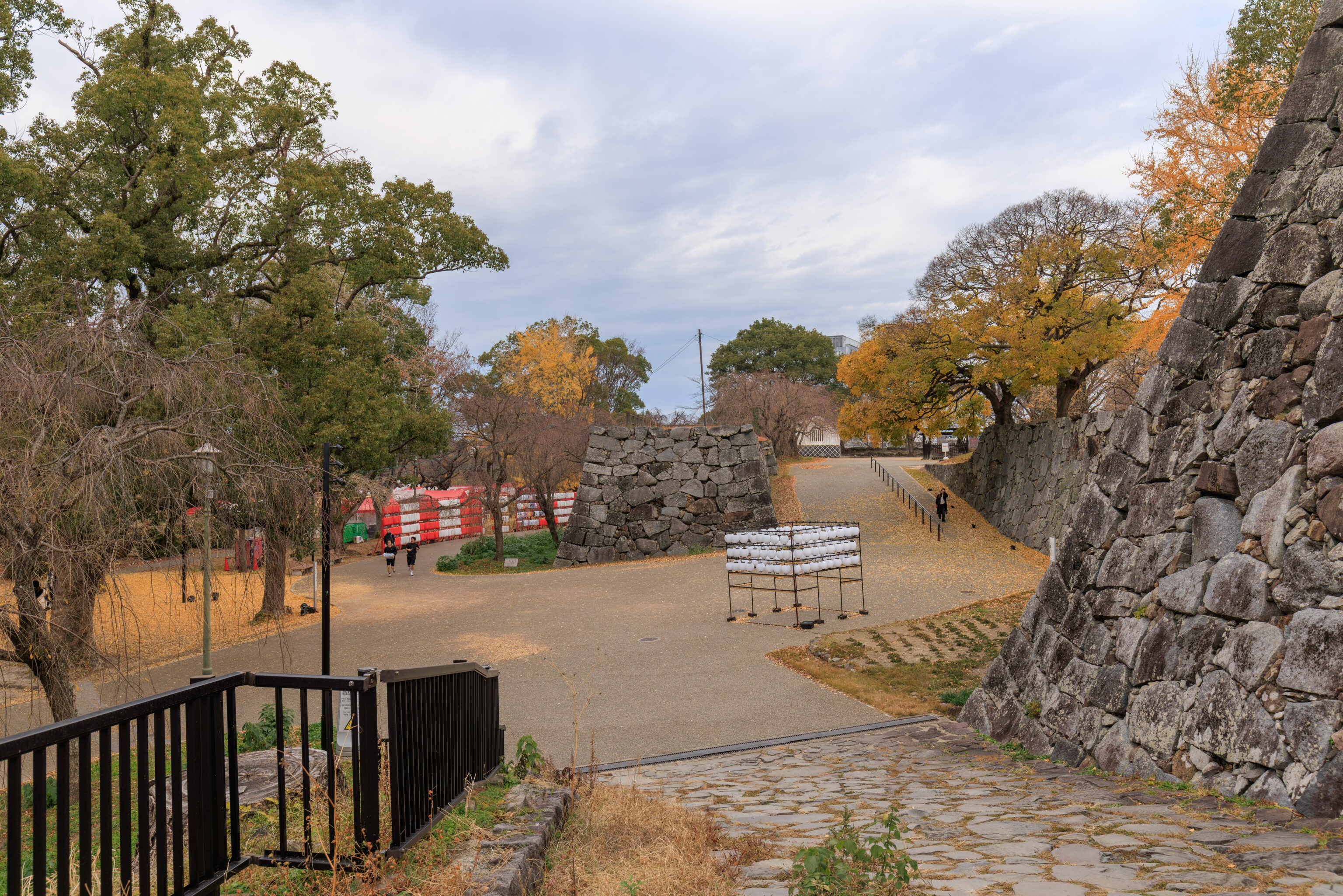
We continued on, successfully exiting the honmaru!
This area was where the food stalls are located for the illumination event.
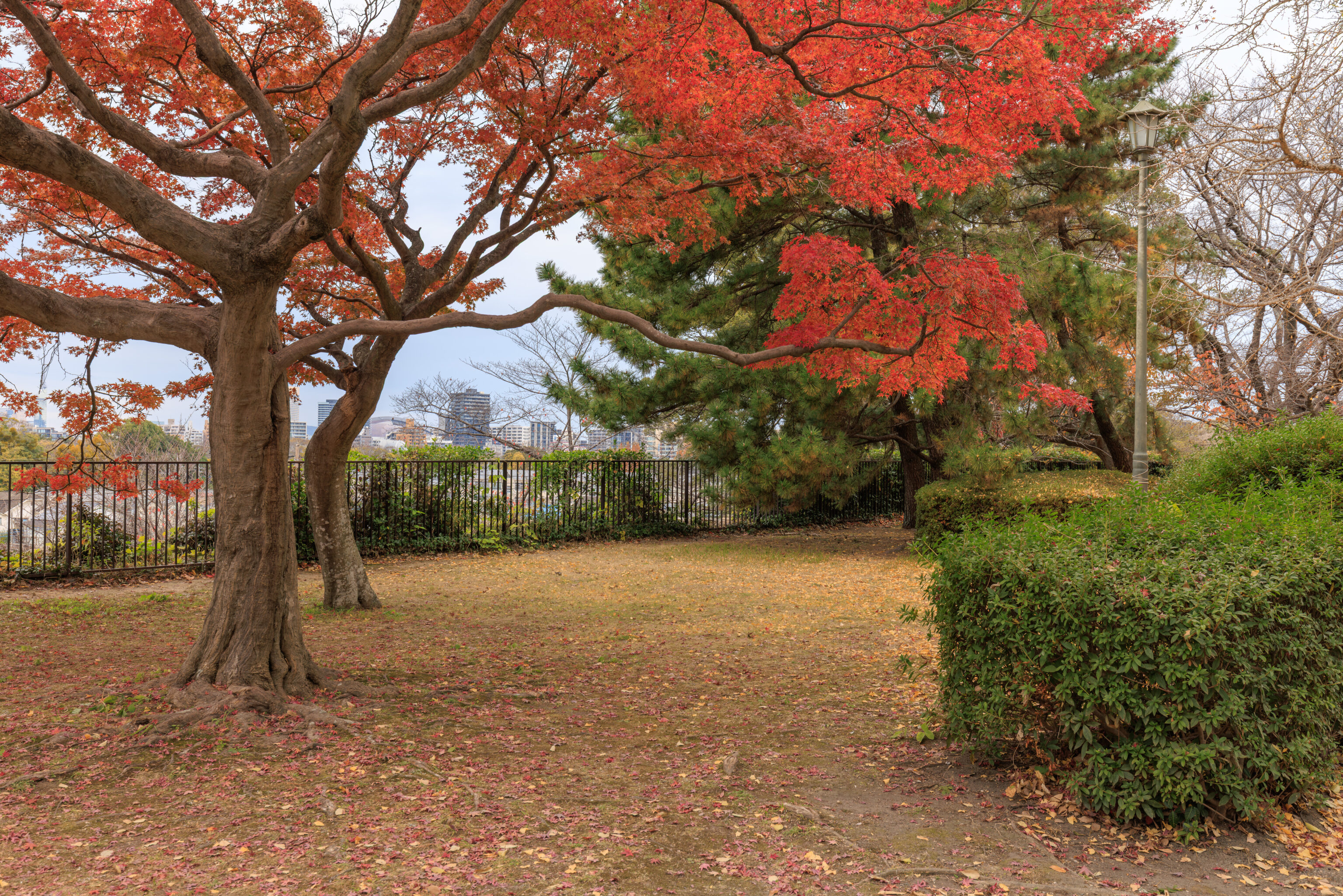
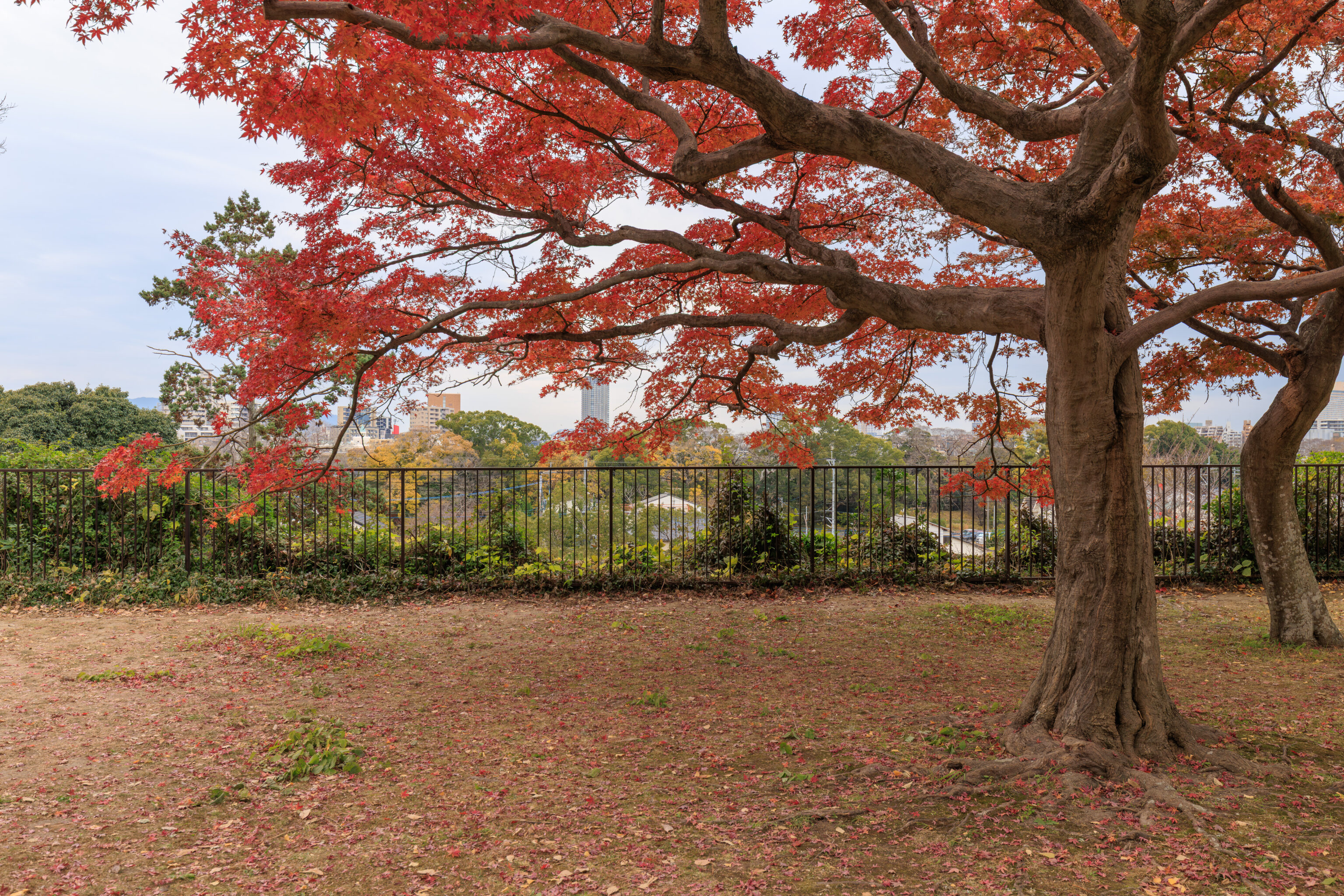
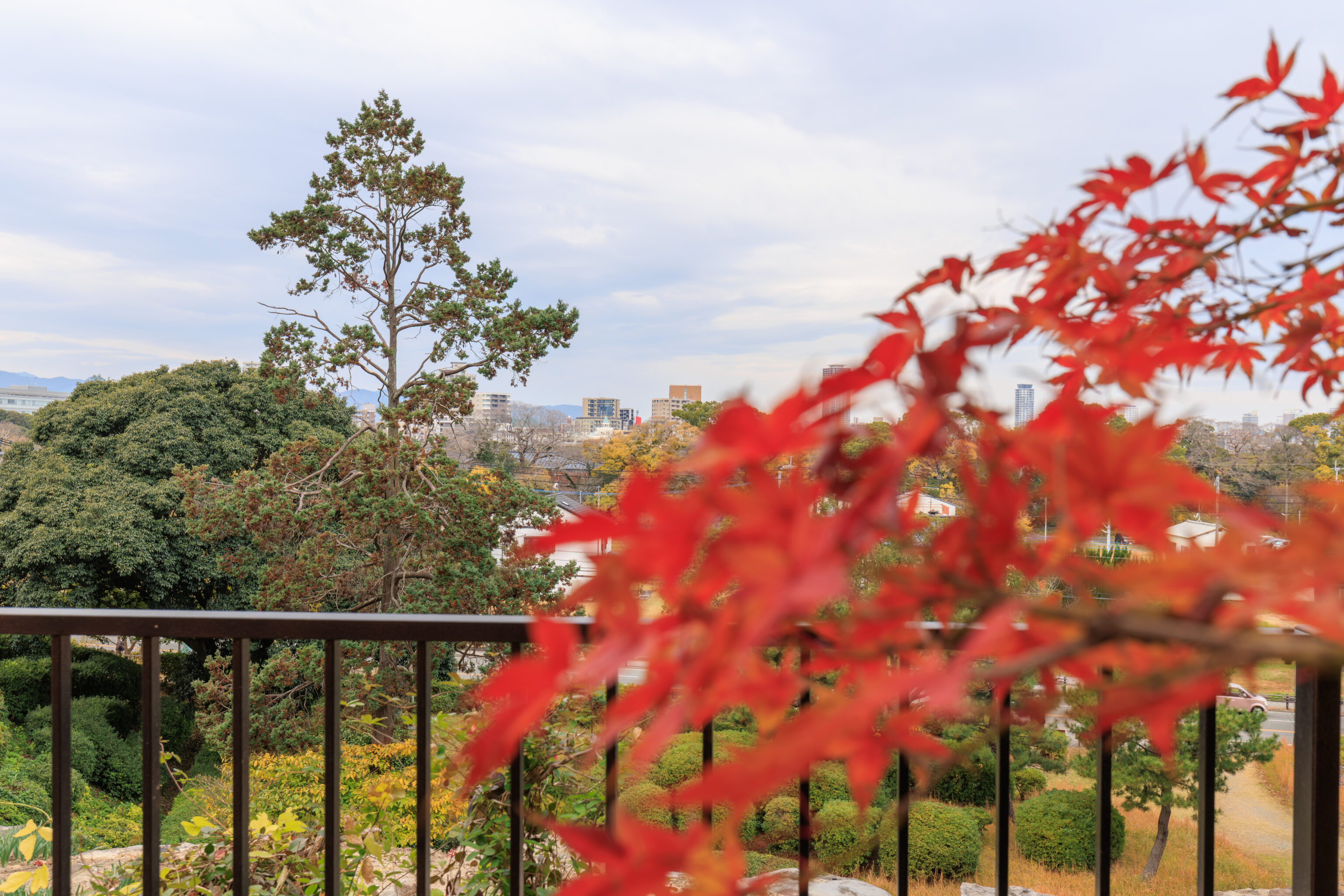
This one momiji, or Japanese maple, was quite beautiful with its nearly full canopy of red leaves!
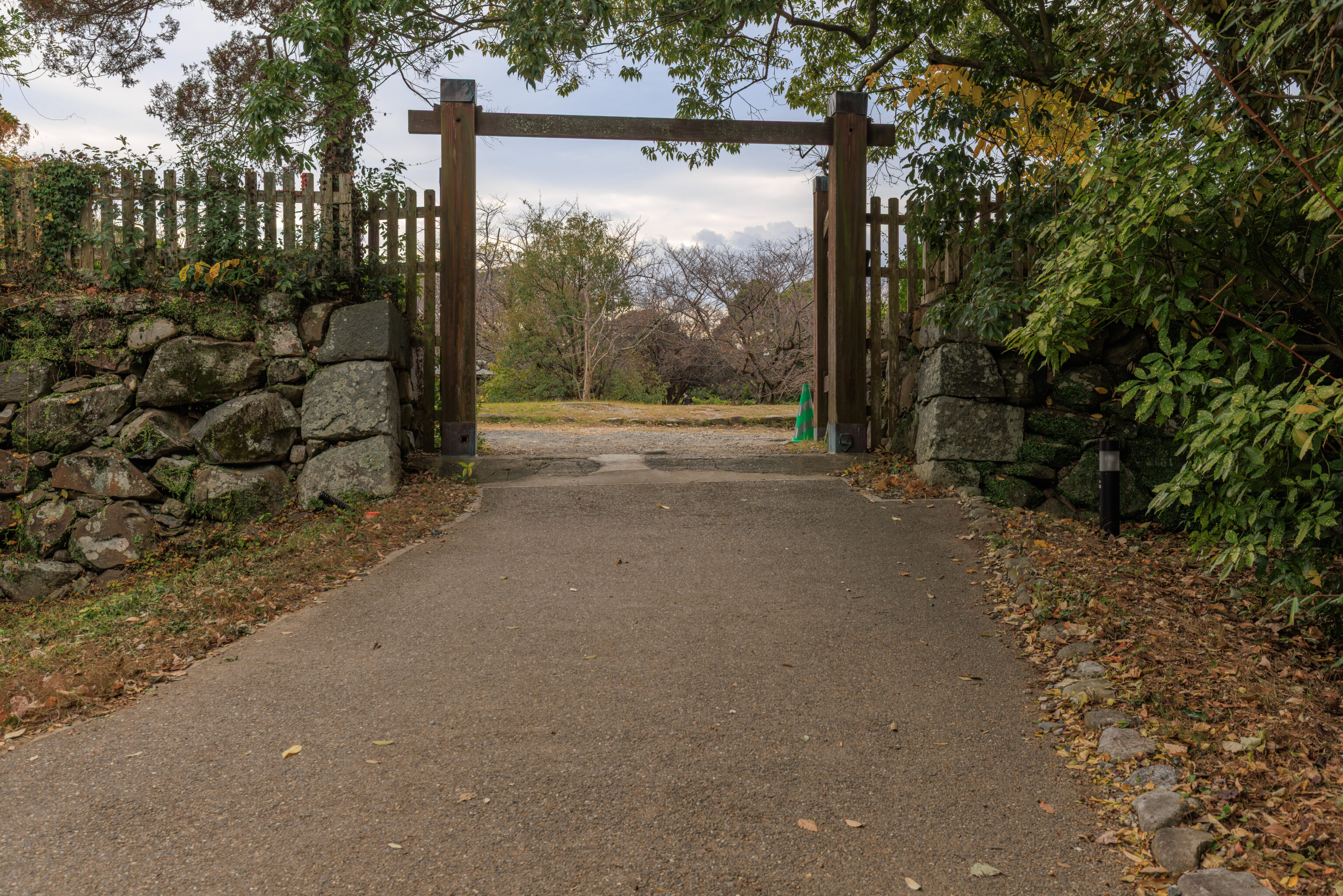
We continued on, following a path that went through a modern-day gate.
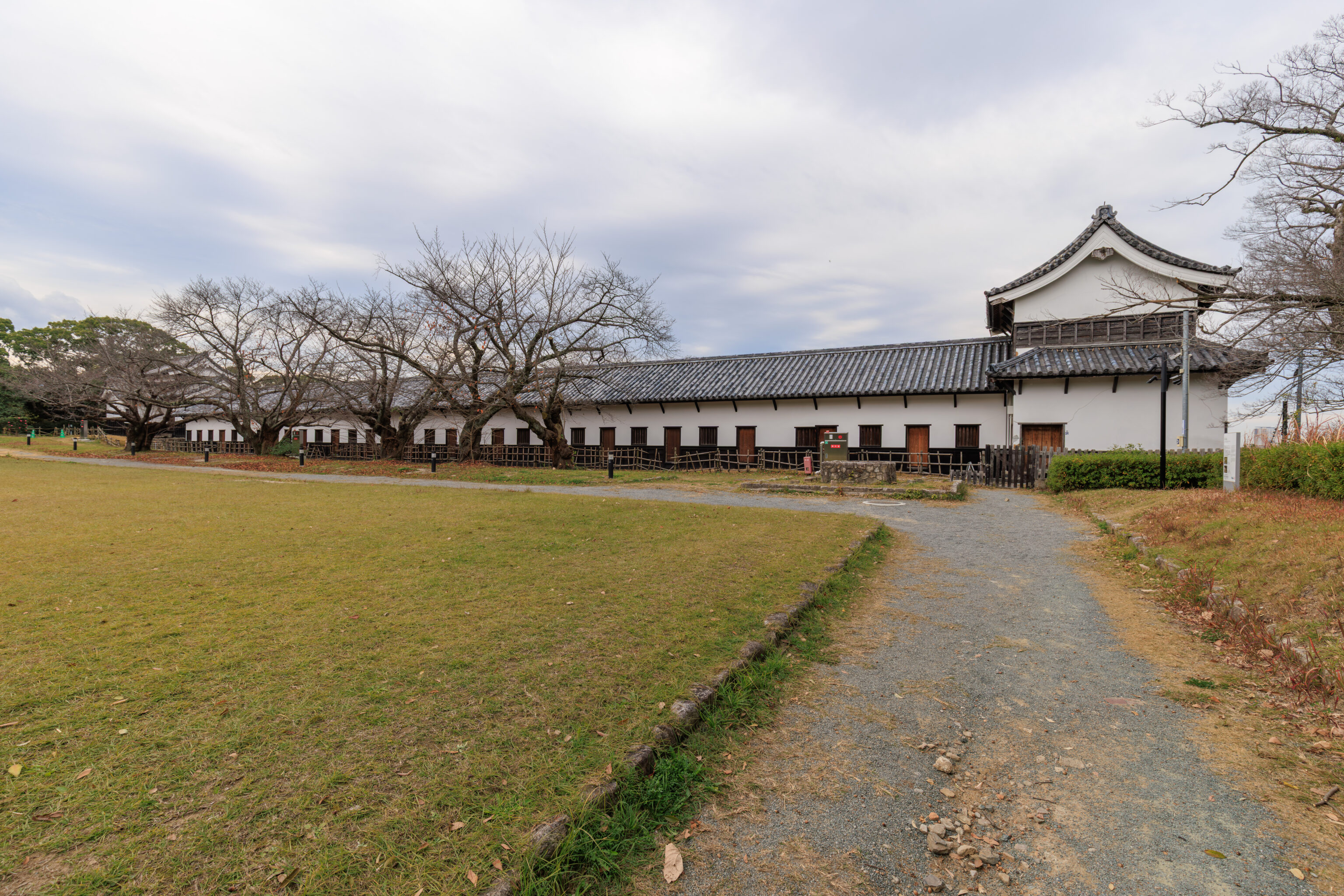
We came across a very long building, the Multi-Room Turret.
多聞櫓
Tamon-Yagura (Multi-Room Turret)

The Tamon-Yagura is the only building that remains in the exact place it was built when Fukuoka Castle was originally constructed. The turret is divided into 16 small rooms, which were used as storehouses for weapons and other items. This turret is a Nationally Designated Important Cultural Property.

The Tamon-Yagura is formed from the north and south sumi-yagura (corner turrets) and the hira-yagura (single-story turret) located in the center. The south corner turret and central single-story turret seen to the left were built here when Fukuoka Castle was originally constructed. However, they underwent major reconstruction in 1853, taking on their current shape.
– Combined text from two signs.
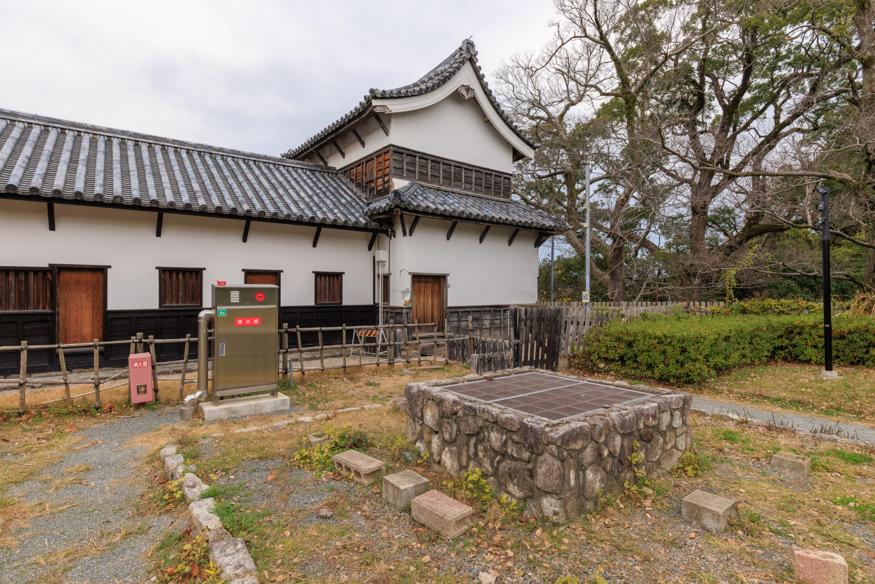
This was the northernmost turret.
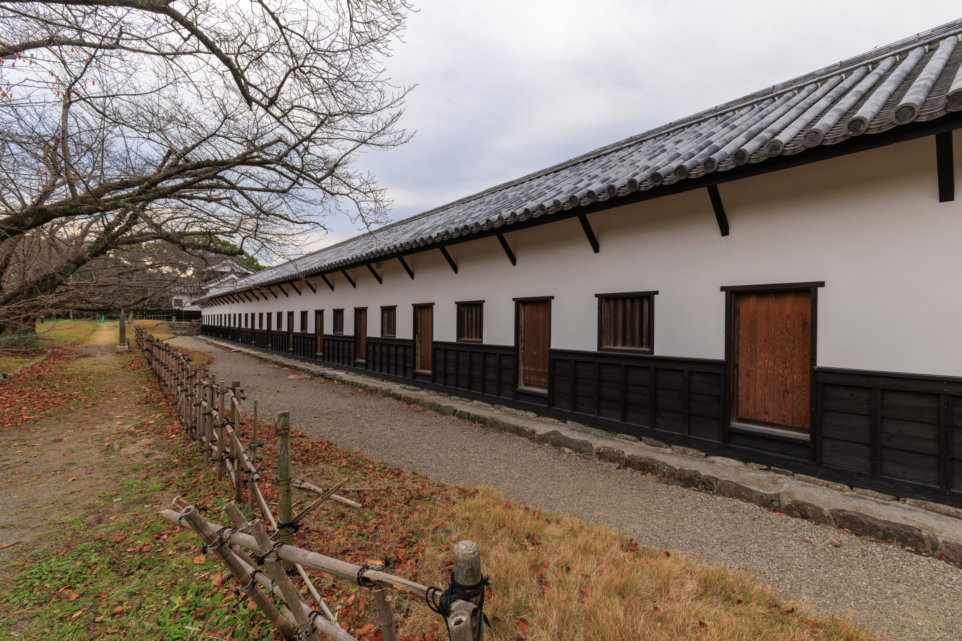
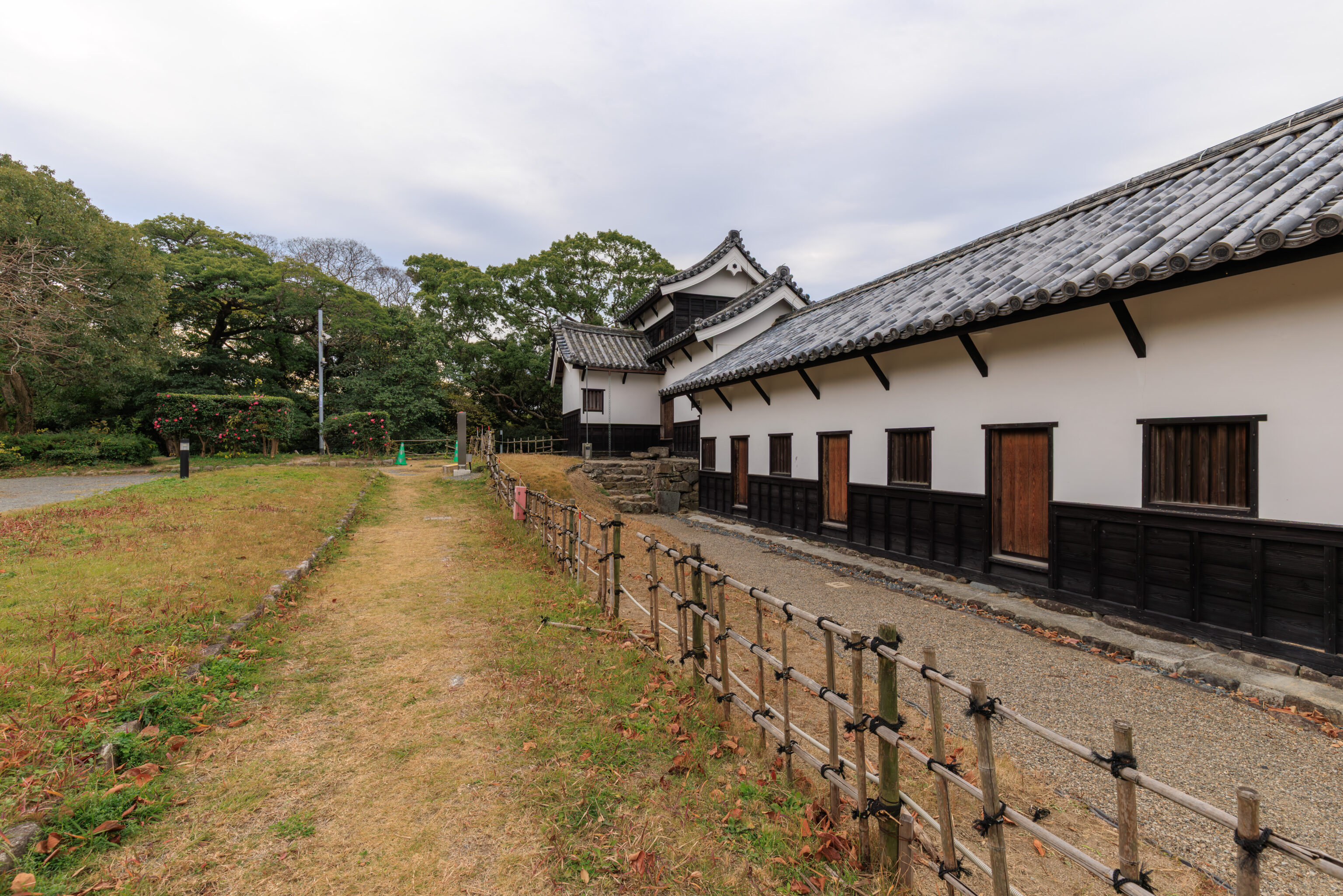
The long building leads to a turret at the southern end. The sign we saw described three turrets but only two are present here.
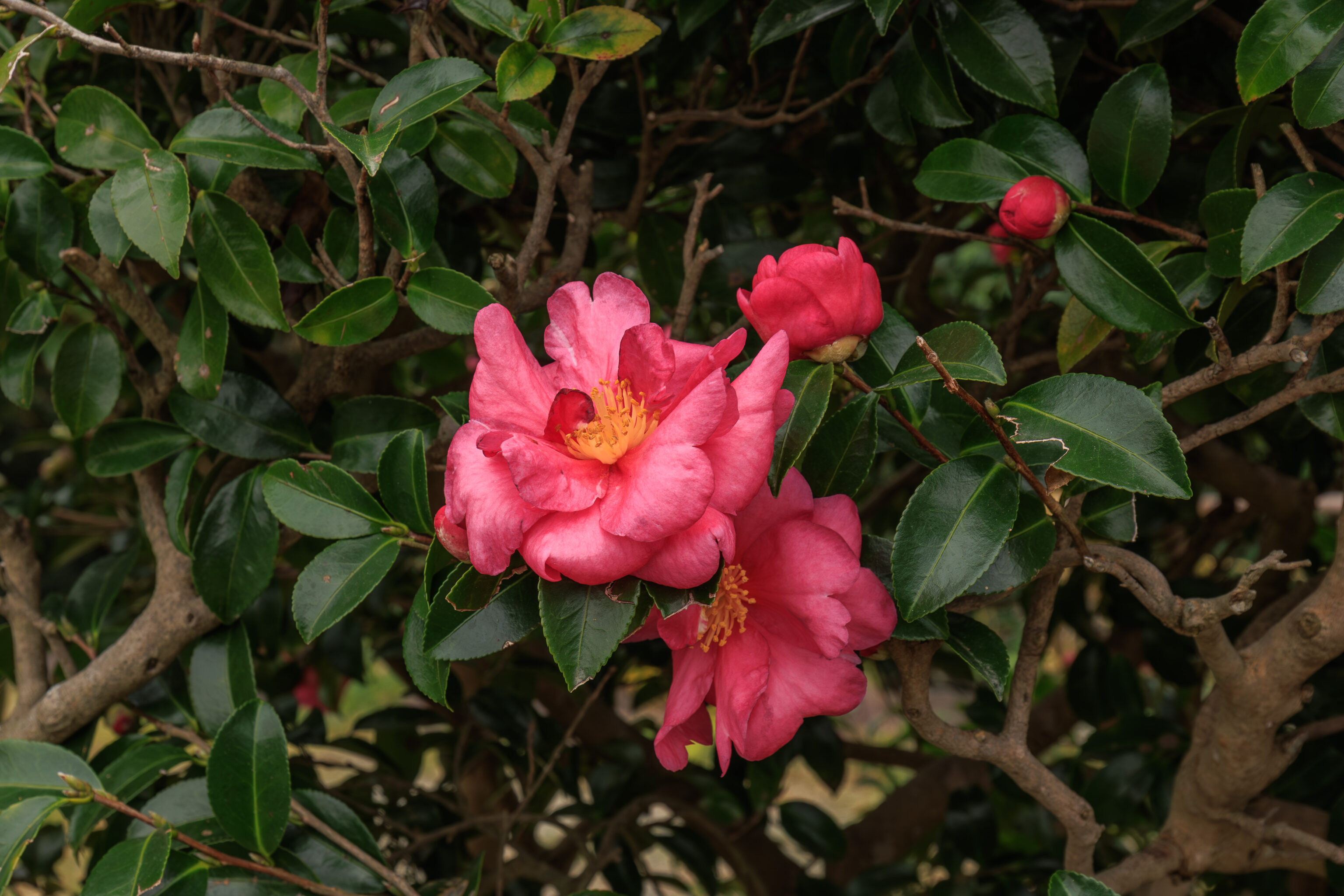
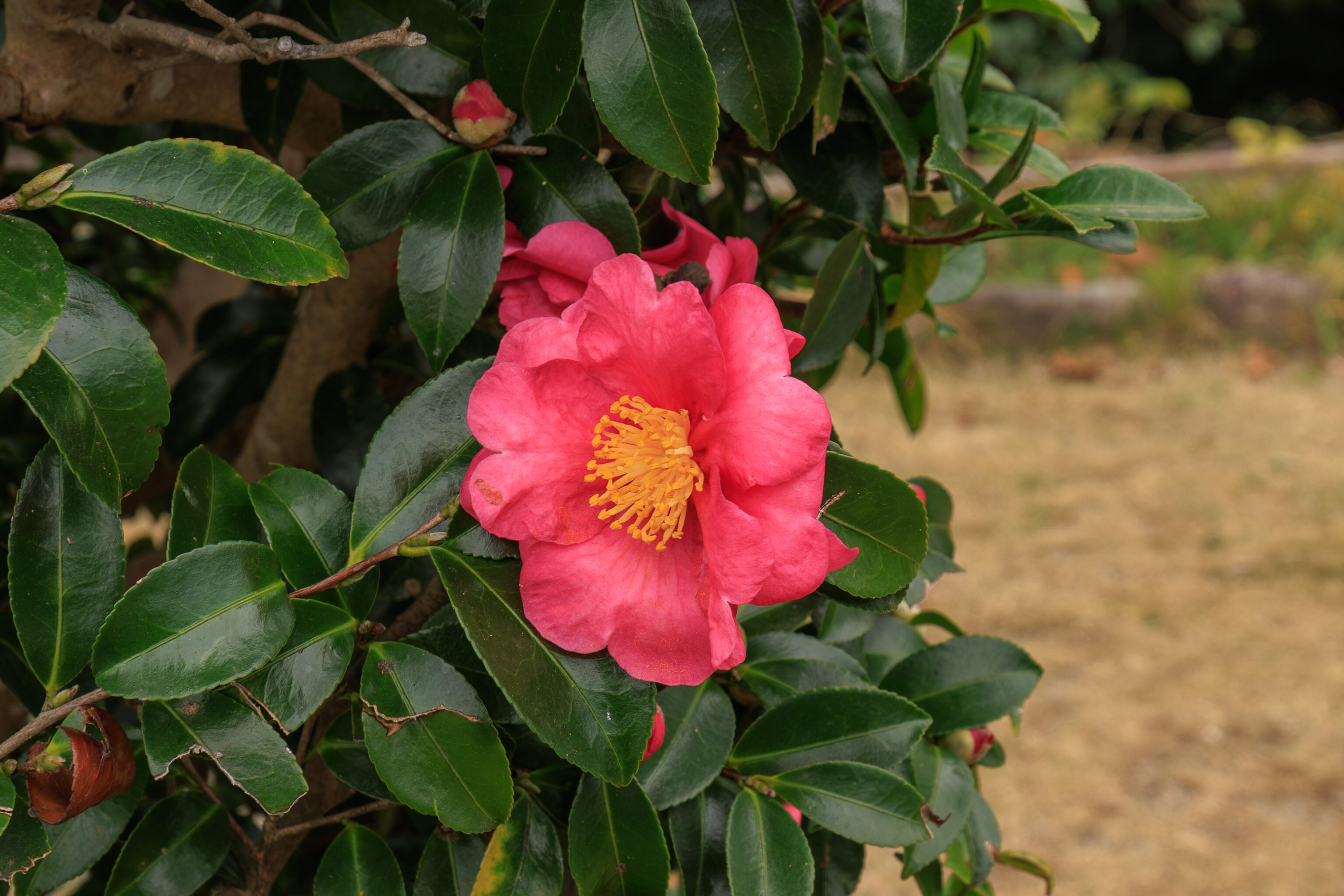
We noticed these beautiful camellias that were in bloom. It seems they may be サザンカ sazanka or ツバキ tsubaki. There are too many plant species that basically look the same, trying to identify them is much harder than birding!
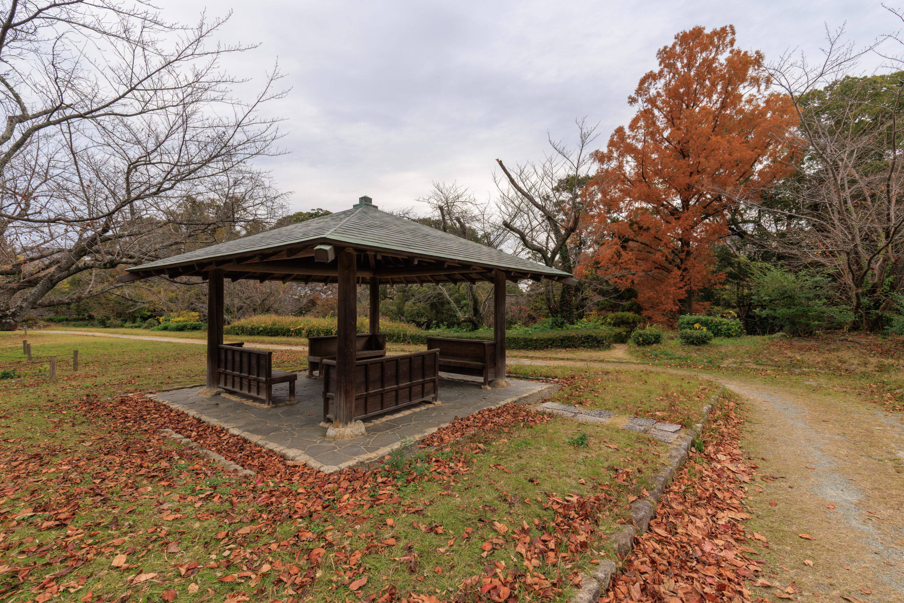
A modern pavilion for resting.
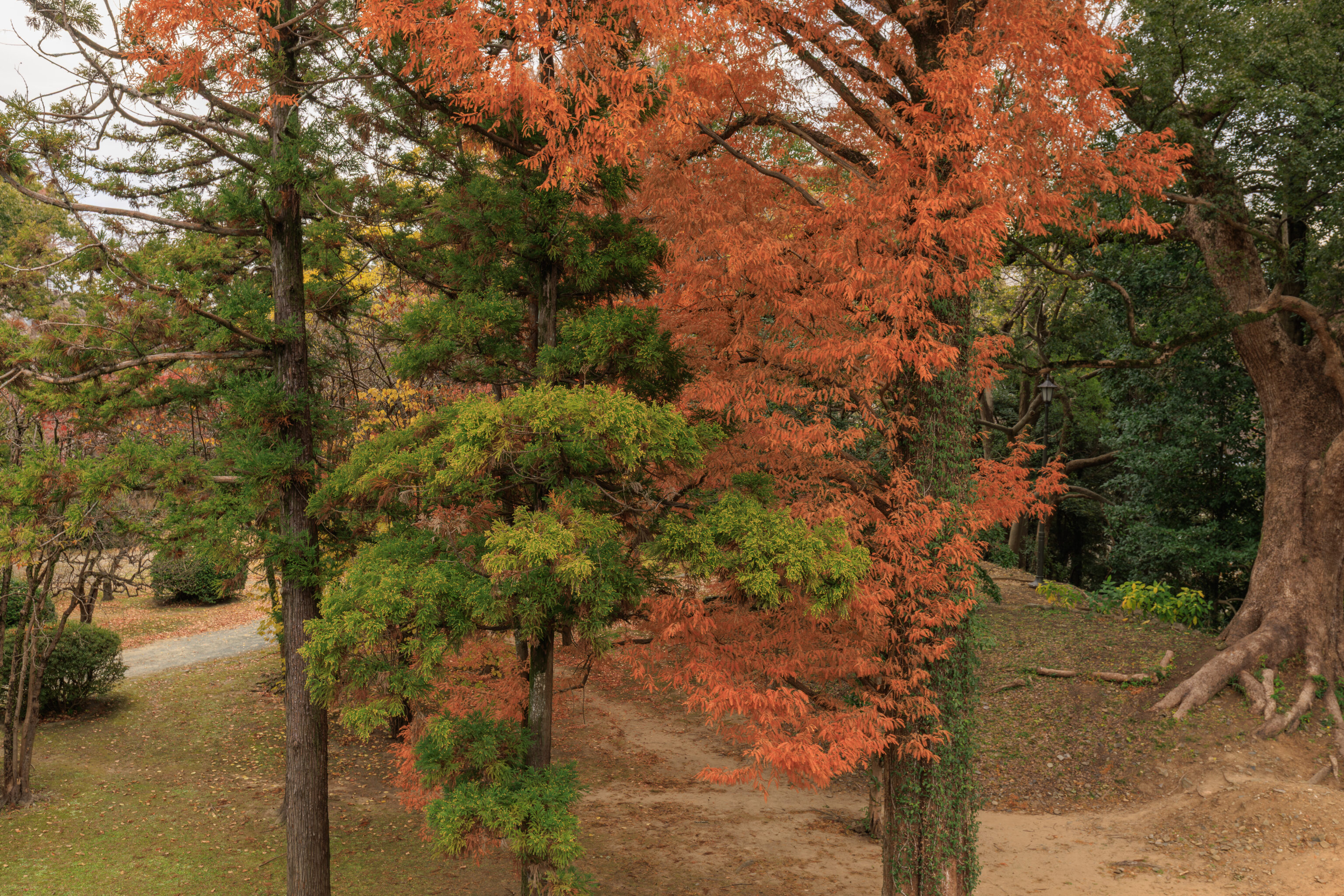
This tree had dark orange leaves.
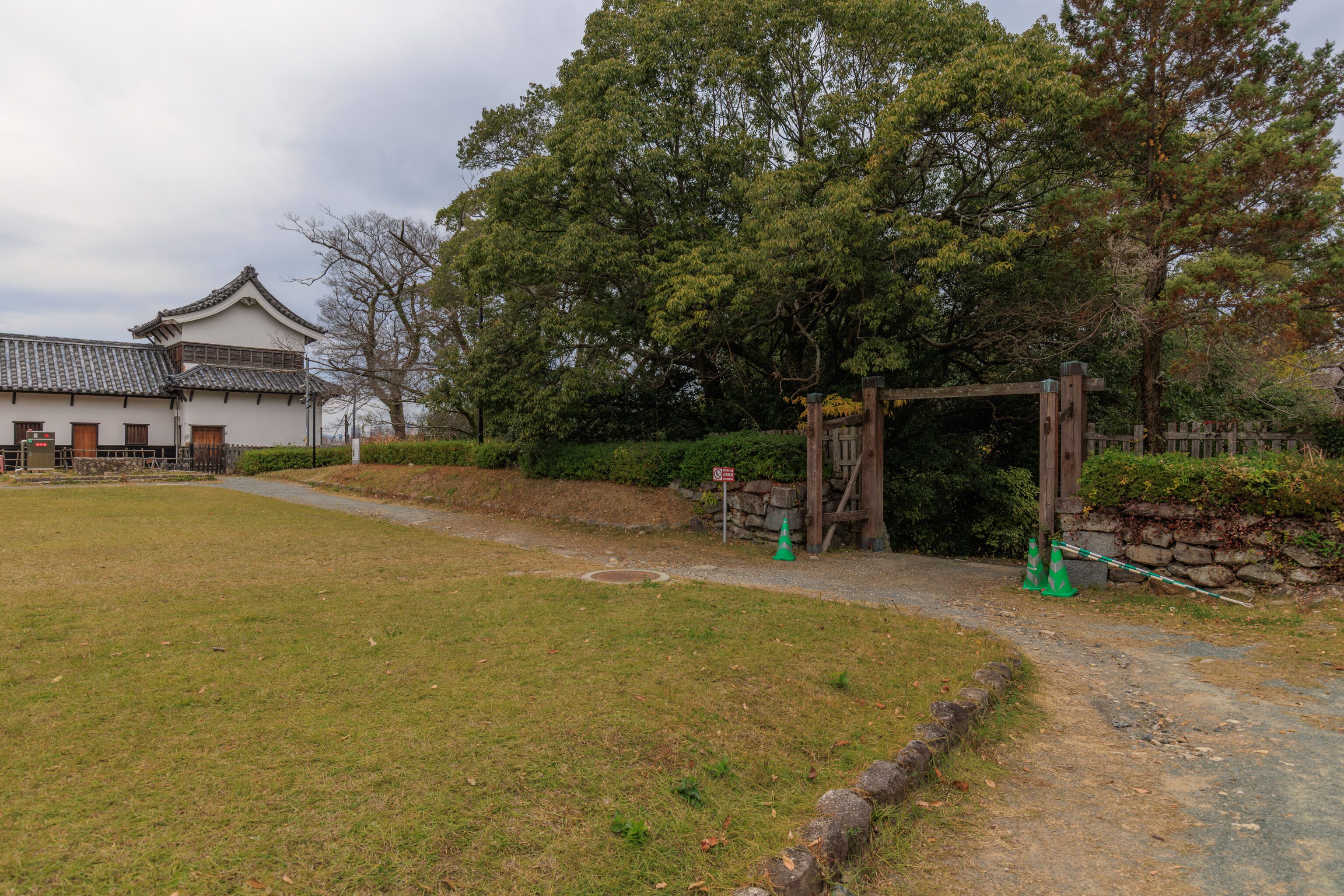
This elevated area was a dead end. So, we left the way we came in.
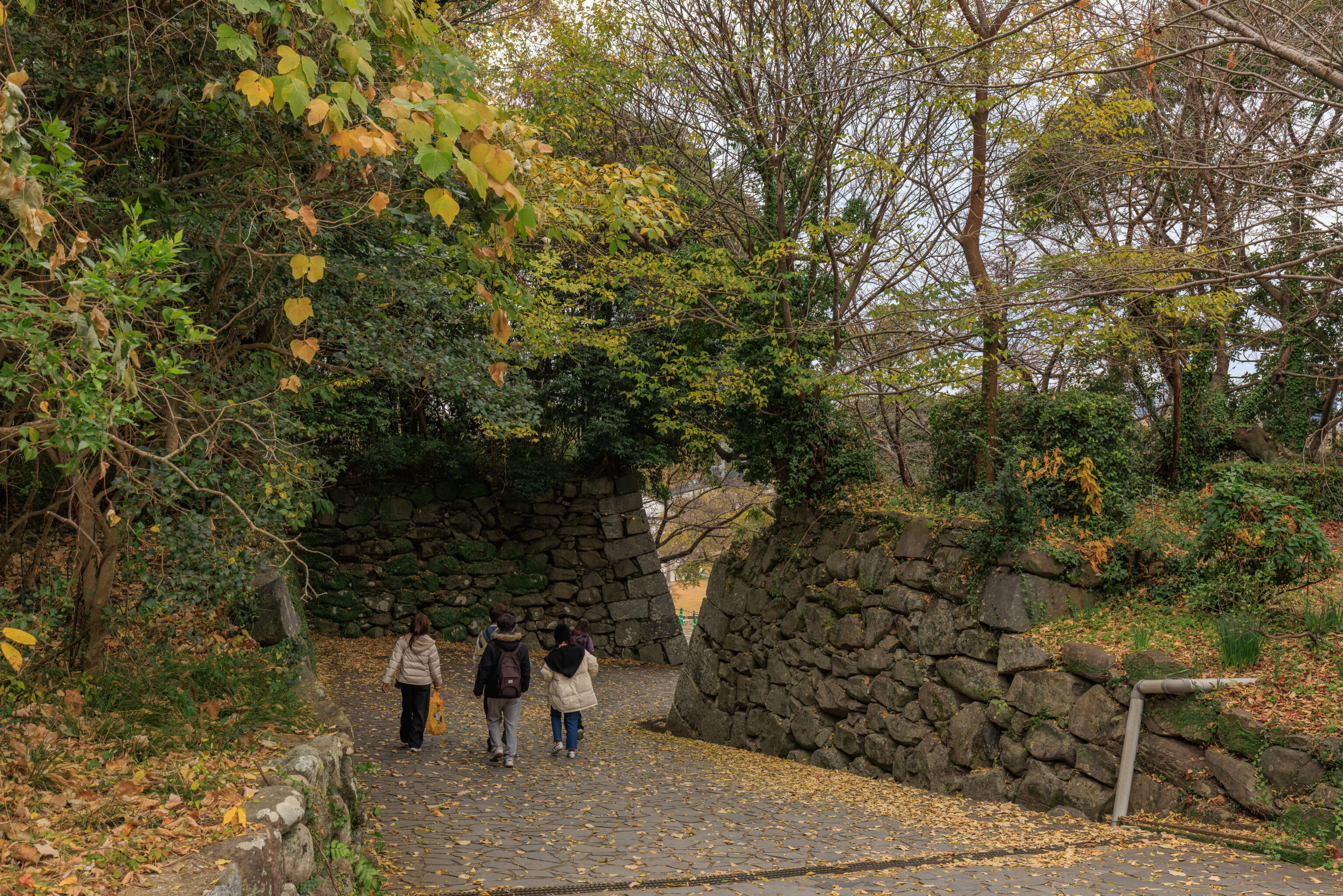
We took a different path which led downhill. A sign identified it as the Paulownia Tree Slope, which sounds more confusing than the Japanese Kirinoki-zaka.
桐の木坂
Kirinoki-Zaka (Paulownia Tree Slope)

This is the Kirinoki-Zaka, meaning "the Paulownia Tree Slope". This is one of two slopes that leads from the third bailey into the second bailey of Fukuoka Castle.
– Text from a sign.
The 三の丸 sannomaru (third circle) and 西二の丸 nishi-ninomaru (west second circle), translated to 2nd and just 3rd bailey in English on the sign, aren’t precise translations of the Japanese text.
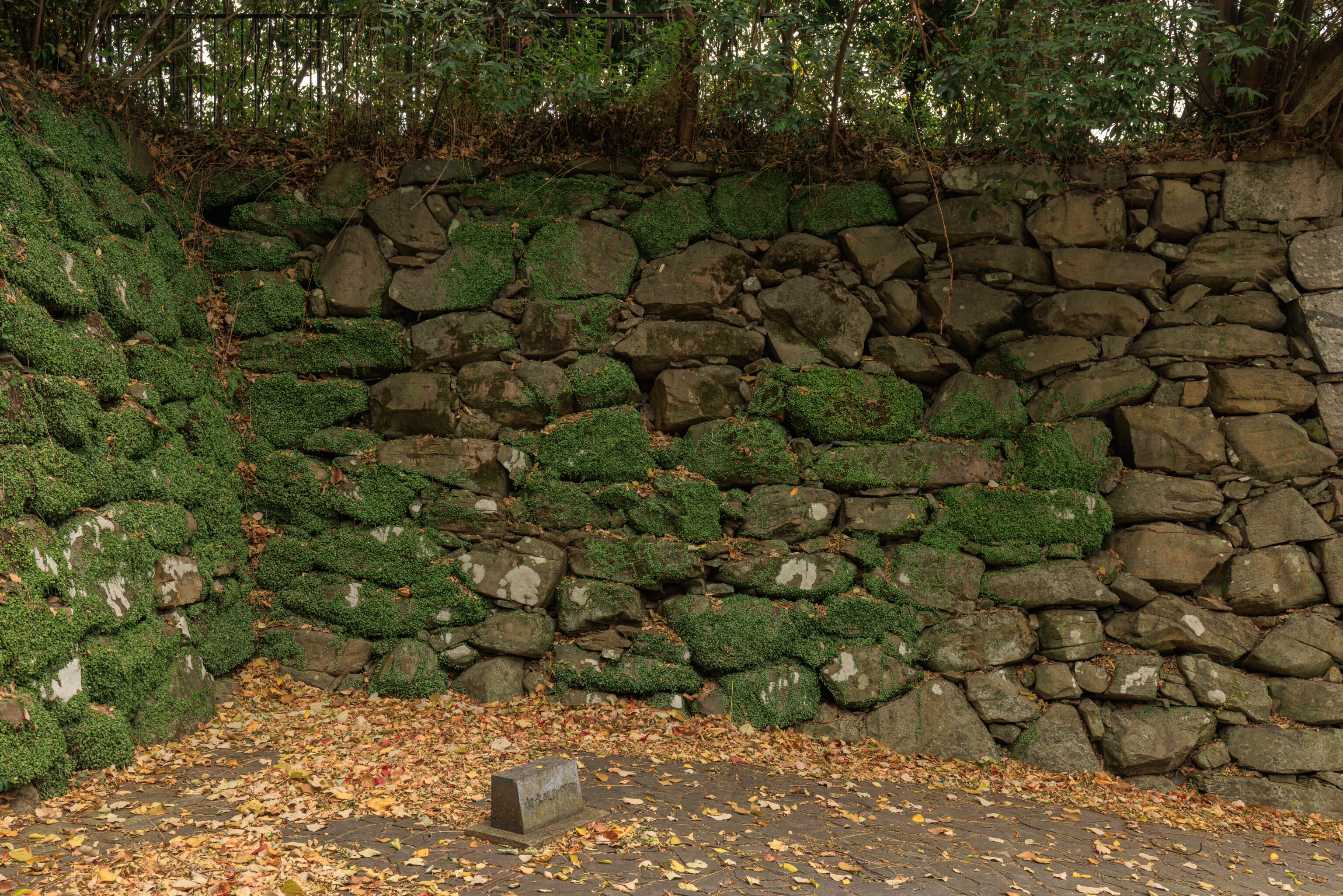
There was a marker here on the edge of the path down.
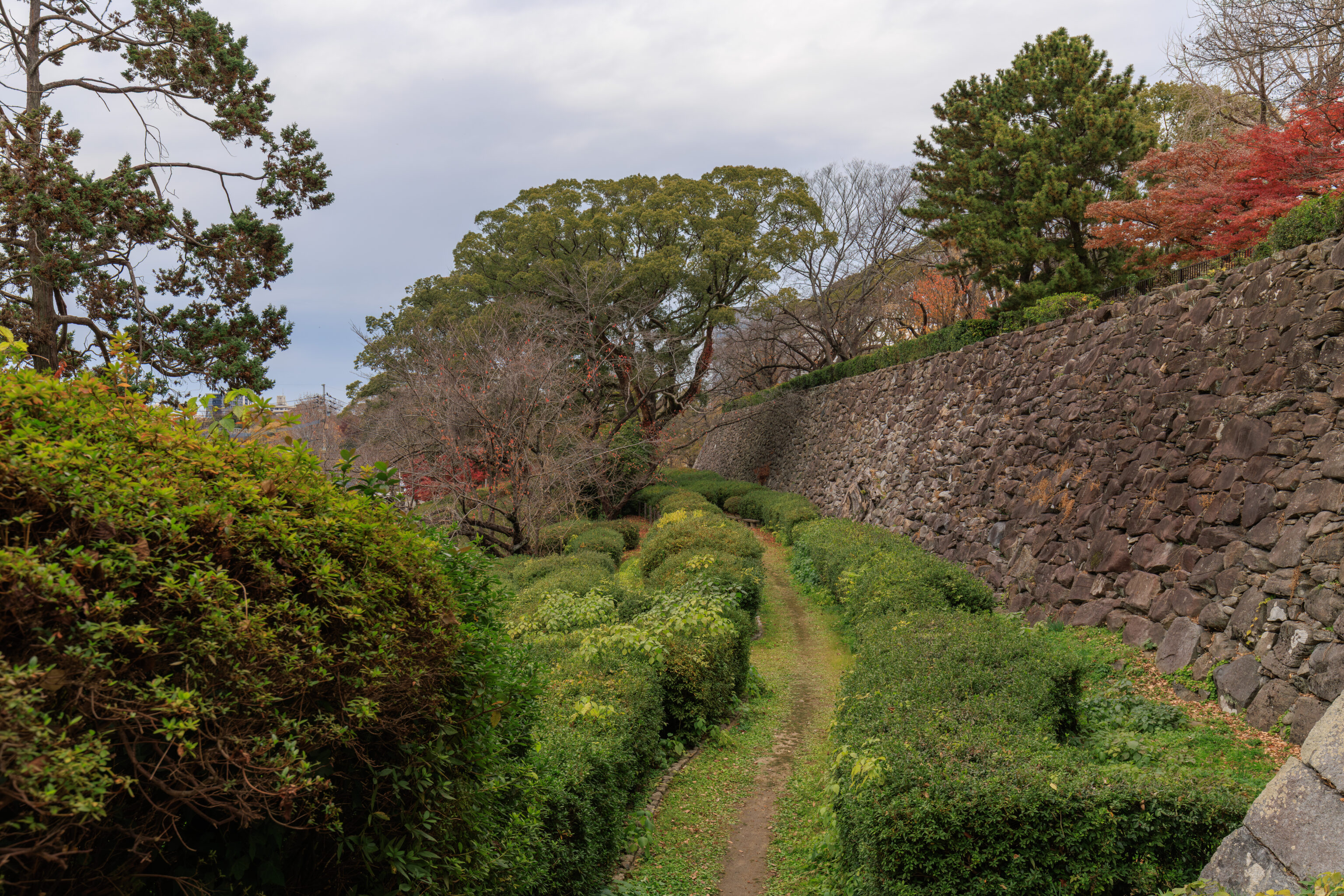
A narrow path forked off here to the north below the walls on the right. We continued going straight though, leaving the castle ruins and returning to the road we arrived on.
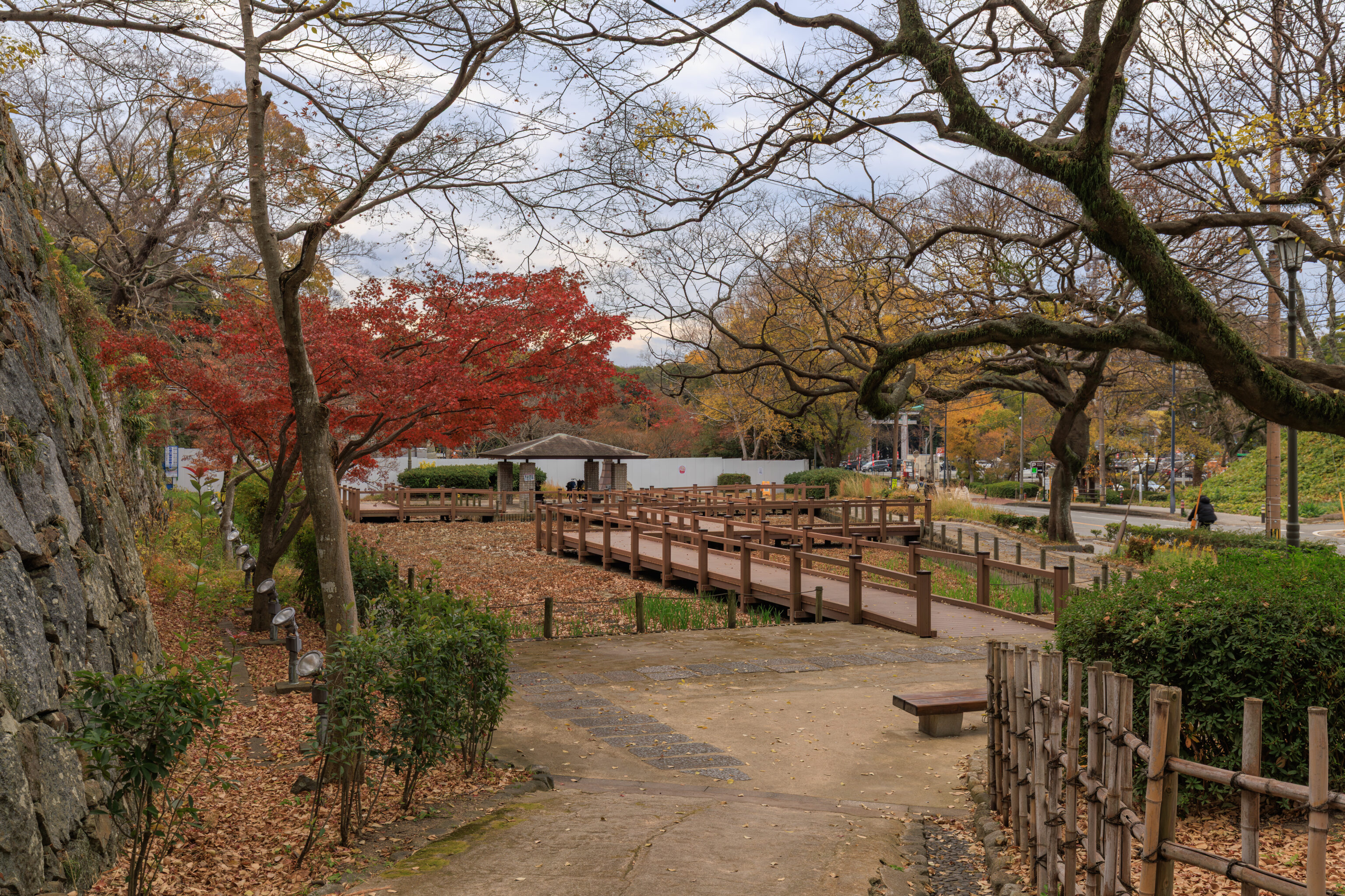
Just to the south, we came across a little garden area. It is identified as the 花菖蒲園 hanasobu-en (Japanese iris garden) in Google Maps.
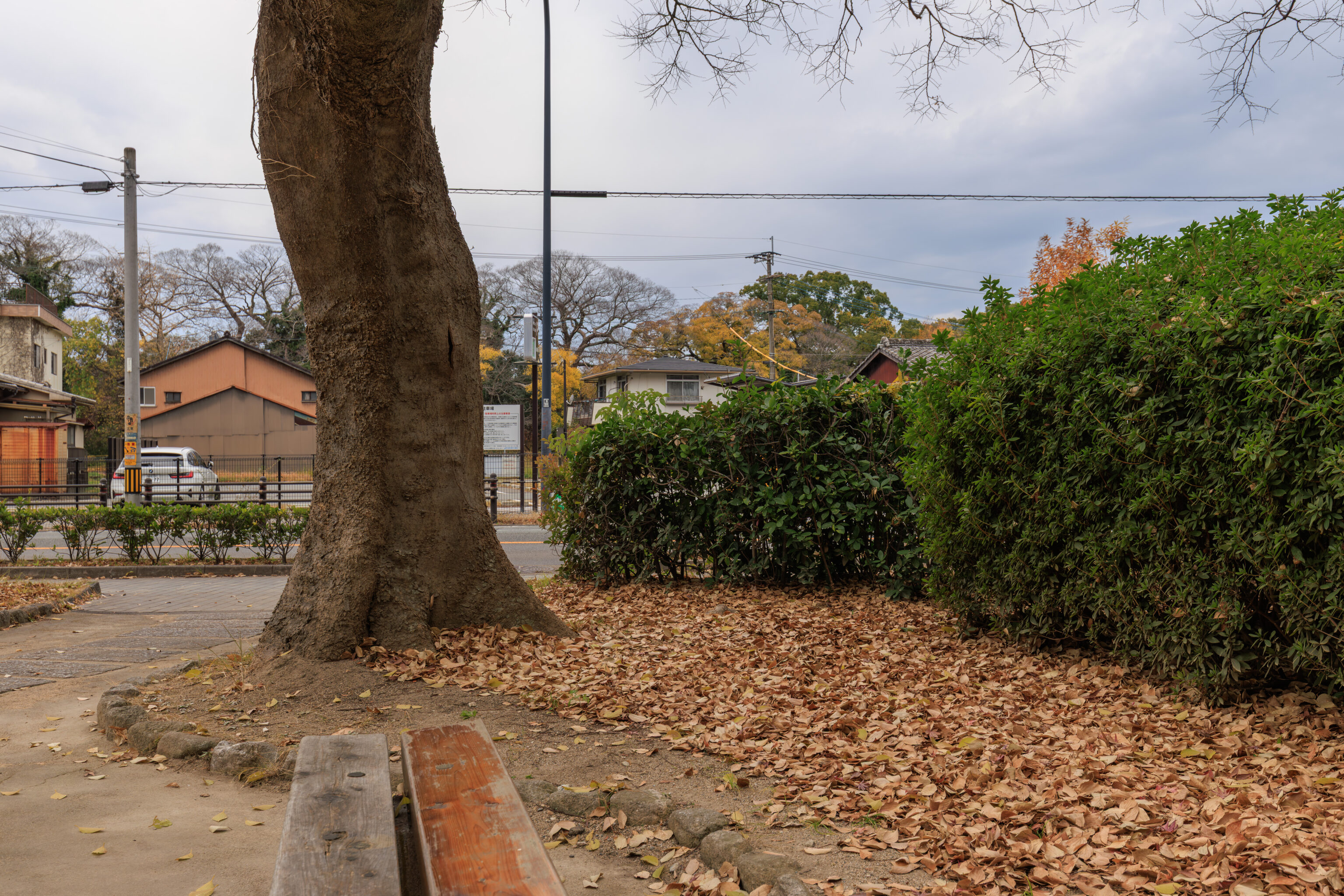
This was the view to the west as we sat on a bench.
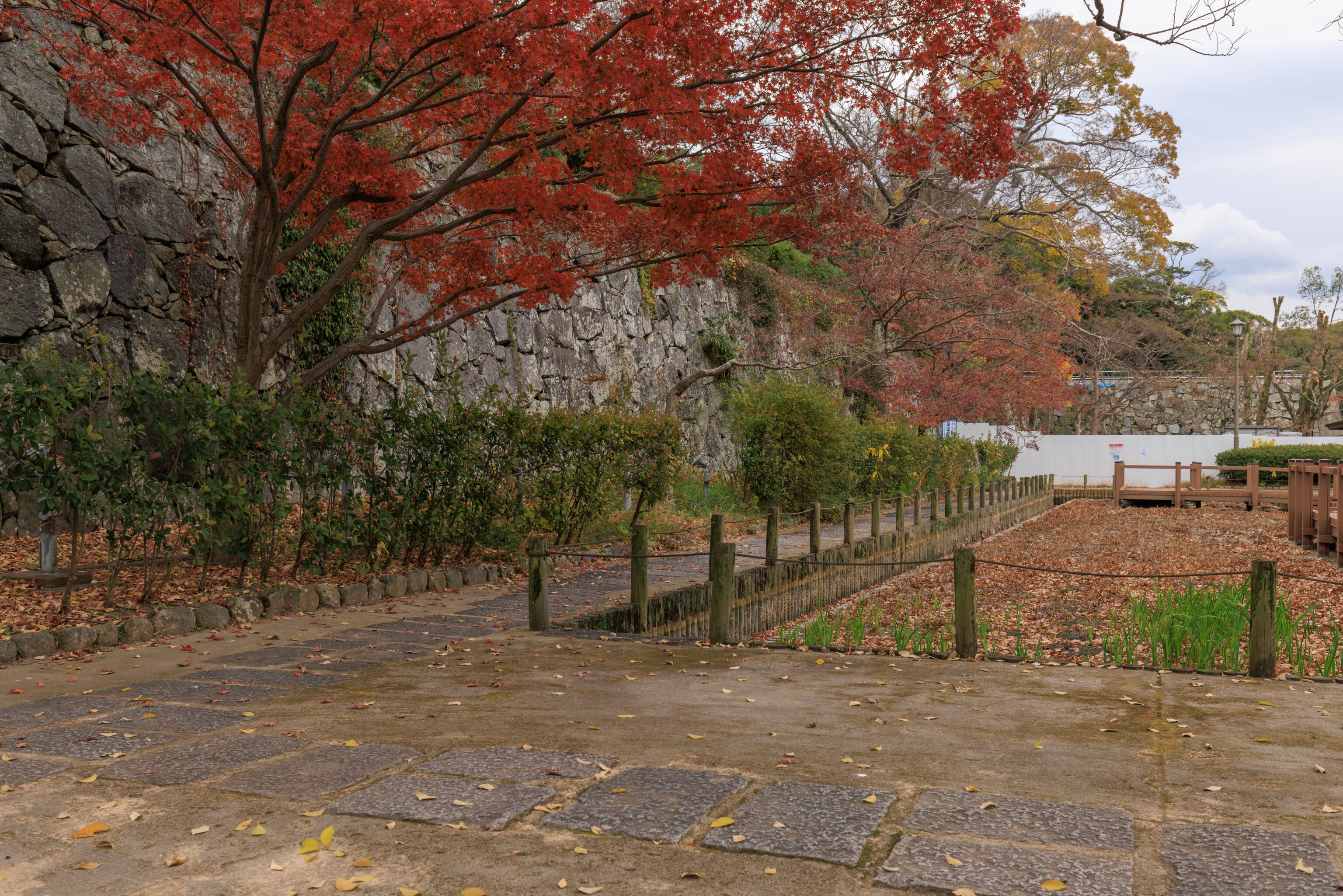
The view to the south shows the garden area which is probably filled with water during the other seasons.
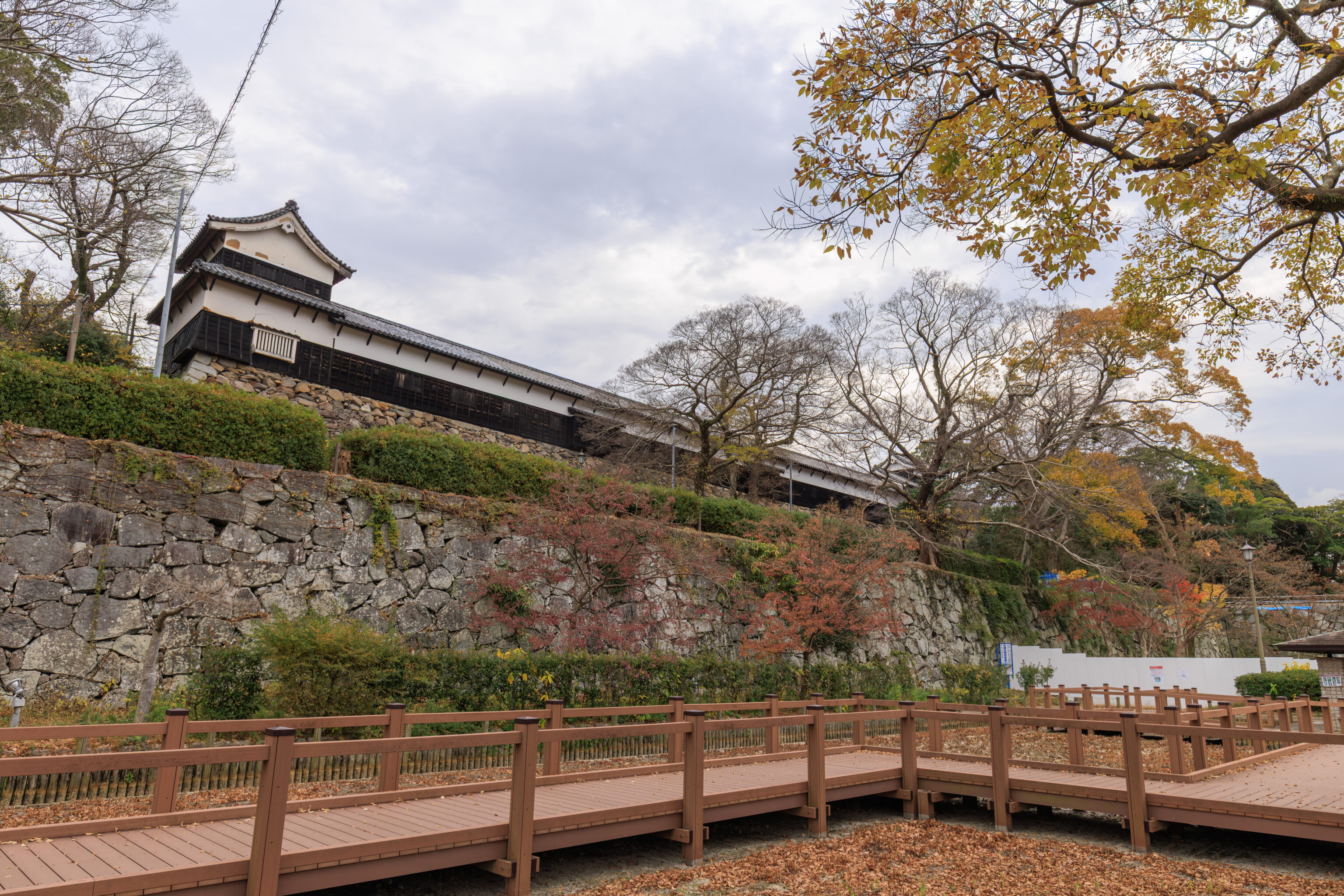
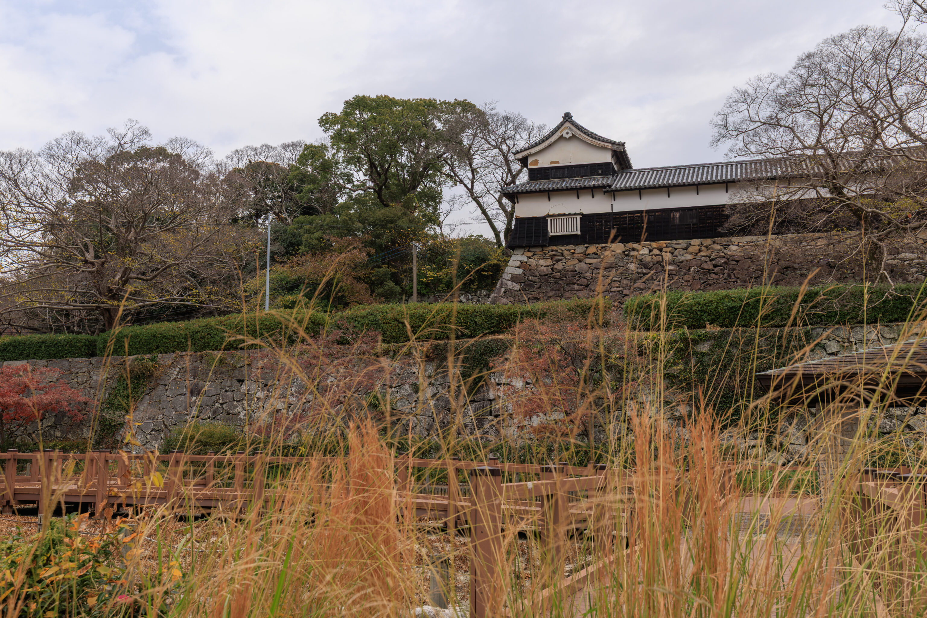
Looking to the southeast, we saw the long Tamon-Yagura above us.
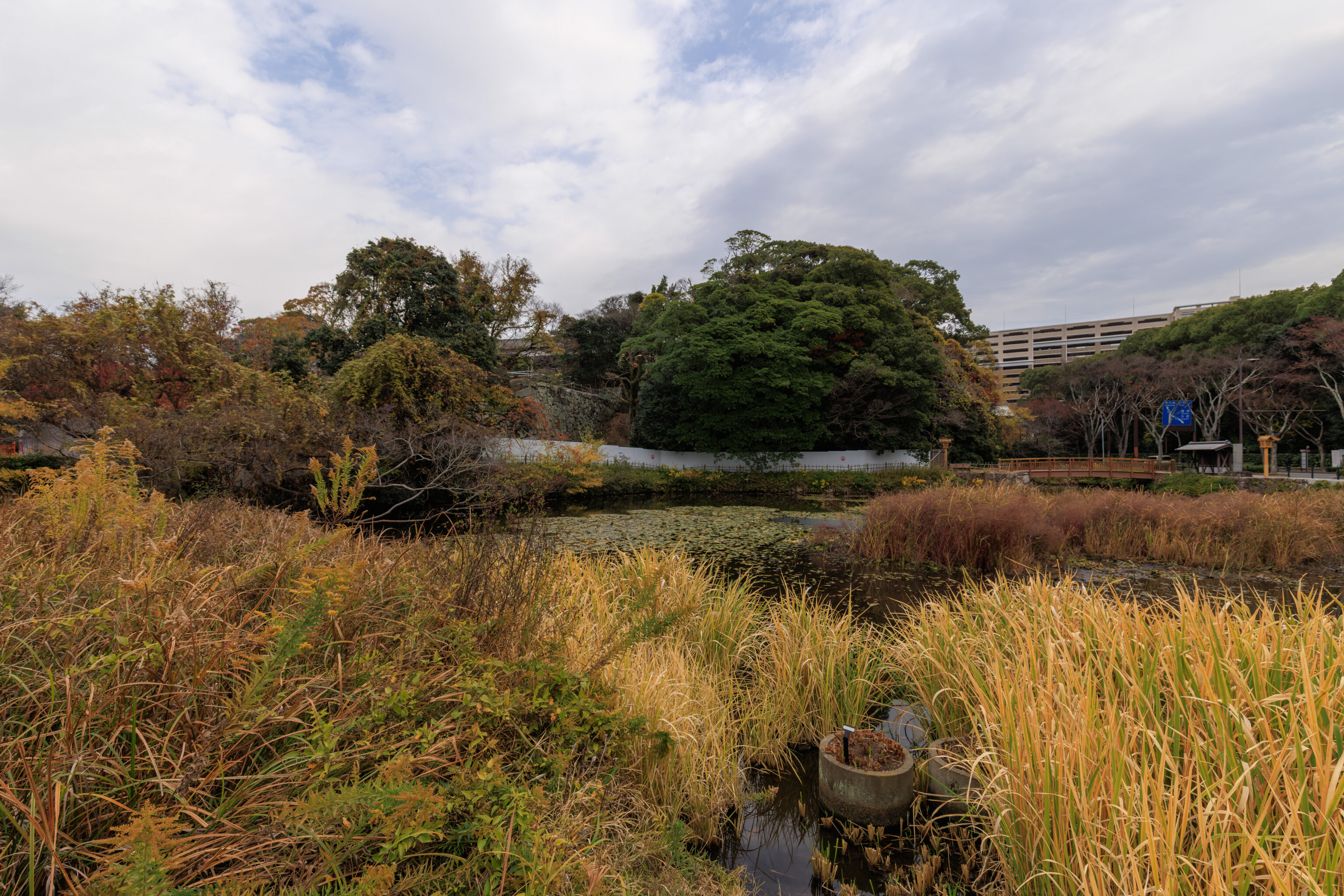
There was actually a bit of low water in some of the garden.
Gokoku-jinja
We continued on to head to Ohori Park, which was just a short distance away to the west. We did have to take an indirect path along a street to the south though to get there. On the way, we came across a Shinto shrine and decided to take a look.
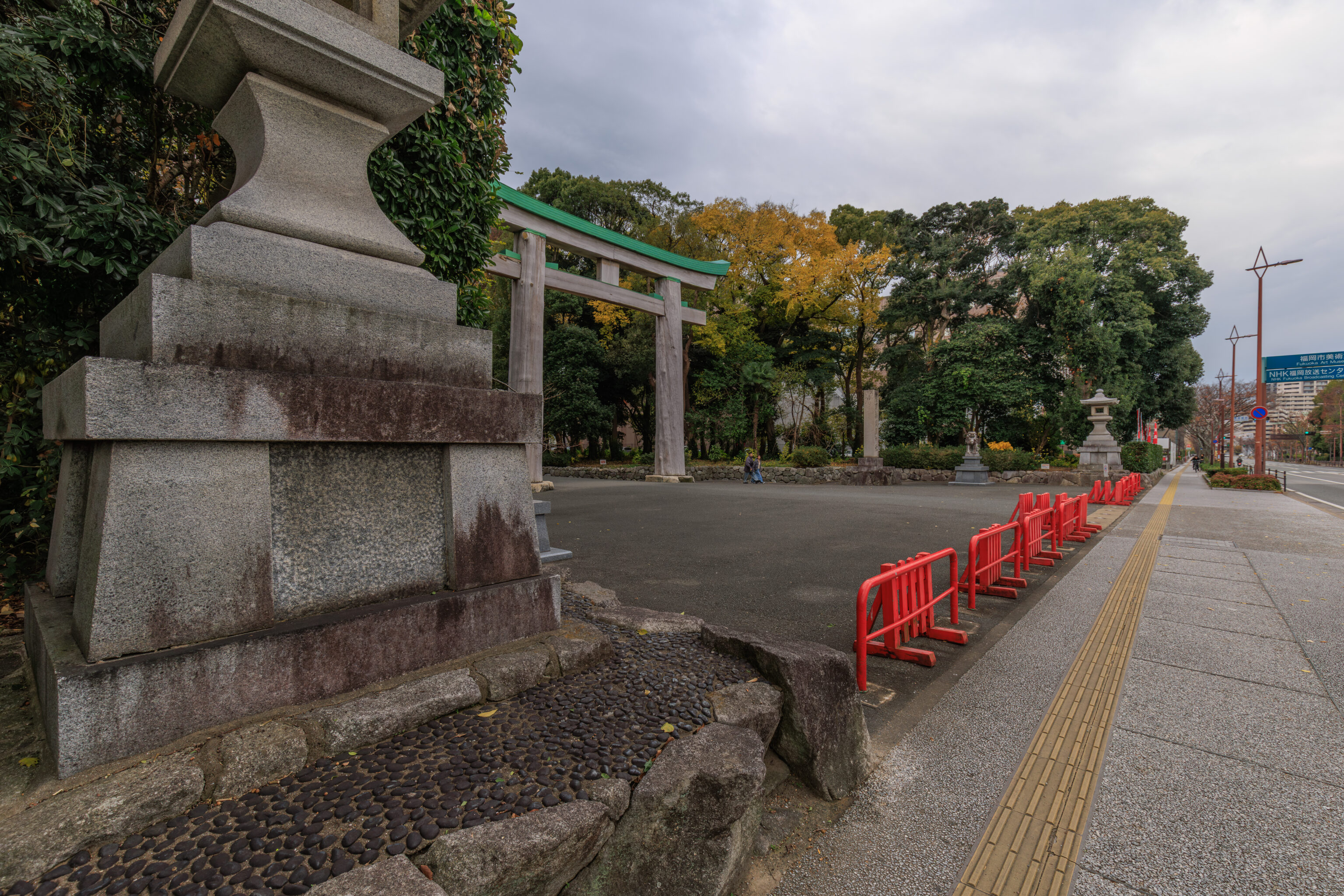
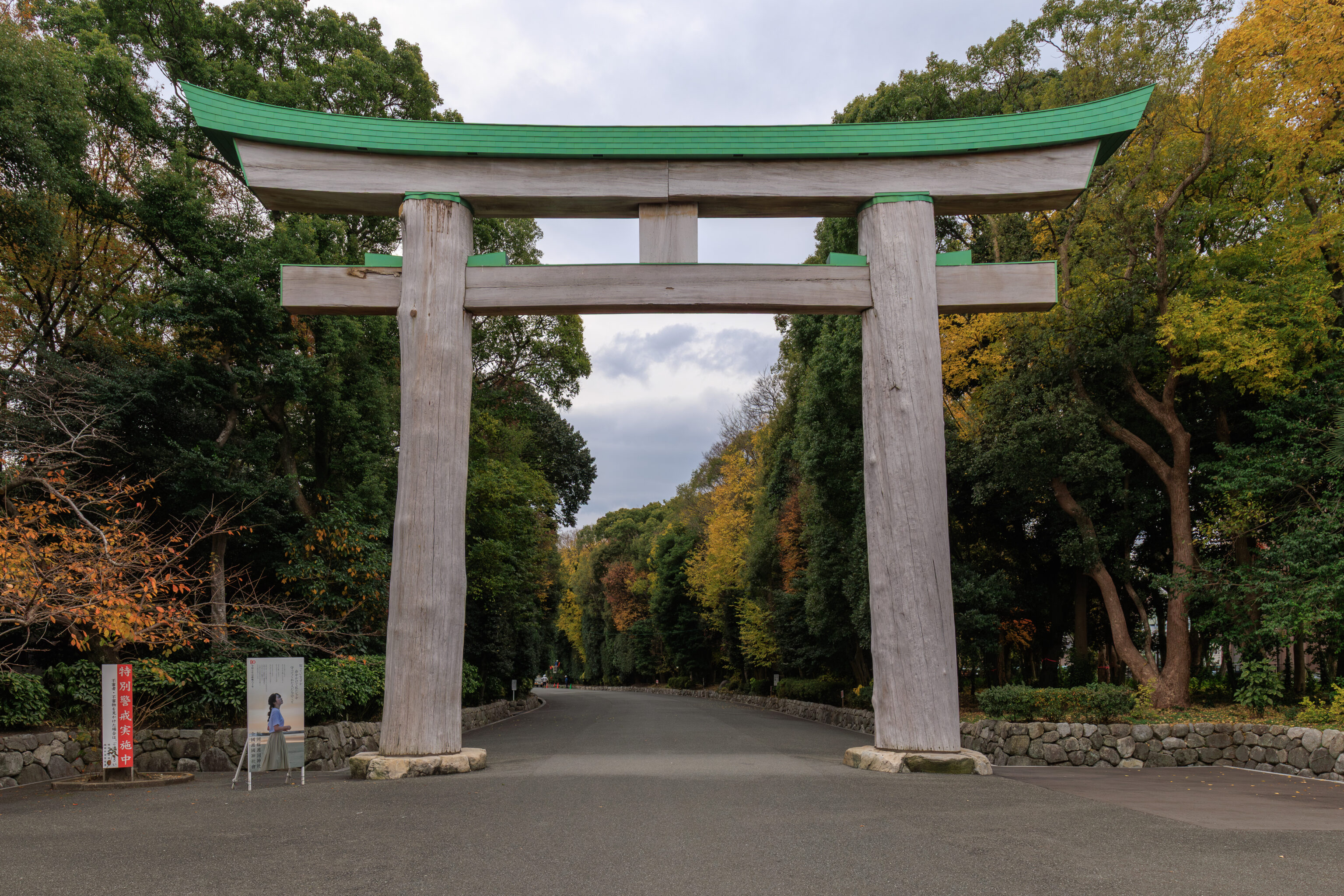
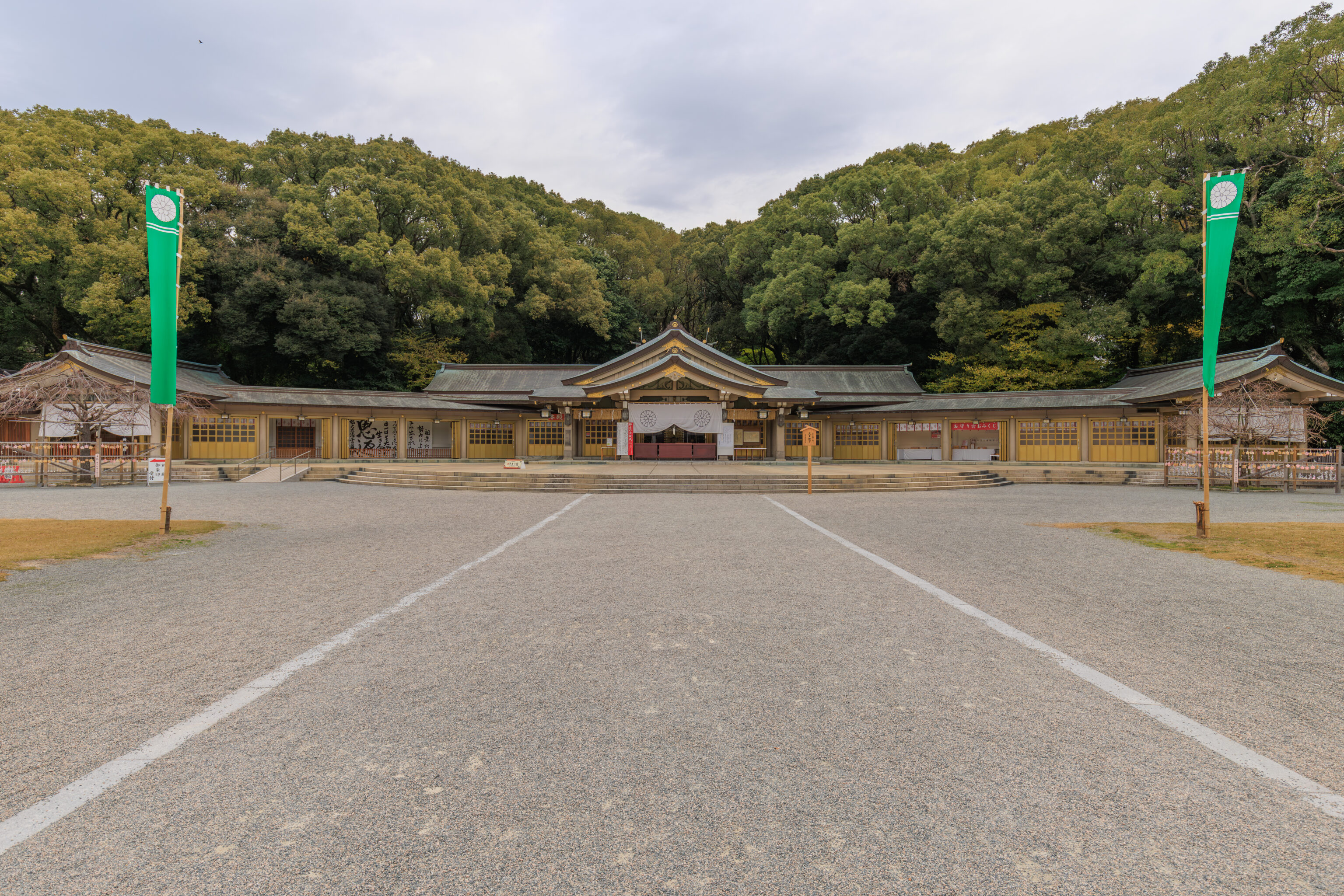
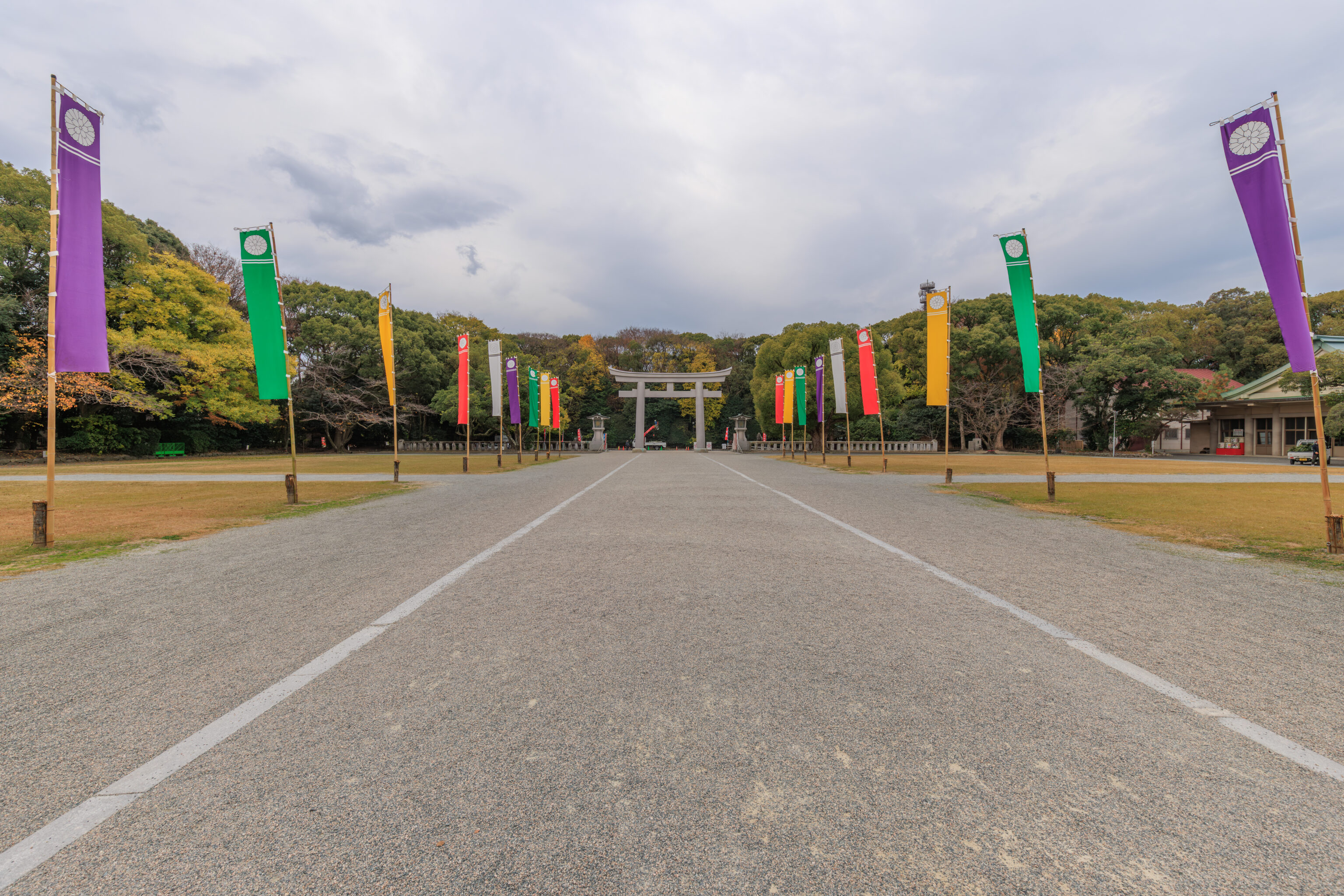
The shrine turned out to be Fukuoka Prefecture‘s 護国神社 Gokoku-jinja. Its worth mentioning now that for non-Japanese, Gokoku are controversial as they are effectively sub-shrines of the 靖国神社 Yasukuni-jinja, which enshrines Japanese war criminals from World War II and is probably the single most controversial religious site in Japan.
We didn’t actually realize this until we were inside though as we were wondering why this huge shrine was so empty. It didn’t click until we looked up this shrine and realized its connection with the Yasukuni Shrine.
There are also 護国寺 Gokoku-ji within Japan, these are Buddhist temples and completely unrelated to Gokoku-jinja.
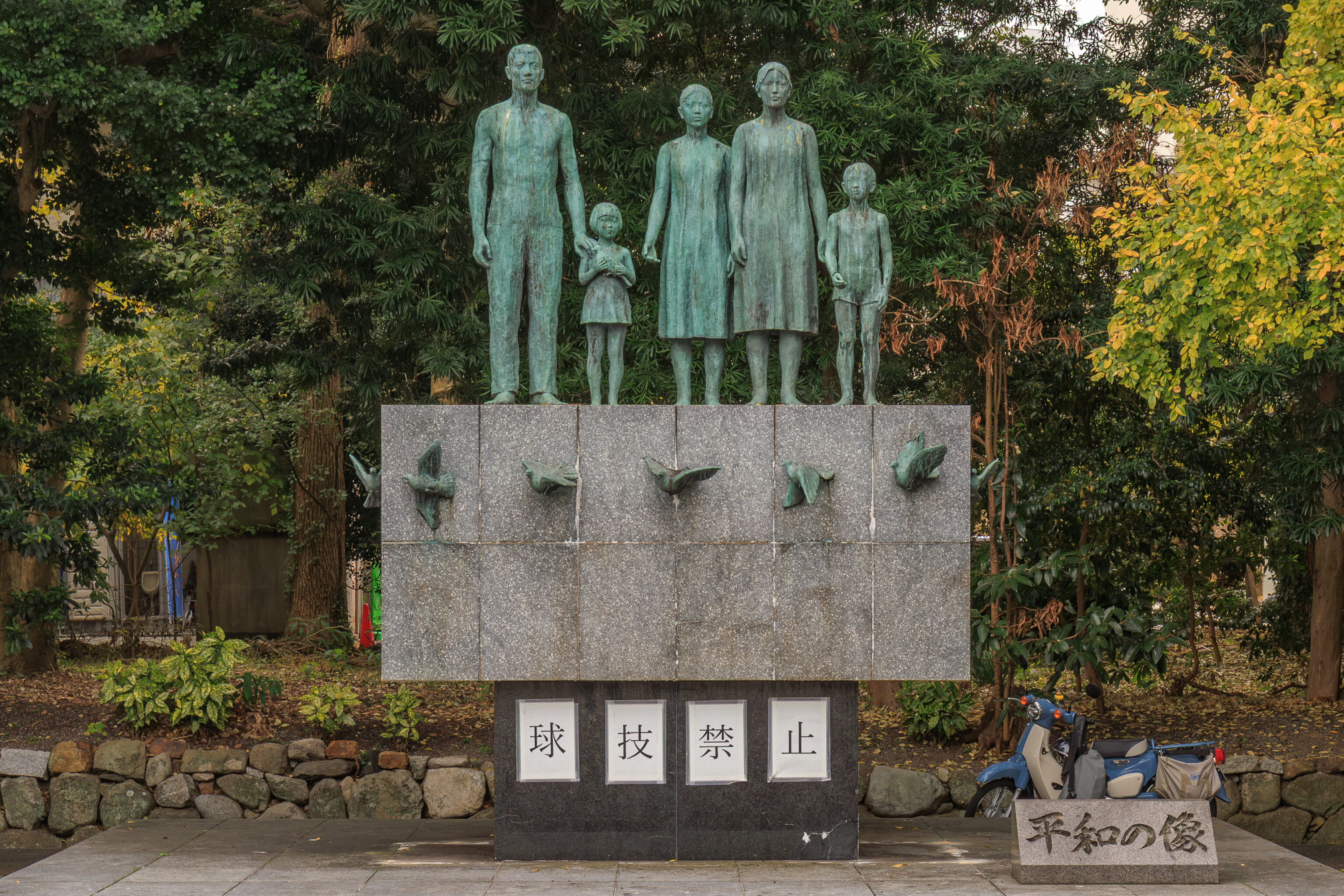
This 平和の像 Statue of Peace was just outside of the second torii, which in this shrine is the one opposite of the 本殿 honden (main hall).
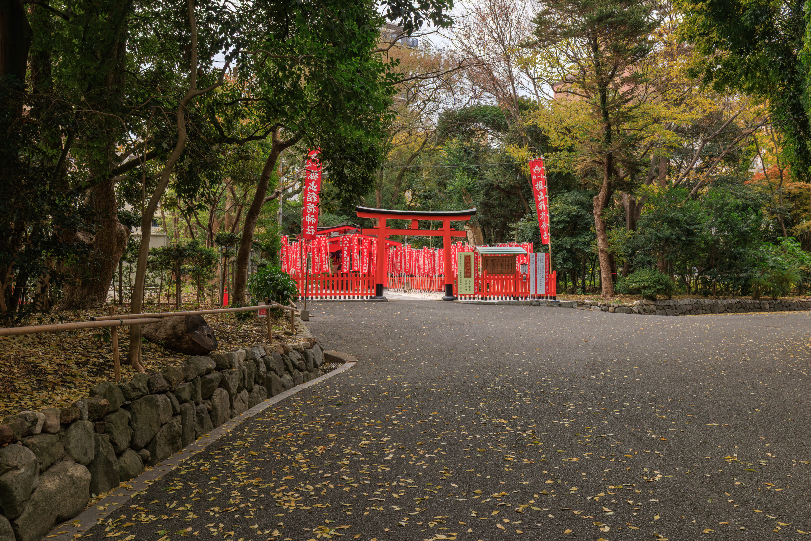
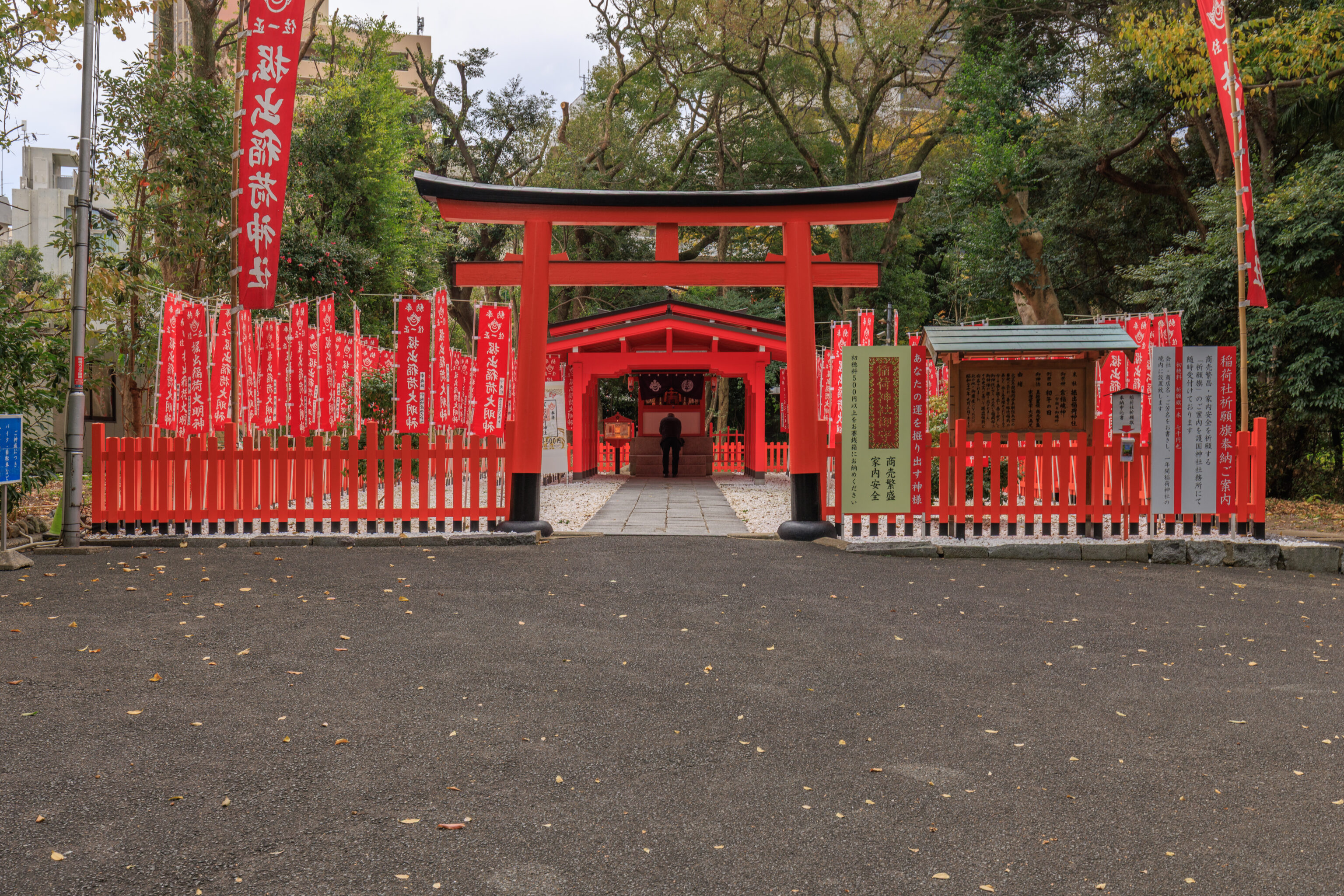
We decided to exit via the west instead of the north where we came. This sub-shrine which was on the way is the 掘出稲荷神社 Horidashi Inari-jinja.
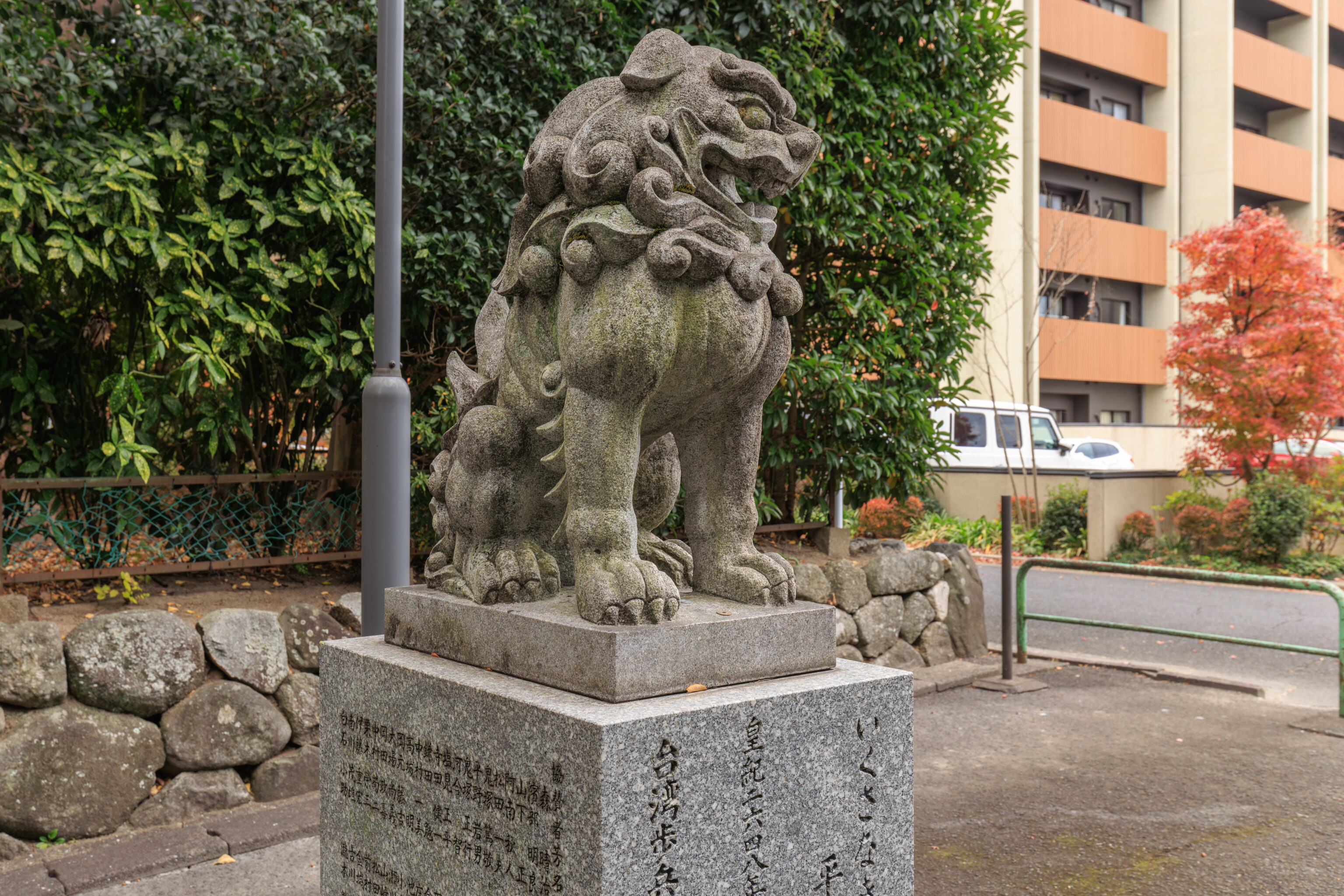
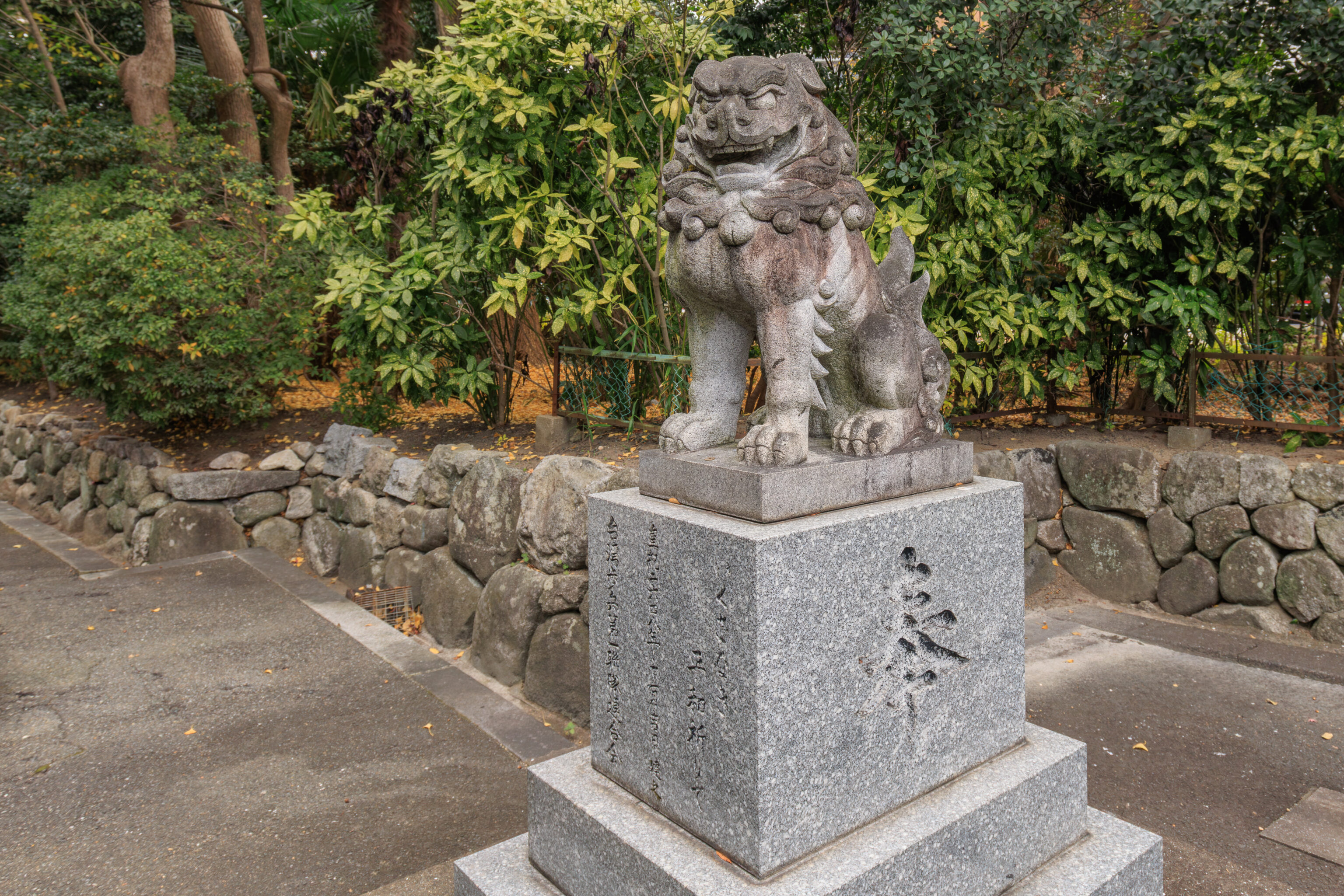
There were a pair of 狛犬 komainu guarding the shrine’s western entrance.
Ohori Park Japanese Garden
After leaving the shrine, we started to walk over to the 大濠公園日本庭園 Ohori Park Japanese Garden. The garden is diagonally opposite of the Gokoku-jinja’s northwest corner.
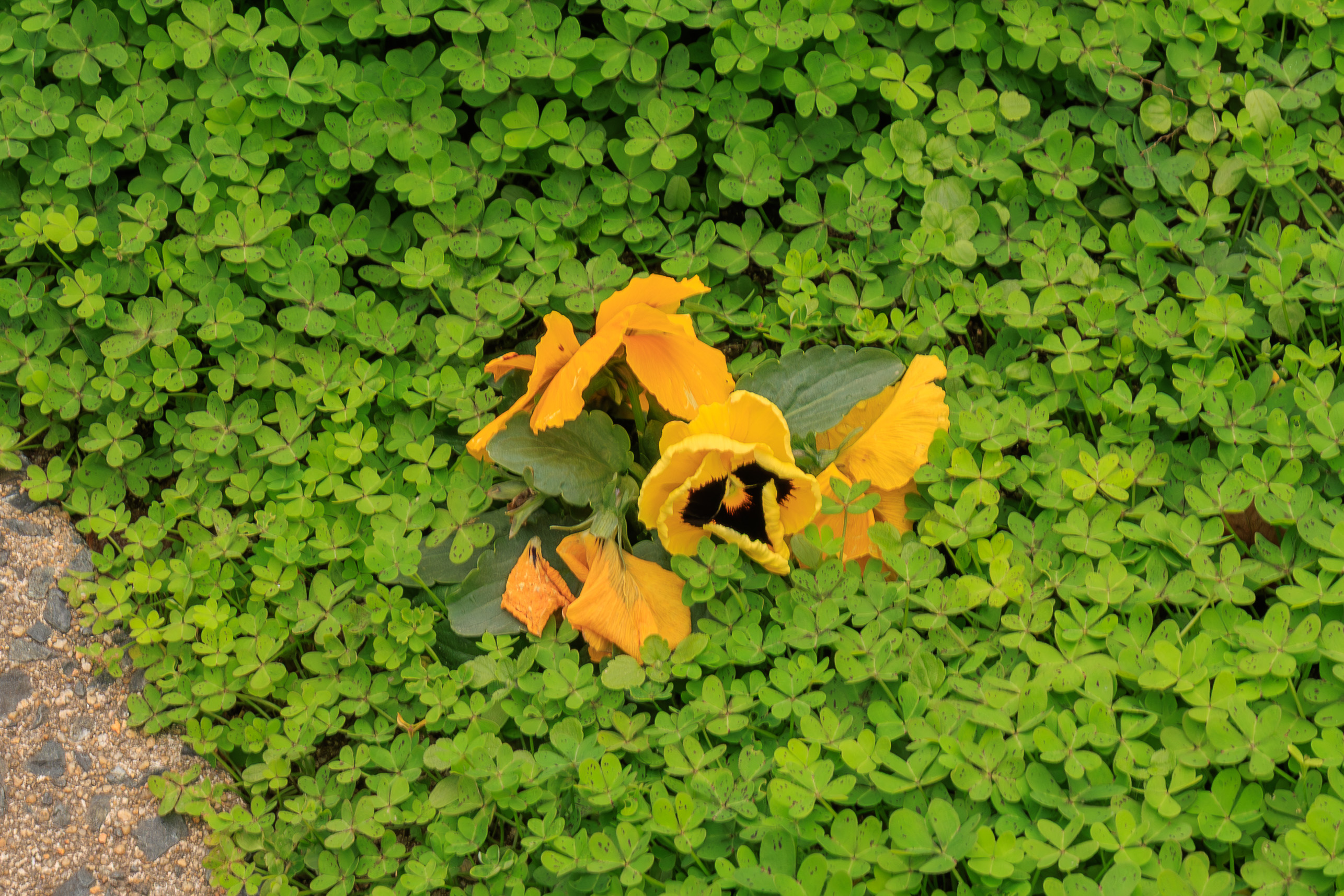
We walked by this flower which was the median of the road. It seems like it might be some variant of the garden pansy.
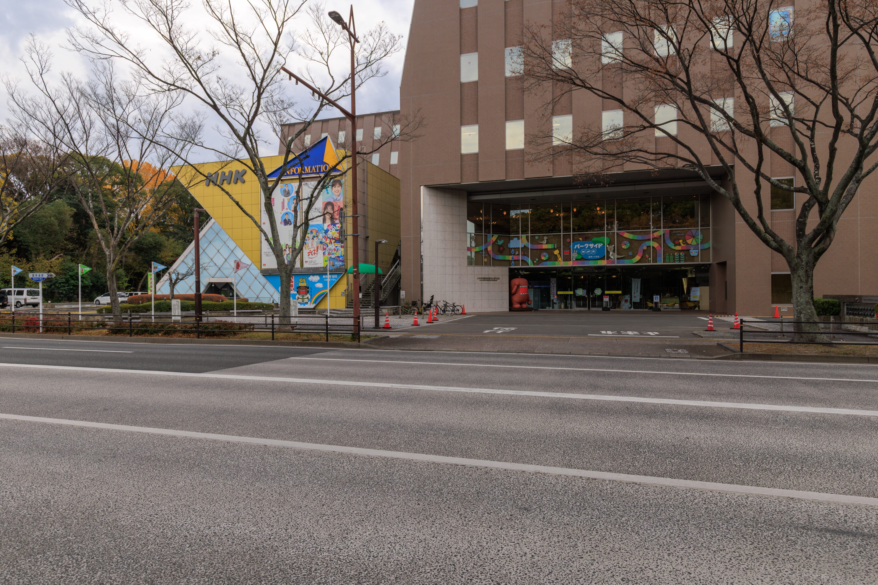
After walking a short distance, we crossed the street that is adjacent to the garden. Looking back to the south, we could see the NHK Fukuoka Broadcasting Station.
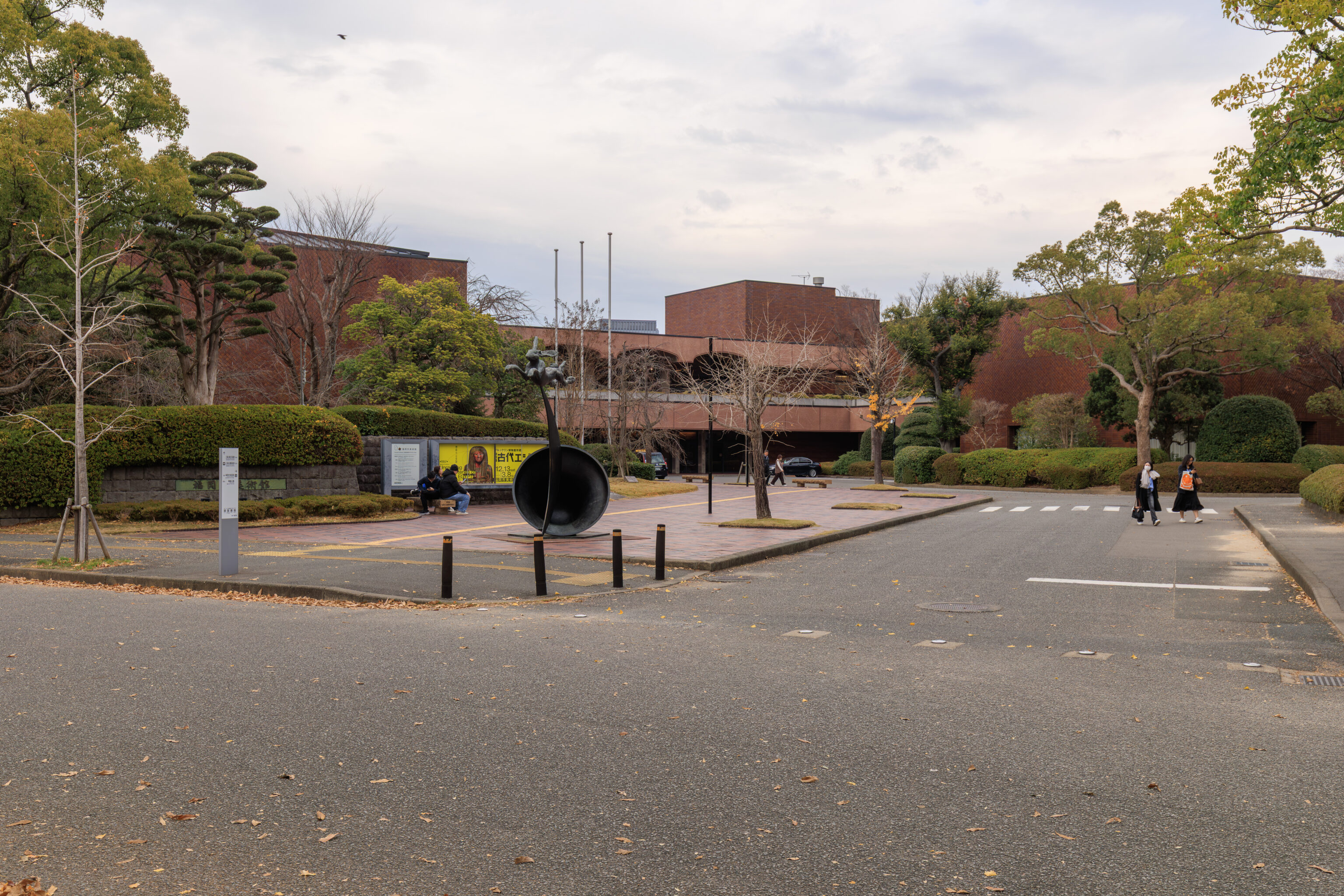
We continued walking to the north to find the entrance to the garden. We passed by the entrance to the 福岡市美術館 Fukuoka Art Museum.
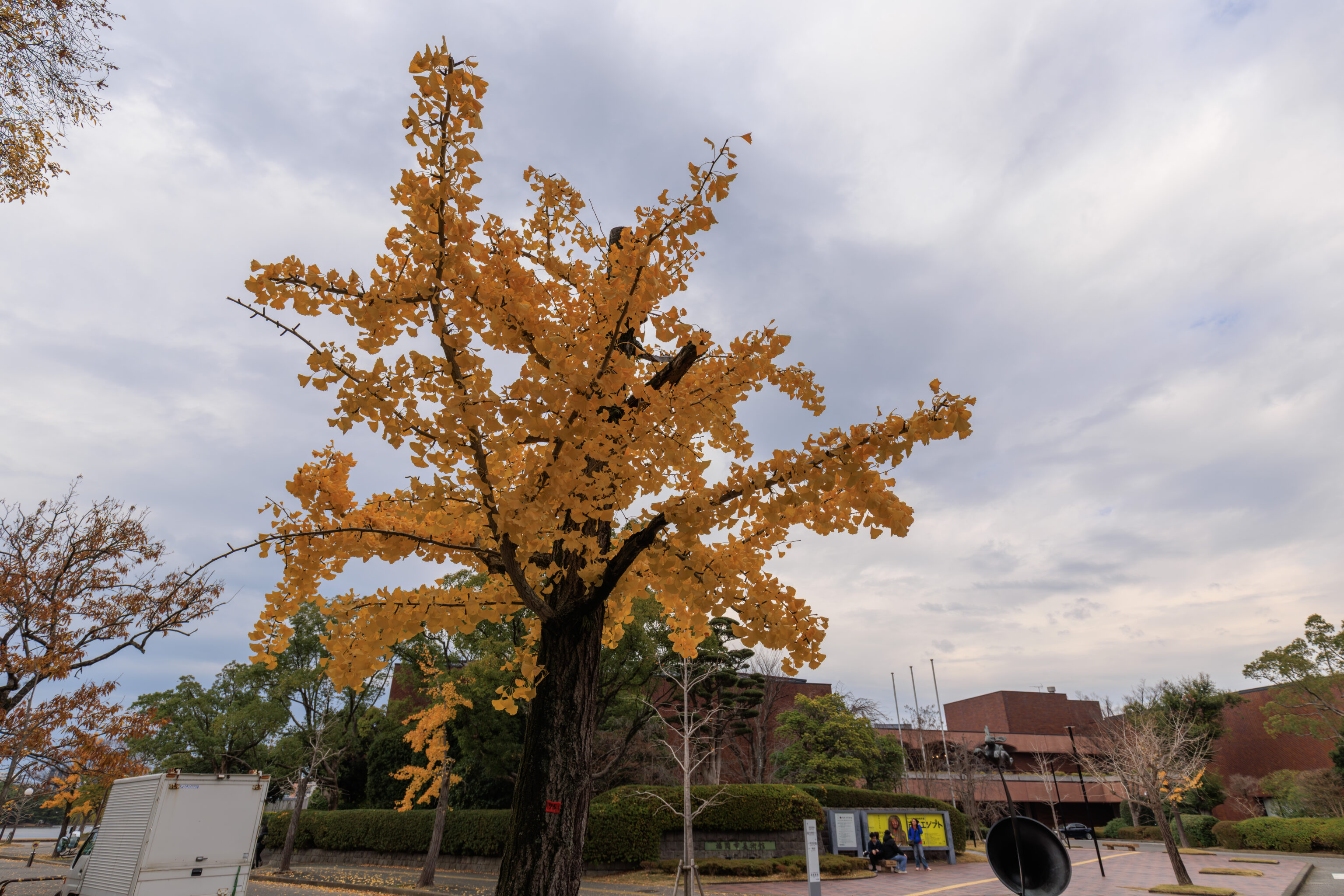
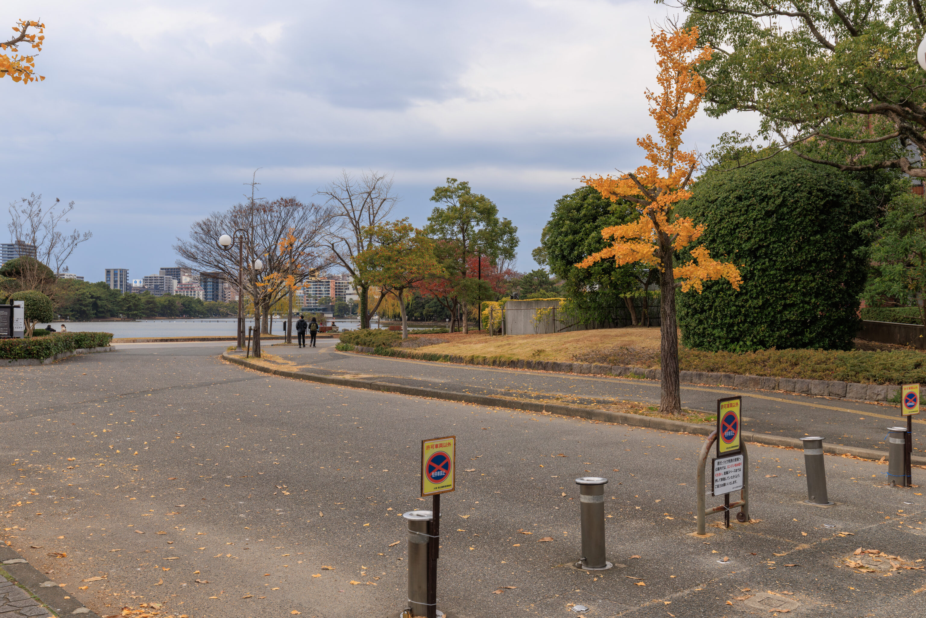
We also walked by a few small gingko trees with bright yellow leaves.
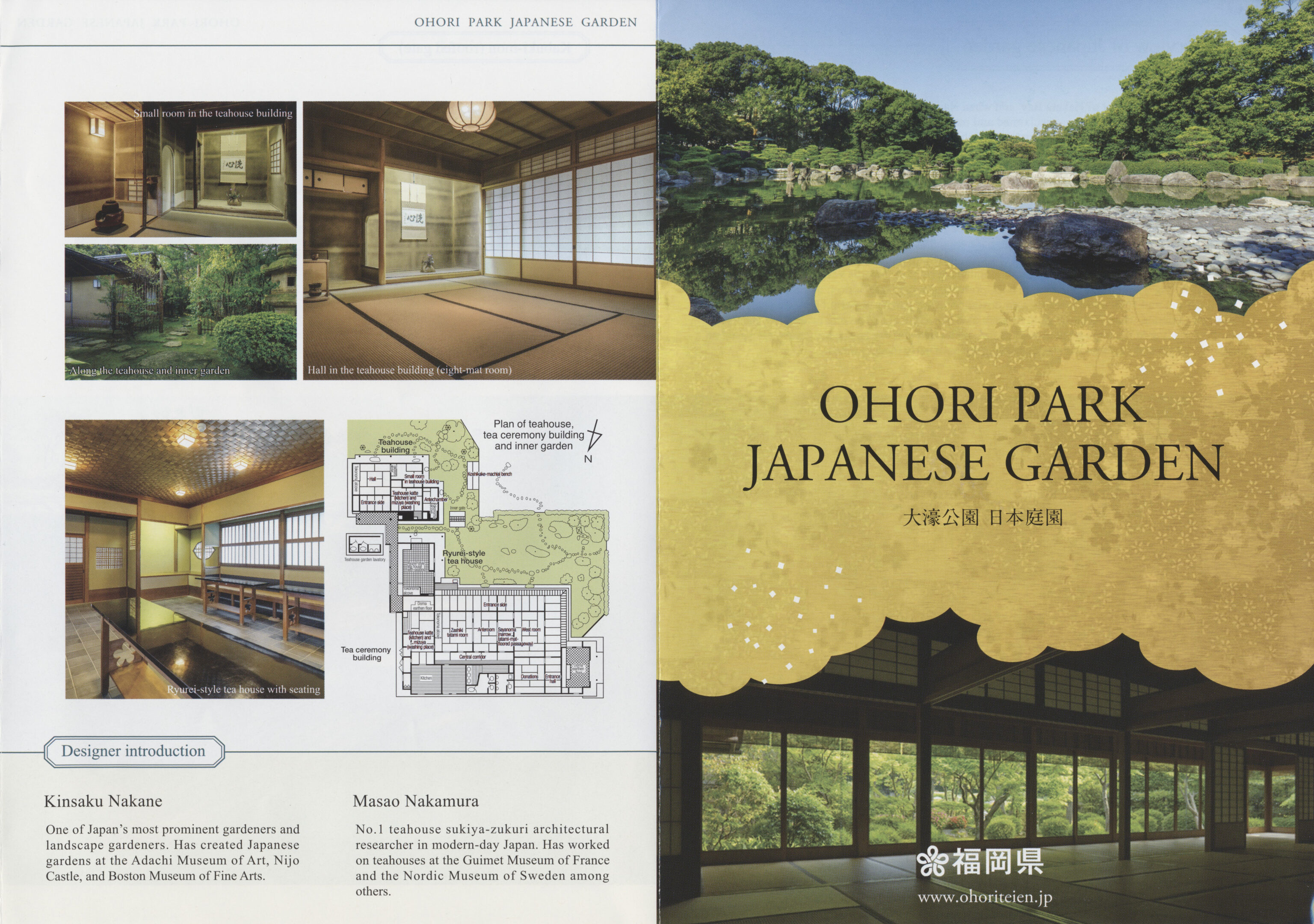
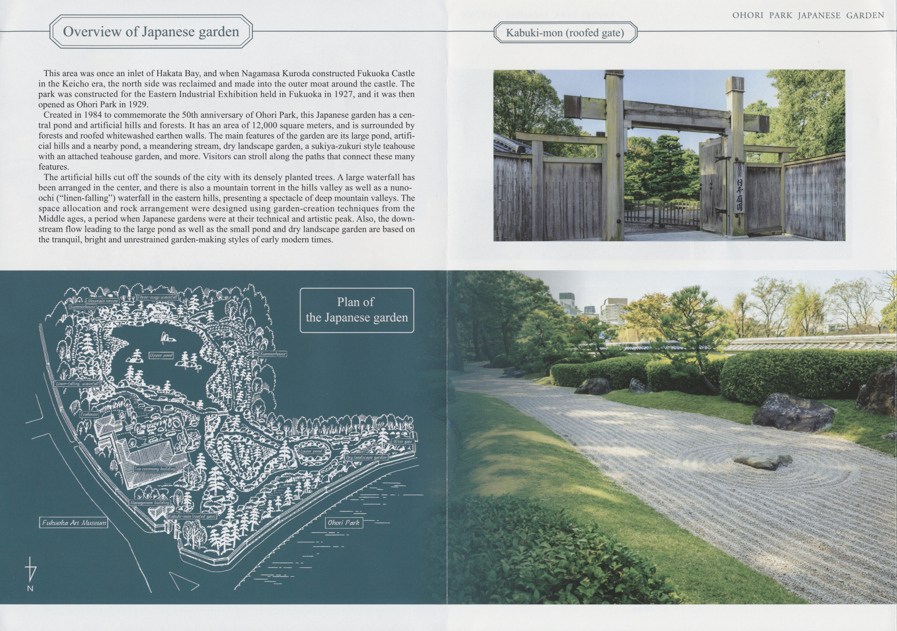
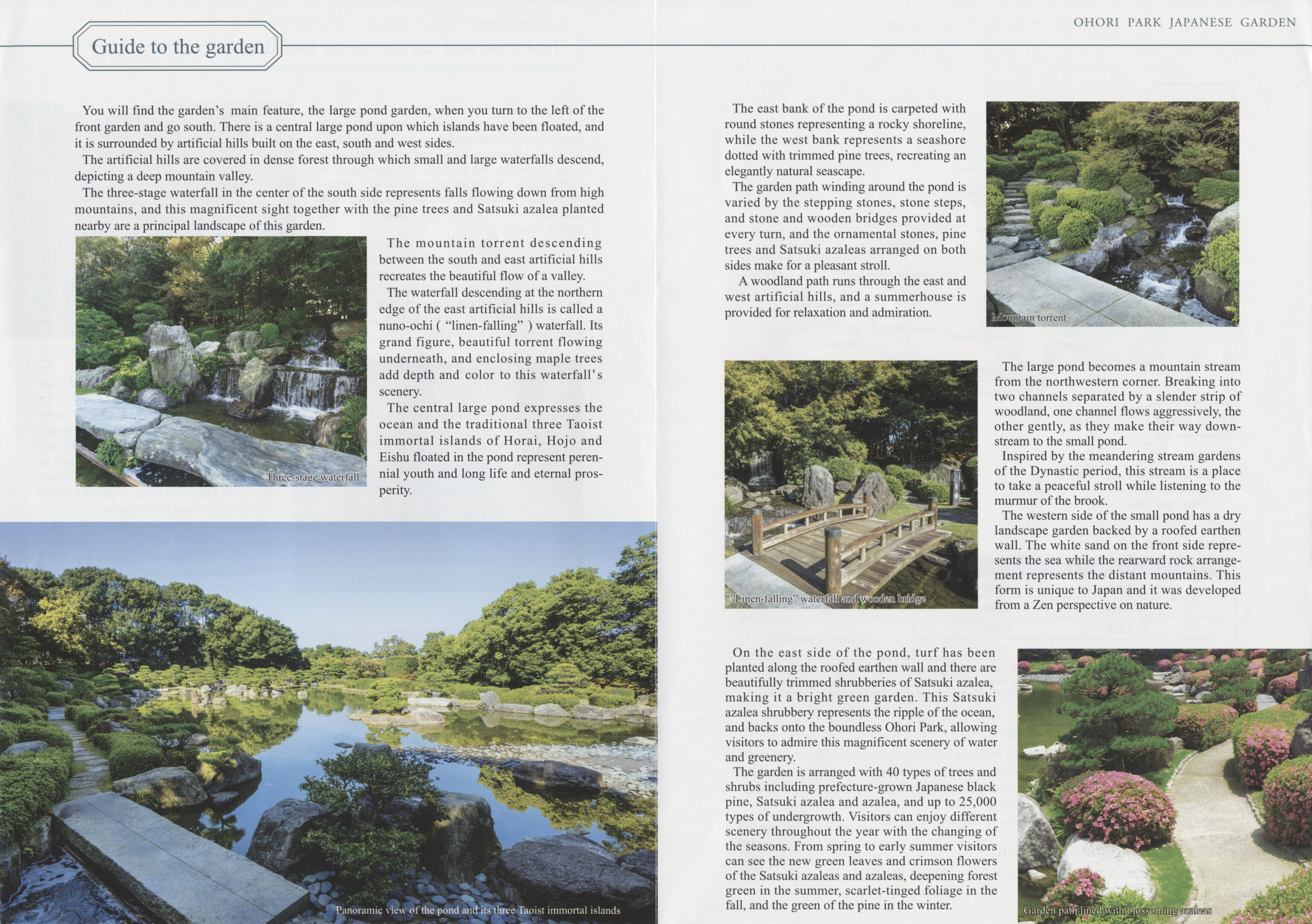
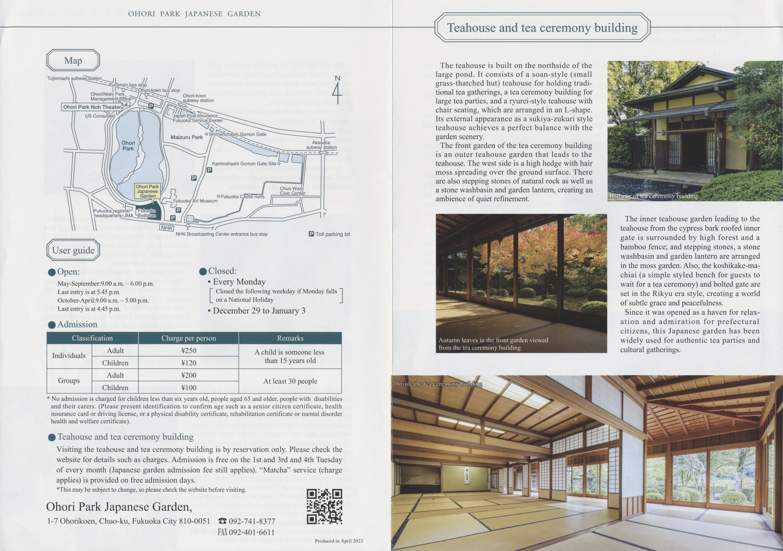
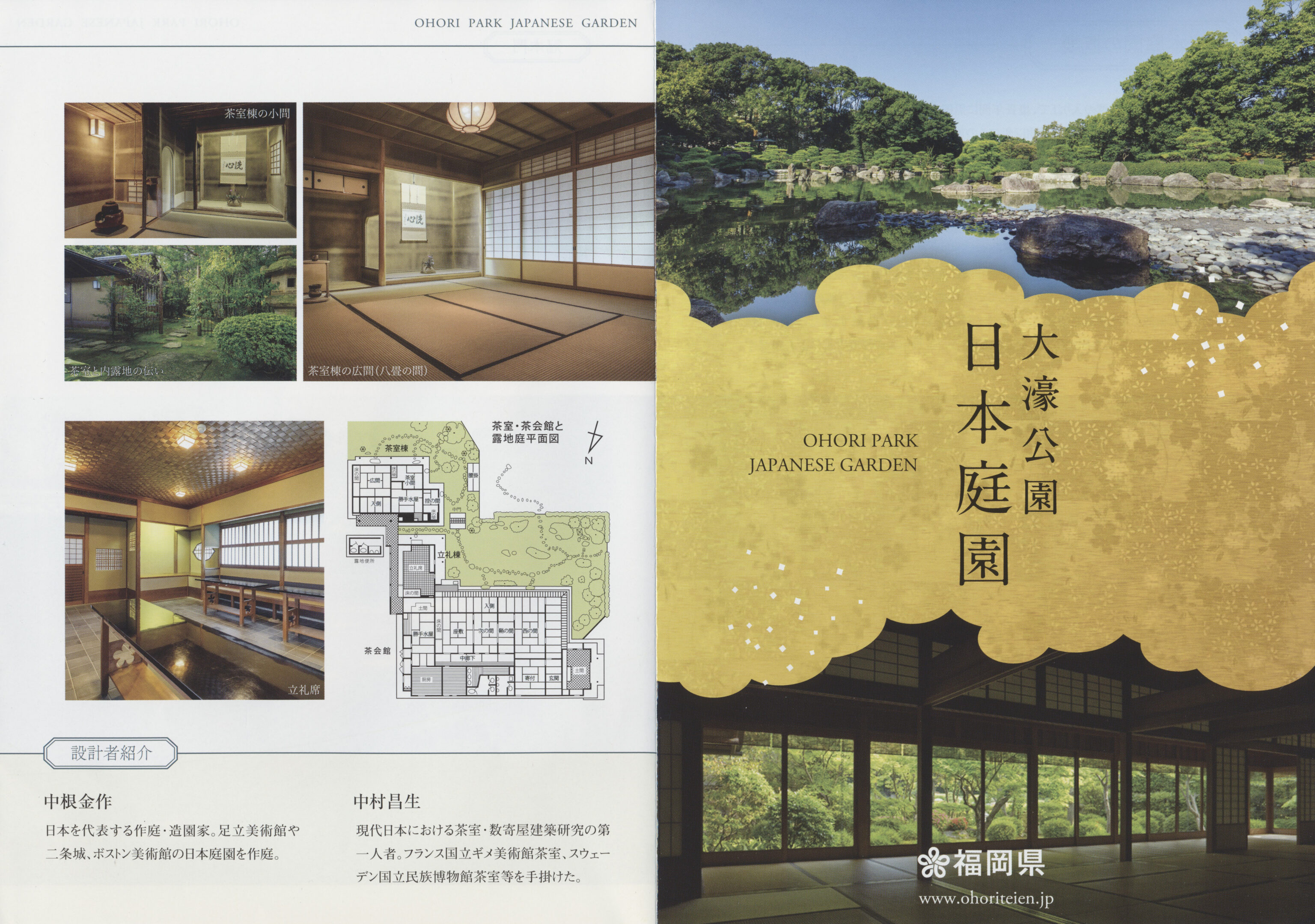
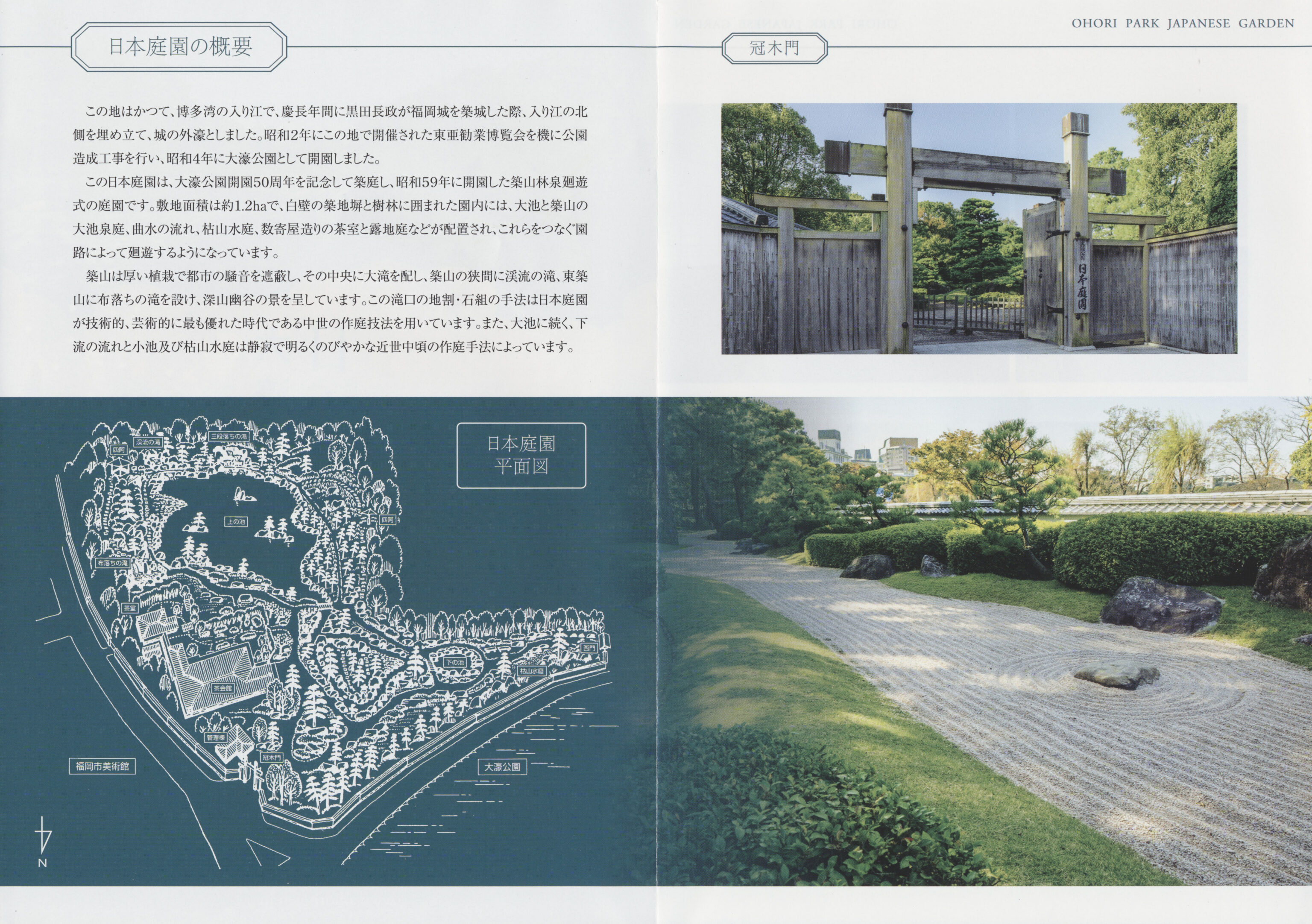
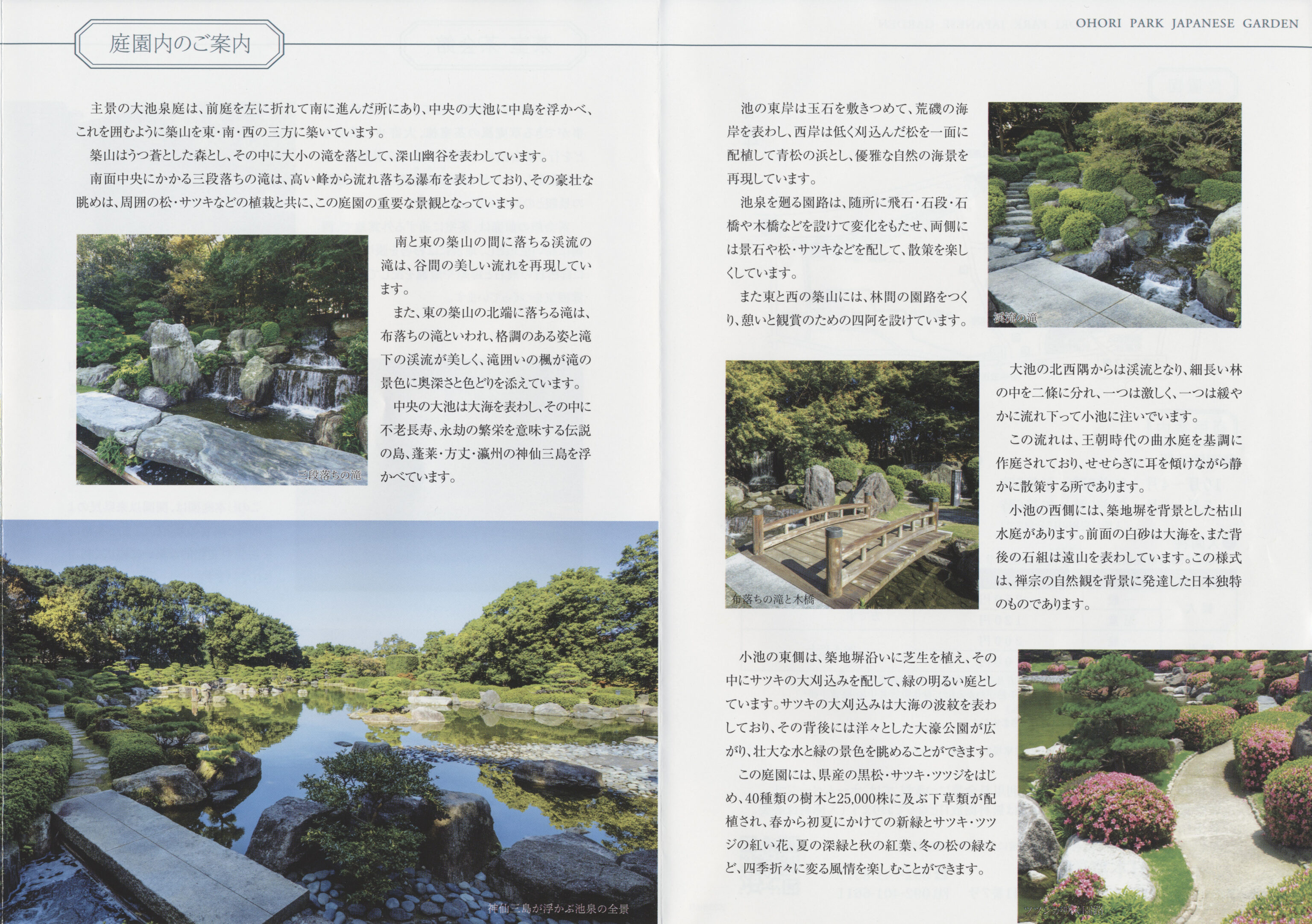
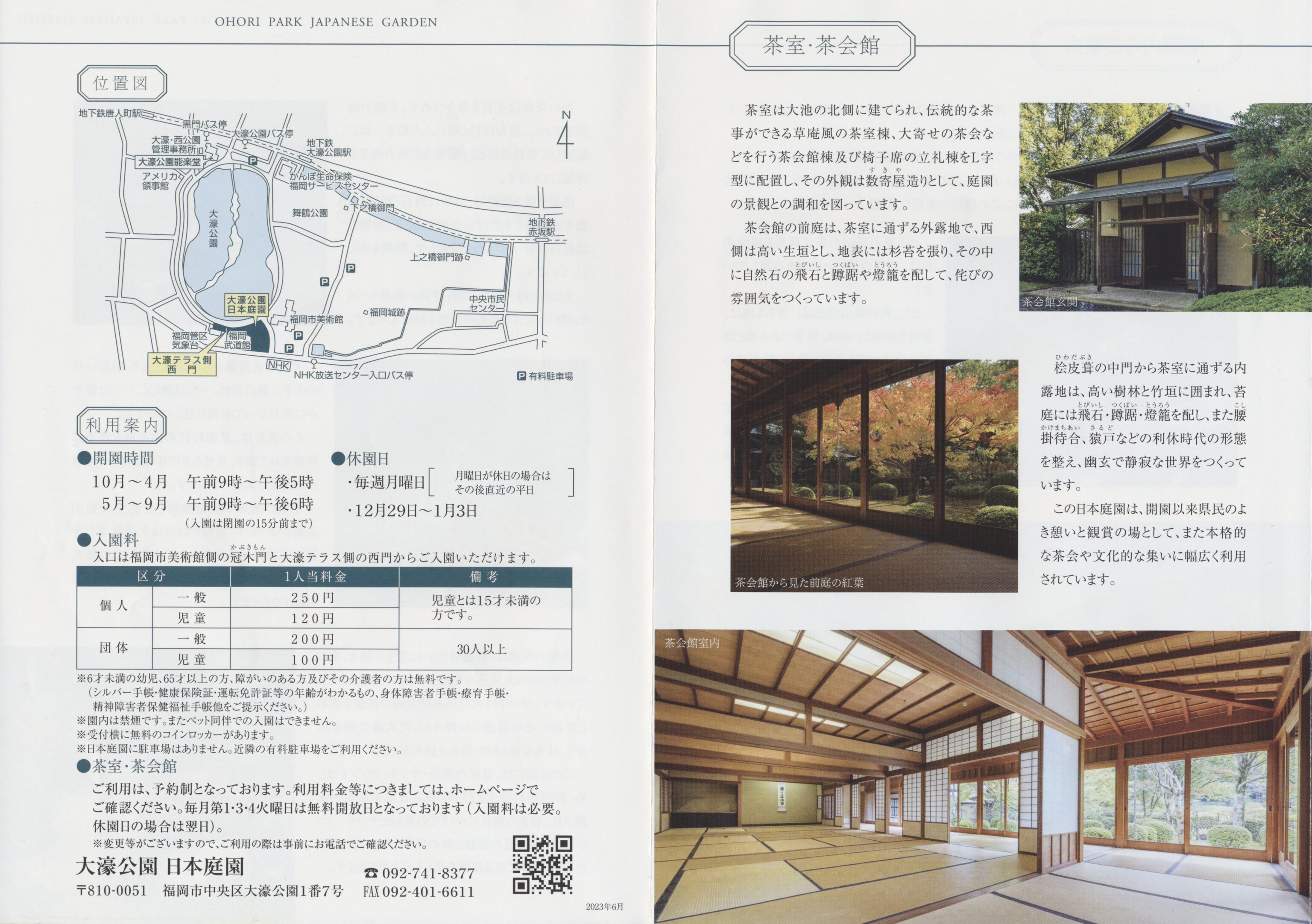
After entering, we picked up informational pamphlets in both English and Japanese. One unique feature of this garden is that it has a fog system at its large pond. The schedule seems to be every 30 minutes, although it may vary seasonally, we’re not sure. We arrived at around 12:15pm with the next fog event scheduled for 12:30pm. We weren’t quite sure what to expect.
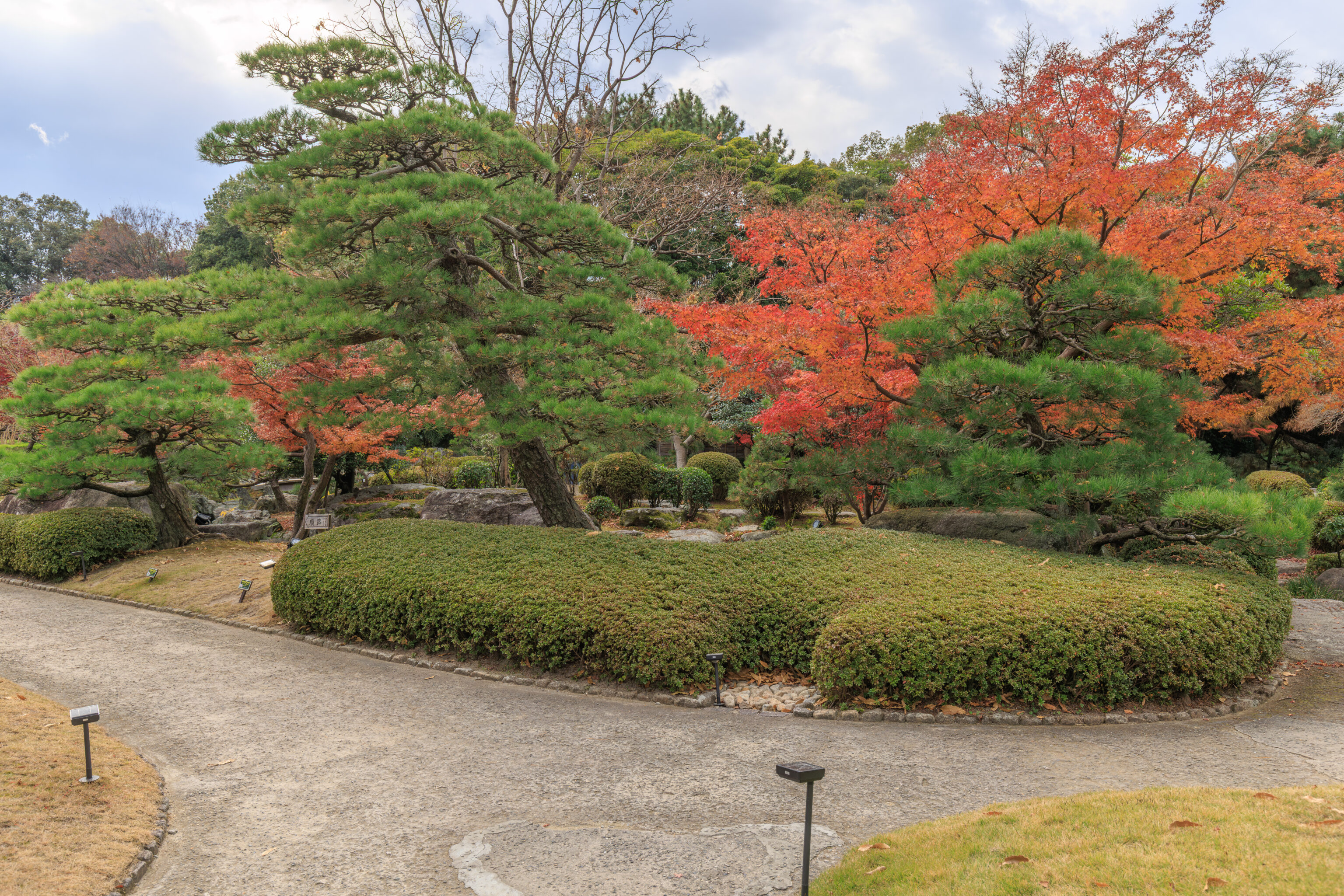
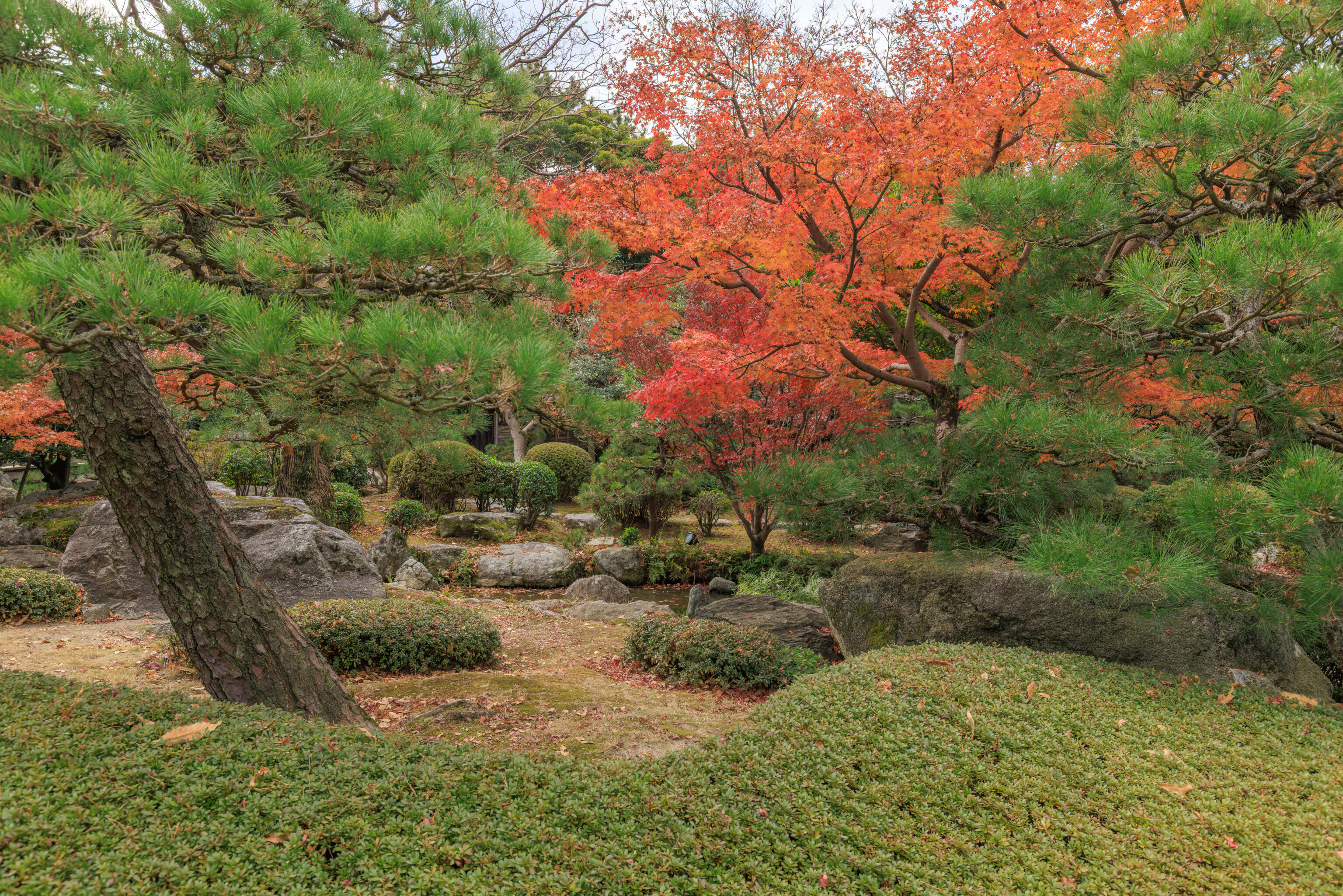
Walking into the garden towards the pond, we encountered a few beautiful momiji.
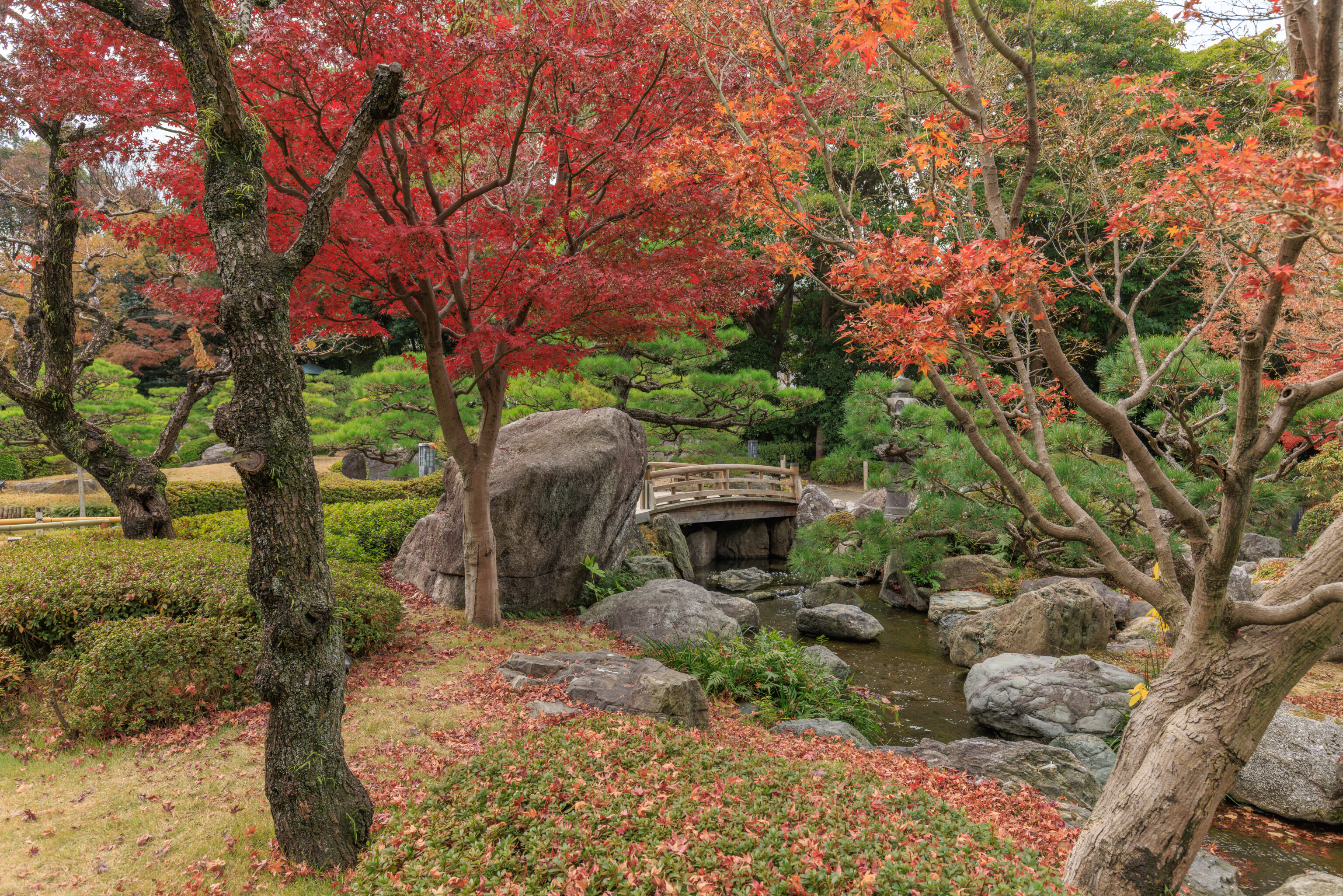
We came across a bridge over a stream.
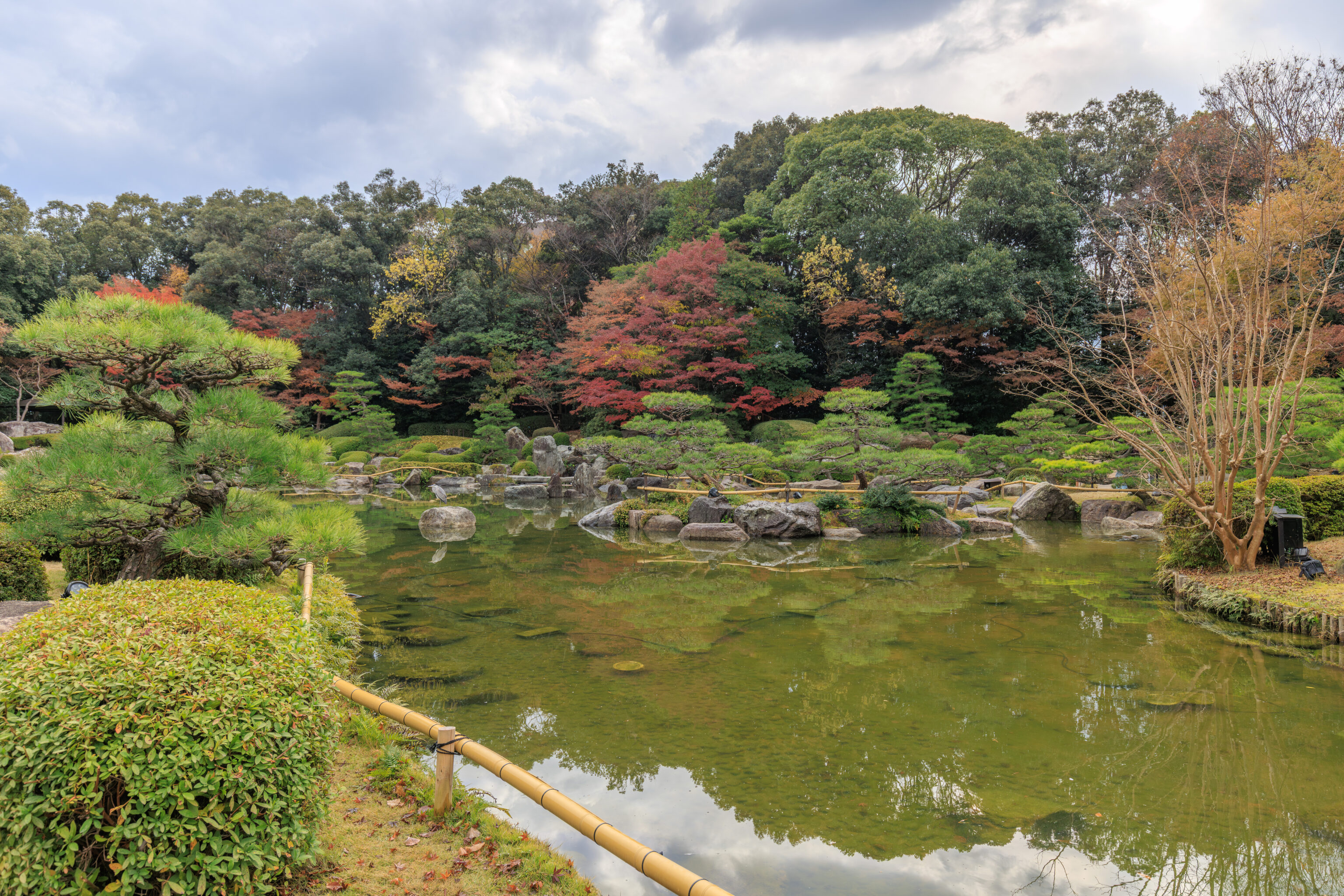
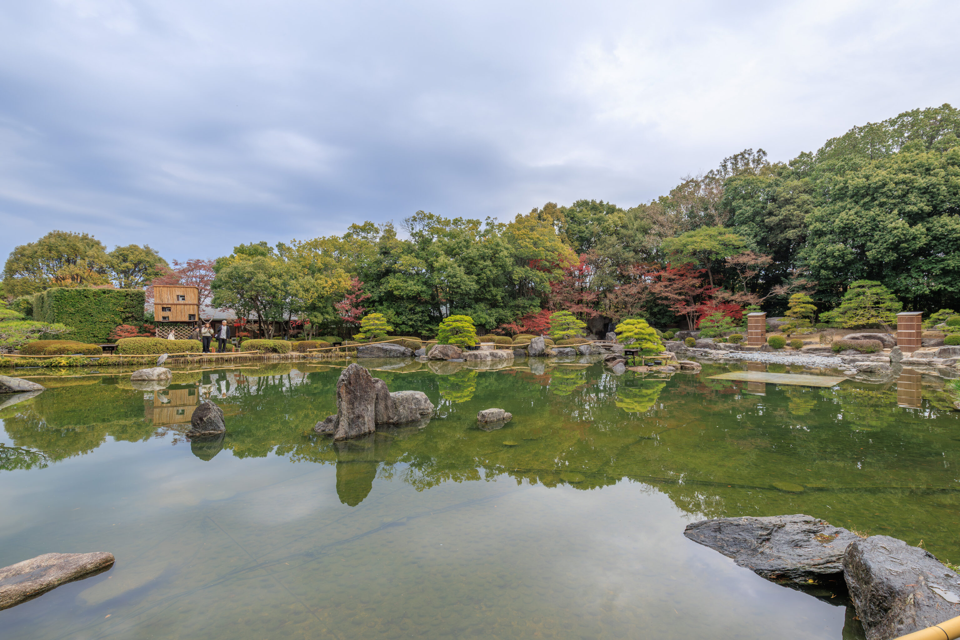
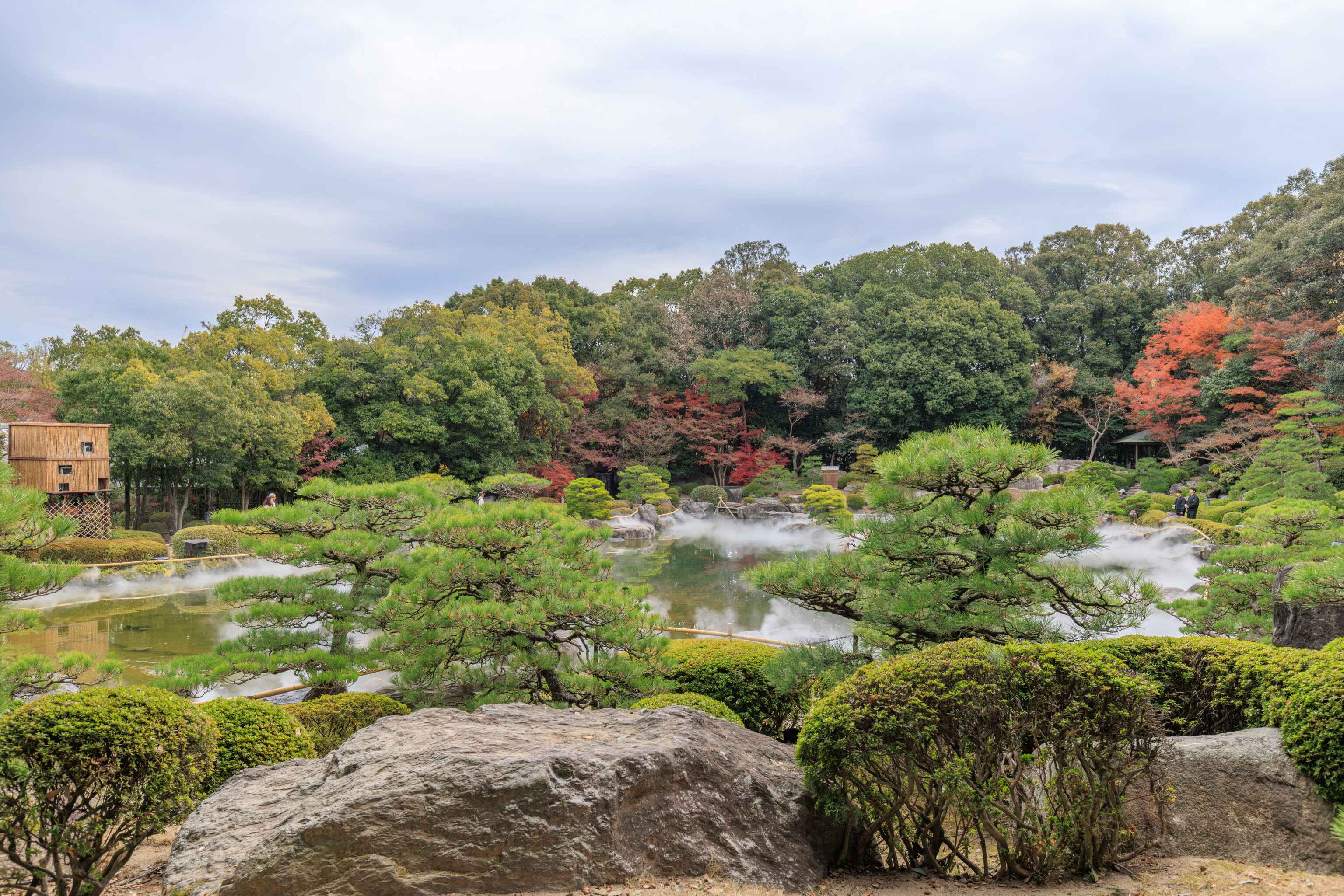
And then, we reached the pond. Right now, its shallow water seems pretty typical of a Japanese garden pond.
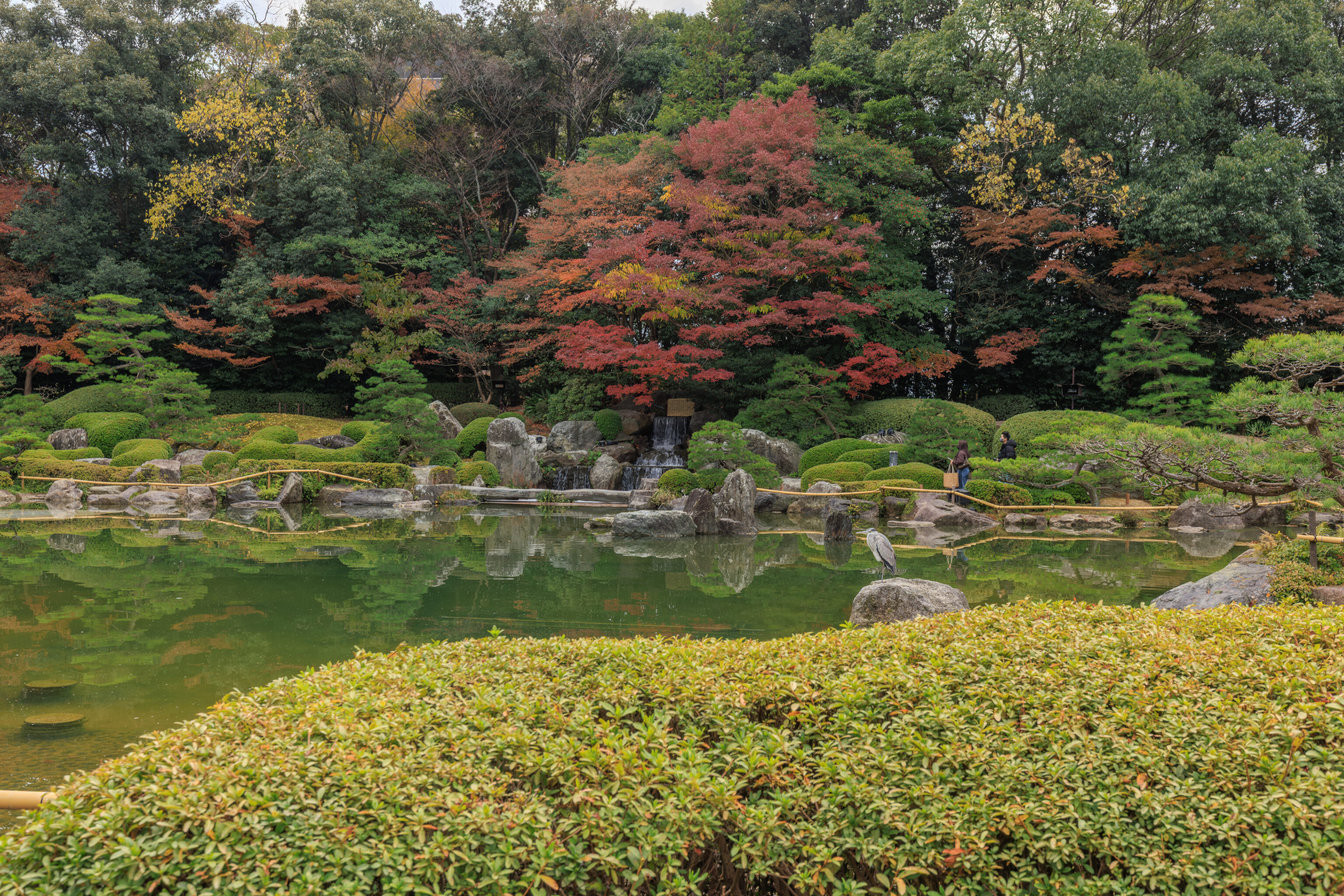
There was a Gray Heron standing on a stone.
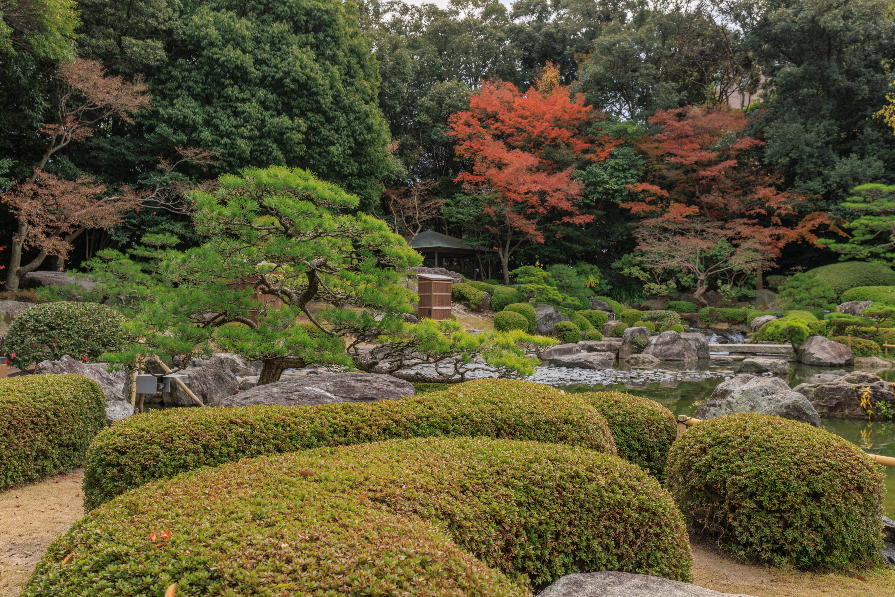
We decided to walk clockwise around the pond, starting from the north which is where we arrived from.
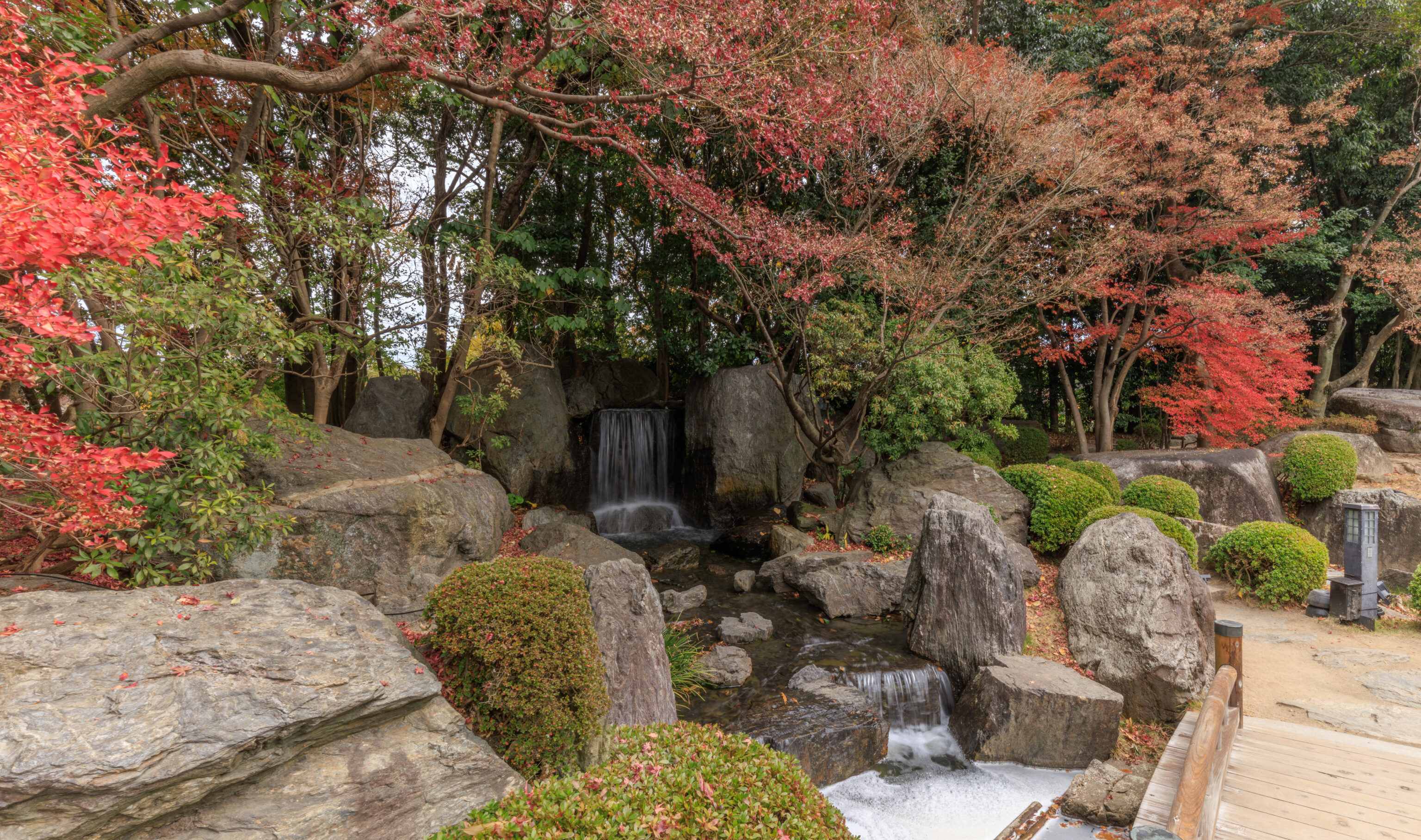
We passed by a small waterfall on the northeast edge of the pond.
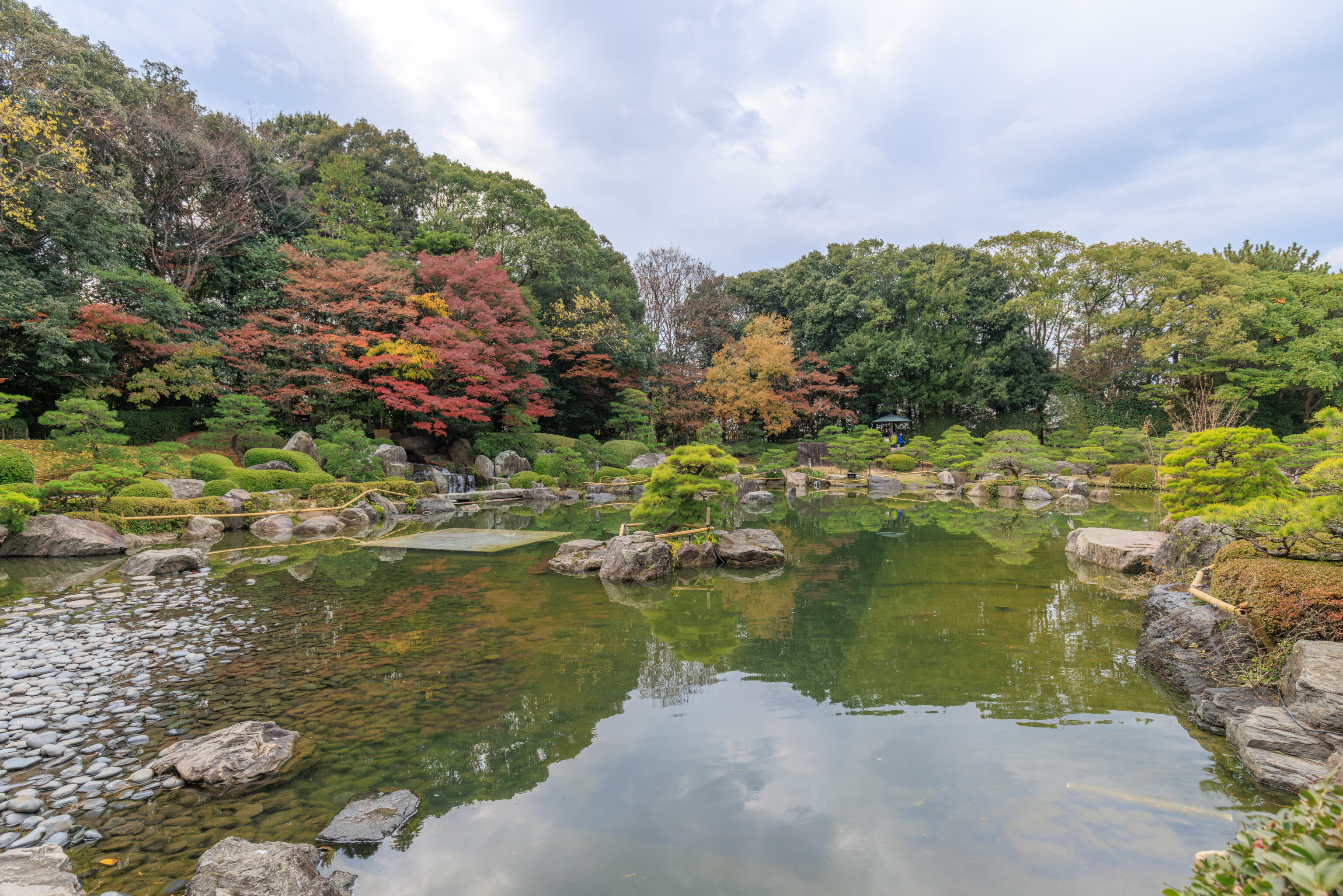
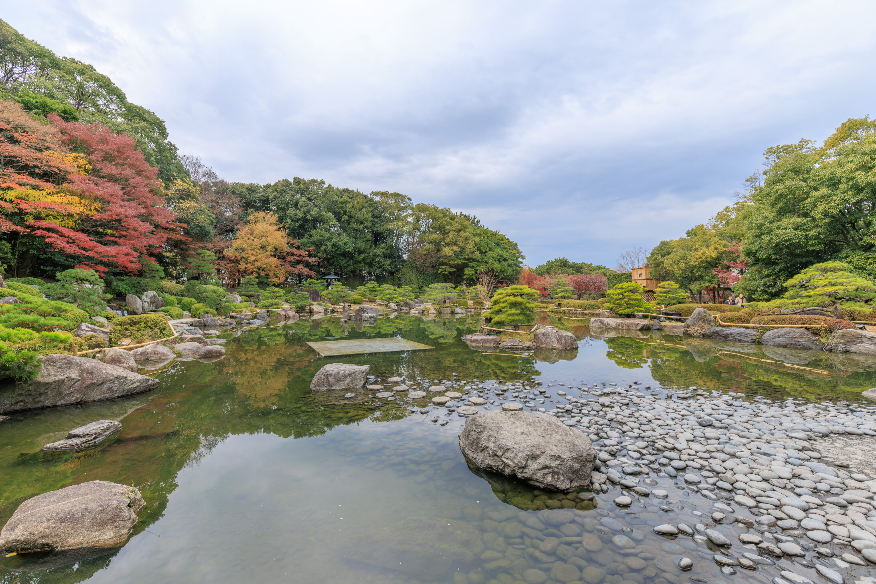
The pond was beautiful, although we noticed some unusual elements around and within it.
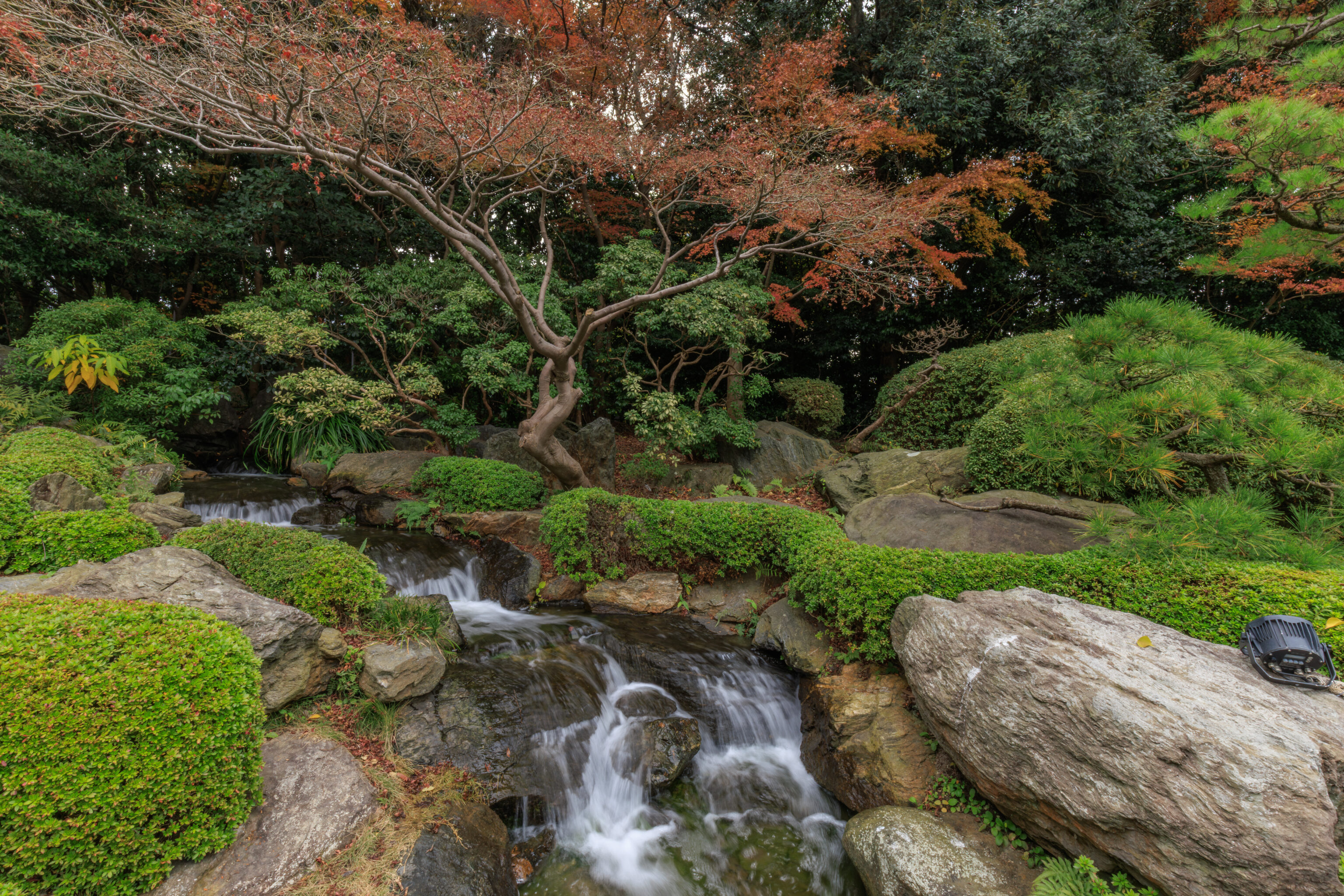
There was a small cascade by the southwest edge of the pond.
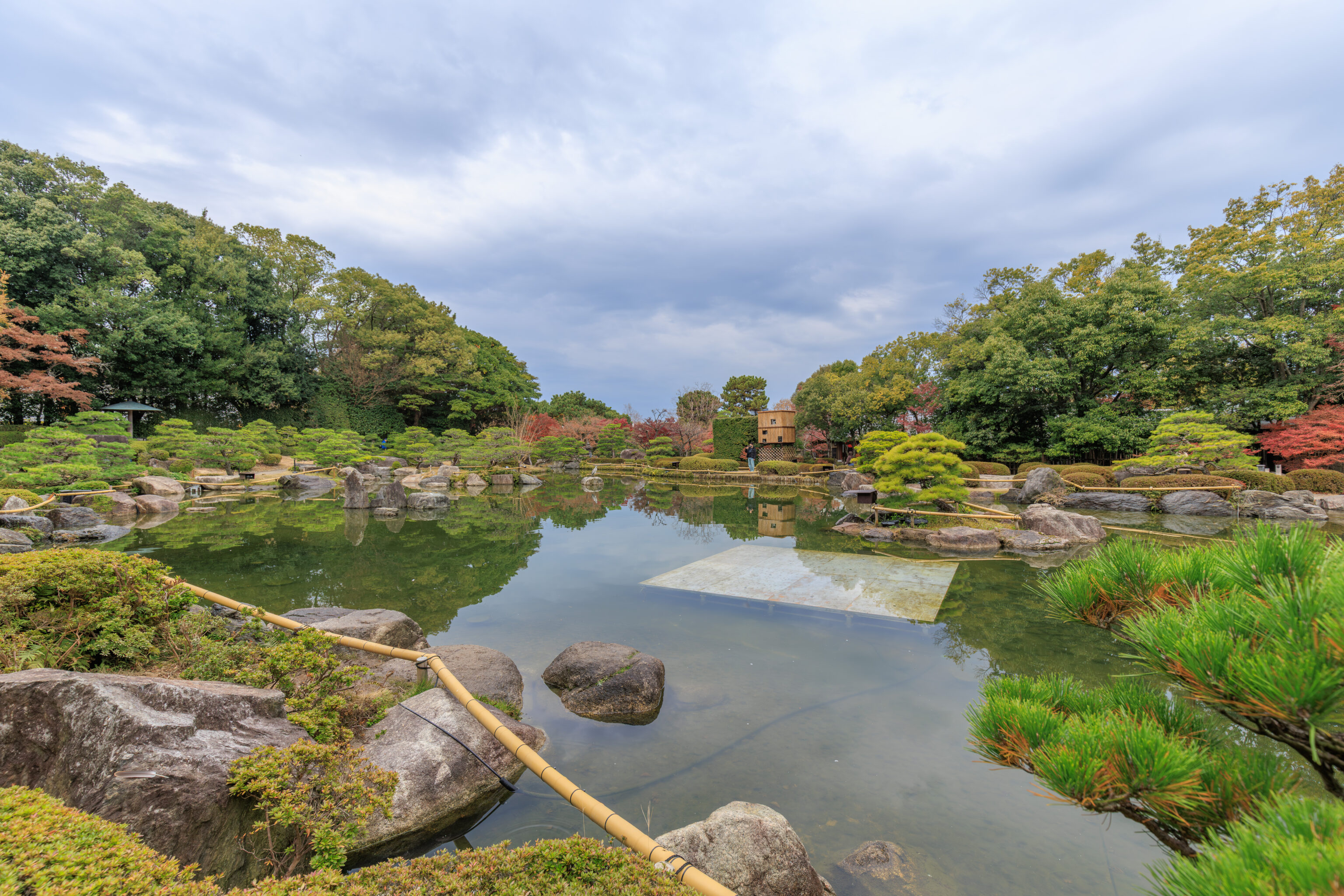
Bamboo around the edges, cables, and a big metal square something in the water…
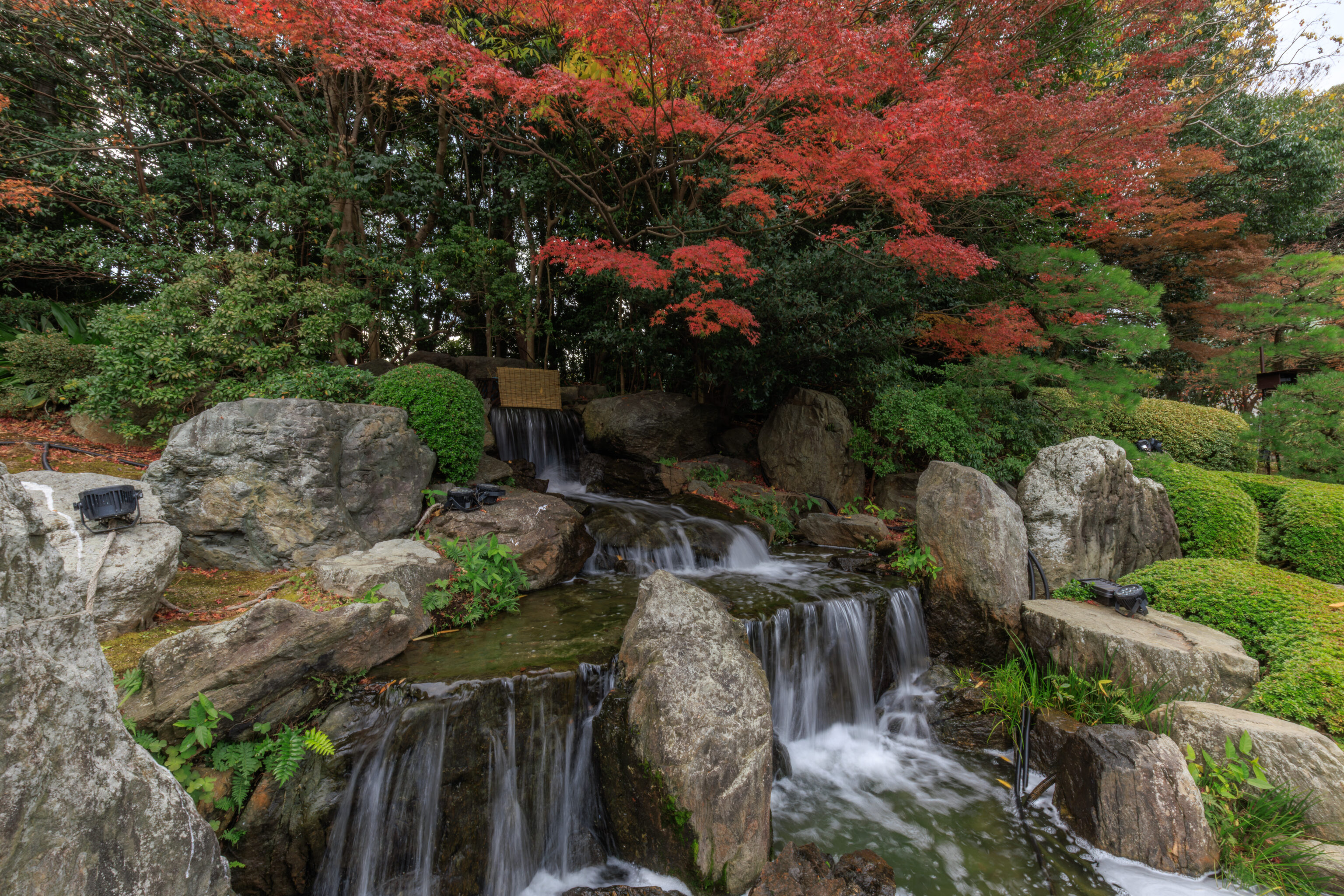
We walked by another cascade, this time at the southern edge of the pond.
A little bit further beyond the cascade, at around this point, we decided to take a path that led up onto a small hill to the southwest of the pond.
Just when we got to the top of the small hill, we noticed fog!
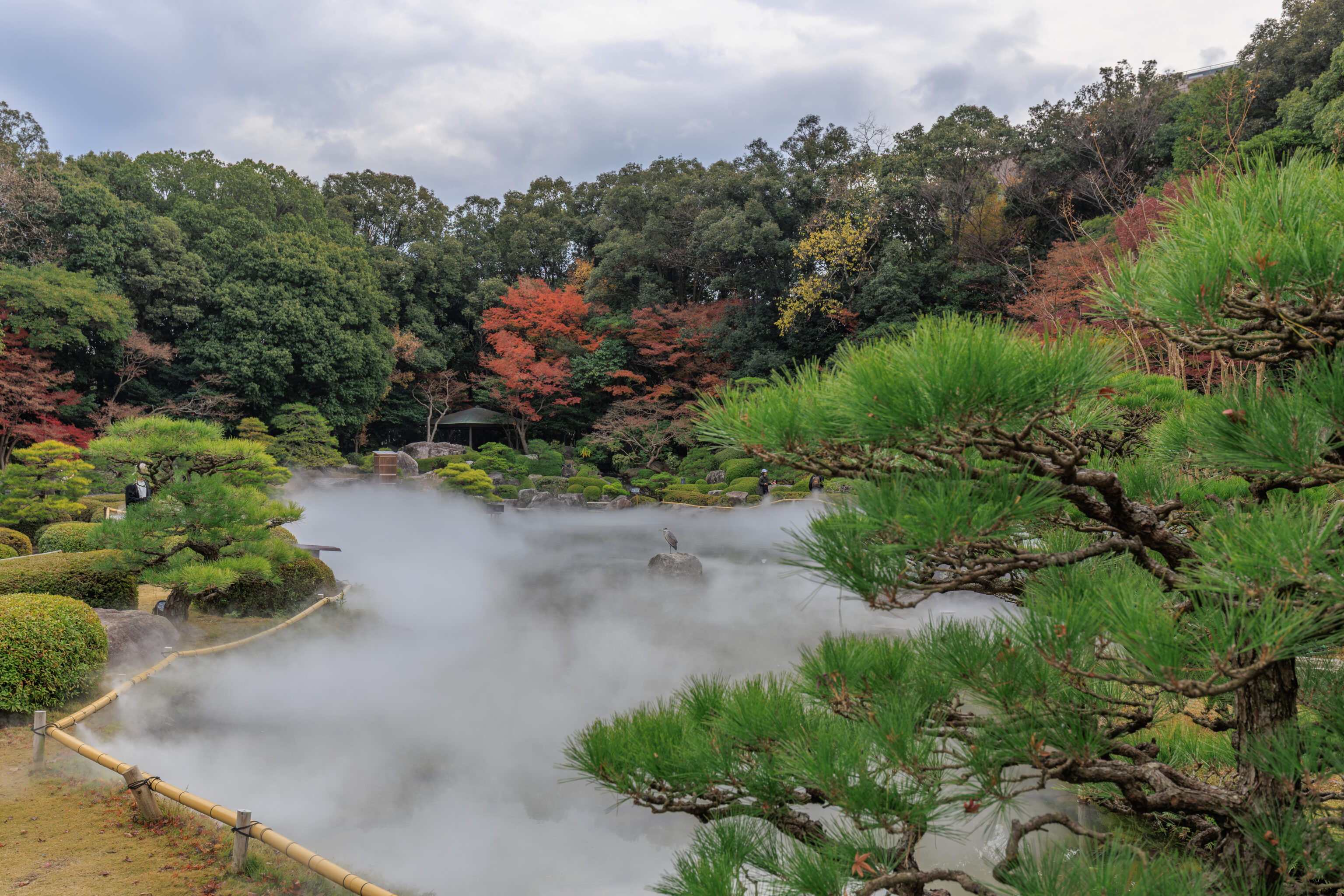
The fog started to cover the surface of the pond.
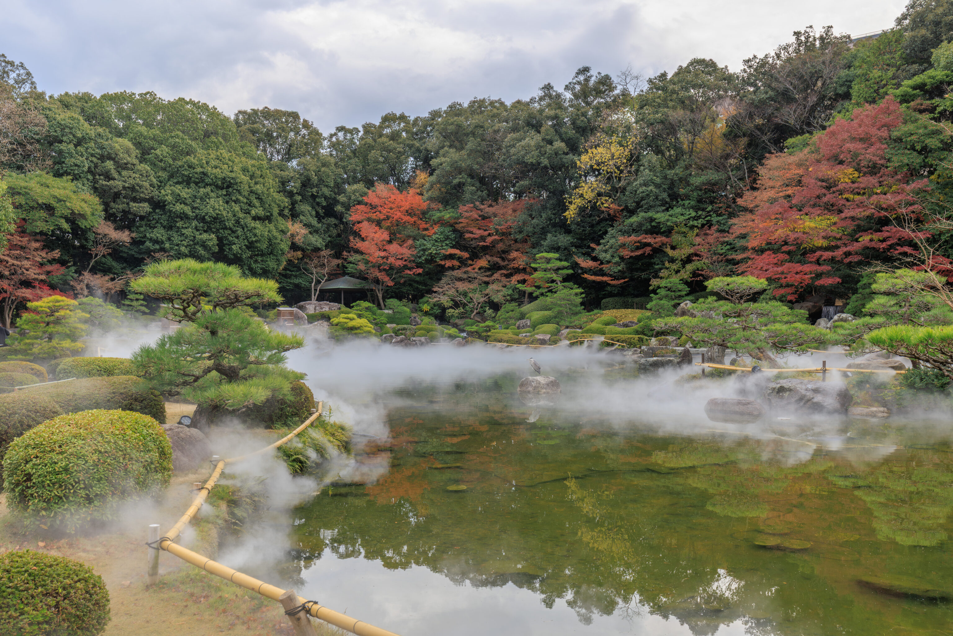
The location of the fog varied over time though, likely due to whatever the wind was doing at the time. The Gray Heron, seen here at center, didn’t seem to care at all.
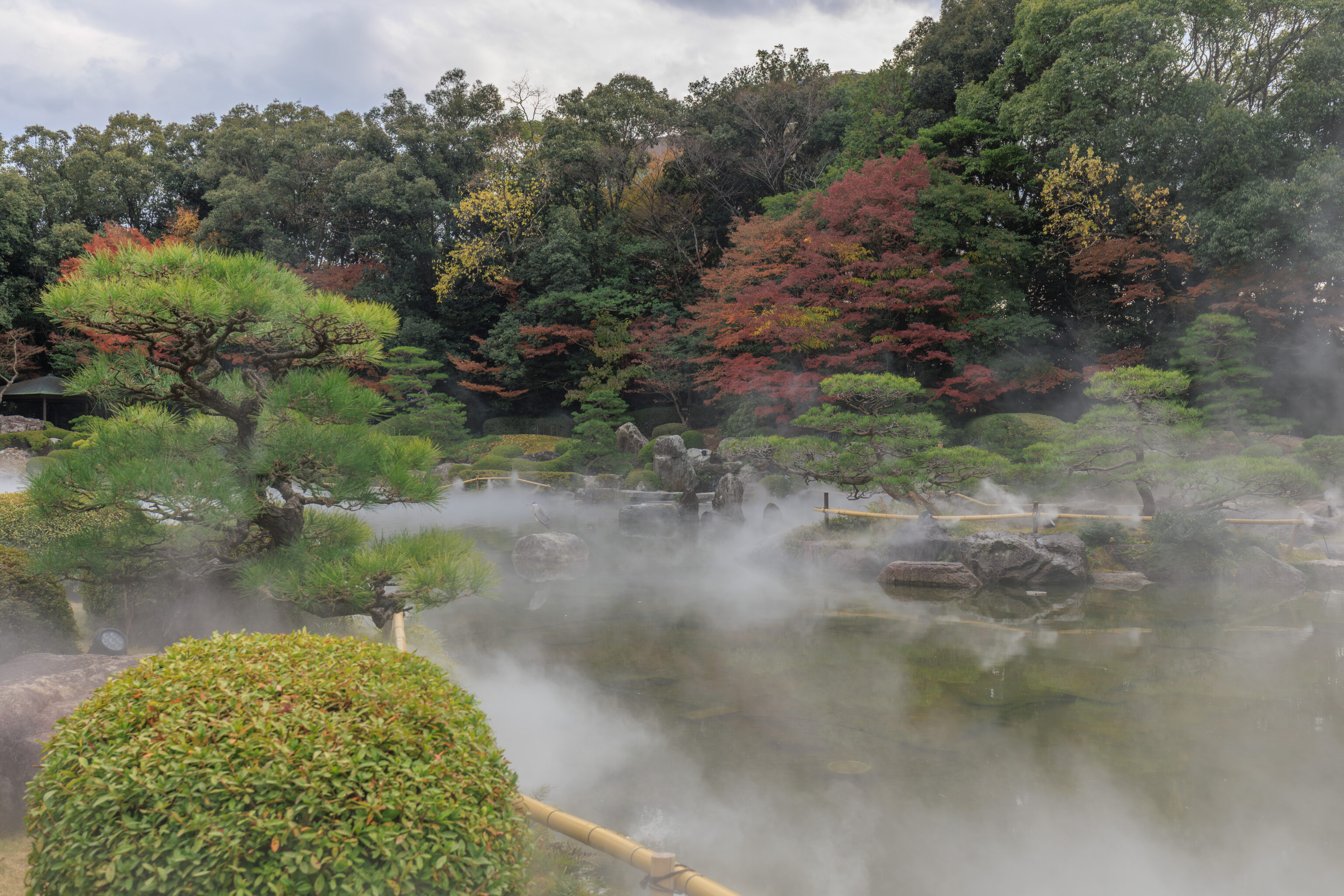
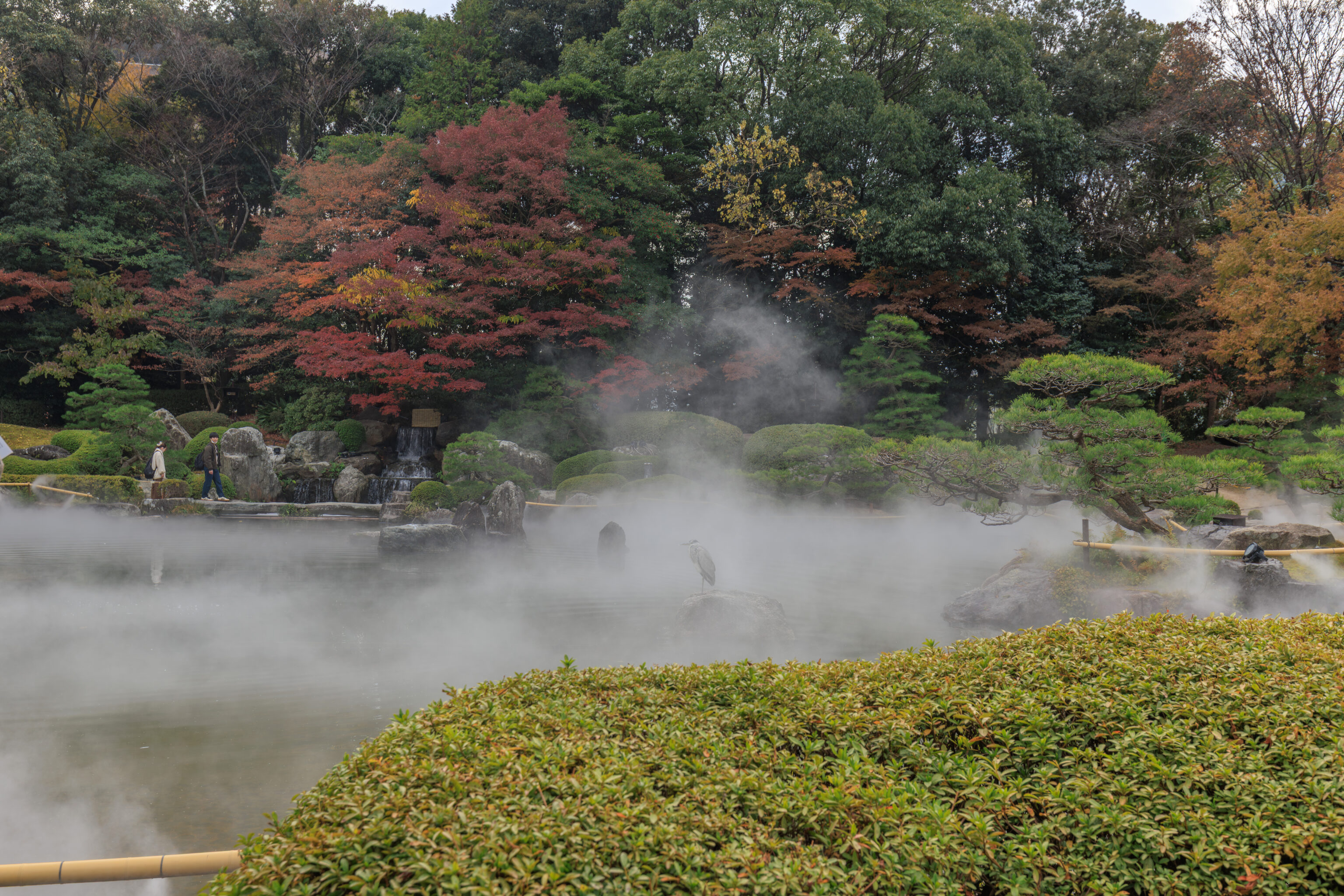
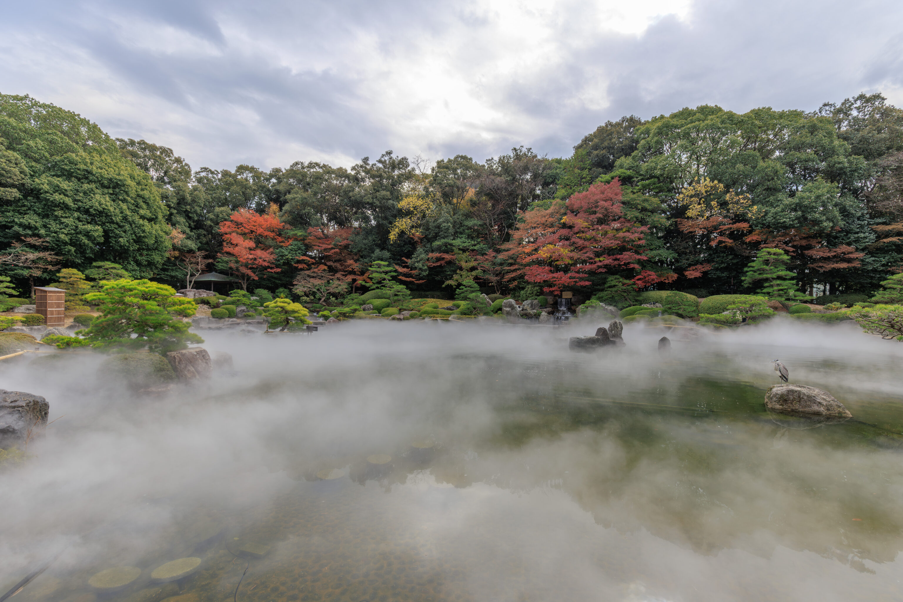
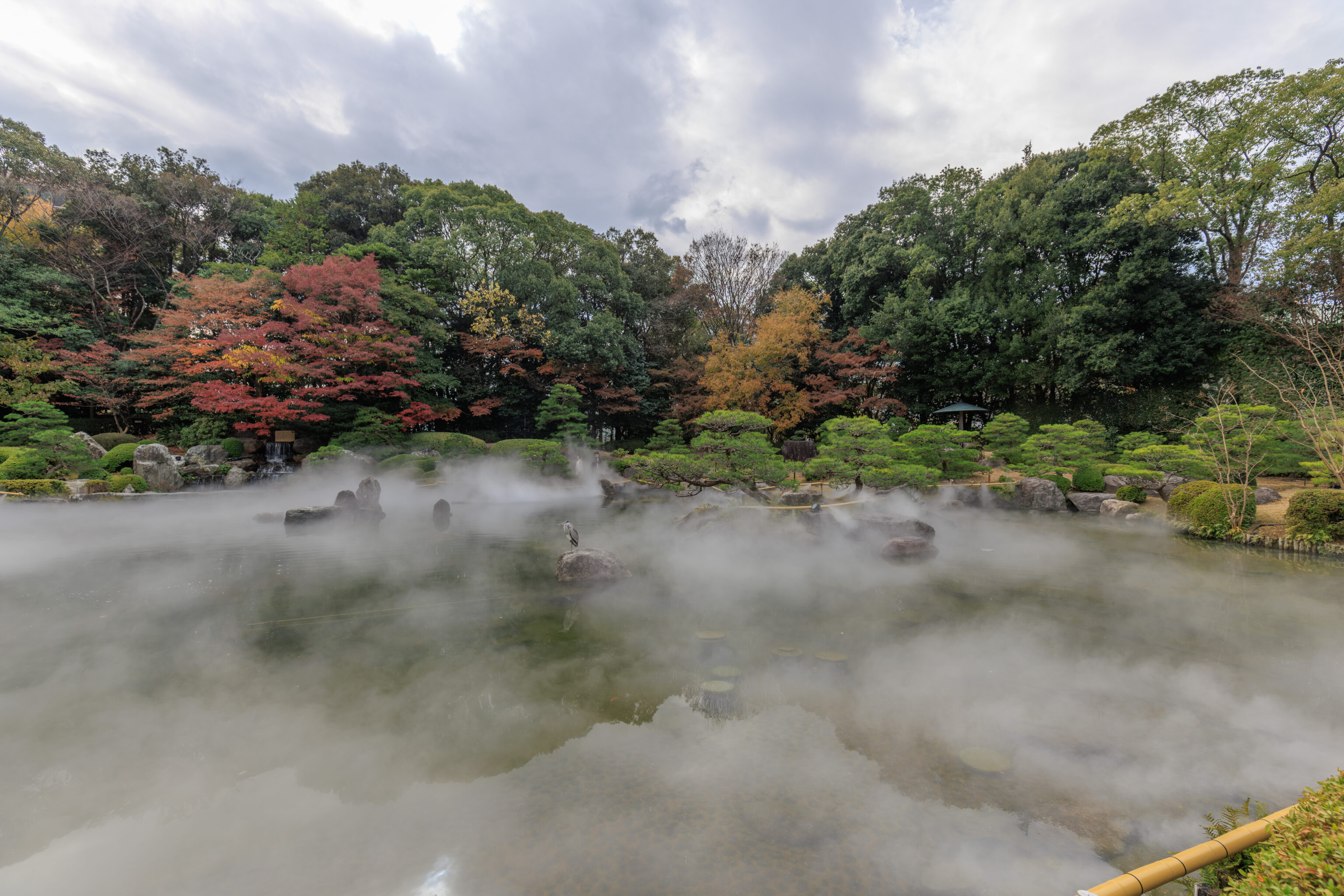
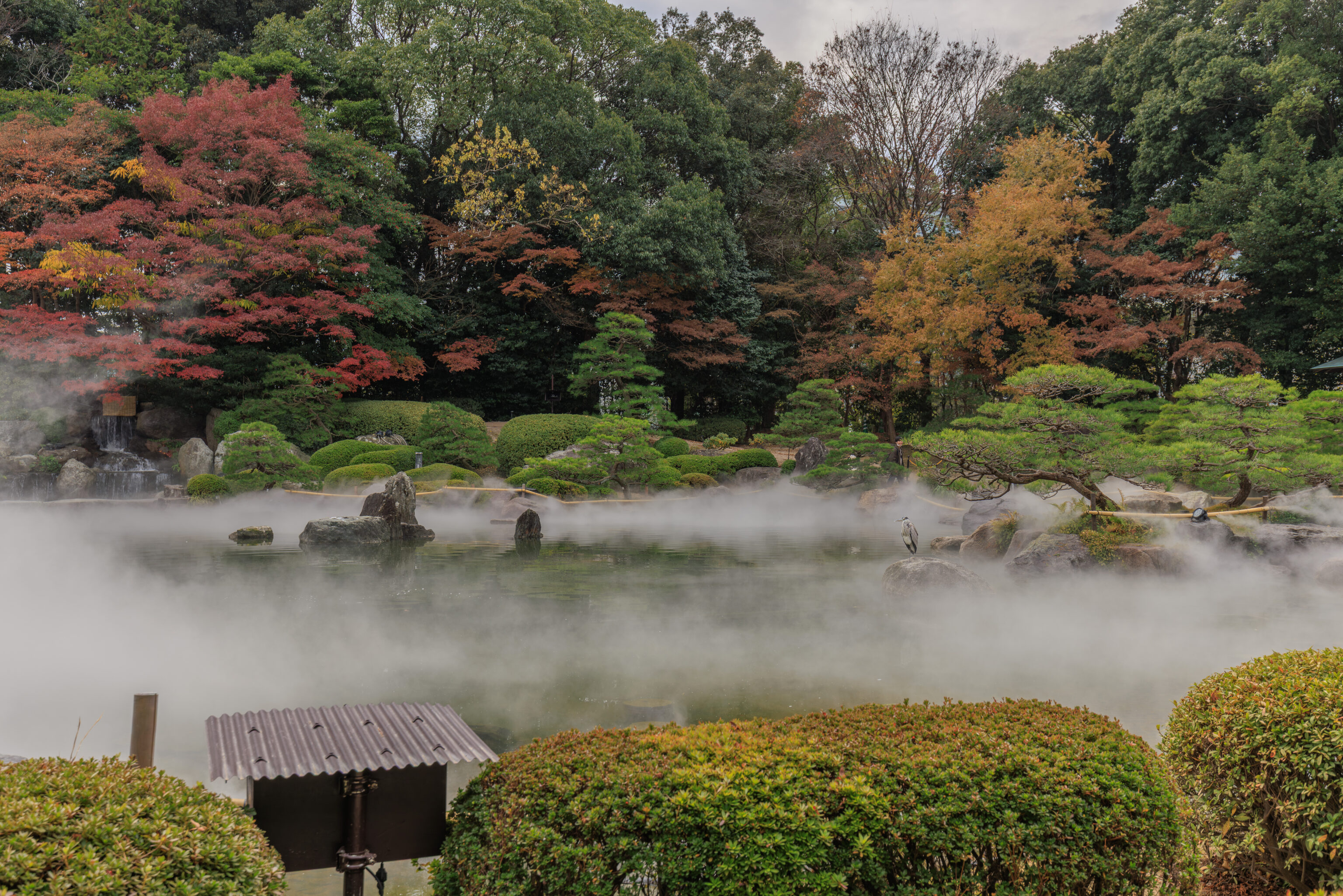
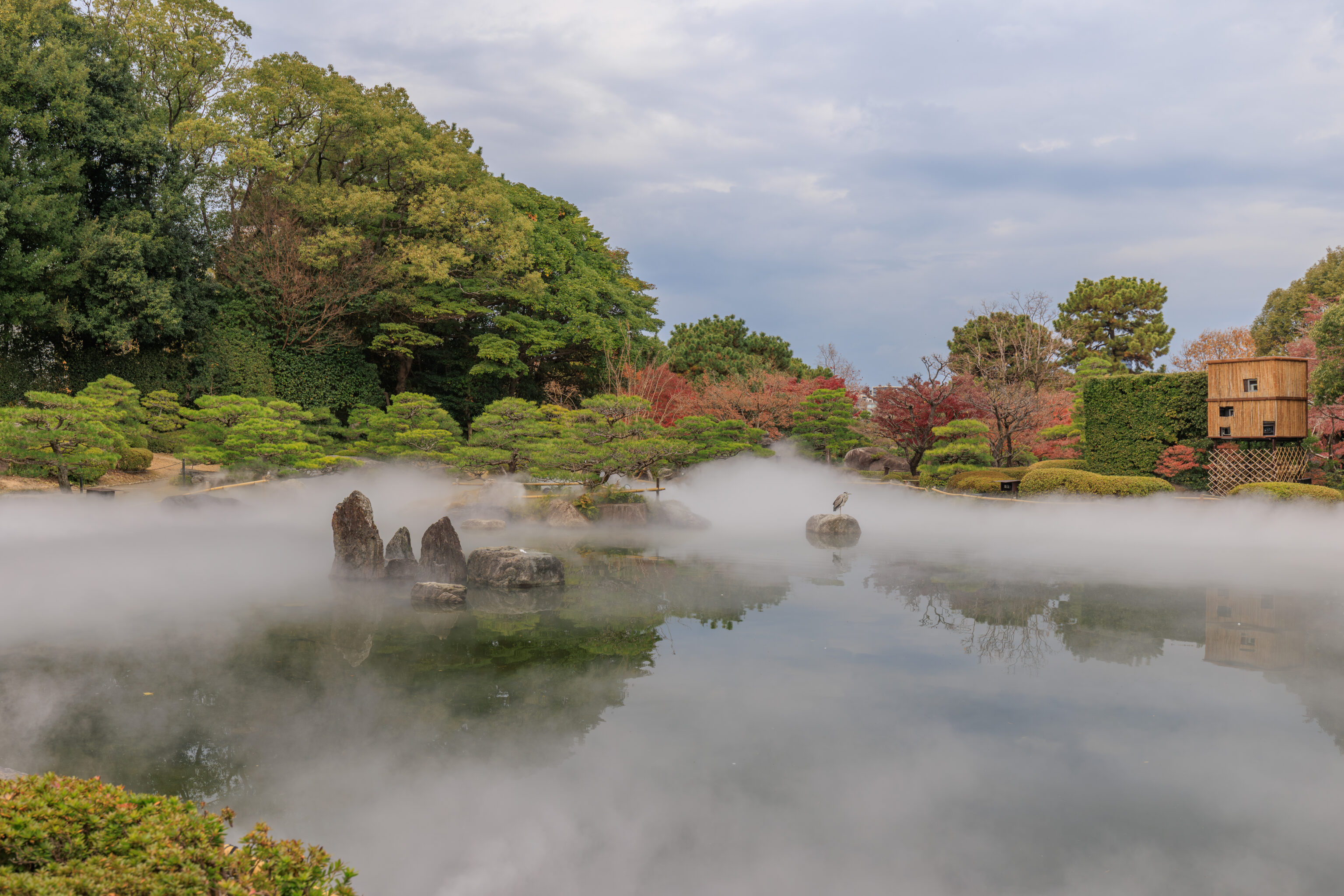
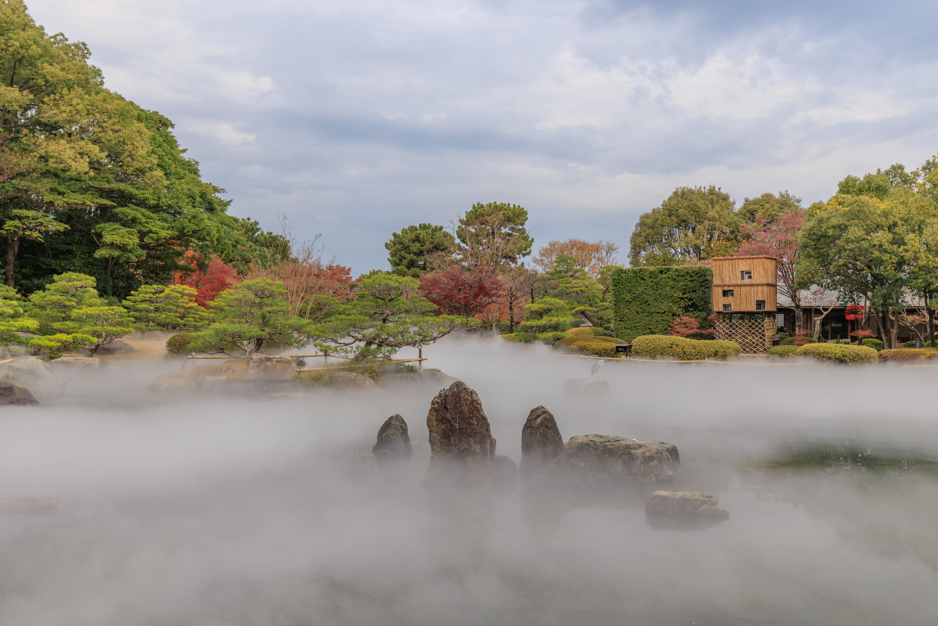
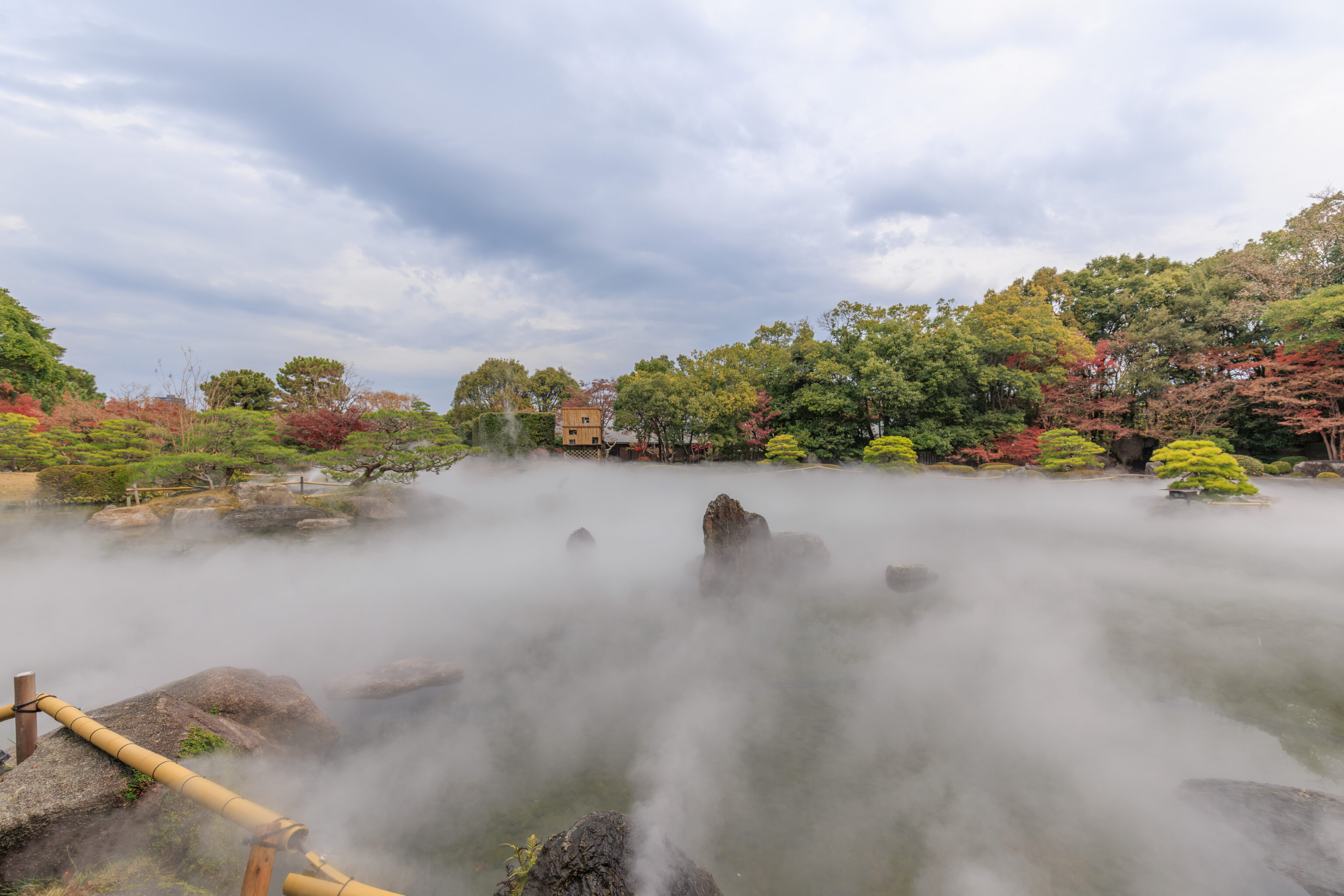
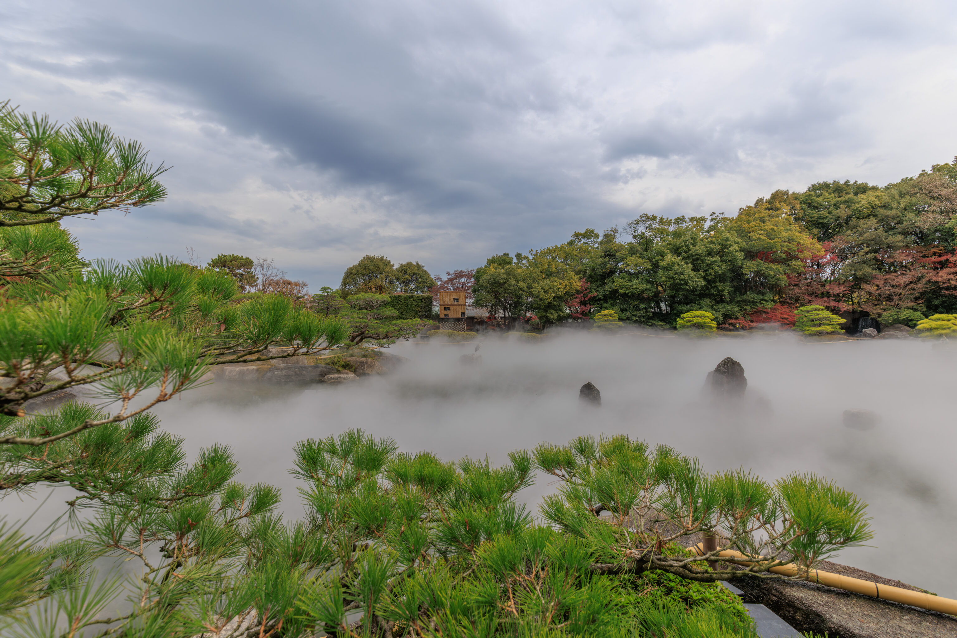
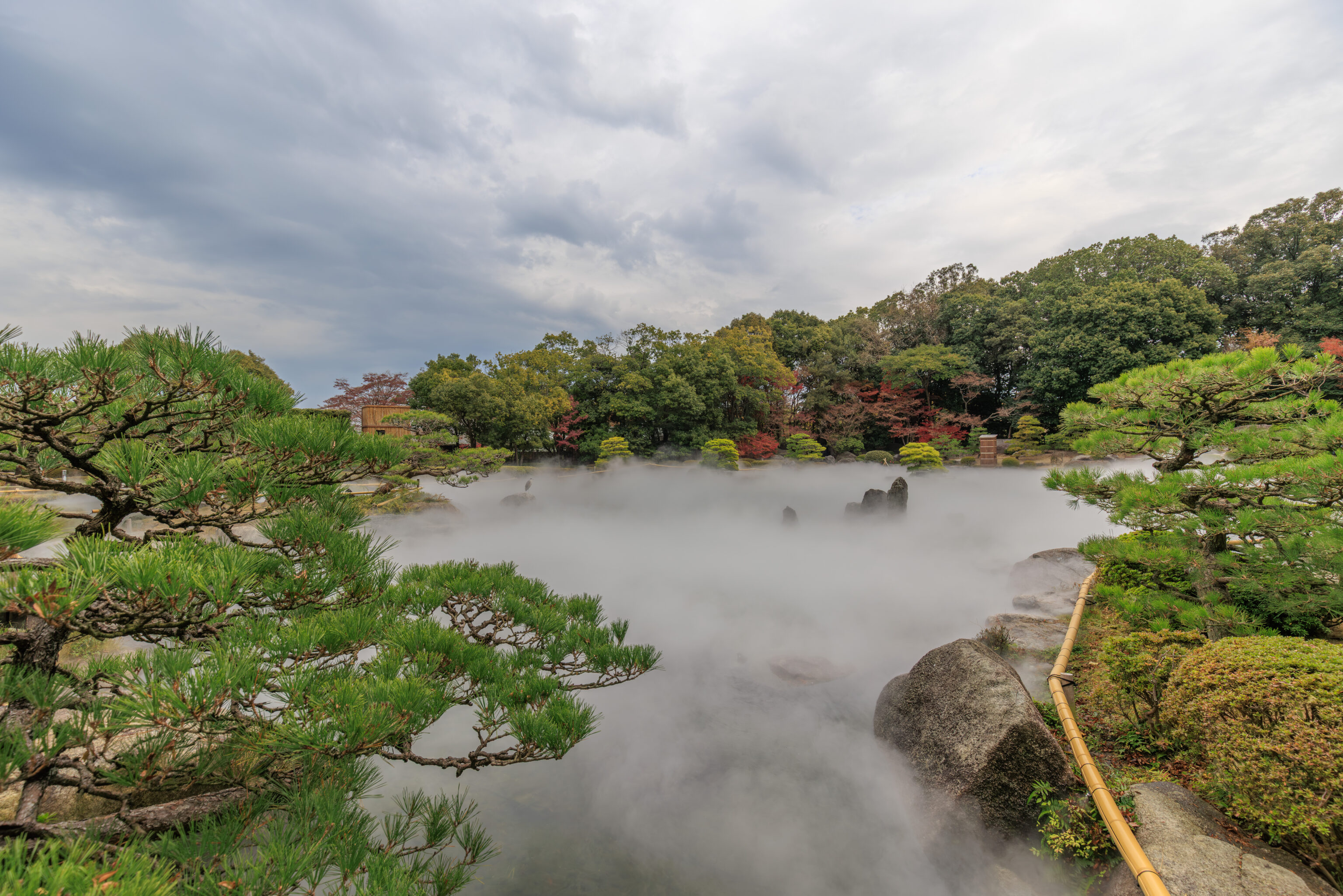
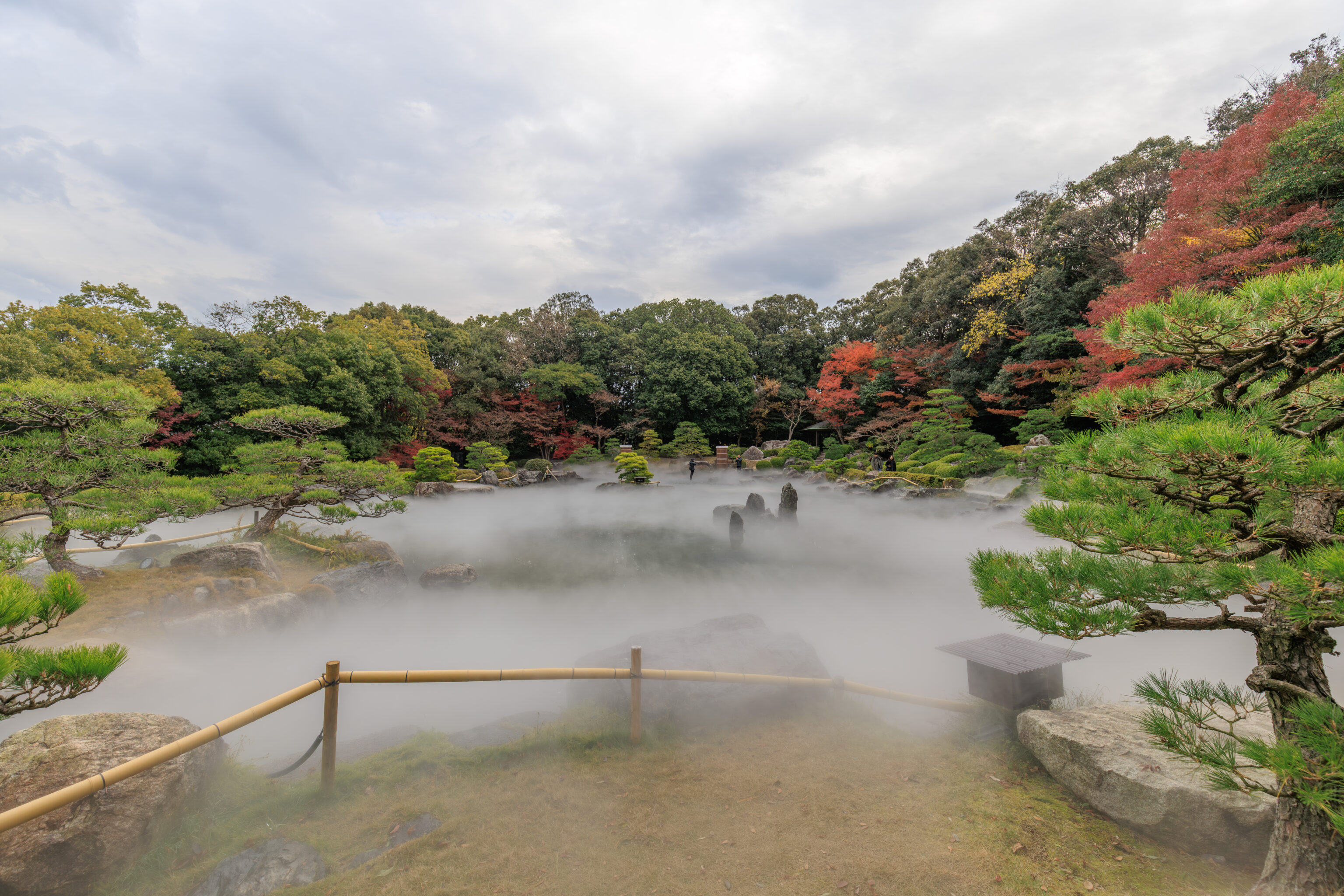
We continued walking clockwise along the foggy pond until we returned to the southwest corner by the hill. Definitely a unique, if artificial, experience!
Of course, we recorded a bit of video of the fog…
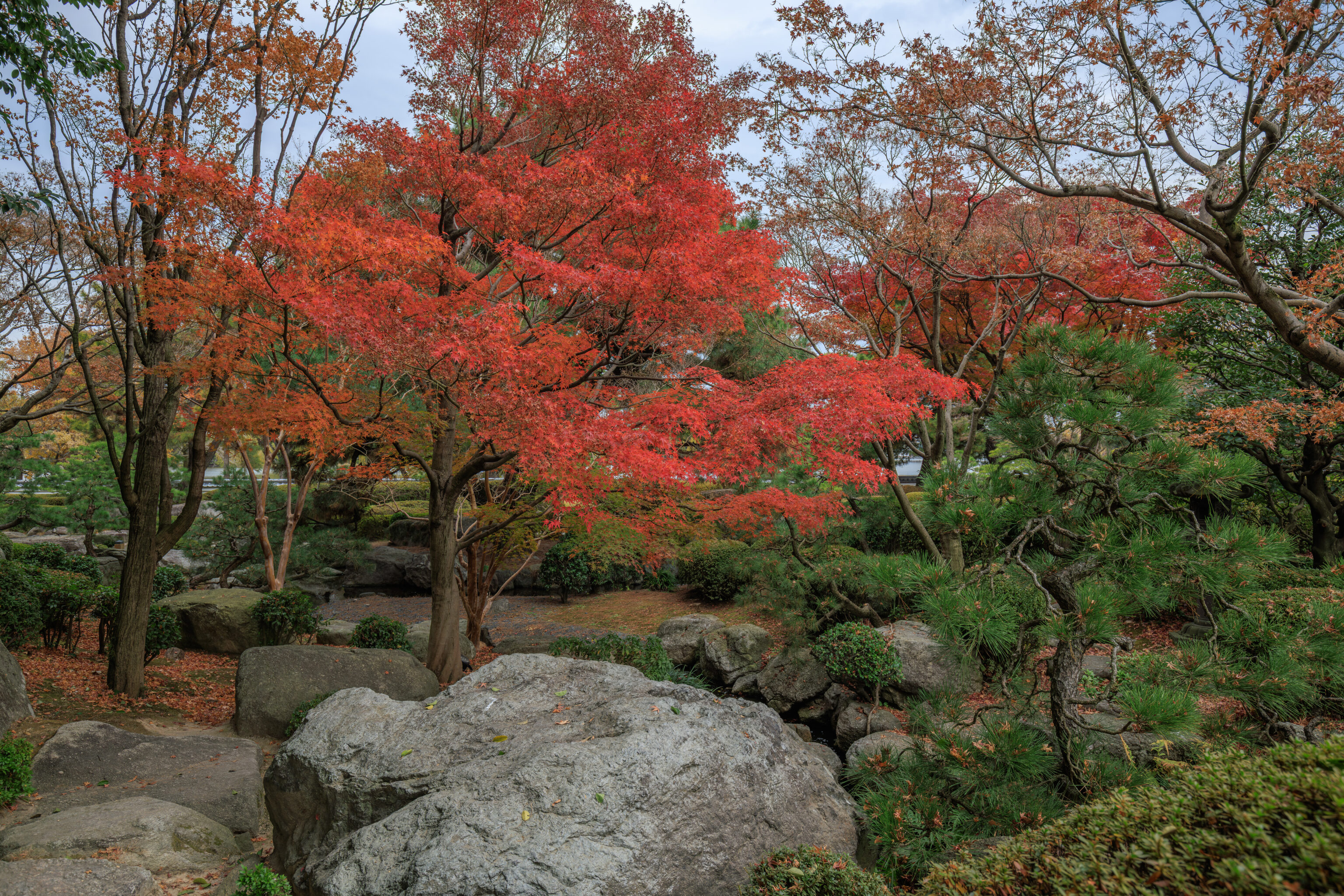
We returned to the northwest side of the pond to walk through the narrow western portion of the garden.
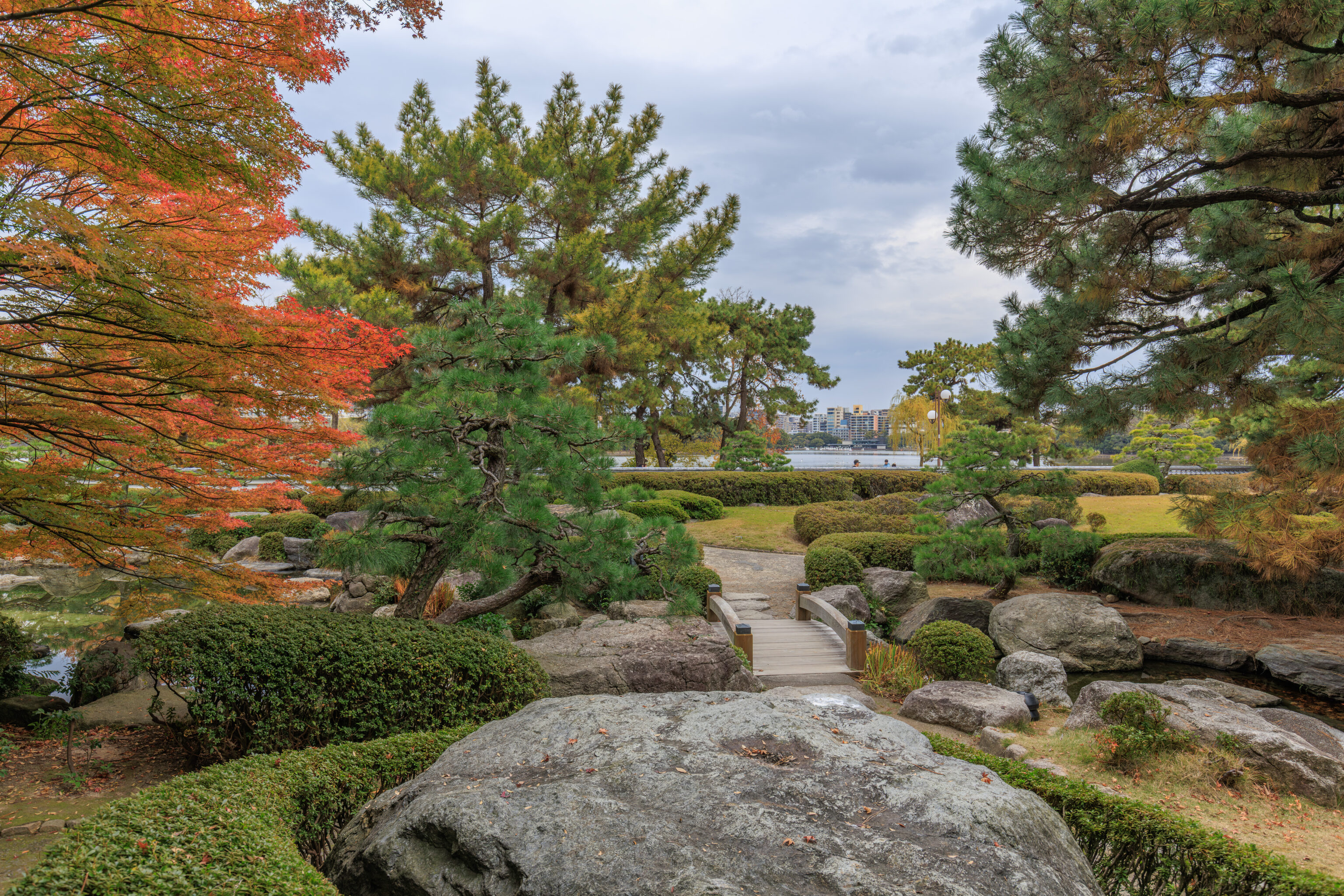
We were able to get a glimpse of Ohori Park’s large pond, which is probably big enough to be described as a lake, beyond the low northern boundary of the garden.
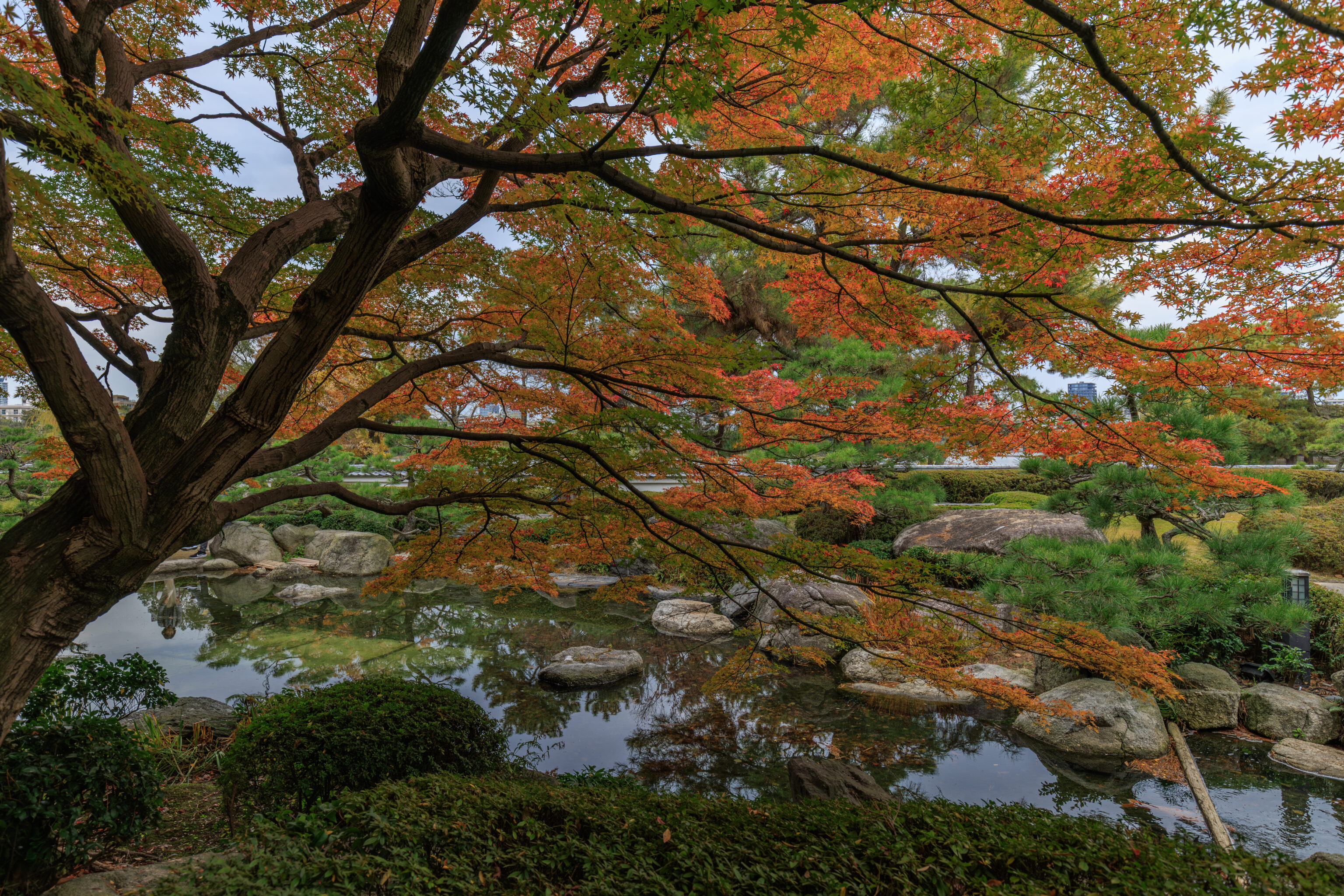
This mix of colors was quite beautiful!
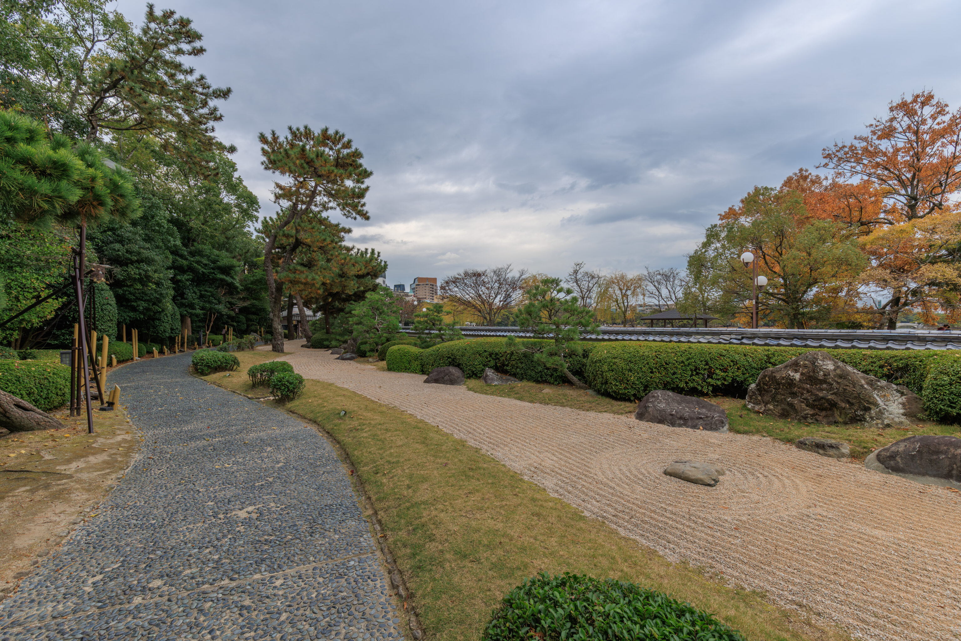
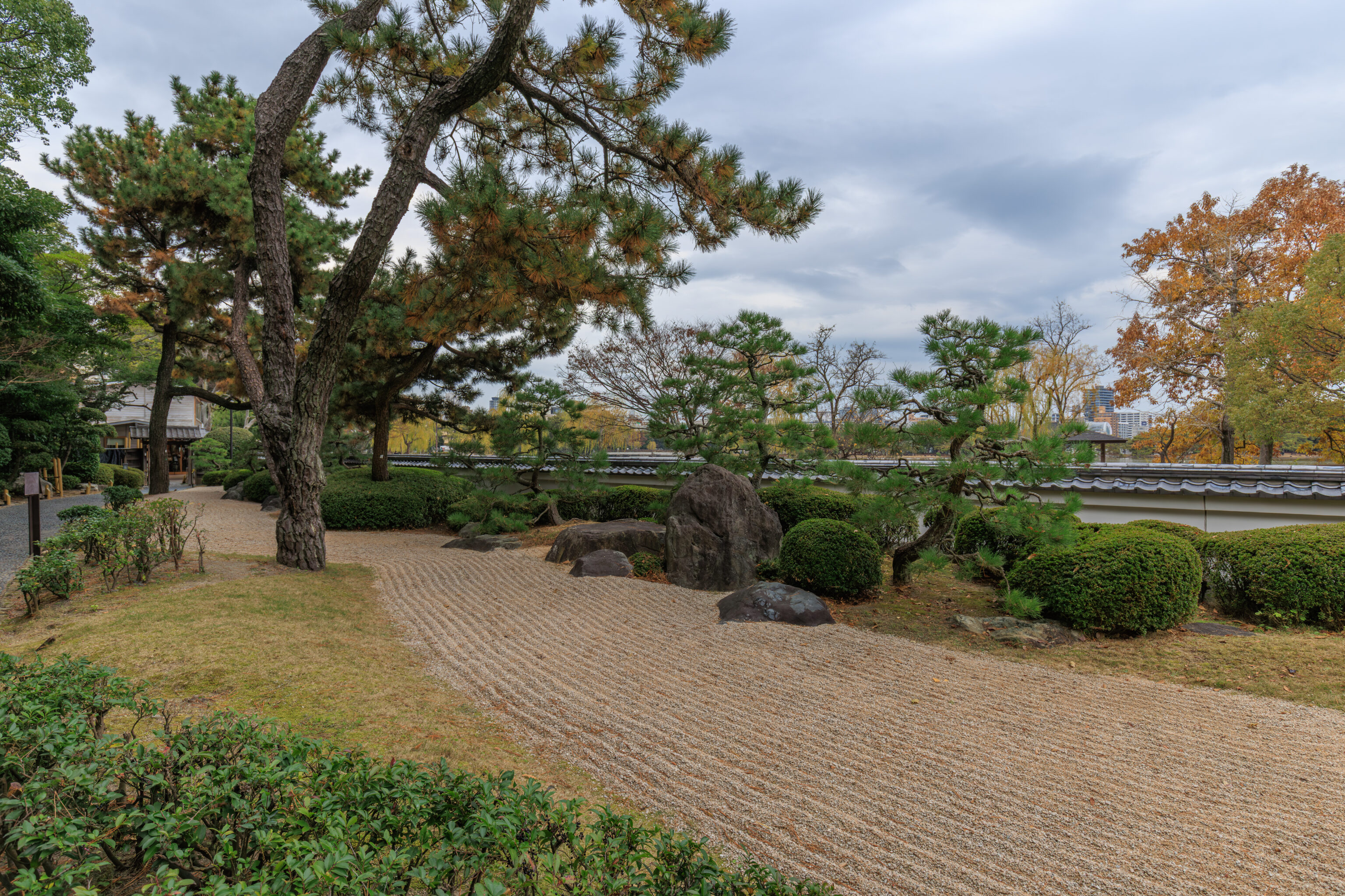
We continued walking to the west end of the garden along a somewhat narrow path.
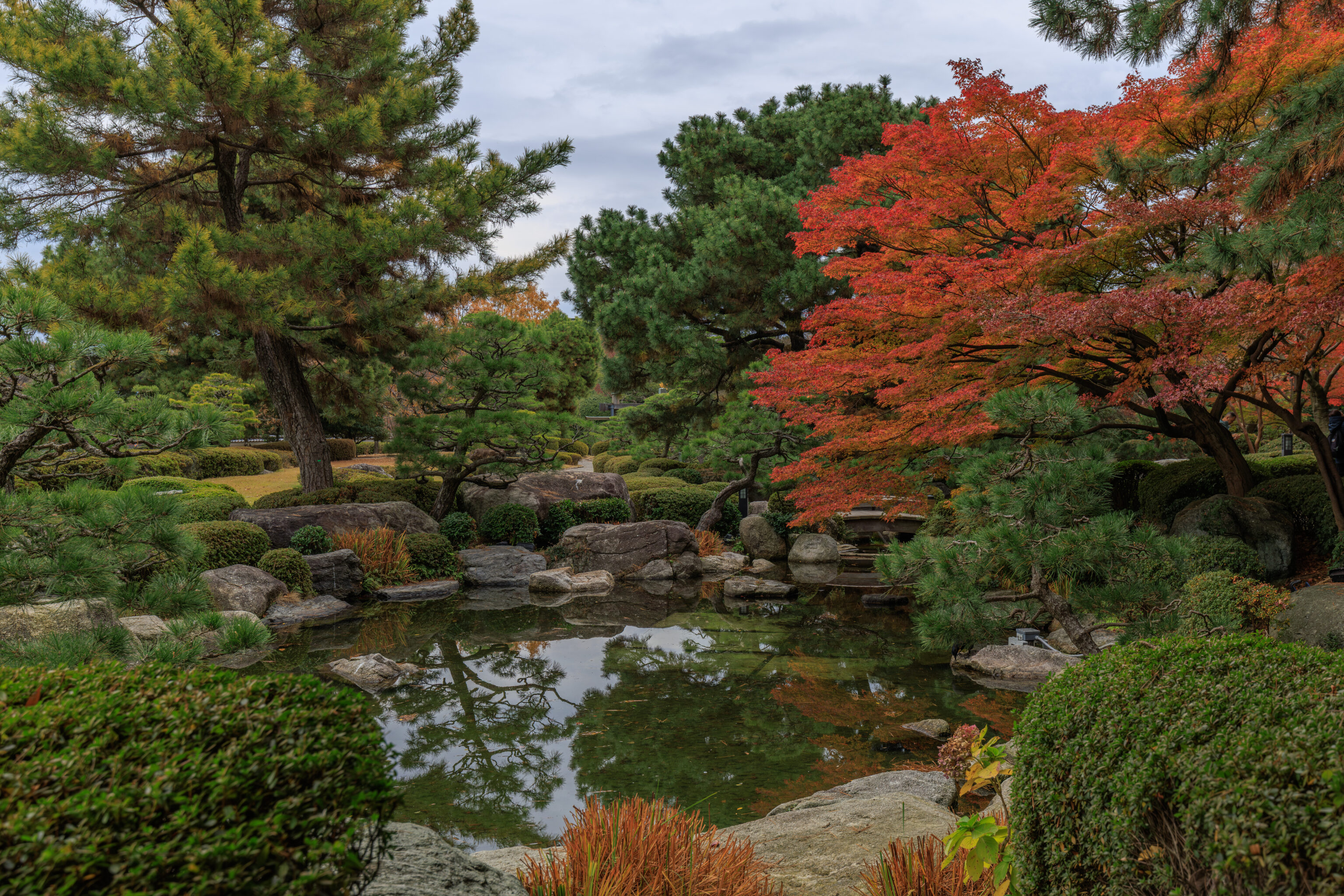
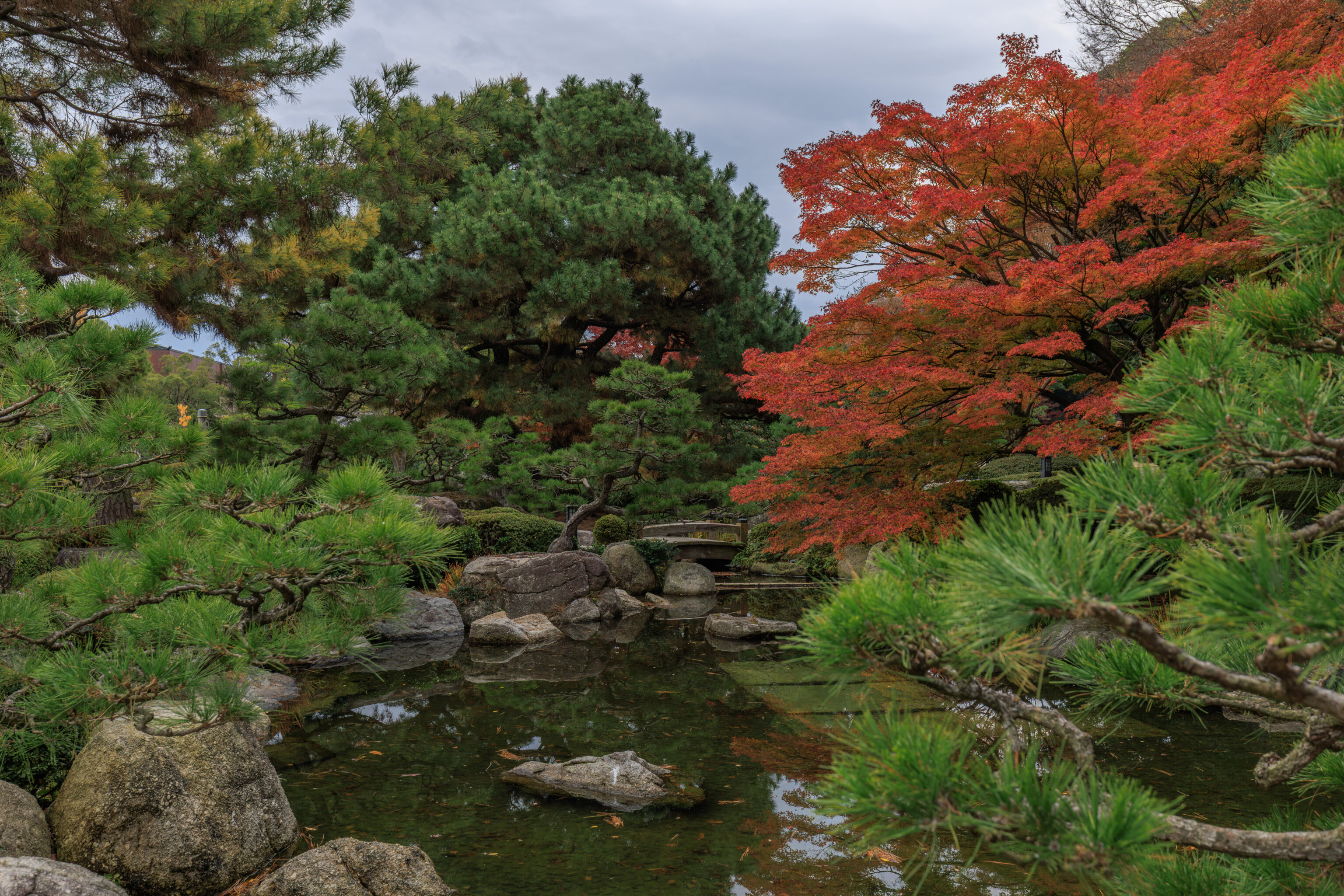
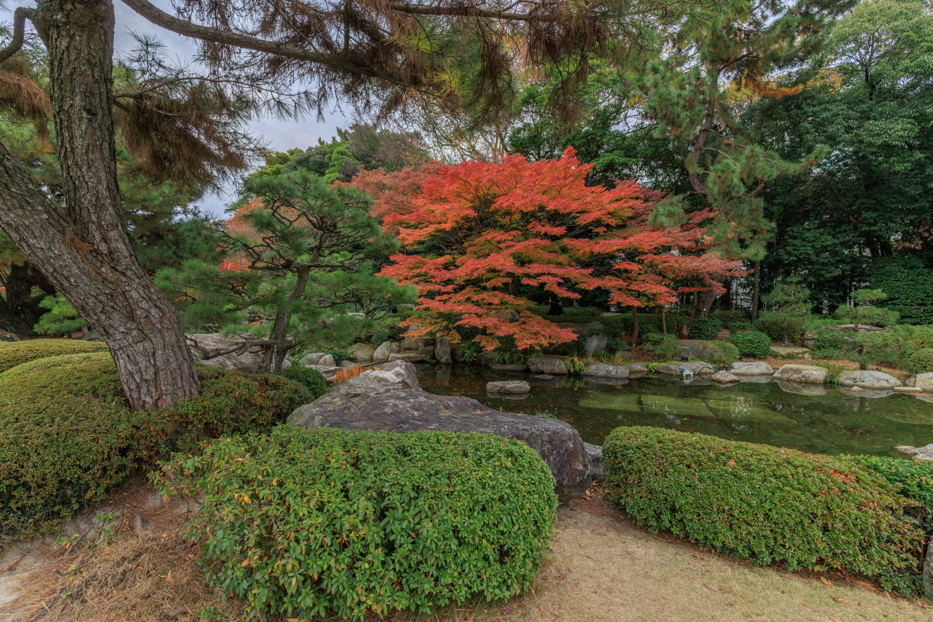
We then turned around and walked back to the east to reach a small part of the garden that we hadn’t been to yet. This area was northwest of the large pond with the fog system. There was a pond here as well, although it was much smaller.
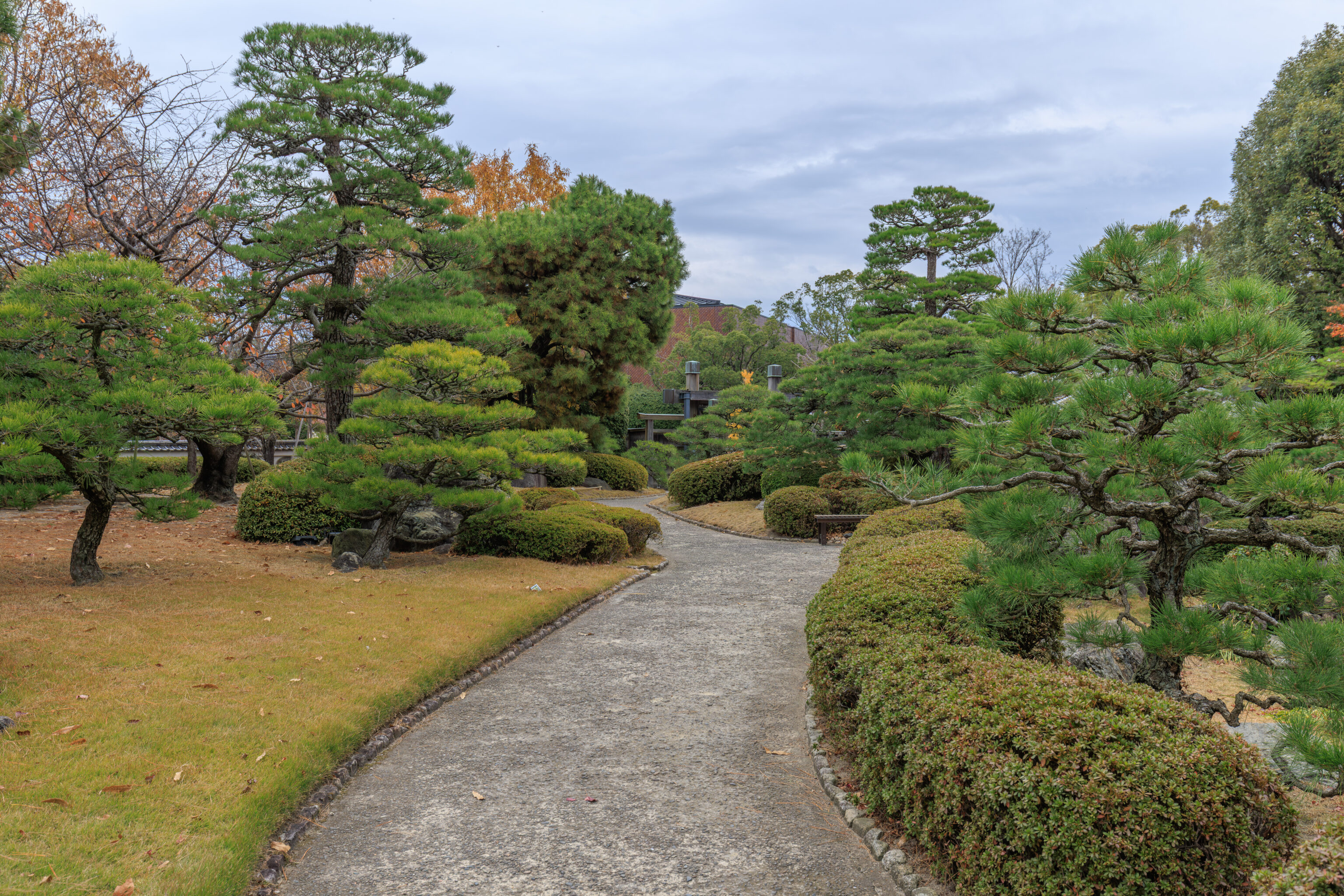
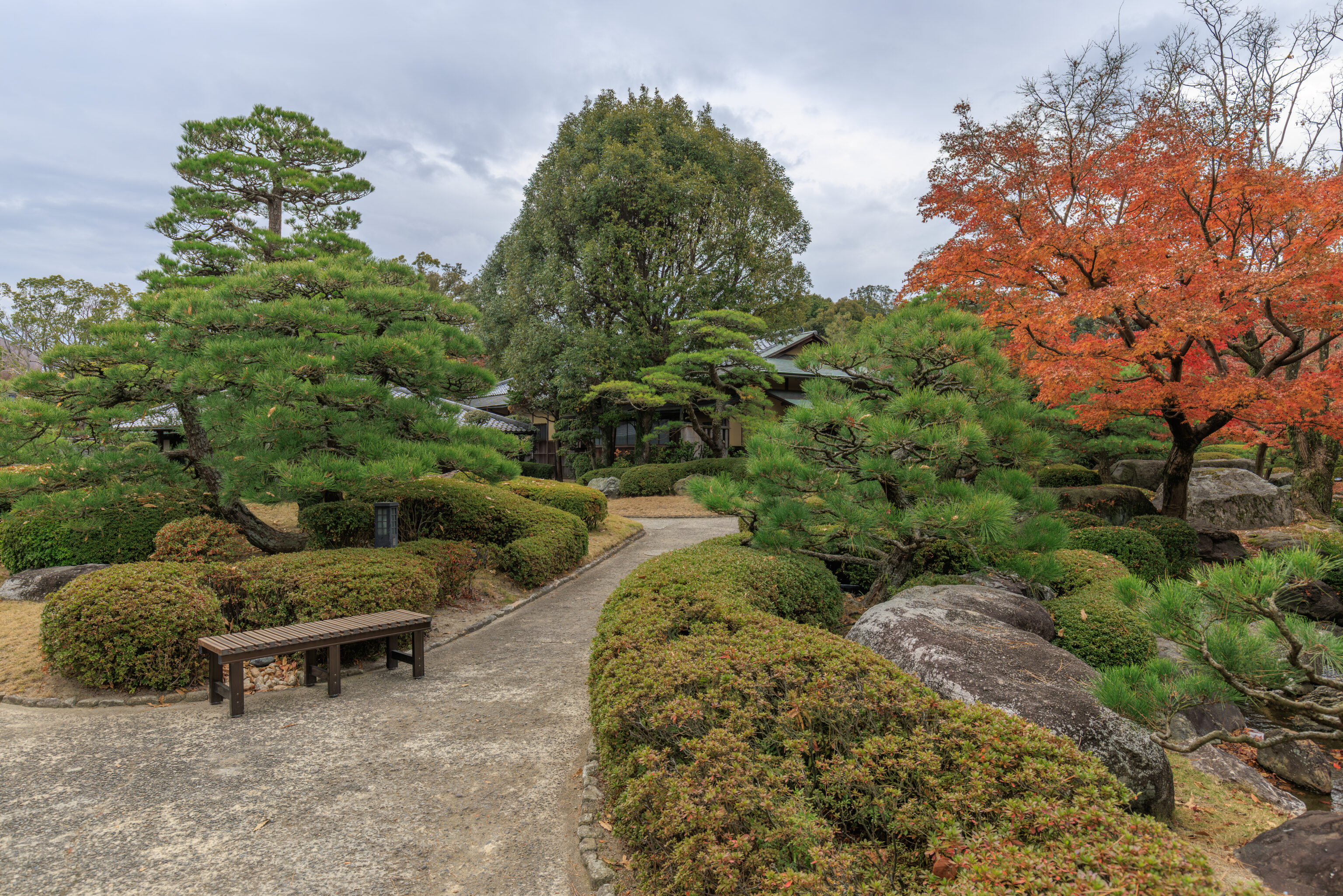
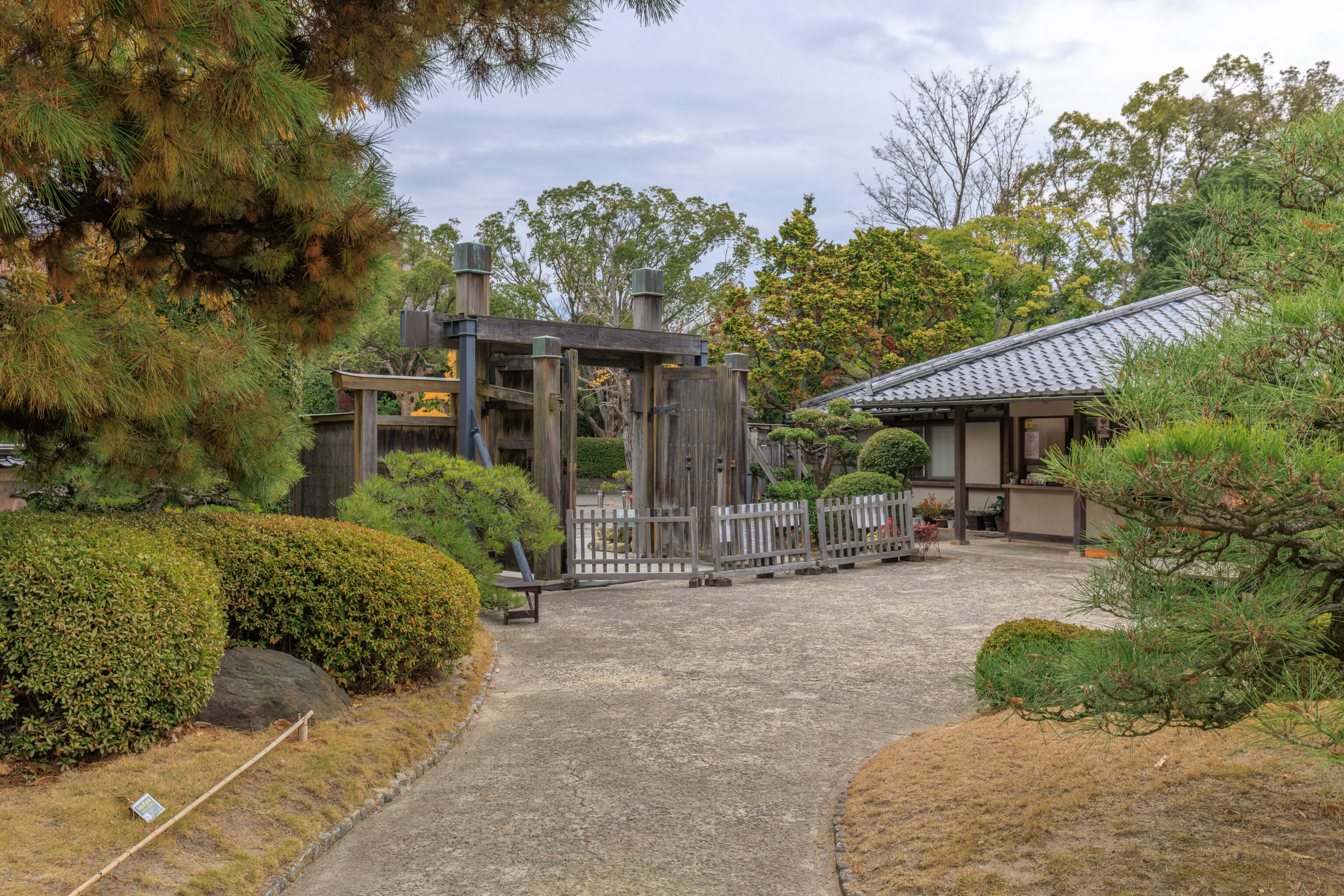
We then continued walking to the east to exit the garden.
Ohori Park
The garden is on the southern edge of 大濠公園 Ohori Park. The majority of the garden’s area is actually taken up by its huge pond. To get to the northern edge of the park, which is where we wanted to go, one can either walk around the circumference of the pond or simply walk through the middle of the pond via a series of islands and bridges. We began to walk to the west to get to the path through the middle of the pond.
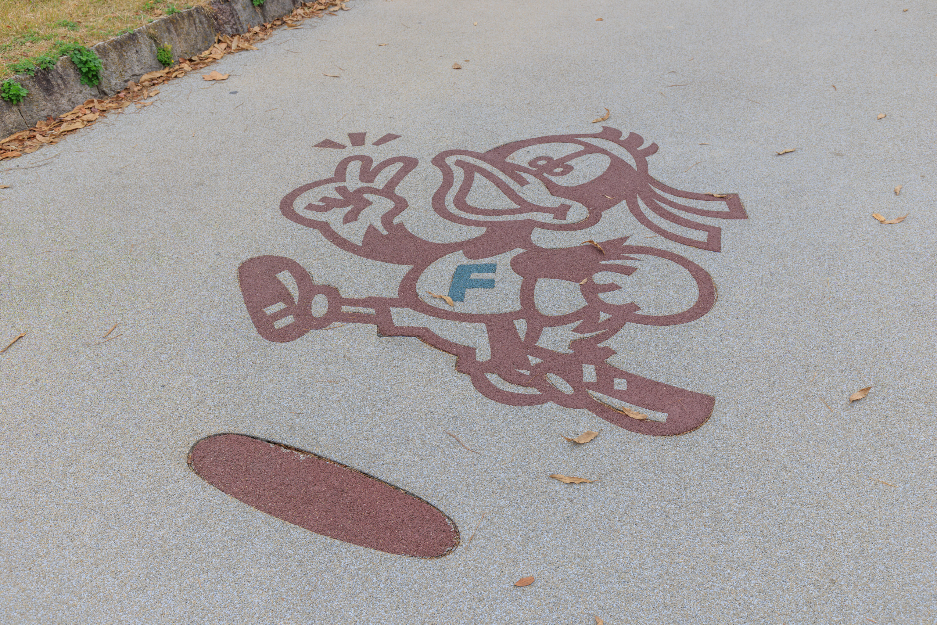
This duck was painted on the ground near the garden’s eastern entrance. It looks like a mascot, perhaps for a baseball team. However, Fukuoka’s baseball team is the SoftBank Hawks. This is clearly not a hawk. After striking out trying to figure out what this duck might represent, I tried asking Google Gemini about this image. It says that this is a marker for the 2km running route around the pond and that it indicates that this is a lane for runners and joggers. It sounds plausible but with AI you never know and there are no citations provided that prove its thinking.
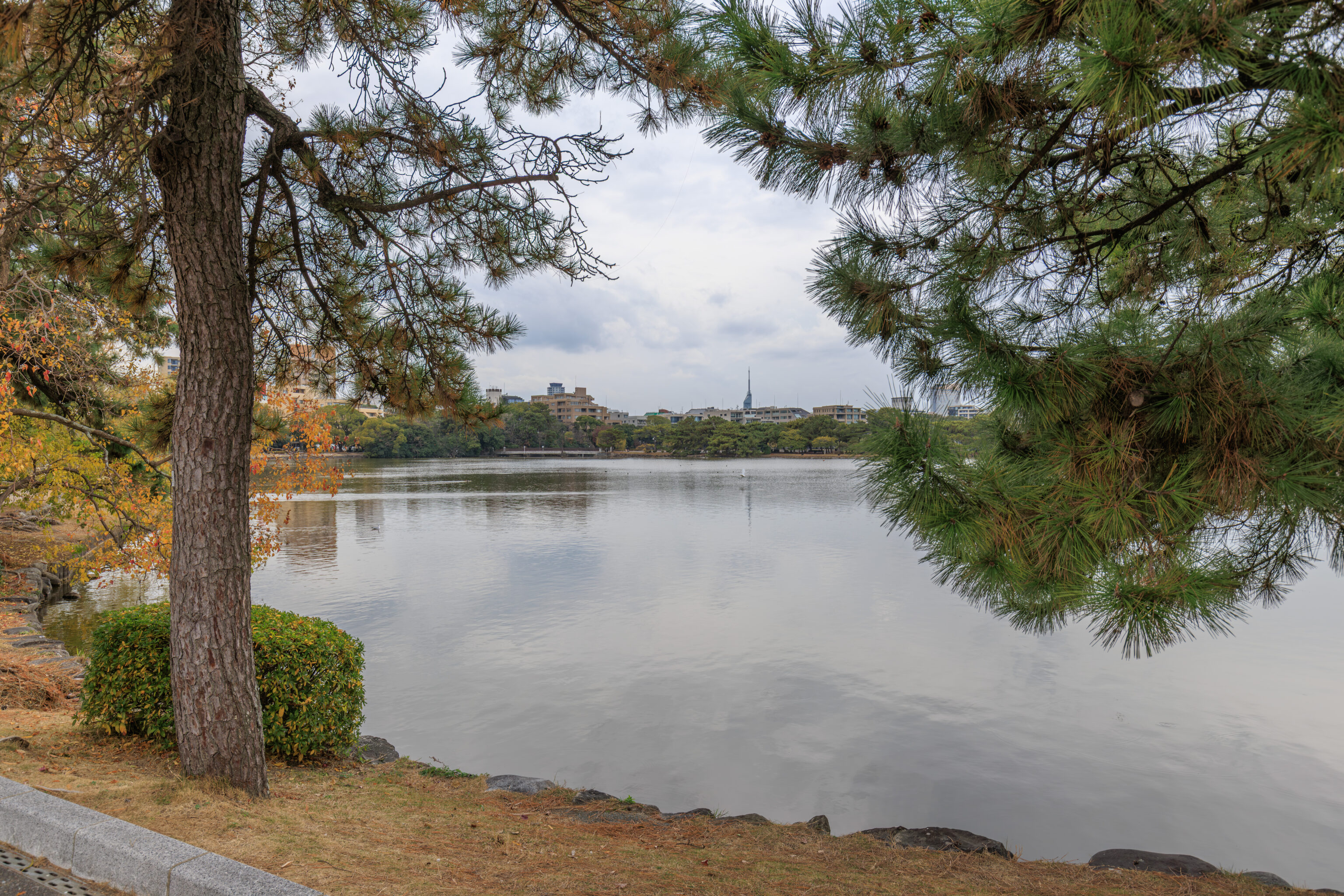
Here, we see Fukuoka Tower in the distance.
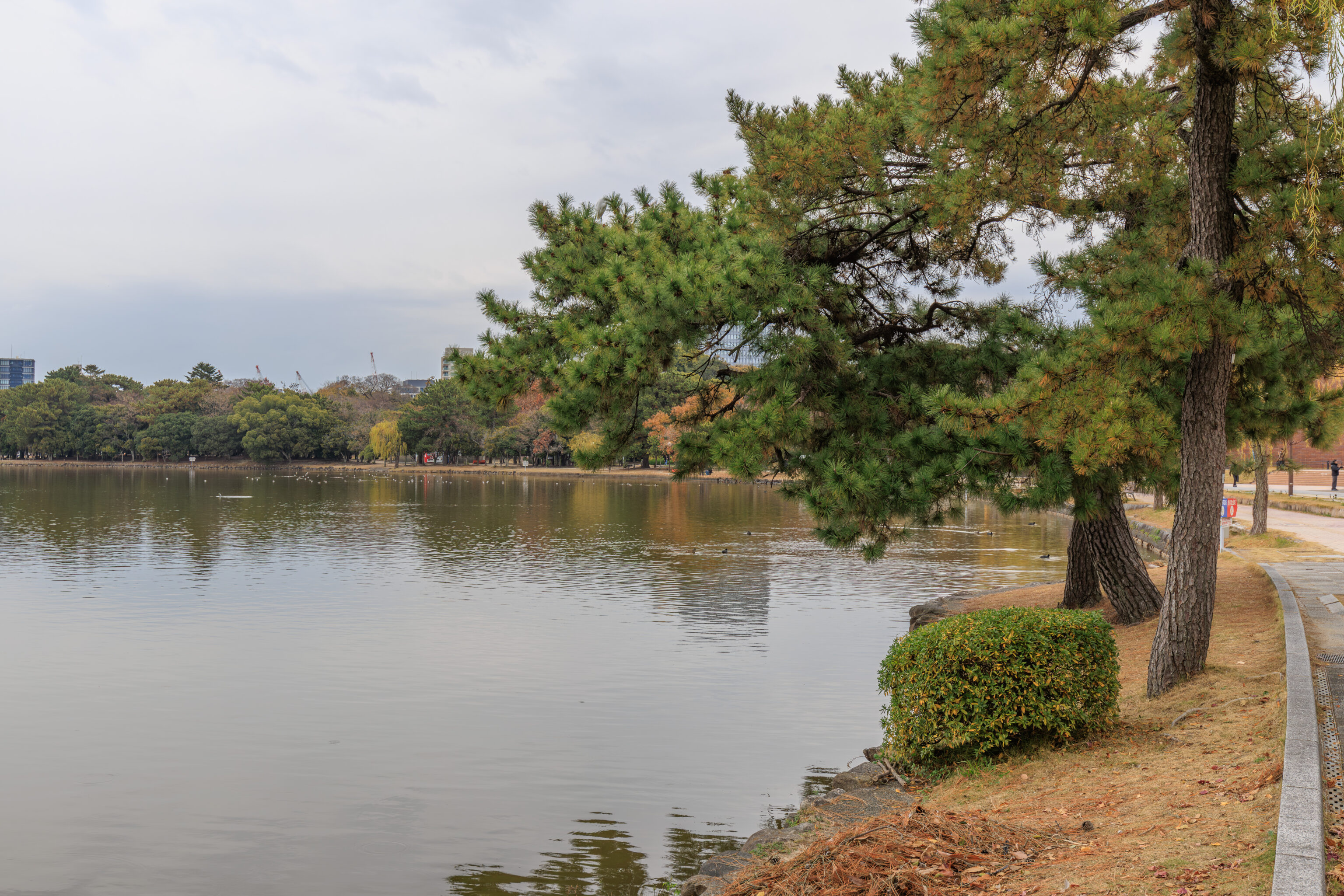
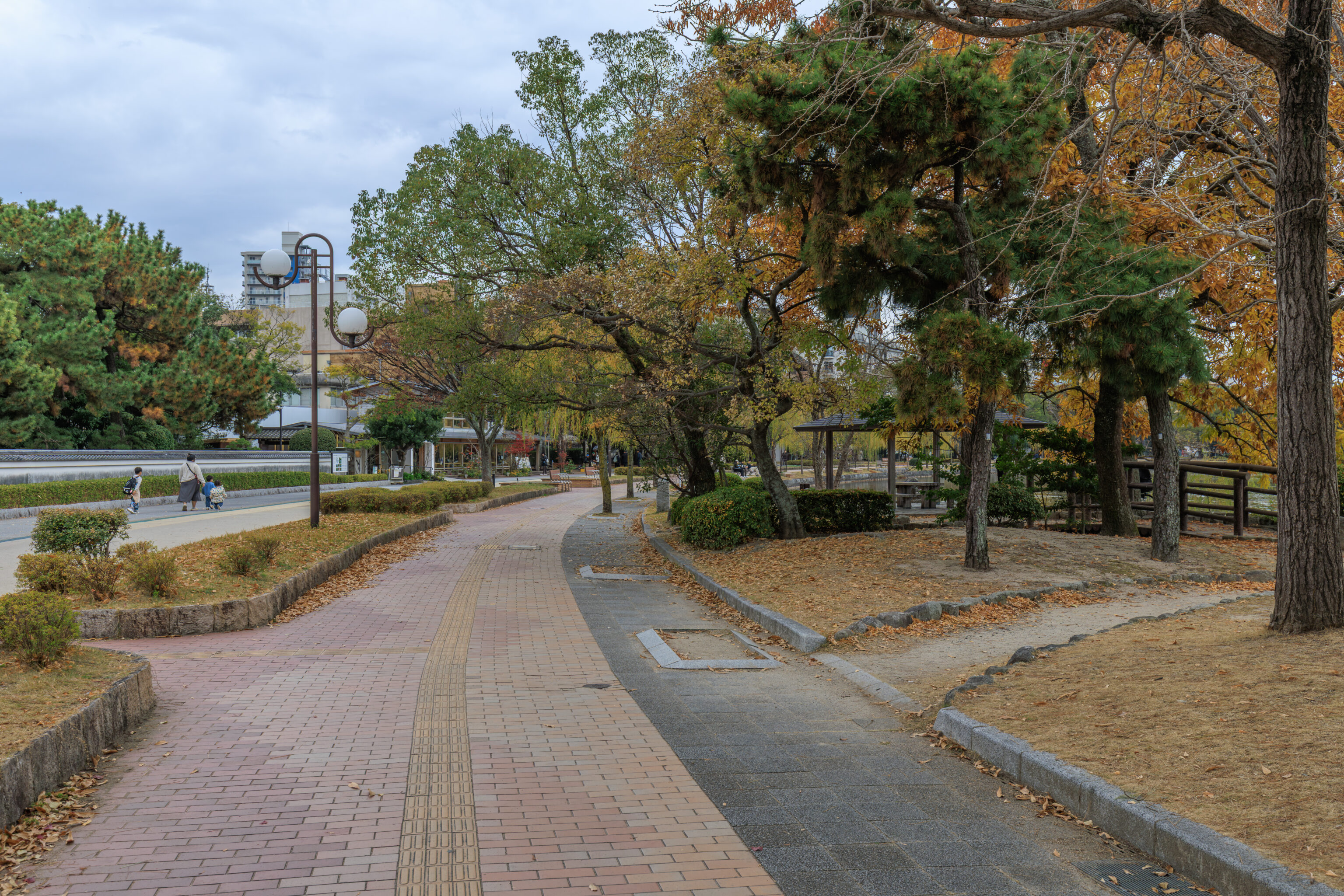
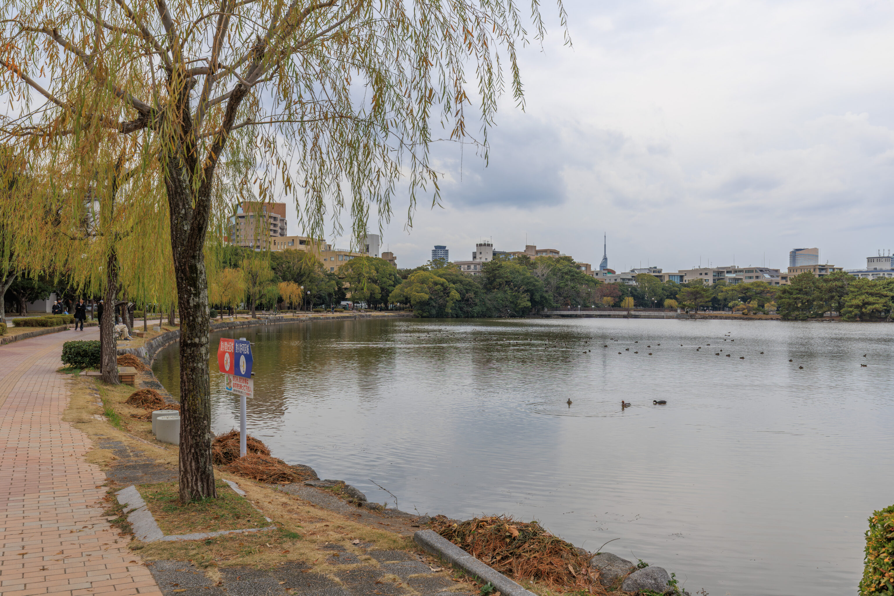
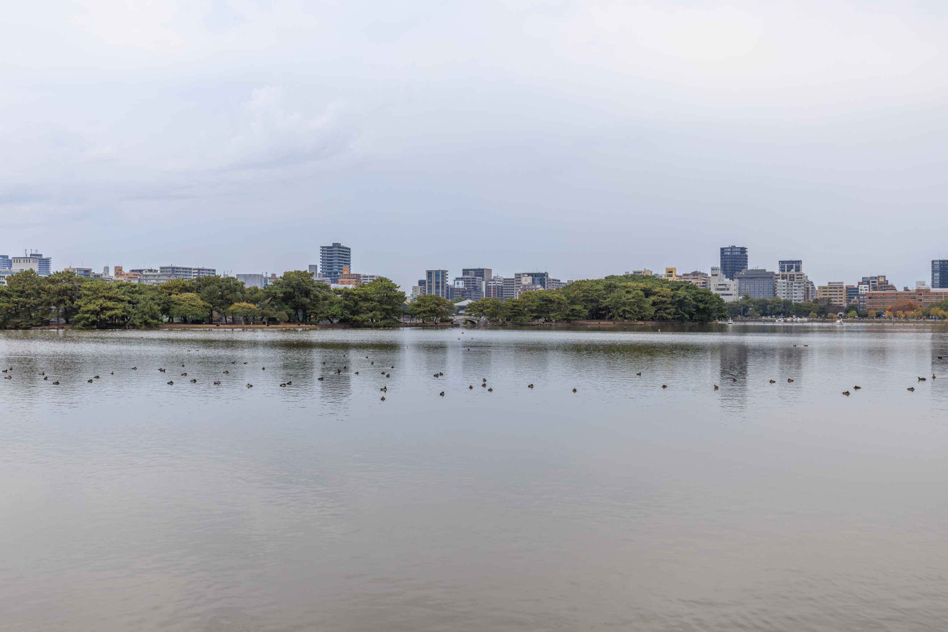
We continued walking to the west…
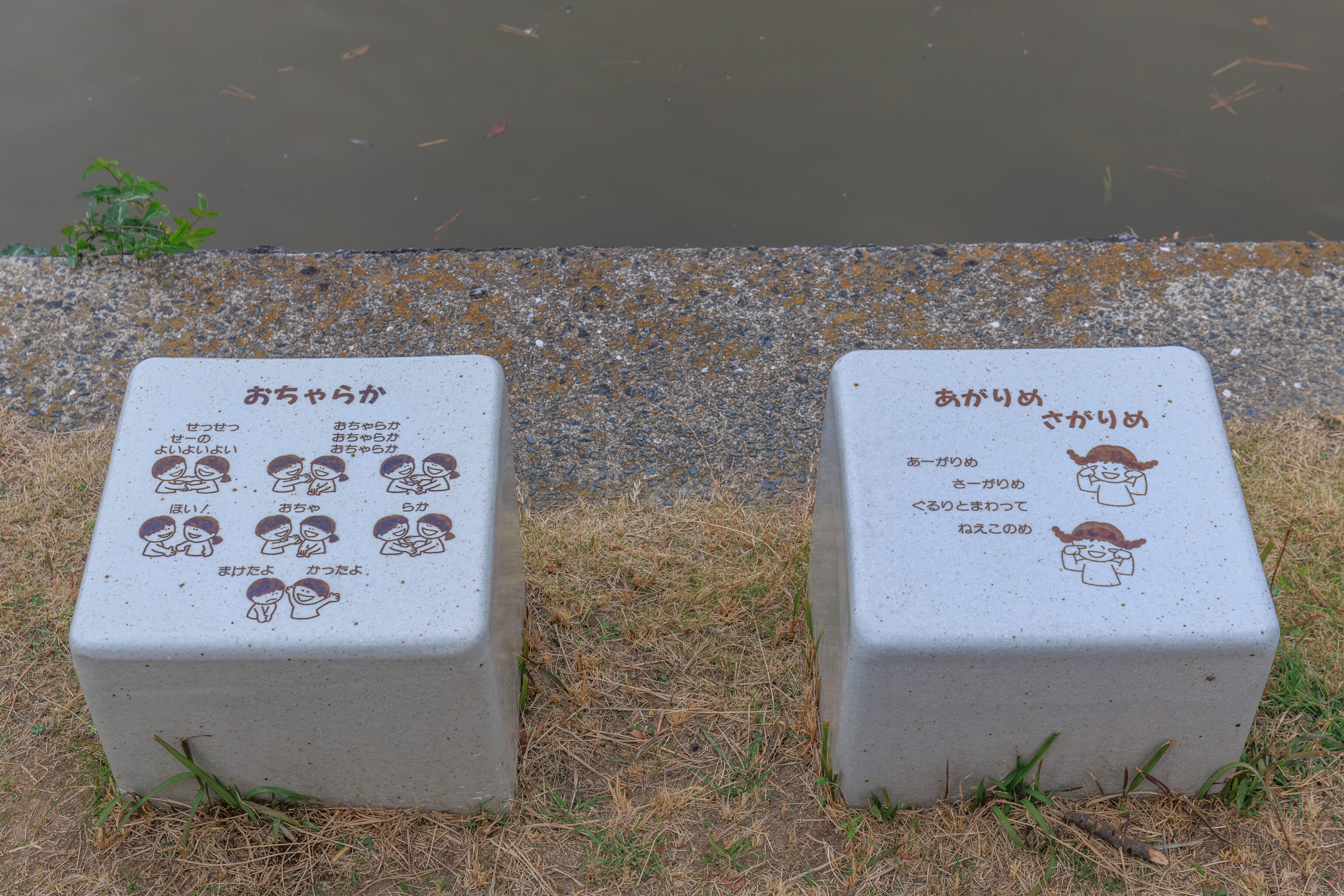
These two little seats were decorated. The one on the left depicts おちゃらか ocharaka, which is a children’s game that mixes patty-cake with rock paper scissors. The one on the right depicts あがりめ さがりめ agarime sagarime, which seems to be another children’s game. Interestingly, agarime sagarime is very similar to some specific racist American nursery rhymes…
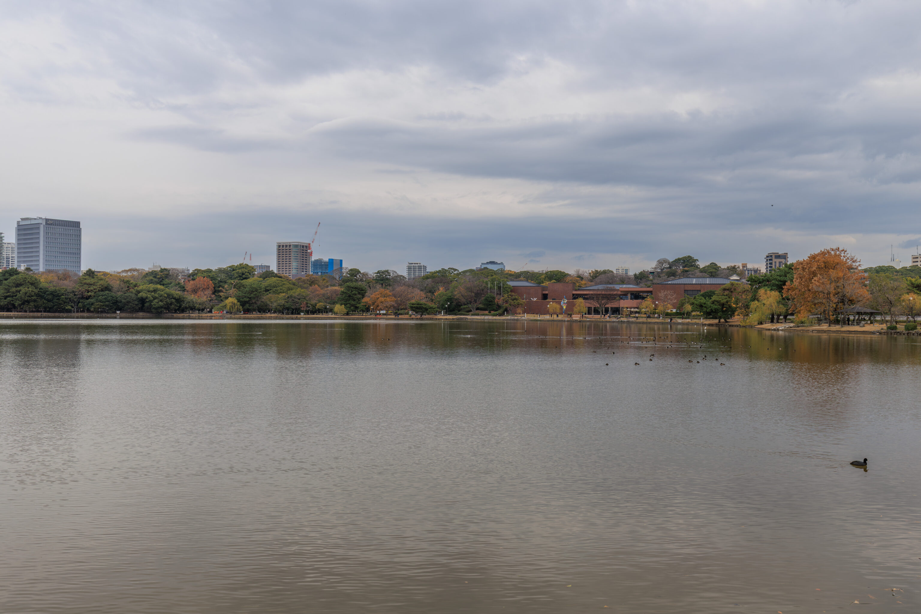
From here, looking to the east, we had a good view of the Fukuoka Art Museum building on the right.
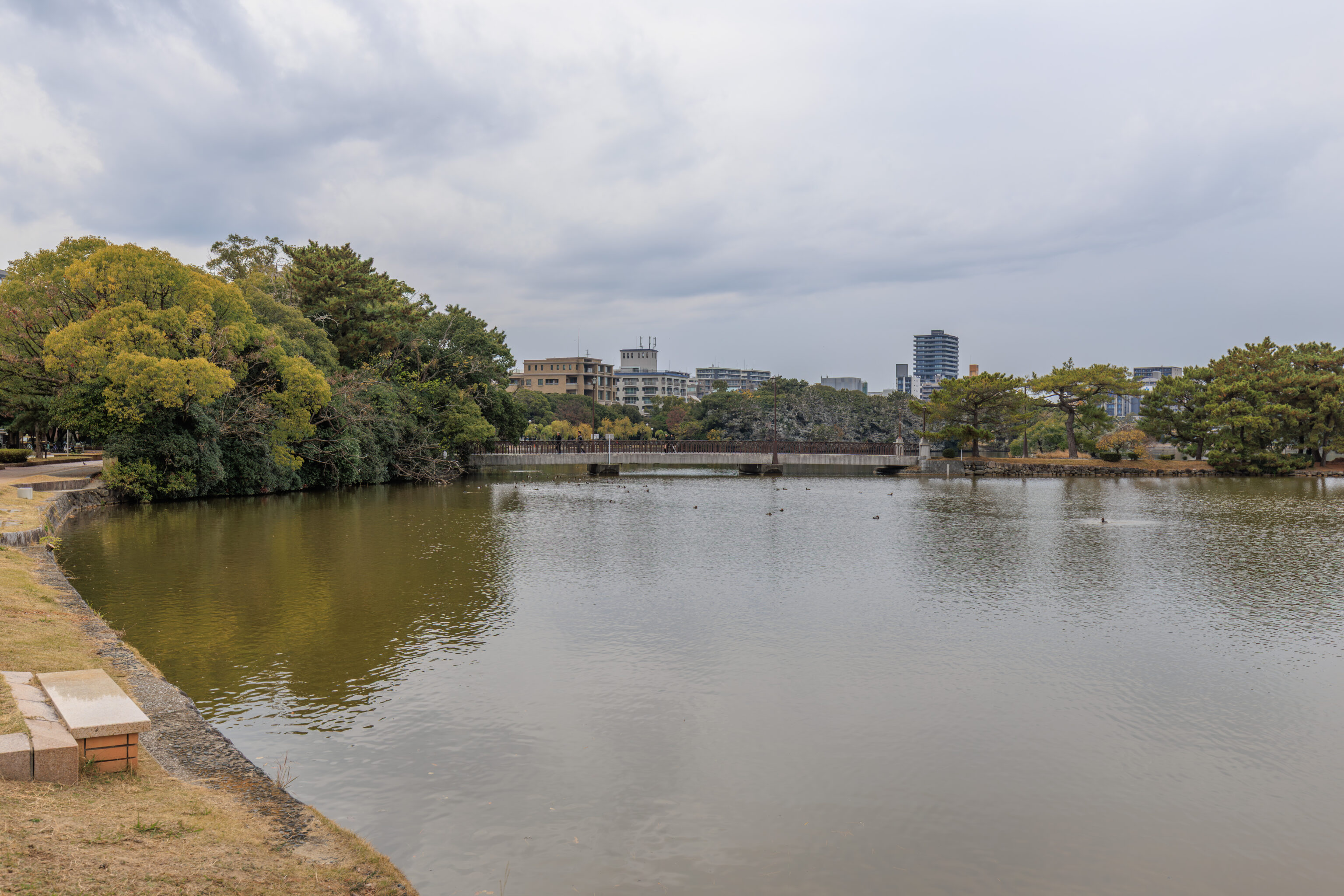
And looking ahead, we were getting close to the bridge.
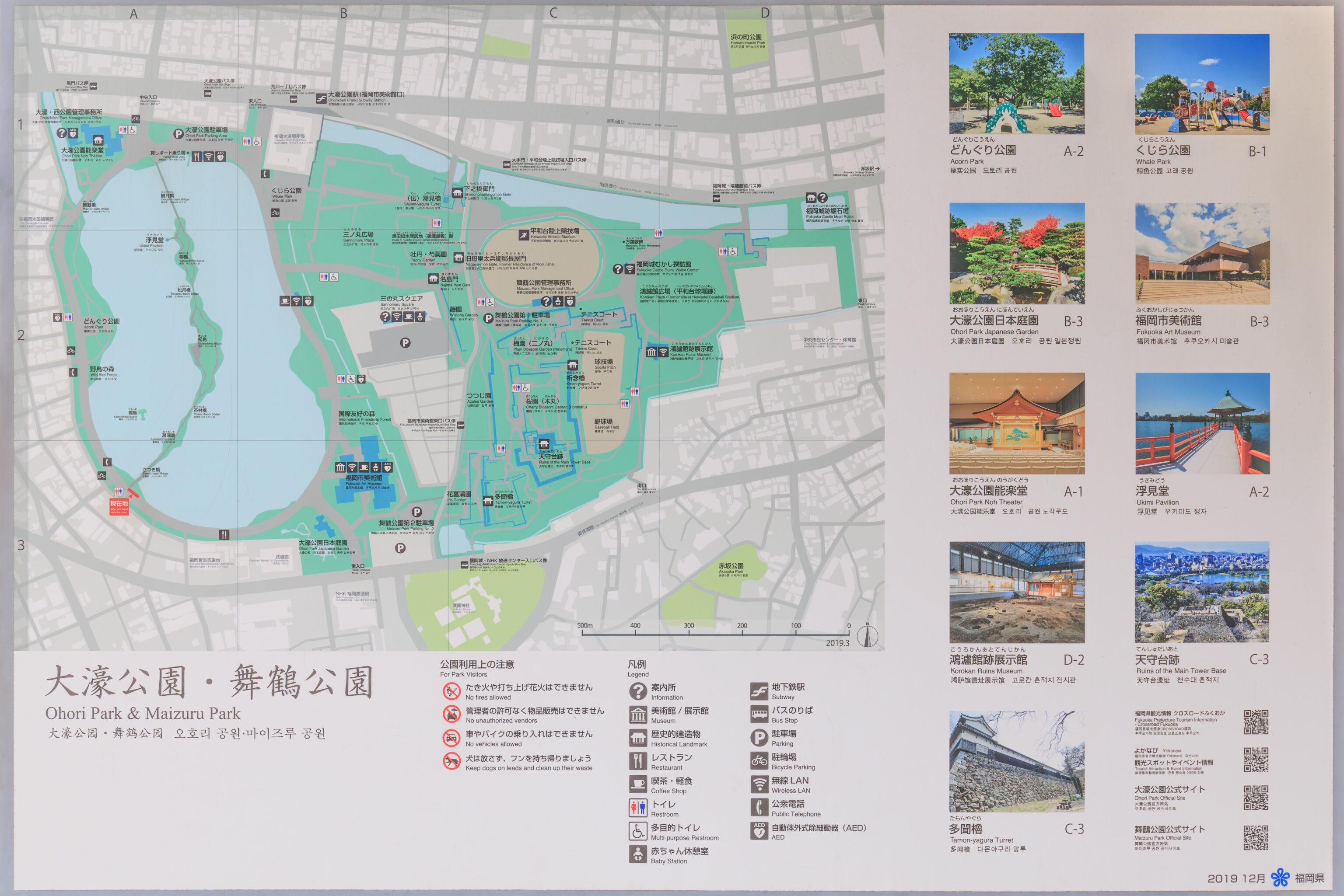
This map shows both Ohori and Maizuru Parks. It also identifies the names of the small islands and bridges that we’re about to walk across.
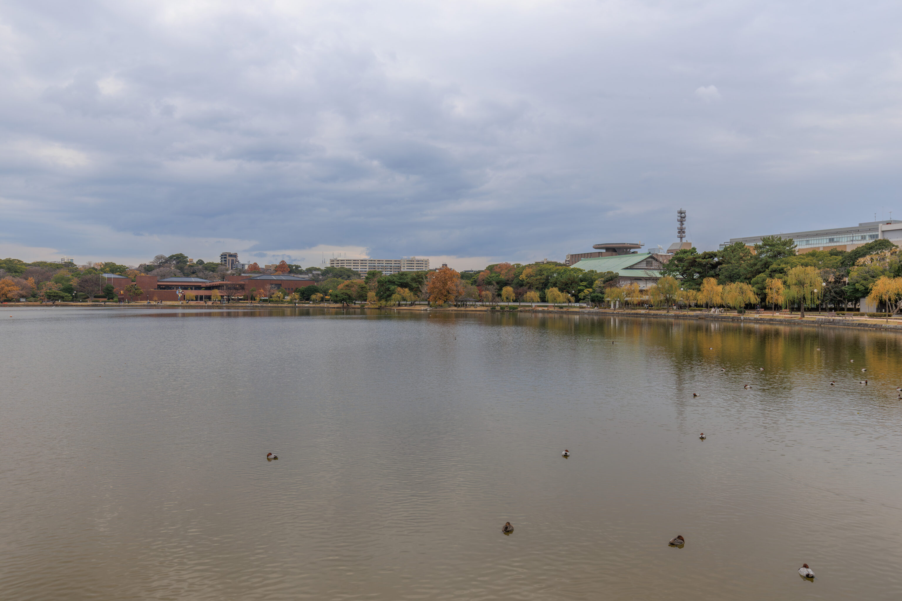
We started to walk to the north, initially crossing over the さつき橋 Satsukibashi.
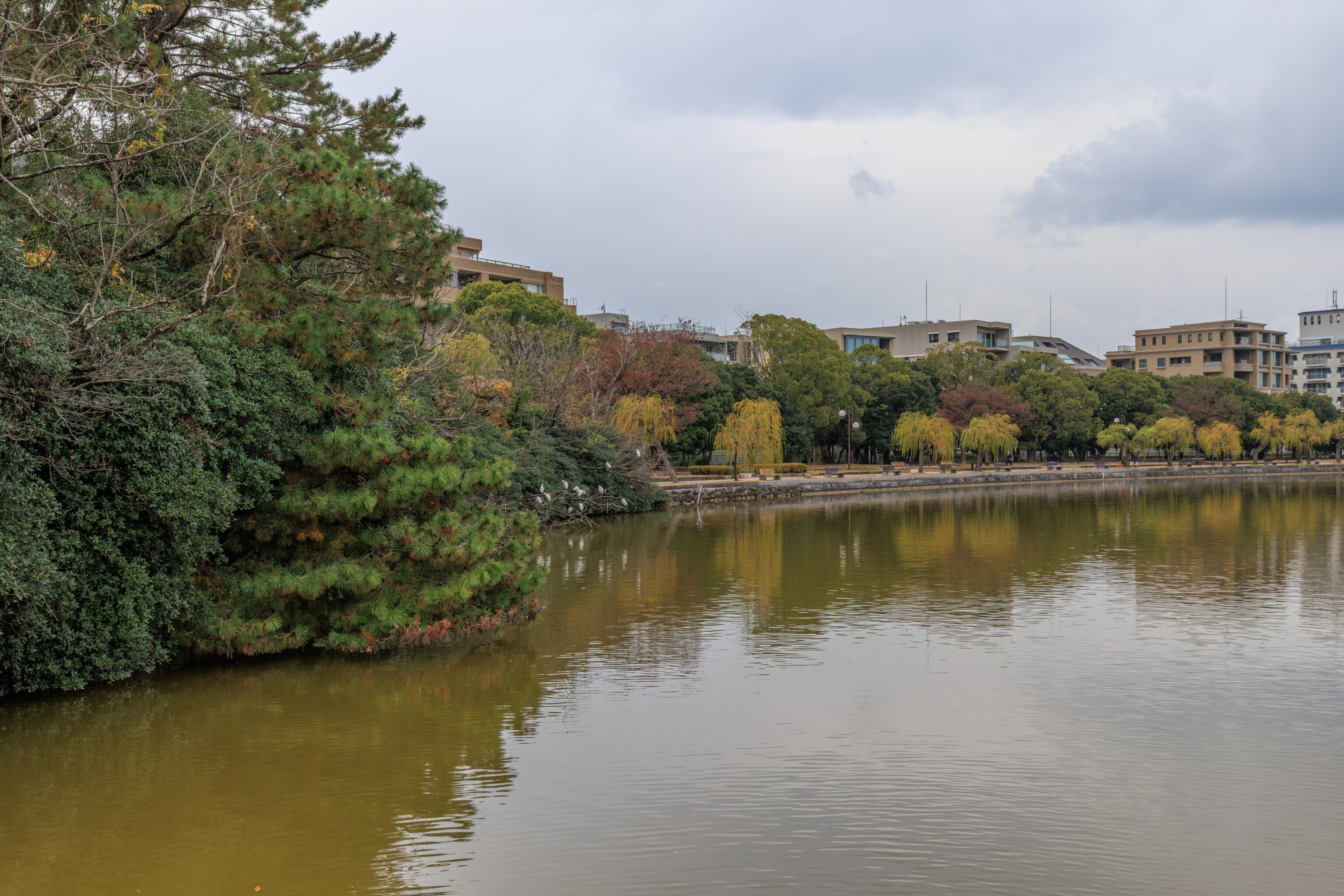
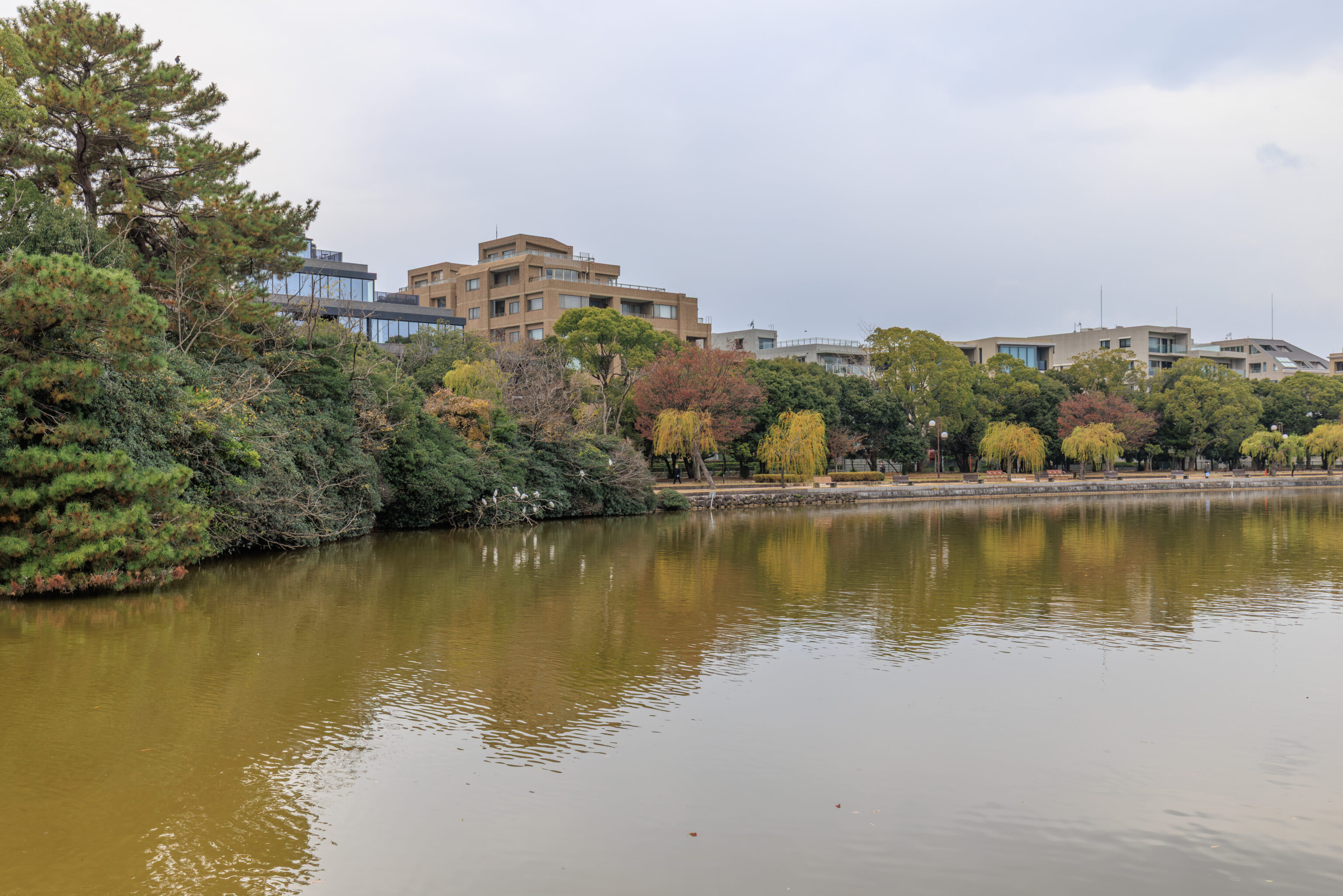
There were many birds in the park. One thing we noticed on some of the trees to our west was that they were covered in white. That white seems to likely be bird guano, or basically the remains of bird poop. The areas with it seem to correlate to the Wild Bird Forest on the map as well as 鴨島 Kamoshima, which literally translates to Duck Island in English.
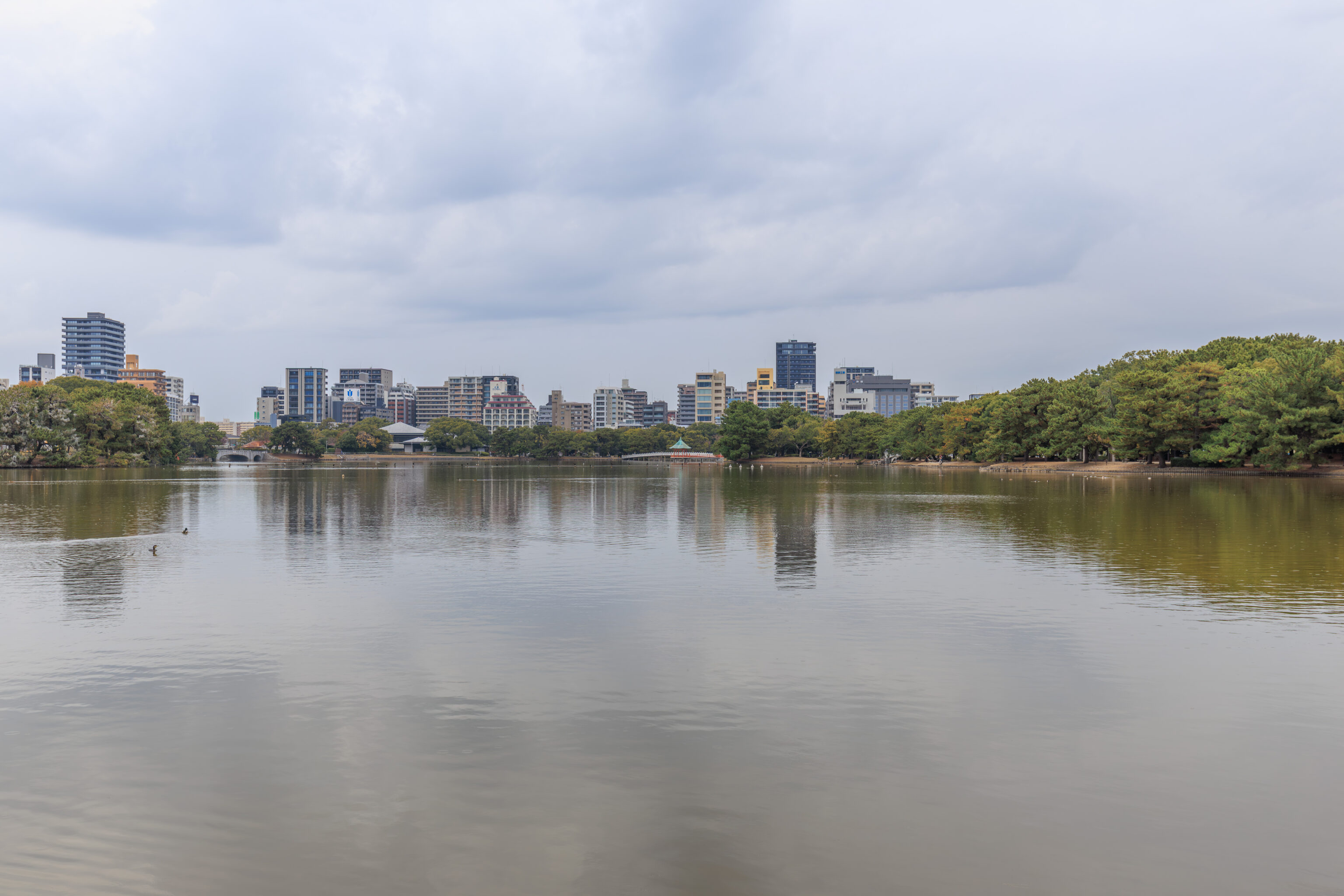
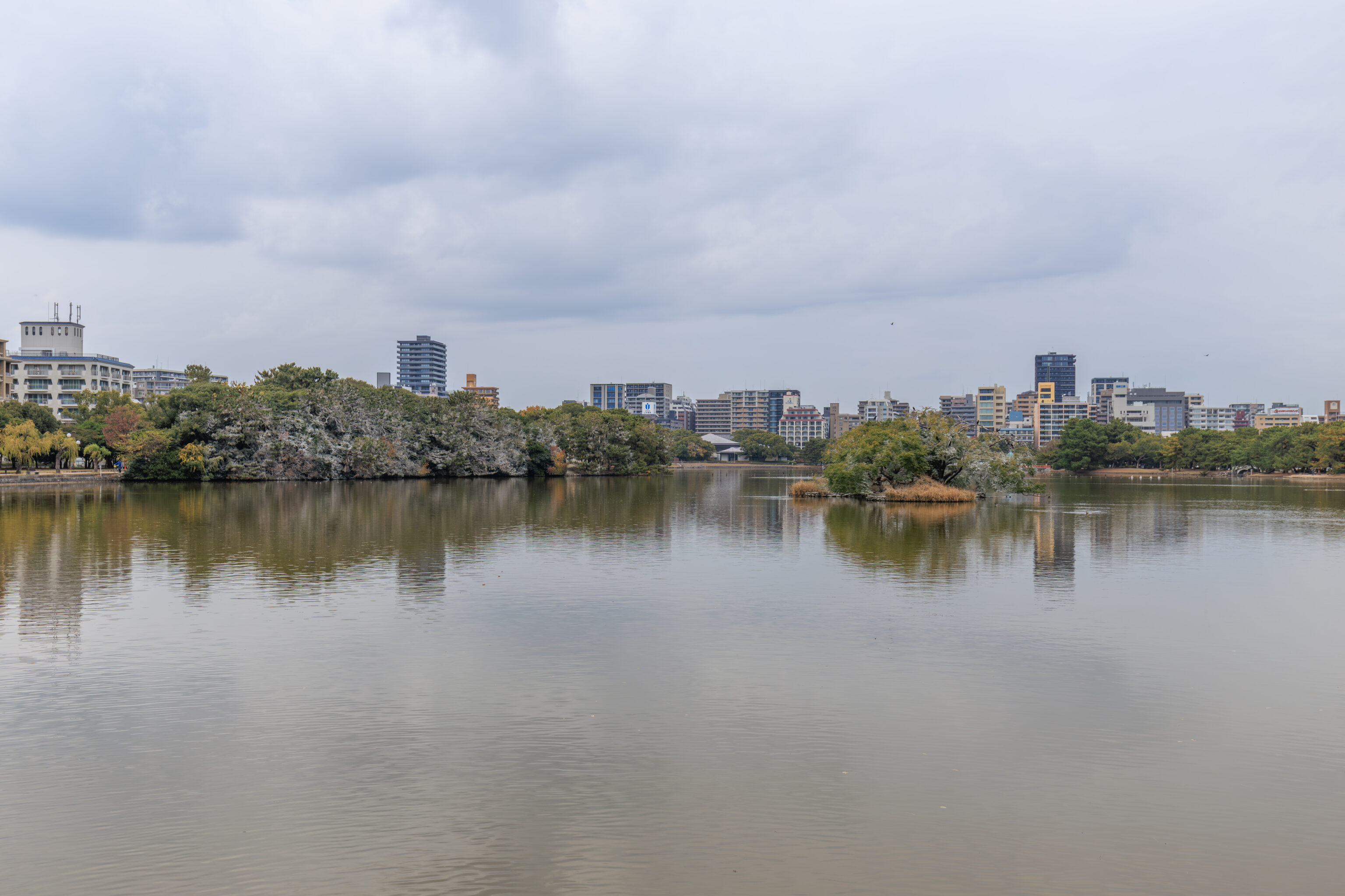
We continued on to the first island, 菖蒲島 Ayameshima.
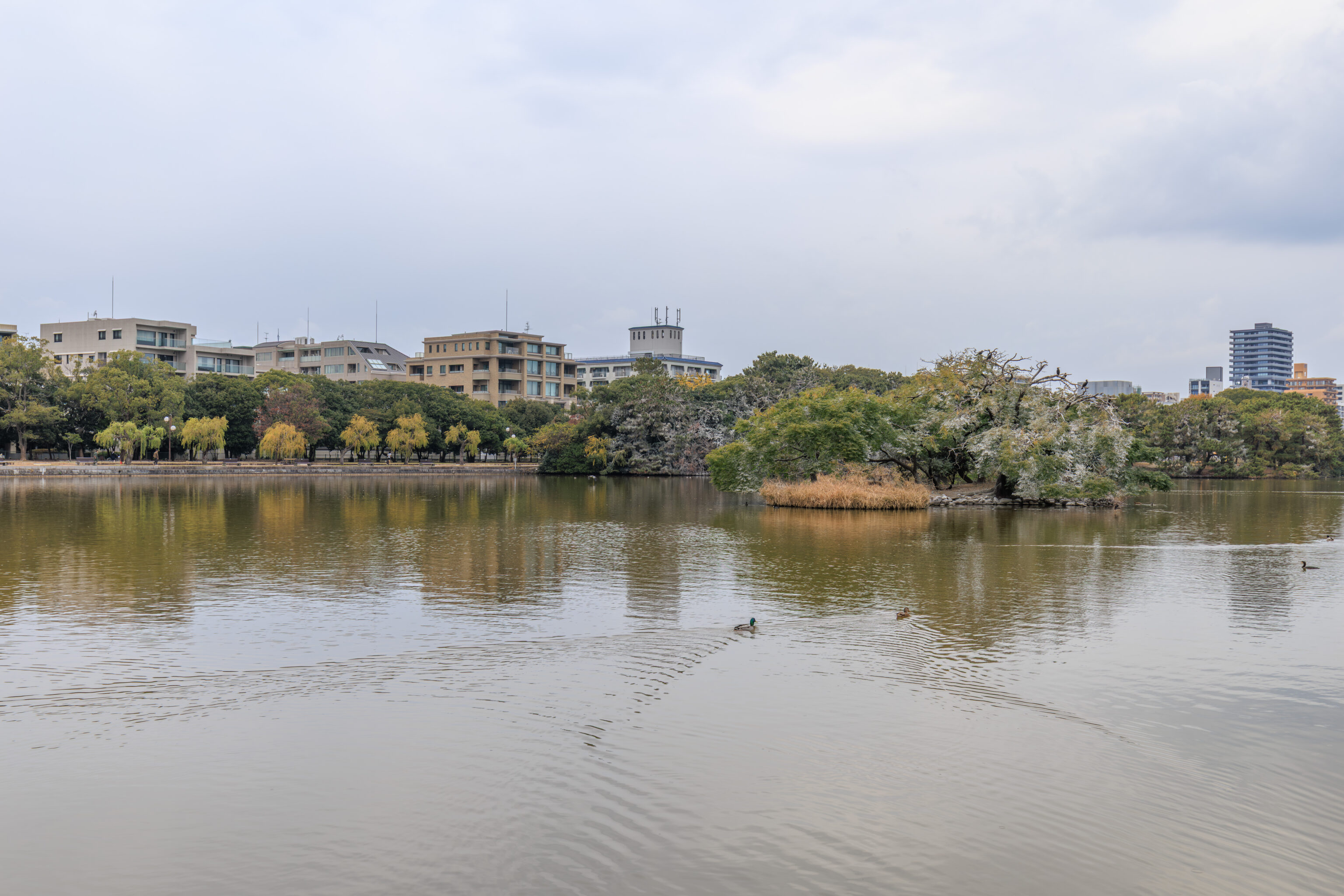
We had a bit of a closer look at the Kamoshima from here. The white would be really pretty if it was snow! It apparently can snow here, although in very small amounts.
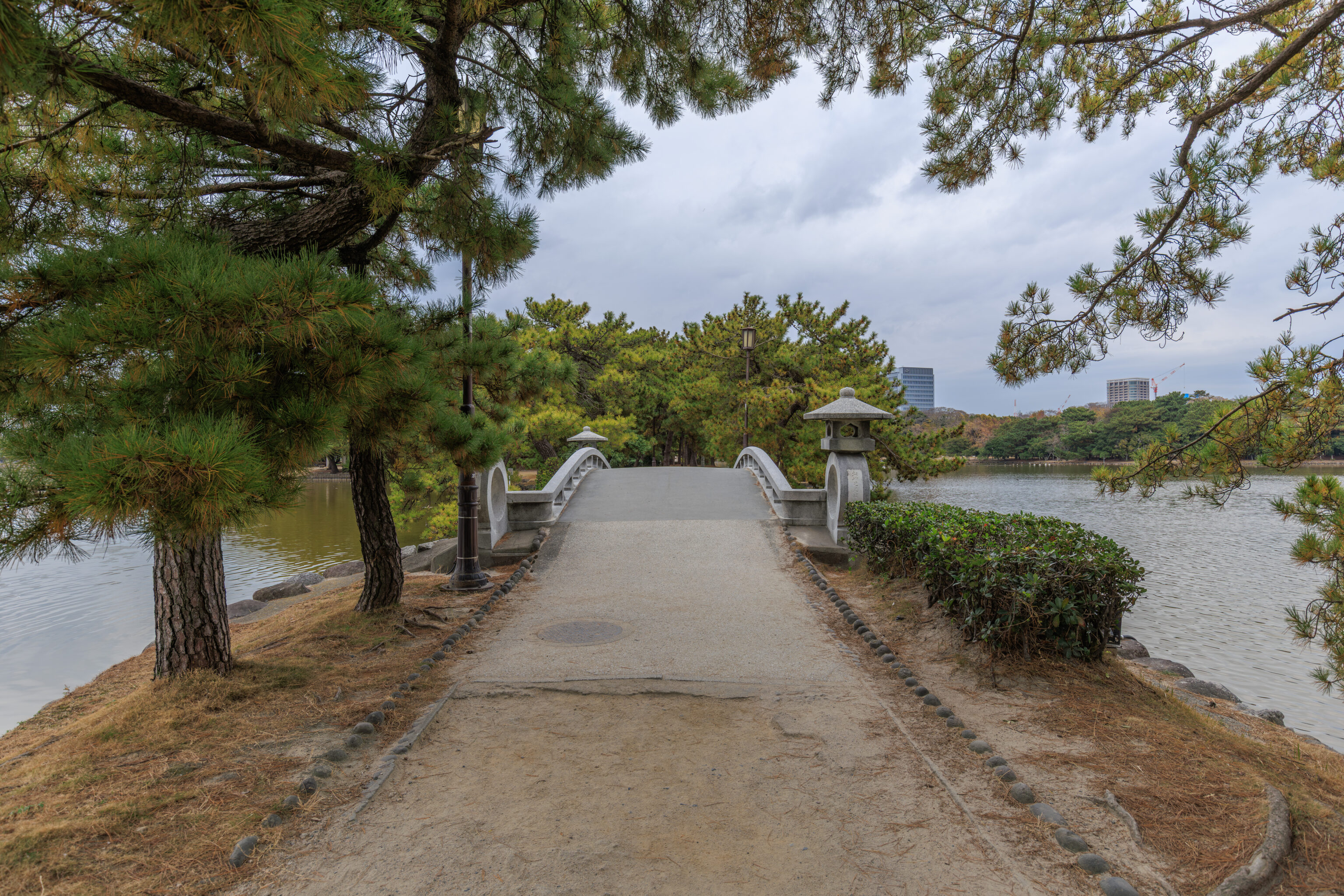
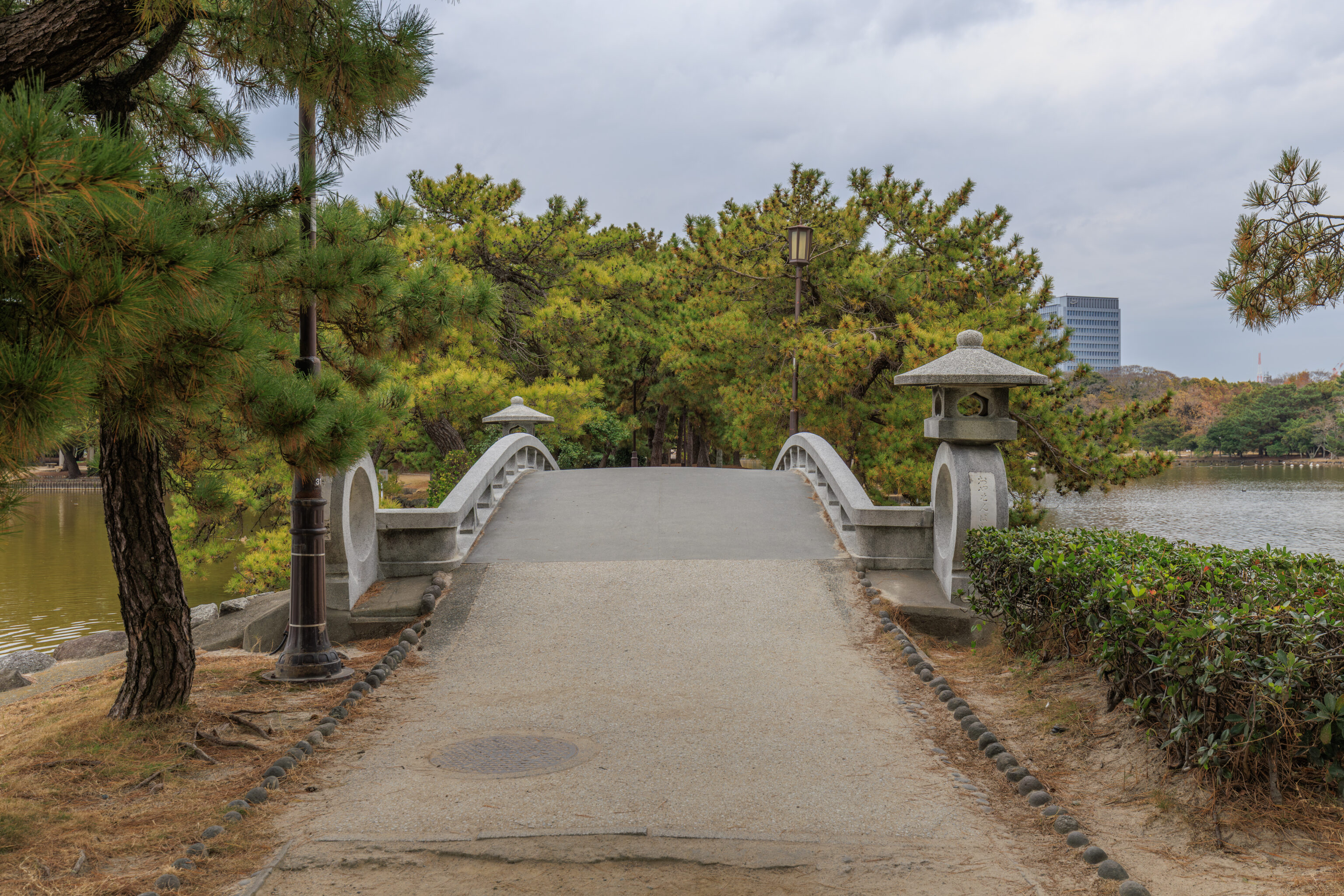
We then approached and crossed the 茶村橋 Chasonbashi.
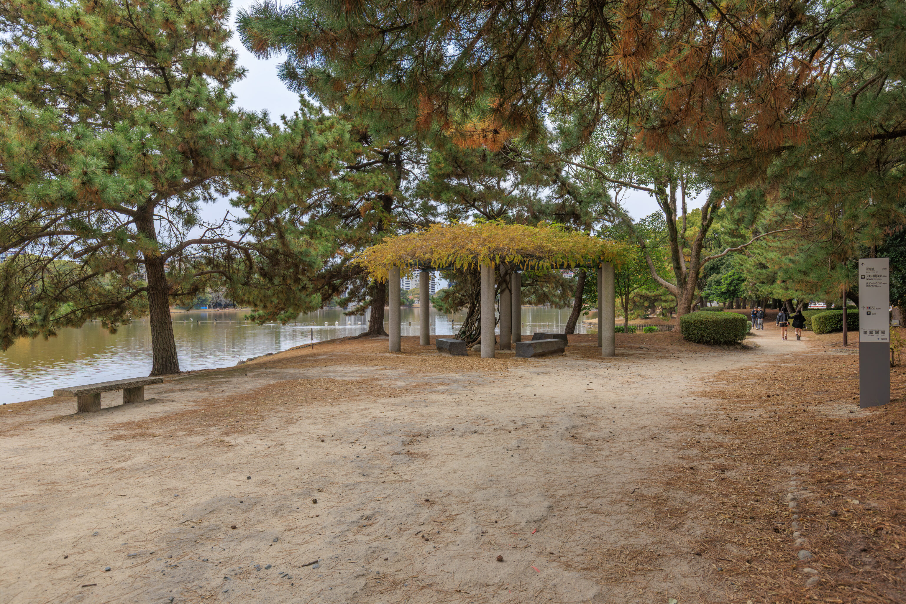
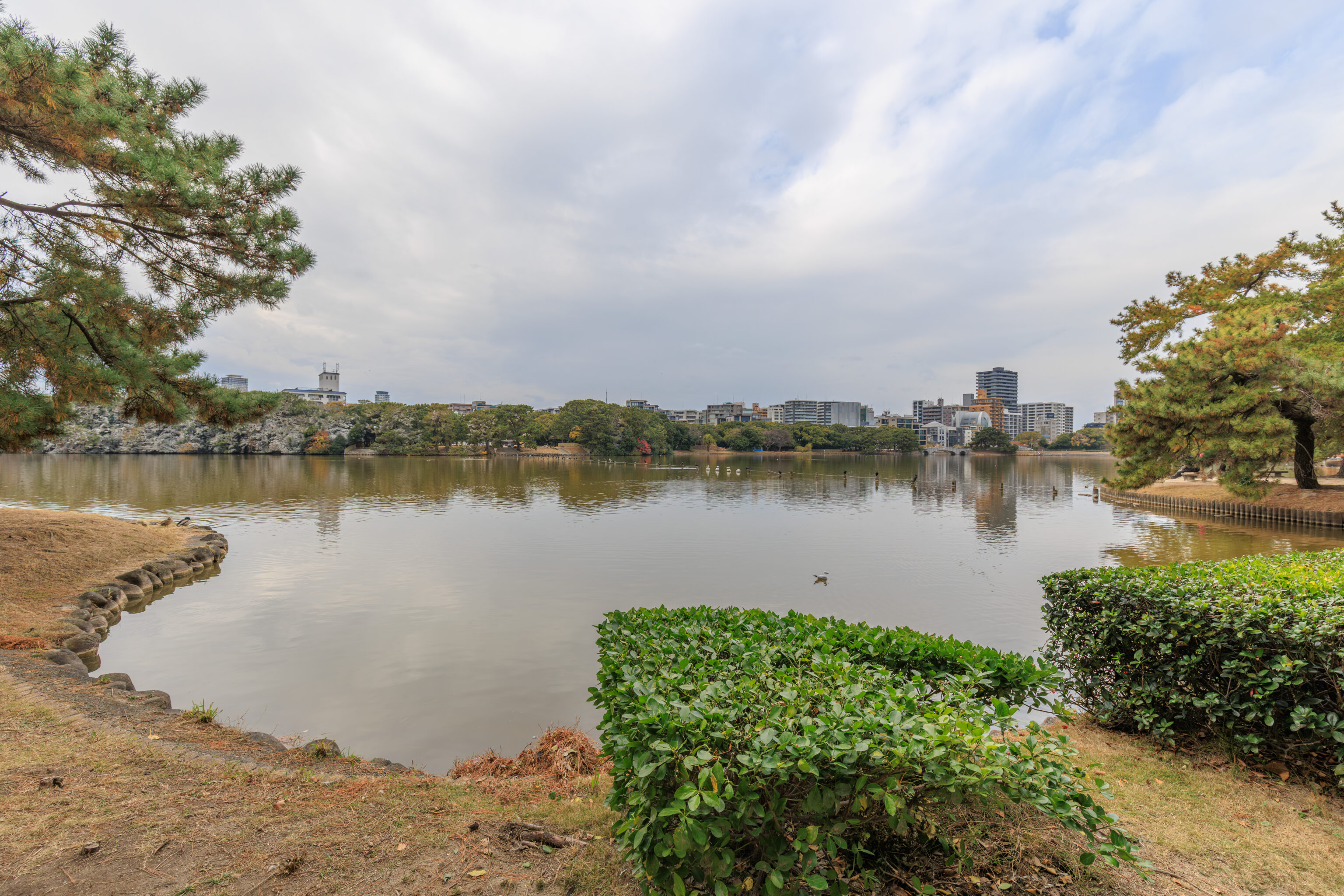
The next island was 松島 Matsushima, the largest of the three islands we are walking across.
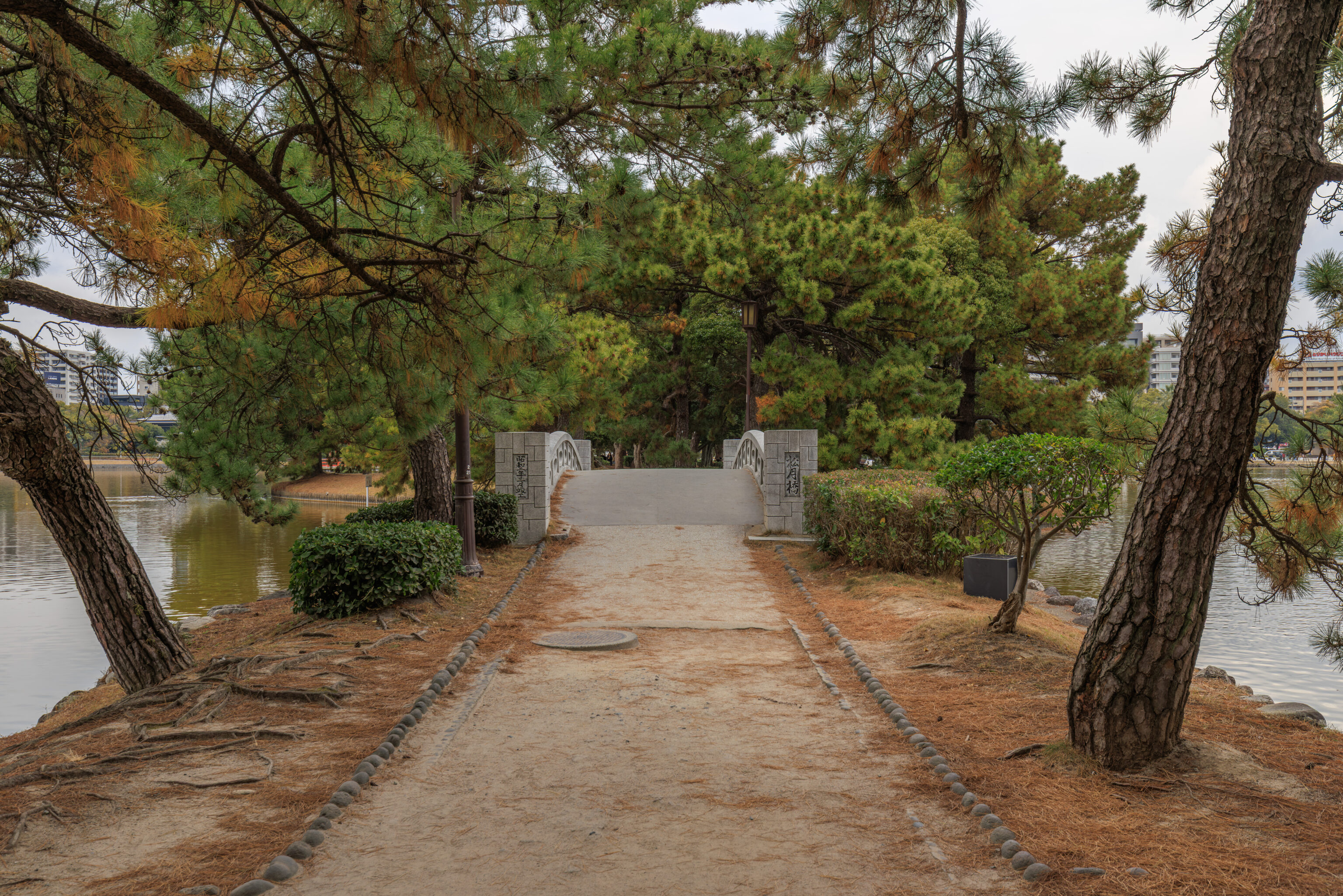
We crossed the 松月橋 Shogetsu-bashi to reach the final island.
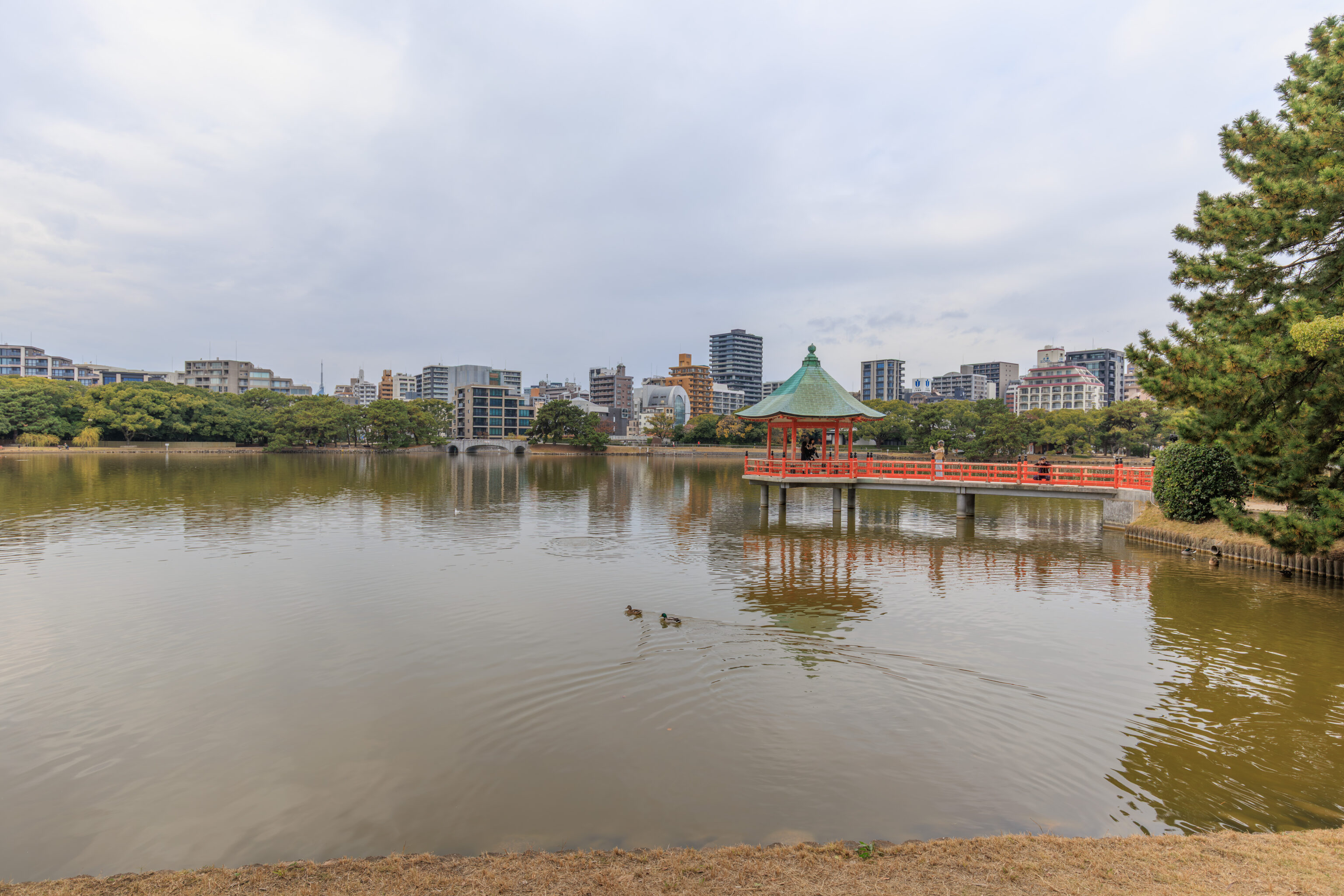
From 柳島 Yanagishima, we saw a bridge that extended out to the 浮見堂 Ukimido in the pond. The most sensible literal translation for the name of this pavilion seems to be Floating View Pavilion. We continued on past it though.
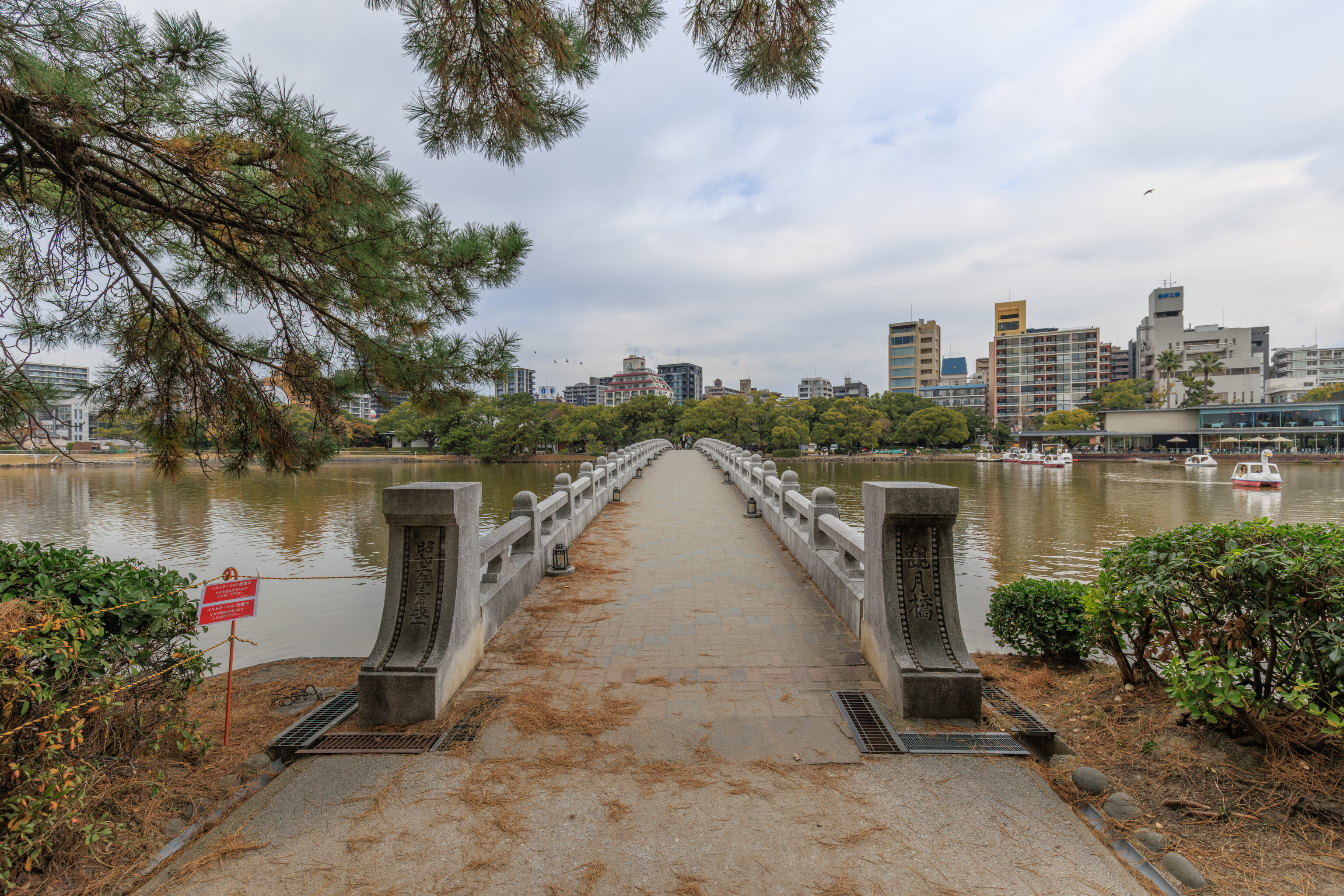
We then continued on to the final and longest bridge, the 観月橋 Kangetsubashi.
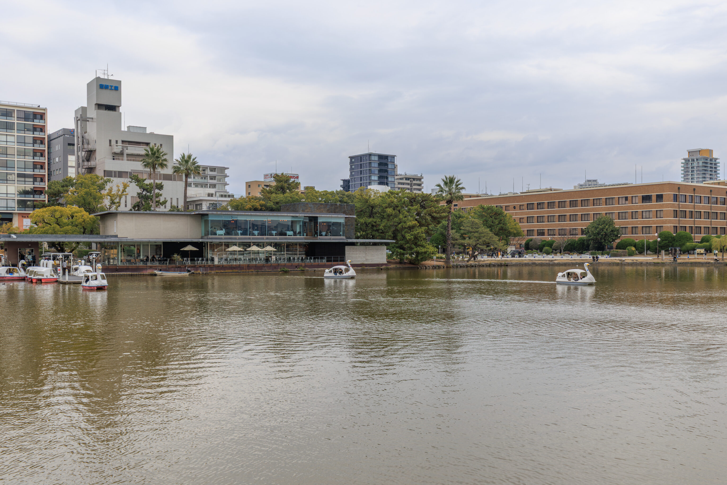
Looking to the north, we could see a few people enjoying the park’s paddle boats.
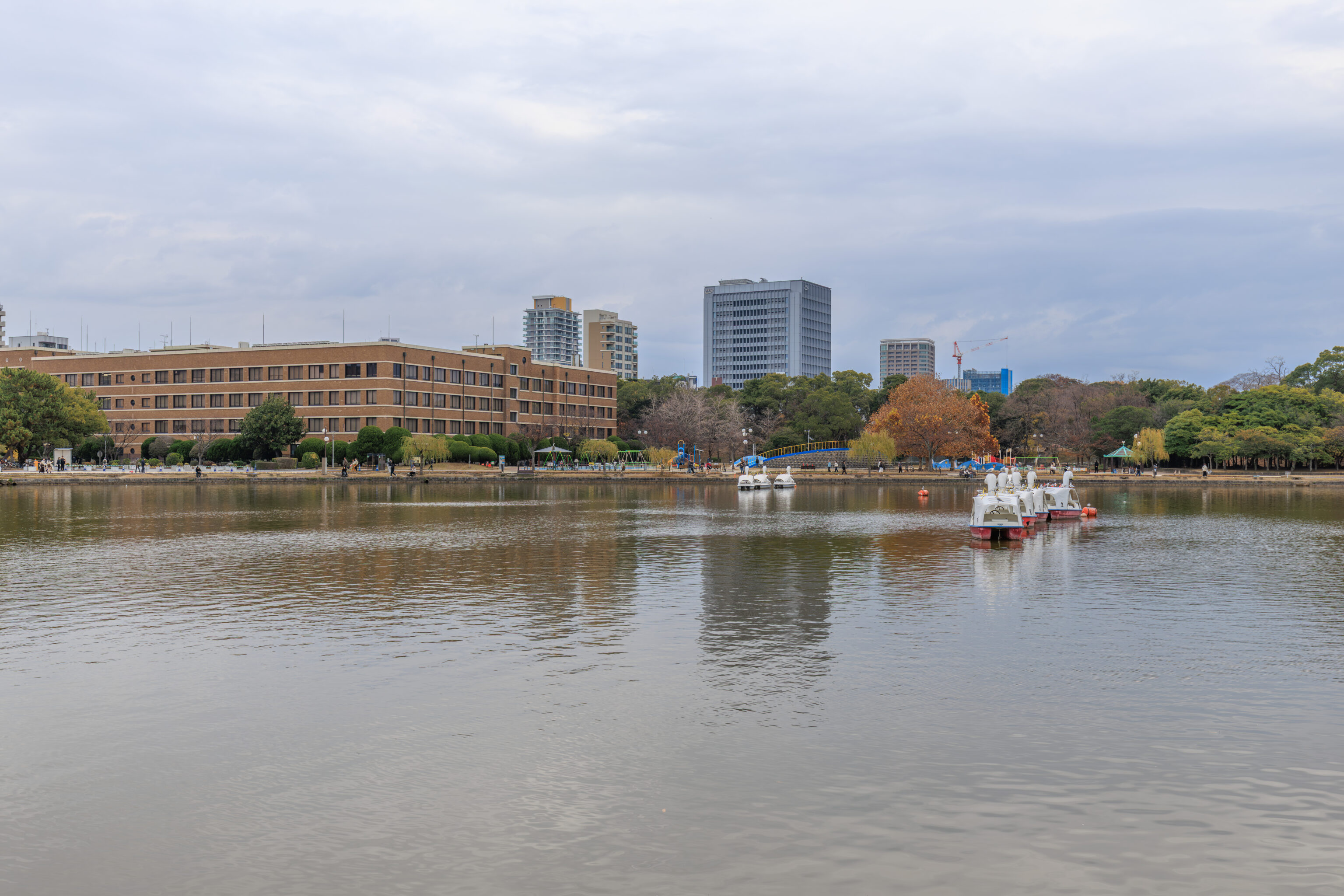
Looking to the east, we could see some paddle boats that were moored in the pond. Perhaps not the most popular day to go paddle boating given that it was a weekday and in the early winter.
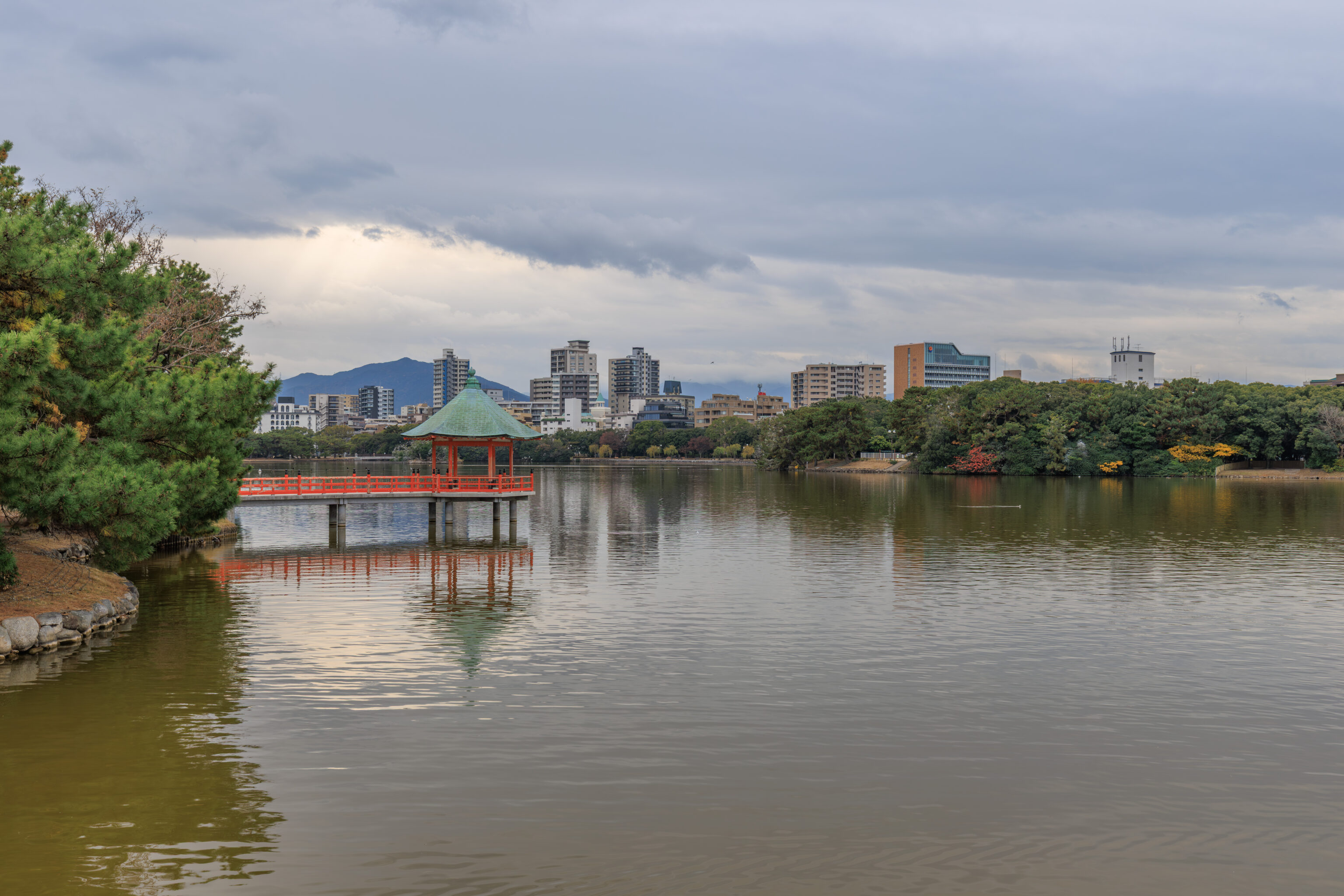
We also had a view of the Ukimido to the south.
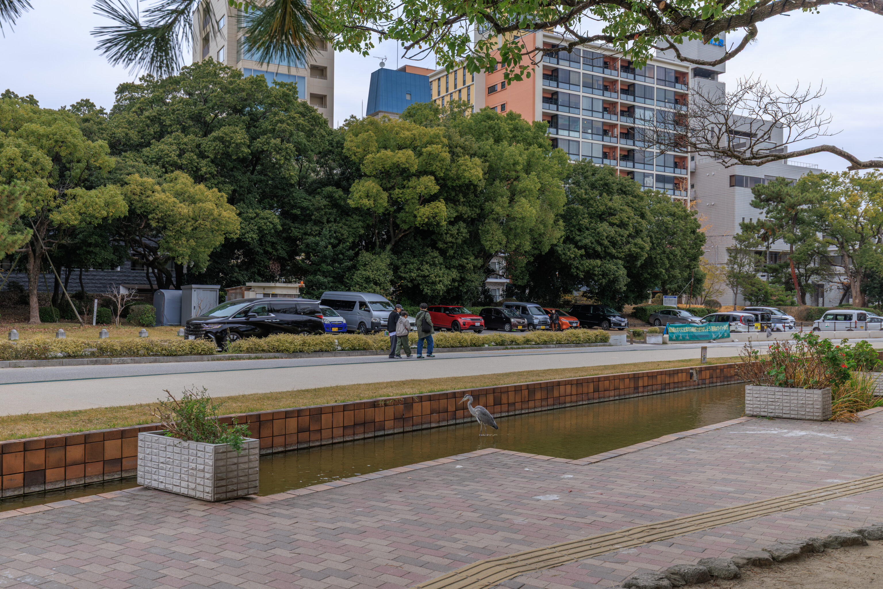
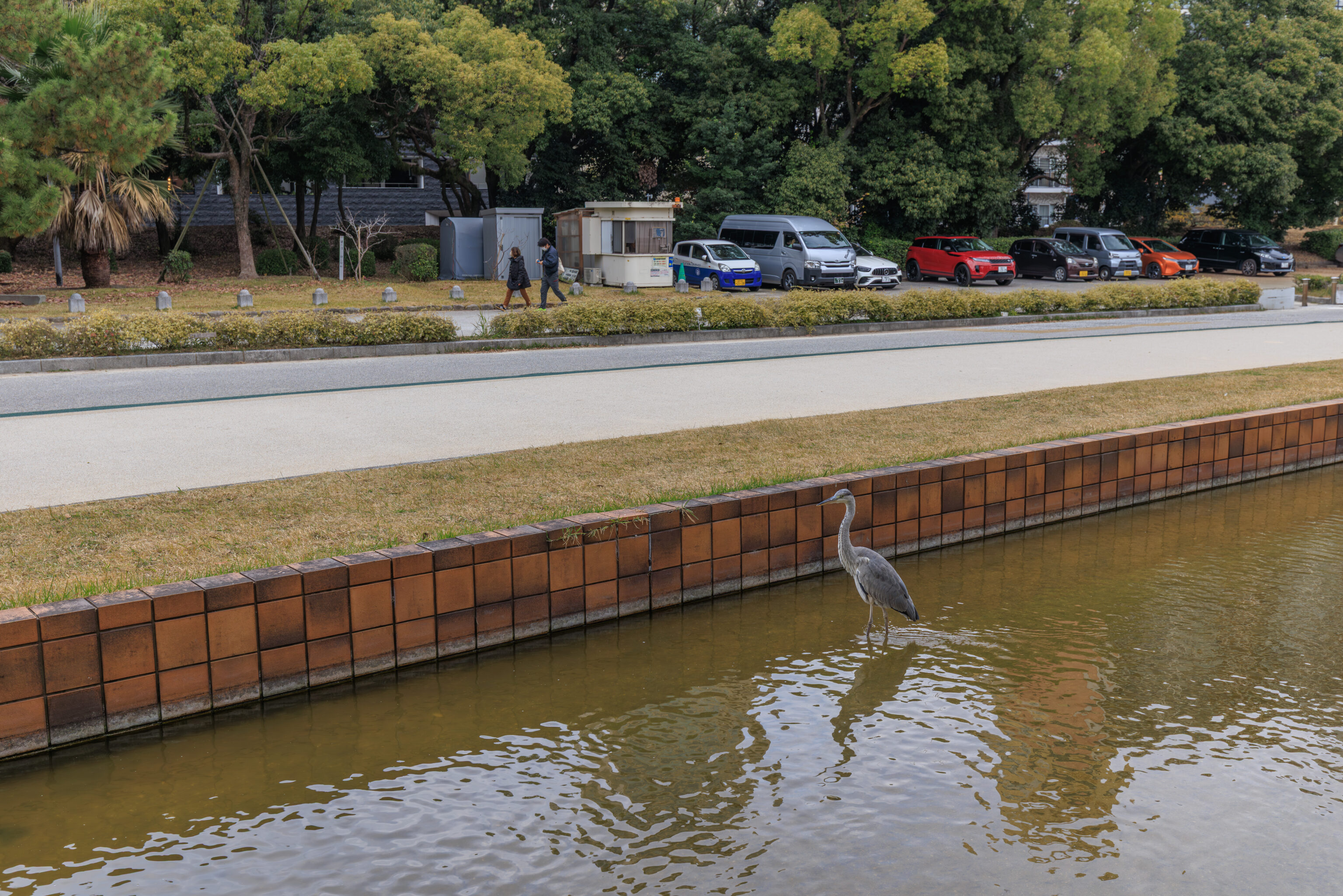
Upon reaching the northern end of the pond, we soon saw a Gray Heron standing in a shallow channel of water! This channel runs parallel to the pond’s northern edge for a few hundred meters or so.
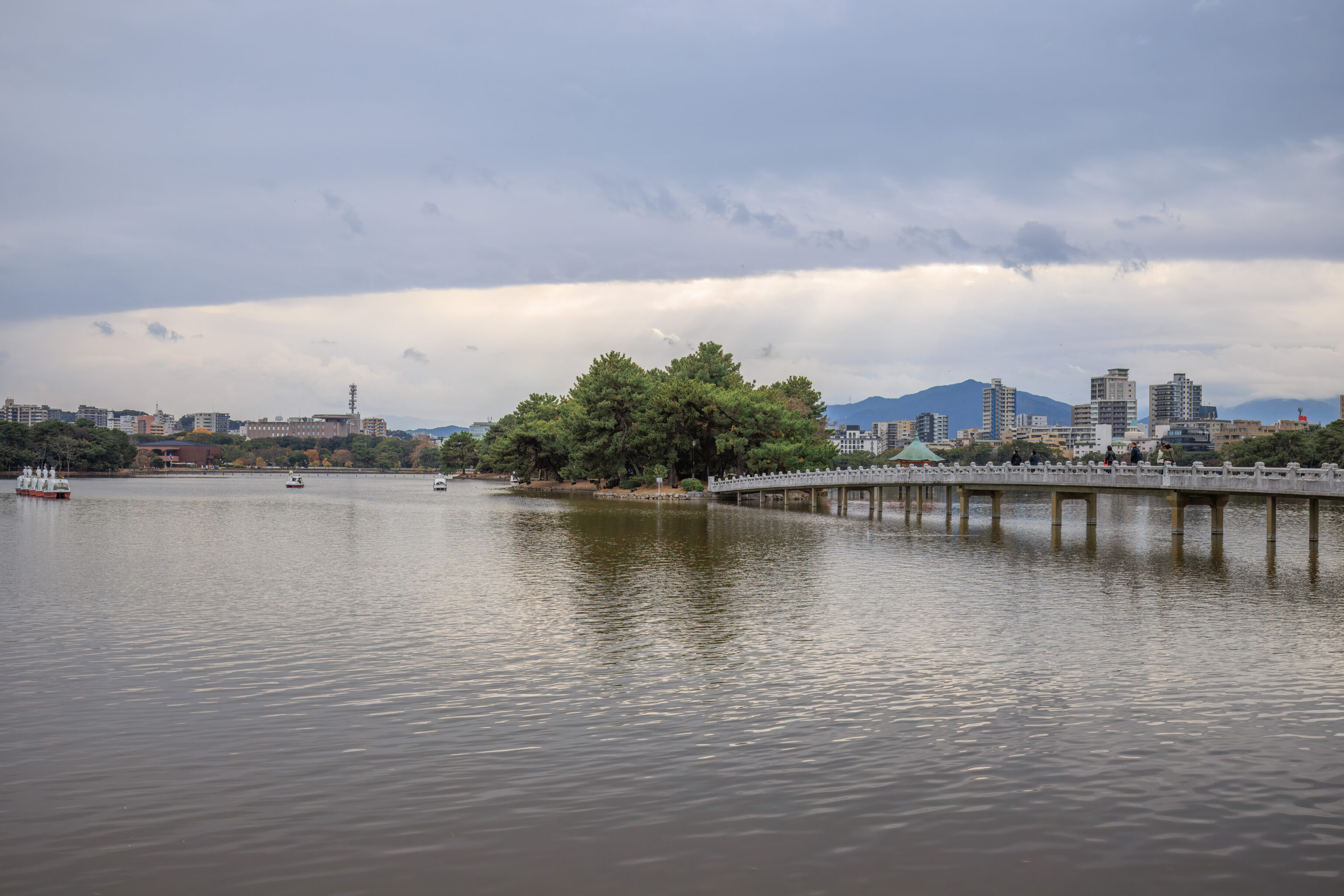
The view looking back at where we came from. The large ugly building on the left with rooftop helicopter pad and antenna tower is the NHK building that we passed by earlier. The Fukuoka Art Museum can also be seen just to the left of it.
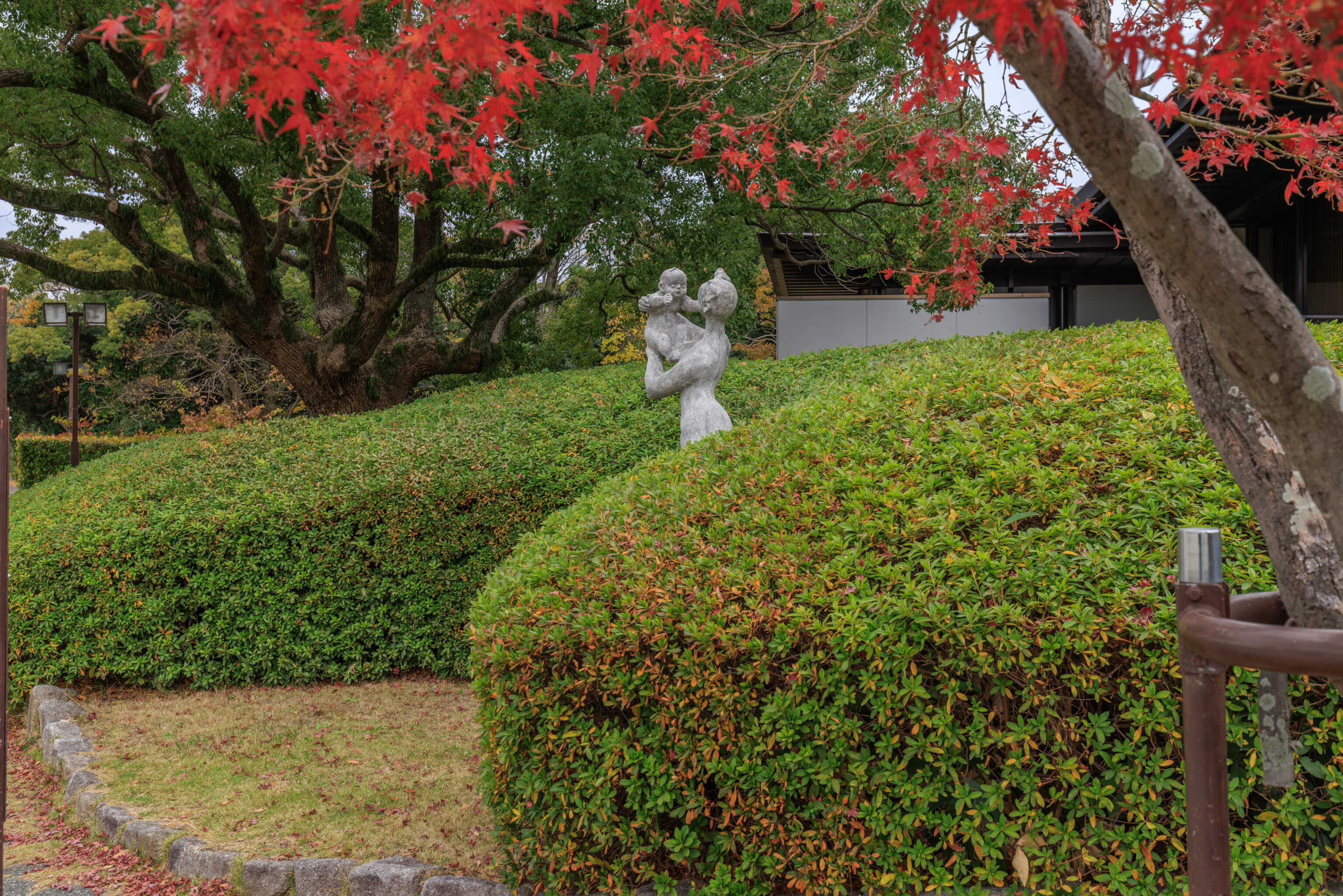
This statue, presumably depicting a mother holding her child, was nearby. After walking around the immediate area a bit and visiting the bathrooms, we decided to head over to Fukuoka Tower via bus while getting a snack on the way.
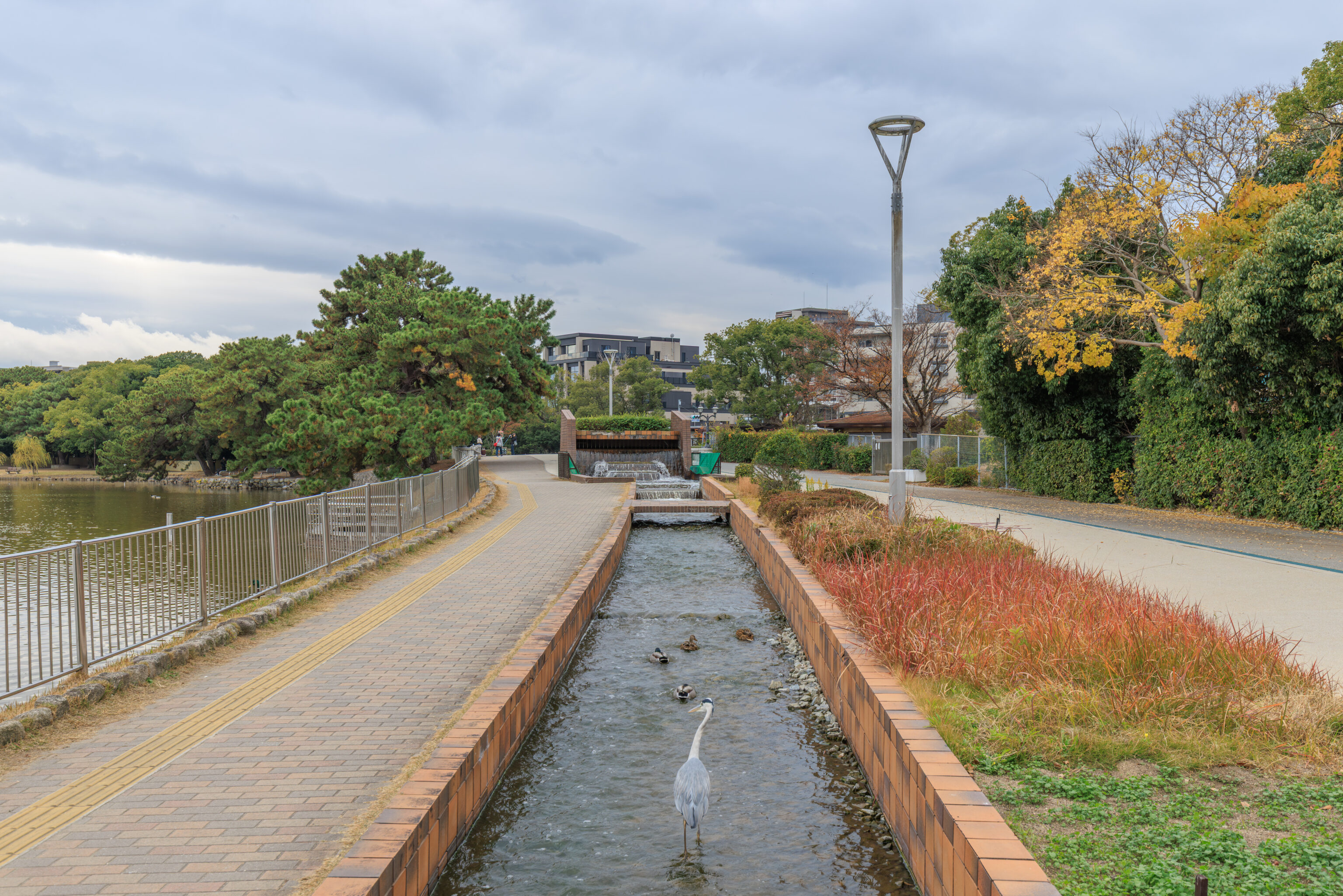
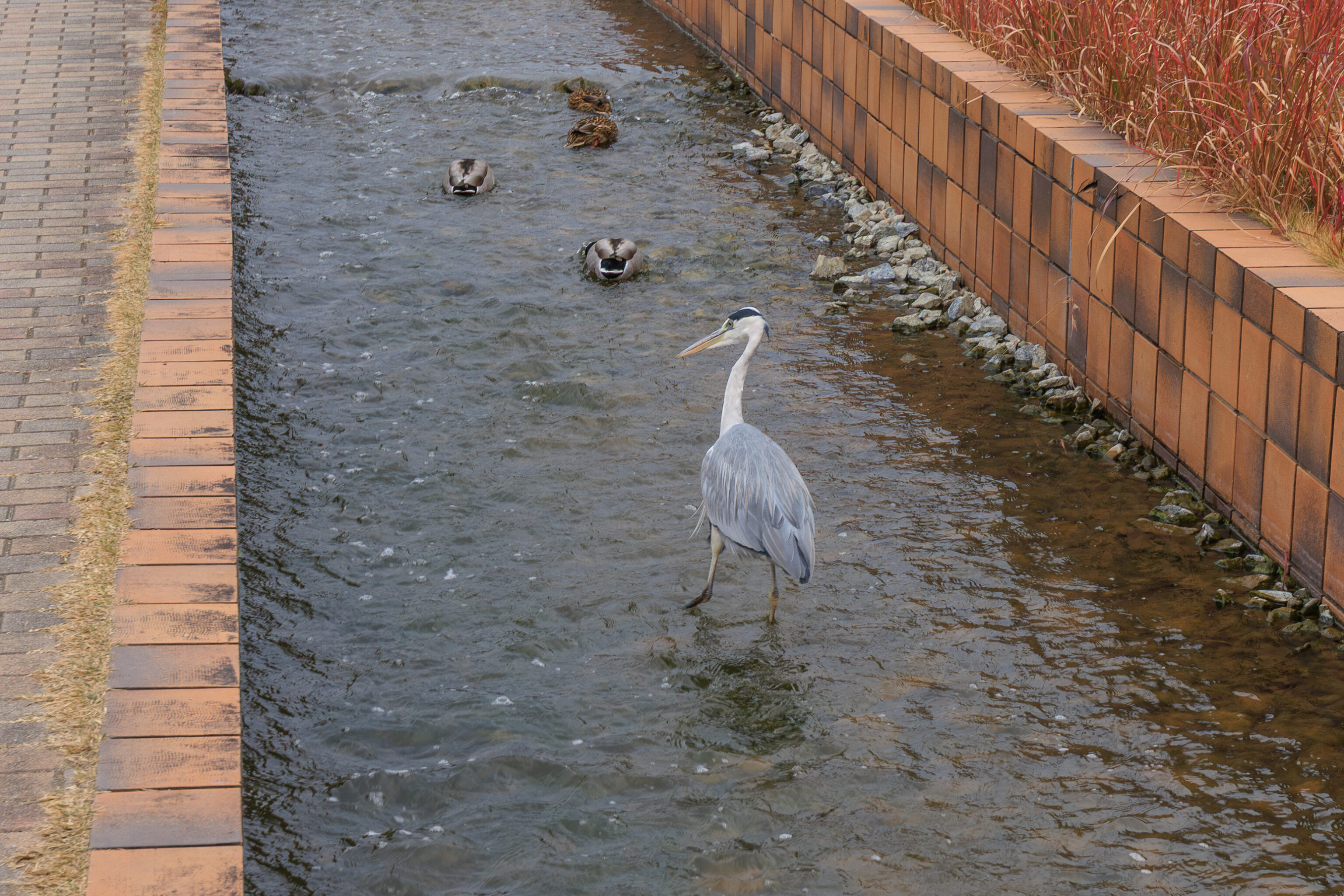
We started to walk counter-clockwise around the garden’s pond in order to exit the garden on its northwest side. We spotted another Gray Heron in the same channel of water as before, just further to the west.
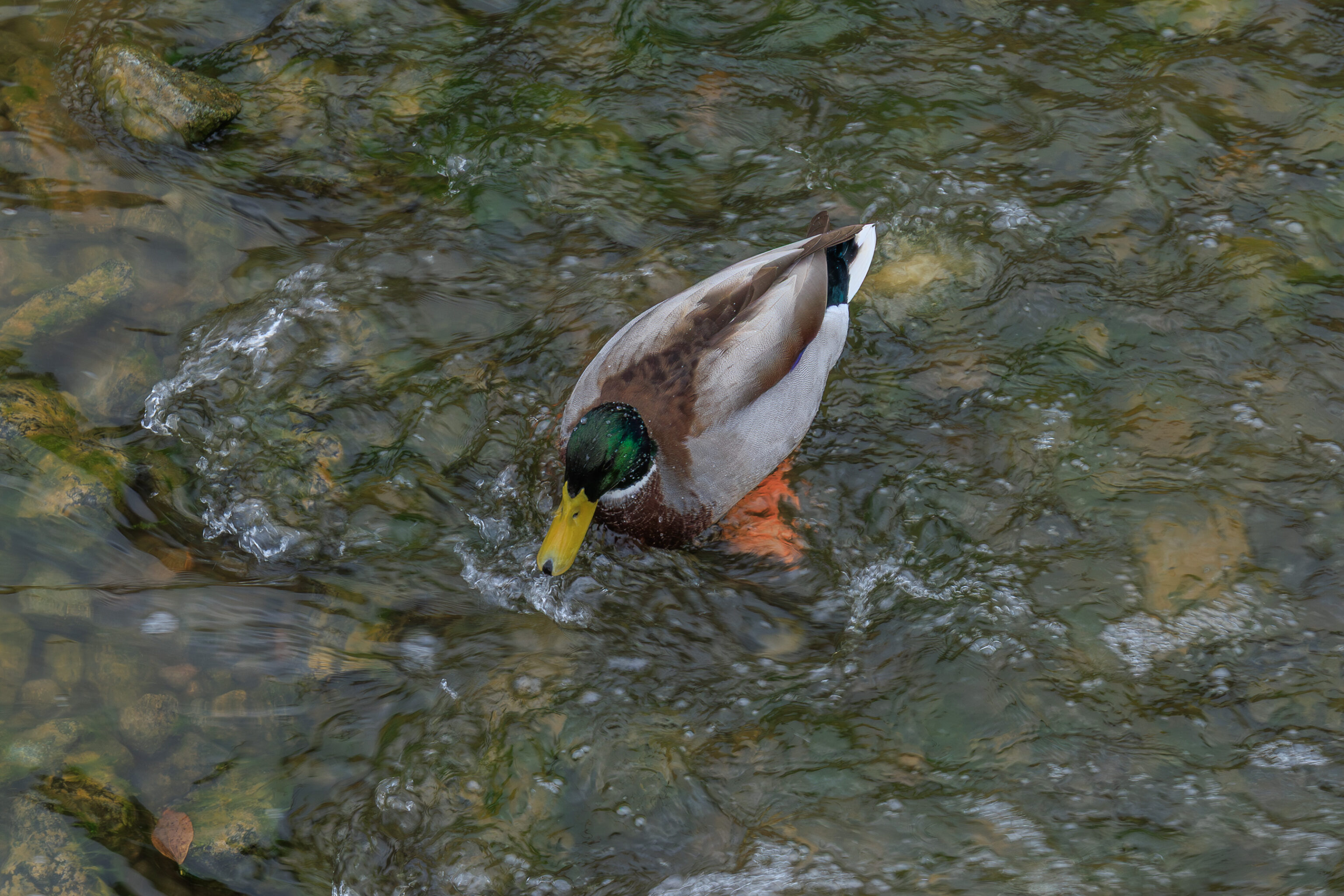
There were also Mallards.
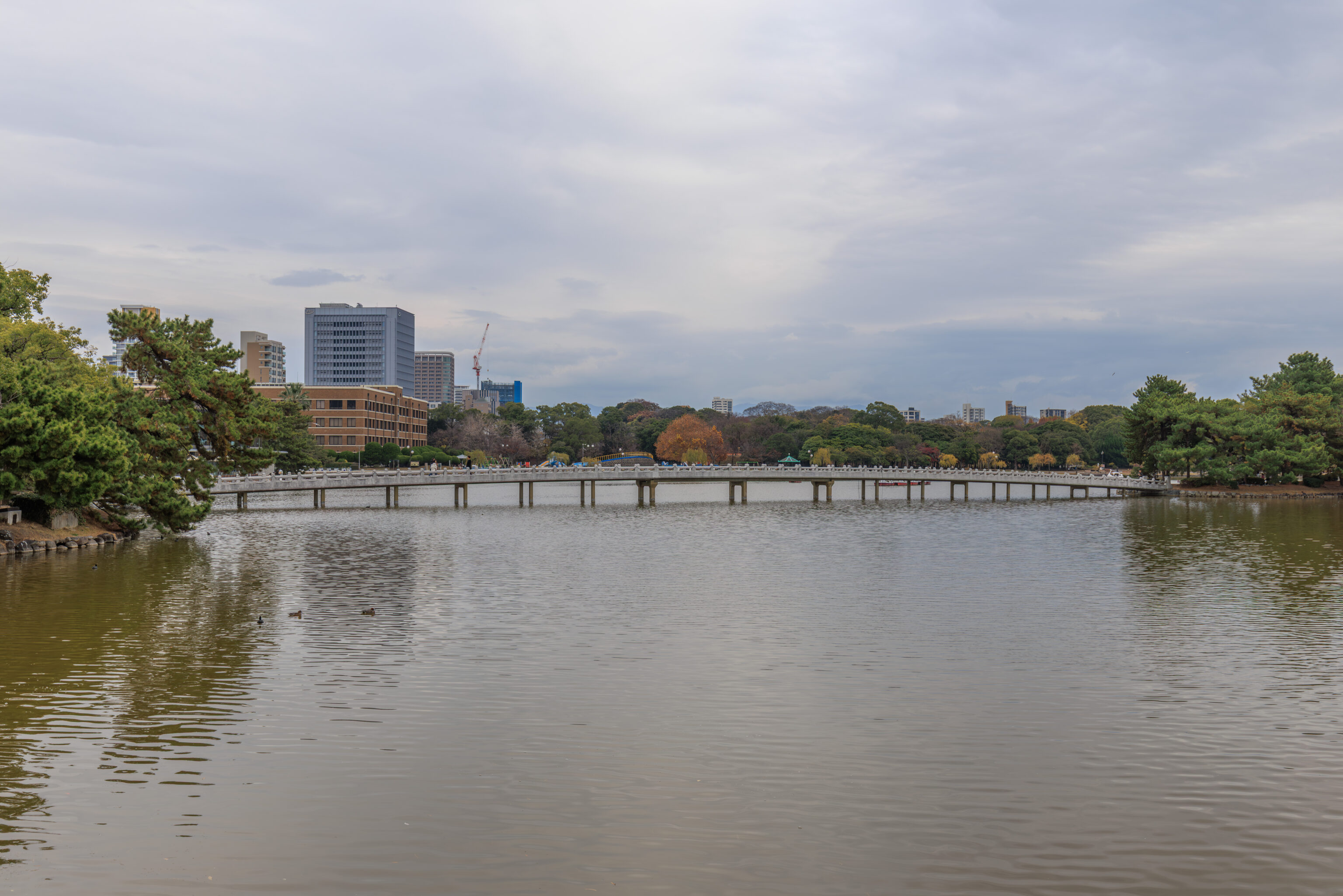
We went far enough west that we were able to see the the entire length of the Kangetsubashi, the northernmost bridge that we had crossed.
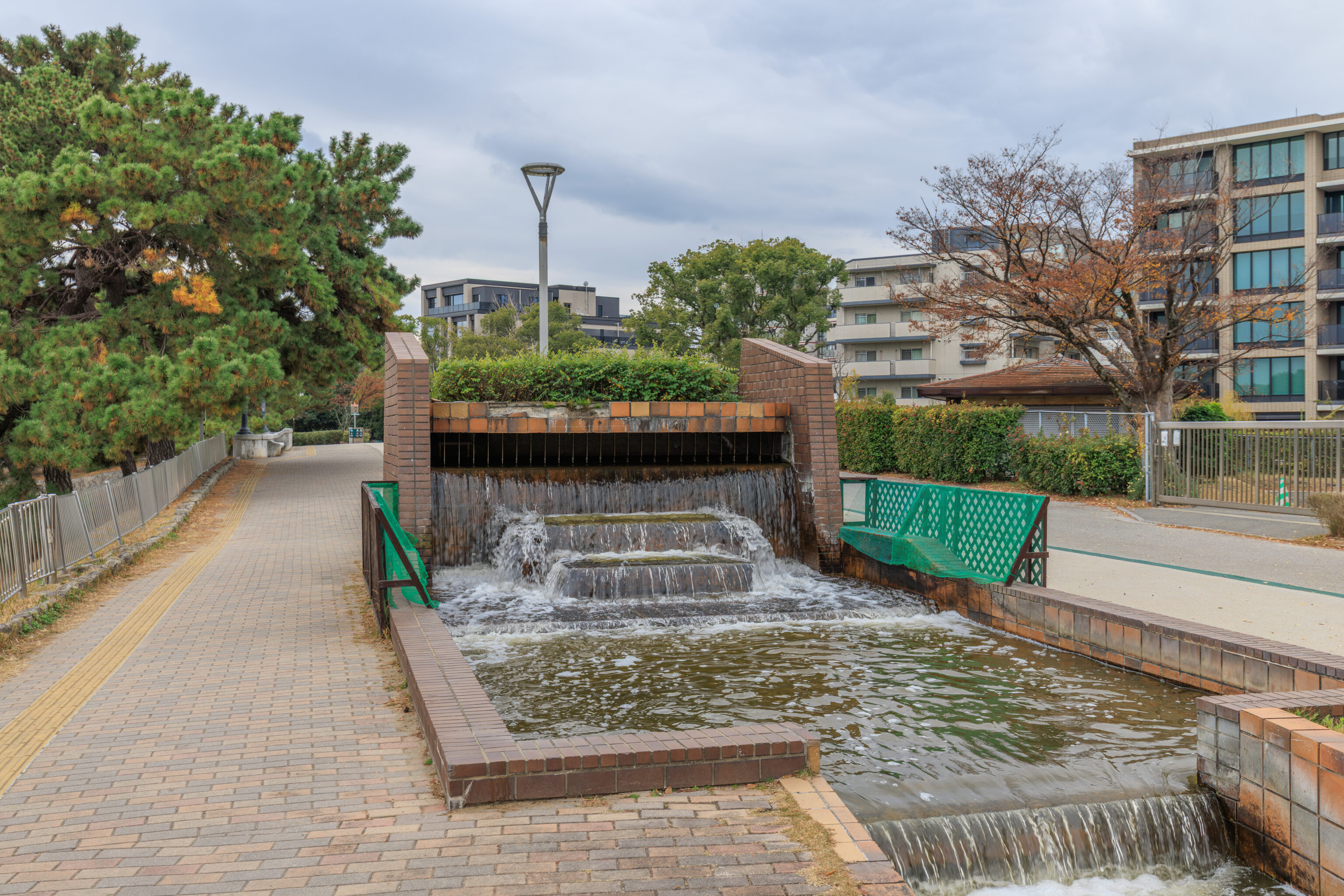
The water channel began here at this little artificial cascade.
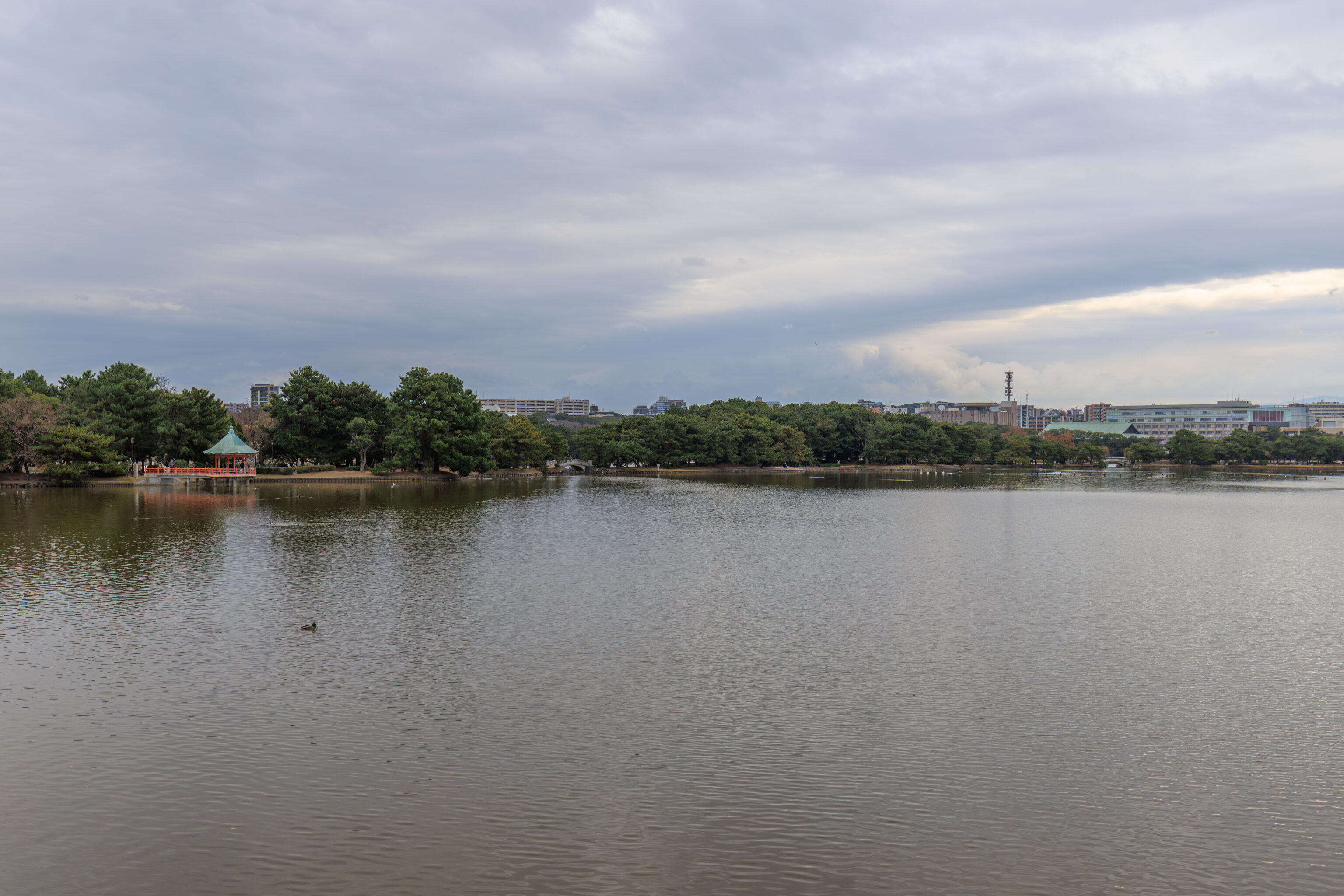
One last look at the pond and its island before we leave!
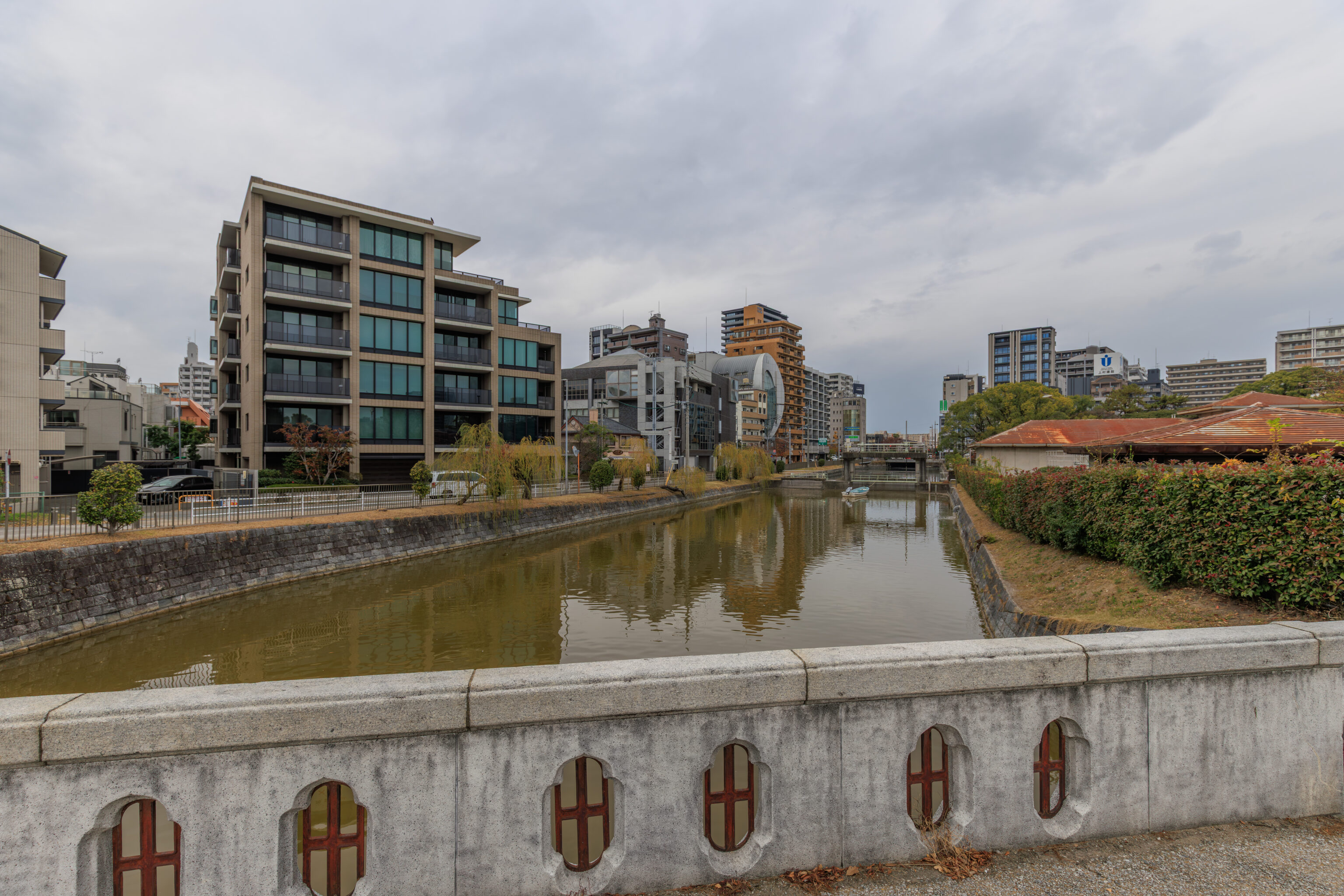
The view to the north as we crossed over a bridge around the northwest side of the pond. This river flows into, or out of, the pond. It disappears up ahead, which means it possibly runs under the city’s streets and buildings.
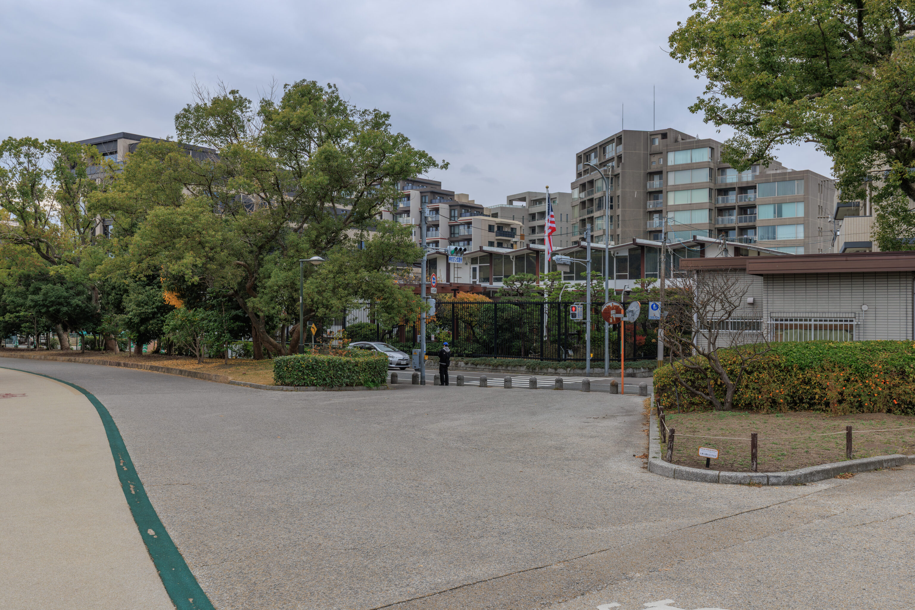
We were surprised to come across a U.S. Consulate right here by the park! We continued walking past this fortress to reach Pinsirio, a cafe near near Tojinmachi Station in what seemed to be a mostly residential area.
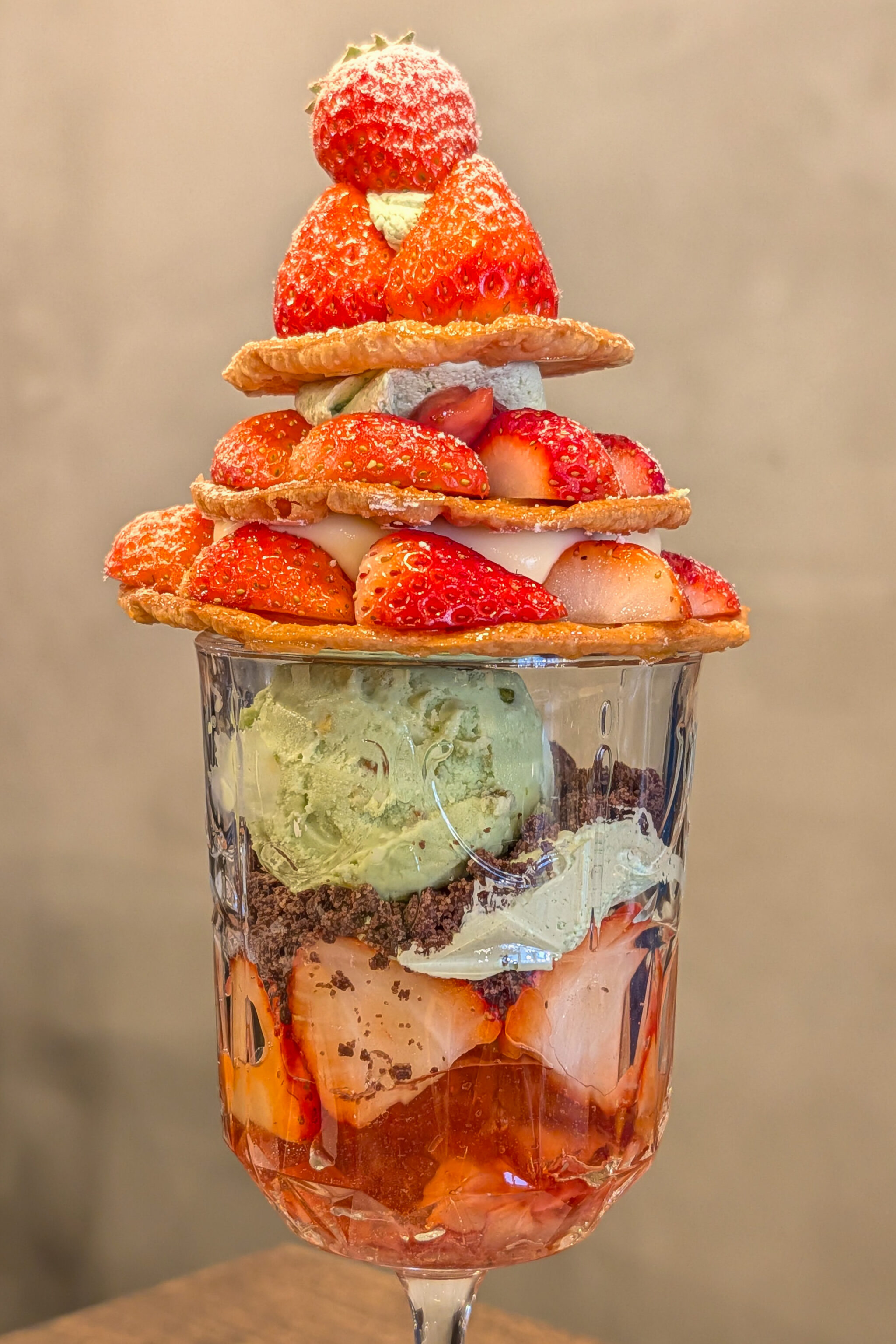
Carol of the Bells
The sound of Christmas bells brings joy and happiness. This blissful treat is embodied in strawberries, pistachios, and a golden, homemade pie. Ingredients: Domestic strawberries, pistachio cream, custard cream, homemade pie, strawberry compote, pistachio gelato, caramelized pie, and crumble.
– Text from the menu, translated using Google.
This Christmas strawberry parfait was excellent! Lots of great strawberry flavor.
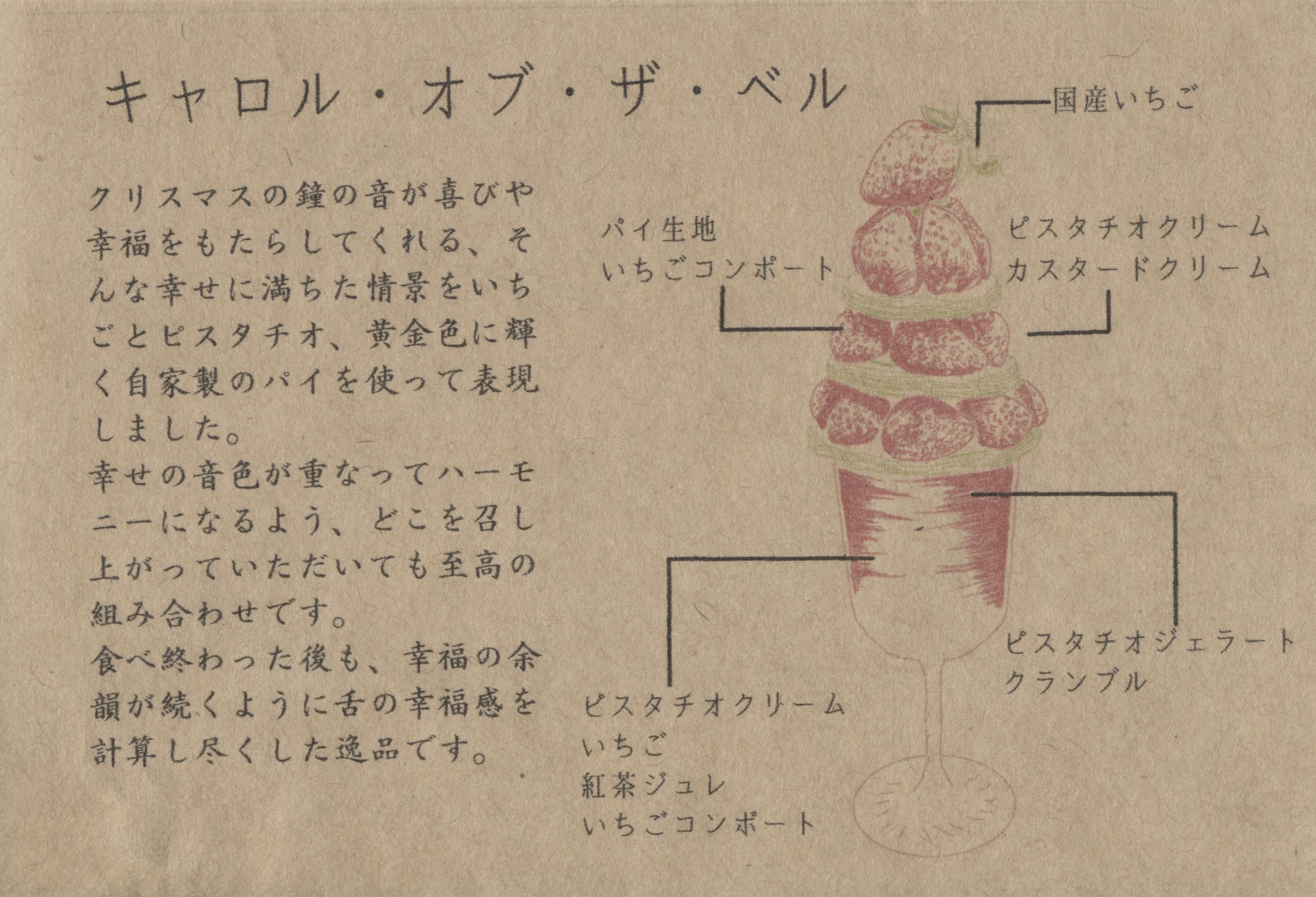
This paper came with the parfait and provides a bit more detail about the product:
Carol of the Bells
We have captured a scene brimming with happiness—one where the sound of Christmas bells brings joy and bliss—using strawberries, pistachios, and our own homemade pie crust, which glows with a radiant golden hue.  Crafted so that these notes of happiness harmonize together, every single bite offers a sublime combination of flavors.  This exquisite creation has been meticulously designed to ensure that the sensation of pure bliss lingers on your palate long after the last bite is finished.
– Text from the paper above, translated using Google.
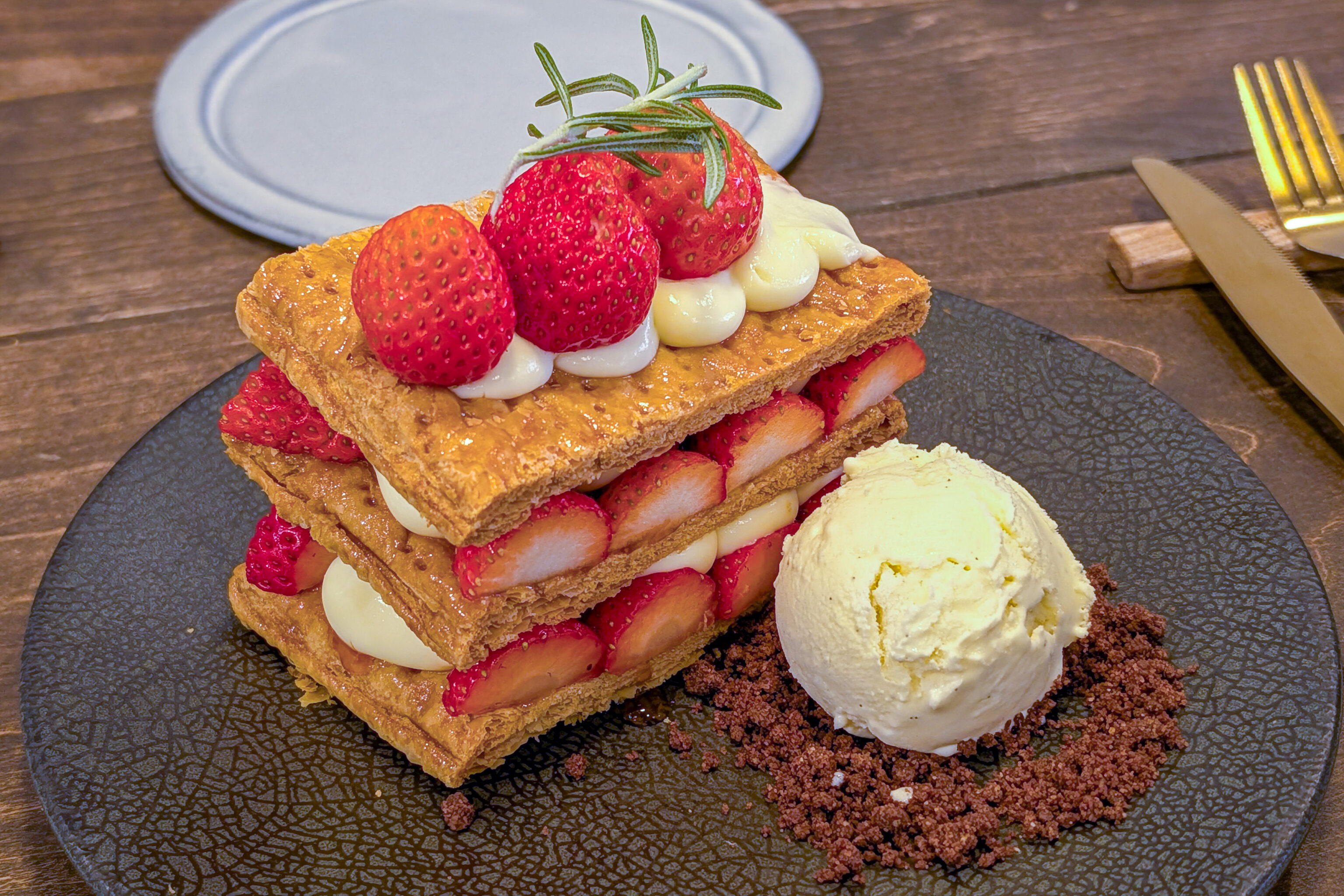
Strawberry Mille-feuille
Thinly baked puff pastry is carefully layered with individual strawberries.  The crisp texture is followed by the delightful aroma of strawberries and the sweetness of the cream.  When combined with the accompanying ice cream, it reveals a whole new dimension of flavor. This is a luxurious dish that allows you to savor the beauty of its layers.
– Text from the menu, mostly translated using Google.
The mille-feuille had the same great strawberries as the parfait.
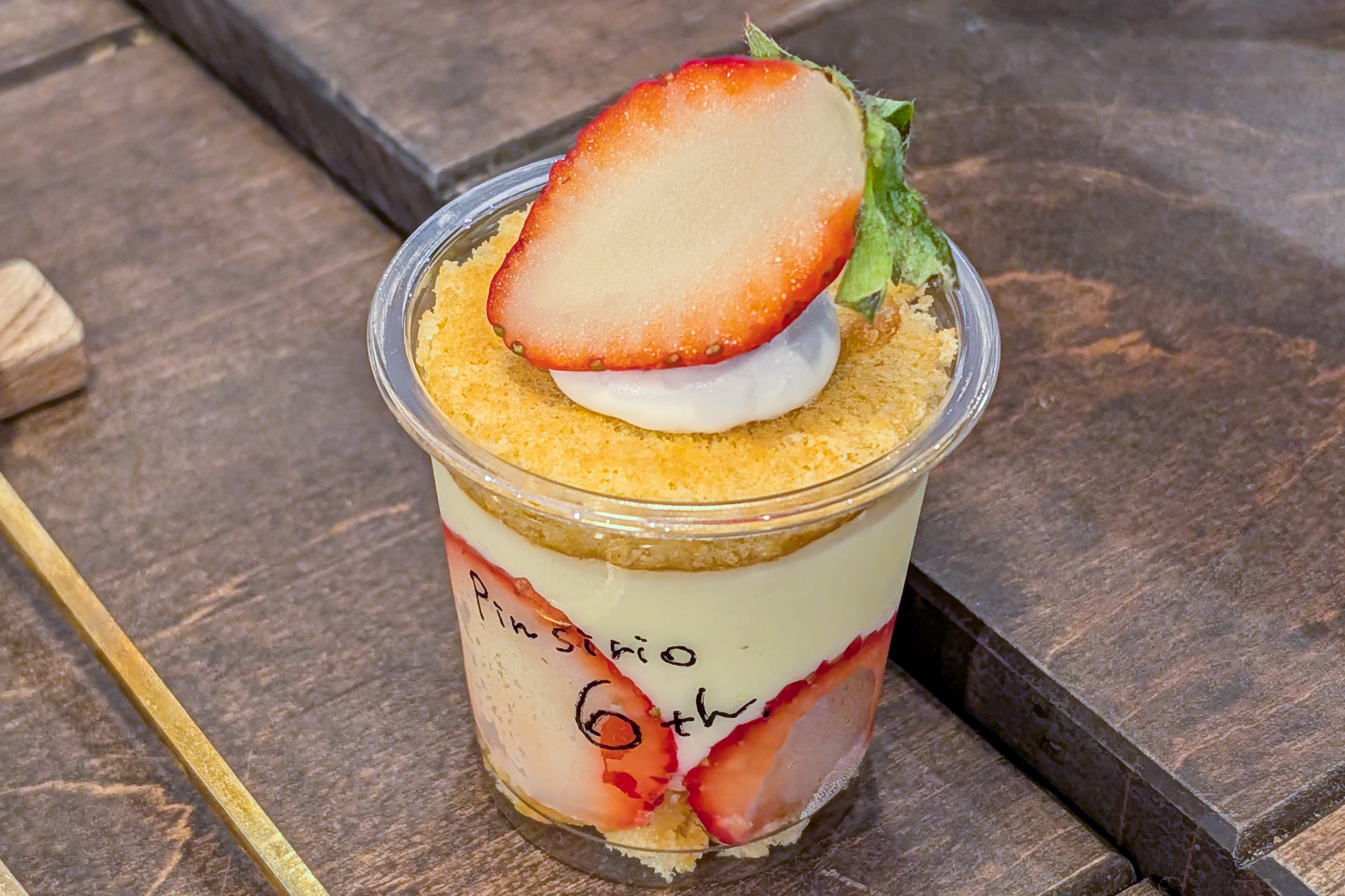
A little extra item was provided. Also excellent! Overall, it was a very satisfying snack.
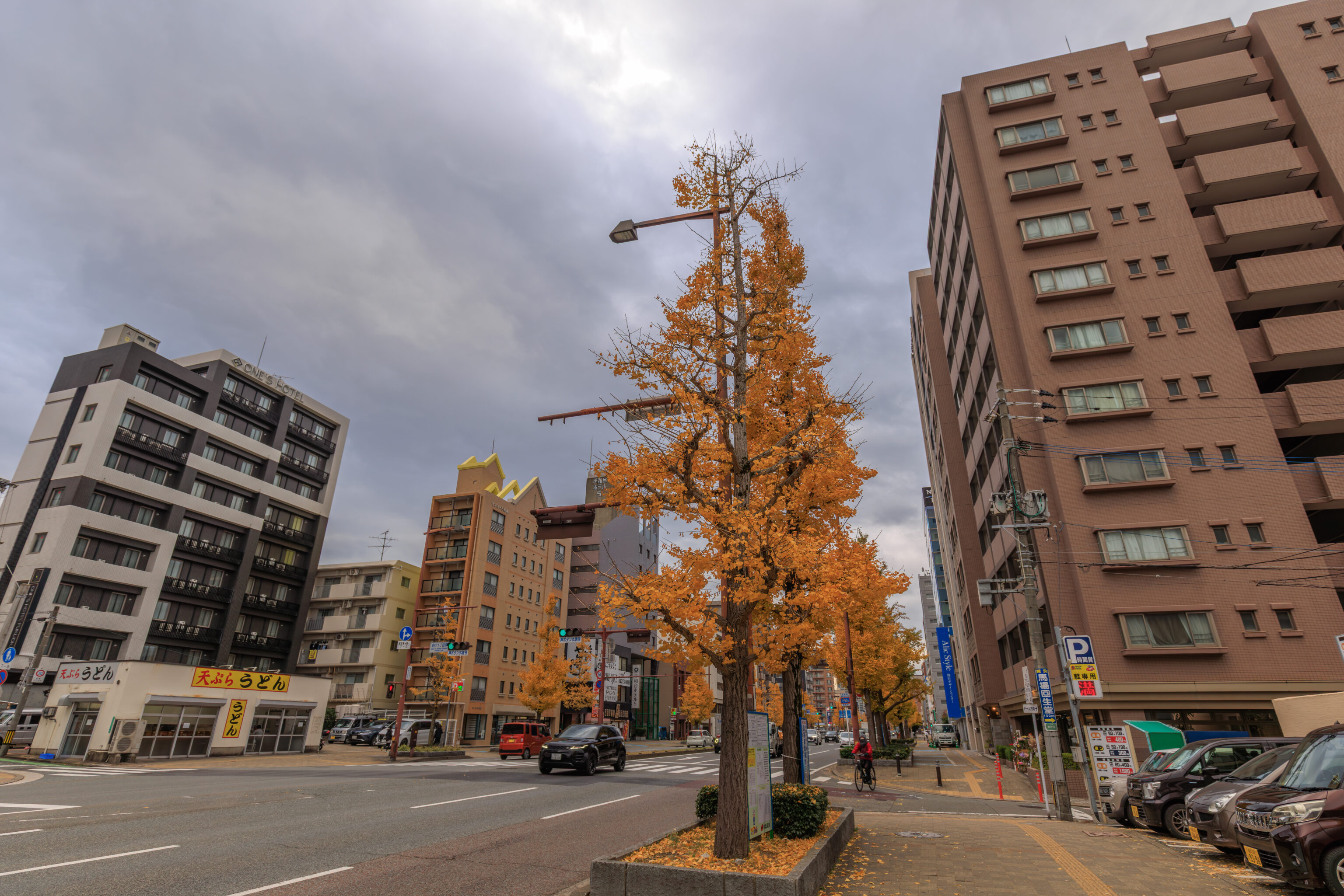
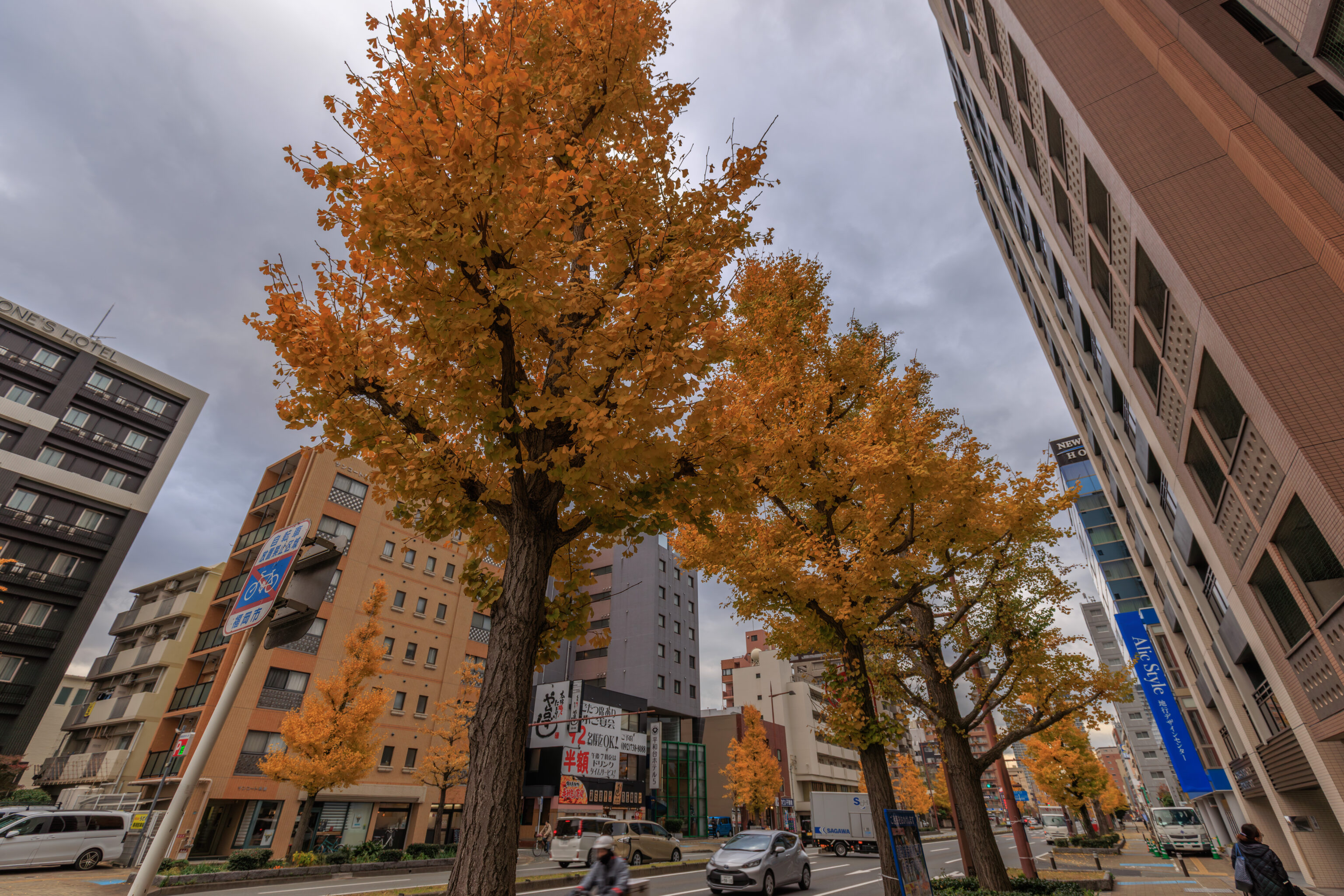
We walked for four or five more blocks, depending on how you count, to reach the 地行 Jigyo bus stop.
Fukuoka Tower
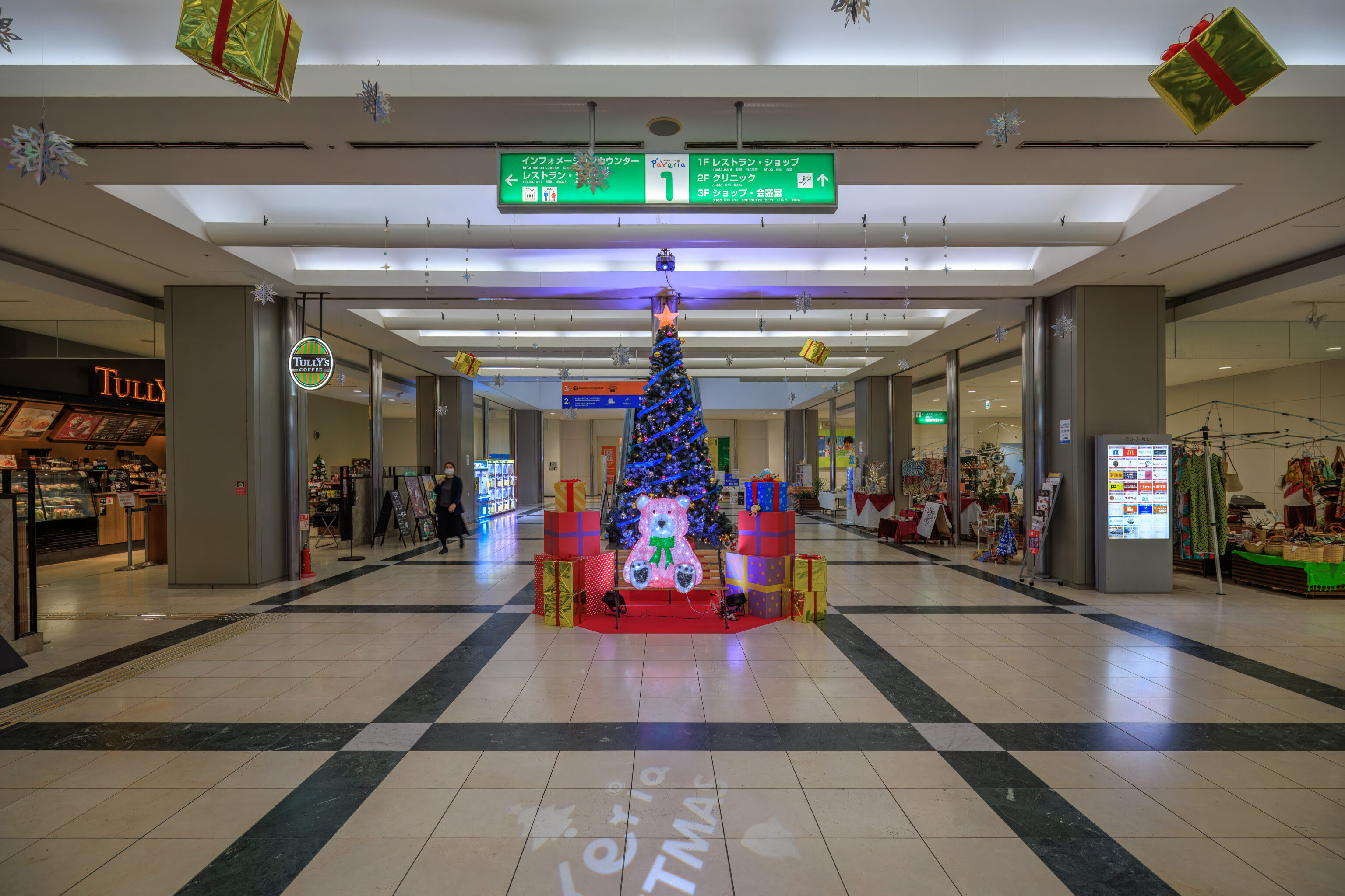
We took the bus to the Fukuoka Tower bus stop, right in front of the TNC Broadcasting Center building. This building has a small three floor shopping mall, Paveria, which spans the east and west sides of the building. We went through this mall to get closer to the Fukuoka Tower, which is basically adjacent to Paveria. Inside this mall, we saw a Christmas tree along with bear and presents.
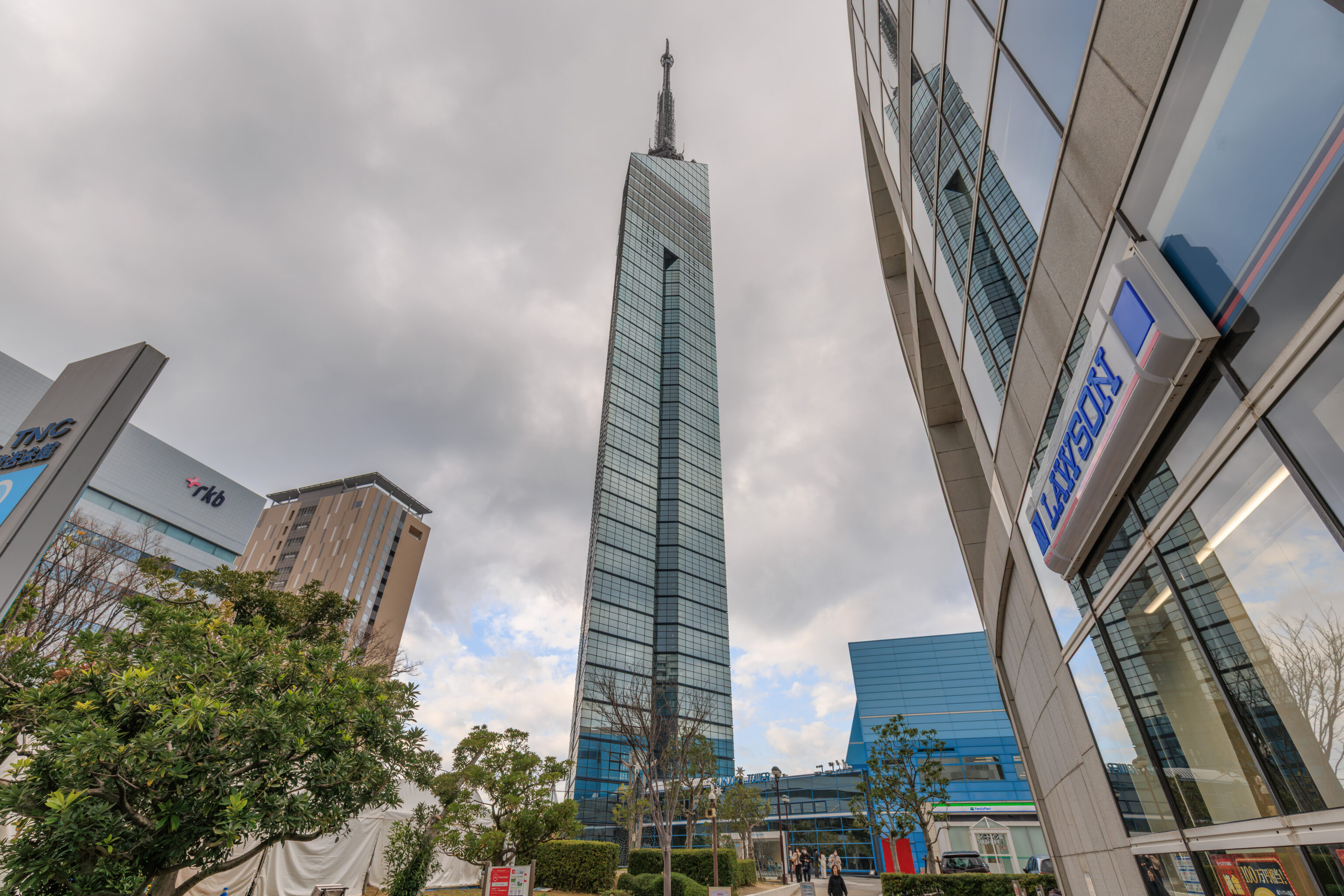
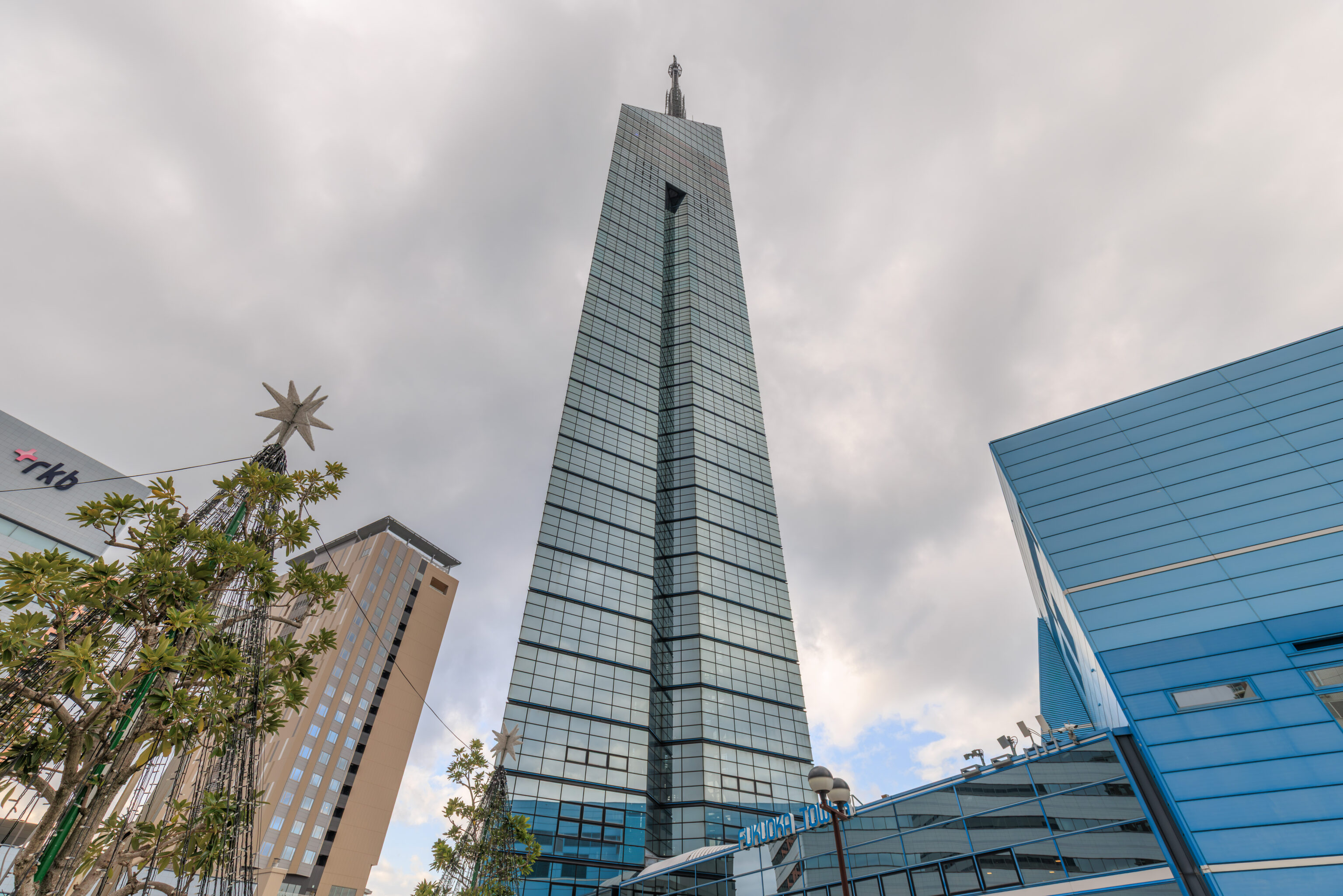
After exiting via Paveria’s western entrance, we immediately had a view of the 福岡タワー Fukuoka Tower to the north.
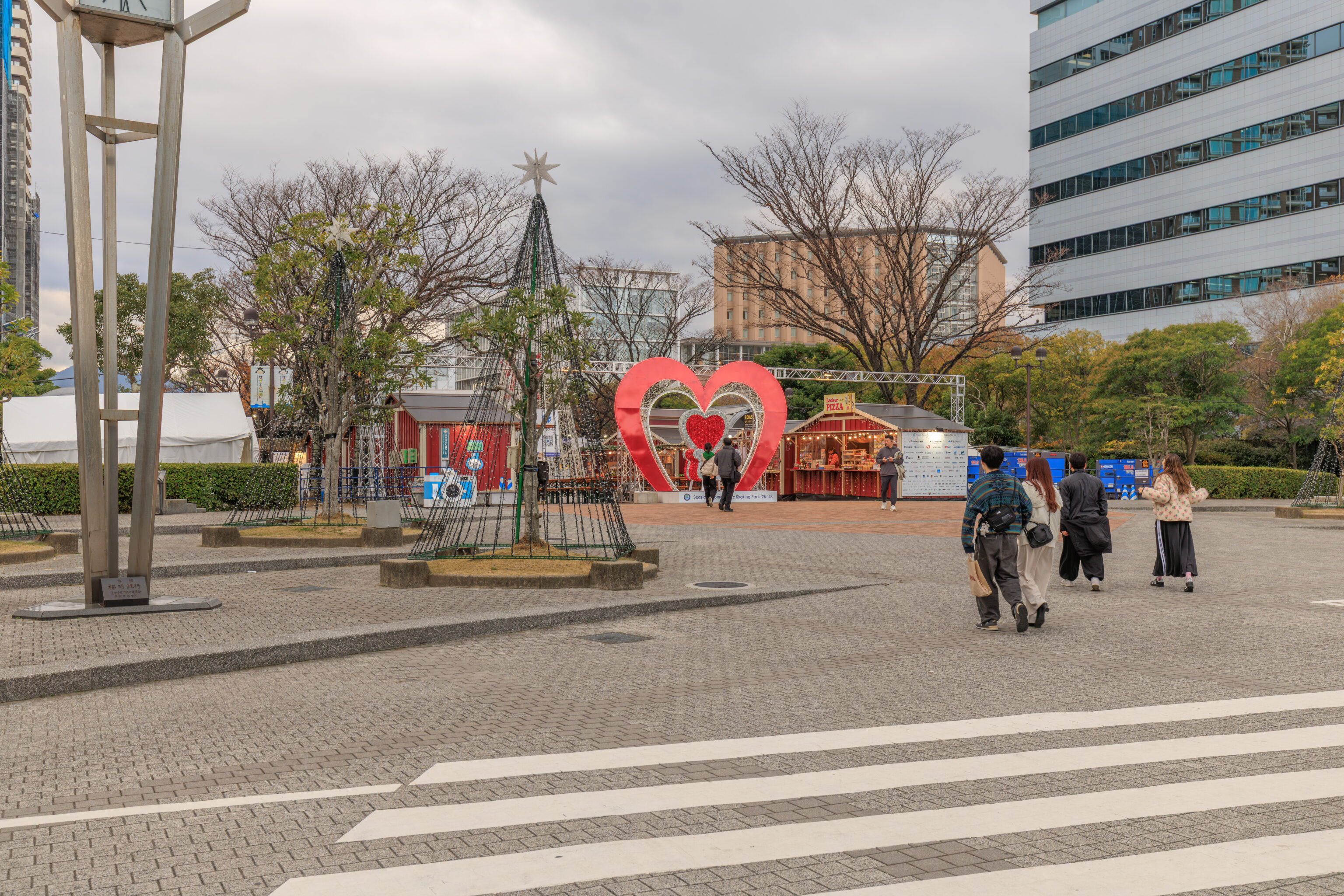
There was a tiny Christmas market set up at the base of the tower.
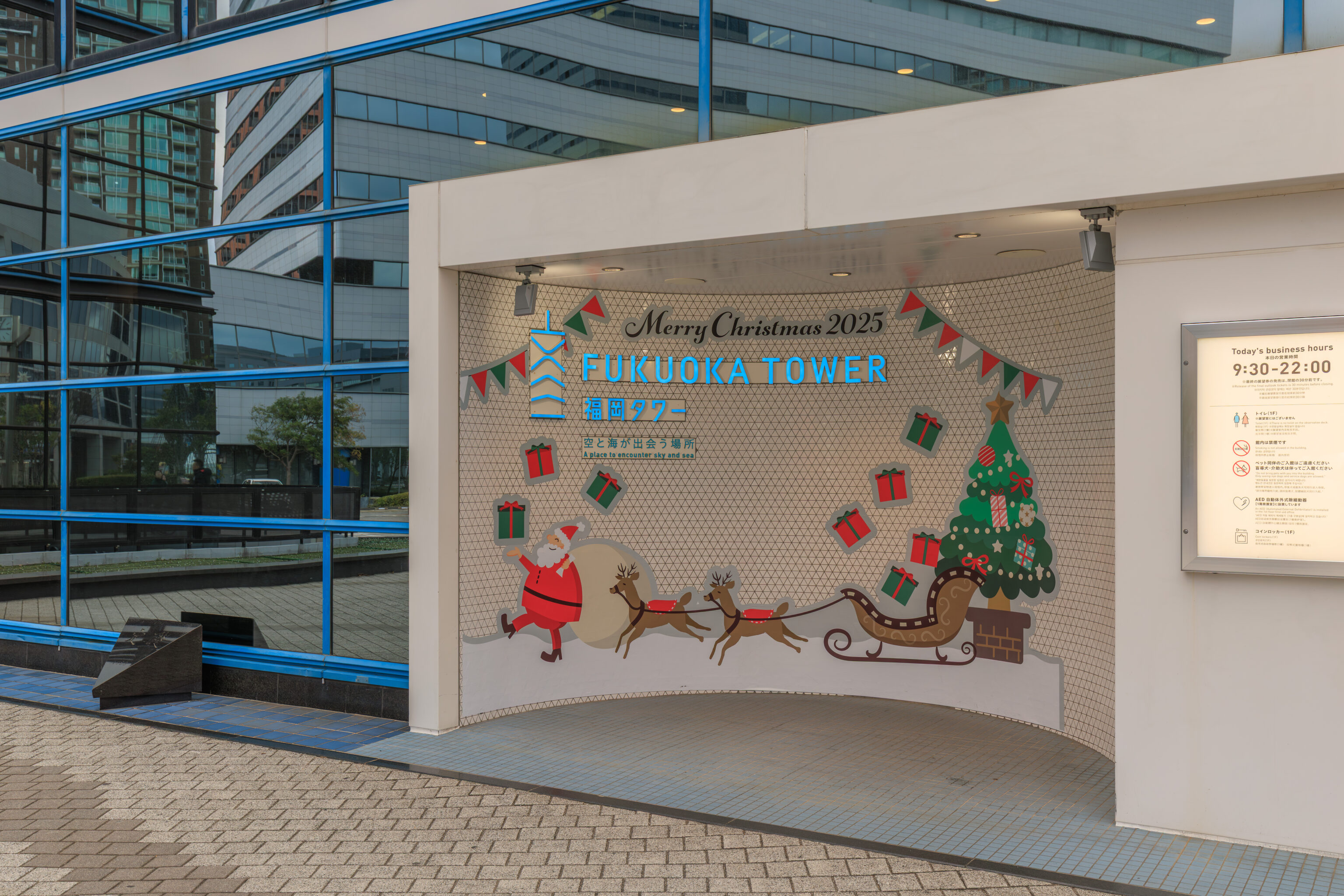
This little alcove was decorated for Christmas.
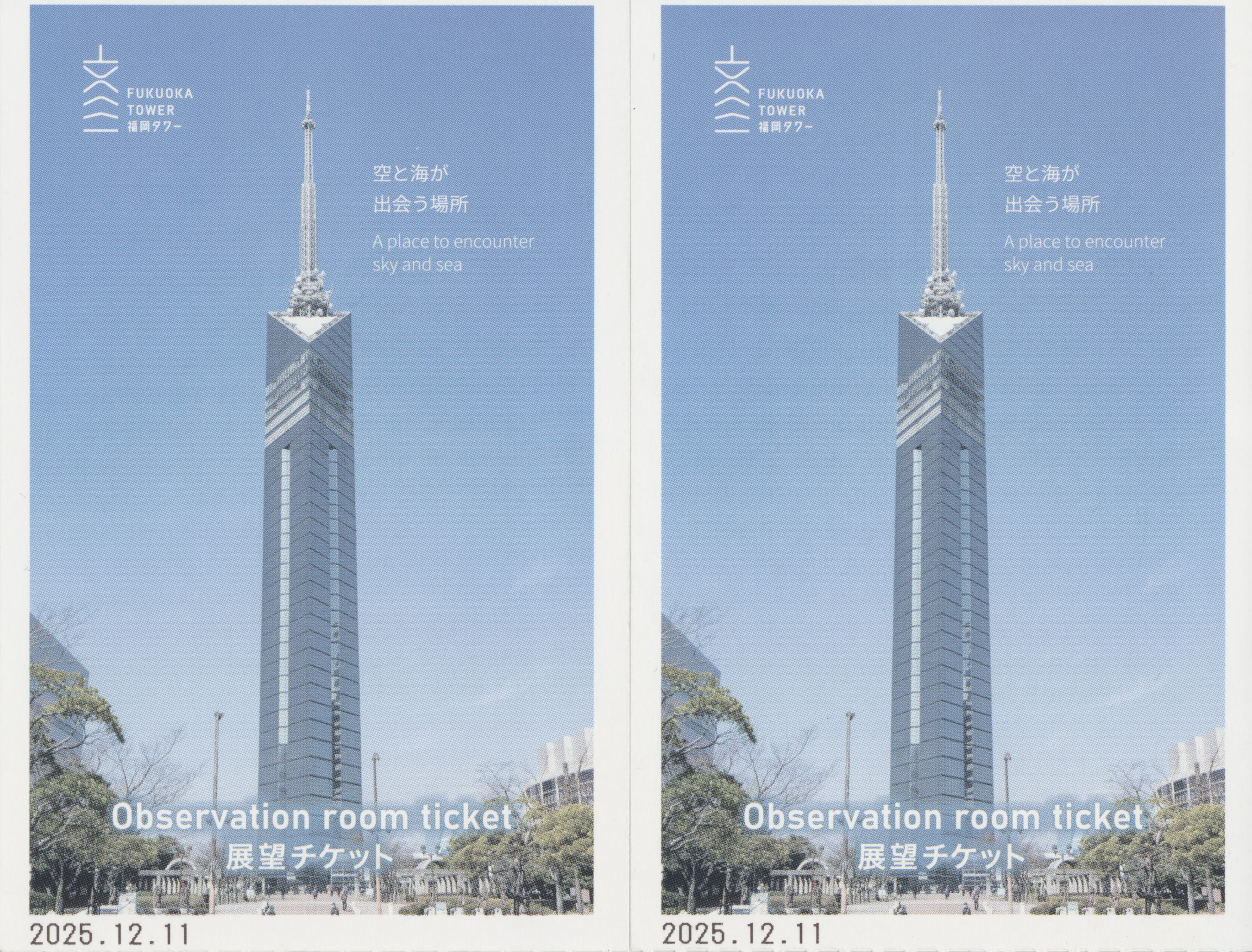
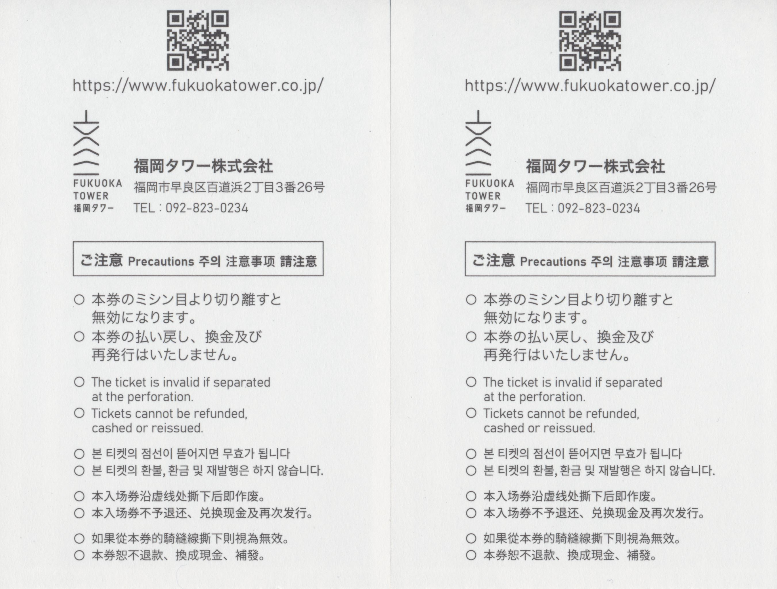
Once inside, we bought tickets to go up to the top.
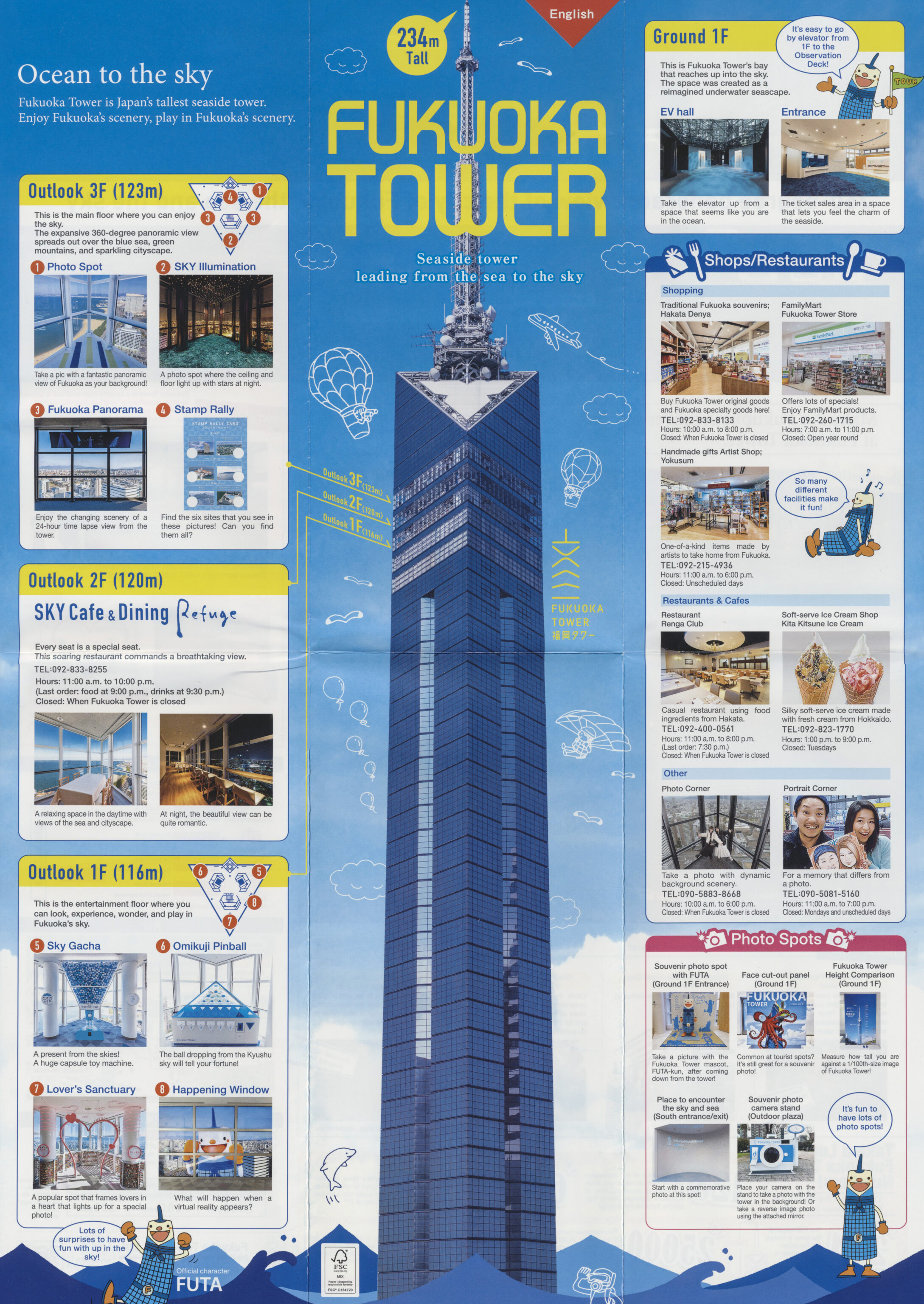
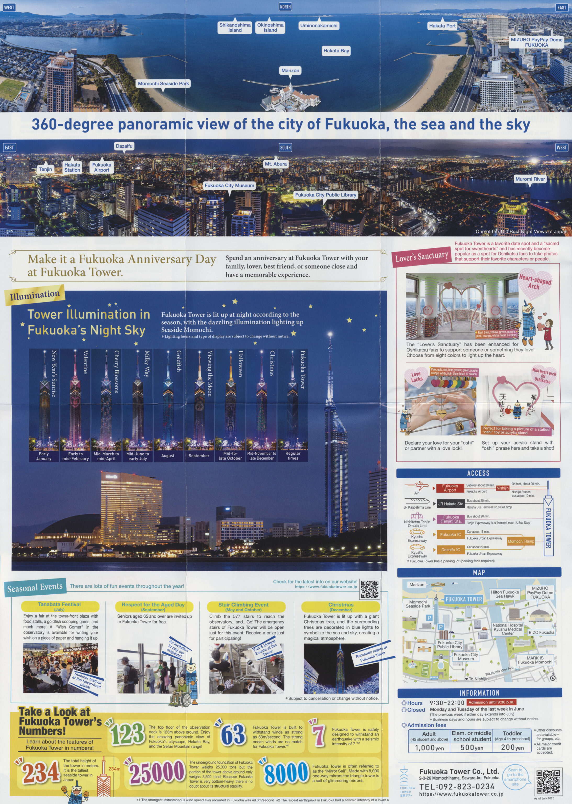
This pamphlet provided some information about the tower.
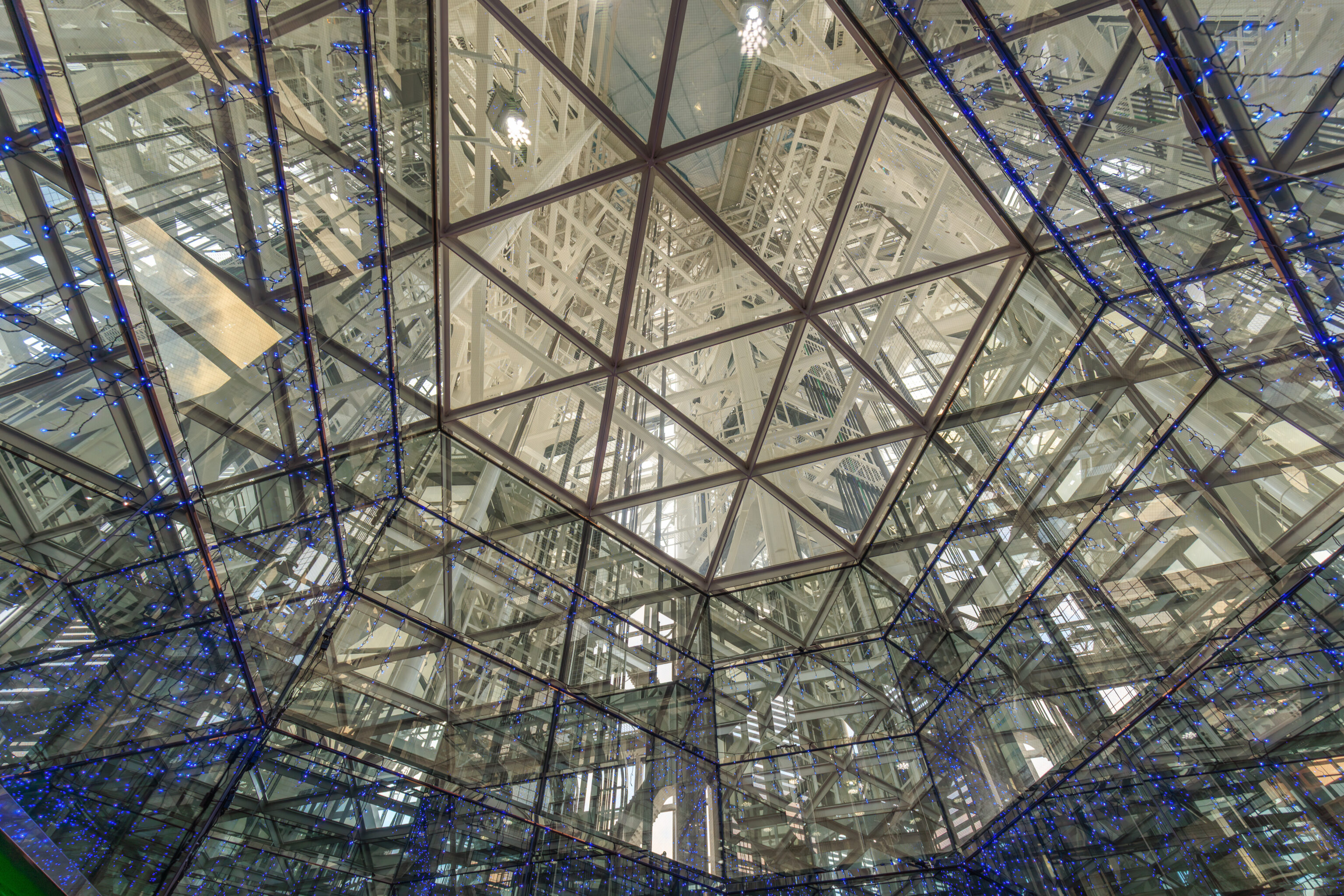
Although Fukuoka Tower looks like a skyscraper building, it is actually a tower as the name suggests. The only floors above the ground floor are three near the top, starting at 116 meters above. The visible external structure of the building is actually just a shell around its load bearing interior. At the bottom, it is possible to look up to see the tower’s internal structure.
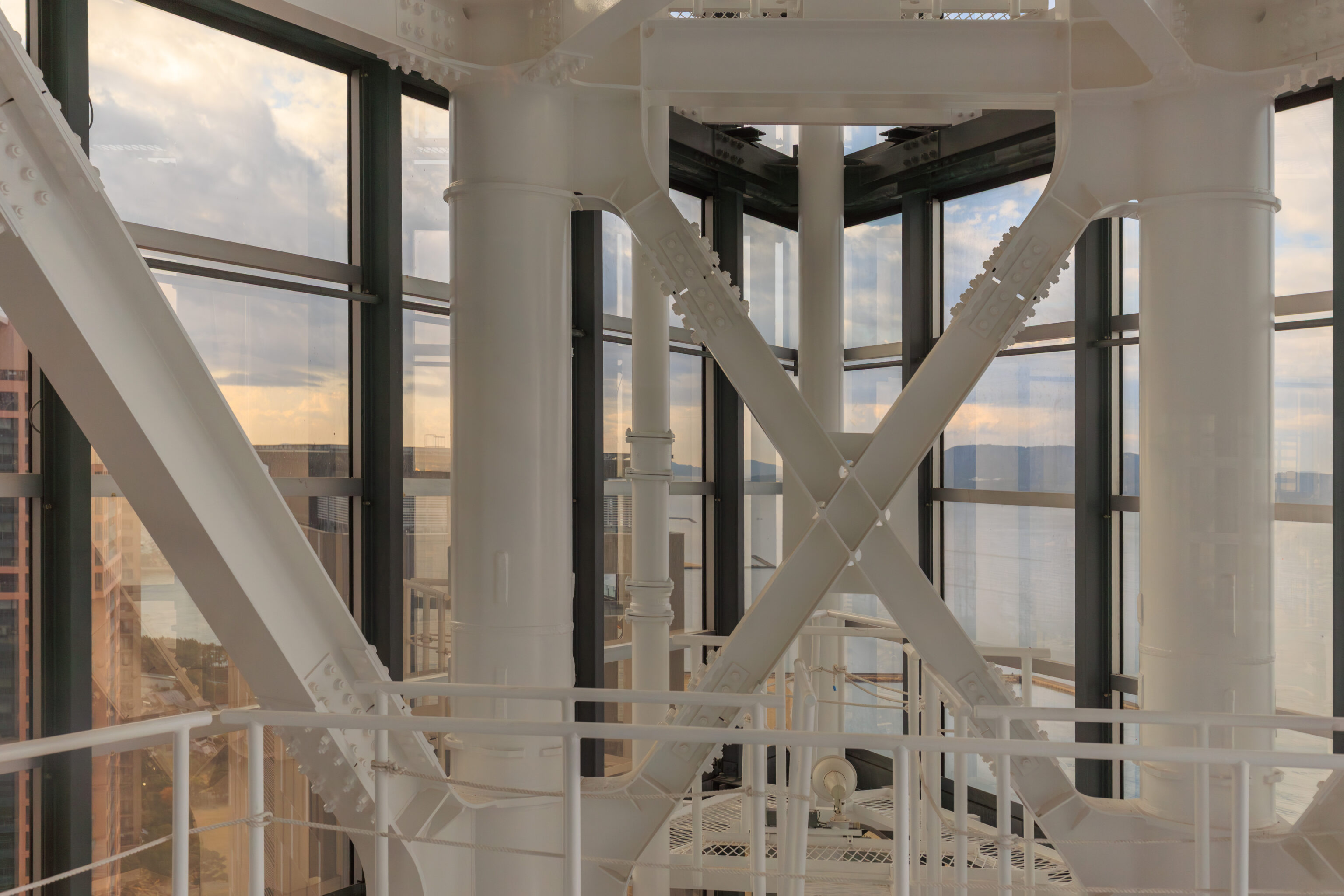
We were able to see the internal structure as well from within the elevator.
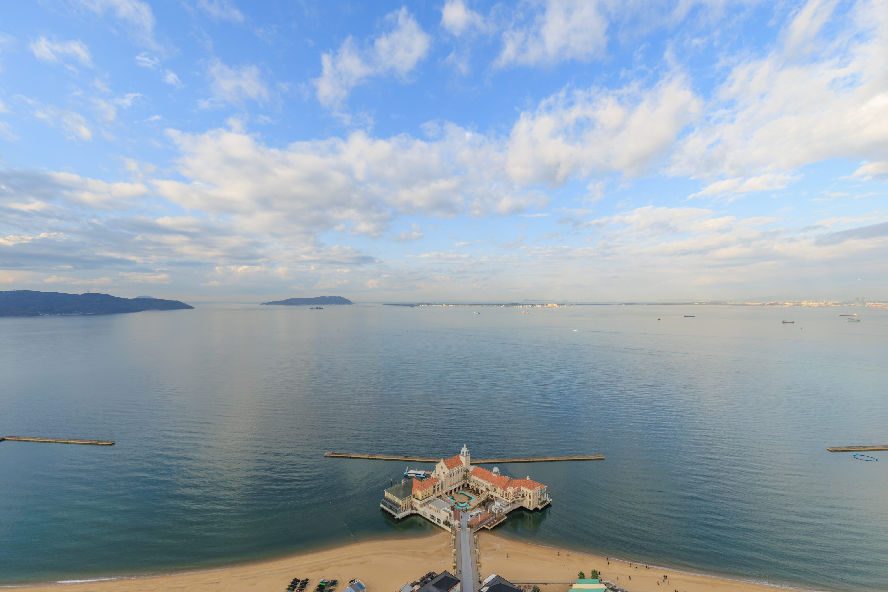
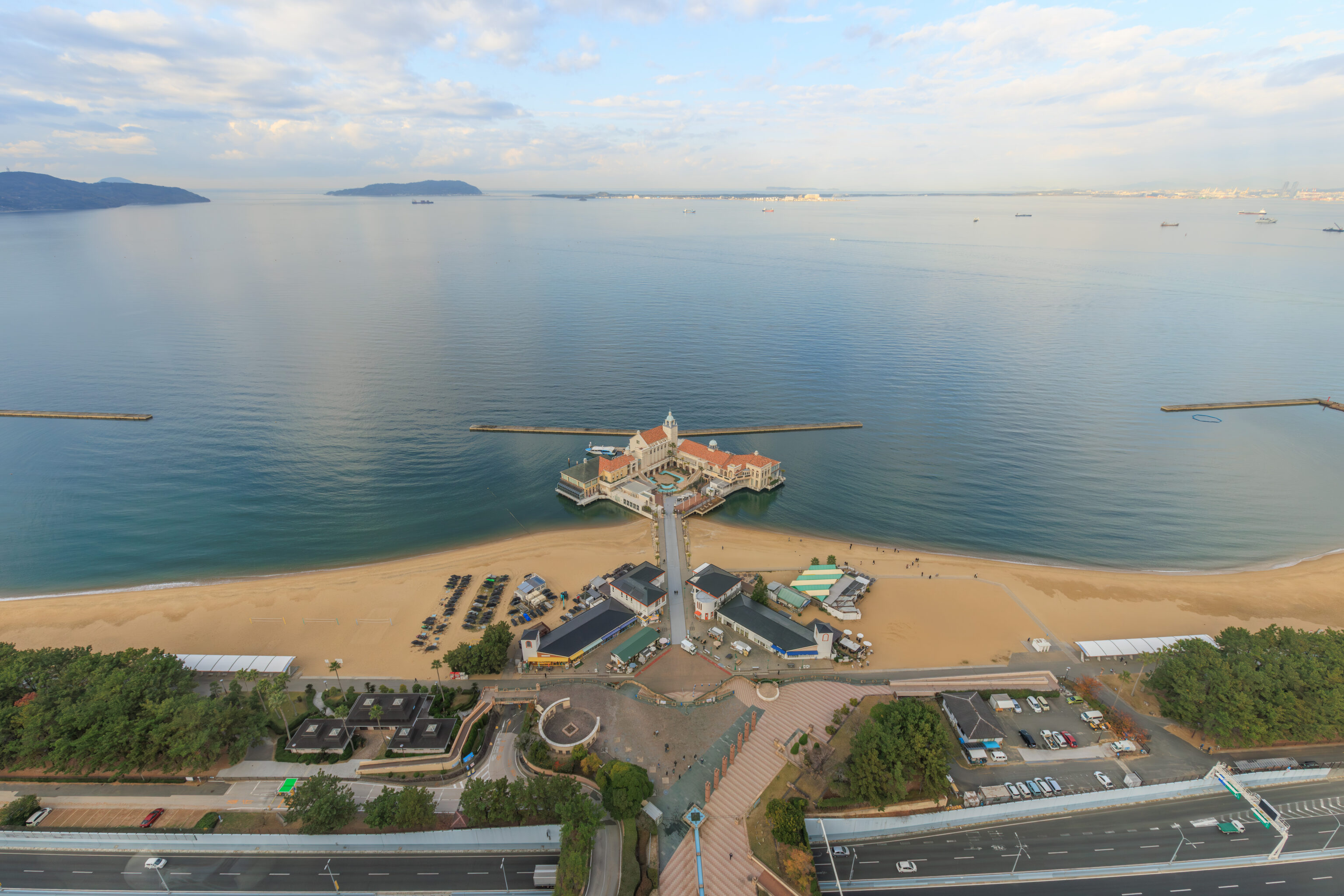
This was the view to the north looking out over the adjacent Momochi Seaside Park. The body of water beyond is Hakata Bay. To the north, basically at the horizon, is a peninsula with the Sea of Japan, or probably more correctly the Tsushima Strait as it is known in Japan, beyond it.
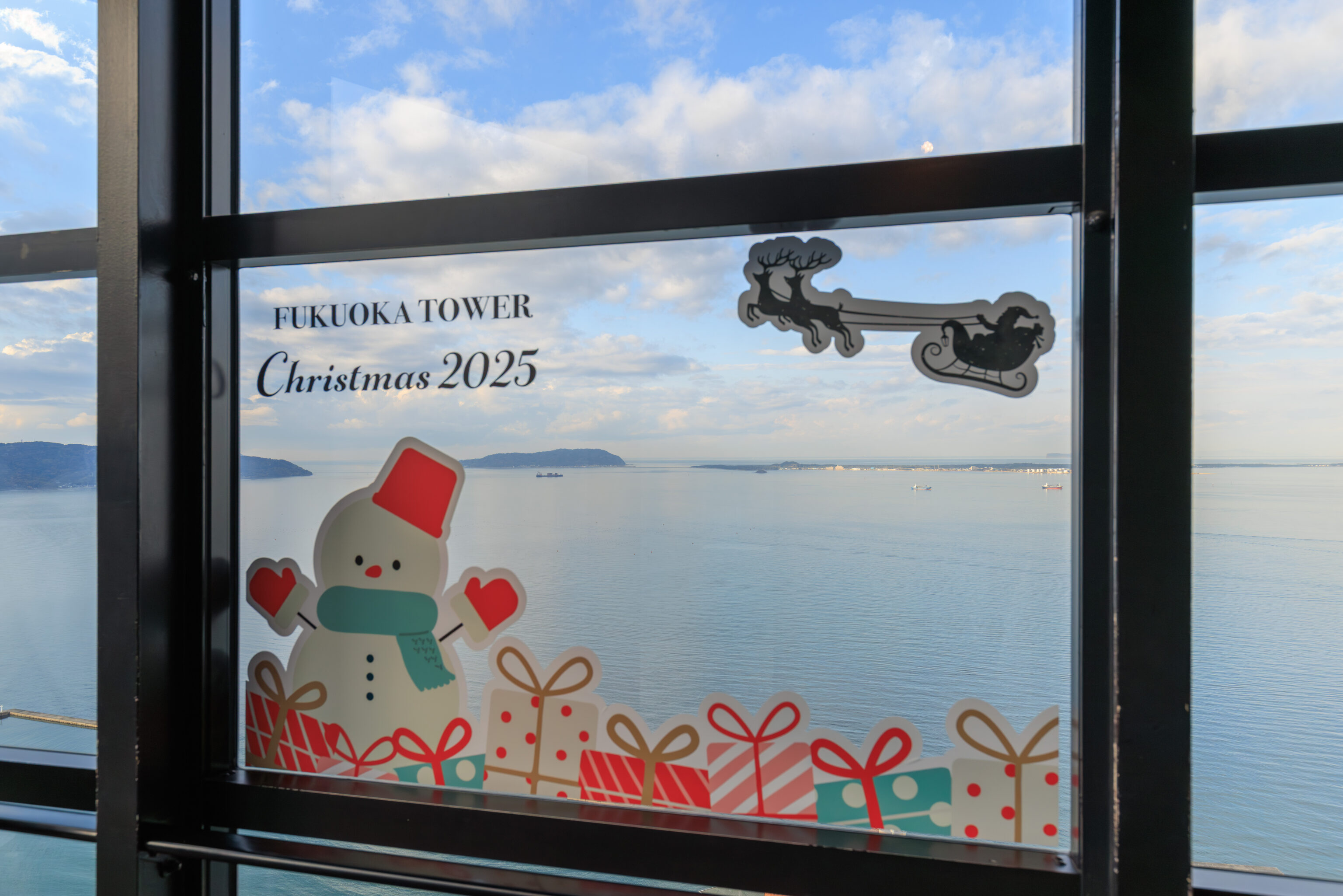
We walked by Christmas window decals.
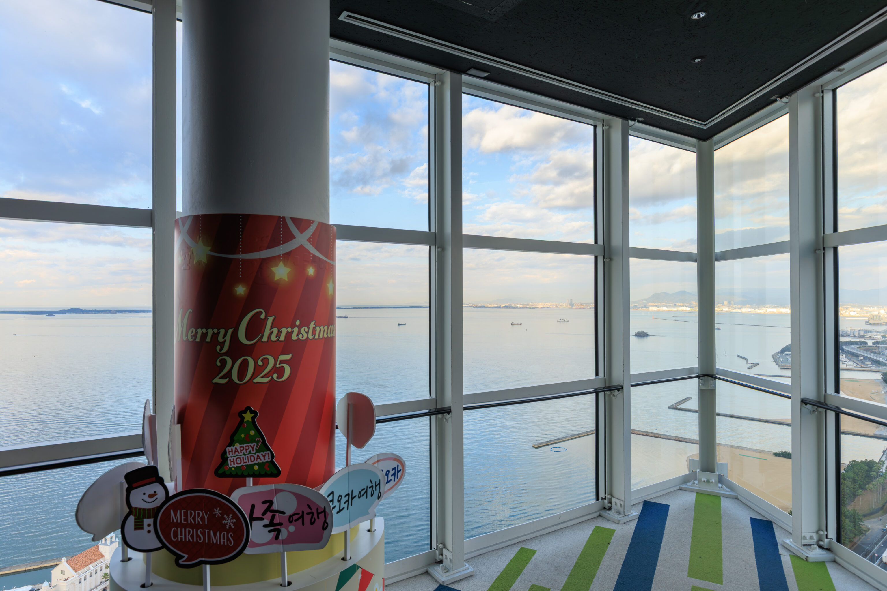
There was a photo area at the eastern tip of the triangular observation area. A number of props are available for fun photographs.
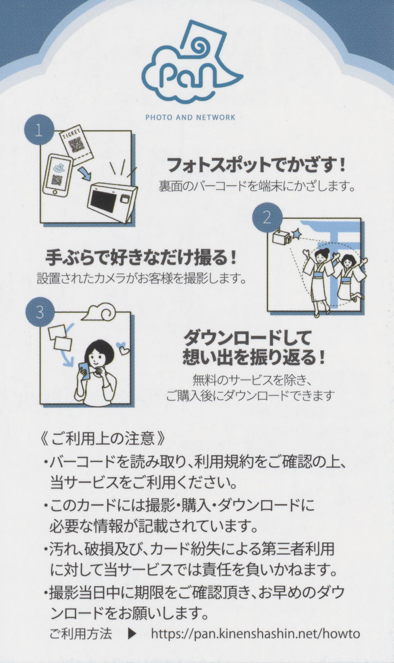
It was the typical tourist photography sales setup where they will take your photo and you can buy it. The back of this card normally has a QR code to scan to buy the photos.
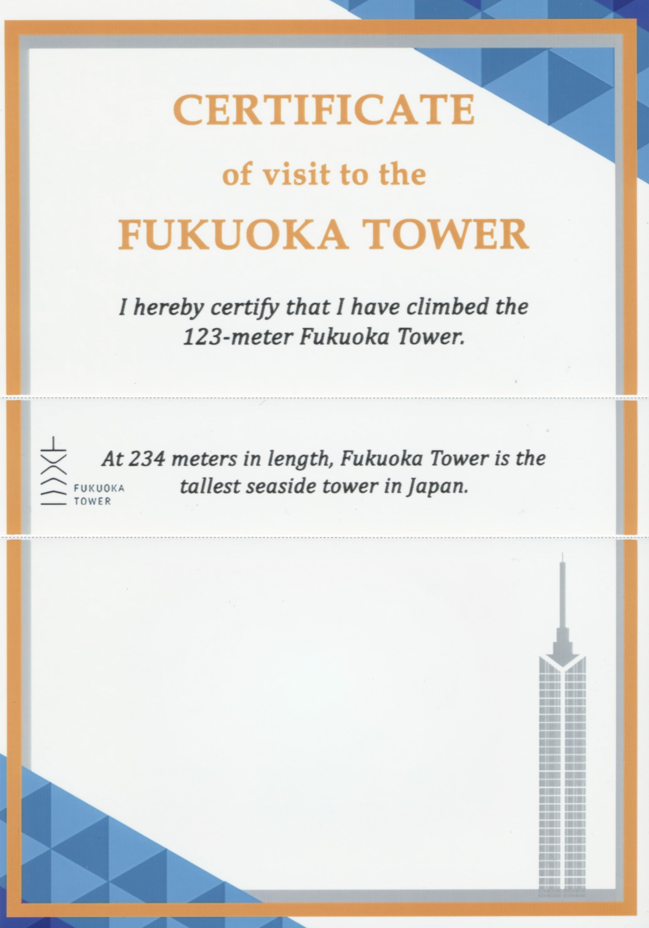
Regardless of if you buy one or more of the photos taken, they do print out a tiny copy of one on this certificate. Of course, no one visiting actually climbed the tower as stated on the certificate as access is via elevator!
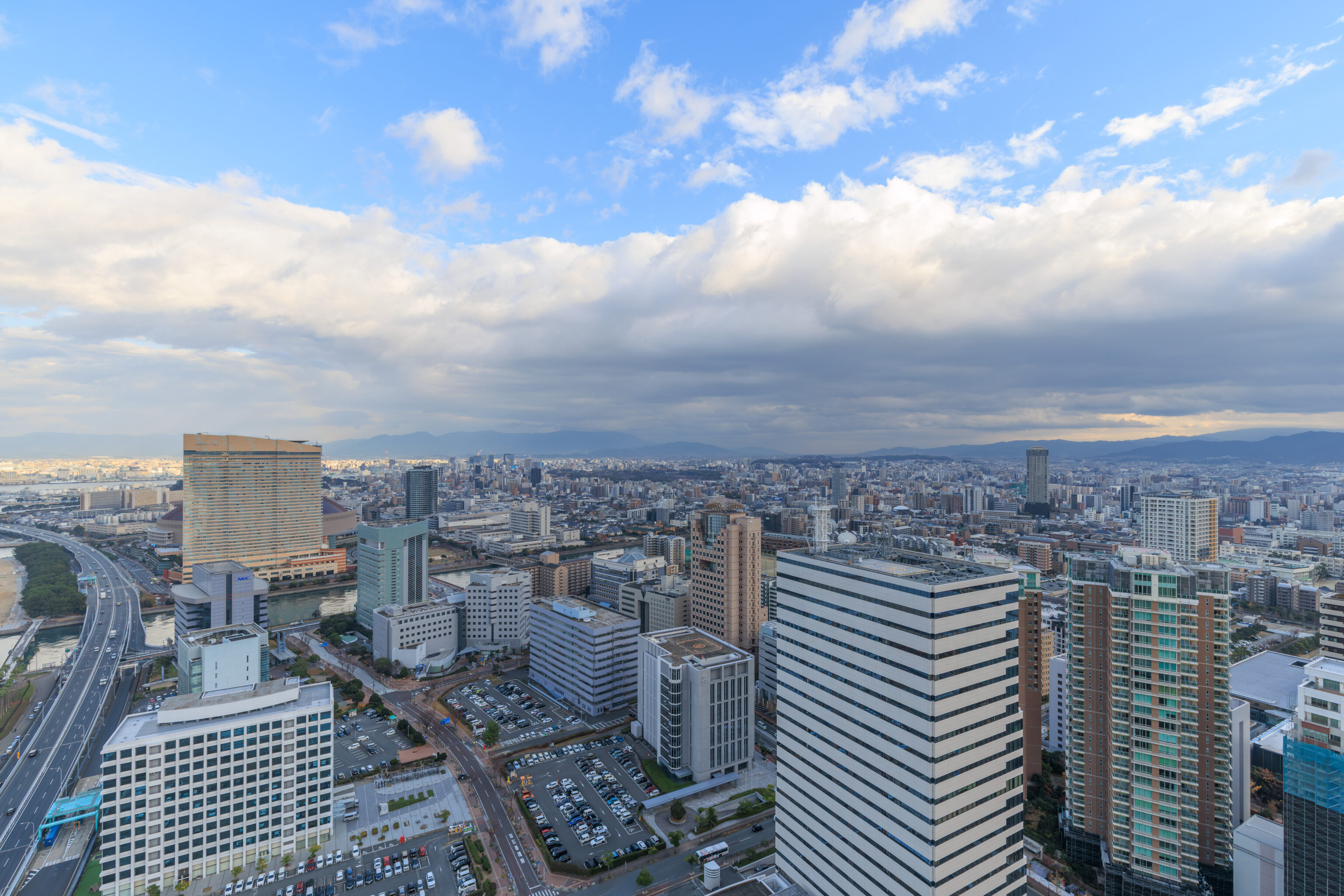
This was the view to the southeast. Every place that we’ve been to in Fukuoka so far should be somewhere in this scene. The green area at the center is probably Ohori Park.
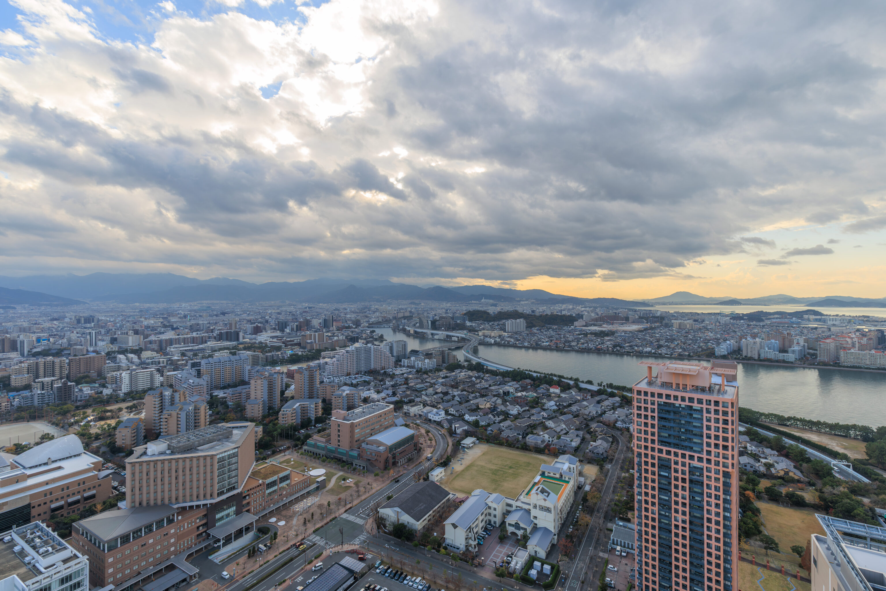
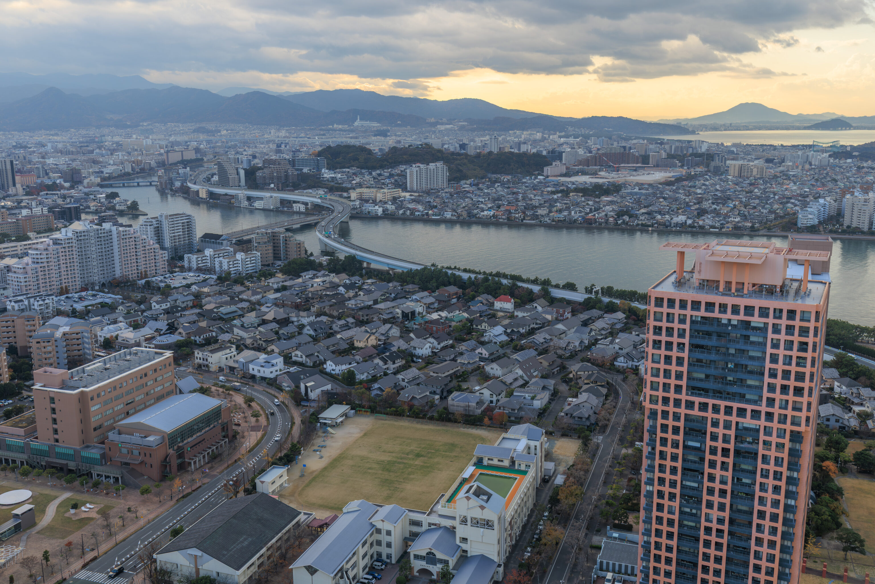
Finally, the view to the southwest.
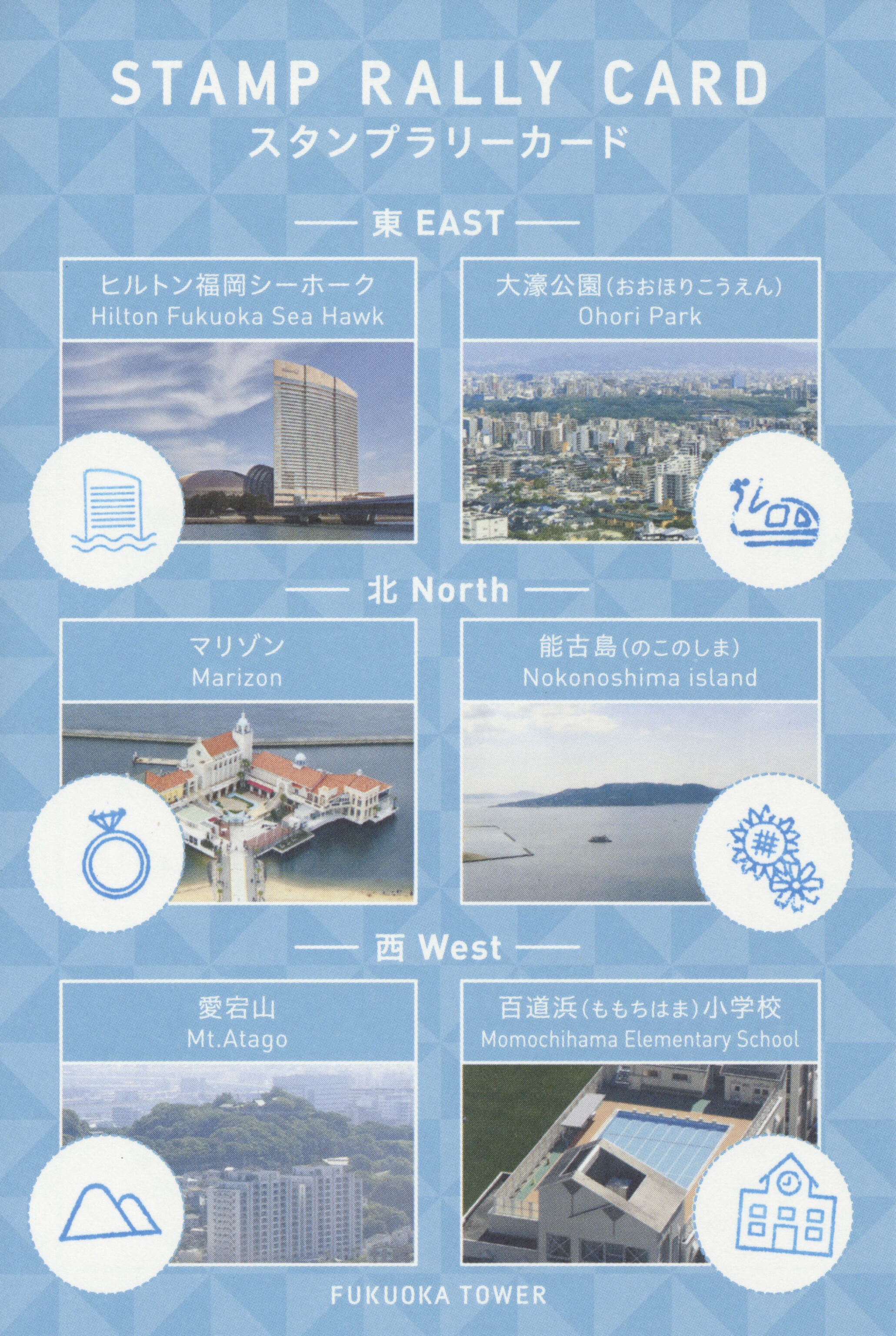
There was a stamp rally active within the tower with six stamps to collect.
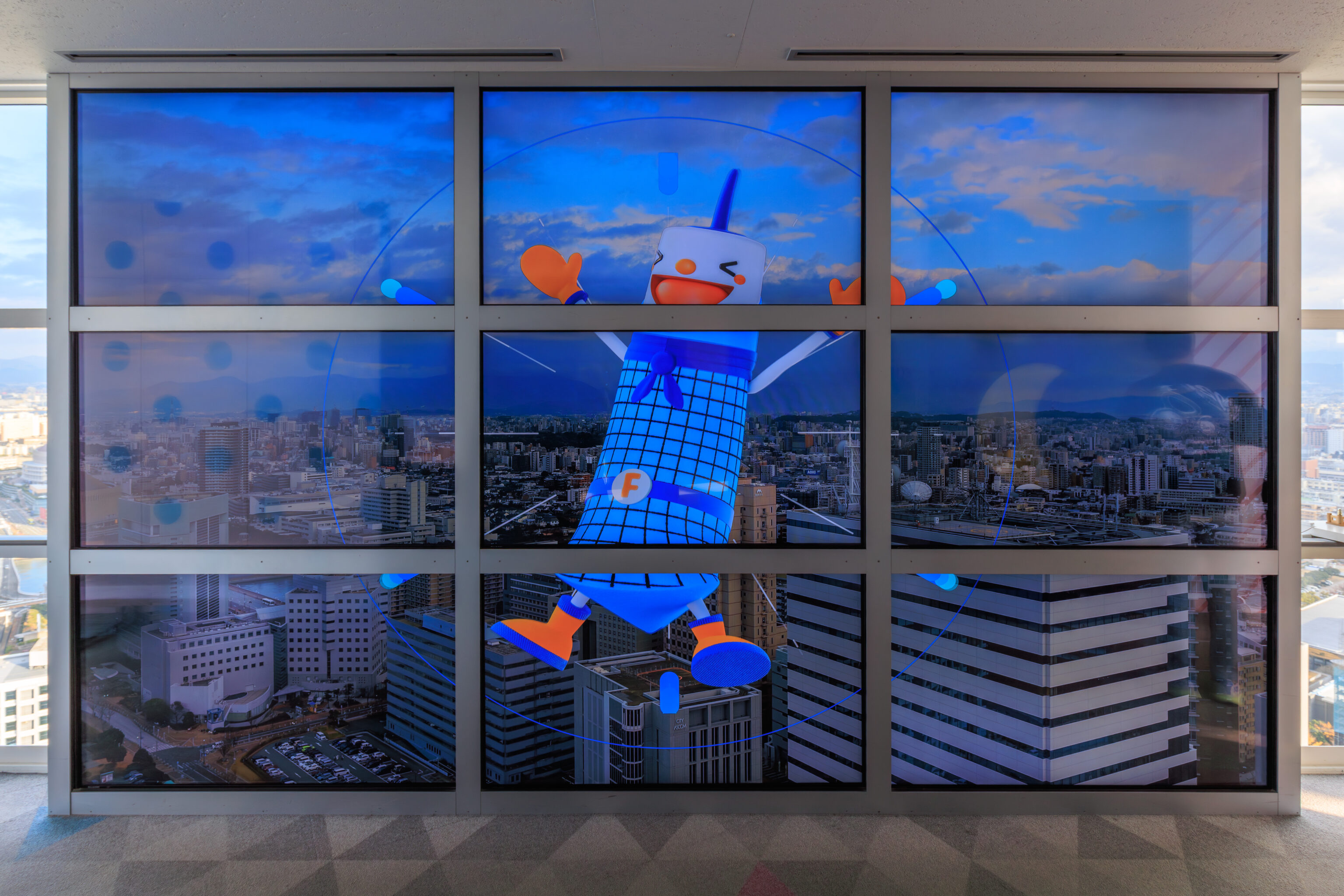
This is Japan so of course Fukuoka Tower has a mascot, Futa.
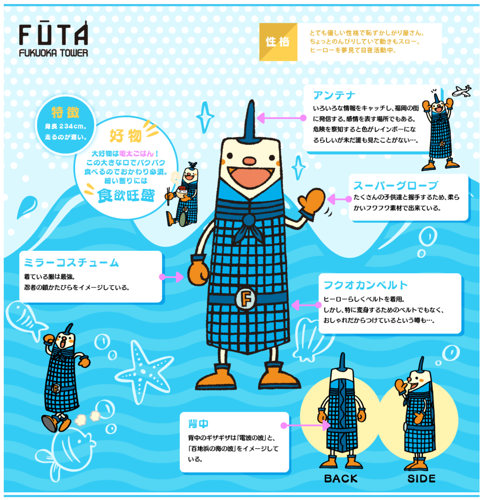
FŪTA
FUKUOKA TOWER

**Personality**
He possesses a very gentle nature and is quite shy.  He is a bit laid-back, and his movements tend to be slow.  He works tirelessly, day and night, in pursuit of his dream to become a hero.

**Characteristics**
Height: 234 cm.
He is a slow runner.

**Favorite Foods**
His absolute favorite is *mentai-gohan* (rice topped with spicy cod roe)!  He gobbles it up with his huge mouth, so second helpings are an absolute must. Despite his slender build, he has a voracious appetite.

**Antenna**
It catches various kinds of information and broadcasts it out to the city of Fukuoka. It also serves as a means of expressing his emotions. Rumor has it that the antenna turns rainbow-colored when it senses danger—though no one has actually seen it happen yet...

**Super Gloves**
Made from a soft, fluffy material so he can comfortably shake hands with lots of children.

**Mirror Costume**
His outfit is designed to evoke the image of the ultimate ninja's chainmail armor.

**Fukuokan Belt**
He wears a belt to look the part of a hero. However, it isn't actually a belt used for transforming; rumor has it he wears it simply because it looks stylish...

**Back**
The jagged pattern on his back is inspired by the imagery of both "radio waves" and the "ocean waves of Momochihama."
– Text from the graphic from the Futa website displayed above, translated using Google.
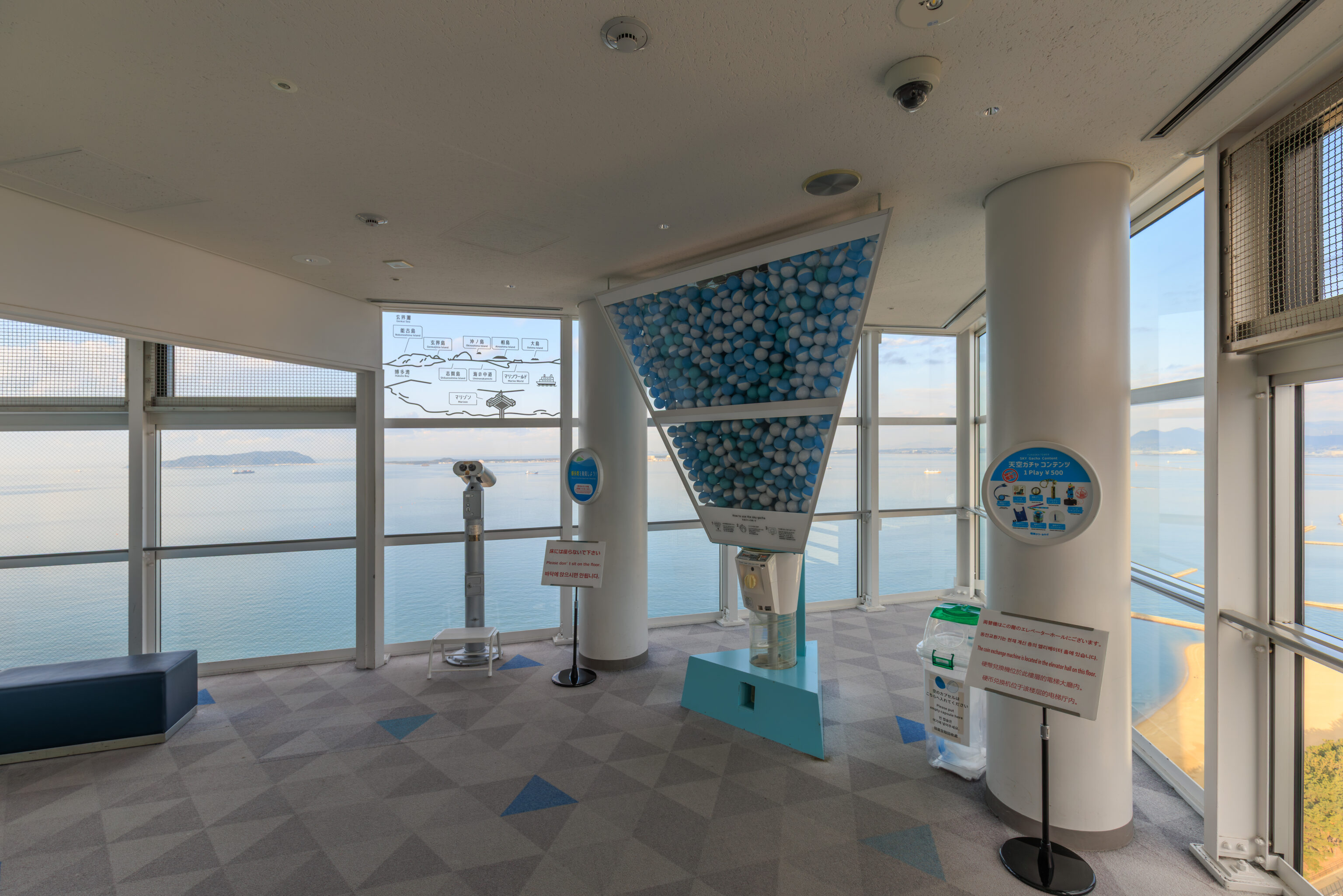
There was also a gachapon machine…
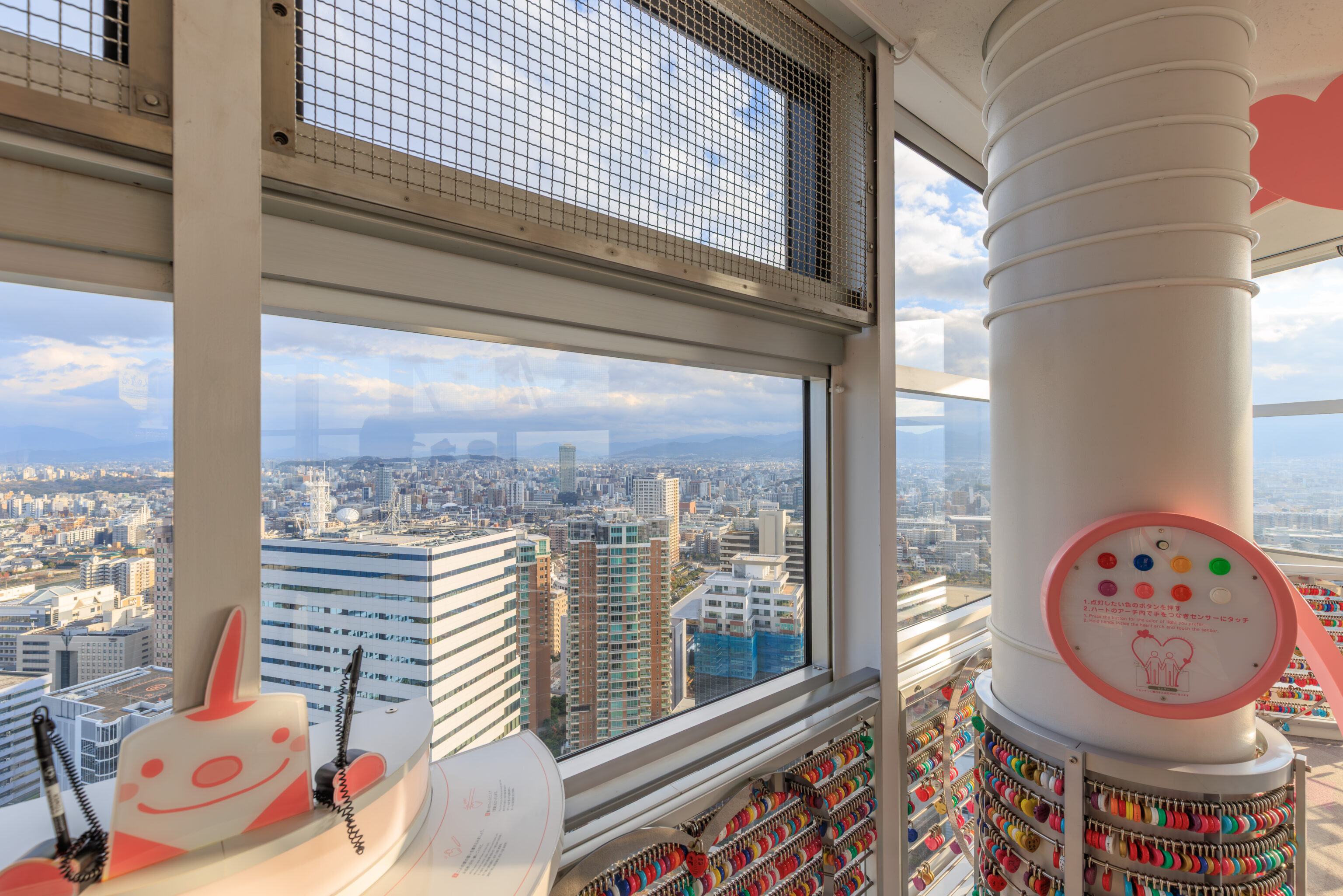
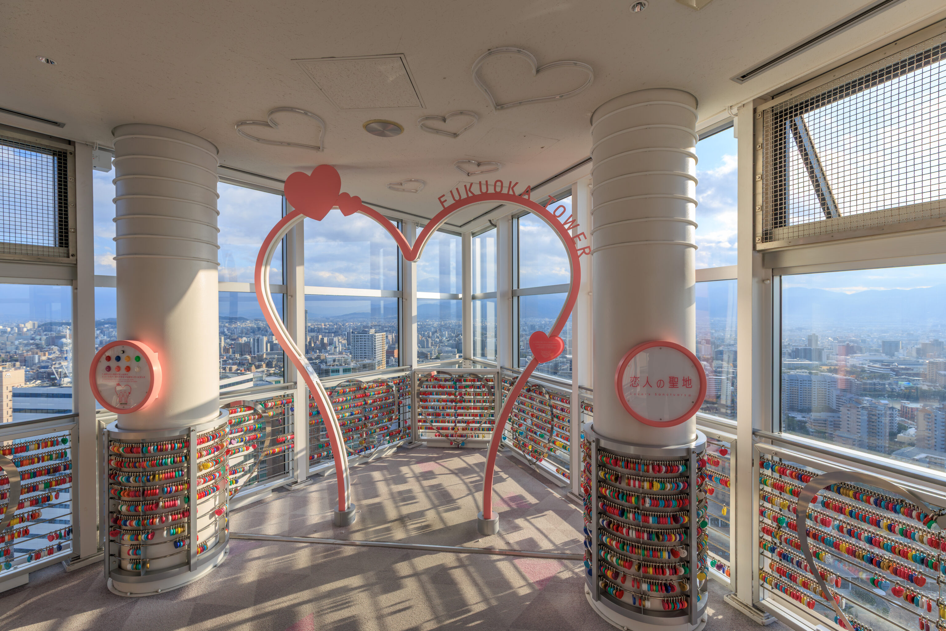
They also sold locks which you could buy and then lock here.
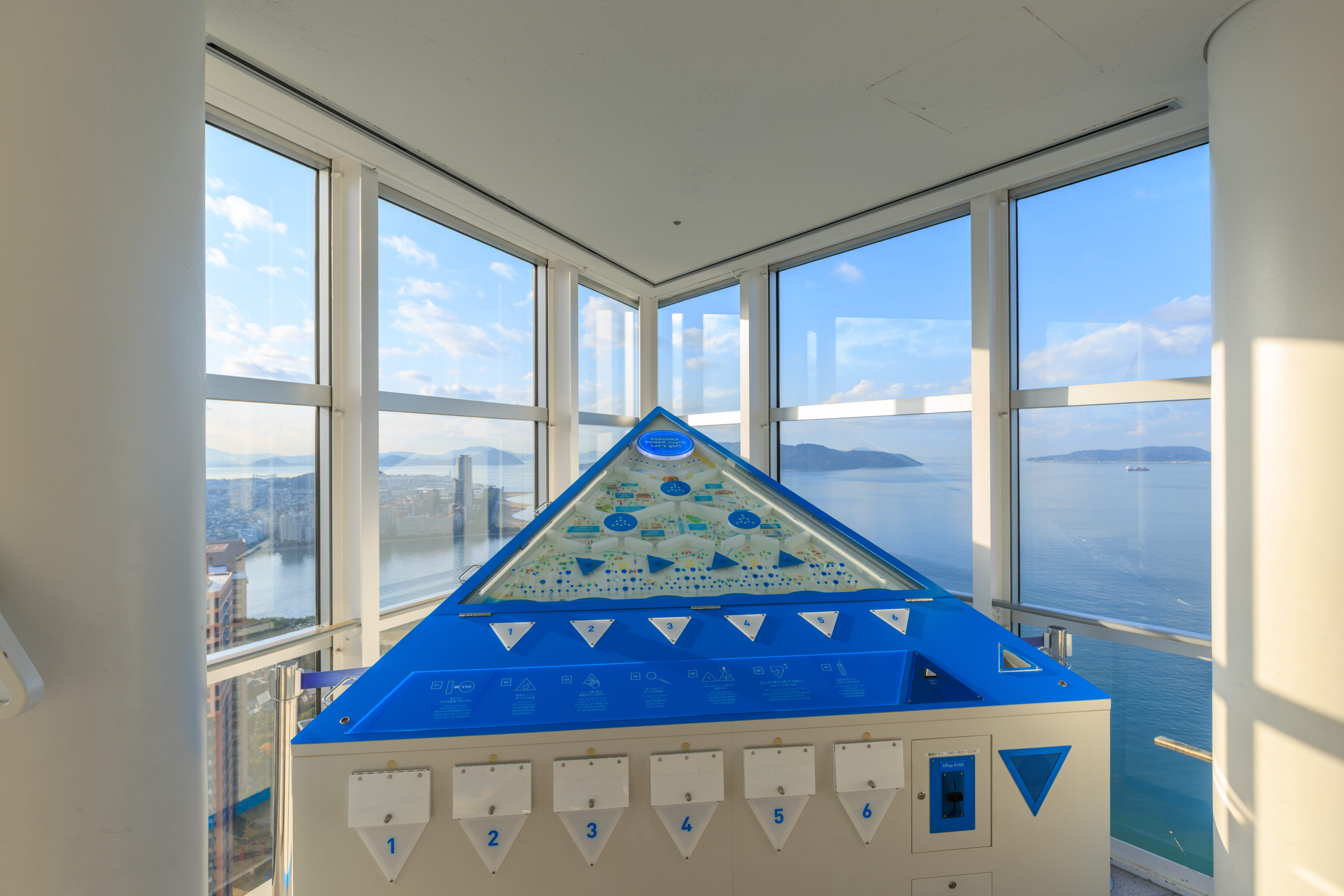
It looks like this is a fortune machine, kind of like buying fortunes at a temple which come on a little paper slip. Here, it seems more like pinball in that you put in a coin, a ball drops, and you open the fortune compartment matching where the ball ended up.
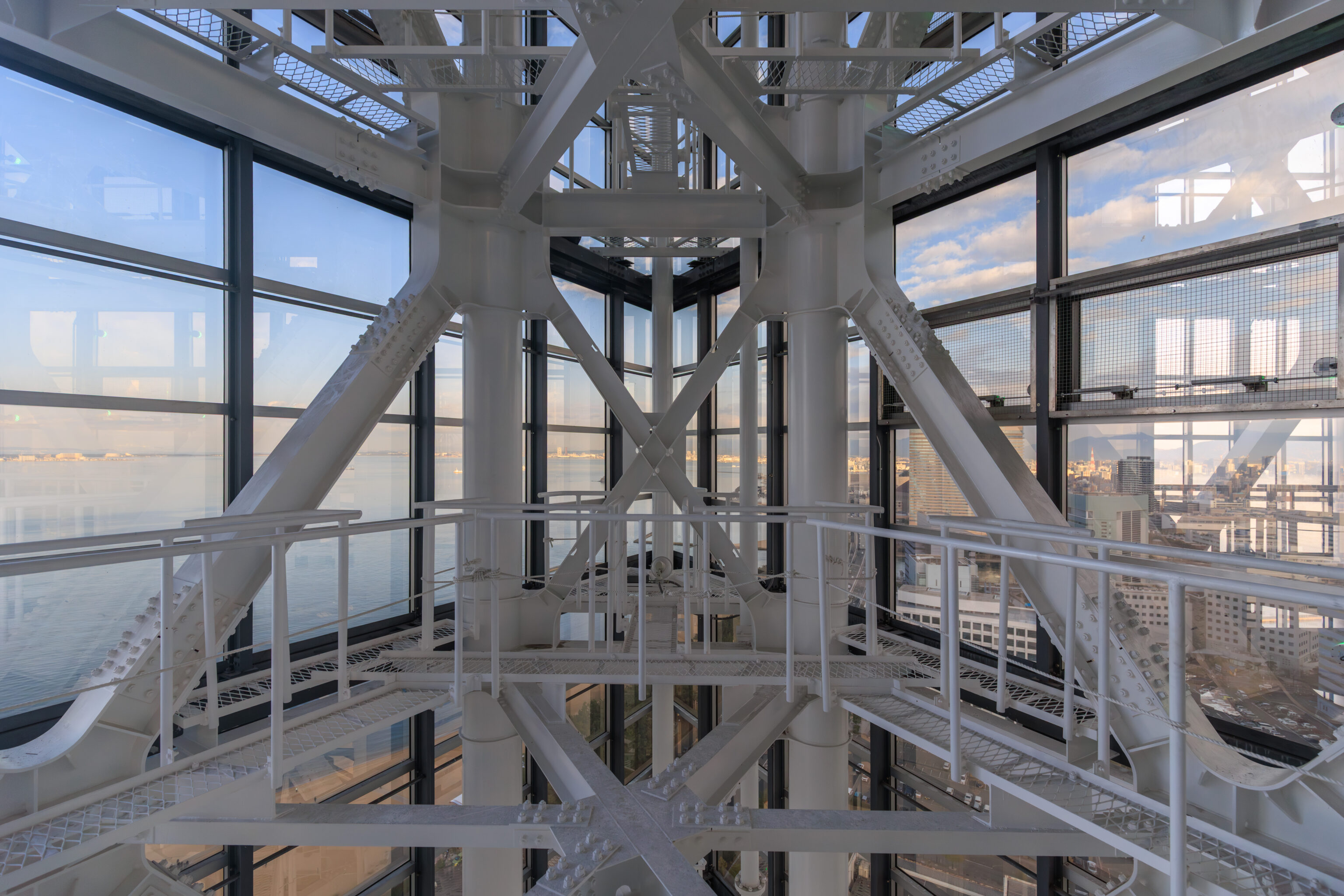
Ultimately, we spent about 20 minutes in the three floor observation area before heading back down.
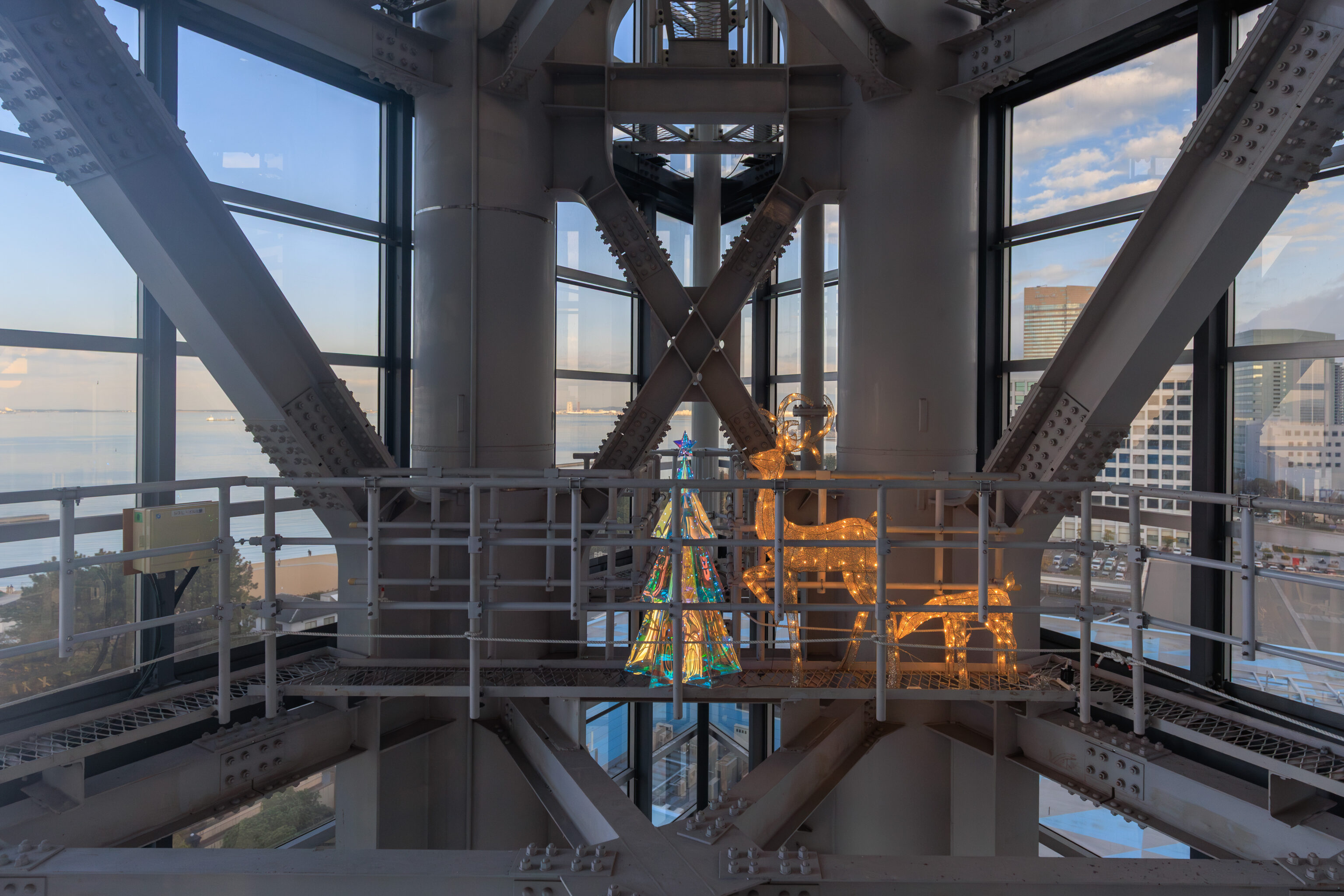
There were some illuminated Christmas decorations within the tower’s structure!
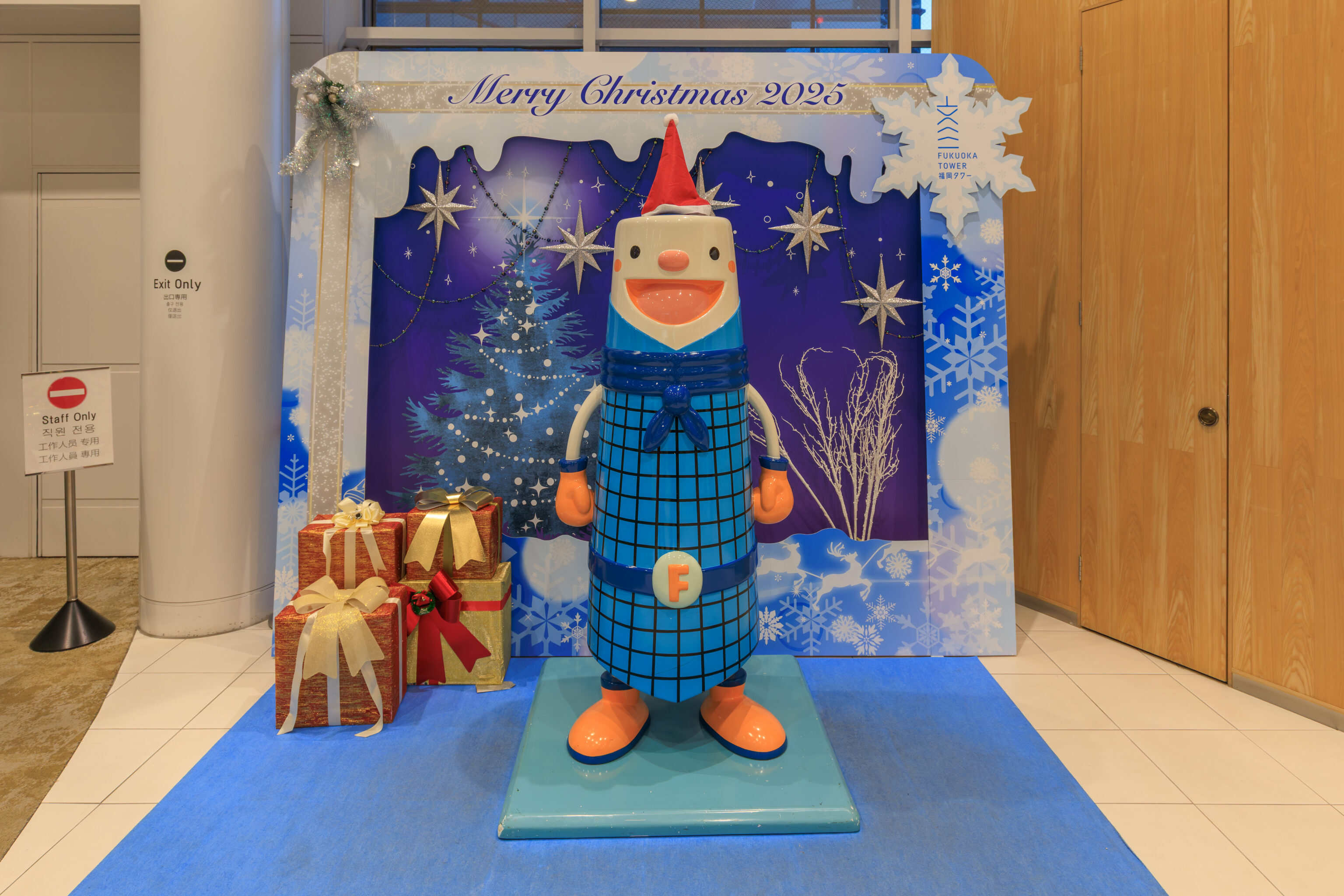
Back on the ground floor, there was a photo area to take photos with the tower’s mascot Futa.
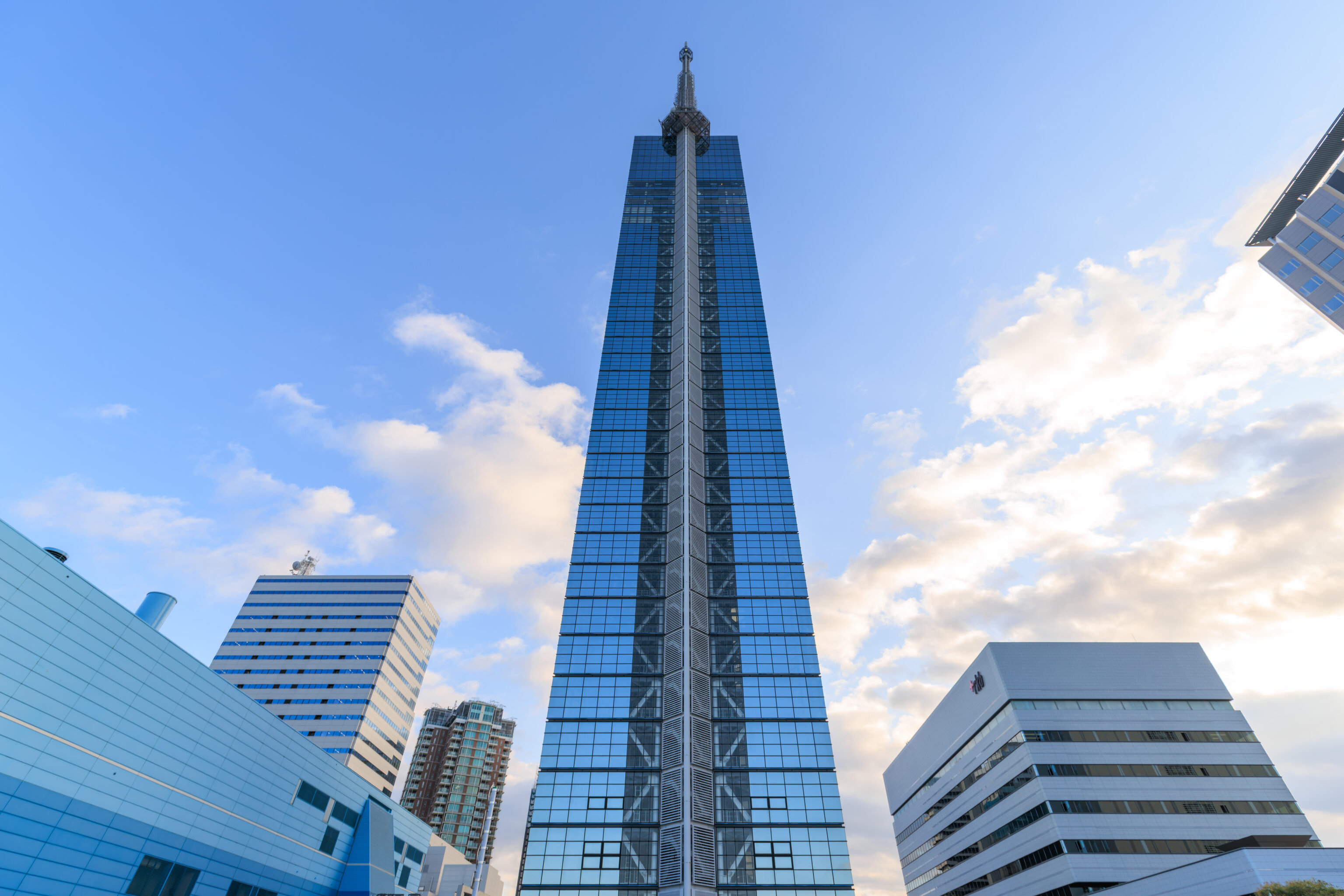
The view looking up at the Fukuoka Tower from the north.
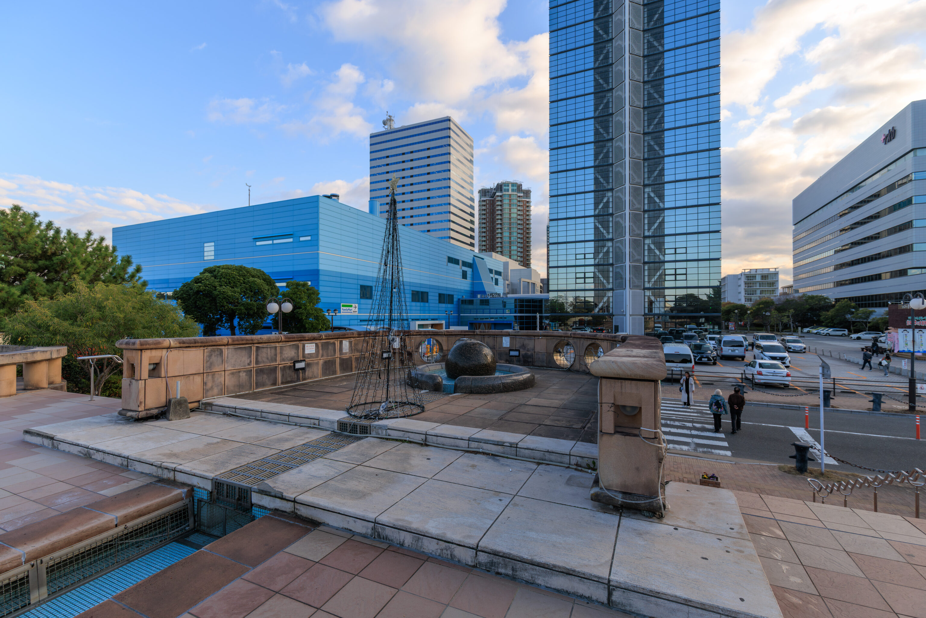
We decided to take the ferry over to Umi no Nakamichi, the peninsula to the north that we saw from the top of the tower. So, we started to walk to the north to get to the ferry’s departure point. This was the view looking back at Fukuoka Tower after crossing a road on the north side of the tower.
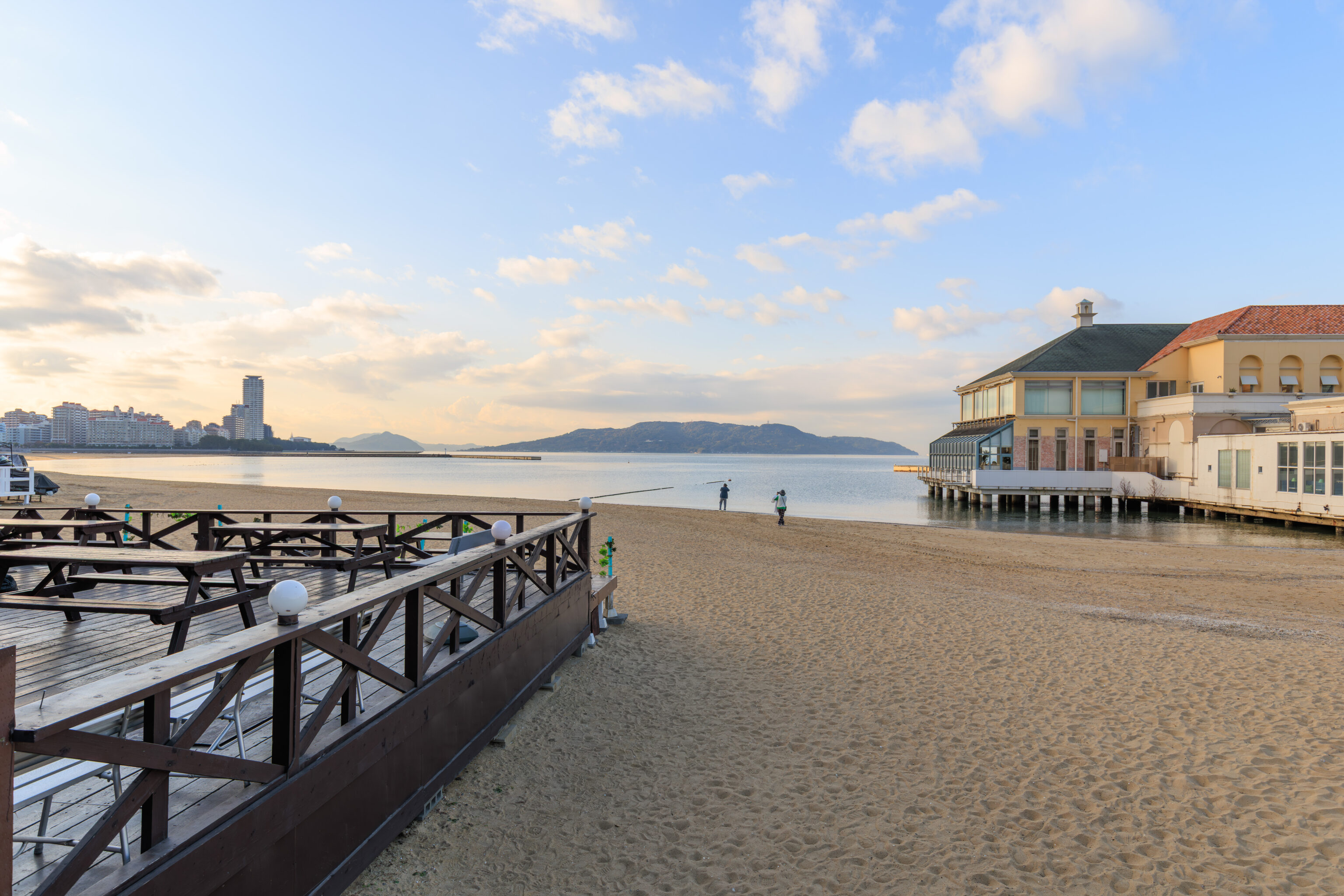
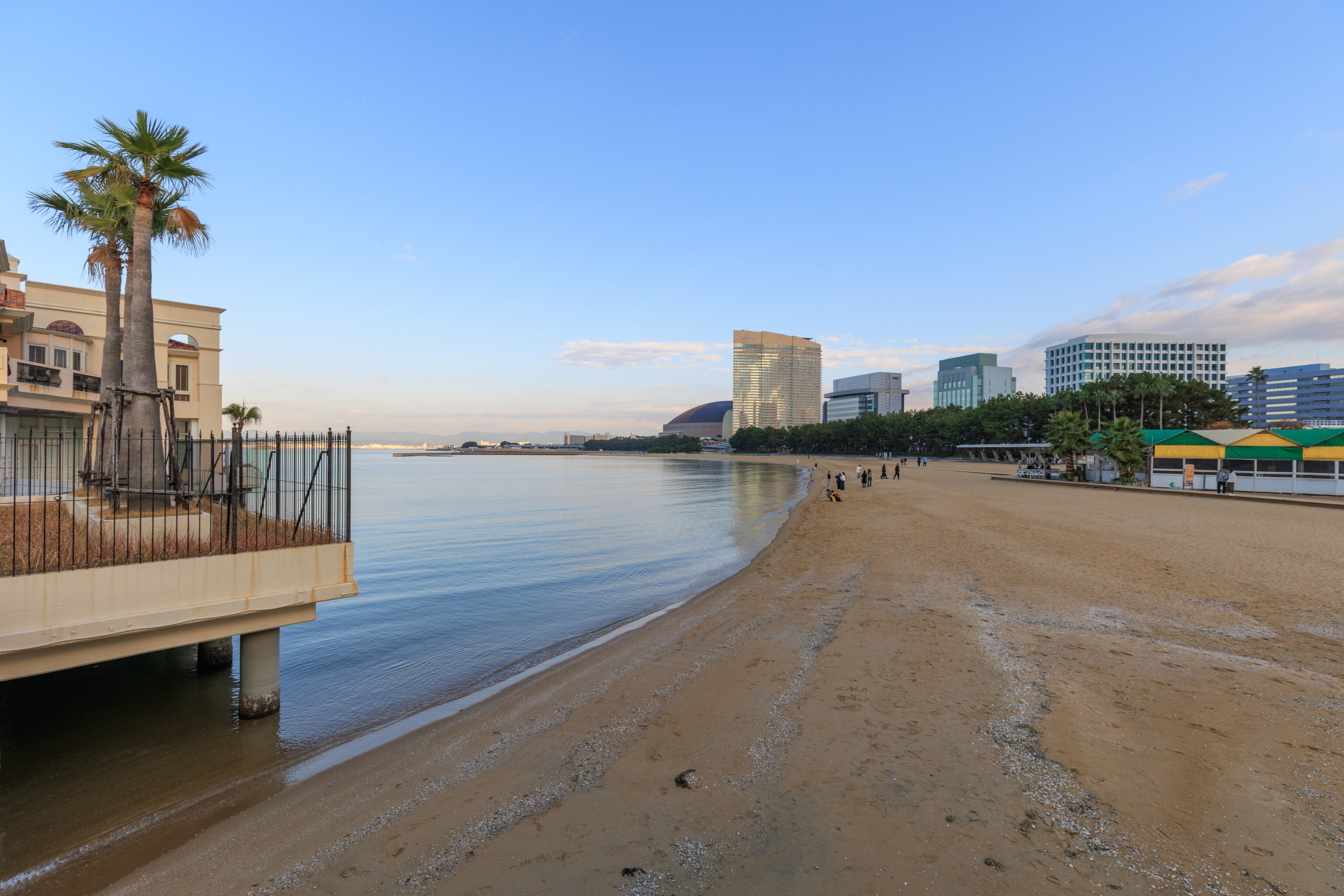
This area here to the north of the tower is the シーサイドももち海浜公園 Momochi Seaside Park. The primary feature of this park seems to be the beach.
The building seen in both photos above that juts out into the water is the オーシャン&リゾート マリゾン Ocean & Resort Marizon. This appears to be a wedding venue. The ferry pier is actually on the far side of this building and can be accessed via a public path.
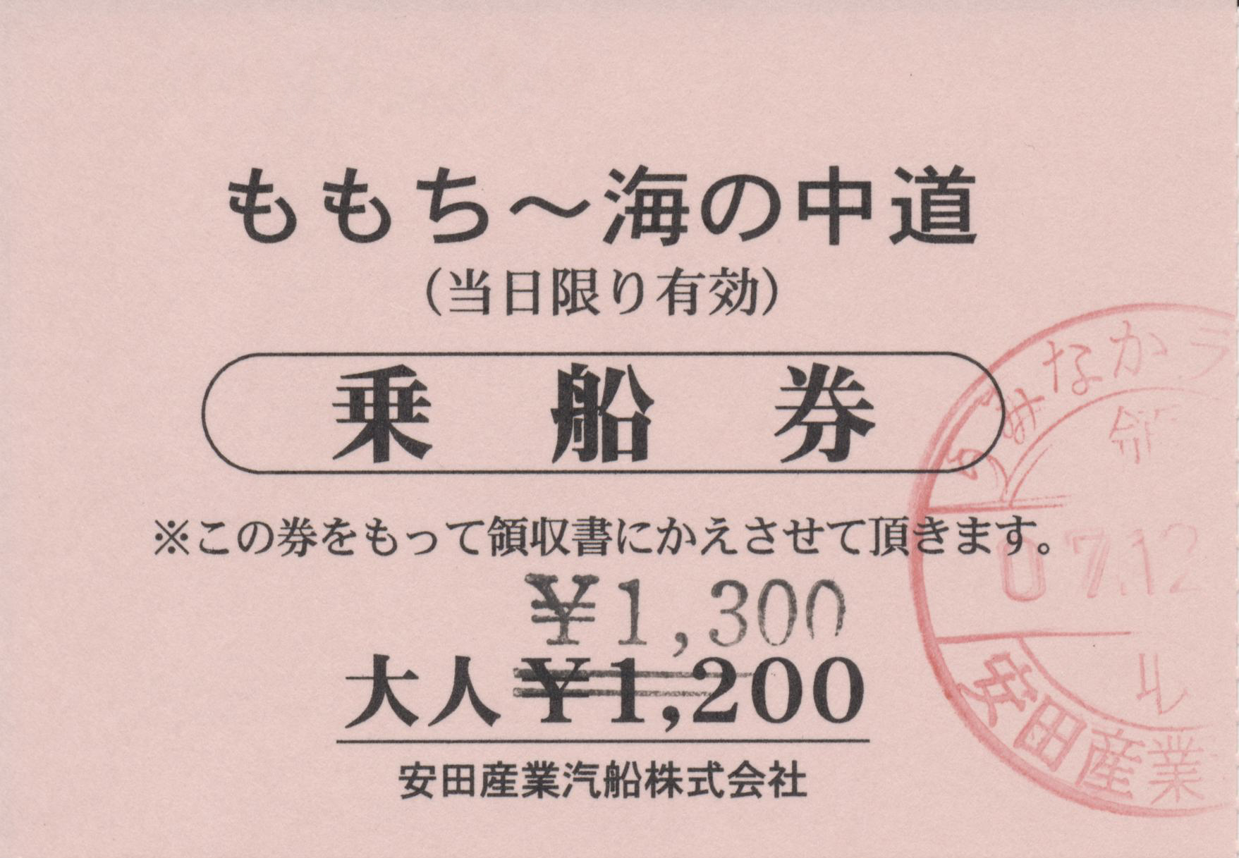
We bought tickets for the ferry from a small ticket office window. It looks like the price has increased from ¥1,200 to ¥1,300! There are only a few departures each day with the next one at 4pm.
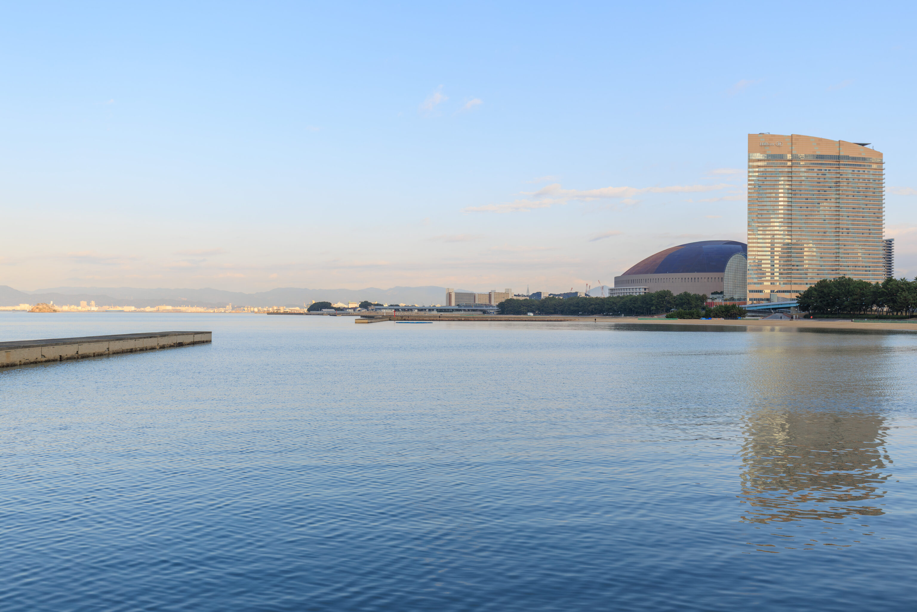
We enjoyed the view while waiting for the ferry. To the east, we could see the PayPay Dome, the stadium where the SoftBank Hawks play, and Hilton Fukuoka Sea Hawk.
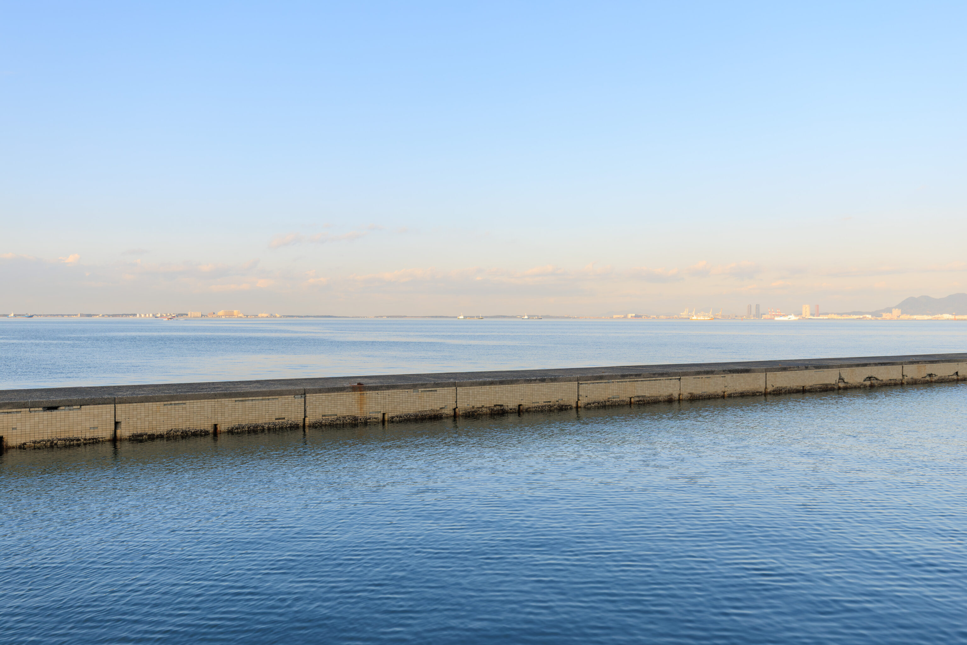
Looking out into the bay, we could see a number of cargo ships in the distance.
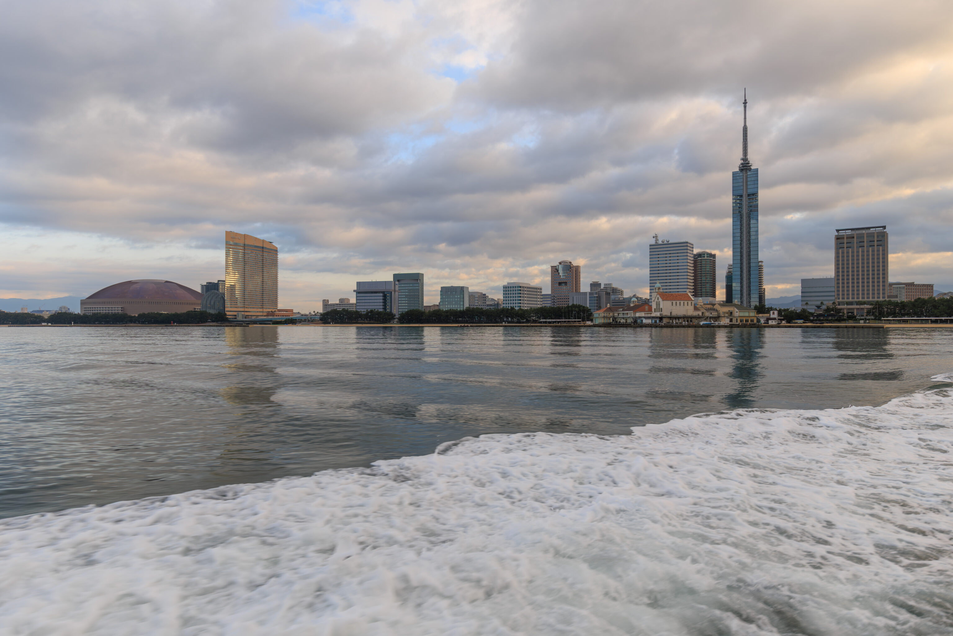
Soon, it was time to board the ferry. It turns out that we were the only passengers! The ferry looked to be an older vessel with a capacity of probably 100 or so passengers. Interestingly, there was only one crew member aboard, the captain. We’ve never been on a vessel this size where there was only one crew.
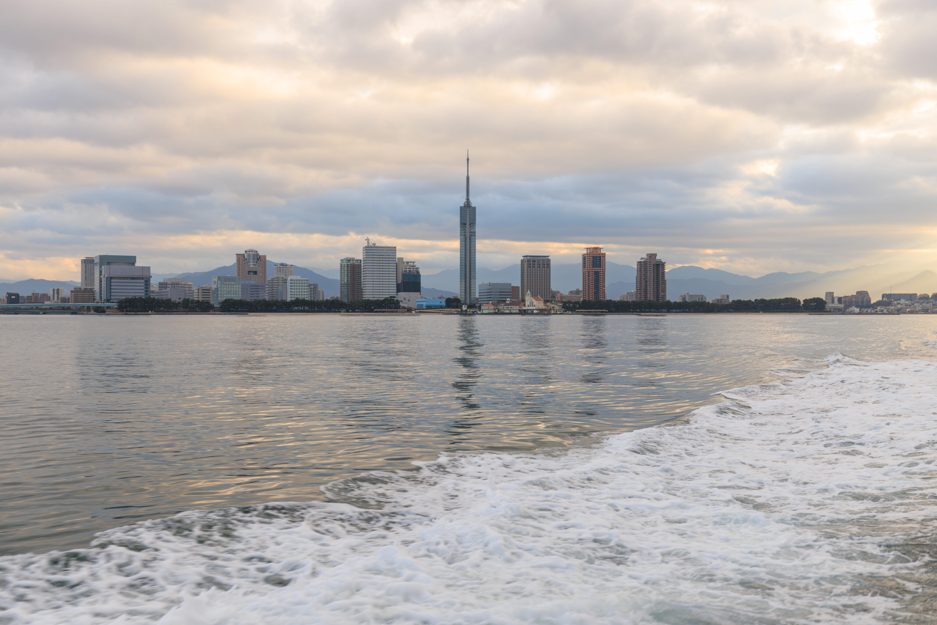
The ferry had a open but covered rear deck where we sat for the trip. It was loud and smelled strongly of the boat’s diesel engines. Looking to the south, we could see the Fukuoka Tower getting smaller and smaller.
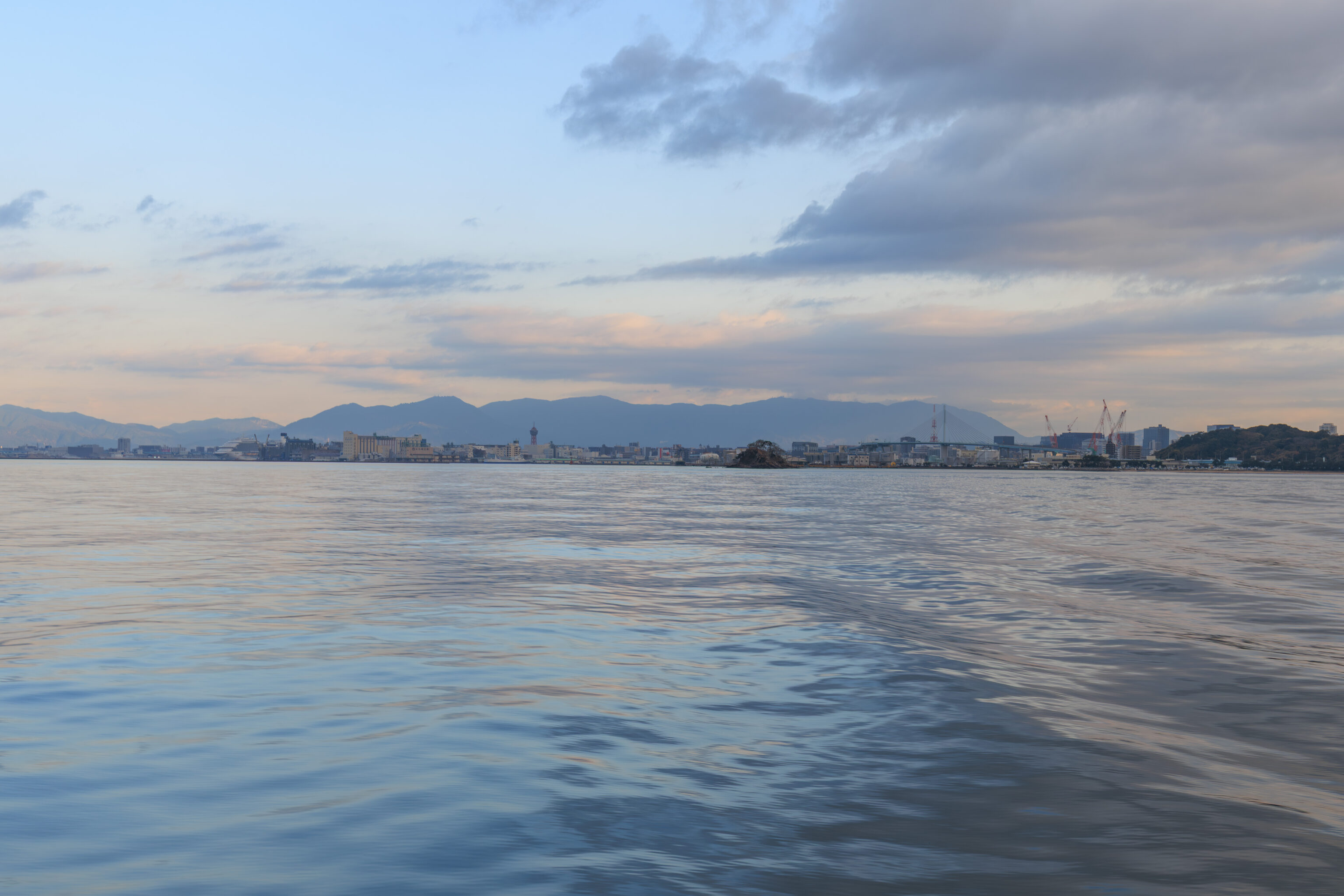
Looking to the southeast, the tower left of center is the 博多ポートタワー Hakata Port Tower, a smaller structure compared to the Fukuoka Tower.
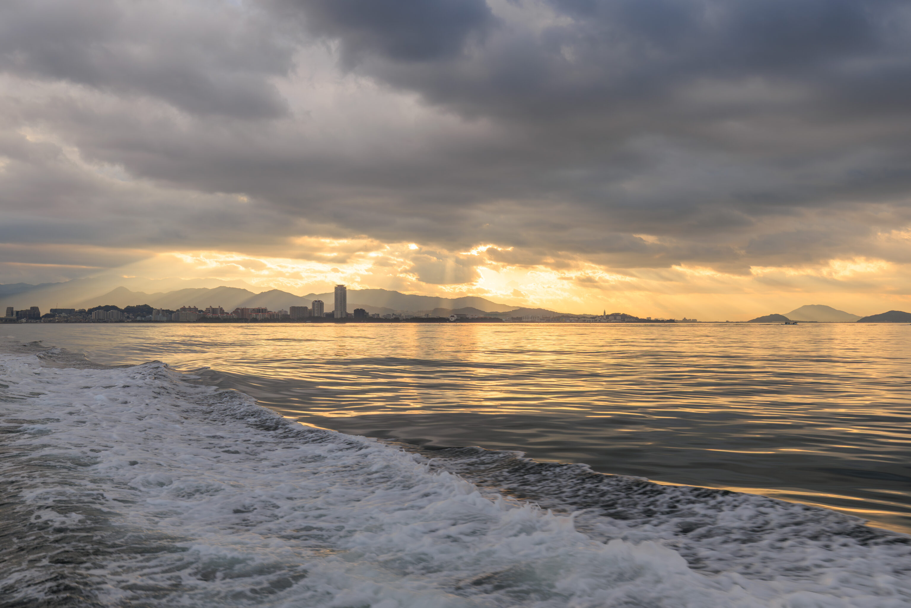
Looking to the west, we could see where the Sun was behind the clouds.
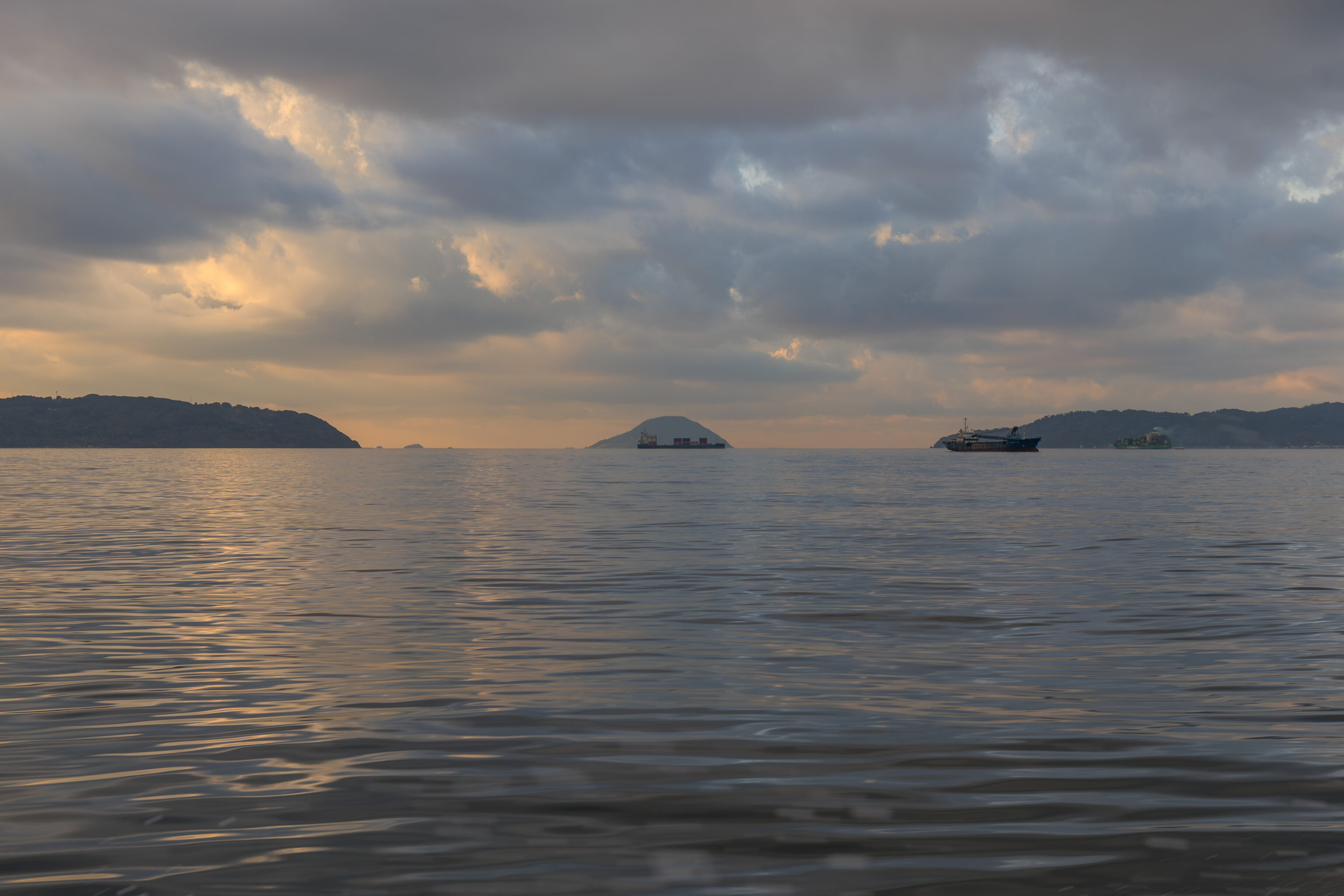
Looking to the northwest, we could see an island that lies where the bay opens out into the sea beyond.
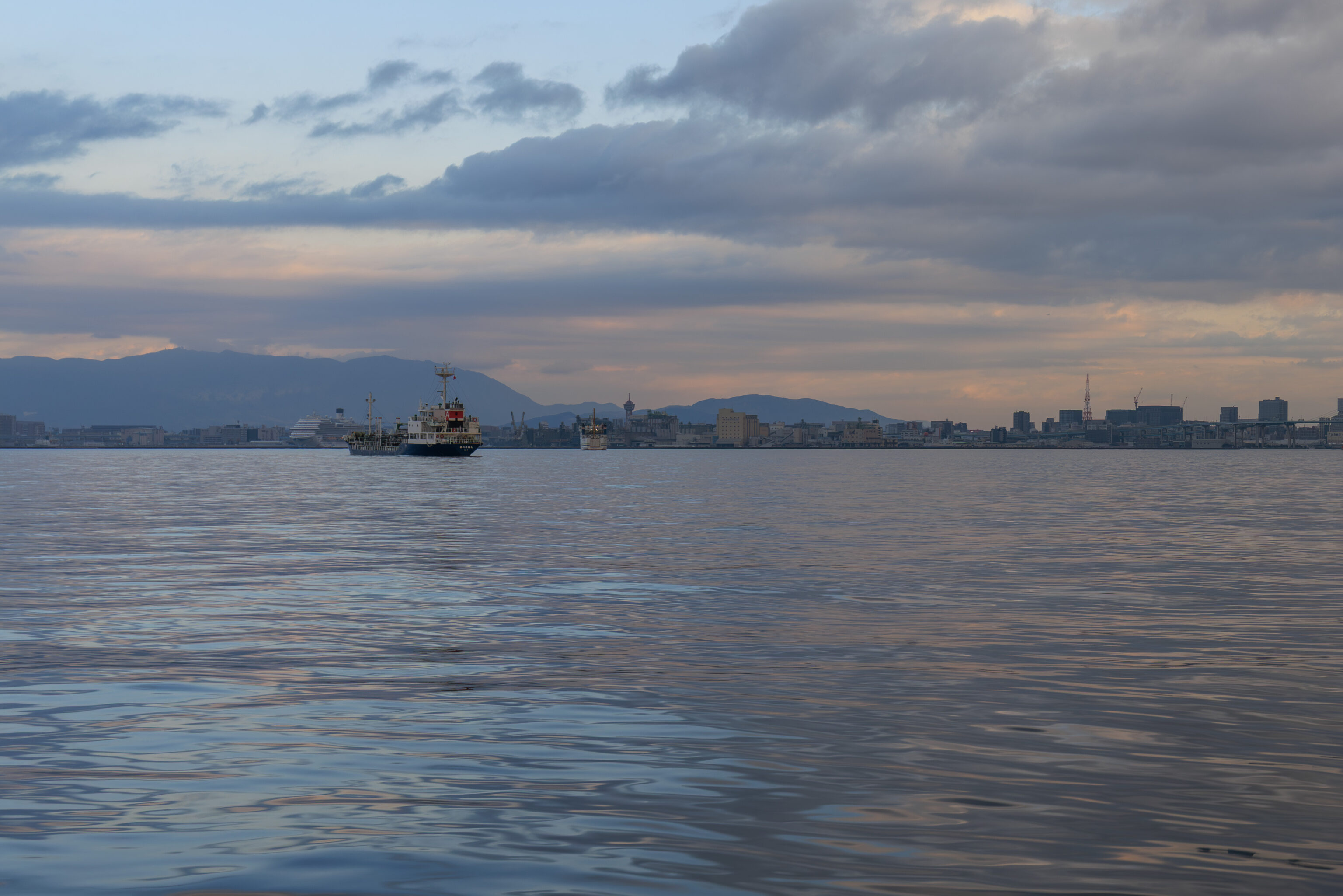
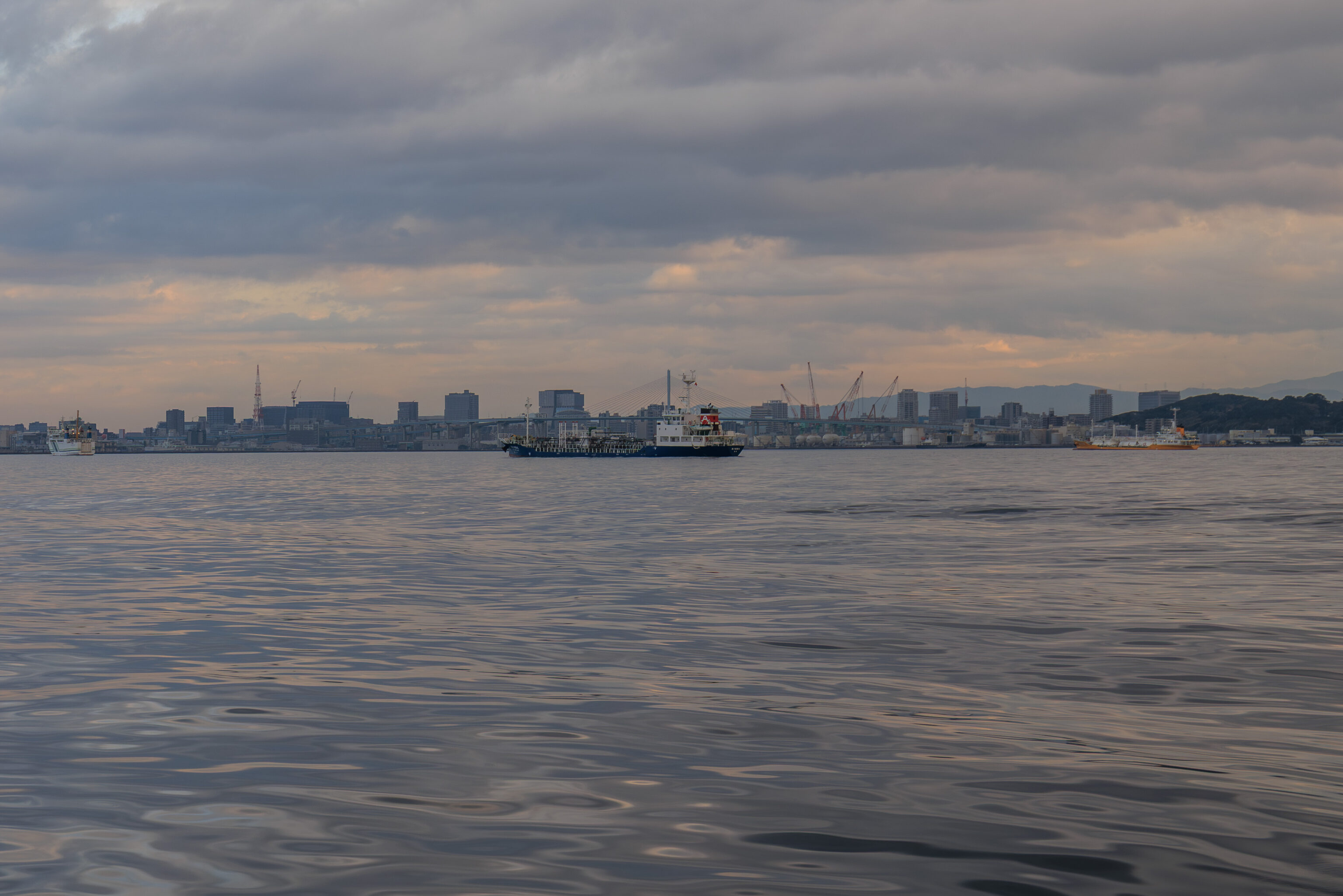
We passed by a few ships to the southeast.
Umi no Nakamichi
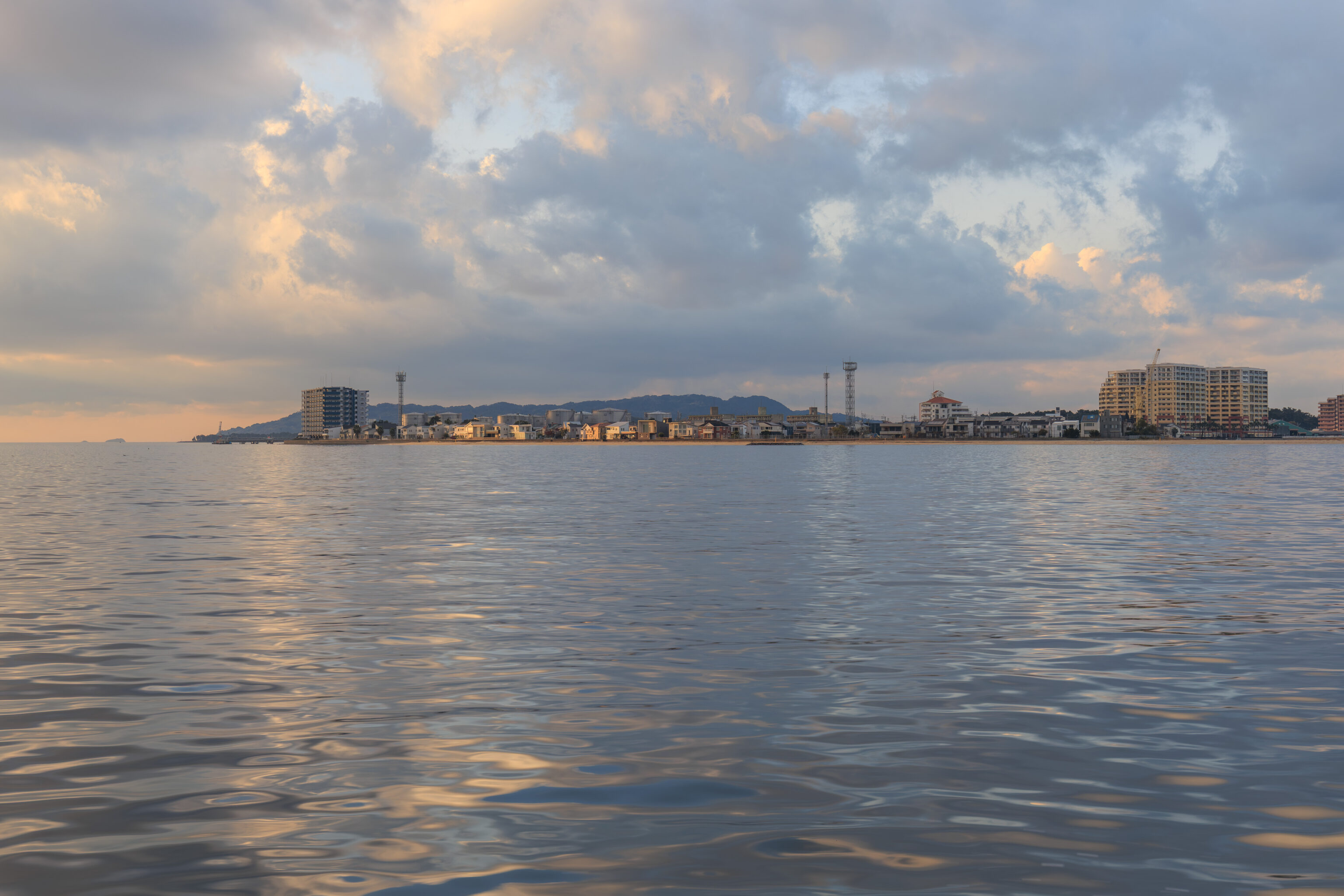
Looking to the north, we could see the 海の中道 Umi no Nakamichi. The literal translation to English is Middle Road of the Sea. It is a mostly narrow peninsula that has Hakata Bay on one side and the sea on the other so the name makes sense.
Typically, this name seems to be written in English without spaces as Uminonakamichi. However, that is confusing like German!
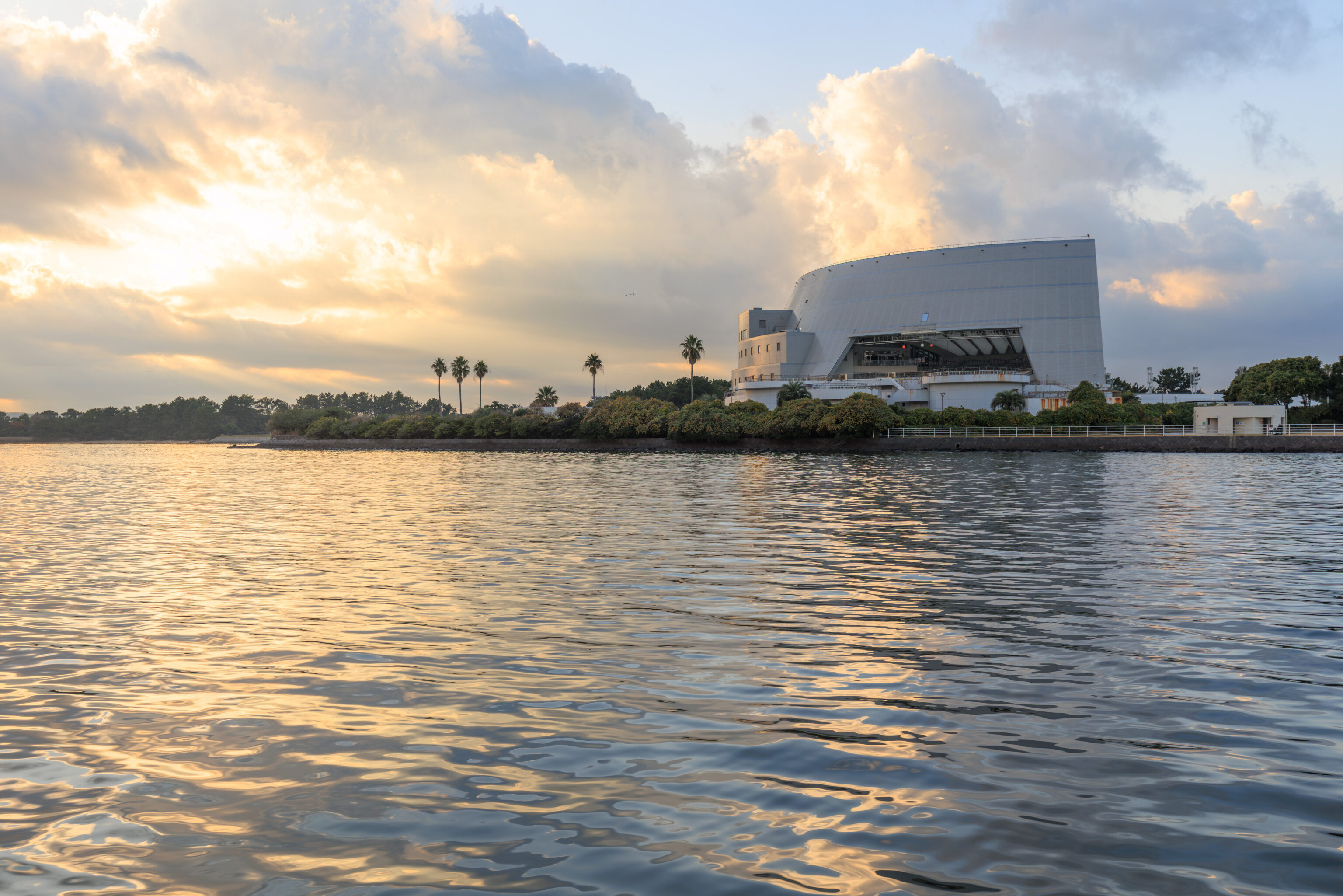
The Umi no Nakamichi ferry pier is just to the east of Marine World, an aquarium housed in the building seen here on the right.
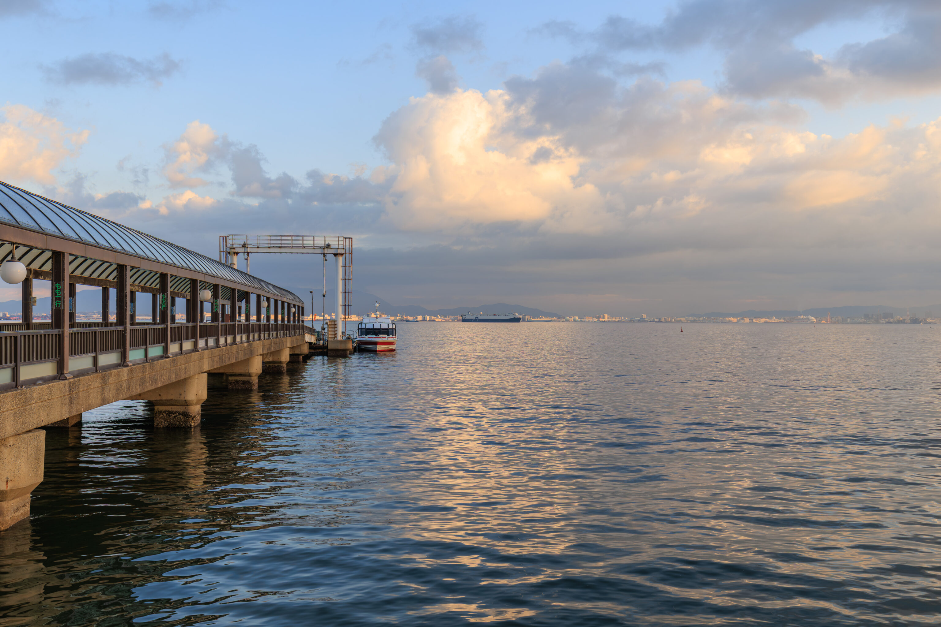
We arrived after a trip of about 25 minutes. The vessel that we took, the Marine Liner 2, is seen here on the right.
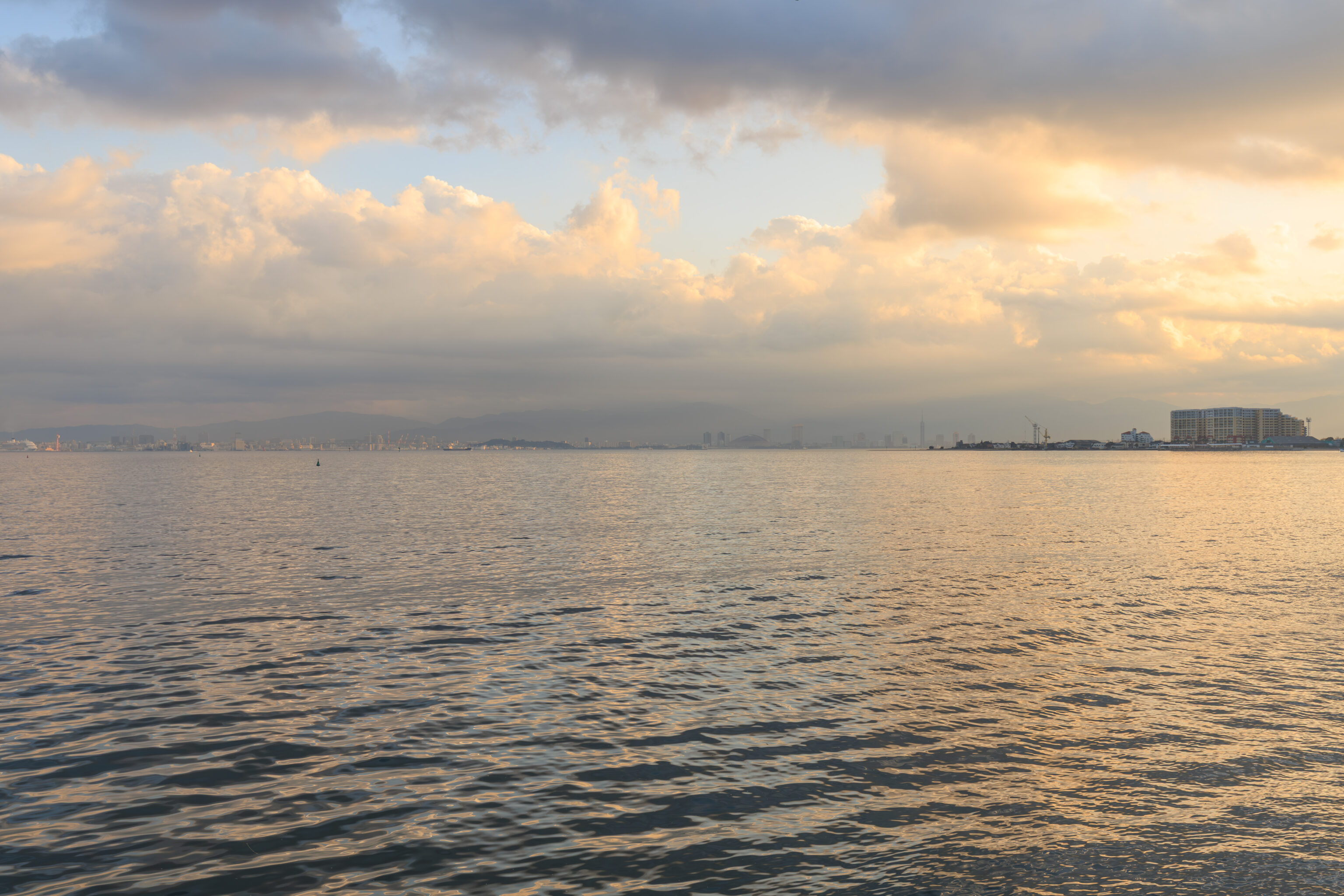
The view looking back across the bay. The Fukuoka Tower is on the center of the right half of the photograph. The buildings on the right are on a wider triangular section of the Umi no Nakamichi. It is the southern tip of the triangle while we are on the eastern tip and the peninsula continues beyond the western tip.
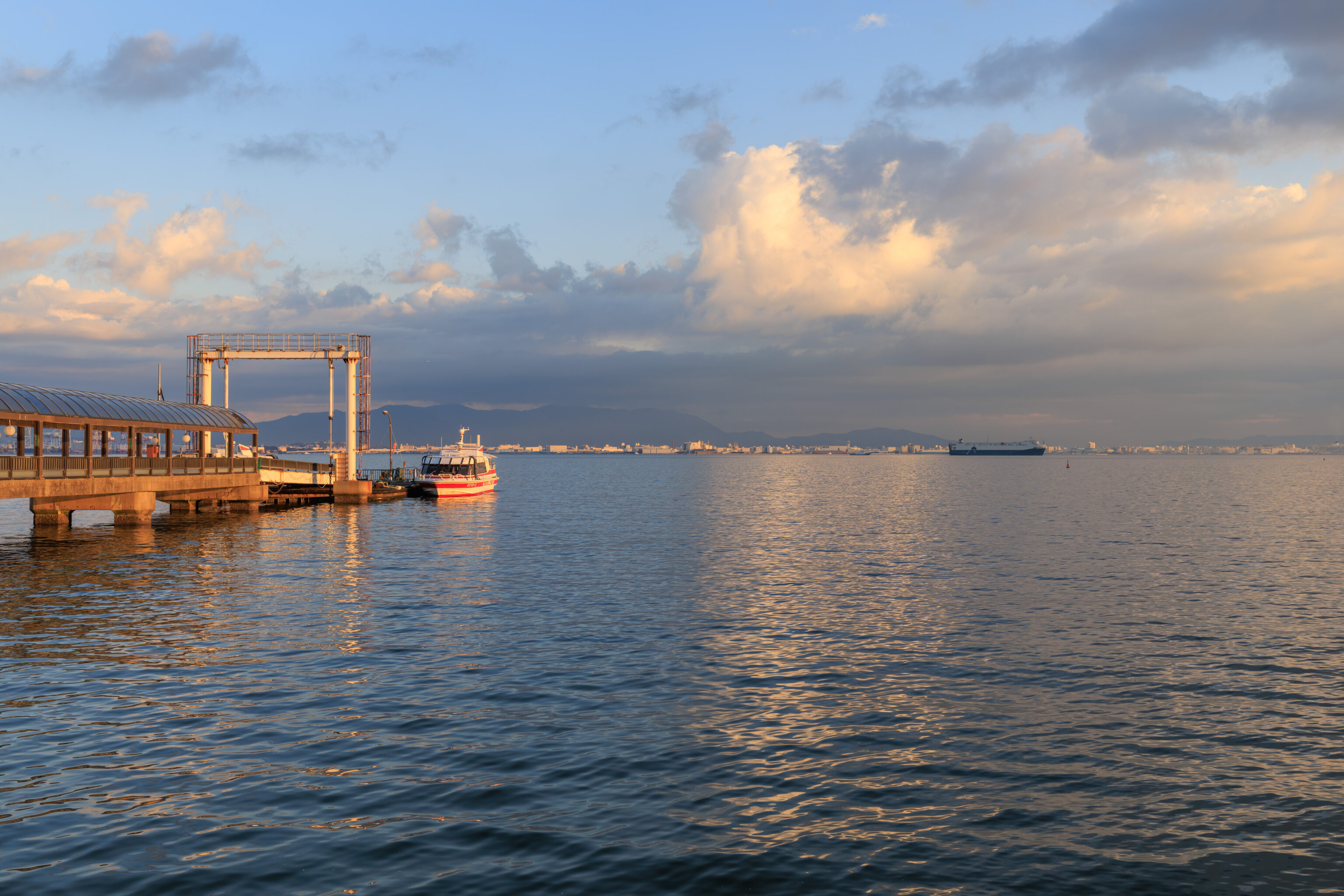
A view including the ferry that we took during a moment where the Sun shined through a gap in the clouds.
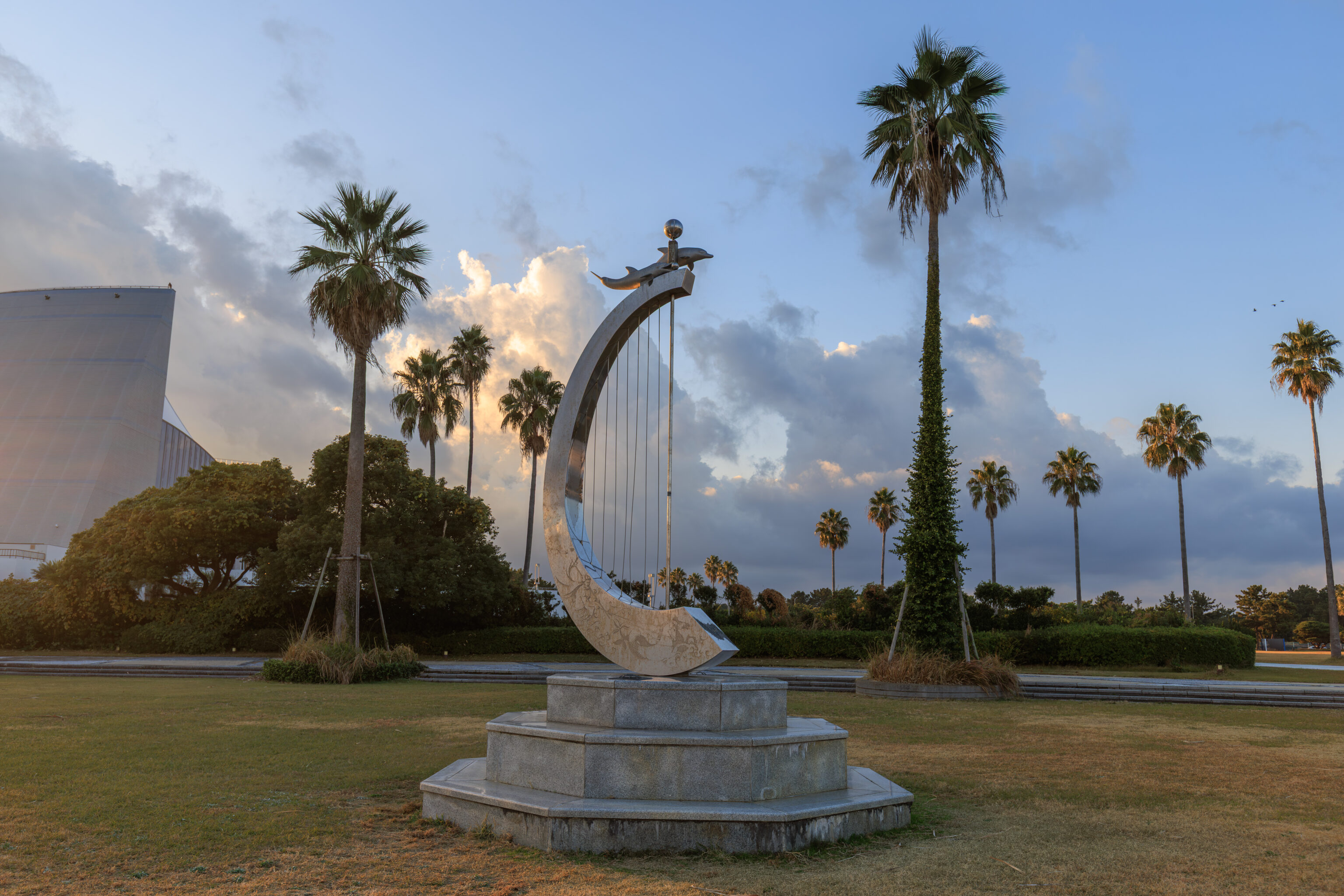
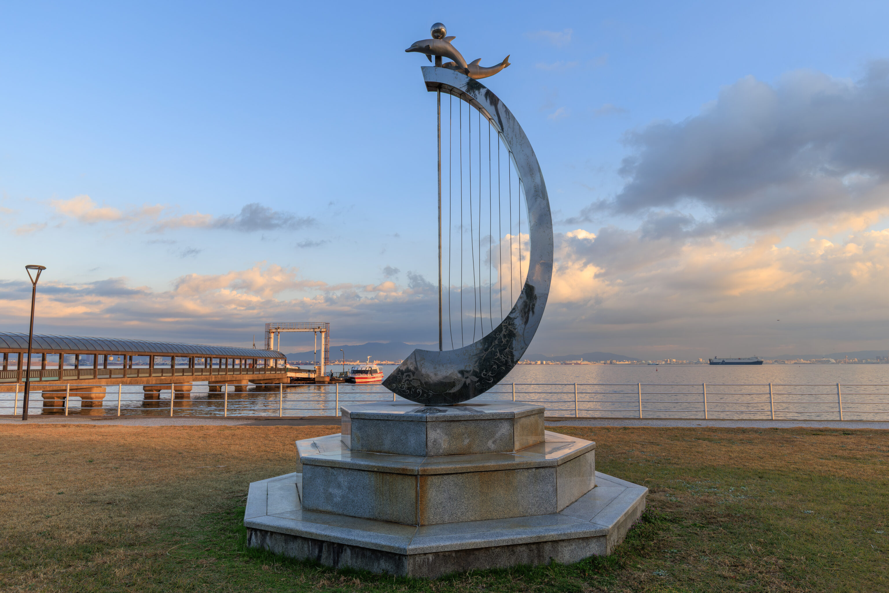
We passed by a harp-like sculpture with dolphin on top.
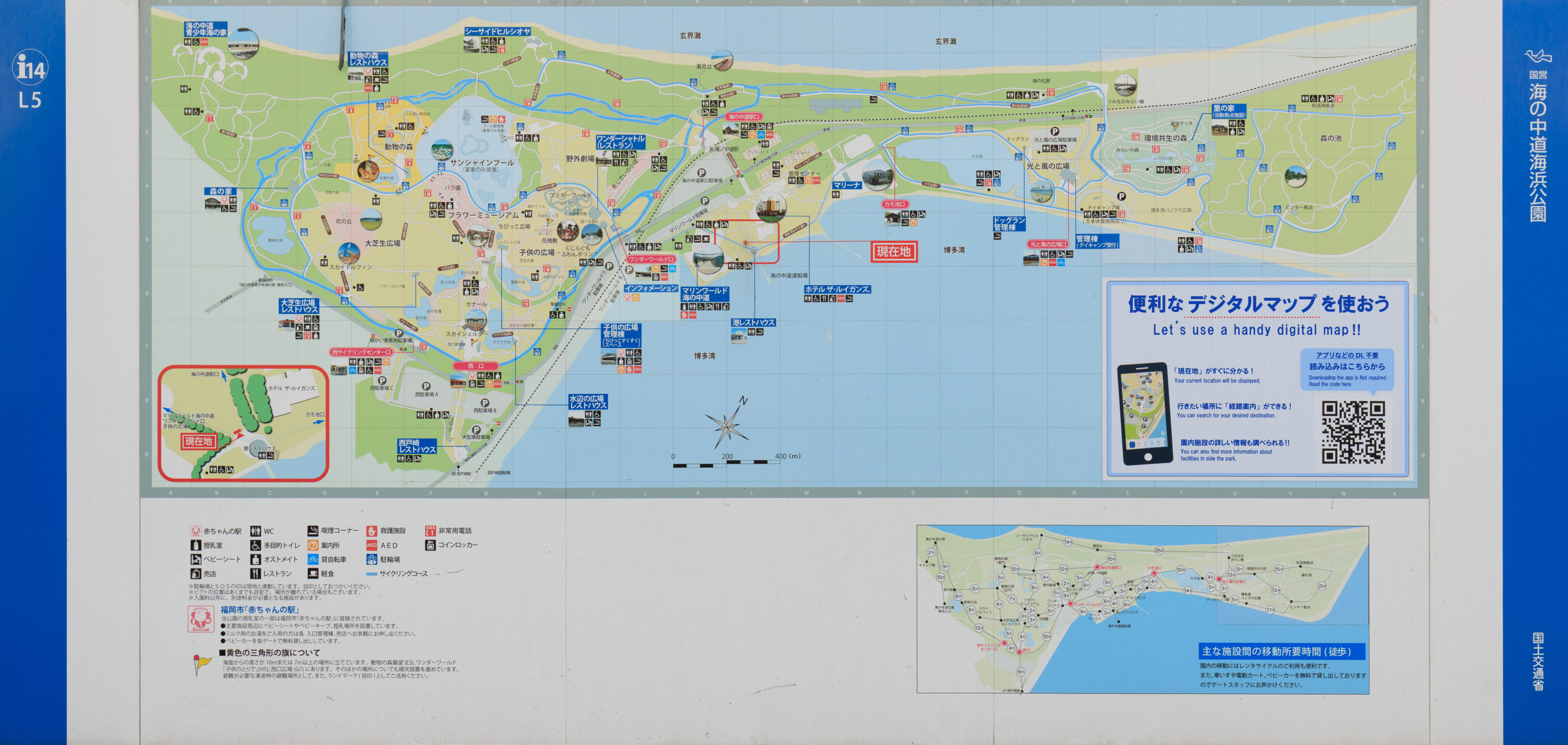
We came across a sign showing the area. We plan to continue walking to the north past the Umi no Nakamichi train station to get a view of the sea, which is apparently referred to as the 玄界灘 Genkai Sea.
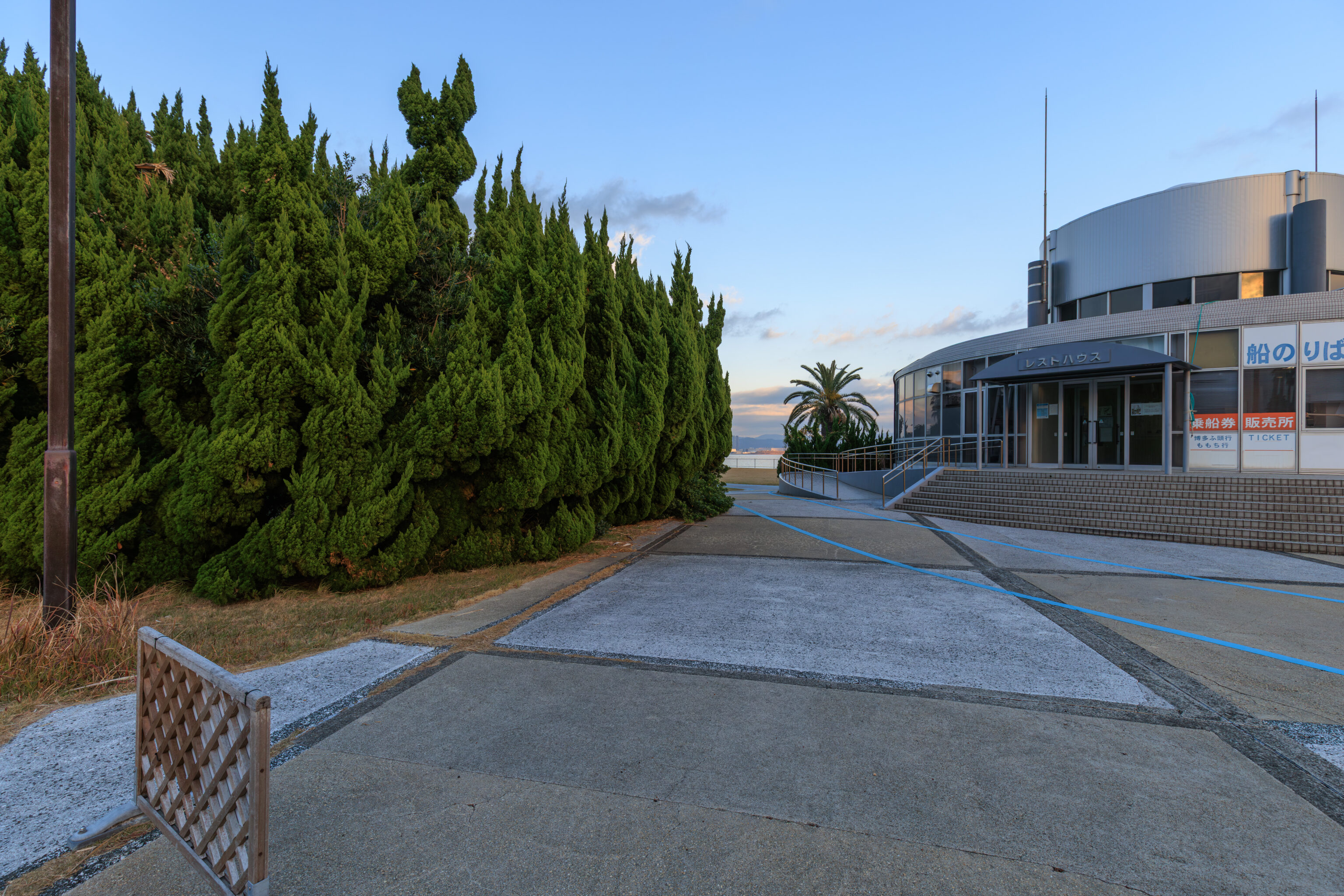
The building here on the right is the 港レストハウス Port Rest House, probably something like a small ferry terminal or waiting room.
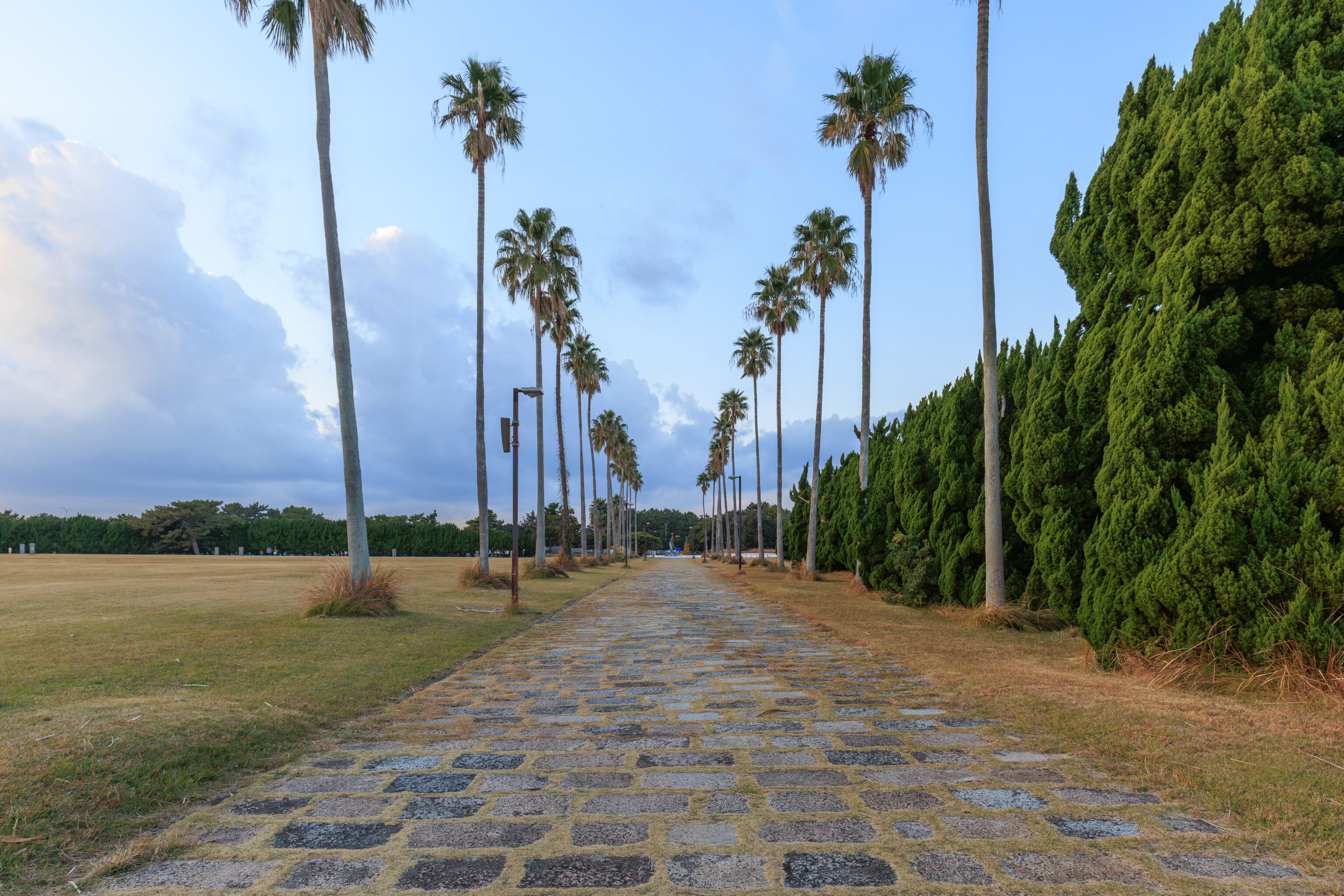
We started to walk to the north.
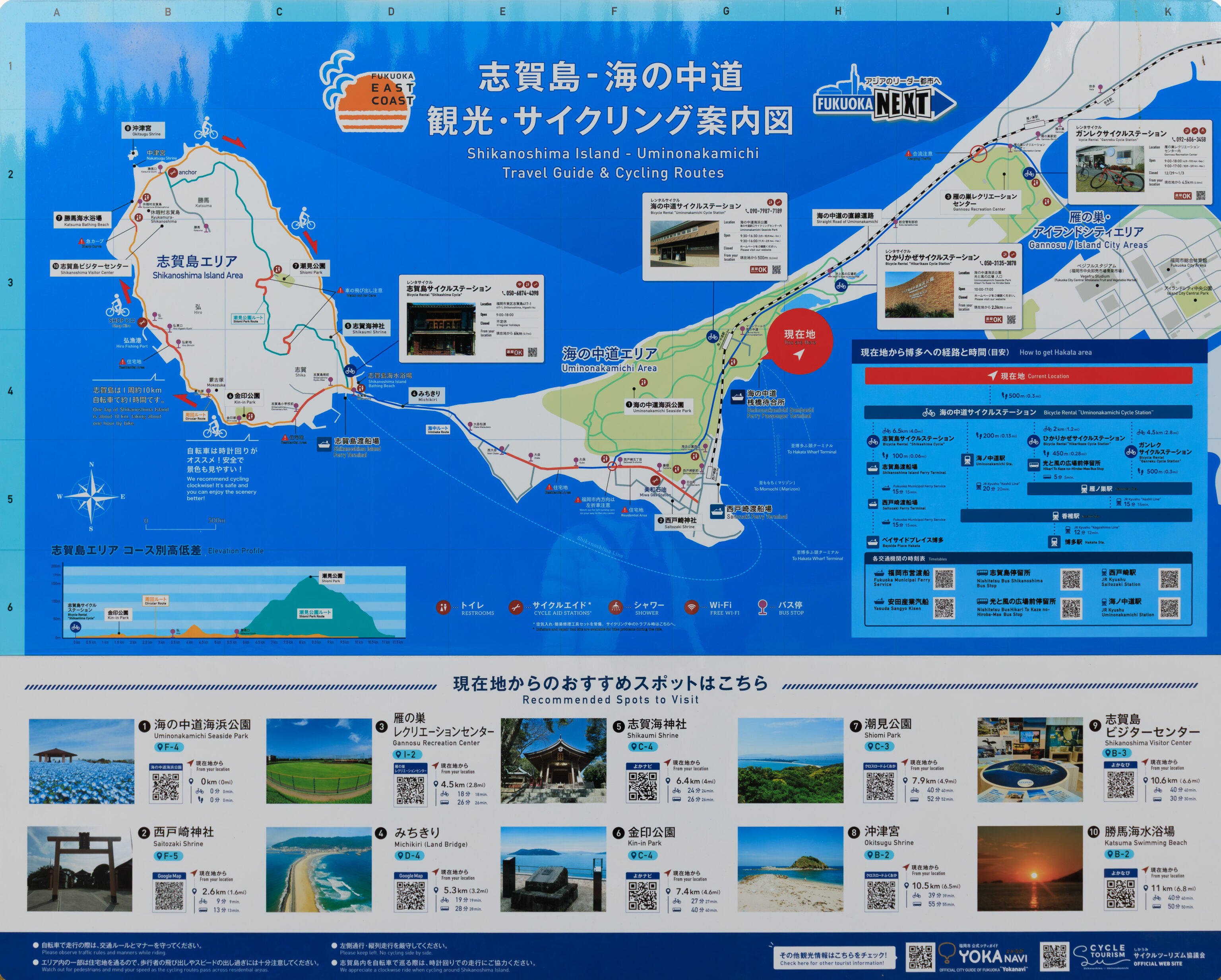
We walked by another map, this one showing the entire Umi no Nakamichi.
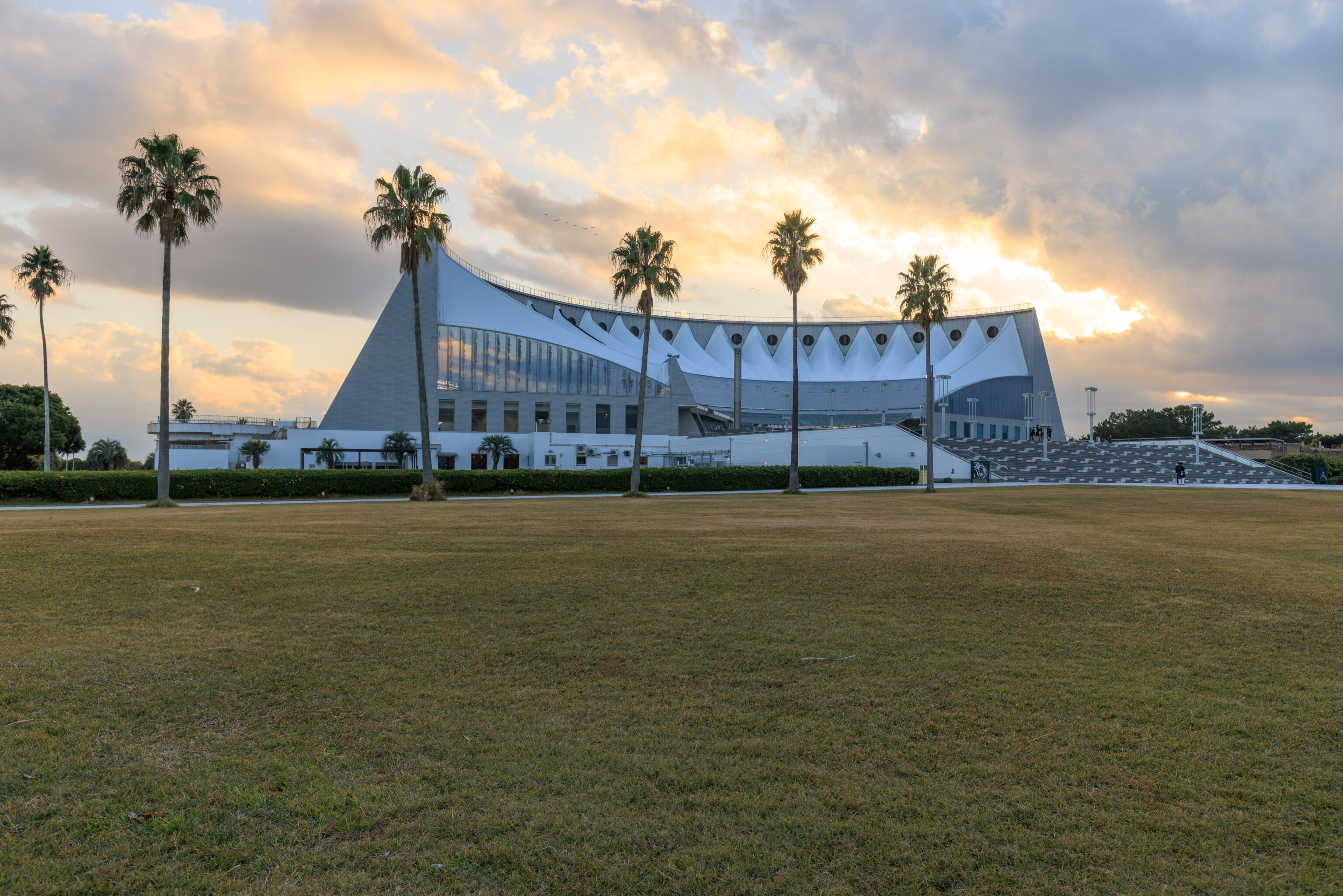
The aquarium, as viewed from the northeast.
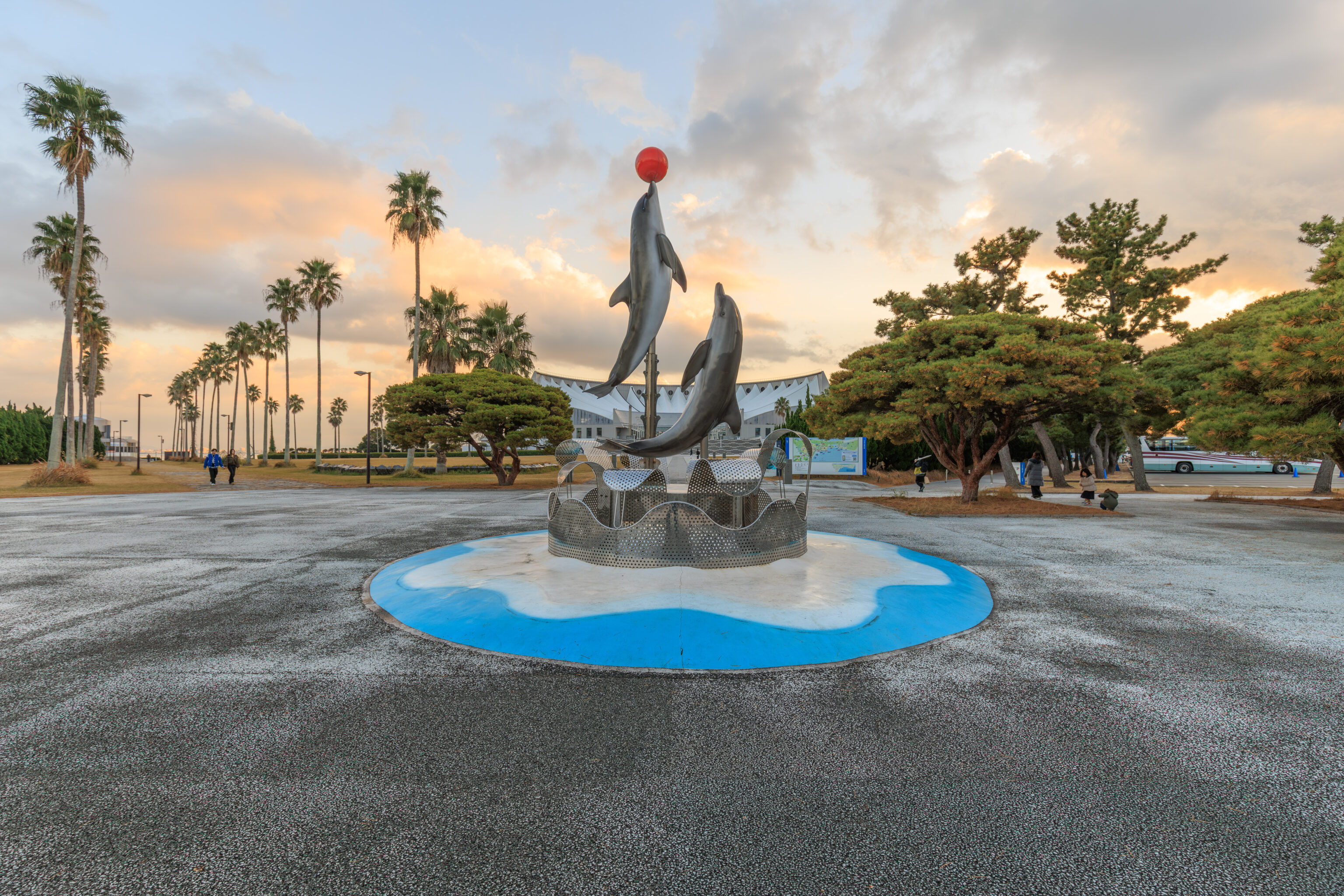
There was a small plaza exactly to the north of the aquarium with a dolphin sculpture.
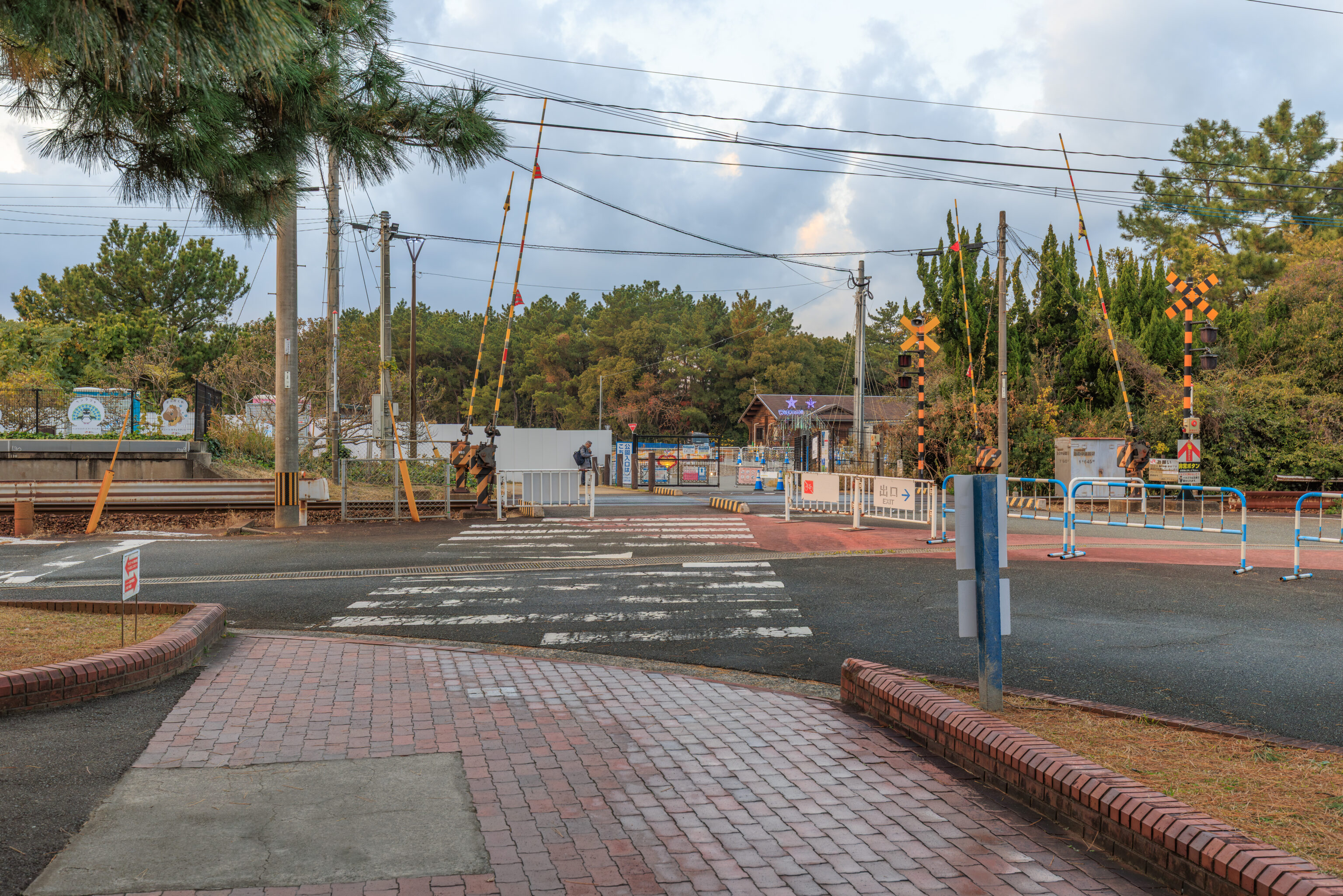
We continued to the north, crossing over the JR train tracks.
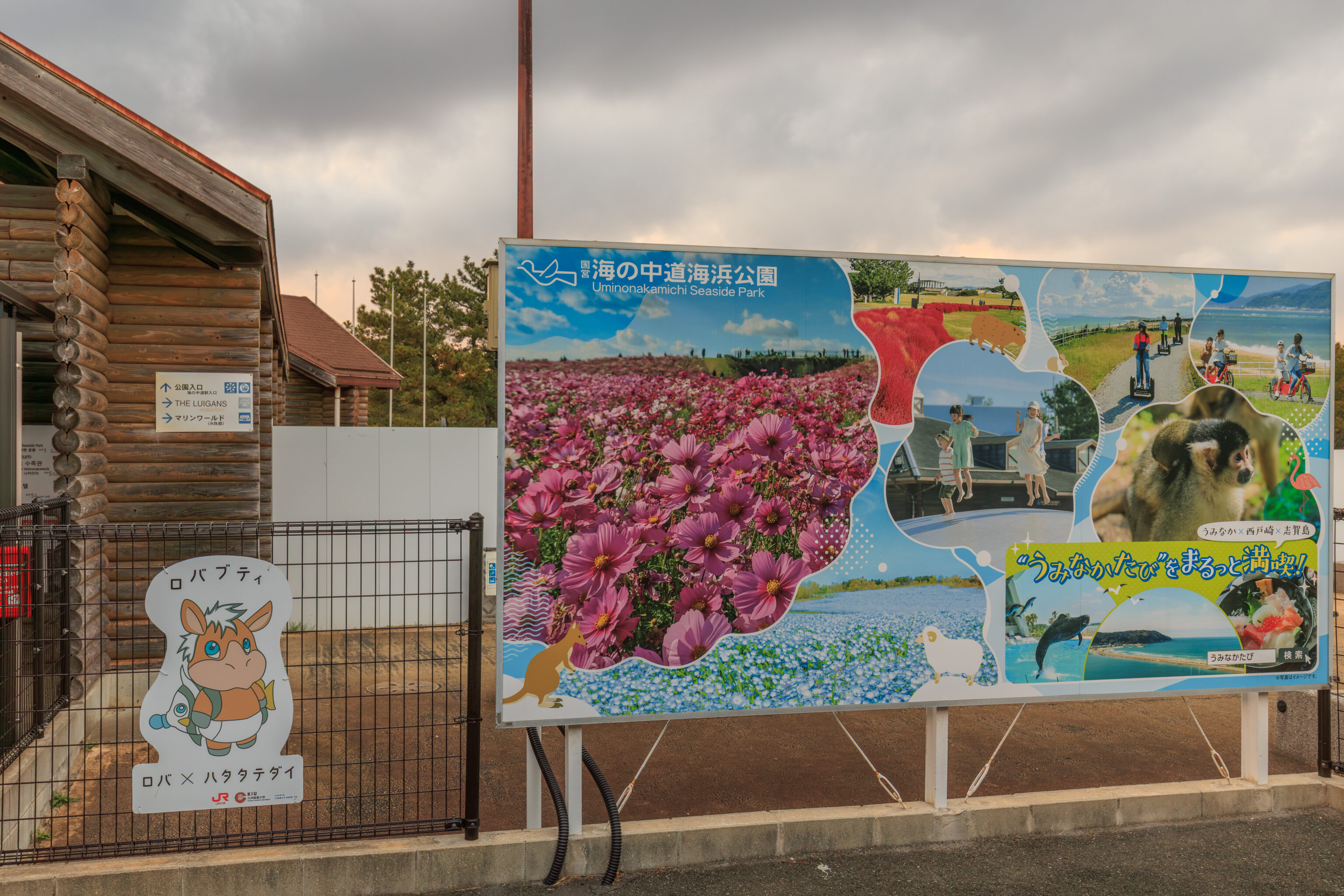
So… This is as far as we got. It turns out that the entire area to the north of here is actually part of the 海の中道海浜公園 Uminonakamichi Seaside Park. We thought the park included just the large garden area to the west, however, that was incorrect! And the park closes at 5pm daily so we will not be visiting at all as it is now 4:40pm!
There is actually a Christmas illumination event, うみなかキャンドルナイト Uminaka Candle Night, that takes place here. However, it is only open for a few days and not today.
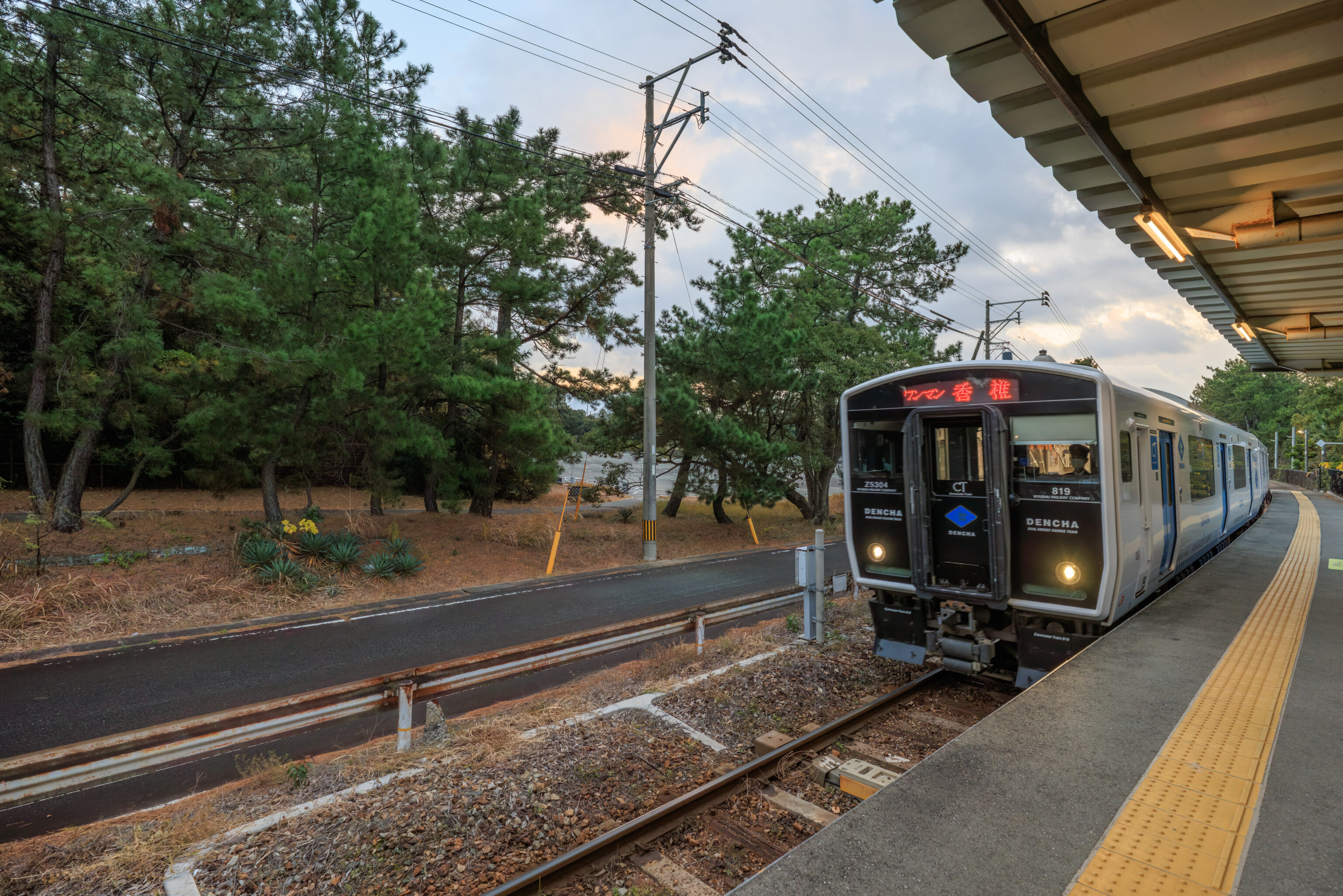
So, we decided to just take the train back to Fukuoka.
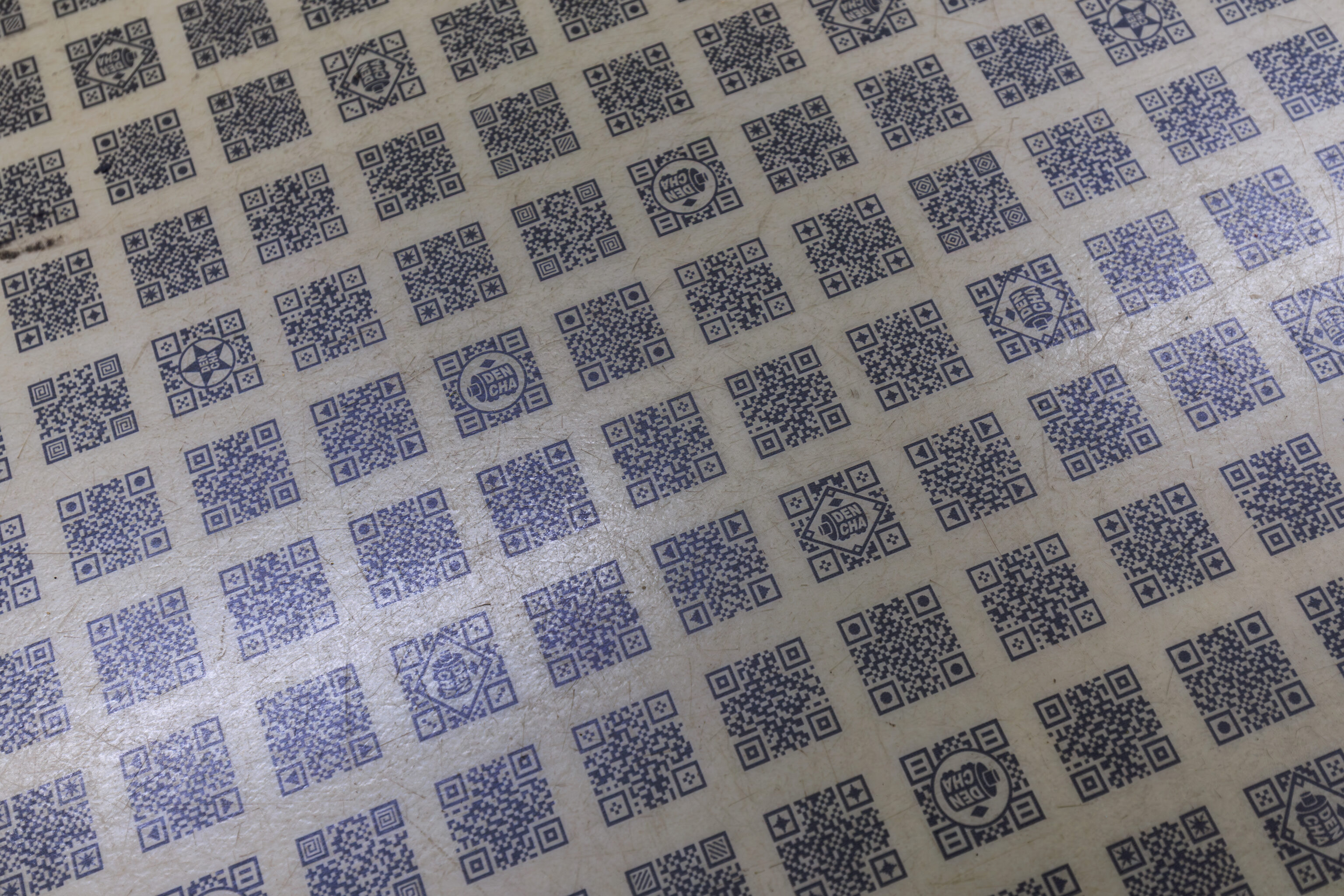
This train seemed to have QR codes on the floor! None of them actually scan as QR codes though, or they may be in some non-standard format.
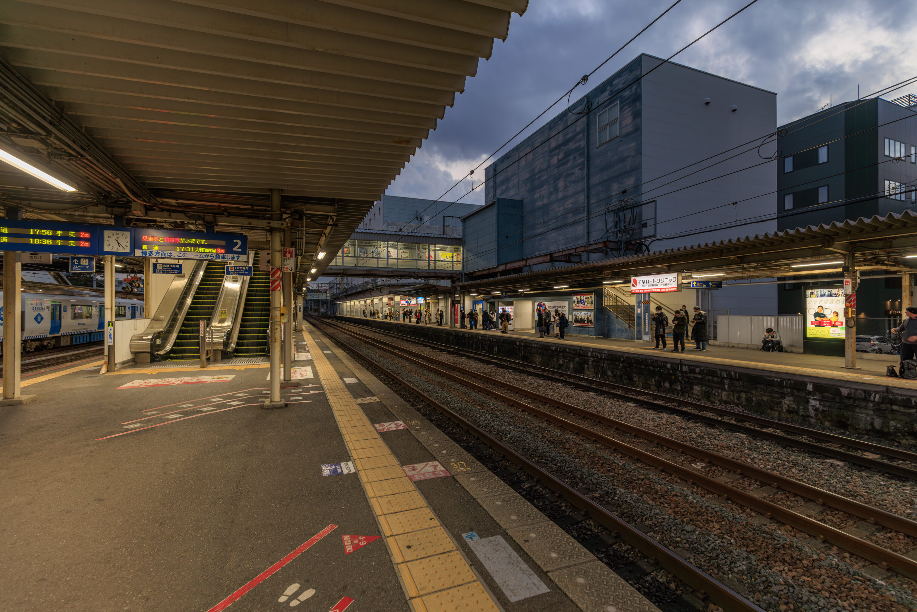
We had to transfer at 香椎駅 Kashii Station as the Kashii Line which serves Umi no Nakamichi ends here.
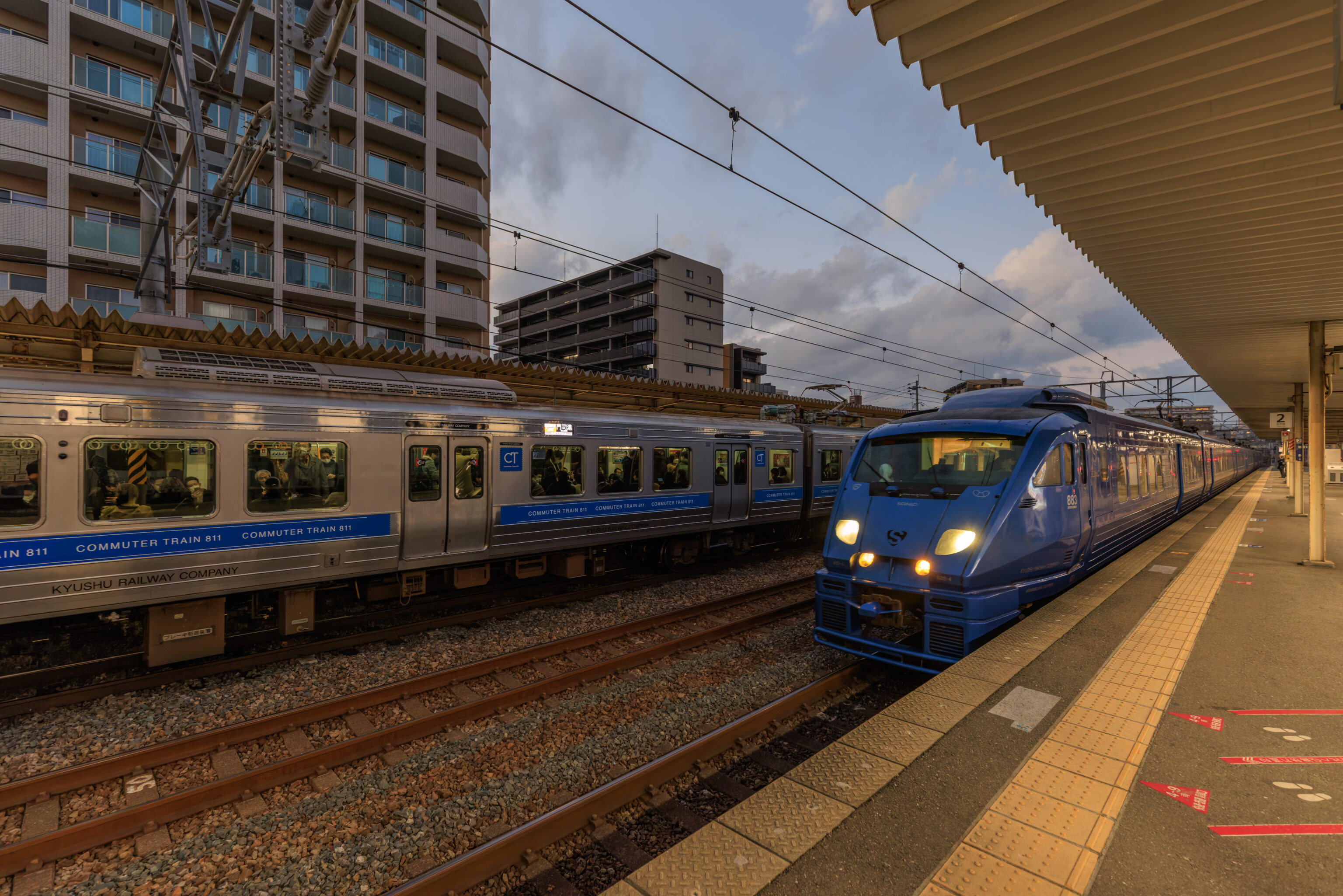
We caught the next train, which happened to be the Sonic, back to Hakata Station, a quick trip that takes less than 10 minutes. The Sonic is a limited express train which requires a limited lxpress ticket. This is basically an additional fee above the normal basic fare. Luckily, limited express trains are included in our JR Kyushu rail pass so there was no need to buy any additional ticket.
Hakata
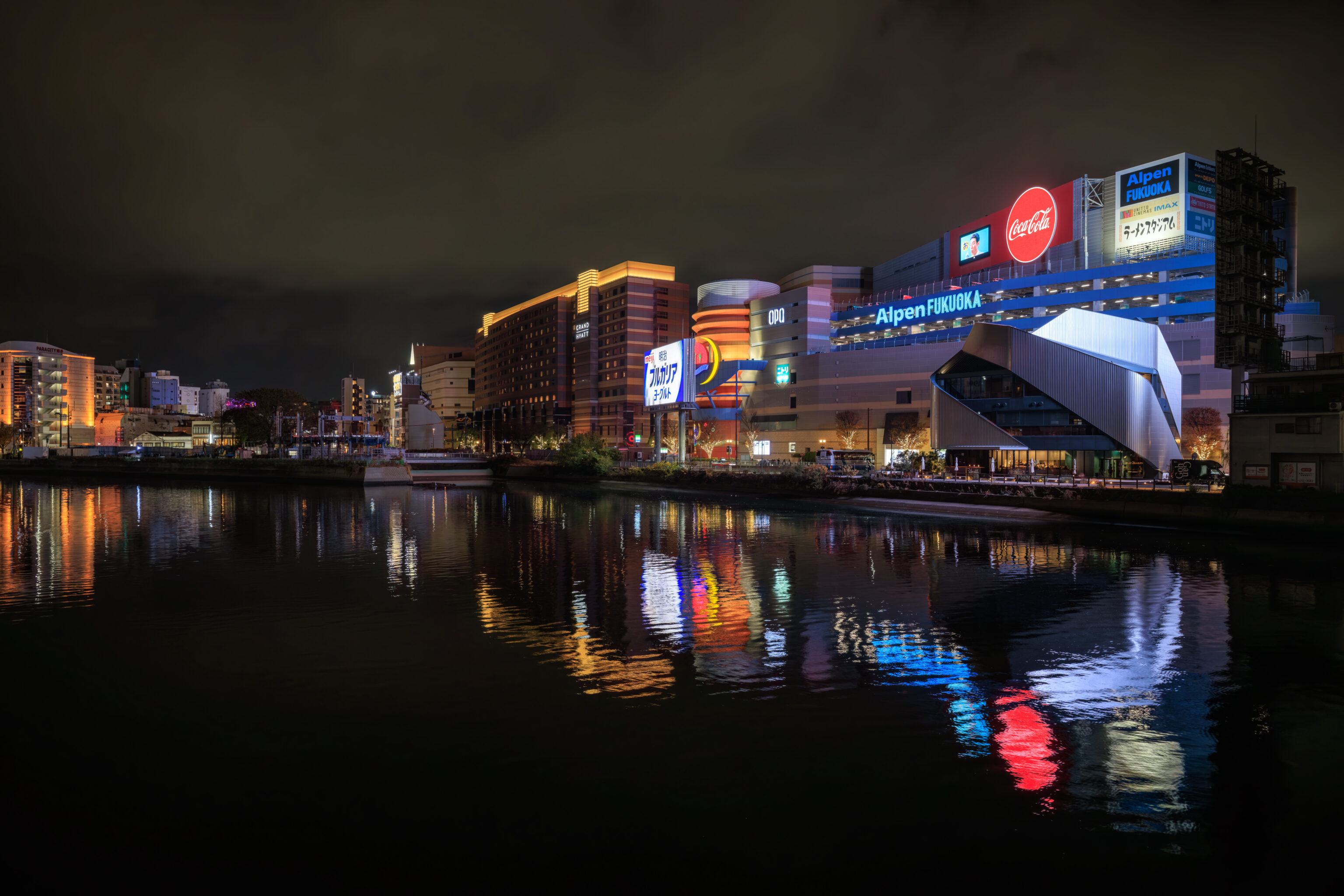
After returning to Hakata, we had to decide where to eat. We ended up crossing a bridge to the south of Canal City and the Grand Hyatt which allowed us to get this view of the complex at night.
We ended up having dinner at Mizutaki Hamadaya, a restaurant just to the east of Canal City. As the name suggests, they specialize in the local mizutaki dish. This is basically a chicken based hot pot, or shabu shabu as it is known in Japan. There are multiple phases to the meal:
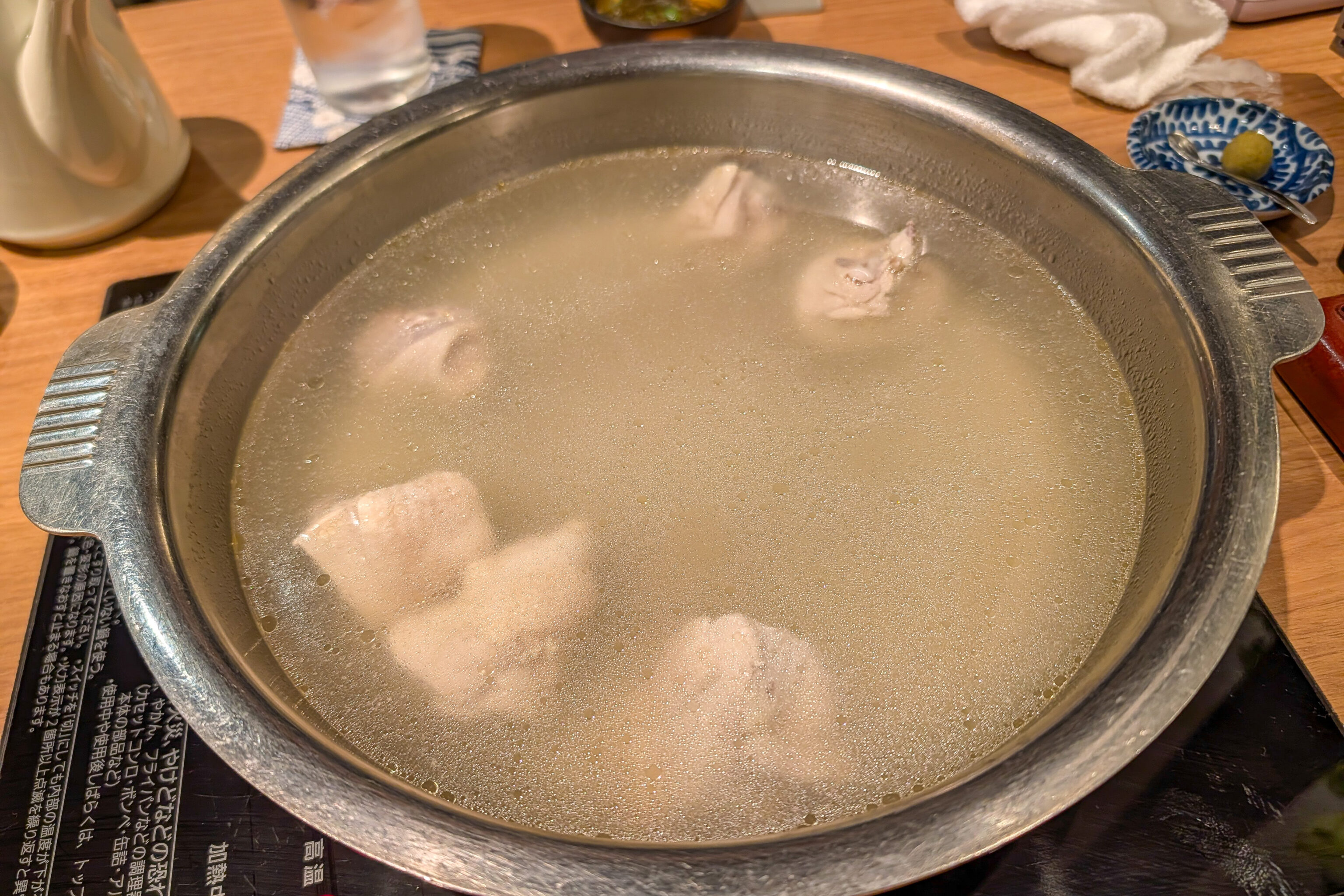
First, once the water starts to simmer, the chicken in the pot can be eaten and a bit of soup can be drunk.
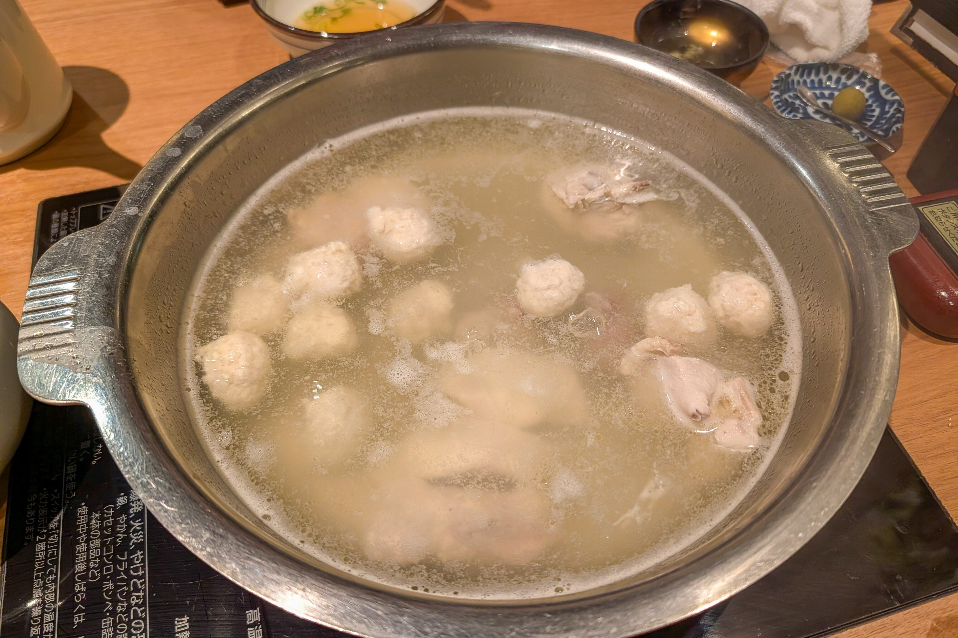
Next, chicken meatballs and some additional chicken pieces are cooked in the pot. The chicken pieces seemed to be breast, thigh, and liver.
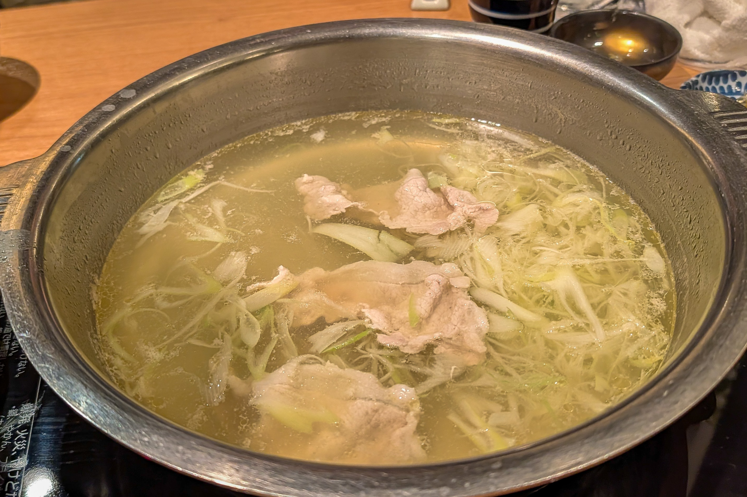
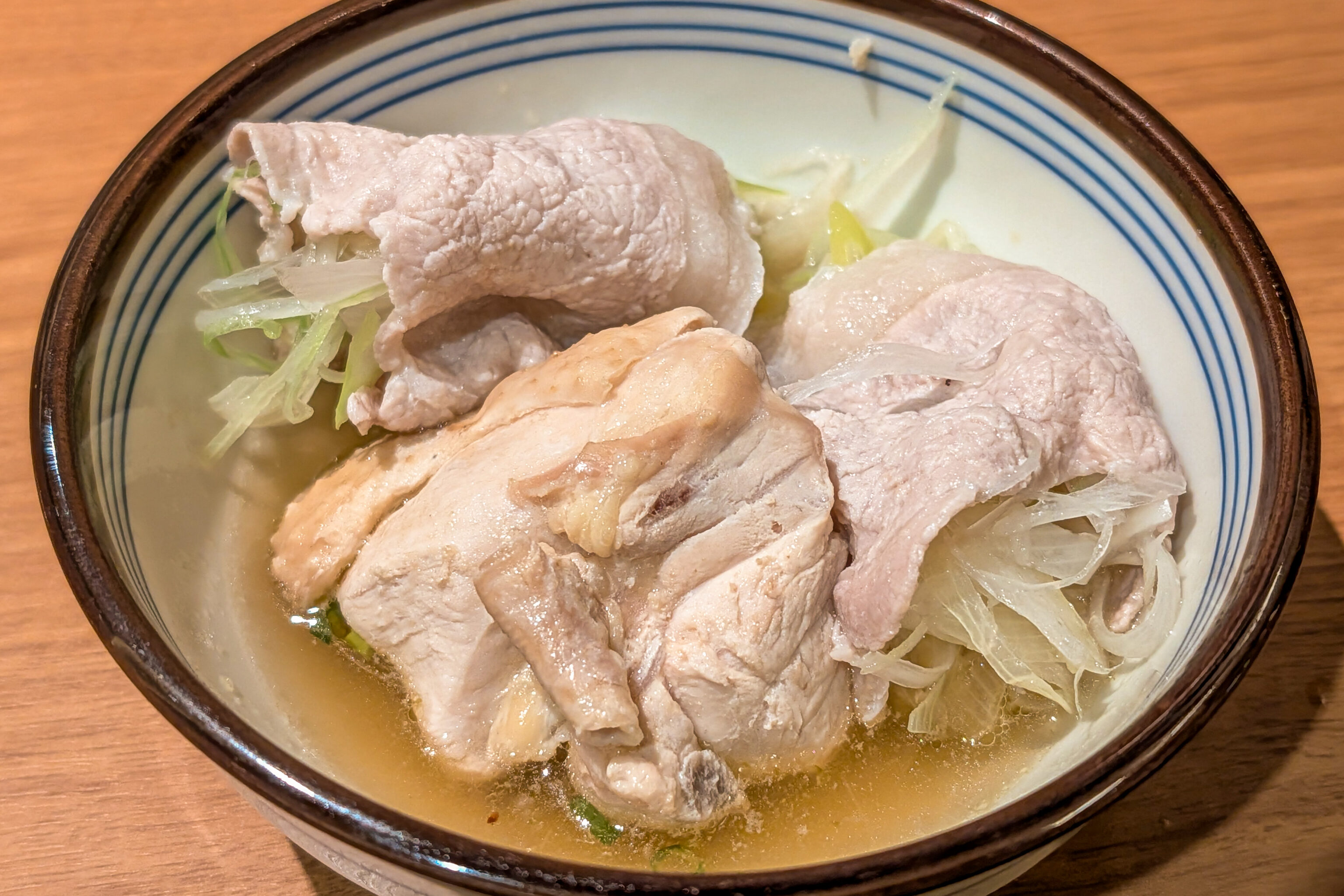
Then, thin pieces of pork are carefully cooked along with green onion. They are basically then used to wrap the green onion.
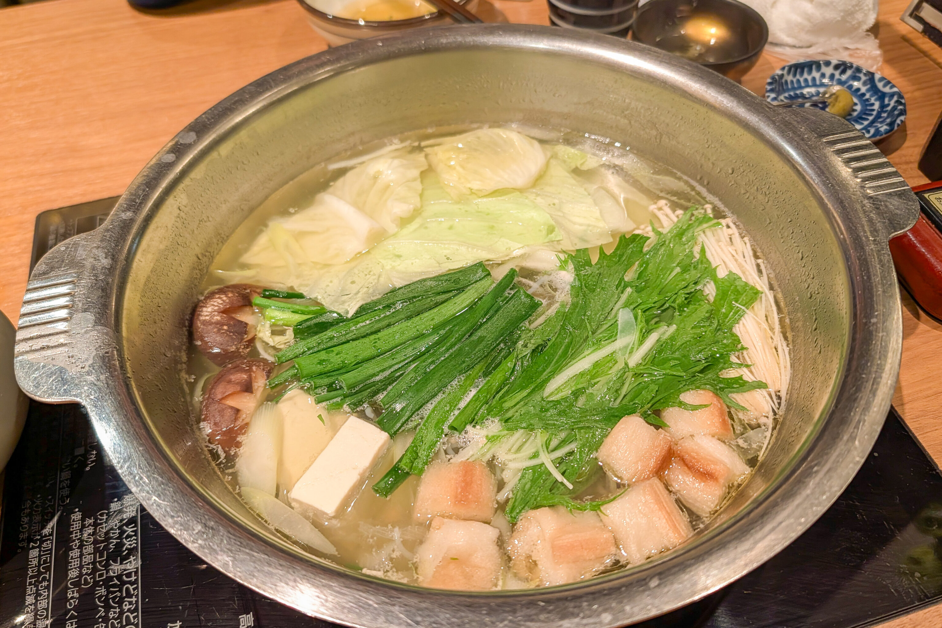
Next, vegetables are cooked.
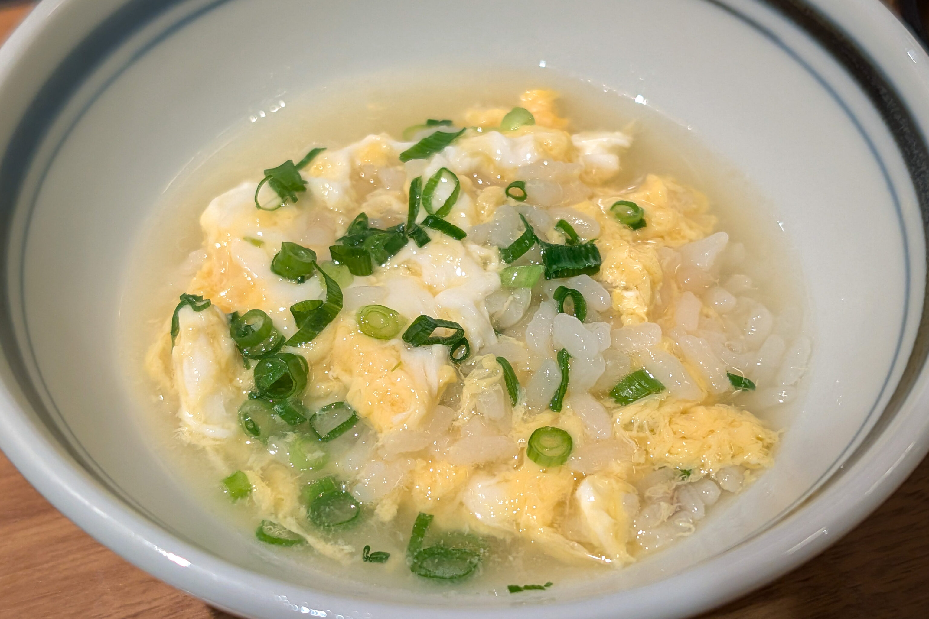
The last phase of the meal involves placing rice into the pot along with some egg.
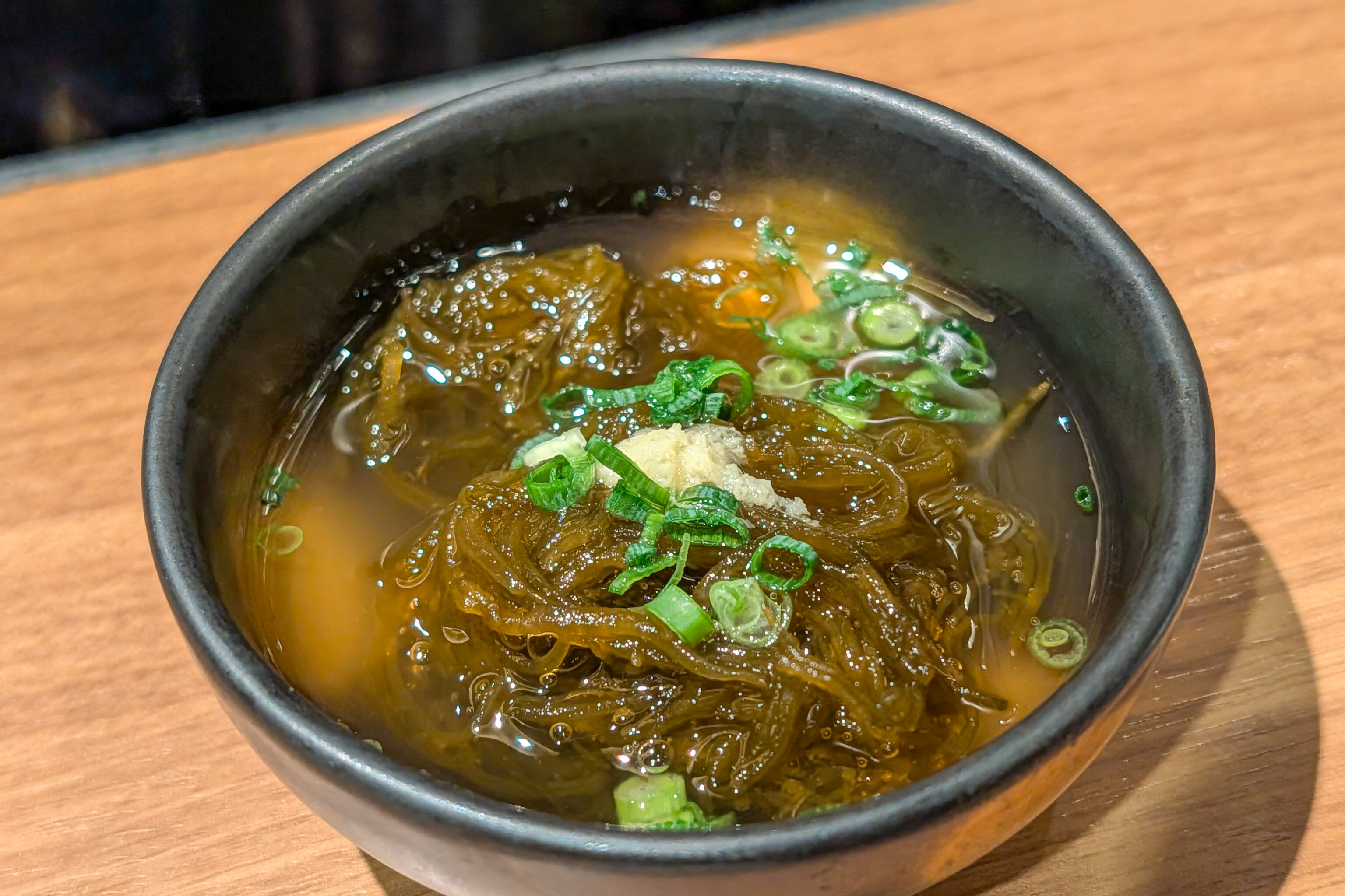
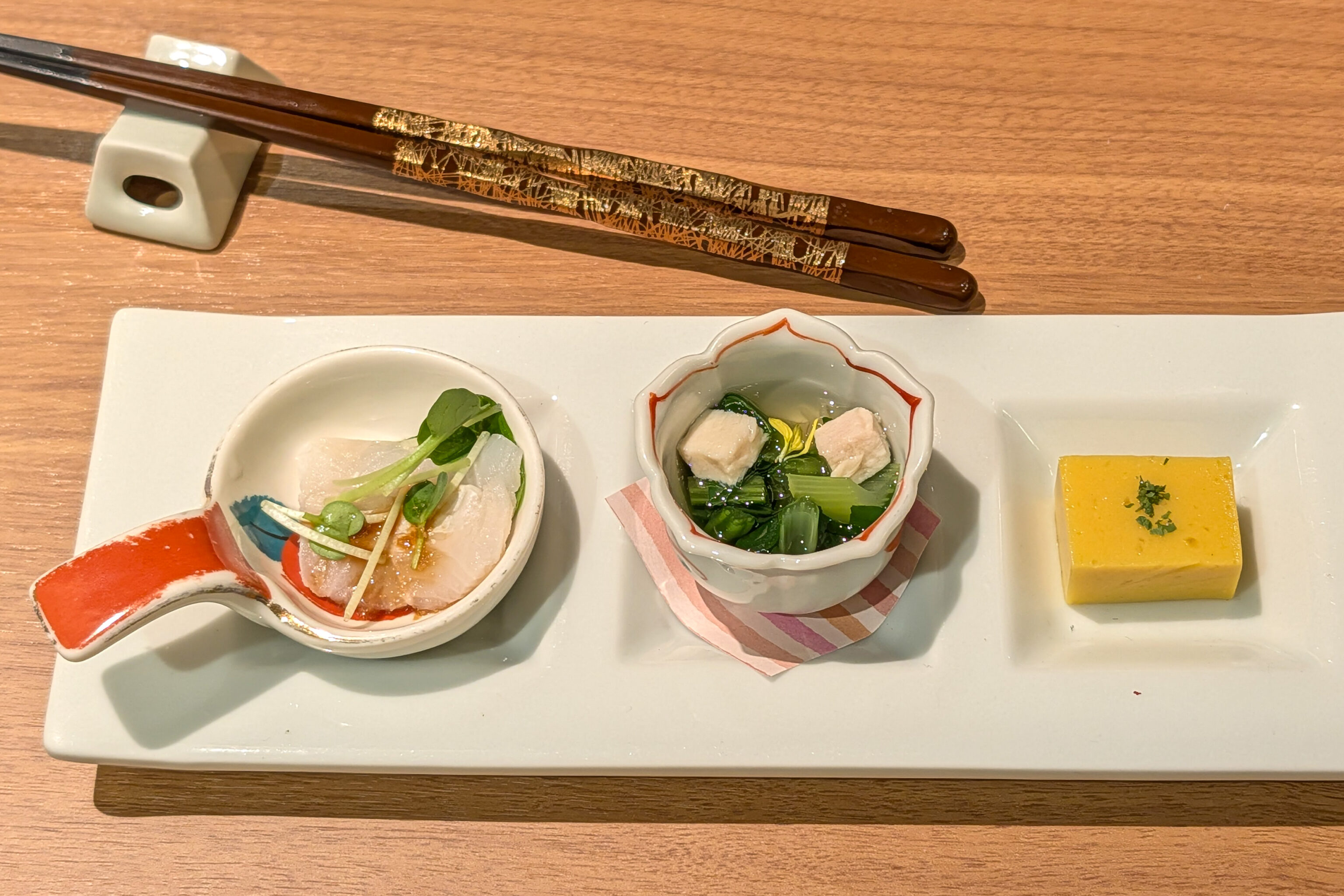
A few small appetizers are provided, a bit like Korean banchan.
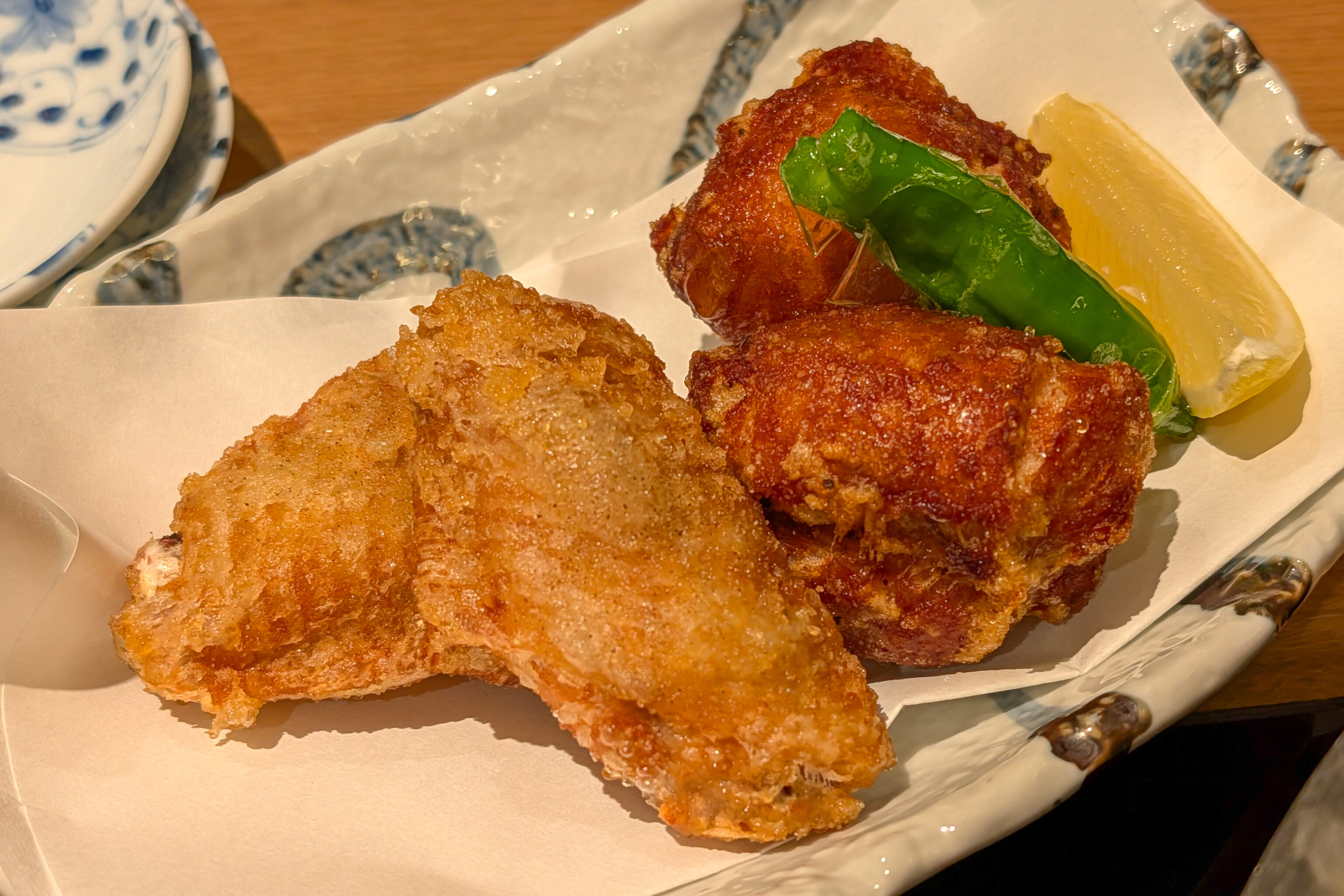
The meal also included karaage. The wing was a bit like American fried chicken while the thigh piece was a bit more like the typical Japanese karaage.
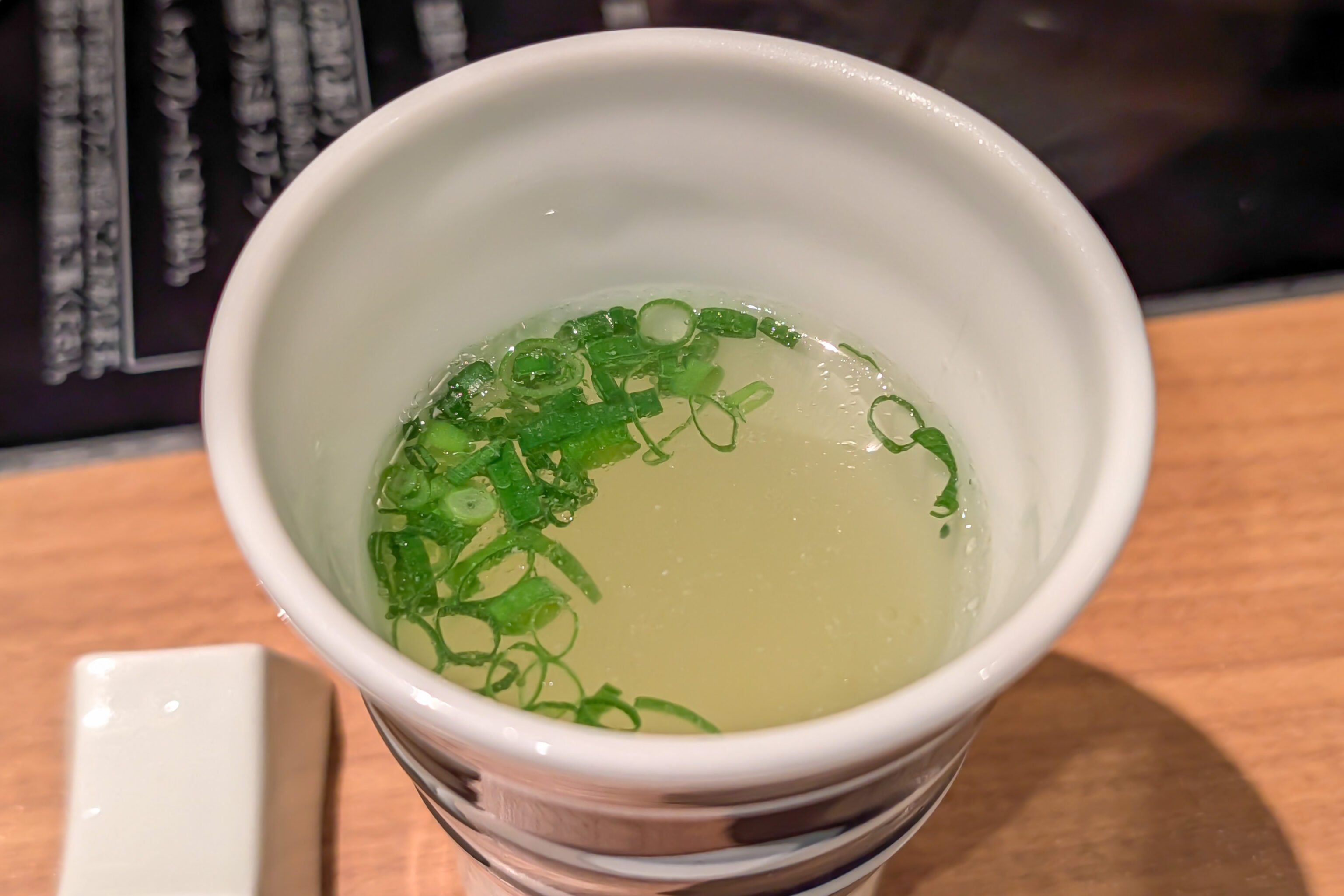
A bit of soup…
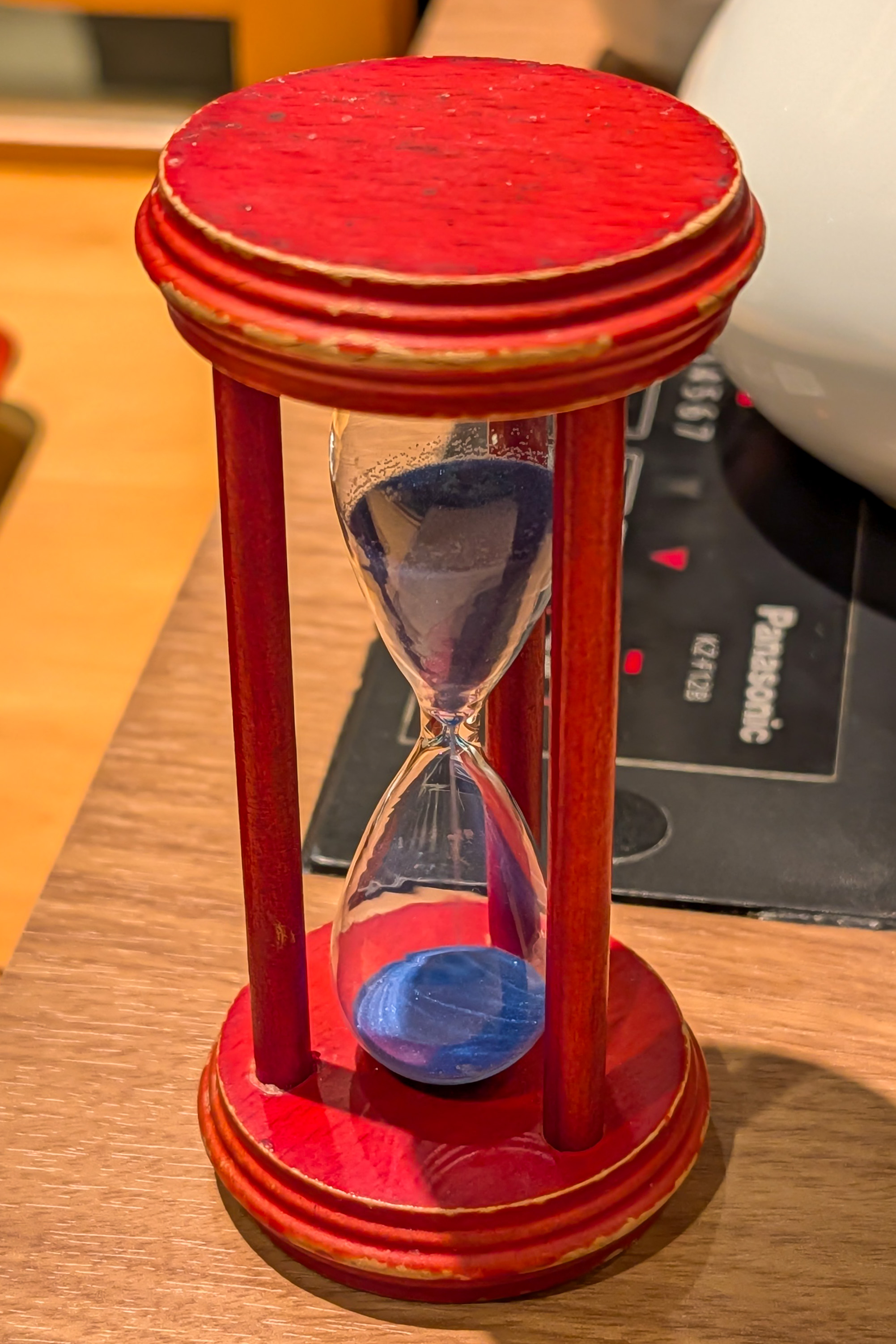
And a timer so as not to under or overcook anything!
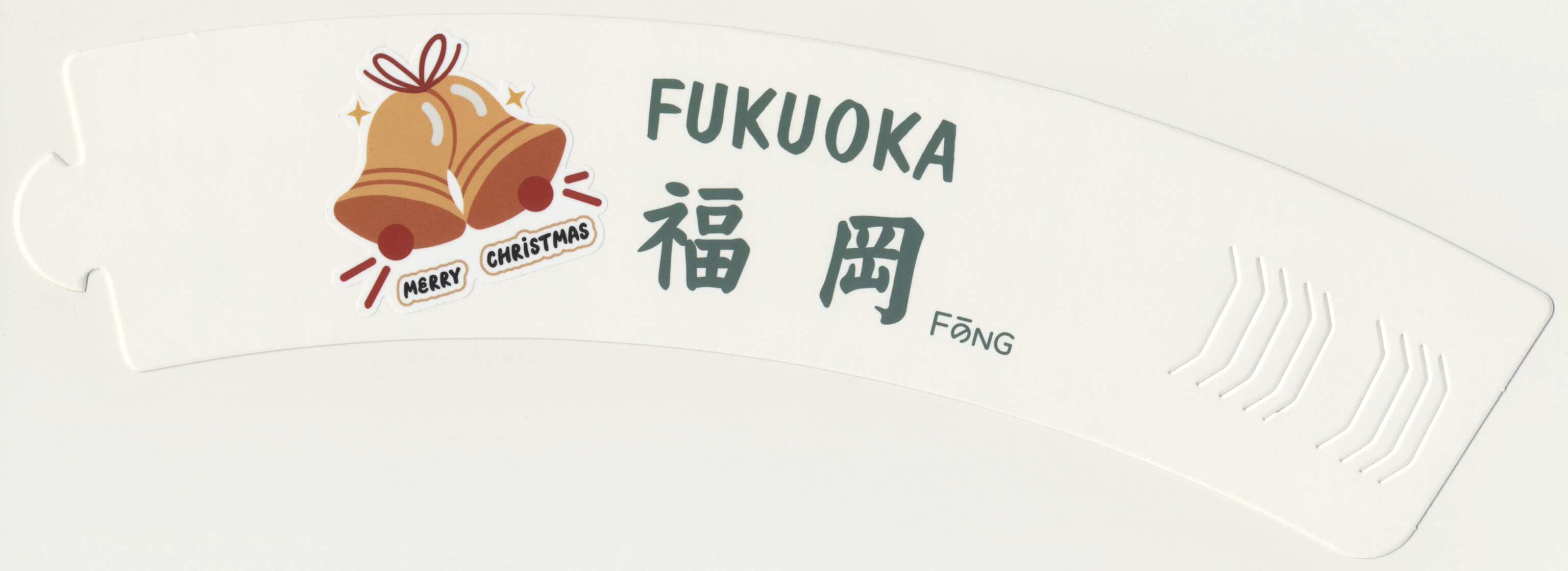
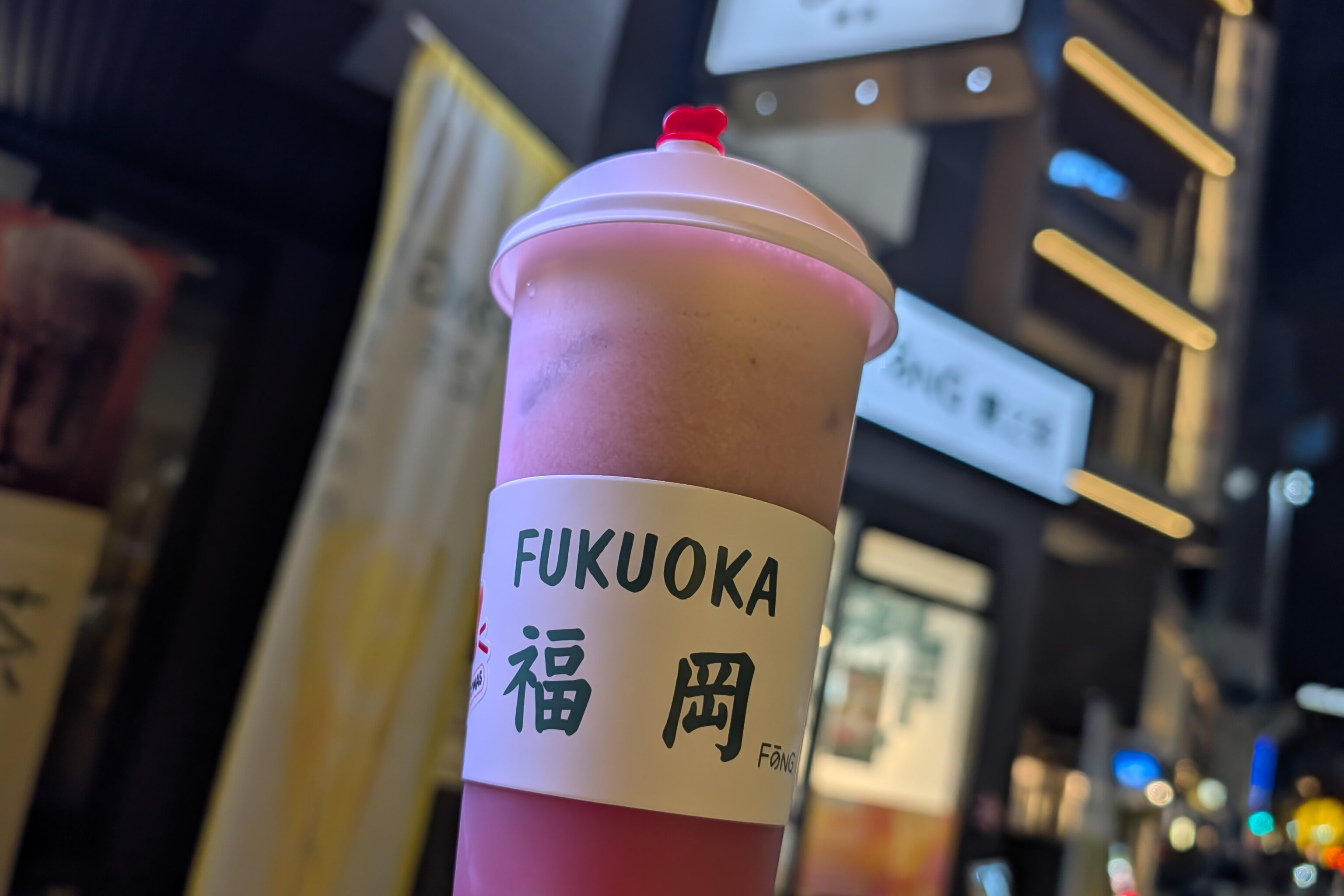
After dinner, we made a brief detour to Fōng, a bubble tea shop. It turns out it is owned by a mainland Chinese who is trying to expand into Japan. The strawberry bio tea was pretty good with decent tea and strawberry flavor. The bio here refers to Yakult, although we couldn’t really taste its presence.