
After breakfast at the InterContinental Lyon, we headed over to Grenoble and visited the Museum of the Old Bishop’s Palace and adjacent Notre-Dame Cathedral. After lunch, we took the gondola up to the Bastille, a fortress that overlooks the city, and walked back down.
Morning
Breakfast at the InterContinental Lyon Hotel Dieu was exactly the same as our previous two mornings. We went for a relatively quick meal this morning so that we could head out earlier.
After returning to our room to get ready, we headed back out at around 7:20am.
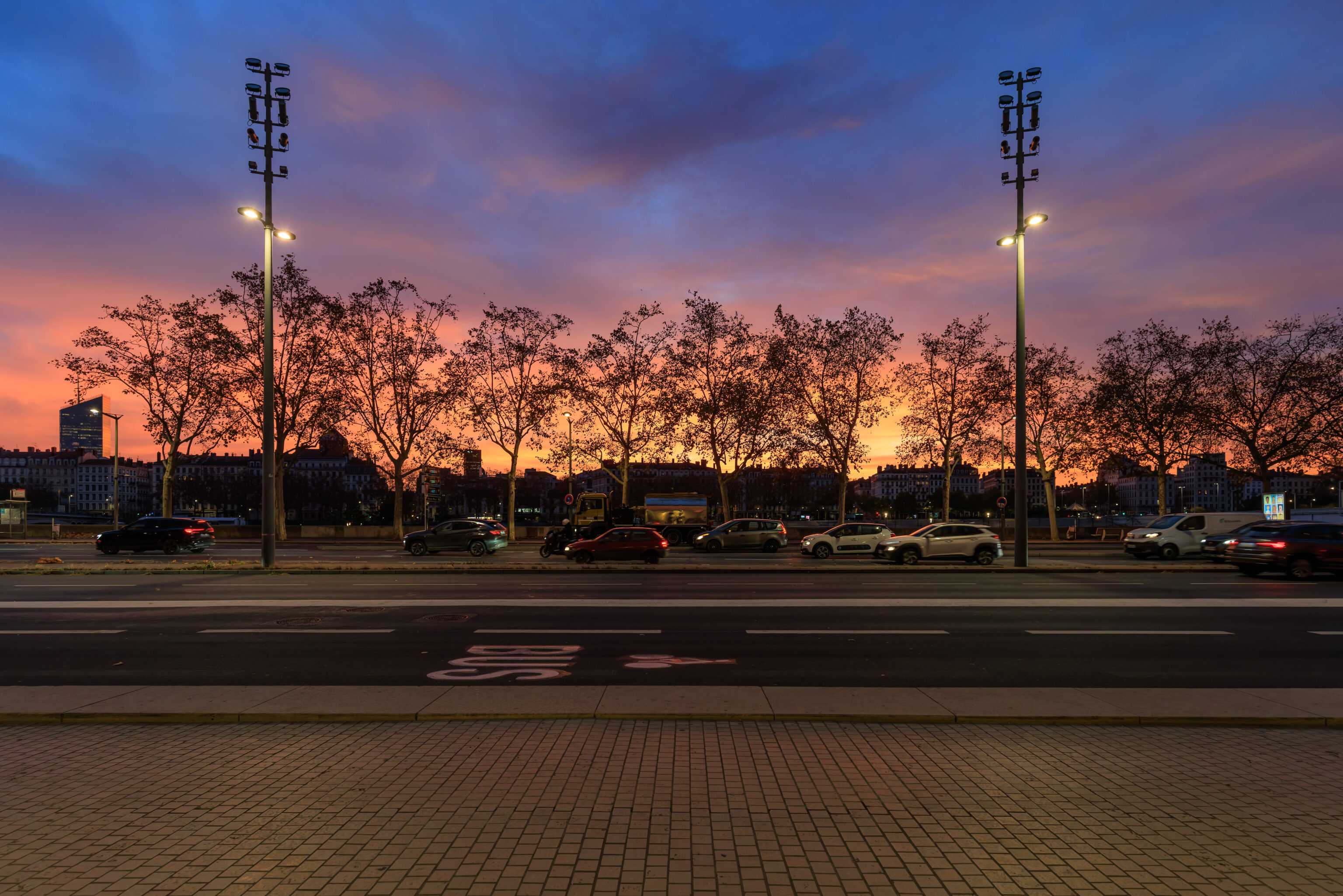
The Sun was beginning to rise as we headed out the front door of the hotel.
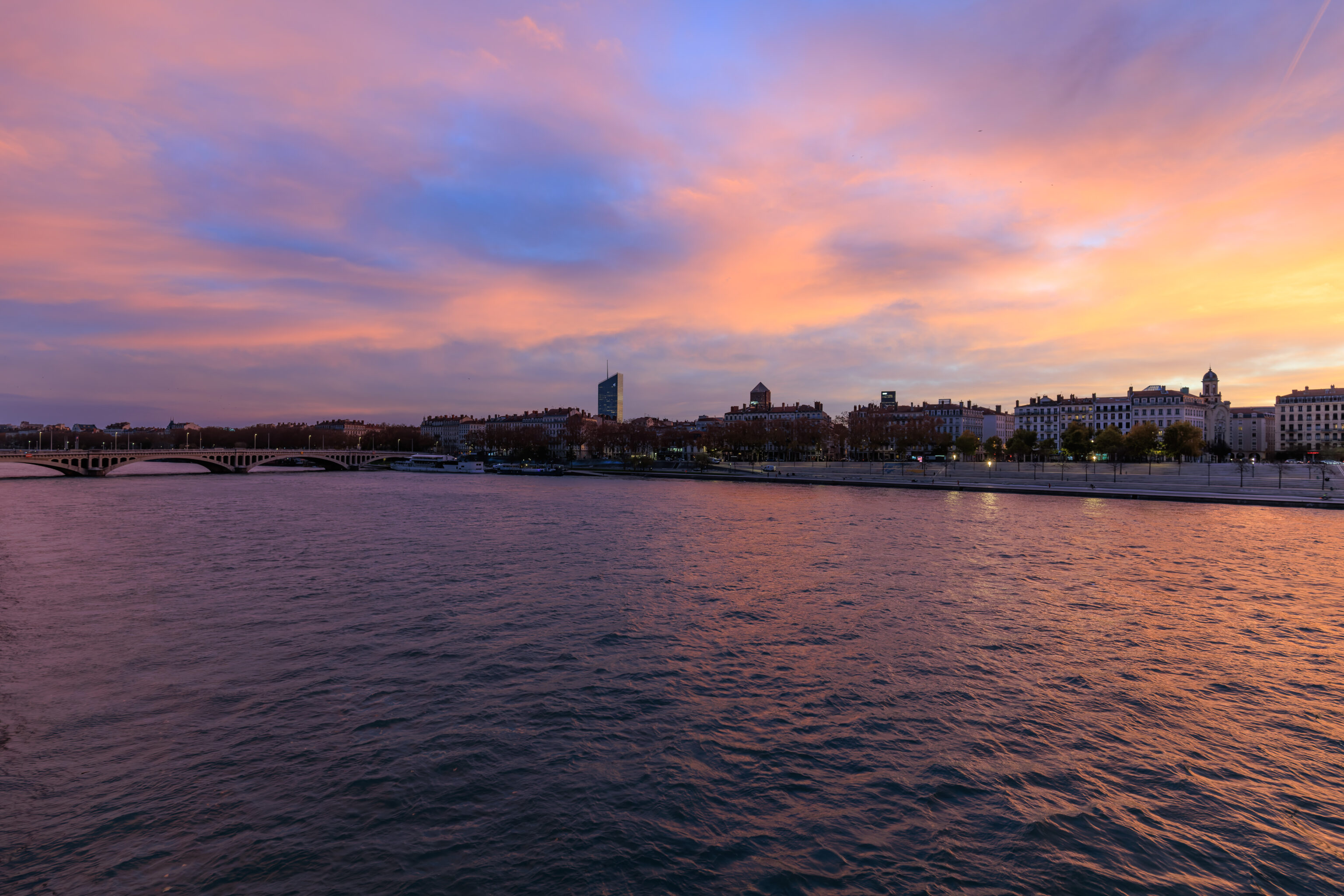
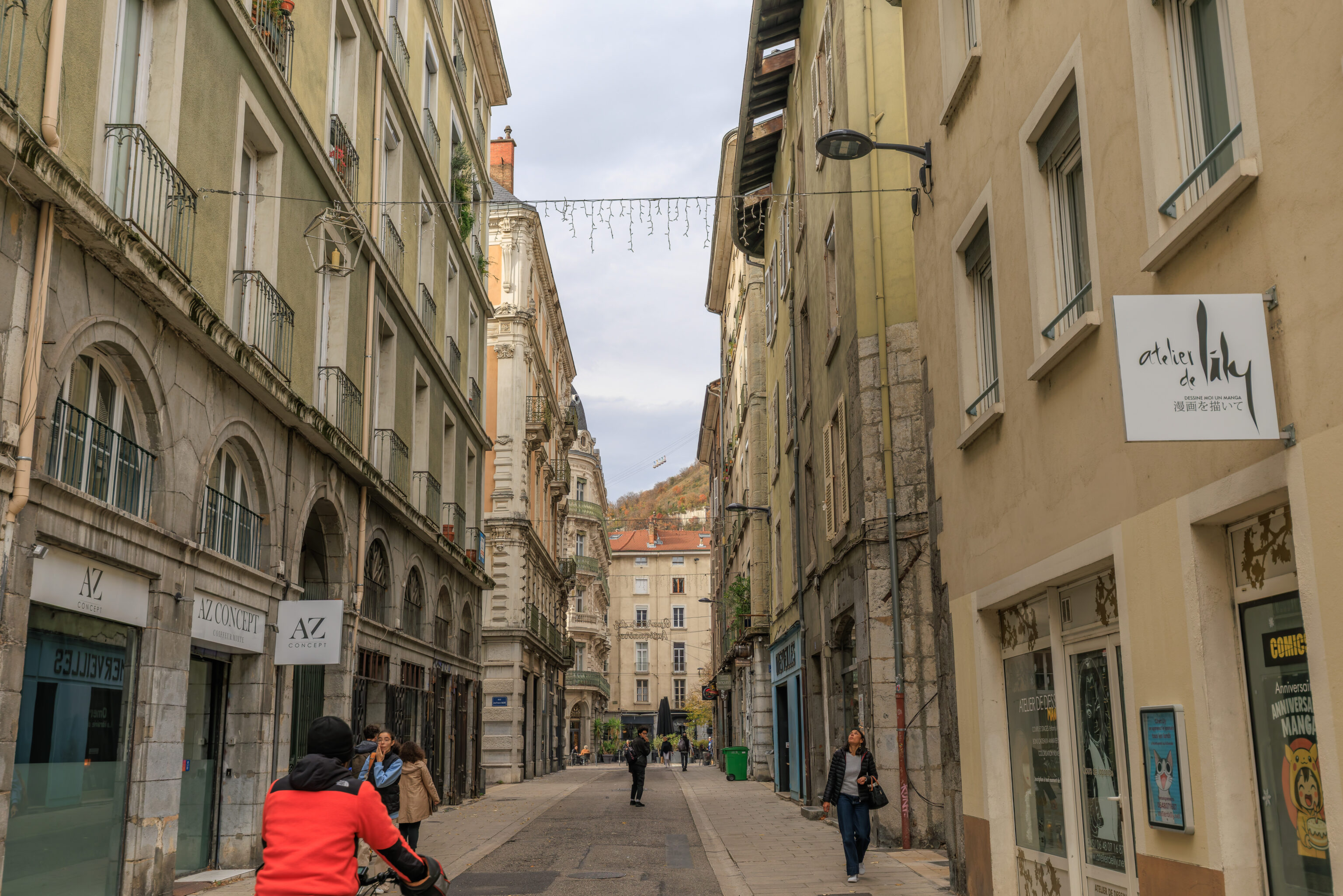
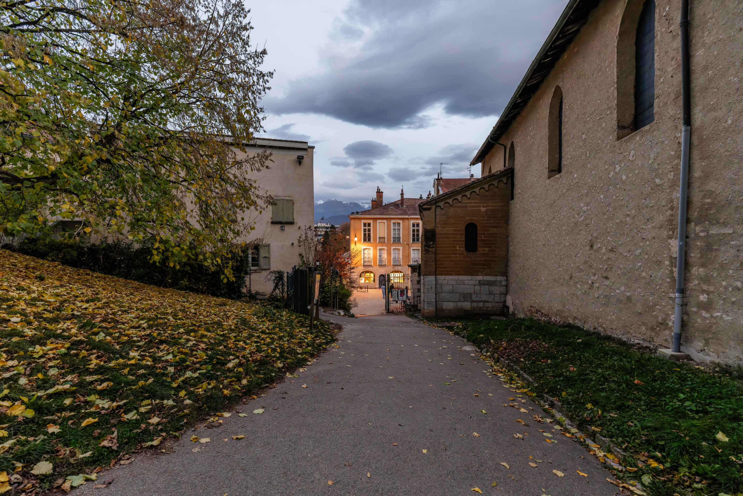
We decided to head to the Gare de Lyon Part-Dieu via the Pont de la Guillotière, the bridge across the Rhone to the south of the hotel.
We had a nice view of the hotel from the bridge.
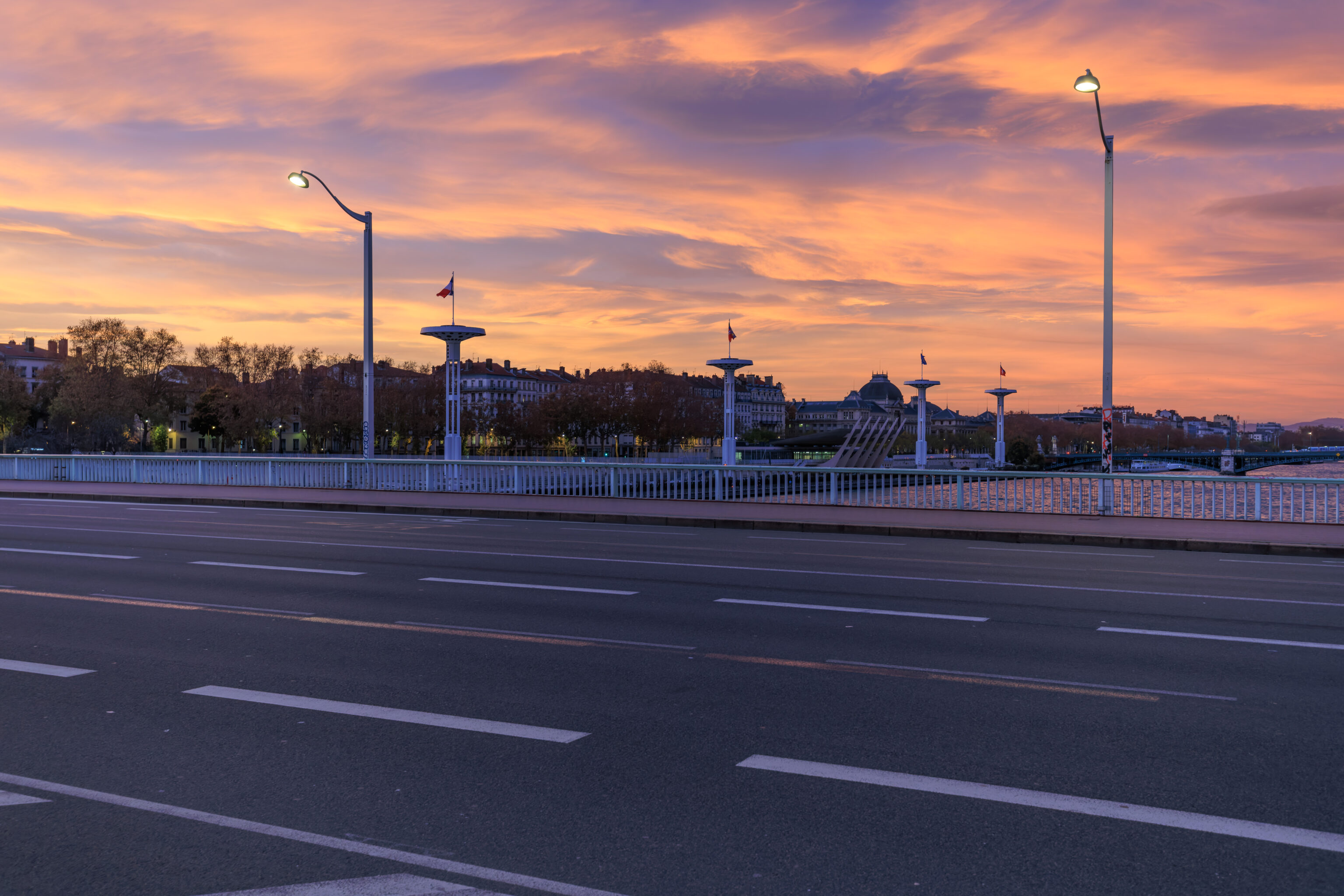
The four towers on the far side of the Rhone visible here are part of a large riverside swimming pool complex.
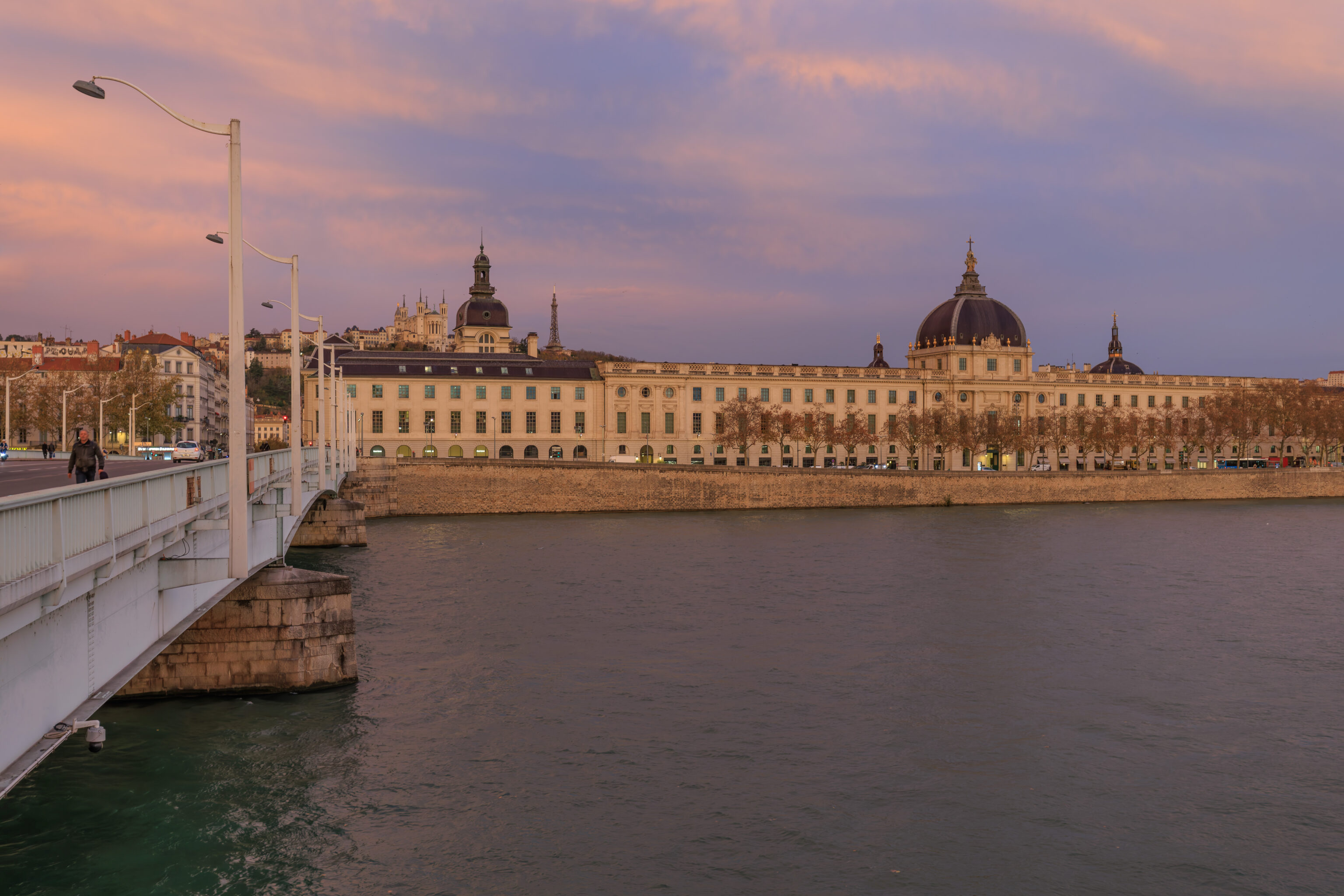
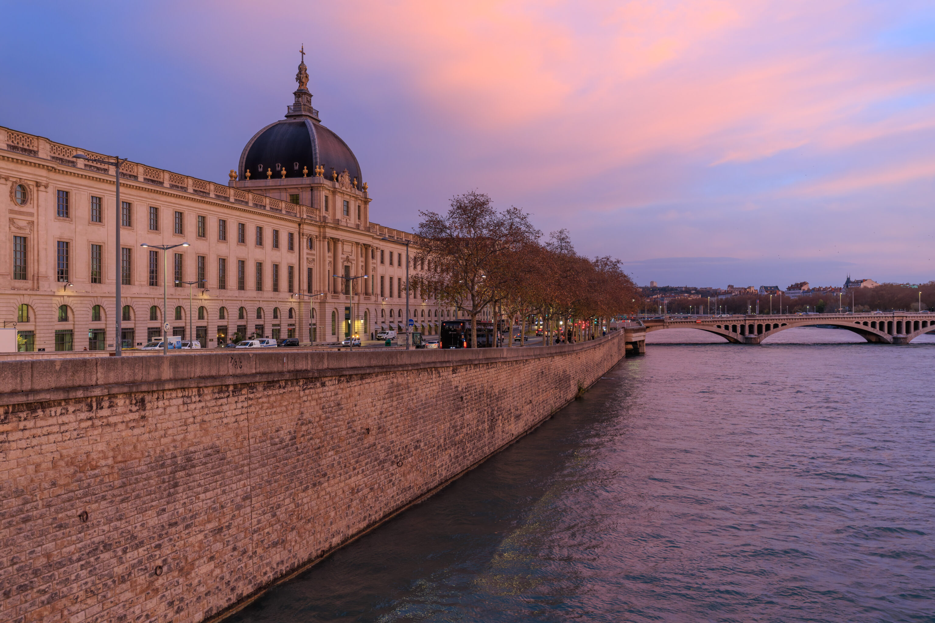
We walked this way yesterday evening when returning to the hotel. The view is nice with the Hotel-Dieu in the foreground and Basilica of Notre Dame in the background.
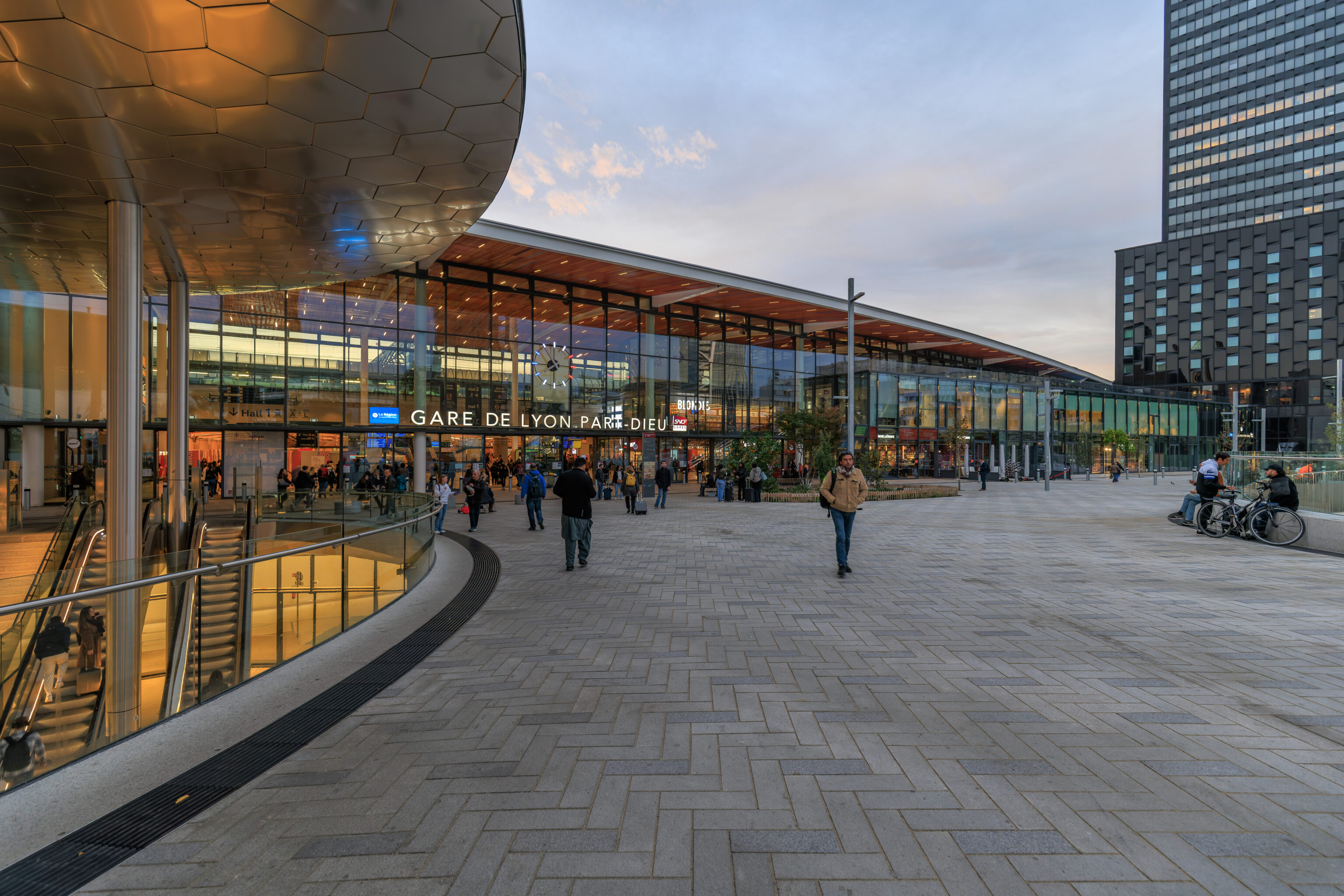
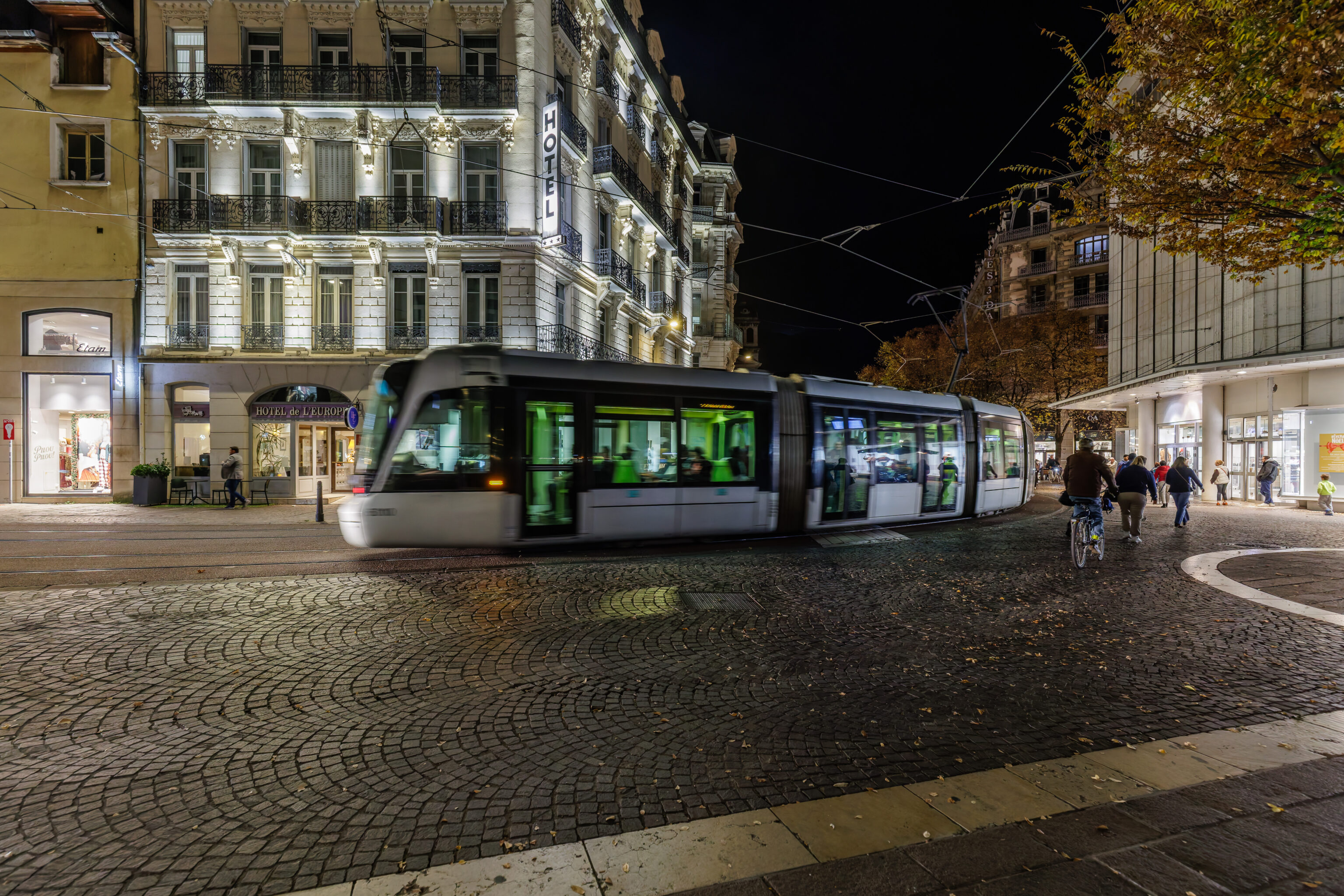
We took the T1 tram from Guillotière Gabriel Péri to Gare Part-Dieu V.Merle, the stop in front of the train station.
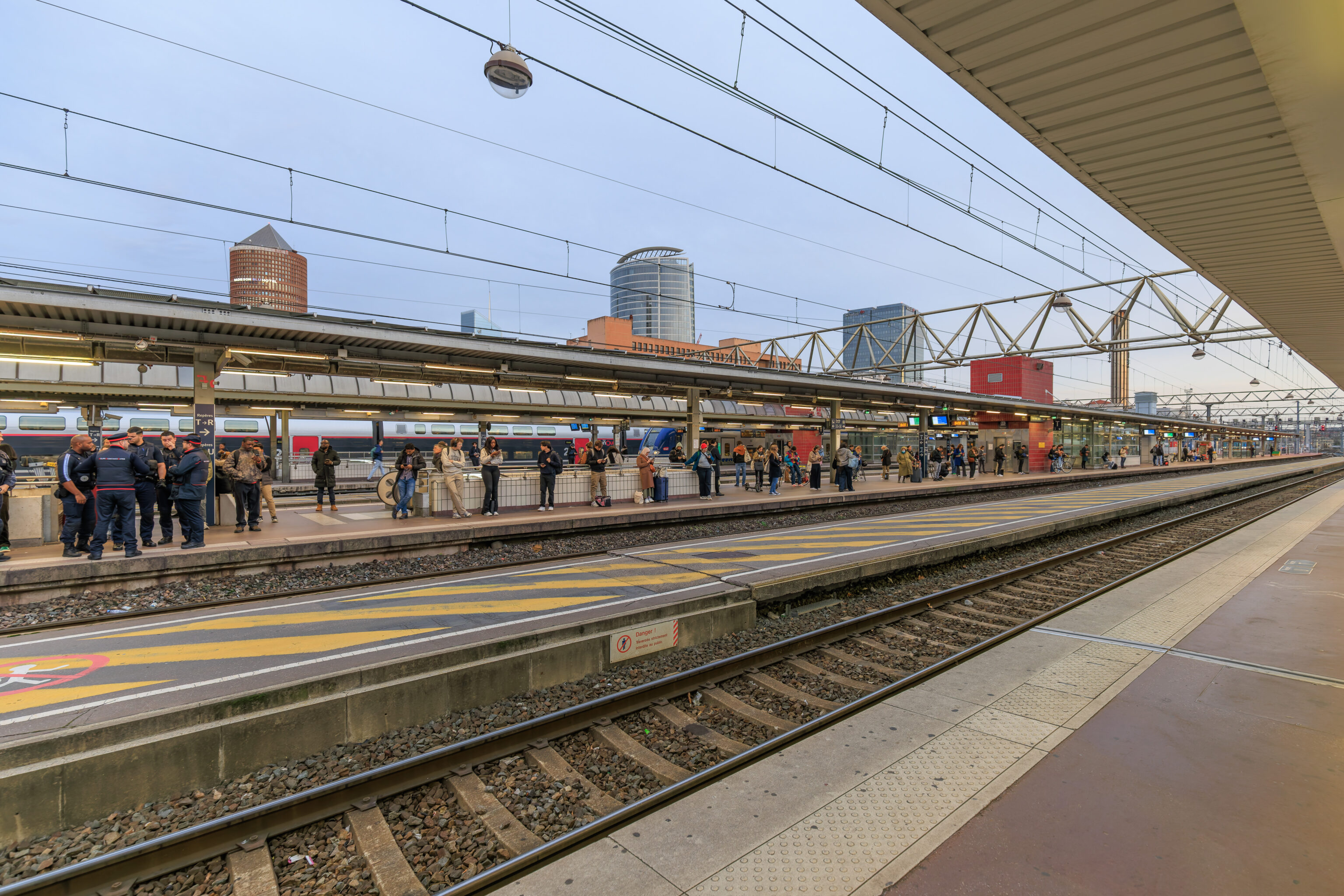
We then waited for the next train to Grenoble.
Grenoble
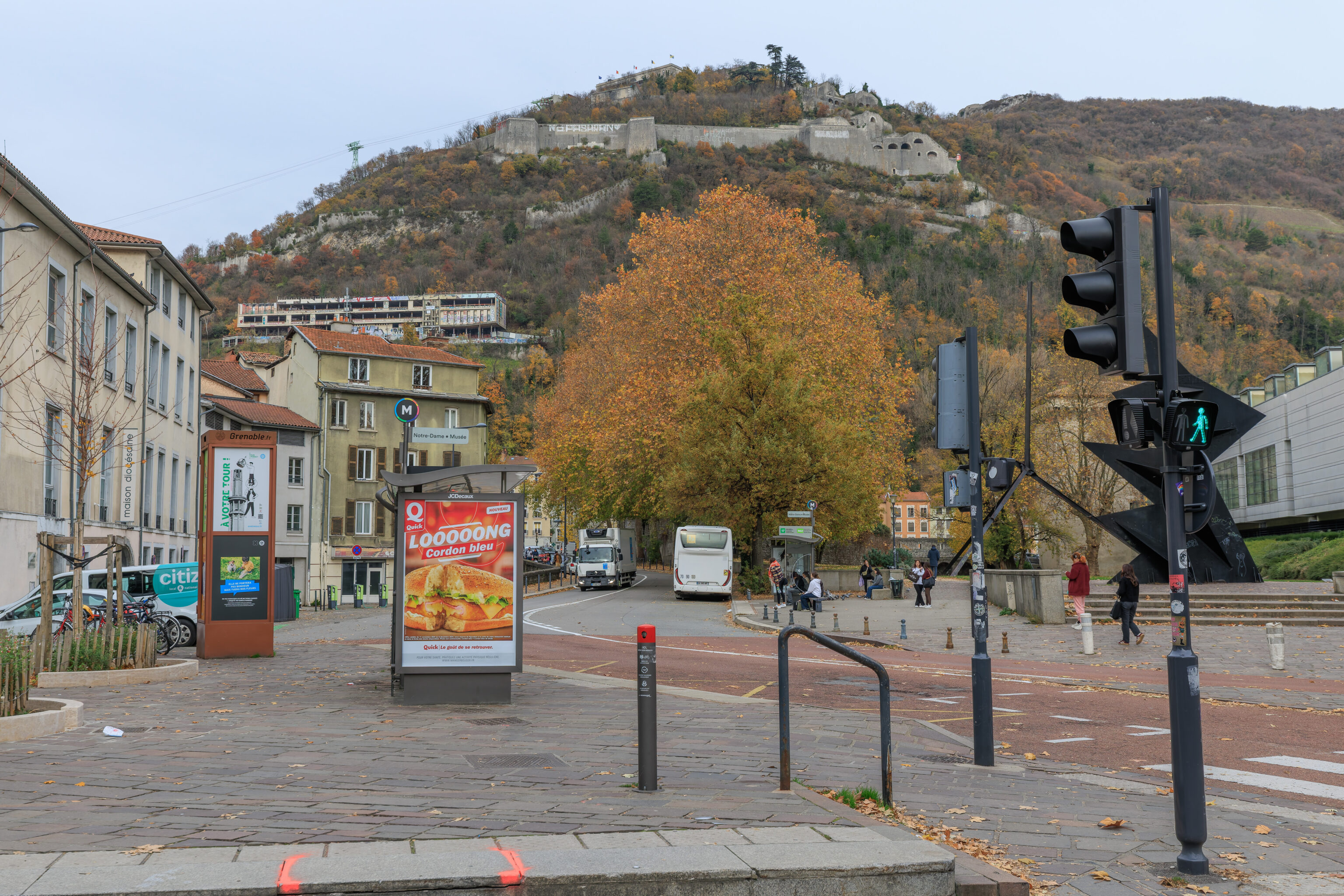
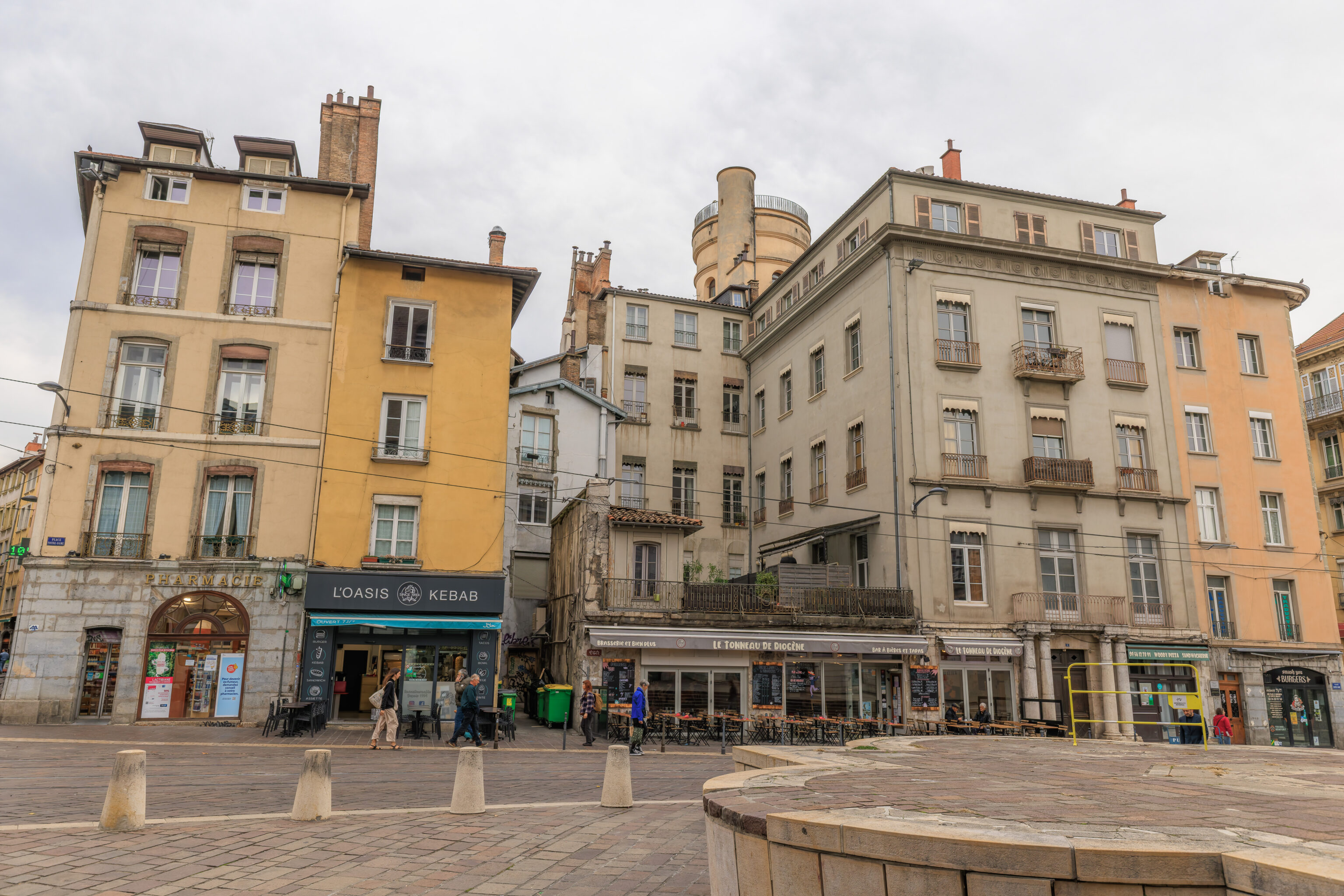
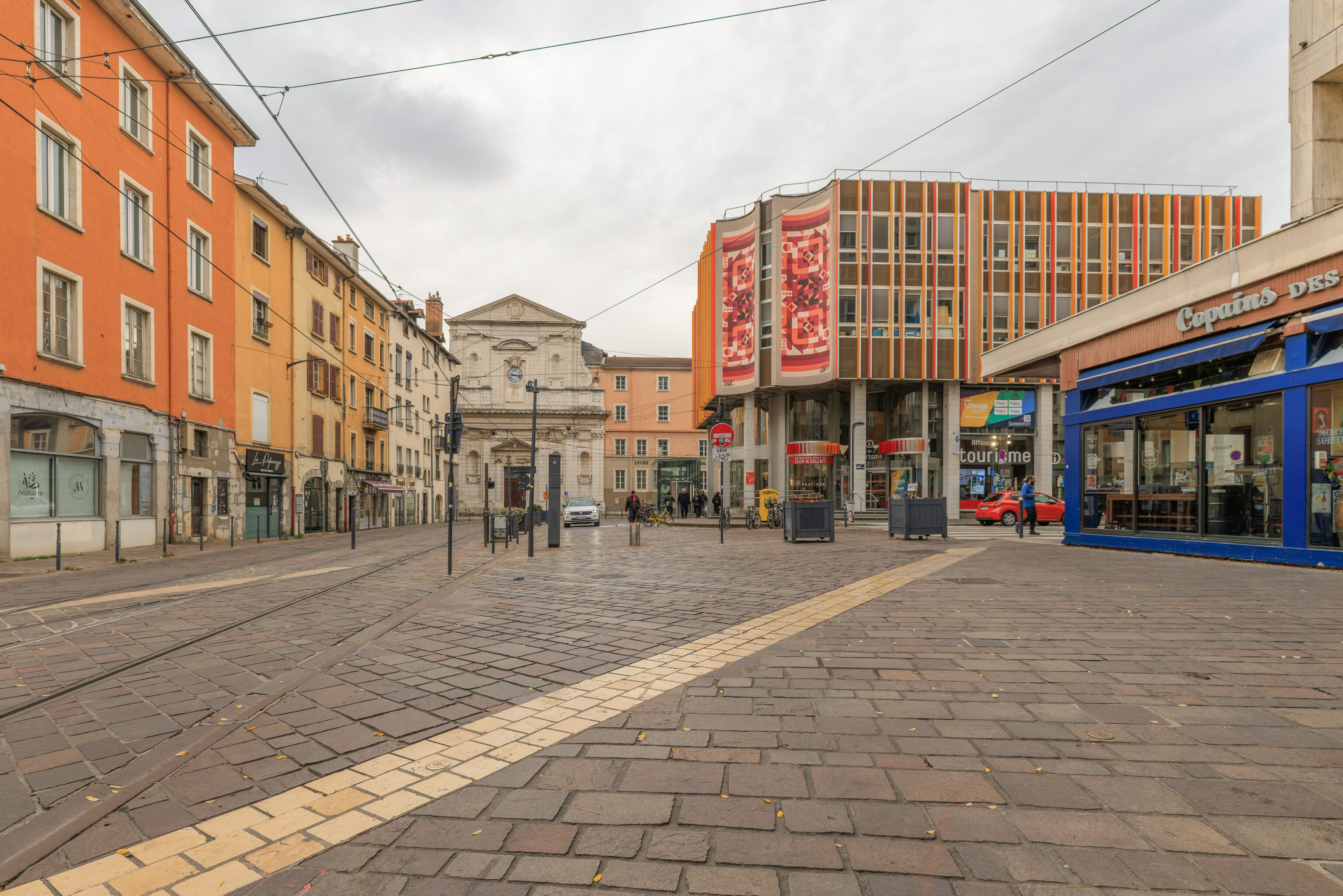
After arriving at Grenoble, we took the tram from the train station to the Notre-Dame – Musée stop. The area around the stop has an excellent view of the Bastille, the fortress that overlooks the city.
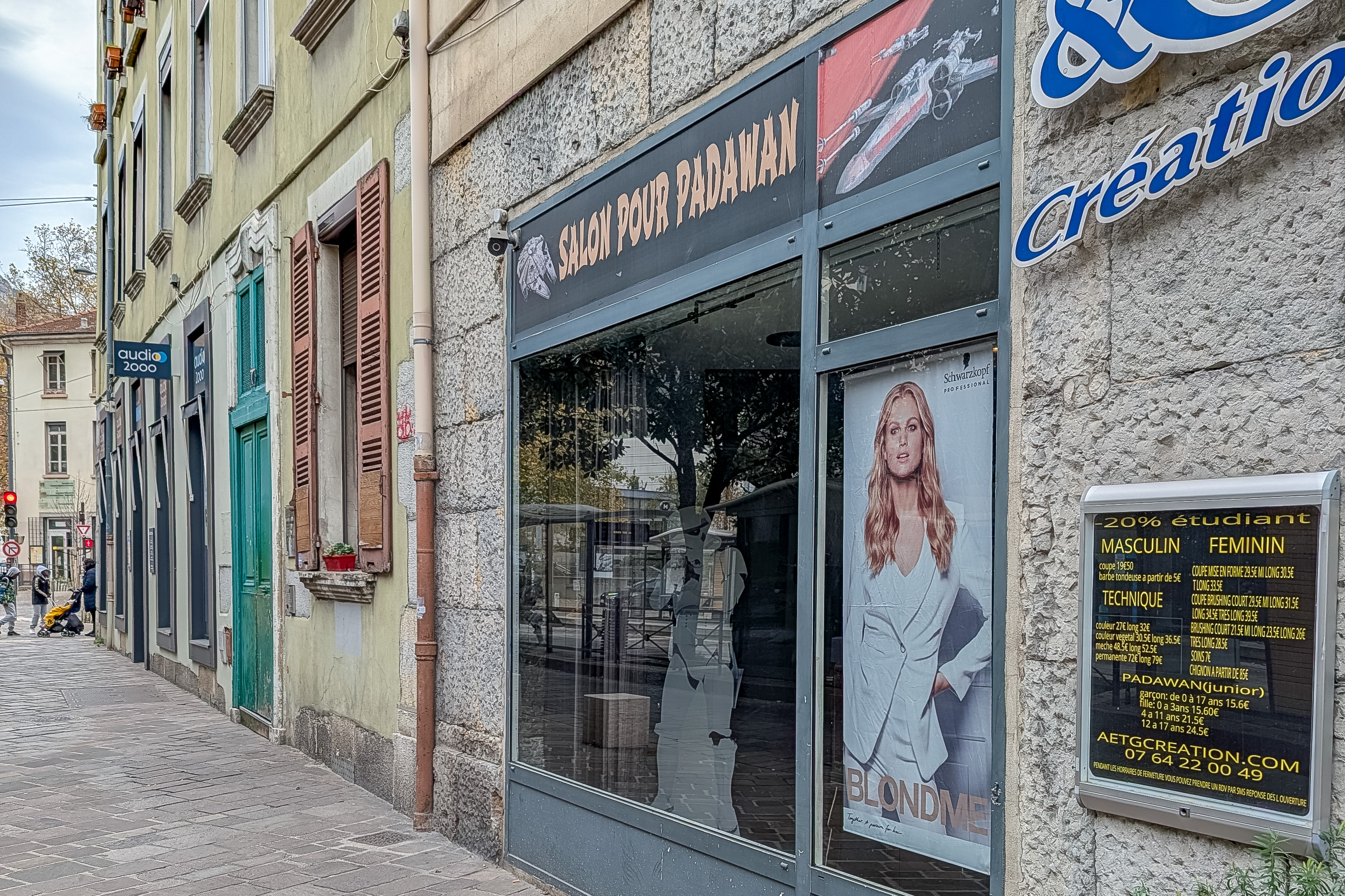
Nearby, we noticed this Star Wars themed hair salon for Padawans! It does seem like it is just a regular hair salon that offers hair cuts for children as well as adults.
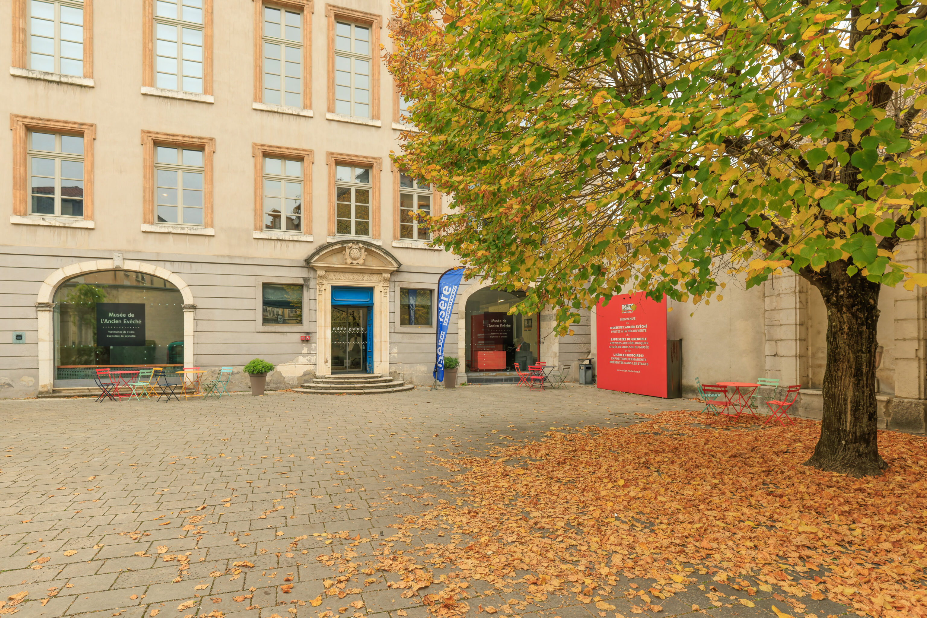
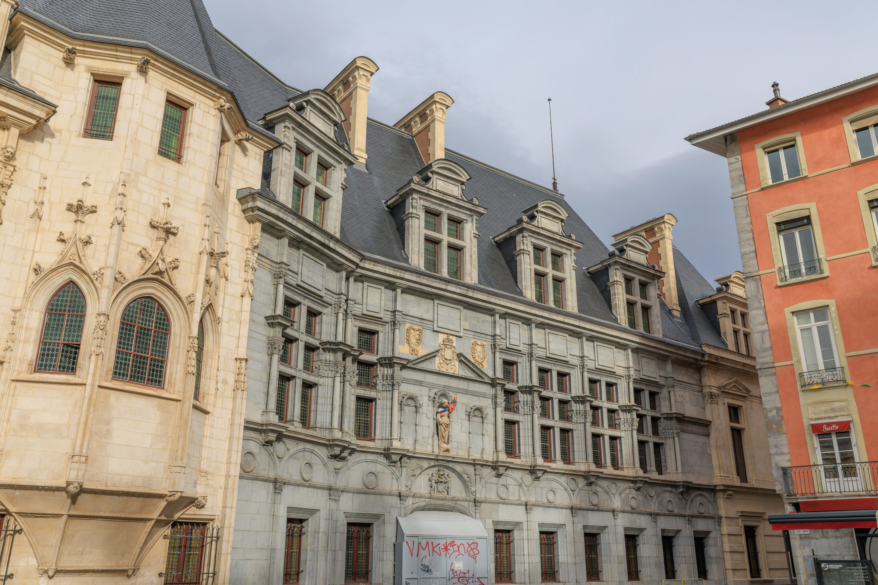
Musée de l’Ancien Évêché
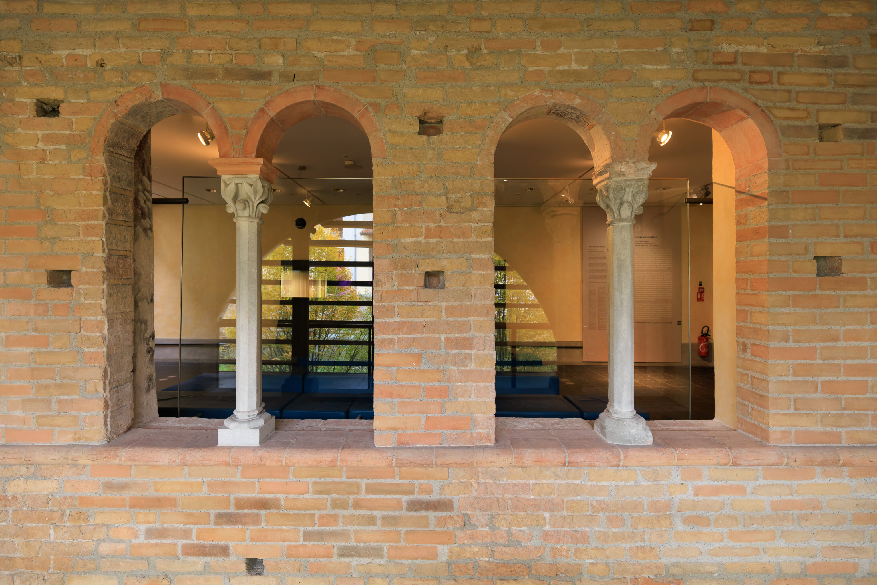
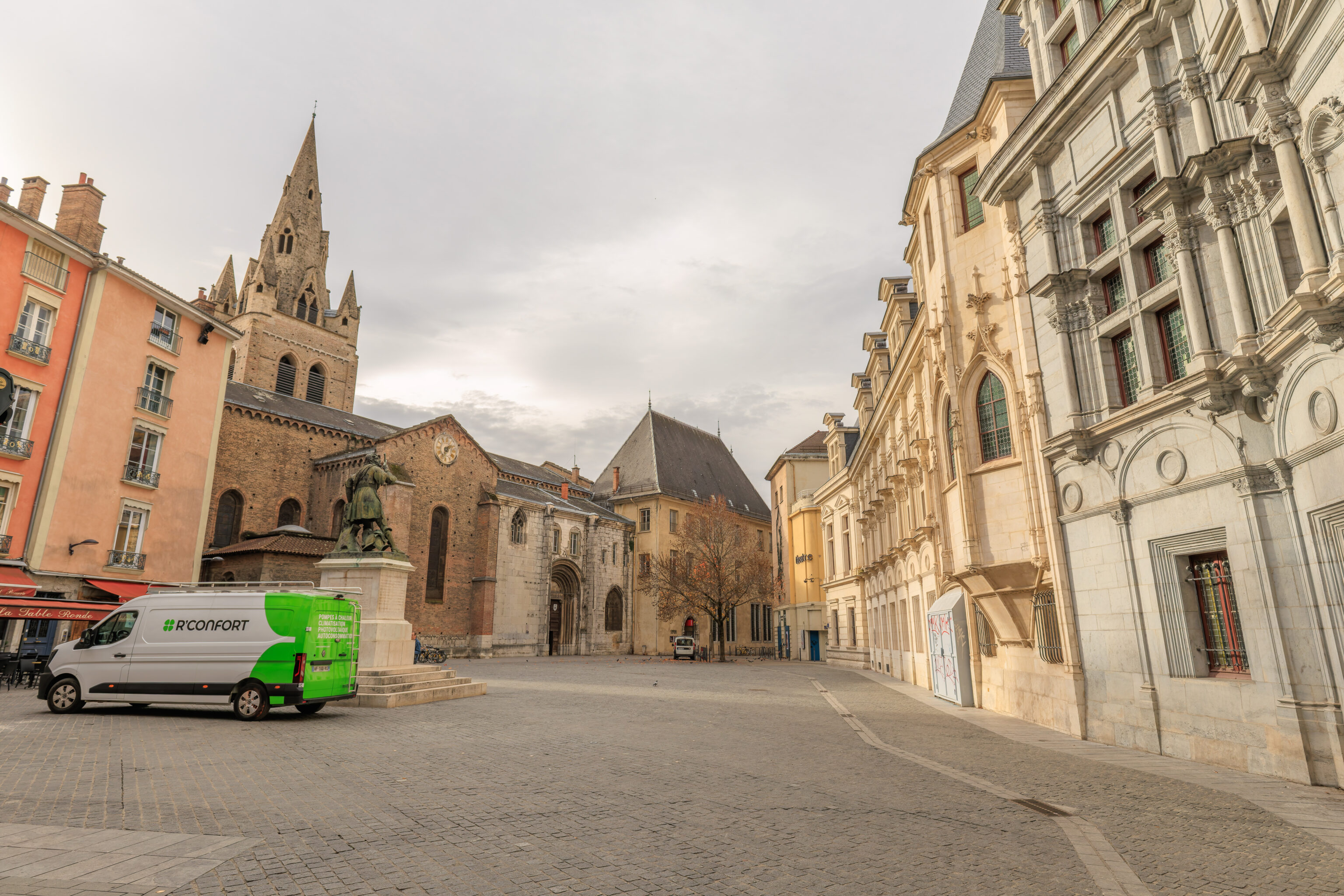
We walked over to the nearby Musée de l’Ancien Évêché (Museum of the Old Bishop’s Palace).
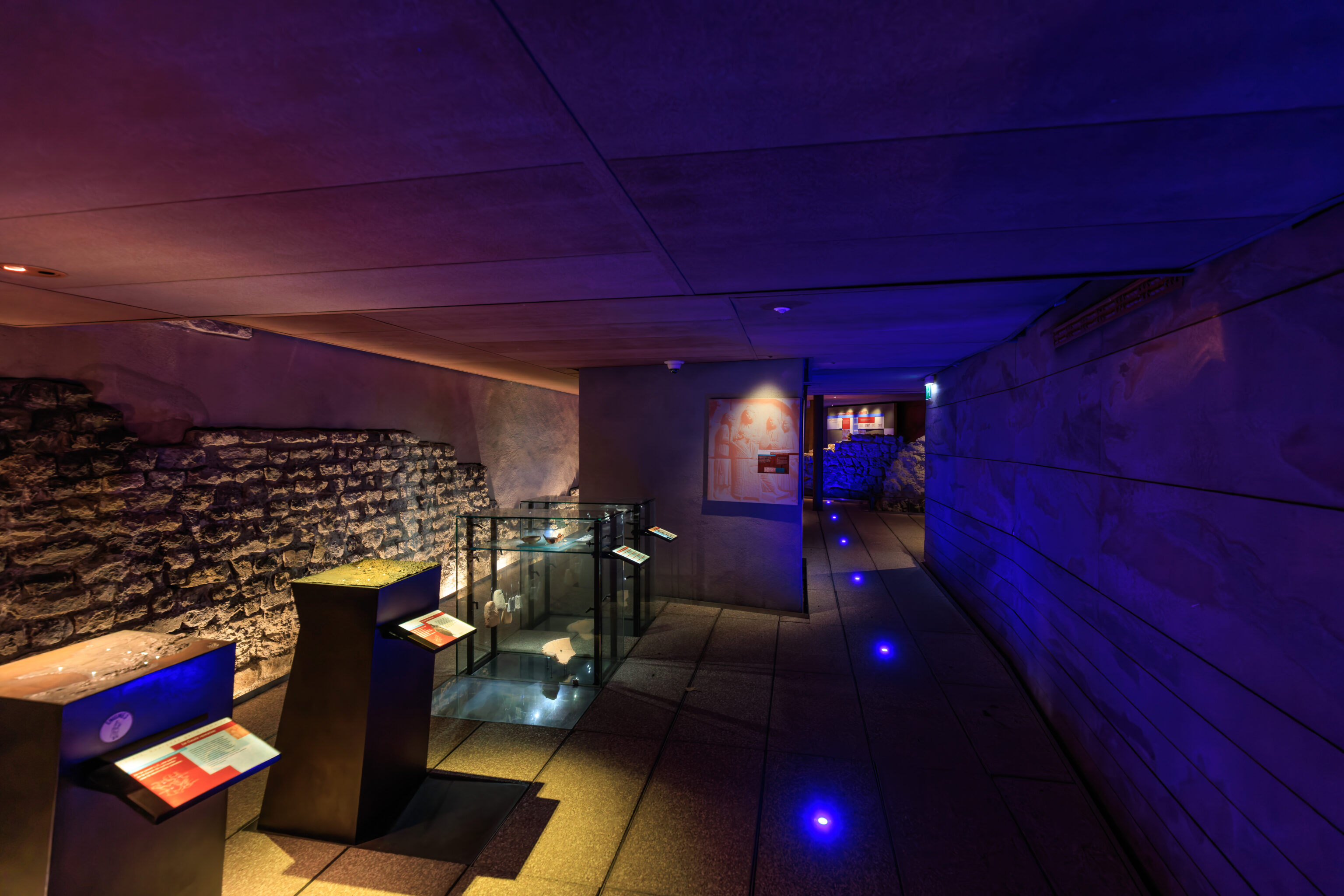
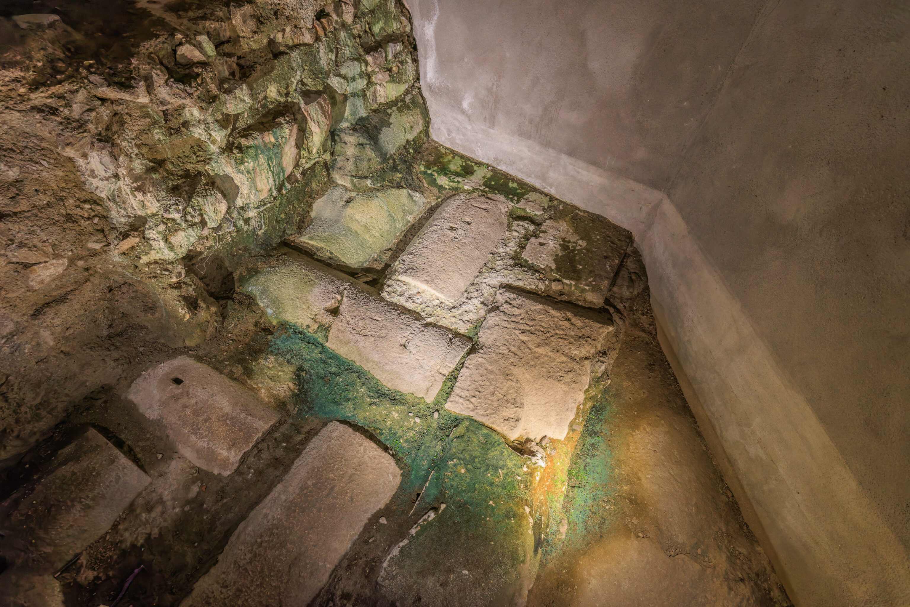
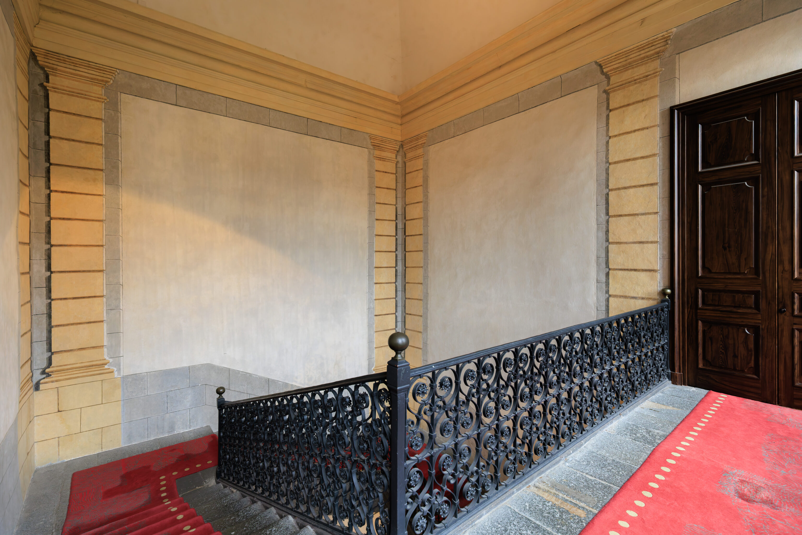
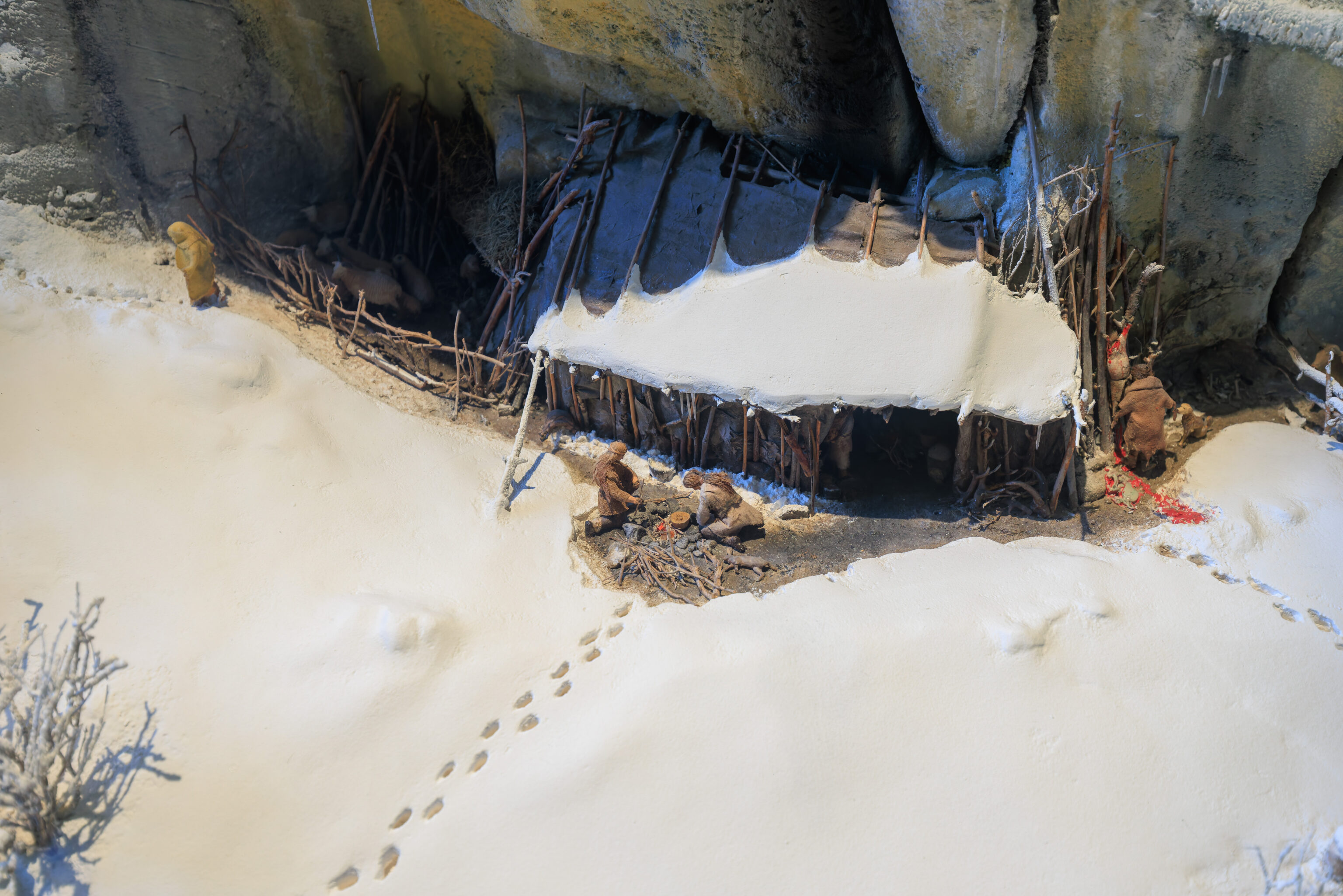
We started in the lower floor of the museum, which contains ruins that were discovered during construction of the tram line through this area in the 80s.
eight years of archaeological research

It was during the construction of the second tram line in the Grenoble metropolitan area and the preparation of the development project for the former bishopric that two excavation campaigns were conducted, which were to last nearly eight years (1988-1996).

One of the excavations, led by François Baucheron (Association for National Archaeological Excavations), uncovered the baptistery and the remains beneath Place Notre-Dame; the other, directed by Alain de Montjoye (Dauphiné Museum / Isère Heritage Conservation), revealed elements from the Gallo-Roman and medieval periods in the former bishop's palace.

This collection of discoveries is now on display to the public.
Google Translated Sign
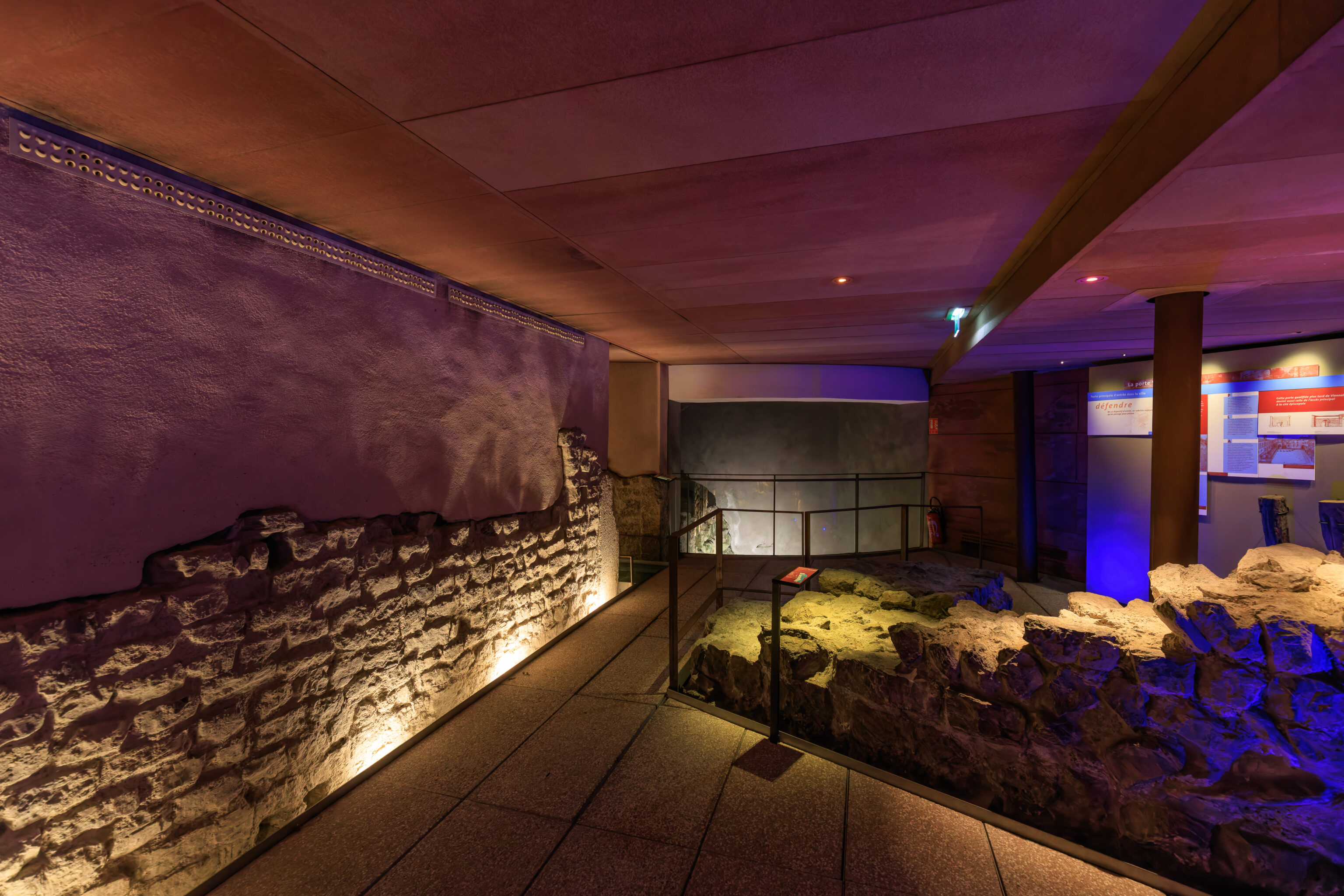
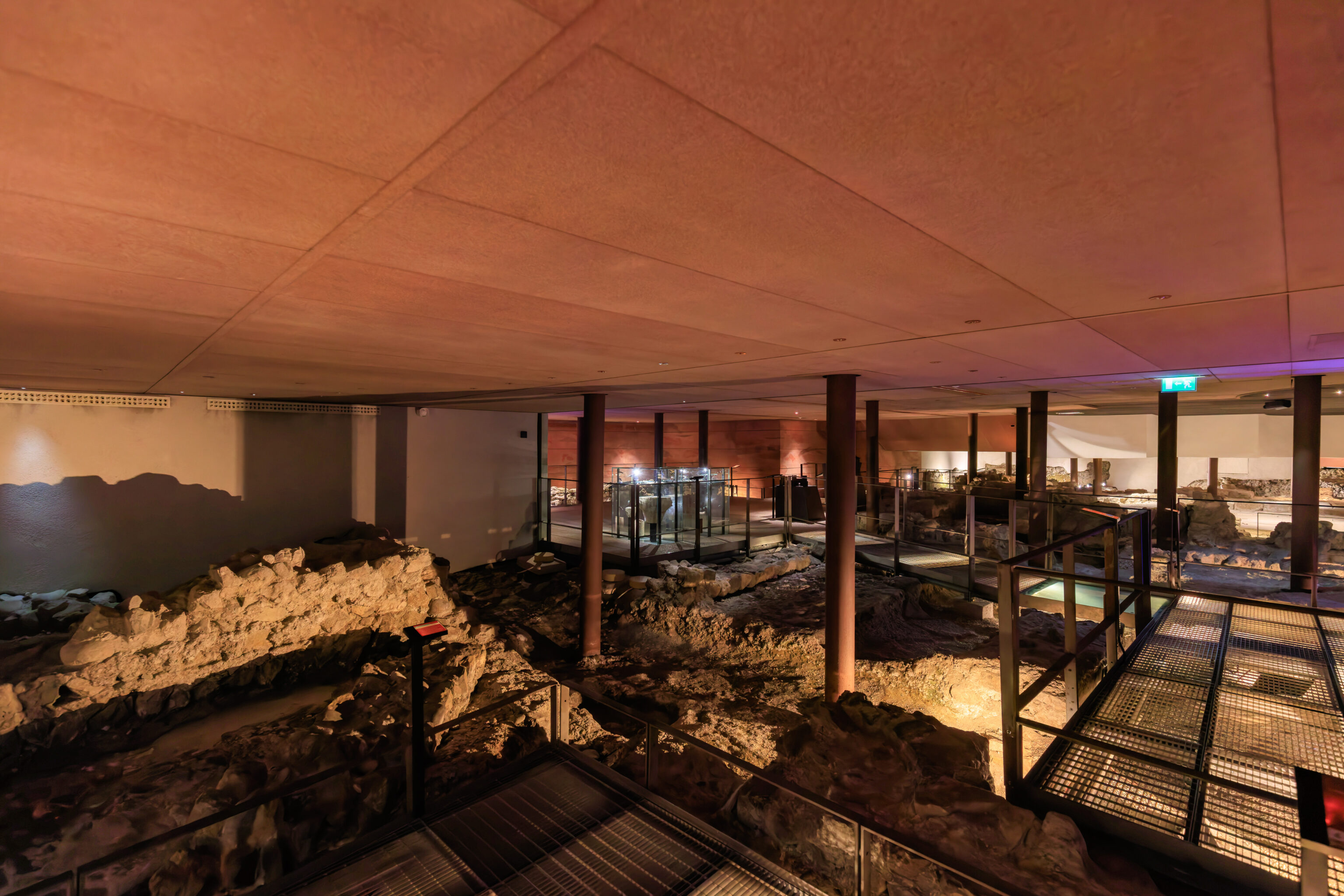
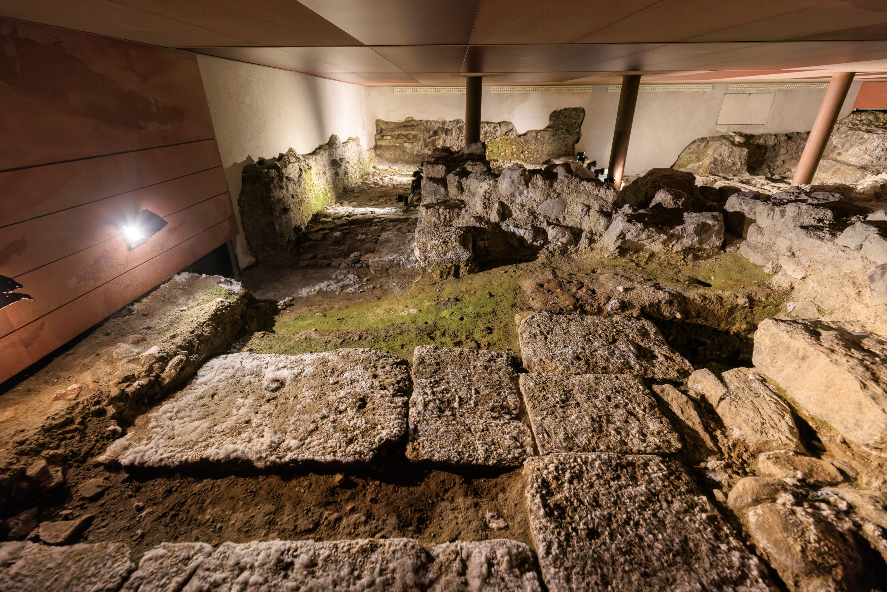
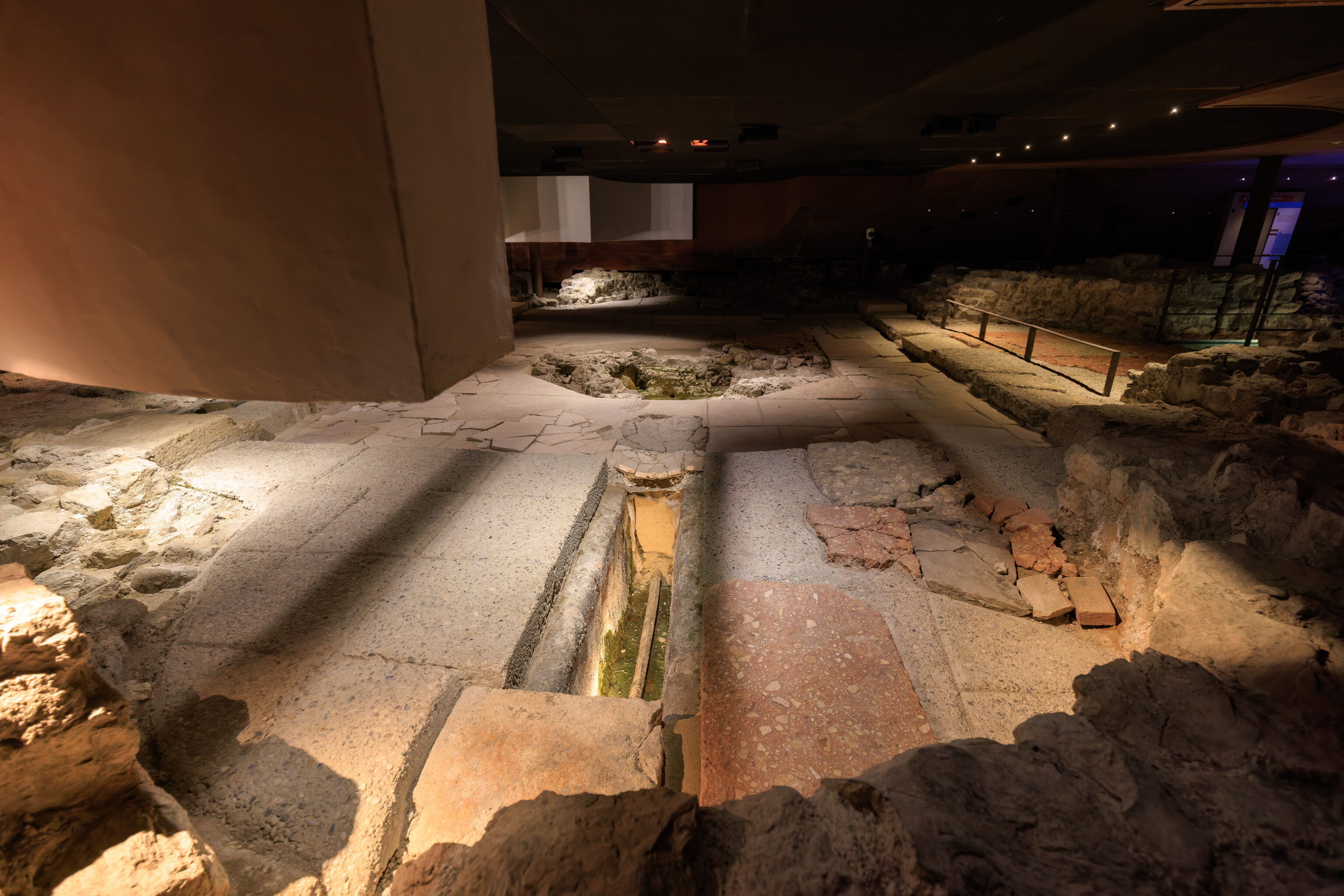
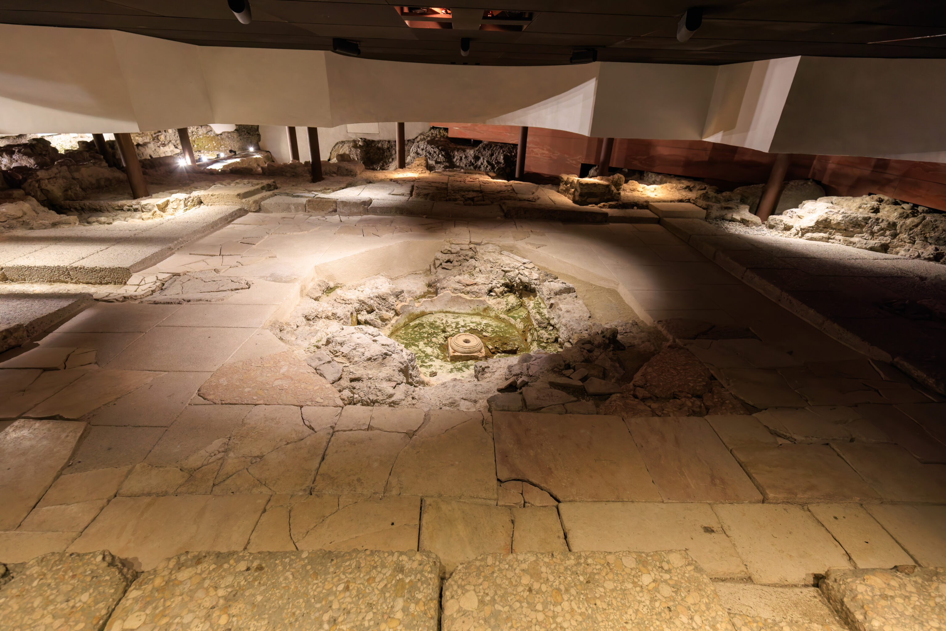
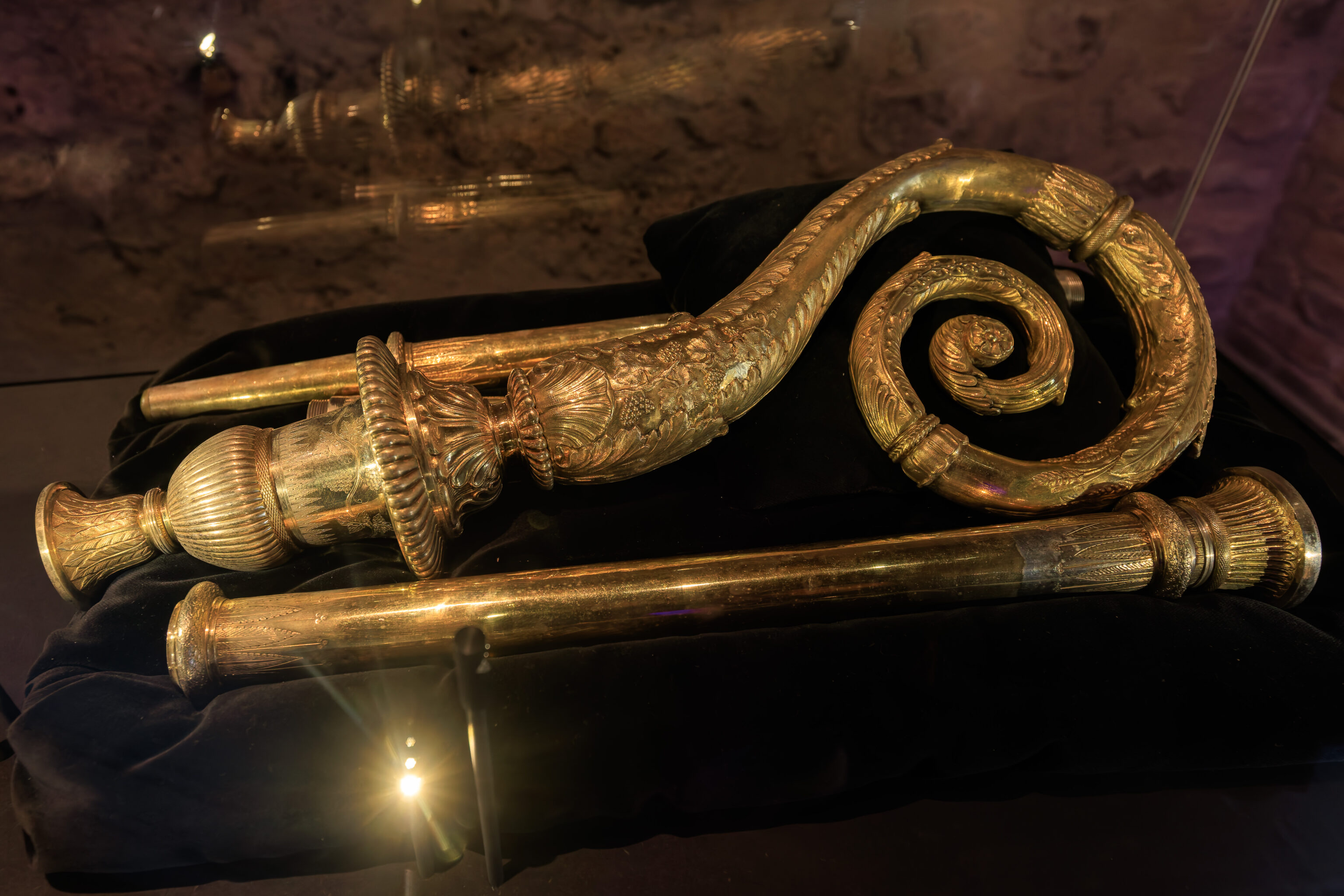
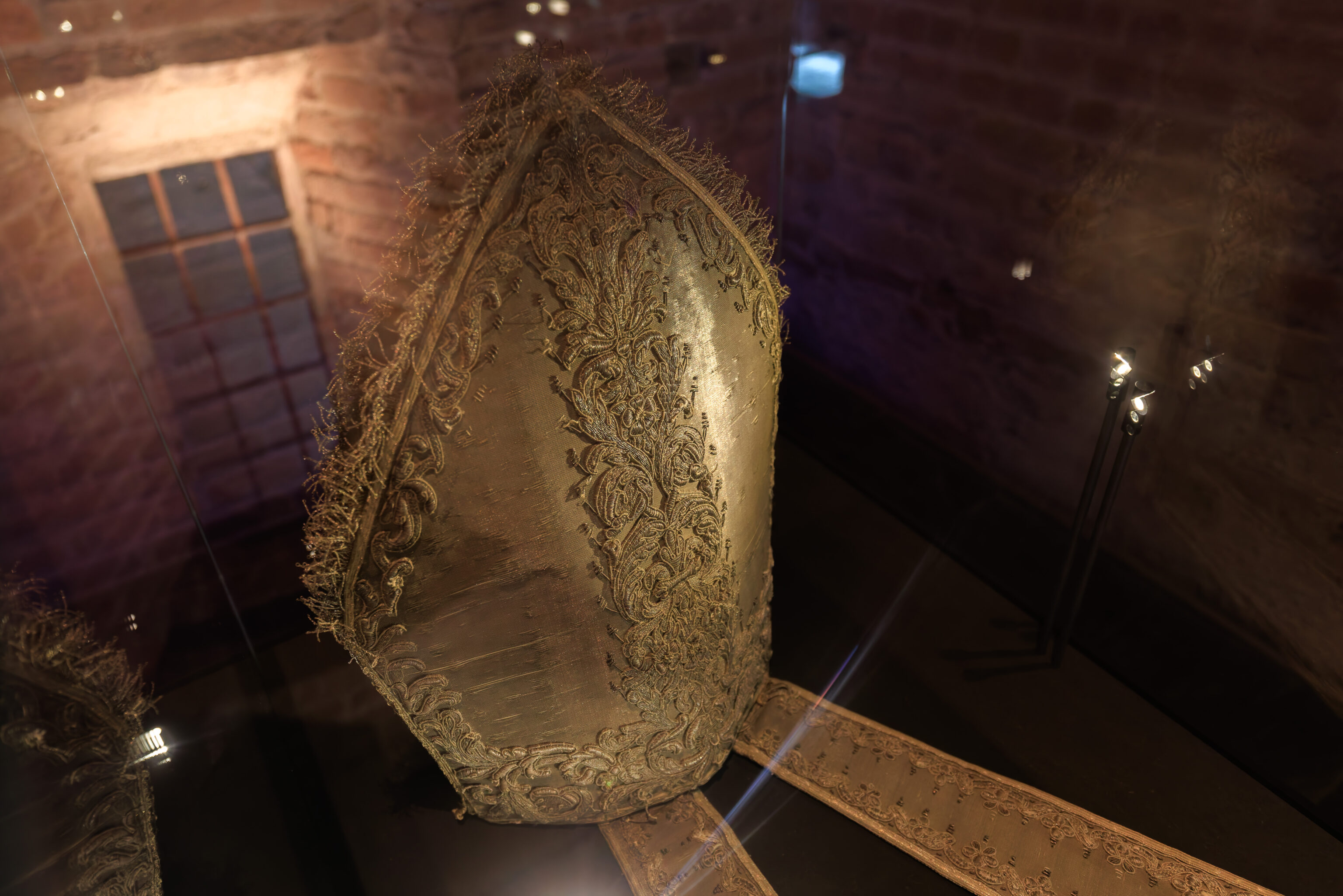
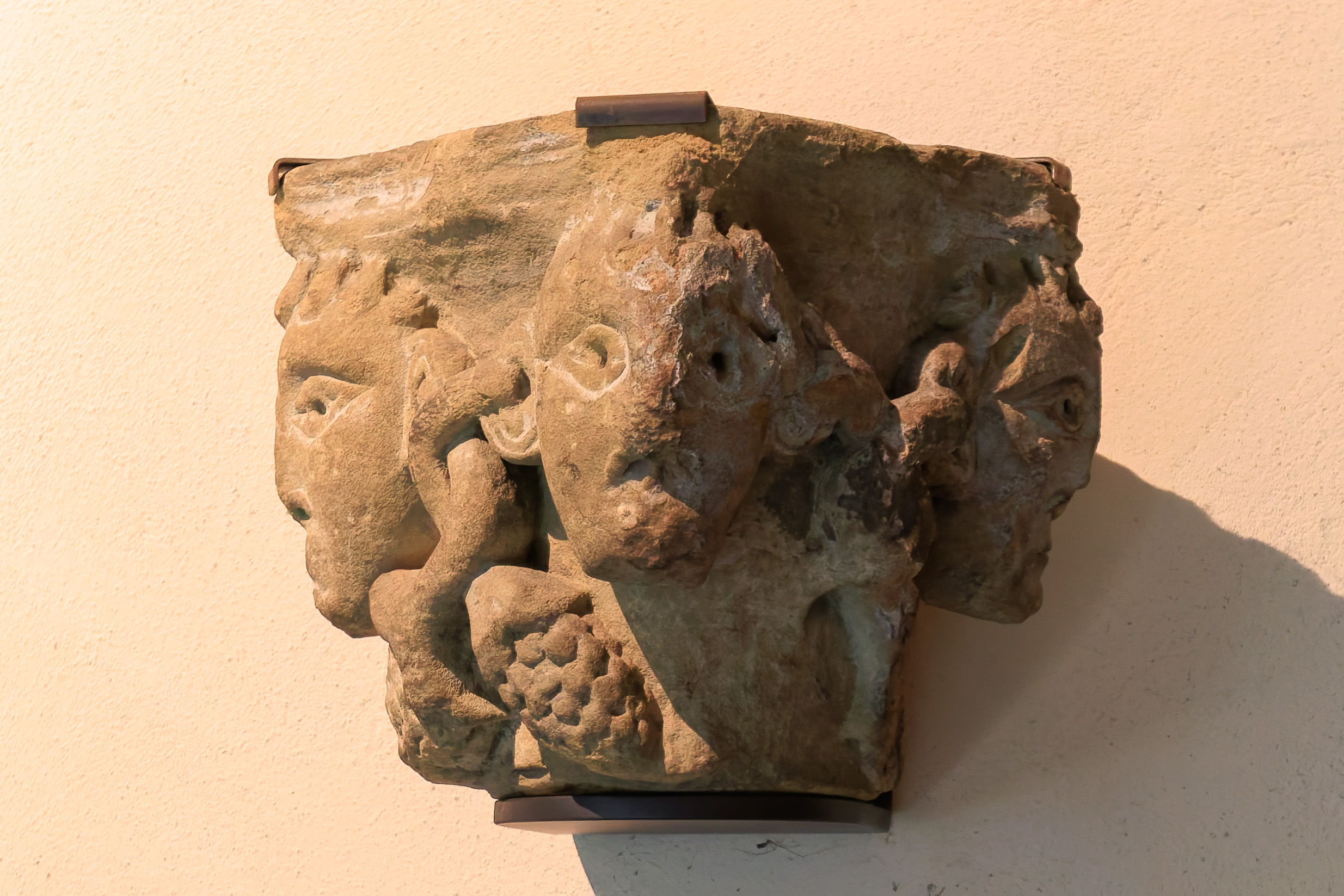
We walked through this underground area, looking at the various ruins and artifacts in display cases. We then continued upstairs.
THE "BISHOP'S CITY"

In the historic center of Grenoble, the bishopric-cathedral complex constitutes the major heritage element of the city, forming its original core.

Built in the 4th century in a bend of the Roman rampart, the "bishop's city" is organized around a baptistery (remains in the basement), a double cathedral (Notre-Dame Cathedral and Saint-Hugues Church), and a residence, the episcopal palace. Its location would remain permanent, but its architecture would undergo numerous transformations.

In the 13th century, builders erected the brick palace to the north (where we are now) and rebuilt Saint-Hugues and the cathedral. Marked by the personality and bold initiatives of Cardinal Le Camus, the 17th century gave the bishopric its opening onto Rue Très-Cloîtres with the creation of a courtyard of honor. At the beginning of the 19th century, Place Notre-Dame was enlarged at the expense of a wing of the palace, and Saint-Hugues Church was permanently obscured by a new building. At the end of the 19th century, the square was completely redeveloped around the cathedral, which was given a facade of molded cement. At the end of the 20th century, the facade-mask was removed, and three fire-damaged bays of the palace were demolished to reveal the parish church and restore a connection between the buildings.

The three models located below the gallery illustrate these main developments, with the exception of the last one, which can be observed directly from Place Notre-Dame.
Google Translated Sign
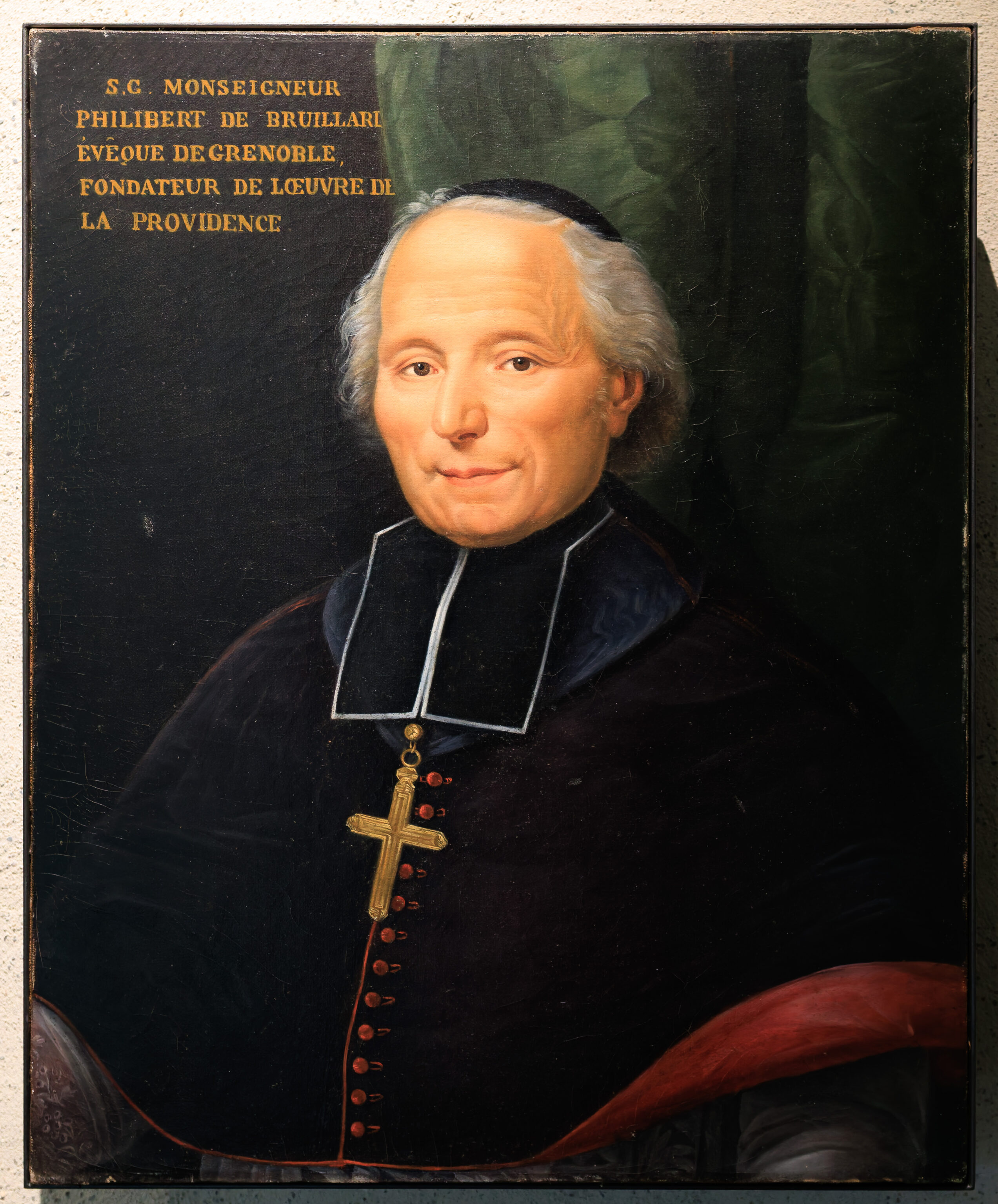
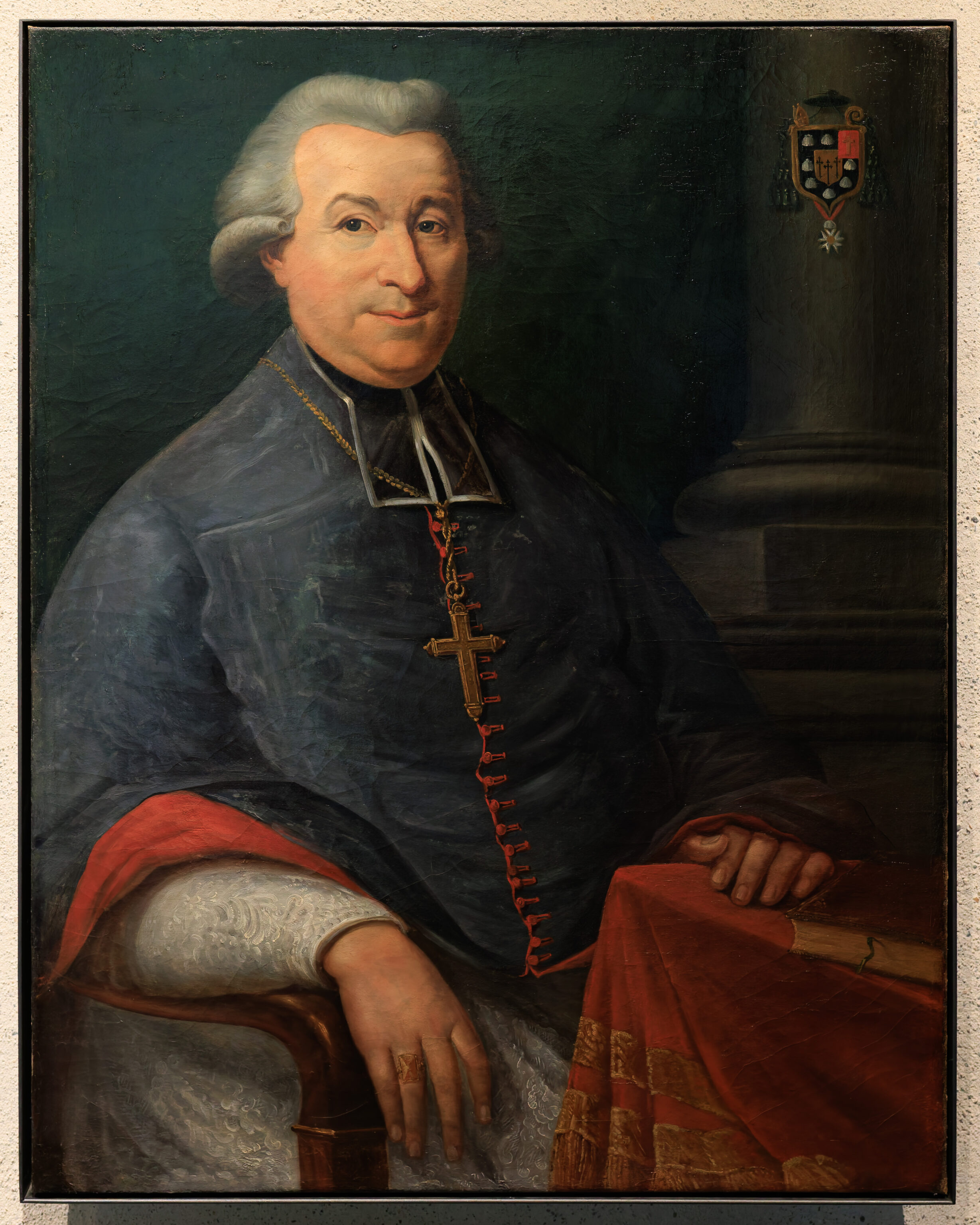

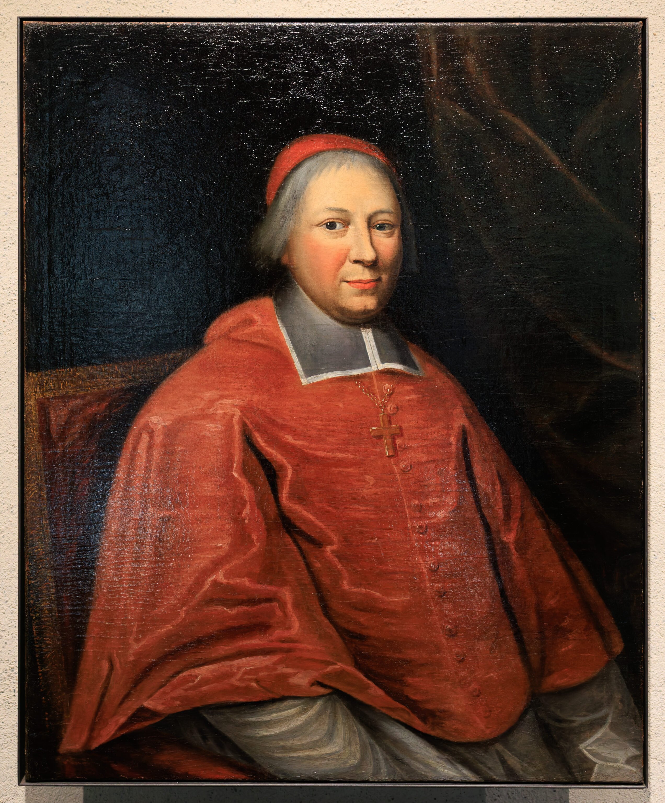
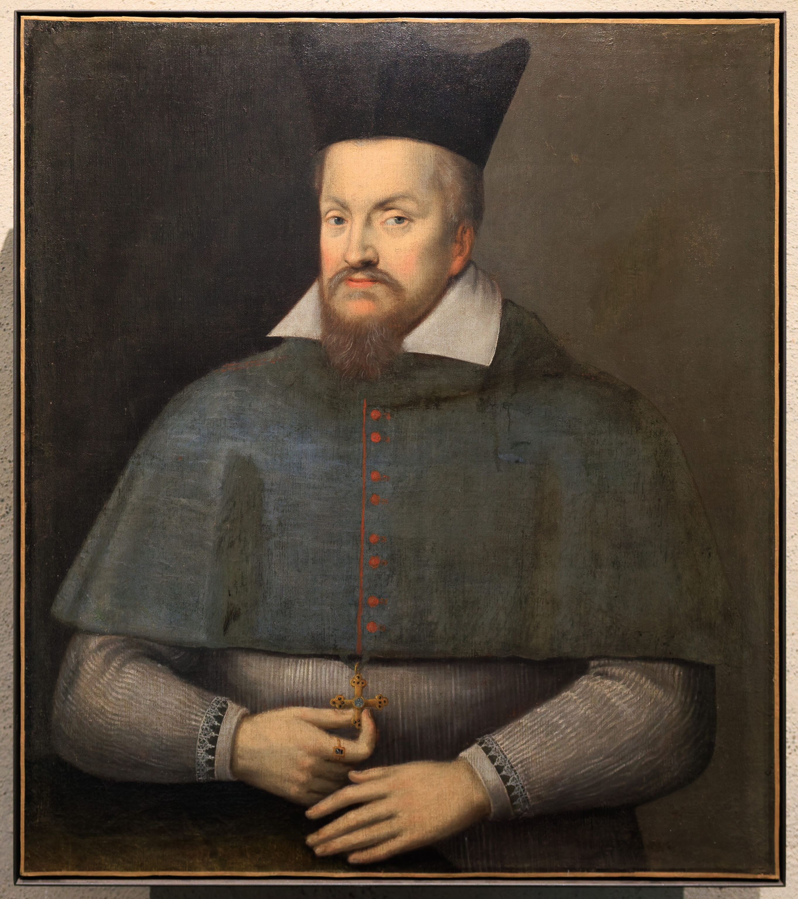
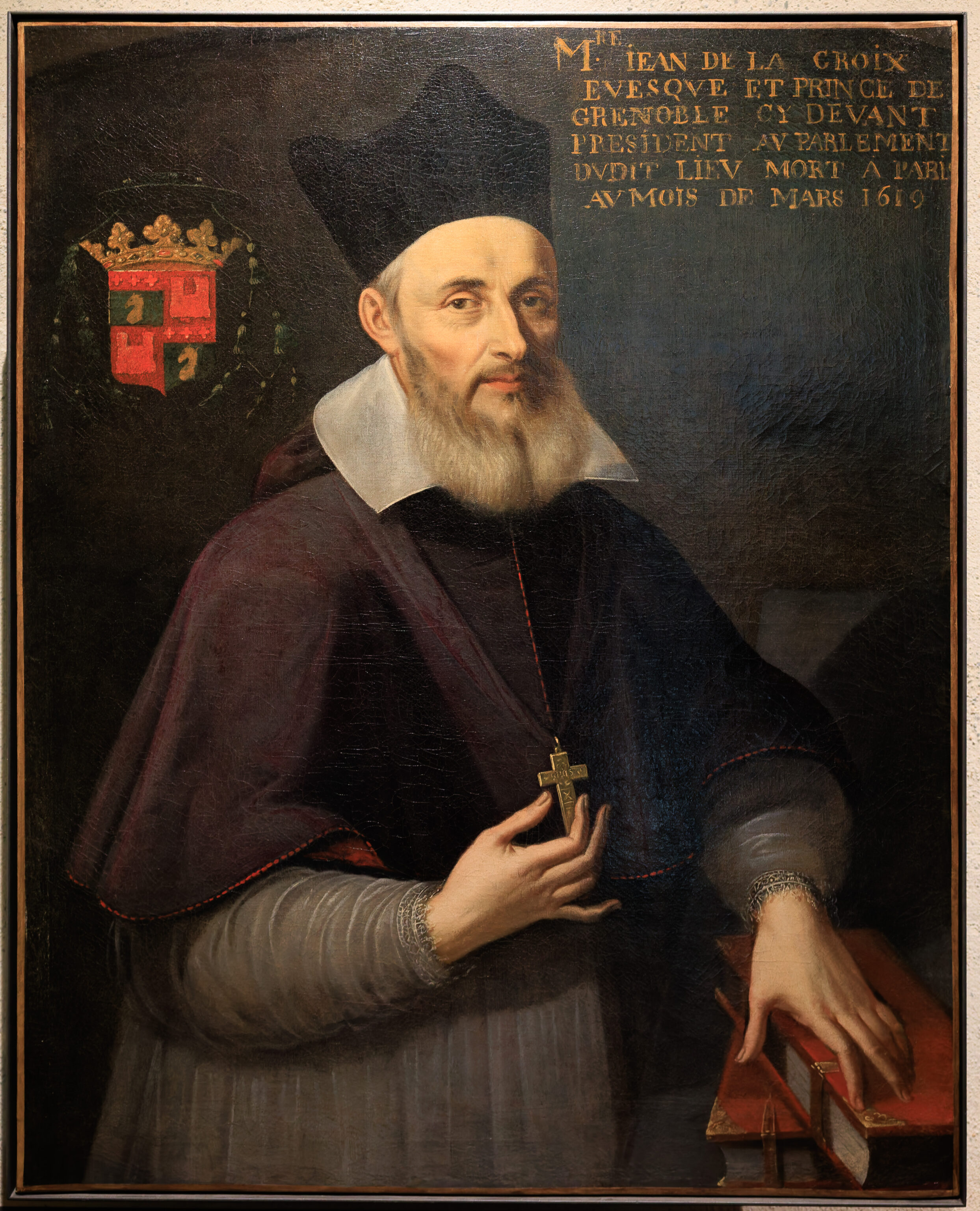
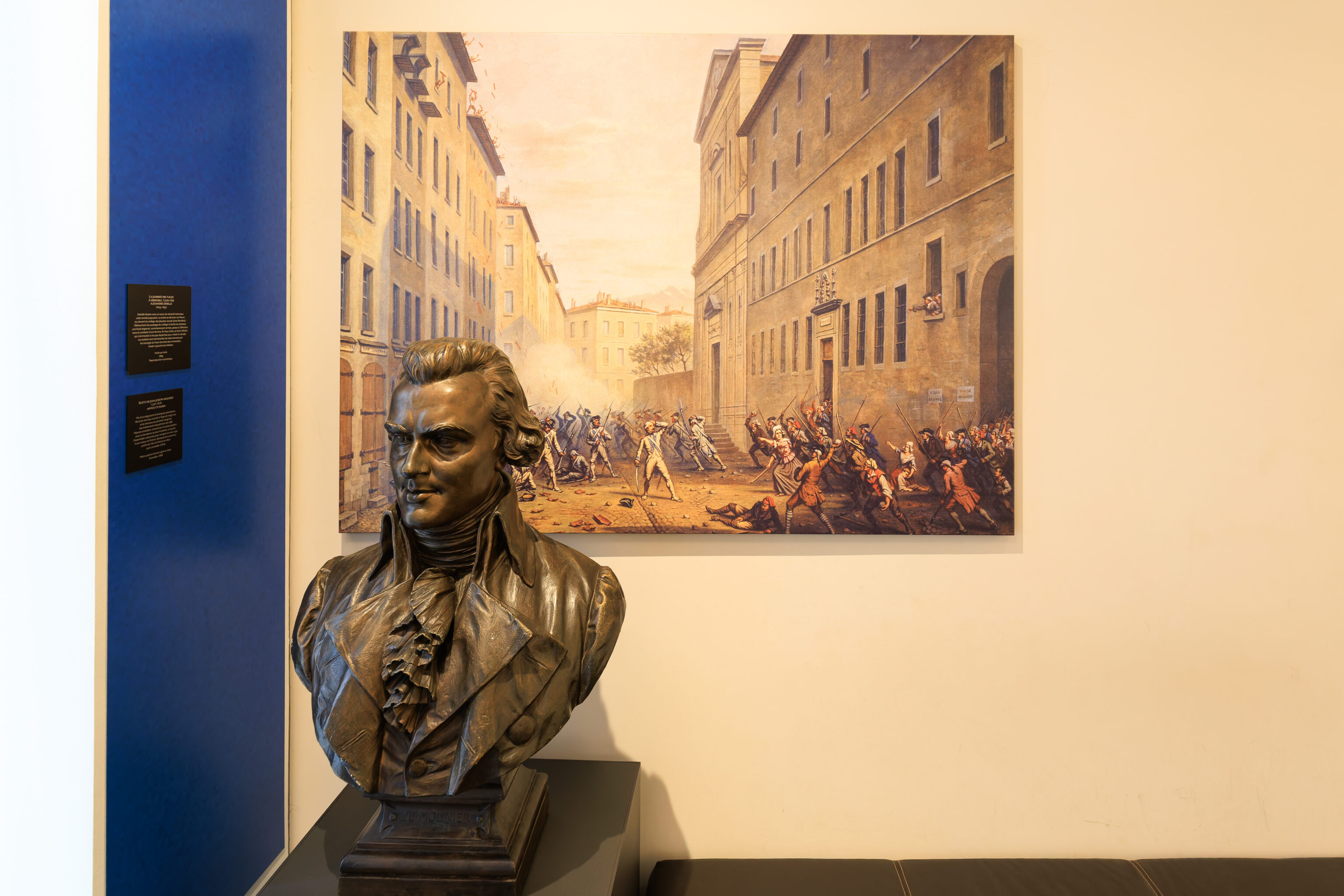
This room contained portraits of some of the Bishops of Grenoble.
THE BISHOPS OF GRENOBLE

Spreading the Catholic faith and administering the Church are the main missions of the bishop, who is in charge of a territory, the diocese. Since 1790, the Diocese of Grenoble has been coterminous with the boundaries of the Isère department and includes the former archbishopric of Vienne. From the first known bishop, Domnin, in the 4th century, to the end of the 20th century, eighty-four prelates have succeeded one another on the episcopal seat, thirty of whom lived in this palace. Among the remarkable figures, Hugh I of Châteauneuf (Saint Hugh) accompanied Saint Bruno in 1084 in the founding of the Carthusian order. His immediate successors were, for the most part, Carthusian monks. Subsequently, during the Ancien Régime, the bishops were appointed by the king and came from the powerful noble families of the Dauphiné, before being chosen, in the 18th century, from among the kingdom's elite.

Until the 15th century, the Bishop of Grenoble was also a powerful lord who played a role in the political arena. He often opposed the Dauphin, with whom he shared the title of lord of the city. He was Prince of Grenoble until the French Revolution.

Following the 1905 law on the separation of Church and State, Monsignor Paul-Émile Henri left the episcopal residence in 1908. The palace was then allocated to the University of Grenoble.
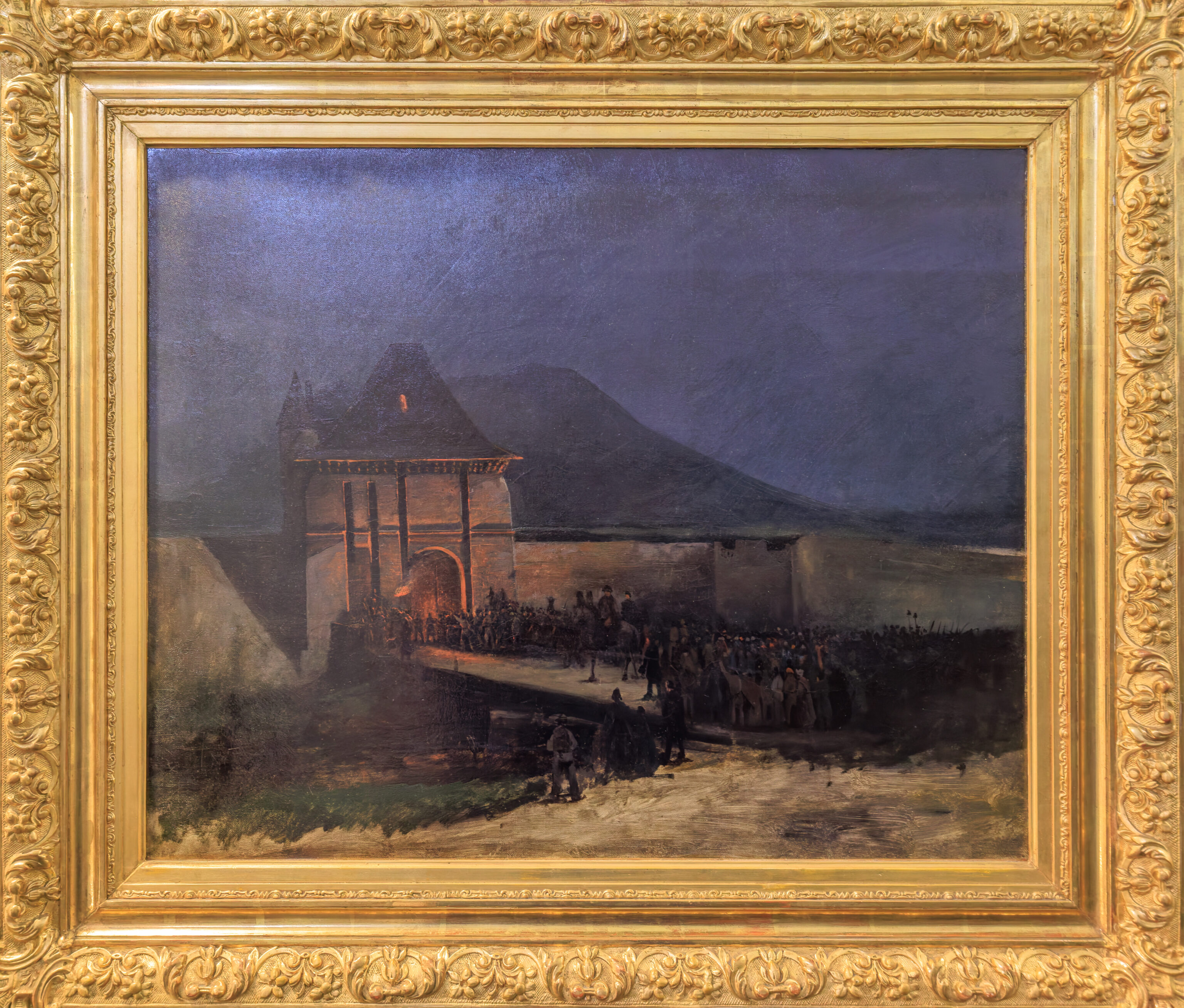
Théodore Ravanat (1812-1883)
Oil on canvas, undated
This painting illustrates an episode of Napoleon‘s return from the island of Elba. On March 7, 1815, after the royal troops rallied to his side in Laffrey with cries of “Long live the Emperor!”, Napoleon arrived in Grenoble at night. The gate was barricaded: the large crowd, armed with axes, forced it open.
(Google Translated)
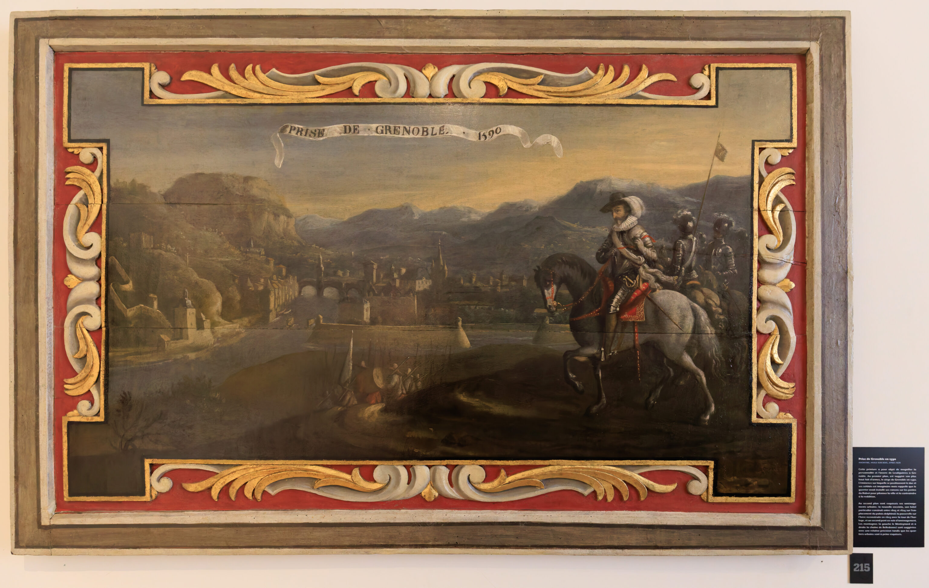
ANONYMOUS, OIL ON WOOD, AFTER 1620
This painting aims to glorify the personality and achievements of Lesdiguières in Grenoble. In the foreground, his greatest military feat, the siege of Grenoble in 1590, is suggested. The elevated position on which the duke and his soldiers are positioned is imaginary but recalls that the warrior had placed his cannons on the slopes of the Rabot hill to bombard the city and force its surrender.
In the background, his urban developments are sketched: the new city walls, his private mansion built between 1605 and 1624 on the site of the Dauphin’s palace; the footbridge over the Isère river, rebuilt in 1603 with the clock tower, and a second bridge under construction. The mountains (Monteynard on the left and the Belledonne range on the right) are depicted with relative accuracy, while the city districts are only vaguely outlined.
(Google Translated)
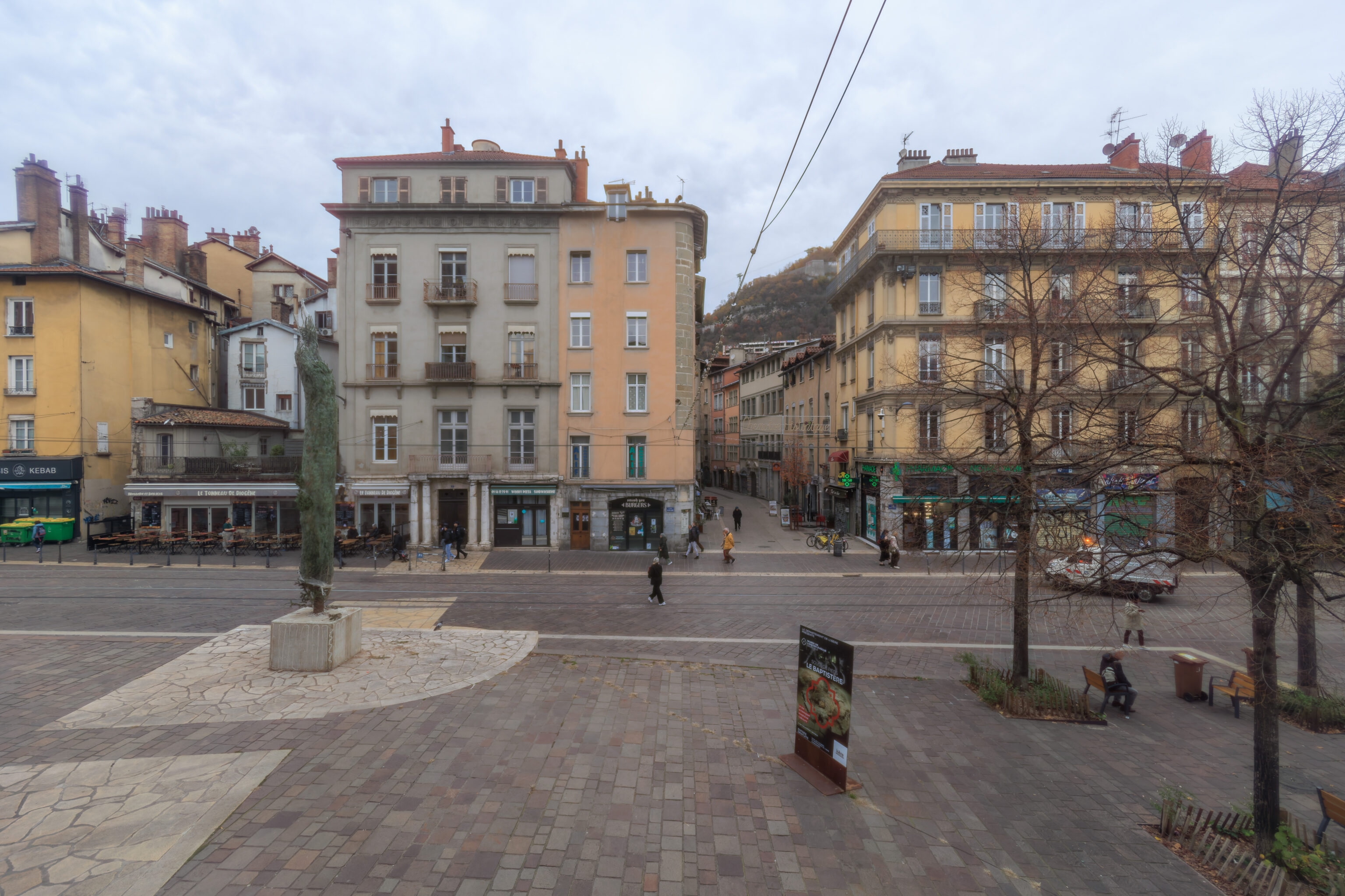
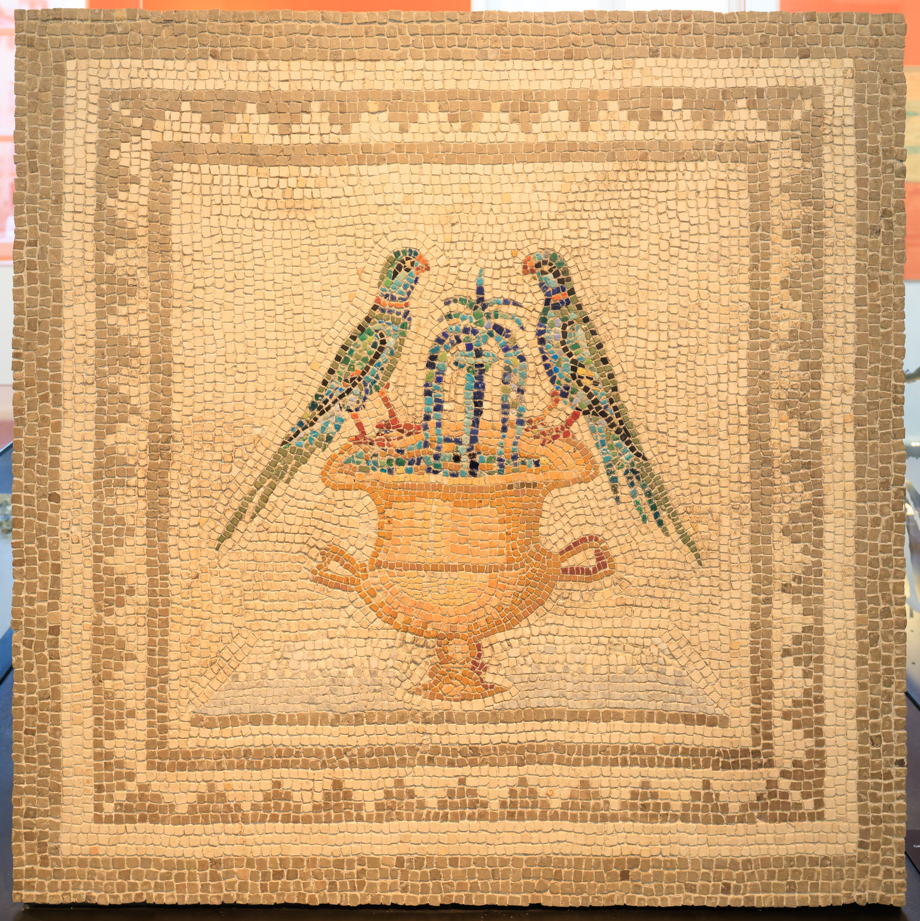
We were able to see the view to the north from a window in the museum.
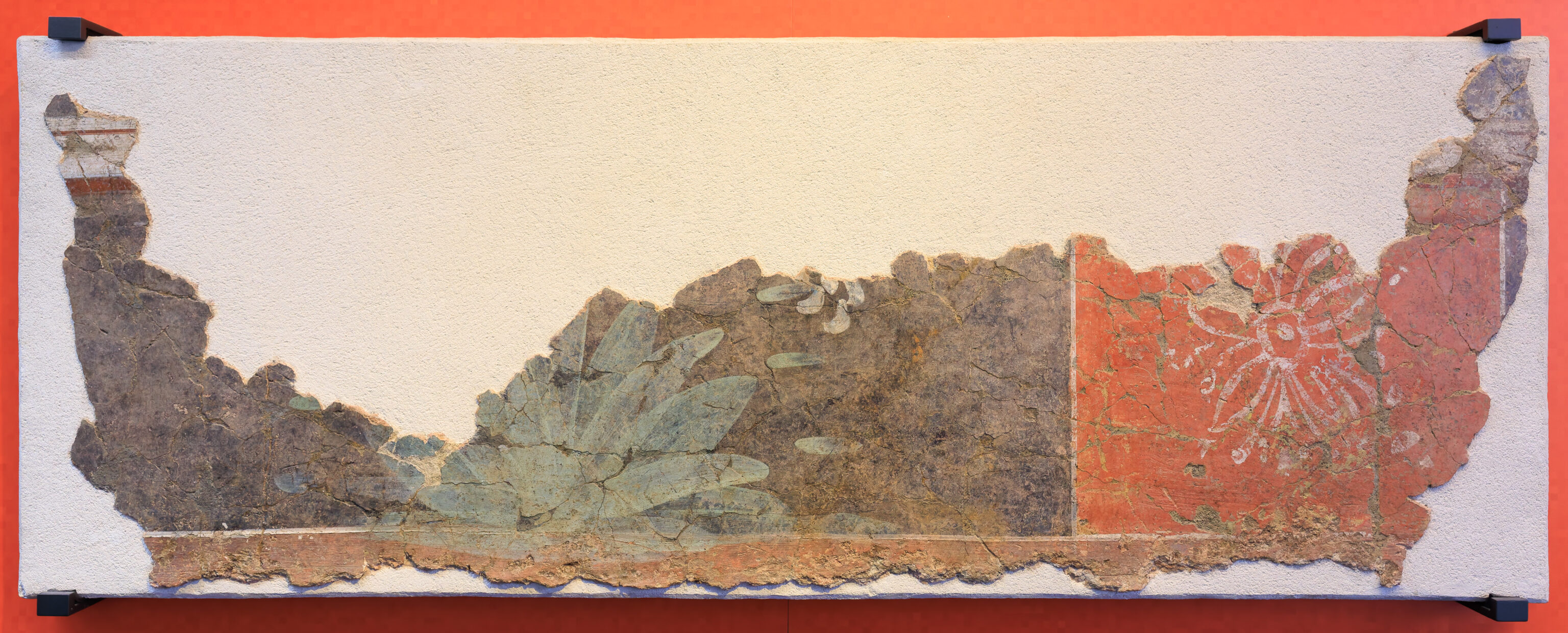
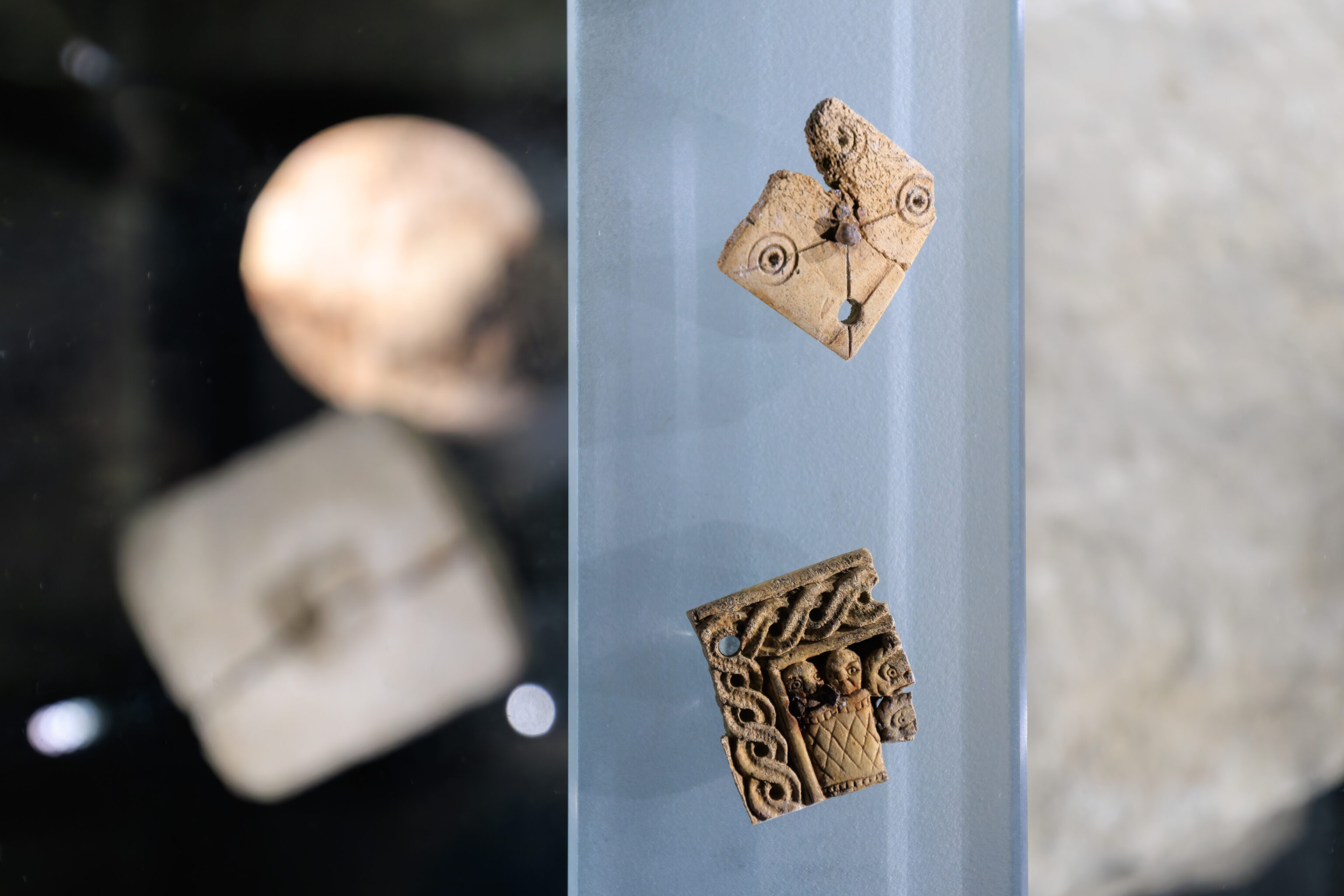
The plant motif consists of stylized bushes and flowers
Plaster and natural pigments
1st and 2nd centuries
Place Sainte-Claire, Grenoble
(Google Translated)
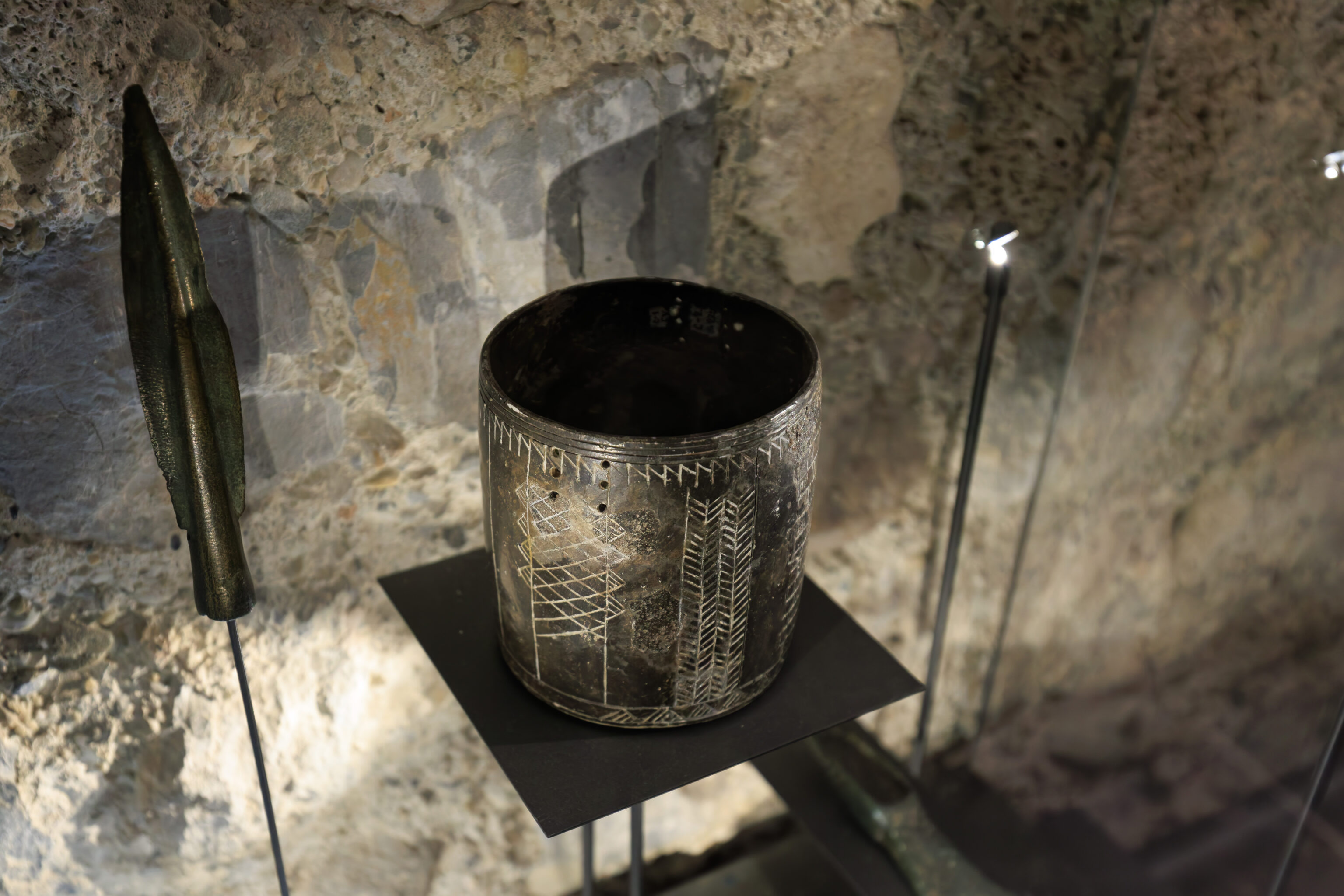
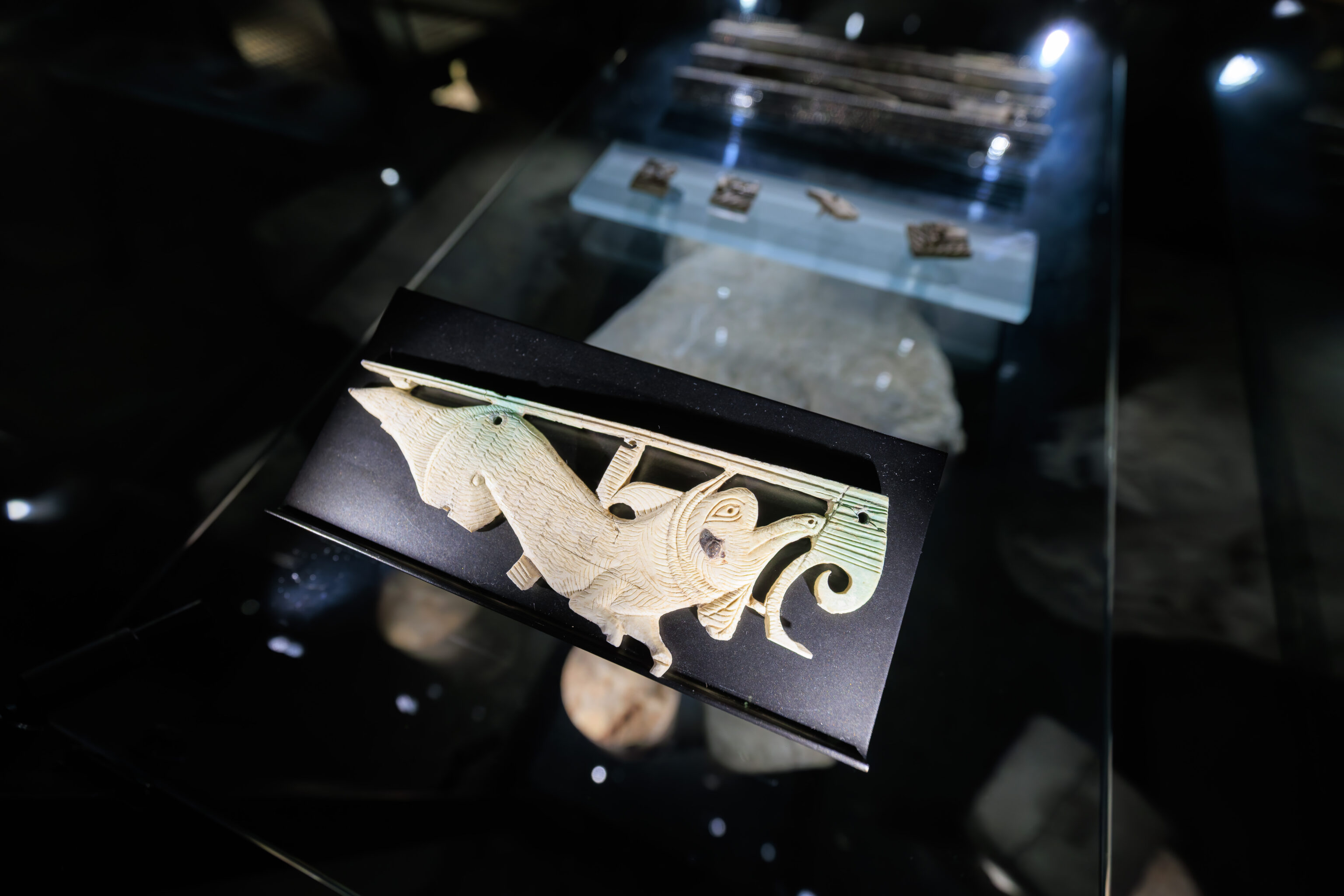
Its shape and decoration link it to a production from southwestern Germany
Ceramic with glossy black paste
1500 BC
Grotte des Sarrasins (Saracens’ Cave)
Seyssinet-Pariset, Isère
(Google Translated)
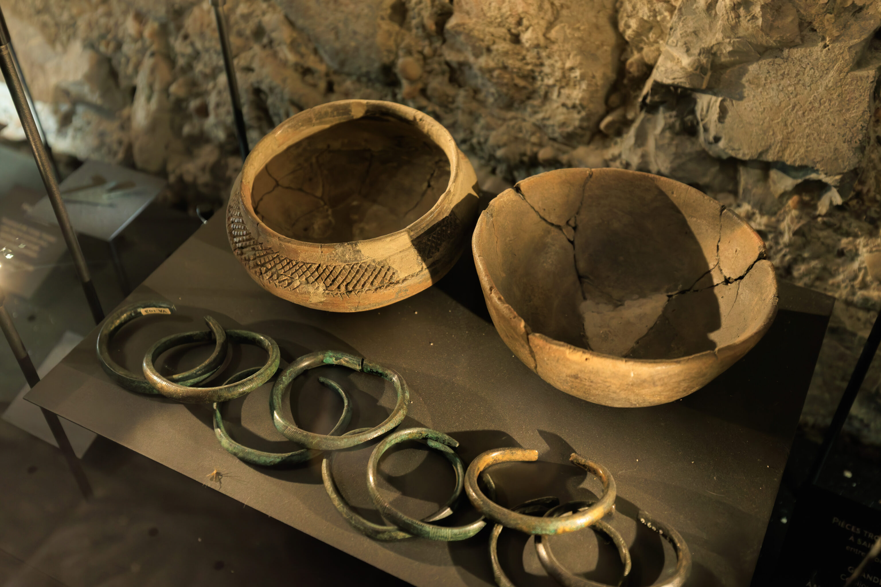
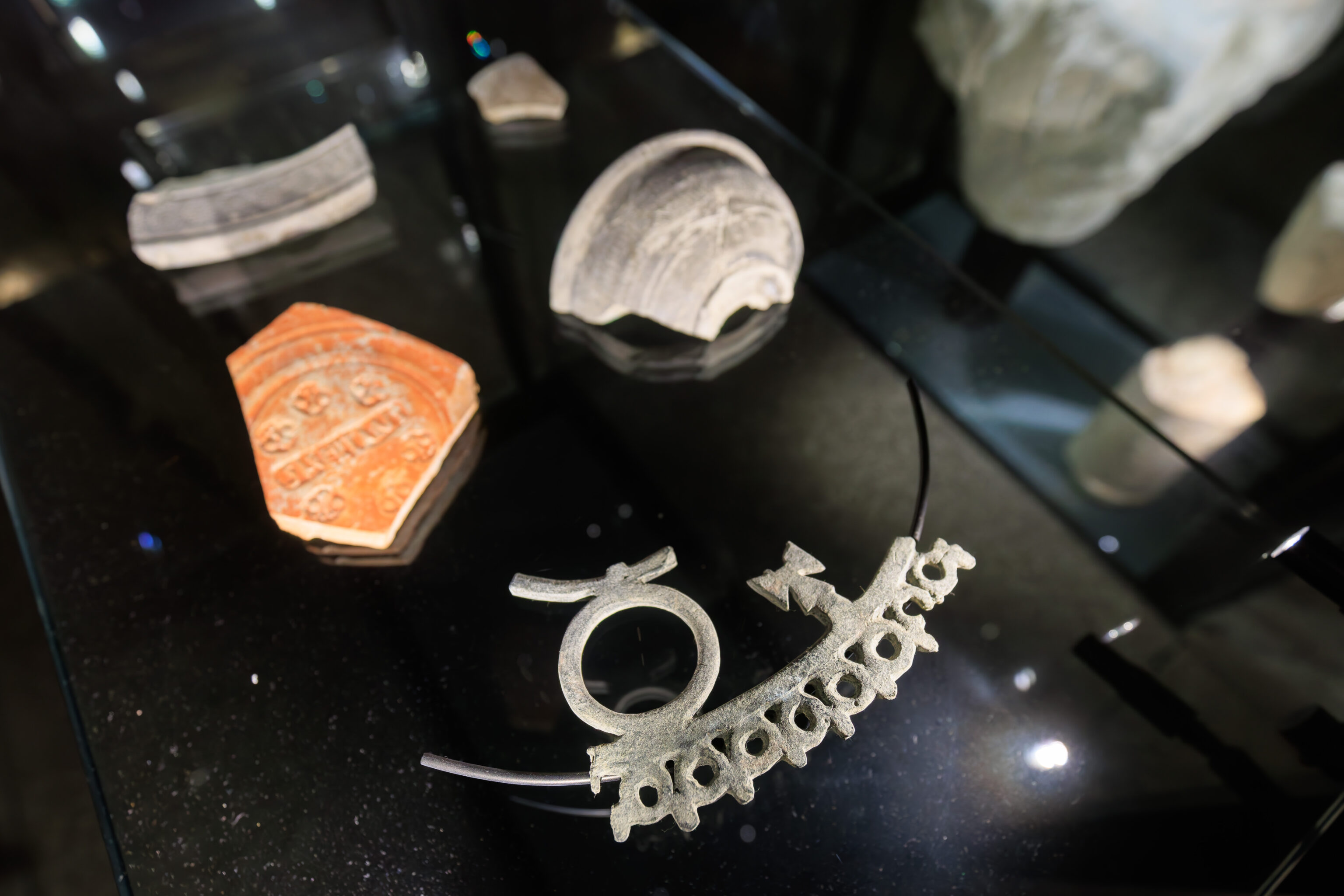
between 1500 and 1300 BC
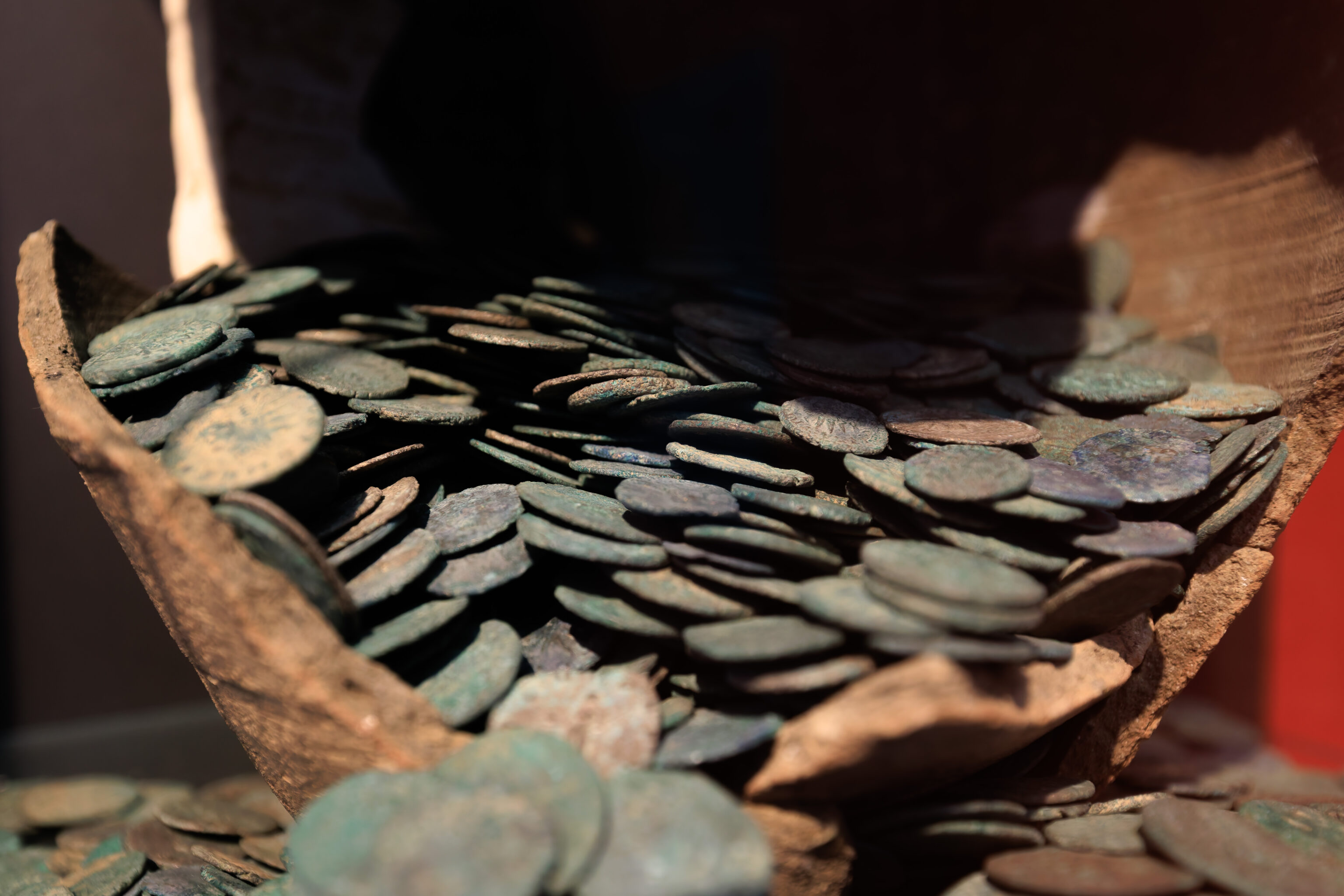
NINE BRONZE SHEET BRACELETS DECORATED WITH LINES OR CIRCLES
Adornment was a crucial element in the Bronze Age.
TWO BROWN CERAMIC BOWLS
The bowl with a round base and narrowed opening is decorated above the rim with a grid pattern.
(Google Translated)
We spent about an hour in the museum before moving on. We actually ended up walking through the museum backwards by accident, although it didn’t really make any difference.
The view across the street after leaving the museum. It was more or less the same view we had from within the museum.
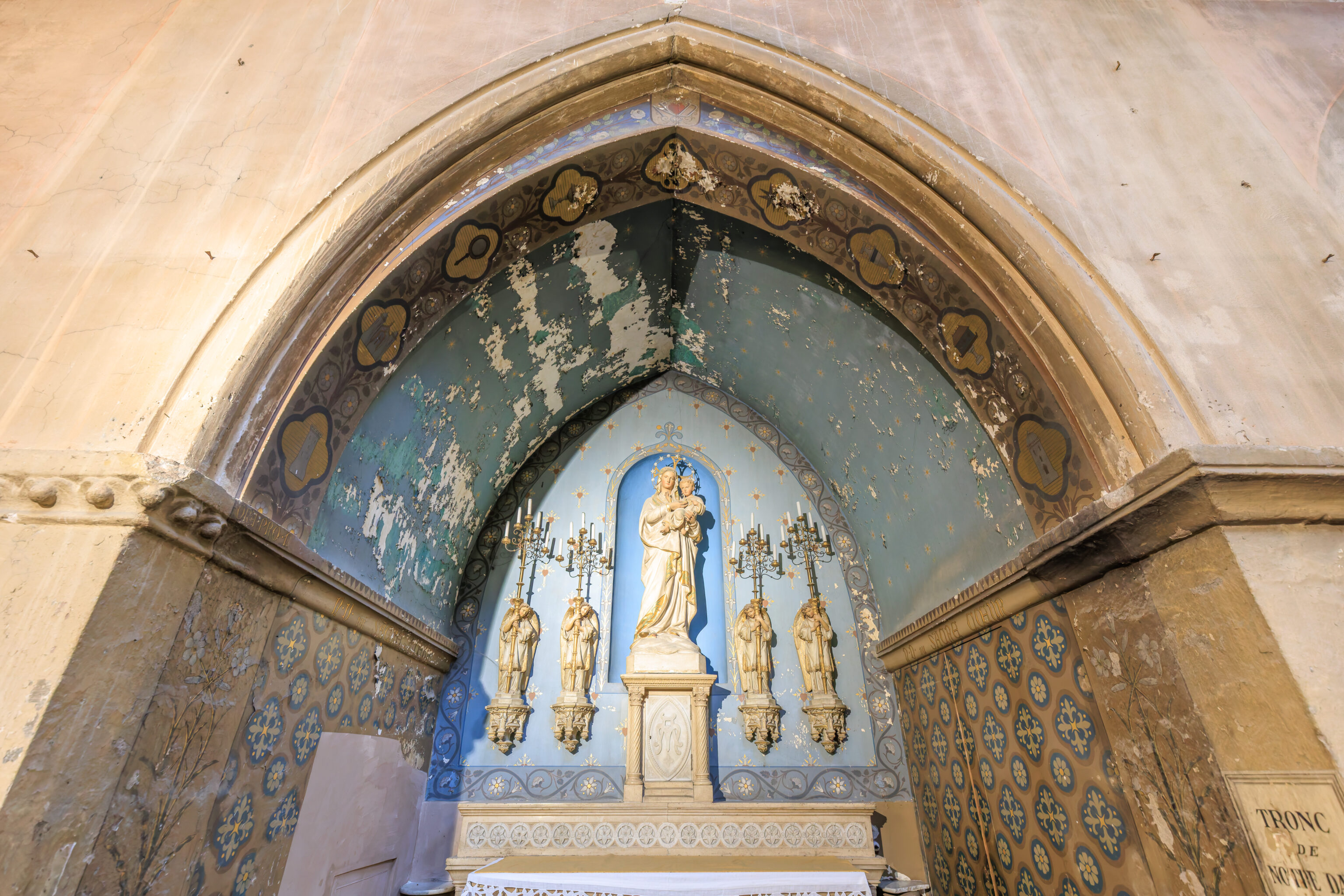
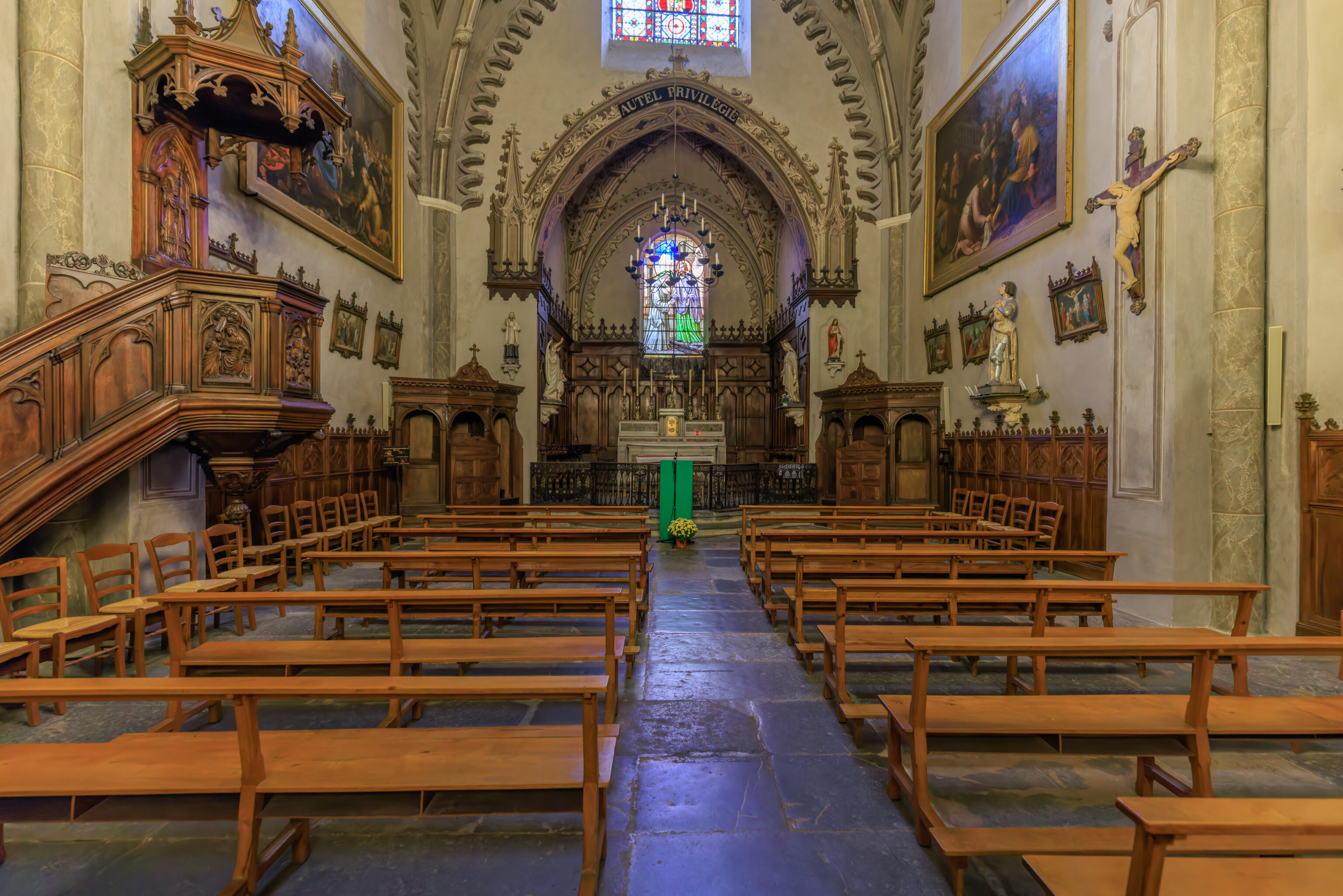
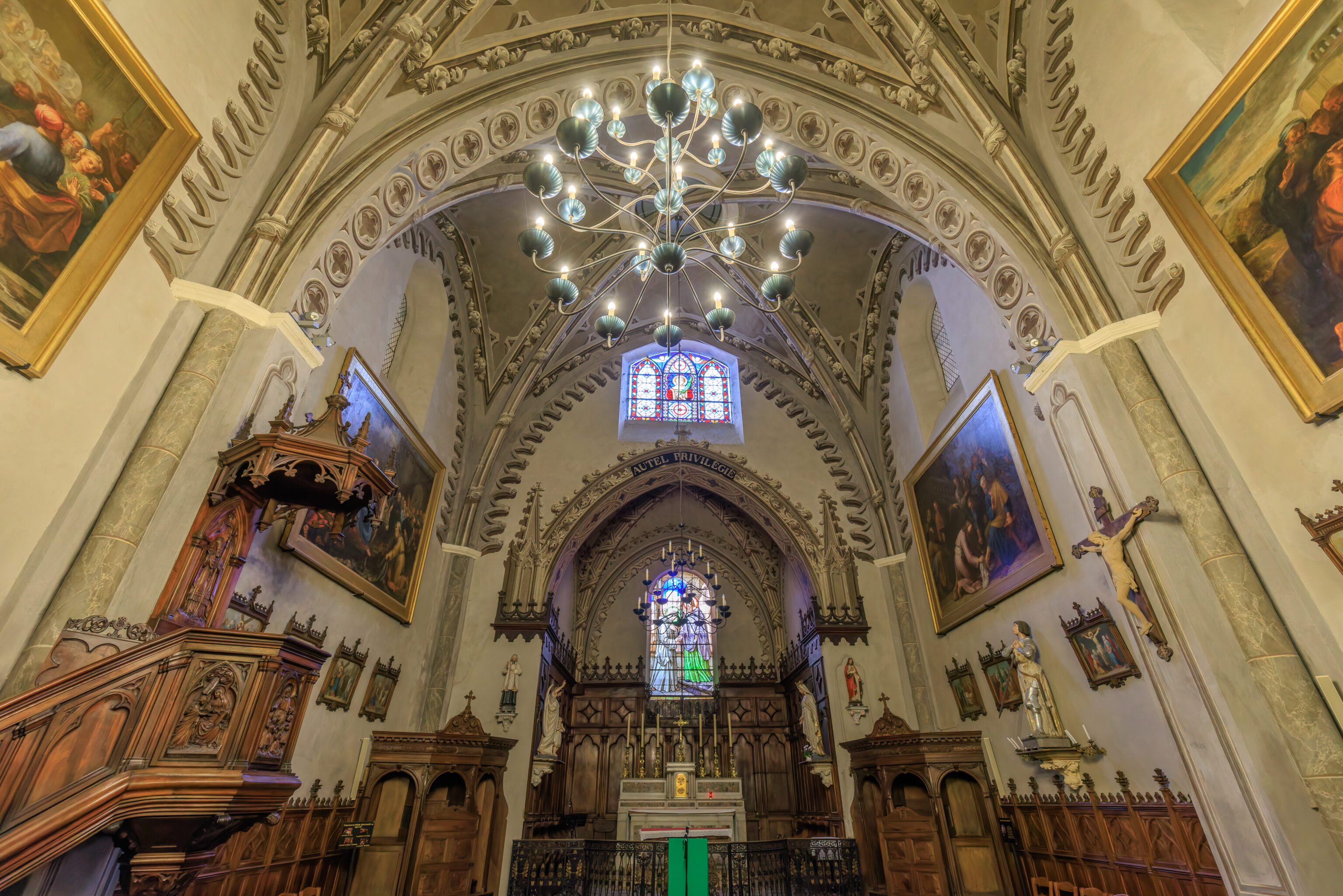
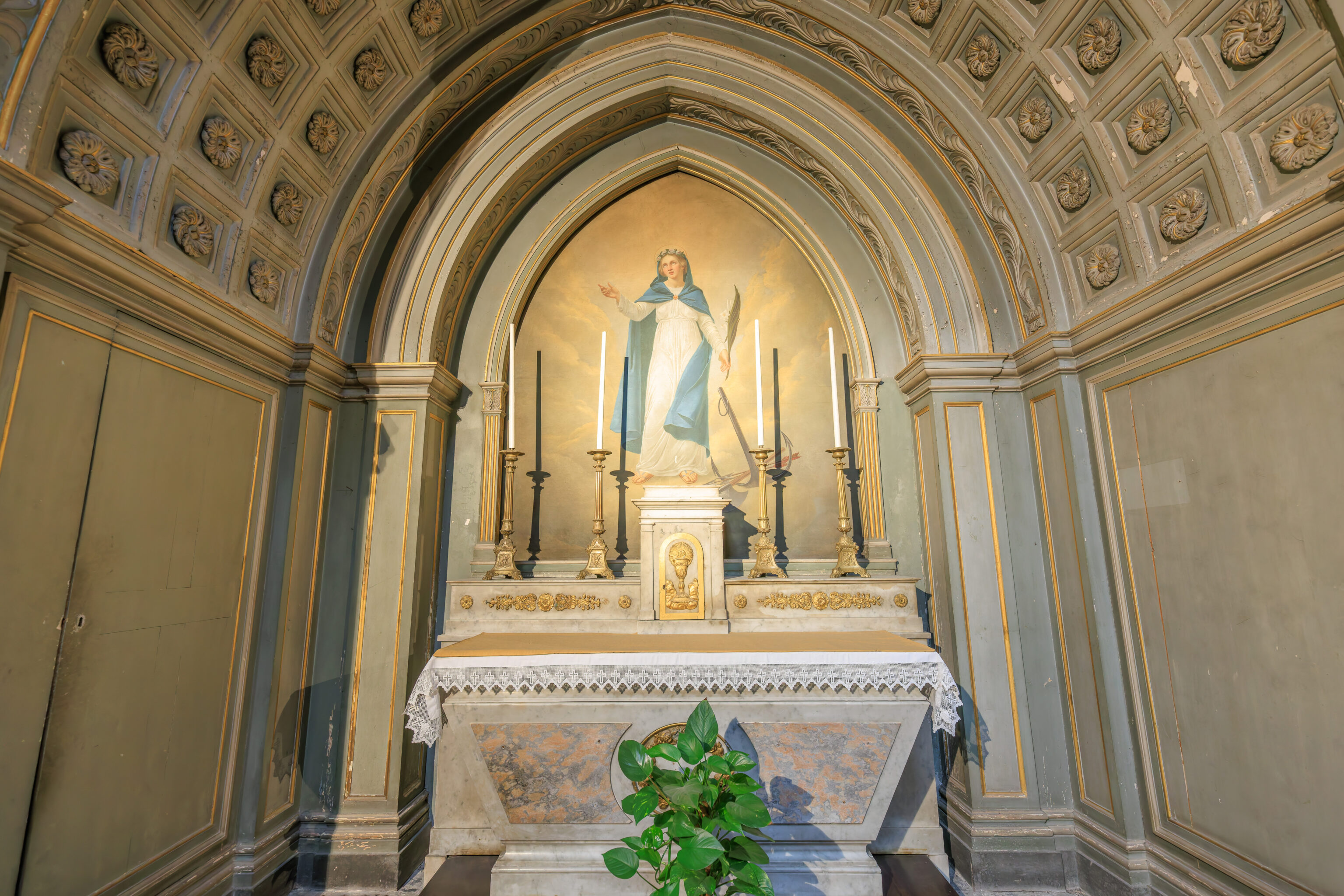
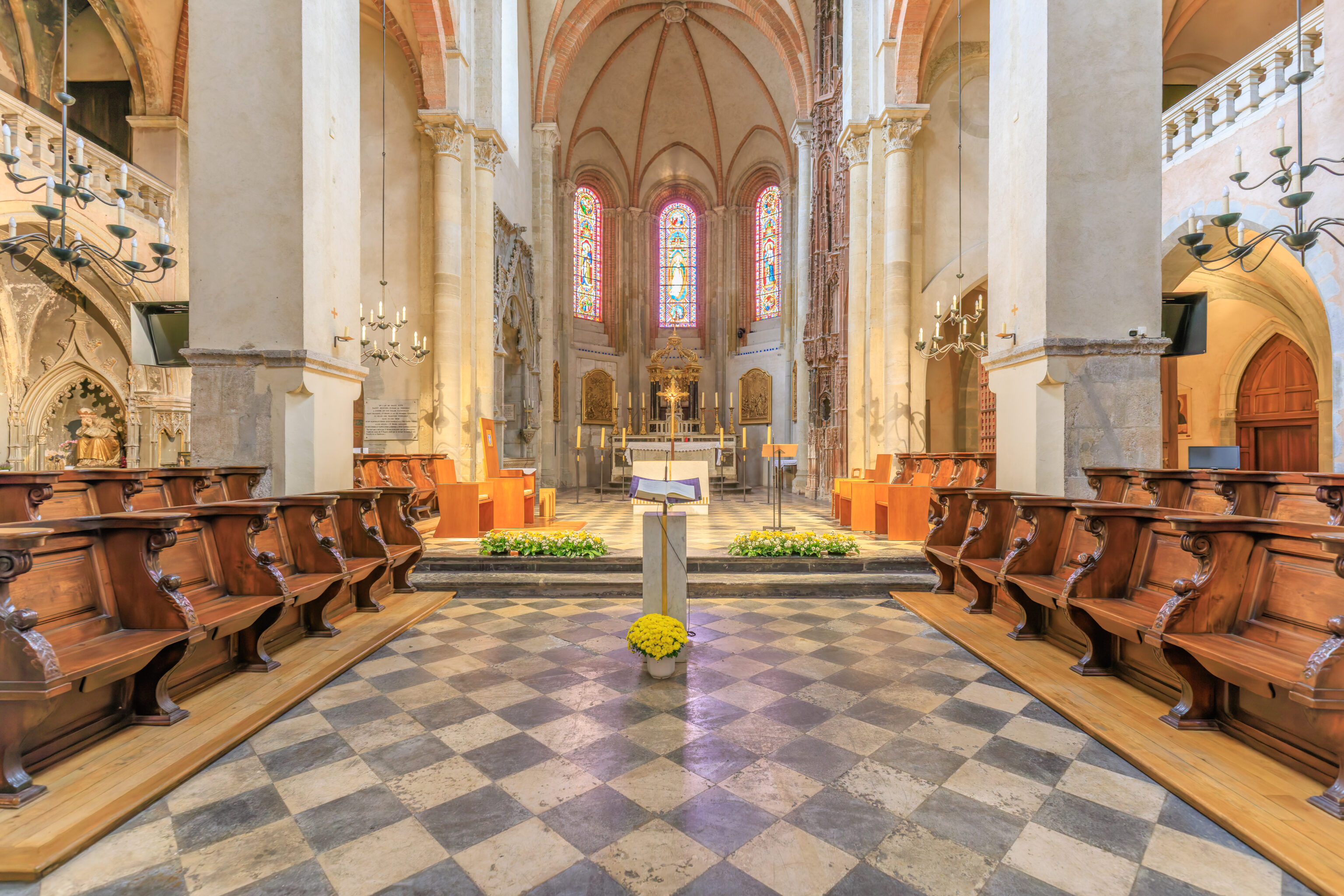
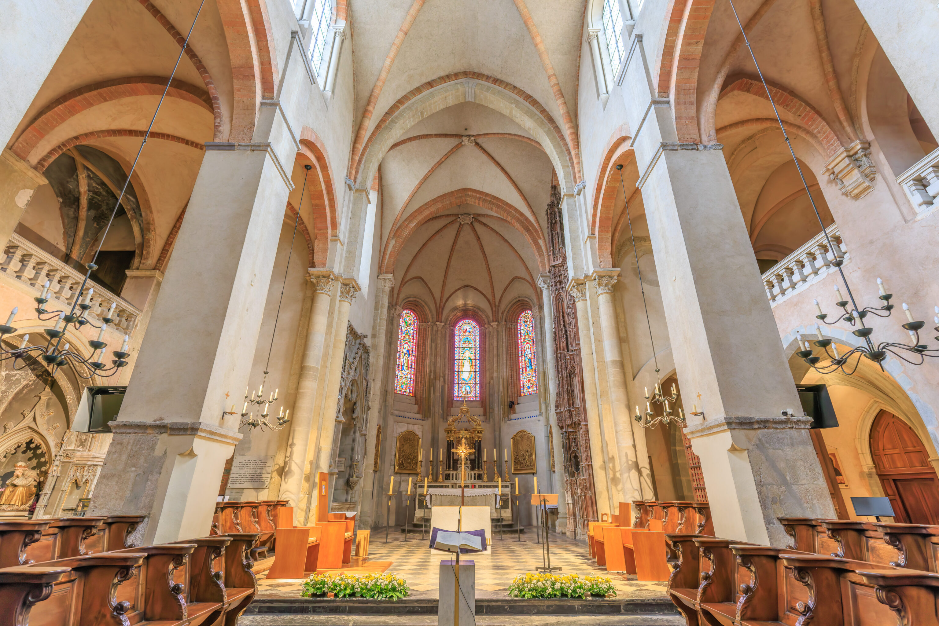
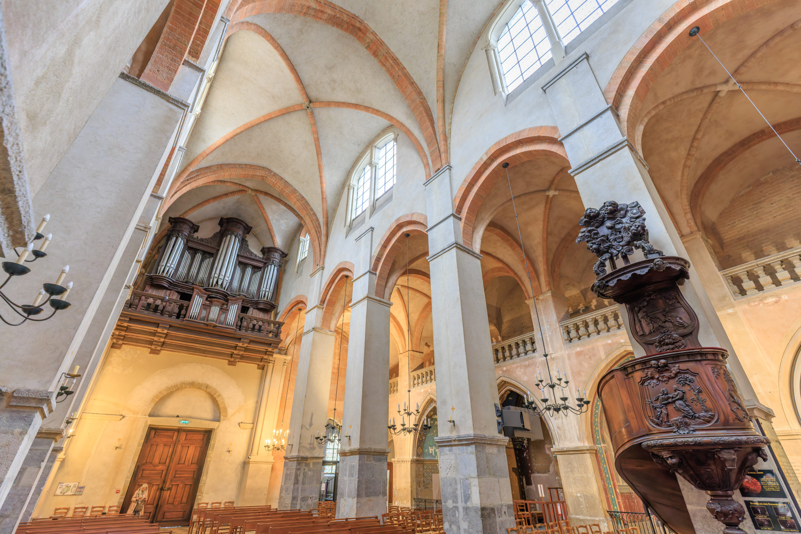
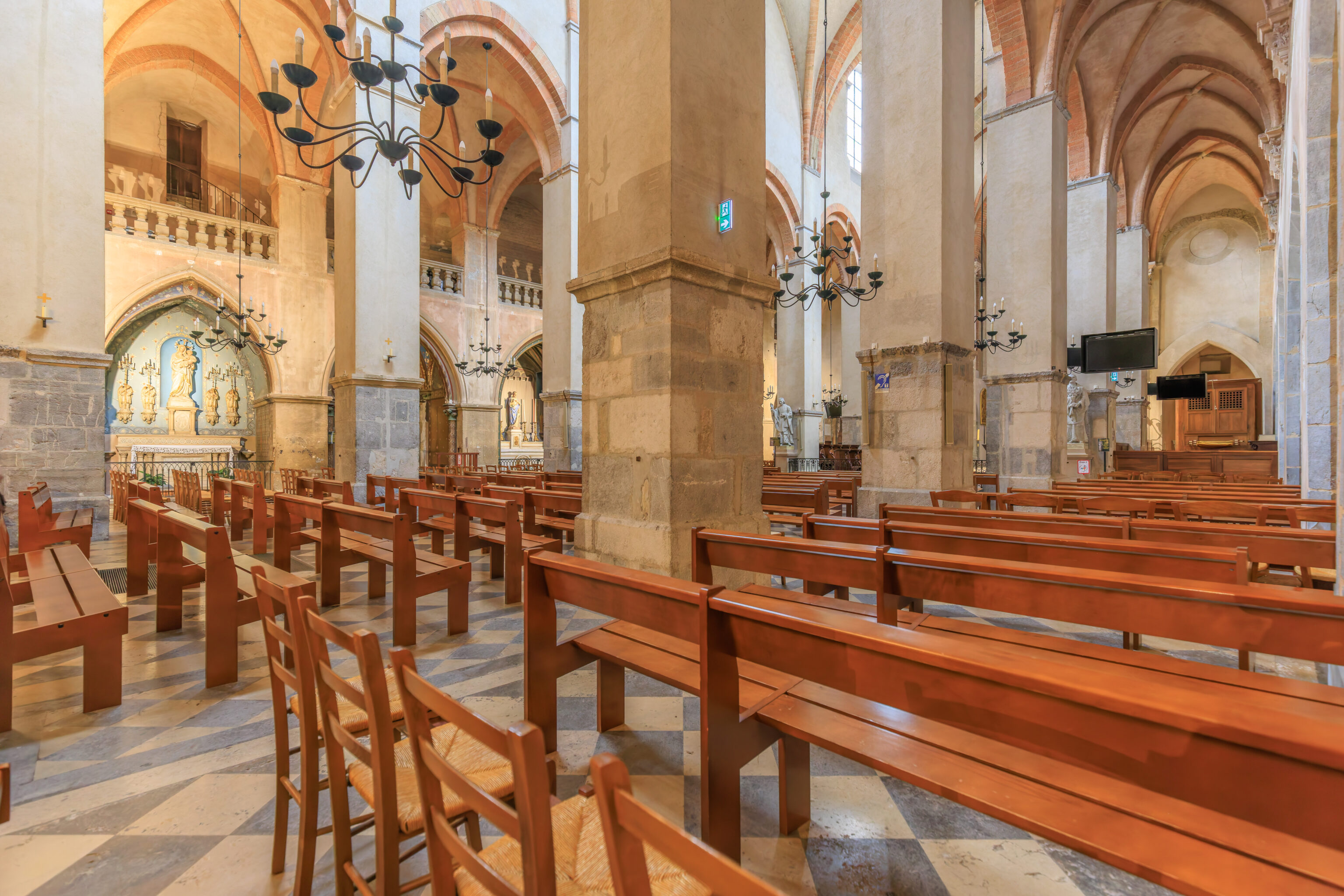
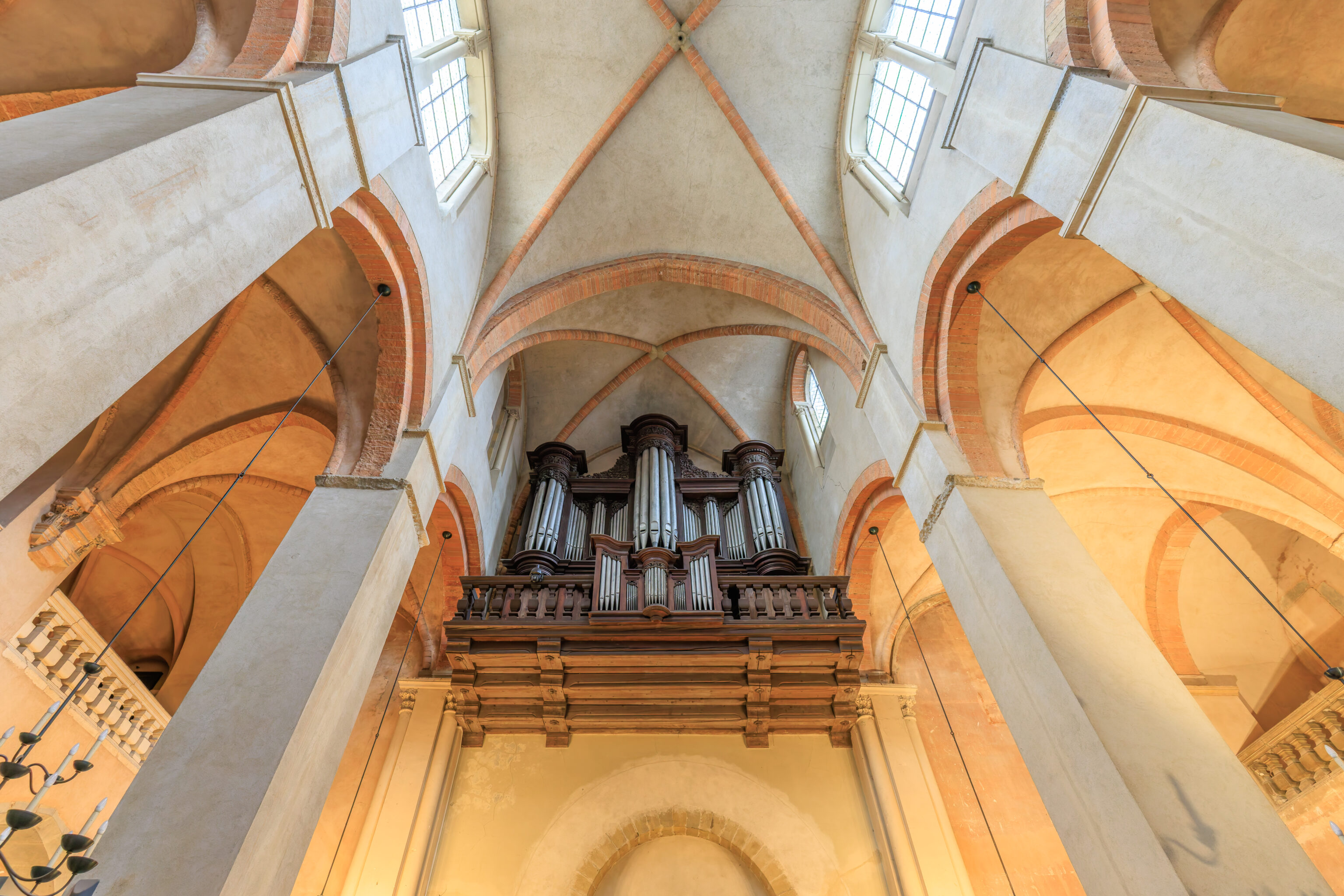
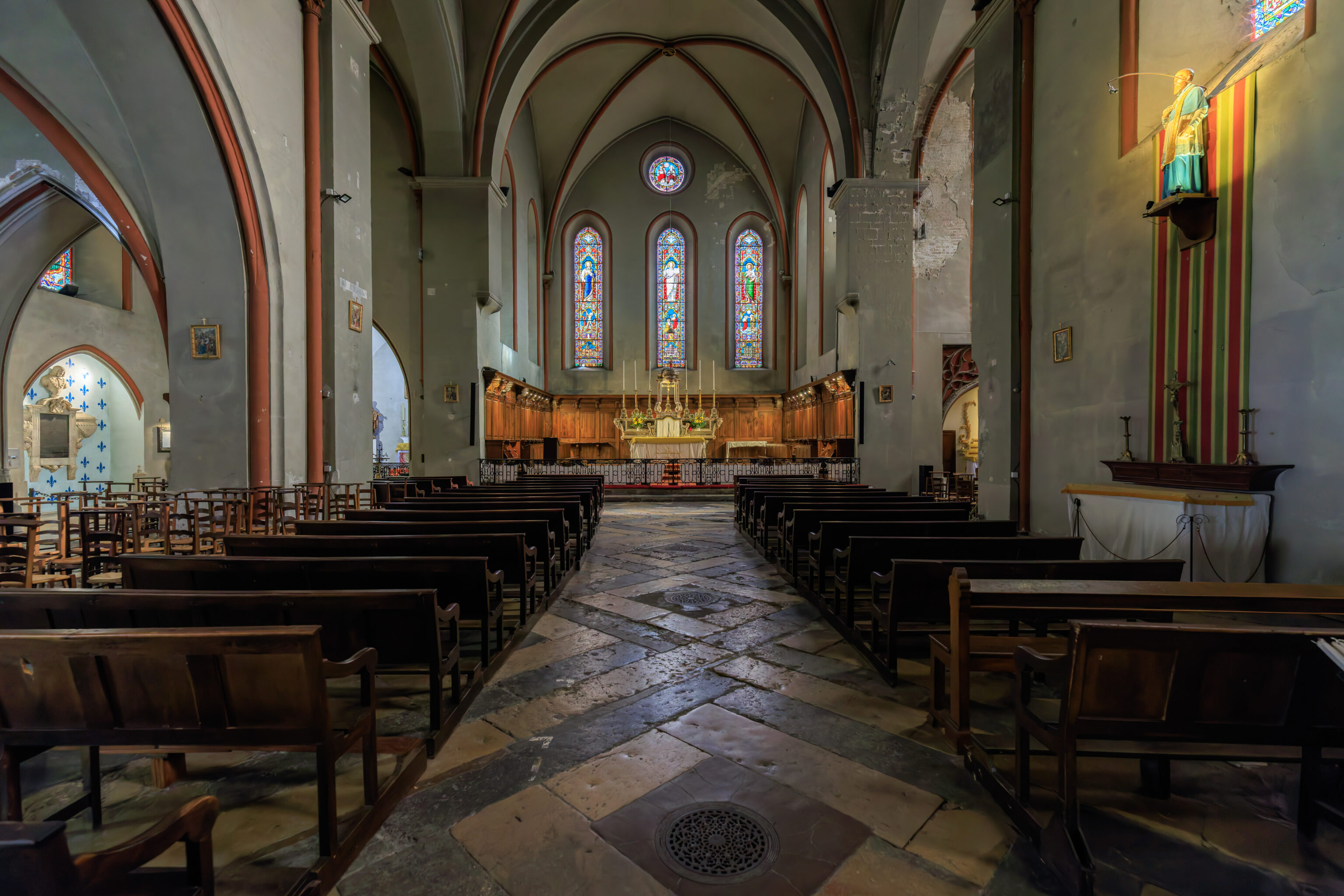
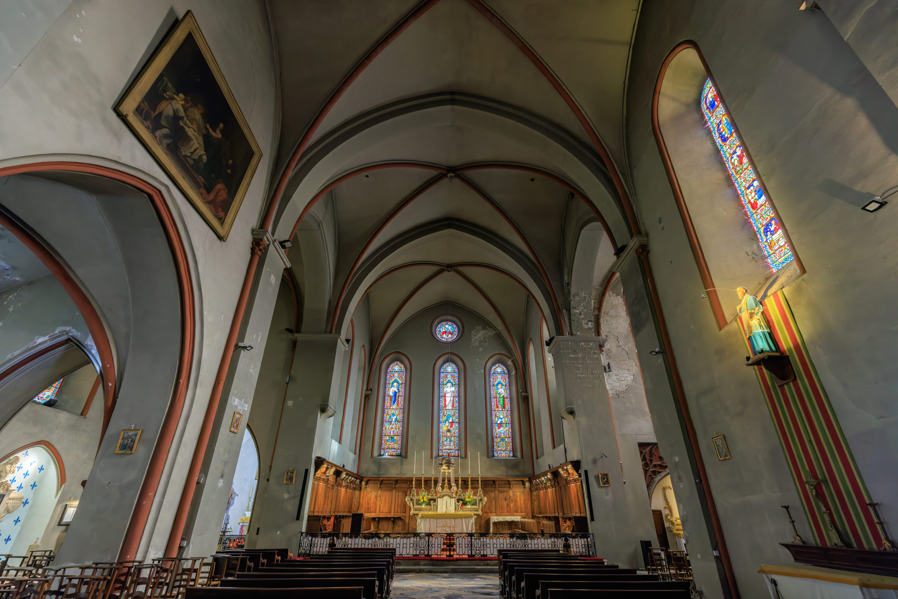
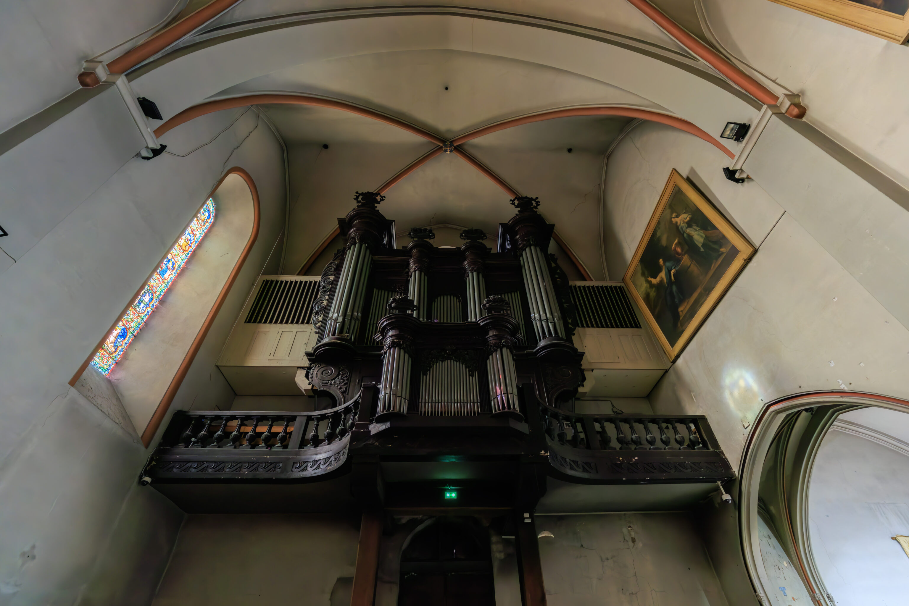
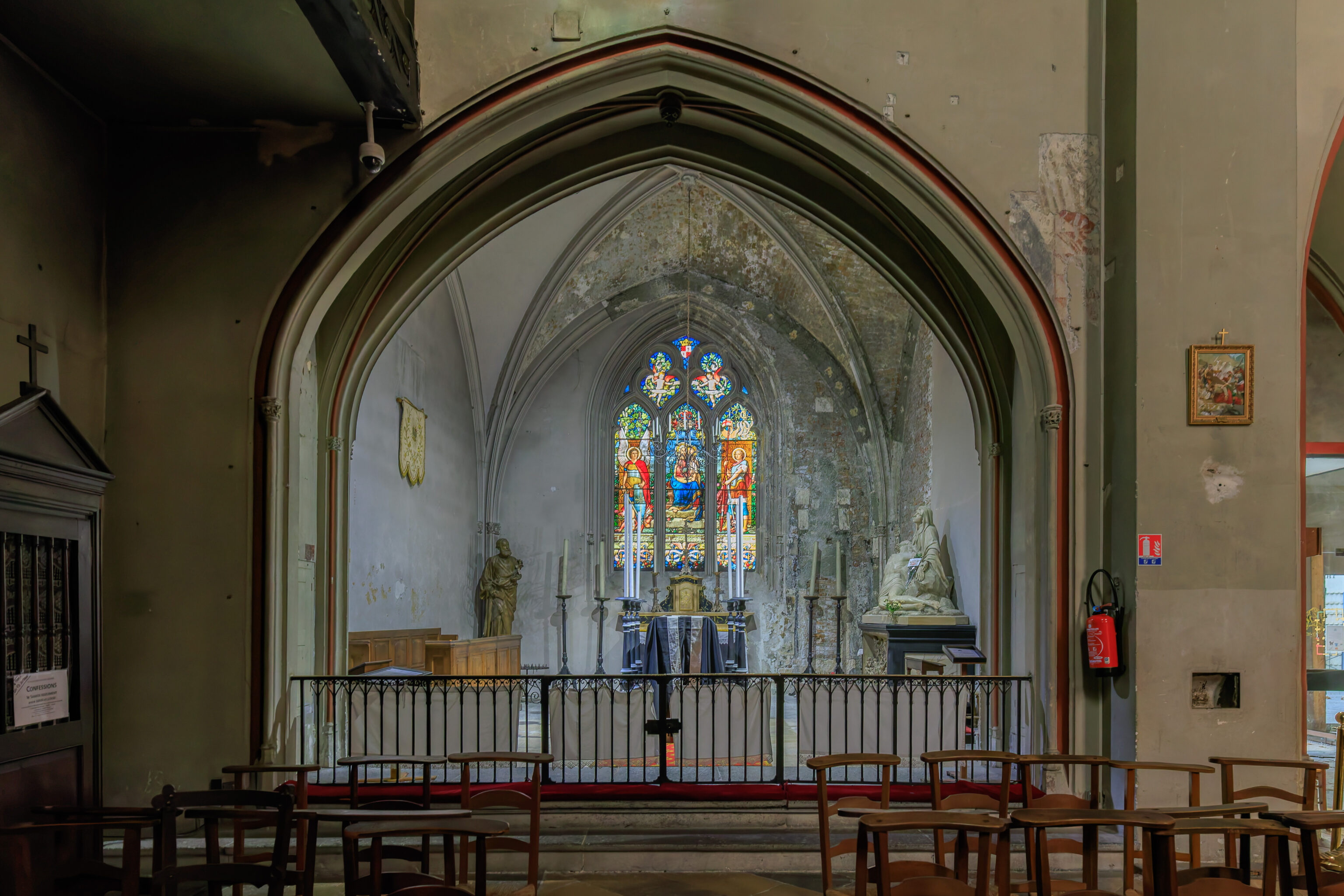
Cathédrale Notre-Dame de Grenoble
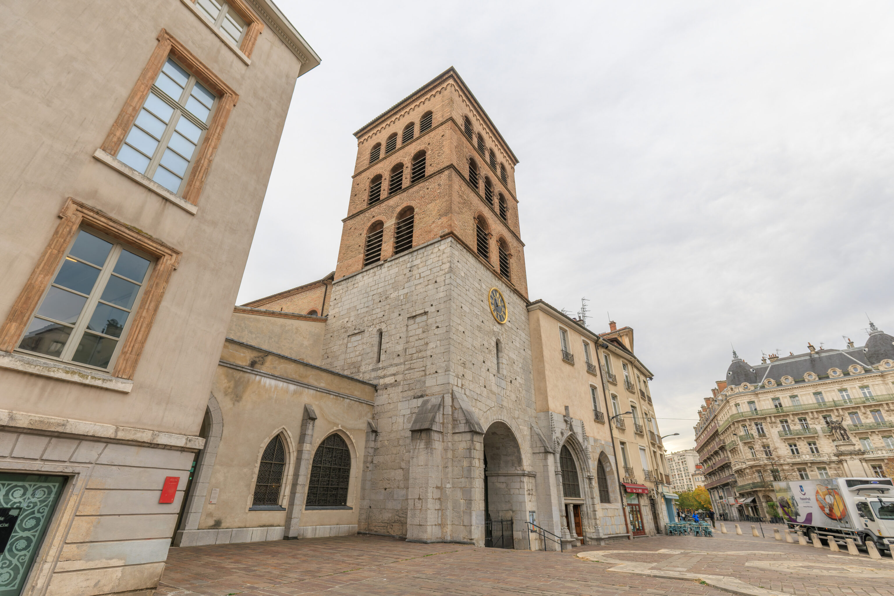
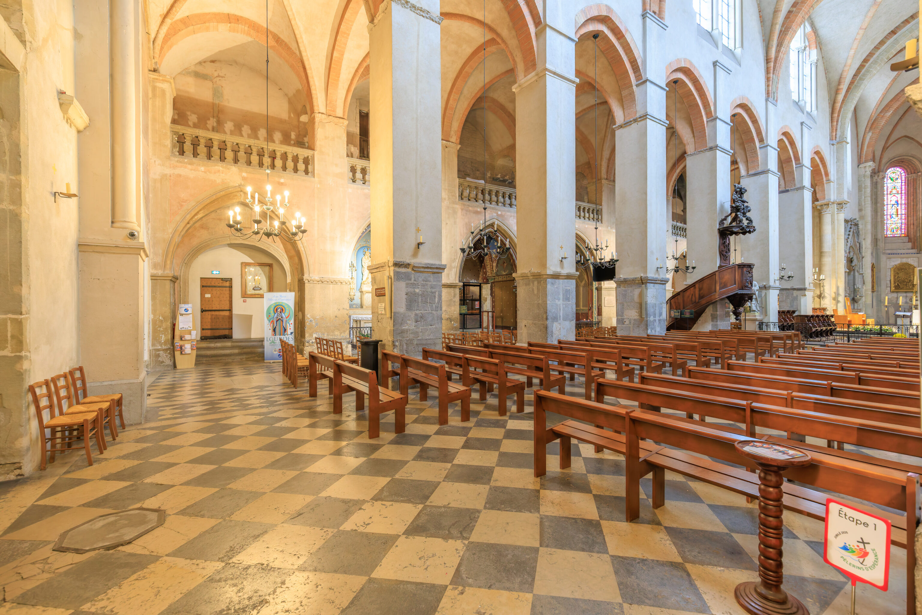
We walked around the corner to visit the Cathédrale Notre-Dame de Grenoble.
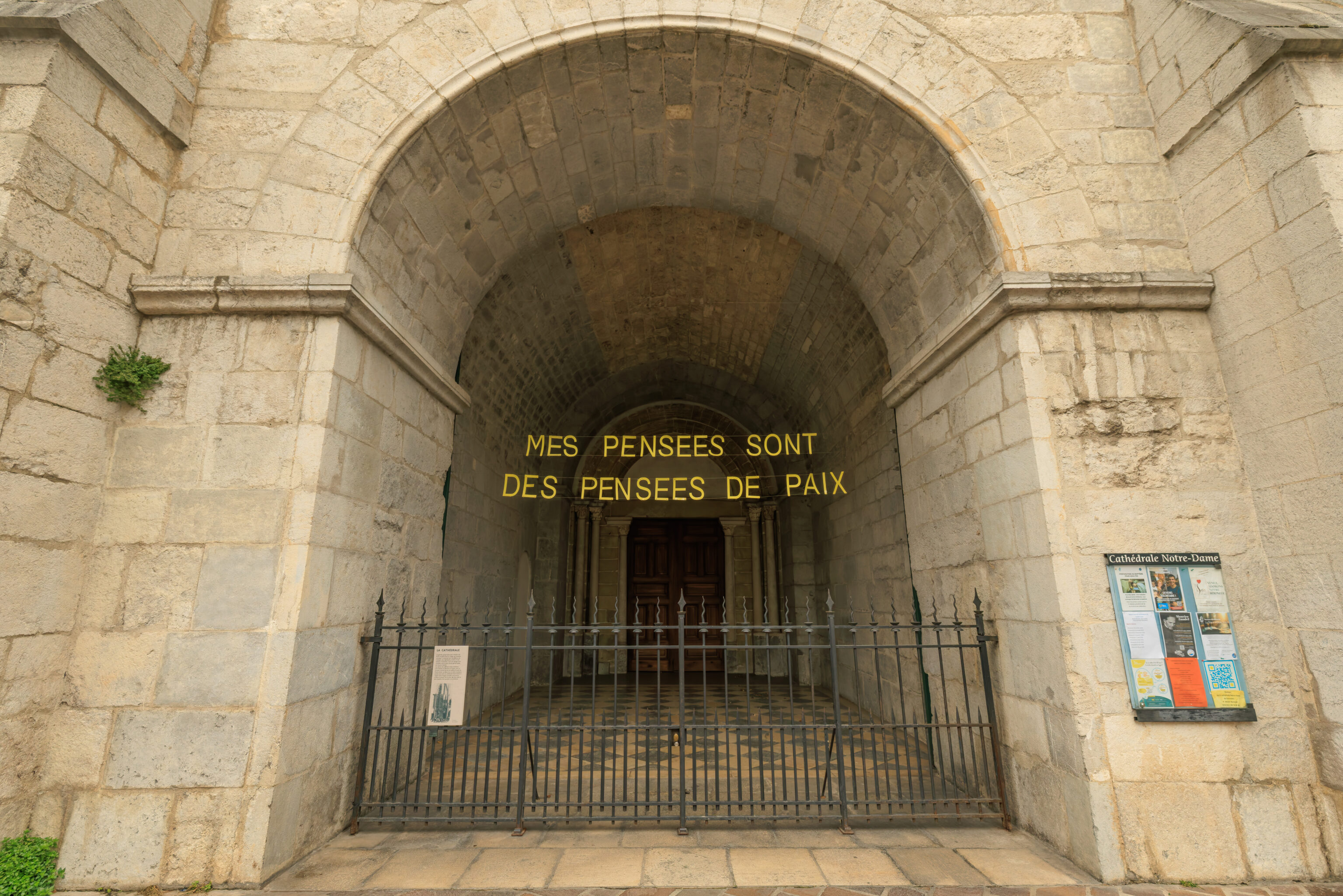
The banner here under the cathedral’s bell tower reads, “MY THOUGHTS ARE THOUGHTS OF PEACE”.
The view looking across the street from the cathedral’s entrance.
Upon entering, we noticed the signage for the 2025 Jubilee, which ends in less than two months.
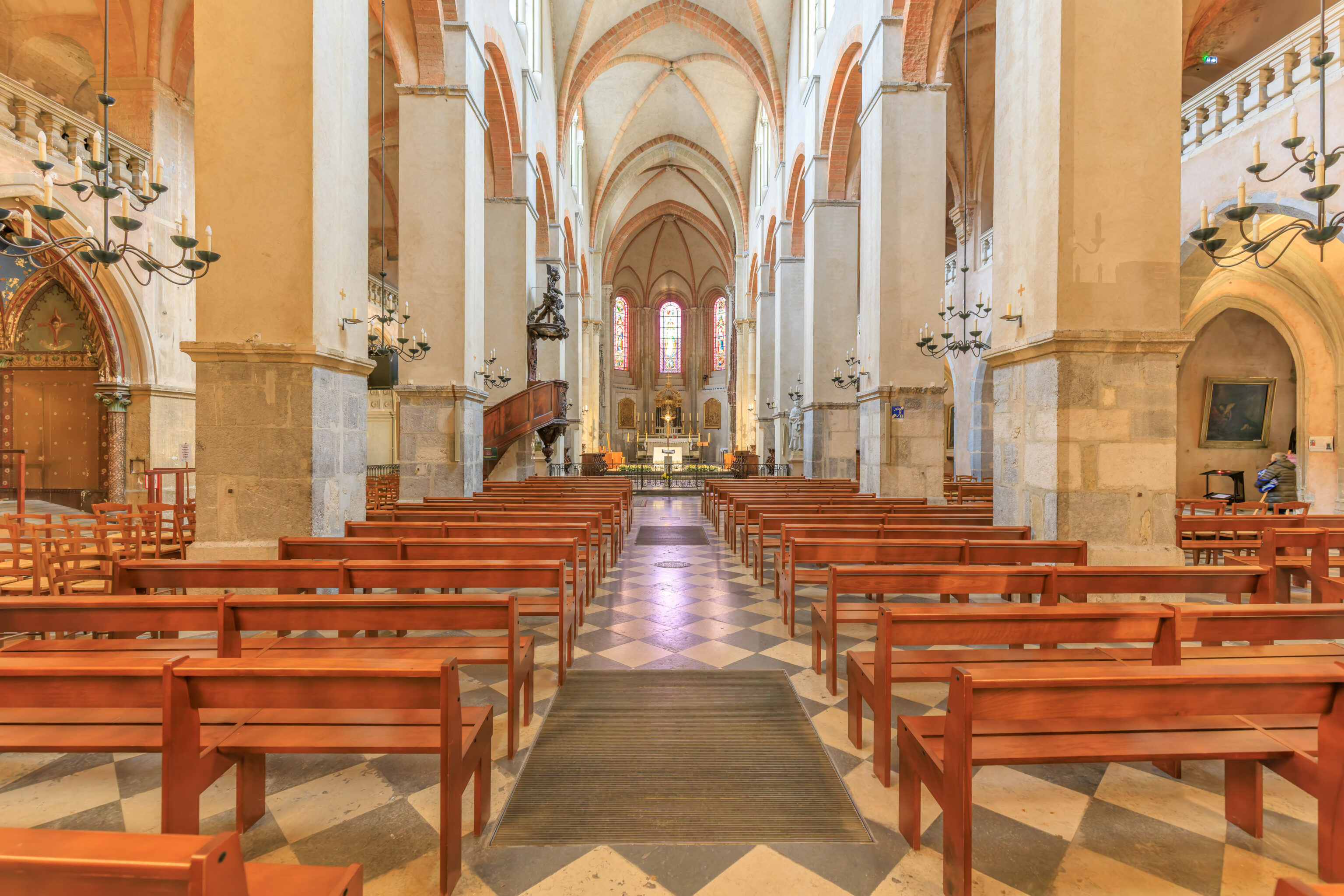
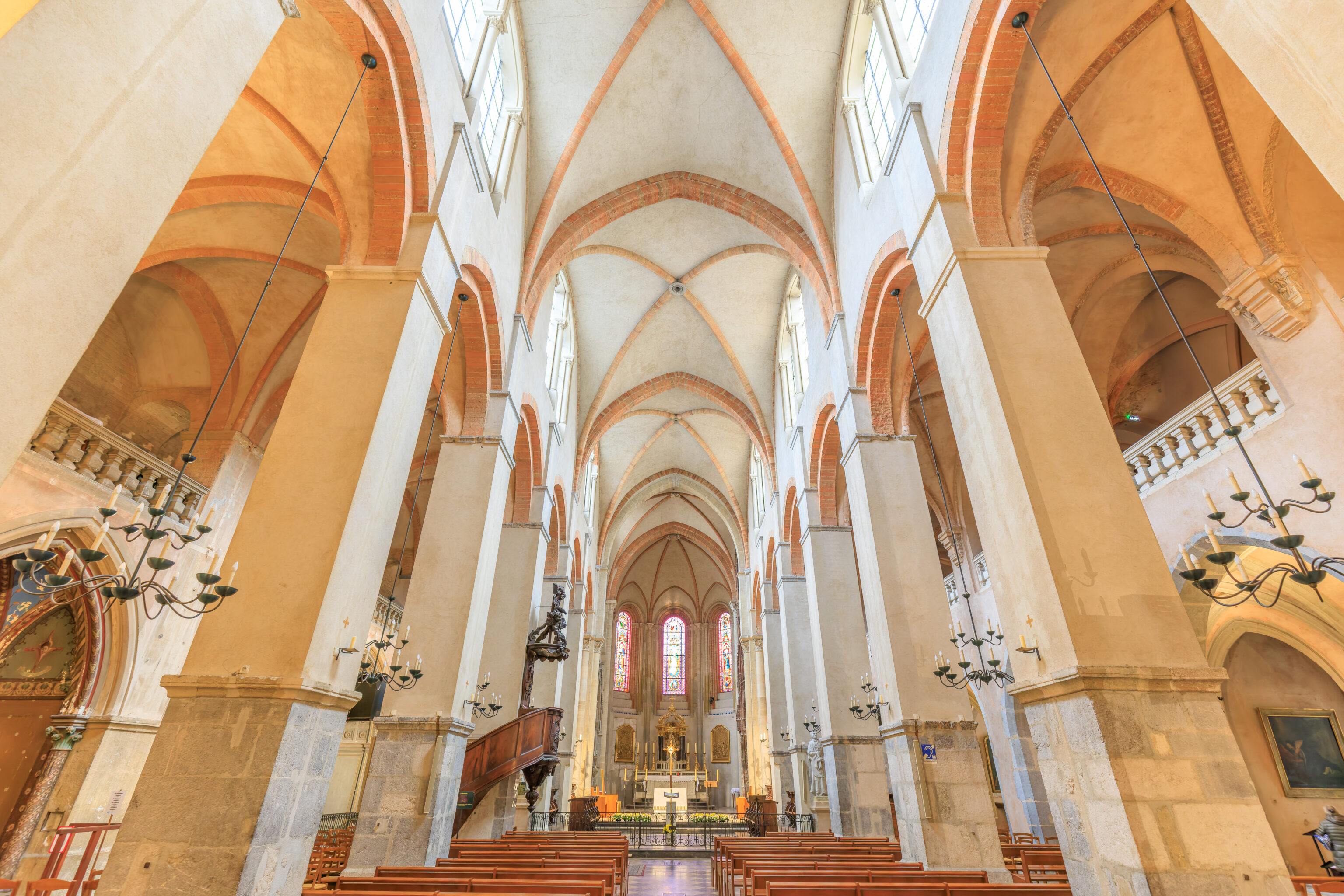
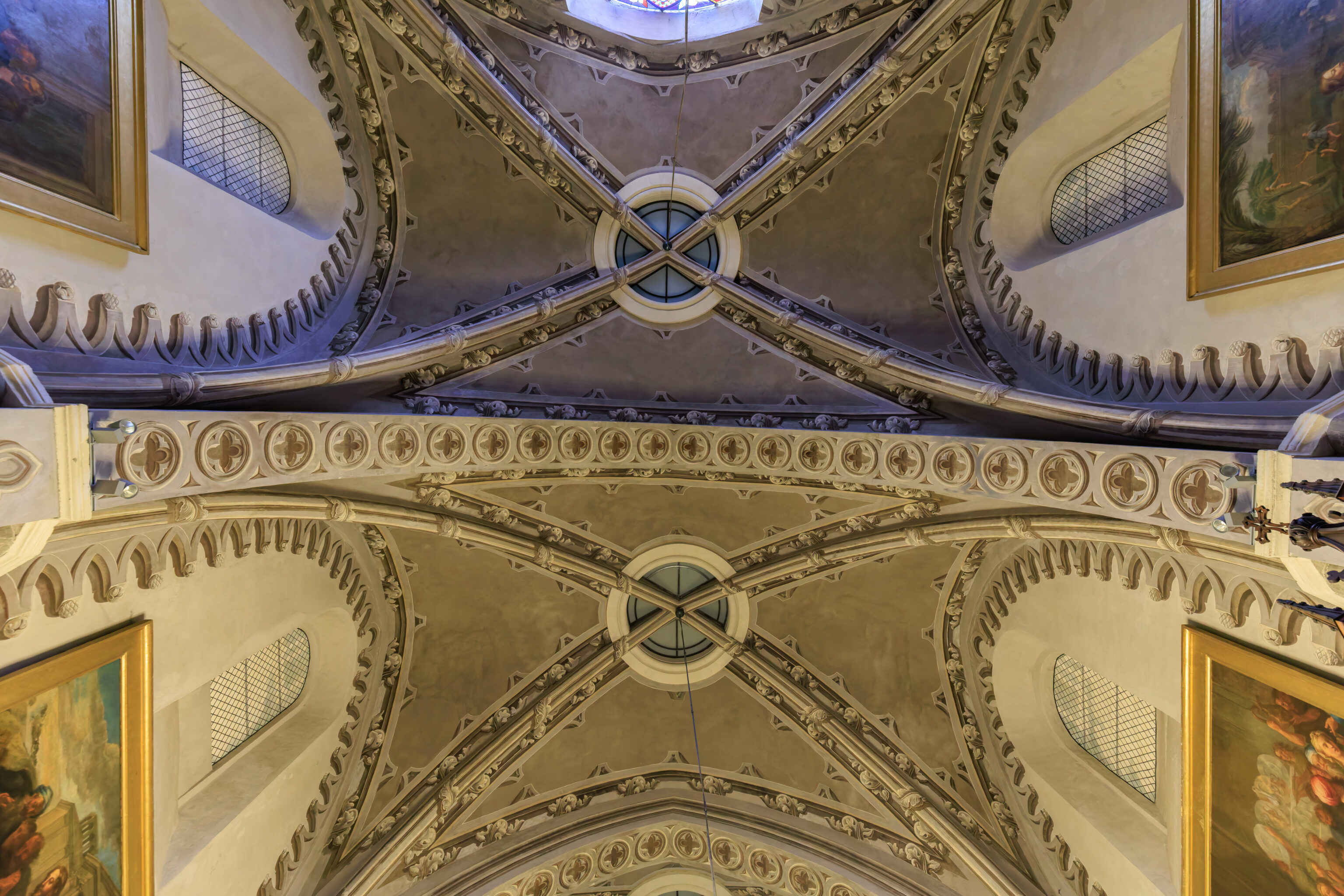
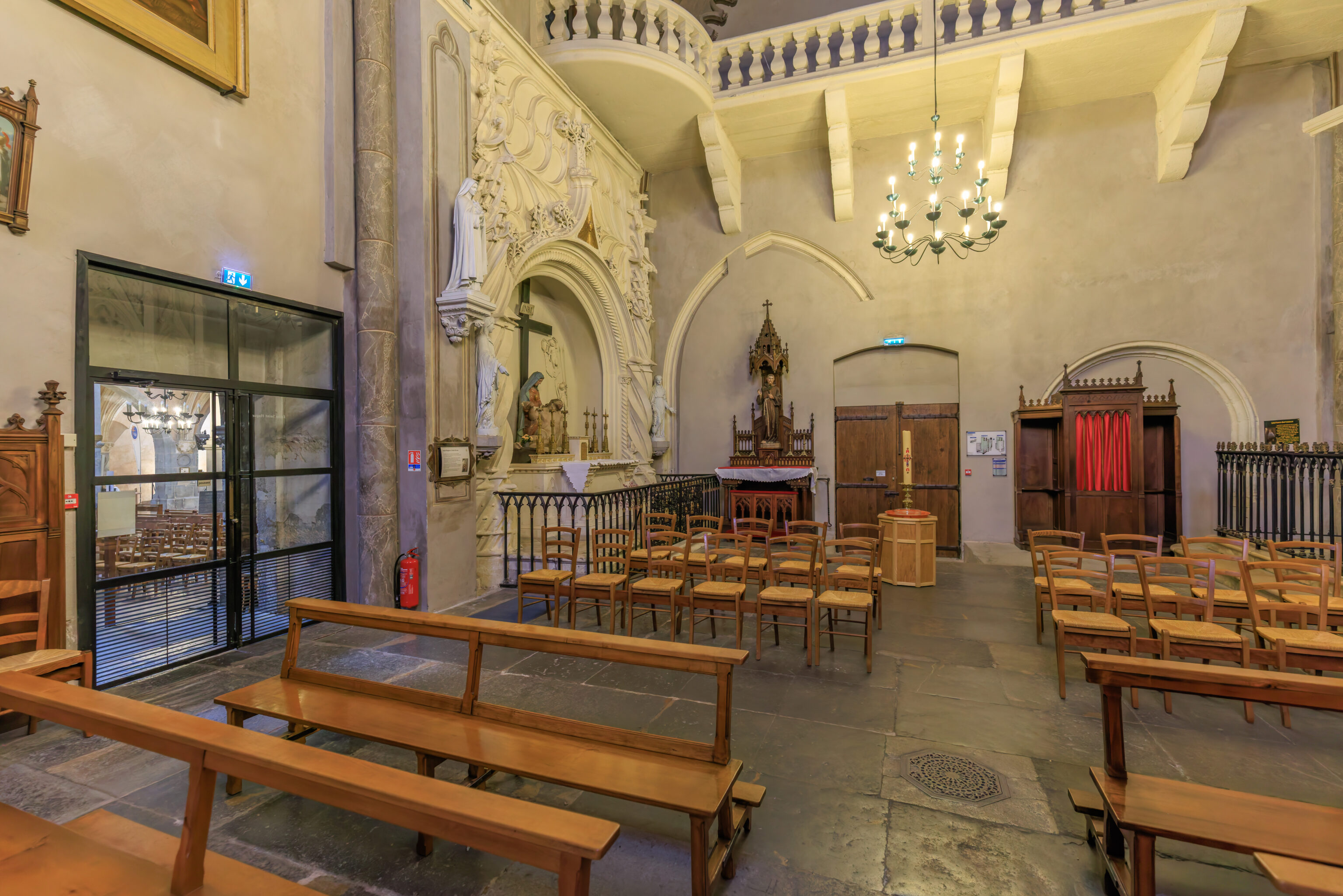
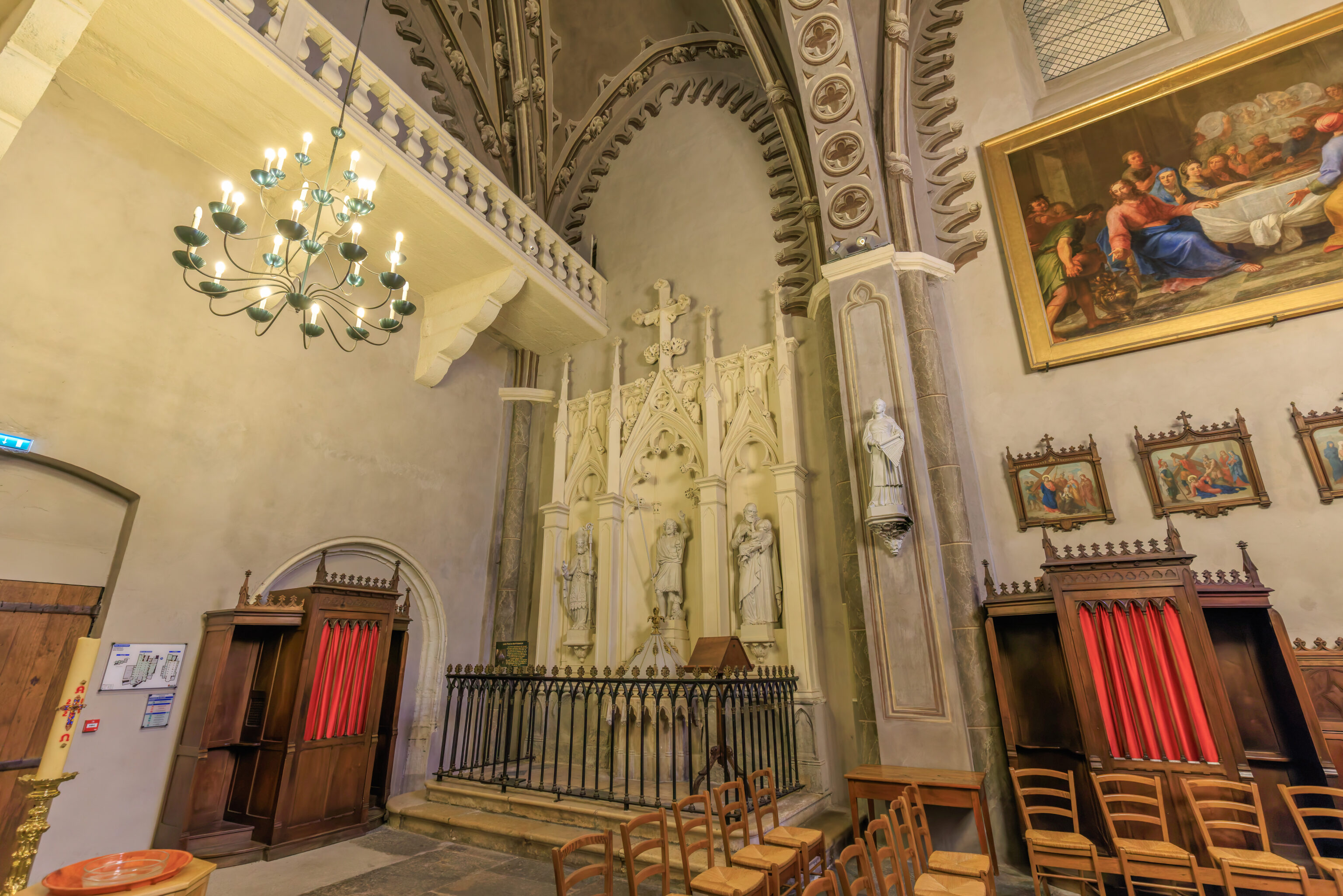
The cathedral is pretty simply decorated inside.
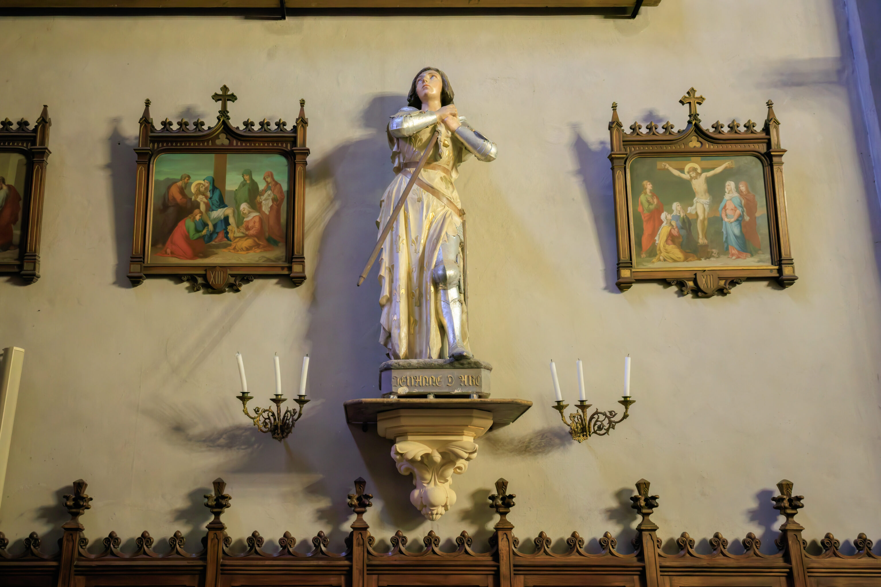
There was a statue of Jeanne d’Arc in her typical attire.
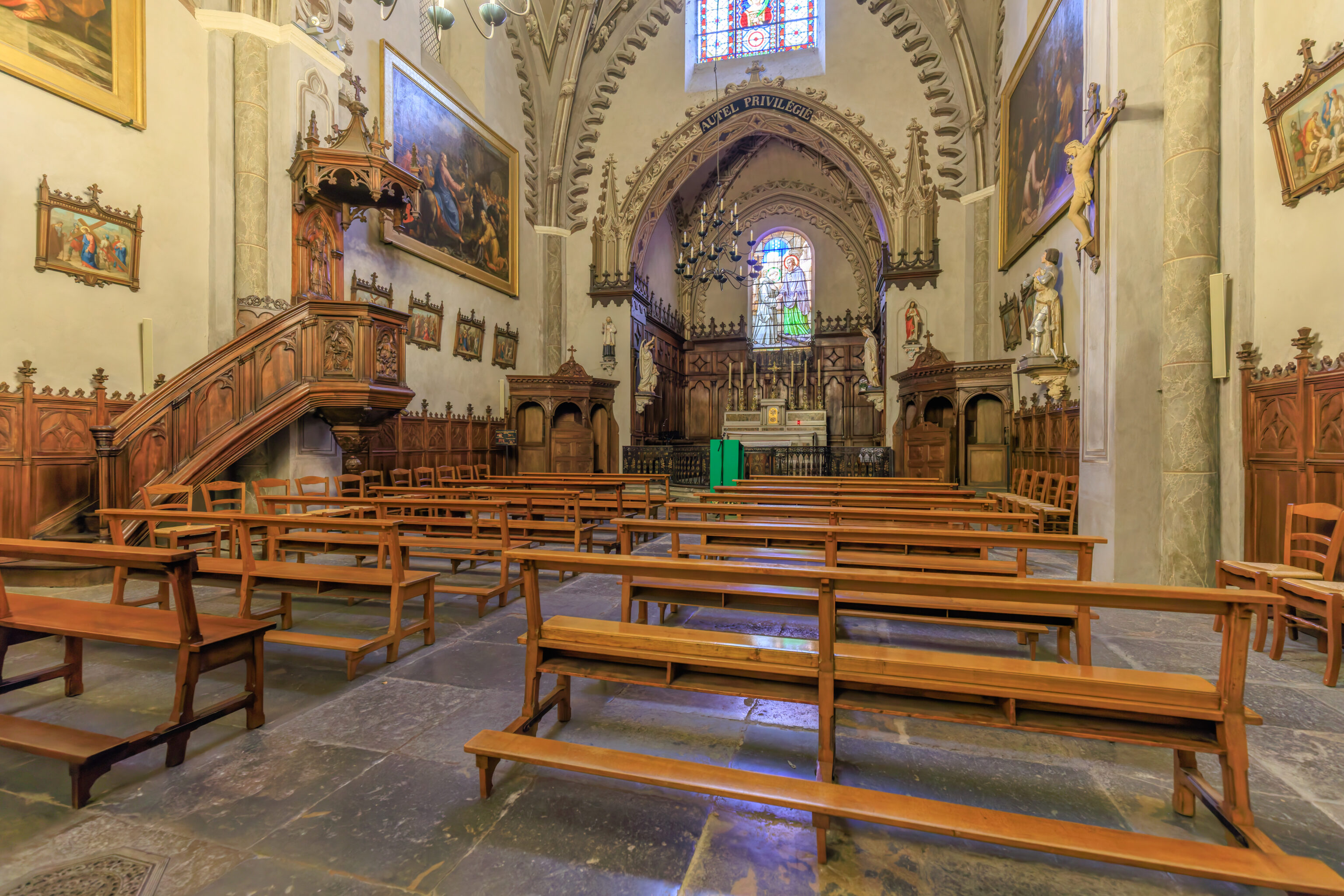
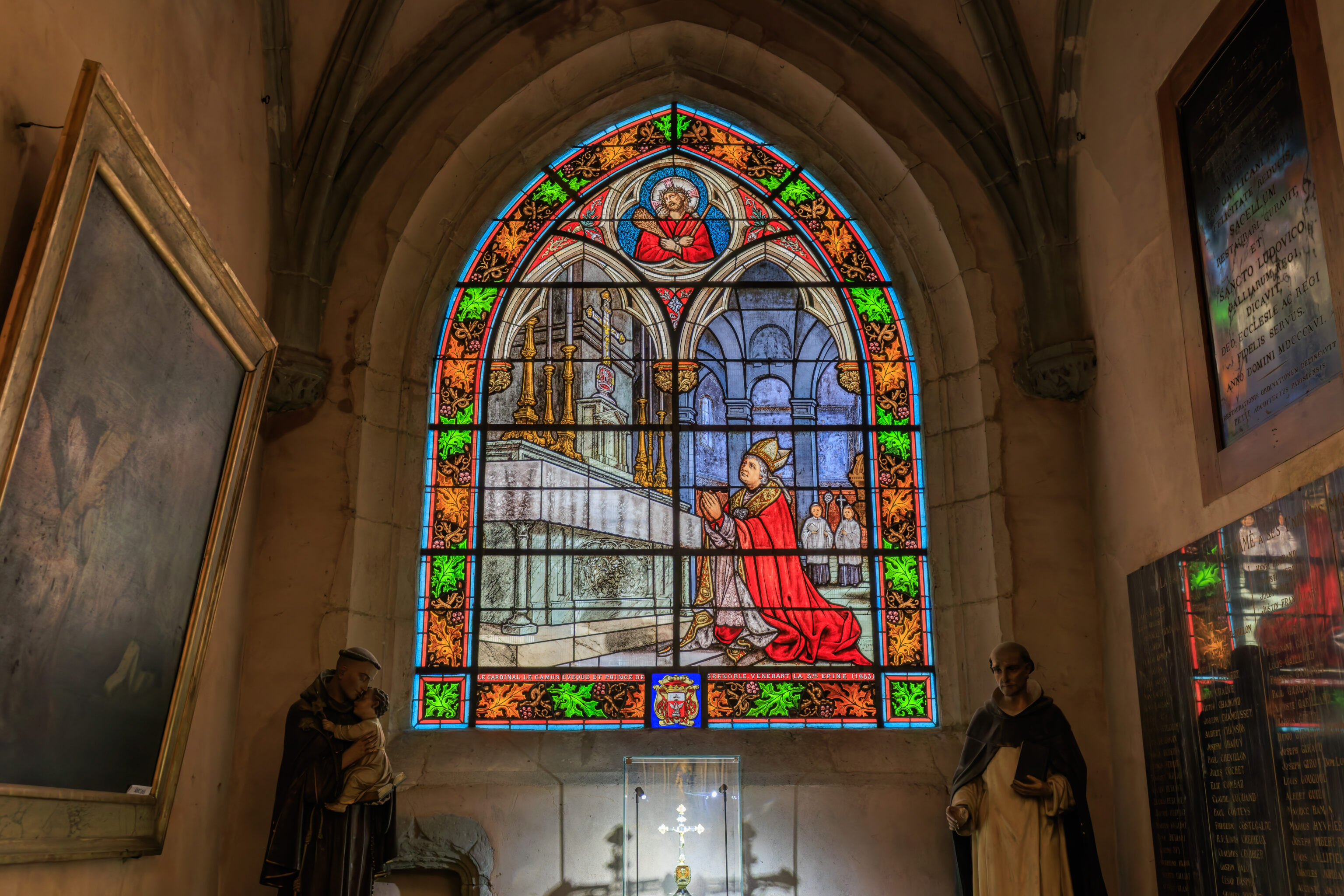
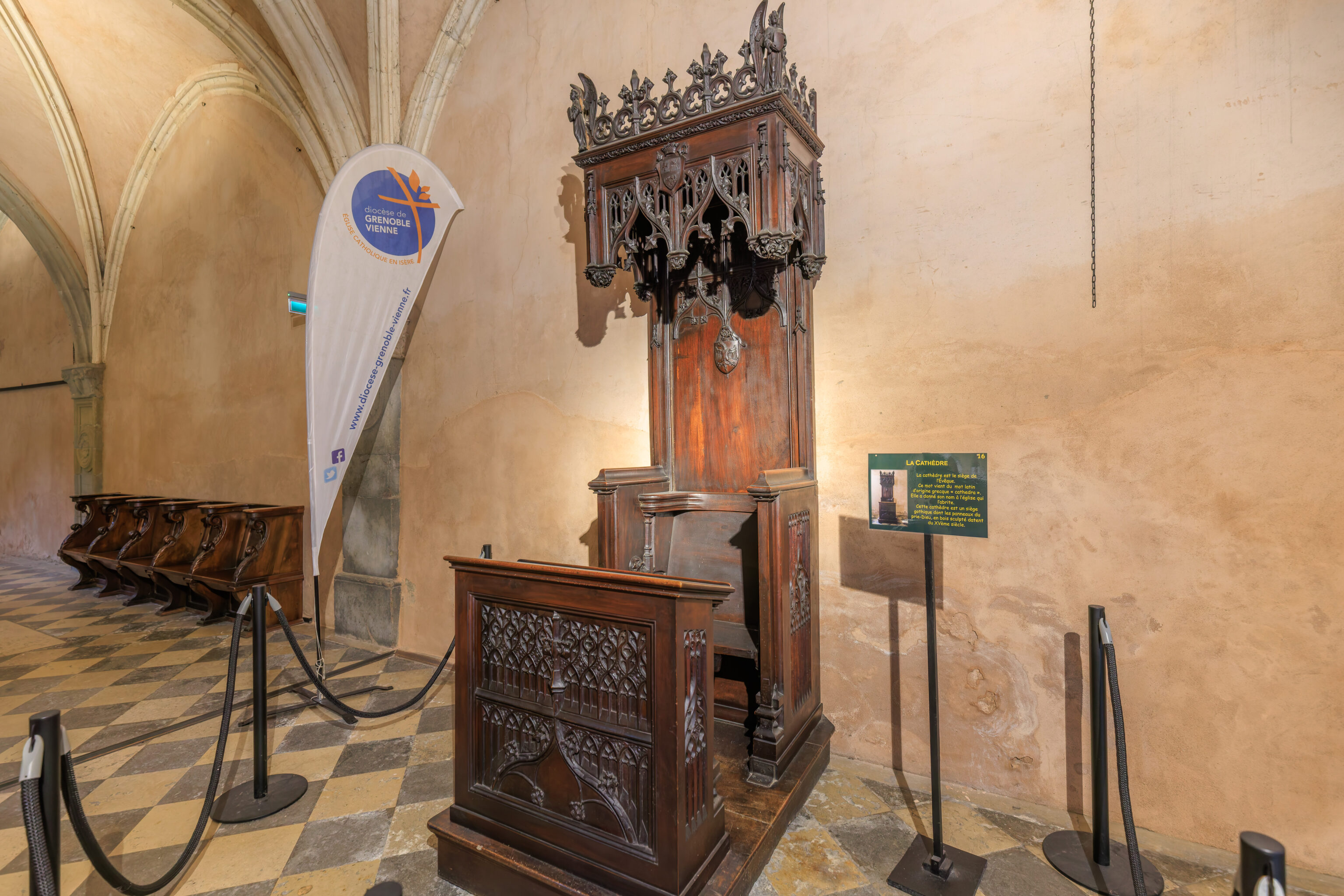
The cathedra is the seat of the Bishop. This word comes from the Latin word of Greek origin, “cathedra”. It gave its name to the church that houses it. This cathedra is a Gothic seat whose prayer desk panels, made of carved wood, date from the 15th century.
(Google Translated)
After exiting the church, we decided to go visit the Halles Sainte-Claire, a nearby market hall building.
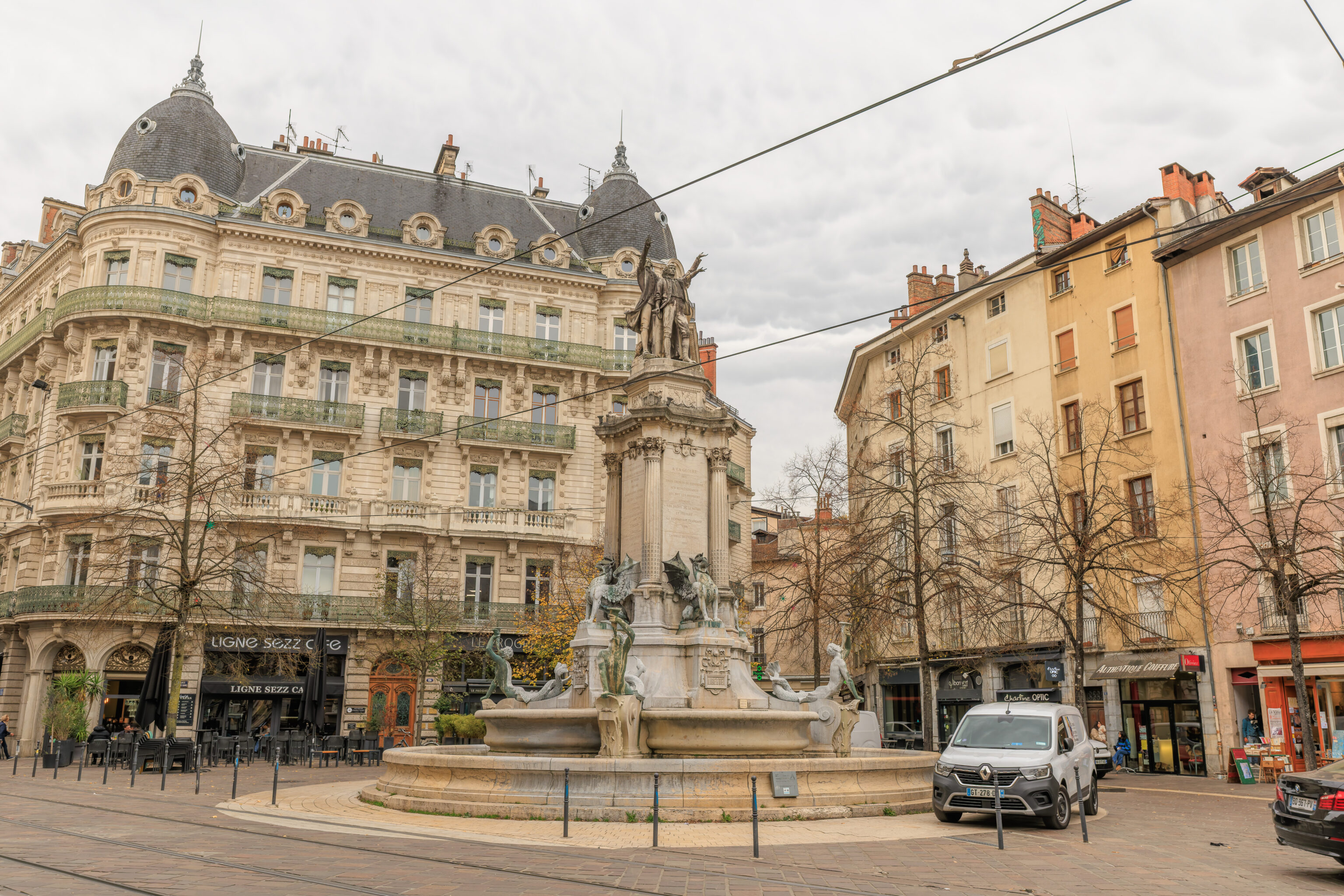
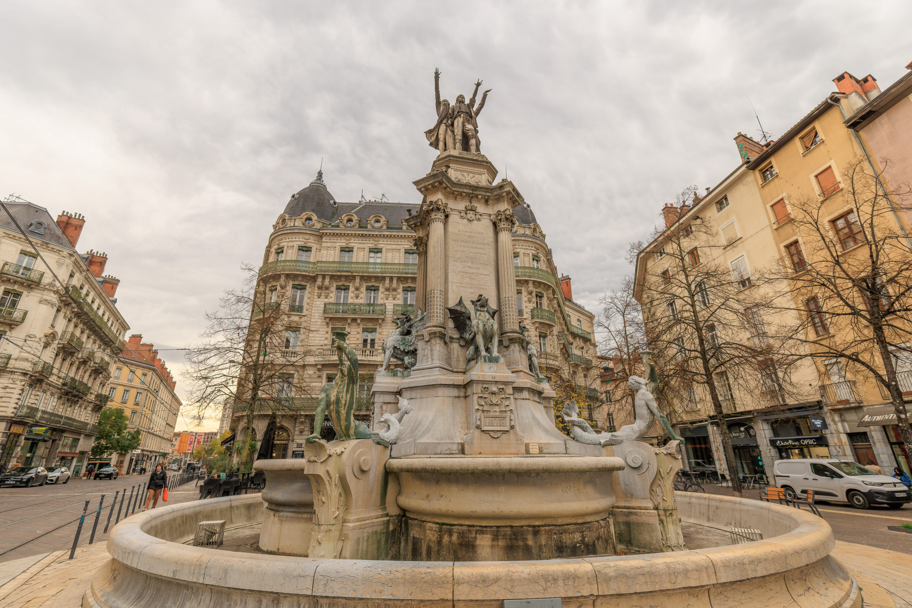
A fountain stands in the Place Notre-Dame diagonally from the cathedral.
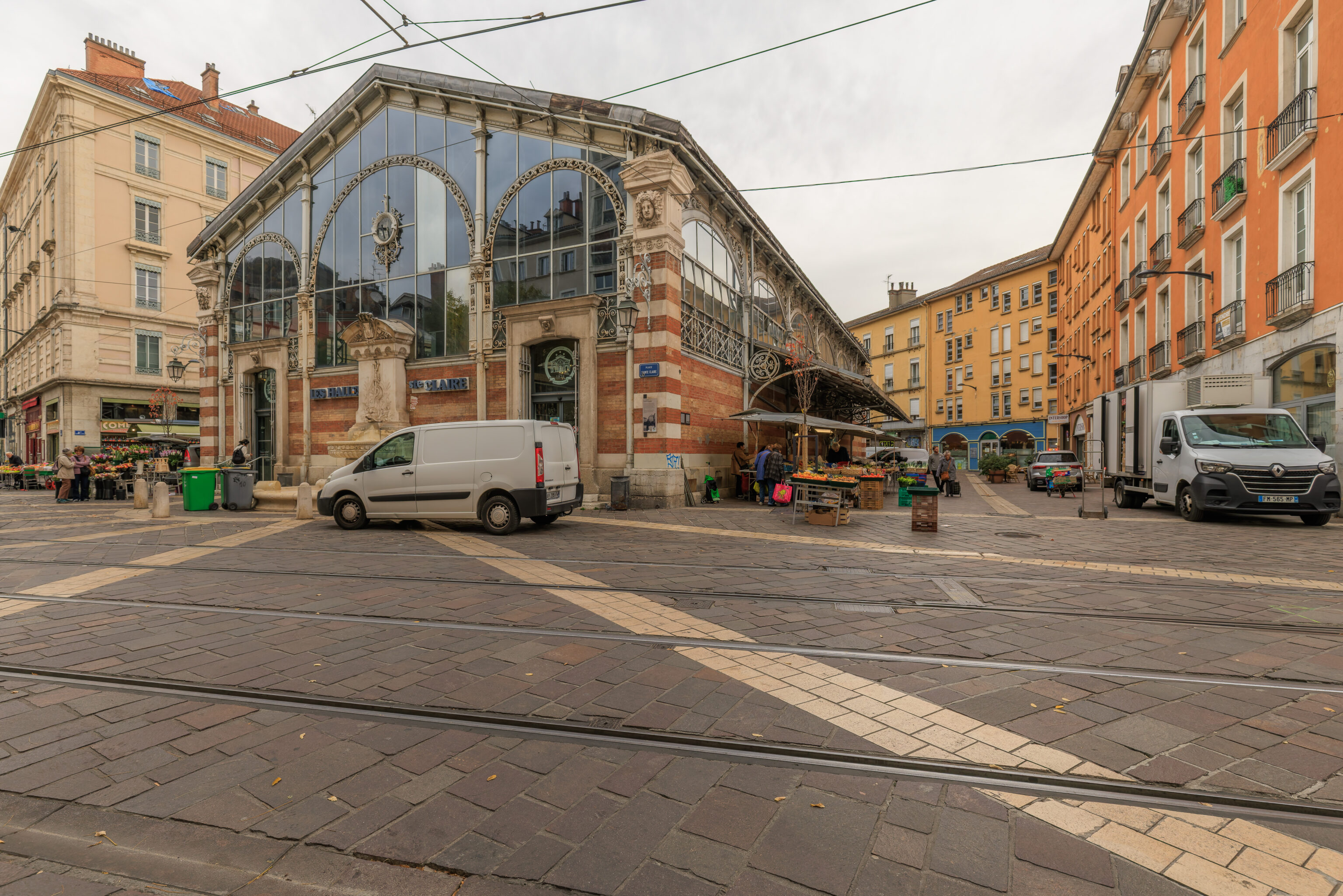
The market was pretty quiet at this hour. The vendors were mostly selling meats and vegetables.
The view from in front of the market hall looking down the street to the south. The church-like building in the background contains a school, the Lycée Stendhal [fr]. The building previously served as a Jesuit school and was built in the 17th century. The facade seen here was the school’s chapel.
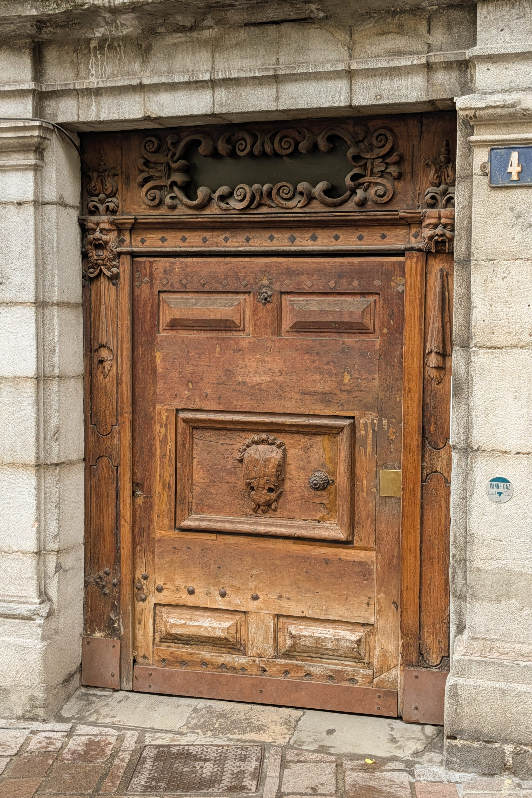
We decided to visit a restaurant in the area for lunch. We had to backtrack a bit to get there. On the way, we notice this wooden door. It looks a bit like Groot‘s head is carved on it!
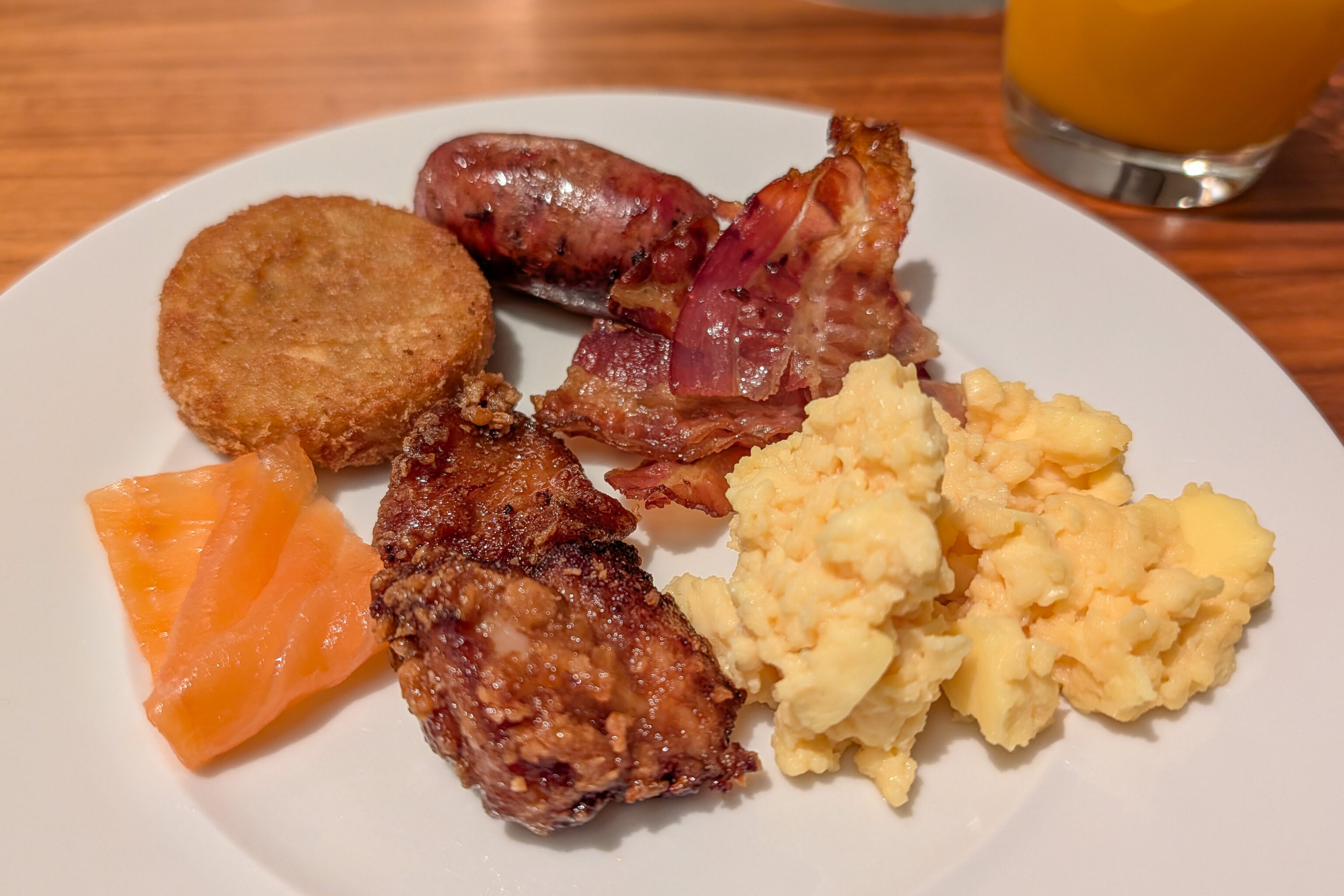
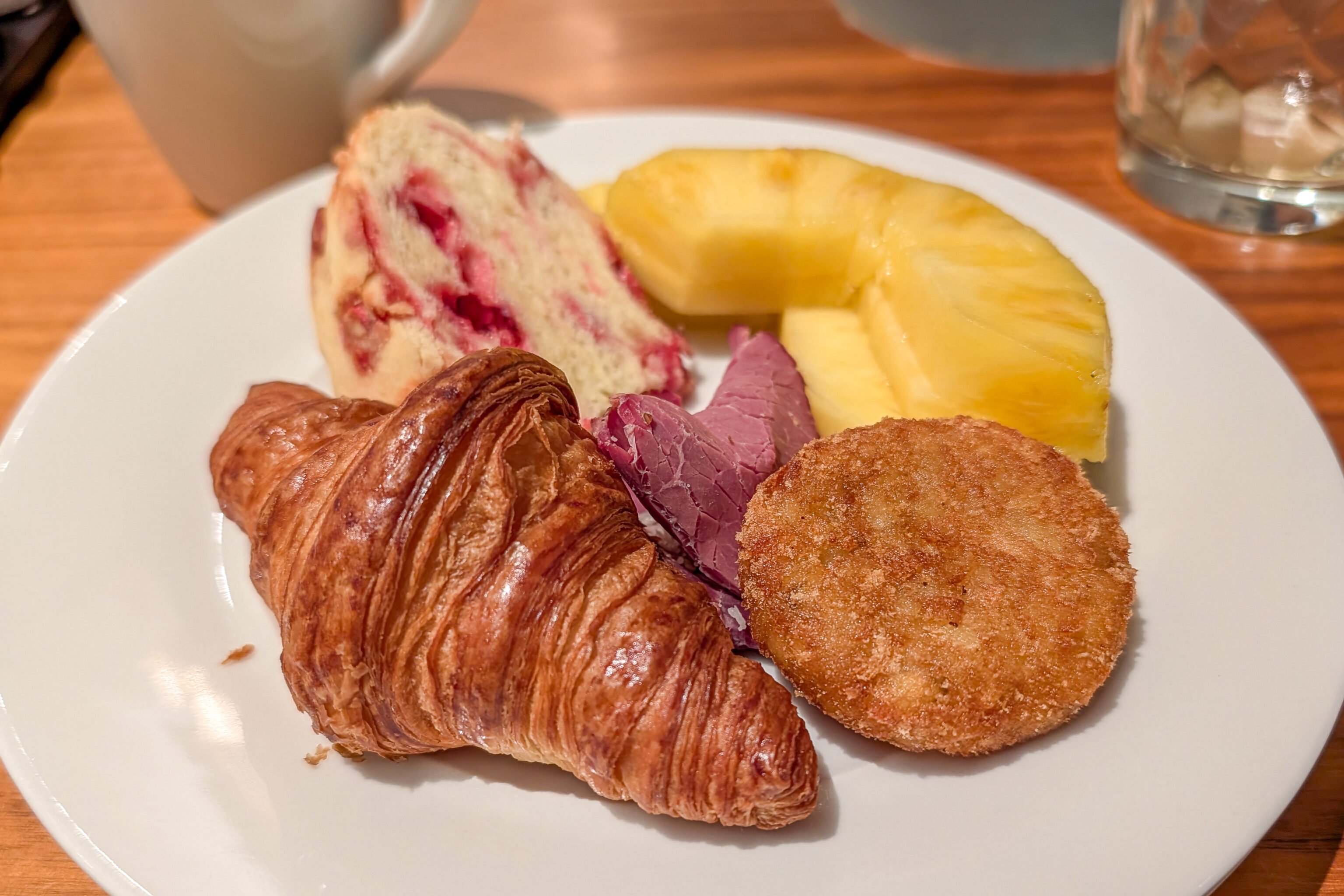
Lunch
We had lunch at La Cuisine des Tontons, a restaurant south of the museum and cathedral that we had just visited.
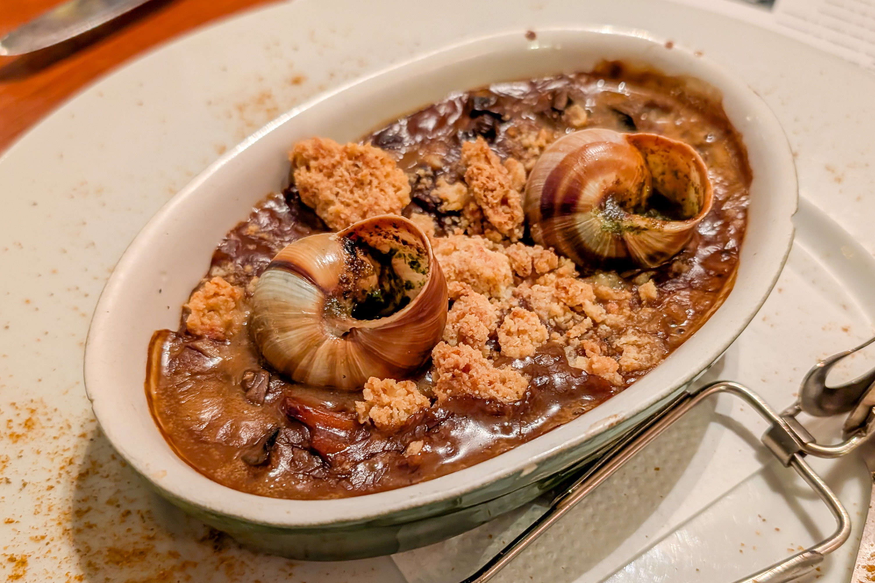
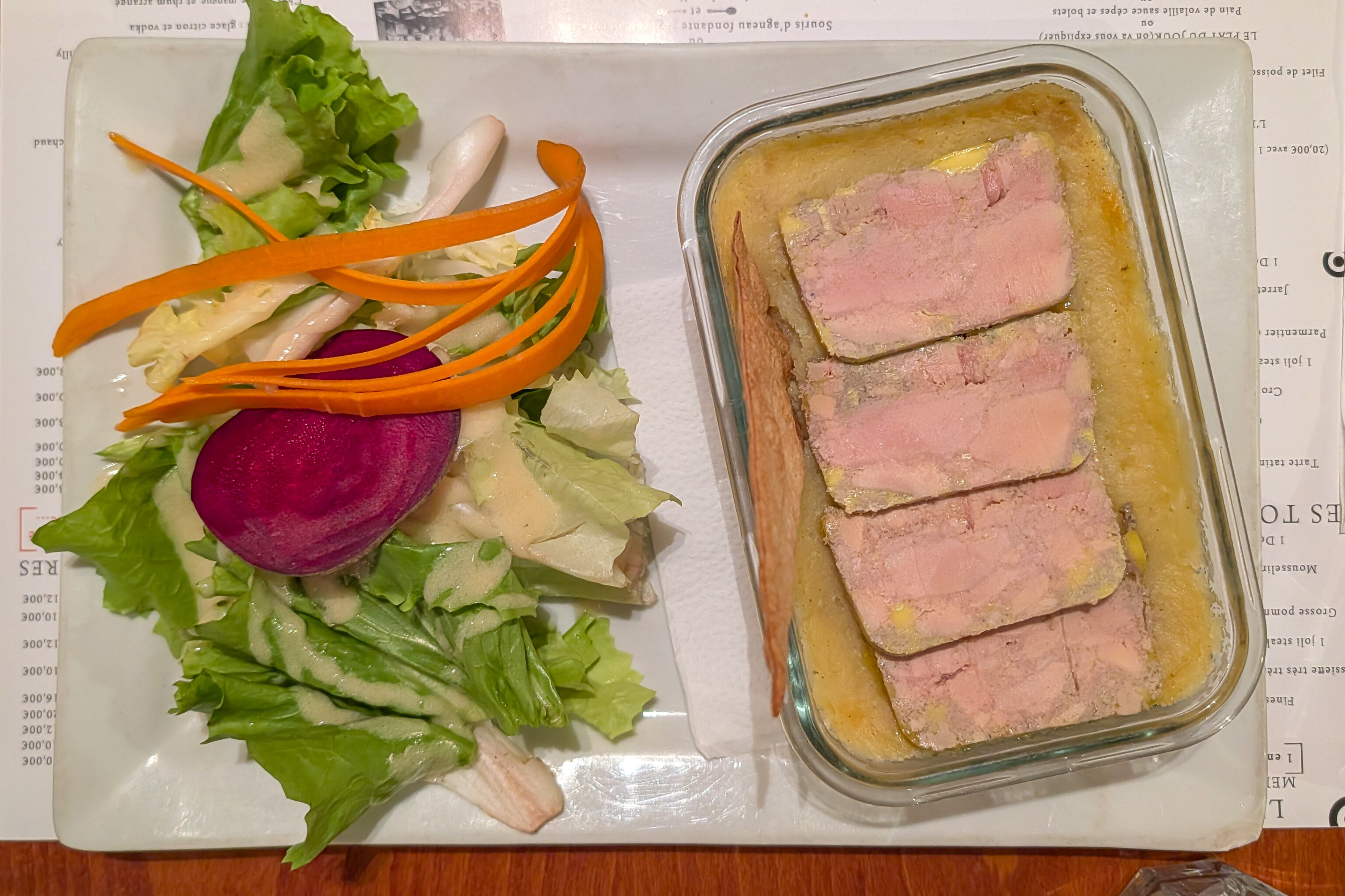
We started out with this escargot dish. It was quite different from escargot dishes that we’ve had before. While only two shells are visible, there were many other snails inside.
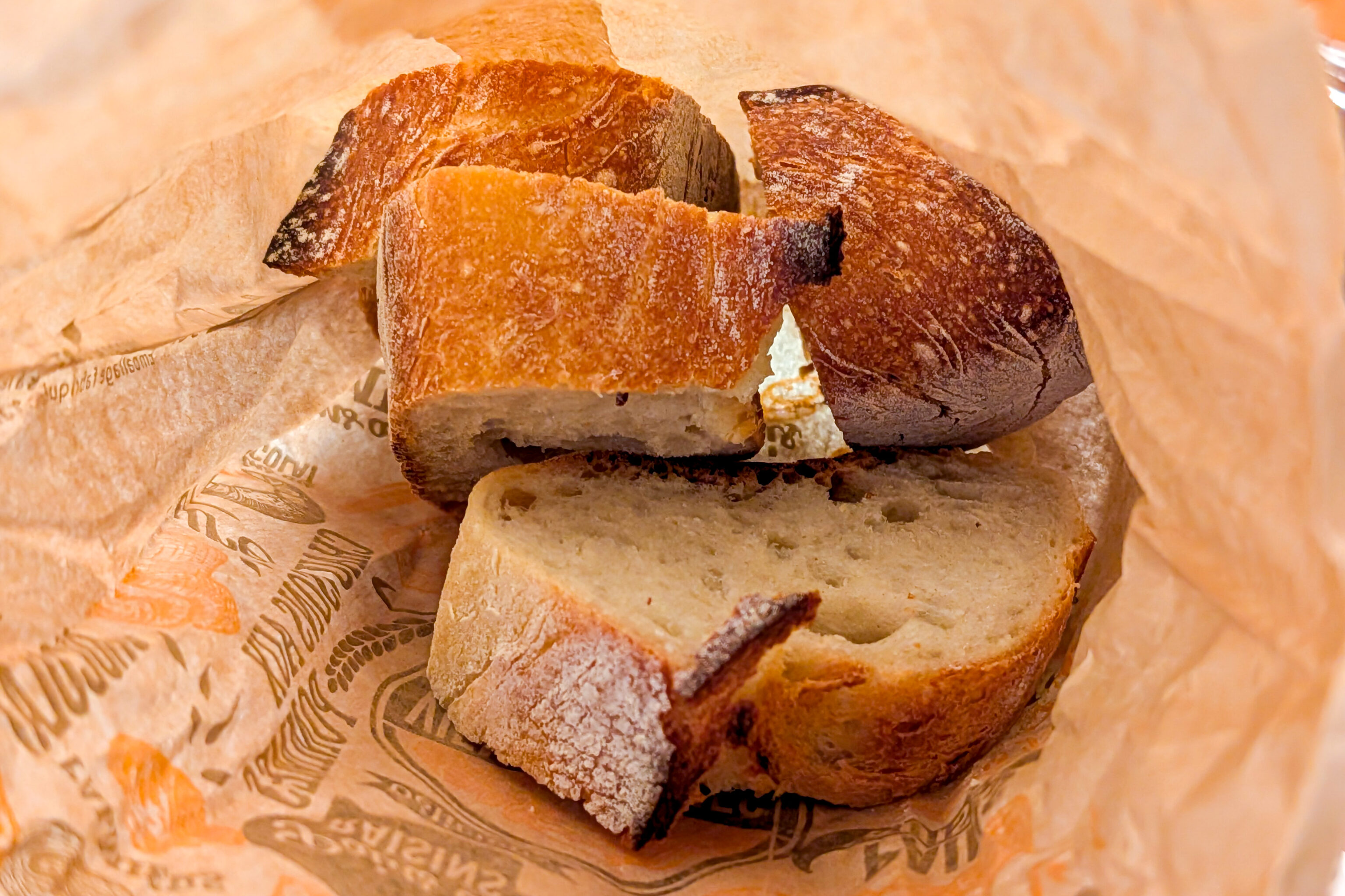
Bread was provided. We used most of it to go with the escargot and to soak up the sauce.
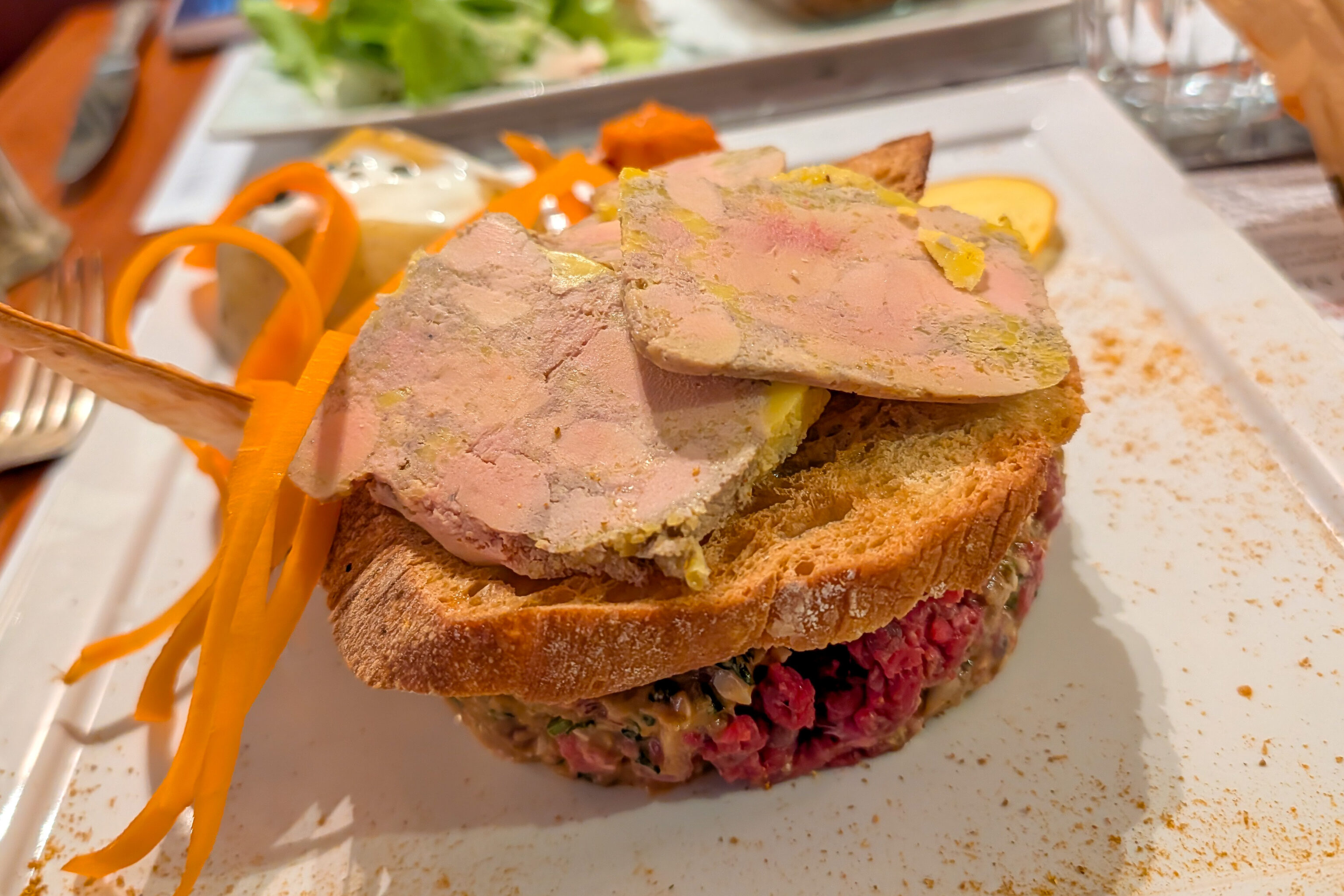
Francis Blanche Classique + foie gras sur toast”
This restaurant’s speciality is it’s tartare. So, that’s what we ordered! The beef tartare dishes all start with the Jean Gabin Classique as a base along with some additional added element. We went for the one with foie gras since this is France!
The tartare was huge! 400g according to the menu! It worked pretty well with the toasted bread and foie gras.
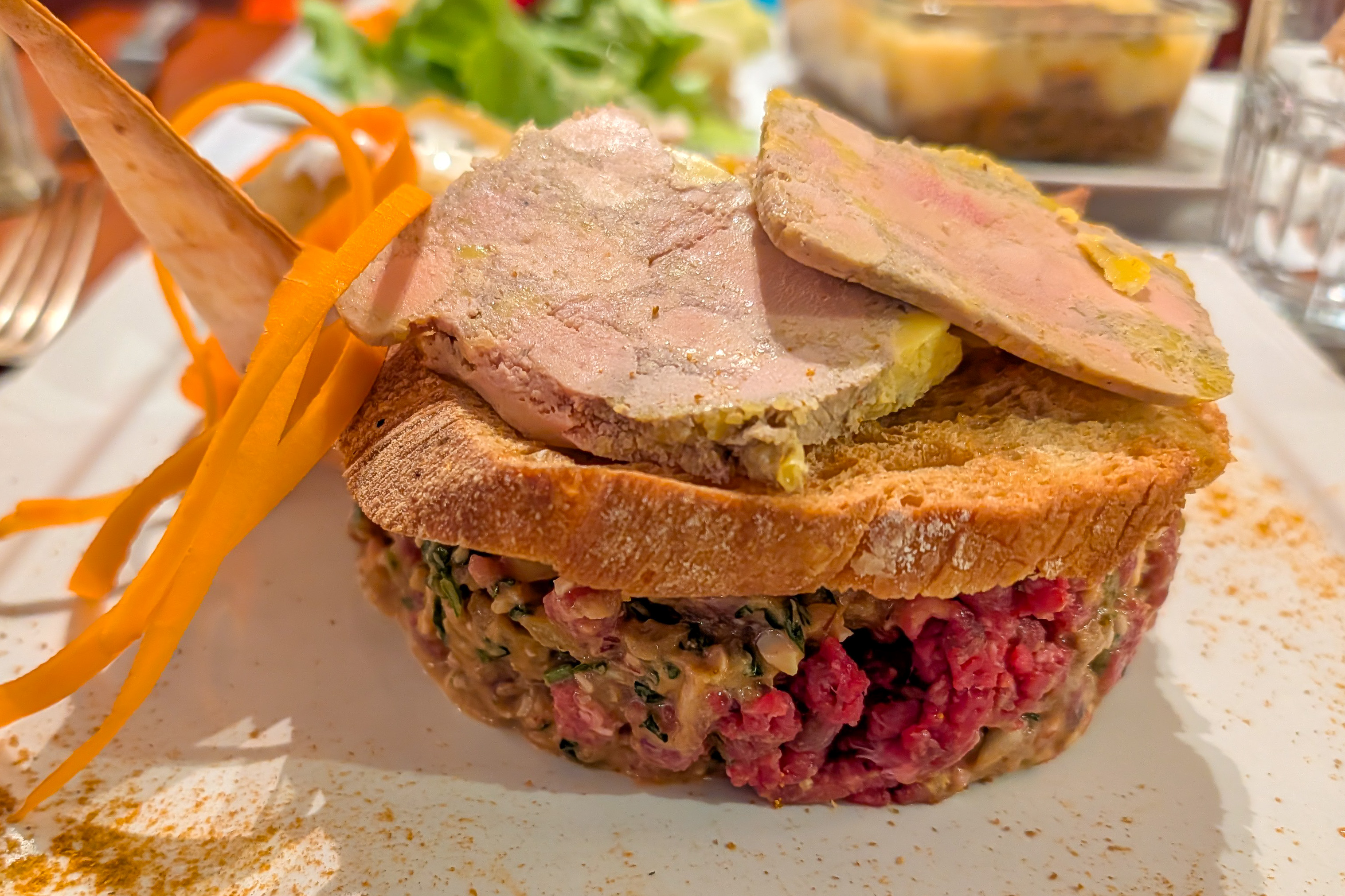
For our other main, we went with some more beef and foie gras. This was basically three layers – beef on the bottom, mashed potatoes in the middle, and foie gras on top. It was also very good!
We did notice that most people went with the main of the day for their meals, which was some sort of fish with rice.
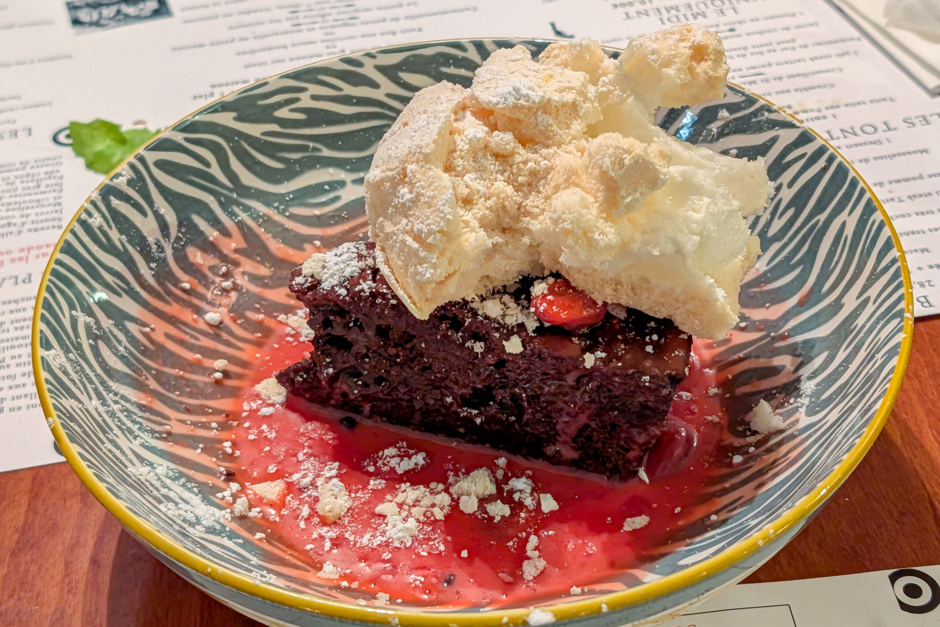
For dessert, we went with the dessert of the day. We don’t know the exact description but it is a chocolate cake, more like a brownie to us Americans, with pink praline sauce, and a cloud of meringue on top. Also good.
After Lunch
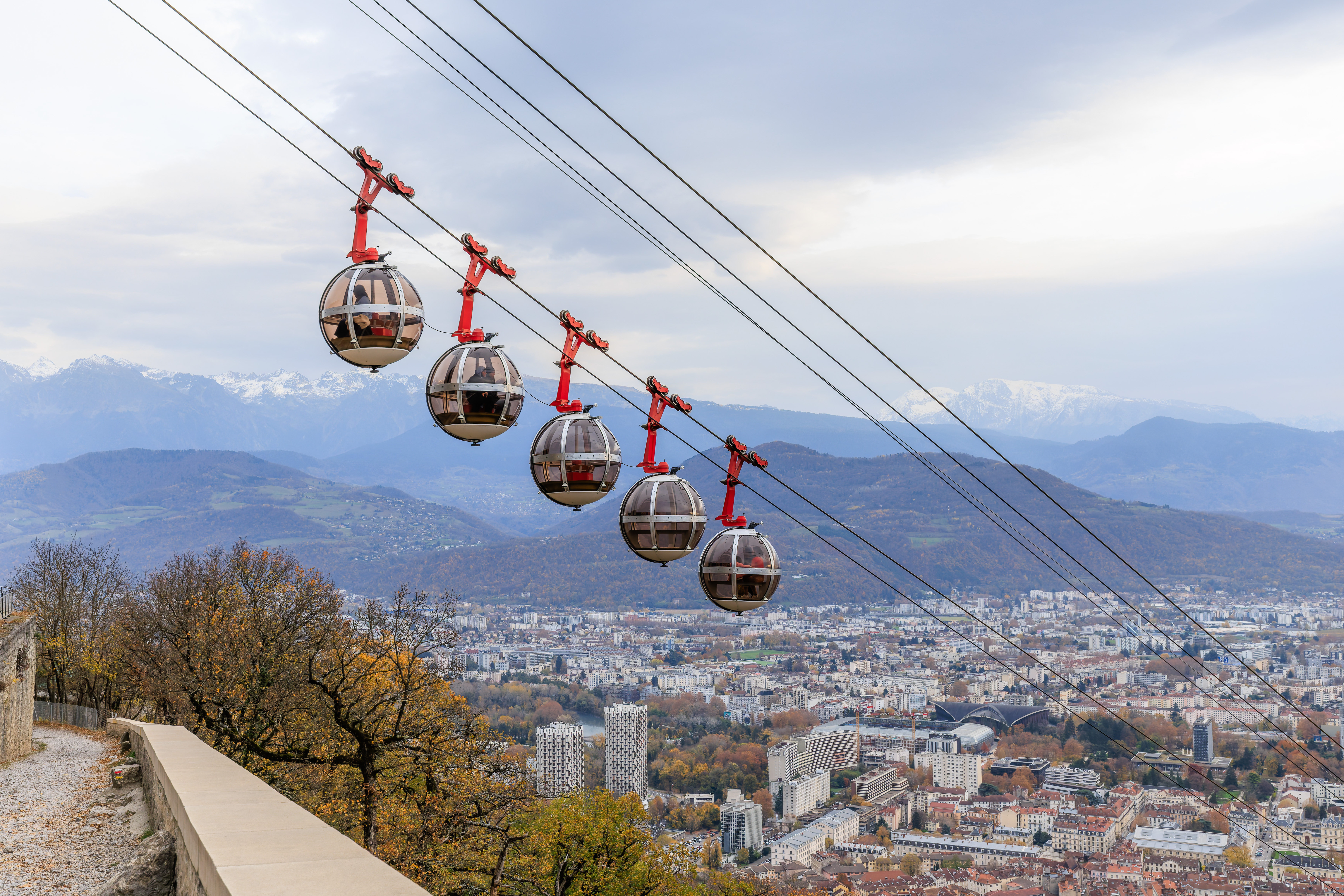
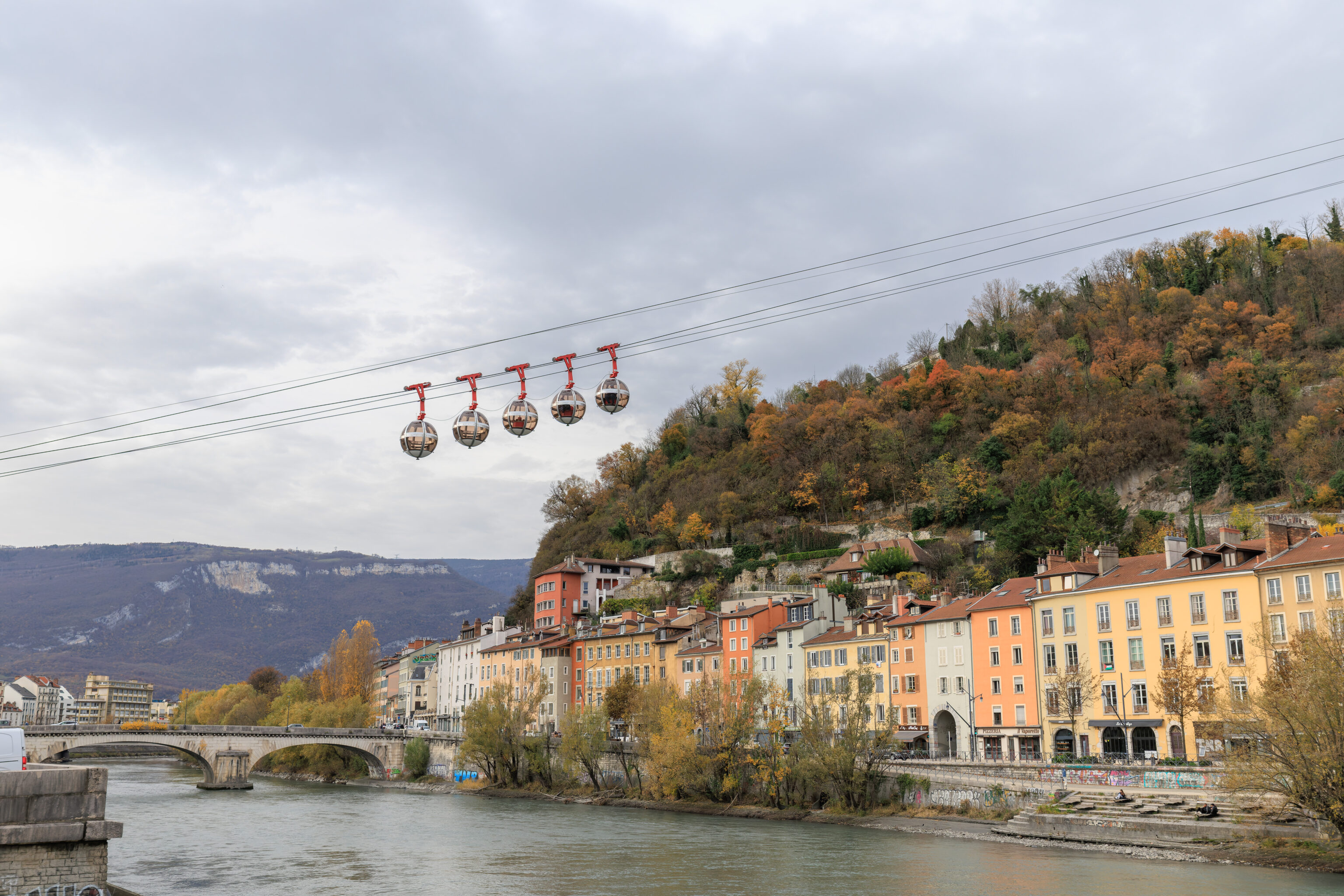
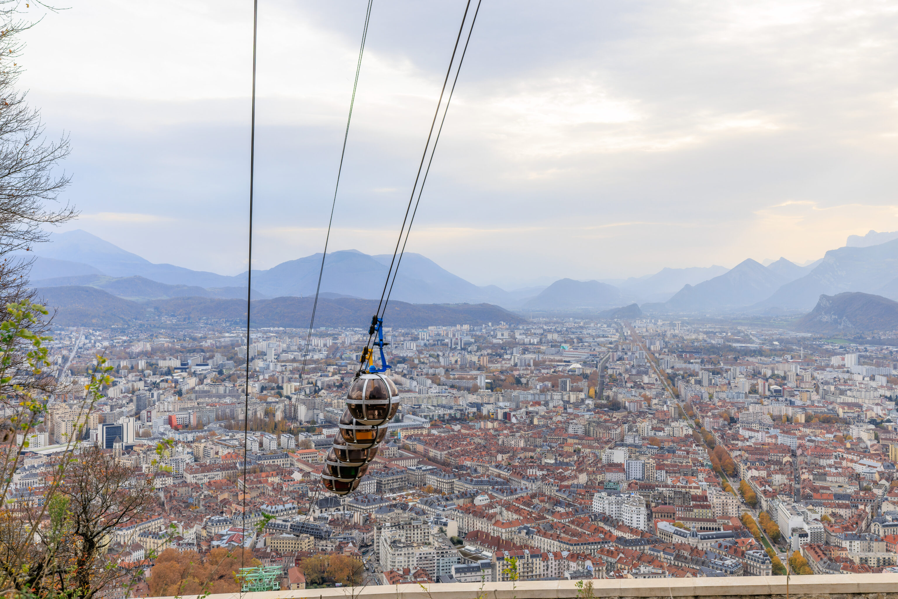
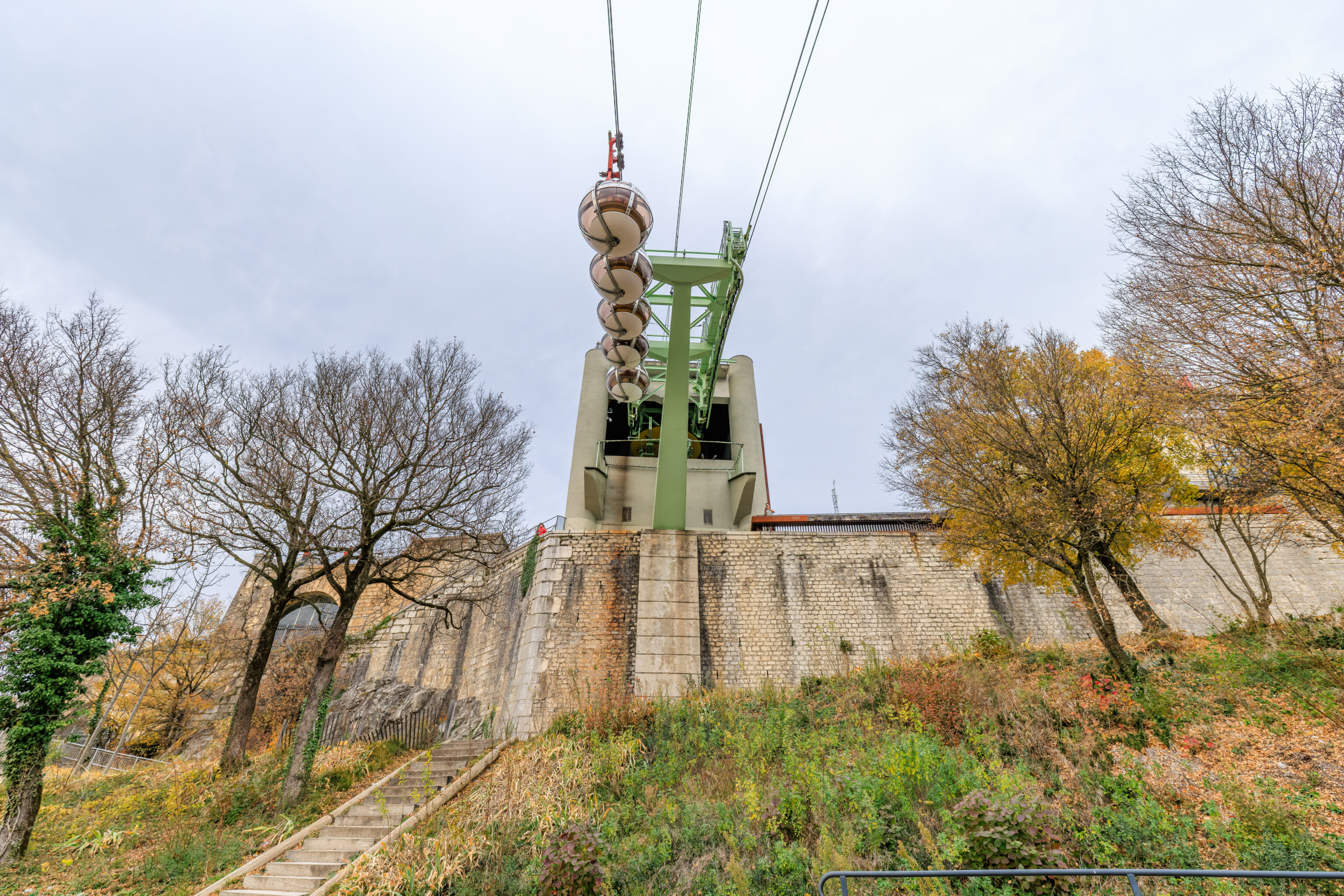
After lunch, we started to head over to the gondola that goes up to the Bastille. We could see the unique gondola cabins from the road in front of the restaurant that we just ate at.
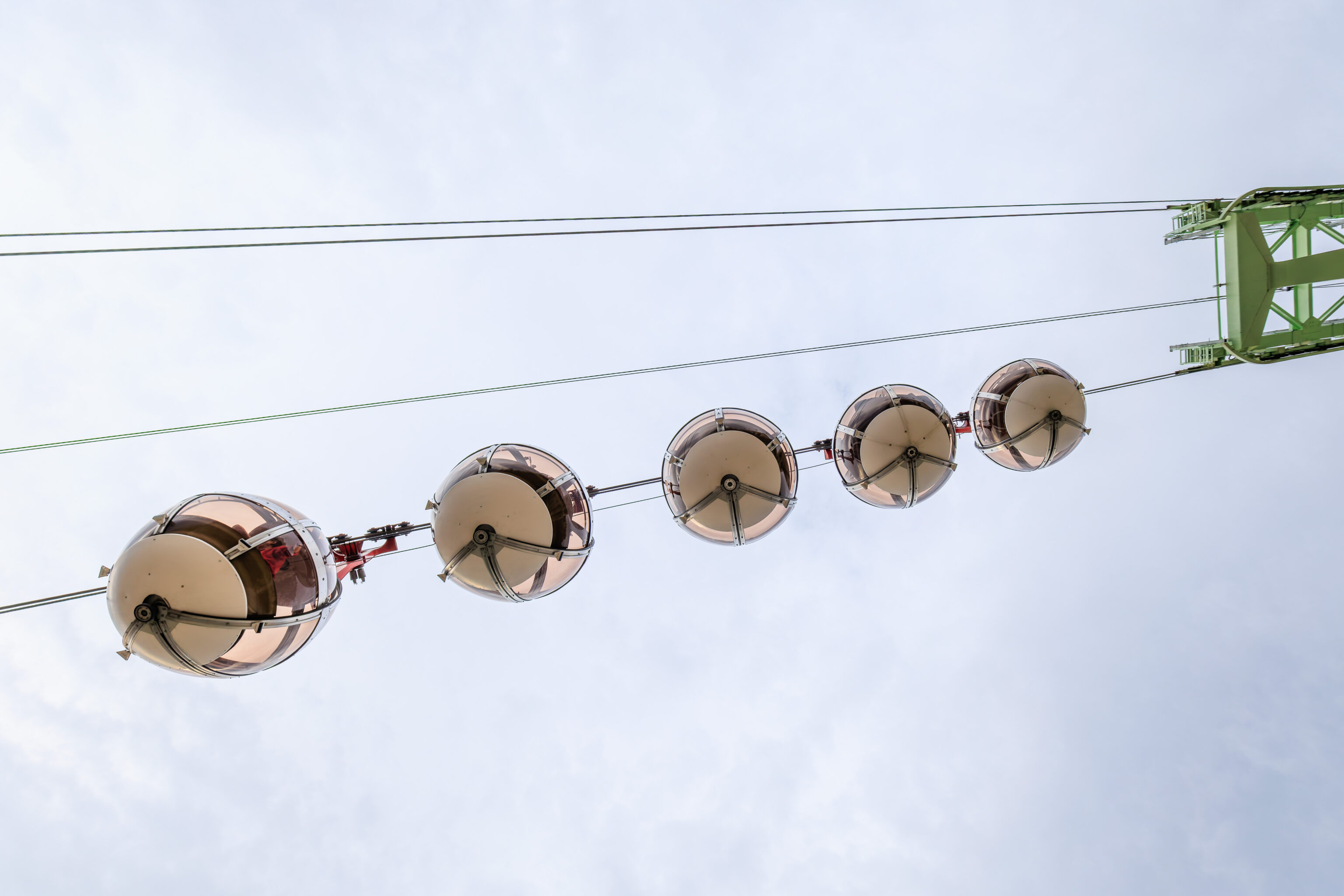
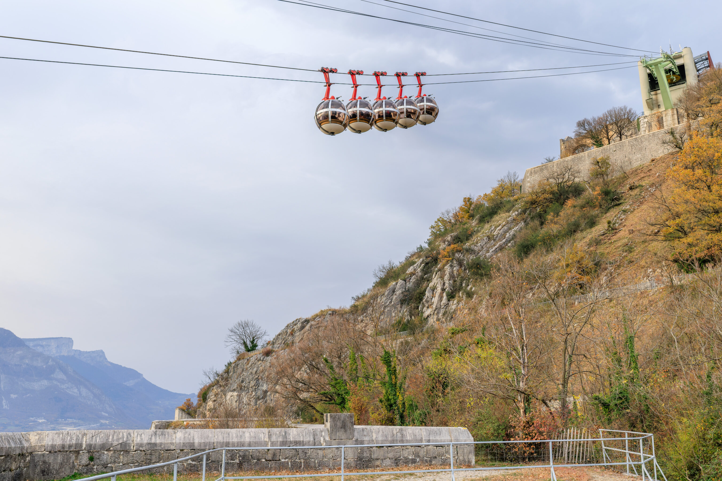
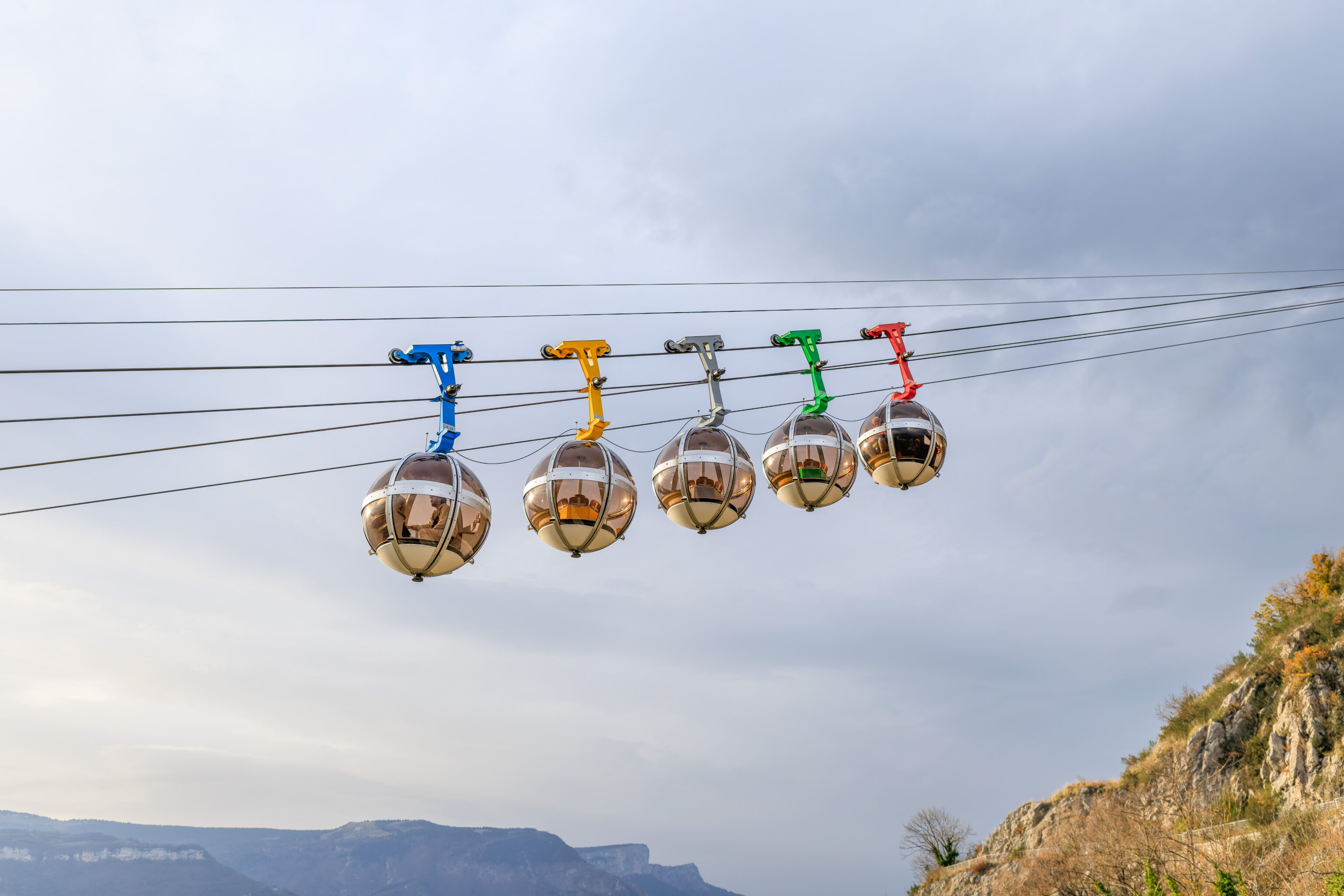
The gondola cabins are groups of five in close proximity. There are two groupings of cabins.
We walked to the northwest until reaching the Place Saint André, near the south bank of the Isère, a river that runs through Grenoble.
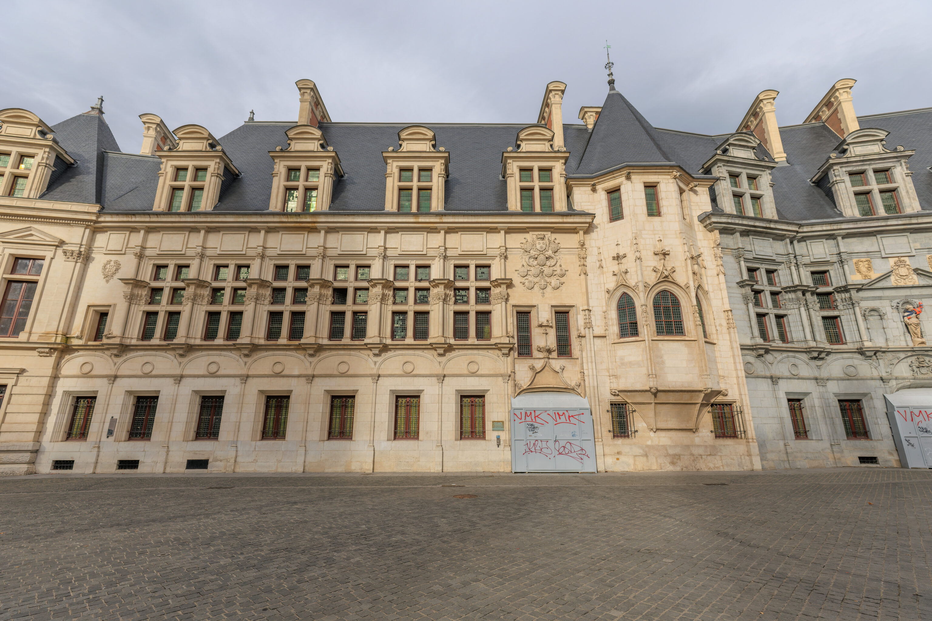
The north side of the square is occupied by the Palais du Parlement du Dauphiné. The oldest parts of the building date back to the early 16th century. In modern times, it was used as a courthouse until 2002. It looks a bit derelict now with its boarded up entrances and the one remaining statue on the facade with protective gear on its arm! The building has been undergoing renovation since 2020. Articles about recent progress are mostly paywalled but it seems the renovations have stalled due to issues with lead in the building.
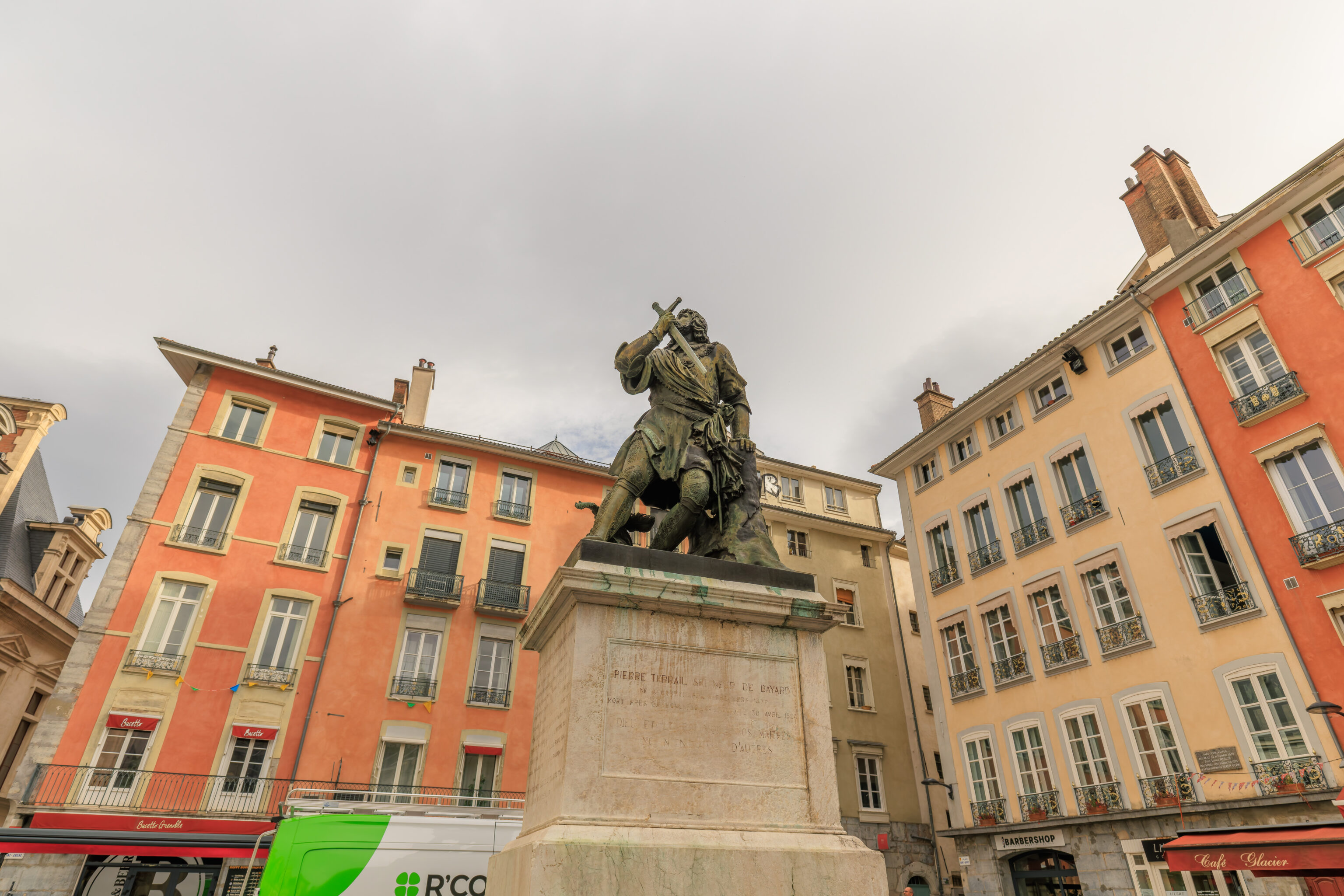
The statue in the square depicts Pierre Terrail, the Chevalier de Bayard (Knight of Bayard).
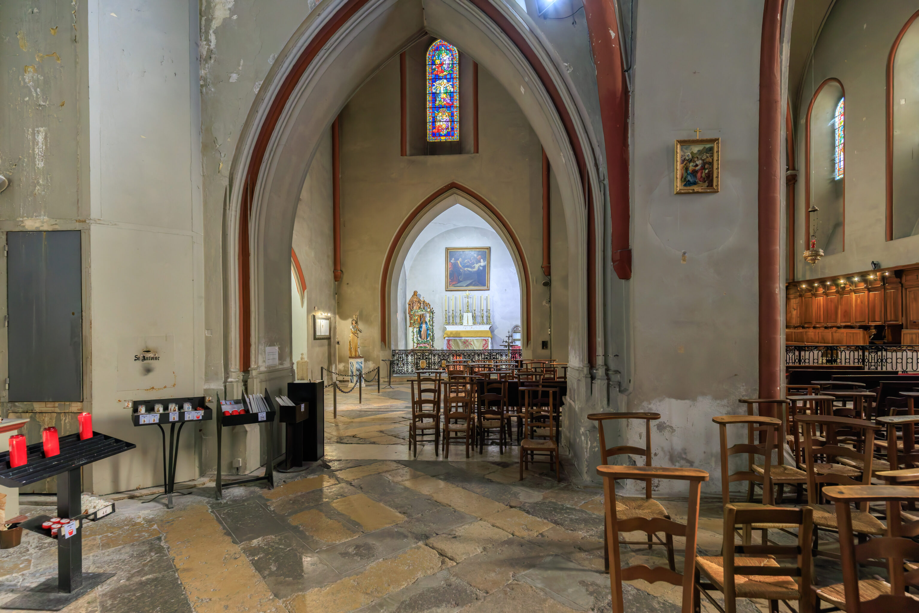
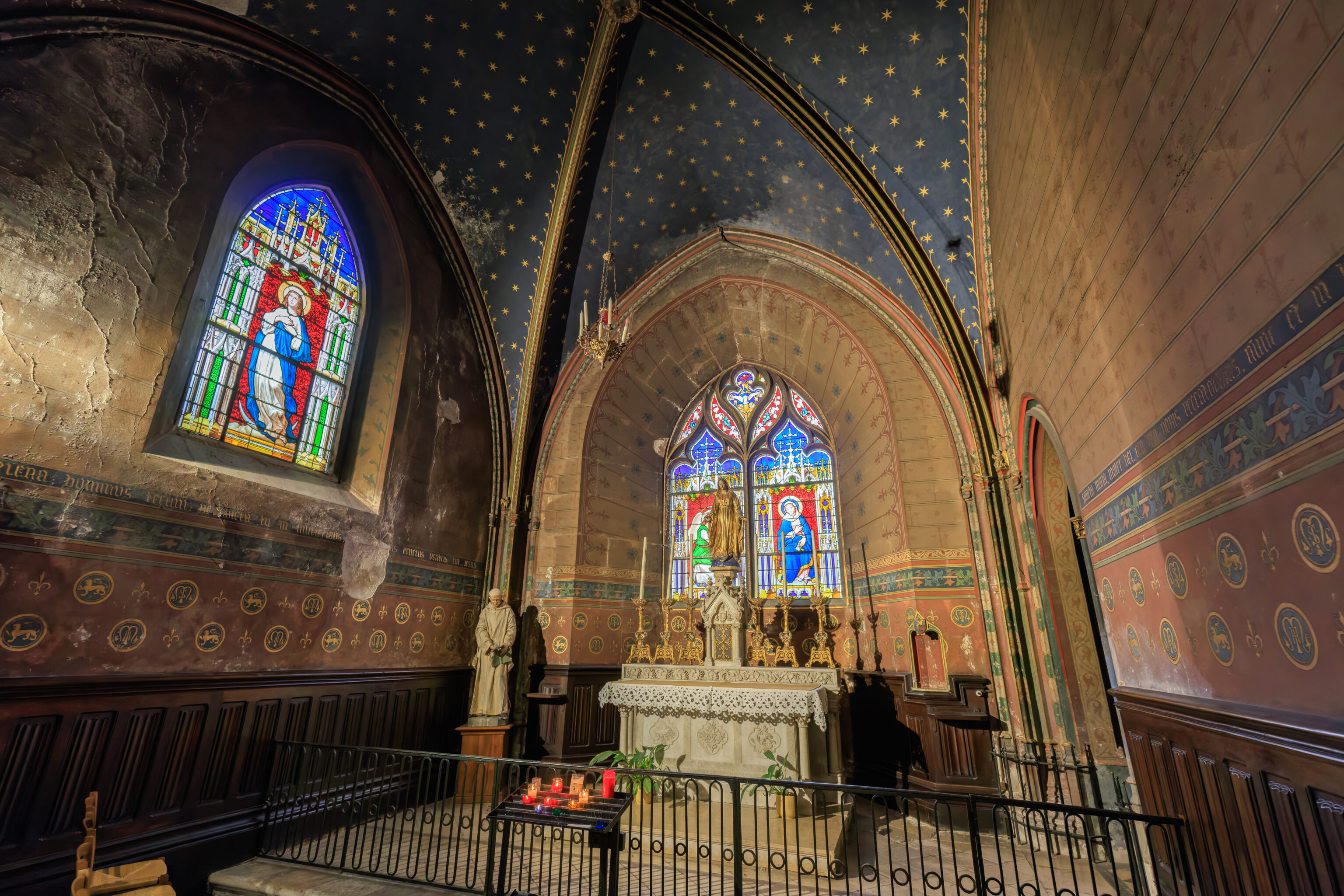
We went into the Collégiale Saint-André (Collegiate Church of Saint-André) on the southwestern corner of the square to take a quick look inside.
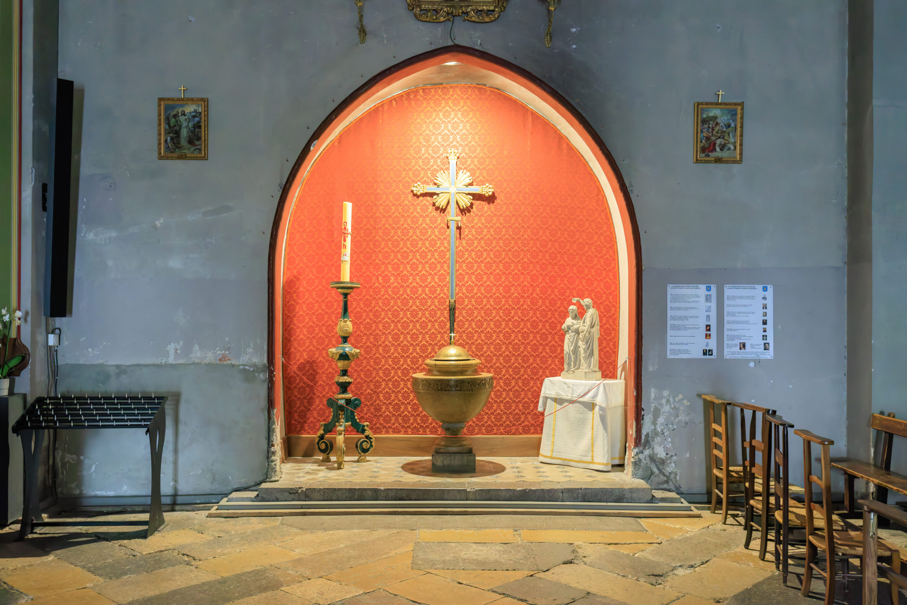
The church wasn’t too large inside and could use a bit of renovation.
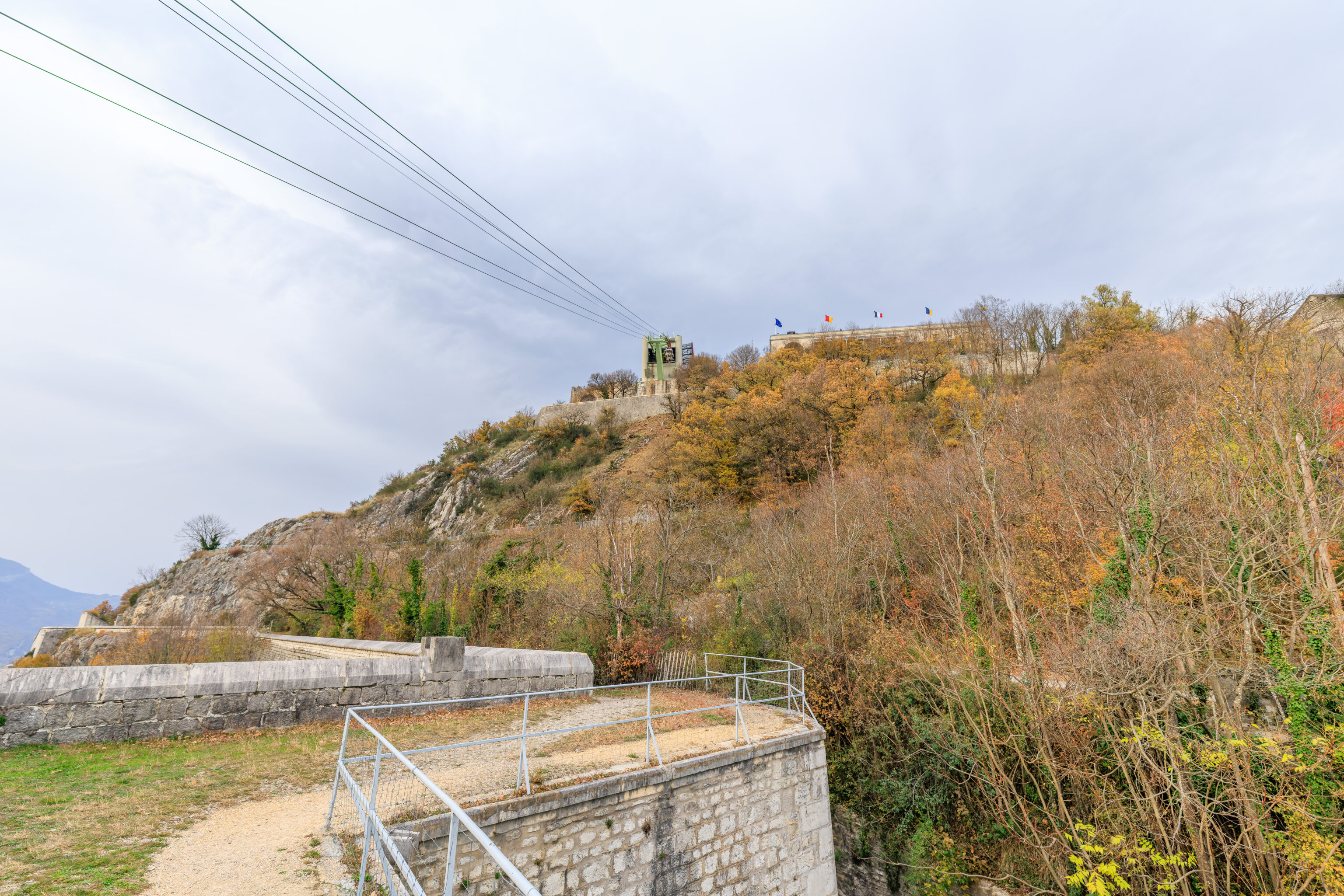
Bastille
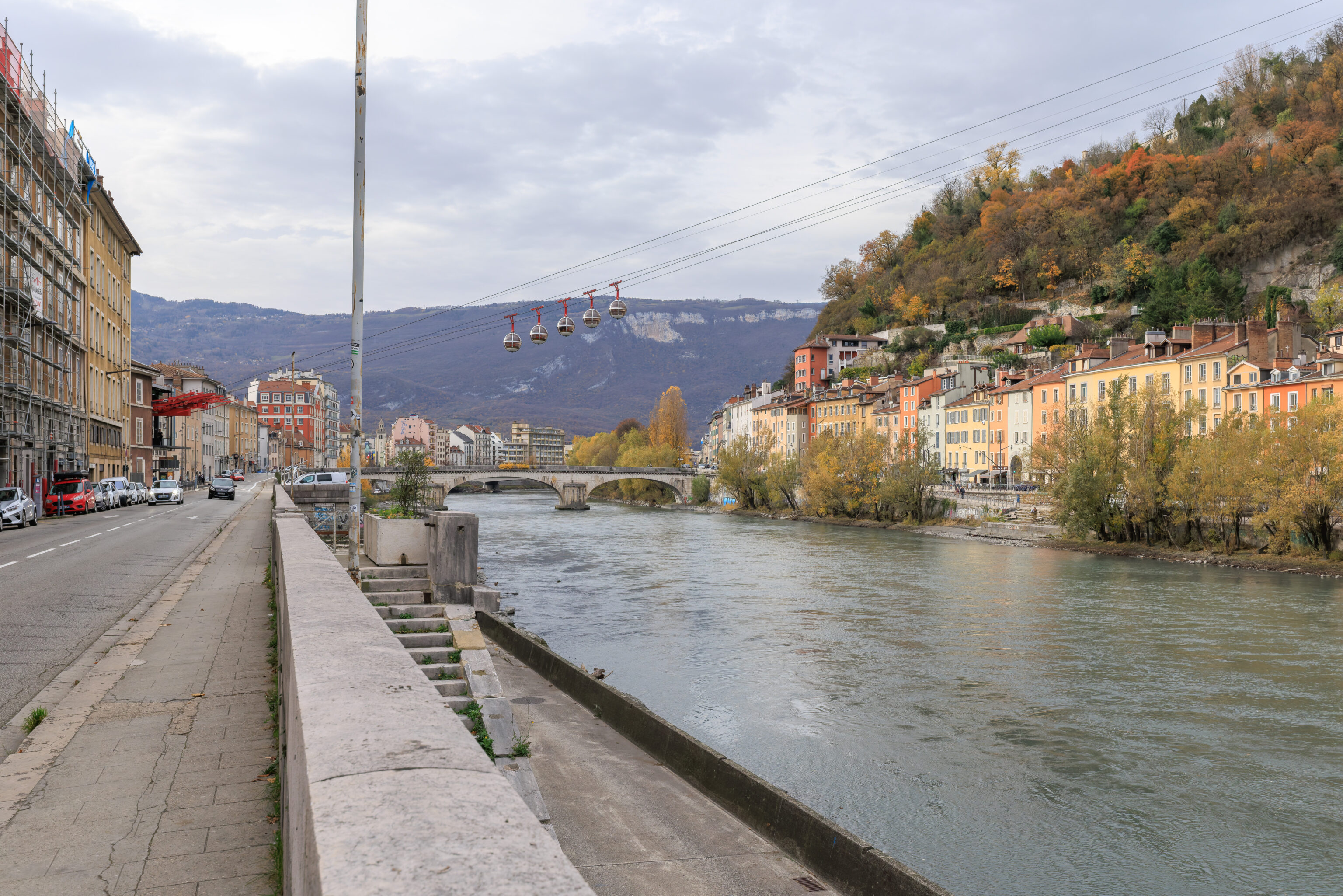
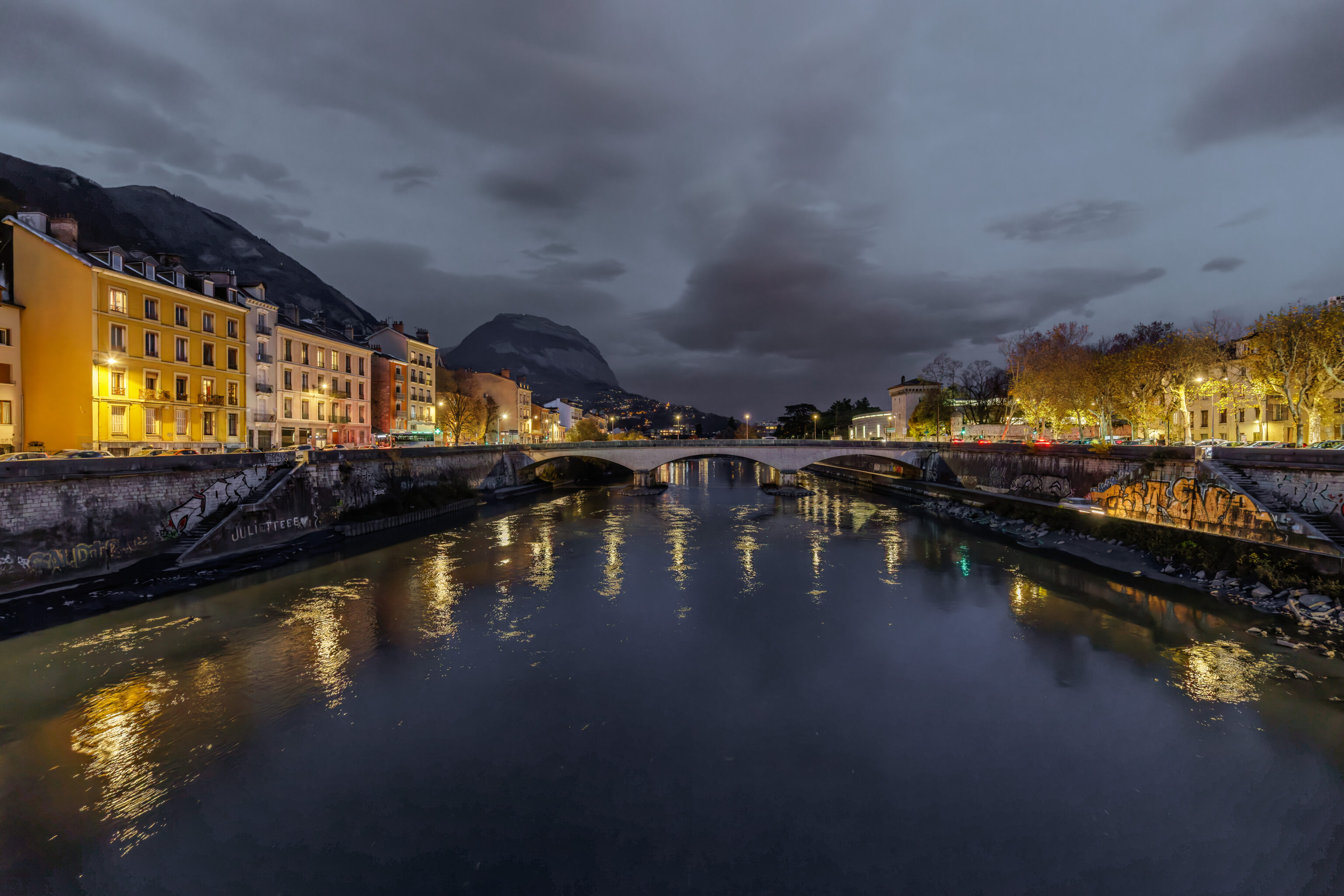
We walked one block north to reach the southern bank of the Isère. We then turned to the west along the river. We got a closer look at the spherical gondola cabins descending up ahead.
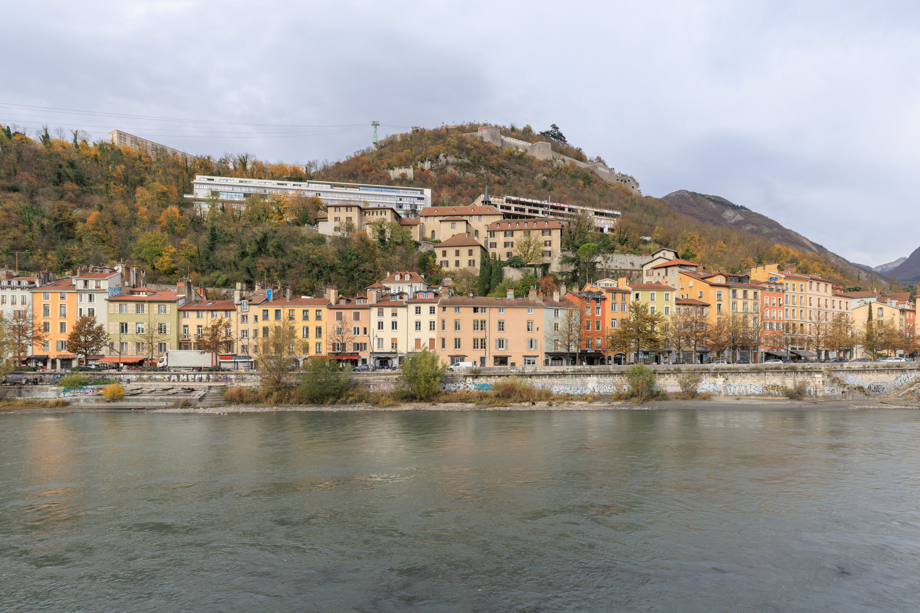
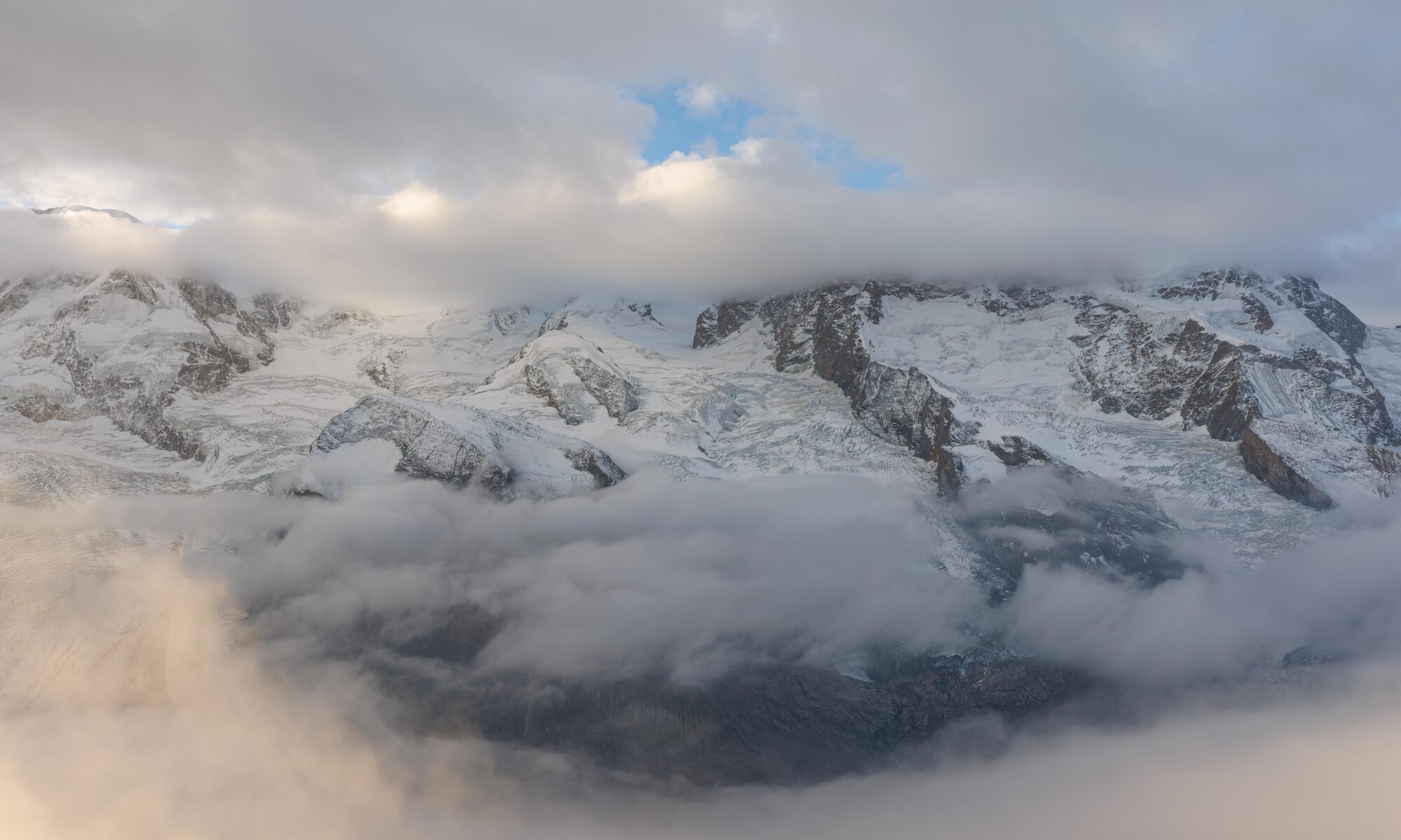
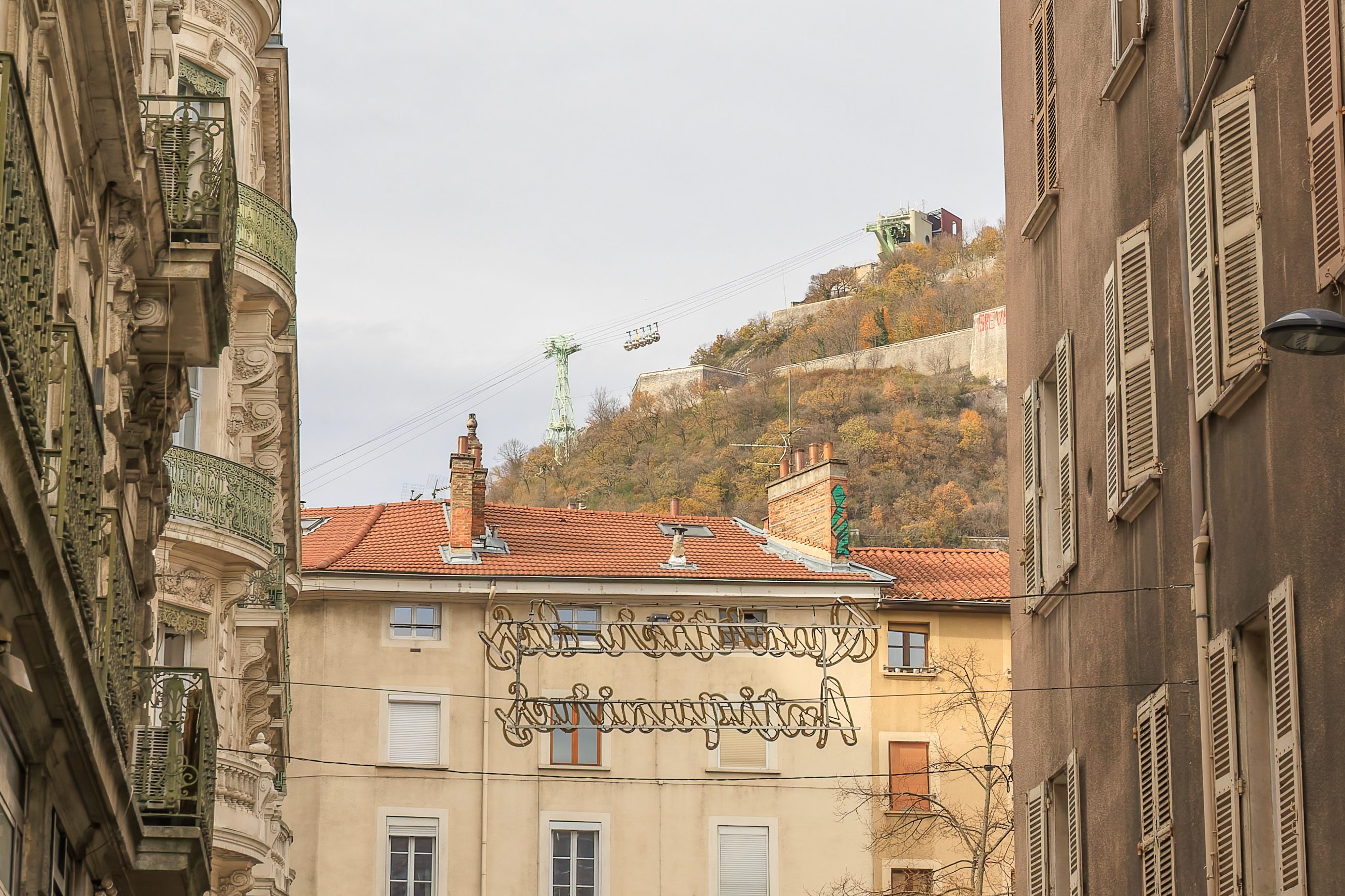
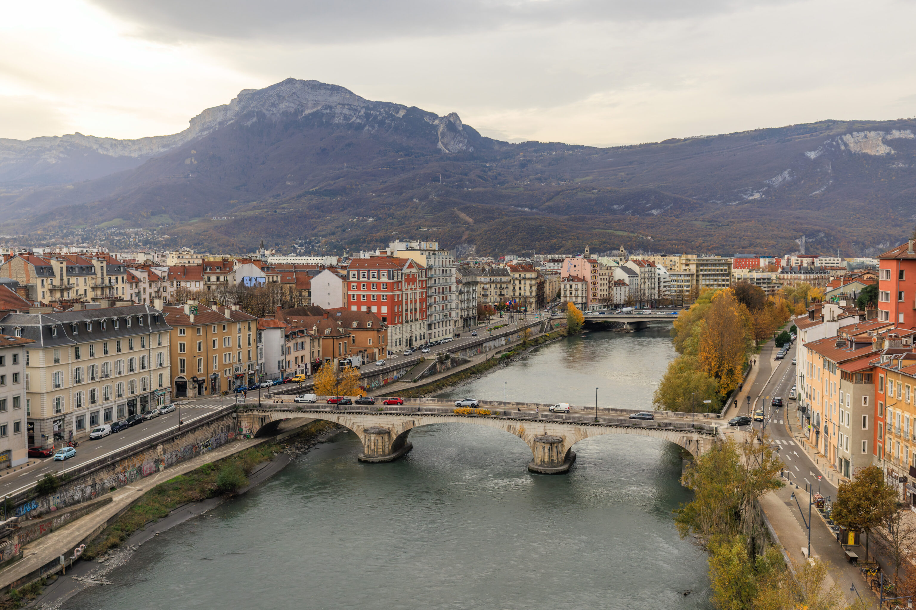
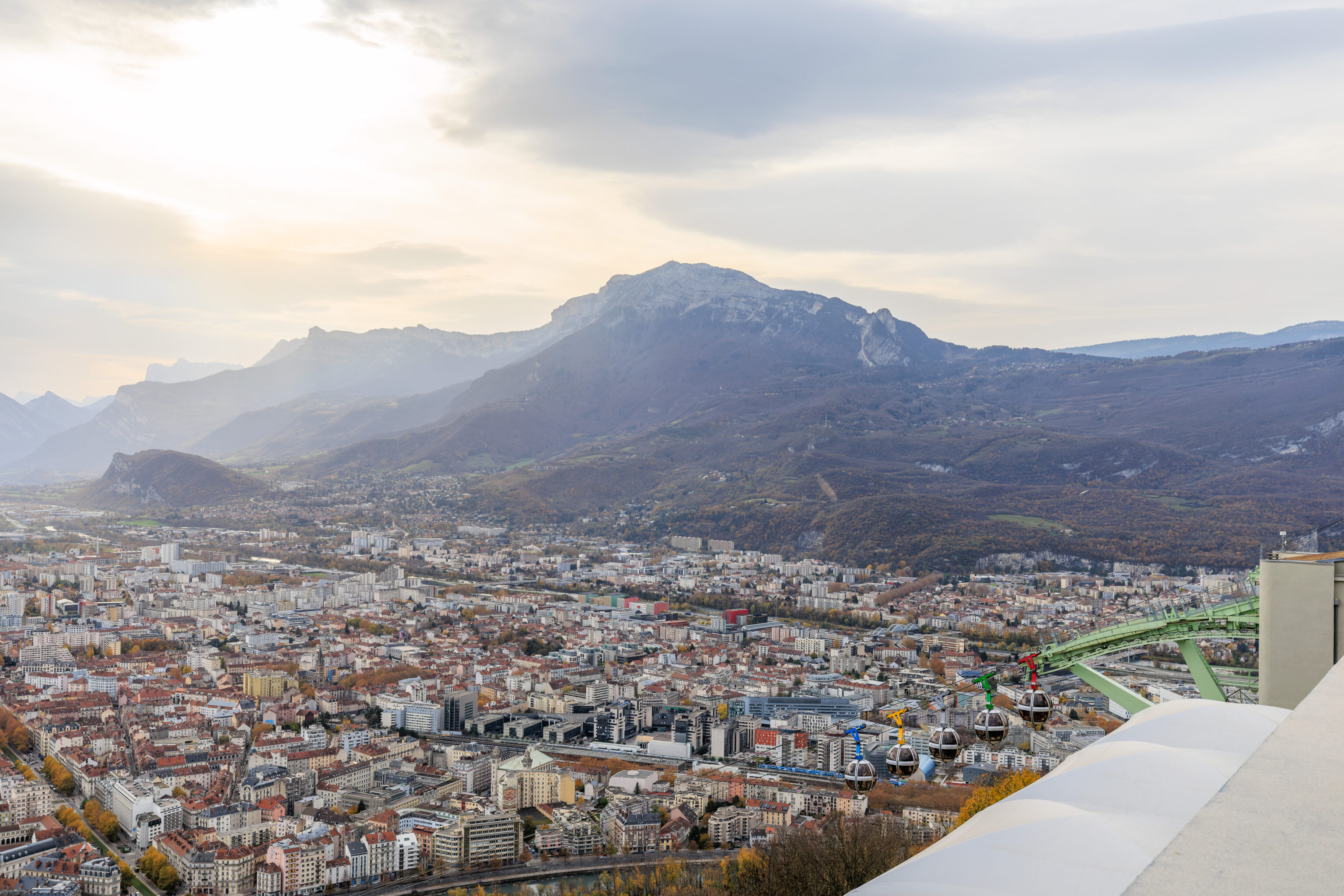
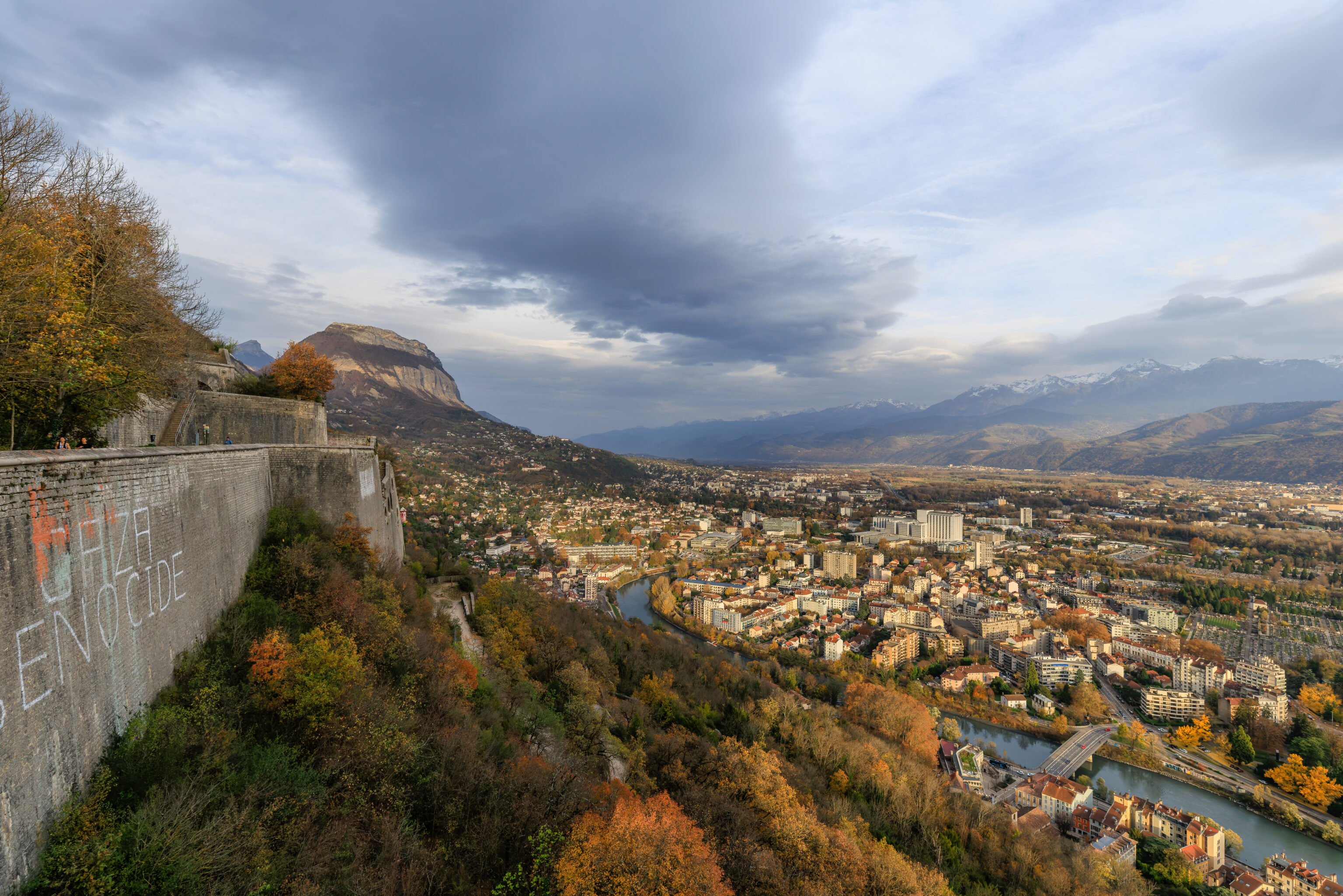
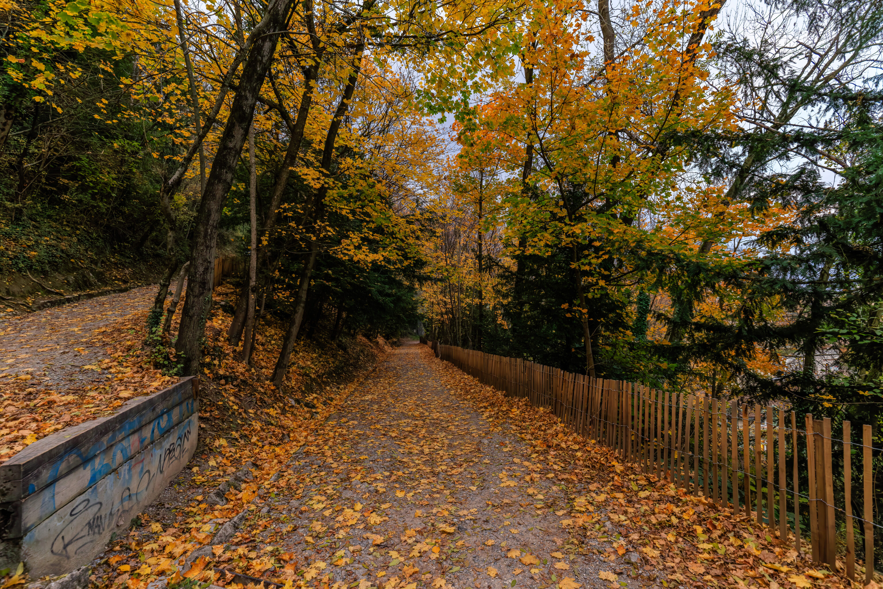
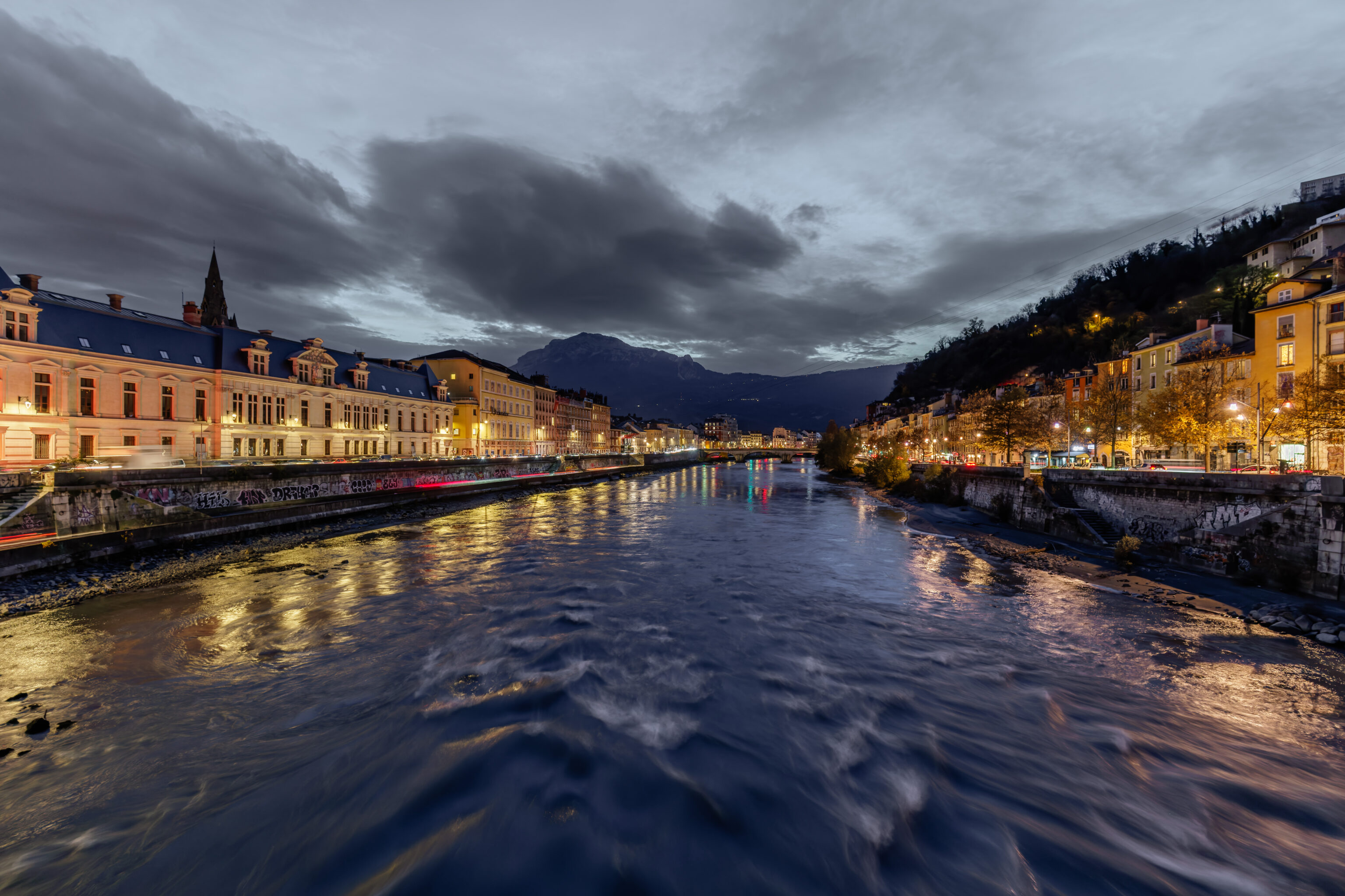
Looking to our right, we could see the Bastille across the river. Grenoble’s Bastille is a fortress that sits atop a hill on the side of a small mountain. The hill is named Bastille as well after the fortress. The mountain that the hill sits upon is Mount Rachais.
The view looking upriver to the east.
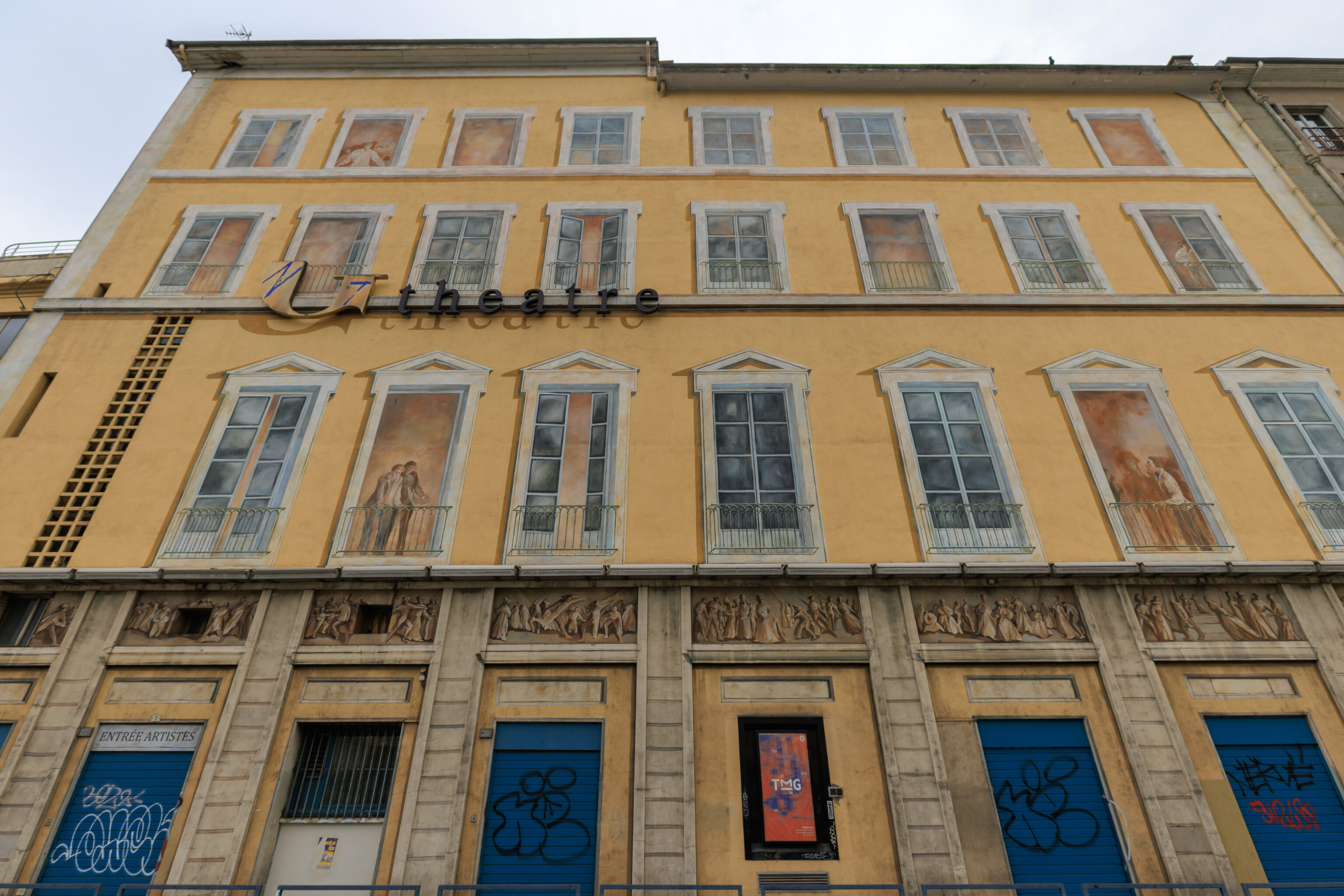
This building on the corner where we turned had painted windows. It is the rear of the Grand Théâtre.
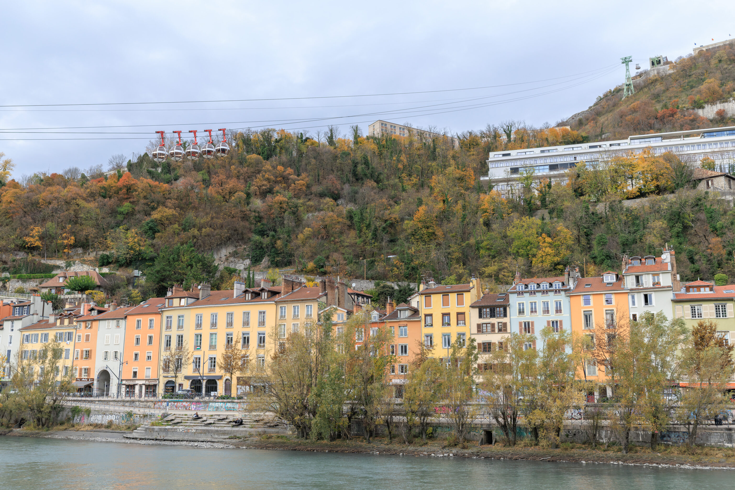
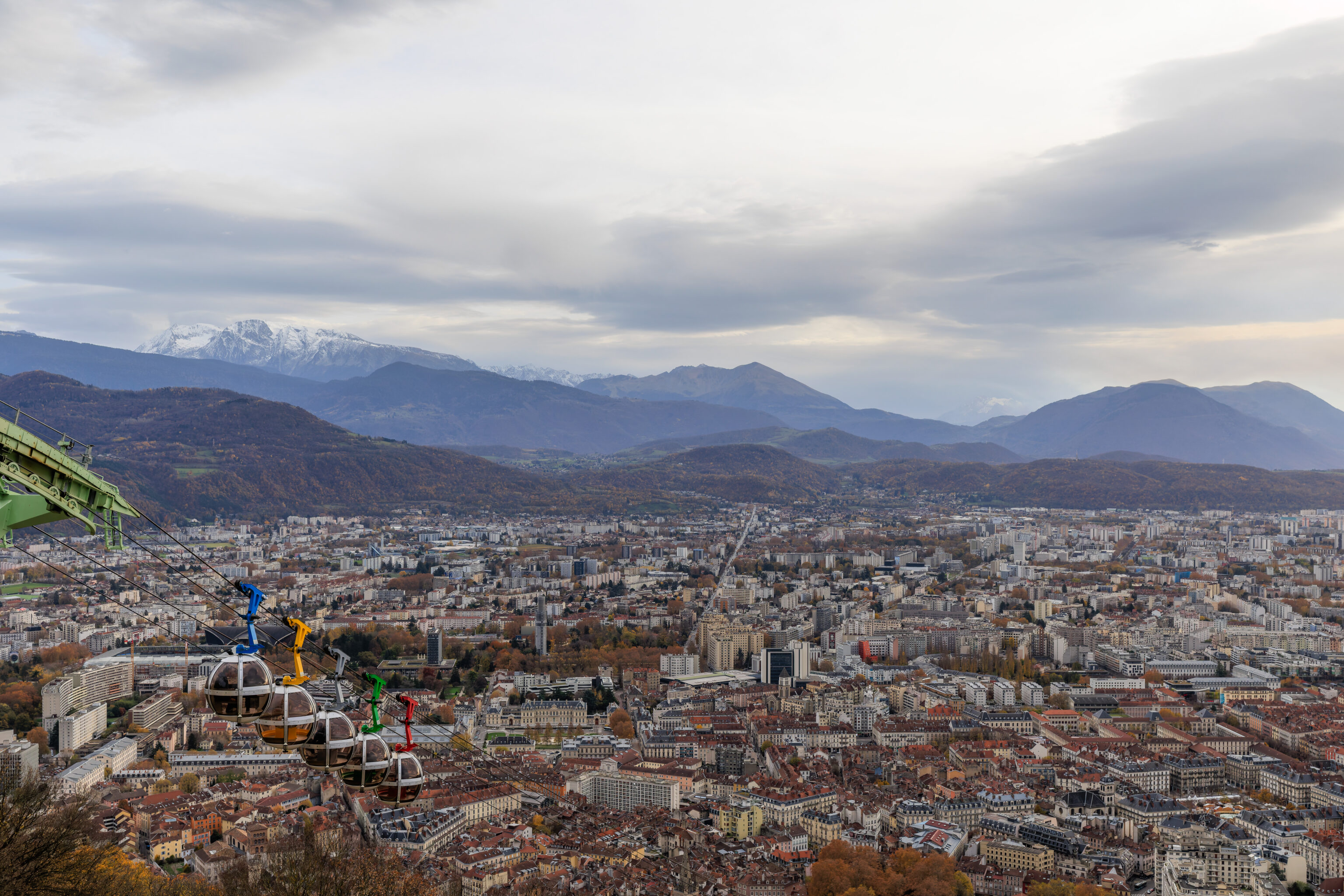
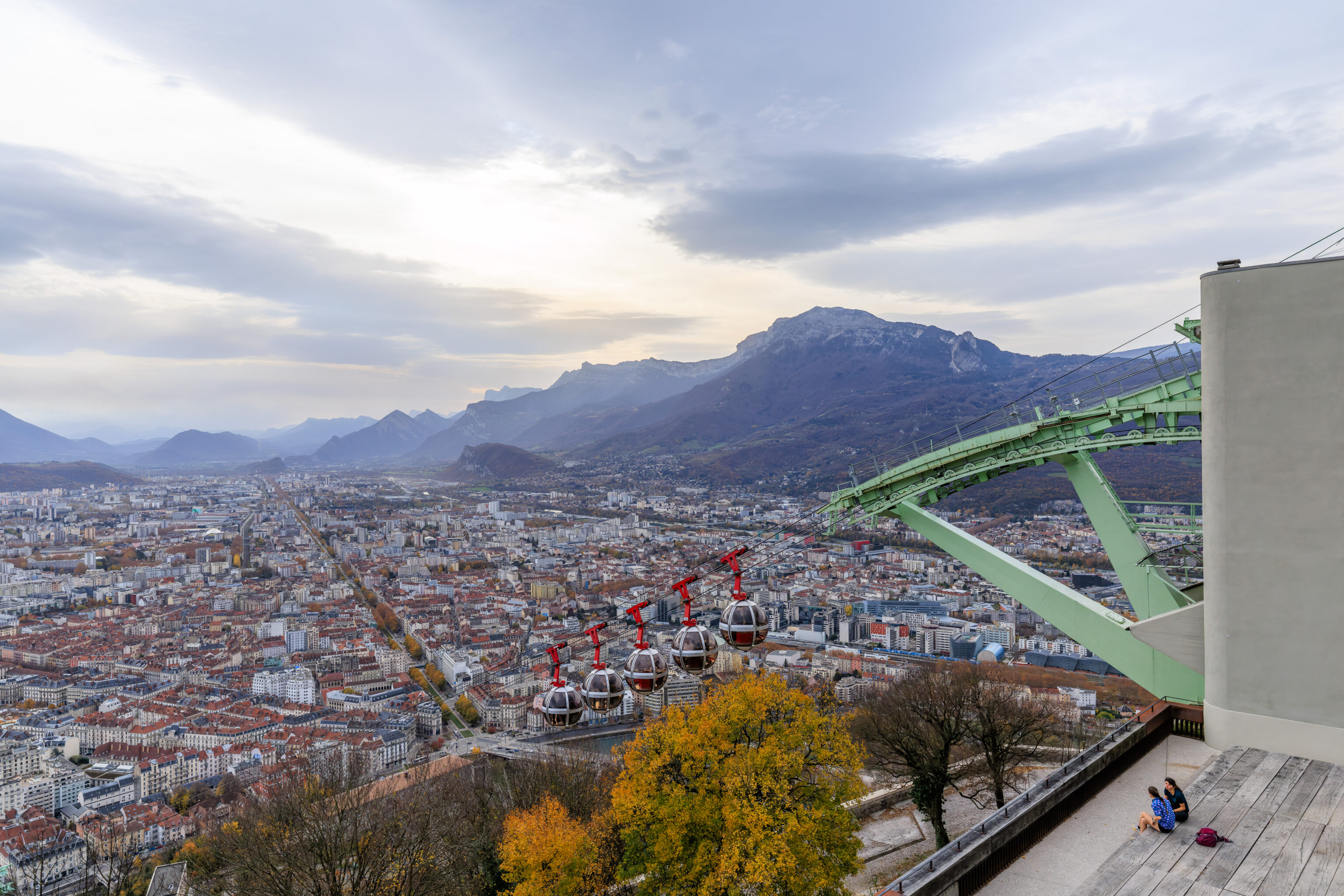
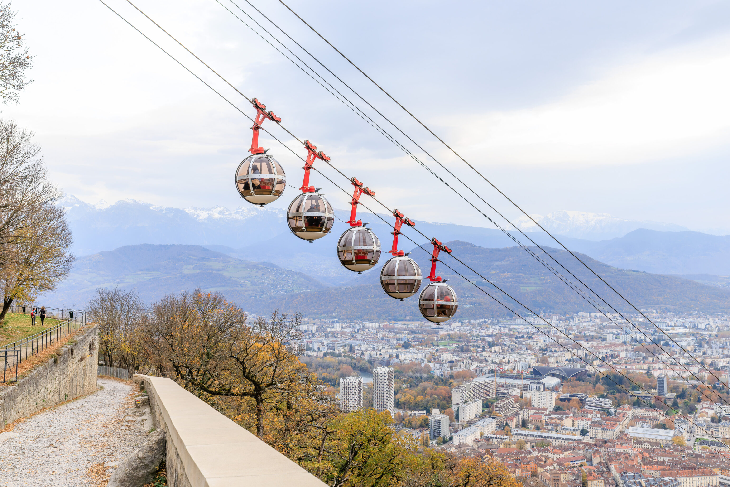
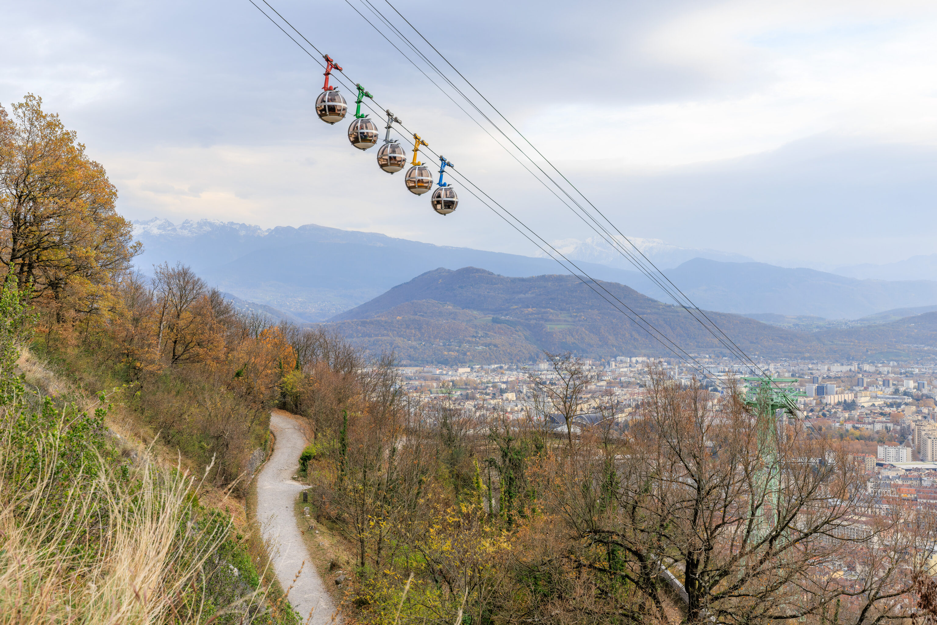
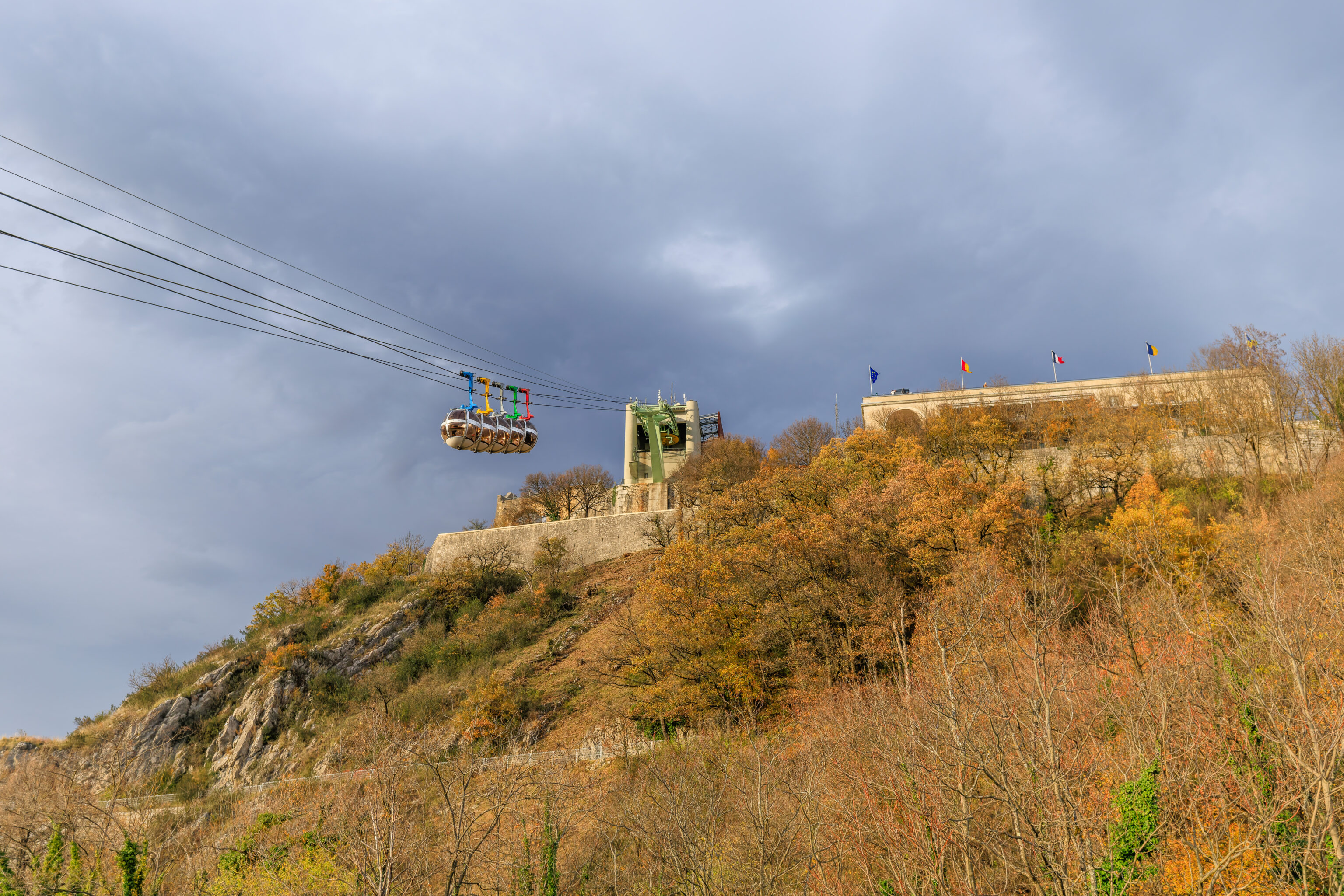
A few minutes later, we saw the five gondola cabins ascending as we walked to the west.
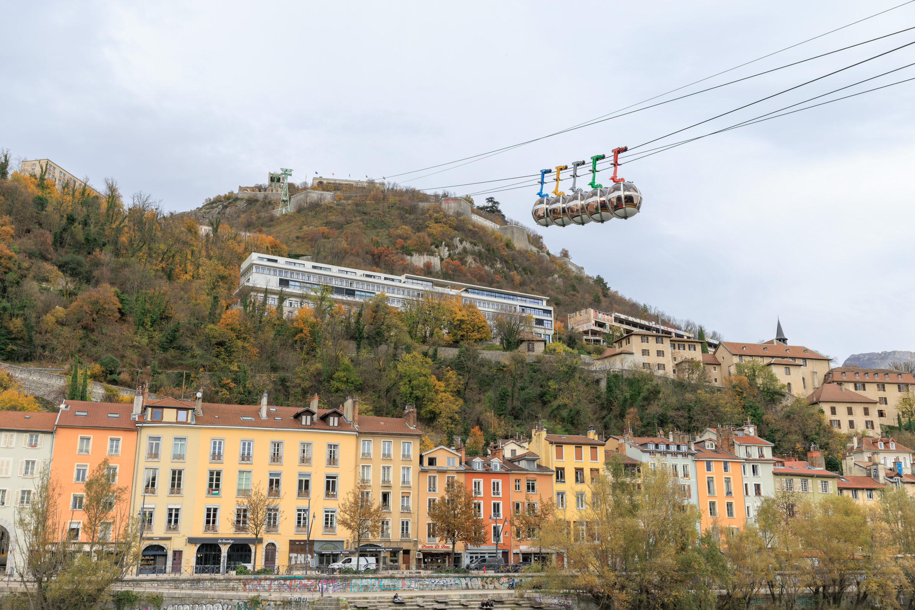
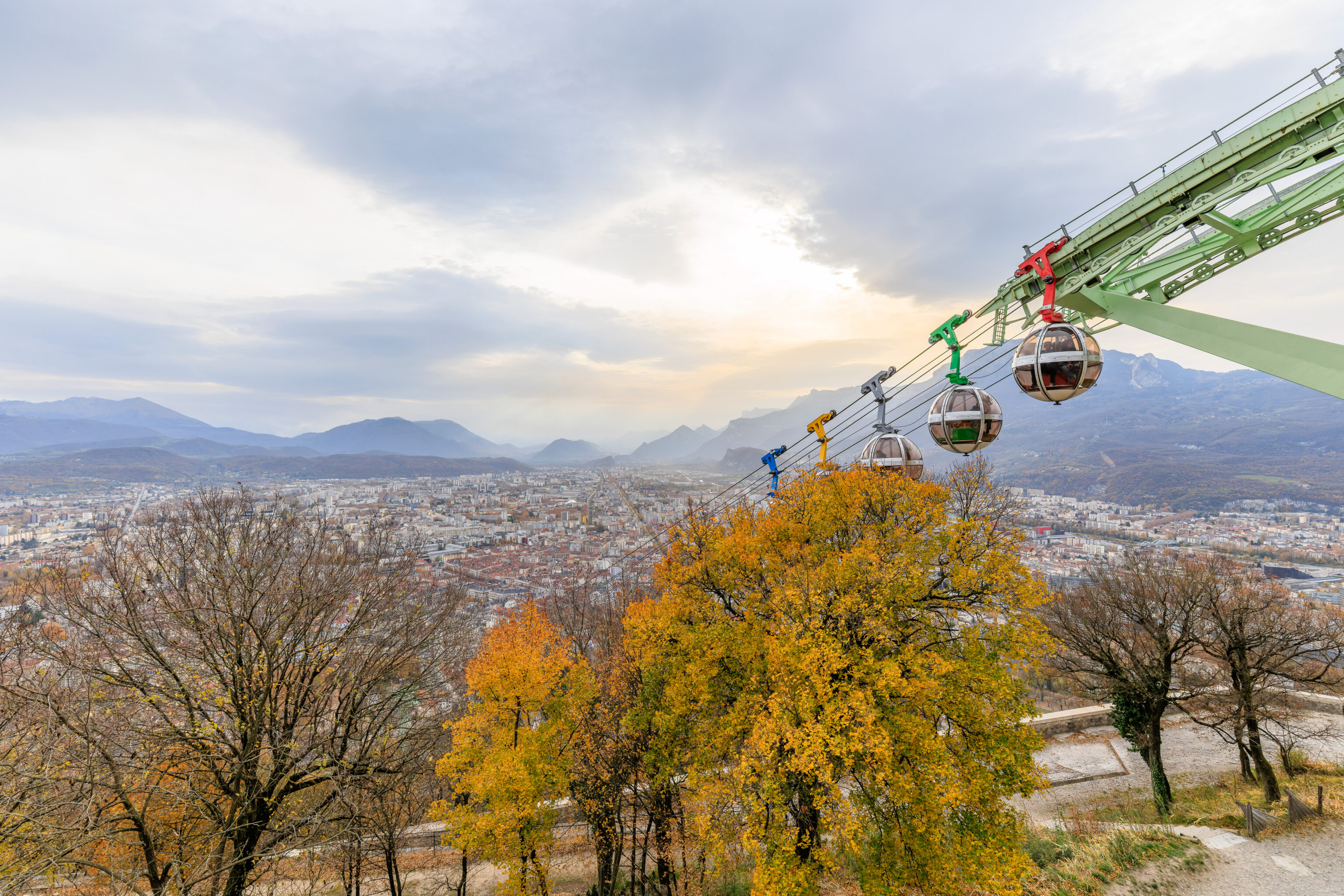
We continued walking past the gondola station to see the view from the west. We saw the other set of five gondola cabins descending. Unlike the other group where all the cabins were painted red, these were in a rainbow of colors. It was a bit reminiscent of Google!
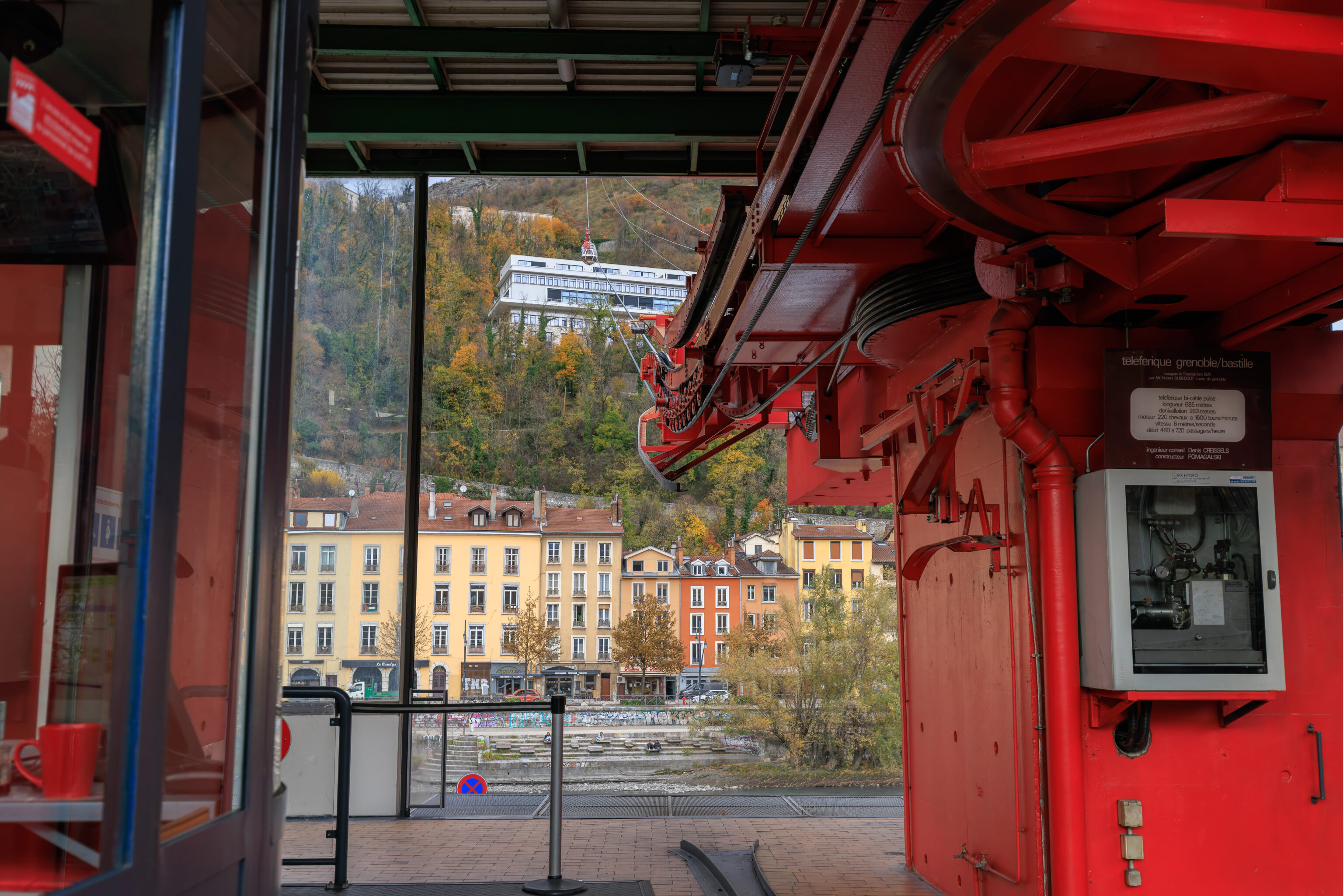
We then went into the lower terminal of the Téléphérique de Grenoble Bastille and bought one way tickets for the trip up. It seems that when originally constructed in 1934, it was built as an aerial tram. When it was renovated in 1976 with the current bubble cabins, it was converted to operate as a gondola.
The two groups of gondola cabins are on opposite sides, thus, when one group is at a station, the other group is at the other station as well. They are fixed grip and remain connected to the cable at all times. The drive cable operates at a much slower speed while the cabins are at the stations to allow passengers to get on and off. Its a bit of an unusual system.
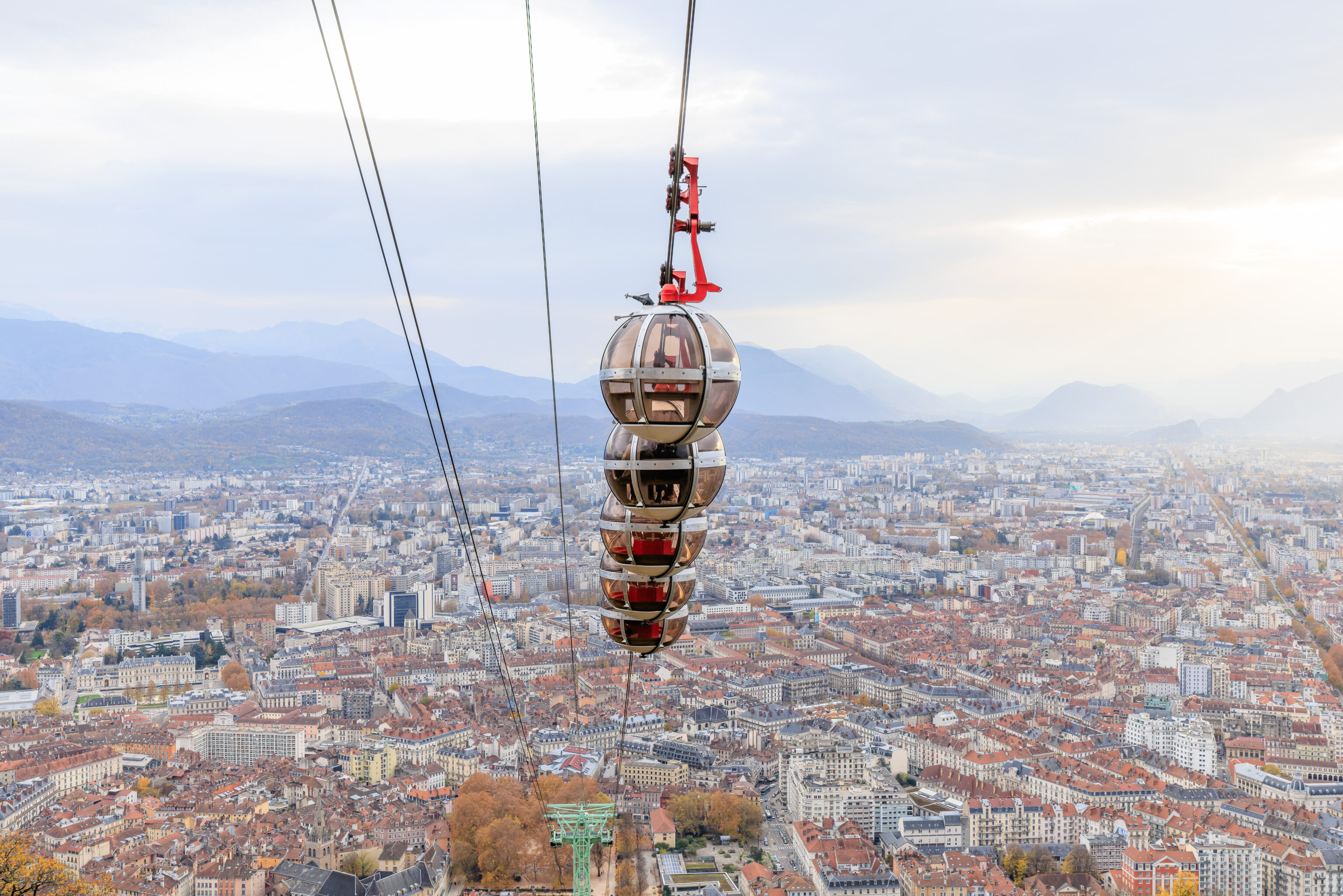
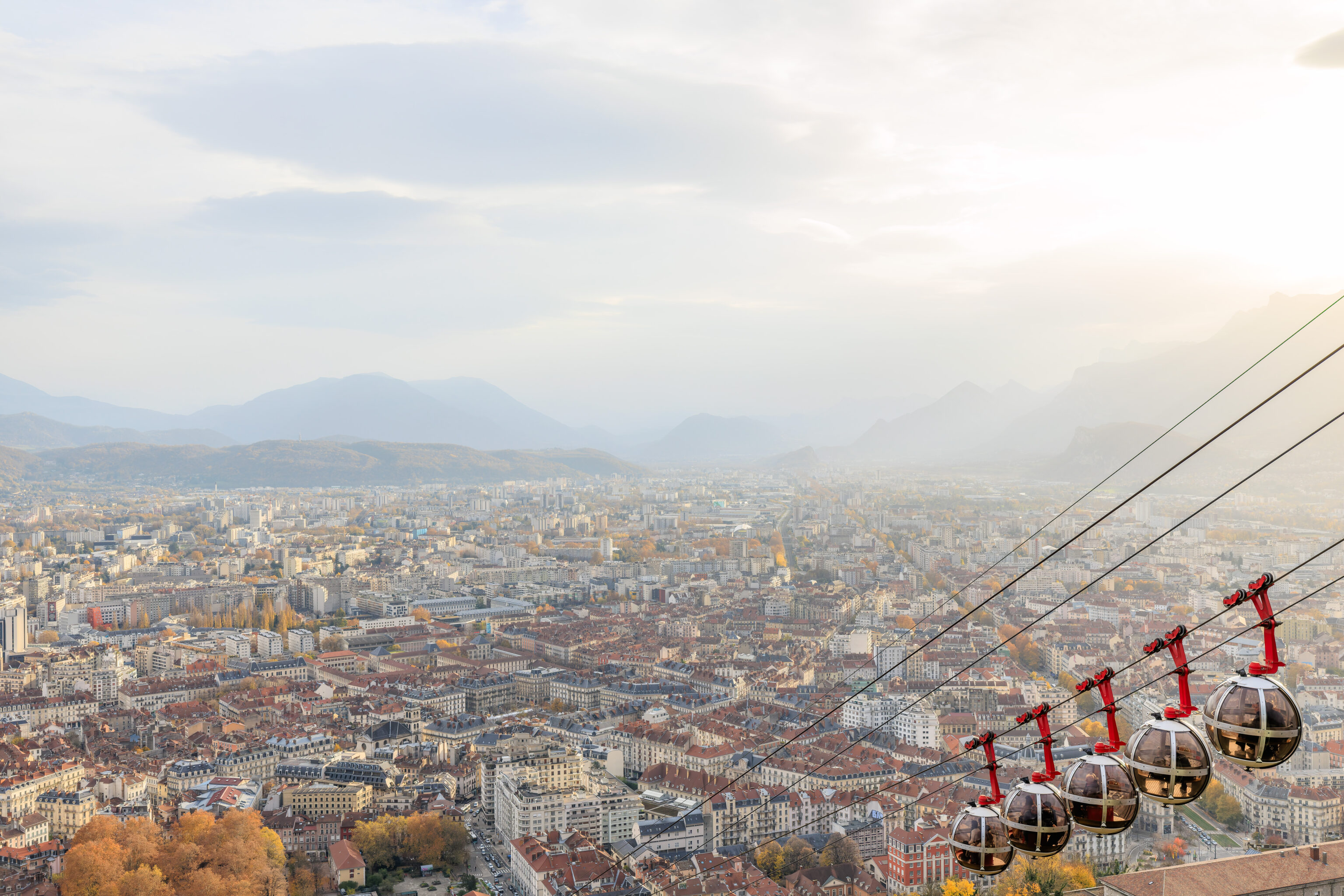
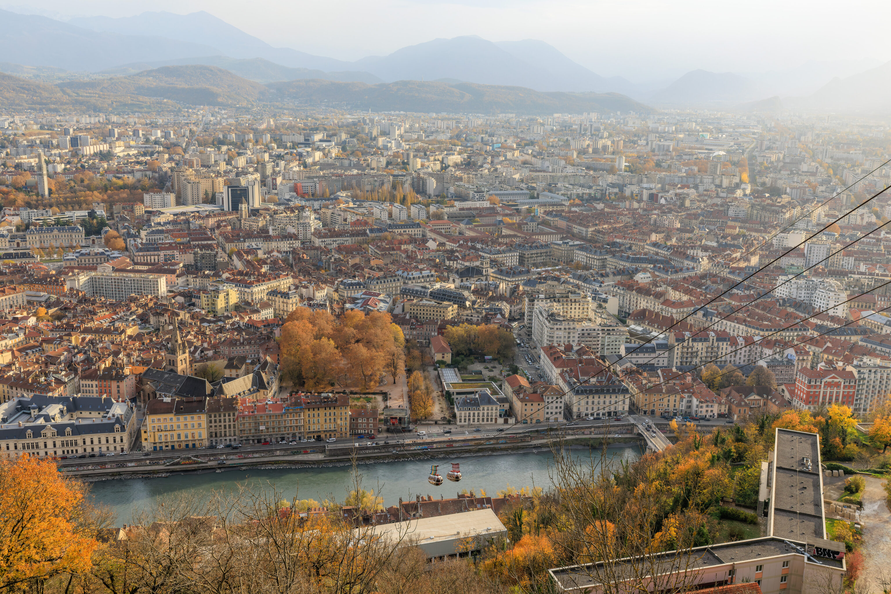
We got onboard and started the ascent over the Isère.
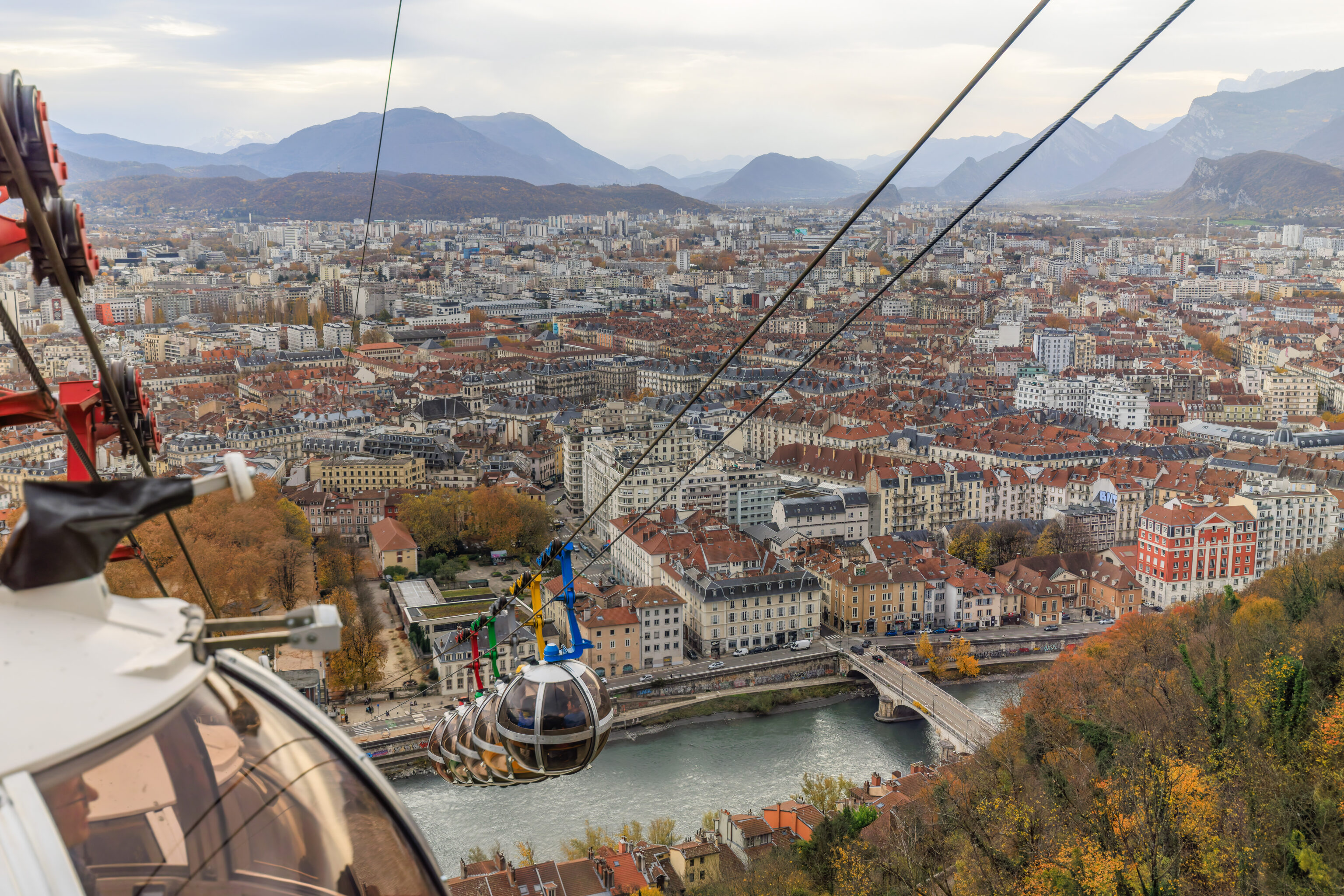
We quickly reached the midpoint of the cableway and saw the other group of cabins pass by on their way down. They are referred to as bubbles due to their spherical shape.
The view as fantastic as we continued to ascend. Looking down a bit as we got close to the top, we could see the paths and walls of the fortress below.
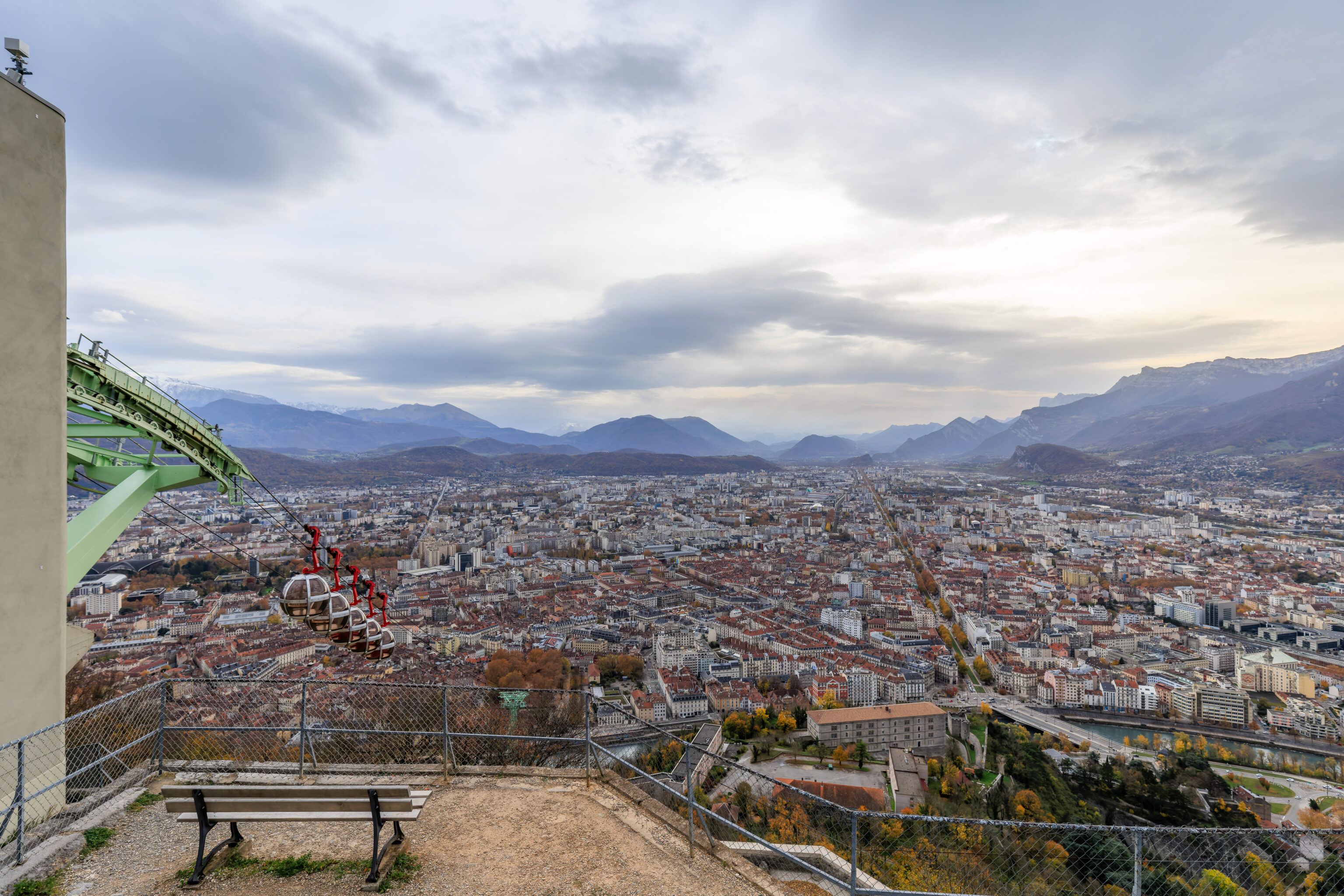
It only took a few minutes to reach the time. We walked outside to the west side of the gondola station where there is an overlook along with benches. The view as fantastic but it was quite windy.
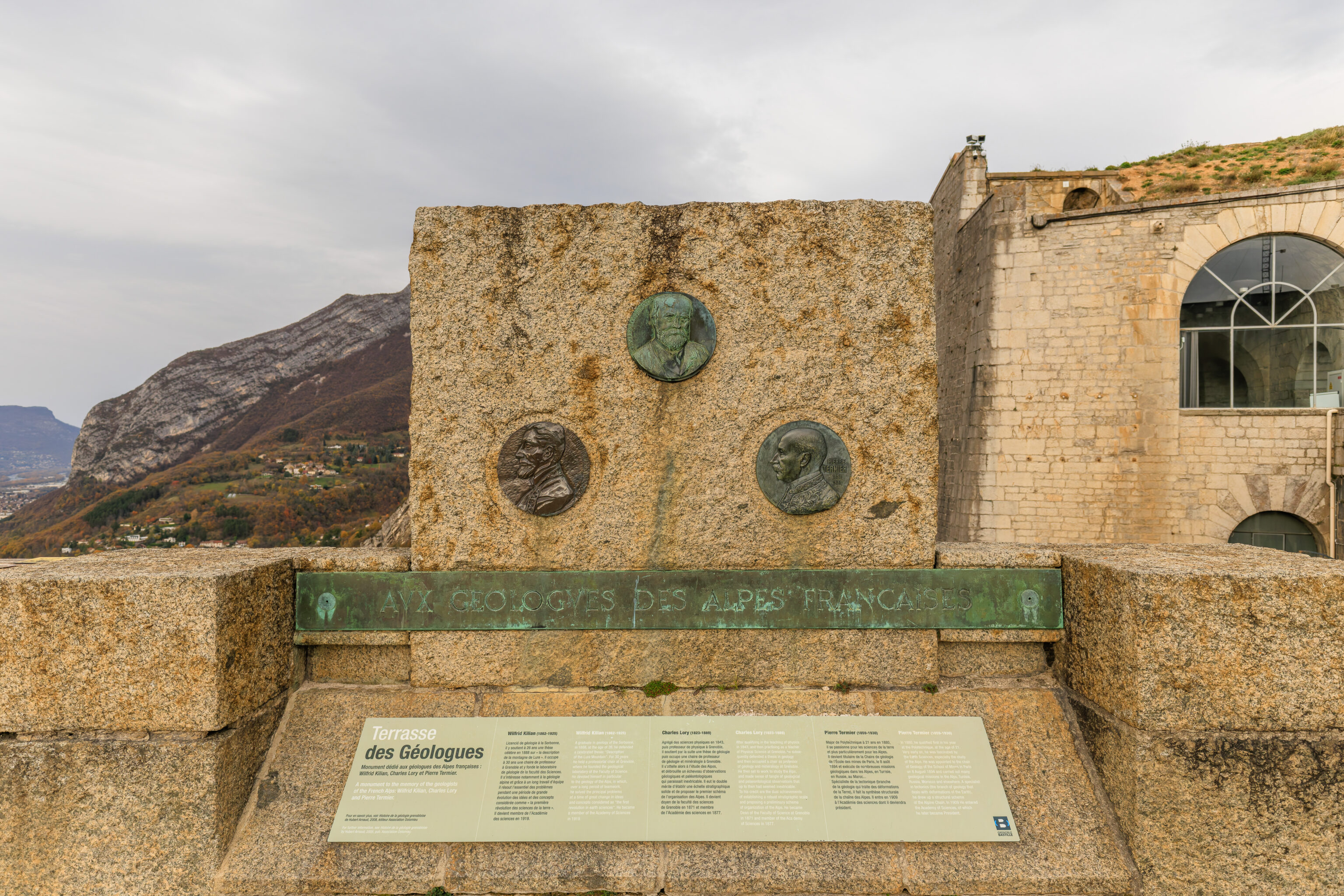
A monument to the memory of the geologists of the French Alps: Wilfrid Kilian, Charles Lory and Pierre Termier.
For further information, see Histoire de la géologie grenobloise by Hubert Arnaud, 2008, pub. Association Dolomieu
Wilfrid Kilian (1862-1925)
A graduate in geology of the Sorbonne, in 1888, at the age of 26, he defended a celebrated thesis: “Description of the Lure Mountain”. For 30 years he held a professorial chair at Grenoble, where he founded the geological laboratory of the Faculty of Science. He devoted himself in particular to the geology of the Alps, in which, over a long period of teamwork, he solved the principal problems at a time of great change in ideas and concepts considered as “the first revolution in earth sciences“. He became a member of the Academy of Sciences in 1919.
Charles Lory (1823-1889)
After qualifying in the teaching of physics in 1843, and then practising as a teacher of Physical Science at Grenoble, he subsequently defended a thesis in geology and then occupied a chair as professor of geology and mineralogy at Grenoble. He then set to work to study the Alps, and made sense of tangle of geological and palaeontological observations that up to then had seemed inextricable. To his credit are the dual achievements of establishing a robust stratigraphic scale and proposing a preliminary scheme of organization of the Alps. He became Dean of the Faculty of Science at Grenoble in 1871 and member of the Academy of Sciences in 1877.
Pierre Termier (1859-1930)
In 1880, he qualified first in his year at the Polytechnique, at the age of 21. Very early on, he was fascinated by the Earth Sciences, especially the study of the Alps. He was appointed to the chair of Geology of the School of Mines in Paris on 8 August 1894 and carried out many geological missions in the Alps, Tunisia, Russia, Morocco and elsewhere. A specialist in tectonics (the branch of geology that deals with deformations of the Earth), he drew up a structural scheme of the Alpine Chain. In 1909 He entered the Academy of Sciences, of which he later became President.
This memorial to three local geologists also establishes the name of this place, the Terrasse des Géologues (Geologists’ Terrace).
We watched as the colorful group of bubbles descended.
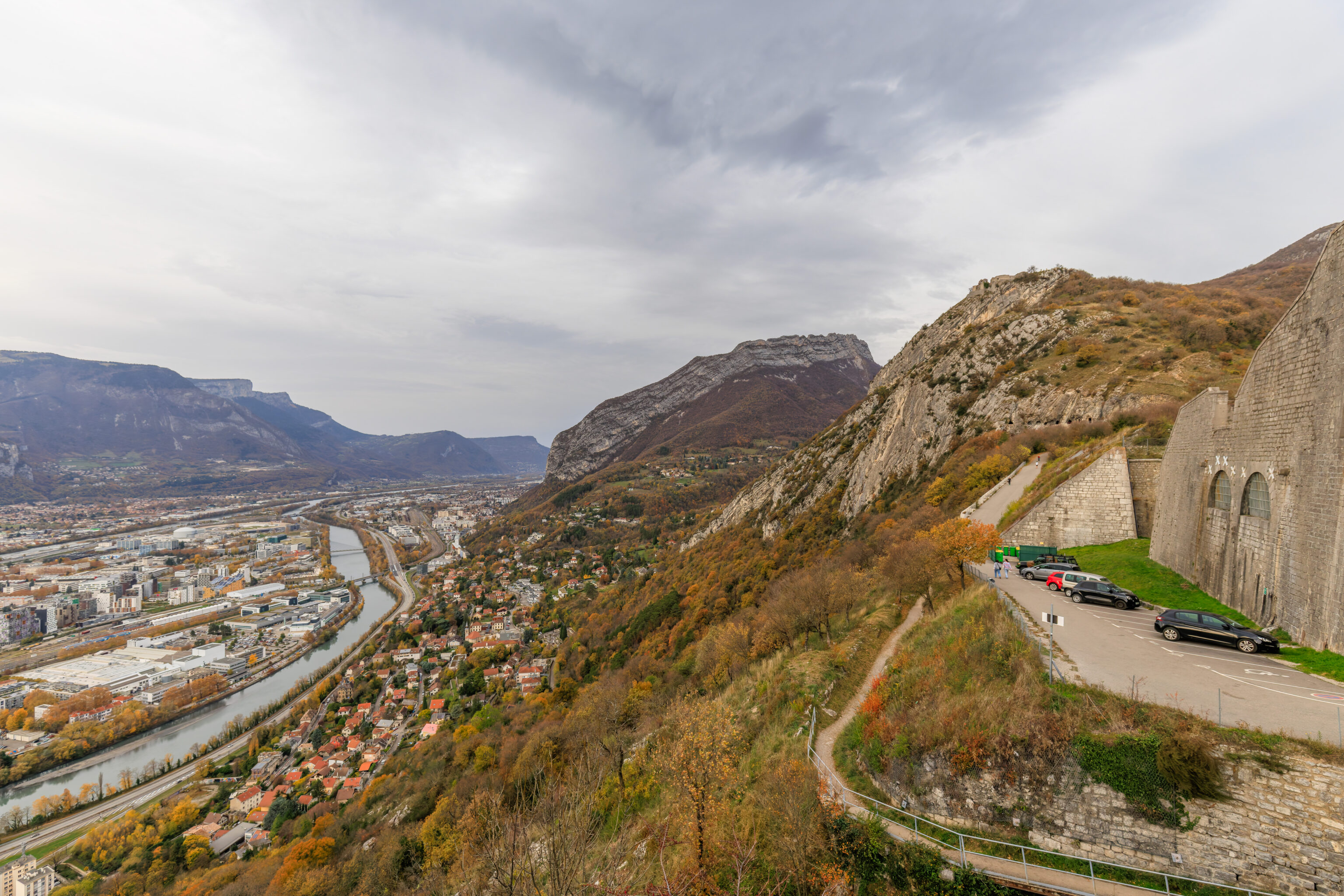
It is actually possible to simply drive up to here. Looking to the north, we can see some of the higher points on Mount Rachais. The actual summit of the mountain is to the northeast and not visible from this perspective.
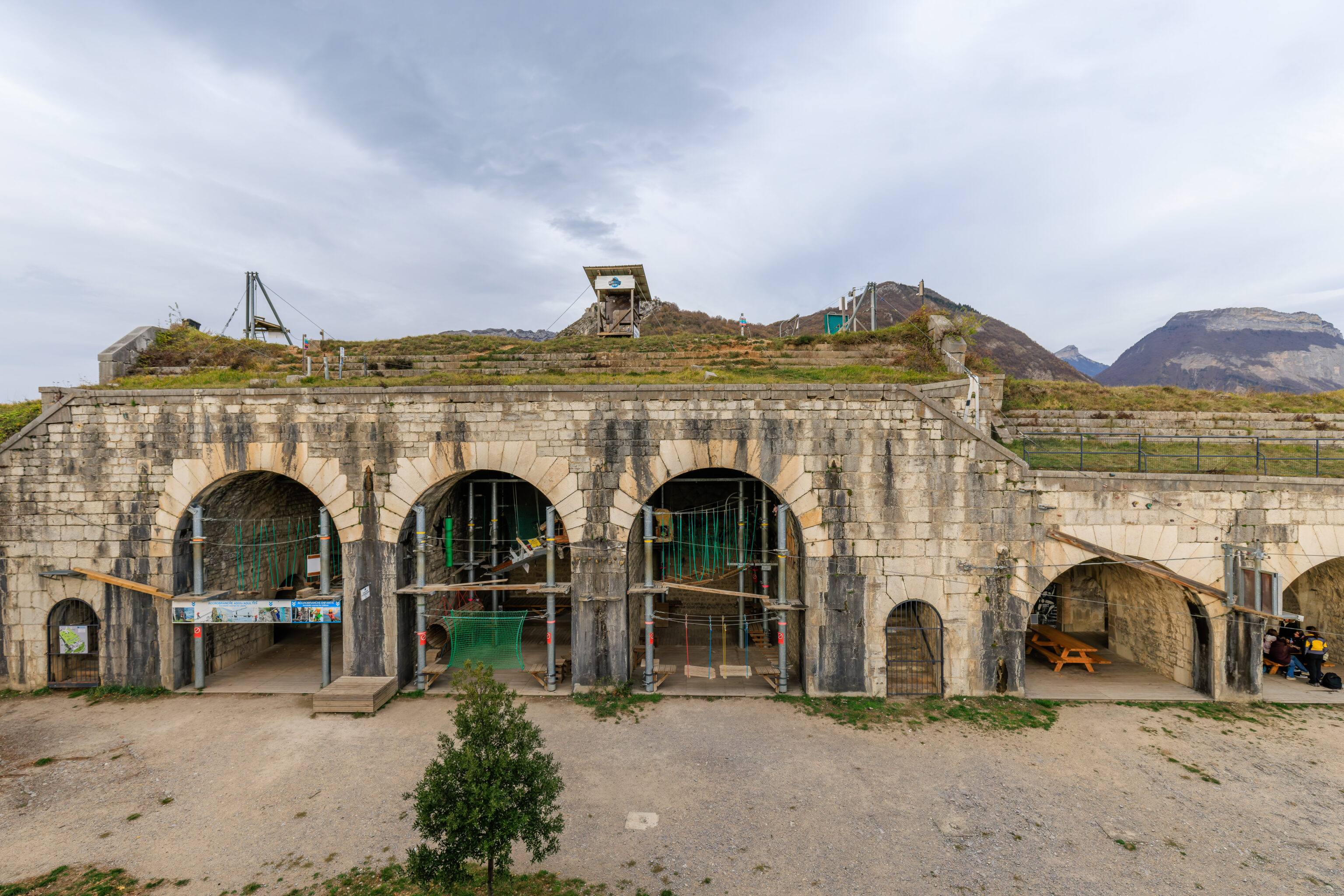
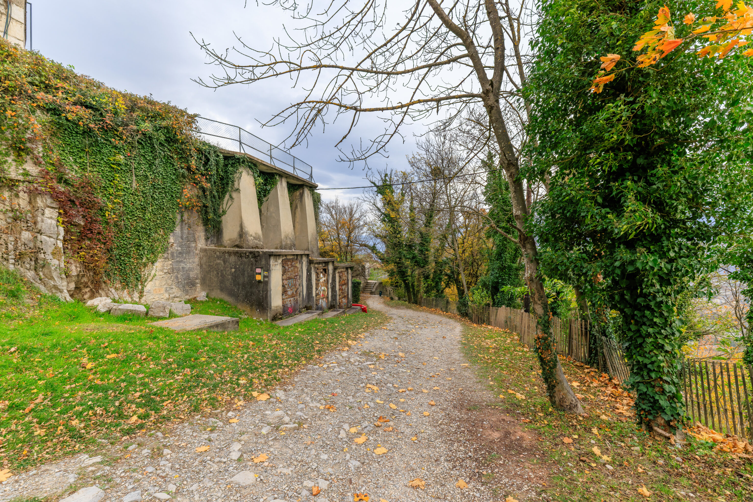
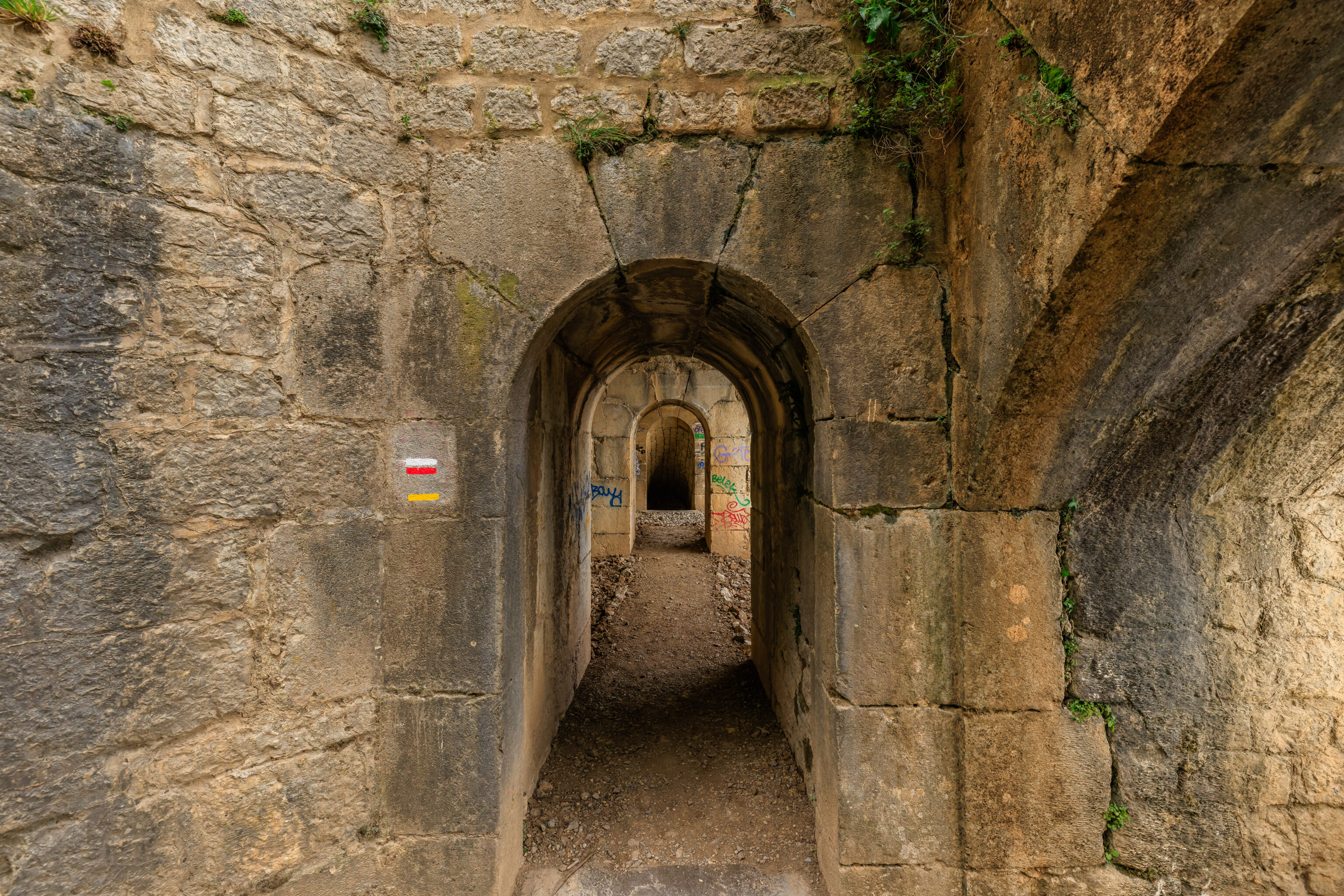
There are trails that lead up to the peak seen here. There are additional fortifications as well as tunnels.
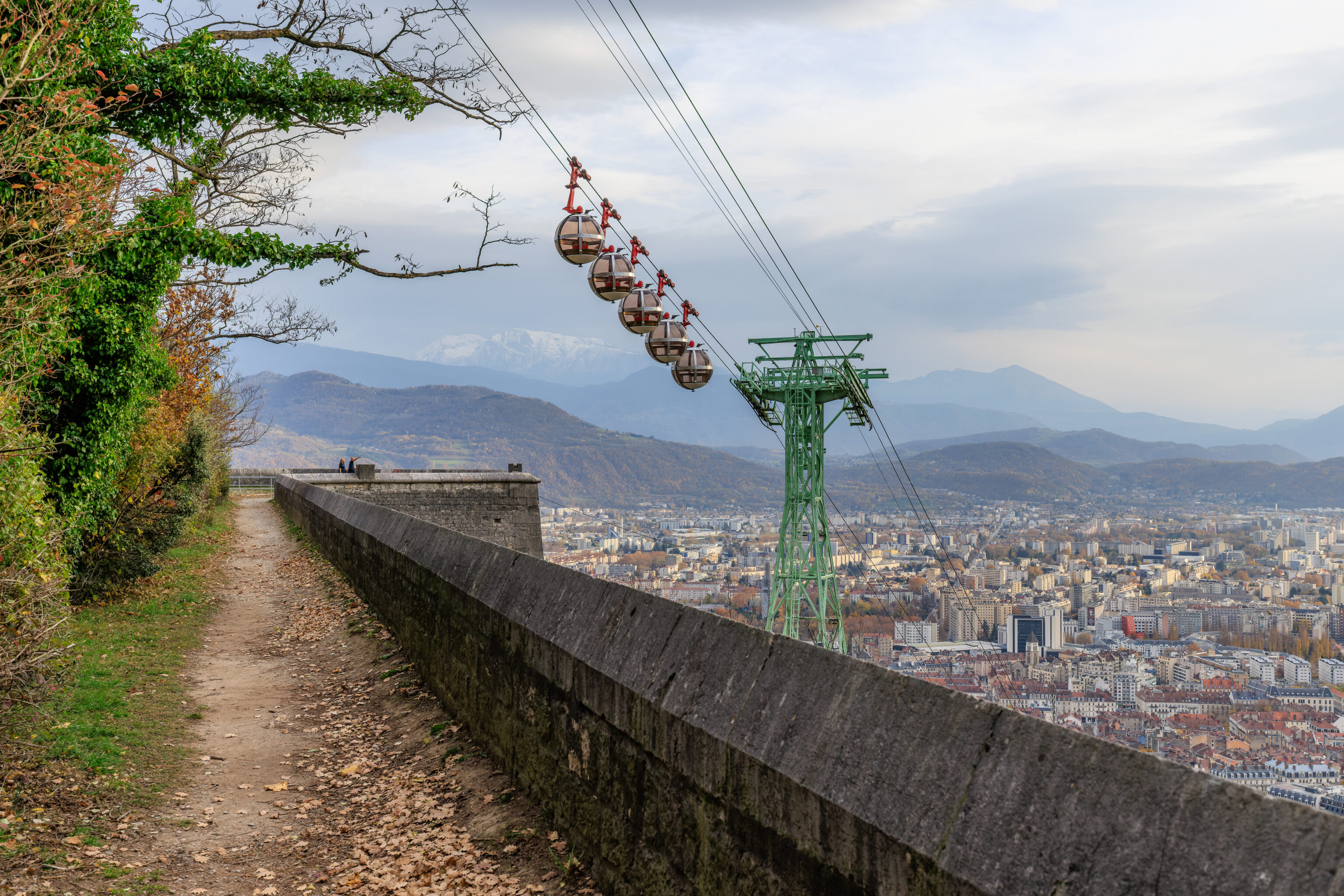
We decided to walk around the Bastille fortifications a bit. We walked over to the east side of the gondola. There is a bridge here that leads between the gondola terminal and another building to the east.
The view looking back at the gondola and the ascending red bubbles.
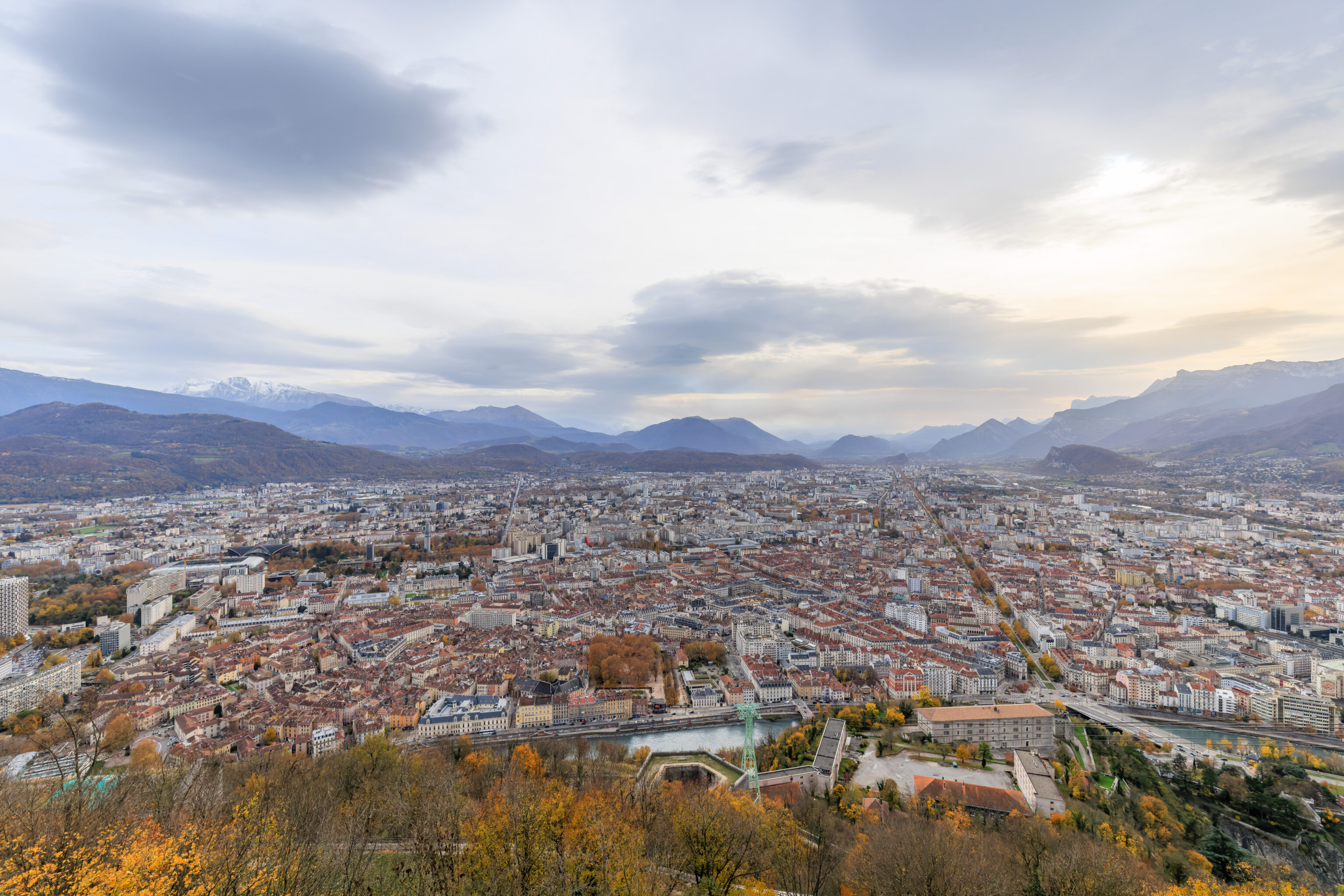
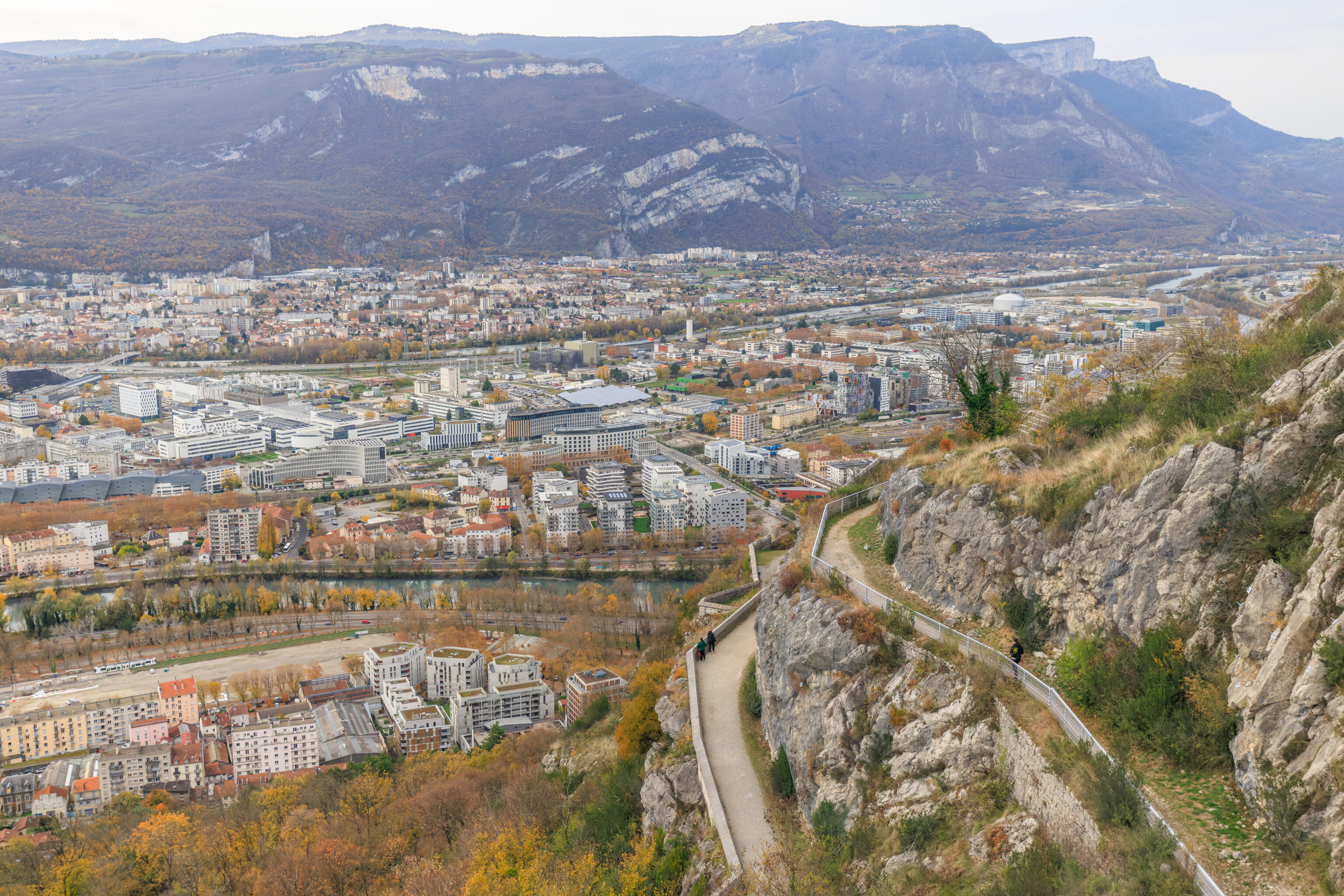
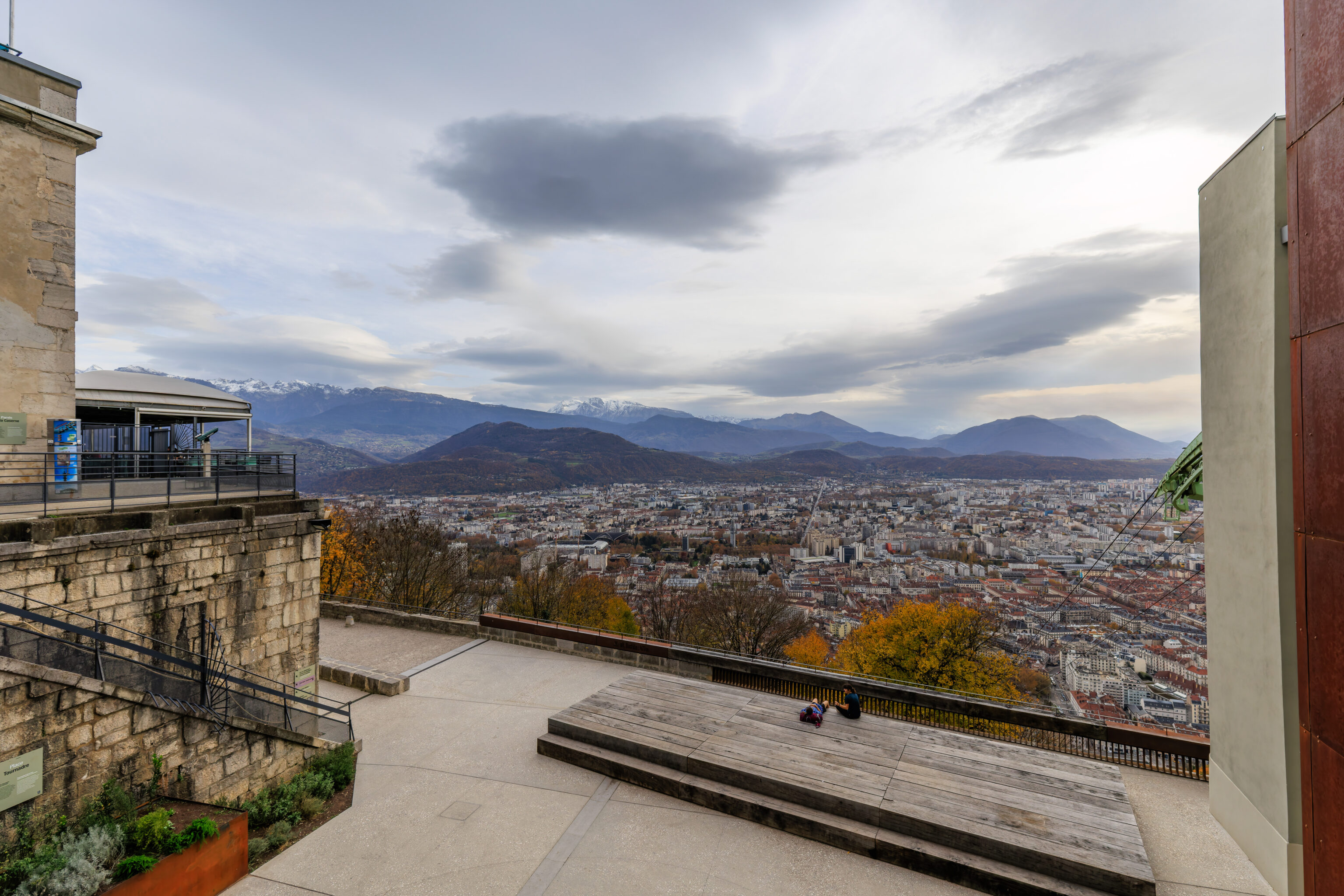
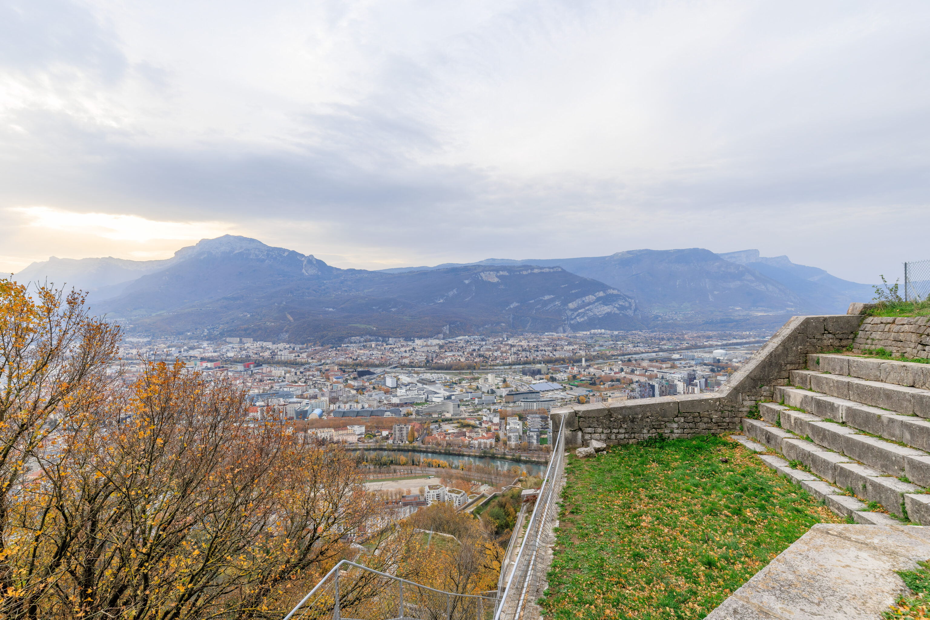
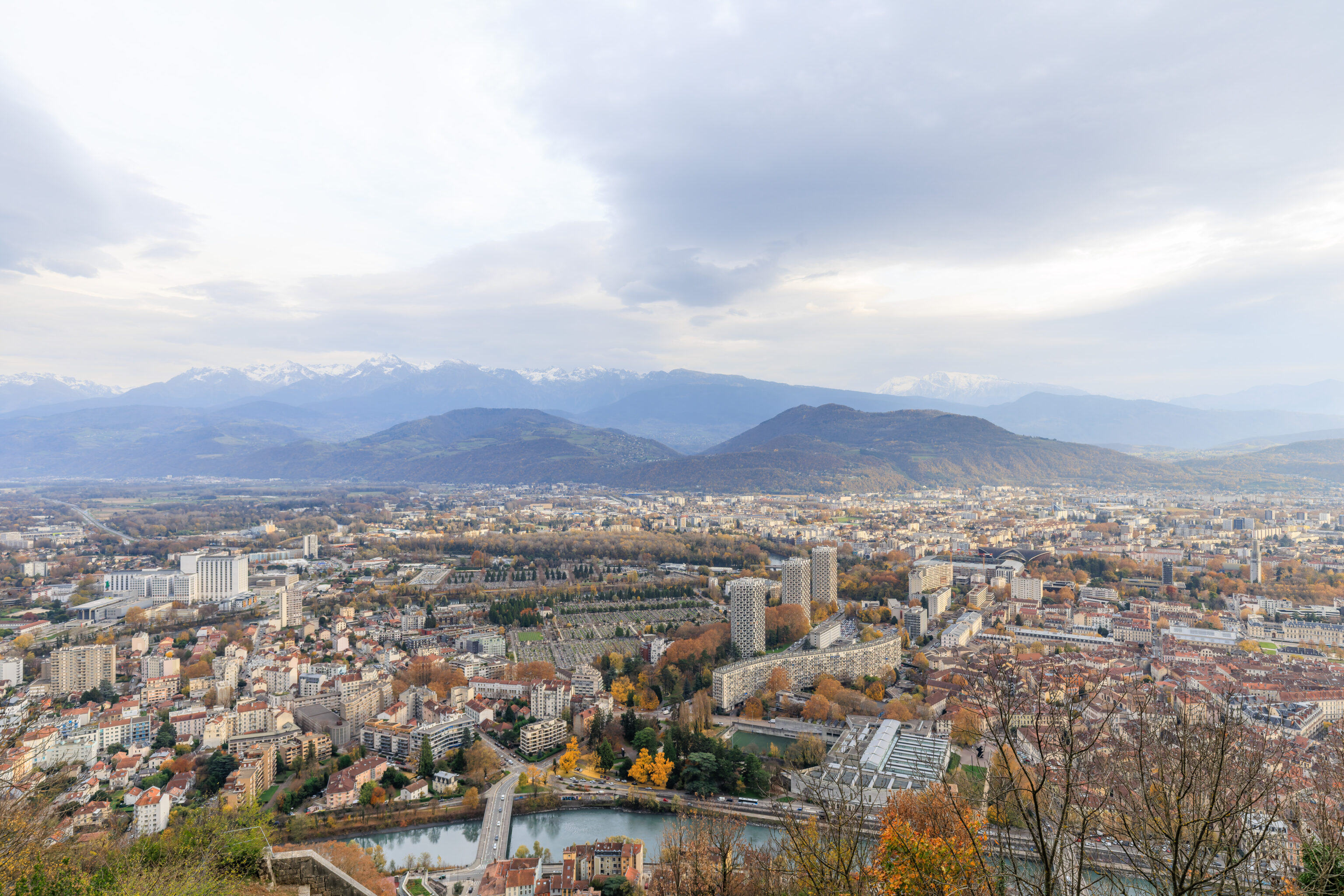
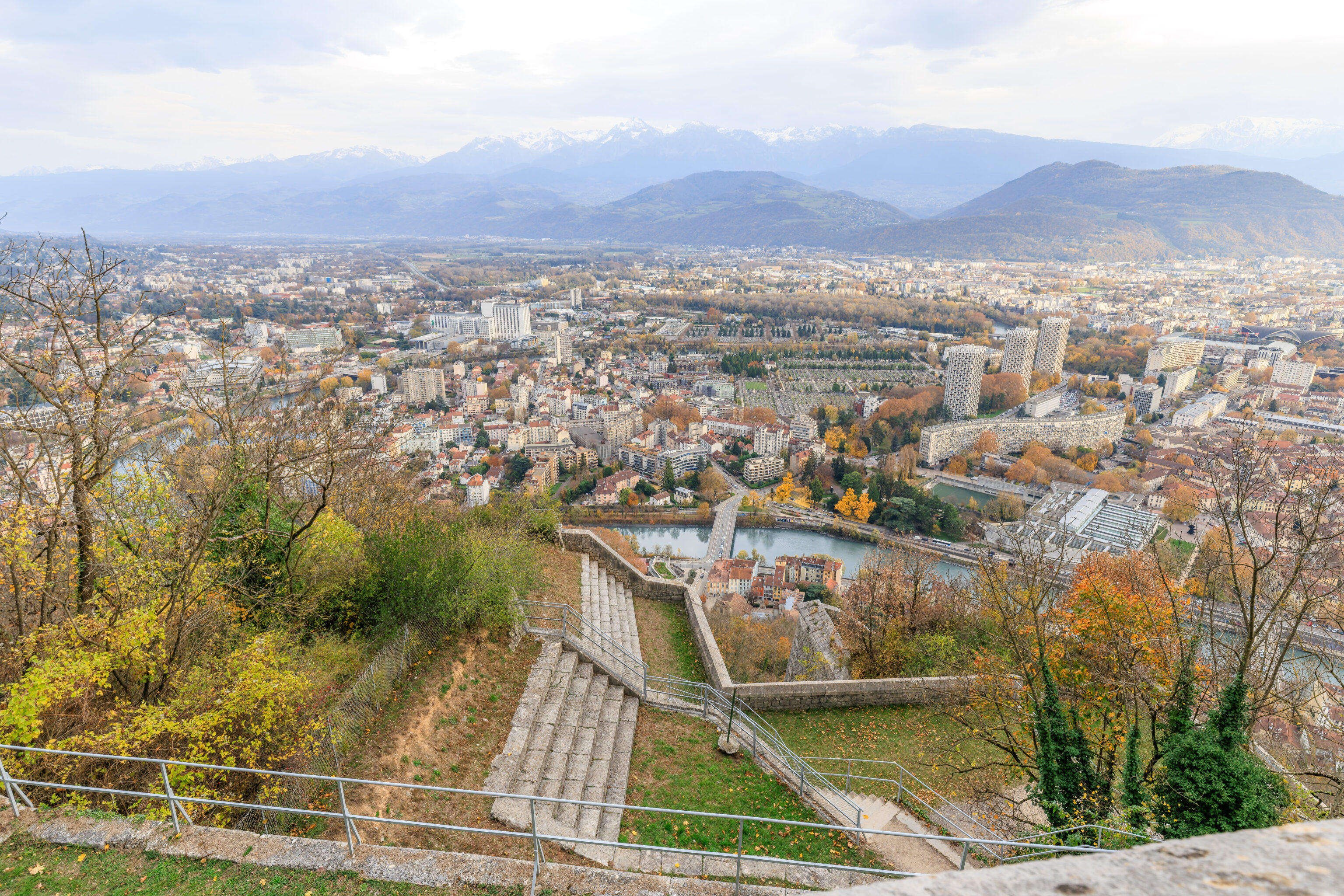
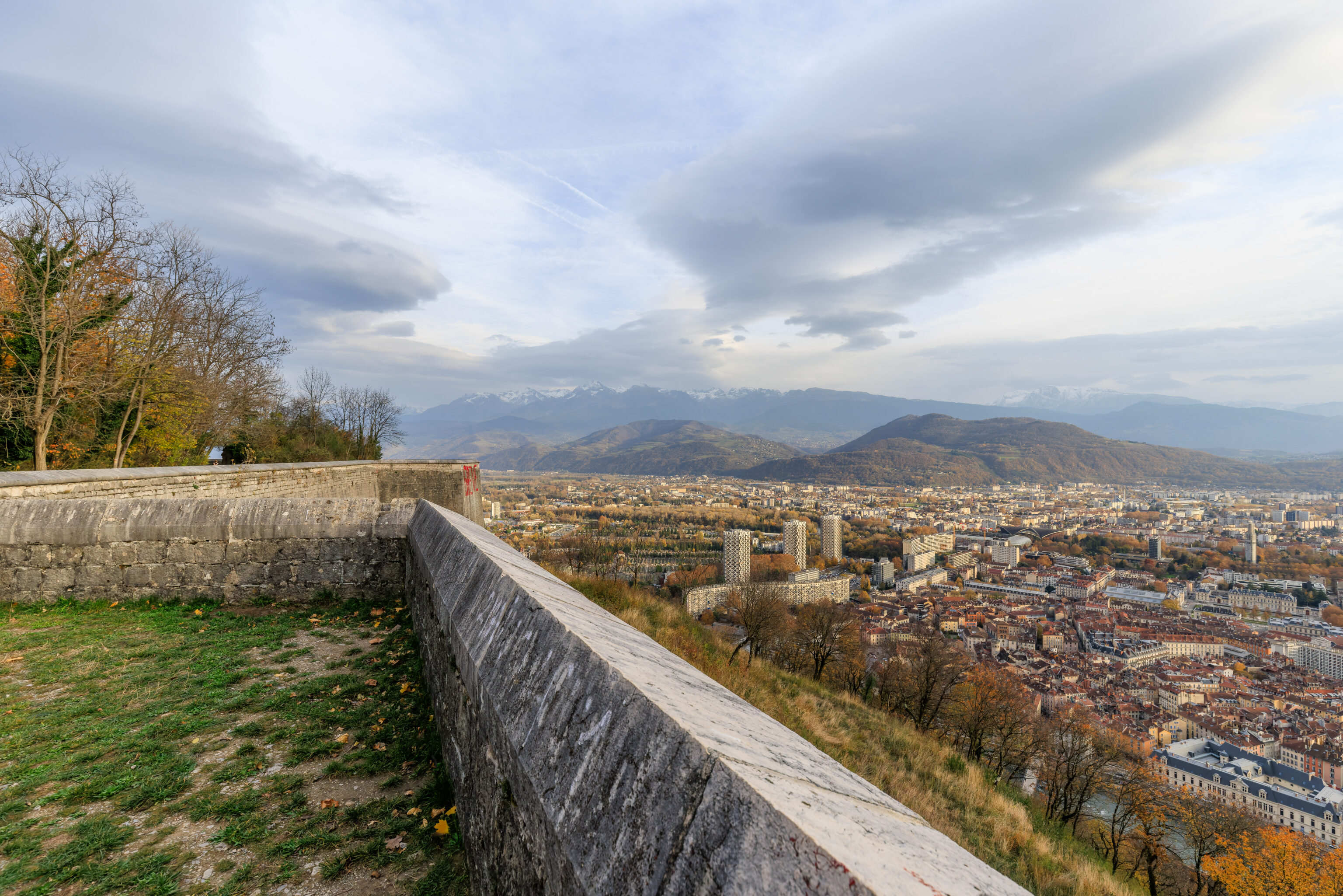
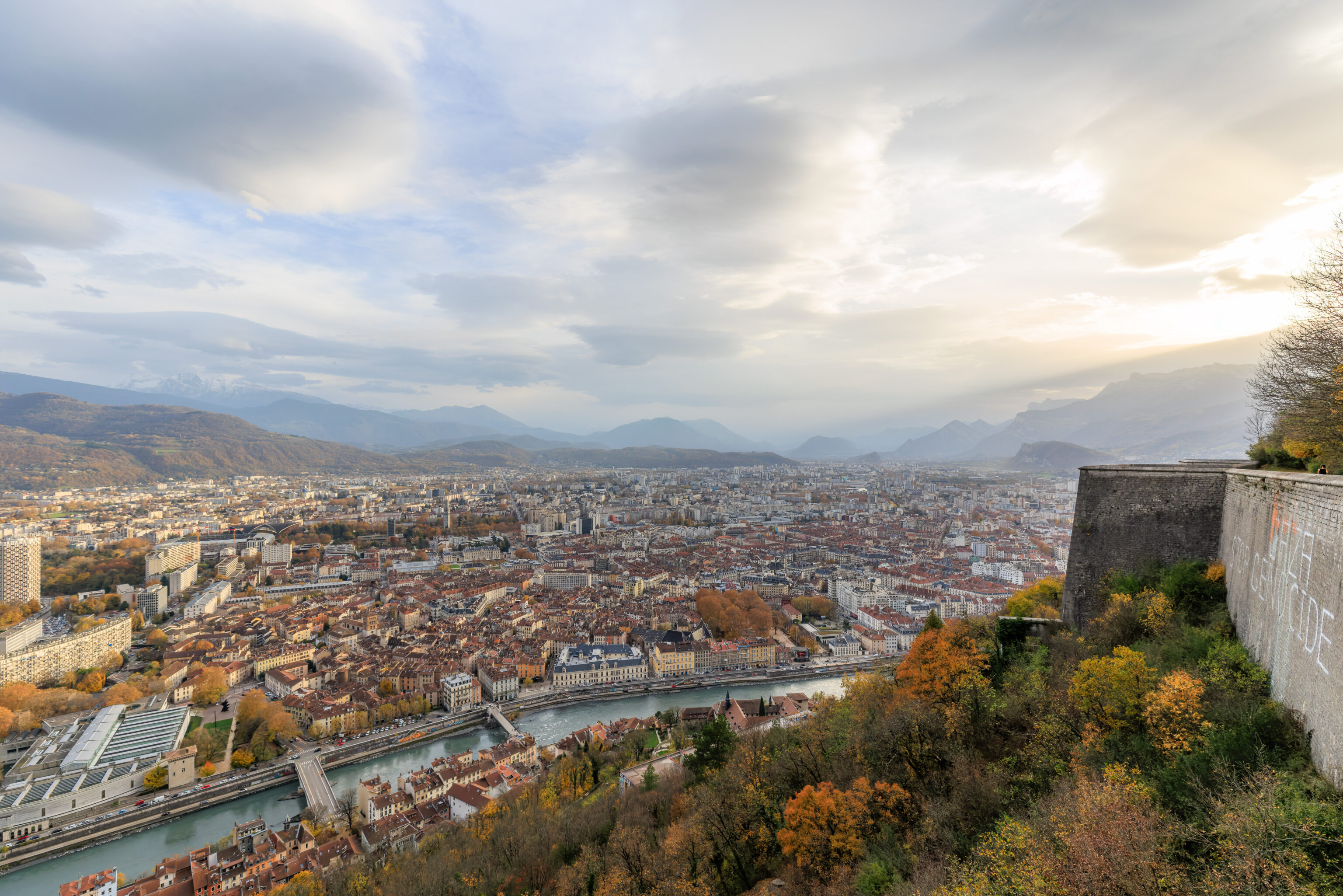
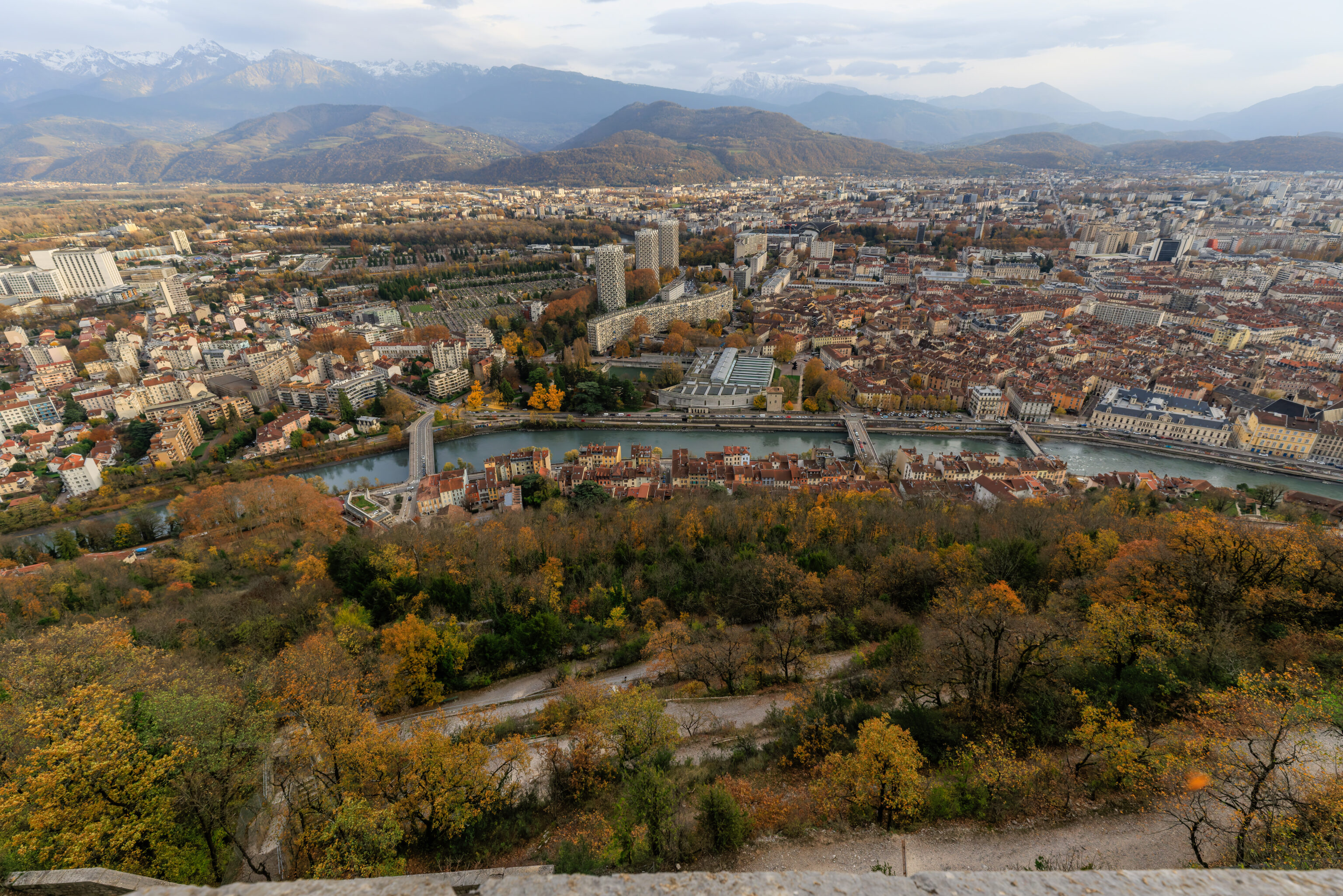
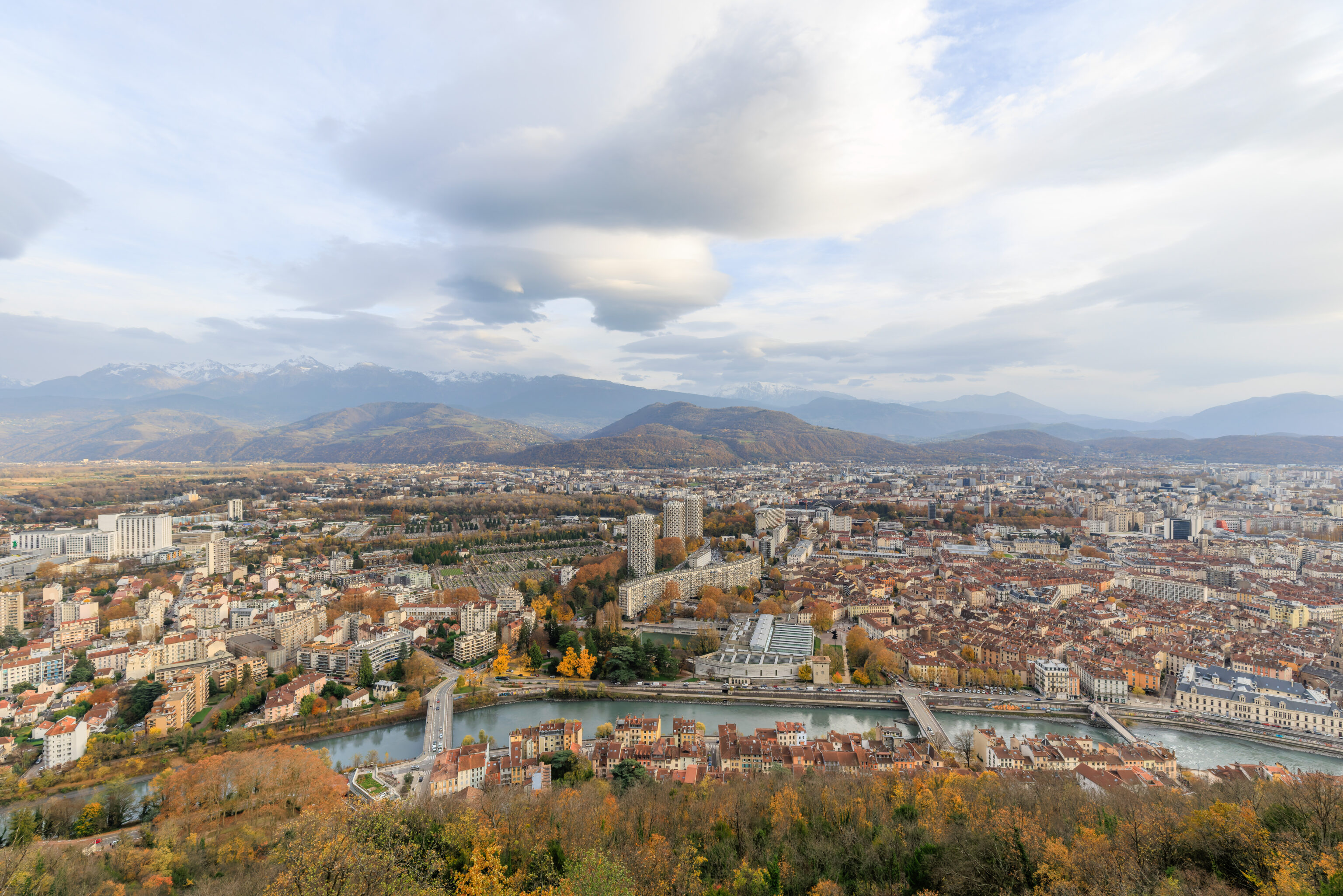
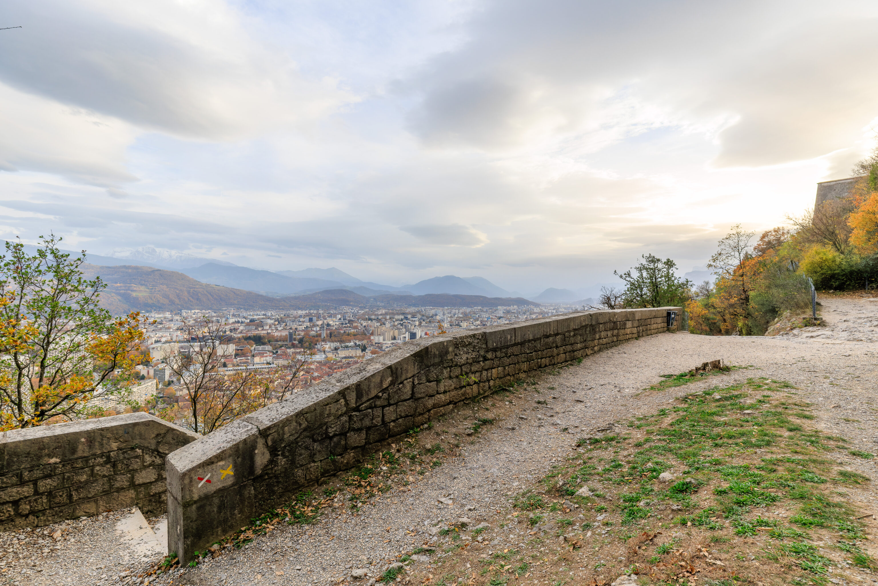
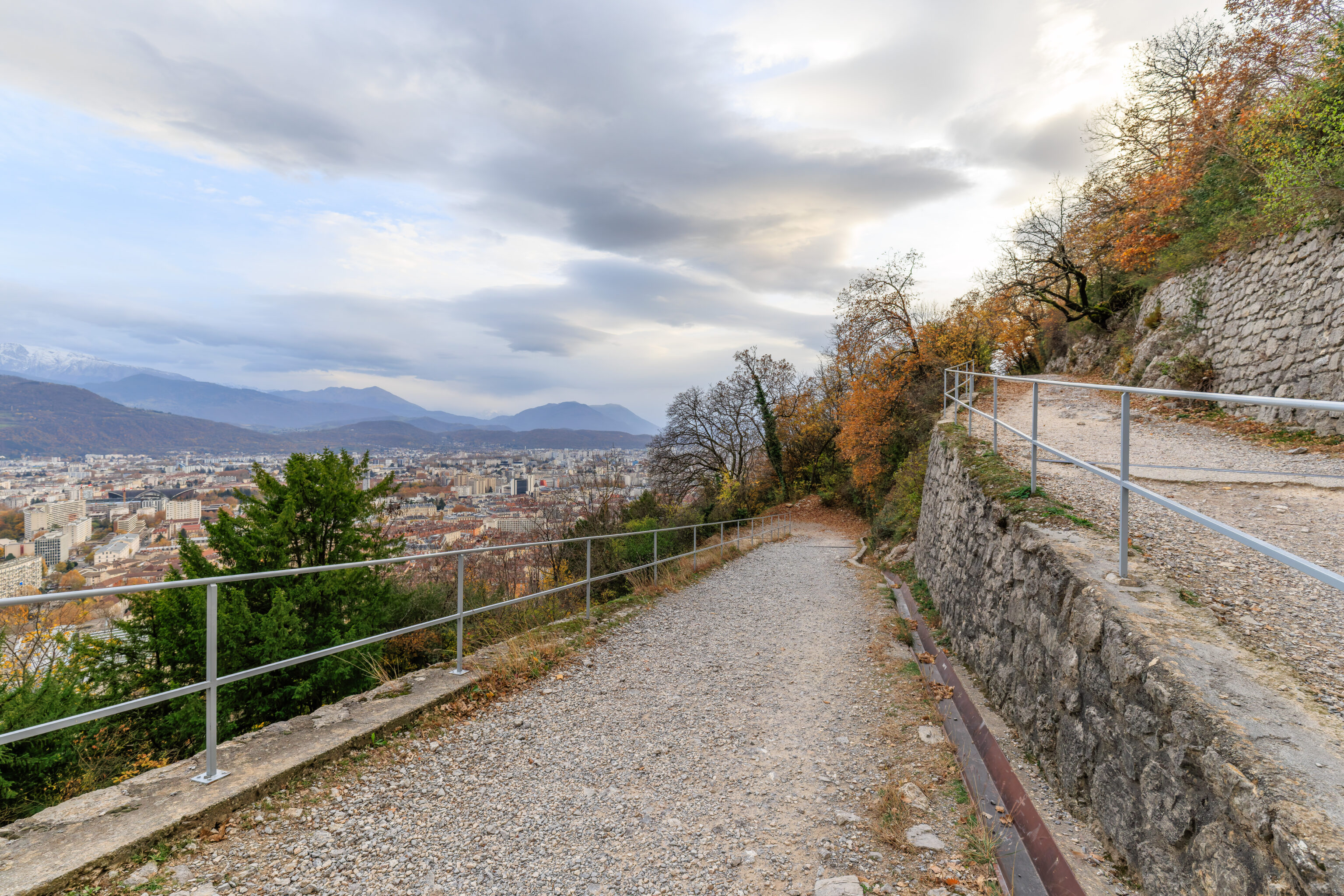
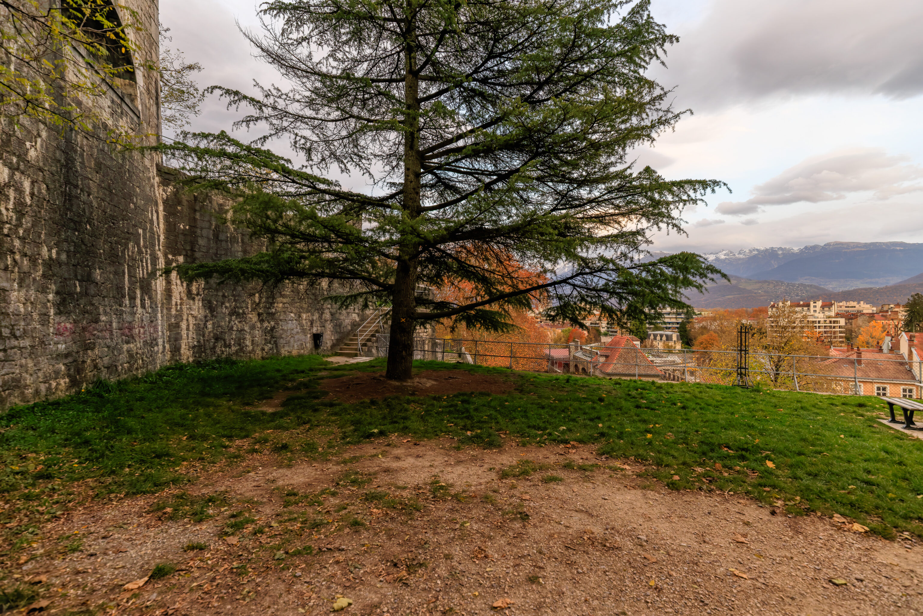
The view looking to the south over Grenoble. Unfortunately, the peak fall foliage season here is over. There are some nice colors remaining on a few individual trees though.
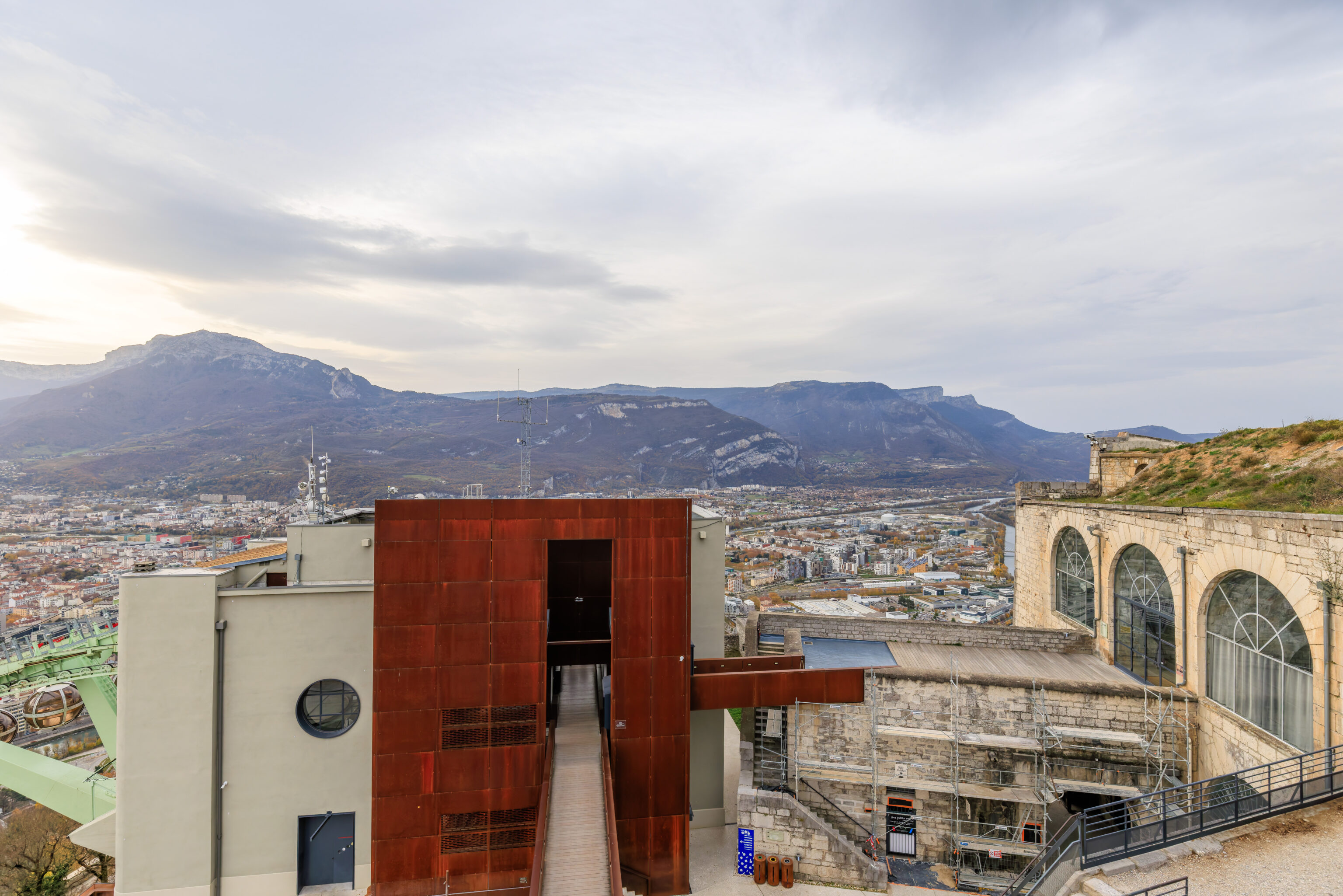
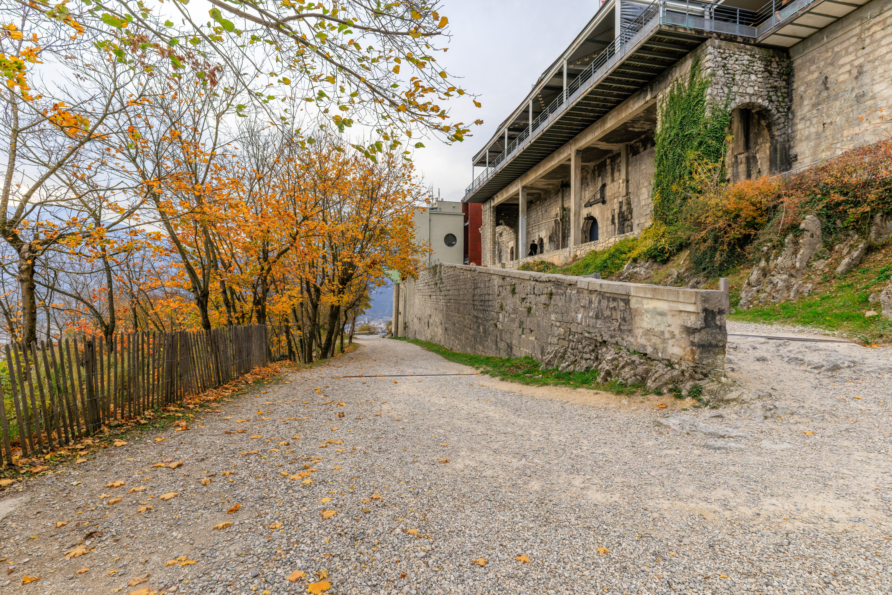
We took an elevator to the next level up. From here, we could see the bridge that we just crossed. The building we are on top of features a large rooftop observation deck and contains a restaurant below. There are also various informational signs.
Grenoble, commune Compagnon de la Libération
THE ORDER OF THE LIBERATION
Created on November 16, 1940, in Brazzaville by General de Gaulle, the Order of the Liberation honors those who exceptionally contributed to the Liberation of France. It comprises 1,038 Companions, 18 combat units, and 5 communes. Closed in 1946, it is the only national order embodying the values of the Resistance that continue to inspire our democratic principles to this day.

GRENOBLE, COMPANION COMMUNE OF THE LIBERATION
During World War II, Grenoble fiercely fought against the Nazi occupation from an early stage. This earned the city the honor of receiving the Cross of Liberation on November 5, 1944, presented by General de Gaulle to Mayor Frédéric Lafleur, a former Resistance member, in Place Pasteur.
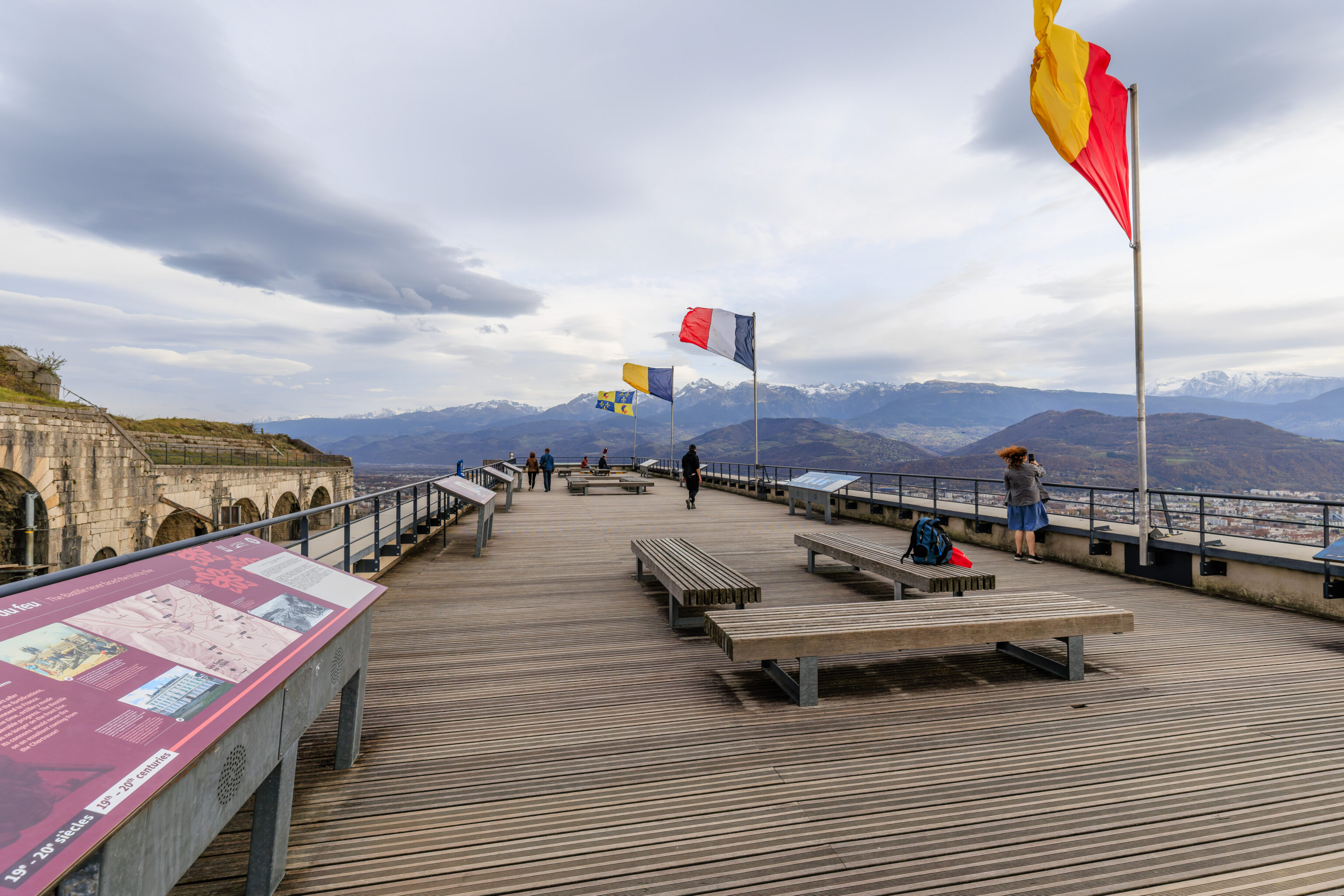
The rooftop observation deck is huge! We photographed a few of the signs:
General Haxo’s Bastille is invincible!
In 1823, Lieutenant-General François Benoît Haxo (1774-1838) presented the plans for the Bastille fortress to the Fortifications Committee, at a time when Grenoble was once again becoming an important post on the Alpine border. A quarter of a century later, the men of Commander Tournadre's battalion of engineers finished off the defensive structure, designed to prevent an invasion from Savoy via the Chartreuse. The new fortress was invincible: at the top, the keep, protected by a ditch, overlooked the glacis cut in the mountain. On the town side, an outer wall connected the two branches of the fortifications topped off by blockhouses and shooting galleries. The architecture of the fortress was of high quality. The citadel seemed impregnable!
Lesdiguières builds the first fortifications
In December 1590, during the French Wars of Religion-a time marked by violent conflict between Catholics and Protestants-François de Bonne, known as Lesdiguières (1542-1626), seized the city of Grenoble. The Catholics surrendered under the fire of the cannons placed on the slopes of the Rachais by the Protestants. After becoming Lieutenant-General of King Henry IV in the Dauphiné region, Lesdiguières immediately began constructing the first fortifications of La Bastille to protect the town. No trace remains of these initial fortifications. However, the buildings in the historical heart of the town below bear witness to the significant development of the capital of the Dauphiné region under his impetus in the 17th century: the palace of the Parliament, the Porte de France and the Saint-Laurent Gate, which have been preserved to this day.
The Bastille never faced the trial by fire
In 1860, thirteen years after the completion of the fortifications, Savoy was annexed to France. At the same time, artillery made considerable progress. The Bastille was no longer on the front line. Its cannons would never fire on an assailant coming from the Chartreuse!
The Olympic landscape
On February 6, 1968, Grenoble became part of the Olympic cities club. Whether in media, sports, culture, or the arts, the innovations stemmed from the 10th Winter Olympic Games were the result of technological advances, the incredible energy, and, above all, the creativity of all the people of Grenoble. Today, traces of this legacy remain throughout the city and are permanently etched in its urban landscape. Some are even classified as part of the 20th-century architectural heritage. This event played a significant role in securing Grenoble's place on the international stage.
European Green Capital 2022
In 2022, Grenoble won the title of European Green Capital. This distinction is awarded by the European Commission to cities with more than 100,000 inhabitants that are committed to social and environmental transitions.

Our region particularly stands out for its actions against climate change: sustainable management of green spaces, development of soft mobility, energy efficiency in public buildings ... It is also committed to fighting pollution, preserving biodiversity, and maintaining water quality.

Grenoble European Green Capital is a unifying project supported by the City of Grenoble, Grenoble-Alpes Métropole, the Isère Department, and more than 200 public and private partners, including Grenoble Alpes University, regional natural parks, associations, businesses, and citizens.

This title encourages the region to accelerate its transition efforts towards a fairer and more breathable future. In the face of climate and environmental challenges, Grenoble continues to act as a pioneer. Staying true to its tradition of innovation and openness, it is raising its ambitions in terms of quality of life and respect of the environment.
Urban scenery: the evolution of the city
Formerly nested in the triangle formed by the two rivers, the Isère and the Drac, the city blithely crossed these natural boundaries during the past century. At the confluence of these two rivers, the scientific polygon was erected, while the suburbs urbanized up to the hillsides.

1861
The Haxo enclosure, achieved in the middle of the 19th century, increased by 50 hectares the surface of Grenoble, city of garrison.

1900
In 1900, Grenoble was still enclosed within its fortifications, although its area had been expanded westward with the construction of a new city wall, completed in 1870.

1925
In 1924, Mayor Paul Mistral (1872-1932) obtained the declassification of the fortifications and initiated their leveling to host the International Exhibition of Hydropower and Tourism on the site of what is now Paul Mistral Park.

1968
The 1968 Winter Olympic Games led to the transformation of the city with the construction of major facilities, road infrastructures, and new neighborhoods.

2025
Urban development has spread across the plain and up the hillsides, merging with the historic centres of neighbouring towns. Now France's second-largest research hub, Grenoble is fertile ground for social, democratic, scientific and environmental innovation. Eco-districts are emerging in several areas of the city.
The economic and industrial activities of the city
From the slopes of Belledonne, where Aristide Bergès' paper mills were established (1802-1902), to the factories of Bouchayer-Viallet in what would become the Berriat district, Grenoble's inventors have continuously shaped industrial history. From the 1950s onward, researchers and scientists took over, driving further innovation.
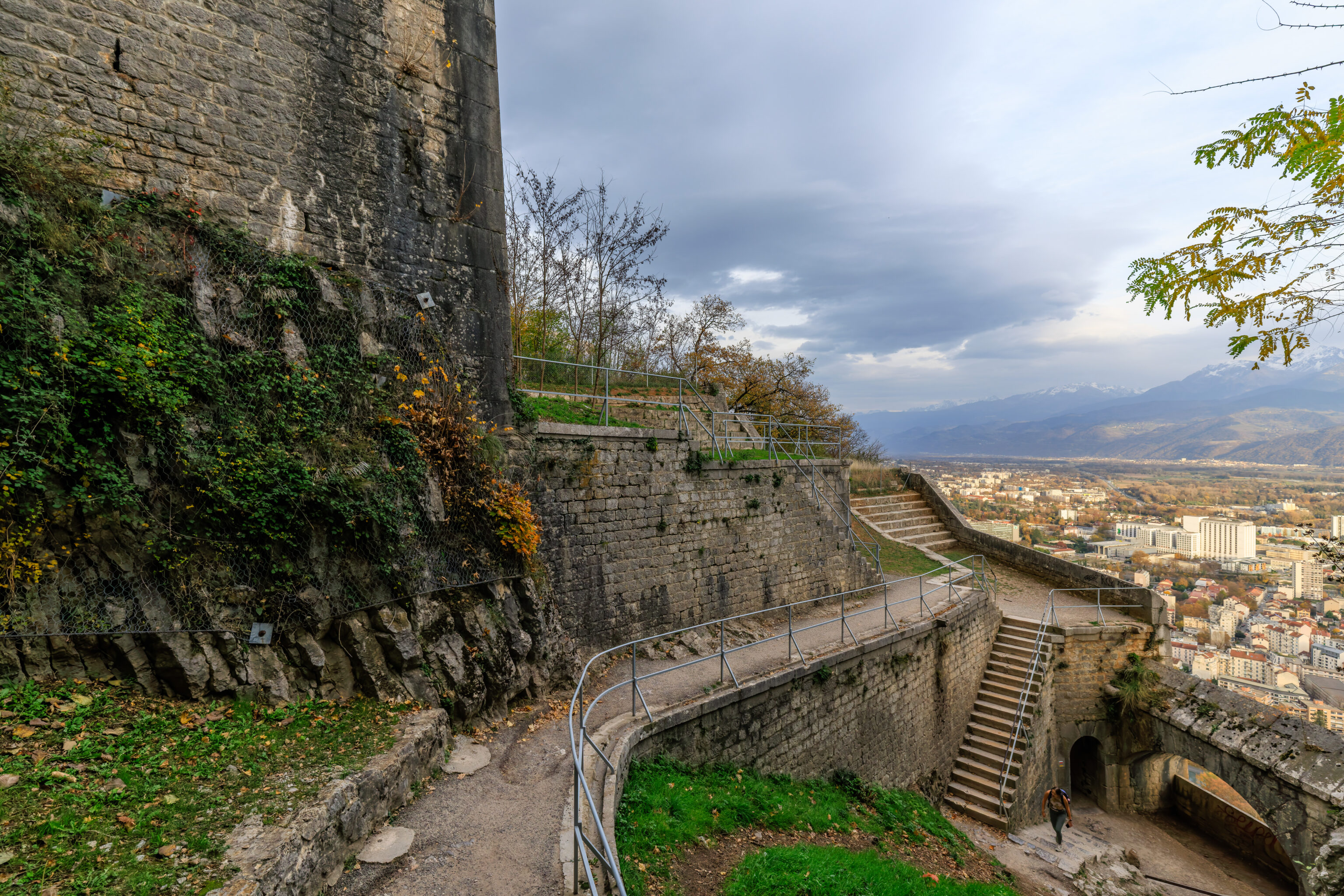
Fortification structures are visible just to the north.
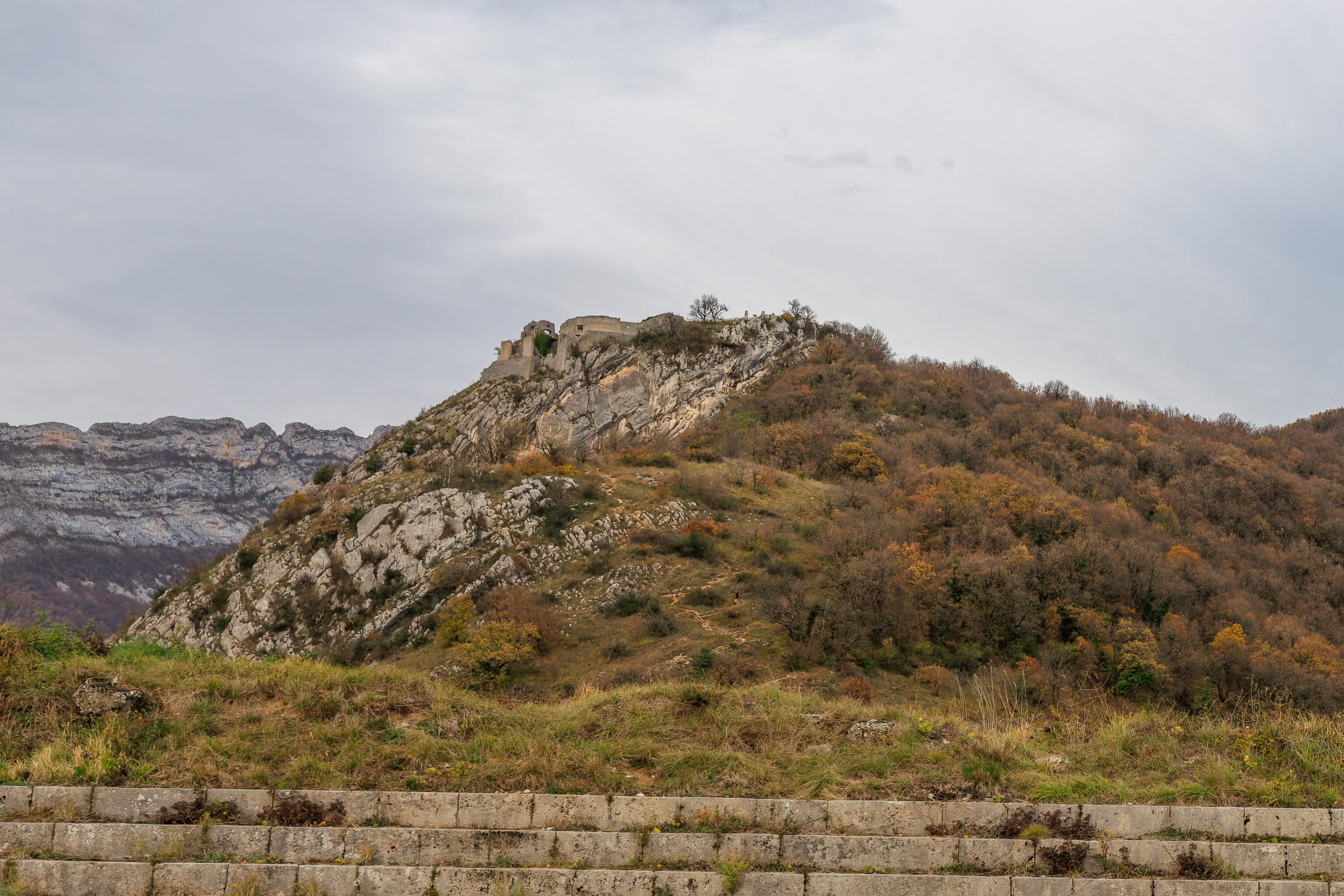
A closer look at the small peak we saw earlier.
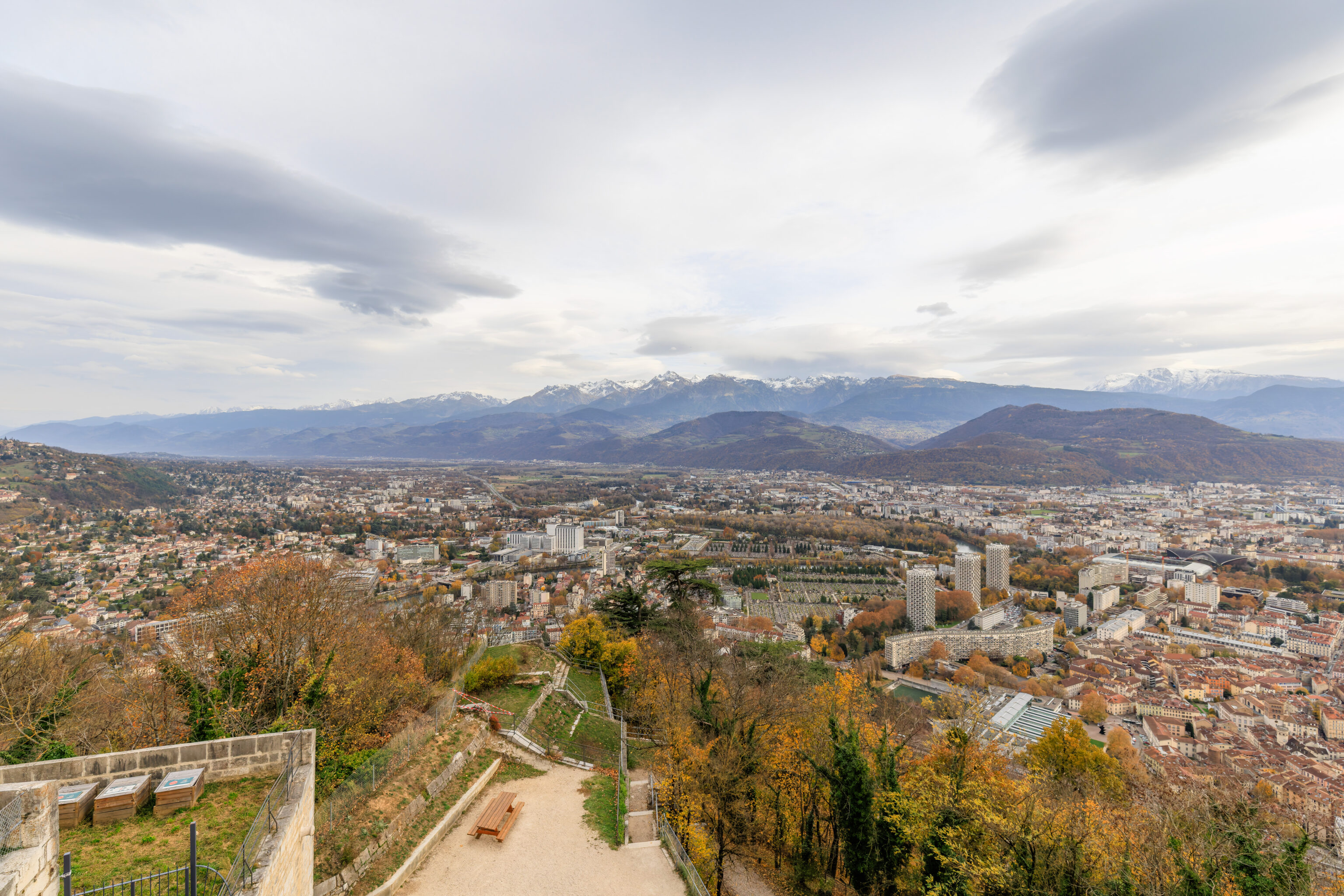
Looking to the east, we can see Grenoble down below as well as paths that lead down amidst the fortifications.
Looking to the southwest, we saw the colorful bubbles ascending once again.
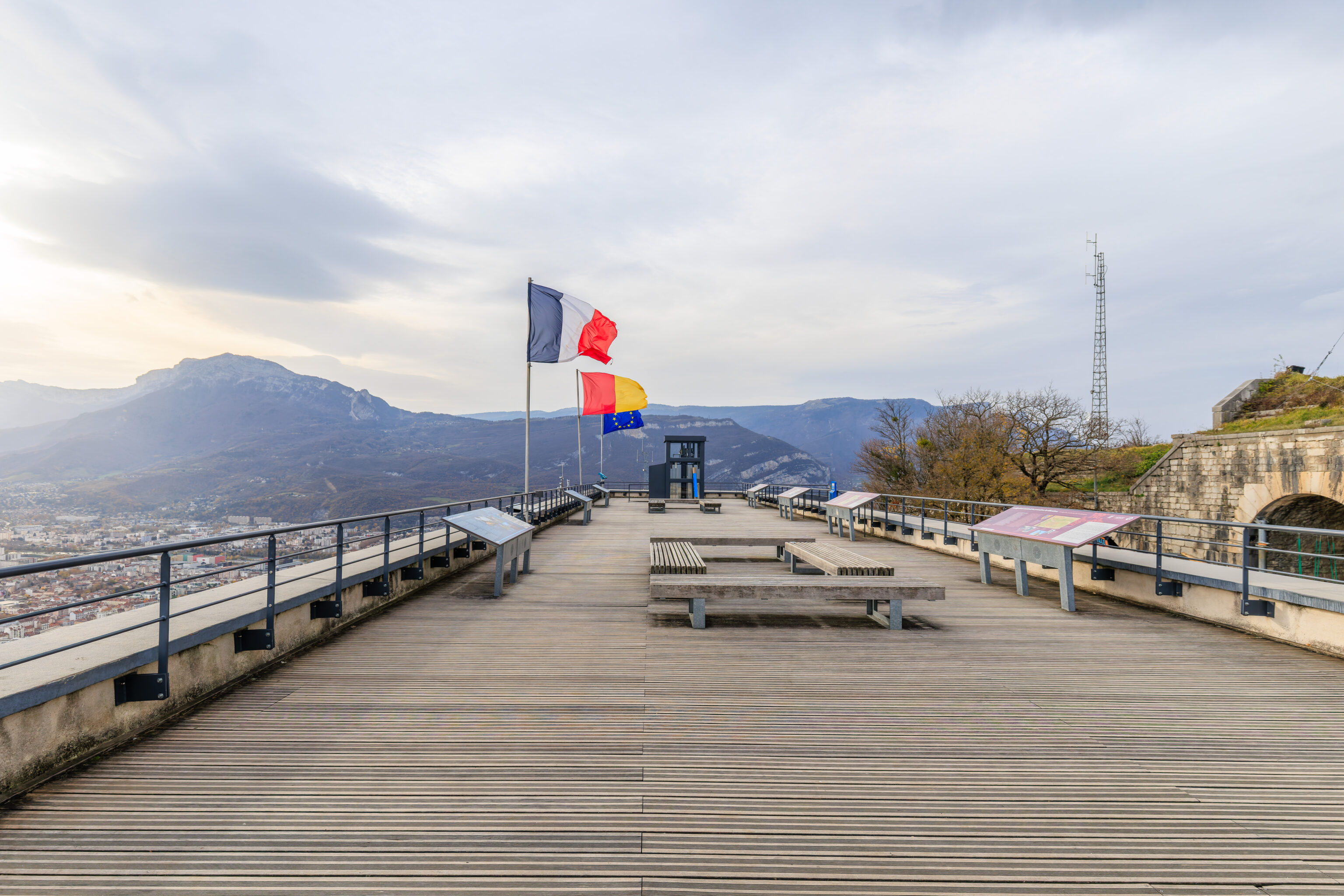
The flags of France, Grenoble, and the EU flew from the west side of the rooftop.
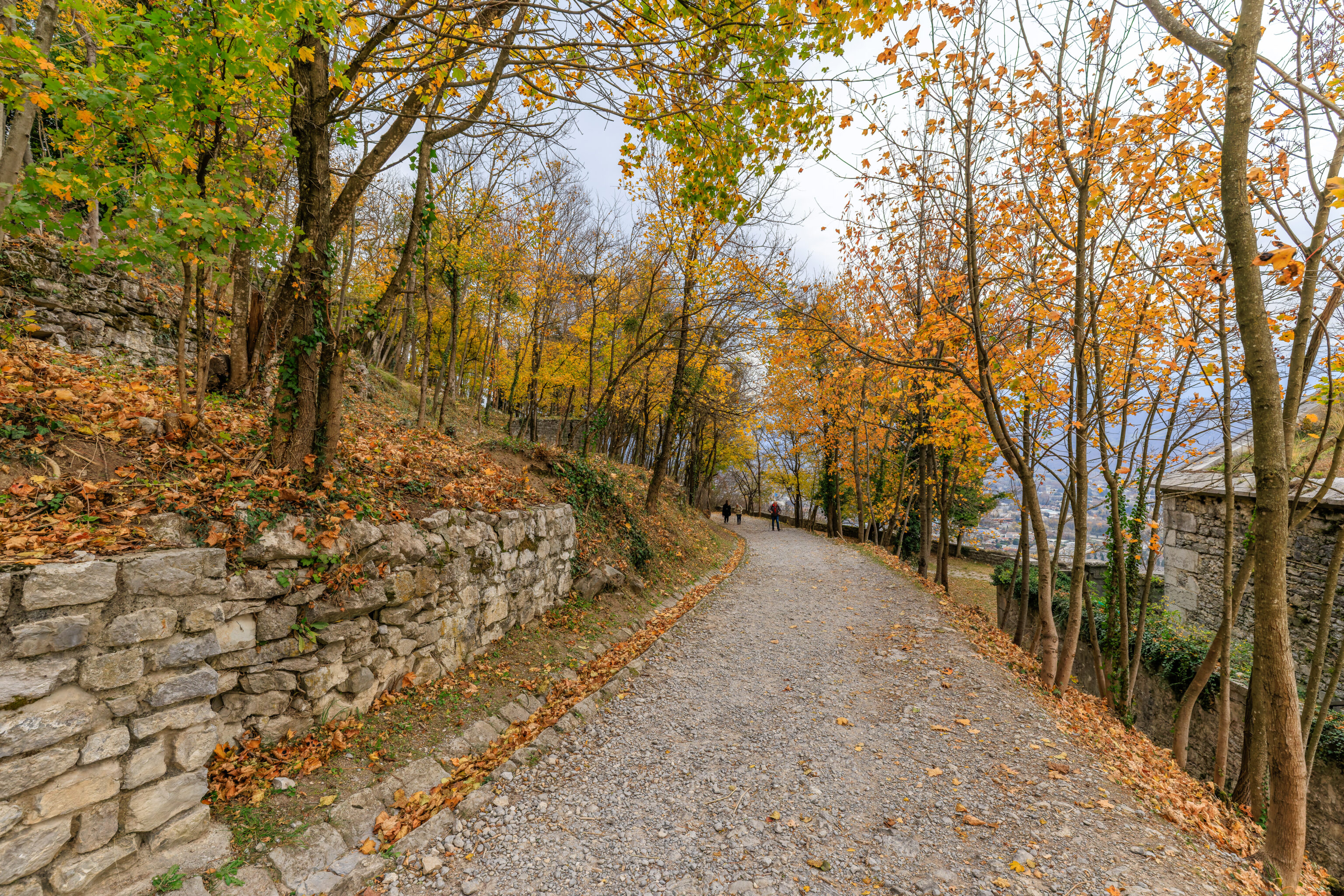
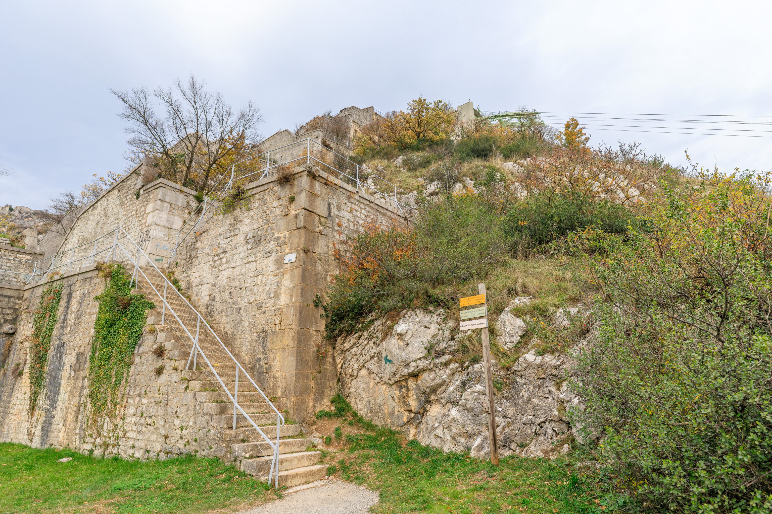
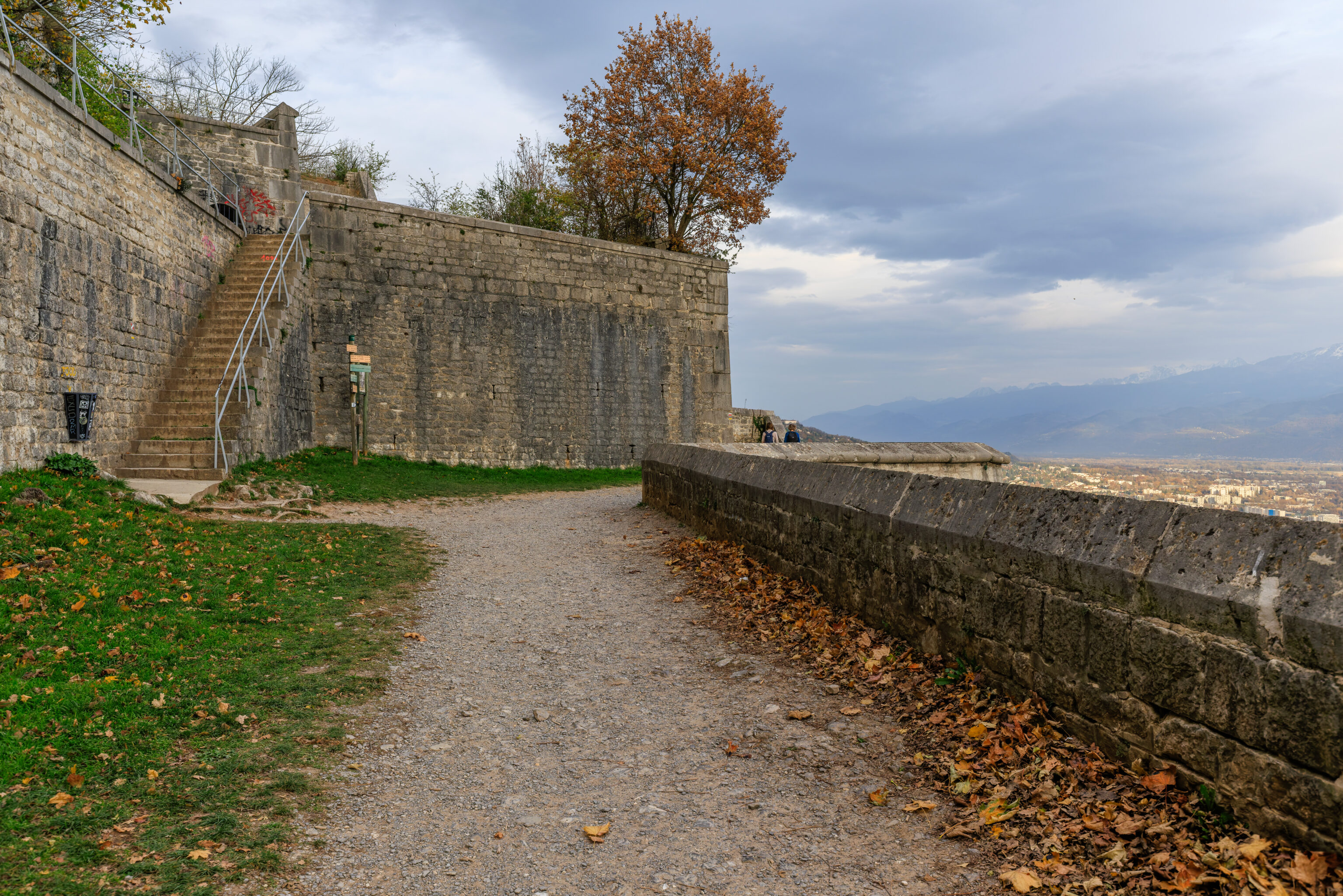
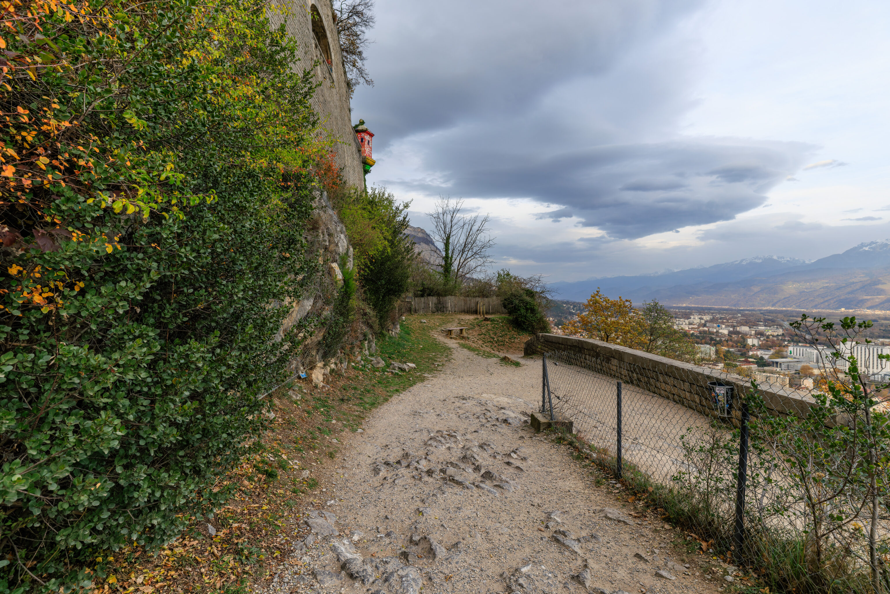
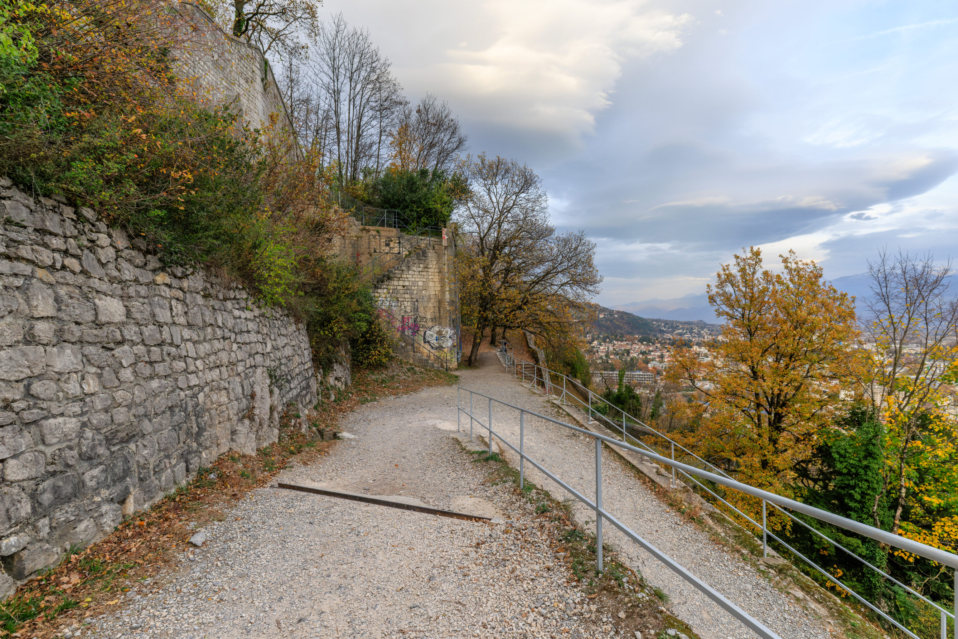
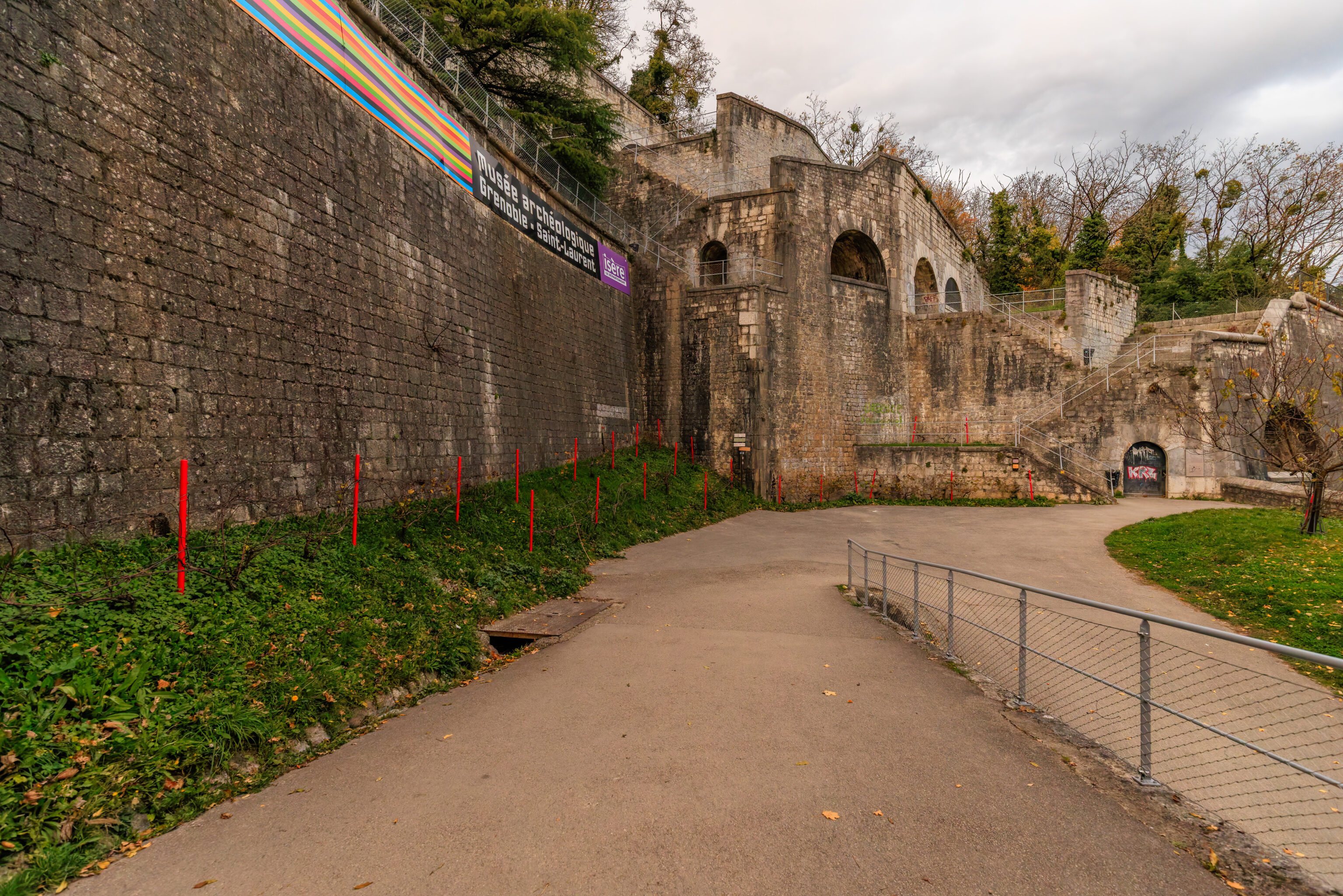
We descended from the rooftop to begin the trip down the mountain. There is a small museum, the Musée des Troupes de Montagne (Museum of Mountain Troops), at ground level here. It is staffed by the French Army. We tried to ask for directions for the path down the mountain as there wasn’t really any signage here but they weren’t familiar with the area.
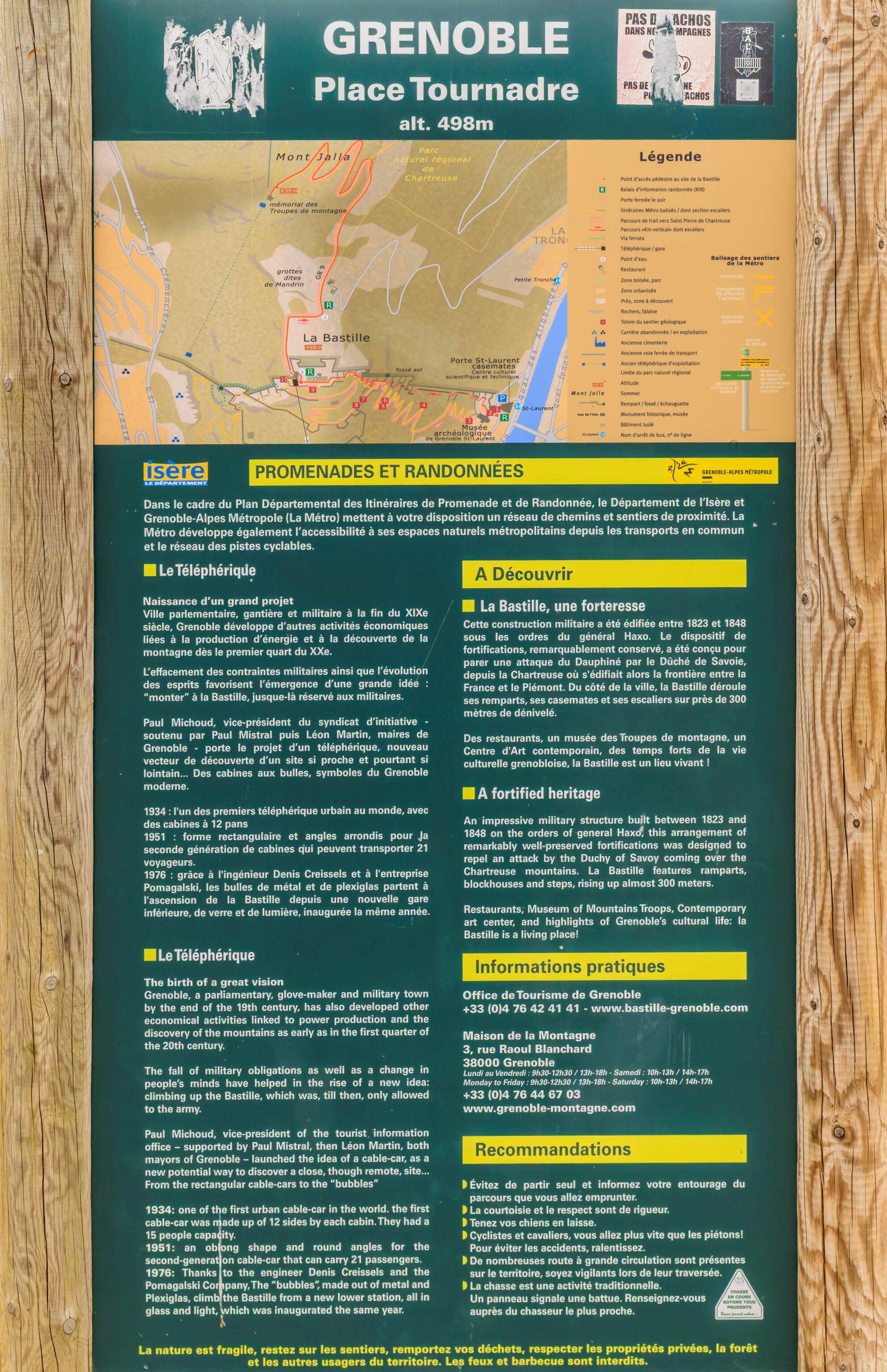
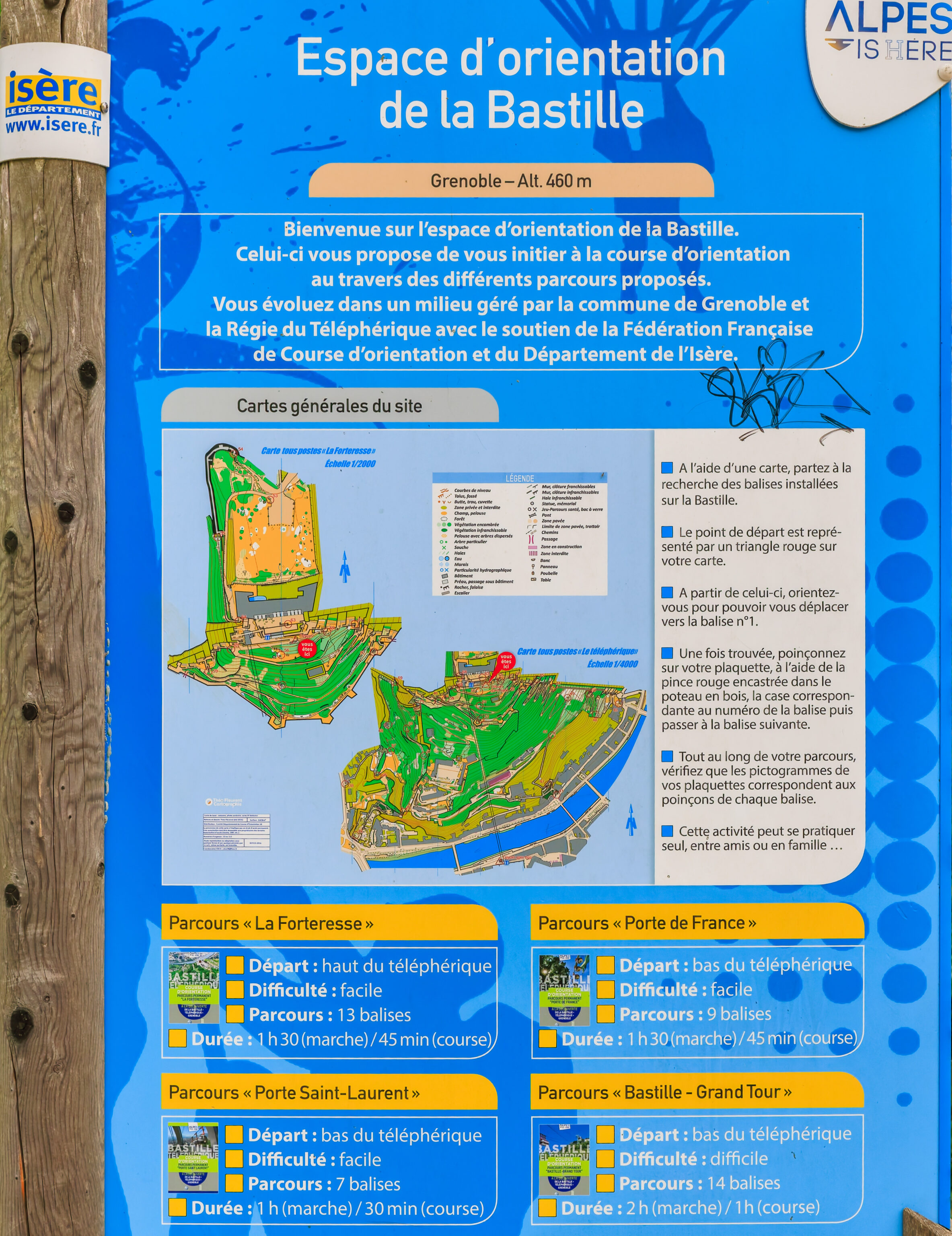
We did ultimately find some signs on the path to the south which illustrated the many paths in the area. OpenStreetMap also has data for this area, which is generally sufficient for developed areas like this.
There is a path leading to the east.
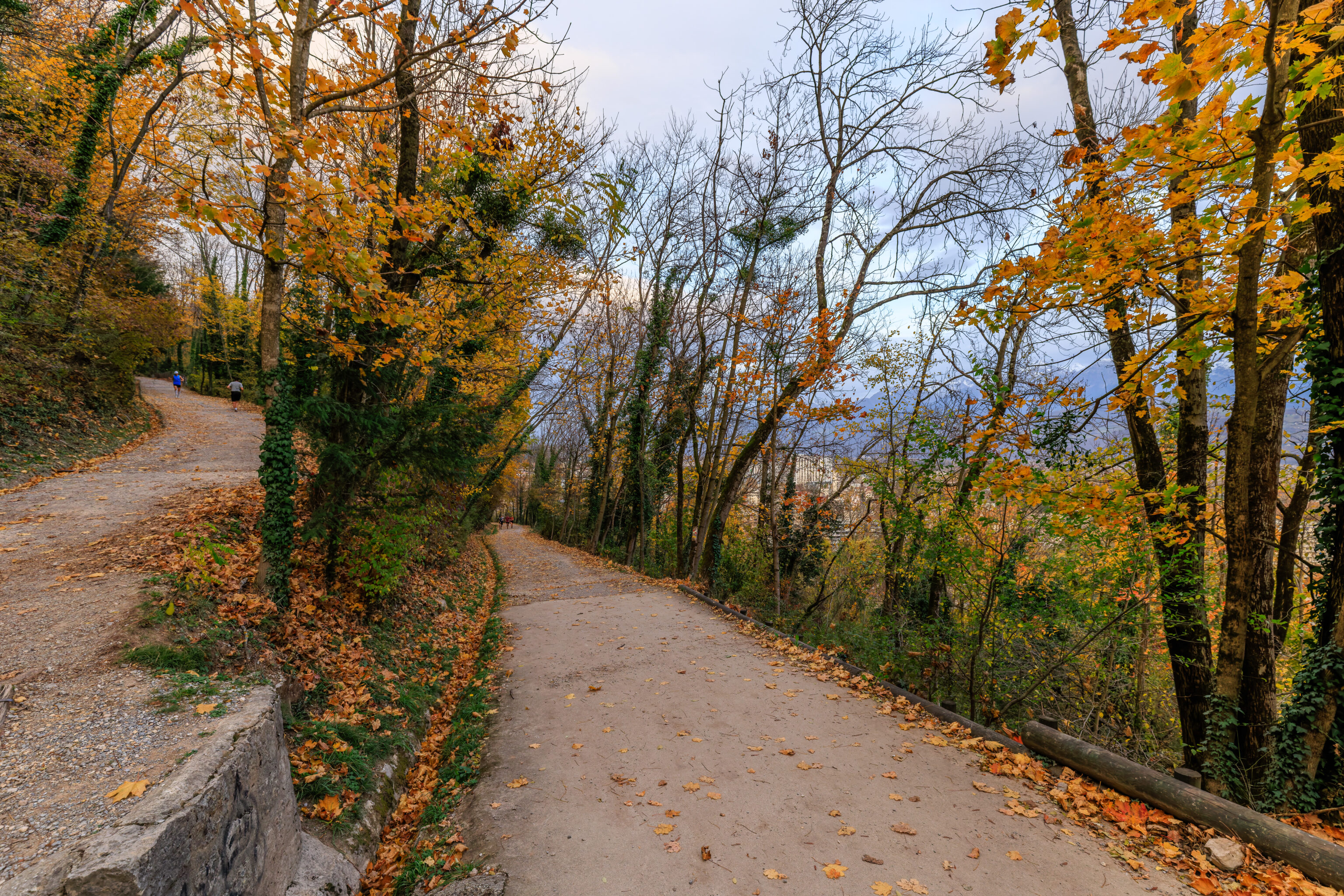
However, we decided to go west first as it seemed like this would be less steep although longer of a path.
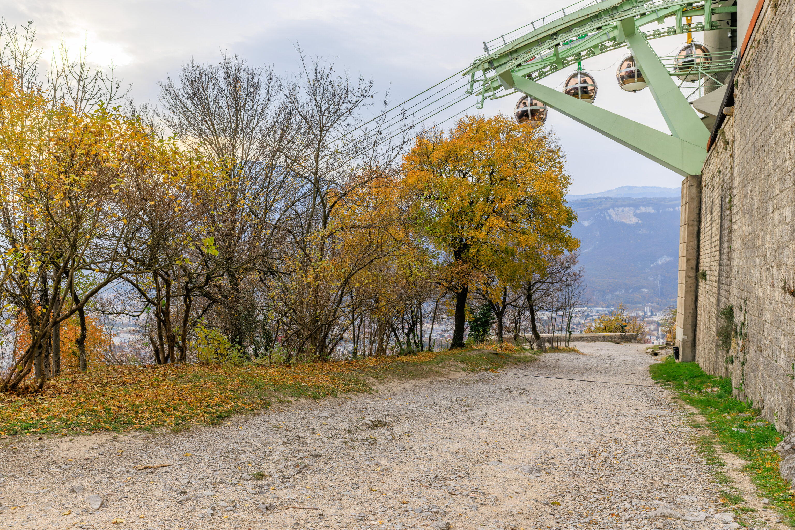
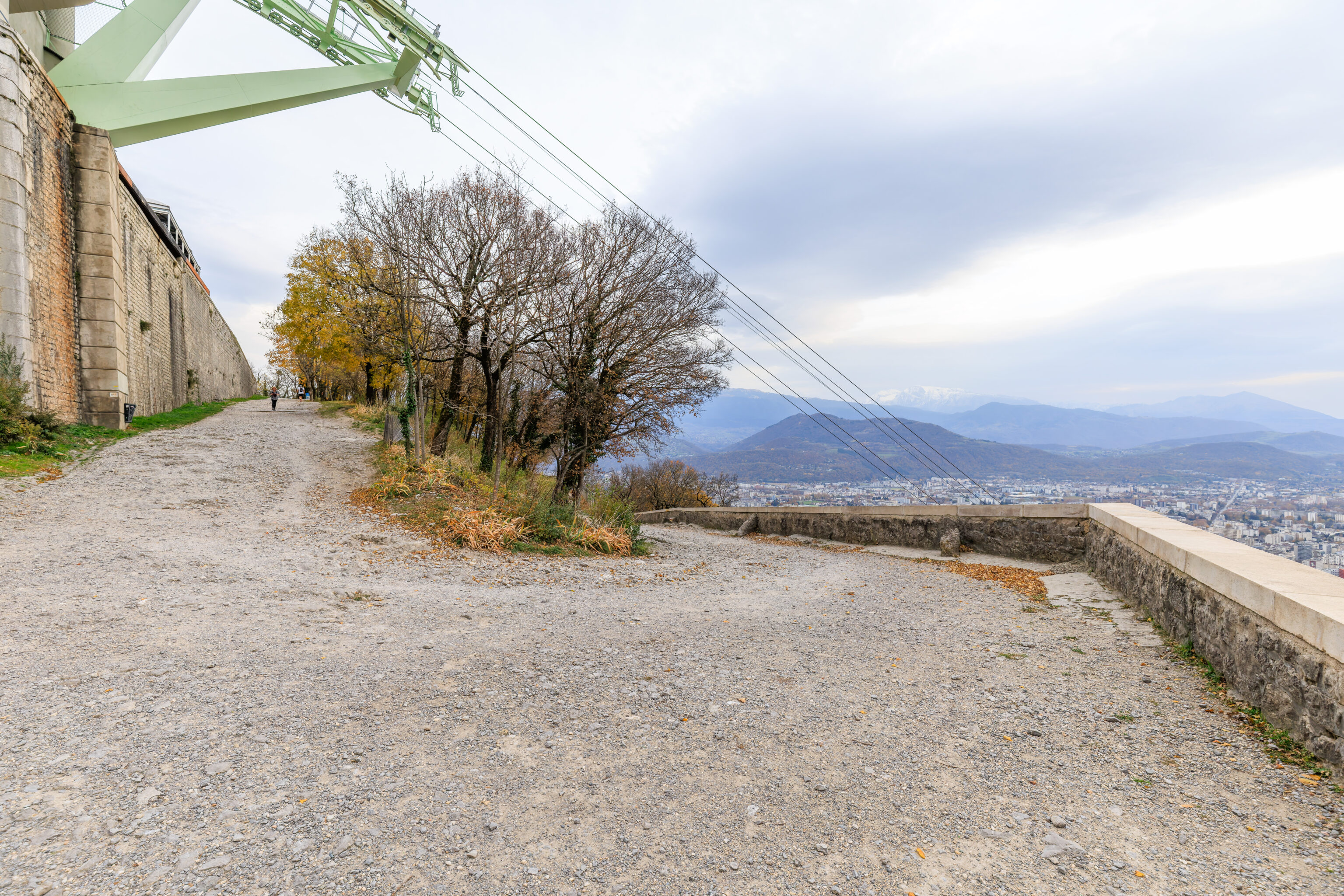
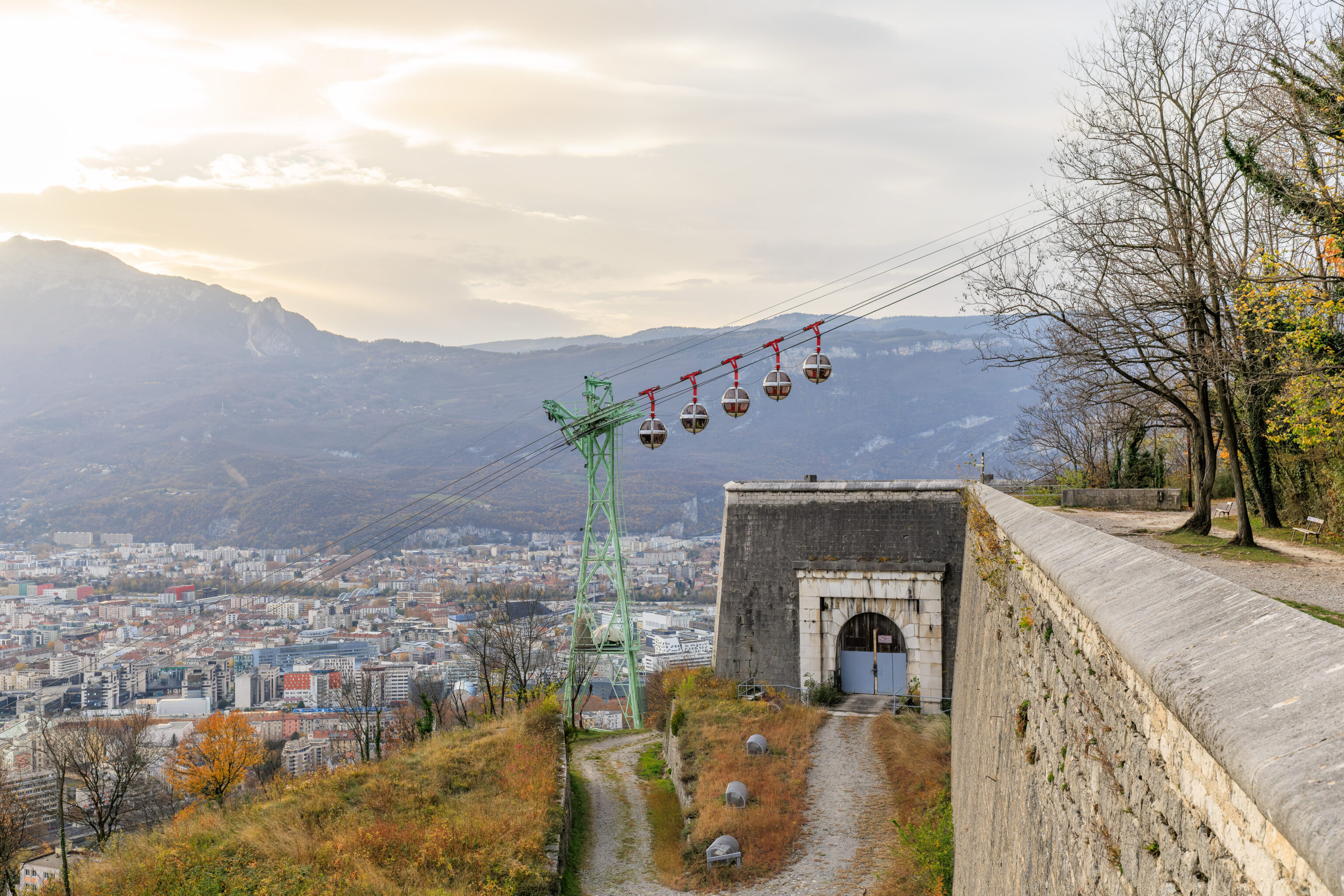
We passed under the cableway.
We reached the western end of the fortifications at this elevation.
The path turned here to continue downhill.
We again passed under the cableway.
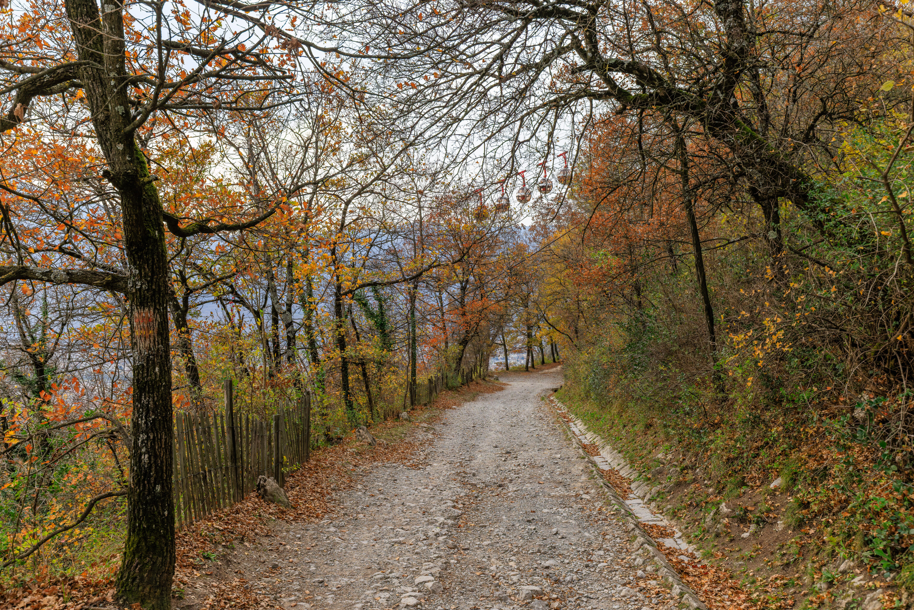
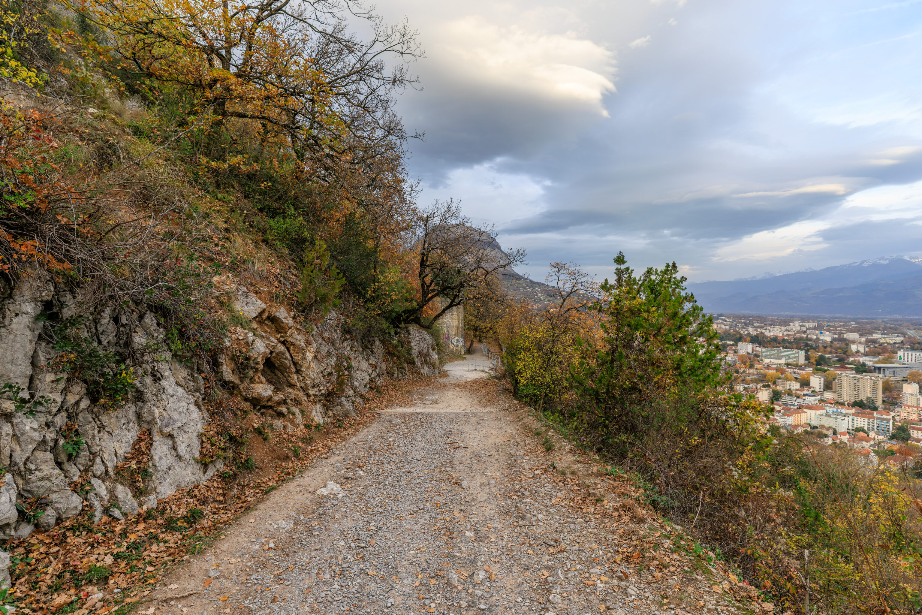
The path then led through the lightly forest mountainside.
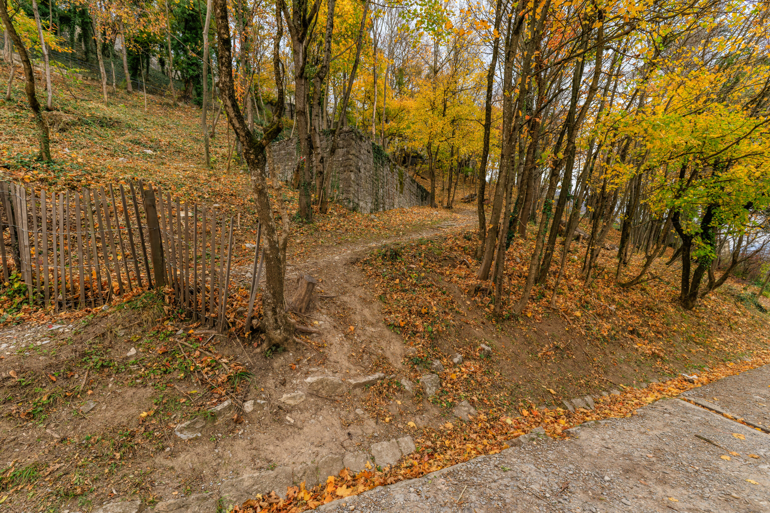
This seemed to be an unofficial path coming from above that they’ve tried to discourage with a fence.
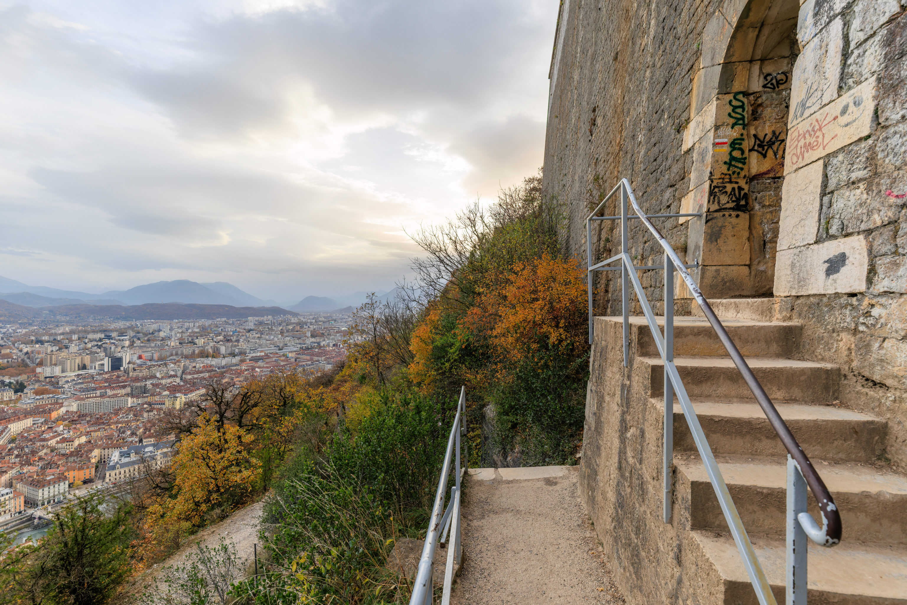
We continued on as far east as possible. The stairway seen here is likely the path we would have taken if we had initially walked to the east when we started to descend.
To the left, a path goes through the fortifications on the mountainside.
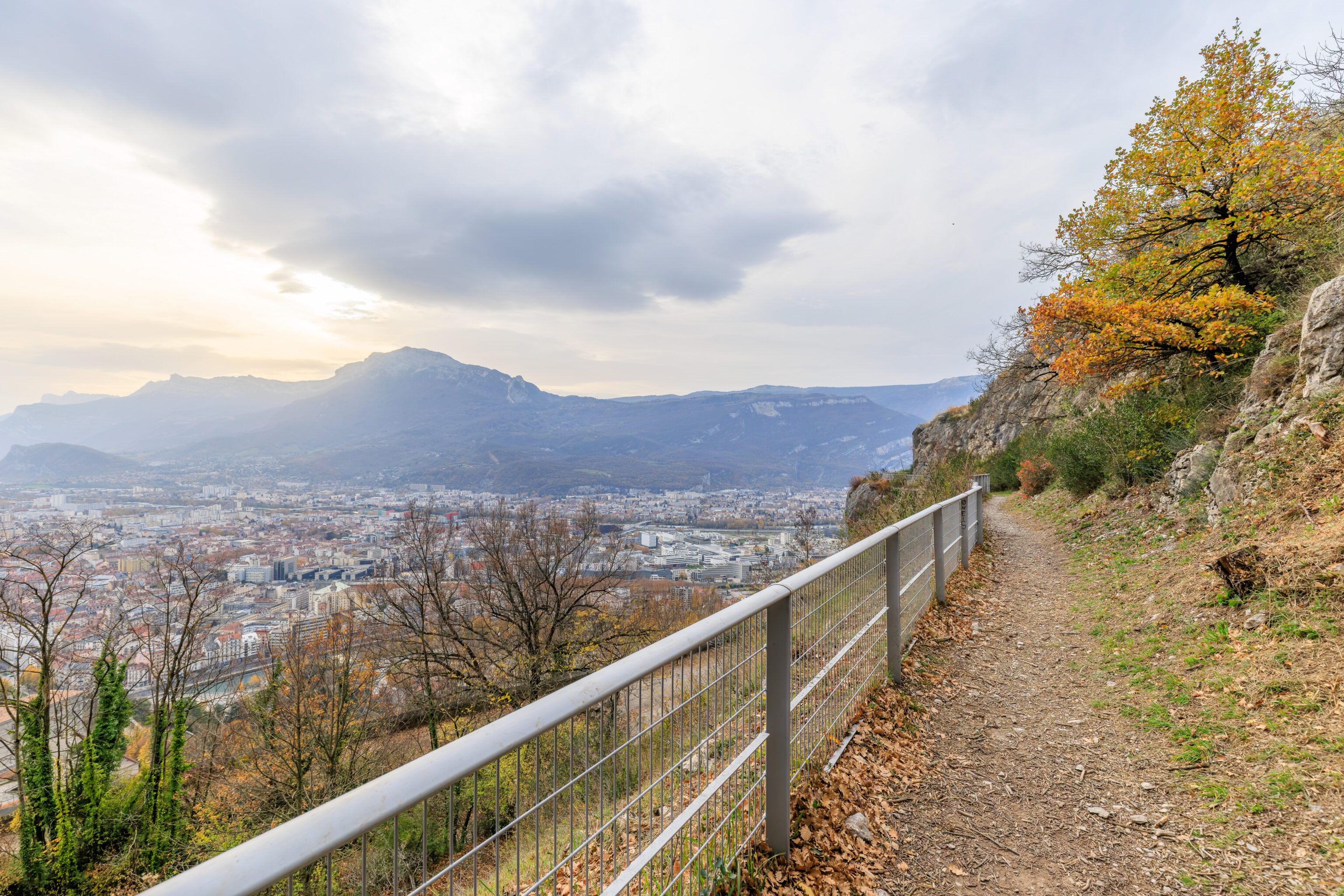
This spot had a nice mostly unobstructed view to the east.
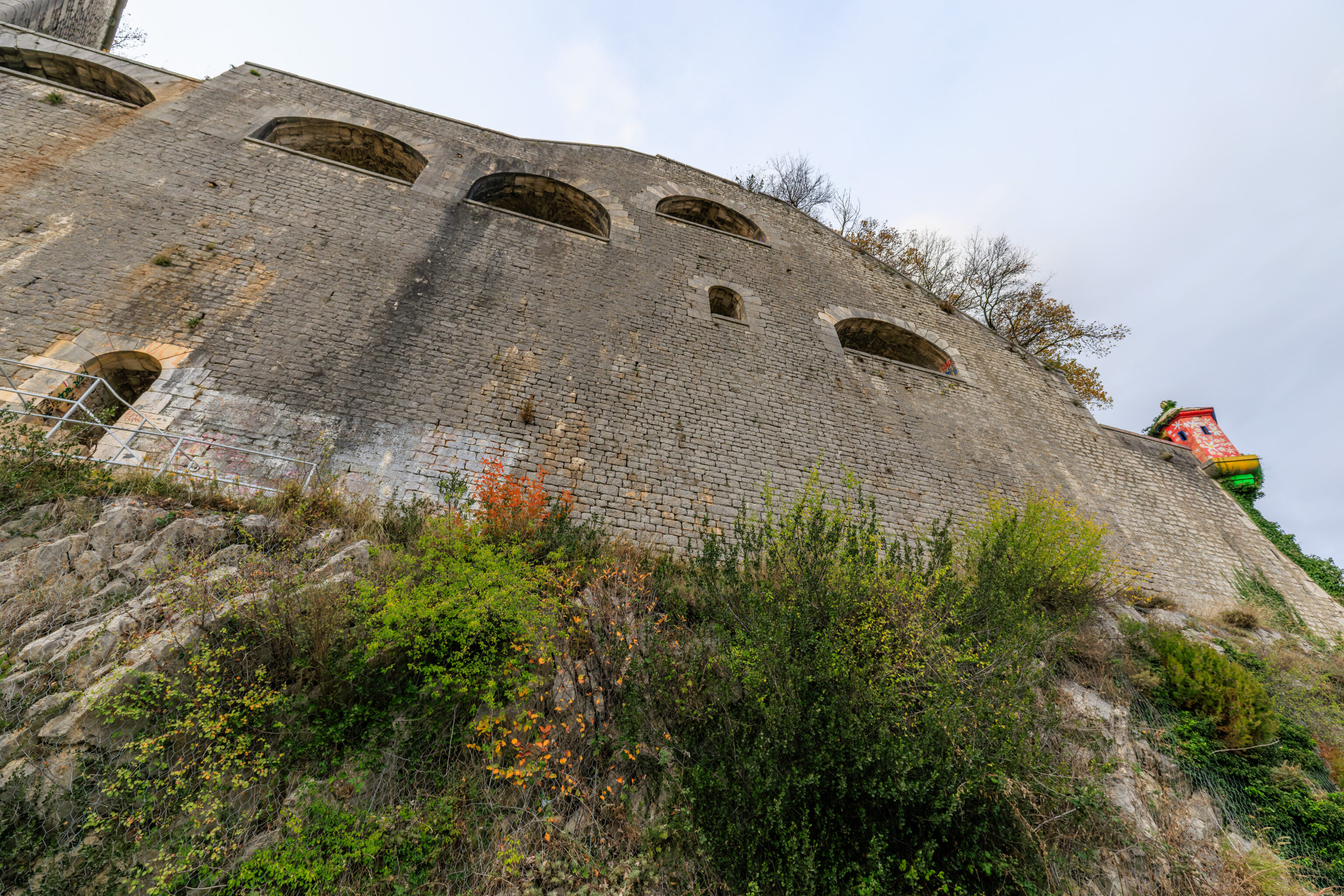
Looking down, we could see the lower elevations of the fortifications below.
We turned again to the west and continued following the path as it descended.
We went past a junction to take a look at what was to the west at this elevation.
We reached the western end of the fortifications at this elevation. We could see stairs leading downwards.
Looking back and up, we could also see stairs going up. We were just up there somewhere.
On the way back to the junction, the path again passes under the cableway. A lower elevation path can be seen below.
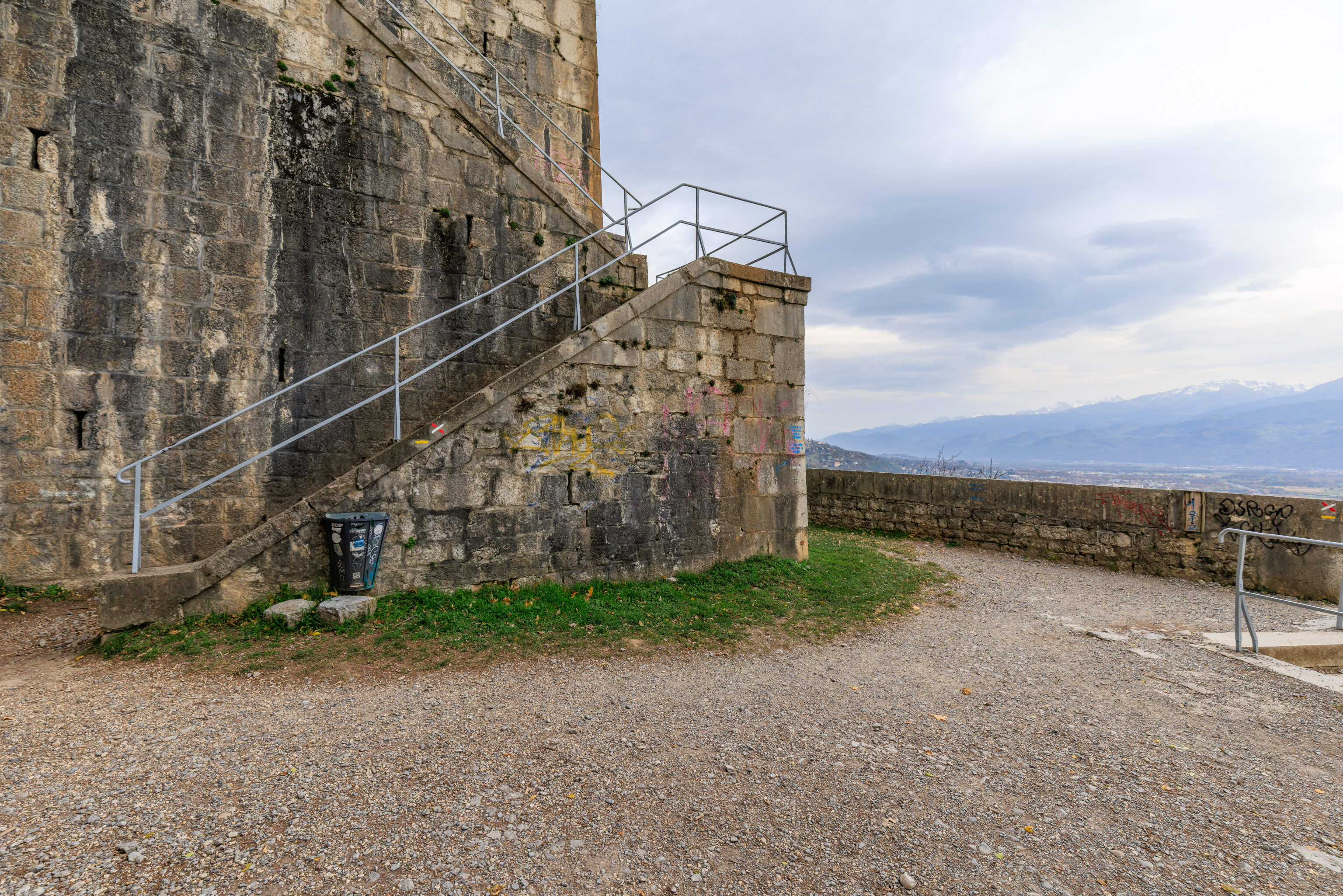
After returning to the junction, we continued descending along the switchback path from there. We soon came to a part of the path right next to a fortification wall. Again, we passed under the cableway. Just ahead, we can see what seems like a bastion protruding from the mountainside.
The center of the bastion is open with stairs leading down. The doors below seem to be closed however.
We took the path along the outer edge of the bastion. From here, we looked up to see where we had descended from.
We watched as the red bubbles descended and then passed the colorful bubbles which were on their way up.
And then we watched the colorful bubbles pass by.
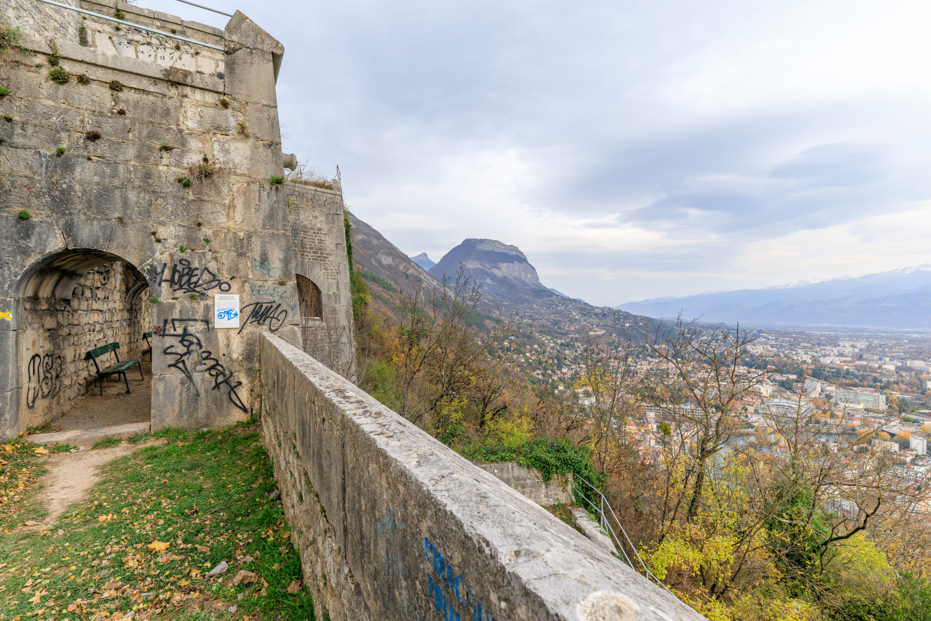
The view from the bastion looking to the east.
We continued following the path until reaching another bastion. Looking back, we could see the closed door that we saw earlier.
From here, we could see a bit to the northeast.
We continued following the path, now heading northeast. We again saw stairs leading down from the level above.
The view looking more or less to the southwest.
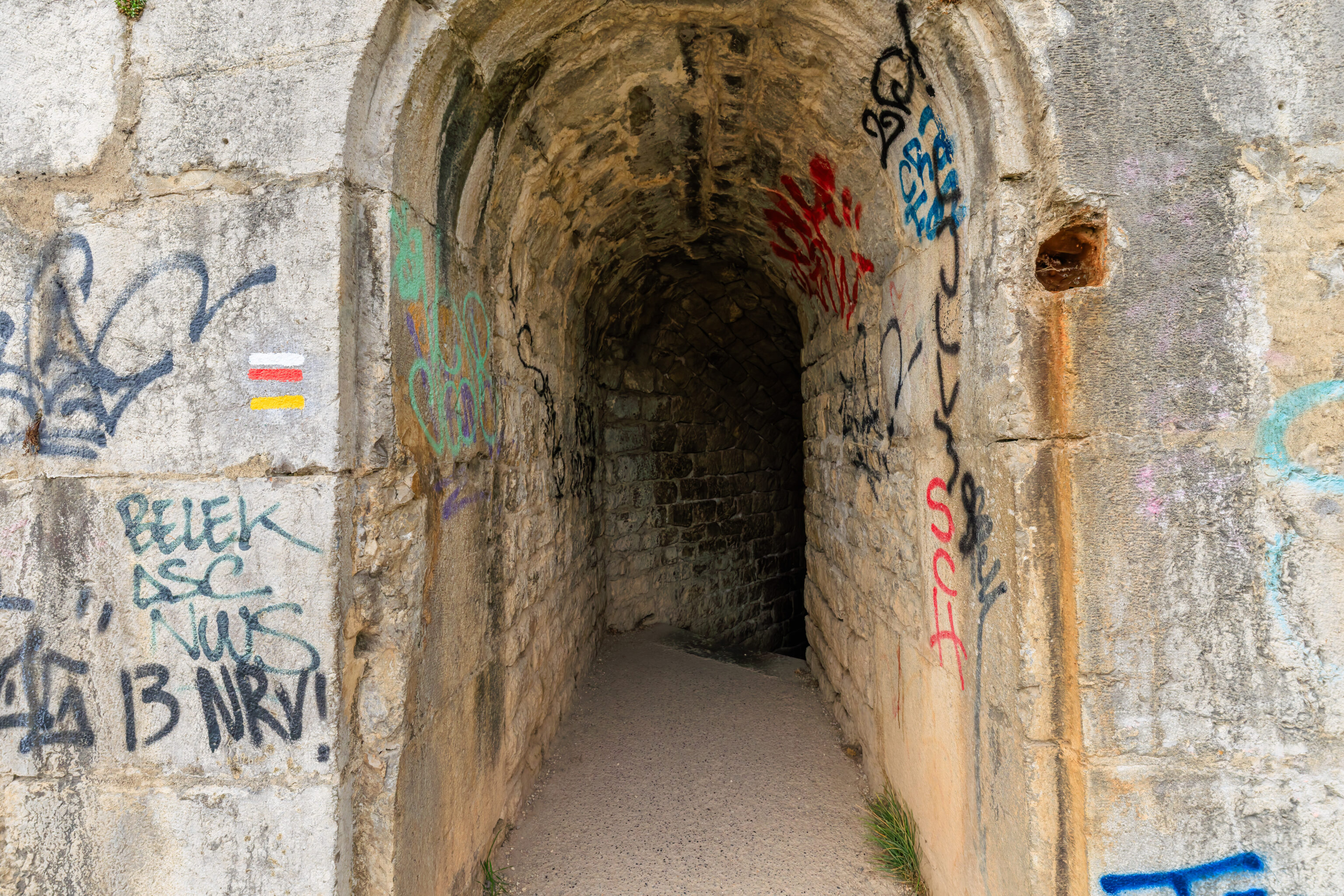
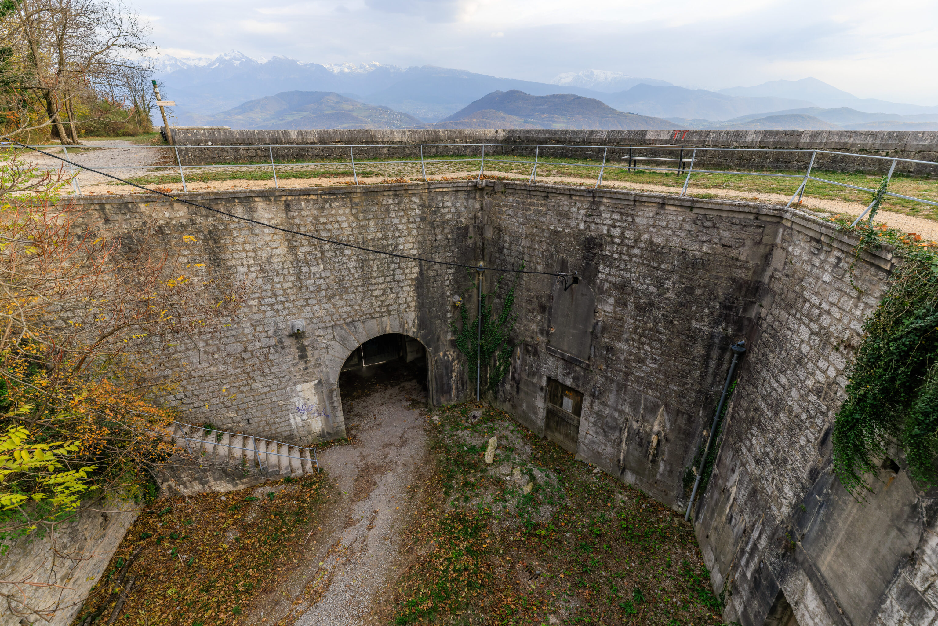
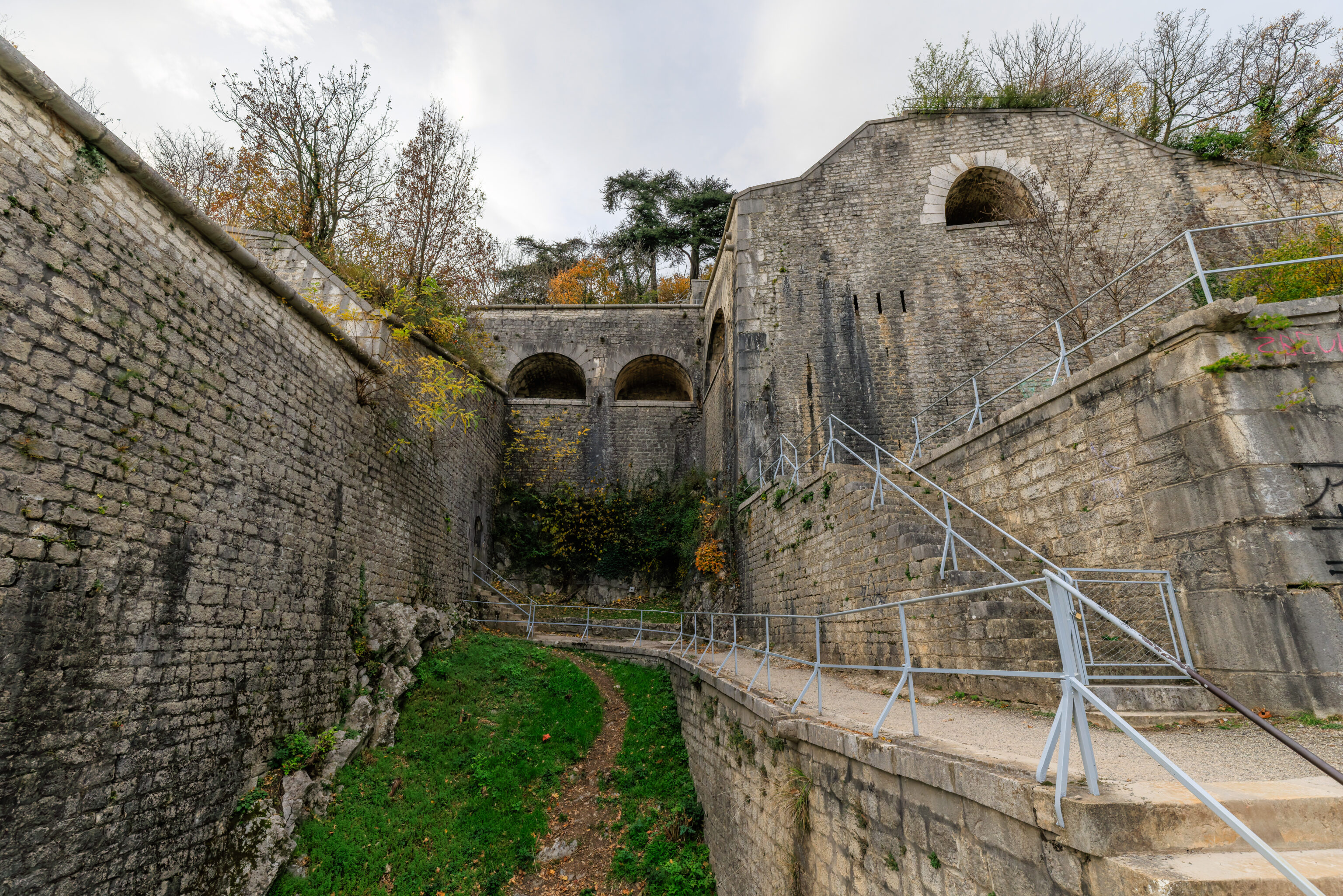
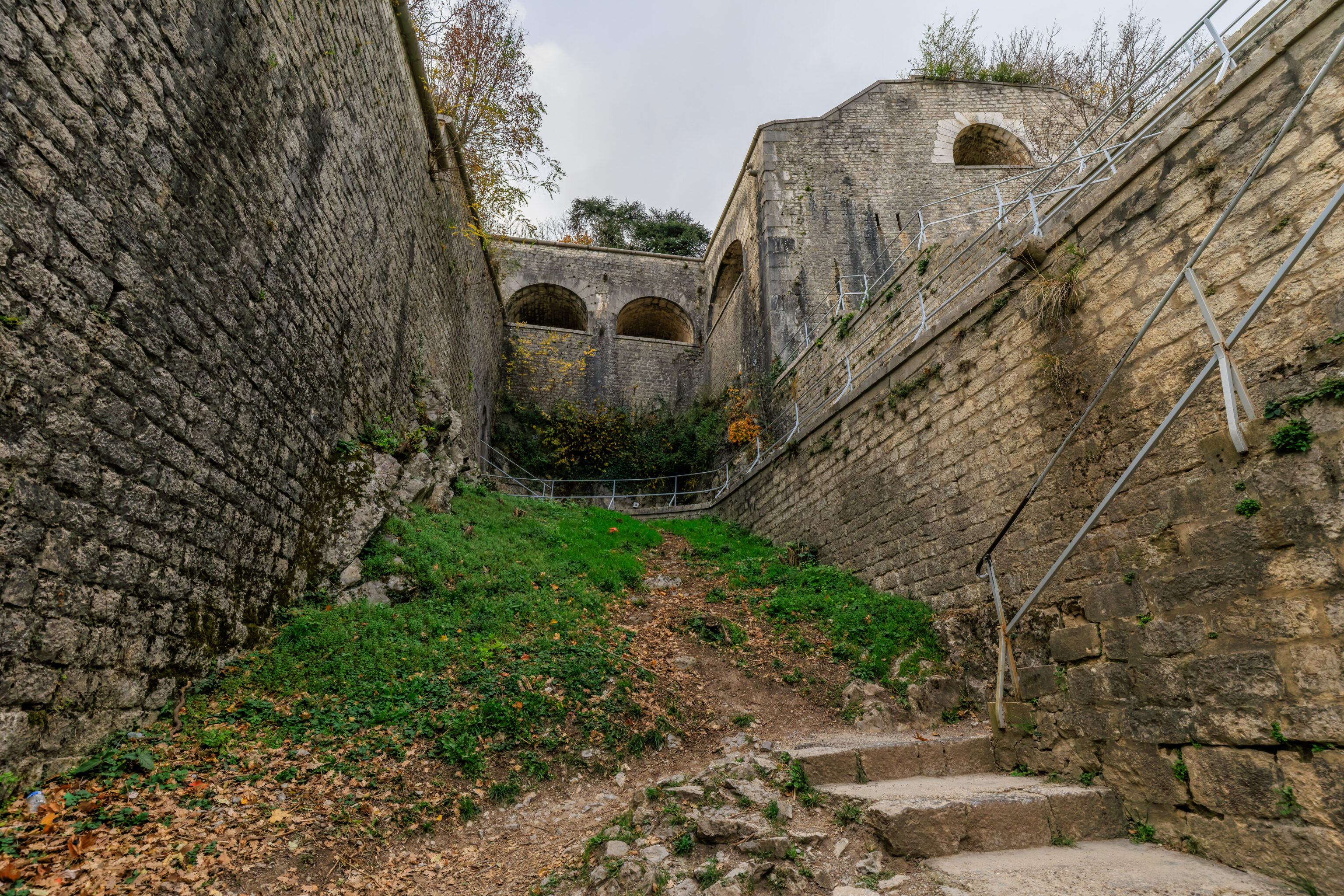
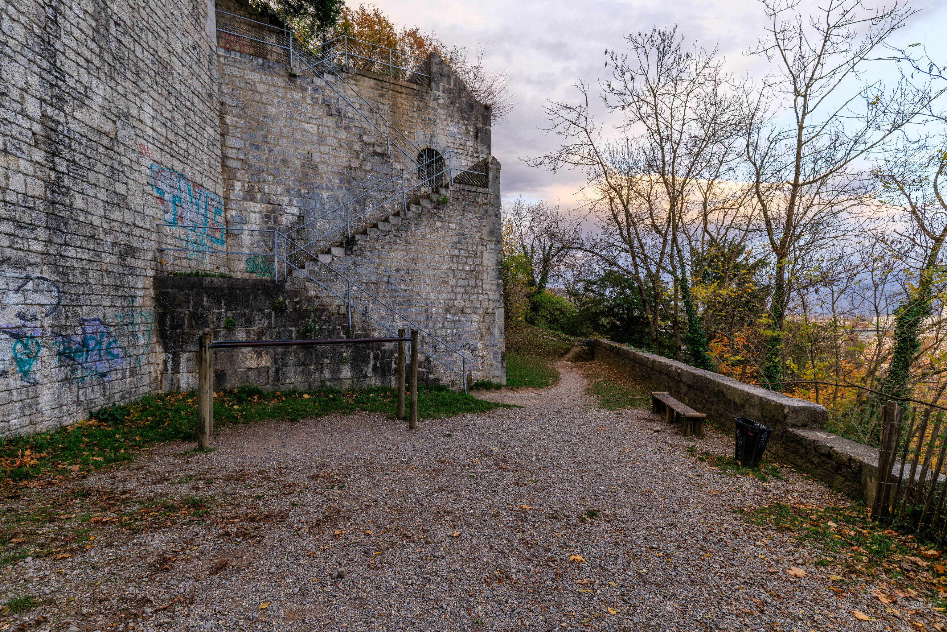
This tunnel, or really just a stairway in the fortifications, was unavoidable as there did not seem to be any other way down from here.
We went through and came out at a lower level of the fortifications.
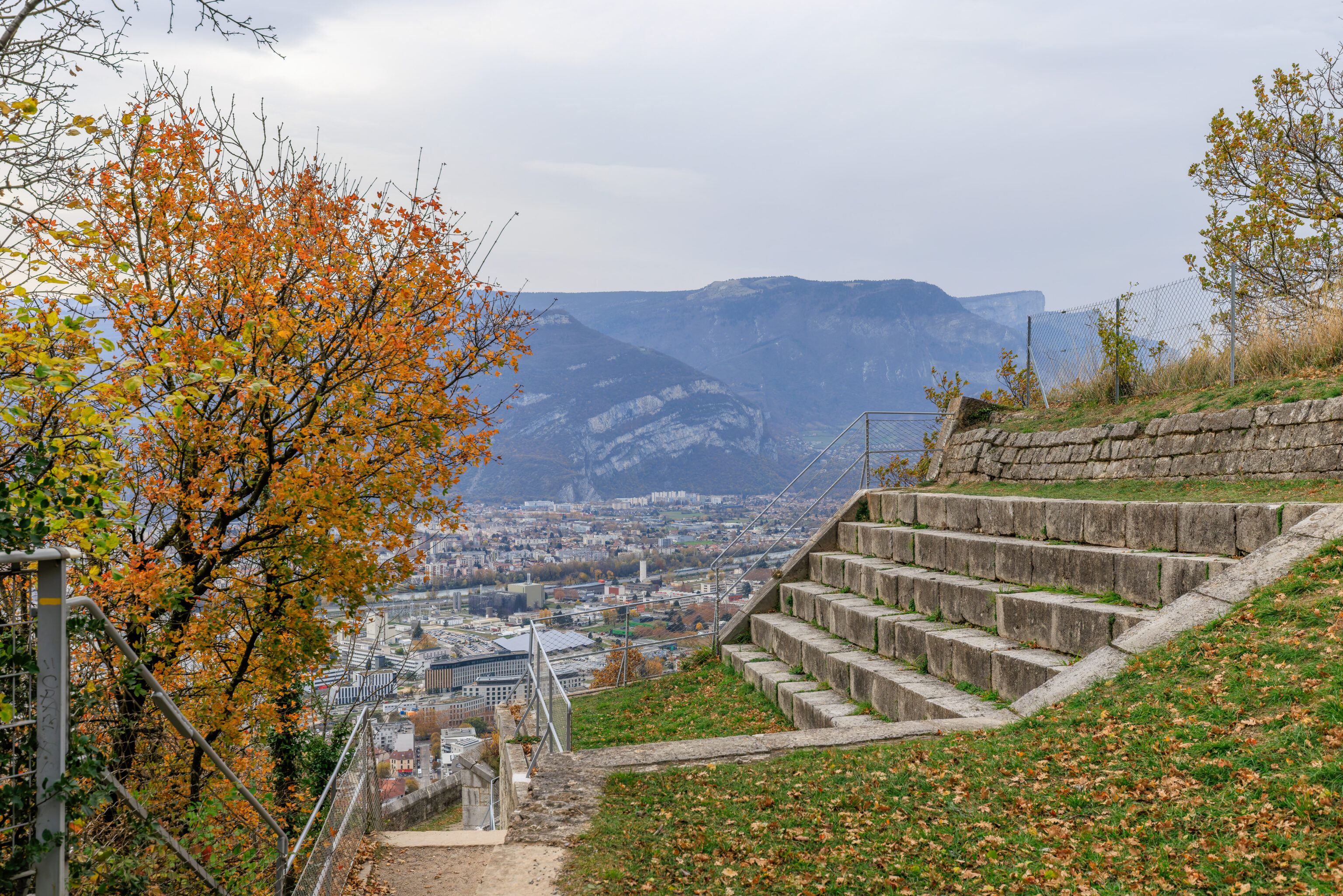
The view from the eastern edge of the fortifications looking to the southwest.
We came out from the stars protruding from the left wall.
We followed the path to continue descending. This is basically the same view as the previous photograph just from a bit further down.
We reached another path through the fortification walls.
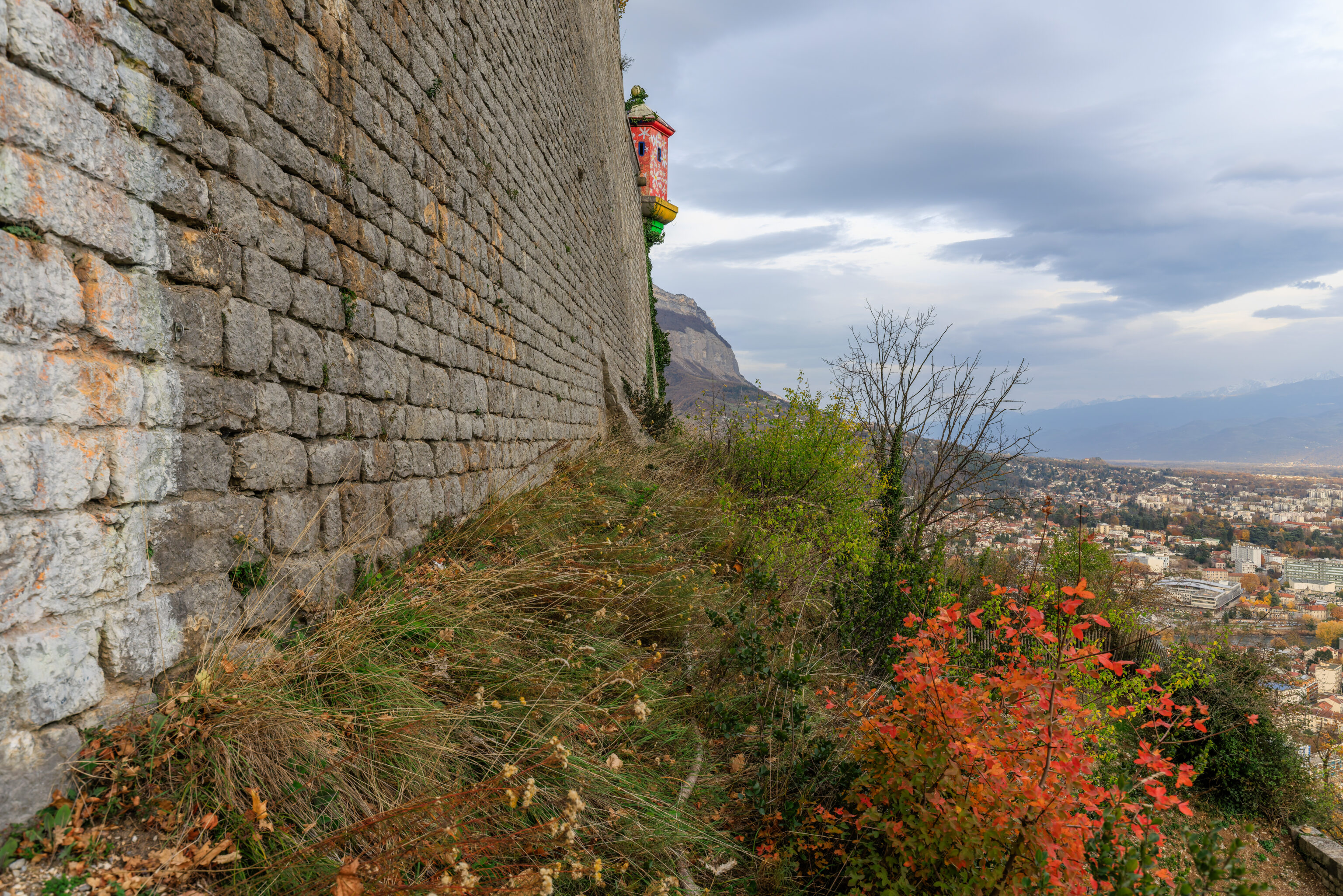
We again ended up lower in elevation. The small tower at the corner of the wall was painted with what looked like white flowers on a red background.
The view from here looking to the southwest.
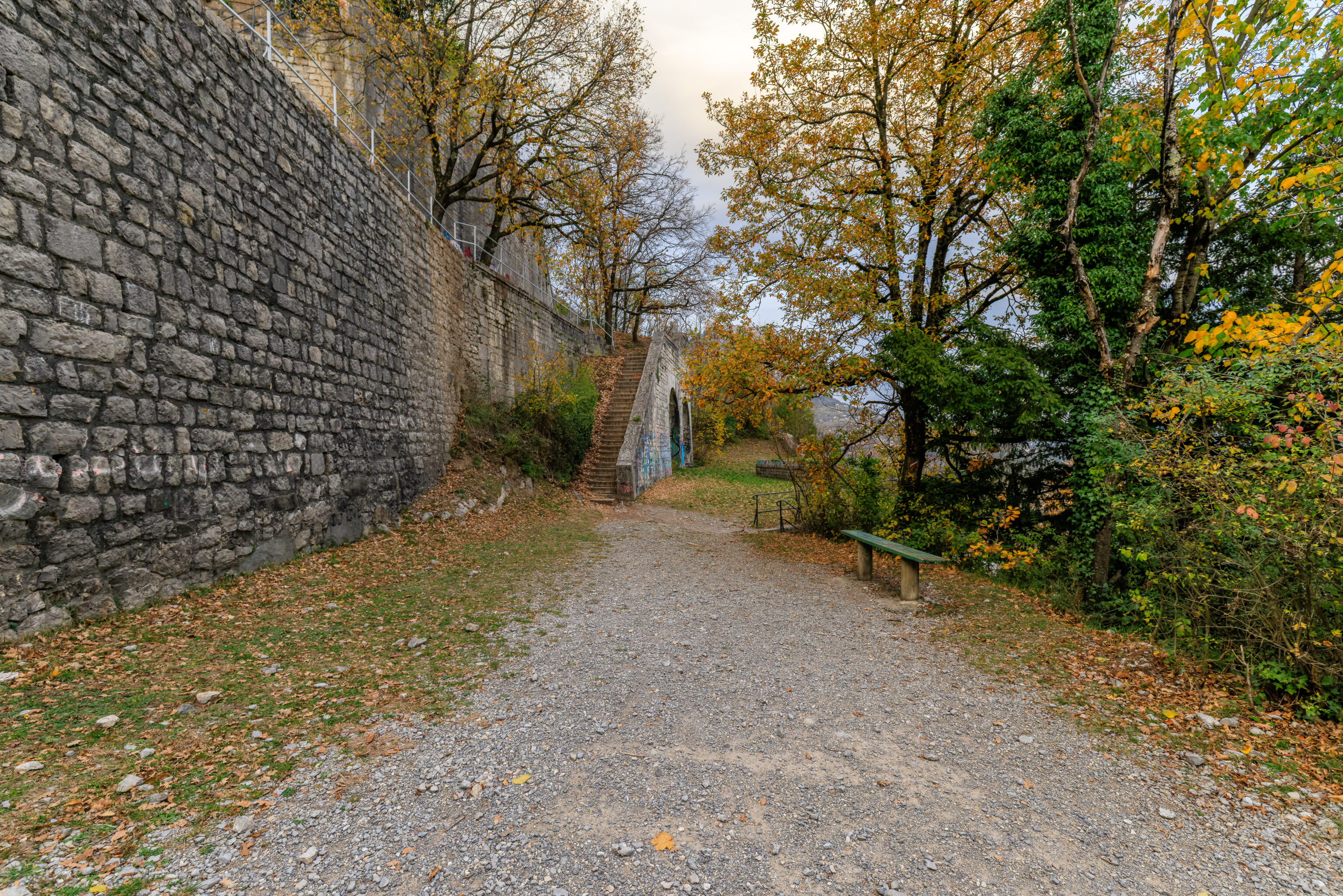
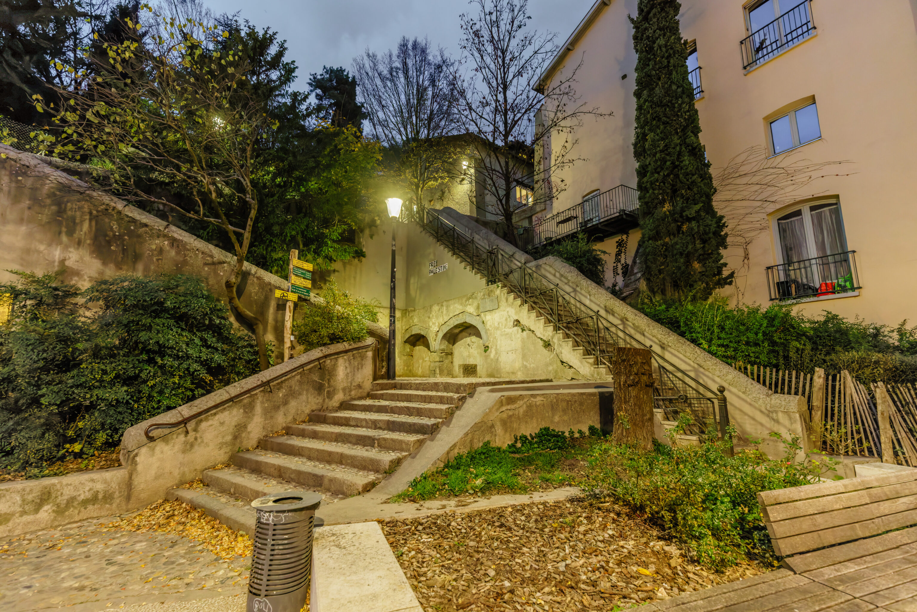
We walked down some stairs…
And followed the descending path.
Looking up, we could see the doorway that we came out of.
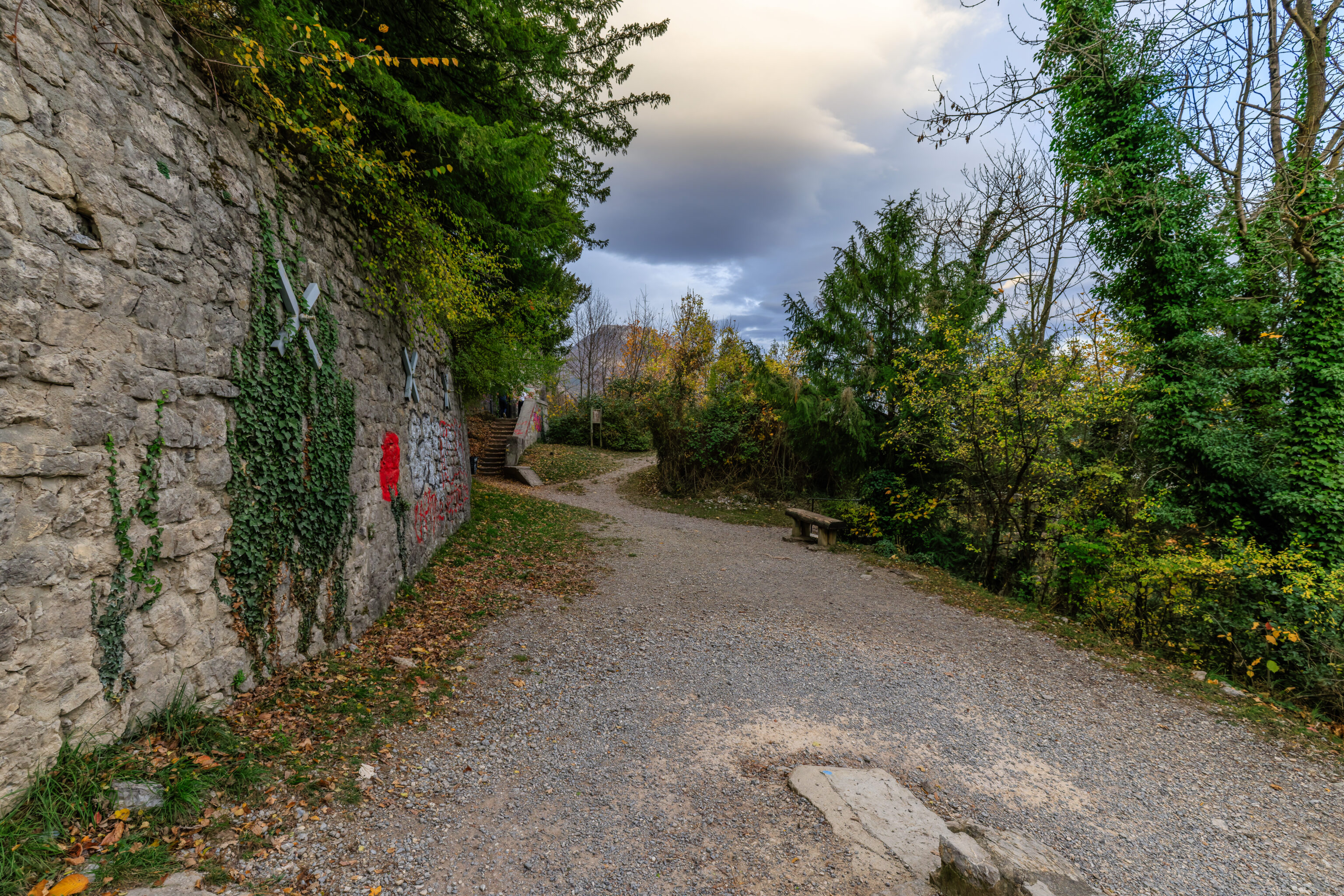
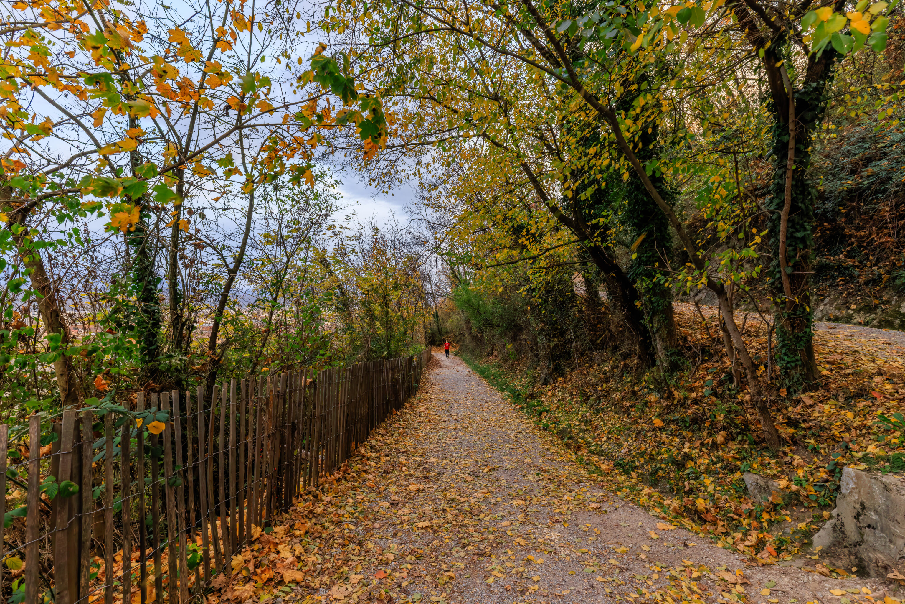
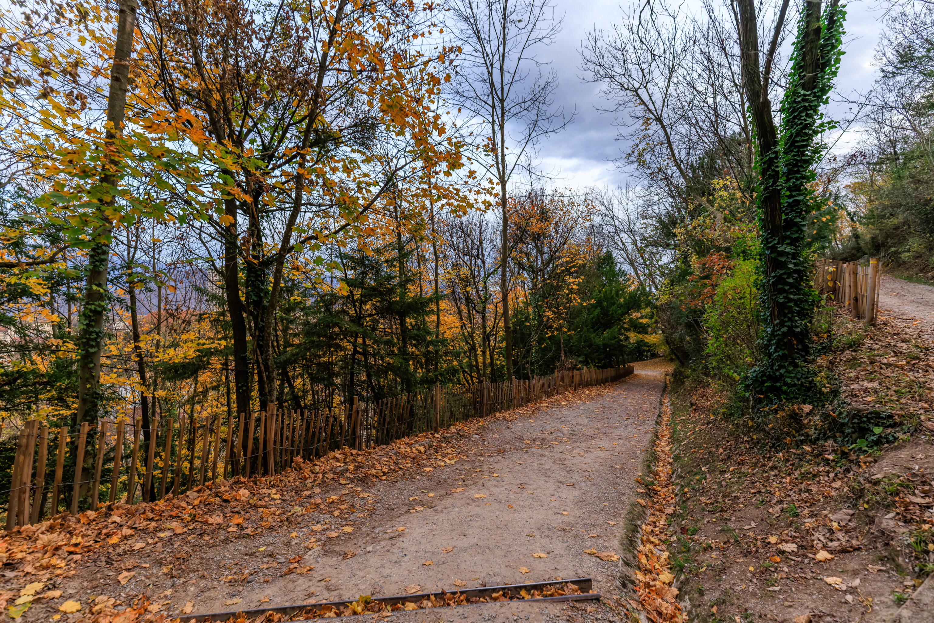
We continued descending via the switchback path.
It was starting to get dark when we were finally near the bottom of the mountain.
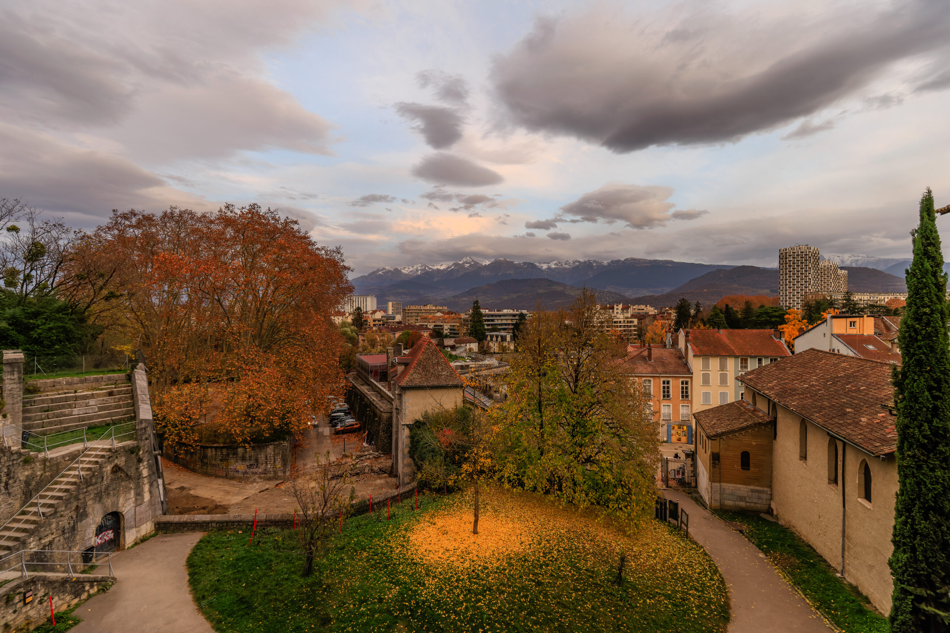
Looking down, we could see we were almost at city level. We noticed a tree below us that looked like it had just dropped nearly all of its yellow leaves at once!
We walked just a tiny bit further to continue back into the city.
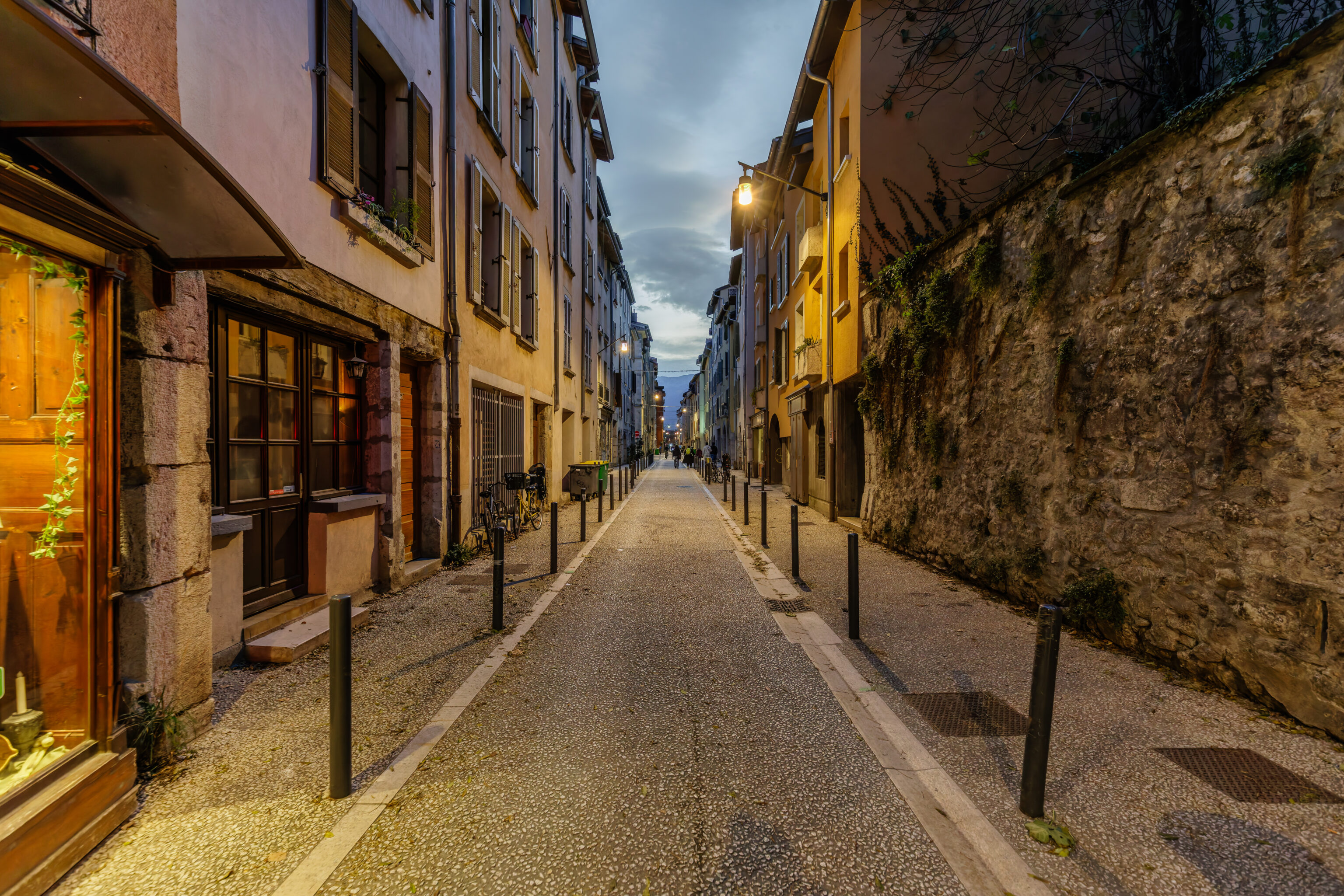
We followed a narrow road to the southwest to return to the train station.
This appears to be the bottom of an alternative path down from the Bastille.
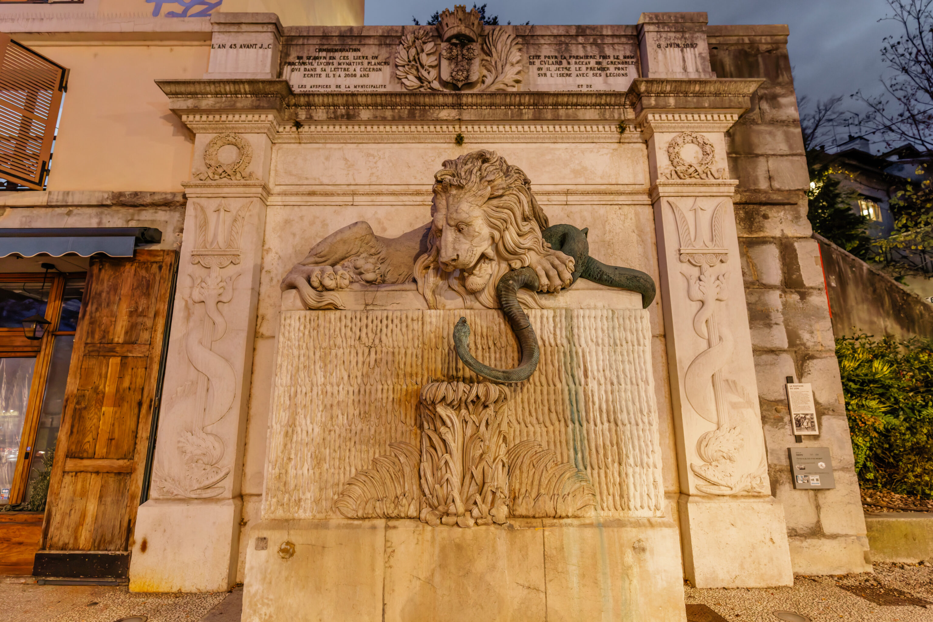
We walked past the Fontaine au Lion (Lion Fountain), depicting a lion and snake. The official explanation is that the Lion symbolizes Grenoble and the snake is the unpredictable river. The French version of the linked page for the fountain is that snake, or serpent, was Ysara in old French. This seems to have become Isère, the modern name of this river.
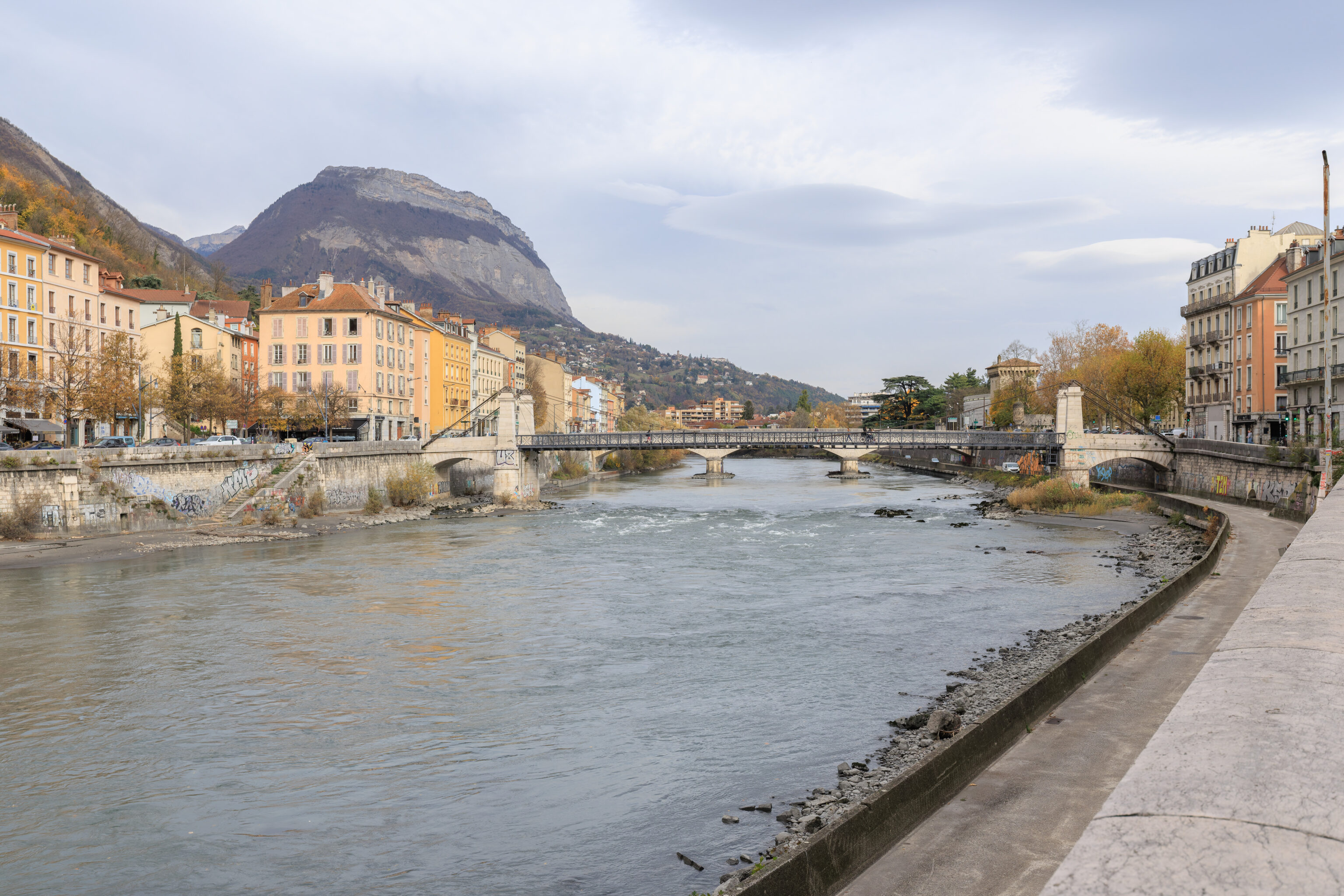
We crossed the Isère via the Passerelle St-Laurent. Looking downstream roughly to the west, we could see the cableway in the distance ahead.
Looking upstream, we could see a larger vehicular bridge. There is a tower at its right end, the Tour de l’Isle, built in 1418.
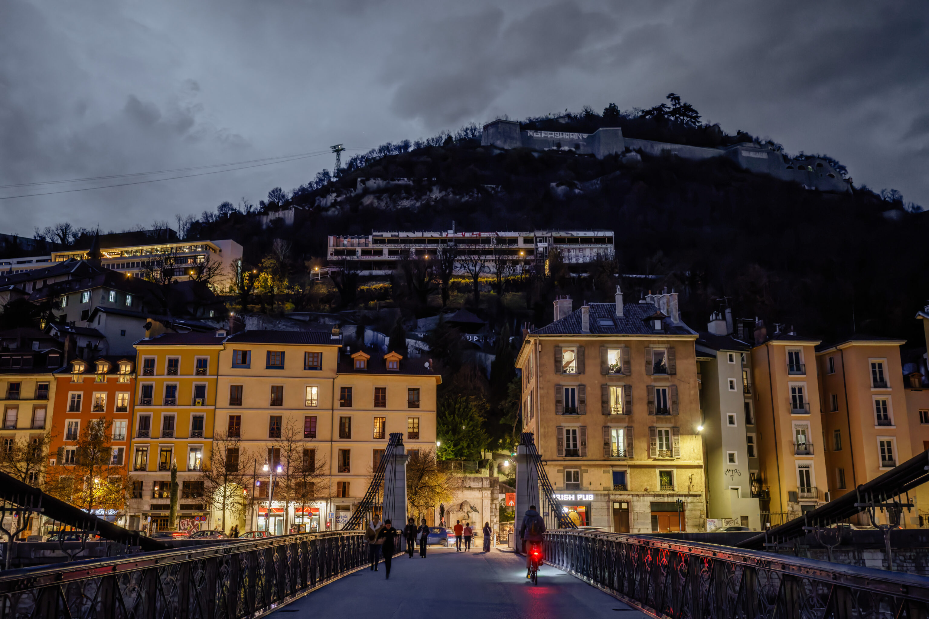
Looking back along the bridge, we could see the Bastille high up above.
We walked to the southwest to reach Place Grenette. From there, we took the tram from the nearby Hubert Dubedout – Maison du Tourisme stop back to the Gares Grenoble stop.
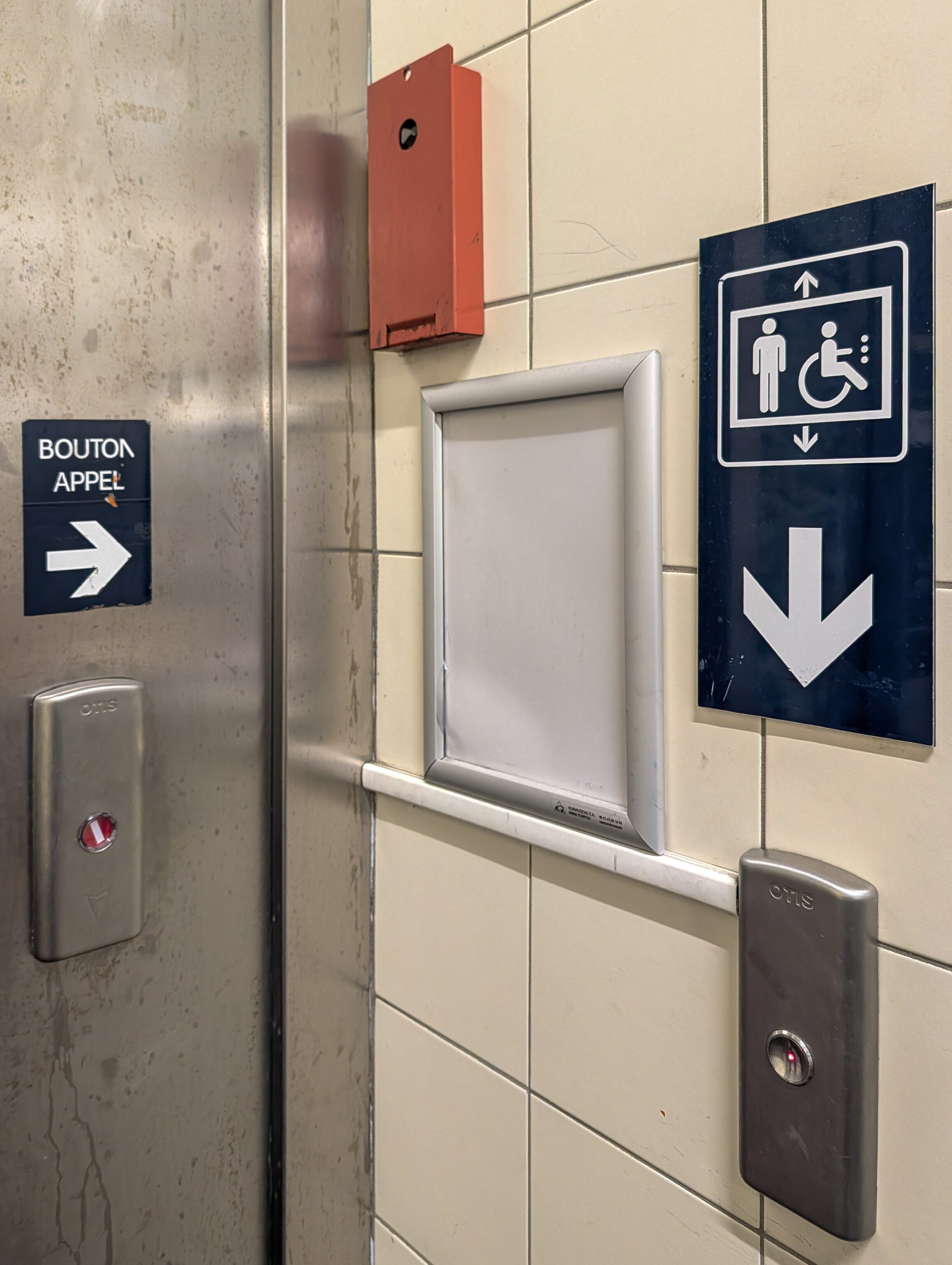
We found this elevator at the station amusing. There is a sign pointing to where the button for the elevator is!
Lyon

After returning to Lyon, we visited Xing Cha, a bubble tea shop on the Presqu’île a few blocks southwest of Place Bellecour. Xing Cha turns out to be a chain that has a Malaysian Chinese owner who created the first shop in Taichung, Taiwan. He then opened a number of shops in Vietnam, which explains why this one was run by Vietnamese. The headquarters of the company is in Malaysia.
Despite the somewhat limited association with Taiwan, it was pretty good. We went for the green tea with fresh fruit. This was strawberry and grapefruit today. They also added a bit of raspberry for us too which was nice.
While walking back, we noticed that the area between Place Bellecour and the Rhone was pretty lively, possibly due to it being a Friday evening. Place Antonin-Poncet occupies the southern edge of this busy area.
We noticed a tower here, the clock tower of the former Hôpital de la Charité de Lyon (Charity Hospital of Lyon).
From afar, this sphere seemed to be a bit like millefiori used in Murano glass. Upon closer inspection, it doesn’t look to similar at all.
While walking back to the InterContinental along the Rue des Marronniers, we passed by Noucadémie, a Chinese noodle restaurant that was busy, looked good, and has a 4.9 rating on Google Maps. We were a bit hungry and looking for something quick so decided to give it a try.
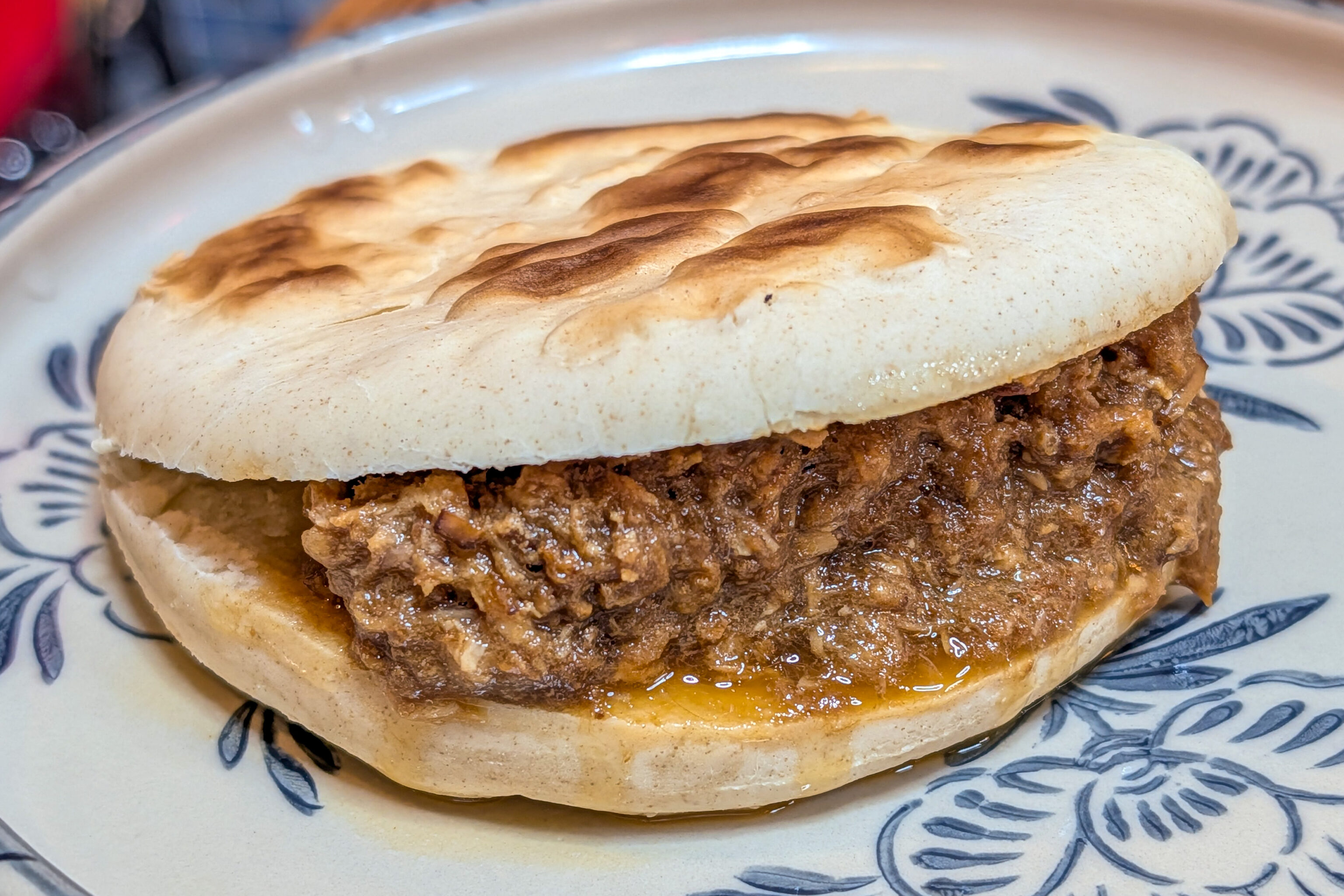
We ordered the rou jia mou with pork. The mou, or bun for a lack of a better term in English, was unfortunately pretty terrible. The pork itself was good but too salty.
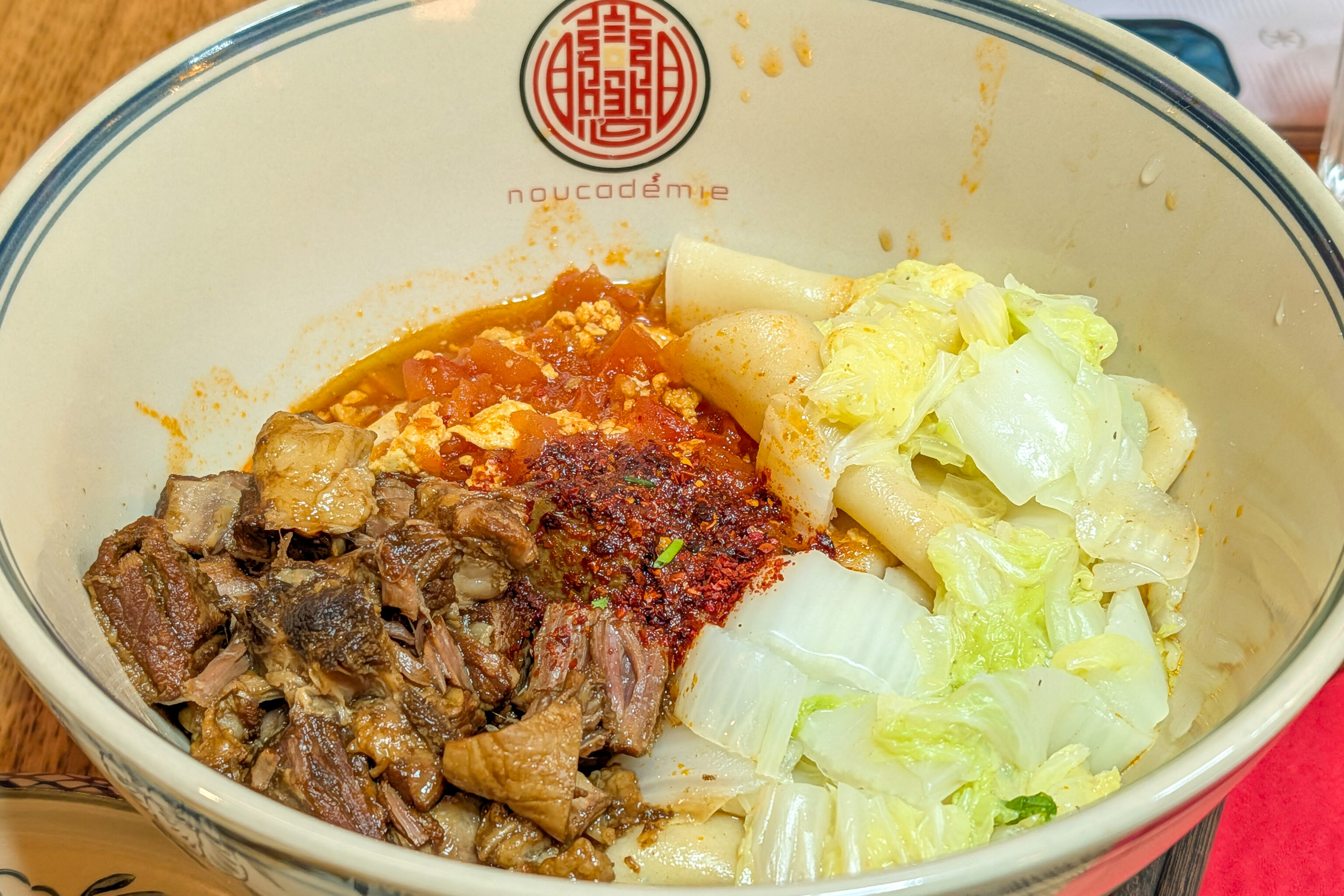
We also ordered the biang biang noodles with beef, egg, and tomato. The soup base was pretty good with flavors that worked well. The actual noodles were a bit mediocre, but not nearly as bad as the noodles we had a few months ago on Munich, which we remember as the worst ever.
Interestingly, the woman who welcomed us when we entered the restaurant remembered us from Maokong, the bubble tea shop about 1 Metro stop away that we visited on our first day in Lyon. She works there as well. Unfortunately, Maokong closes at 8pm so we haven’t had the chance to go back.
Also, Noucadémie also has Noucadémie Xi’an two doors to the north. They seem to serve both menus and bus the dishes from the front doors when ordering something from the other shop when necessary, which we found interesting.
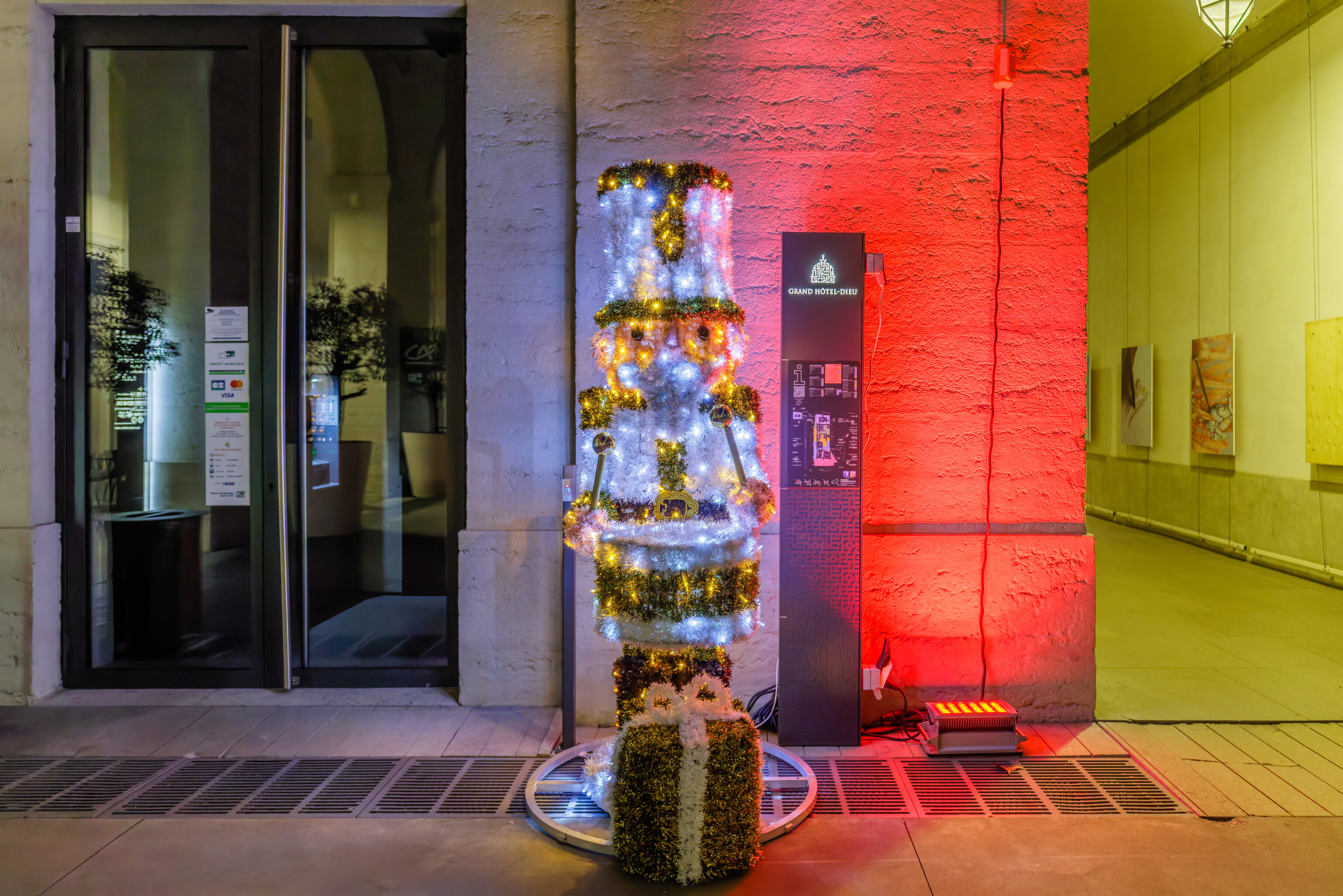
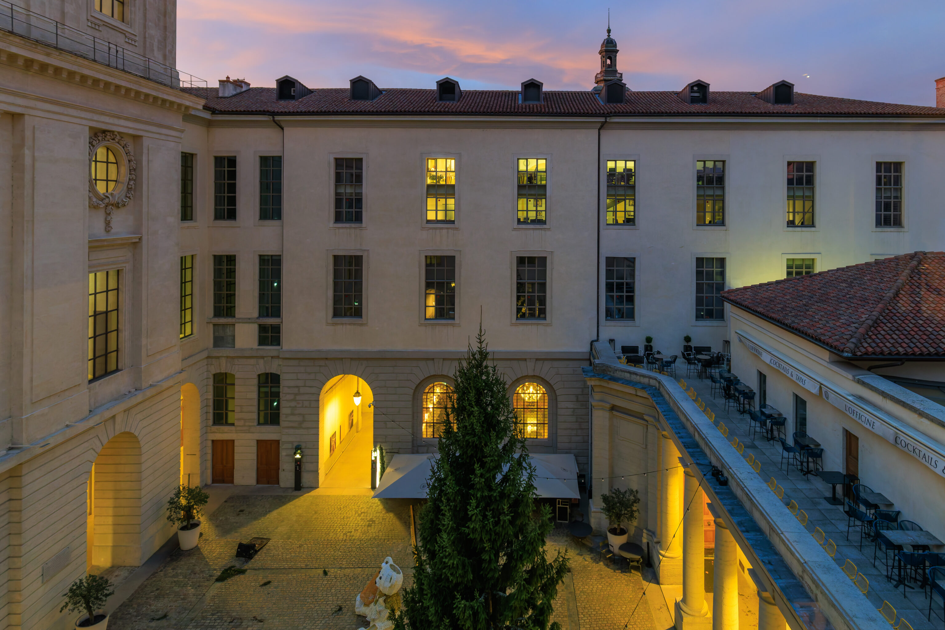
We noticed some Christmas decorations upon returning to the Hotel-Dieu building.
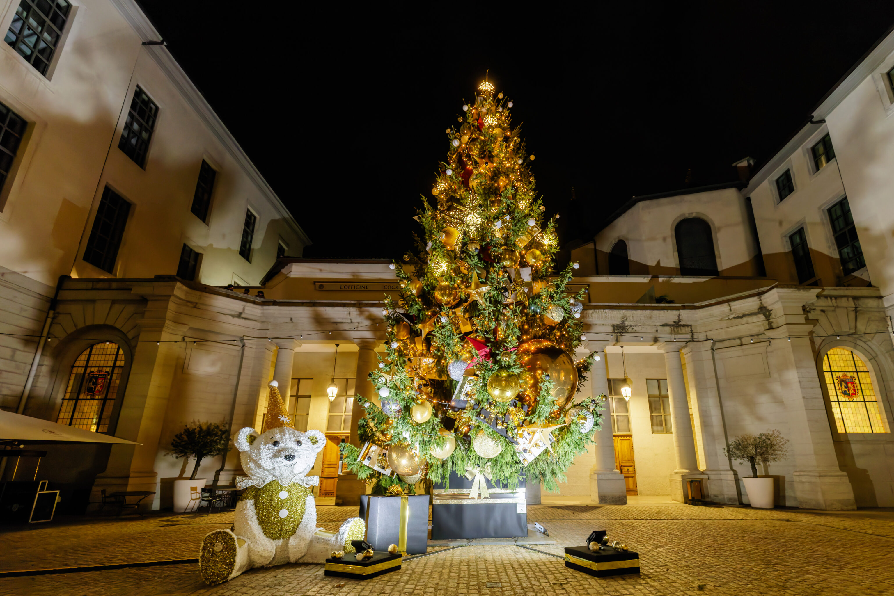
Upon returning to the InterContinental, we noticed that the Christmas tree in the courtyard had been decorated at some point during the day!