

After breakfast at the AC Hotel, we took a train west to Imst where we caught the next bus to Pitztaler Gletscher. We ascended via funicular and gondola to visit the highest cafe in Tyrol and its mountaintop 360° observation platform. After descending to mid-mountain, we walked to a nearby tiny chapel before returning to the valley and Innsbruck afterwards.
Morning
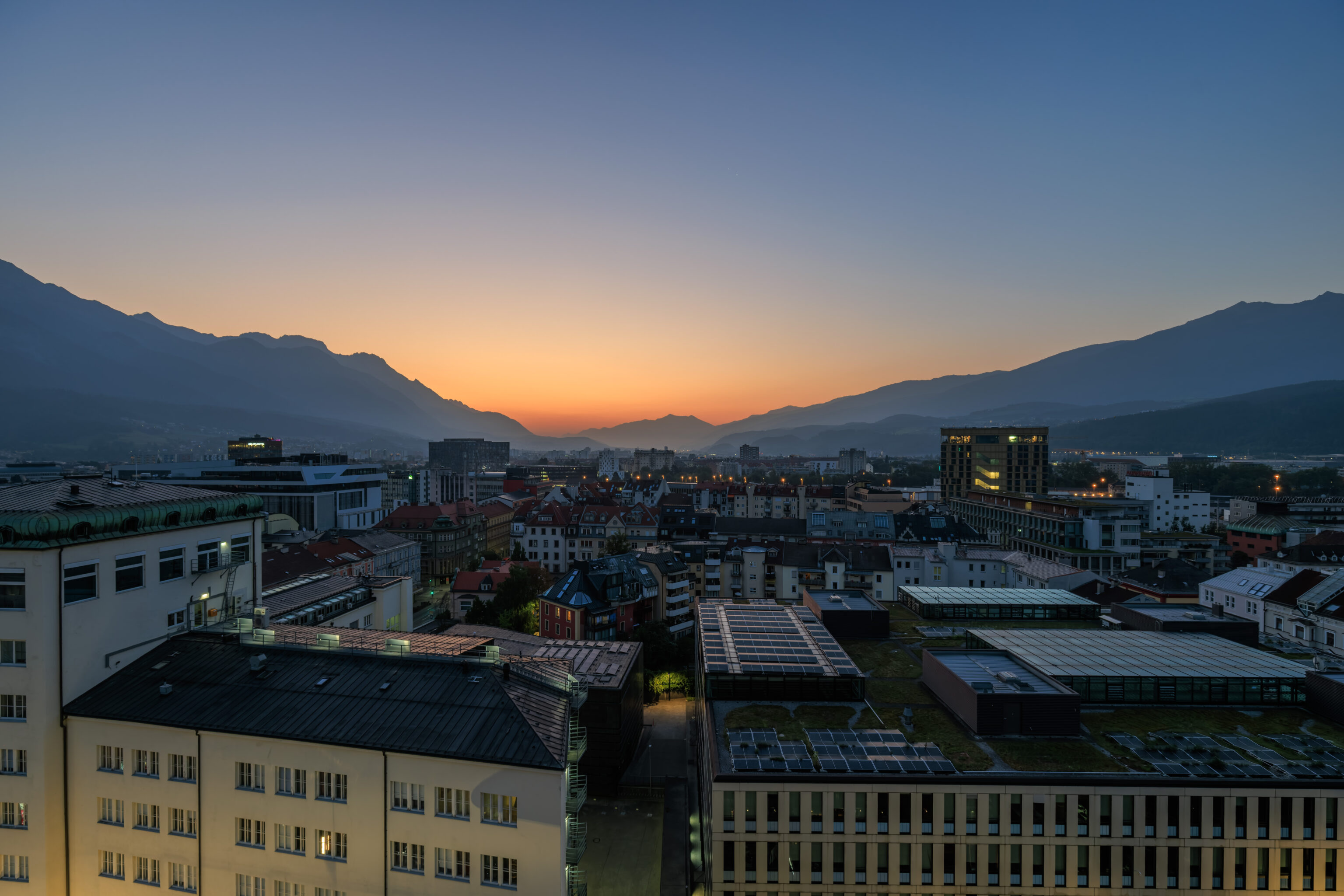
We once again woke up at the AC Hotel in Innsbruck just before sunrise.
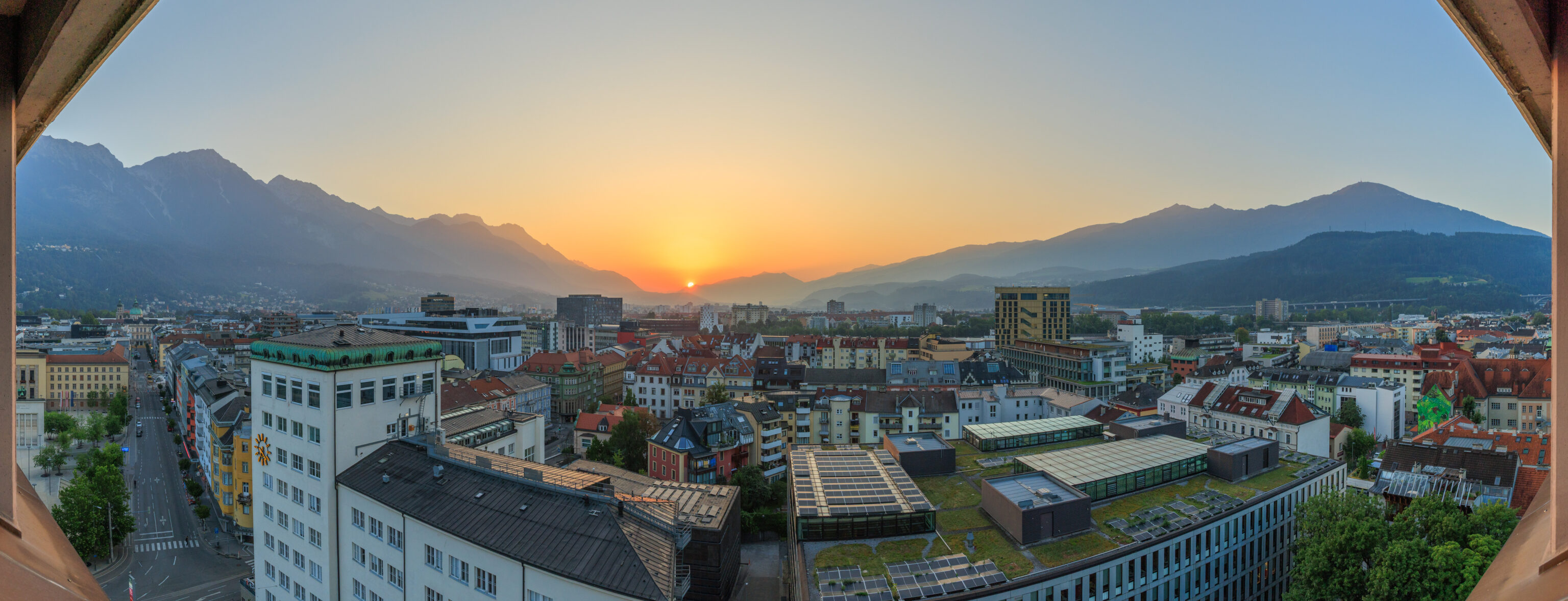
The Sun popped up over the mountains to the east at around 6:22am. The sky was completely clear without a cloud.
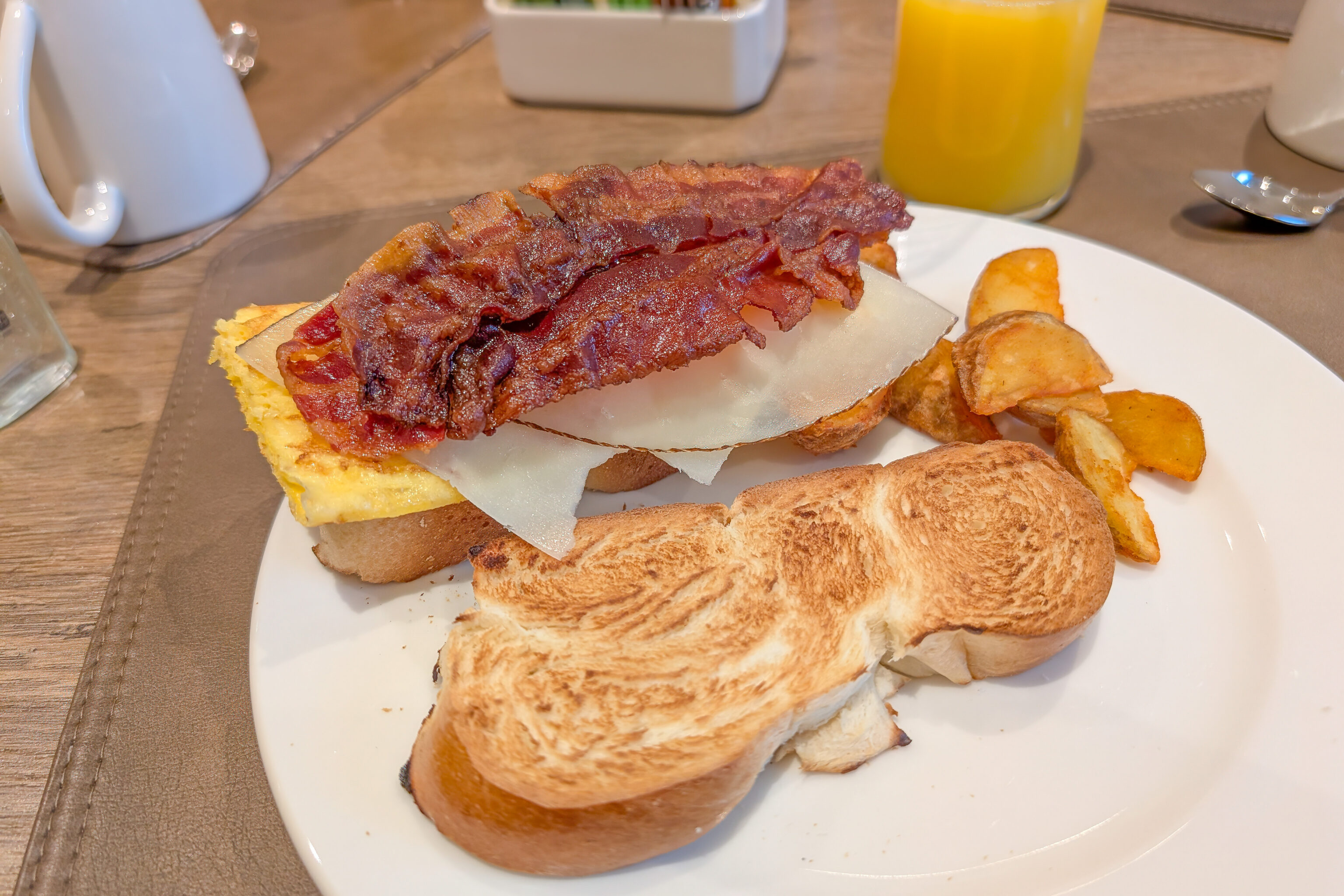
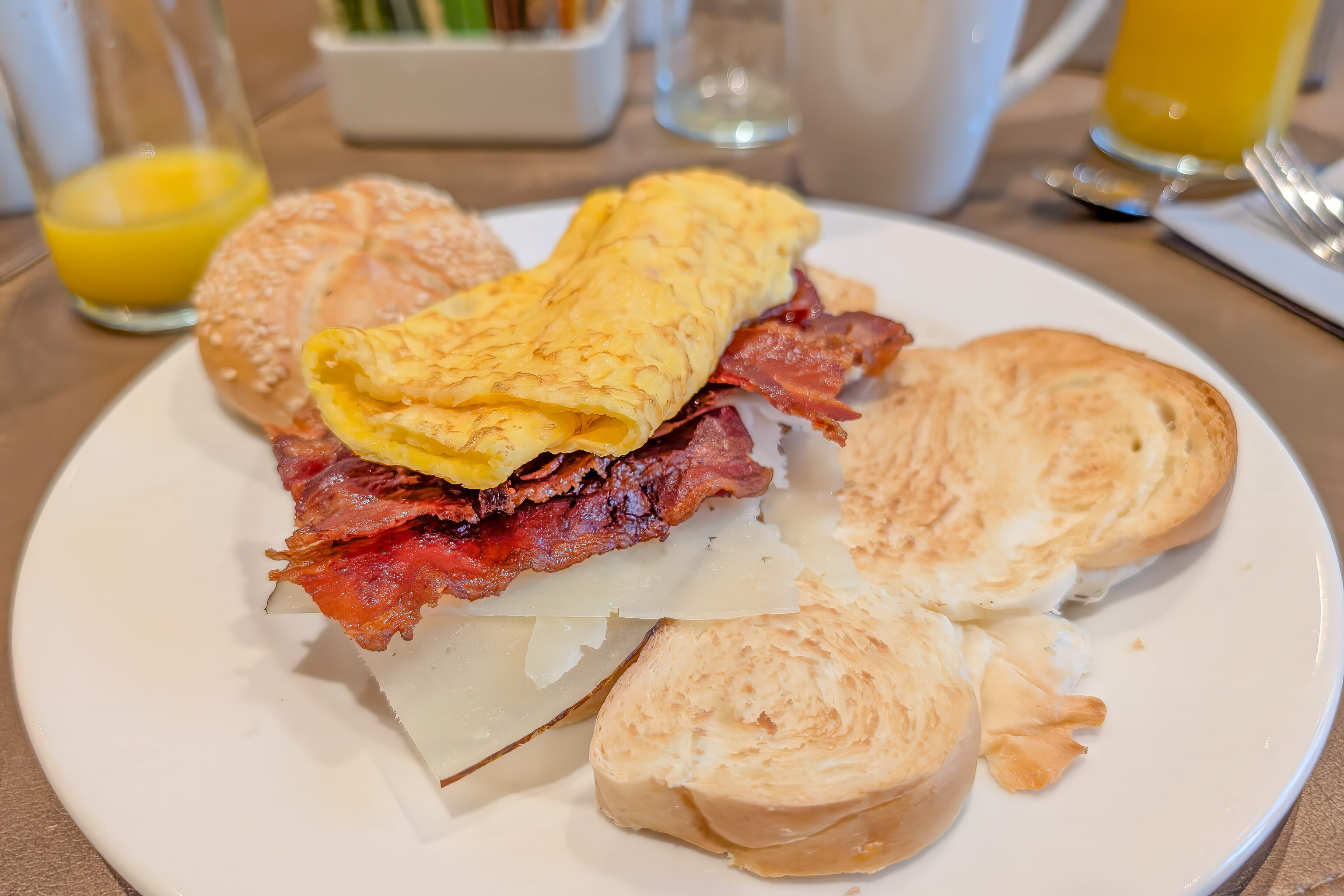
We headed downstairs for breakfast. One of the best items is still the sweet bread. We’re not sure exactly what it is!
After breakfast, we walked over to the Hauptbahnhof to take the next train west to the Imst-Pitztal station. From there, we will take a bus to visit Pitztaler Gletscher, the self-described “highest of Tirol”.
We enjoyed the scenery thorough the valley from the train.
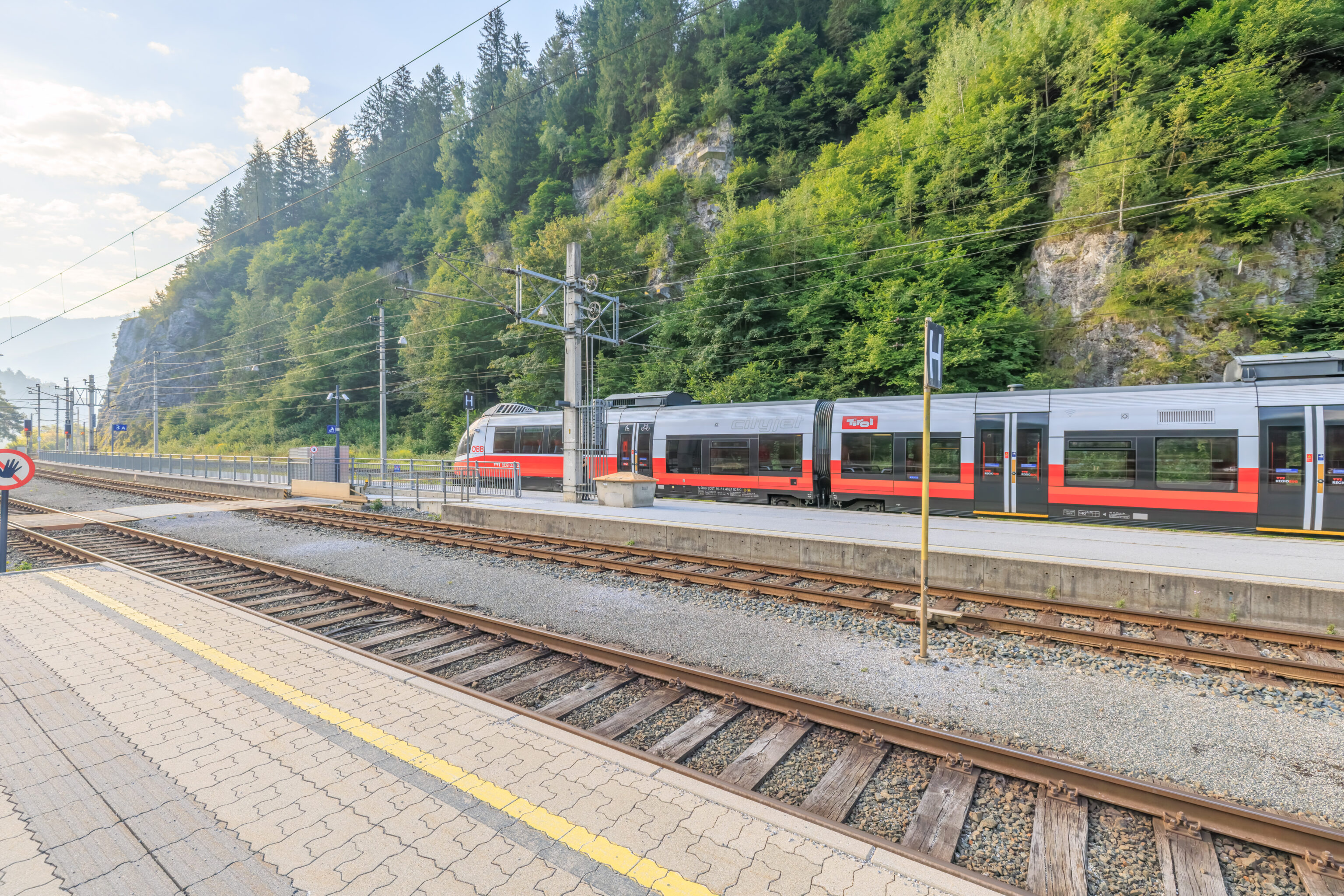
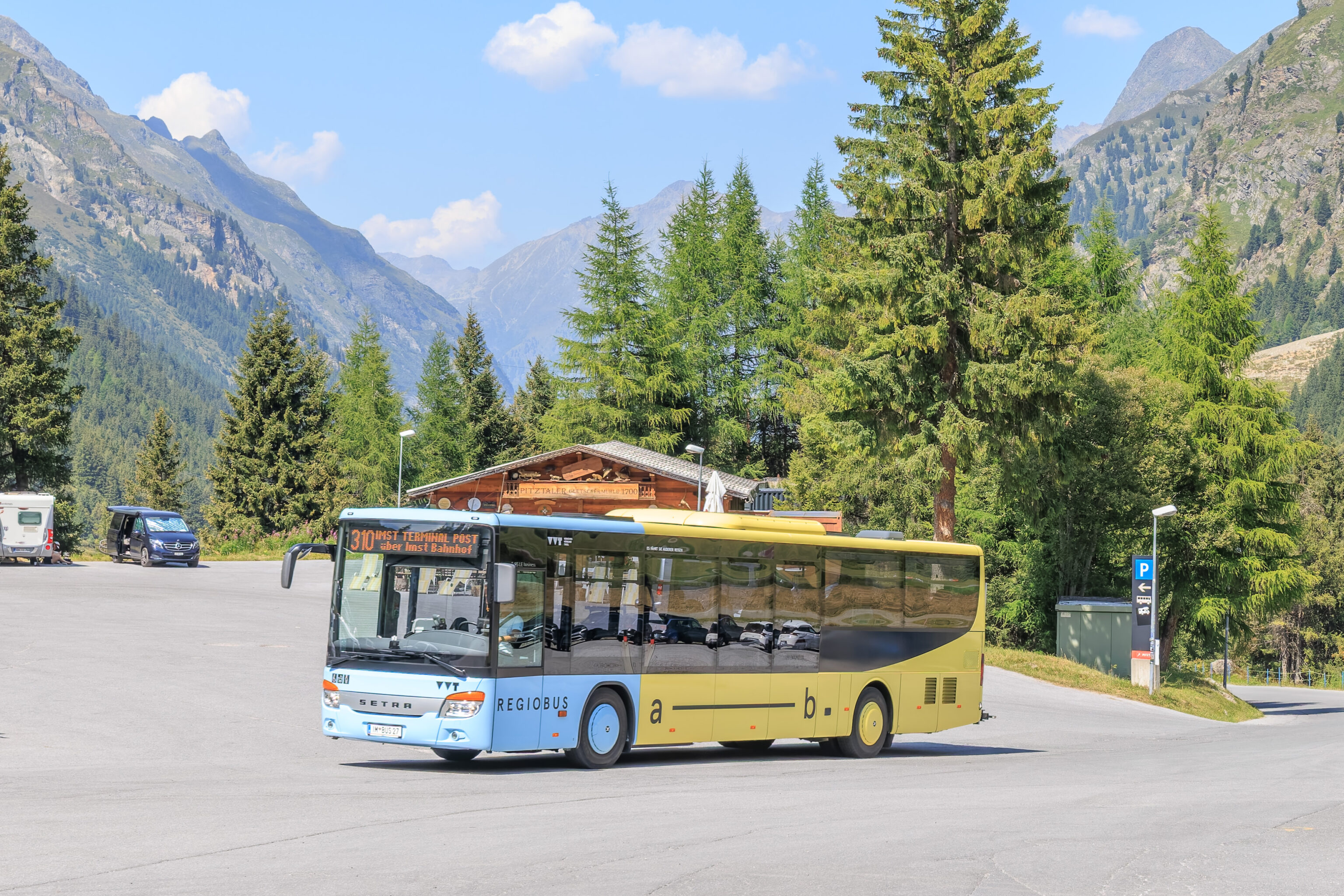
We arrived at the station at around 8:40am. It is quite small and located in a somewhat remote area as the railway here does not go through any towns. Our destination, the Mittelberg Gletscherbahn bus stop, is served by the #310 bus. It runs about every 30 minutes to an hour, depending on the time of day. We had quite a bit of time before the next bus so decided to take a look around.
The bus should arrive around here.
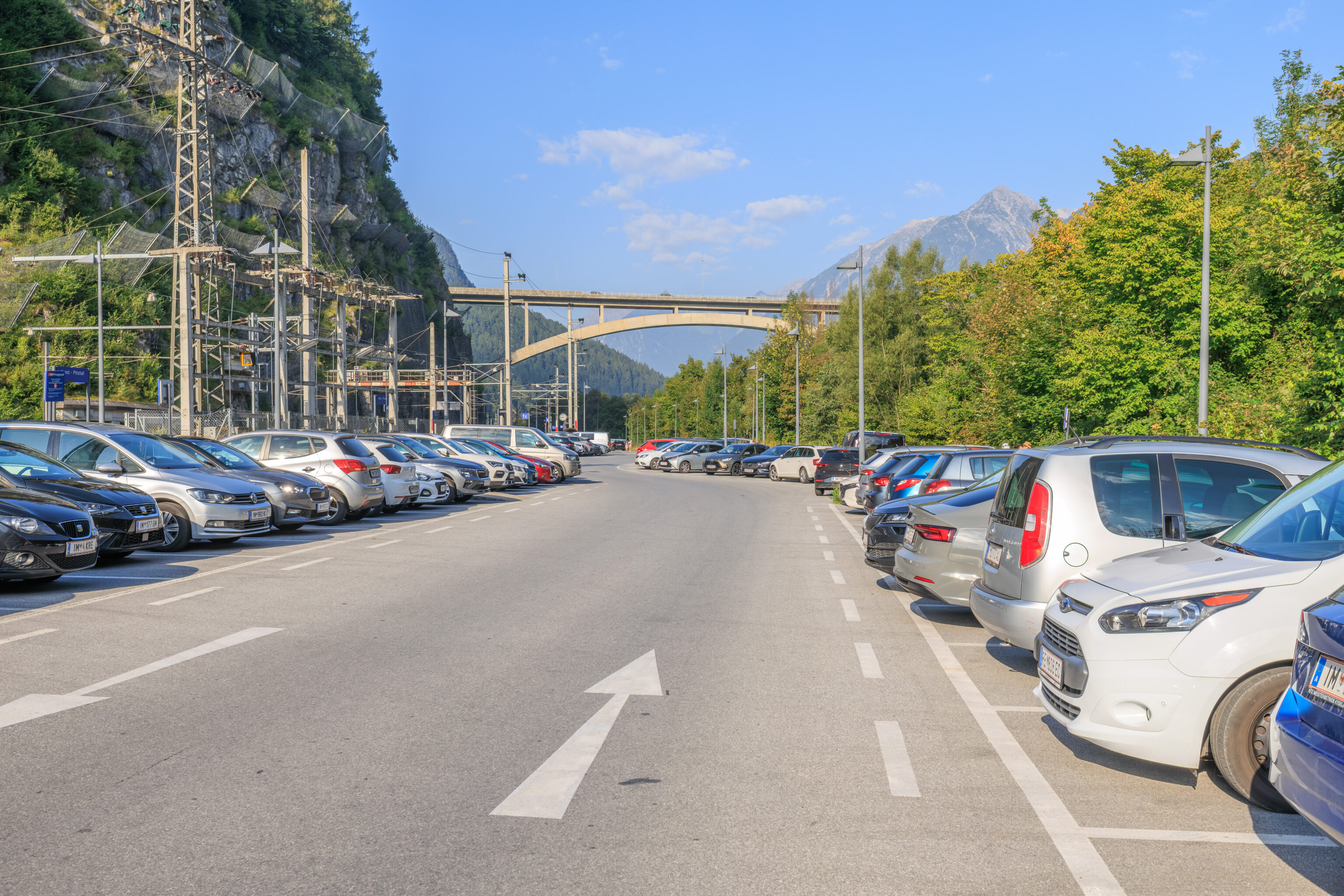
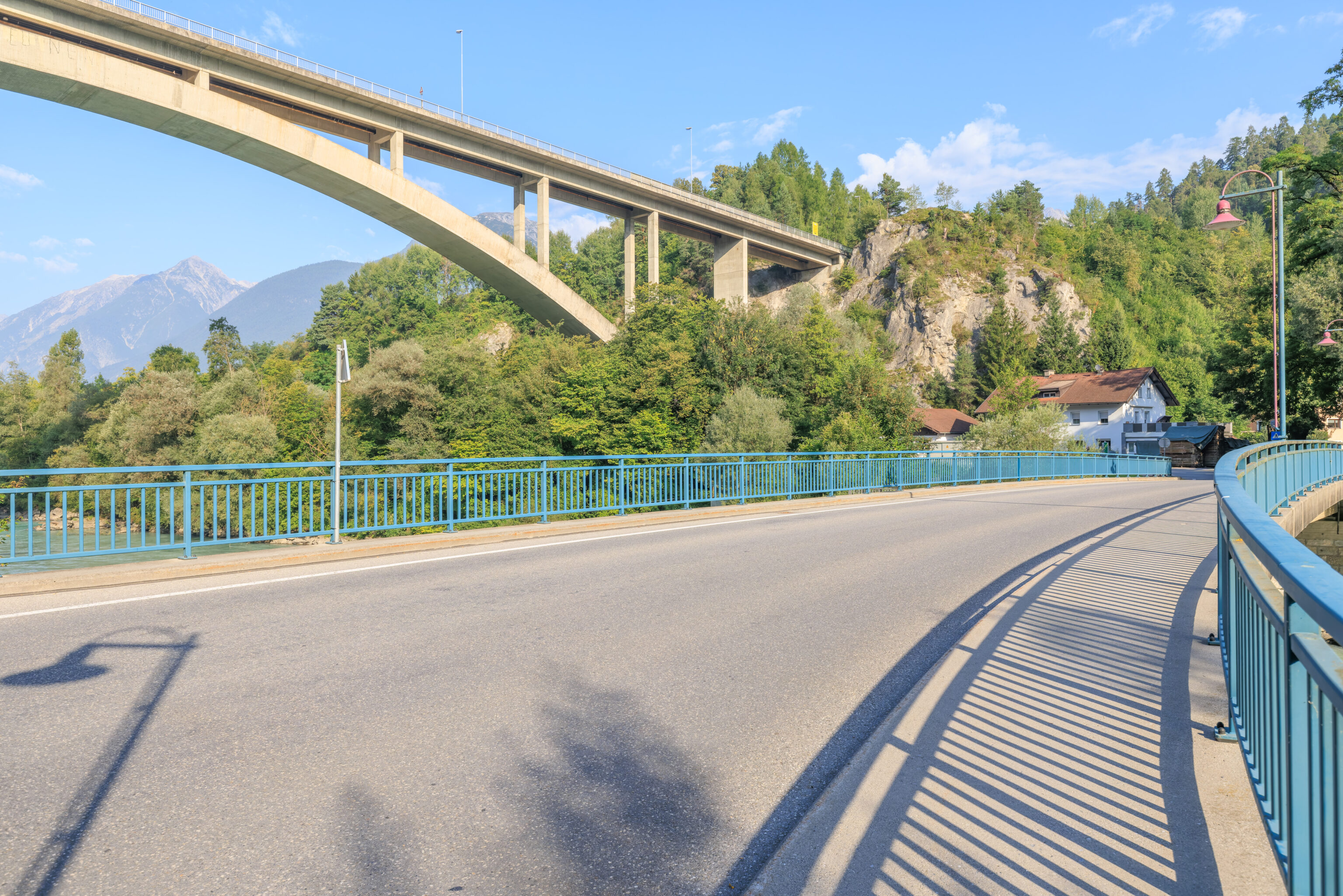
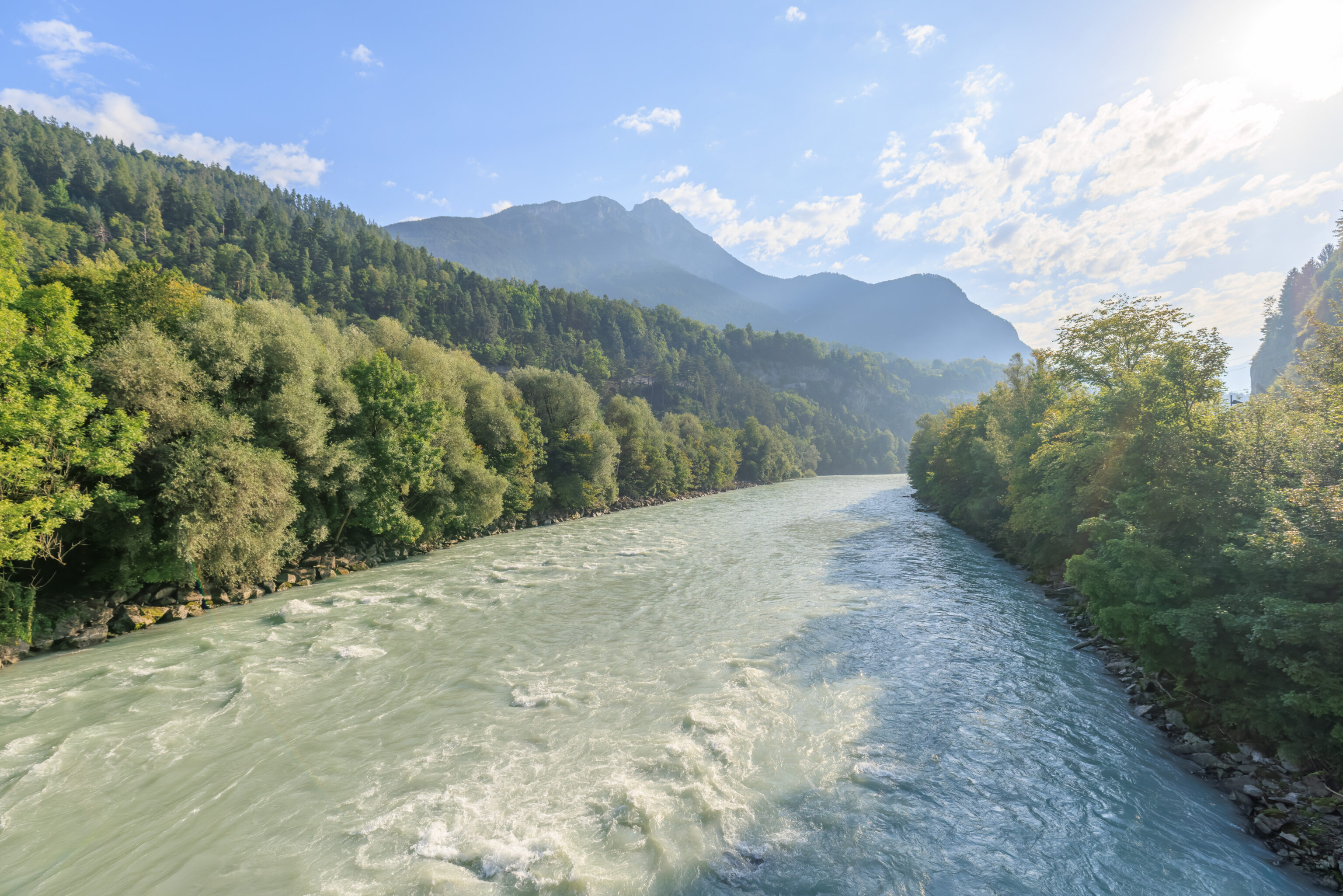
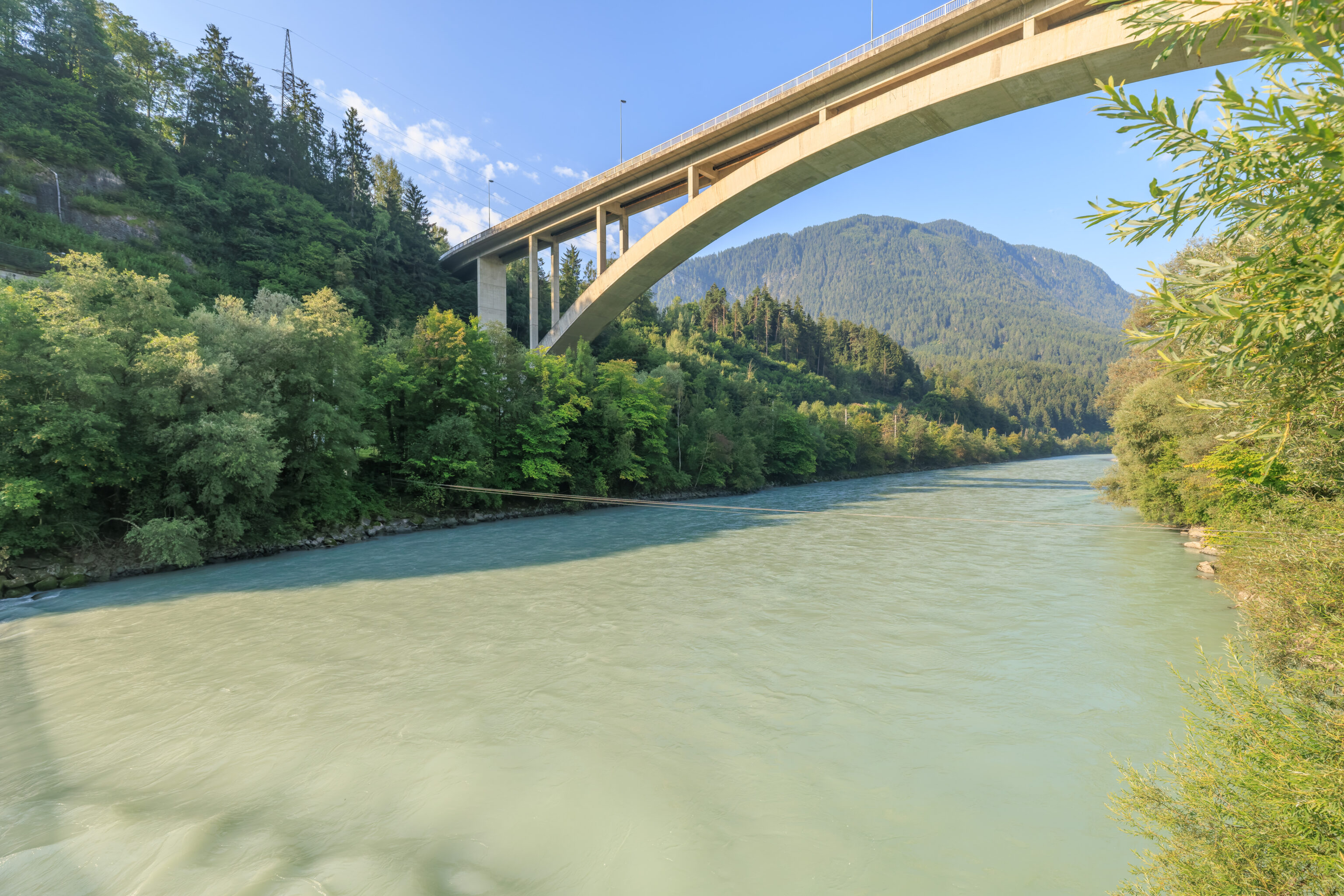
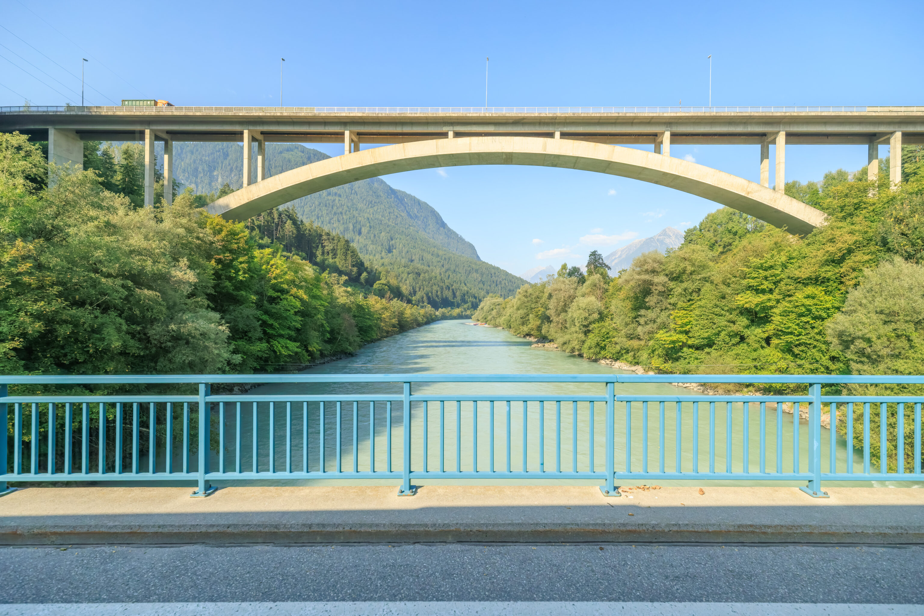
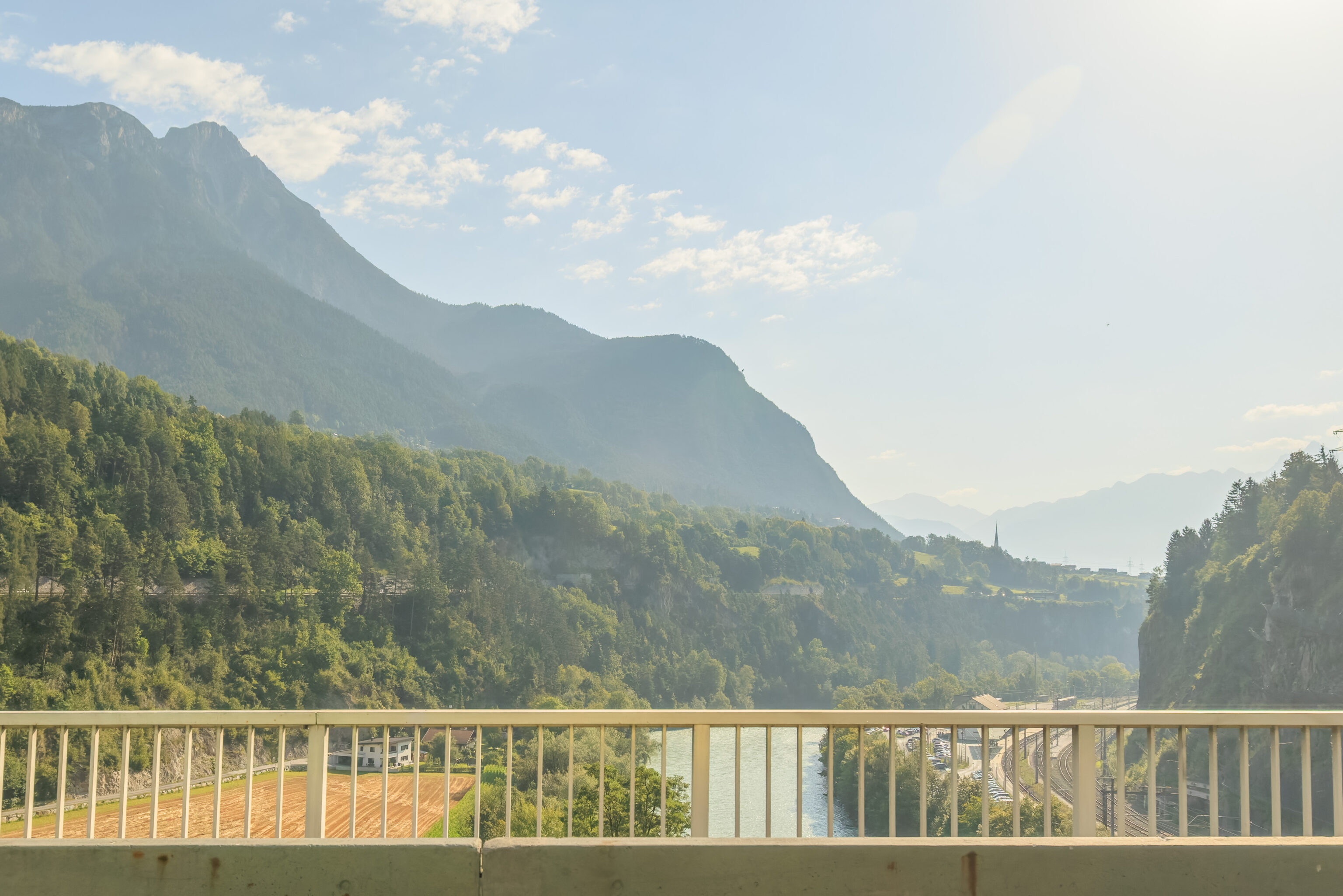
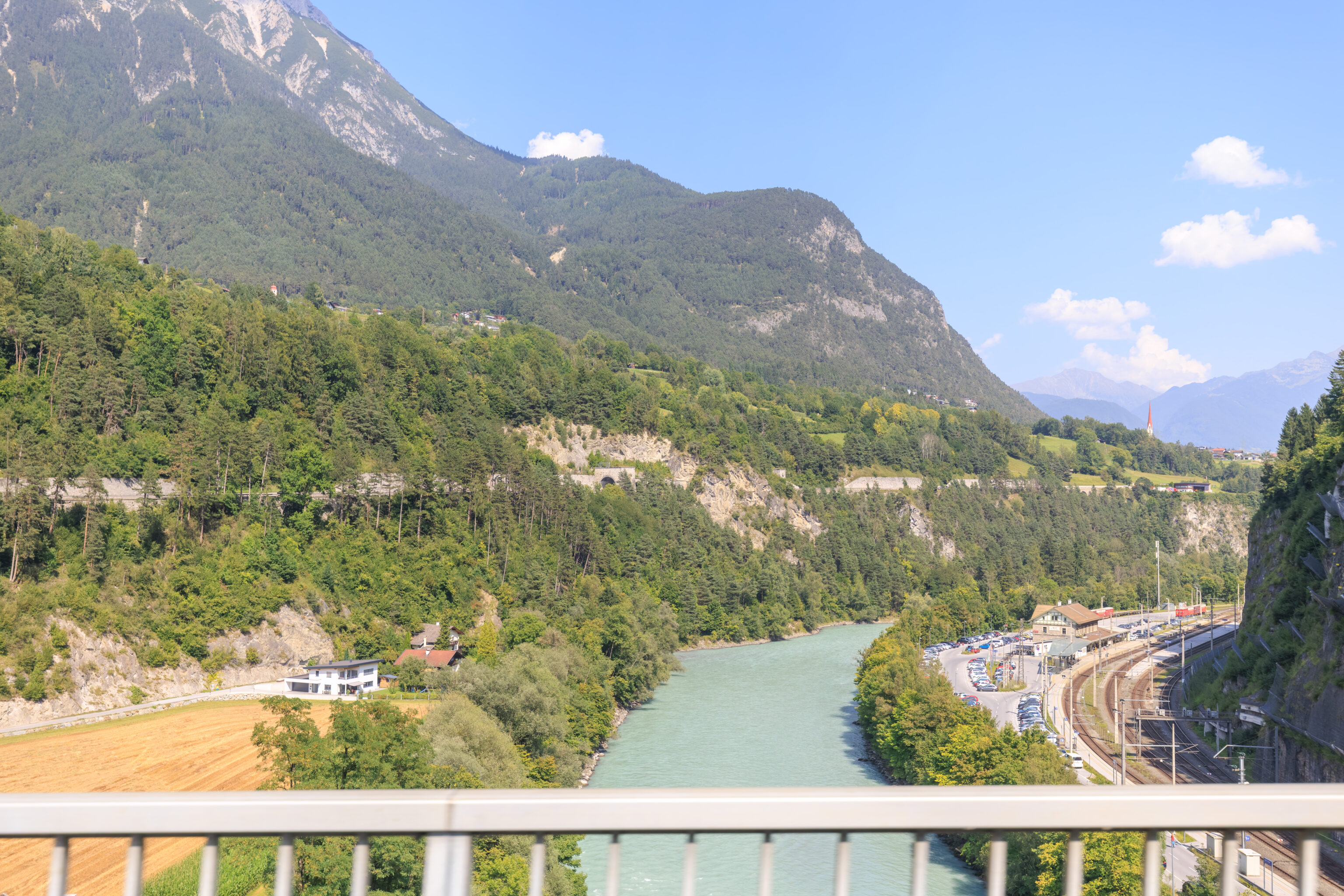
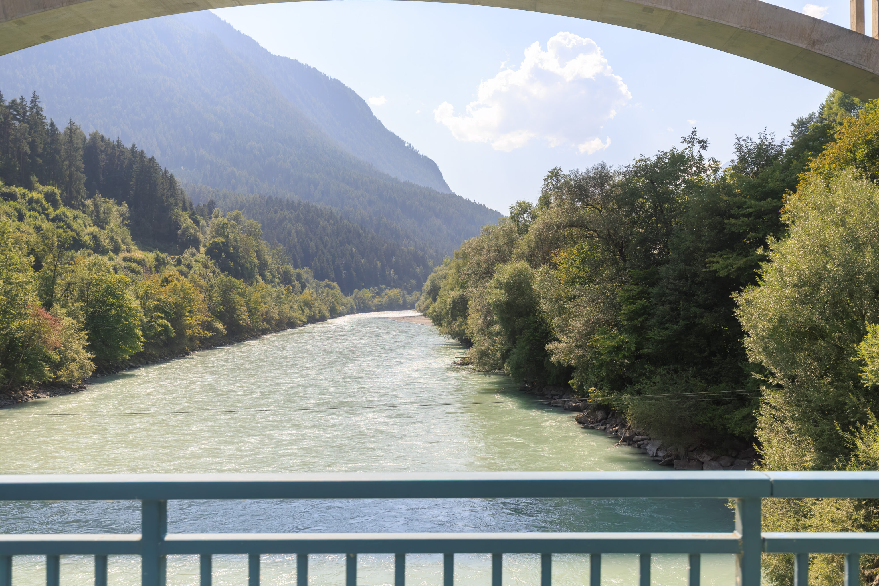
The train station sits between the southern side of the river Inn and a cliff just on the other side of the tracks. The only way out of the station by road is in this direction, to the west. Looking on Google Maps, there are two bridges to the west. One appears to be very high up. Hopefully the other is at ground level!
And indeed, it was! We walked onto the bridge to walk over the Inn.
The view into the sun to the east.
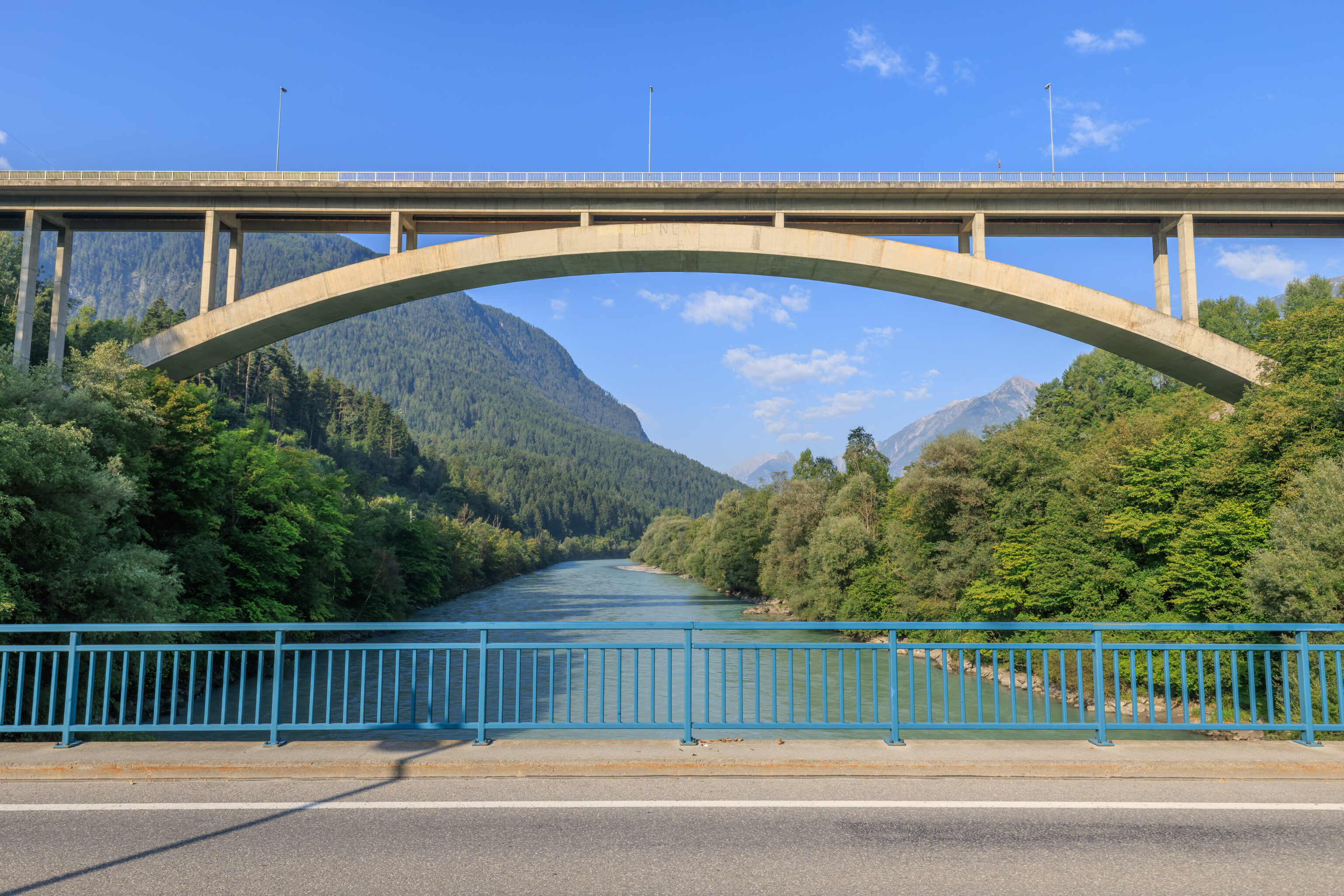
The view to the west was dominated by the much larger bridge that we saw from the station.
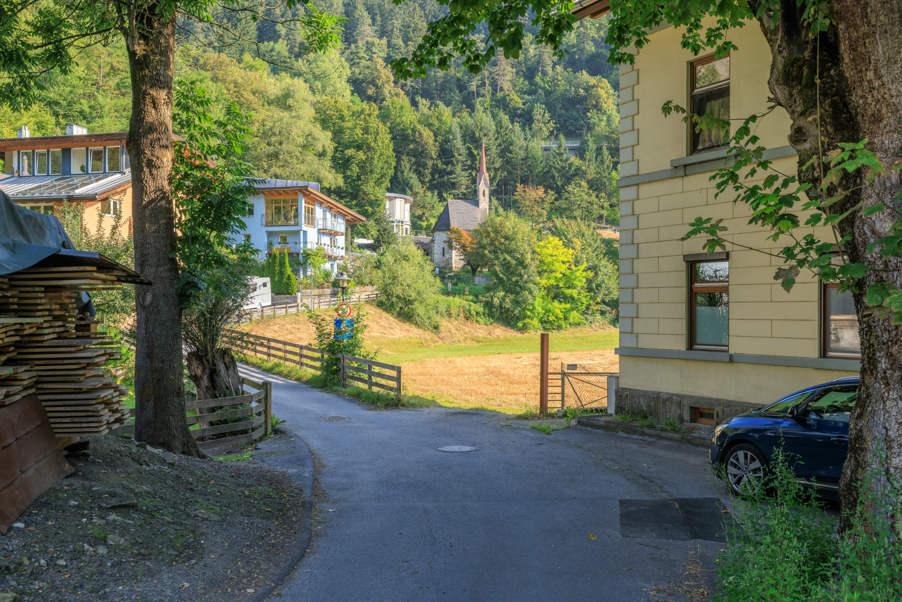
After reaching the north side of the Inn, we noticed a small church in a village area. We didn’t go take a look due to our limited time. That was probably a good thing as comments on Google Maps indicate that it was likely locked up.
The small church is actually a royal chapel. It was built for the death of King Friedrich August II. He died nearby in an accident involving the horse and carriage that he was riding in. This chapel also became the burial place for the House of Wettin, which dates back to the 10th century. The most recent burial appears to be in 2012.
There was a small little observation platform on the north side of the river near the bridge that we had just crossed. We walked over to take a look.
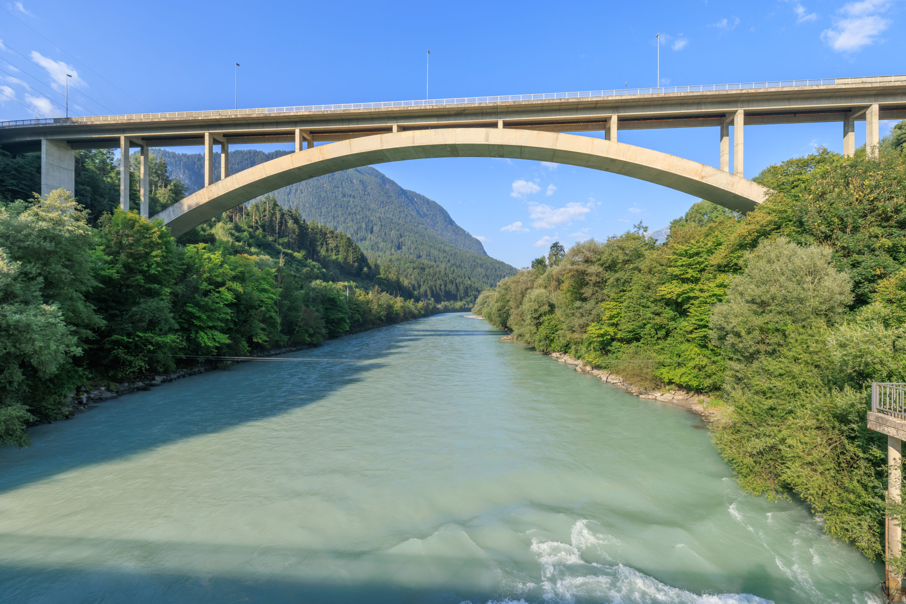
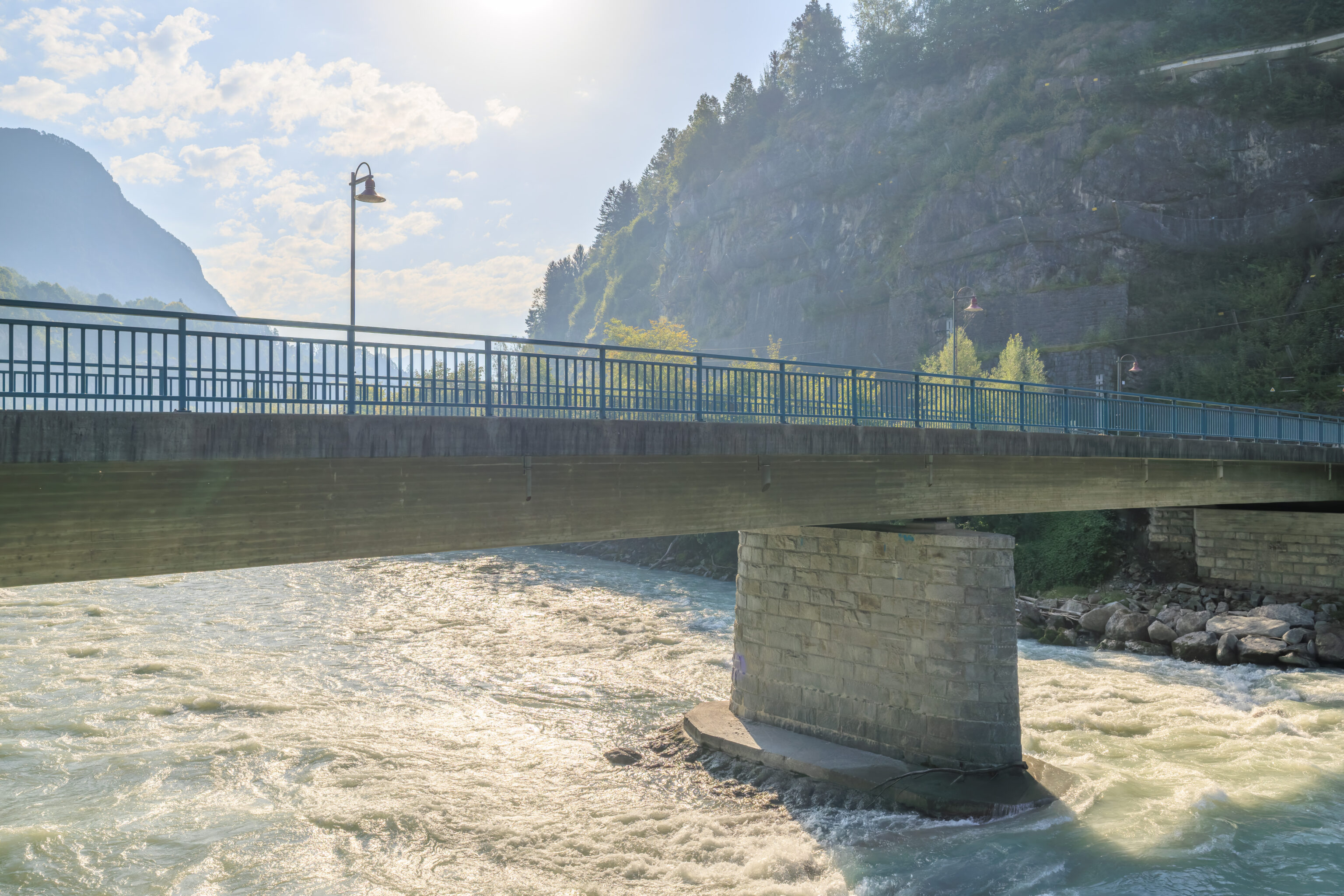
We then returned to the south side of the Inn, taking a looking at the river from the west side of the bridge.
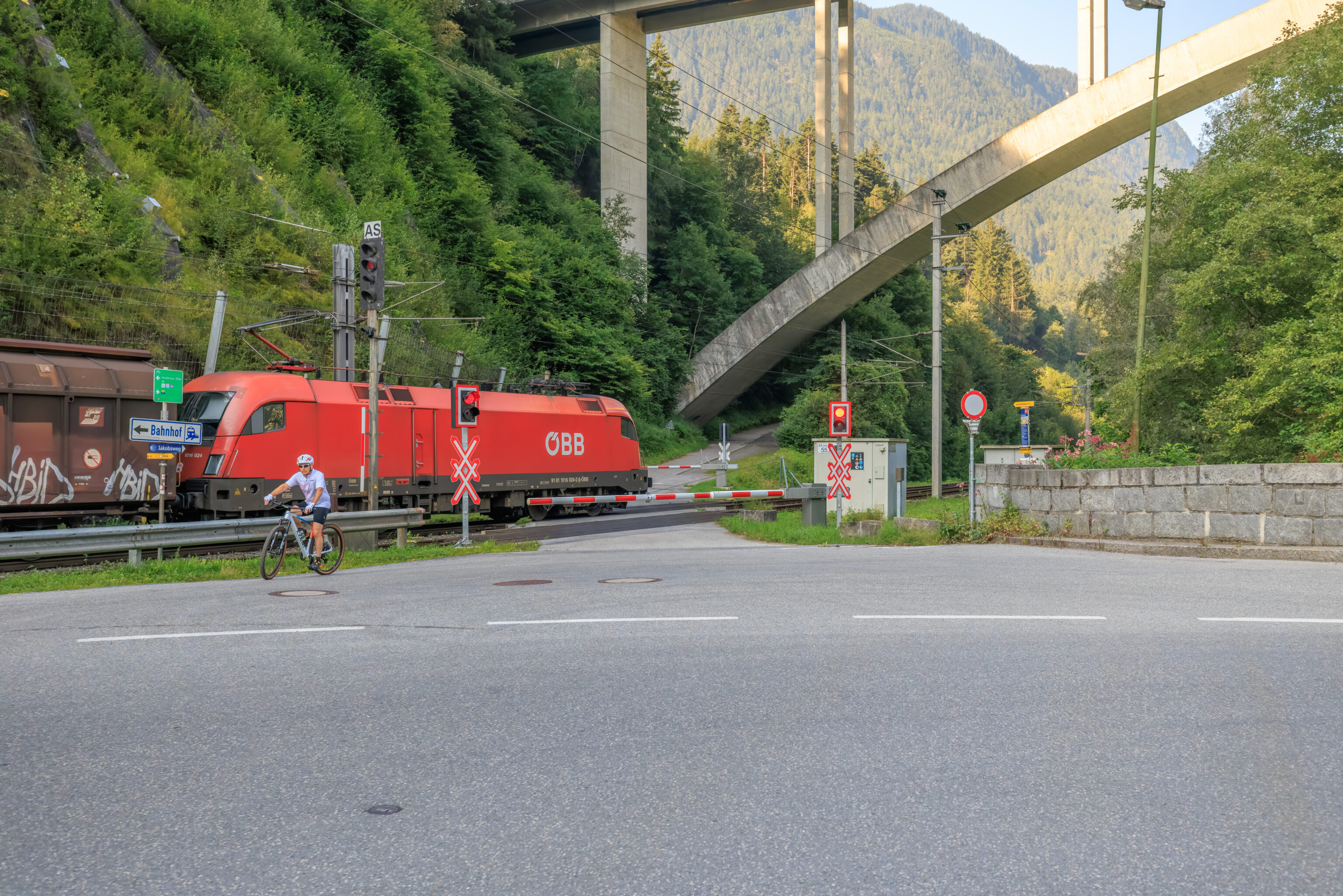
A train passed by a small grade crossing as we were headed back to the station. It turned out to be a cargo train.
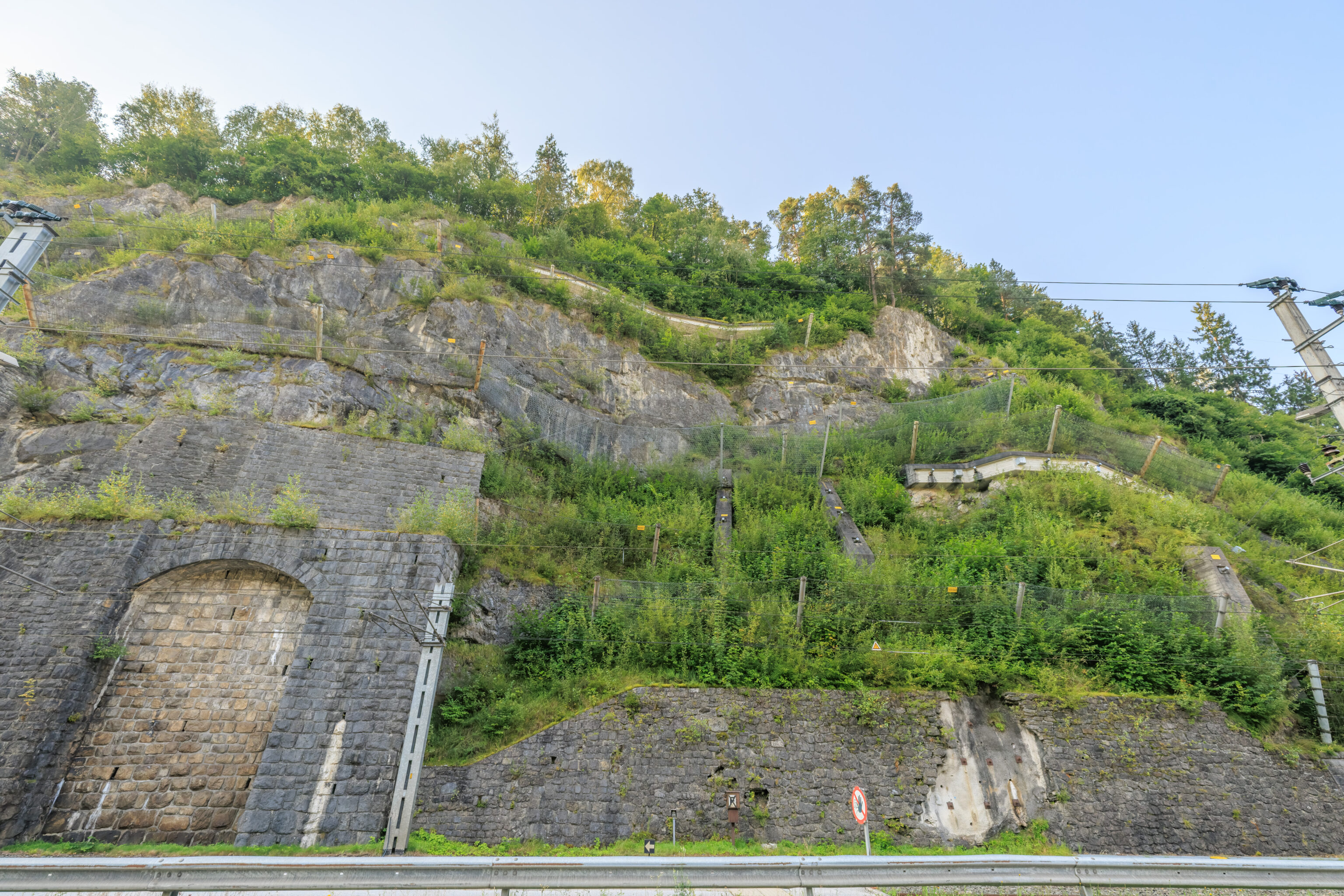
There seemed to be quite a bit of engineering done in this area to keep the cliff from falling down upon the tracks below.
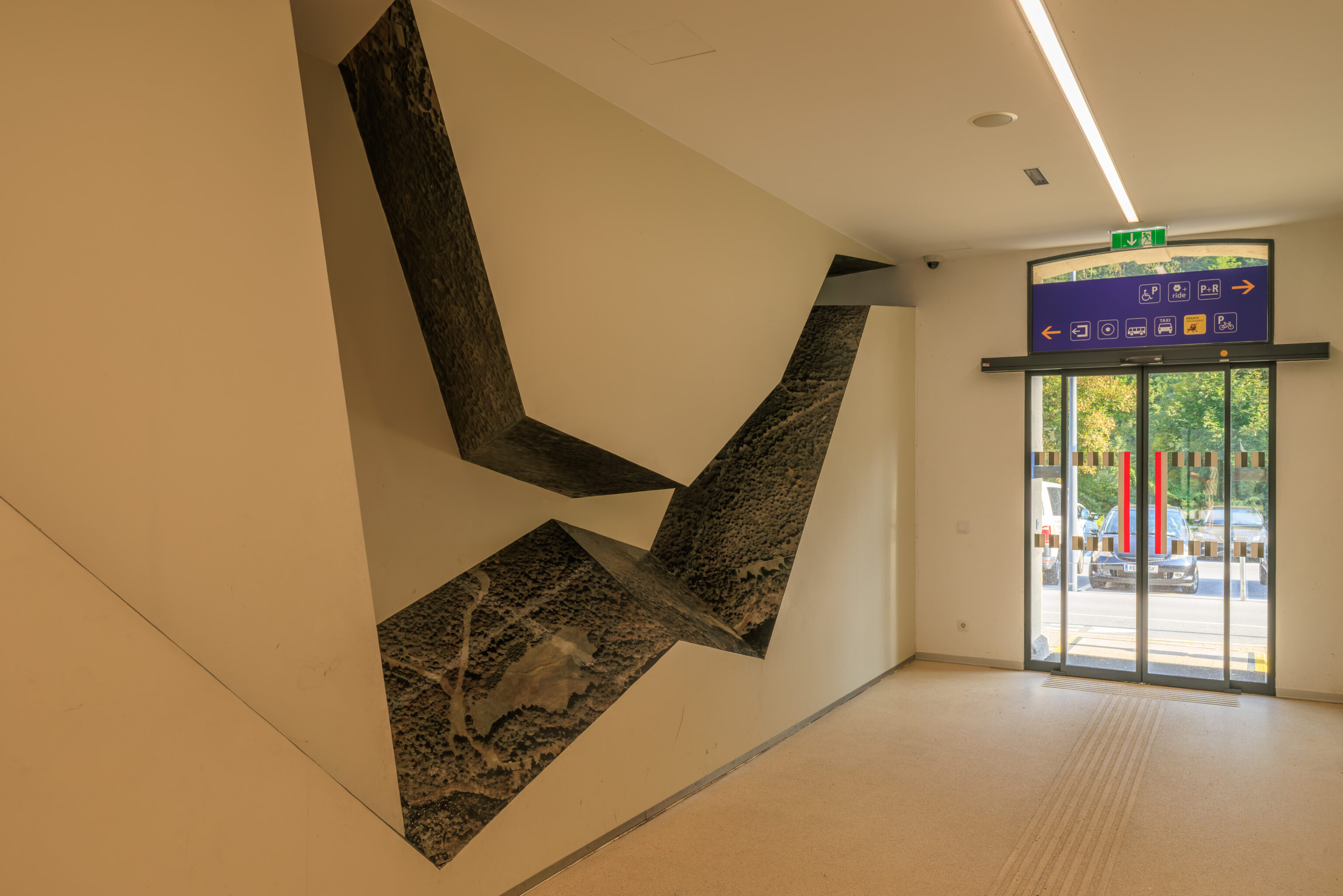
After returning to the station, we went to find the bathrooms. We found a small indoor waiting area with this interesting section of wall. The bathrooms turned out to be outside on the eastern end of the station building.
The 310 bus started off by crossing the bridge that we just walked across.
It then drove up the hill on the north side of the Inn.
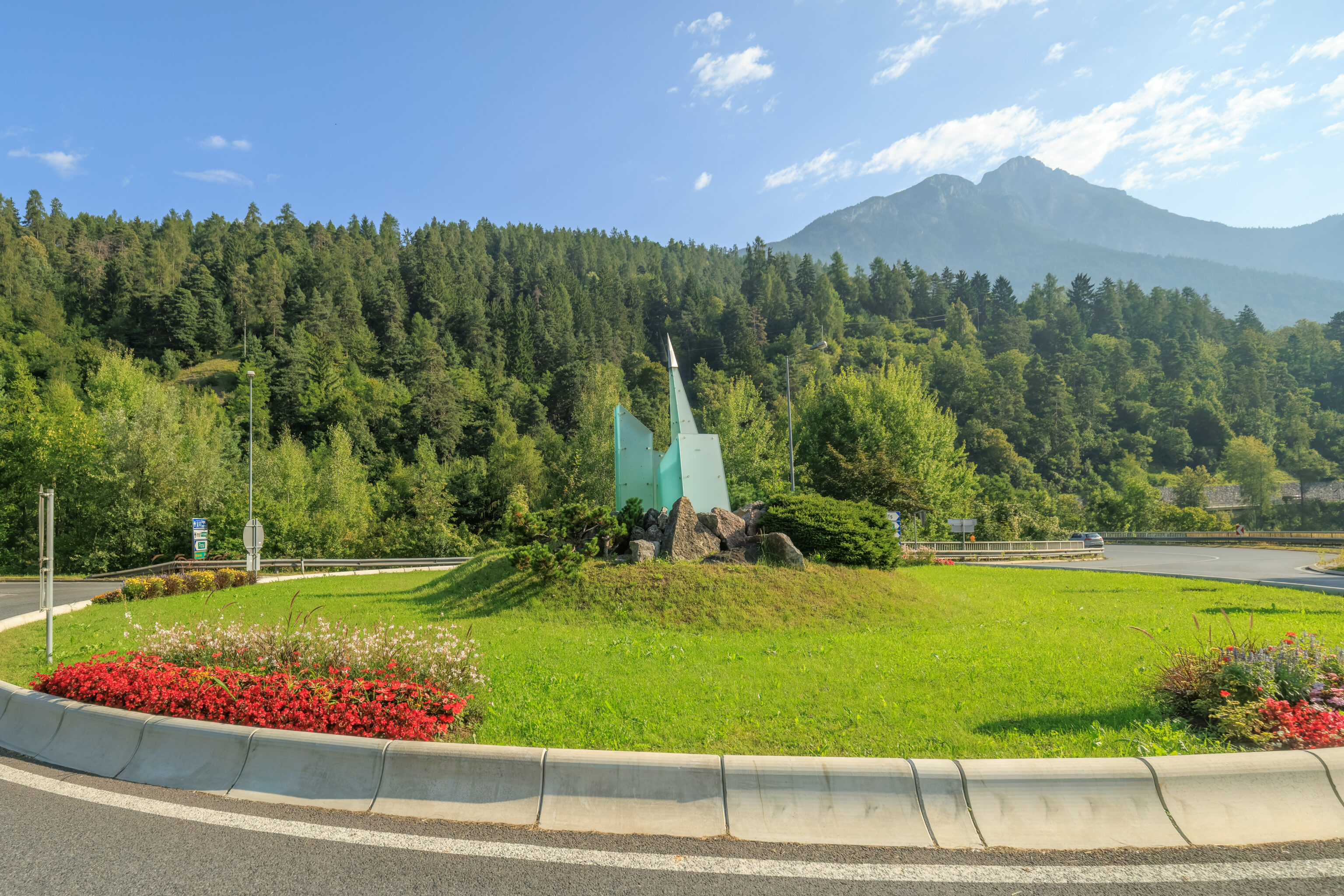
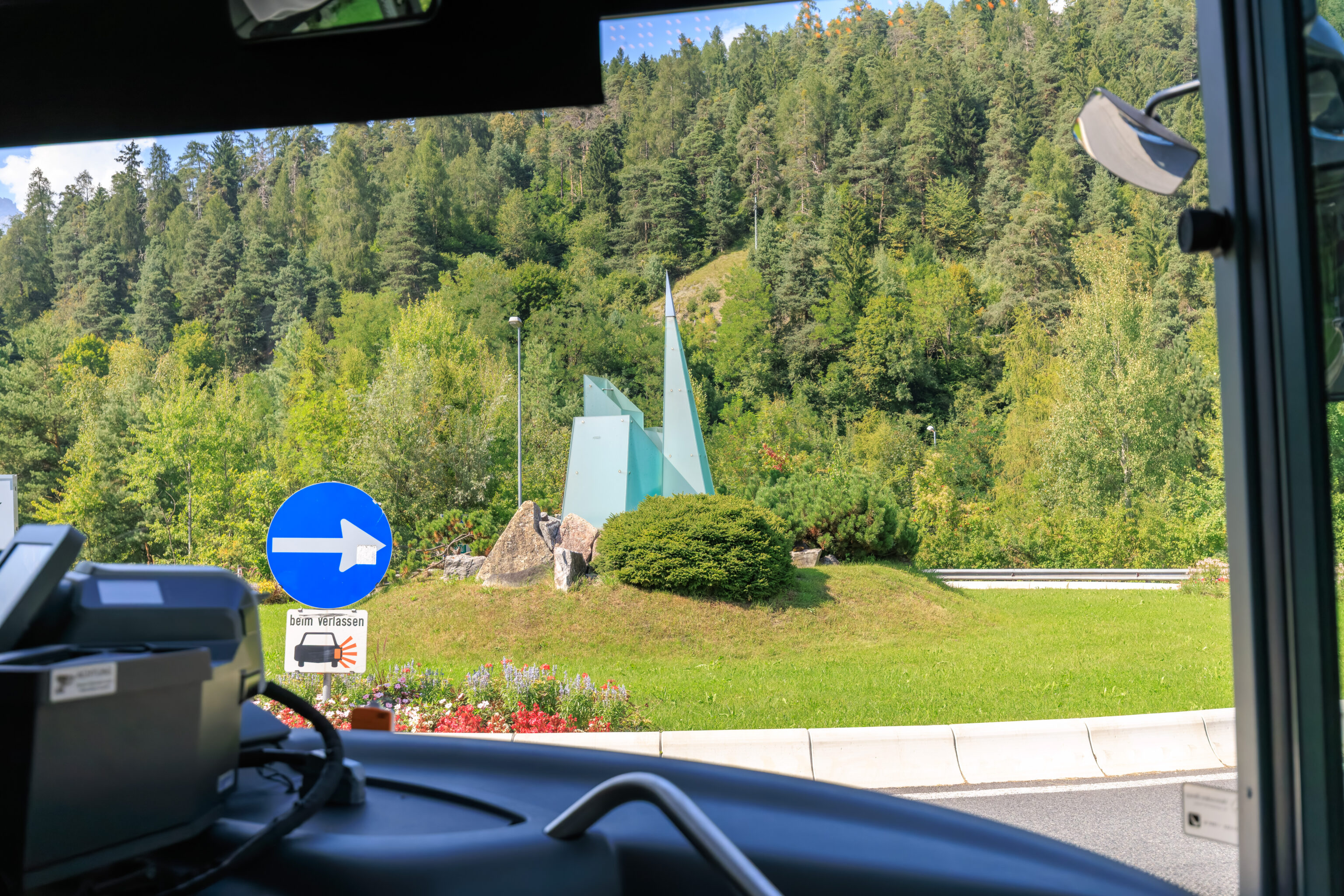
And passed through a roundabout with some sort of glass and metal sculpture in the middle.
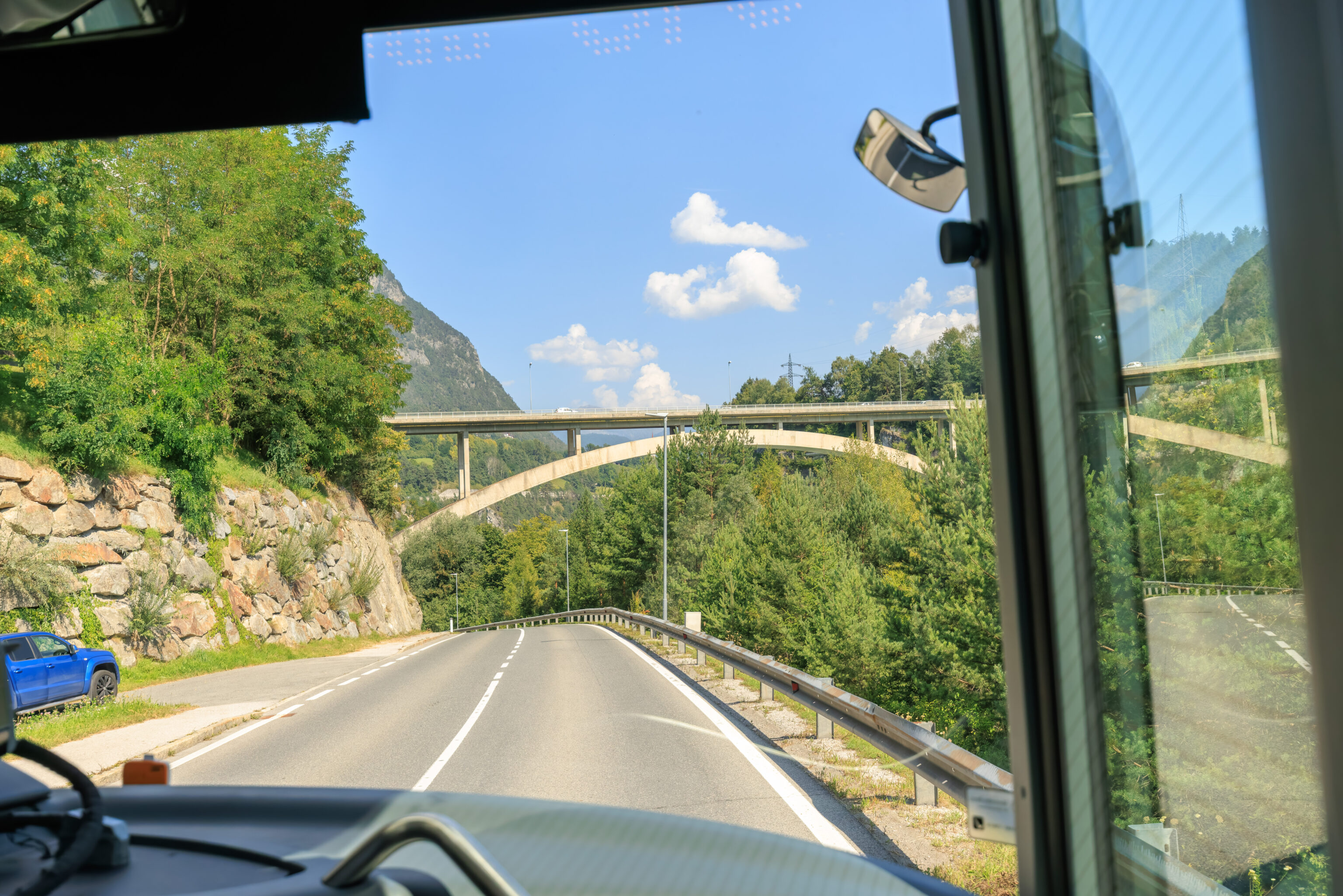
We then crossed the Inn again on the larger bridge.
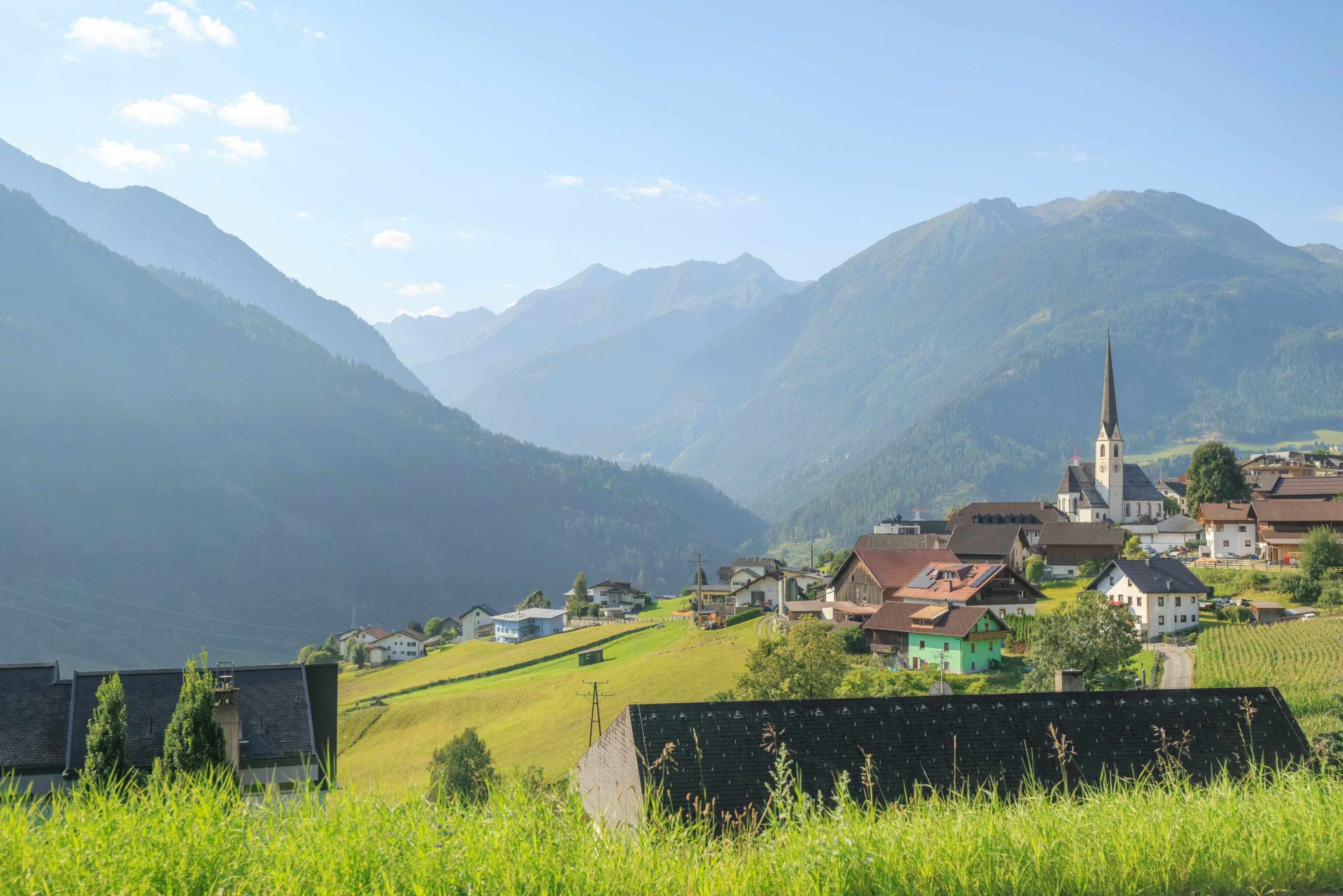
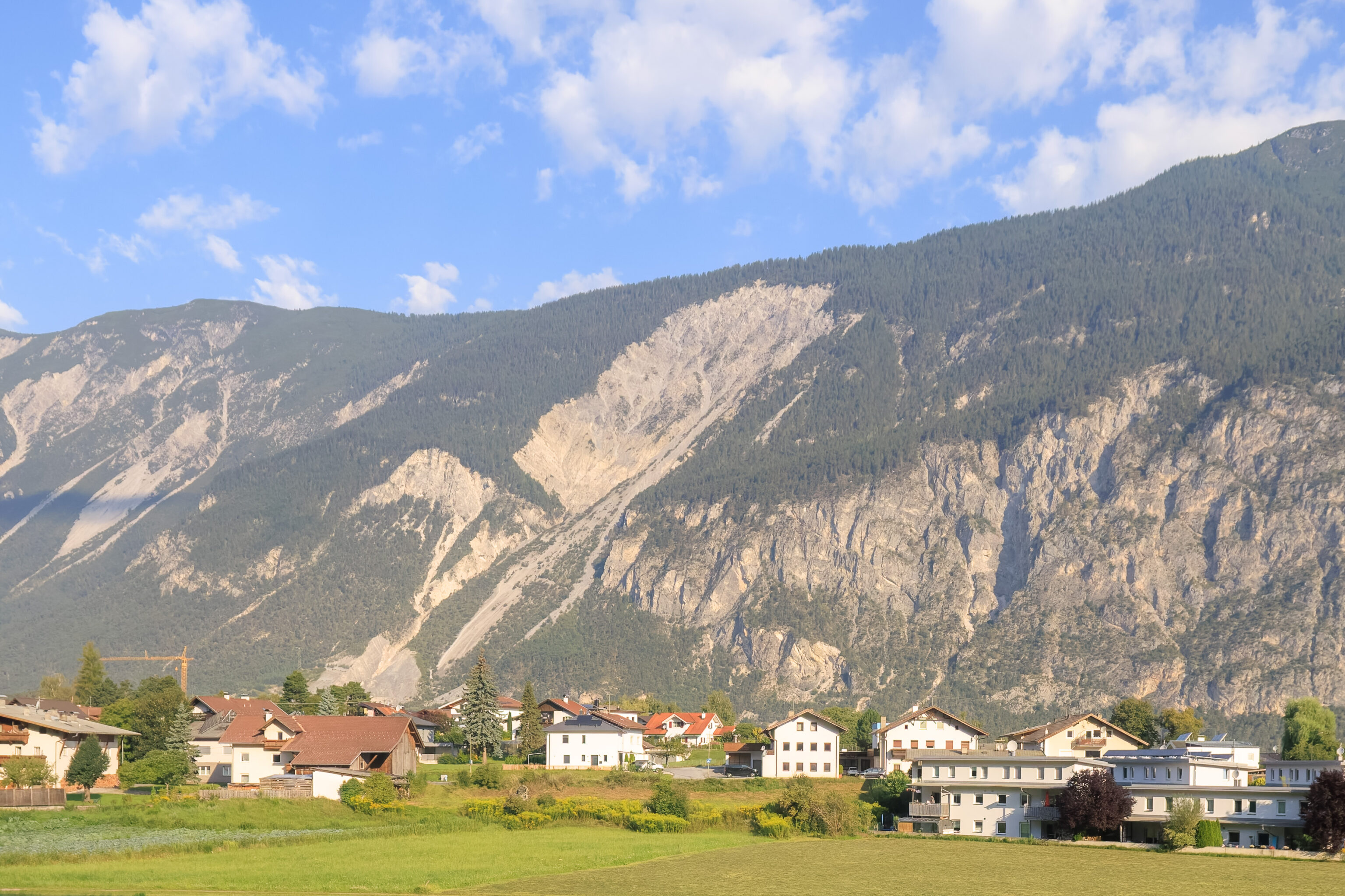
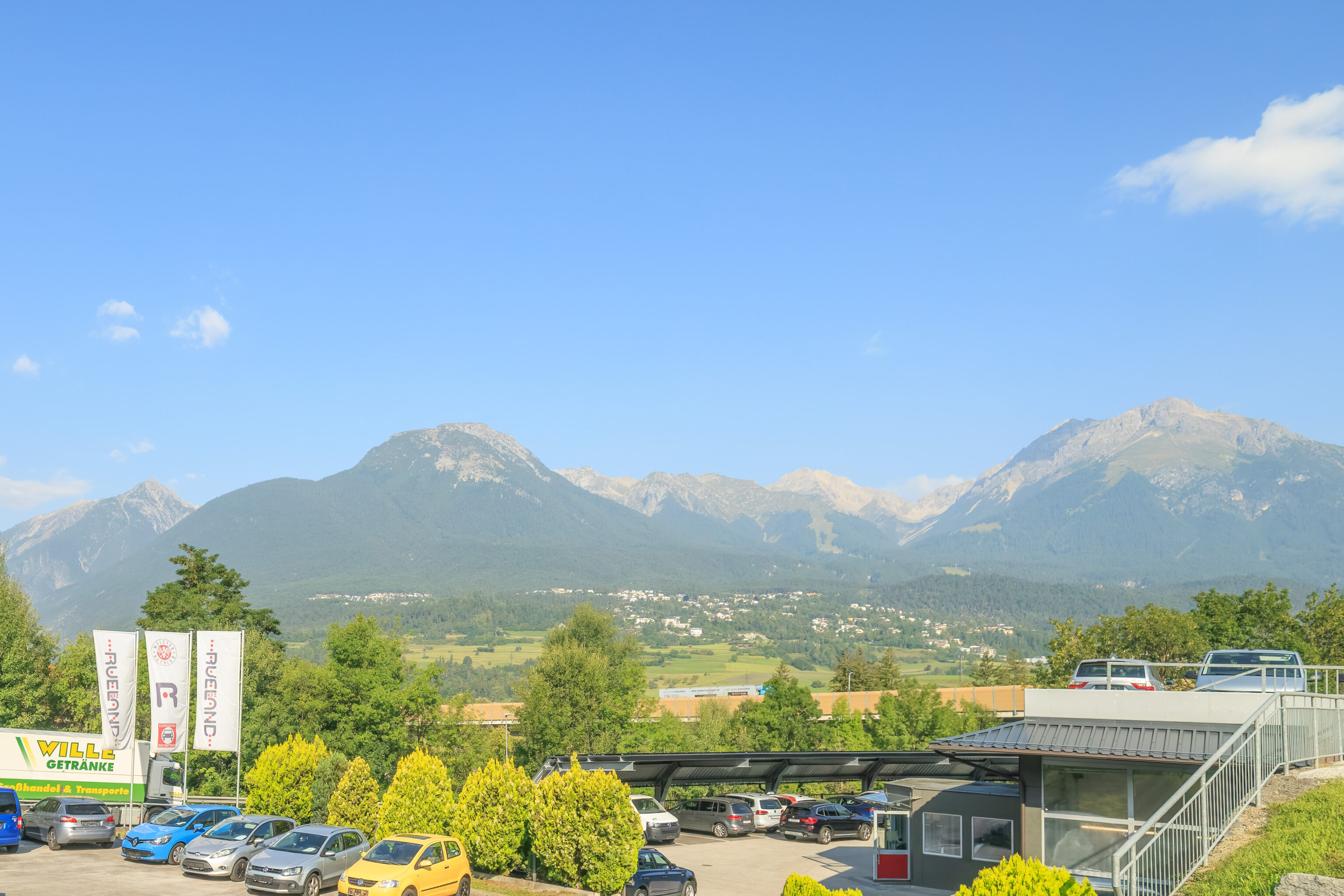
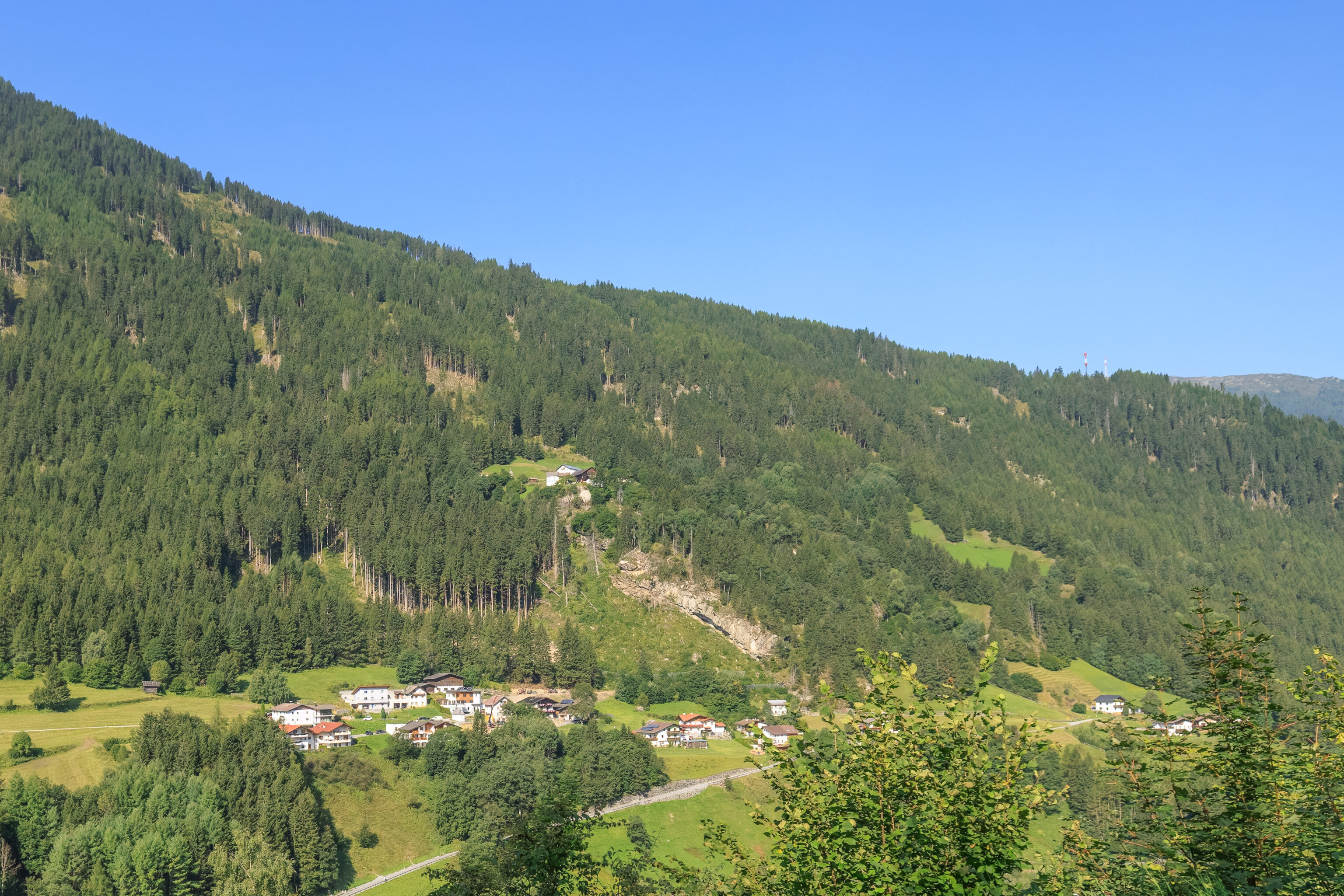
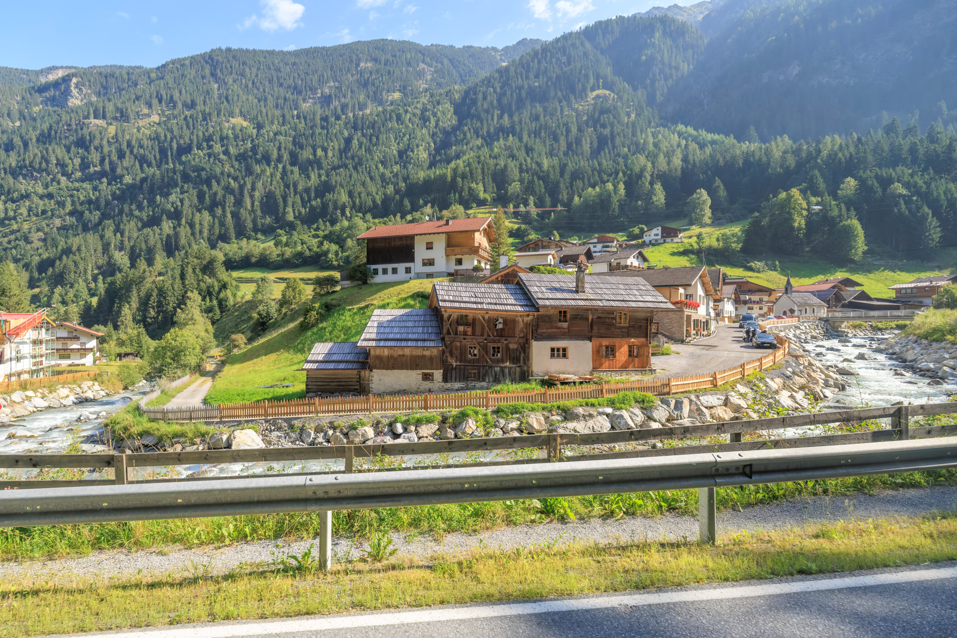
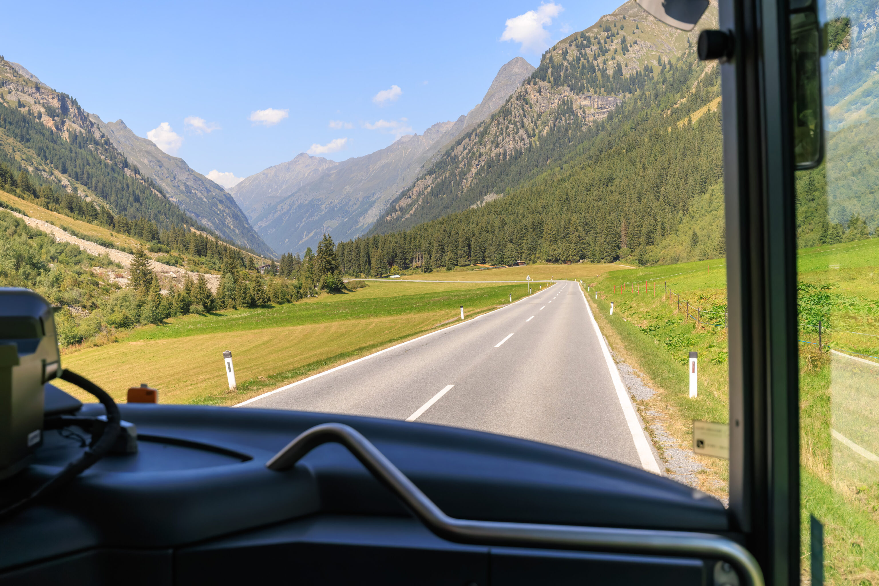
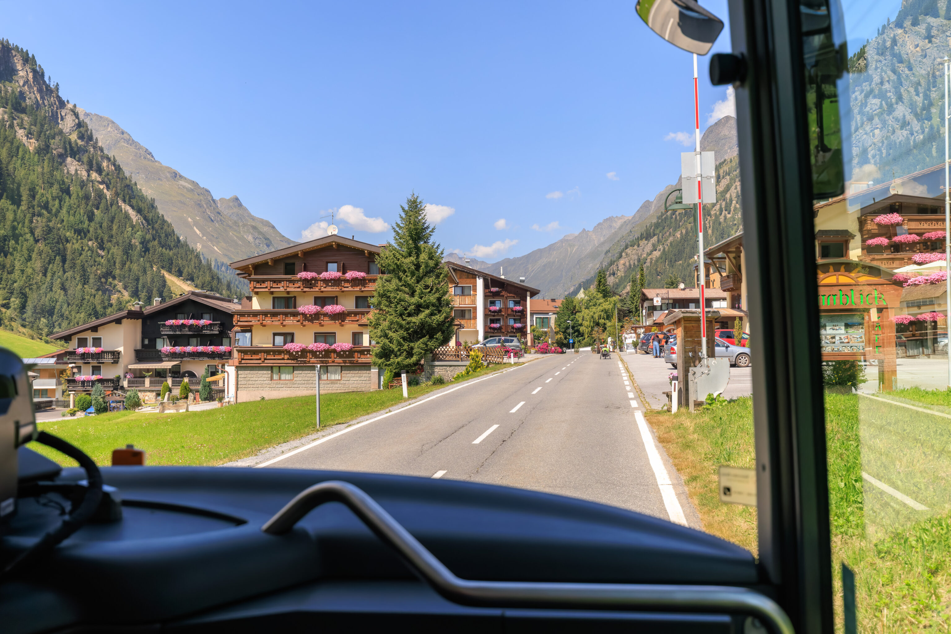
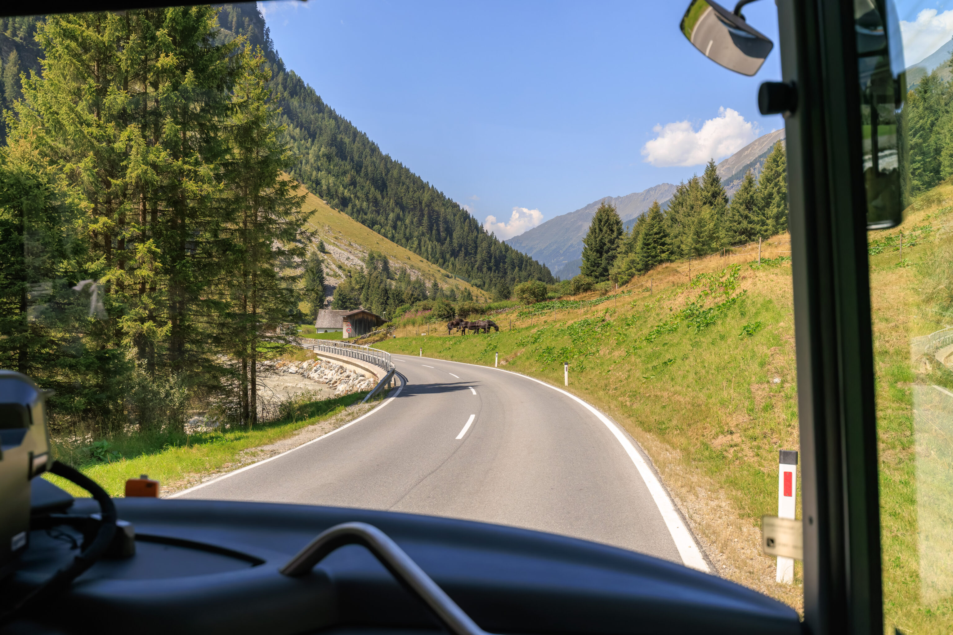
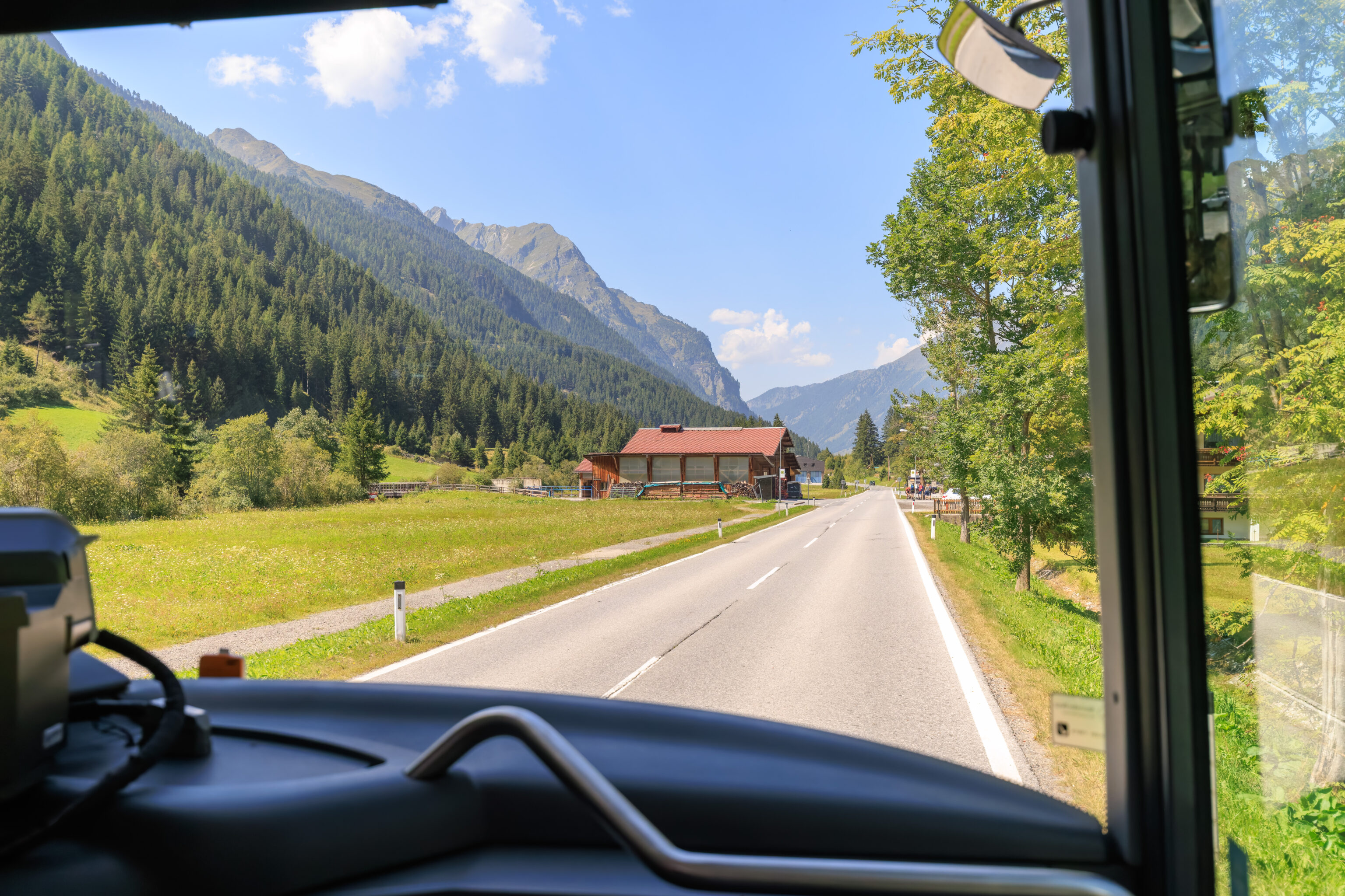
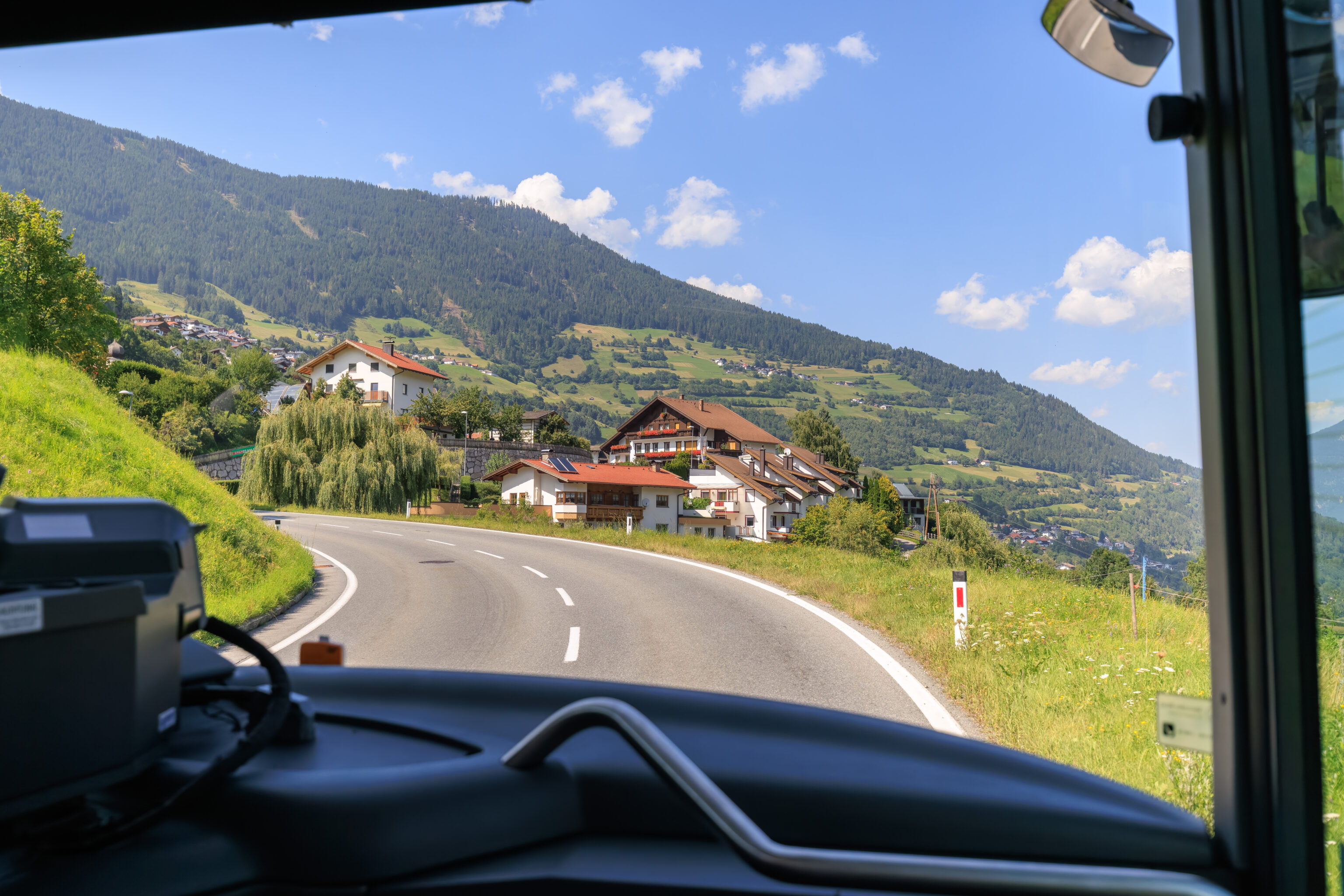
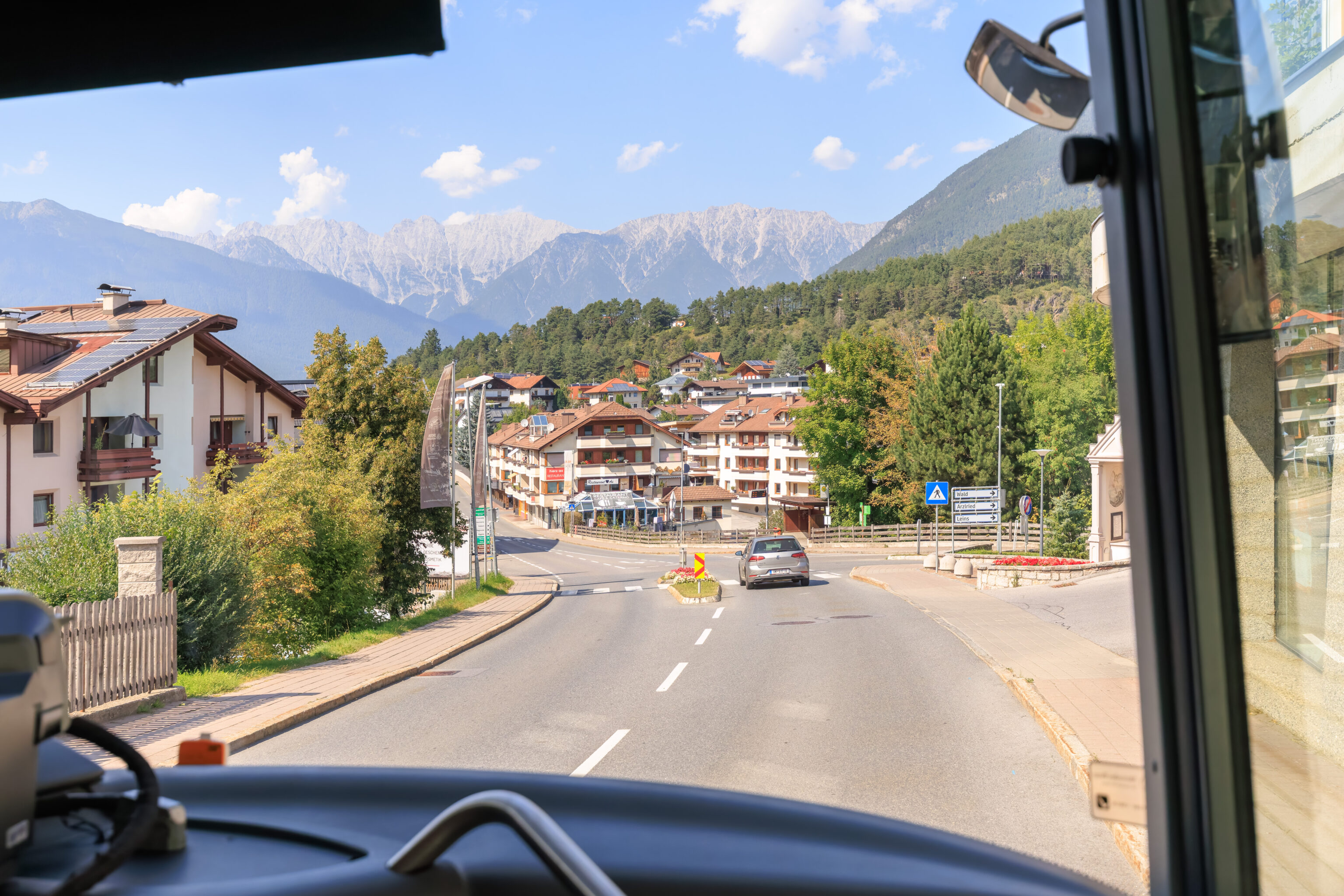
The road to the south leads to a number of valleys, though our route would take us into the very first one that we would encounter. On the way there, we passed through a picturesque village, Wenns.
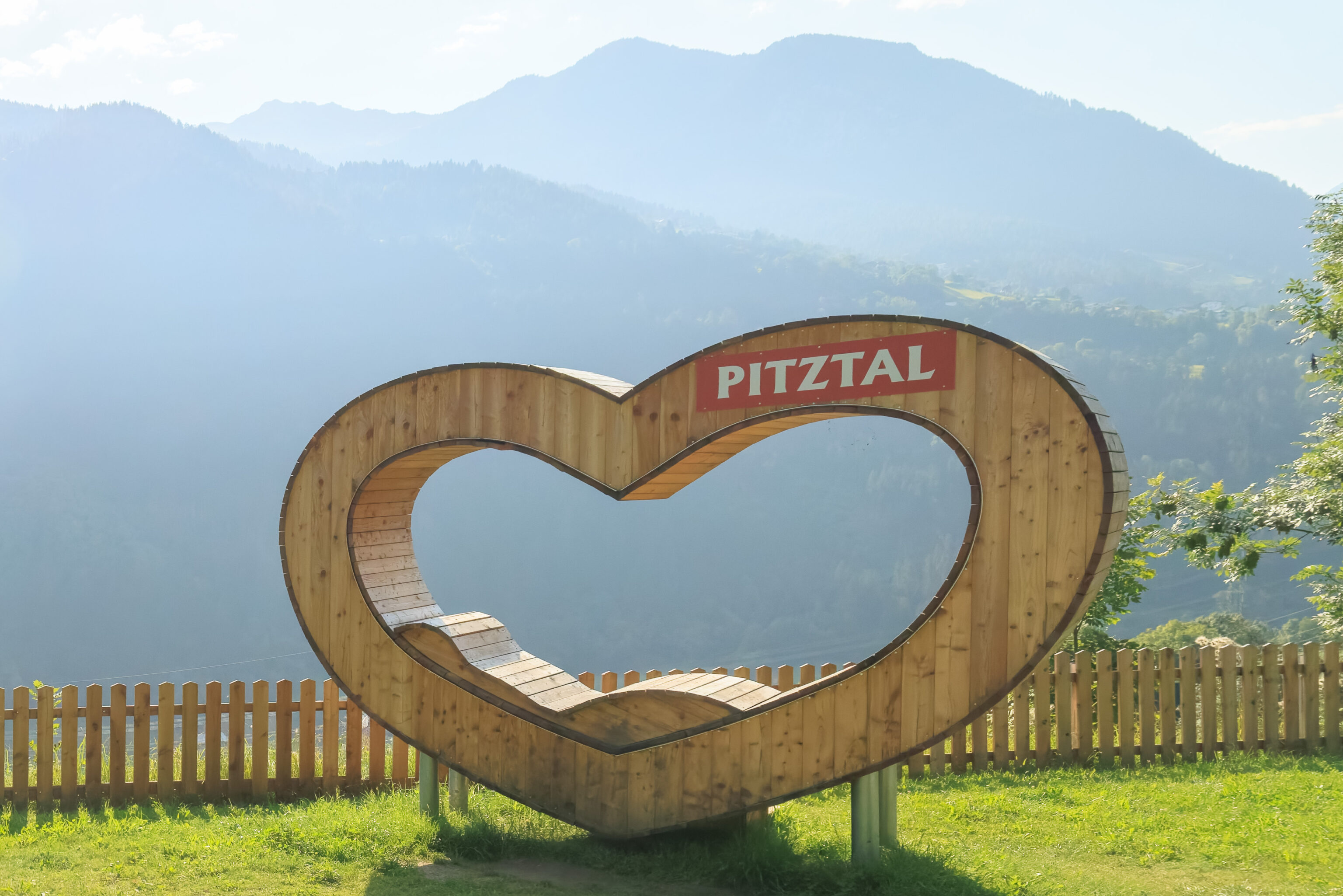
The village even had this wooden heart shaped lounge chair.
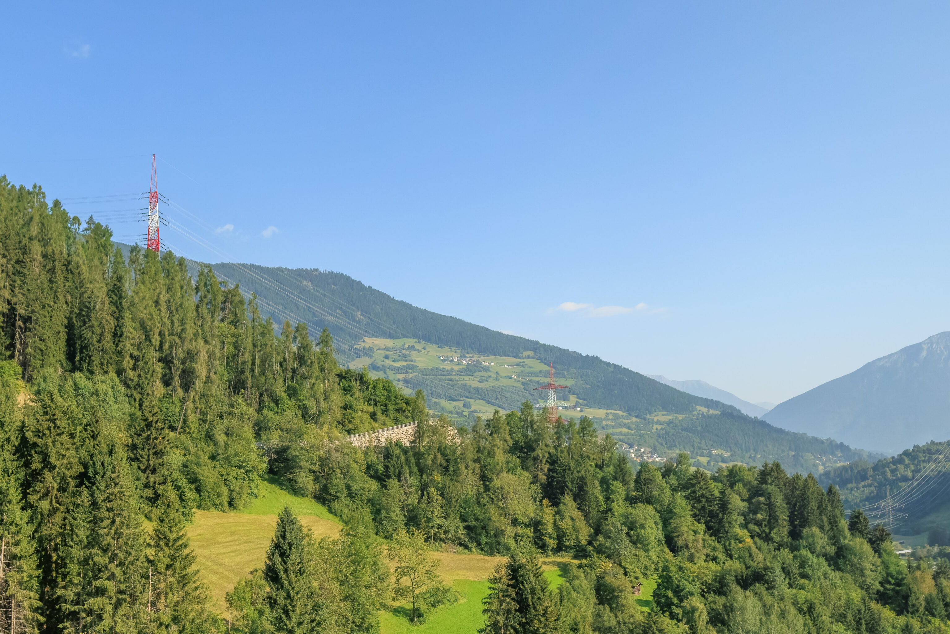
Is it just a lucky coincidence that the transmission towers are painted like the Austrian flag? Red and white colors are used in many places around the world for this sort of thing but it does seem here it is just red-white-red, like the flag.
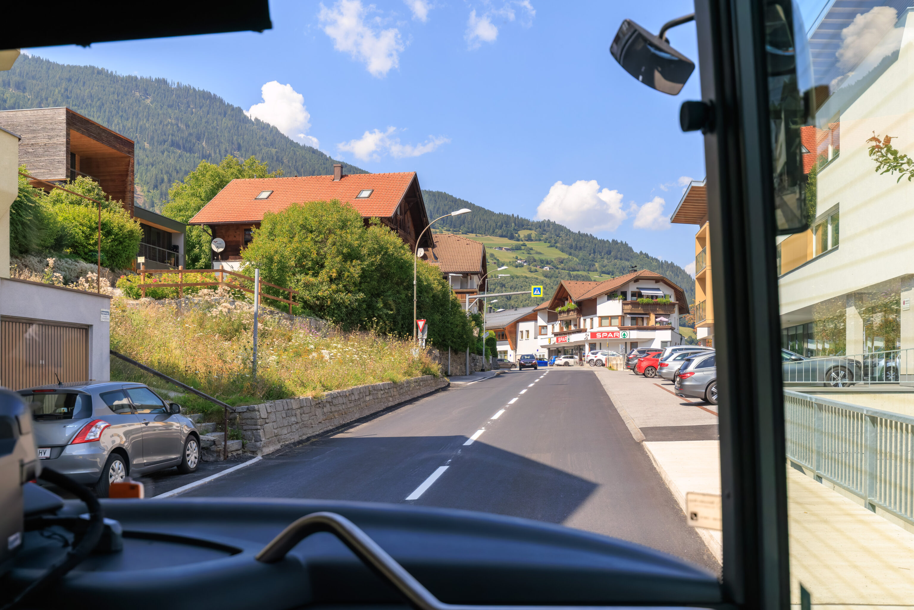
We turned onto a road that lead uphill to the north.
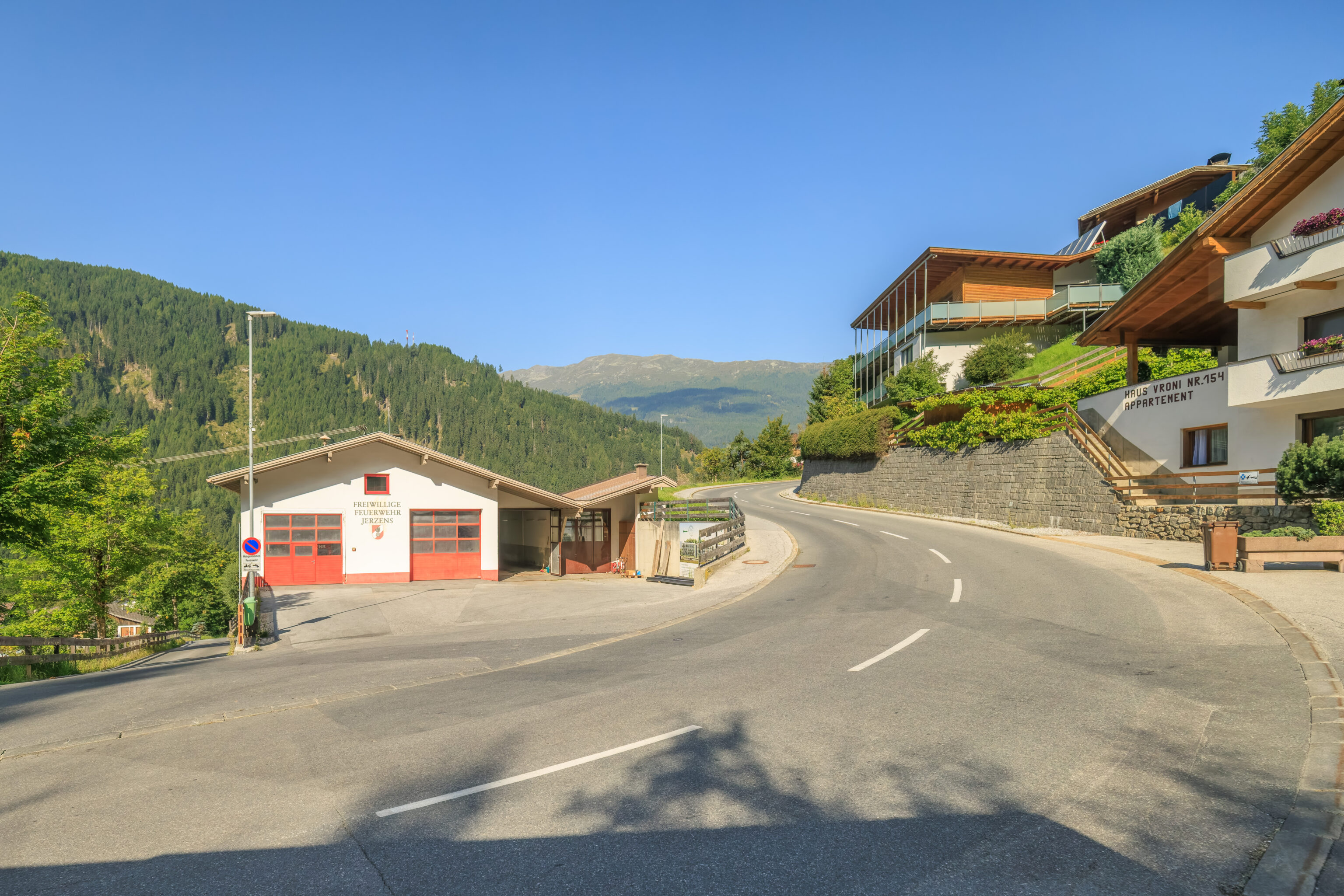
The bus route has a short spur that leads to a bus stop in a village, Jerzens, directly across from the fire station.
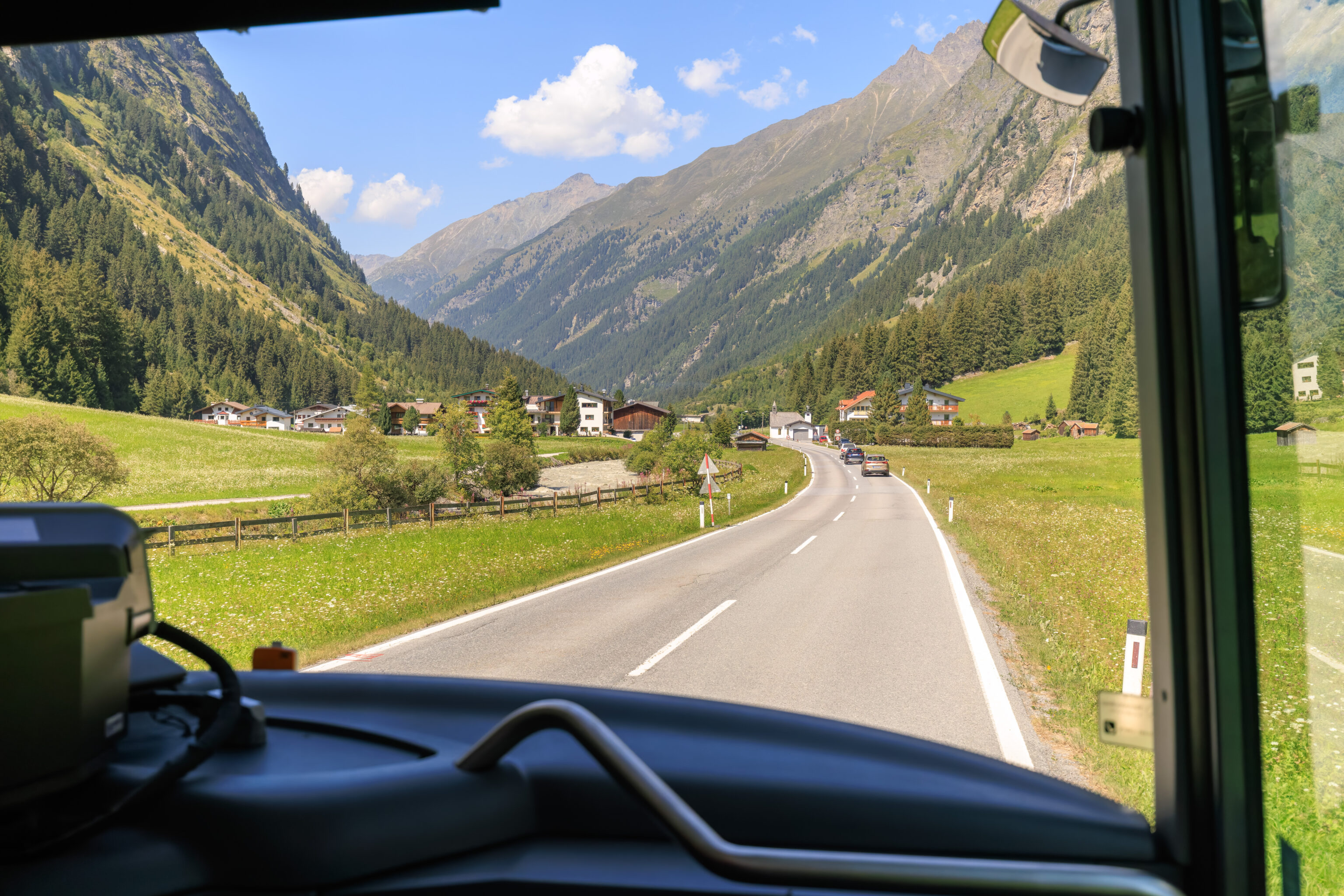
The bus turned around at the fire station and continued heading down south, now into the Pitztal (Pitz Valley).
Pitztaler Gletscher
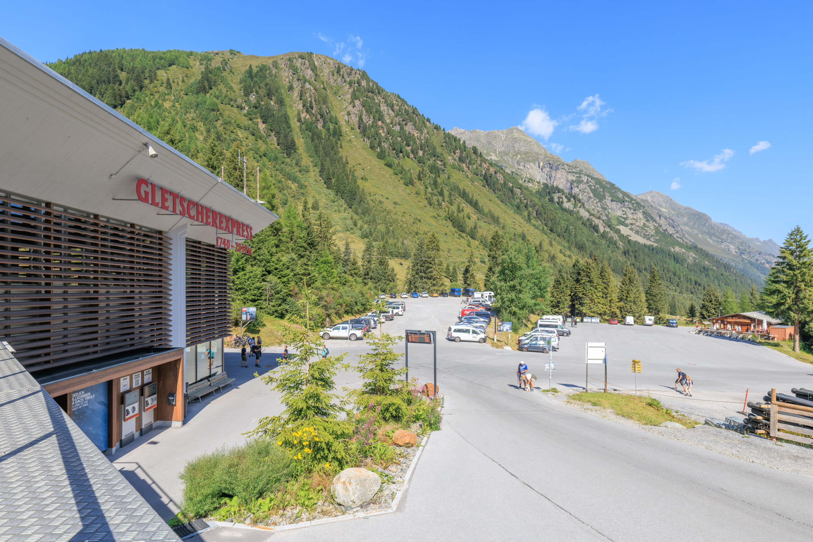
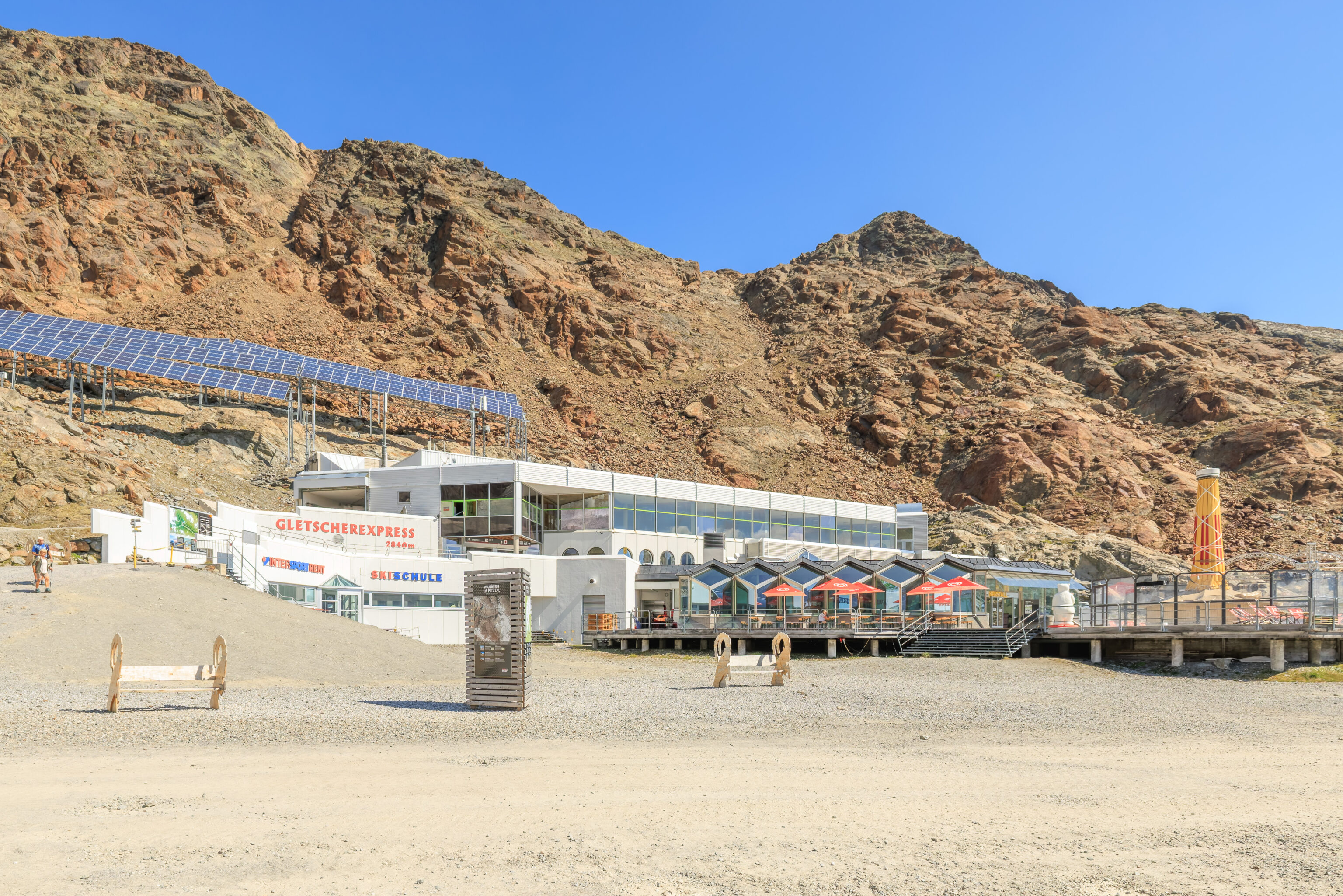
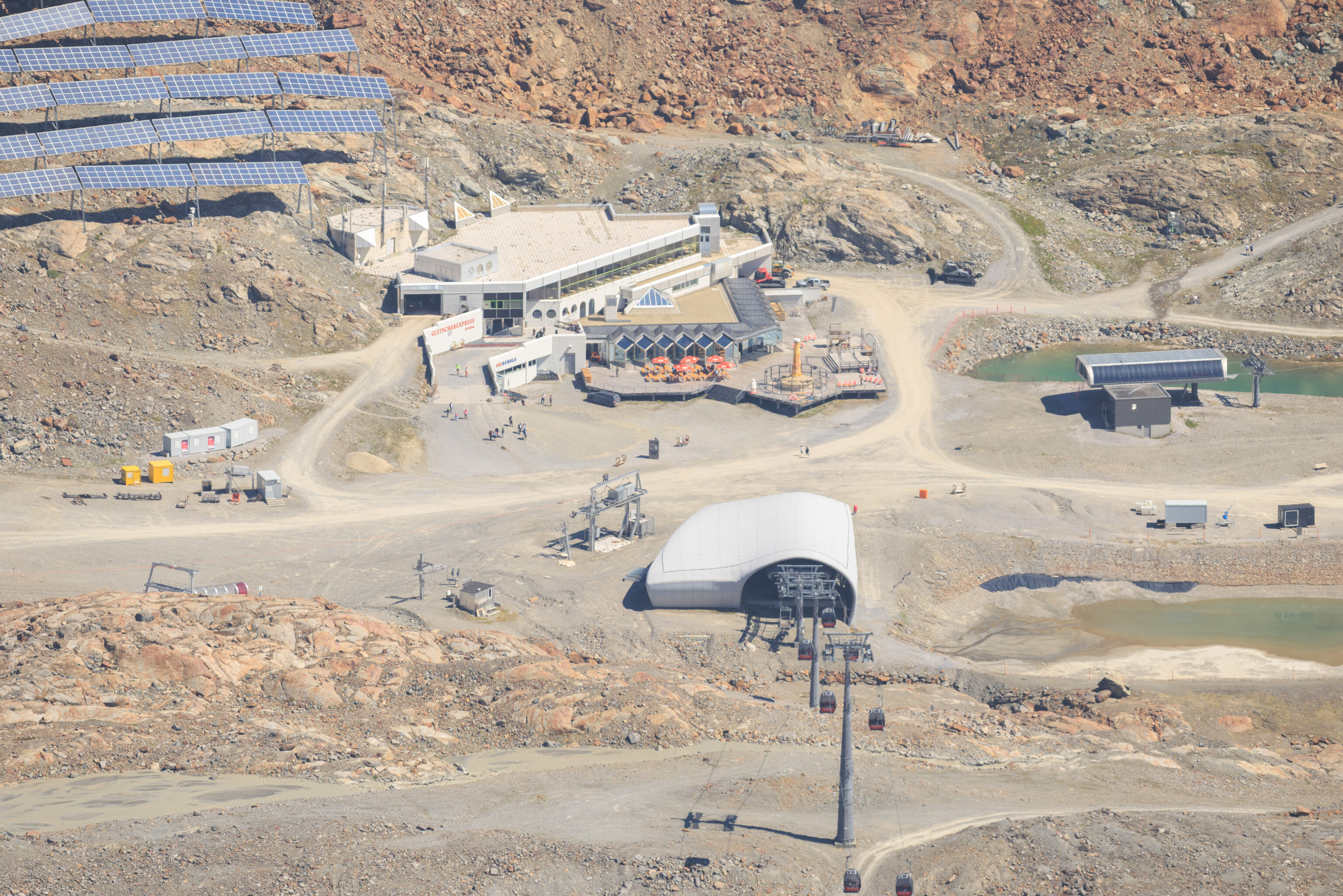
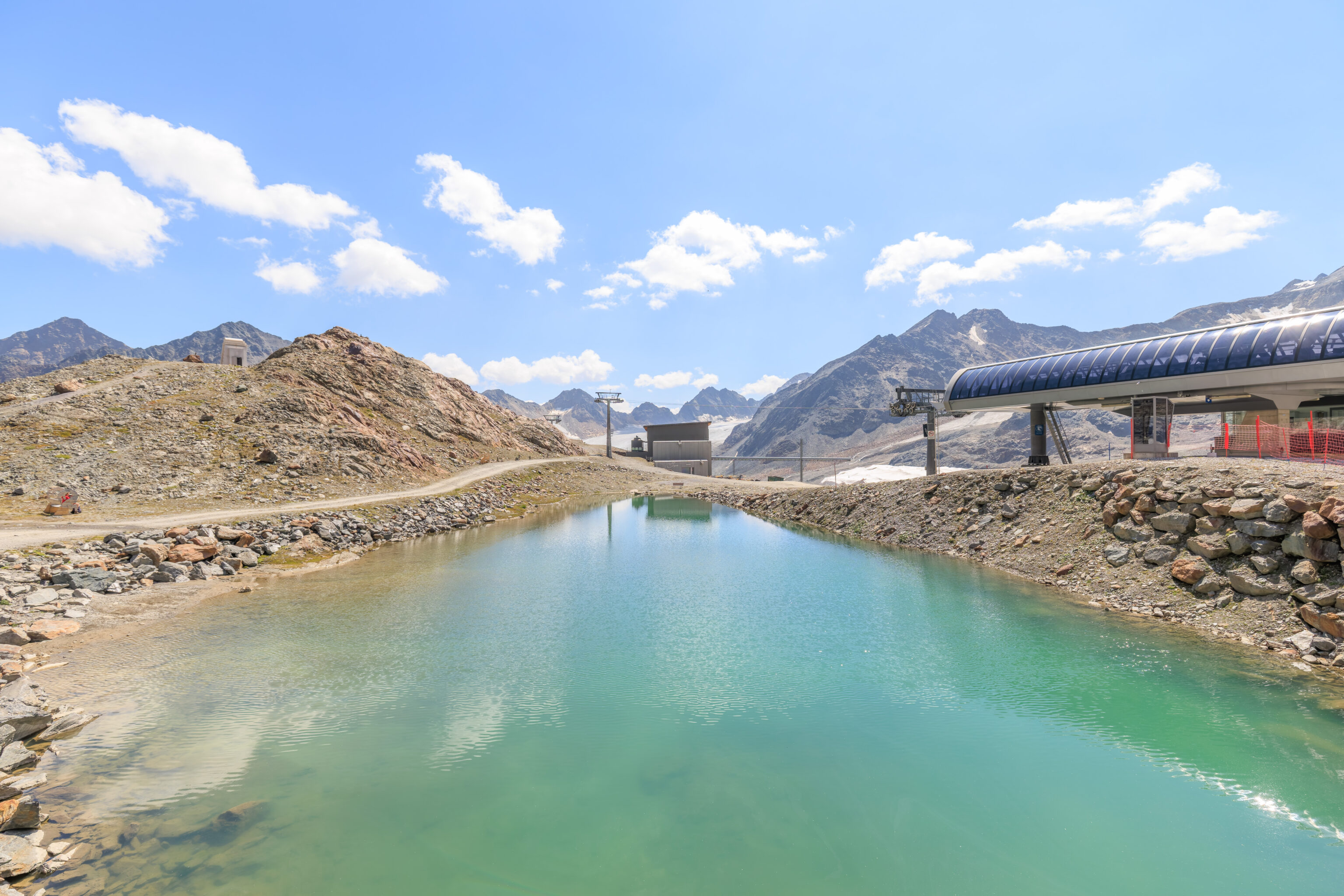
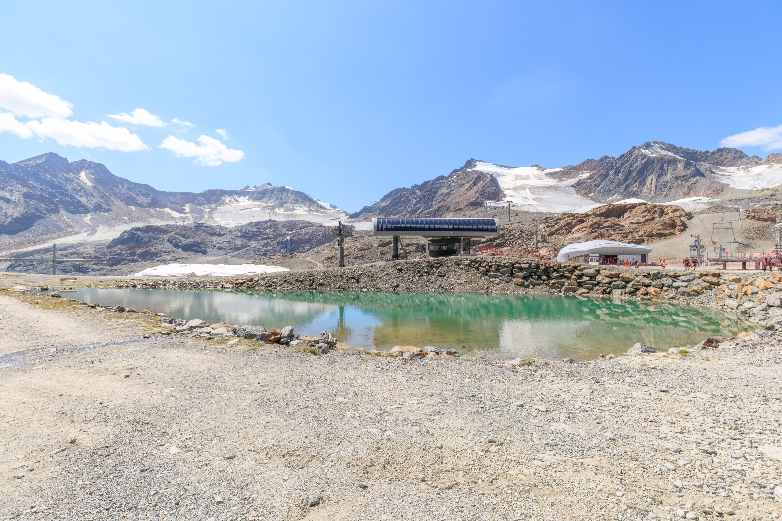
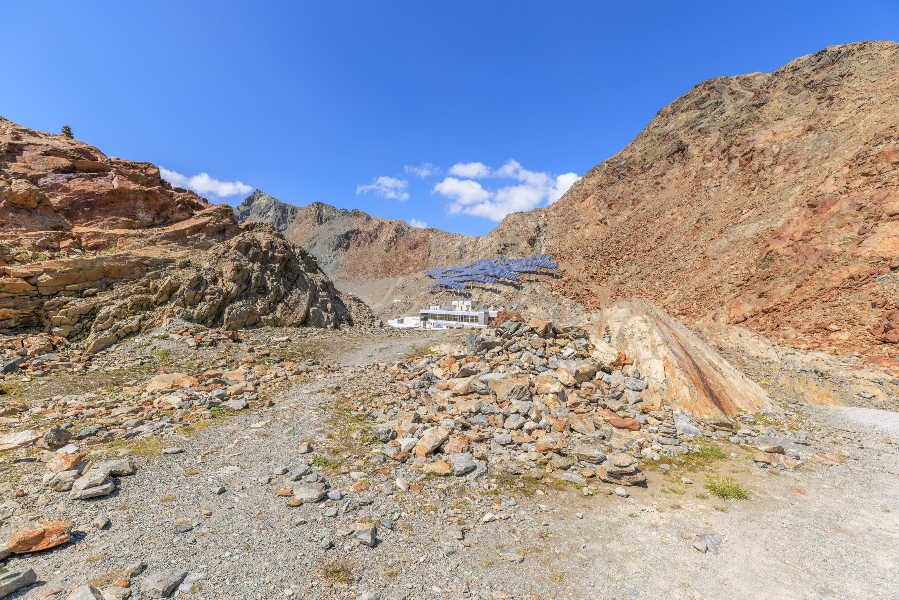
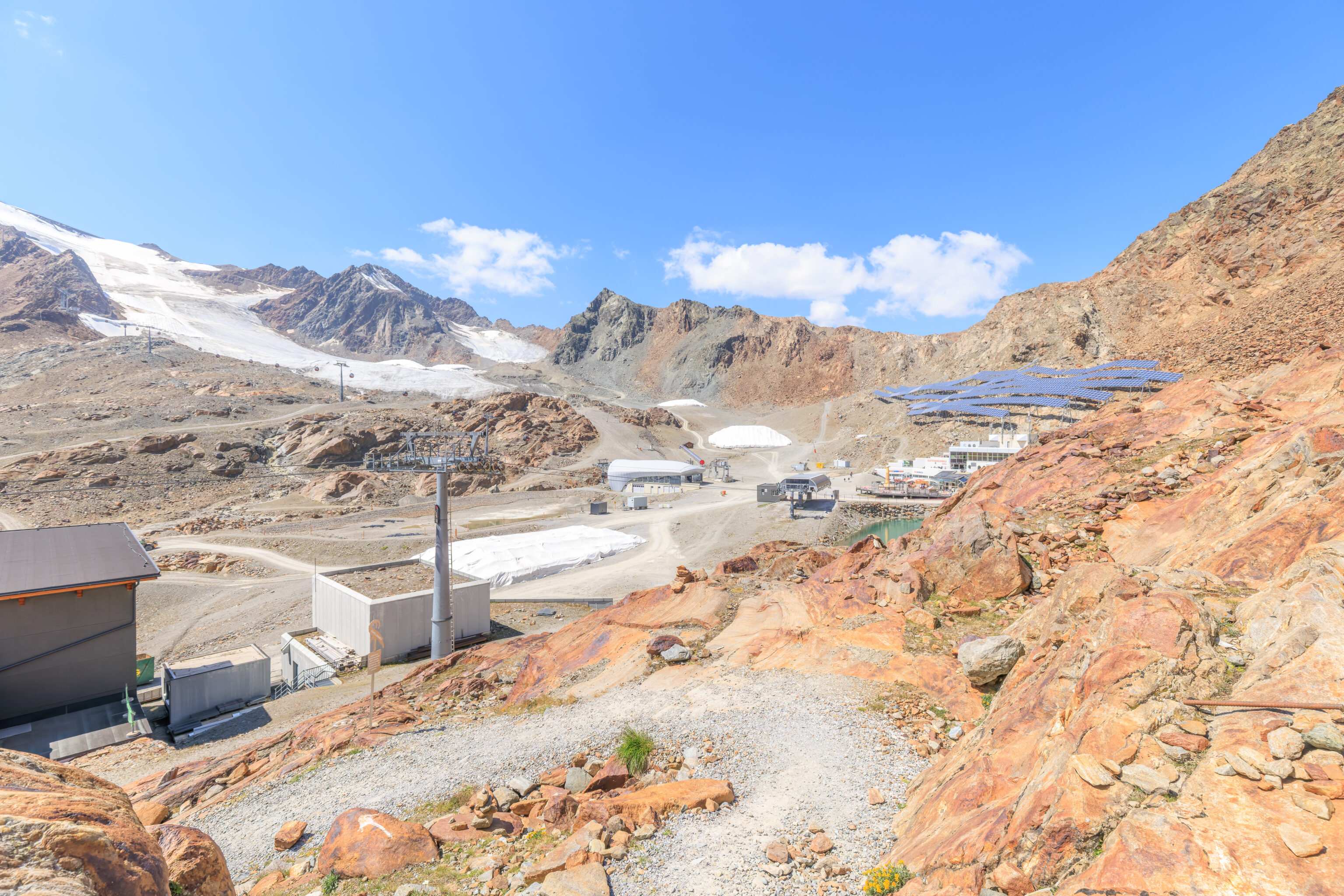
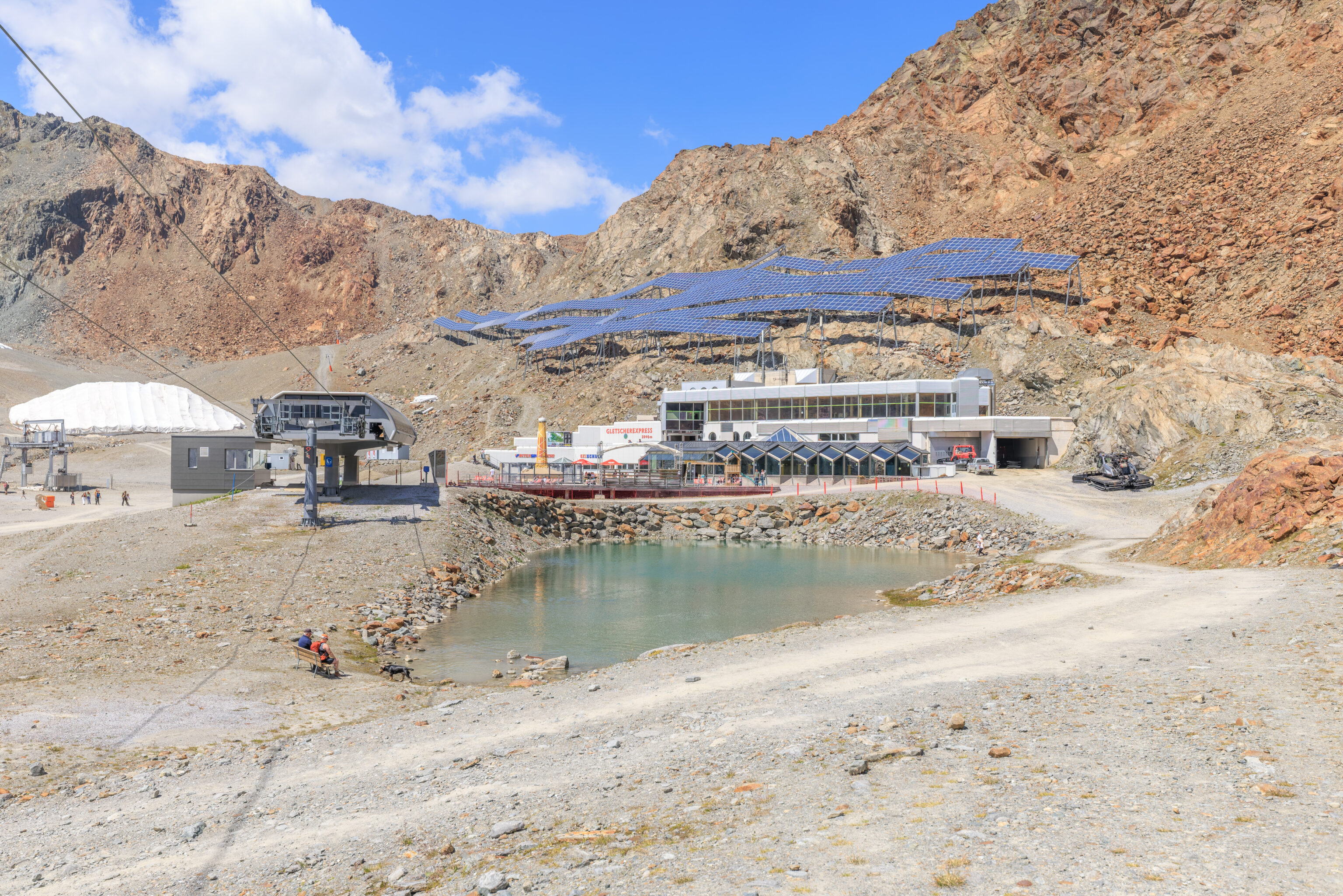
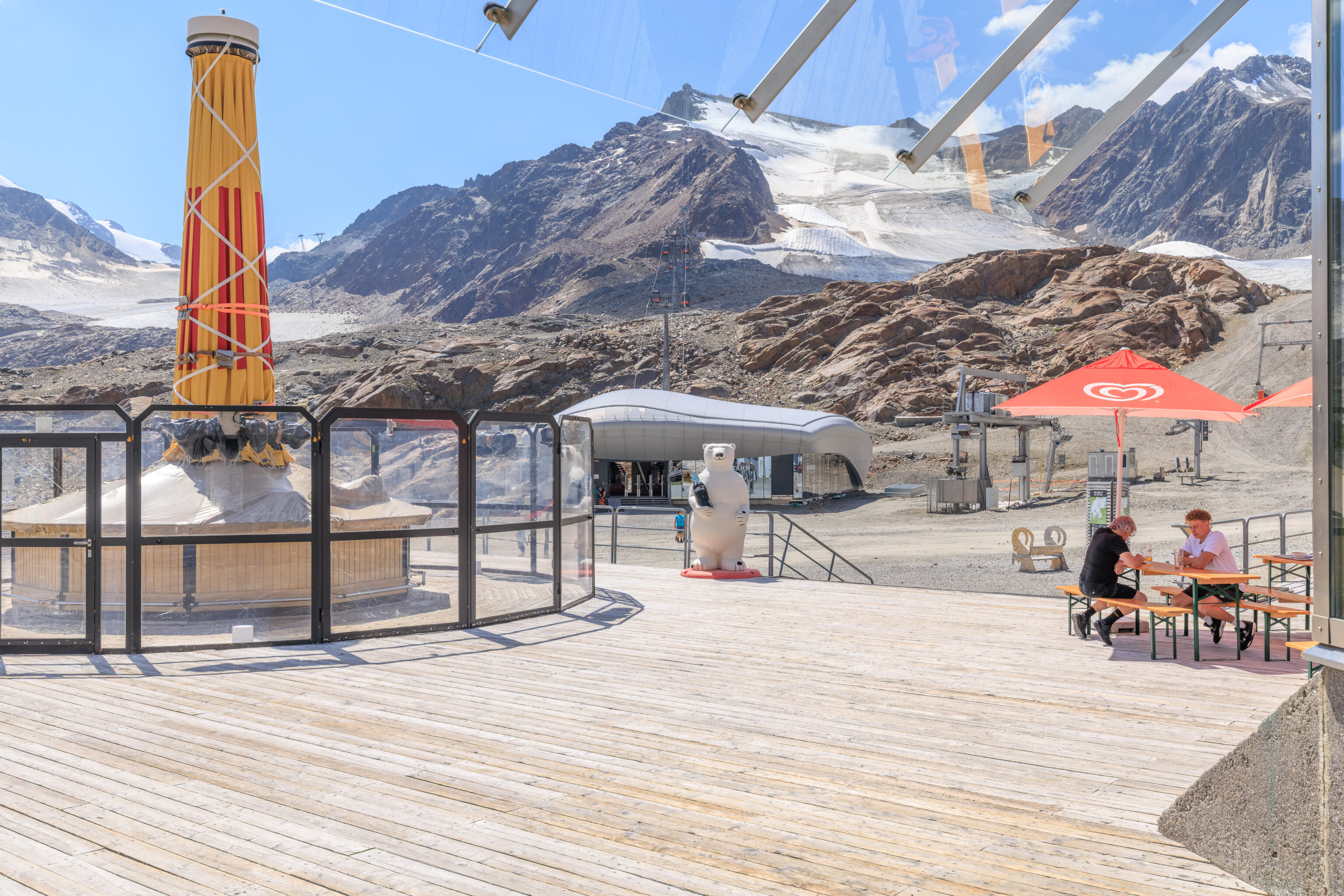
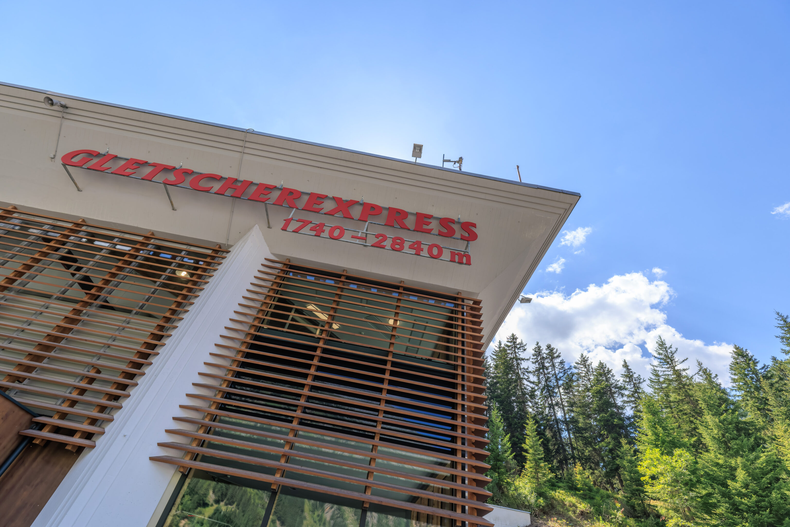
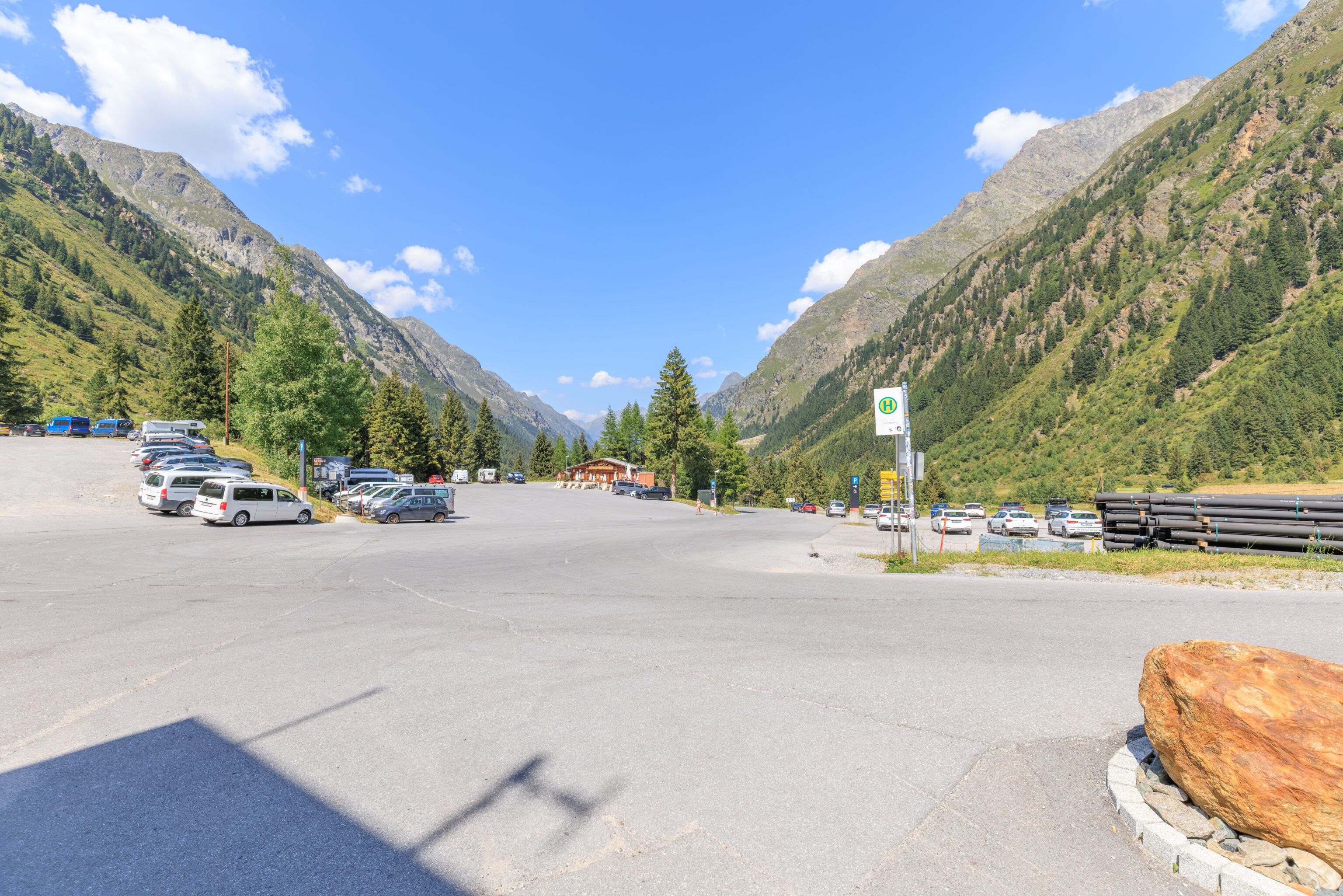
We arrived at the Mittelberg Gletscherbahn bus stop just before 10:30am. This is the lower terminal of the Gletscherexpress, a funicular that goes to a mid-mountain elevation of 2,840 meters from 1,740 meters.
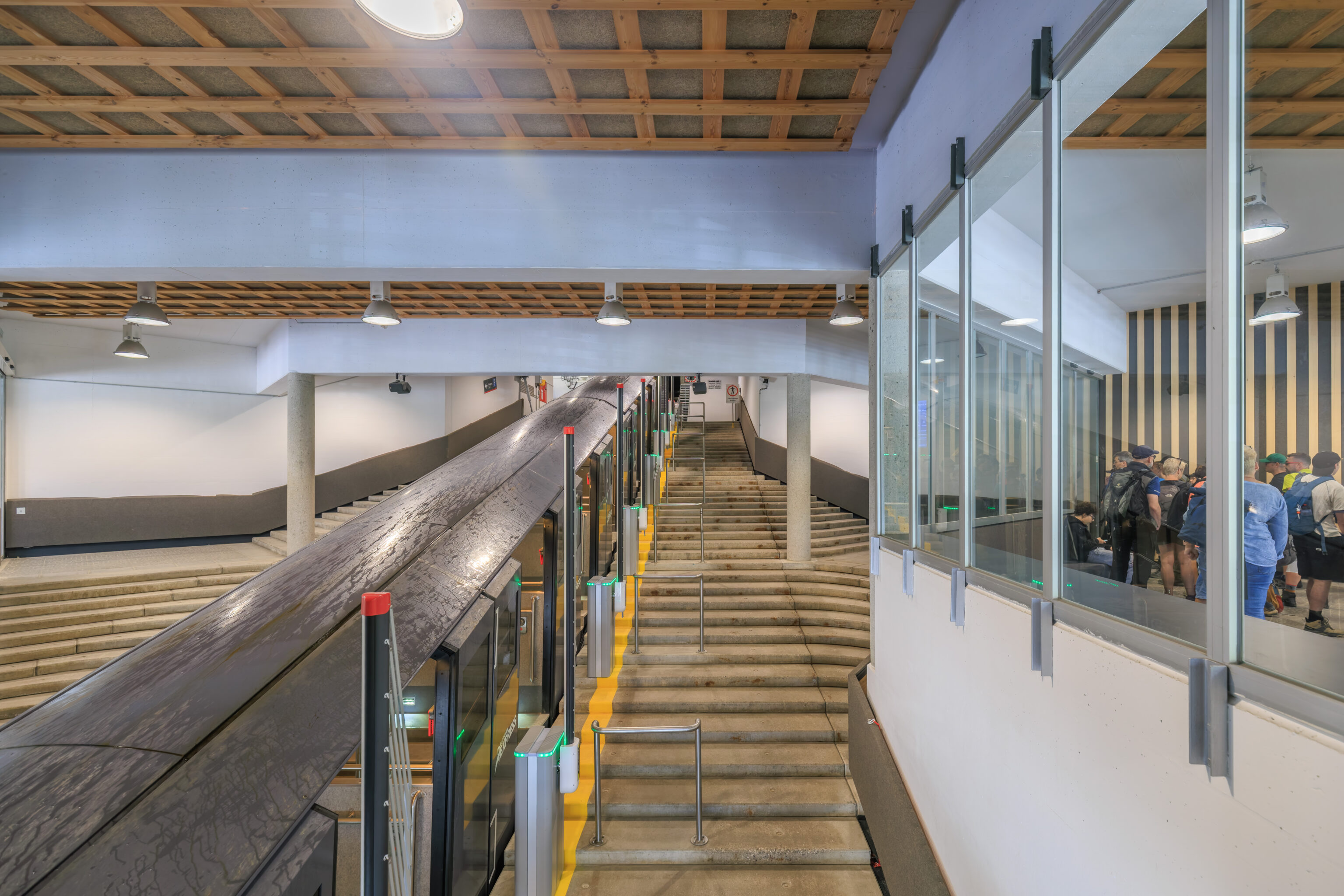
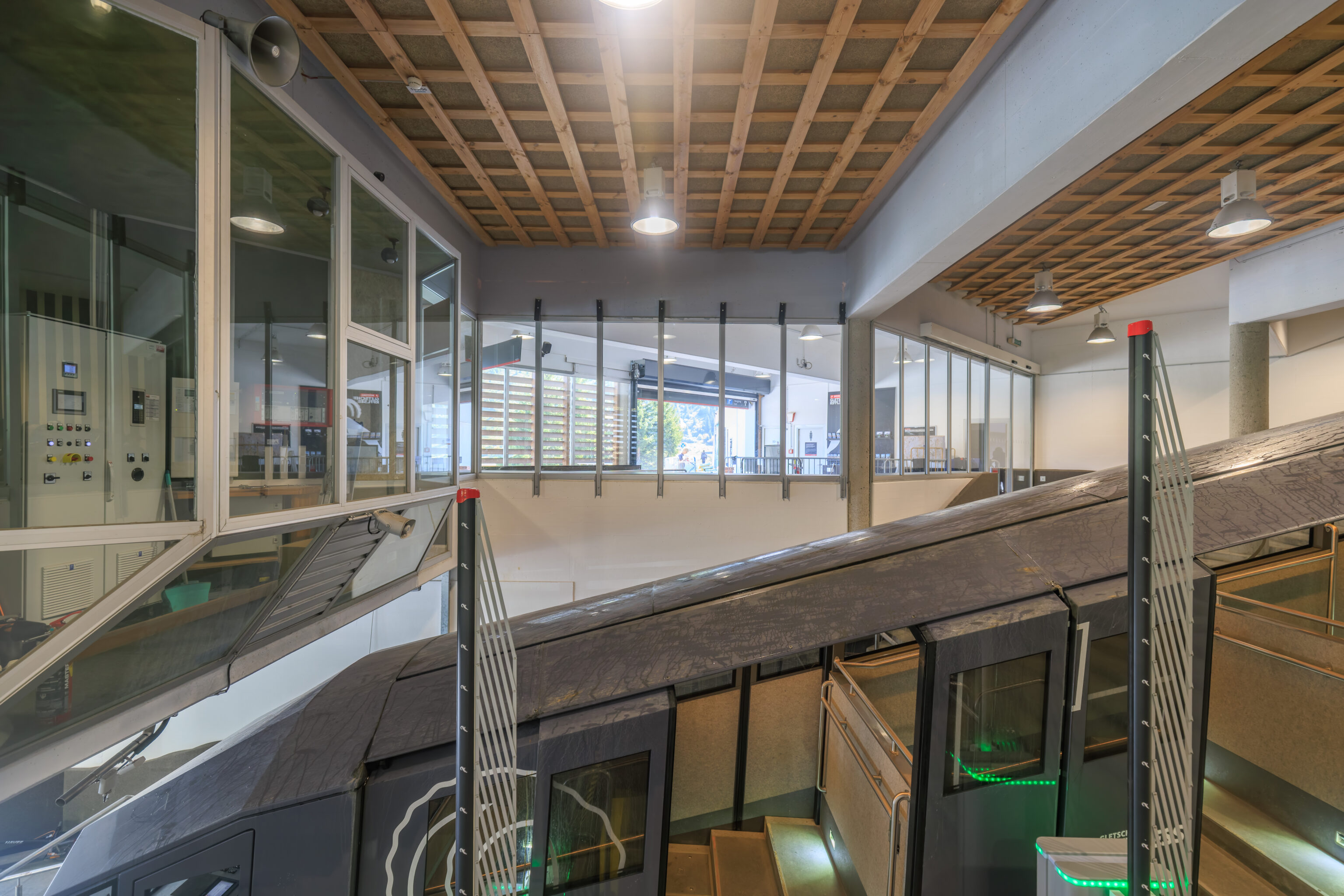
The funicular trains are new, having been installed in 2022. They definitely look quite different from any other funicular we’ve been on. The route is entirely underground so there isn’t anything to see on the short ride up.
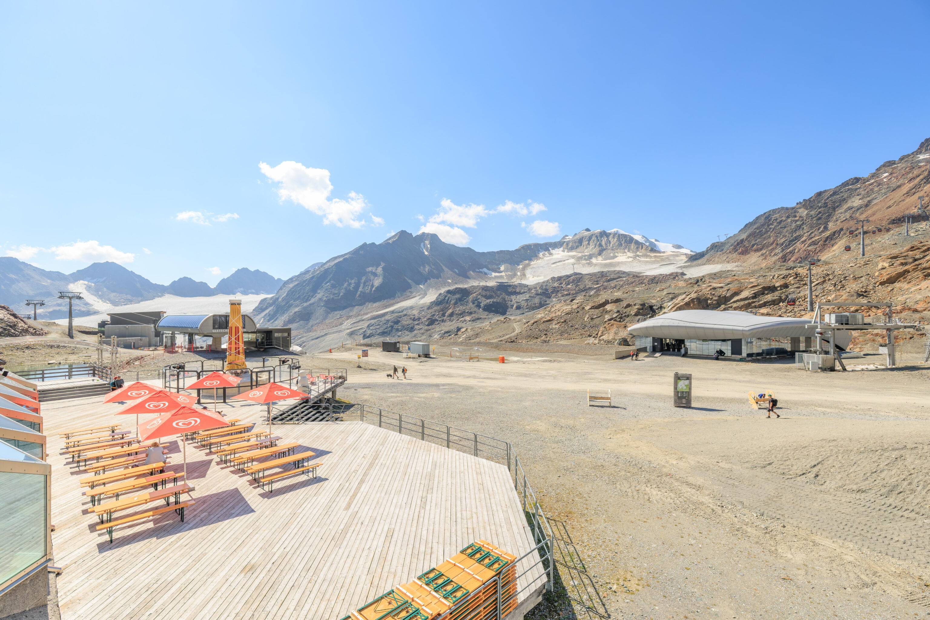
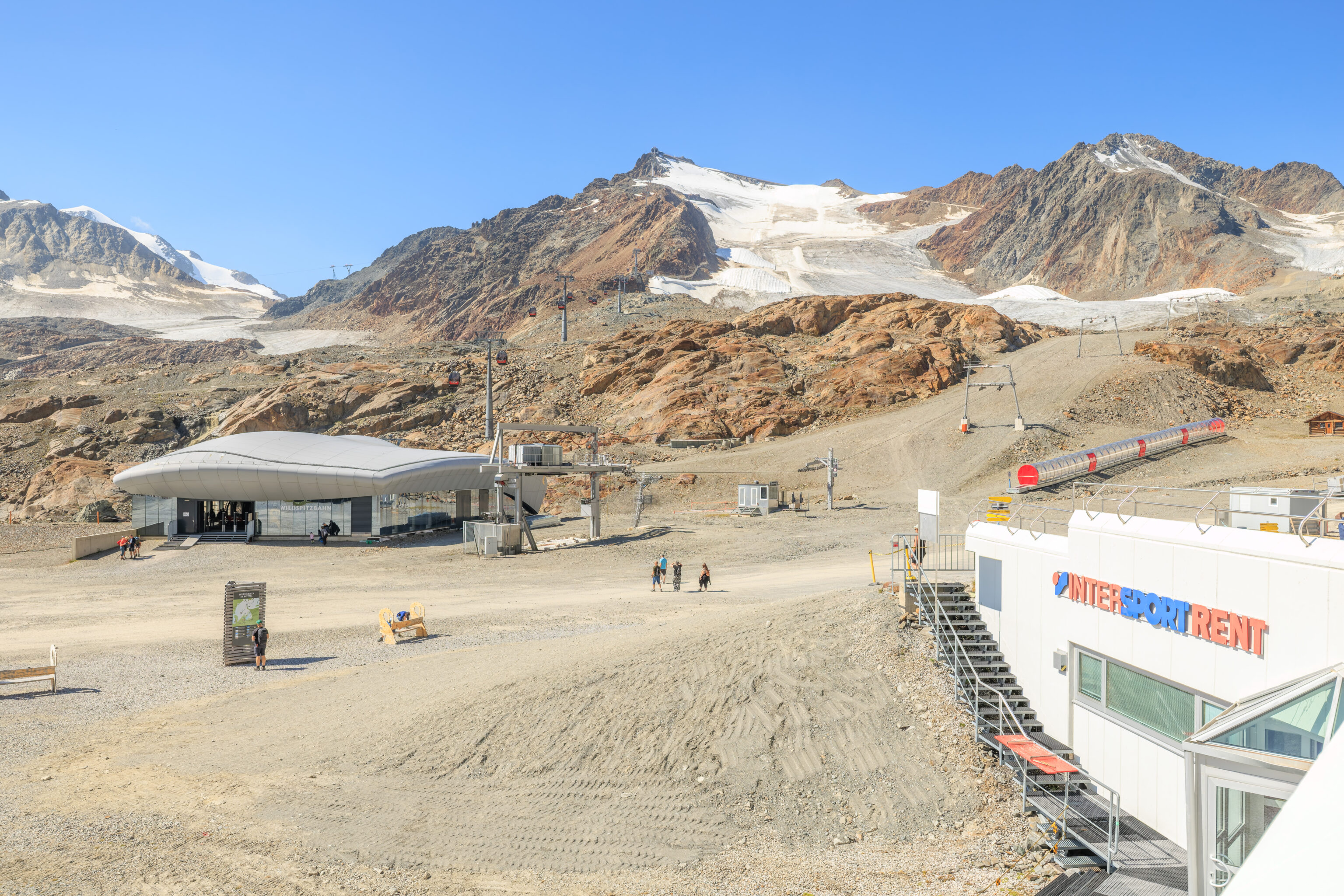
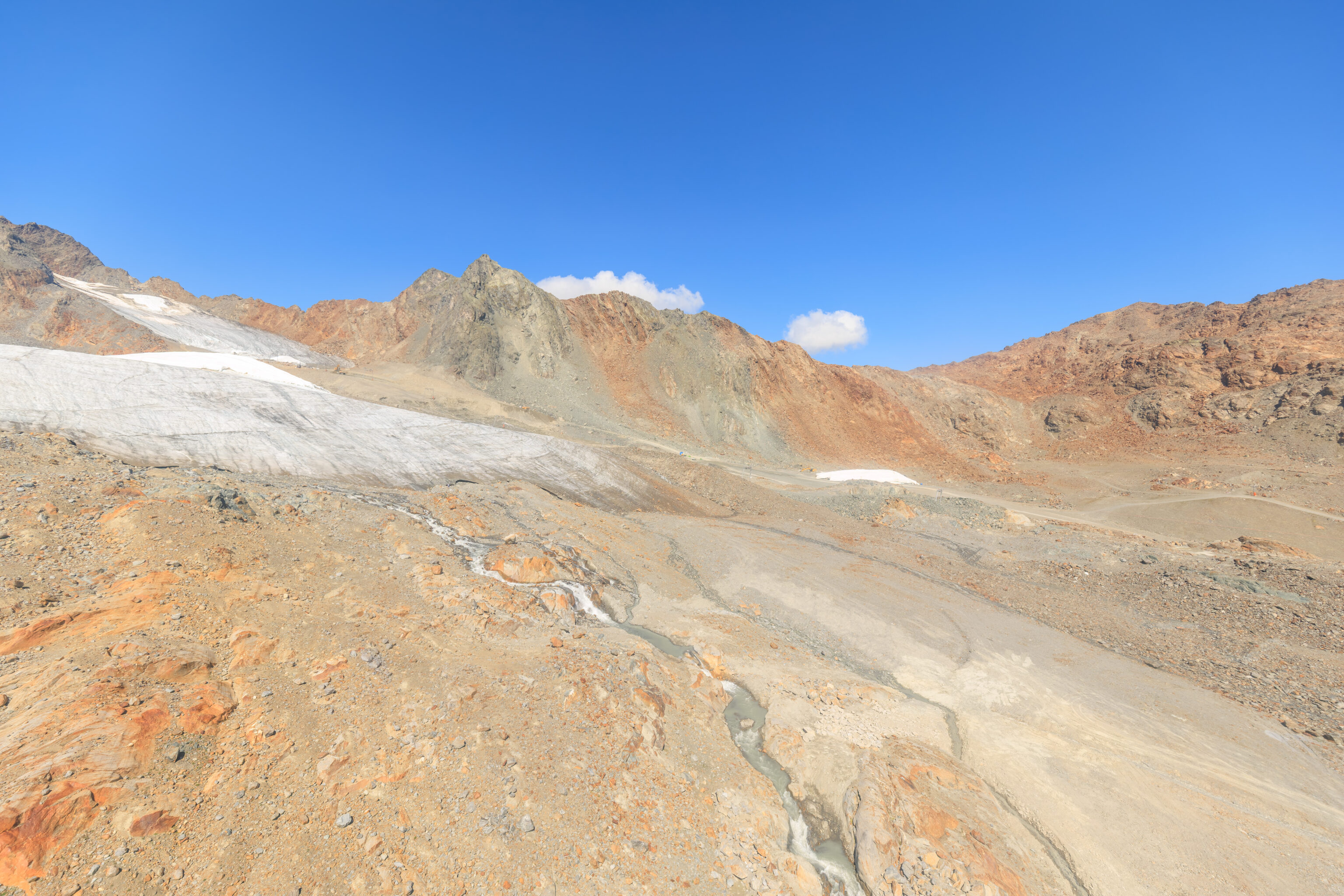
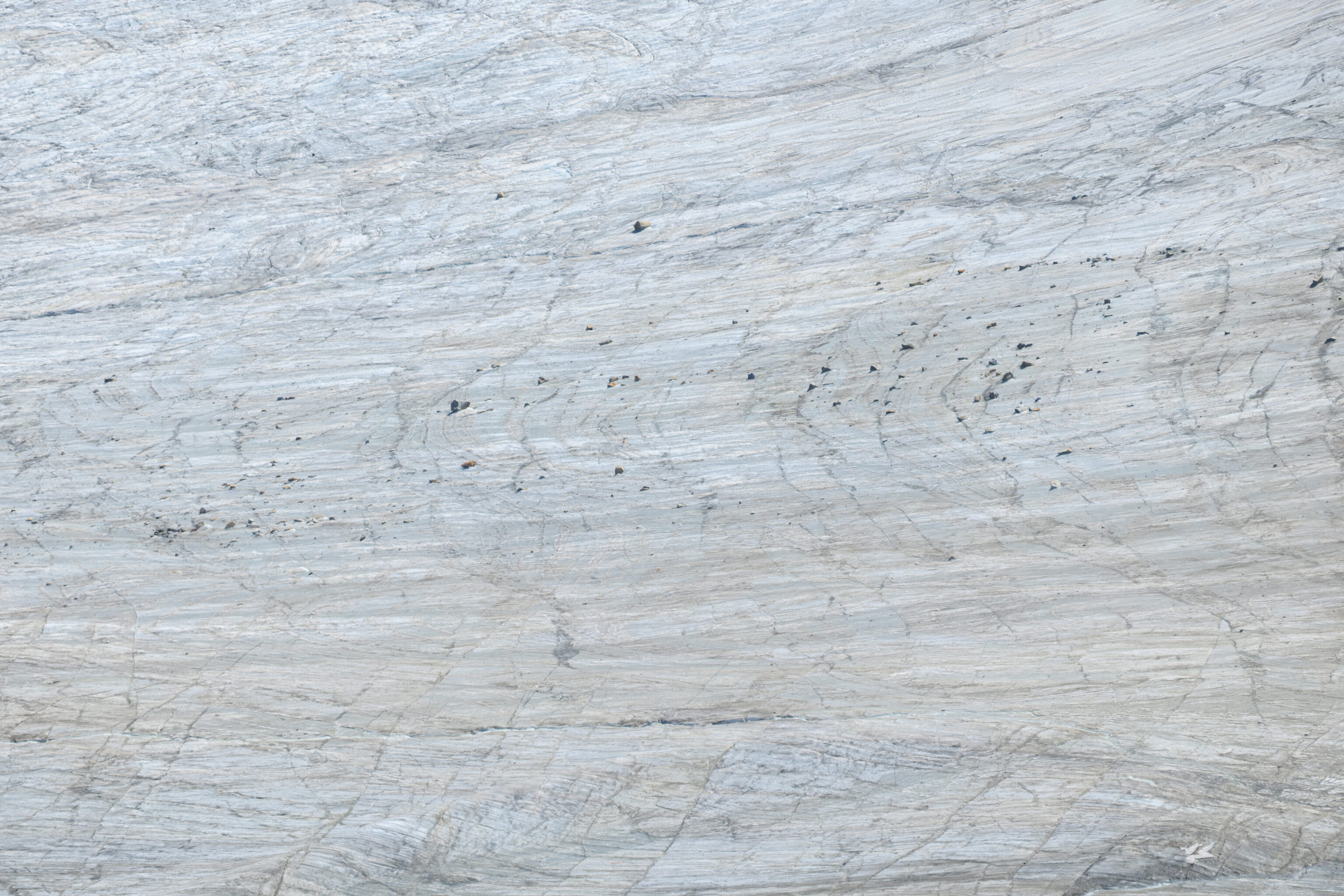
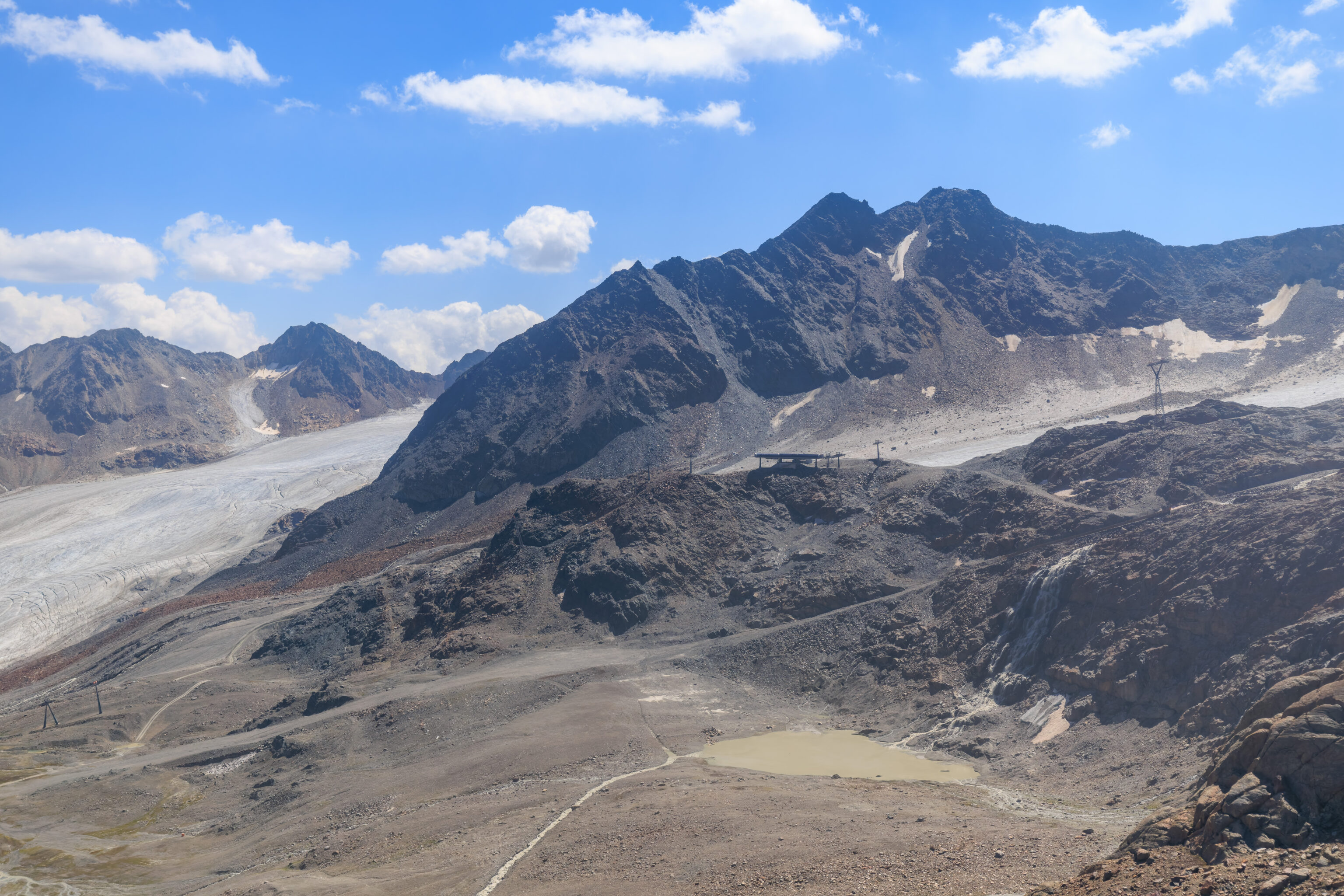
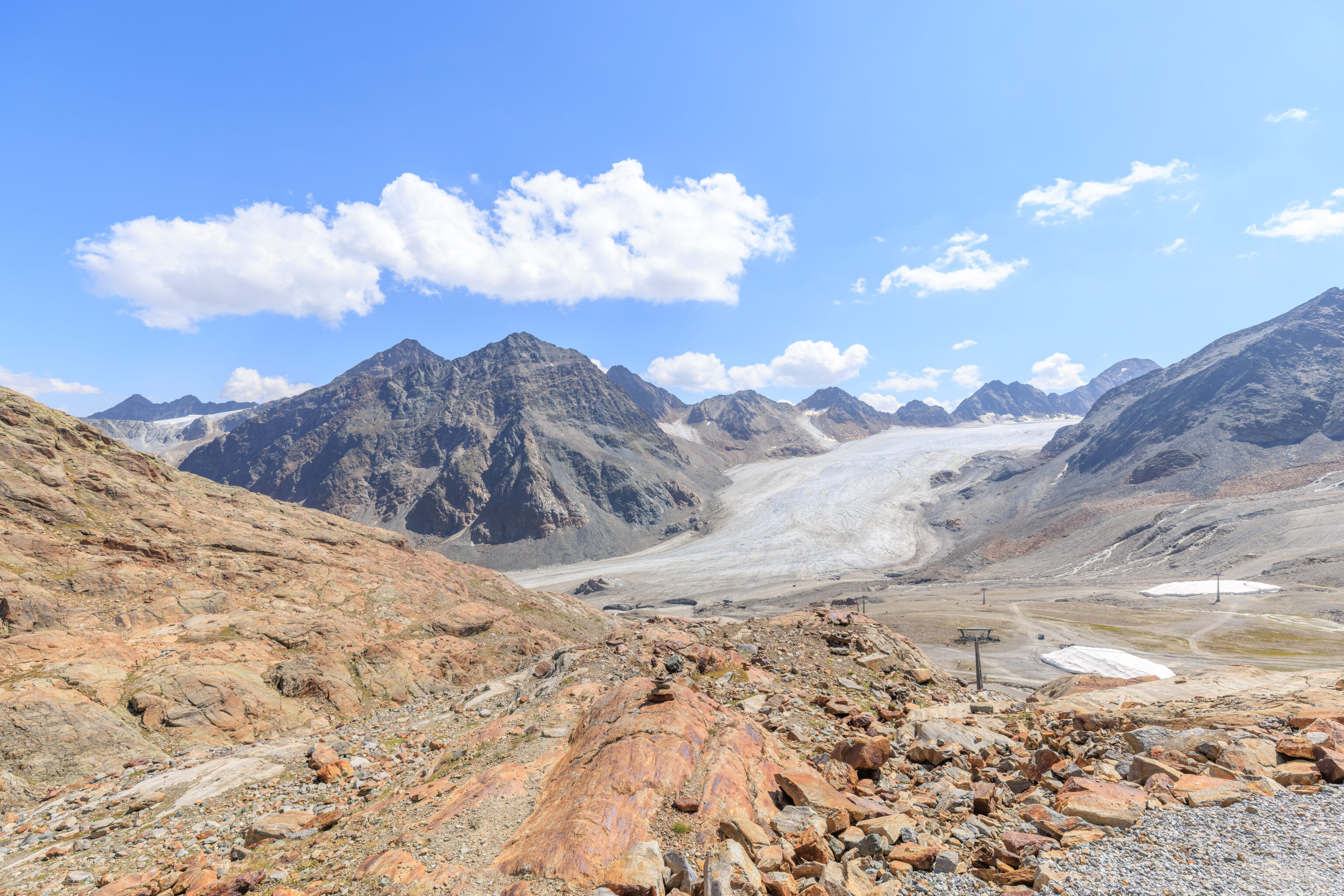
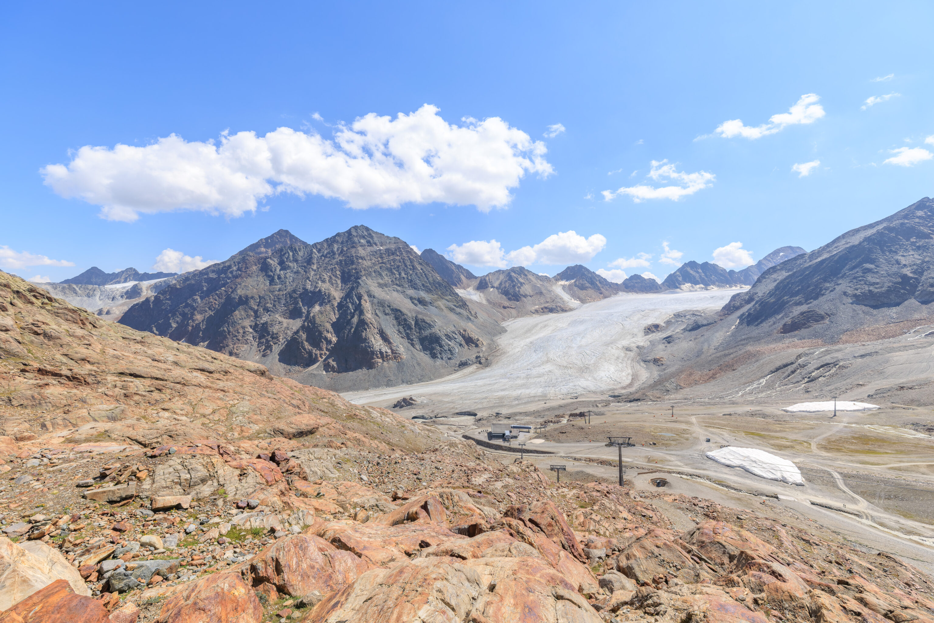
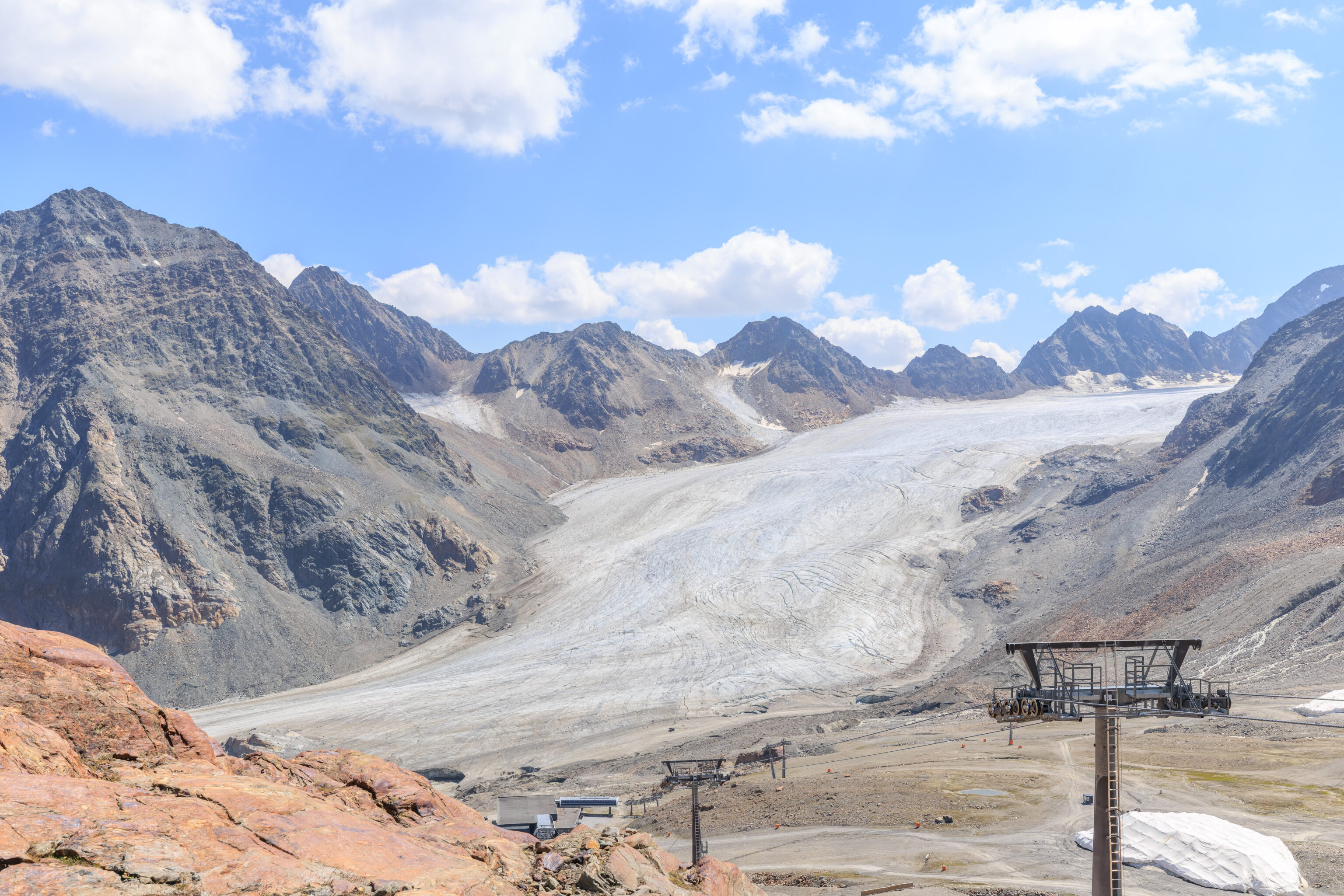
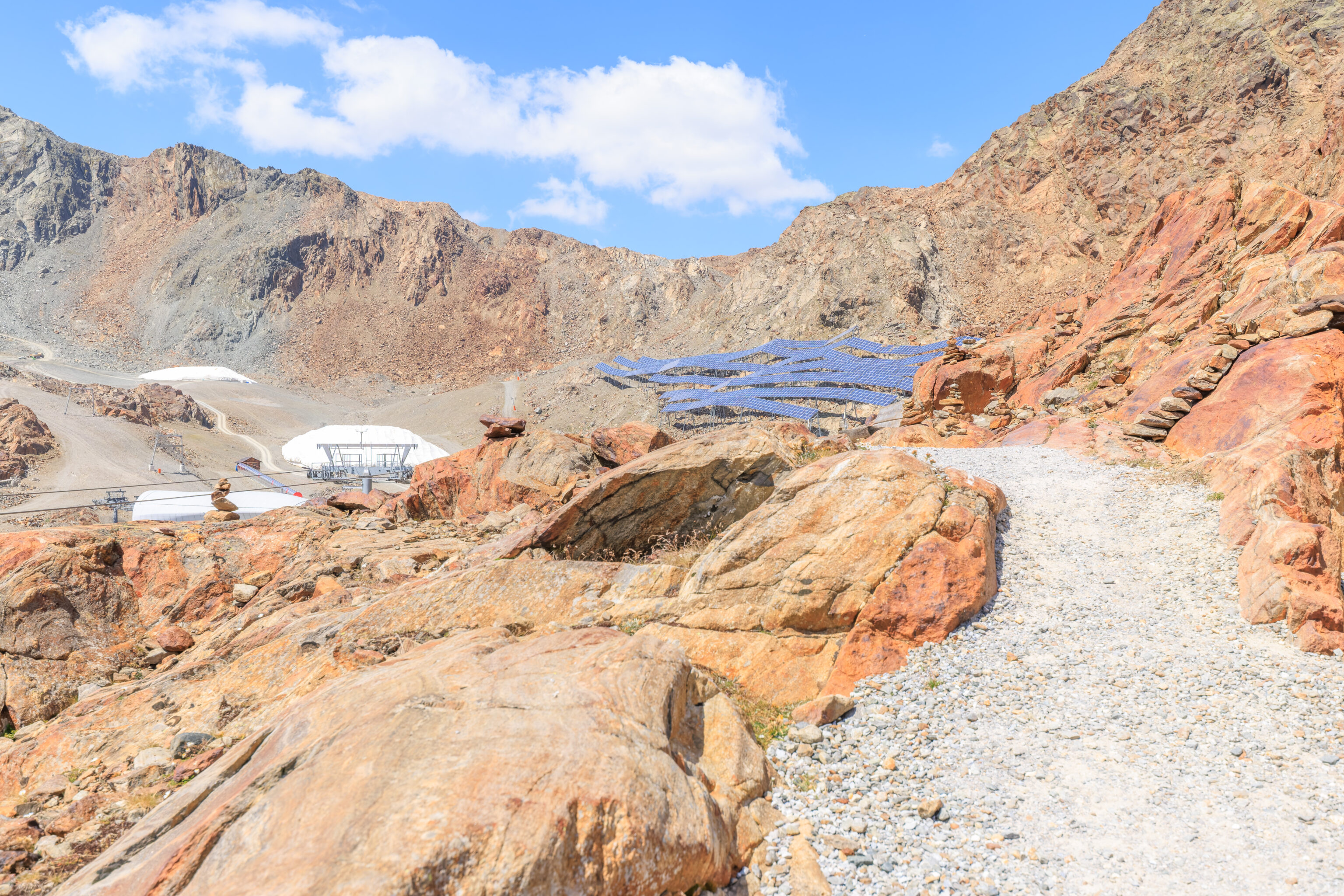
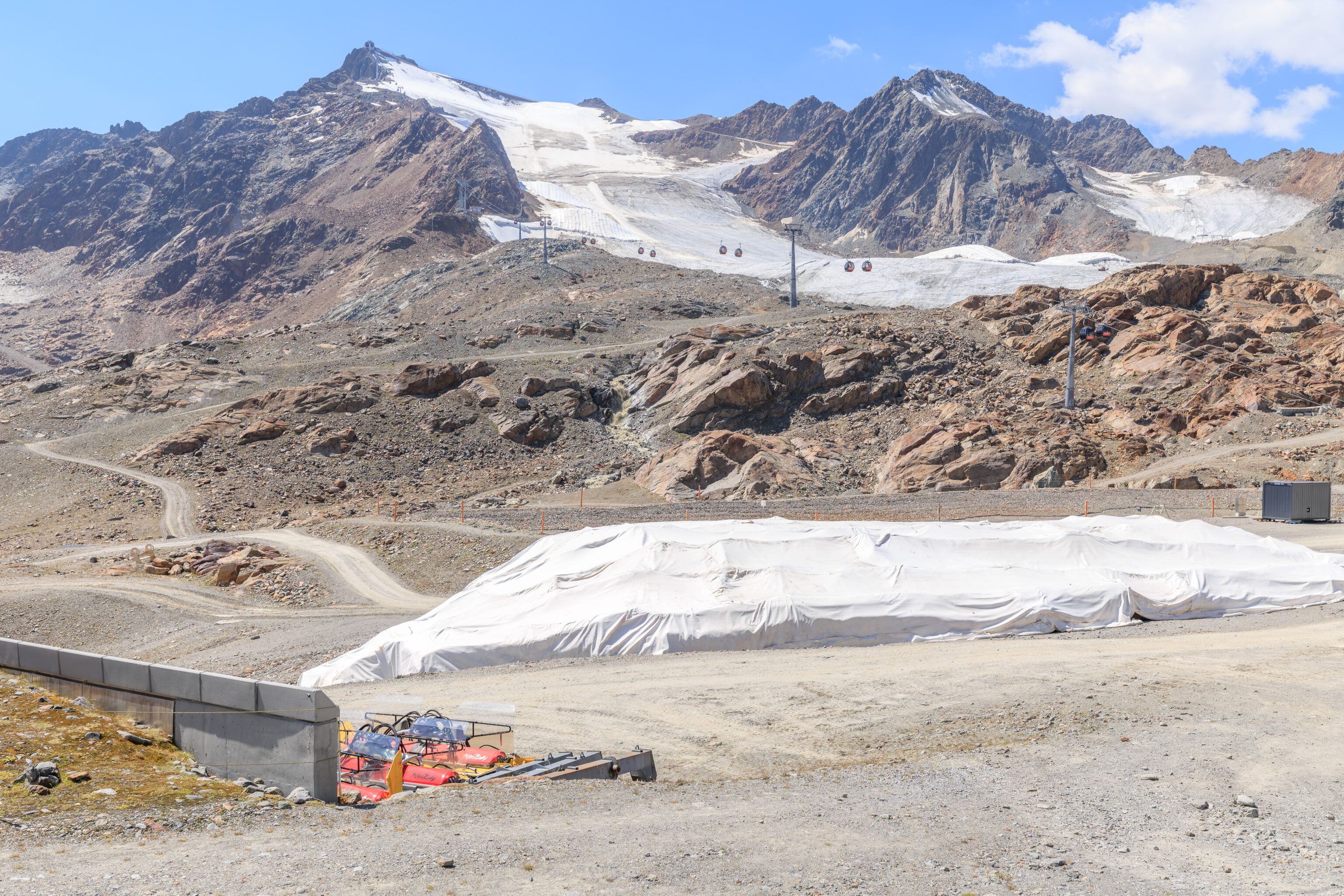
After exiting the funicular’s upper terminal, we took a quick look around. The landscape was pretty barren, though there was snow just a bit further up. And as we’ve seen at other high elevation areas in the region, white tarp-like material is being used to cover up the snow in some areas.
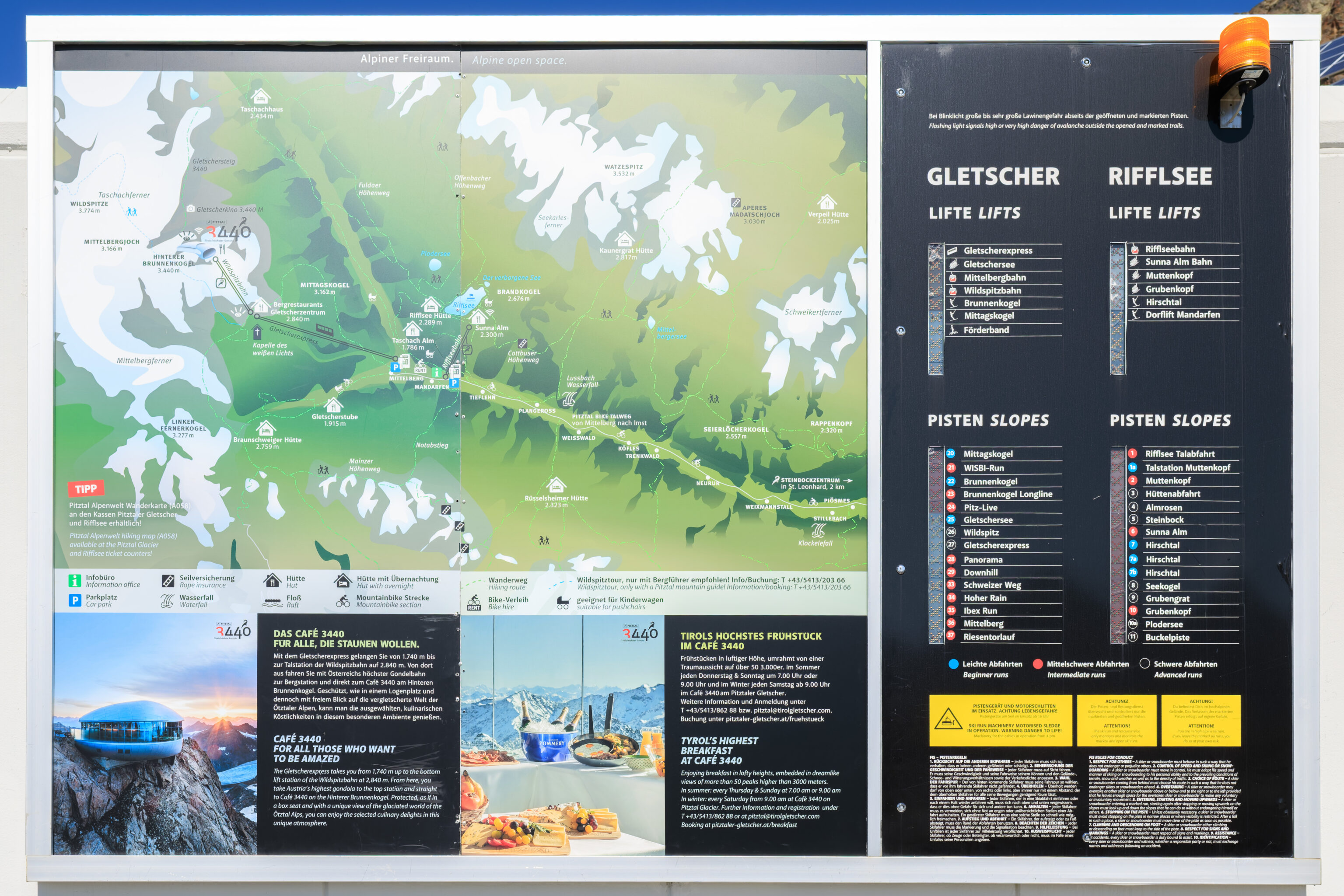
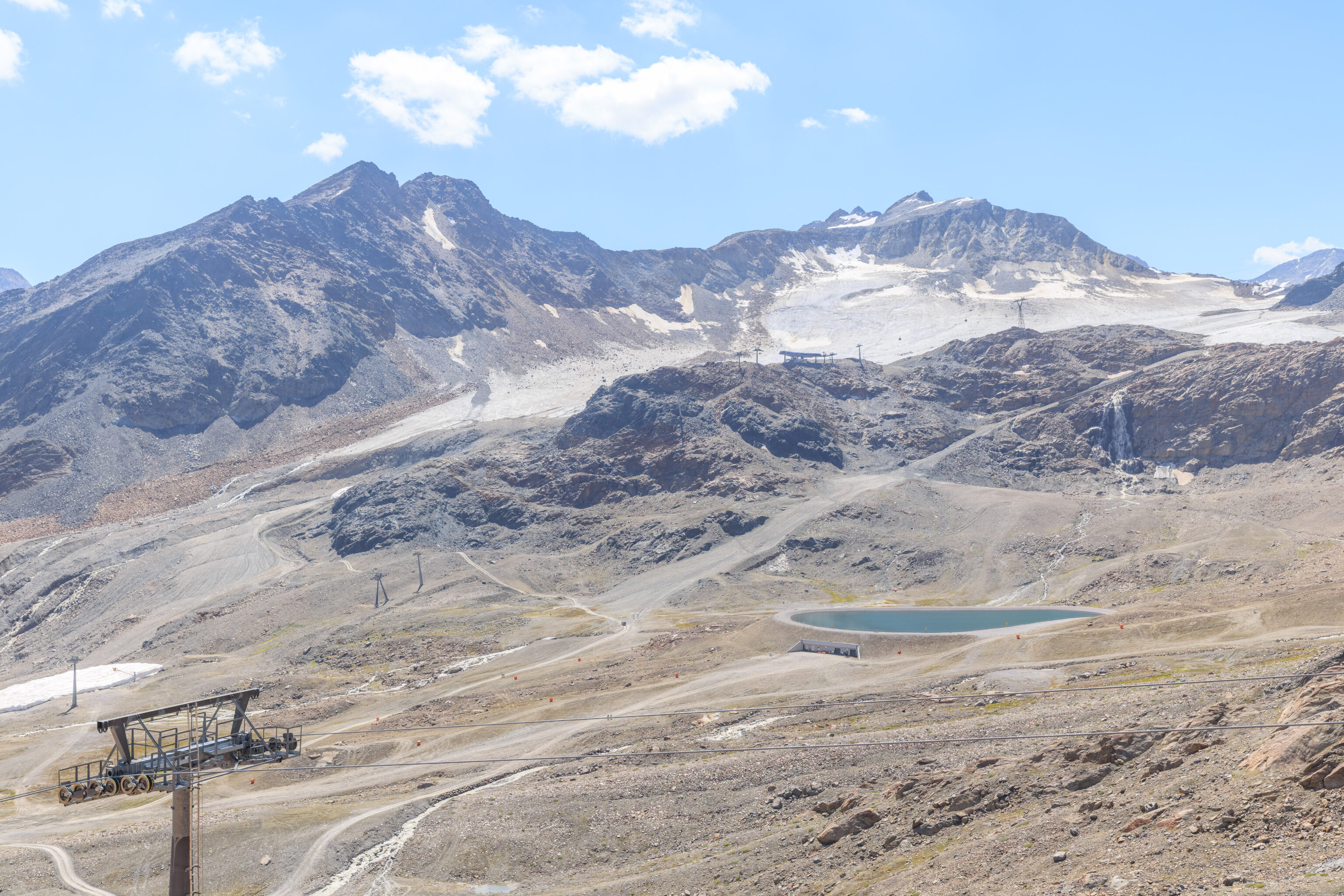
This map gives an overview of Pitztaler Gletscher. There are two main areas, the glacier area where we are now and the Rifflsee, a glacial lake that can be accessed by gondola from the valley. The gondola station is less than a mile to the north of the funicular station that we just departed from.
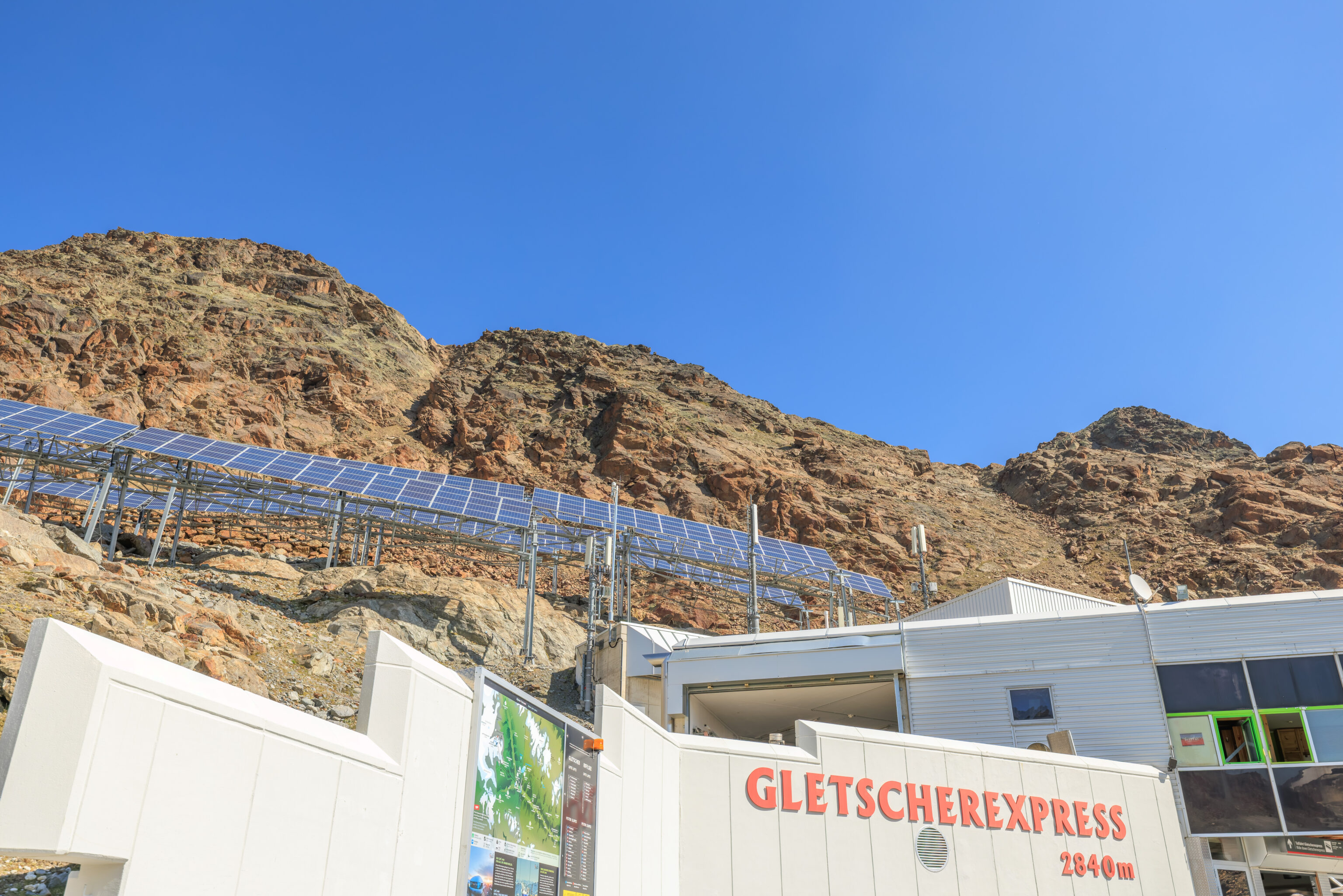
We noticed some solar panels above the Gletscherexpress station building.
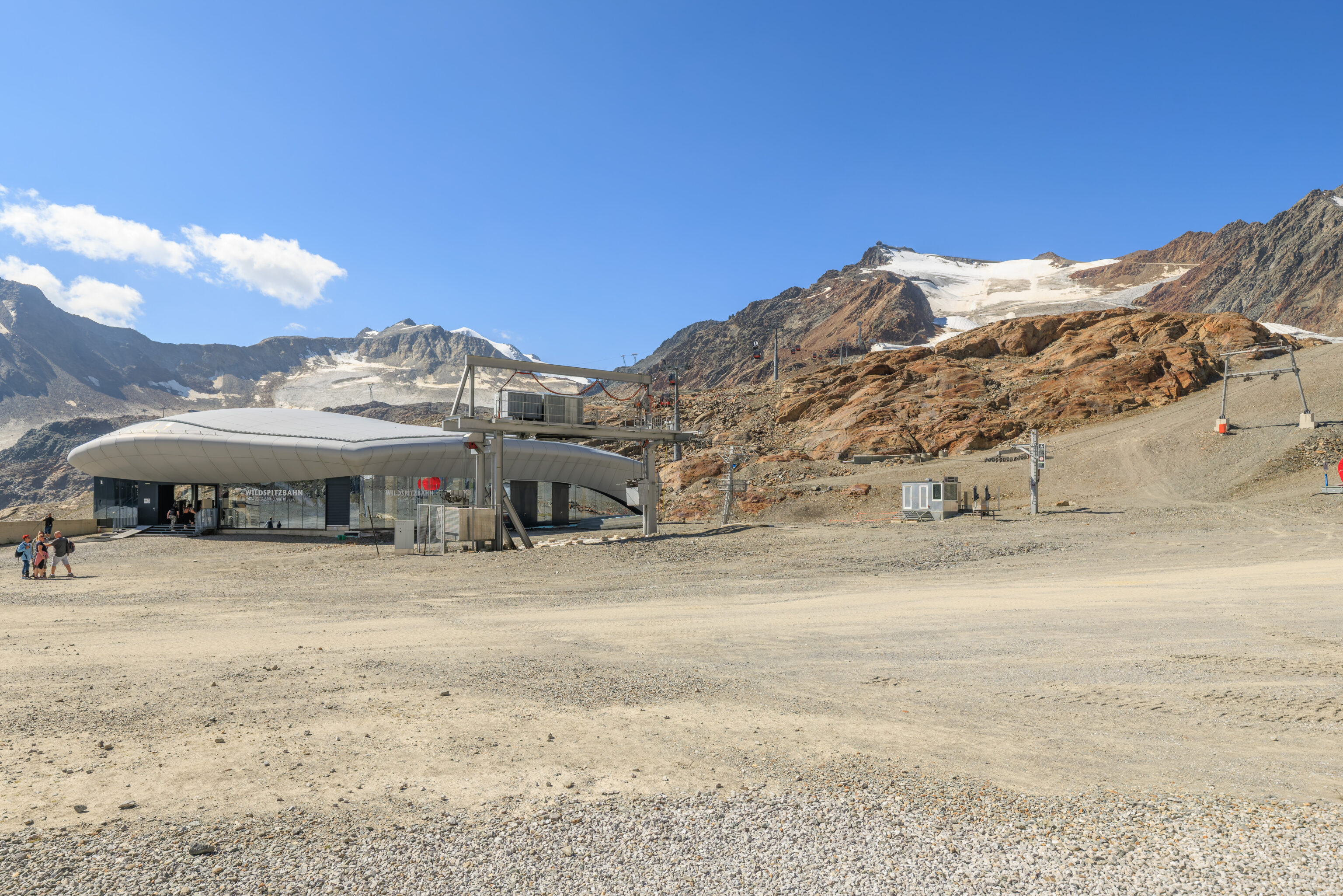
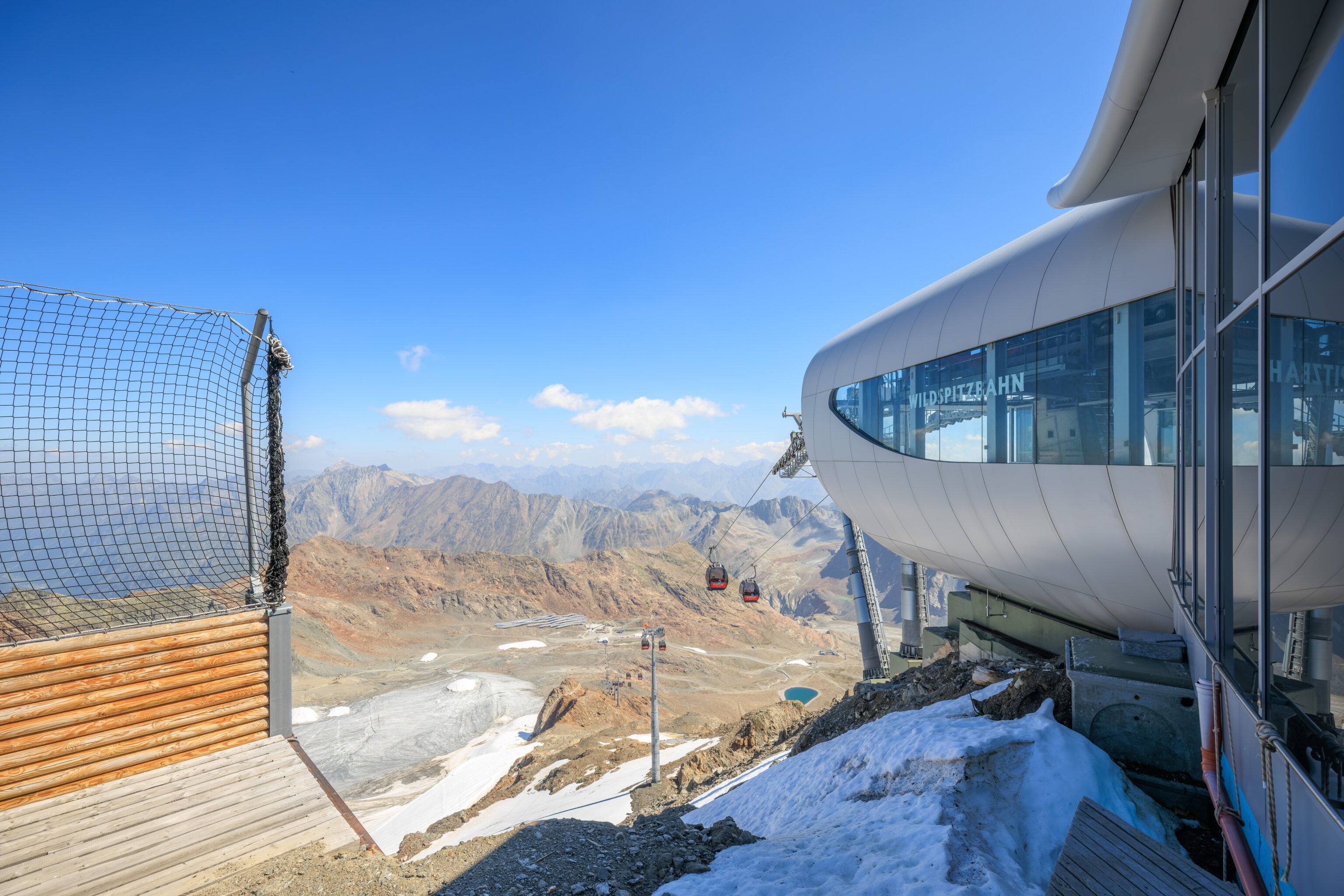
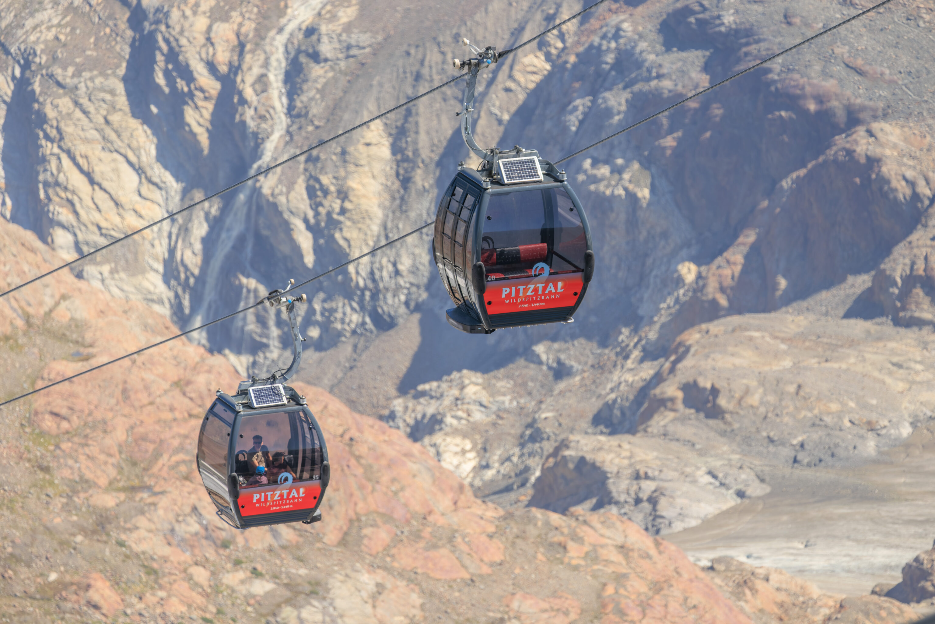
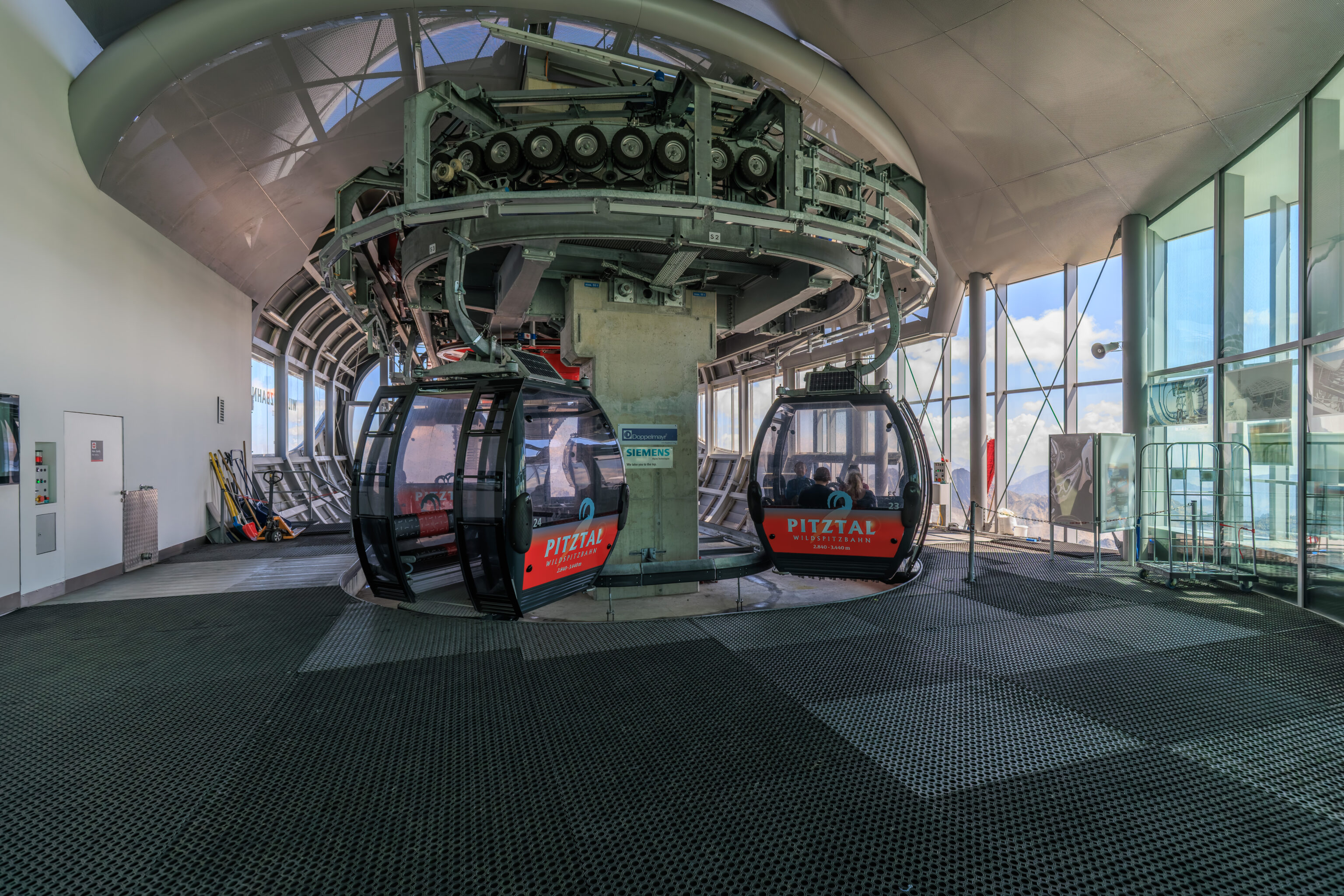
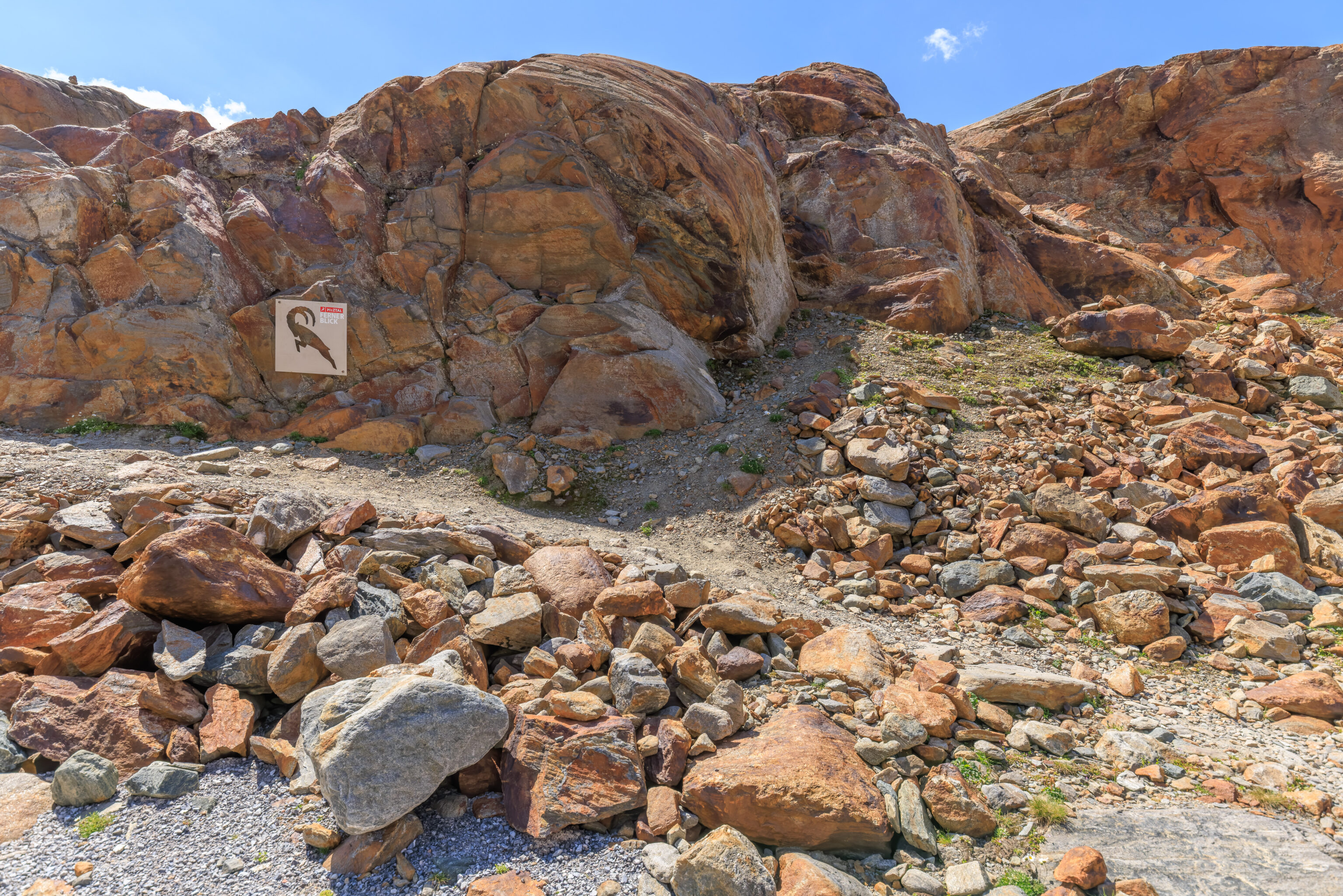
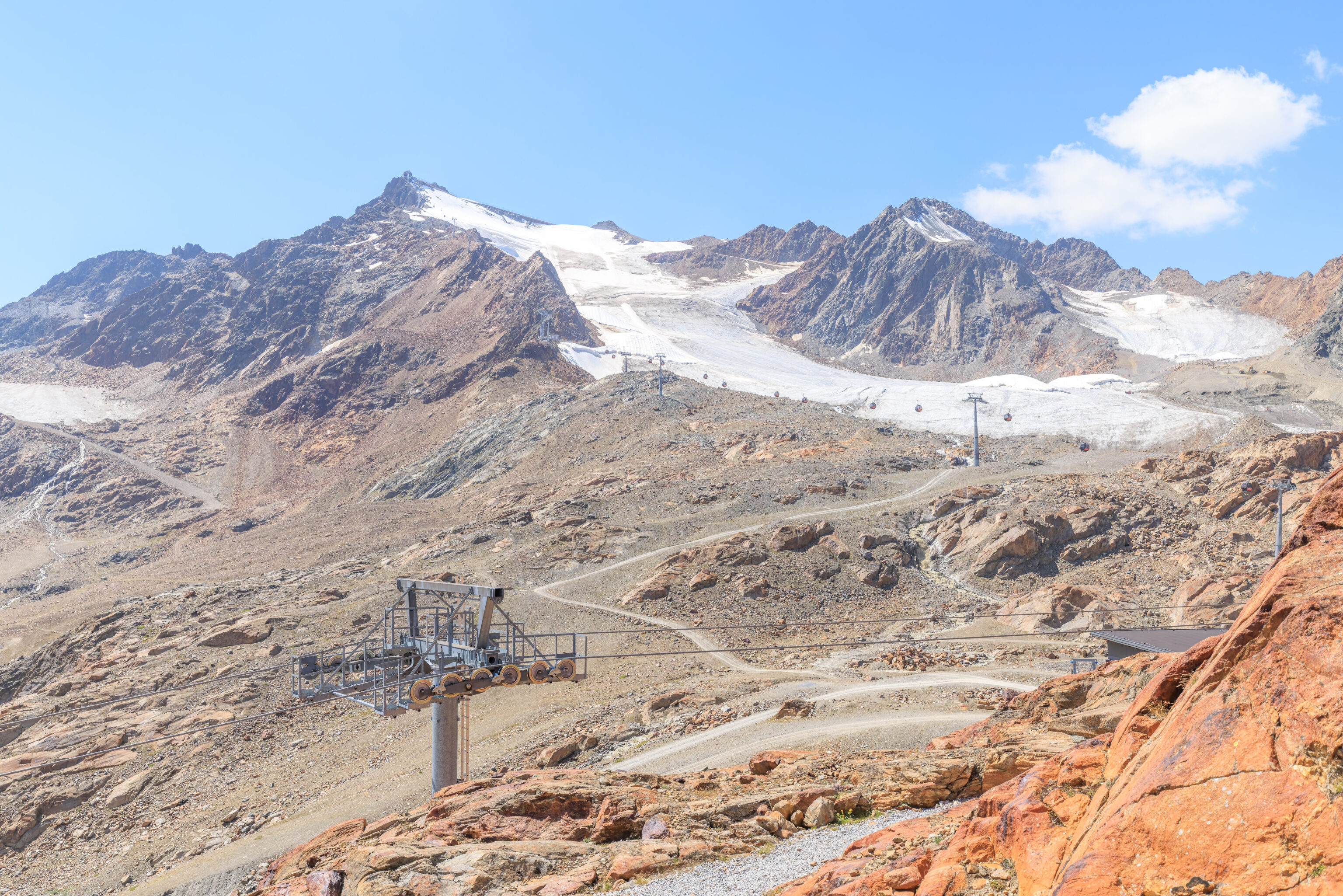
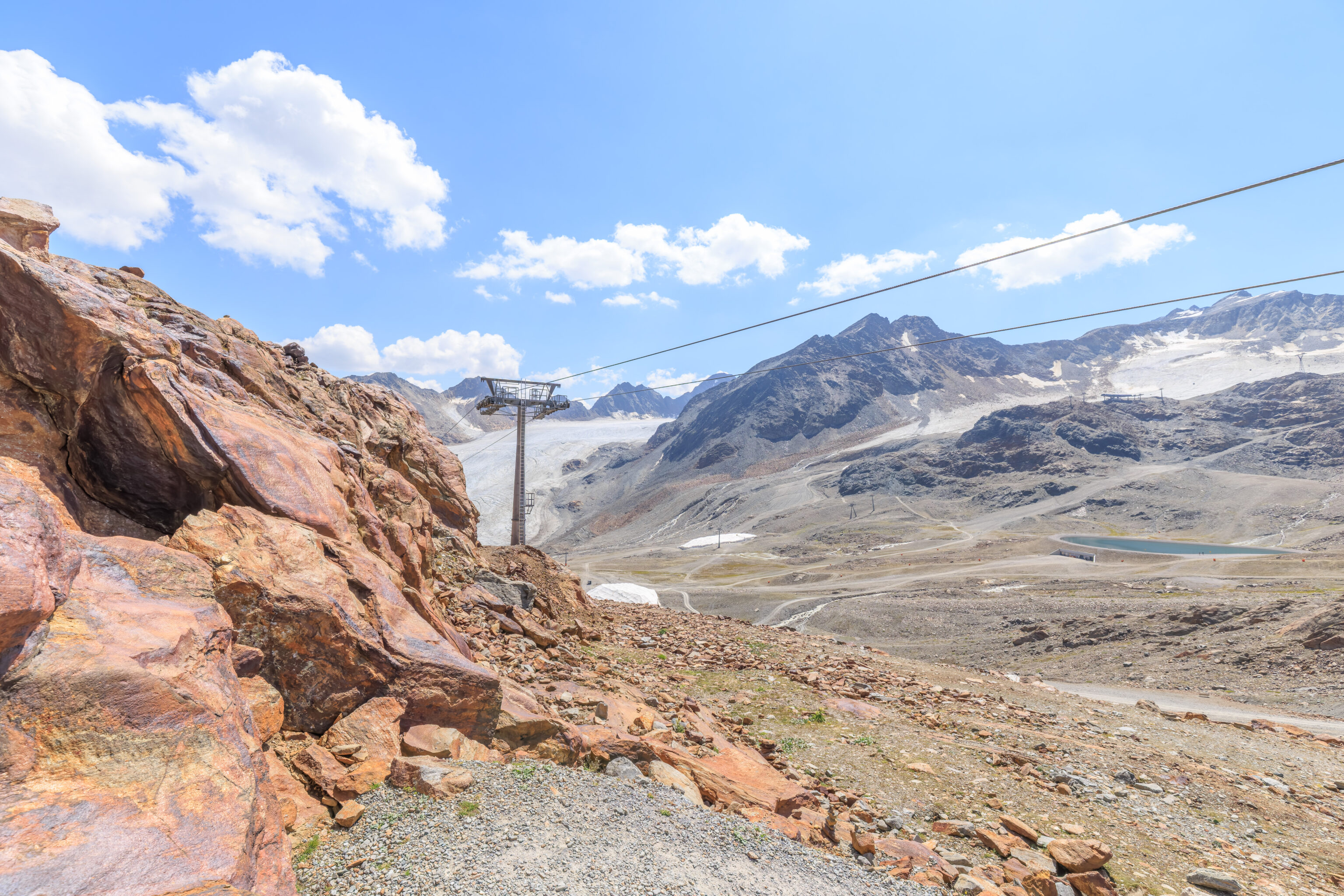
The gondola that goes to the peak, the Wildspitzbahn, was just to the south. This gondola goes up to 3,440 meters and is the highest cable transport in Austria.
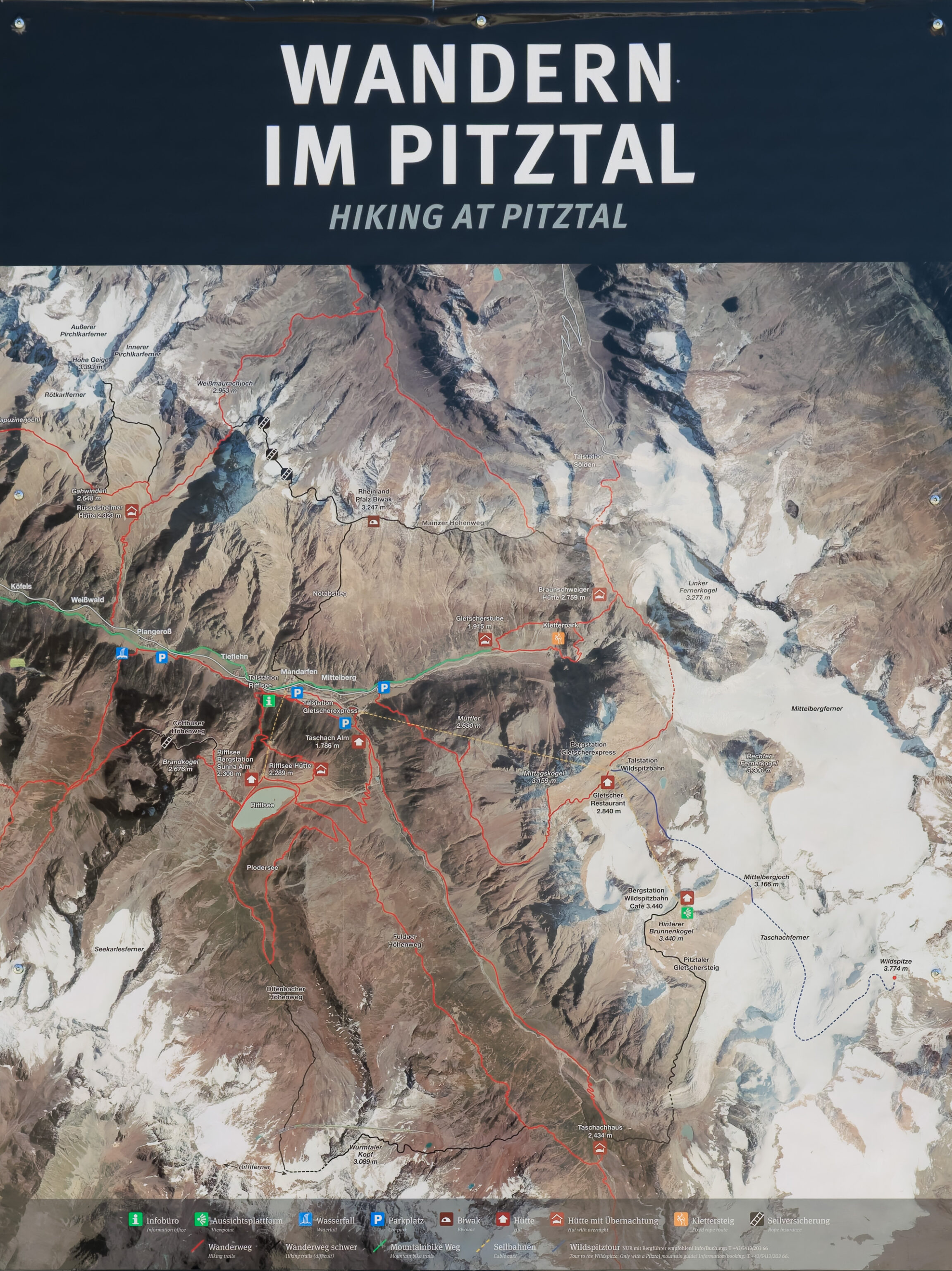
As we walked over, we looked at a sign which showed the various hiking trails in the area.
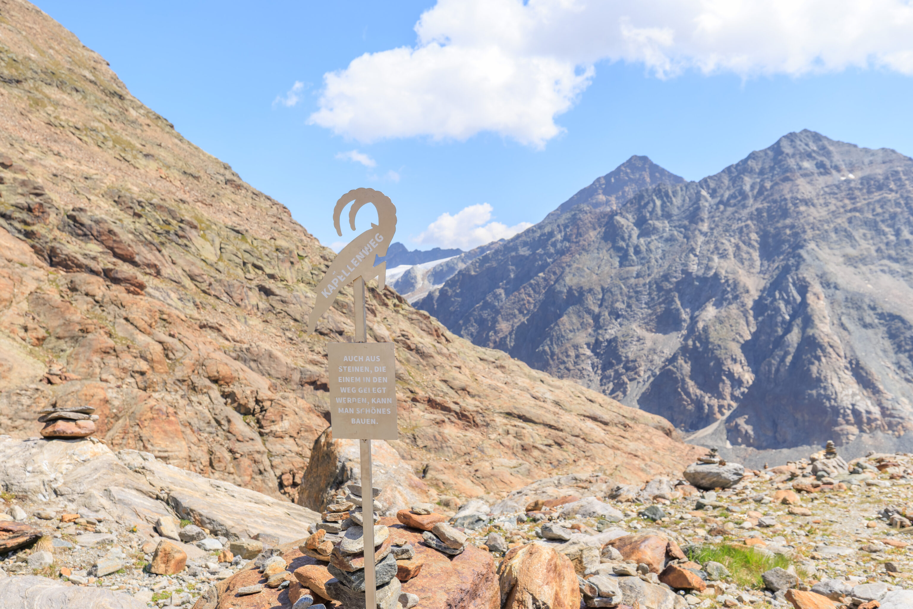
We noticed there were some new looking wooden benches with the supports at either end shaped like an Alpine Ibex, also known as Steinbock.
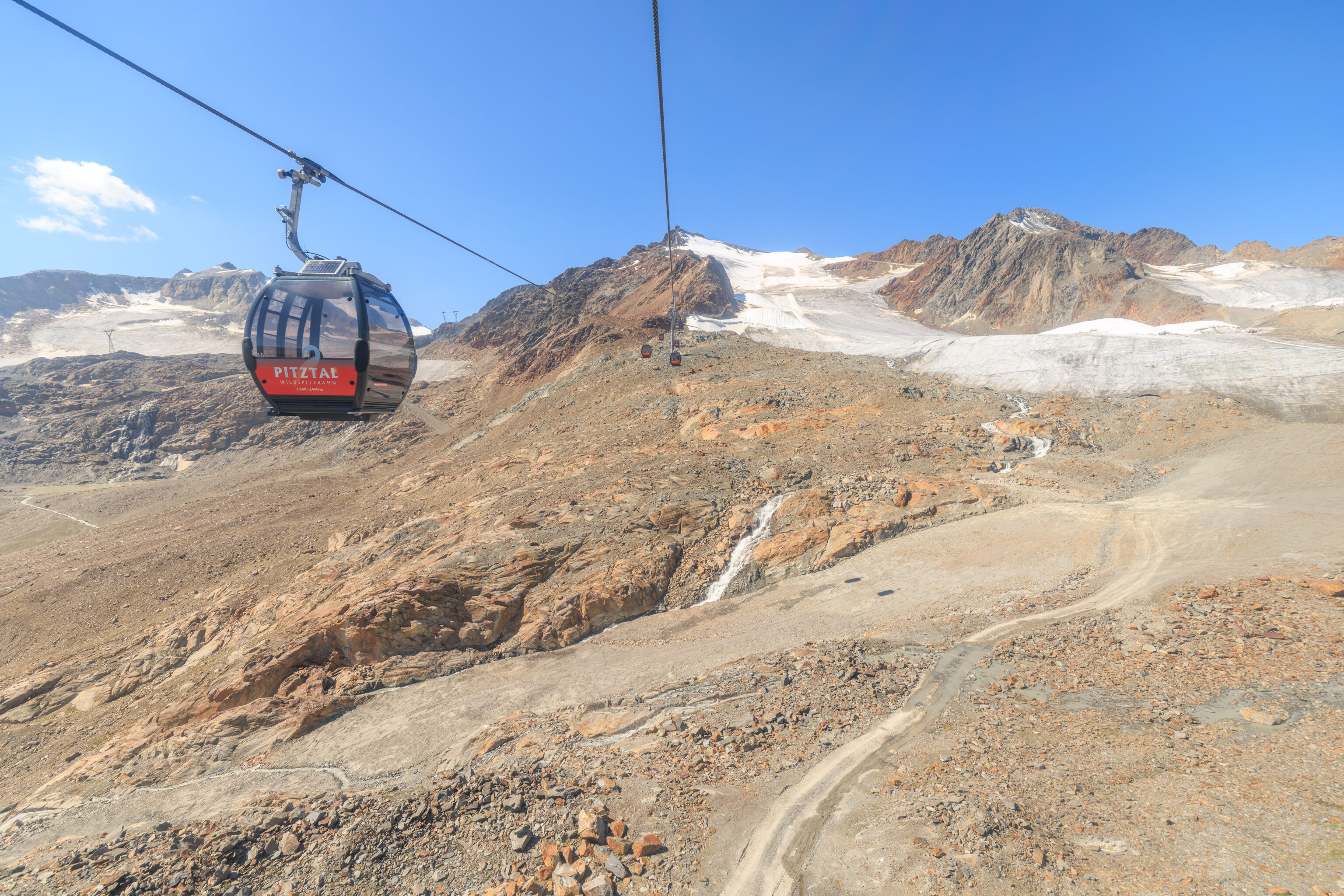
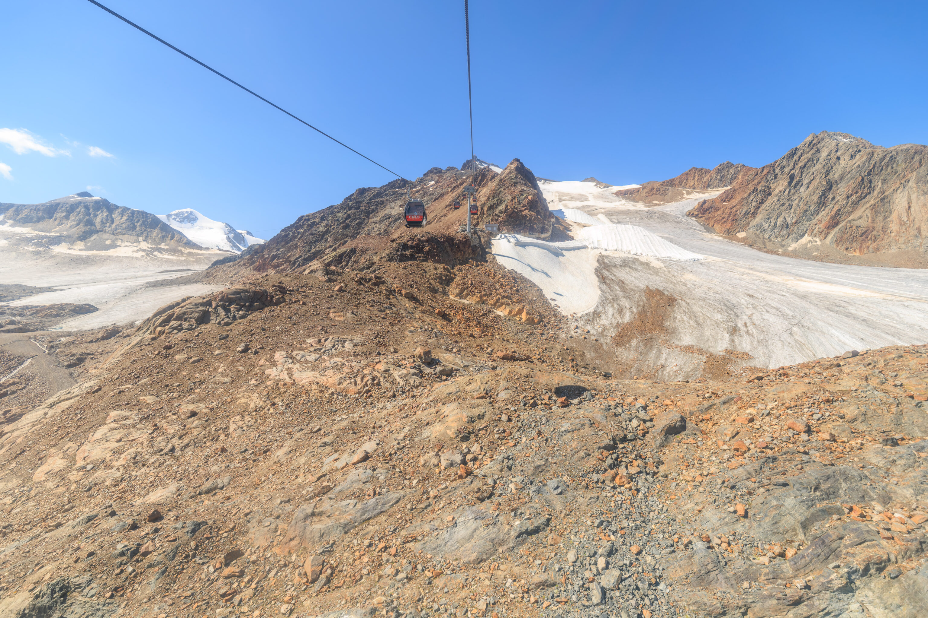
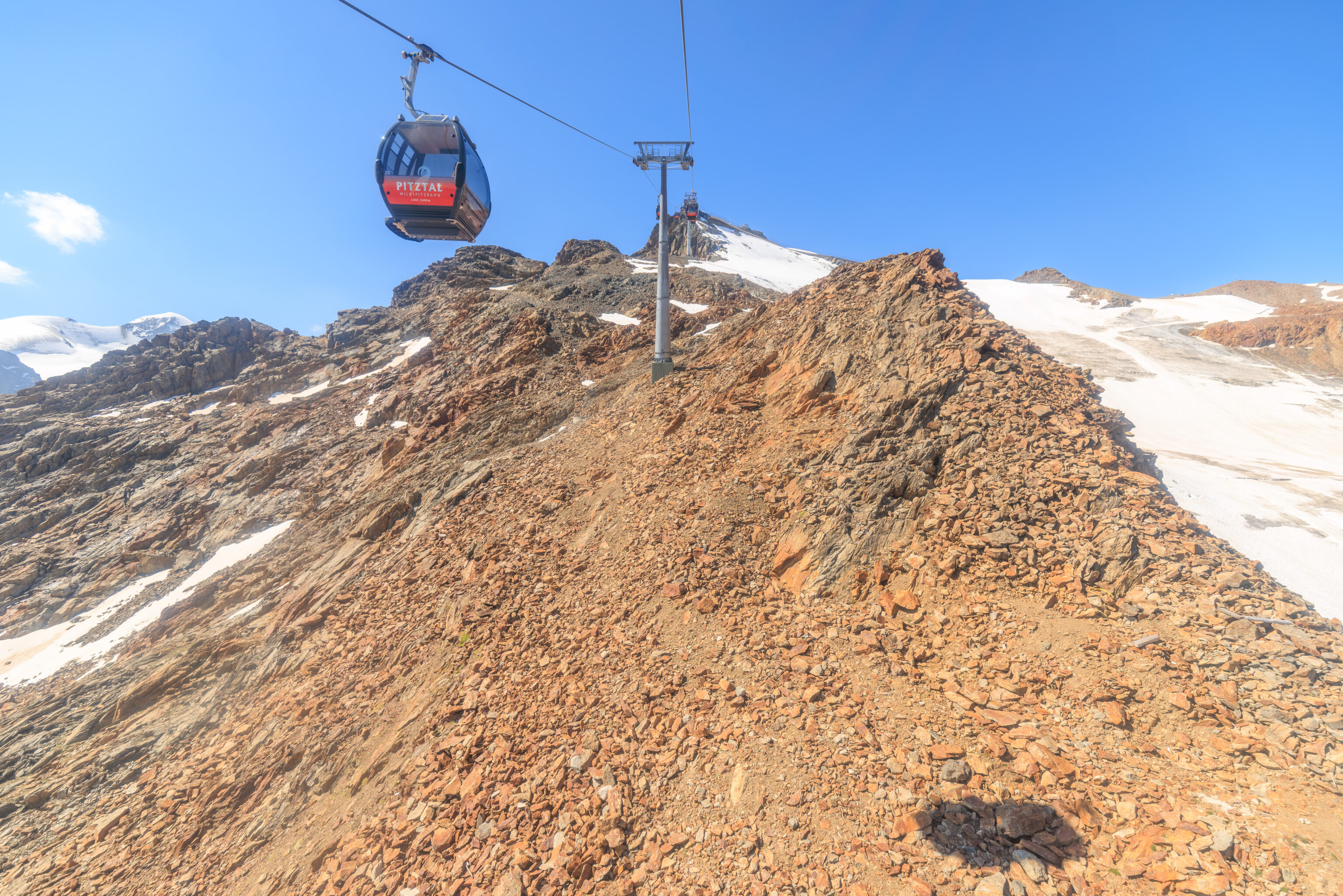
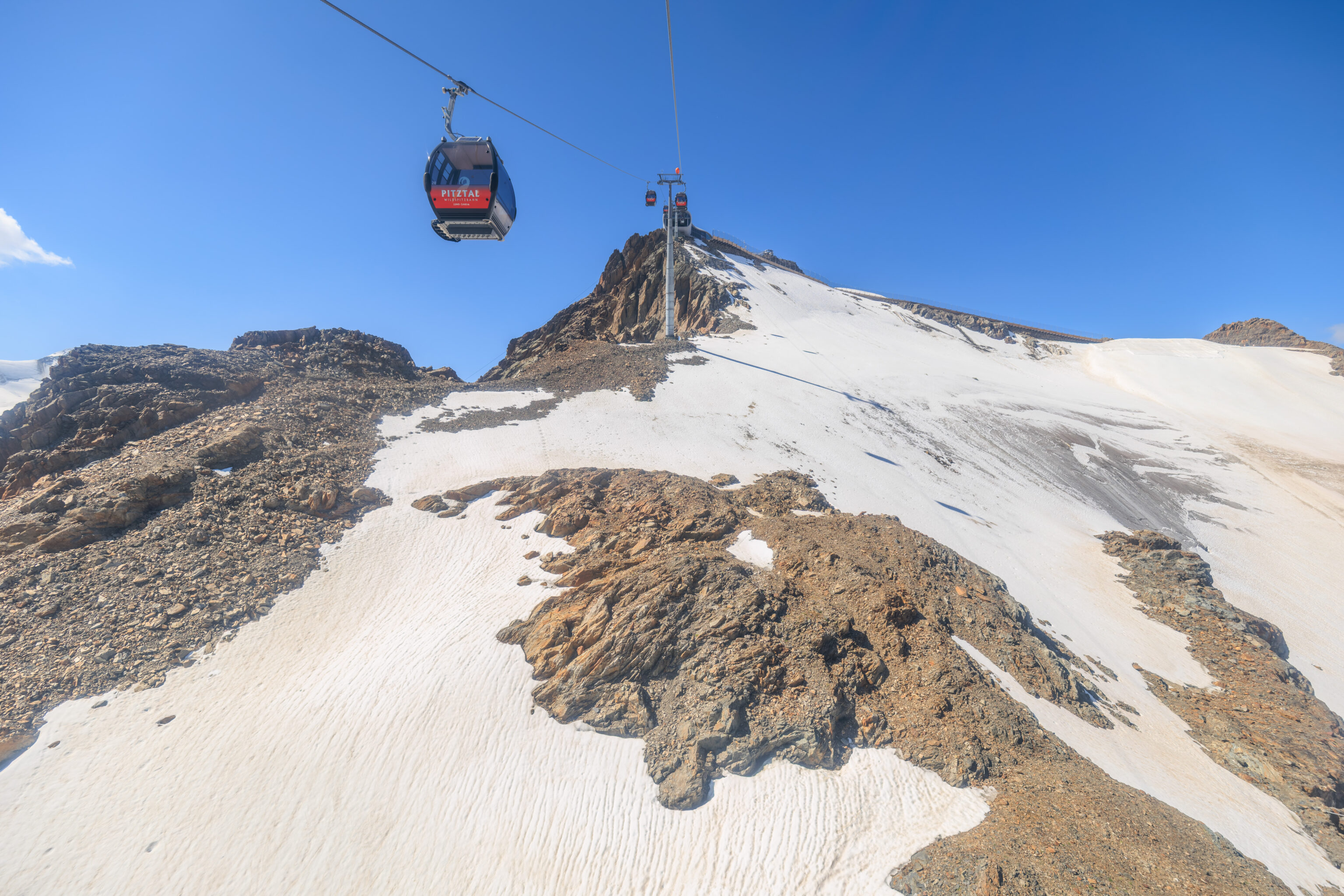
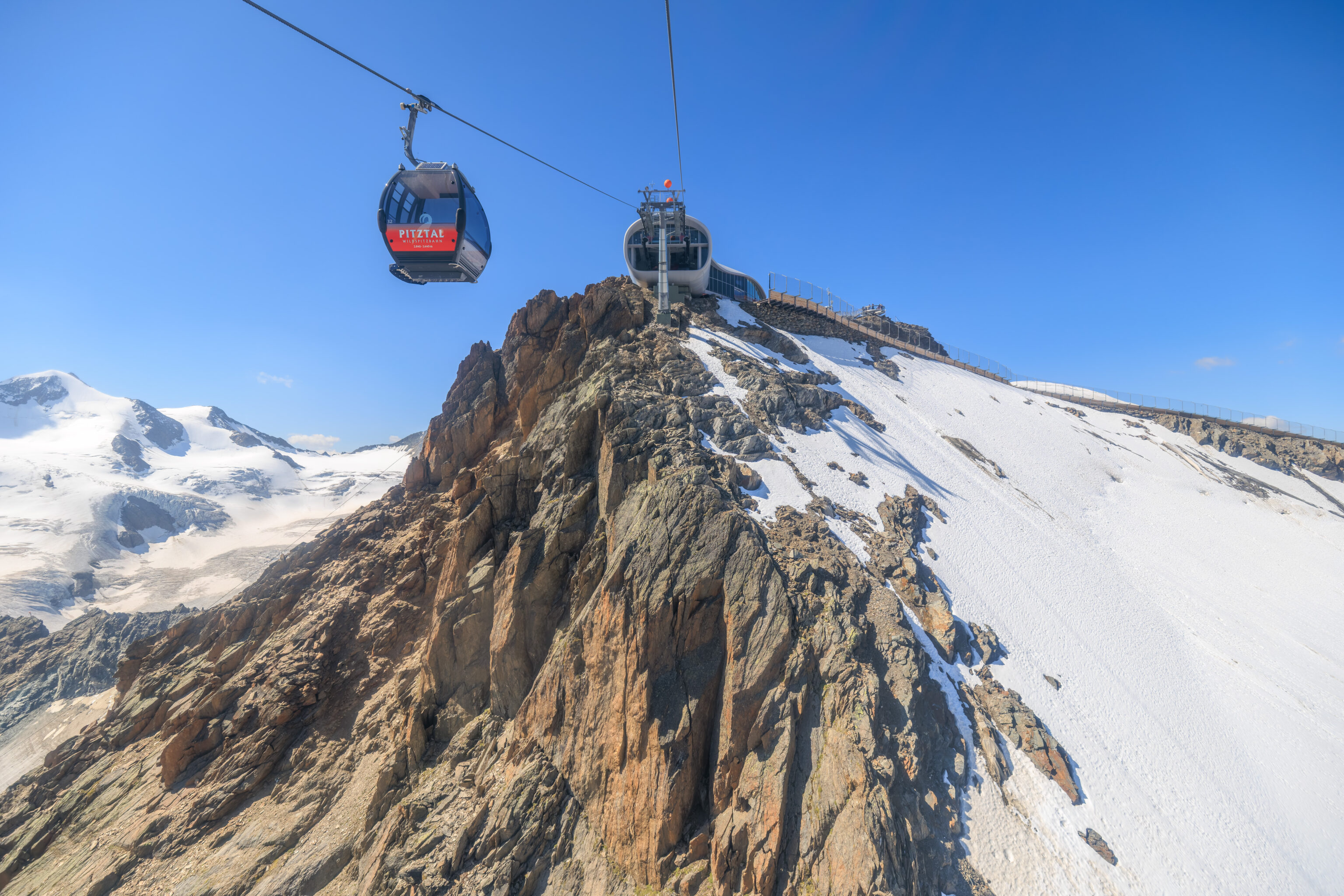
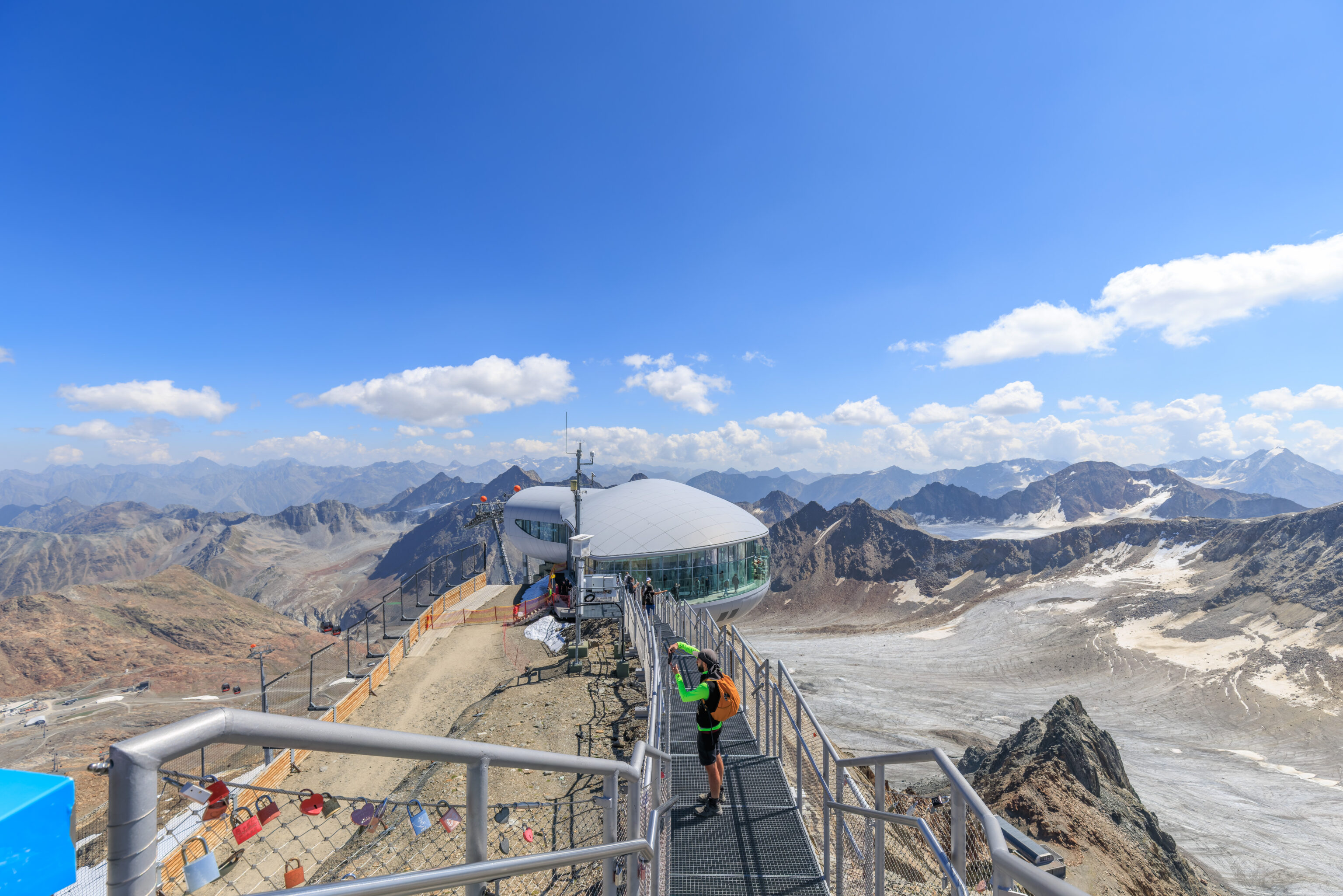
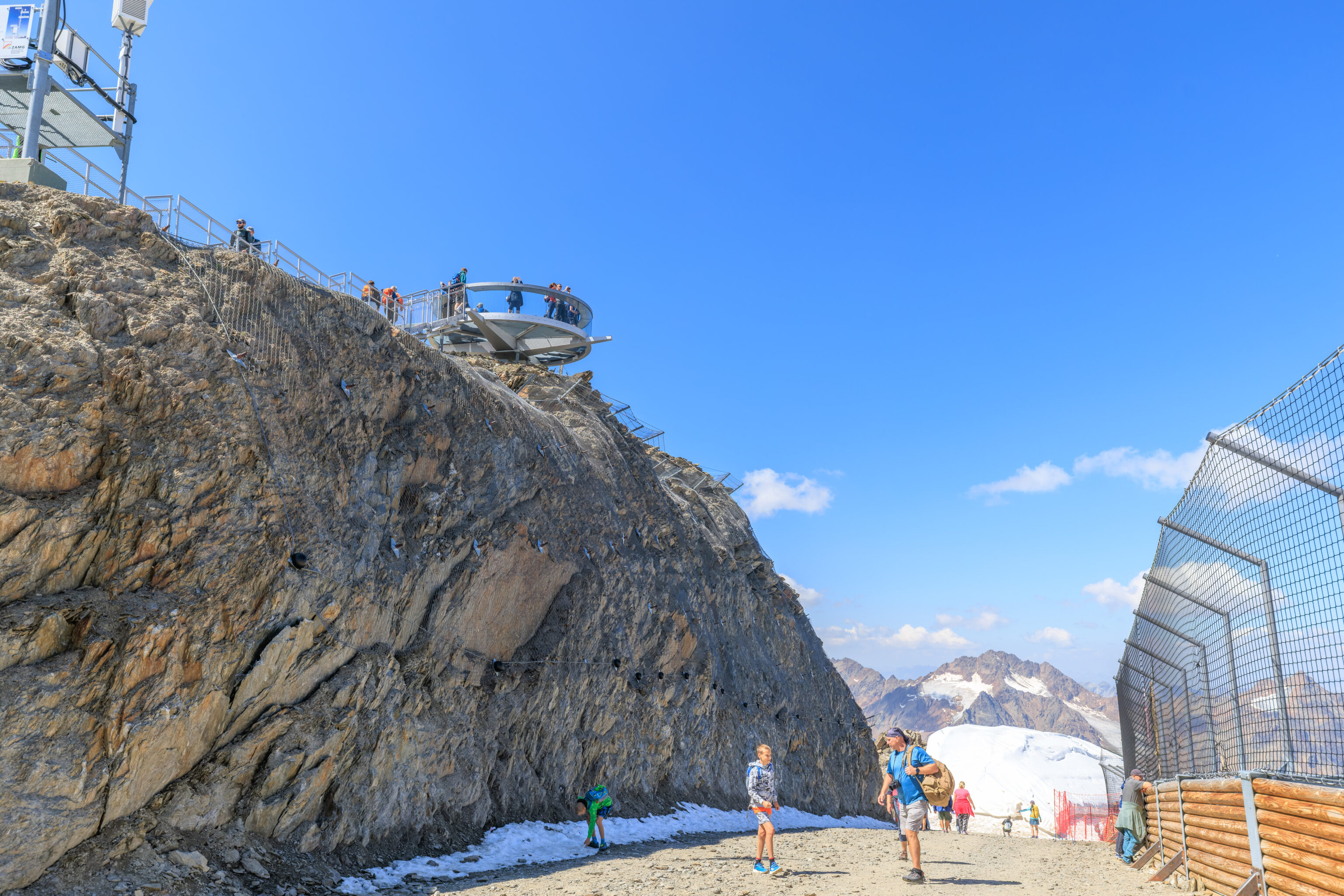
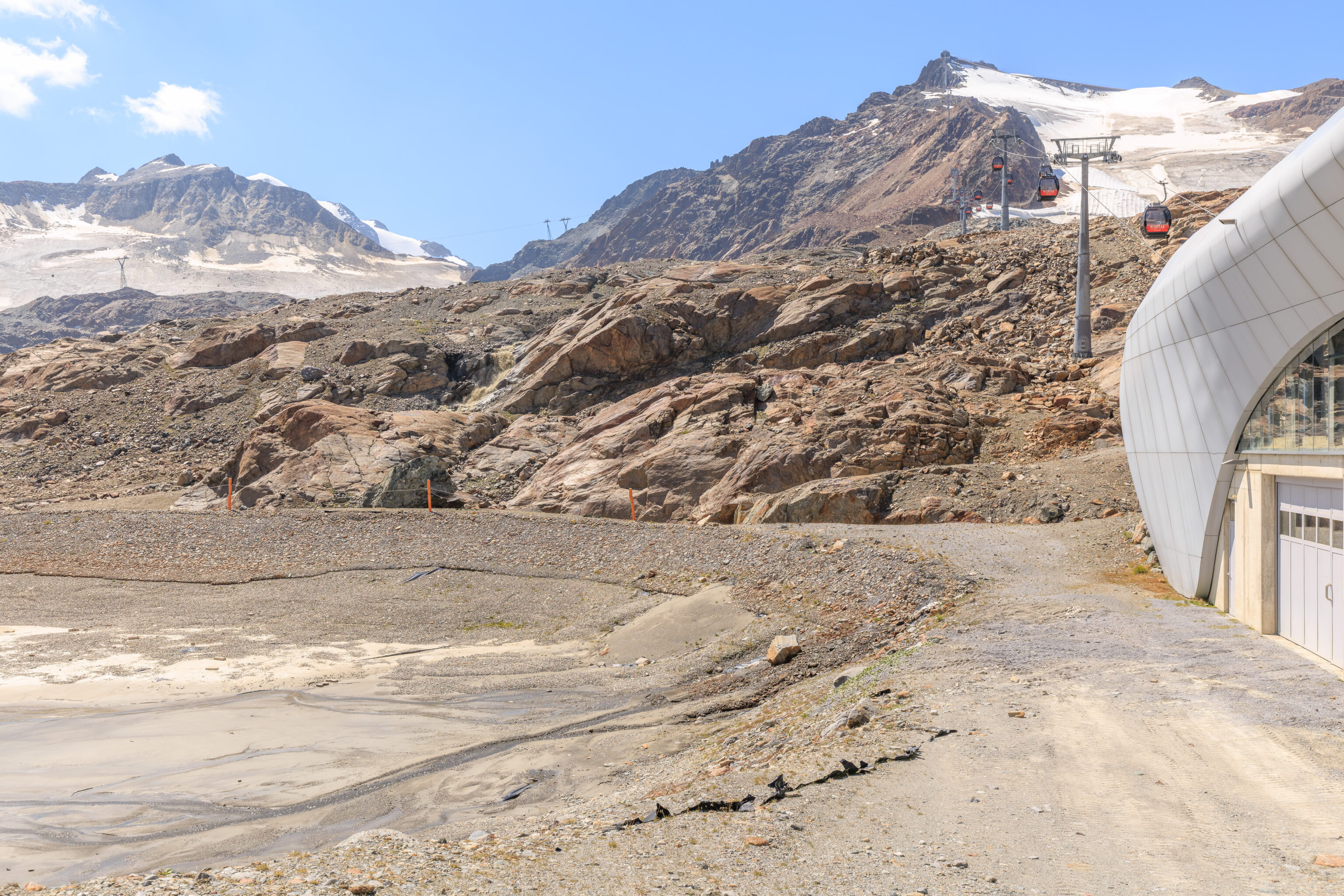
We headed up the mountain on the Wildspitzbahn, arriving at the top at about 11:15am. The station is situated just below the peak of the Hintere Brunnenkogel.
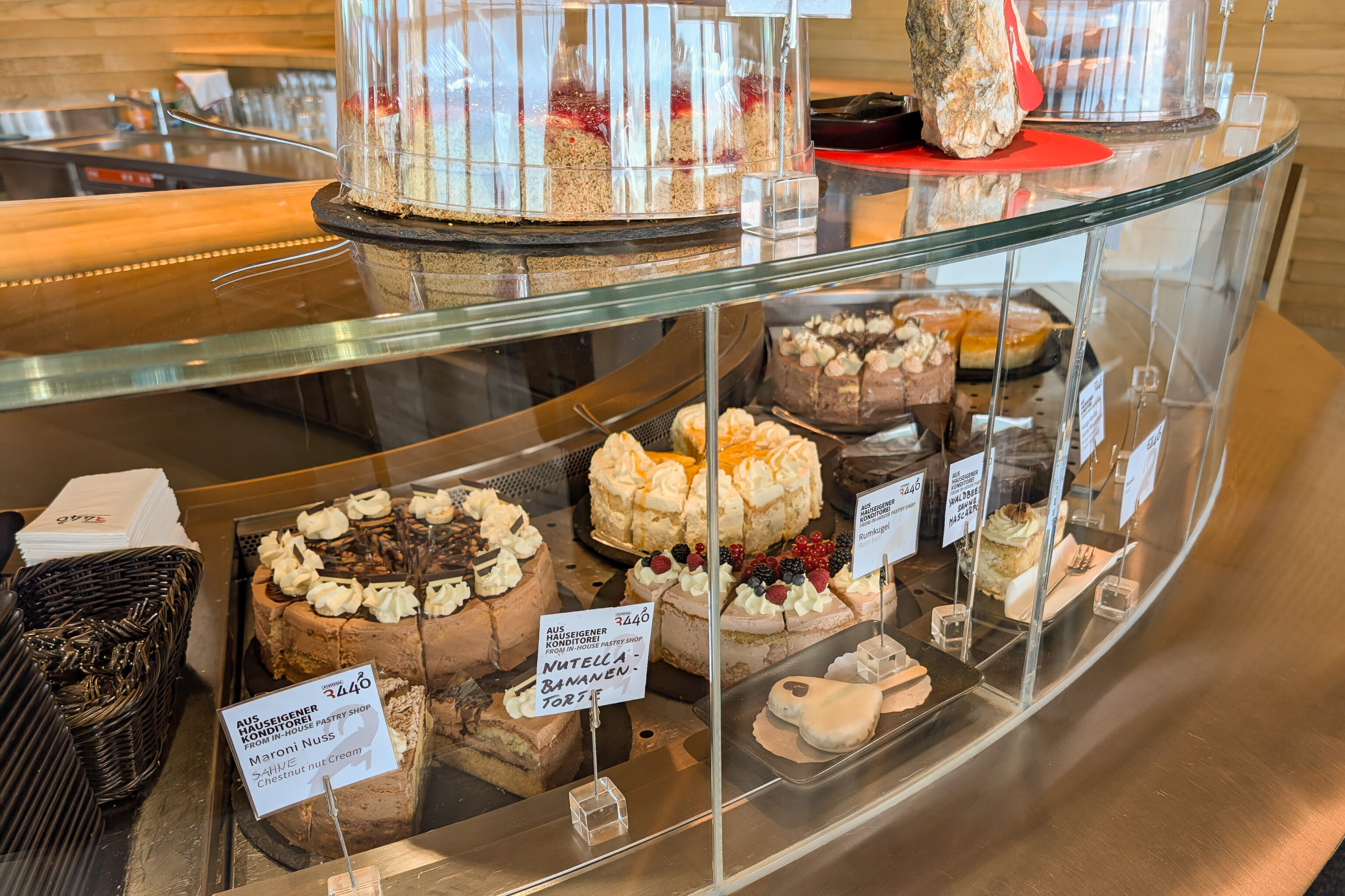
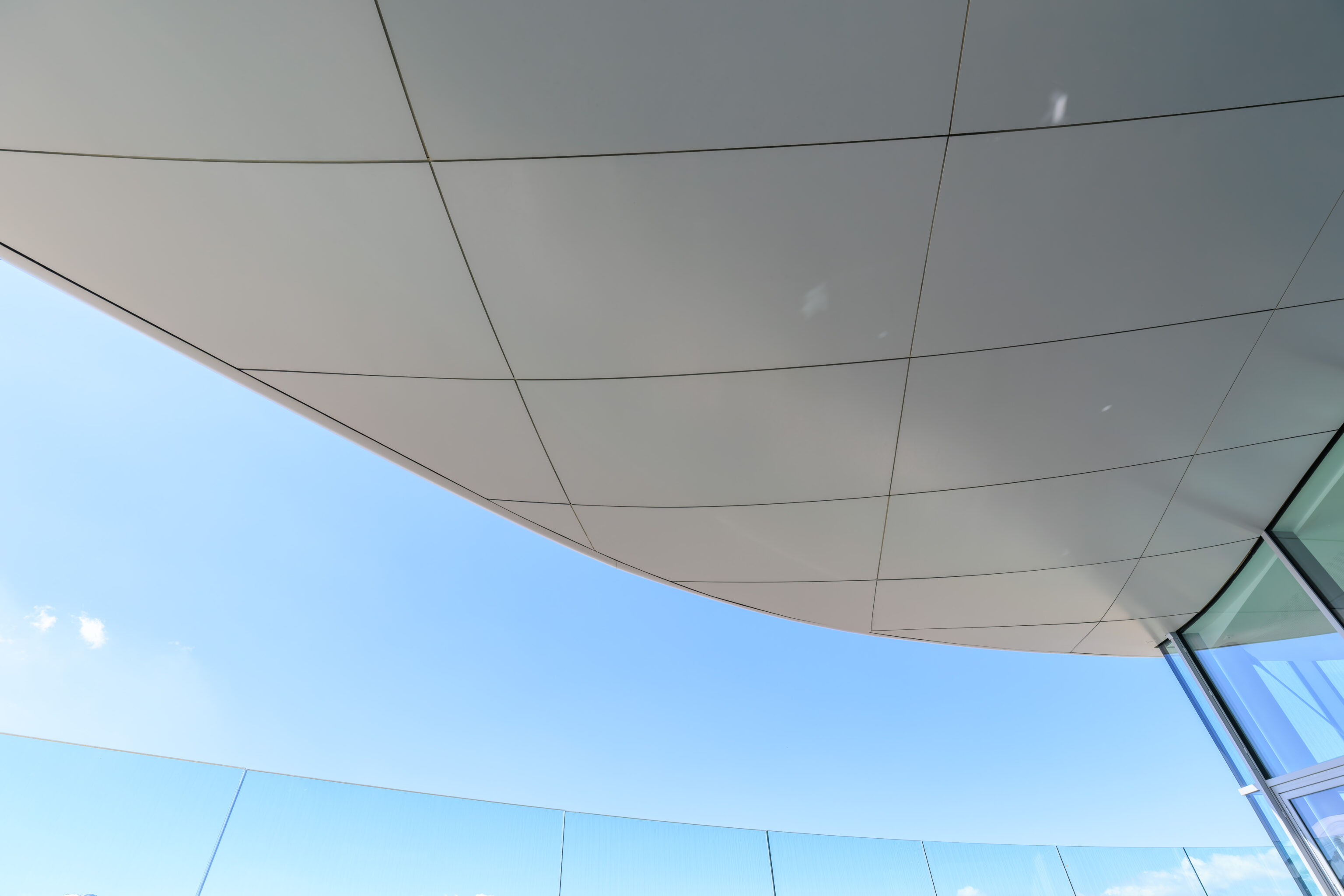
The Cafe 3440 within the station is described as the highest in Tyrol. They sold a variety of cakes and other snacks.
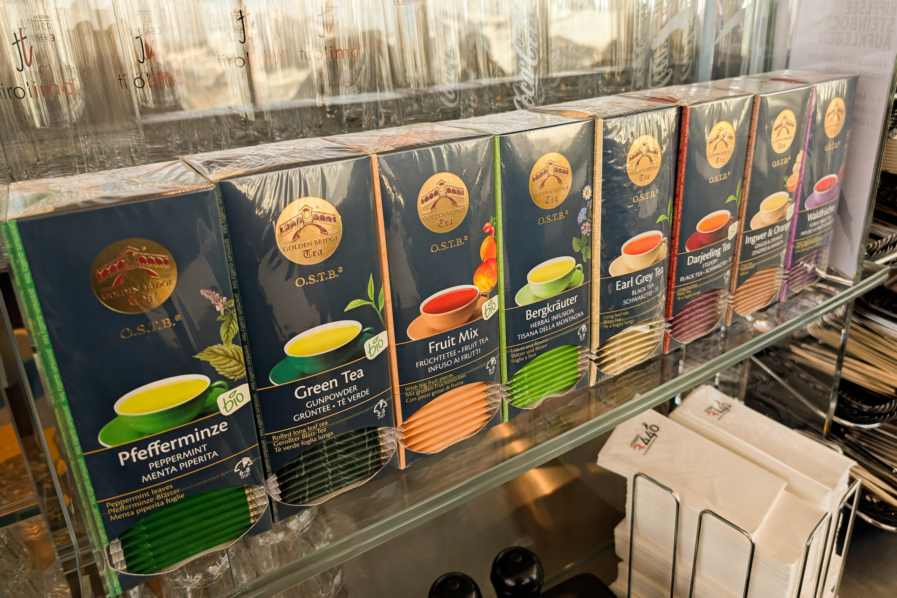
We were surprised to find tea with the Rialto Bridge in Venice as the logo! Golden Bridge Tea is from South Tyrol, which is the Italian province just to the south of here.
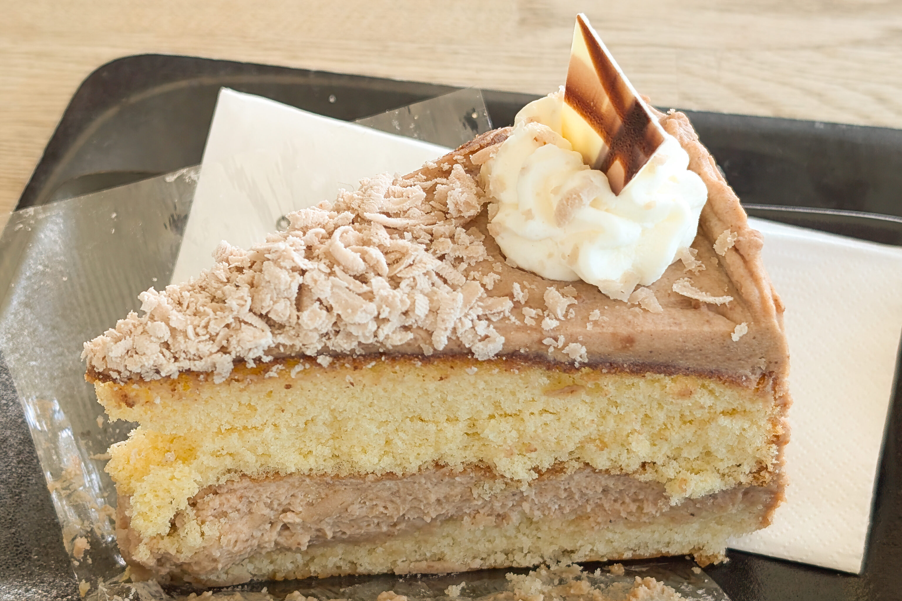
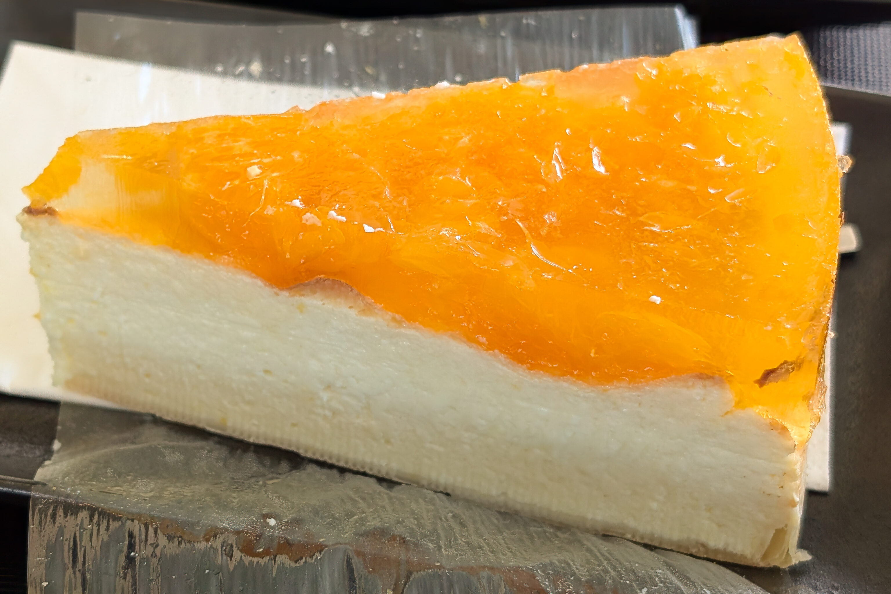
We decided to get the chestnut torte and mandarin cheesecake. The torte was good, though the cheesecake was pretty different from what we expected. The mandarin orange topping unfortunately didn’t have a great mandarin orange taste.
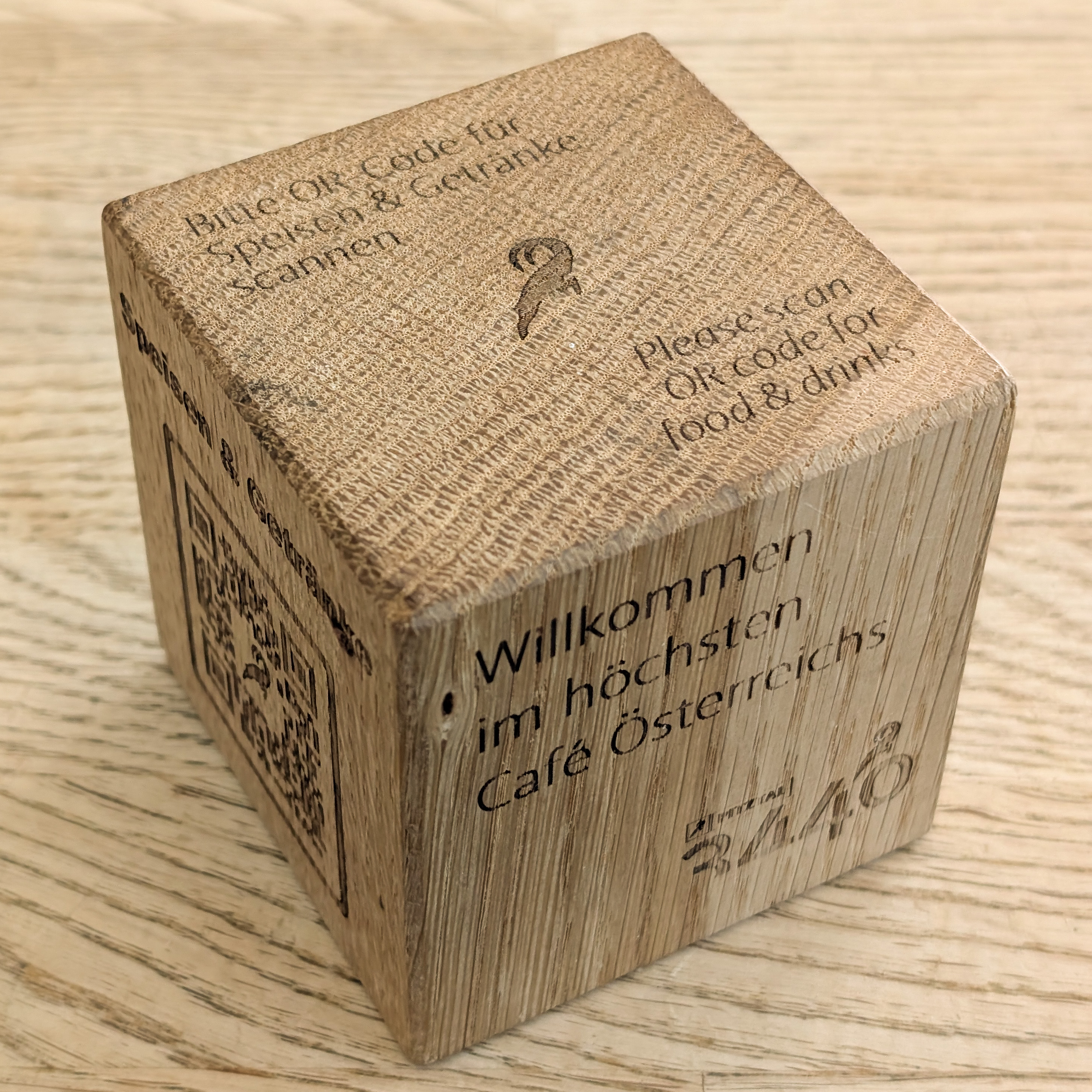
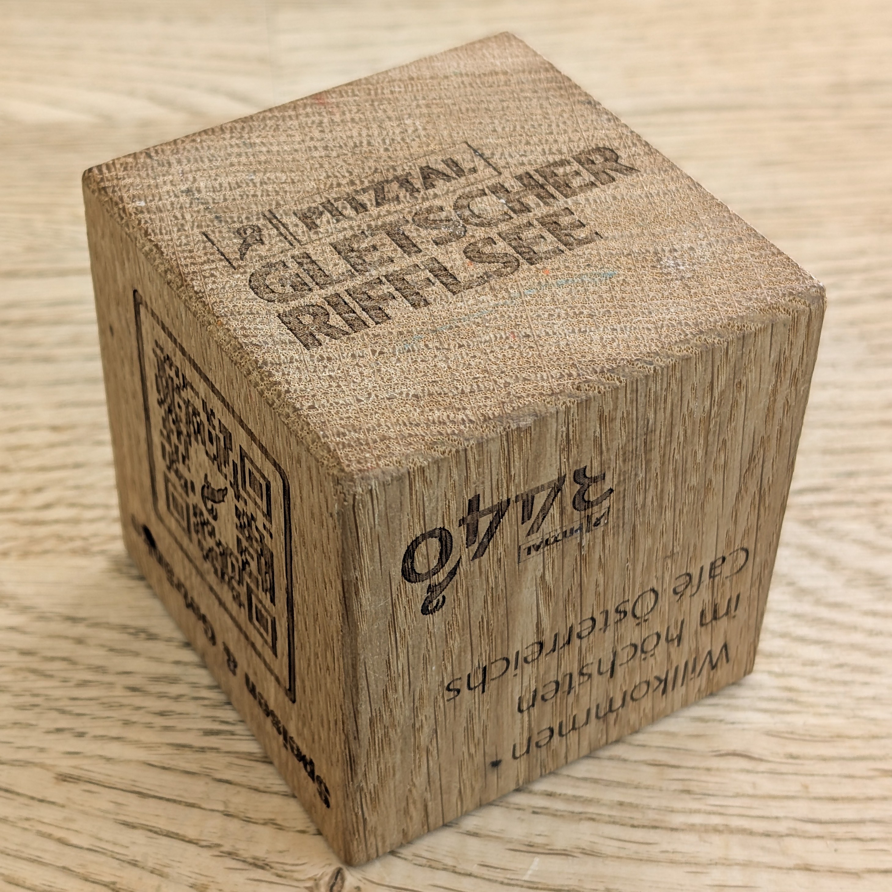
They had these wooden cubes at the tables with QR codes for the menu.
The station building with cafe is relatively small. It has fantastic views though as it is pretty much near the top of the Hintere Brunnenkogel’s narrow peak.
We took a look out of a side entrance on the north side of the building where we had a view of the gondola cableway.
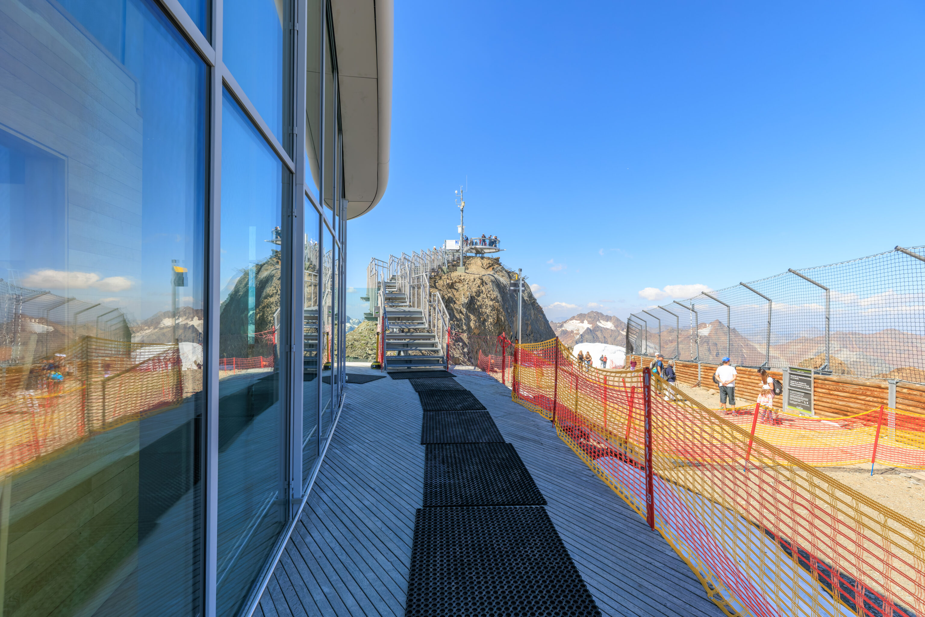
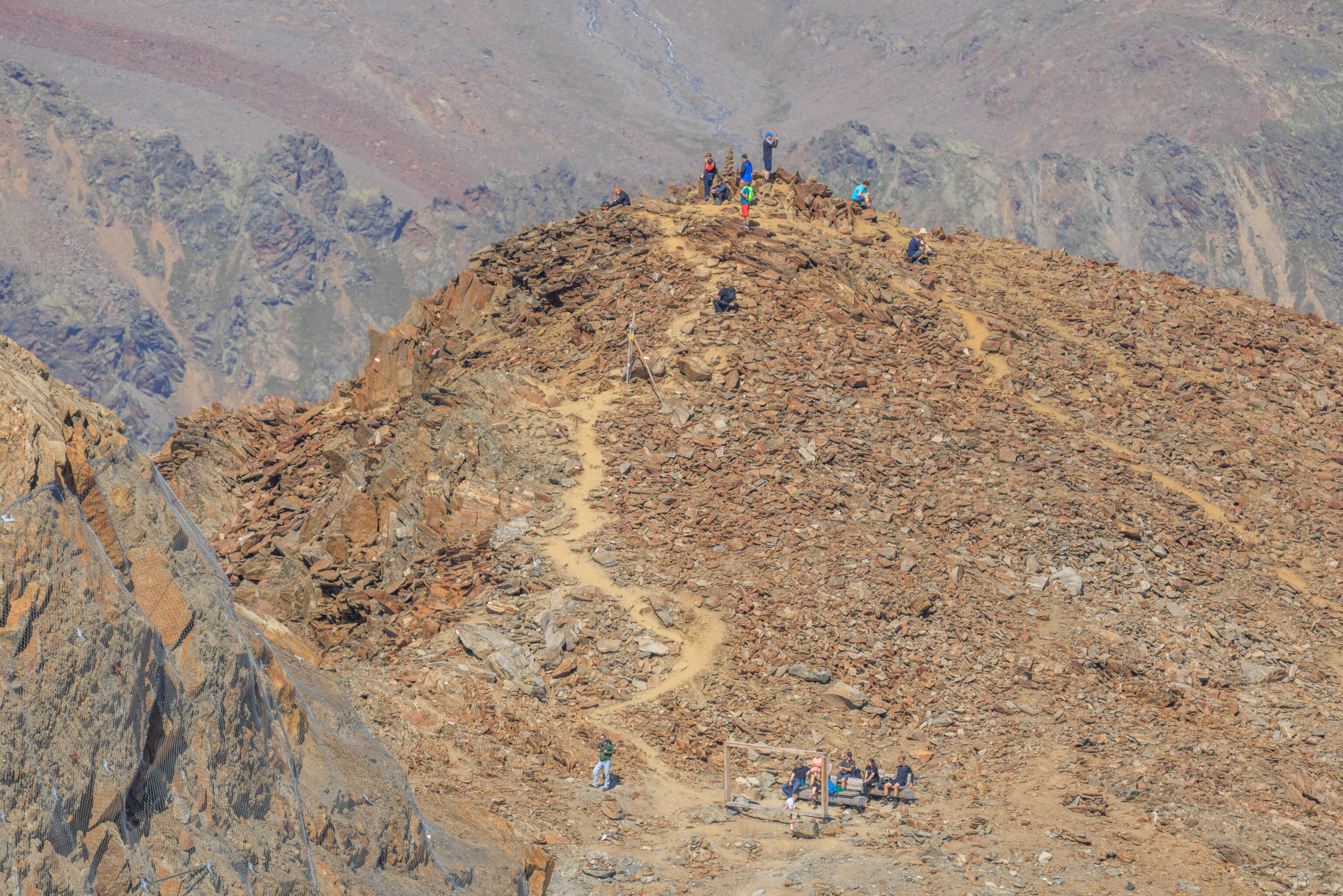
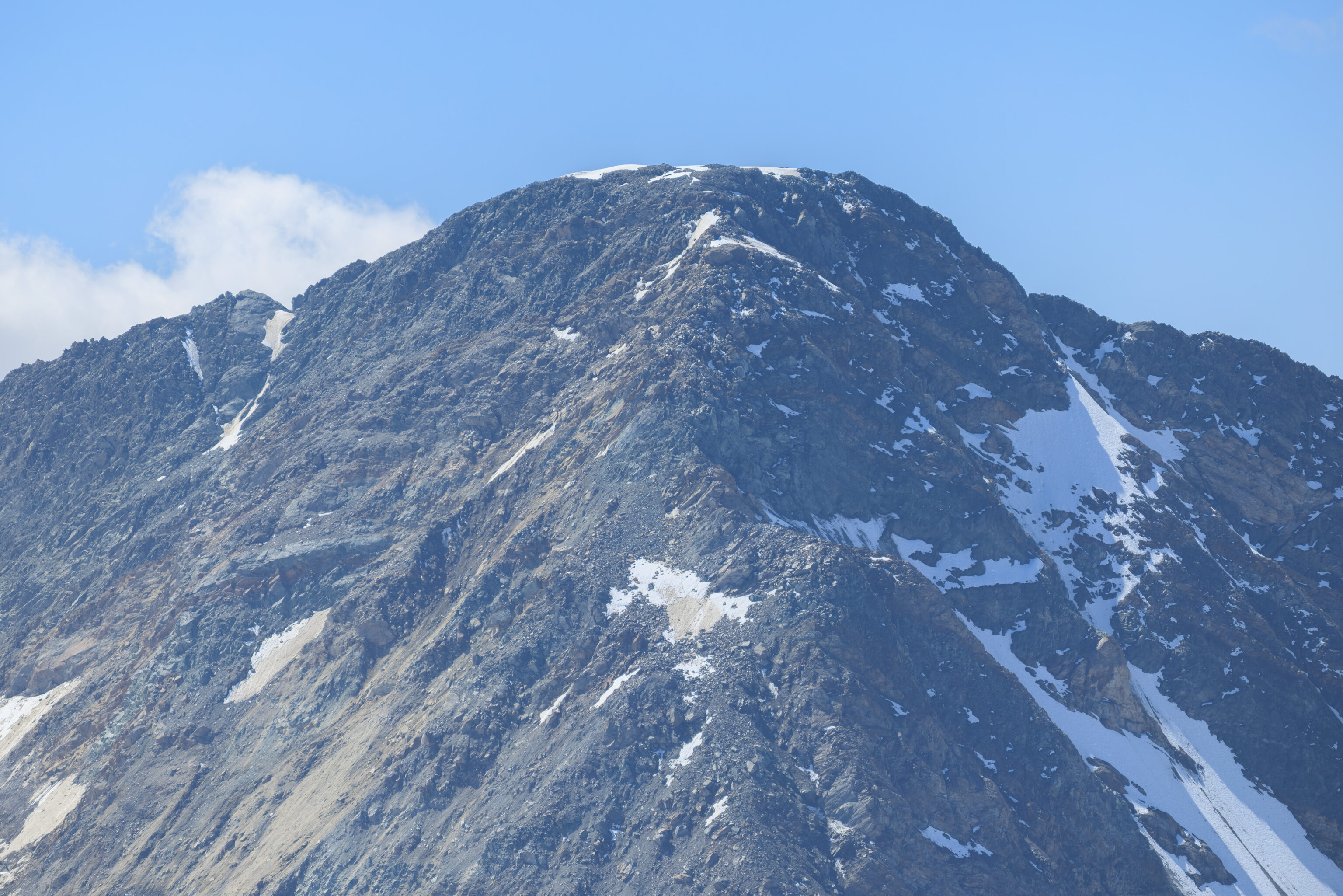
There was a path to the west that led up a metal stairway to the peak of Hintere Brunnenkogel. We walked up there to take a look.
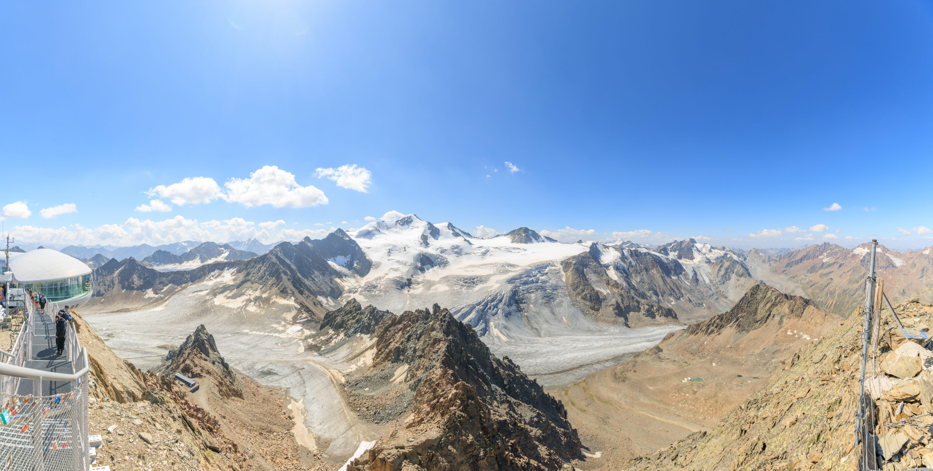
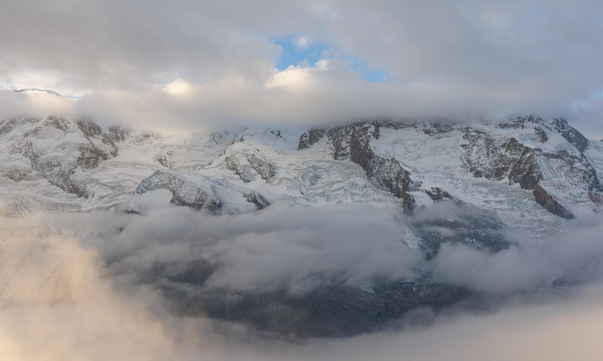
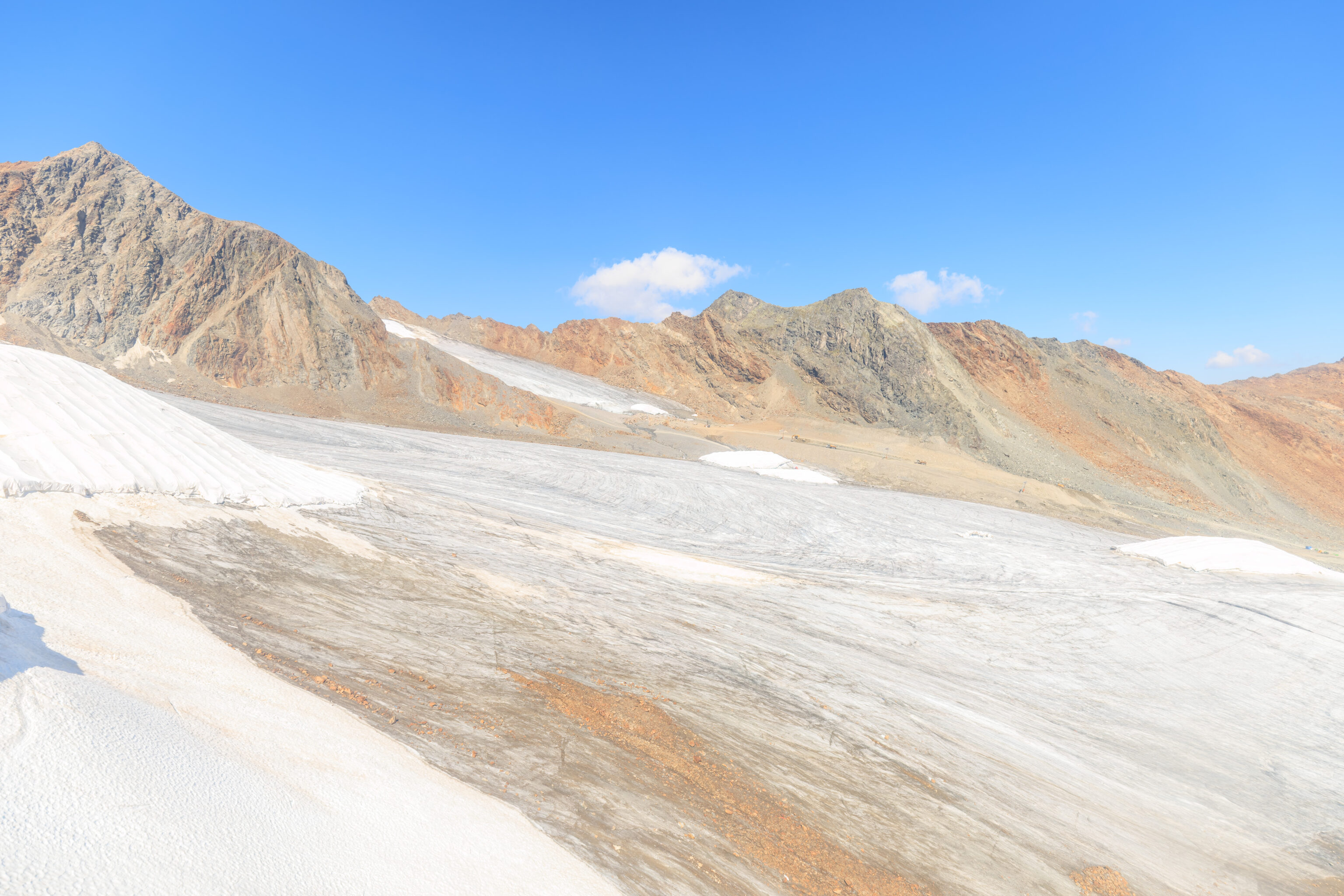
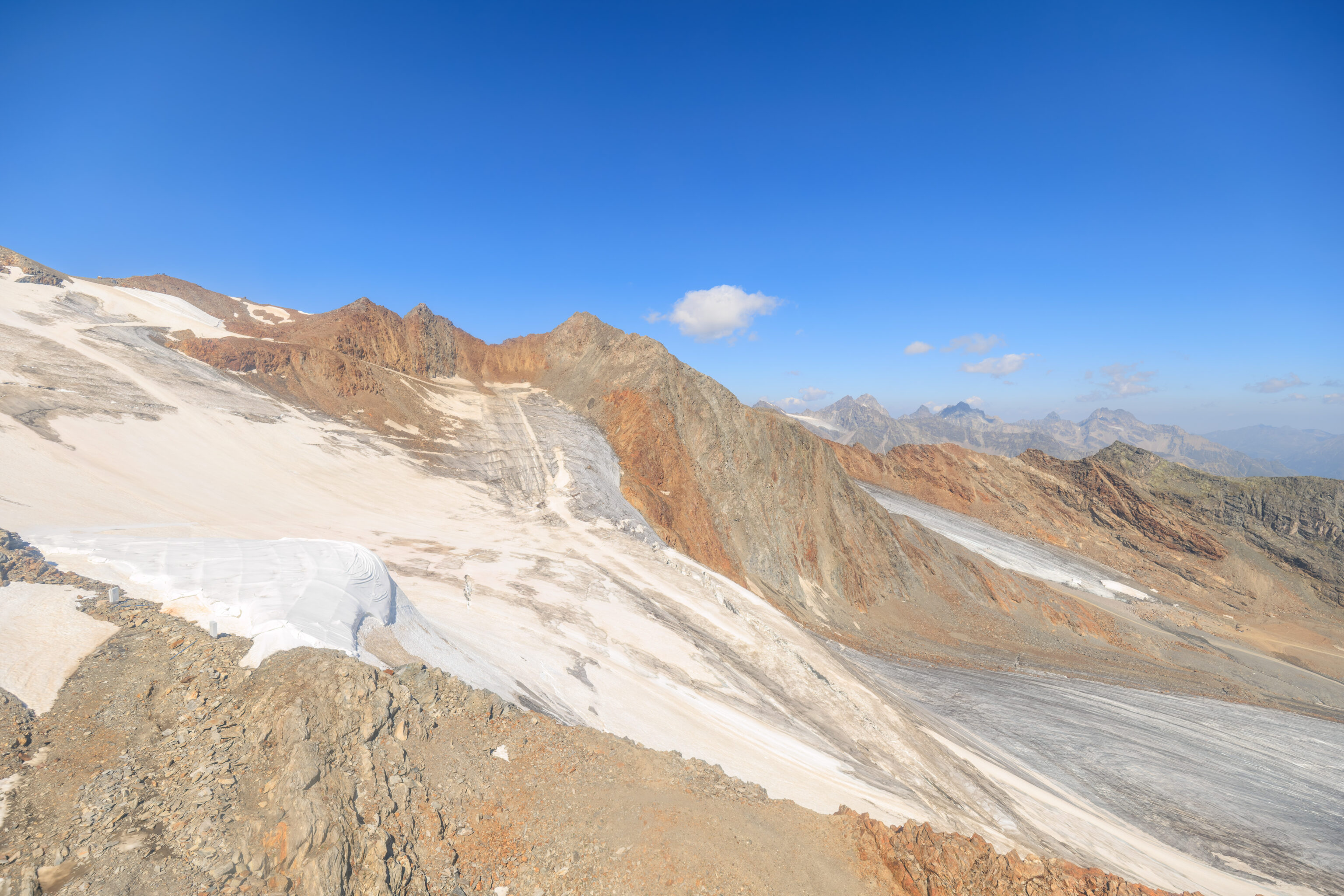
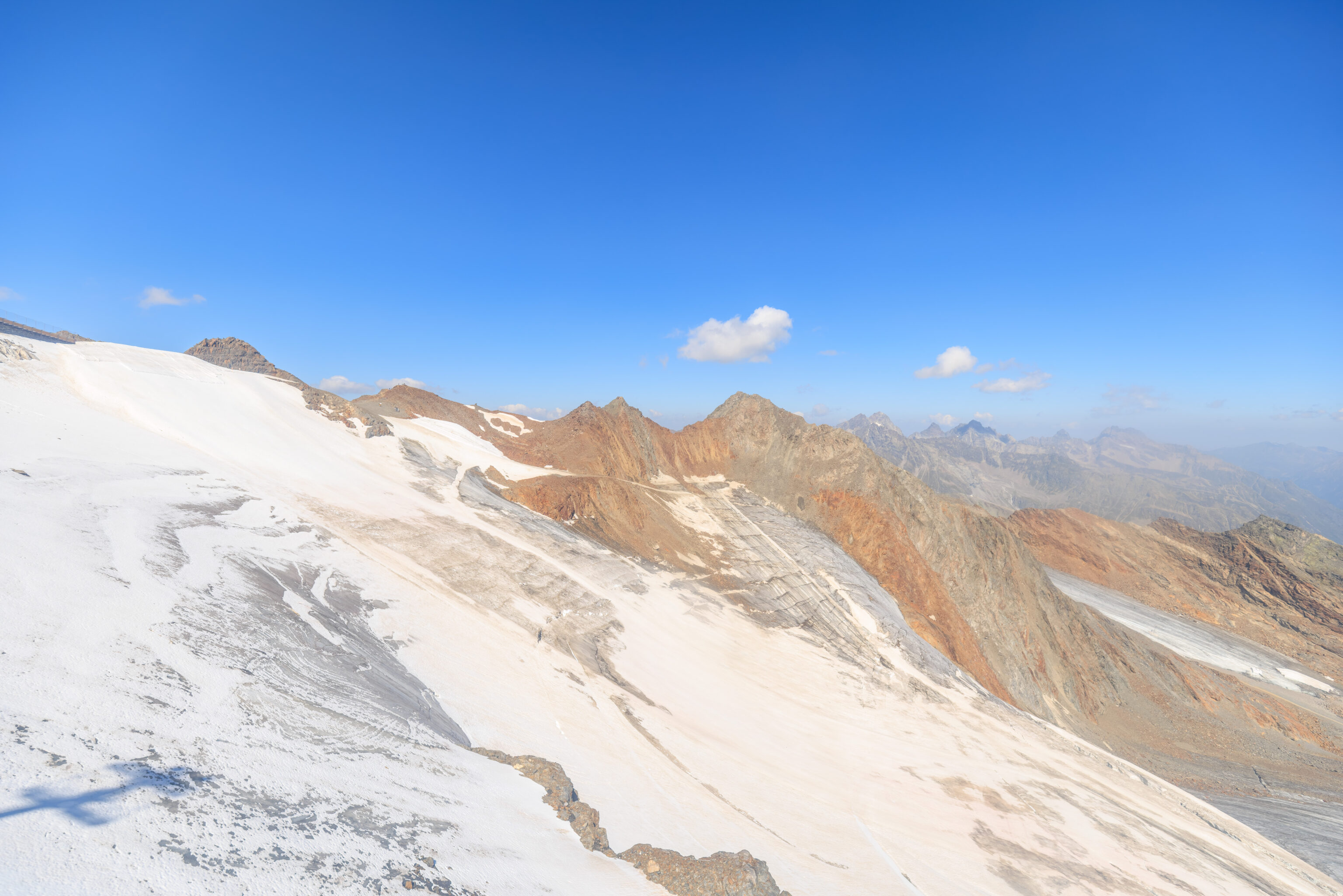
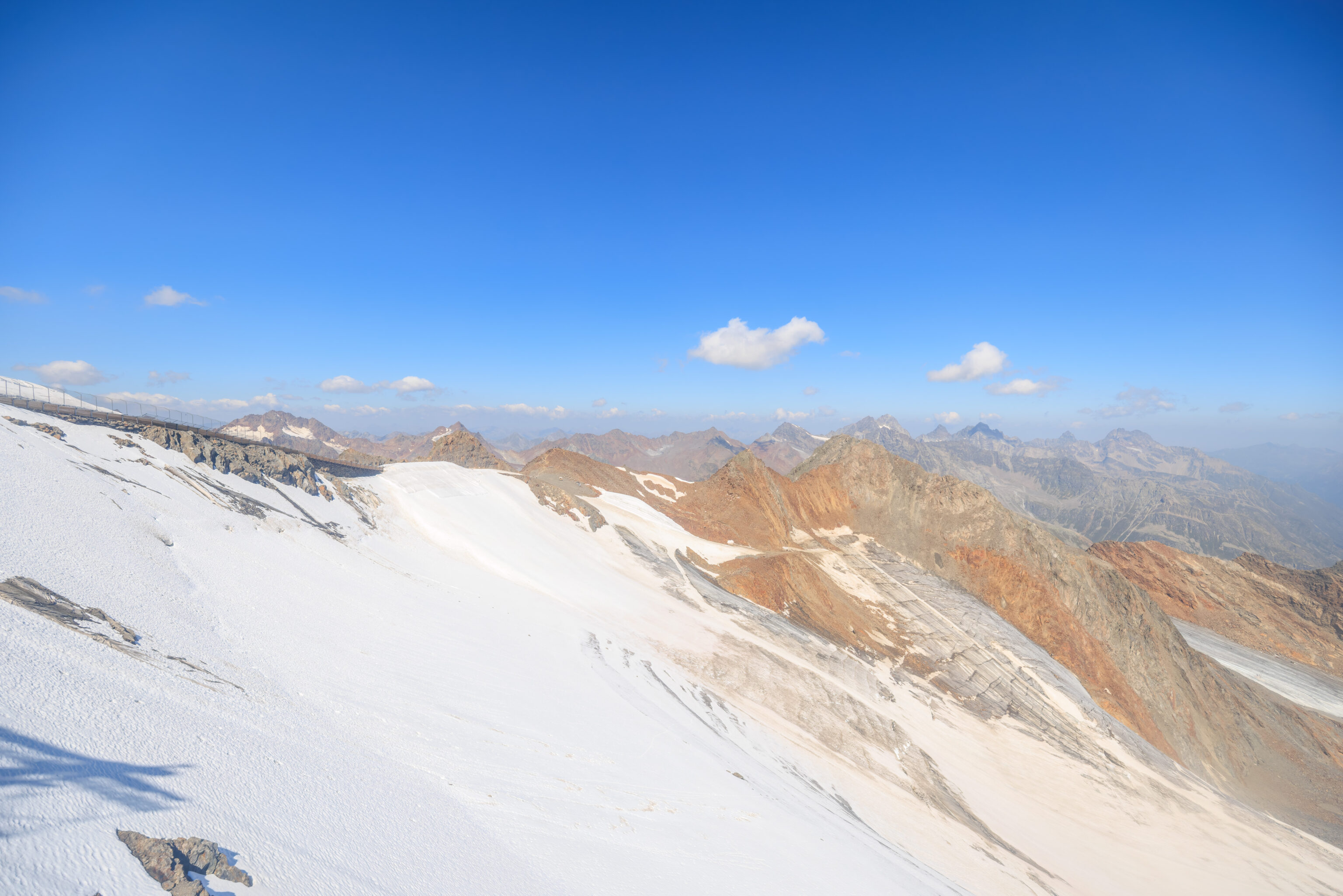
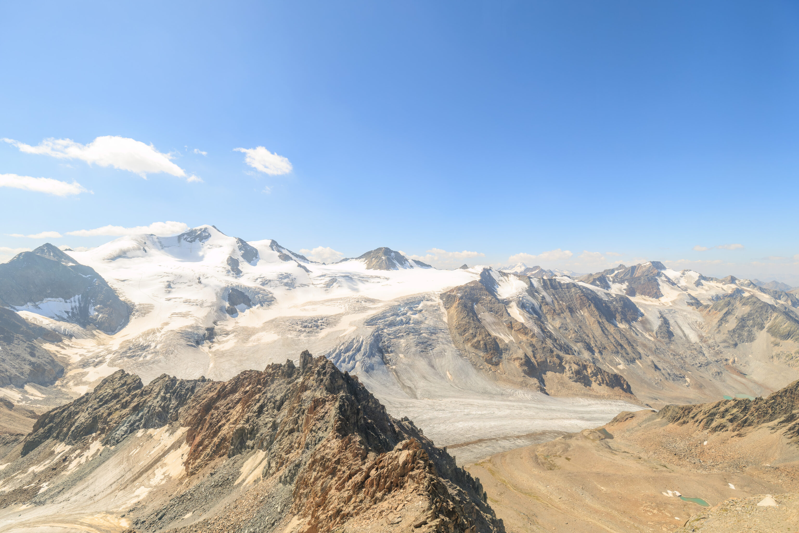
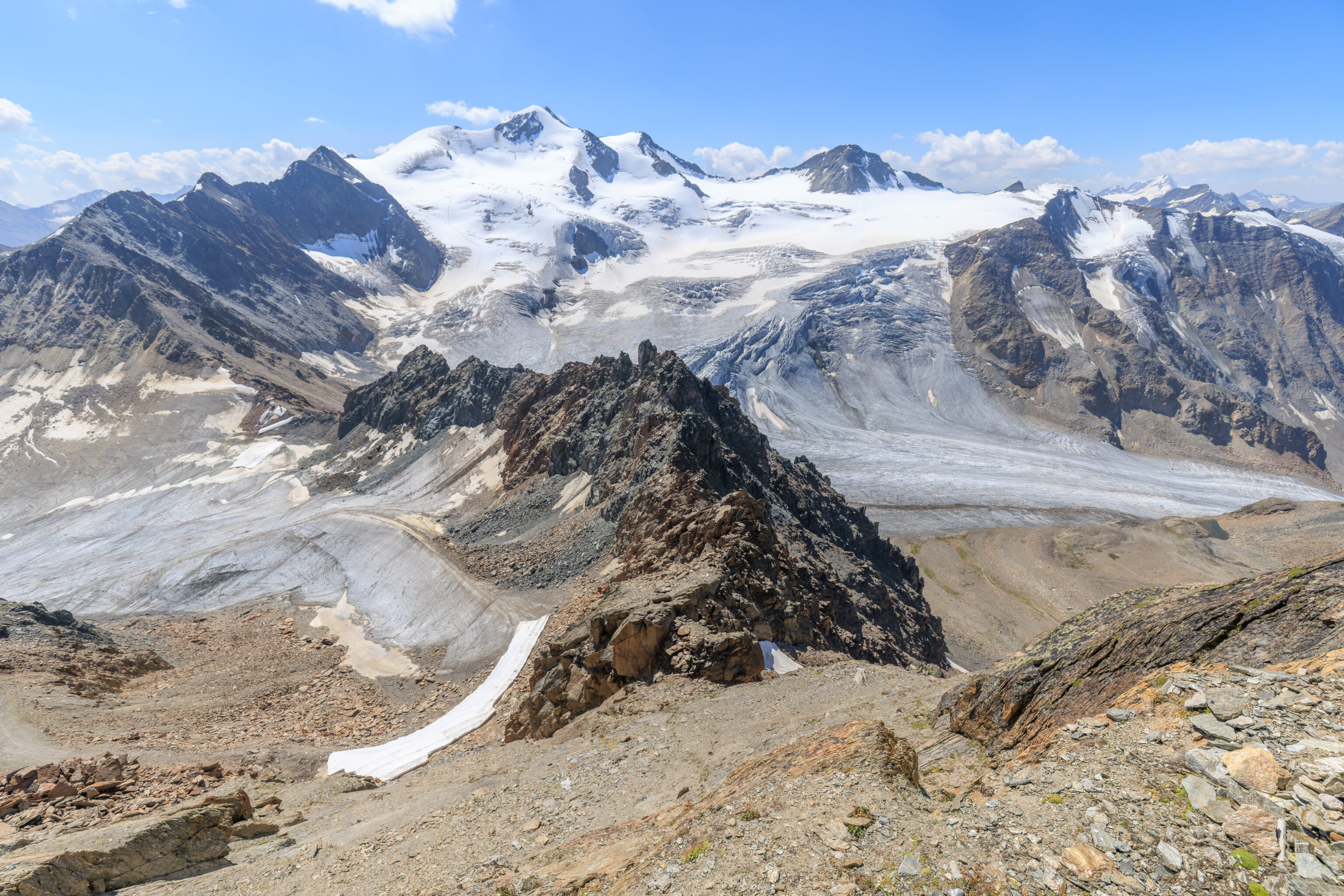
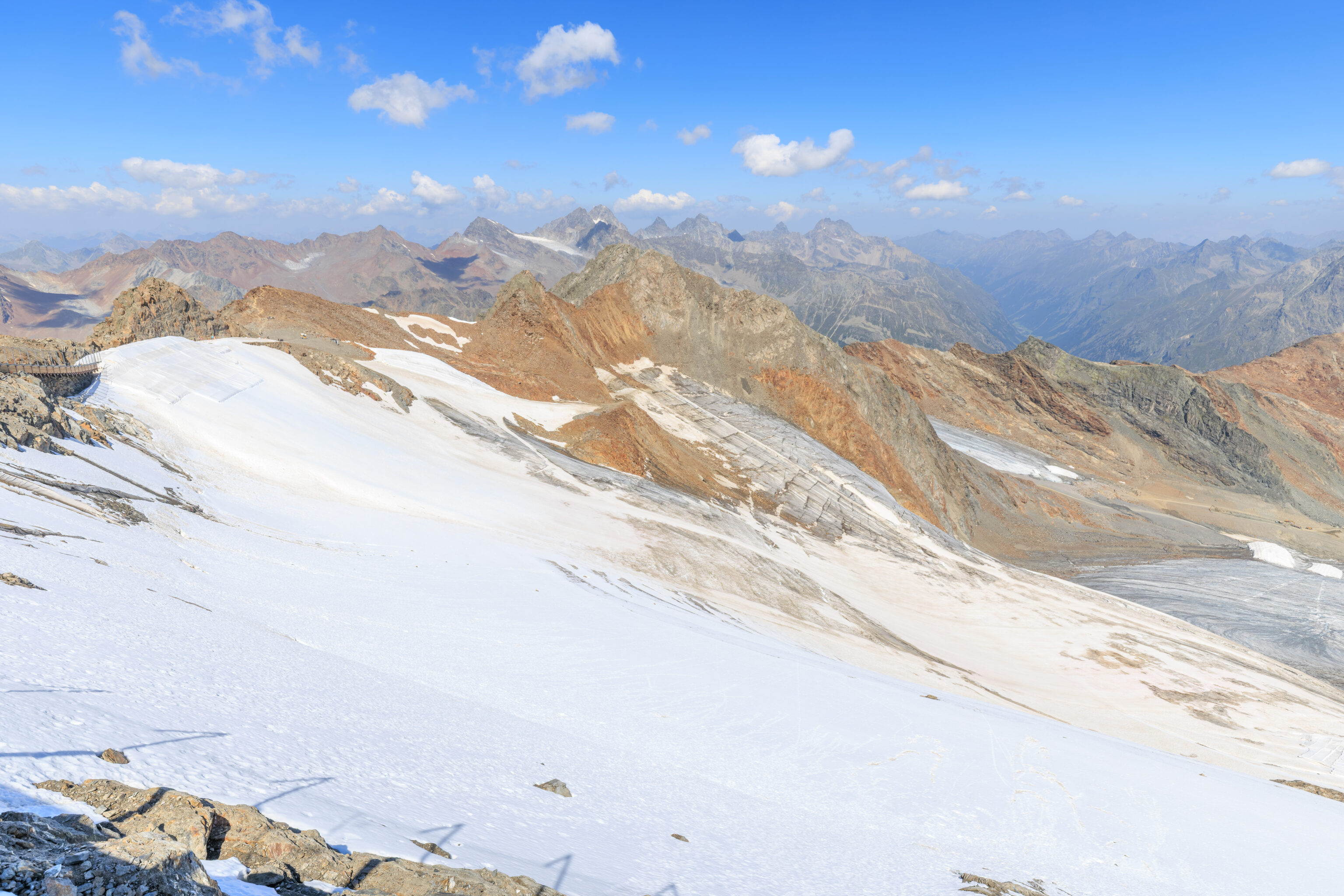
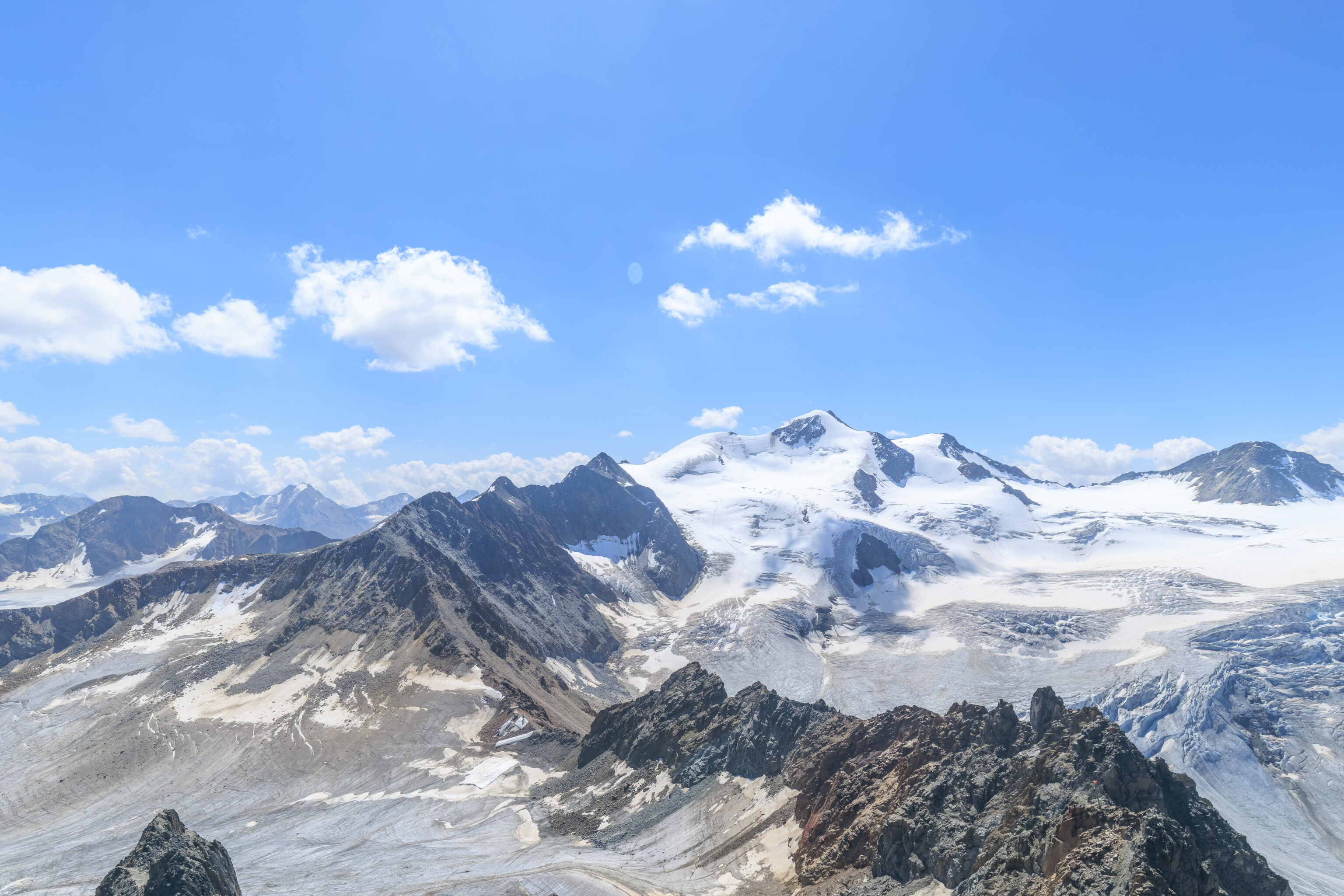
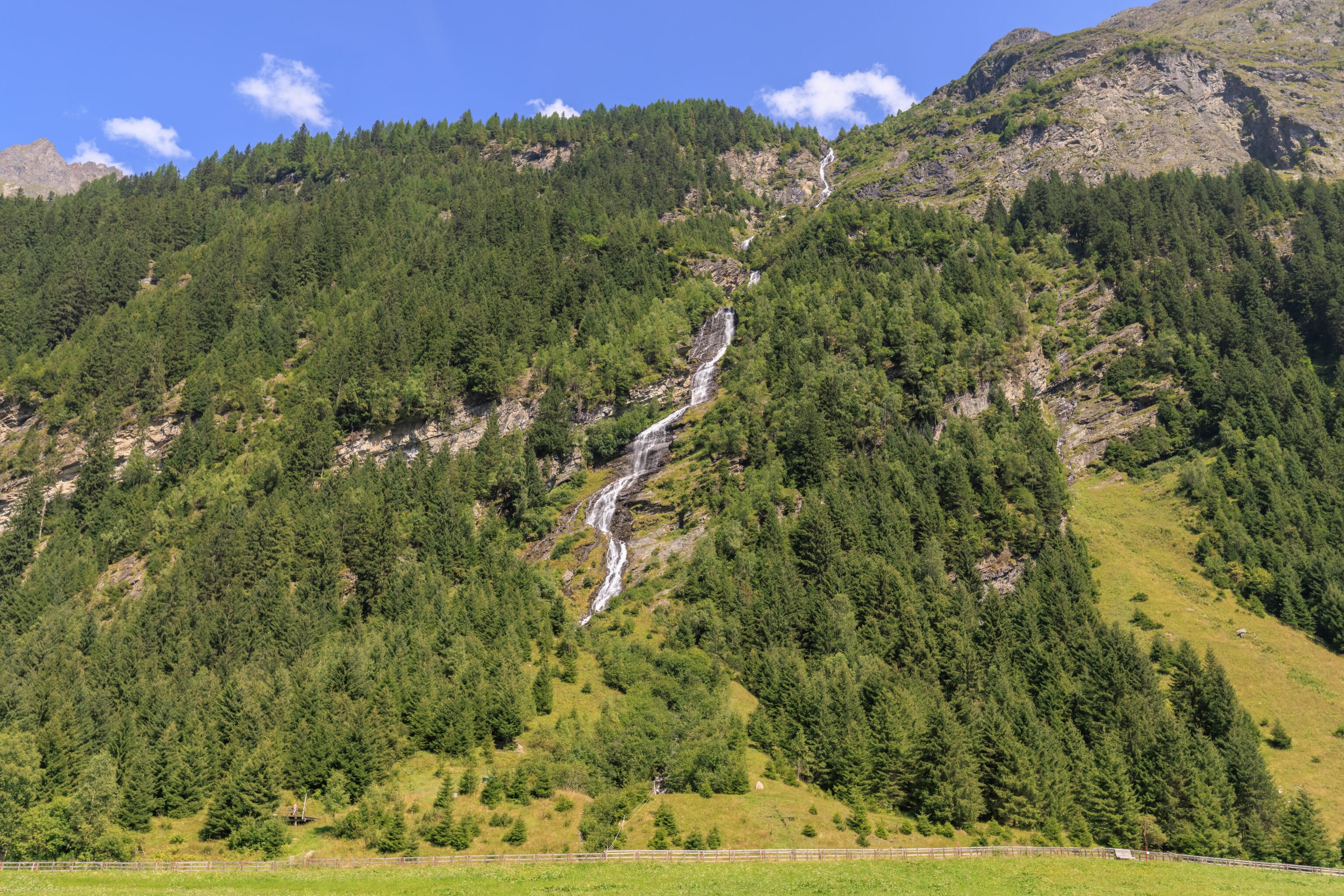
The peak is capped by a small metal viewing platform. This circular platform was pretty small and was extremely crowded at times. This panorama to the south shows snow capped peaks in the distance as well as some unfortunately sad looking glaciers.
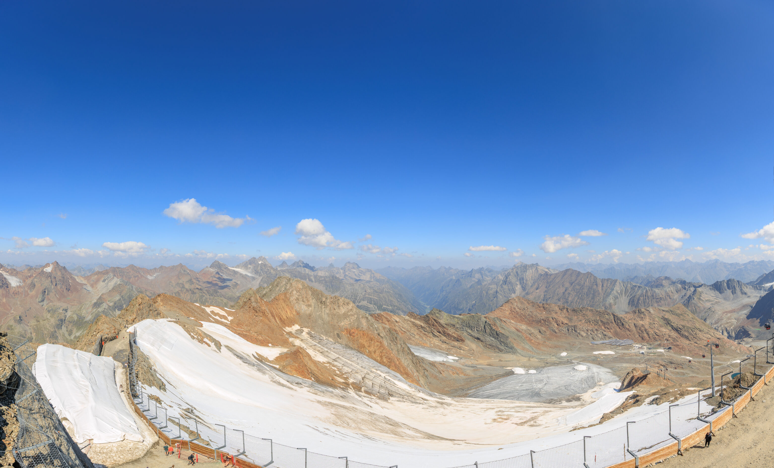
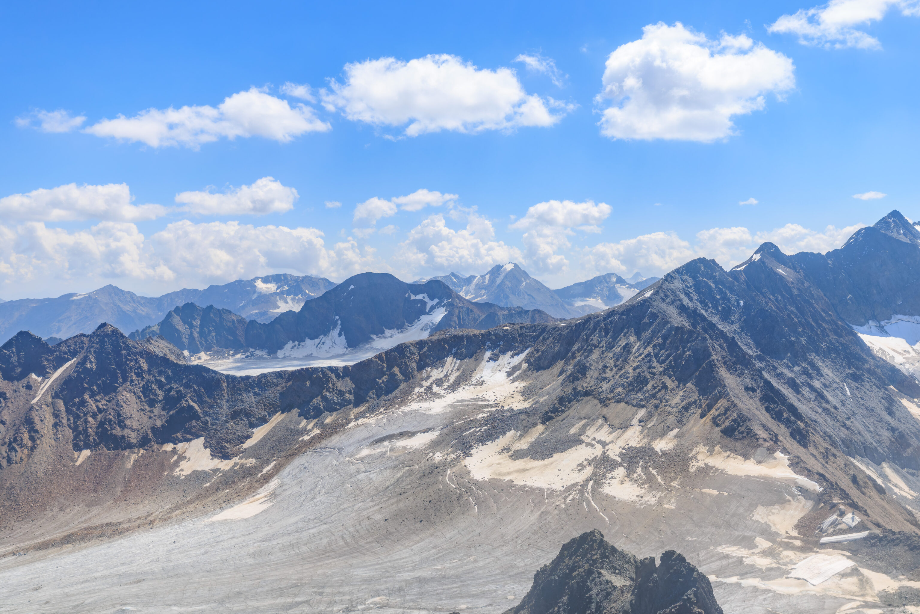
A panoramic view to the north showing a wide bowl below the mountain that we’re on.
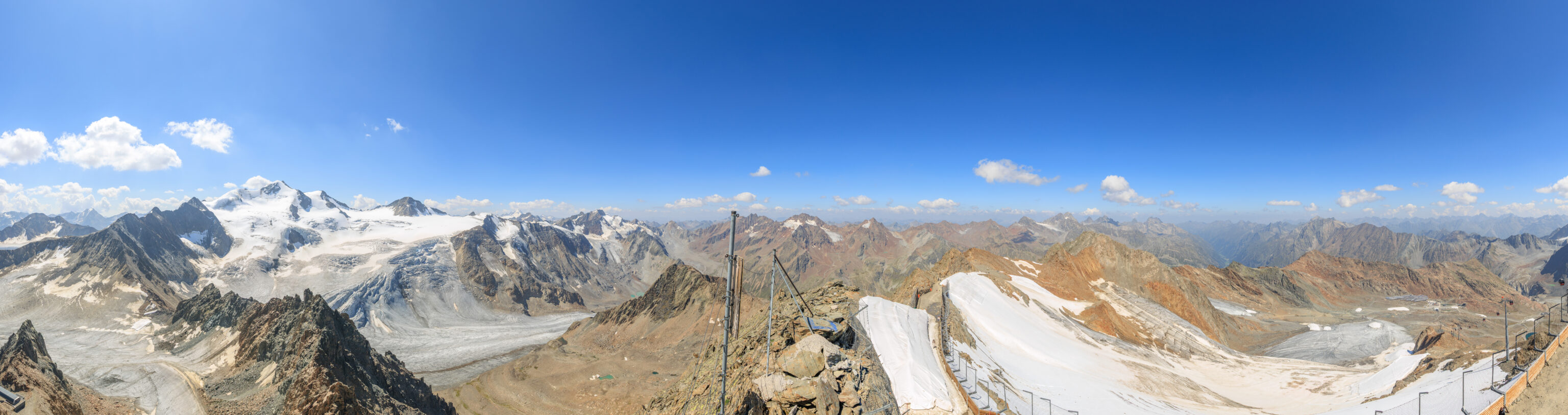
While we were able to capture a full 360° view of the area, we weren’t able to stitch together a perfect panorama. This is almost there after excluding the portion. There are also some small imperfections which aren’t noticeable unless the panorama is examined closely.
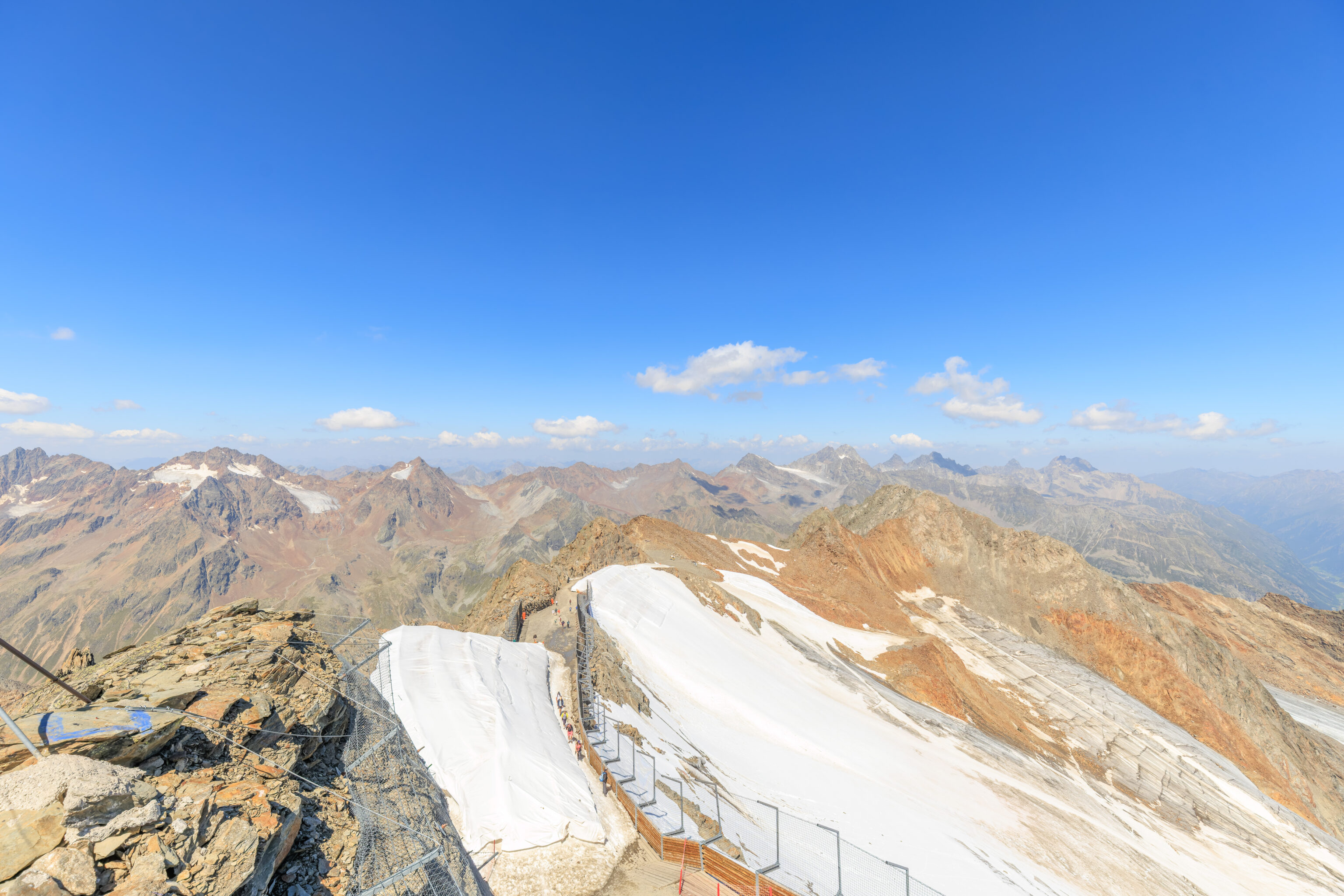
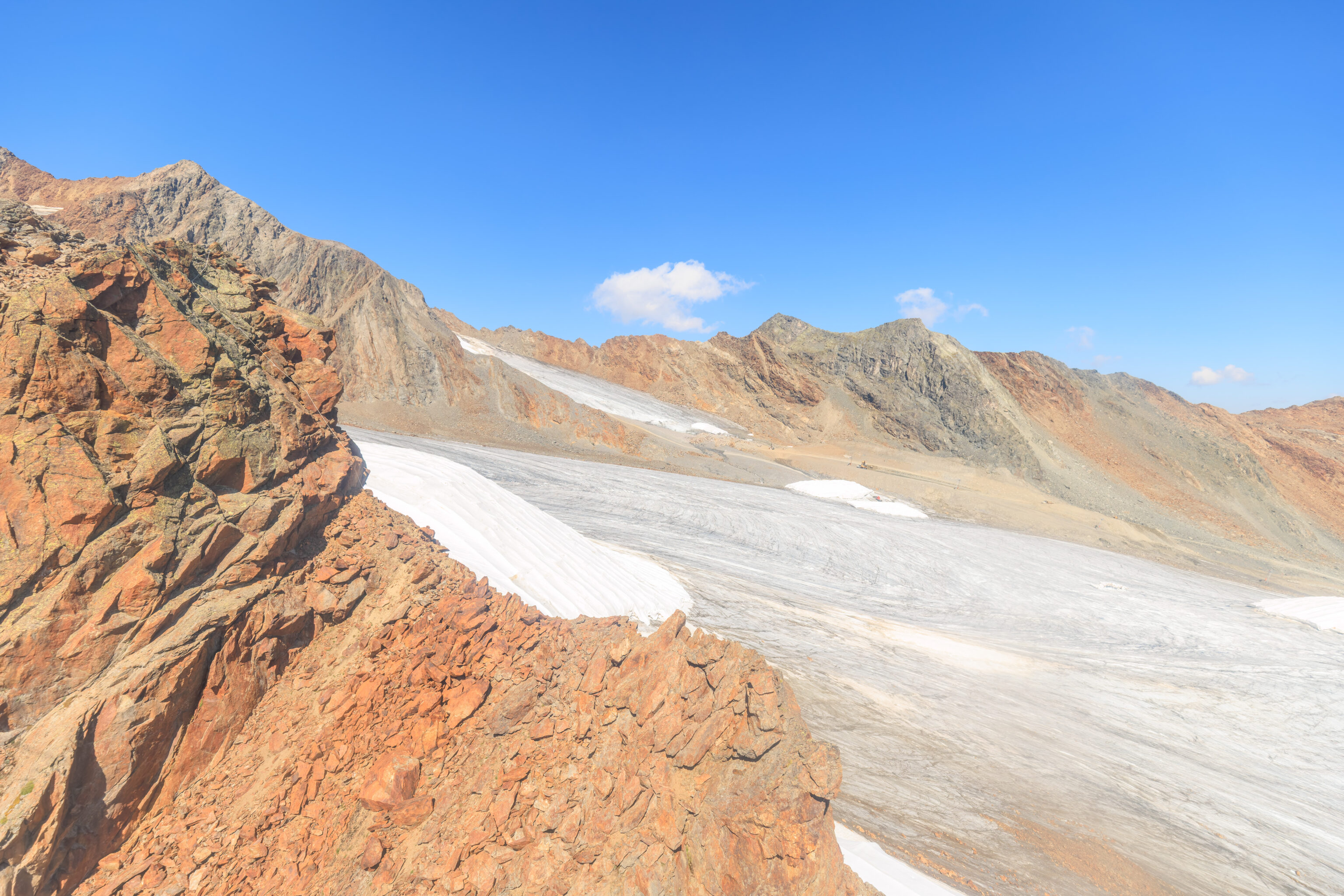
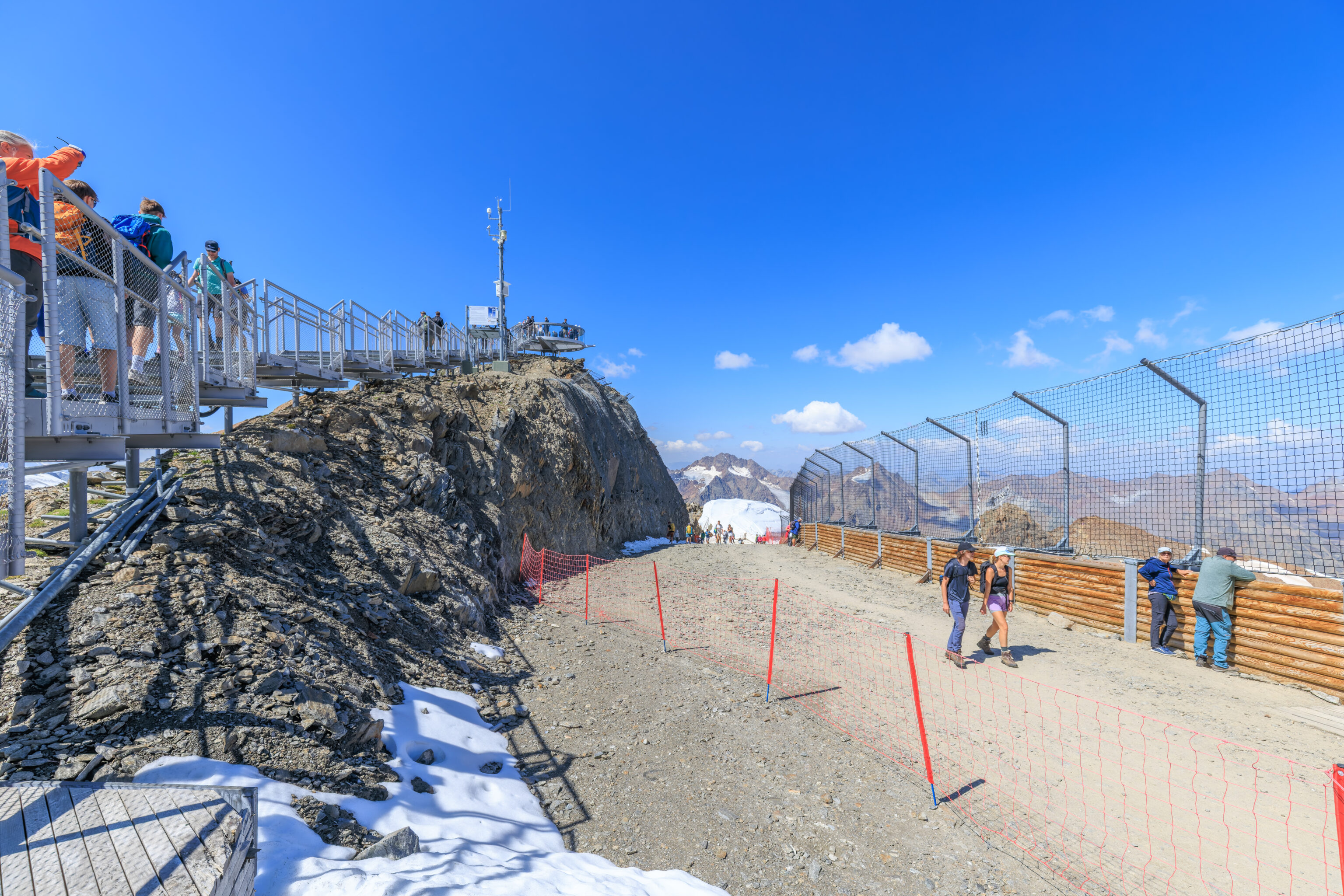
There is a narrow trail just below the peak which contains along the ridge at the top of the mountain.
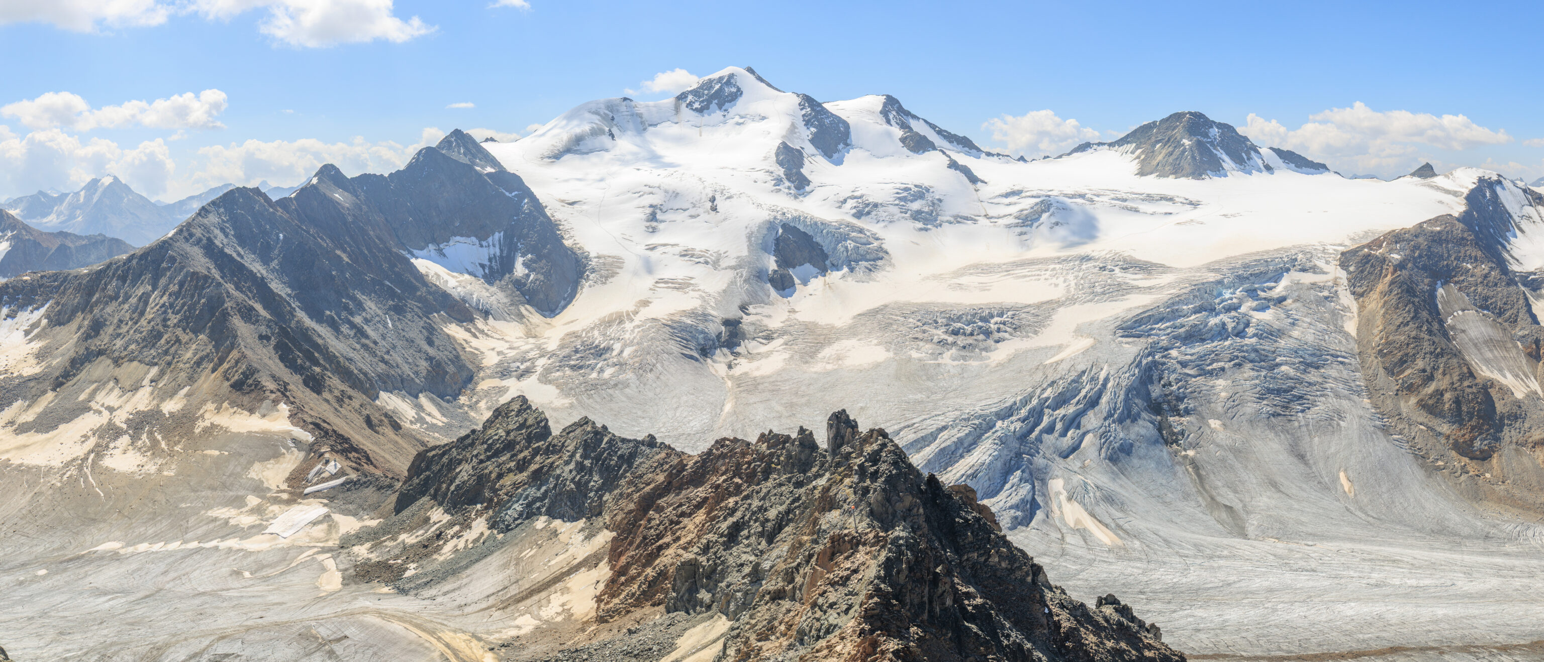
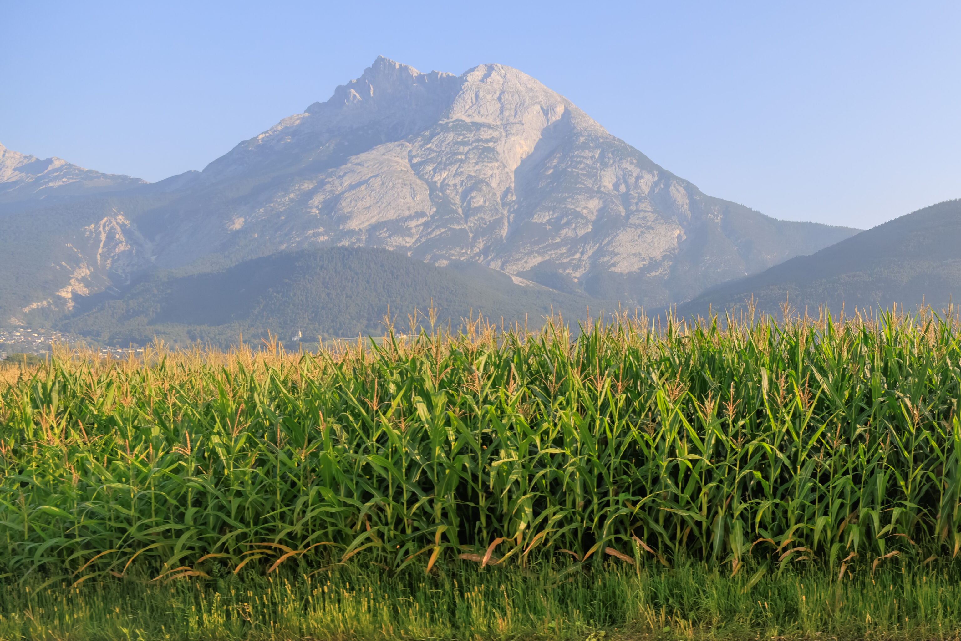
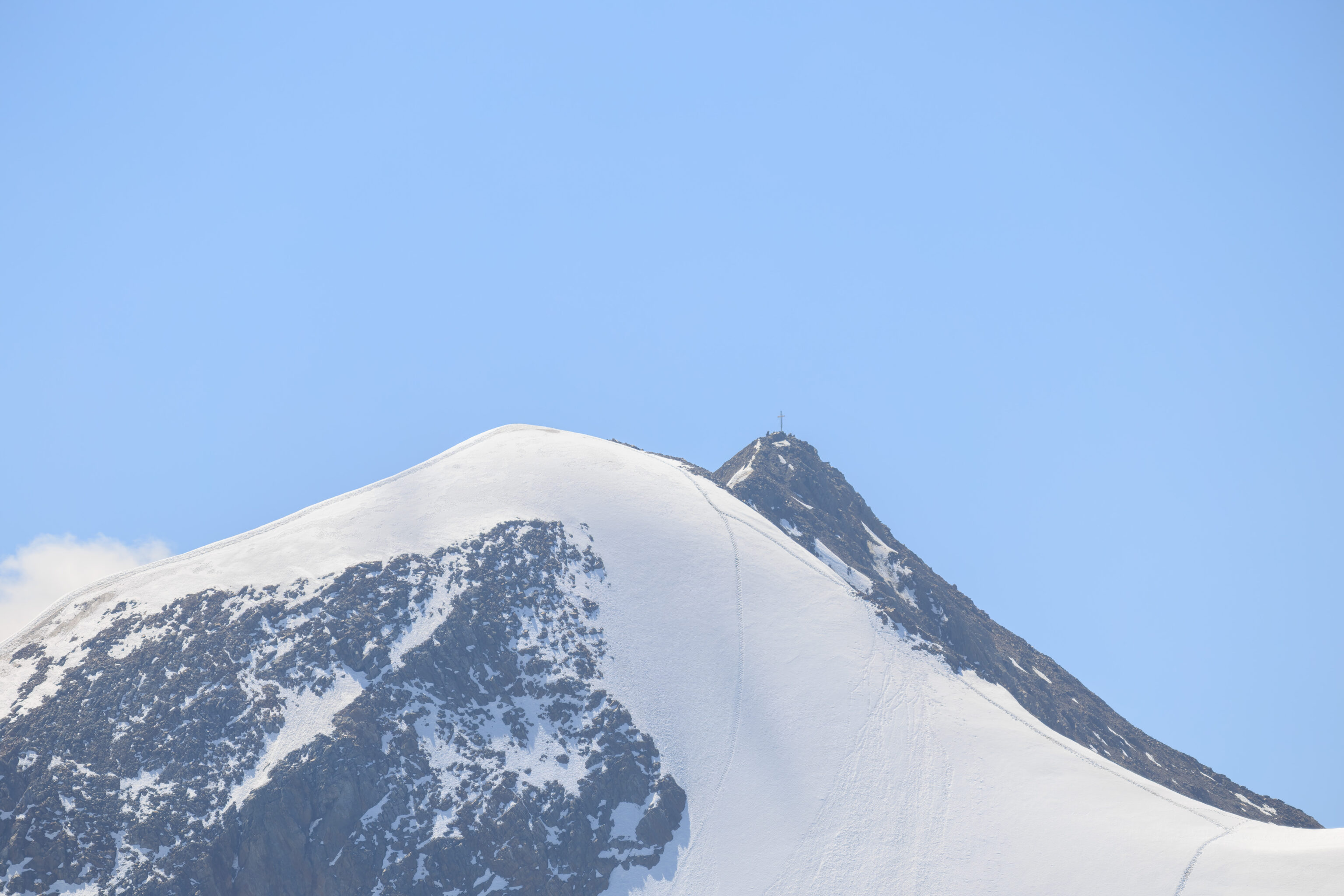
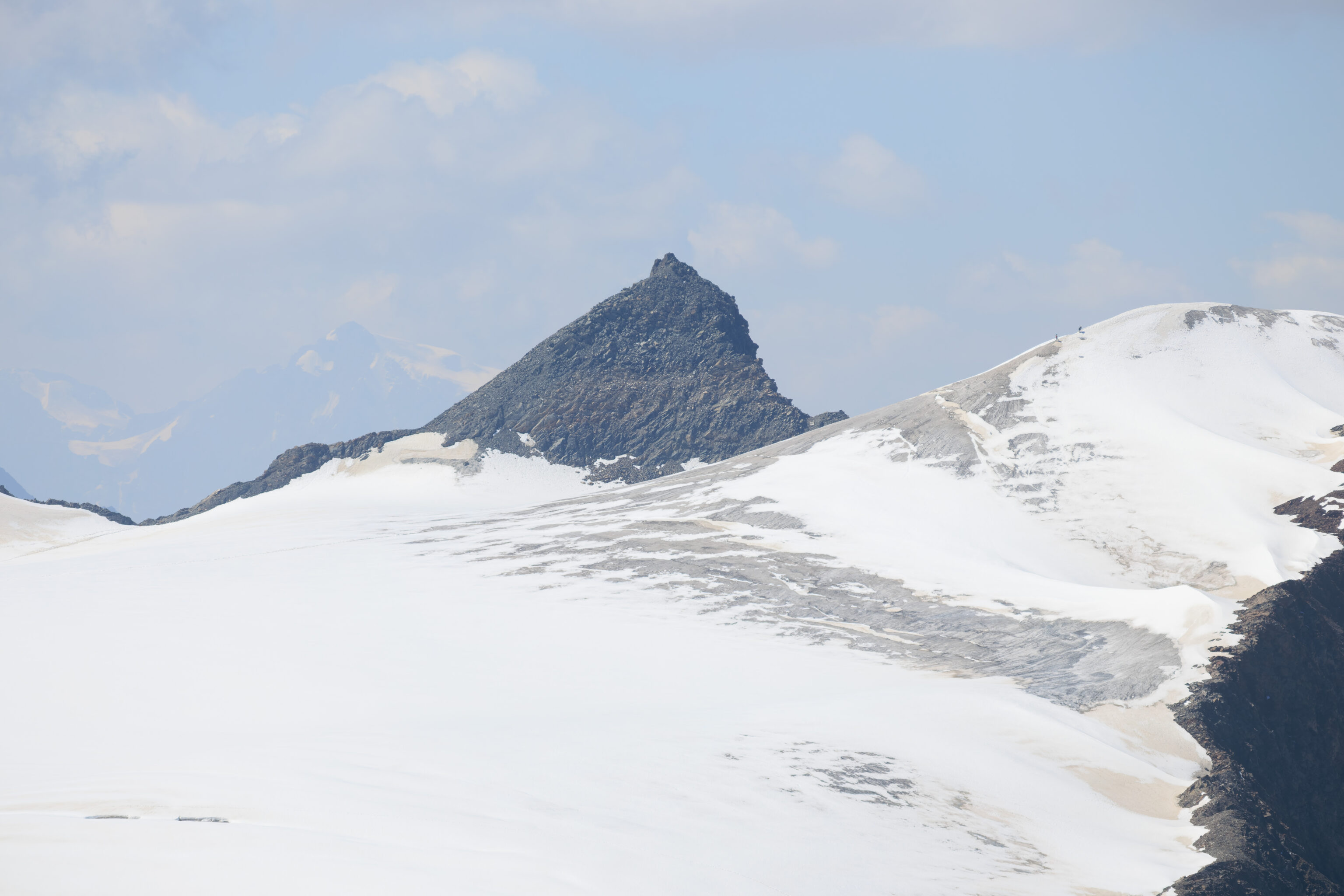
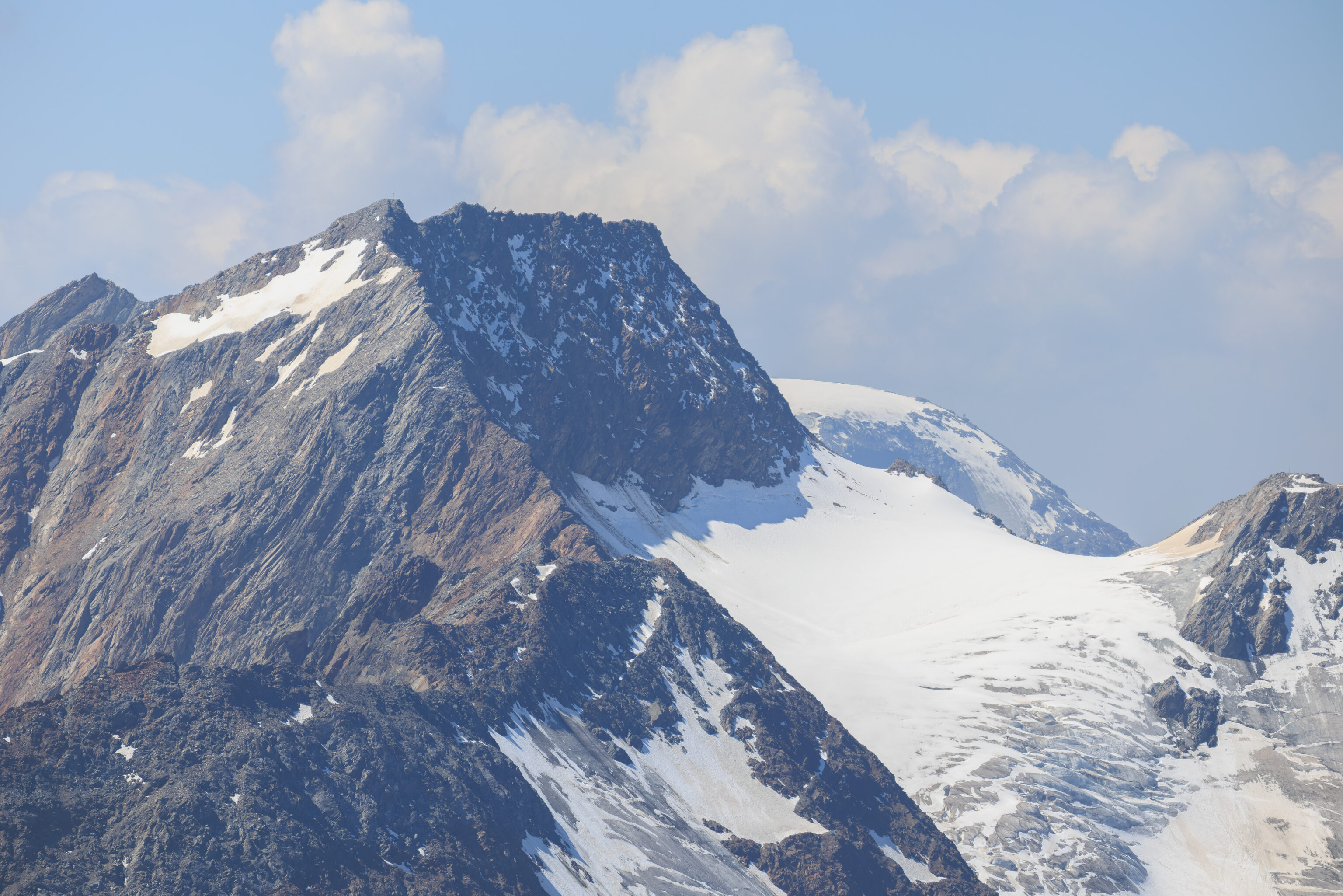
Quite a magnificent mountain landscape to the south! The highest peak seen here seems to be the Wildspitze at 3,770 meters in elevation. It is the second tallest mountain in Austria, just behind Grossglockner at an elevation of 3,798 meters.
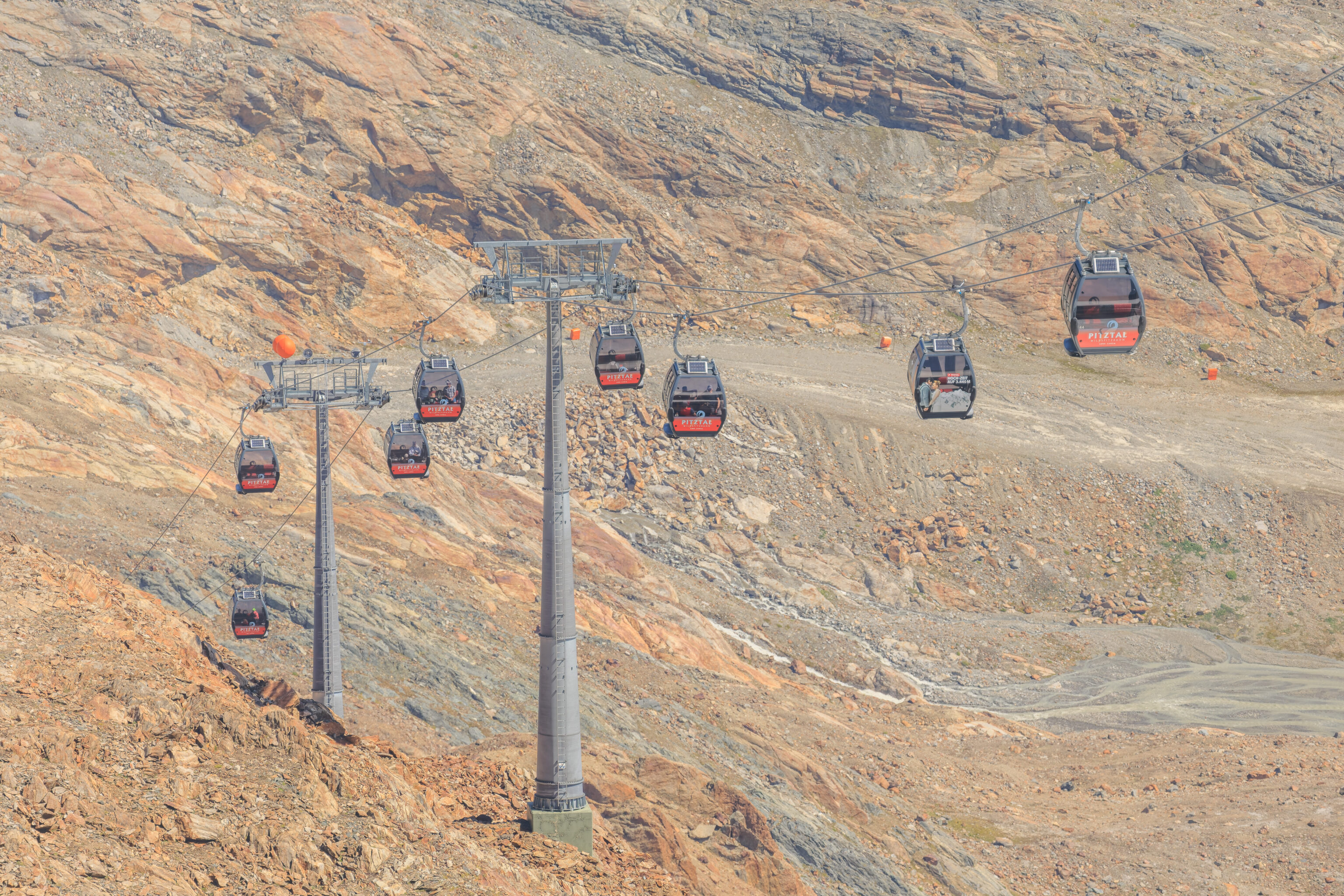
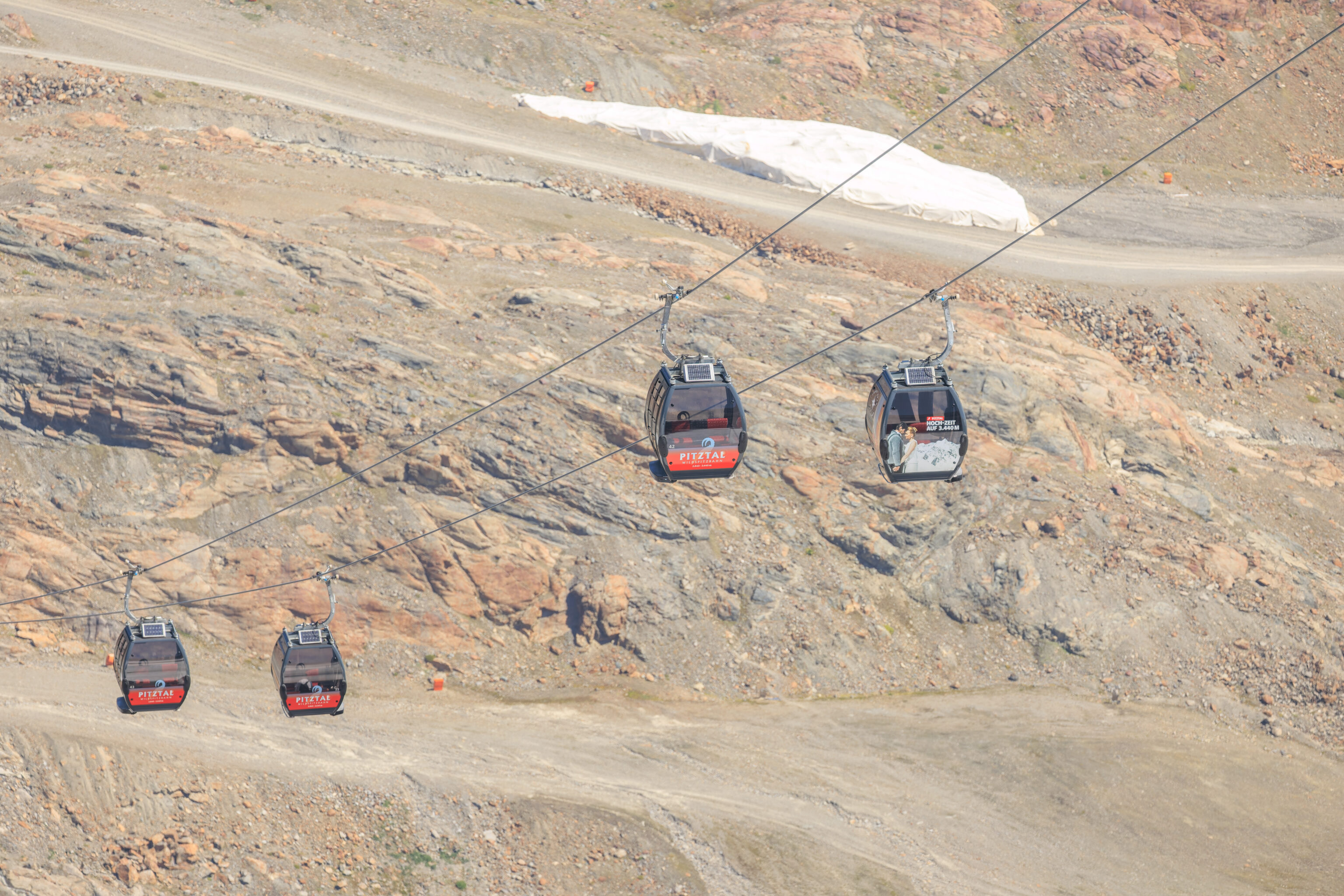
We switched to the telephoto lens to take a look around, starting with the Wildspitzbahn.
The trail below us leads to this area, not too far away to the west. The wooden frame at the bottom is the Glacier Cinema. The only movies that play here are live views of the mountain landscape!
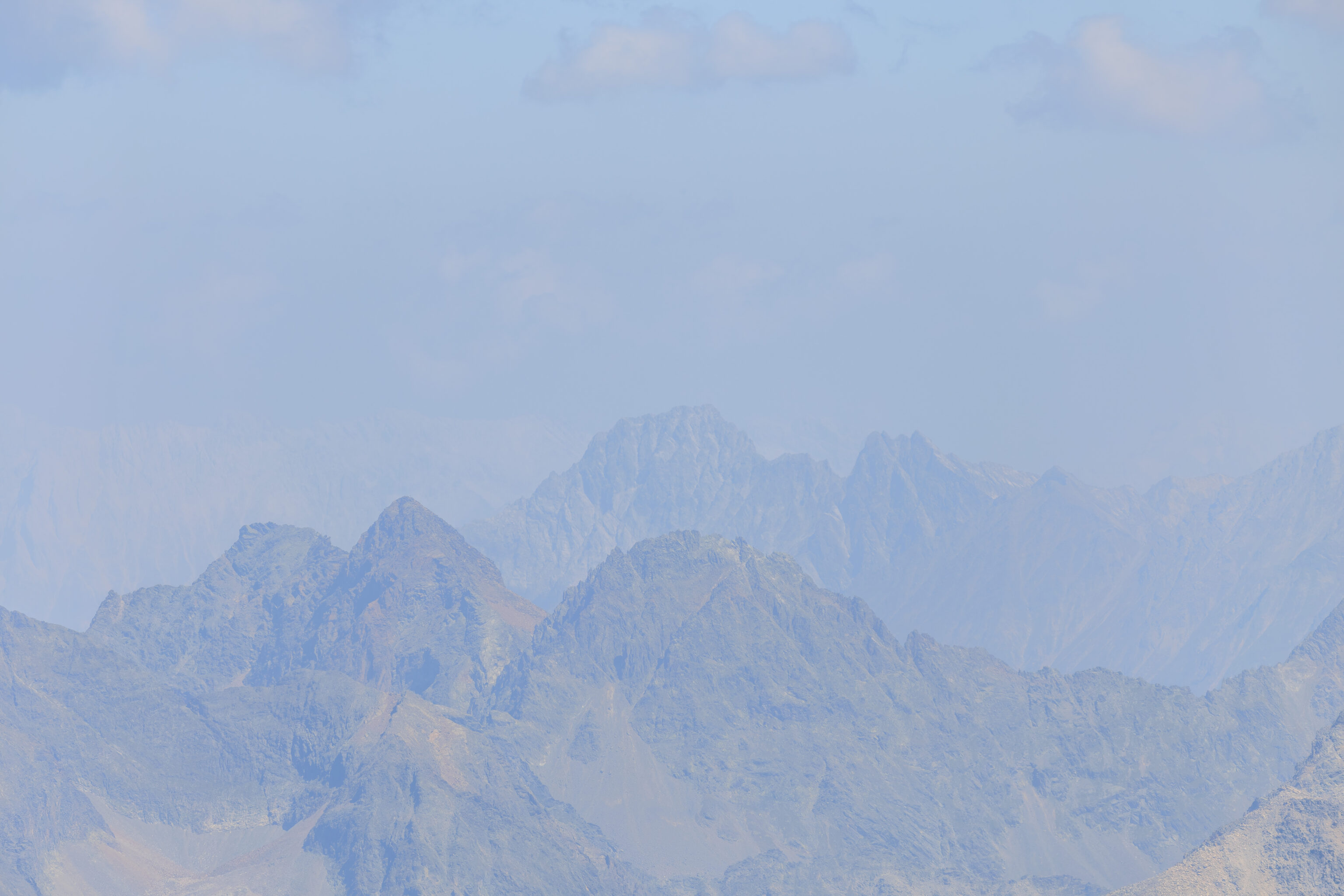
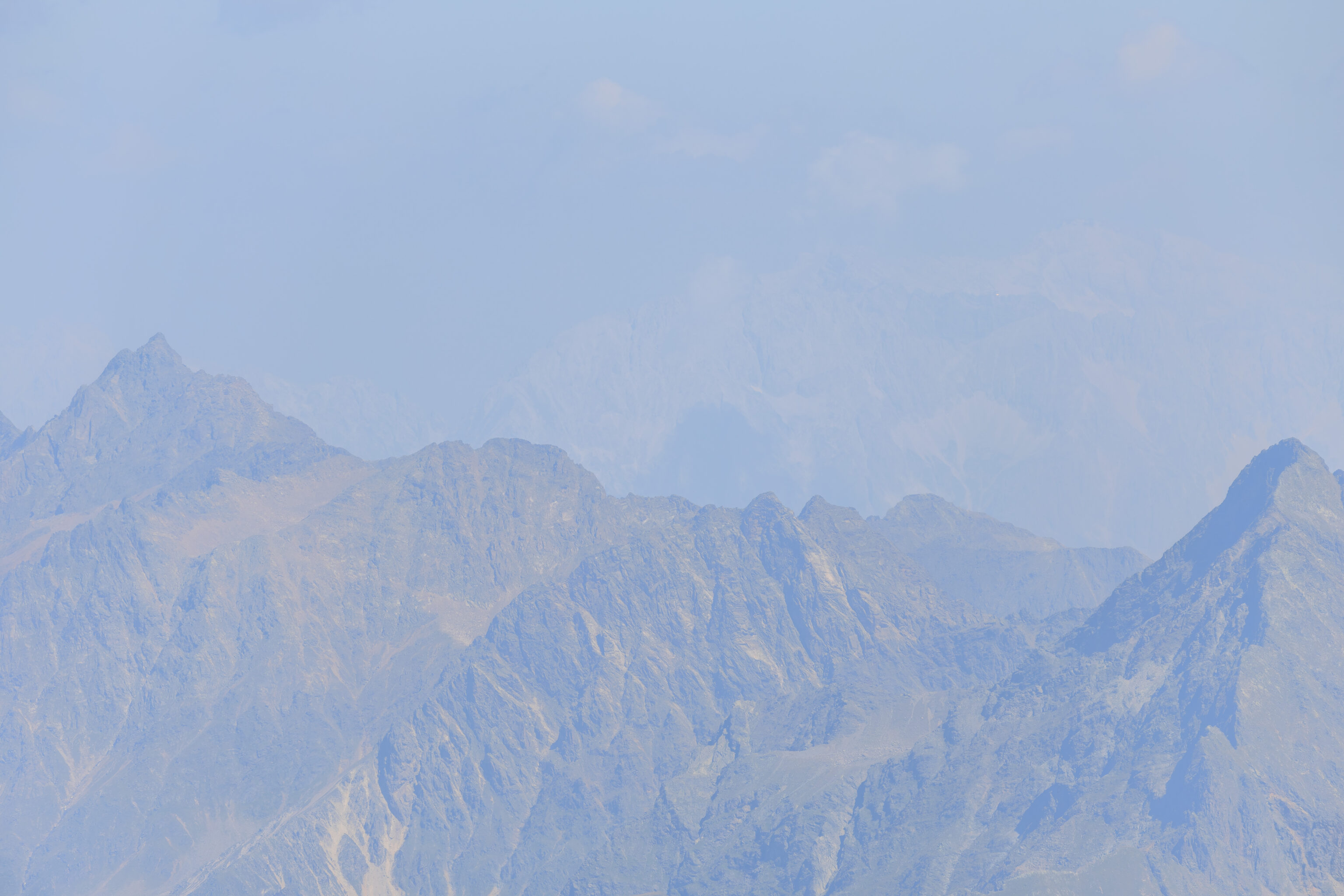
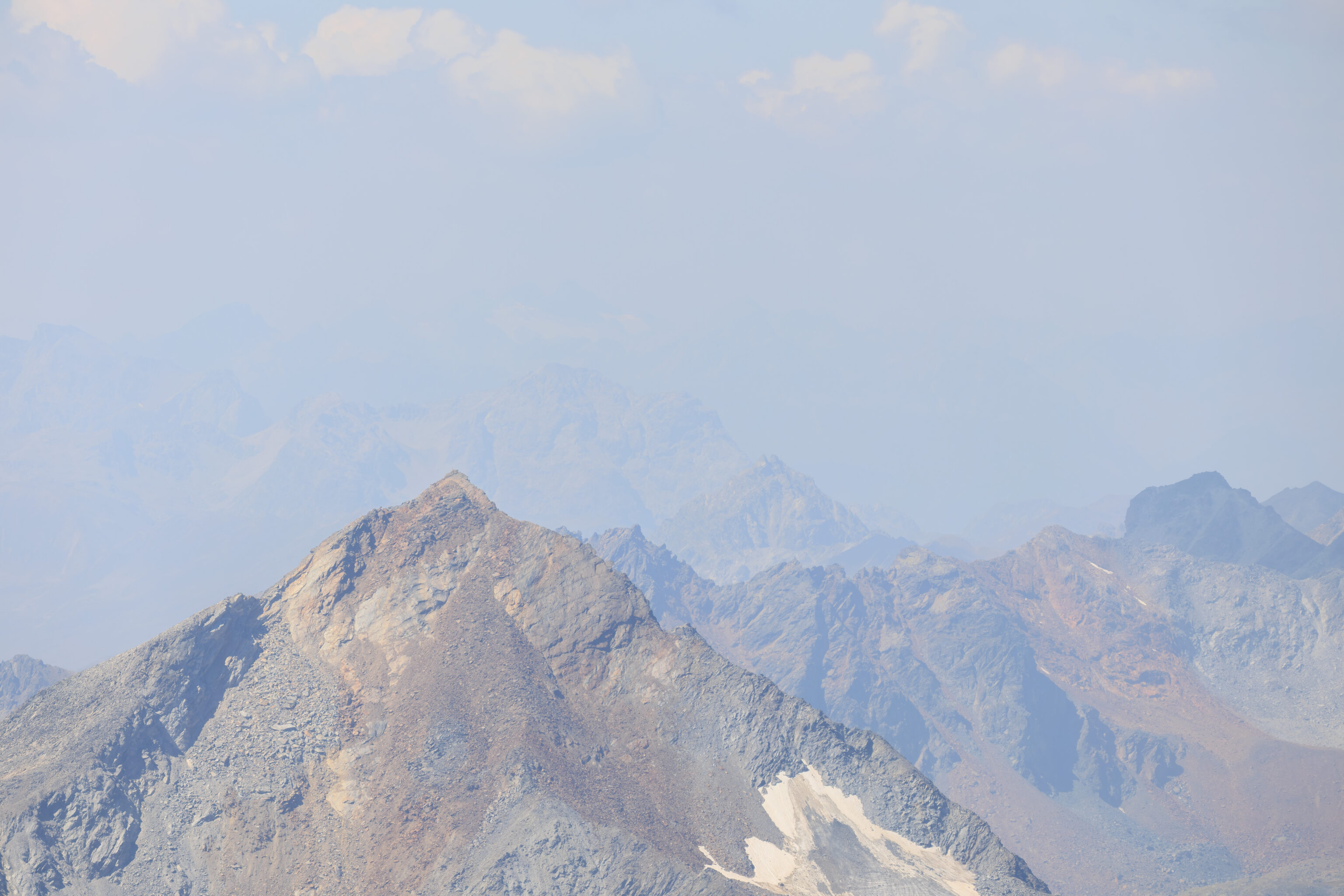
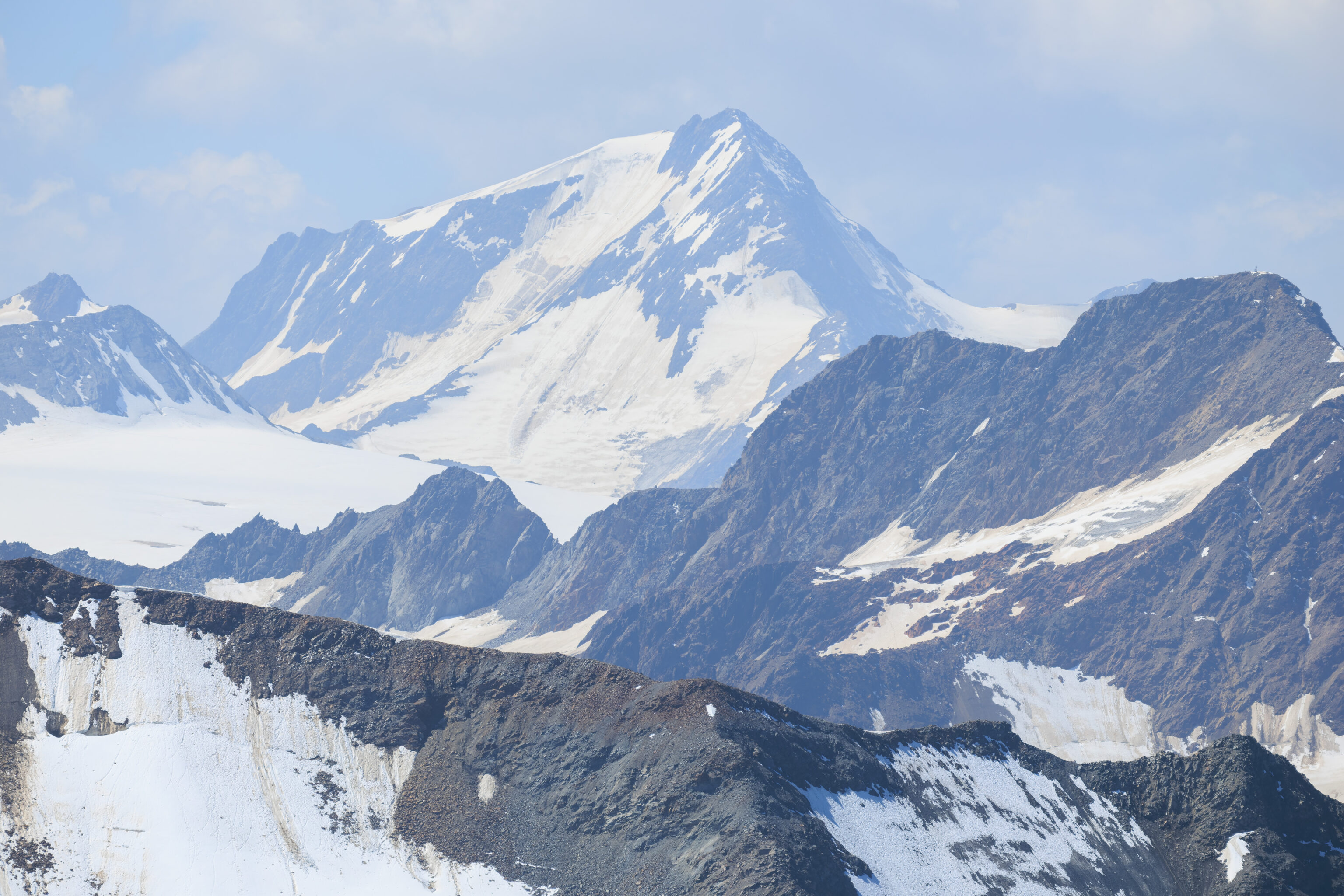
The ever-present haze limited the view of distant features.
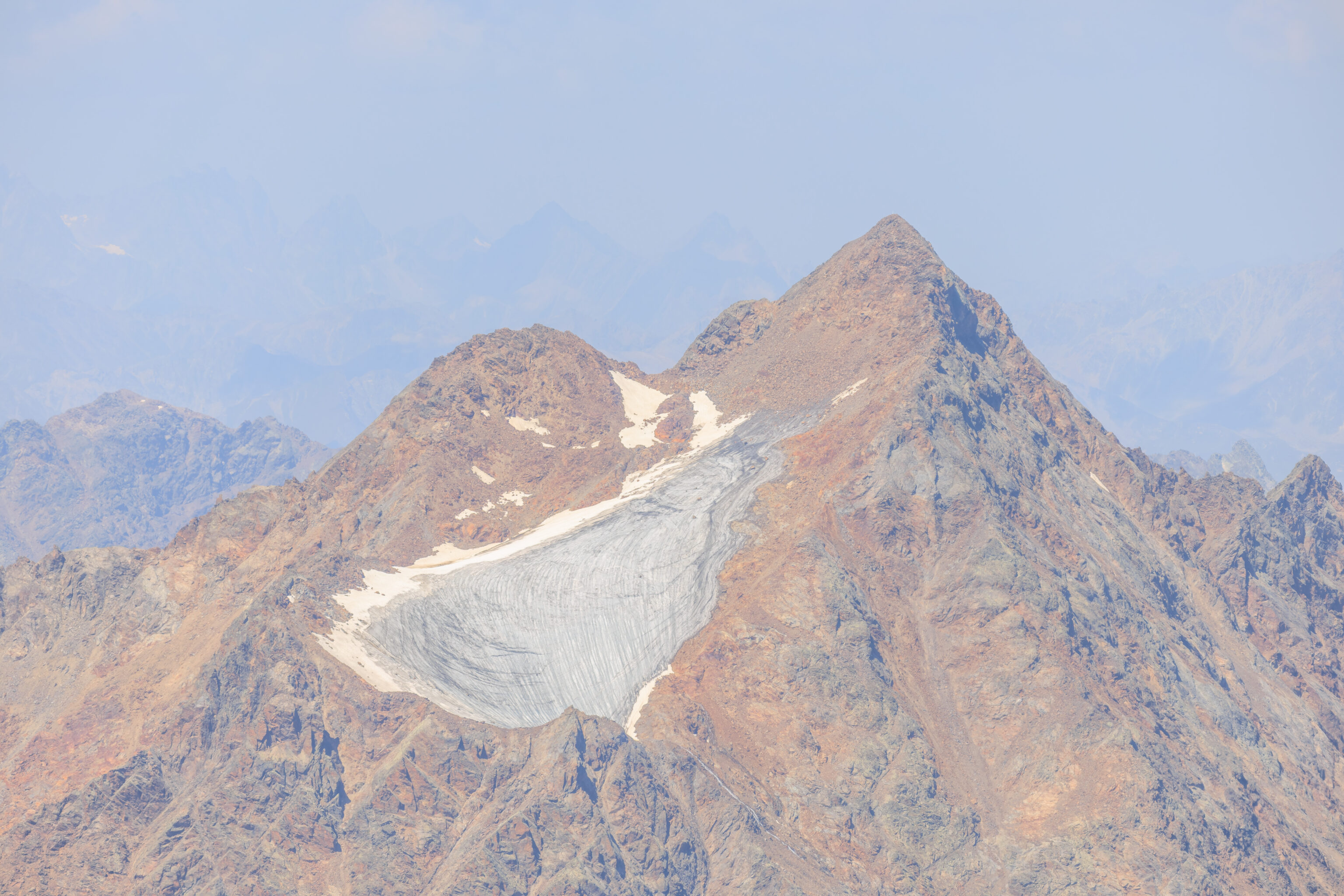
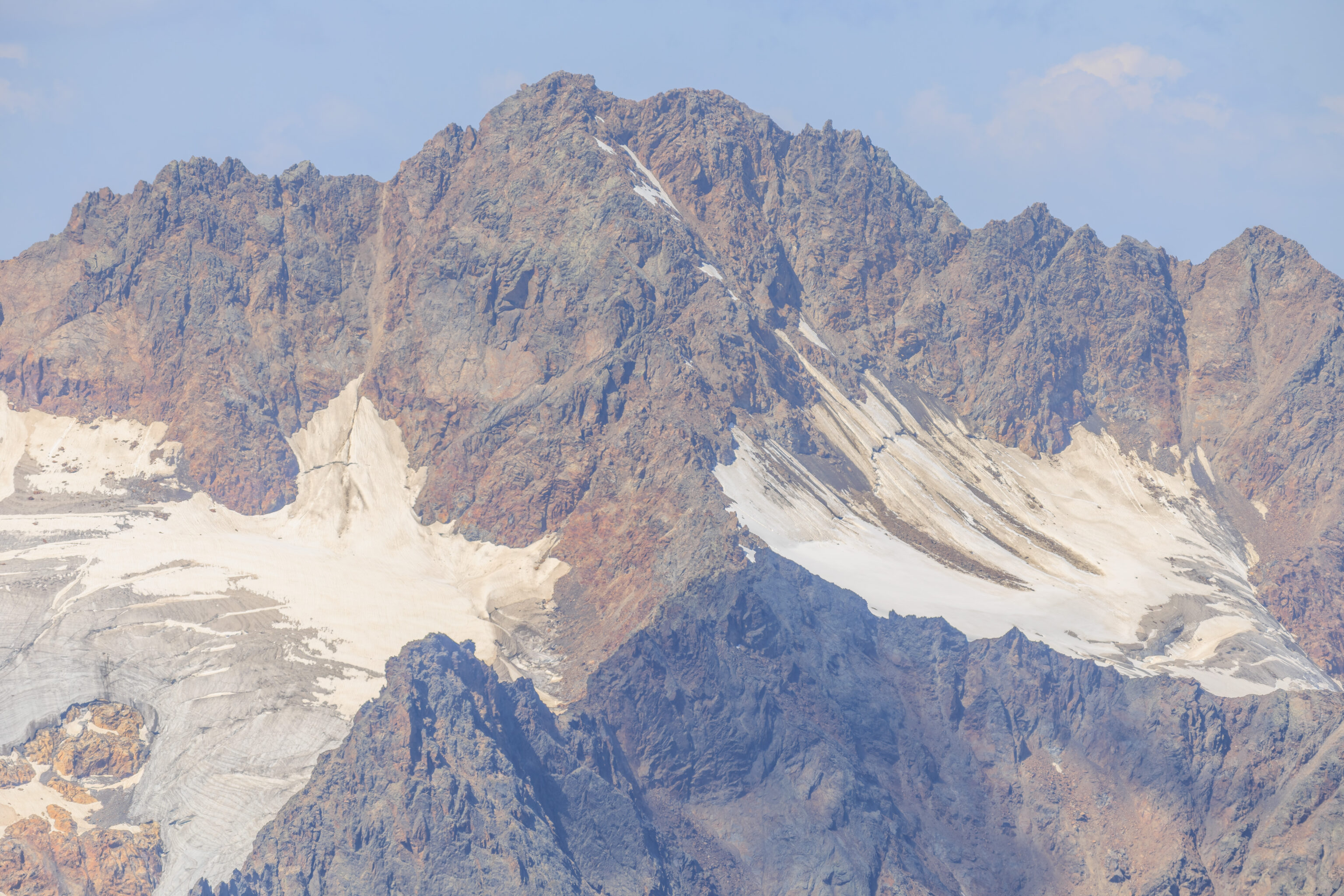
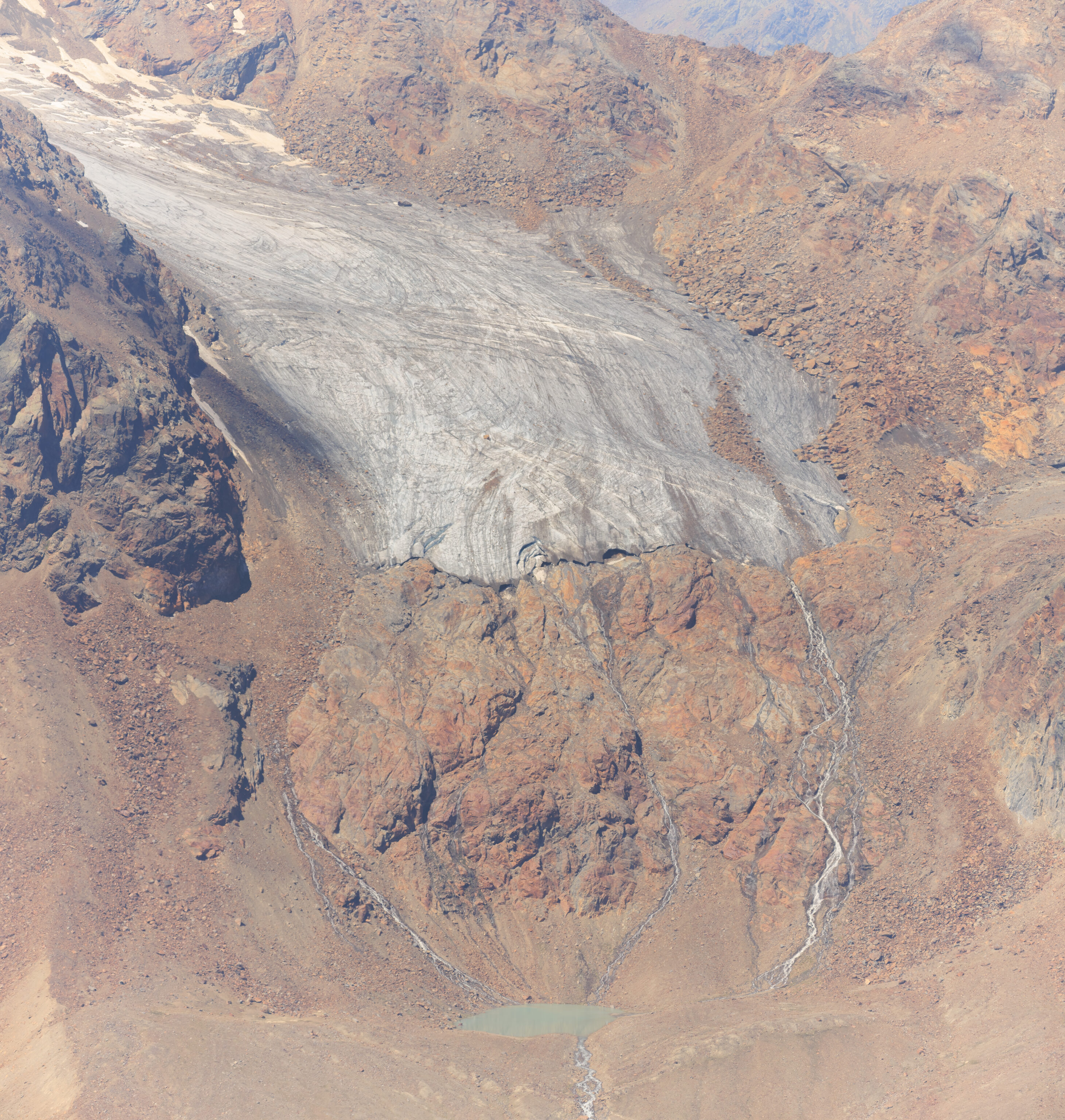
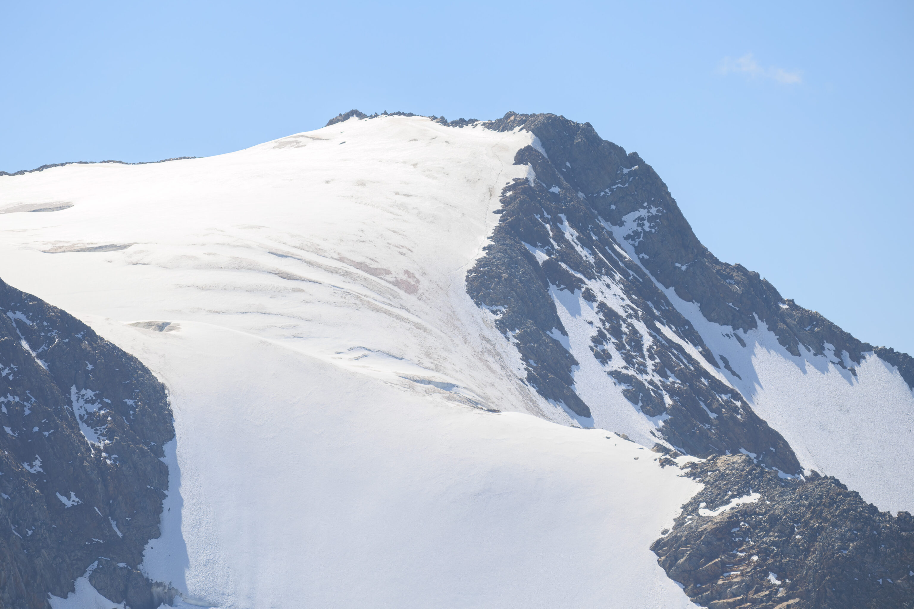
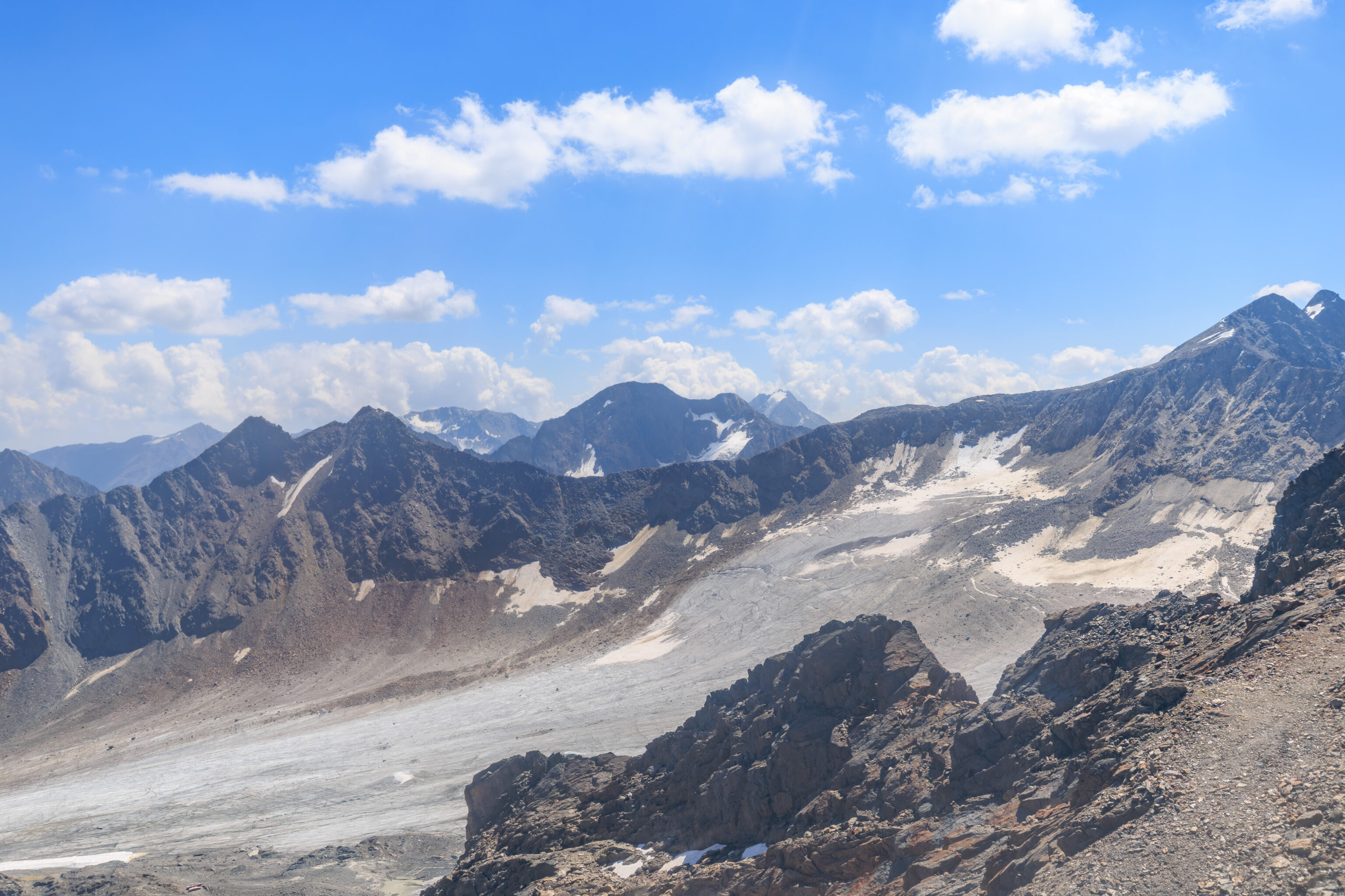
There was plenty to look at closer to us though where the haze didn’t limit the view as much.
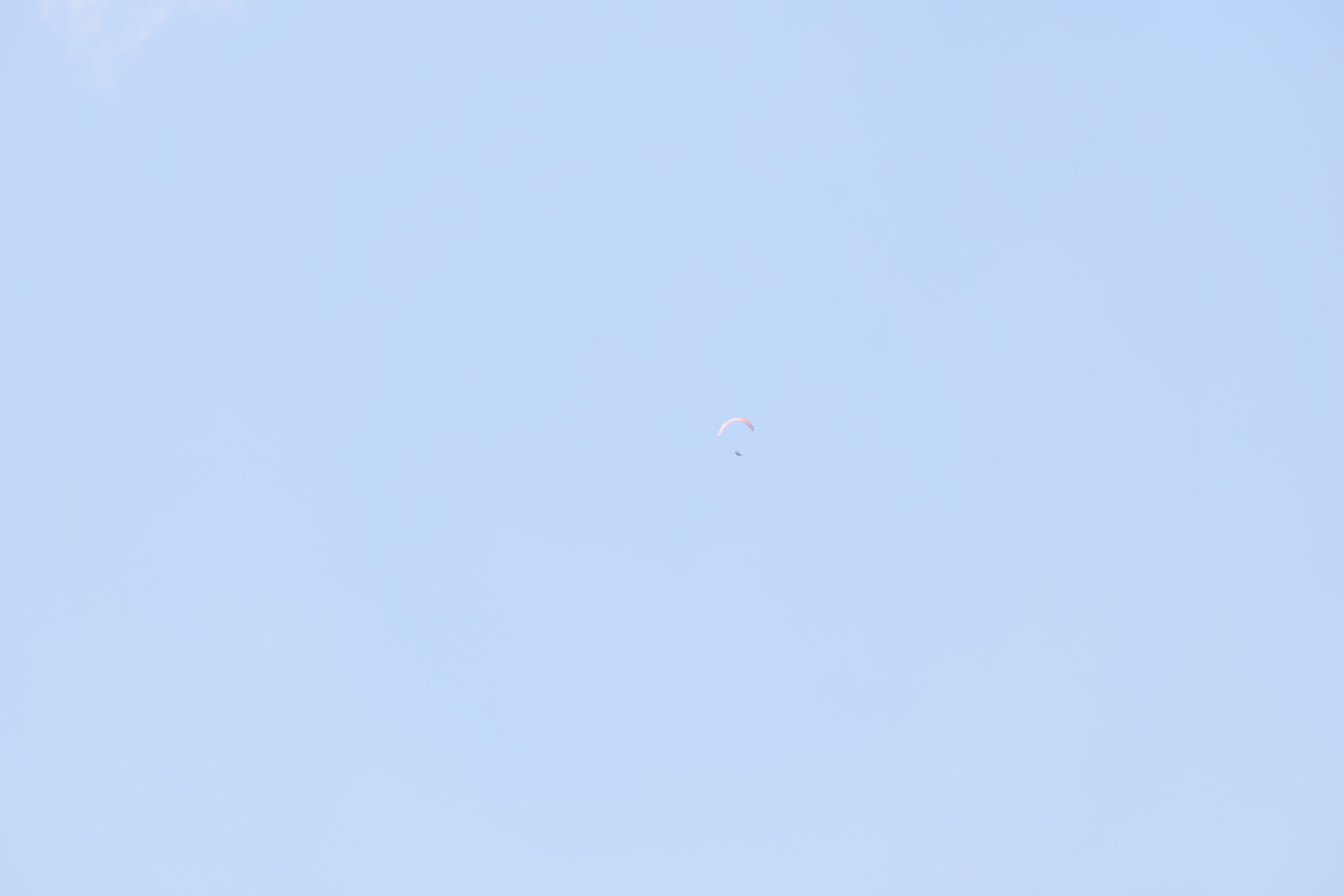
We spotted a paraglider high up above!
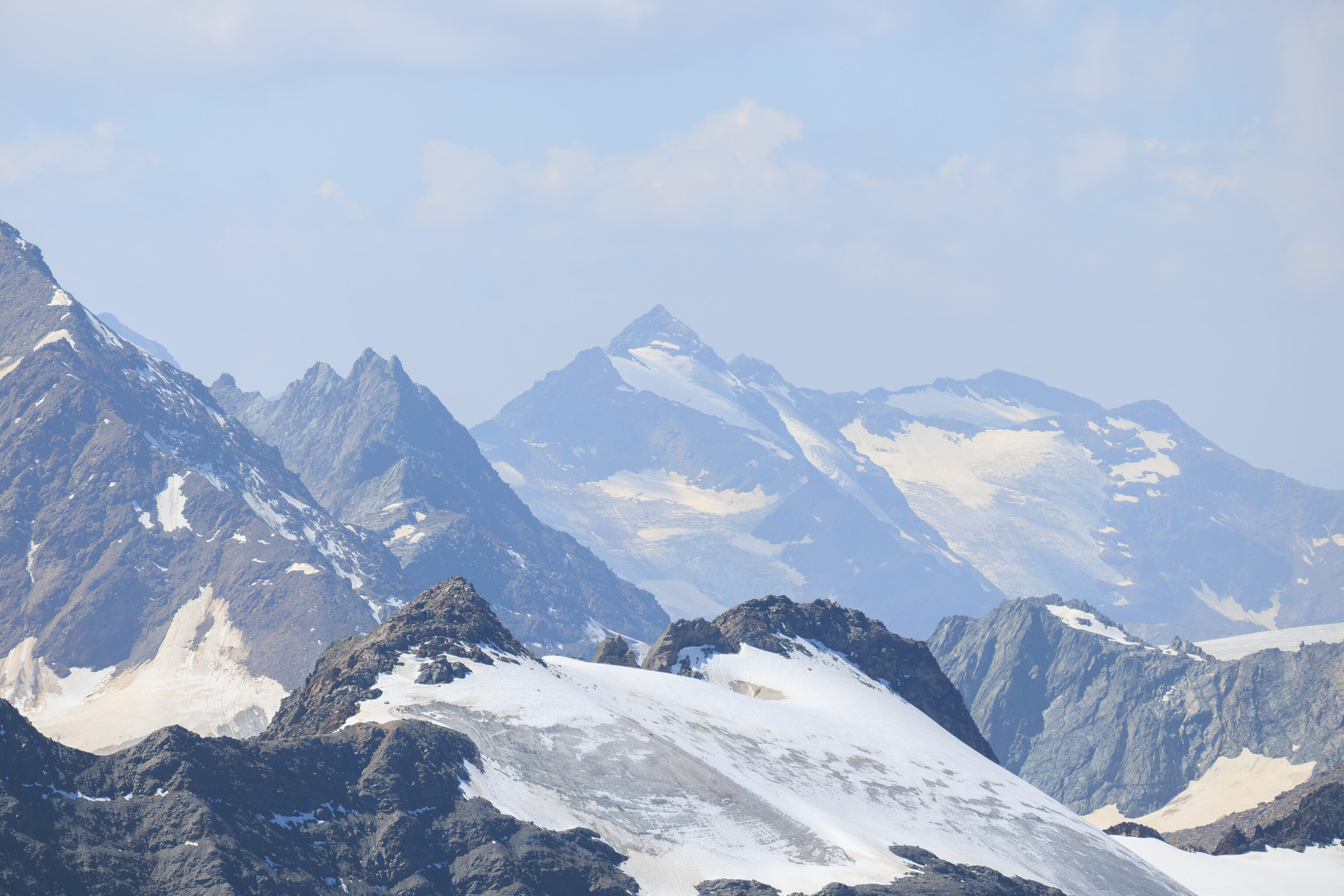
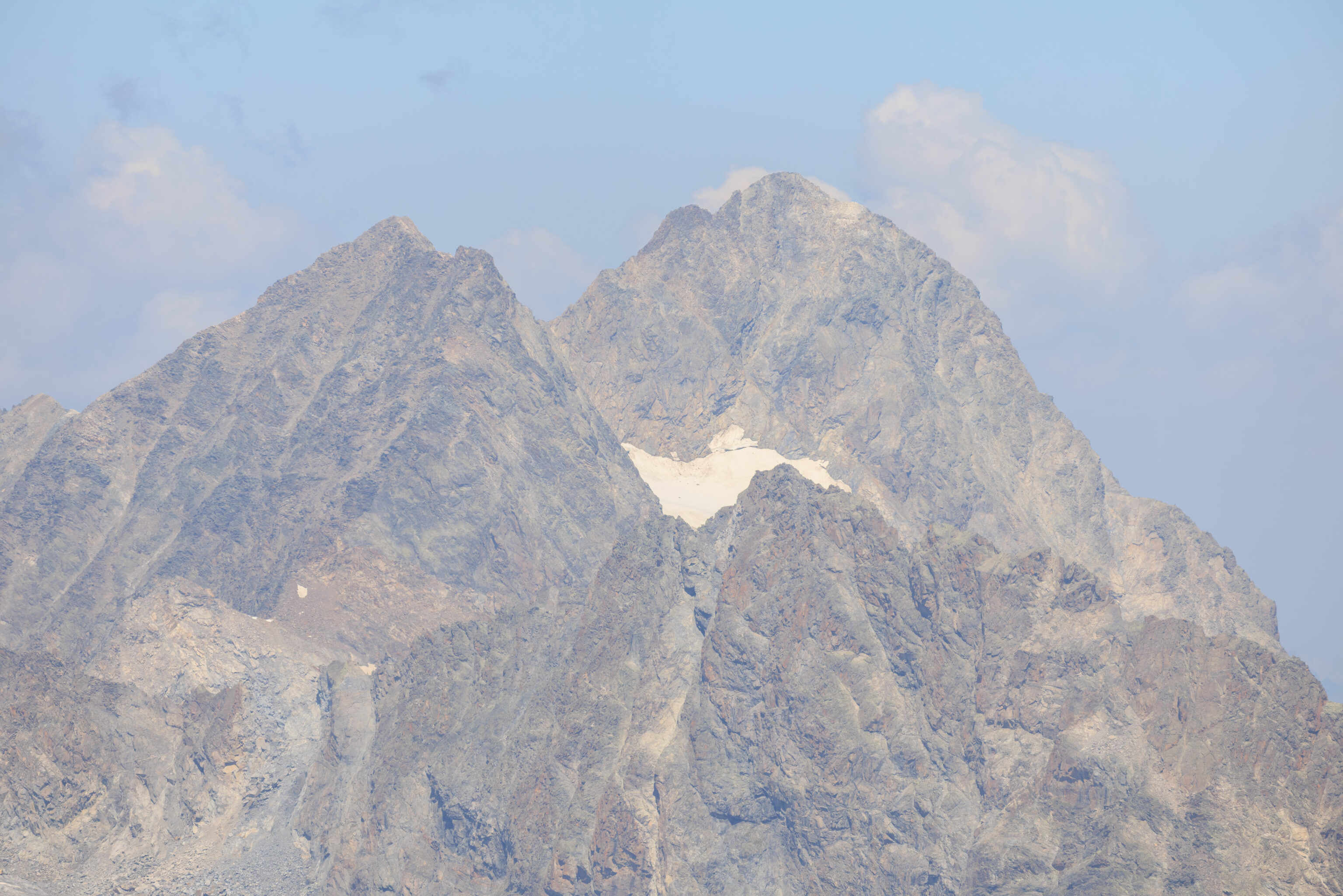
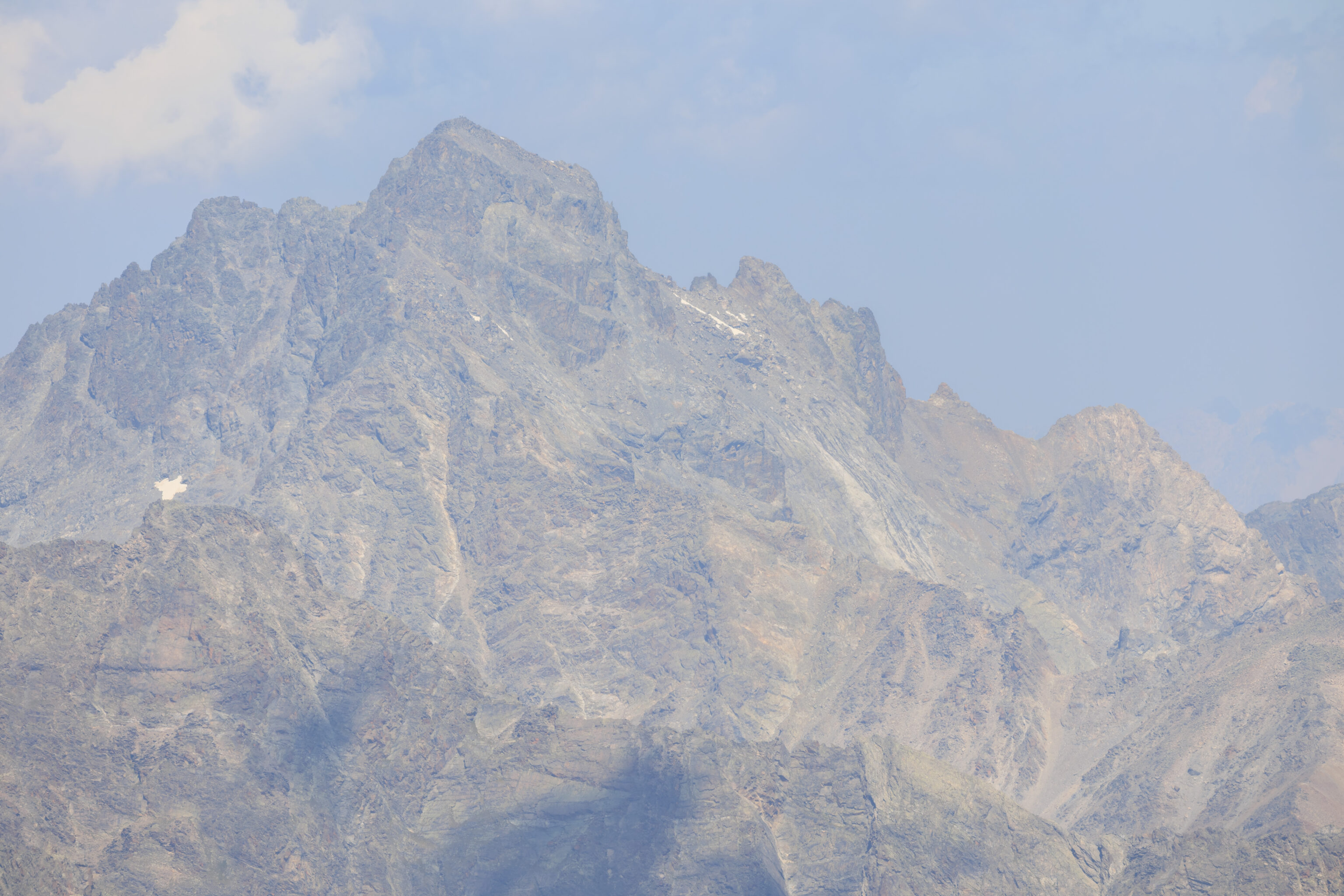
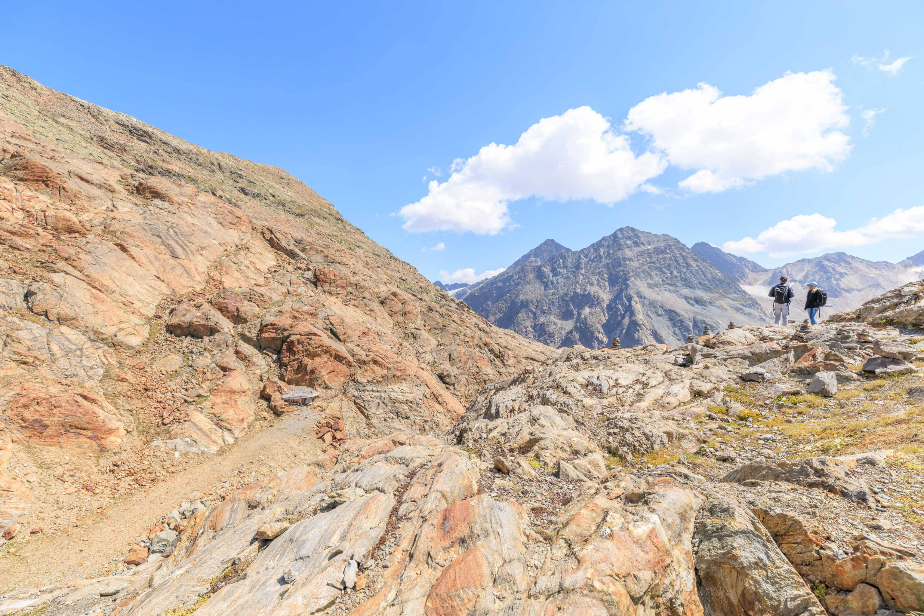
We looked at some of the closer peaks around us. There are hikers, or perhaps more accurately climbers, visible in some of these photographs.
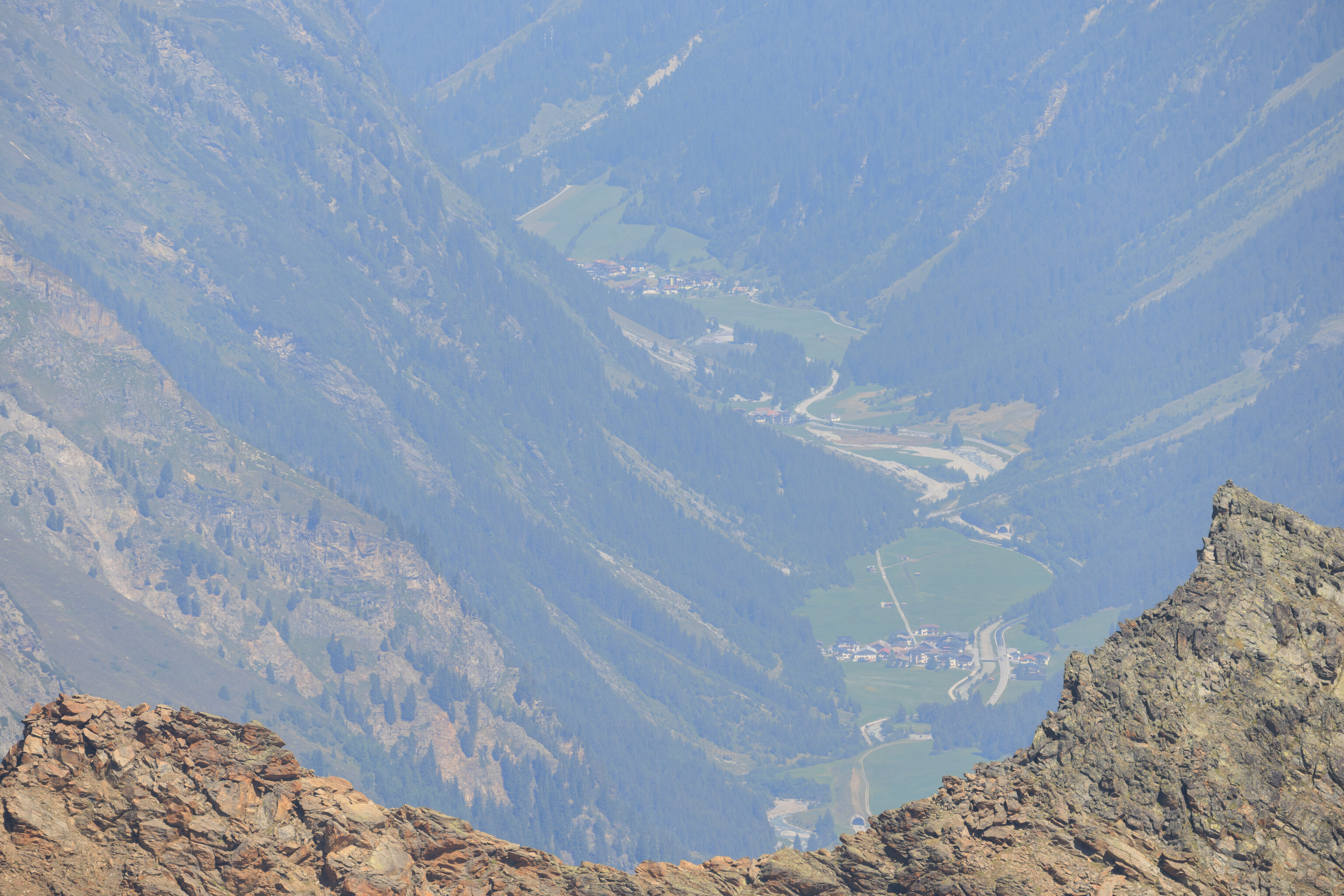
We also looked down into the narrow valley below.
After spending about 25 minutes up on the viewpoint, we headed back down.
The view to the south from the metal stairs as we walked down. A section of white tarp below seems to be at a head of a glacier which is almost gone.
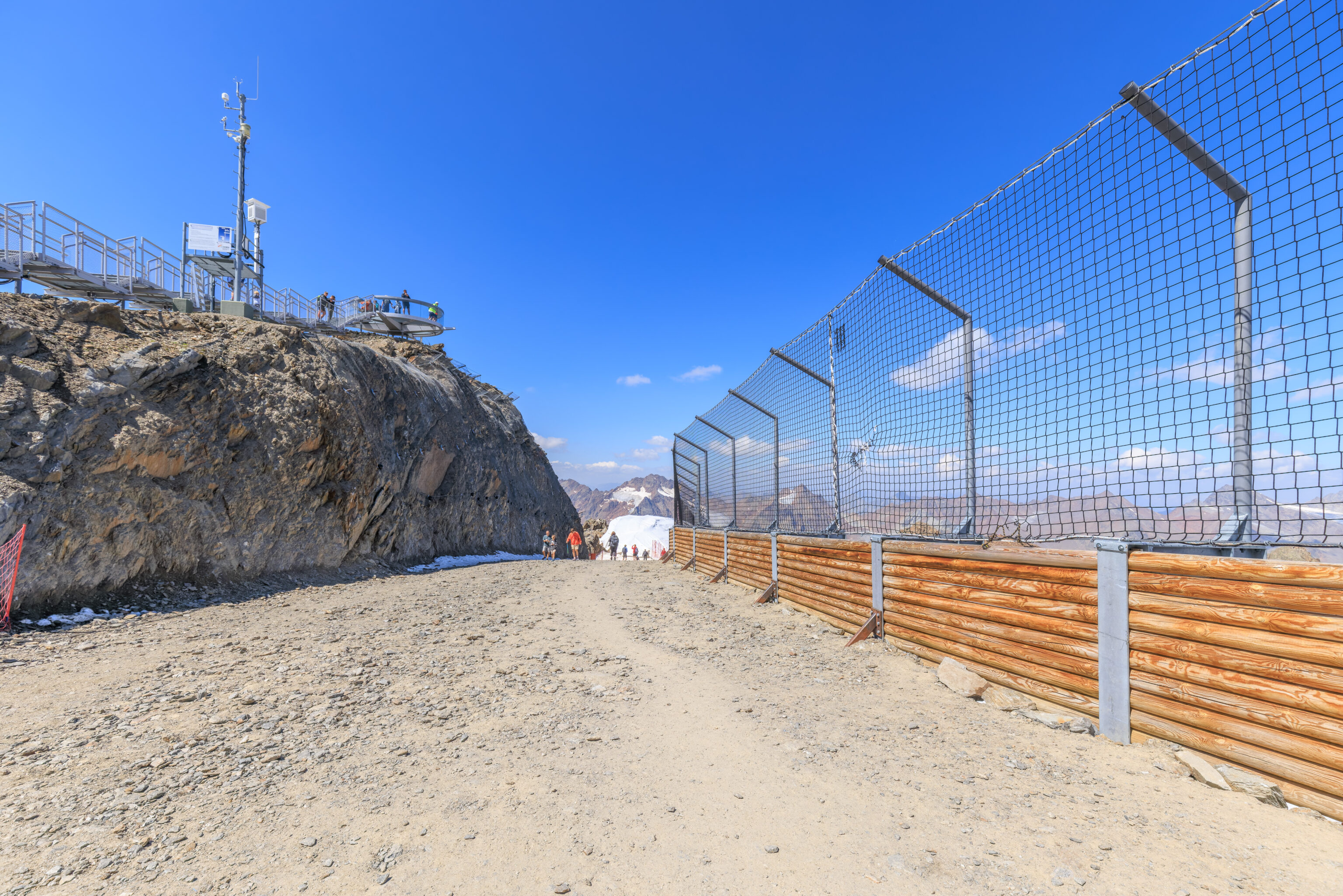
Walking a bit along the path below the mountain’s peak, we could see more of the small viewing platform we were just on.
The middle photo above is actually from when we left the area, but it shows a nice progression to the west with the other two photos.
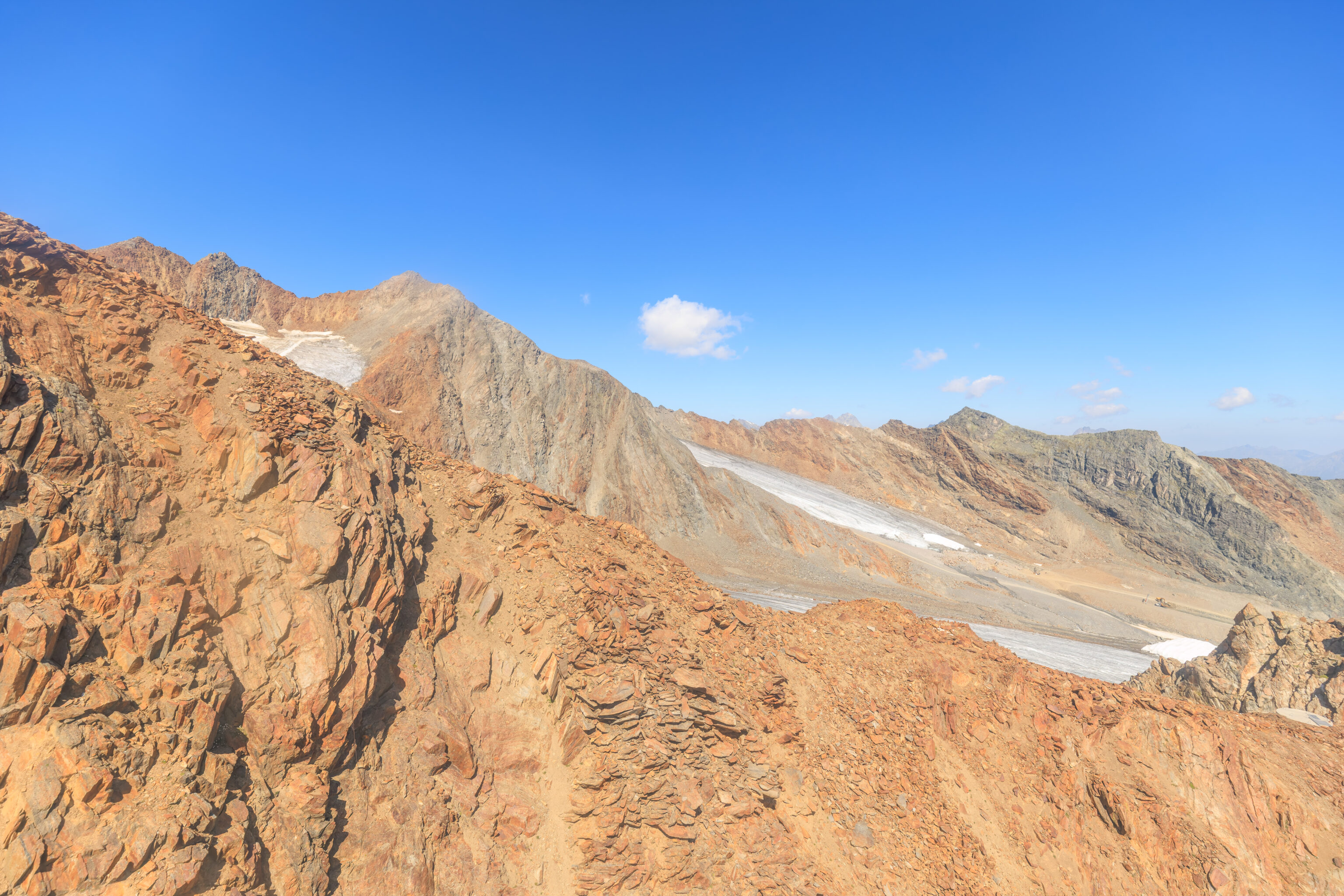
The north facing bowl below looked pretty nice. Looking at the winter map, it seems like there is a difficult run here on the west side of this bowl with a intermediate run somewhere further west. It’s a bit hard to correlate the map with the terrain that we see here though.
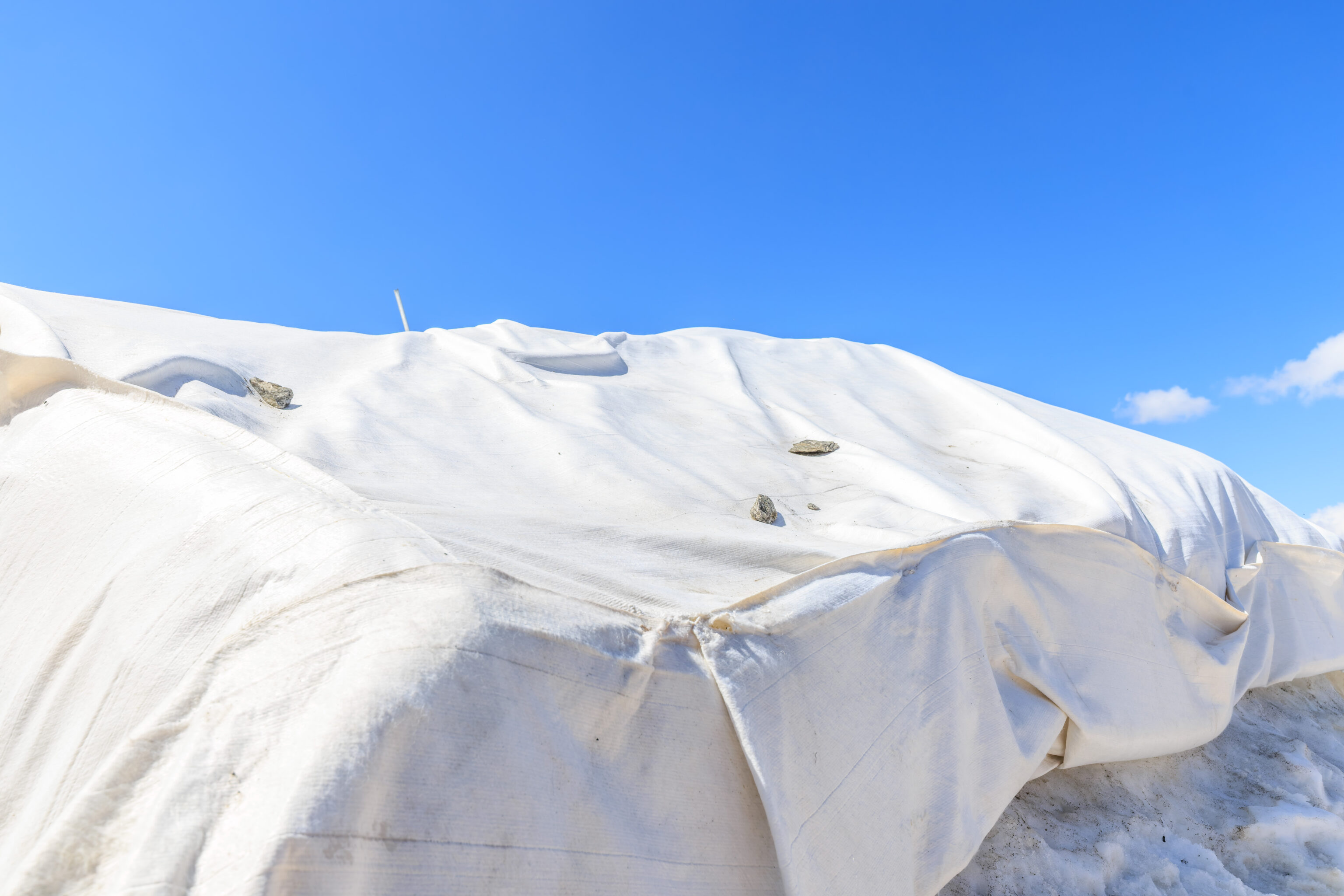
We took a closer look at the white tarp material used to cover the snow.
We walked back through the gondola station building to see if we missed anything. We visited this semi-enclosed area just past the cafe where there was more seating.
One last look at the fantastic view to the south before heading back down!
We boarded the Wildspitzbahn for the trip back down to the mid-mountain area.
On the way up, we mostly photographed to the west. On the way down, we photographed to the east!
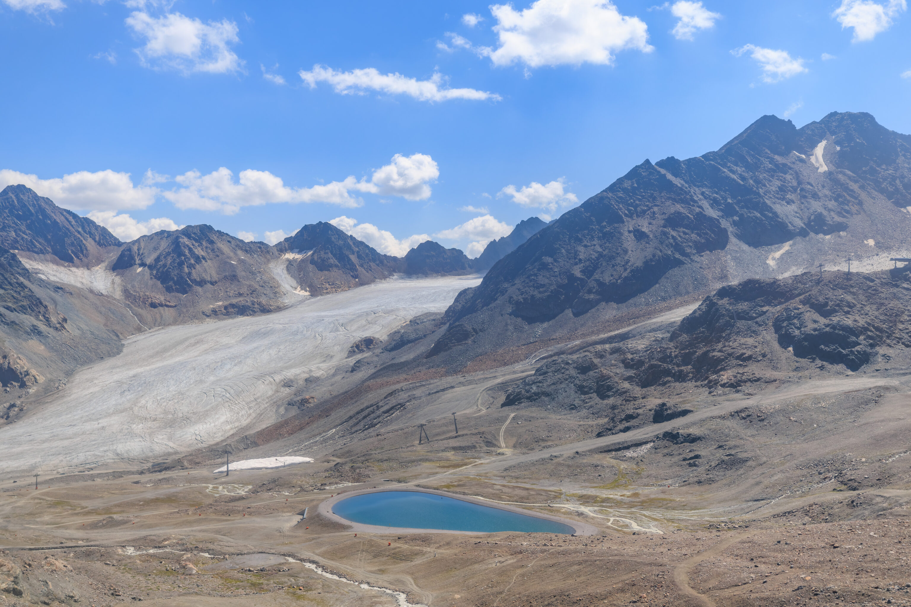
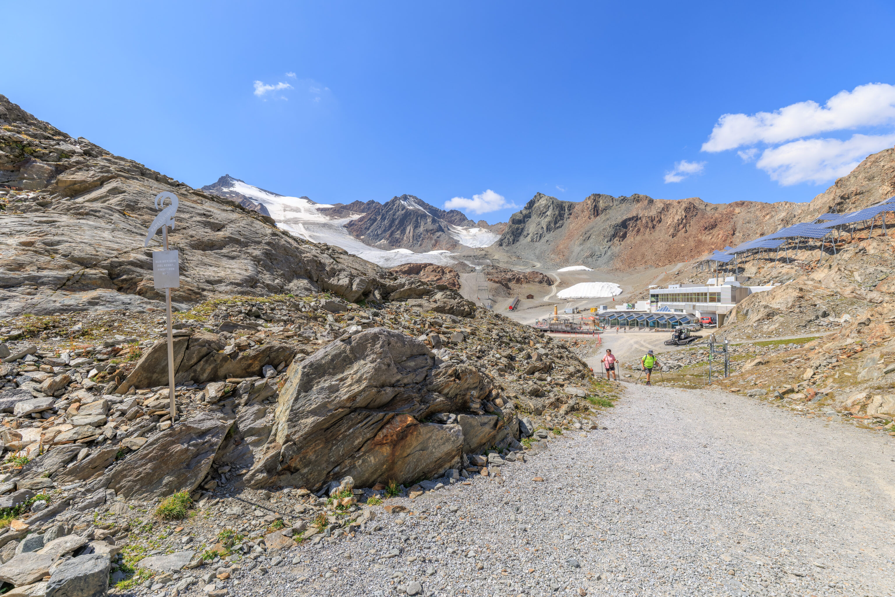
We returned to the mid-mountain area at around 12:45pm.
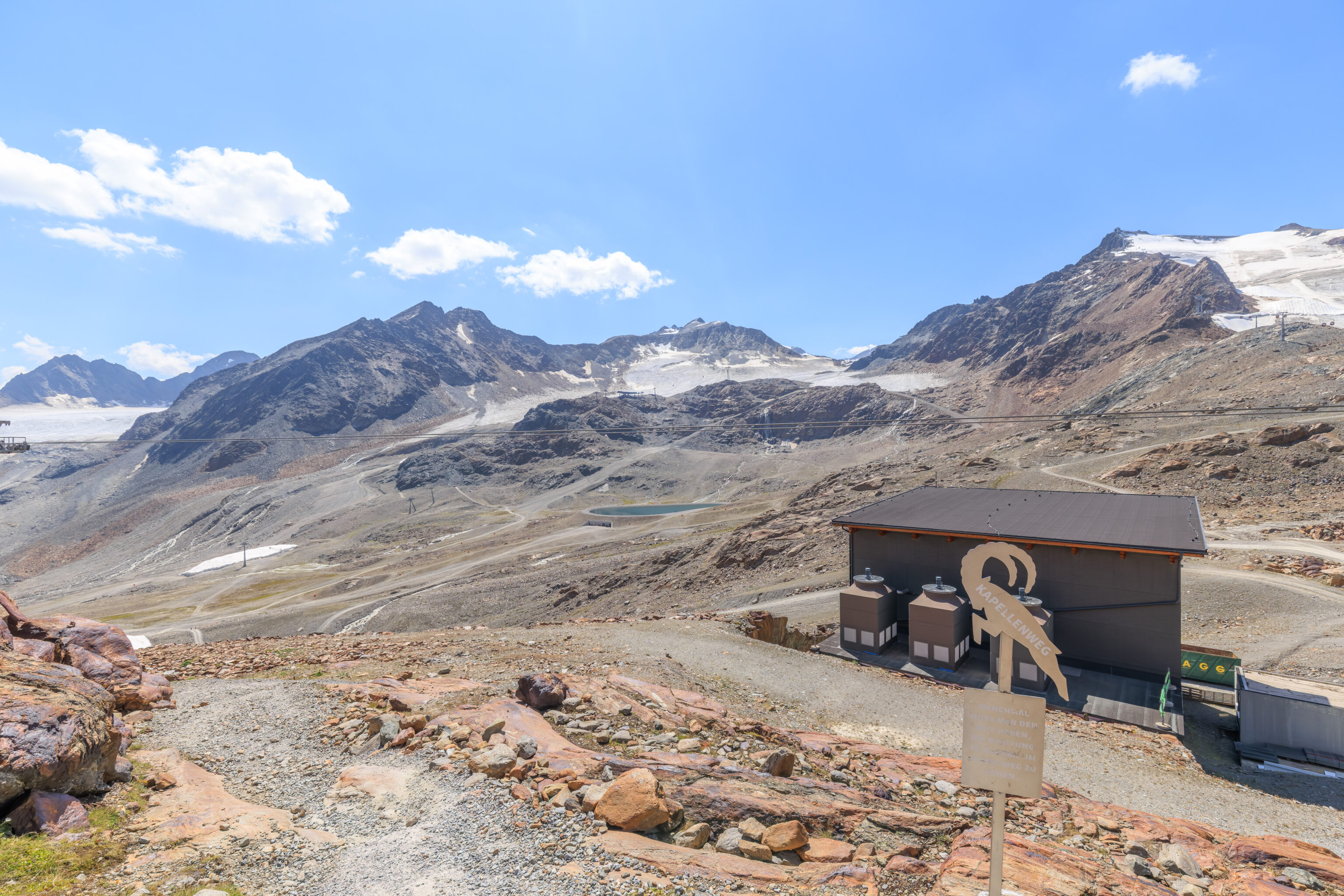
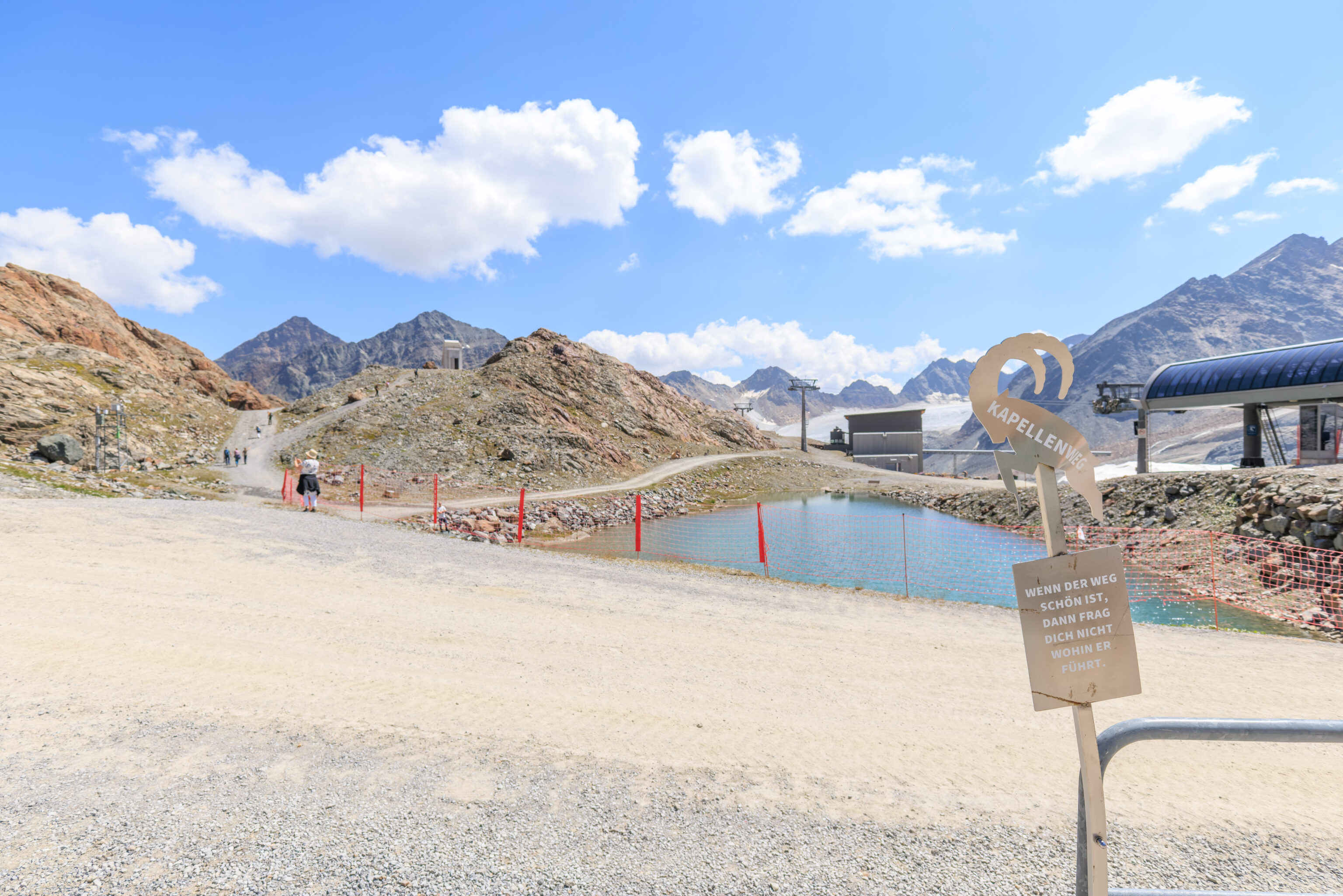
We decided to take a look around, first walking past this pool of glacial water.
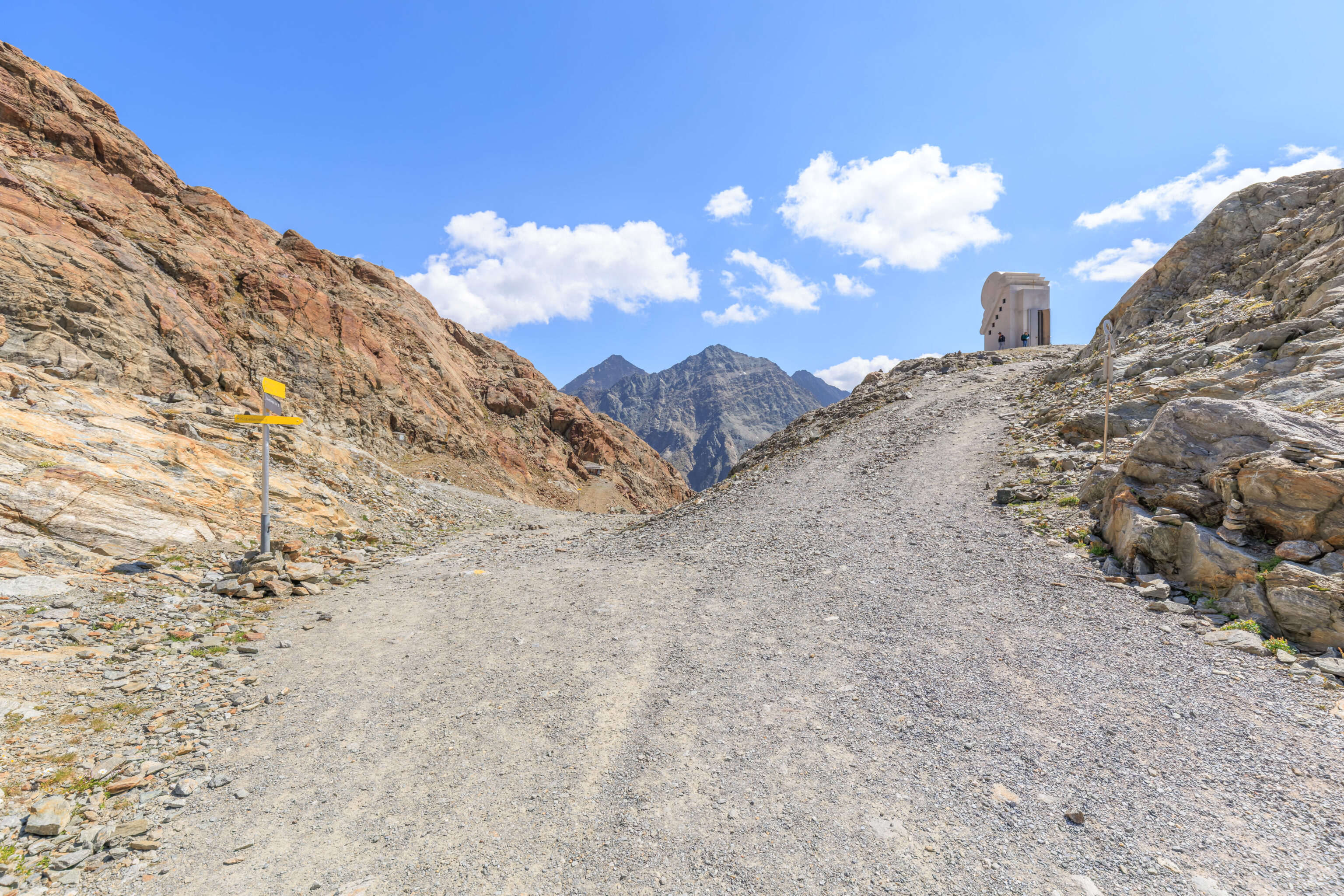
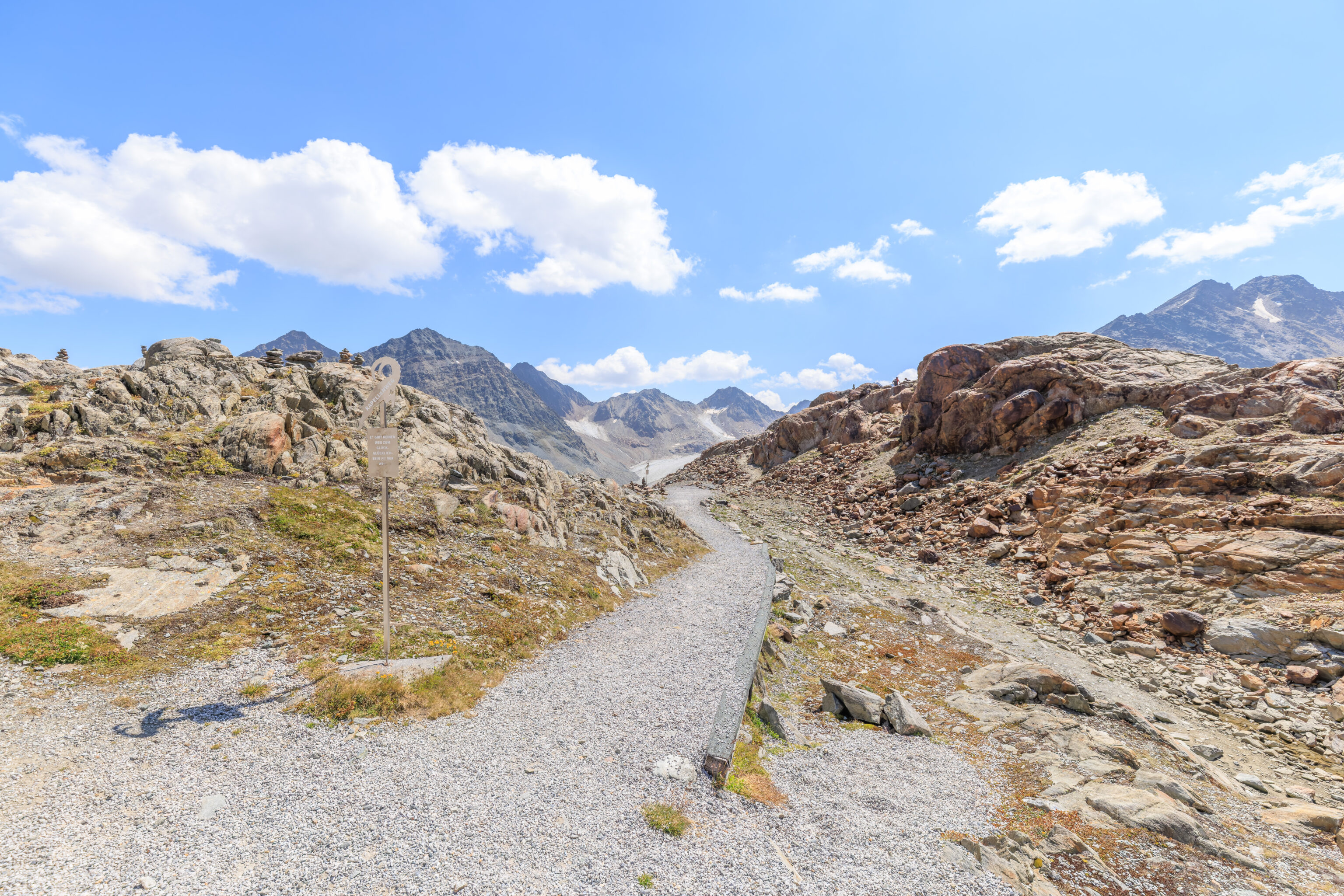
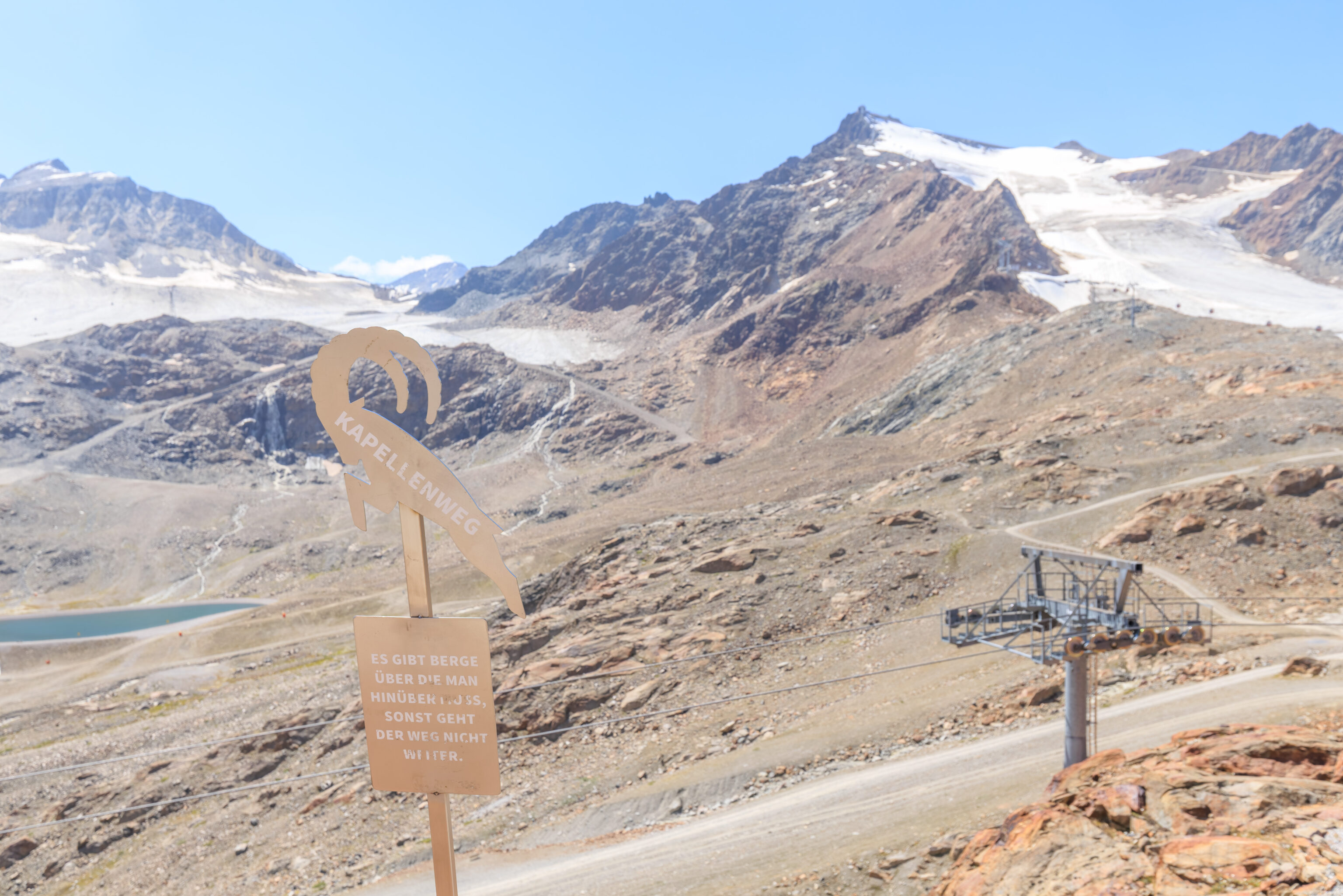
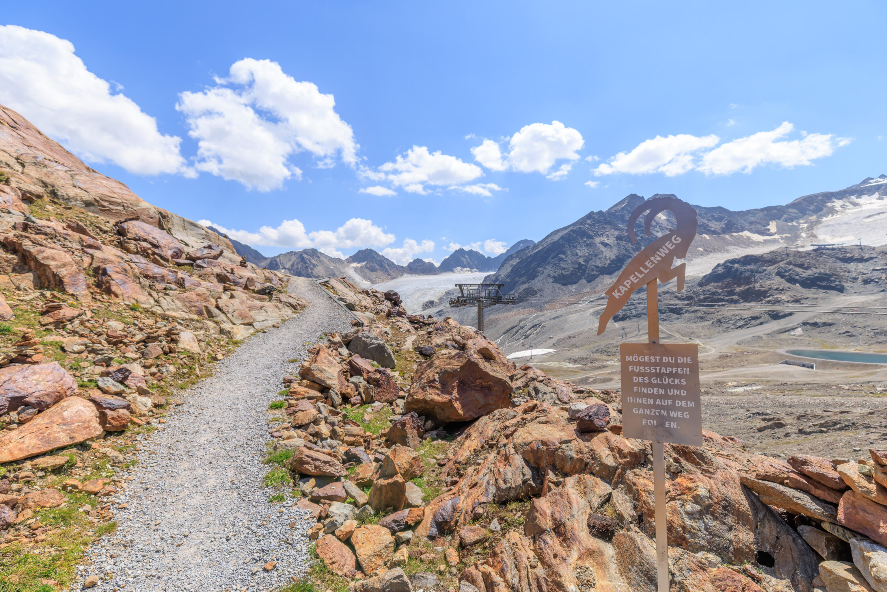
We followed a trail which leads steeply up to a tiny chapel, seen here on the right.
The view looking back down along the Kapellenweg (Chapel Path). The sign on the left says:
ONLY THOSE WHO KNOW THEIR GOAL WILL FIND THE WAY.
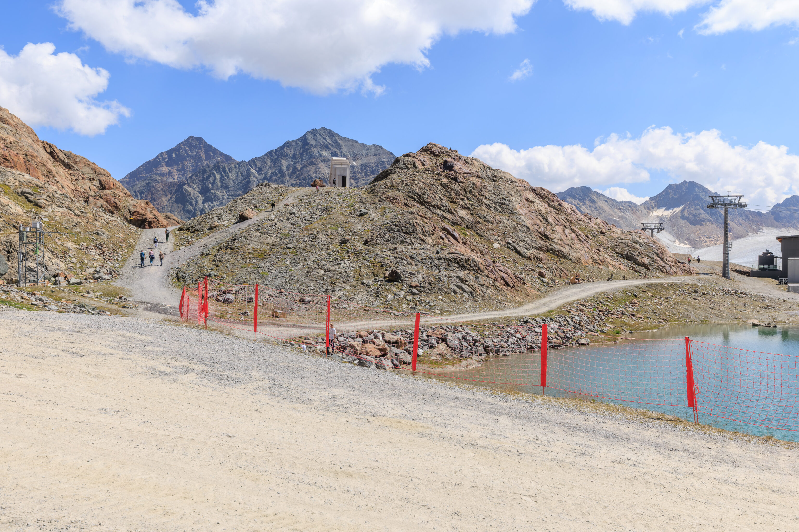
We continued following the steep path up.
The view looking back down from the top of the path.
The path seemed to continue on past the chapel.
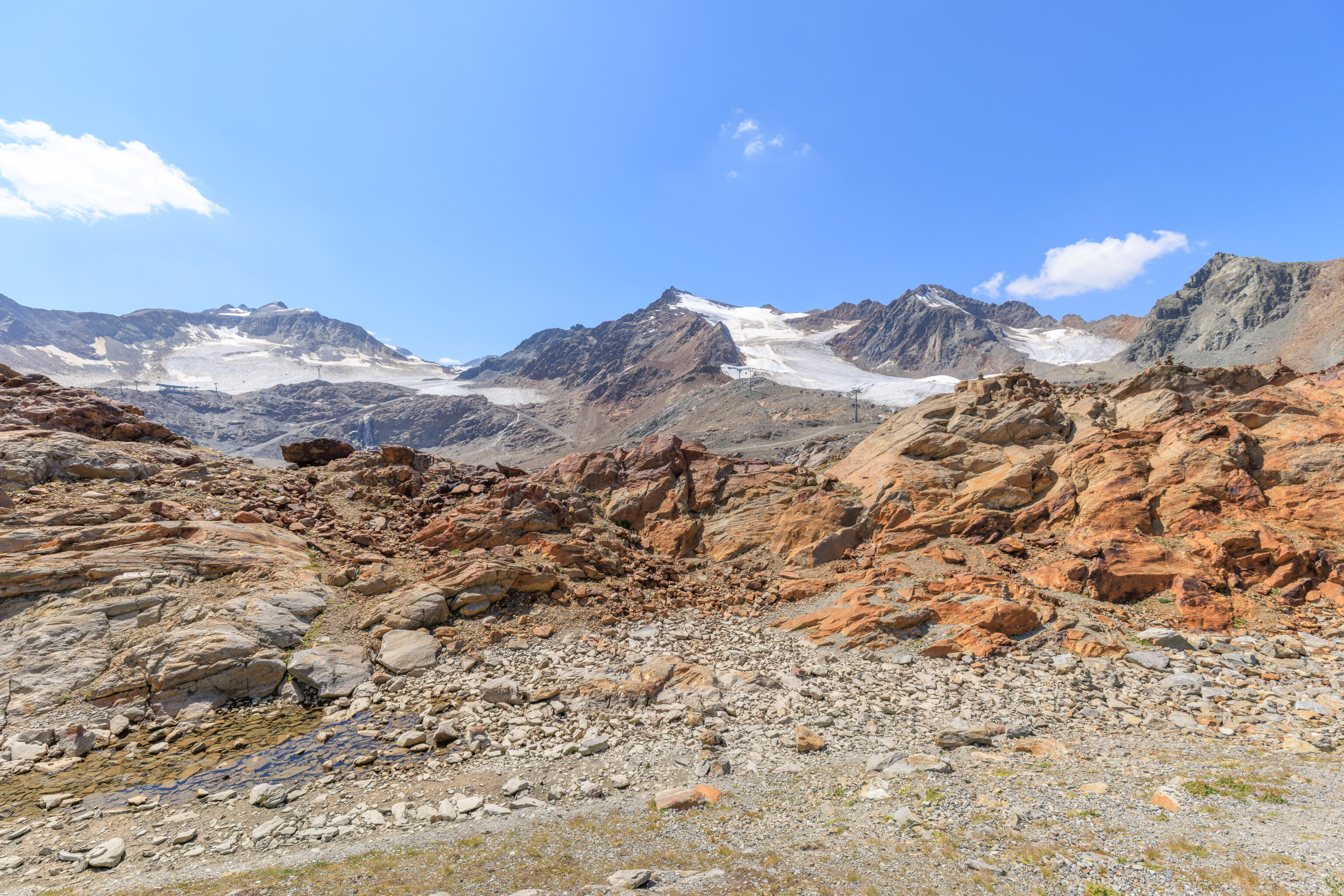
Looking to the southwest, we could see where we came from at the peak of the Hintere Brunnenkogel.
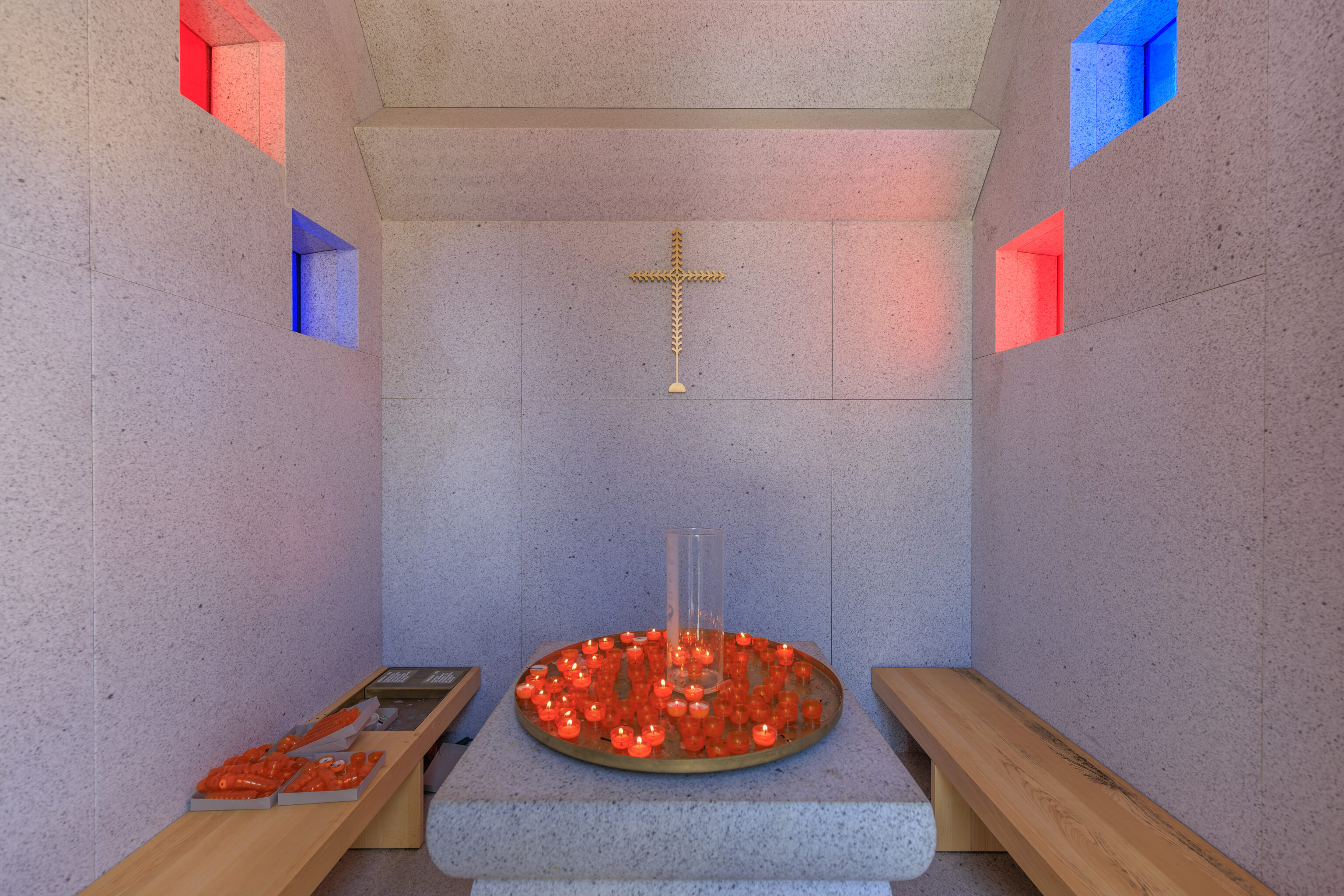
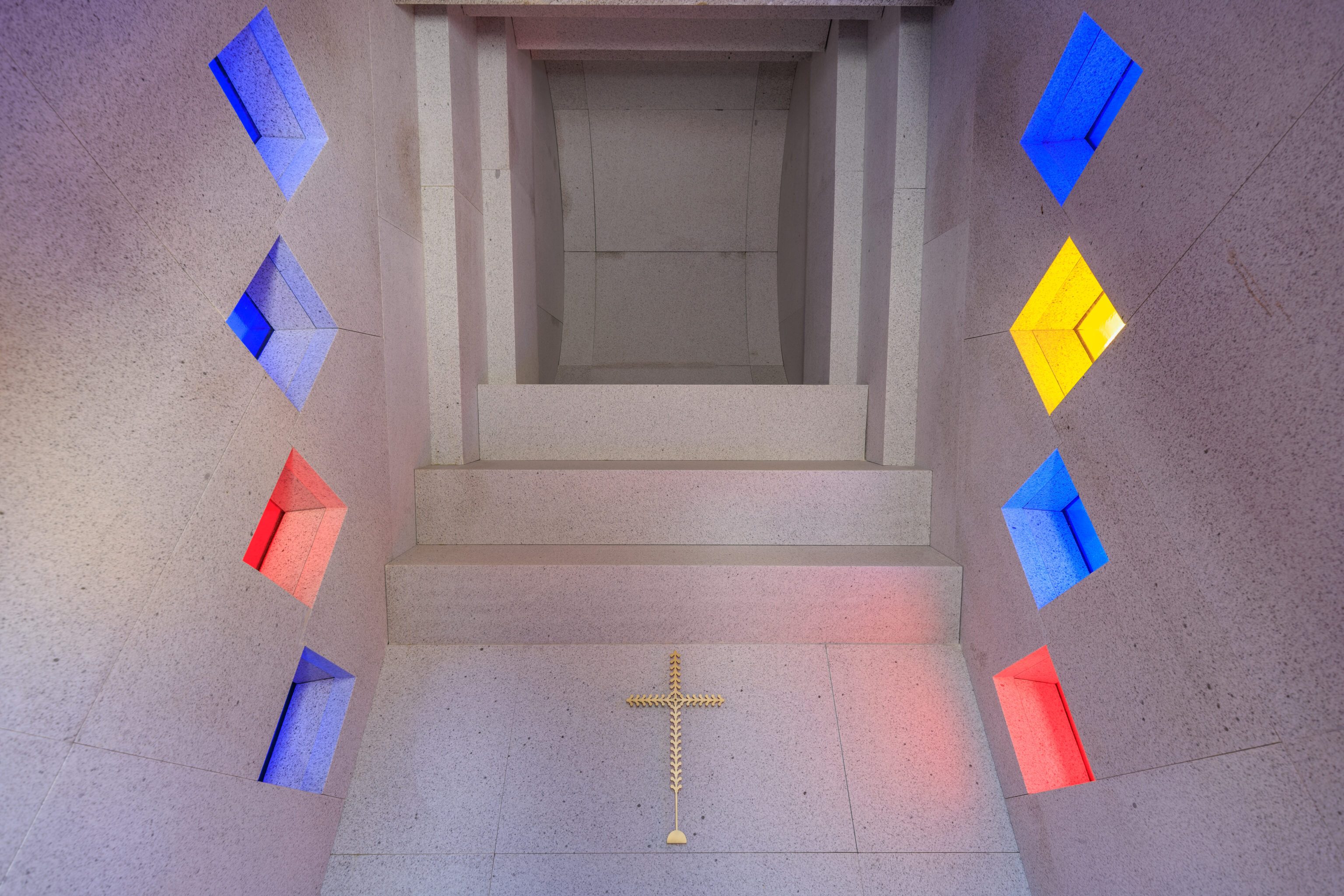
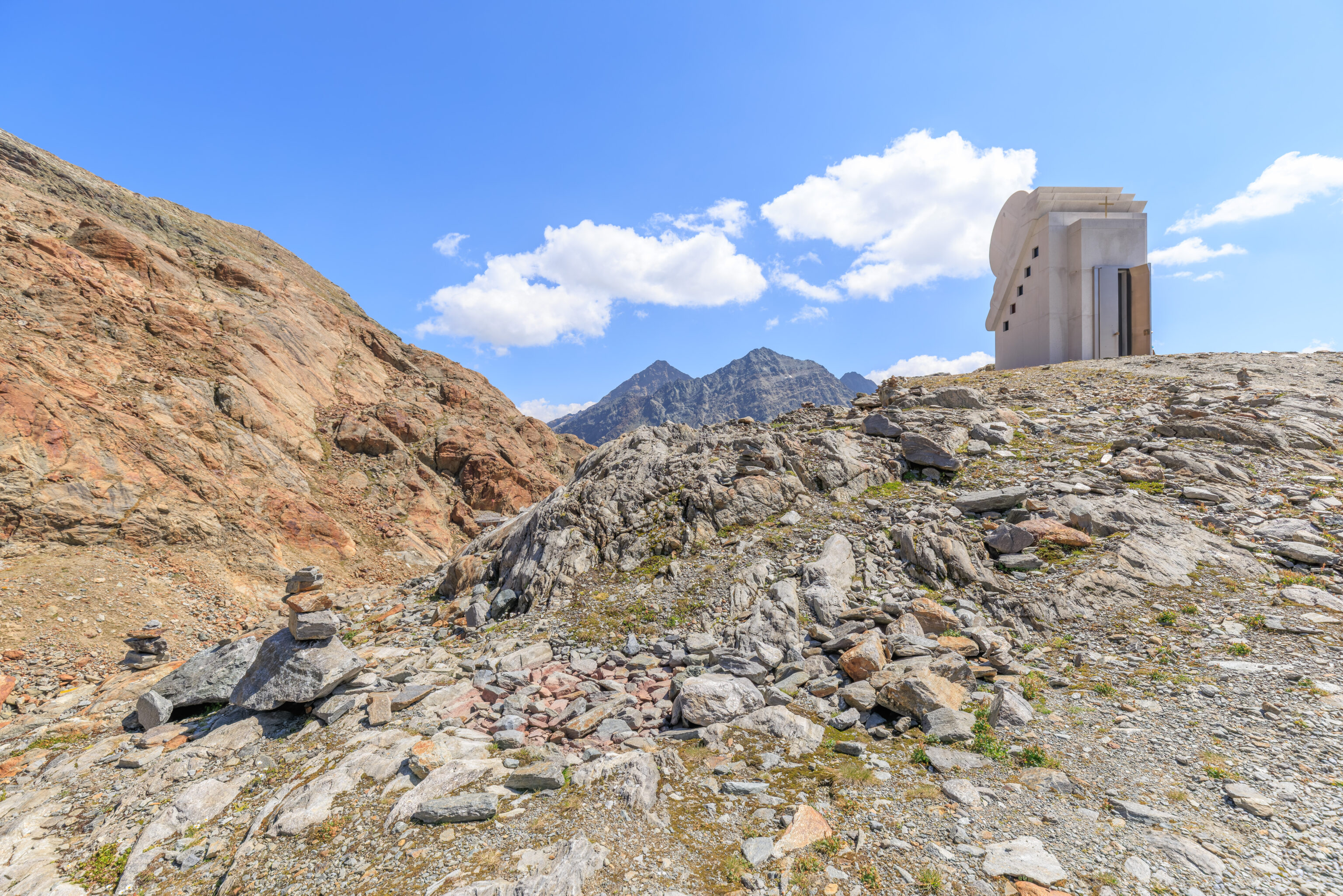
We took a quick look at the interior of the Chapel of the White Light. The structure is actually a stainless steel frame with granite attached to the sides to make it look as if it were constructed entirely of stone.
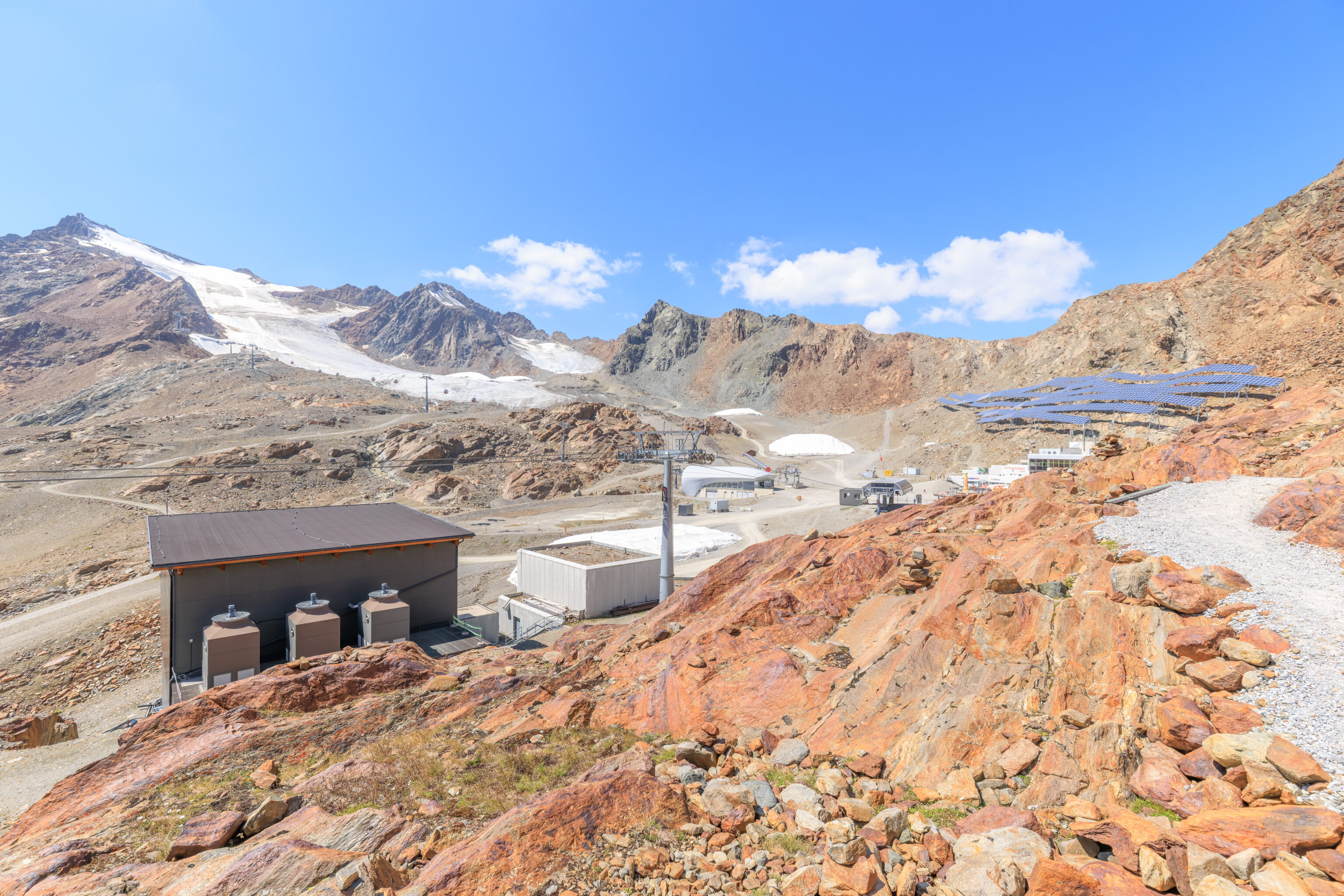
After leaving the chapel, we took a look around. There was a path below which ends at what seems like an abandoned structure built into the side of the mountain.
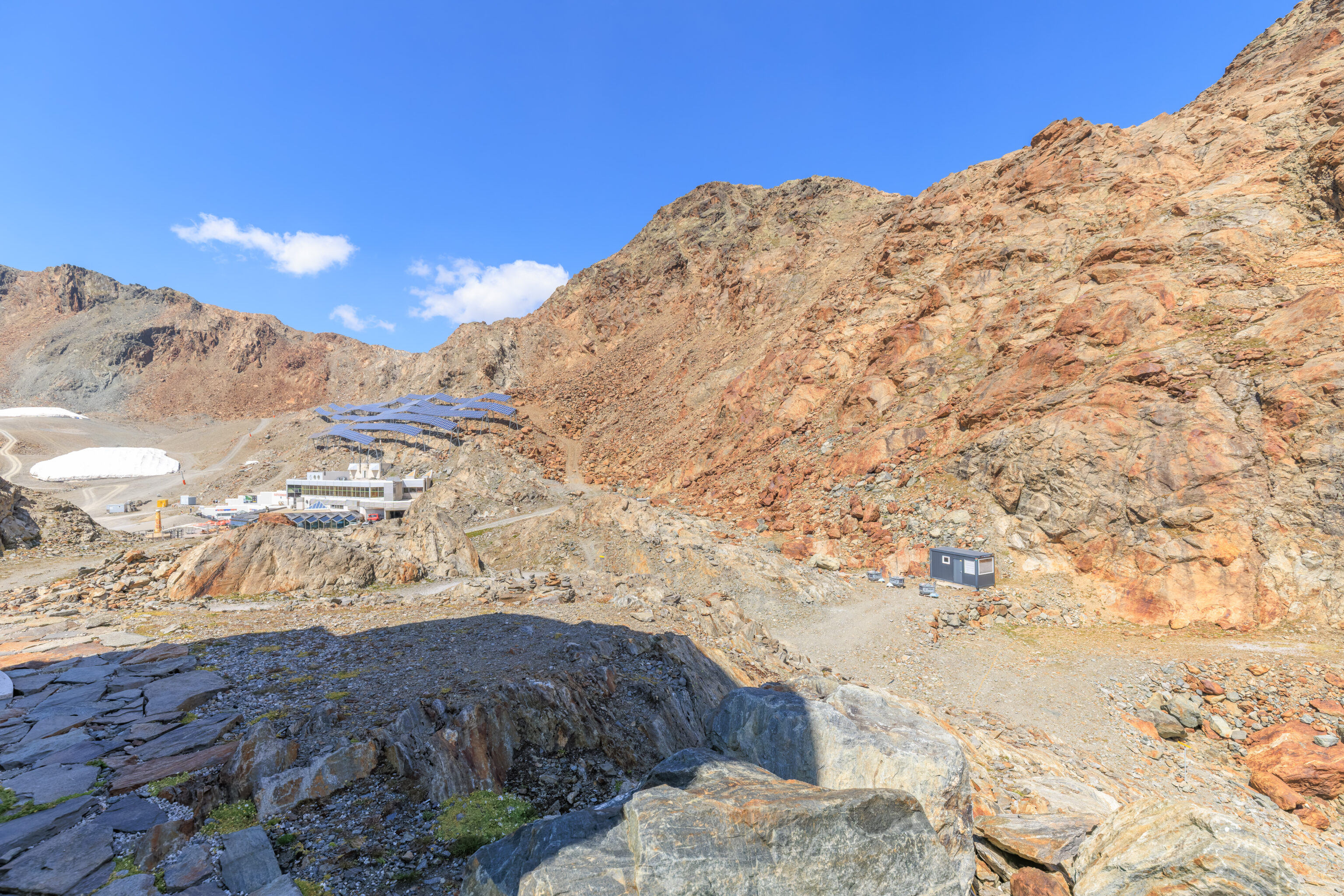
Looking to the west, we could see the funicular station along with all the solar panels above it.
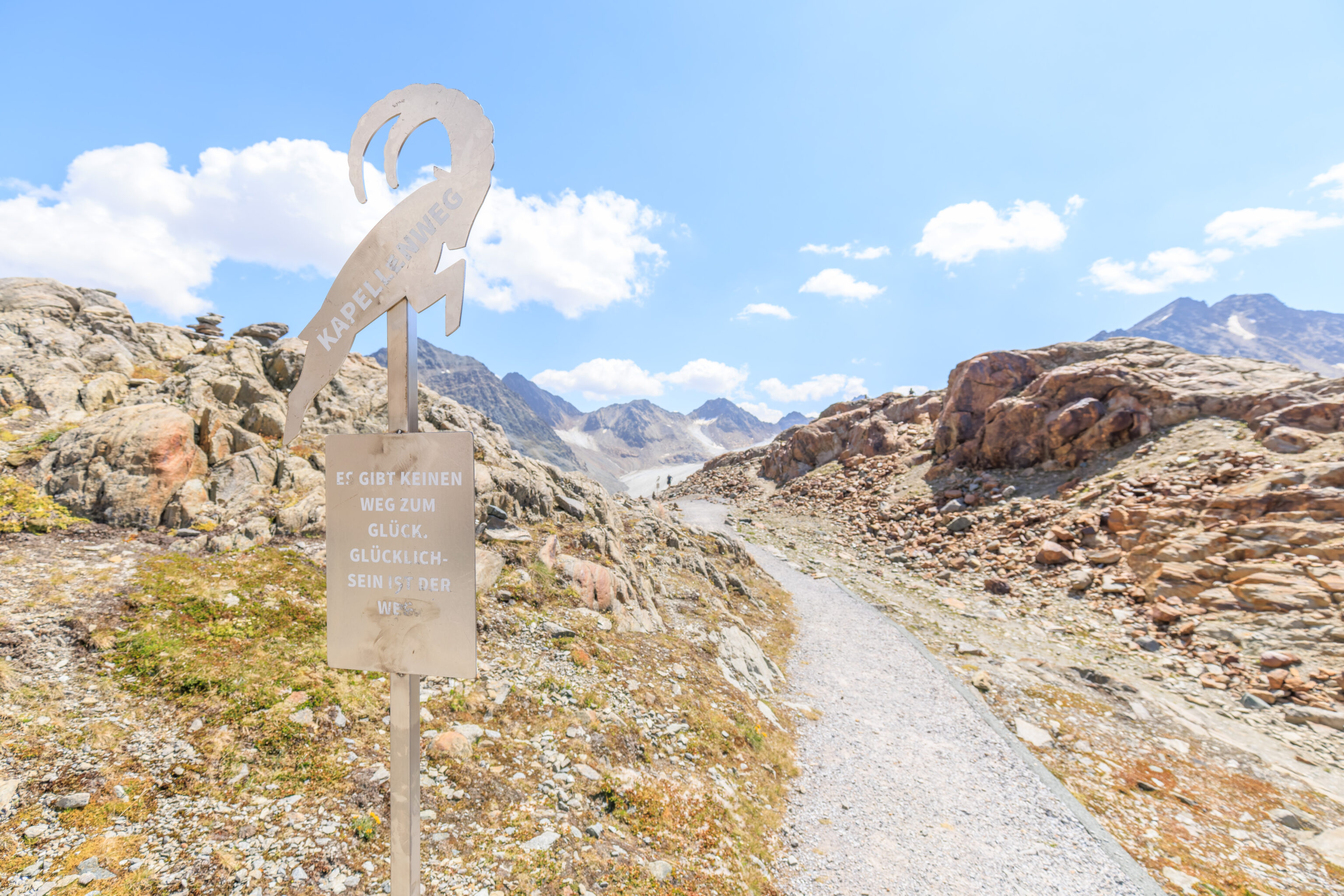
Rather than head back down, we continued on the path that we saw earlier. The sign here says:
THERE IS NO WAY TO HAPPINESS. HAPPINESS IS THE WAY.
The next sign had a longer message:
YOU CAN BUILD BEAUTIFUL THINGS EVEN FROM THE STONES THAT ARE PLACED IN YOUR WAY.
We bypassed a path that went a bit higher up.
The path curved to the right at this point, making this as far east as we would walk here today.
The path basically started to loop around to return towards the developed area by the funicular and gondola stations. This sign reads:
THERE ARE MOUNTAINS THAT YOU HAVE TO CROSS, OTHERWISE THE PATH WILL NOT CONTINUE.
We continued along the path as the solar panels above the funicular station came into view.
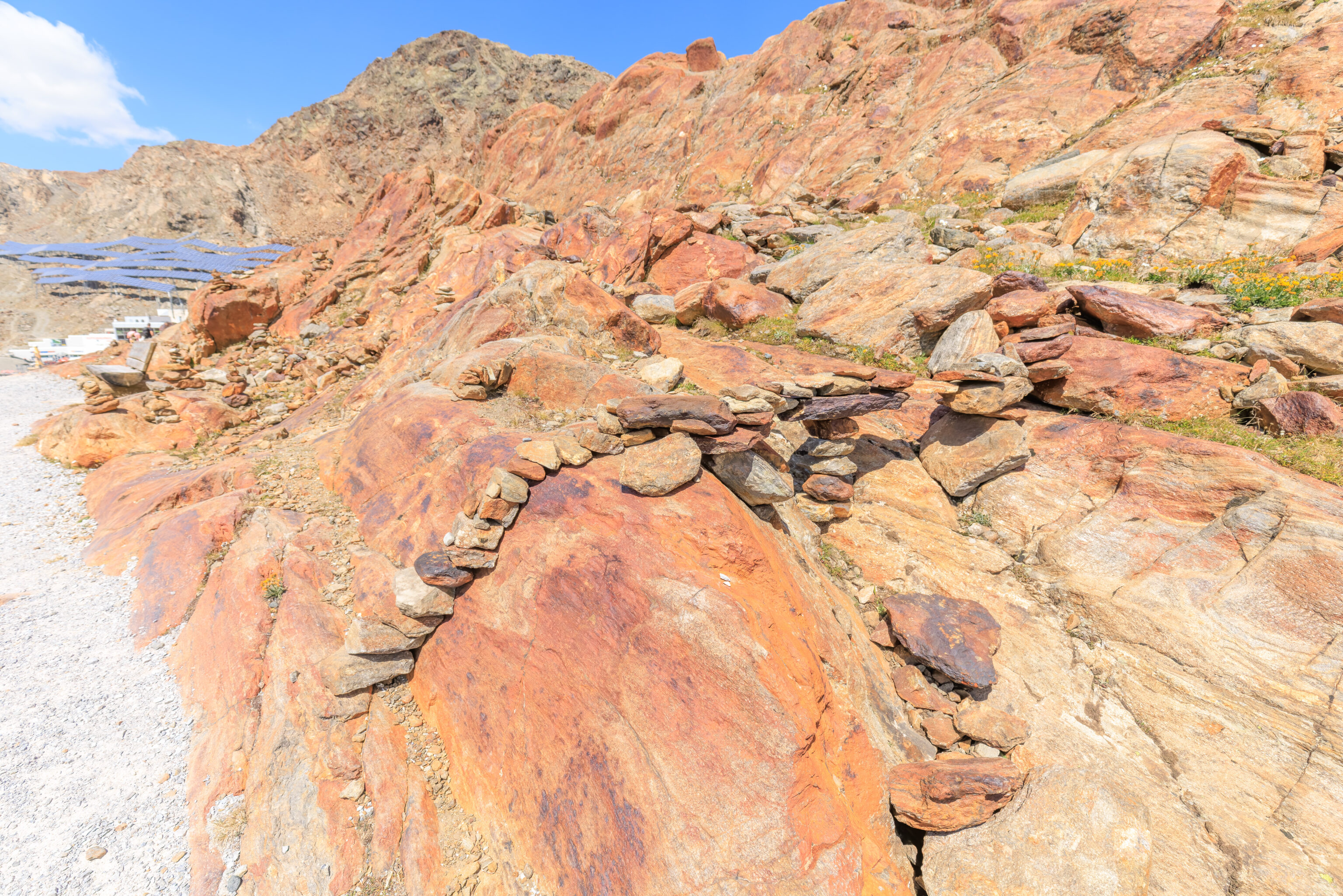
Off to the right, we saw a bridge constructed of small stones! While seeing small cairns on trails is pretty common, we’ve never seen anyone build a bridge out of these rocks before.
This next sign reads:
MAY YOU FIND THE FOOTSTEPS OF HAPPINESS AND FOLLOW THEM ALL THE WAY.
The path started to descend.
This next sign states:
SOMETIMES YOU HAVE TO HAVE THE COURAGE TO KNOW THE DIRECTION IN ORDER TO GO YOUR OWN WAY.
We ended up by the pool of glacial water that we walked past earlier.
This seems to be a pile of covered snow.
One final sign which we missed earlier:
IF THE PATH IS BEAUTIFUL, THEN DON'T ASK WHERE IT LEADS.
This was where we started. We walked up on the left, going straight at the fork on the left as there is a less steep path that is obscured by the terrain. We then looped around the hill and returned by the path on the right.
By now, it was nearly 1:30pm and we were hungry. We decided to eat at the Gletscherrestaurant Kristall in the funicular station building. This turned out to be a huge mistake as we hadn’t looked at the ratings on Google Maps!
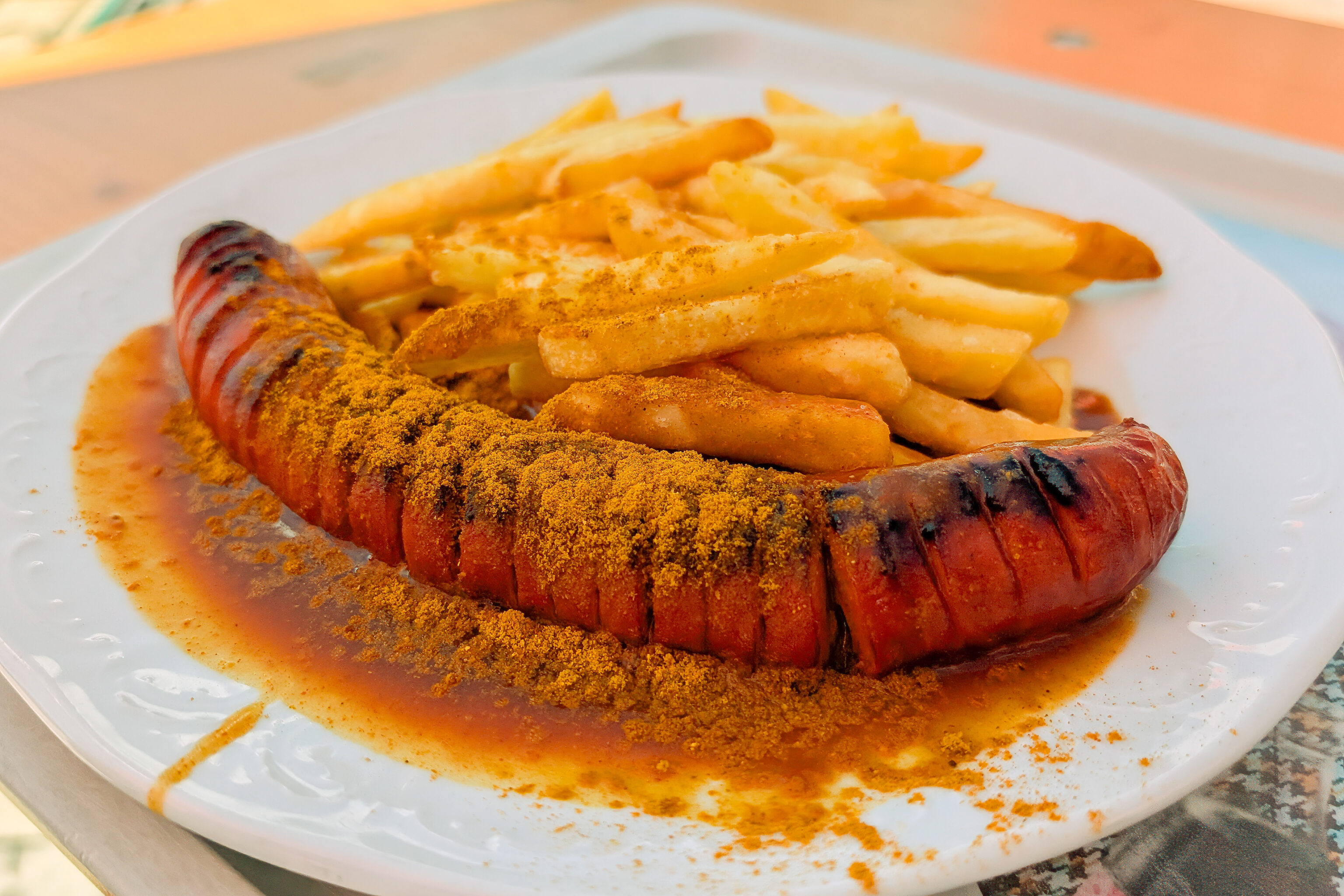
We got the currywurst, which came with fries.
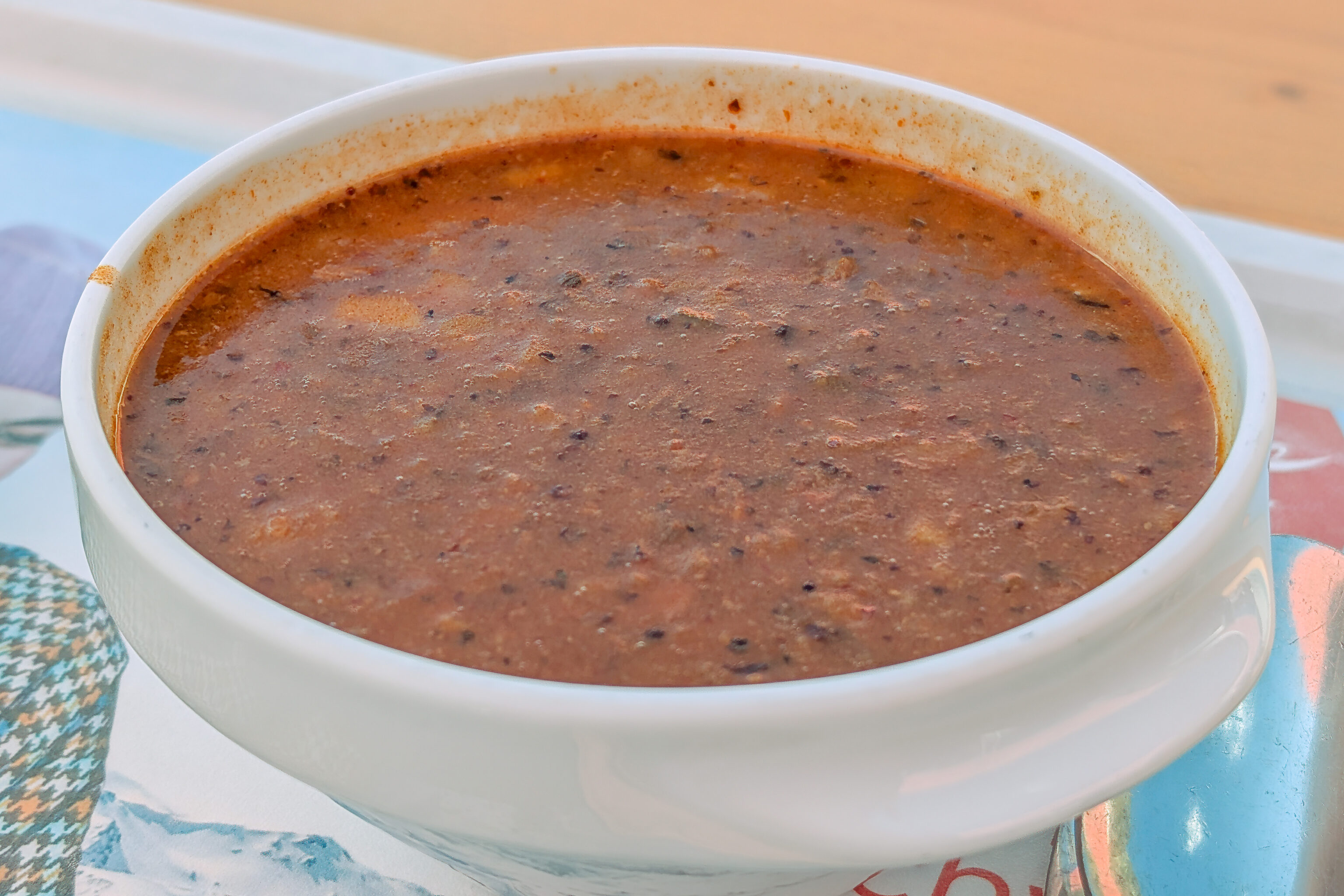
And we also got a bowl of goulash.
These can only be described as terrible. Everything was ridiculously salty. Even by American standards, this would be considered too salty. We did end up checking Google Maps at this point and found out that they have a 1.9 rating. That’s the same as our local post office. You’ve got to be pretty bad to be down at that level!
The only positive thing we can say is that there is a nice view.
We took the next Gletscherexpress funicular down, returning to the valley station at around 2:20pm.
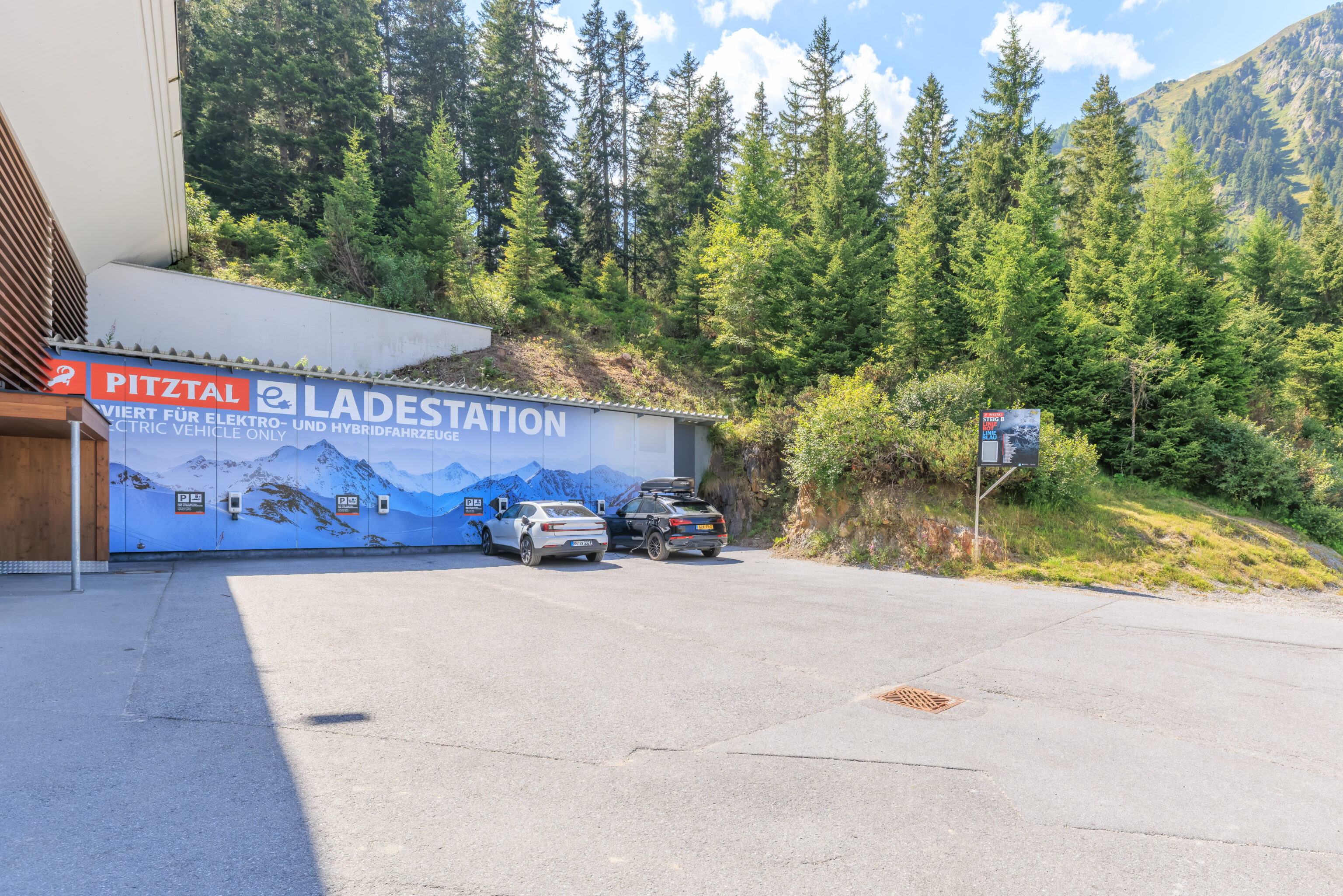
The station has some EV charging spots.
There’s not much else here.
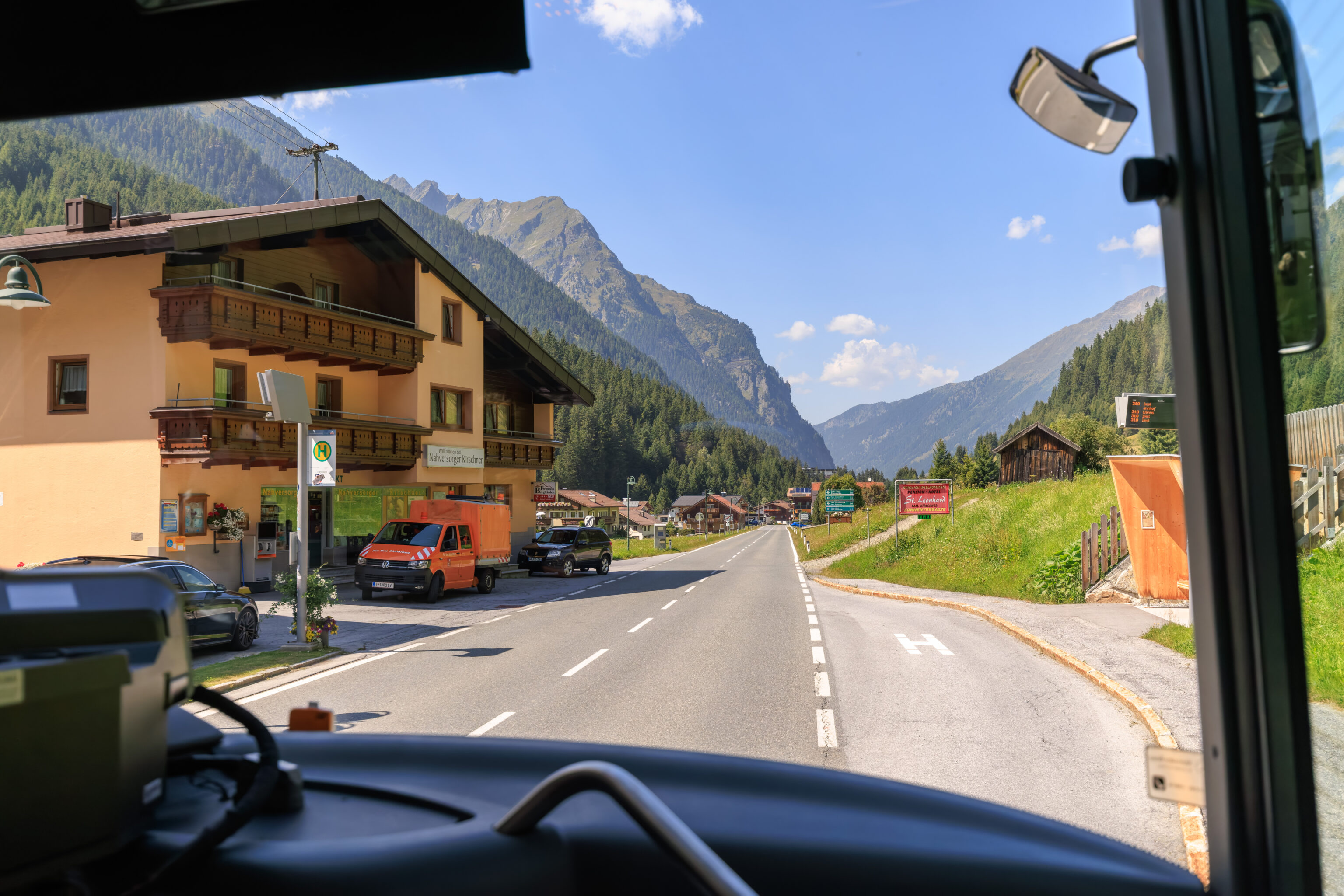
The next #310 bus arrived at 2:30pm.
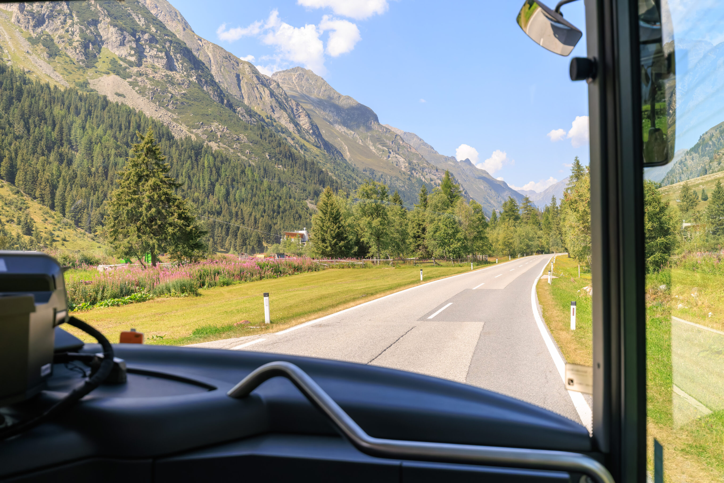
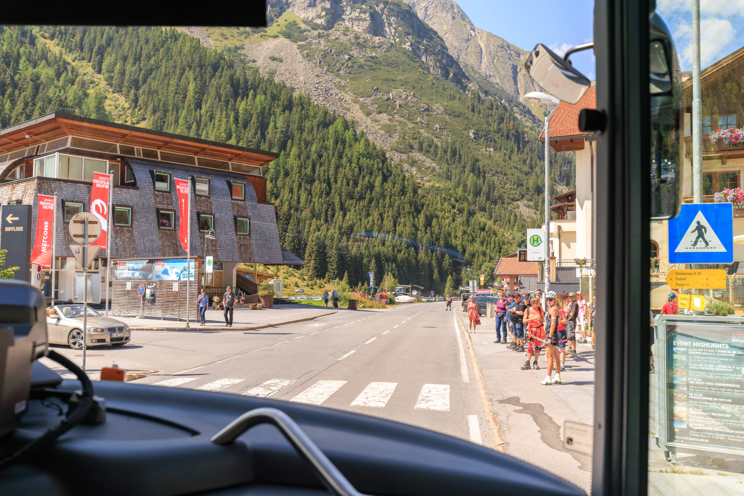
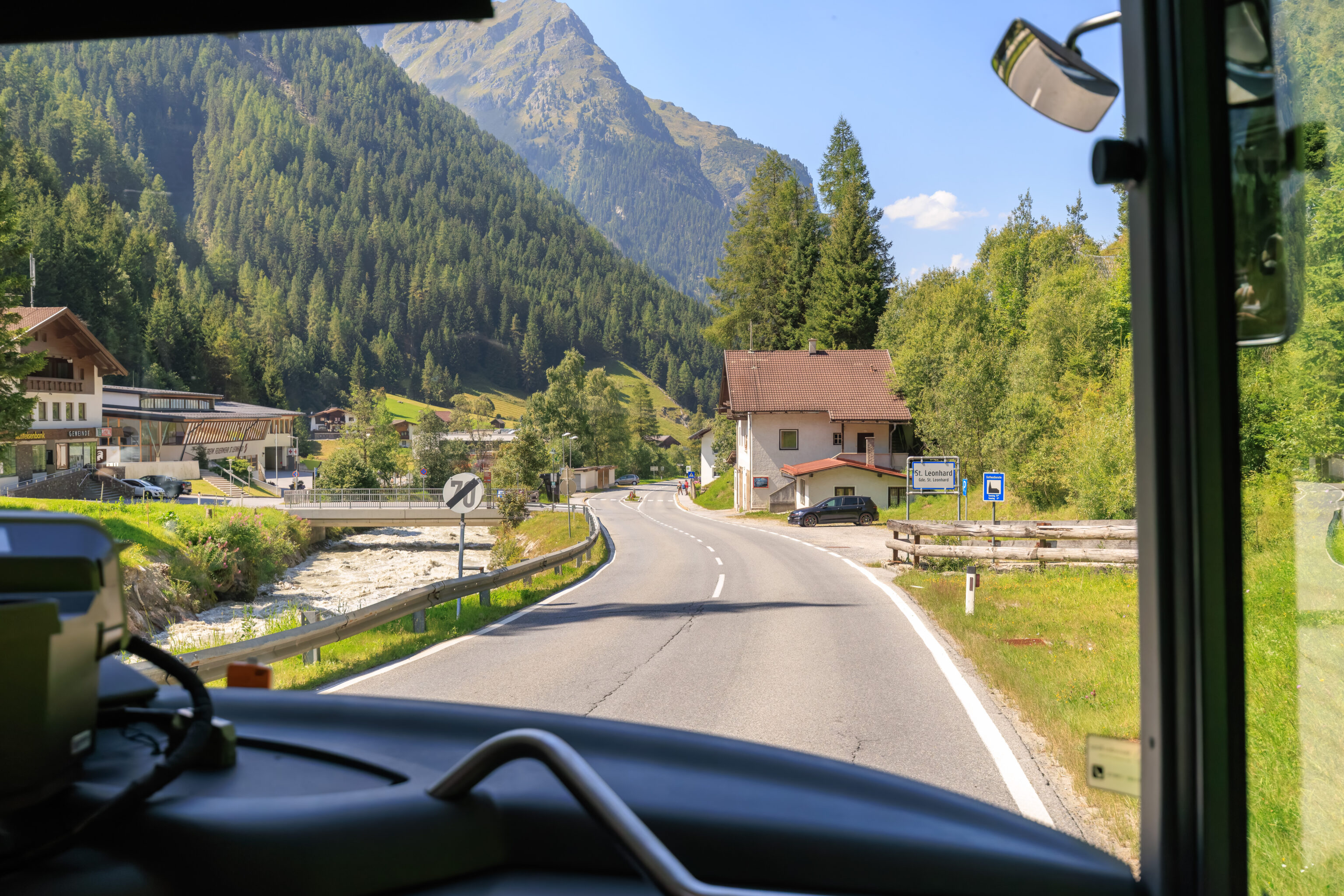
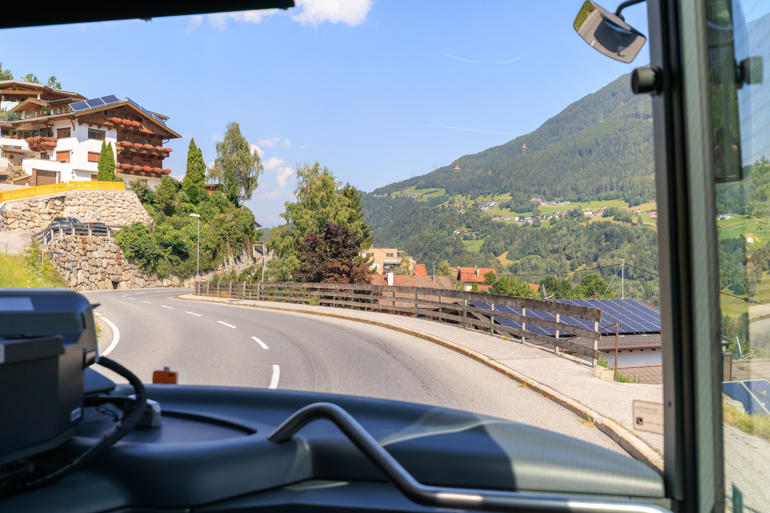
We sat in the front right seats where we had a great view through the bus’s front window.
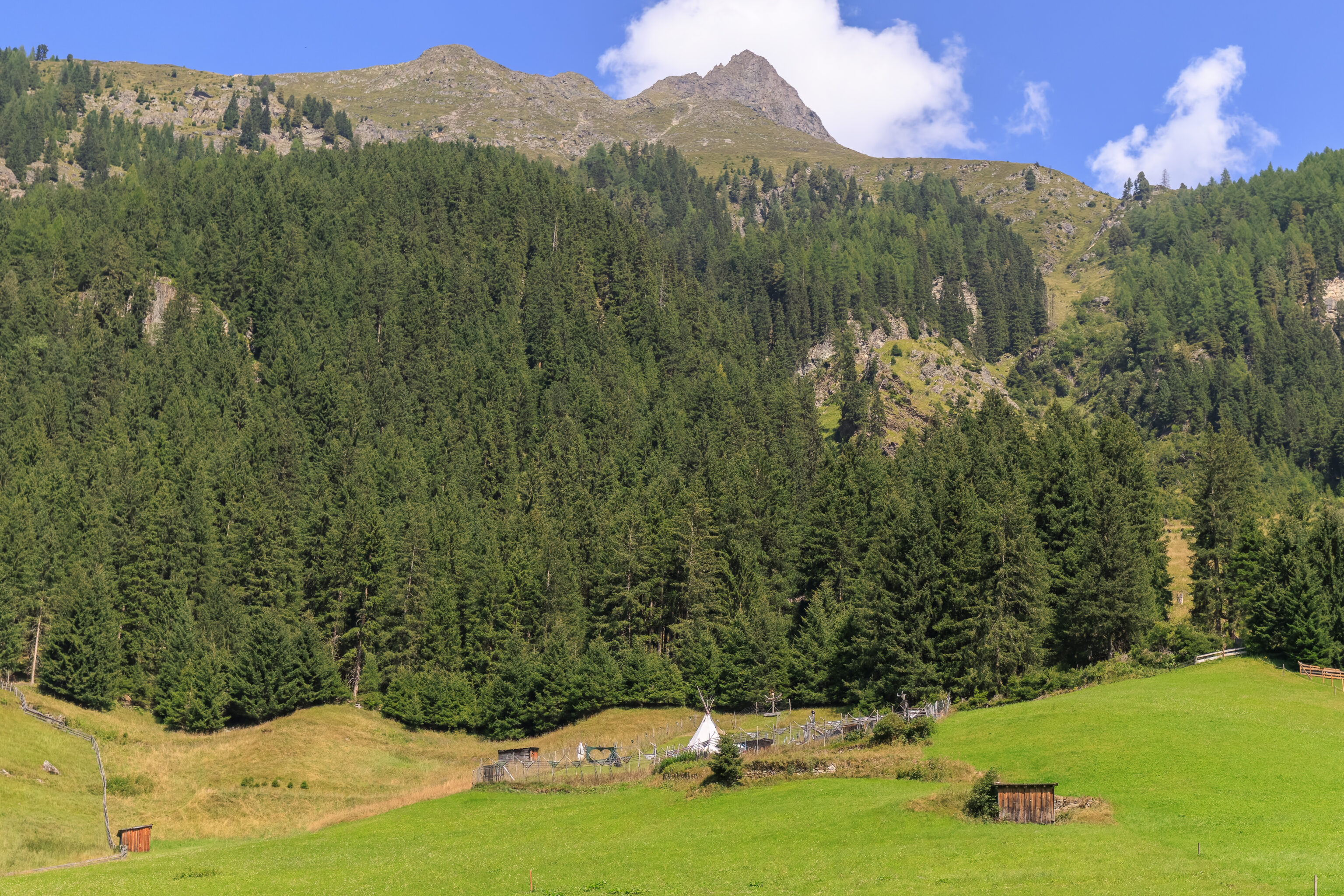
We passed by an odd little fenced area with what looked like a teepee. A bit of Googling reveals that similar looking structures were used in Northern Europe and Northern Asia. So, this ends up being an unexplained oddity that was too far to examine in detail.
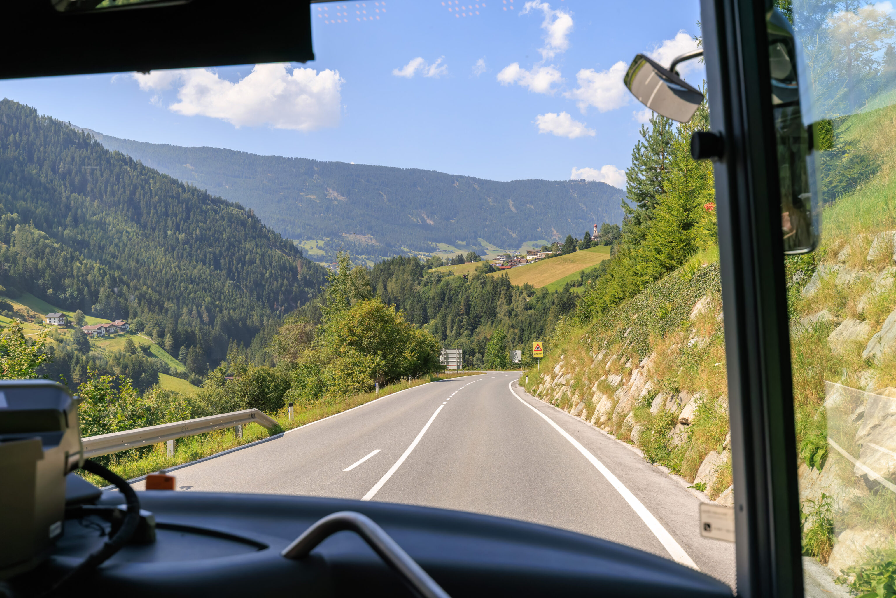
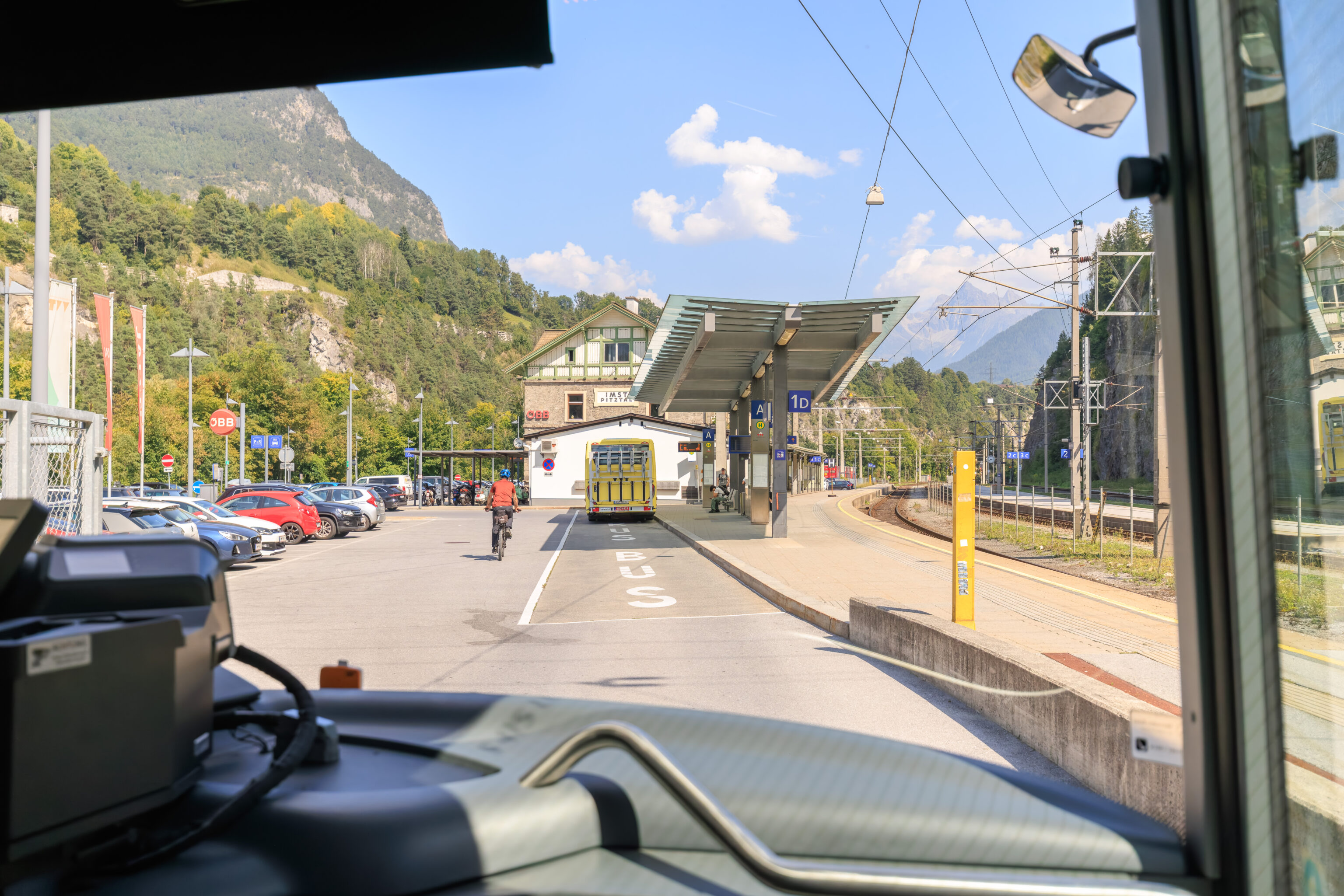
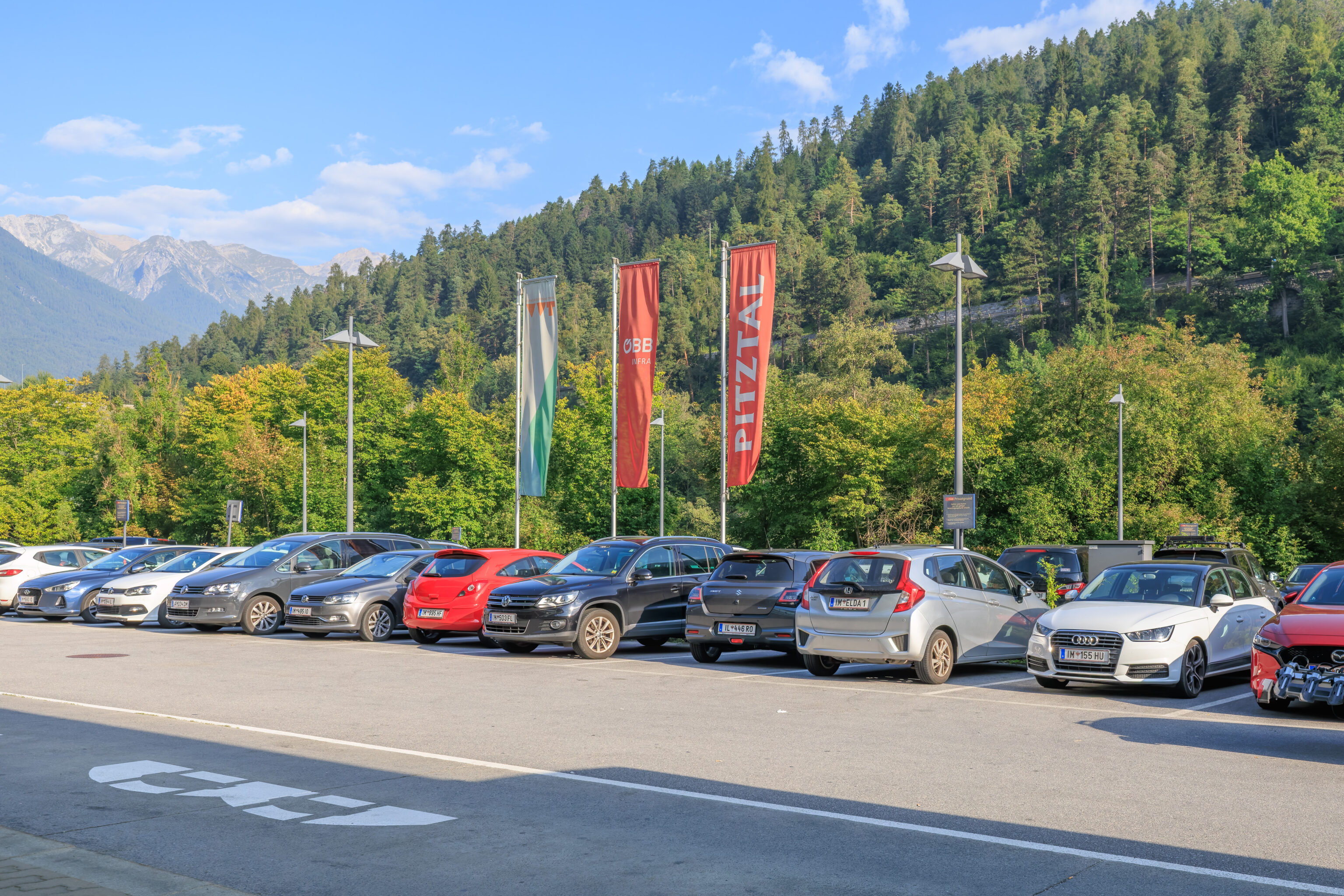
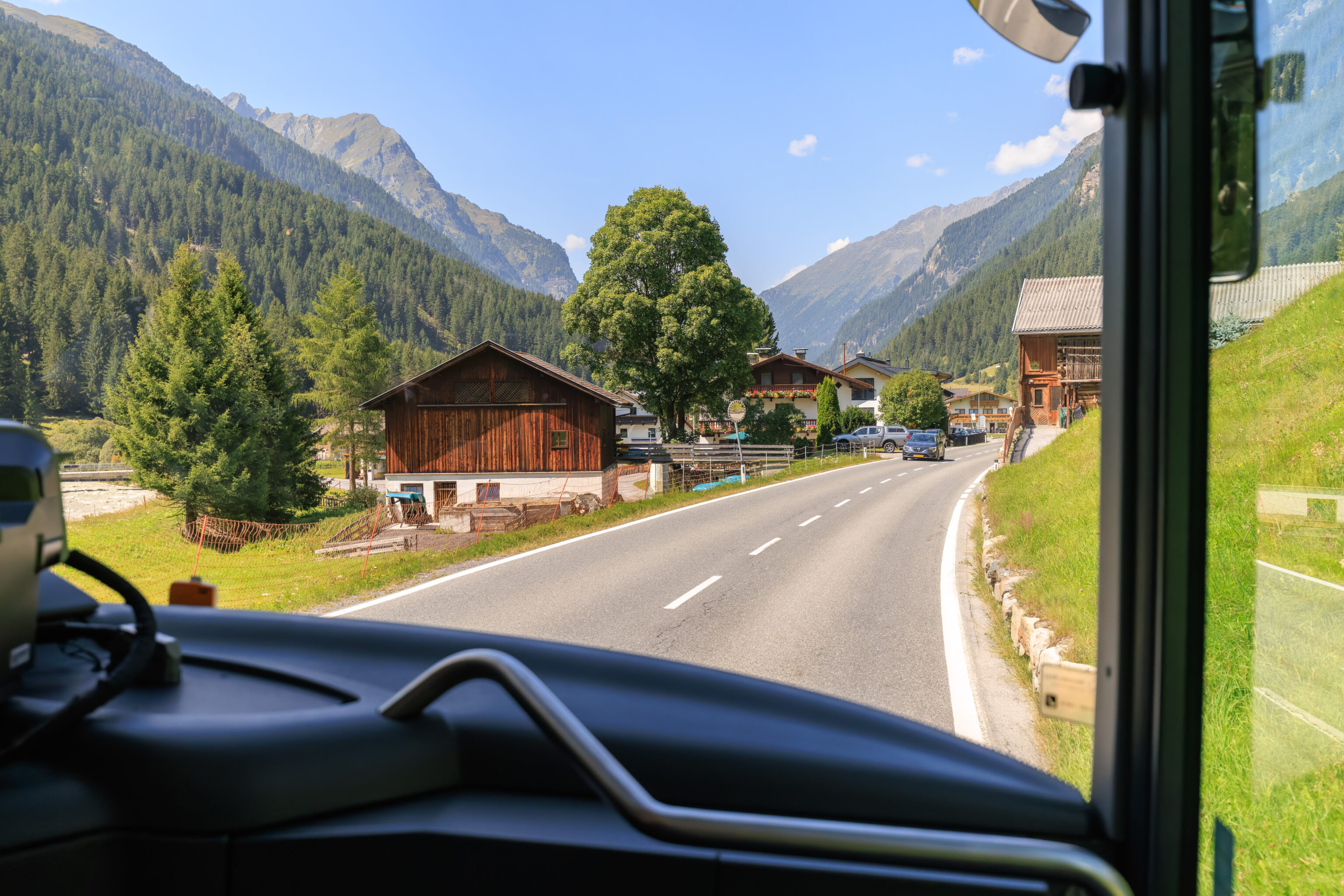
We made it back to the Imst-Pitztal station at 3:40pm. We then caught the next train back to Innsbruck. The REX 1 line generally runs either half-hourly or hourly along with a variety of other services that stop less frequently.
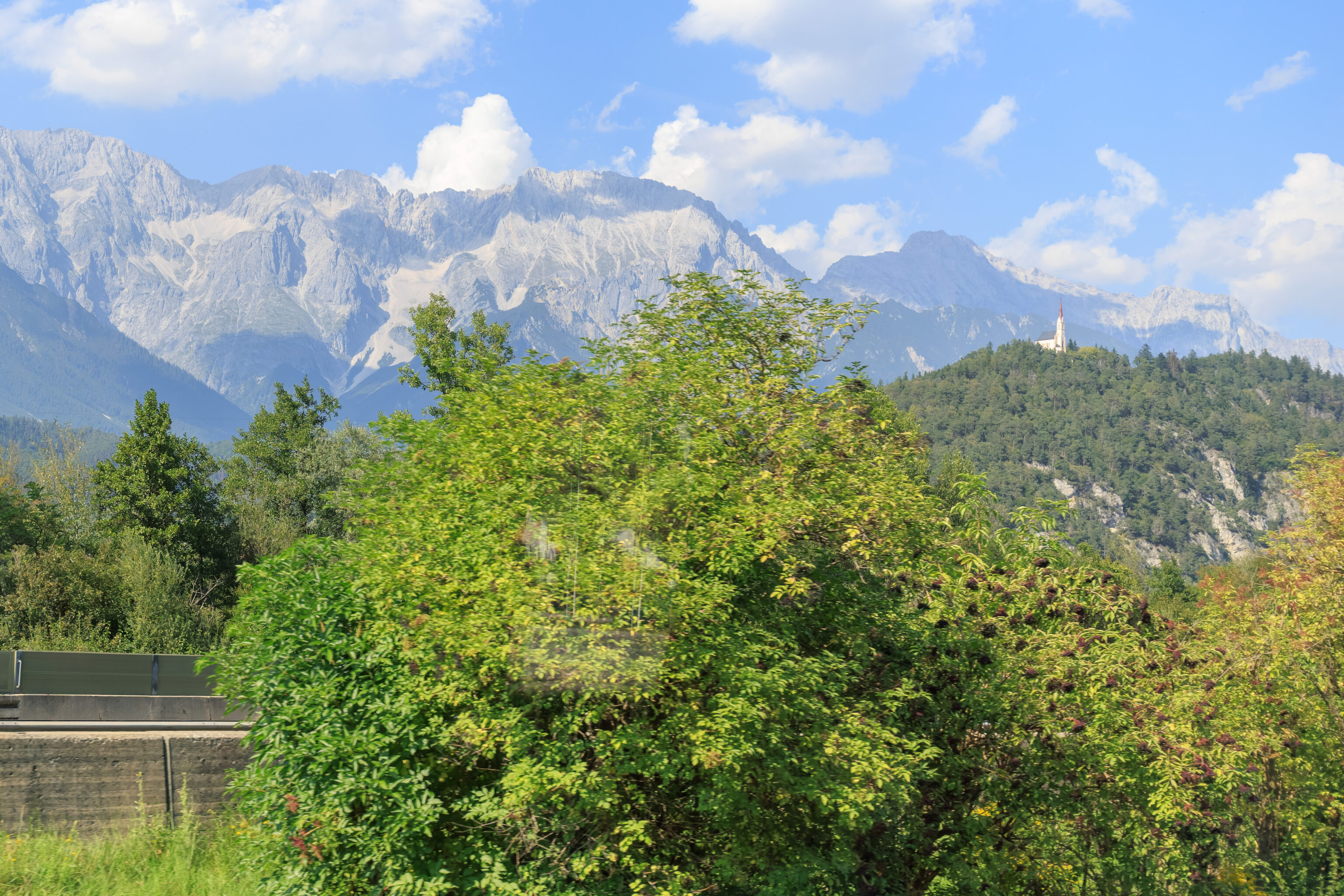
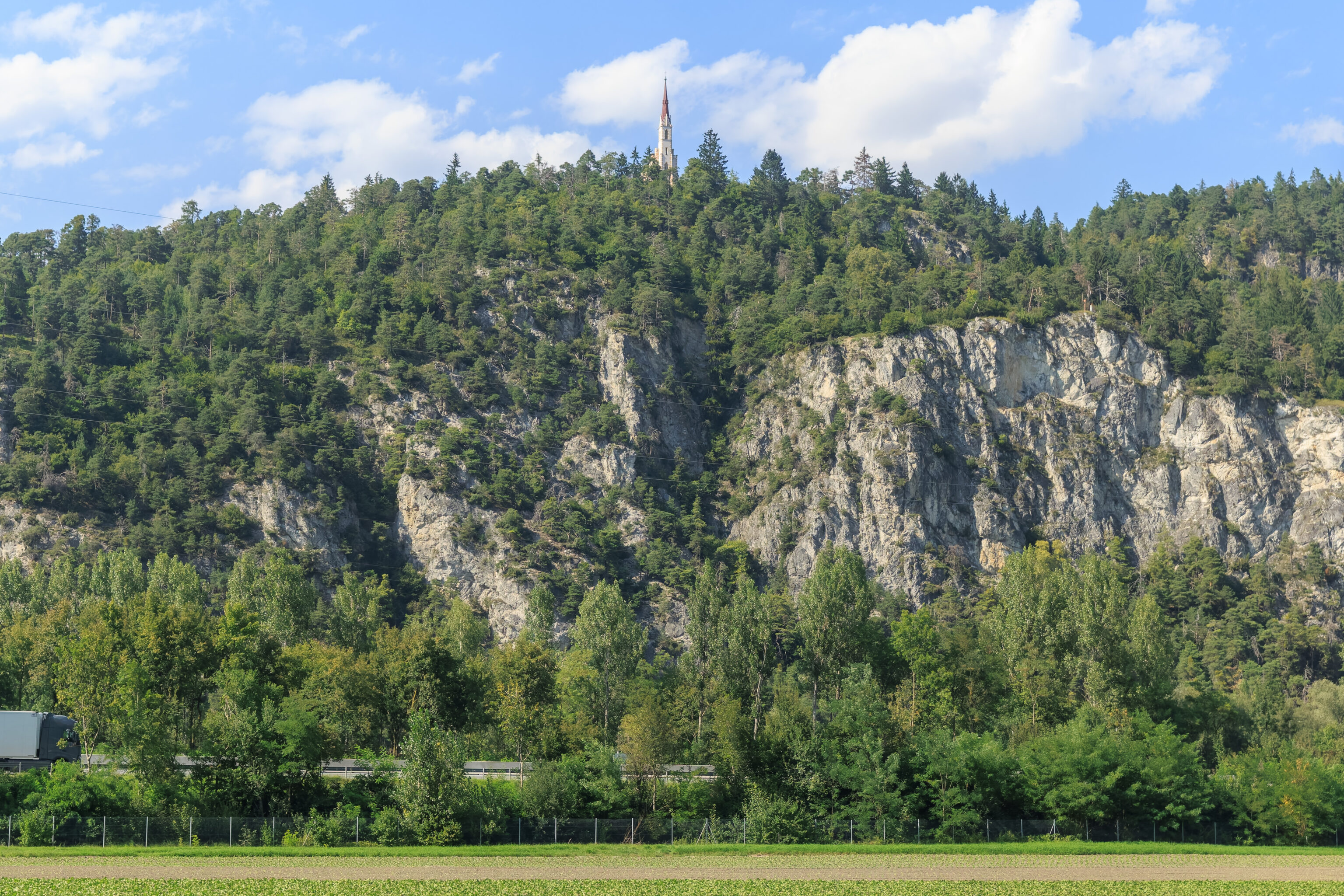
We noticed this church atop a hill in the morning when going in the other direction. It is the Wallfahrtskirche Maria Locherboden (Maria Locherboden Pilgrimage Church).
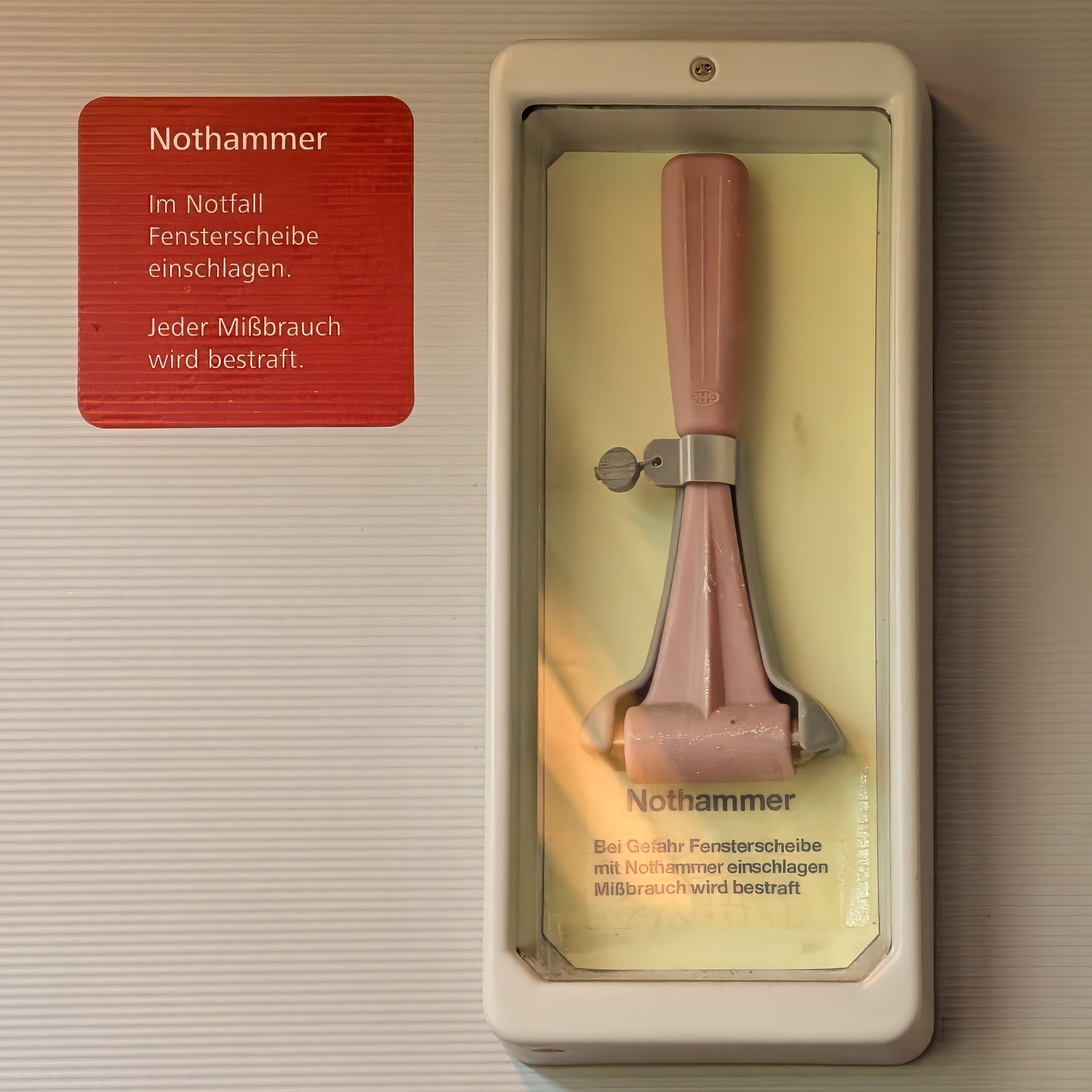
Often, German words are understandable in English. Not is not one of those words! In German, not means emergency. So this nothammer is indeed a hammer, but it is an emergency hammer!
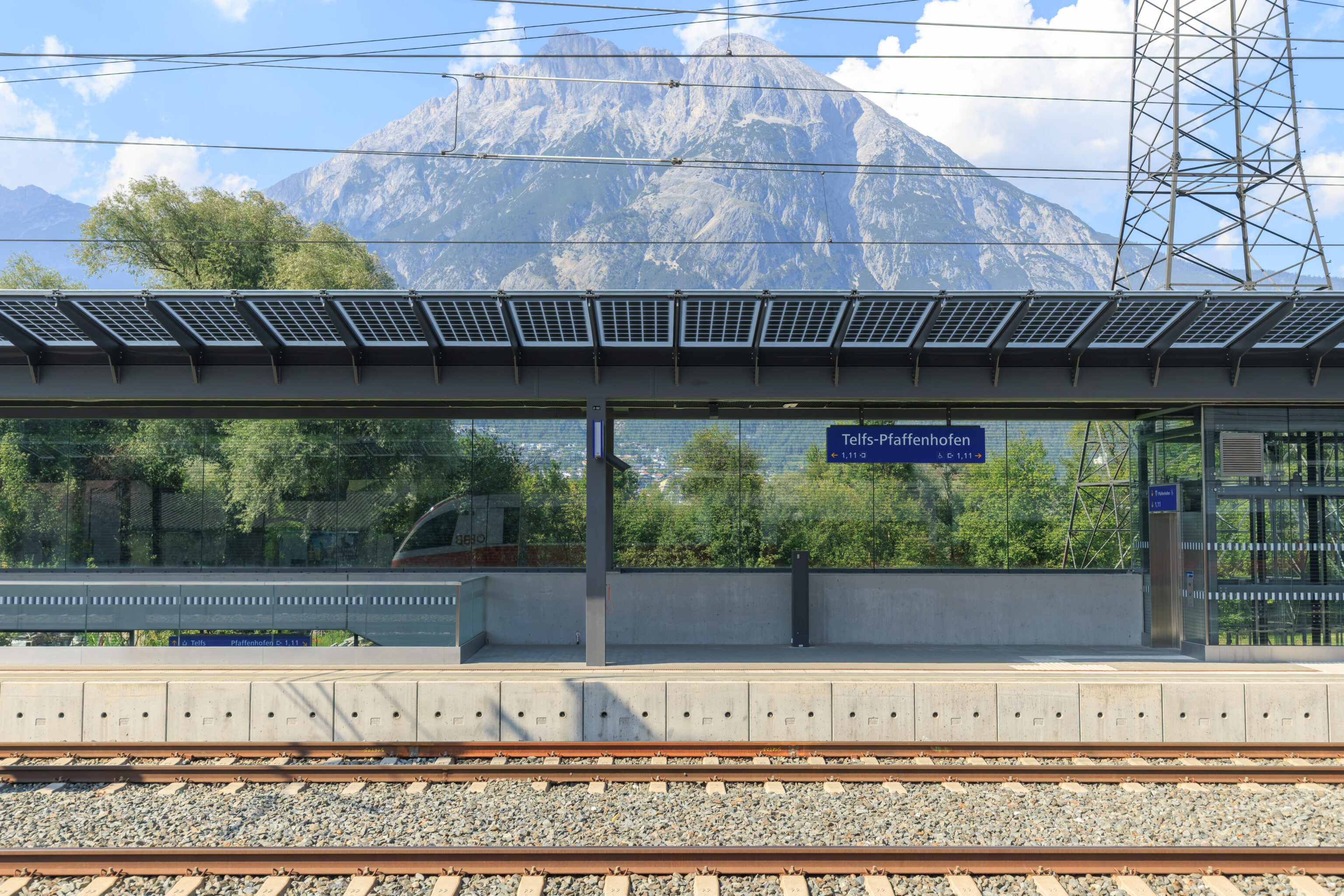
This station at the town of Telfs had a nice view of the mountains to the north.
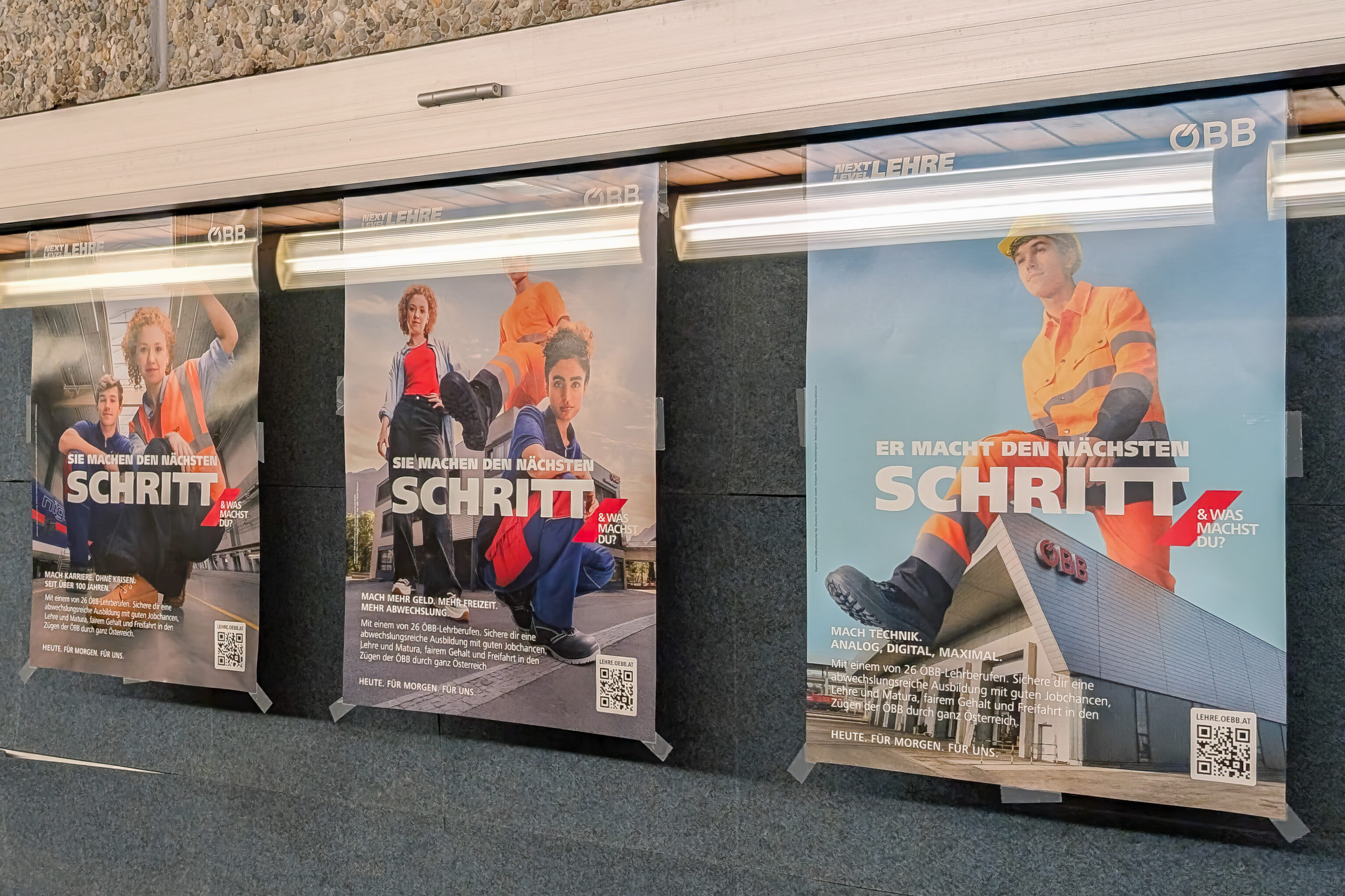
We got off the train one stop early at Innsbruck Westbahnhof to get dinner nearby. We found this advertisement for the OBB amusing. It reminded us of advertisements we saw in Zermatt, Switzerland for the Imboden construction company,
Stopping here ended up being something of a fiasco as there was a huge road construction project right outside of the station. That, coupled with rush hour, meant that none of the busses were operating as expected. We ended up just catching the next bus that went to the Altstadt.
We ended up at the Altstadt Schmankerl. After our terrible lunch, we were hoping to have something better!
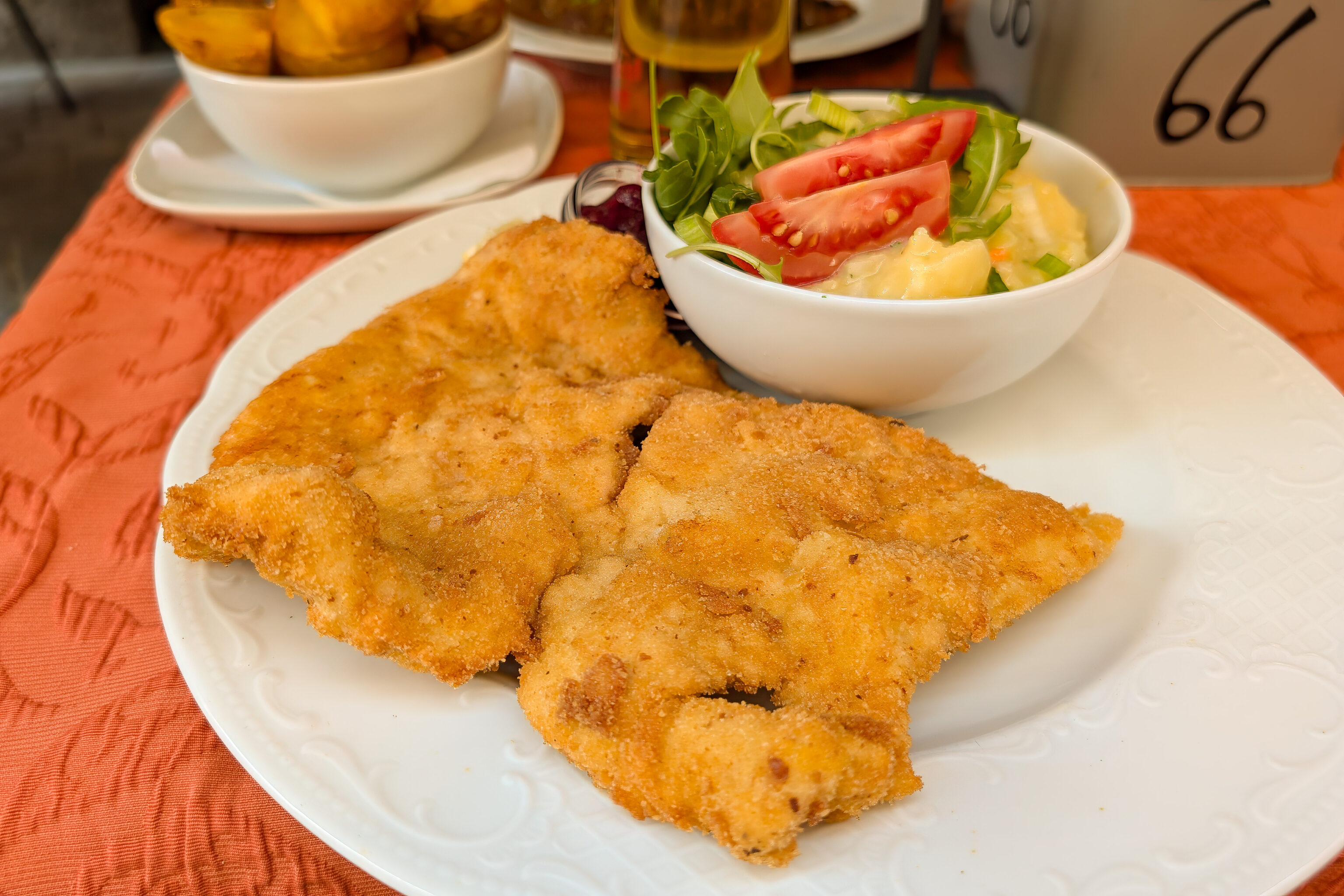
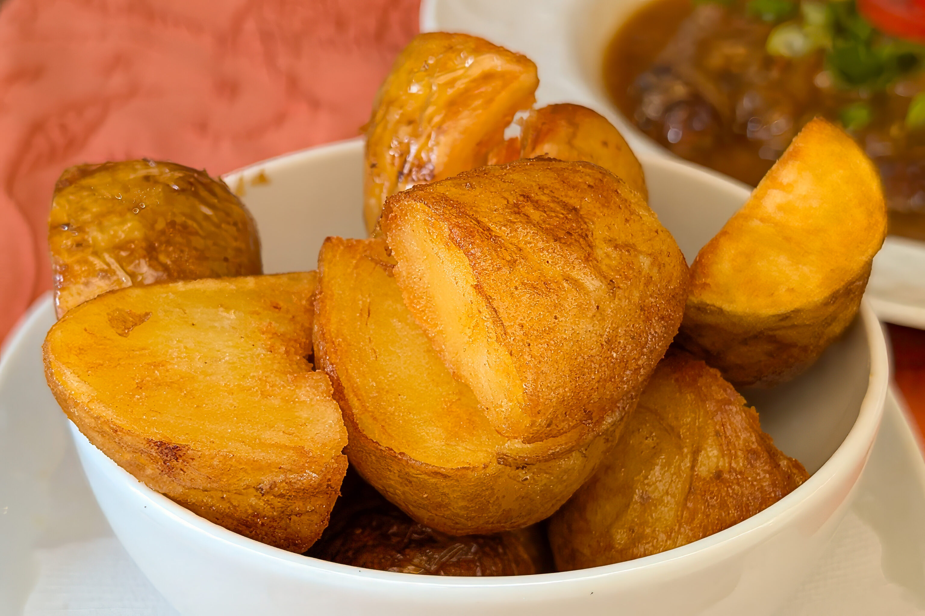
Viennese escalope of pork meat with cranberry jam, served with potatoe salad or french fries”
The Weiner schnitzel was decent, though the potato salad was too salty.
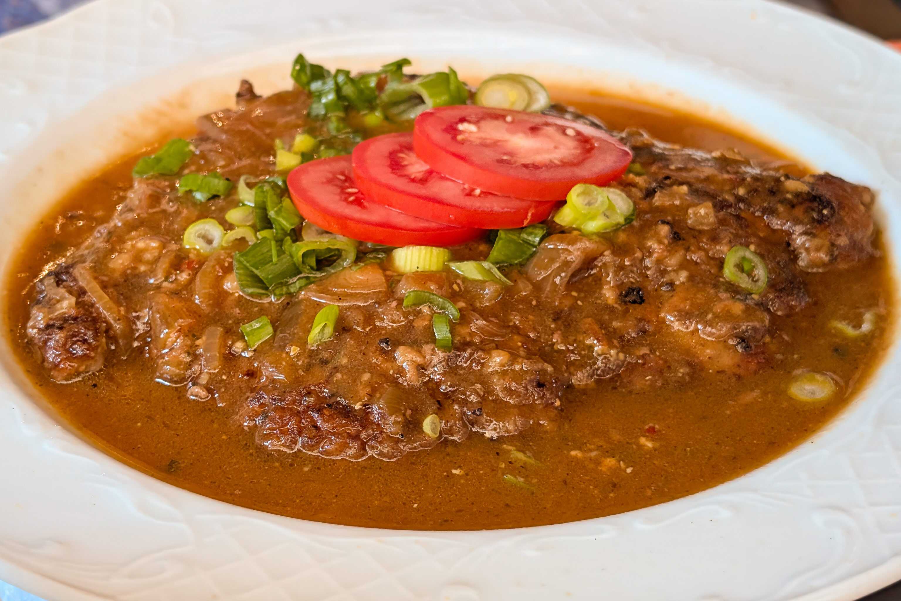
Viennese roast with onions and baked potatoes”
This was our first time having Zwiebelrostbraten. It was good but too salty.
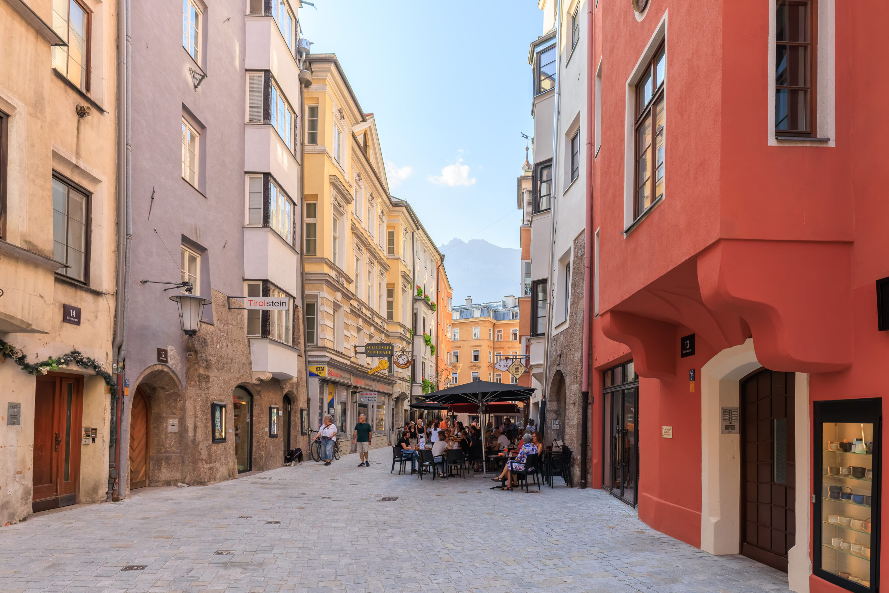
After dinner, we started to walk back to the AC Hotel.
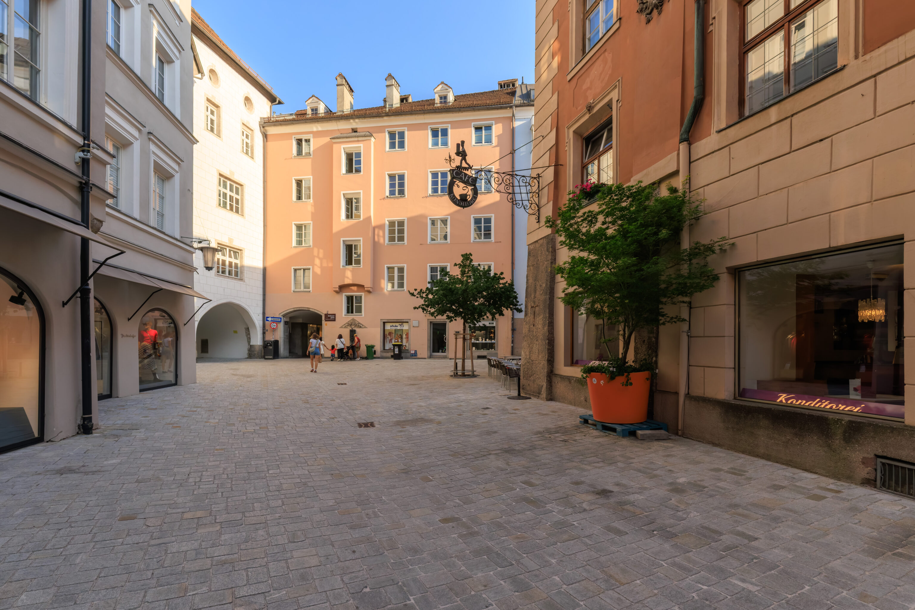
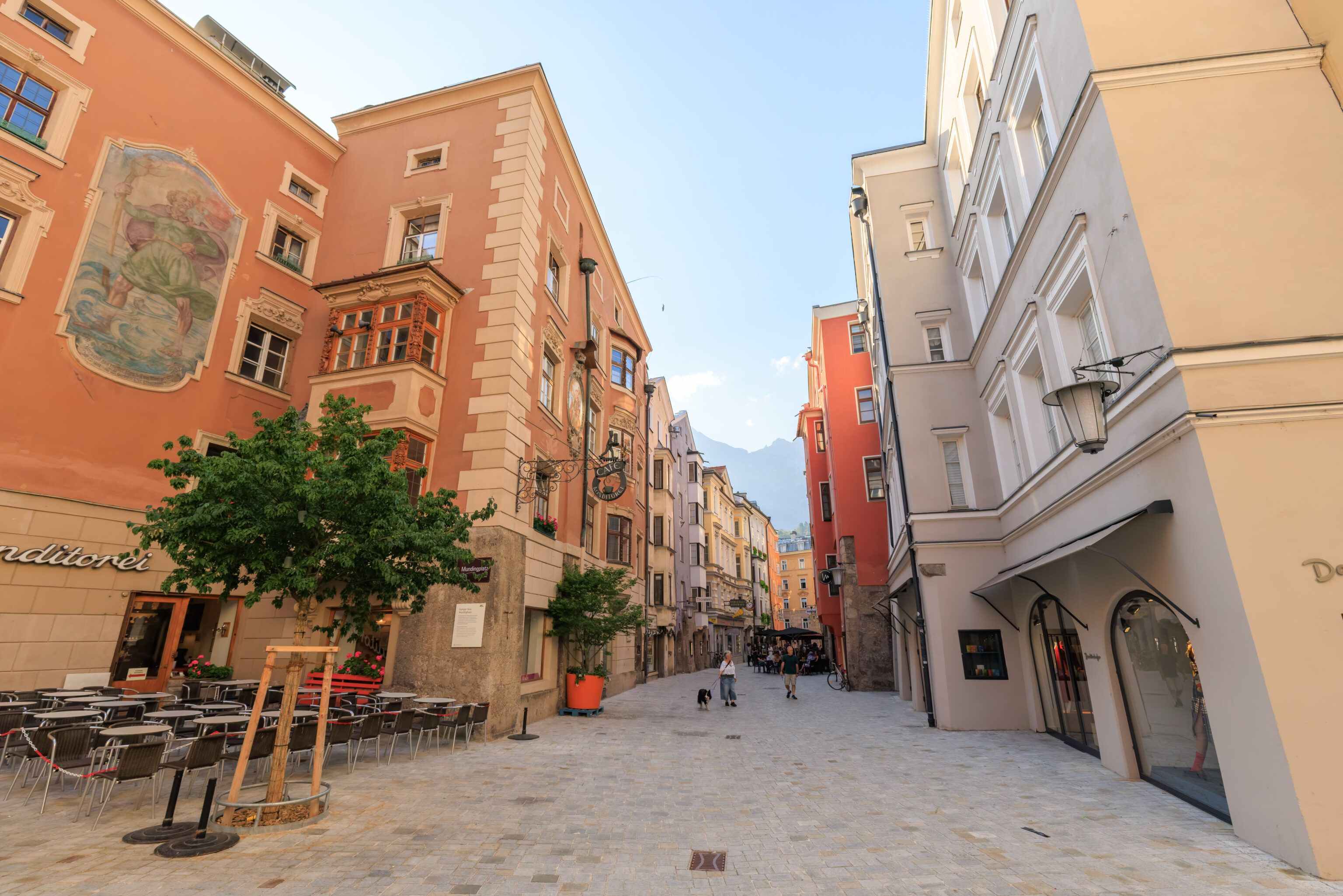
It was pretty quiet in this part of the old town.
This sculpture references Hohen Frauentag, High Women’s Day, which seems to be unrelated to International Women’s Day. This is actually a local Tyrolean holiday that coincides with the Catholic Assumption of Mary which is also a local Tyrolean holiday due to an association with local anti-Bavarian freedom fighter Andreas Hofer. It isn’t clear how Hohen Frauentag is related. Hohen Frauentag is actually in three days but we’ll be back in the US by then.
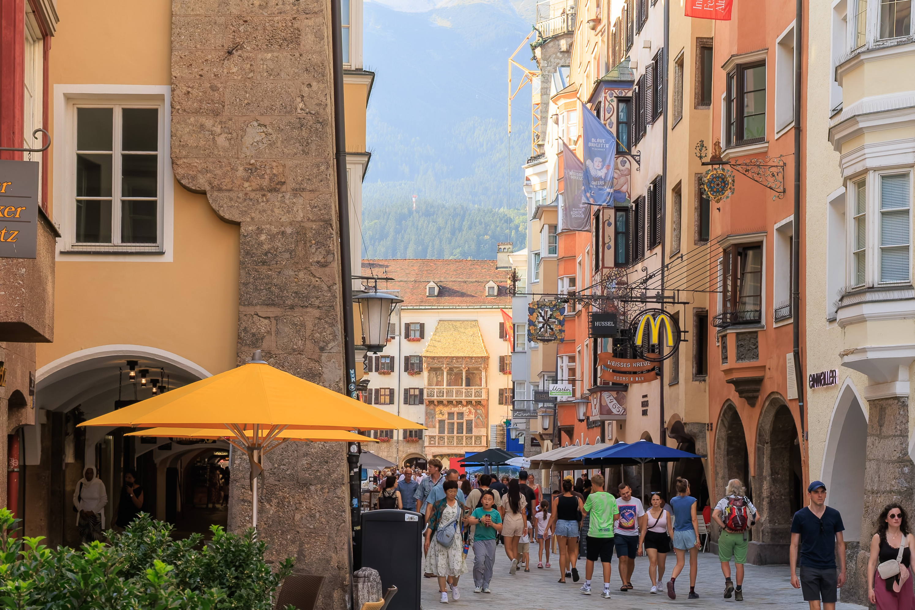
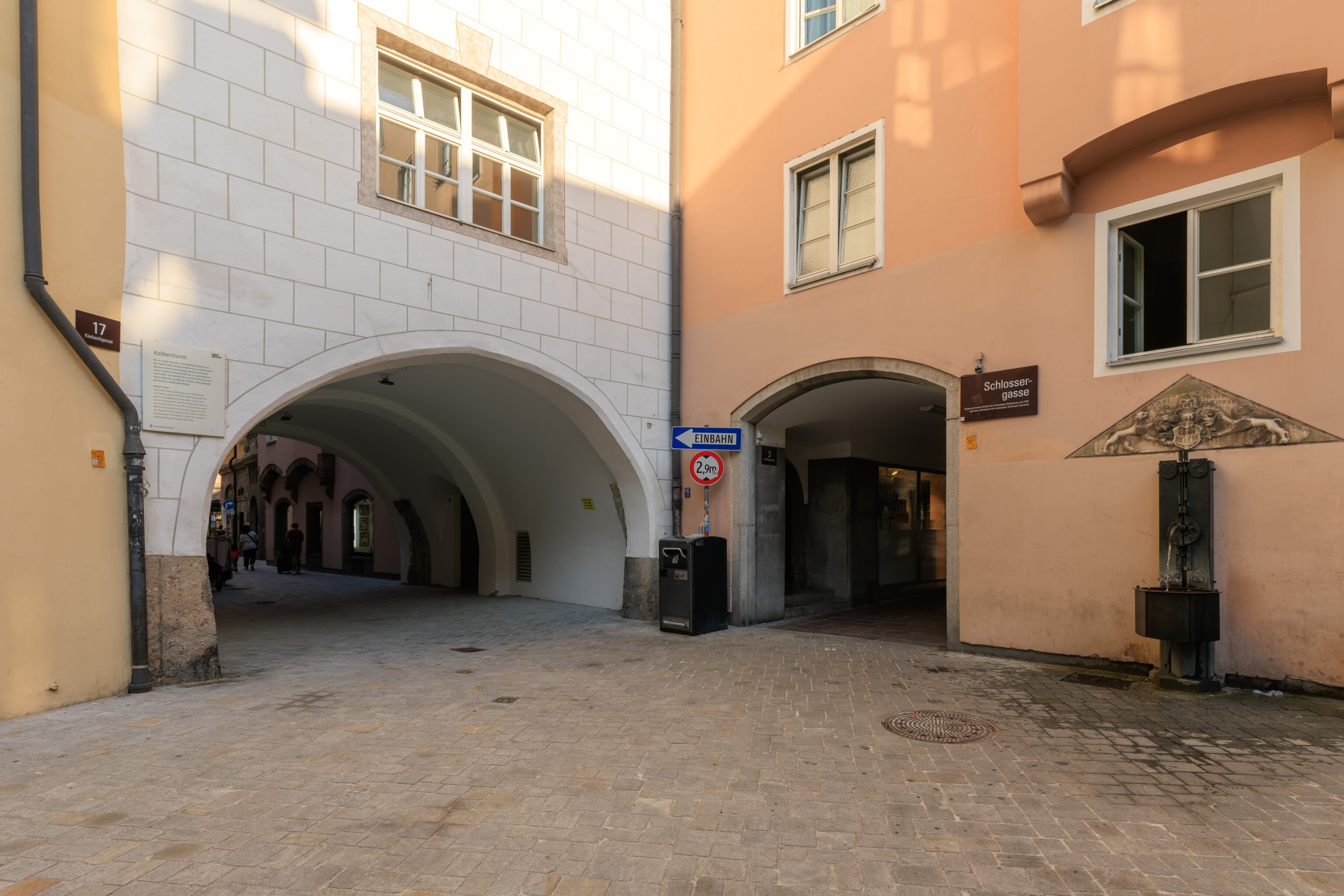
We returned to the main street through the Altstadt, which is the Herzog-Friedrich-Straße here and Maria-Theresien-Straße to the south. To the north, we can see the Goldenes Dachl illuminated by the early evening Sun.
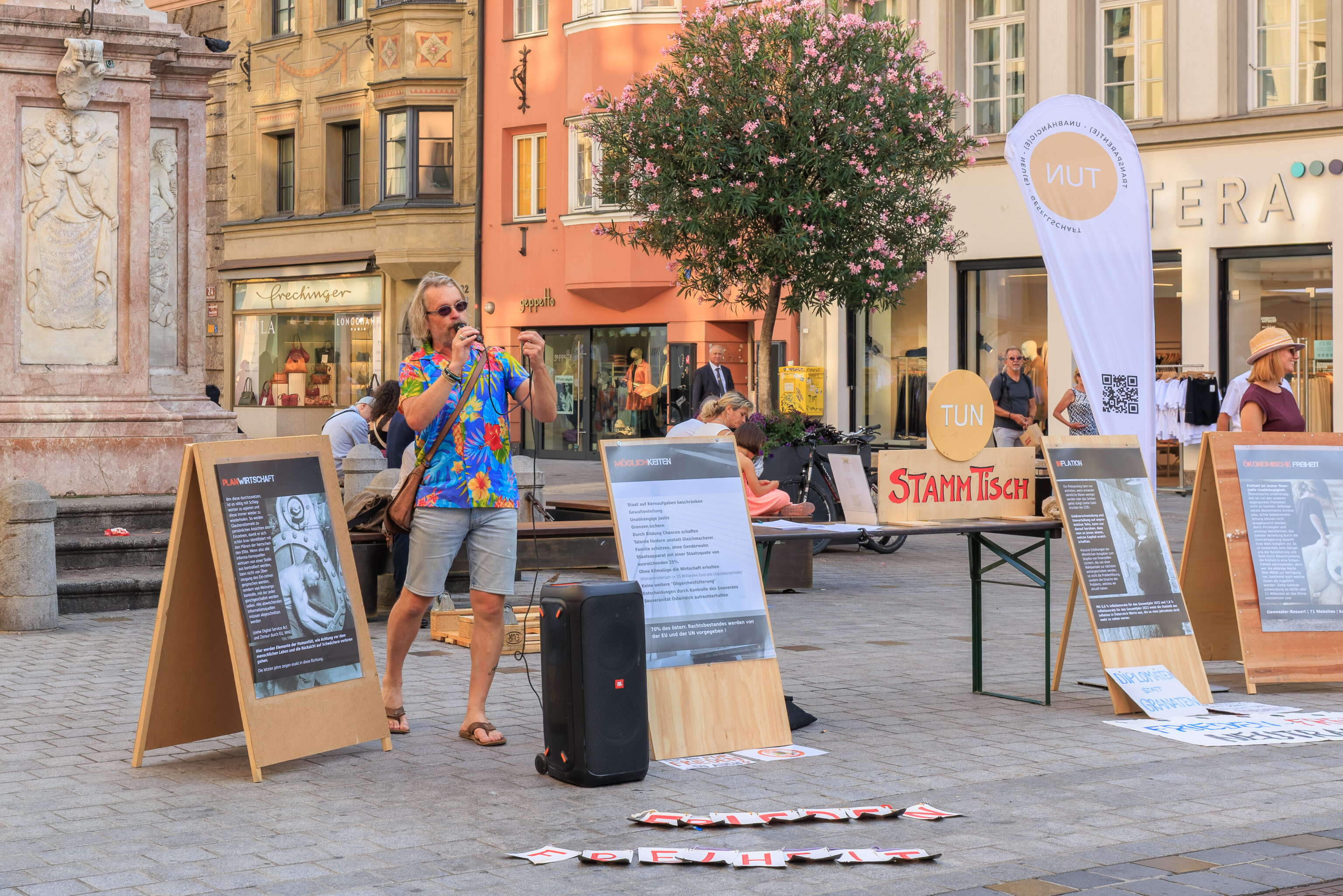
This guy was speaking about something. Based on the signs, something political. He didn’t seem to have much of an audience.
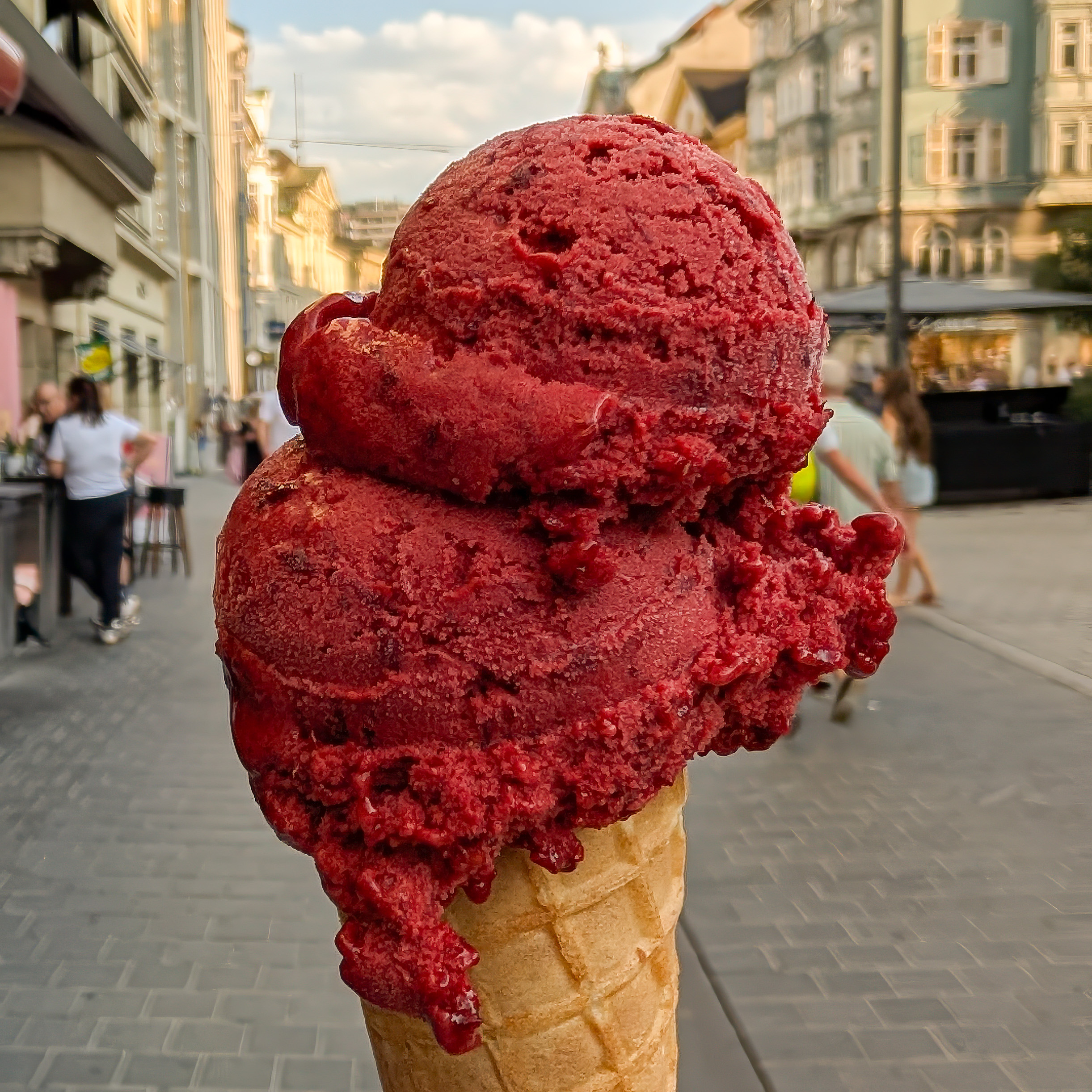
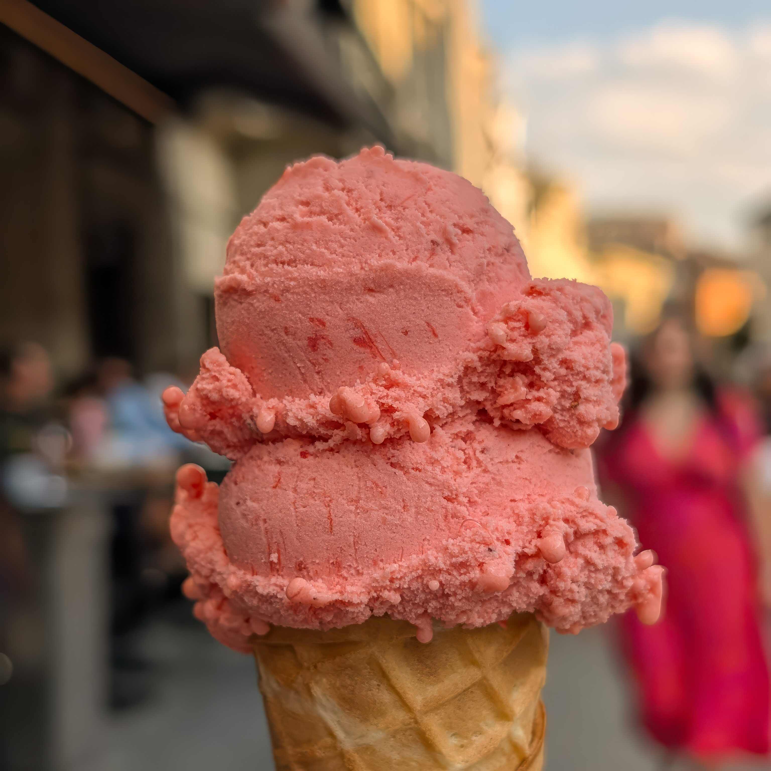
We returned once again to Tomaselli Gelateria. They no longer had the peach flavor as it was a weekly special. Instead, we got its replacement, brombeere, which is German for blackberry. It was excellent! We also got strawberry which was also excellent!
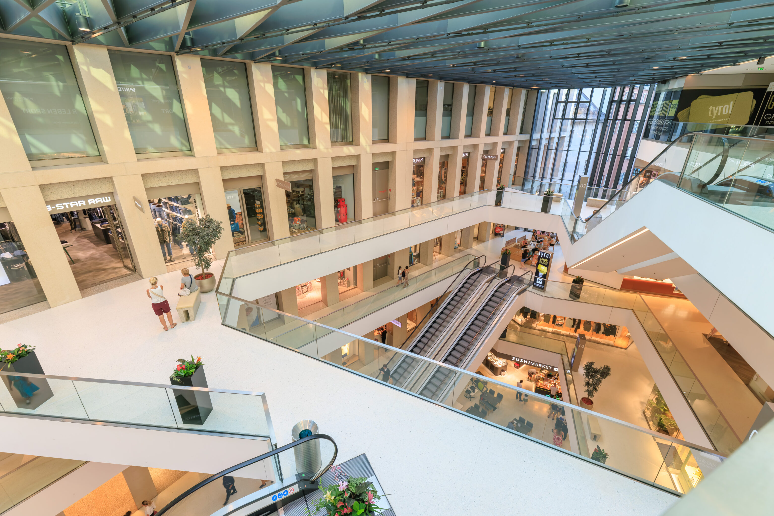
After, we went to the Kaufhaus Tyrol, a small multi-floor shopping mall.

We got a Dubai chocolate from the Lindt store. It would have been better if they had a dark chocolate version as it was too sweet.
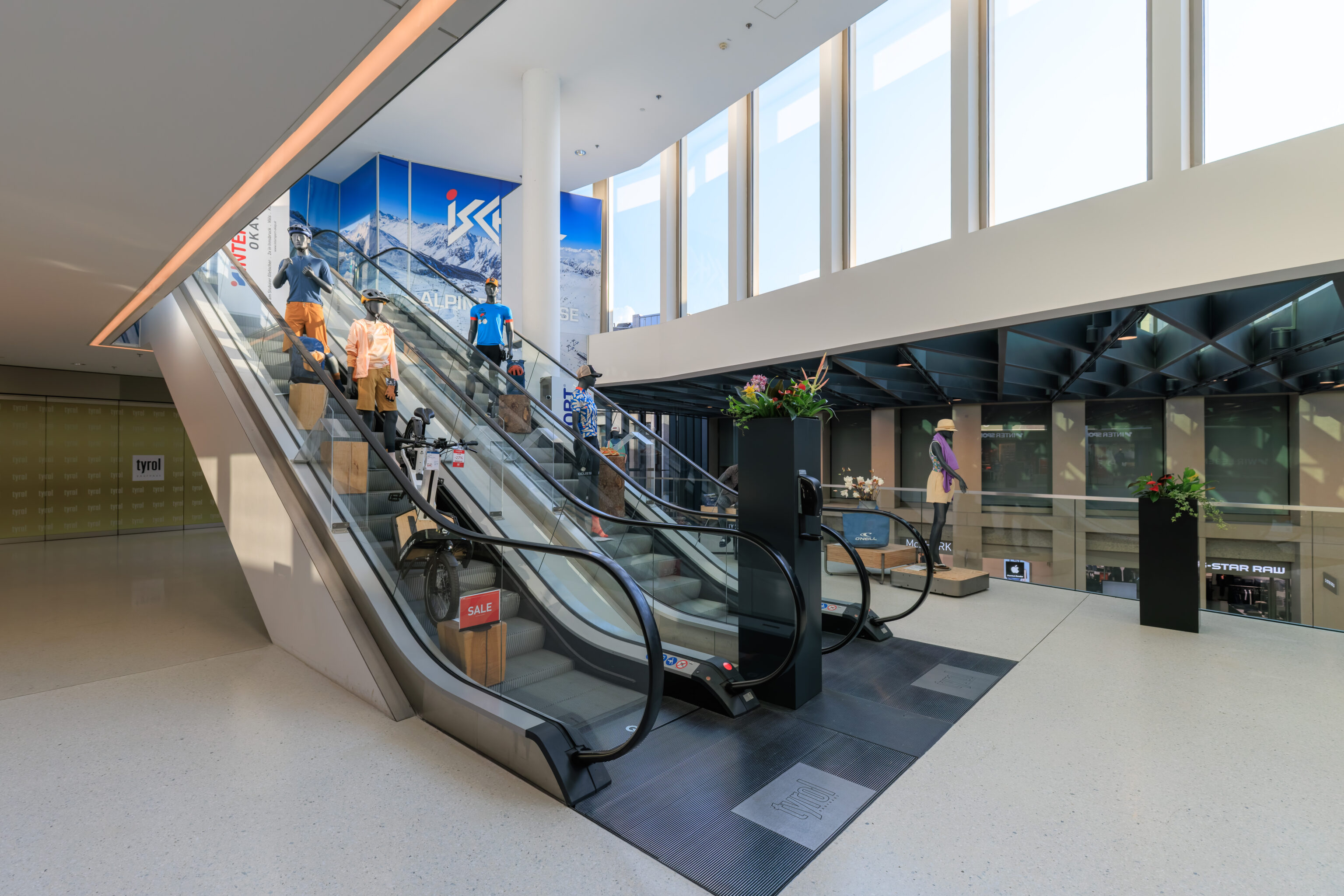
We also visited the huge Intersport store within the mall. It looks like there was previously something else one floor up. However, the escalators going to the next level have been turned into a display for the store.
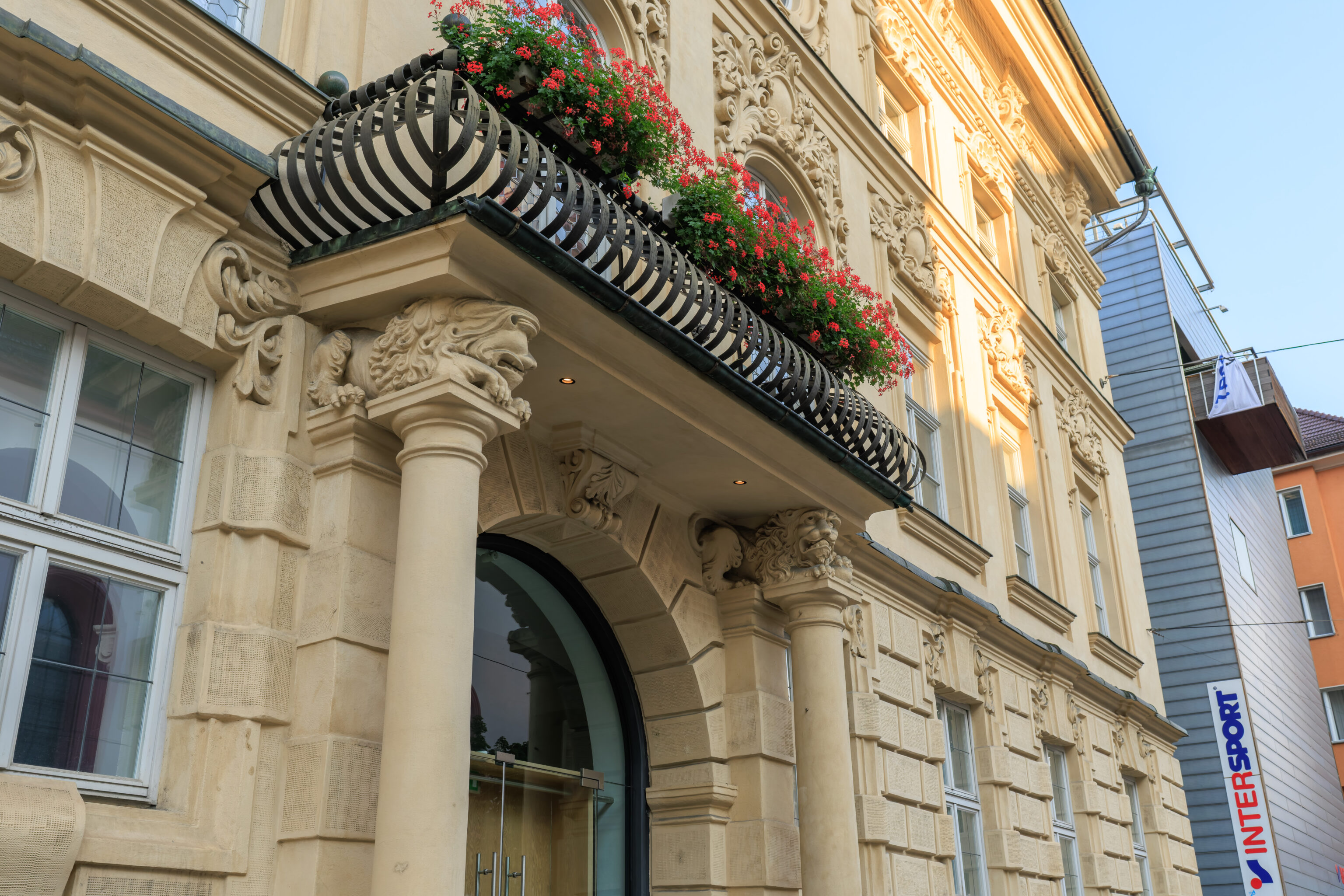
We continued walking south towards the hotel. We noticed this building’s entrance with lions holding up the balcony above. They don’t look too happy!
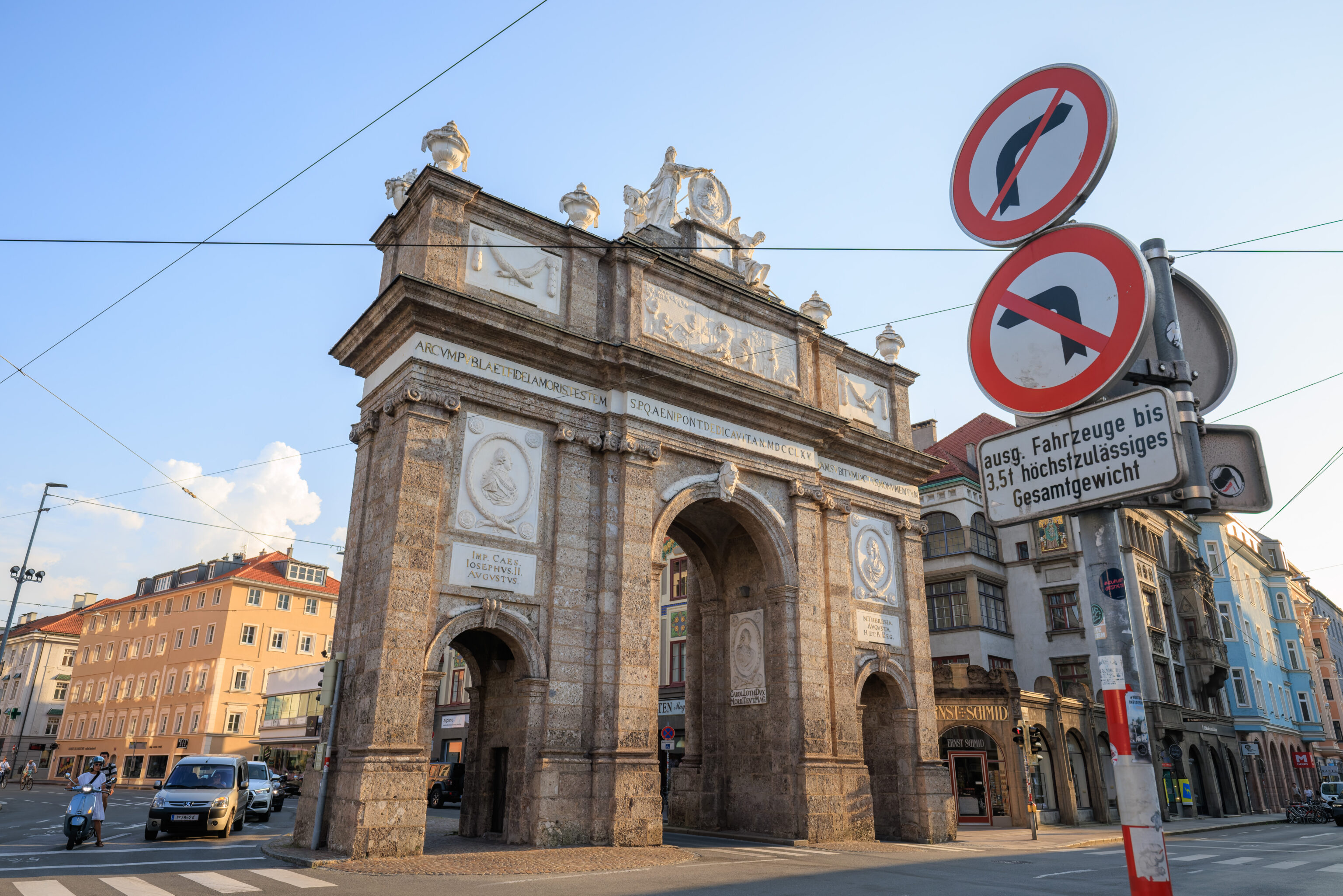
There was still some sunlight when we reached the Triumphpforte.
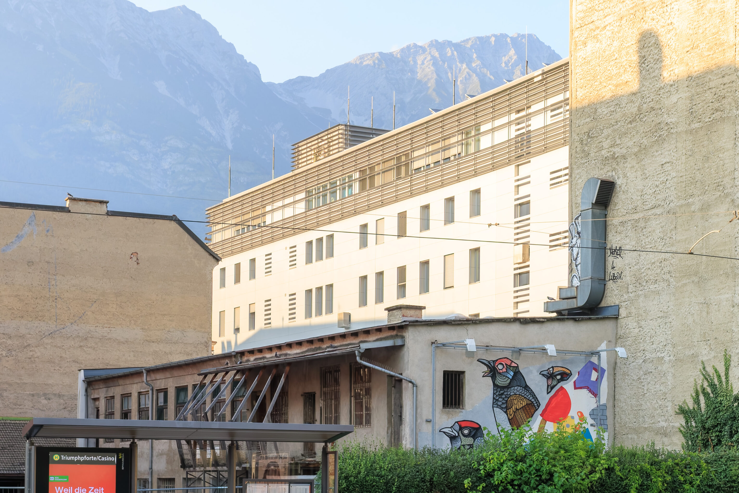
We noticed a mural on a wall across the street with some birds,
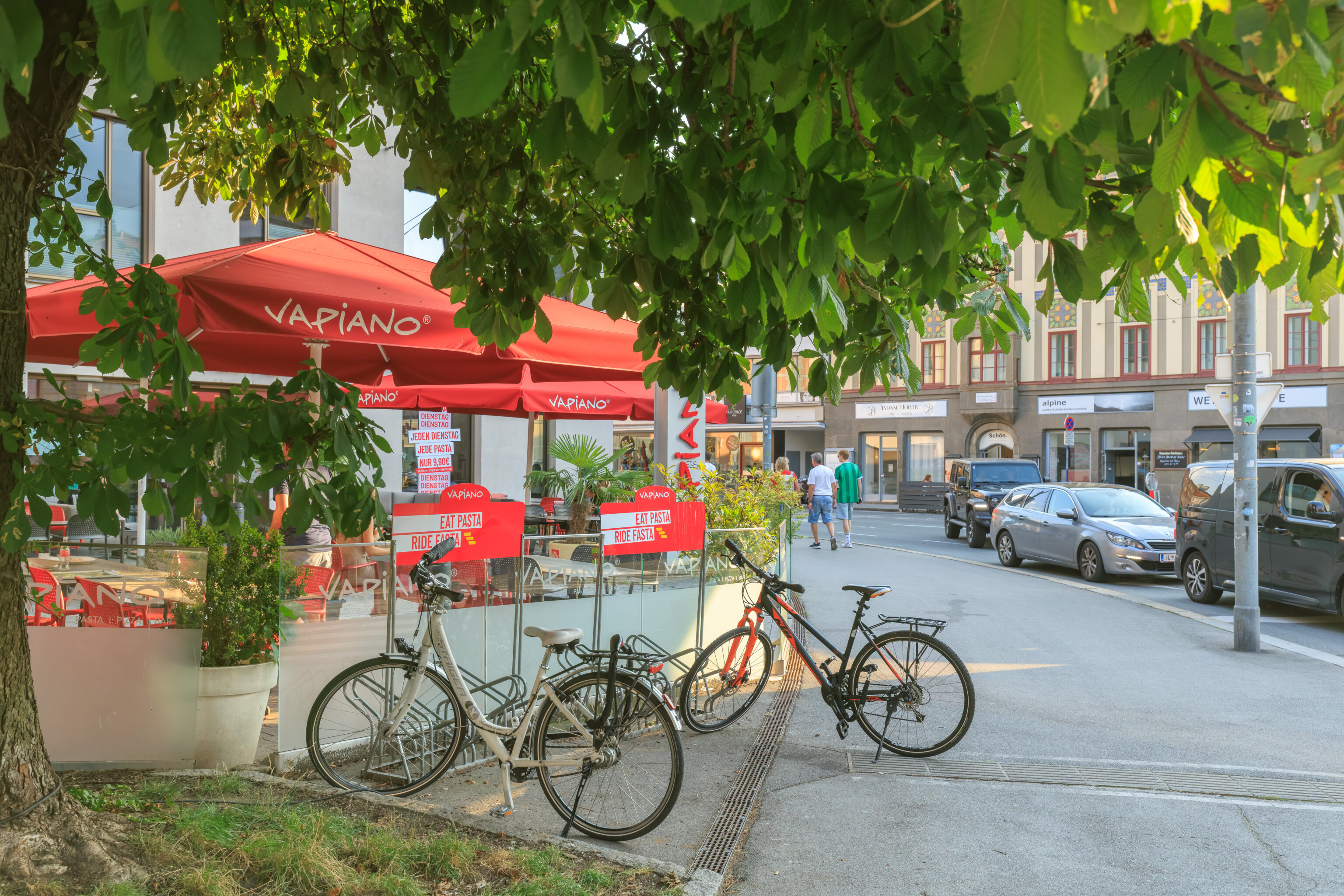
We were amused by the “eat pasta, ride fasta” signs at the Vapiano near the AC Hotel. This Italian restaurant chain is apparently German and not Italian.