

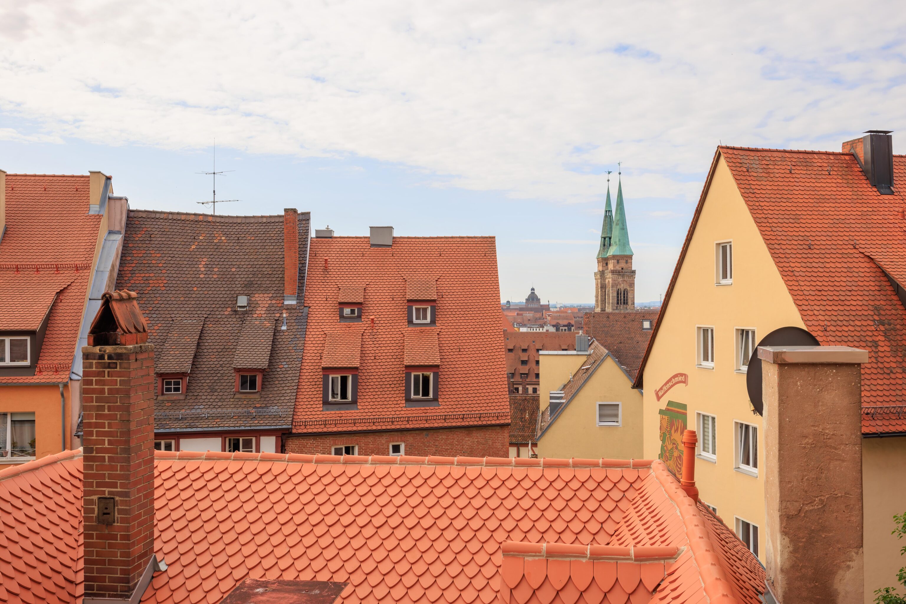
Yesterday, we visited part of Nürnberg’s Altstadt (Old Town). Today, we started off at Kaiserburg Nürnberg, the Imperial Castle that sits atop a hill on the northern end of the Altstadt. It is quite a large castle and attached to vast remnants of the city wall. Afterwards, we went to the Dutzendteich area where we visited the Documentation Center, a museum that focuses on what the Nazis did here and why this area was important to their rise to power in Germany. We then walked around the area which currently consists of beautiful parkland with huge dilapidated Nazi constructed structures before heading back into the Altstadt to end the day.
City Wall
We started the morning by taking the U-Bahn to Plärrer. The trams were operating normally so we took one up to the Hallertor stop. This stop is just outside of the city wall and adjacent to the Pegnitz River.
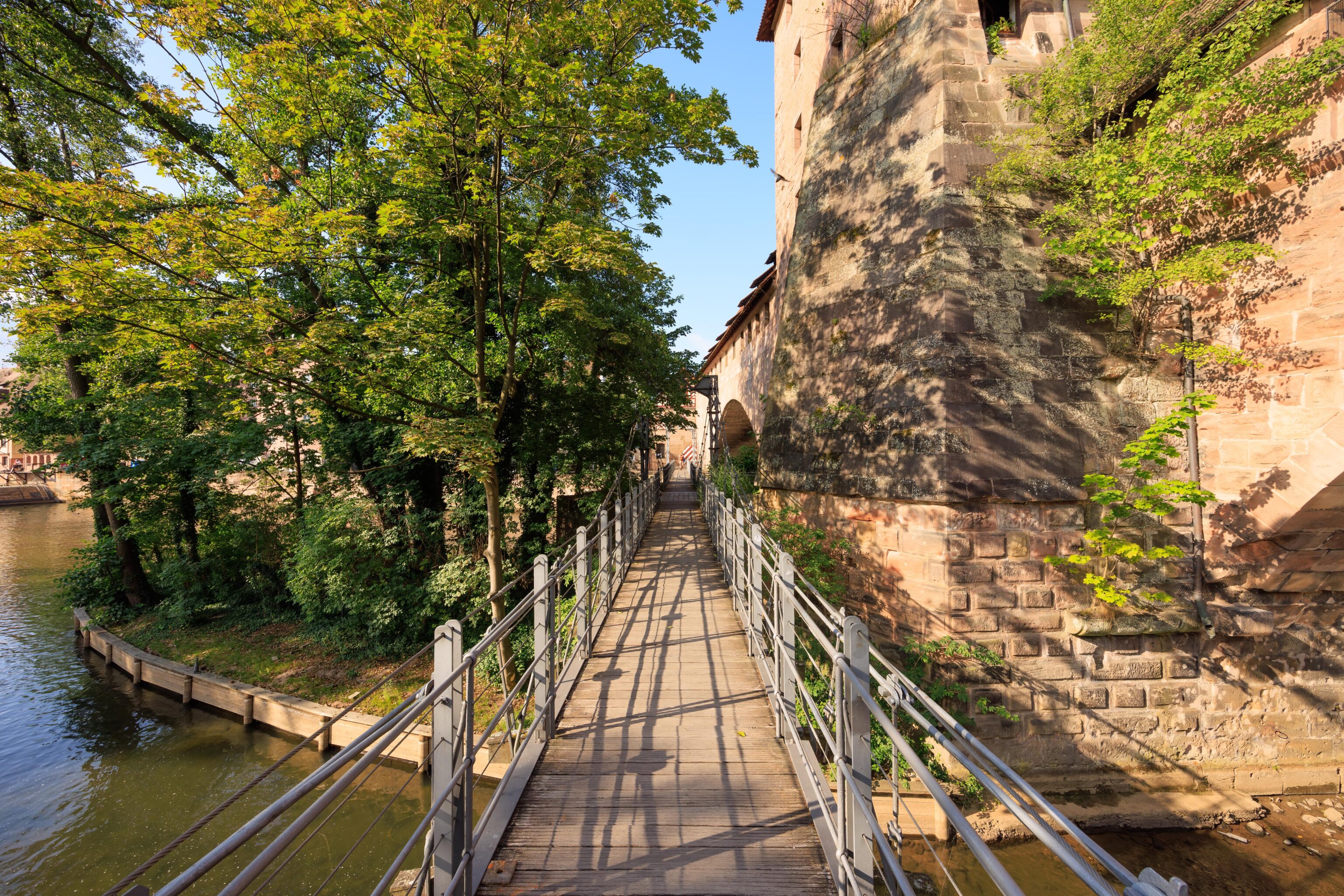
We walked a very short distance to the Kettensteg (Chain Bridge), a pedestrian bridge next to the wall that crosses the Pegnitz. We saw this bridge yesterday when we were on the Maxbrücke.
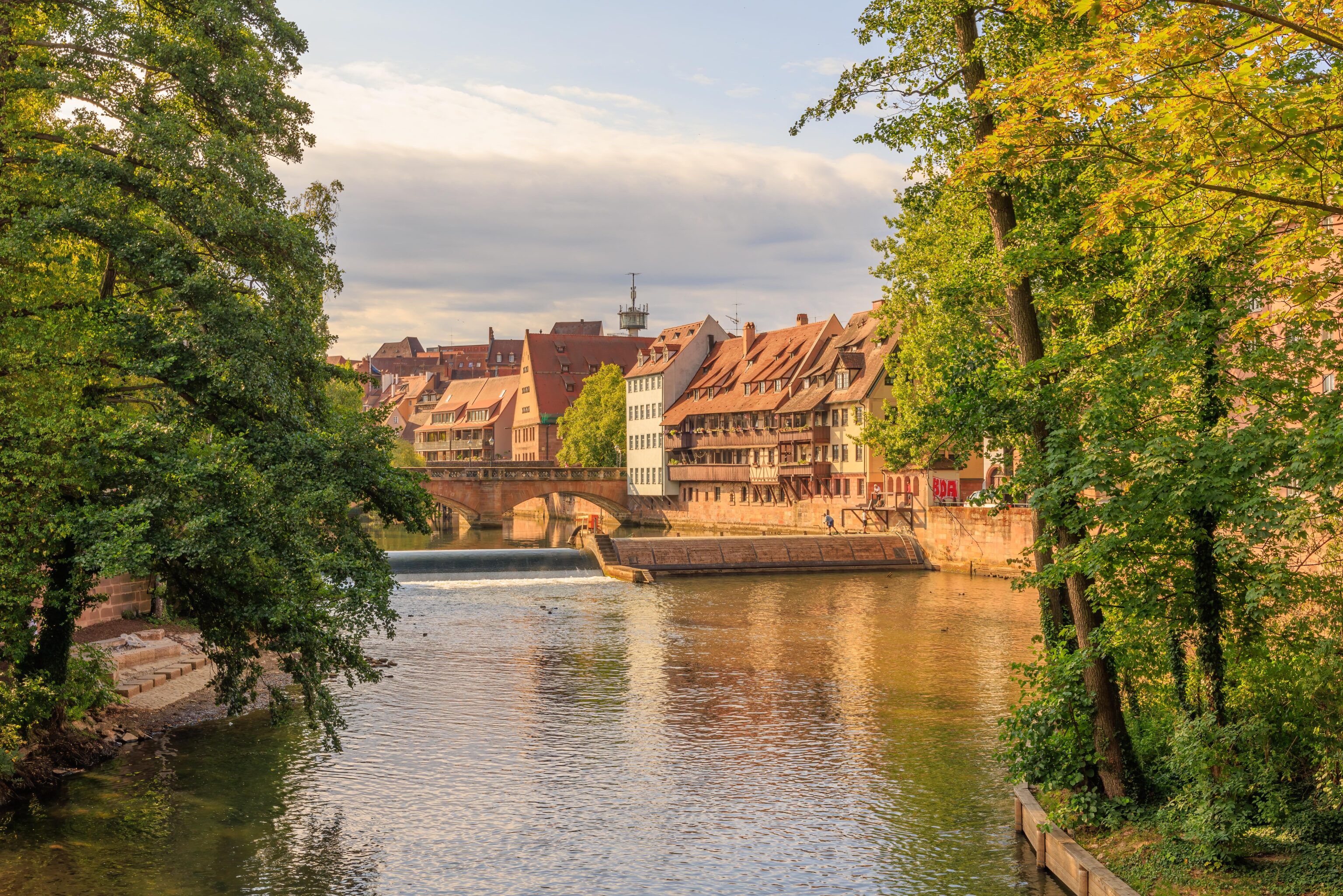
The Maxbrücke is the bridge visible here, just beyond the partial dam. There seemed to be some maintenance activity taking place with four people doing some sort of work.
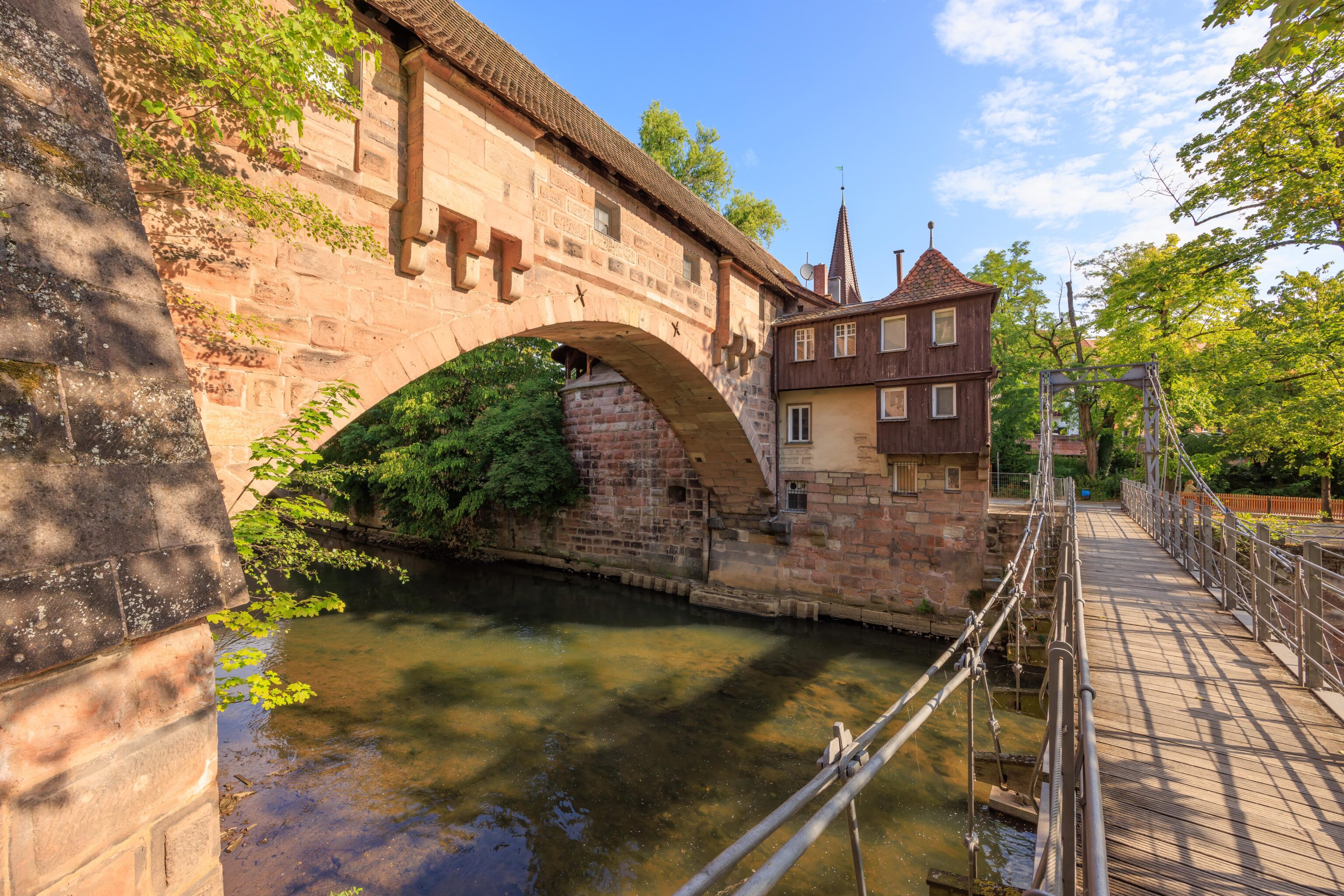
The portion of the wall that crosses the river here is called the Fronveste. The original was destroyed during the war but it was rebuilt. The German Wikipedia page about the Fronveste reads, after translation to English using Google Translate:
In 1490, the bridge-like, one-bay sandstone ashlar building was erected on a candle arch and provided with a gabled roof. It was used as an arsenal of weapons and was therefore called the Spießhaus. The building, together with the Schlayer Tower and the other fortifications, was intended to protect the outflow of the Pegnitz. In the 19th century it was used as a prison, giving it its current name. In 1938 it was converted into a retirement home and destroyed in 1944/45.

After the reconstruction in 1957, the “Retirement Home on Kettensteg” was housed in the Fronveste until the 1980s, since then the building has been used to accommodate students and emigrants.
There doesn’t seem to be too much information on this structure, at least, not in the first page or two on Google.
We photographed this tower due to its bay windows. It seems to be the Grünes H (Green H) tower. It is part of the Hallertor (Hall Gate) which gives the nearby tram station, where we arrived earlier, its name. The Hallertor seems to have never really existed as a gate, it is simply a name used to describe a portion of the wall that was removed to allow a road to go through the wall. The German Wikipedia article about the Hallertürlein explains, translated to English using Google Translate:
The Hallertor connects the Maxplatz with the Ringstrasse and is named after the Hallertürlein. It was built in 1881/82 when the wall was broken through to accommodate the growing traffic and the ditch was filled in.[SL 3] In contrast to the city gates built earlier in the 19th century, it never had a gate building because it was only built after Nuremberg's fortifications . Nevertheless, the breach in the wall is still referred to as a gate to this day.

The horse-drawn tram line, opened on November 13, 1881, ran through the gate from the Plärrer via the Hallertor bridge to the town hall and the Laufer gate.[3] The tram line was electrified in 1898. On January 2, 1945 it was destroyed and not rebuilt.[4] Today's Hallertor stop for lines 4 and 6 is in the middle of the Neutorgraben.
The routing described for the horse drawn tram line seems different from the modern day tram line. The old tram went through the Hallertor while the modern tram continues to follow the outside of the city wall.
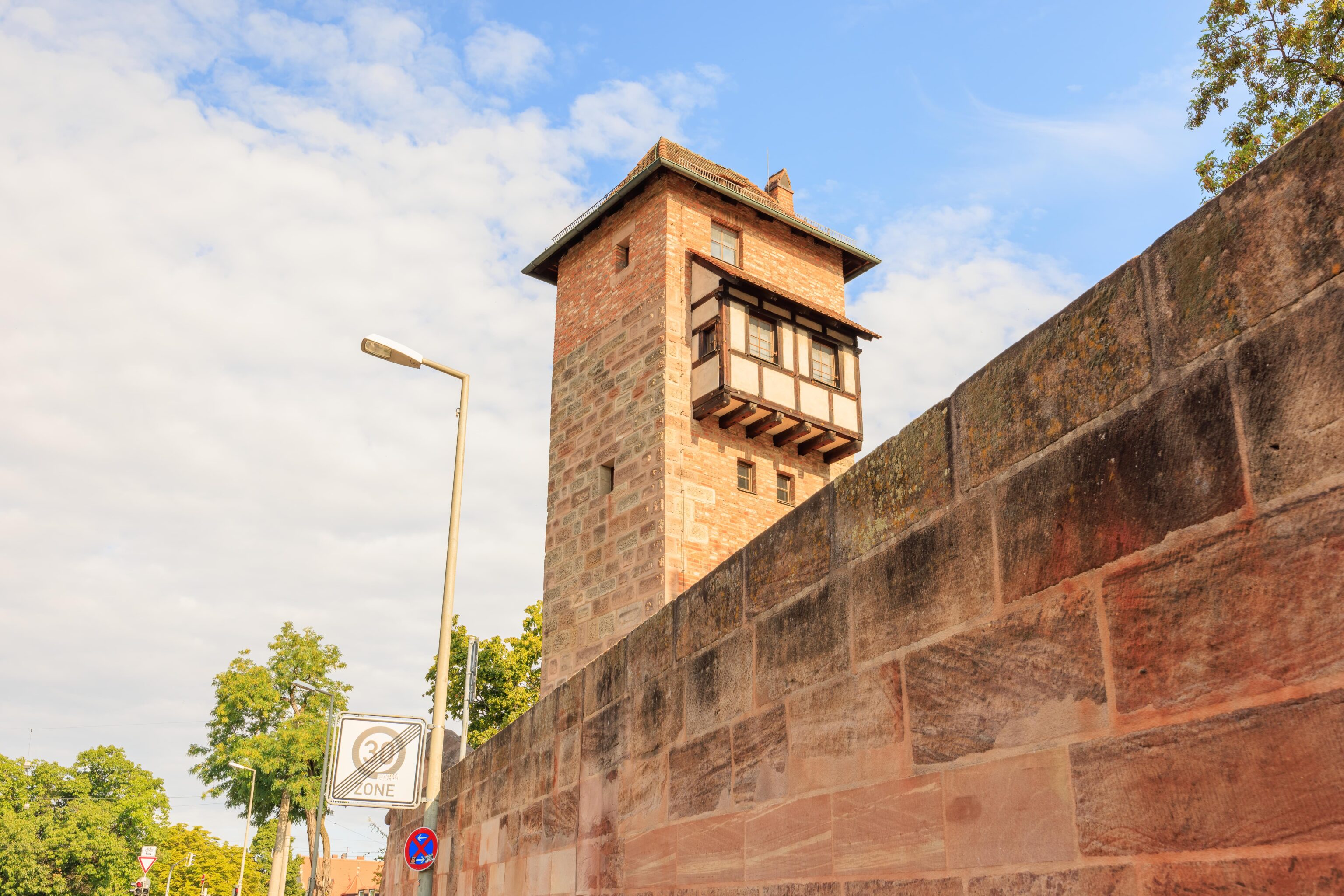
The Hallertor should connect this part of the wall, on the far side of the road, with the wall by the Grünes H tower. It isn’t really apparent from this angle but this structure is attached to the northern side of the Fronveste. The tower closest to the camera seems to be the Grünes G (Green G) tower while the bigger one is the Grünes F (Green F) tower. Grünes F appears to have an actual name, it is the Schlayerturm (Schlayer Tower). The Hallertürlein seems to be the structure by the road, though that isn’t exactly clear from translated German text in the Schlayerturm article:
To the north is the bridging of the northern arm of the Pegnitz to the Hallertürlein, which was built at the end of the 15th century as a massive battlement made of sandstone blocks and with a gabled roof.
Trying to figure out what is what can be complicated…
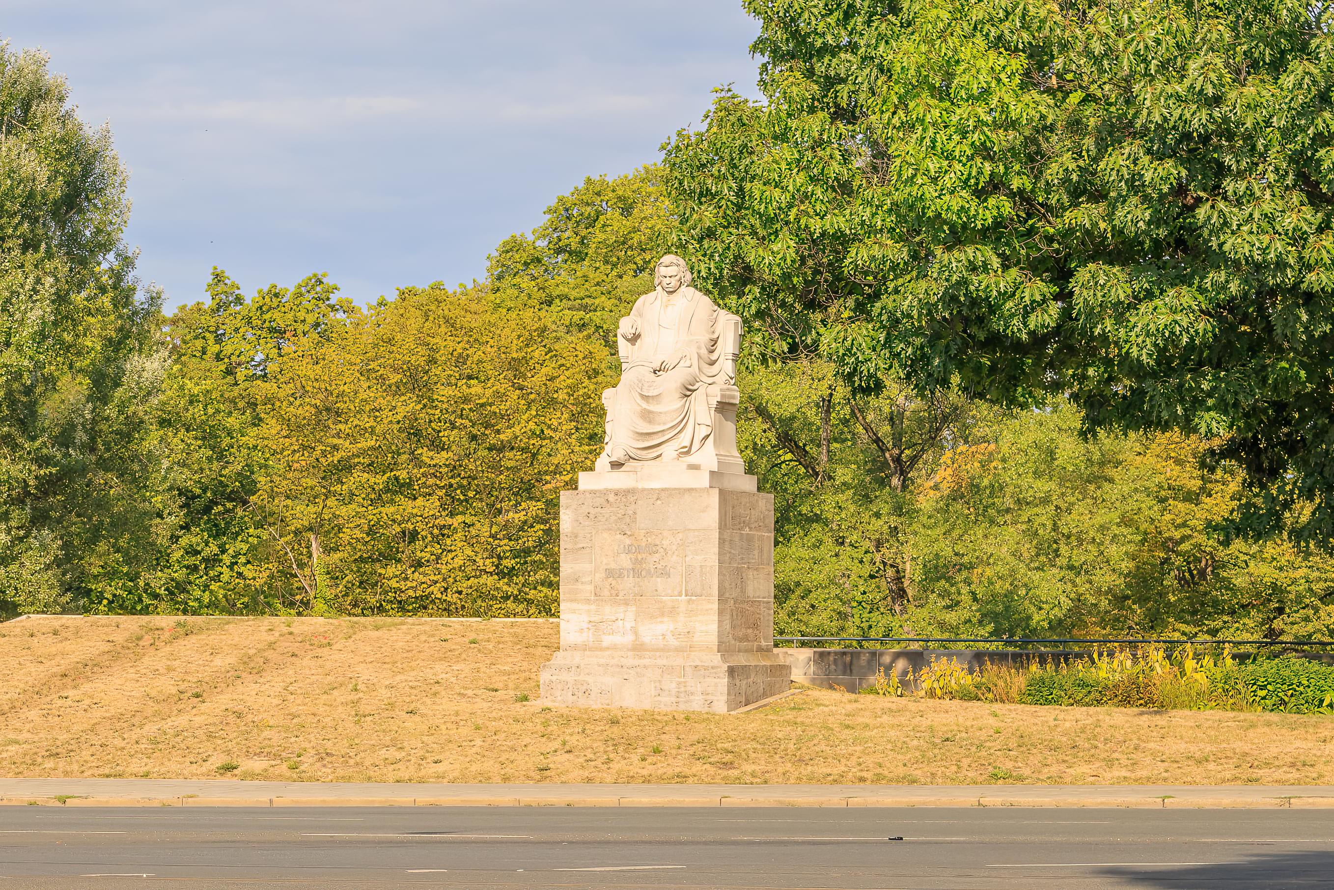
This one is easy though. It is a statue of Beethoven.
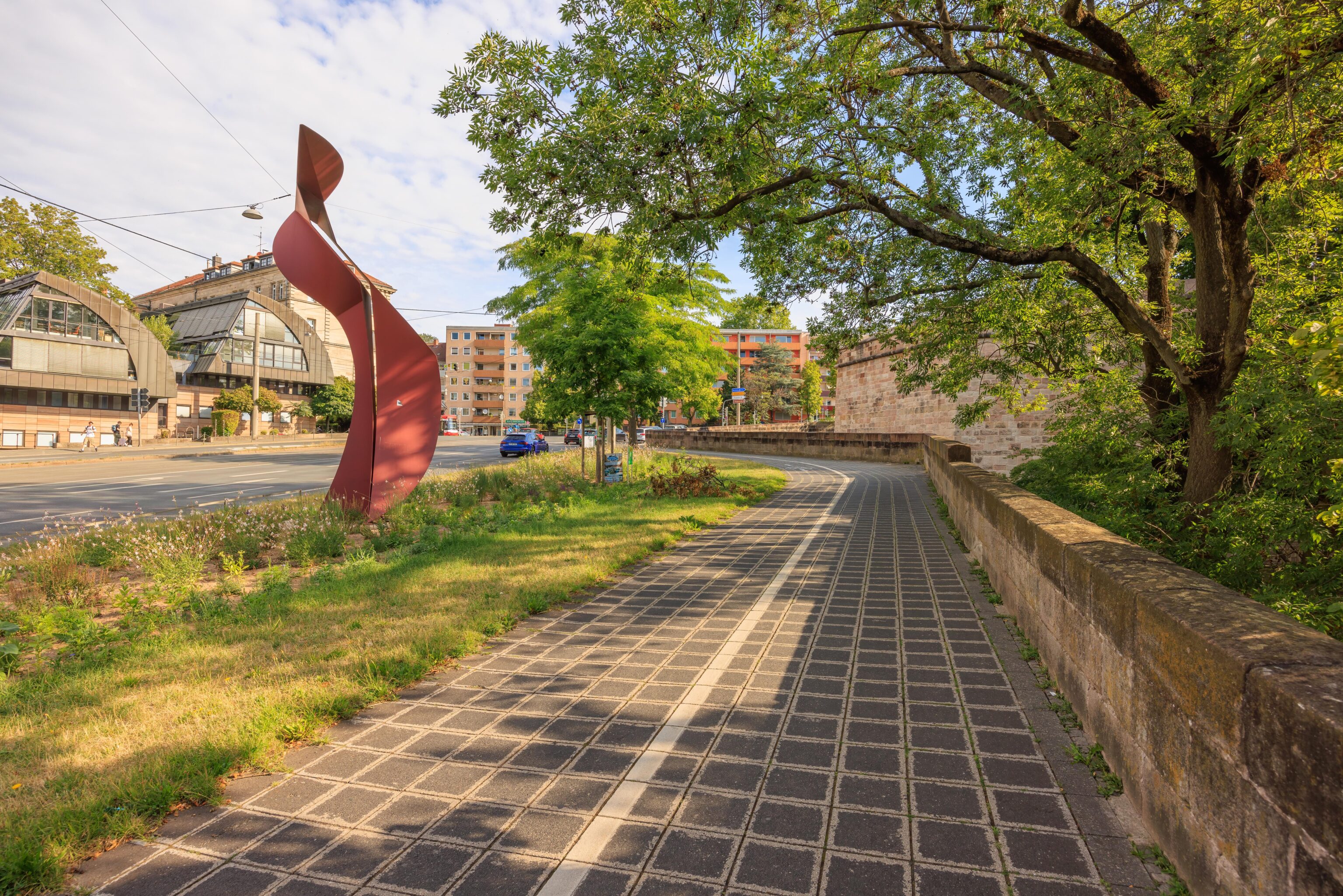
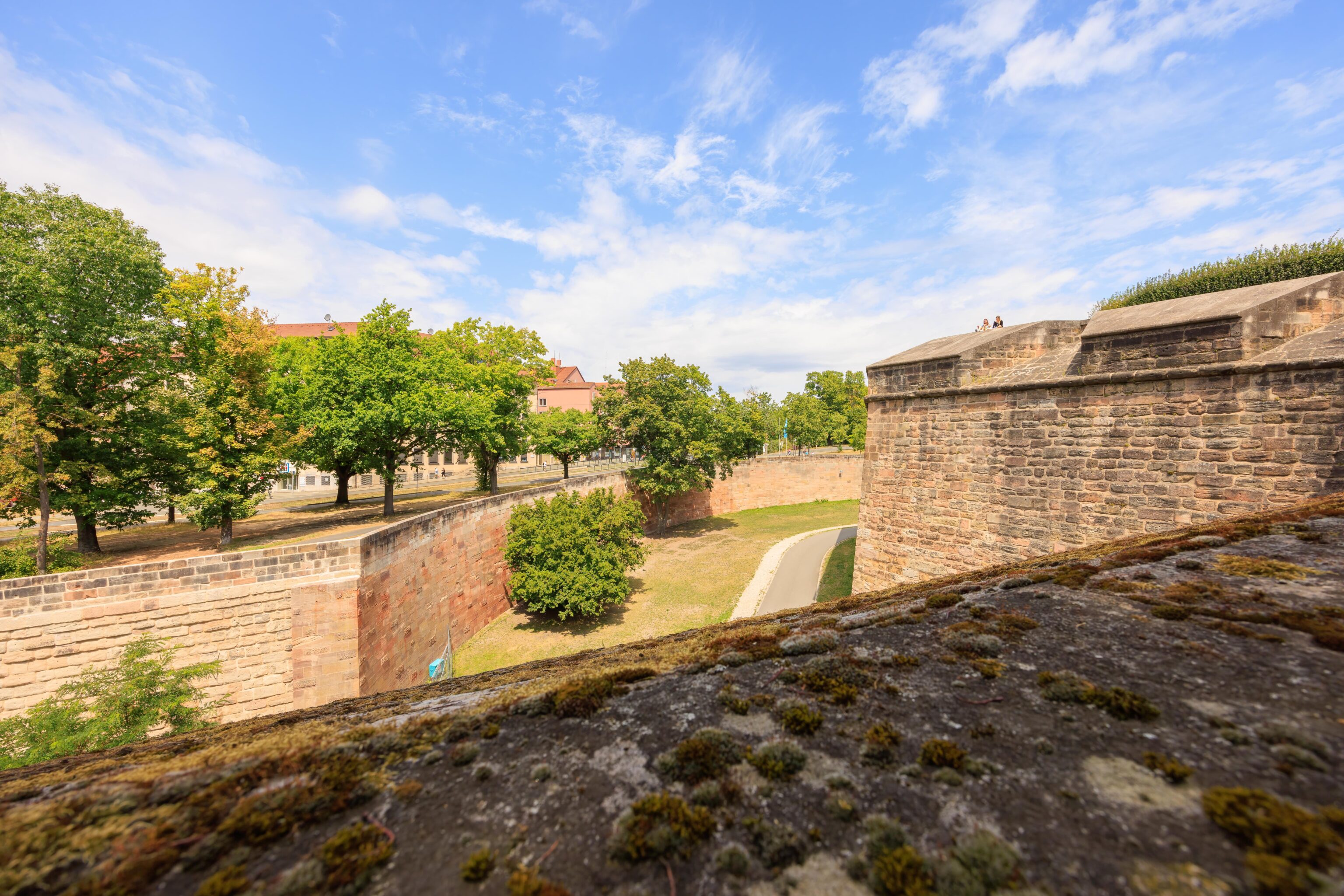
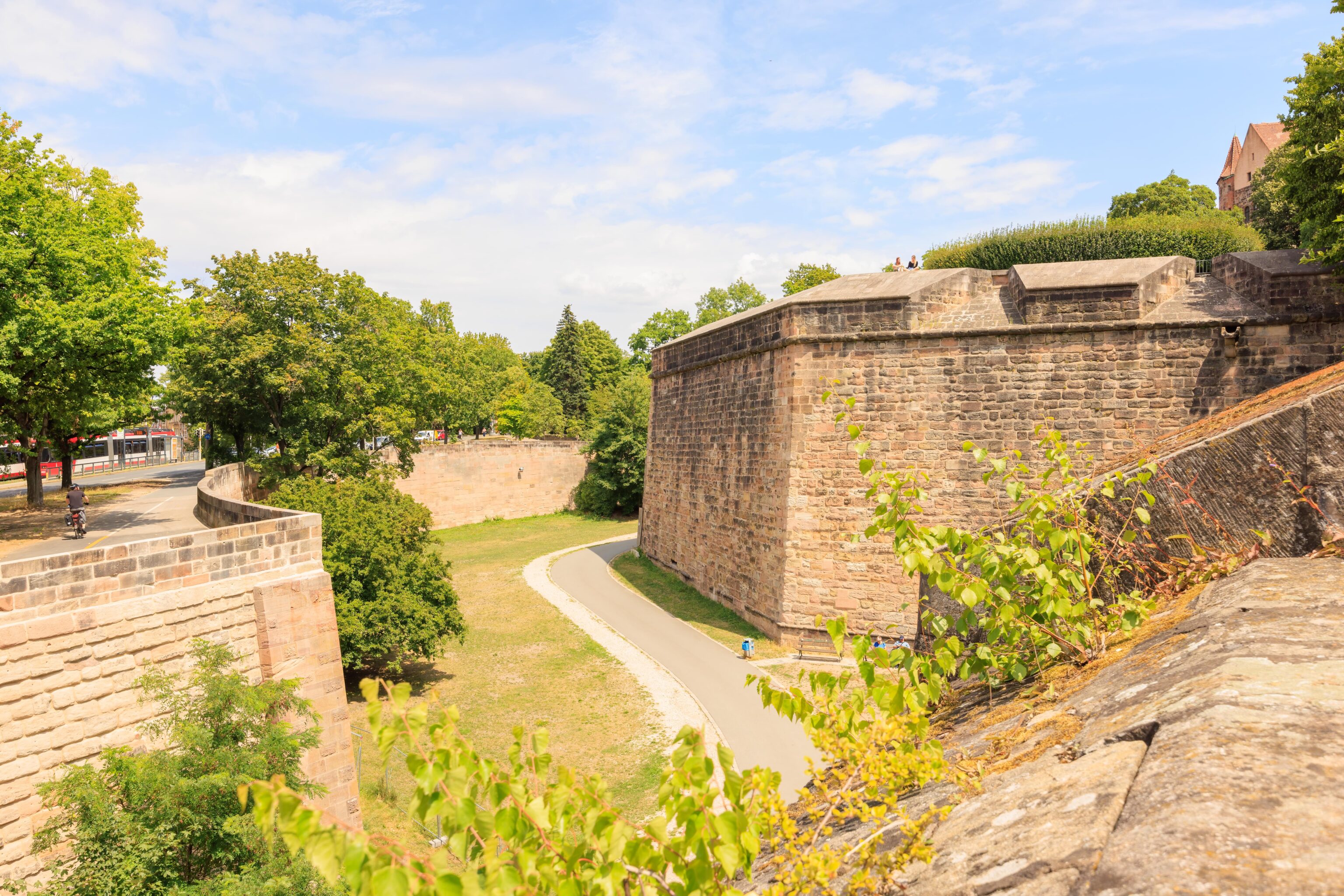
After photographing the Beethoven statue, which sits on the far side of the road by the tram station, we started walking to the north. There are two options. One route is down in the former moat. The other is a bike and walking path between the road and the moat. It wasn’t clear how often there are paths out of the moat so we took the path by the road.
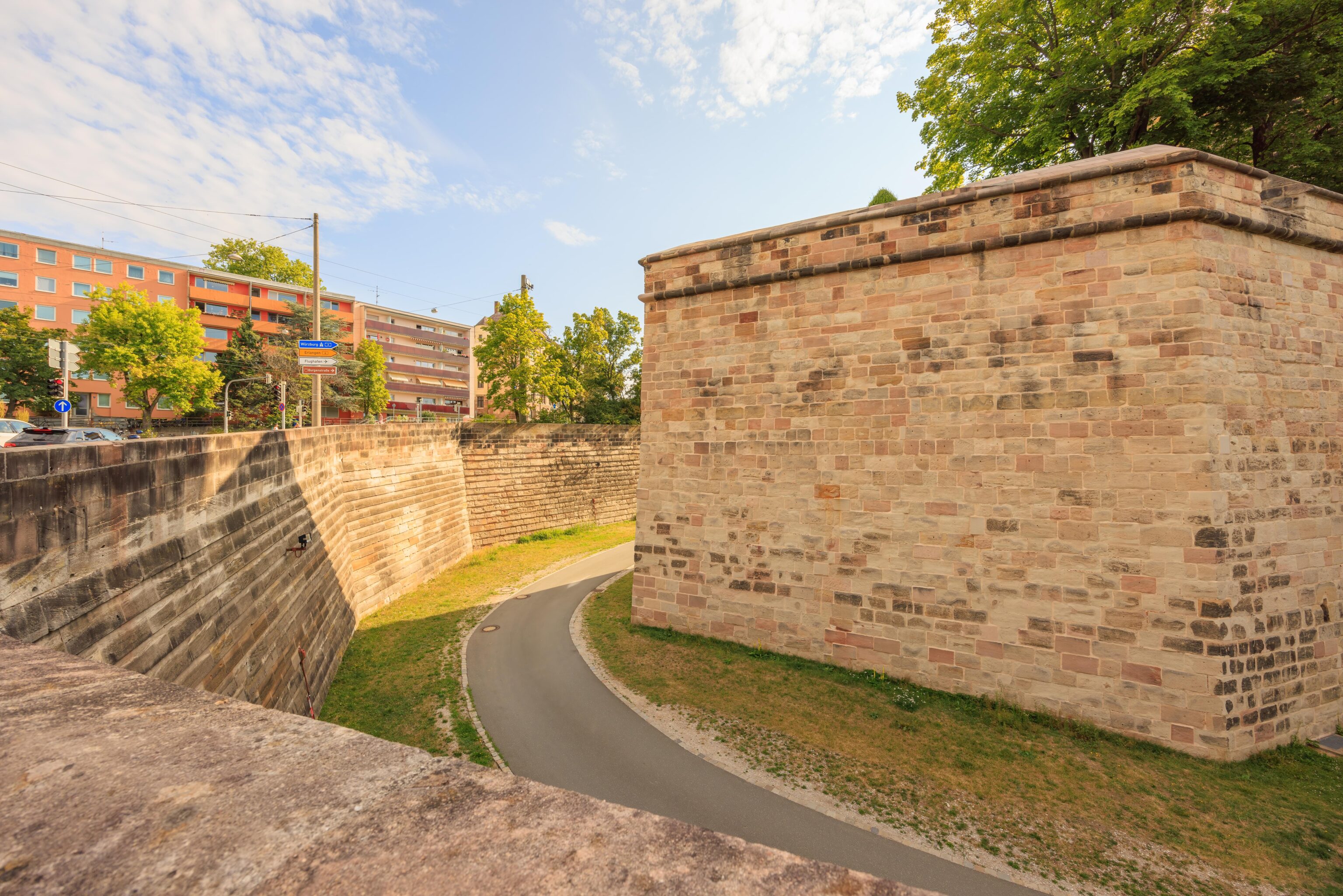
The path, and the road, follow the city wall.
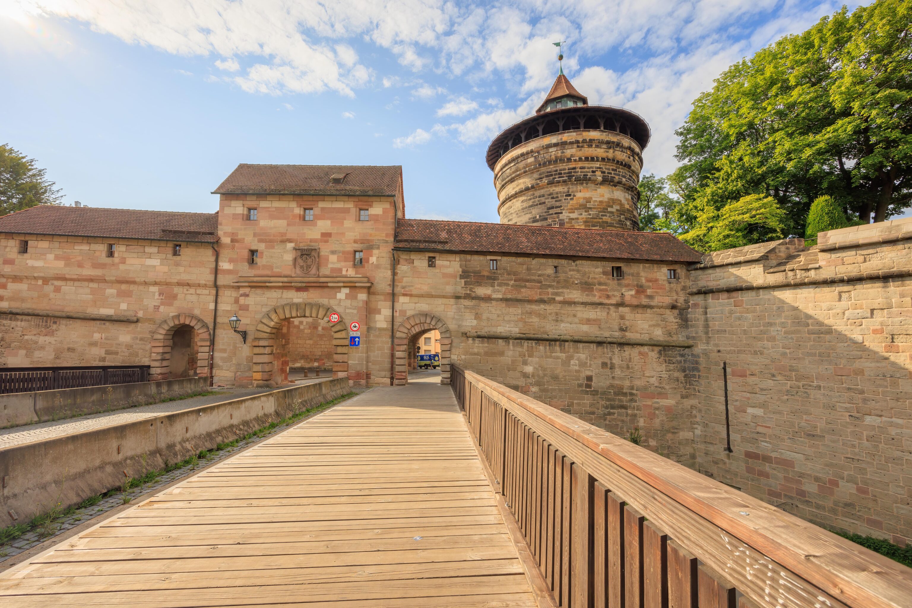
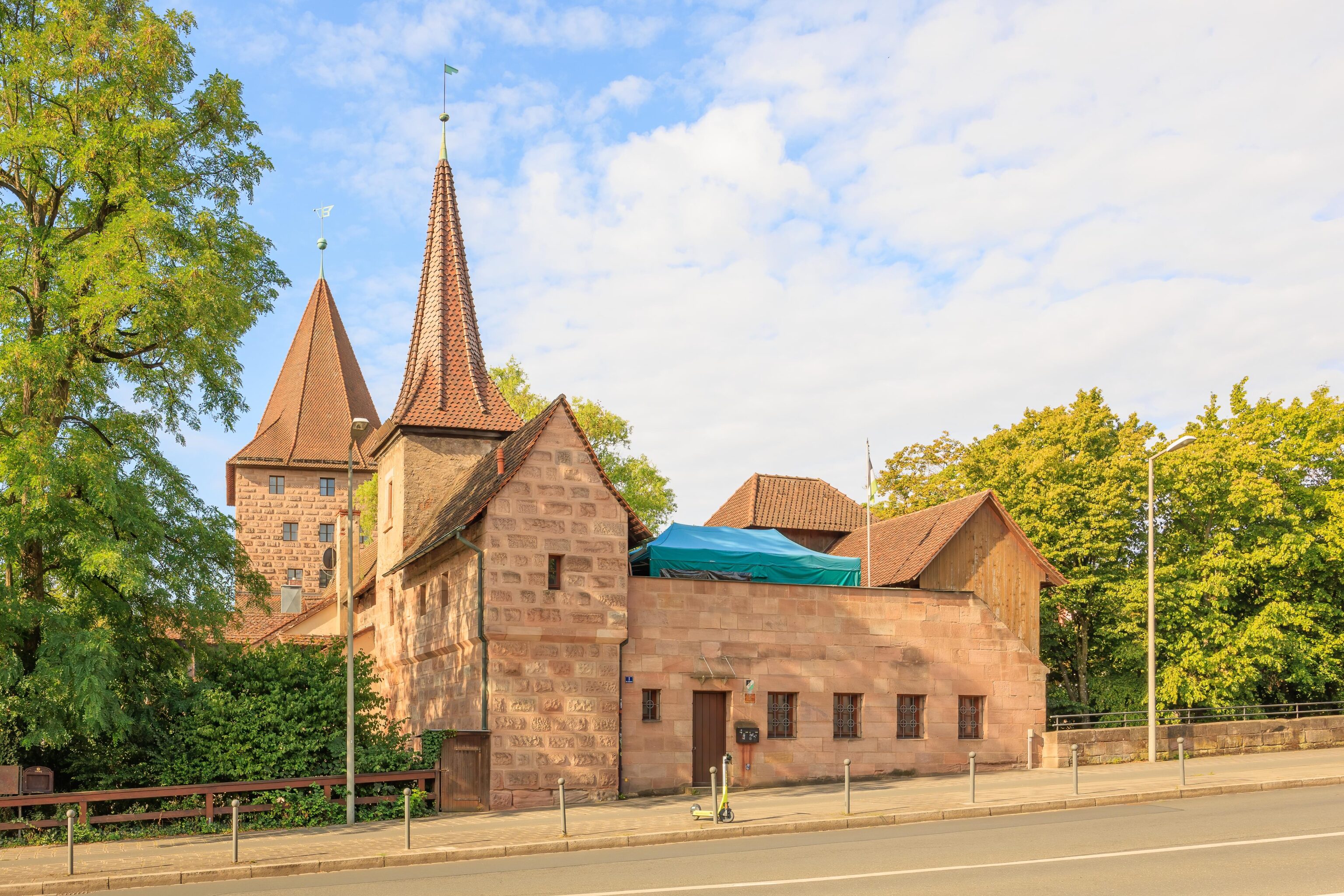
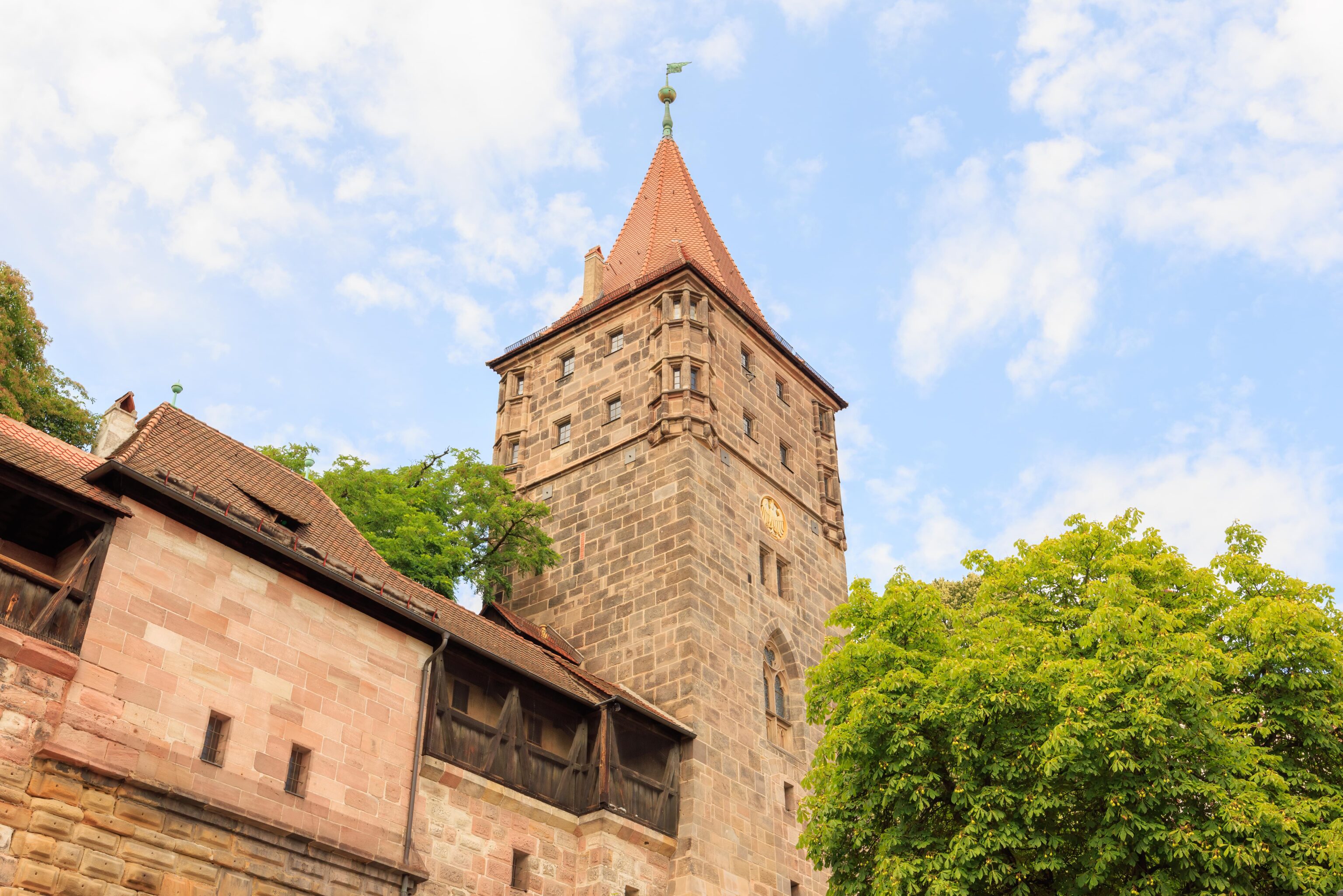
We passed by a bridge that led to a tor, or gate, through the wall. The big circular tower is the Neutorturm (New Gate Tower). The name implies the gate is the Neutor (New Gate), and it seems that it is. The German Neutor Wikipedia article states, translated to English by Google Translate:
The Neutor is an old gate in the north-west of Nuremberg's city wall, south-west of Nuremberg Castle.

The Neutorturm is one of the four striking, round main towers of Nuremberg's city fortifications, its old name is "Green K".

The Neutor was one of the four main gates of Nuremberg's city fortifications, was mentioned as early as 1377 and led via St. Johannis (Nuremberg) to Fürth, Würzburg and Frankfurt am Main. It was built next to the older Tiergärtnertor; the gate tower was originally an outwork.

In 1564 the tower was encased and the old outwork was replaced by the Neutorbastei.

The outer gate building of the Vorwerk has the old designation "Green L". Pedestrian passages were added to the outer gate in the 19th century[1].
After taking a brief look at the gate and tower, we continued walking on the path between the road and the moat.
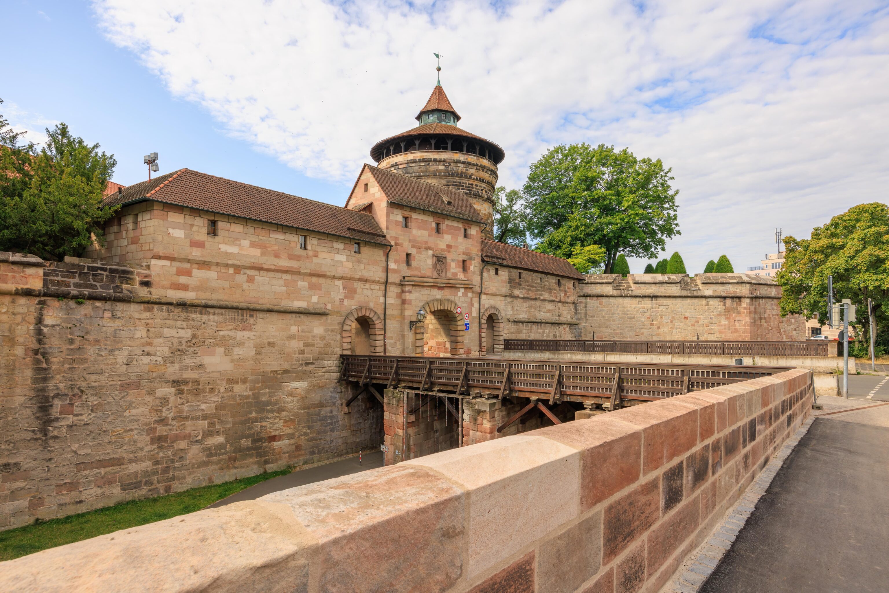
We continued walking until we saw another bridge. This bridge led to what can be best described as a tunnel that passed through the city wall.
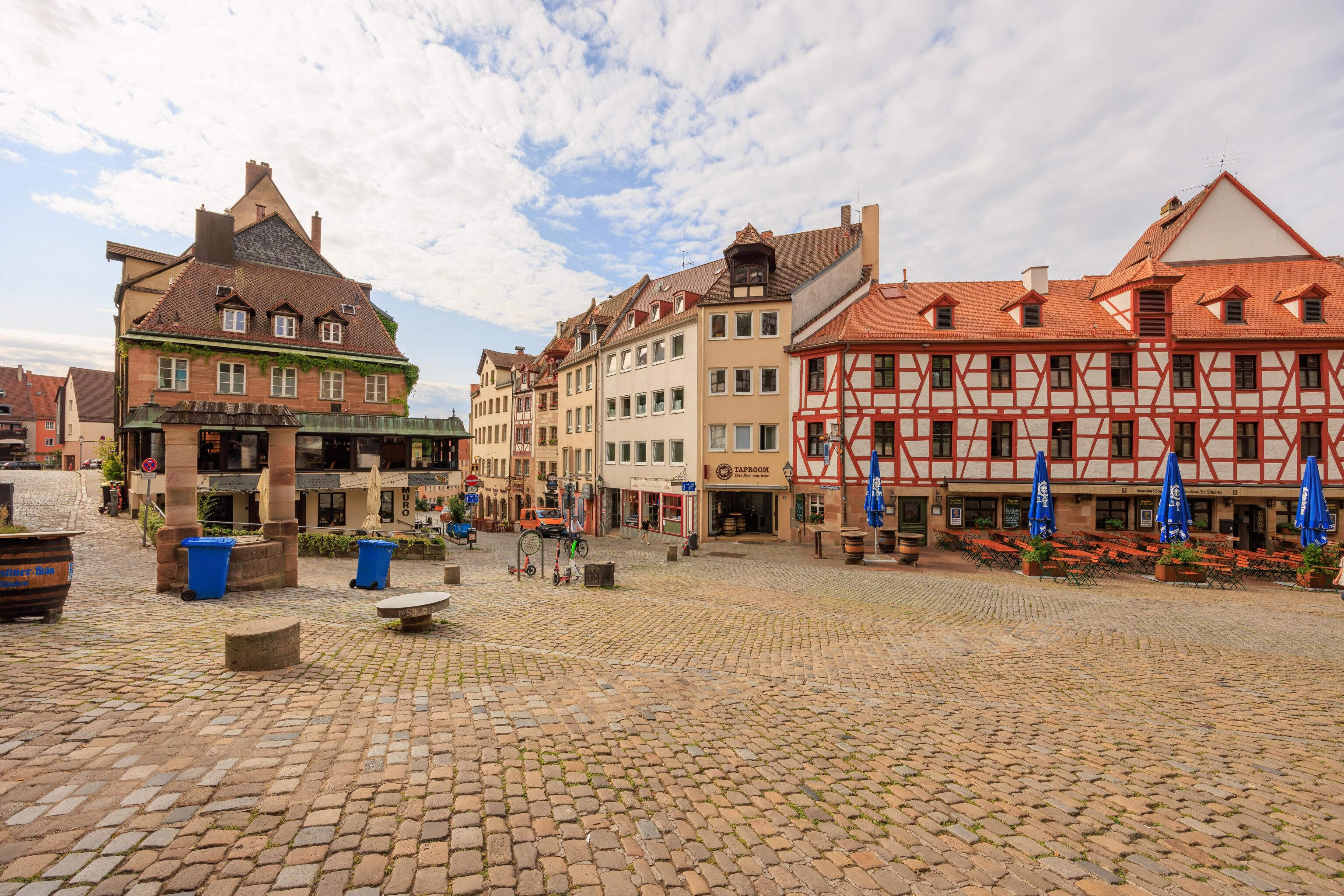
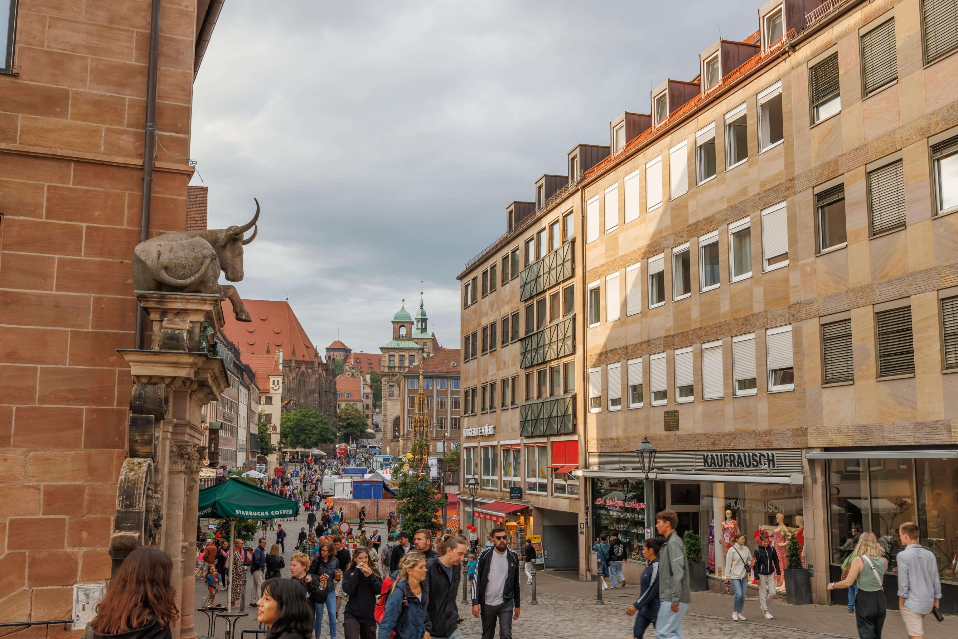
The tunnel led to a plaza within the city walls. There were many restaurants in the area, though it was too early for them to be open.
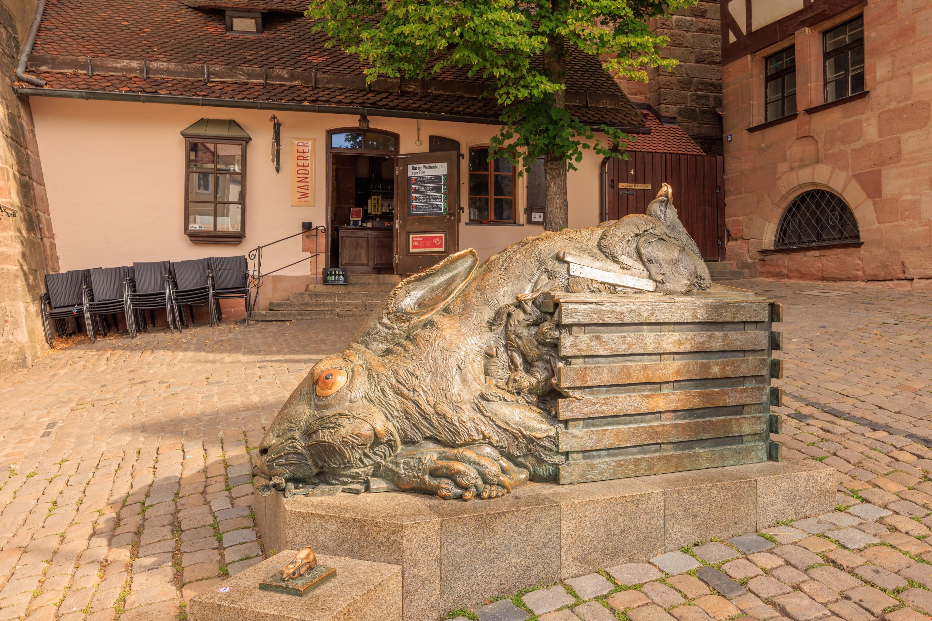
We walked by this weird sculpture. It seemed like some sort of zombie or undead rabbit. It is the Hase Skulptur (Hare Sculpture). It is a tribute by Juergen Goertz to local artist Albrecht Dürer and per Atlas Obscura apparently refers to Feldhase, a painting by Dürer. Feldhase seems to simply translate to English as Field Hare, or just Hare, but the painting is often quoted as being named A Young Hare in English.
We found a narrow path that led up to a road that was by the base of the Kaiserburg Nürnberg. This was the scene when we looked back towards the plaza that we came from.
Kaiserburg Nürnberg
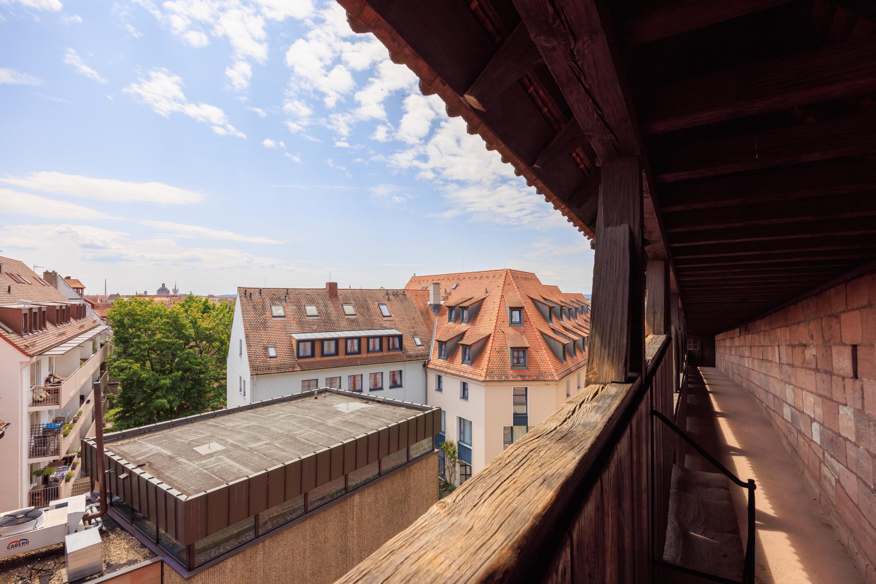
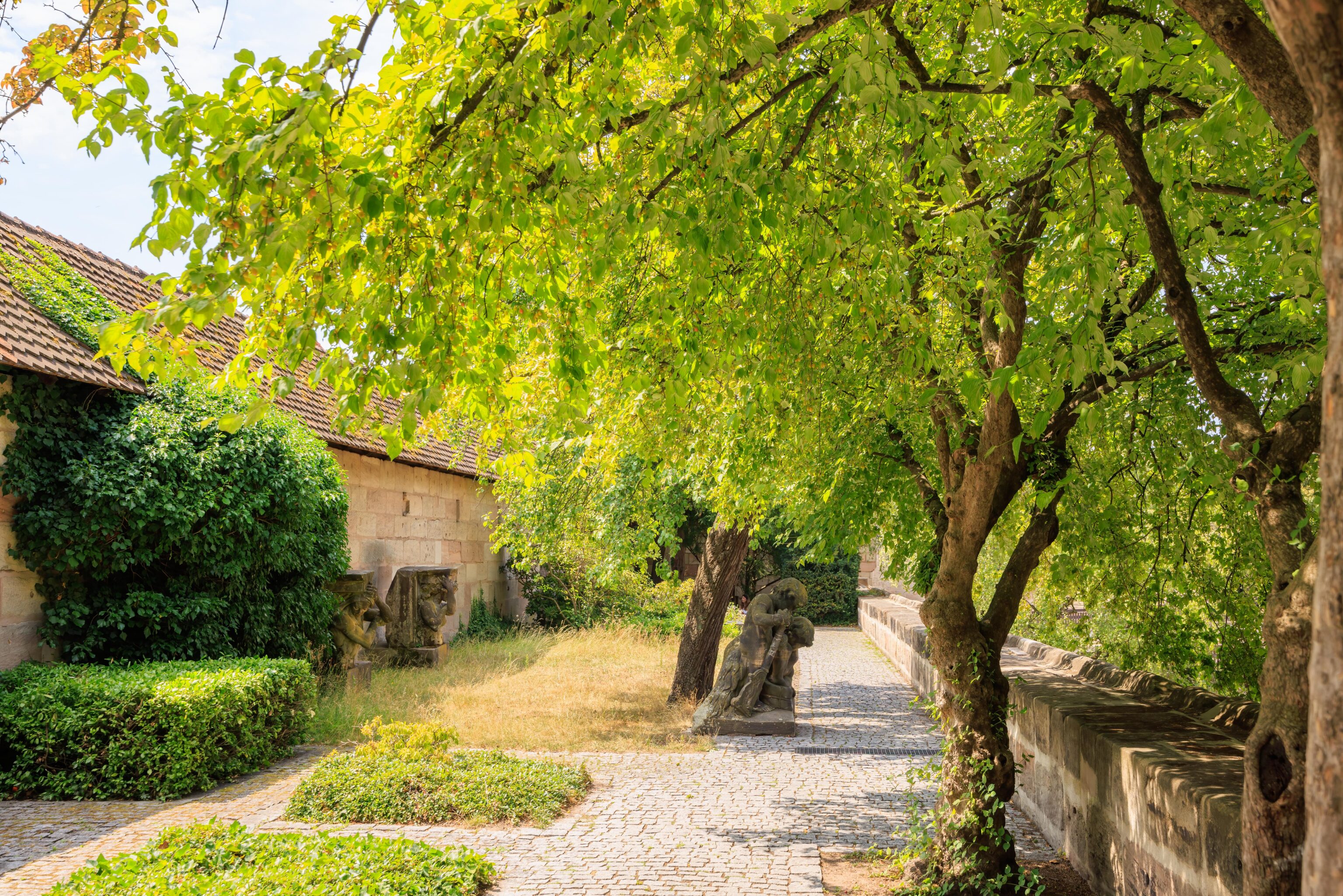
Looking upwards, we could see part of the castle as well as a covered walkway that led up into it. The plants in the foreground are grape vines and probably belong to local residents.
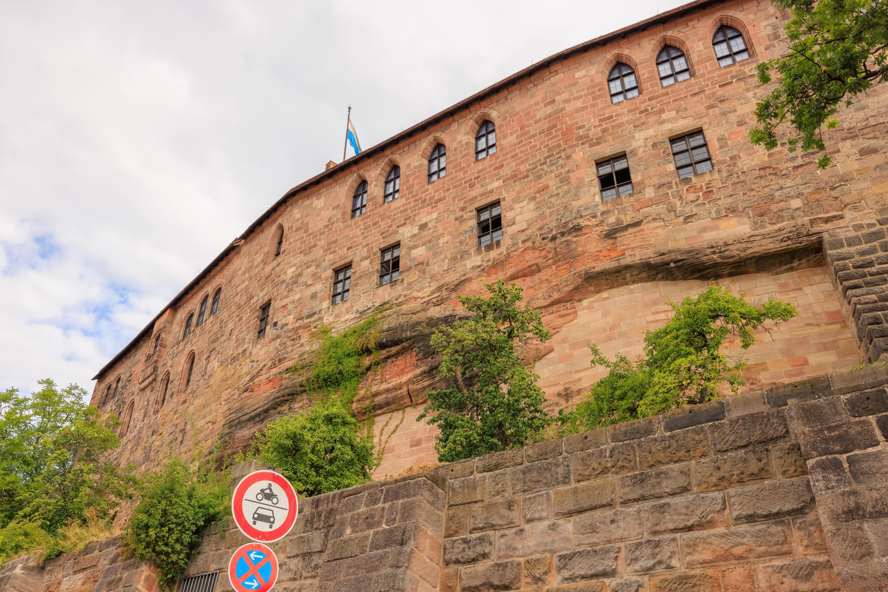
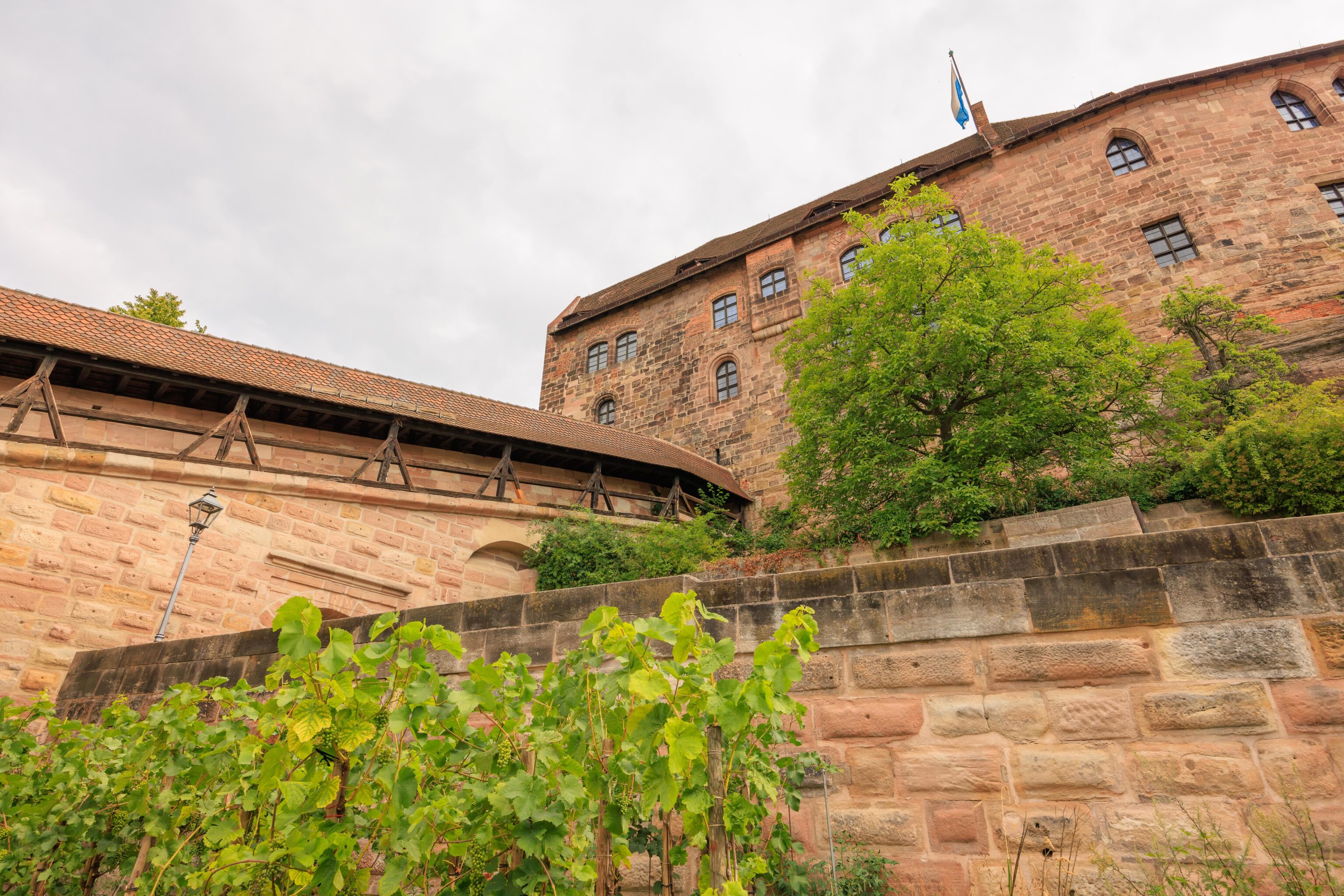
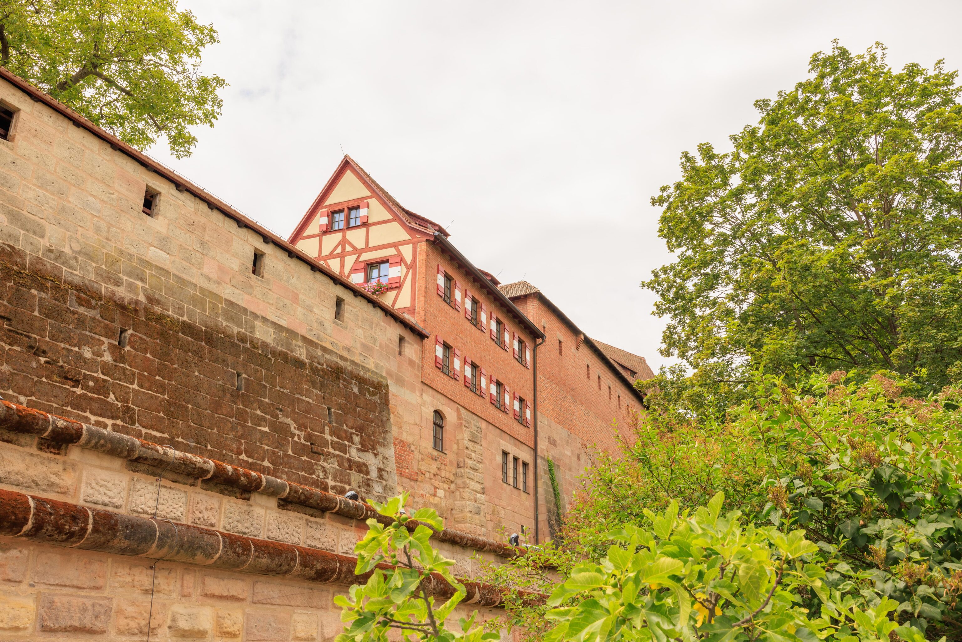
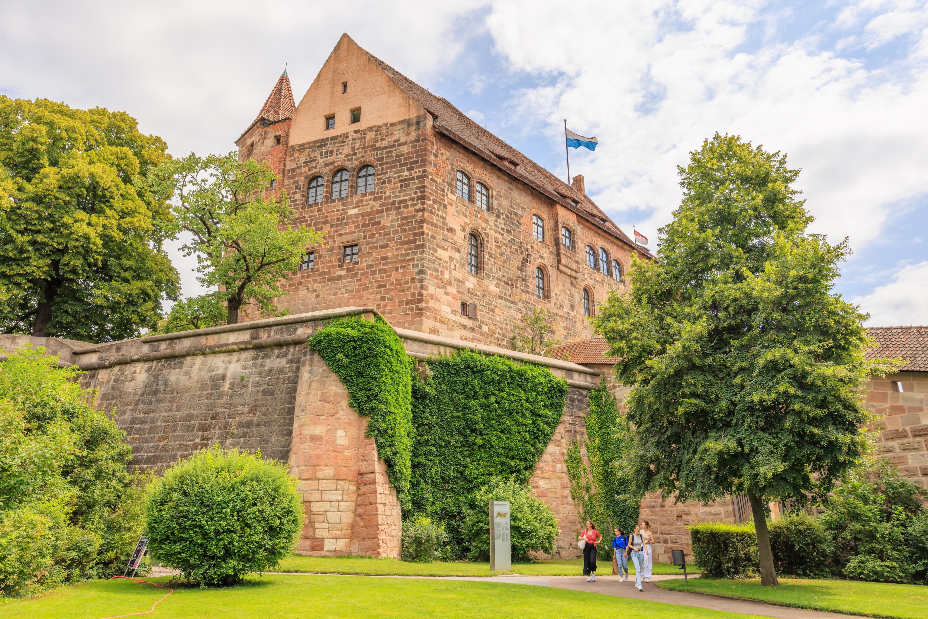
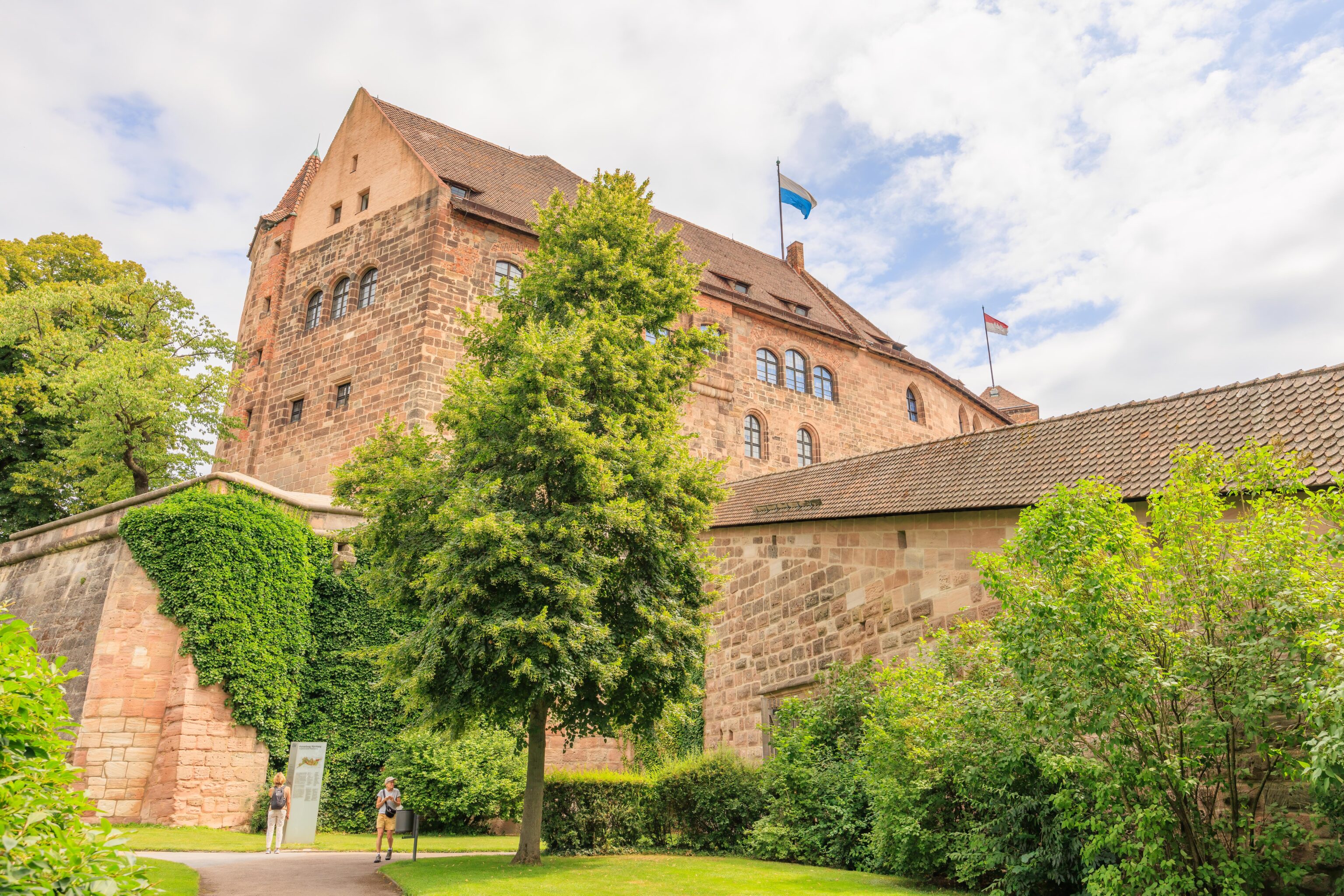
We continued walking on the road, headed east, until we got to a path that led up to the castle. The castle’s stone walls almost seem to be blended into the natural sandstone features that the castle is built upon.
We continued walking up to the castle’s entrance. We were now much higher up and could see the towers of the Sebalduskirche.
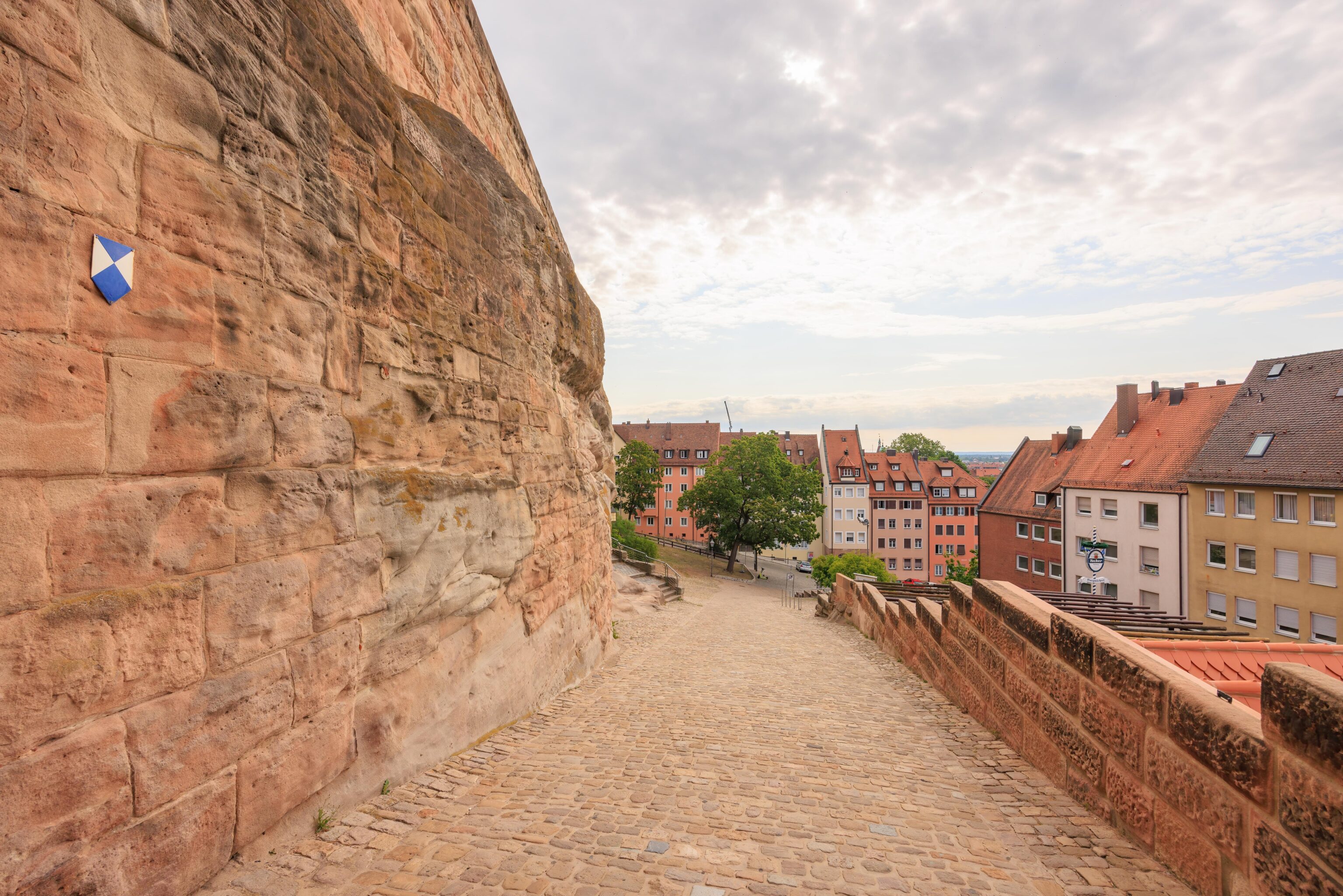
Looking back down the path that we came on.
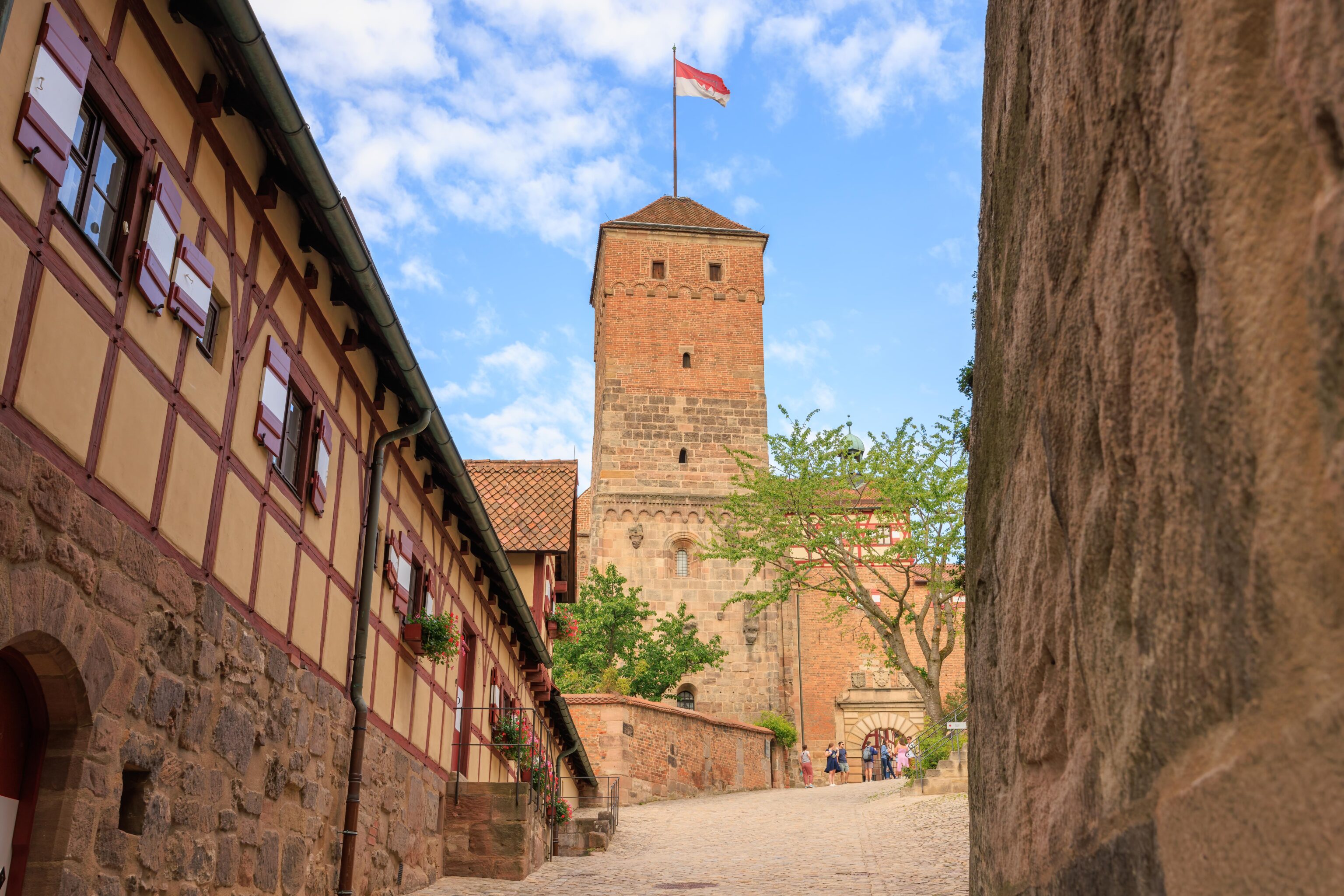
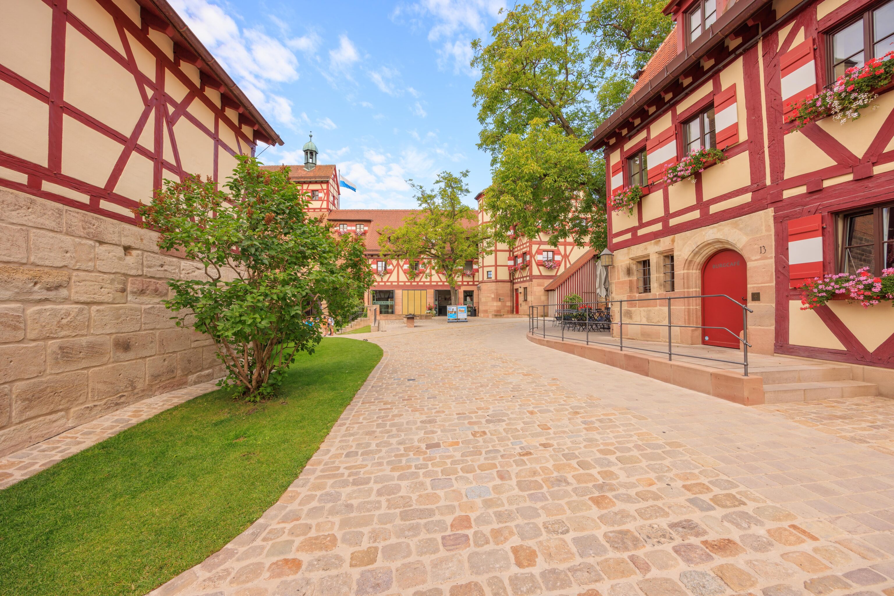
We soon entered the castle, or at least its outer wall.
We passed through this gate on our way in.
It wasn’t immediately obvious where to go to get our tickets for the castle. The outside areas are free to explore without paying the entrance fee. We soon found where to buy tickets.
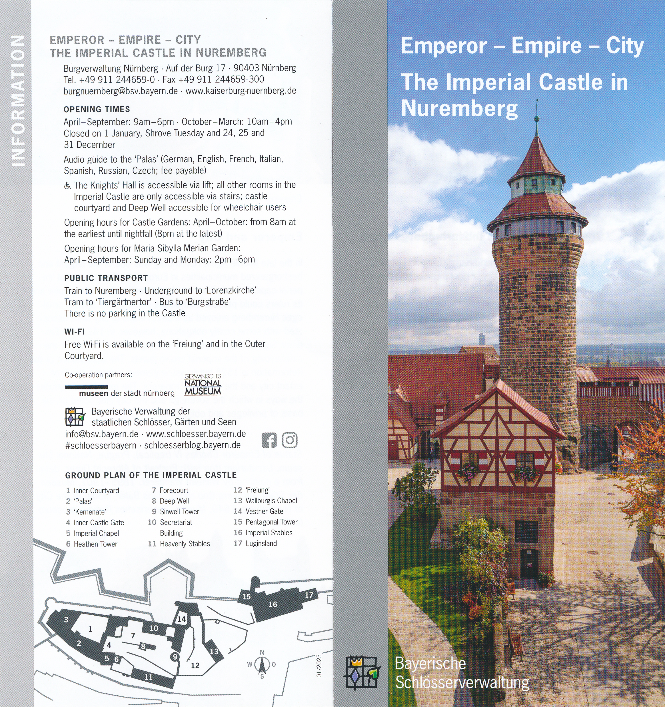
And, we picked up an English language brochure.
The room containing the ticket counter had a door that led to the castle’s inner courtyard. It wasn’t very busy at the time, though we did see a tour group outside.
There is a self guided tour route that leads inside the castle’s keep. The castle’s website has a very good virtual tour with explanations.
The view from one of the open windows. We’re much higher above the buildings below! The Lorenzkirche, which is further away, is now visible at the very left. The Neutorturm can also be seen as well as the Schlayerturm. The Neutorturm in particular seemed very tall when we were near it but it was now completely below us.
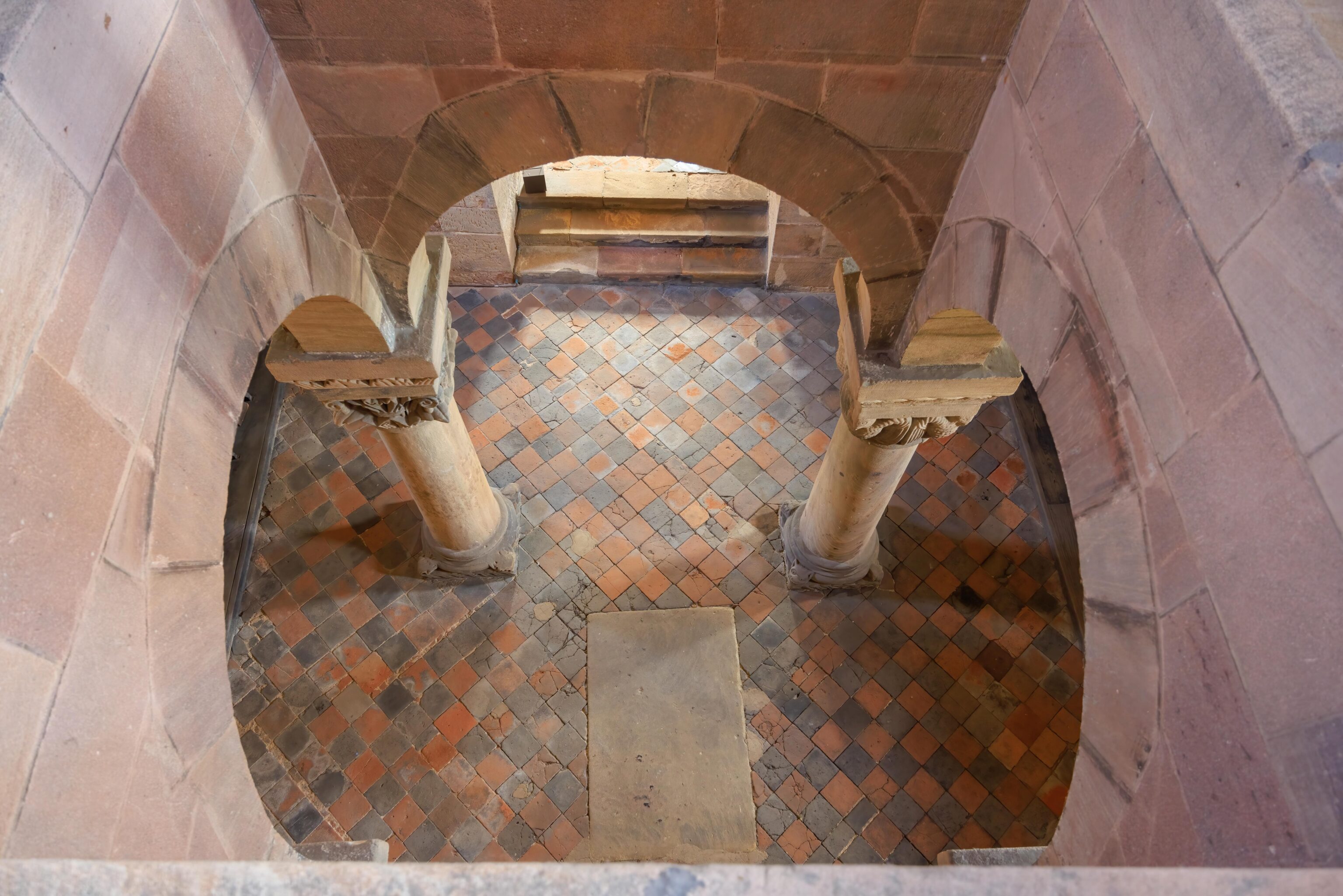
We continued on, ending up by this open area above the room below. The area below is St. Margaret’s Chapel and isn’t accessible.
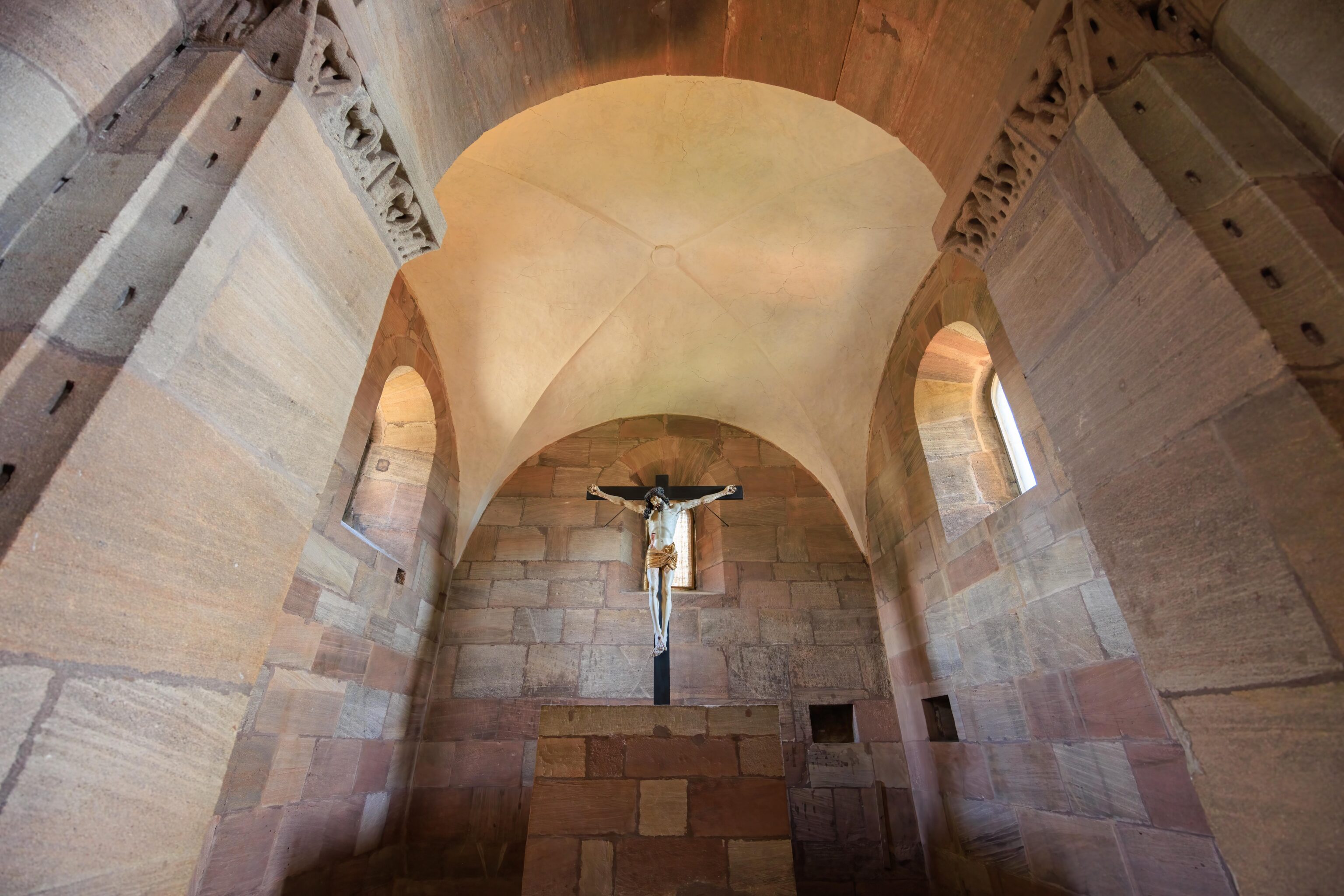
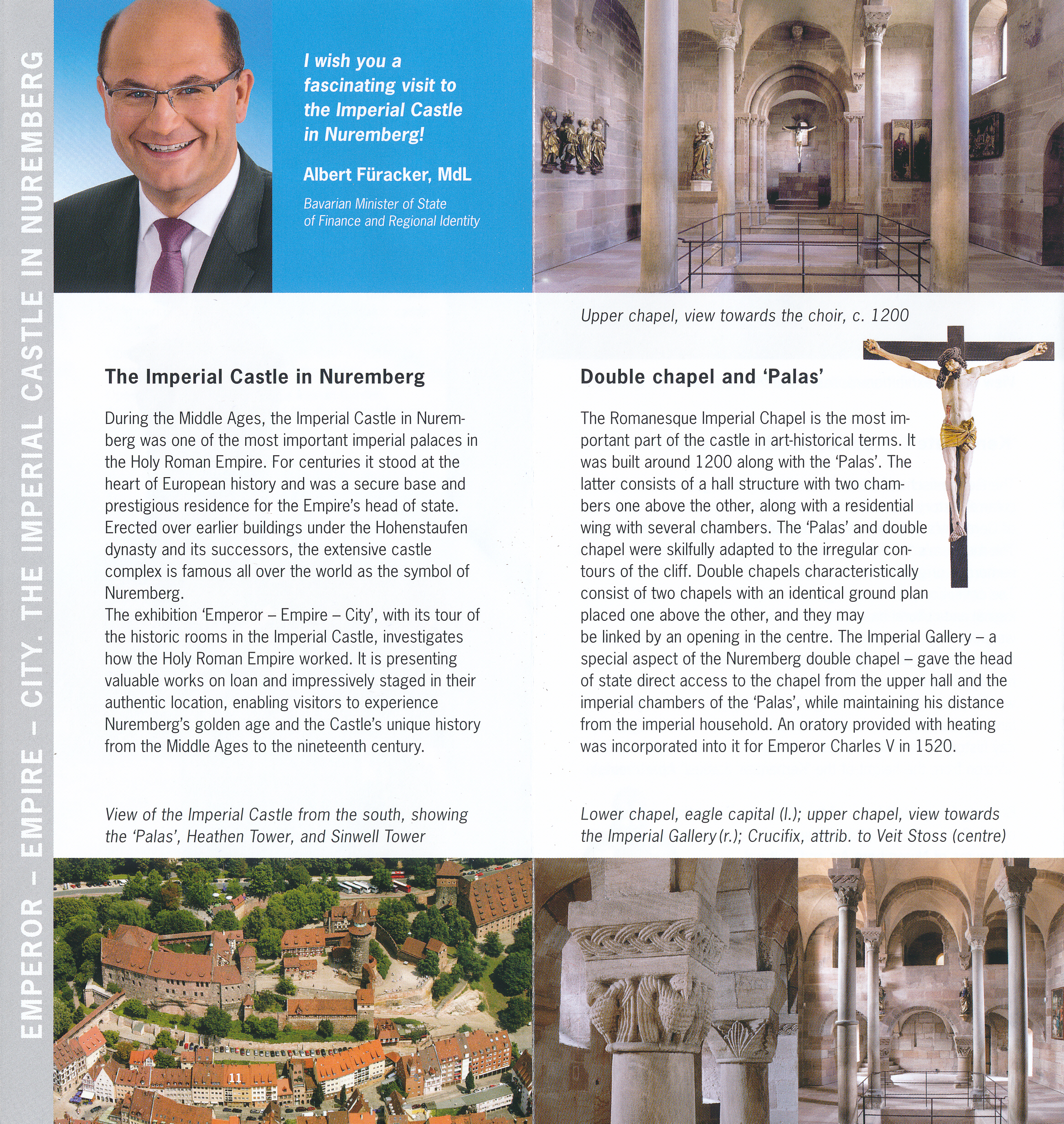
We were in the Kaiserkapelle (Imperial Chapel).
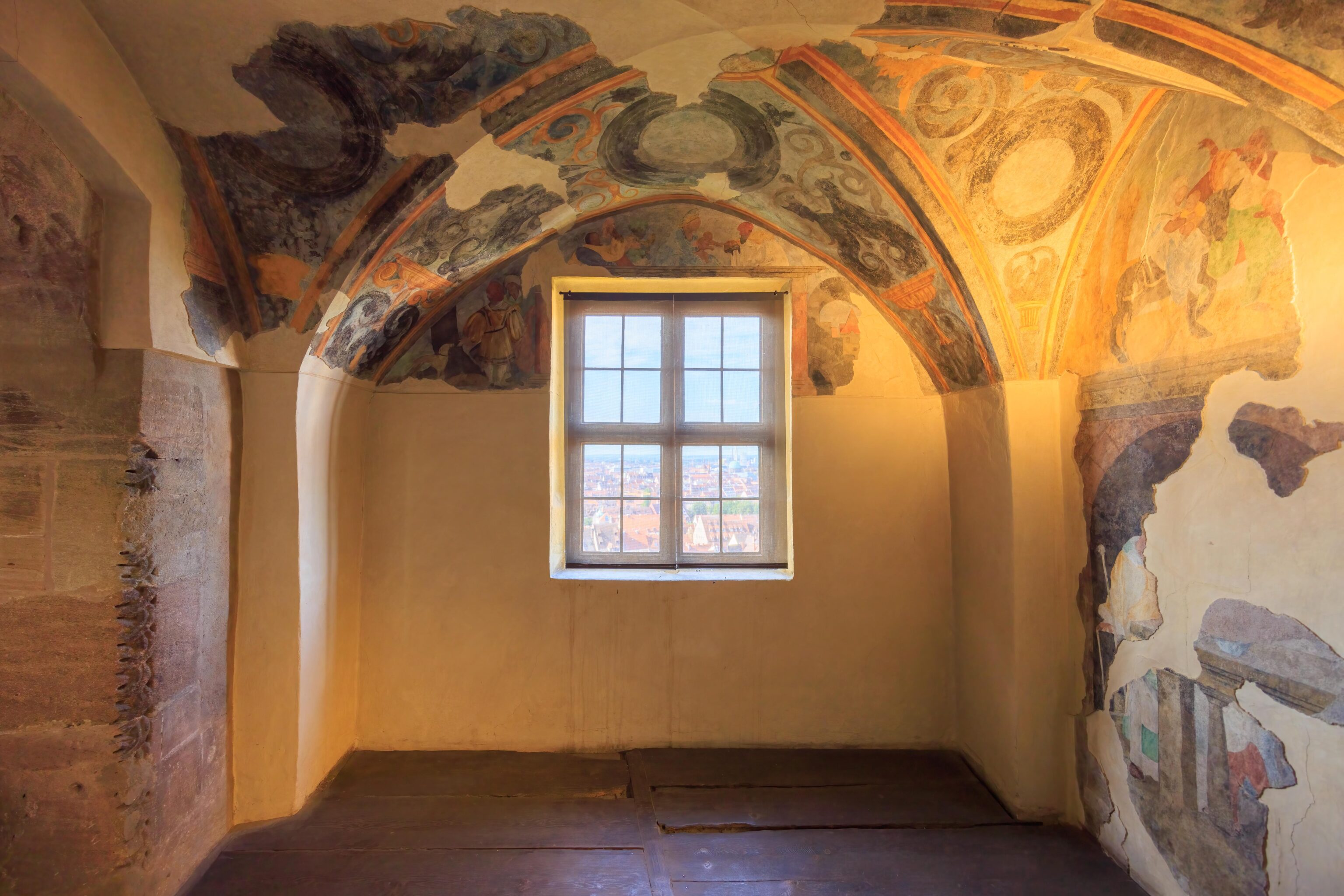
Some of the walls in the chapel were decorated.
We continued on, heading higher up into the castle. We looked back at the chapel, now below us.
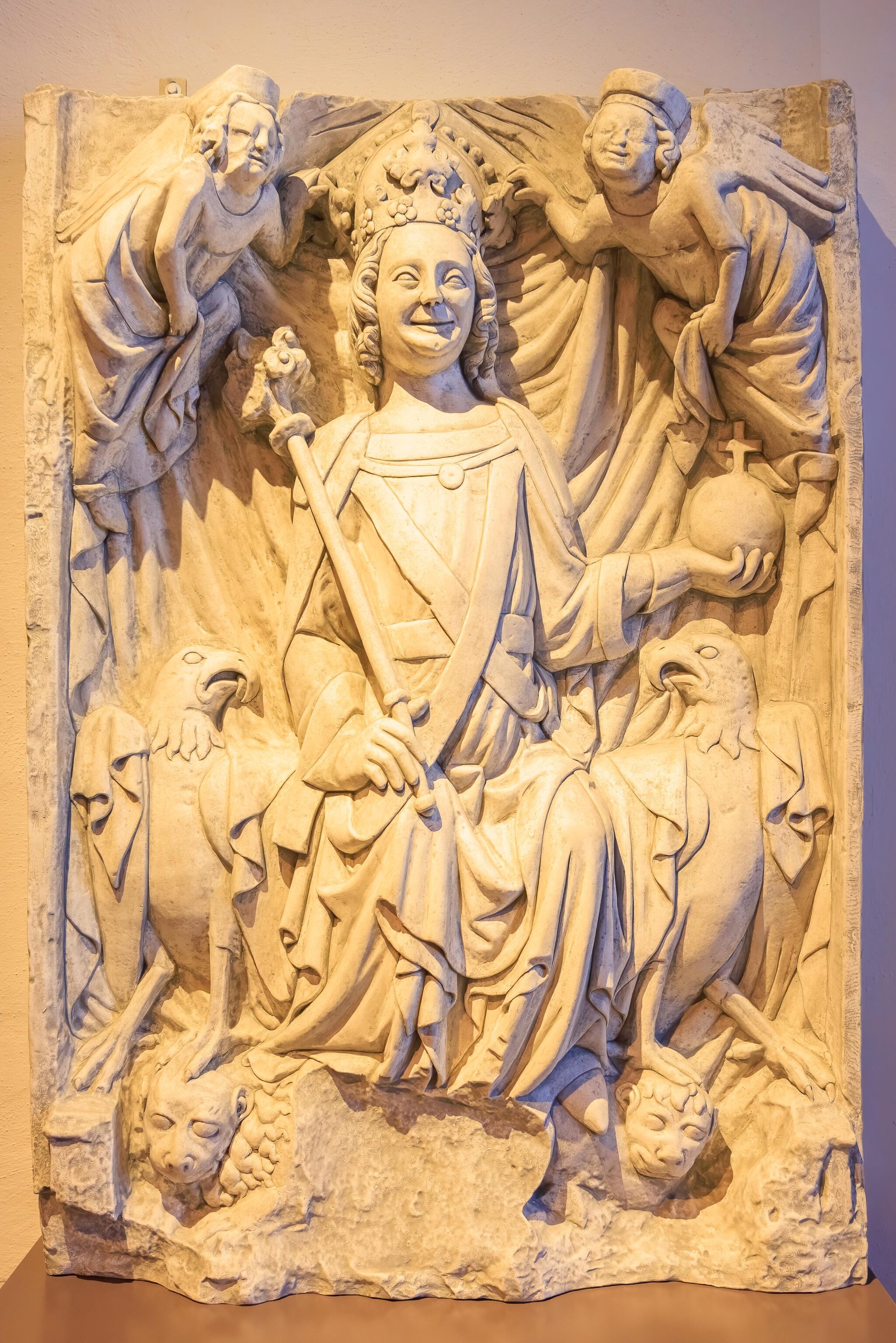
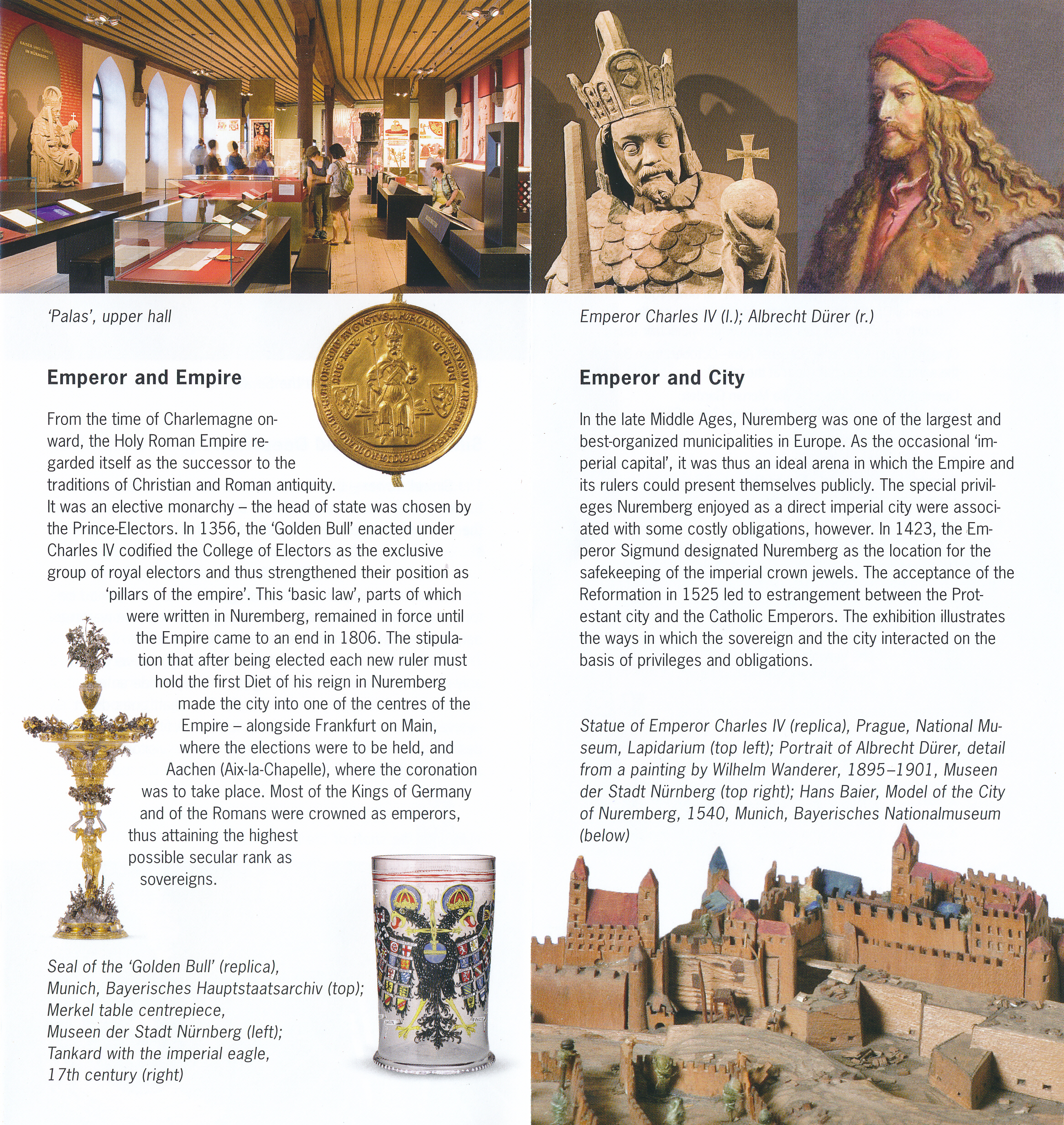
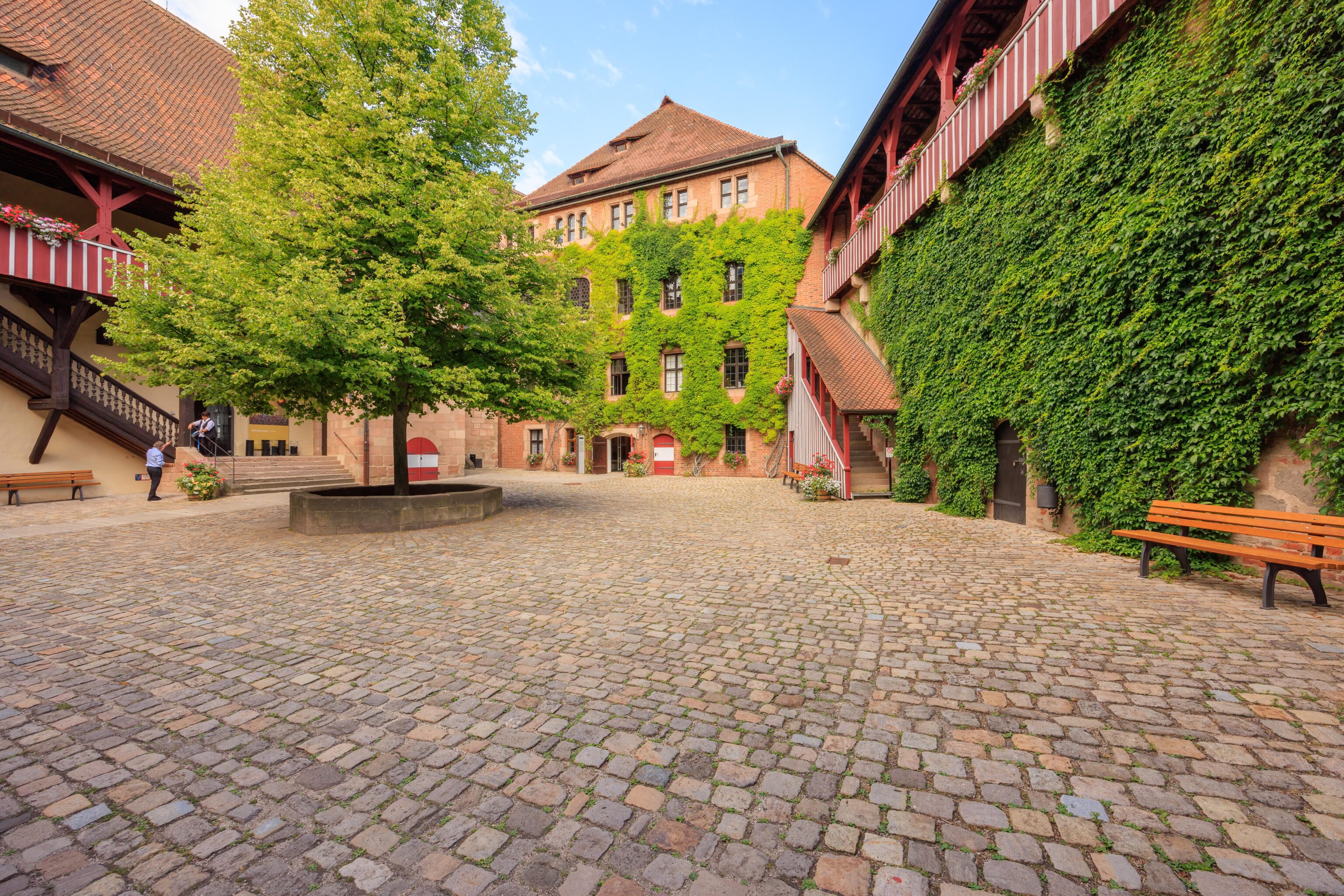
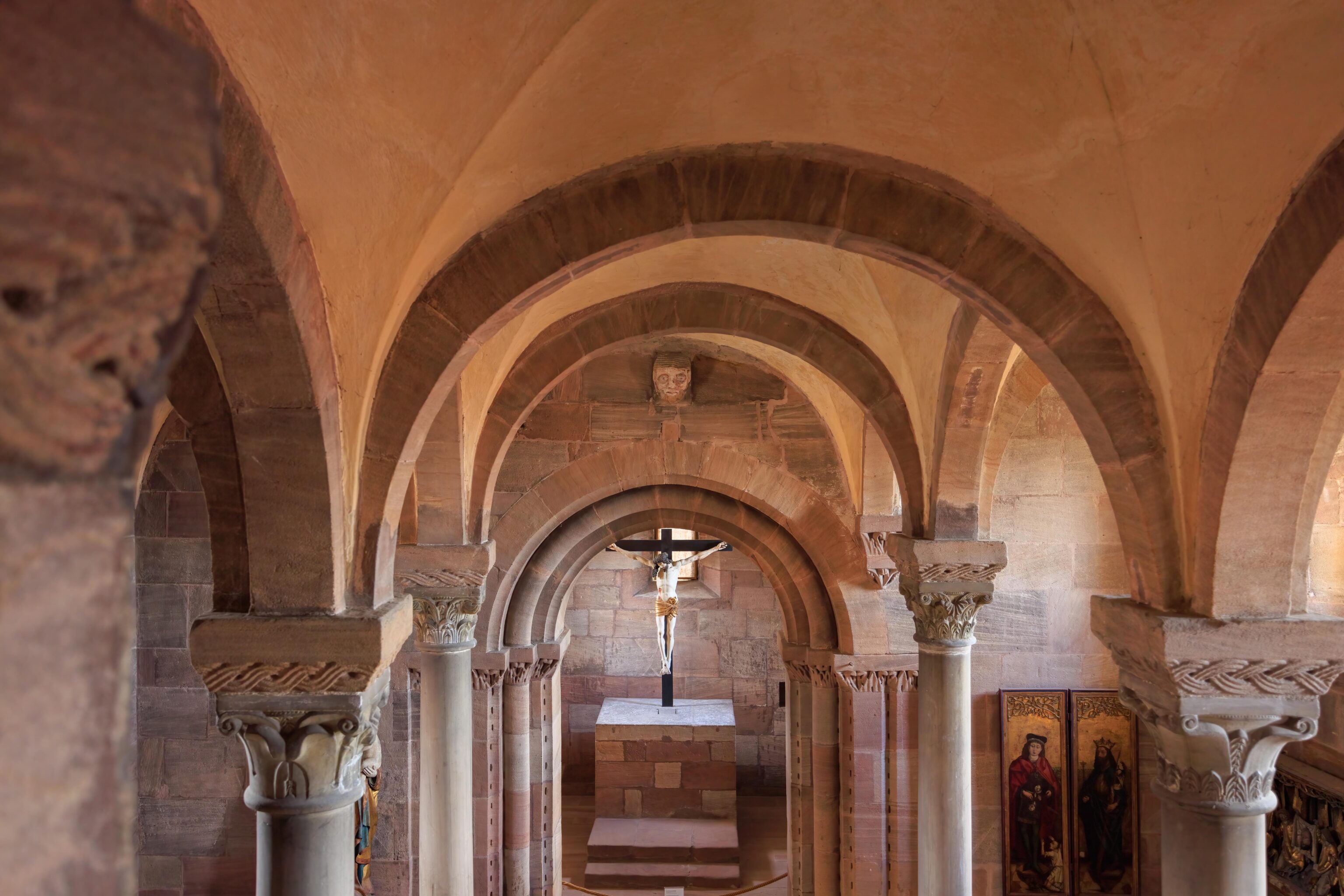
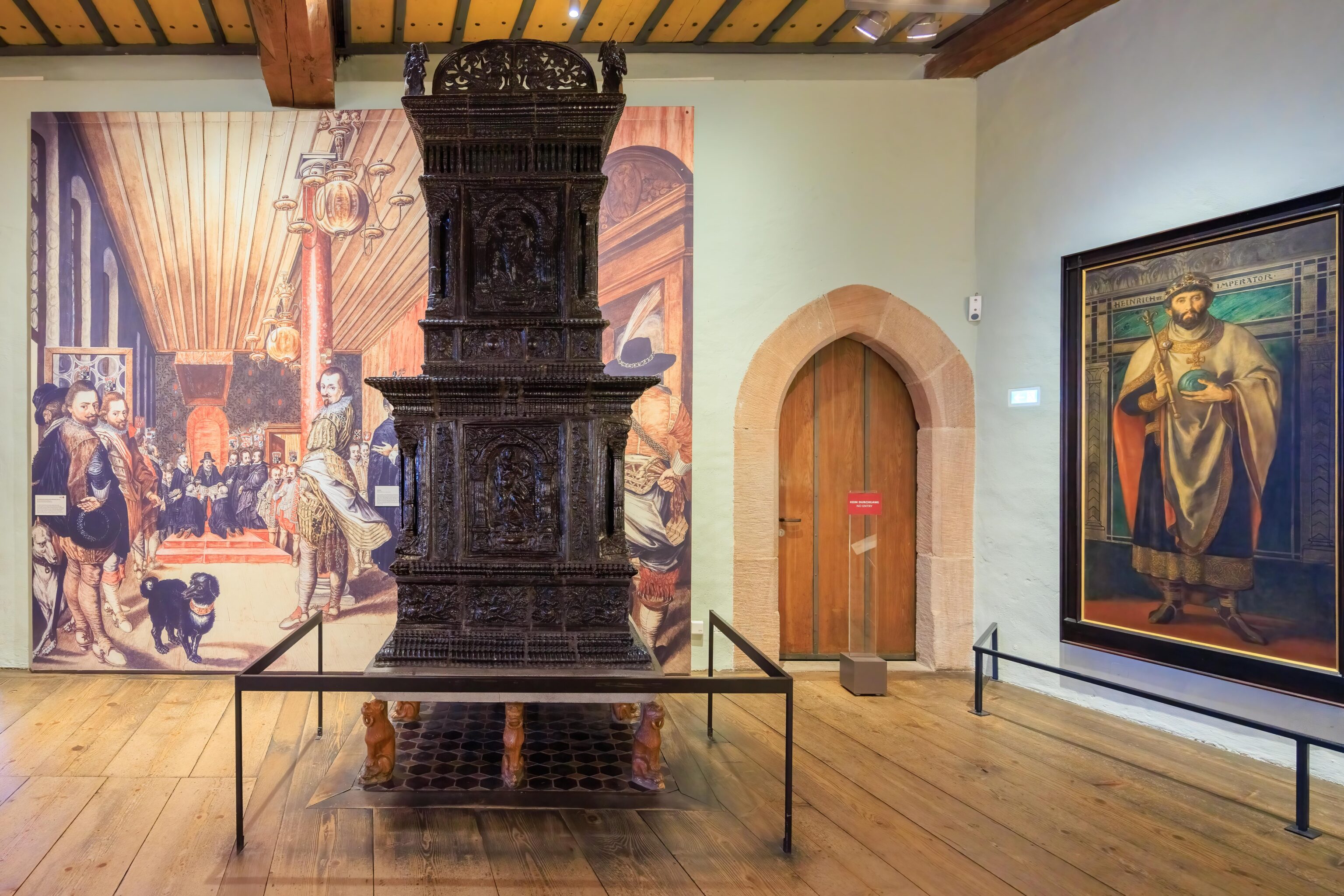
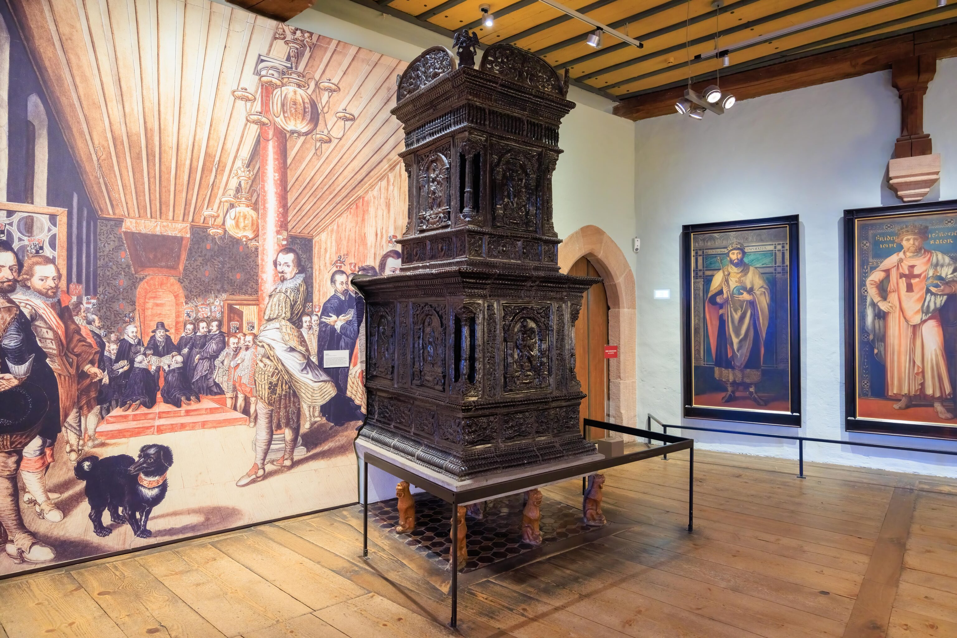
The next rooms contained various items and informational displays that explained the history of the castle as well as some general German imperial history.
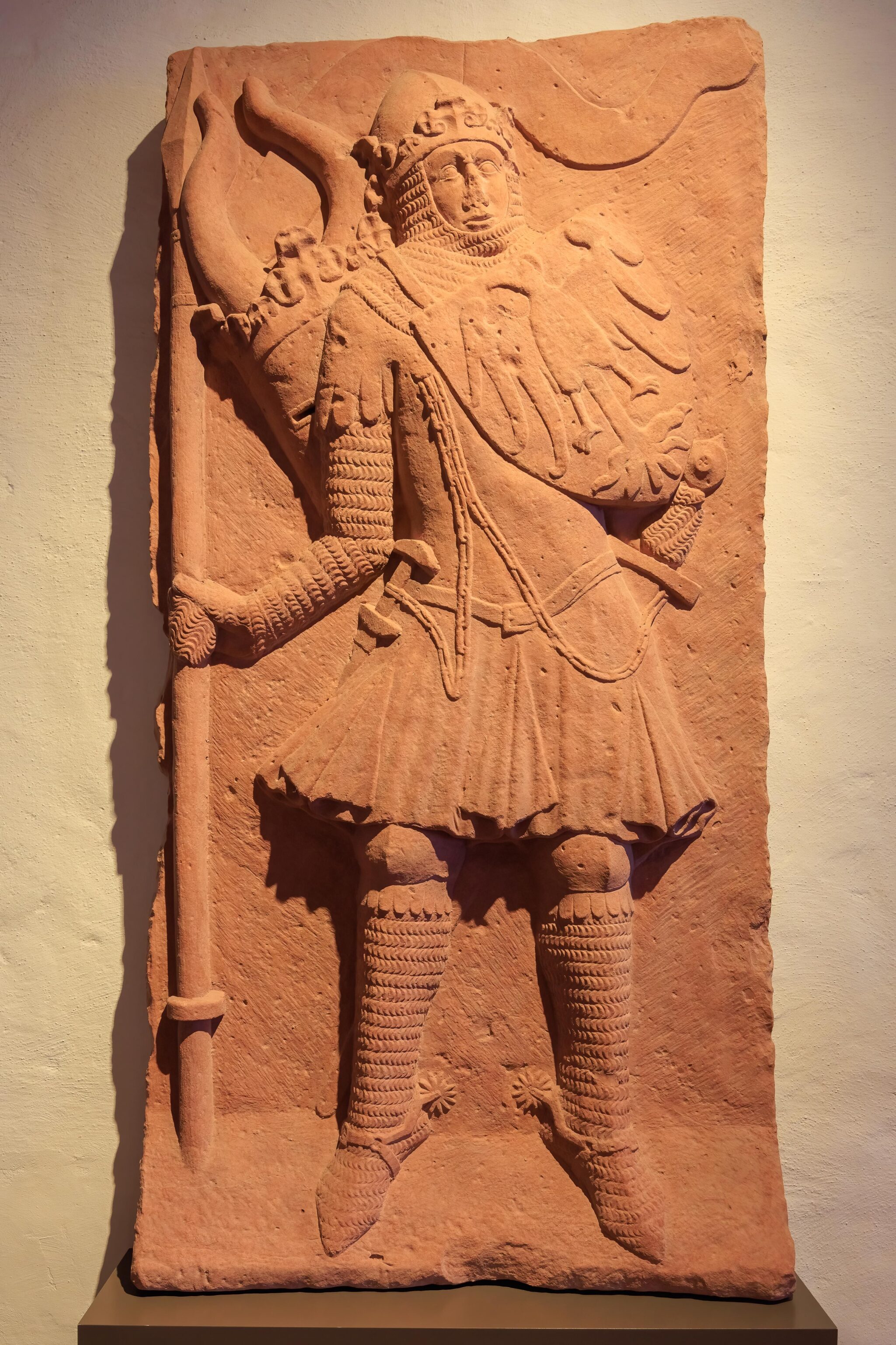
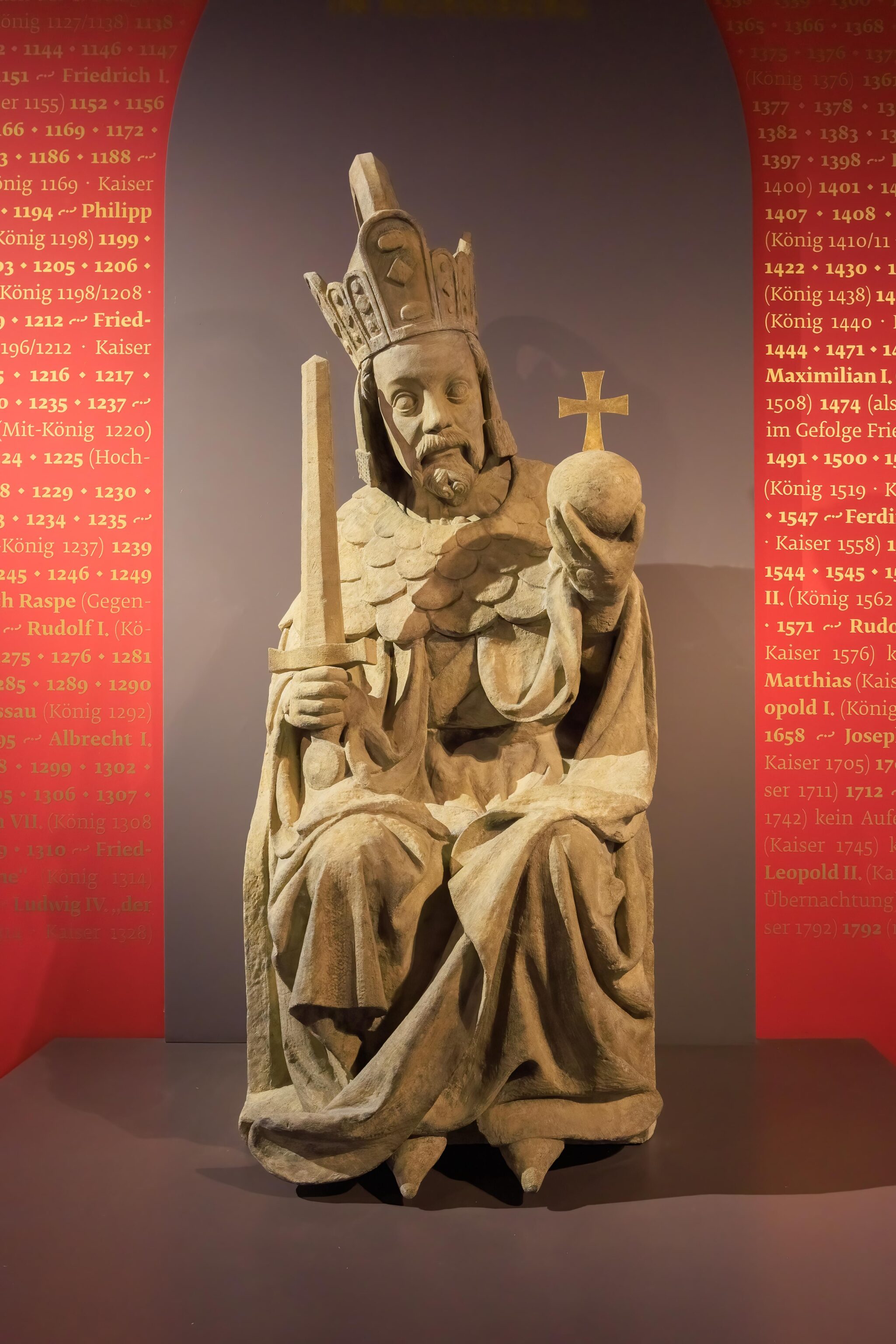
This artifact is obviously significant. But what is it, and why? We failed to photograph or read the little sign on the wall. Oops.
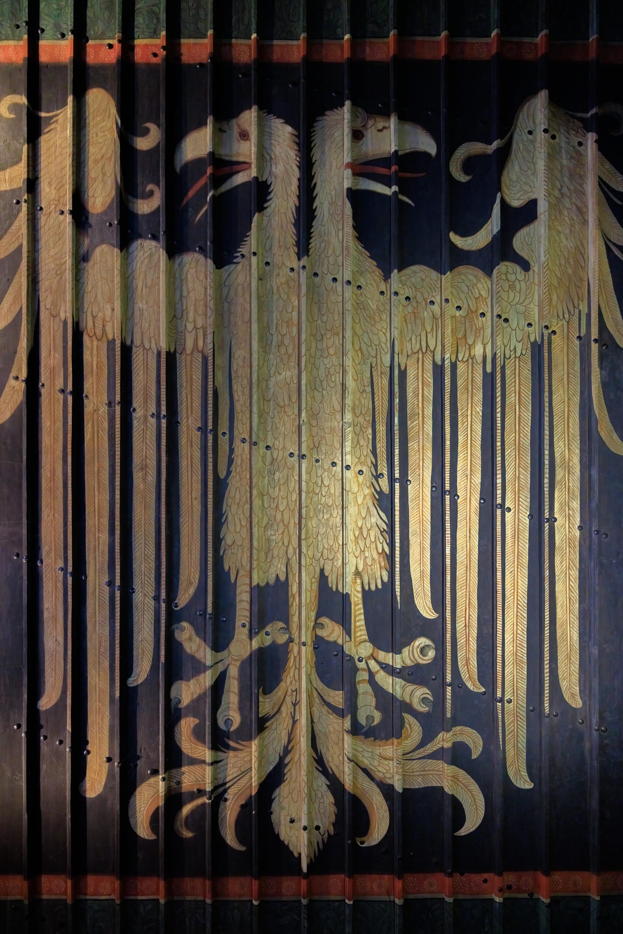
An imperial eagle is on the ceiling in the Emperor’s Chambers. The website tour explains:
The colours of the large two-headed imperial eagle, which occupies the whole ceiling, have been reversed, so that the eagle is yellow and the background black.
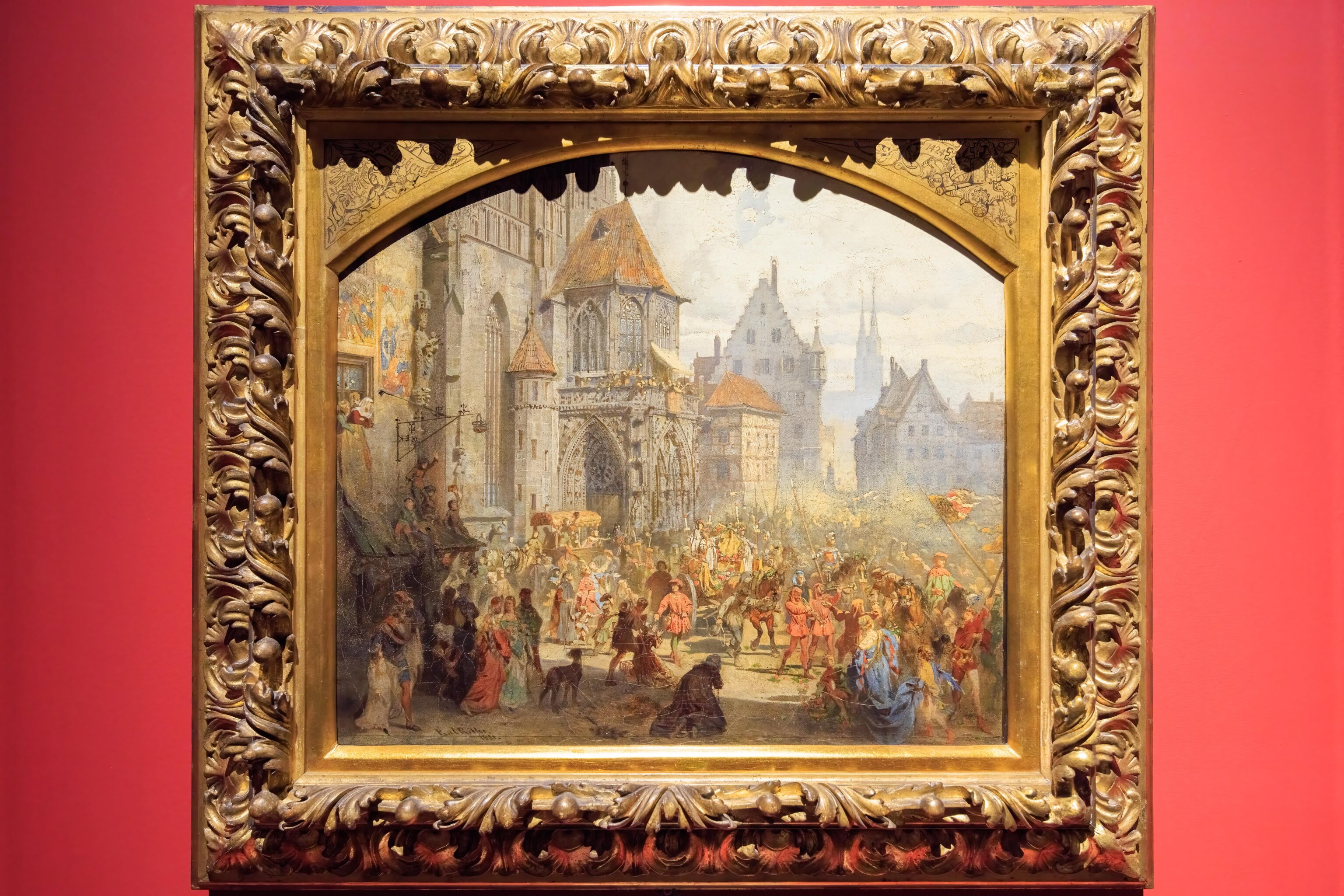
A sign on the wall for this painting reads, after translation to English via Google Translate:
The bringing in of the imperial jewels in Nuremberg in 1424

Draft by Paul Ritter the Younger  Ä.  (1829-1907), Nuremberg 1881, oil/cardboard Bavarian Palace Administration, Zug.  No. 2876

The privilege granted in 1423 to preserve the imperial jewels was of the utmost importance for the imperial city of Nuremberg.  Even after the incorporation into the Kingdom of Bavaria in 1806, after the insignia had lost its function as a sign of power, it remained a symbol of Nuremberg's former greatness.  The architecture and history painter Paul Ritter interpreted the bringing in of the imperial treasury in 1881, like the former imperial entry, as a happy event for all Nuremberg citizens.
Soon, we finished the tour route and ended up outside once again. There were two places that we had to visit – a tower and a well. The well could only be visited by tour, held every 30 minutes. We did the tour next as it was almost time for the next one to start. The castle’s website has a great description of the well:
In the middle of the bailey is one of the most important buildings in the castle complex, the well house with the Deep Well. The two-storey building dates according to the inscription from 1563, and the half-timbered storey was completely renewed in 1951.

Although the first documented mention of the "Deep Well" dates from the 14th century, it is undoubtedly older. It was probably created at the same time as the first buildings of the Imperial Castle, since a castle without its own, protected water supply – especially in the case of a siege – is unthinkable. The well never fails to impress: from the top of the 16th-century parapet built of sandstone ashlars, the shaft has been driven down over 50 metres into the rock. A depth which is convincingly demonstrated during every tour of the castle.
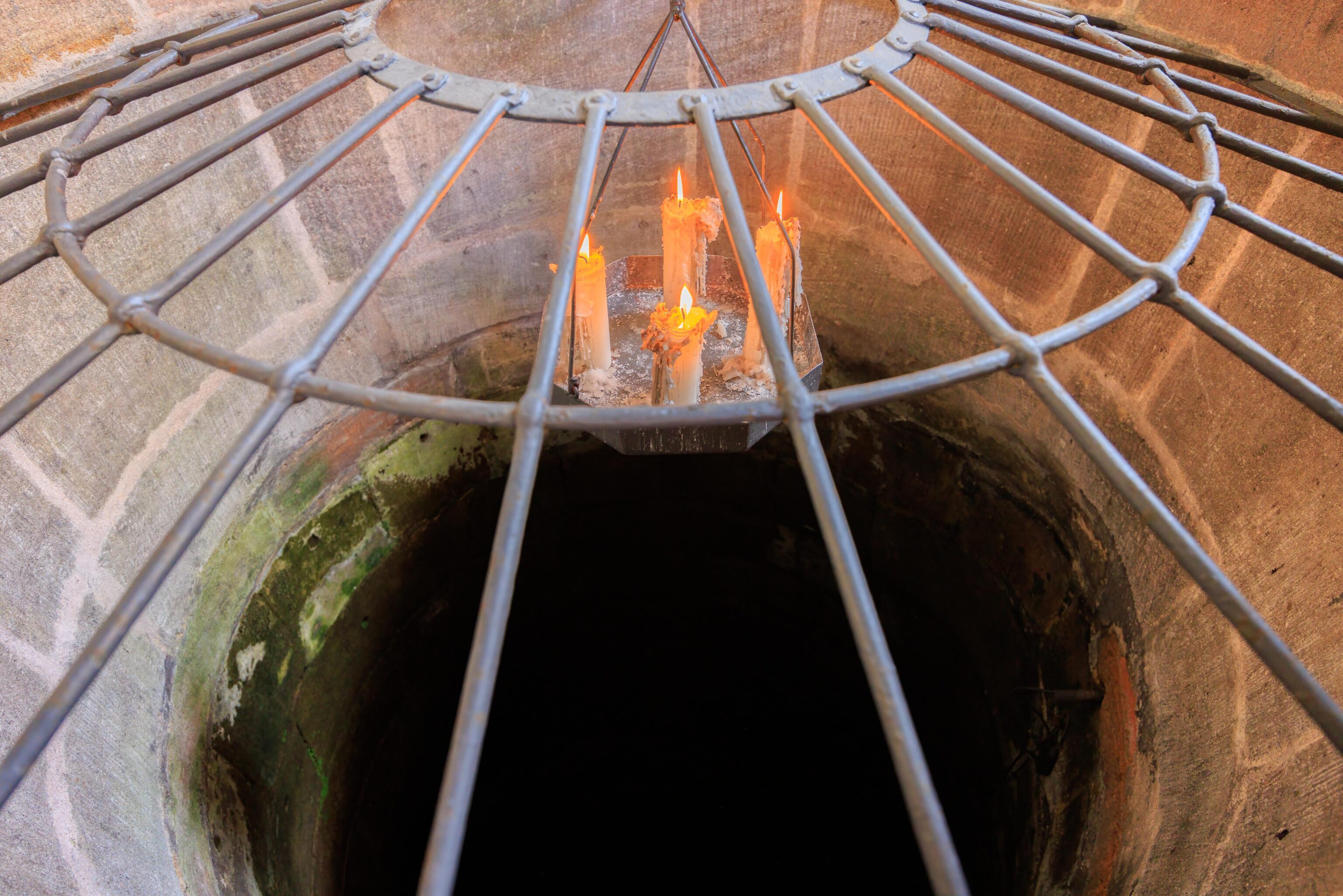
The well tour is really just a single room. Most of the guests were English speaking like us. The guide explained in both English and German. The well was placed inside of a building to hide its location as it would be the only source of fresh water for the castle in a siege. The well was very deep. The guide demonstrated by pouring water down into the well. You can tell its depth by timing how long it takes the water to splash down.
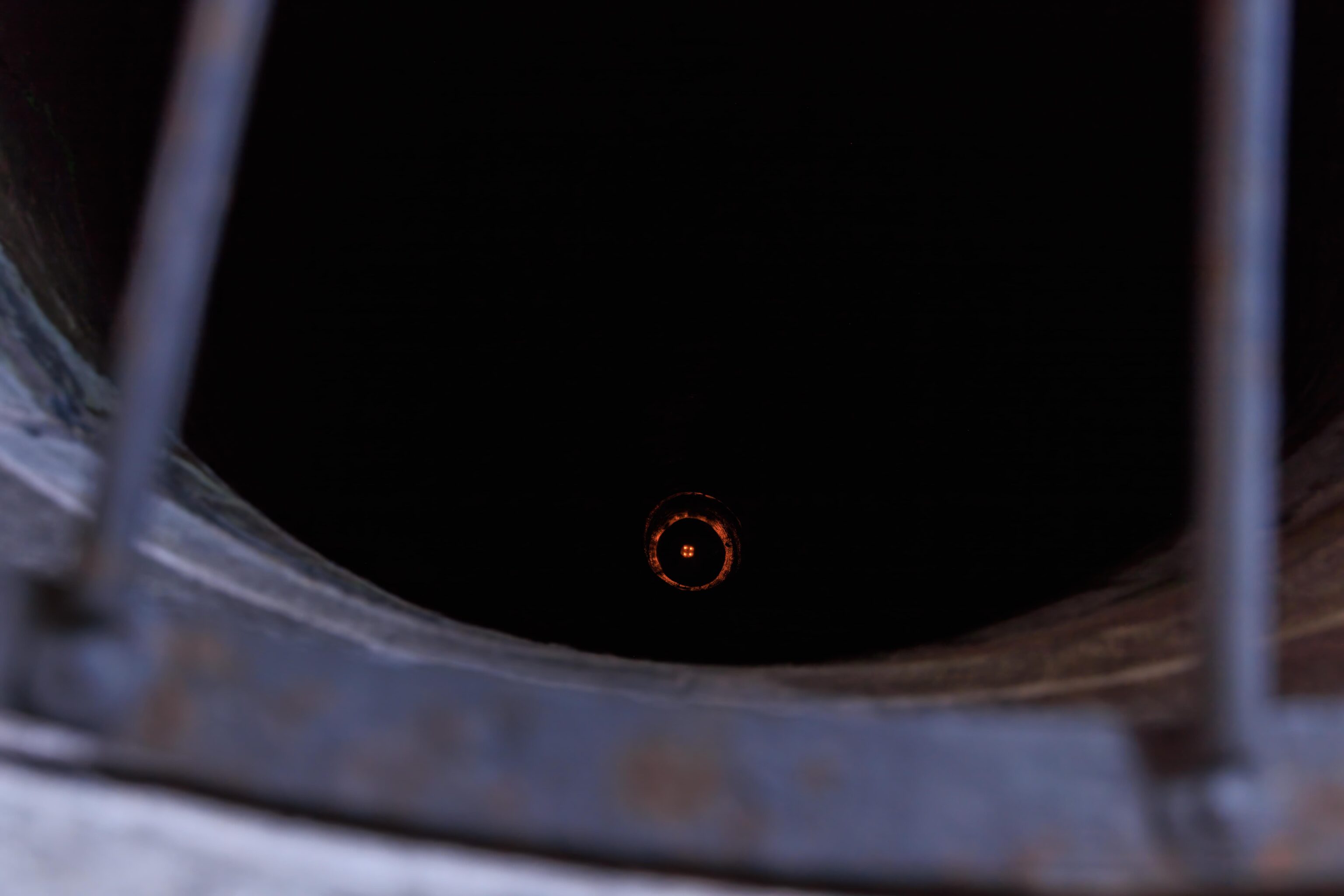
The guide then lowered the candles down. The setup allows the candles to go just above the water’s surface. It is pretty far down!
The water in the well is currently not safe to drink. The water needs to be constantly used. If not, the water in the well becomes stagnant as it is no longer replaced by fresh water.
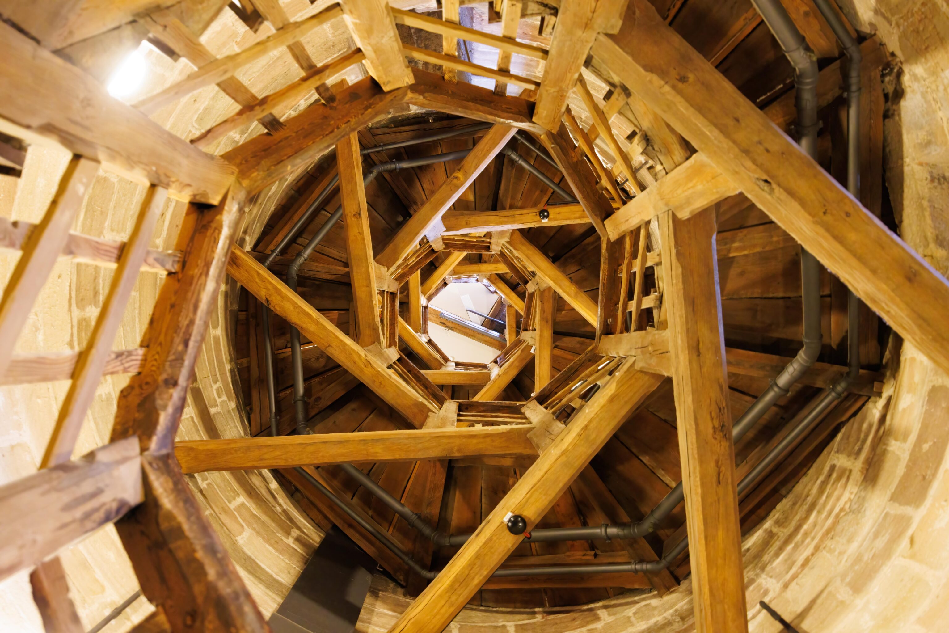
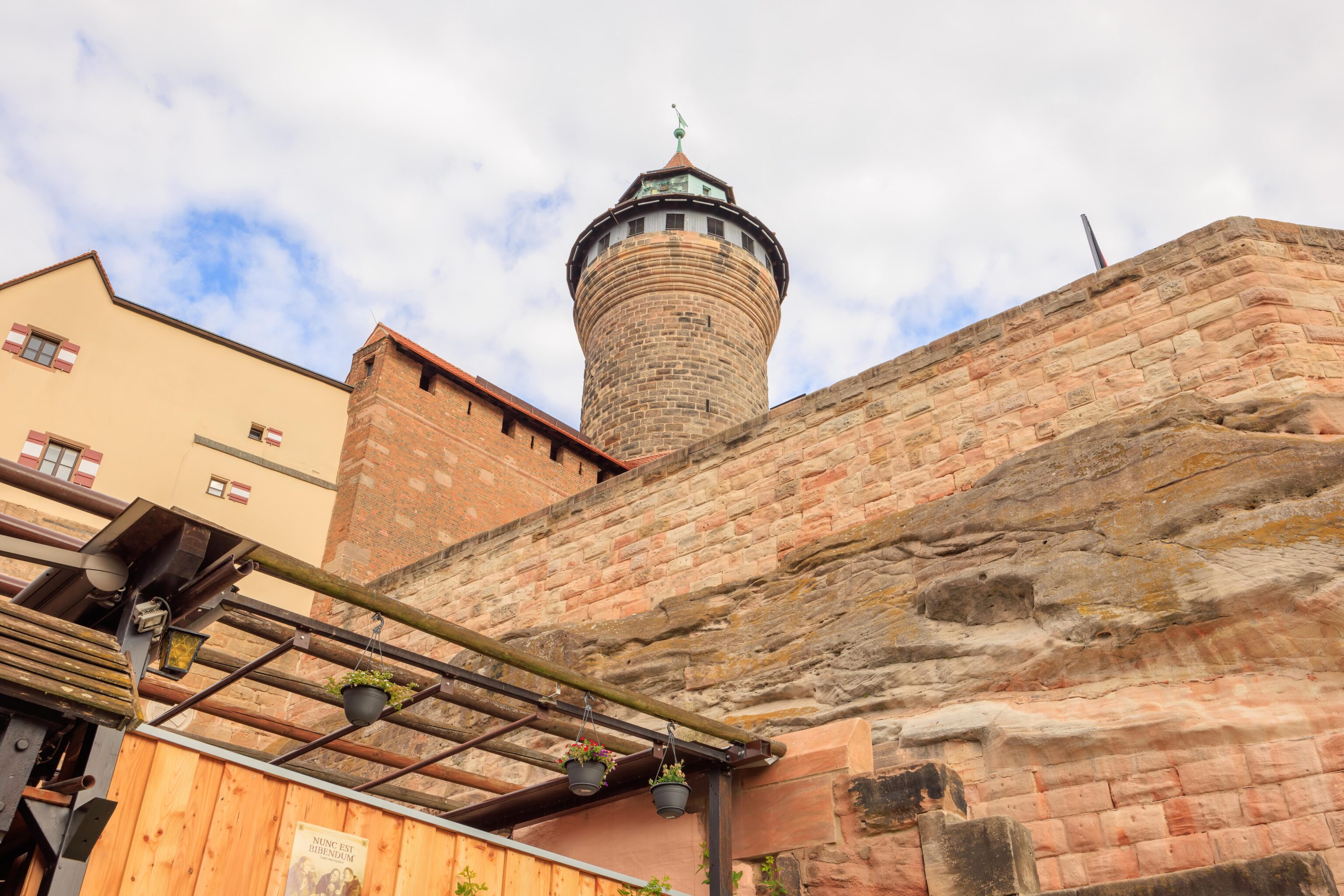
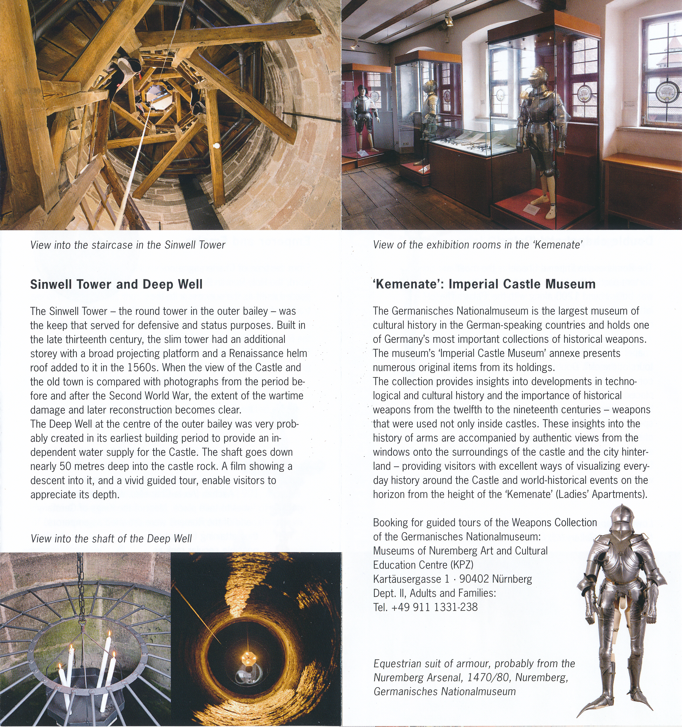
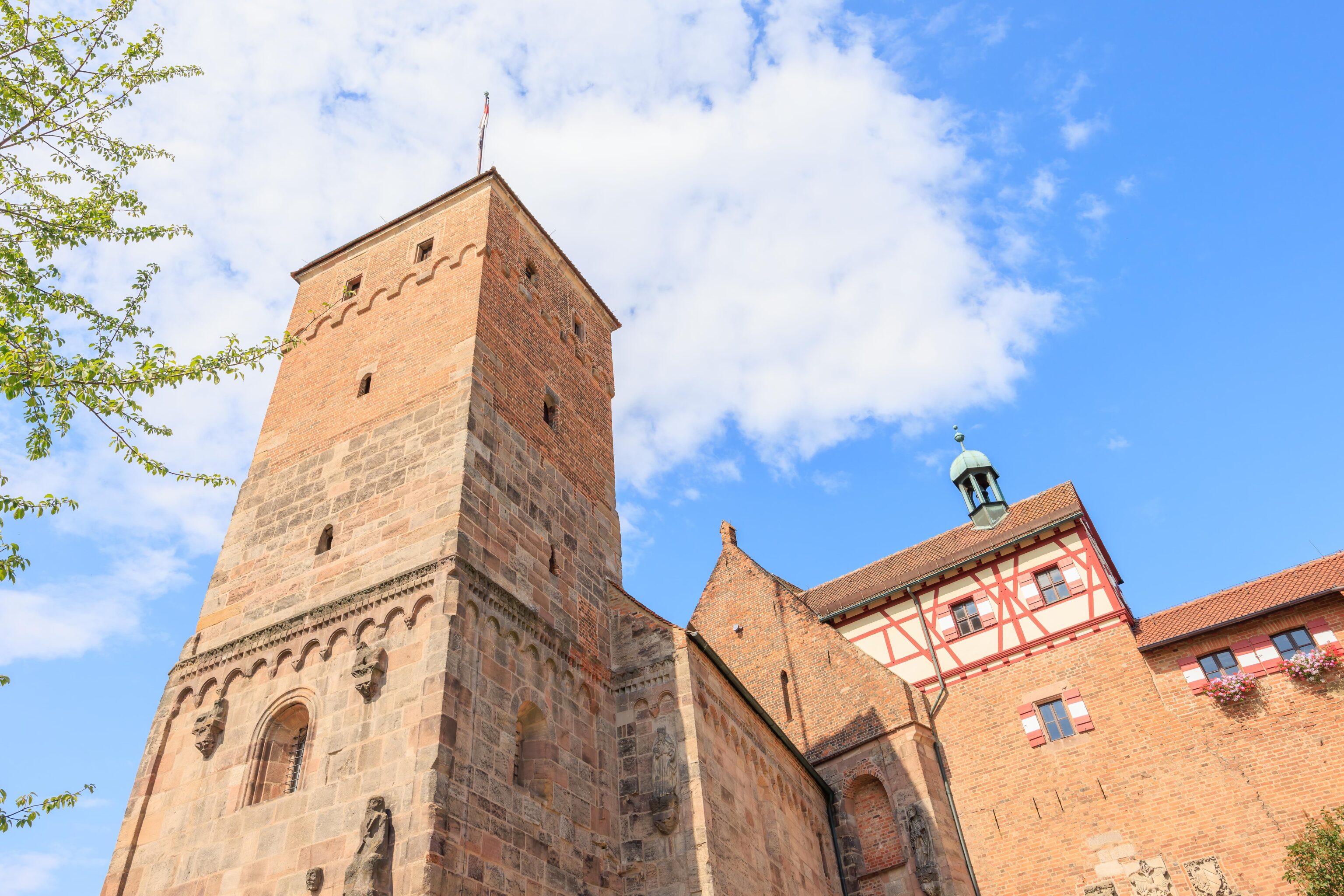
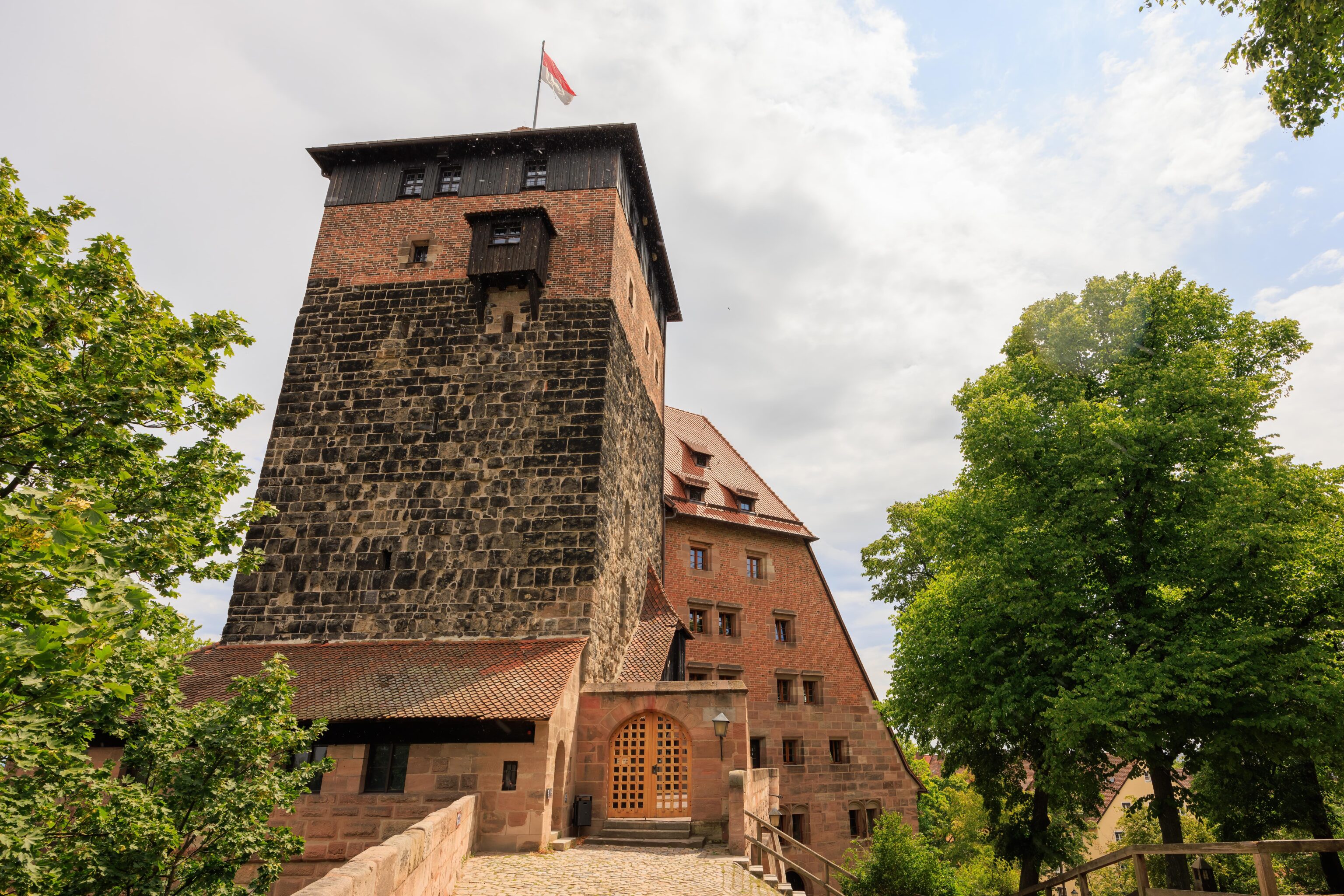
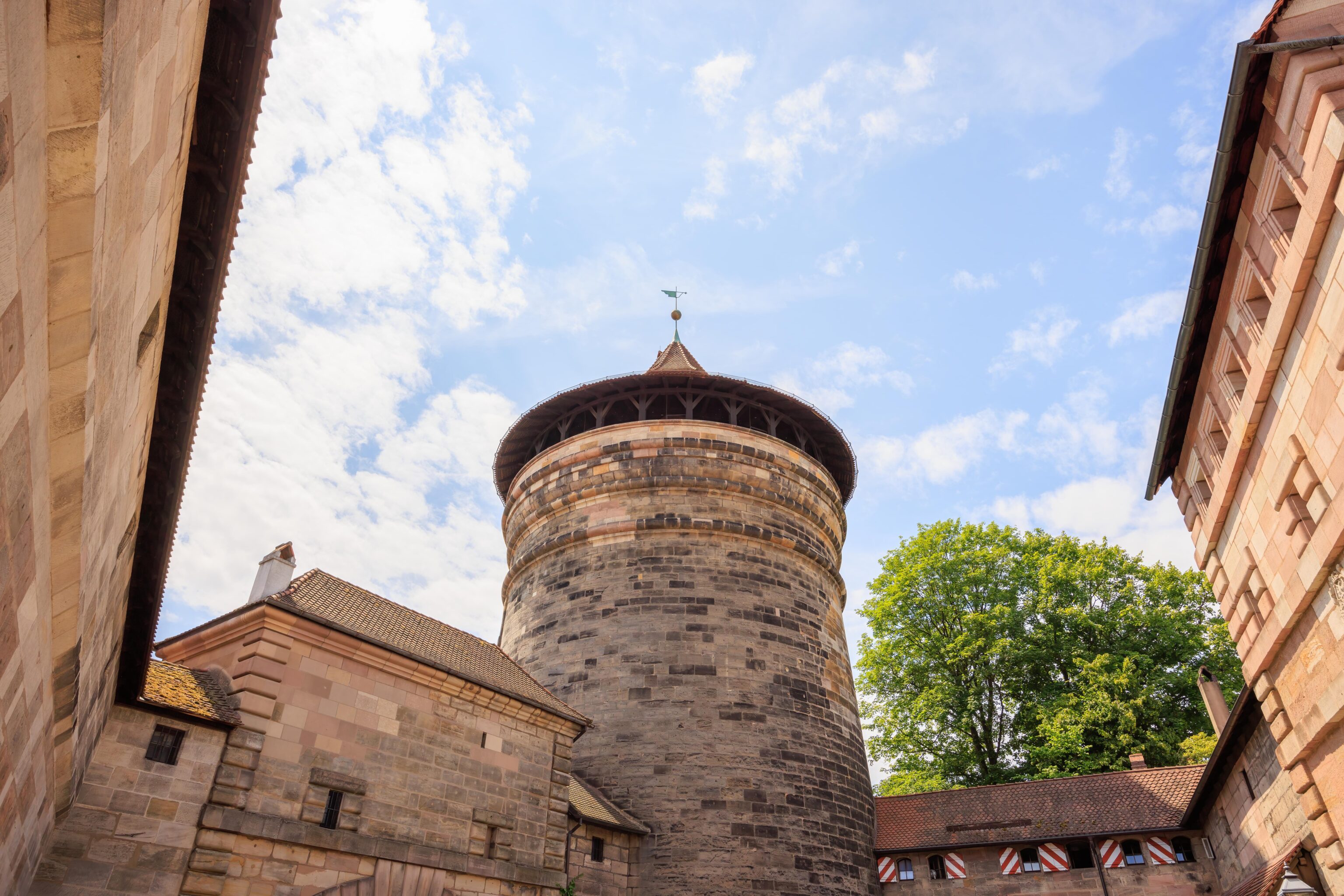
Next, we headed over to the only tower that is open to visitors, the Sinwellturm (Sinwell Tower). The castle’s webpage describes the tower:
At the east end of the bailey, on a particularly high point of the rocky spur is the so-called Sinwell Tower (2nd half of the 13th century). Visitors prepared to make the ascent are rewarded by a breathtaking view of the old centre of Nuremberg. The Sinwell Tower also has an exhibition of photos showing the castle and city after destruction in the Second World War.

The tower was named after its cylindrical form: “sinwell” in Middle High German means approximately “extremely round”. The slender tower made of neatly constructed rectangular rusticated ashlars, was raised in the course of major alterations to the castle in the 1560s by a further floor with a pavilion roof surmounted by a pointed helm. The new helm with a complex wooden support construction inside replaced the original which had four oriels like that of the "Luginsland" put up by the city in 1377.

The Sinwell Tower served as a "keep", in other words it was primarily built for status and defence purposes, and probably functioned mainly as an optical deterrent. Because of its considerable height, attackers could be detected quickly.

With its massive construction and an entrance which was originally half-way up the tower, it was predestined for use as a repository, as a treasury or a prison. In spite of its exposed position, the round tower with its wooden roof construction was one of the few castle buildings to survive the bombing of Nuremberg. The present entrance is through an extension on the north side; the wooden staircase inside which leads to the platform probably dates from the 18th or 19th century.
There are circular stairs leading to the top.
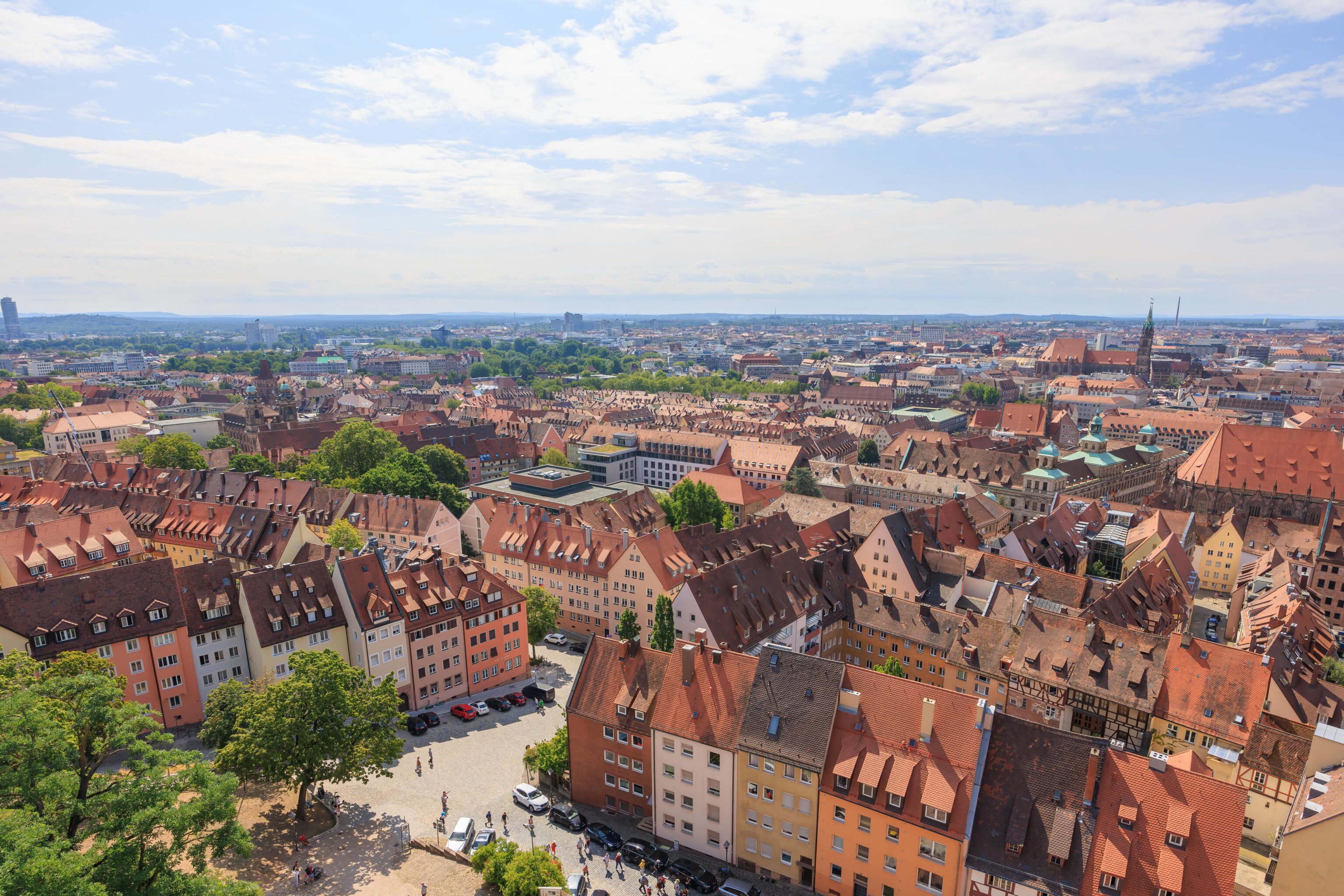
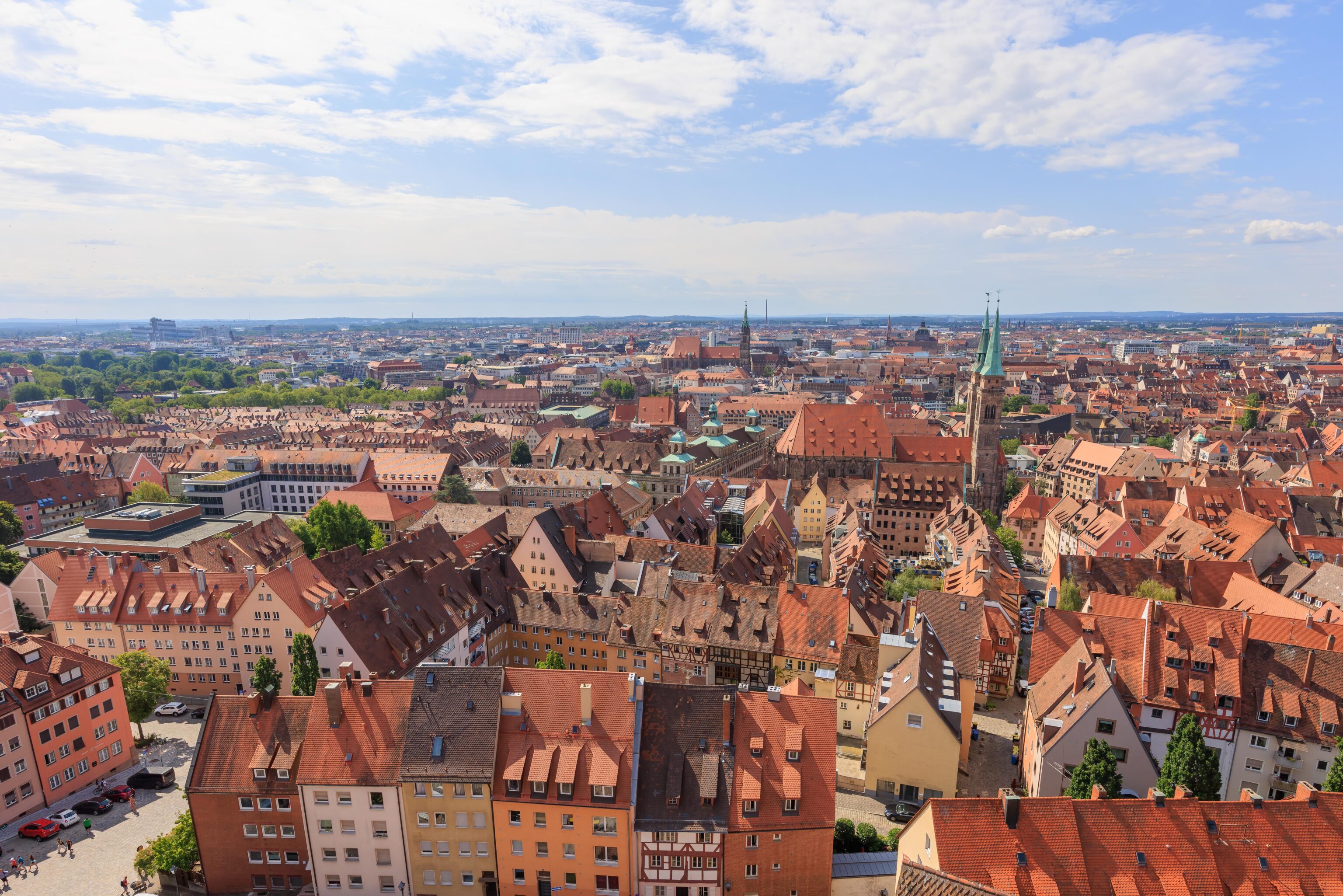
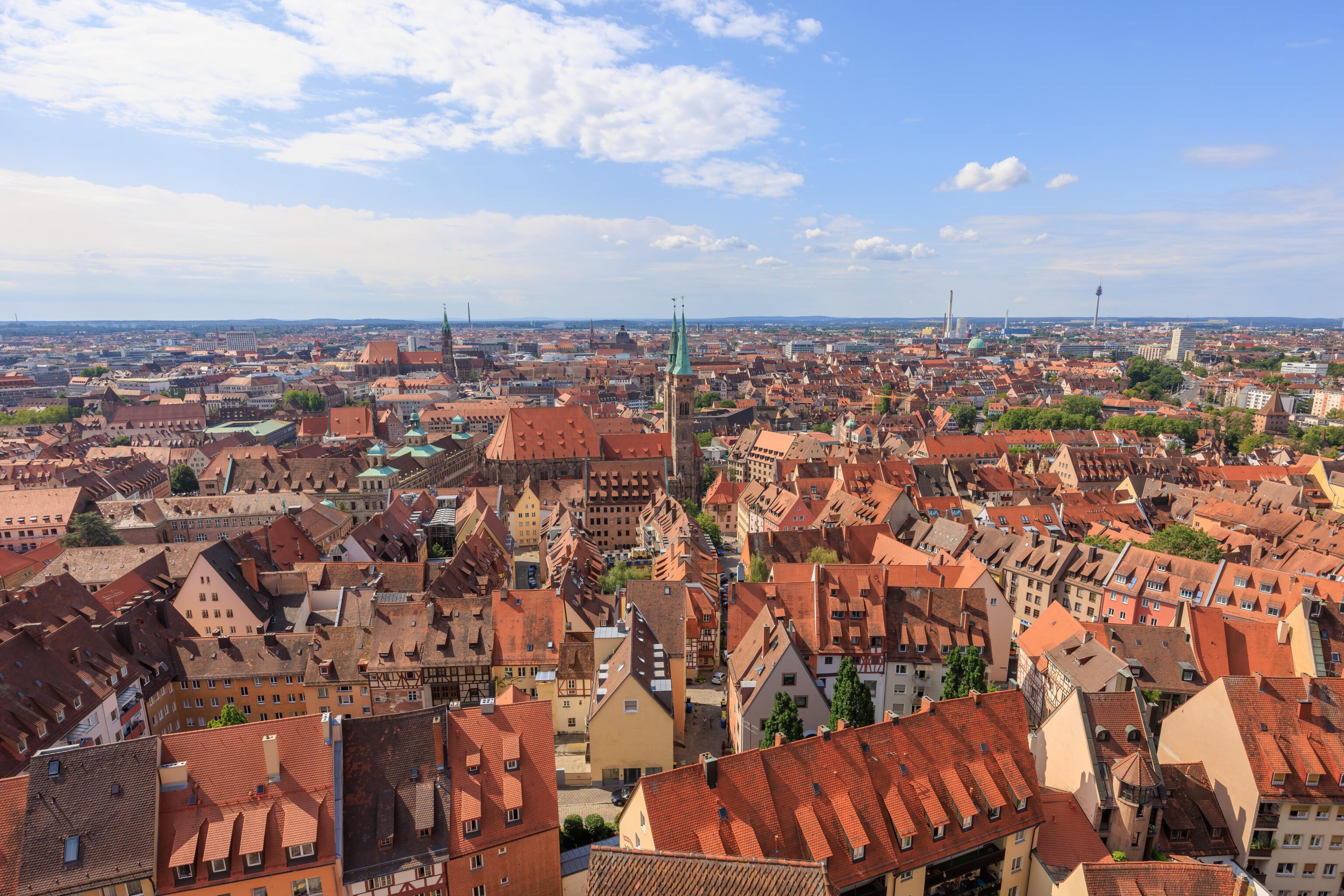
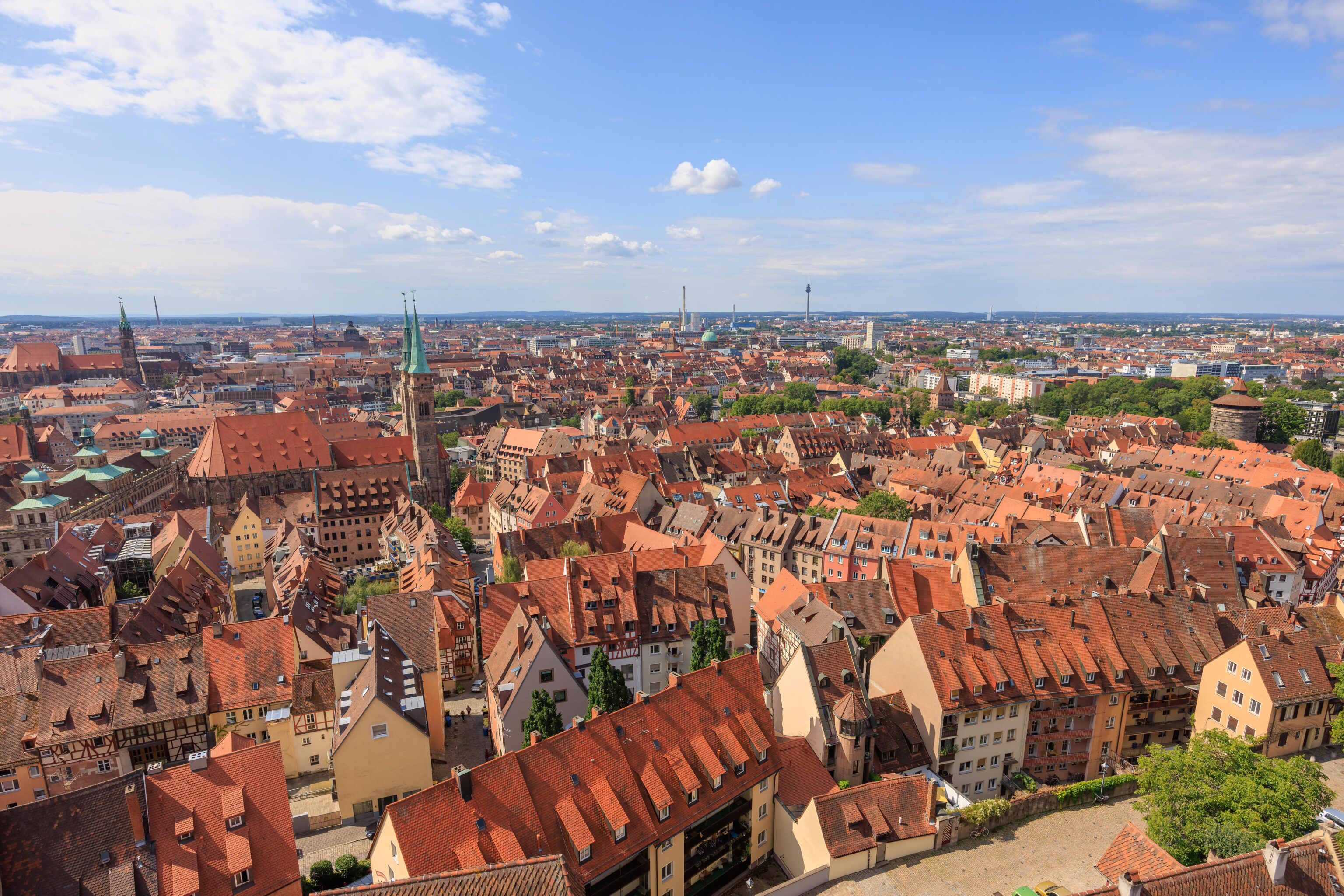
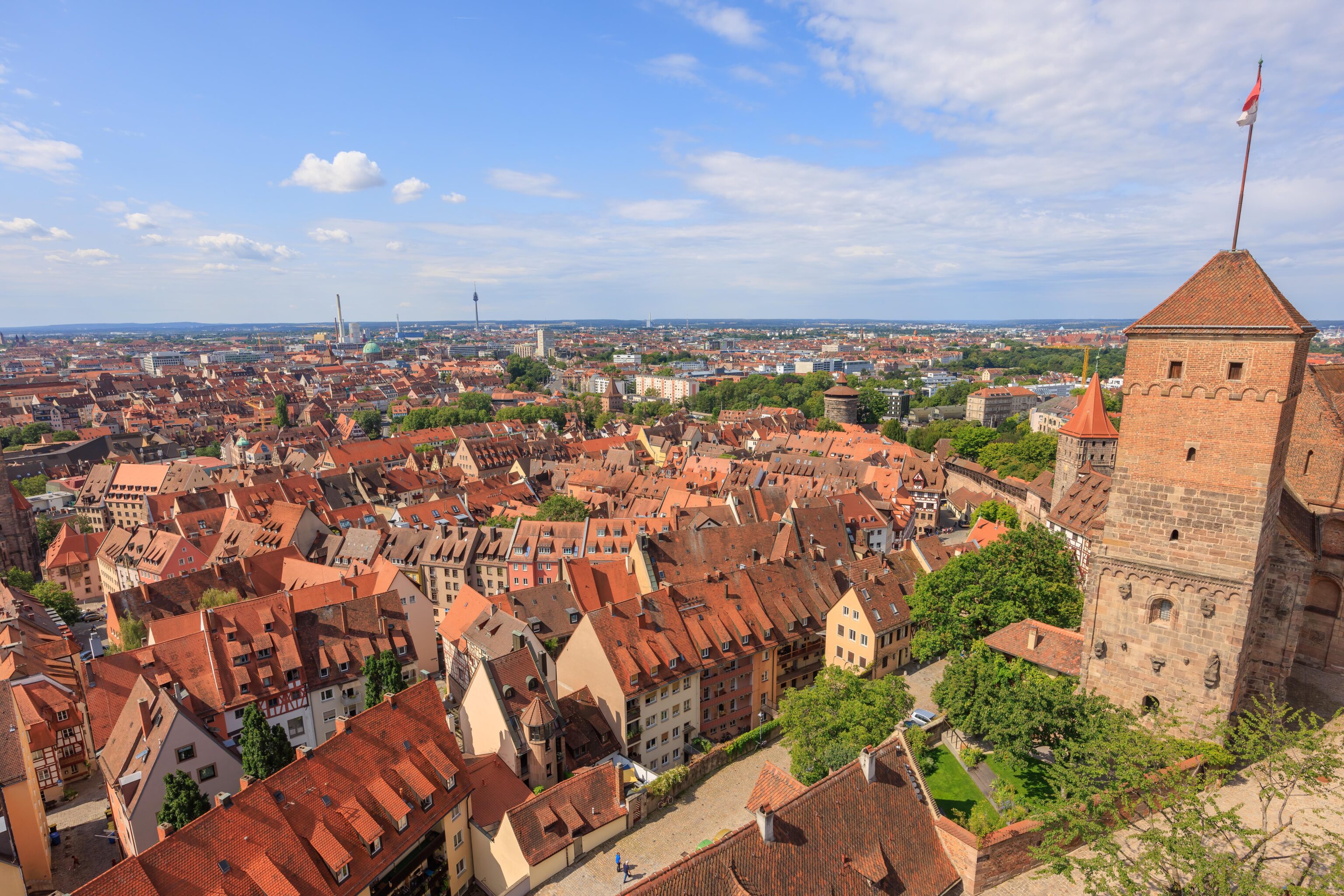
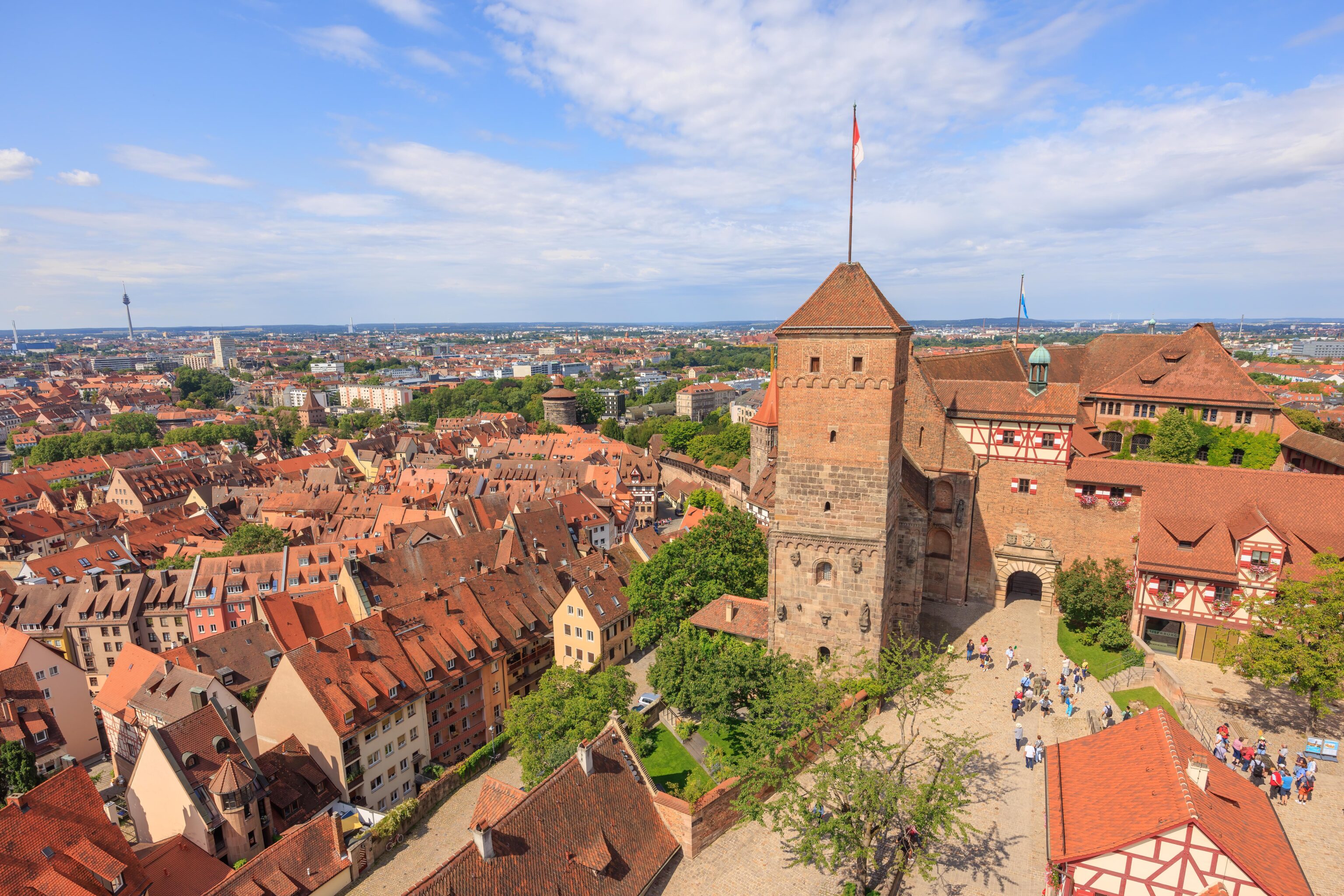

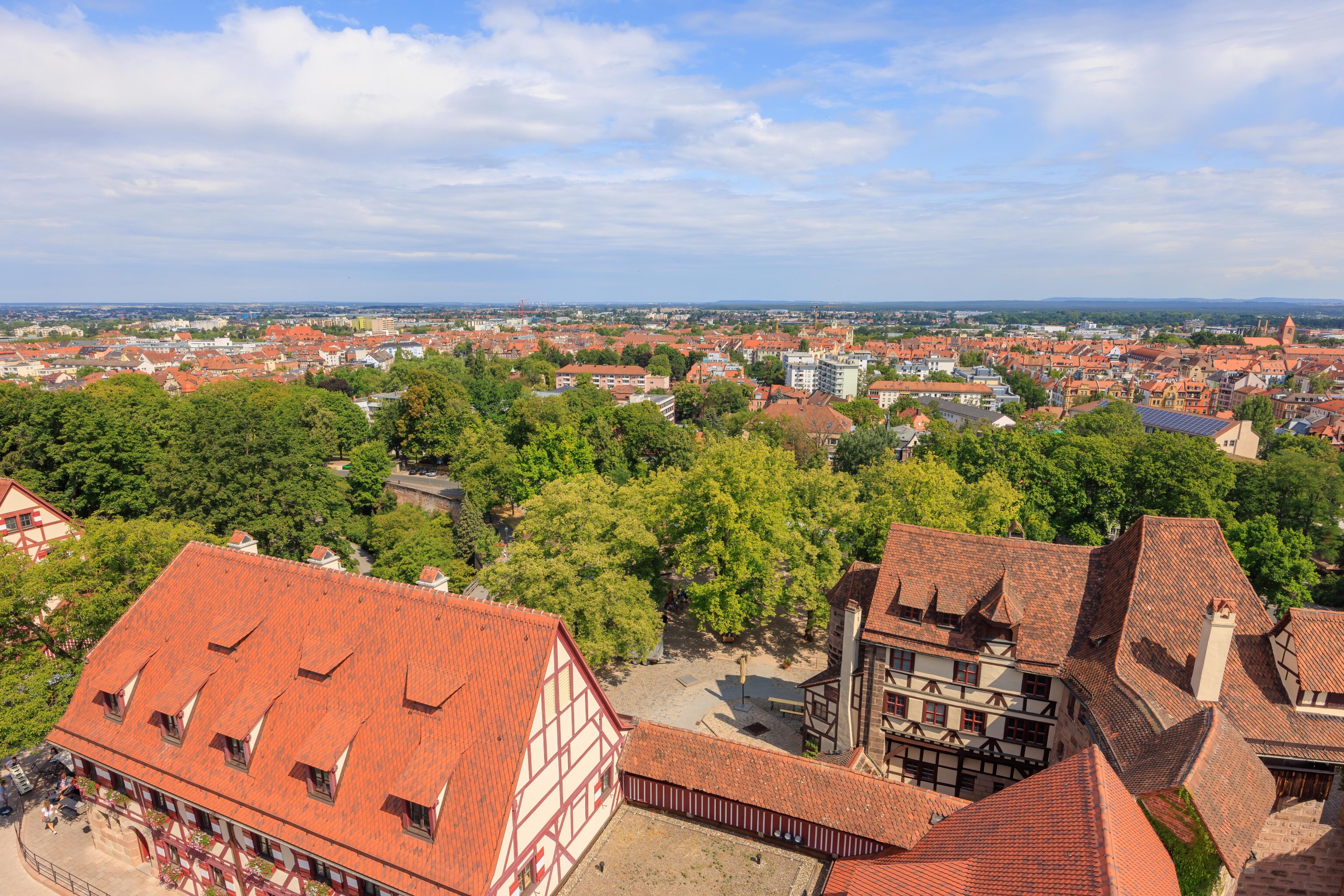
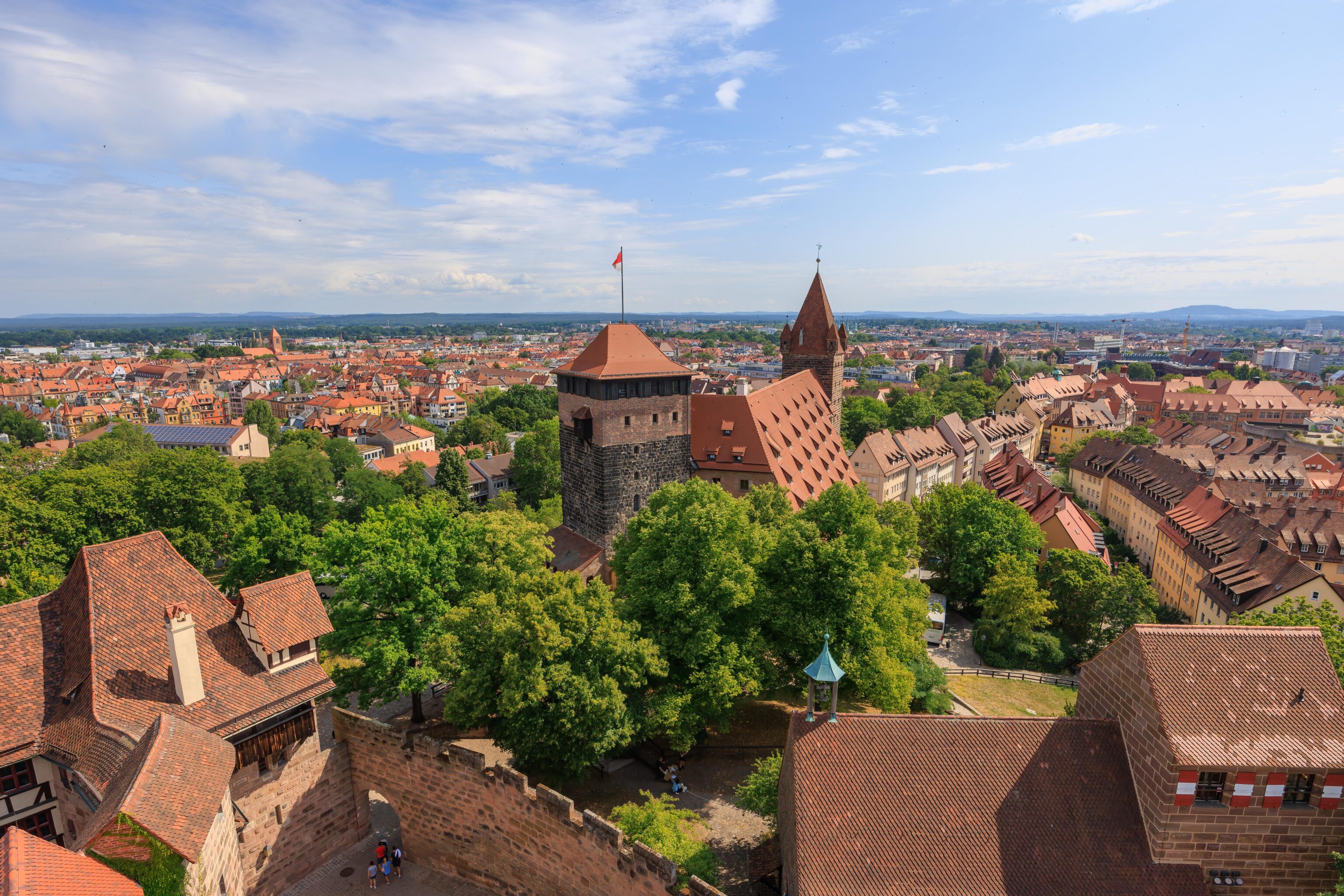
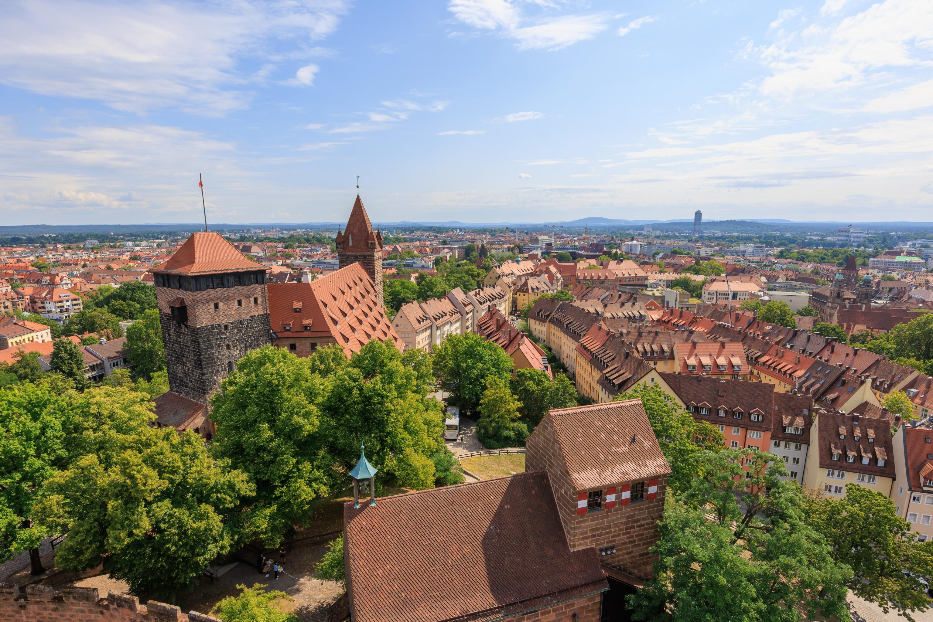
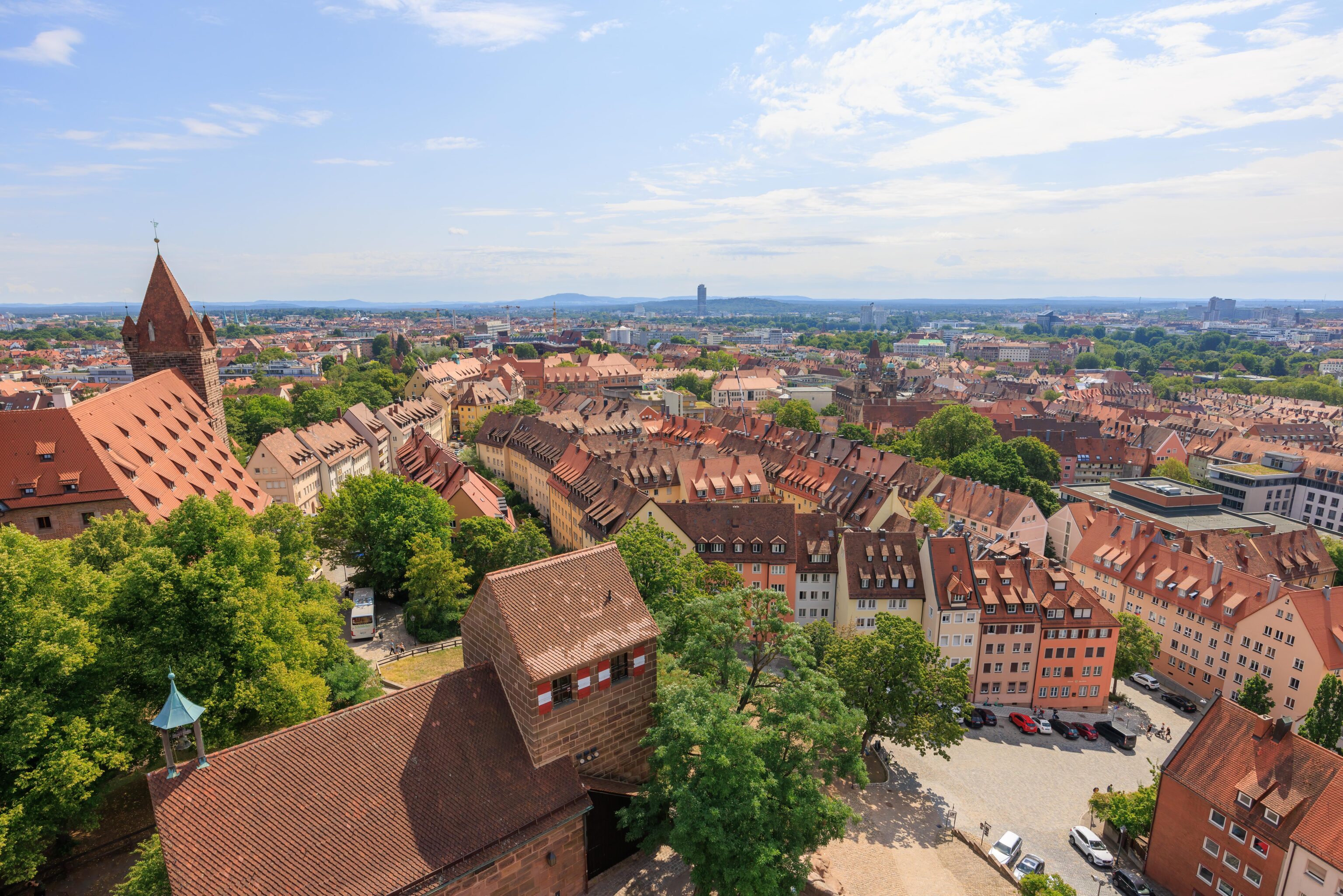
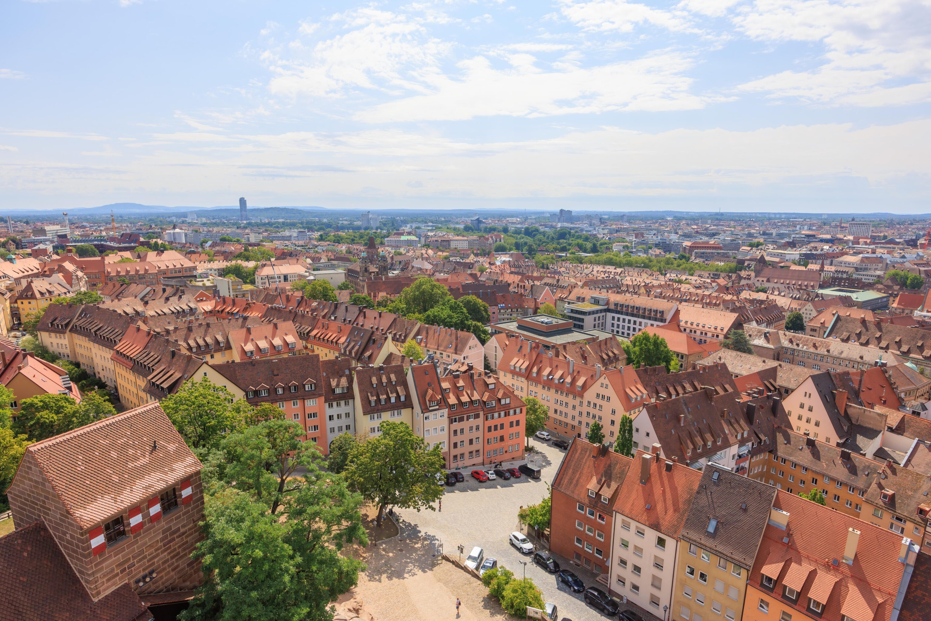
There is a circular room at the top of the tower with glassless windows. We photographed the view from each window, going left to right. While the windows are evenly spaced, there are some places where there are no windows. It is quite a view though, towering over nearly everything else in the city.
Back down the same circular stairs…
The tower from outside. The windows we photographed through are visible in the circular section near the top. There are actually horizontal bars on the windows but the gap was big enough to take wide angle photos through.
It was close to lunch time so we decided we wanted a snack. We visited Burg Café Beer, the castle’s cafe. It is right by the tower and well.
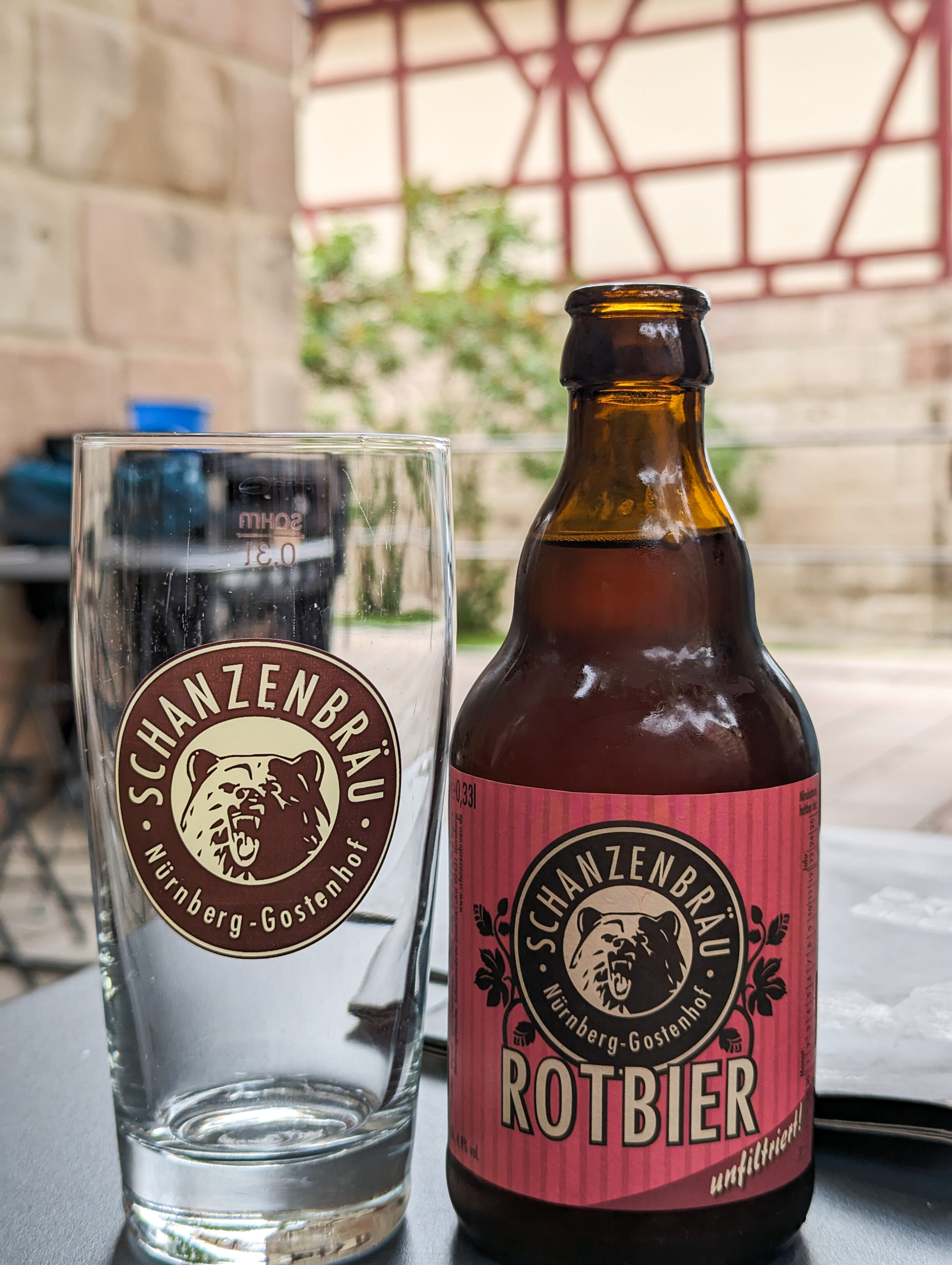
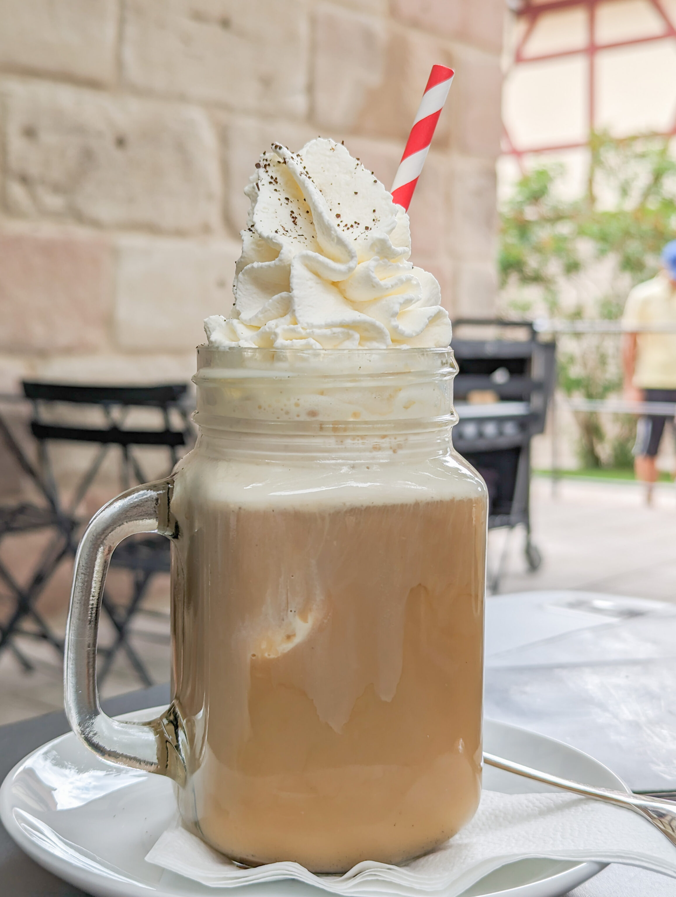
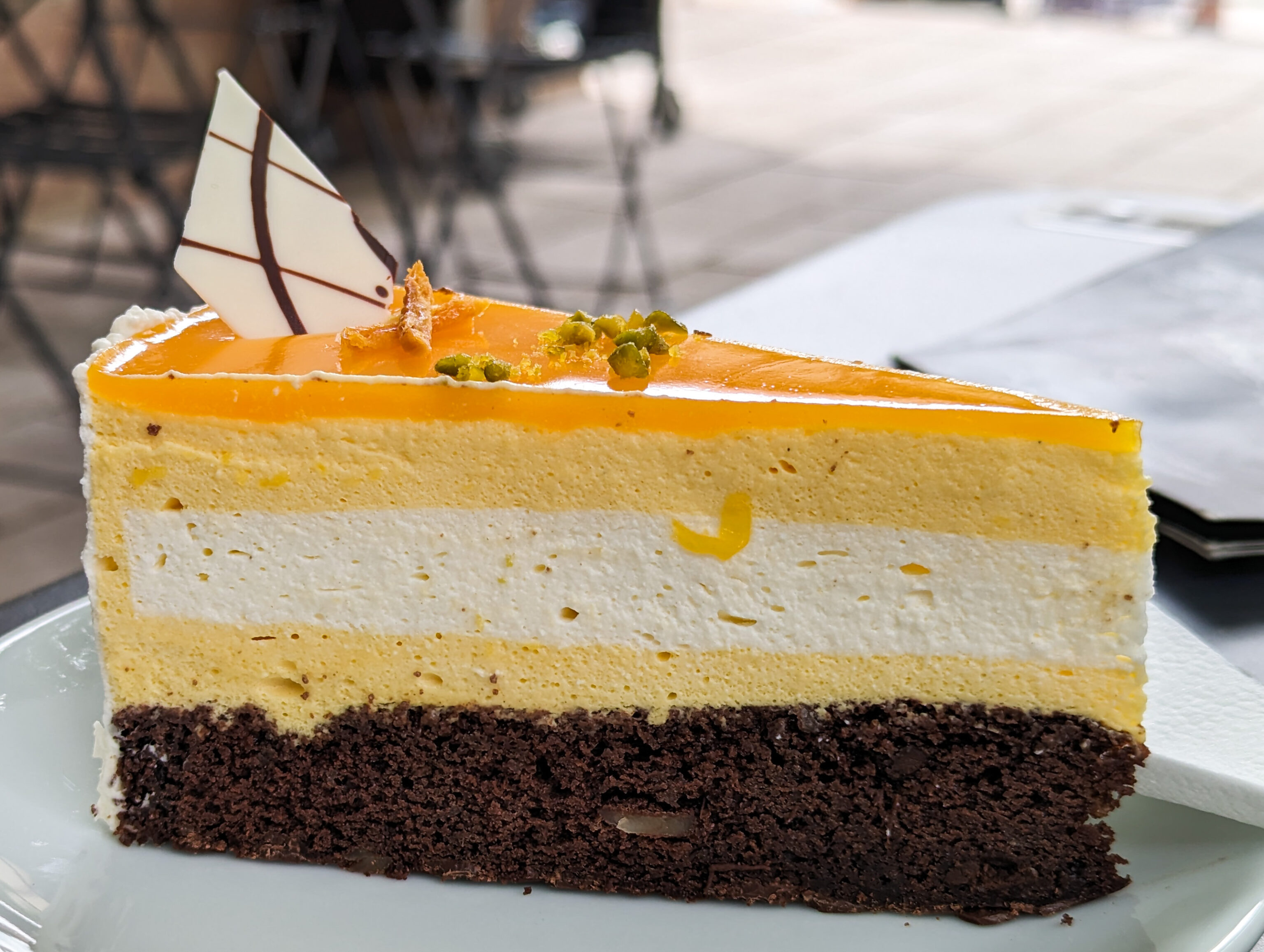
We had a local beer, eiskaffe, and what was probably considered a torte. The coffee and cake were pretty good. The local beer was, well, beer.
Afterwards, we went back to the ticket office to check out the small attached gift shop.
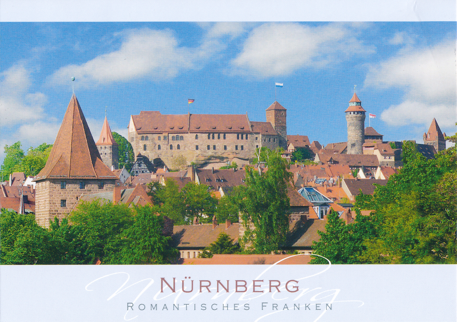
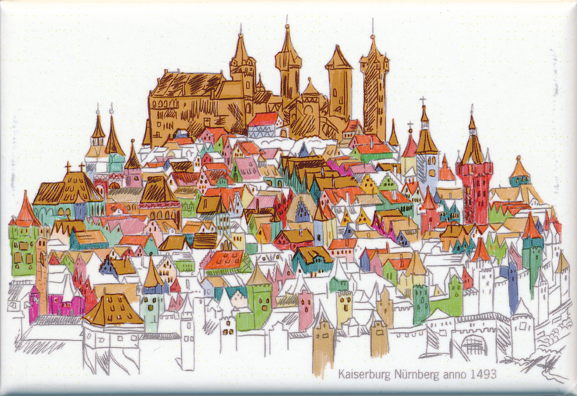
We never got a good photo of the castle from far away. However, the postcard and magnet that we bought gives a good idea of how it looks.
We exited the castle via a path on the north side. This building can be seen in some historical photos. It was mostly destroyed during the war and is currently a hostel.
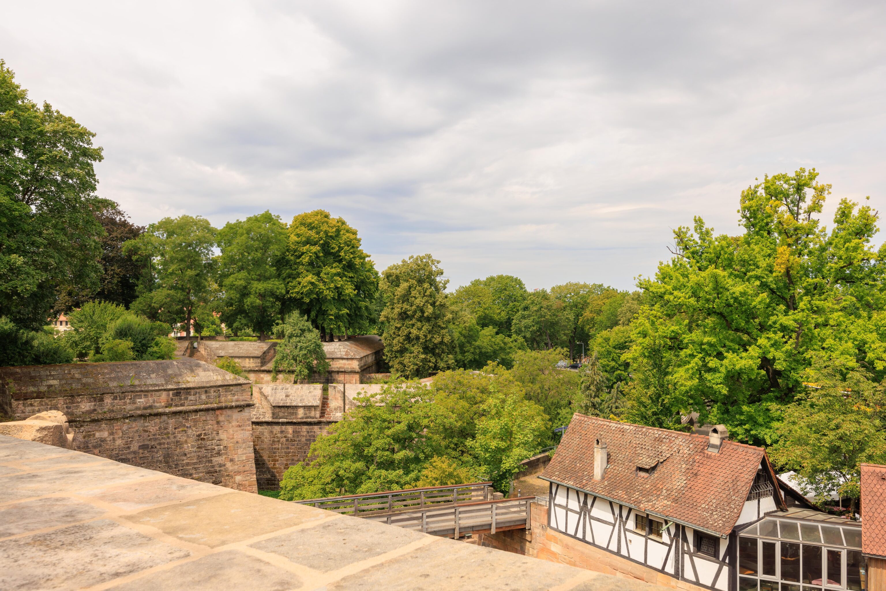
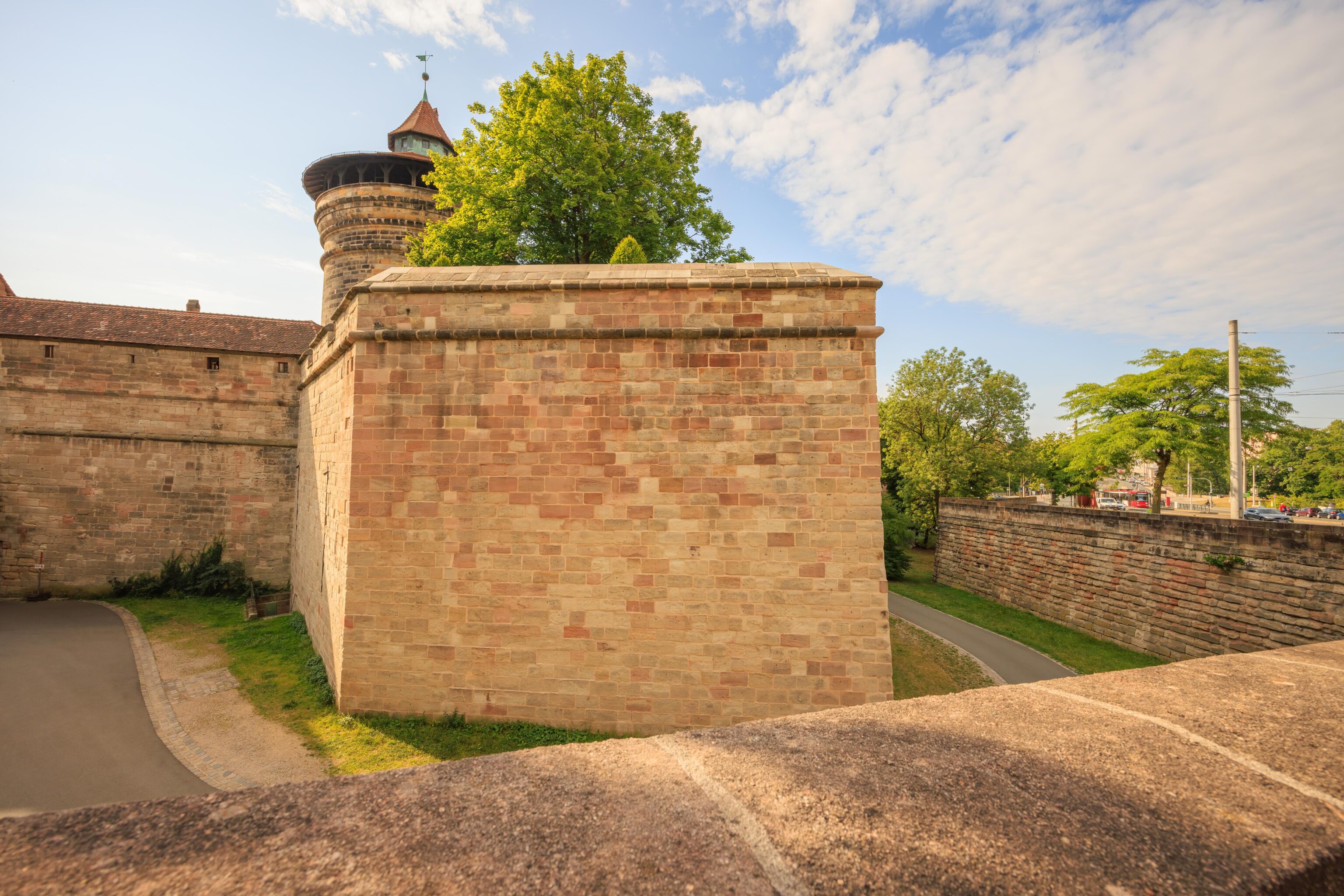
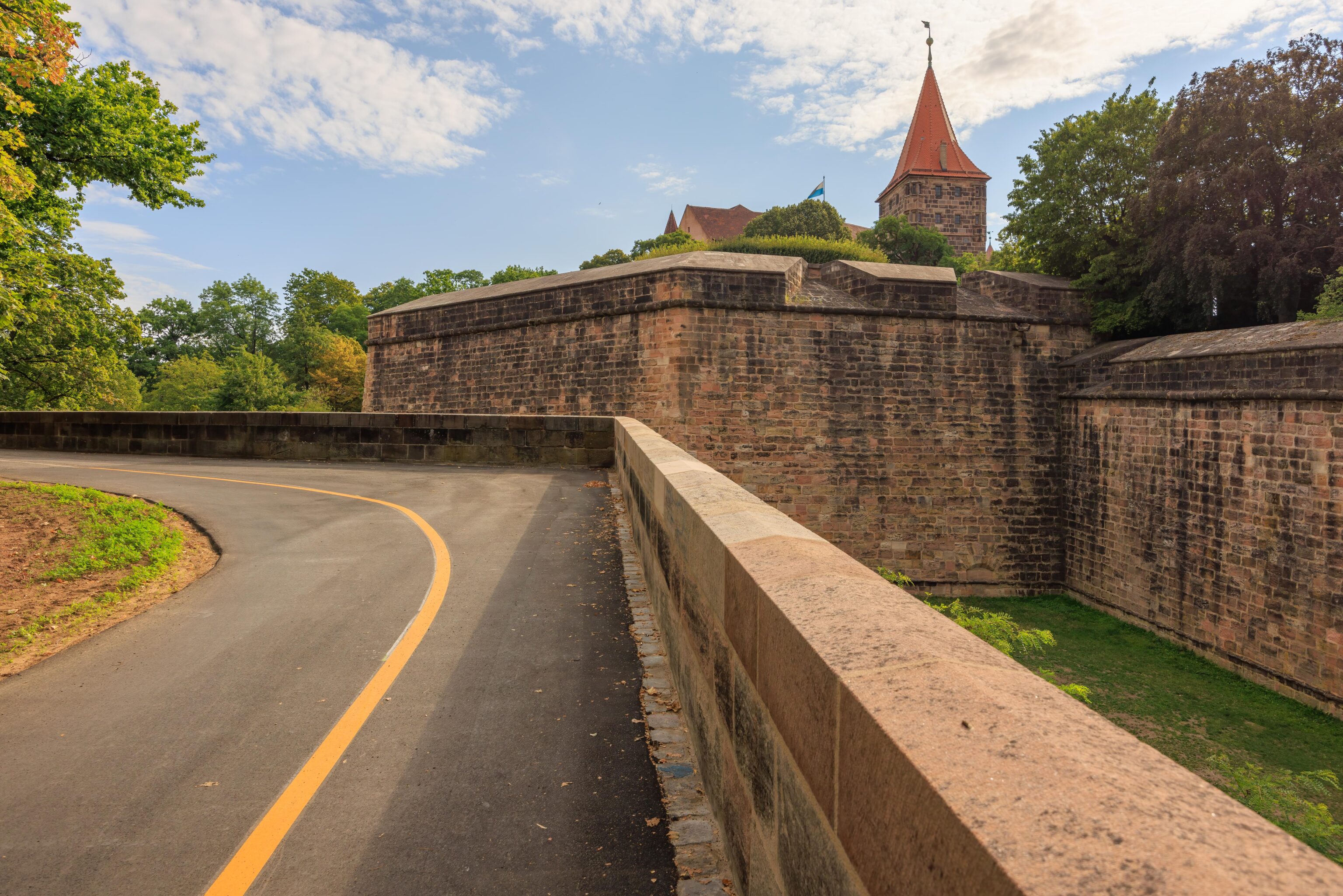
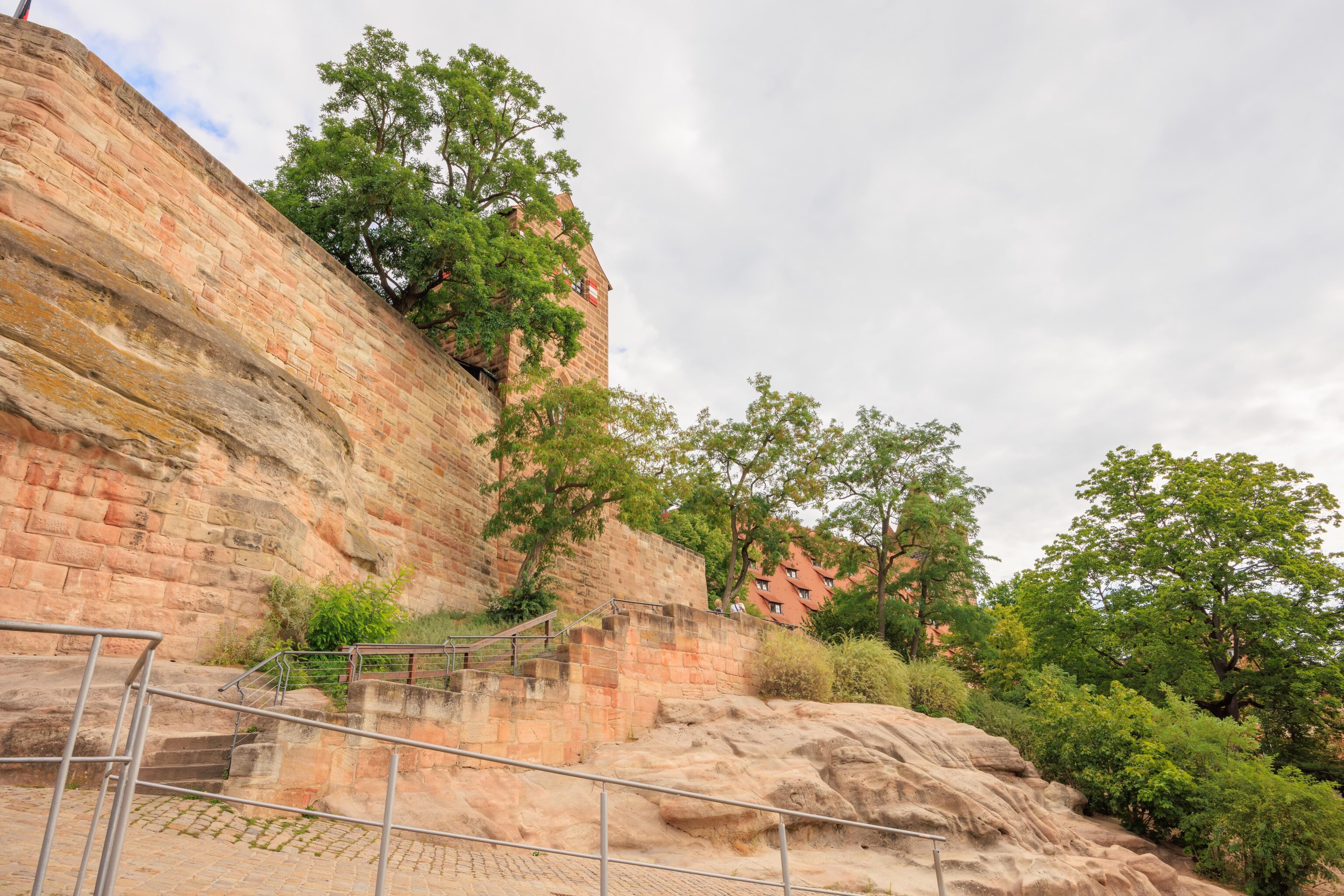
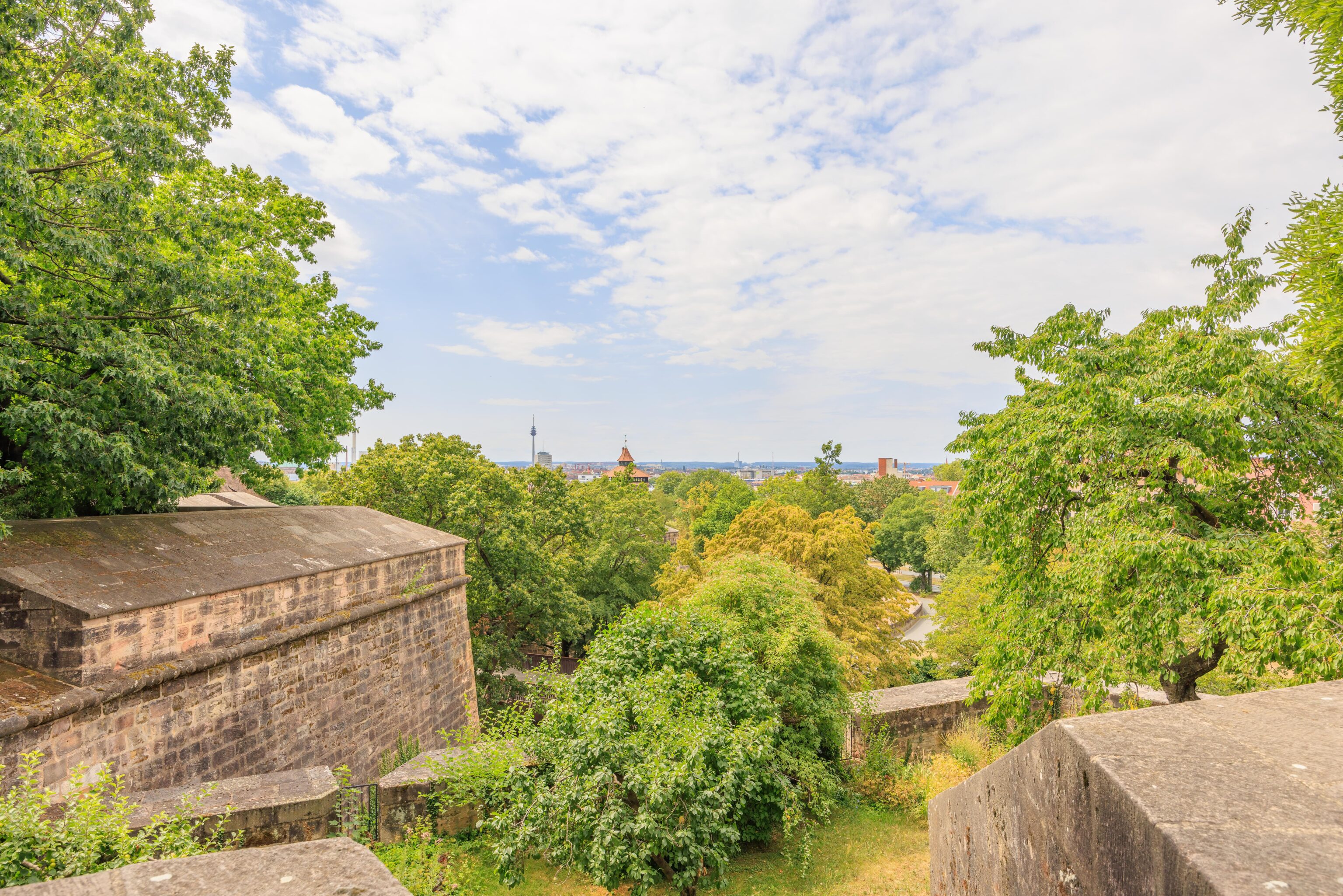
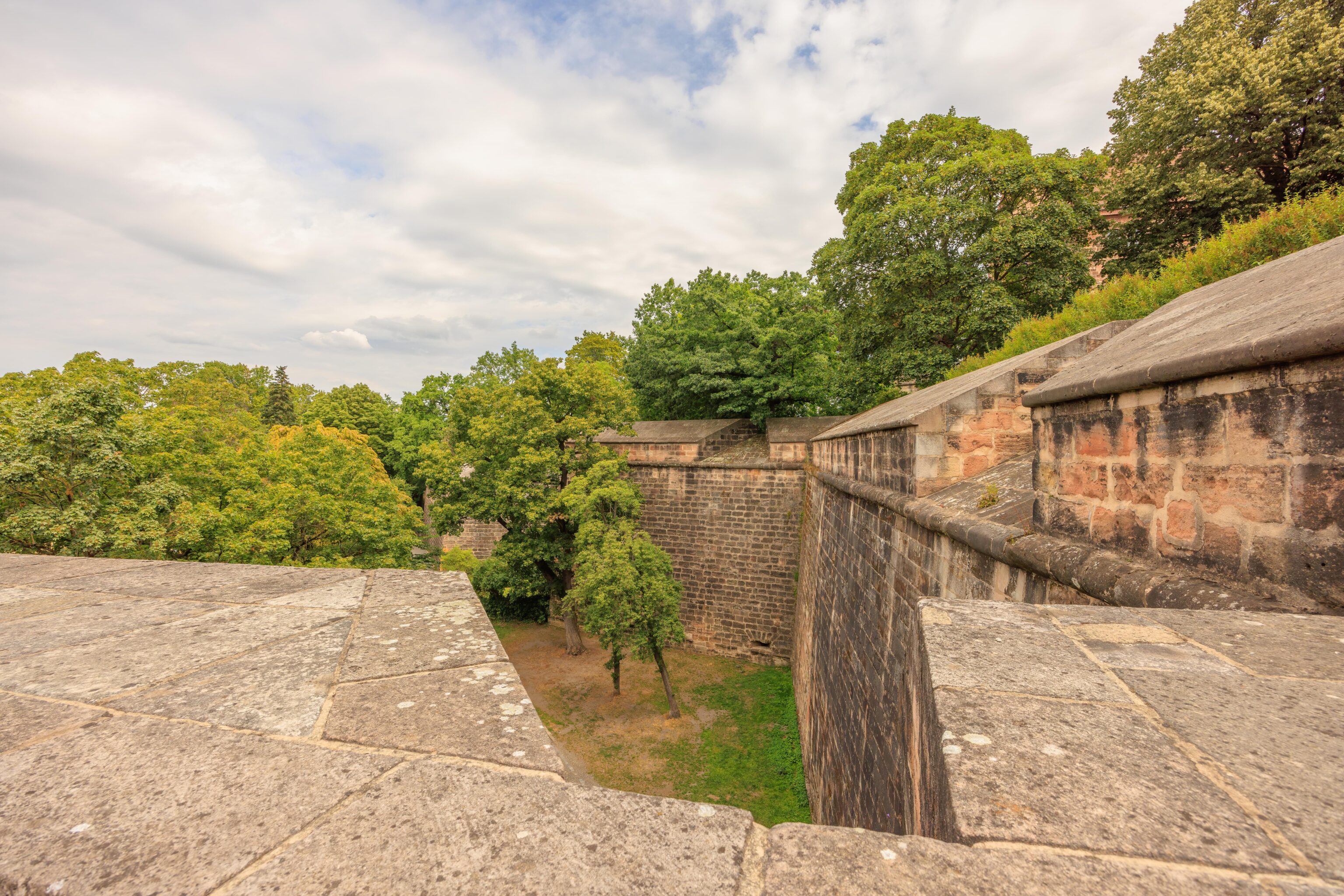
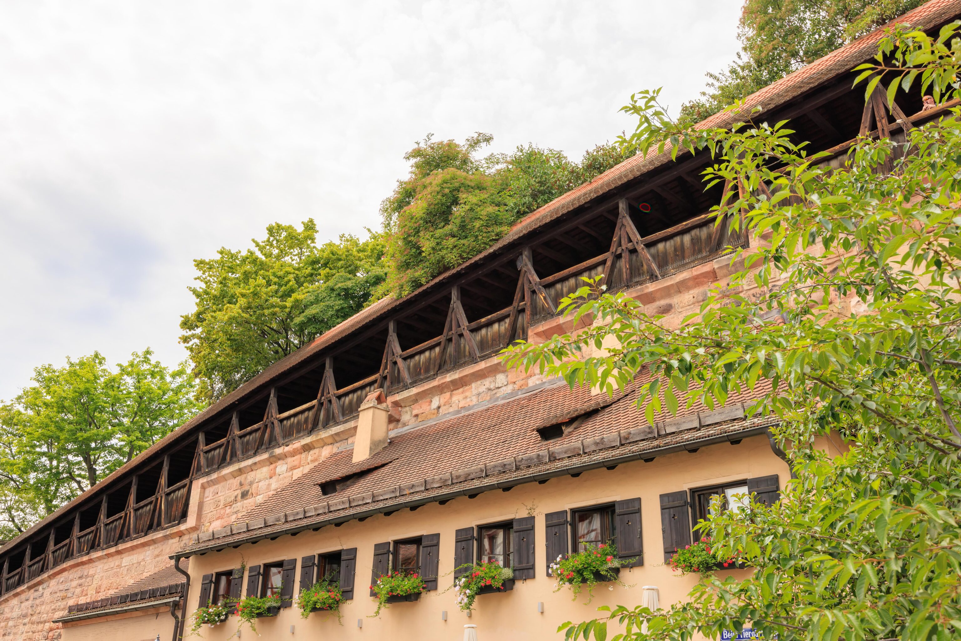
The northern section of the castle, atop the walls, is currently a park, the Berggarten (Castle Gardens). There are warning signs saying not to go out on the wall as it is a long way down.
We were just somewhere up there…
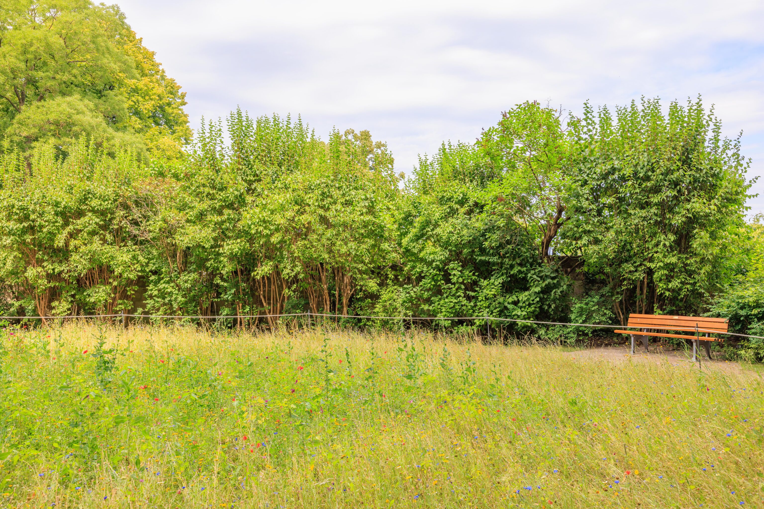
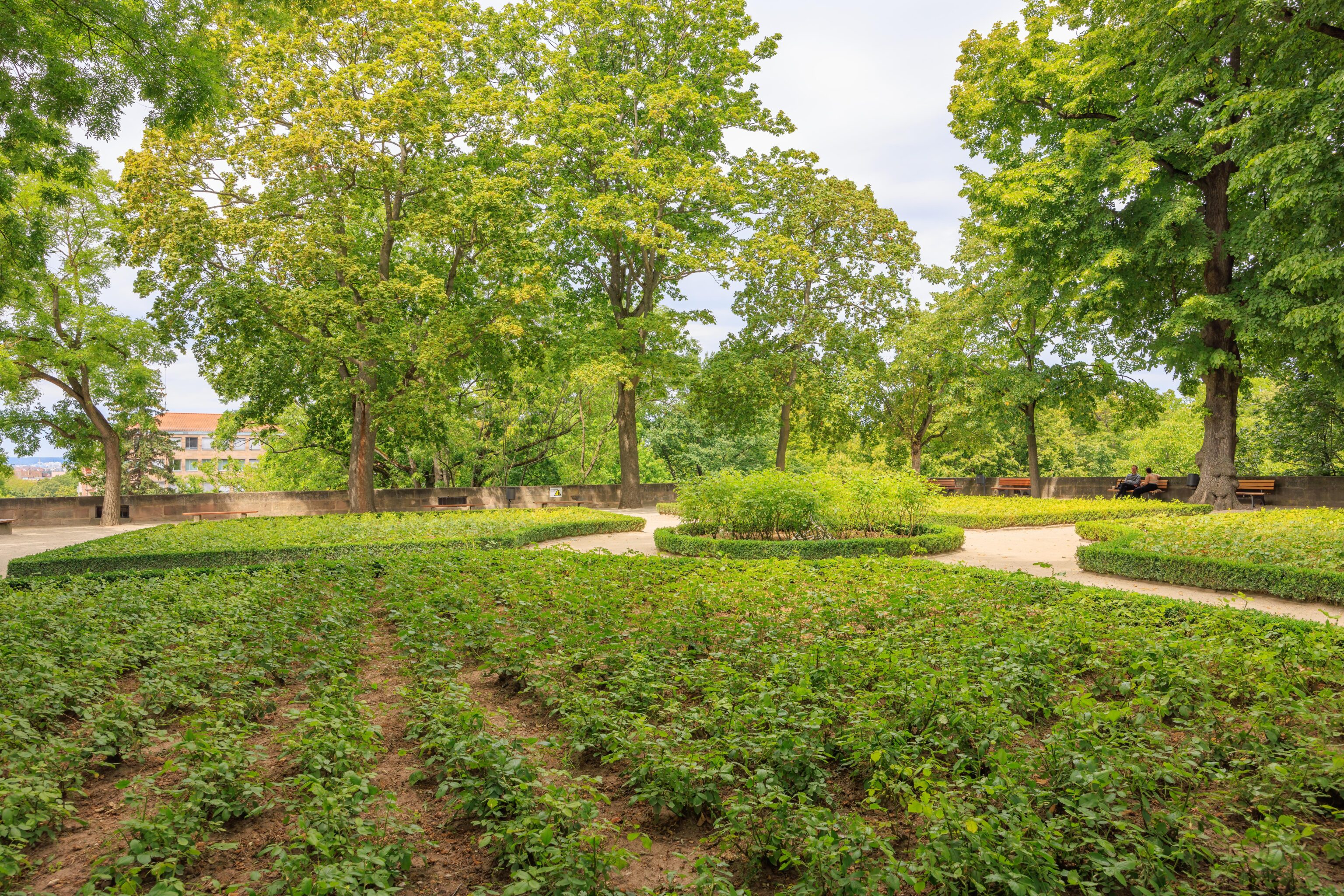
There are bastions that jut out from the castle on the north and west sides. The moat, with modern walking trail, and road are below. The open area atop the bastions contain grass, trees, and various plantings.
The building in the background is the castle’s keep, where we walked through earlier in the morning. Though its impossible to tell exactly where we were within.
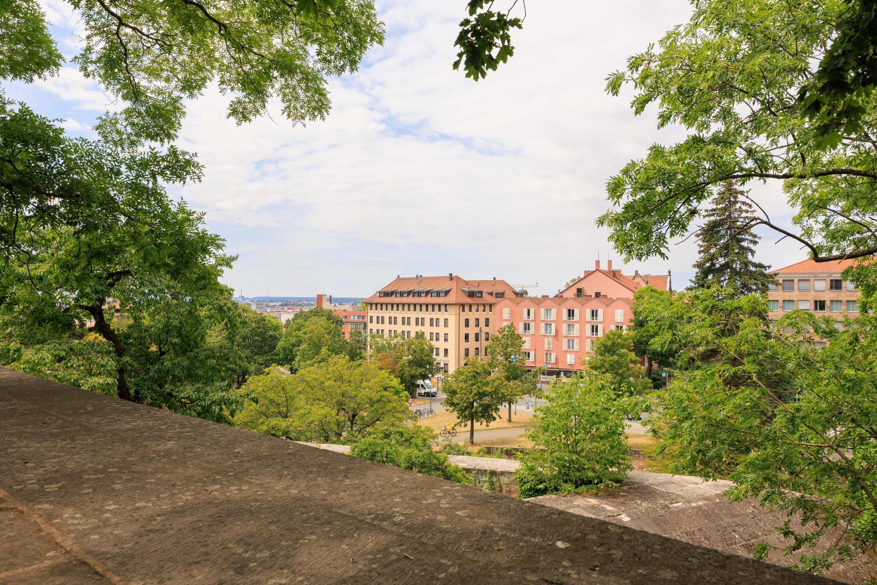
Looking out beyond the walls towards the city. The area below is more or less where we initially entered the city walls.
Very green! That seems to be the Neutorturm just left of center in the distance.
The castle keep from a different angle.

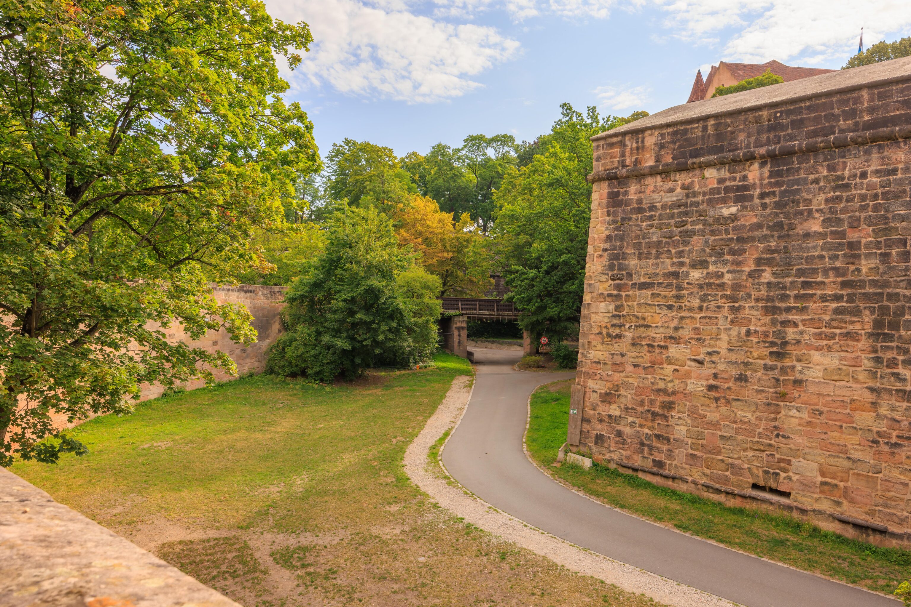
This bastion is directly above the tunnel that we entered on. While in the tunnel, we noticed that there were sections that were open to the sky above. That may correspond to these grates on the ground in the grass.
It seems that we may have been able to go back into the Altstadt around here. But we kept going through the gardens.
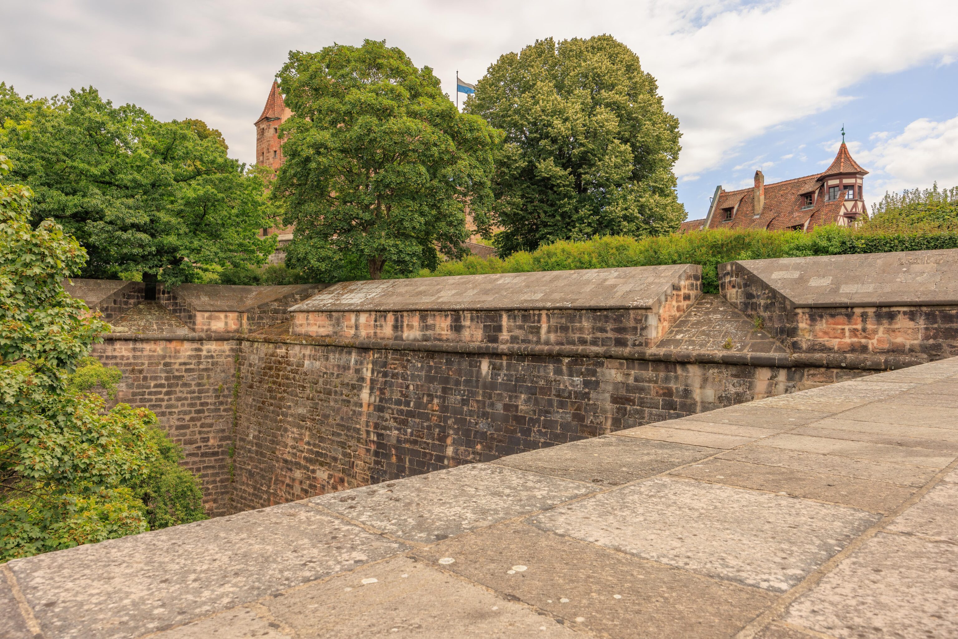
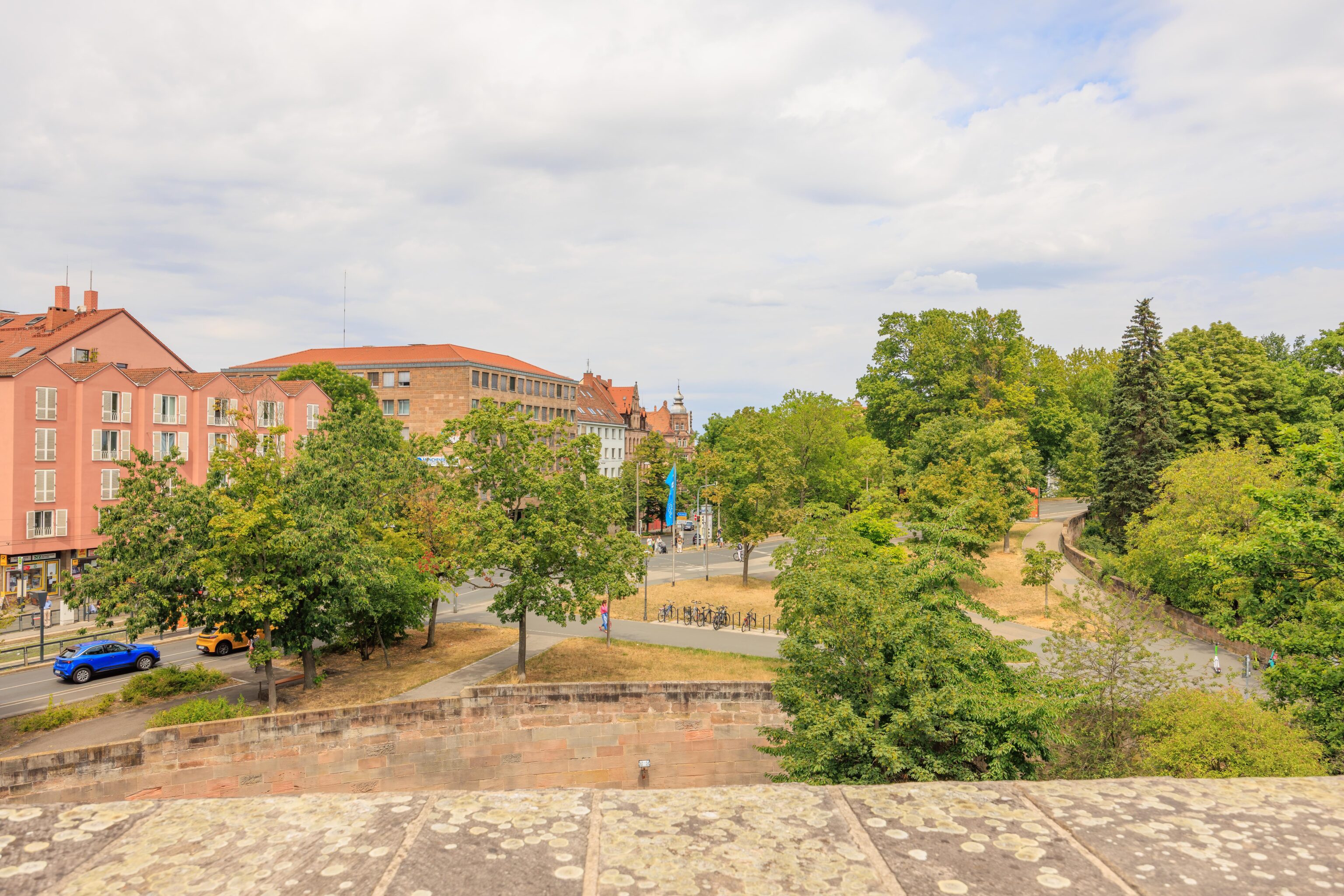
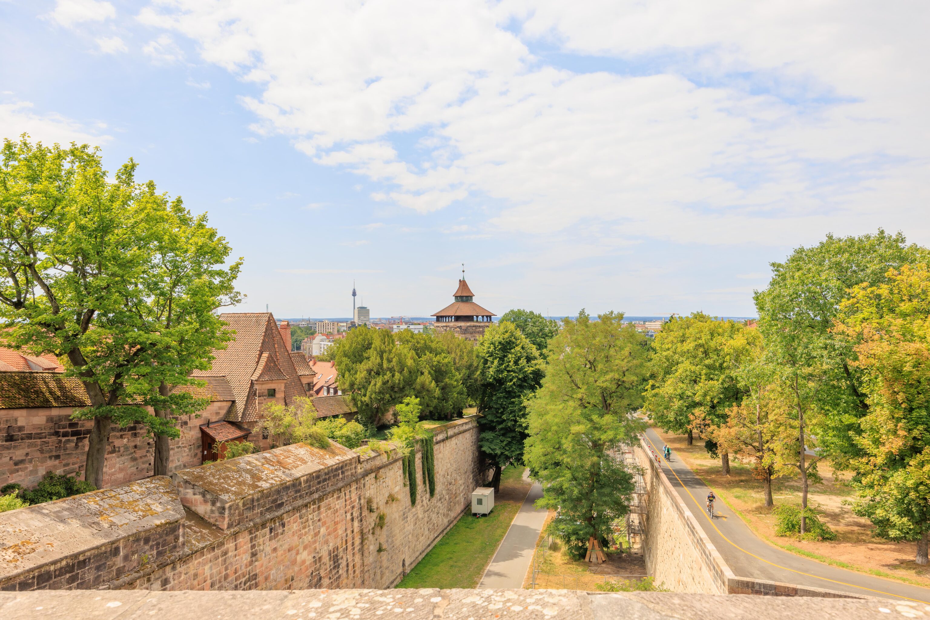
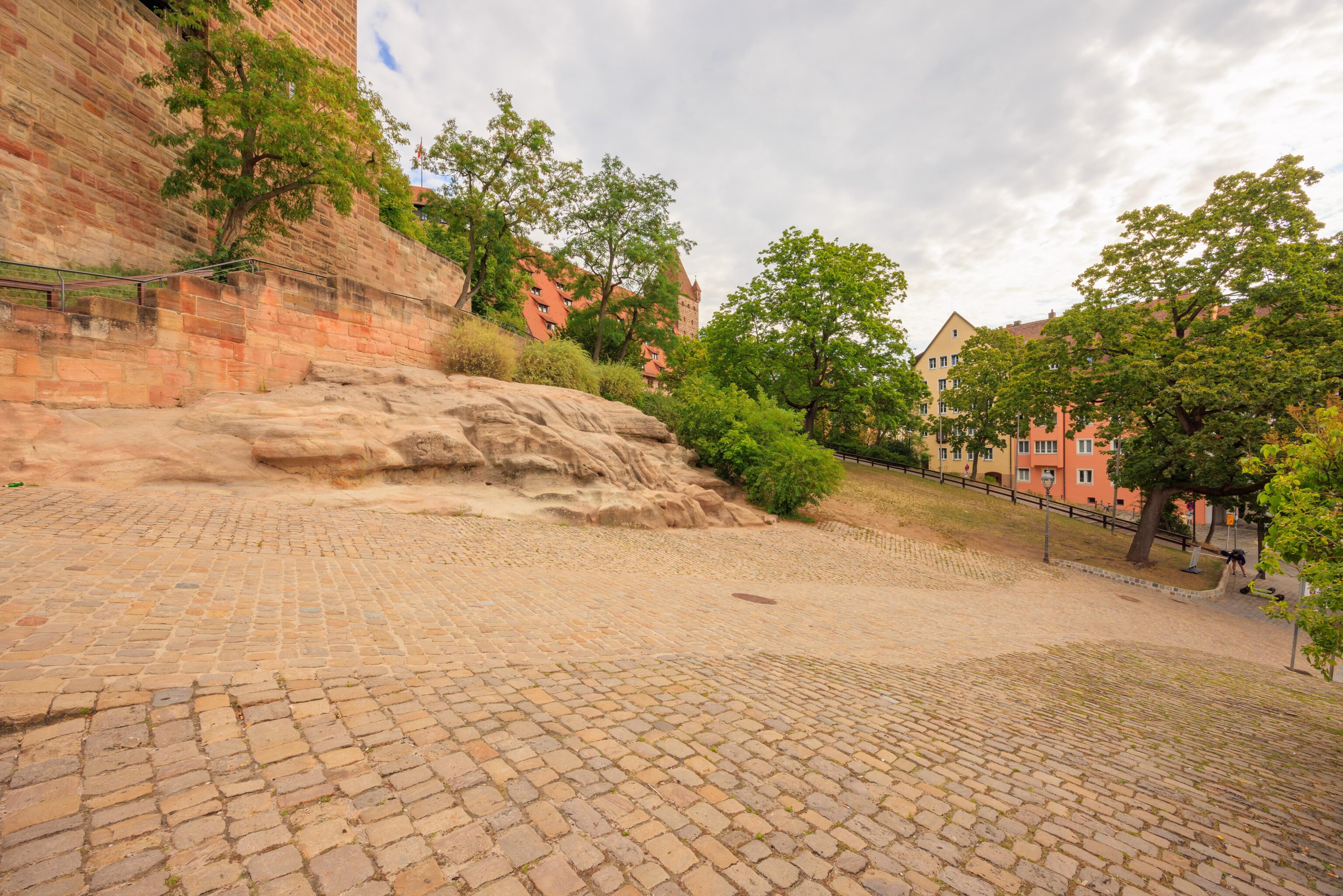
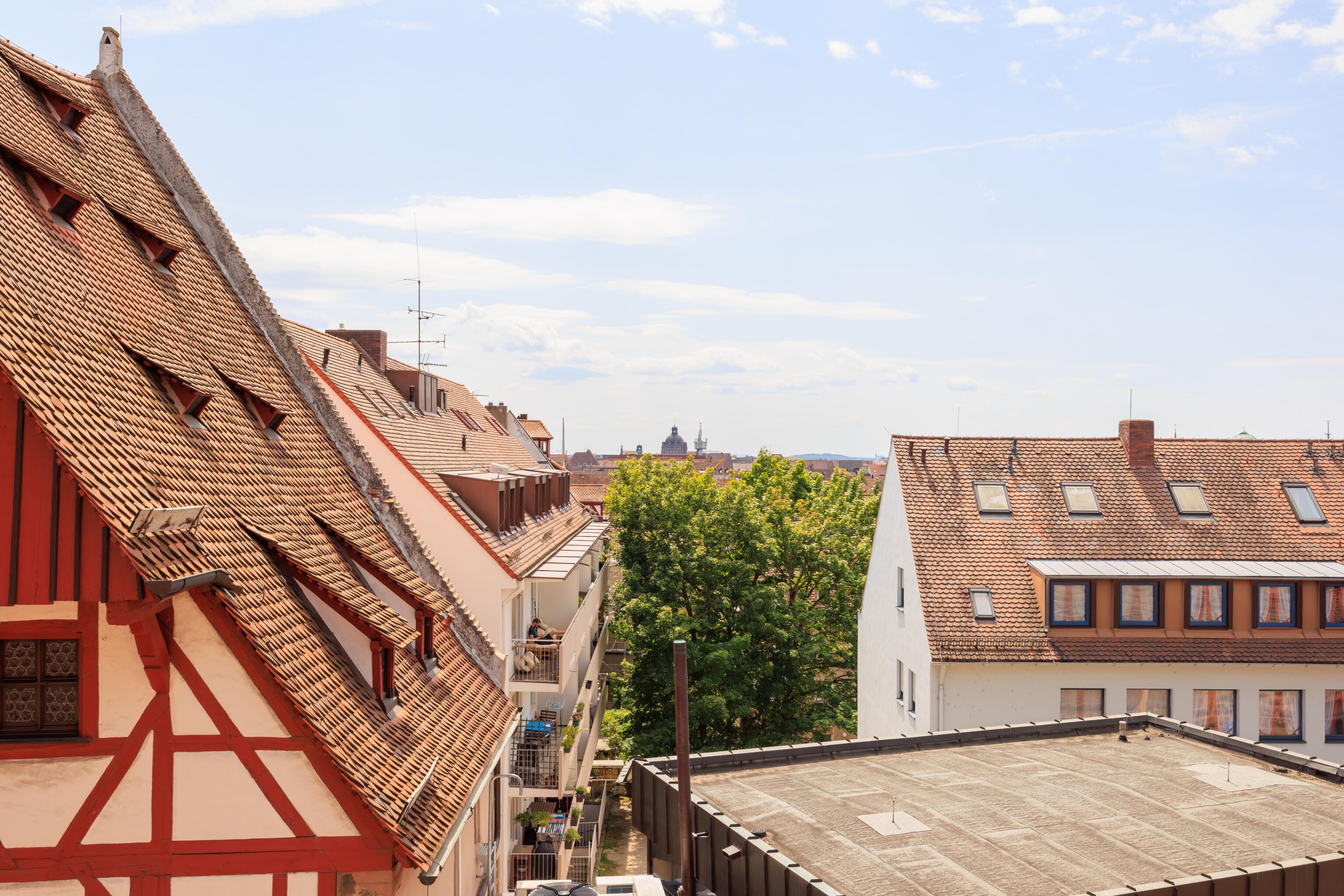
We continued to walk, now headed to the south on the western edge of the city walls. We passed by this area before, except at street grade.
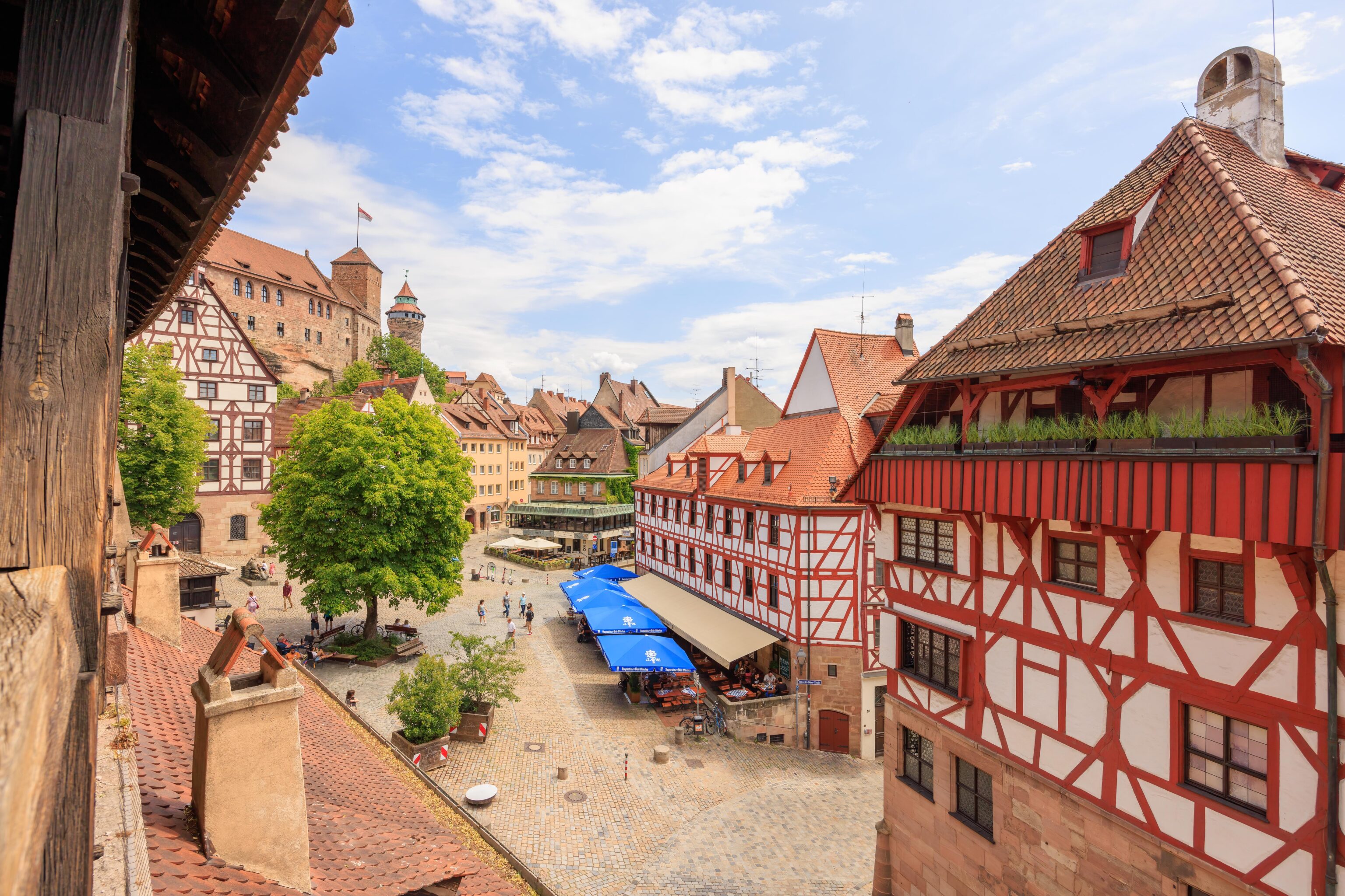
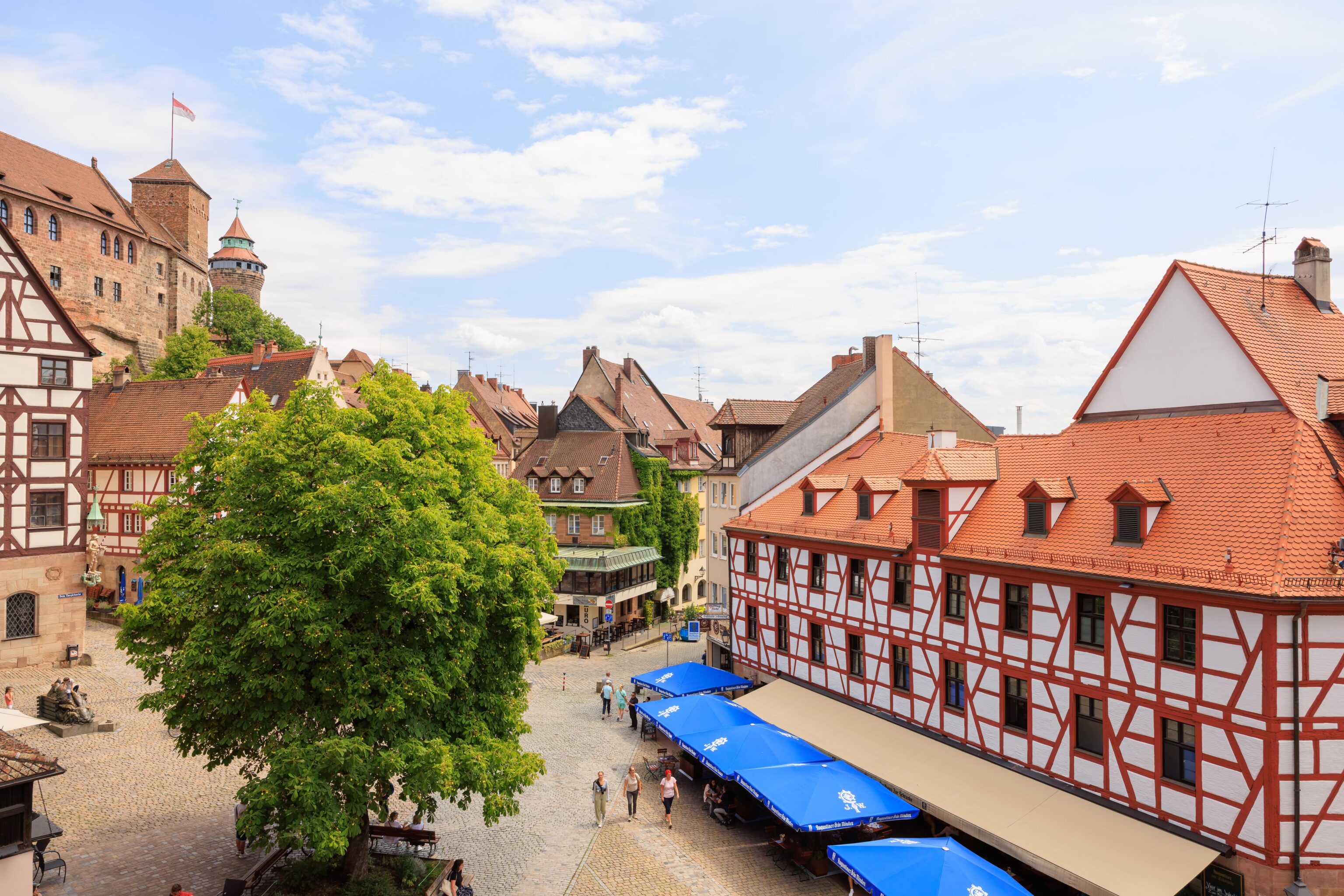
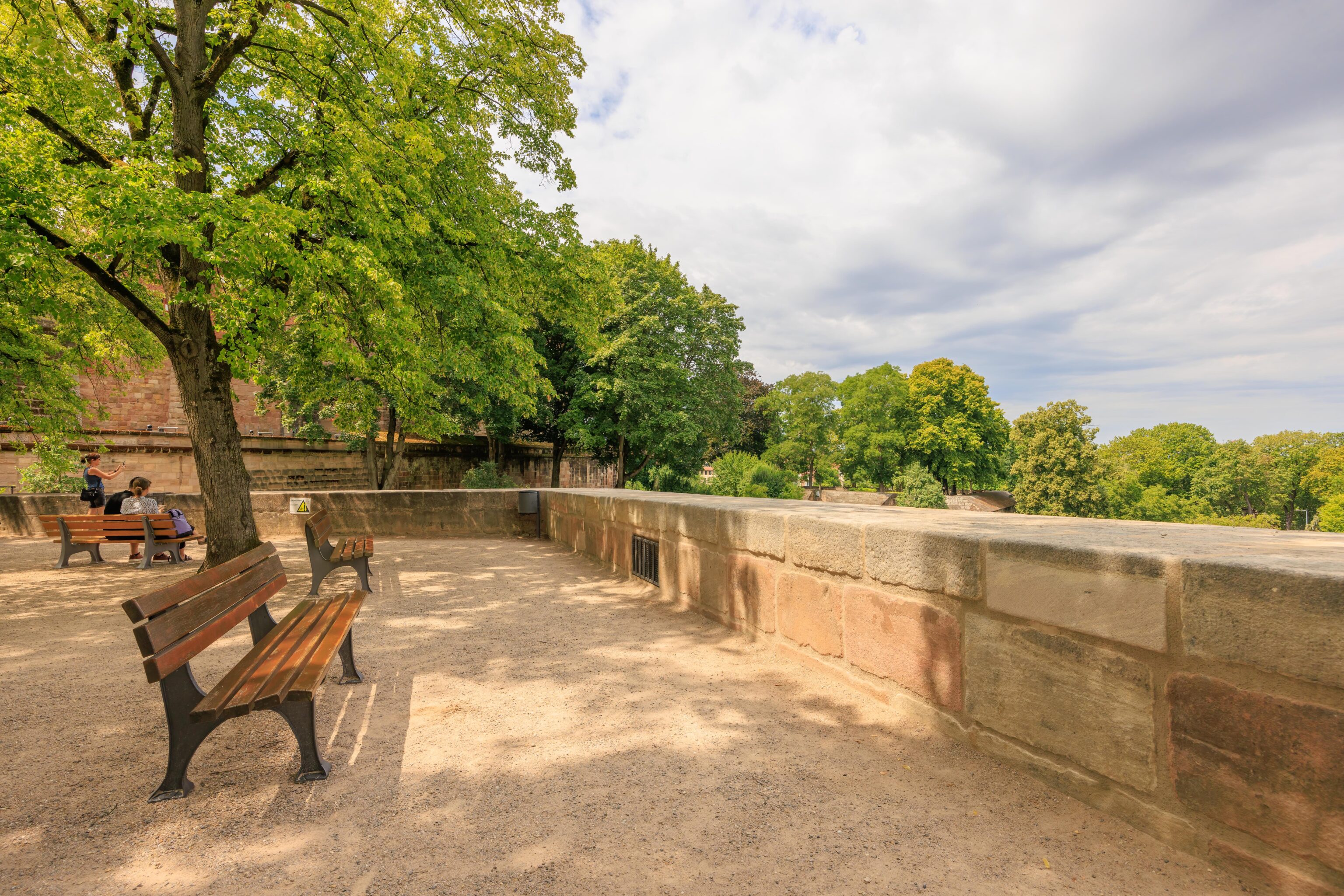
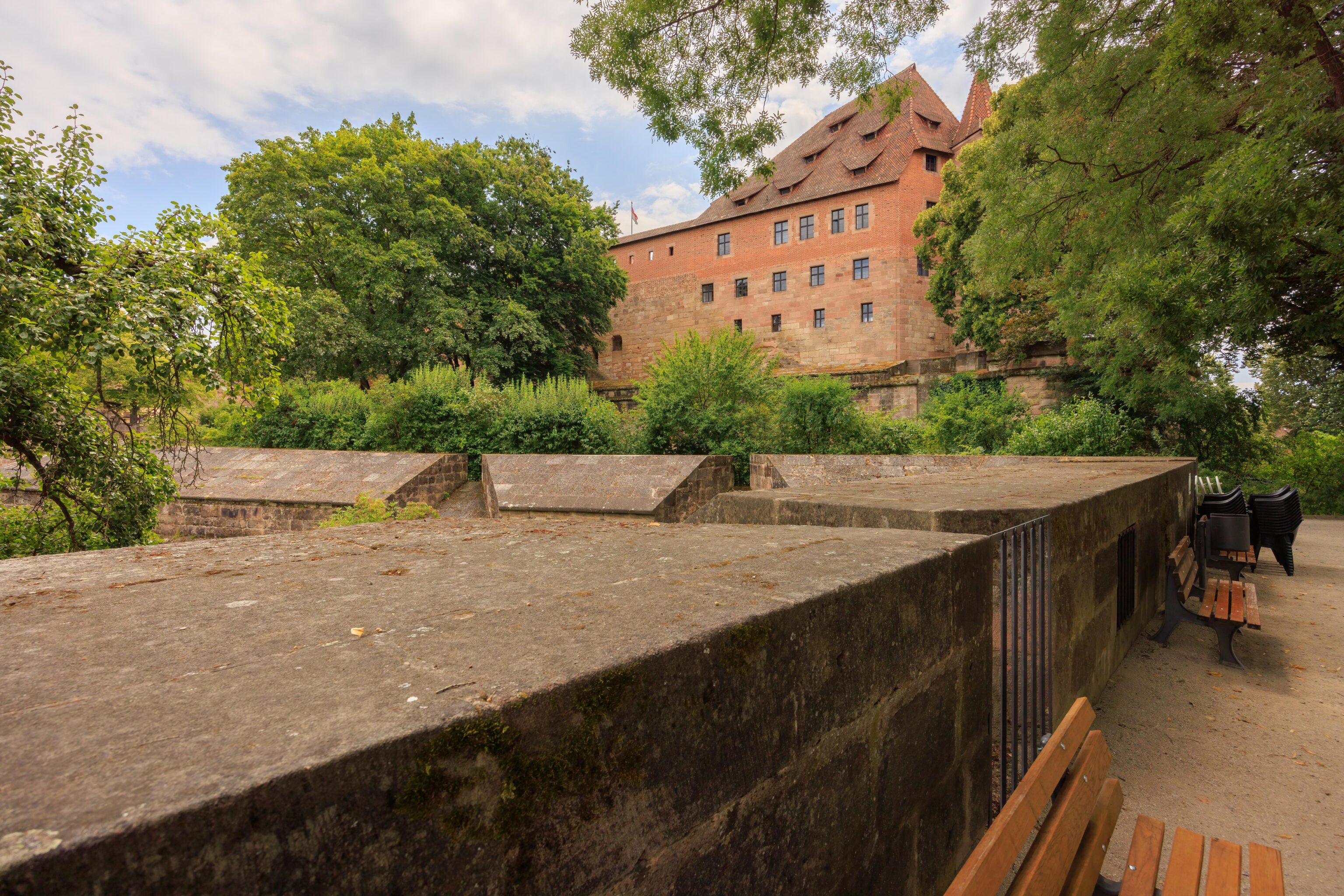
Soon, we came to a place where we could pass back to the Altstadt side of the walls. We ended up in a sloped covered passageway, or perhaps gallery. This isn’t the same one we saw earlier in the day as that was much closer to the castle. It didn’t actually lead anywhere but did offer nice views of the plaza where we initially entered the Altstadt.
We went back to the garden and continued walking to the south.
Altstadt by the Castle
We eventually were able to go down to street level by the Neutor and Neutorturm. We started walking back north to get lunch at one of the restaurants by the castle. We decided to visit Zum Albrecht Dürer Haus, right by the zombie rabbit that we saw earlier. The name may seem familiar as the rabbit was sculpted in honor of Albrect Dürer.
with potato salad and Sauerkraut”
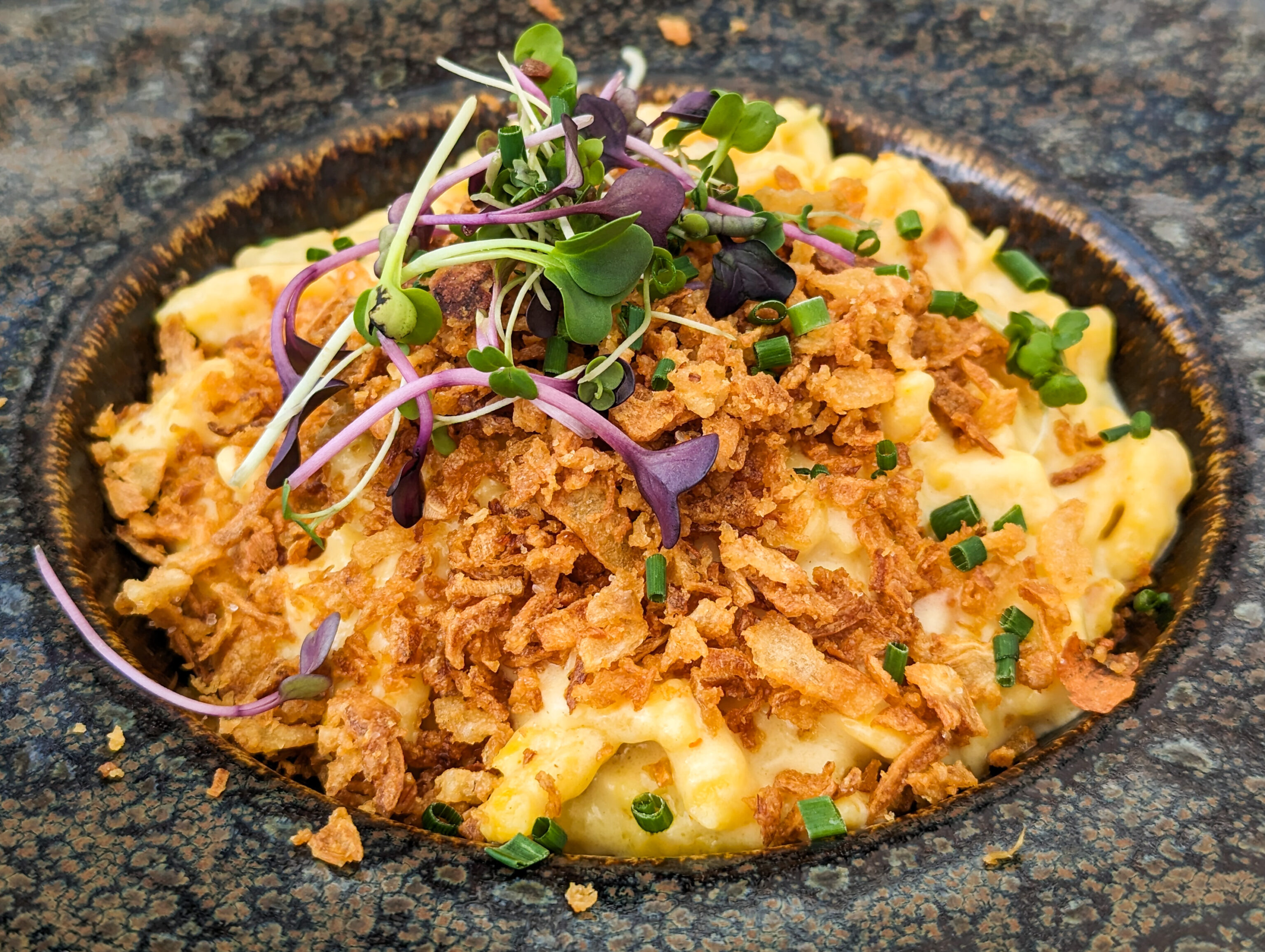
onions and Gruyère cheese”

meat, homemade Lasagne noodles and
Gruyère cheese”
All was good! We definitely enjoyed the Nürnberg sausages. The spätzle was different from what we’ve had before as the individual pieces were longer. And the lasagna with sausage was an interesting twist, though the sausage flavor doesn’t come out too well.
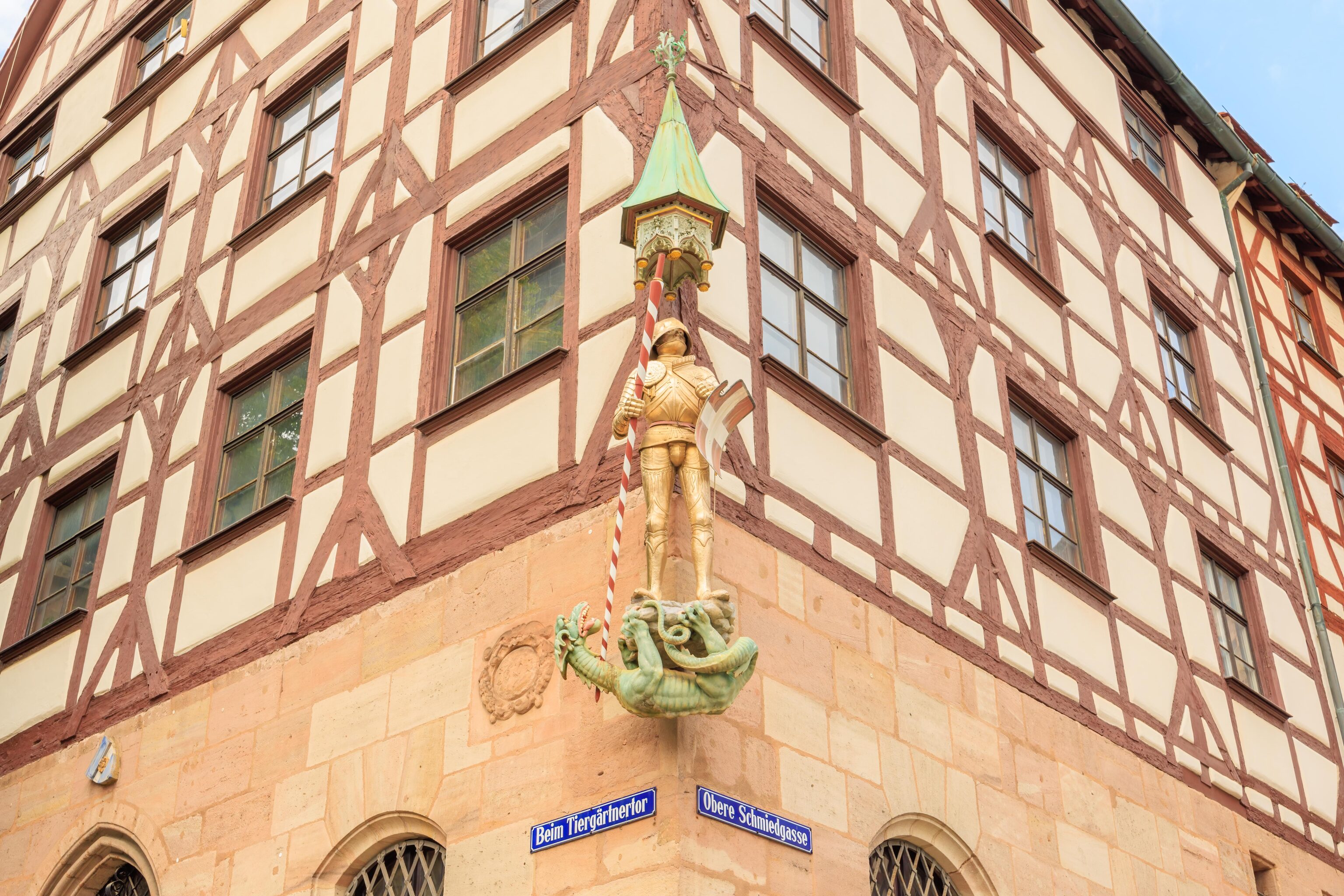
This statue of St. George and a dragon is on a corner of a building, the Pilatushaus, right by the restaurant.
We decided to return to the Hallertor tram station by foot, although we could have taken a closer tram at the Tiergärtnertor stop. This would allow us to walk through a section of the Altstadt that we hadn’t traveled through yet.
We passed by the covered walkway that we were briefly in. The whole thing is very long but only a small section seemed to be accessible.
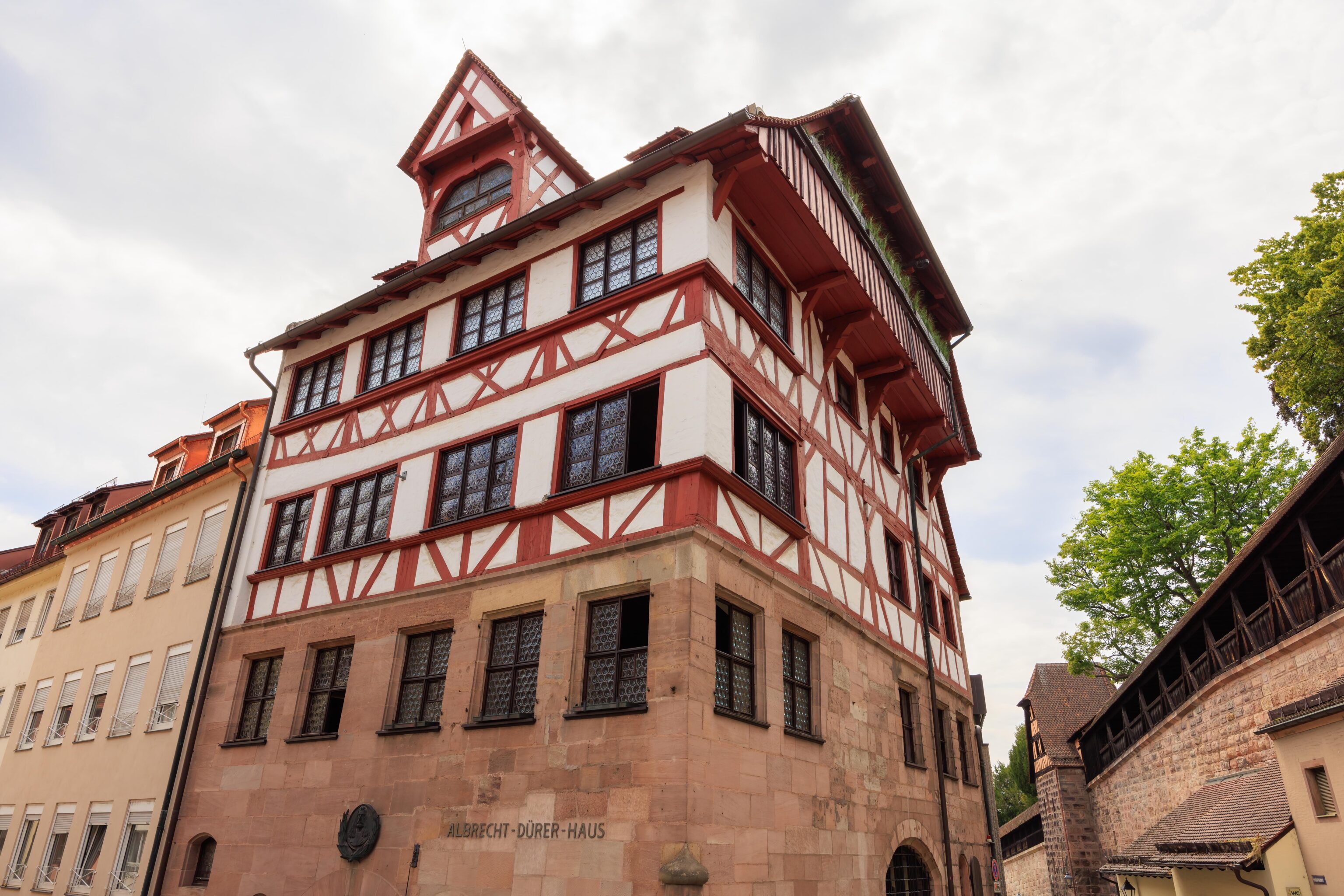
We passed by Albrecht Dürer’s House. It is currently a museum.
This is the Tiergärtnertorturm, the tower by the Tiergärtnertor. Tiergarten translates to zoo, while Tiergärtner is a zookeeper. So this is the Zookeeper’s Tower and it is by the Zookeeper’s Gate. The German Wikipedia article explains, once again translated to English using Google Translate:
The name of the gate originates from a former game reserve of the burgrave in the nearby moat.
According to Oxford Languages, a burgrave is:
the governor or hereditary ruler of a German town or castle.
Interestingly, the German Wikipedia article also states, translated to English using Google Translate:
the old name for the gate tower was Green N.
It seems the green + letter naming scheme was an older naming convention. Were there other colors used to refer to other areas? And how old was this scheme?
We continued heading to the south and found another sun shadow clock on the side of a building. Given the times, this must only work in the morning.
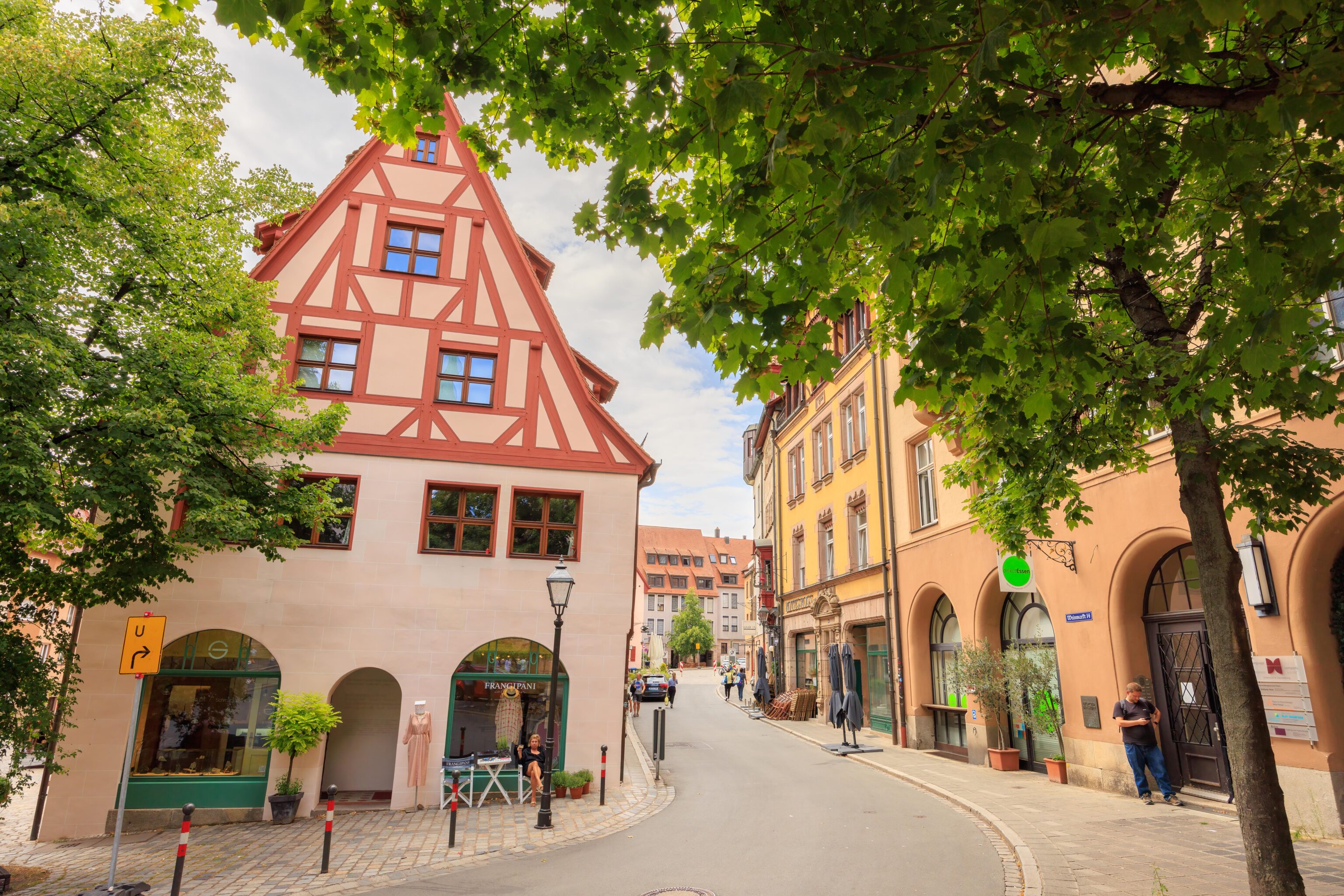
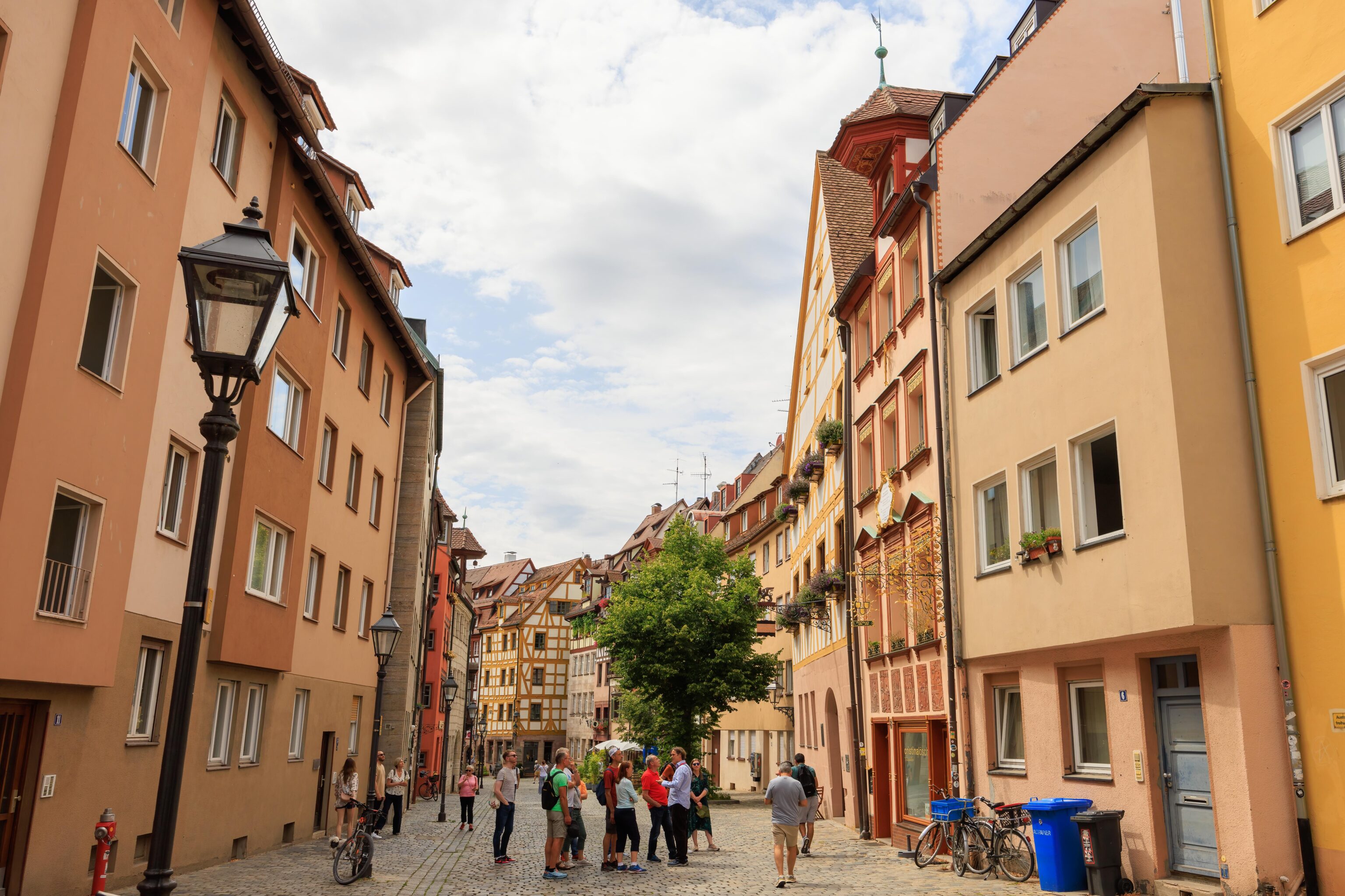
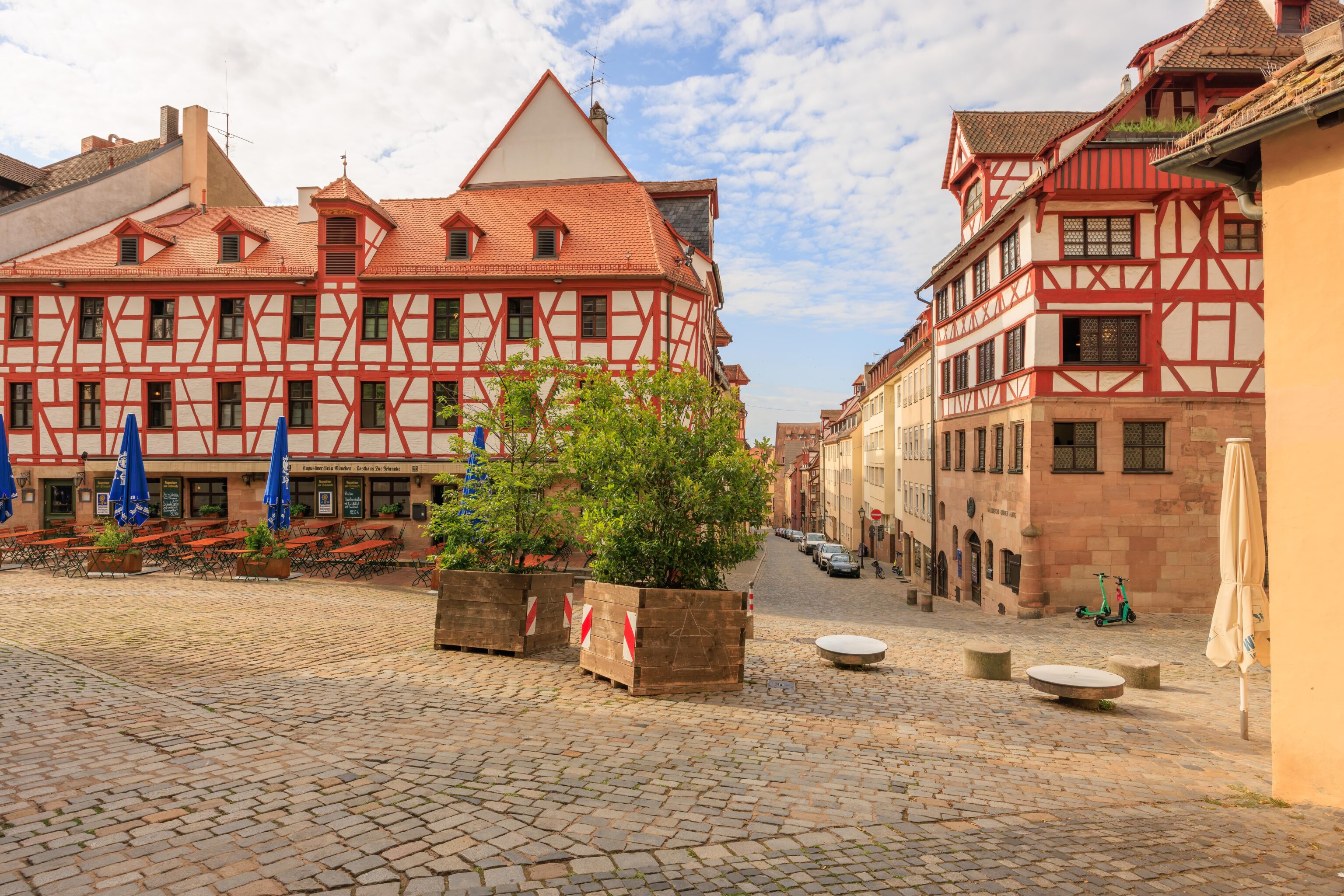
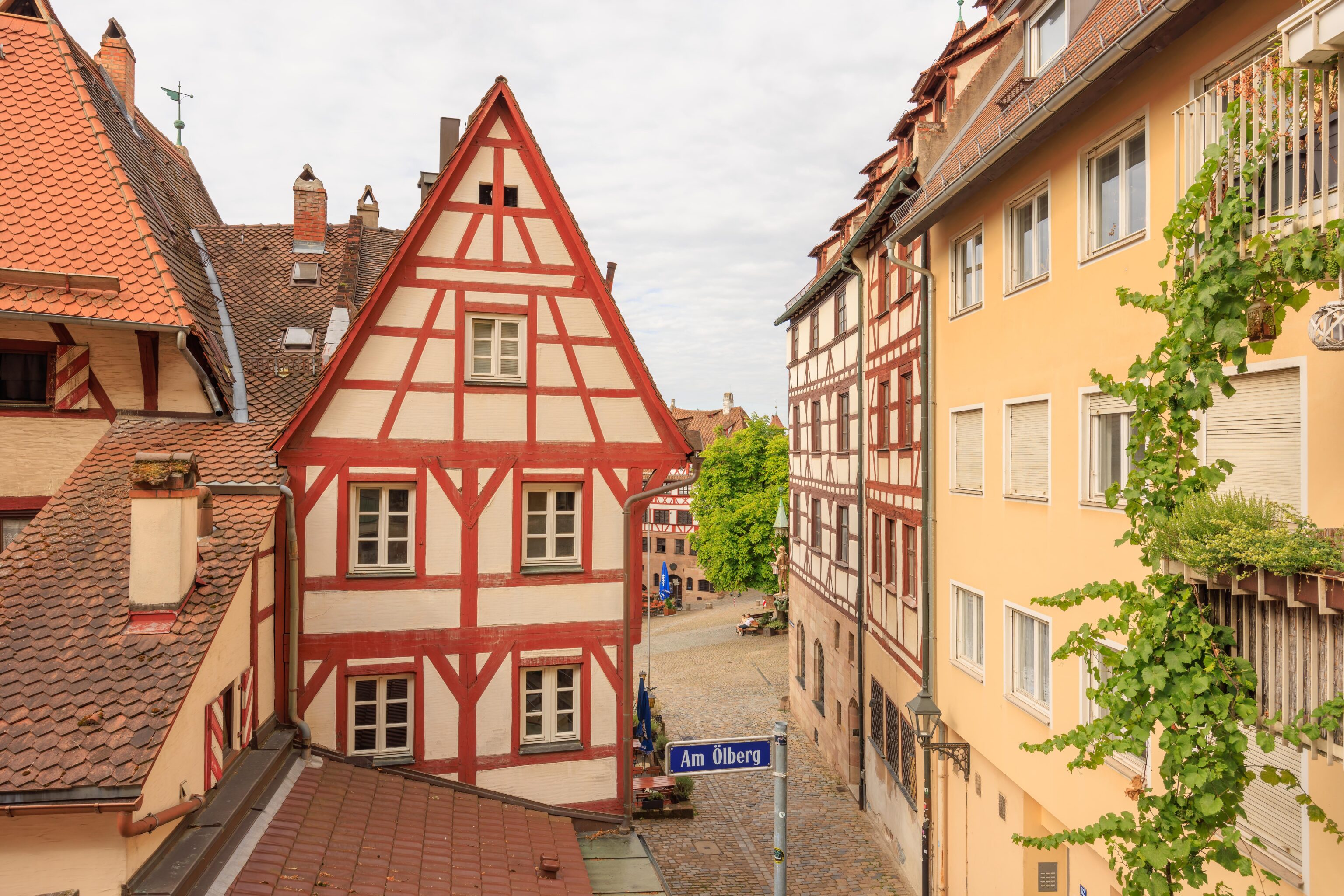
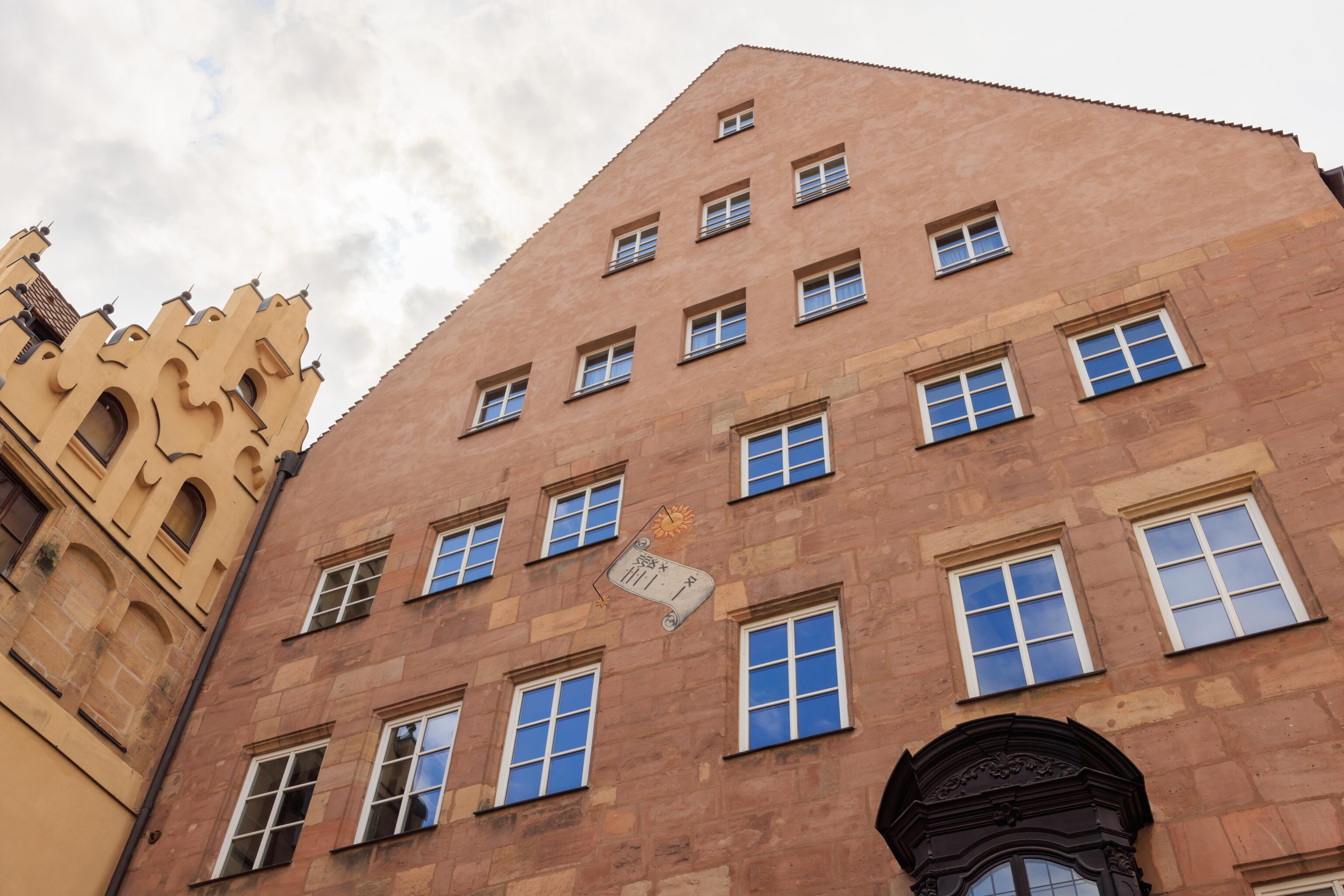
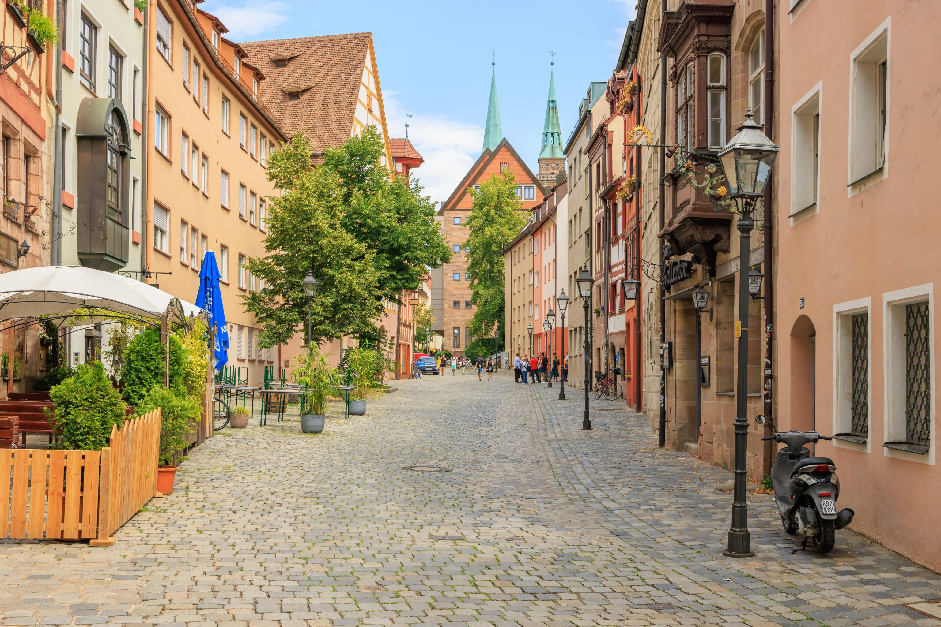
The Altstadt can at times probably be best described as a mix of old and new.
At one point, we could see the Sebalduskirche’s towers in the background. We passed by within two blocks of it.
Dutzendteich
We got on a #6 tram at Hallertor and rode it to Doku-Zentrum, the last station in the south. Doku-Zentrum is short for Dokumentationszentrum (Documentation Center). This term seems to be used for museums and memorials that document the evils committed by the Nazis during World War II. It isn’t clear to us if the term is used in any other contexts.
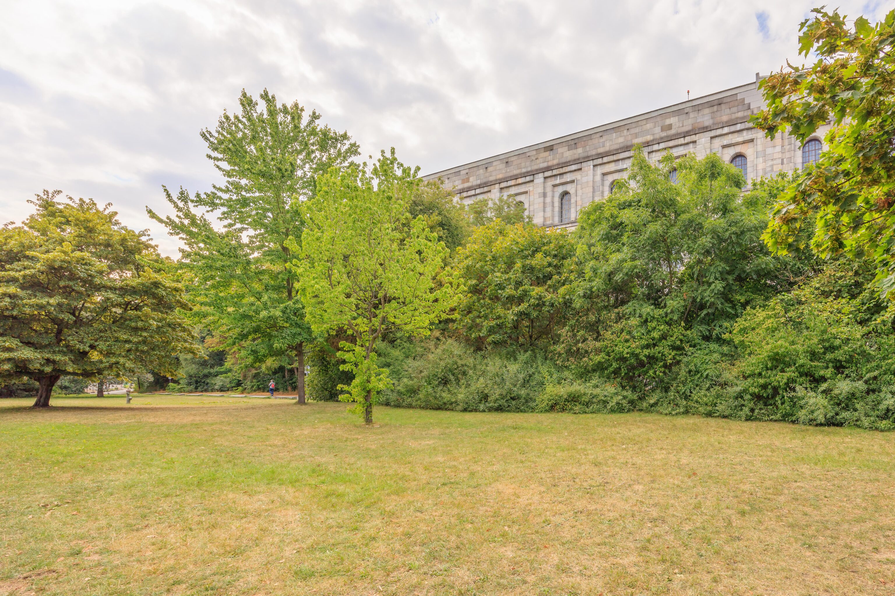
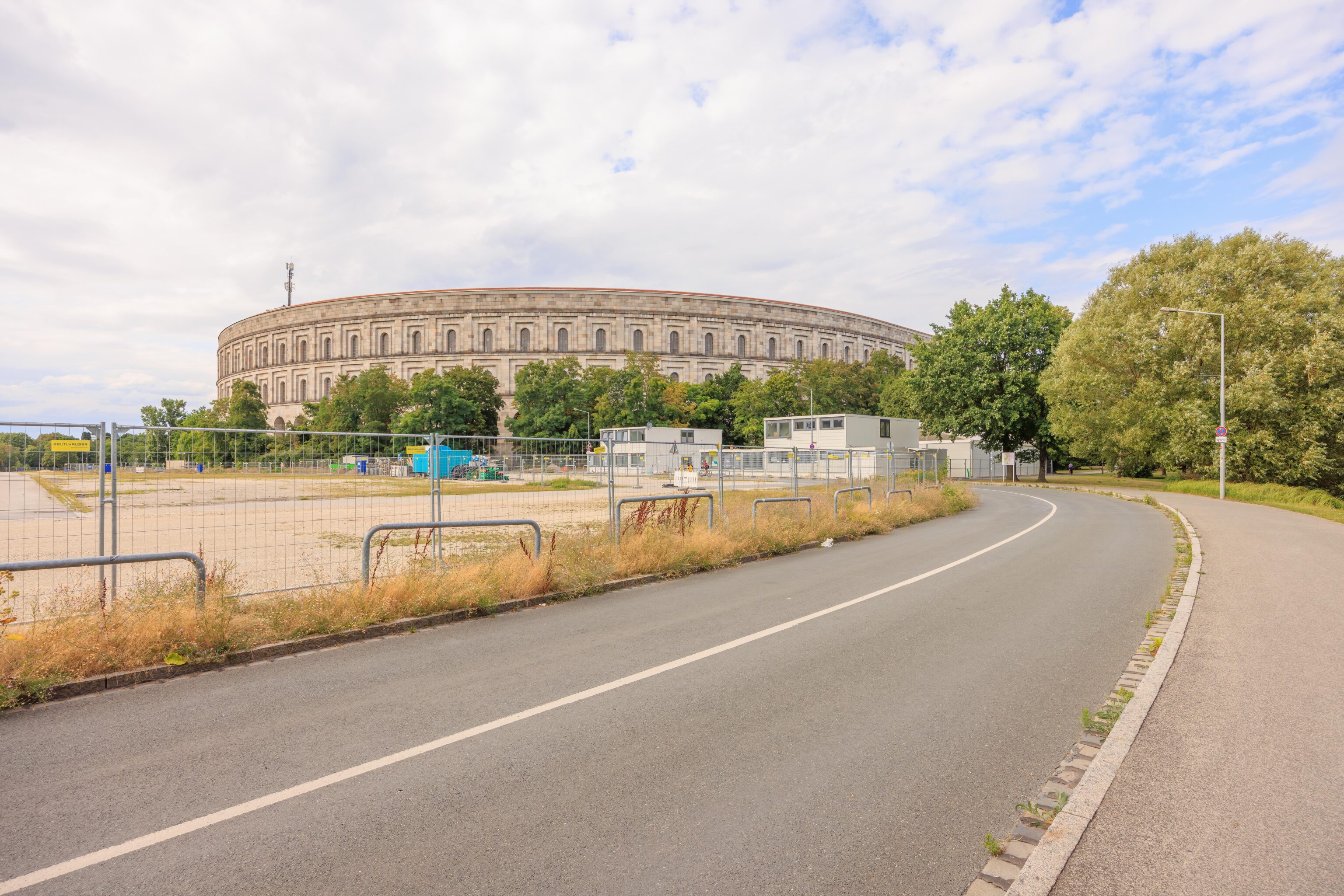
We started out at the Dokumentationszentrum Reichsparteitagsgelände (Documentation Center Nazi Party Rally Grounds). There is a museum at the northern end of the Kongresshalle (Congress Hall), which was a huge structure built by the Nazis to hold rallies and other political events. It was never finished.
The museum is currently being renovated so there was a small exhibition instead. It described, through quite a bit of text, why Nürnberg was a center of power for the Nazis and what happened here as they came to power and through to the war’s end.
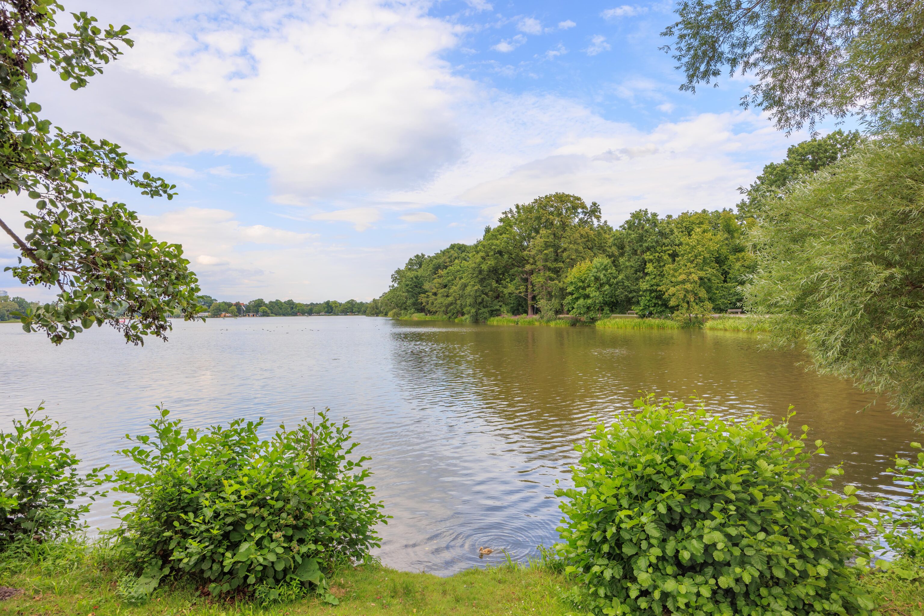
We decided to walk through the area and ultimately leave via the S-Bahn at a nearby station. This area seems to be referred to as Dutzendteich. While it translates to Dozen Pond, the The Nuremberg Municipal Museums’ website offers a different explanation:
The lake known as the Dutzendteich was created in the 14th century as a water storage reservoir. The name most probably comes from "Dutze", a medieval word for reed. The Dutzendteich area has been a favorite destination for outings since the 19th century. A lighthouse was built on the far shore as a further attraction to grace the 1906 Bavaria State Exhibition. Visitors could take an elevator up to a viewing platform.
The lake seems to be referred to as the Großer Dutzendteich (Big Dozen Pond). There are other, smaller lakes in the immediate area as well. The big lake is quite nice as it is surrounded by parkland. There was a place on the opposite shore to rent paddle boats and we also saw other small boats on the water.
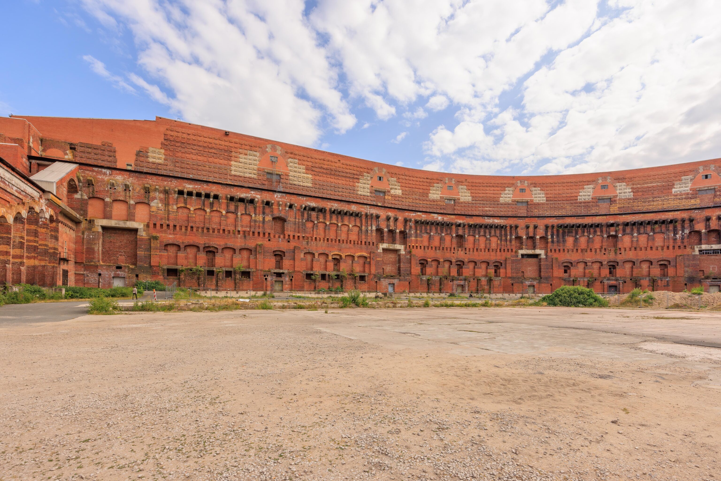
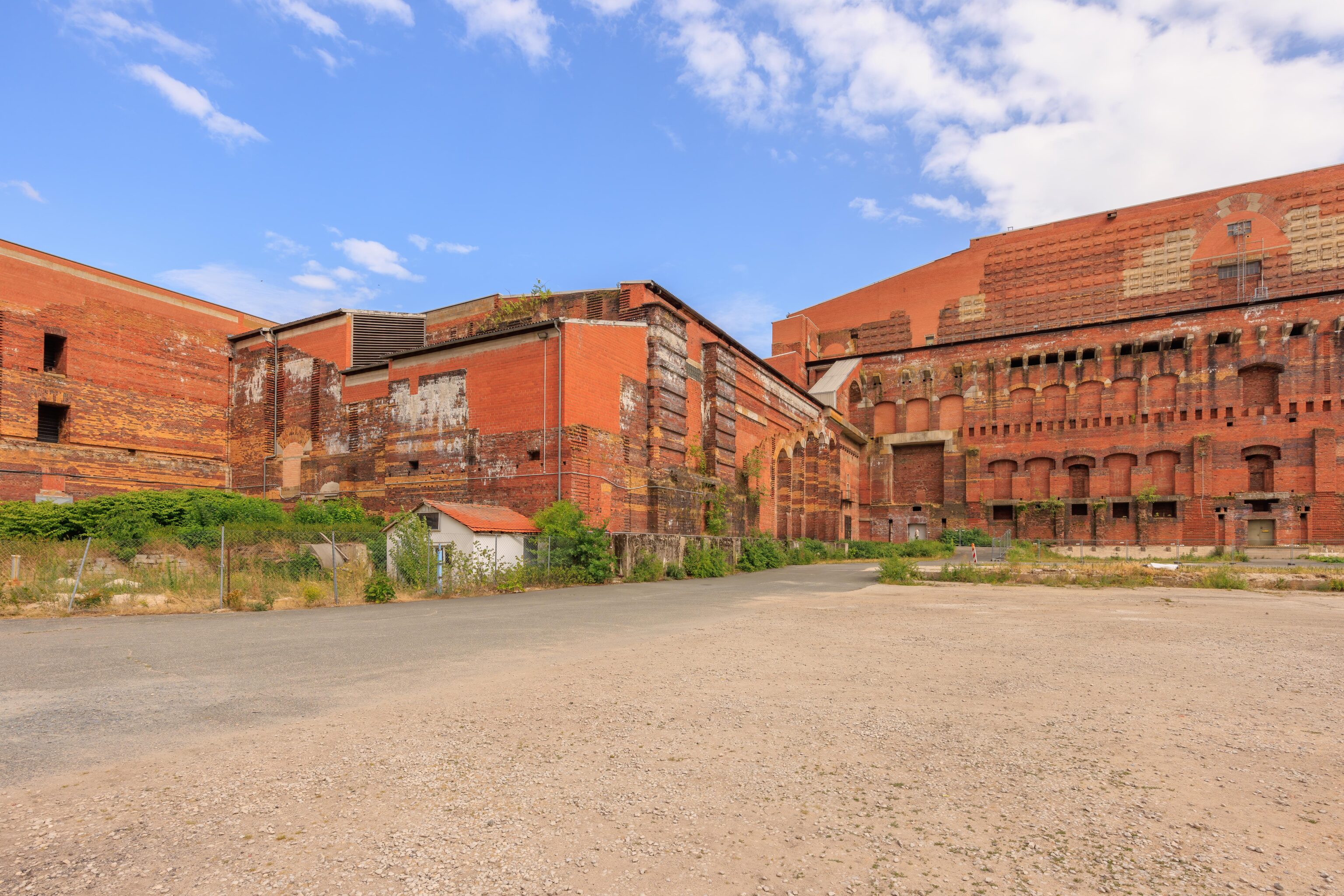
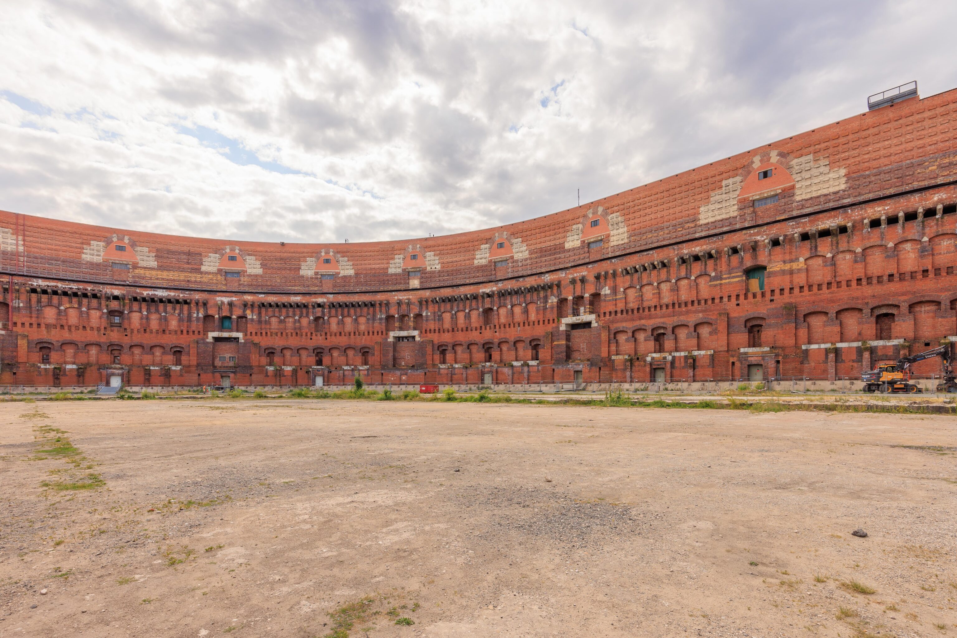
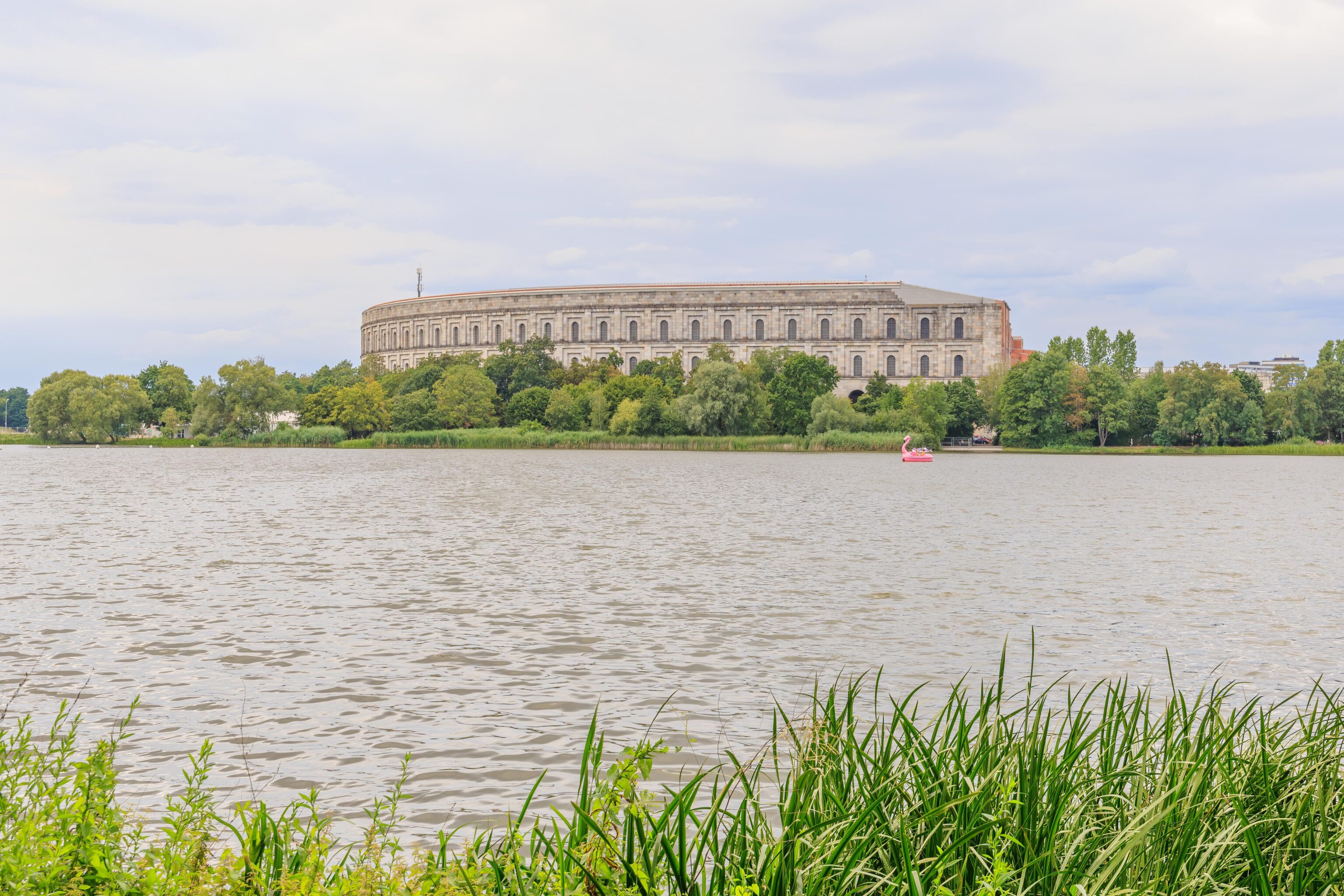
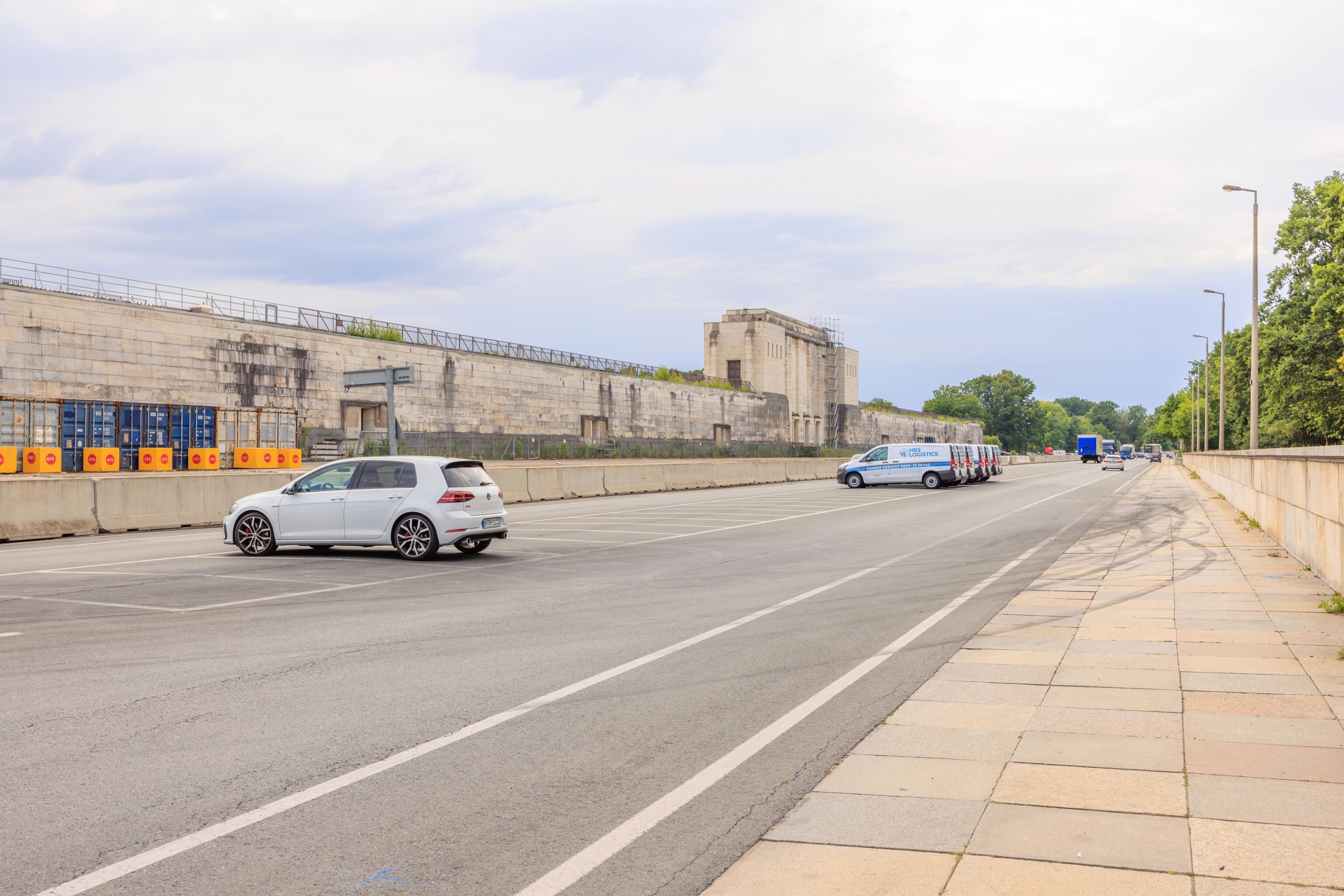
We went into the Kongresshalle to take a look. It is a huge structure and can be best described as in somewhat ruined state. It was never completed as the Nazis didn’t have the resources to do so during the war. The original intent was to cover the entire thing in a dome, which seems technically challenging given its size and the technology that they had at the time.
The Germans don’t really know what to do with this structure as it would be very costly to tear down. A small portion of the building is in use as a performance venue.
The Nuremberg Municipal Museums’ website describes this structure:
Although it was never completed, the Congress Hall gives a sense of the dimensions of Nazi Party Rally architecture. Popular leisure facilities like a public swimming pool and the 1906 lighthouse were demolished to make room. Part of the Dutzendteich lake was drained. The foundations for the monumental structure were extremely complex and costly.
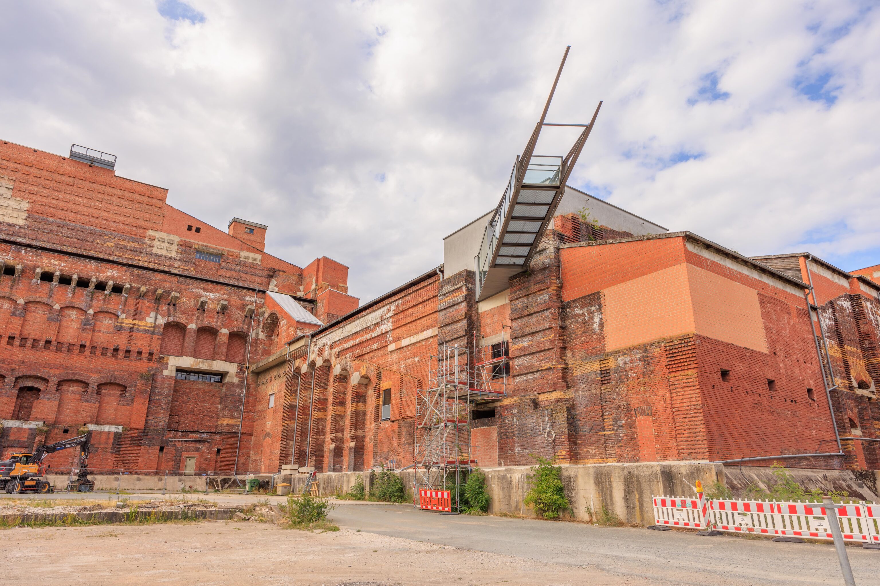
This section is the Dokumentationszentrum that is under renovation.
We continued walking around the outside on a path that follows the edge of the pond. The exterior of the Kongresshalle is very different from the inside.
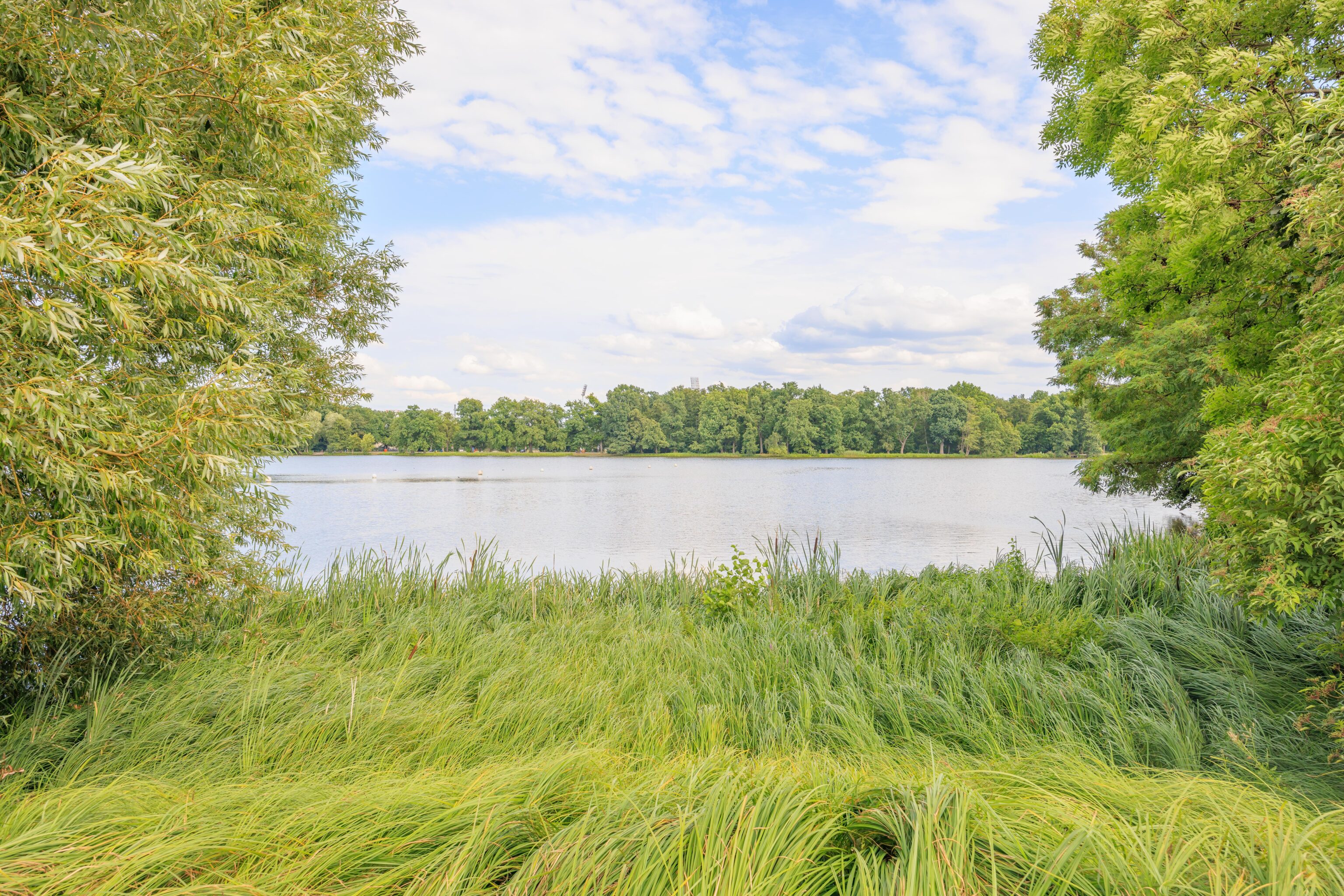
The area around the pond is very green!
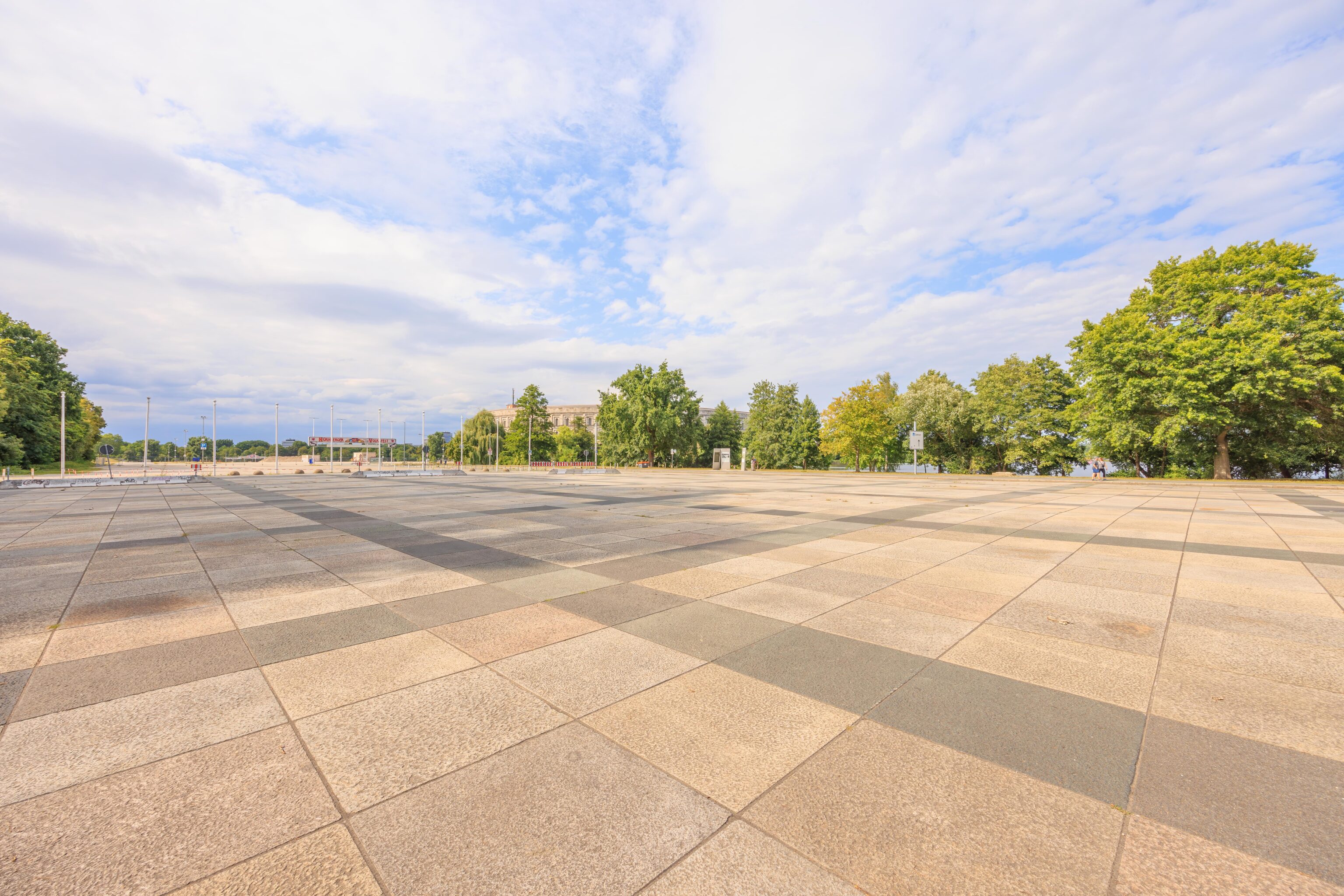
There is a large plaza, the Volksfestplatz, to the west of the Kongresshalle. It is mostly concrete slabs being slowly reclaimed by nature.
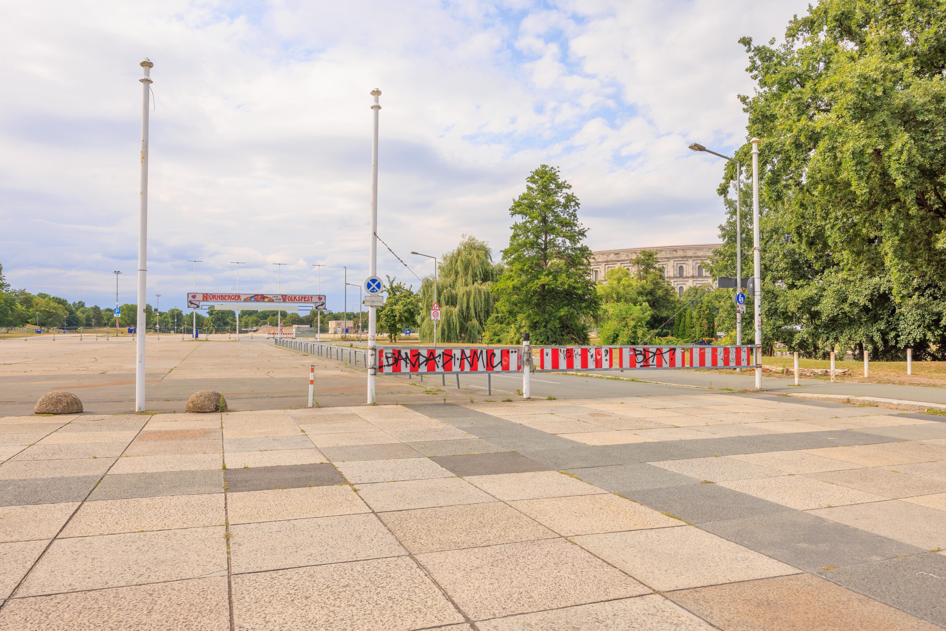
They do seem to hold events here, though nothing was going on at the moment. The large banner in the background is for the Nürnberger Volksfest, since 1826!
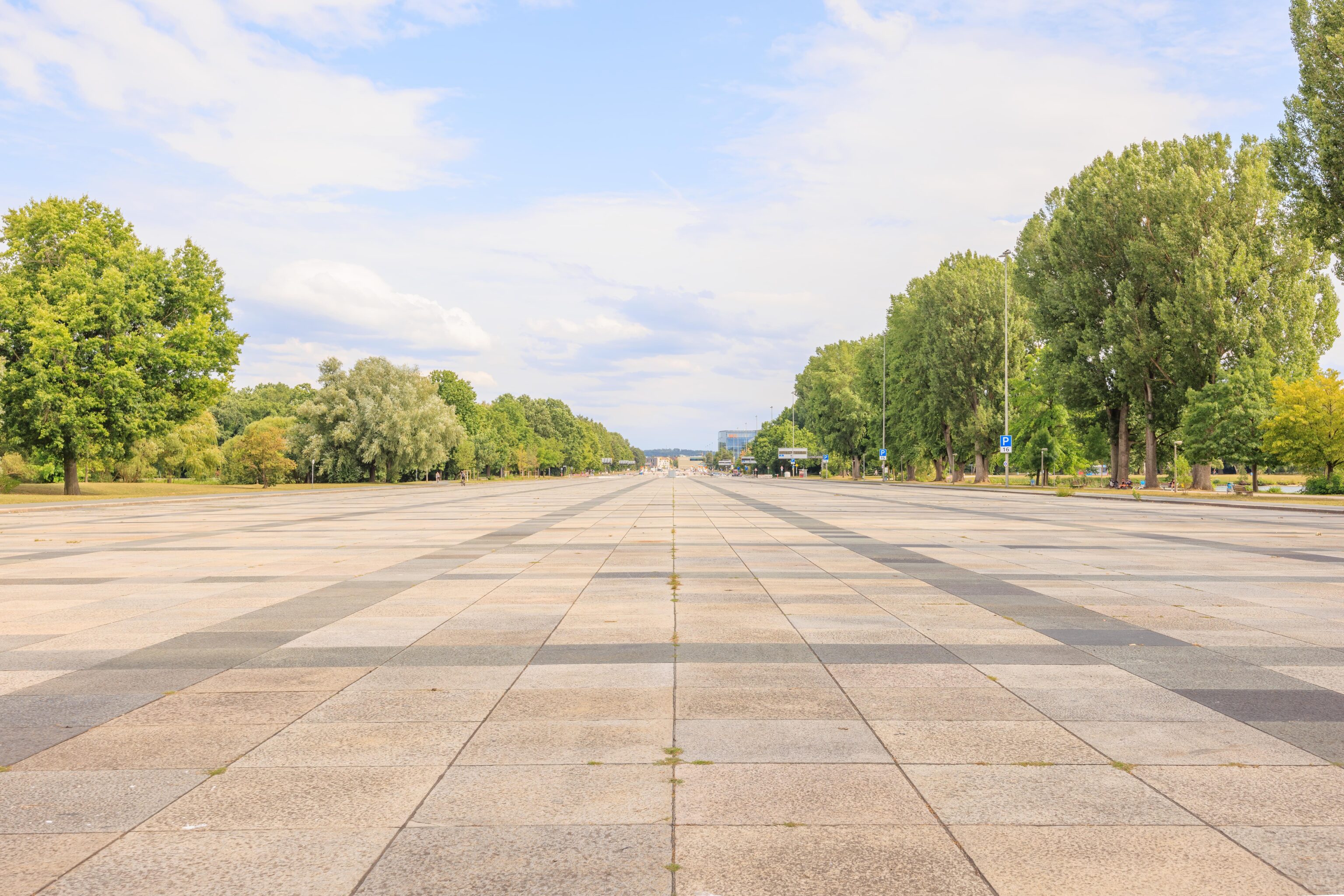
The Große Straße (Big Street), also built by the Nazis, extends to the southeast from the plaza. It seems to be in better condition than the plaza.
We exited the street and continued to follow the pond’s edge.
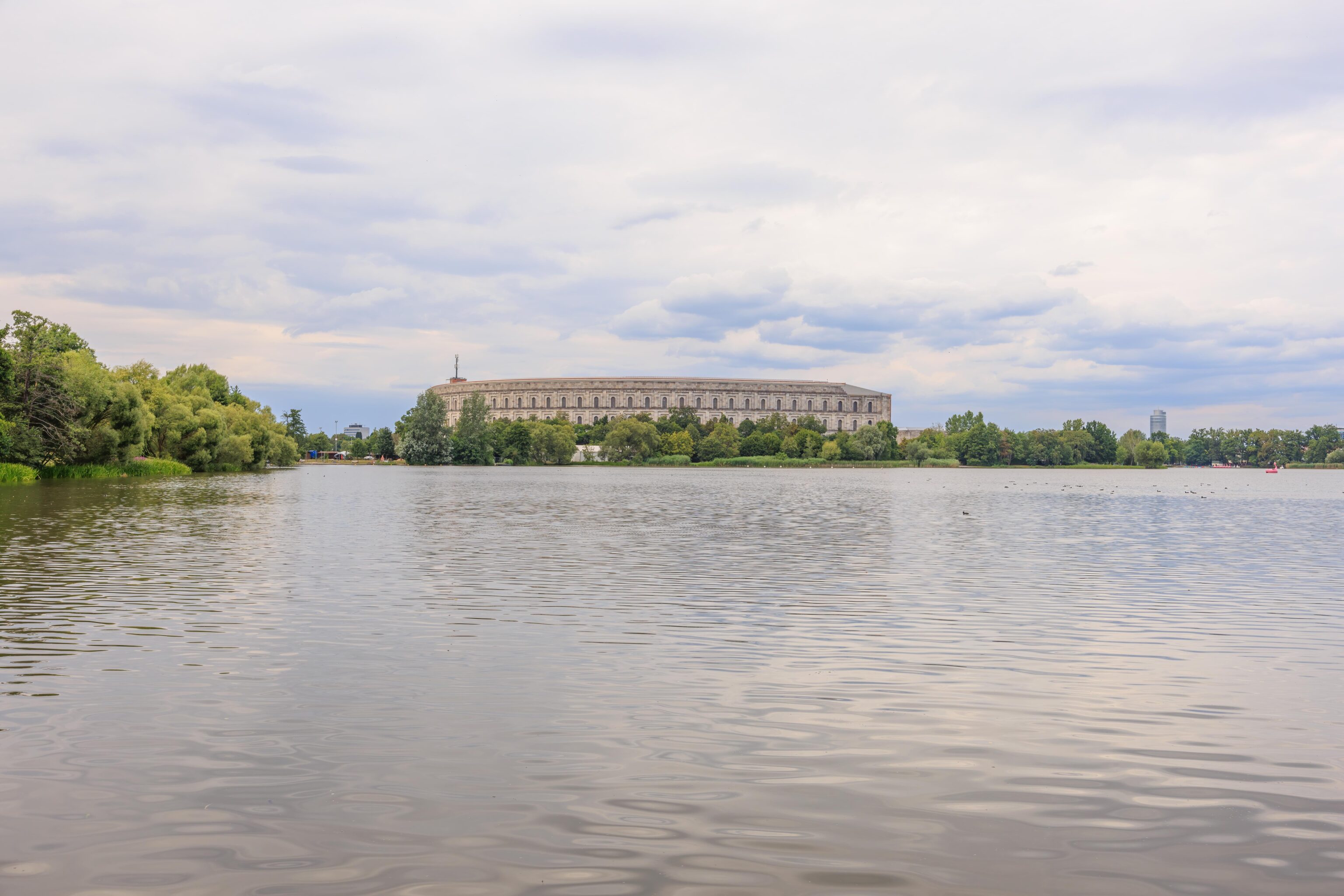
We saw the Kongresshalle from the opposite side of the pond. It is a huge structure.
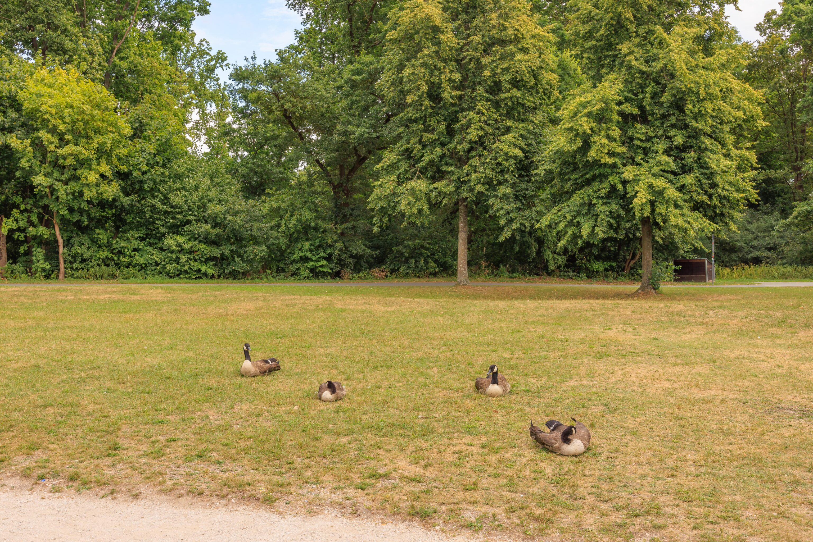
The Canadian invasion! Canada Geese are here too…
A huge Nazi construction with a pink flamingo paddle boat slowly passing by…
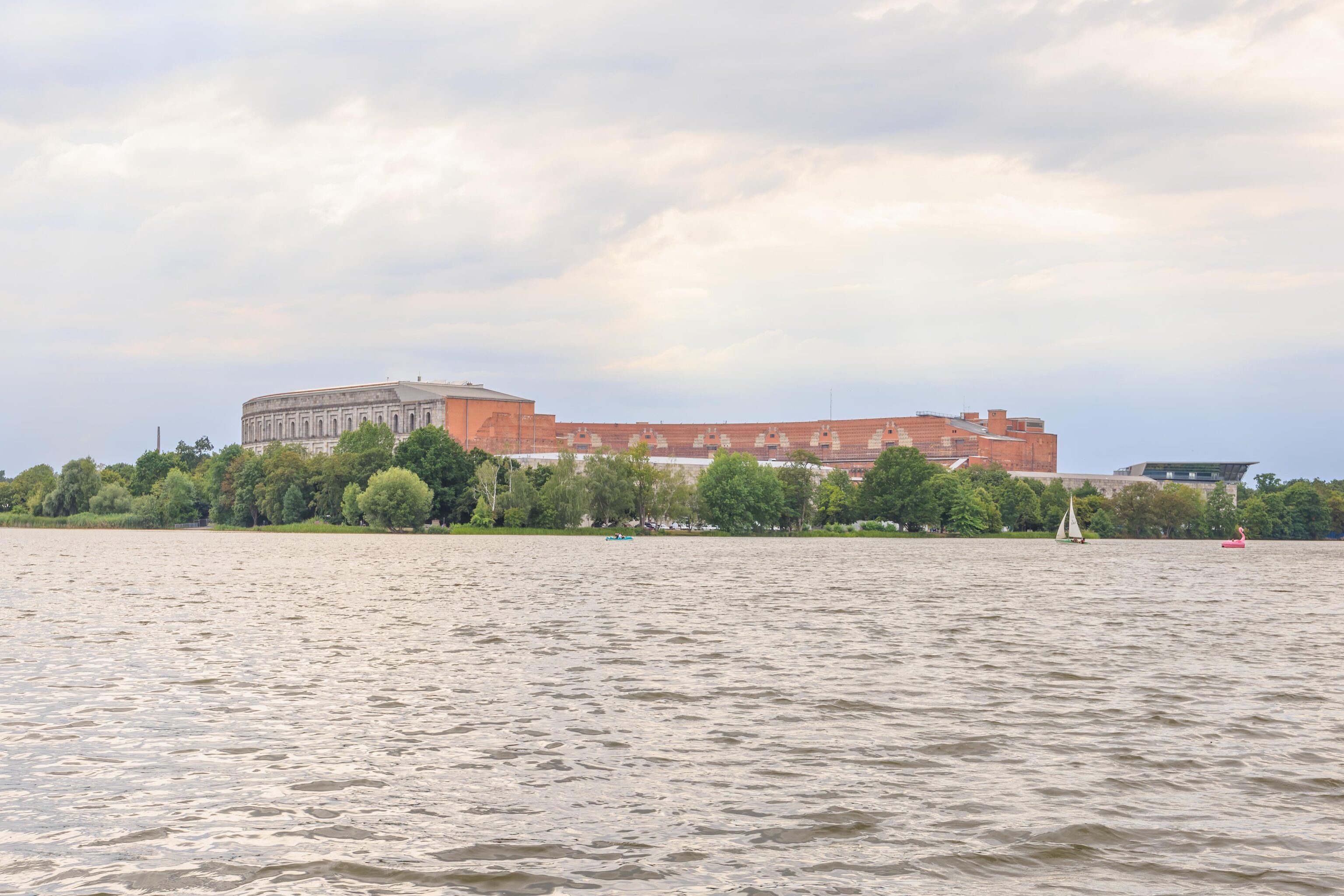
The Kongresshalle looks very different from this side. By now, weather apps indicated that rain was coming, the sky was getting darker in places, and it was quite windy.
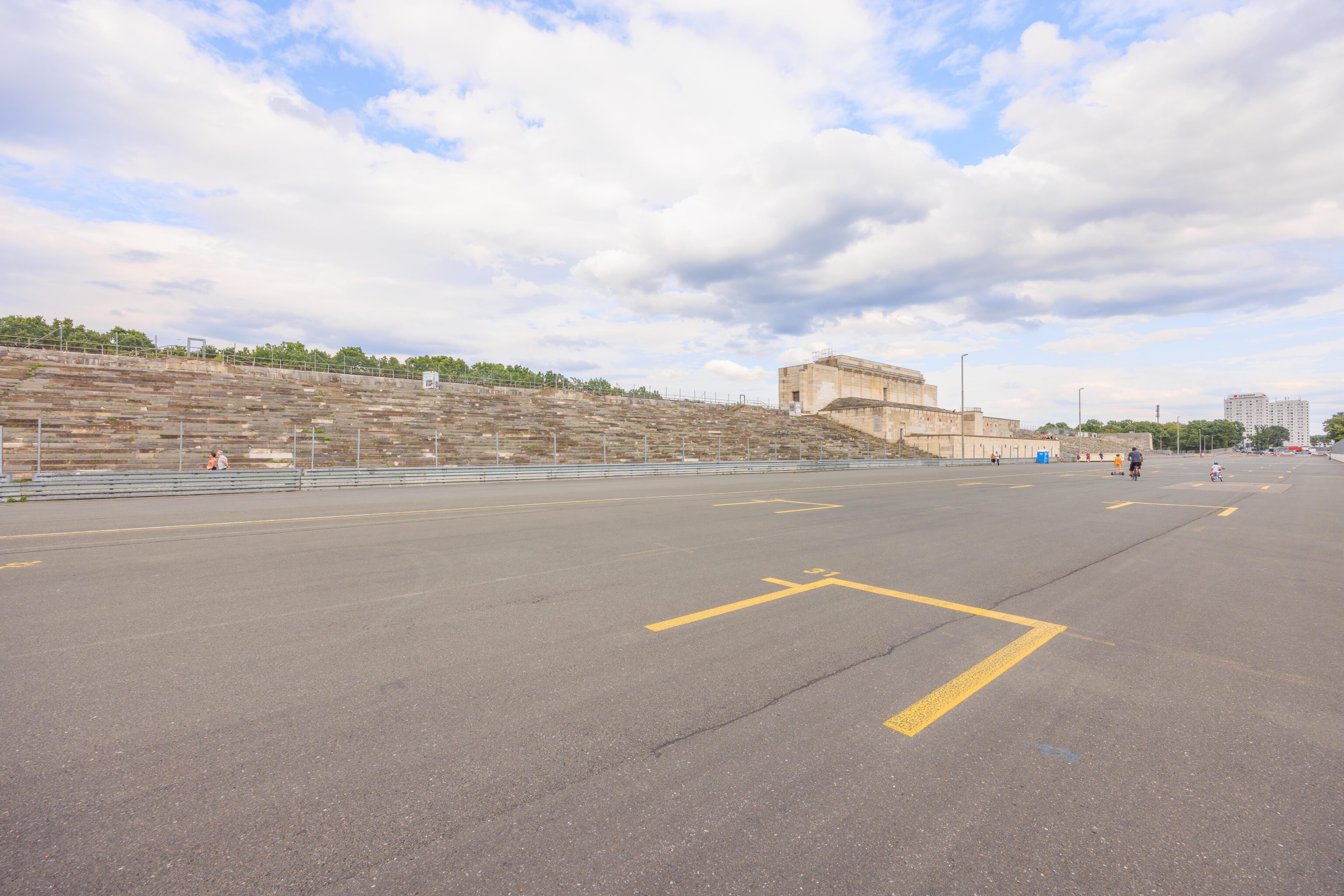
Soon, we reached the Zeppelinfeld (Zeppelin Field), another place built by the Nazis to hold rallies. The name pre-exists the Nazis, as explained by The Nuremberg Municipal Museums’ website:
The area on the southeast shore of the Dutzendteich lake came to be called the Zeppelin Field after one of Count Zeppelin's airships landed there in 1909.
The grandstand had a huge Nazi swastika which was blown up by the US Army after the war. The field was subsequently used by the US Army until the mid-90s. Now, it is used for sports events and concerts.
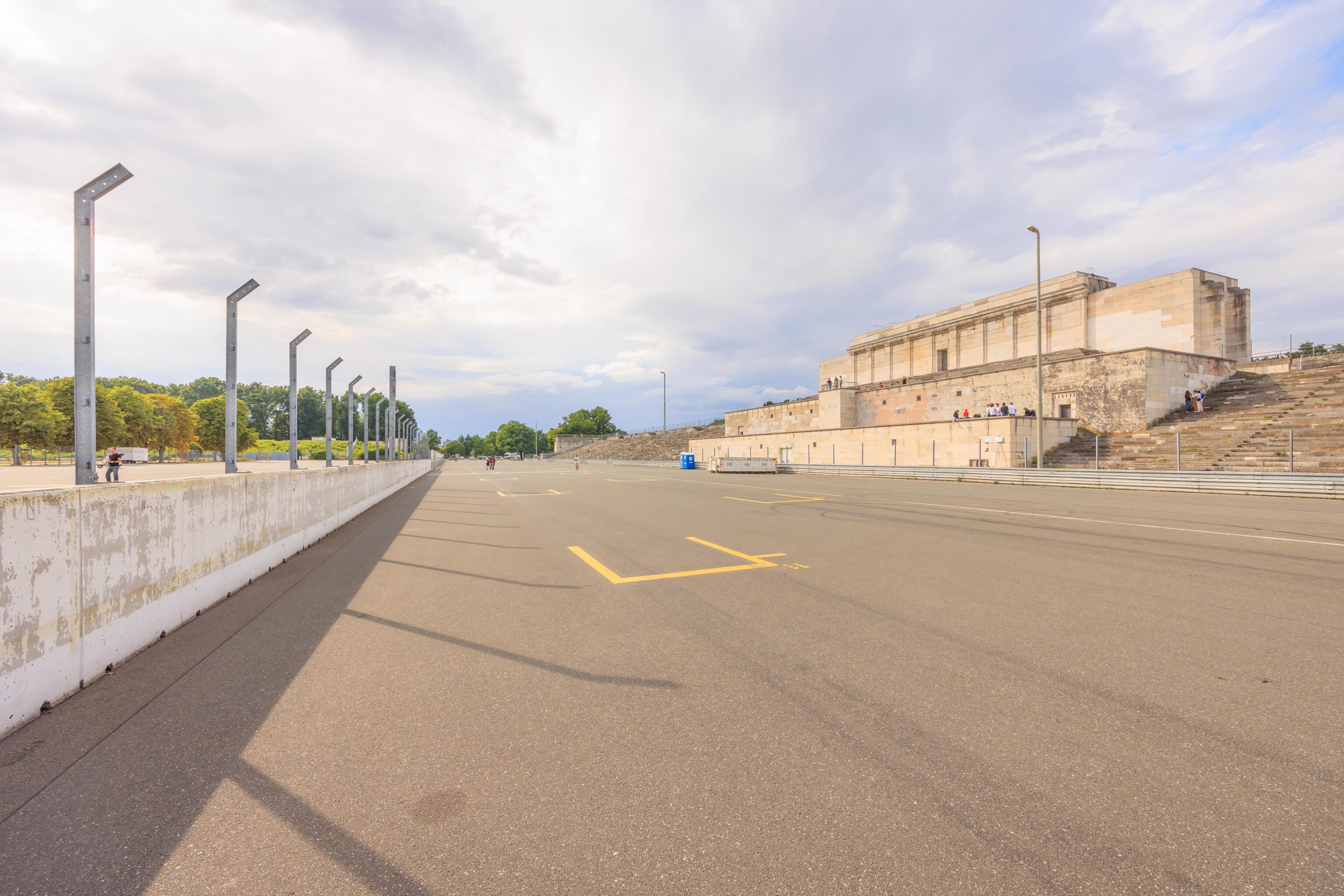
Nothing much was going on while we were there. We saw someone that seemed to be practicing driving a scooter, a parent out with their kids, and just random people here and there.
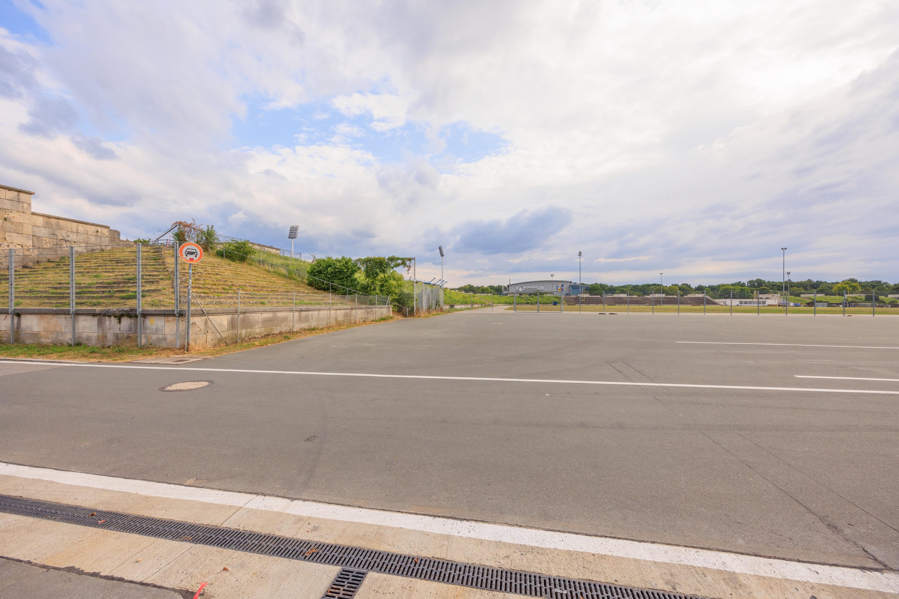
The smaller grandstands on the three remaining sides seem to be abandoned and returning to nature.
We headed around to the back of the main grandstand. Not much there, just a few cars parked. We continued walking the short remaining distance to the Nürnberg Frankenstadion S-Bahn station. We caught the next S-Bahn train to head back to the Hauptbahnhof (Central Station).
Altstadt by the Pegnitz
One we arrived, we took the U-Bahn to Lorenzkirche. We had read that the festival that we saw being setup yesterday was a music festival called Bardentreffen (Bard Meeting). Bards are musical storytellers. In modern times, they are often a type of character in fantasy games like D&D. Apparently, bard music is also a thing, though its not really something we’ve heard of.
It started to rain as we got close. We ducked into Buonissimo once again! This time we sat down for table service as we wanted to see if we could wait out the rain.
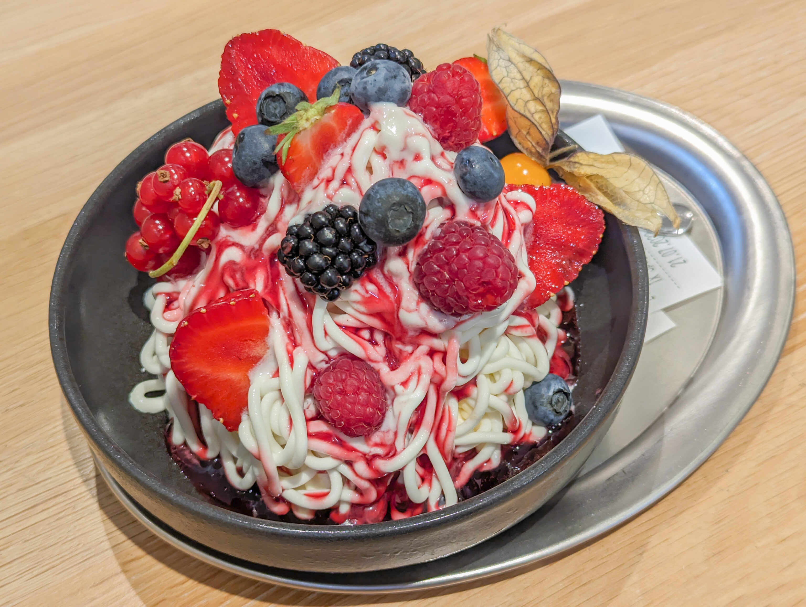
We ordered their “spaghetti,” otherwise known as a Mont Blanc. This one was made out of frozen yogurt. The fruit syrup was overly sweet but otherwise it was fantastic. The little forest berries were kind of weird though!
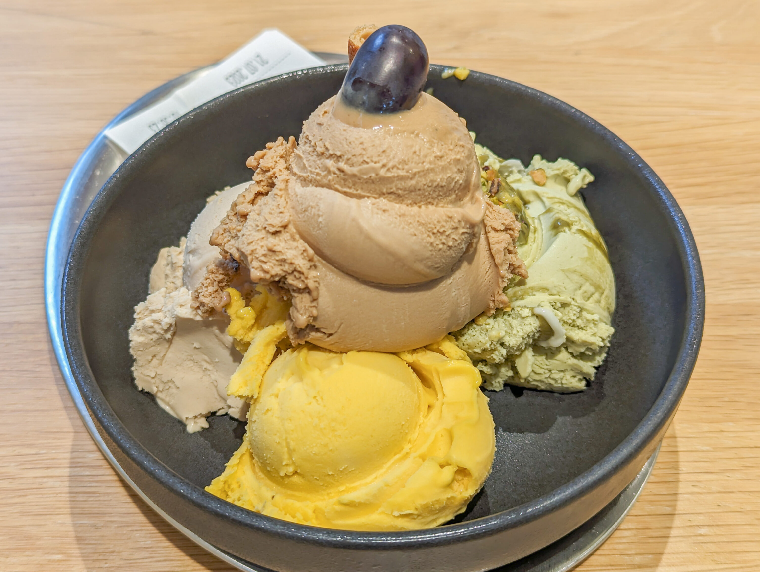
We also got four scoops of ice cream – espresso, pistachio, hazelnut, and mango sorbet. We actually intended to get passion fruit instead of hazelnut but somehow ended up with the wrong thing.
After we finished, it was cool and a bit windy outside but the rain had stopped.
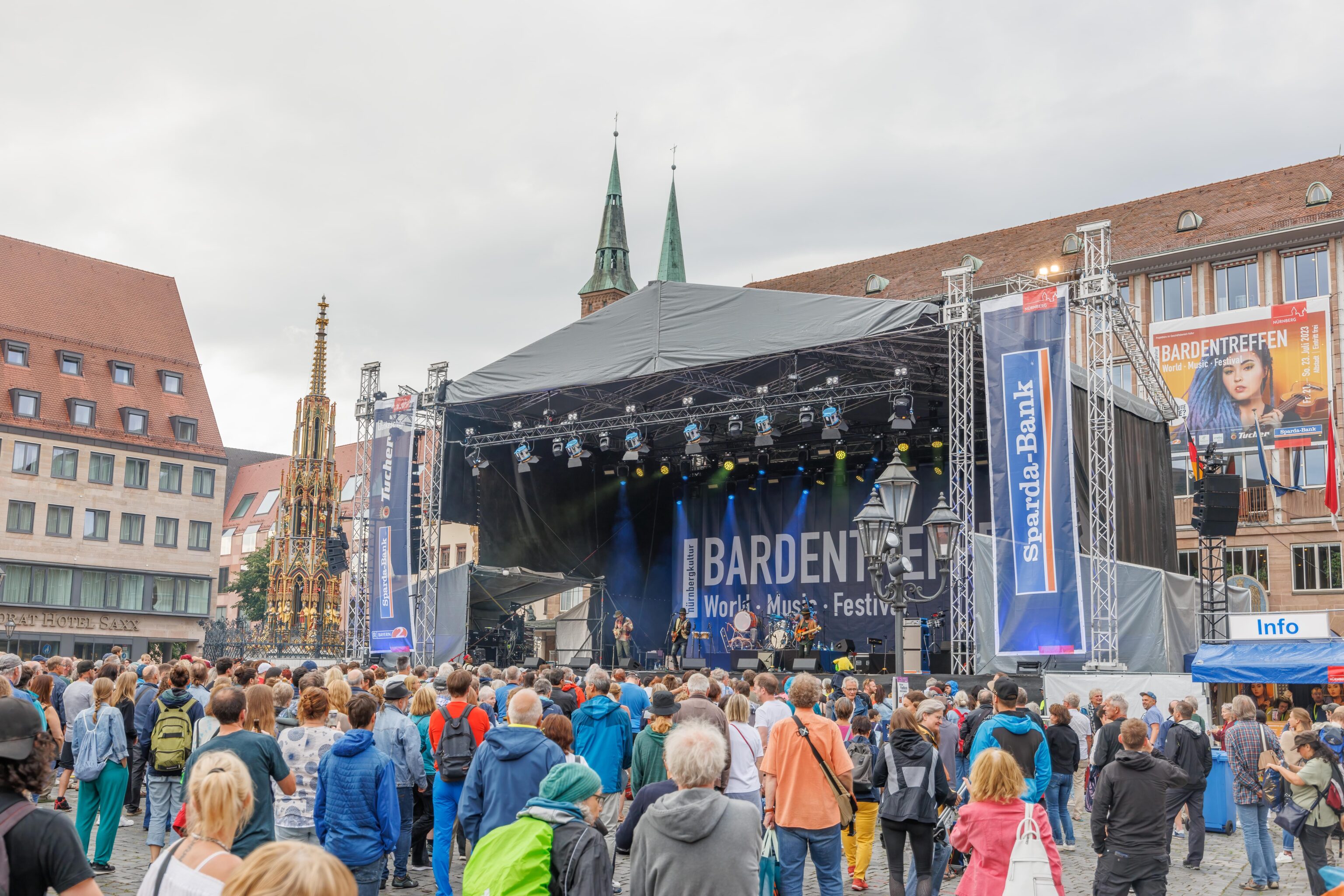
We stepped outside after putting on our waterproof shells as it was a bit cold and we wanted to be ready in case of additional rain. There was a band playing on the large stage at the north end of the Hauptmarkt. We couldn’t tell what language they were singing in.
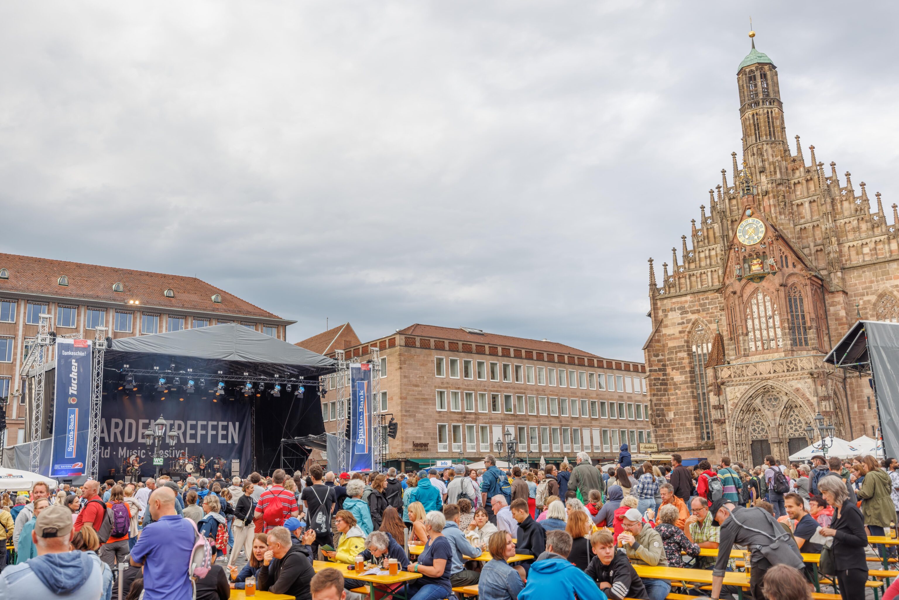
While there were many people there, it was still easy to move around. We watched for a little bit and then headed to the southwest corner of the Hauptmarkt.
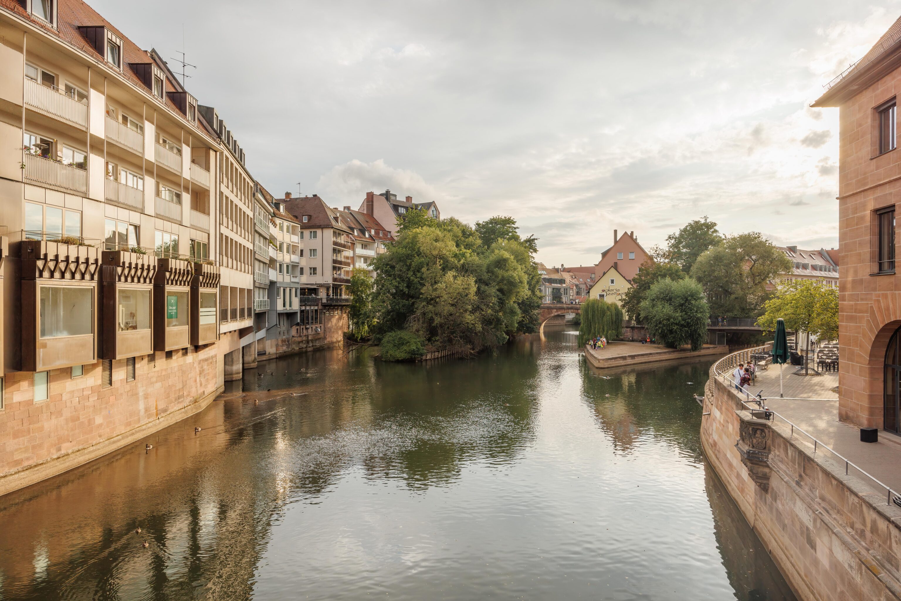
We crossed over the Pegnitz on the Fleischbrücke (Meat Bridge). This bridge is over 400 years old. The German Wikipedia article about the bridge is much more detailed than the English one. It explains (via Google Translate):
The oldest bridge in Nuremberg at the narrowest point of the Pegnitz is dated around 1200, the Fleischbrücke was first mentioned in a document in 1335. A neighboring Fleischhaus gave the building its name. In 1418 the wooden structure burned down. In 1432, a flood destroyed the new bridge, which was then rebuilt. In 1487 the wooden structure was replaced by a stone bridge with a central pillar and two arches.

In 1595, this previously damaged building was so severely damaged by floods that the city decided to demolish it and replace it with a new building. This should not have a center pillar so as not to reduce the flow profile. In addition, due to road traffic, a flat structure was sought. March 1, 1596 saw the start of construction of the flat, single-arched stone bridge. The foundation and falsework were planned and executed by master carpenter Peter Carl, master stonemason Jakob Wolff was responsible for the natural stone masonry. The chief construction manager was Wolf Jacob Stromer, from whose possession master builder books with countless bridge designs from all over Europe for the preliminary planning and a construction model of the Rialto Bridge have been preserved. The building was completed at the end of 1598 and cost 82,172 guilders. In February 1599 another side portal was built, on which a stone ox lies.

Since then, the bridge has remained practically unchanged and has not been destroyed. It also survived the Second World War almost undamaged. In 1974 it was placed under monument protection. An extensive repair of the sandstone masonry was carried out from 2004 to 2005.
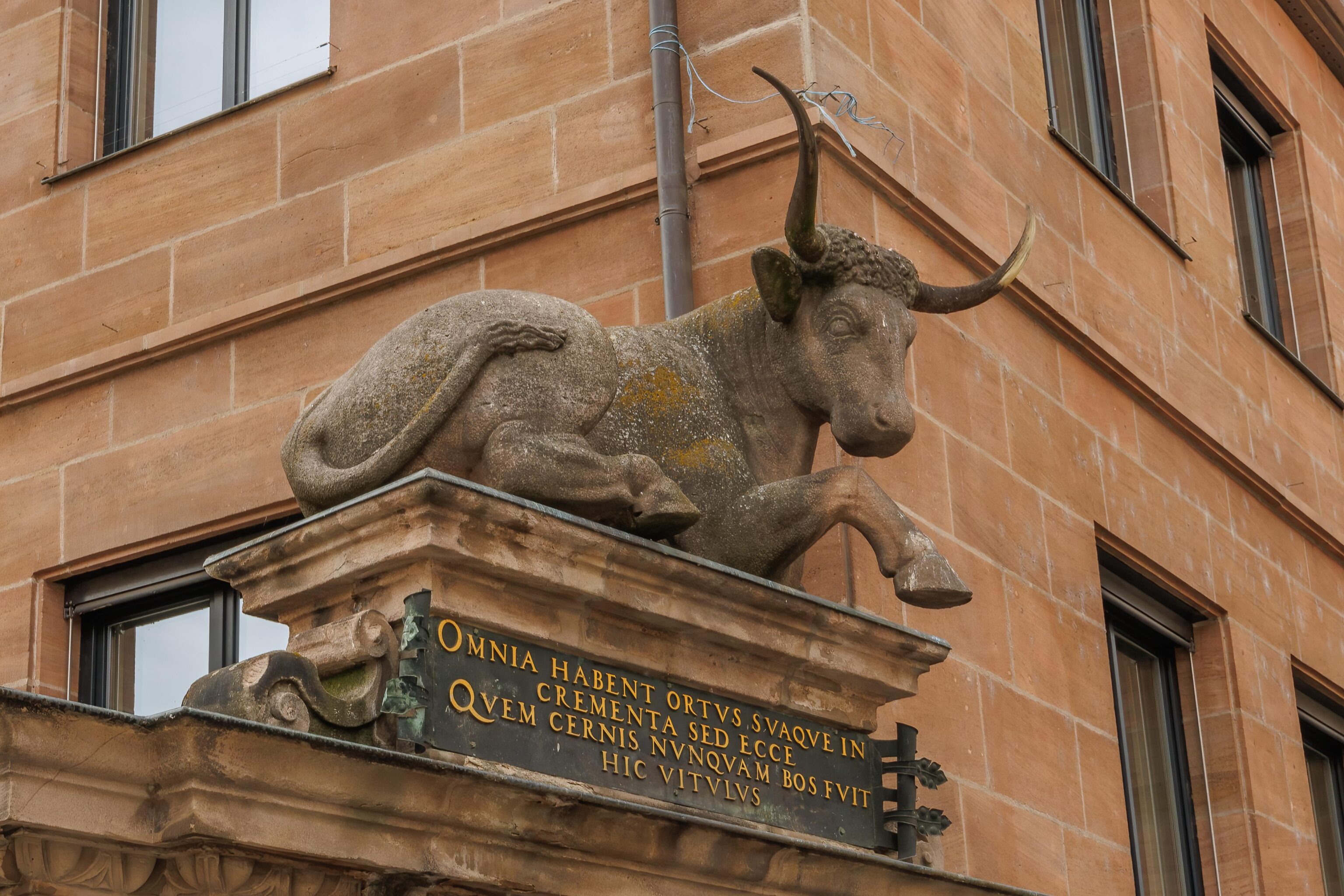
Both English and German Wikipedia articles mention this quote in Latin:
Omnia habent ortus suaque in crementa sed ecce quem cernis nunquam bos fuit hic Vitulus.
The English language Wikipedia page translates this as:
All things have a beginning and grow, but the ox upon whom you now look was never a calf.
Looking back beyond the ox towards the Hauptmarkt.
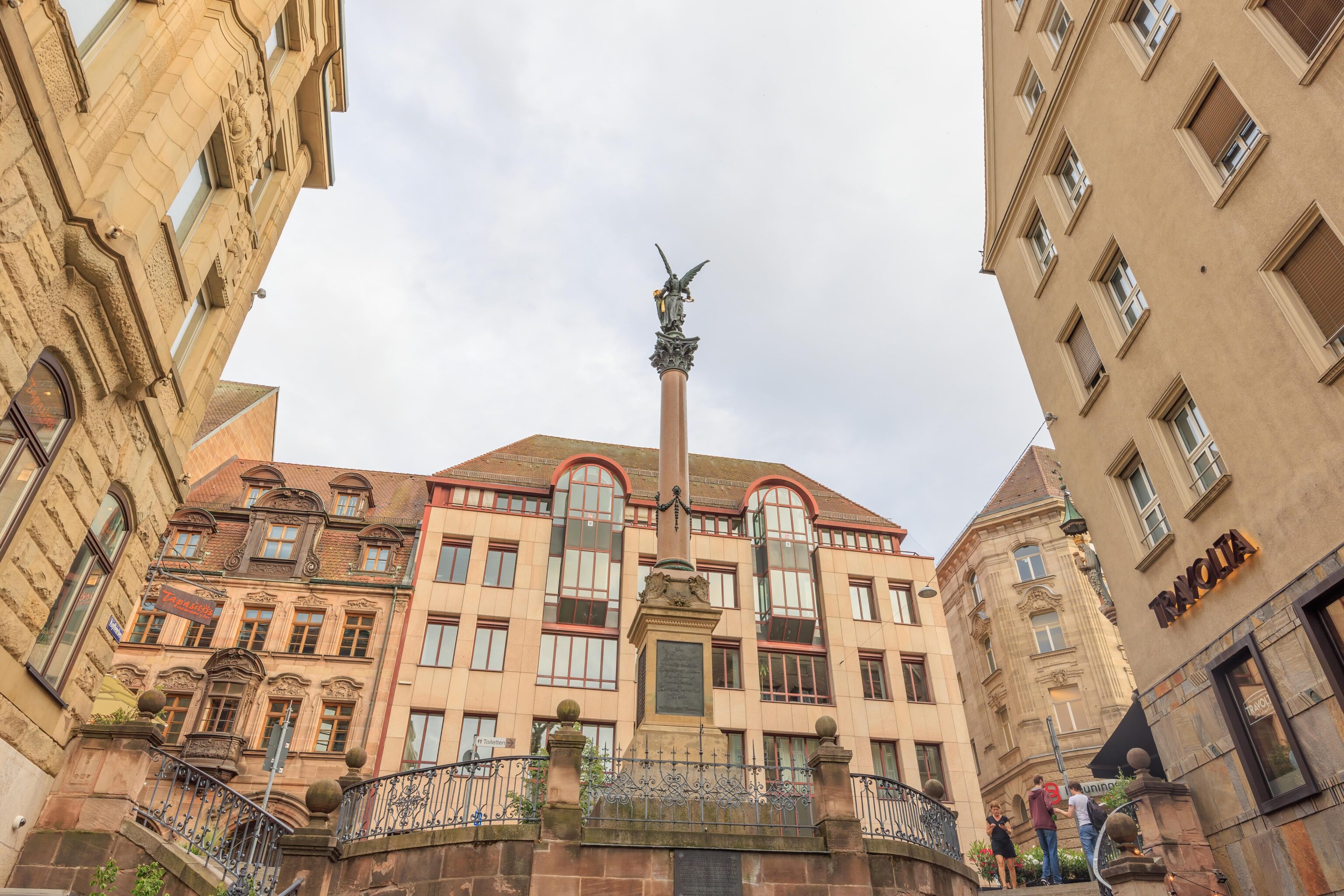
This monument is the Siegessäule (Victory Column). Not quite as impressive as the one for Lord Nelson at Trafalgar Square. The Wikipedia article for the monument has a good description (via Google Translate):
The Köpfleinsberg War Memorial is a memorial in Nuremberg's old town. It is located on the Köpfleinsberg between Adlerstraße and Kaiserstraße and commemorates the Nurembergers who died in the Franco-Prussian War of 1870/71. The motif is a bronze cast Victoria.
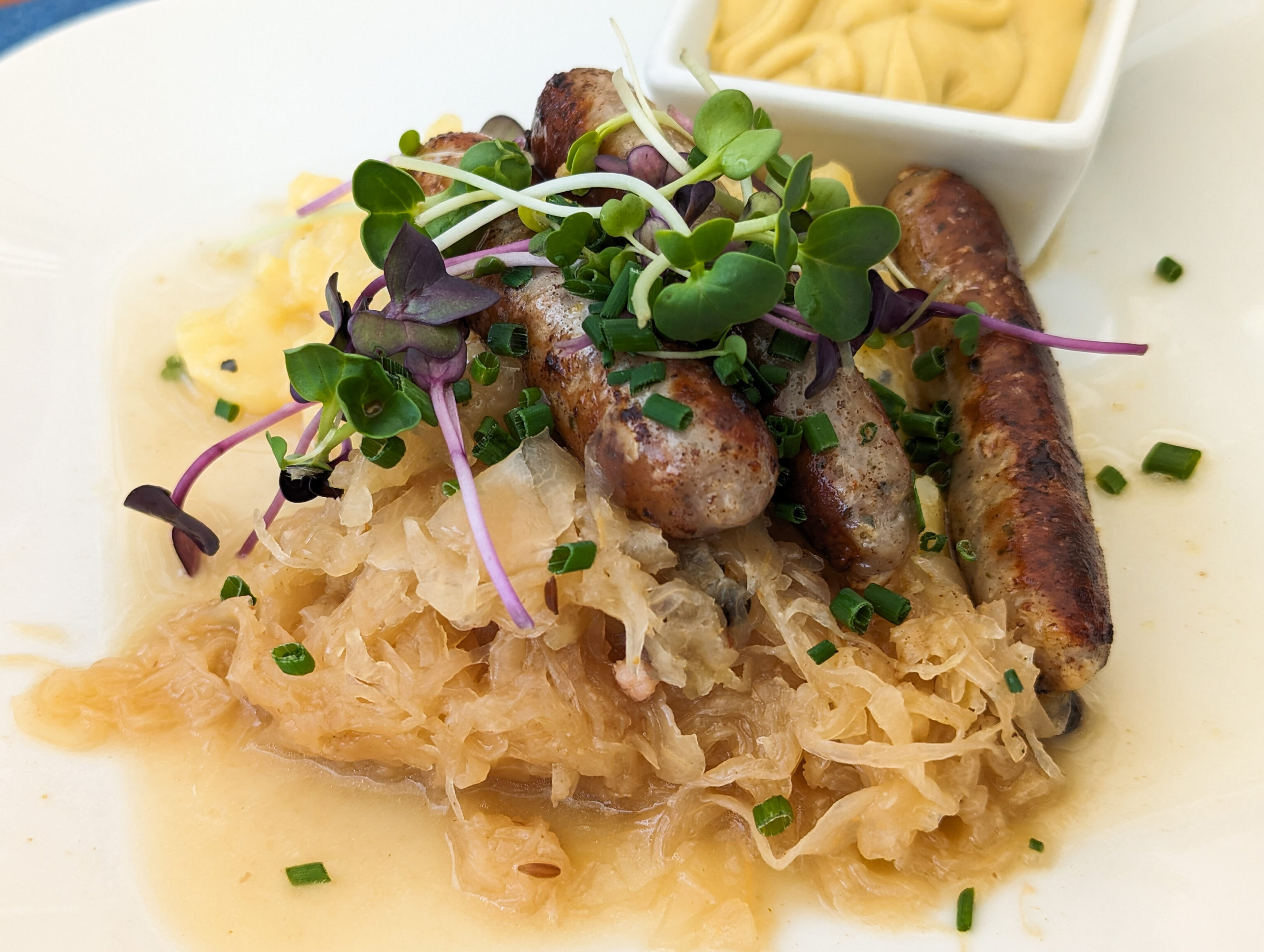
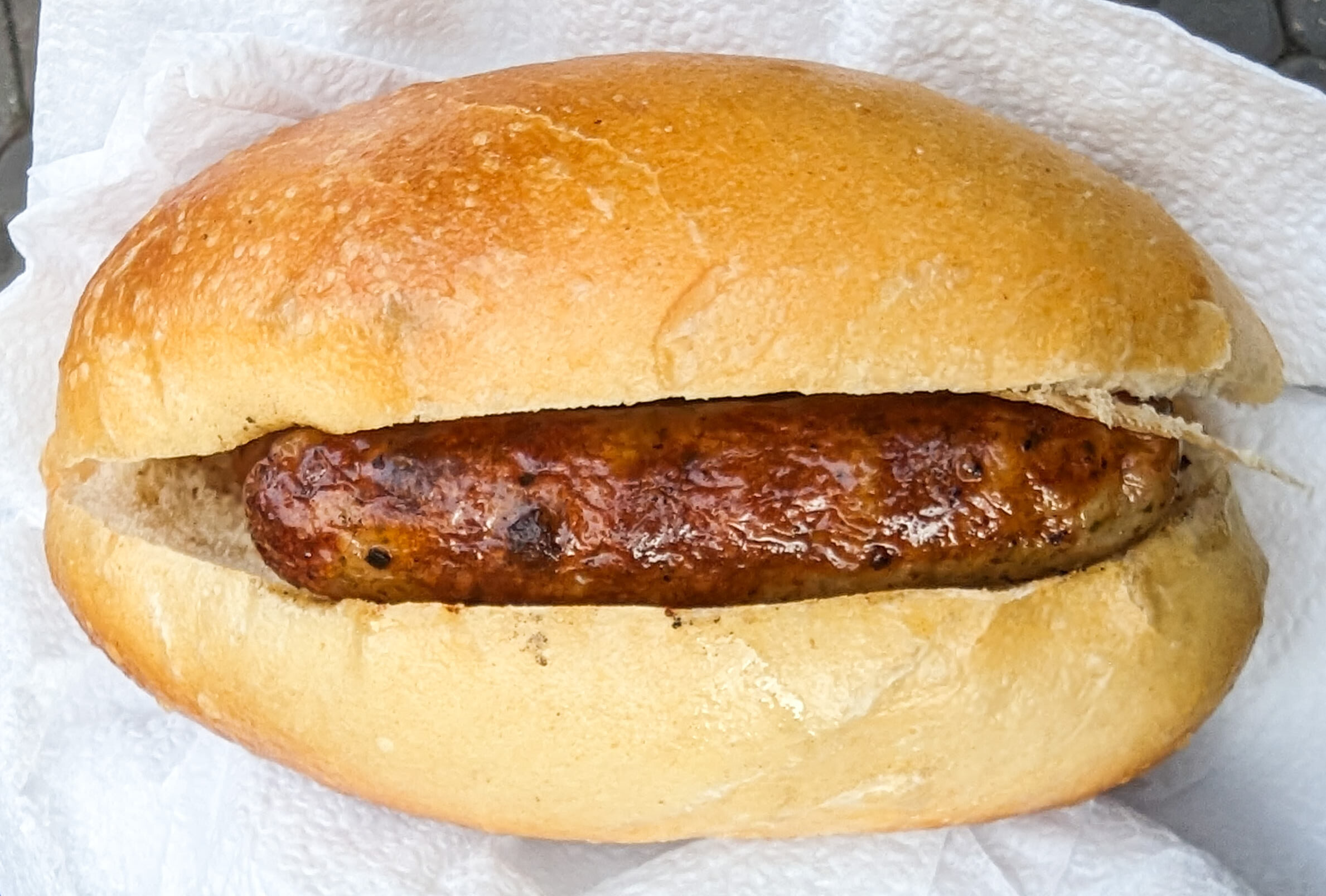
We decided to get some wurst from one of the local stands that had very good reviews. We made it before they closed for the evening by about 15 minutes.
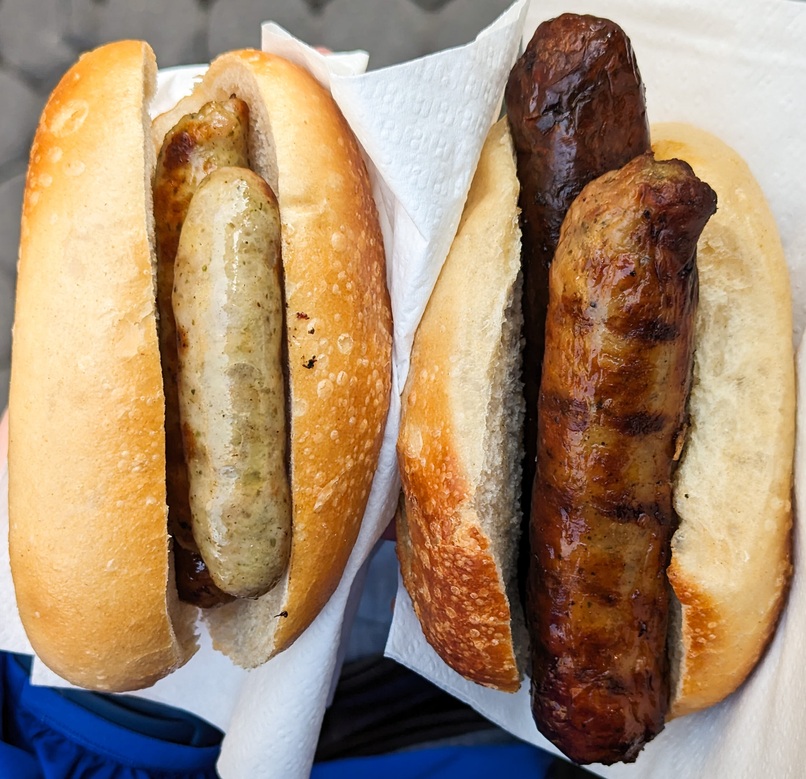
The wurst on the left is the local Nürnberg variety. They always seem to come in triplets as they are small. The one on the right is Fränkische and comes in pairs. They are substantially larger. These were very good.
After eating the wursts, we headed to the east to the Lorenzkirche to catch the U-Bahn back to the Hauptbahnhof.
We ended up getting more wursts from a random stand near the U-Bahn station. This was a trio of Nürnberg wursts but tasted slightly different from the first stand. The first stand was better, but this was still good.
Afterwards, we decided to walk back to the Le Méridien Grand Hotel as it wasn’t very far away and we hadn’t done the walk yet.
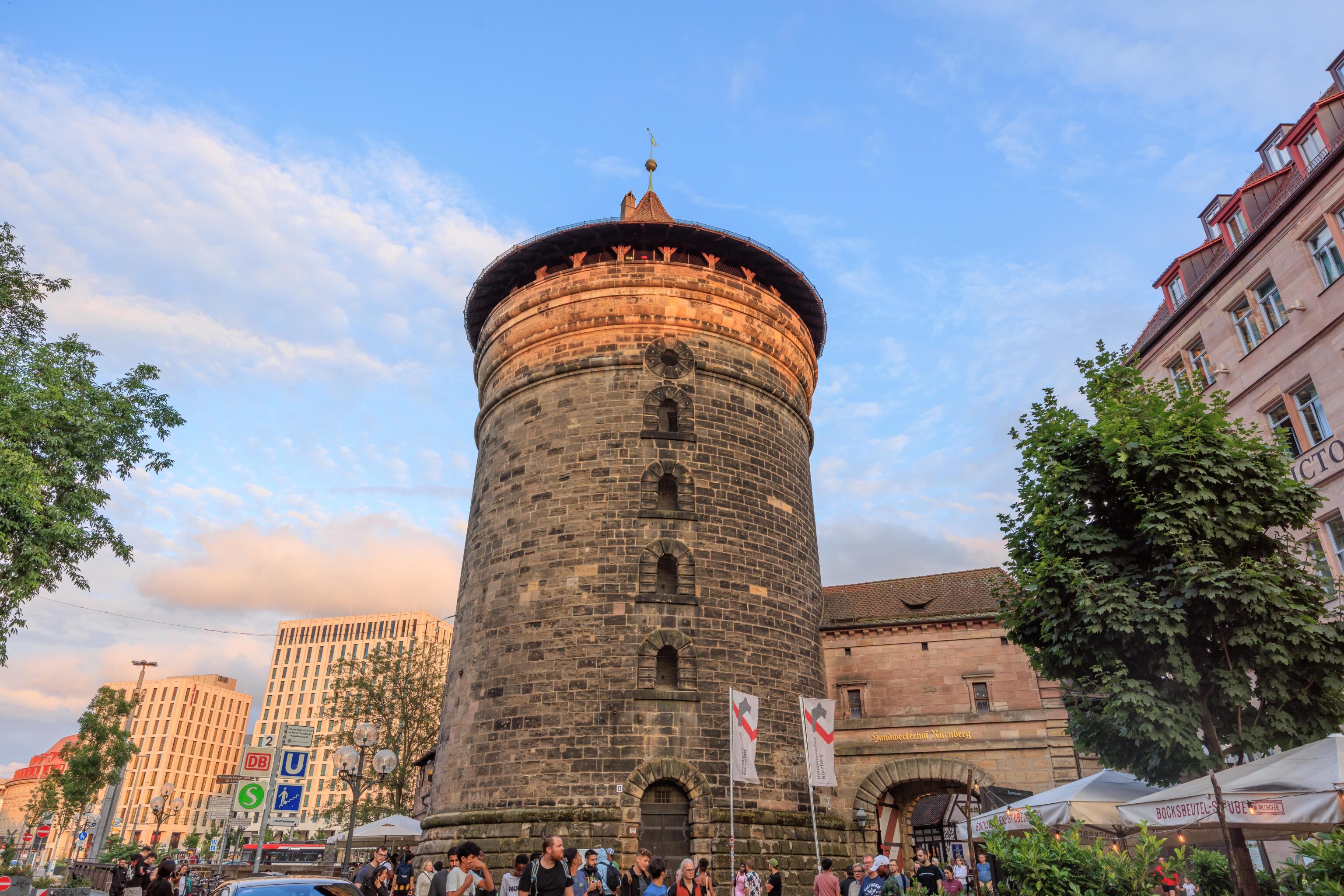
There wasn’t really anything particularly notable on the way. We soon reached the Frauentorturm (Women’s Gate Tower), across the street from the hotel. This tower doesn’t have a Wikipedia page in German or English but it did have a page on GPSmyCity. This tower is Blue Q. Finally, a tower that isn’t Green! We walked through the area around the tower. The space to the right of the tower is occupied by the Handwerkerhof (Craft Yard). There are a few shops and restaurants in this area. Once again, GPSmyCity has a page about it.
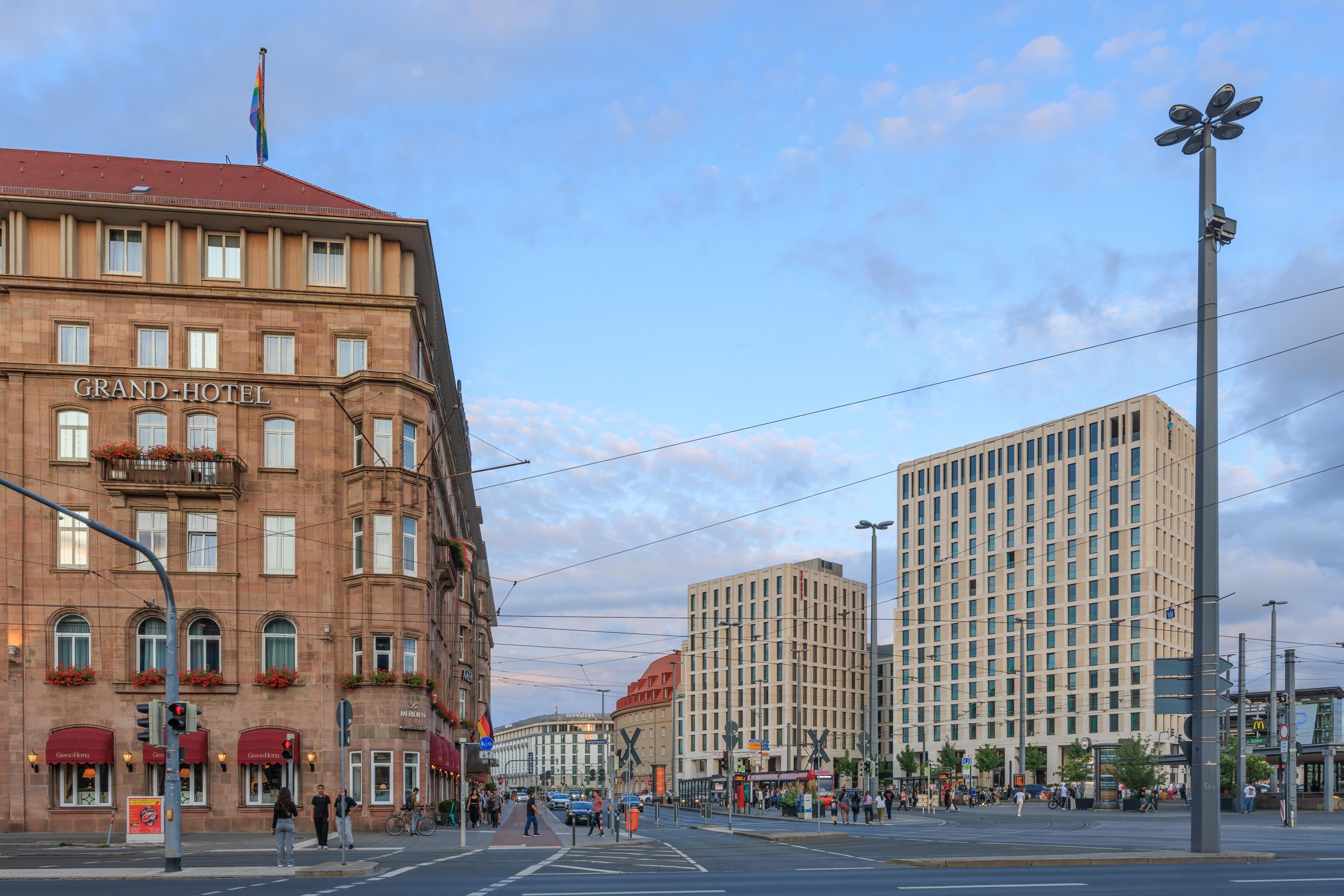
We exited the Handwerkerhof on the southeast corner and ended up across the street from the Grand Hotel.
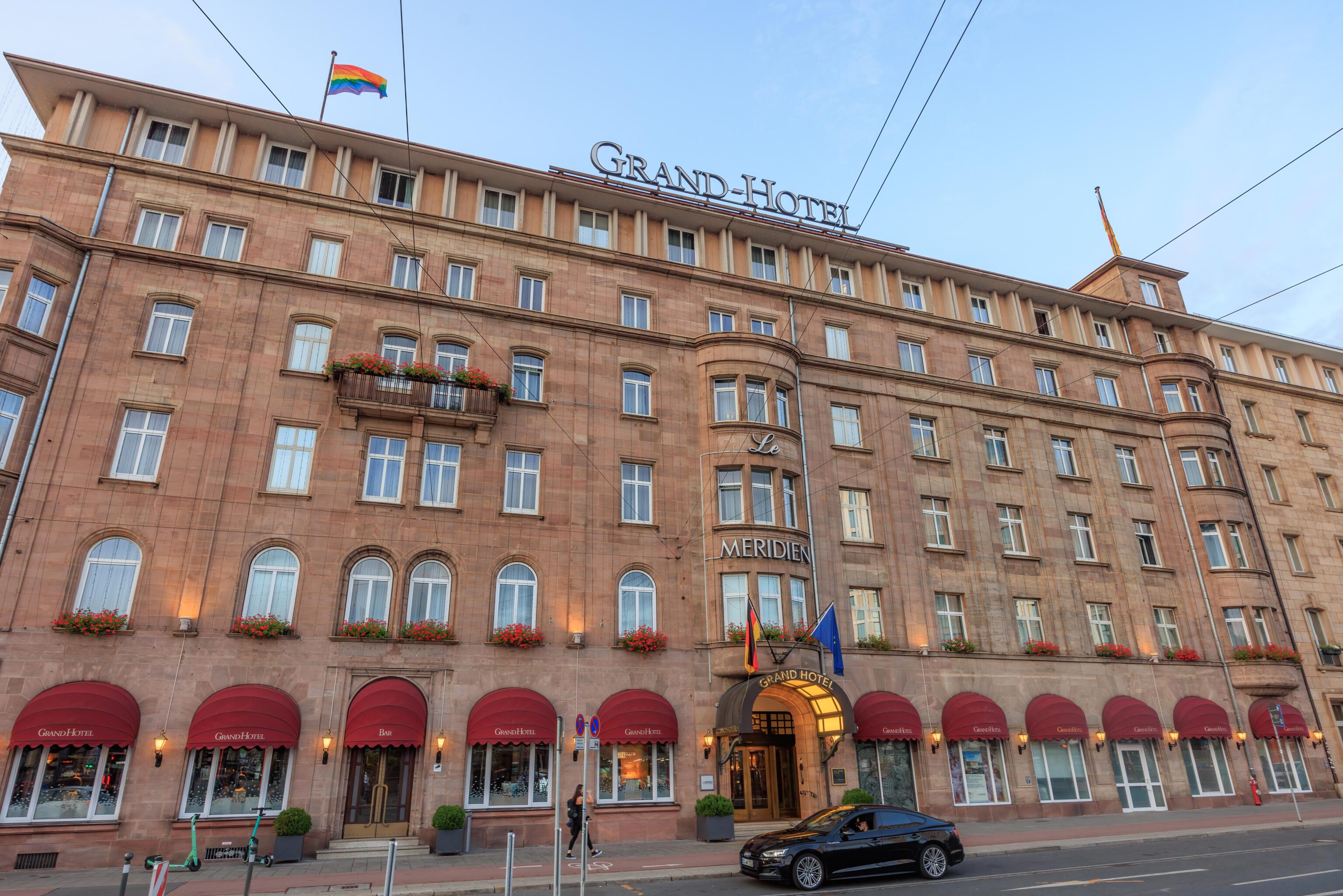
We didn’t photograph the hotel yesterday so we decided to get a photo. There are wires running all over the place due to the electric trams. Afterwards, we entered the hotel and ended our day.