
We started the day by heading to Stonehenge. After a wrong turn on a roundabout and looping through one an extra time, we made it right after the 9:30am opening time. We spent a bit of time there and then headed to Old Sarum, the site of the ruins of an ancient castle and cathedral. After walking through what is left of the castle, we went to nearby Salisbury to visit the cathedral’s replacement and to view one of four remaining original copies of the Magna Carta! On our way back, we hit two additional castle ruins, one of which was not actually in Wiltshire, before calling it a day.
Stonehenge
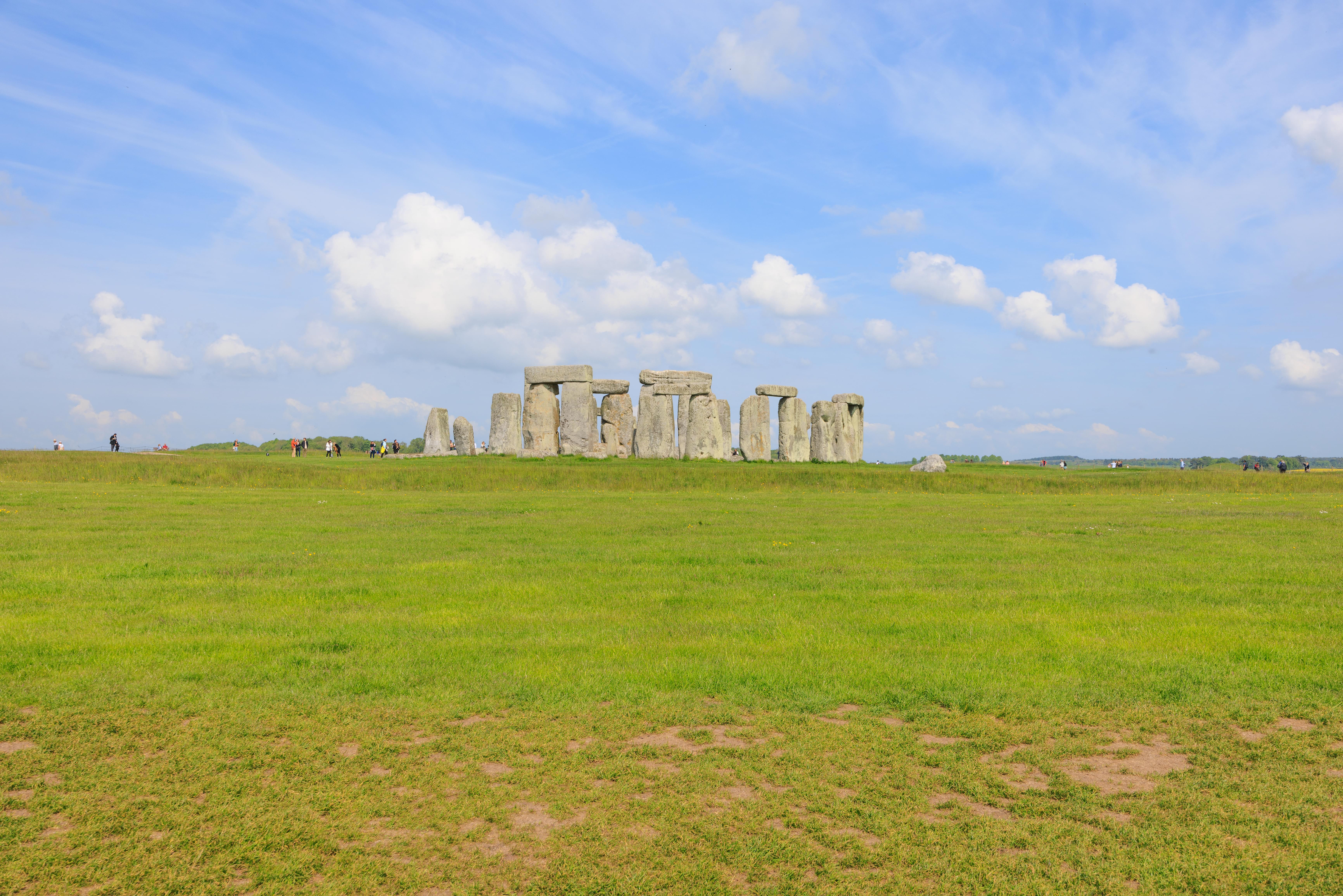
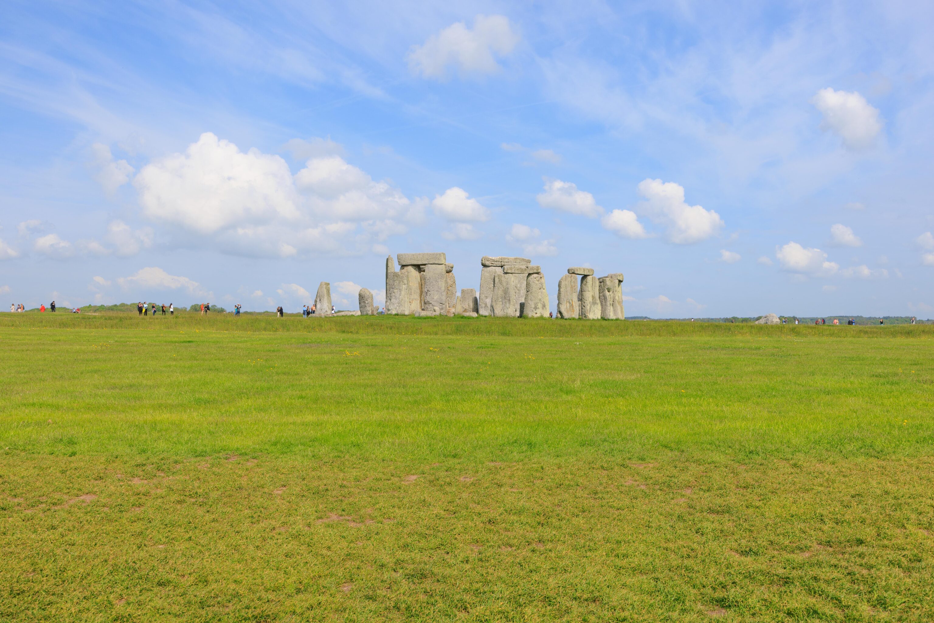
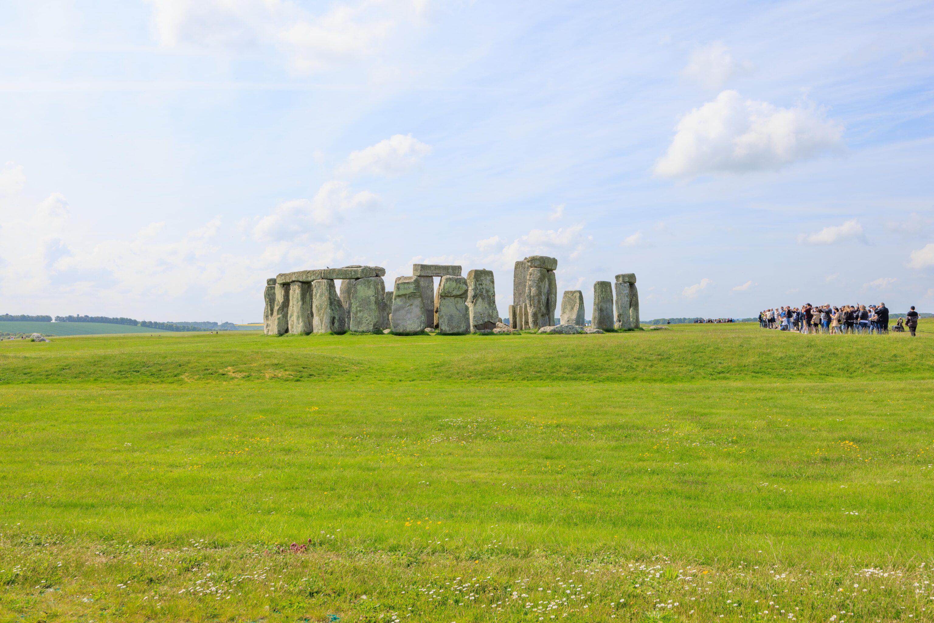
Everyone has seen pictures of Stonehenge. In real life, its just as one would expect! It’s a bunch of really old rocks in a circle. Oddly, from far away, it looks rather huge. But from close up, it seems kind of small even though the stones are clearly enormous. It felt a bit like seeing the Mona Lisa. One expects it to be this huge painting but it is actually tiny.
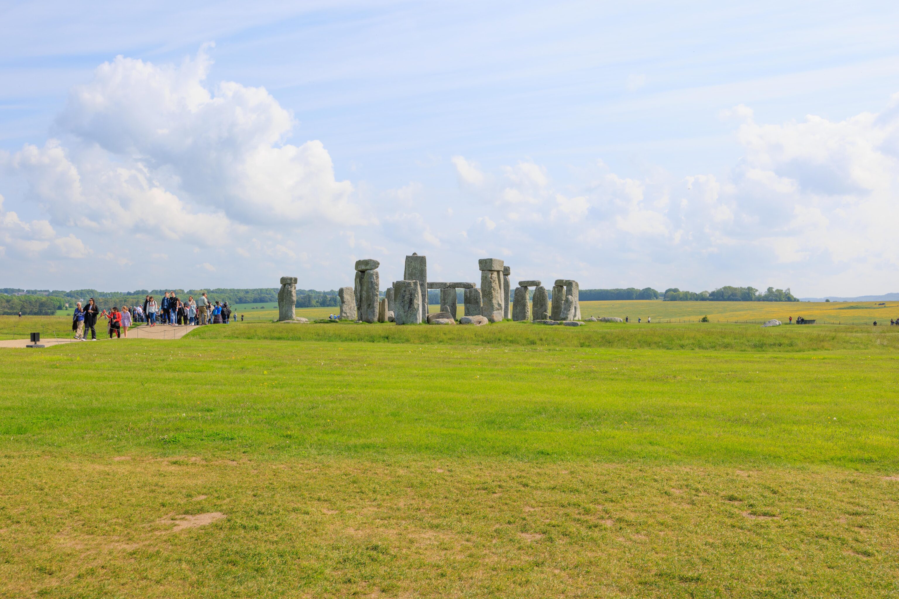
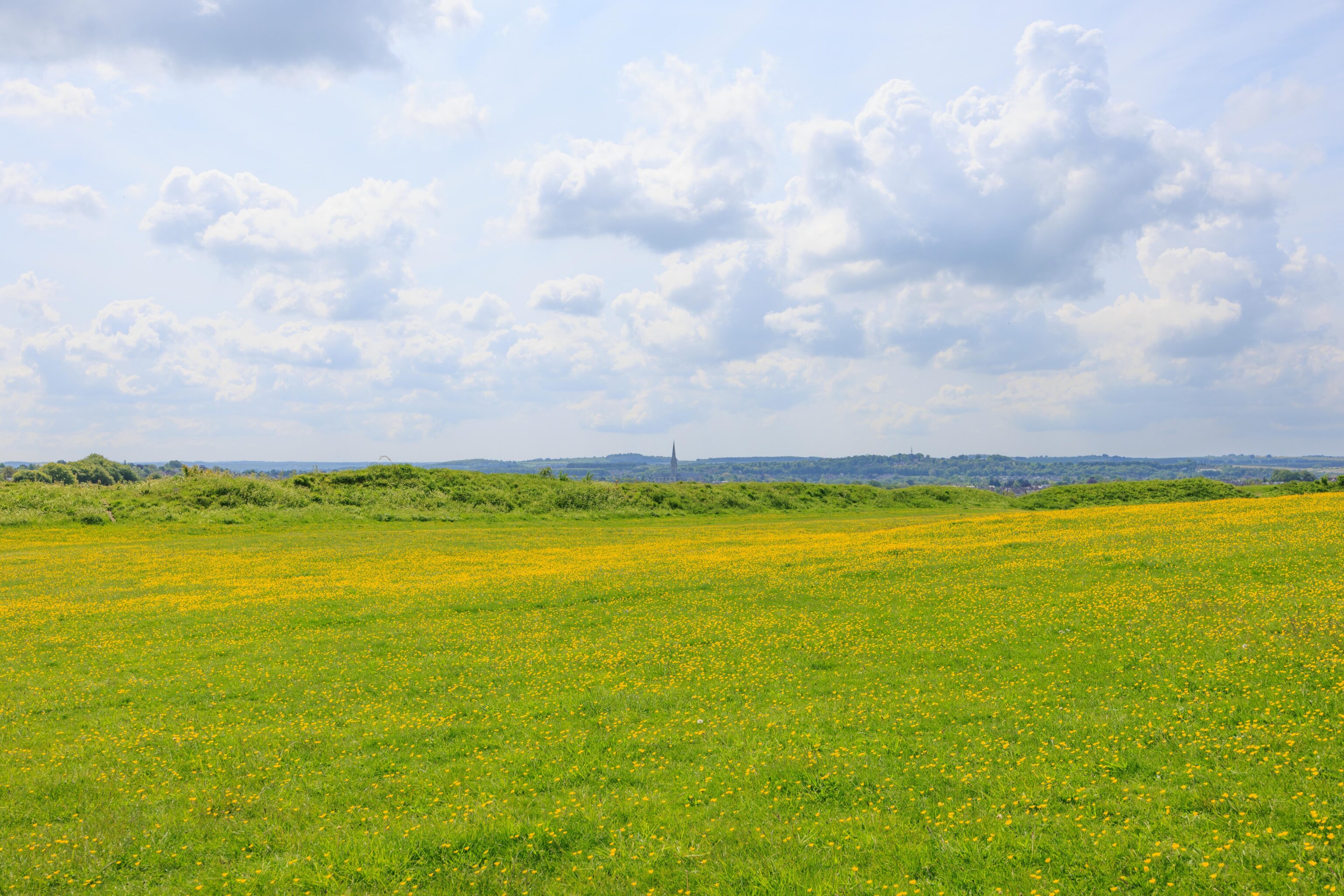
The parking lot and visitor center is about a mile away from the actual Stonehenge site. There is a frequent shuttle bus included in the ticket. It is also possible to walk, though the first half mile is along the shuttle bus road and there is nothing interesting to see. The second half mile has some trails that head off into the farmland. There are ancient burial mounds and other places of interest. We headed right to Stonehenge via the bus as we figured there would be less people early in the morning.
It turns out that 9:30am isn’t really early. There were already a ton of people there! It is probably mostly tour groups as the parking lot didn’t have too many cars.
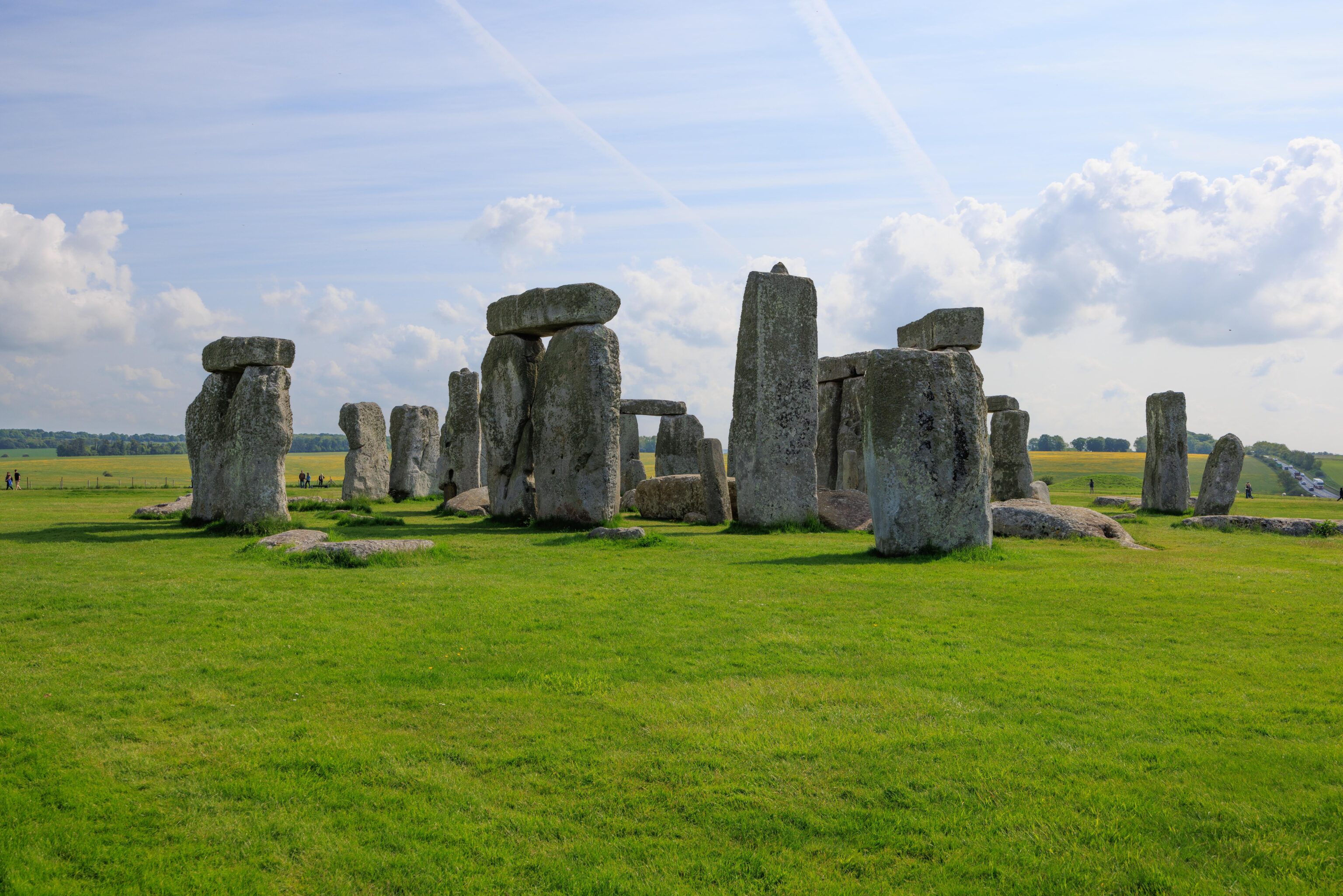
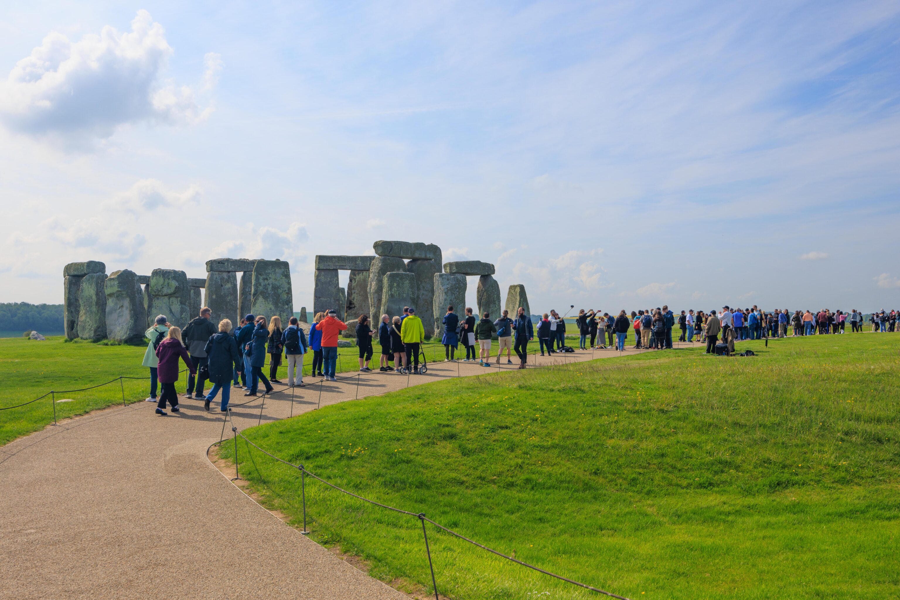
There were two possible paths as we walked closer to the stones. Right or left. We went right as that took us closer. Unfortunately, the sun was in front of us, resulting in the stones being backlit.
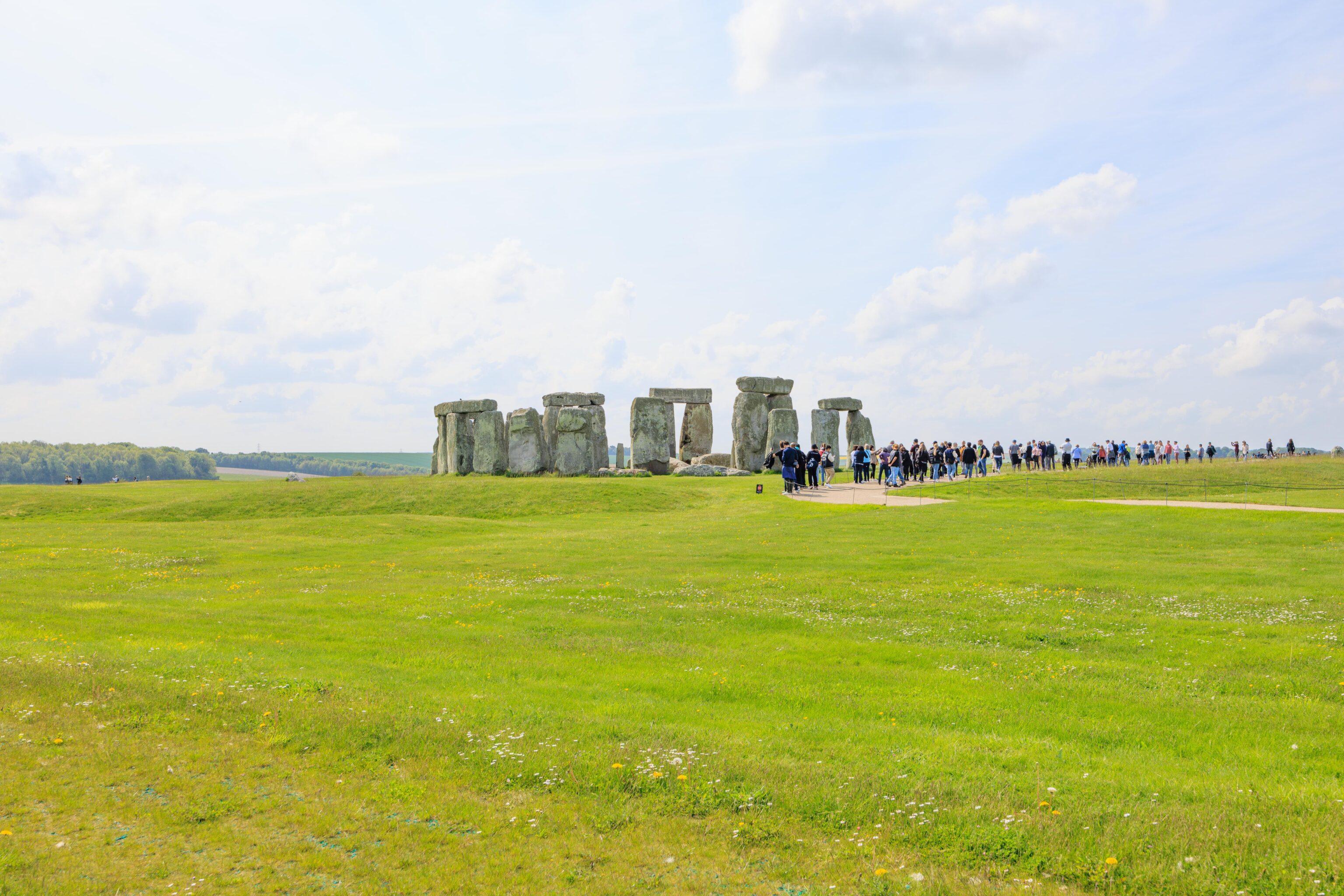
The path only stayed close to the stones for a short distance. It is possible to walk among the stones by taking a morning or evening tour. These tours are outside of the normal visitation times and are limited to small groups of people. They seem to only be offered int the summer.
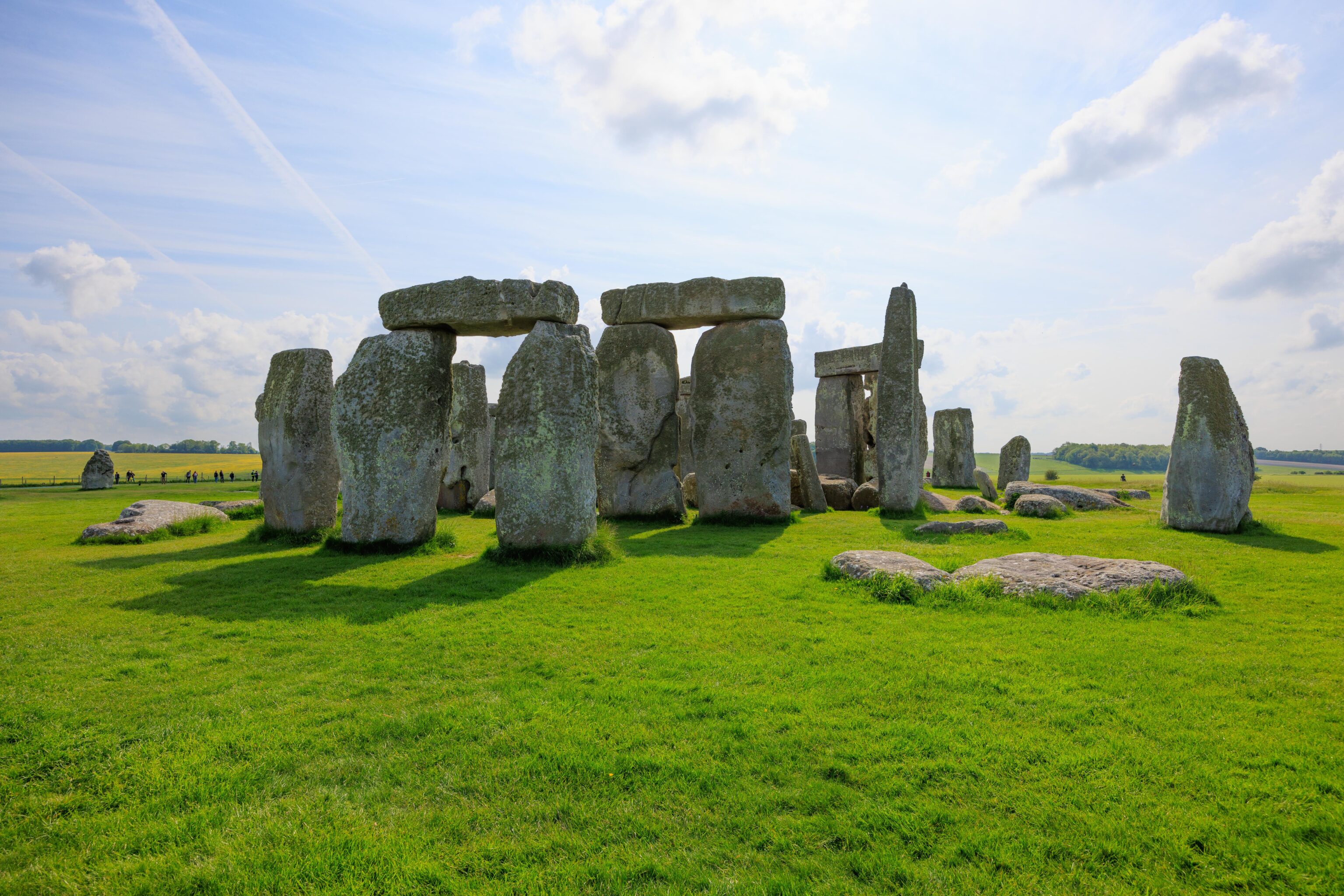
Once we got further away, we had a better vantage point as far as the sun was concerned. But we were definitely much further away than we were before!
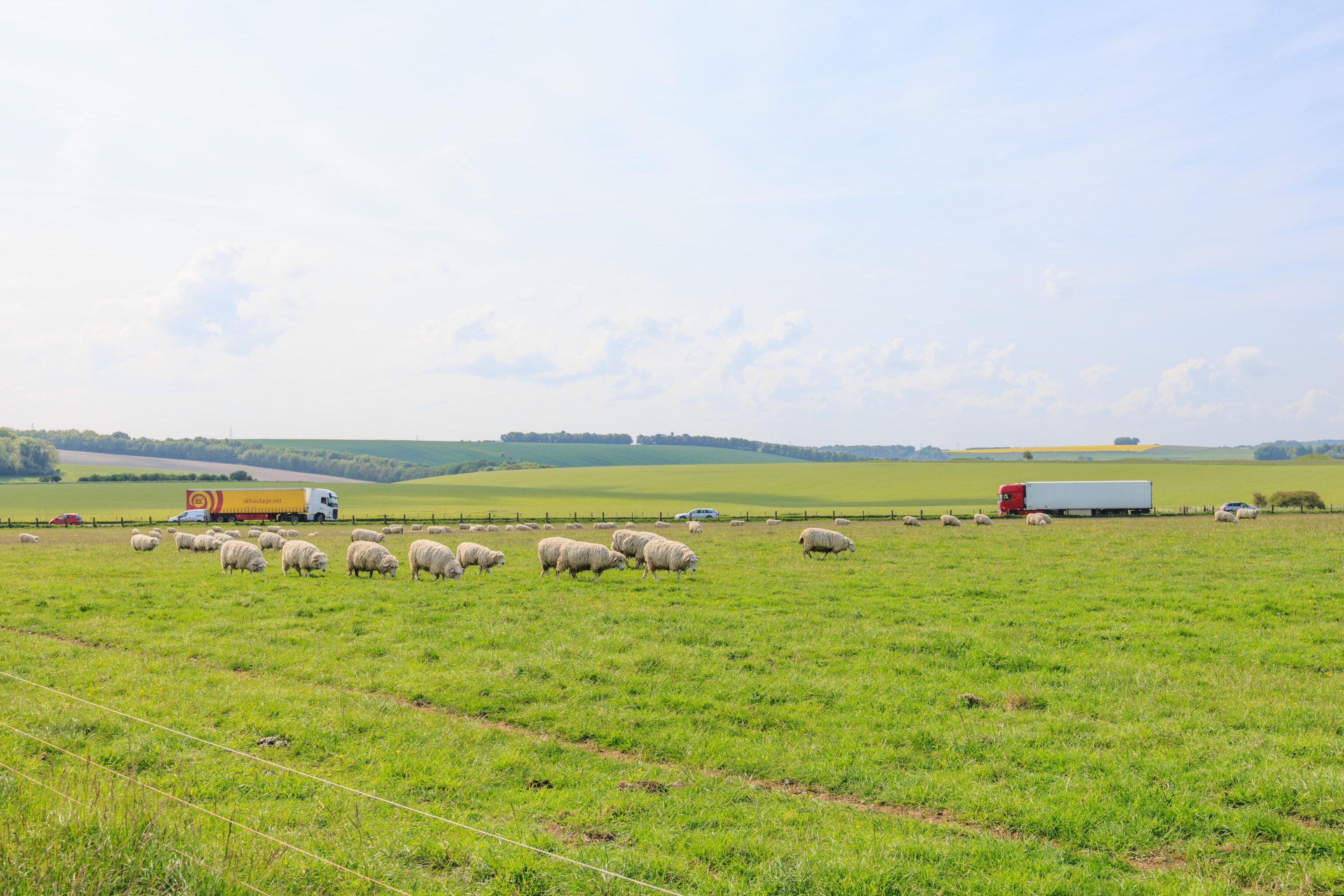
Stonehenge is surrounded by farmland. There were sheep walking by! No baby sheep though, maybe too early for them?

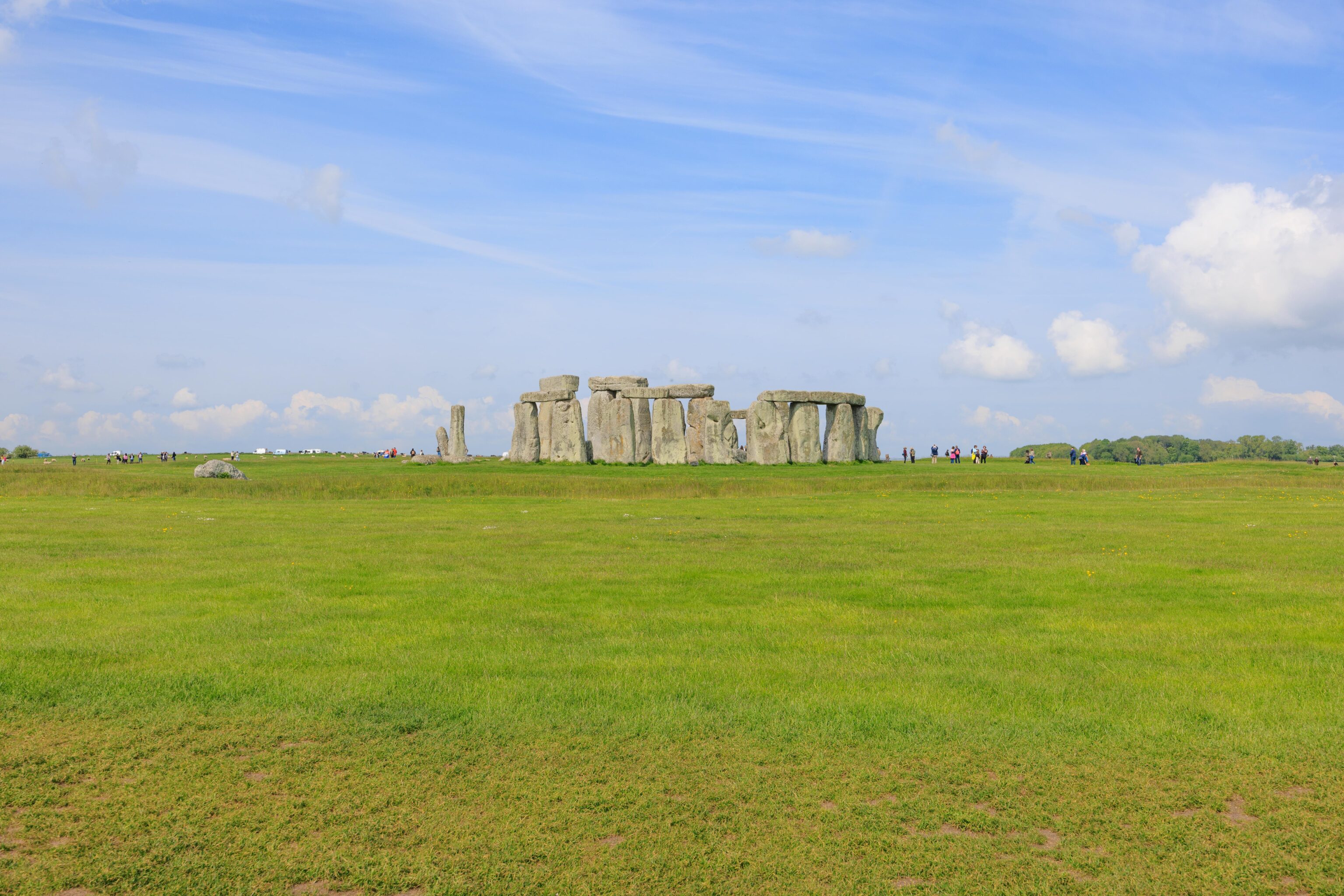
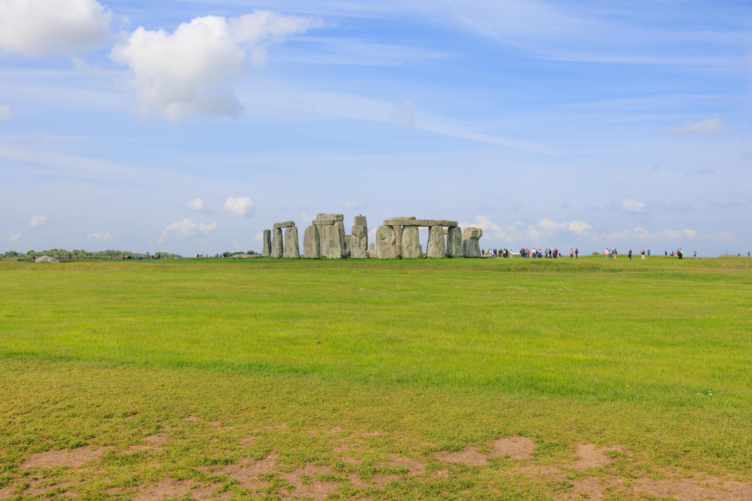
We continued walking around Stonehenge. The stones look different from every angle.
Stonehenge is aligned with the solstice so that the sun shines directly through the tallest stones. There is a line on the ground marking this point. There aren’t enough stones left to really experience what this would have been like 4,000 or so years ago.
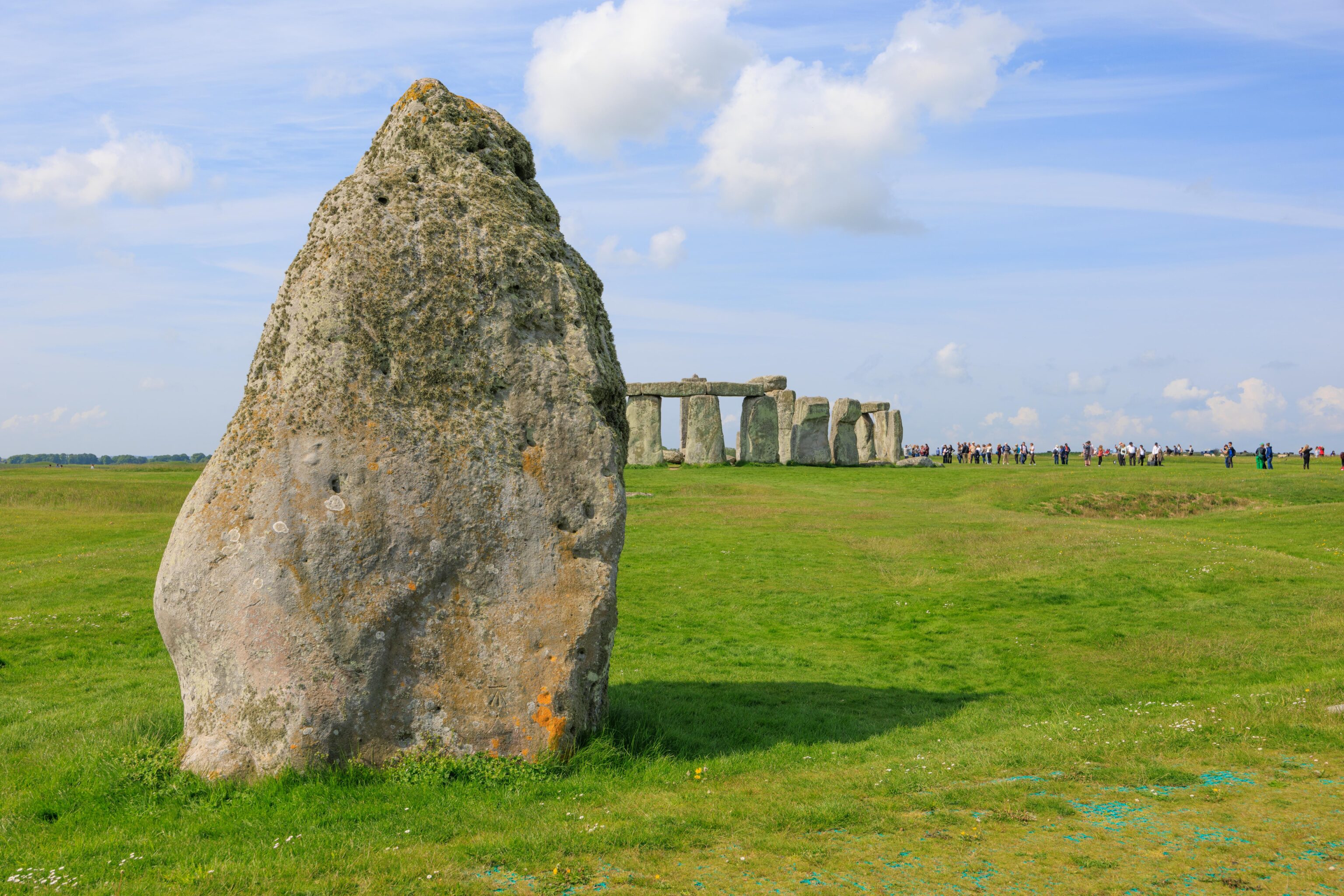
This seemingly stray stone is the Heel Stone. It is believed that there was another stone standing next to it, perhaps marking where the sun would be during the solstice. Or perhaps where this stone formerly stood. No one knows.

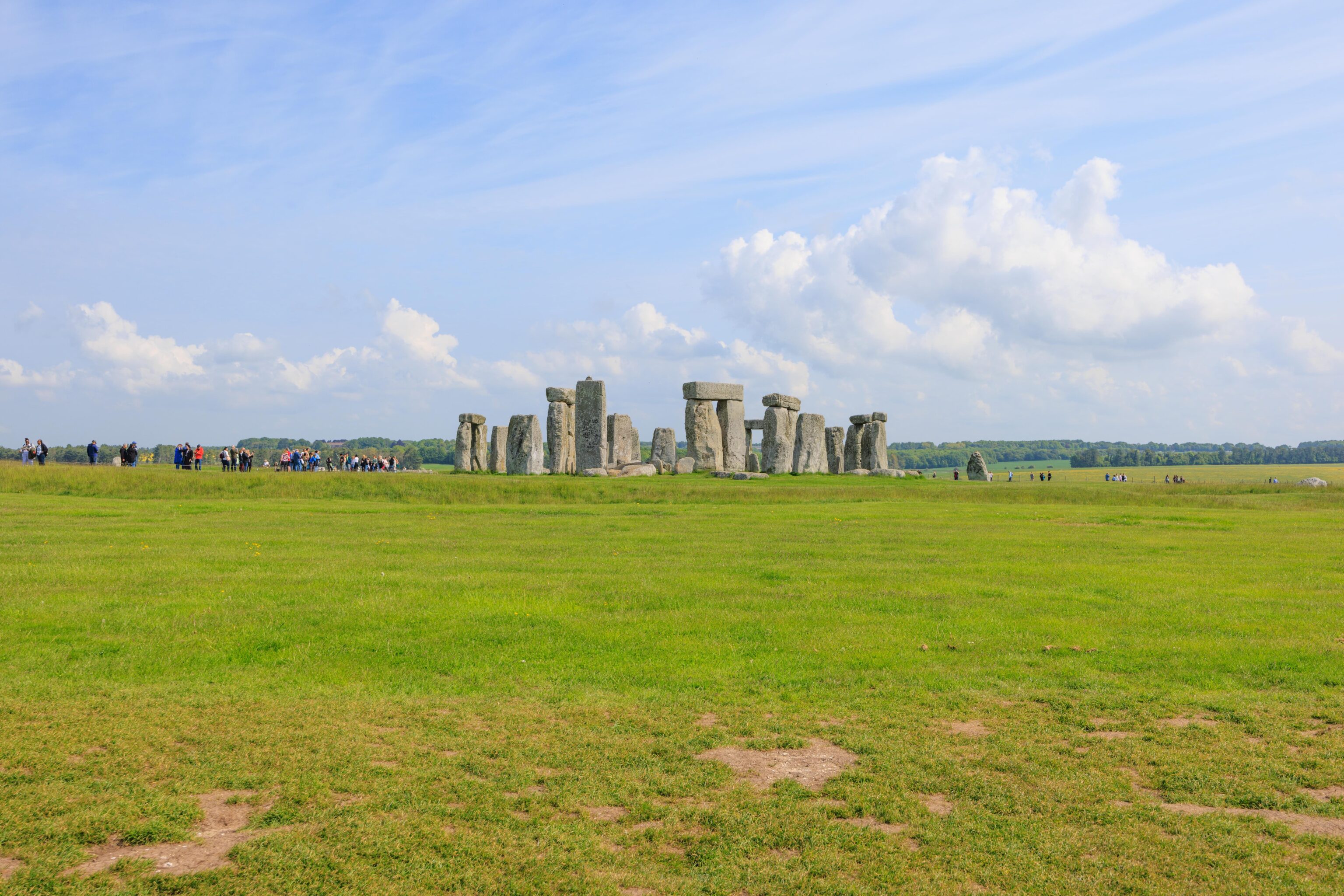
We continued on, finally reaching the junction where we took a right turn earlier. We headed back to the visitor center and parking lot by bus. We could have taken a walk to check out the burial mounds but we had plenty of other places to visit.
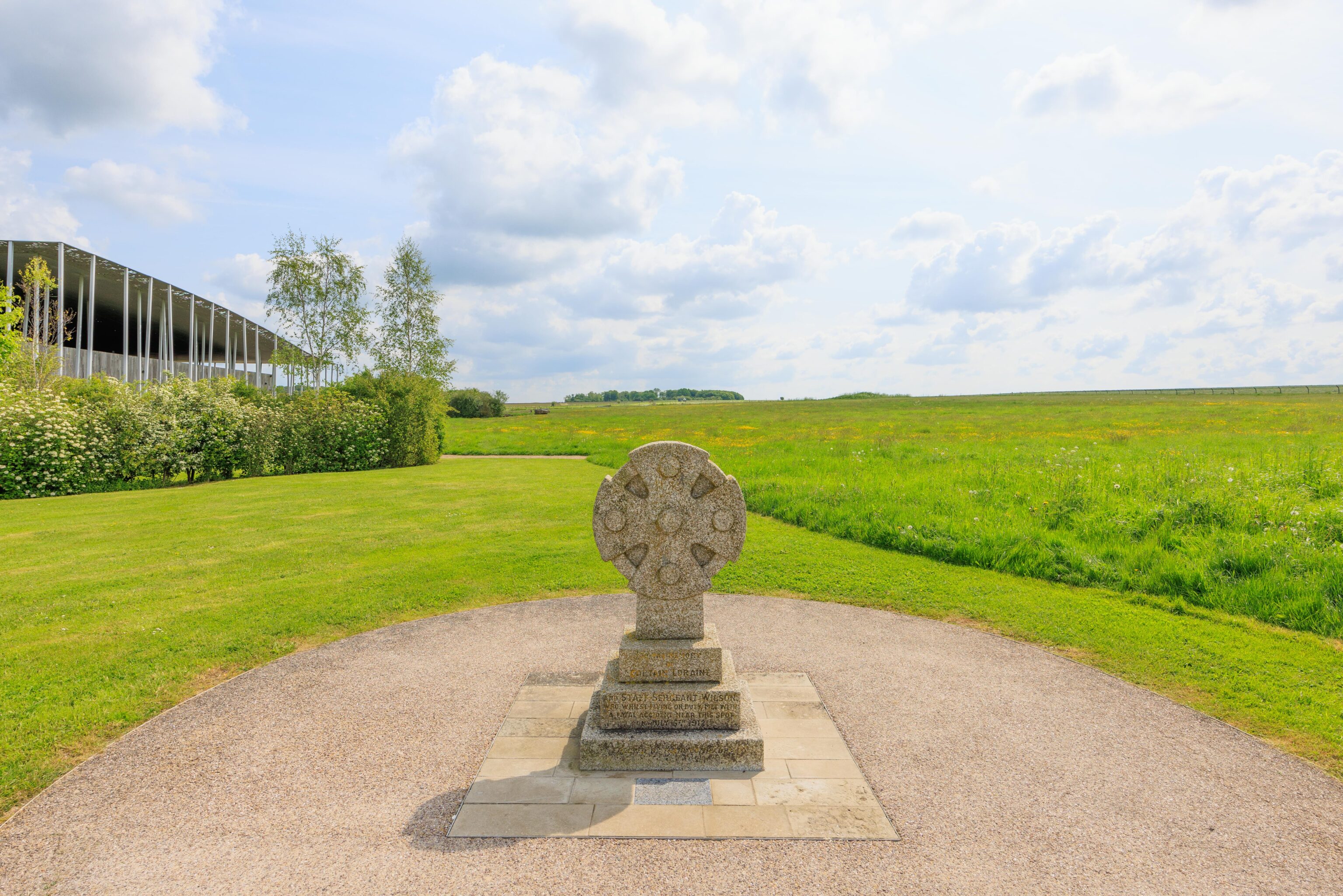
We noticed this little monument as we walked from the visitor center to the parking lot. It was erected for the first members of what ultimately became the Royal Air Force to die on duty back in 1912. The area around Stonehenge was good for flying back in the early days of flight before World War I.
Old Sarum
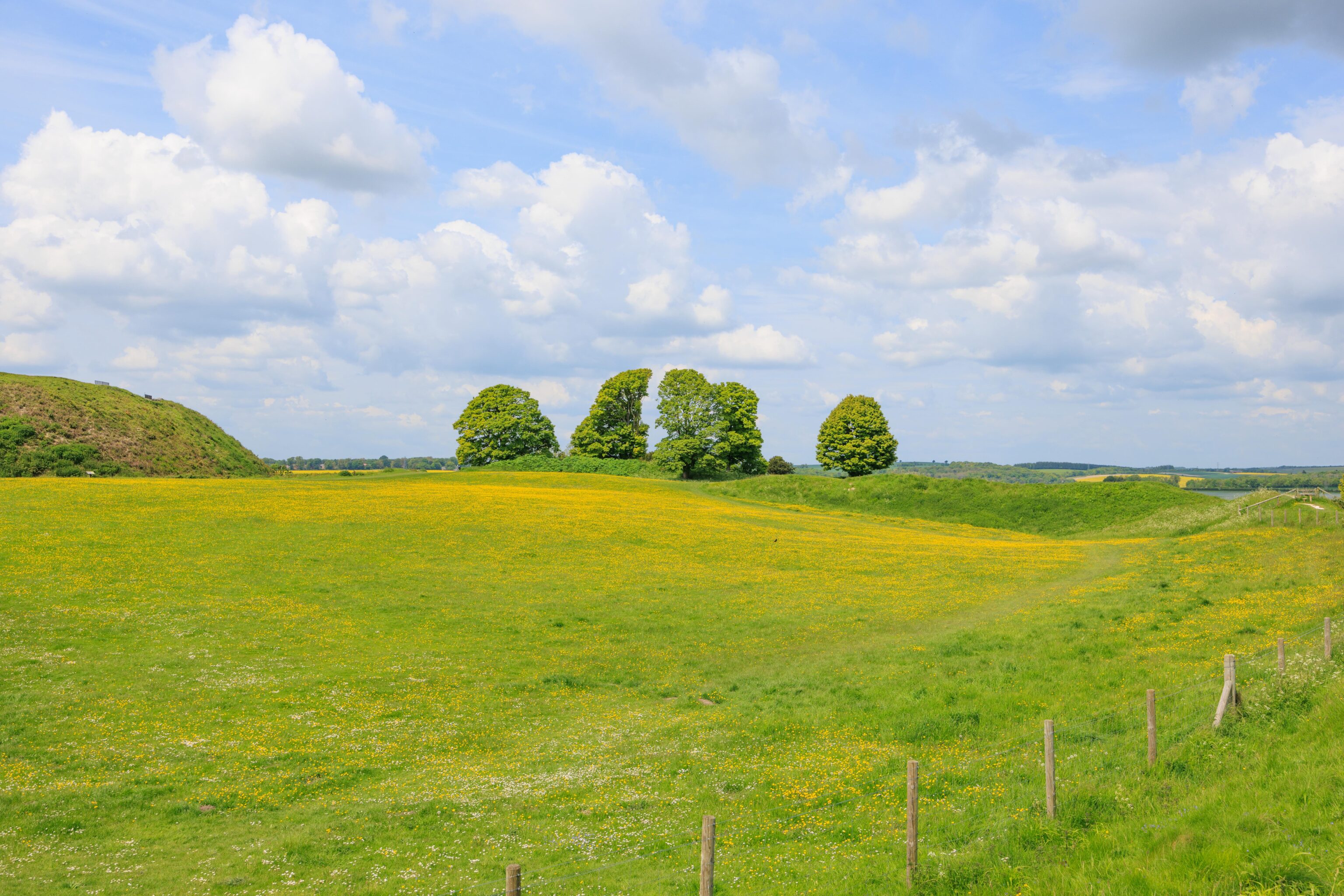
After leaving Stonehenge, we drove about 15 minutes to Old Sarum. The parking lot is at the end of a very narrow road that appears to be a pedestrian path when people are walking on it! It seemed to confuse the car in front of us.
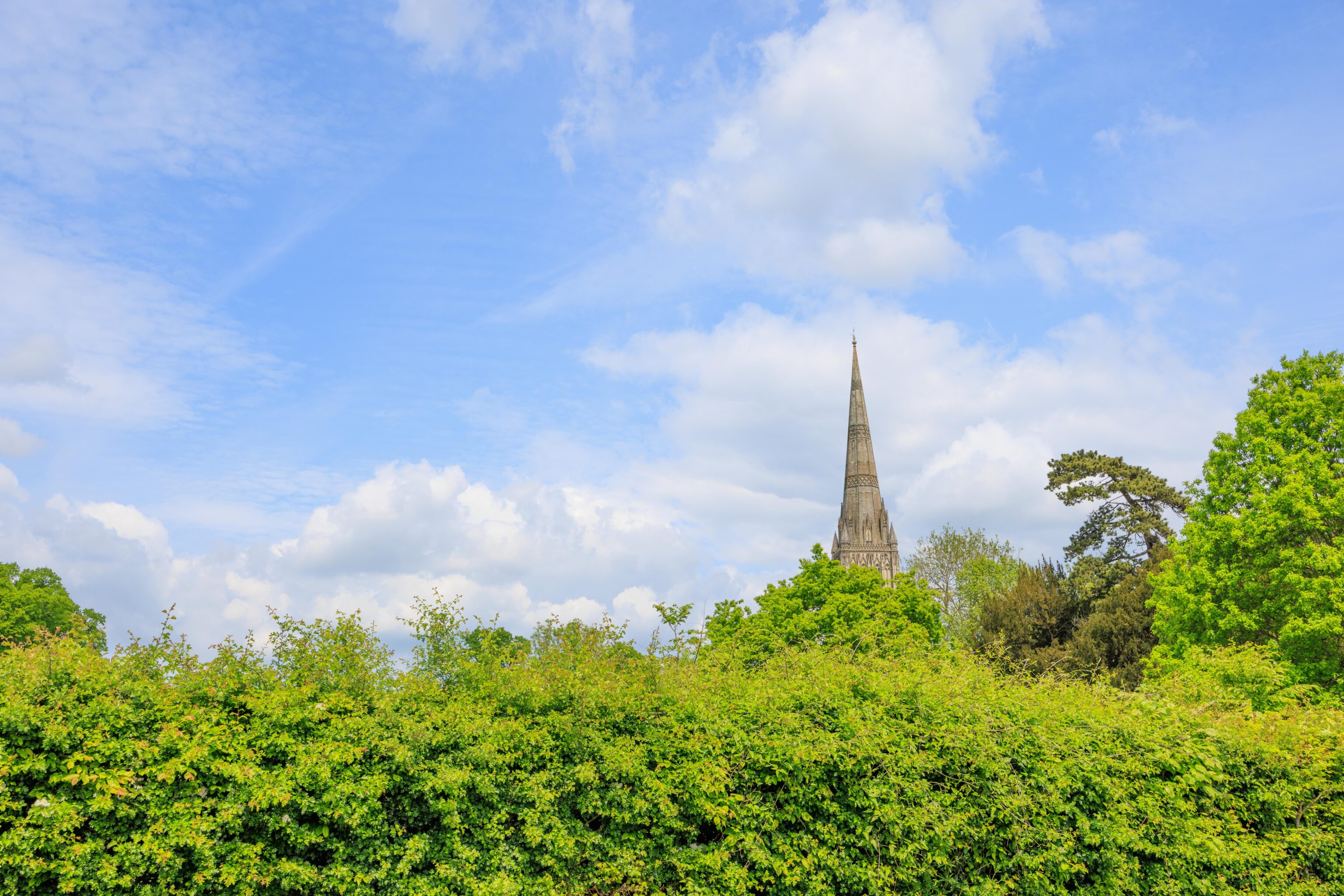
After parking, we headed towards the ruins. On our left, there was a pretty open field. Beyond that field was the town of Salisbury. We could see the spire of the Salisbury Cathedral.

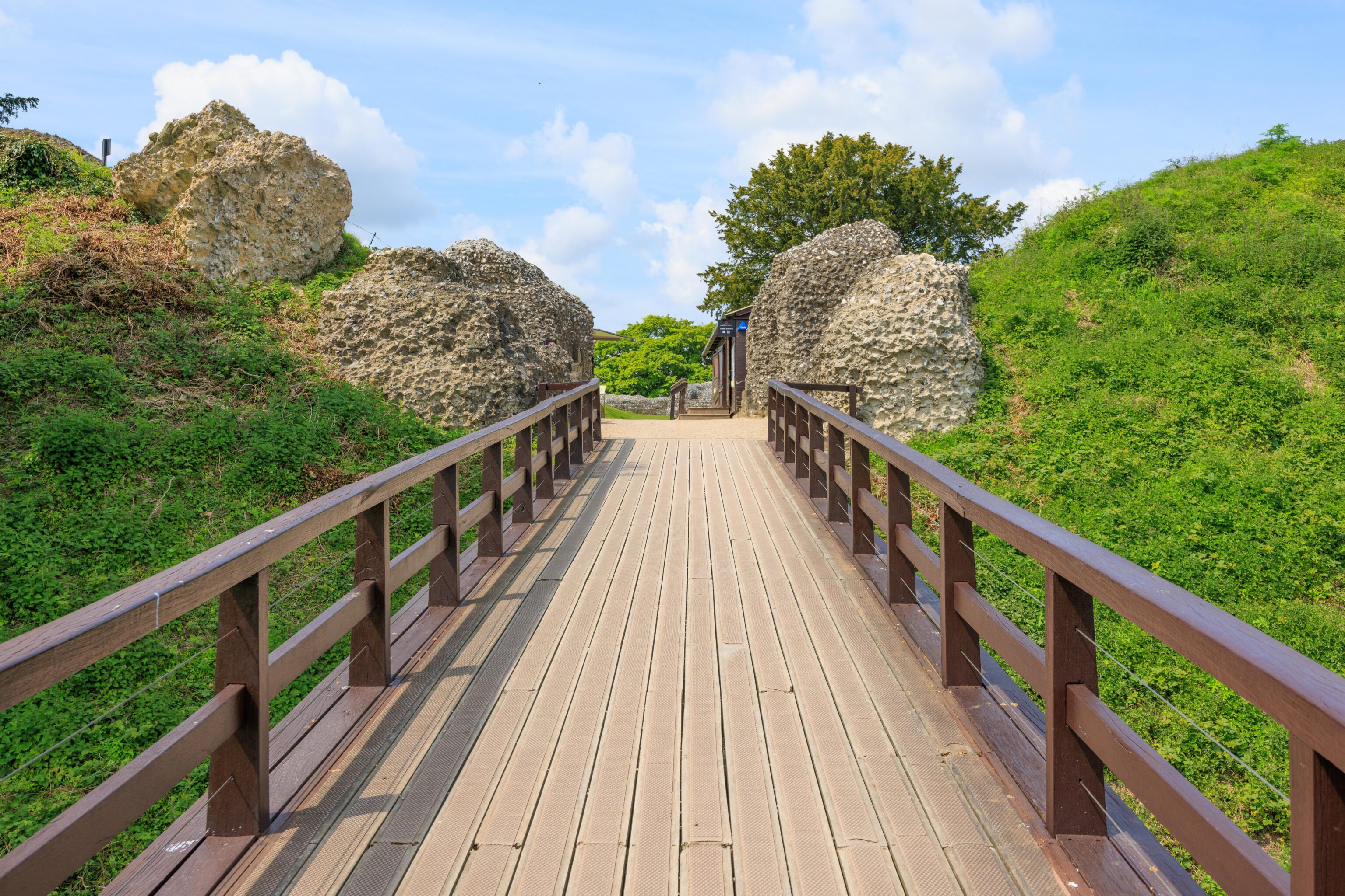
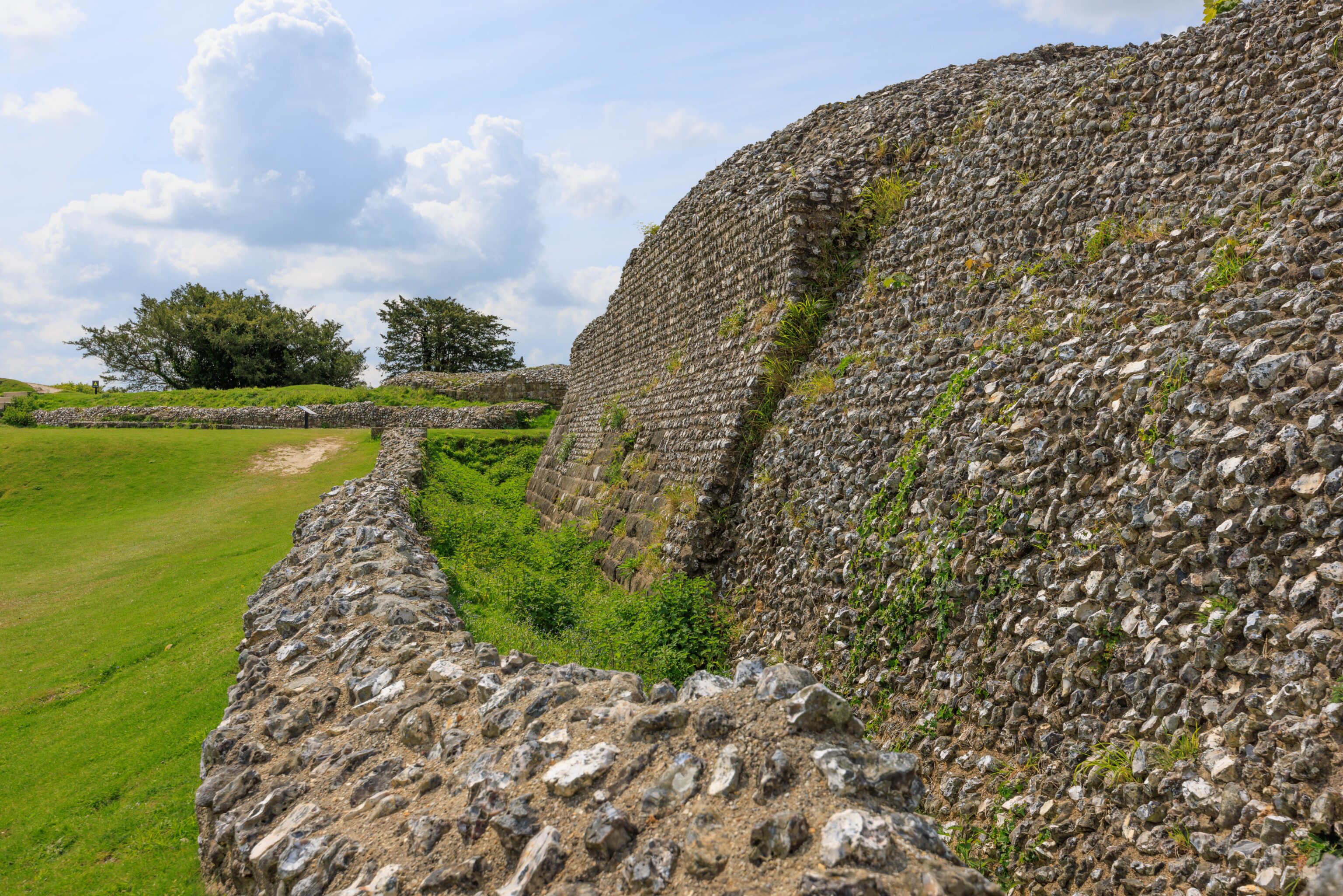
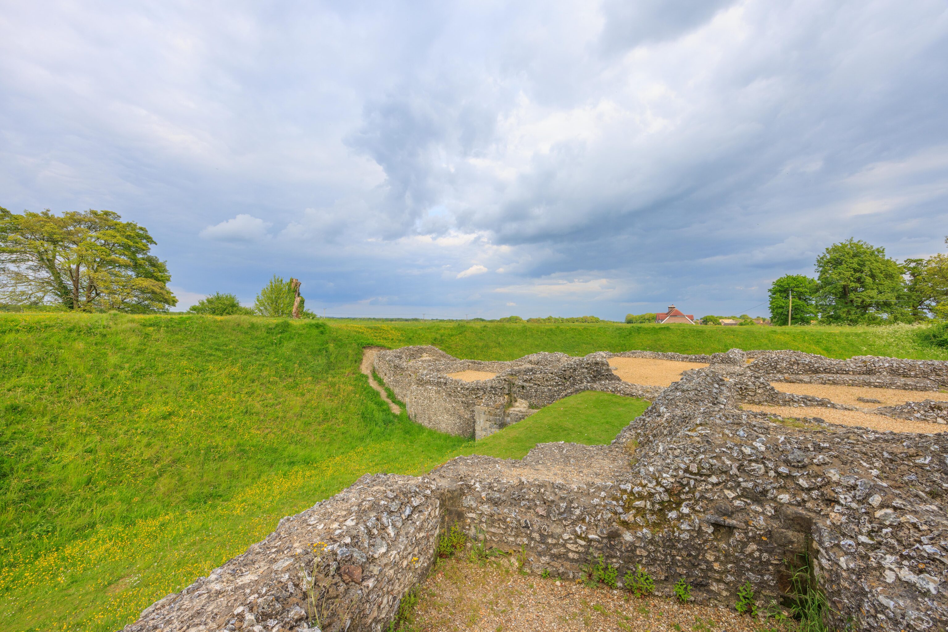
We crossed over what possibly would have been a moat to enter the castle’s inner grounds. The bridge here is, obviously, modern.
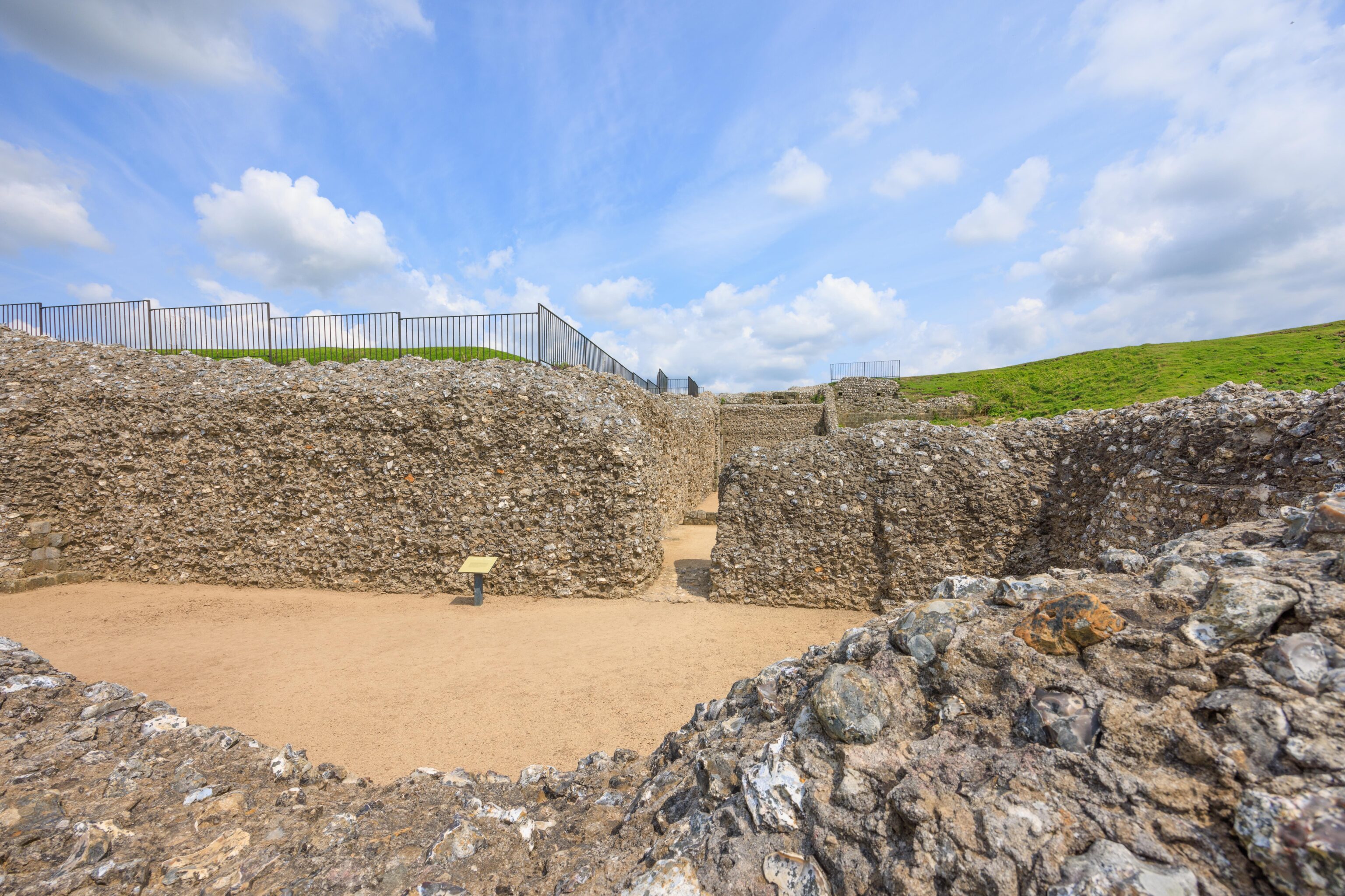
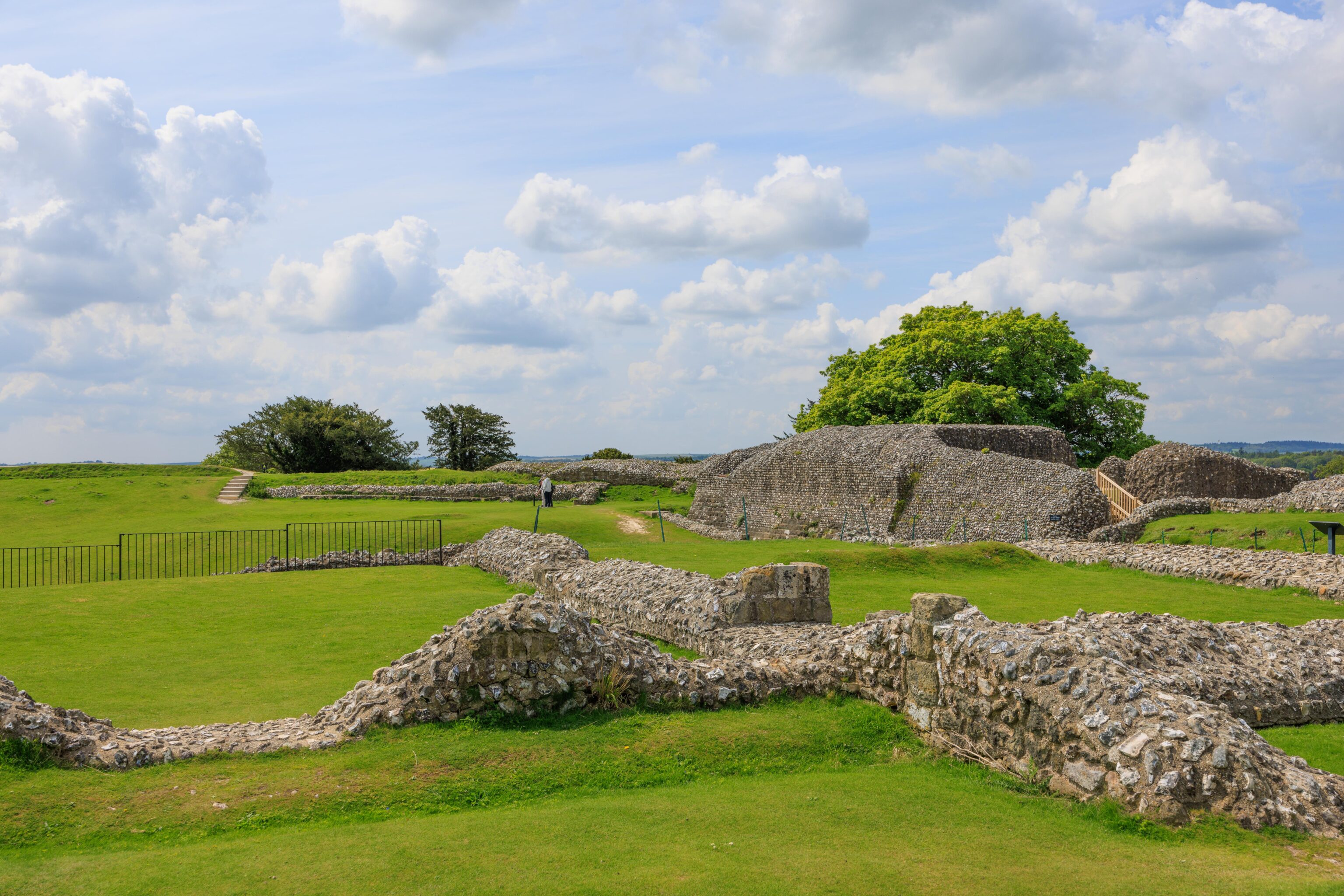
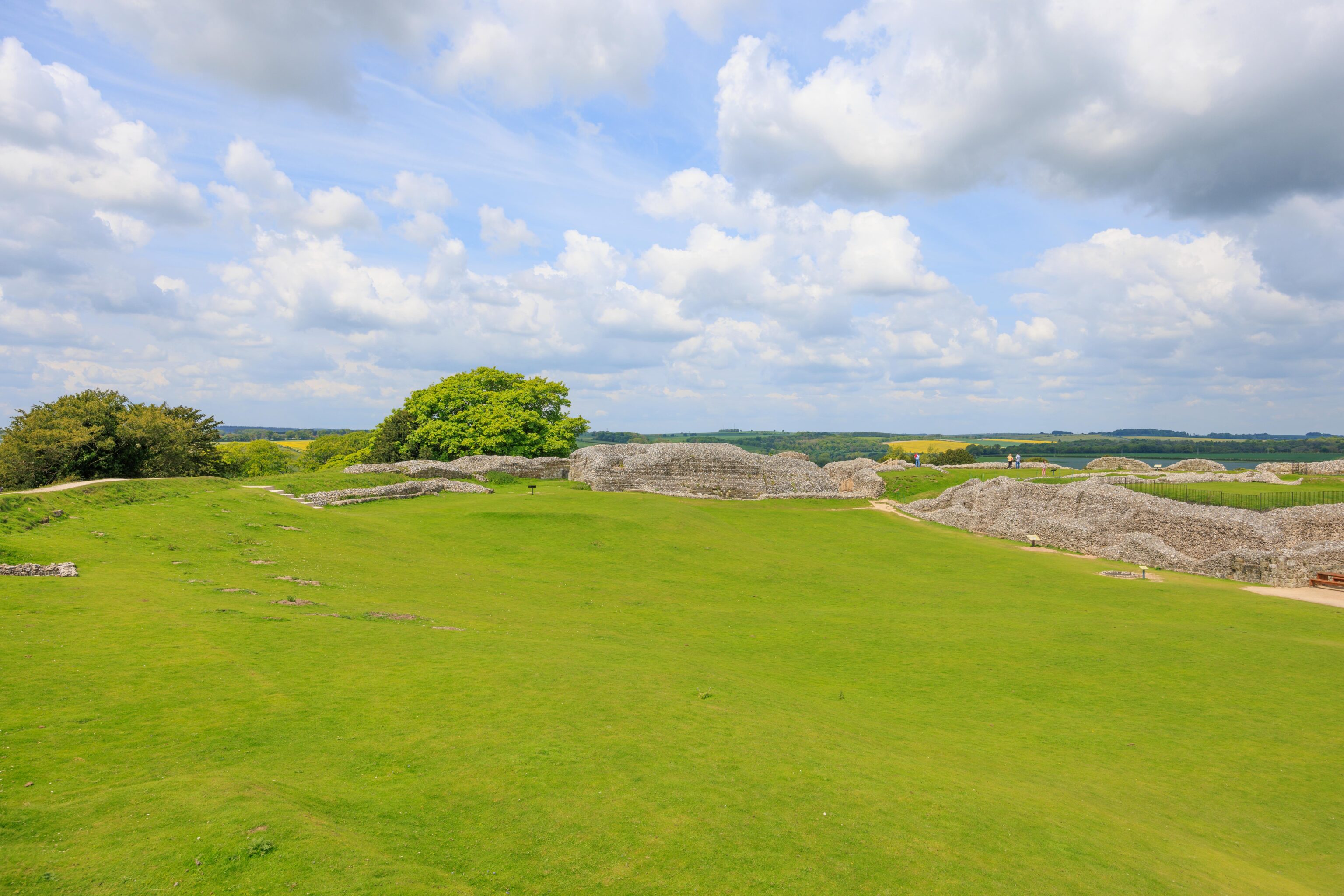
The castle is in a very ruined state. The tallest walls remaining are perhaps at most 10-15 feet high? It almost appears like the ancient cliffside pueblos in the western US.

The castle structures occupied one side of the circular moated area. Much of the remaining area was open field.
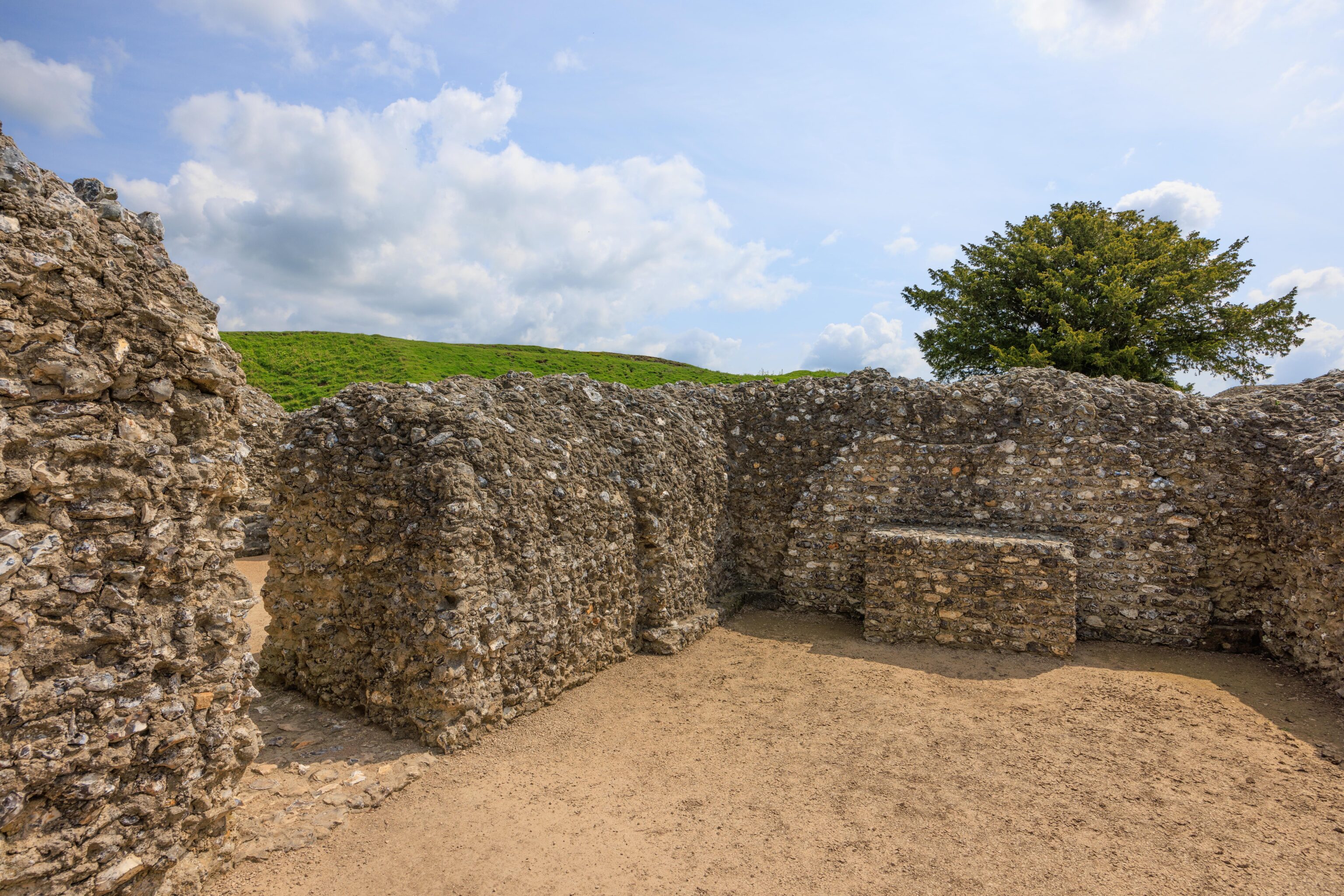
We walked to the far corner of the ruins. This wall is the right side of the wall in the background of the previous photograph.
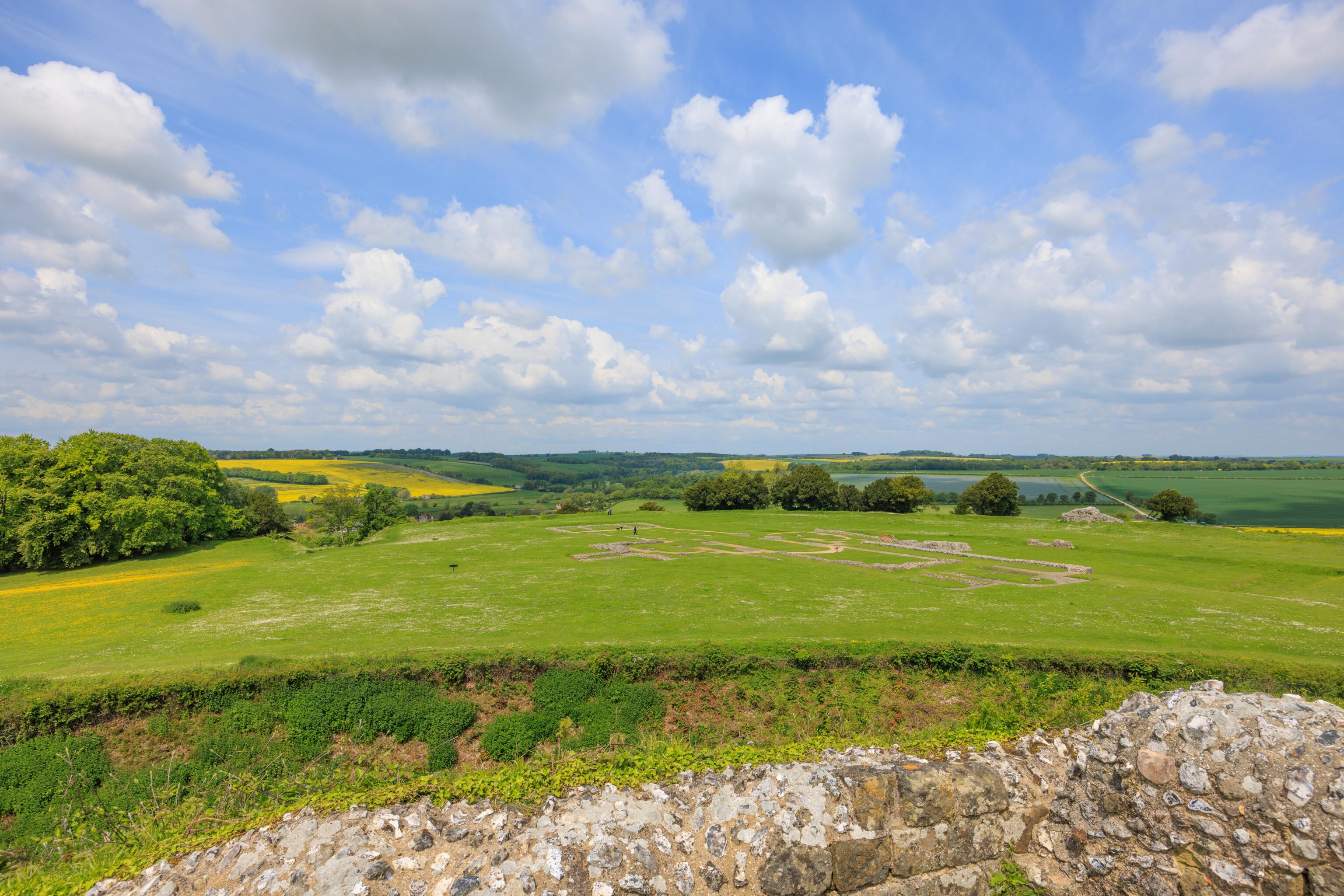
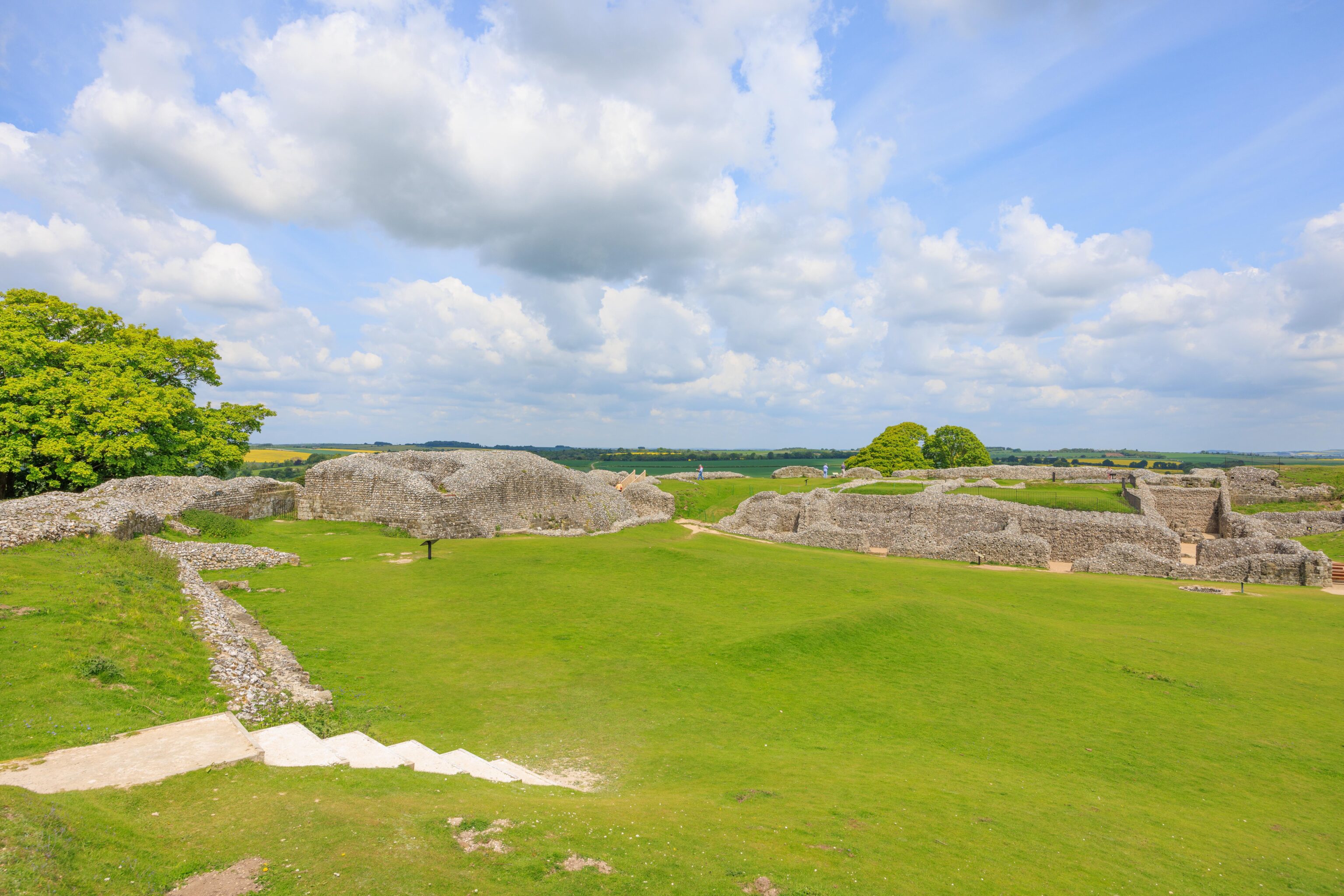
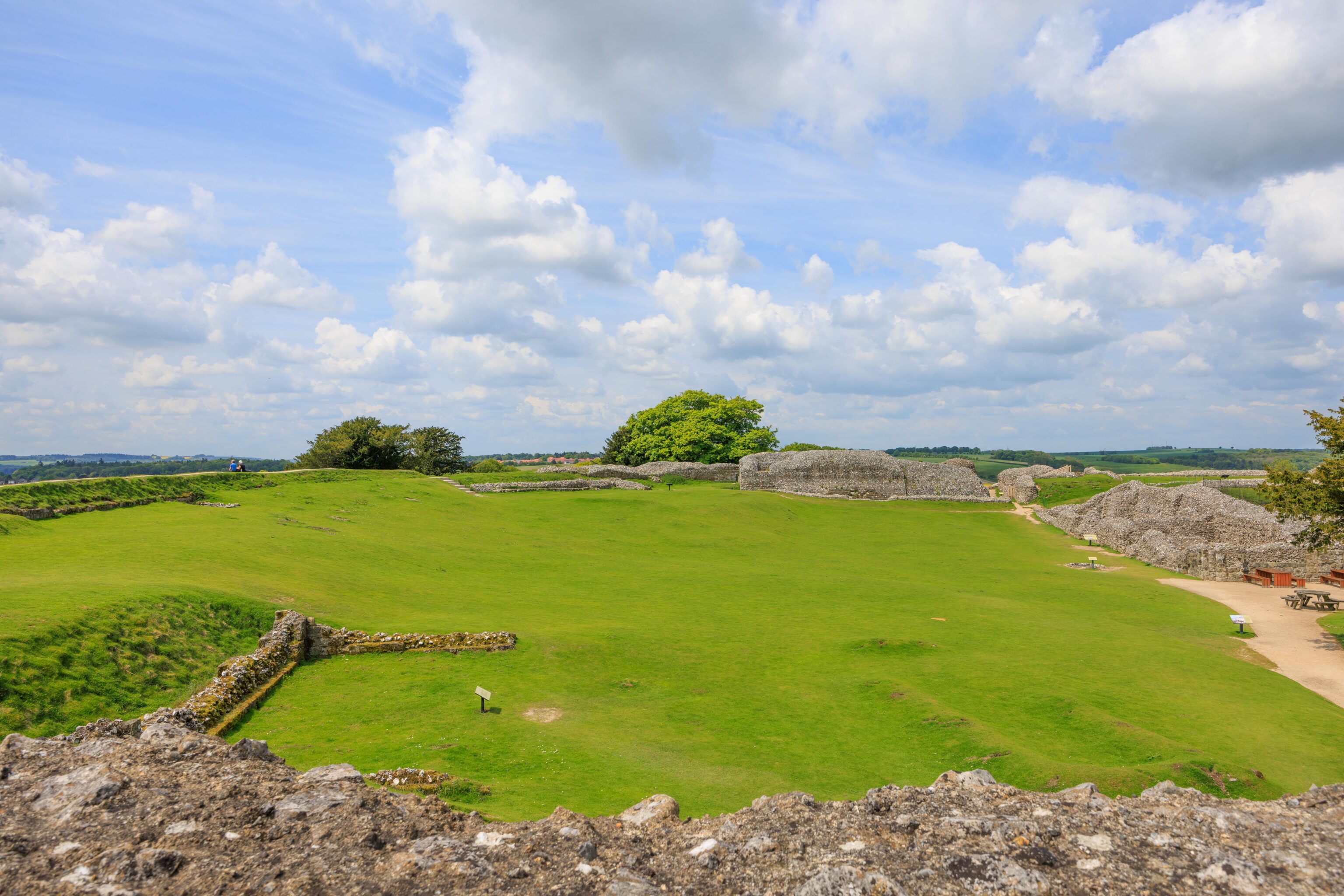
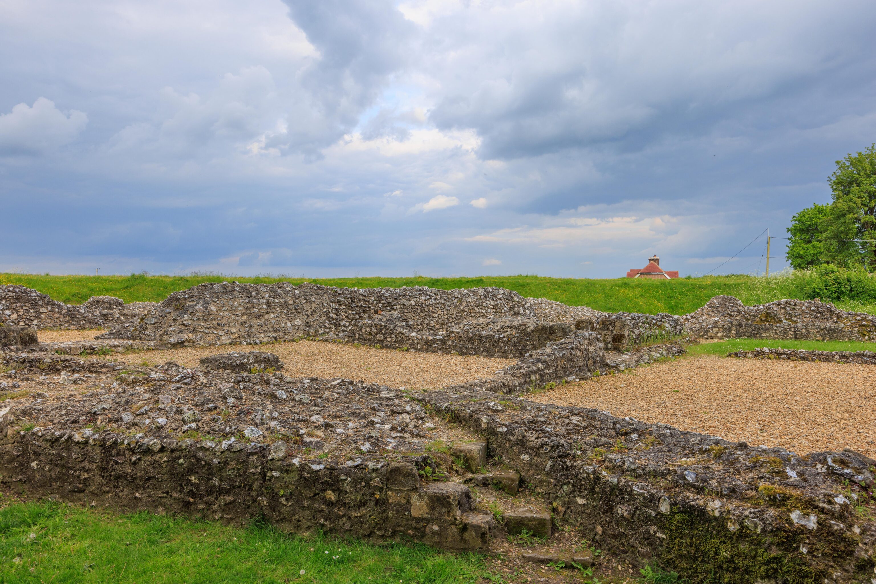
Modern wooden steps, appearing newly constructed, lead to a higher vantage point. According to a sign, this still would have been a basement level in the castle! From here, we could see the remains of the old cathedral that was here. The original copy of the Magna Carta that is currently at the Salisbury Cathedral was originally stored here in this cathedral. And, the Salisbury Cathedral was built to replace this ruin!
Looking to the northeast, there is a modern little town in the distance. This might be the Old Sarum neighborhood of Salisbury.
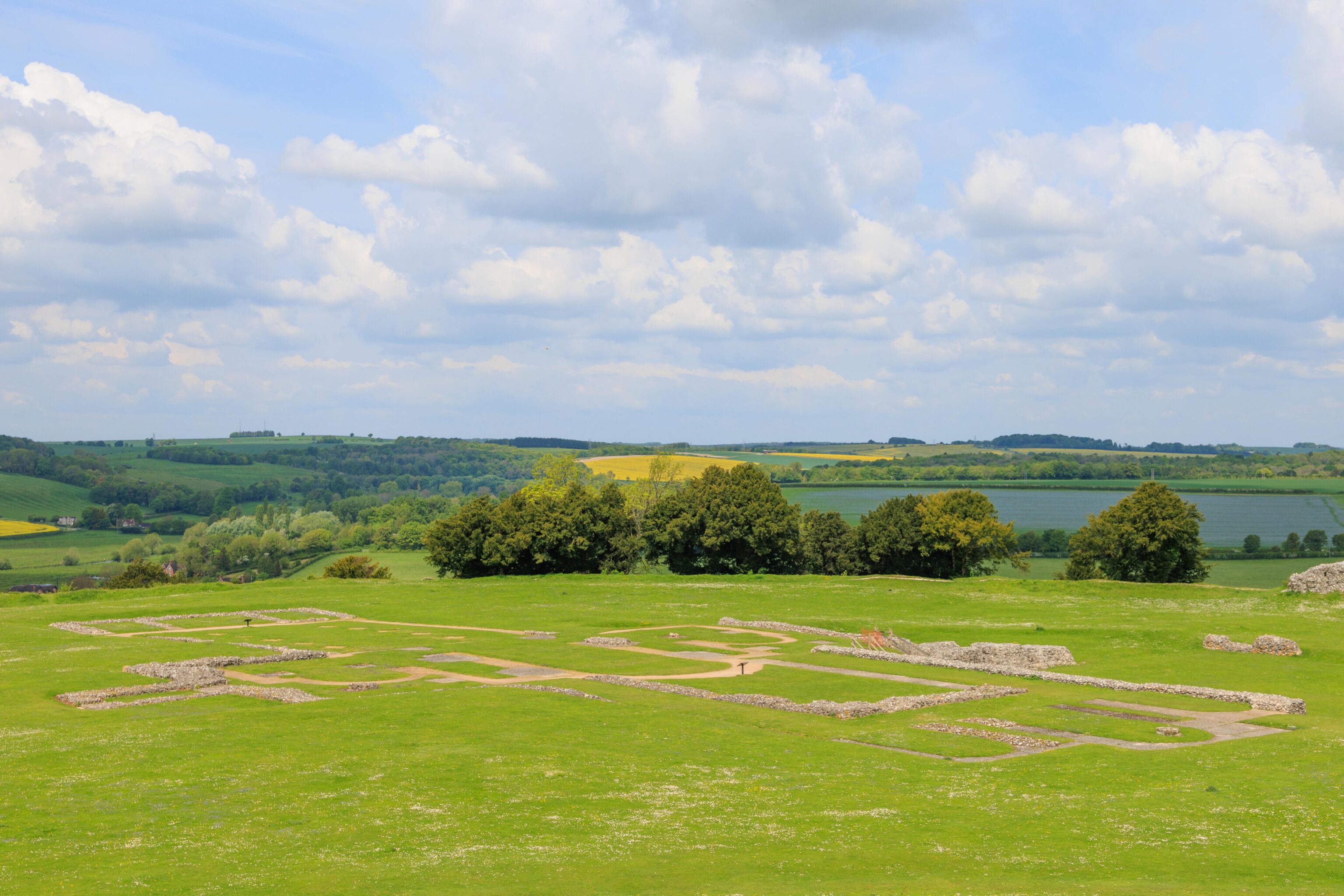
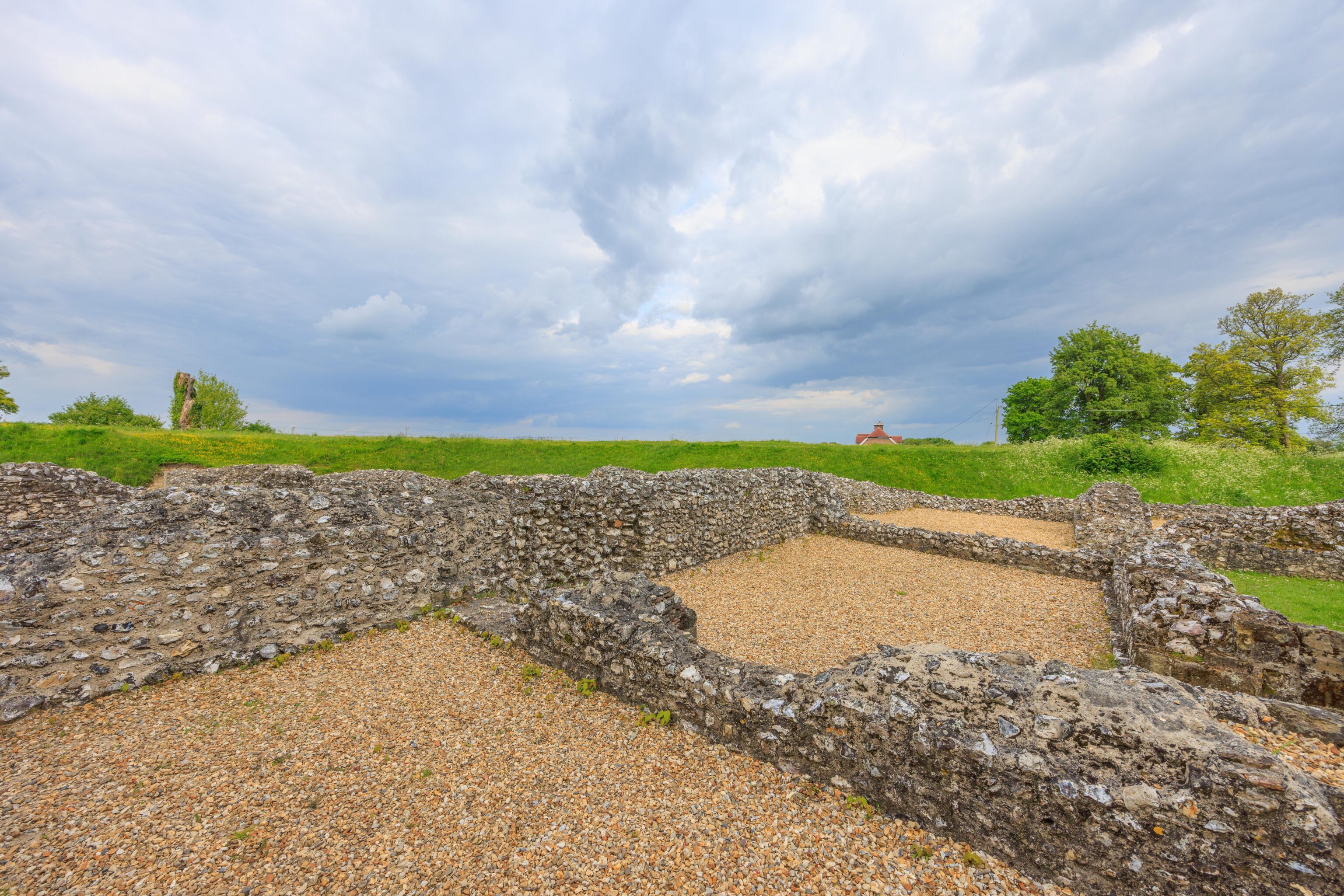
The remaining walls are quite low on this upper level.
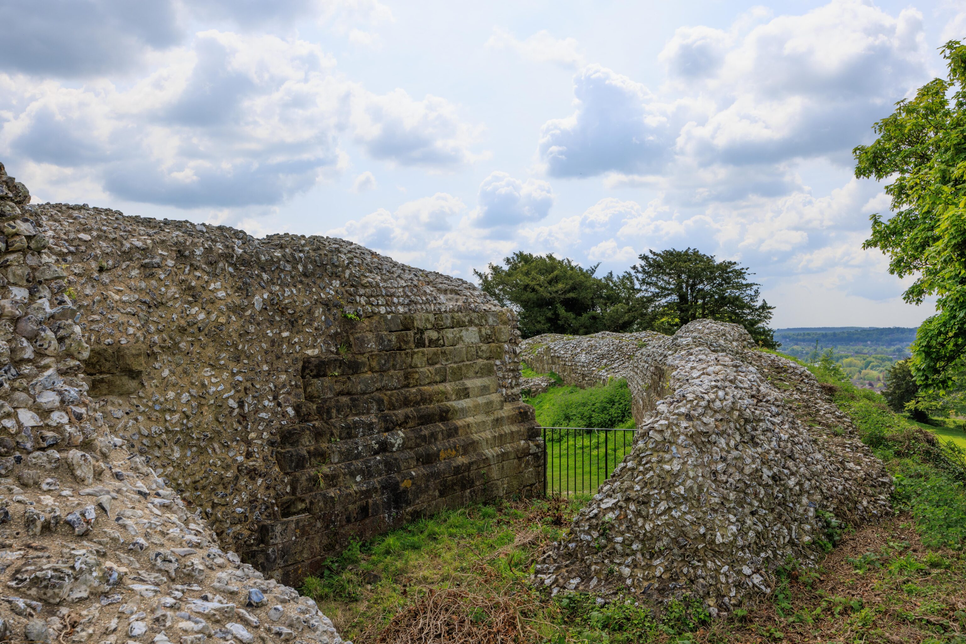
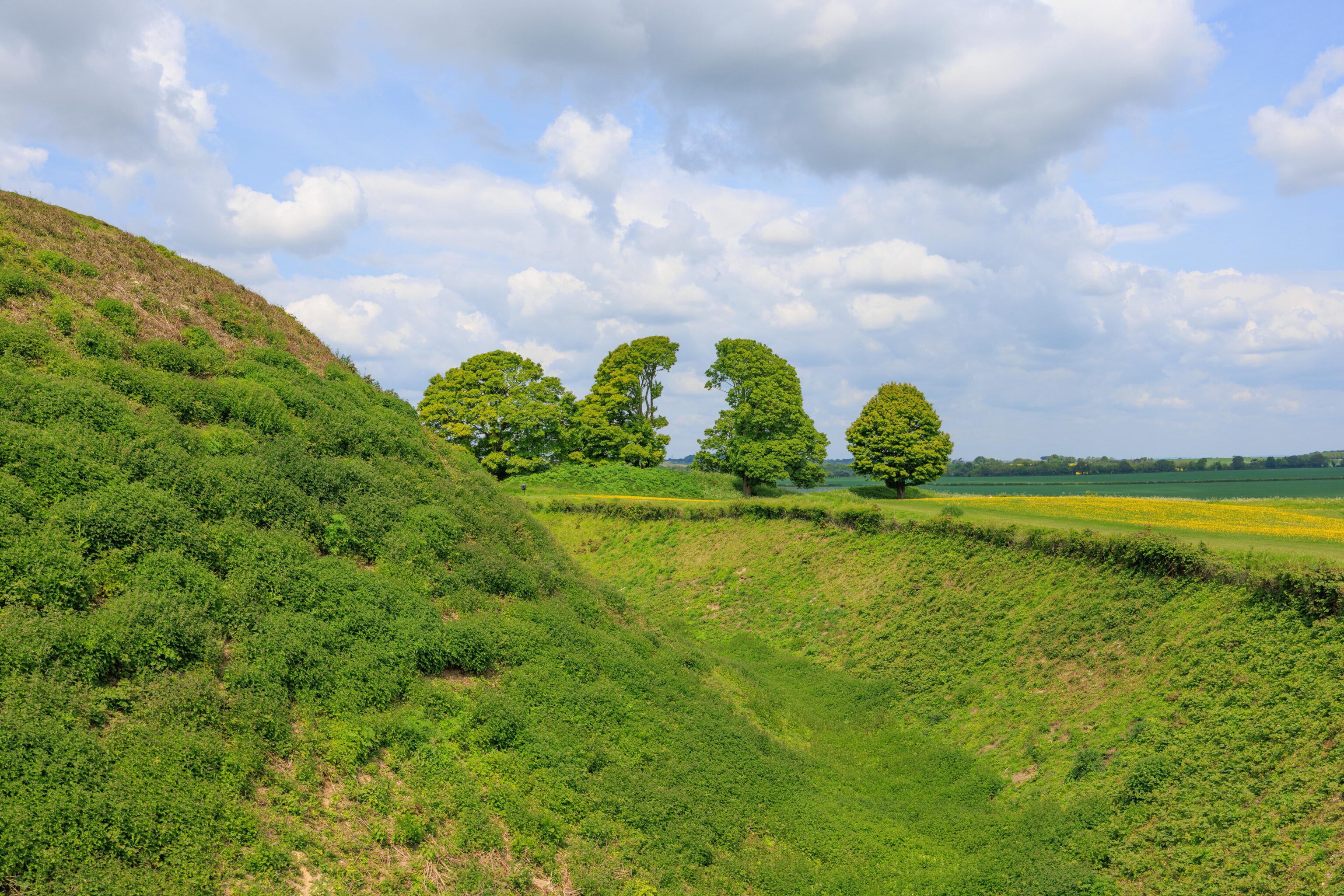
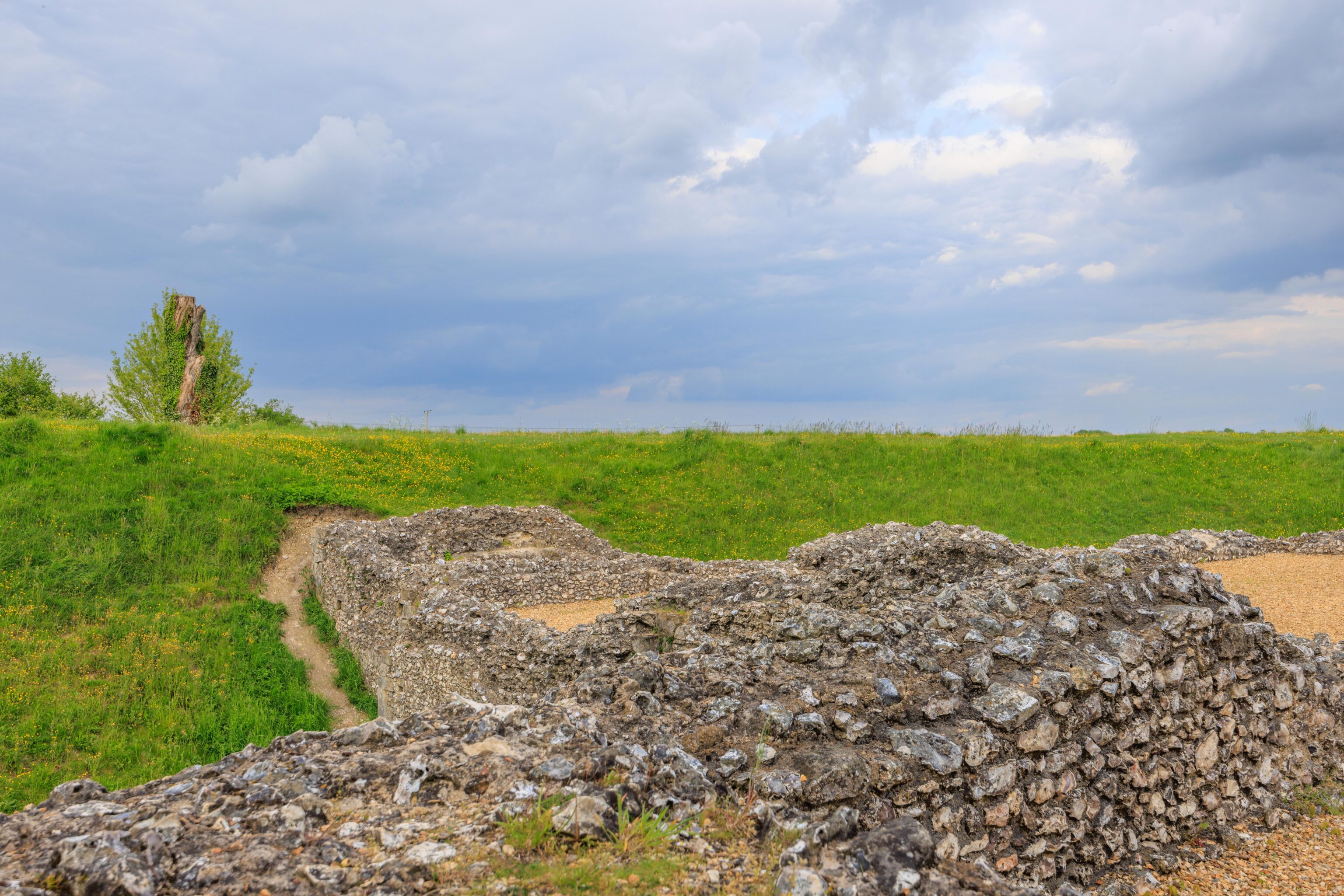
We continued walking counter clockwise around the raised earth above the moat. It forms a rather narrow little ridge with a steep drop into the moat on one side.
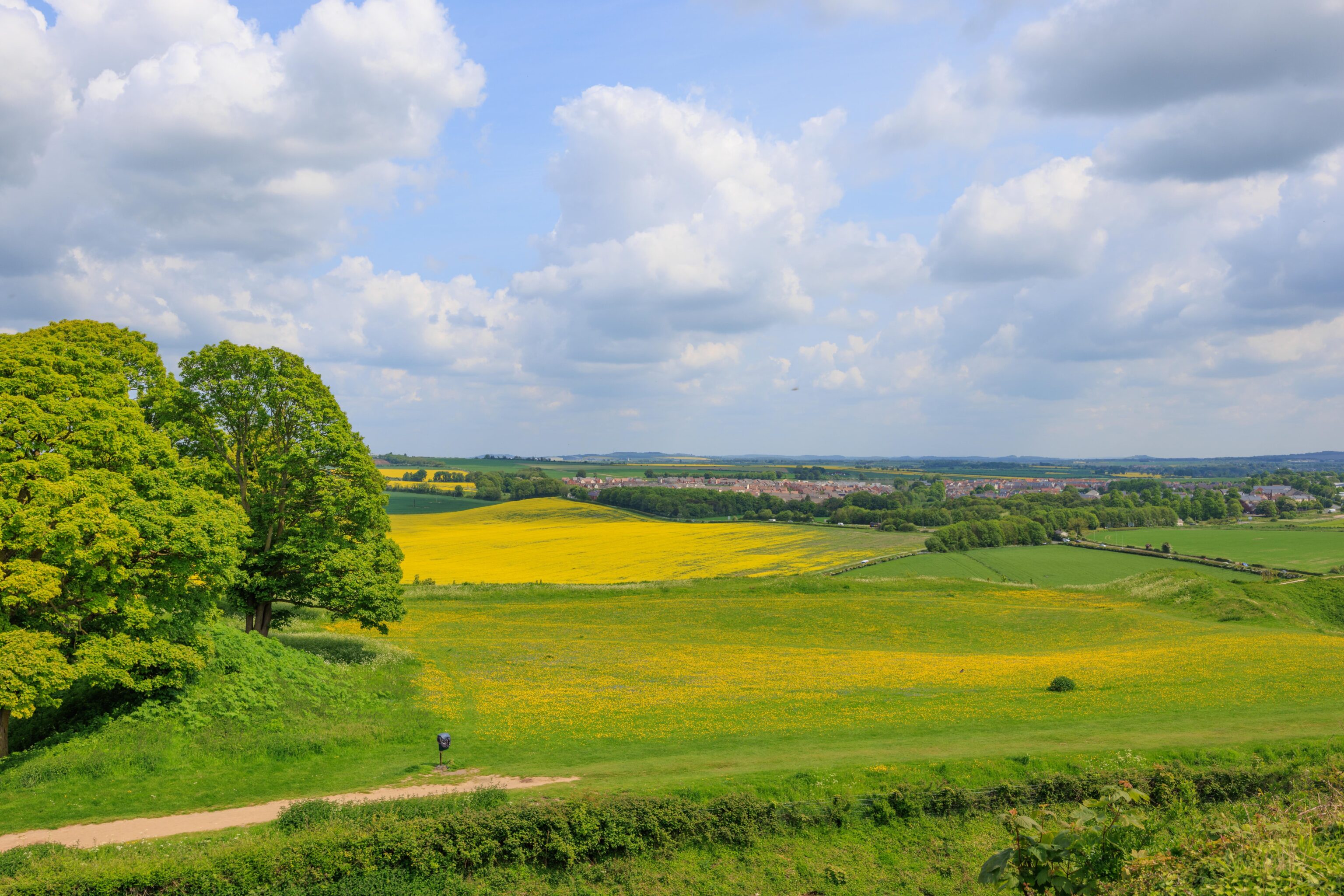
There is a nice view of Salisbury to the south.
We eventually reached the entrance, though we were above it now.
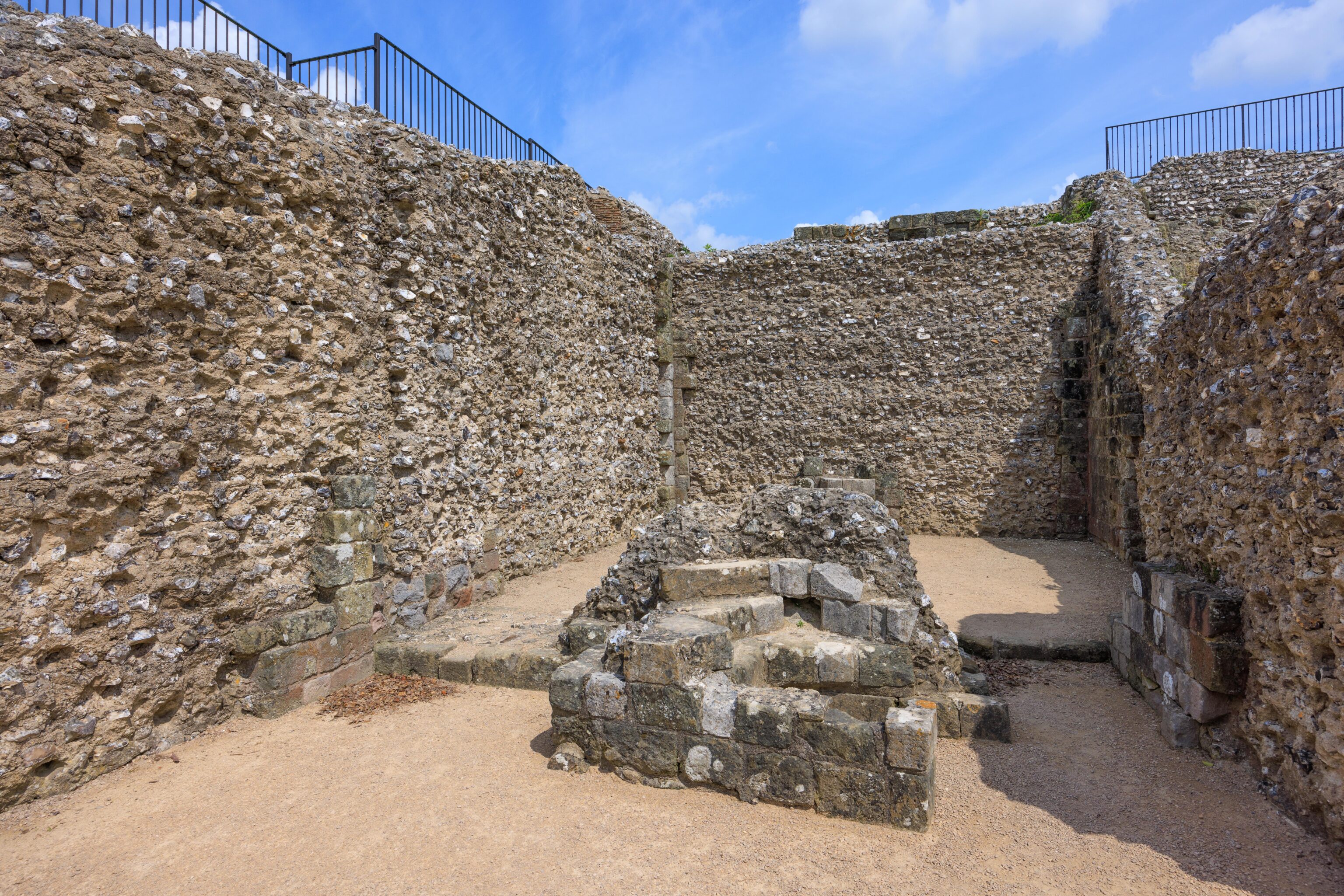
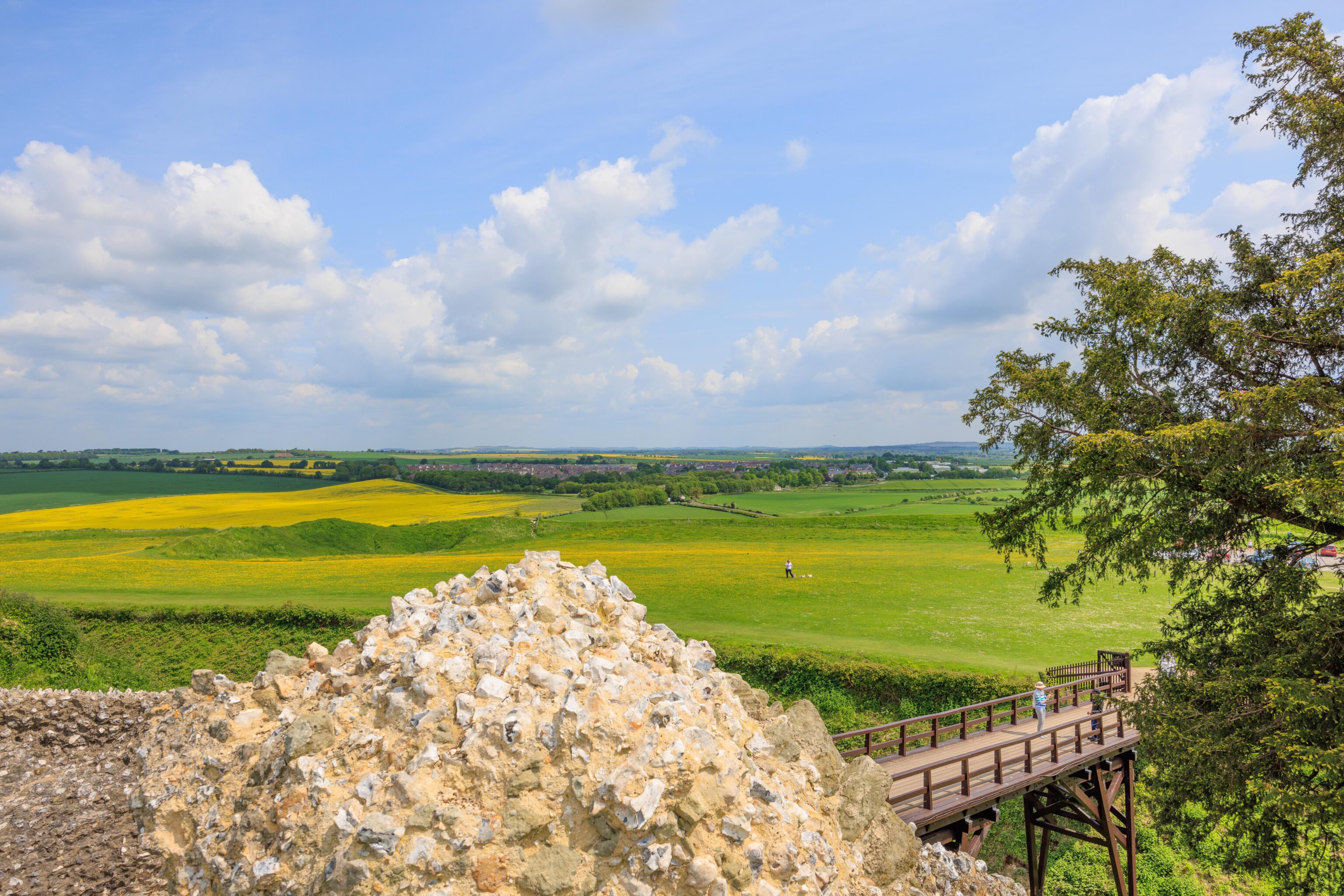
This castle has been in a ruined state for about 800 years. Most of the walls visible today are the inner core of the wall structure. The exposed inner and outer parts of the walls would have been finely crafted stone bricks, like the ones visible here on the left.
After completing our loop through the castle grounds, we exited via the bridge. We noticed these two trees to the north. Looks a bit like two dinosaurs fighting!
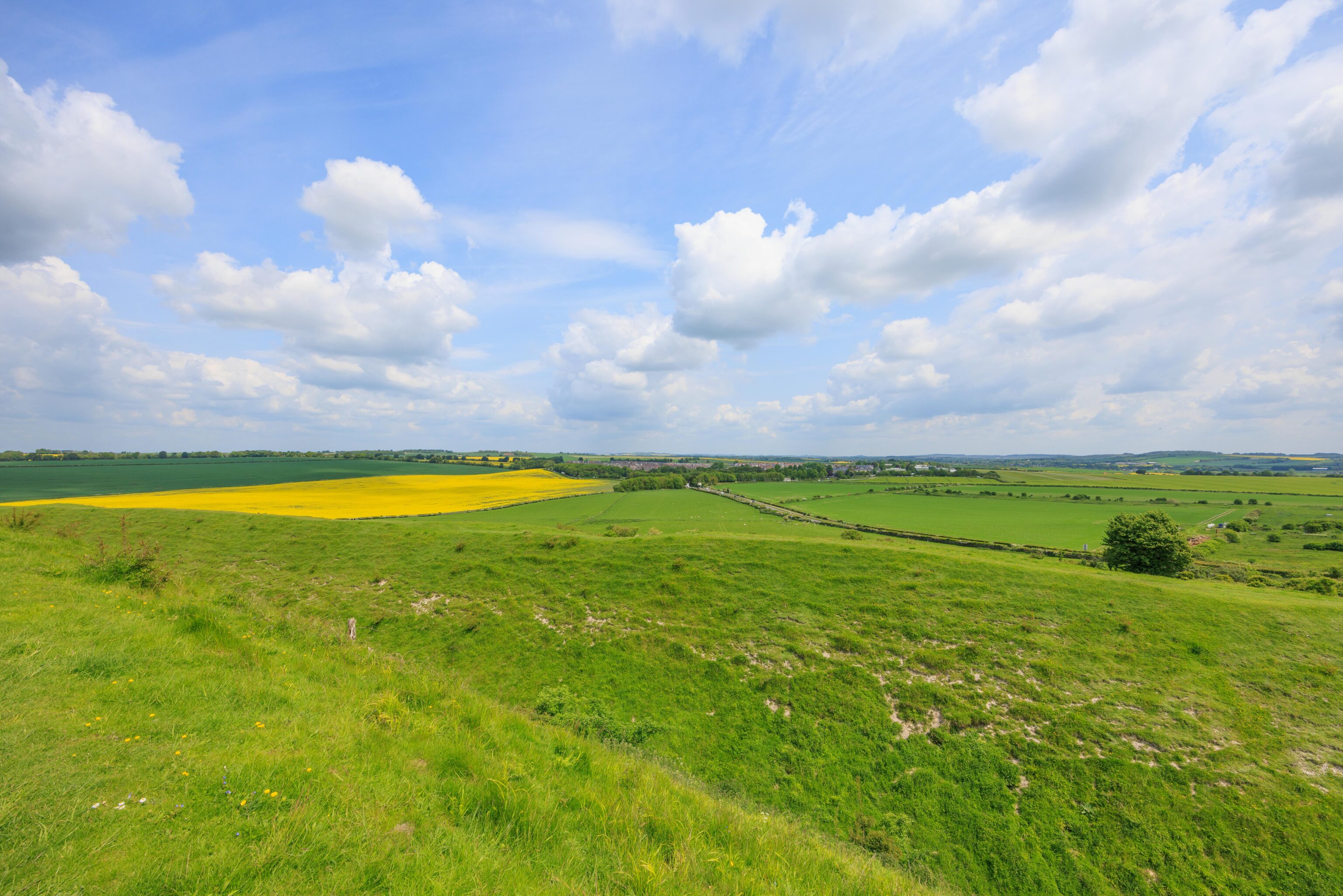
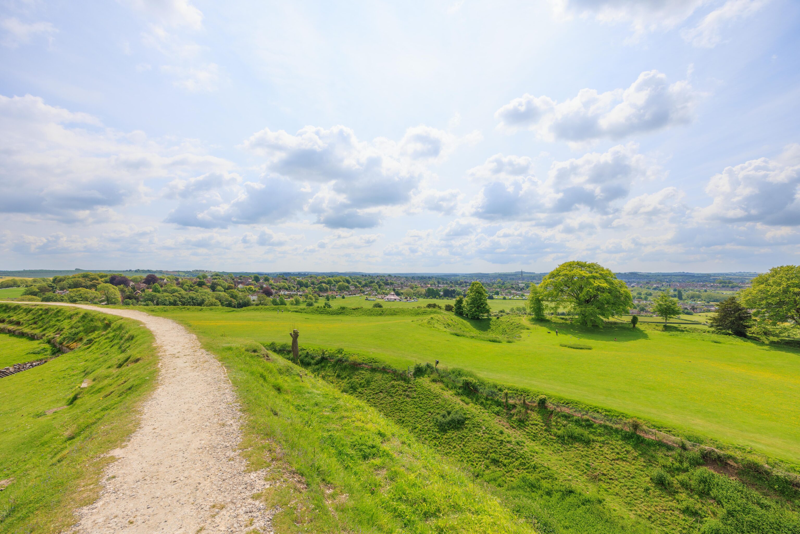
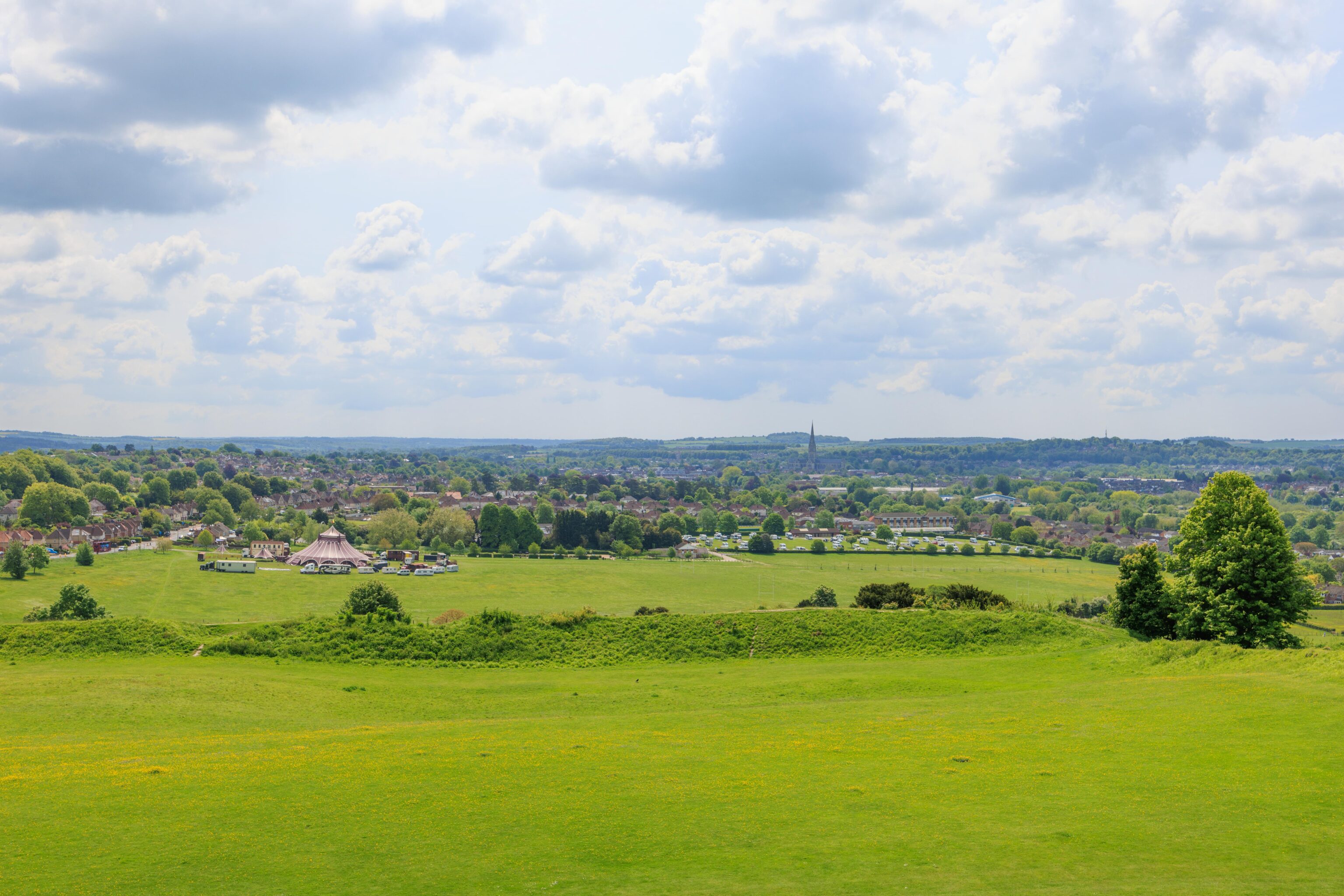
There is a little ridge on the far side of the car park. We ascended the ridge by stairs. Nice views, though similar to what we saw from the ruins.
Salisbury
We headed into Salisbury to have lunch and visit the cathedral. We decided to park at the cathedral, on the south side of the downtown area.
The car park has a view of the cathedral’s spire.
We walked past the cathedral on our way to find lunch.
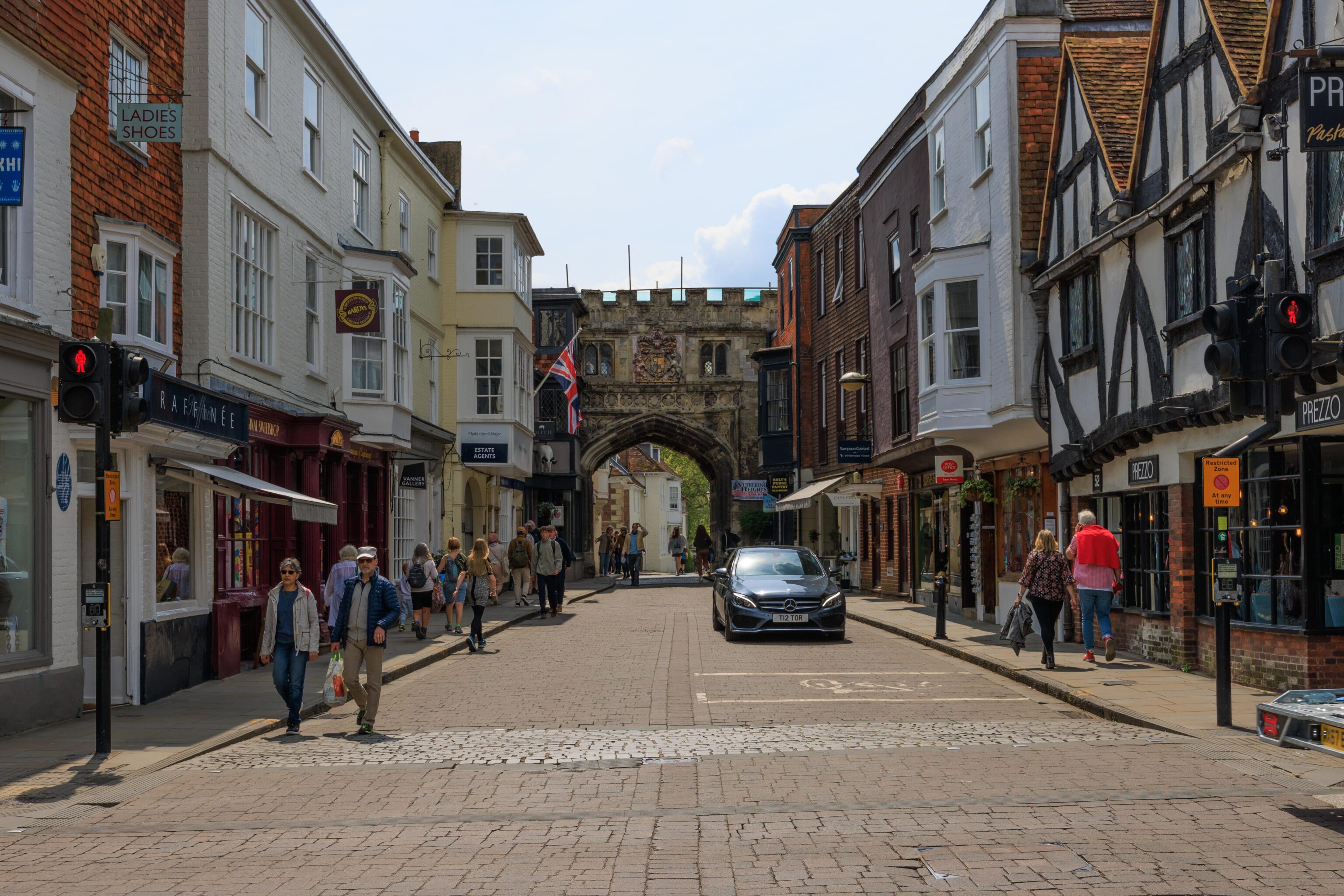
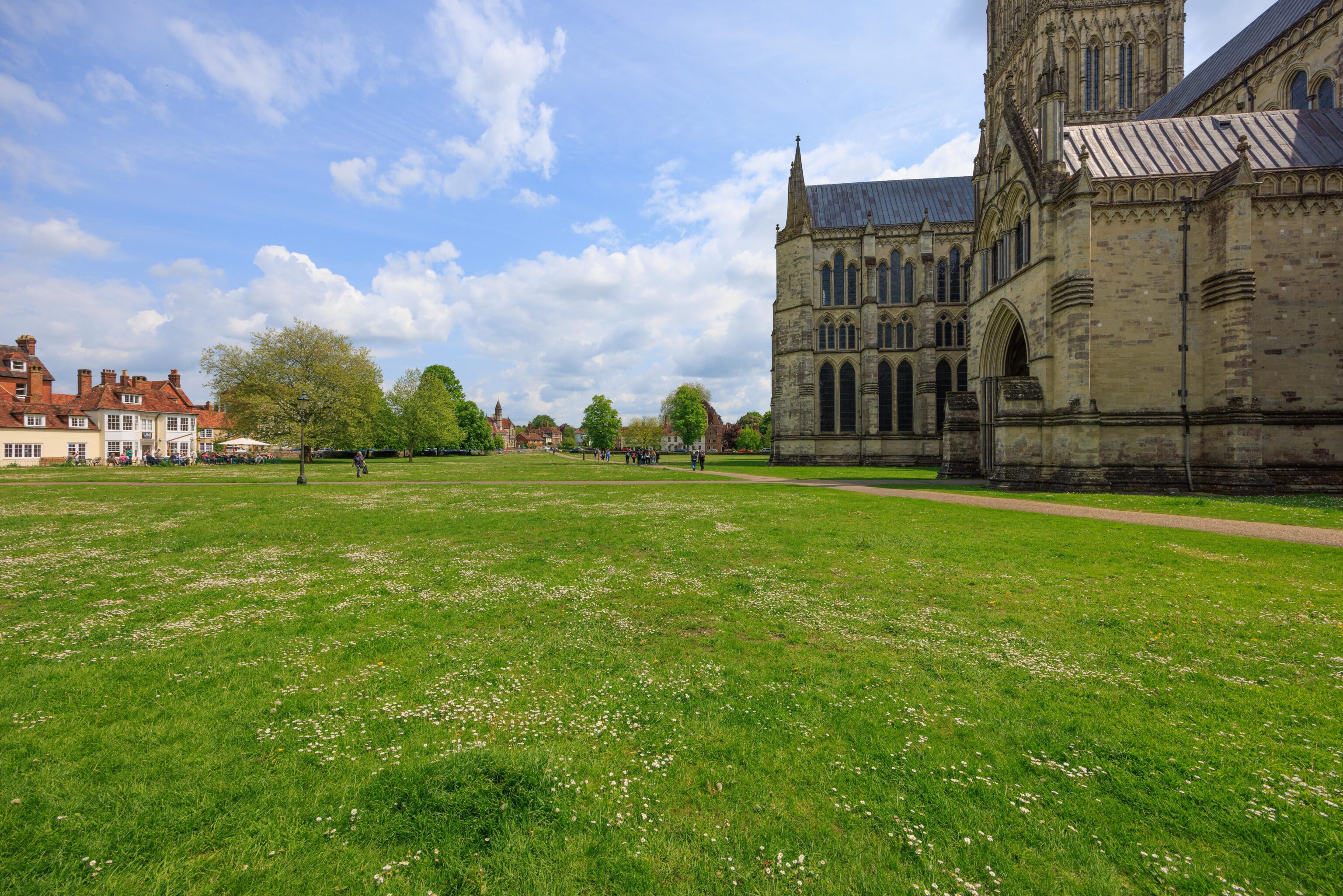
The castle-like gate in the background was built in the 13th century and provides access to the cathedral.
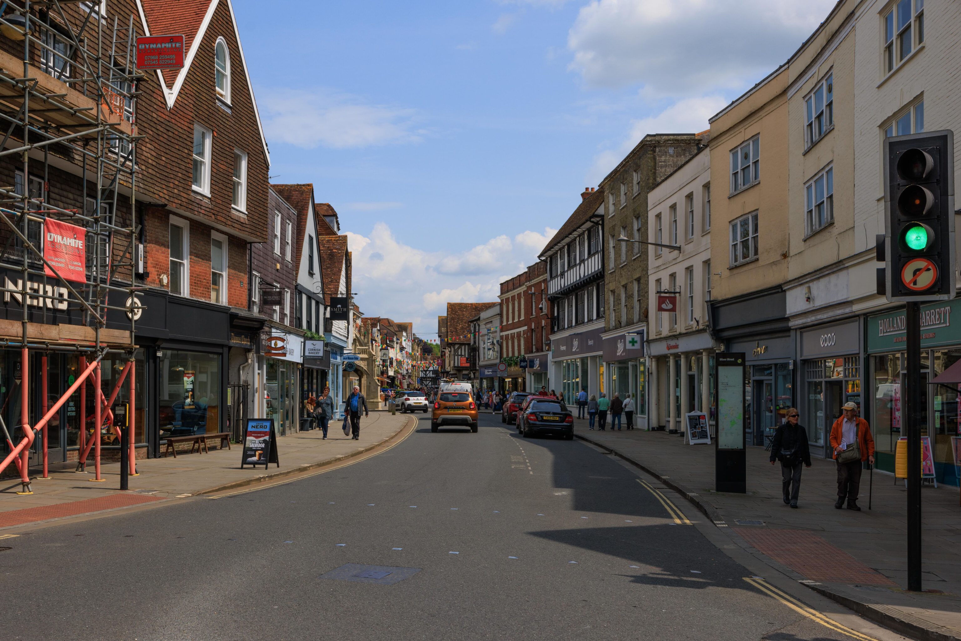
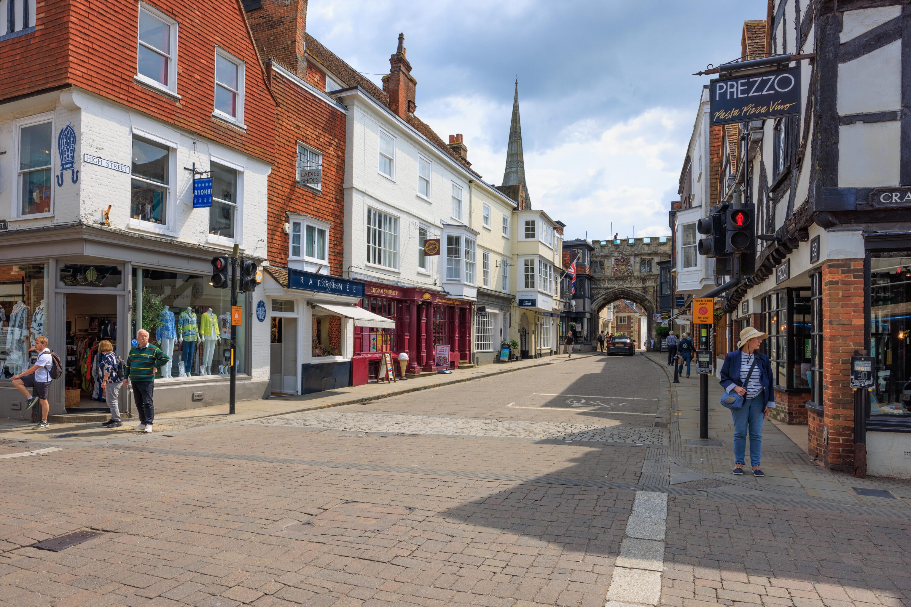
A typical road in Salisbury’s city center.
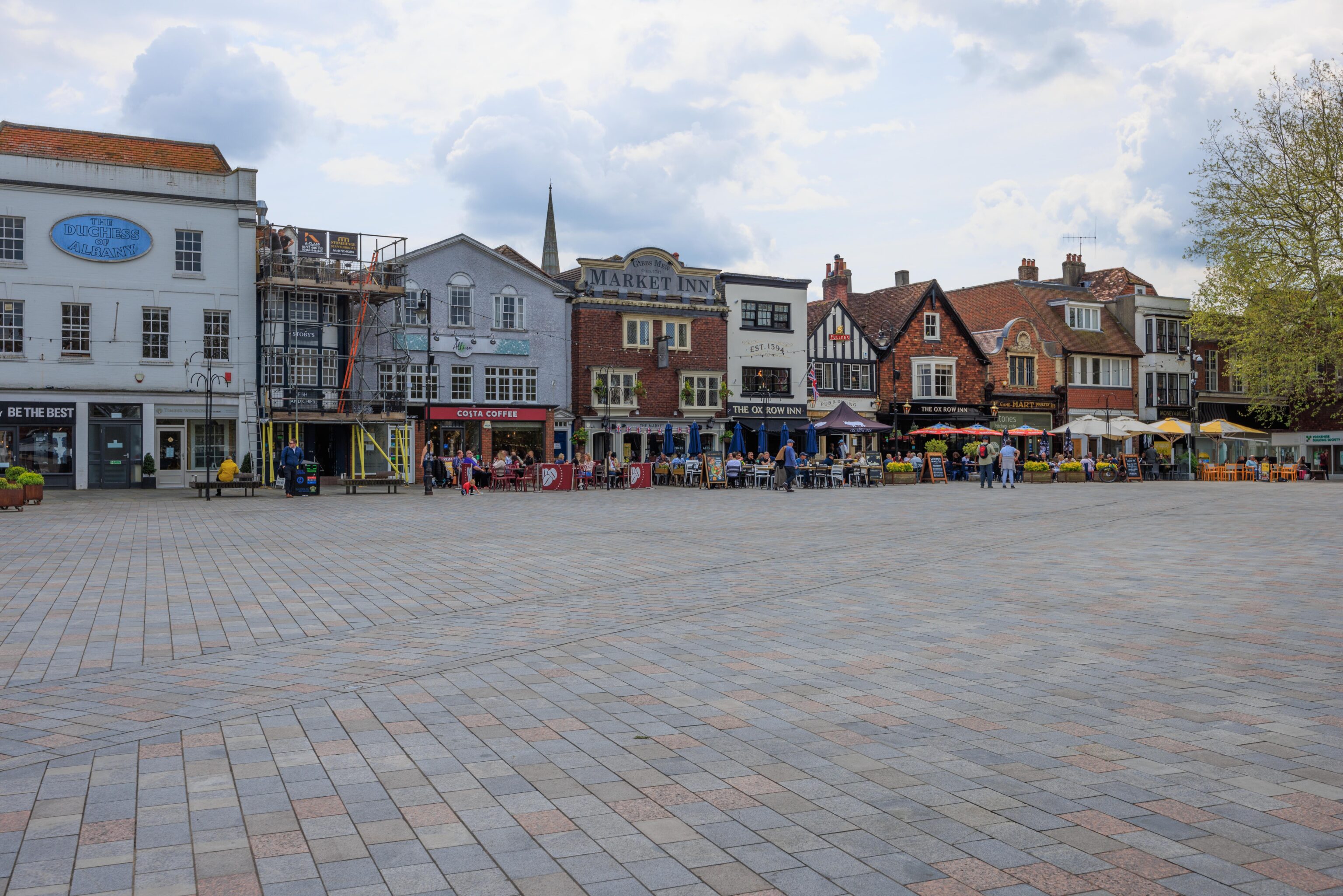
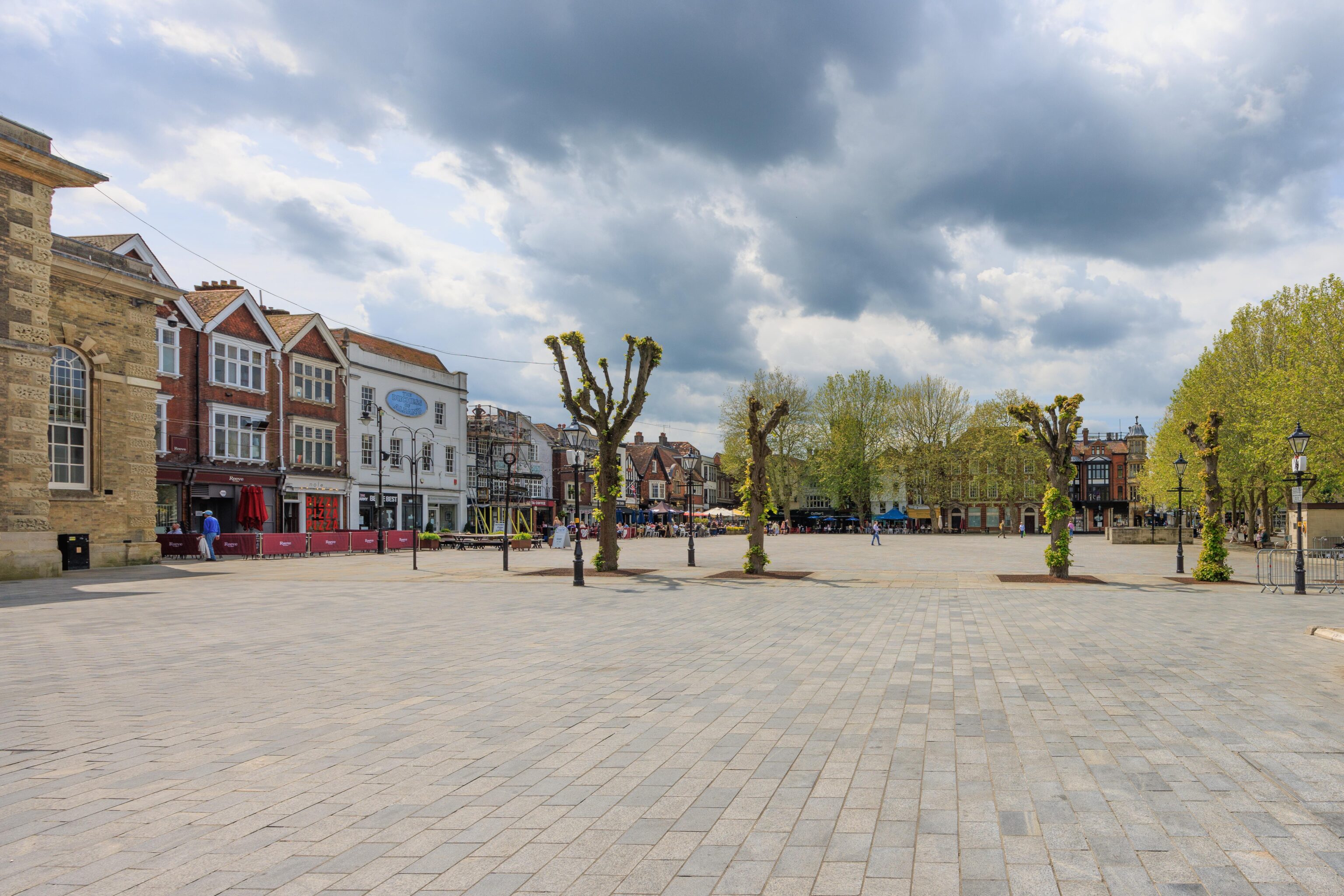
We walked through this plaza after lunch. A market is held here on Tuesdays and Saturdays. The ground looks like it is a different color due to the lighting conditions. A bit of sun shined through the clouds for the second warmer photo.
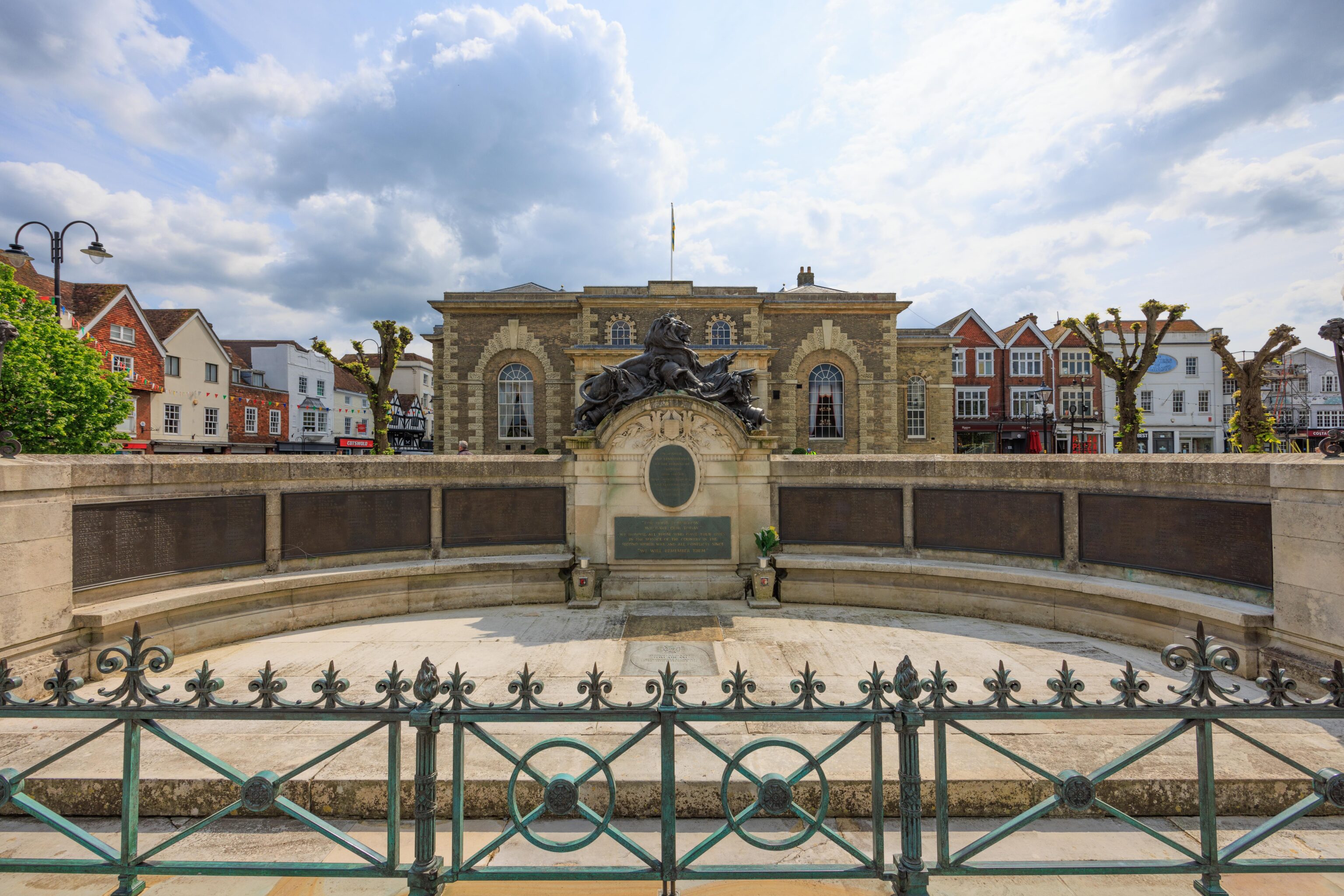
There is a monument to the citizens of Salisbury who died while serving during World War I. It is in front of the Guildhall, built in 1795. It is currently used as an event space.
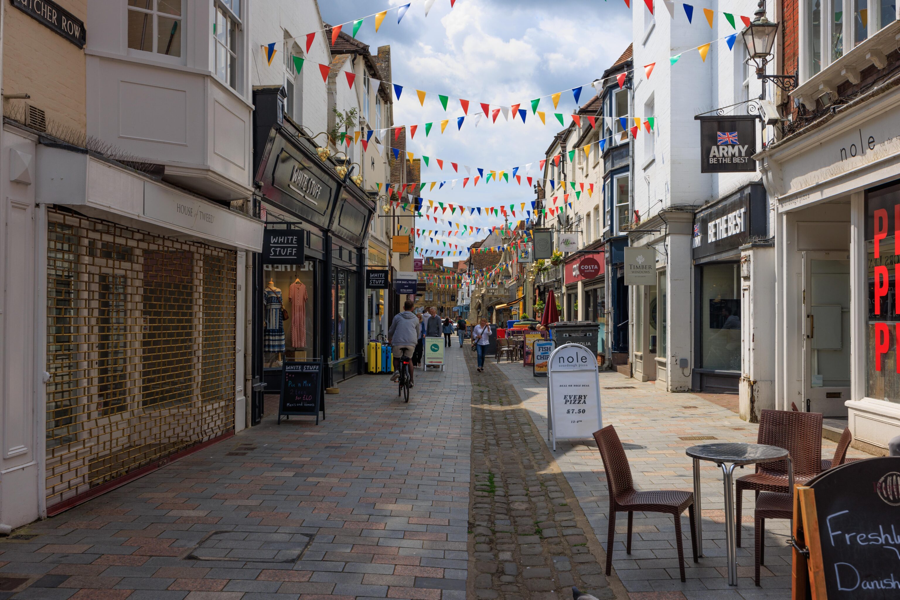
This pedestrian street is at the back of the Guildhall.
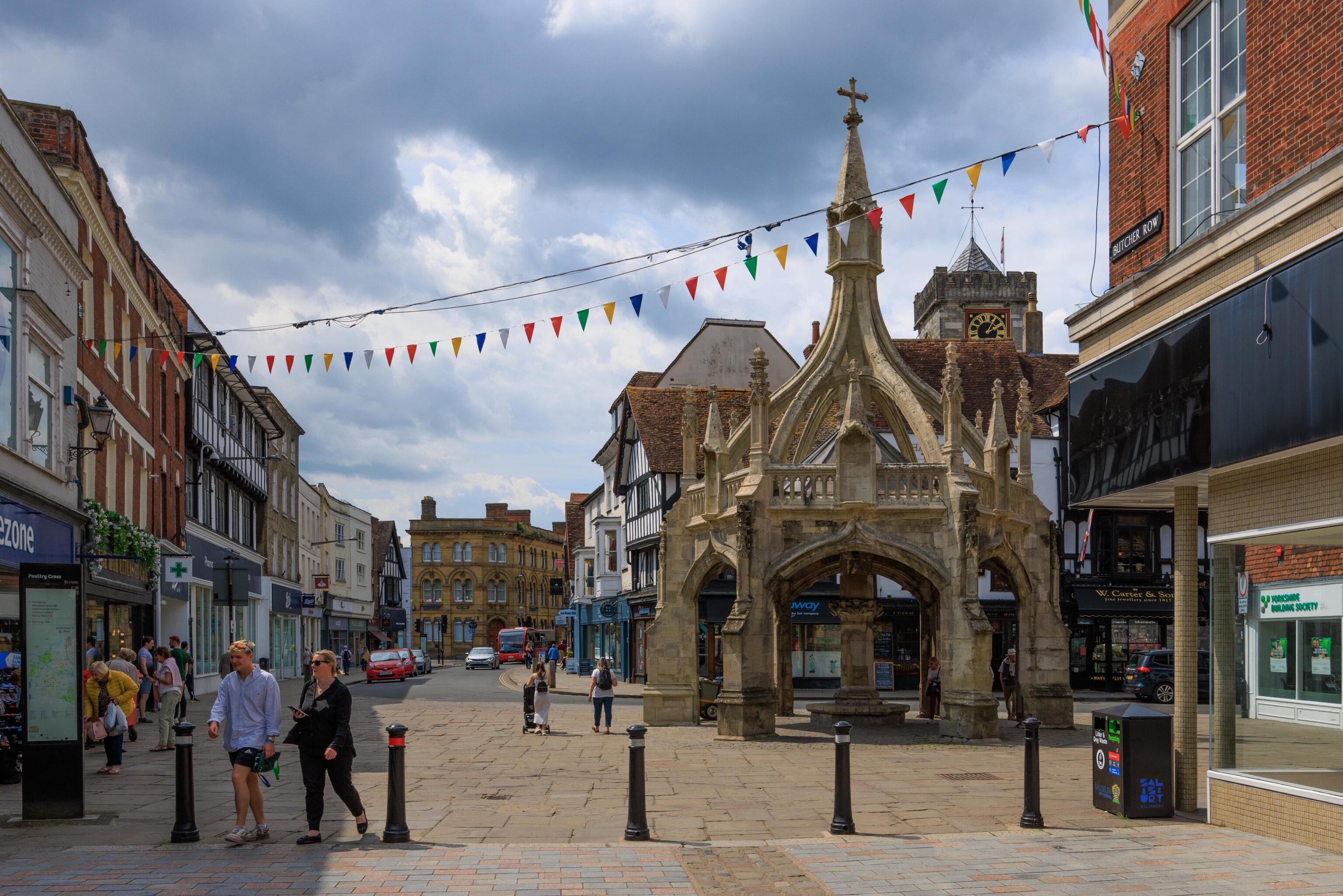
The Poultry Cross is at the west end of the pedestrian street. This 14th century structure was recently renovated.
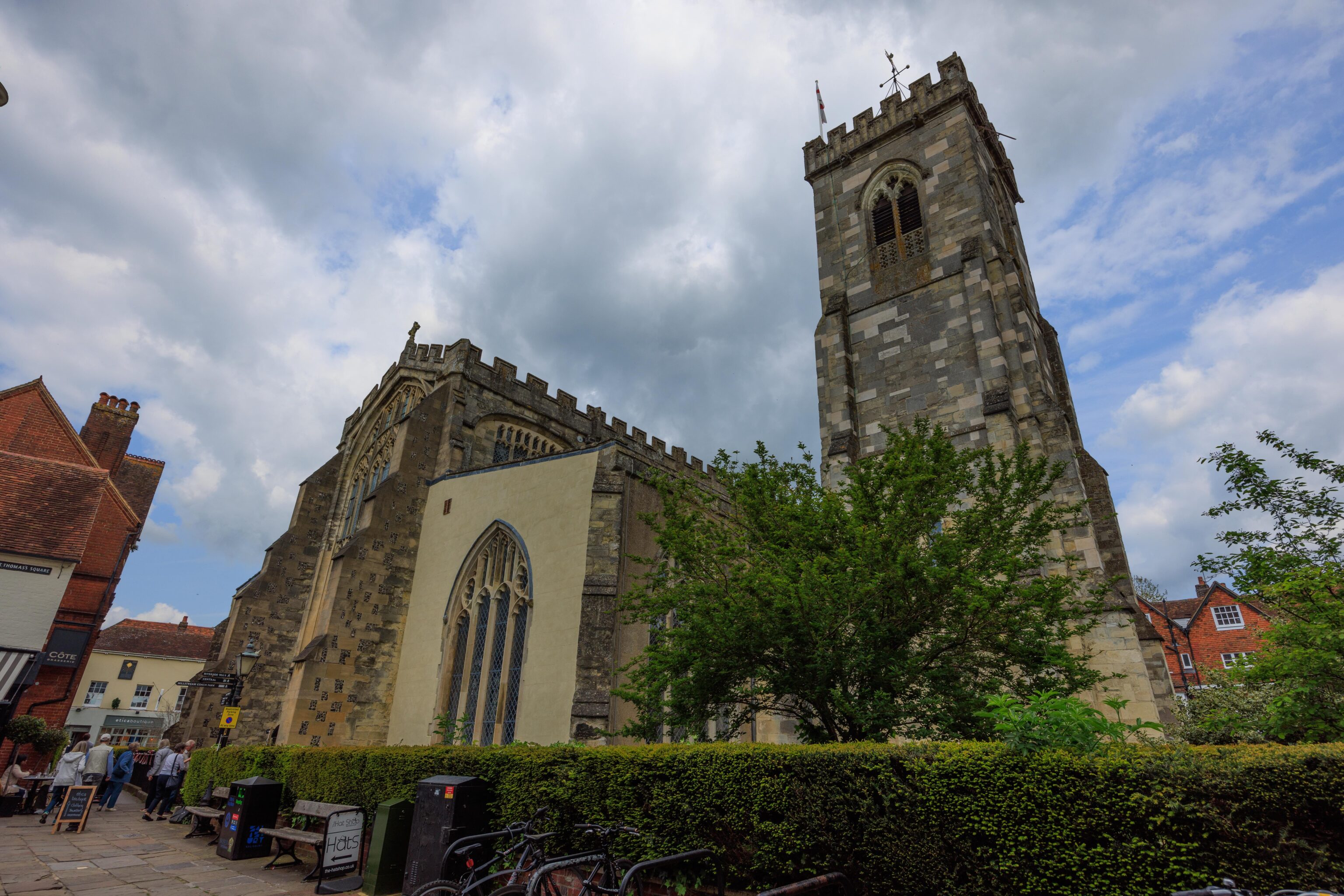
The 800 year old St. Thomas’ Church was just around the corner.
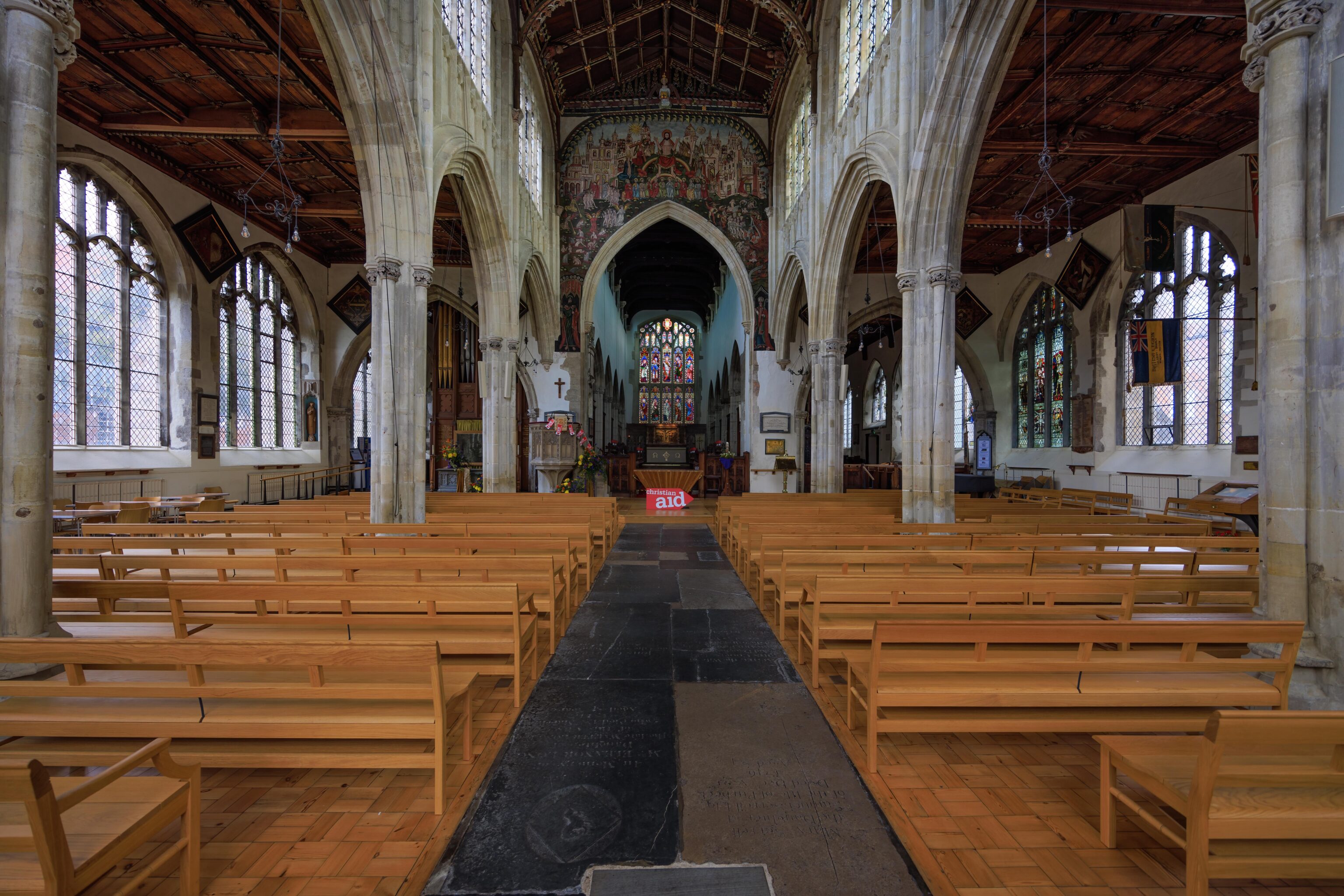
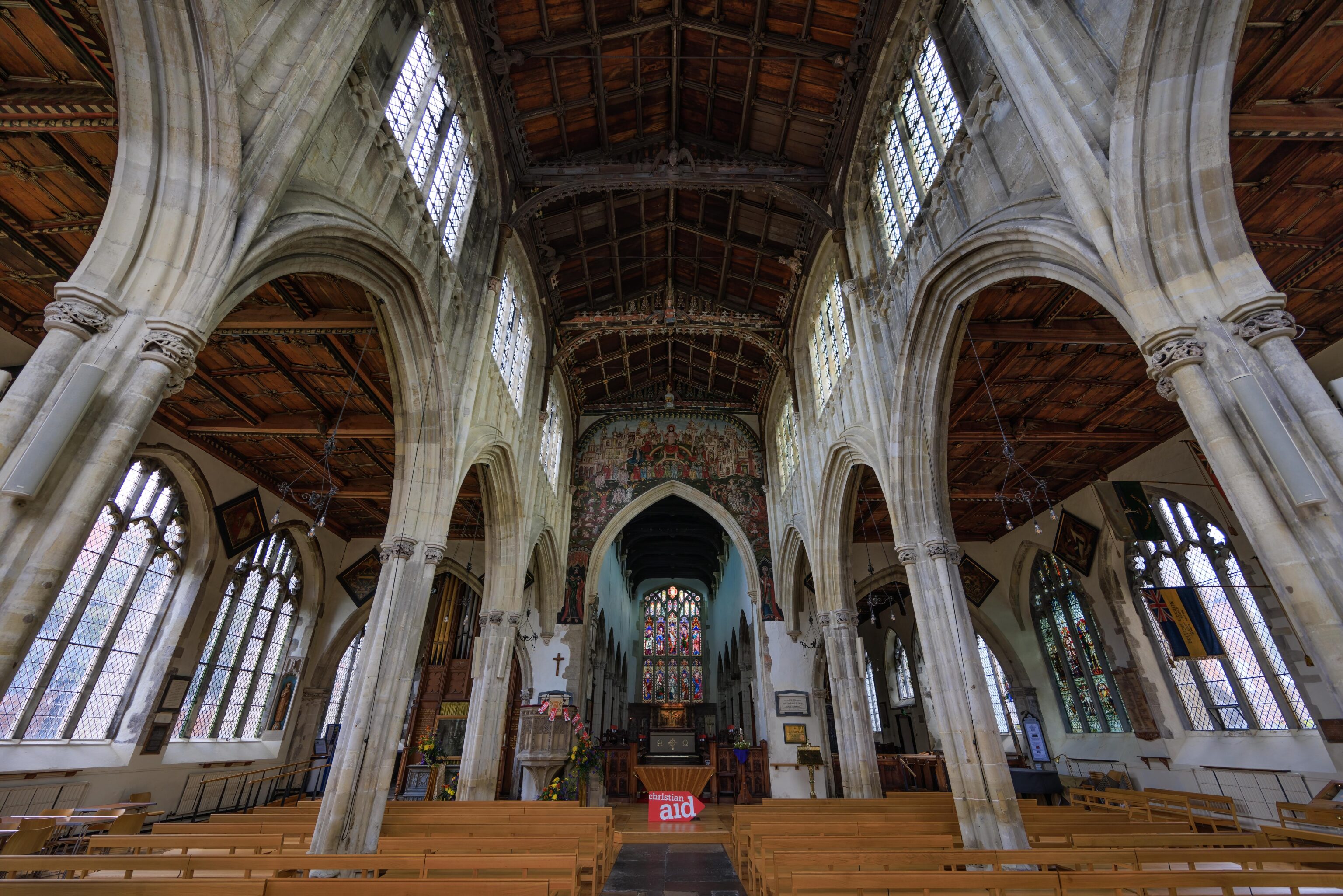
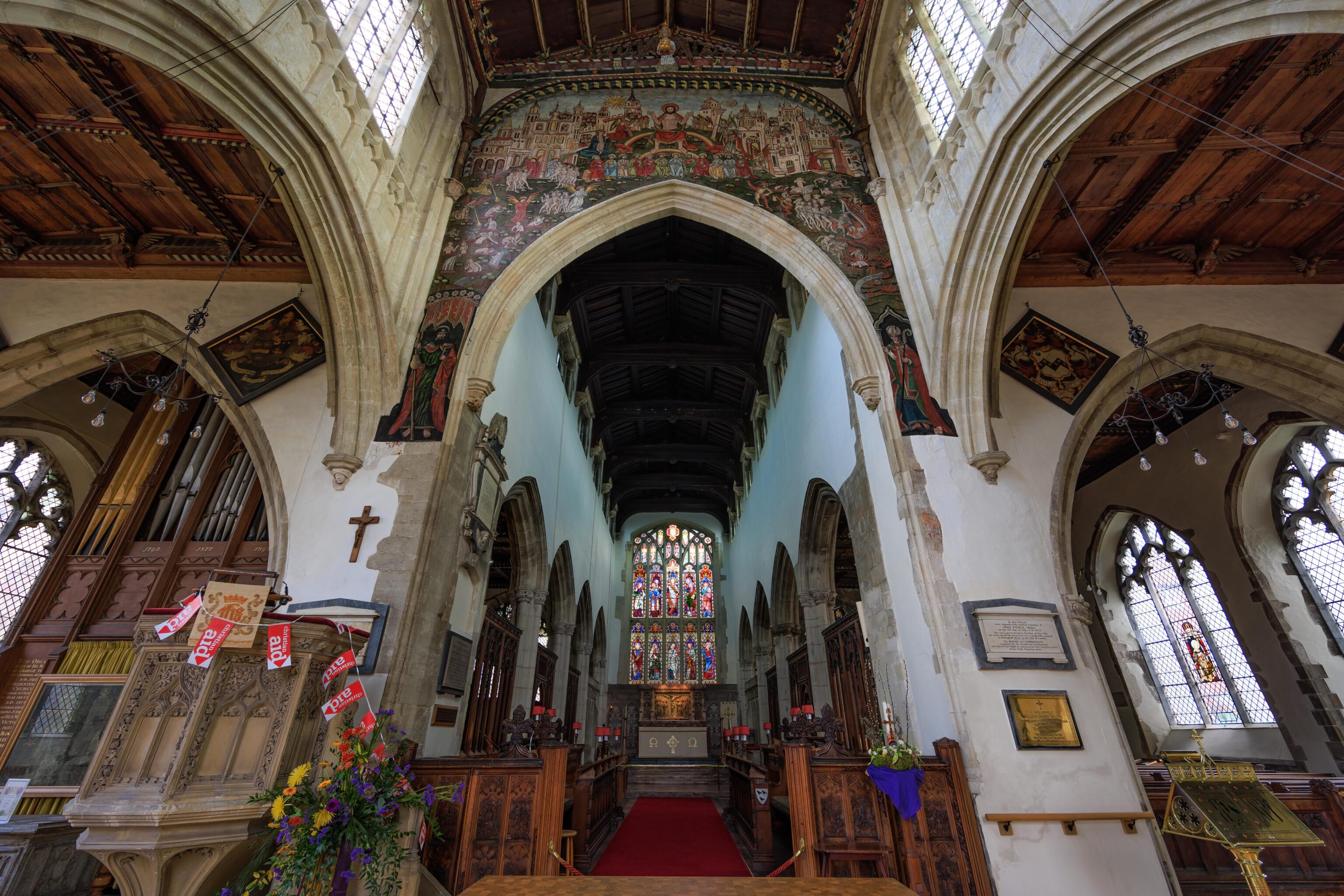
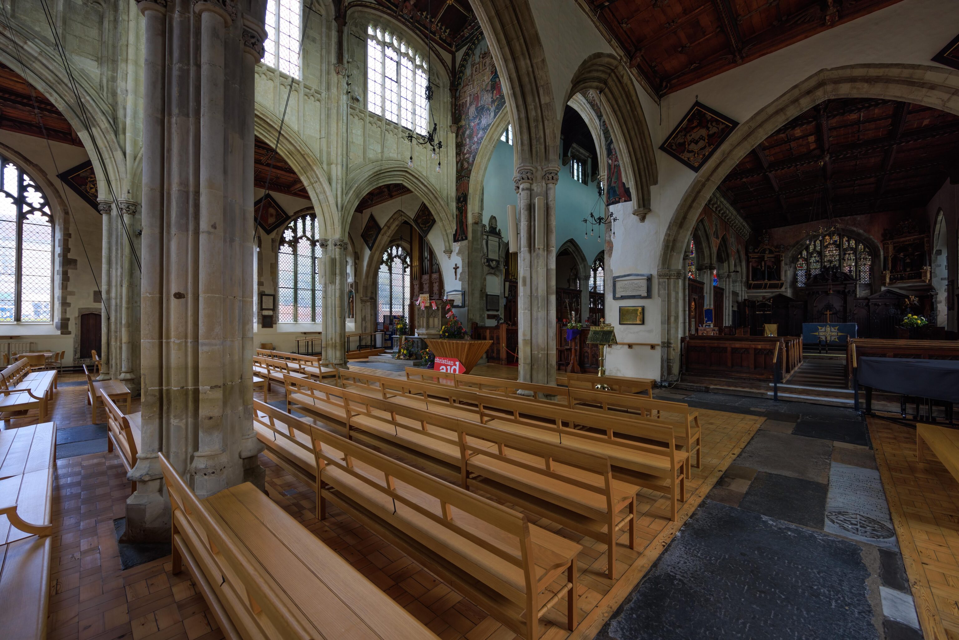
We went inside to take a look. It looks like a church. But rather different than the churches for royalty like in London. It feels a bit more like a place where commoners would go to worship.
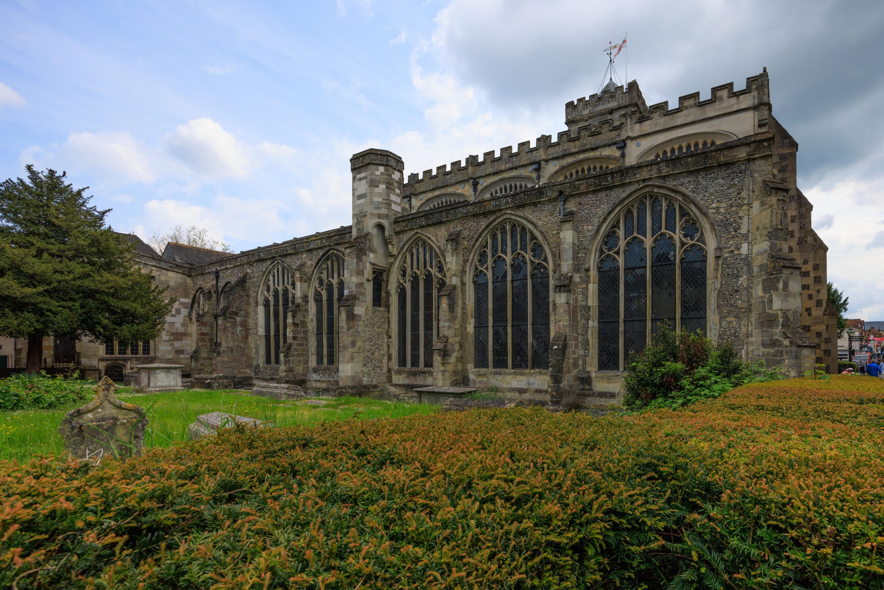
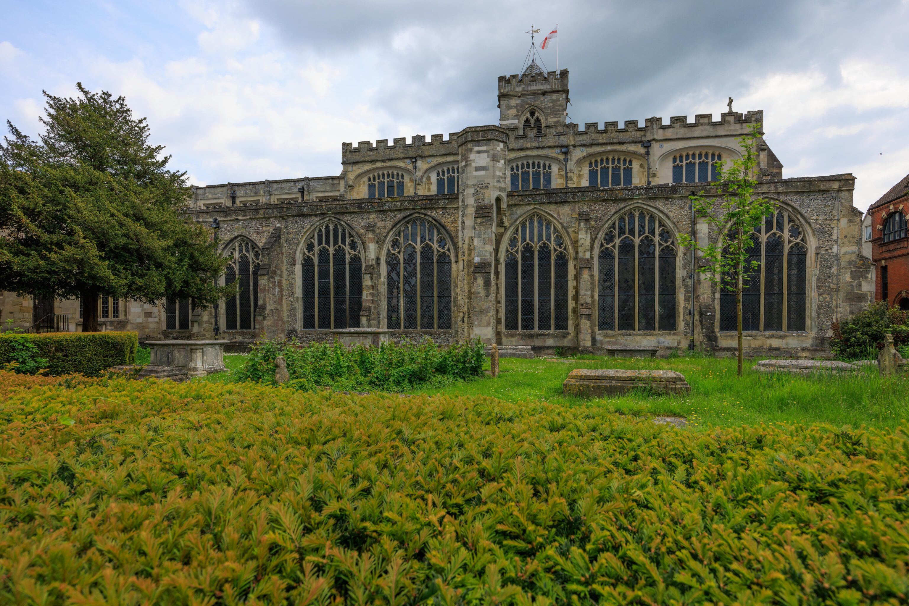
There isn’t really any way to get a good view of the church from afar as Salisbury is built up around it. It has a rather castle-like appearance from the north.

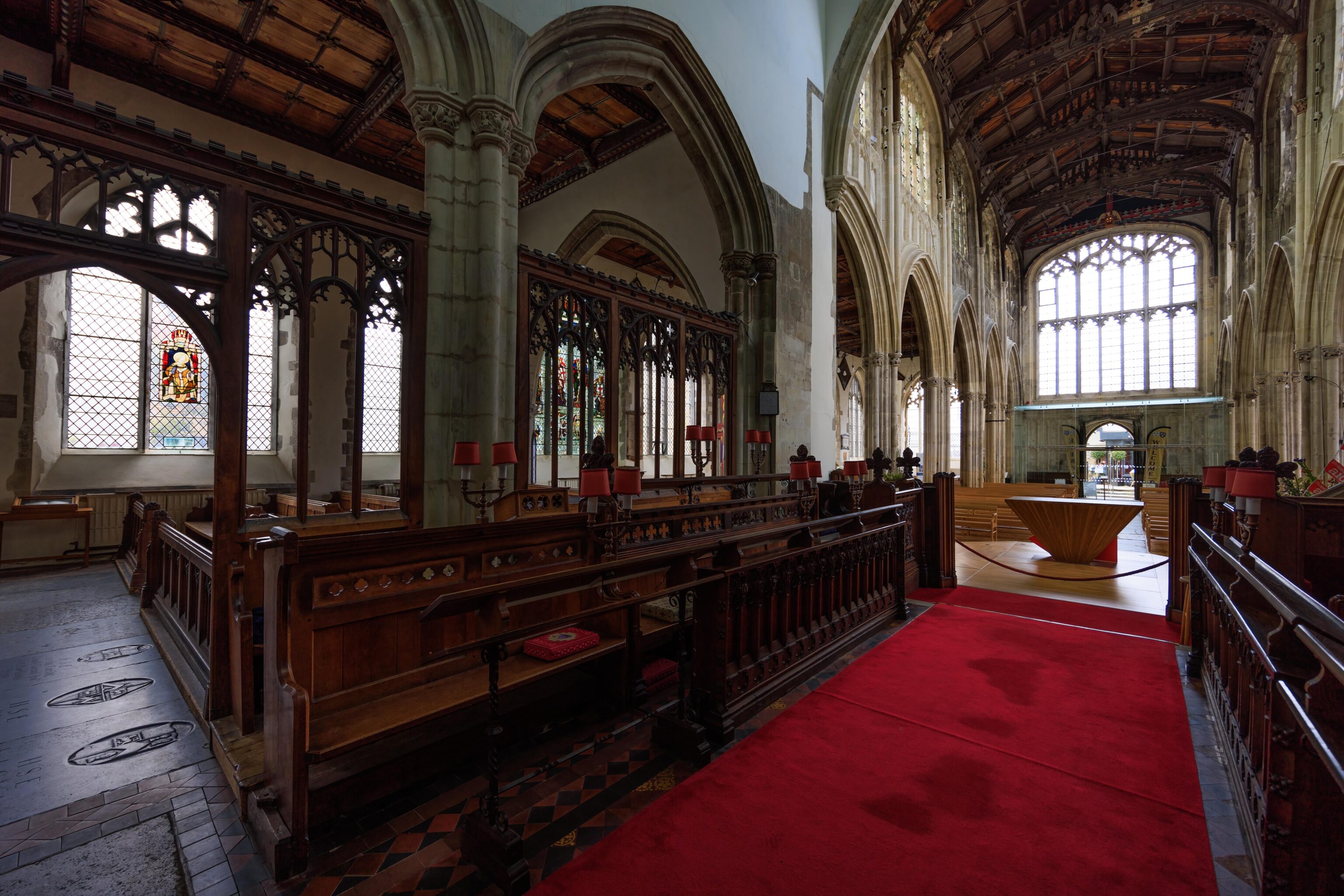
After our brief visit to St. Thomas’, we headed back towards the Salisbury Cathedral.
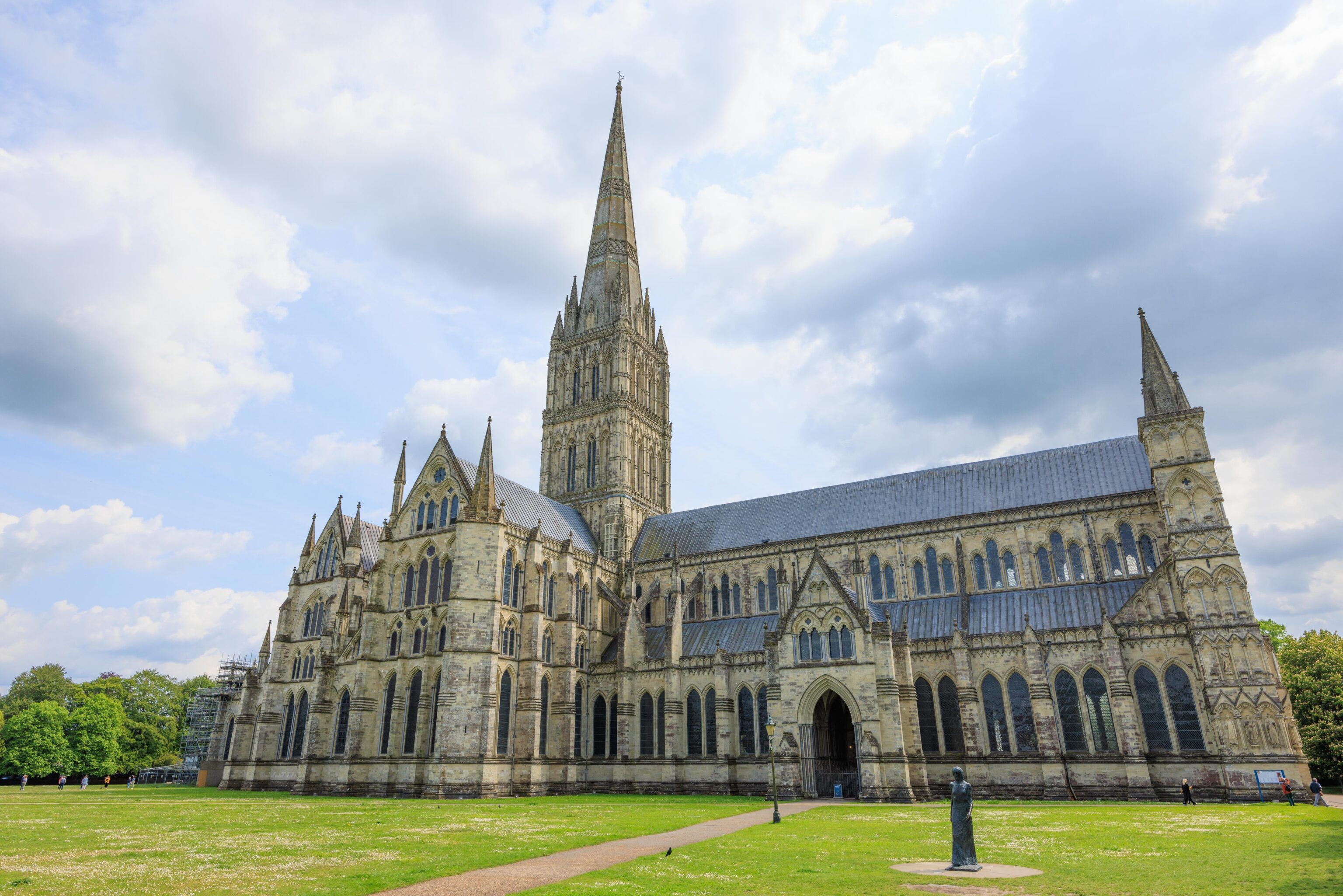
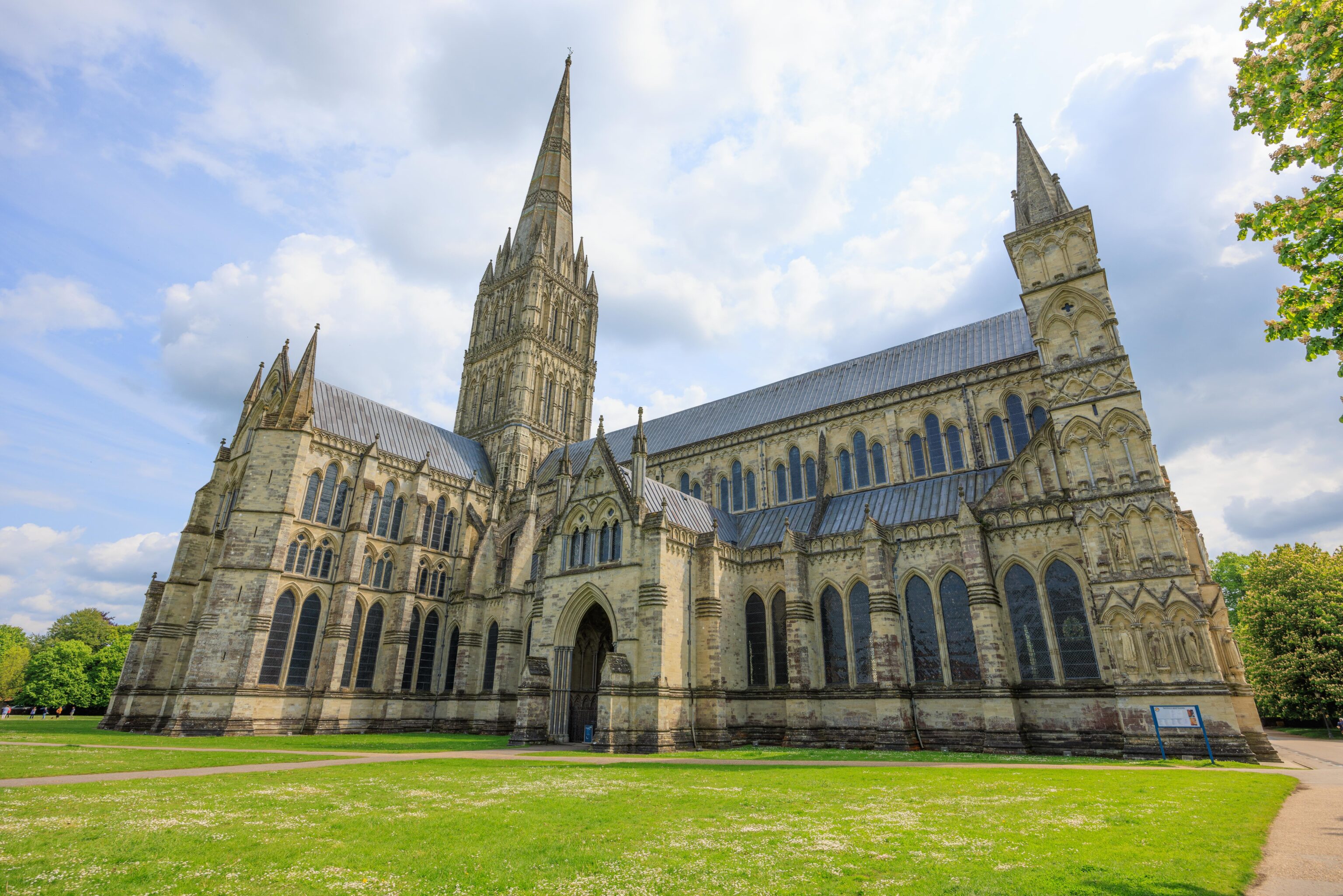
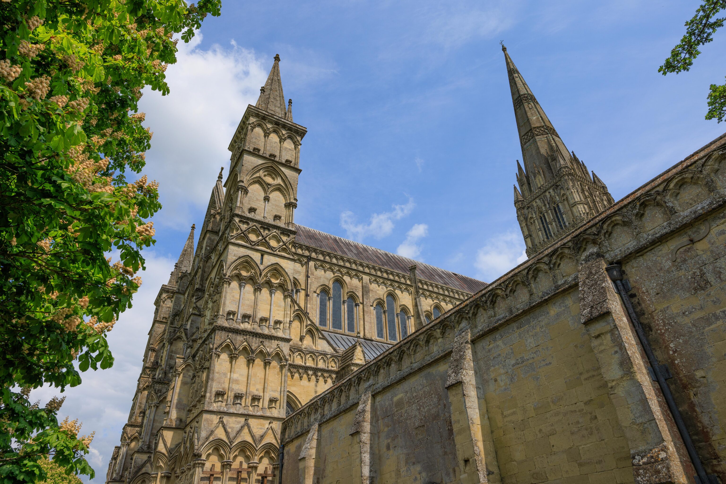
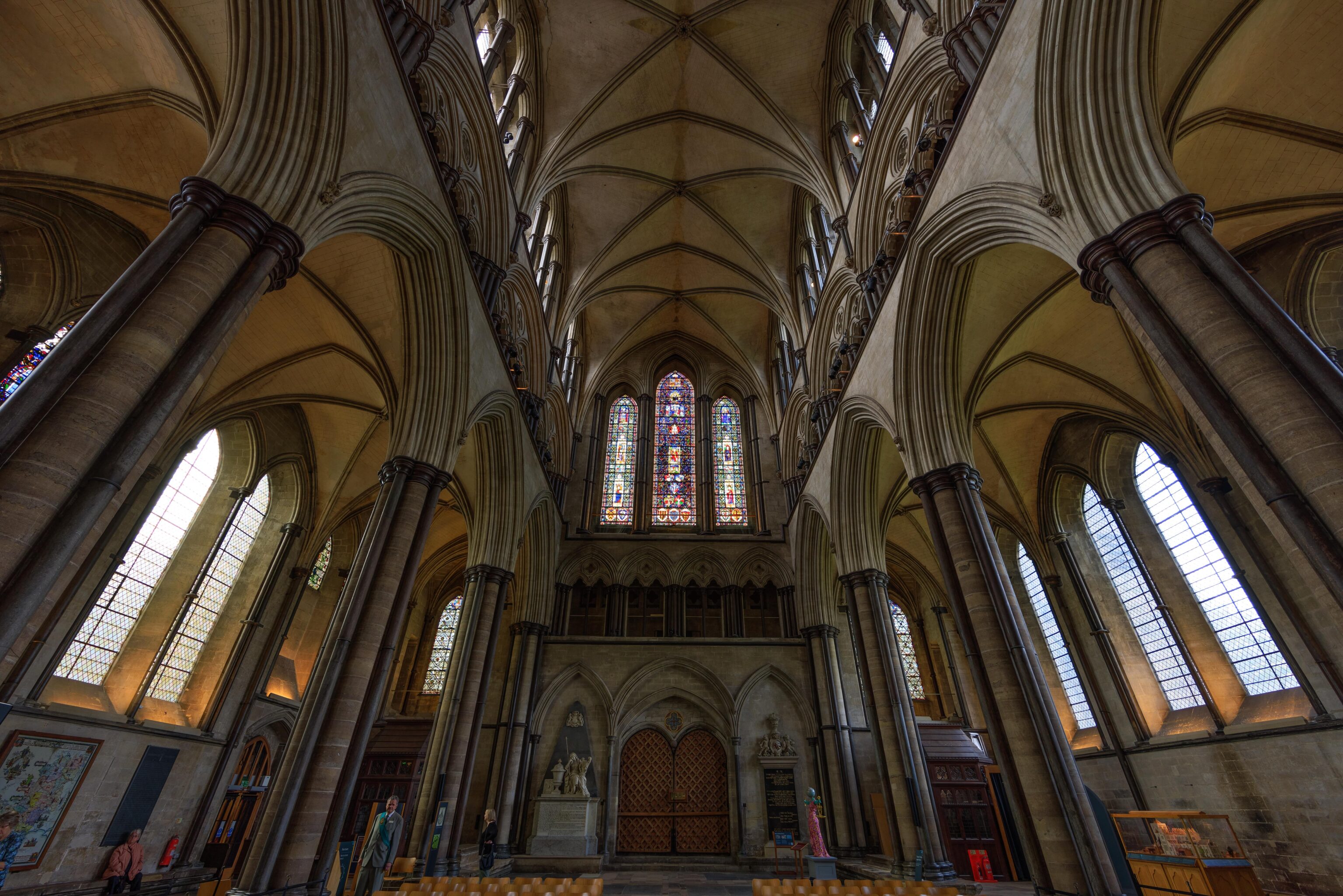
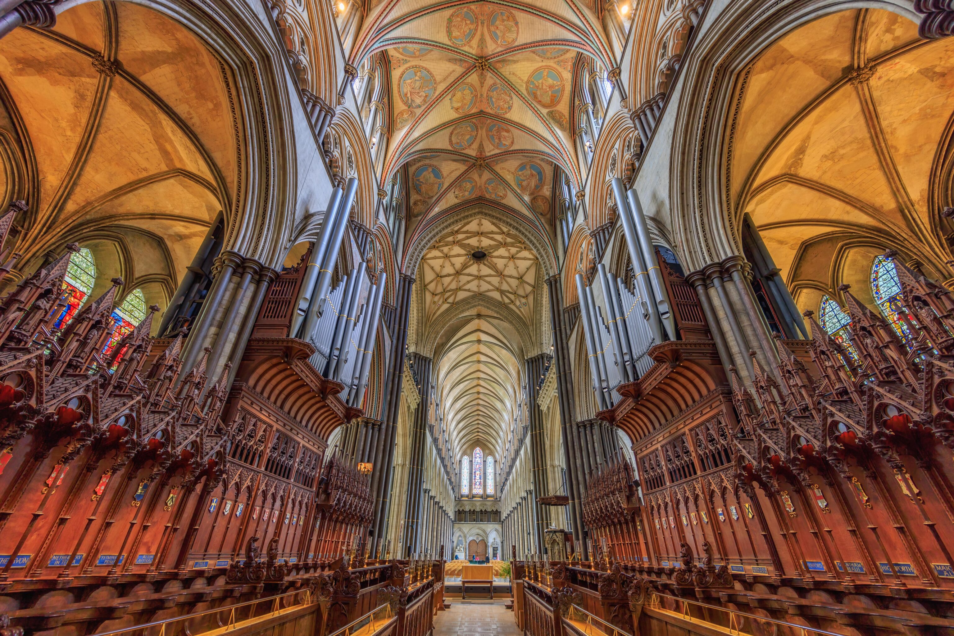
The Salisbury Cathedral is huge. Much bigger than what was at Old Sarum based on the visible ruins!
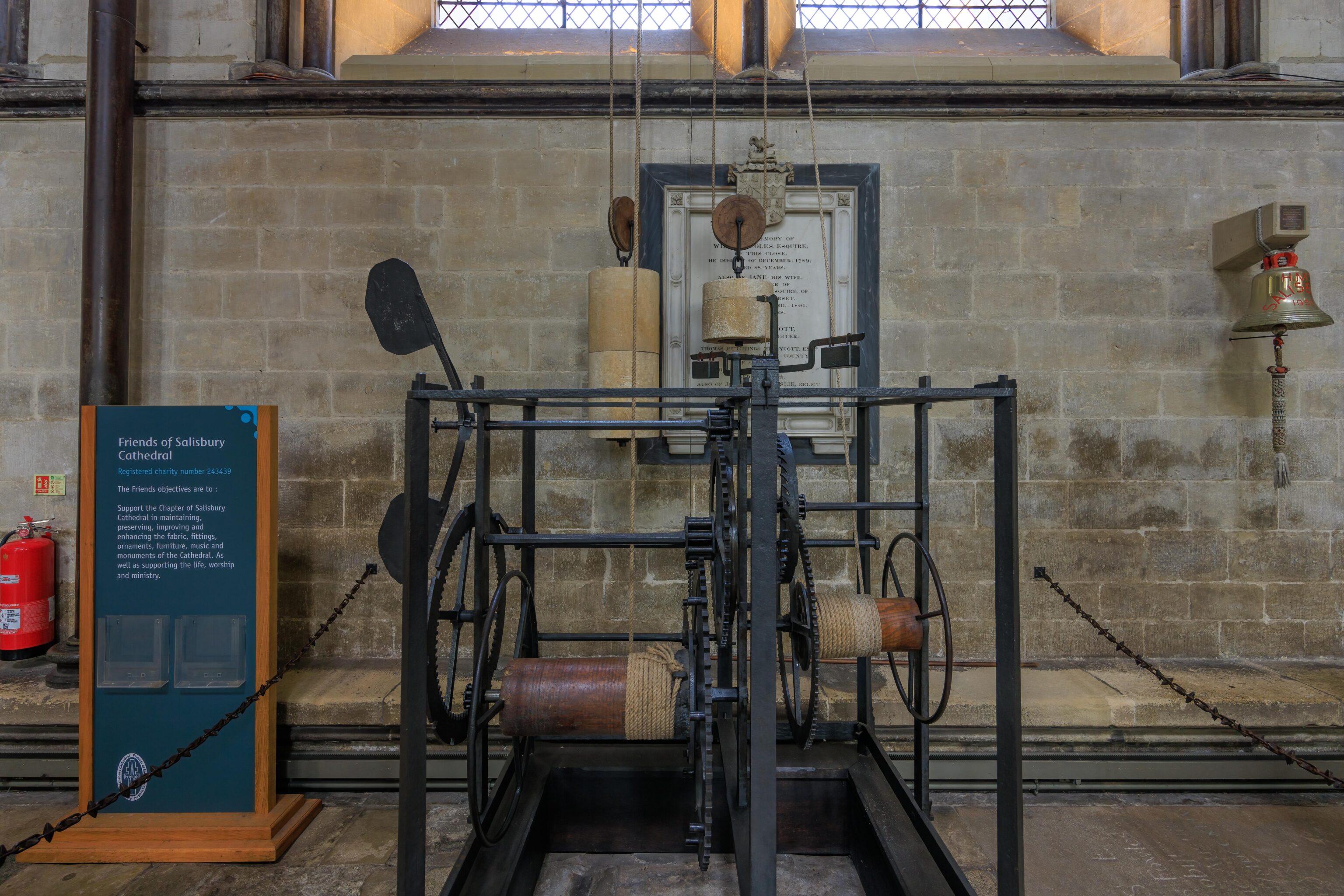
There are various interesting items in the Salisbury Cathedral. We came across the oldest working mechanical clock in the world, dating back to at least 1386. It seems to work by winding the mechanism which pulls a weight up. Presumably, gravity causes the weight to slowly drop and turns the mechanism. It isn’t clear exactly how it works beyond that. It is supposed to ring a bell every hour.
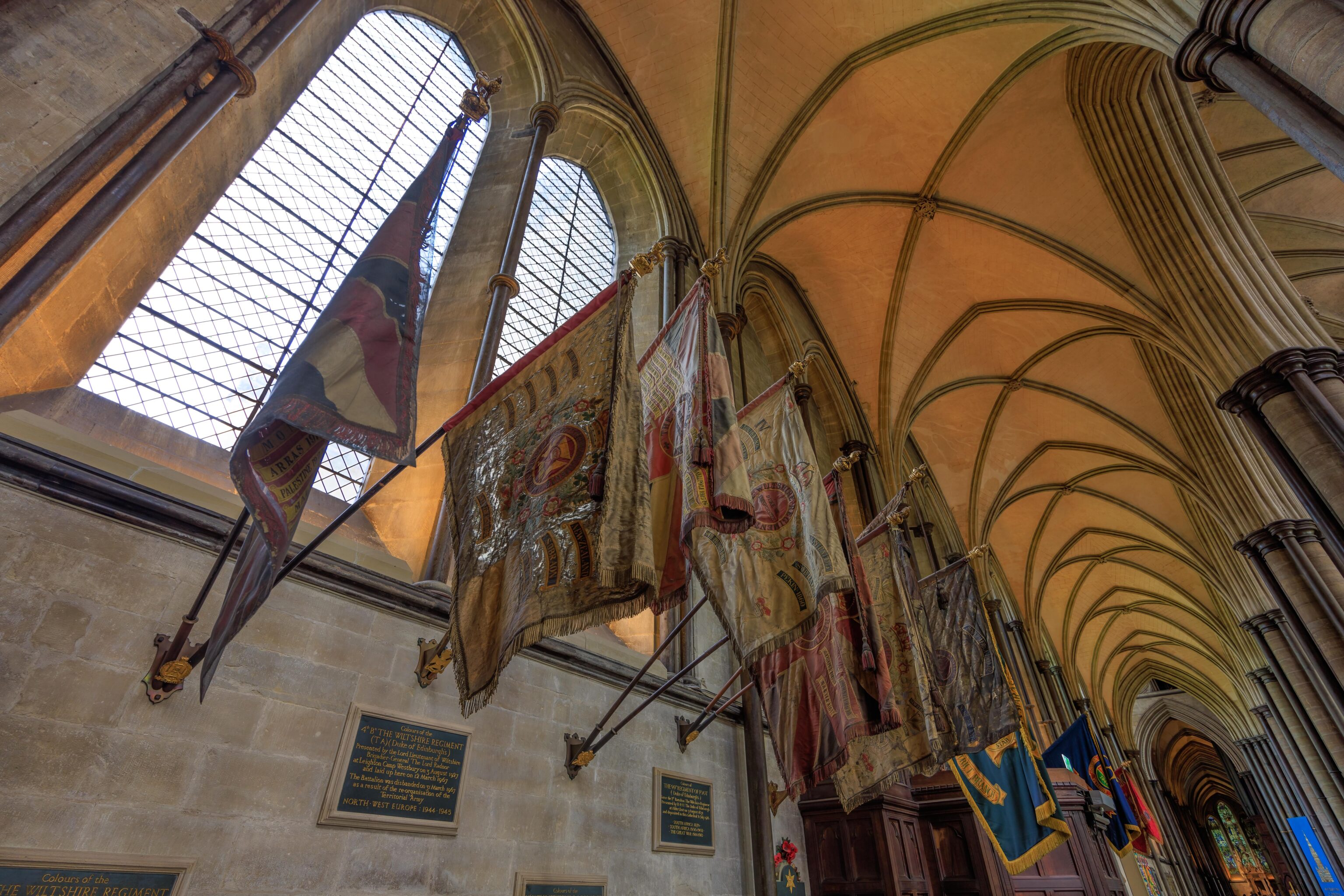
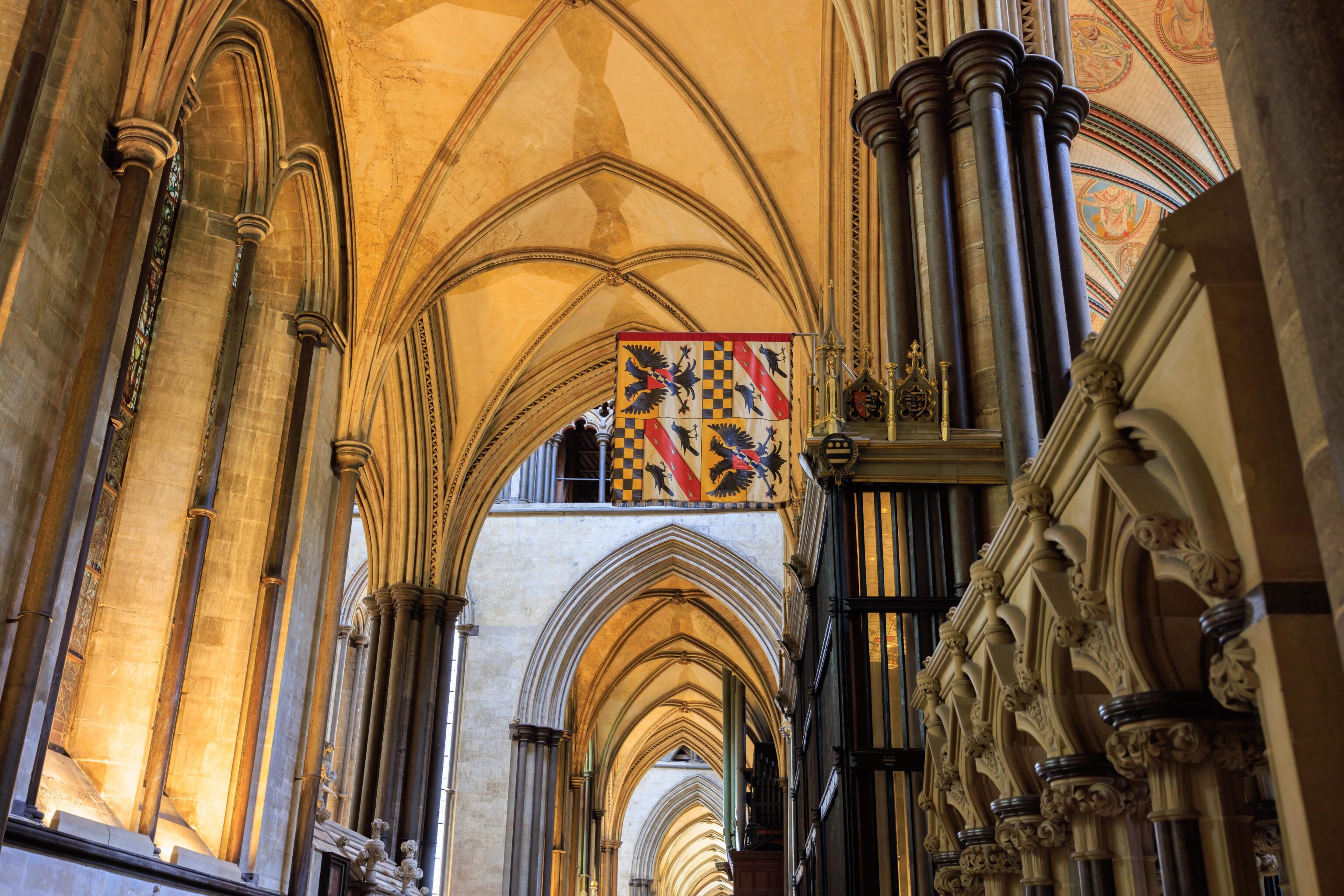
These flags are for some regiments of the Army. They’re pretty old and seem to be in poor condition.
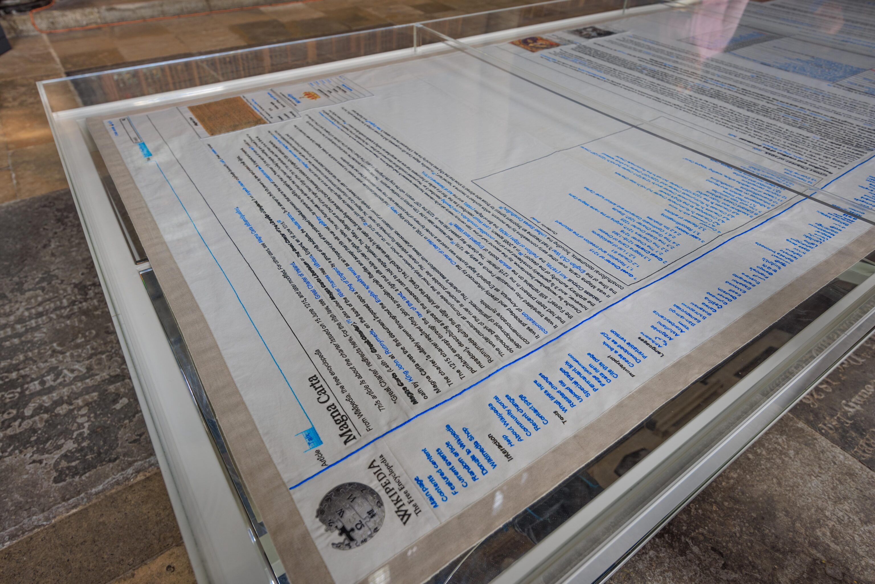
Yes, its Wikipedia! Specifically, a embroidered copy of the article on the Magna Carta! It is very detailed and realistic. It appears just as it would in a web browser. This work of art is here because the Salisbury Cathedral is home to one of four remaining original copies of the document.
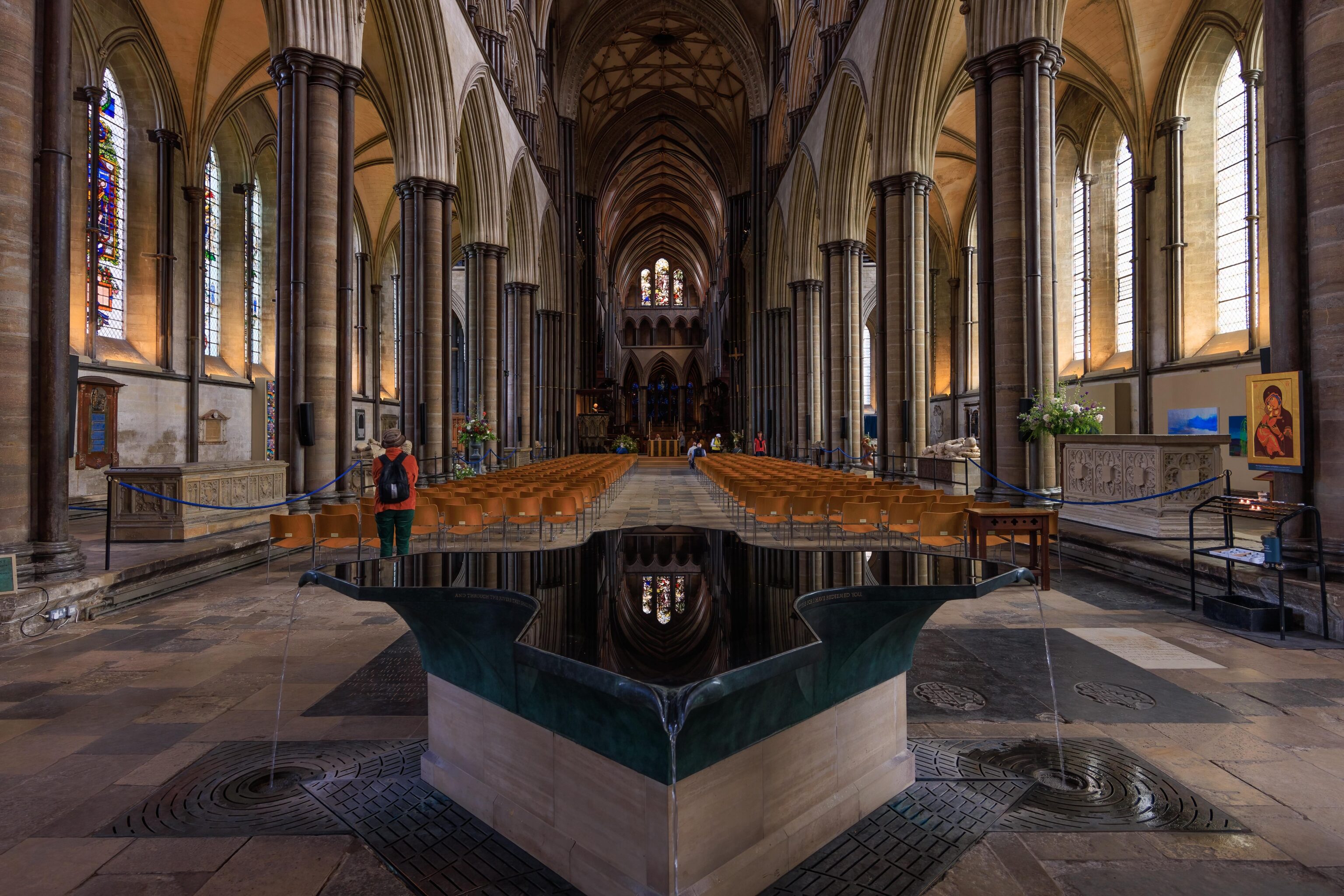
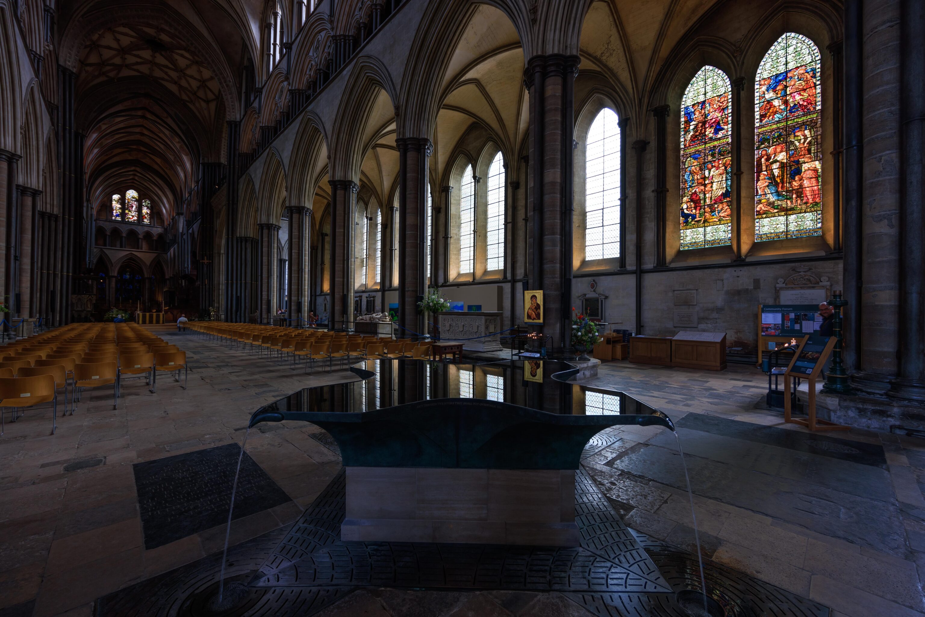
The font in the cathedral is interesting. It is essentially a fountain that spills a bit of water from four corners. The surface of the water appears to be perfectly still and is highly reflective as a result.
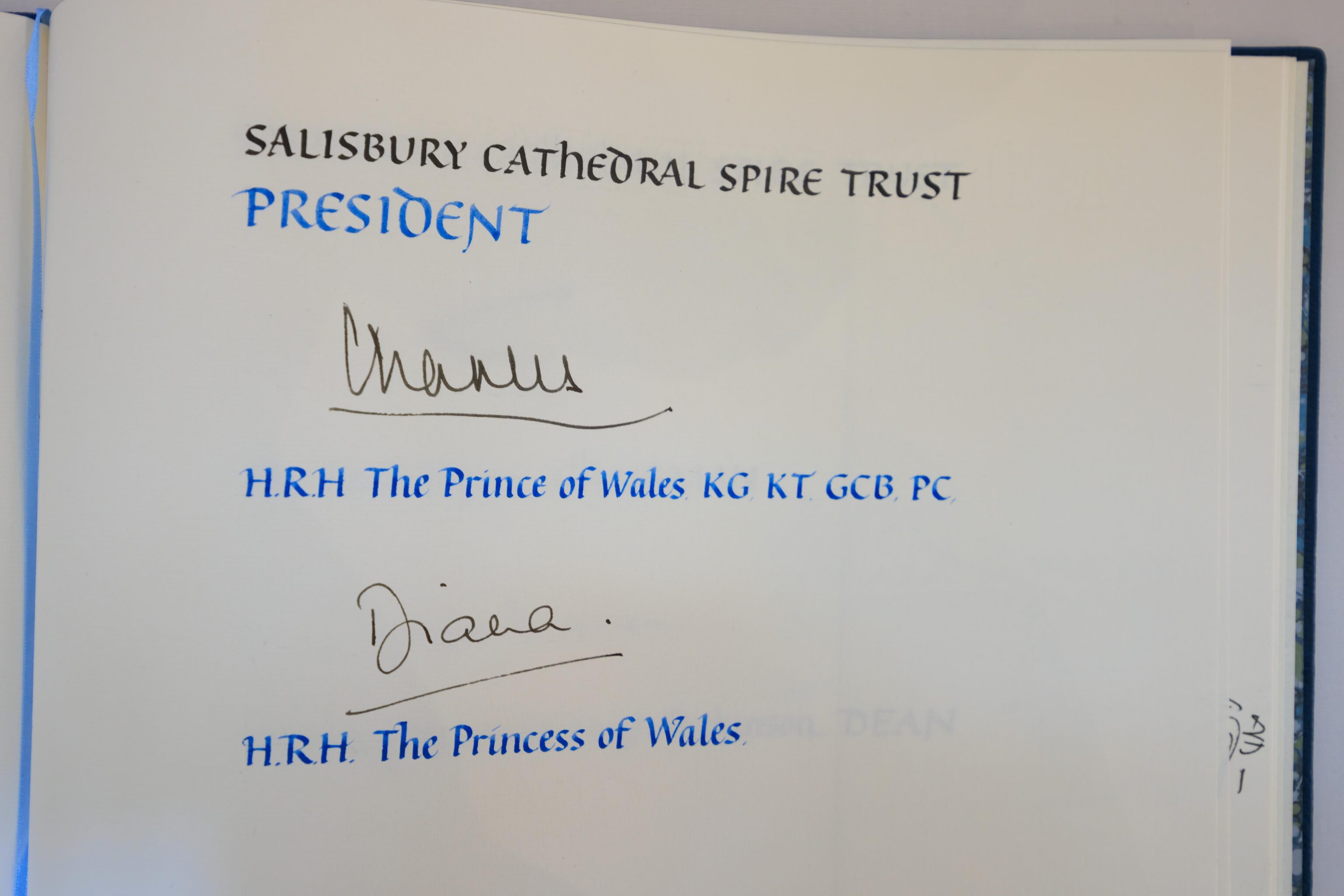
There is a guestbook on display. It is opened to a page signed by Princess Diana and the now King Charles III.
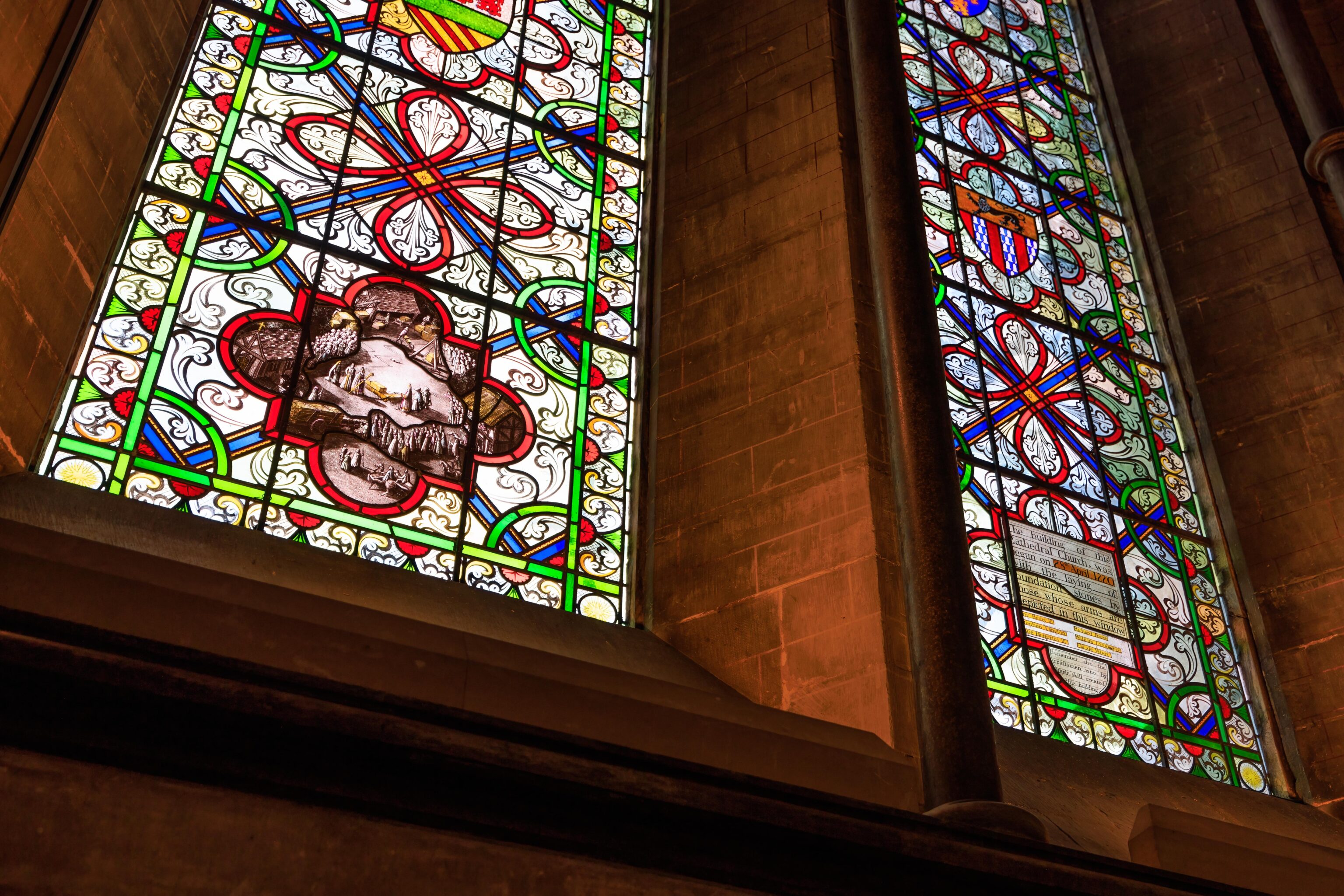
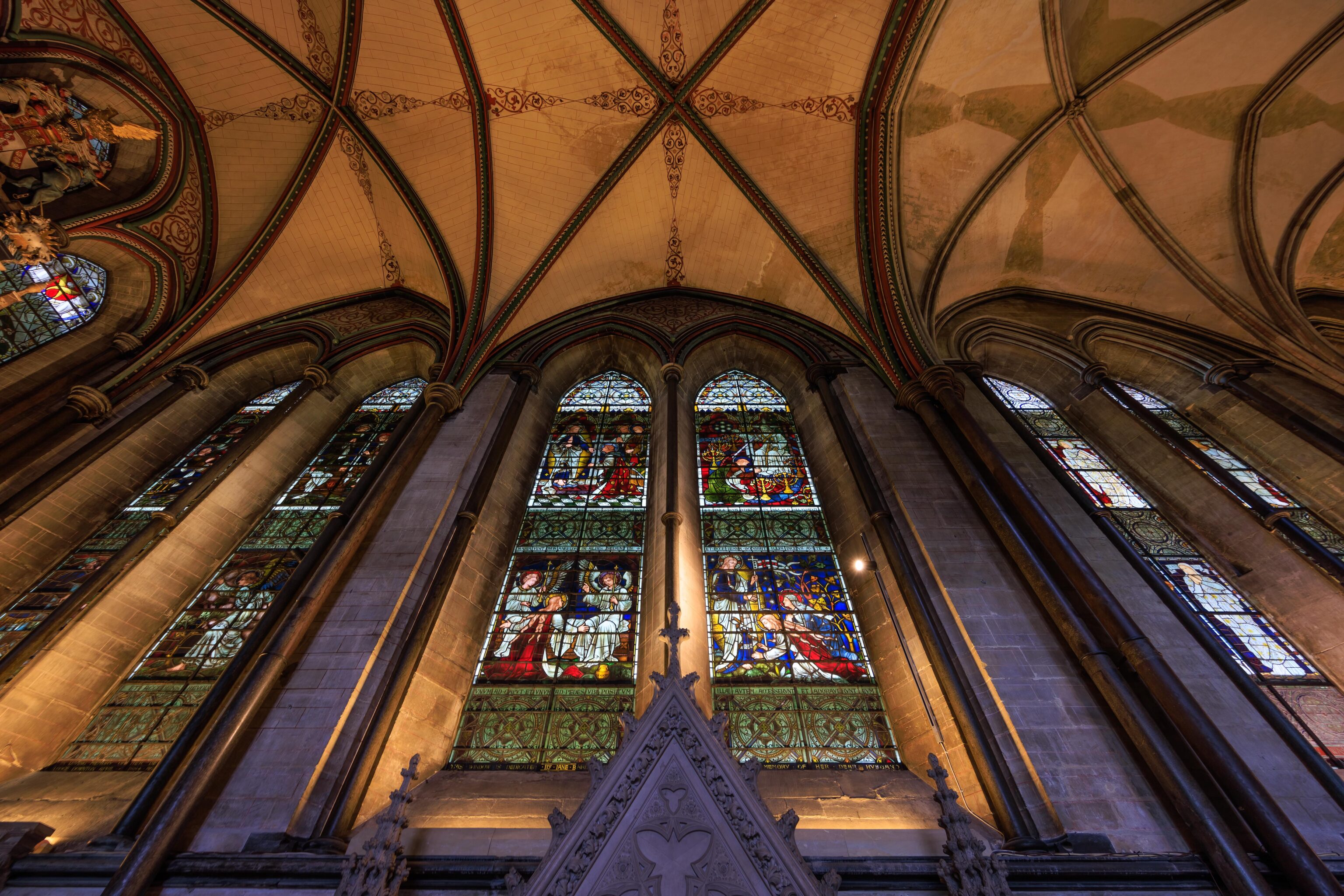
These two windows depict the founding of Salisbury Cathedral.
We noticed this flag. It is reminiscent of Maryland’s state flag. It is still rather different though but has similar colors and a black and orange checkerboard pattern.
It is a bit hard to see but there is a stainless steel sculpture up above here! We only notice it because we saw a sign for it at ground level.
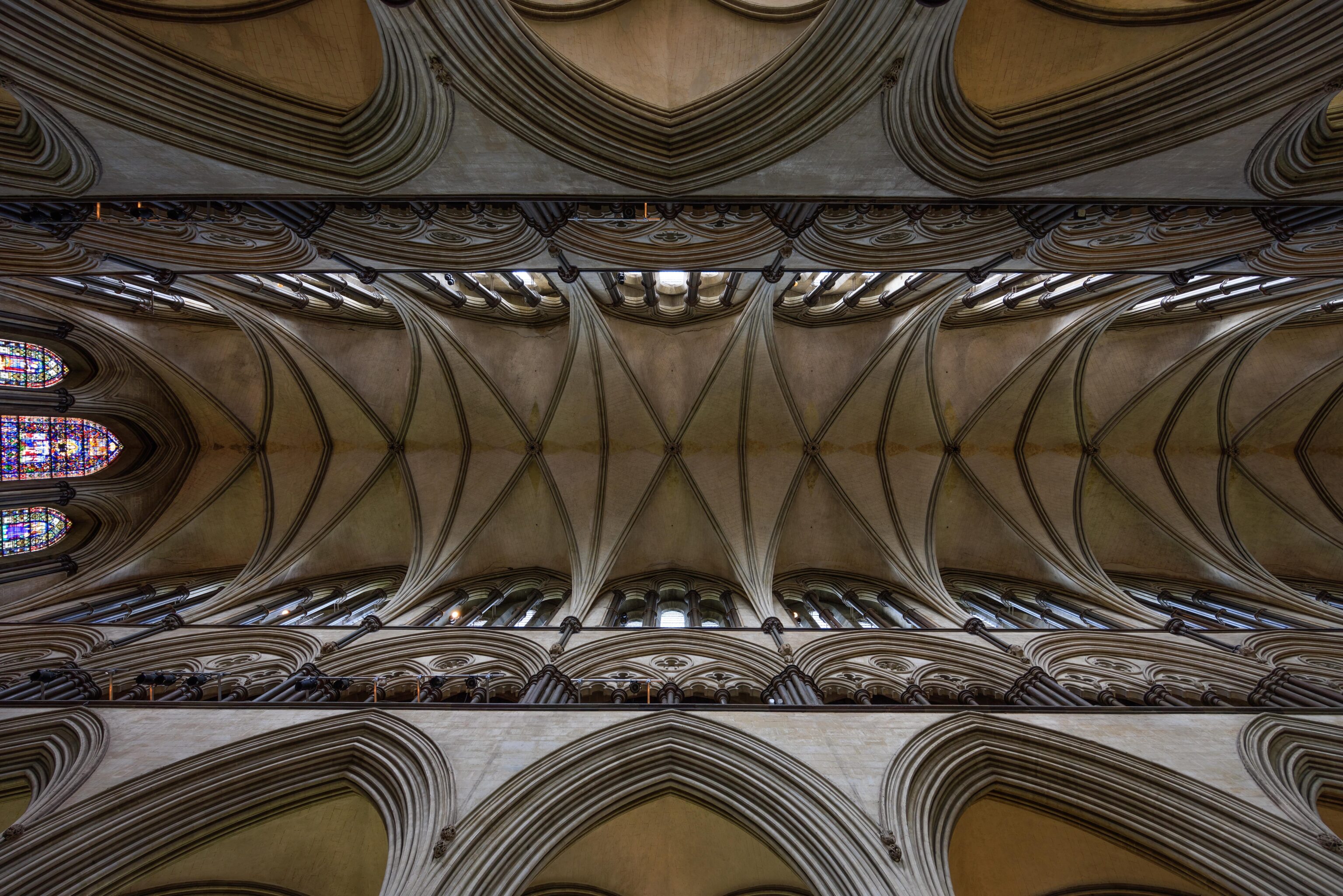
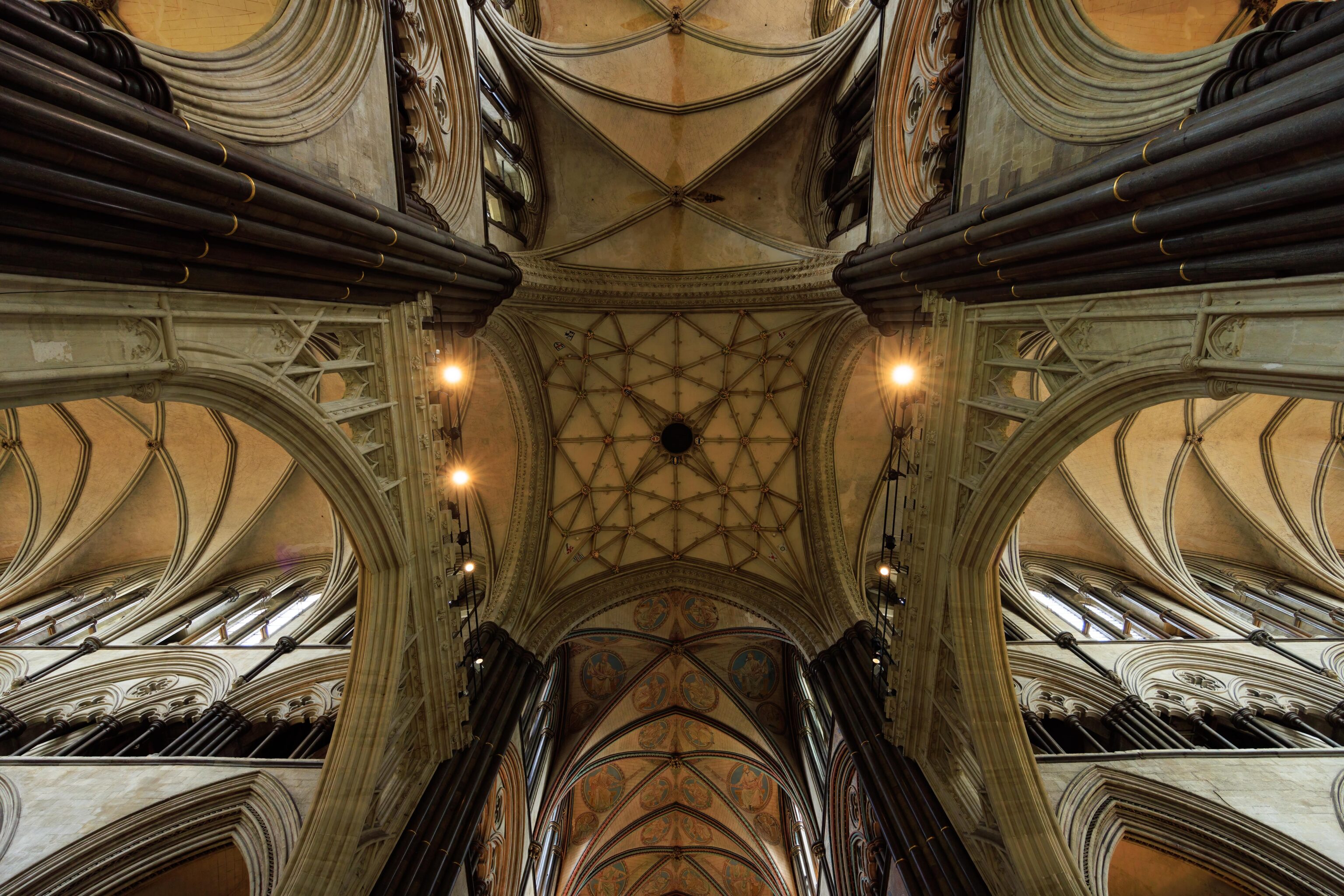
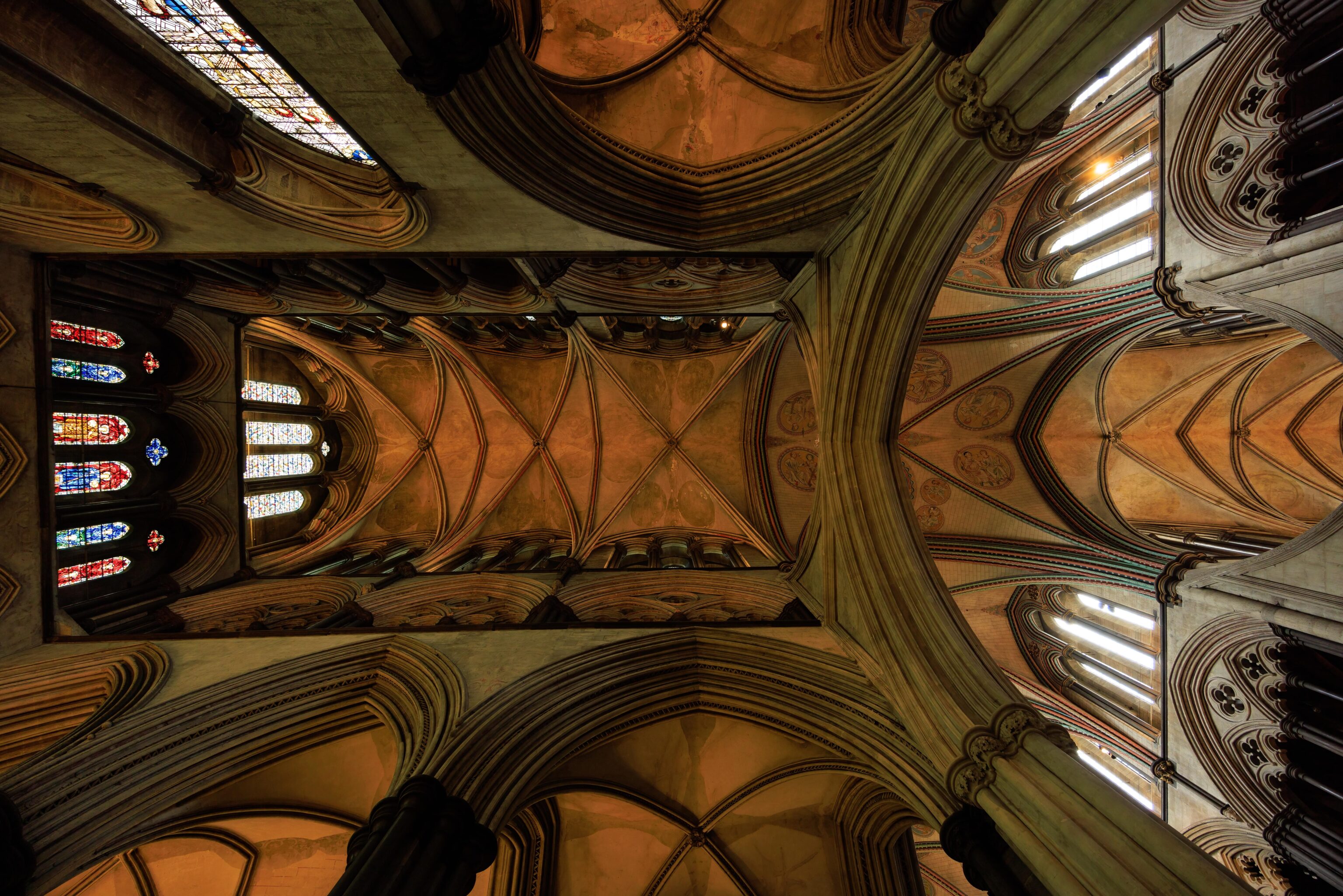
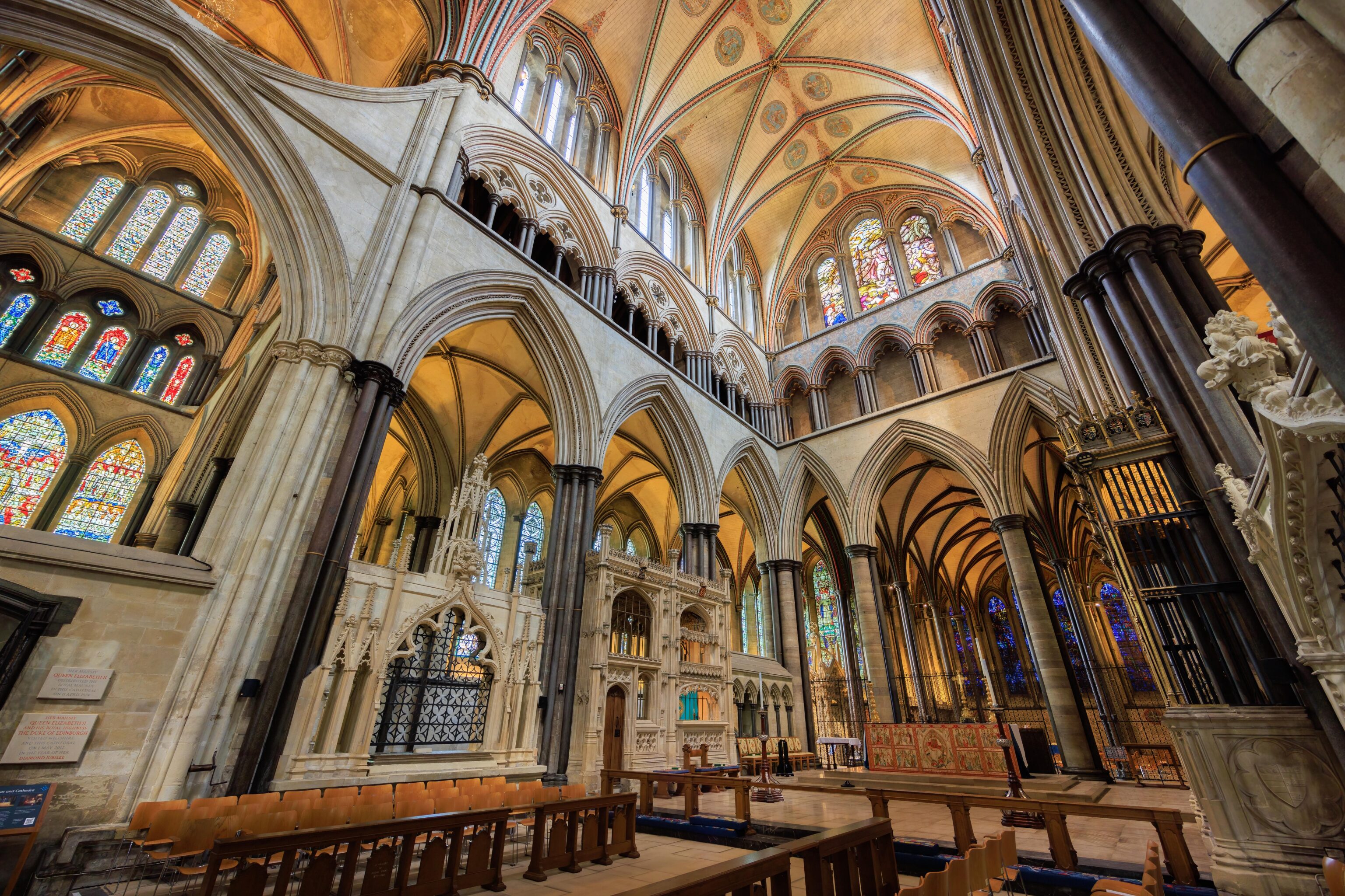
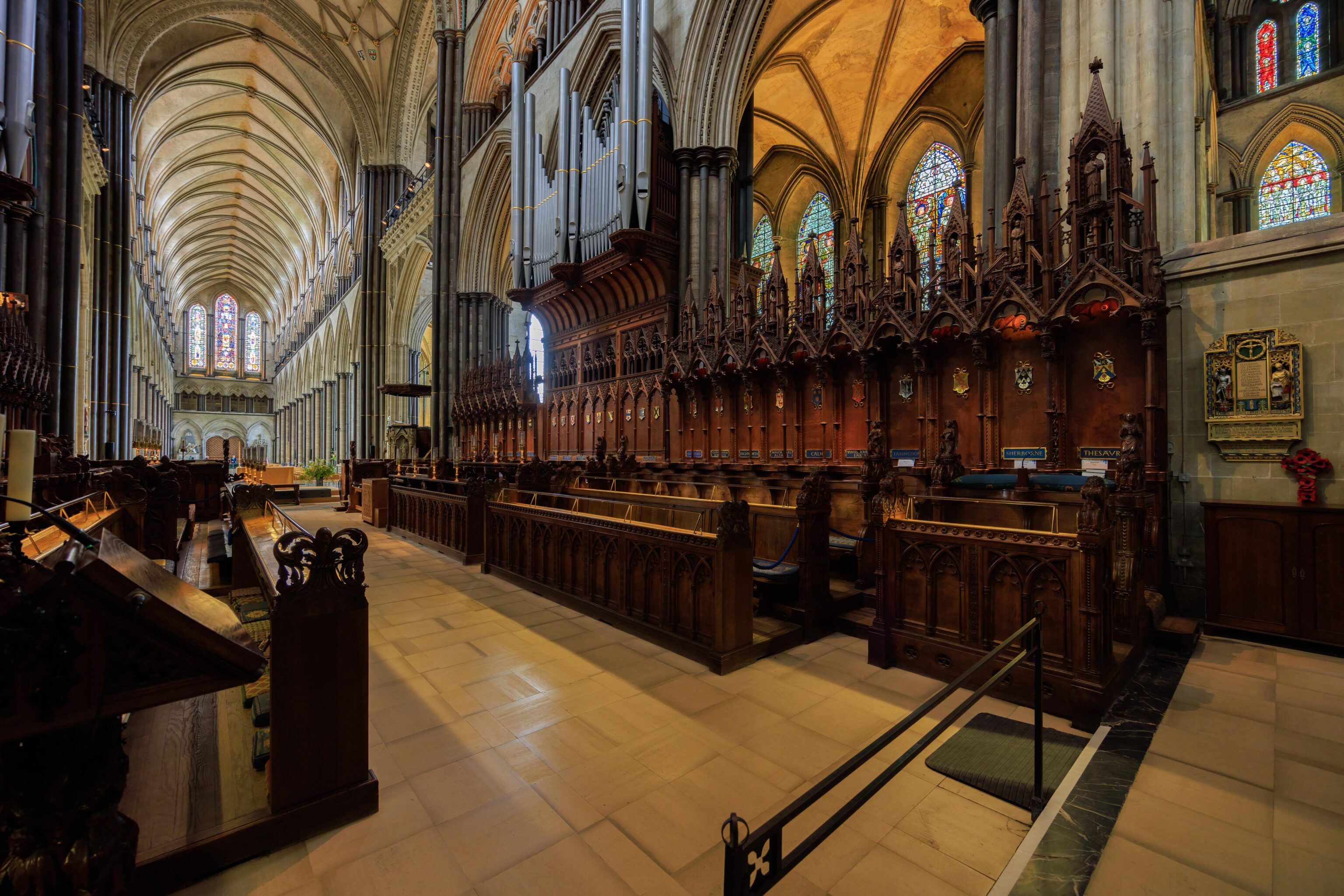
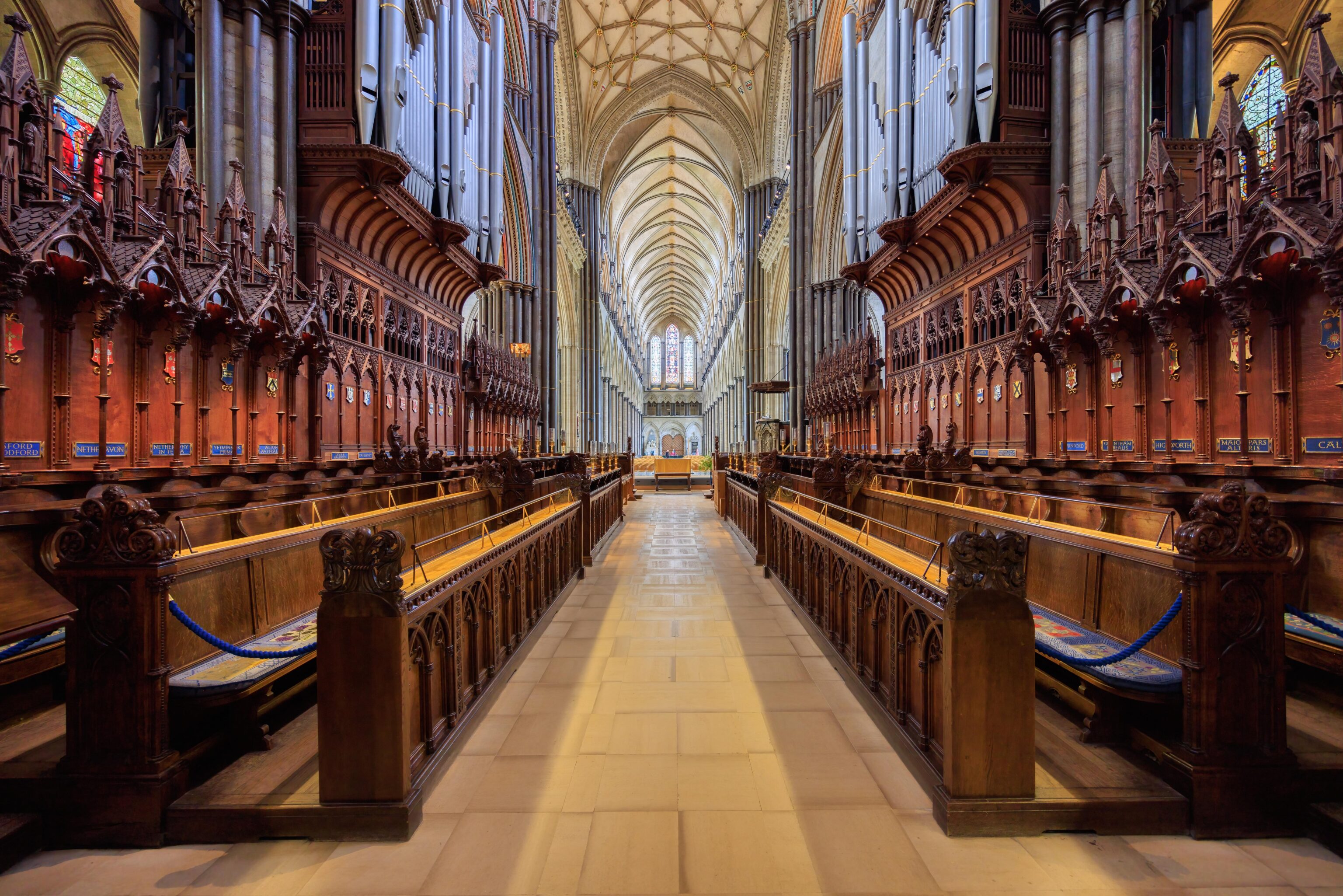
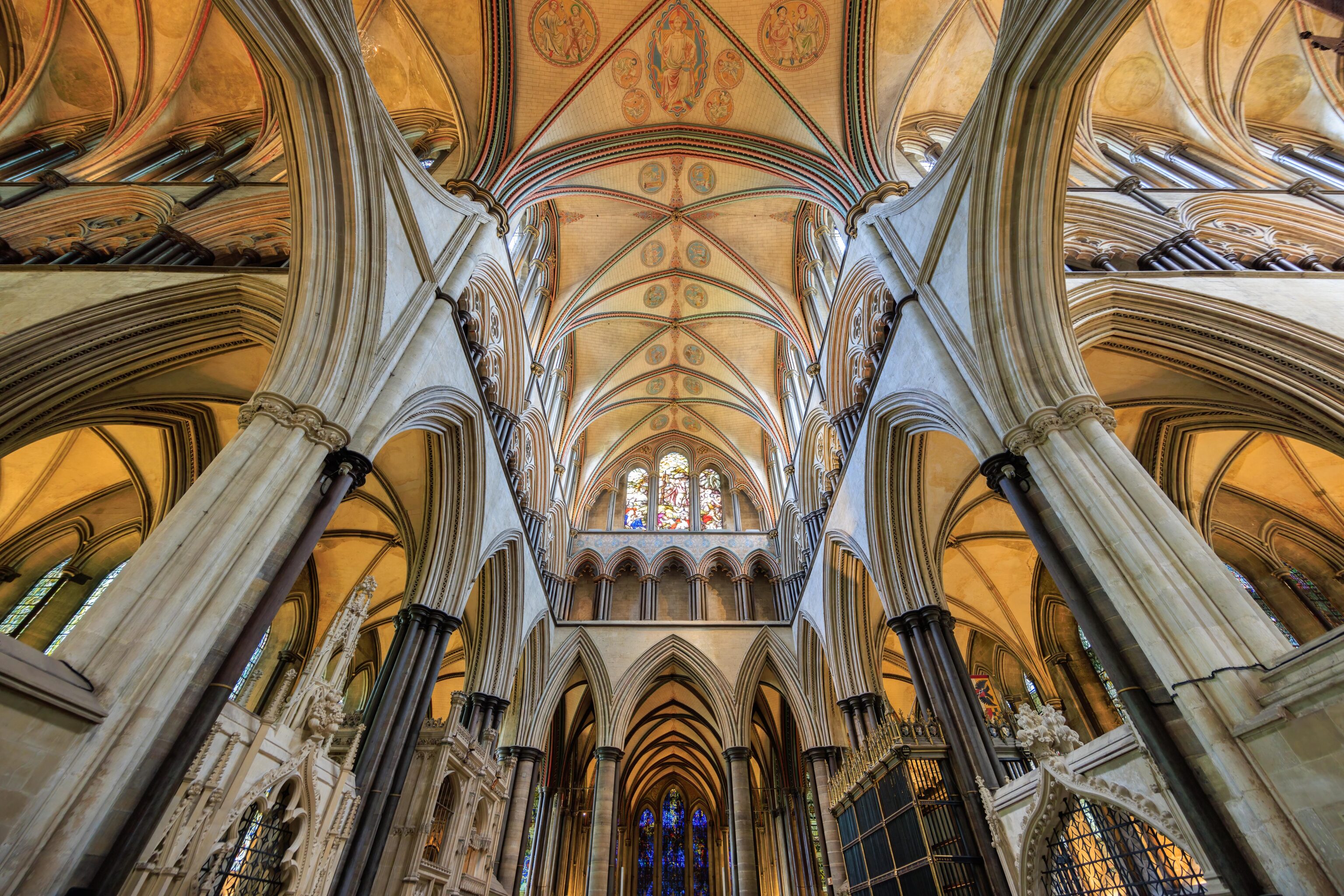

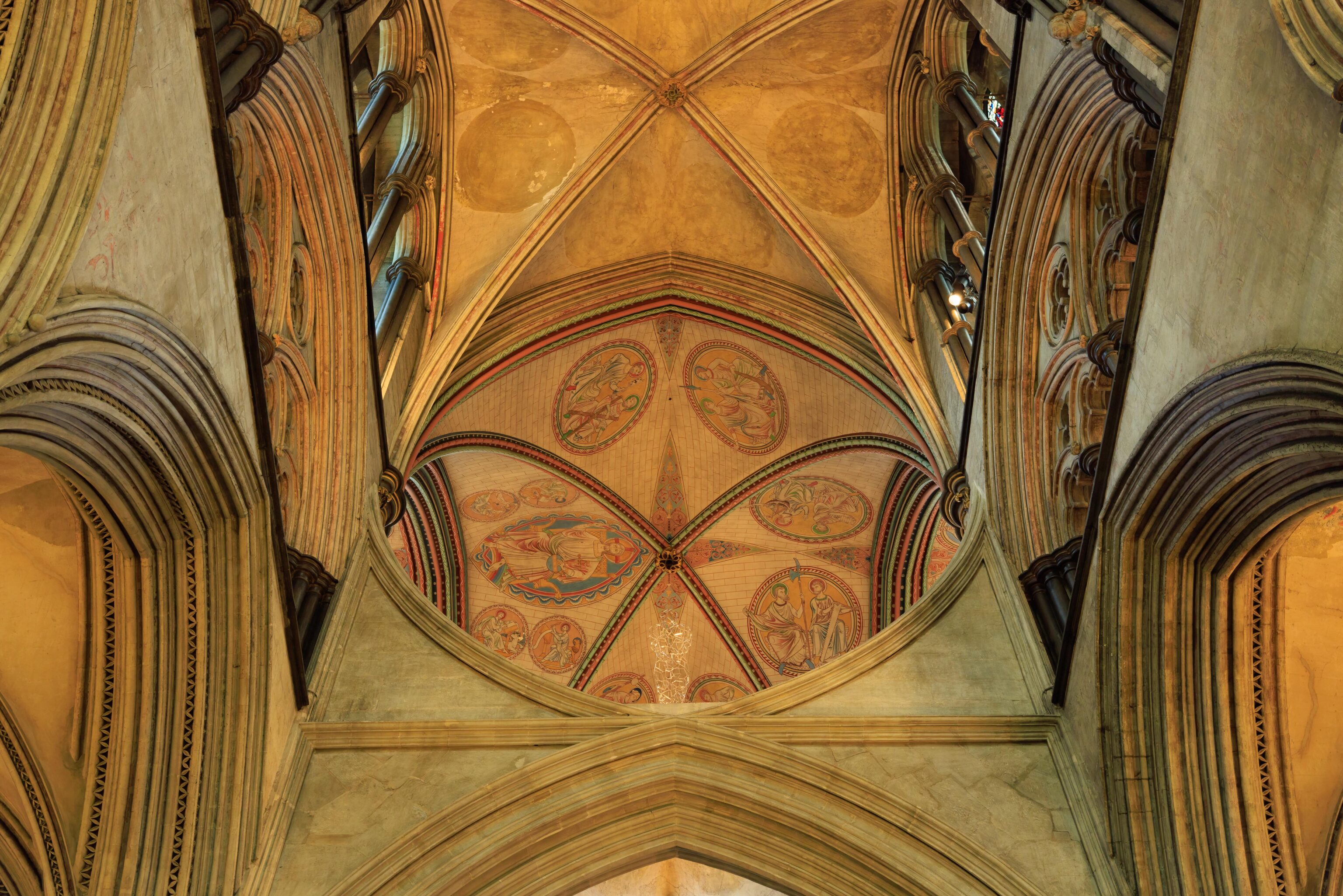
Ultimately, the Salisbury Cathedral is a church and has all the elements one would expect to see in a cathedral.
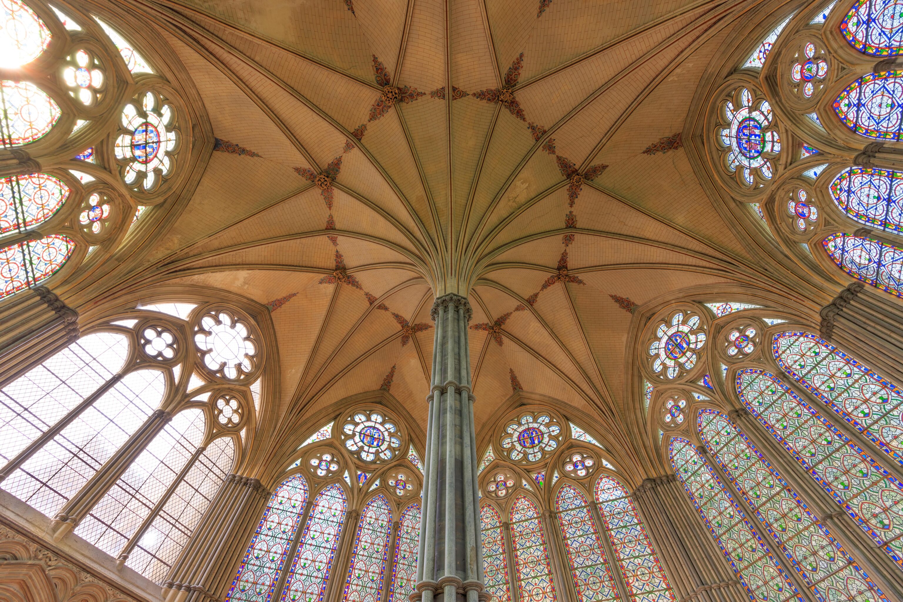
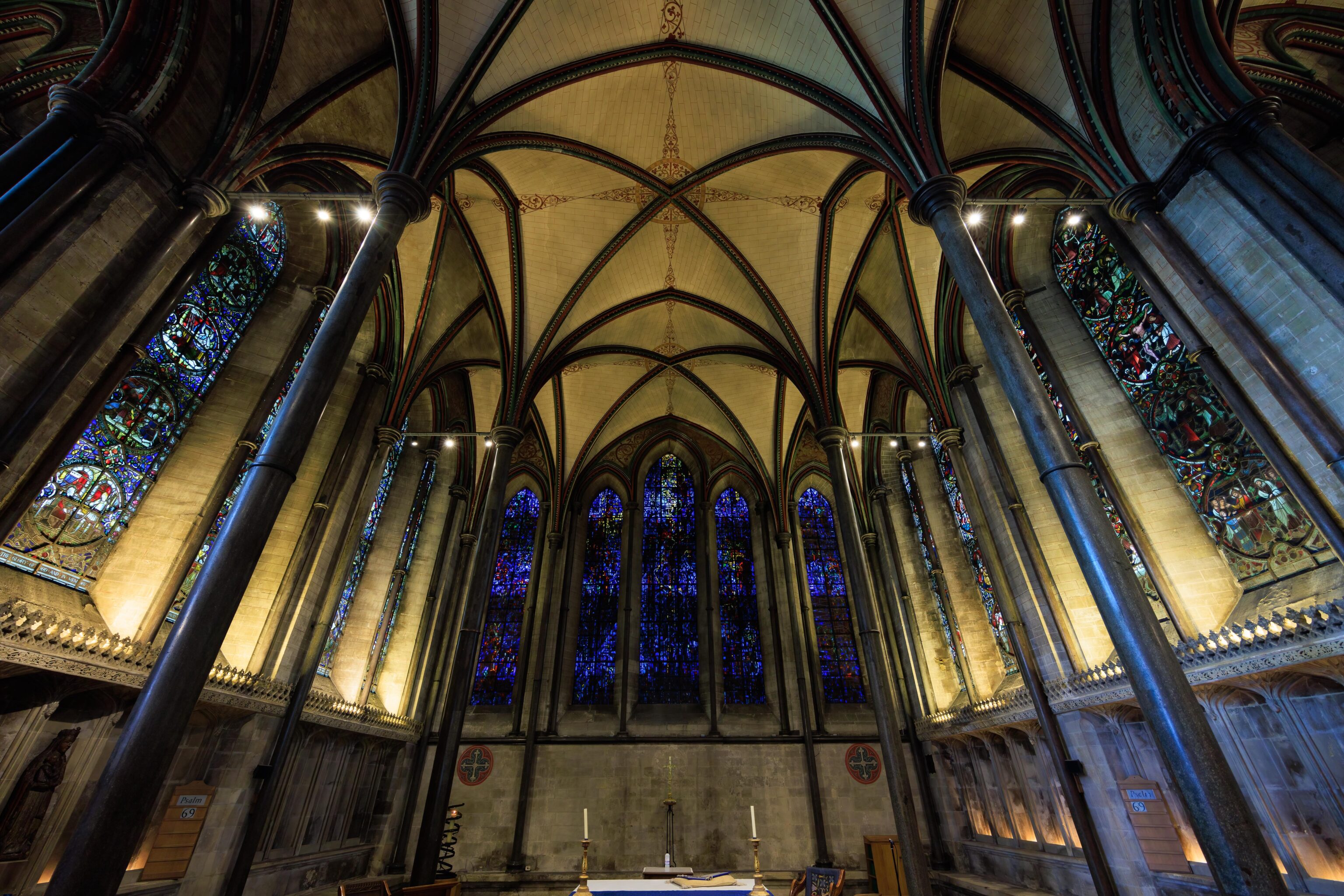
The most unique item in Salisbury Cathedral is its original copy of the Magna Carta. It is located in this room, the Chapter House. Photography is not permitted as the document is what is essentially a dark tent for preservation purposes. It is on the equivalent of a sheet of paper and the writing is very small.
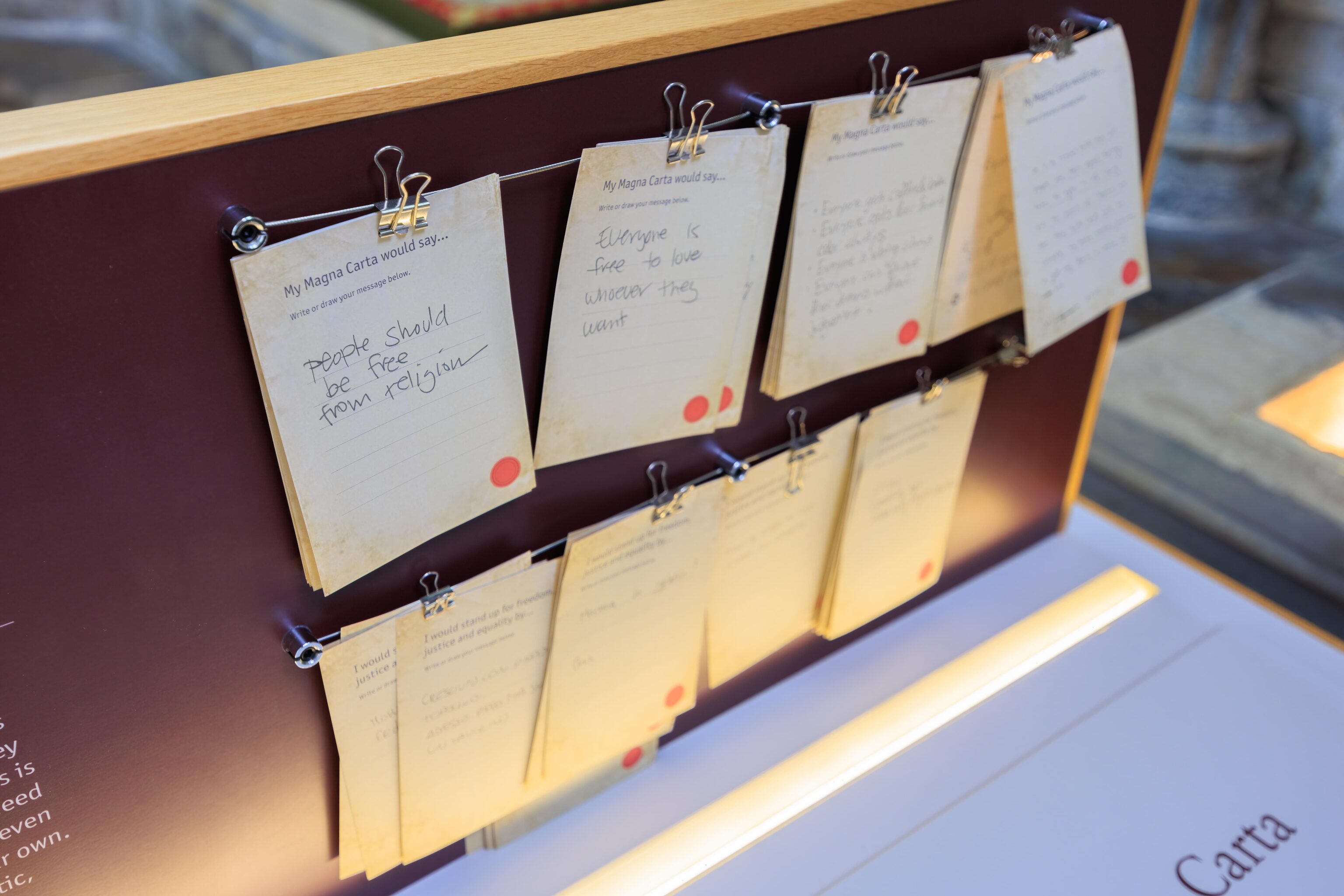
We passed by a comment board…
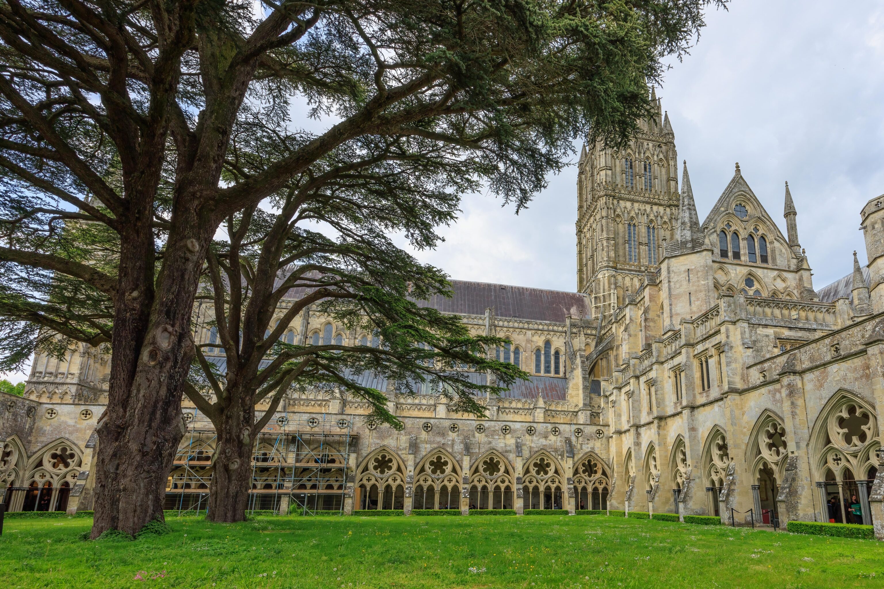
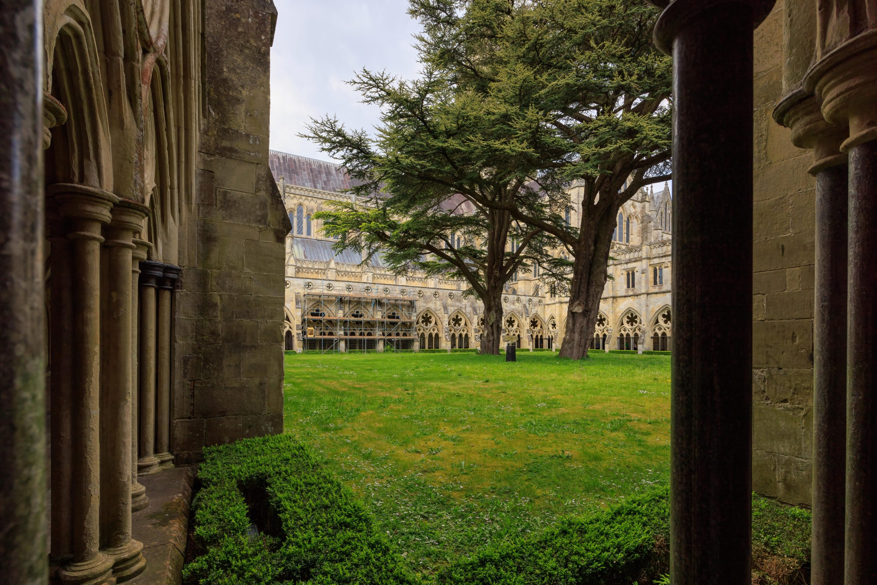
A view of the main cathedral building from the adjacent cloisters.
Ludgershall Castle
Our next stop was Ludgershall Castle. This ruin is accessed by a short walk from a tiny carpark.
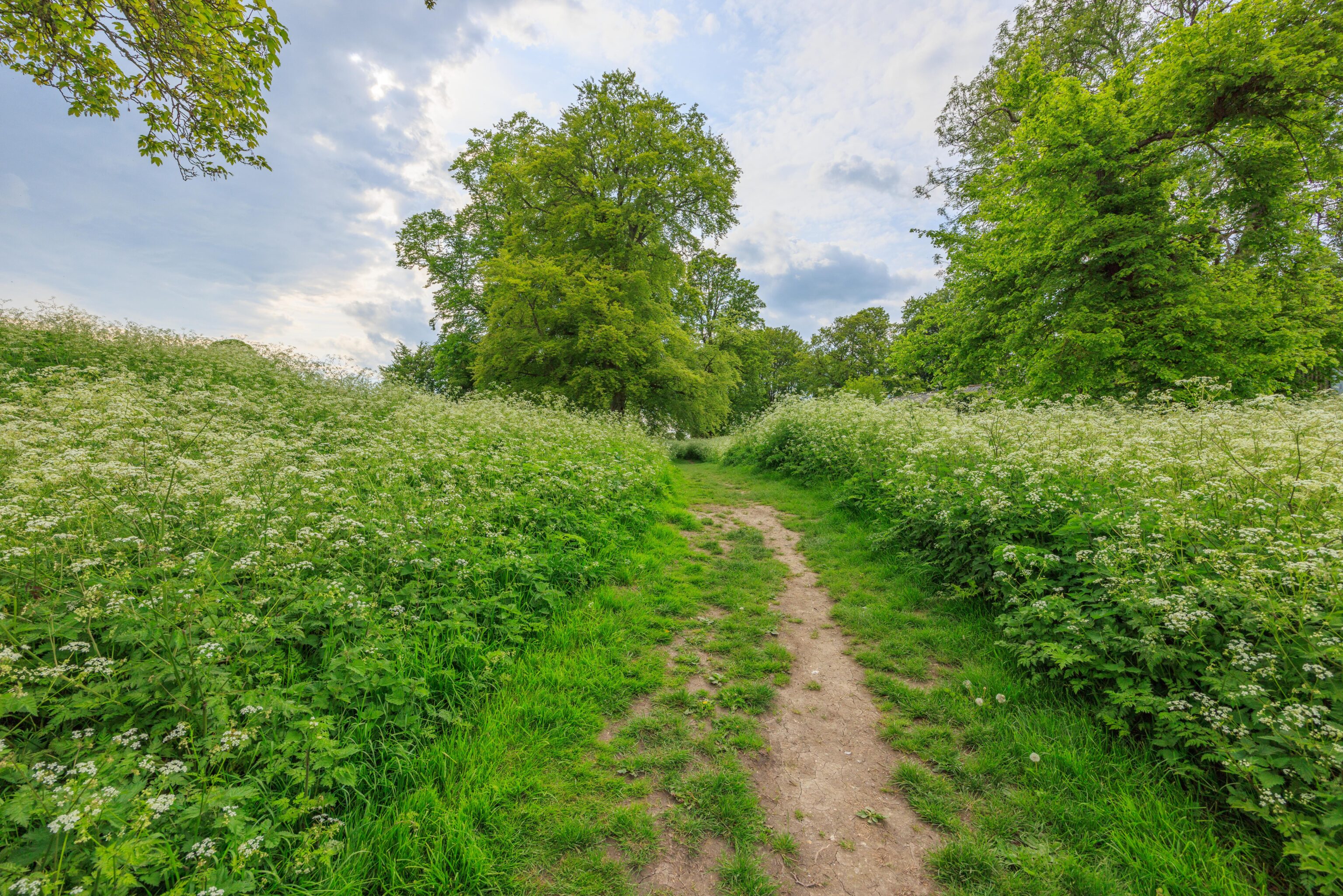
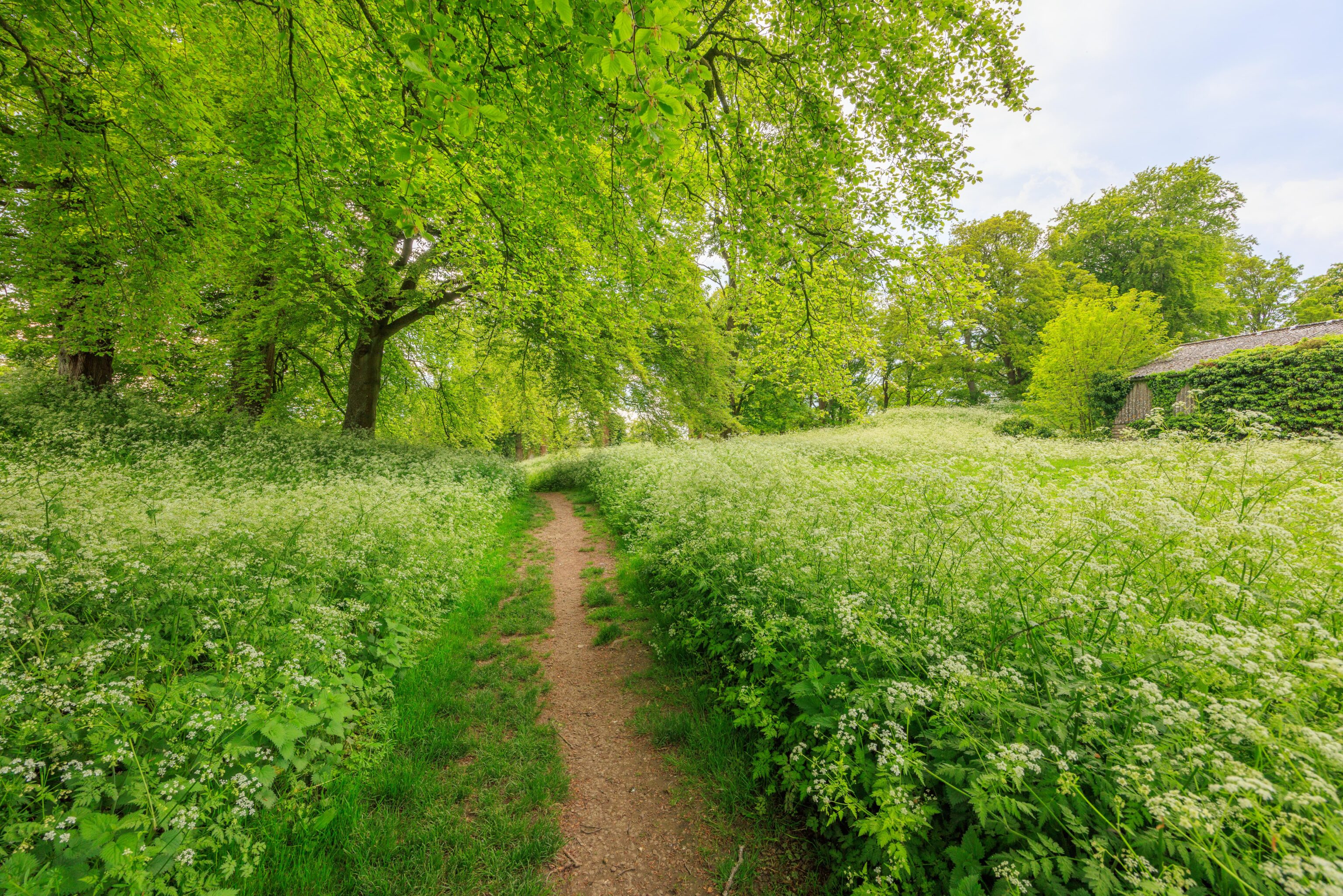
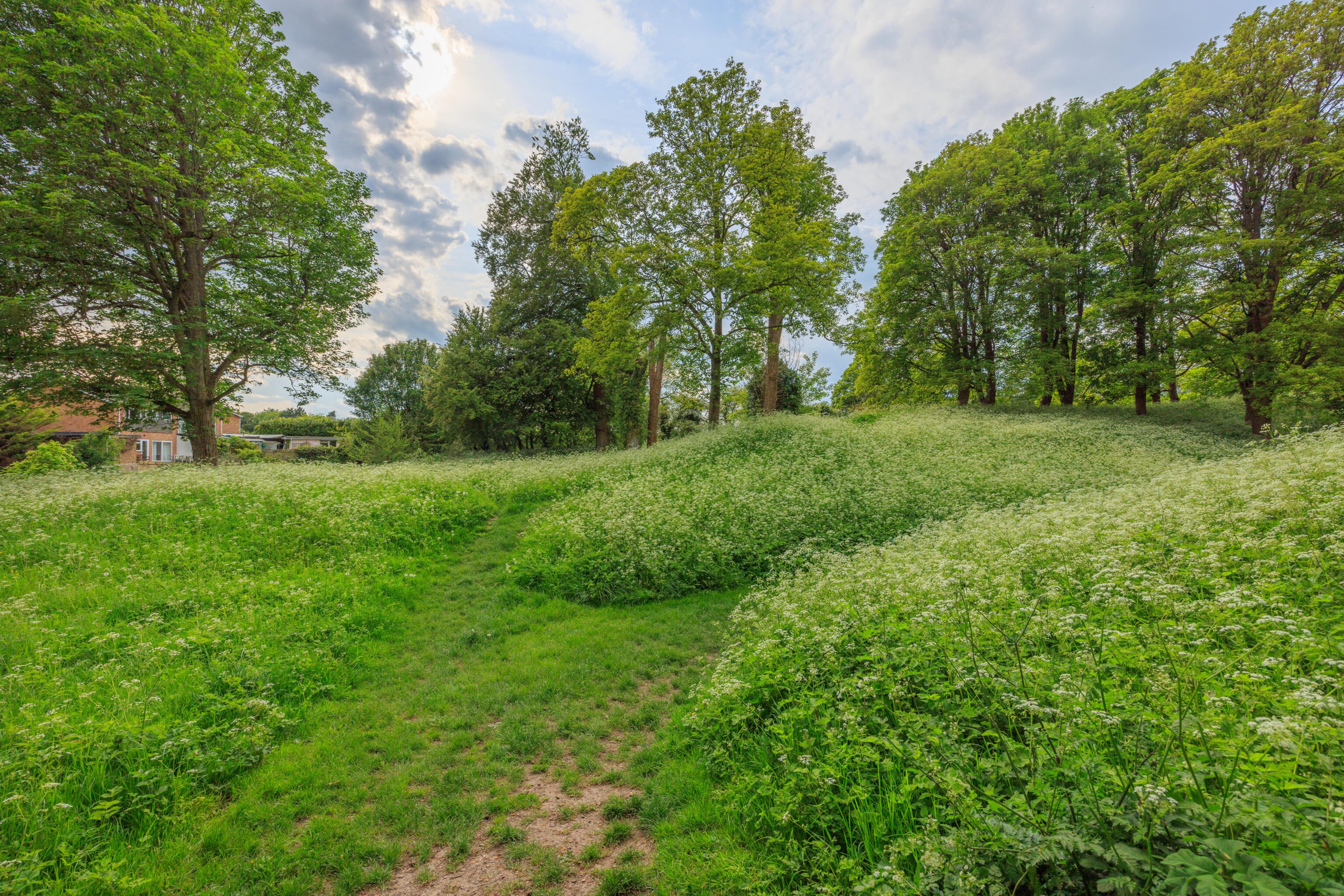
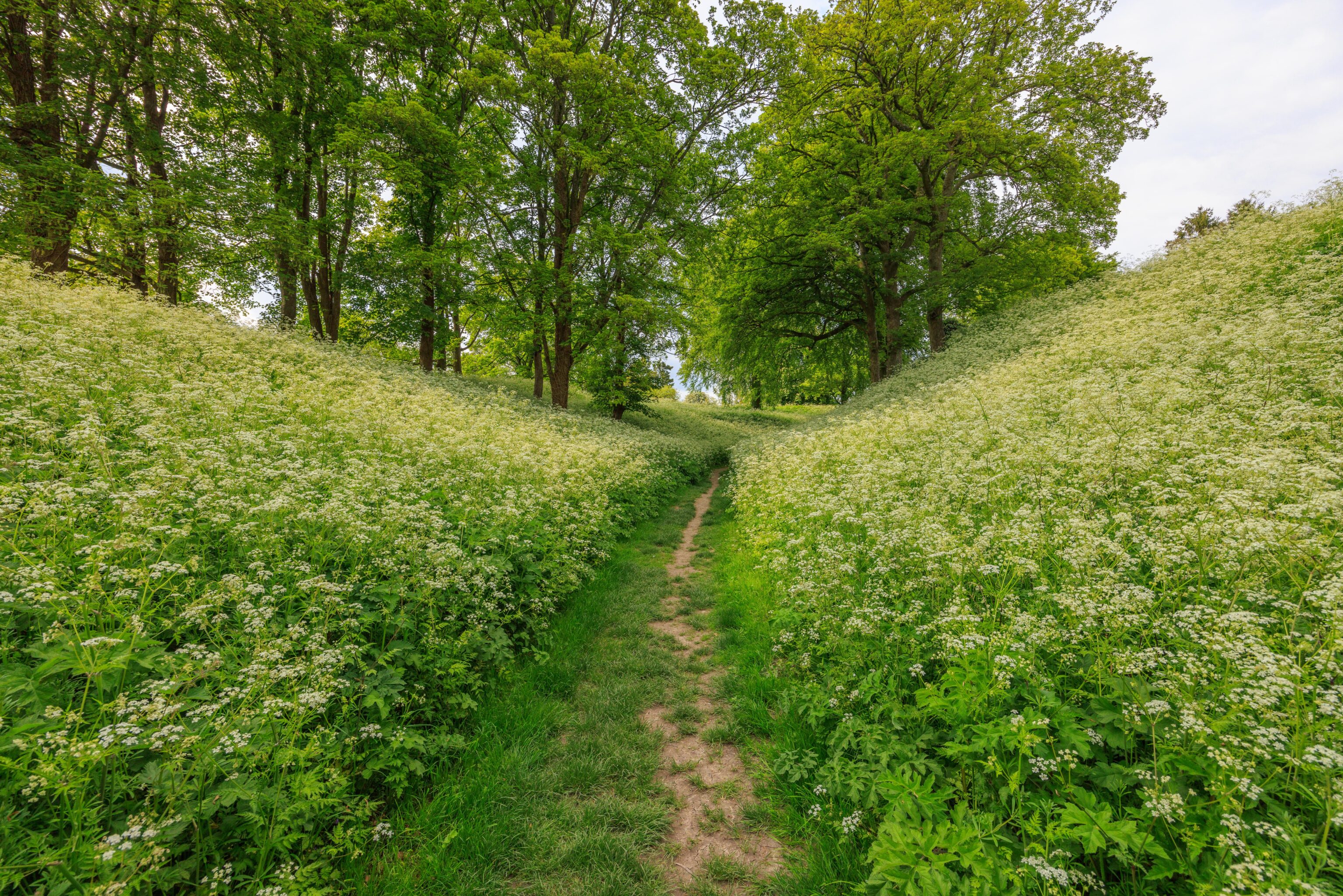
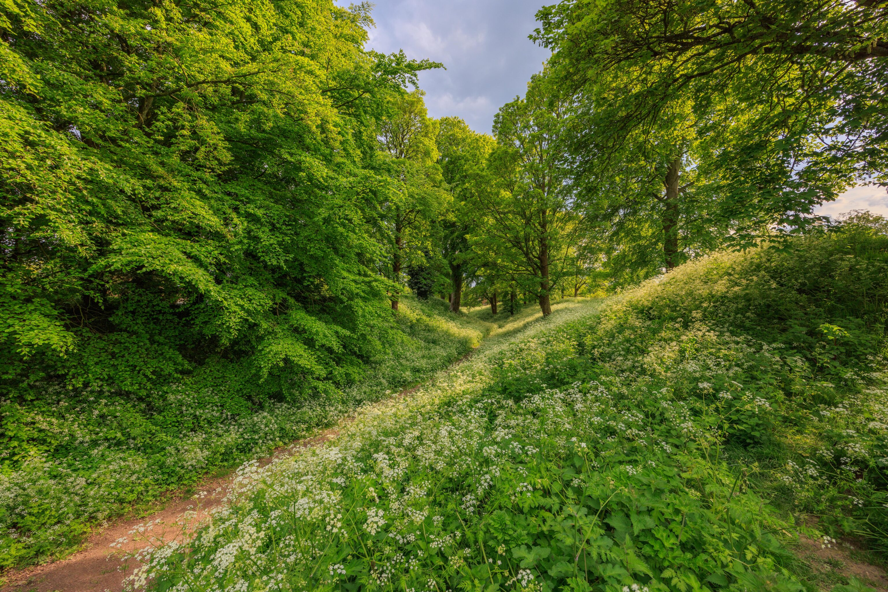
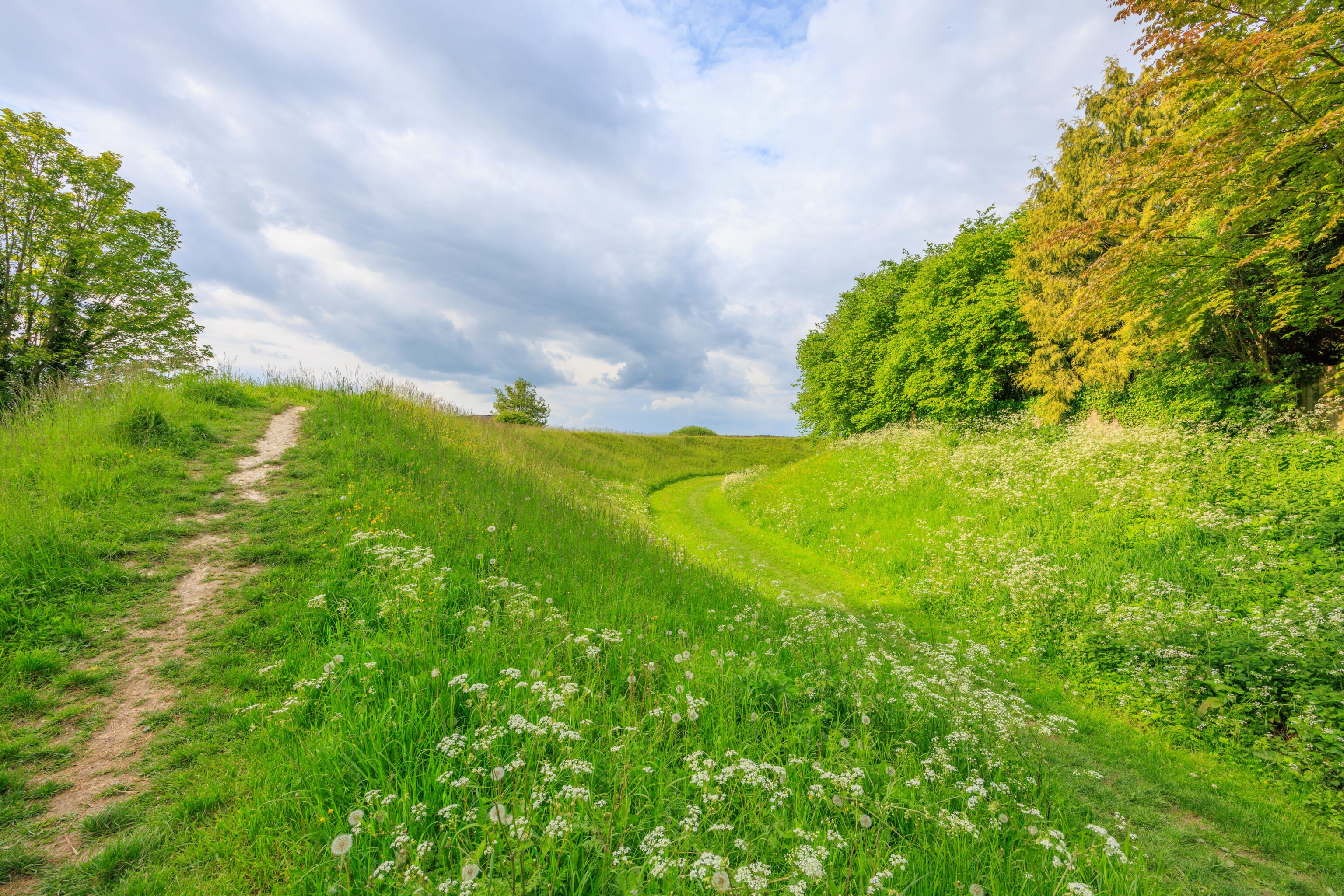
There are two possible routes to use when headed for the castle. Either by walking down a narrow road or via a grassy path. We opted to walk through the grass. It was rather pretty and different from the scenery that we’ve seen before.
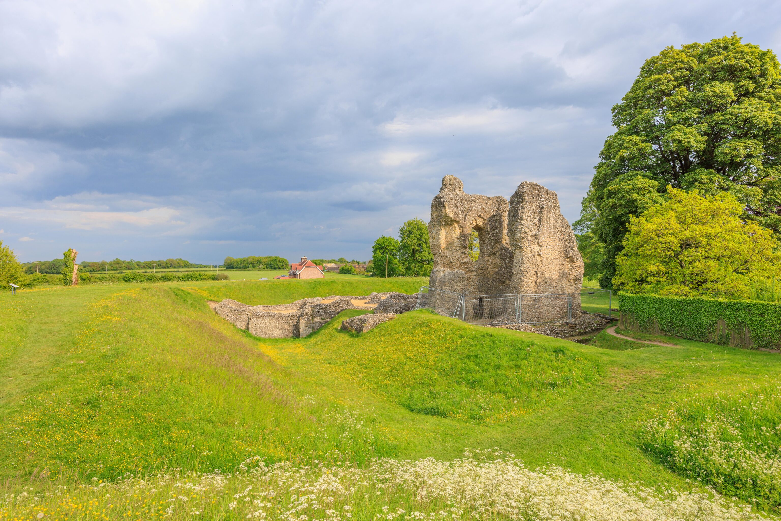
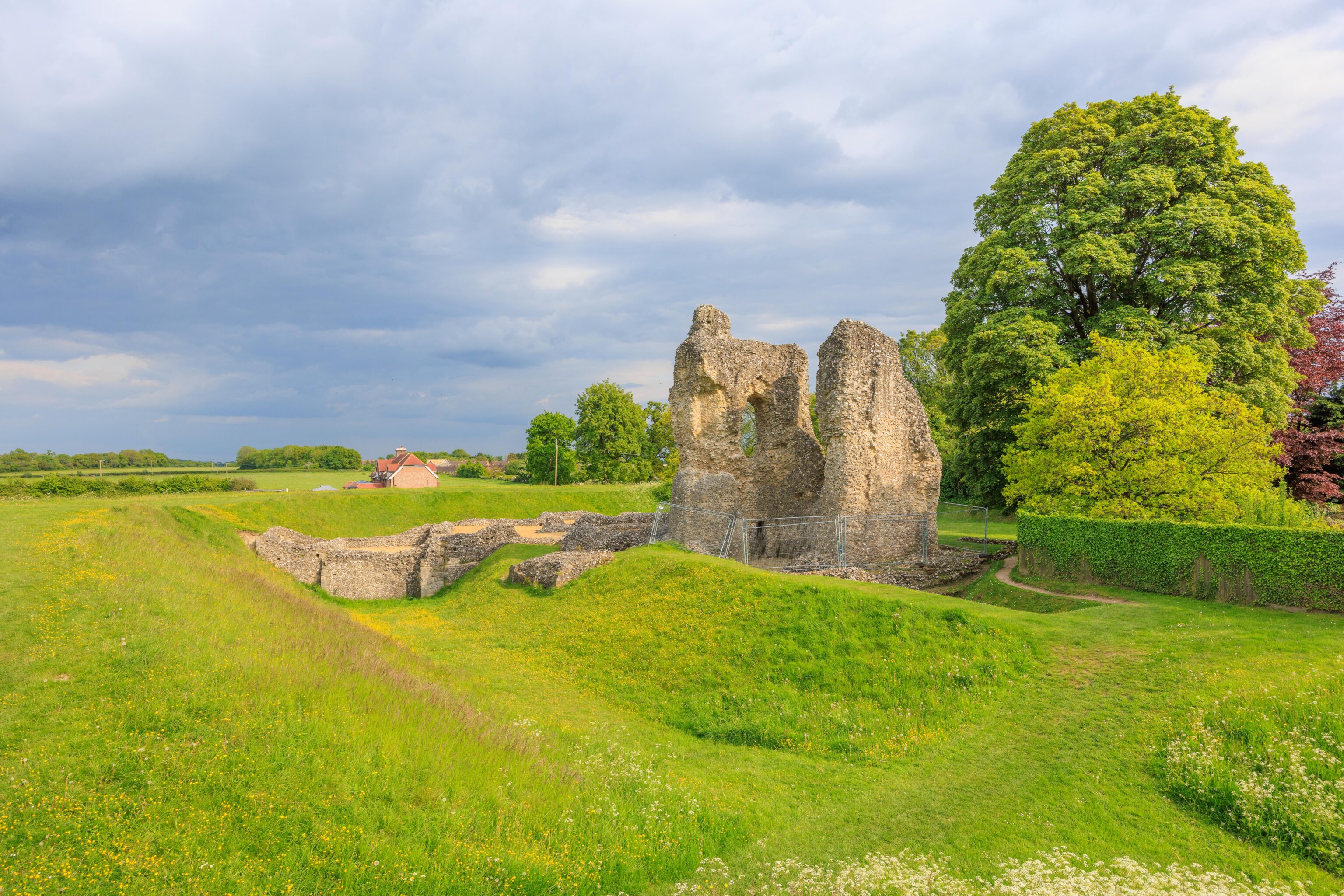
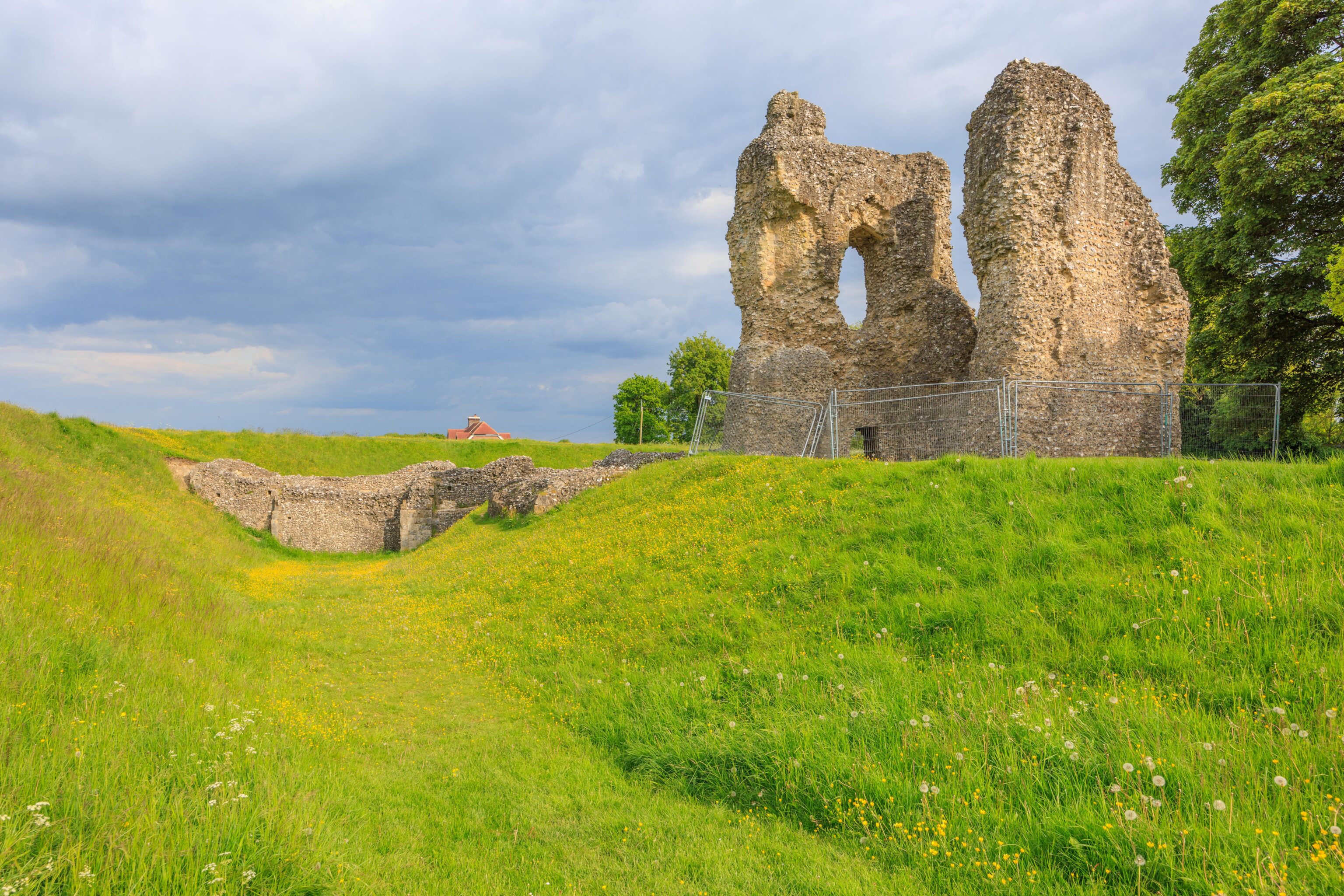
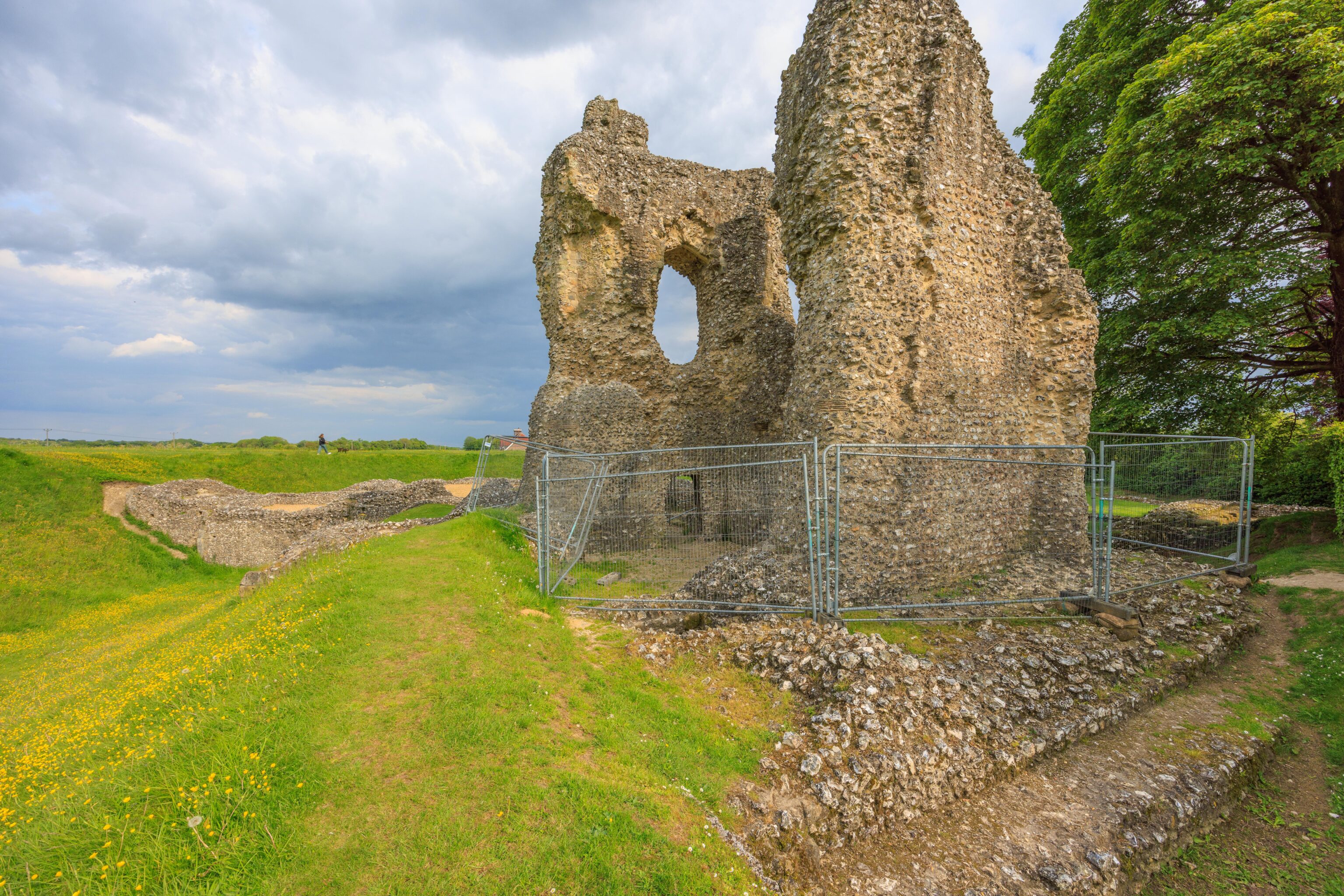
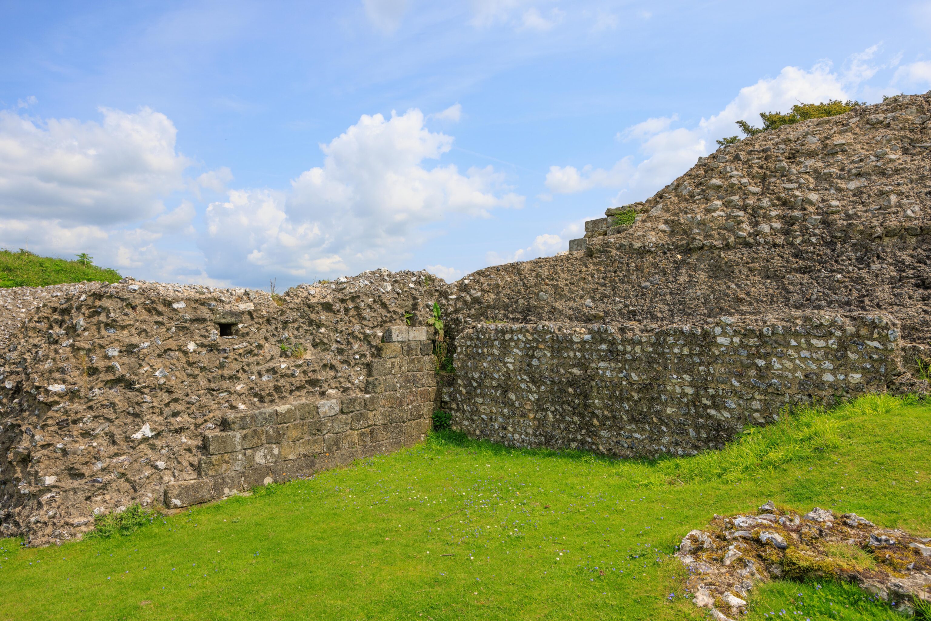
There is only a little bit left of the castle!
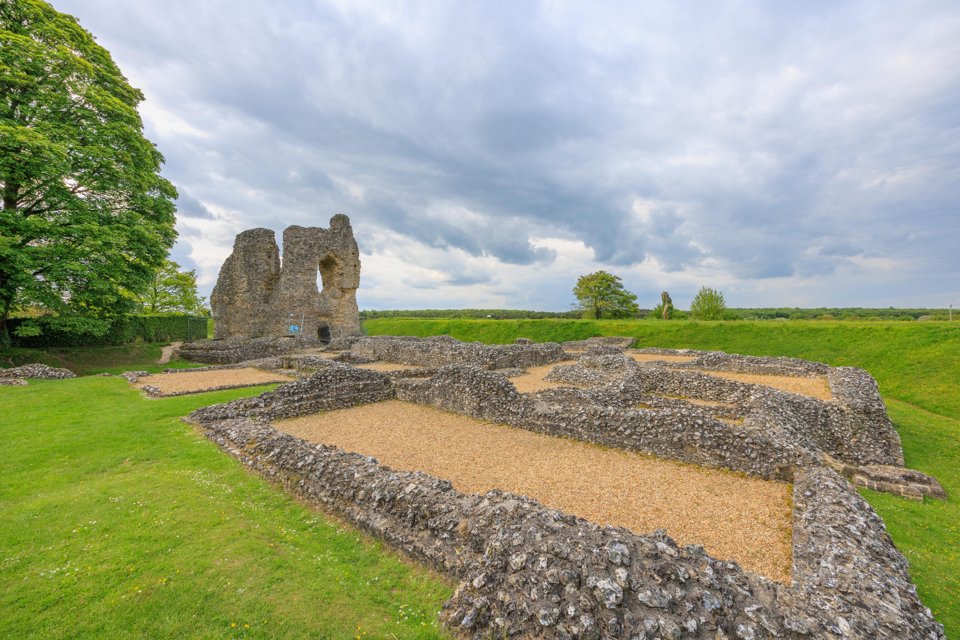
The remains of the castle’s ground level rooms are visible.
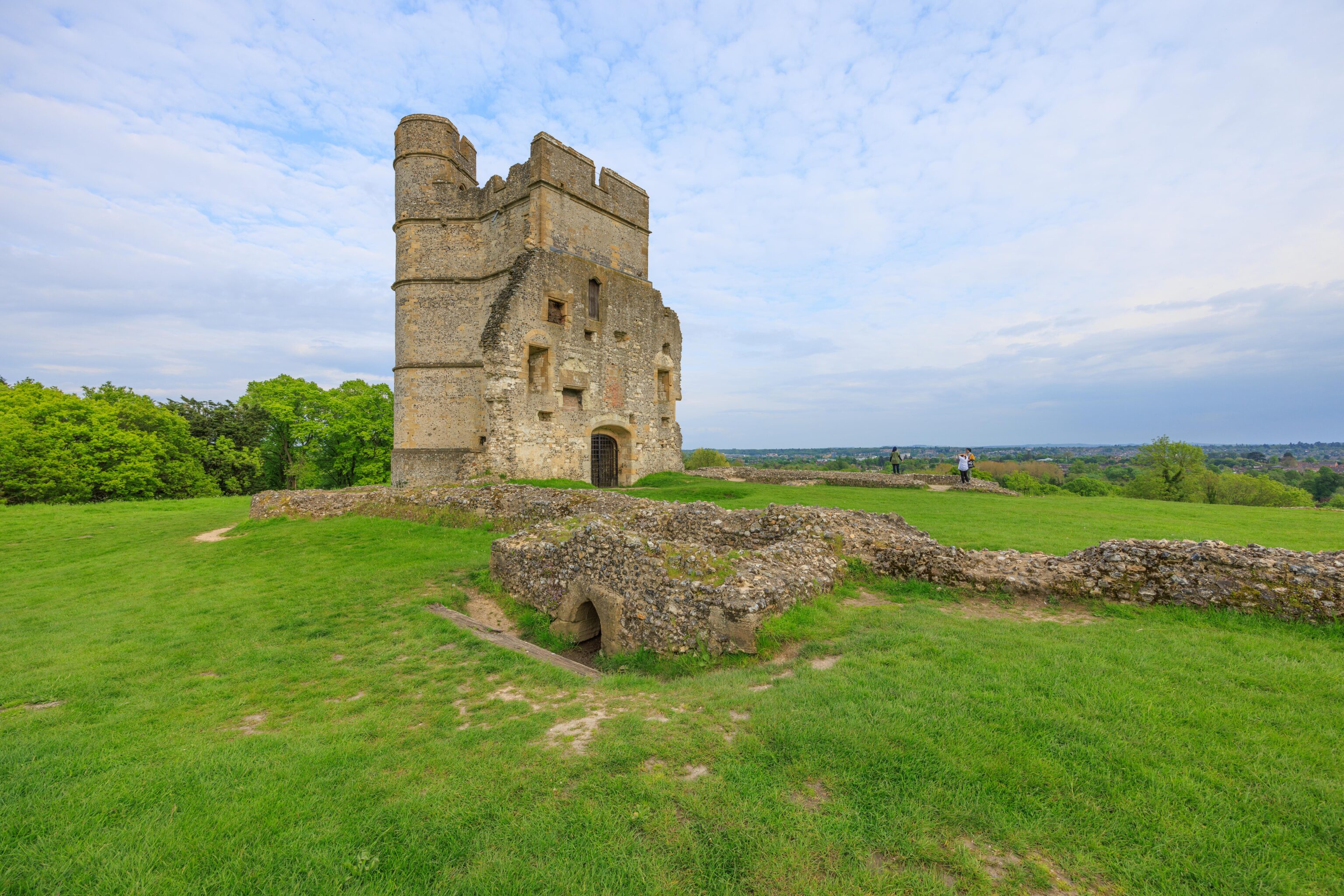
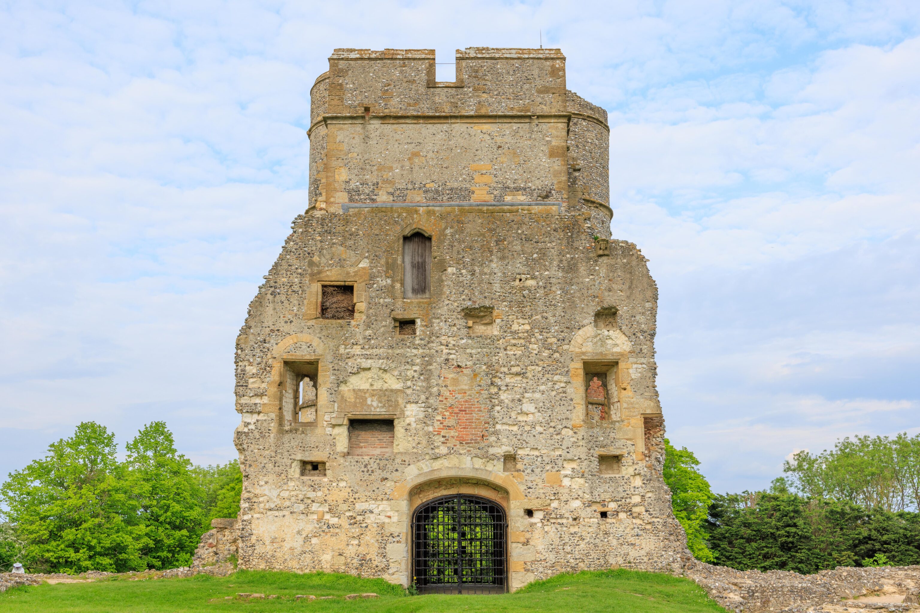
Donnington Castle
Our final stop of the day was Donnington Castle. This castle is also in a ruined state.
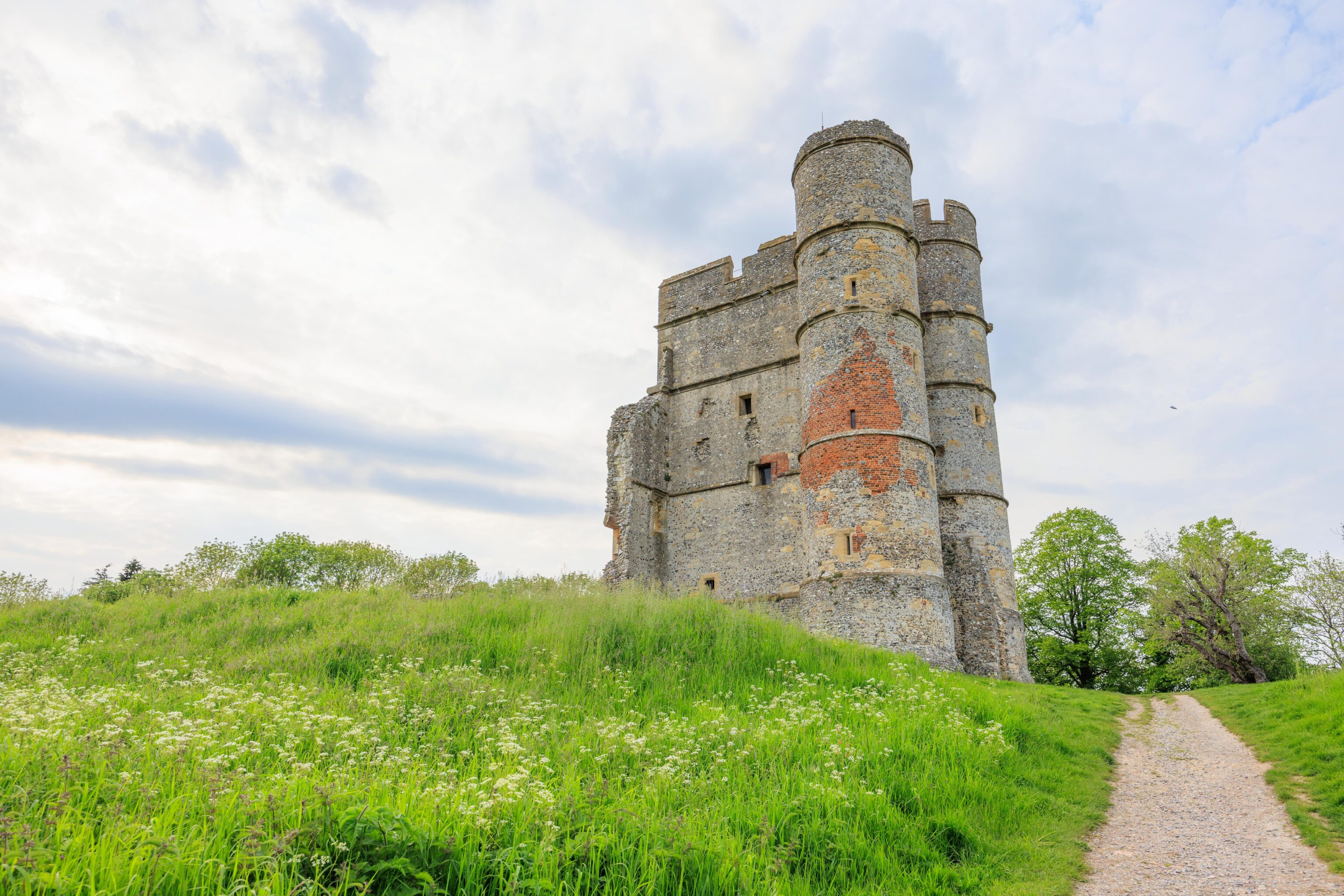
There is more left here than there is at Ludgershall! Donnington Castle is at the top of a steep hill and still has part of the keep.
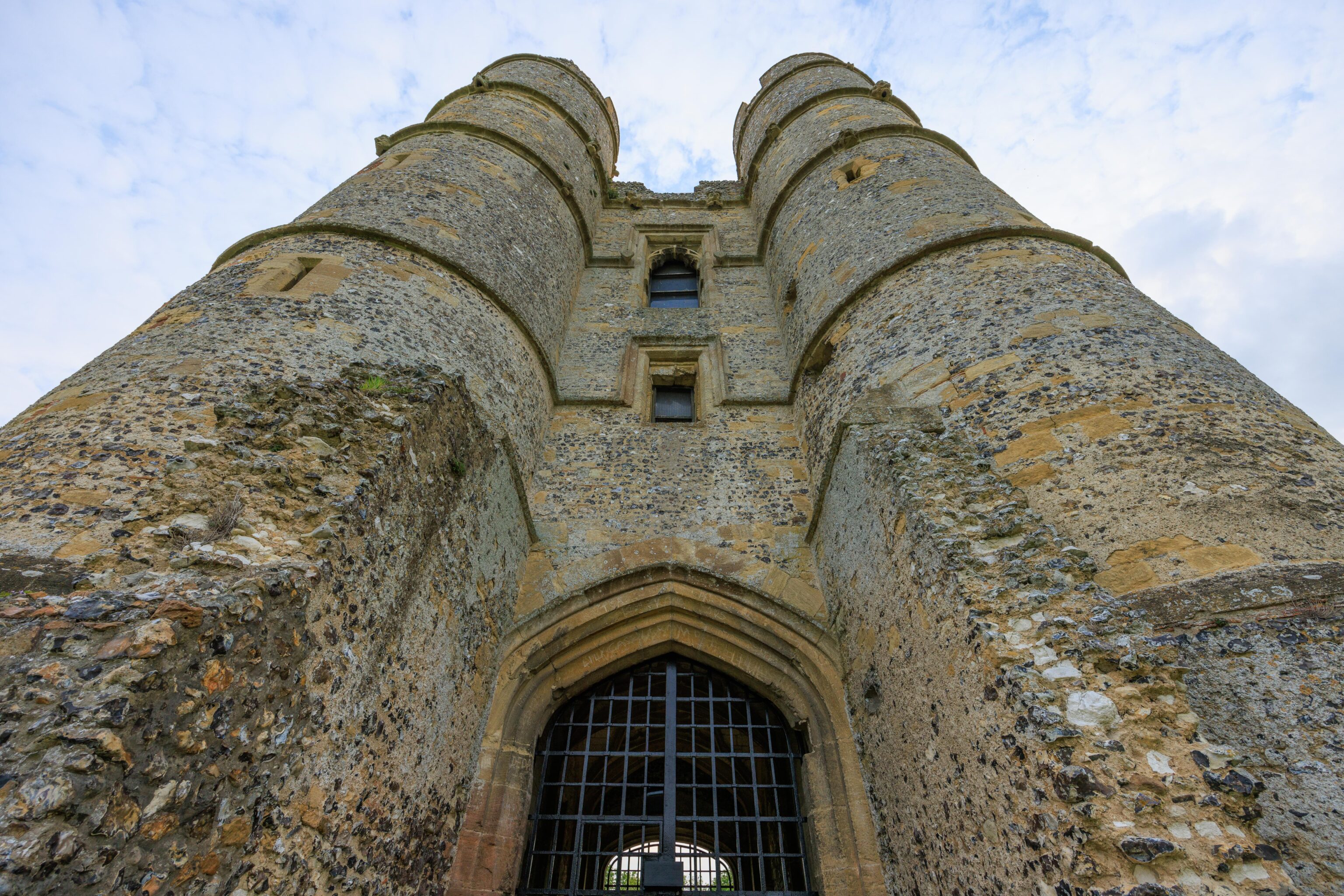
The view from a visible entrance by the path up the hill.
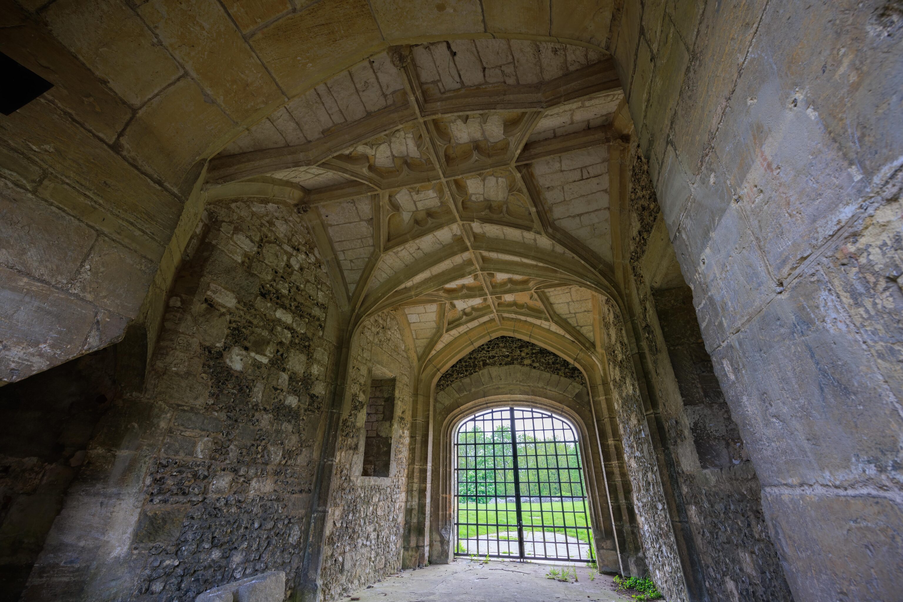
It is not possible to enter the structure.
There is obviously quite a bit missing. Interestingly, there is a beekeeper at the bottom left corner of this photo. We don’t know why he was there. He walked up with another person.
One Reply to “Wiltshire [England, UK]”