


We visited Fort McHenry this morning to see the cherry blossoms as well as to take a look at the remains of the Key Bridge, which was destroyed a few days ago after being hit by a ship.
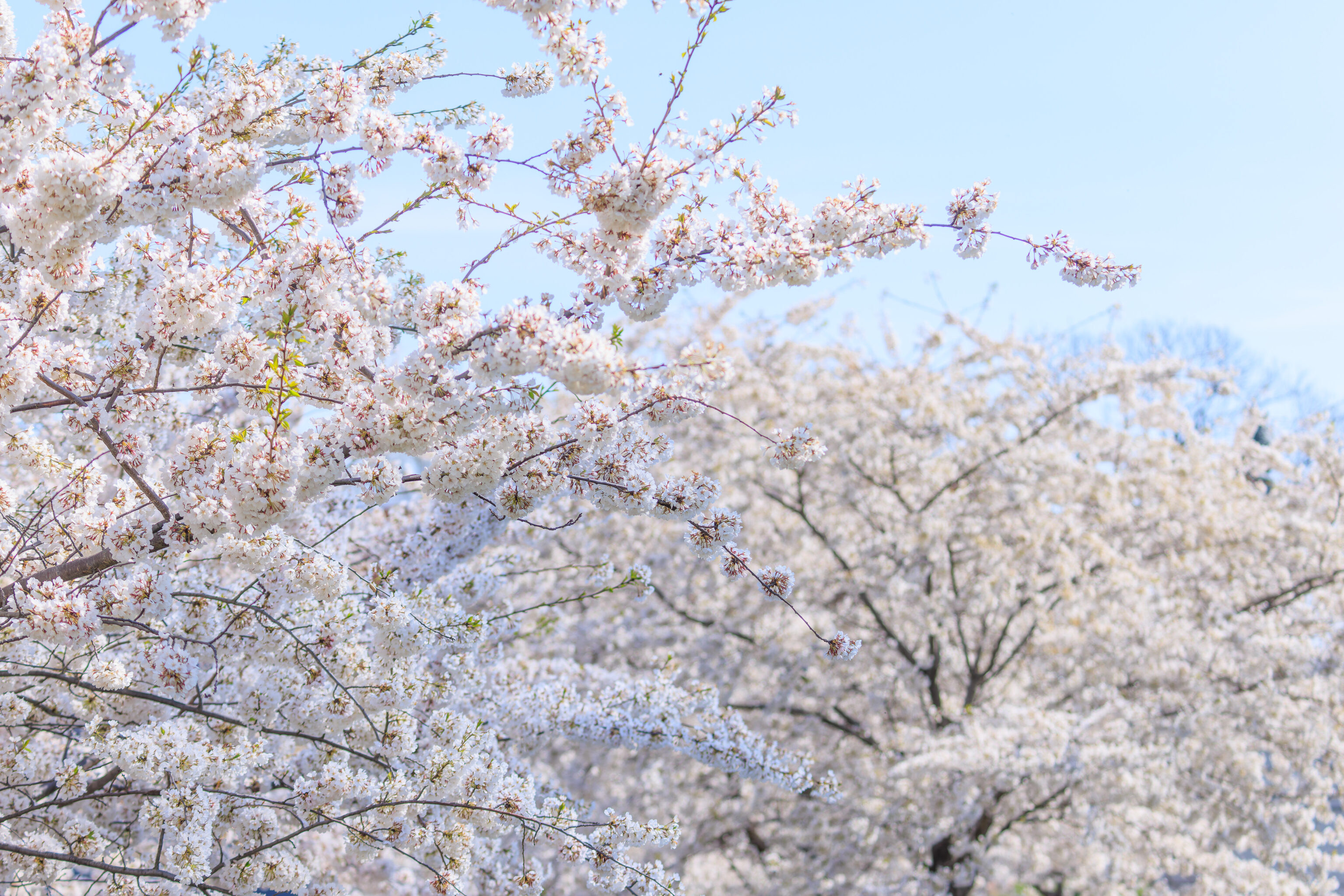
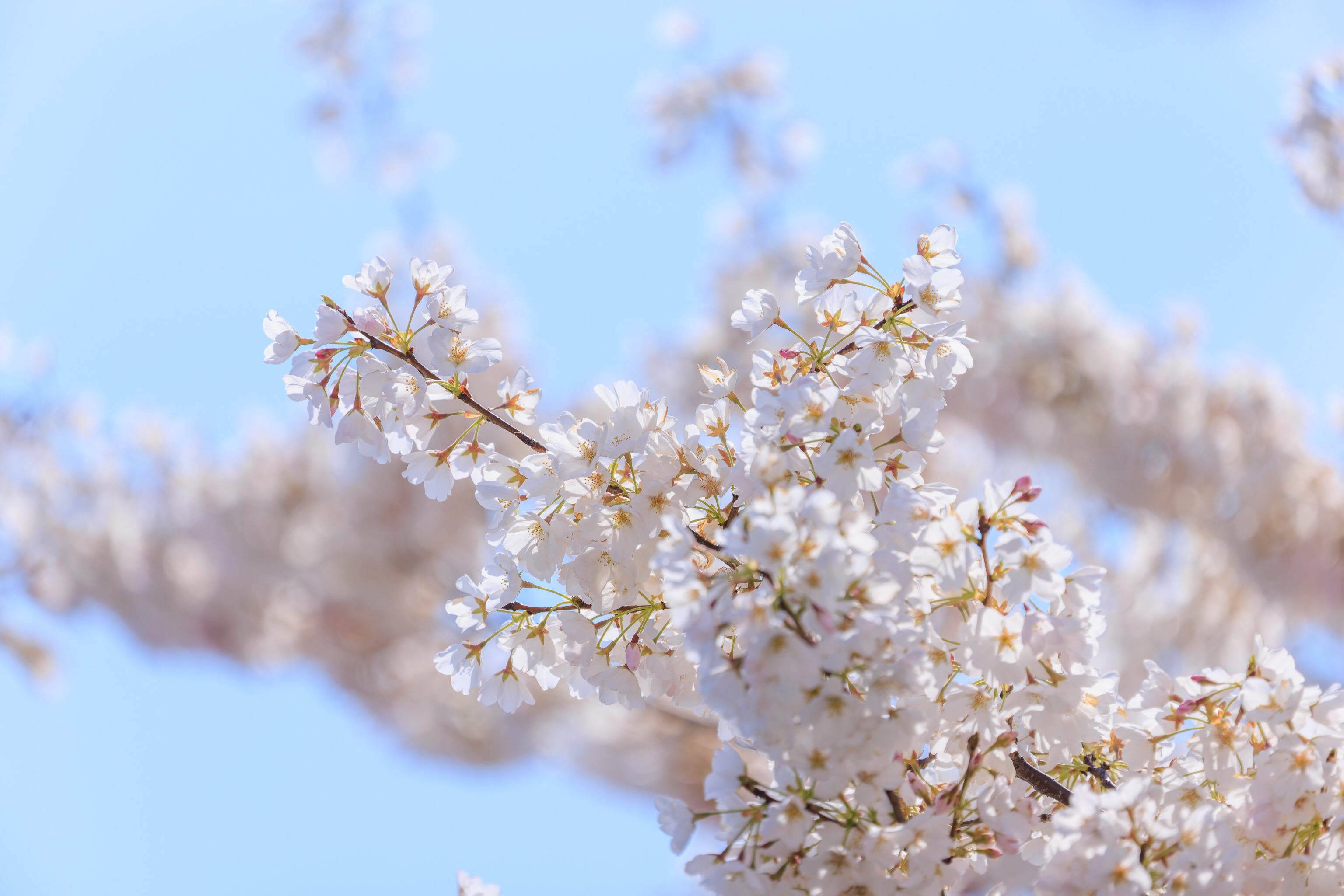
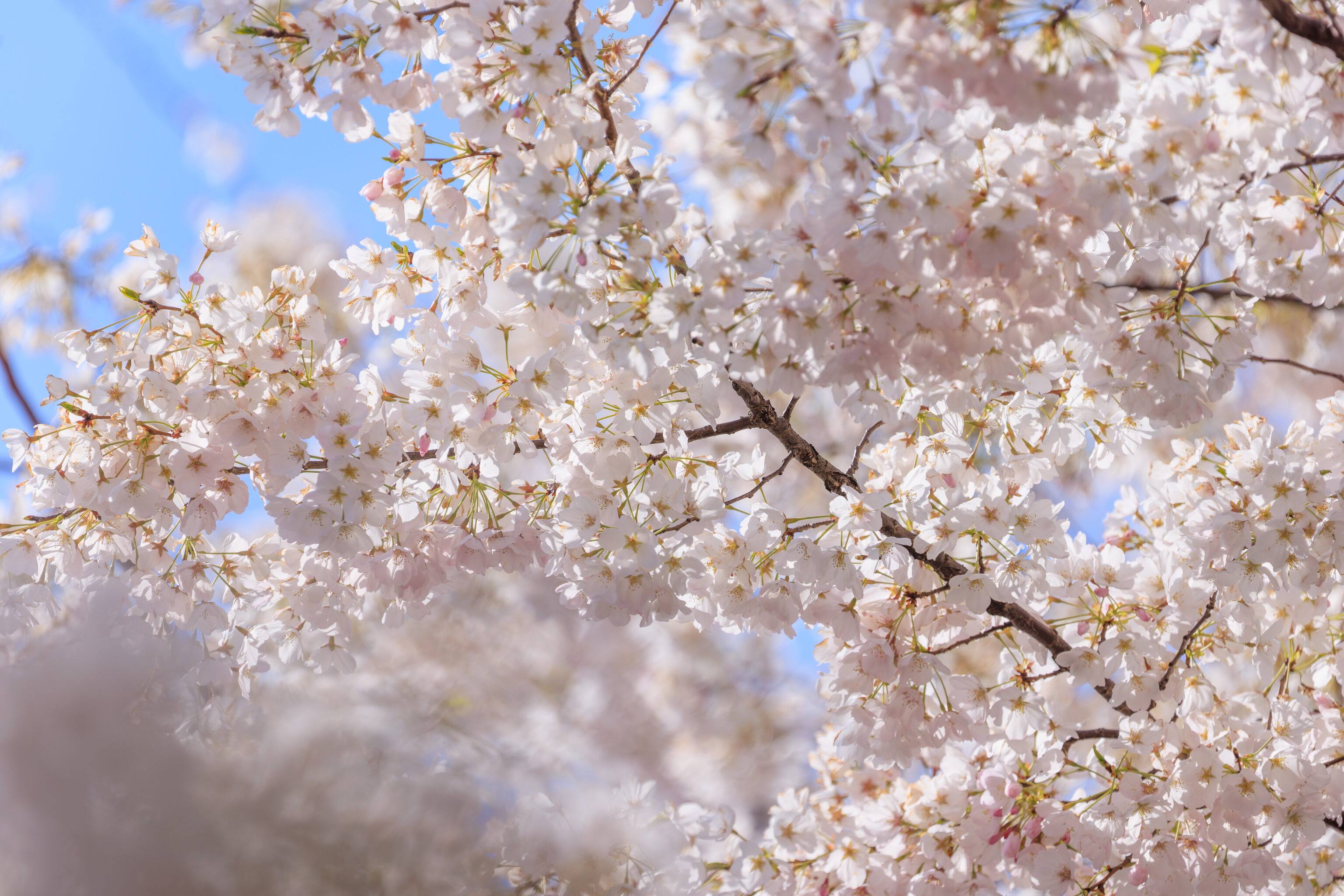
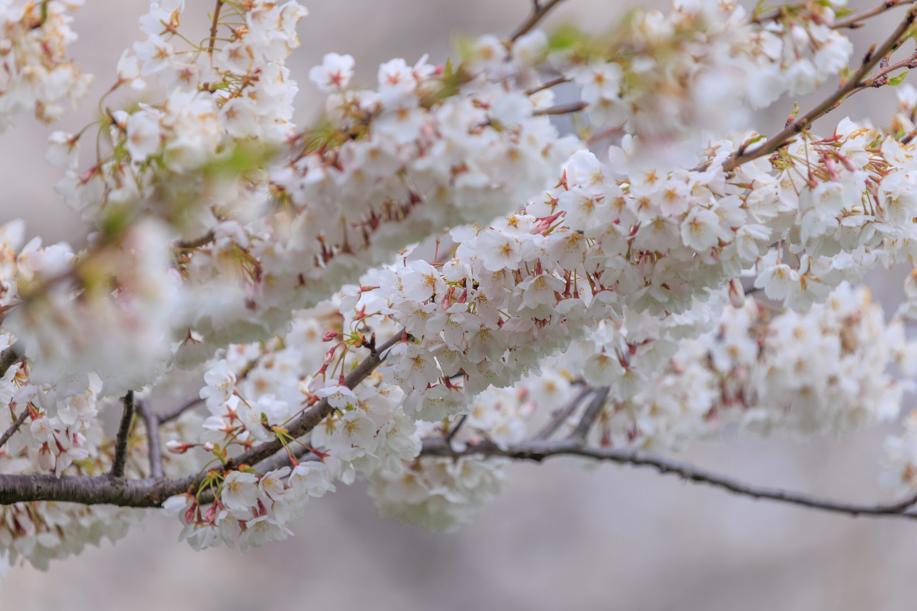
Fort McHenry has three groves of cherry blossom trees. After parking in the overflow parking area to the west of the visitor center, we encountered the first grove to our east. They line a portion of the road and sidewalk. Like the other cherry blossoms in the region, they’ve kept their flowers for longer than usual. Most seem to be still on the trees and the leaves have just started to grow in.
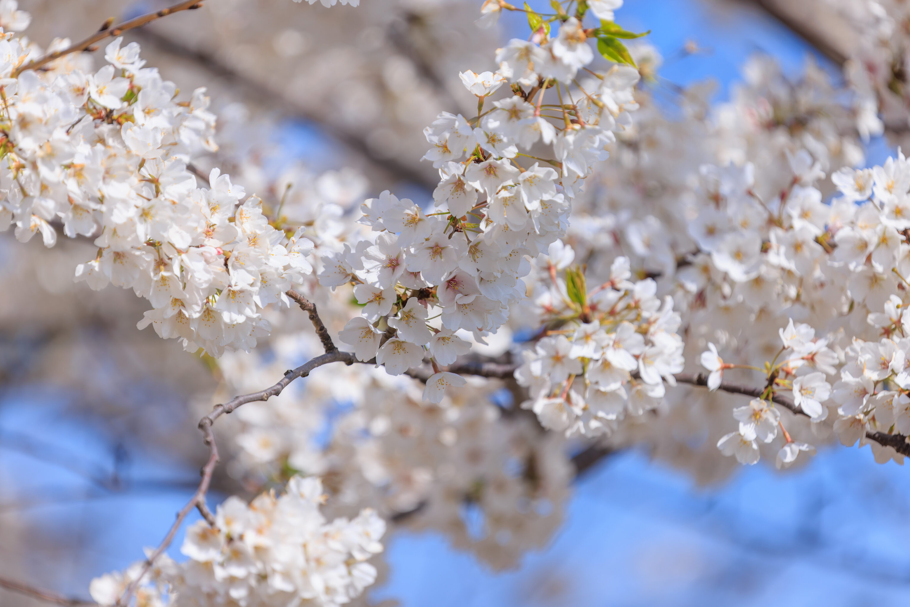
They aren’t quite as nice as they would have been when they just bloomed, but still look very good! Peak bloom was eight days ago:
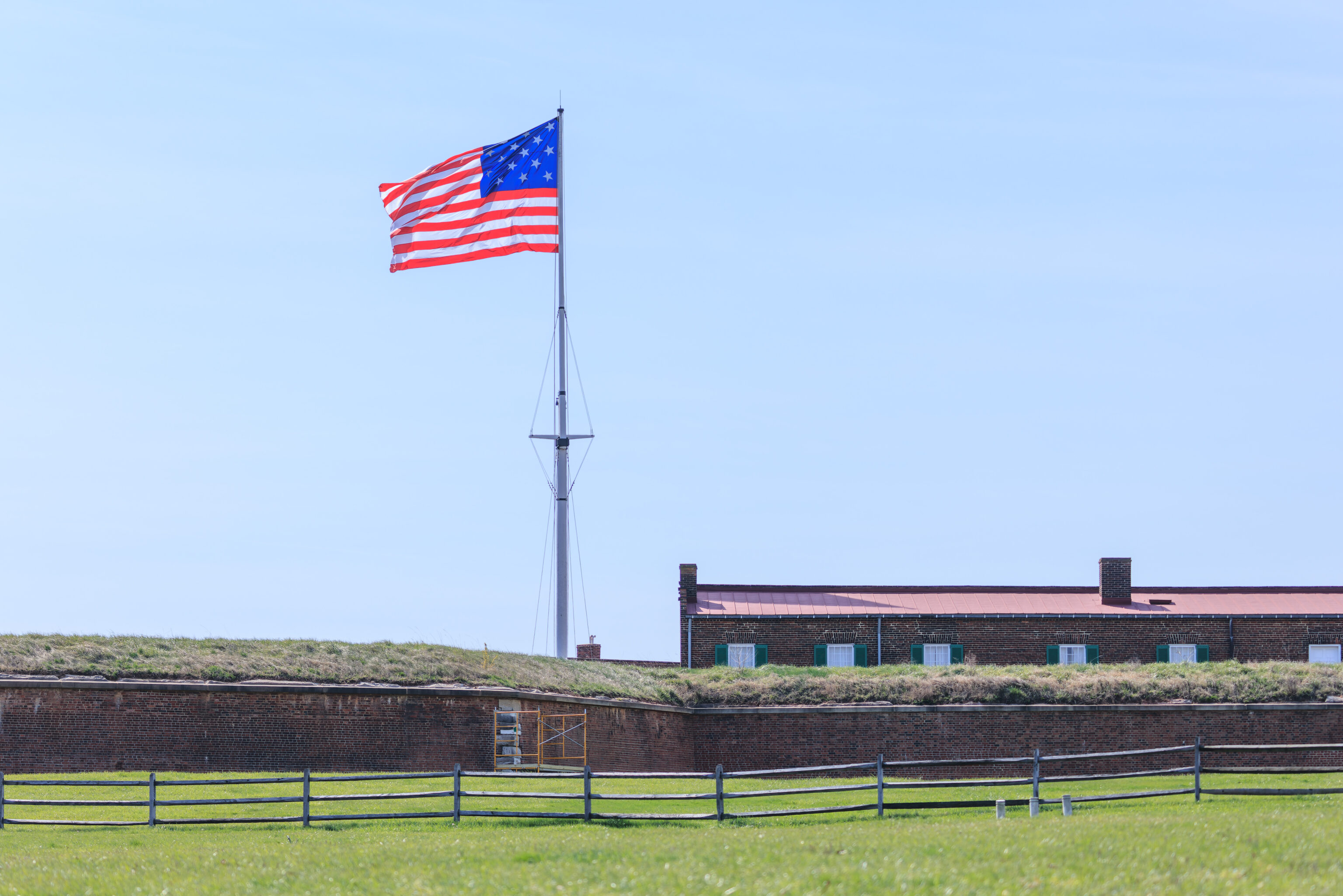
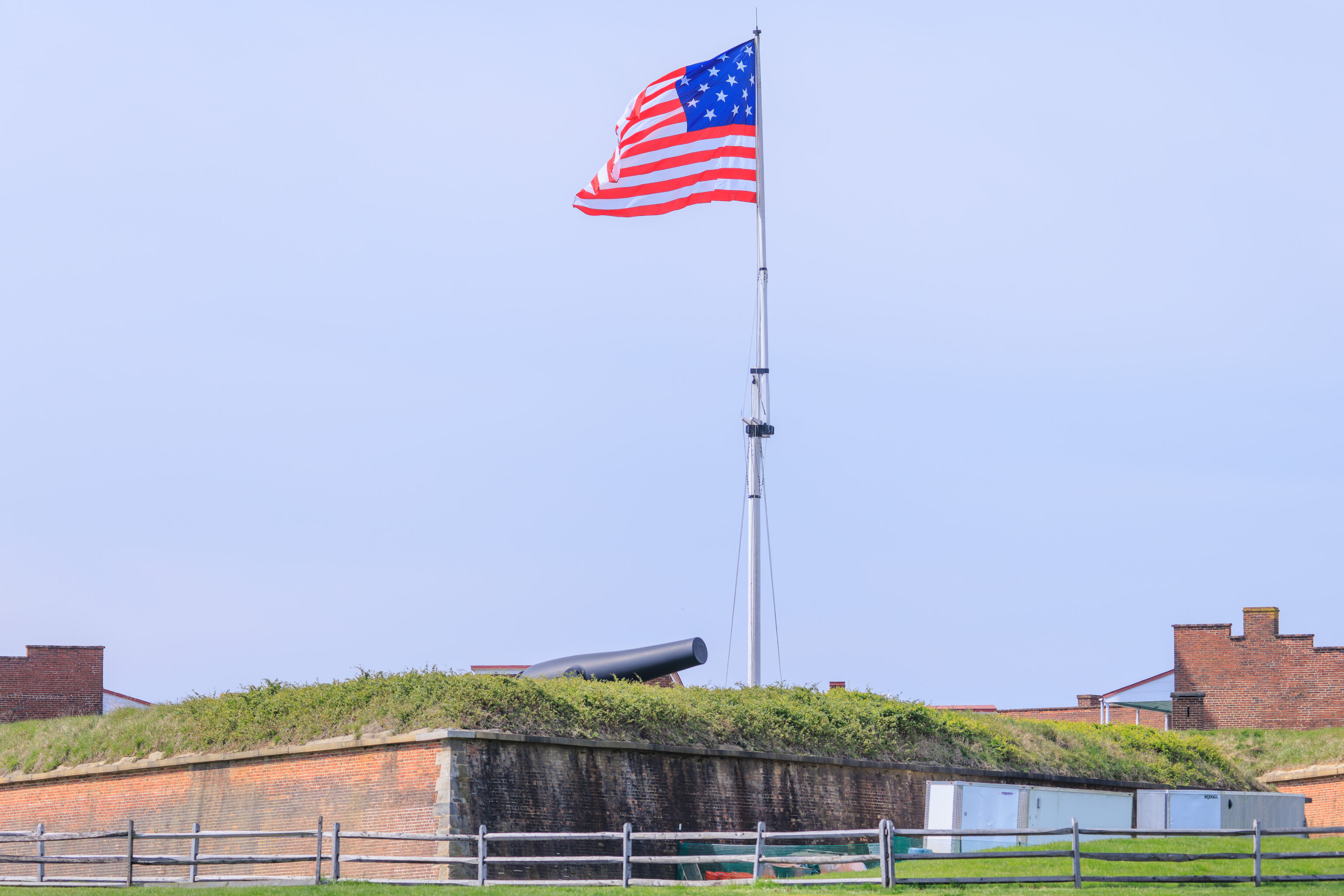
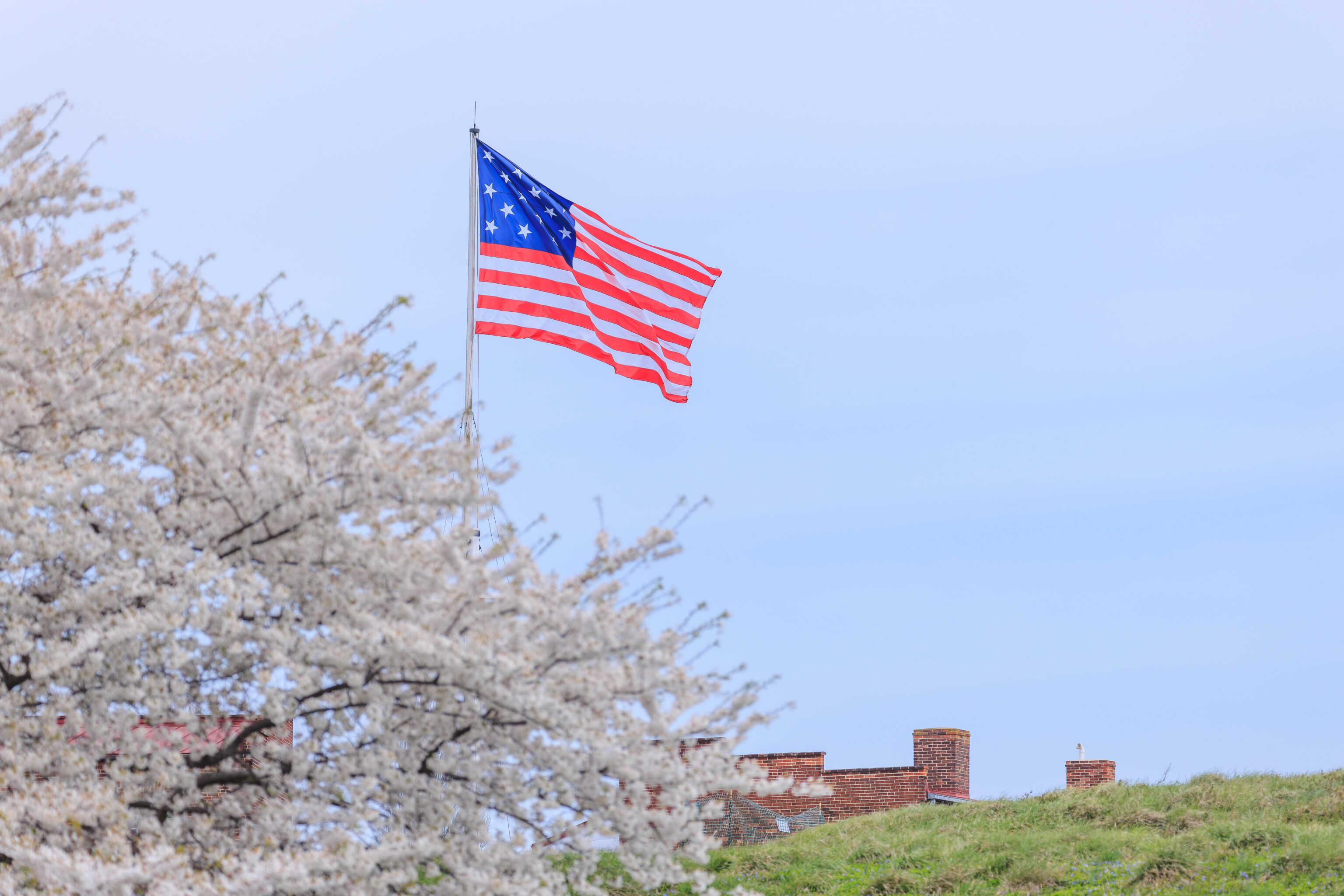
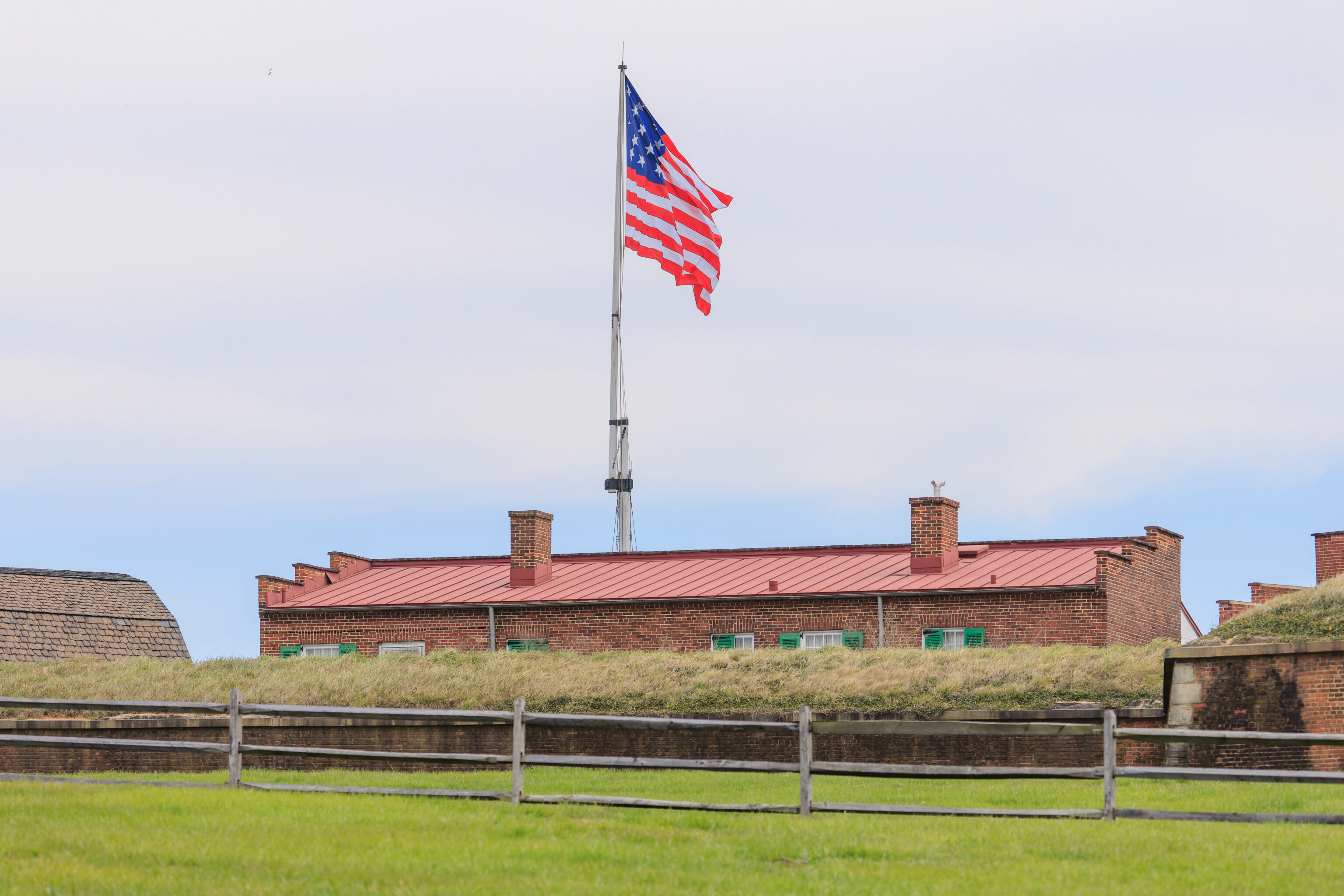
The fort and 15 star flag, which would have been flying during the failed British attack against Fort McHenry in 1814. This design would have been flying when Francis Scott Key wrote the poem that would ultimately become The Star-Spangled Banner, the US national anthem.
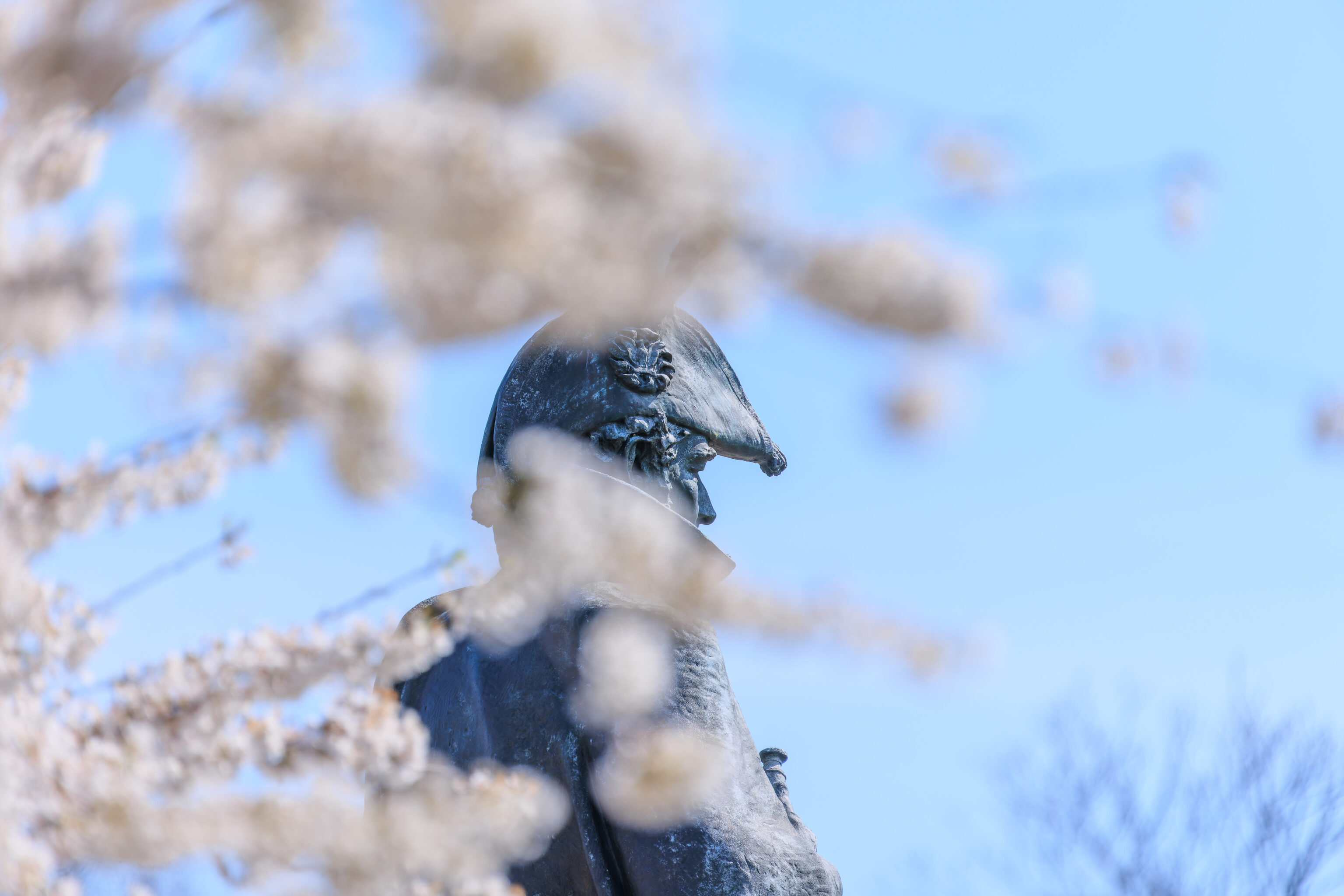
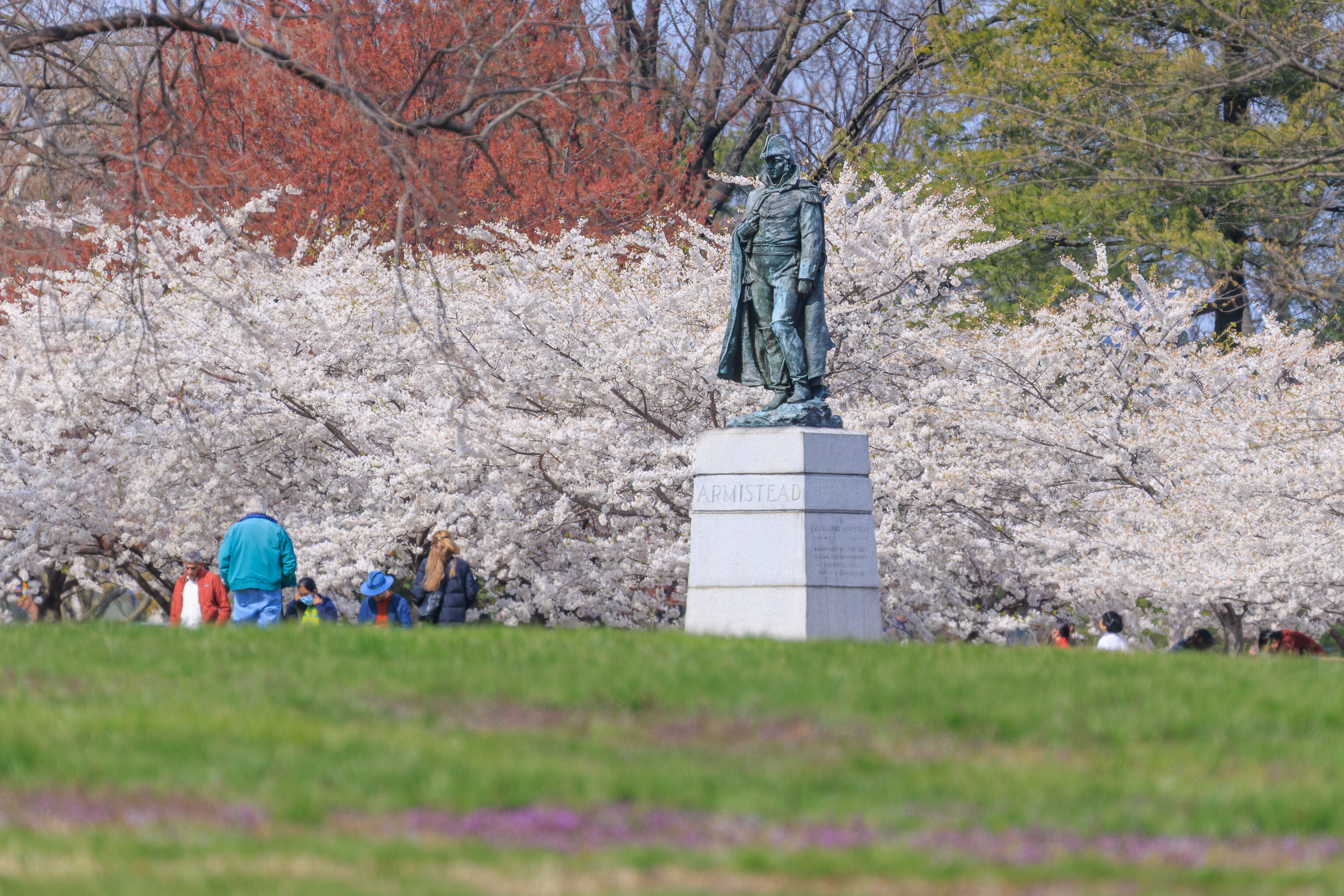
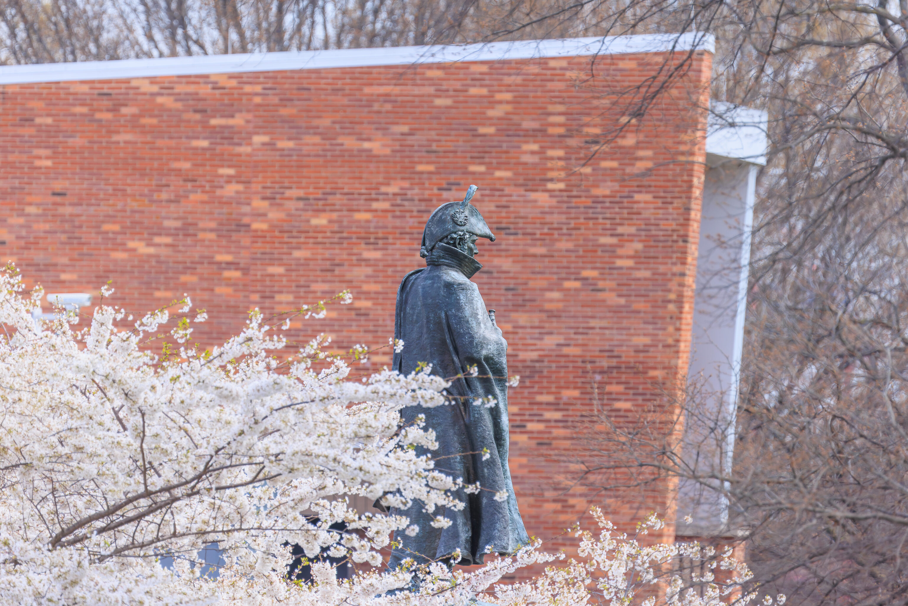
We tried to get a nice photo of Lt. Colonel George Armistead, commander of Fort McHenry during the attack, with the cherry blossoms.
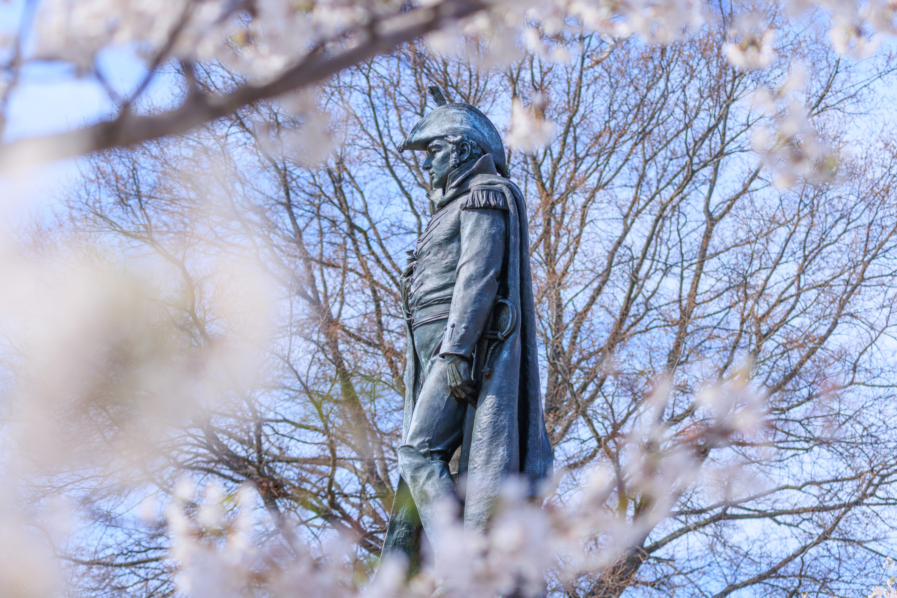
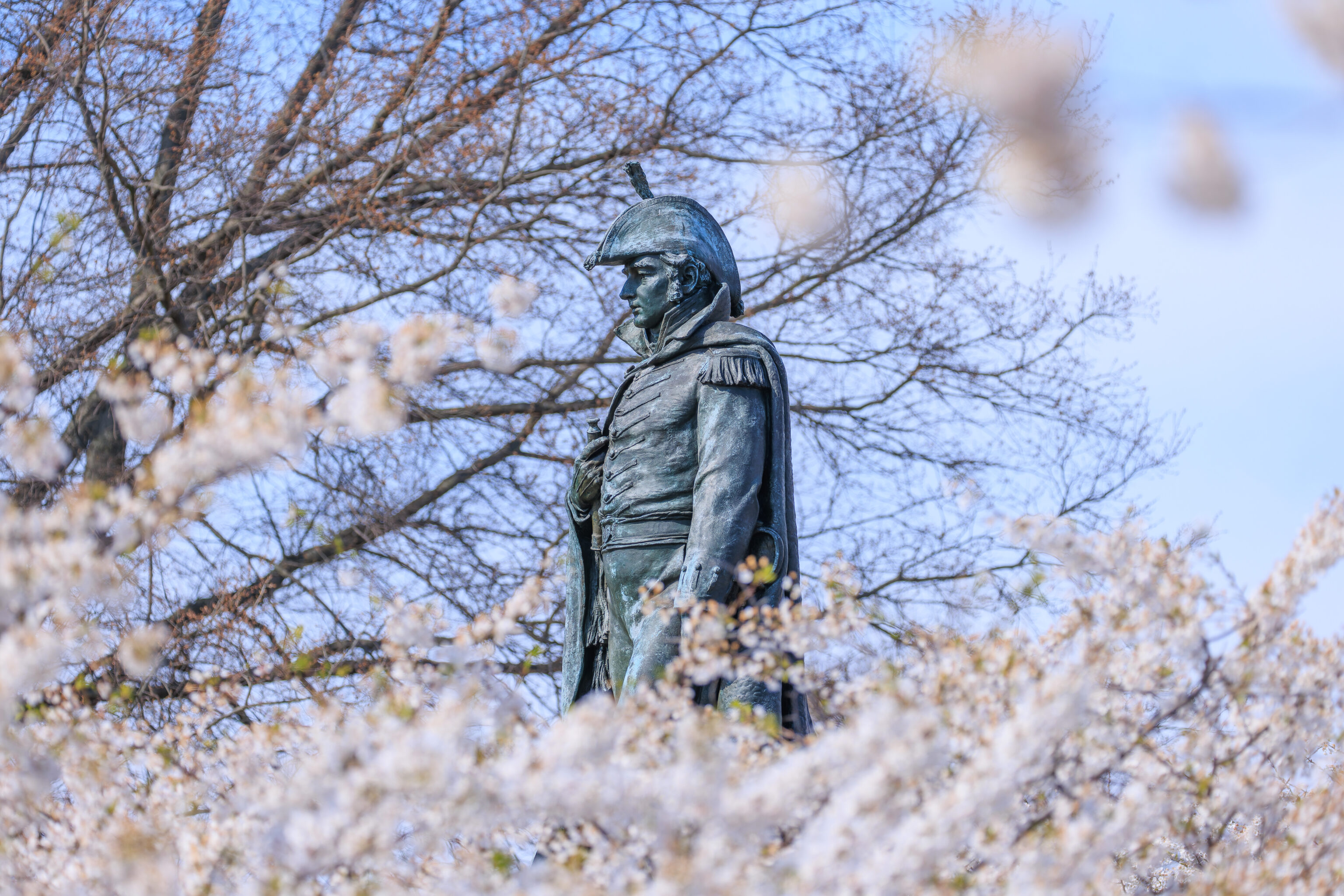
A bit of a nicer composition from the opposite side. From here, we walked around the north side of the visitor center, heading east, to reach the water’s edge.
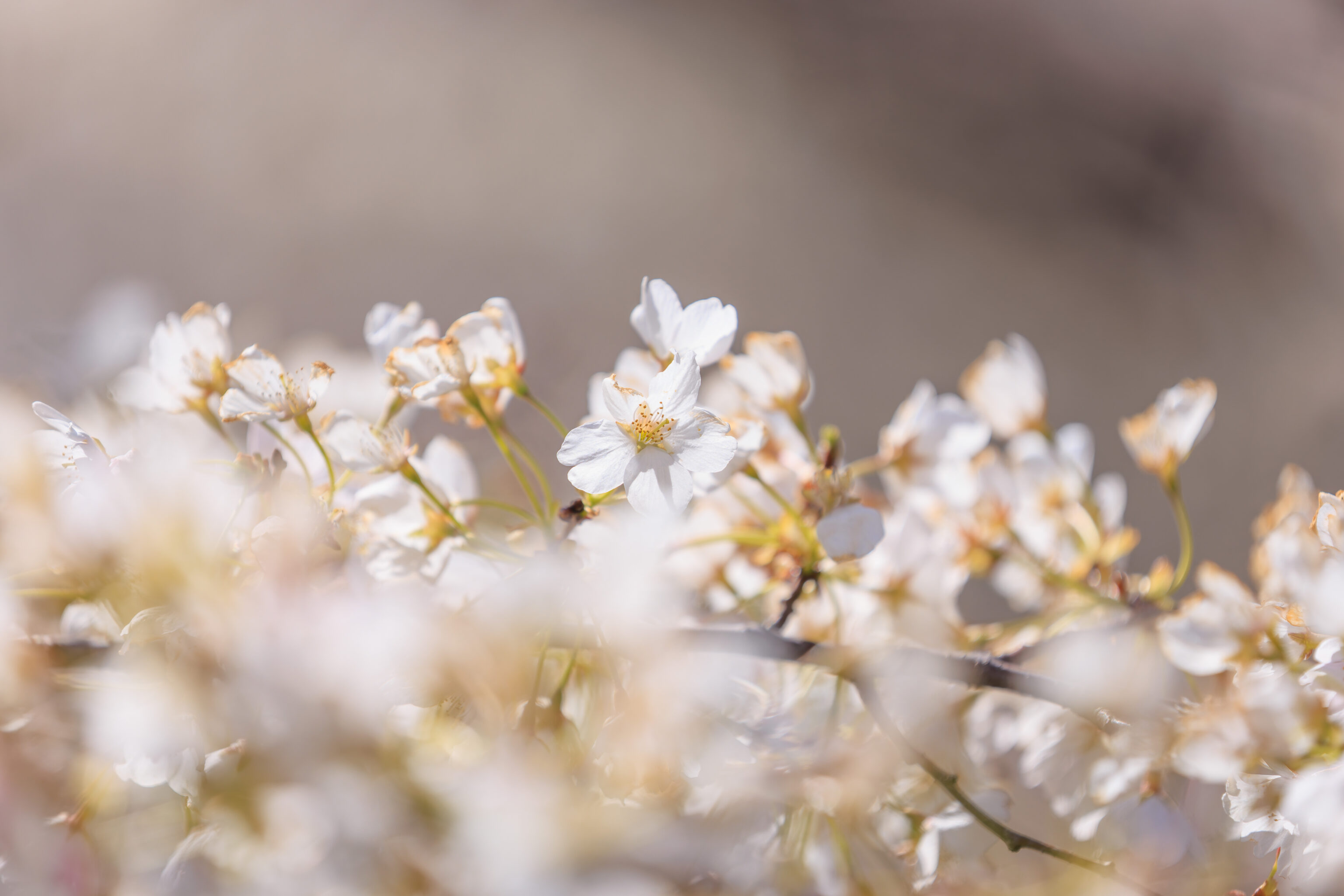
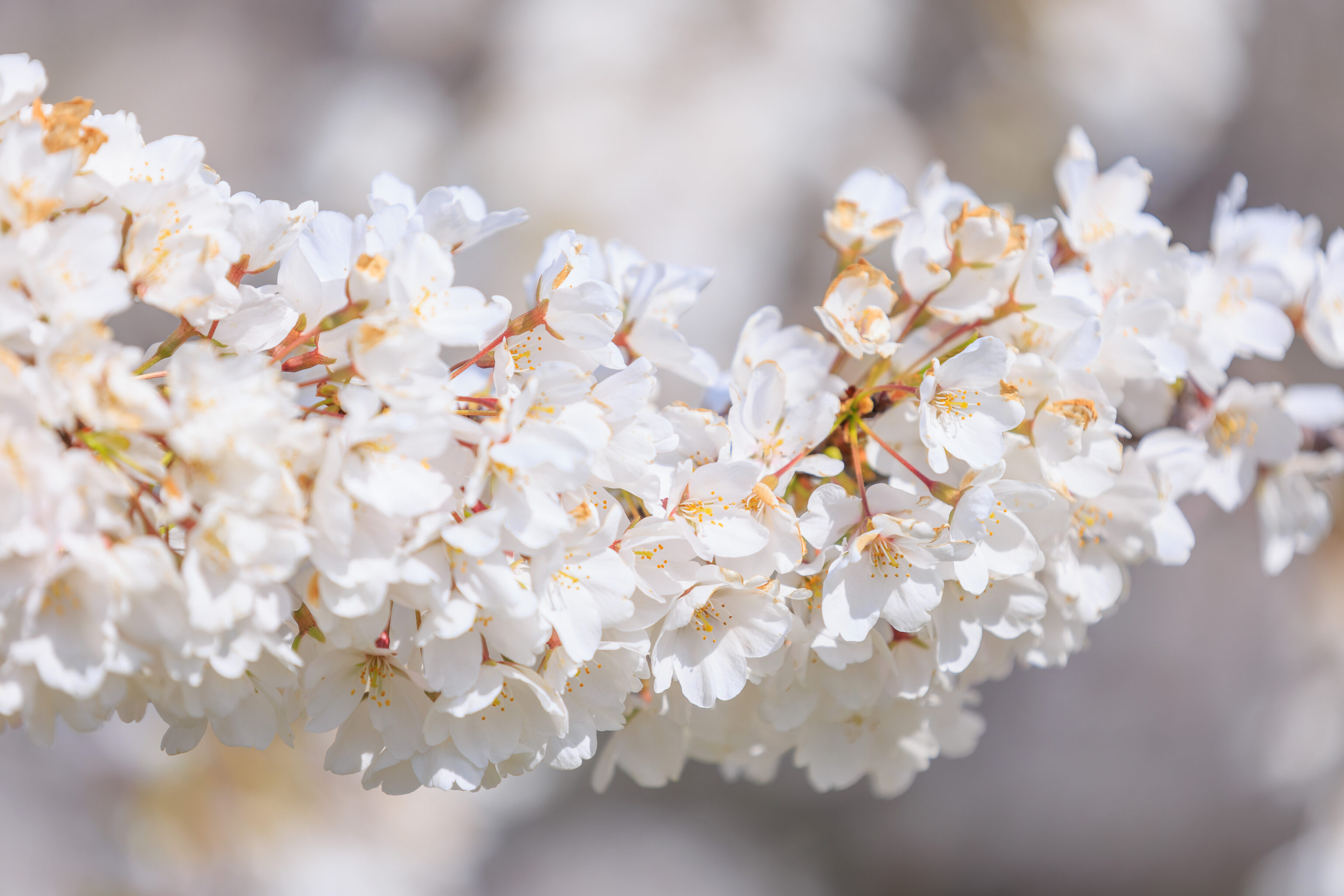
A second grove of cherry blossoms is here, on the northeast side of the park. The flowers here weren’t in as good condition as the ones we saw to the west.
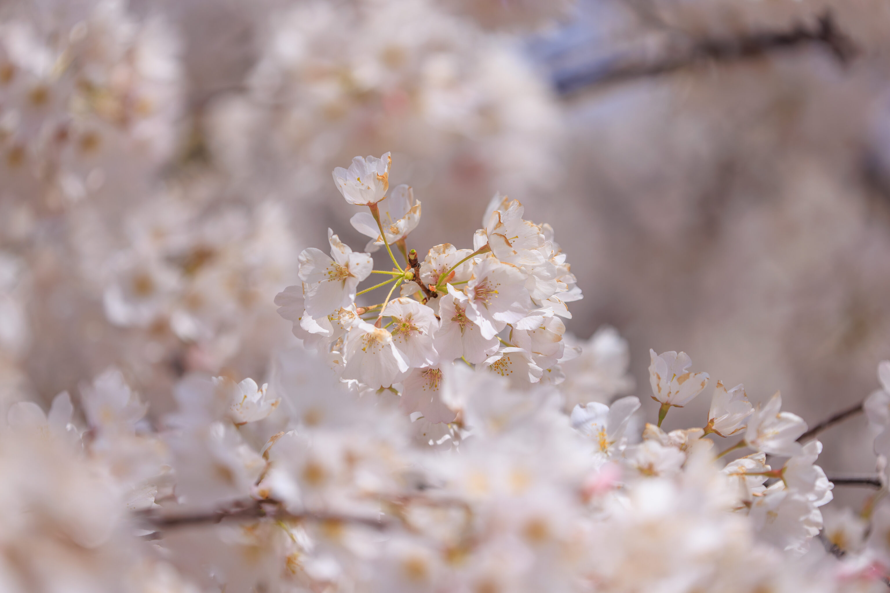
But, they were still beautiful!
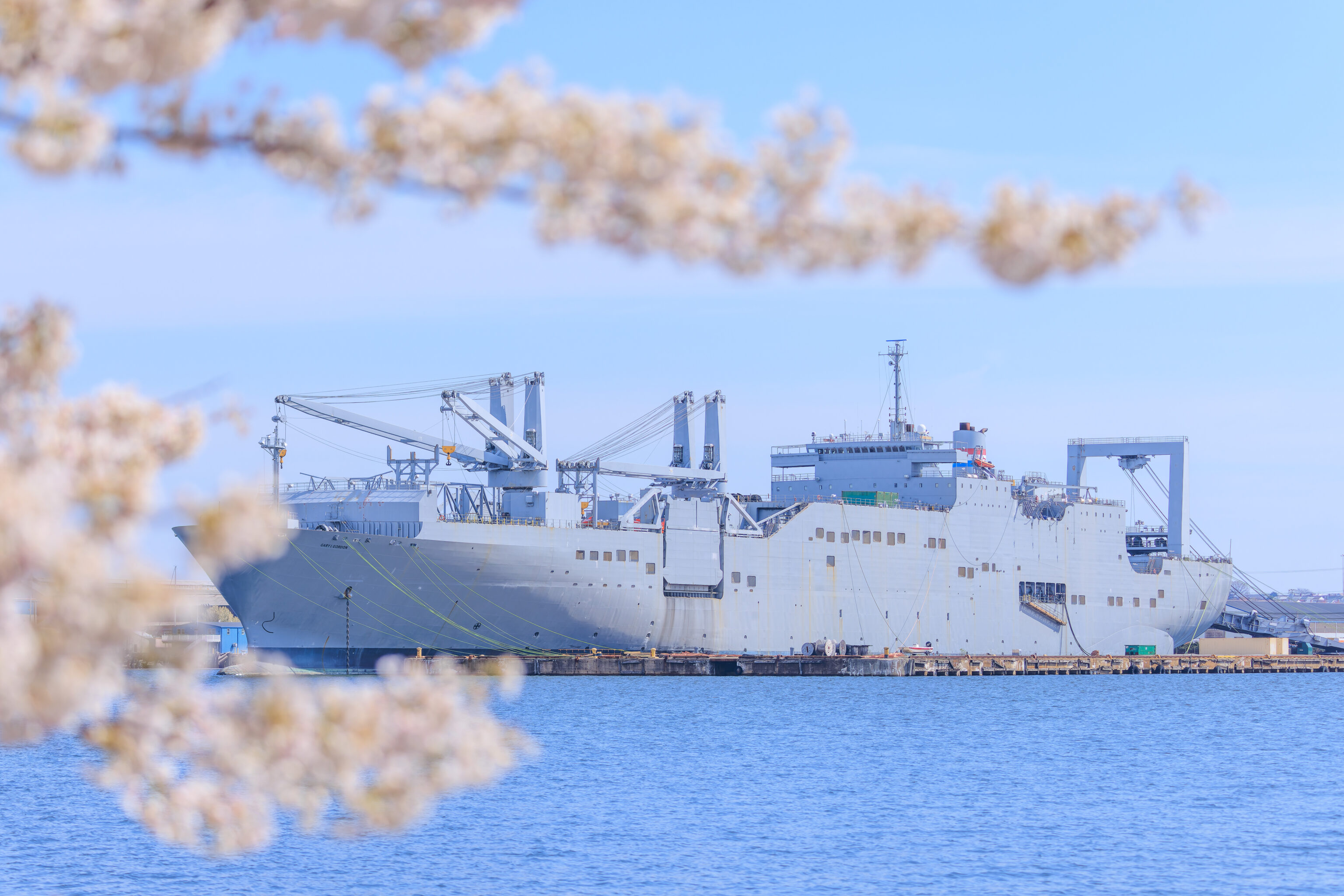
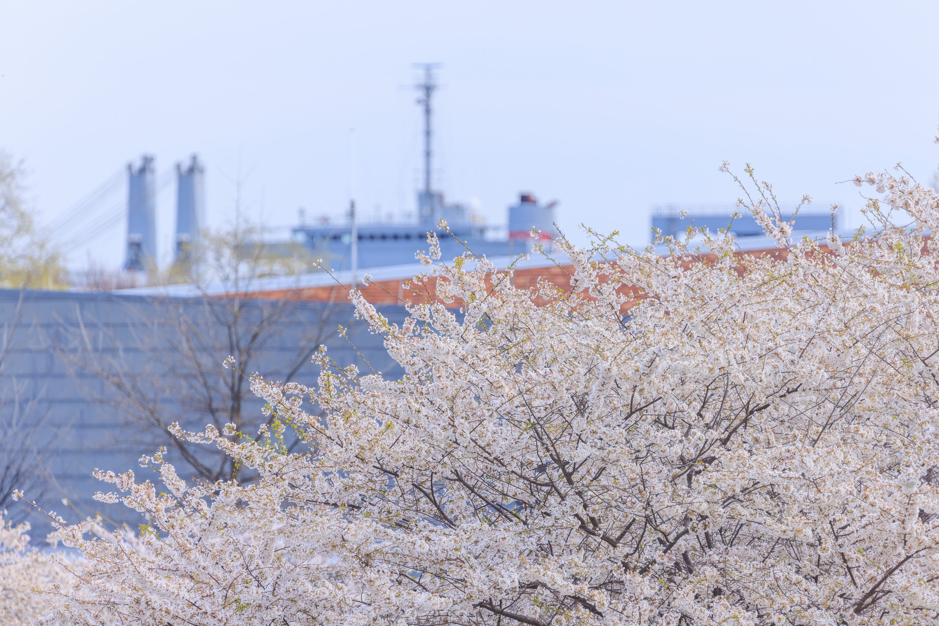
There are various piers all along this part of the Patapsco River, which forms Baltimore’s harbor. This ship is the Gary L. Gordon, a military cargo ship that is currently in reserve.
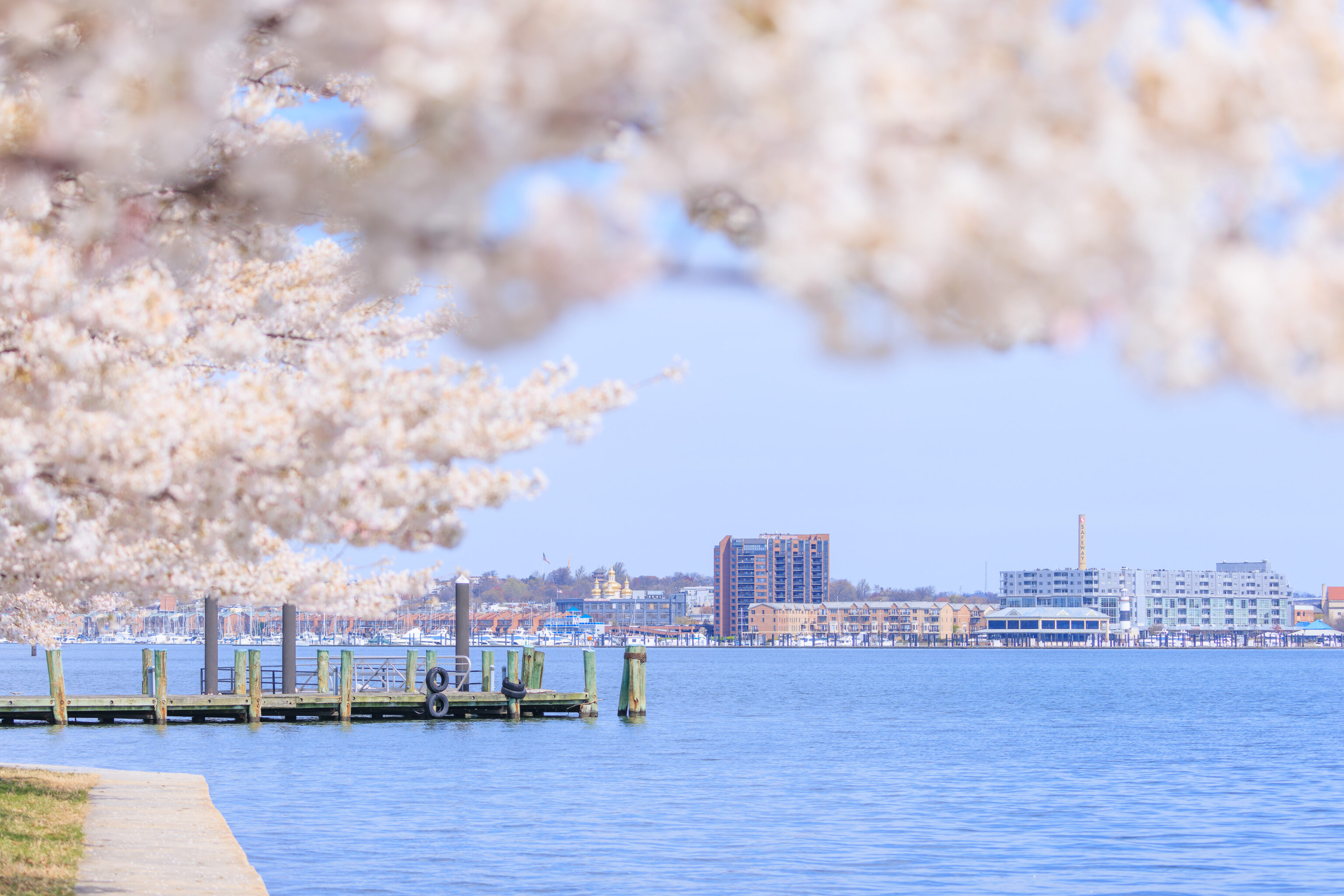
Baltimore’s downtown area isn’t visible from here. This is about as far into the harbor as can be seen from the northern edge of the park.
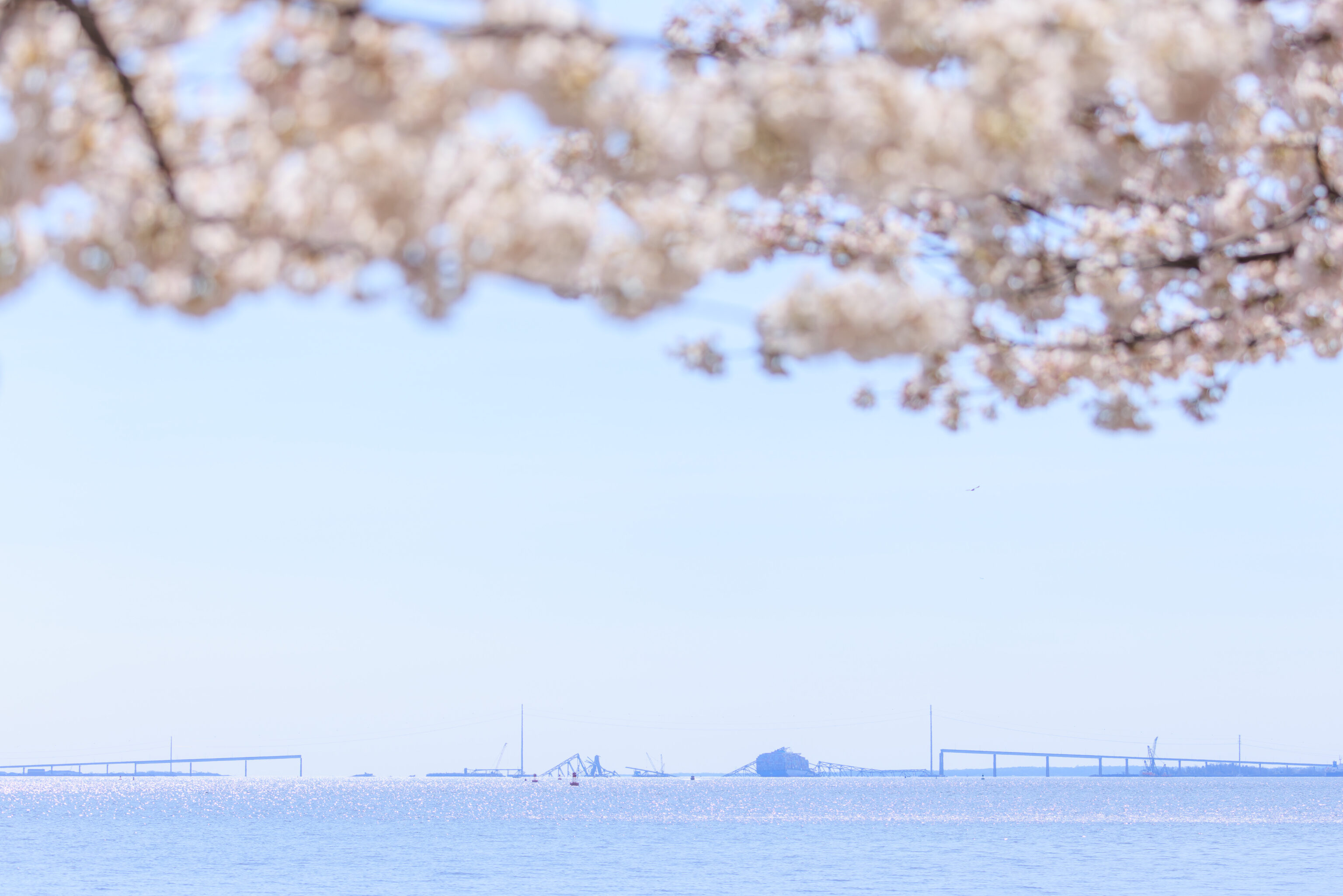
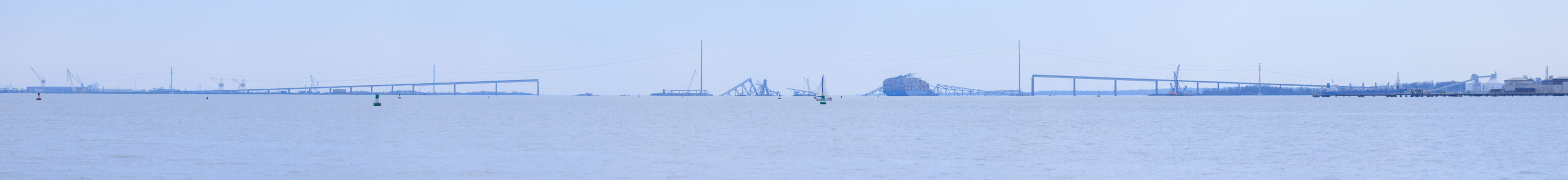
From here, we got our first view of the remains of the Key Bridge, formally the Francis Scott Key Bridge. This bridge carried the southeastern section of the Baltimore Beltway across the harbor. The MV Dali is still there, disabled by the remains of the bridge that collapsed on its bow.
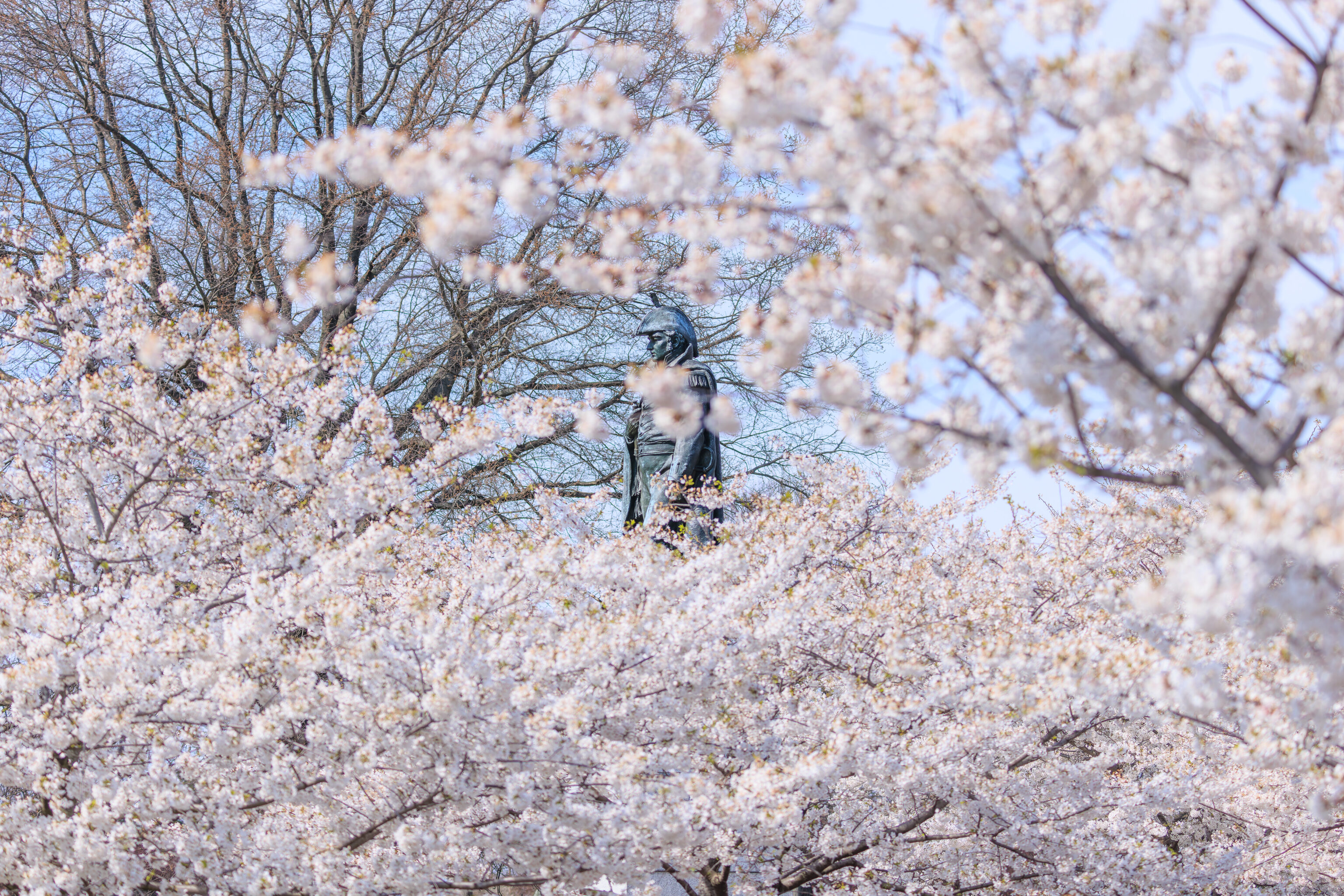
After passing the second grove, we continued walking clockwise on the path at the water’s edge. We were able to get a view of Armistead in the distance with the first grove of cherry blossoms in the background.
We’ve been to Fort McHenry many times. We did not visit the actual fort today.
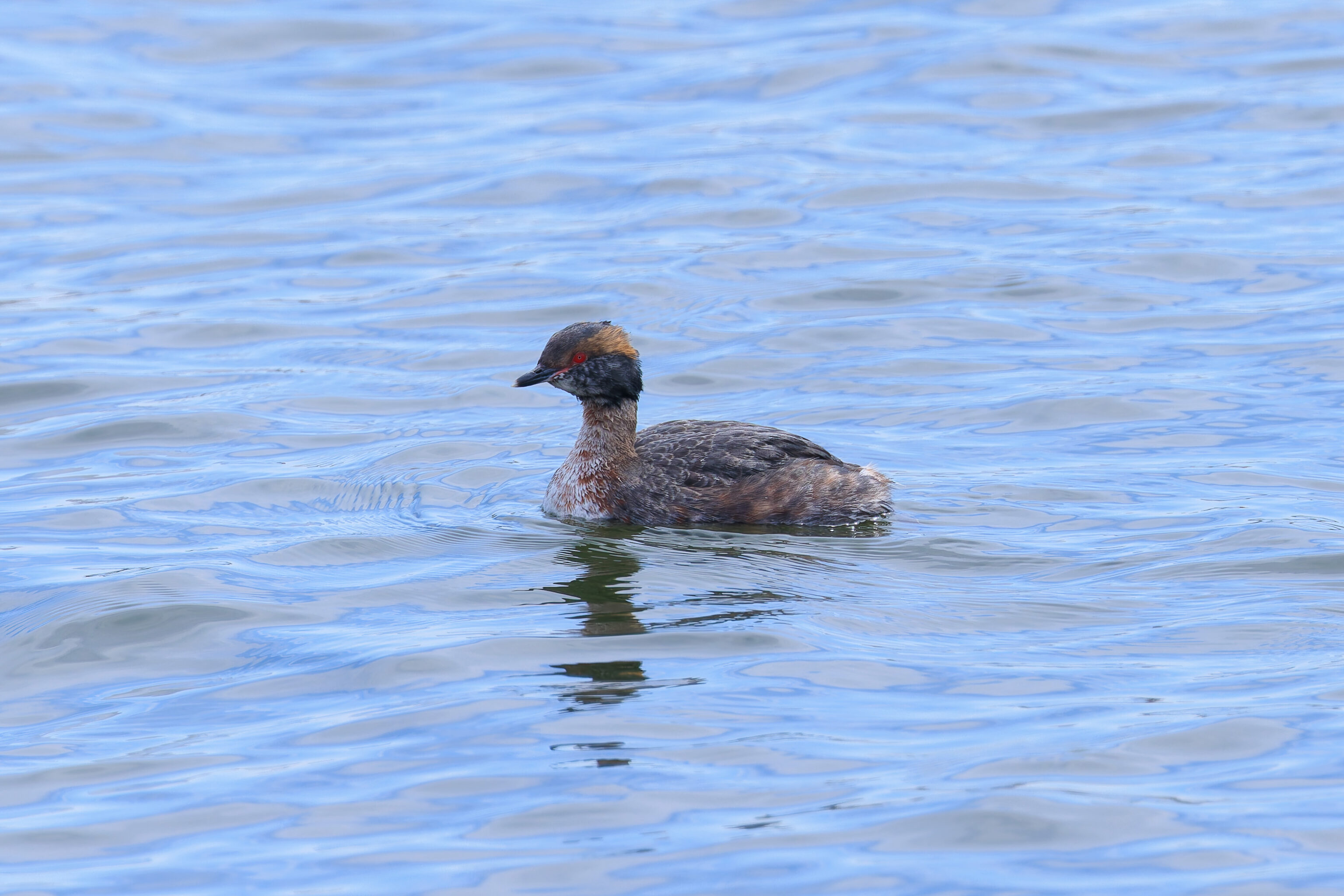
This bird is a Horned Grebe, named due to the yellow coloring on its head which gives the appearance of horns. They’re supposed to look a bit nicer in their summer colors.
Fort McHenry juts out into the harbor, defending the way to Baltimore to the north and the route further up the Patapsco to the south. The closest point to the Key Bridge is here, on the east side of the fort.
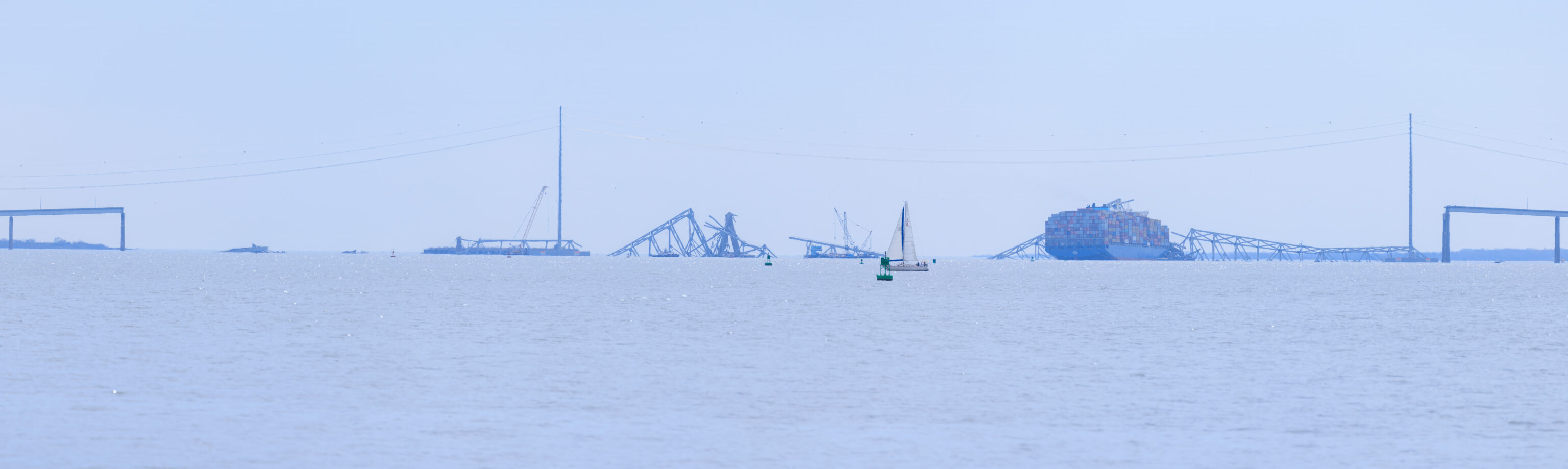
A closer look at the collapsed portions of the bridge.
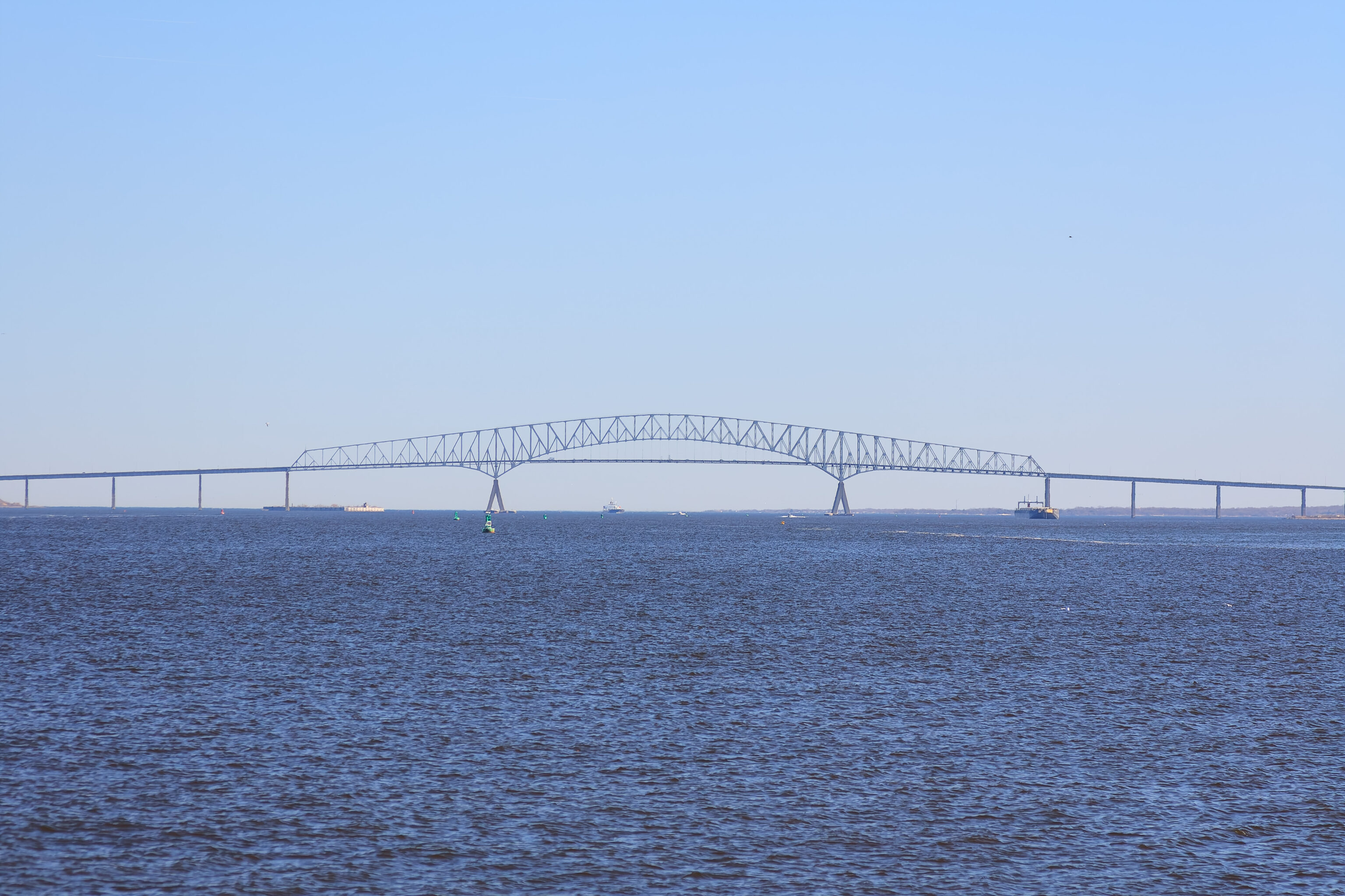
This is how the Key Bridge looked.
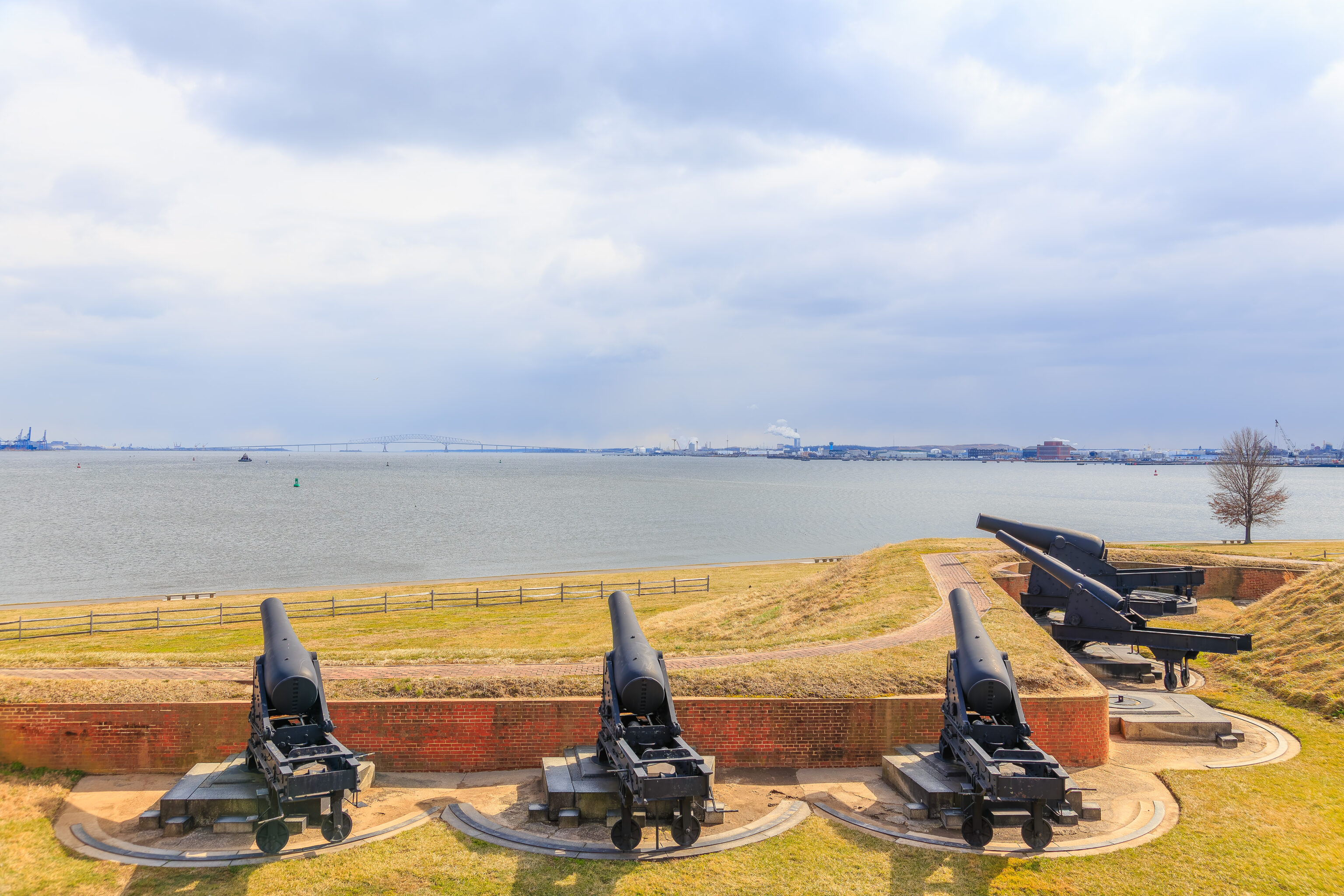
A view of the bridge in the distance from the fort. There are actually power lines that currently span the harbor just in front of the bridge which did not exist back when the two above photos were taken.
The bridge has always been a highly visible part of the harbor east of the city. I can’t recall if we’ve ever actually driven over the bridge as our travels have never involved crossing the east side of the harbor.
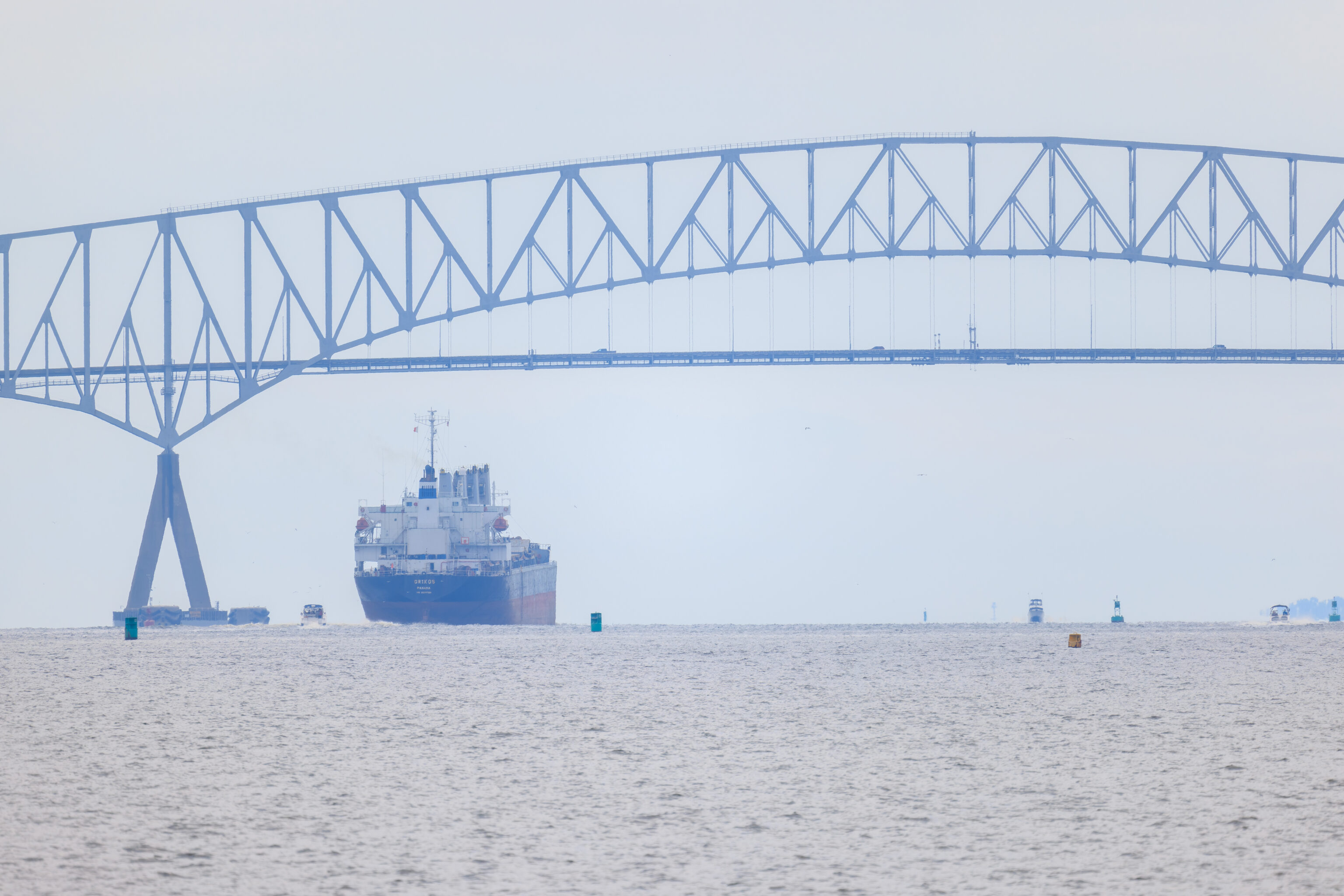
A closer and more recent look at the Key Bridge. Some of the limited safety features around the bridge support pillar can be seen on the left.
While rare, ship collisions with bridges do happen. And it has happened right here before! In 1980, a container ship lost power and hit the bridge, though with minimal damage as that ship was much smaller and was going a little bit slower.
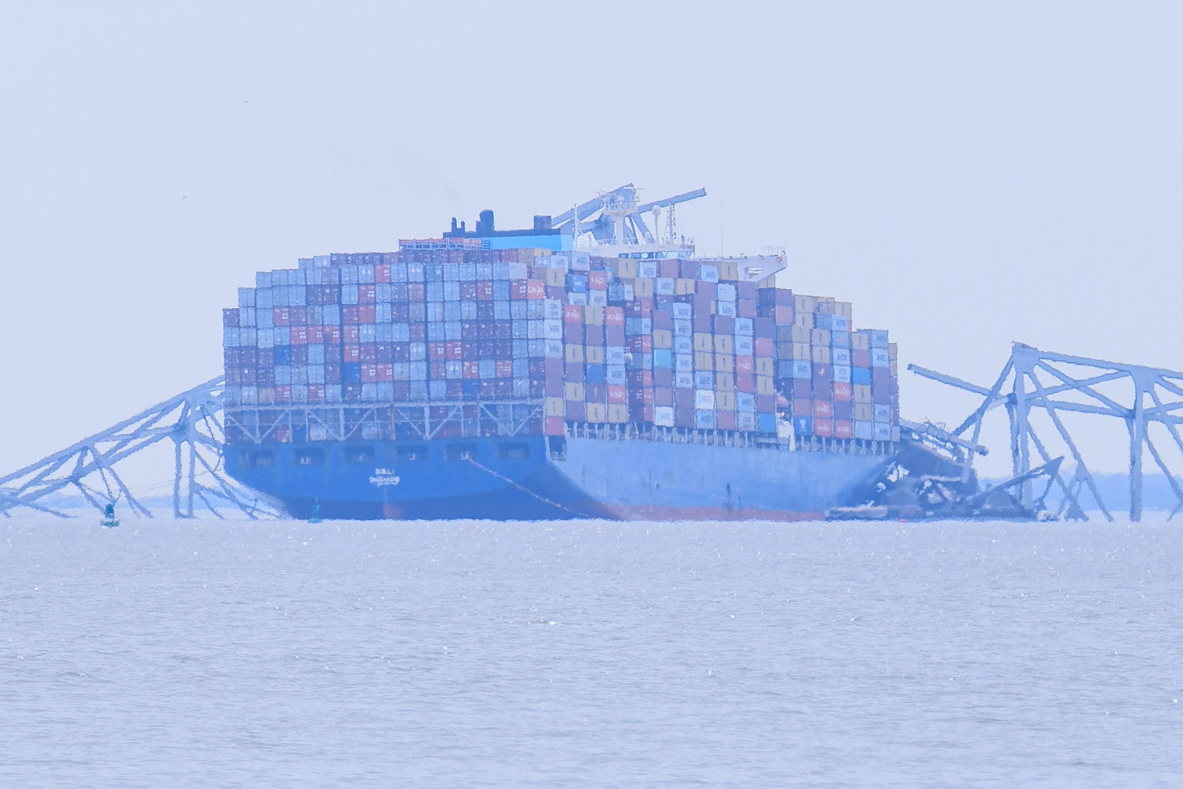
A telephoto look at the MV Dali and the bridge remains around it today.
Out of eight construction workers who were on the bridge when it collapsed, two miraculously survived, two have been recovered, and the remaining four are missing and almost certainly dead. Luckily, the collision happened in the middle of the night and there was just enough warning to stop traffic, though not enough to get the workers off the bridge.
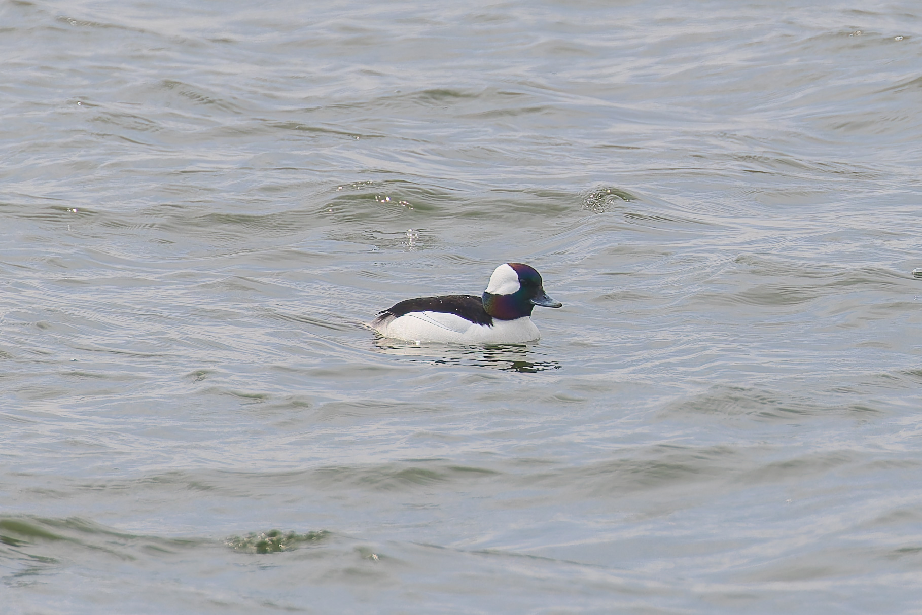
We saw a few Buffleheads, a species of duck, around the fort.
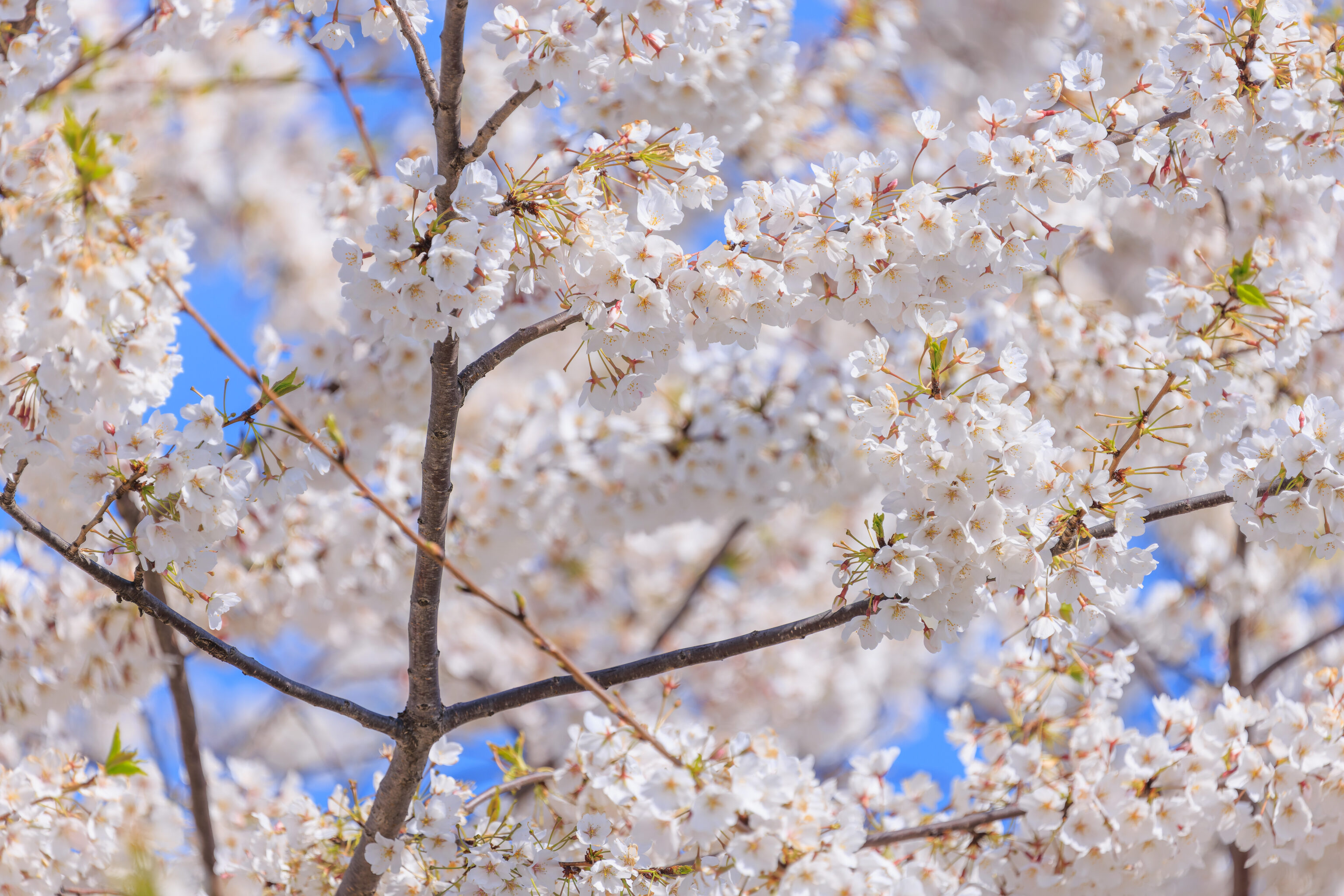
We continued walking clockwise, soon approaching the third grove.
Due to its positioning, this grove offers opportunities to see the fort in the background.
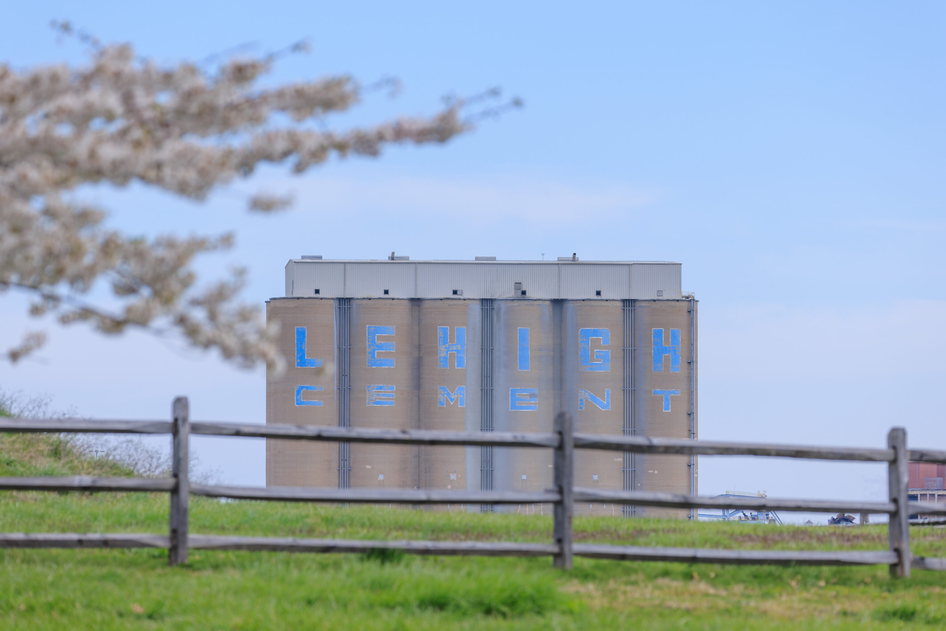
The Lehigh Cement silos are on the north side of the harbor. They could be seen from here, the southern side of the park. The company is now owned by Heidelberg Materials from Germany. We just visited Heidelberg last year, and the city was in a few recent episodes of Young Sheldon.
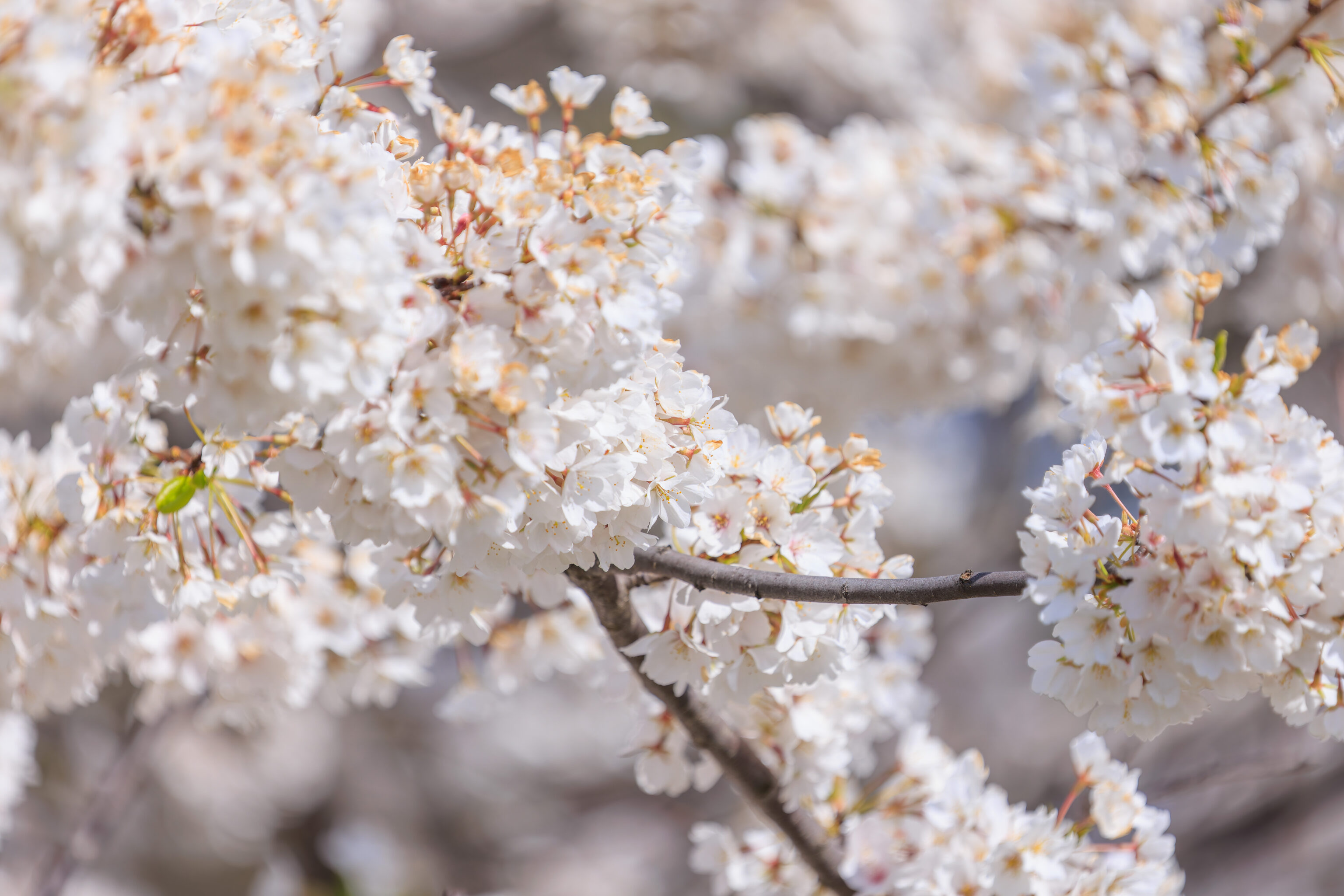
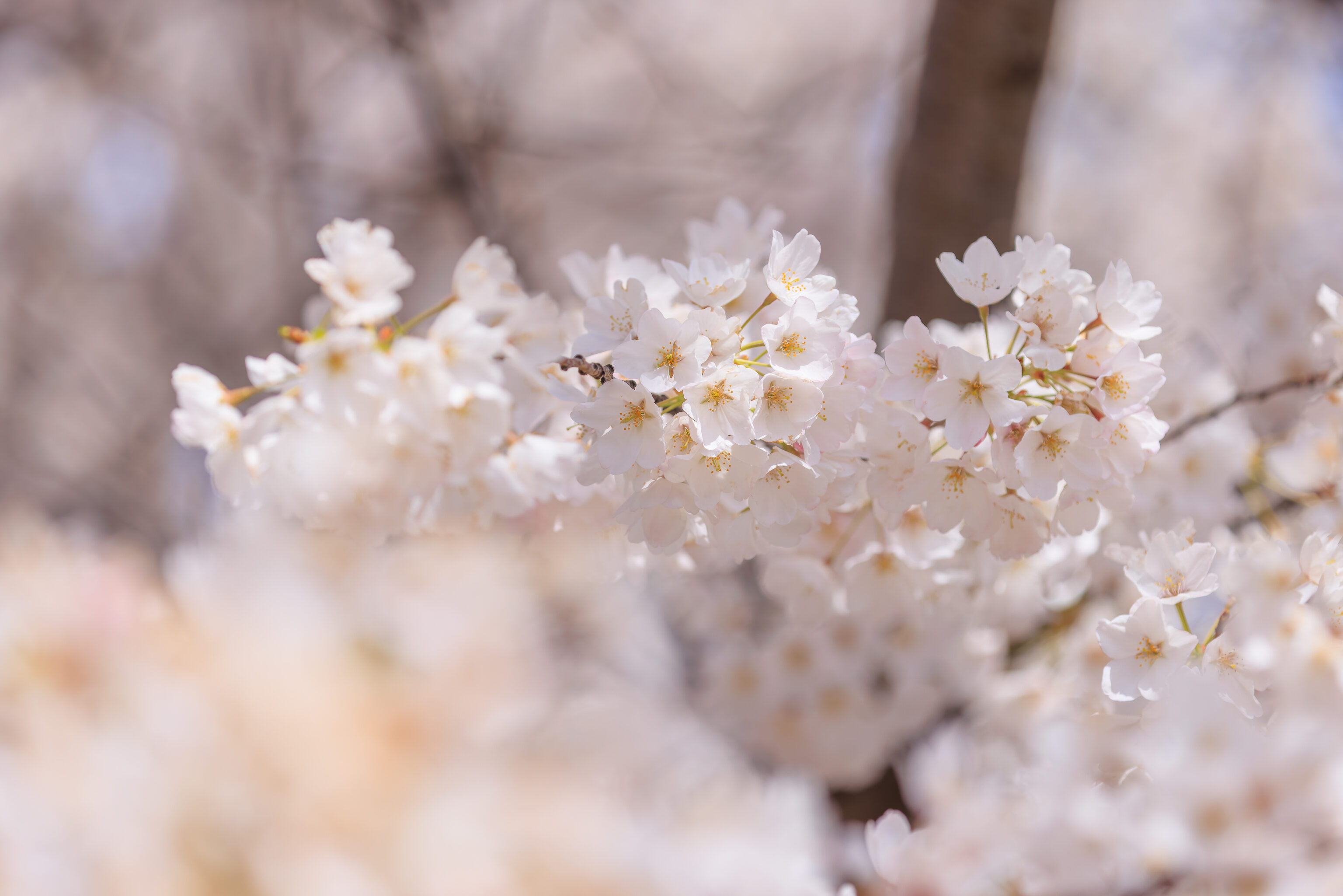
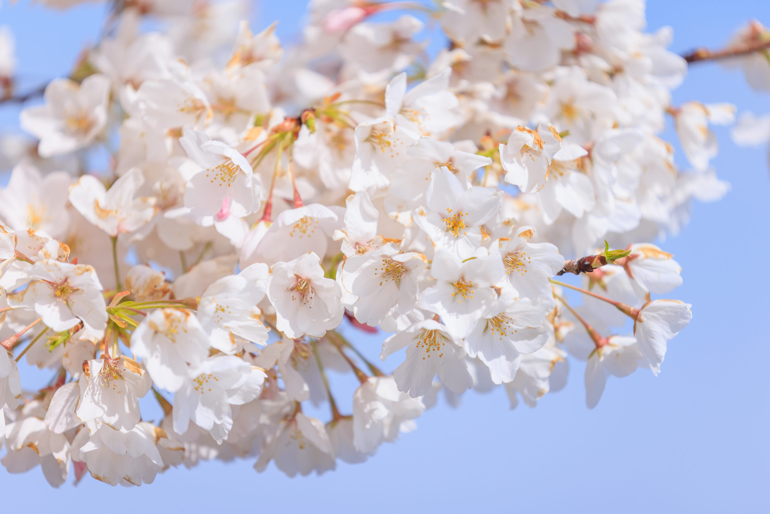
The cherry blossoms generally look pretty good here!
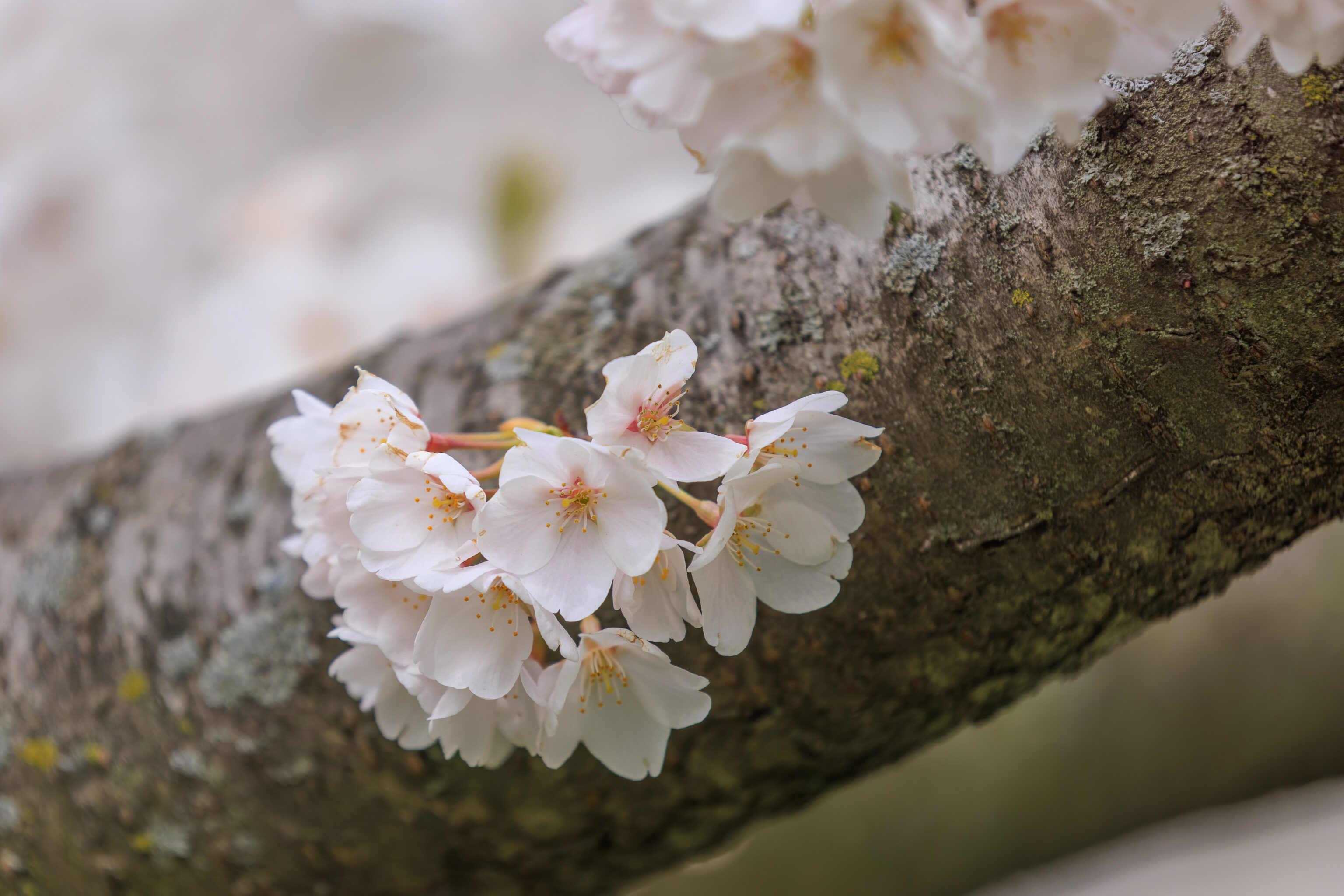
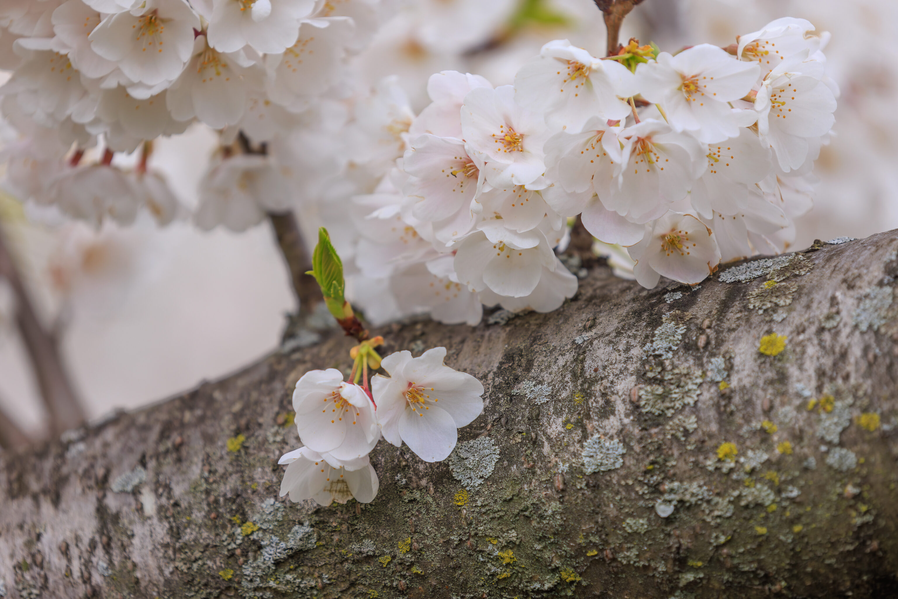
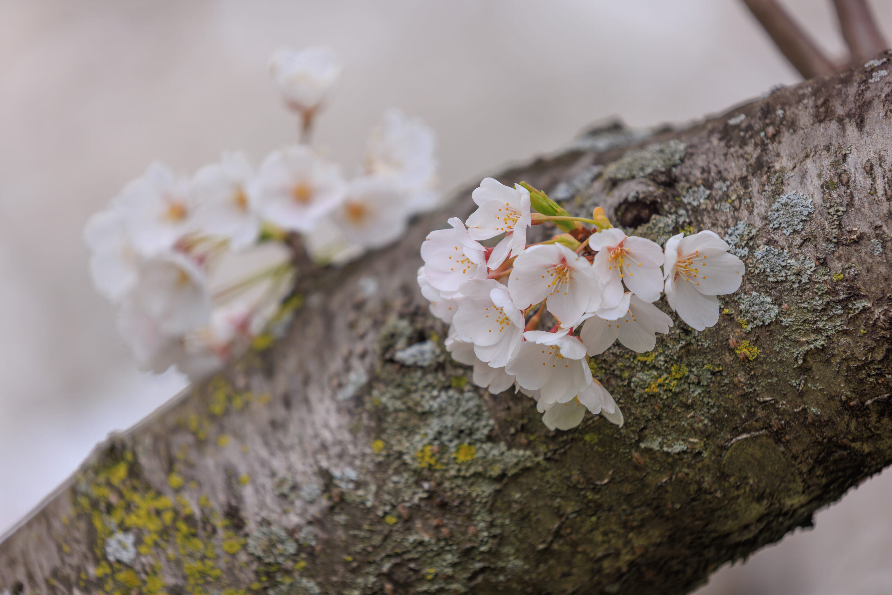
A few examples of flowers growing out of large tree branches.
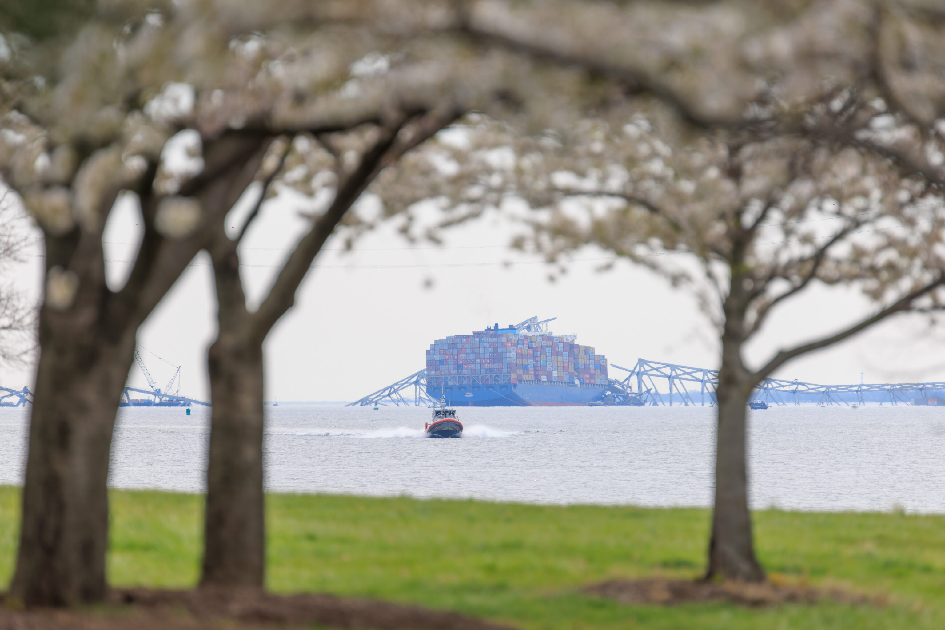
The MV Dali, framed by the cherry trees.
The fort, as viewed from the southwest as we walked past the final grove of cherry trees.
We completed our loop, returning to the first grove.