

We started out our last day in Grindelwald with the usual breakfast at Hotel Belvedere. After checking out, we went to Eigergletscher to begin the Jungfrau Eiger Walk, hiking down to Kleine Scheidegg and stopping by the artificial Fallbodensee on the way. Afterwards, we took the train to Wengen to catch the aerial tram up to Männlichen. We then followed the Panorama Trail down to Kleine Scheidegg. We had a late lunch at the Grindelwaldblick and then caught the next train back to Grindelwald. From there, we returned to Geneva by train, transferring at Interlaken and Bern.
Grindelwald
We went down for breakfast at the Hotel Belvedere at the 6:30 opening time as usual and, as usual, sat by the windows. Afterwards, we finished packing and checked out, leaving our bag behind at the hotel. We had just missed the train so decided to walk down to Grindelwald Terminal rather than wait 30 minutes for the next train.
There were two hikes that we wanted to do. One was the Panorama Trail from Männlichen down to Kleine Scheidegg and the other was the Jungfrau Eiger Walk from Eigergletscher down to Kleine Scheidegg. Due to the way the transport systems are set up, it would have been faster to go to Männlichen first. But, that would have put the sun in a disadvantageous spot for the scenery that we’d see. So, we decided to start out by taking the Eiger Express up to Eigergletscher.
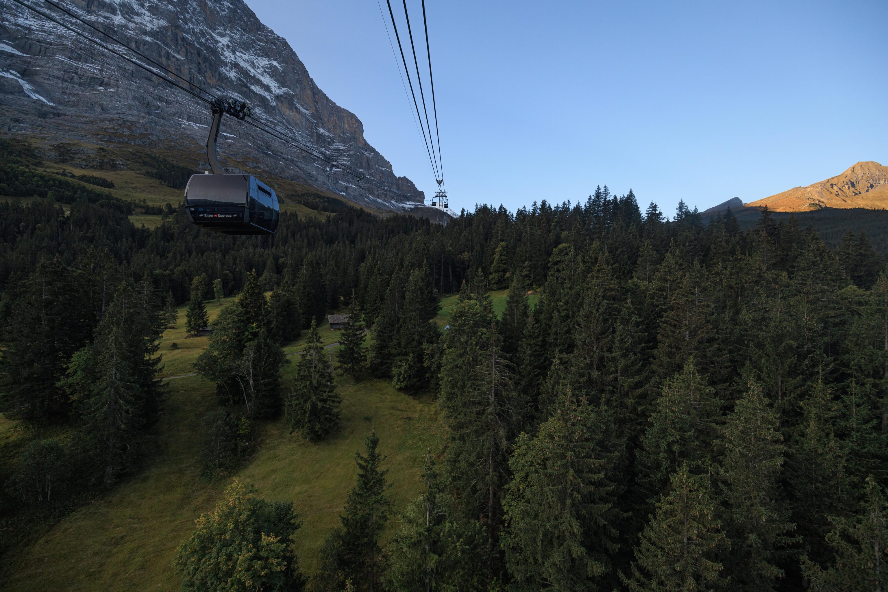
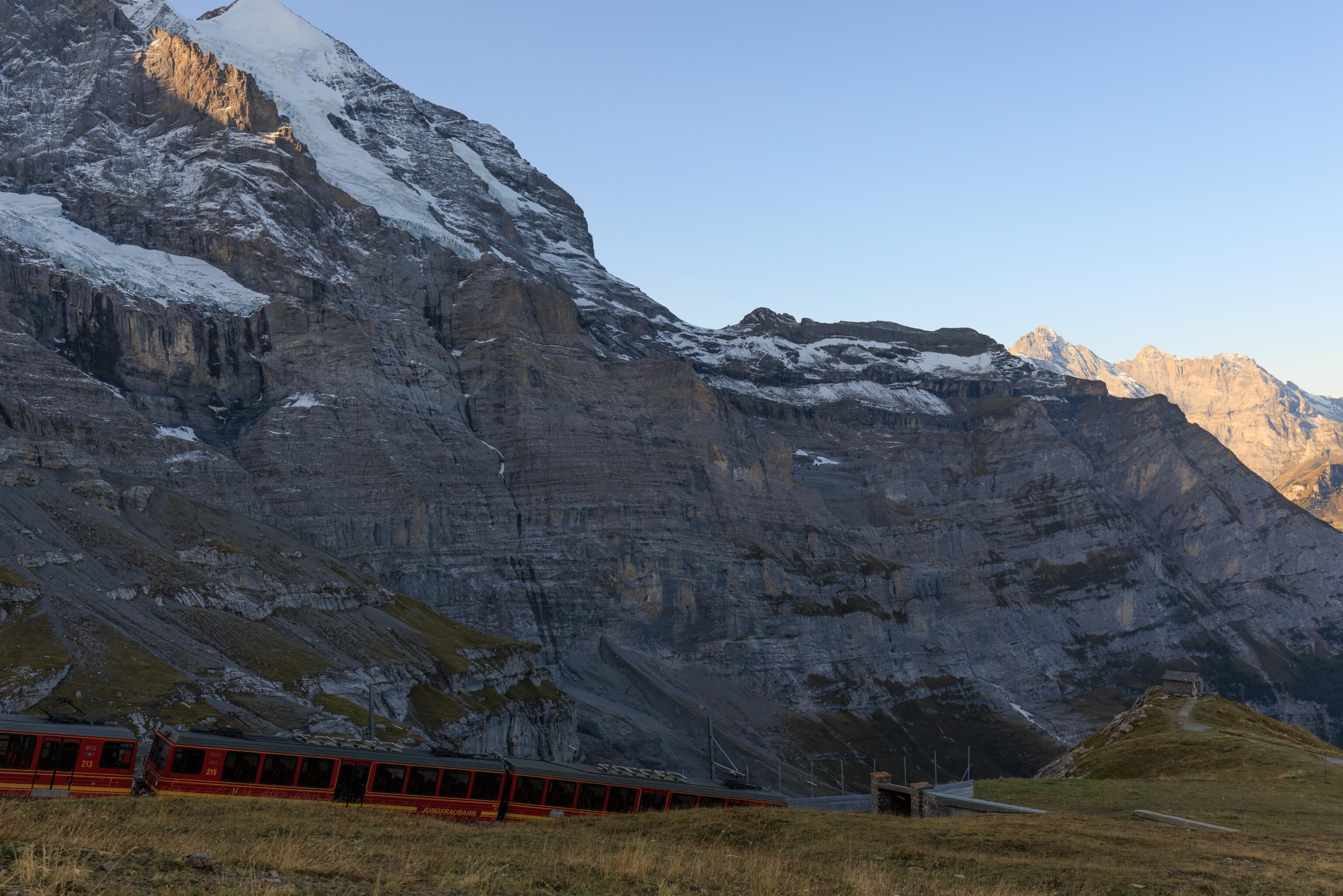
It wasn’t very busy at Grindelwald Terminal when we boarded the Eiger Express. We shared a gondola with another group of two.
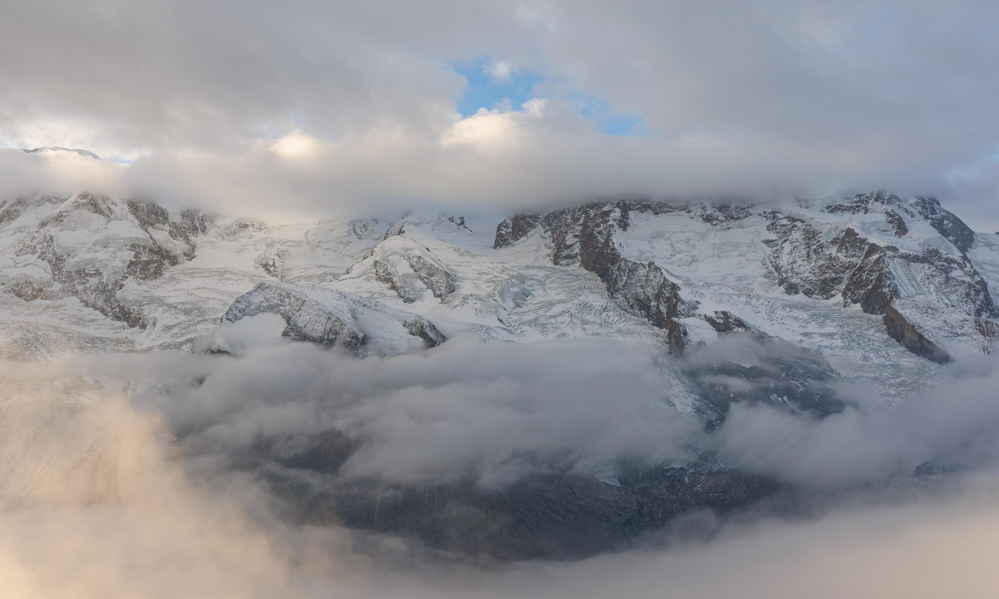
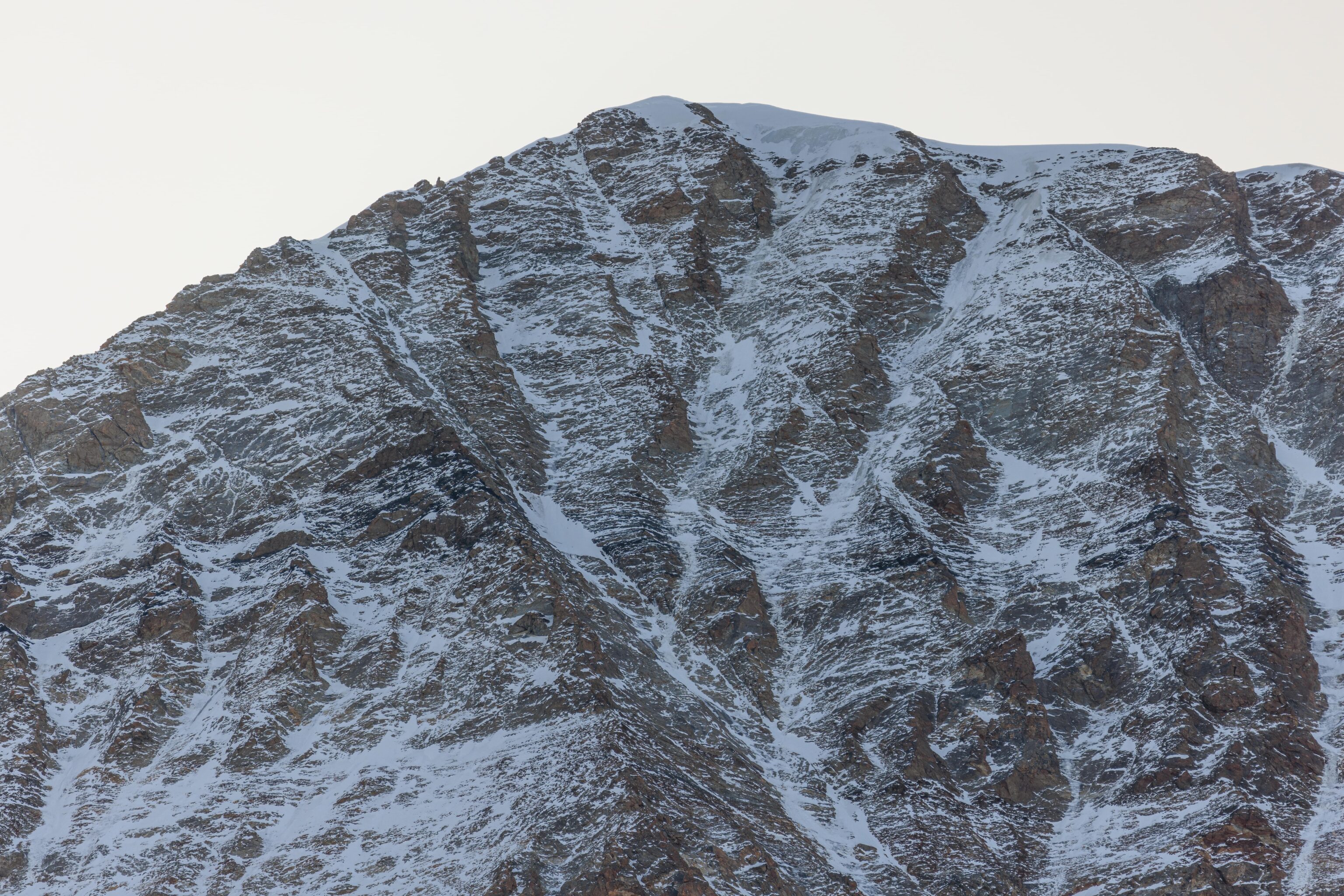
At this time in the morning, the terrain around us was still in the shadow of Eiger and the other mountains nearby.
There was still a bit of snow on the rocky parts of Eiger at this relatively low elevation.
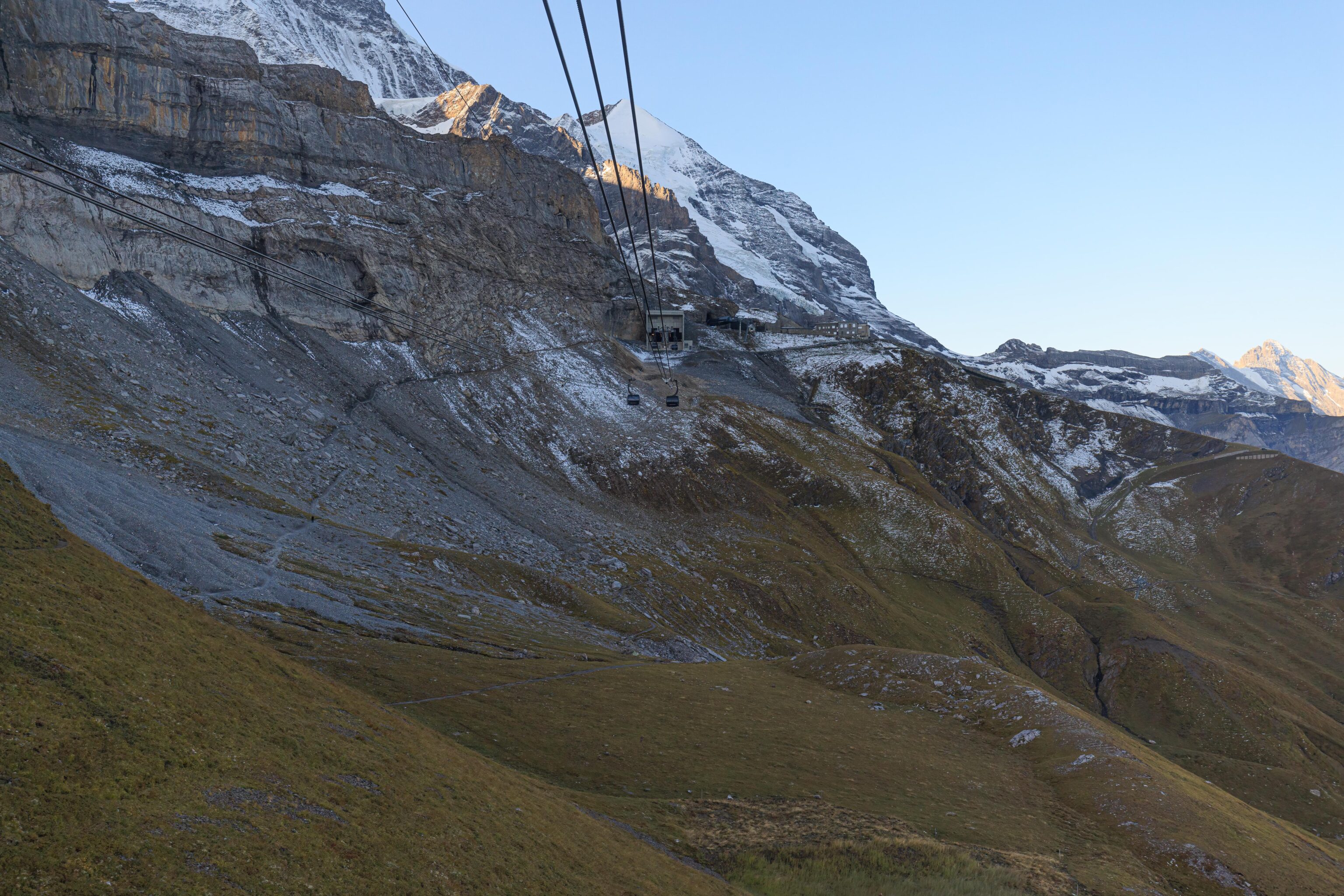
Soon, we were above the treeline and saw the Eigergletscher station in front of us.
Jungfrau Eiger Walk
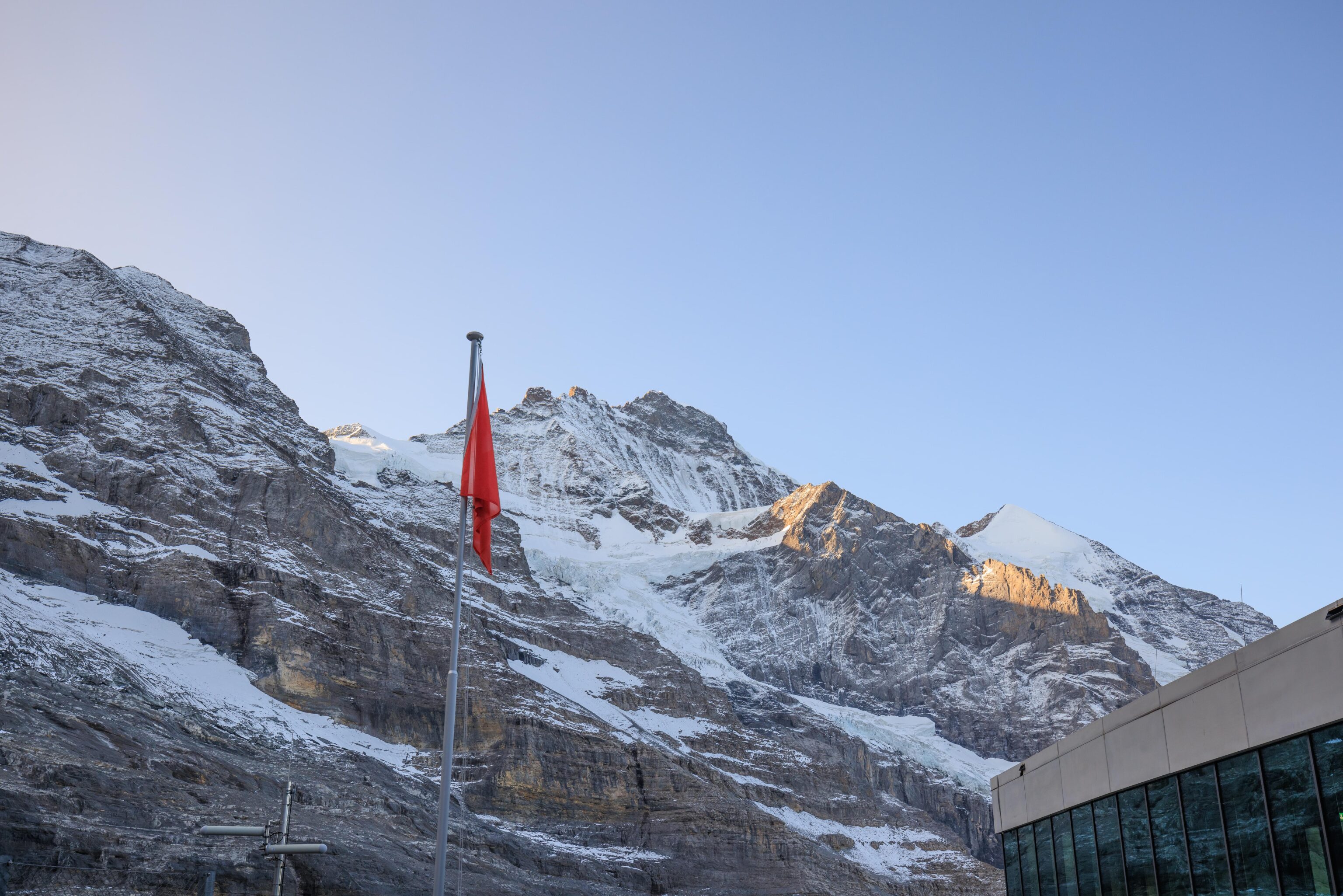
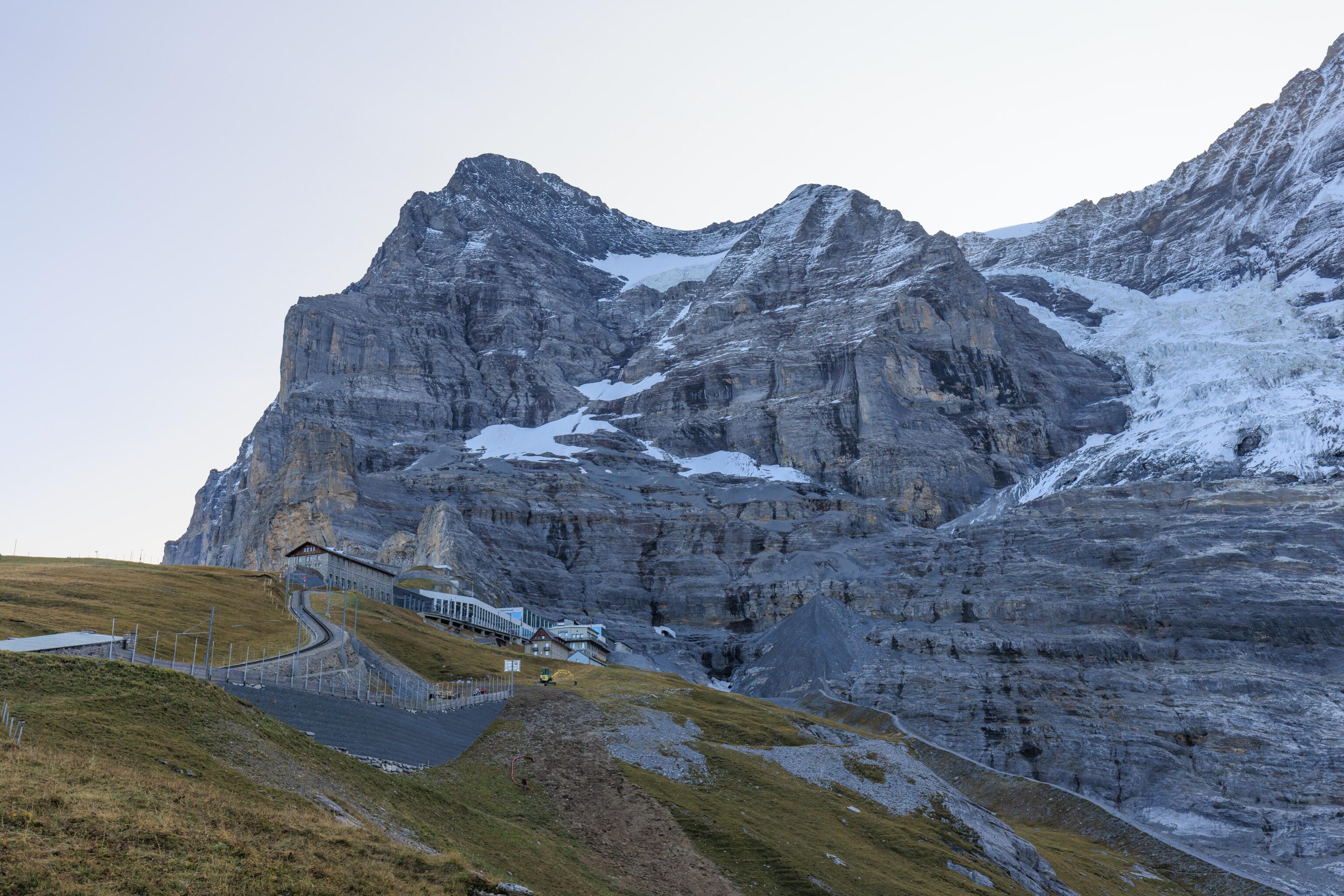
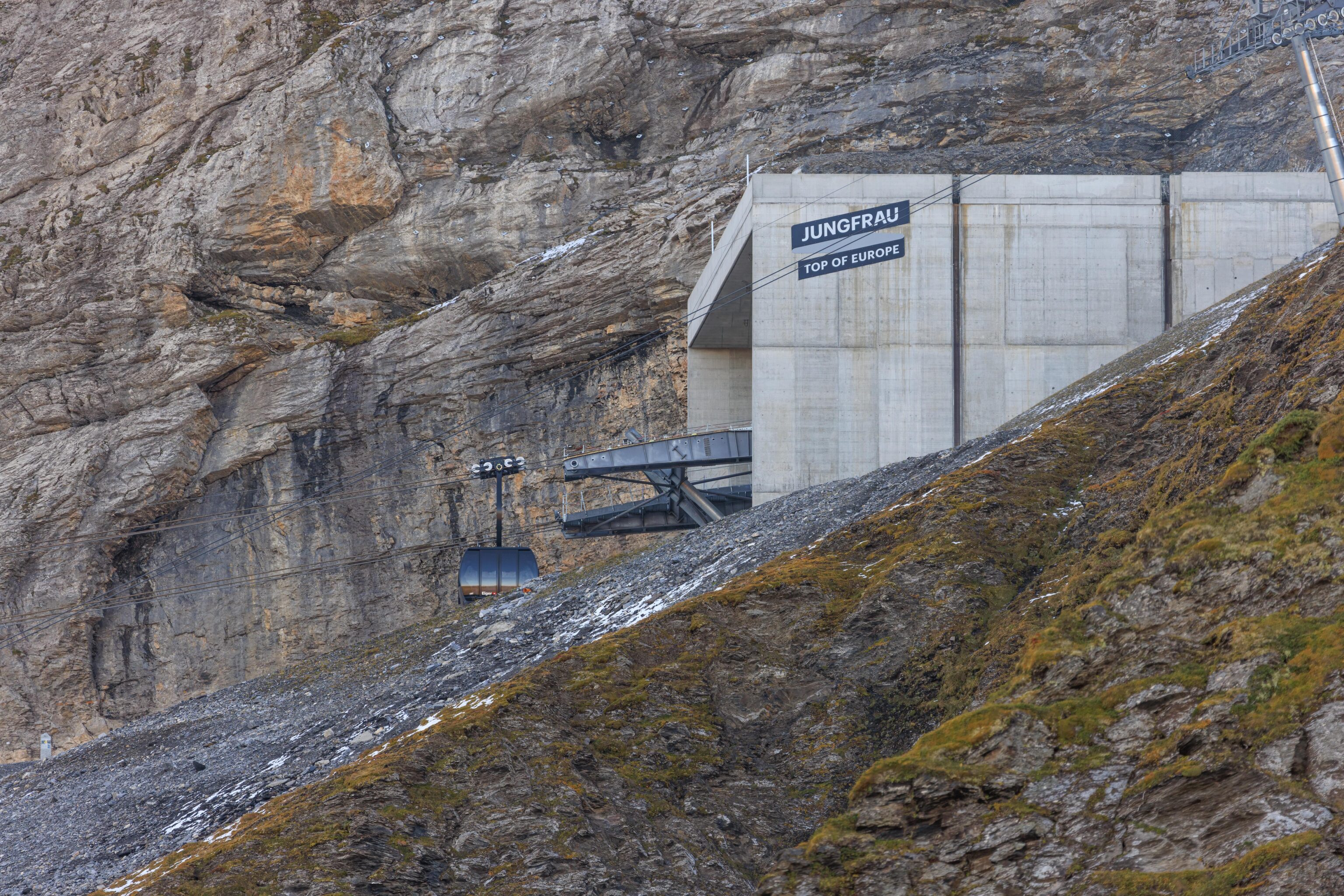
After arriving, we visited the bathrooms and noticed a nearby door. It led to a small outside area that we hadn’t noticed before. Jungfrau was directly in front of us when facing south. While the Sphinx was not visible from this angle, we could see the former transmission station.
We went back inside and walked through the building to the exit on the west side. A similar view when looking up.
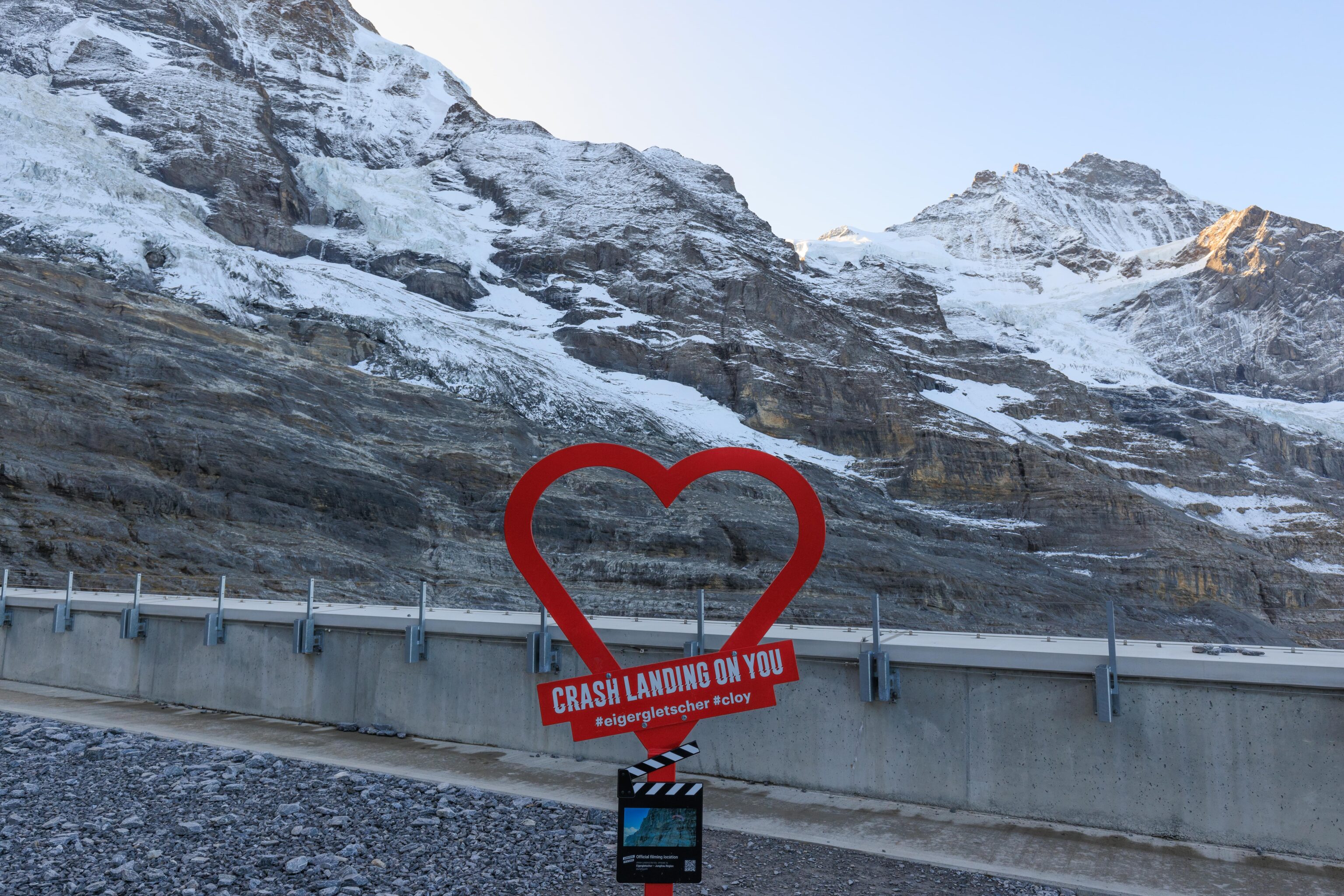
We went to the nearby Crash Landing on You sign. This was the first one we found on our first day here in the area. A very different scene compared to that day when we couldn’t see these mountains at all!
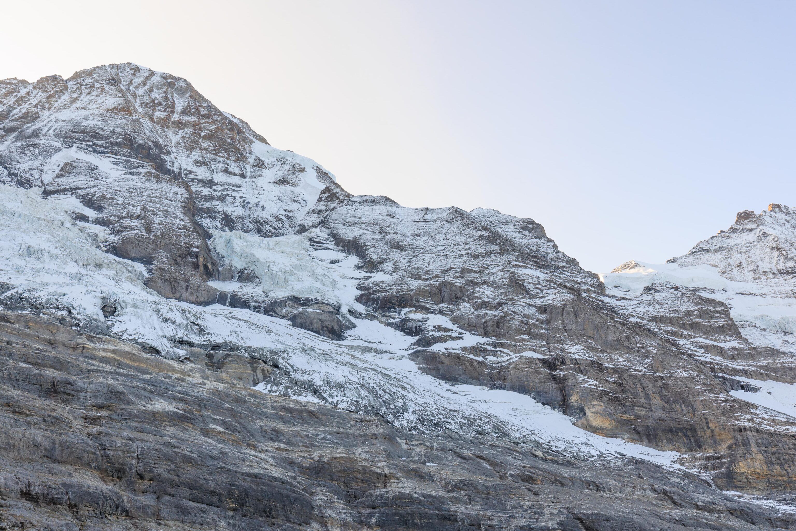
We started walking to the west to begin our hike down to Kleine Scheidegg. This was about as far as we went on our first day when it was snowing.
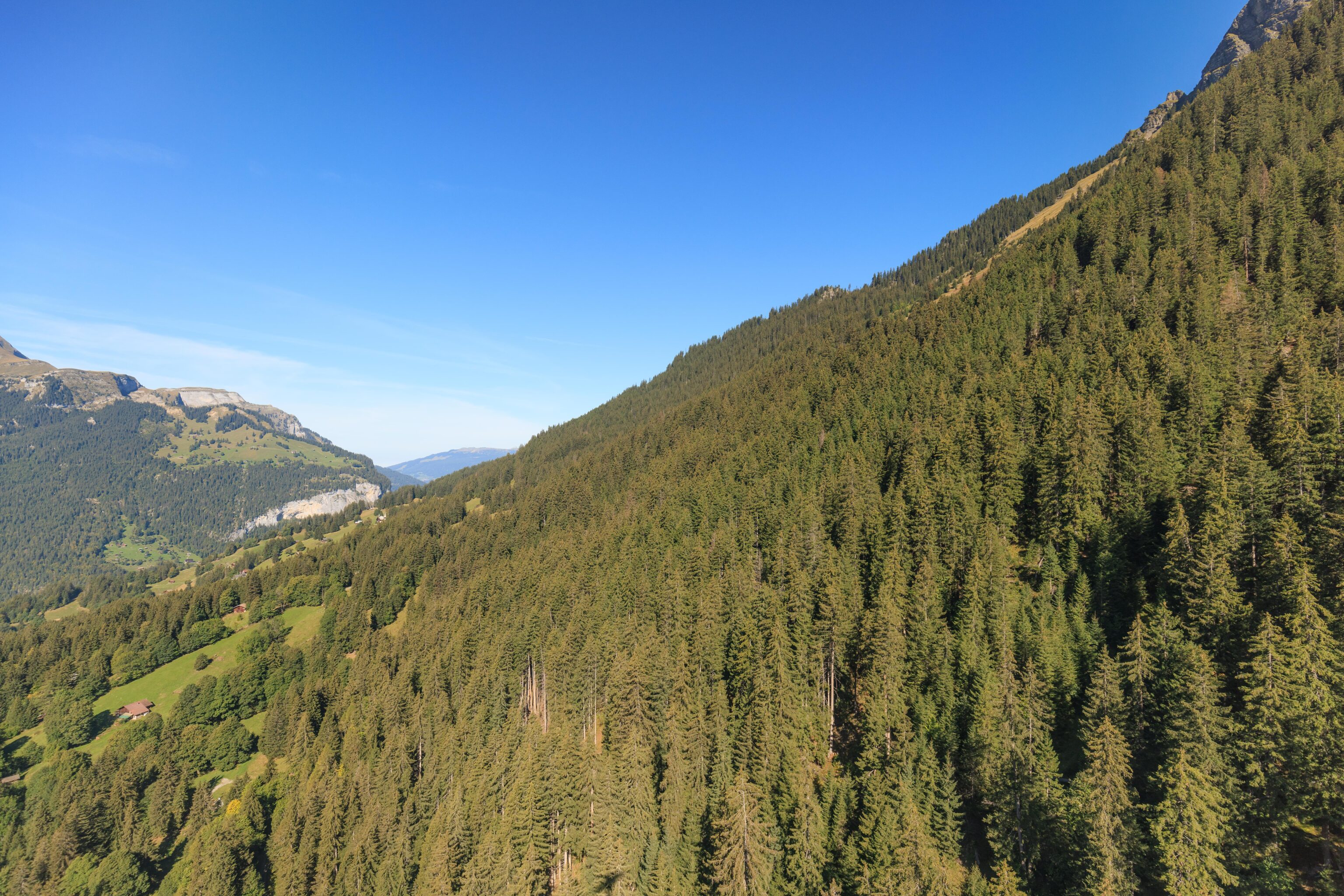
We followed the trail and started walking downhill. It was somewhat steep and gravelly, which limited our speed as we didn’t want to lose traction and slip.
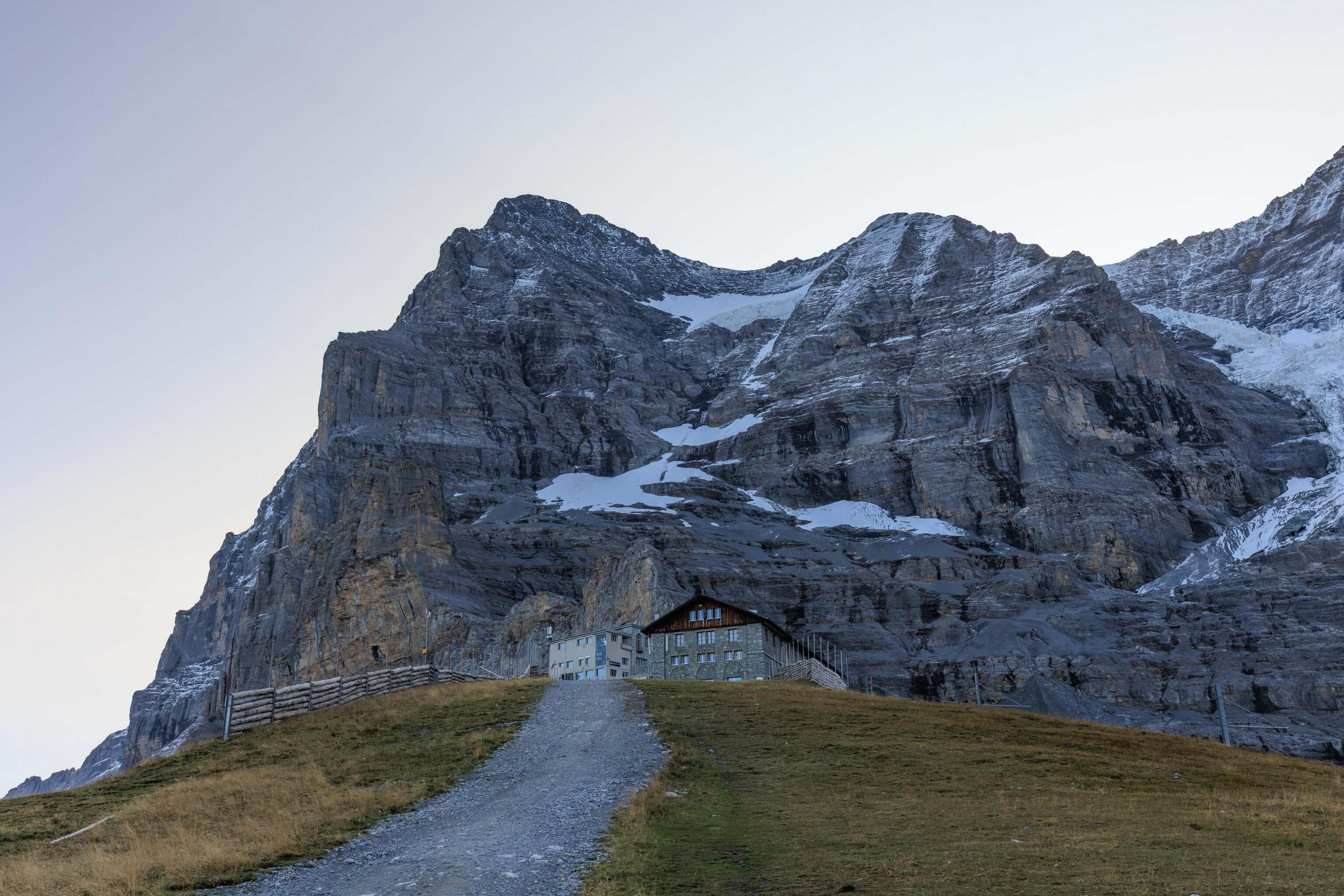
Looking back, the modern new terminal building at Eigergletscher could no longer be seen.
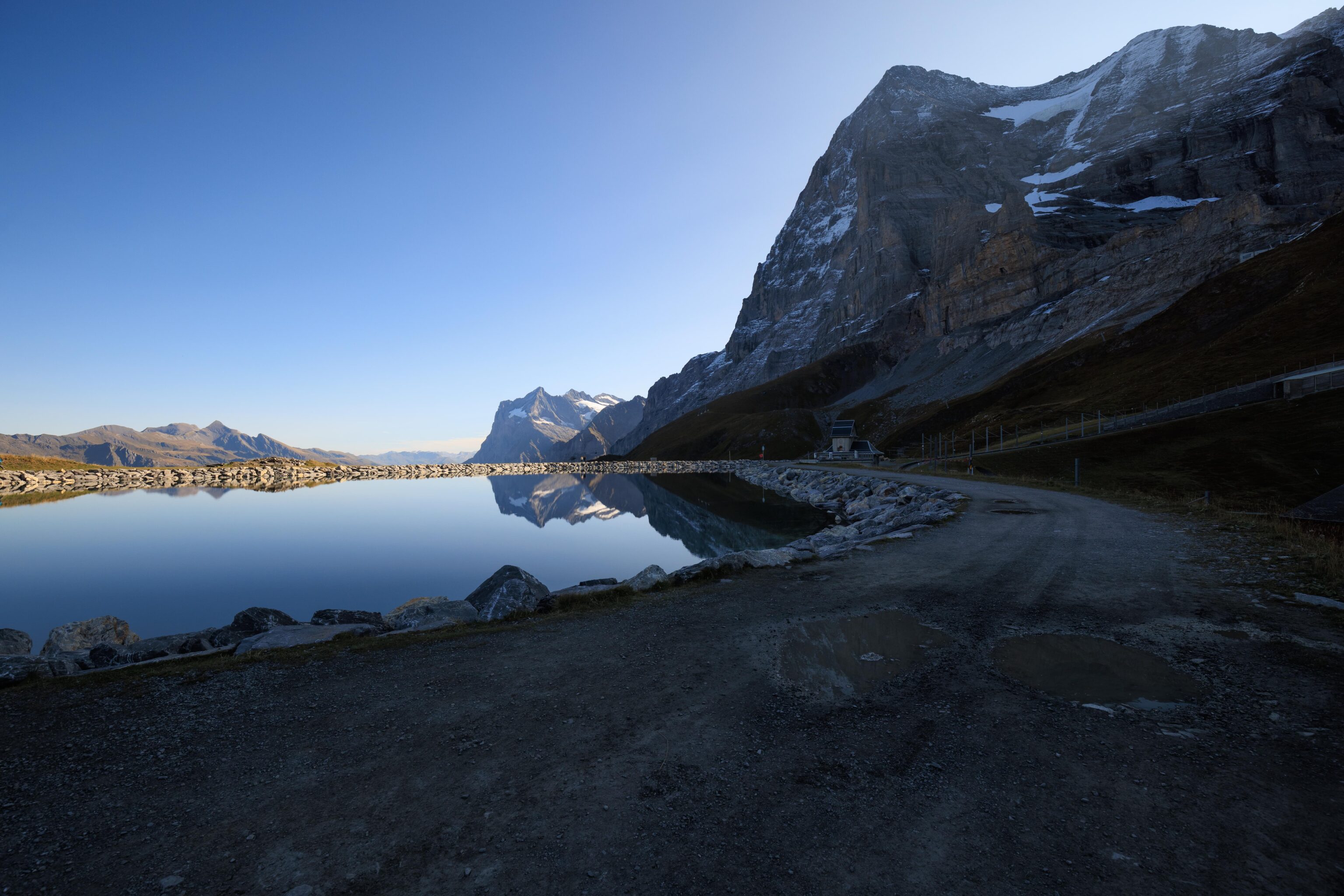
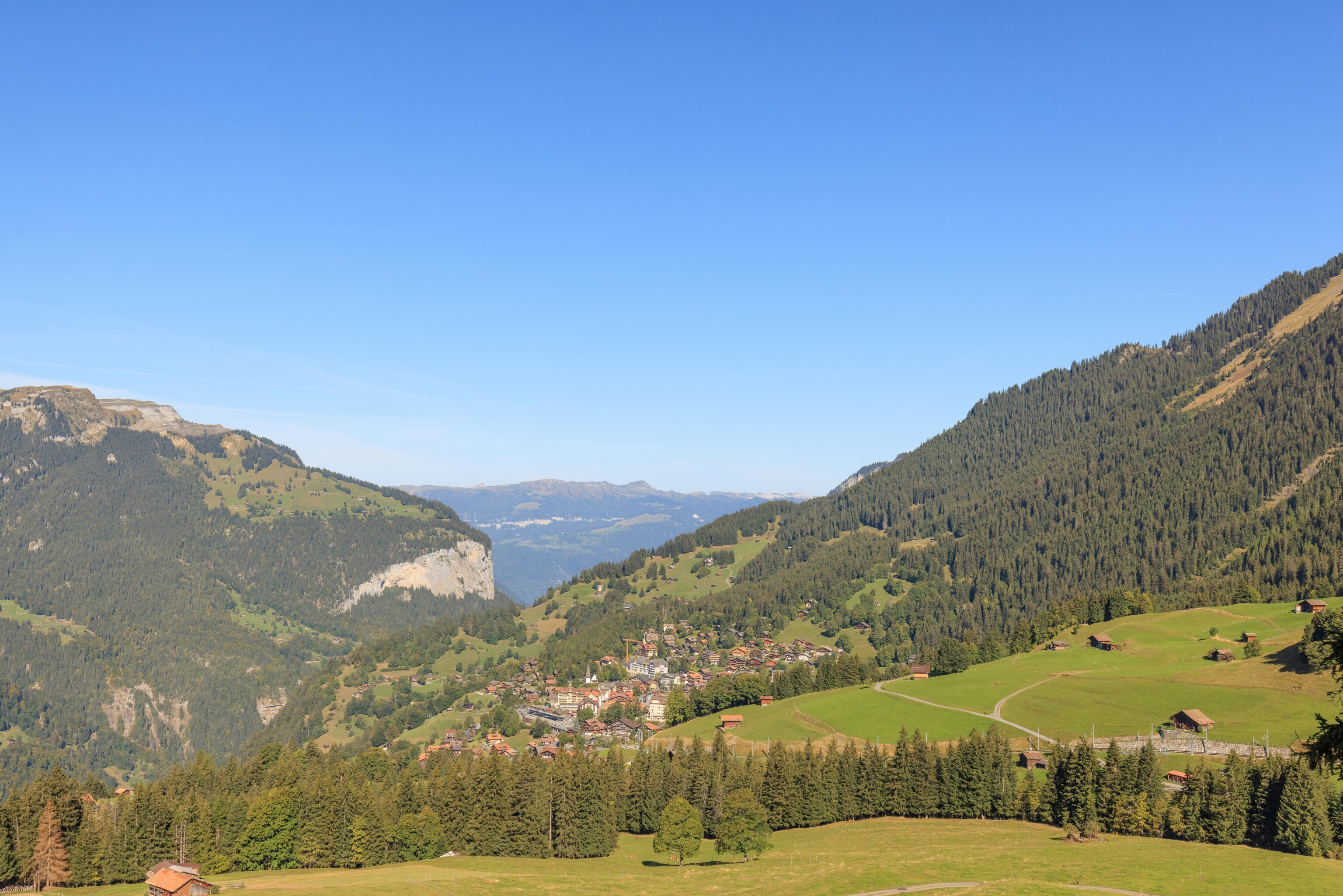
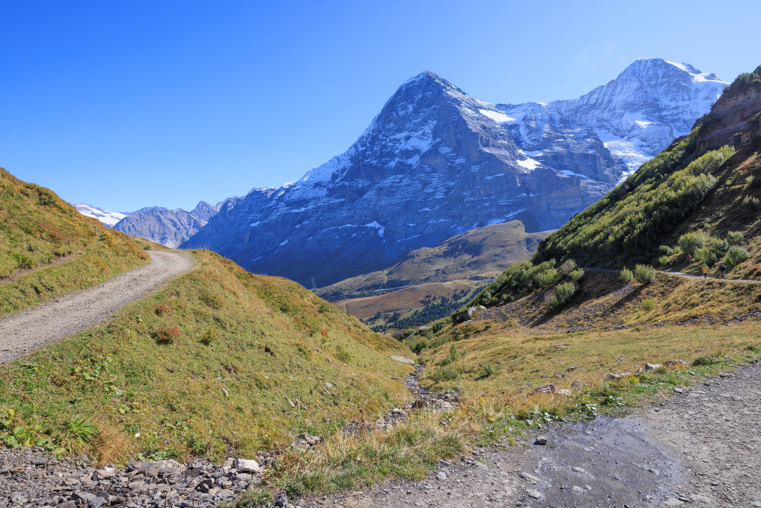
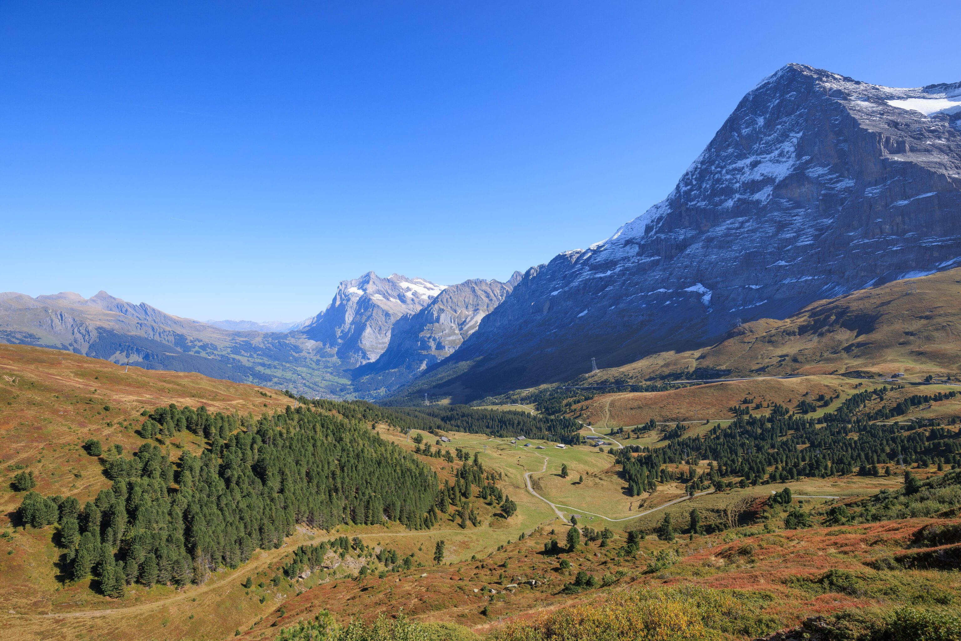
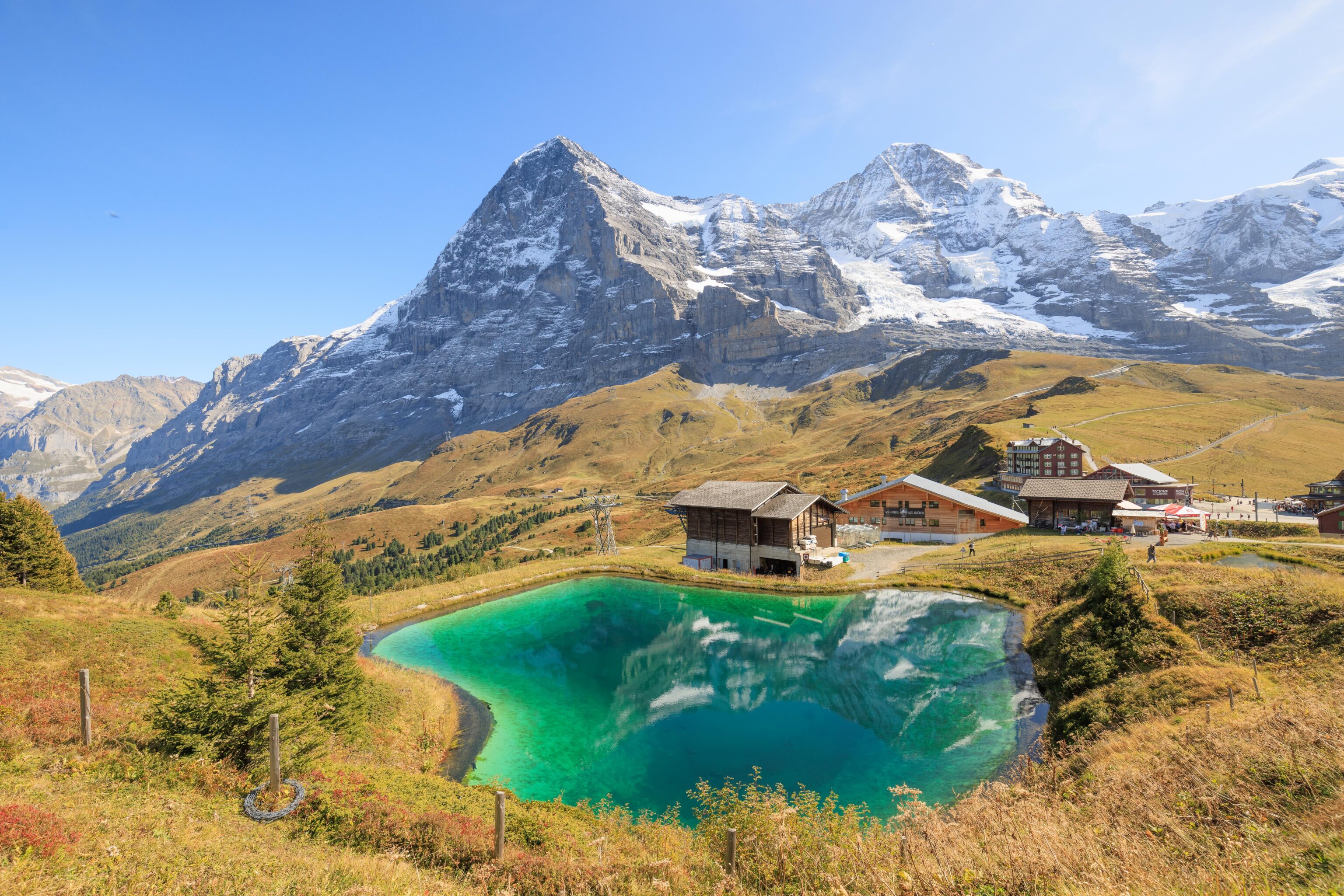
Soon, we could see the Fallbondensee in front of us. Kleine Scheidegg was just beyond the lake. While it is probably possible to simply walk directly there, it seems it would be very steep.
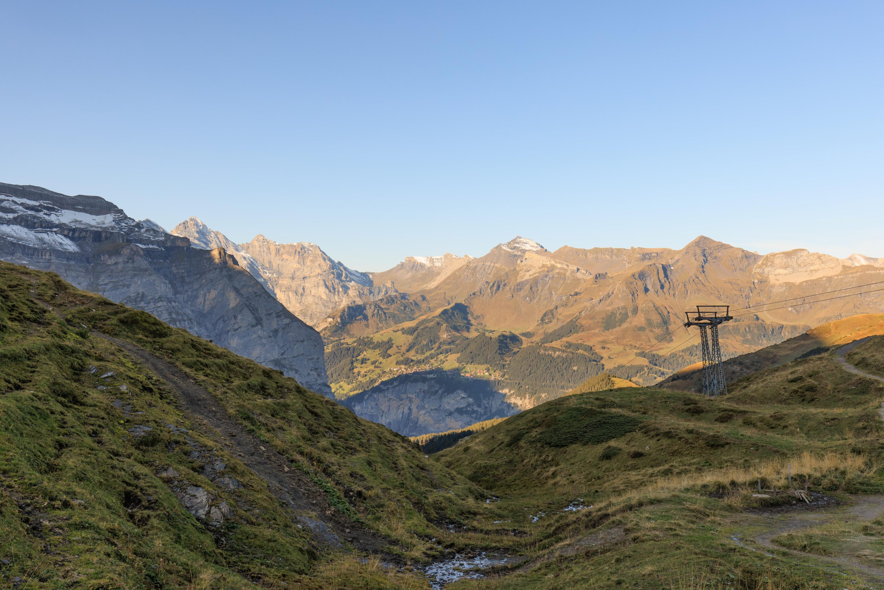
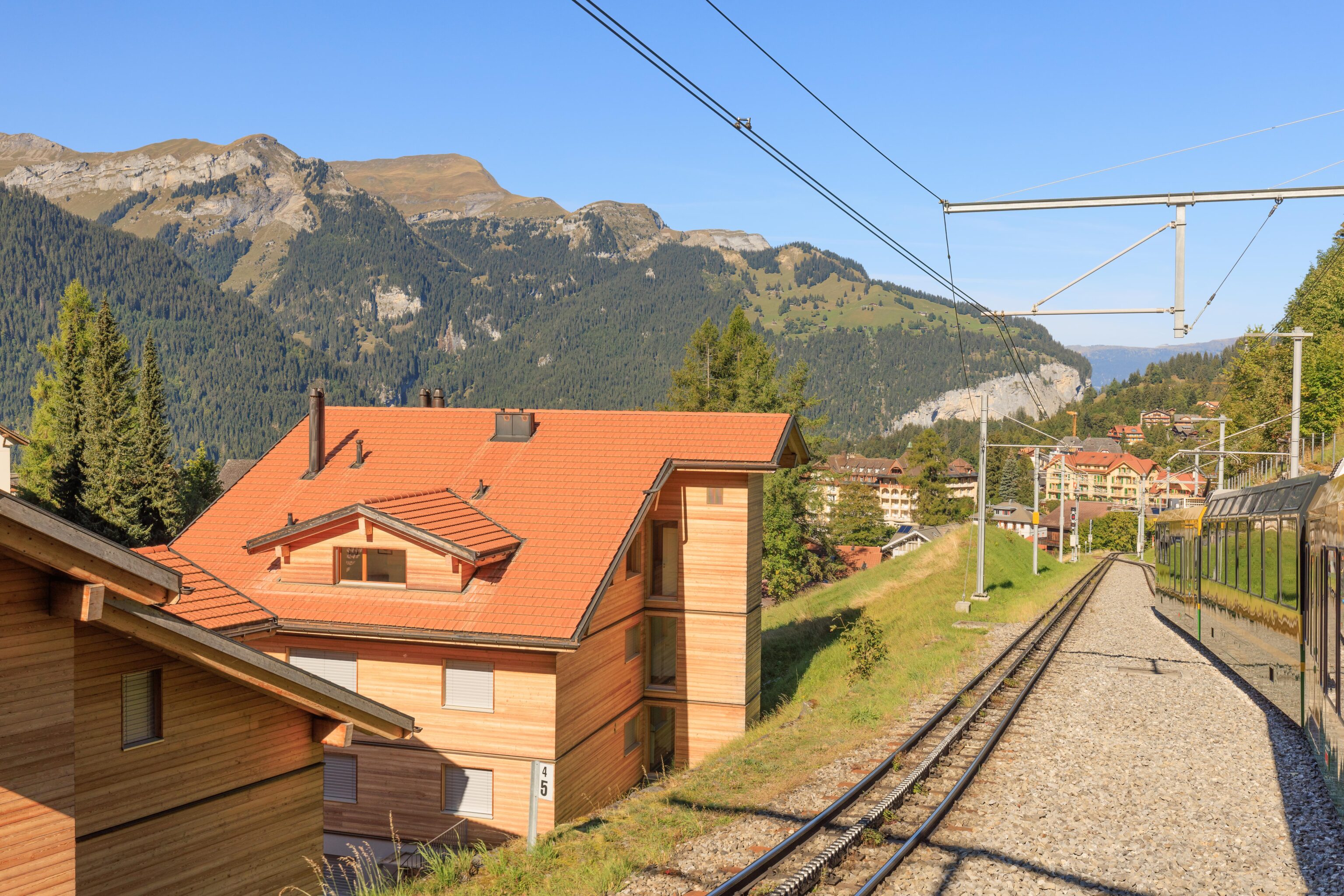
As we continued walking downhill, a train passed by. It is about to enter a short partially enclosed tunnel.
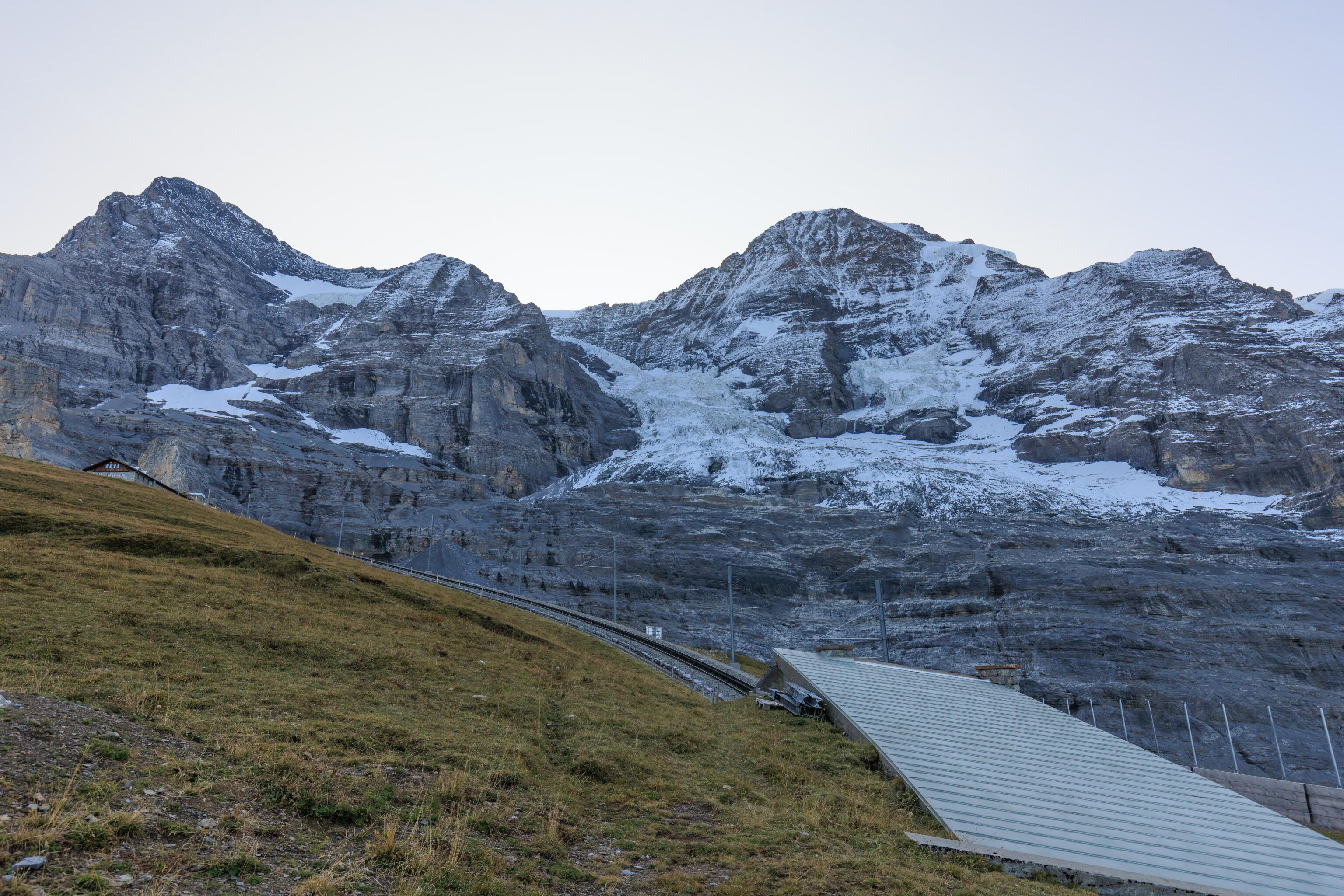
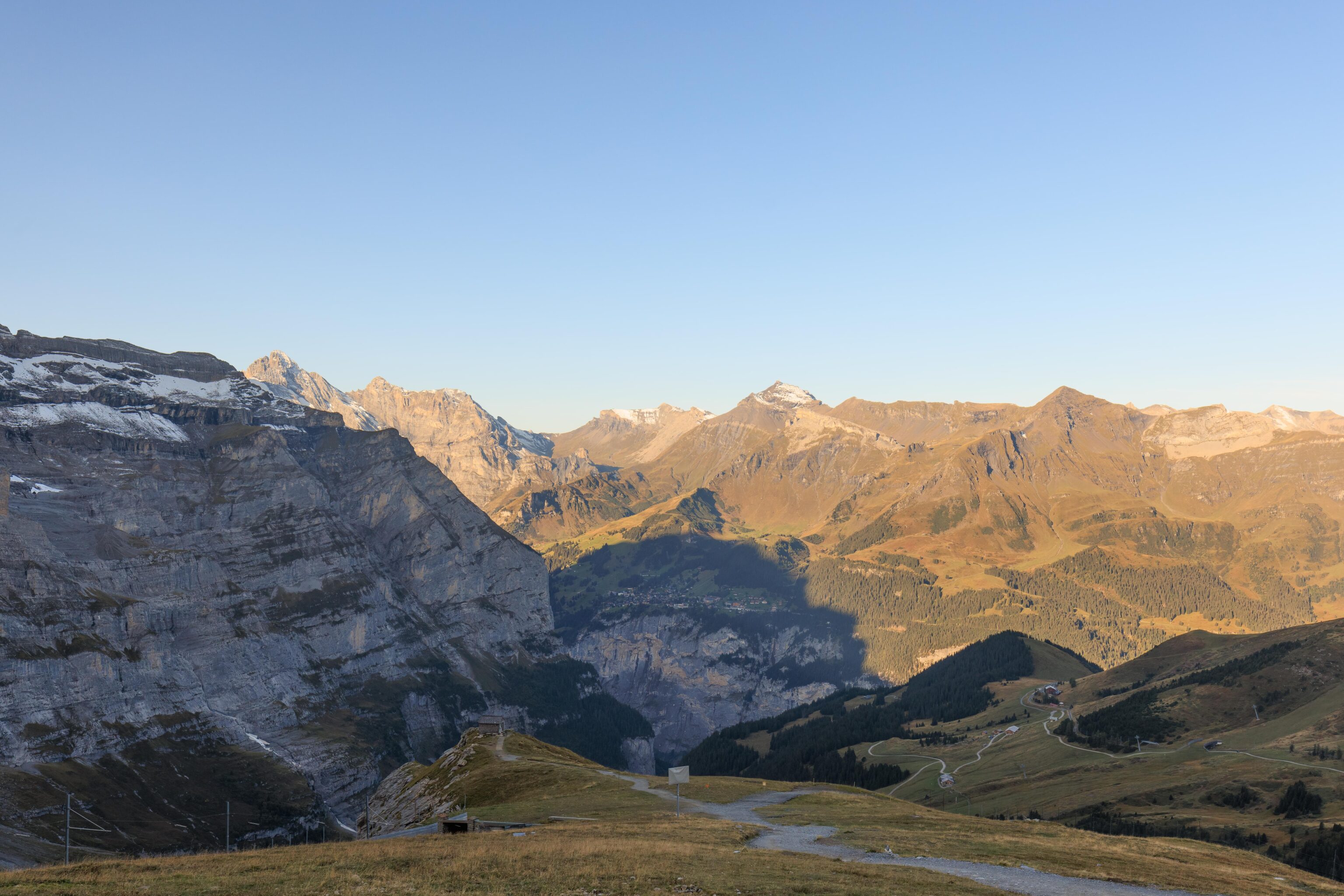
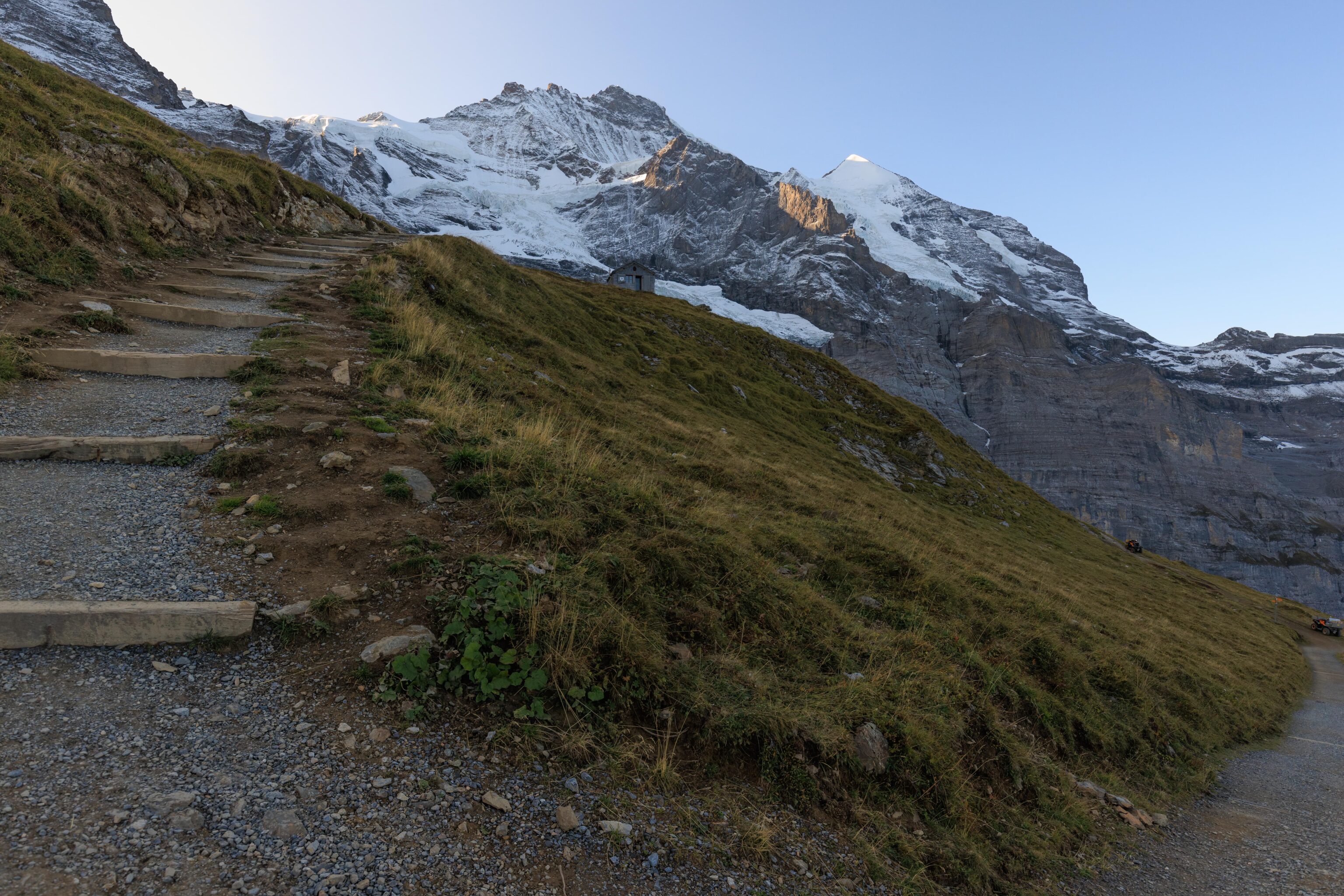
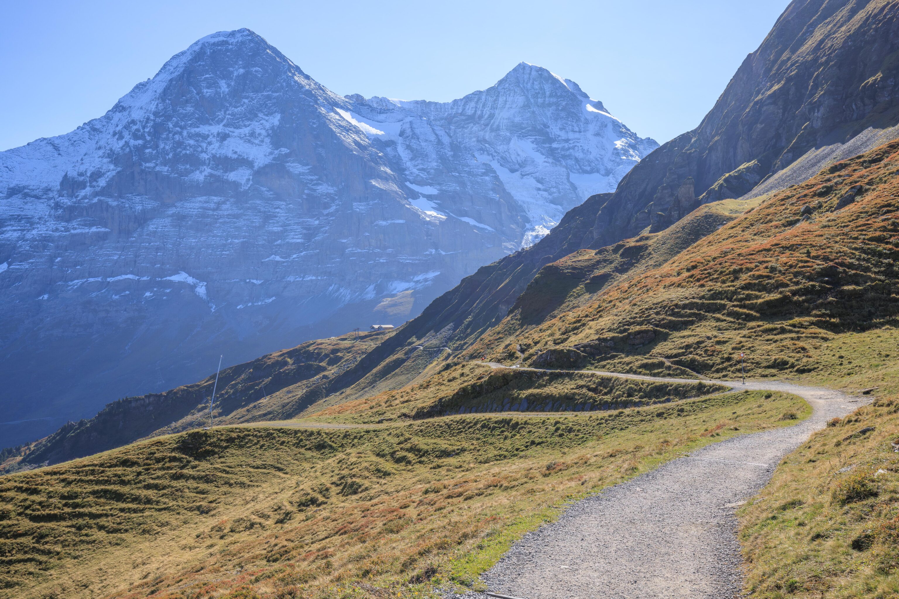
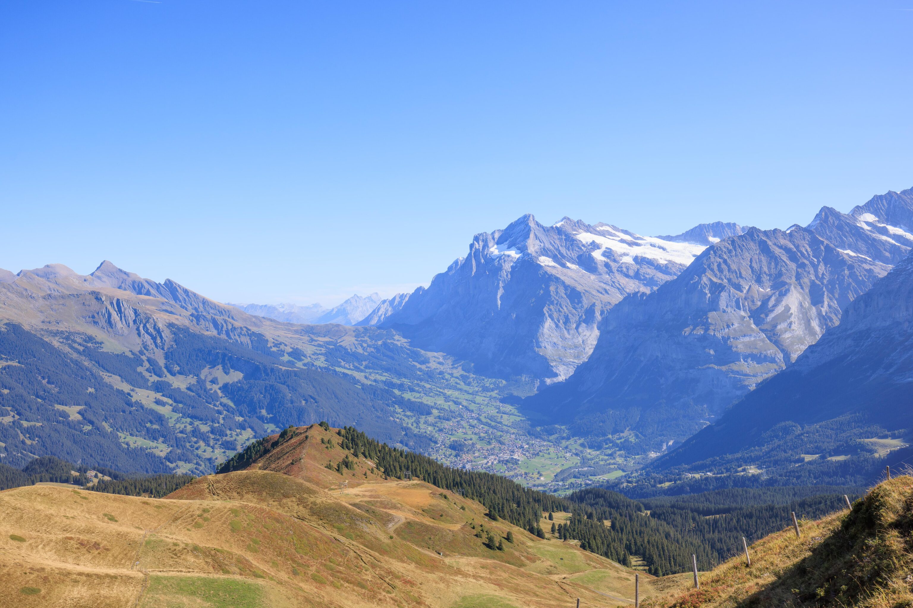
The trail took us above the railway tunnel. The mountains look very different from so close up. Eiger is the peak on the left while Jungfrau is the wider looking peak just right of center. Mönch is not visible from here.
As we continued walking, we saw a small building on our left. It looks like it may be a small mountain hut.
Looking back, we could actually see more of the Eigergletscher station compared to before when we were closer.
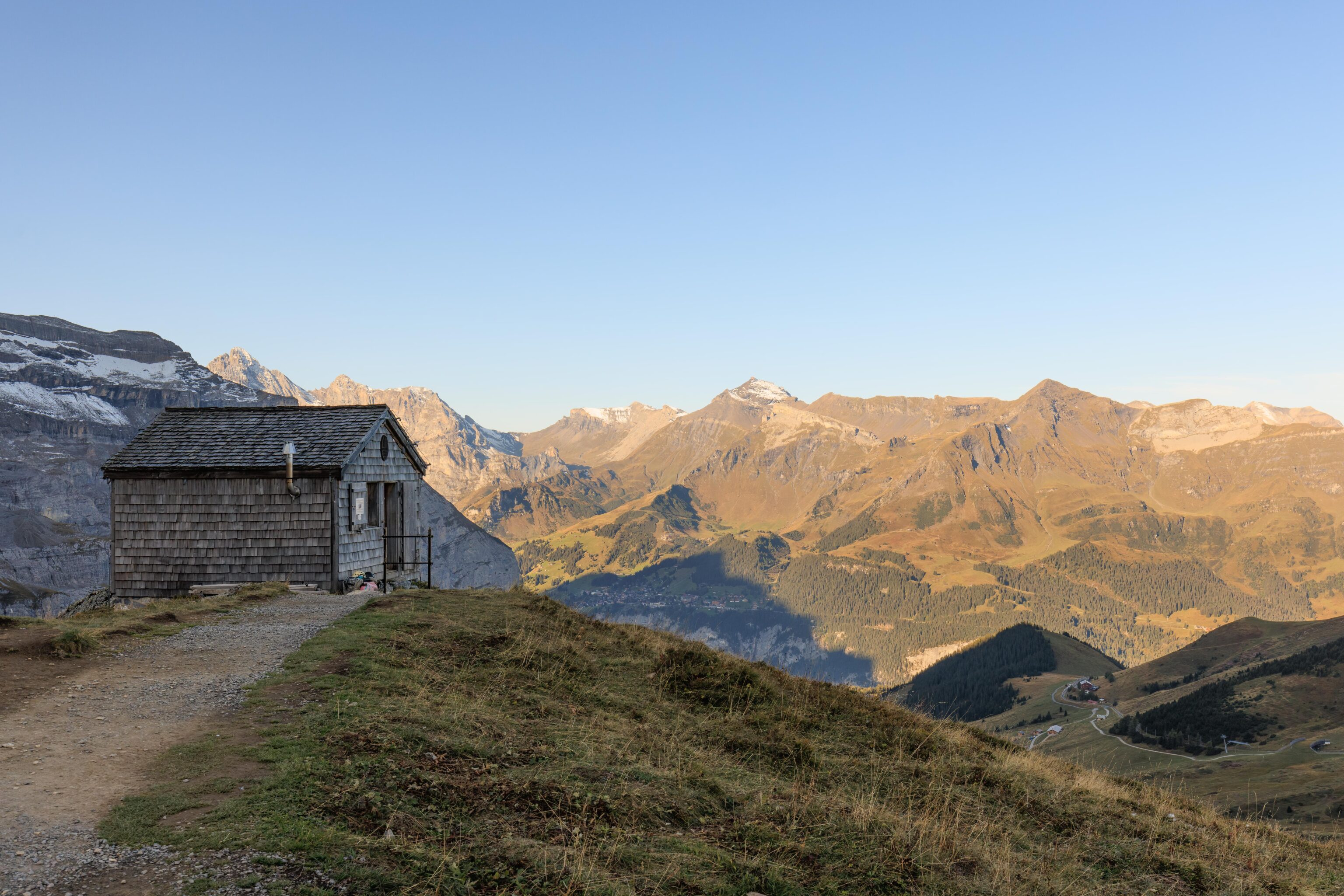
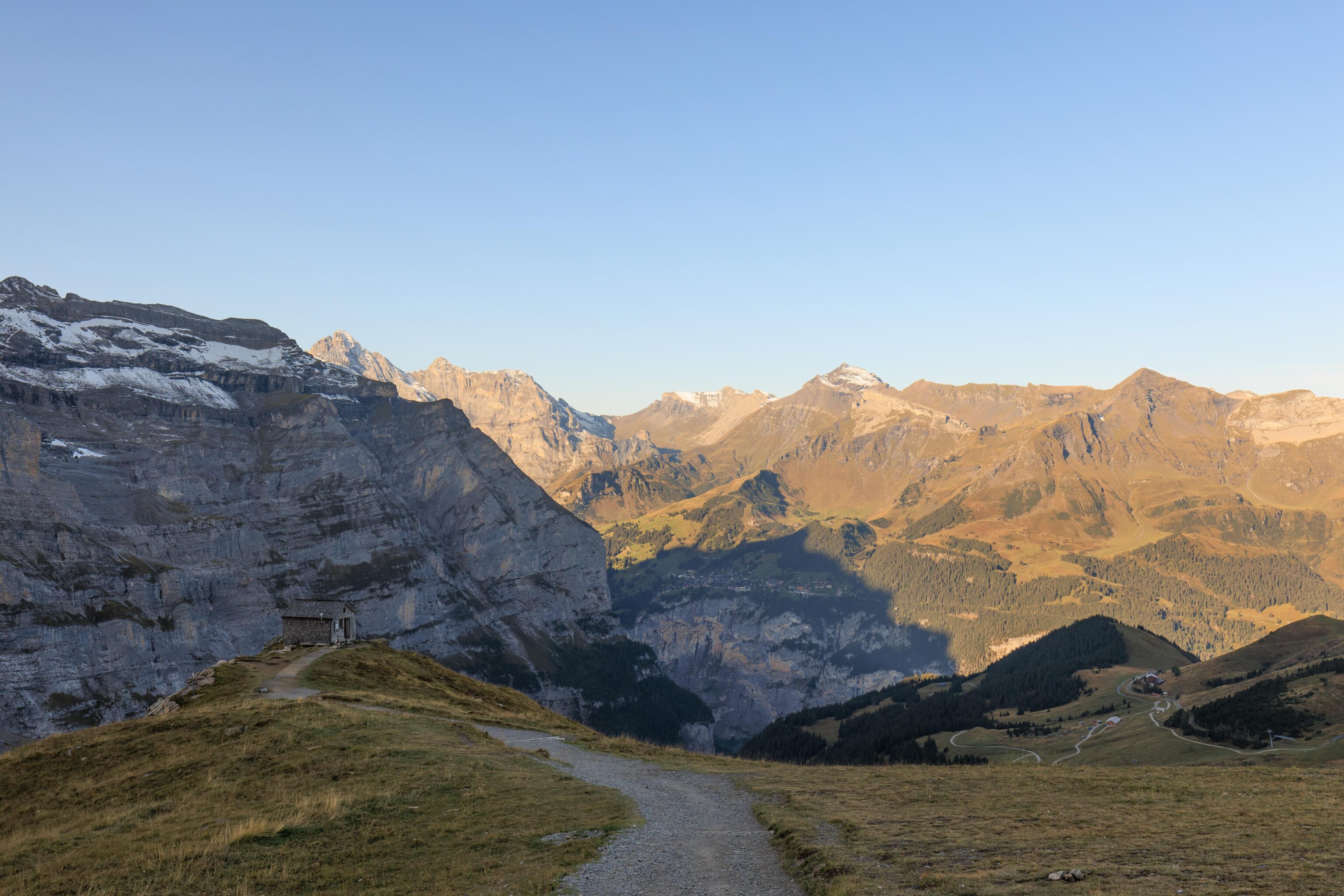
We soon reached the little hut. Looking on Google Maps, this is the Alte Mittellegihütte. It was formerly on Eiger but replaced with a more modern structure. It then was helicoptered down to its current spot. It seems like it was in use by some mountain climbers based on the gear stashed outside.
The trail descends steeply after the hut. Luckily, there are stairs! Down below, once again the Fallbondensee was in front of us.
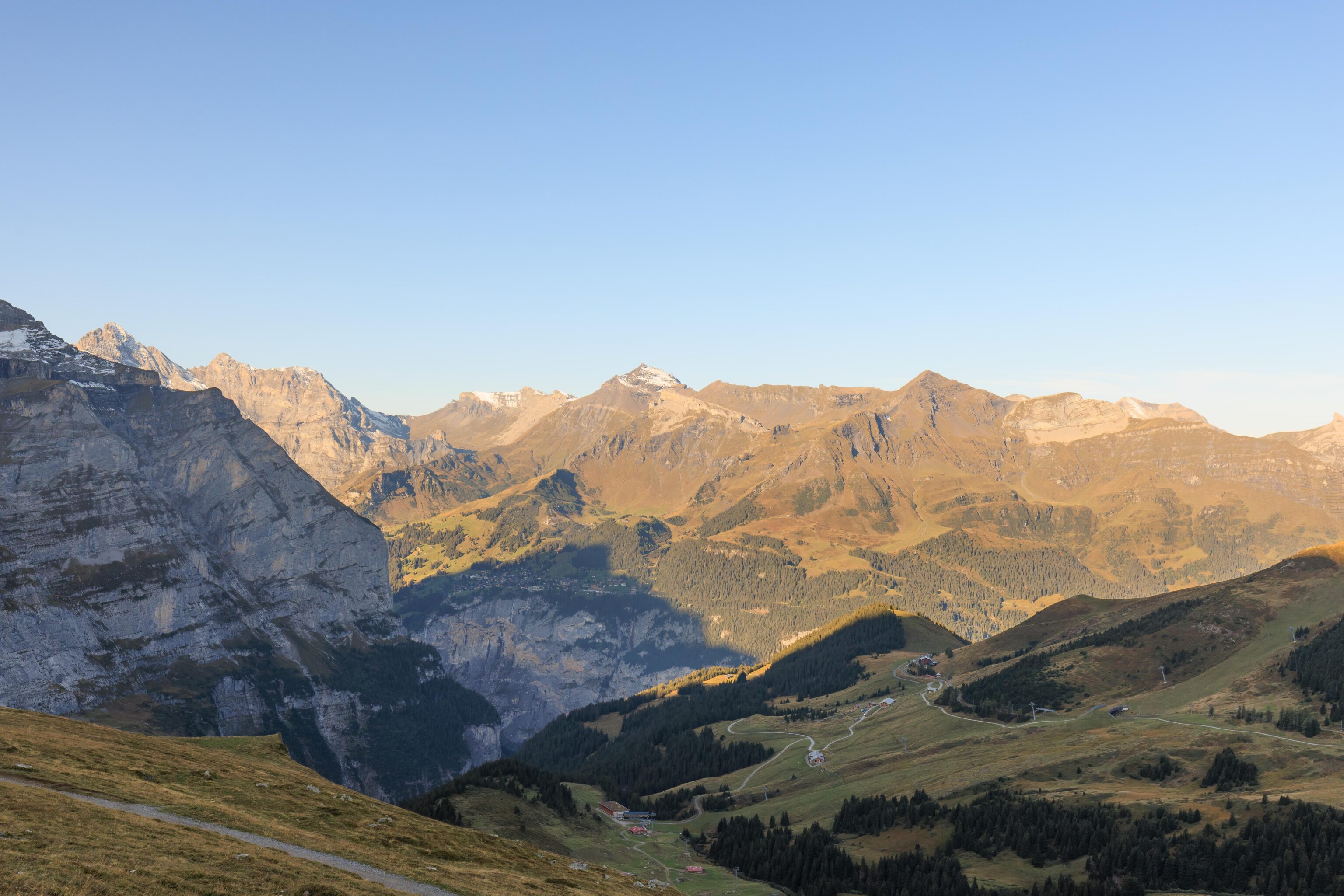
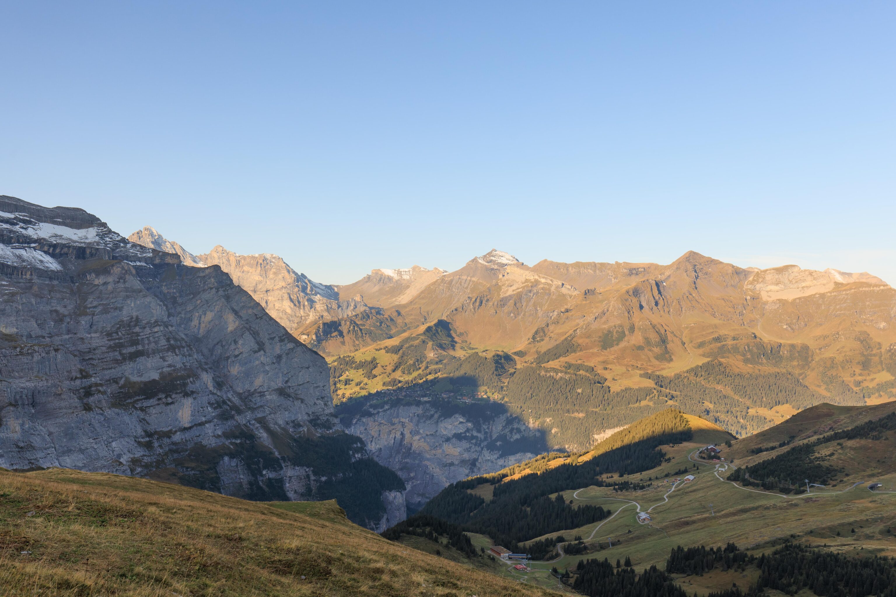
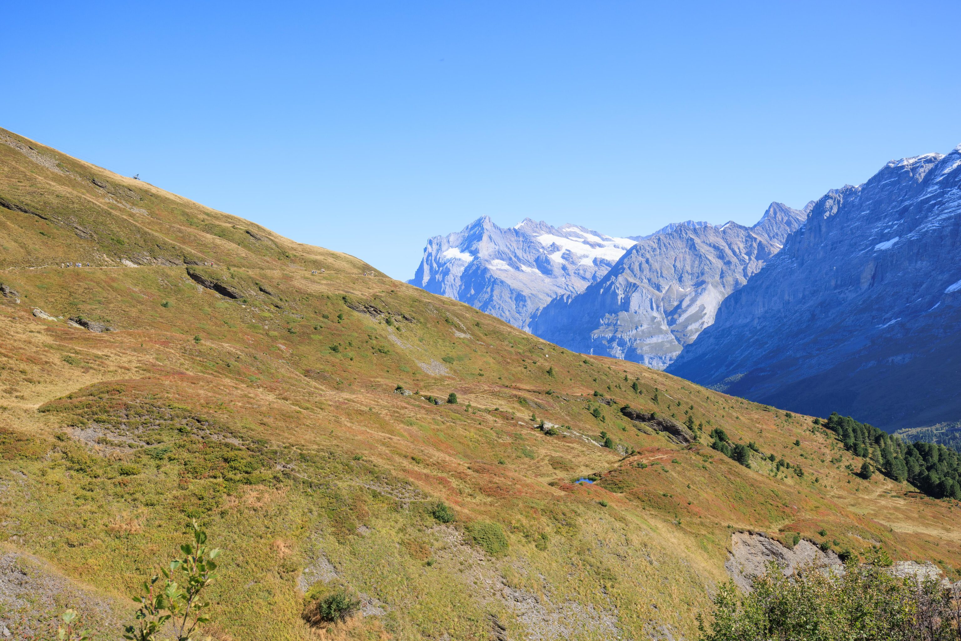
From here, we could see the opposite side of the Lauterbrunnen Valley below. The town on the other side is Mürren, which we walked through yesterday! We could also see Birg and Schilthorn above it.
Once again, the Fallbondensee was in front of us but still no direct route.
The stairs look steeper when viewed from below.
Pretty much the same exact view we saw earlier.
Finally, we were almost down to the same elevation as the little lake!
Now, we really look like we’re at the lake’s exact elevation.
Mürren is starting to emerge from what is probably Jungfrau’s shadow.
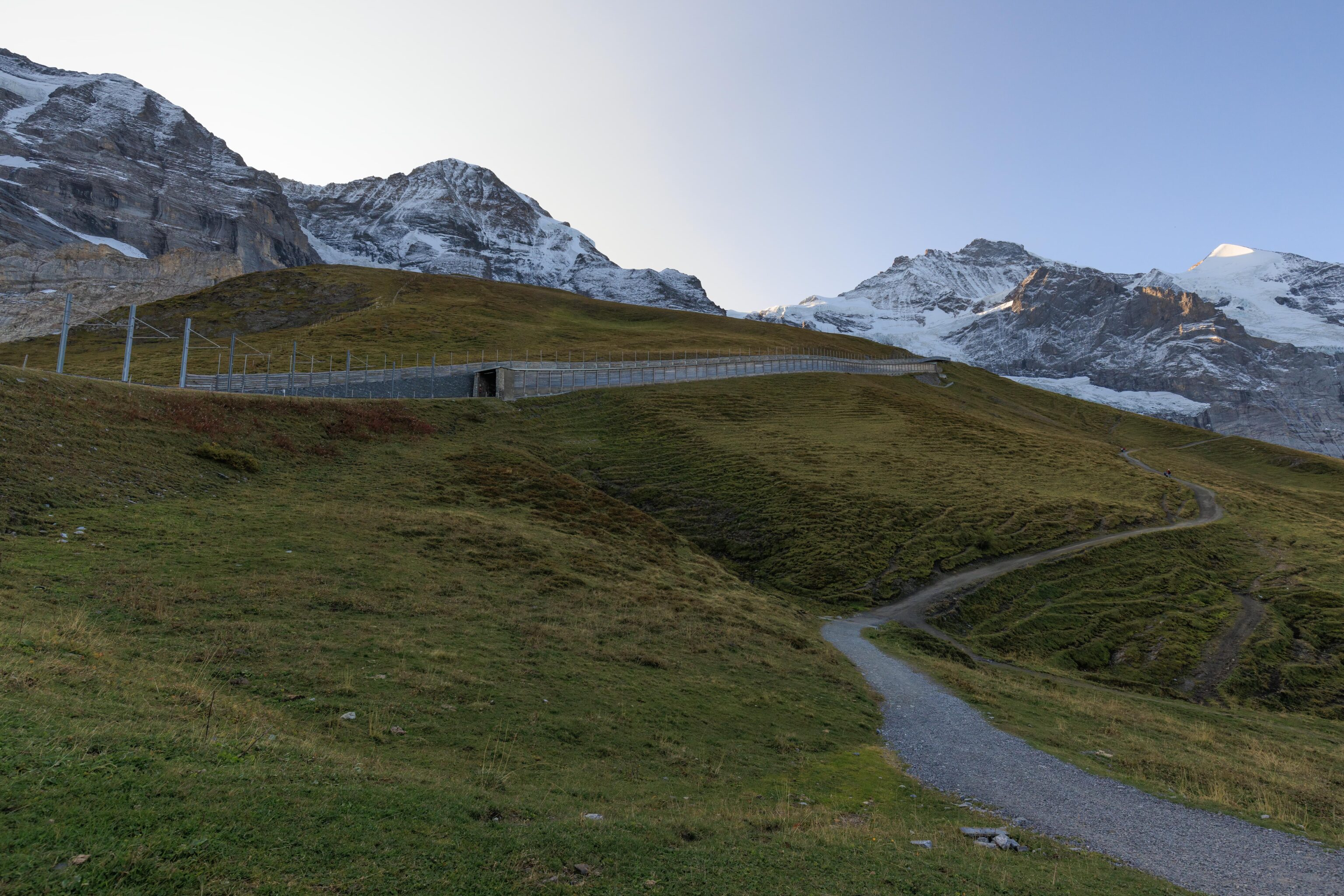
Looking back, we could see the rail tunnel that we passed over earlier. The lower portion isn’t really underground but covered by a protective structure.
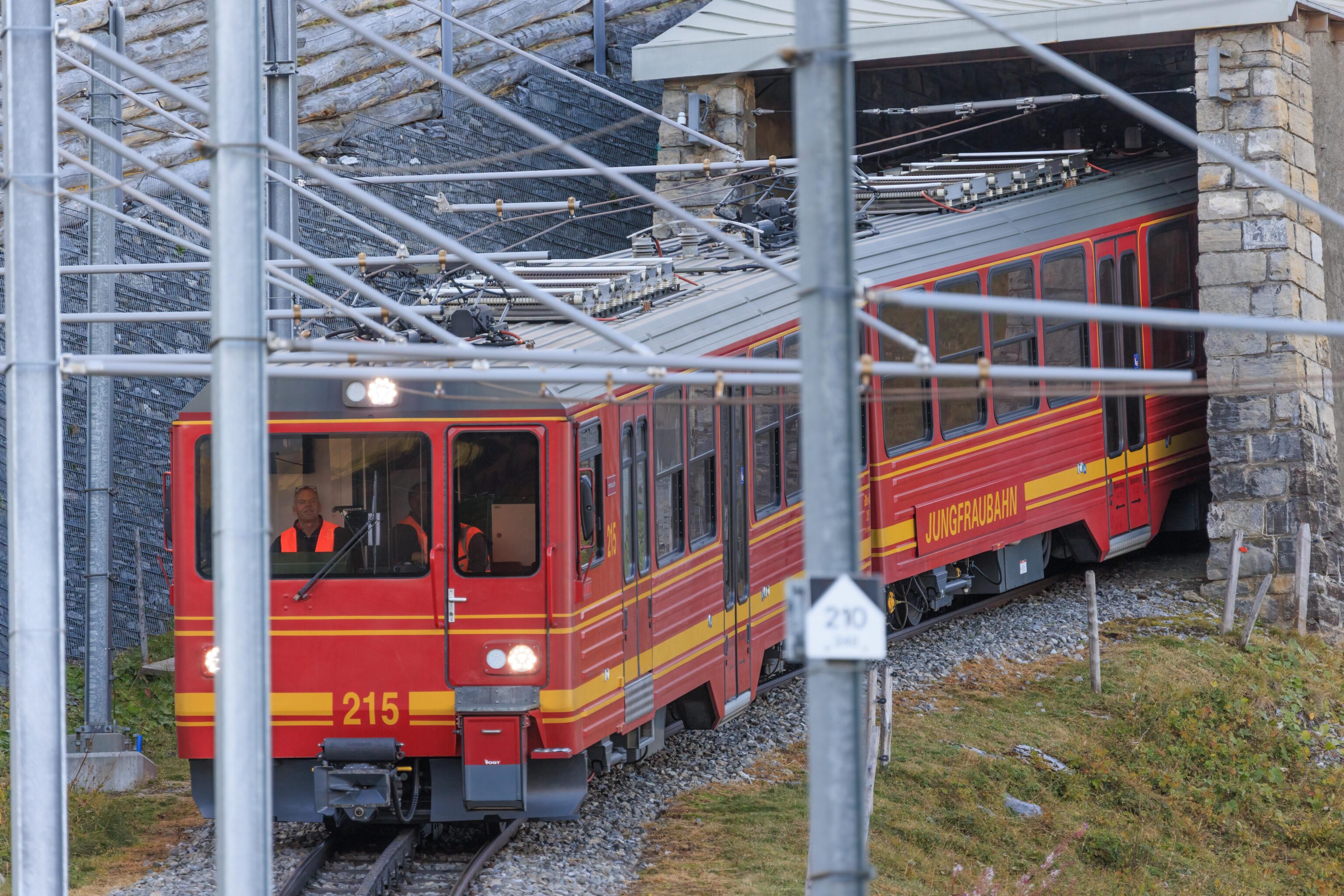
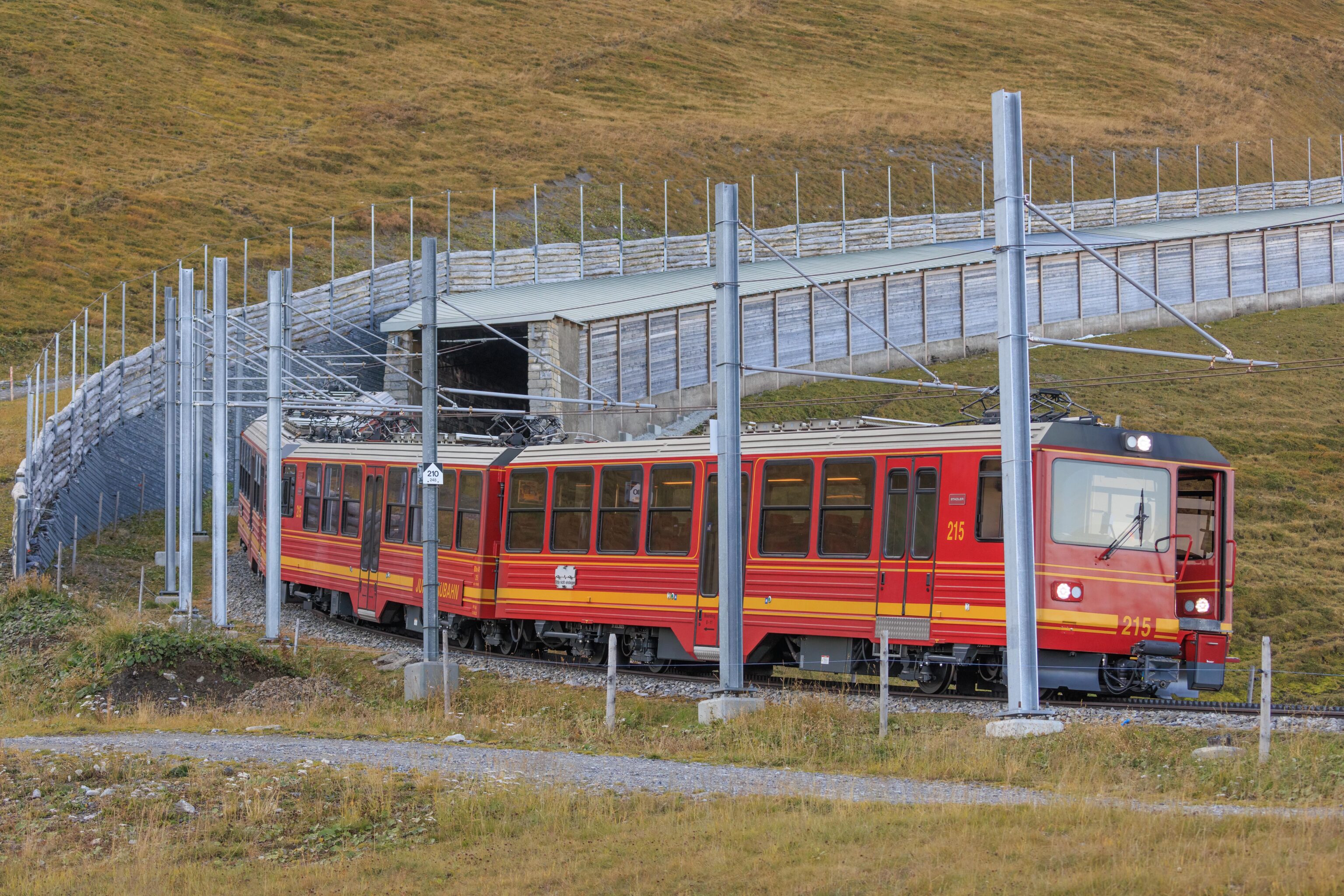
A train soon exited the tunnel.
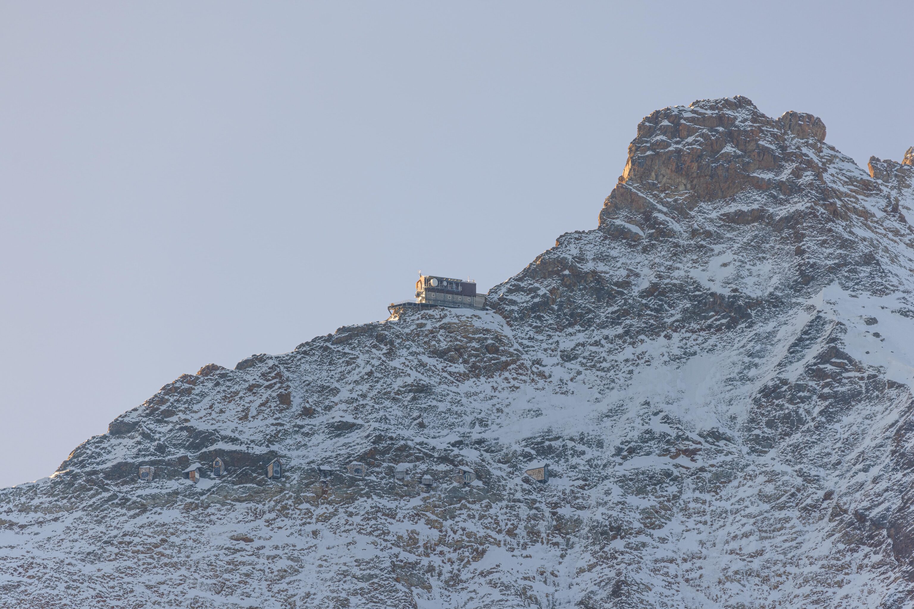
We took a look at some of the surrounding features using our telephoto lens. We got a pretty good look at the old transmission station on the side of Jungfrau. It is a pretty big building. There are also other structures directly underneath on the side of Jungfrau. We haven’t found any reference that talks about them.
The best information about this station still seems to be the Jungfraujoch Stollen Mathildespitze – Jungfrau Richtstrahlstation1 page at Die Standseilbahnen der Schweiz.
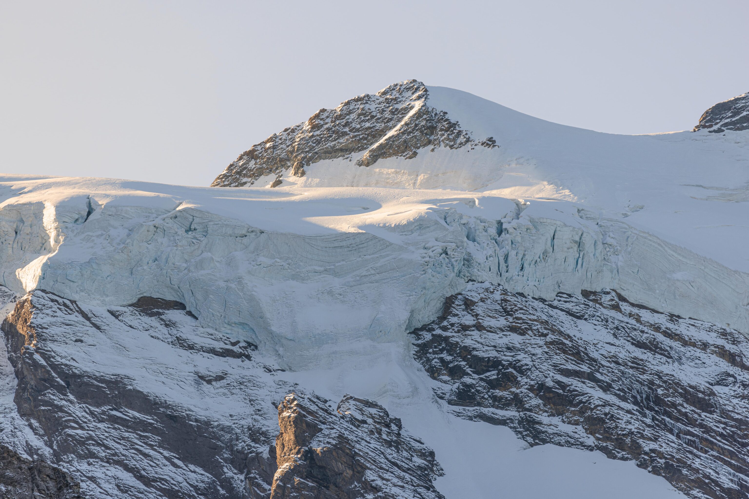
A very big chunk of snow and ice on the side of Jungfrau near where Jungfraujoch probably is.
Using PeakVisor, this is Jungfrau’s peak.
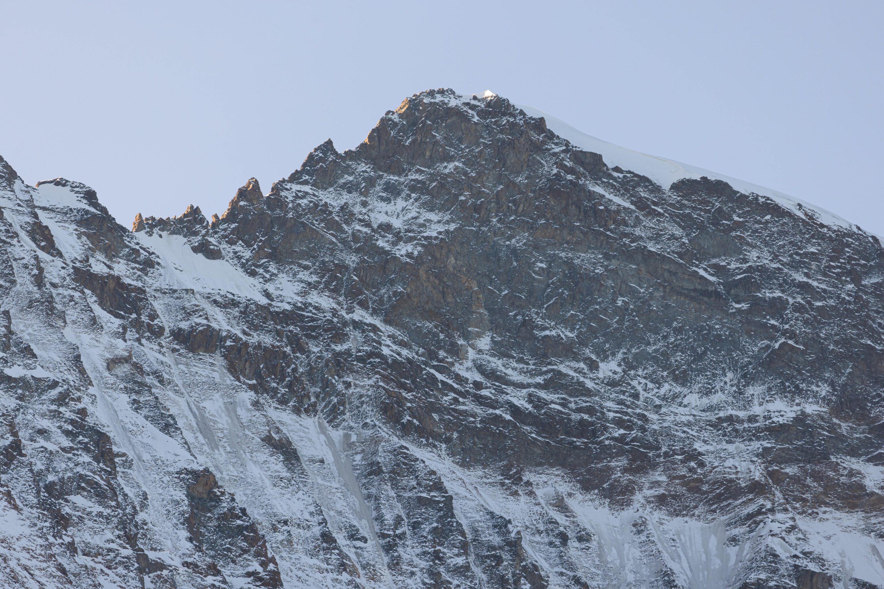
This snow covered triangular peak to the right of Jungfrau is the Silberhorn.
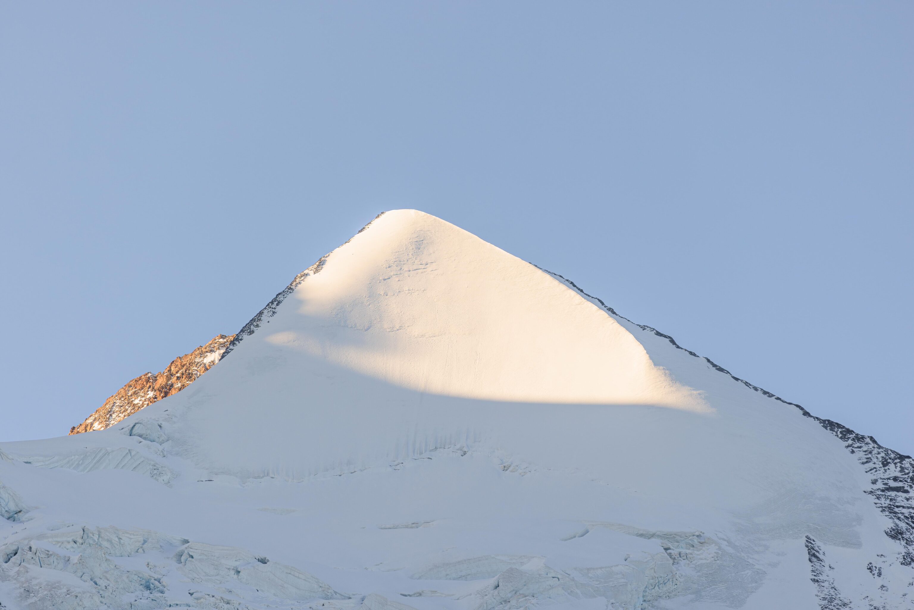
This is Mönch.
To the left of Mönch, and below Eiger, we could see the Eiger Express.
Looking to the west, we could easily see Birg, including Thrill Walk, and Schilthorn above it.
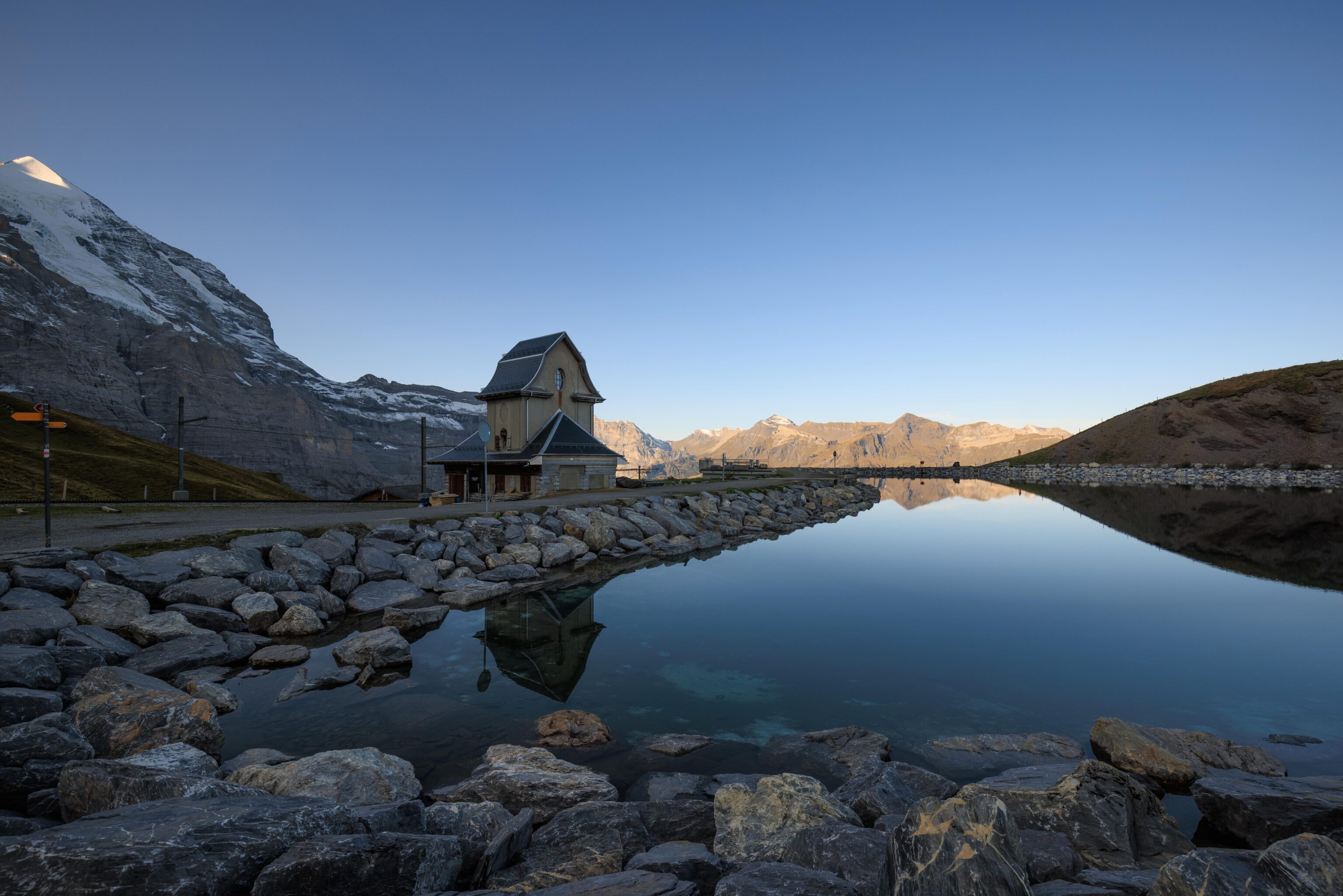
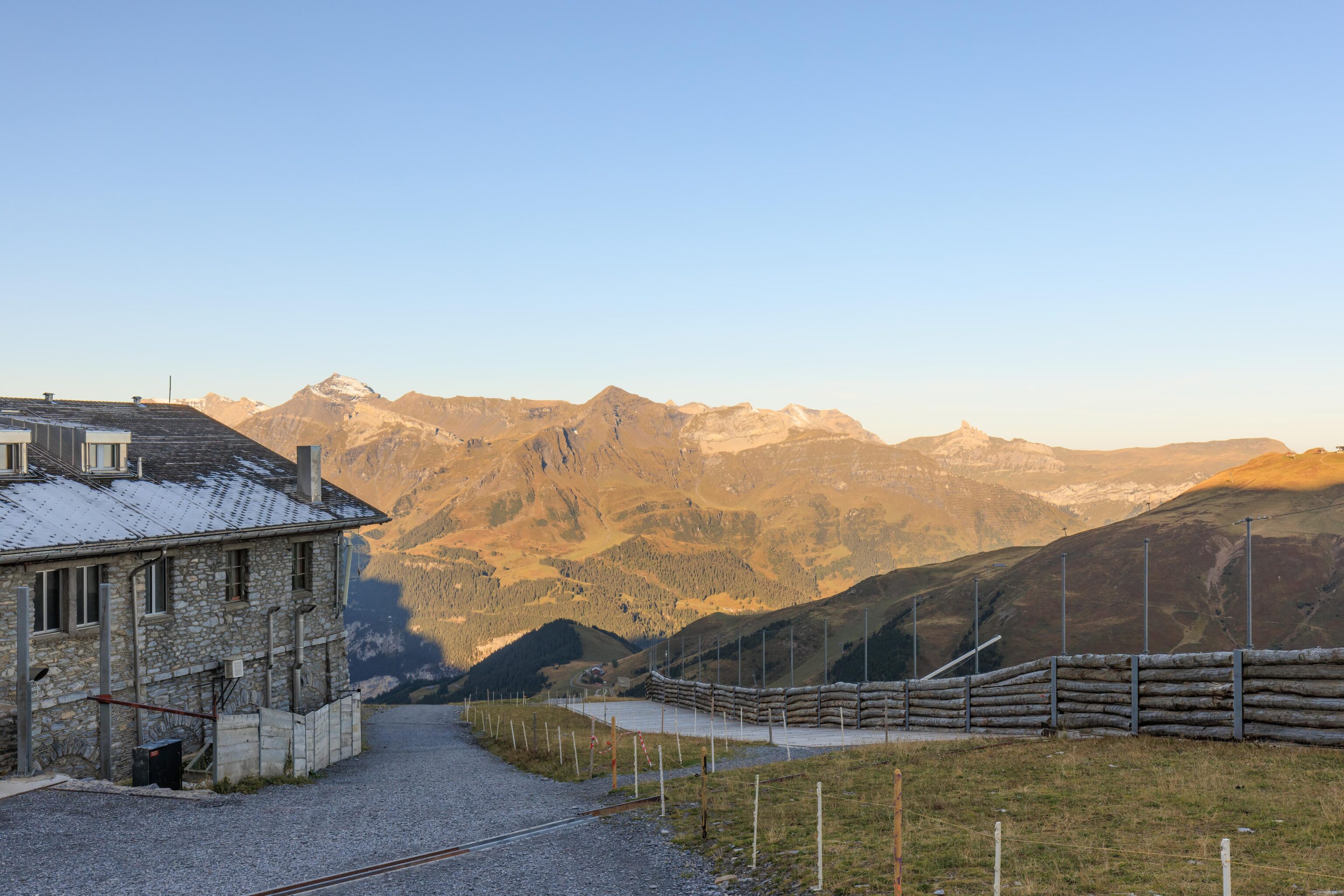
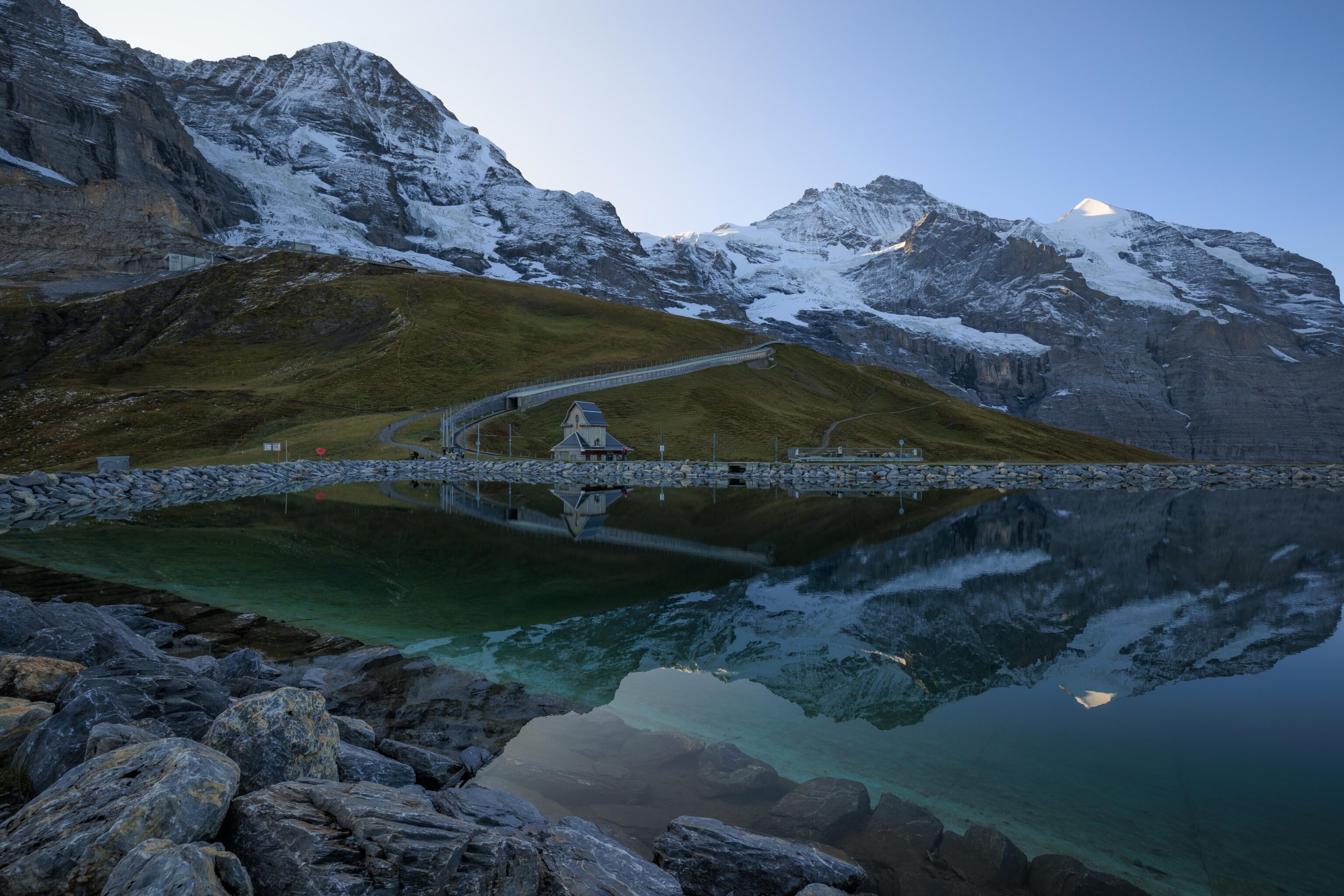
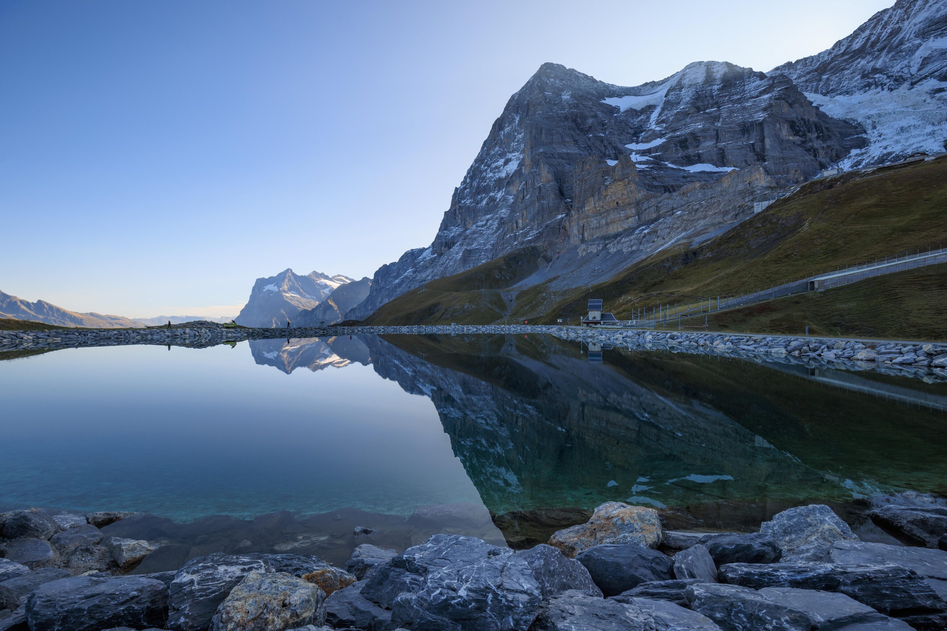
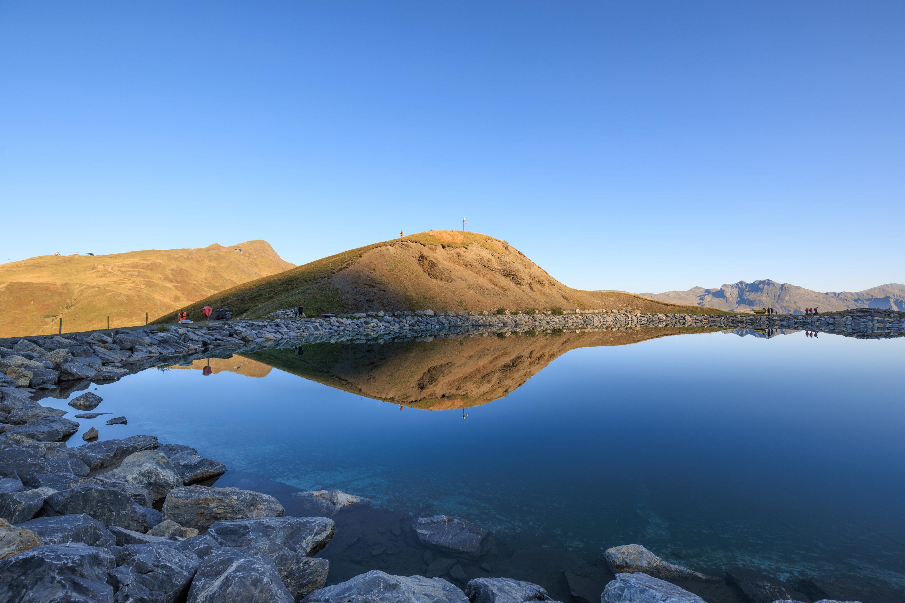
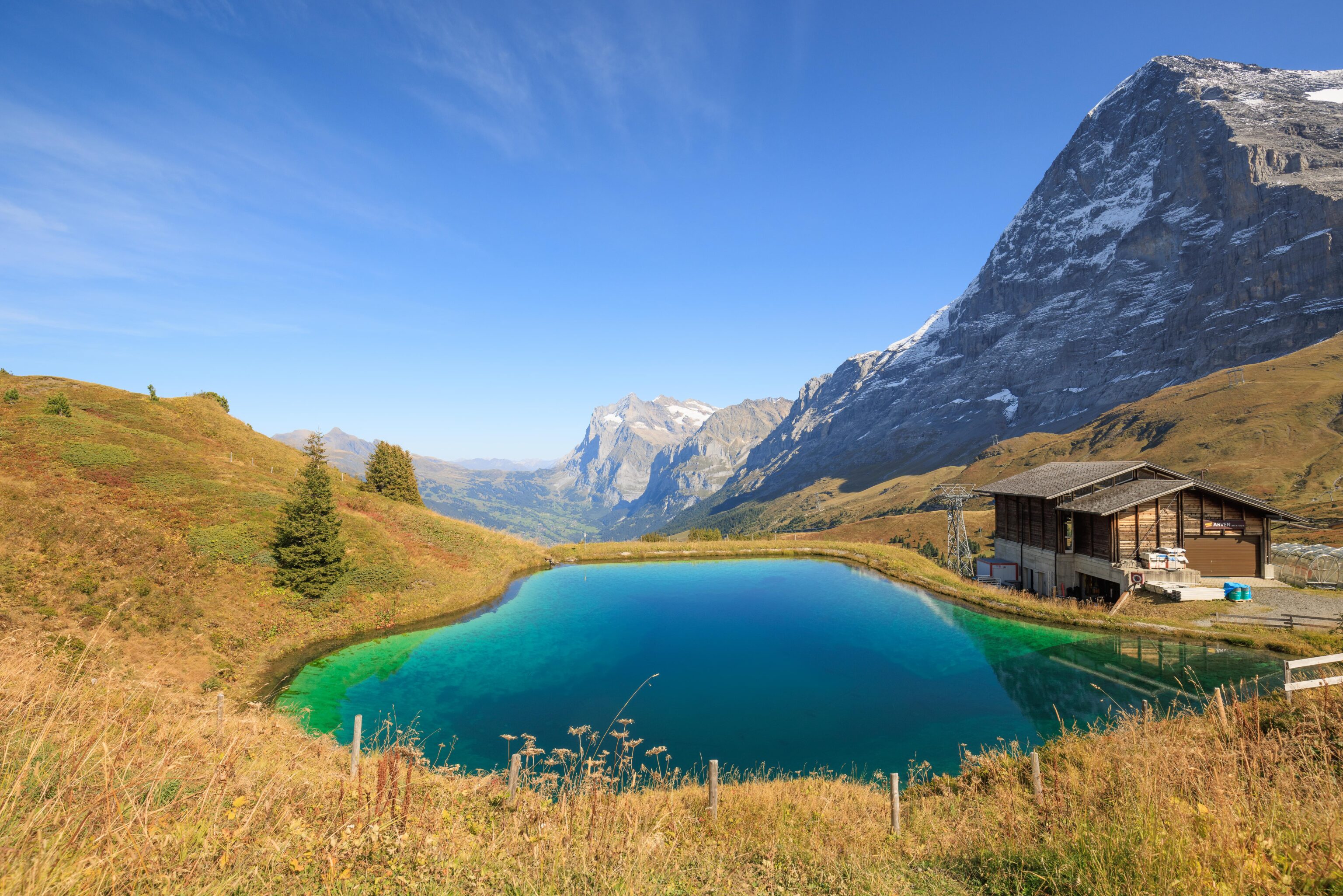
We walked a few meters to reach the edge of the Fallbodensee. This is an artificial lake used to store water for snowmaking in the winter. It is lined with stones, giving it a particularly artificial appearance.
The building which looks like a tiny church. It is a former transformer station which was converted to a church at some point and now contains a small exhibition on Eiger climbing routes23.
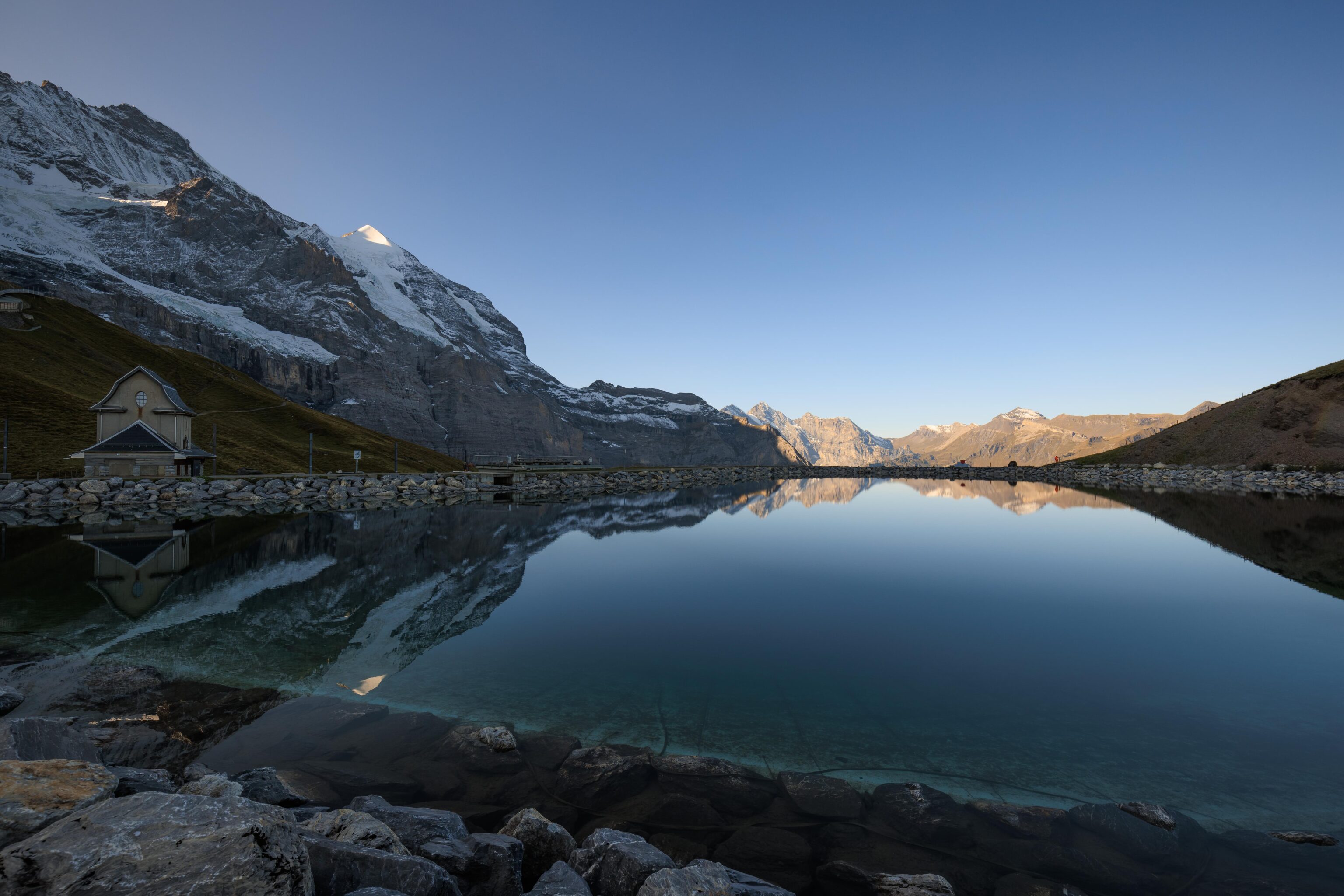
The surface was perfectly still though and beautifully reflected the mountain view.
We circled around the lake counter clockwise.
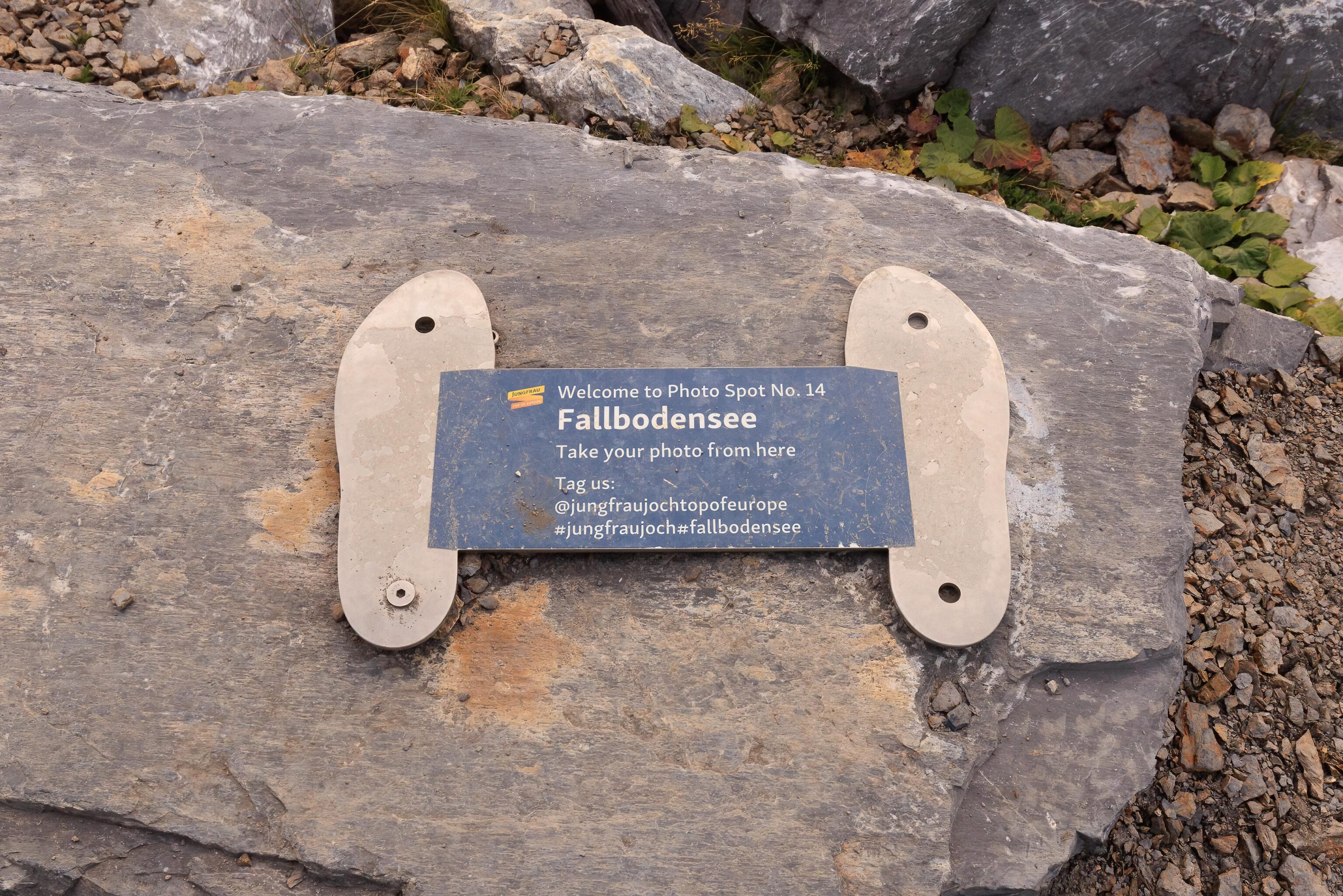
We found Jungfrau’s Photo Spot No. 14. This is the only such sign that we’ve seen so far!
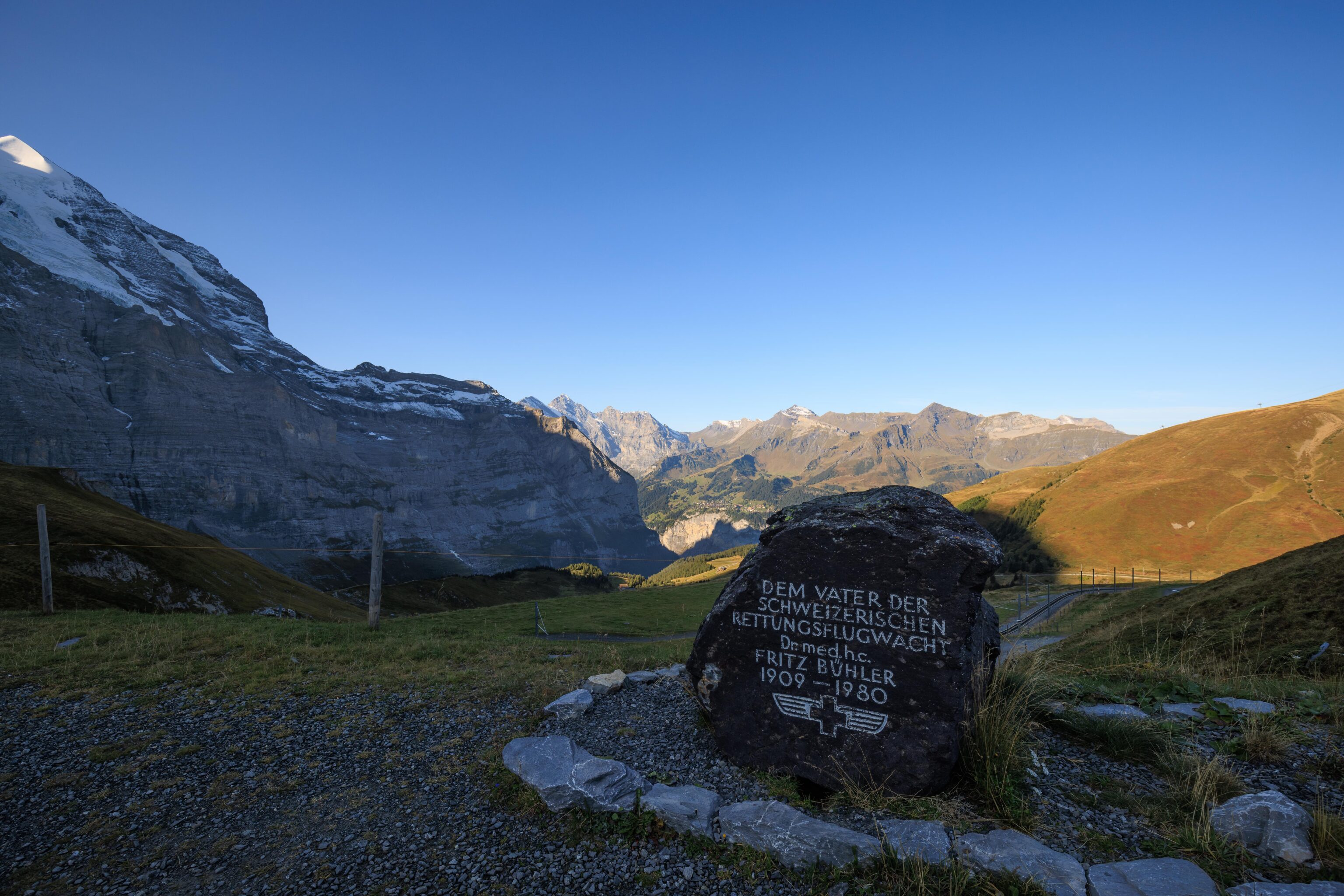
This little memorial sits at the west side of the lake. It reads:
The father of the Swiss Air Rescue Service
M.D. Fritz Bühler
1909-1980
The Wikipedia page for the Schweizerische Rettungsflugwacht (Rega) explains4:
In 1960, Rega was reorganized under Fritz Bühler and separated from the SLRG.
The SLRG is a water rescue organization. It seems that the air rescue service was founded under that organization, and then split off under Fritz Bühler.
The view of the lake from the memorial.
Looking back as we continue our loop. There were a few maintenance workers removing wire fencing from around the lake. Possibly in anticipation of winter?
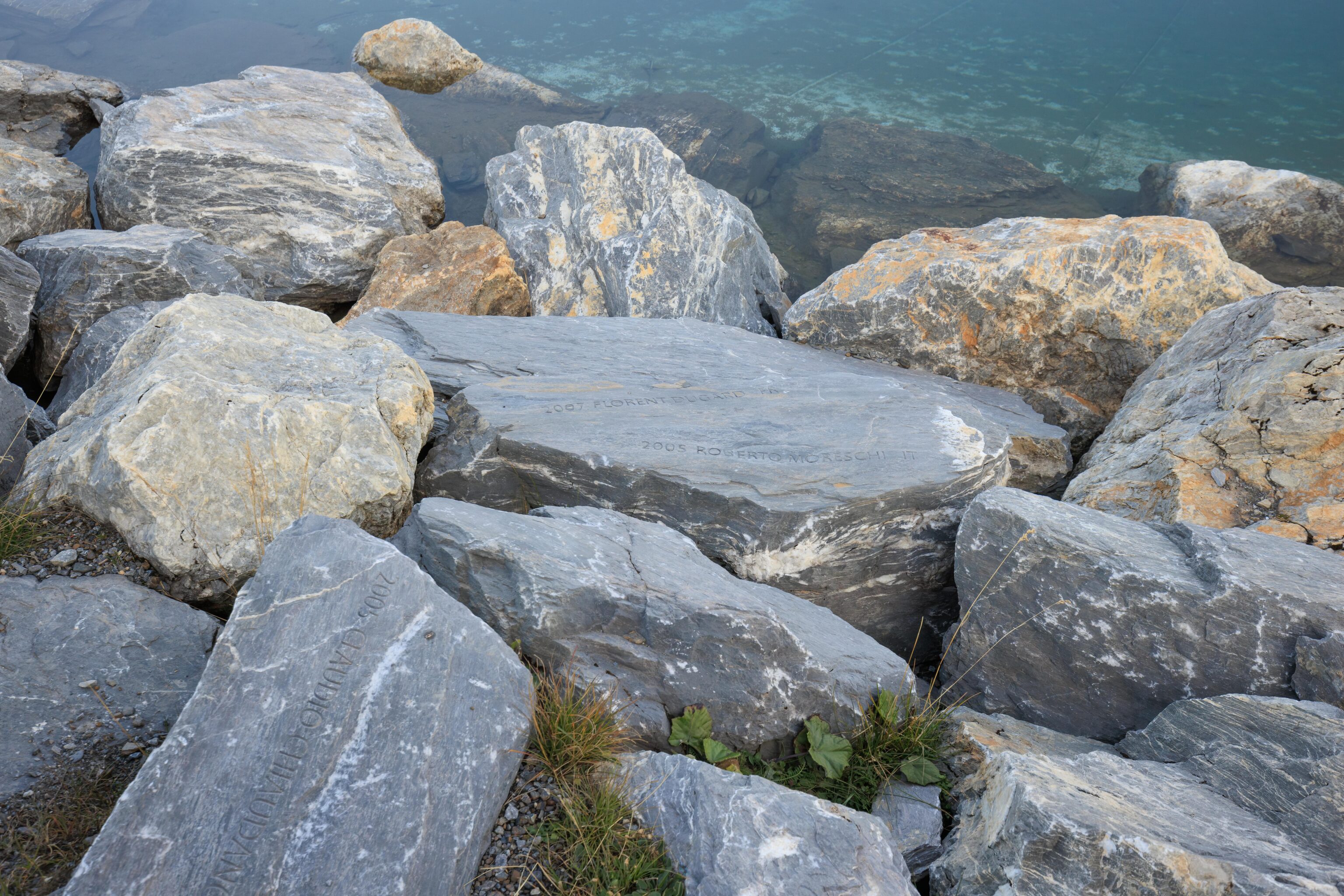
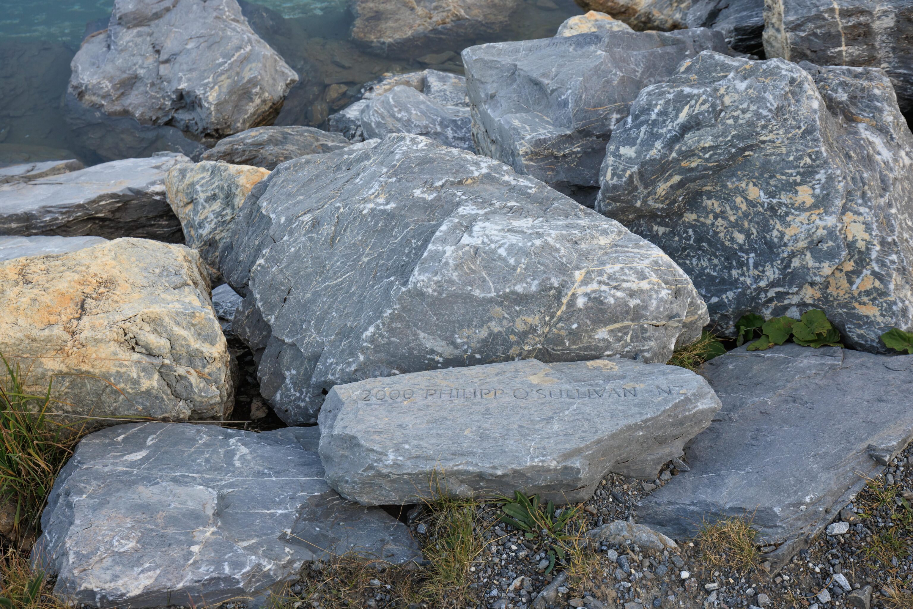
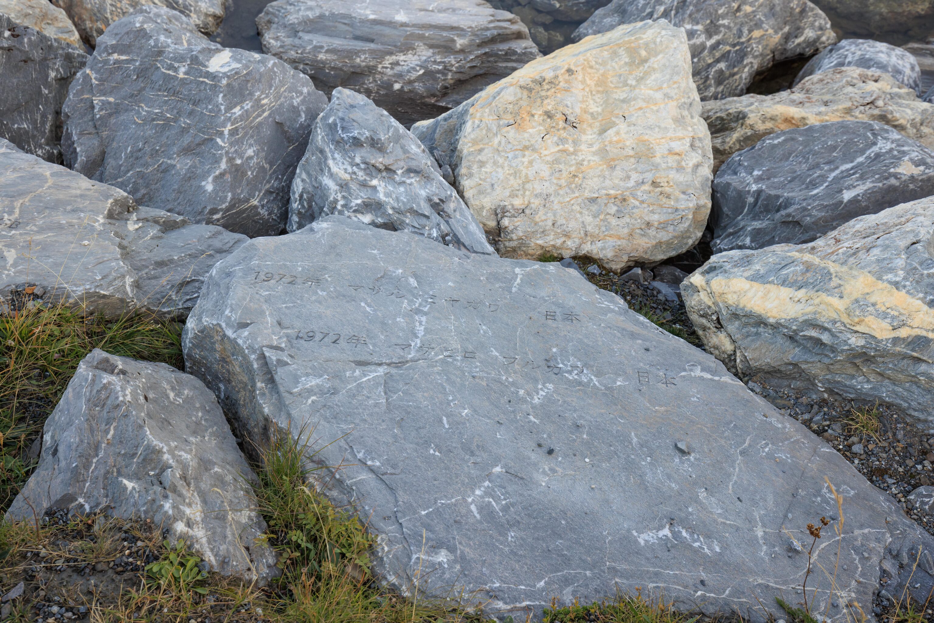
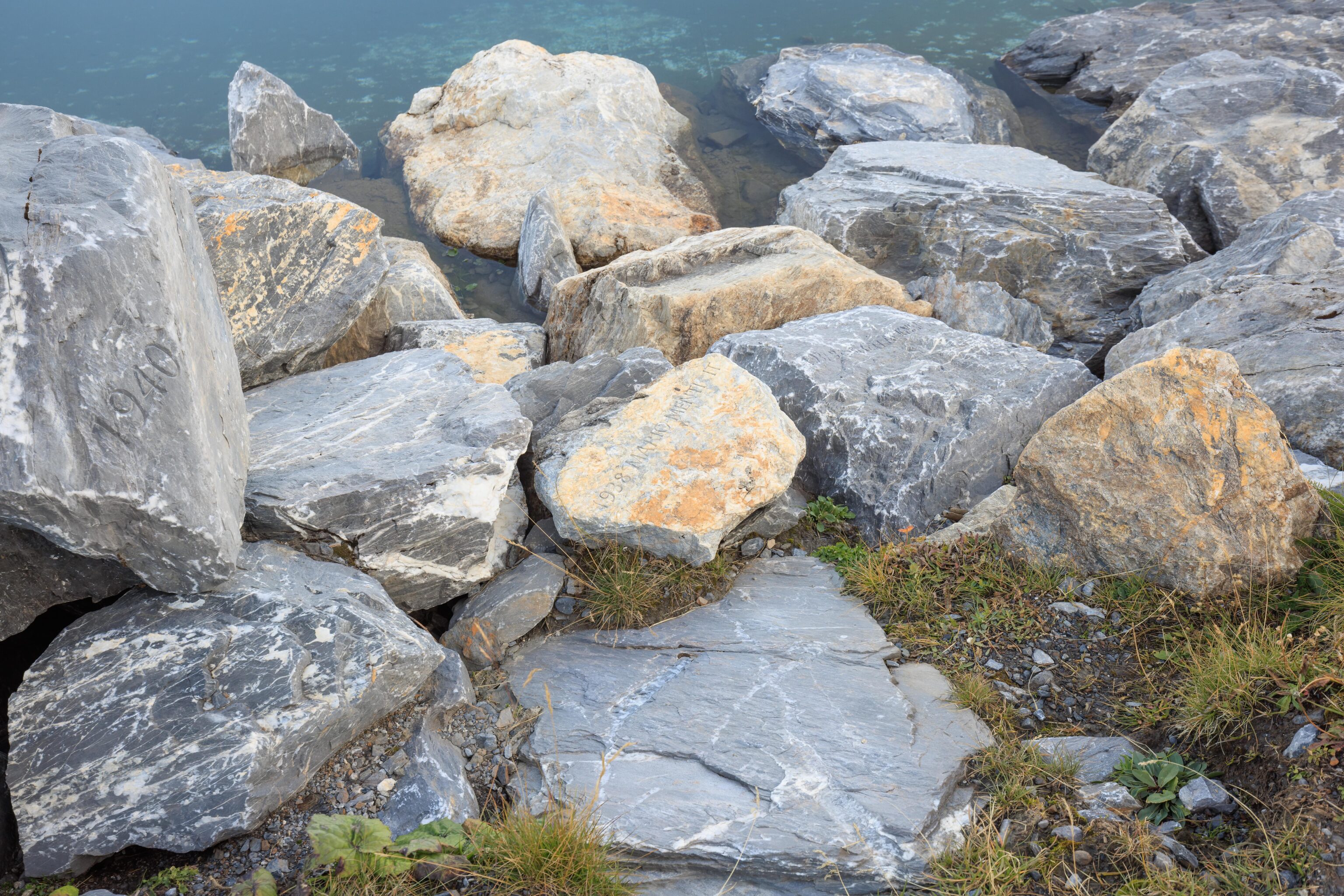
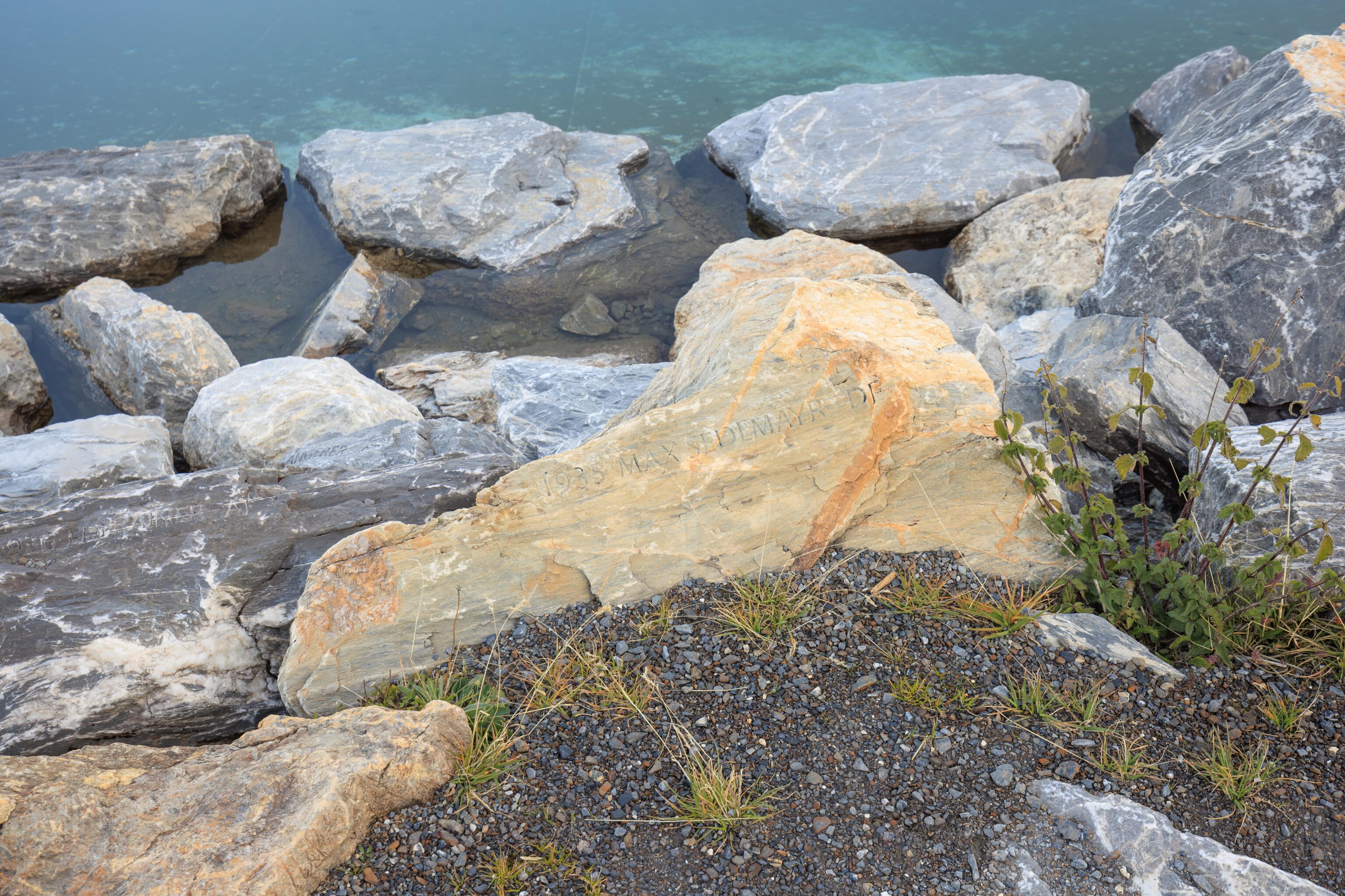
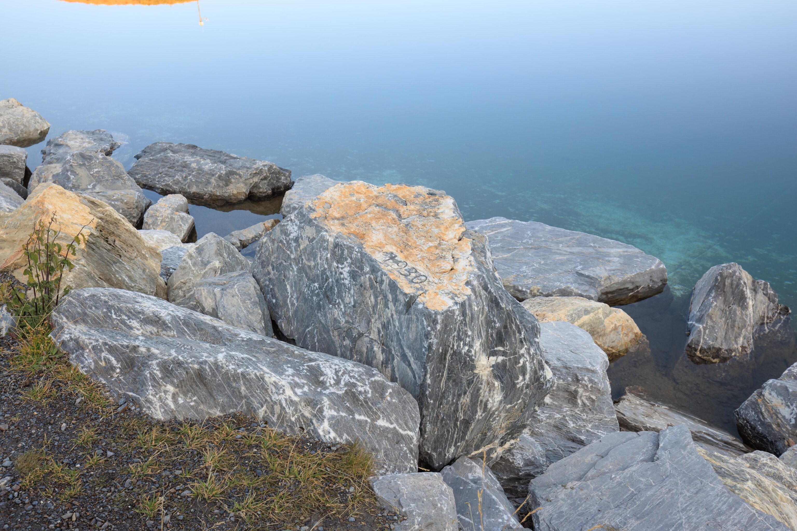
We noticed that many of the stones on the southern side of the lake have inscriptions carved into them. Each dated and indicates a country. They got progressively older as we walked to the east with the oldest from 1930.
They are the names of mountain climbers who challenged the north face of Eiger. We learned this from a photo on Flickr! More specifically though, upon Googling their names, it seems that they are all mountaineers who died on Eiger.
From here, we entered the tiny church that we saw earlier.
There are two entrances, on the west and east sides of the building. The first room is really just a narrow corridor linking the two entrances. There are cameras mounted on the ceiling. Presumably, this is something to do with the press coverage that has gone along with ascents of the Eiger.
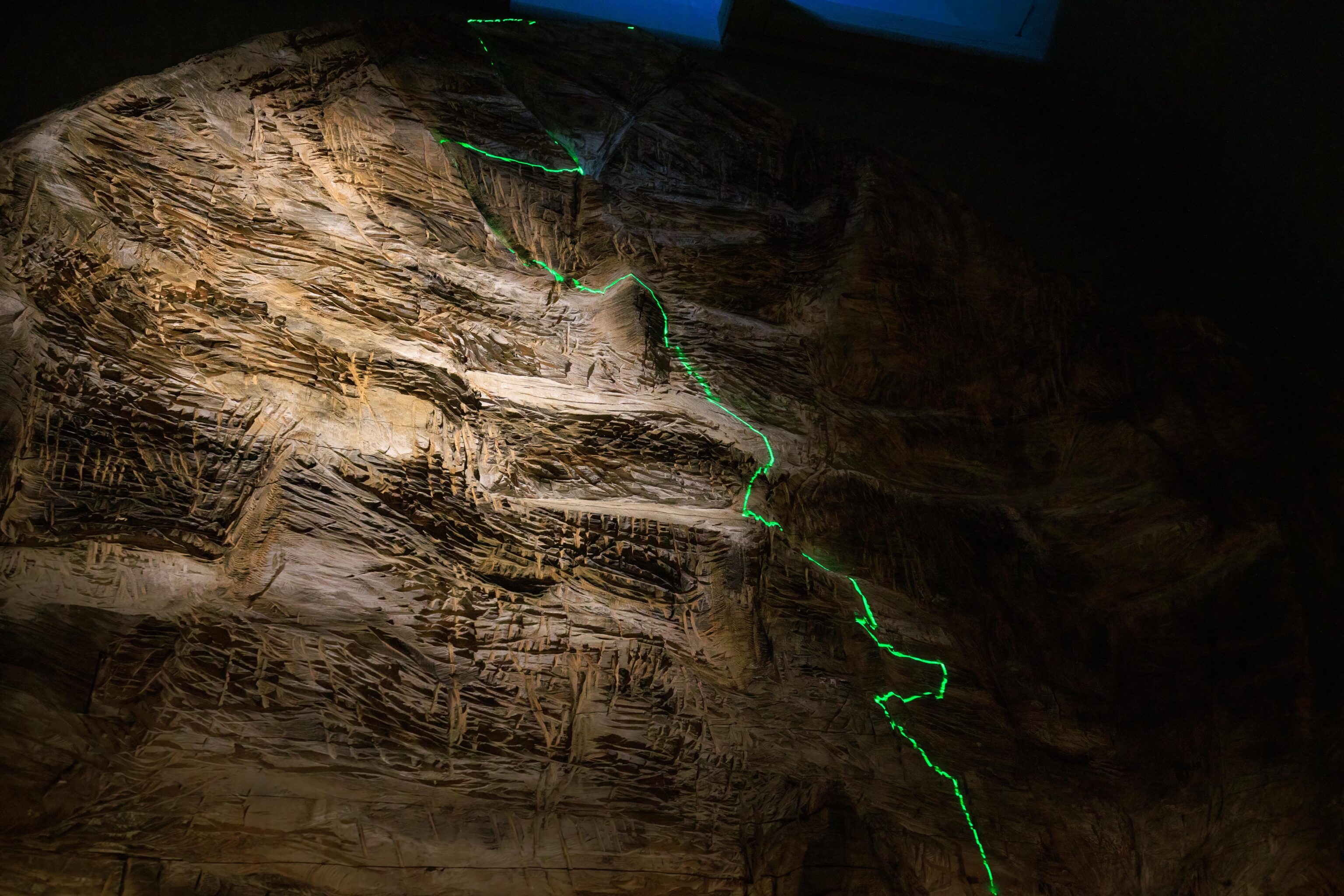
Other than the entrance corridor, there is just one room in the building. It has a console on the far end with a listing of various climbing routes and buttons to highlight the route on a model of Eiger.
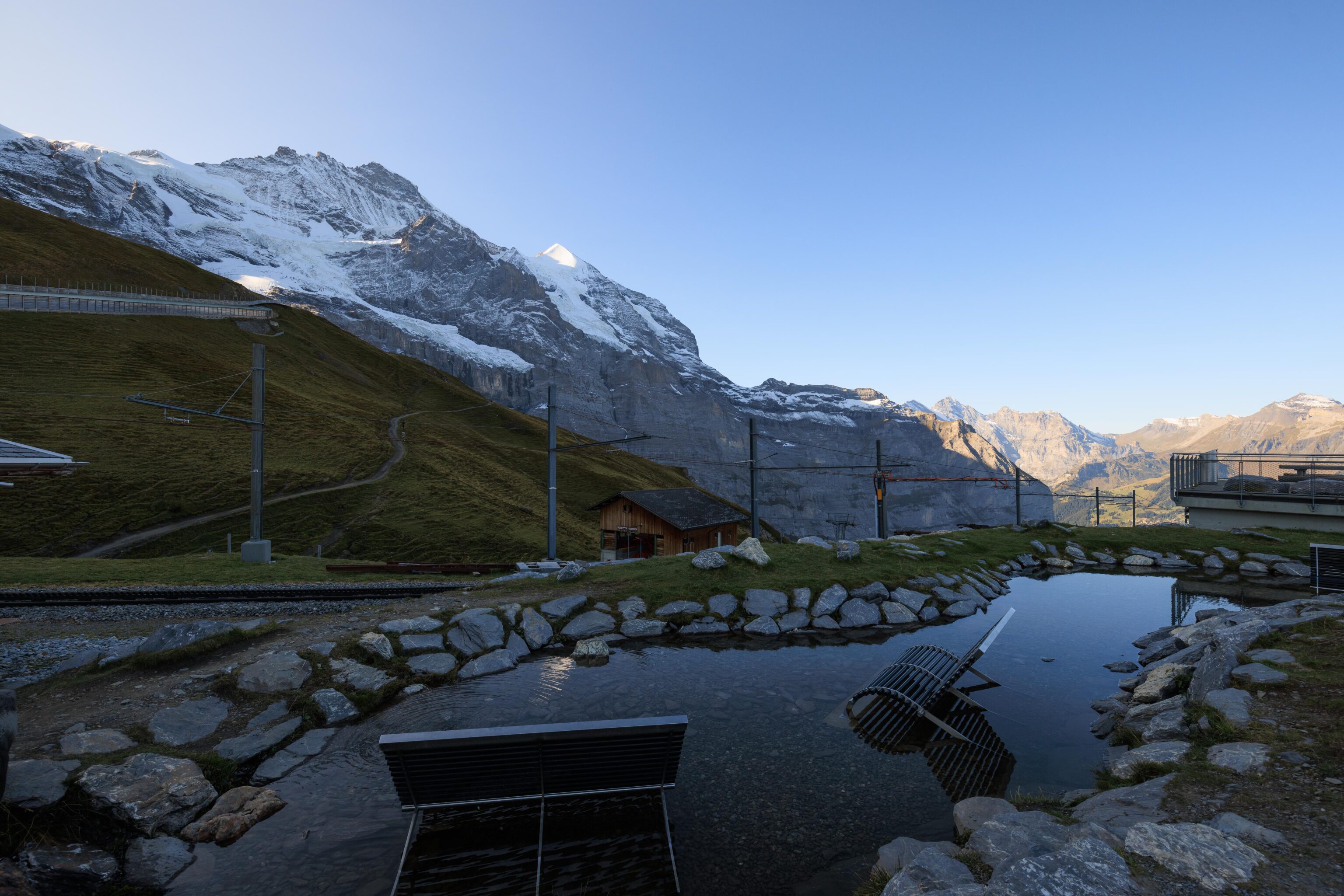
We exited the building and backtracked along the southern side of the Fallbodensee to walk down to Kleine Scheidegg. We noticed this pool of water with chairs. The idea is that you can rest and soak your feet after a long day of hiking, or perhaps, after successfully summitting Eiger?
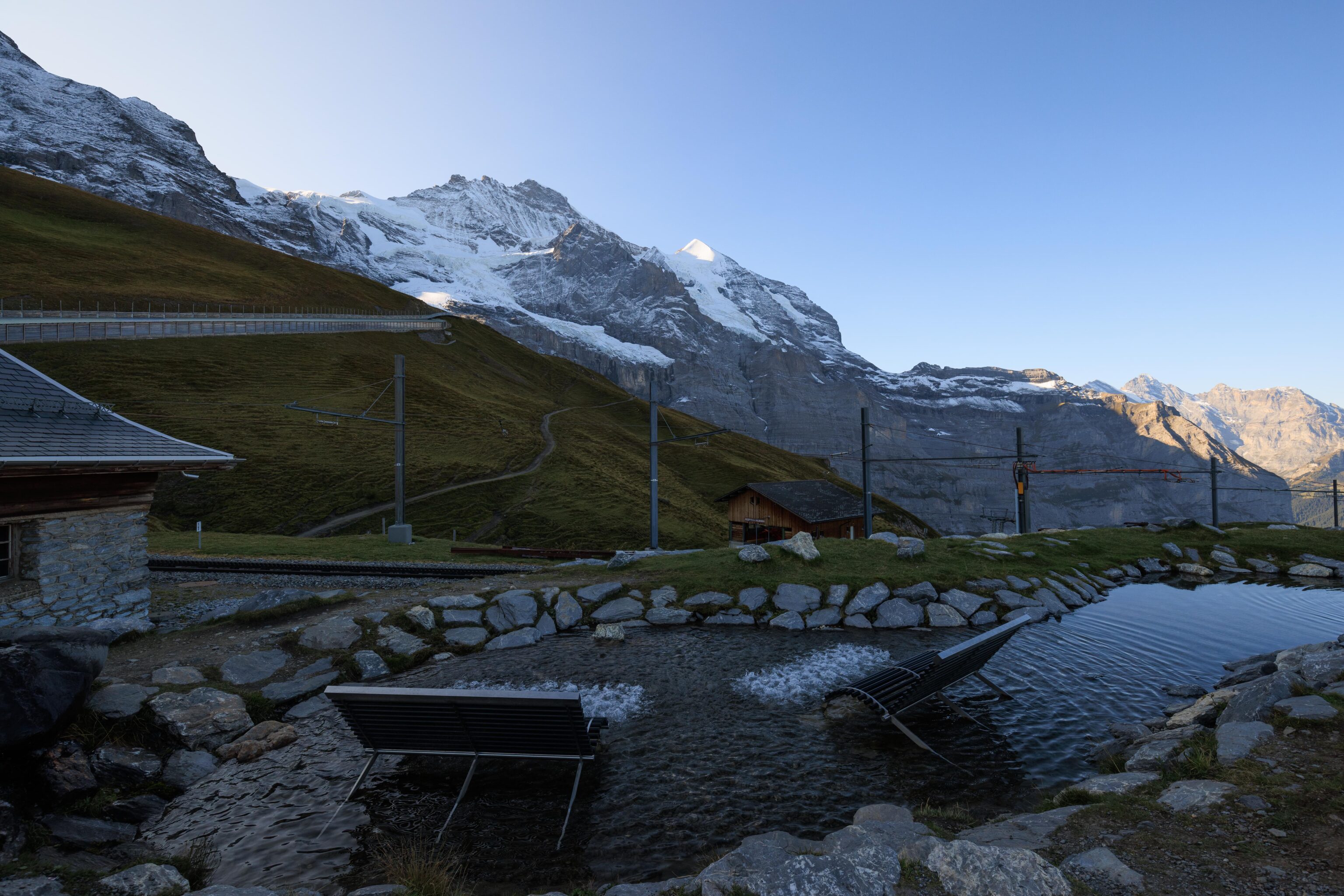
There is a button that turns on jets that agitate the water in front of each bench. Very neat!
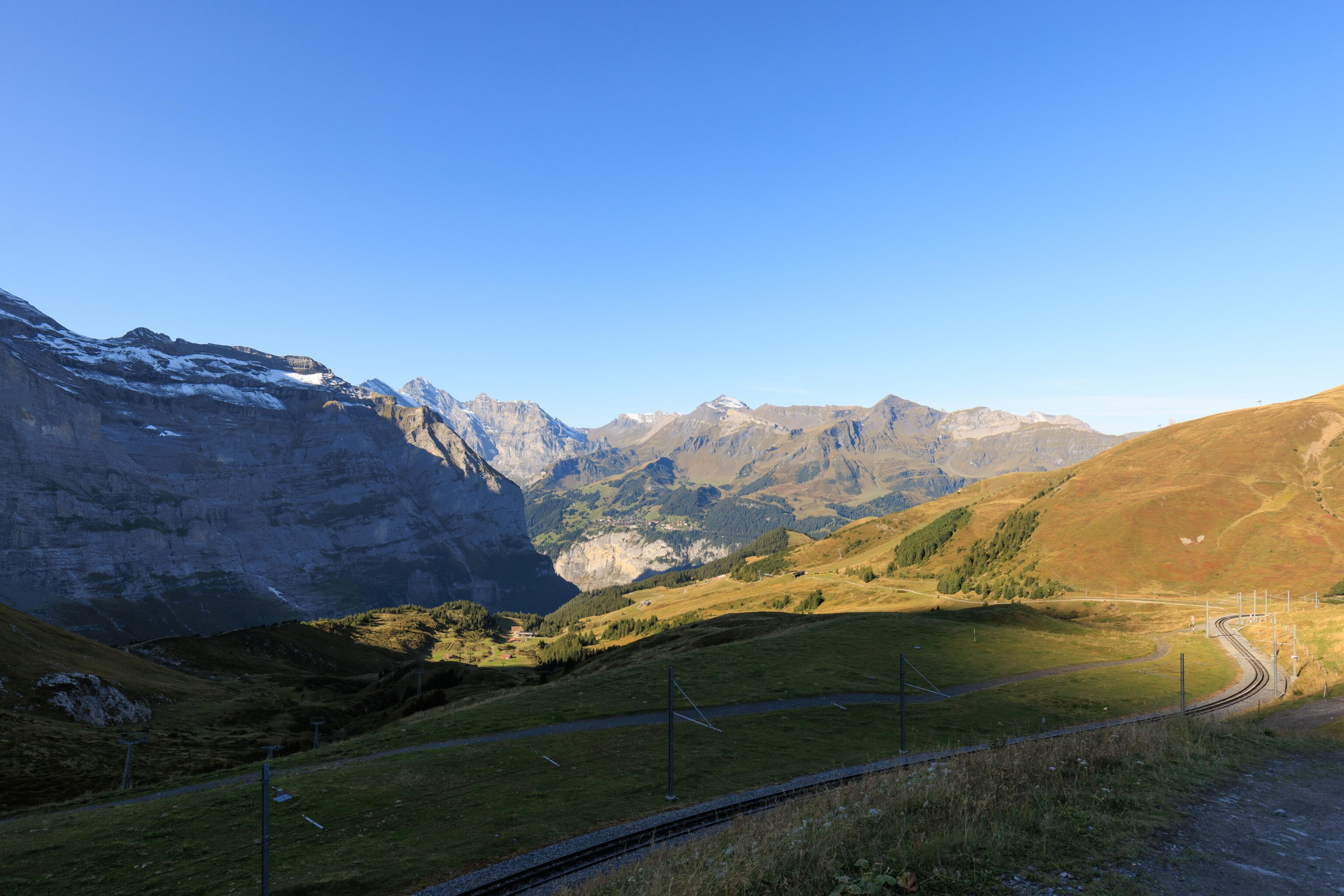
At the very west end of the lake, we could see the rails headed to Kleine Scheidegg. The hiking trail is to the right of the rails. All of Mürren was now in sunlight.
Looking back, more of the lake was now illuminated by sunlight as well.
We continued on as a train headed down in front of us.
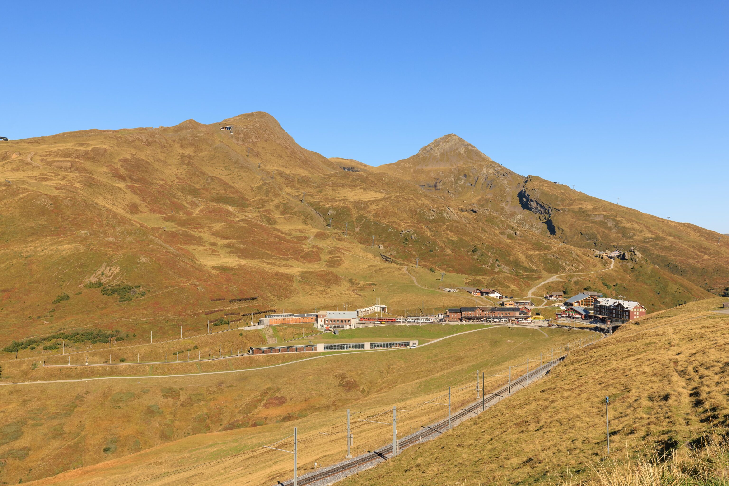
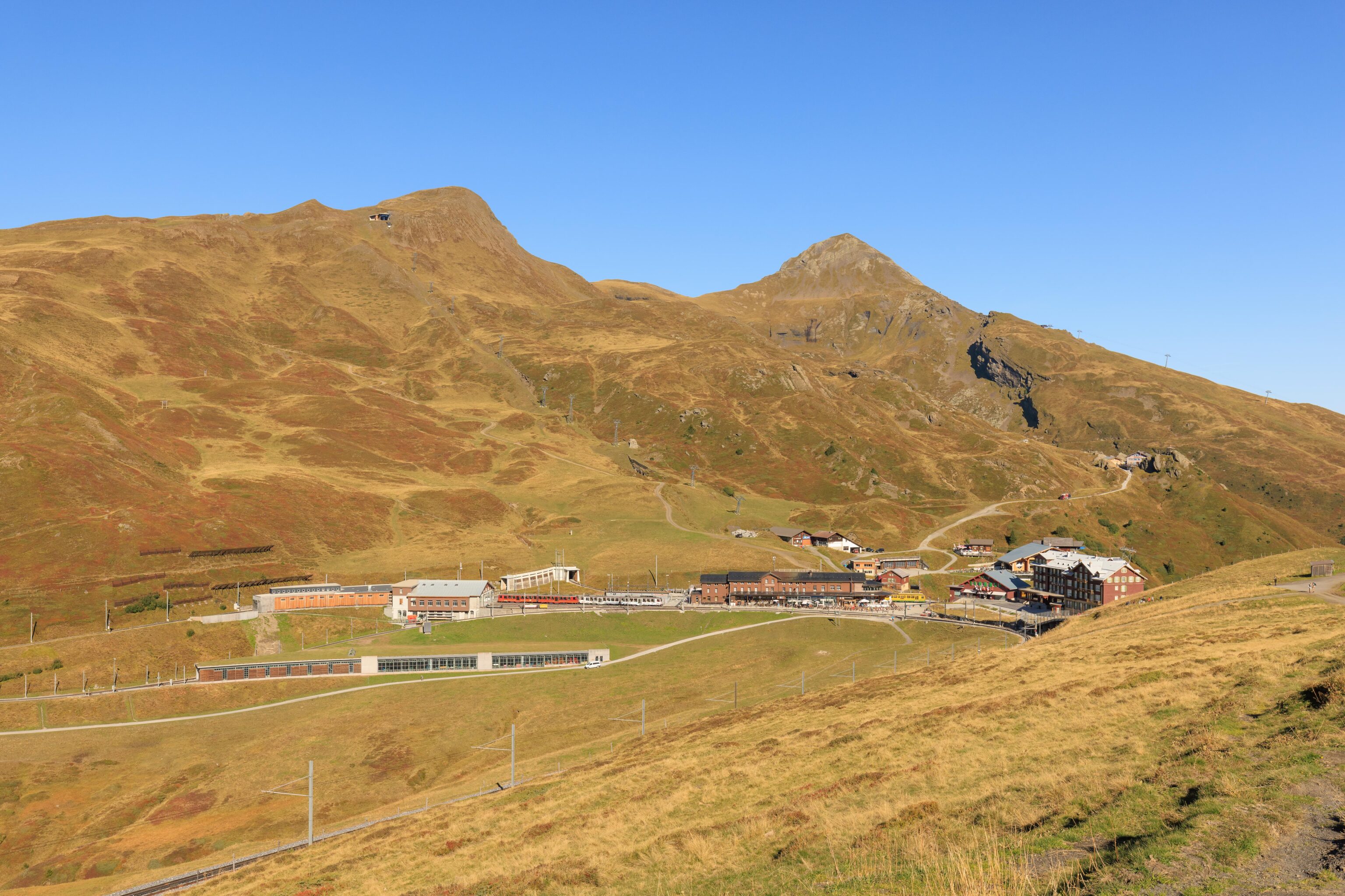
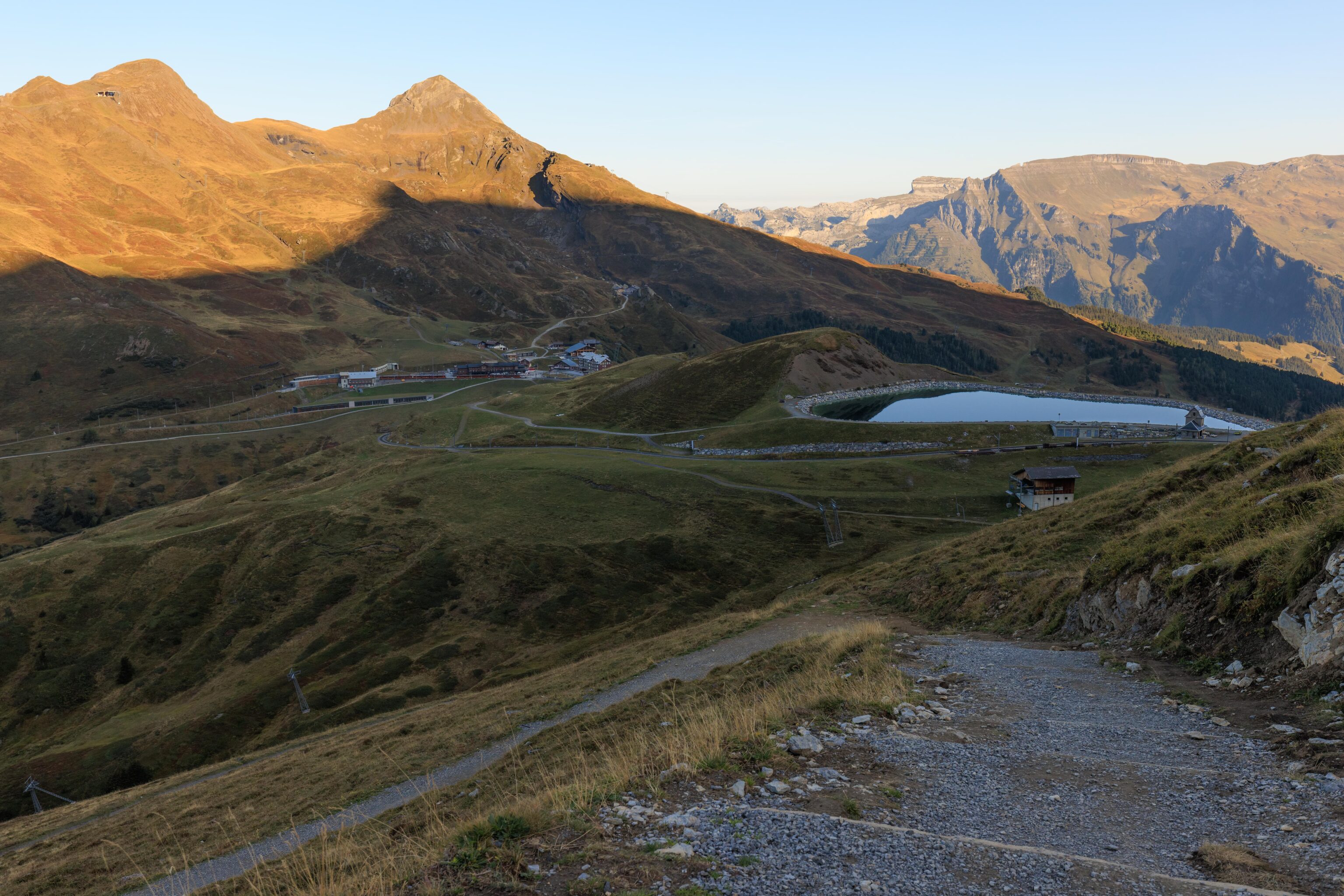
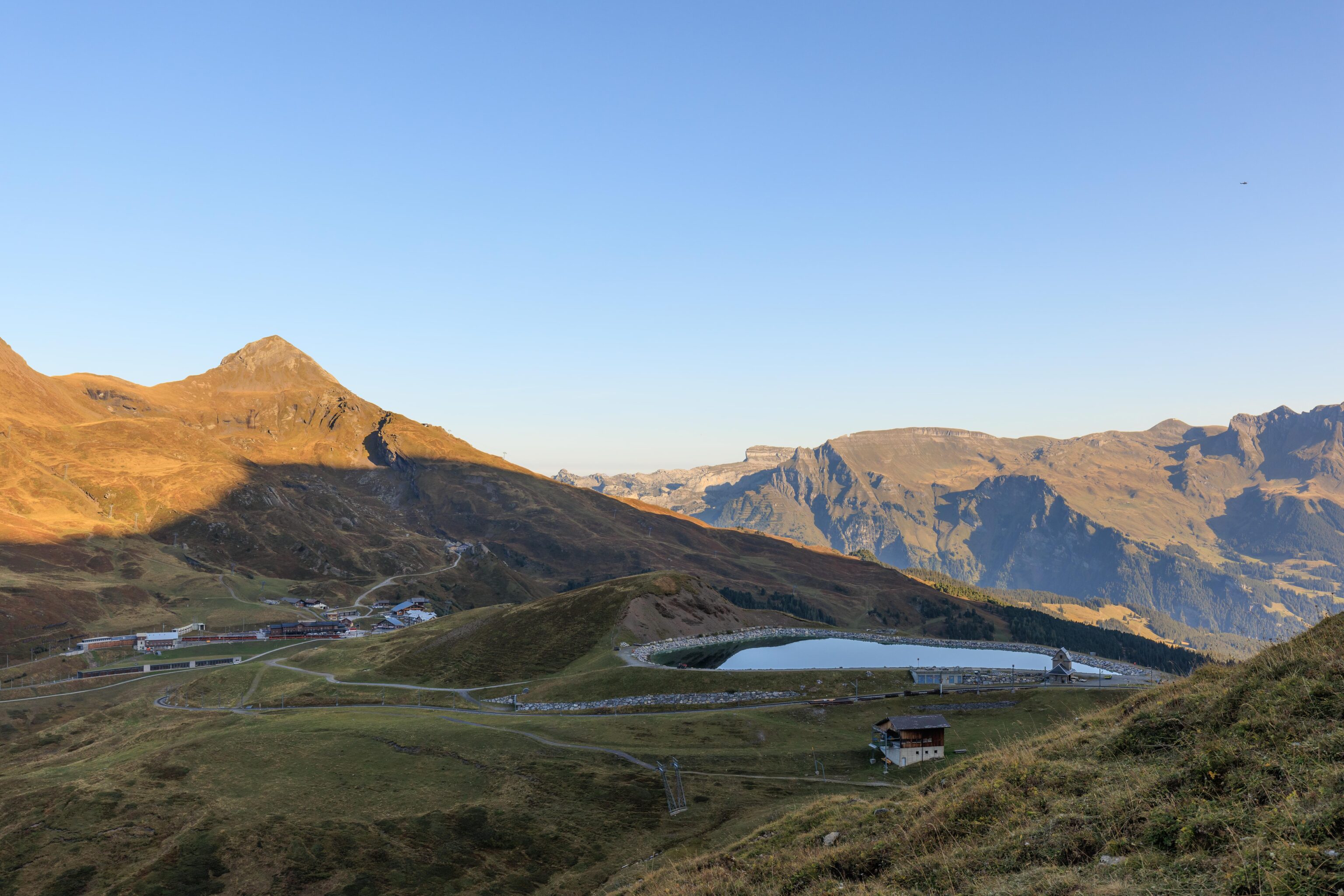
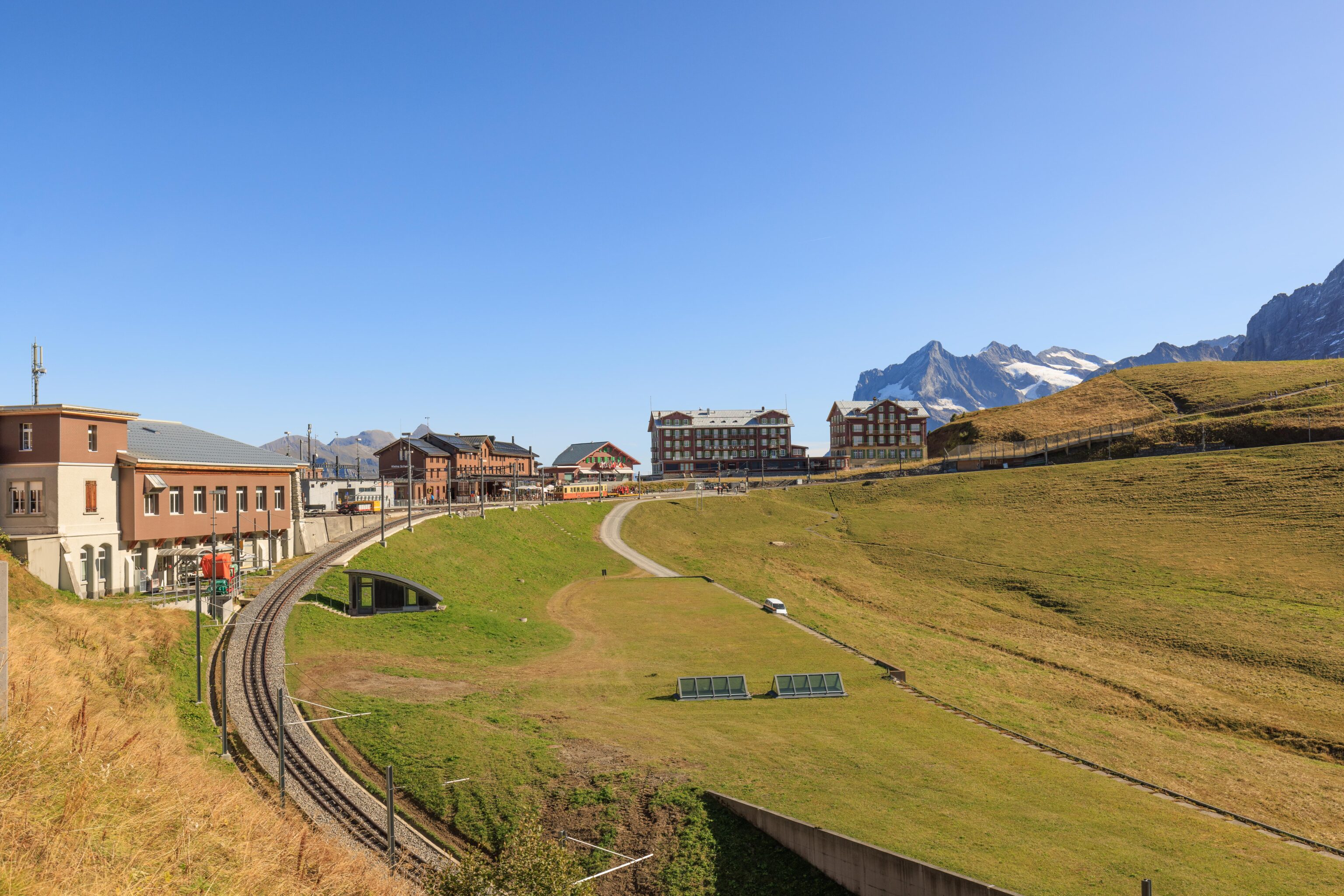
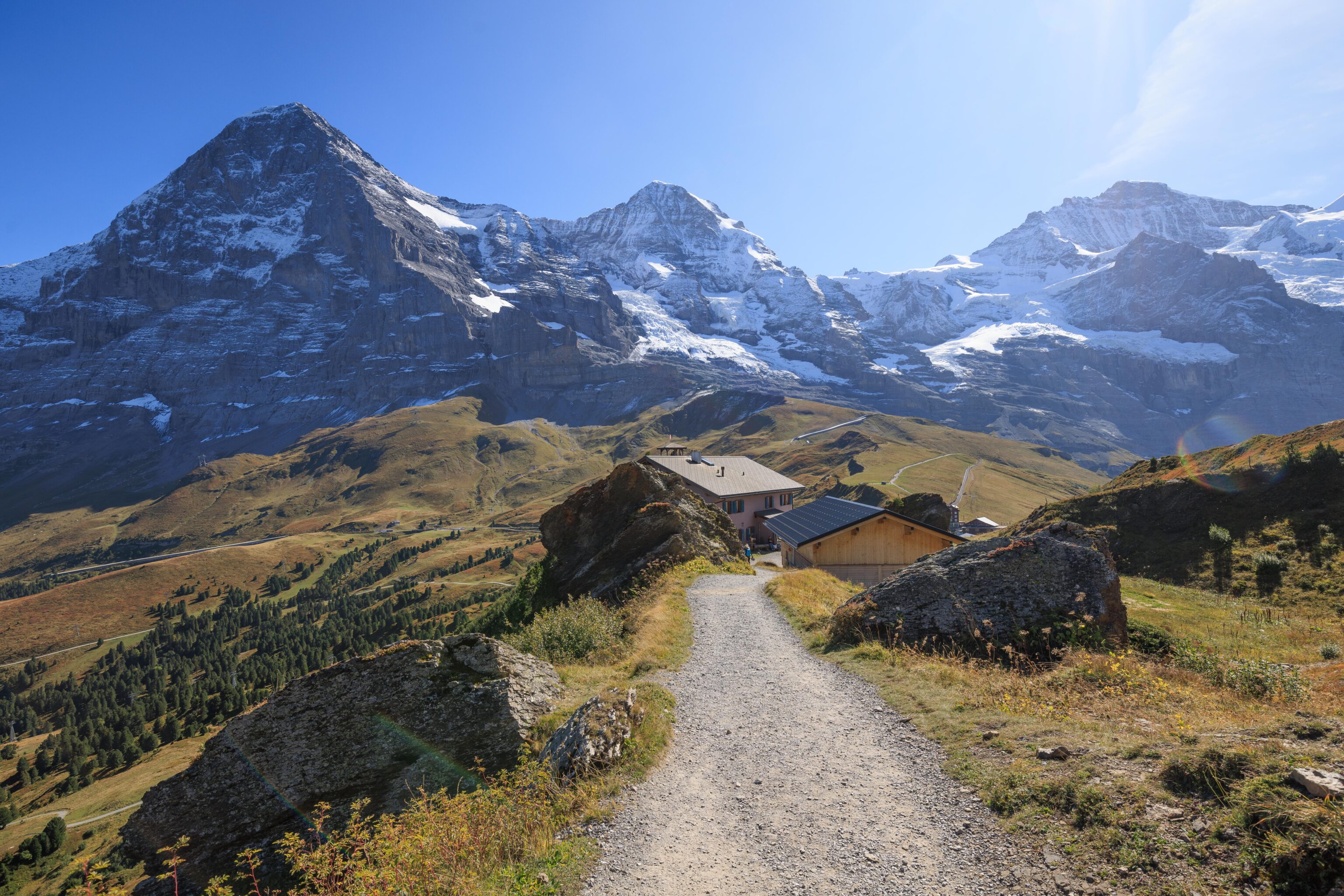
Soon, Kleine Scheidegg was in front of us.
We saw the same train return, headed up to Eigergletscher and Jungfraujoch after.
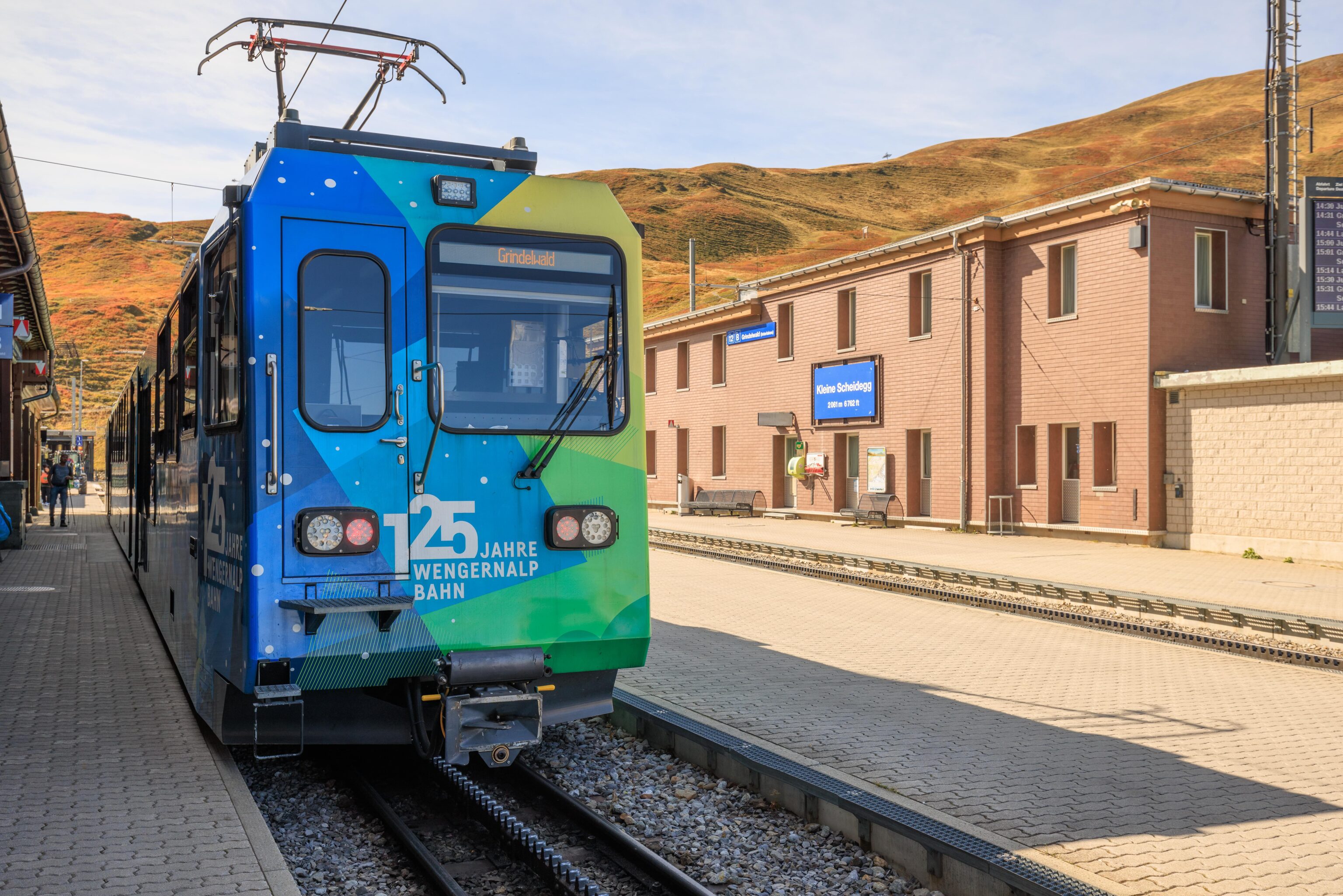
We soon arrived at Kleine Scheidegg. There weren’t very many people around.
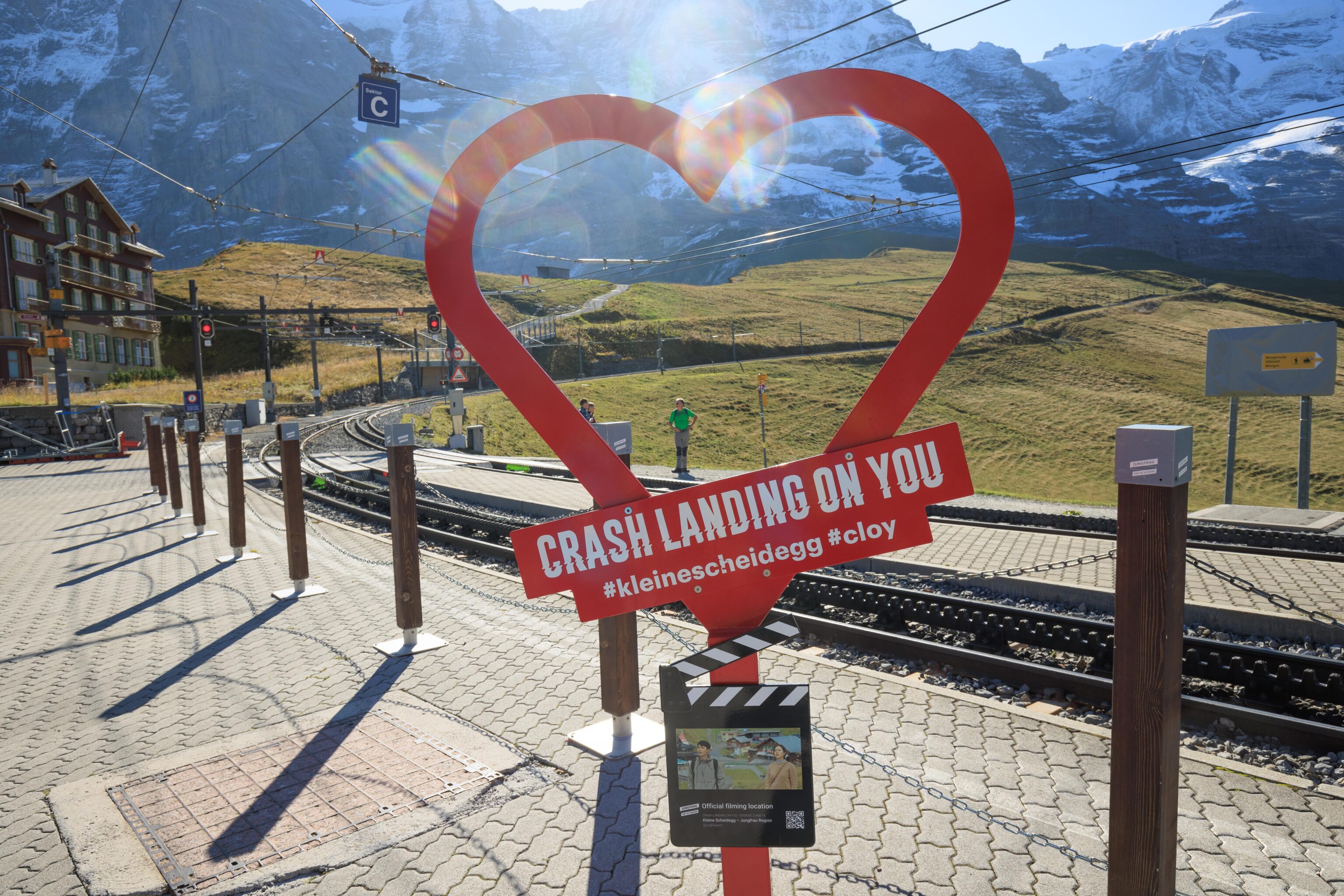
We found another Crash Landing on You sign! The scene on the sign takes place on the path that we just walked in on. It is roughly on the left side of the heart, on the path going up the hill beyond the railroad tracks.
Kleine Scheidegg to Männlichen via Wengen
We queued for the train to Wengen, which had just arrived. They do manage the crowds here, probably to ensure that people have a chance to get off the train before everyone boards.
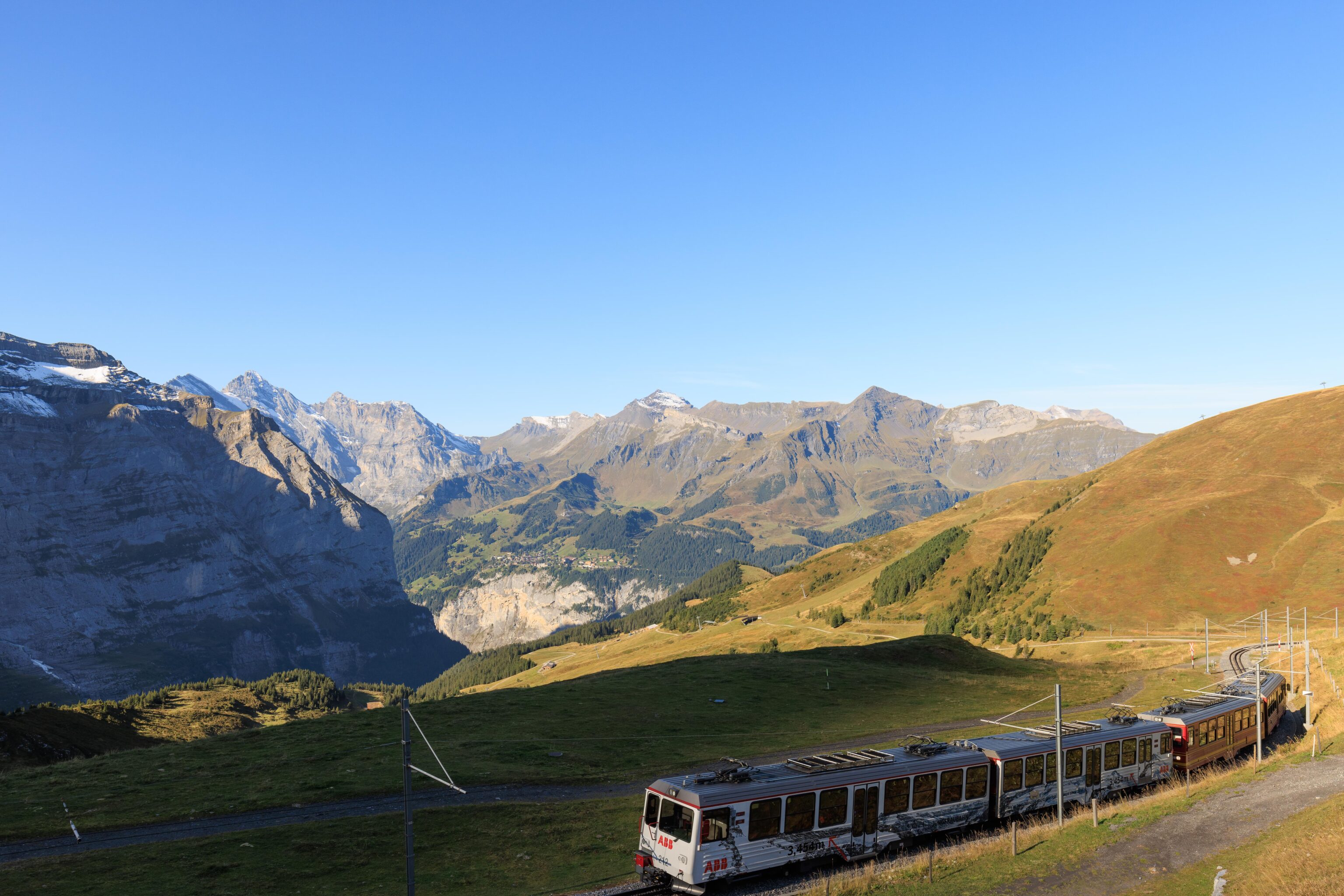
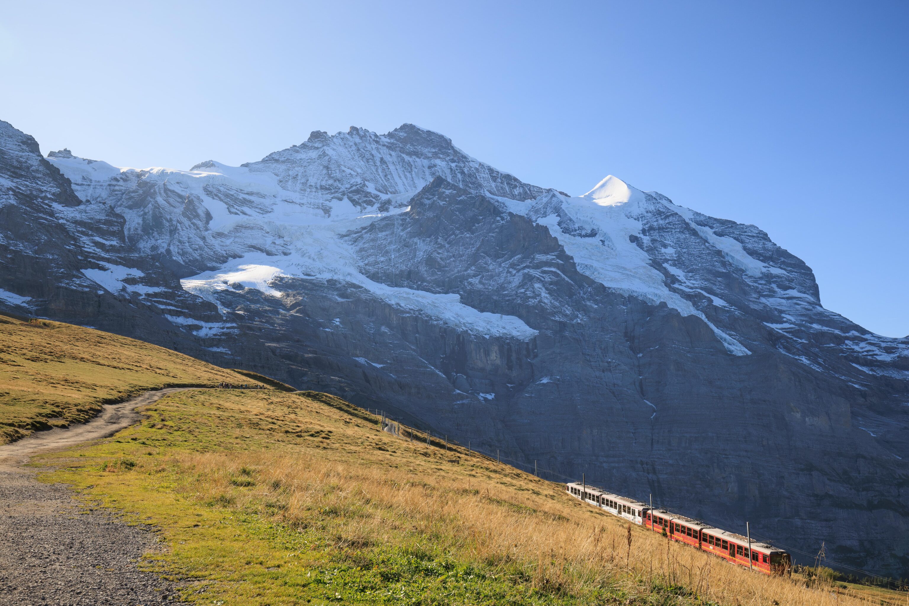
Soon, we were on our way! We found a seat with openable top window on the left side.
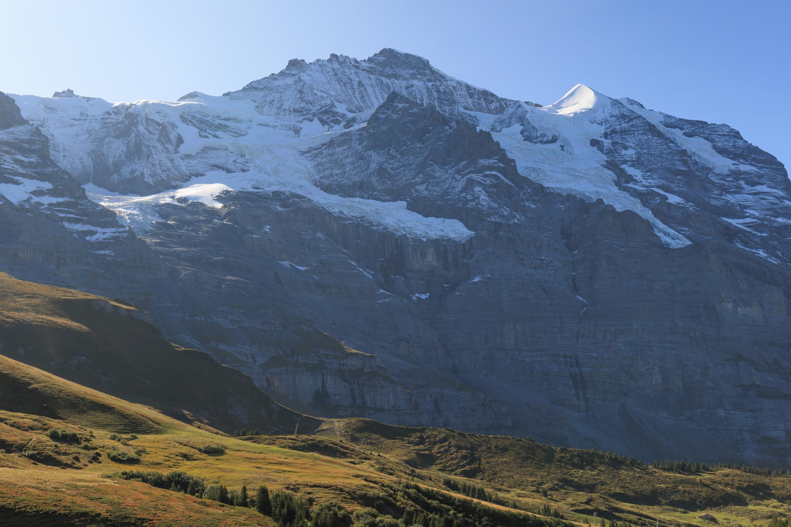
A nice view of Jungfrau as the train headed to the southwest.
We’re a bit closer to Mürren now as we continue heading to the west.
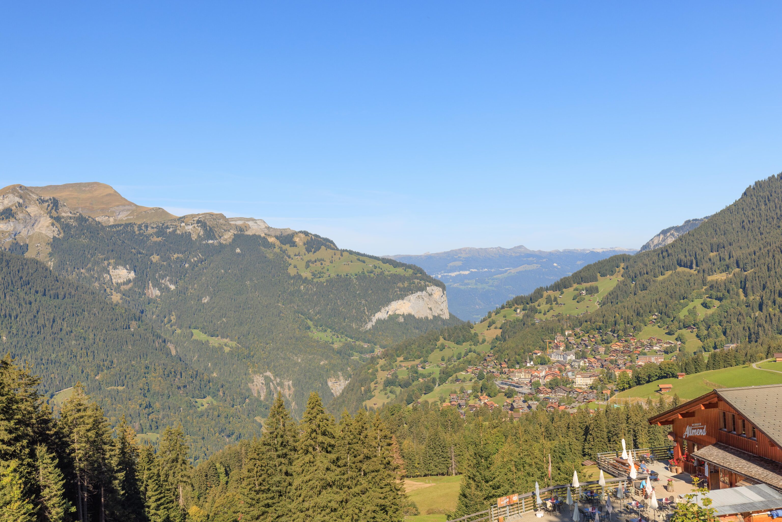
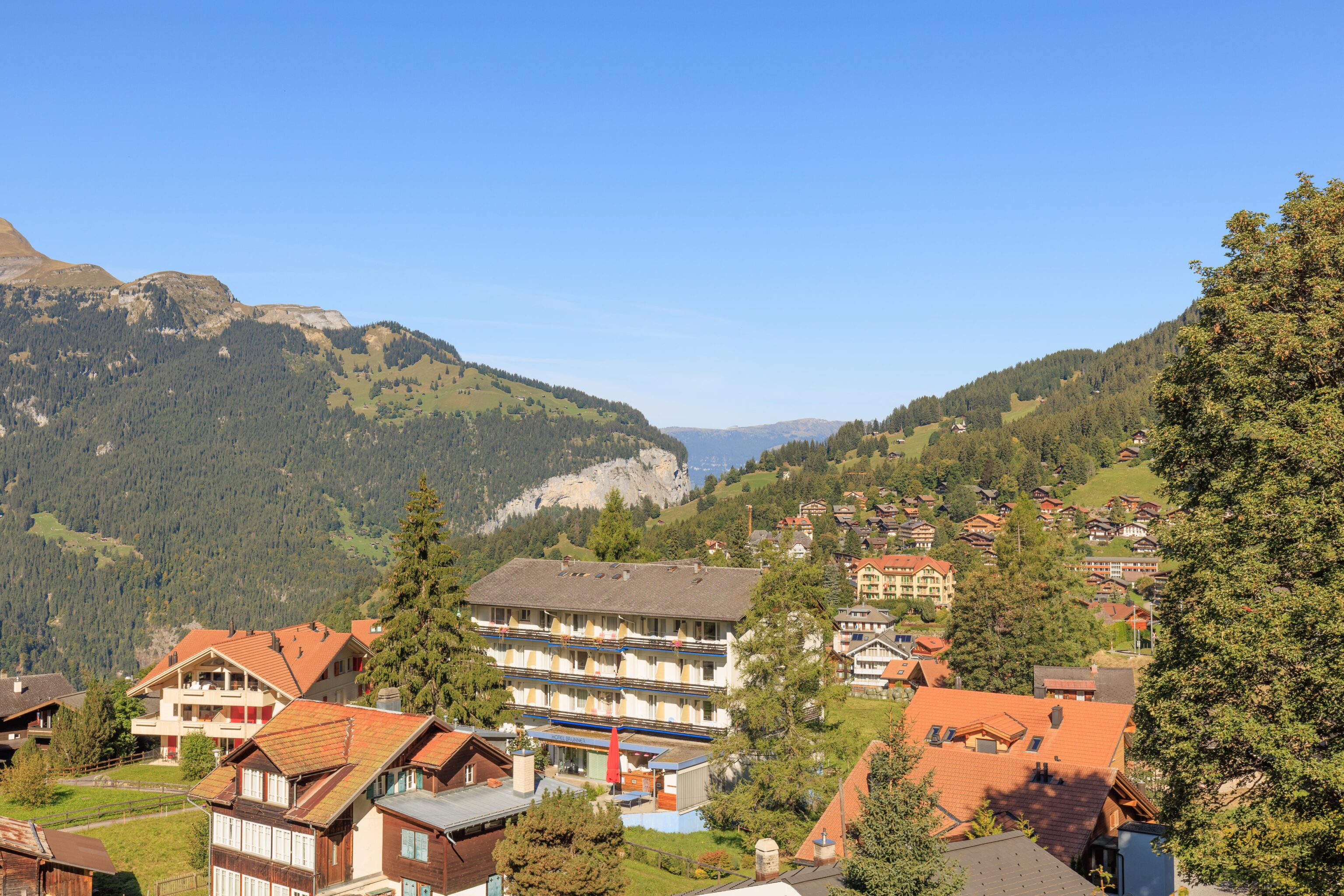
Wengen comes into view as we approach the small Allmend station.
A nice view of Wengen from the other side of the station.
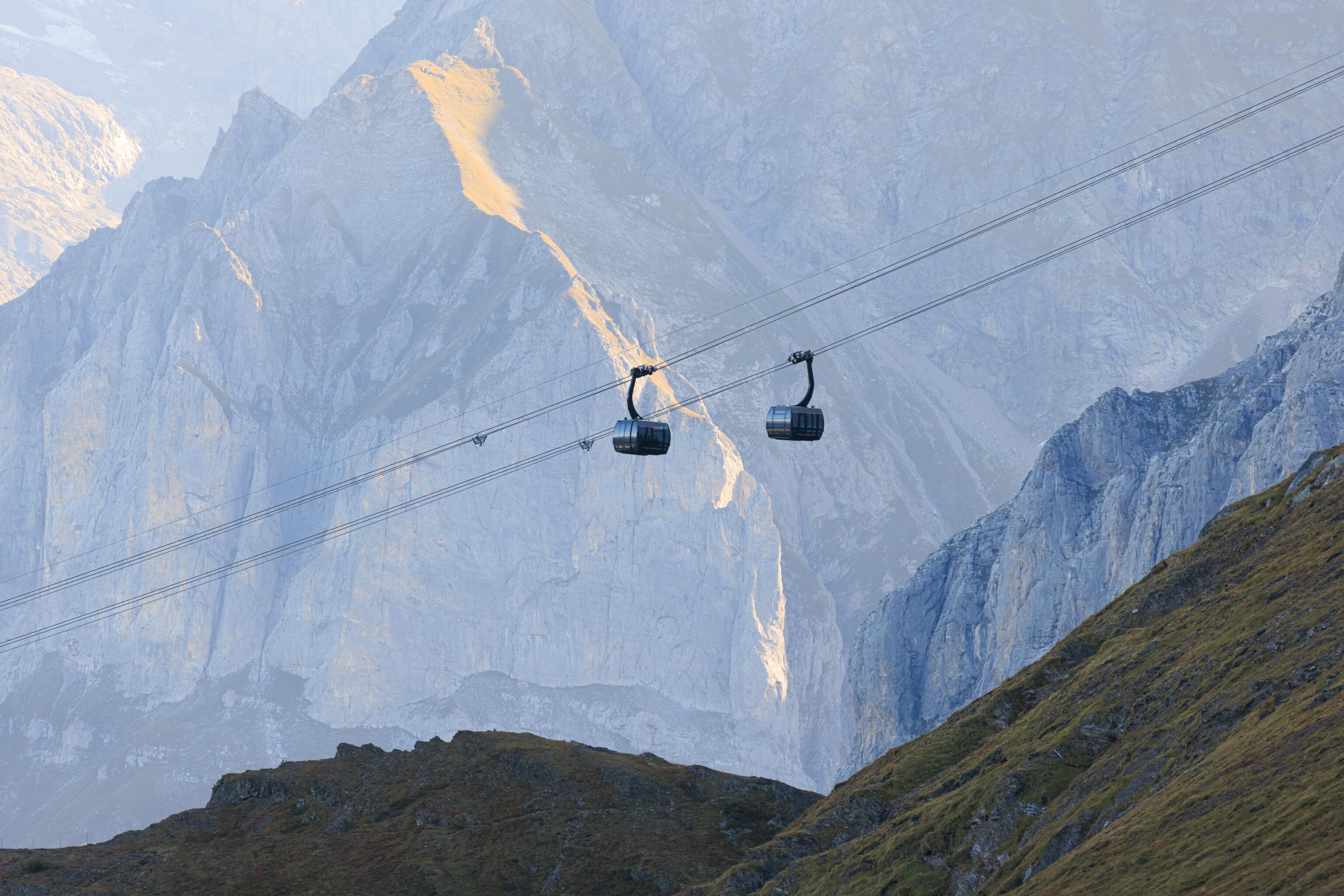
From here, we could see the aerial tramway going up to Männlichen. We rode it down yesterday and will be taking it up today.
Soon, we reached the southern edge of Wengen.
We passed by some very new looking buildings.
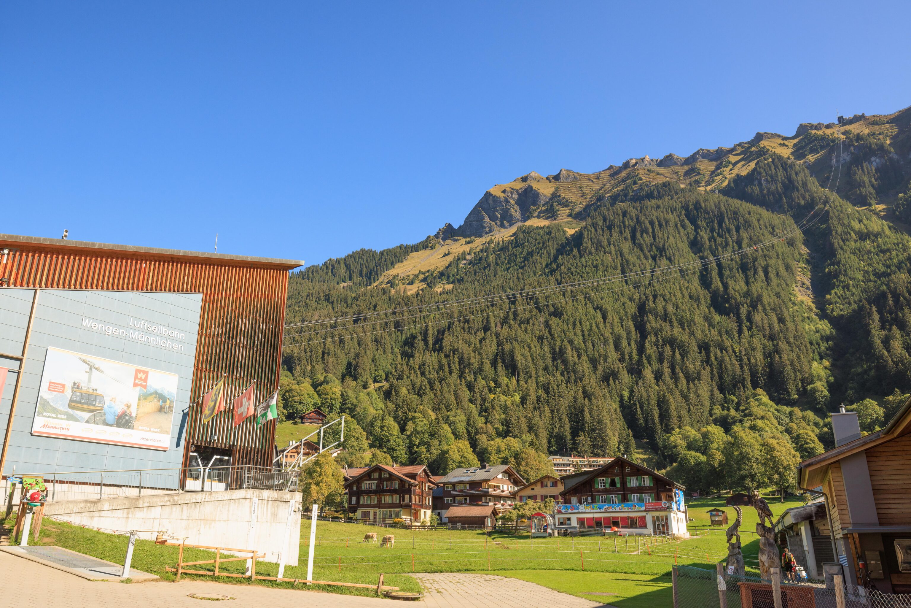
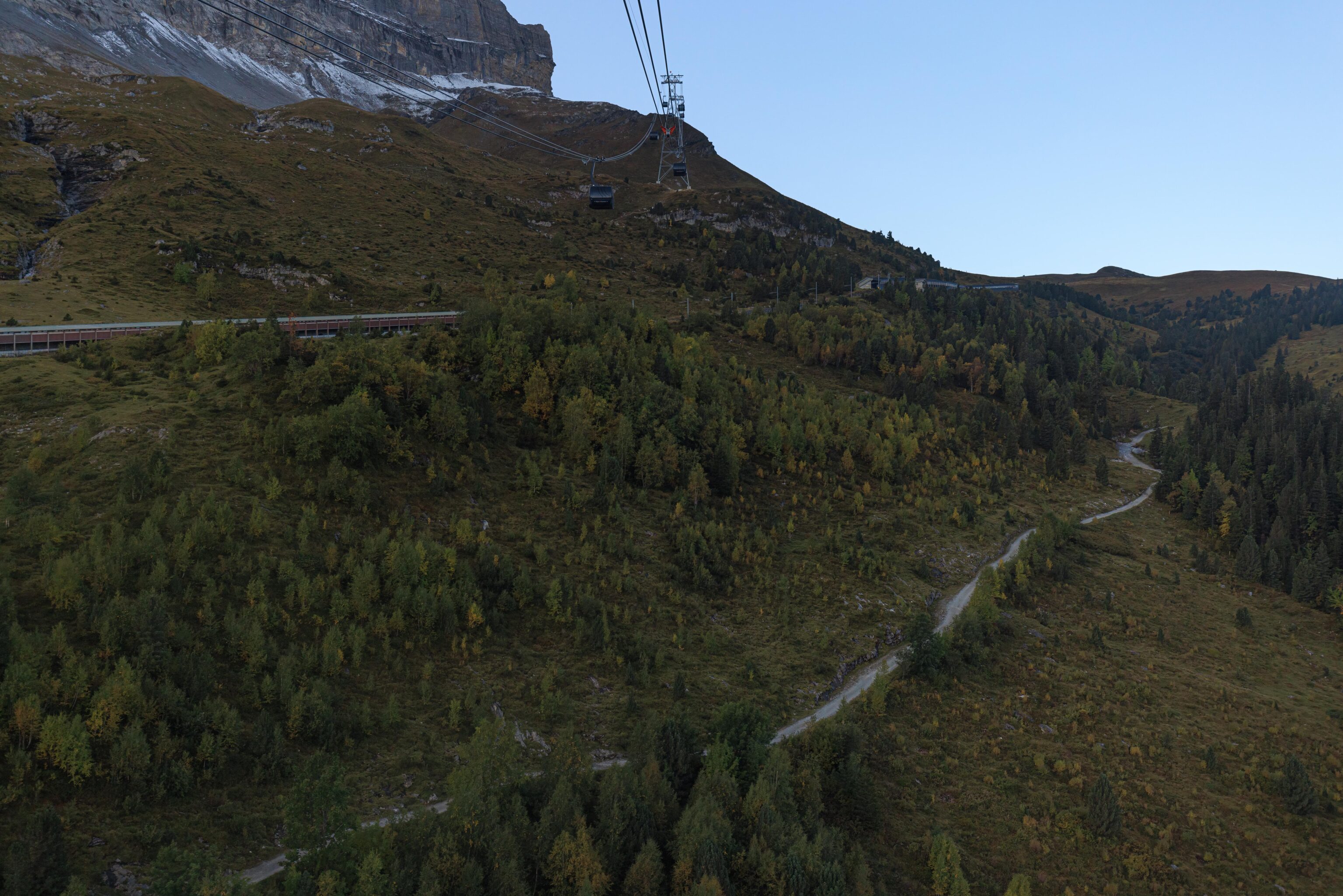
After arriving at Wengen, we walked over to the aerial tram station.
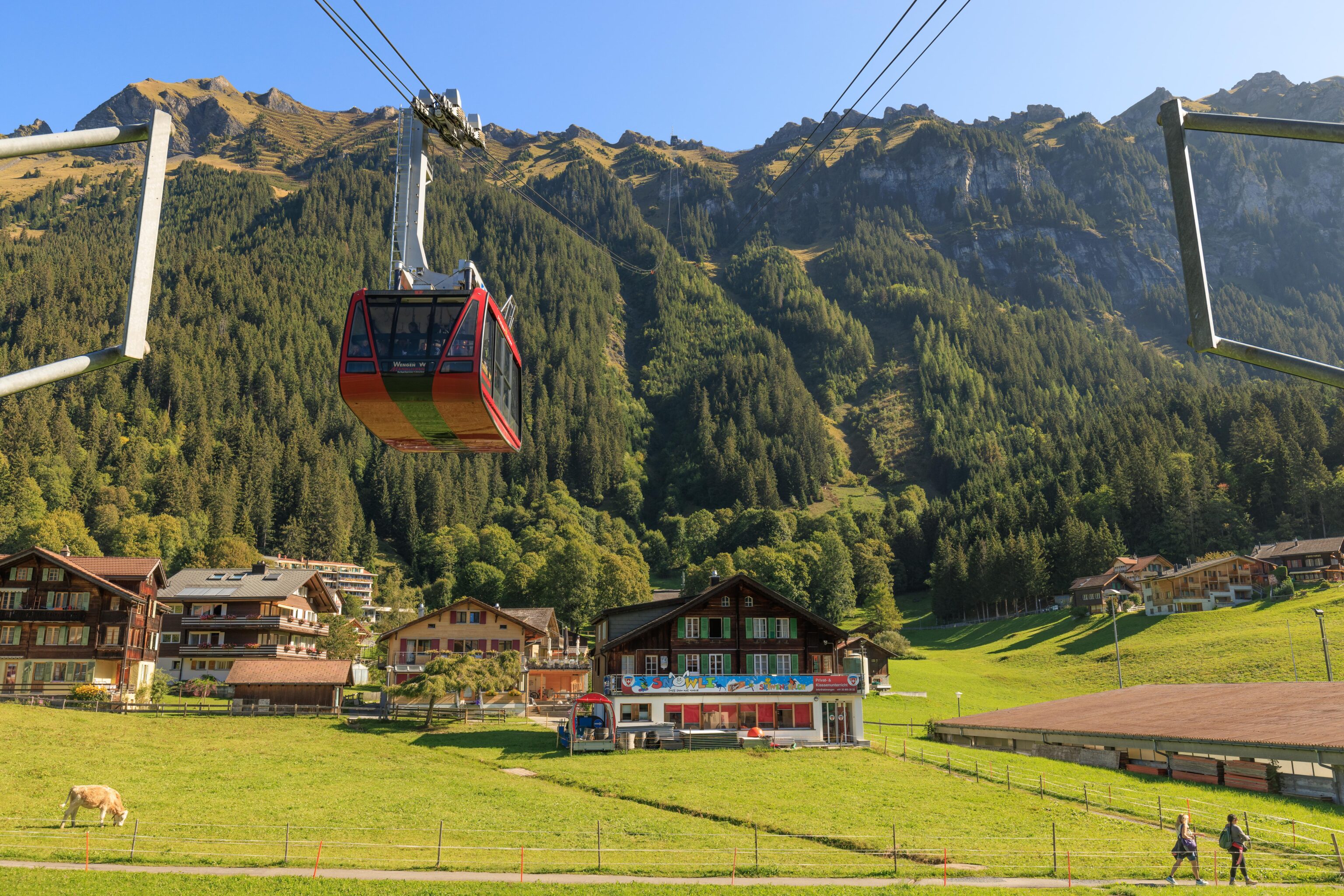
We waited awhile for the next tram to arrive. It looked much busier than yesterday, though we passed by two hours earlier in the morning.
A nice view of Wengen as we started our ascent.
The forests here in Switzerland all seem to be in great condition. Very different from the US where various beetle species have been decimating our coniferous forests.
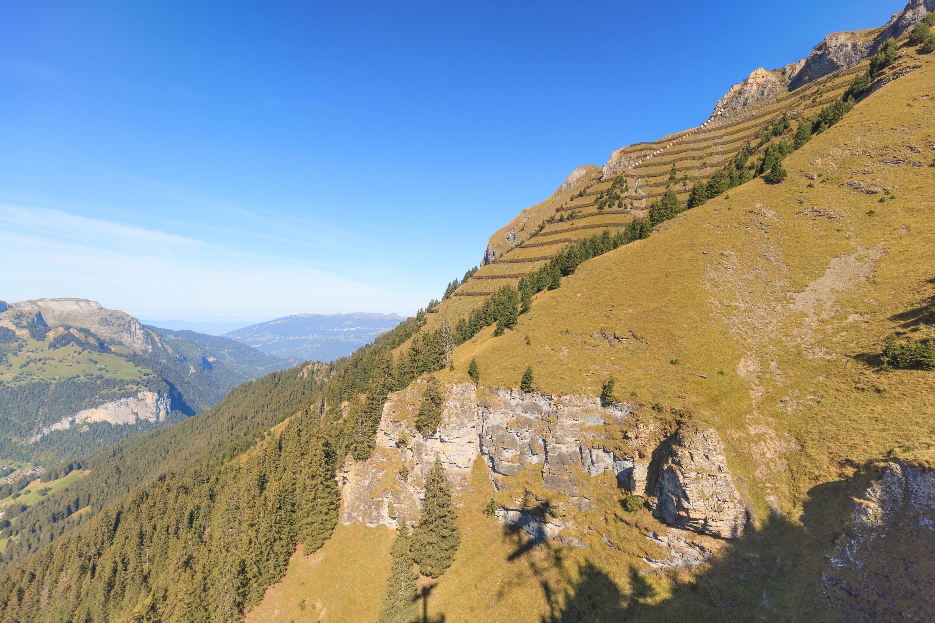
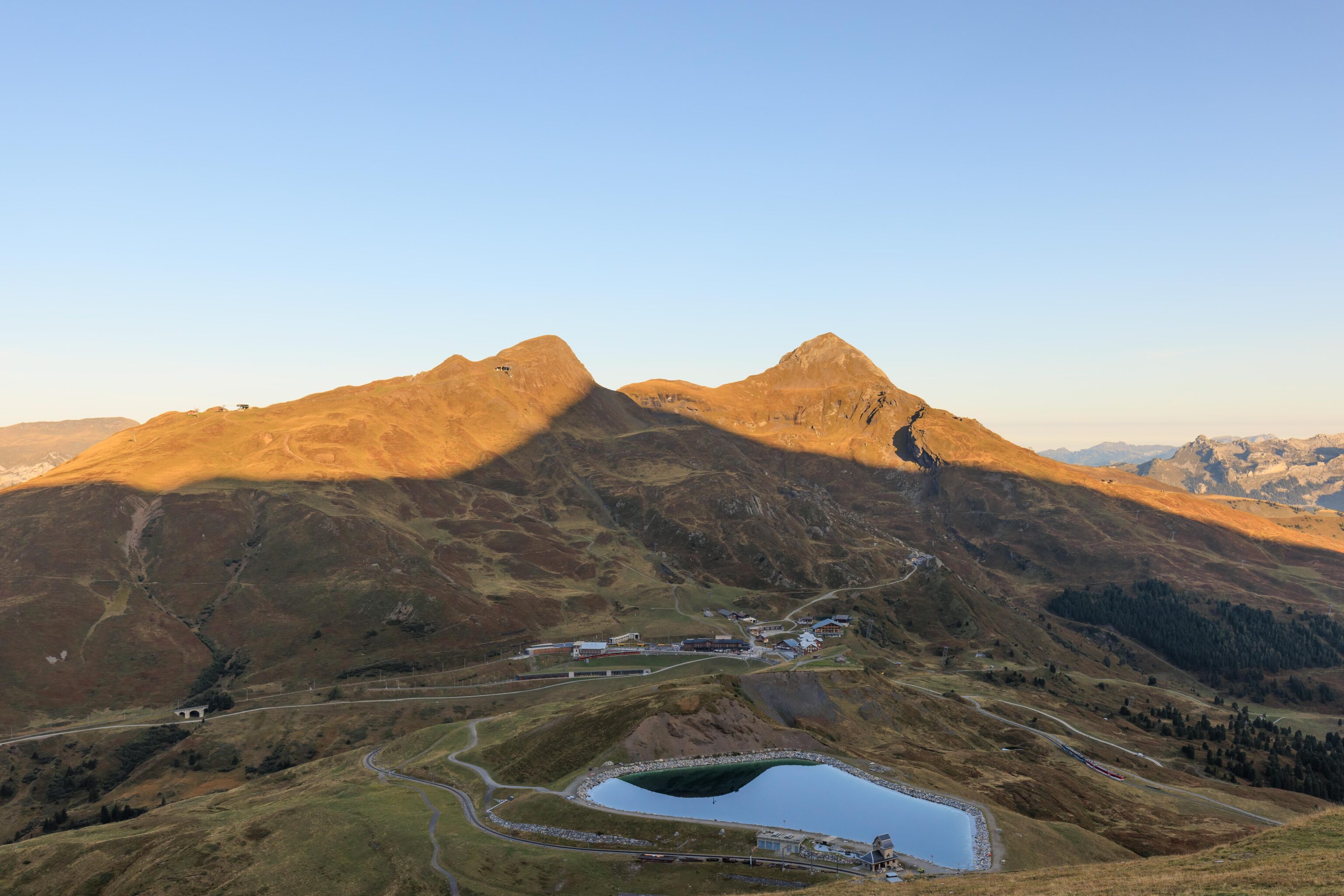
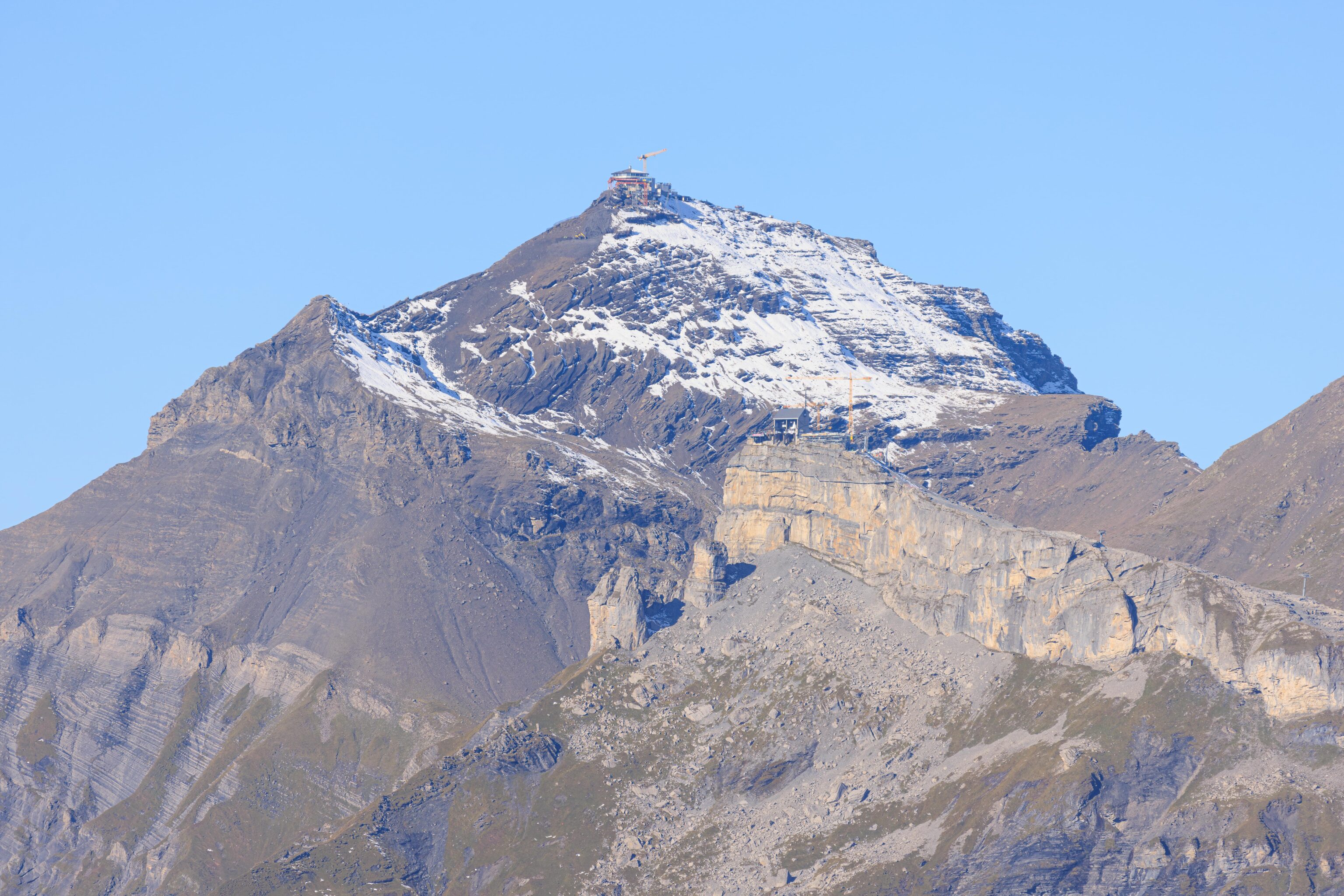
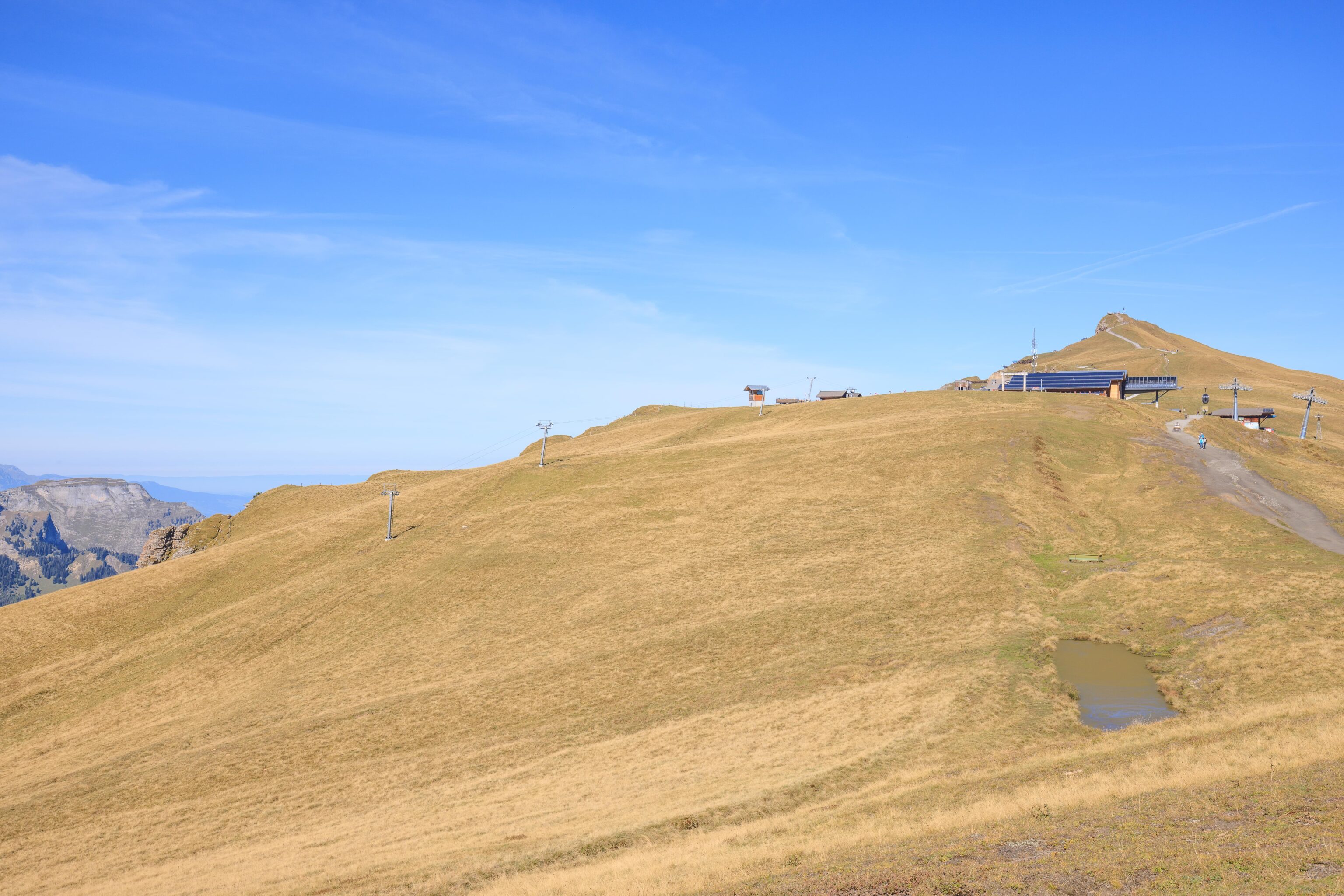
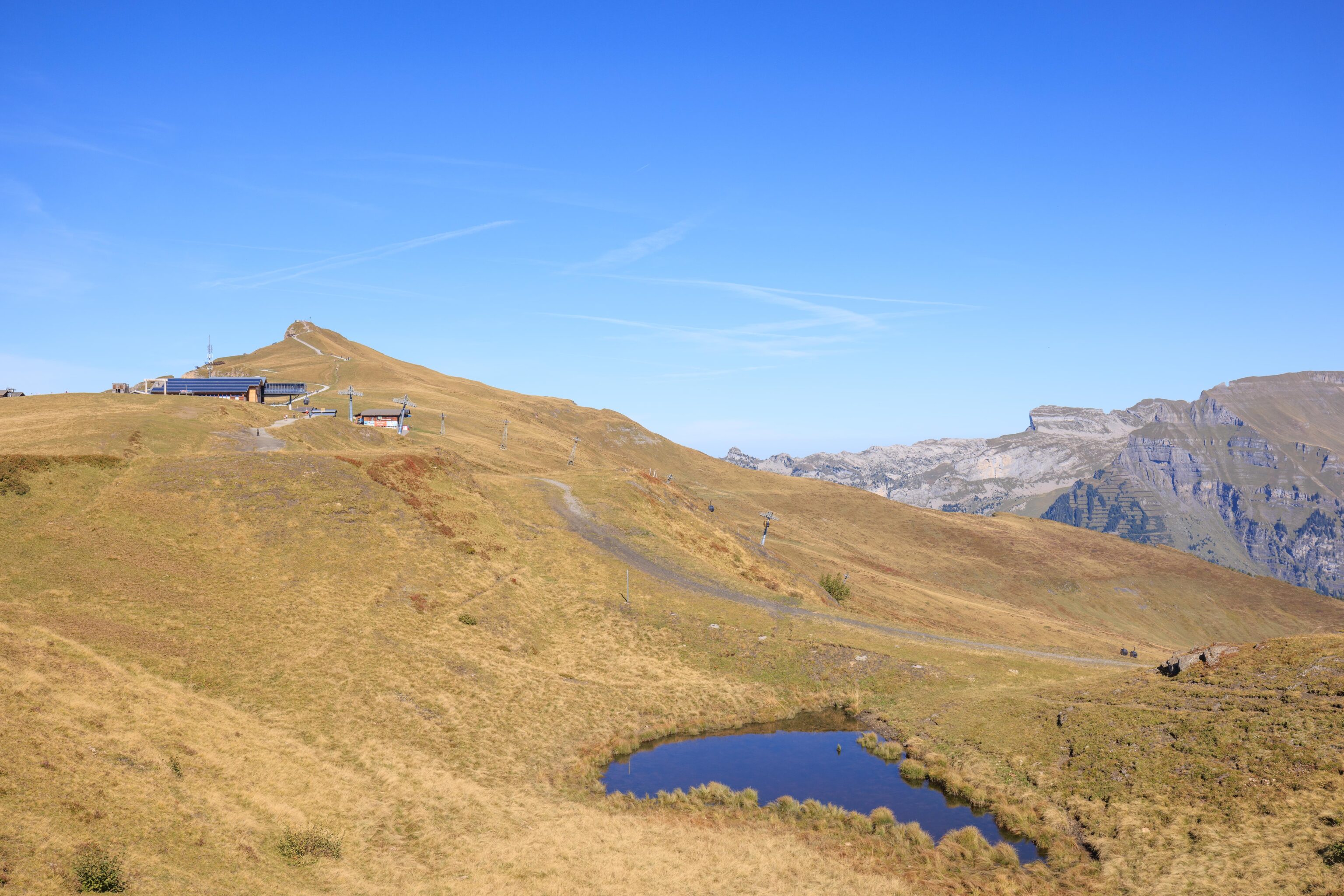
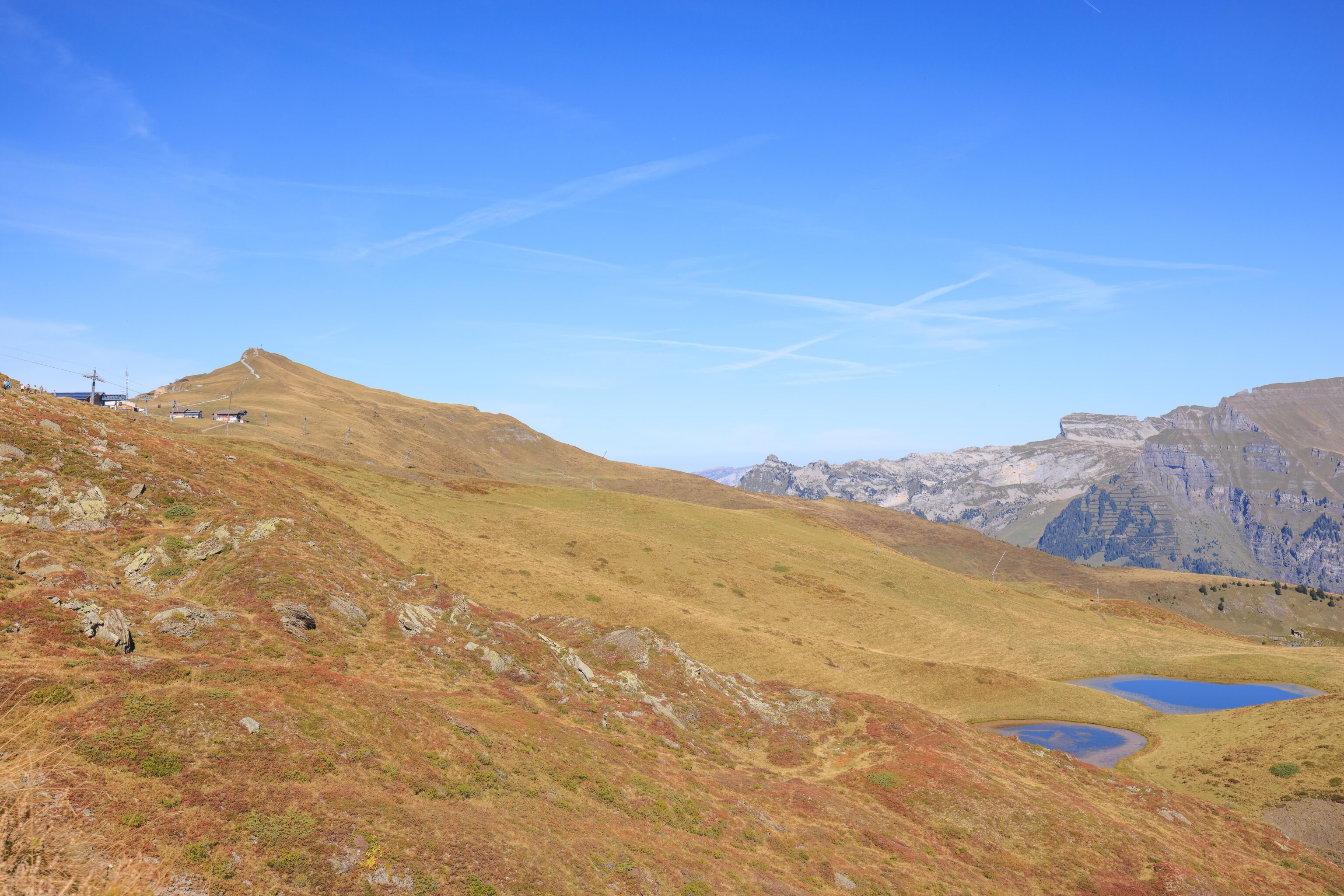
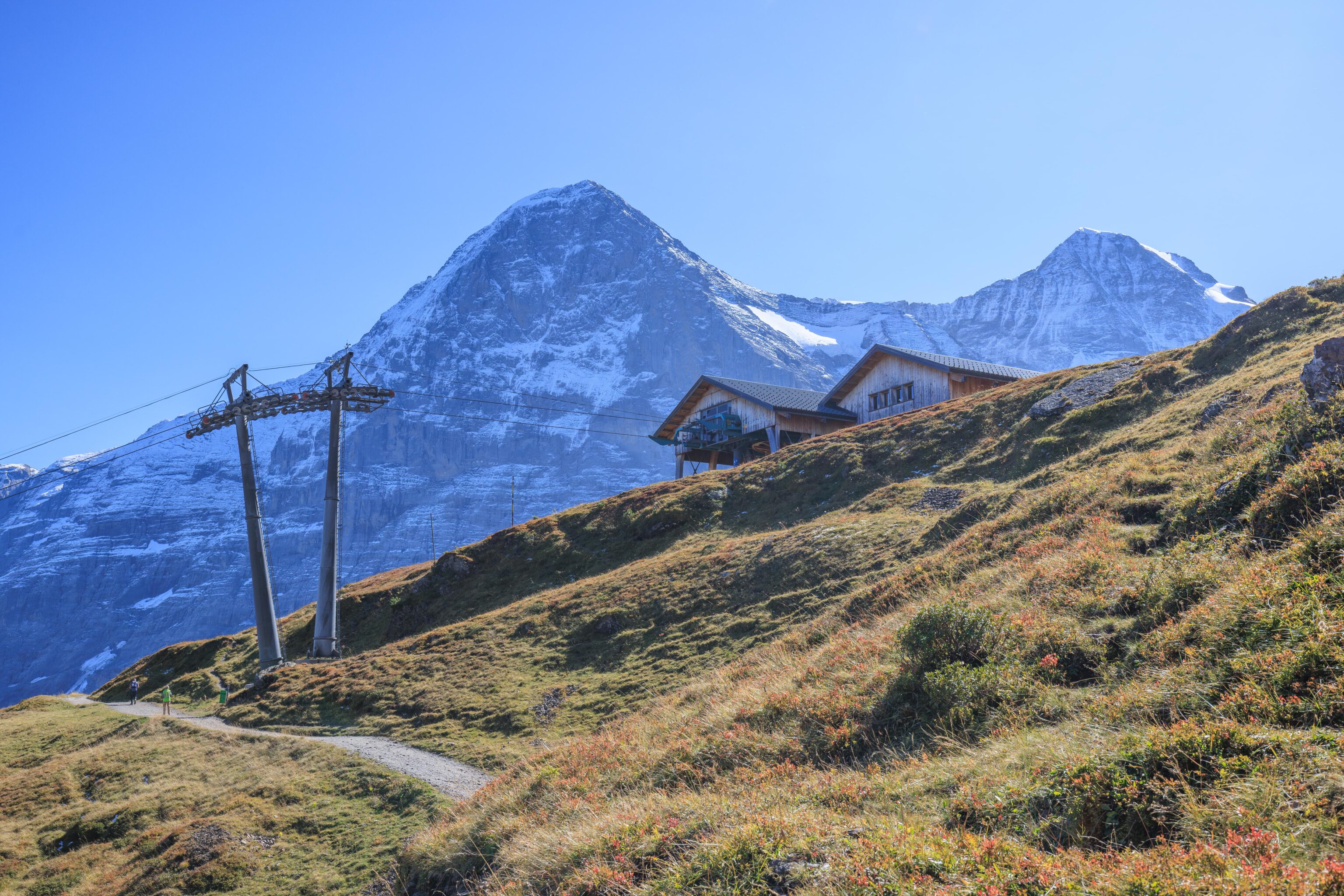
Soon, we were rising up above the treeline. There are many snow fences in place here on the upper slopes of Männlichen.
We’re just about to reach the upper terminal. The shadows of the tram and the terminal building look ridiculously large!
The view looking down at Wengen and Lauterbrunnen from the aerial tram station.
As we arrived, the tram operator stated that unfortunately there was no running water at Männlichen due to maintenance activities. All bathrooms were closed. Quite unfortunate. We did see some work going on right by the station.
Panorama Trail
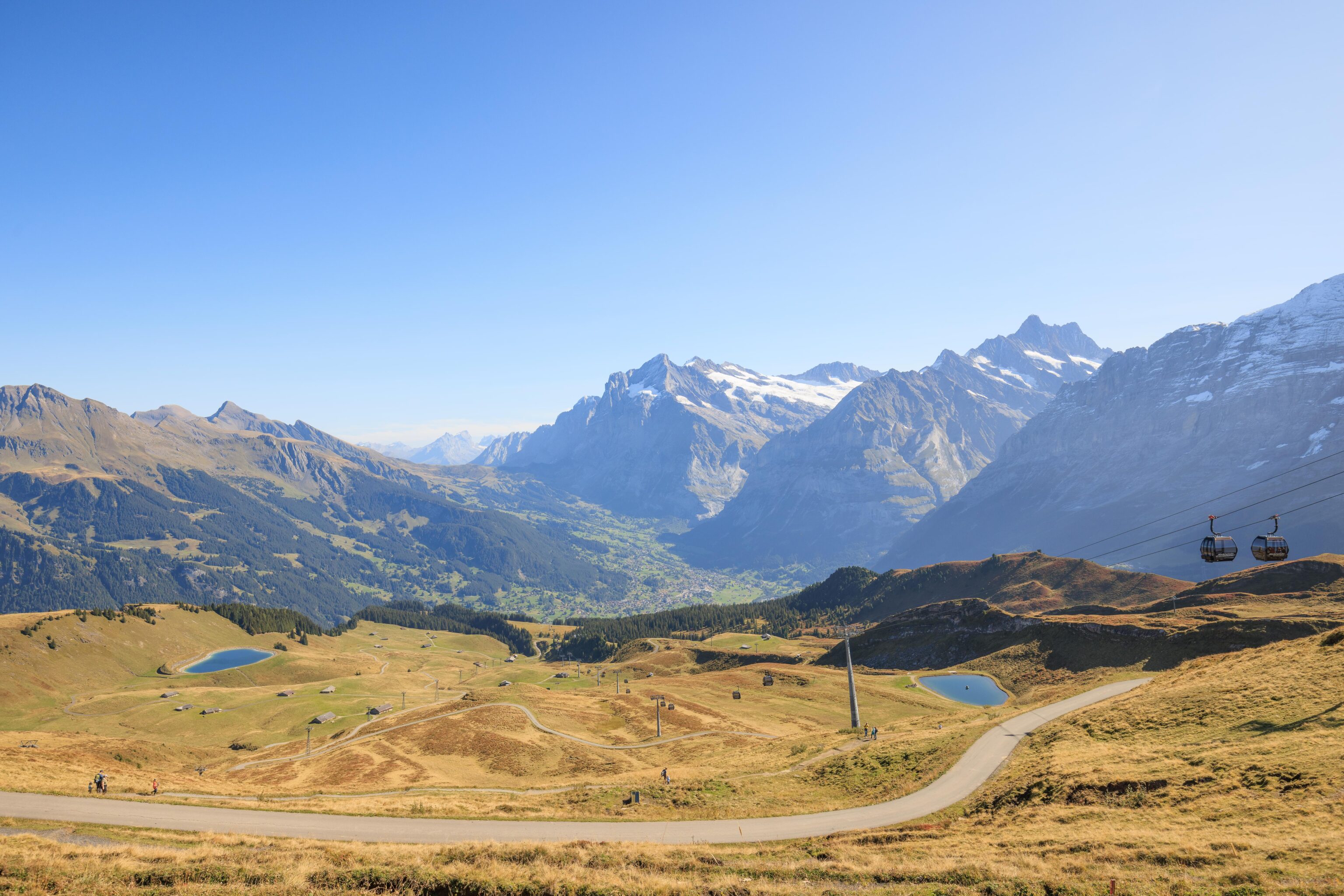
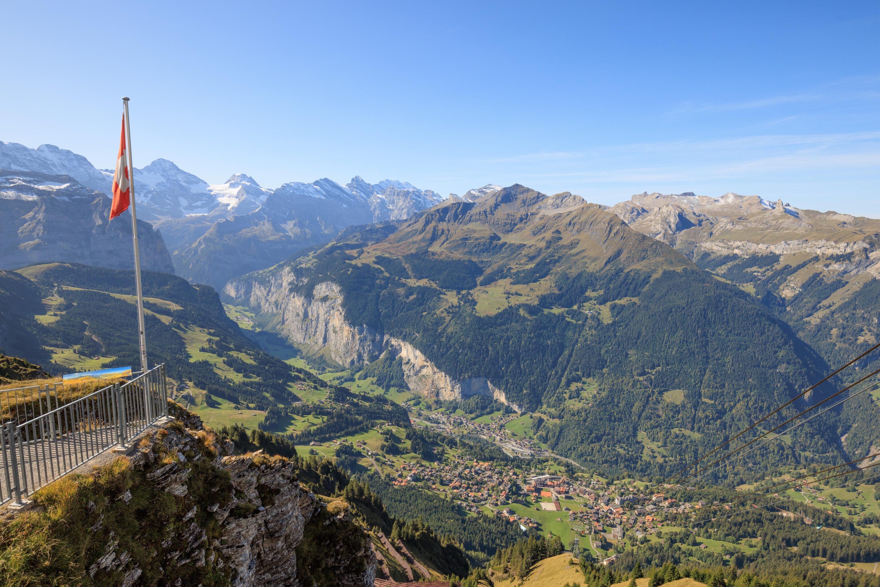
We started to head south on the panorama trail. From the starting point here, we had a great view of Grindelwald in the valley below.
The Jungfrau Region’s website has a page about that other Grindelwald, the wizard from Harry Potter.
We briefly ducked into the gondola station to take a look. We found out that their bathrooms were open! We think the tram operator was only referring to the buildings at the aerial tram station, which is separate from the gondola station!
After our brief break, we continued walking to the south. Quite a view once again!
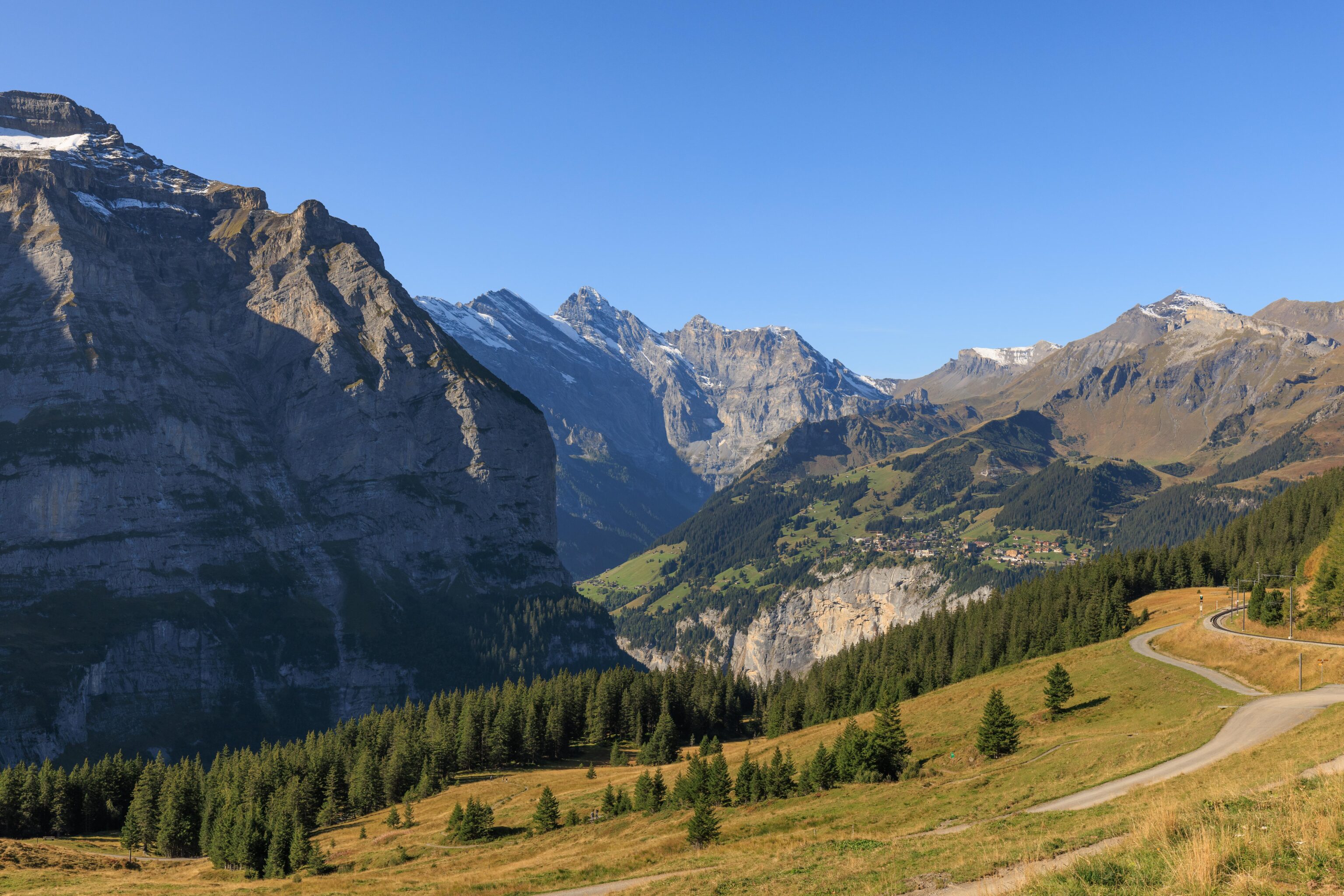
This was the view in the other direction, to the west, as we were walking on a wide ridge. We couldn’t see anything down in the valley or Mürren on the other side but we could see Birg and Schilthorn. The train line to Grütschalp and the upper aerial tram station there are visible as well, on the right side of the photo.
Looking back, we could see the peak of Männlichen as well as part of the gondola station.
We walked by a small natural pool of water.
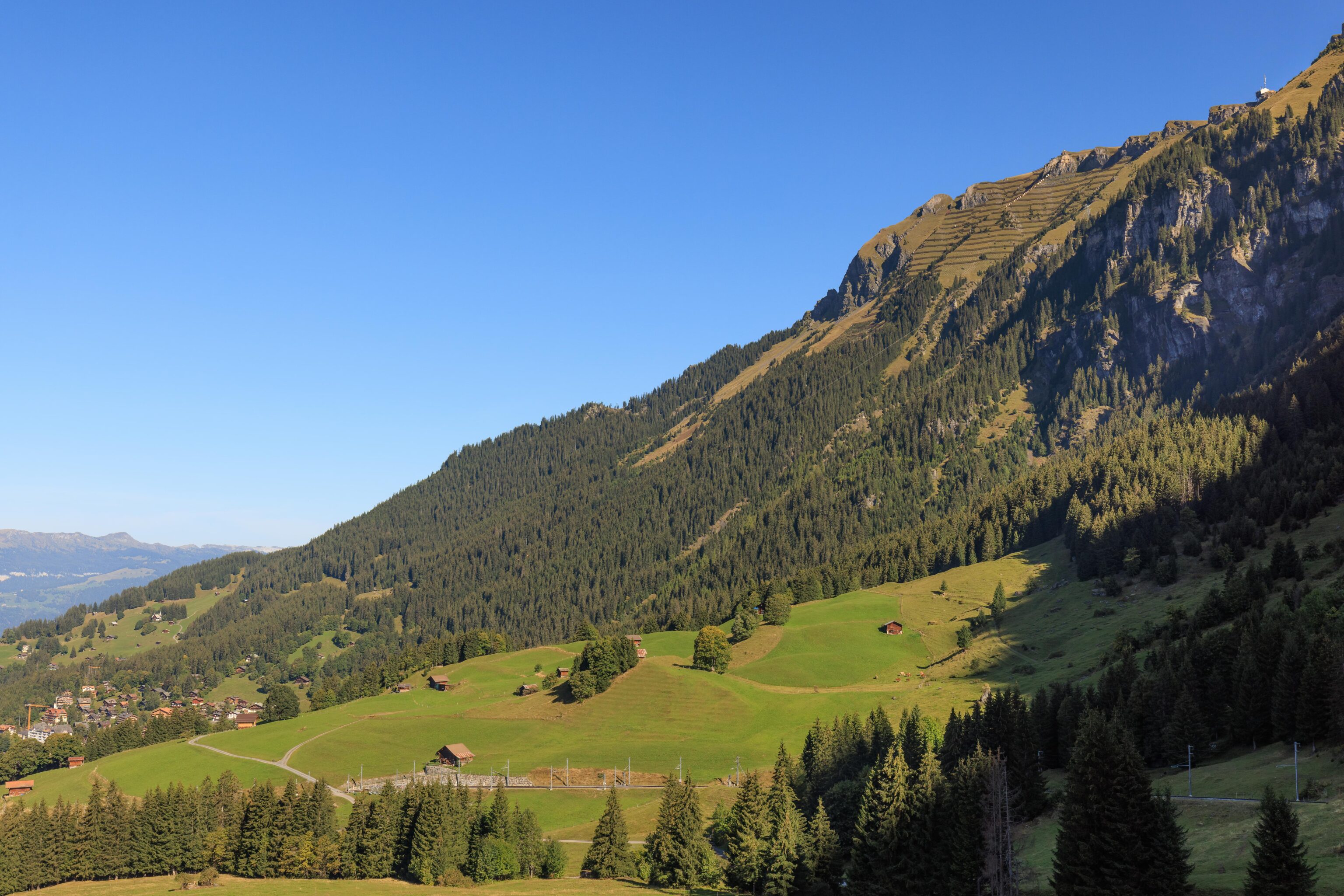
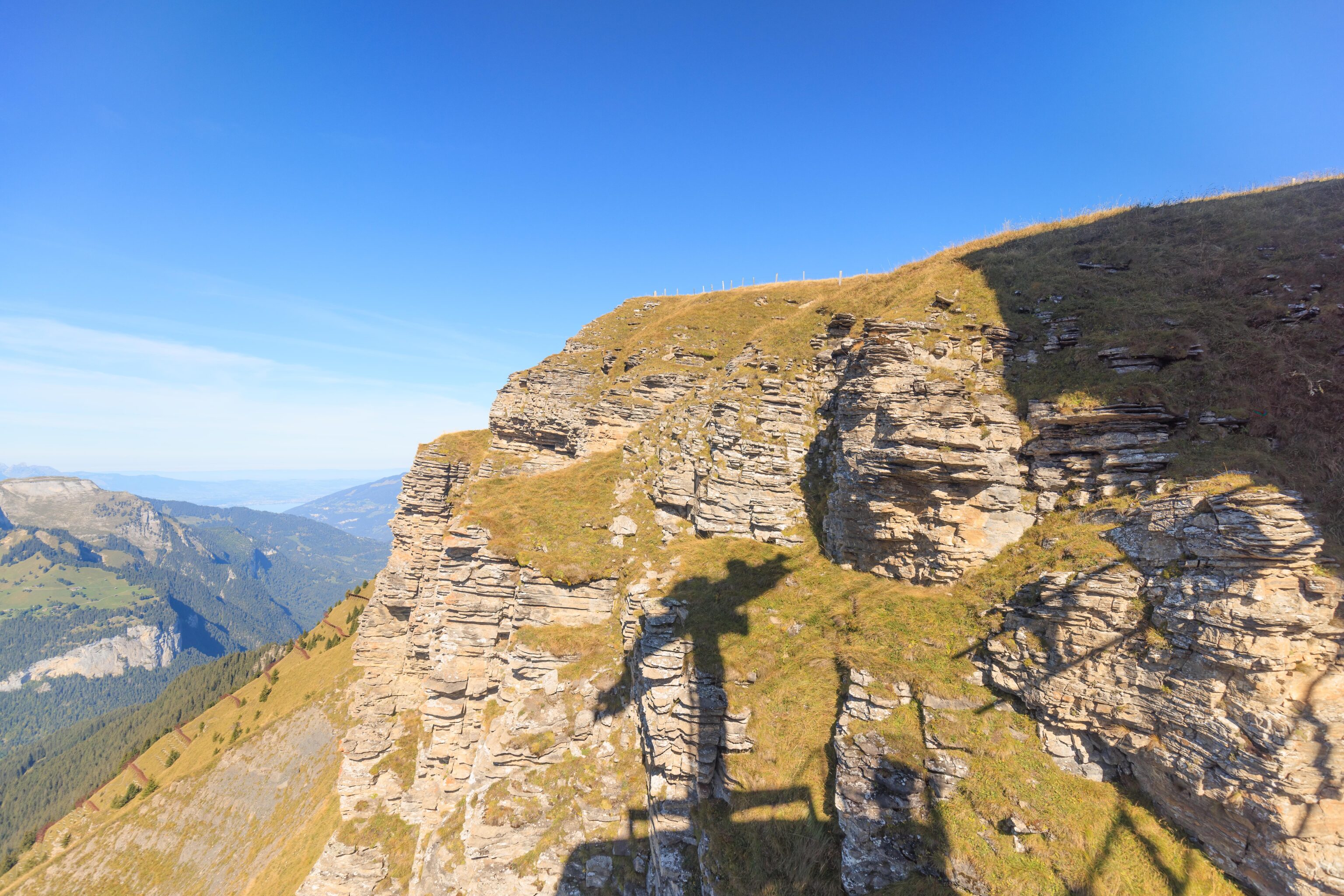
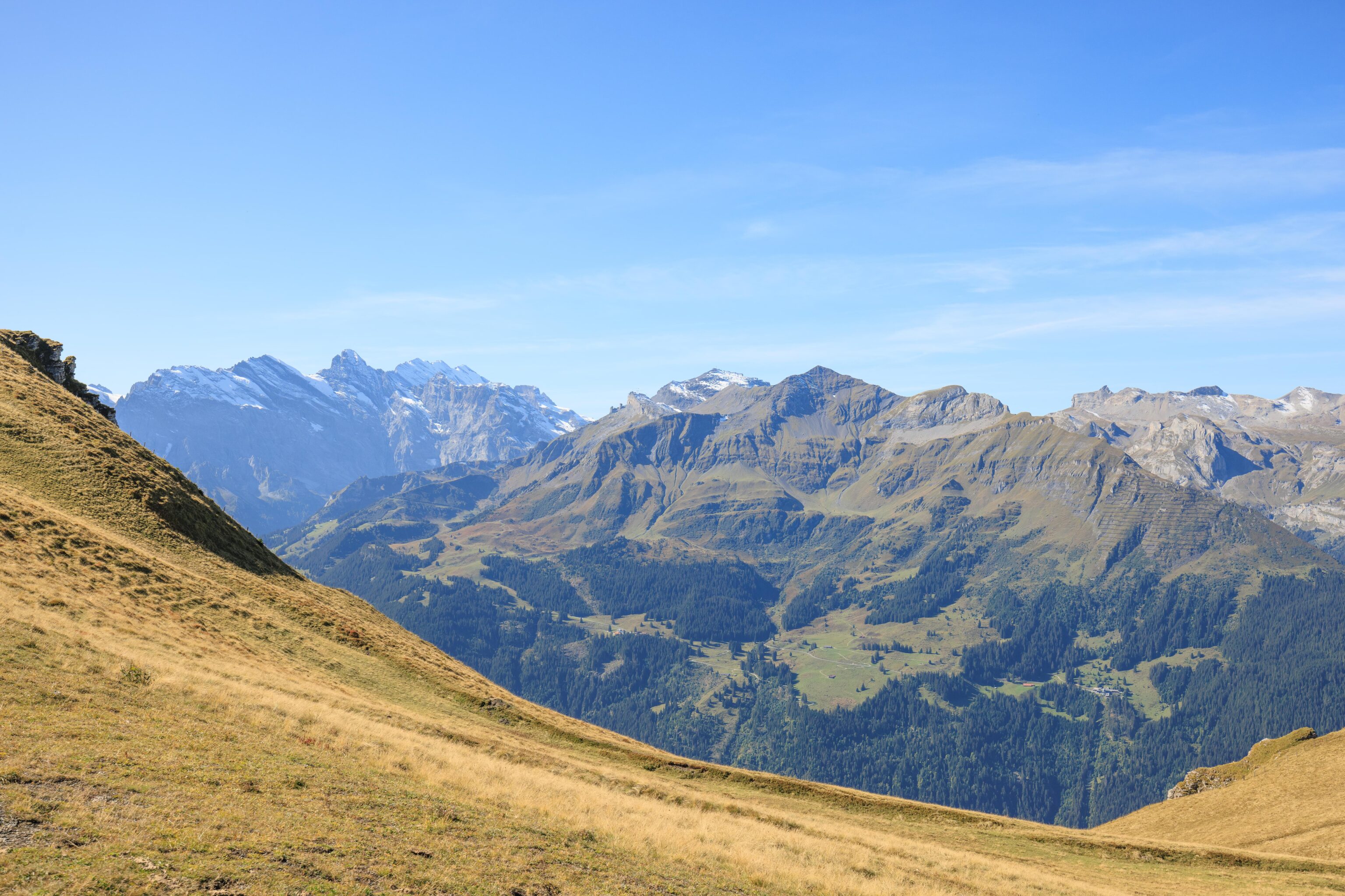
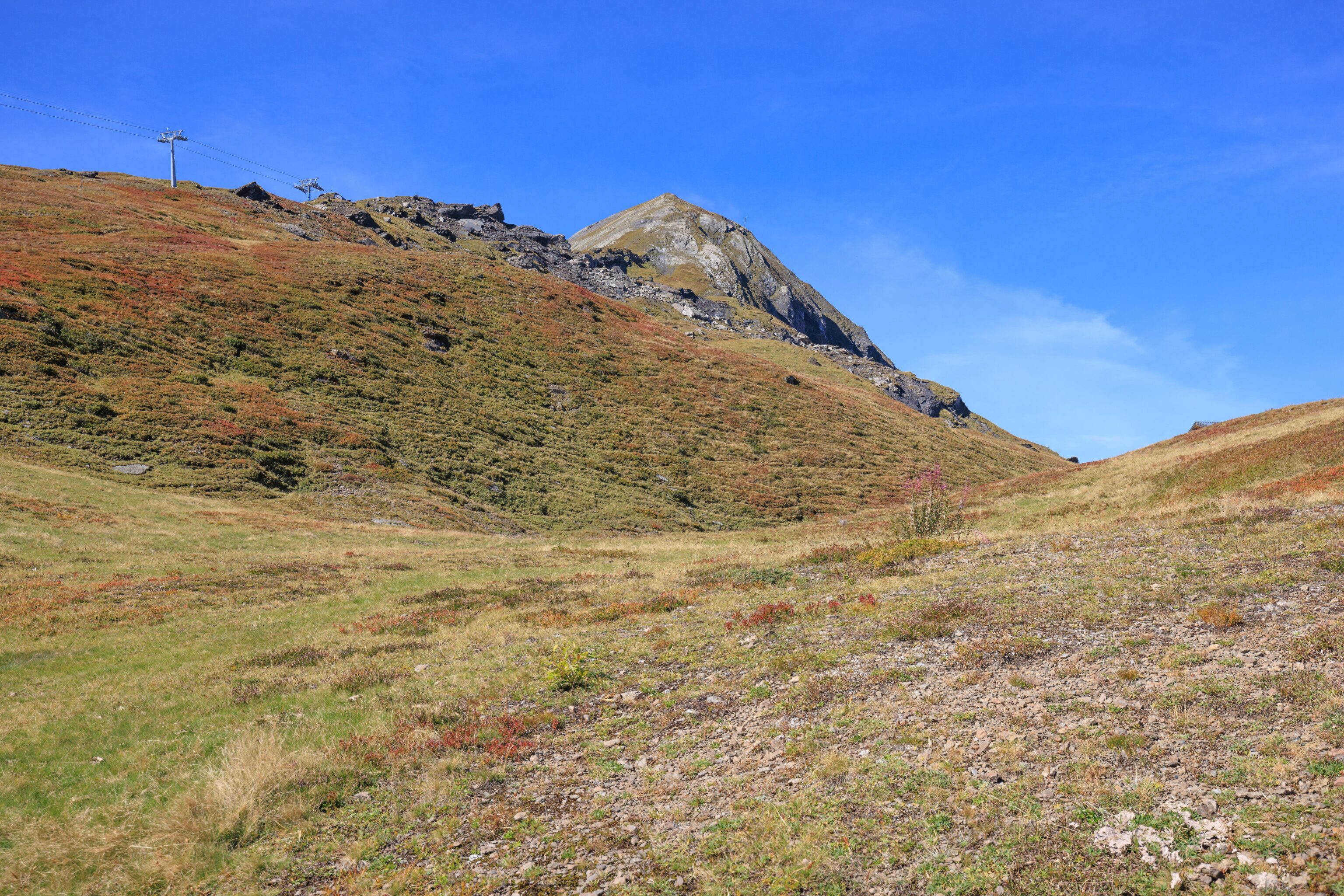
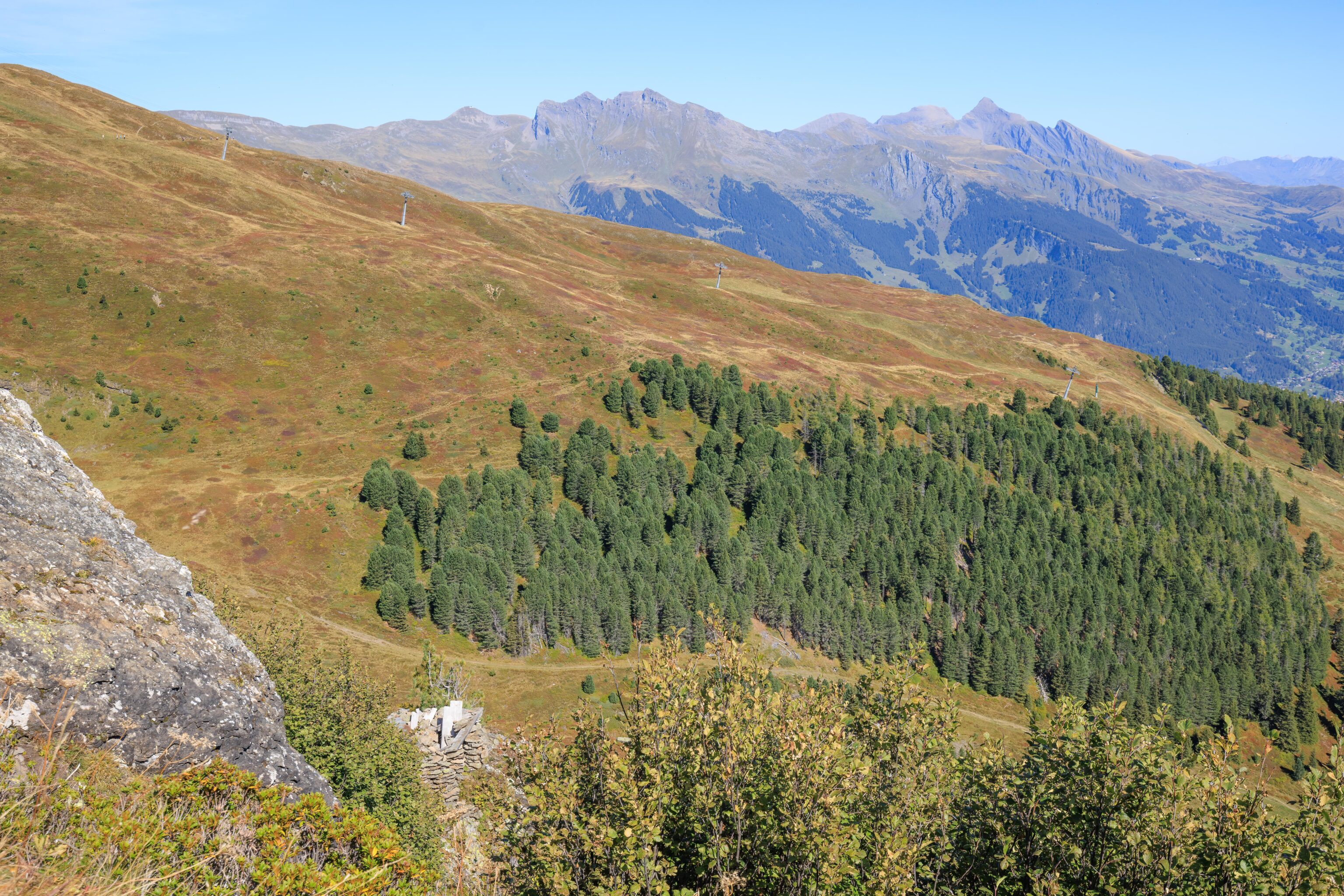
From here, the trail becomes more mountainous as we approach the northern slope of Tschuggen. The actual trail is still pretty flat though with a gradual descent.
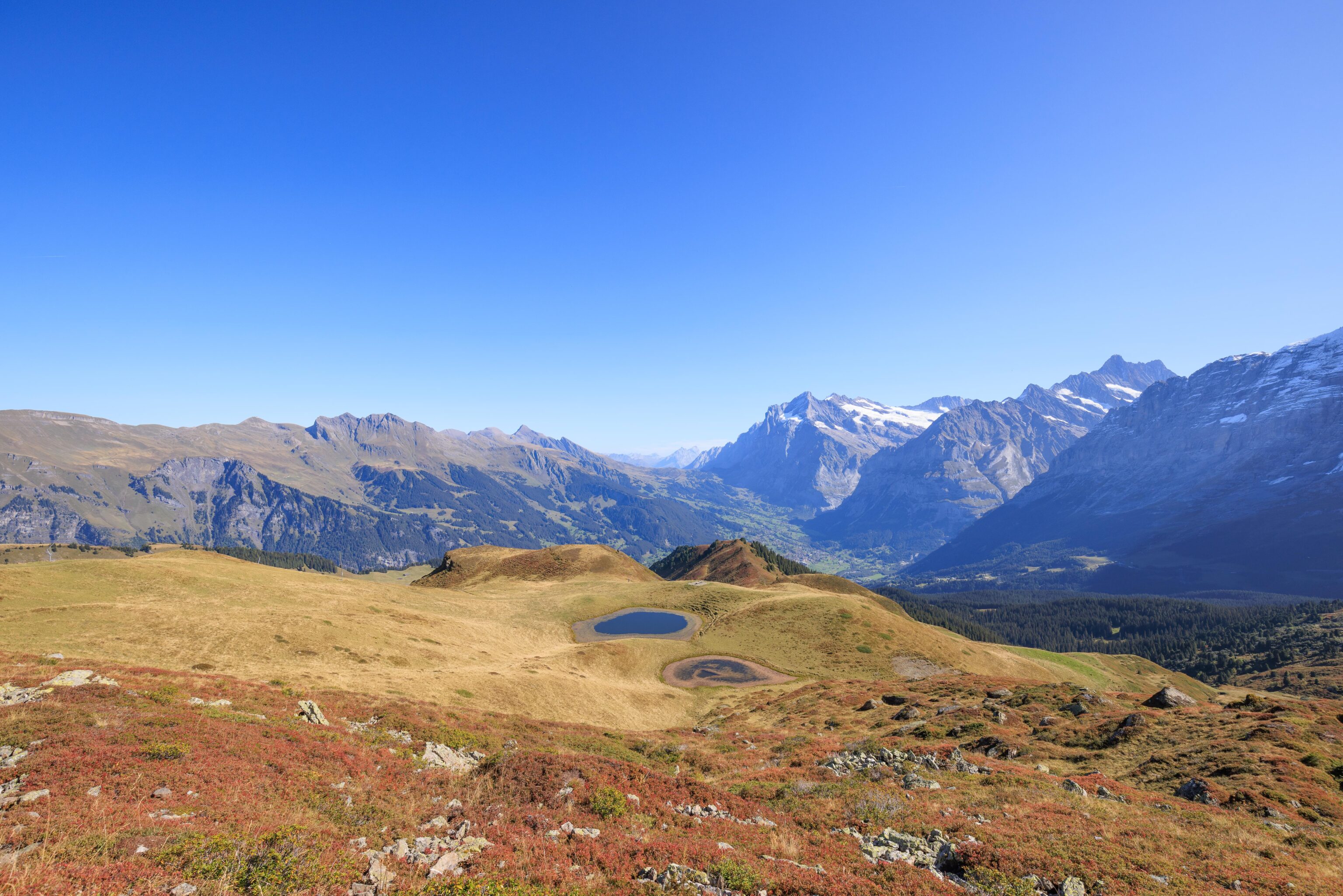
We passed by two larger pools of water below. They had things growing in them.
Half of Grindelwald was now masked by the terrain. From here though, we could see the Hotel Belvedere where we stayed for the last four nights.
As we continued, we looked back and were still able to see the gondola station at Männlichen.
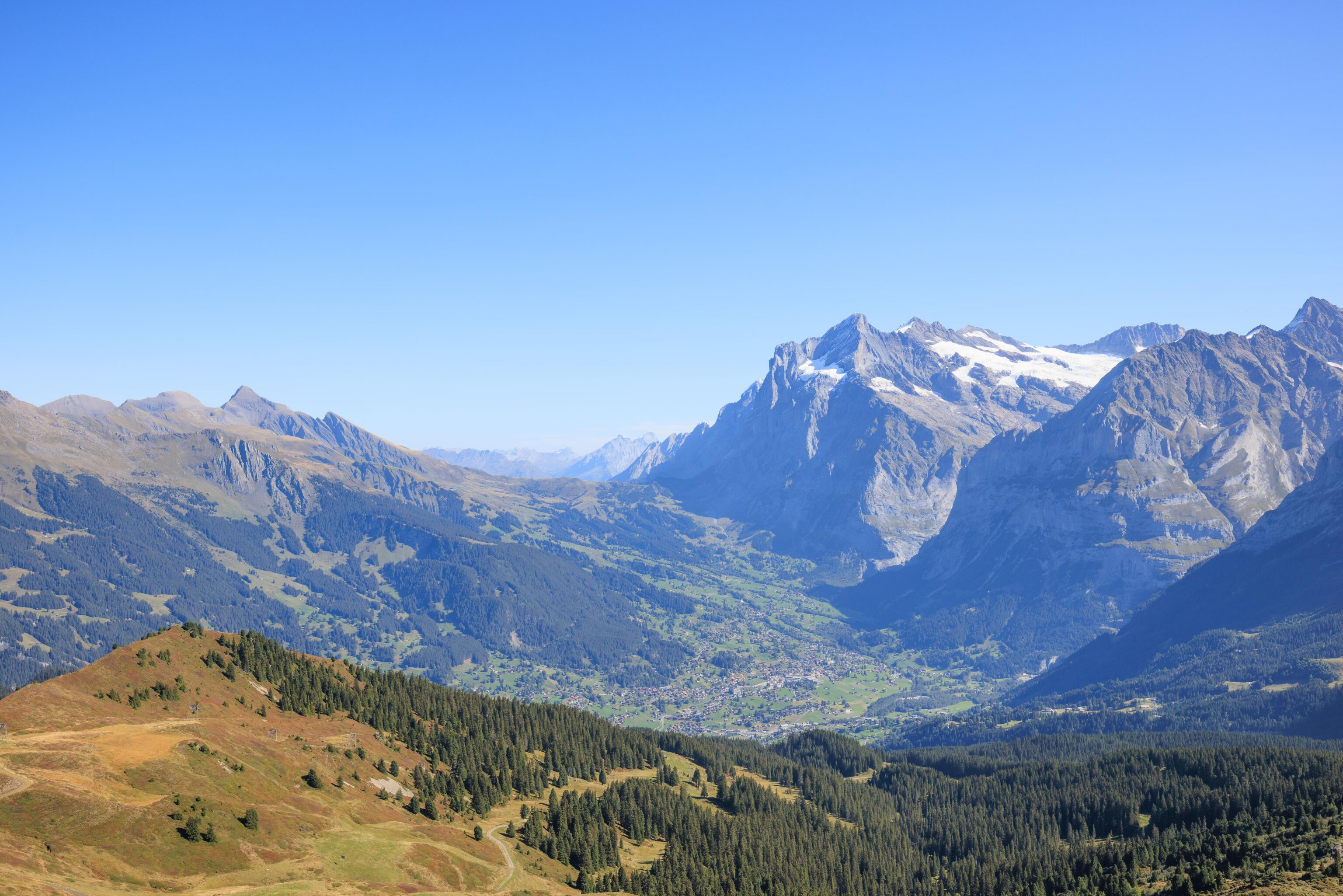
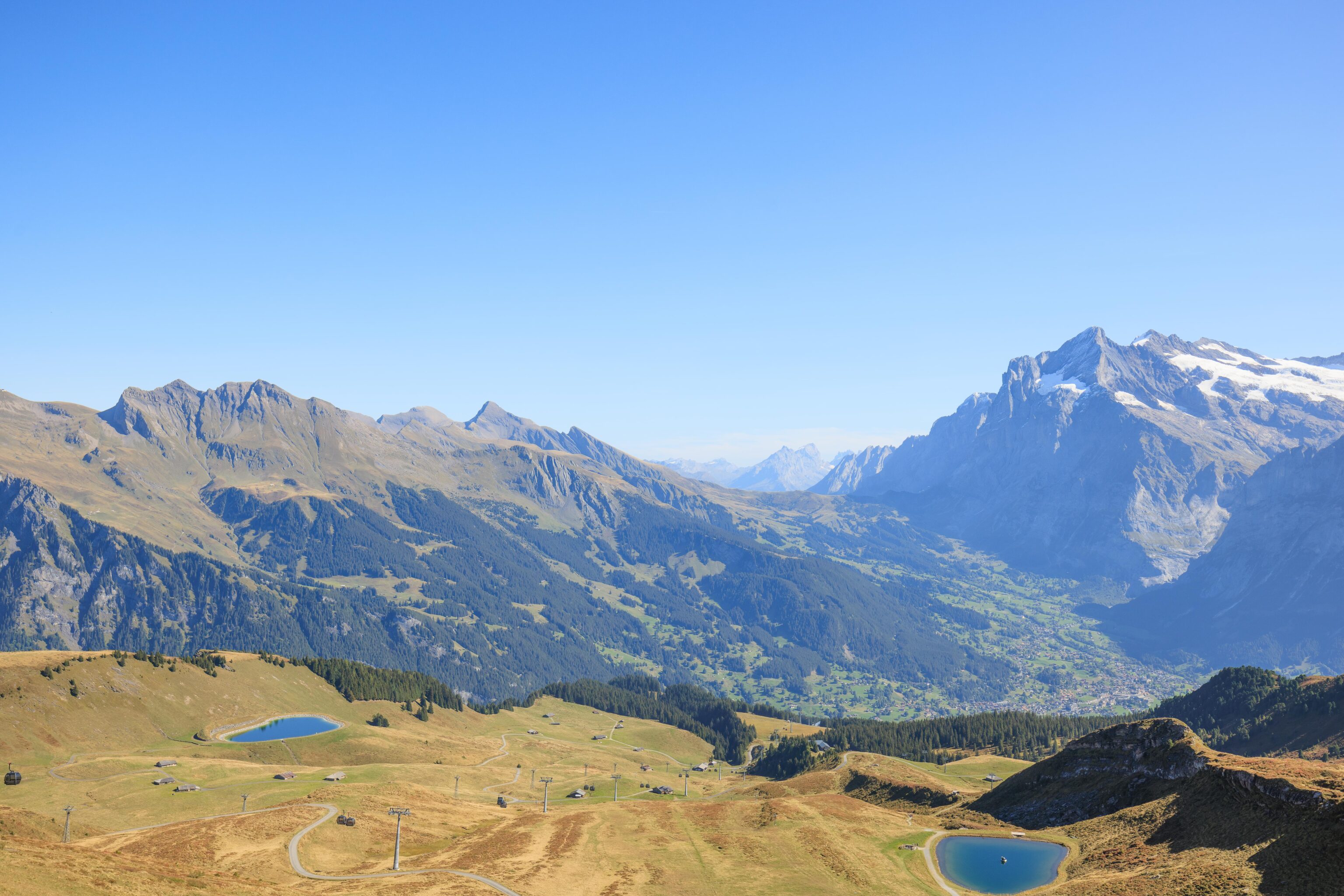
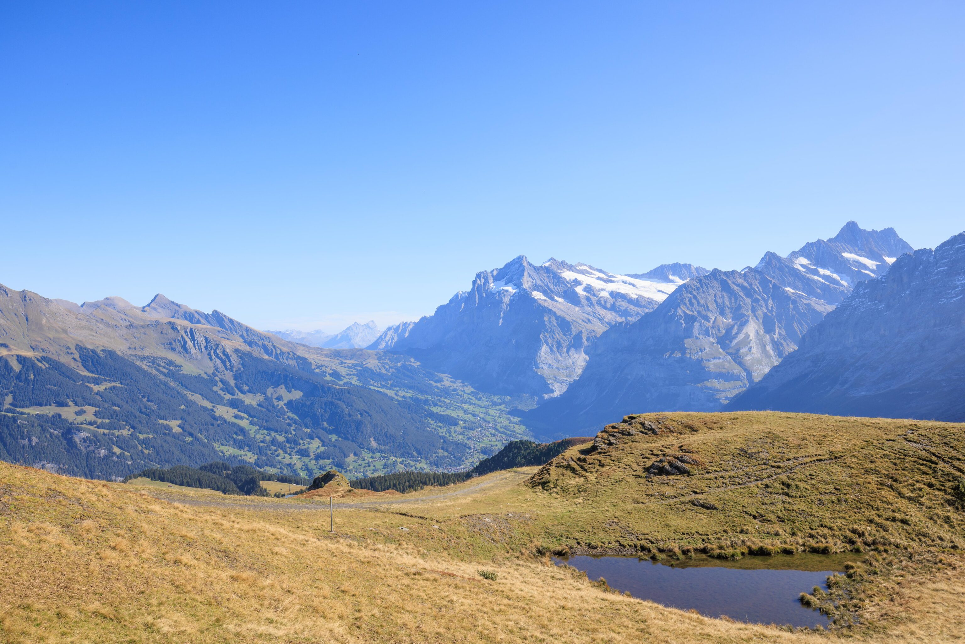
More of Grindelwald became visible again as we kept going to the southeast.
The trail was nicely maintained with a consistent gravelly surface and just minor changes in elevation.
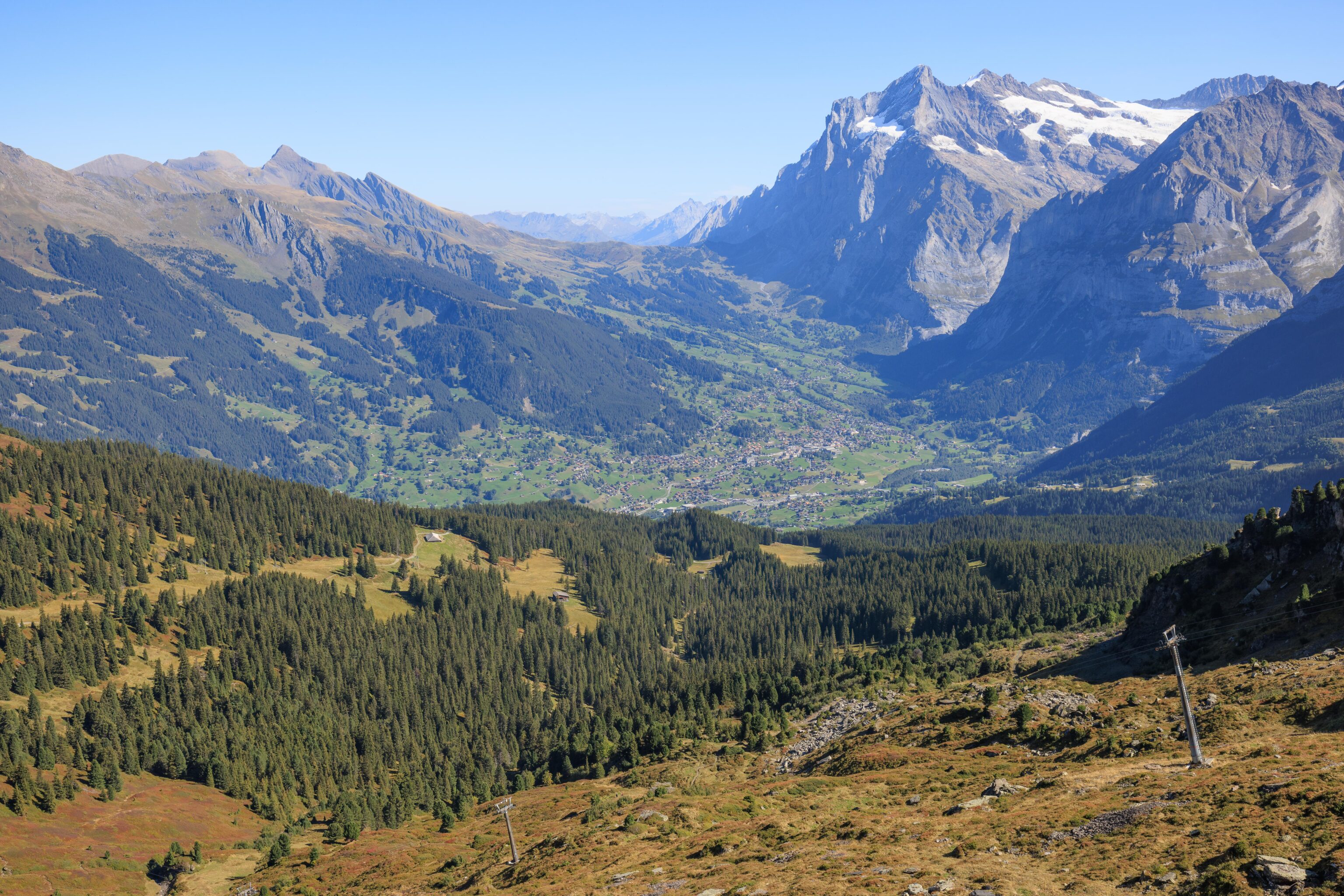
A familiar view! From here, and probably in all our previous photos showing Grindelwald, we could see First on the mountain to the left of the town. It is quite tiny and hard to make out though.
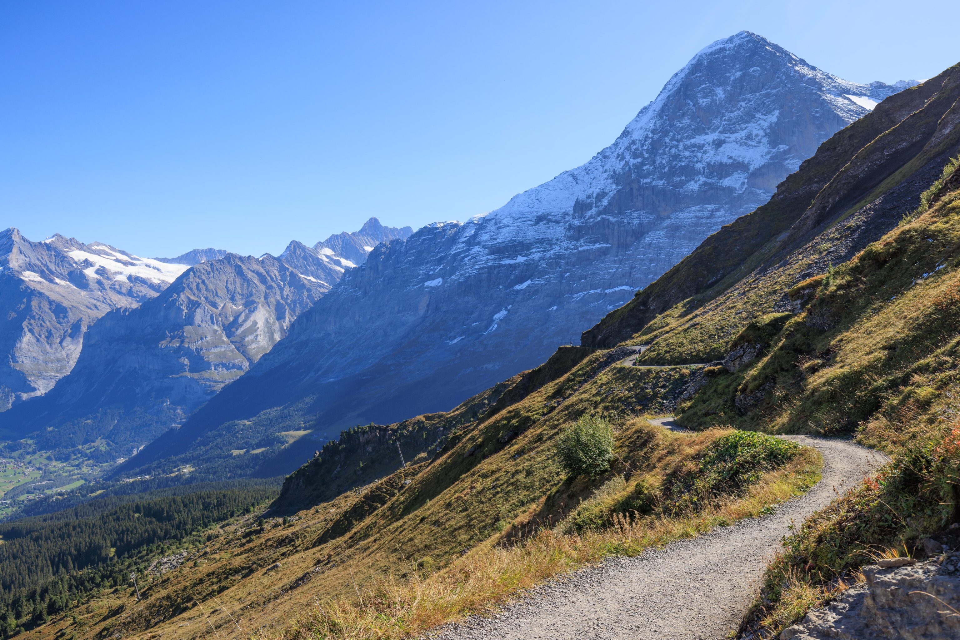
The trail passed under the upper station of a ski lift with Eiger and Mönch in the background.
Another lift goes higher up on Tschuggen, though not to the peak.
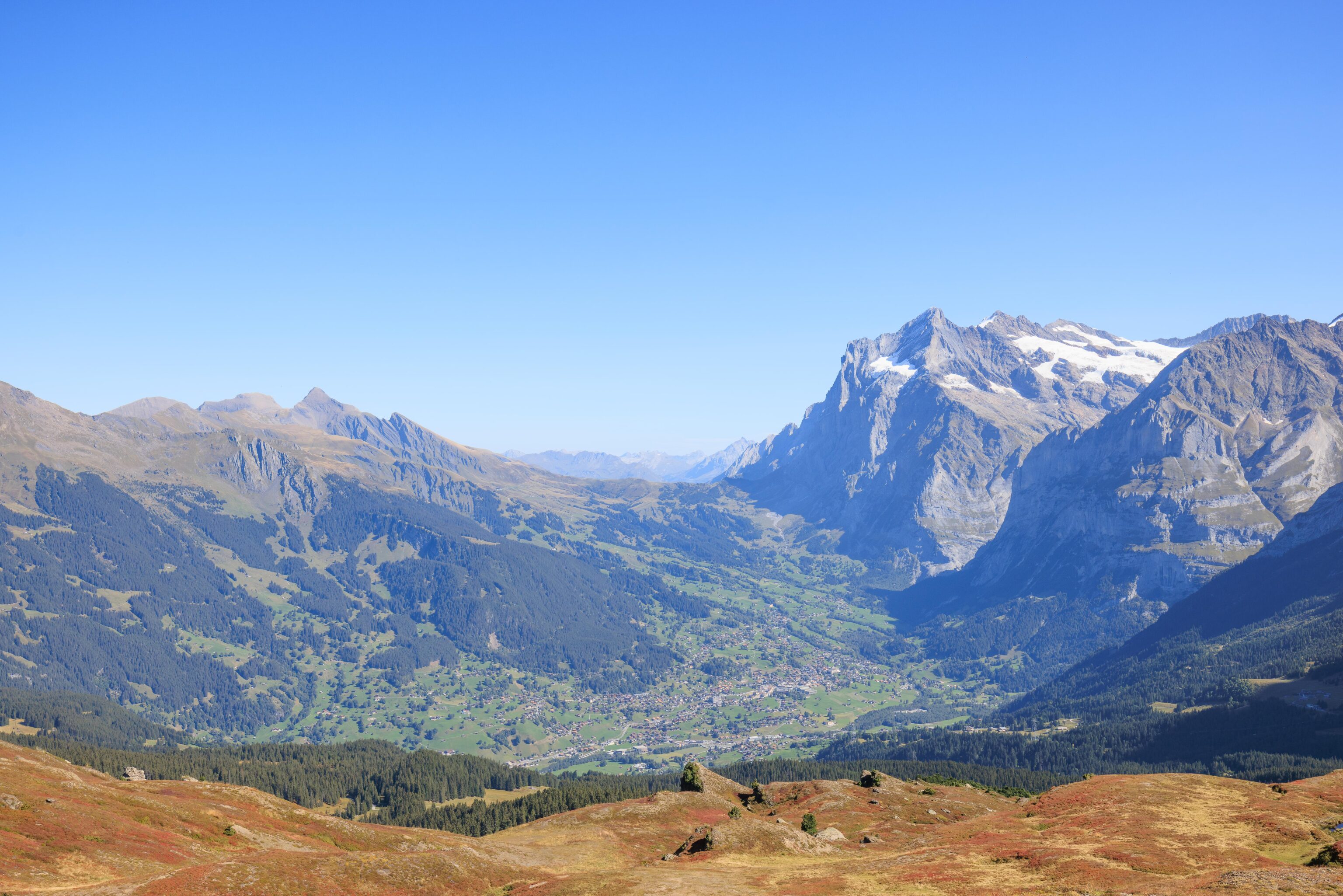
Nearly all of Grindelwald is visible below as the trail starts to curve around the east side of Tschuggen. From here, we could see the towers for the Eiger Express gondola.
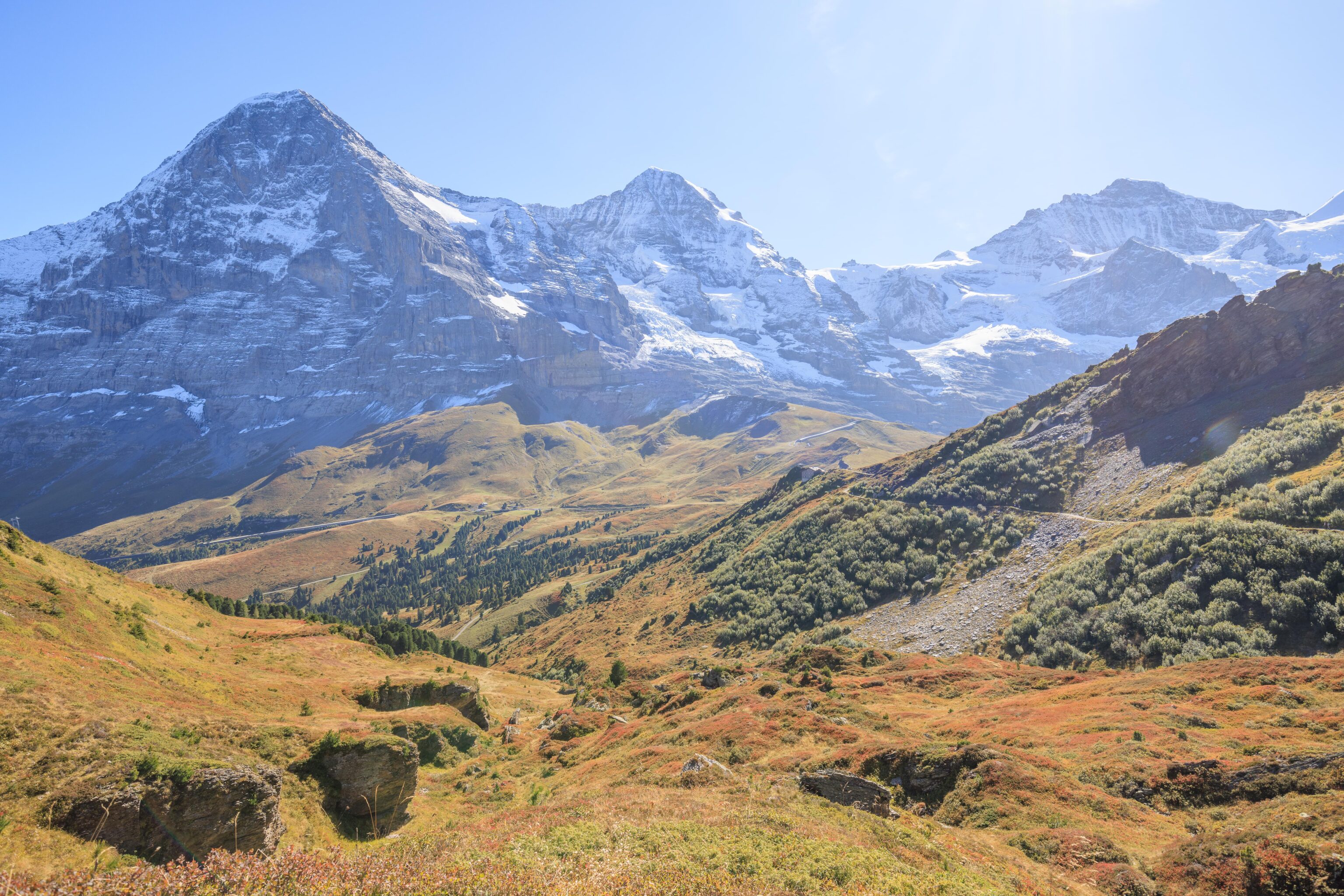
We could see Eiger, Mönch, and Jungfrau from the trail as it started to head southwest around Tschuggen.
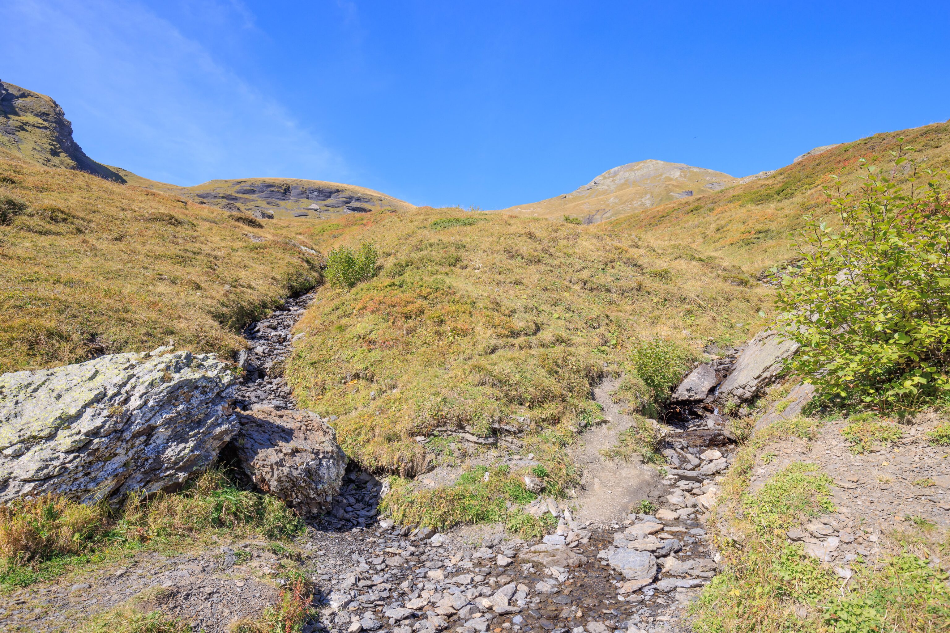
The trail headed over a small stream, or rather two small streams. This is where Tschuggen, somewhere out to the right, meets Lauberhorn, on the left.
Earlier, we saw banners for the Ski World Cup to be held here, at Lauberhorn. It is a yearly even that has been held since 1930. It seems it is actually on the other side of the mountain though.
The view from the opposite direction with Eiger directly in front of us. We came from the left and are going to the right.
Looking back at the trail on the side of Tschuggen.
Looking to the northeast, there are a few buildings scattered here and there.
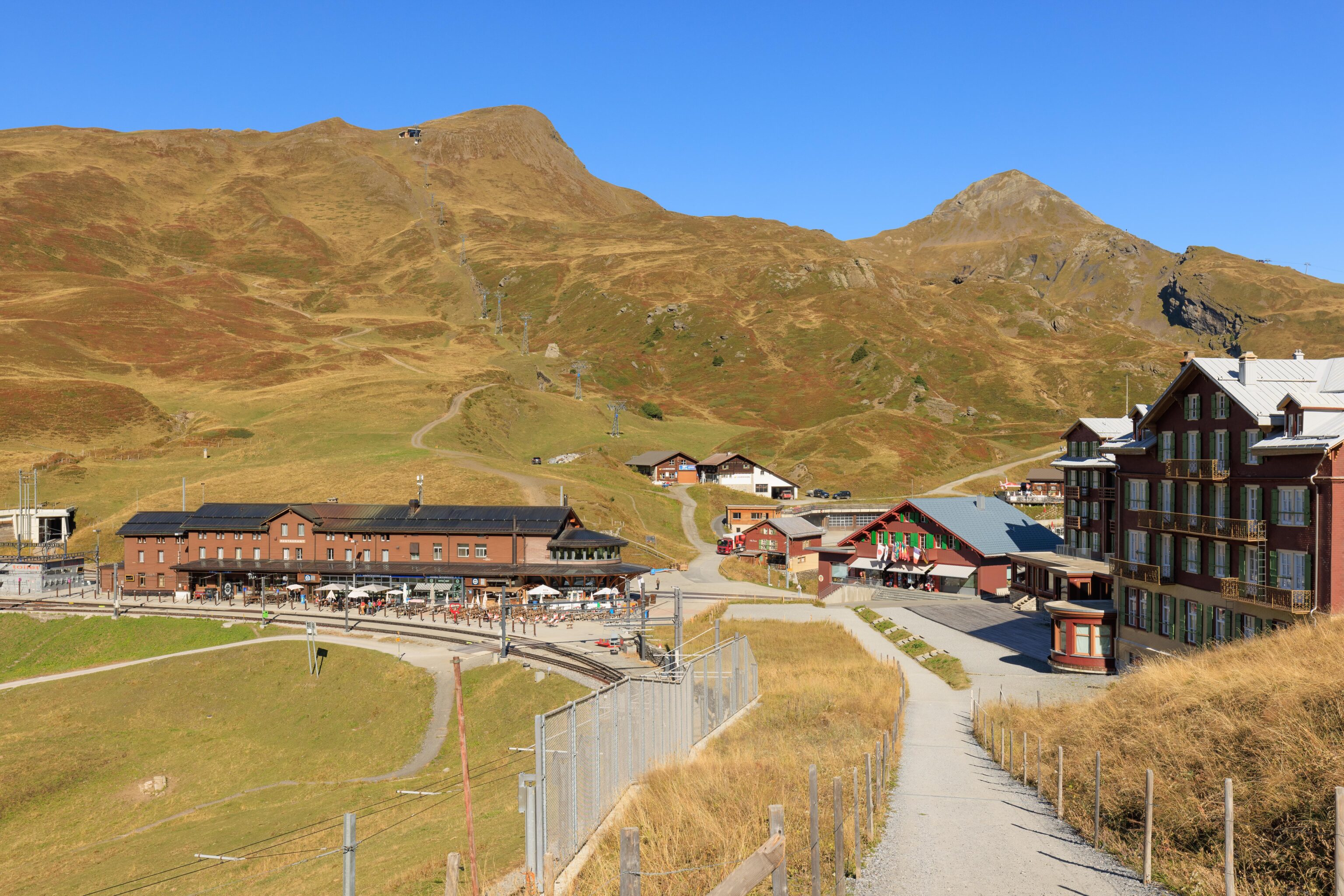
After a bit more walking, on the east side of Lauberhorn, we saw some buildings at the edge of Kleine Scheidegg in front of us!
The building on the left is the Grindelwaldblick, a hotel and restaurant. We decided to stop there to eat lunch before continuing on.
We passed by a small man made stack of stone and wood below us while approaching the Grindelwaldblick. Was there something here before?
After getting to the restaurant, we took a table inside. There was an outdoor patio but the remaining seats all looked to be directly under the sun.
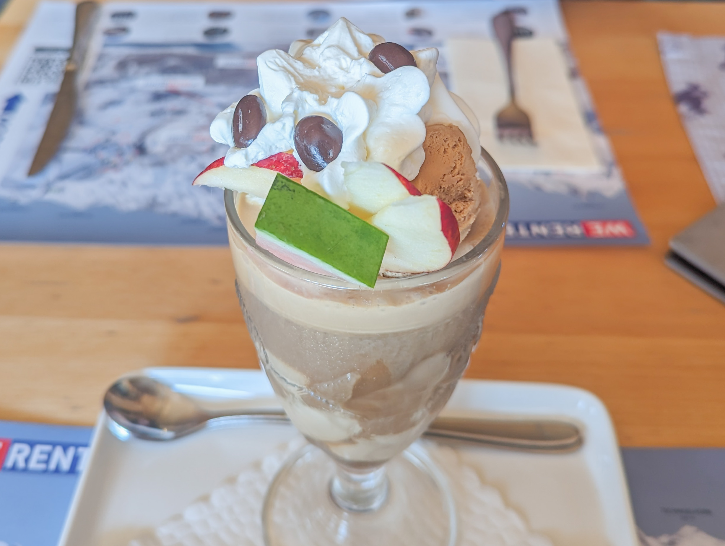
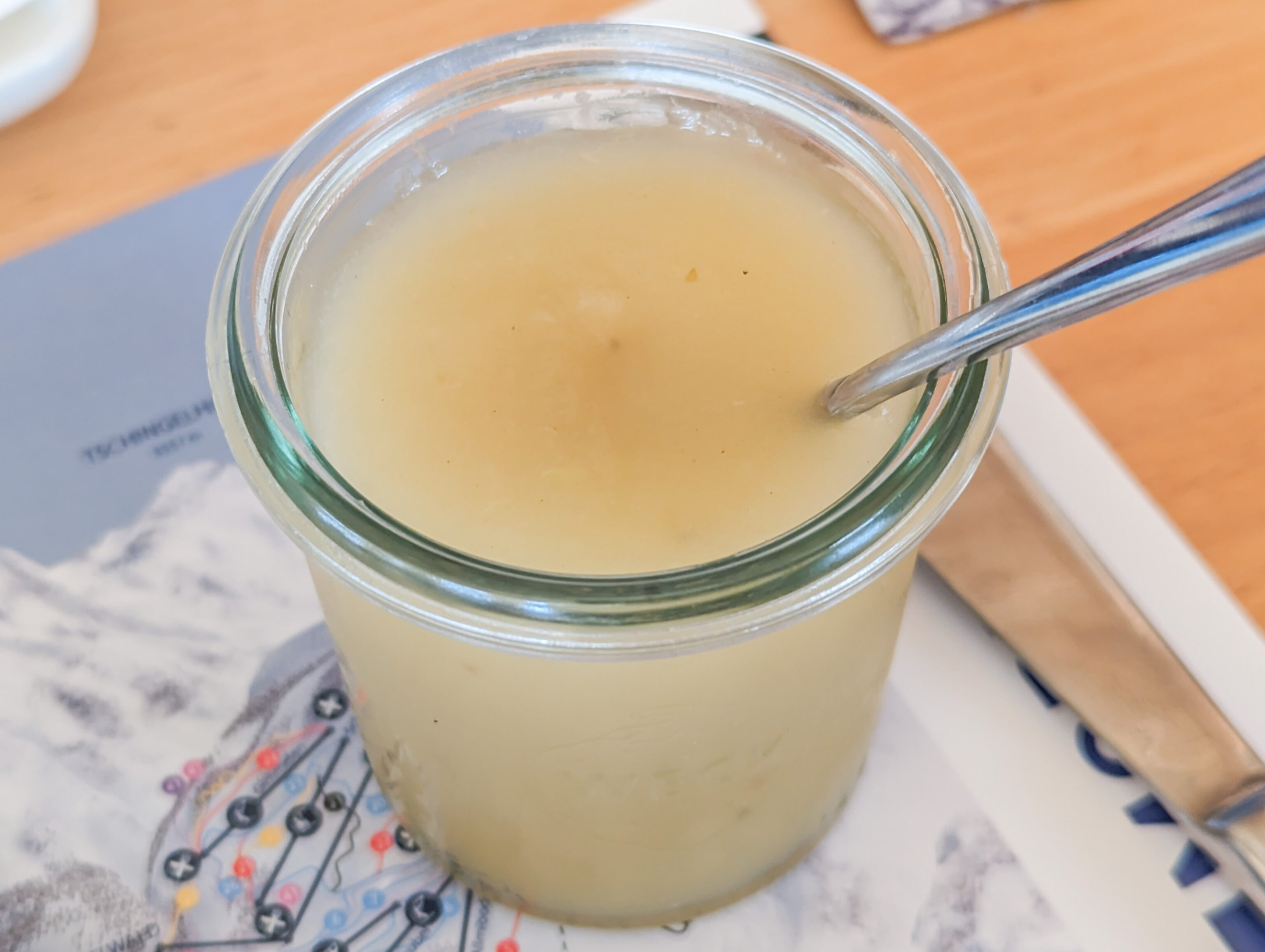
We started with ah eiskaffee, which was quite refreshing after being outside under the hot afternoon sun for awhile.
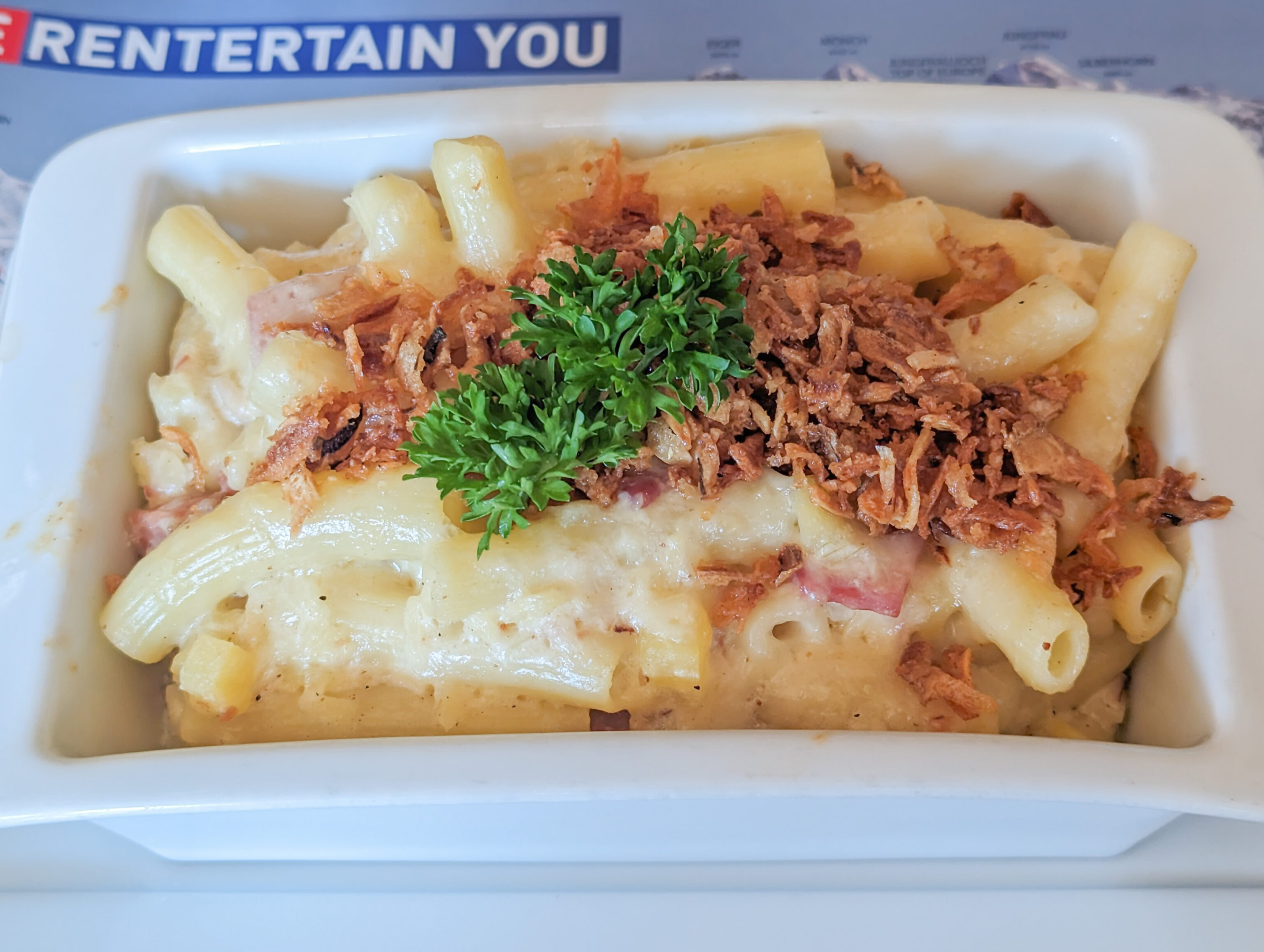
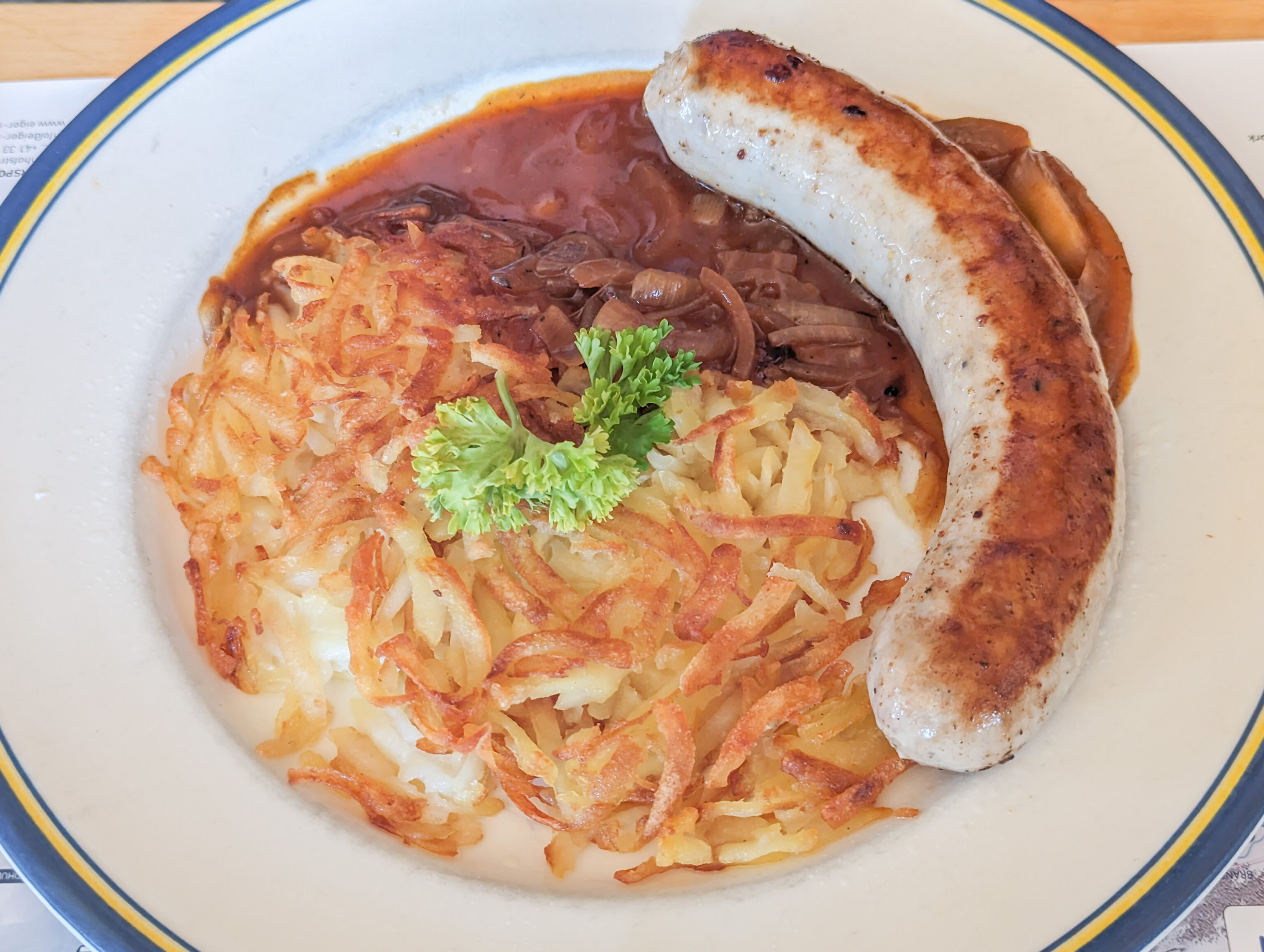
We then had älplermagronen, basically Swiss mac and cheese, and a bratwurst with rosti, basically hash browned potatoes.
The älplermagronen came with apple sauce. We didn’t know at the time but you are supposed to put the apple sauce on the älplermagronen. Oops!
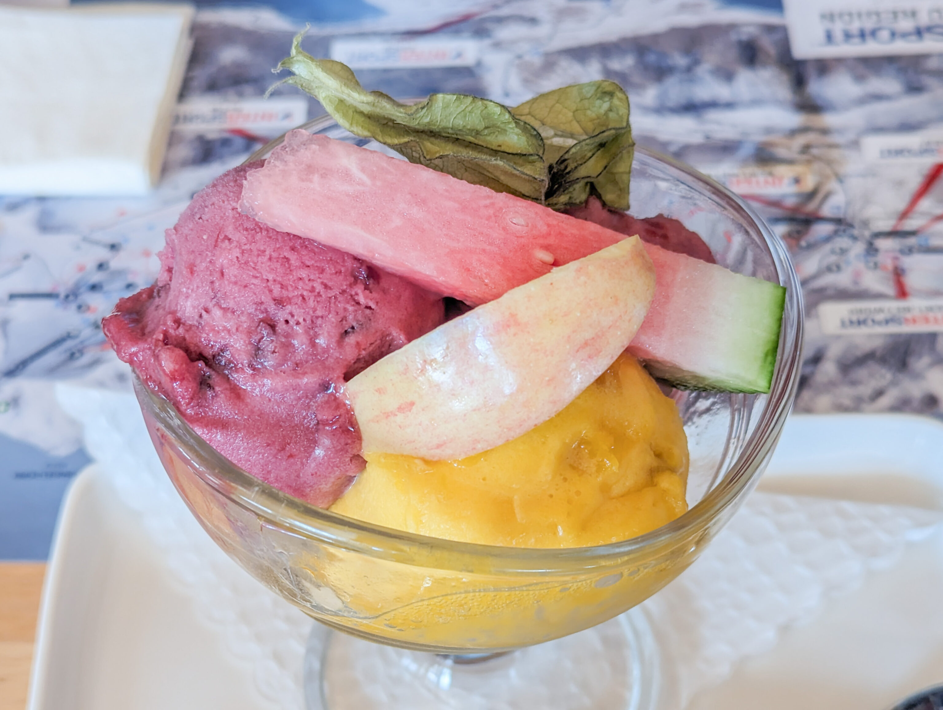
For dessert, we had sorbet. It was good as well and quite refreshing! We saw that the next train would depart soon so we wanted to catch it. We paid and headed back out.
We passed by a small artificial pond on our way to the station. It looked quite beautiful under the afternoon sun! The Fallbodensee unfortunately was still in the shadow of Eiger when we visited in the morning. It is supposed to look something like this when properly illuminated!
Kleine Scheidegg to Geneva via Grindelwald, Interlaken, and Bern
We saw the train was there and ran as best we could with our gear to it. It wasn’t supposed to depart for a few minutes according to Google Maps but Google’s schedule isn’t always accurate. We did make it with time to spare. We rode it all the way to Grindelwald, our first time taking this particular train.
After arriving, I went back to the Hotel Belvedere to get our remaining bag. We then waited for awhile at the station for the train to Interlaken to arrive. Some of the anticipated loads in second class on later trains were high so we went for the discounted first class two person day pass again.
After arriving at Interlaken, we waited for the train to Bern to arrive. We soon boarded and departed, passing by the south shore of the Thunersee. There are some places of interest on the way, one of which is the Panoramabrücke Sigriswil (Sigriswil Panoramic Bridge) on the opposite side of the lake.
We were able to find it as we passed through Spiez. We had already put the camera away and the telephoto lens was at the bottom of the backpack so we did the best we can using cell phones. The resulting image is pretty terrible but the bridge is visible!
This bridge is an important location in the Netflix Korean drama Crash Landing on You. It is somewhat out of the way so it is likely we may not ever visit. But, at least saw it from afar!
After reaching Bern, we switched trains to head to the Geneva Airport. The journey was uneventful until we got to Nyon. The train stopped there for awhile for some unknown reason. We considered leaving the train and taking the next one that would go directly to the airport but the train started moving again a few minutes before we had to decide if we wanted to get off or not. Ultimately, it was just a 20 minute delay. Upon reaching the airport, the final stop for the train, an announcement was made. The only word we understood was polizei – police.
After arriving at the airport, we walked over to the hotel shuttle stop to catch the shuttle to the Marriott. It is faster to simply get off at Geneva in the city and take the tram but that requires more walking with luggage and possibly standing on the tram if it is busy.
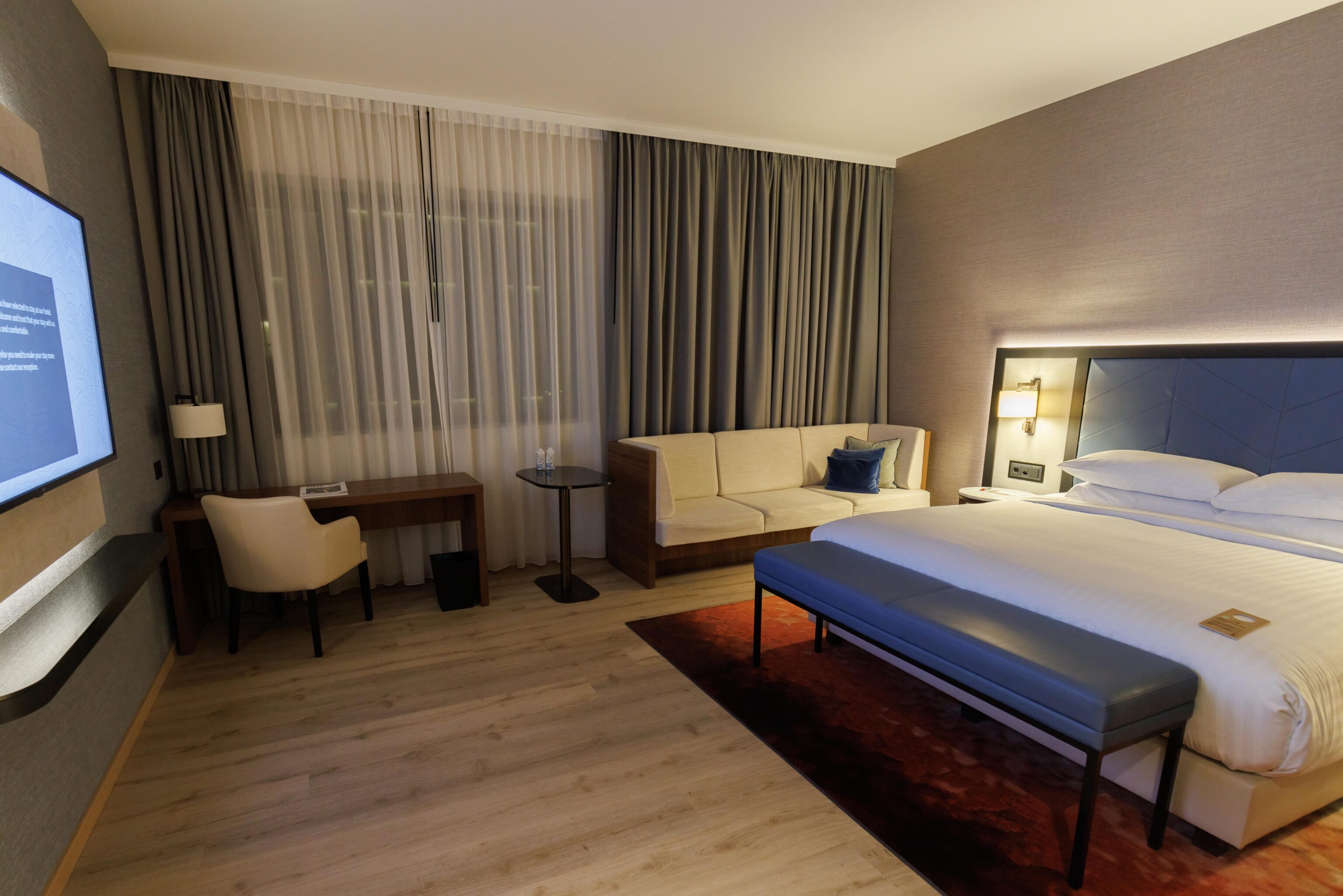
We checked in and were upgraded to the same room type as when we began our trip, a Club Room. It looked mostly identical to the room we had before.
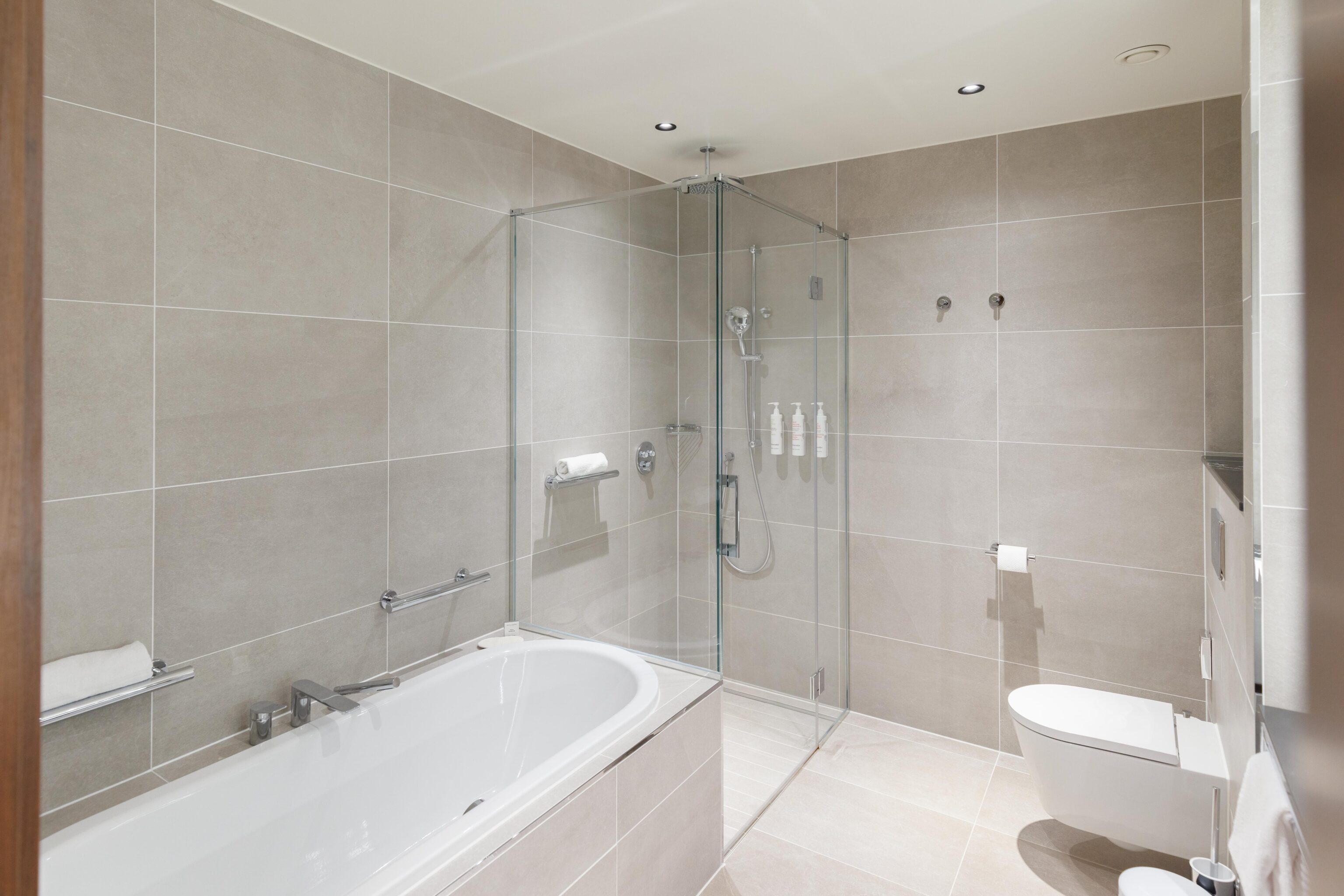
The only real difference was that this room had a tub! Based on the website descriptions, this room may actually be a Superior Room which is a lower tier room than a Club Room but better for us as it has a tub. As Titanium members, we always have club access at the Marriott so having a club level room is irrelevant.
That ends this trip to Switzerland. Tomorrow, we leave right after breakfast with a late morning departure back to the US.
Footnotes
- https://web.archive.org/web/20231010112849/https://standseilbahnen.ch/jungfraujoch-richtstrahlstation ↩︎
- https://jungfrauregion.swiss/en/summer/tracks/kleine-scheidegg-fallboden-pelzmantel-nr-65/ ↩︎
- https://www.myswitzerland.com/en-us/experiences/eiger-walk/ ↩︎
- https://de.wikipedia.org/wiki/Schweizerische_RettungsflugwachtThe ↩︎
One Reply to “Downhill Hiking From Eigergletscher and Männlichen”