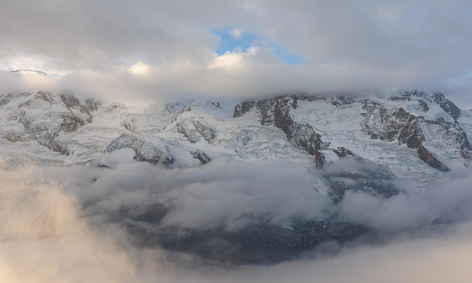

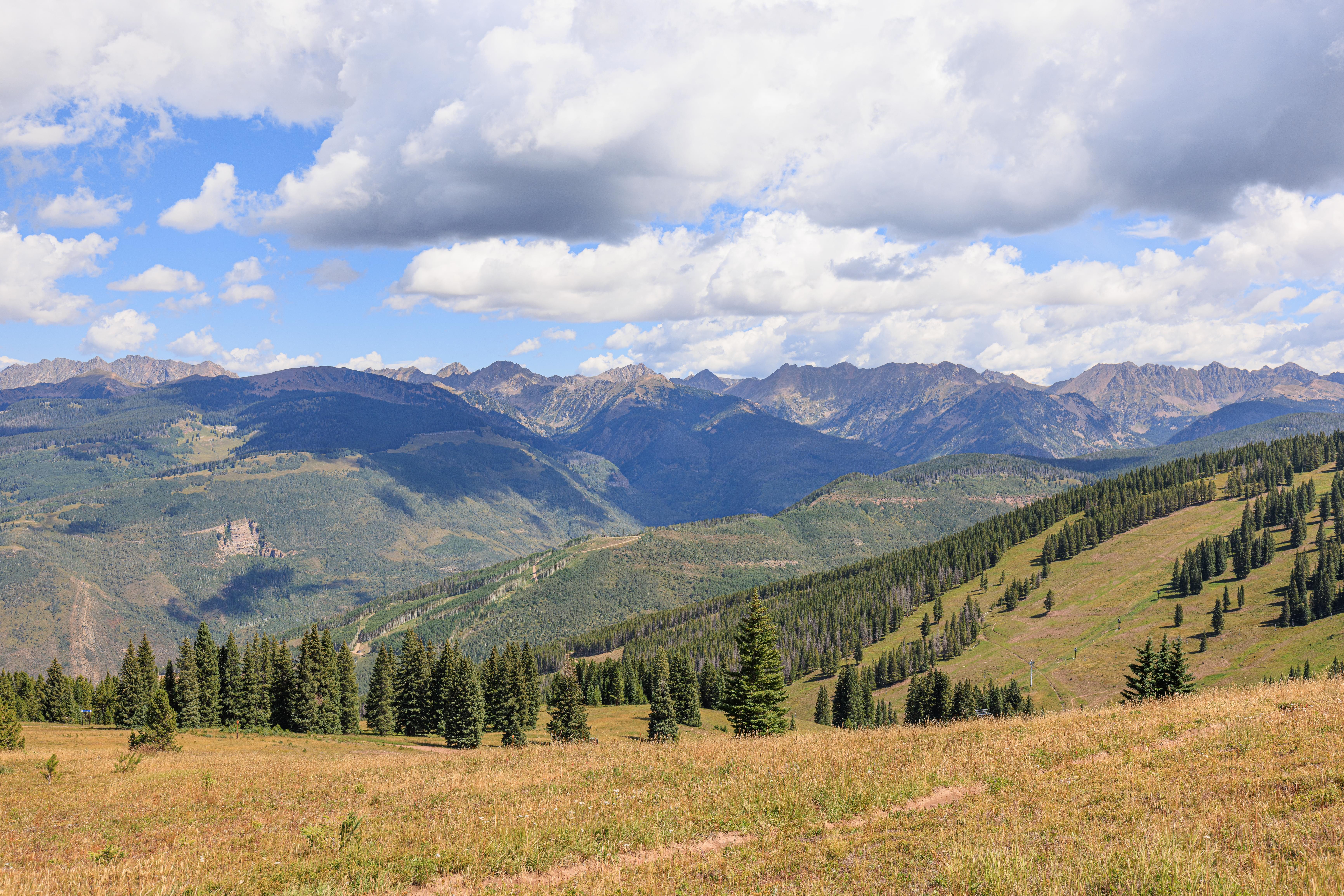
Today, we headed over to Vail to do more high altitude hiking! We headed up one of their two gondolas and hiked to the other one along a route that went a few hundred feet further up before heading back down. We hiked further today than yesterday but it felt easier, likely due to both being about 1,000 feet lower in elevation and being a bit more acclimated to the altitude.
Eagle Bahn Gondola
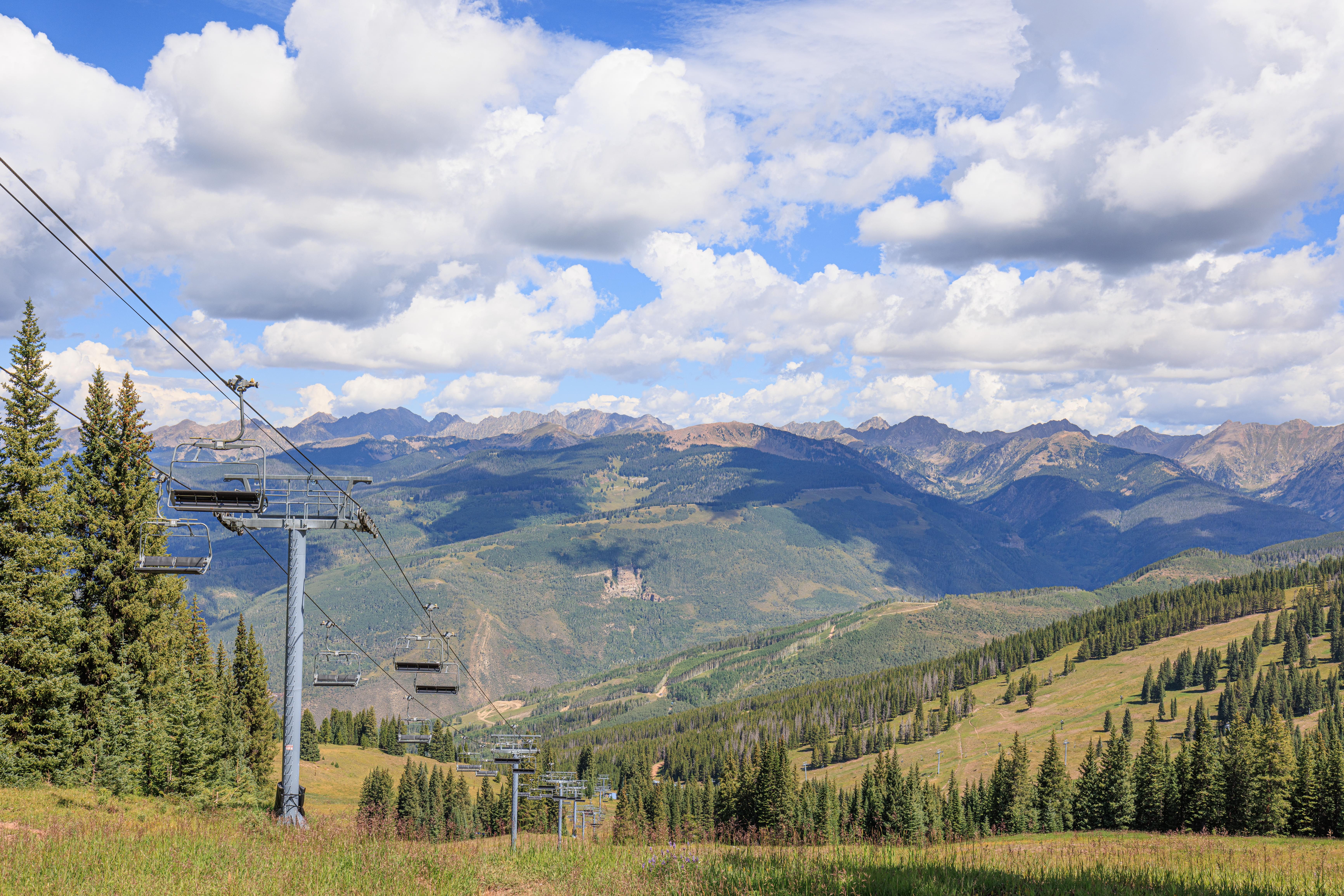
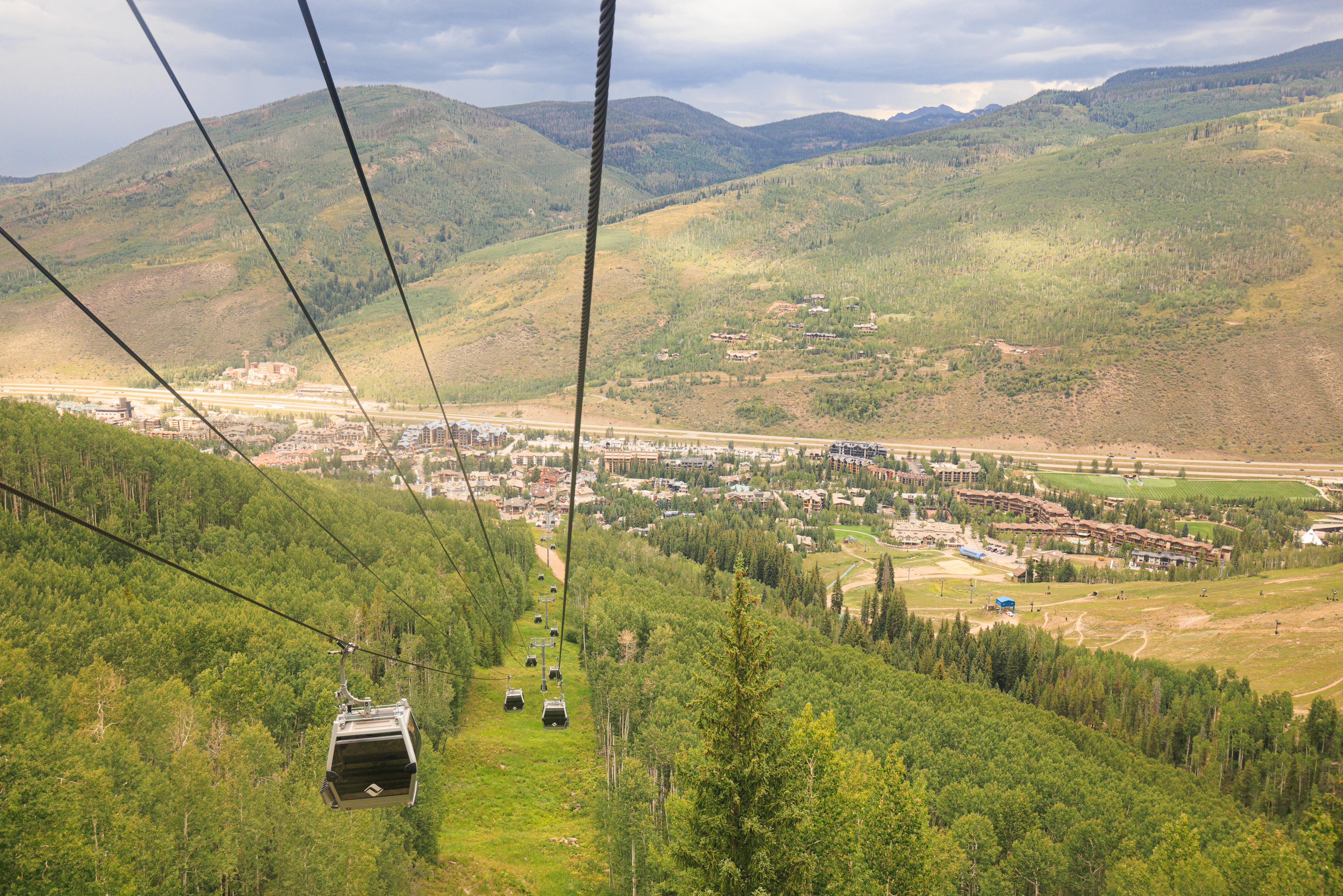
We headed up the Eagle Bahn Gondola on the west side of Vail not long after the 9:30am opening time.
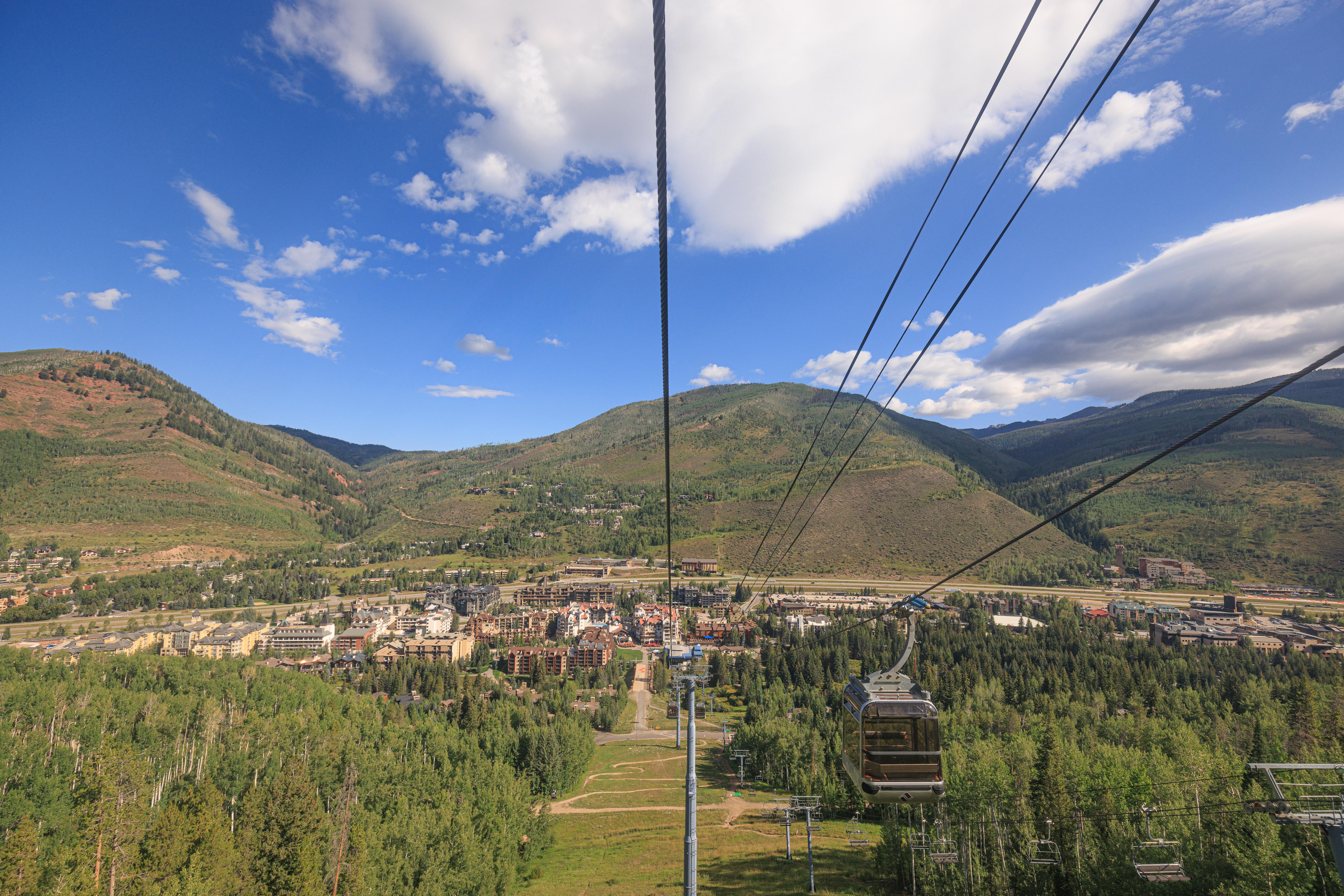
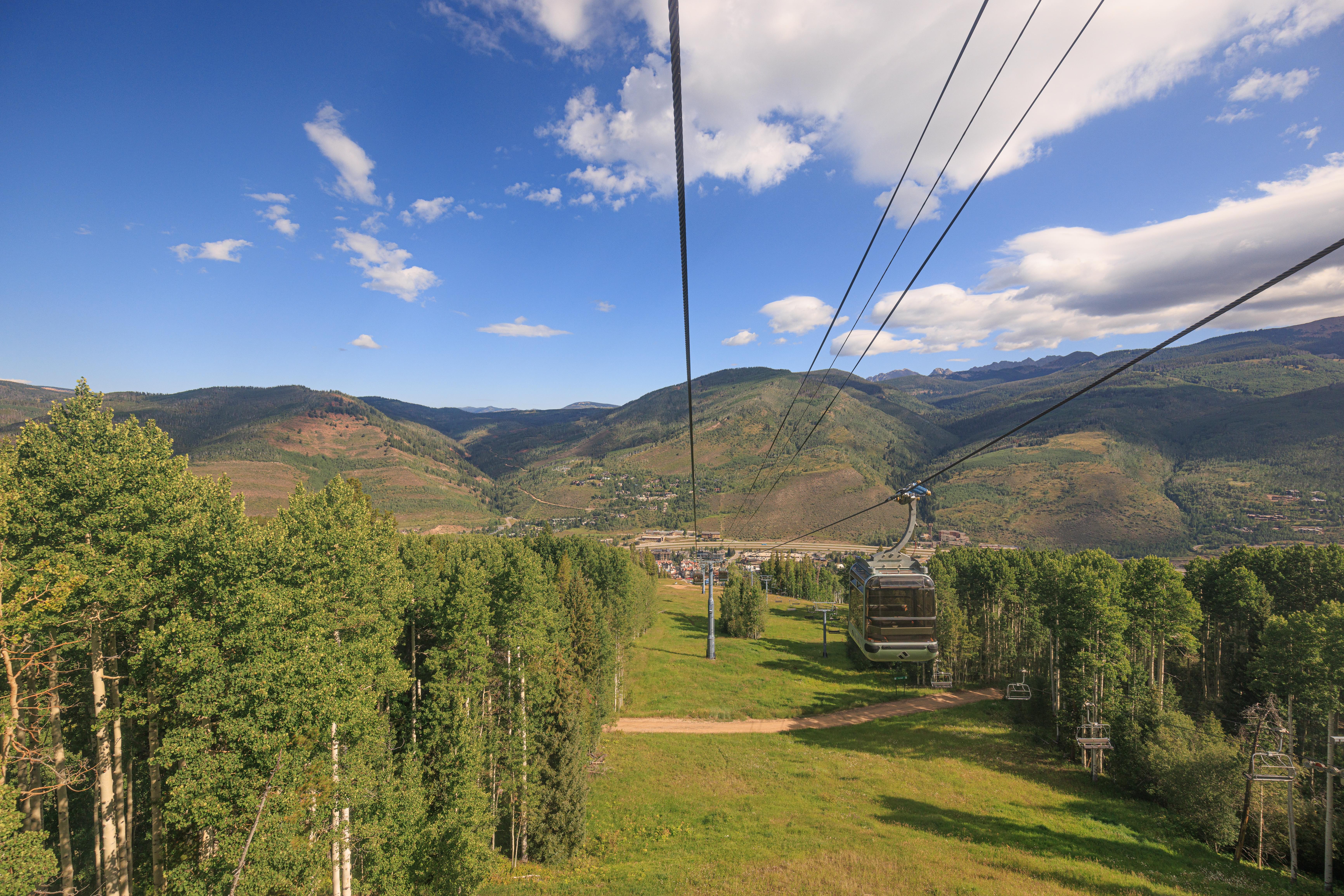
As we ascended, we noticed quite a few trails and maintenance roads below us. And of course the beautiful scenery!
It can be a bit hard to tell how steep things are when photographing downhill. Its much more apparent when looking to the side!
As we neared the top, we saw many more paths winding down the mountain.
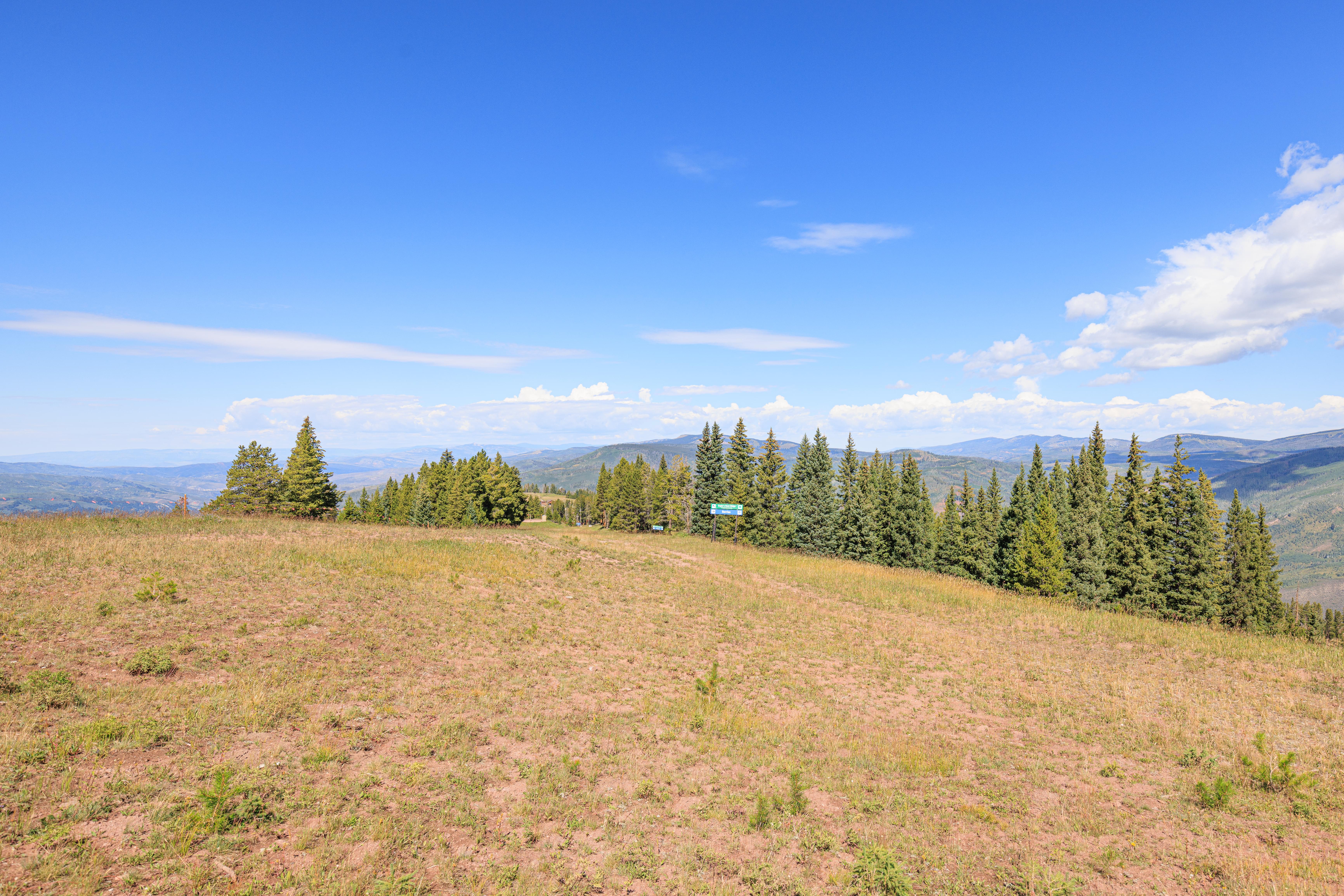
Eagles Nest Summit Area
The gondola reaches the top at the Eagle’s Nest. This area has a restaurant, numerous adventure activities, as well as a wedding deck. And of course it is the beginning and end for many hiking and mountain biking trails!
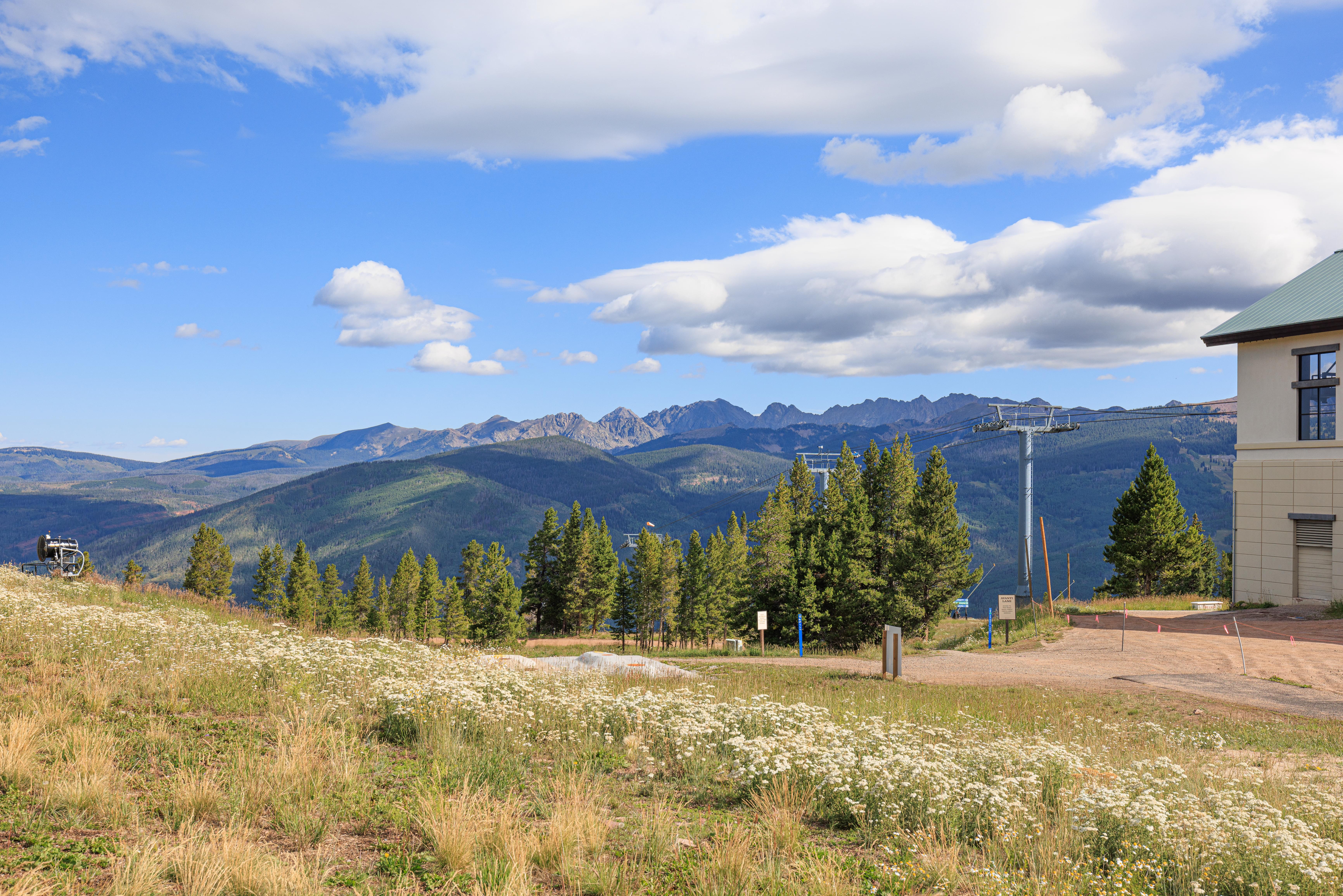
We started heading west towards a short hiking loop near the gondola. Looking back towards the north where the gondola came from, we could see many tall peaks in the distance. There were lots of wildflowers on the ground all around us.
Looking to the southwest, wilderness!
We passed by the Forest Flyer Mountain Coaster as we walked to the west. This coaster is probably more accurately described as a sled which controllable brakes attached to a roller coaster track.
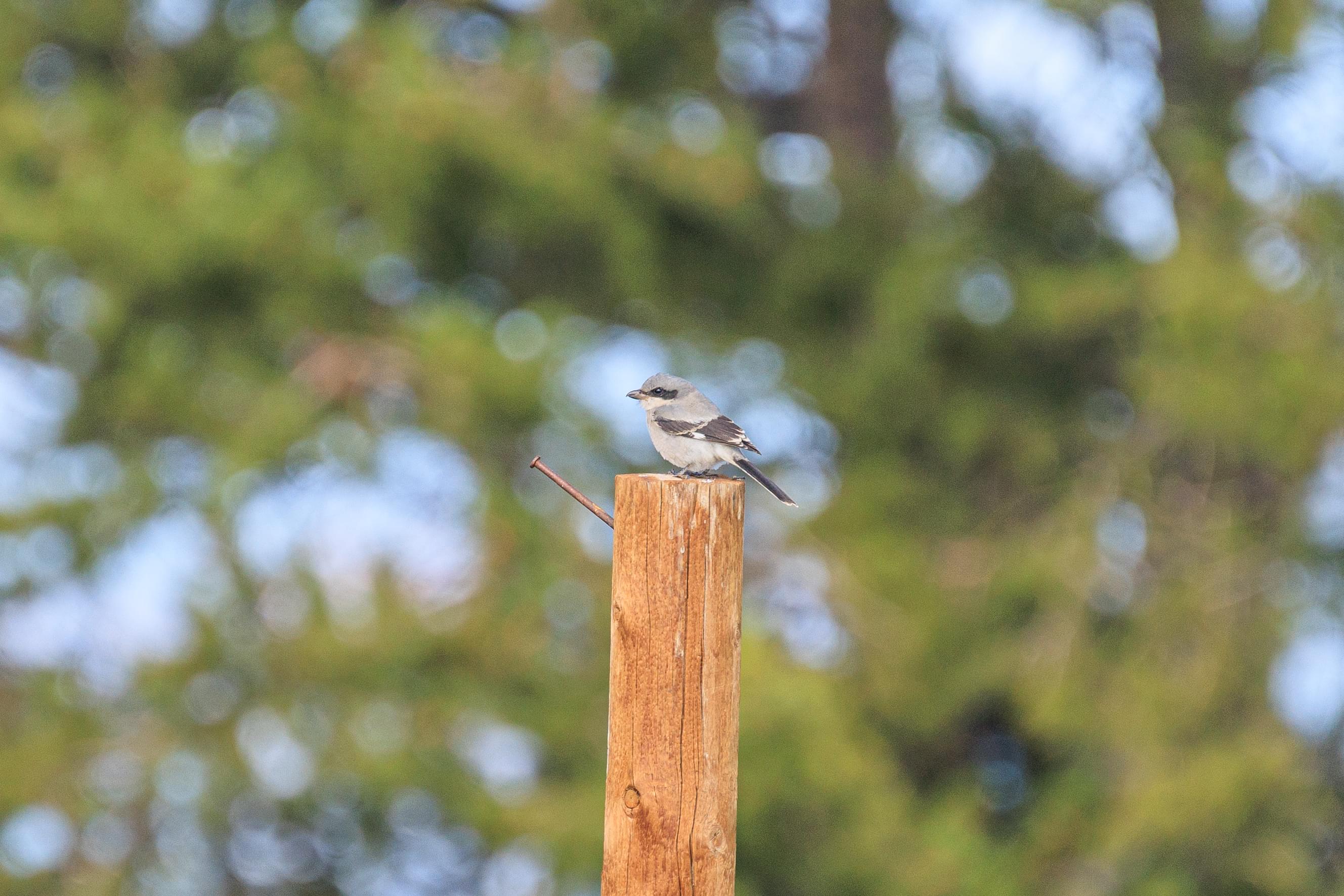
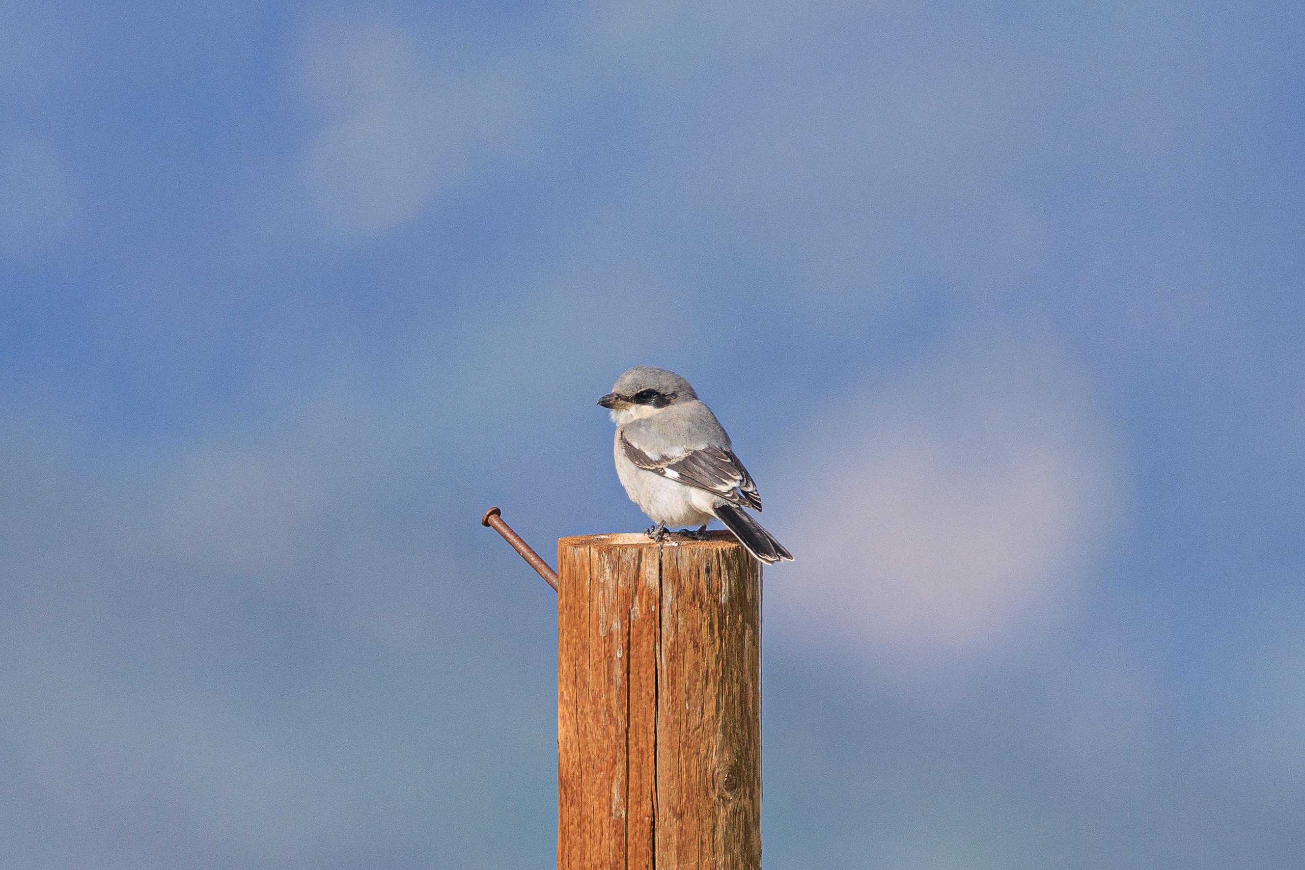
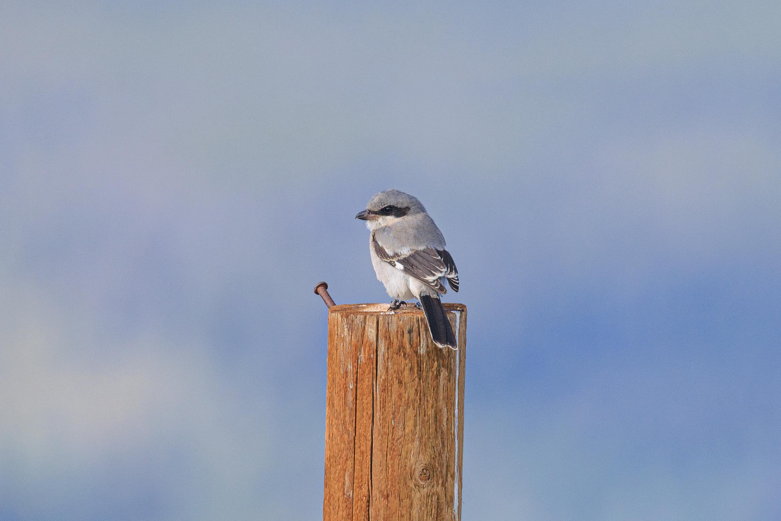
As we continued walking, we noticed a small bird land on a post to our left. It stayed put as we switched to the telephoto lens. It is something we haven’t seen before, a Loggerhead Shrike! This small bird eats insects, small animals, and even other birds! We were able to get a little closer as we continued walking along the trail. It stayed put the whole time as we walked by.
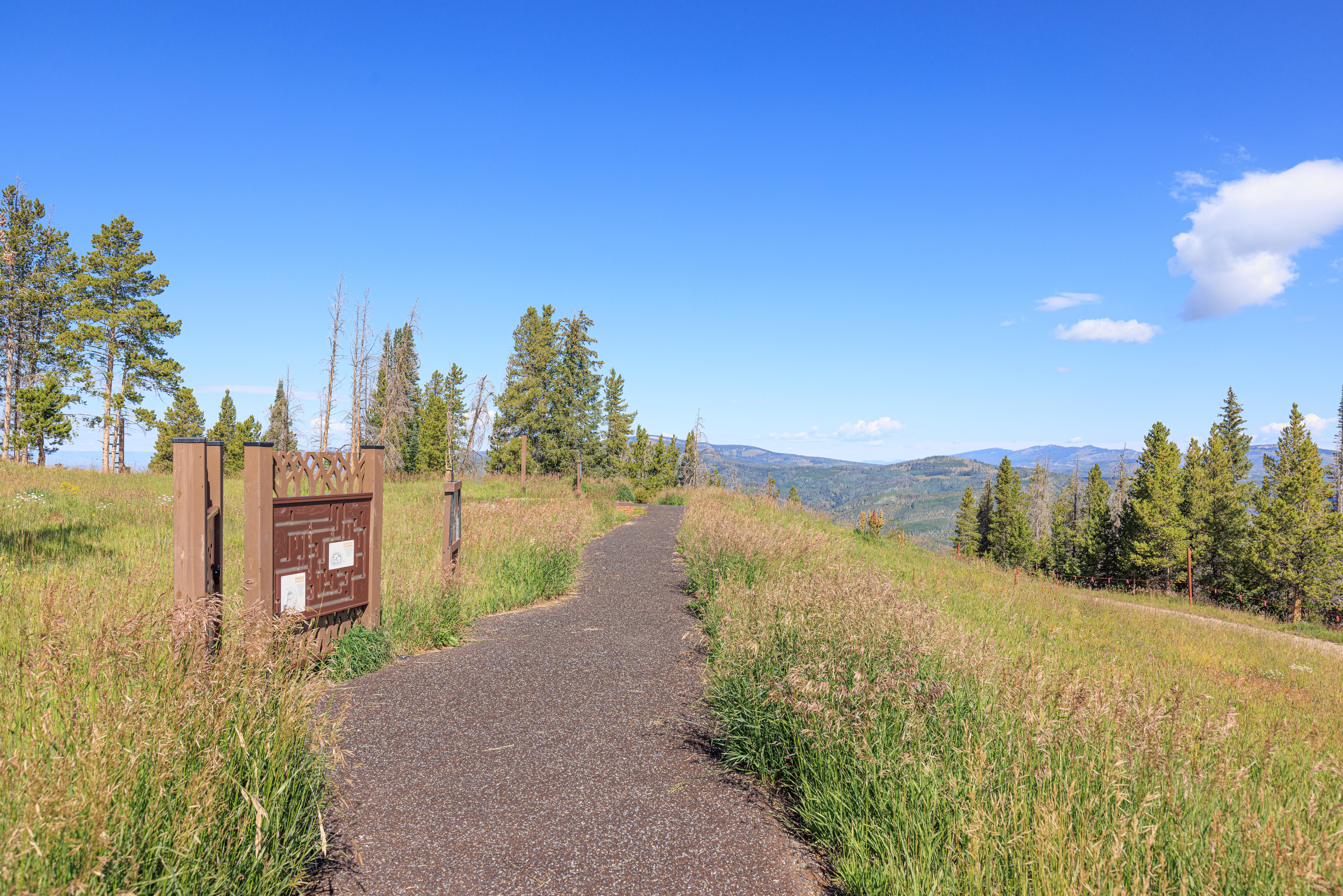
We soon reached the loop trail. It was a very small paved path with informational signs as well as a few activities for children.
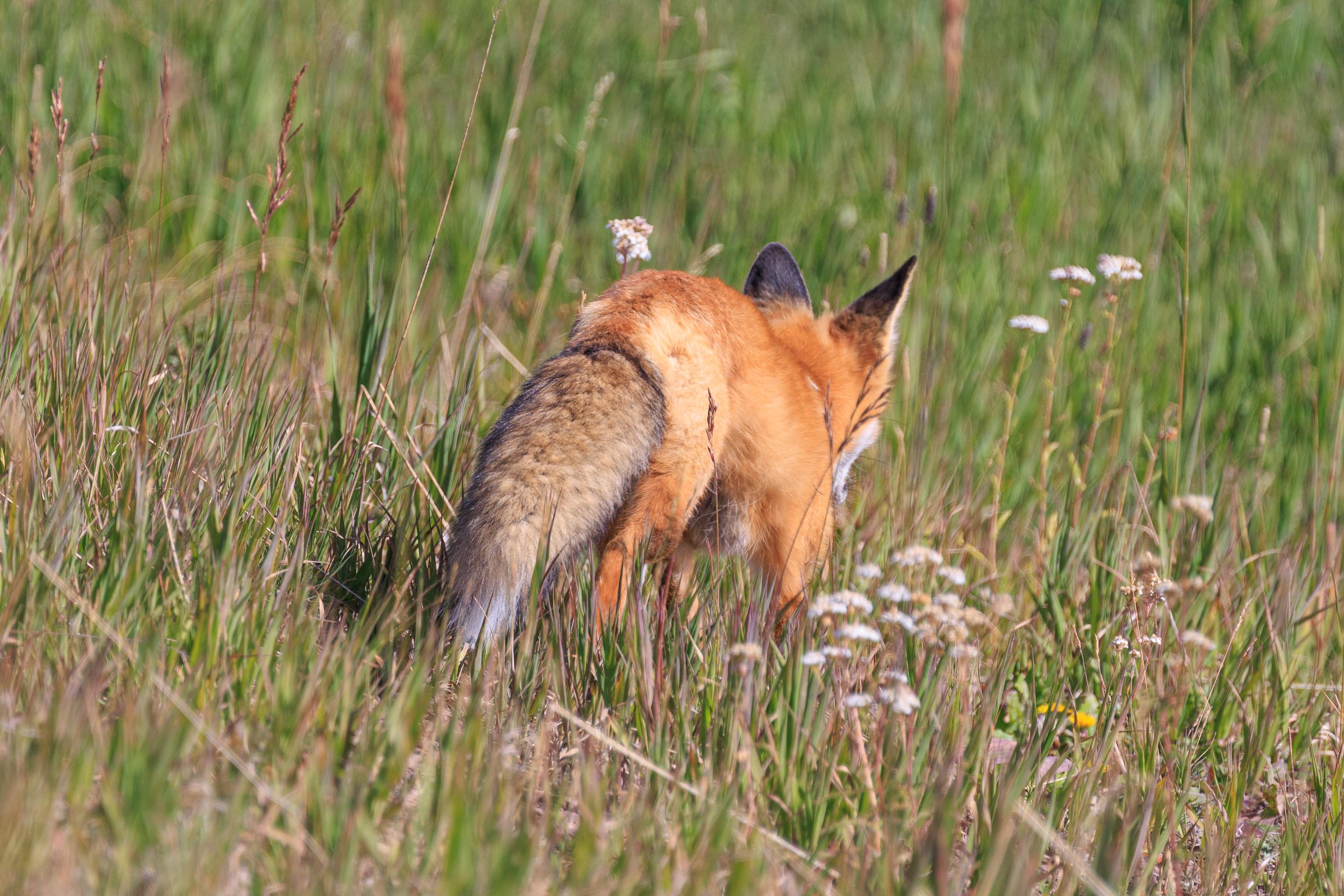
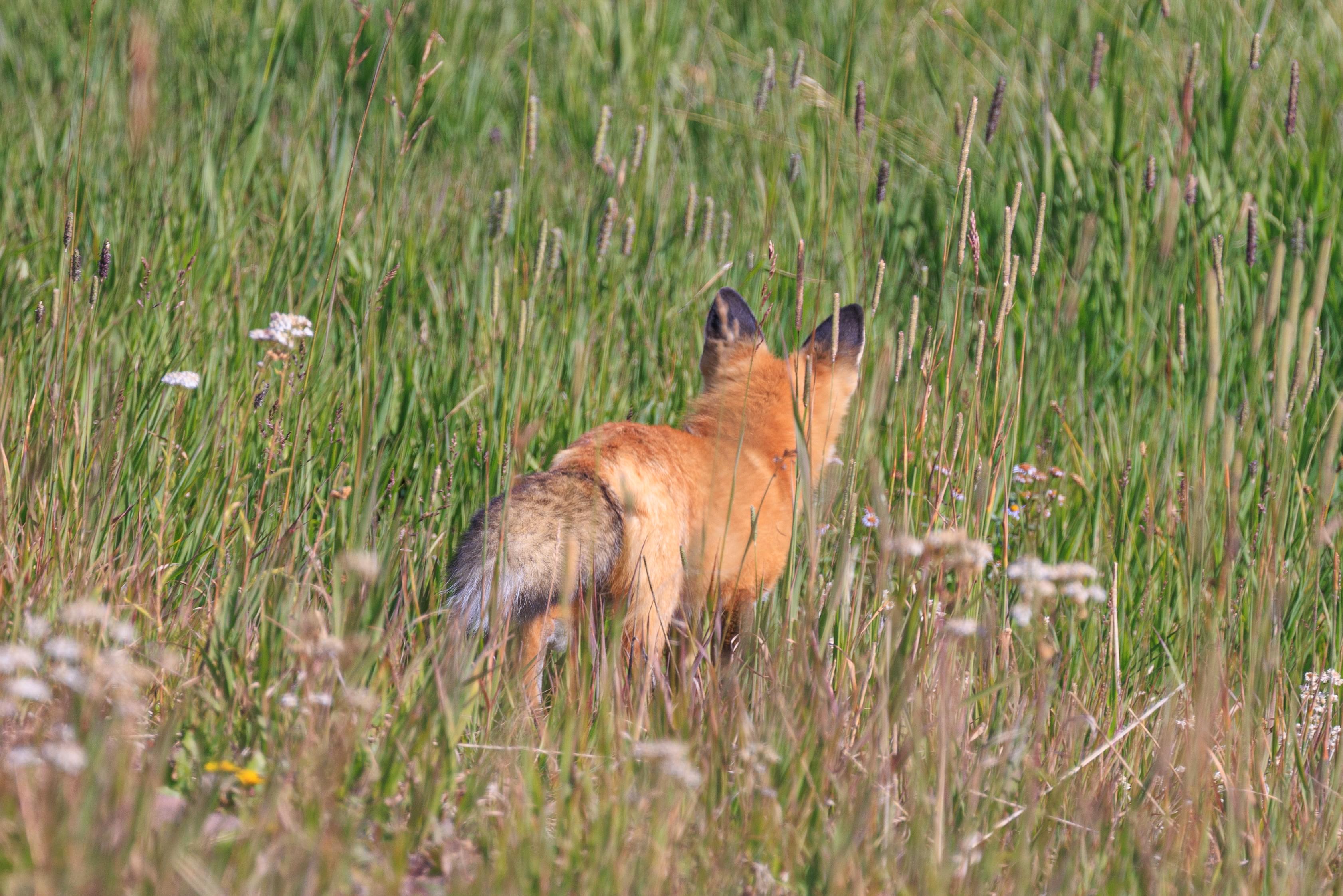
We noticed something unexpected – a fox! It was headed away from us at a walking pace as we tried to photograph it. It seemed to go after something in the grass but it didn’t seem like it caught anything.
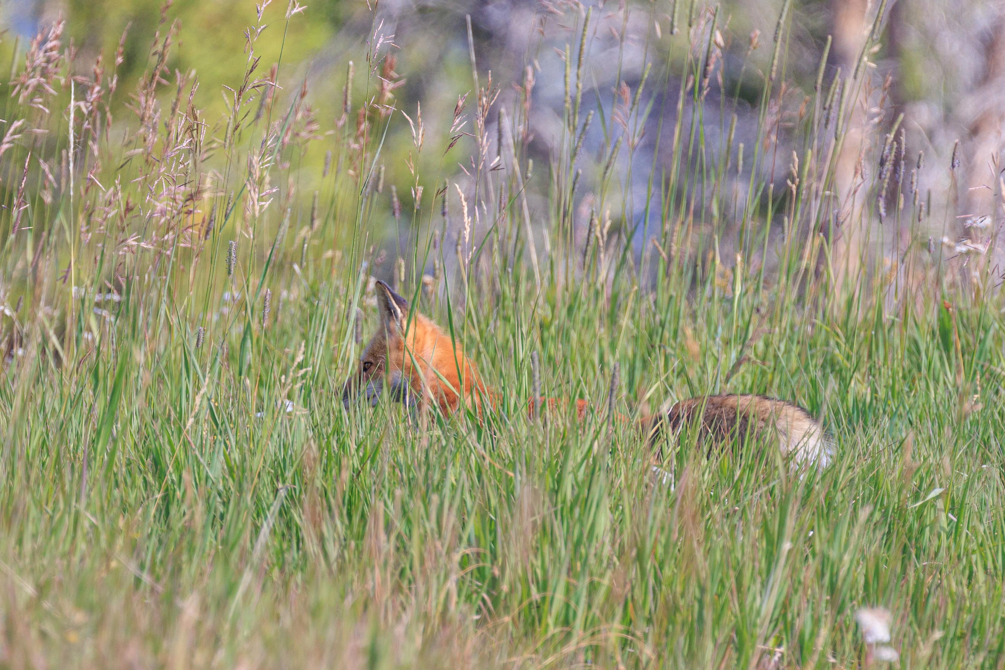
We managed to get a photo of the fox with clear eyes just before it walked out of sight!
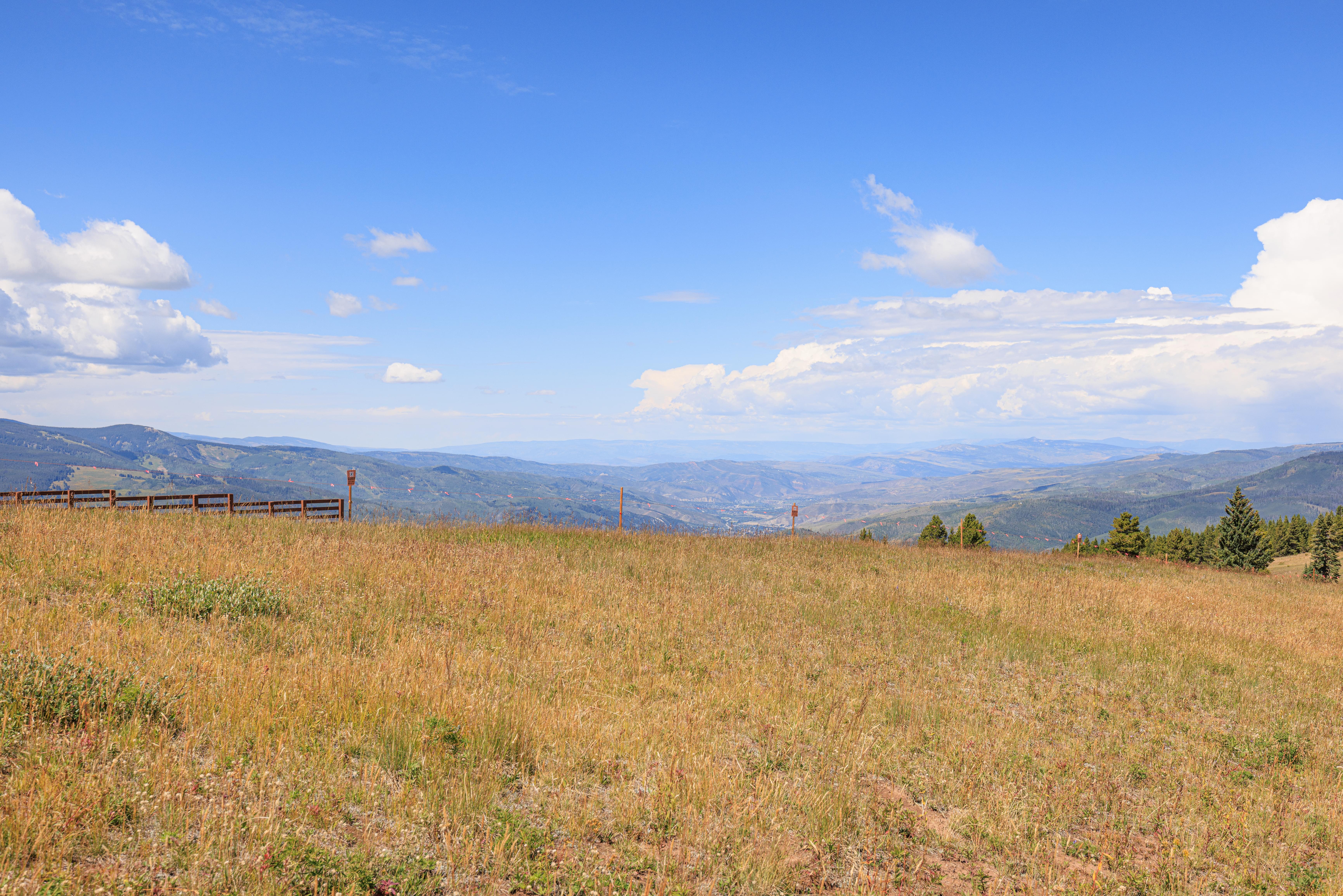
Looking to the southeast from the furthest point along the loop, we were able to see part of Vail, the western edge of the ski resort.
Looking to the west, the town of Eagle is in the distance. The visible mountains are not as high compared to every other direction.
After finishing the loop, we headed back towards the gondola.
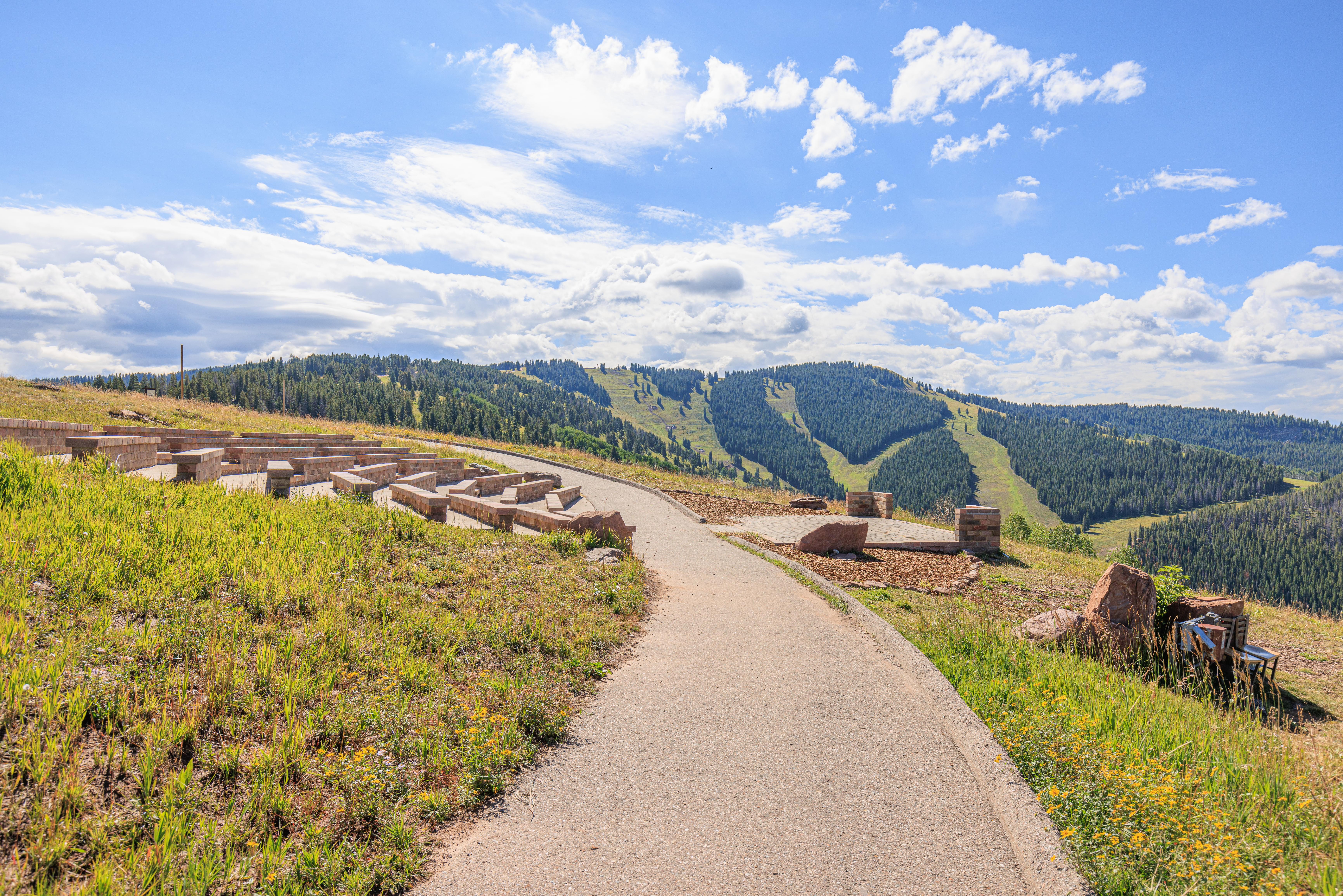
We quickly came to the Holy Cross Event Deck where wedding can be performed.
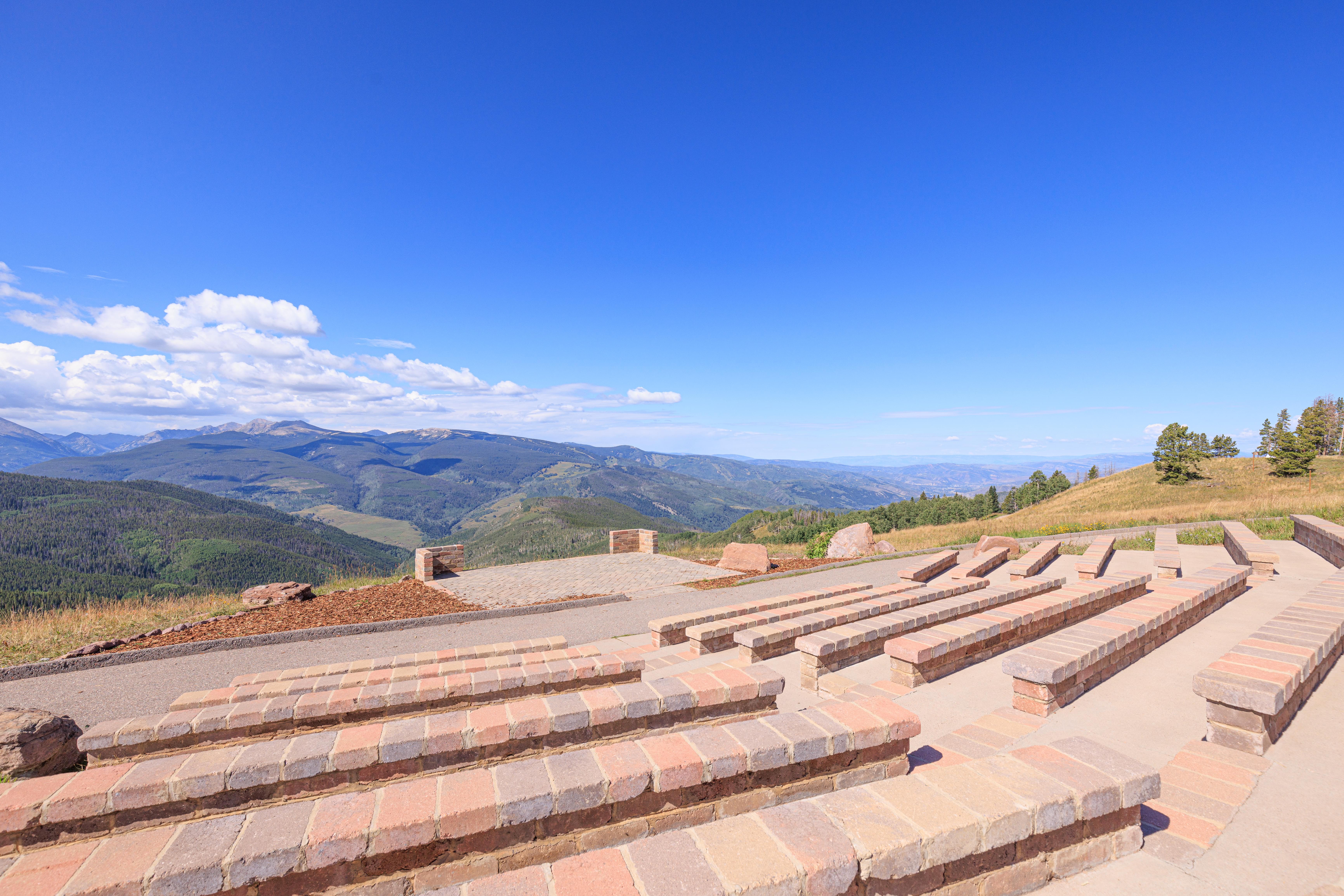
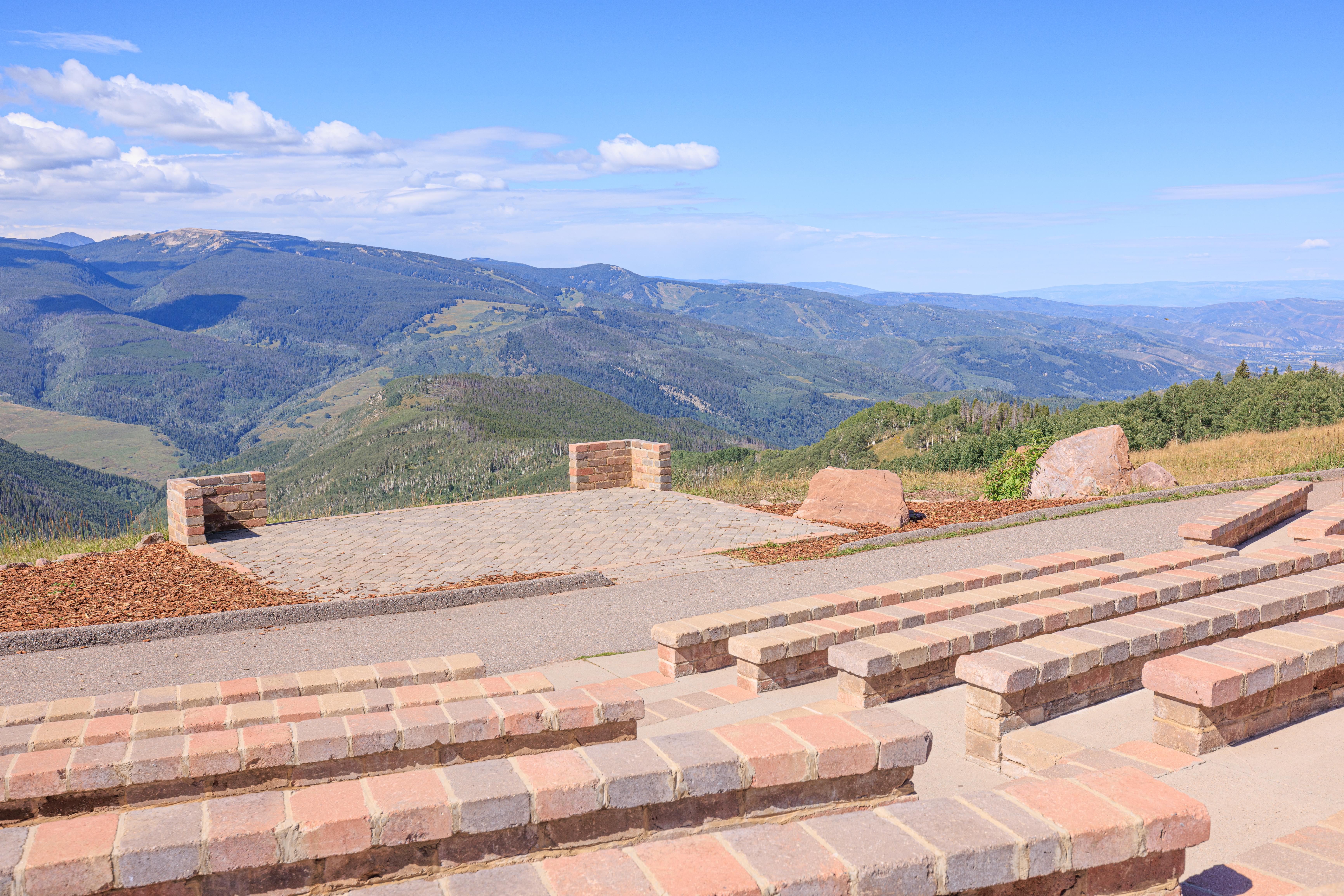
Its a nice view from the amphitheater-like seating area!
Also a spectacular view behind where the bride and groom would be standing!
We continued onward to a small deck by the gondola terminal. A beautiful view with a small trail running by.
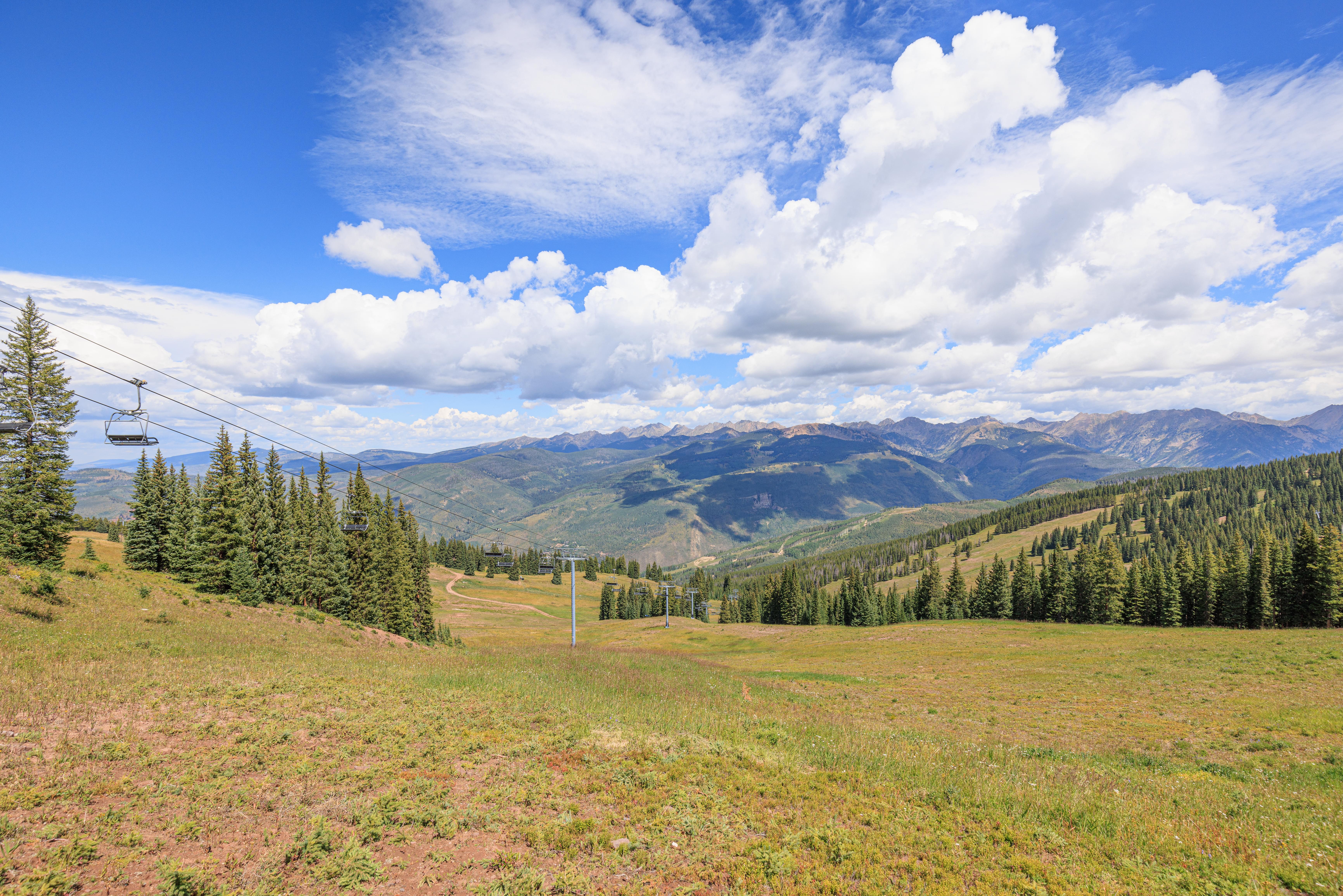
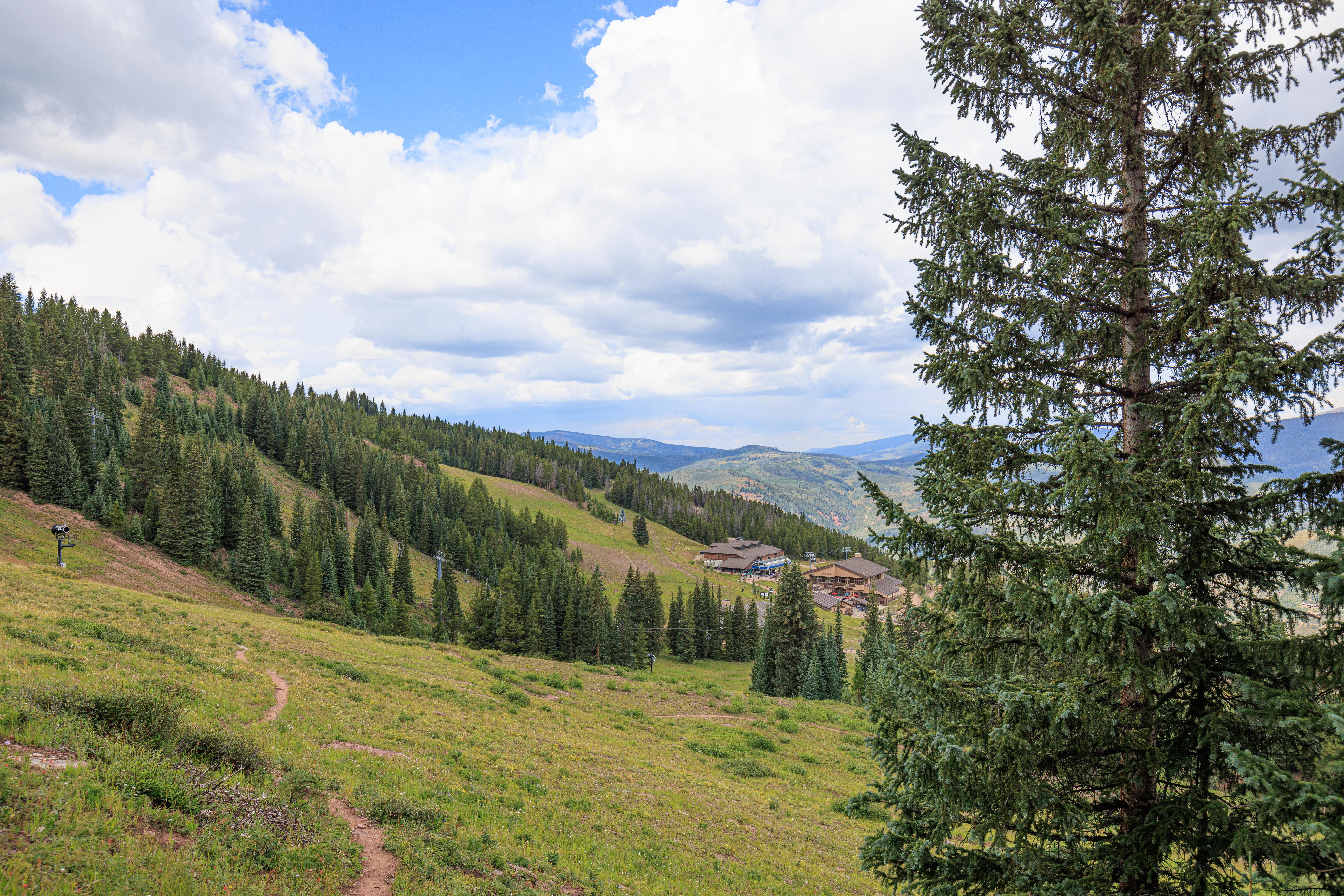
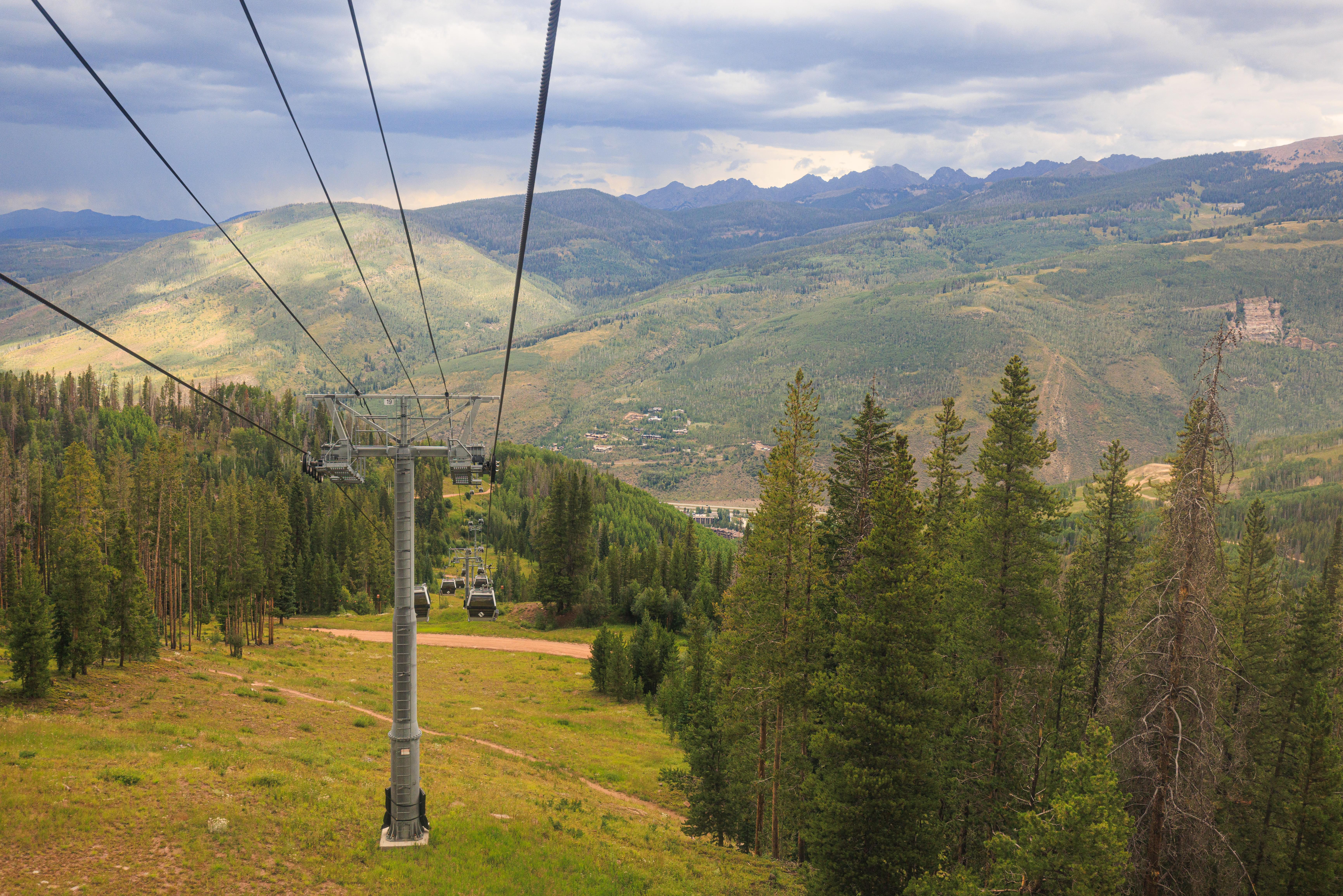
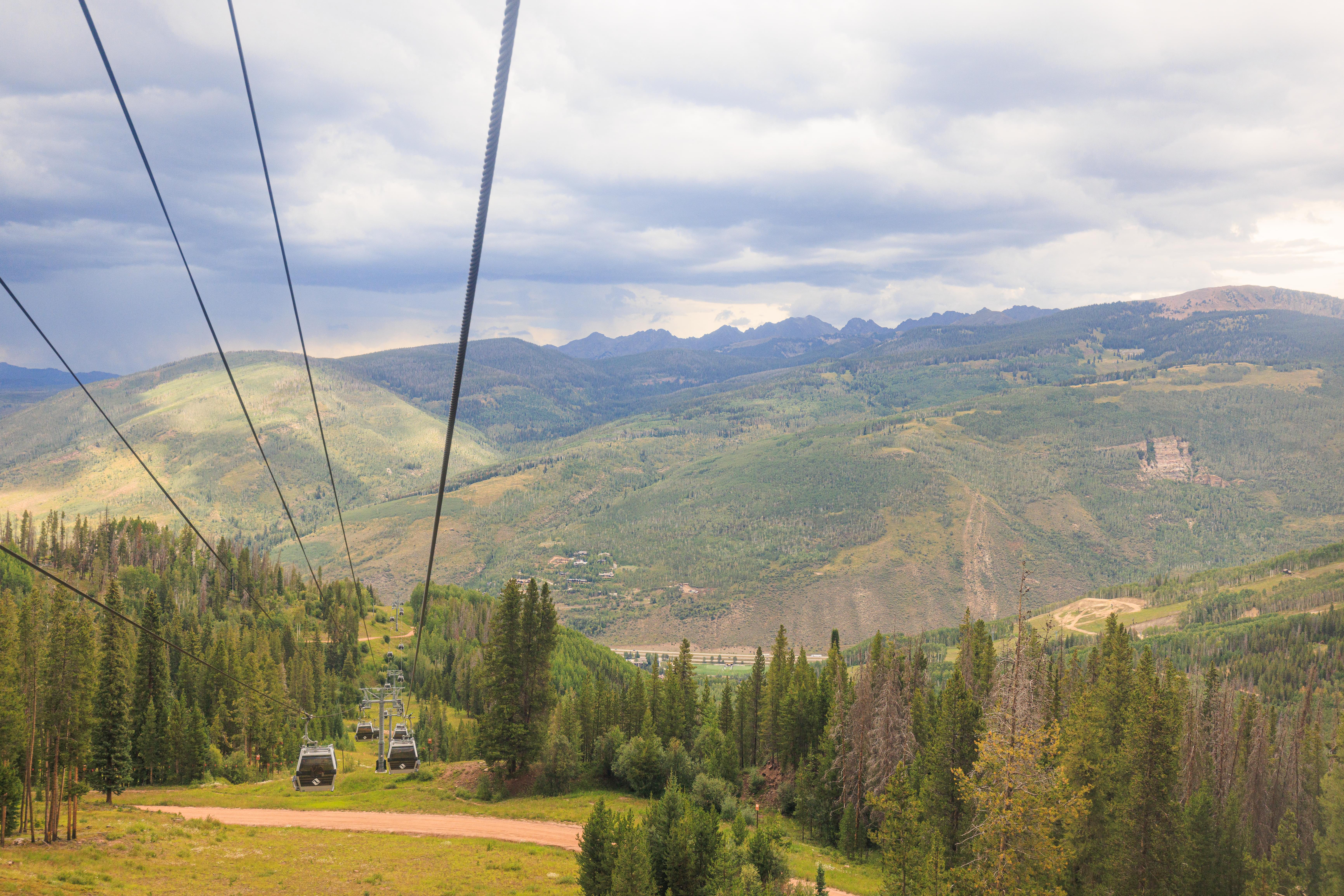
Grand Escape Trail
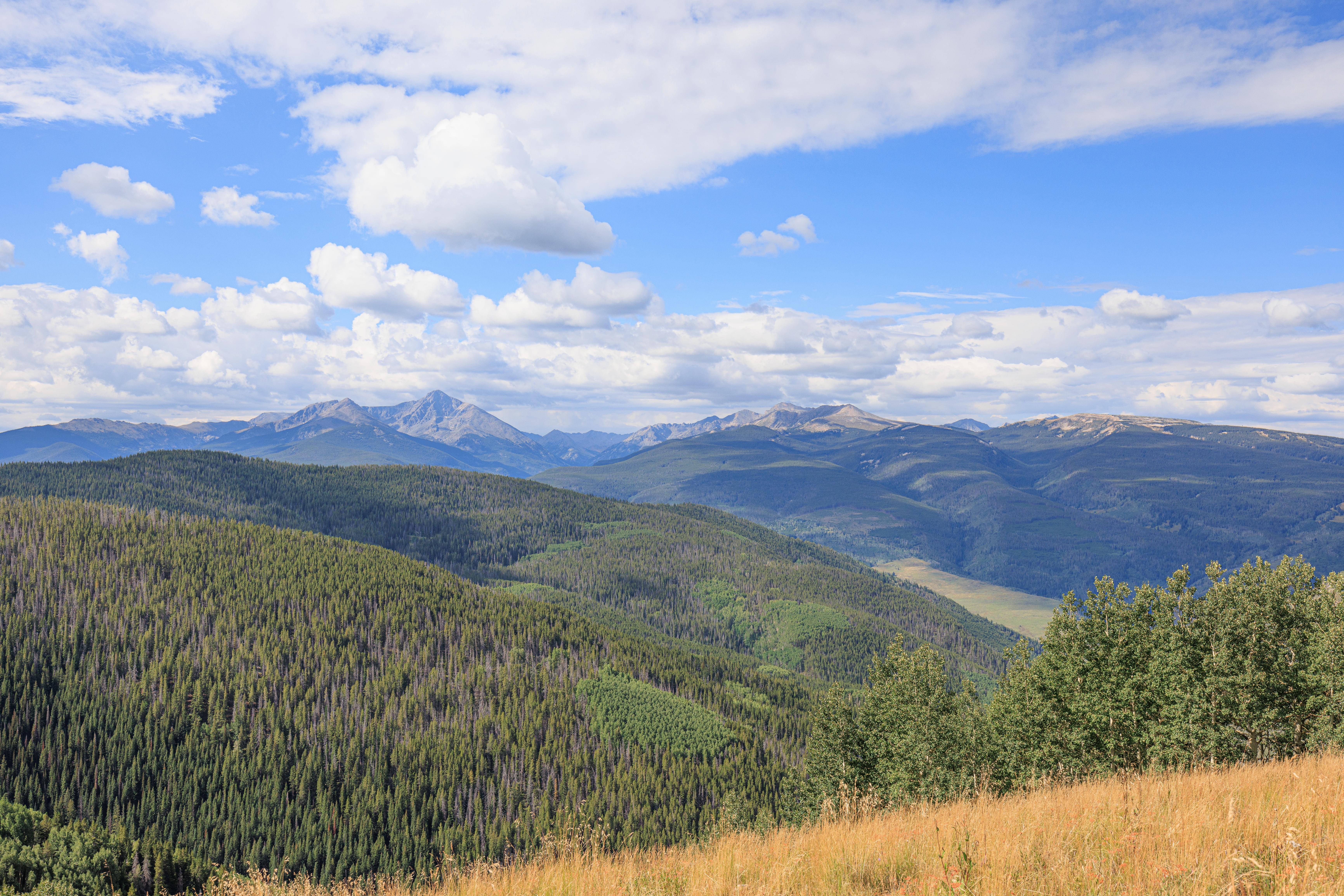
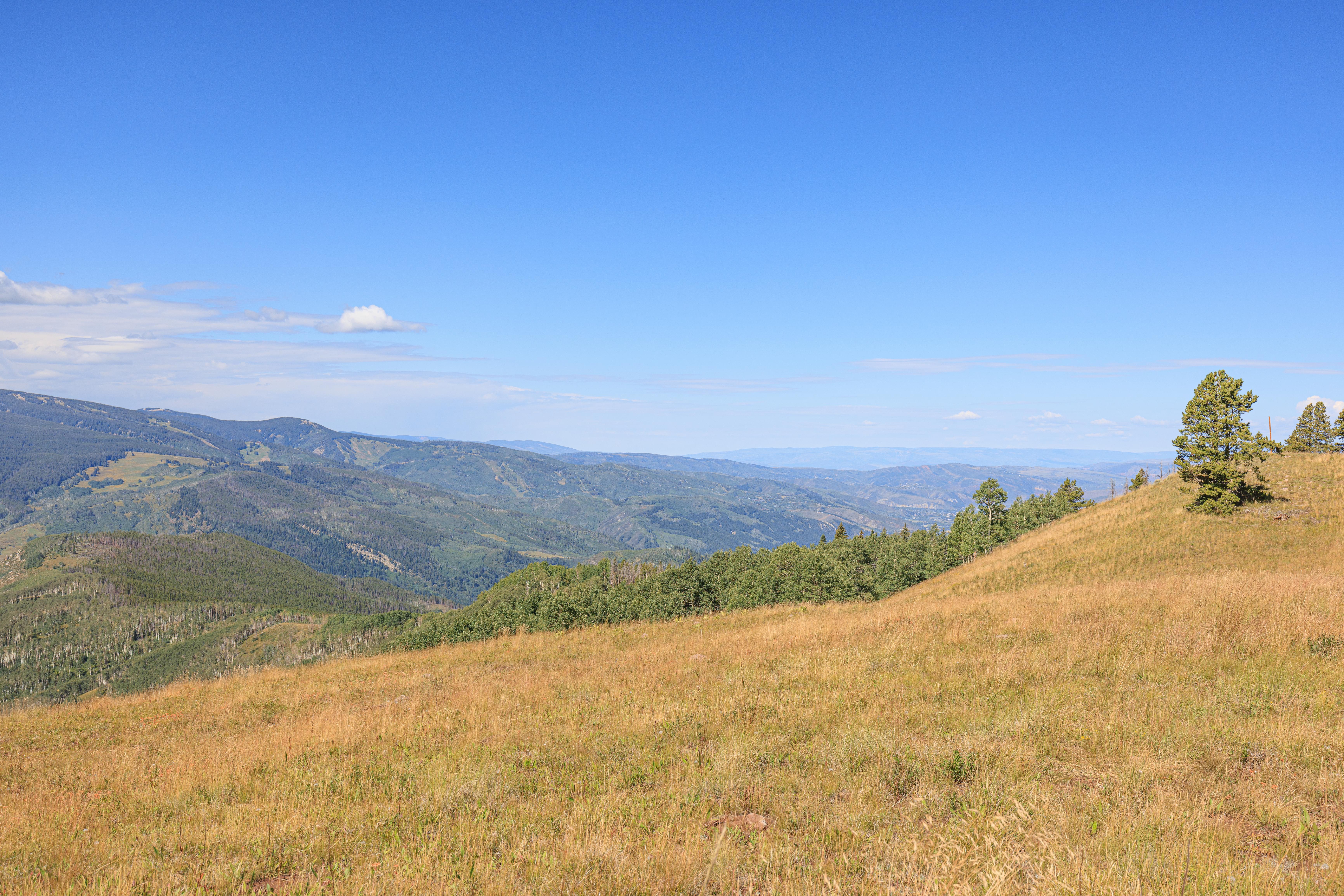
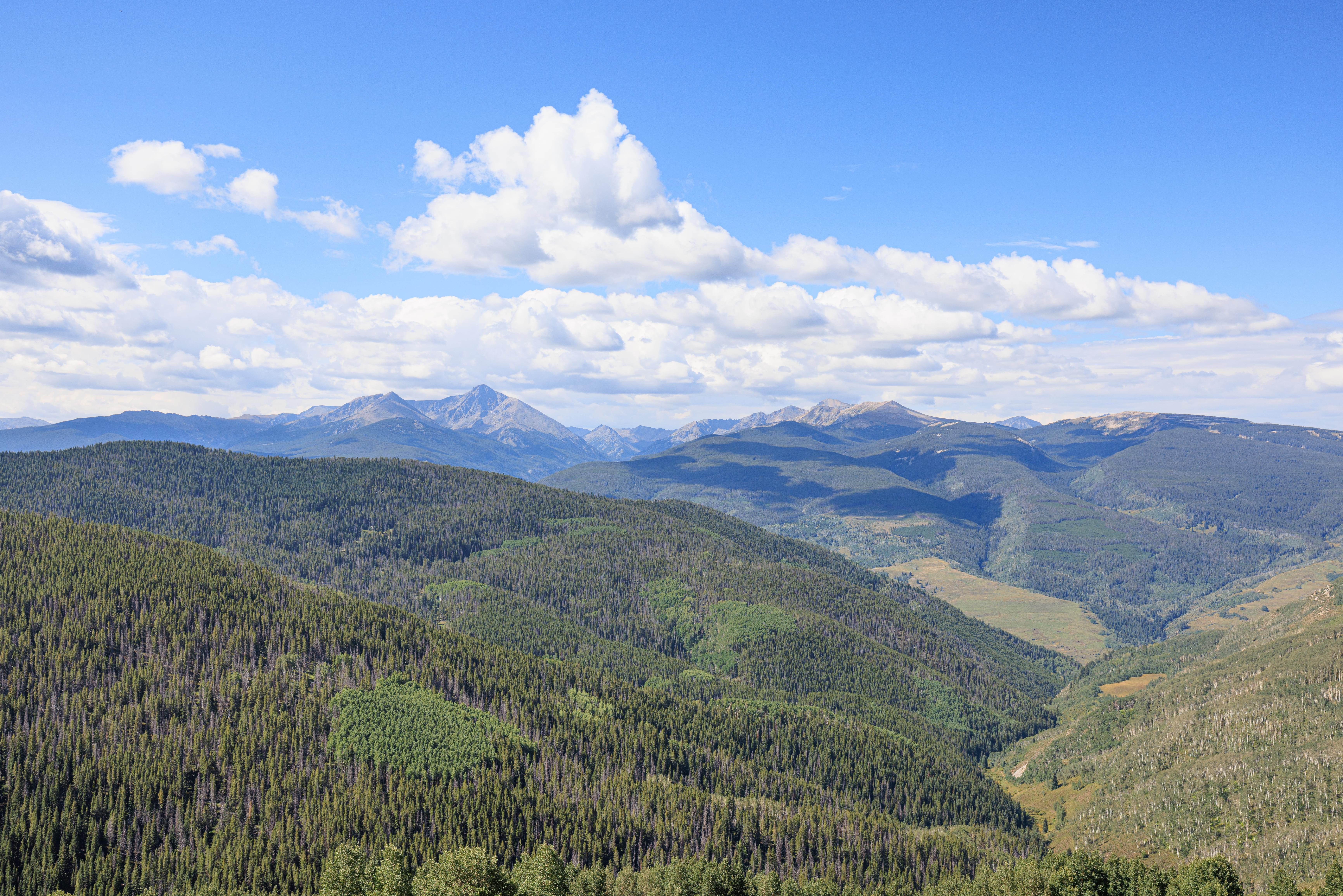
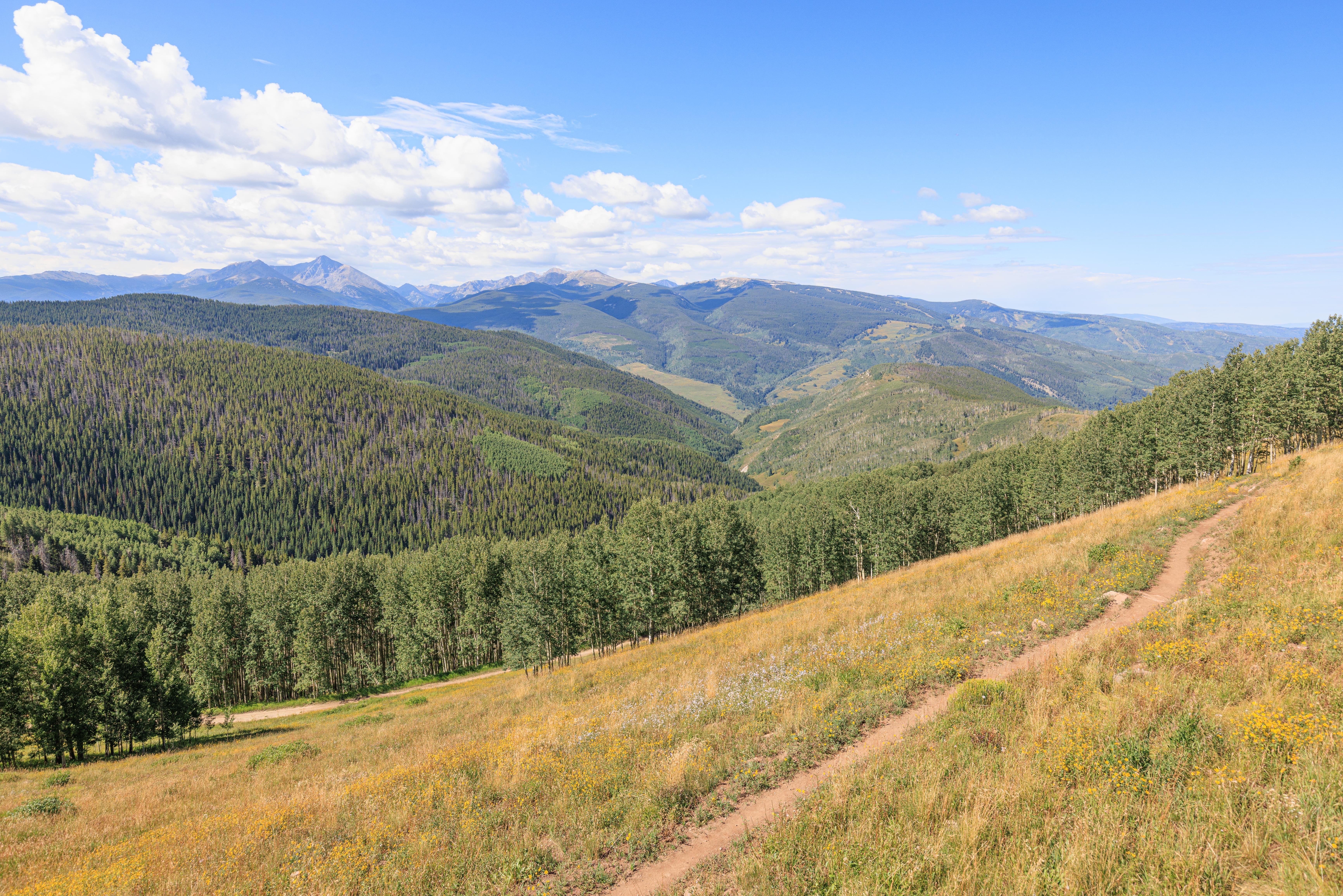
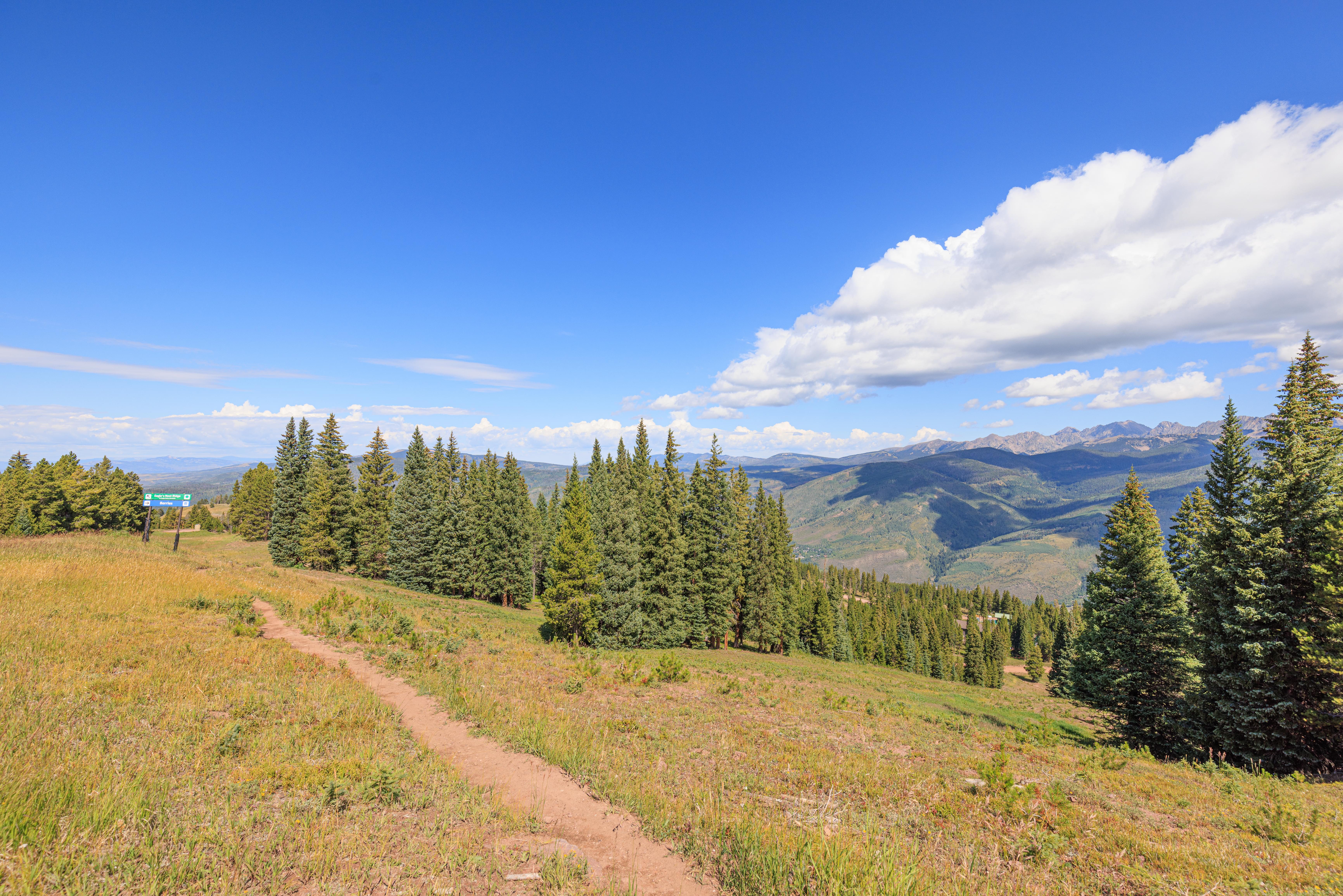
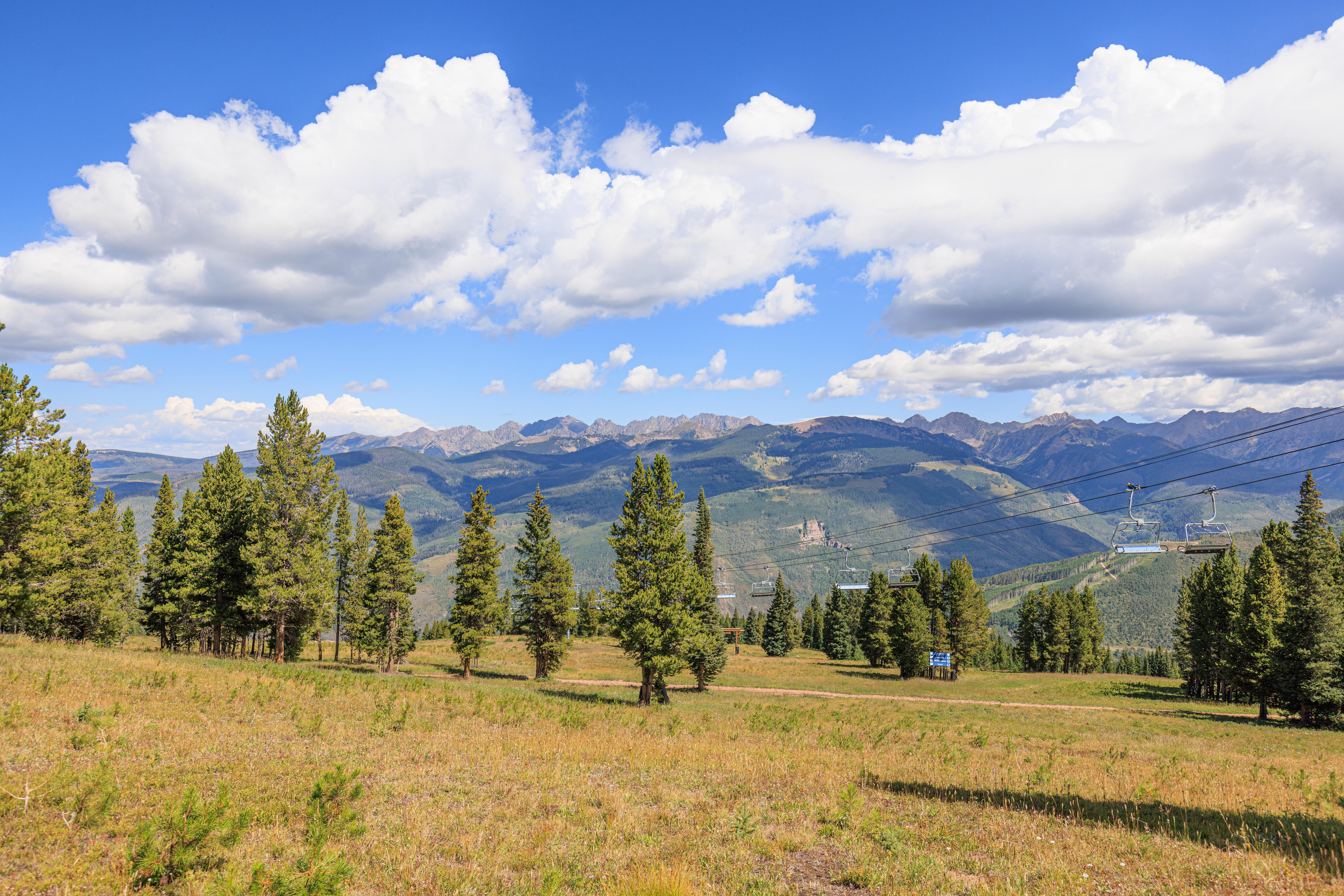
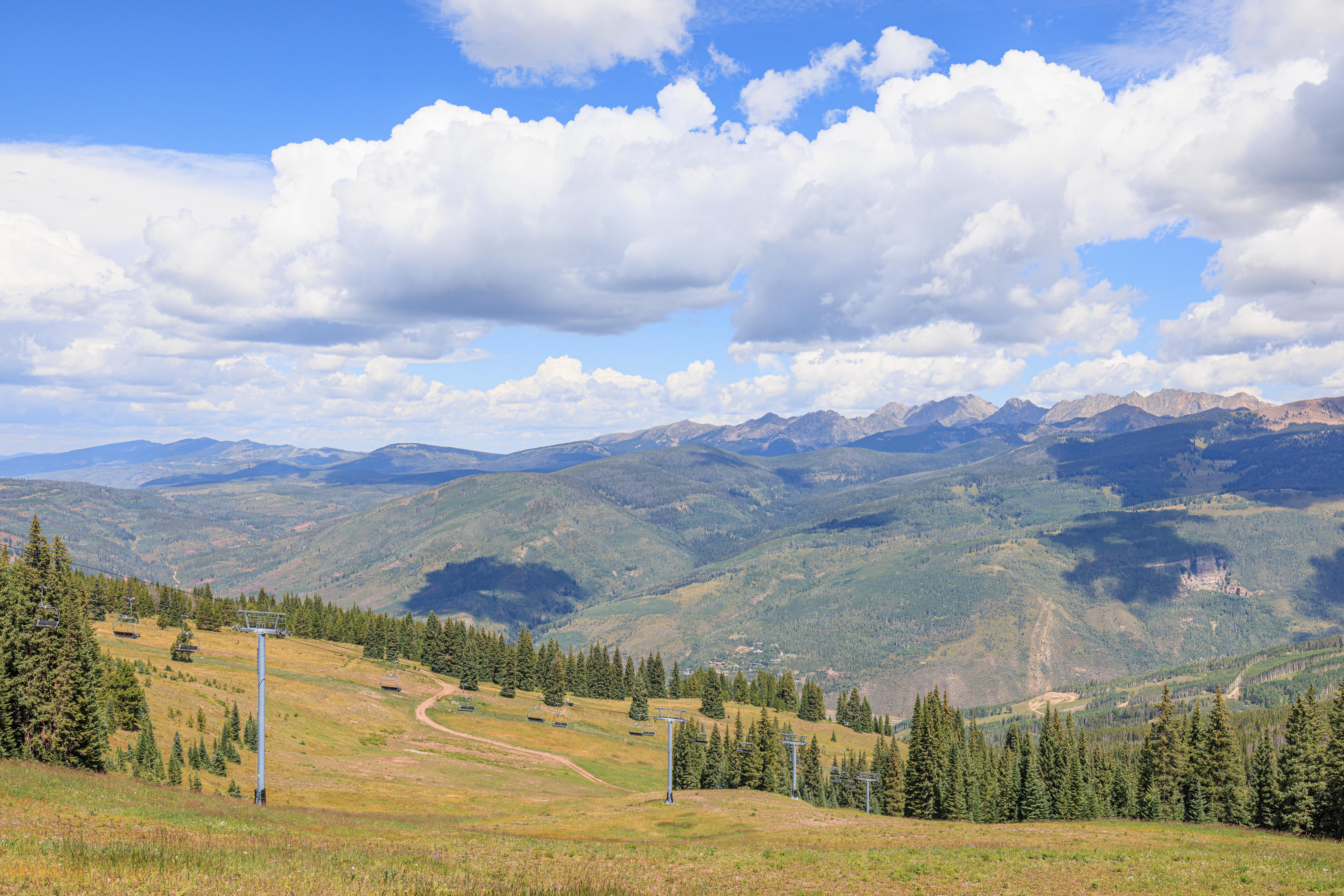
We decided to head east towards Vail’s other gondola along the Grand Escape Trail. This trail heads upwards in elevation around 500 feet or so and is around 2 miles long.
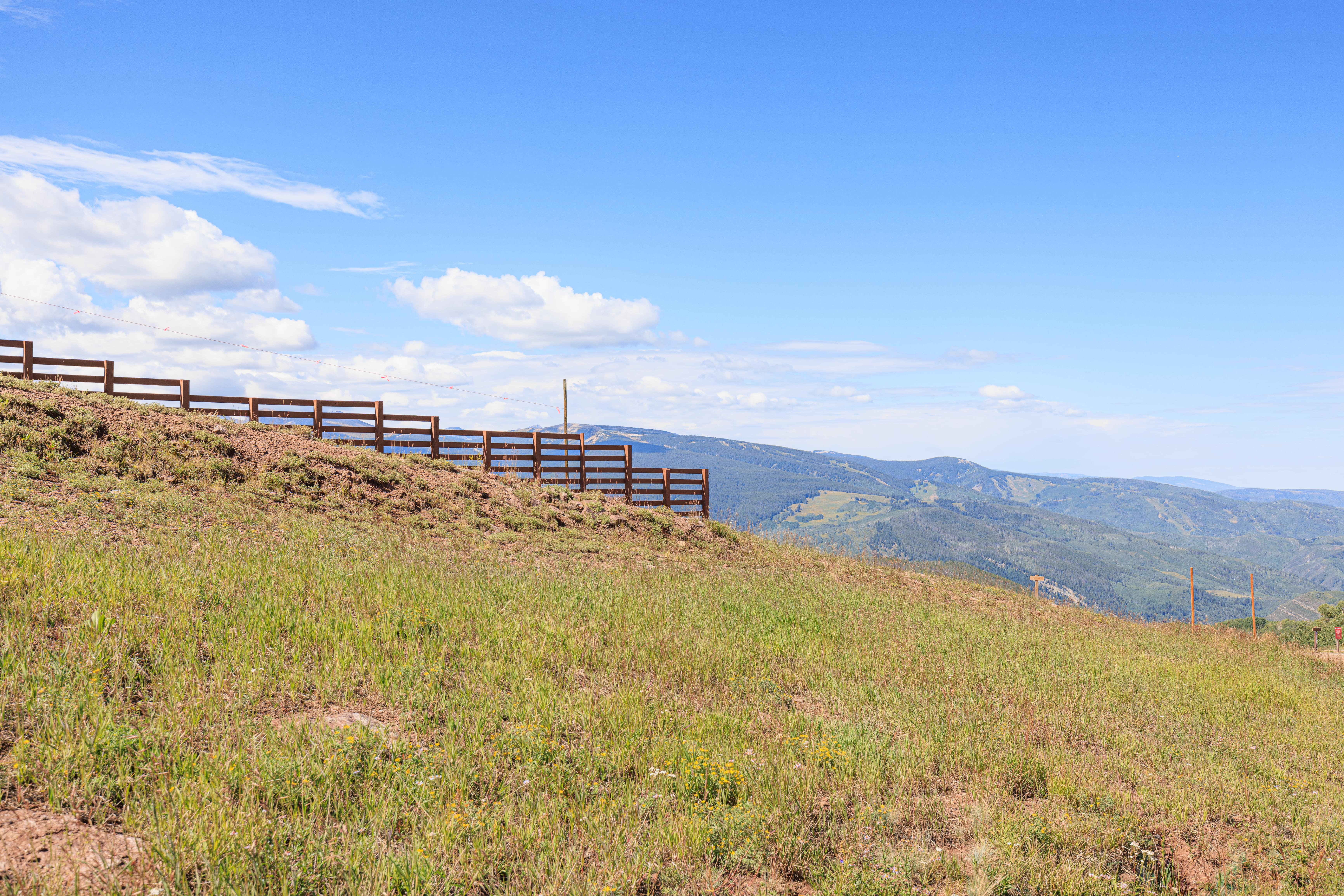
The trail was a bit below the ridgeline for the entire journey. To the south, we could see higher terrain as well as a fence that is likely there for snow management purposes. There is actually a trail that probably goes along the ridgeline but the hiking trail map made it look like it would require backtracking to descend. The map is terrible. No backtracking would have been required.
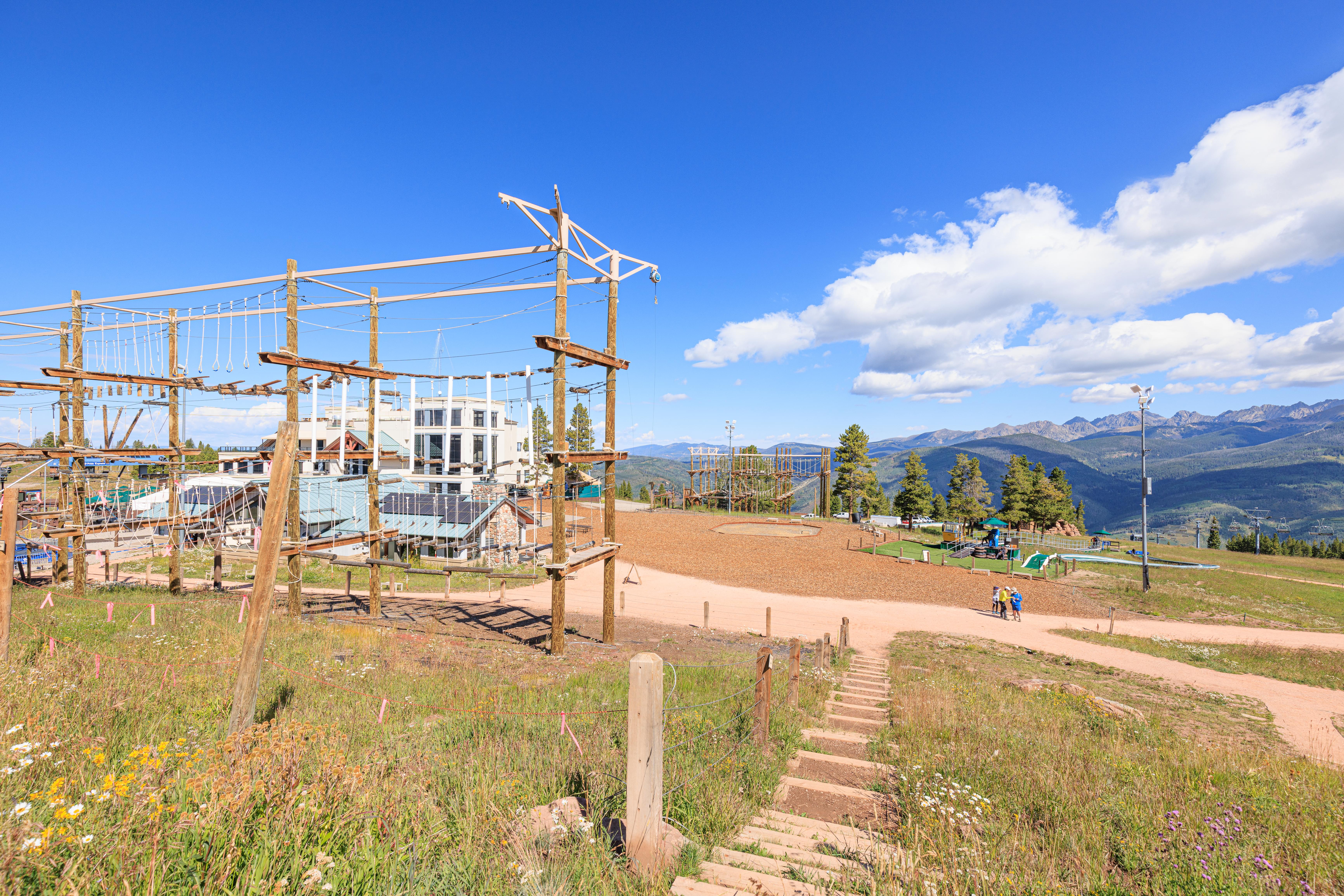
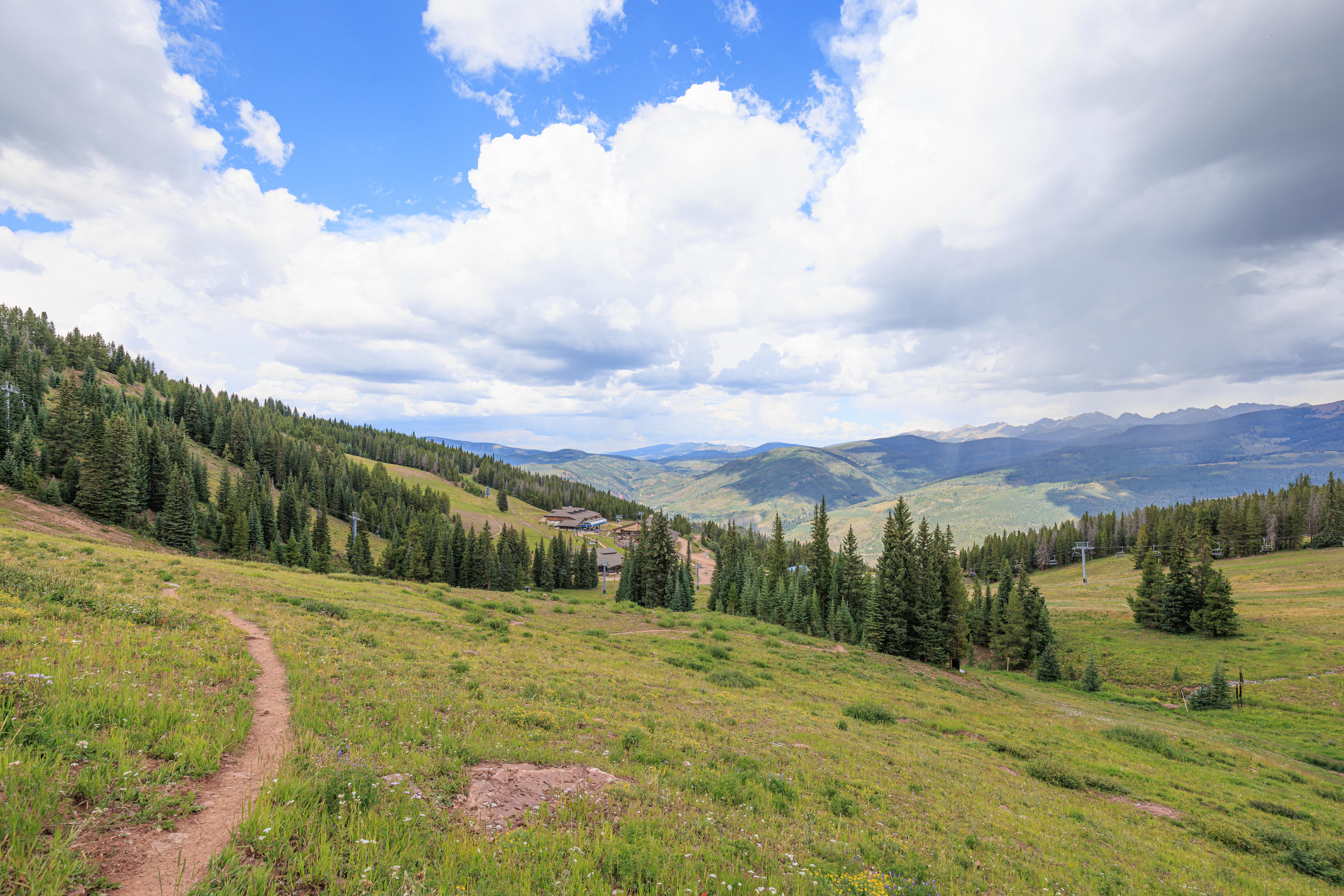
Looking back, we could see the restaurant building as well as many adventure activity structures.
The trail ascended gradually and consistently through some light forest and open terrain.
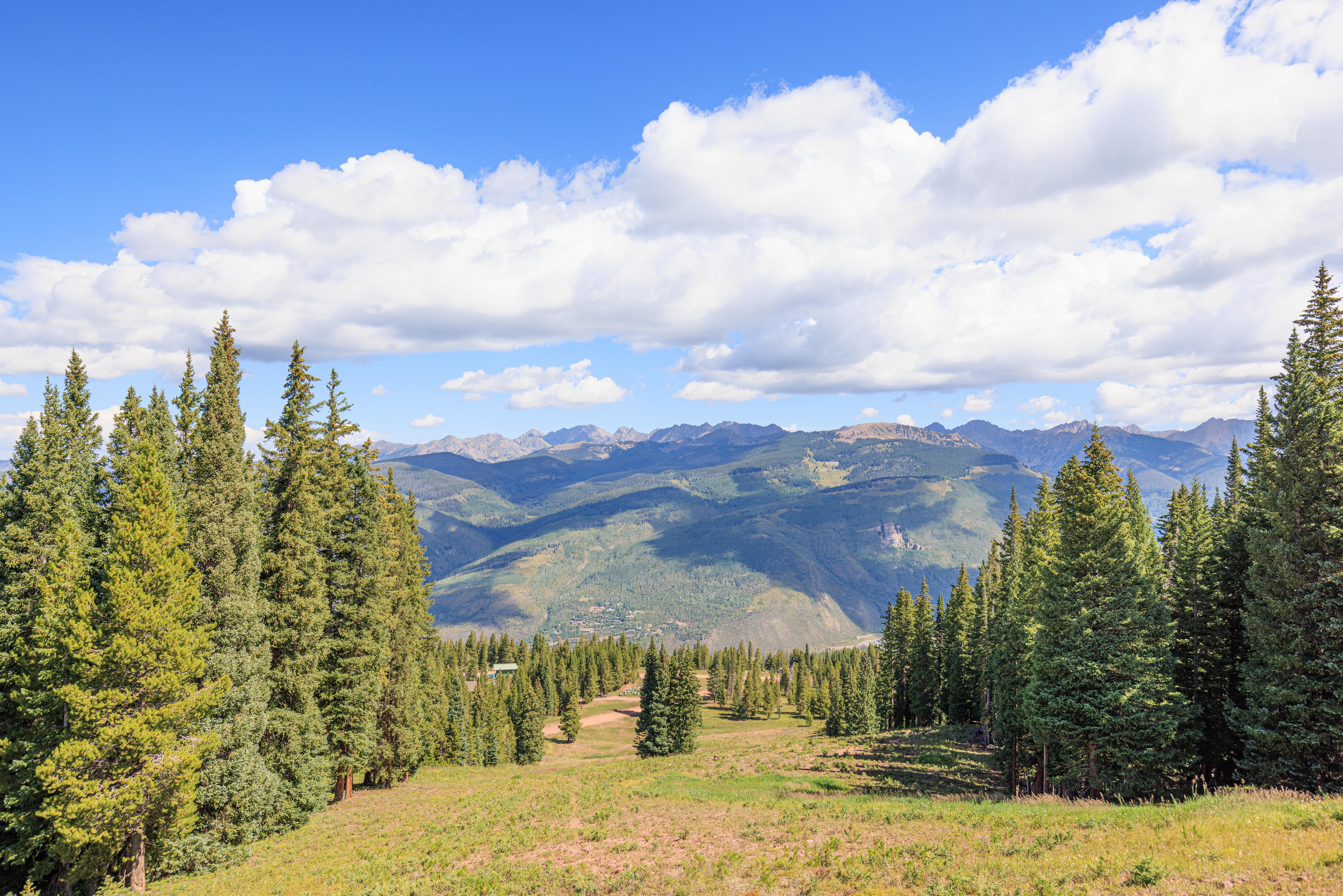
There were beautiful views looking to the north. We didn’t really photograph to the south as we were below grade so there wasn’t much to see in terms of scenery.
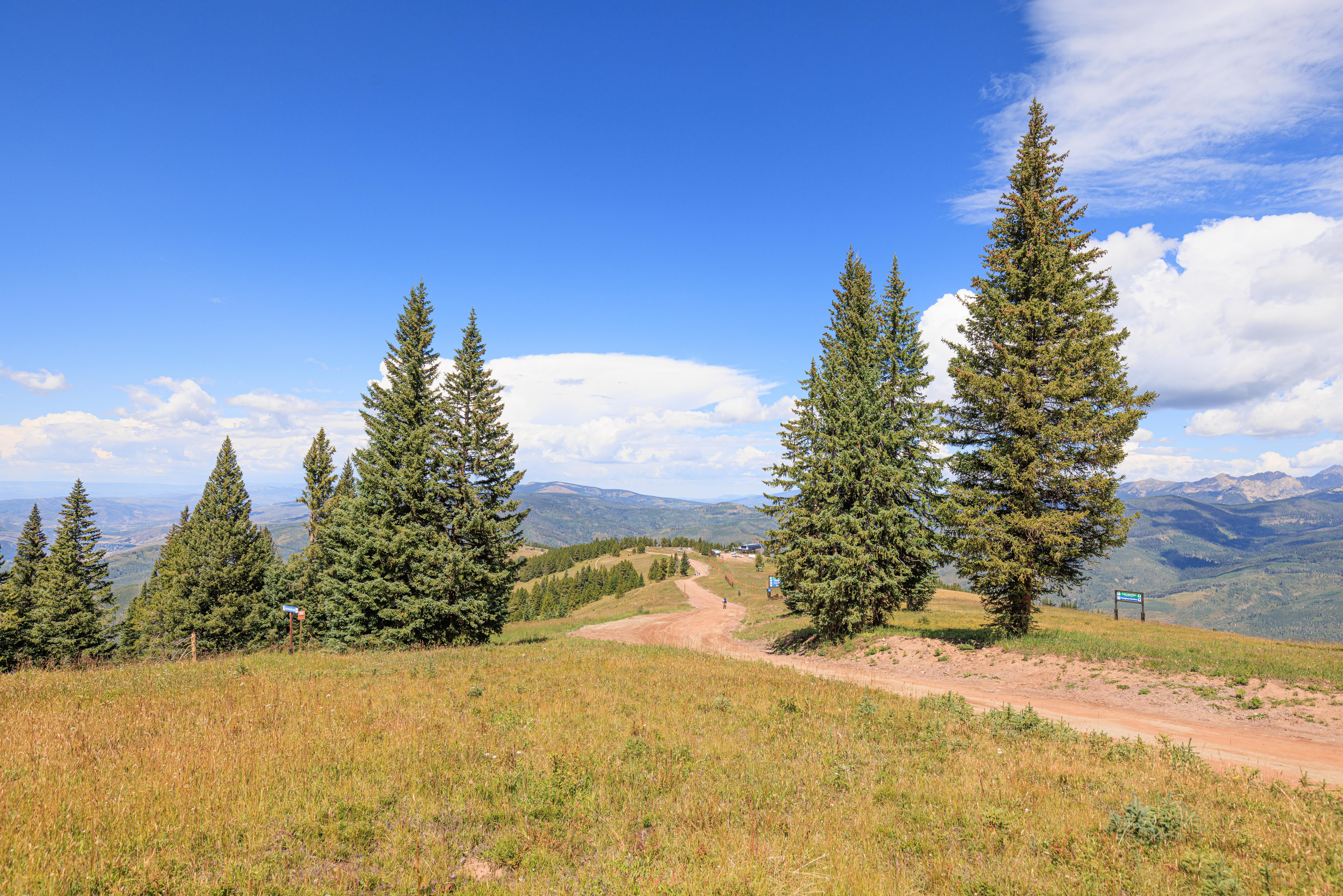
A maintenance road that can also be used for hiking runs between the two gondolas. We occasionally could see the road below us as well as other roads and paths.
As it was in the morning and we were hiking to the east, it was better to photograph behind us. So we took many more photos of the trail behind as than ahead.
As we continued on our way, the roads below started looking smaller and smaller. There were also random structures here and there.
A really nice open field that seems like it would be quite relaxing to ski down!
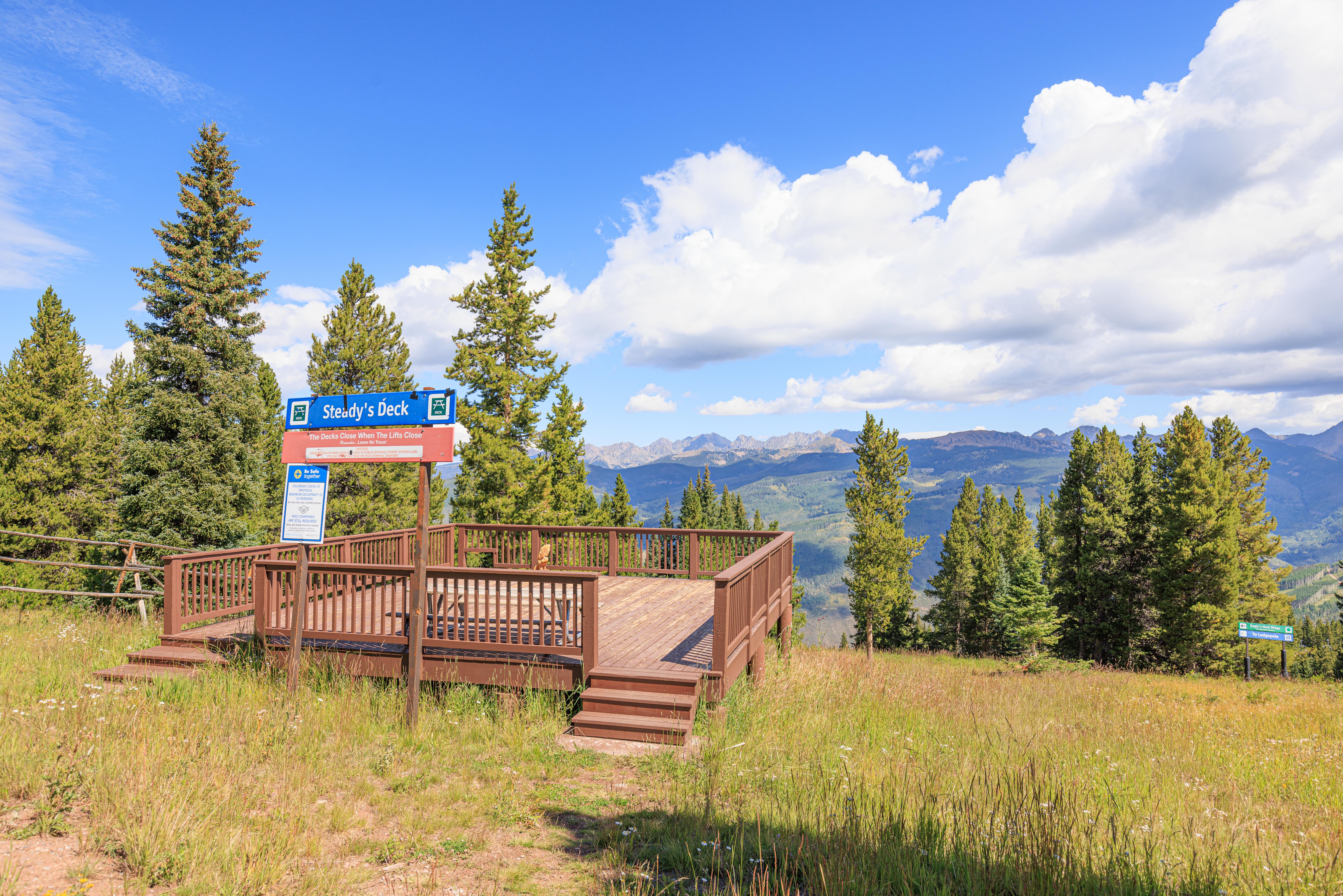
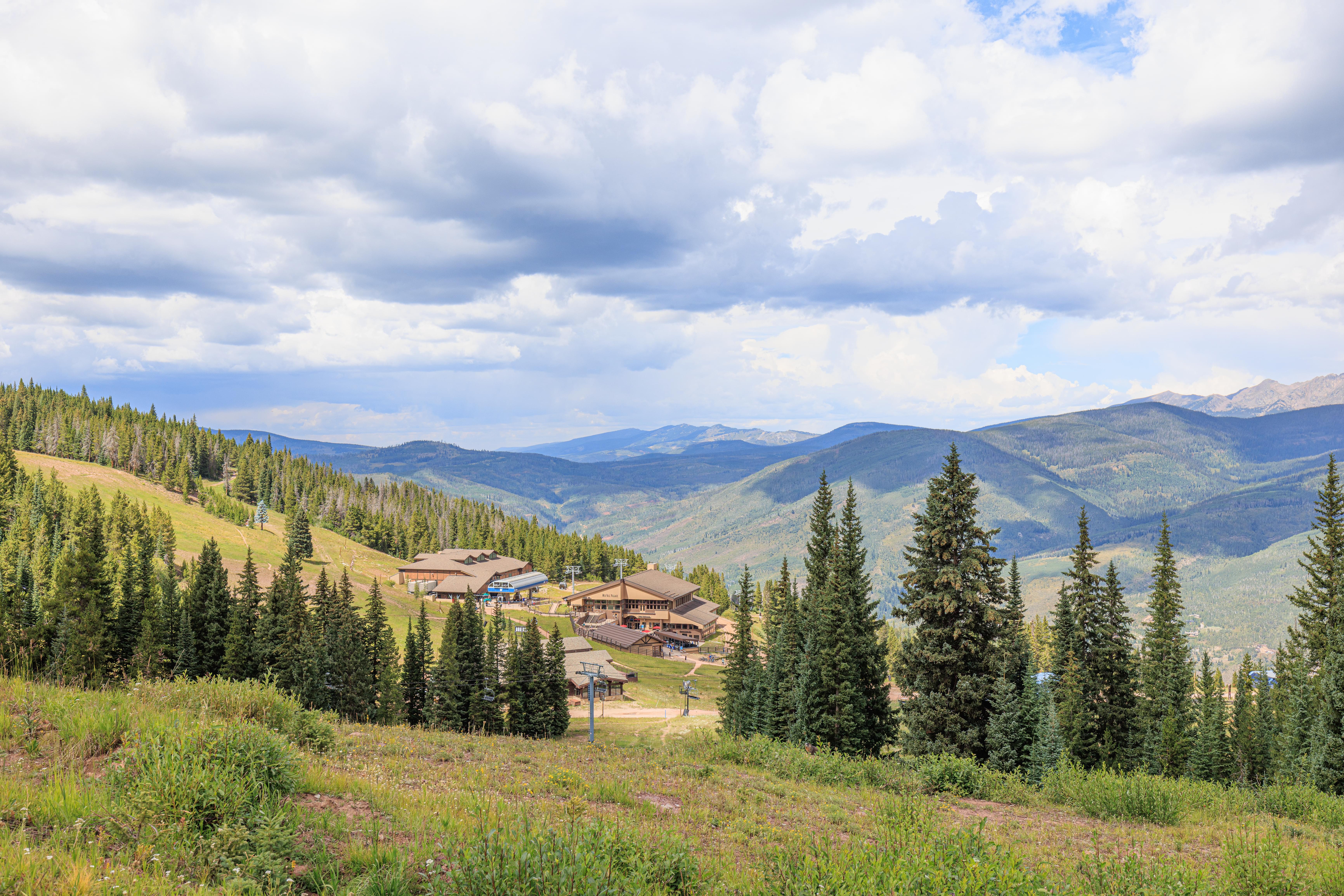
We were a bit confused when we reached Steady’s Deck. According to the map, it isn’t actually on the Grand Escape Trail. This is when we realized the map might not be so good!
From the deck, we noticed a female deer, or perhaps an elk, below us. It slowly walked away from us.
A wider view of the terrain where we saw the deer.
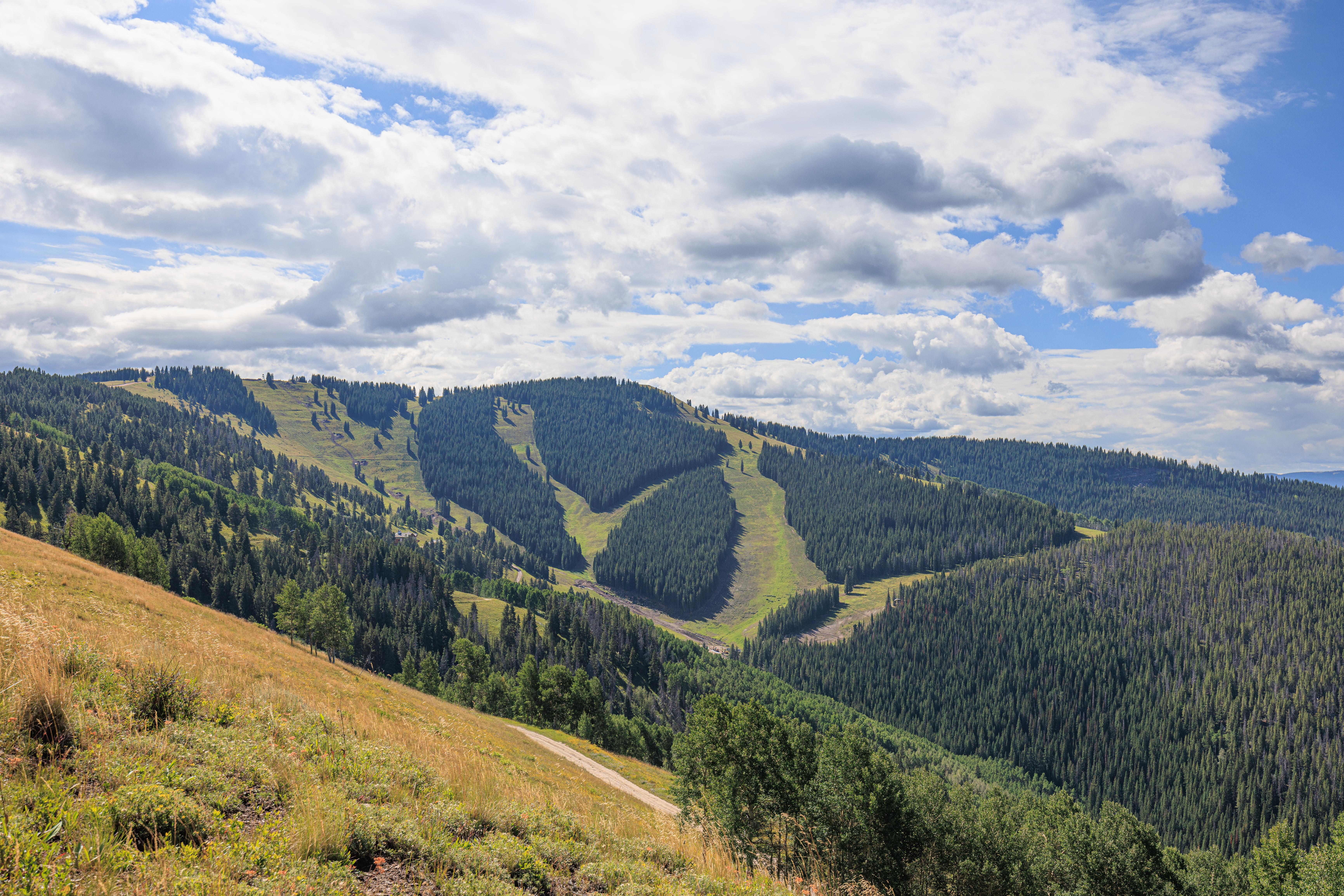
We could see ski trails in the distance towards the east beyond where we were planning to hike.
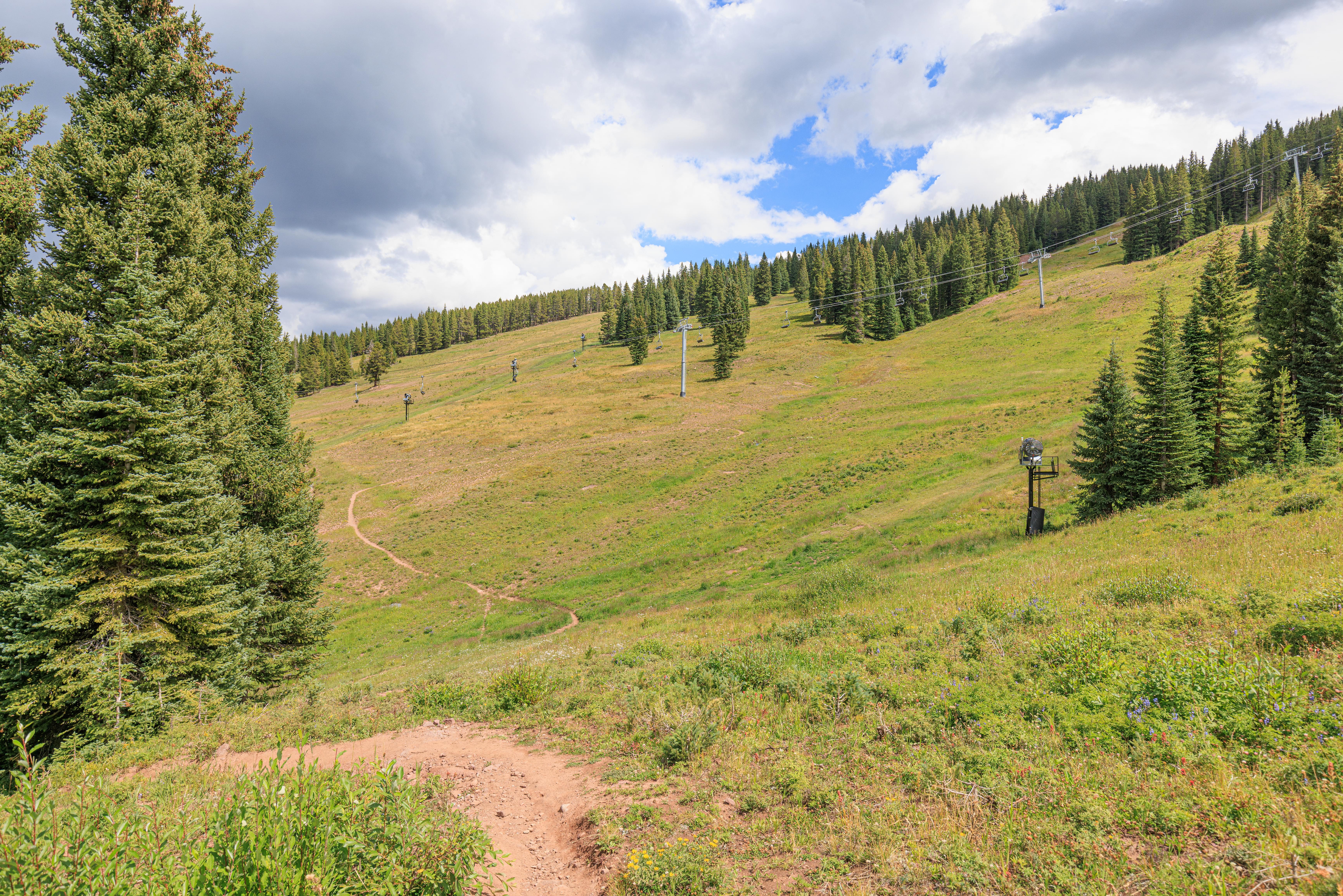
The trail continued to climb…
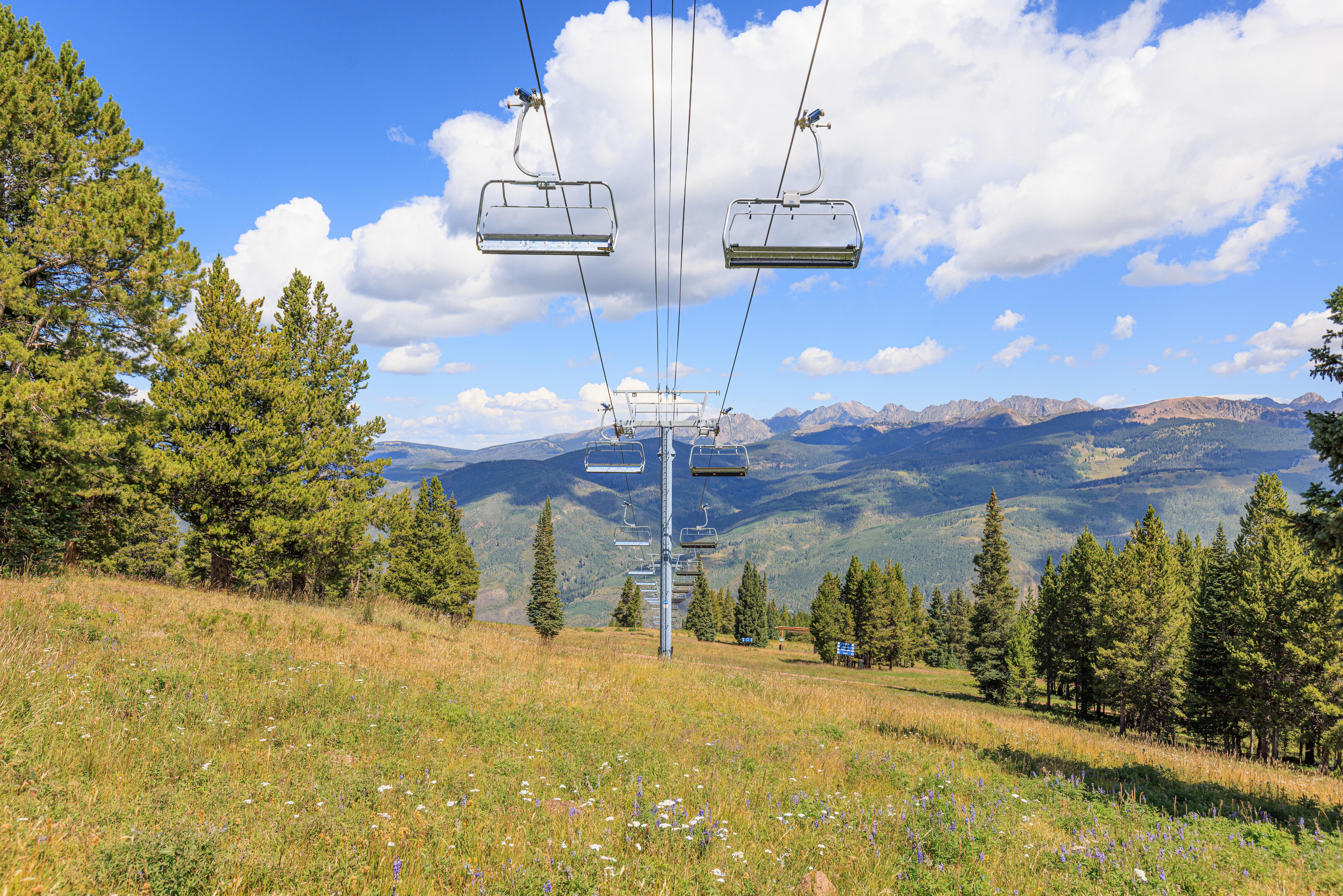

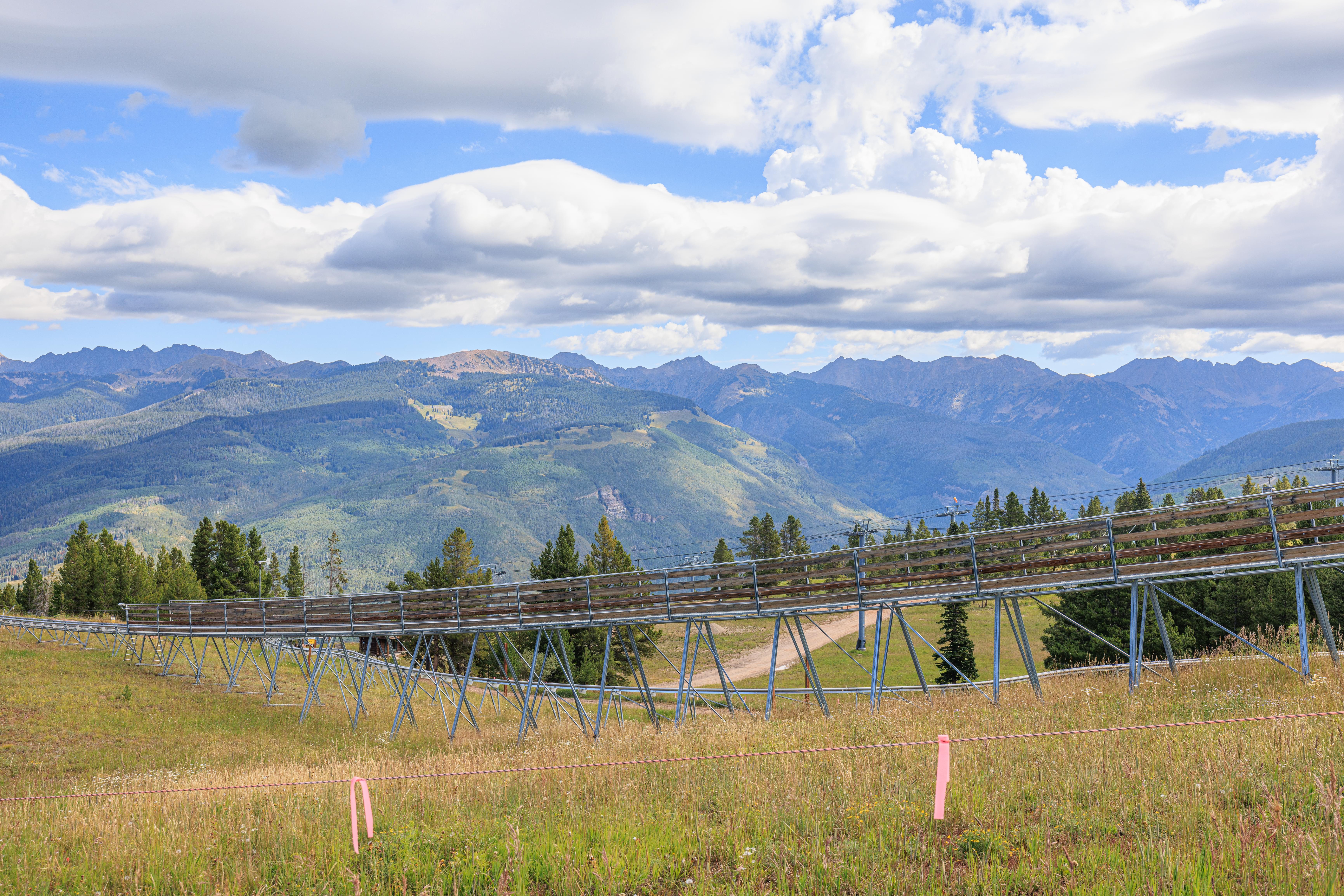
We passed underneath the Avanti Express chairlift. At least this part of the map was correct! They appeared to be doing tests on the lift as it would operate for a very short time and then stop for awhile.
Those trails in the distance started getting closer…
The trail beyond the lift became narrower and a bit harder to walk on as it became V shaped rather than flat. This is, of course, looking behind us and away from the sun which was rising higher and higher in the sky.
We continued onward…
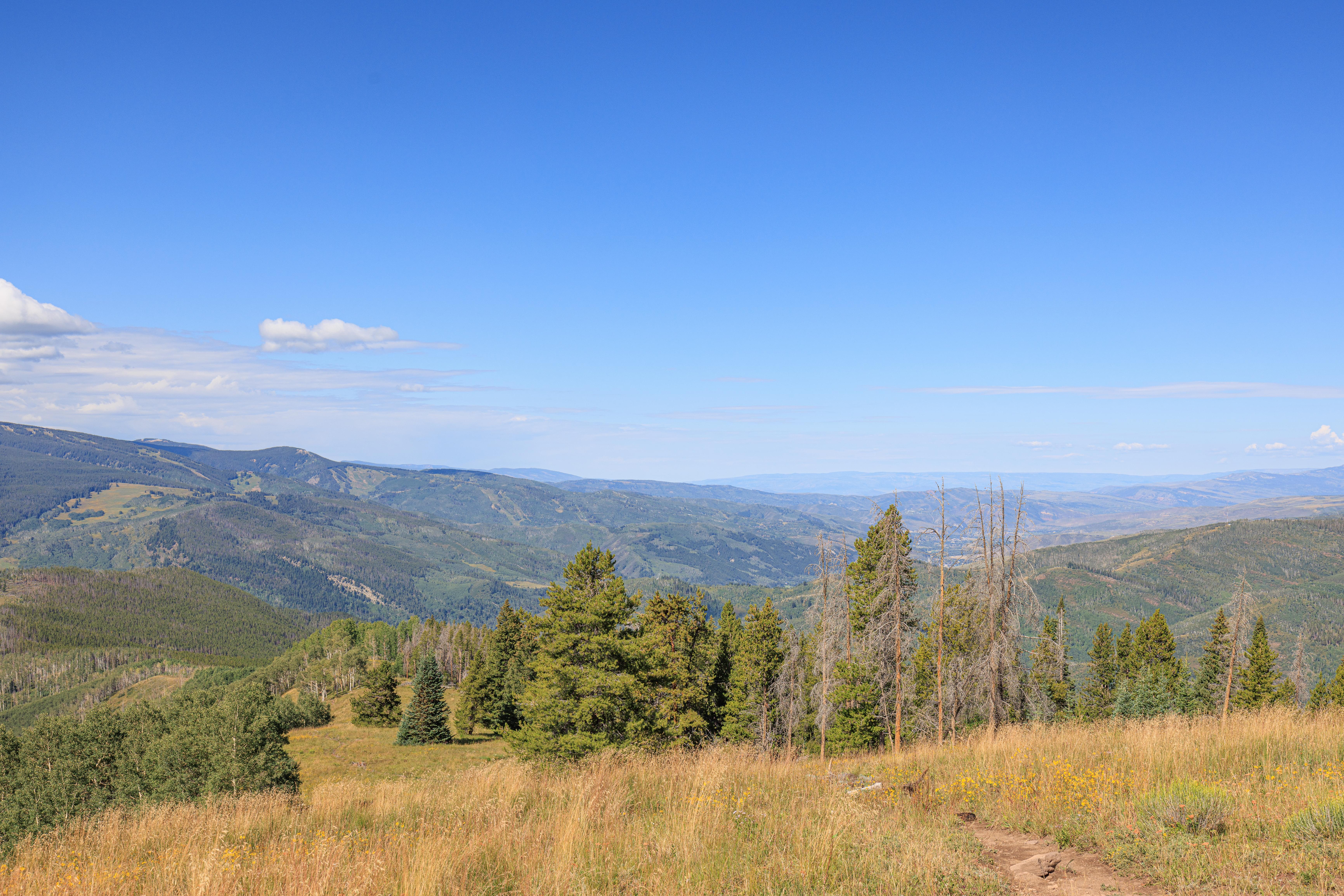
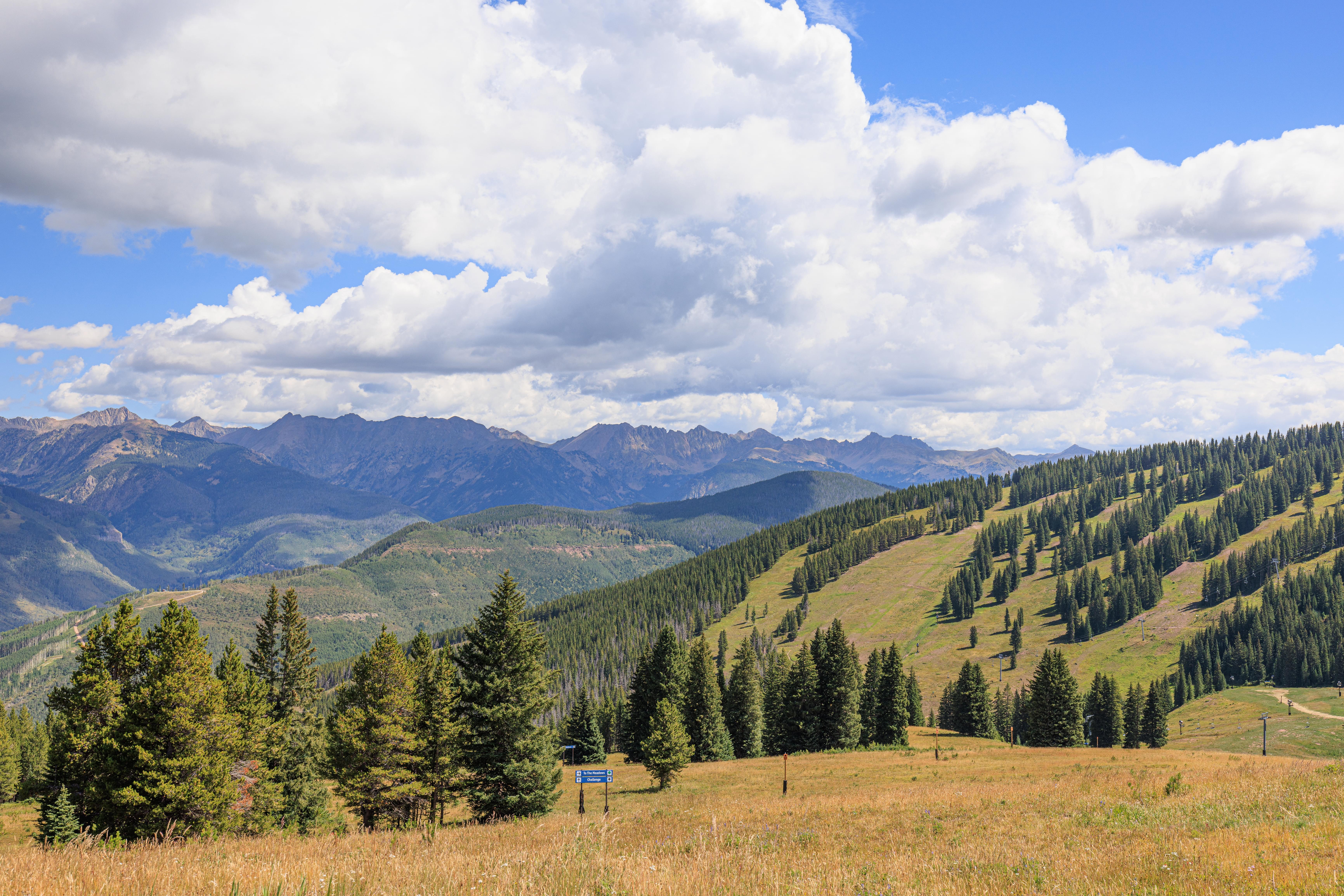
We started to be able to see the landscape towards the southwest as we went higher and higher. The ridgeline above us was no longer very high above us.
The wide open space we noticed beyond the Avanti Express actually continues for a long distance! Though it would be a quick trip on skis!
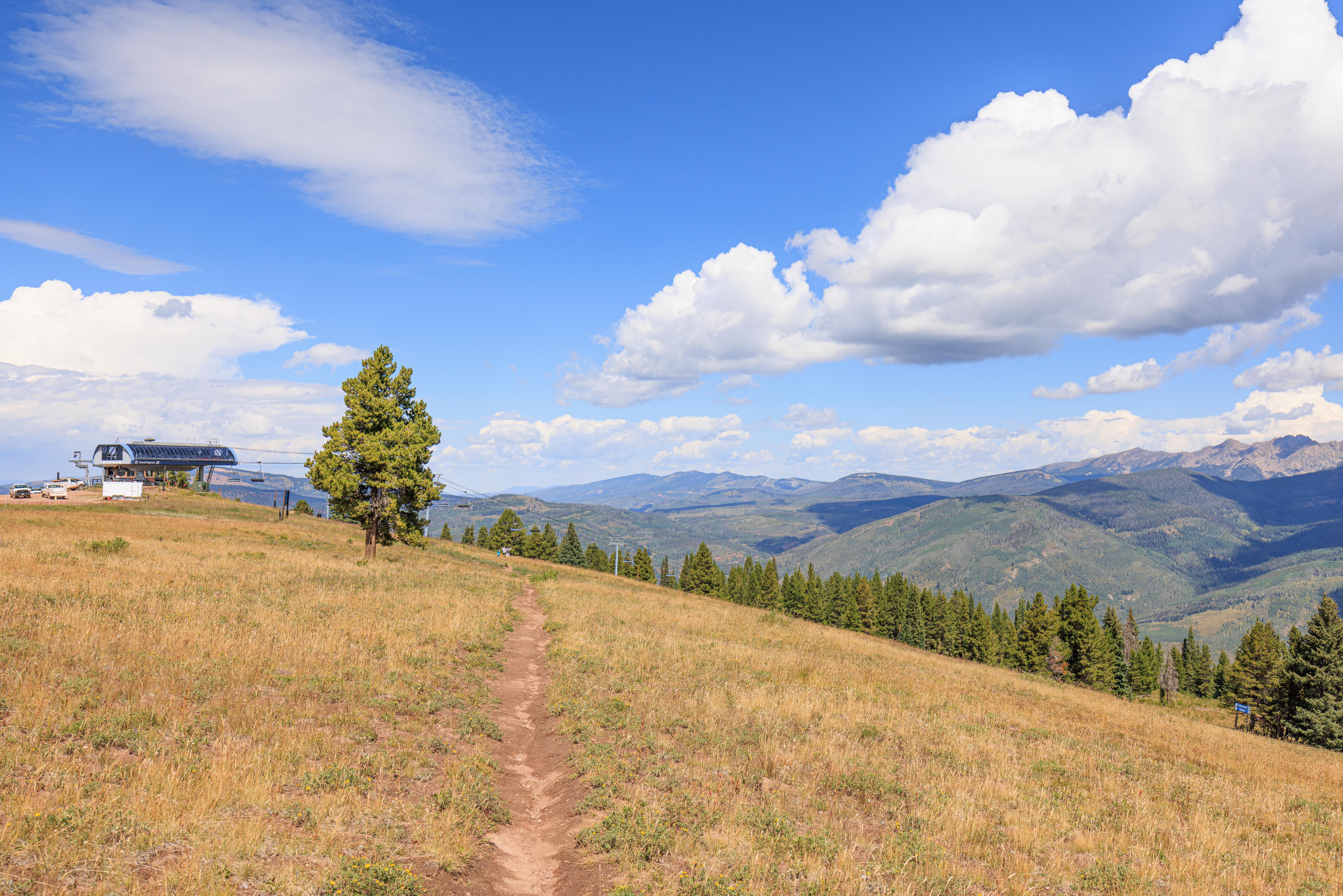
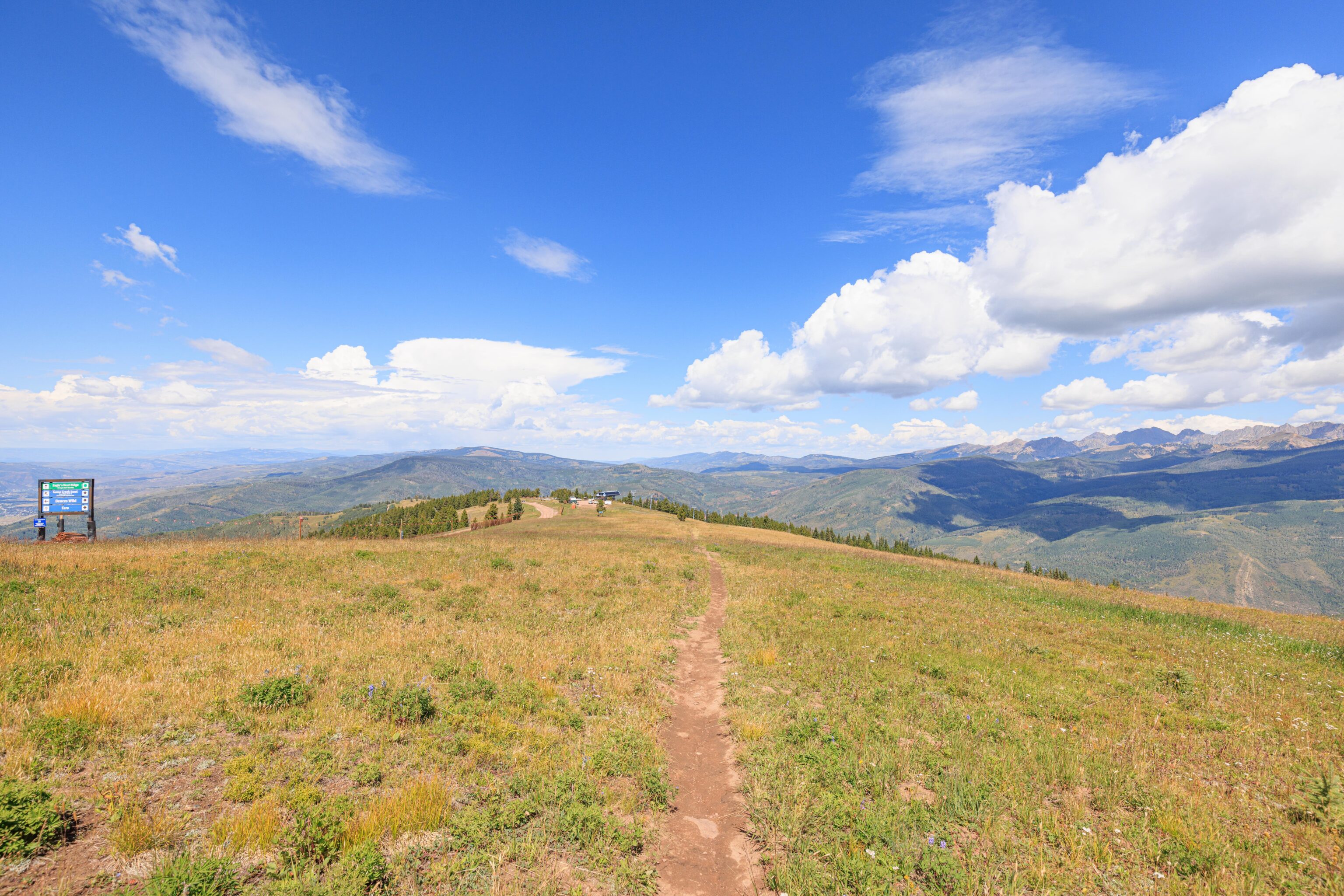
Finally, we were approaching the highest point of our hike! Looking back, we could see the Avanti Express in the distance below us. Along with a very wide maintenance road that possibly runs back to the gondola? We saw a few people hiking on it. There is a trail visible as well to the left of the road, that is possibly the Ridge Route trail. It ends by where we are standing in the last photo here!

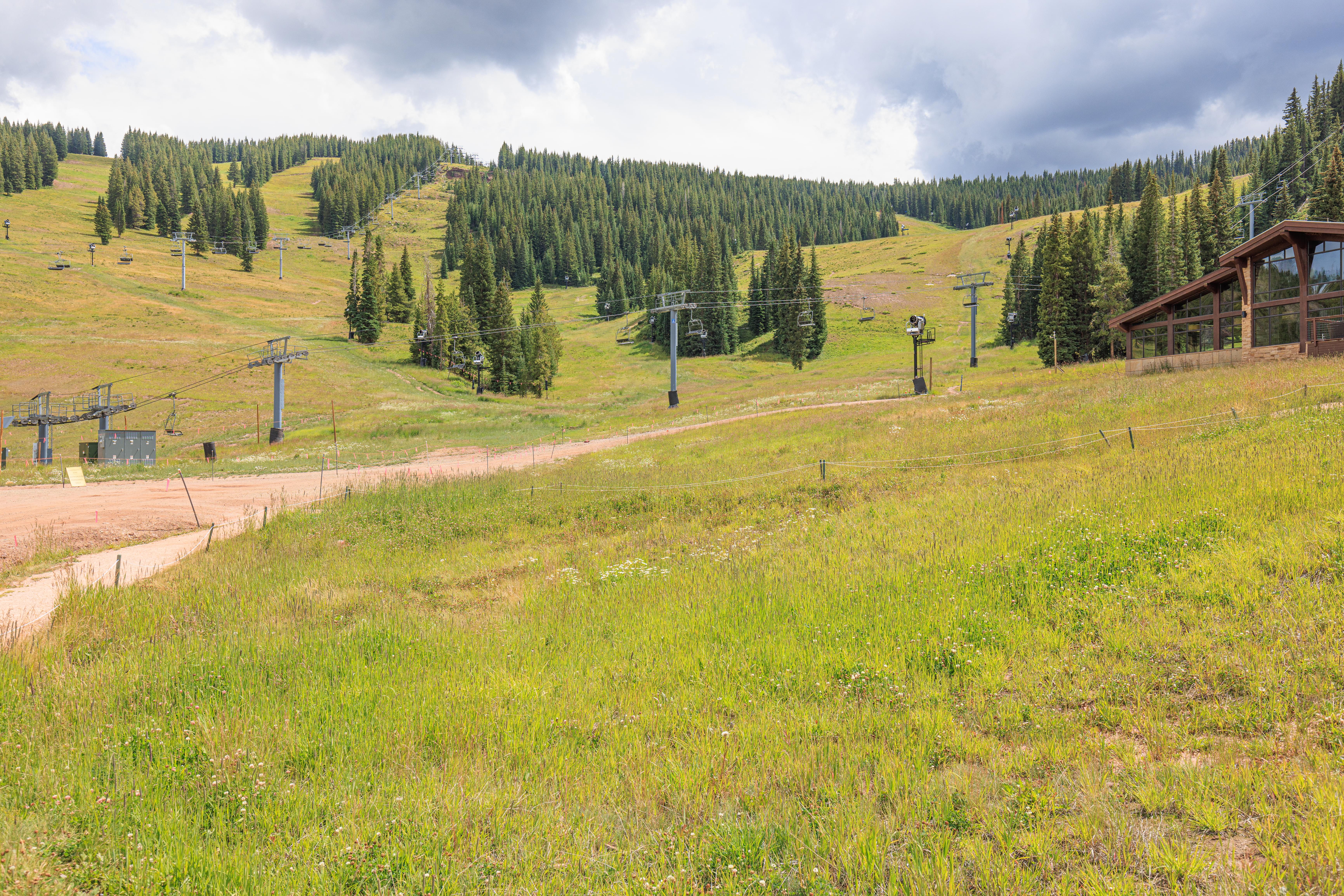
The trail ends more or less at the upper terminal of the Wildwood Exrpress chairlift at 10,891 feet above sea level. Around 1,000 feet lower than the highest point we reached yesterday. Unfortunately, we weren’t able to actually walk to this point as it was closed for construction. We were pretty close though!
Kinnikinnick Trail
We continued on along the Kinnikinnick Trail. This trail ends at Gondola One on the east side of Vail, about 700 feet or so below us. It isn’t visible as we look downhill so we didn’t really have a good idea of how long the trail would be or how steep.
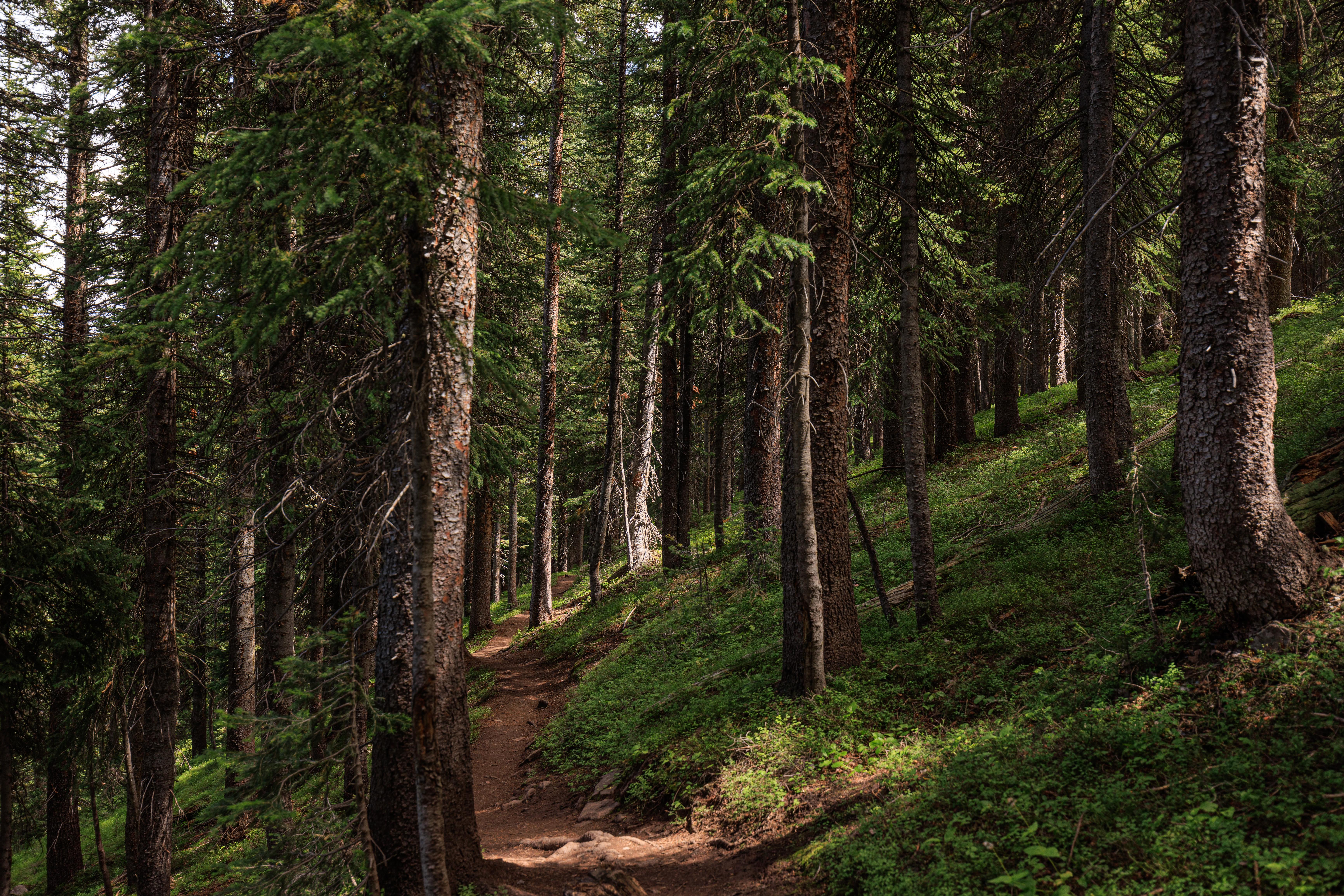
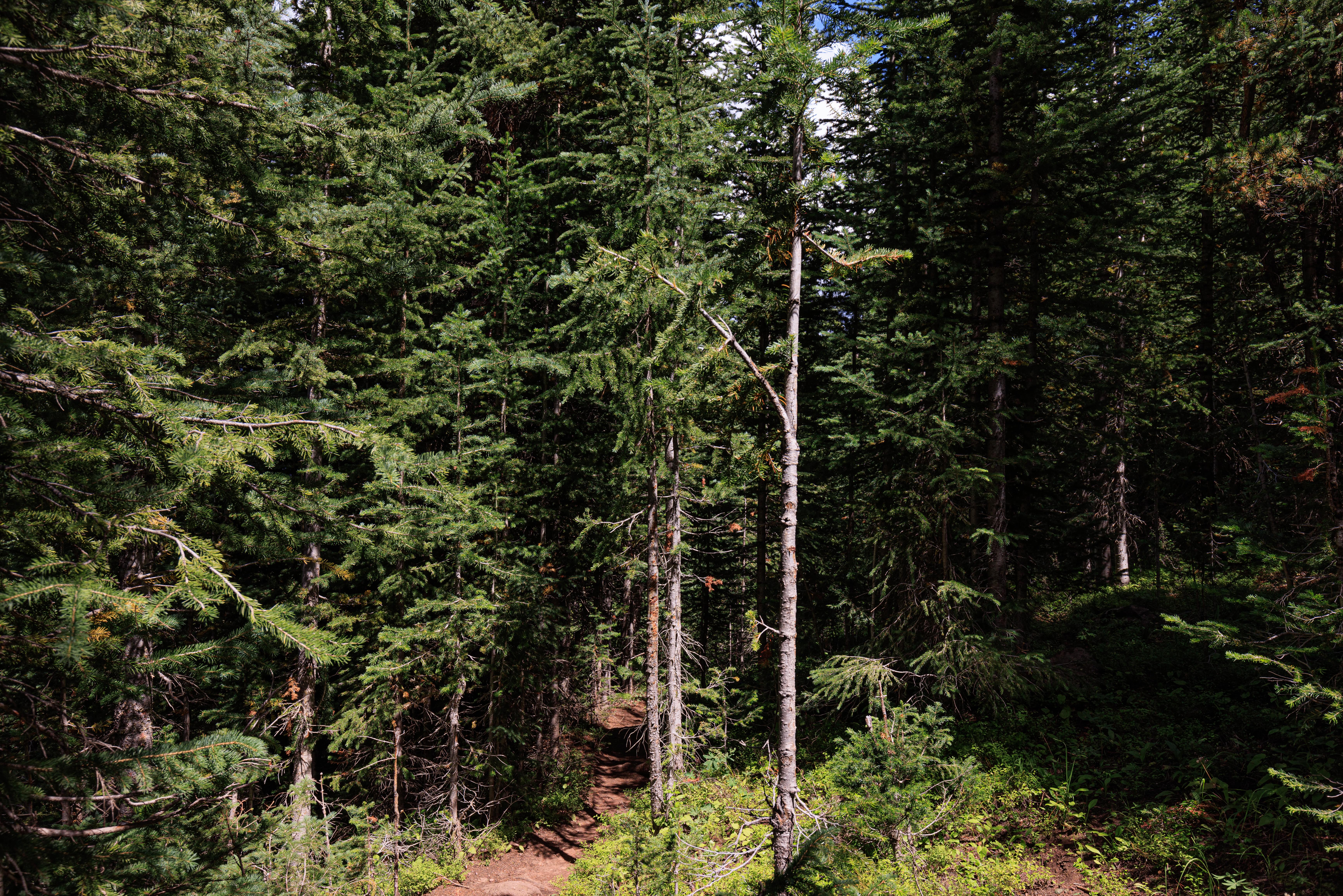
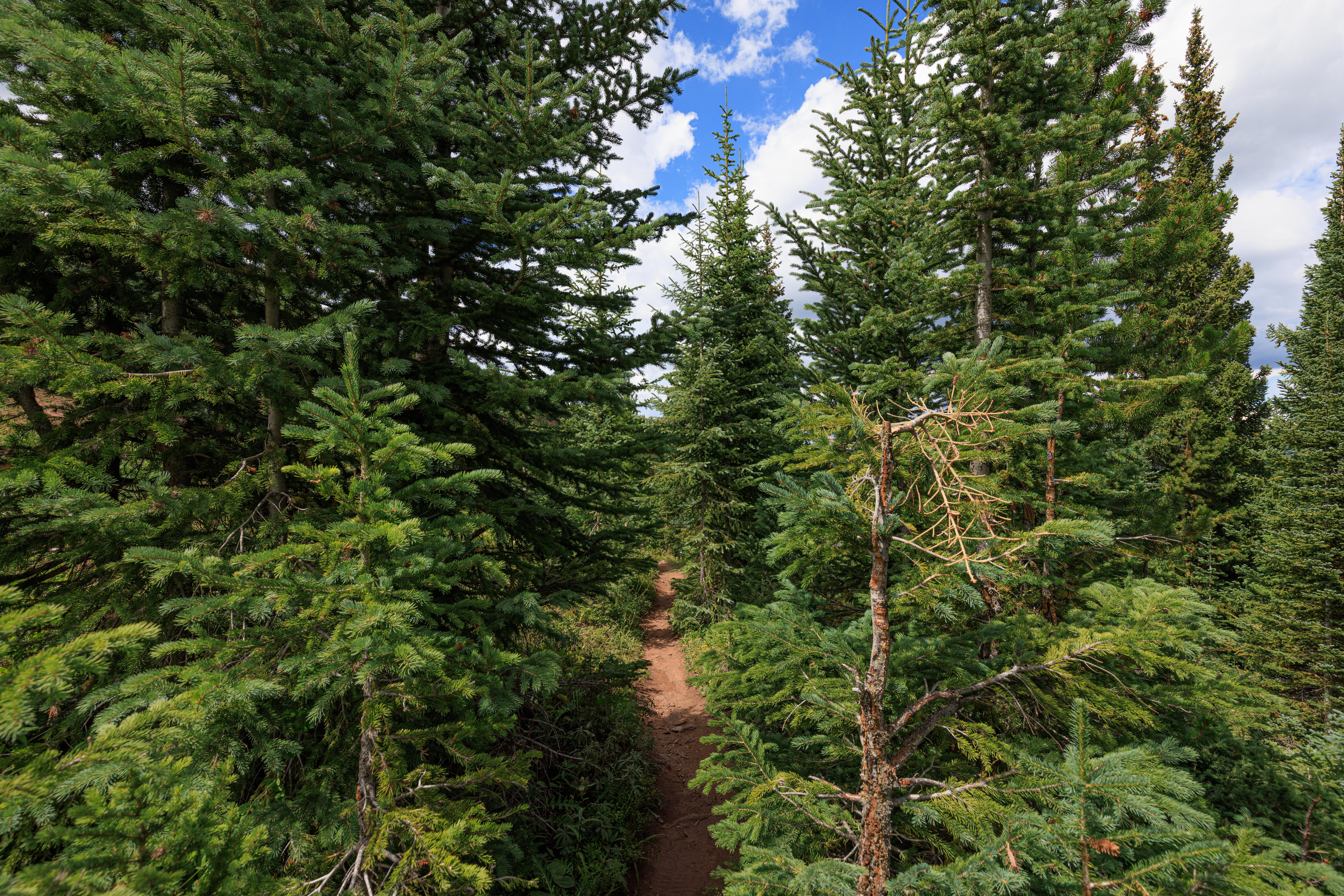
The trail soon entered a heavily forested area. Very different from the terrain we had been hiking through so far. It was very narrow in parts and descended steadily.
After awhile, the trail headed across a steep ski slope. Definitely not something I’d want to hike straight down!
No idea where the gondola is!
Looking behind us, the sun was high enough that we could photograph towards the east! The slope looks pretty steep from this direction as well.
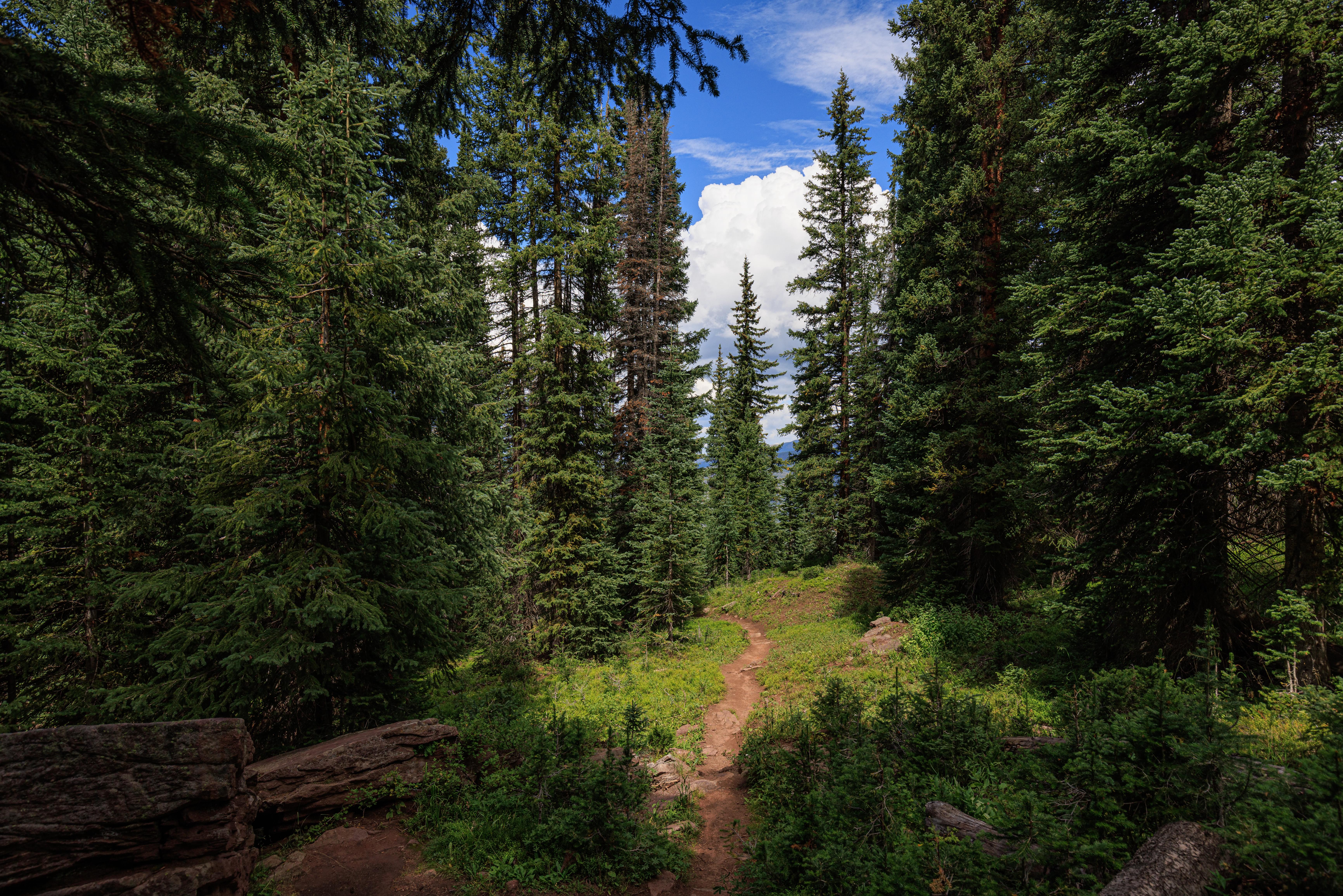
Back into the forest!
And, back out on another steep ski trail.
Still no sign of the gondola though there is another path down below us!
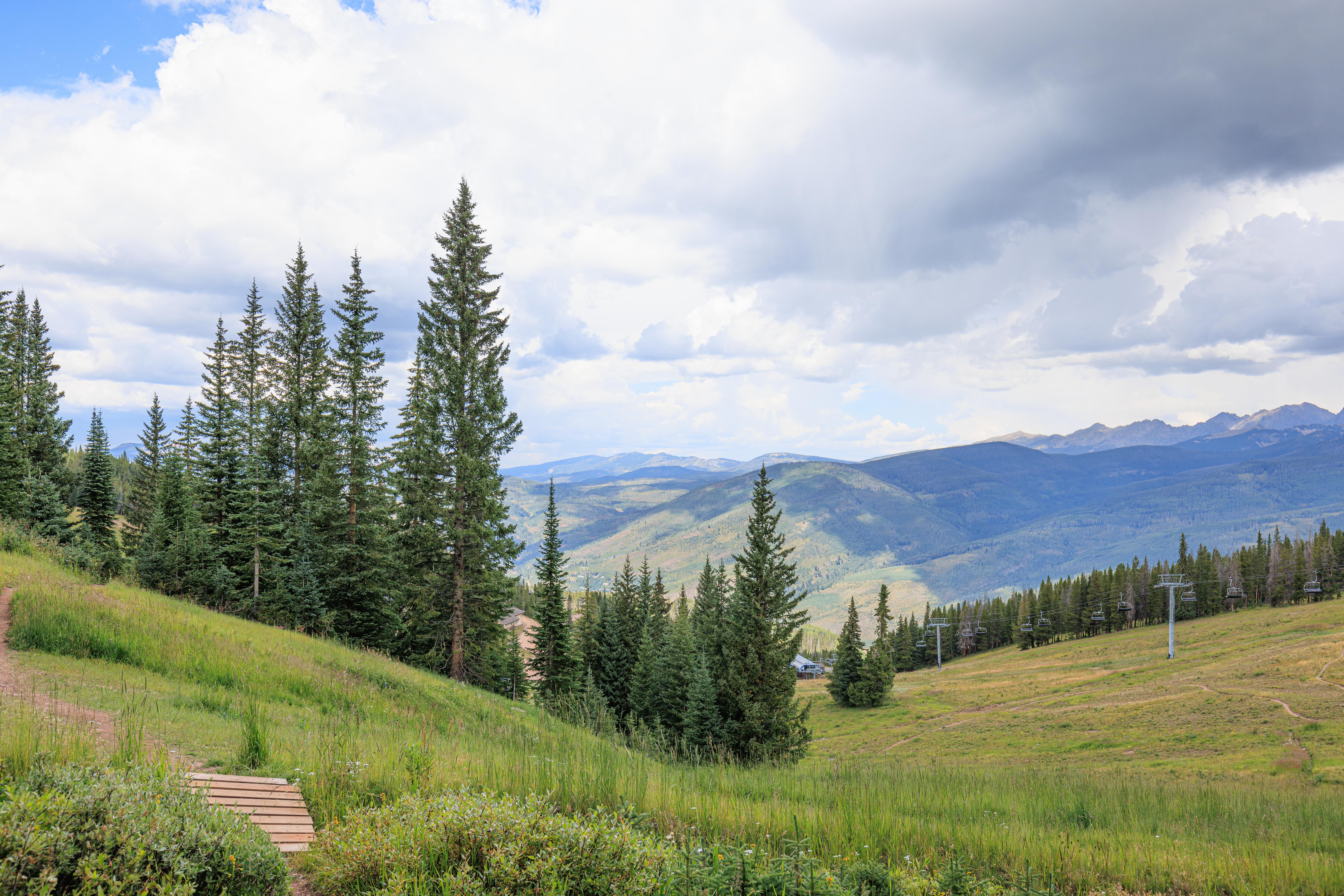
Looking uphill, a chairlift! The Wildwood Express! We walked away from it for awhile but were now apparently walking towards it again. A good sign as it starts by Gondola One where we’re headed.
A fantastic wide-open view with some dark clouds up above. The weather was beautiful when we started but the clouds were getting heavier and darker.
A nice wide ski trail above us!
Once again, more forest…
We walked across two small bridges, the second of which is ahead of us here. Below us, some other lift’s lower terminal.
Here, we can see the Avanti Express at the top of the mountain. The terrain here is a bit confusing as the Wildwood Express lift can’t be seen. It should be in view here, one of its towers is visible at the very left edge of the frame. It is probably blocked by the trees and the terrain directly in front of us.
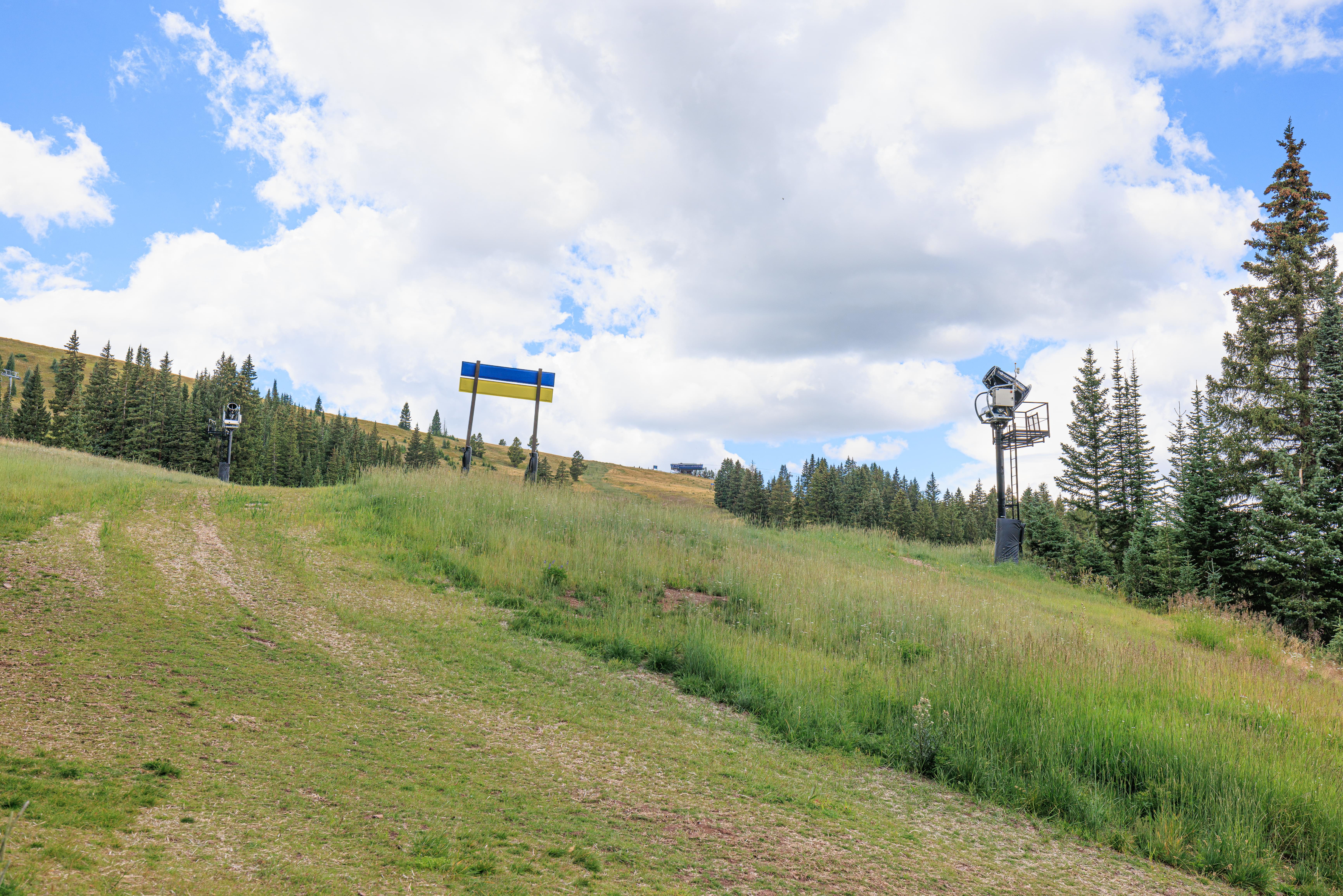
The back of the trail sign above us looks like the Ukrainian colors. It is a coincidence though, there is a blue trail sign on top of a yellow warning sign.
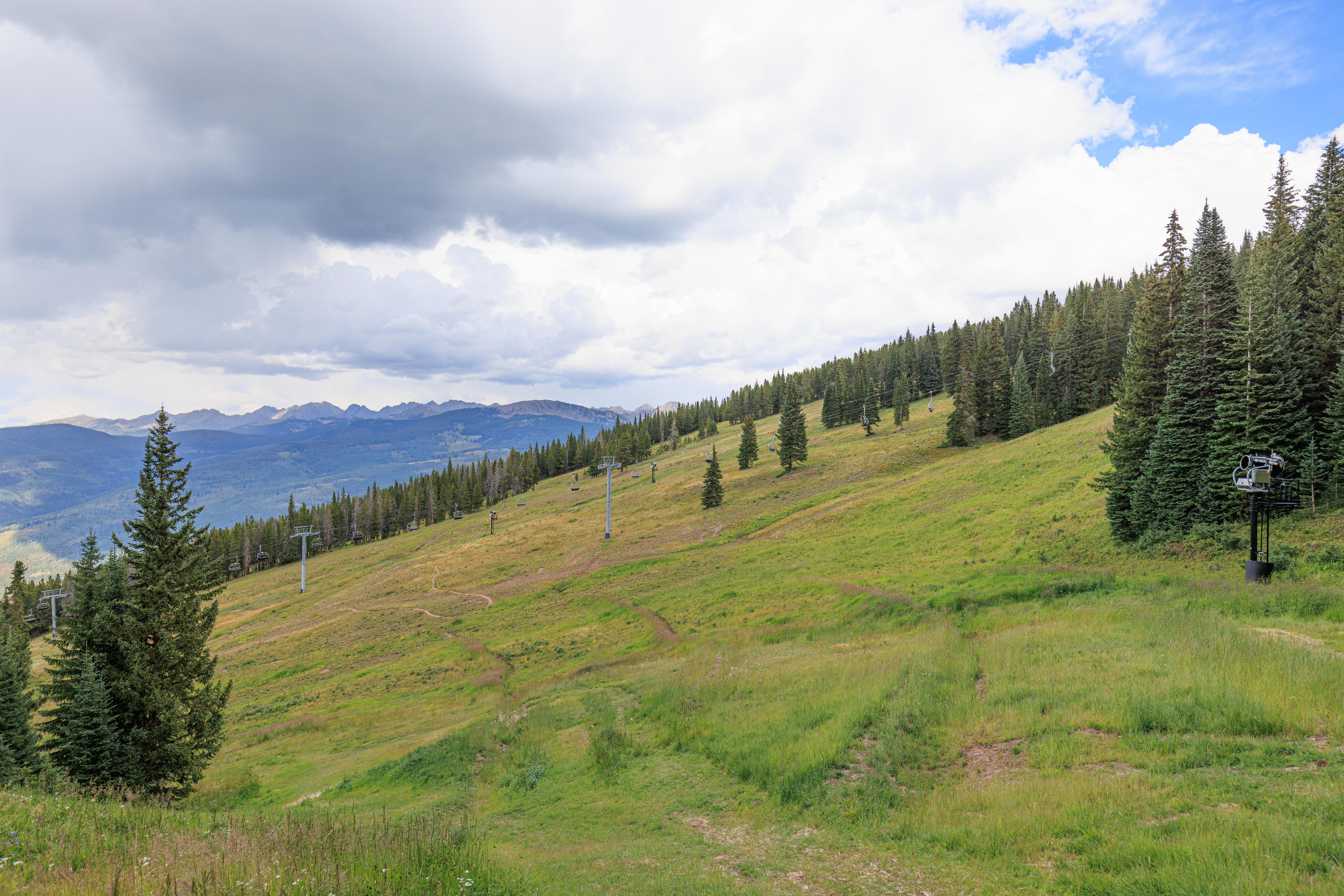
More wide open spaces to the east.
Finally! Gondola One is below us!
A bit of sunlight after the trail takes a quick turn back towards where we want to go.
And another forested area…
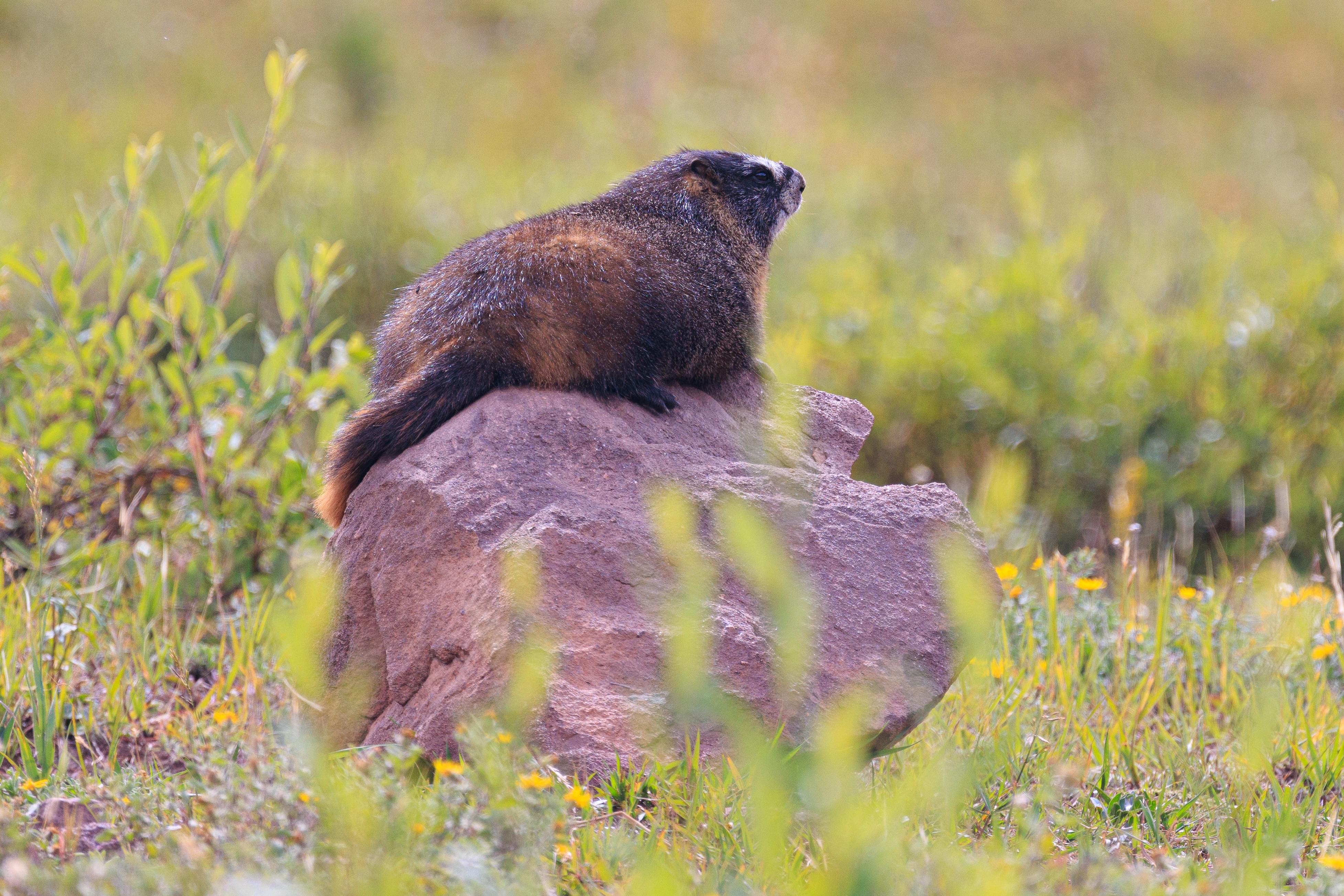
Shortly after reaching another ski trail, we noticed something above us. A Yellow-Bellied Marmot on a rock! They enjoy warming themselves in the sun and that’s exactly what this one was doing! We tried to get a view from the front but unfortunately the terrain obscured the marmot as we walked further down the trail.
Not far beyond the marmot, the trail descended very steeply, the steepest portion we encountered today! Beyond that steep portion, the hiking trail meets a mountain bicycling trail. Most of the paths on the mountain are rather obvious though with very little signage other than at junctions. Here, the way forward was only marked with biking signs so we weren’t sure where we were supposed to go. Straight? Or turn right on the path that seems to head directly towards the buildings by Gondola One?
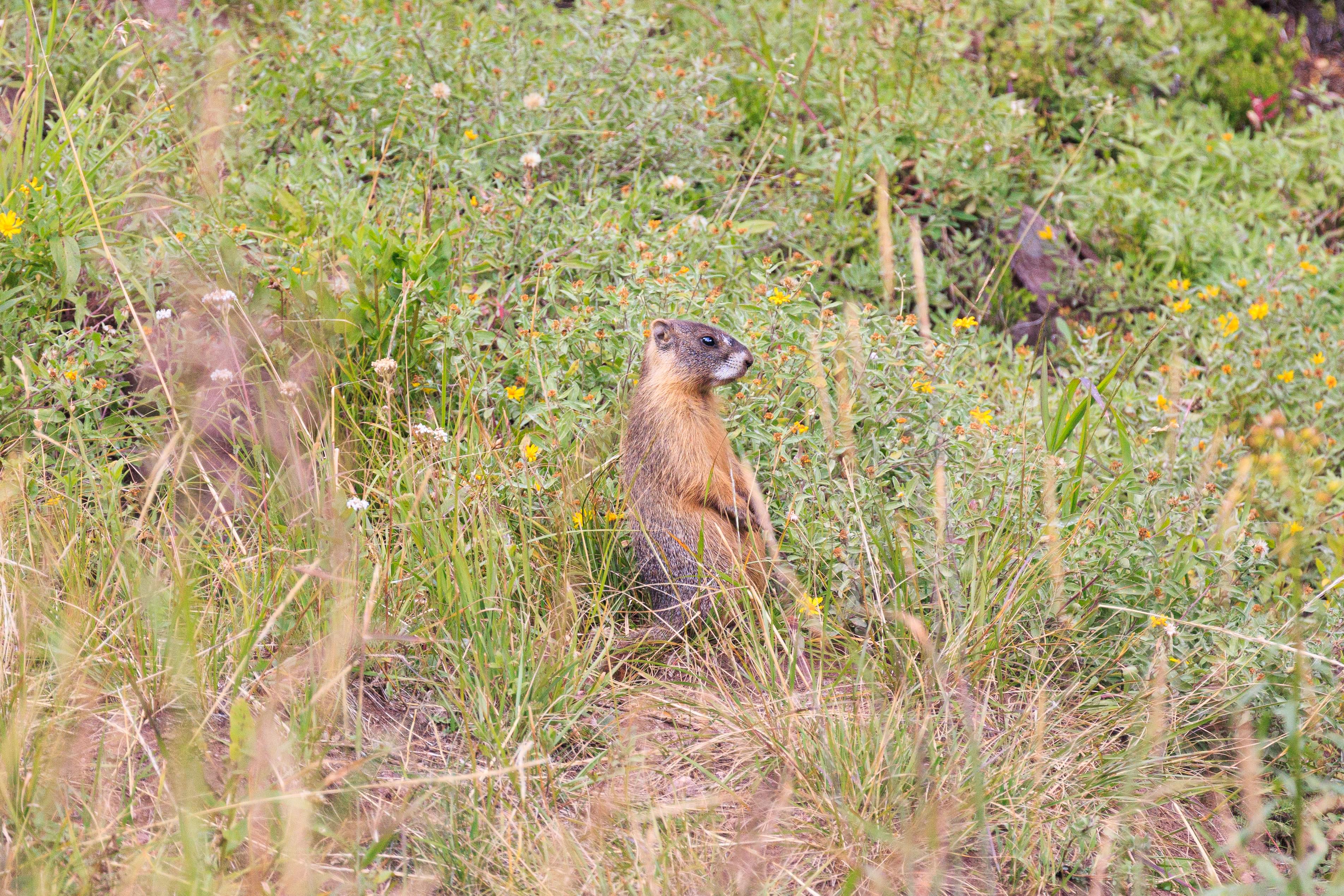
We continued towards the junction and noticed yet another marmot ahead of us! Near where the straight ahead trail enters a small section of forest.
We were past the junction that we were considering. We took a look back towards the path headed downwards. It seemed acceptable.
We noticed four marmots near where we just saw one!
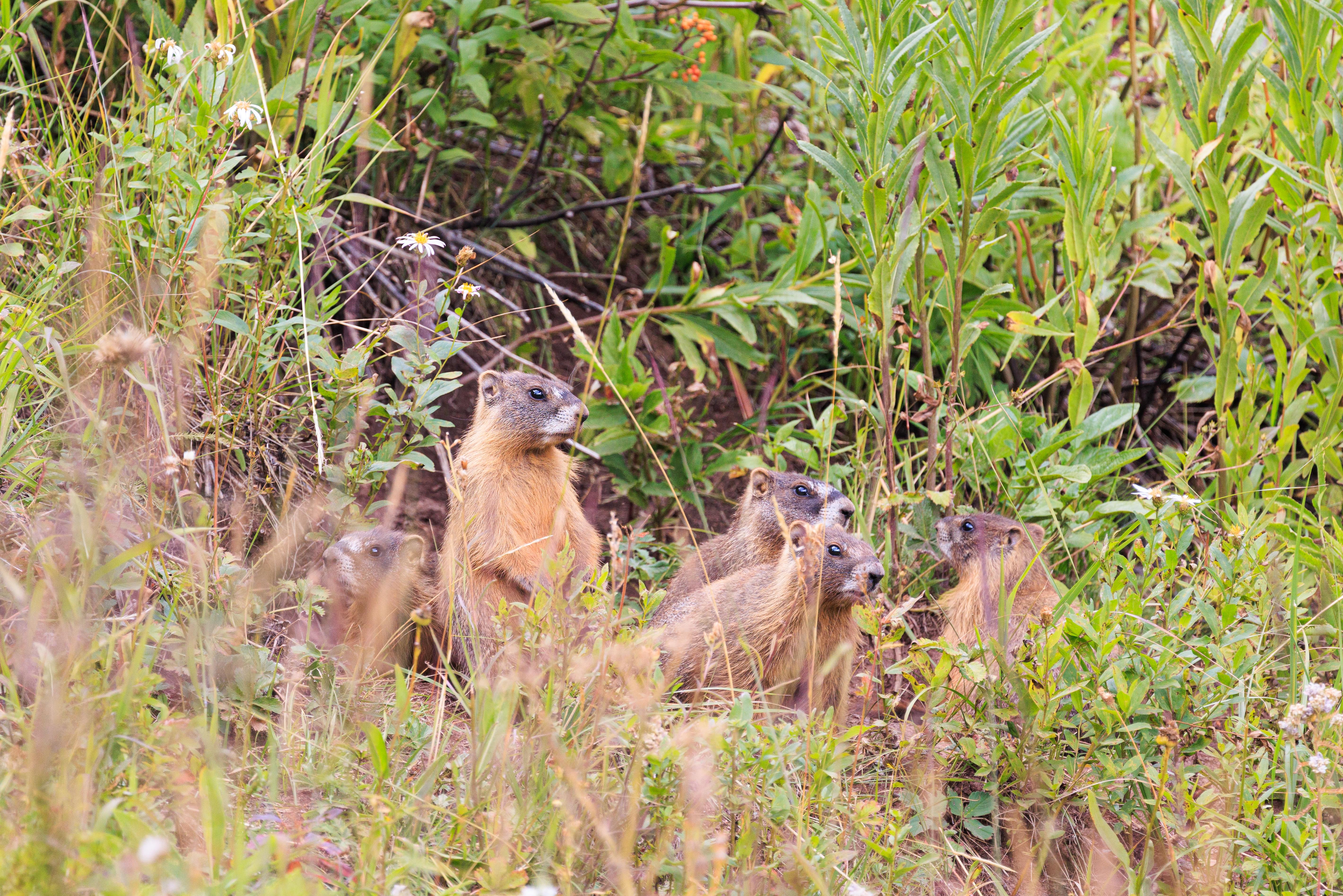
And then a 5th appeared! From underground? A marmot den!
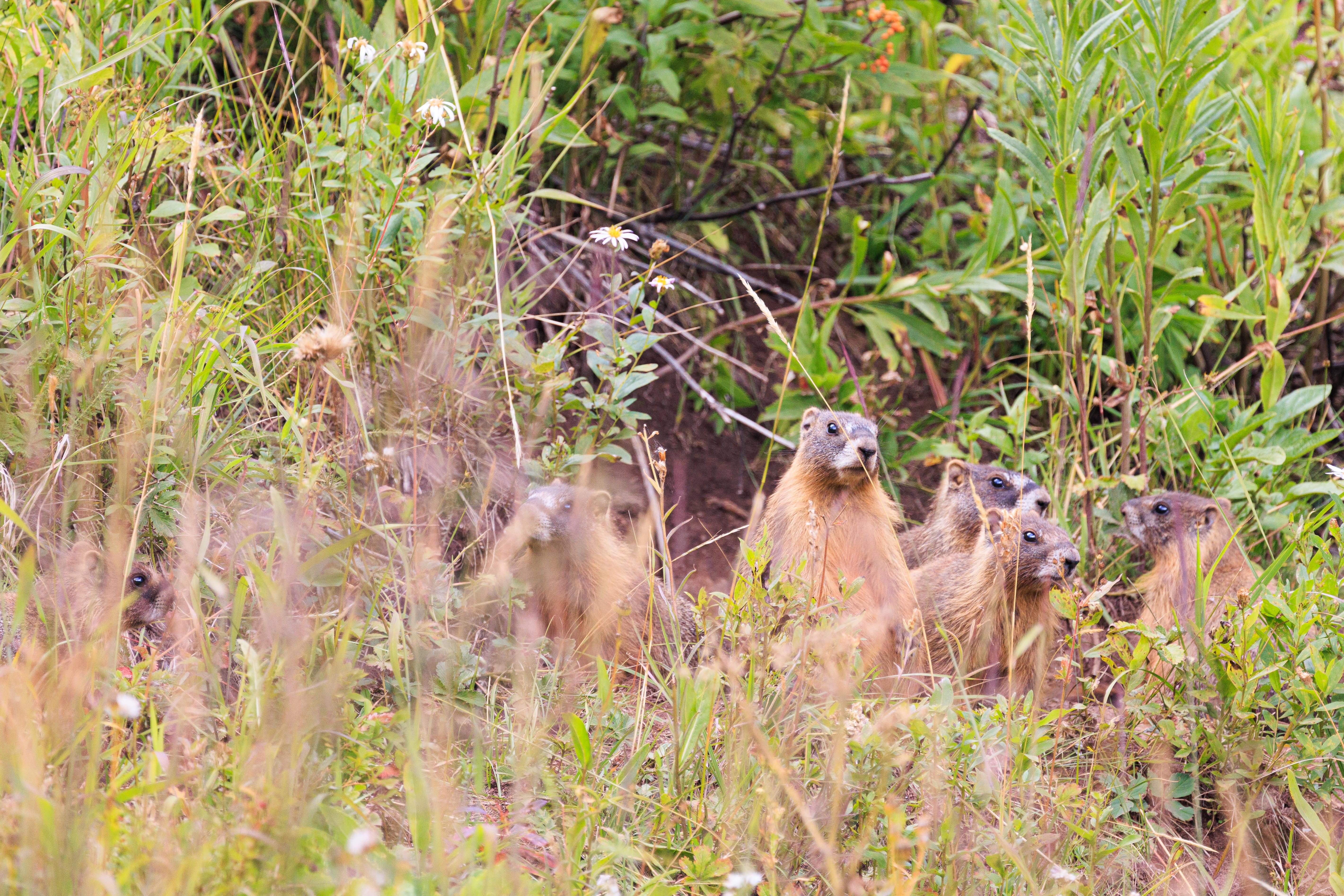
And then there were six. The 6th is a bit hard to see but it’s eye is visible near the bottom left corner.
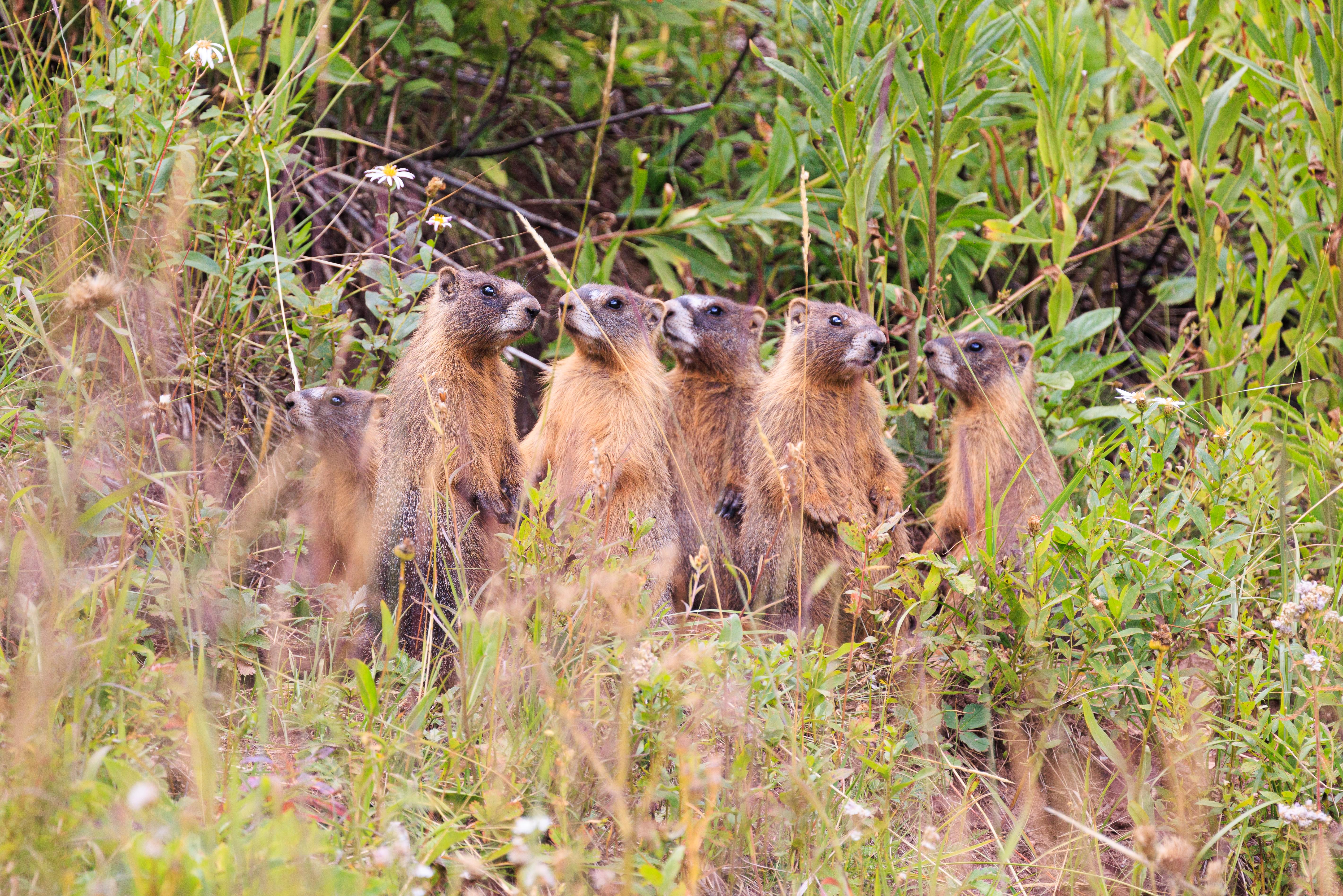
At some point, something got the marmots’ attention and they all stood up. They look just like big prairie dogs when they do this!
After the marmots, we backtracked a bit and headed down the path we were considering moments before. It turned out to not be the right way to go, but it was fine and we were clearly not the first confused hikers here!
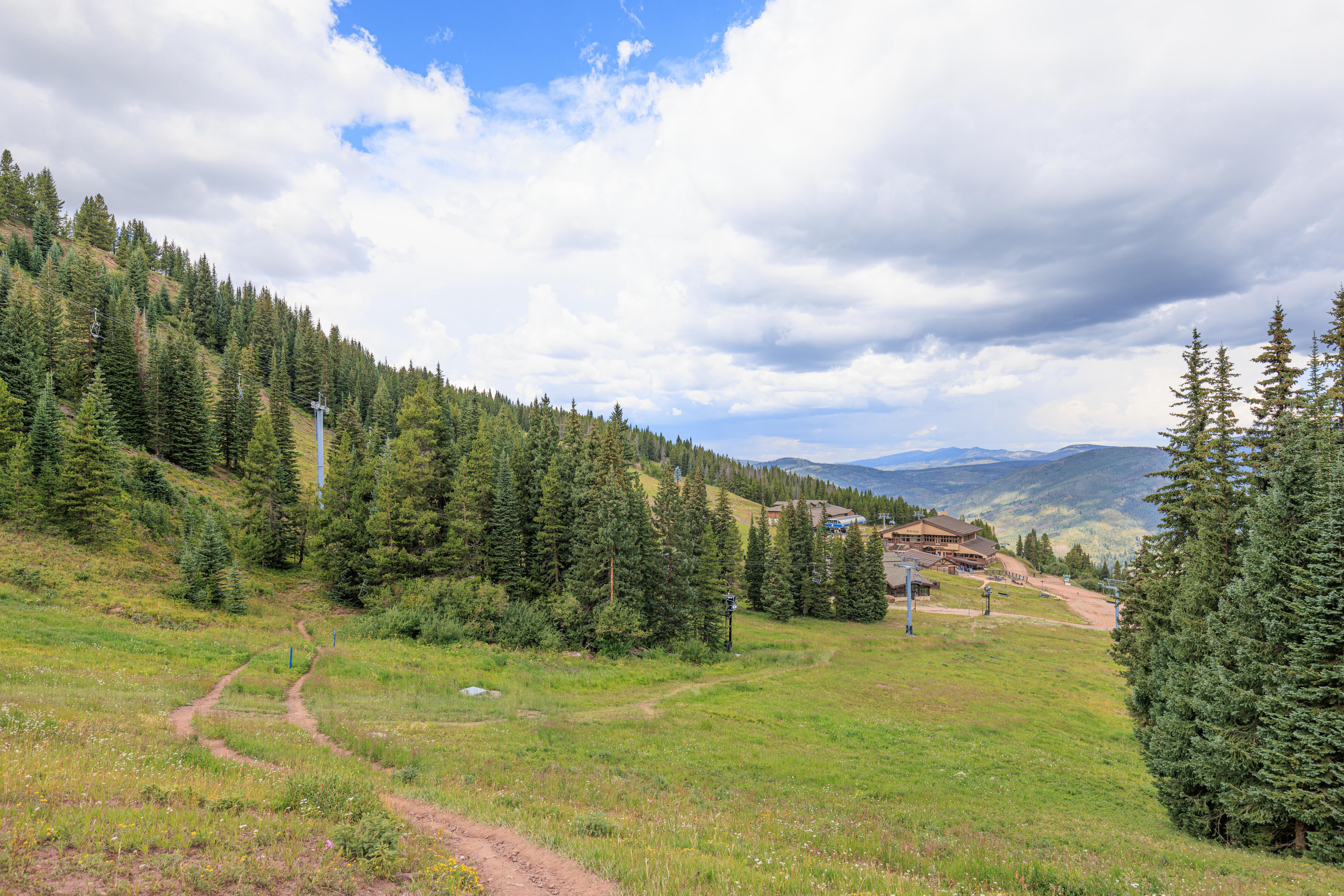
Gondola One
After a short rest and bathroom break, we ended our day by descending on Gondola One. It was very good timing. Not long after we reached the bottom, it started pouring just as we sat down for a late lunch!
Gallery: https://gallery.thesun.arfycat.com/Galleries/USA/Colorado/Rocky-Mountains-2022-08/Vail/